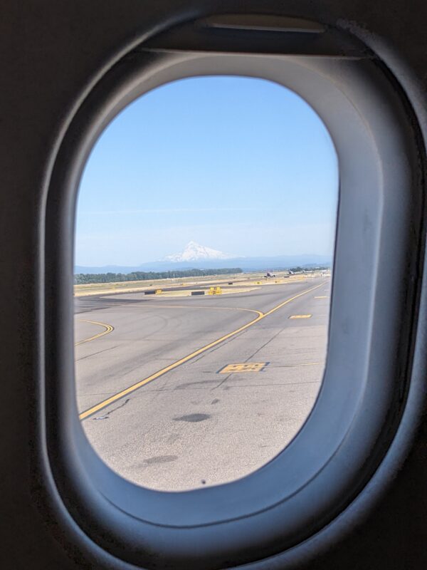
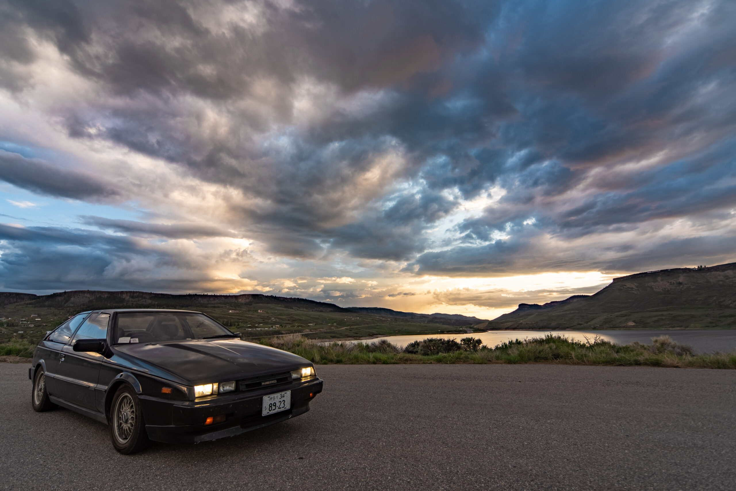
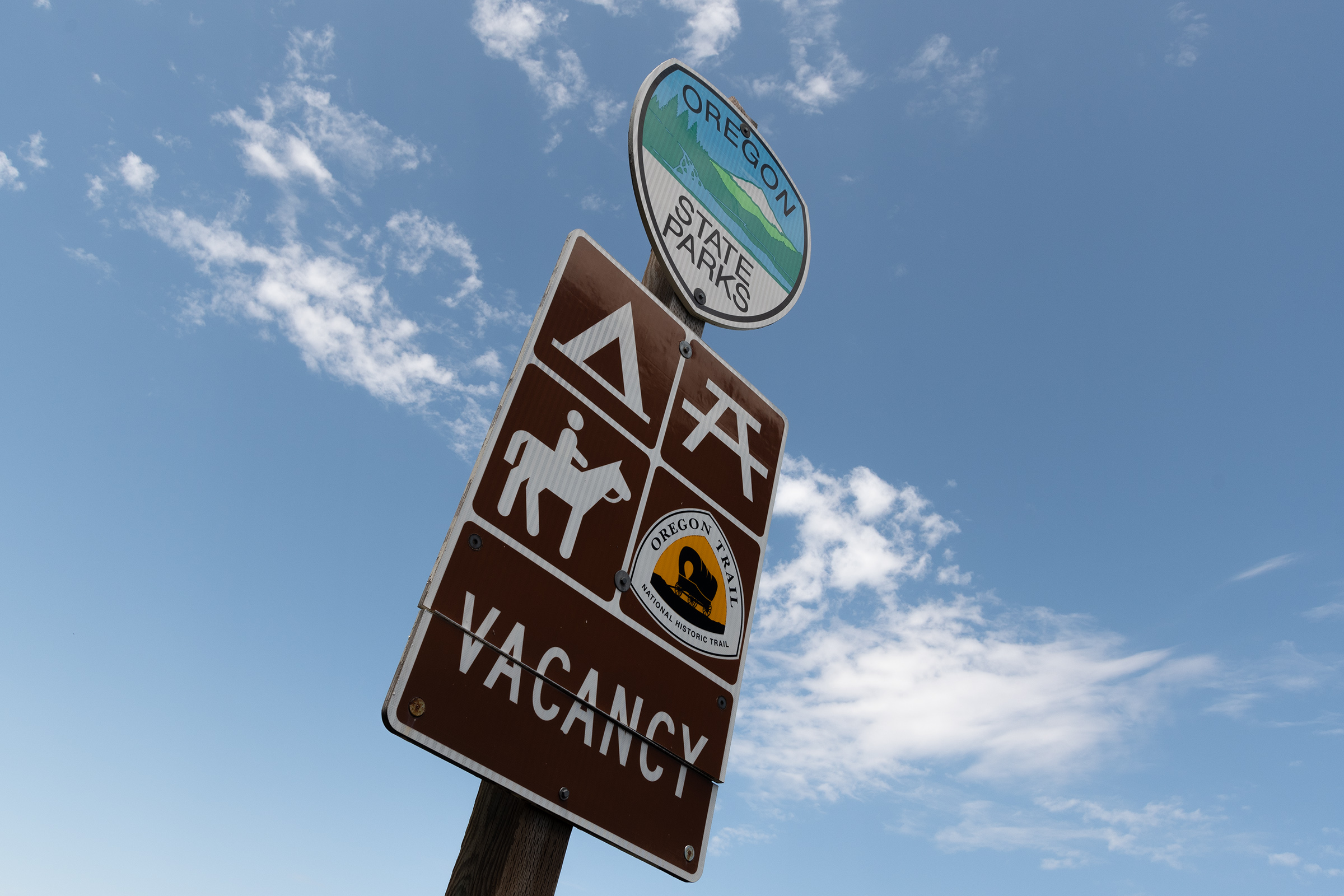
Mountain is still out. But time to say goodbye.
Mountain is still out. But time to say goodbye.
Today was my first day at a new job — I’m still at Cloudflare, but moved teams to be the new Product Manager for Stream, our video encoding and delivery platform. That’s why I opted to remain in Portland in a hotel rather than trying to last-flight-out and hope nothing got snarled in the machinations of air travel. Given the particulars of my previous role, it felt odd to turn on my computer and have few meetings, no to-do list, and no chat/email backlog waiting for me. But as the day went on, I started to find my footing and now have a better view of how to get started. I’m excited for this new adventure.
I also made a somewhat costly decision. We made it across The Oregon Trail, and although I expected my bottom-dollar prairie schooner to attract more attention, it did not, and it was time to face that fact. I fielded a few more messages today — every single one disappointed by the lack of recent service to the PCV and timing belt. So between meetings, I figured out what wrecker service handles donations for Oregon Public Broadcasting — an old client of mine — and made a call. I can drop my Wagon with them in the morning, sign the title over on-site, and at least it will generate a pittance for a good cause. After all, the previous long-time owner of my wagon donated it in Texas, so it felt like continuing the cycle of goodwill. And my hope was that donating the vehicle intact might keep it from turning into the next pile of bones to pick at the junkyard.
But this afternoon, I got a new response from a message thread that had been dead since Saturday. Someone named Bret wanted to come all the way up from Salem to take a look. I almost turned him down after yesterday’s depressing triple play, but I decided to give it one more shot. I agreed to meet him down at a Whole Foods across town after work.
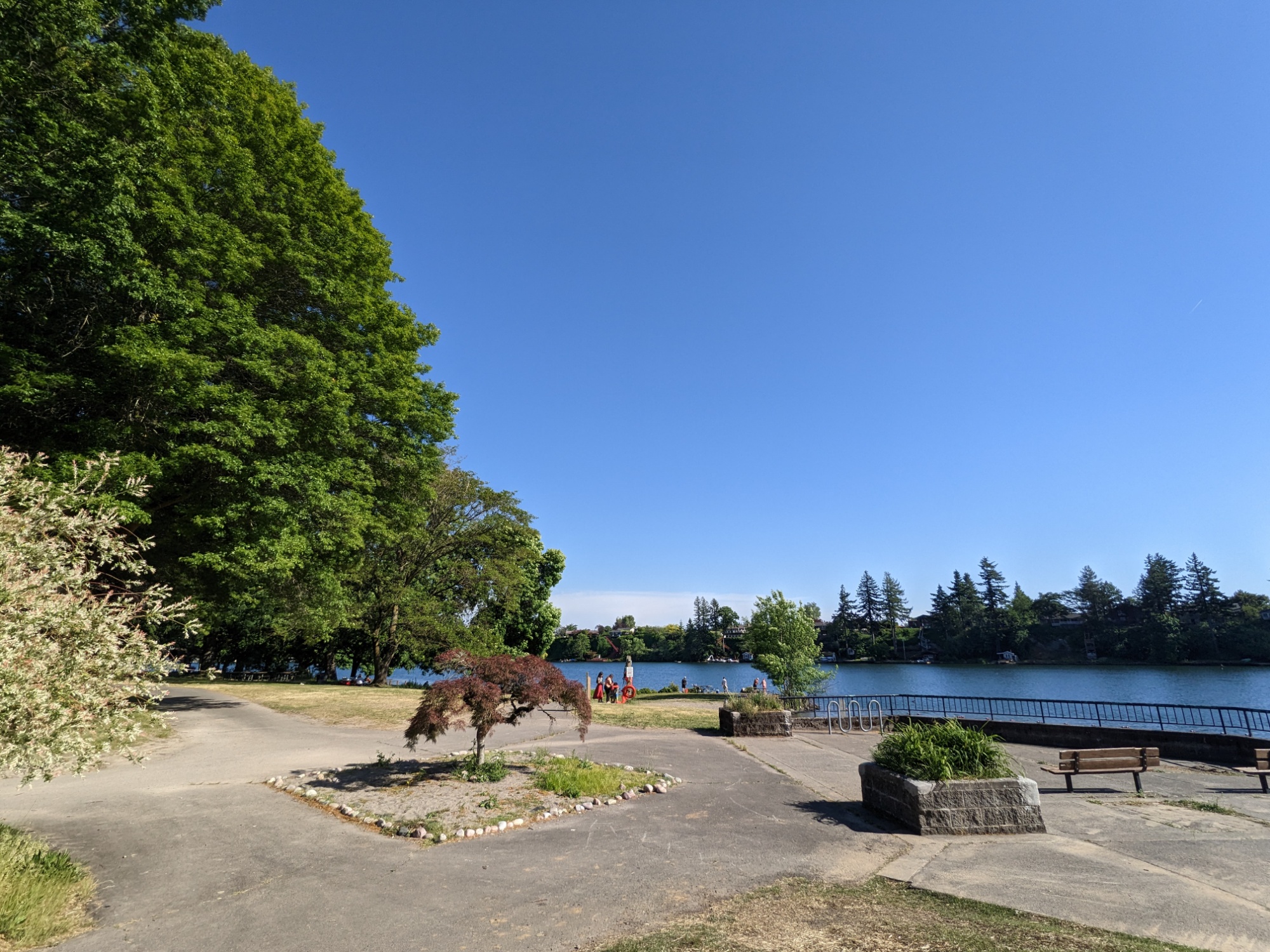
Since I’m on Central Time hours, that gave me enough time to get out of my hotel-coop for a run around a little lake and a scenic drive down Marine Drive along the Columbia shoreline before cleaning up and heading south. Just being in sunlight was good for the soul.
Bret and his buddy, whose name I didn’t catch, beat me there, so the exhaust smell (that Ria didn’t like) had no time to dissipate before they walked up. I was crossing my fingers that, being based in Salem, they wouldn’t care as much because emissions testing is only done in Portland and Medford… “Well it smells like an old Volvo,” they chuckled.
And the standard transmission (that Richard didn’t like) was actually the selling point for Bret. Also his buddy figured that might be a way to haggle on the price a bit, since there is apparently little interest in manuals in this market. Oops.
So Bret hopped in and took it for a spin around the shopping center. He came back a short while later and my own optimism was starting to get the better of me. I wanted to be prepared for the anguish and logistical complication when this fell apart… but he was smiling like he knew he was about to do something stupid.
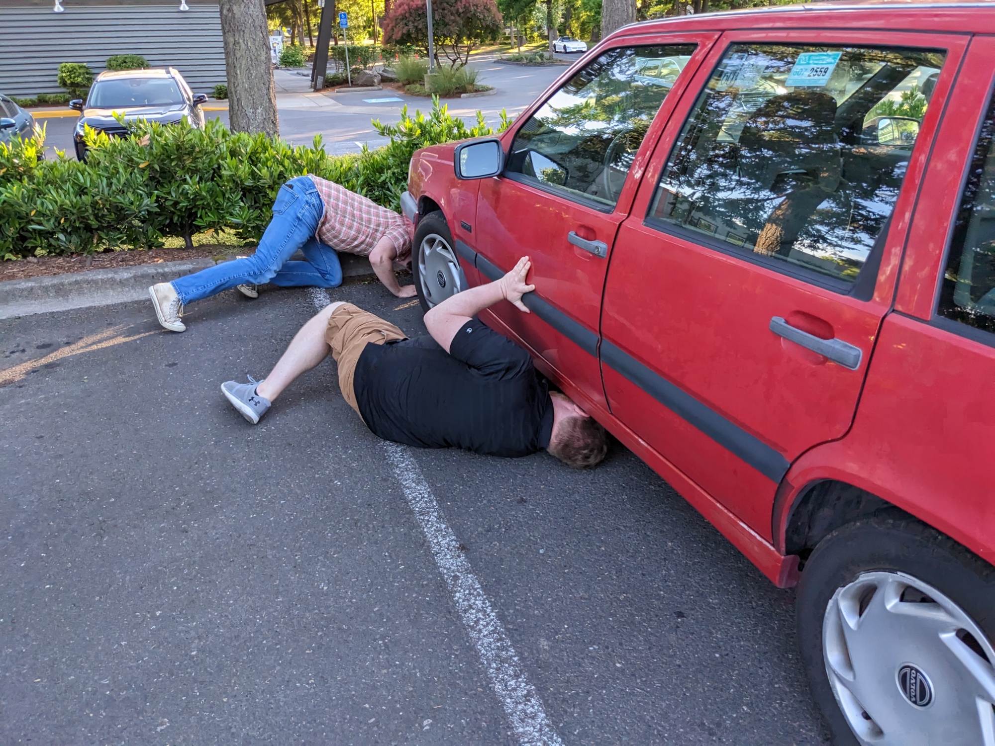
Then they went about a rather thorough search for rust, of which they found plenty — apparently they pulled a vehicle history report that noted its formative years in Wisconsin. At one point I saw Buddy holding flakes of something in his hand… “I hope that’s food you’ve got there,” I said.
No, it’s the rest of your floorboard that came off when I poked it. Do we get a discount because the driver’s footwell carpet is an exterior feature? But I mean… can’t be that hard to patch over… but I’m not doin’ it for ya on this one, Bret. No more rust repair for me.
He fiddled with his rust flakes like they were poker chips, but stated shaking his head, knowing Bret was about to do something rather foolish. Then there were questions about the spare seatbelt in the backseat — whereupon I launched into the retelling of that saga. He seemed unsurprised and said he’s got a couple 850s back home he could steal from if he needed another replacement. After a little more of the roadtrip story came out, he ultimately decided to go for it. I even took their opening bid… I’d already knocked a grand off my Facebook Marketplace ad and my only other plan was to literally give it to NPR, so I was happy to line my pockets with some cash (and a great deal more than a junkyard would have offered) and walk away.
And I was delighted to have been able to sell this wagon to an enthusiast who seemed to be going into it with his eyes open, too. He knew this was a gamble. But he wanted to take the bet; he wanted this car. He wanted an 850 specifically, he wanted it with a standard, he wanted it to be kinda old (and thus kinda cheap). And he knew what all went with that but was excited to get into it.
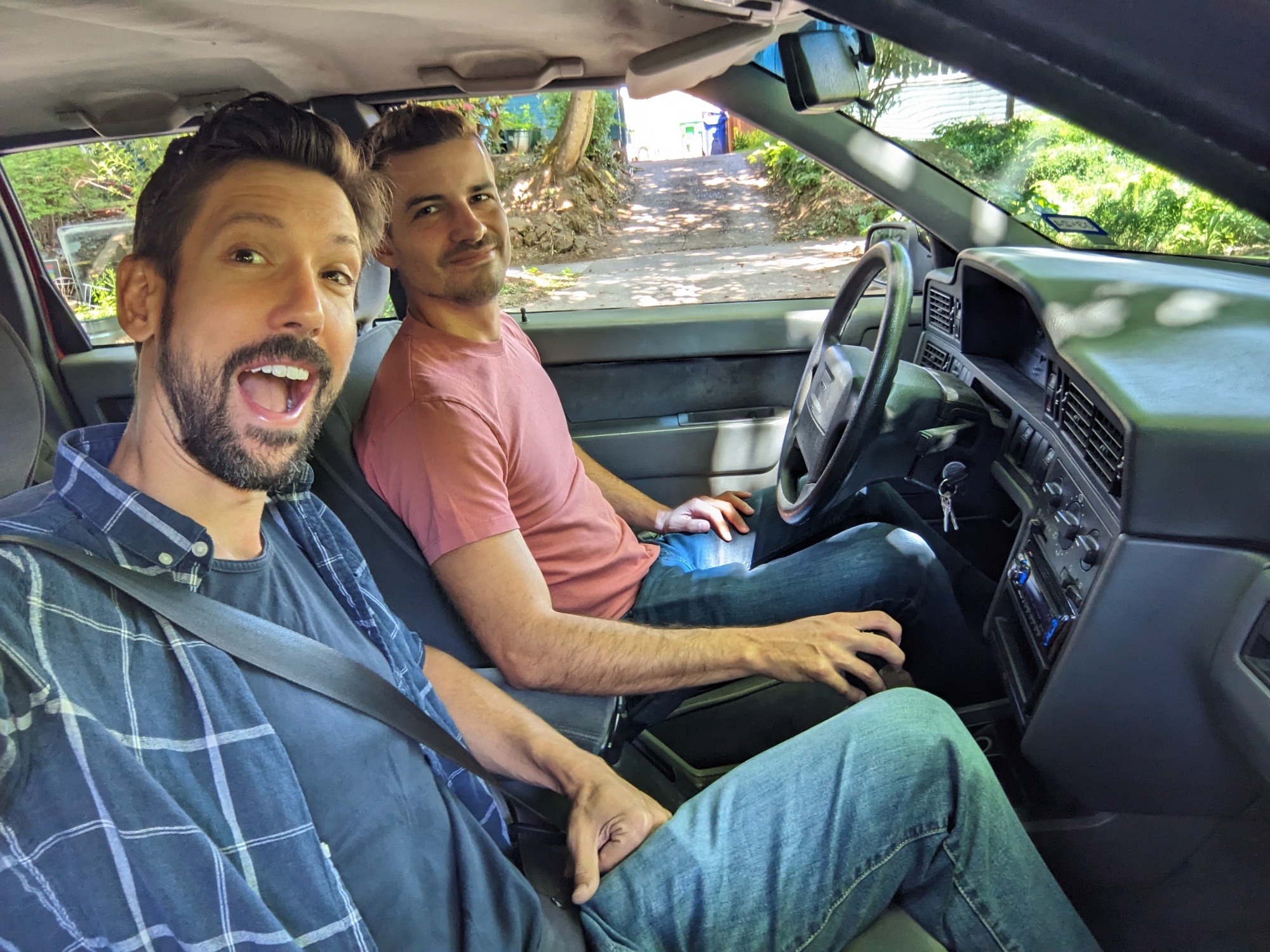
I walked into the Whole Foods and shared the news with EG over the phone as I stood by the window, watching the two of them pop the hood again, poke around a few more things, and then button it back up — drive away in their new prairie schooner. Once they were safely out of sight, I made a little takeout box from the hot bar, grabbed a beer from the Build-a-Six-Pack cooler, and sat outside in the cool evening air for a quiet victory dinner.
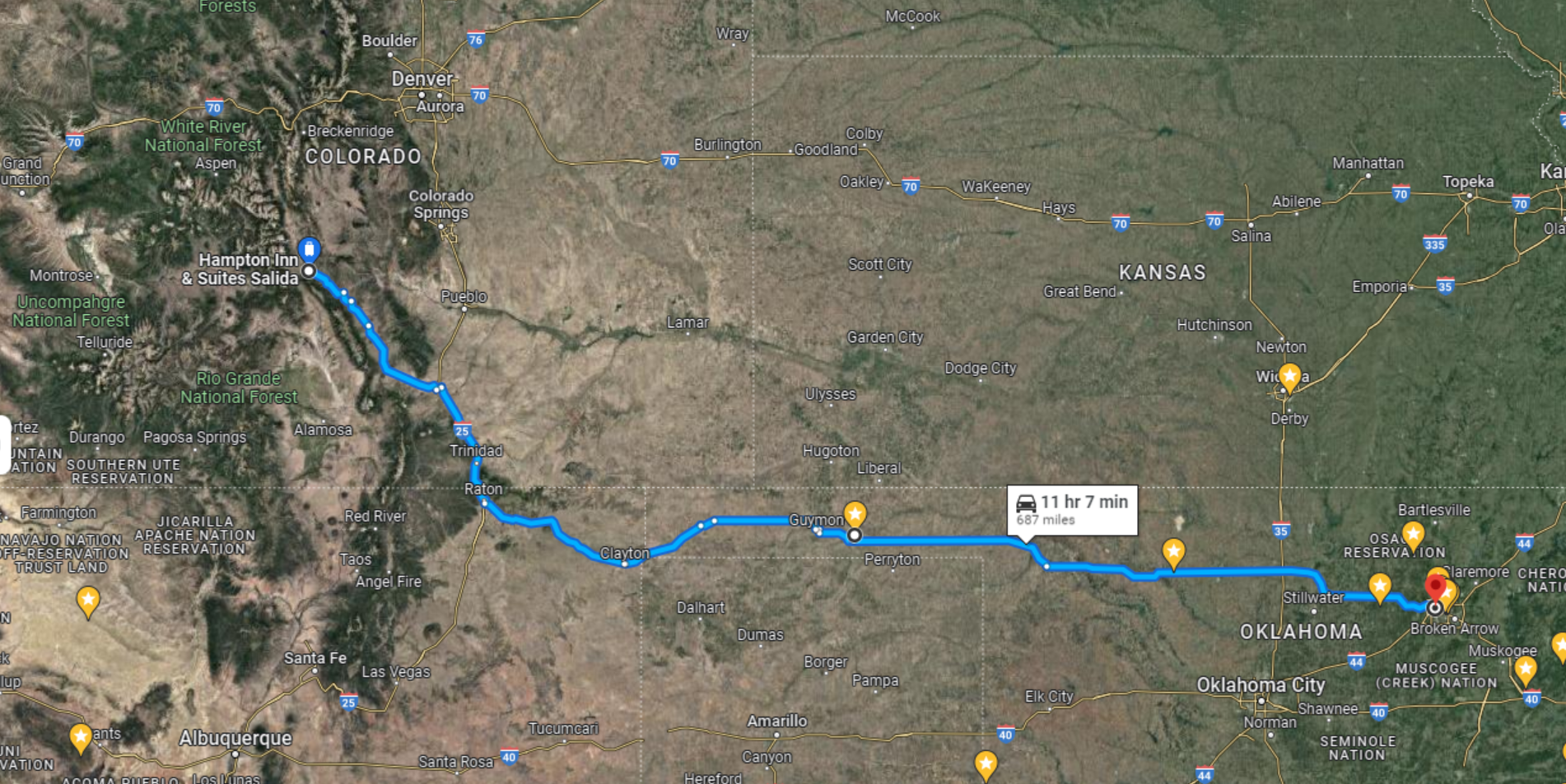
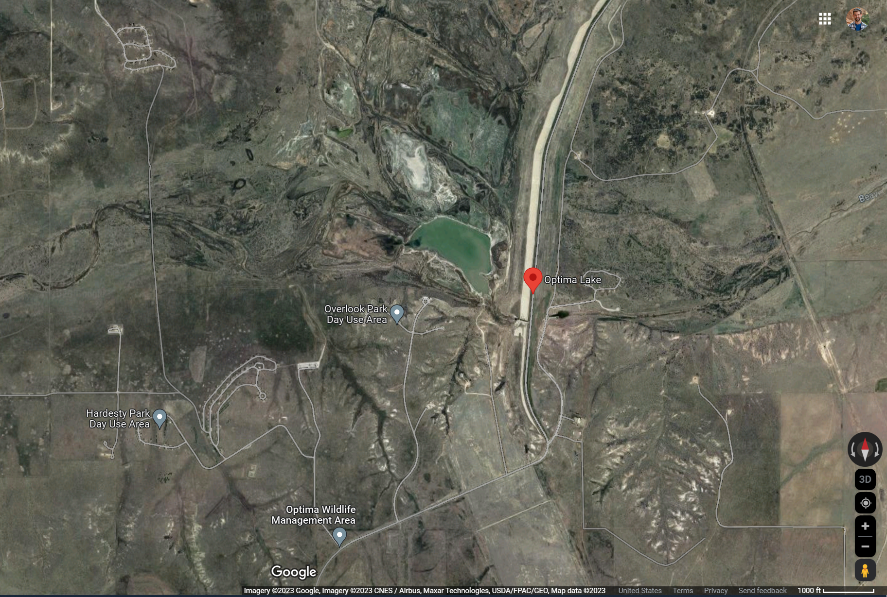
Meanwhile, Evan M made good time down from Twin Falls, Idaho to Salida, Colorado and managed to sneak in some good scenery. He’s set to go to Optima Lake in Oklahoma tomorrow, a waypoint he’s always wanted us to visit but is not within a six hour drive of pretty much anything else we’re interested in. So he’s doing it solo.
Optima Lake was a recreation area with picnic tables, a trail, and campsites around a manmade lake that would be filled in by an Army Corps of Engineers dam project in the area… which… though the dam was constructed, for reasons I’m unclear on, the reservoir never filled nor is the dam actually holding back much water. So the facilities are basically abandoned. A ghost park.
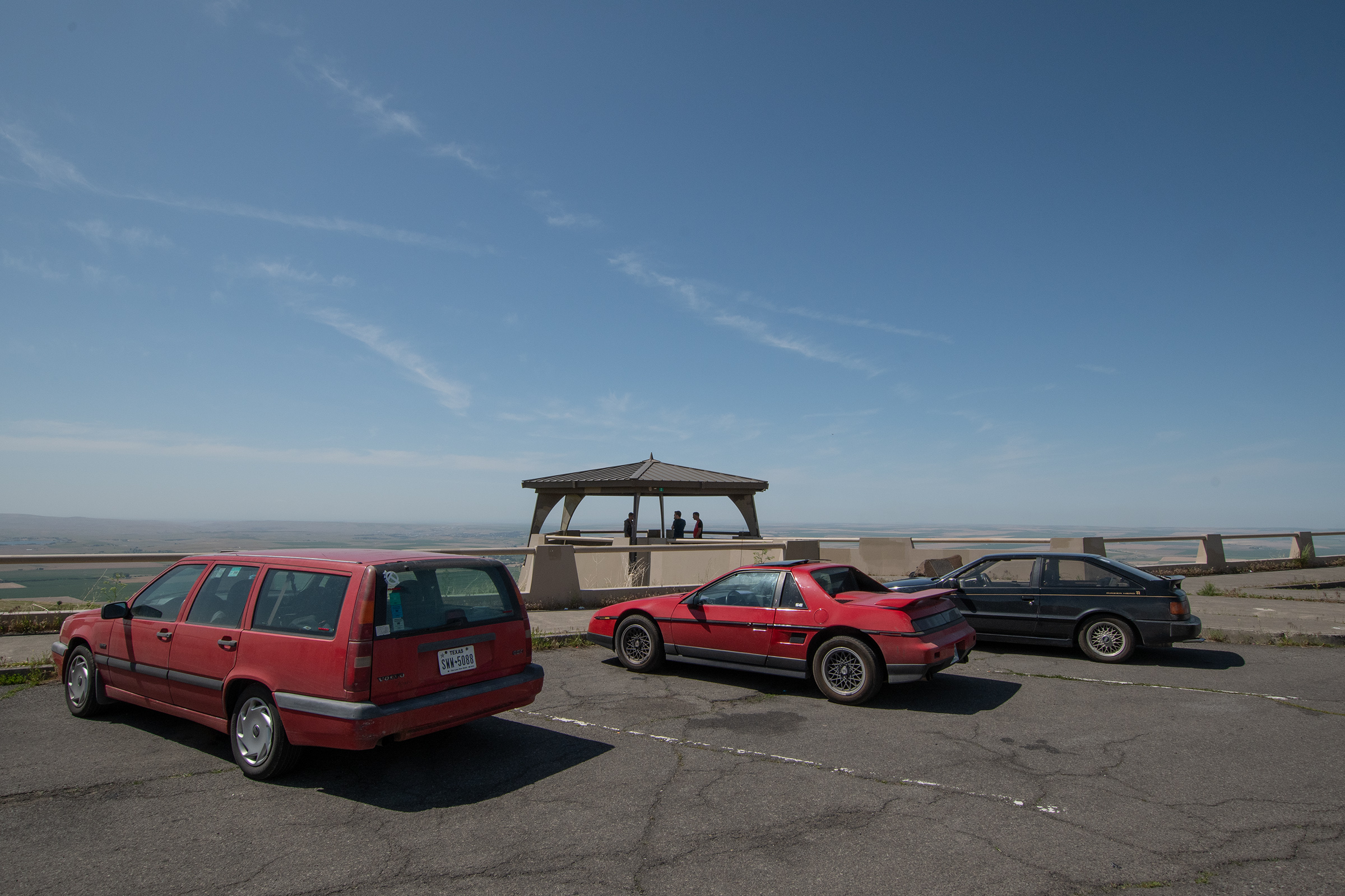
George has put the Fiero into storage until he returns to Portland for football season if not before, and he is lounging in working from his fancy suite on Hayden Island until Wednesday.
Evan G is also back at work, has announced his new job (putting him knee-deep in transition preparation) and is workin’ the particulars of a book deal. But in his spare time he’s already starting to put plans together for our climbing roadtrip in July — but I think we’ll pick a car we already own this time.
With my wagon now sold, I’m feeling like the trip really is nearly finished, so I’m much less bitter about the hovel hotel. I’ll office there tomorrow morning and then relocate to the airport for something better before I fly back tomorrow night.
Though each different in scale, these three cars were definitely our most ambitious picks yet. And all this work had to happen on a deadline or en route. So I think an itemized accounting of our labors is in order.
…assuming I was right — that the fuel pump was overheating — and that’s why [the car kept dying while driving it from Tulsa to the start line in Independence], I imagined that turning off the car while driving downhill would cause it to cool off during those sections and run longer. AND I WAS RIGHT! By adopting the technique of hyper-milers, I was able to drive two and a half hours without a fuel pump failure. I even took to speeding up the hills so I had more momentum going down and could leave the car off longer. This, of course, earned me a speeding ticket and a search for drugs by the police.
Feeling a bit overshadowed again here, but I did do some stuff. And that seatbelt situation turned into a whole narrative of its own.
(Wherein “decklid” refers to the “trunk” lid, which covers the engine and a small storage compartment because it’s a mid-engine model.)
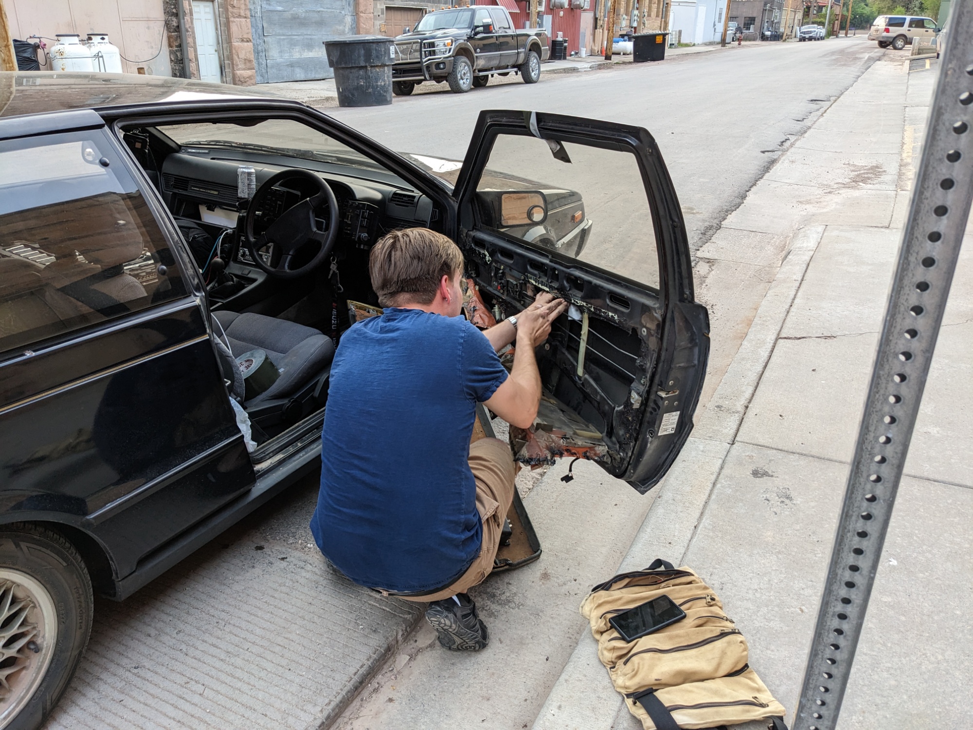
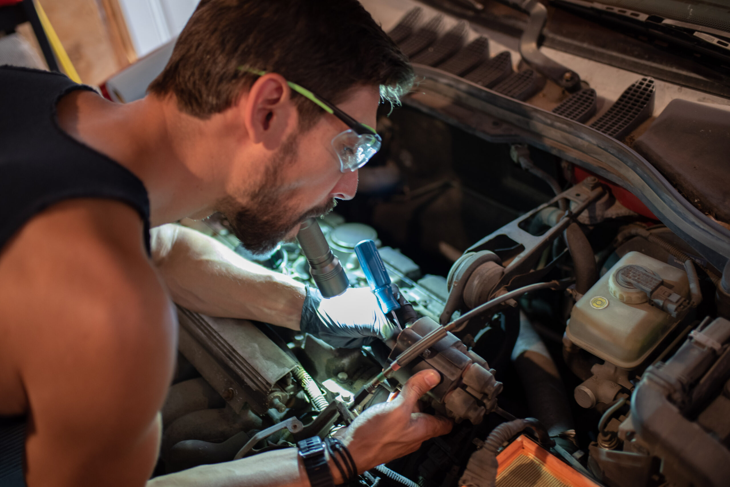
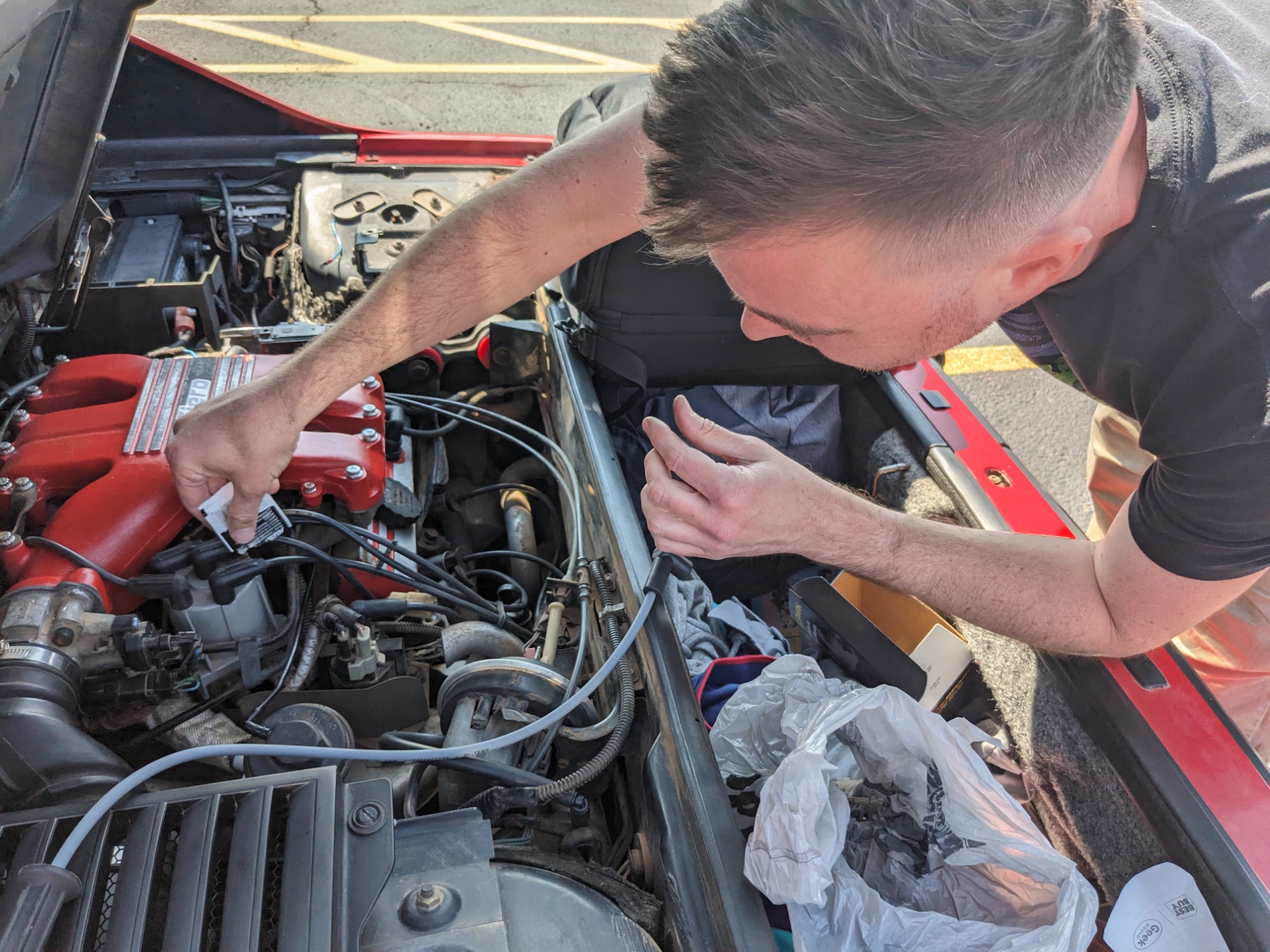
Also can we stop for a moment to realize: both the Wagon and the Fiero had debilitating, degenerative disorders of the spark plug wires. What?! Like, that’s a wear item you replace as part of semi-routine maintenance and an old one or a corroded connector can make your car run badly… but I’m not sure I’ve heard about plug wires actually causing a problem as big as either of us had — let alone within two days of each other.
It’s been a lovely, brilliantly sunny weekend in Portland, welcoming us in from our weary travels. We mostly hunkered down in a green, warmly lit, antique house just off the bars and restaurants district of Division Street.
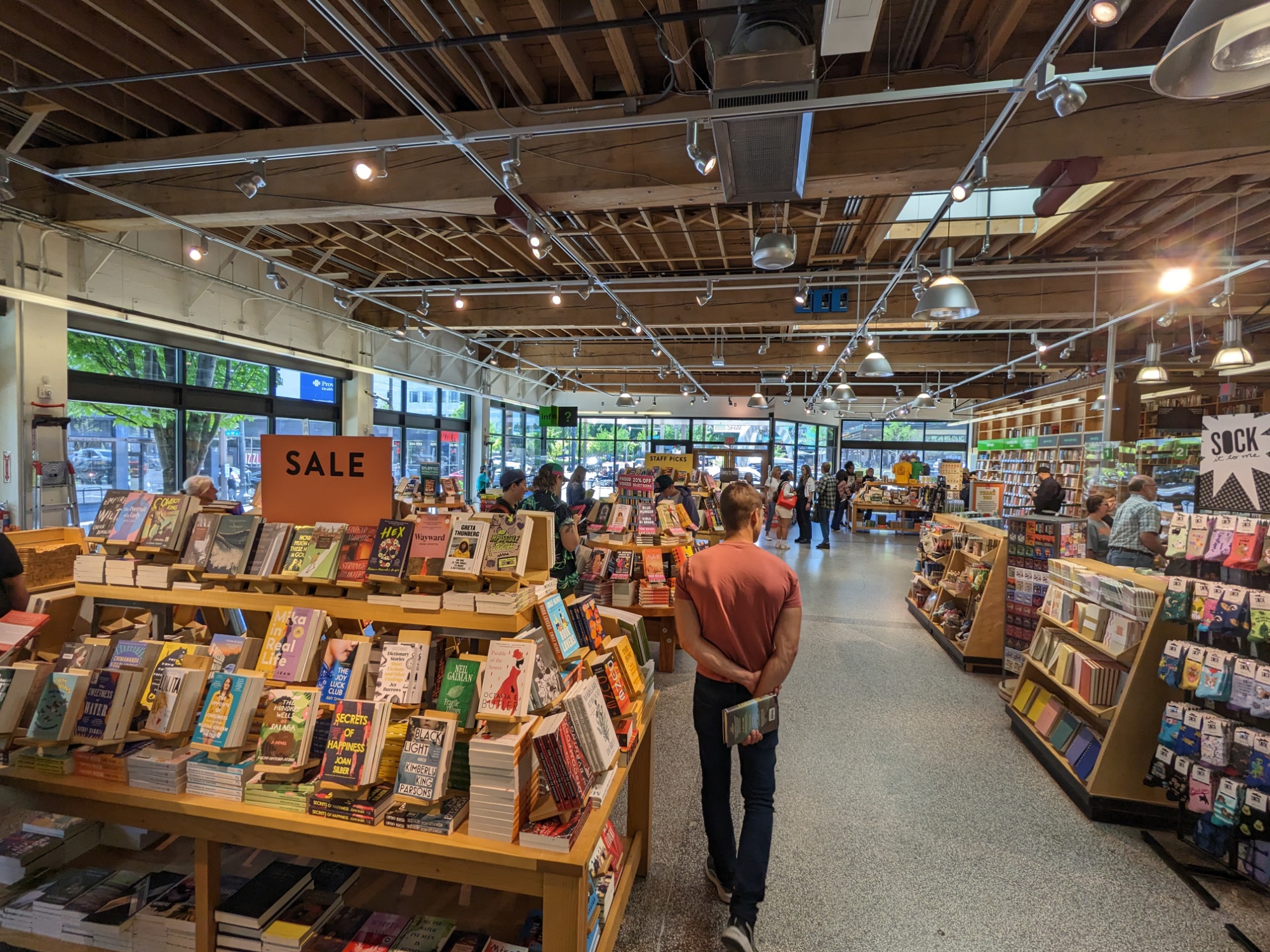
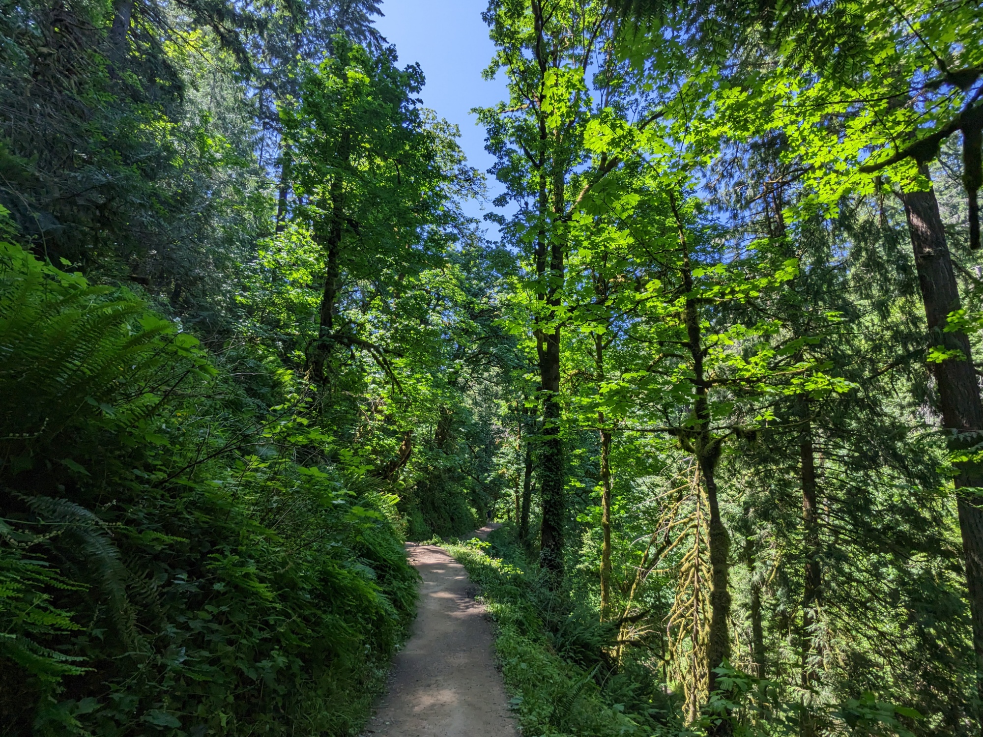
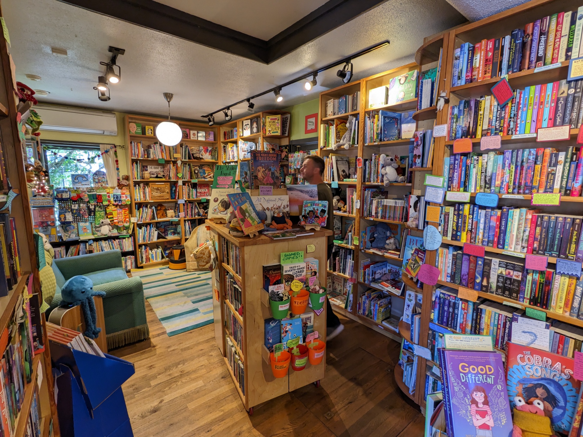
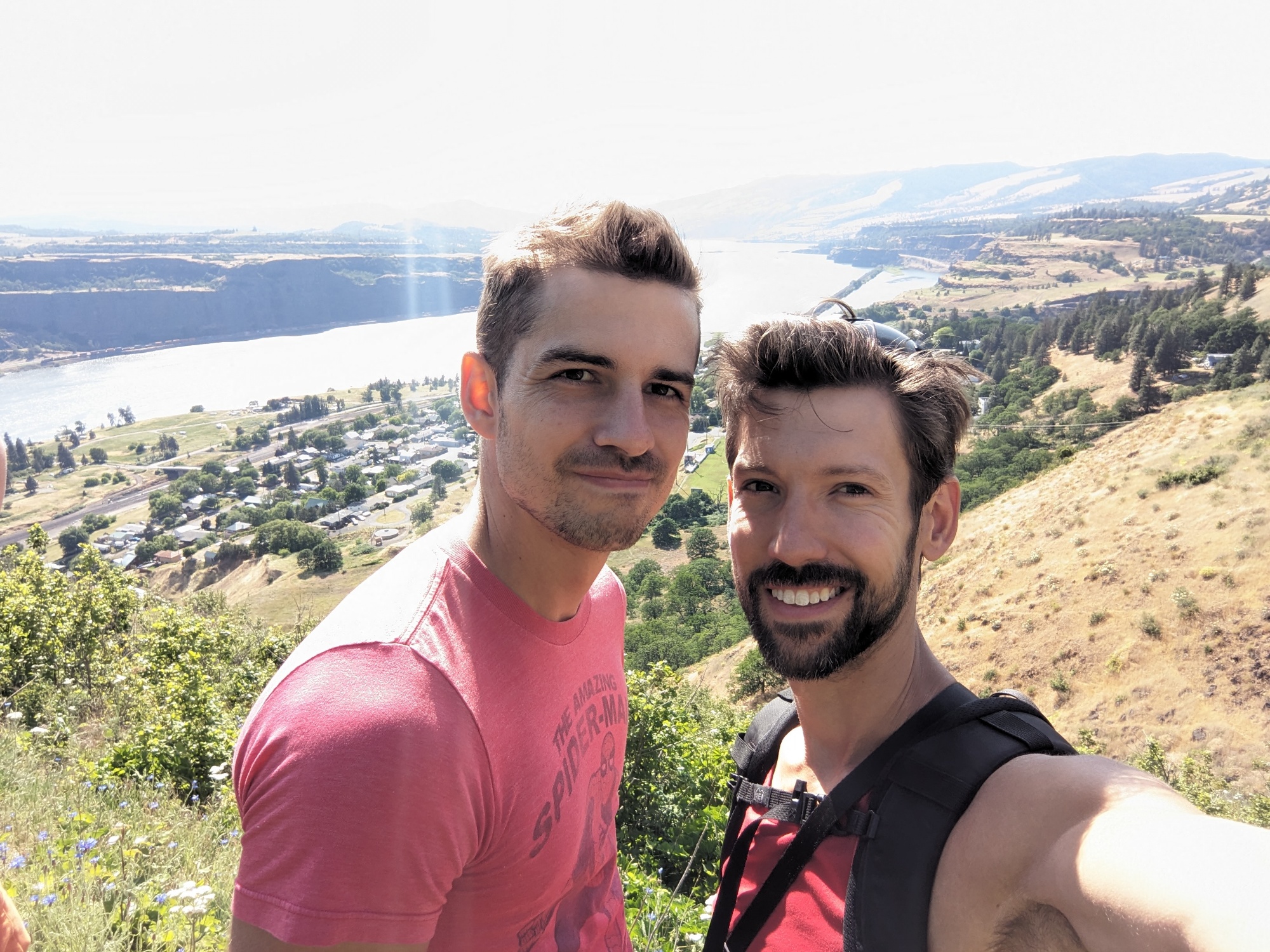
EG had the first departure, flying back to Austin on Saturday afternoon, so he and I snuck in a quick driving lesson, trip to Powell’s City of Books — the largest independent bookstore in the country, where I bought yet another book for my pile of post-Trail reads — and a short hike he found on the edge of town to a Witch’s Castle before making the run to PDX.

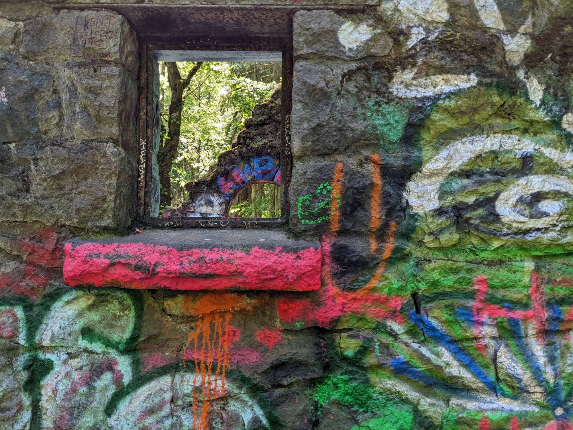
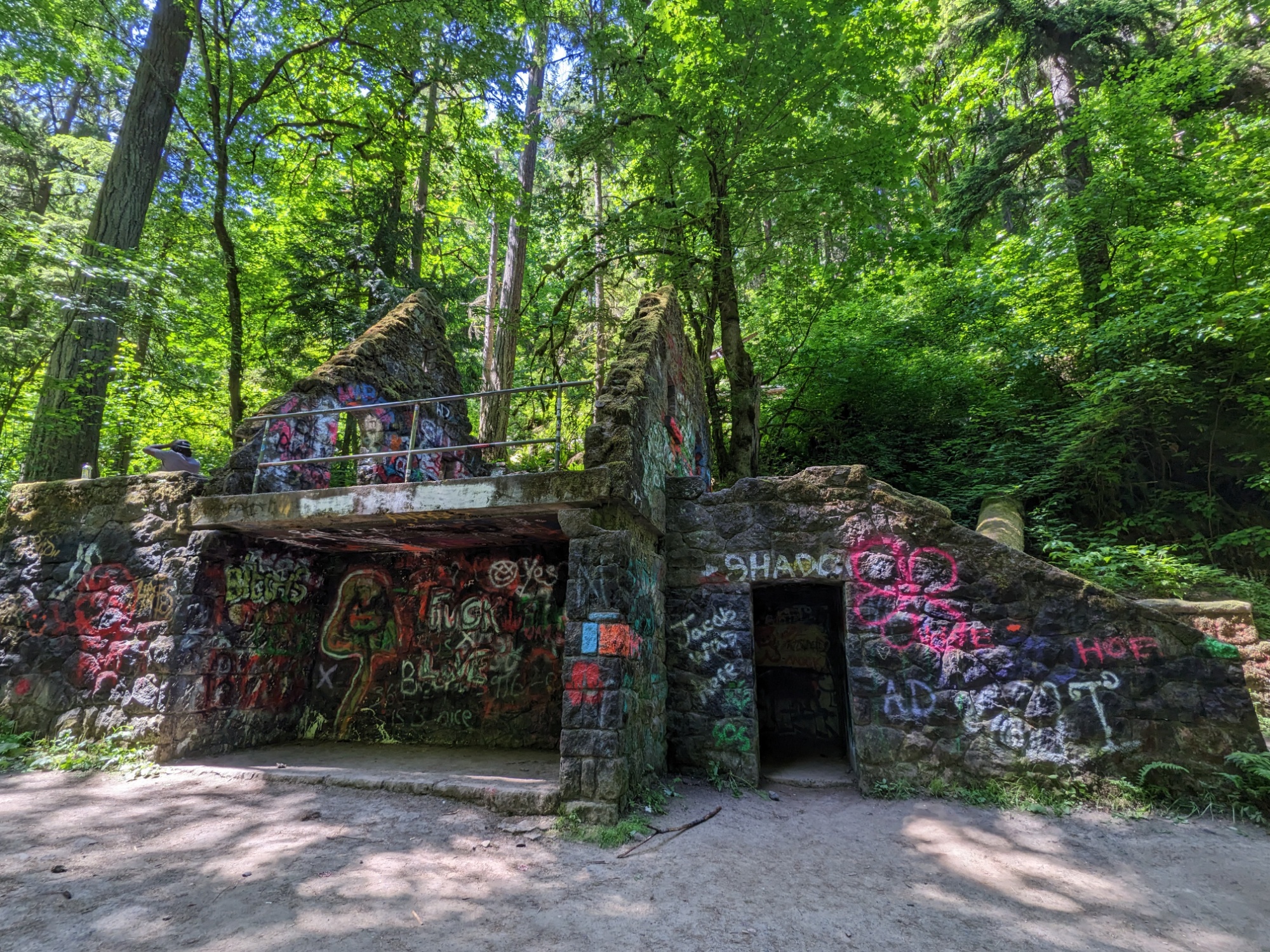
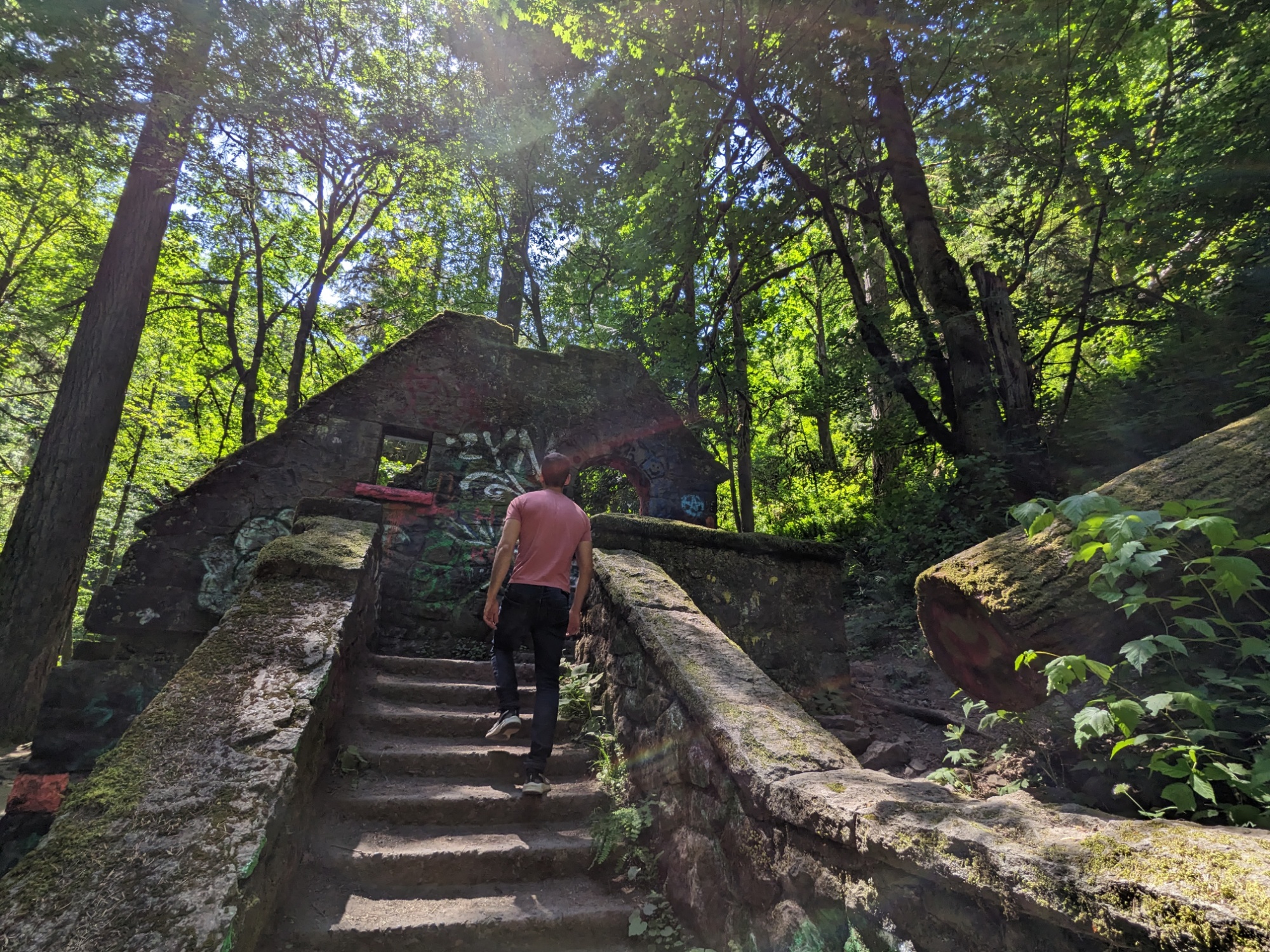
These old stone ruins in the Oregon wilderness were once bathrooms and are steeped in legends of murder.
Atlas Obscura.
There is just no good way to summarize that glorious article, but the man who originally owned the land which would later become this section of Macleay Park shot the man he’d hired to help clear it because he eloped with his daughter. The landowner was then executed for that crime — Oregon’s first legal execution. The land then fell into the city’s hands, it became a park, and in the 1930’s the stone building was constructed to house a ranger station and public restrooms. It was damaged by a flood in the 60s and lay dormant and graffitied until the 80s when some local students decided it would be a spooky place for parties, naming it “the Witch’s Castle,” since such time it has stood as a waypoint for people on the woodland trail through the park awaiting our arrival.
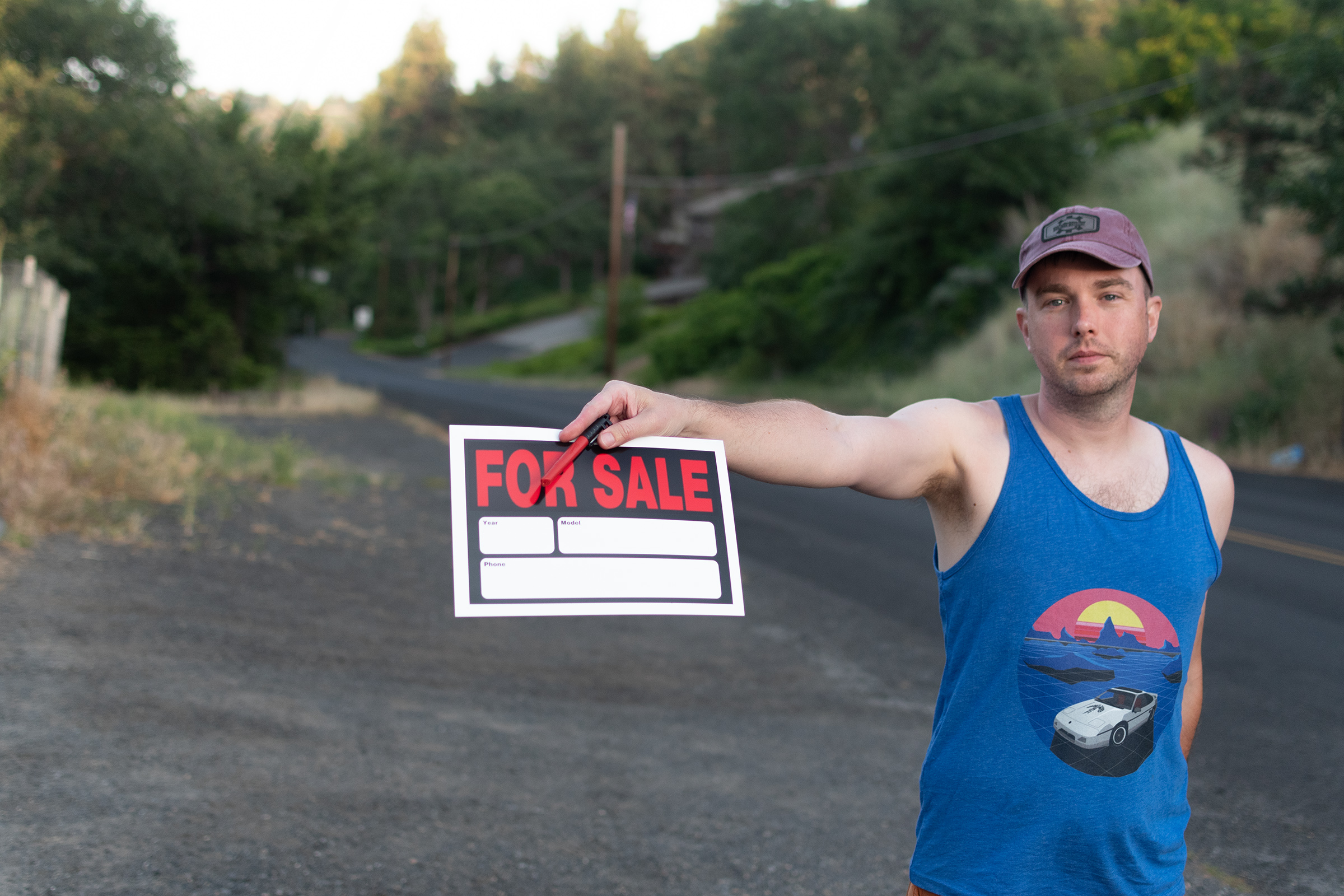
After our little hike, we made a brief stop back by the house before I took him up to the airport. I spent the rest of the afternoon pounding digital pavement trying to offload my wagon — which I had assumed would be a simple matter of intentionally allowing someone low-ball me. That’s how both the Celica and the 4Runner found their new lives rather quickly! Not so this time, apparently.
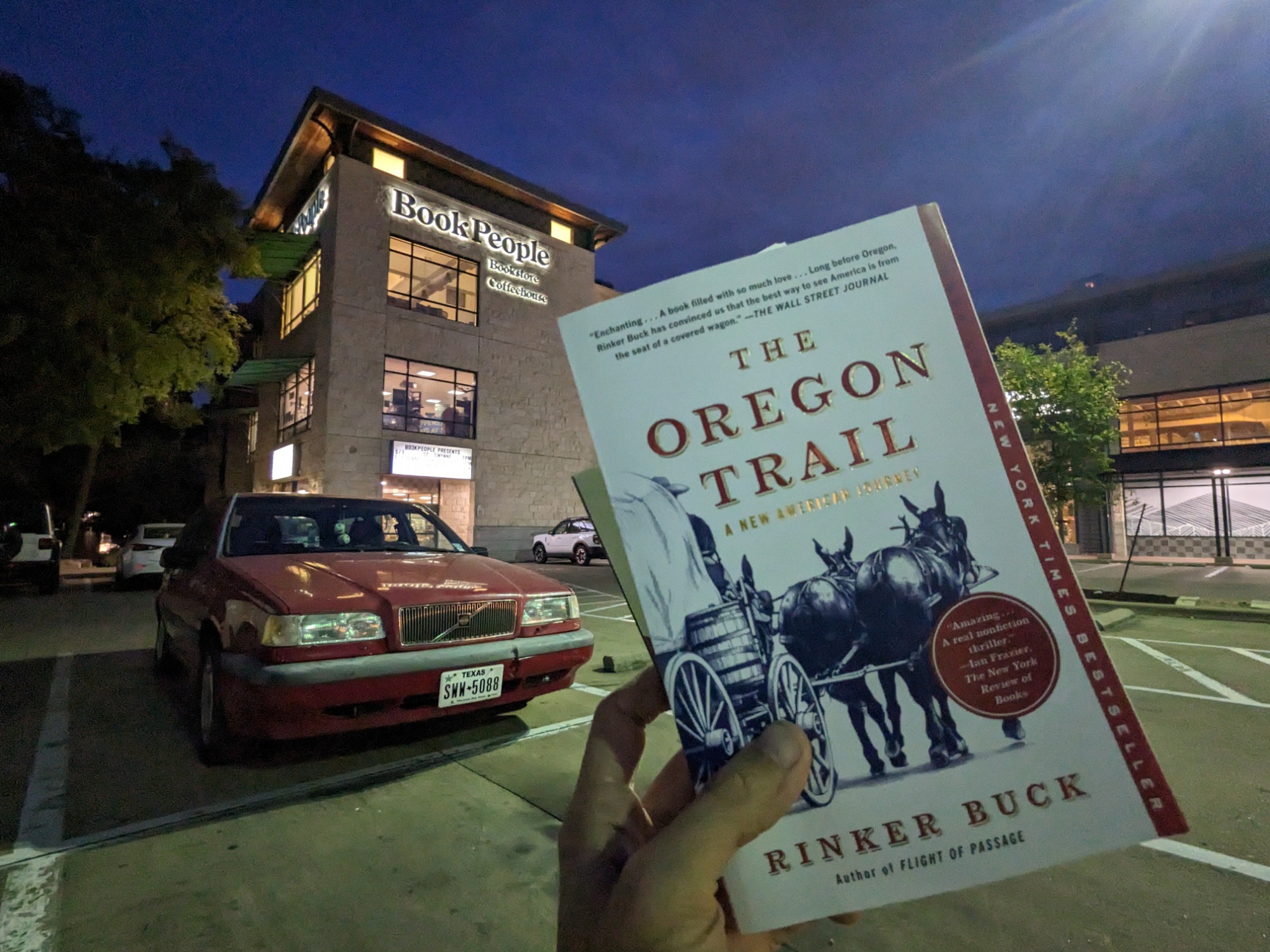
I retreated to my room in the cabin and finally finished The Oregon Trail: A New American Journey. I’d put it down about half-way through the trip as Rinker and his brother crossed the border into Oregon. [Spoiler alert] Turns out, they ended their trip in Baker City for a number of reasons: the approaching winter, needing to secure a safe future for the mule team, and they found — as we did, too — that the remaining trail to The Dalles was frequently interrupted with Interstate 84 and the Barlow Route after that was impassible. But Rinker accomplished his mission and found himself on the trail: he drove a mule team across the country to Oregon, the first team in over a century. They sold off their mules and the wagon they drove to a local rancher with property across Oregon and Idaho, much of which sits on the trail itself.
Evan M was the second to leave. From the start, he had planned on the Piazza Nero becoming his latest project car. So he planned a mostly-highways return to Tulsa which began with a retracing of I-84 back to southeastern Oregon and down into Idaho. With a duct-taped window and no one to spot his right-hand-drive passing, that sounds like a tough ride. The three of us cleaned out the AirBnB and then he took off in his fully loaded wagon.
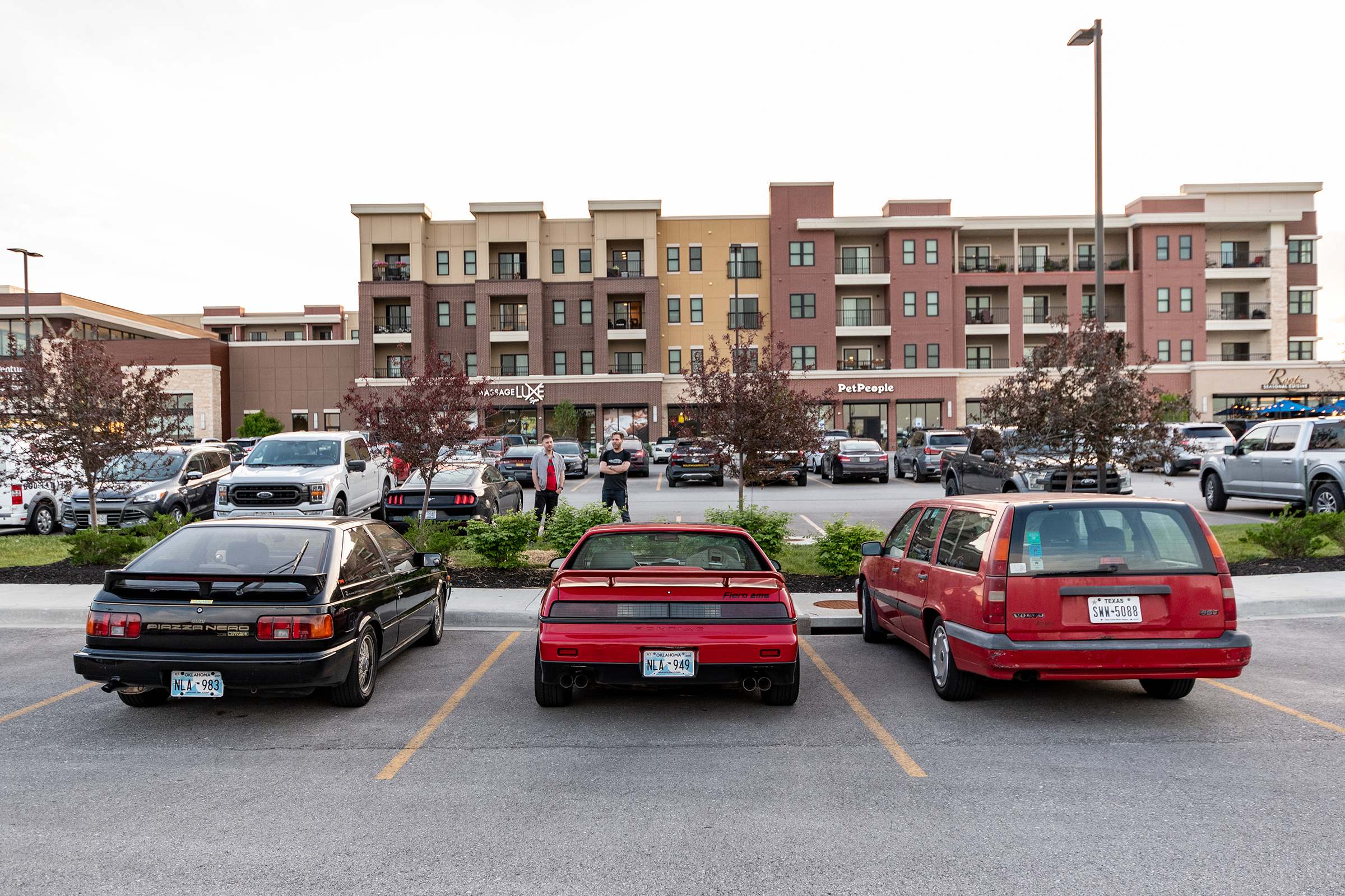
That left me and George. We stopped off at to a UPS stagecoach depot — each of us had things to ship home rather than try to check onto a plane. And as we walked back to our cars in the parking lot… I was listing my ad in yet another Facebook group and some idiot walked up to George and started talking to him about his For Sale Fiero.
He came up, asked what I wanted for it, and my heart just sank. I was so disappointed.
That’s a familiar story. George has been waffling about whether to sell or keep the Fiero since we left Independence. He did find a vehicle storage facility this morning in Portland, too — keeping or selling, he didn’t want to immediately start a new un-air-conditioned roadtrip. But as this local yokel started asking questions, George solidified his decision: the Fiero will be returning to Tulsa.
:grumbling intensifies:
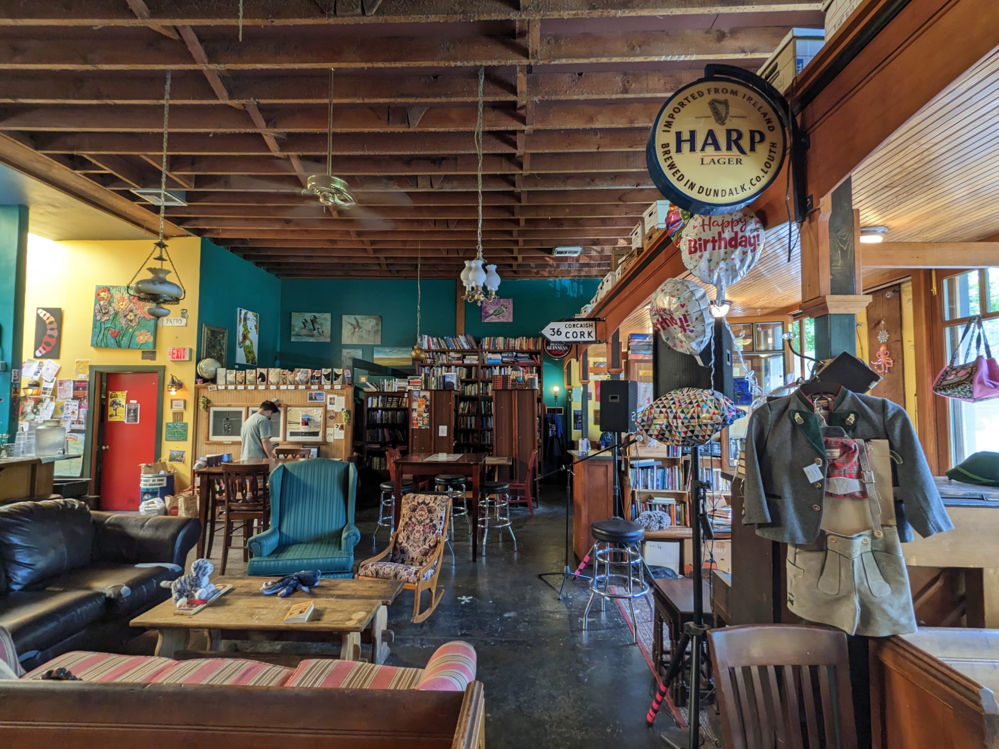
I tweaked my ad and once more lowered my asking price, then George and I met up with two local friends for lunch after we stopped through two more neighboring small bookstores and a book-pub on my quest to find either of EG’s books along the trail.
After lunch, George set out for his hotel on Hayden Island and I started north for my hotel by the airport. But suddenly:
My phone rang! Two men had me on speaker phone and they were specifically concerned about the date of the last timing belt replacement — a question everyone on Facebook and Craigslist has asked me, too. Unfortunately, my San Antonio dealer almost certainly didn’t do that because he would have advertised it if he had… meaning that the wagon is due for a new one, and it’s not an easy job. But it’s a cheap car! I had hoped the math would work out on that…
Ultimately, Roger and Richard asked to meet me in the parking lot of a grocery a few miles away. I envisioned what success might look like here… they drive off leaving me and all my luggage in the produce aisle for a while… but it’d be hard to kill me and get away with it in such a busy parking lot, right? But I was getting ahead of myself: they quickly objected to the rust and that it was a standard (both of which were called out in the ad). They also assumed a timing belt service was due and grabbed hold of the PCV return line and noted that because it was hard, that implied the PCV valve or breather box was clogged (which we suspected back in Keystone). They were going to “run home and have a call with a Volvo mechanic friend and would call me back in an hour.” No, no they weren’t. We shook hands and parted.
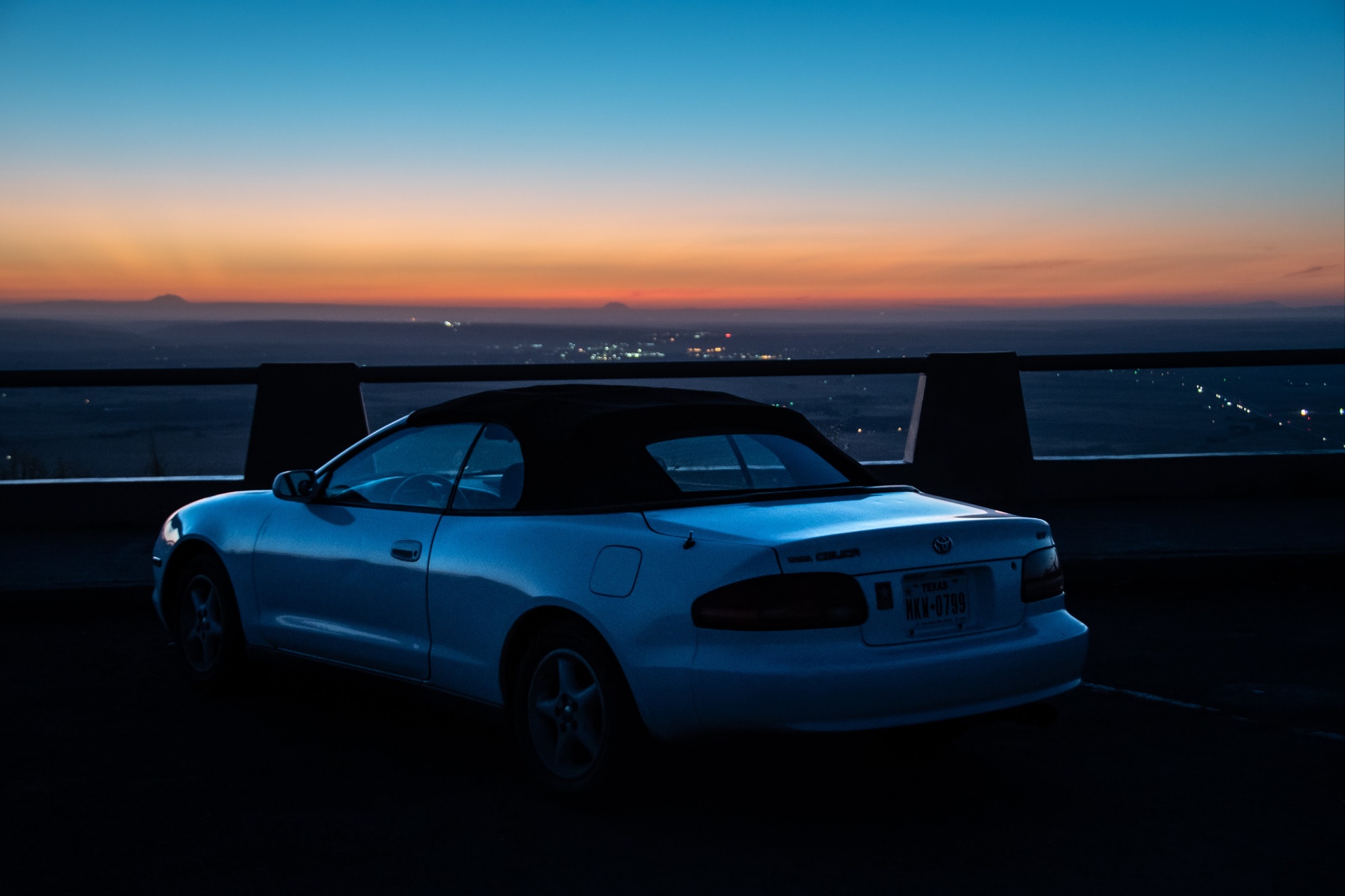
Then I got a call from a woman named Ria who needed a cheap car to cover a short-term gap. I drove down to the the south Portland bowling alley she asked to meet at while listening to a little “last drive in the wagon” playlist… But I was getting ahead of myself again. She and her 6-year-old quickly hopped in for a test drive and after an initial misstep with the clutch, we hoped on the freeway and made a big circle. She said she liked driving it and that it felt good. But once we were back in the parking lot, she said she didn’t like the exhaust smell and would have to pass. The vehicle has always smelled of exhaust, but it improved dramatically after the plug wire fix stopped the misfires. But there’s definitely still a minor exhaust leak somewhere.
Finally, I headed north to my hotel by the airport but on the way, someone asked to see the car. I suggested the Target near my hotel so I could stop driving all over town. I withheld optimism this time. He said he’d hop in the car, “38 minutes away.” So I sat in another Target Starbucks and read my new book over an iced tea.
I lied. Still in Beaverton just wanted to let you know, in case you’re antsy. Feel free to propose an alternate meeting place anywhere between here and there, otherwise see u in about half an hour.
Fuck this dude, but also I’m out of options, so I said I could stick around if he’d actually be there. He cancelled on me 5 minutes later.
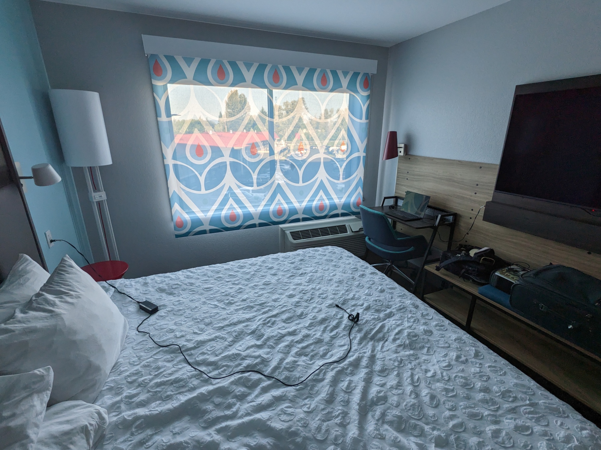
So I checked into my hotel by the airport. After three weeks of consistently interesting places to stay, wandering into the lobby of a generic airport hotel was disappointing. It’s fine, and if I didn’t have to work in this hovel for the next two days, it may even be serviceable. But I am in the armpit of this otherwise amazing city in a room that offers a “wobbly cart on uneven wheels” instead of an actual table — positioned directly on top of the air conditioner with a view of the hotel next door. Meanwhile, George announced in the group chat that he’d gotten an upgrade to a two-room suite with a living room and balcony.
But if I look out the window just right, I can see the mountains past the trees. Bend my focus back to what’s most important. We made it. We had our grand adventure, our crazy story. And all four of us learned a great deal — about cars, about history, about the small towns stitched together by this string of highways that still follows a migration pattern nearly two hundred years old. And tomorrow, I will start a new job with a new team and entirely new concepts. I will figure out what to do with my Wagon, but I’m not going to let that — or my shitty hotel decision — prevent me from a little victory nightcap. So I met George downtown at a small bar for one last round before we return to the real world in the morning.
A little driving lesson before books and lunch.
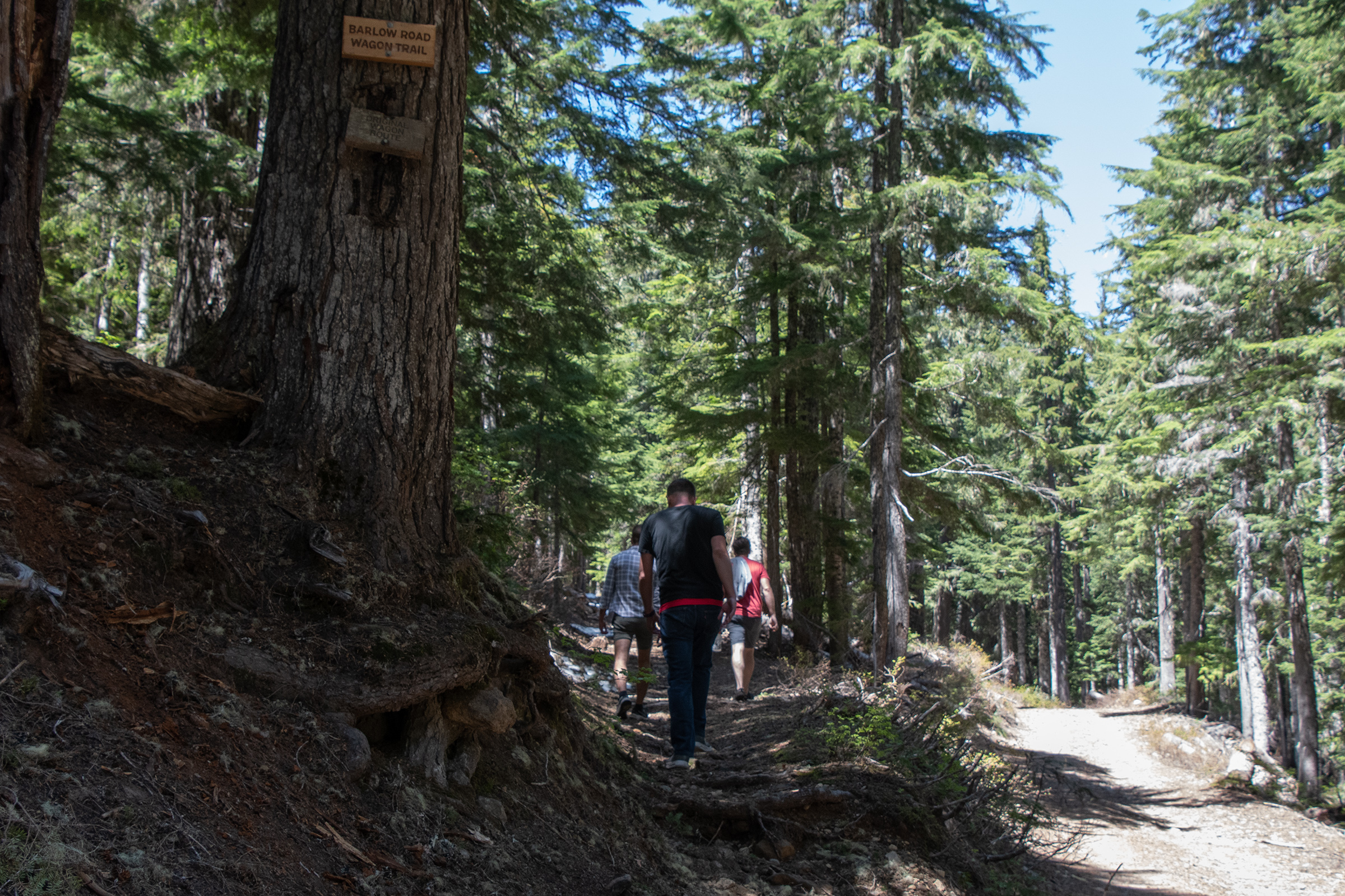
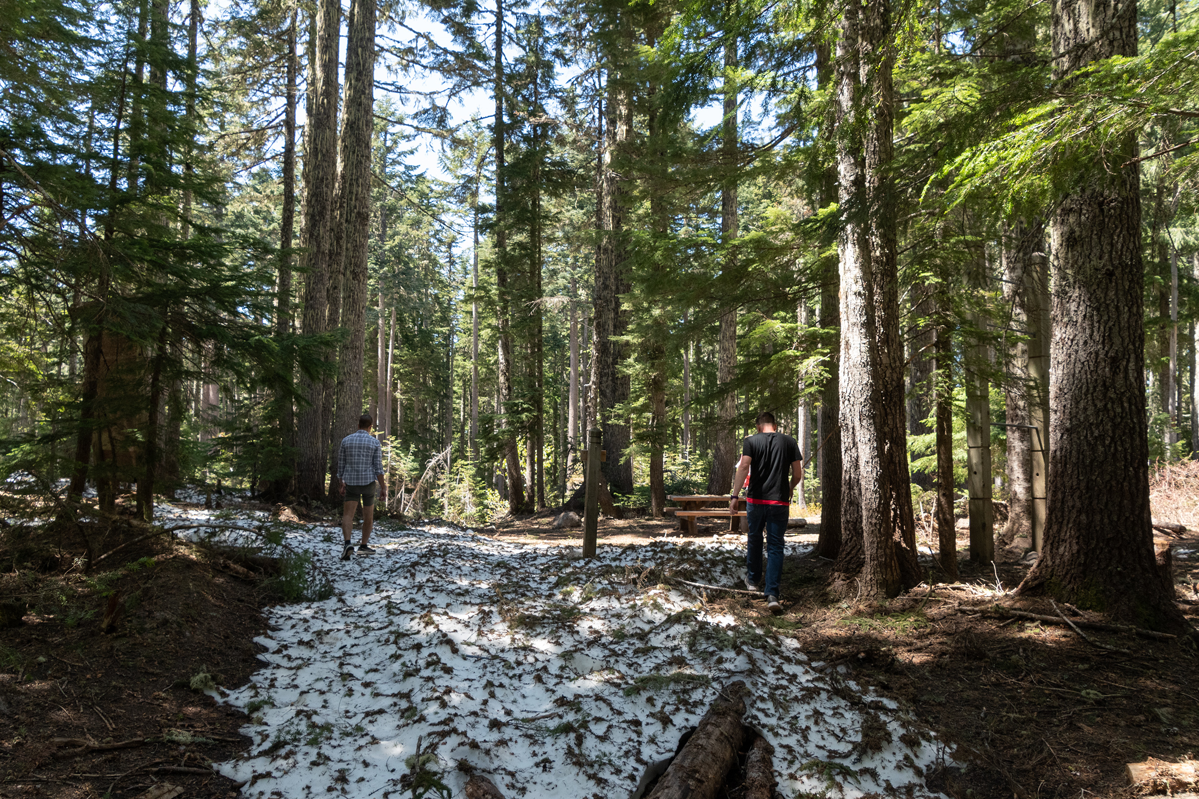
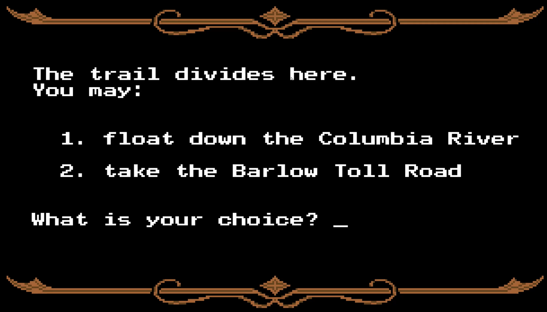
It was an odd feeling that our final drive day could be as short as an hour, should we opt for Interstate 84 through the Gorge floating the Columbia. Instead, after a leisurely morning, we packed up and headed south for The Barlow Road through the Cascades.
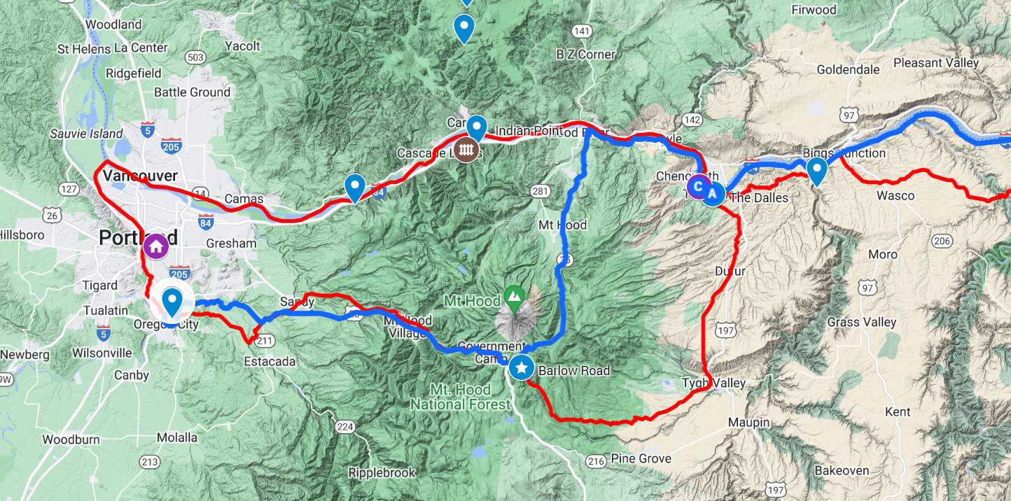
In truth, parts of the Barlow route directly south from The Dalles are unpaved or difficult to follow. So we took 84 to Hood River for the Mt. Hood Oregon Scenic Byway (State Highway 35) to the “Barlow Summit Trailhead” along the Pacific Crest Trail at Government Camp, Oregon.
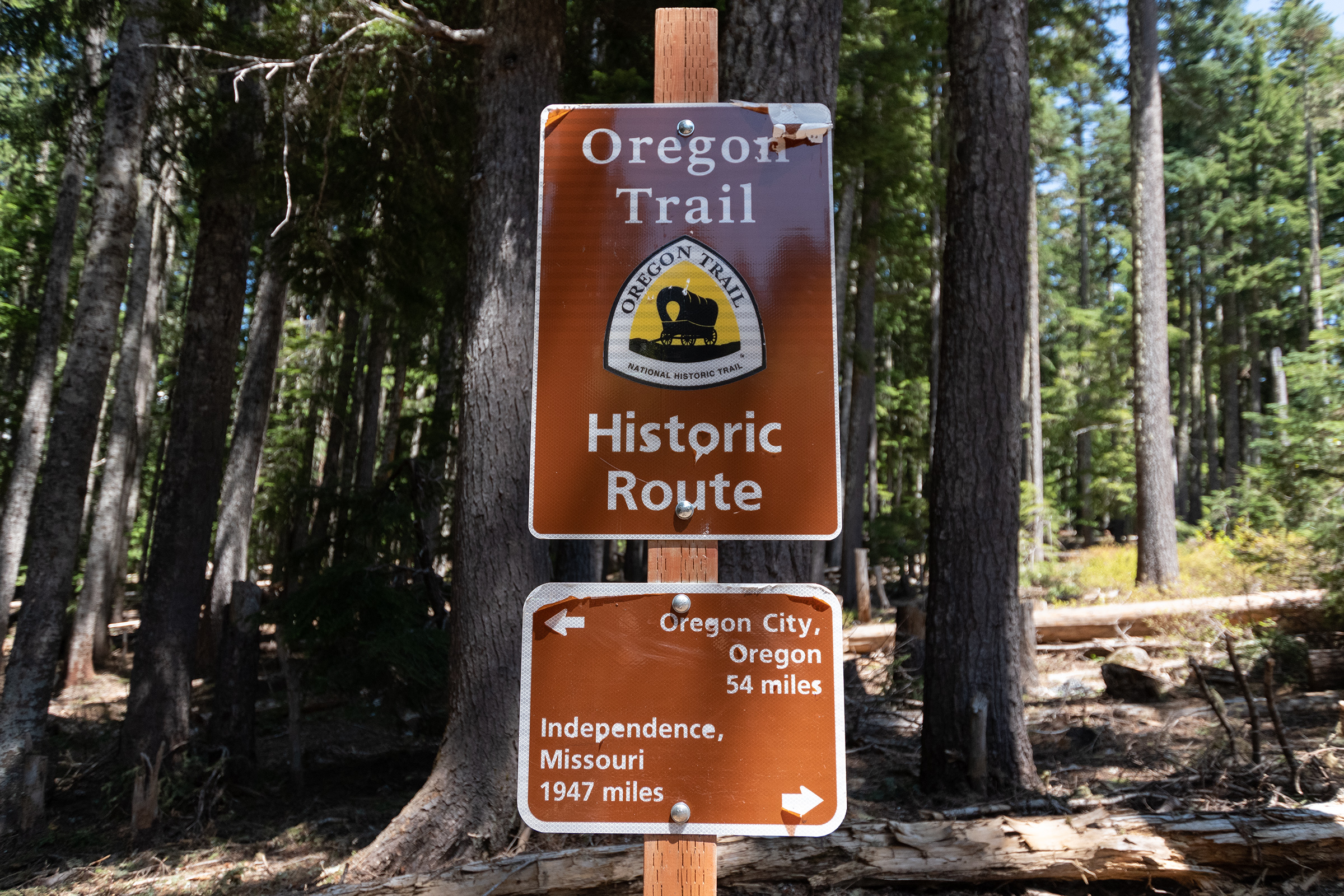
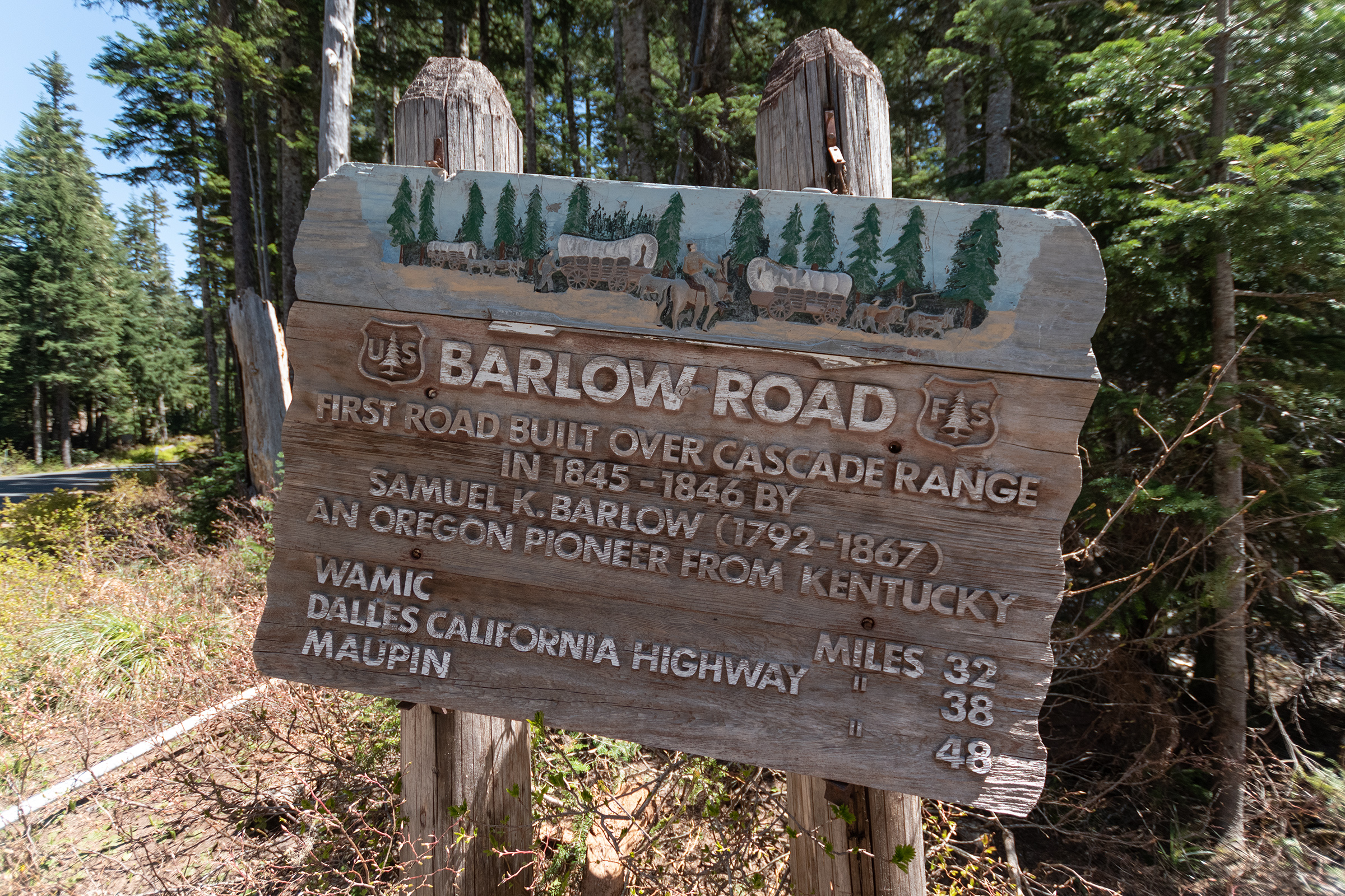
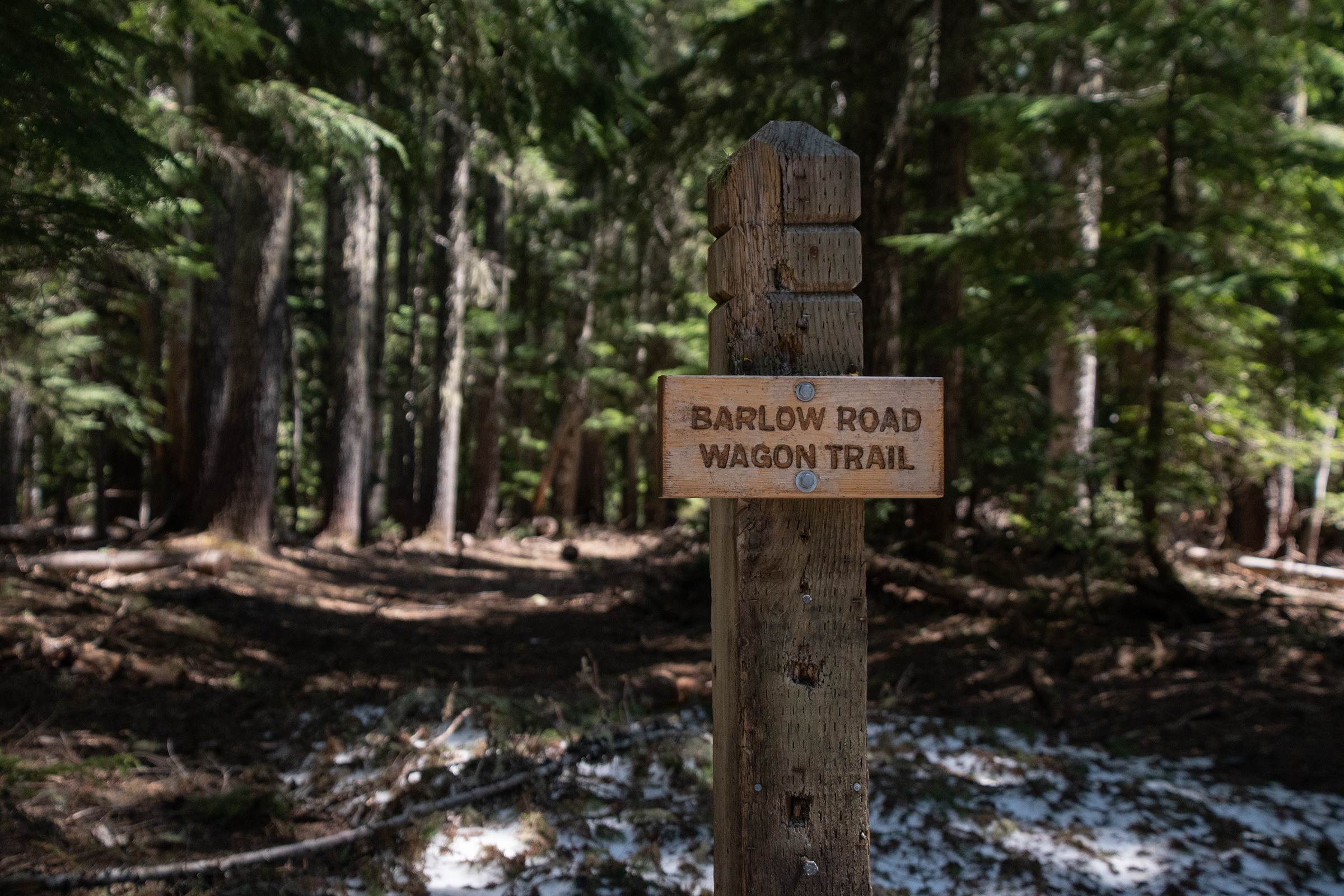
The mountain pass is named for Samuel K. Barlow who opened the first wagon route over the Cascades in 1846 to complete the Oregon Trail. The route was far from easy. Emigrant Isom Cranfill (a cabinet maker, farmer, and itinerant preacher) made the journey in 1847, [described it in his diary as] “disparate bad beyond description.”
Placcard by U.S. Forestry Service, Mount Hood.
Eleanor Allen, an 1852 Barlow Road emigrant, wrote about her misgivings near Barlow Pass: “I have thought of home, the dear ones there, the quiet Sabbath, and the sanctuary they enjoy, while we are among the cruel mountains, in the most dreary place, dependent upon strangers for assistance in getting along, nearly out of provisions and our stock famishing! All these things together almost shake the faith, but it must not be so.
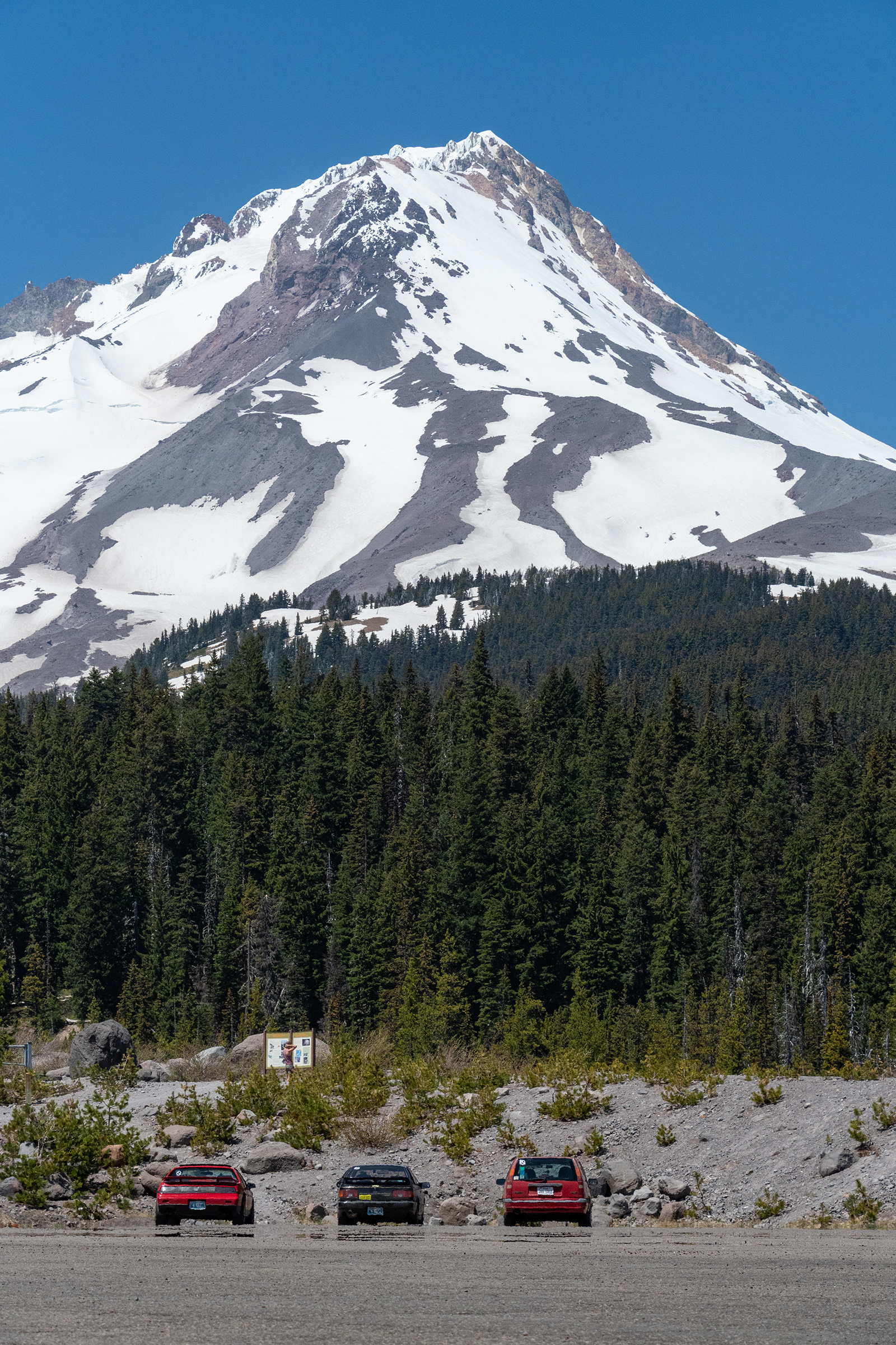
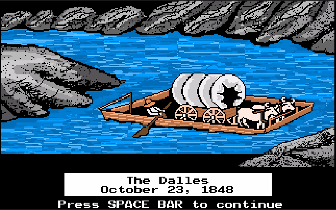
It was almost hard to remember that this area, particularly in fall, is known for its dreary, grey weather as we stood under an intense sunshine. It did get me thinking though, what was the “real” alternative — surely it’s not what the mini-game about floating the river depicted.

The west end of the gorge was wretchedly unsuitable for a wagon road: the river was hemmed in by steep slopes and cliffs of hard, volcanic rock, the climate was cold, wet, and windy, and the only areas that were reliably flat enough to permit wagons to pass were soggy bottomlands that were subject to seasonal flooding. Before 1843, no wagon had made it much past Fort Hall intact.
From 1843 until 1845, wagons could reach The Dalles, but from there the emigrants had little choice but to make a raft of pine logs, buy a raft from enterprising Indians, or rent a bateaux from the Hudson’s Bay Company for around $80. Many lives were lost on the rapids of the Columbia River, the relentless winds overturned many a raft, and there was a stretch of impassable rapids that had to be portaged. Worse still, families were often divided as cattle were driven over Lolo Pass, on the northwest shoulder of Mount Hood, to Eagle Creek and Oregon City. Despite these hardships, almost one in every four emigrants chose the river route after the Barlow Road was opened.
Final Leg of the Oregon Trail, Oregon-California Trails Association
Oh my god even that was real…
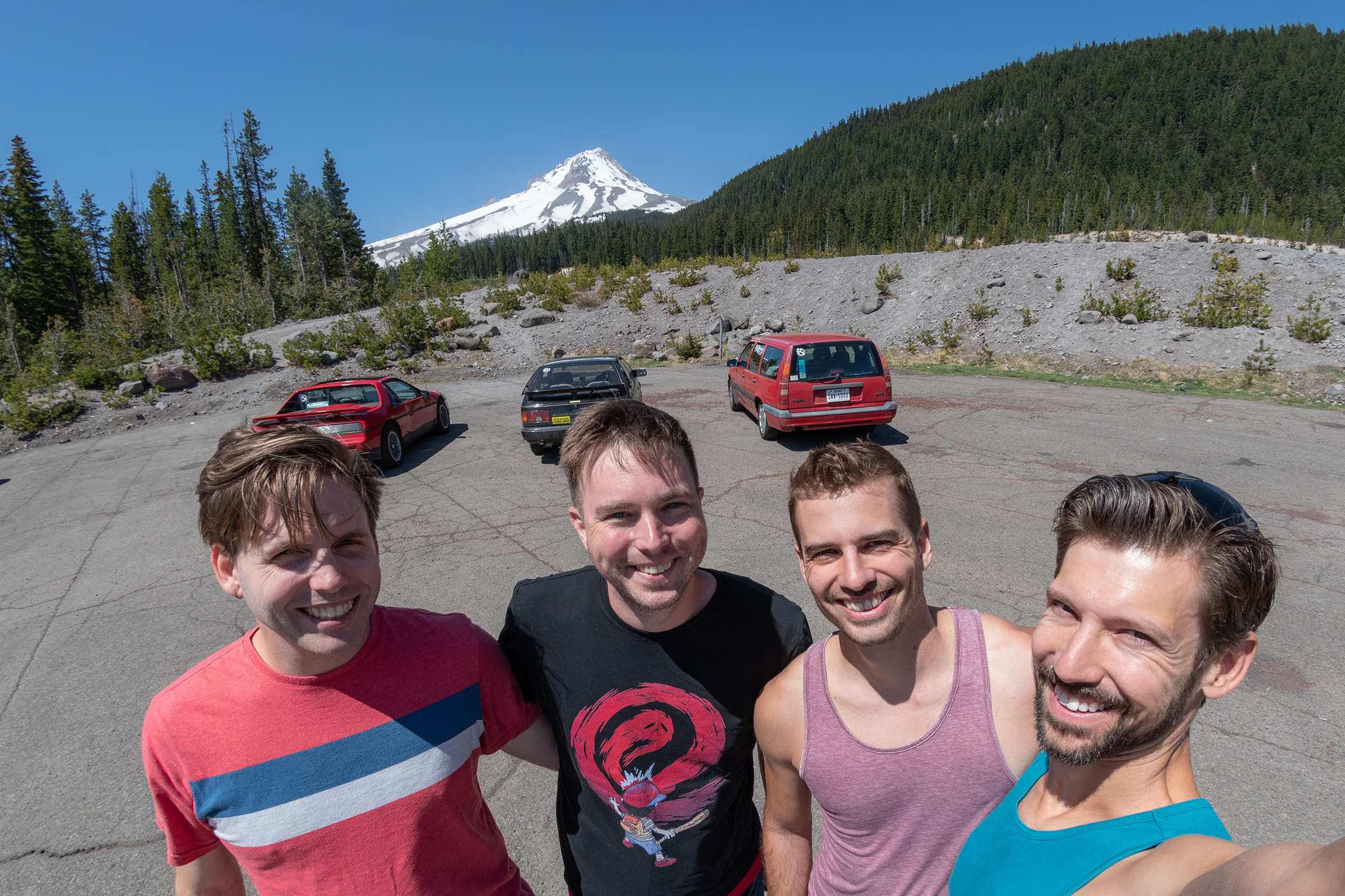
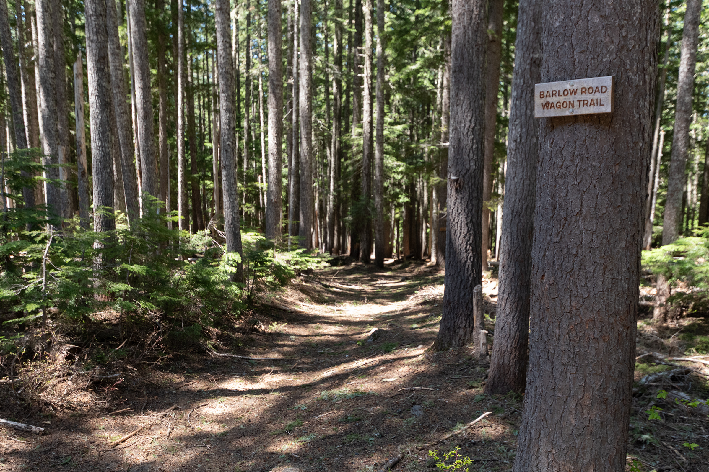
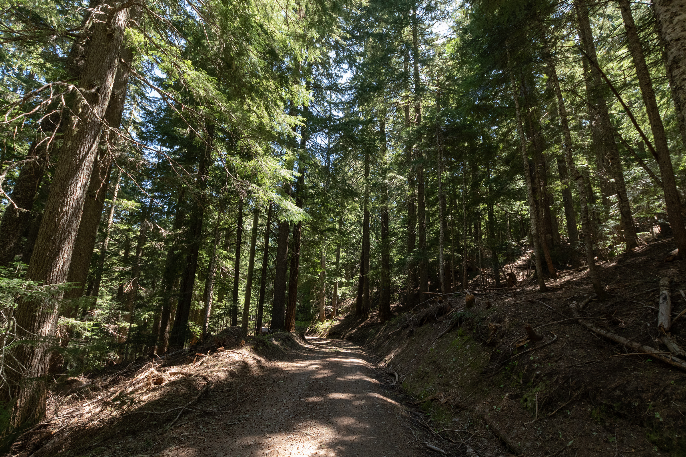
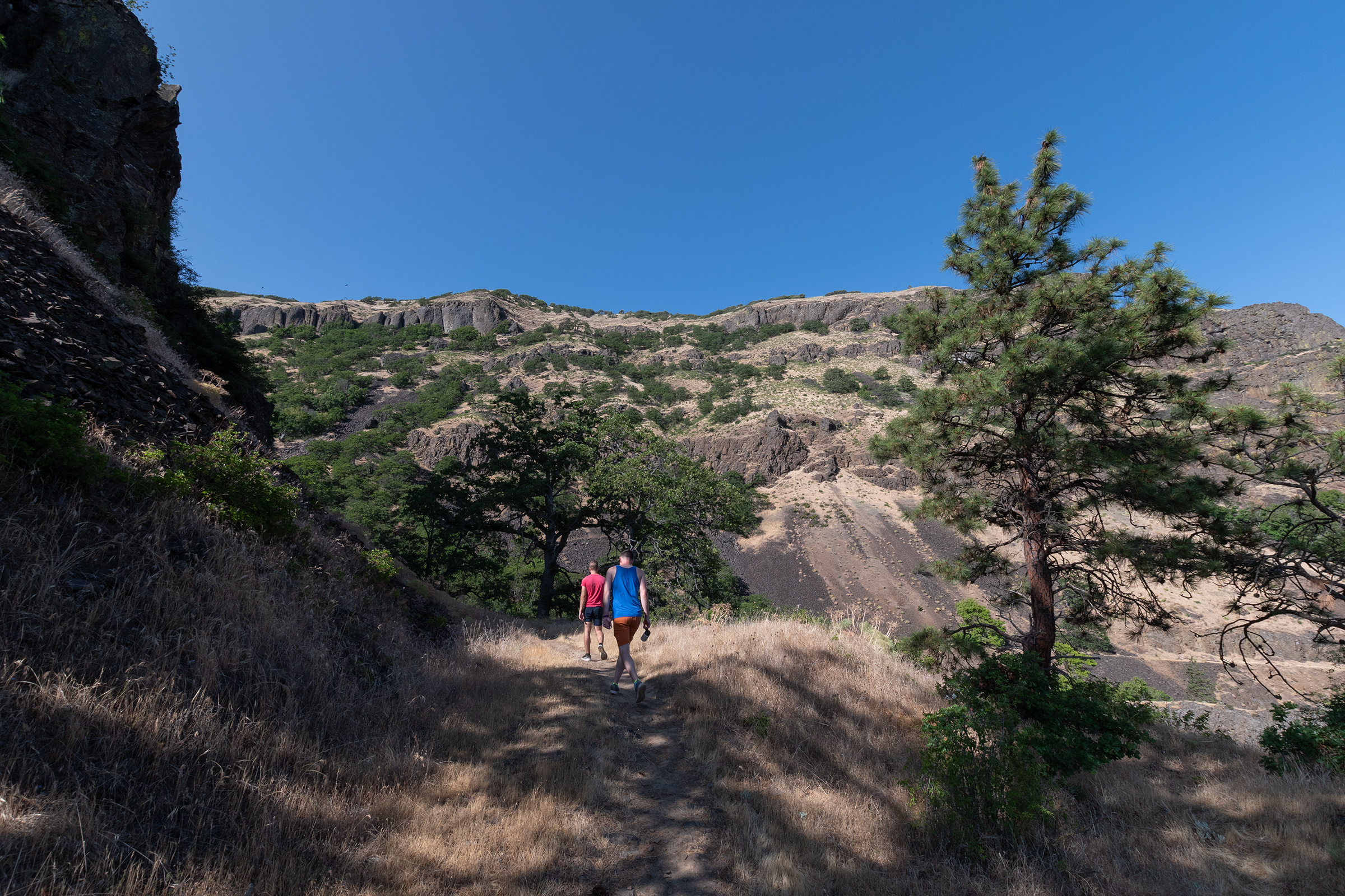
Given the Barlow Road was, indeed, unpaved — and also impassible because a bridge is out (and condemned…), we hiked along the trail for a mile to Barlow Creek and a meadow. After the stroll, we stopped at Barlow Summit along a snowmelt / glacial river for a few minutes of sun and cold air, and a little victory in the mountain air.
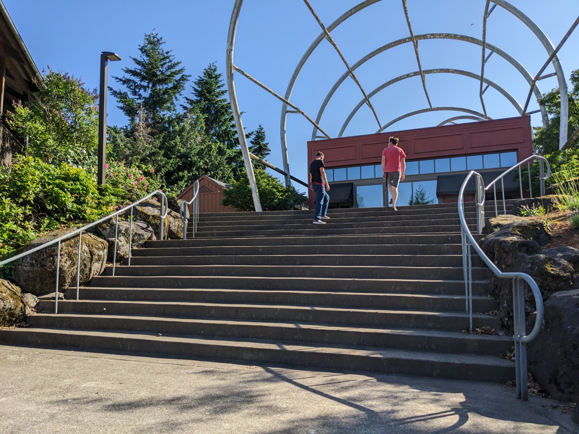
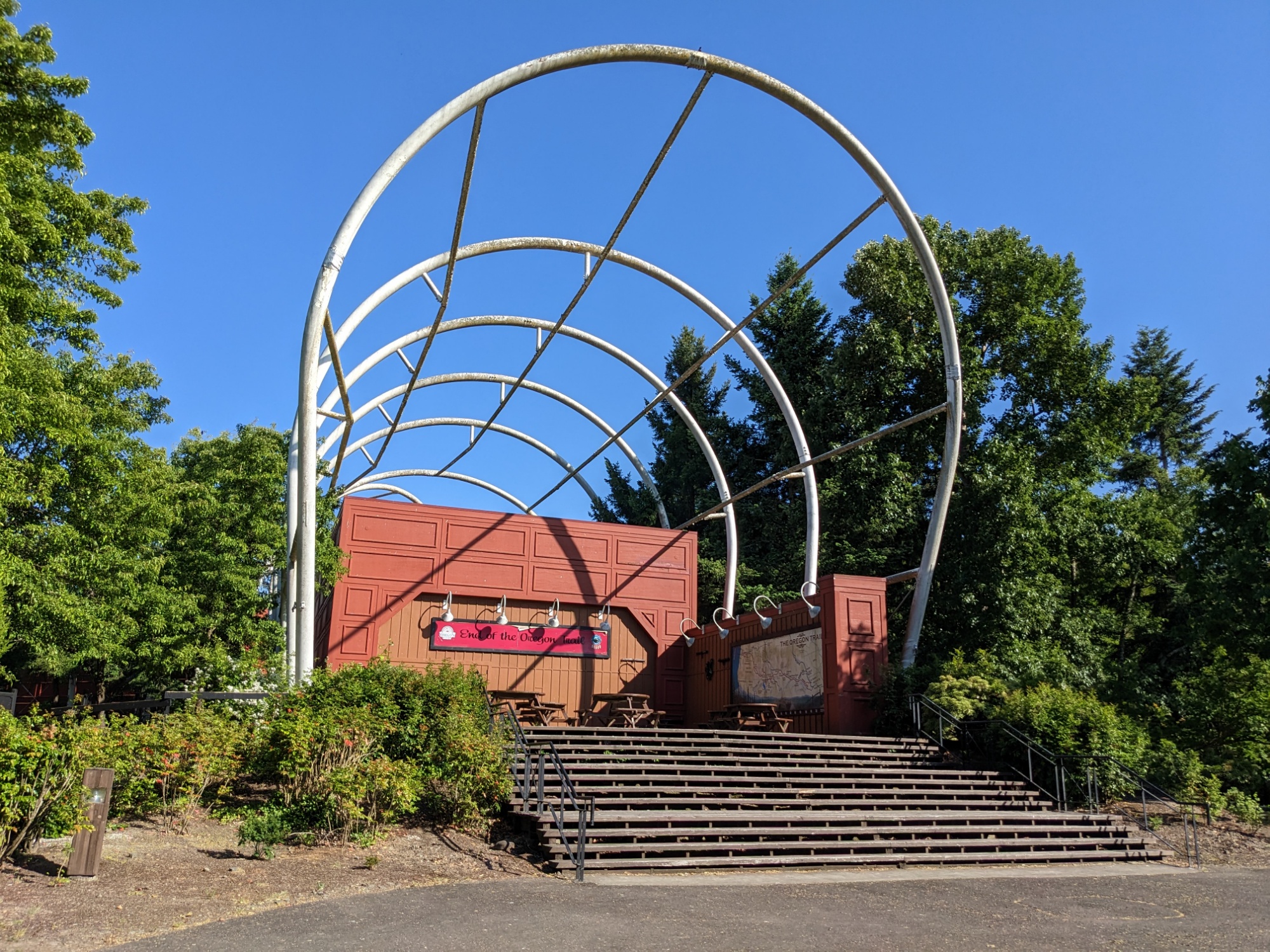
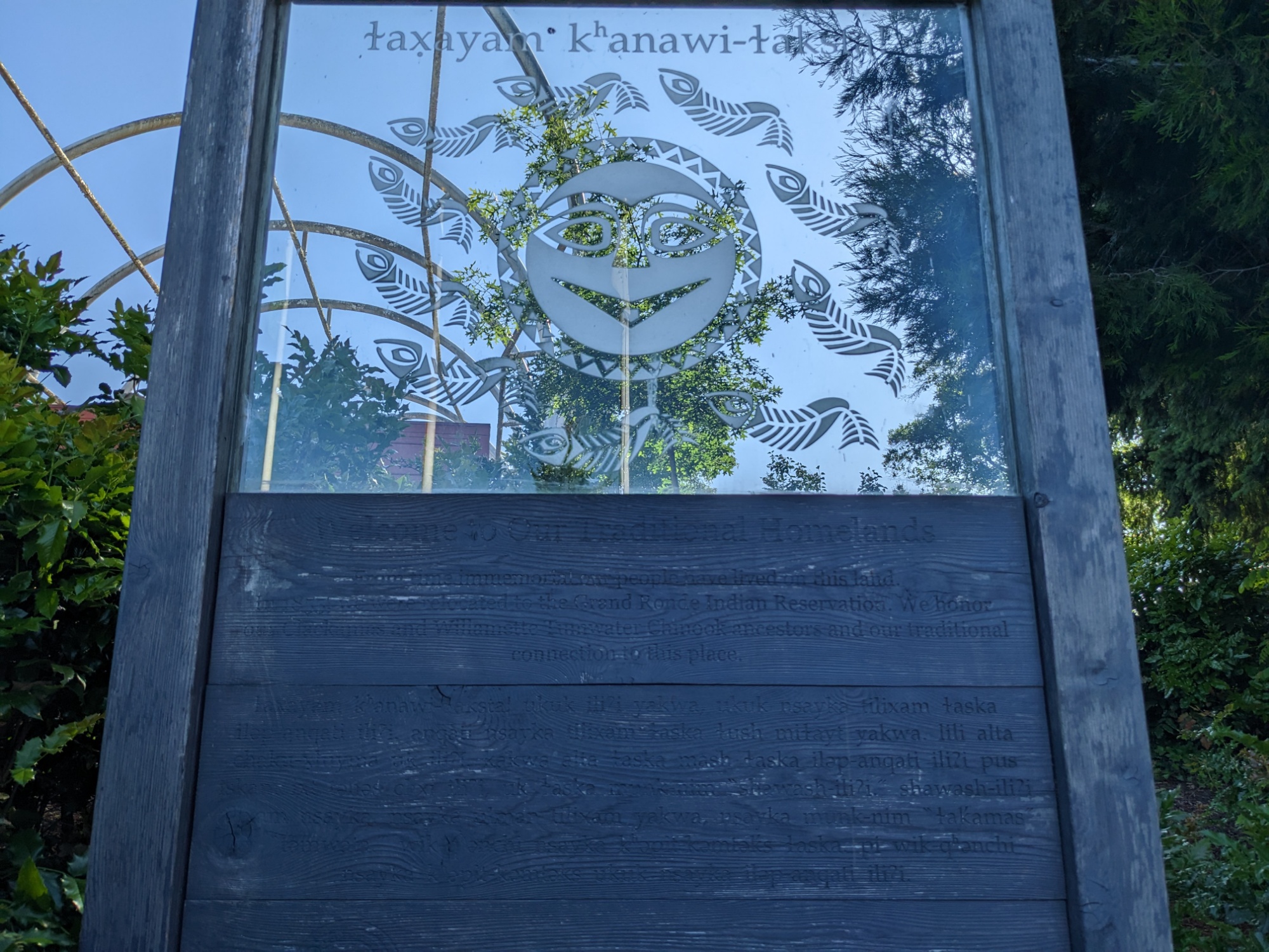
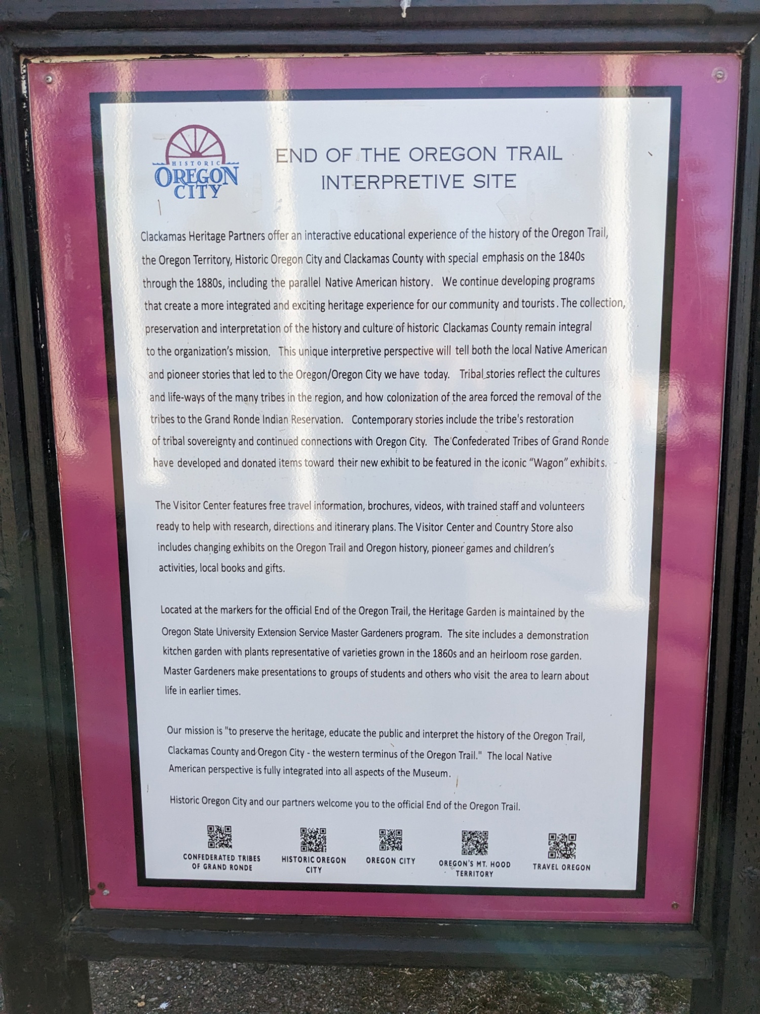
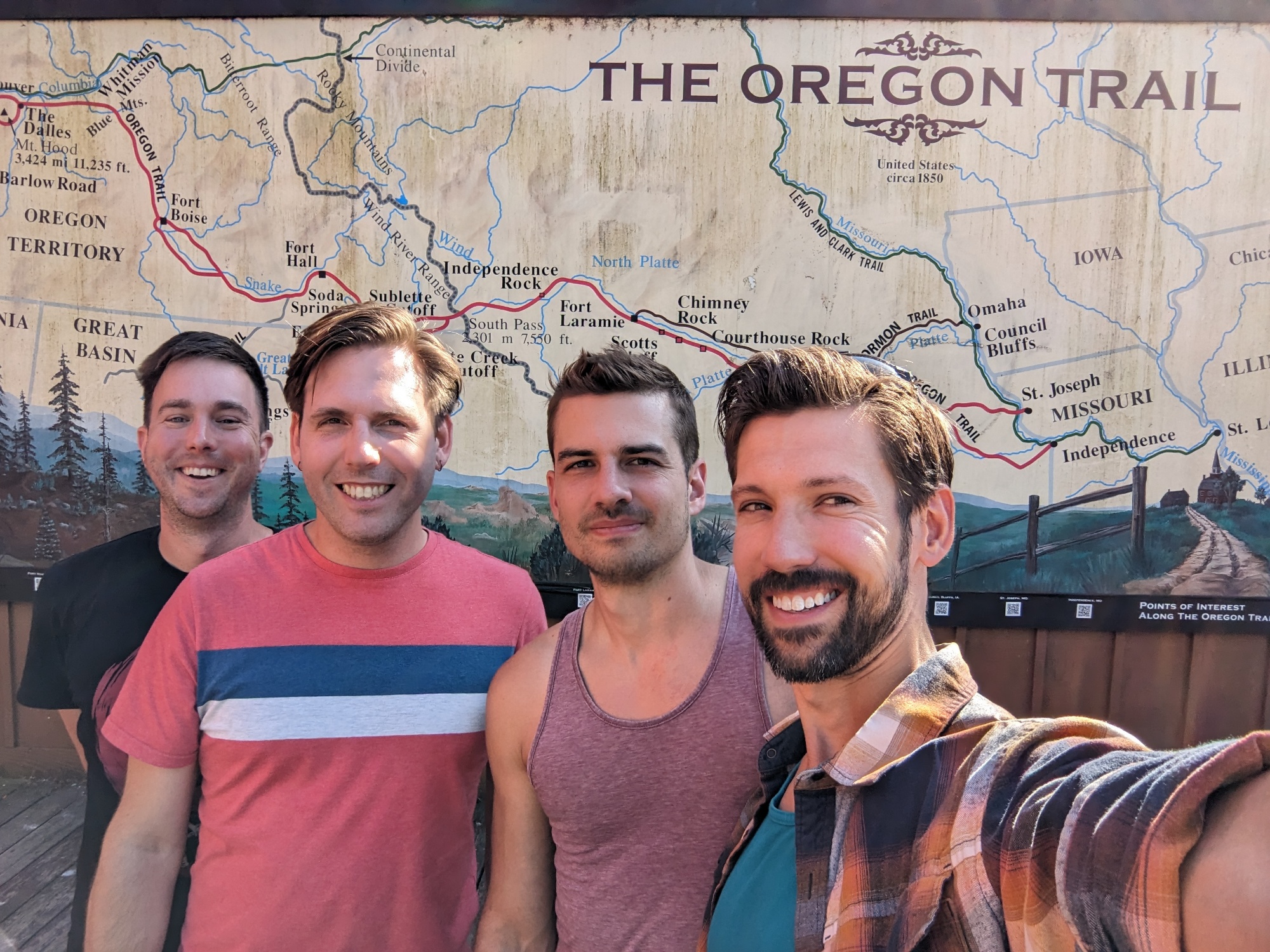
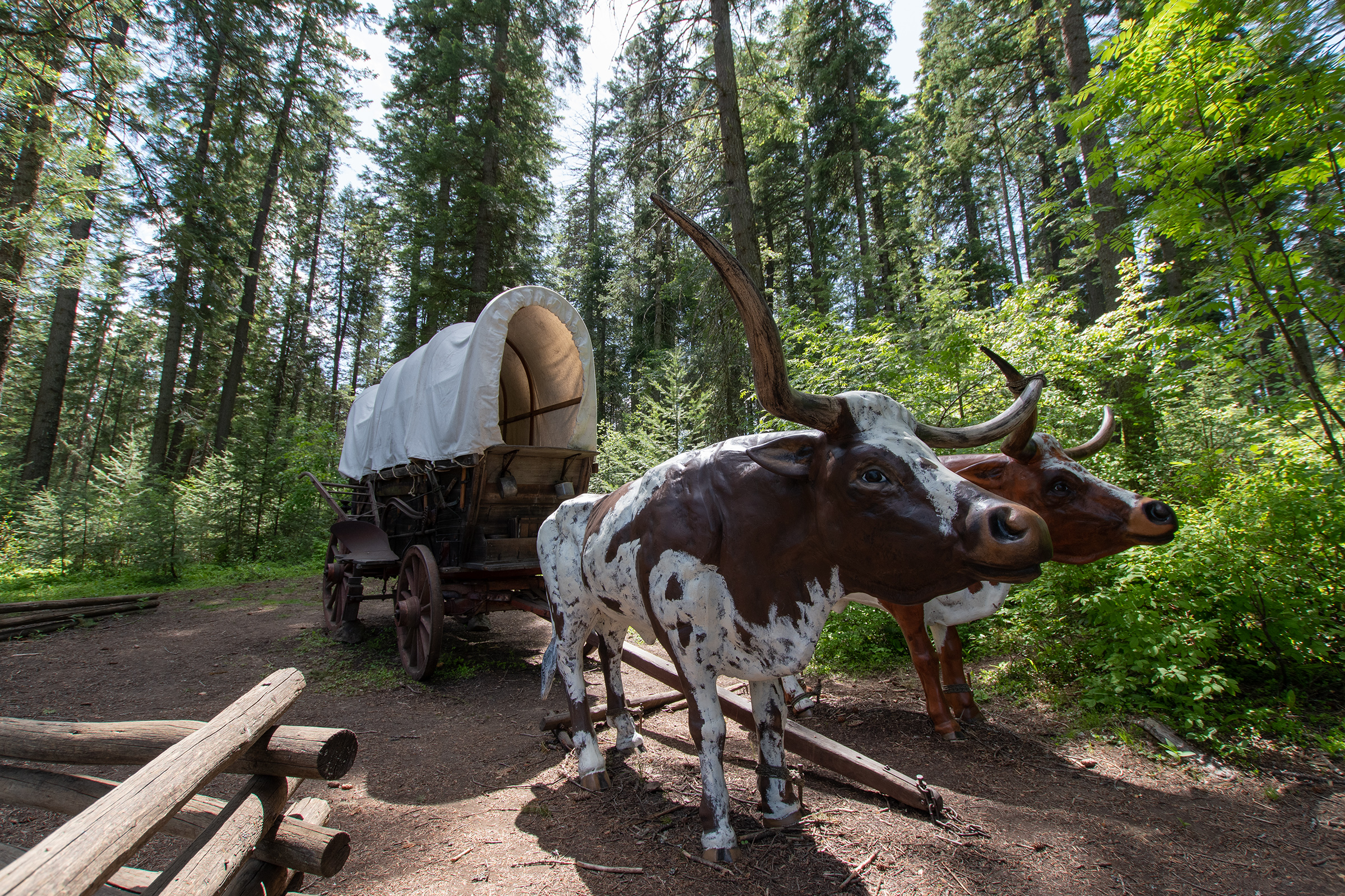
We stopped for a celebratory beer and late lunch at the nearby Mt. Hood Brewing Company before following our scenic highway and then a treacherous rush hour snare down into Oregon City, a suburb of present-day Portland, to The End of the Oregon Trail … Interpretive Site with costumed performers and re-enactments. Thankfully, we arrived after they’d closed for the night, allowing us to quietly peruse a few placcards (which I am officially out of energy to keep reading at this point).
We made it.
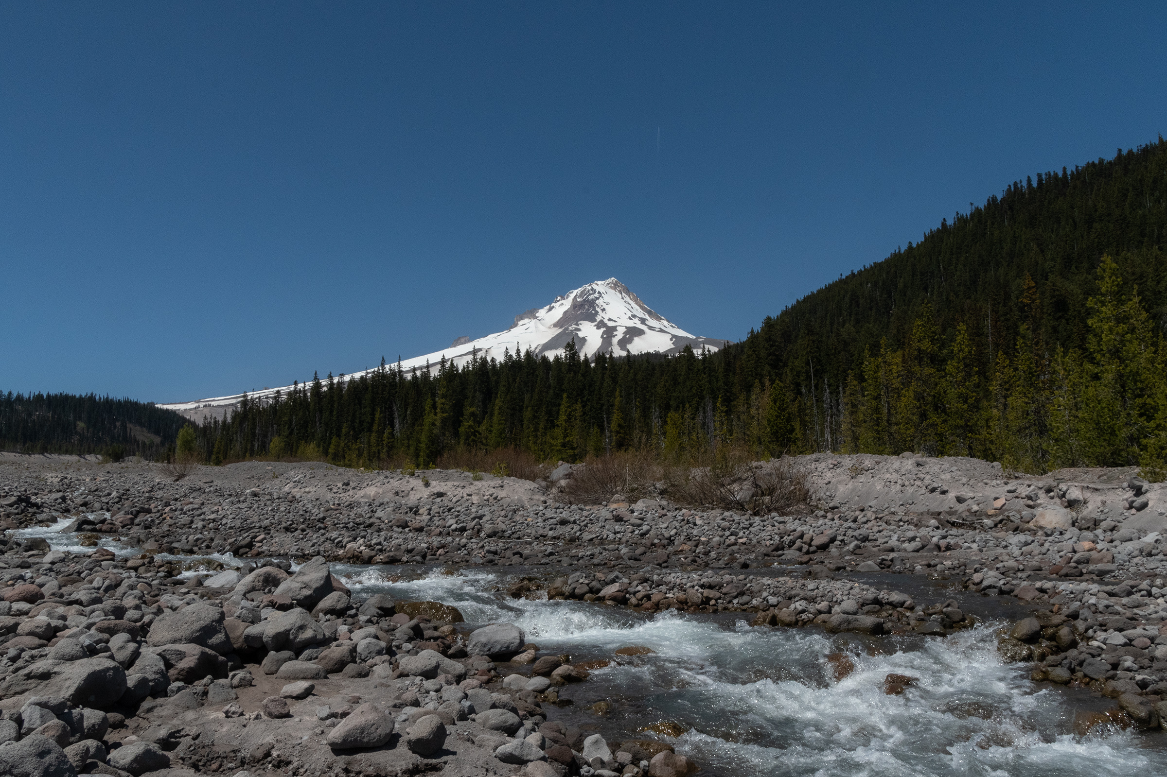
Last drive day. Mountain is out. Taking our chances on the Barlow Road.
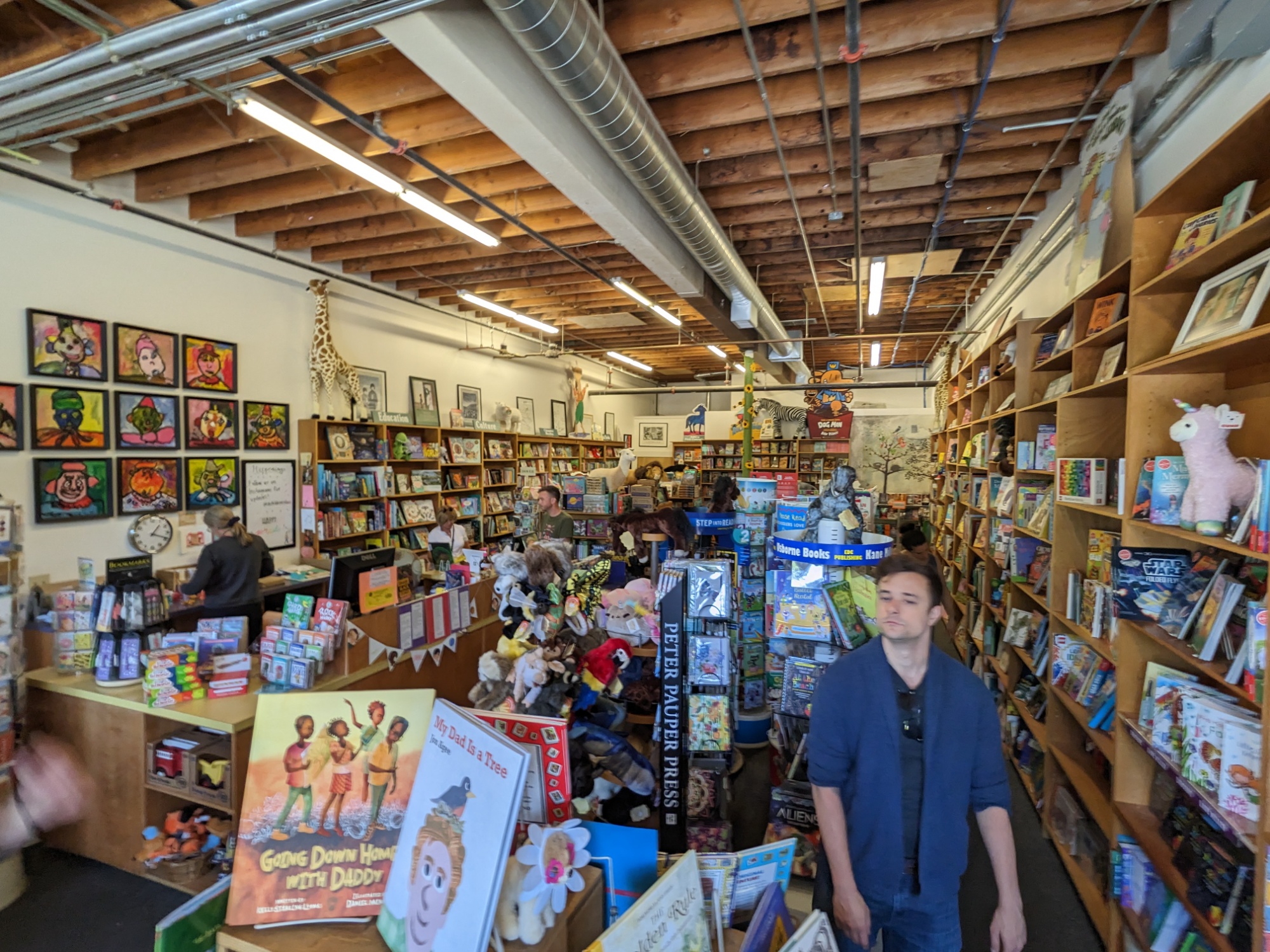
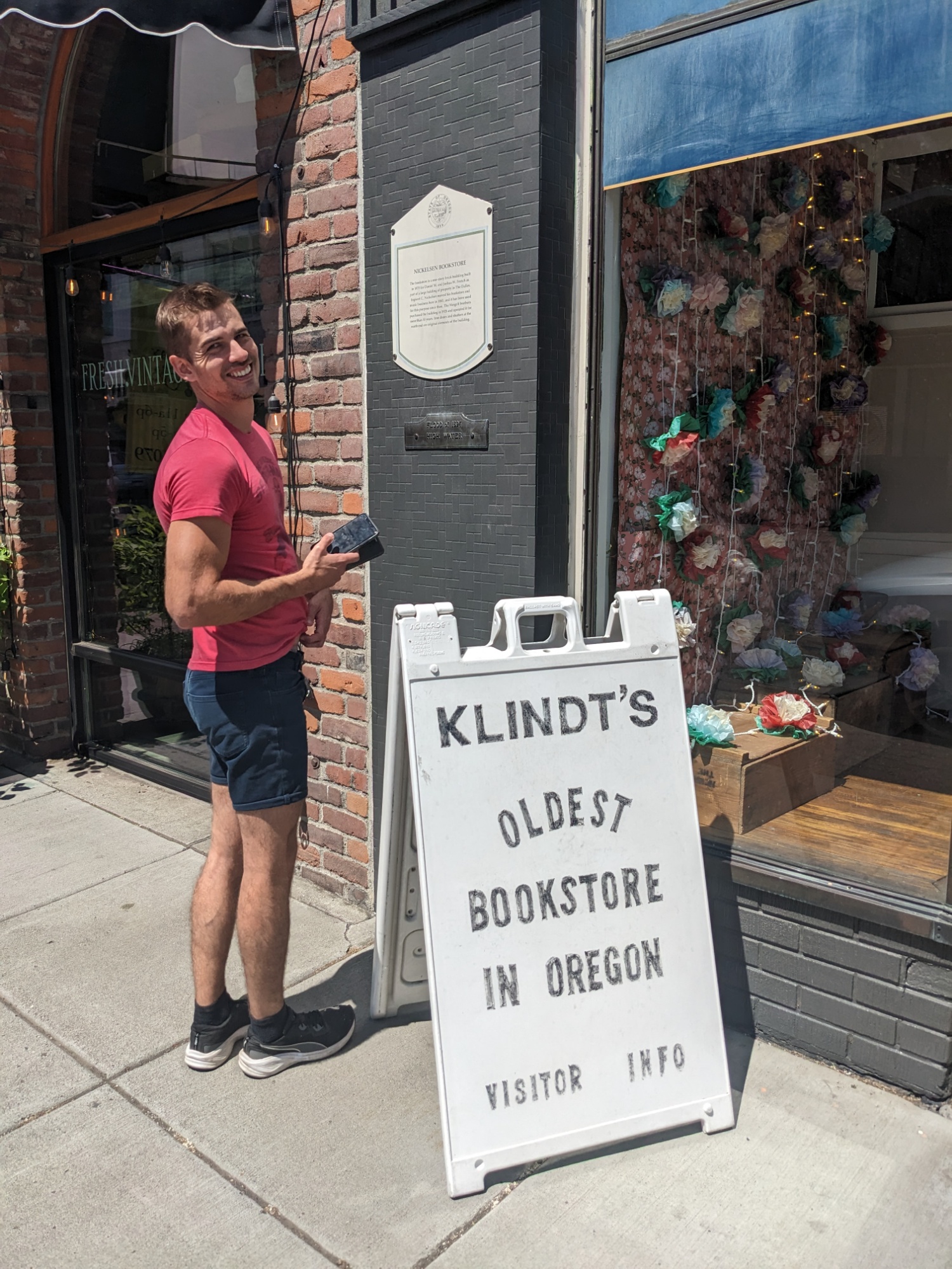
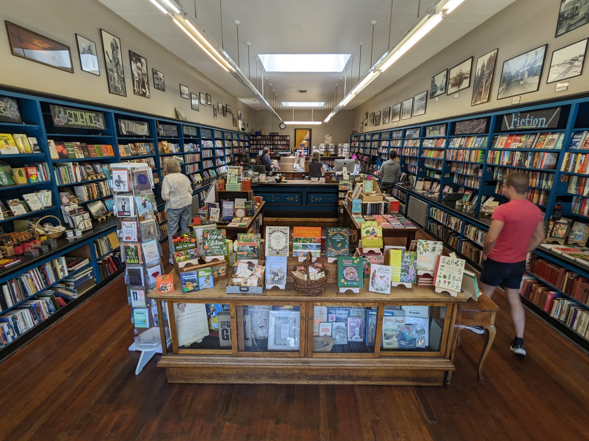
Finally, a slow morning. We had coffee on the porch overlooking the river valley, then EG and I made attempts at a small home workout. We ventured down to the waterfront for lunch and then a quick wander through Downtown The Dalles to hit Oregon’s oldest bookstore, a NAPA Auto Parts, and a giftshop so Evan M could procure his roadtrip tradition: a finish line mug.
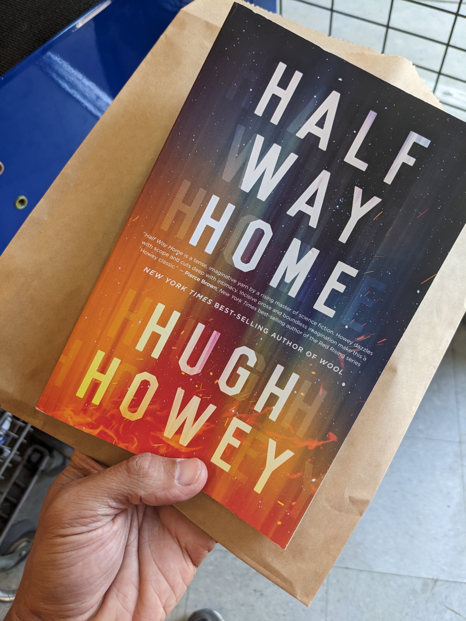
And, having failed to purchase a book in Boise, I picked up this sci-fi novel that leapt off the shelf at George when he saw it — he and the owner then started gushing about it and its author. After more than a month of straight Oregon Trail related reads, which I enjoyed more than I expected to and really made this trip what it was… I need a genre change.
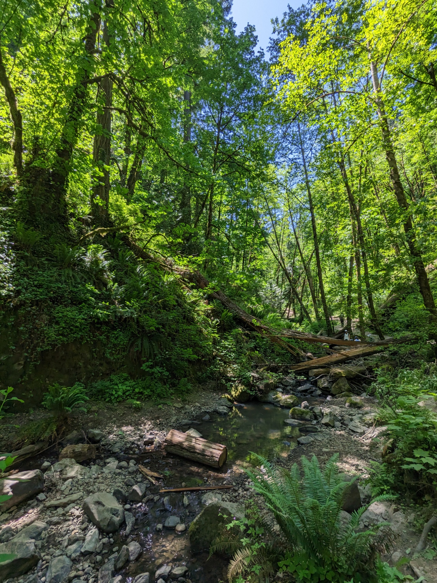
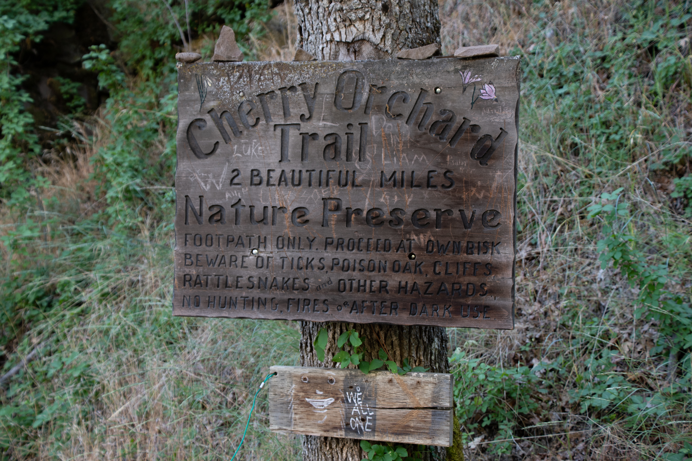
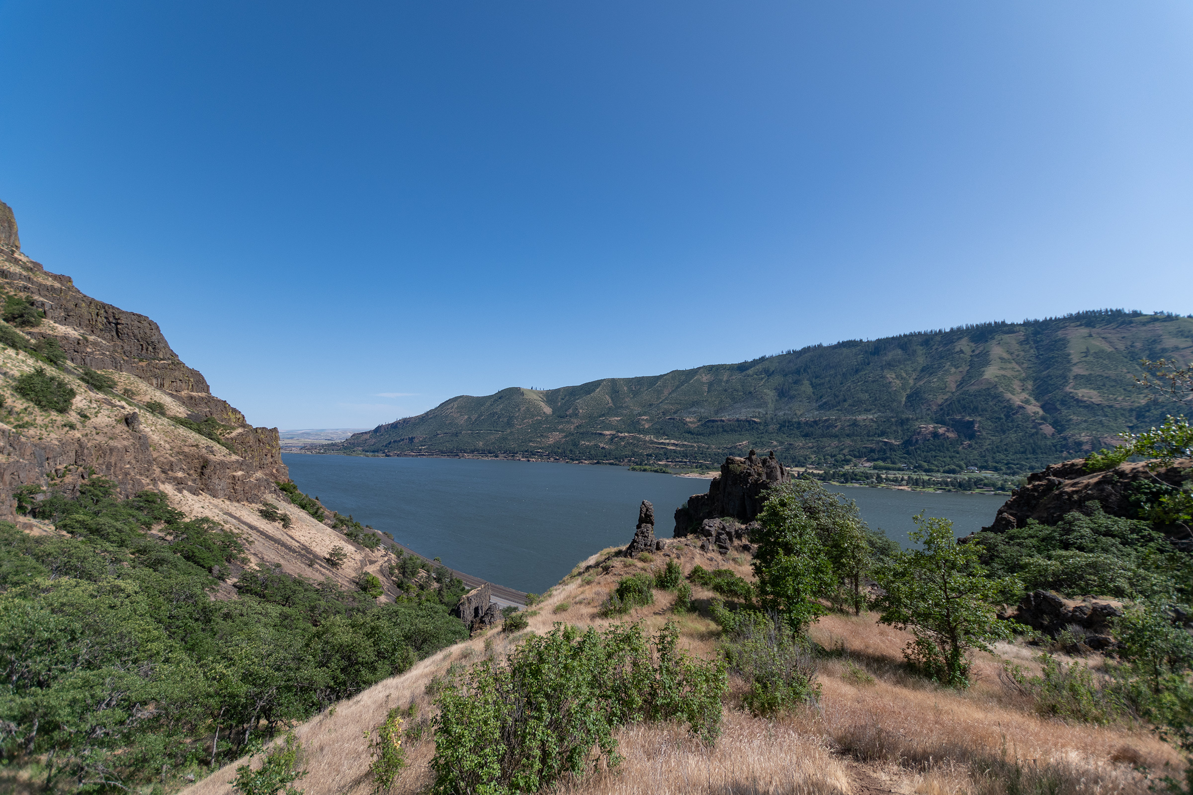
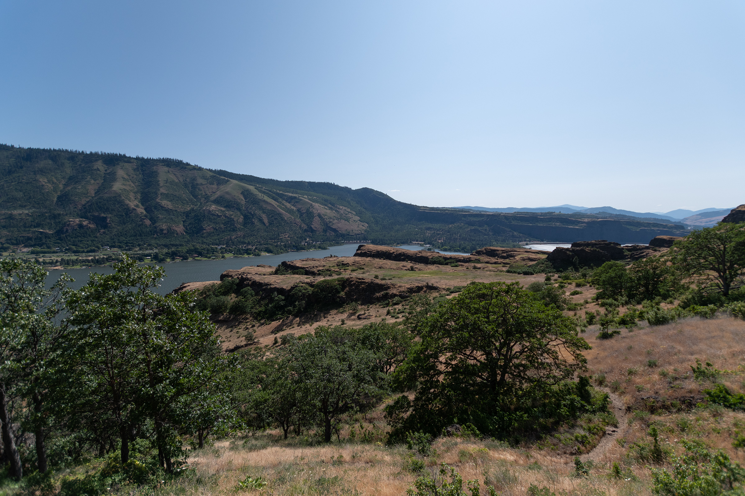
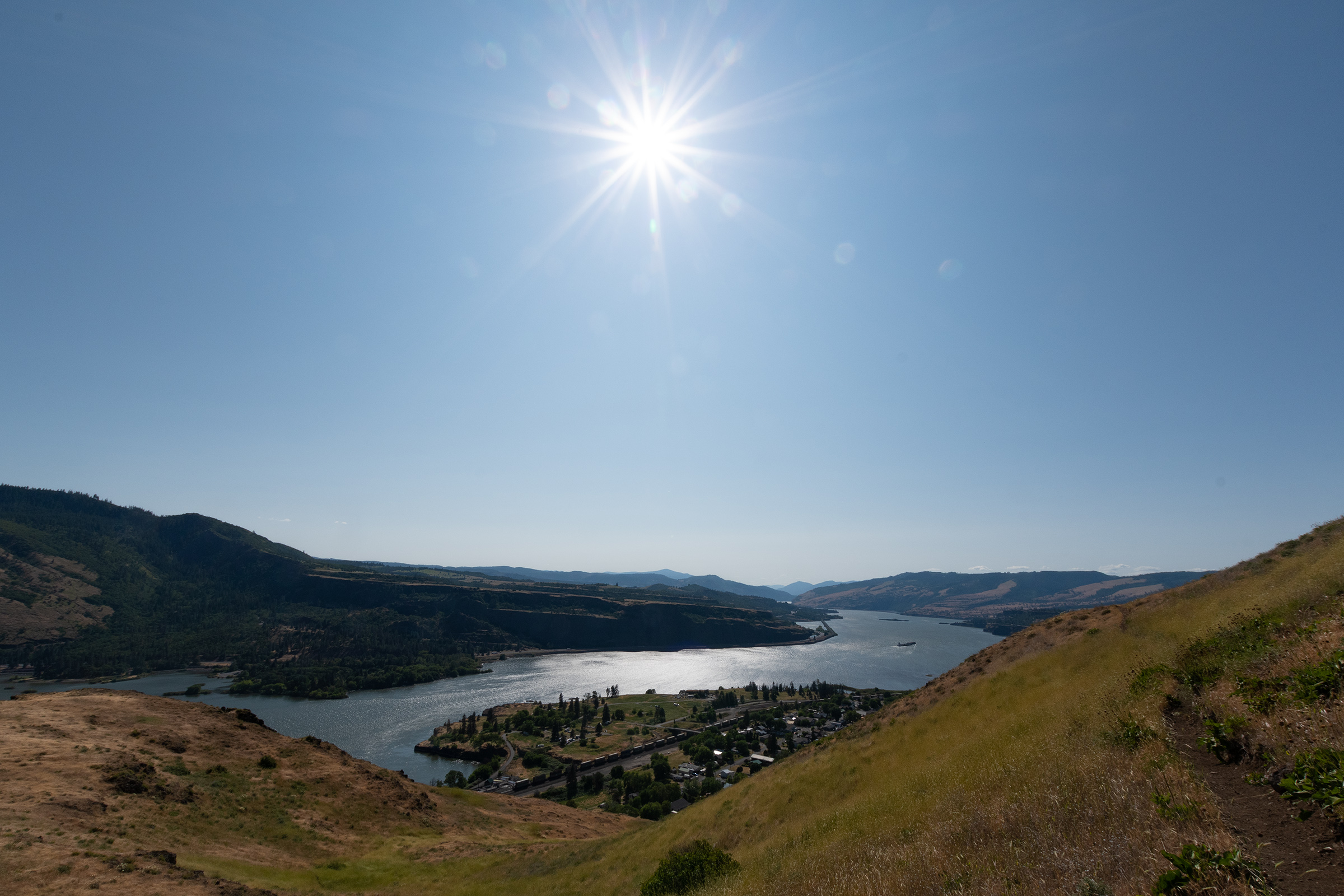
Then we headed across the river into Washington for a hike that was a little more uphill than I had anticipated, which I rightly received some heckling for because this isn’t the first time I’ve done this. But the payoff — for three of us anyway — was pretty phenomenal.
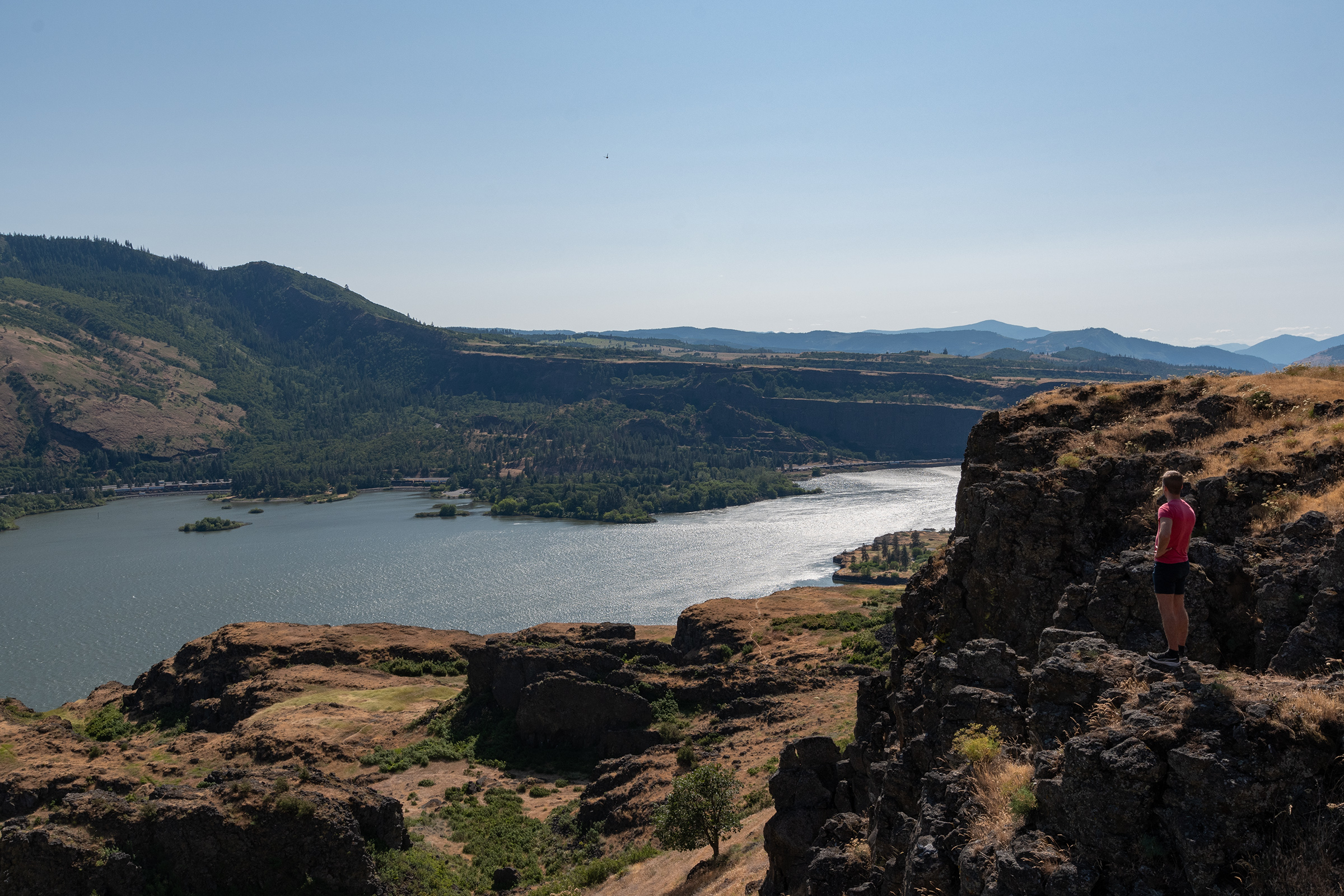
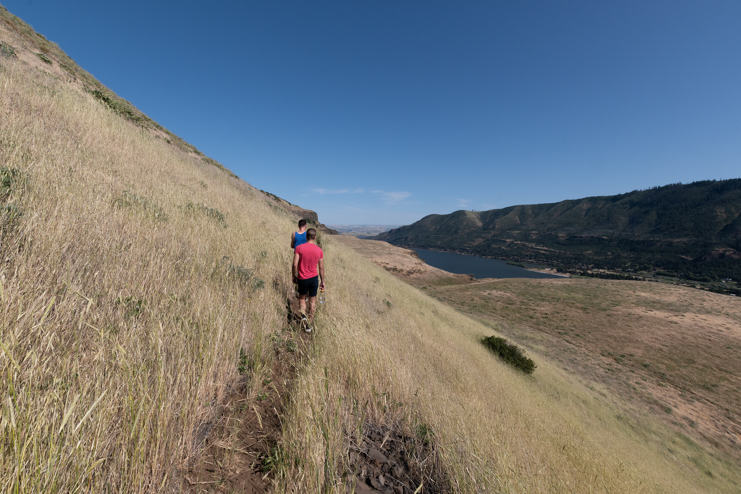

Unfortunately, half a mile in, during the worst of the incline, Evan M declared an incident.

Apparently the hike was not mixing well with the fish ‘n’ chips, and an urgent return to the cabin was in order… it finally happened, we had a case of Oregon Trail Dysentery. Although from what I’ve been reading, I think I’ve deduced that what the game was calling dysentery was actually a symptom of cholera, not food poisoning. Aaaaaaaaaaaaanyway.
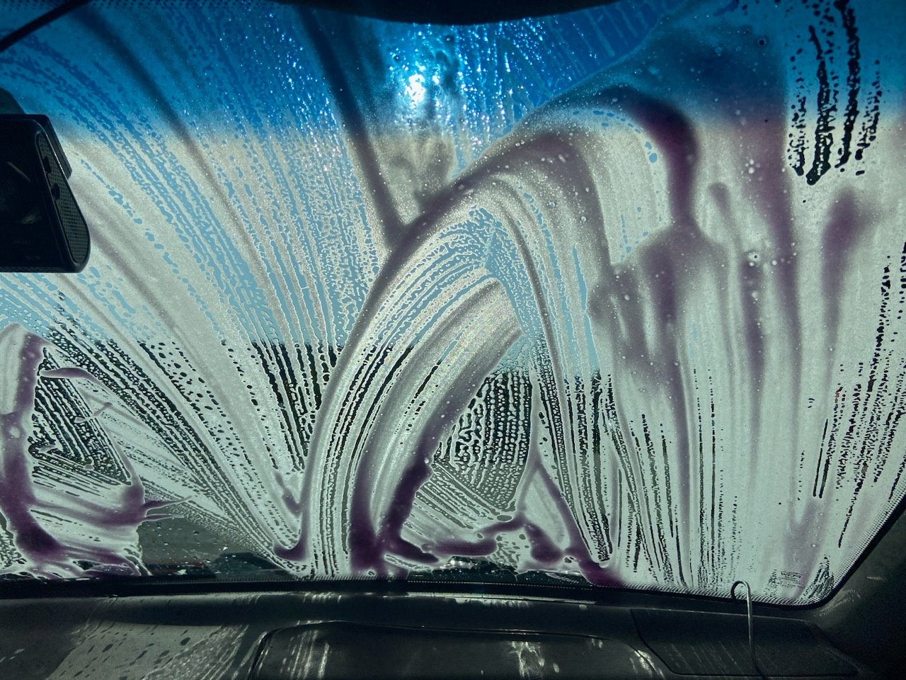
On the way back from the hike, we dispersed further. George went to go pick up some remaining supplies from the NAPA while EG and I split off to go to a carwash and the grocery so we could cook by the fire tonight (read: AirBnB has a gas range and a lovely kitchen / no-more-veggie-burgers-please). With my wagon all cleaned up, I took some photos to prepare a listing tomorrow, then we spent the evening eating on the porch and drinking over a little Legend of Zelda.
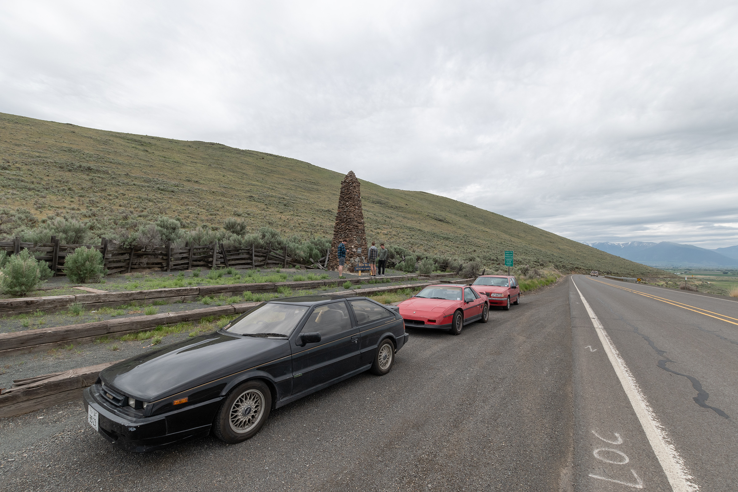
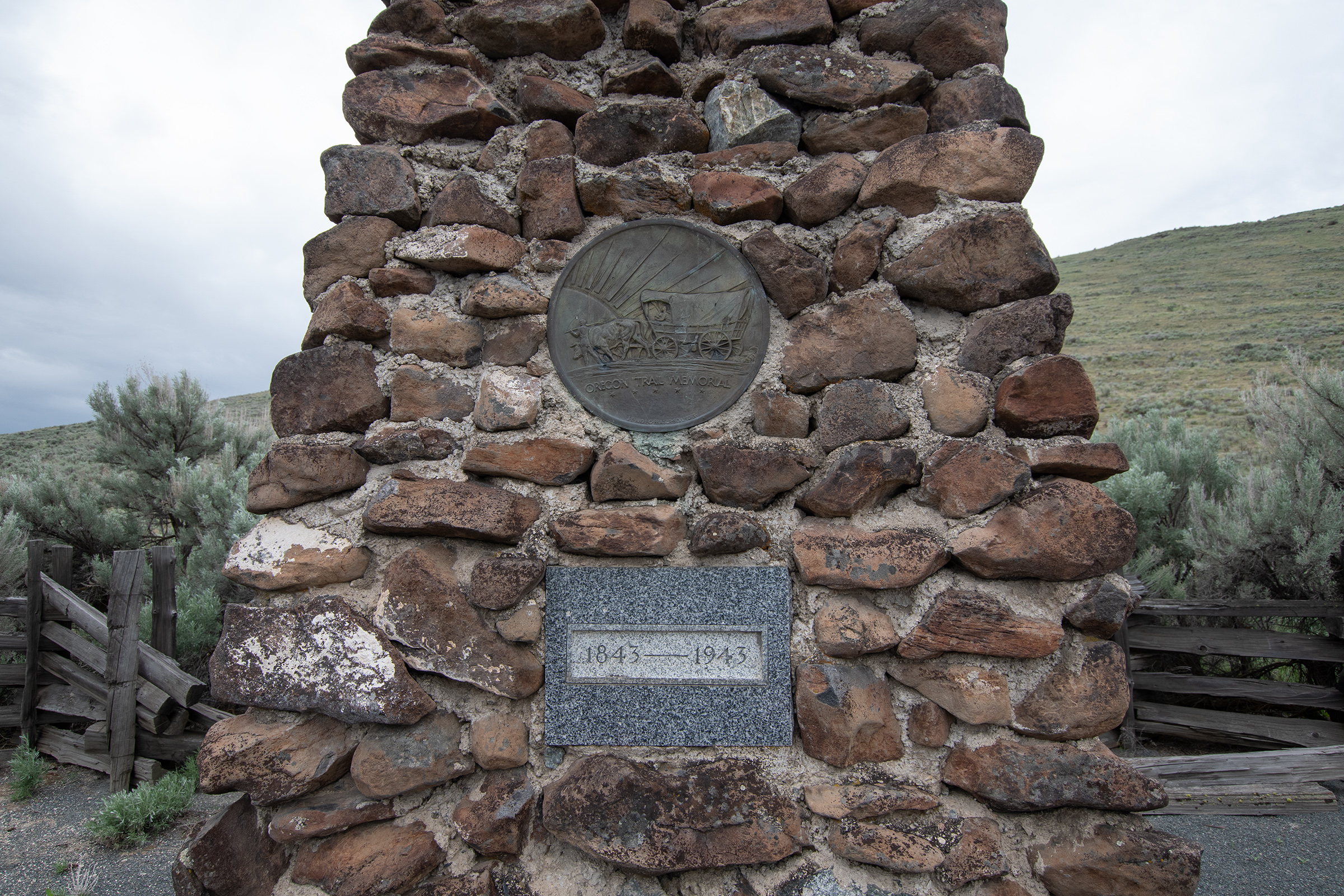
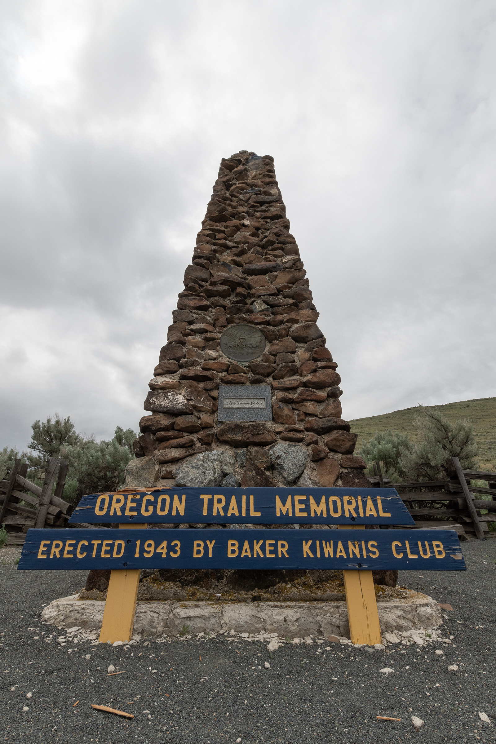
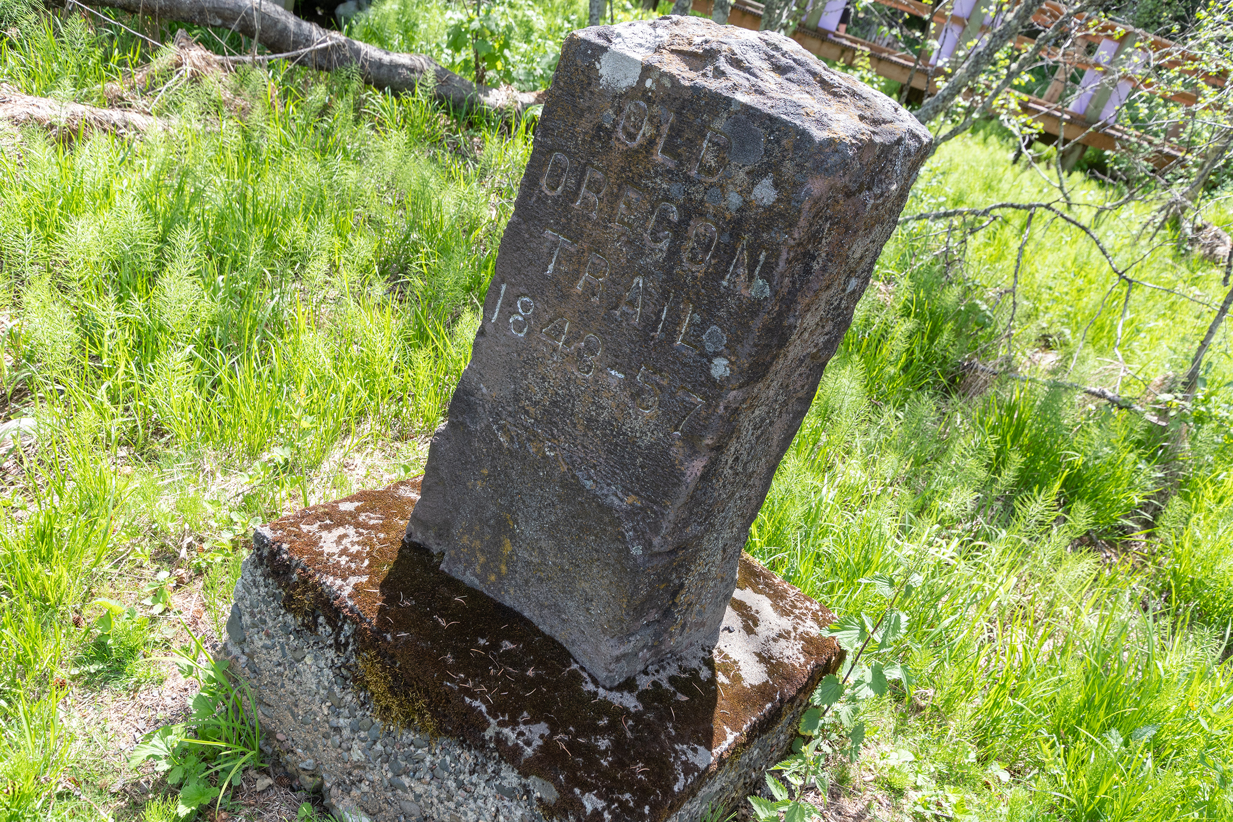
Baker City, moreso than others we’ve driven through, has really positioned itself as The Oregon Trail City entering Oregon, so we stopped by their Centennial Obelisk and Memorial on the way out of town — which got us thinking about the date. We knew westward migration really hit its stride in the late 1840s, but it was apparently in 1843 that the first major train, nearly one thousand people, headed west.
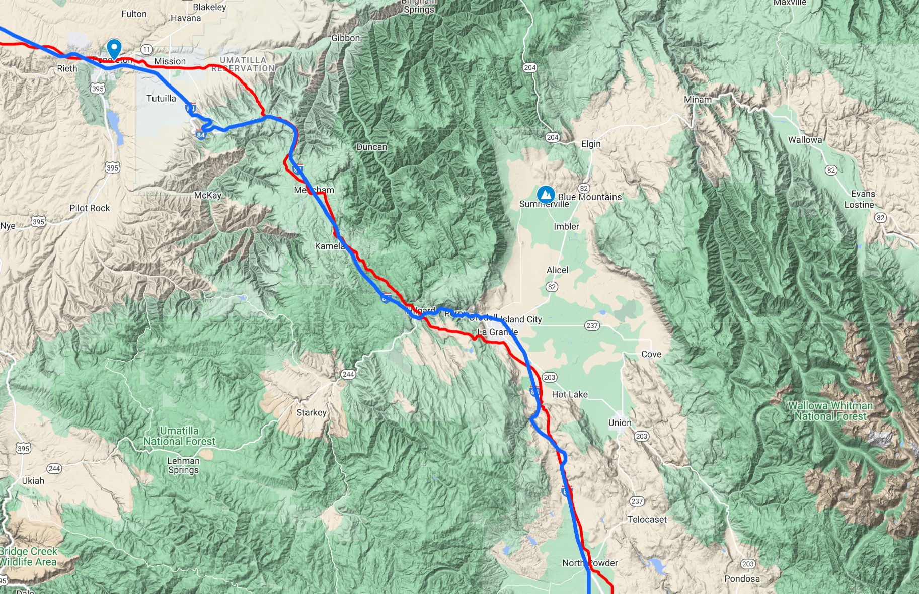
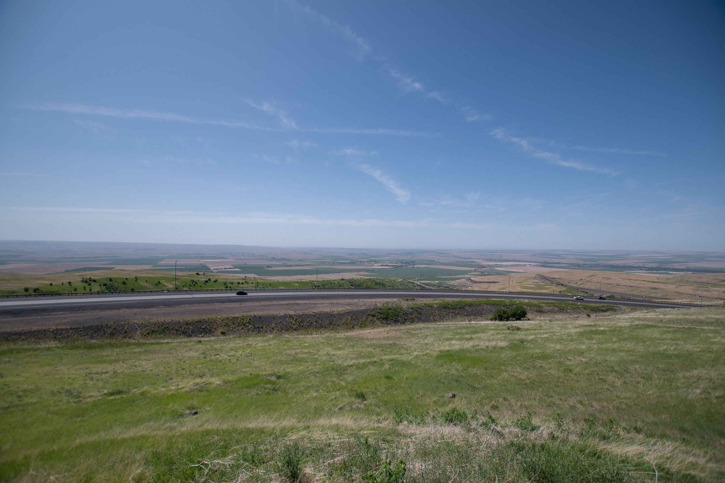
Both in western Idaho and in eastern Oregon, The Oregon Trail Scenic Auto Tour route — which we’ve tried to take when possible — actually follows Interstate 84 — which we traditionally try to avoid. But as we snaked up the mountain pass, I couldn’t help but look off to the mountains on either side to look for the fading, long-forgotten ruts braided with present-day pavement.
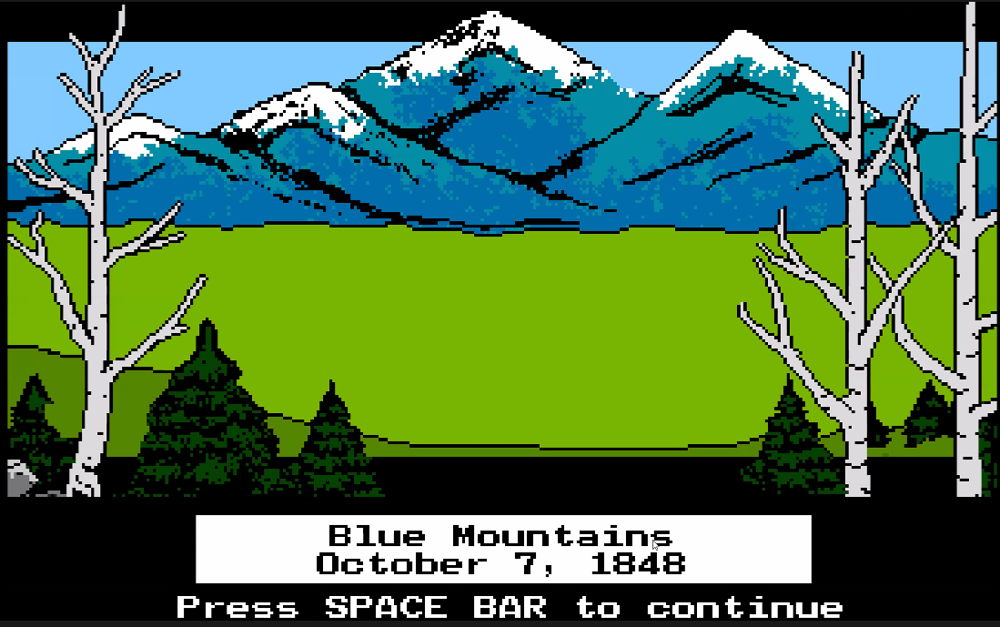
The Blue Mountains is the final mountain range in the trail, and while Oregon is more green and wooded than the last two states we’ve crossed, there still wasn’t an abundance of water up high.
Water is scarce in the steep, forested slopes of the Blue Mountains and is often found only at the bottom of steep ravines. Although forage for livestock is plentiful, it is widely scattered among the trees. Oregon Trail emigrants quickly discovered that livestock could not be allowed to range to free. Many along with Honore-Timothee Lempfrit, emigrant of 1848, found “Nearly all of them strayed during the night…. consequently when morning came we found ourselves without any oxen.” Although the search for lost animals was a common experience, more than livestock could be lost in the forest.
Rest area placcard placed by … some Oregon government department that didn’t sign it.
One popular camping area with a small spring is now known as Emigrant Spring, near the top of Dead Man Pass between La Grande and Pendleton.
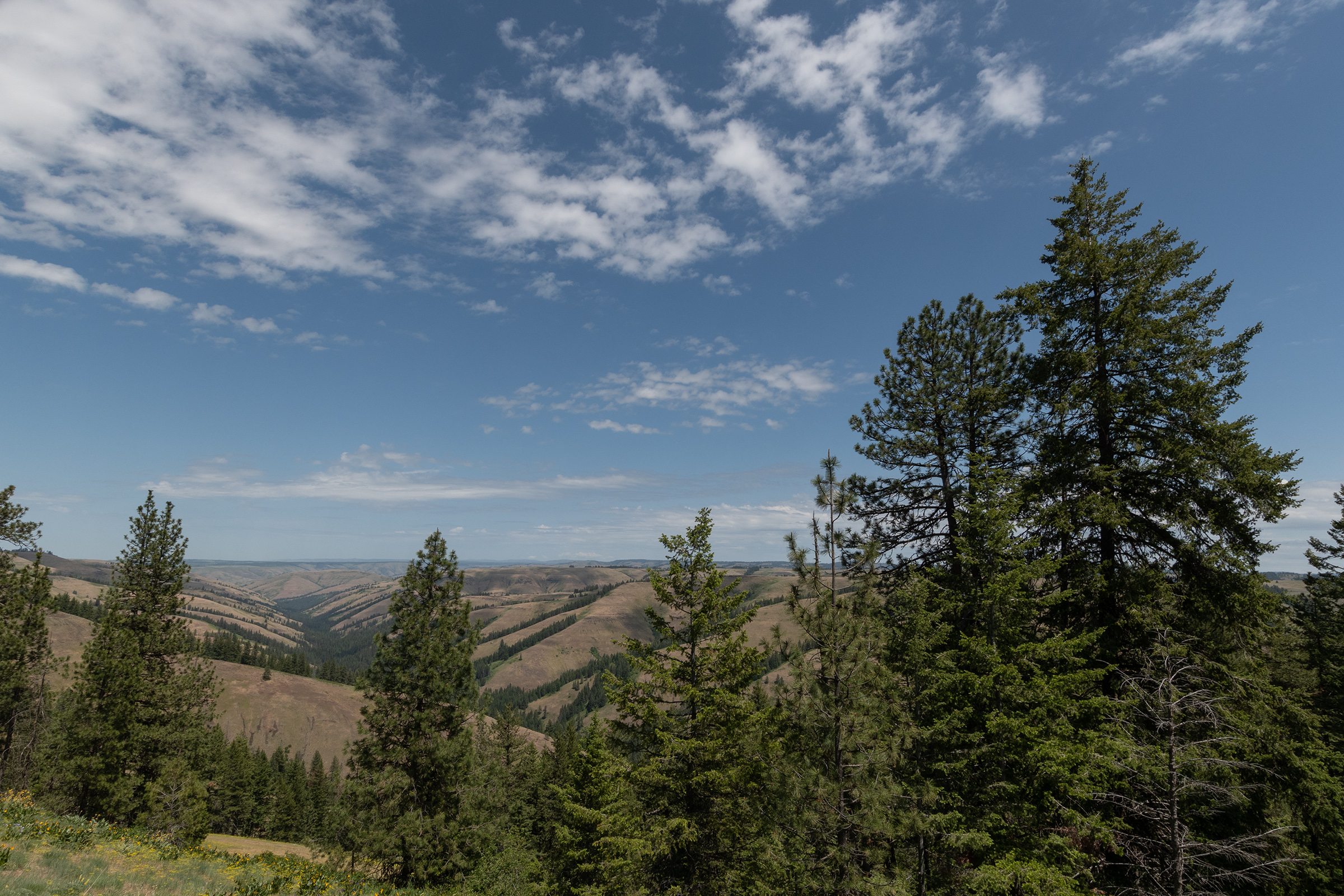
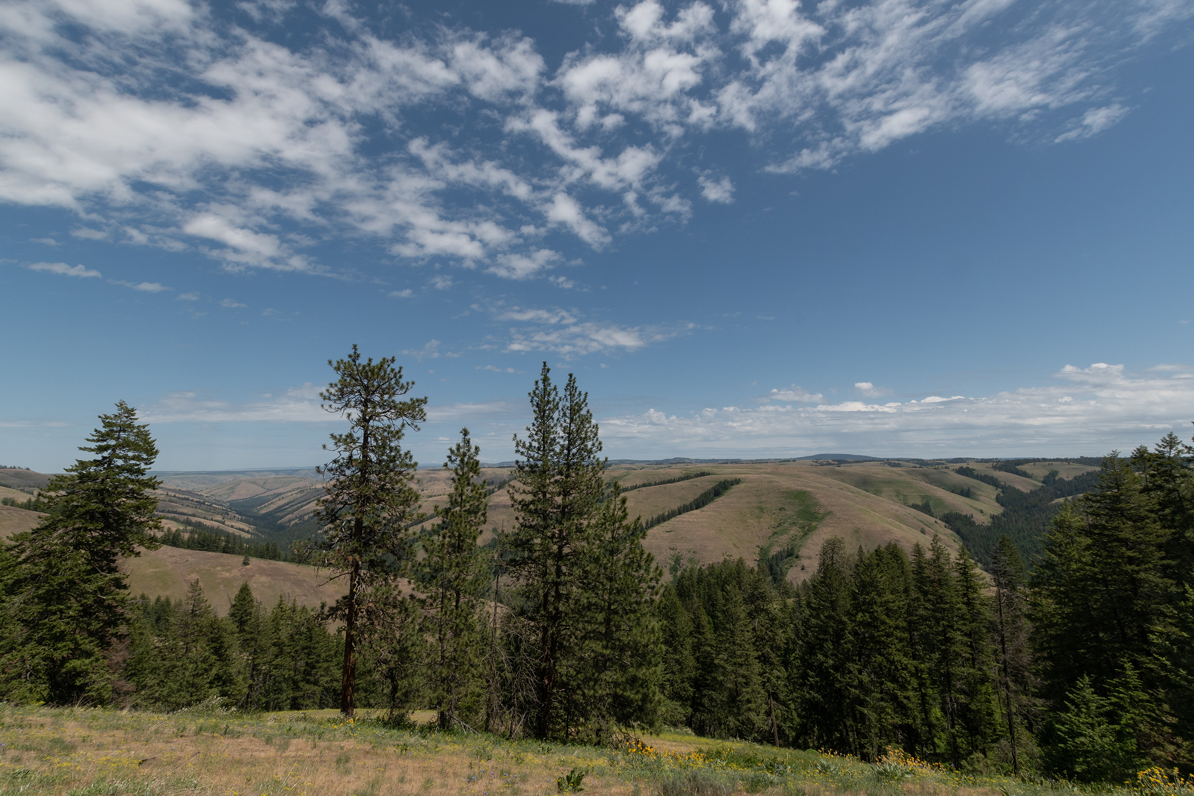
We stopped there for a short stroll through the trees, and again on the way down the pass — at the same spot where I stopped with the Celica the night I cut through Oregon on my way north.

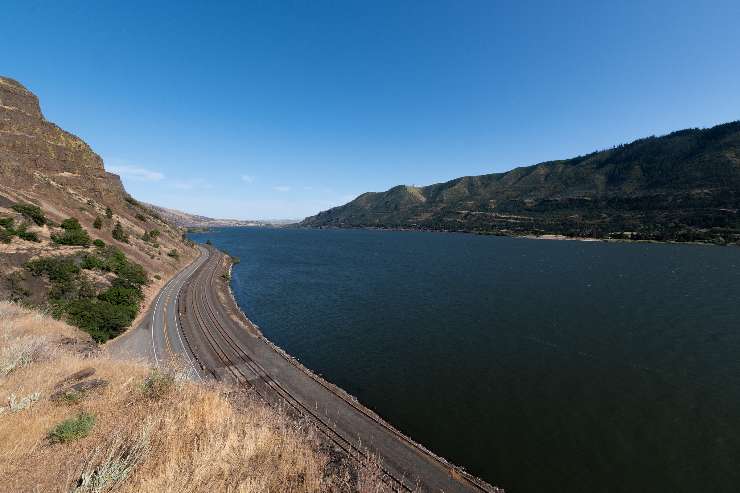
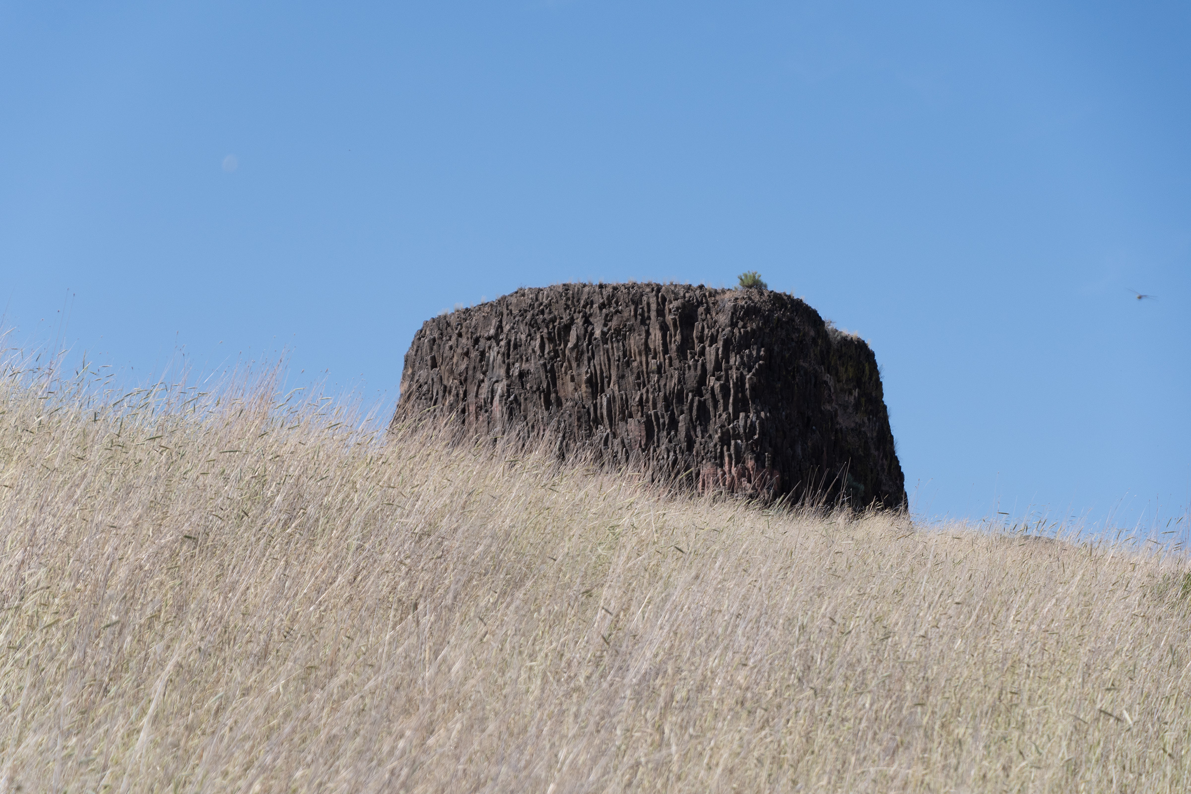
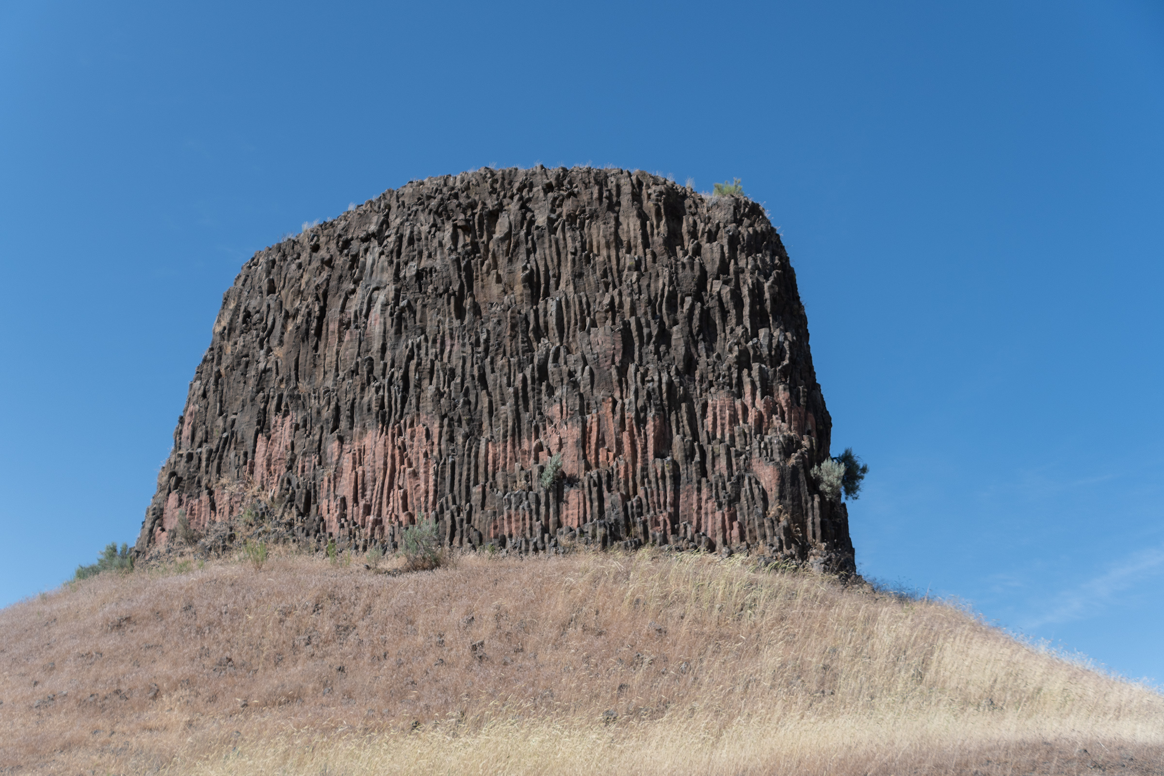
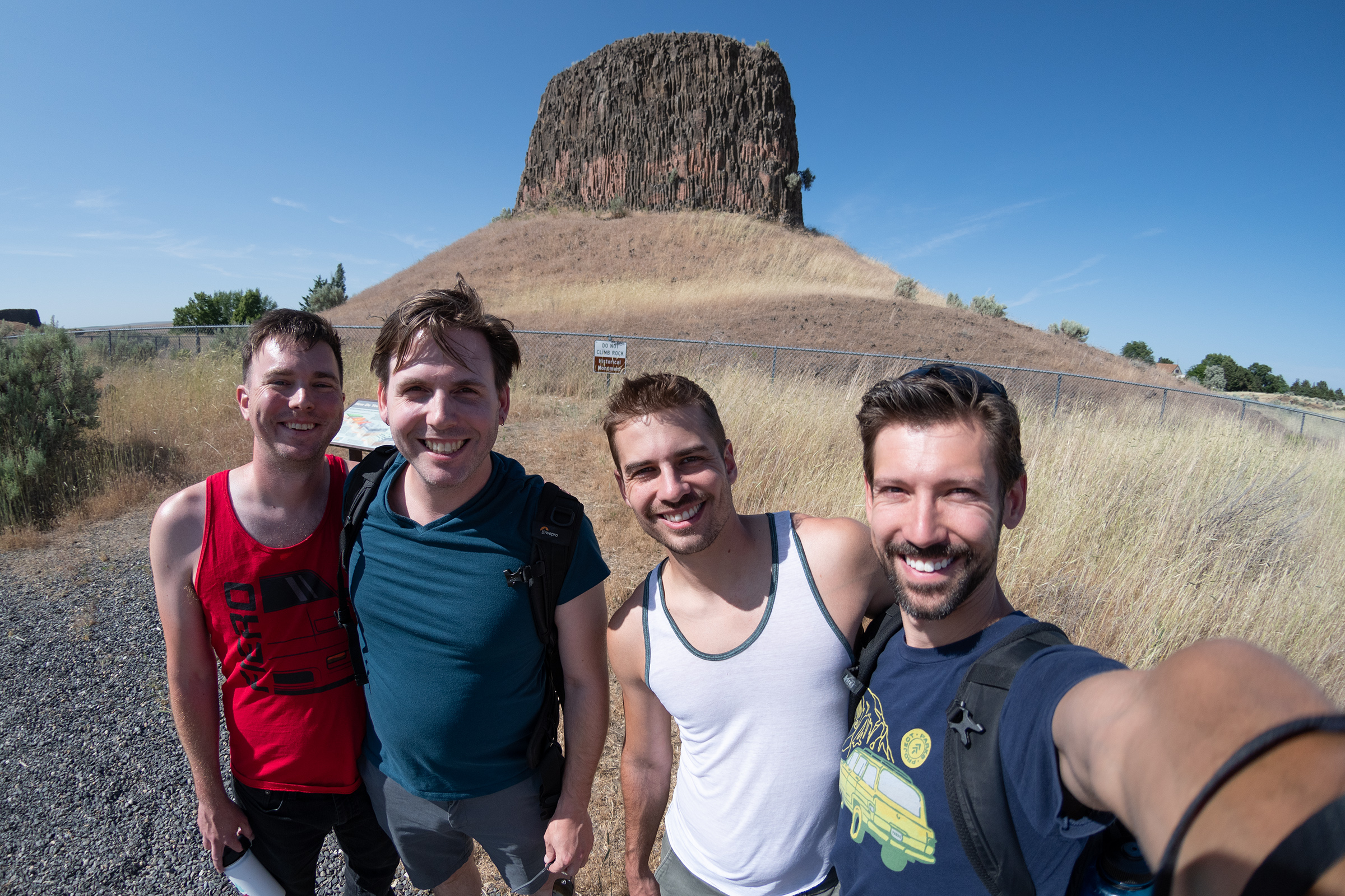
EG found a scenic area that looked worth a detour, saving us from further Interstate-related woes. Hat Rock is a waypoint noted on the Lewis & Clark Expedition maps and sits on the auto tour route for the highway route that follows that journey. As we cut through waving wheat fields north toward Oregon 730, we caught our first glimpse of the Columbia River, which we’ll follow from here, all the way to Oregon City.
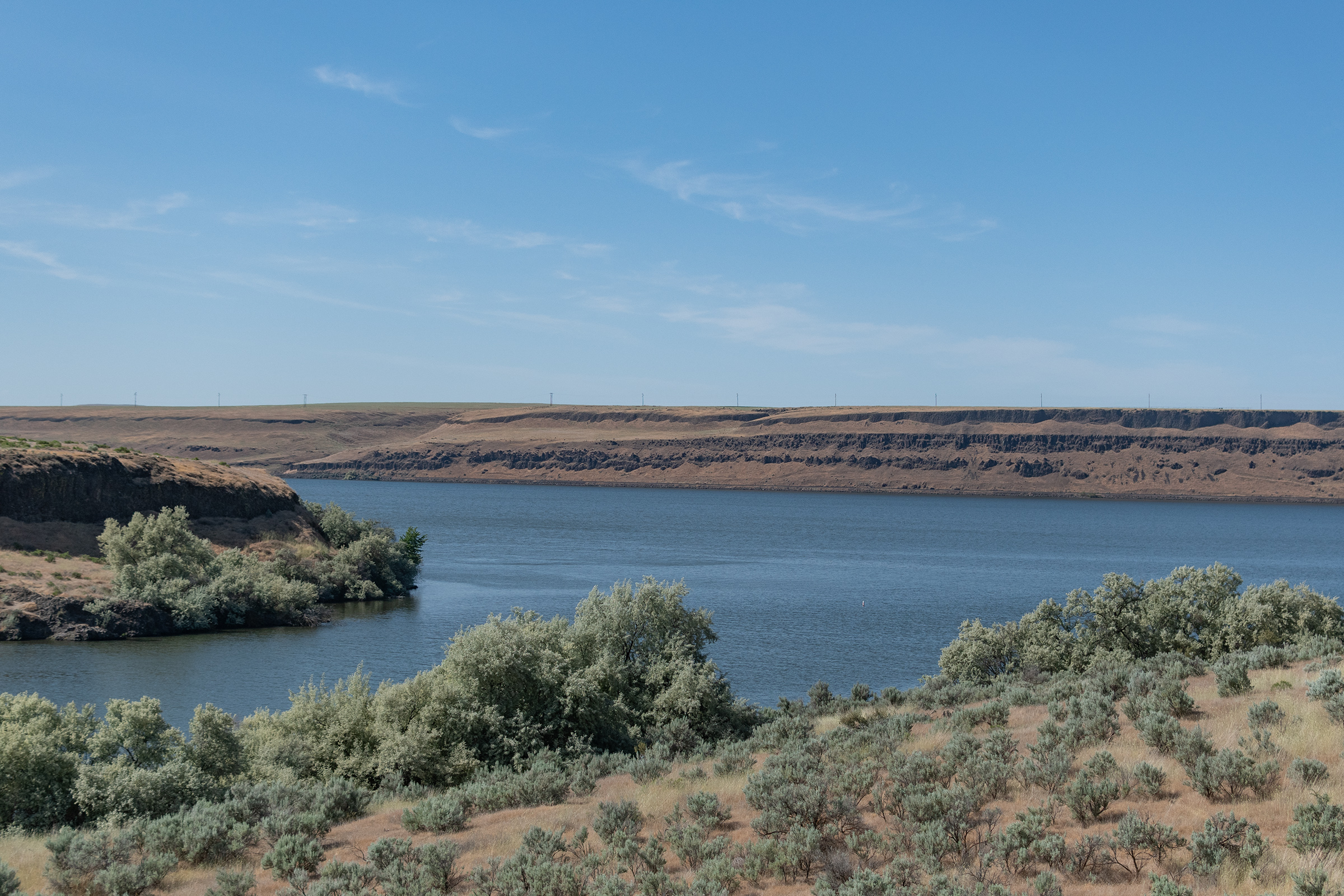
I was surprised at the lack of greenery in north/central Oregon. It is less wooded than I expected, and except for the irrigated agricultural fields, there is still a lot of desert scrub and rocky ground.
After Hat Rock, Oregon 730 rejoins I-84 as it speeds along toward The Dalles and eventually Portland. The headwind was shockingly intense. It felt like we’d dropped into a tunnel focusing all the Pacific Coast’s wind straight at us. We were pushing hard to go 70mph and it felt like we were going nearly 100. I developed a few new wind related whistles and rattles. On the occasional radio calls, both the Fiero and Piazza sounded as if they were on the verge of rattling to pieces. My turn signals got stuck on-solid a couple times, too — don’t let me down now, Wagon.
We finally emerged into The Dalles and headed straight to a brewery for dinner before retreating up the mountain to our swanky cabin with a view, at which we’ll camp an extra night to regain our health and resupply — as we debate the merits of our last routing decision: do we float the river or take our changes on the Barlow Road?

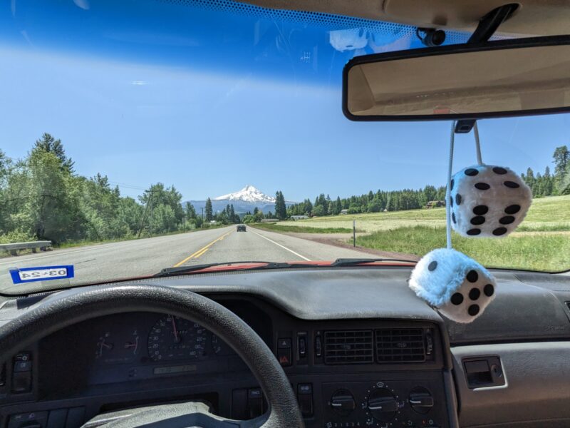
The Mountain is out, a good omen.