Easter in the Ozarks begins tomorrow! George and I have been making maps:
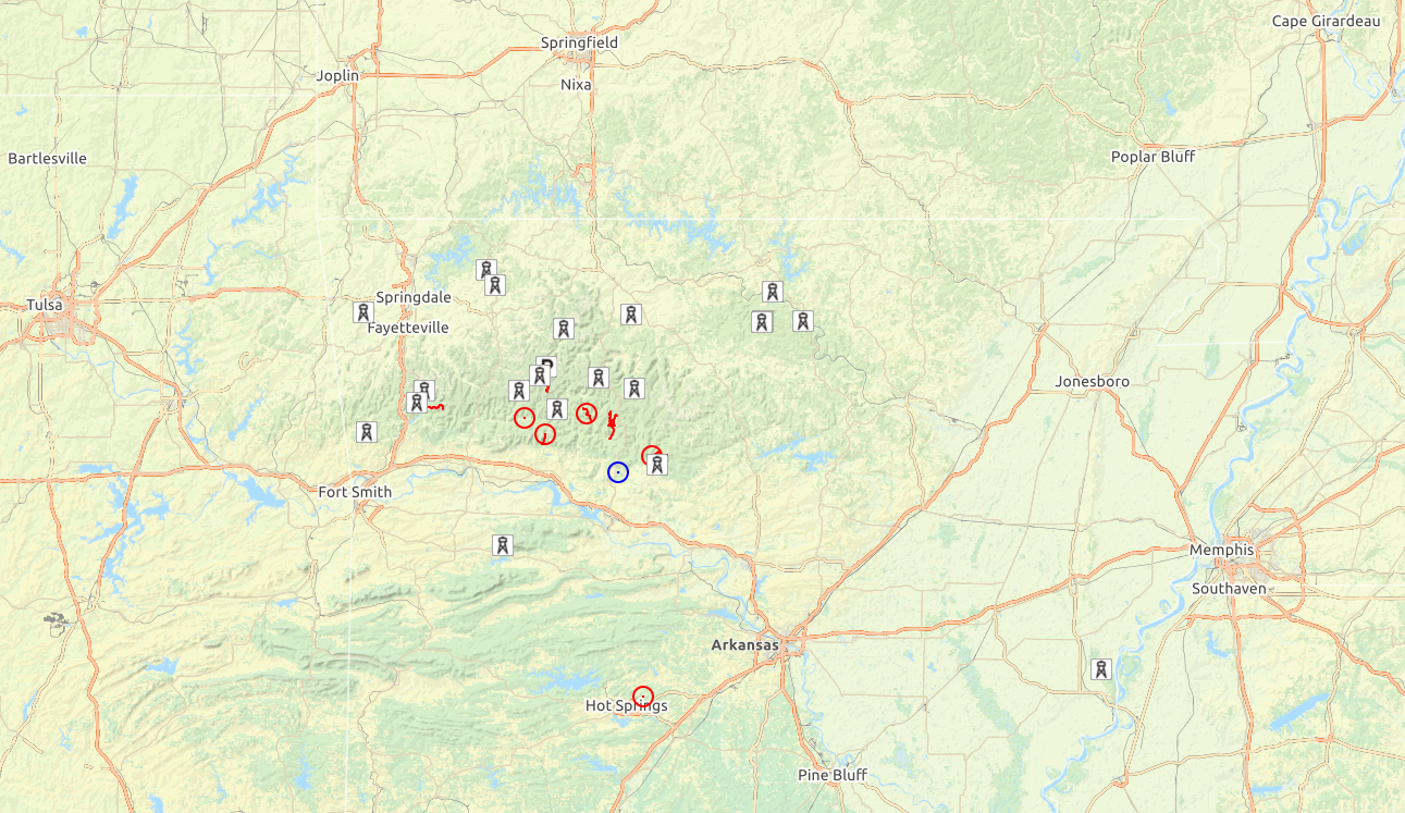
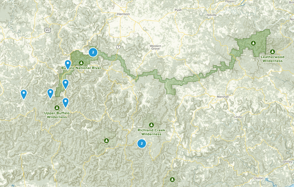
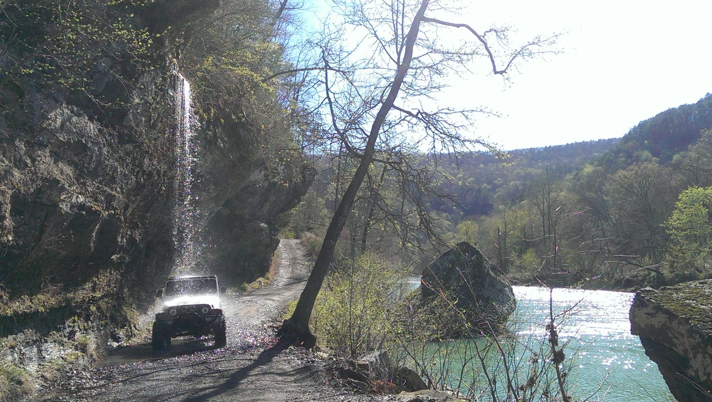
We have a dozen or so overland / light offroading routes pinned and a handful of hikes that all sound pretty great, all within striking distance of our cabin in Dover, AR.
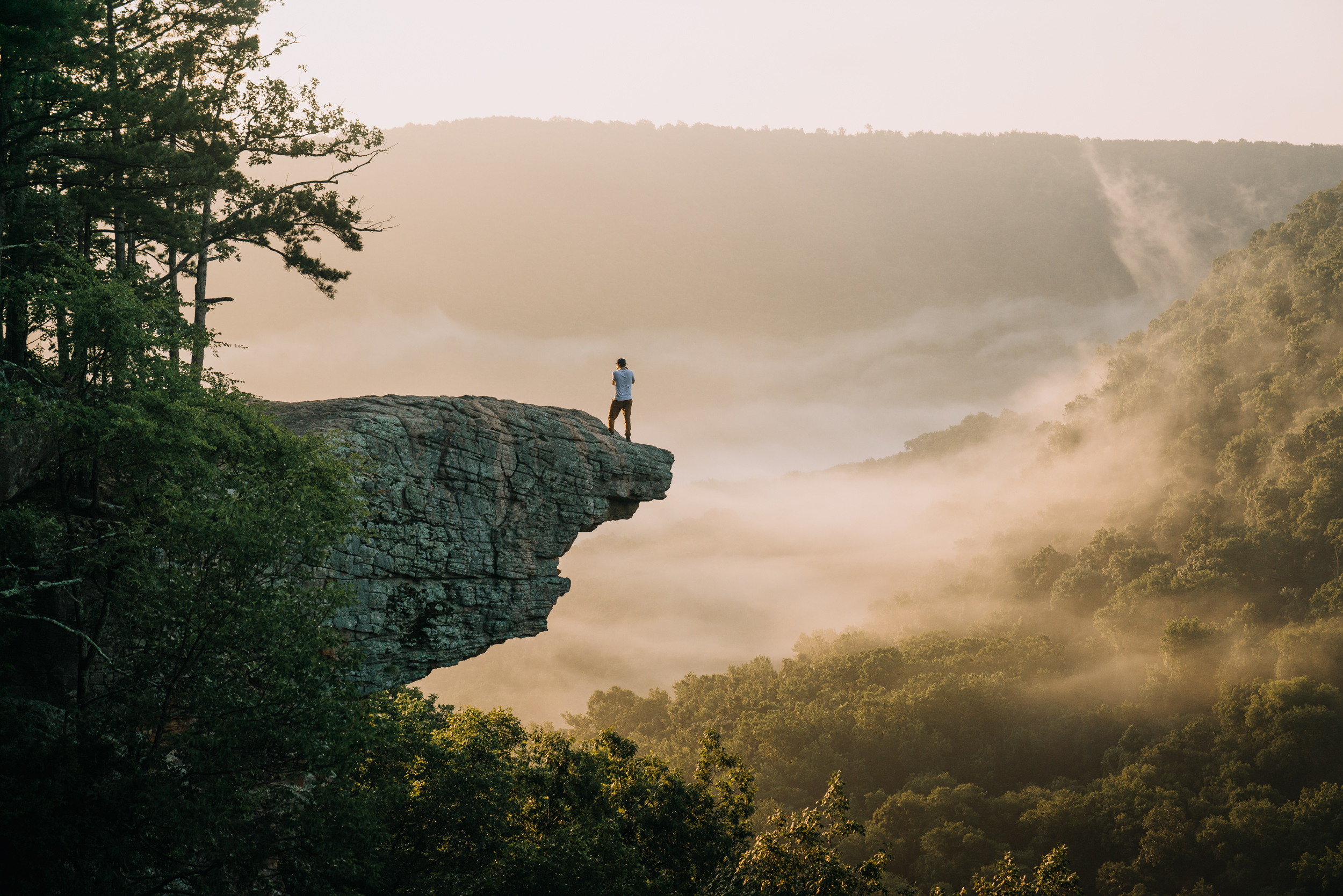
(Yes, this is the hike I’m trying to talk the group into doing with me.)
All of this is scattered around the Ozark National Forest and Buffalo National River.
The forest is almost 1.2 million acres and includes the tallest mountain in Arkansas, Mount Magazine — designated in 1908 by proclamation of Teddy Roosevelt. The river was the first “National River” to be designated in the US (in 1972), of which there are now five, along with another ten “National Wild and Scenic Rivers.” As it turns out, I’ve already been to two of those: the Ozark National Scenic Riverways in Missouri and the New River Gorge National River in West Virginia.
Unfortunately, we have a few launch blockers.
https://oppositelock.kinja.com/wagovan-at-the-doctor-status-update-1834088376 Kinja has deleted its OppositeLock and Overland communities. Content Unavailable
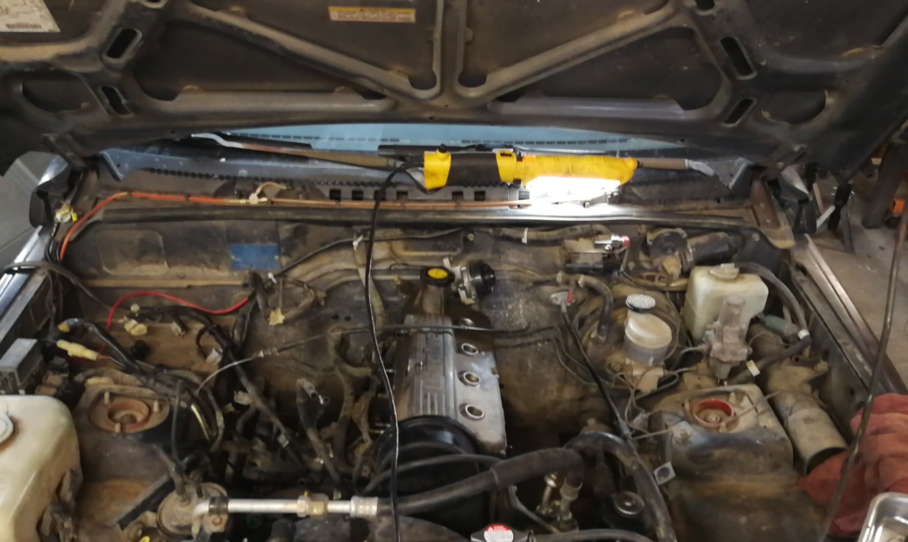
Evan’s 4WD Civic, around which this trip was kinda planned, is ill. It still has trouble at highway speeds and despite many hours of his own wrenching, he hasn’t been able to clear it. Like in December, I think it’d be fine for the trail driving, but getting there would be problematic.
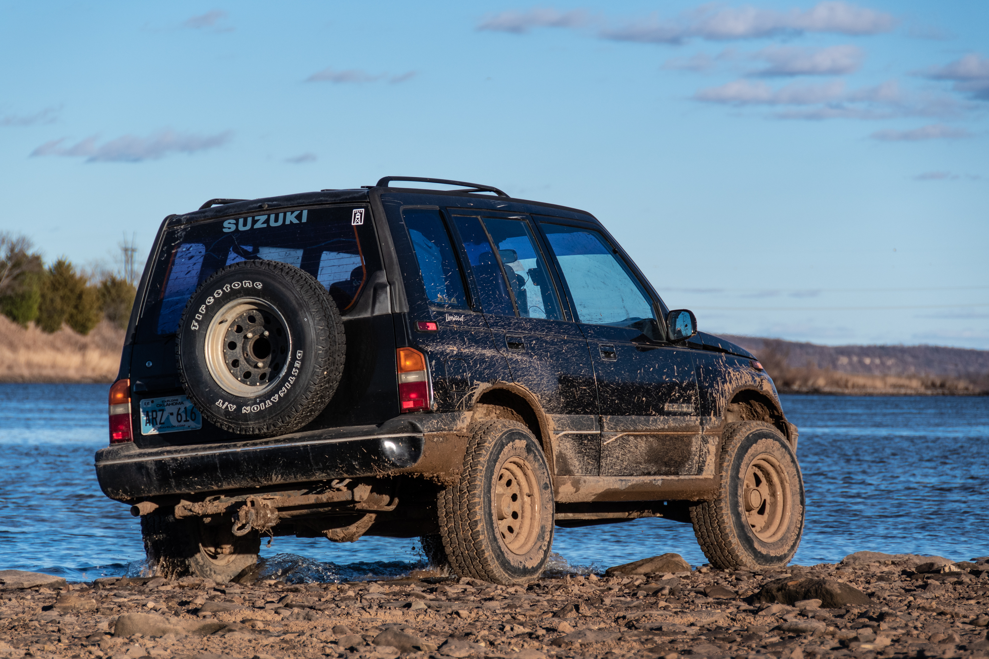
And then we have Brady’s Sidekick. I was really looking forward to a trip out with this one. But it was having some trouble that was traced down to a blown head gasket. Simple enough, Evan did his on the Rover last year.


But when he got in there, he discovered the problem was a bit worse: it has a cracked cylinder head. So this vehicle is out for the trip.
And then there’s this:
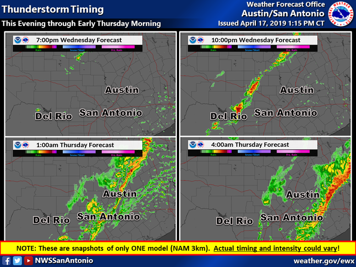
See, the rest of the group is coming from Tulsa, which is about a 3 or 4 hour drive. From Austin, it’s 9 hours. So I had planned to leave tonight and work from East Dallas tomorrow, to get me in closer to a reasonable hour. Unfortunately, NWS Austin/San Antonio is predicting tornadoes and baseball size hail along the I35 corridor north of here.
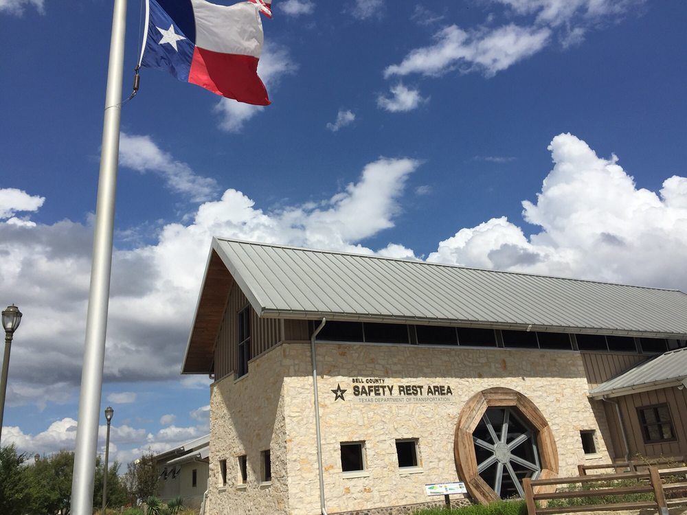
There’s a TxDPS rest stop with multiple tornado shelters in the middle of this forecast area, between Jarrell and Salado, called the Bell County Safety Rest Area. It was constructed in 2008 partially in memory of the Jarrell Tornado. A placard in the station reads:
The tornado slammed into town with winds over 261 miles per hour. Within those few seconds, the tornado left 27 people dead. The twister destroyed about 50 homes, ripped pavement from roads, debarked trees and carried dozens of automobiles more than half mile away from where they were parked. There was nothing left in a three-quarter mile wide swath left in the tornado’s wake as it swept to the south-southwest.
Driving directly into this area under a severe weather advisory seems unwise. So all in all, not the most auspicious start to a trip we’ve ever had…