After leaving the ranch, I headed west, picking up two more short bits of the Hill Country section of the Texas Epic Adventure Trail:
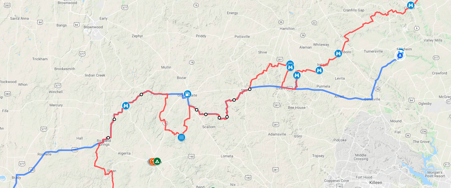
I hopped off US-84 in Star and followed the trail through through Goldthwaite, my grandfather’s hometown that has become a frequent waypoint on my westbound drives. I bypassed the route’s ford of the Colorado River (😬) and rejoined it west of Goldthwaite through Richland Springs. It was another exciting drive on a beautiful day, the only event of note was underestimating a paved dip in a dirt road:
This was one of those things that didn’t look like much until I got launched into space out the other side. I have no idea where that hotel keycard came from in the video clip. I do know that the lid came off the ice chest as it bounced up, spilled water all over the ceiling, and came crashing down onto an unopened bag of SkinnyPop popcorn, which exploded all over the back of the car.
After Richland Springs, I took US-190 most of the way to Fort Stockton instead of I-10. It was much more pleasant, sparse traffic.
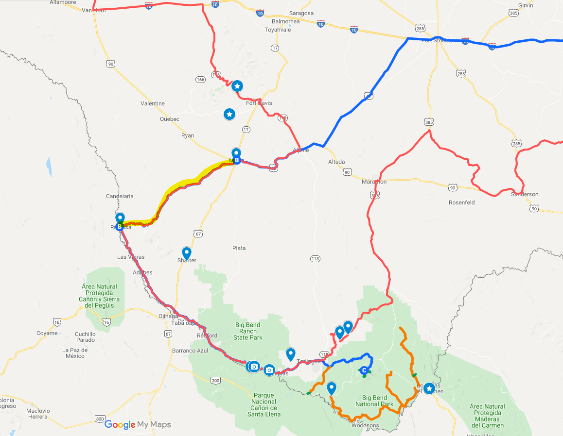
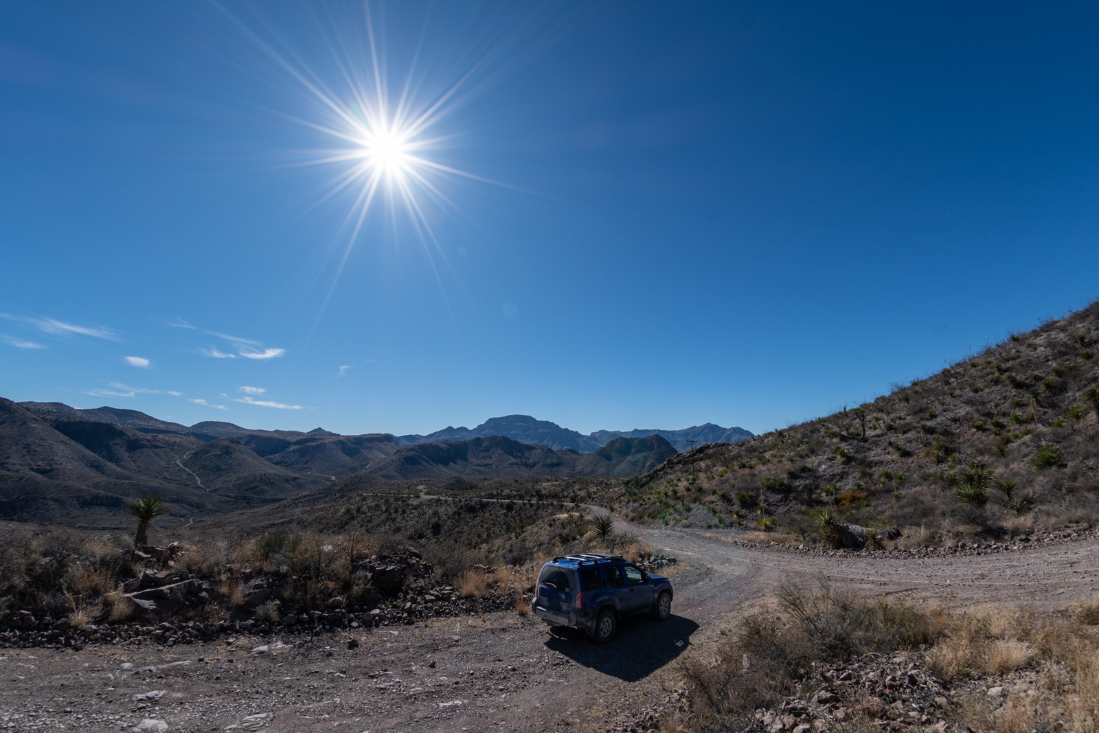
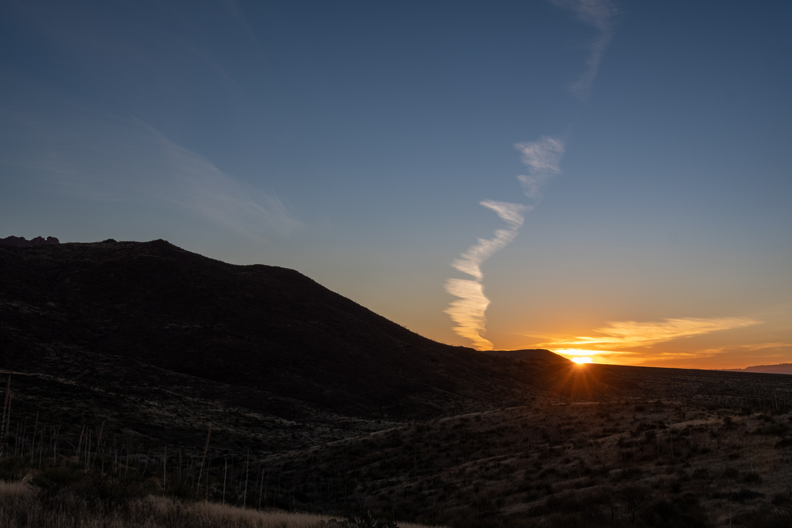
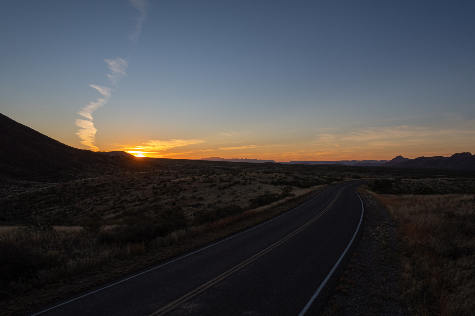
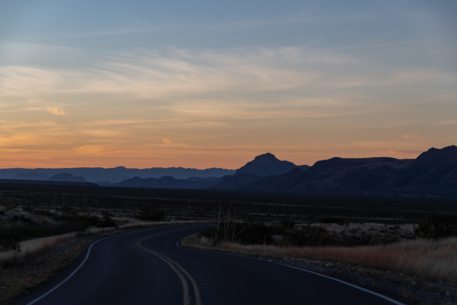
I stopped for the night in Alpine because it’s the only city in the region with a hospital, just in case. Thankfully, I didn’t need it. In the morning, I took off for Marfa to rejoin the adventure trail on Pinto Canyon Road, which I’d recently read about in Texas Monthy’s article The Road to Nowhere:
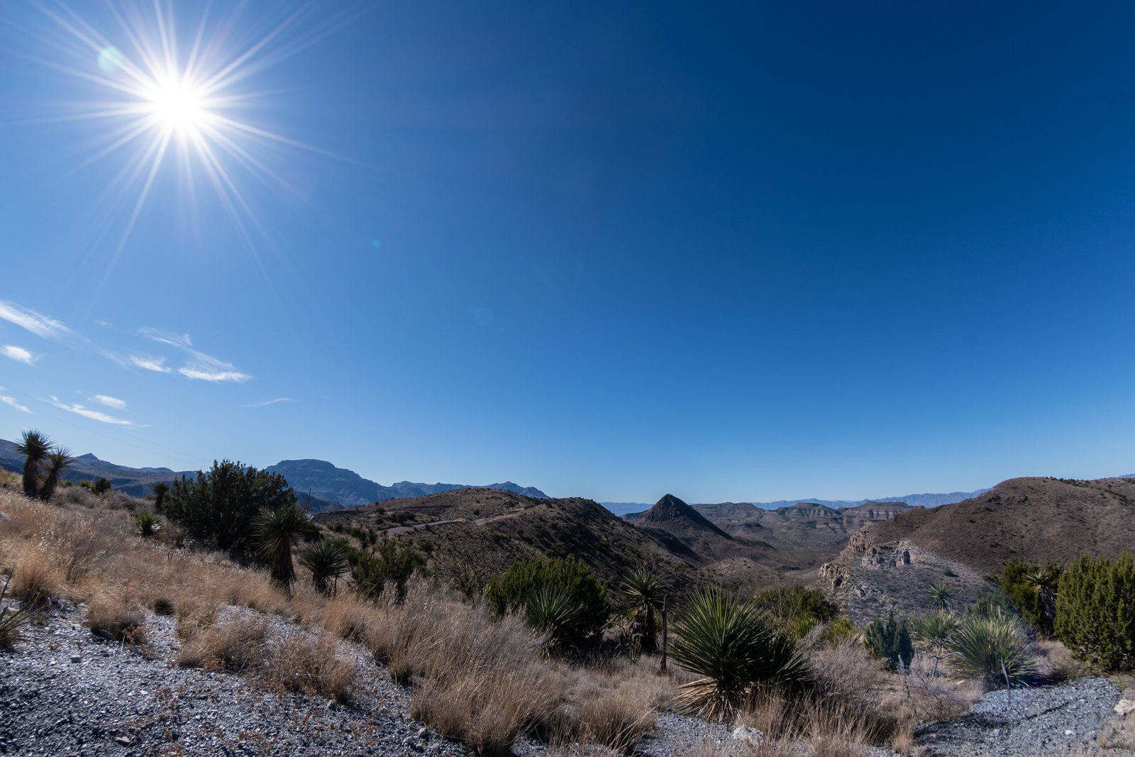
My favorite drive in Texas begins west of downtown Marfa, by the Texaco station. In less than a minute civilization is a memory as the road is swallowed by the waist-high grasses of the Marfa Highlands. The 7,730-foot Chinati Peak rises from the horizon under a perfect blue sky marred only by a distant thunderhead, and the rolling terrain slowly gains altitude. Telephone lines and barbed-wire fences disappear, and nothing is left but road, land, and sky.
Joe Nick Patoski. Texas Monthly, 1/2013.
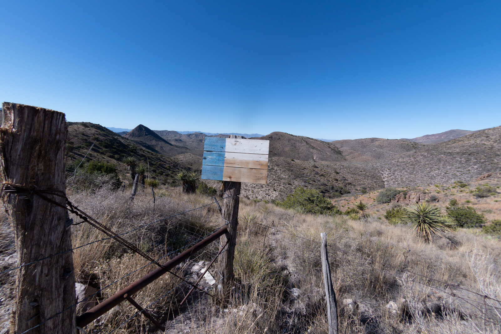
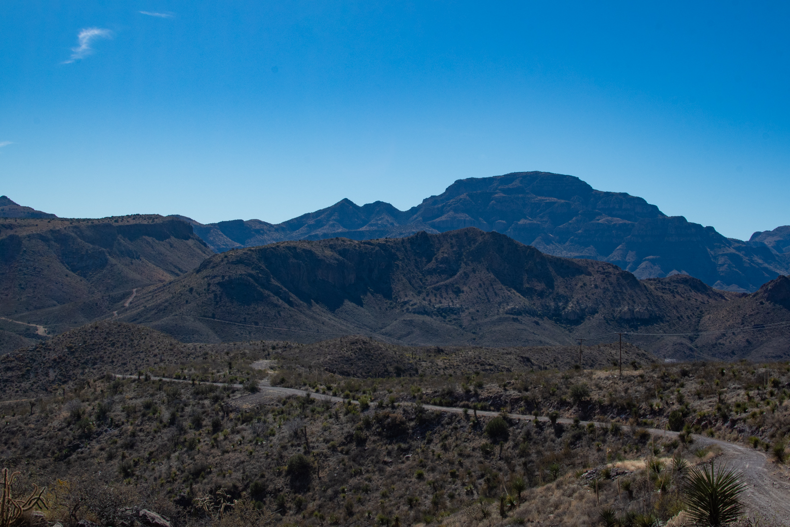
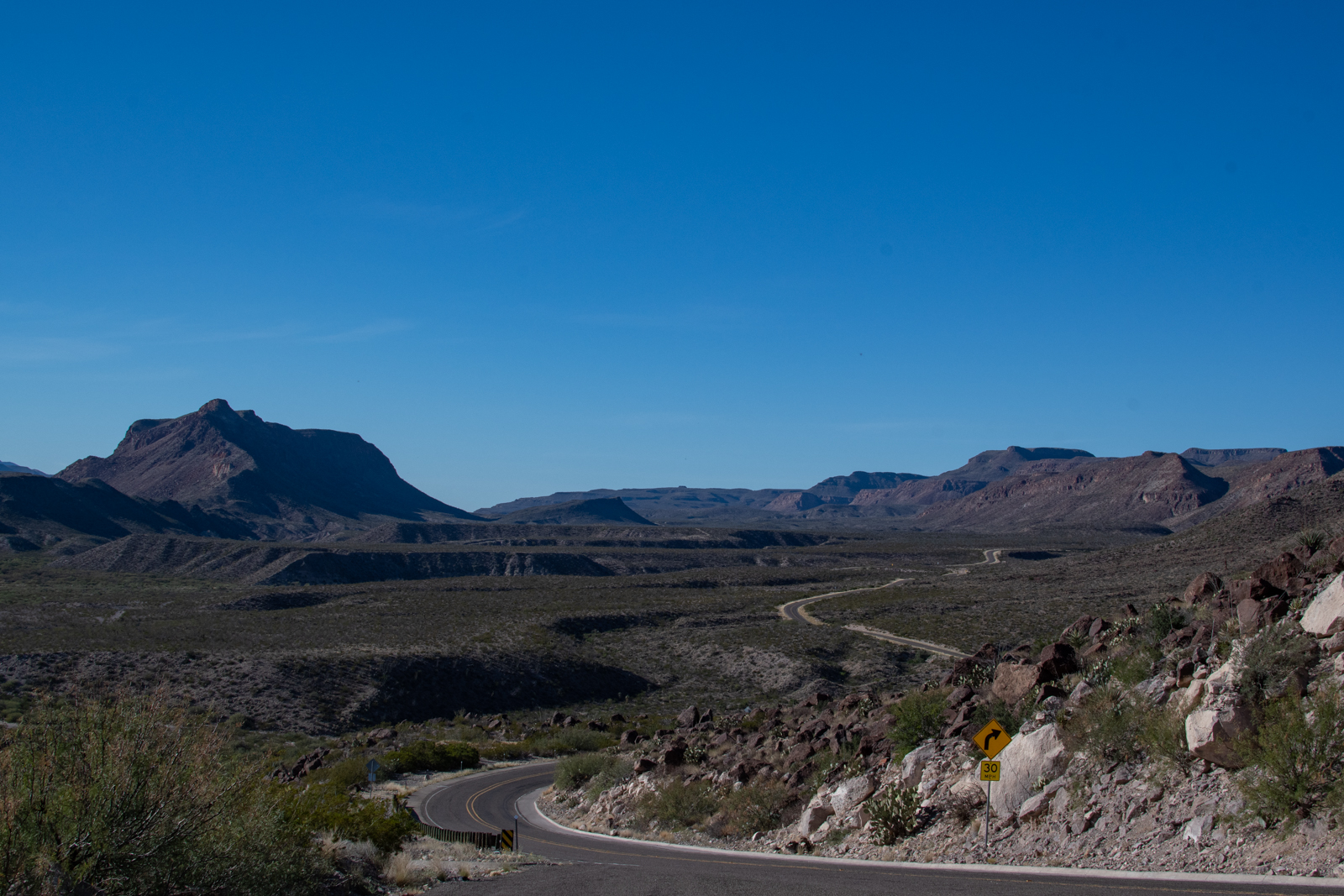
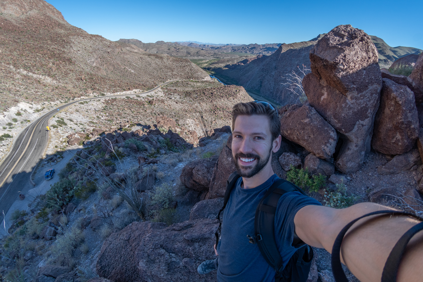
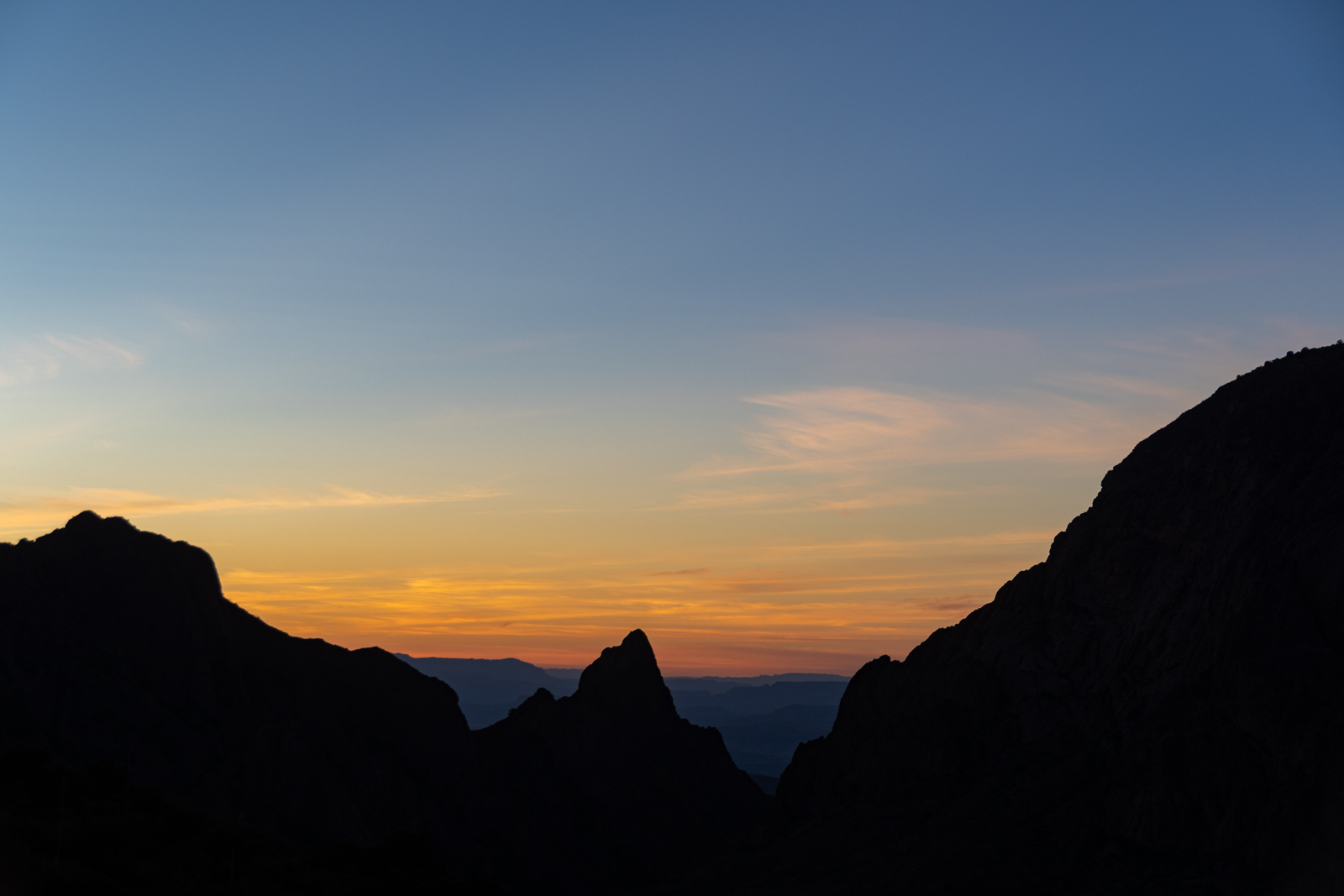
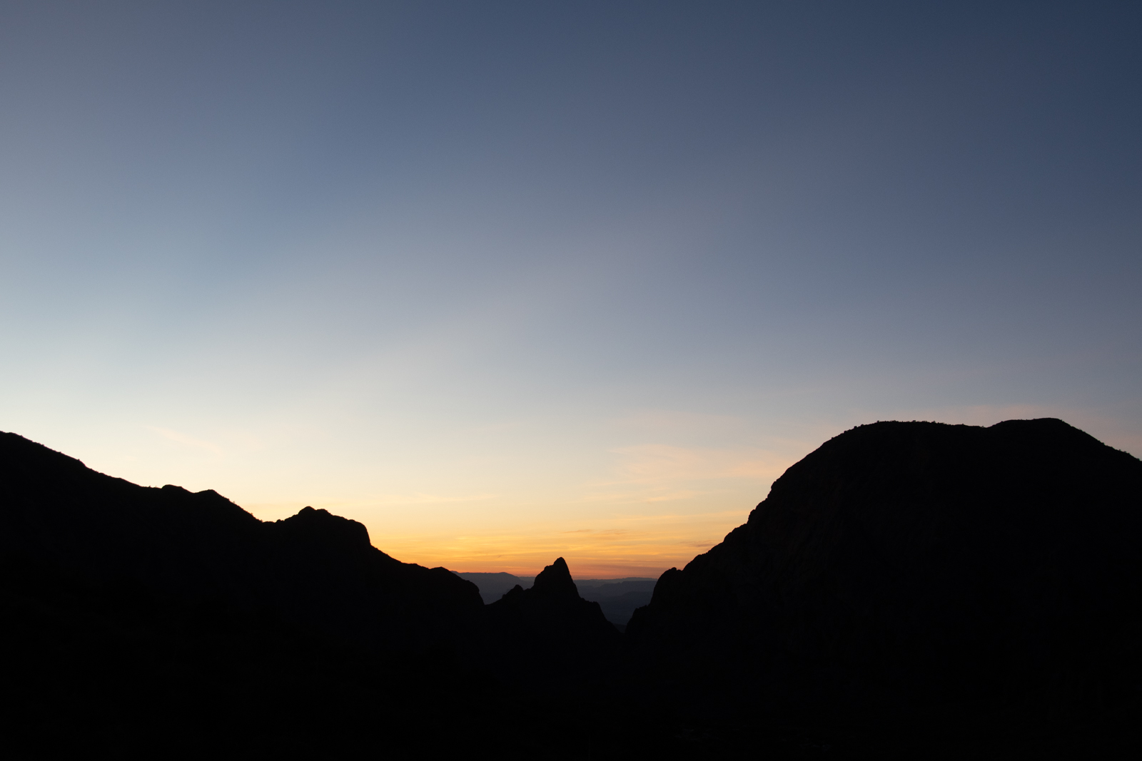
Clips from the drive, time-adjusted. Pinto Canyon Road begins as RM 2810 departing Marfa westbound for Ruidosa and changes names as it goes unpaved and crosses through Pinto Canyon Ranch.
Thirty-two miles from Marfa the pavement ends and the excitement starts. At first the dirt road is almost as wide as the paved portion, but after a couple of miles, it drops precipitously, twisting and turning down hairpin curves from a ridgetop into Pinto Canyon. Scrub oak and mesquite appear in this sheltered basin, where some of the low-water crossings are so jammed with gravel and stones that you have no choice but to slow to a first-gear crawl.
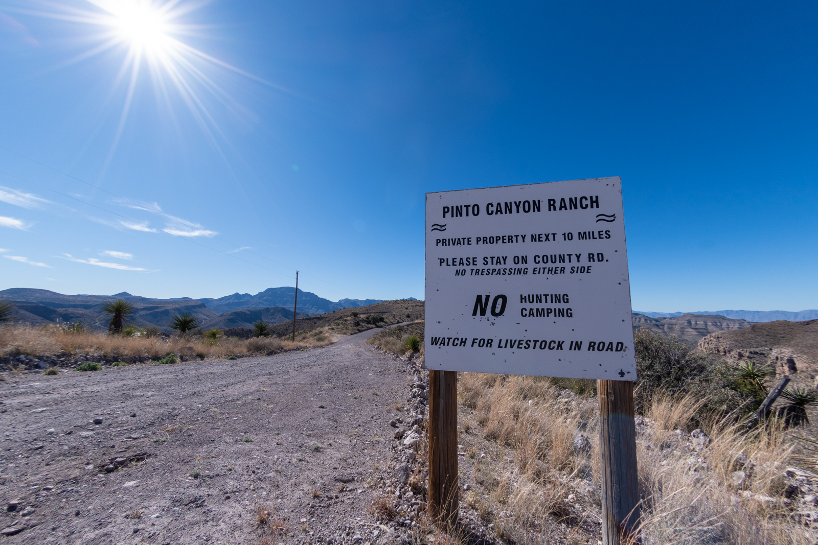
The road gets its name from the Pinto Canyon Ranch, privately owned by the former CEO of Tyco International. Though access off the main road is restricted, the Center for Big Bend Studies at Sul Ross University has uncovered rich history in the area, with fascinating stories finding their way into other publications.
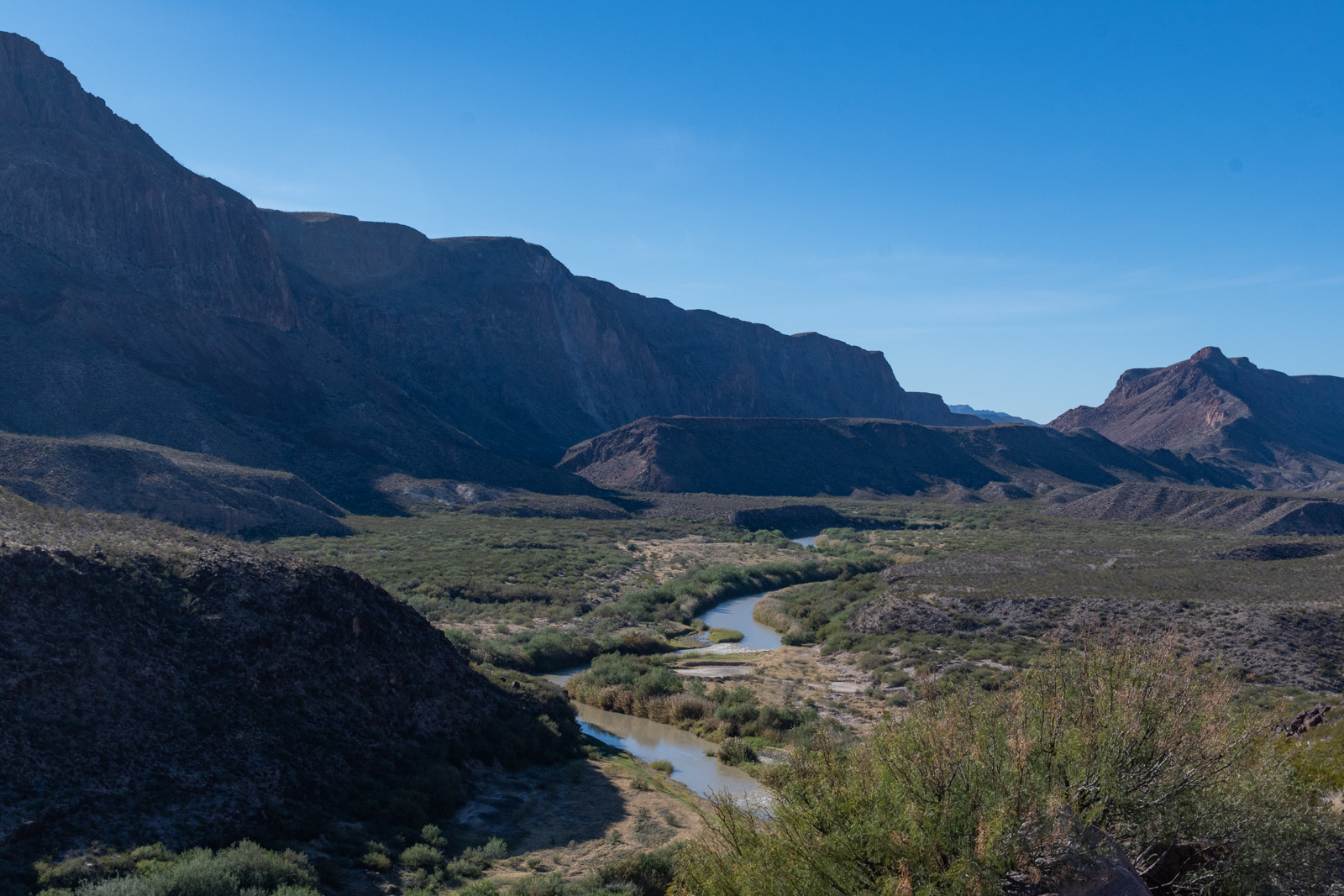
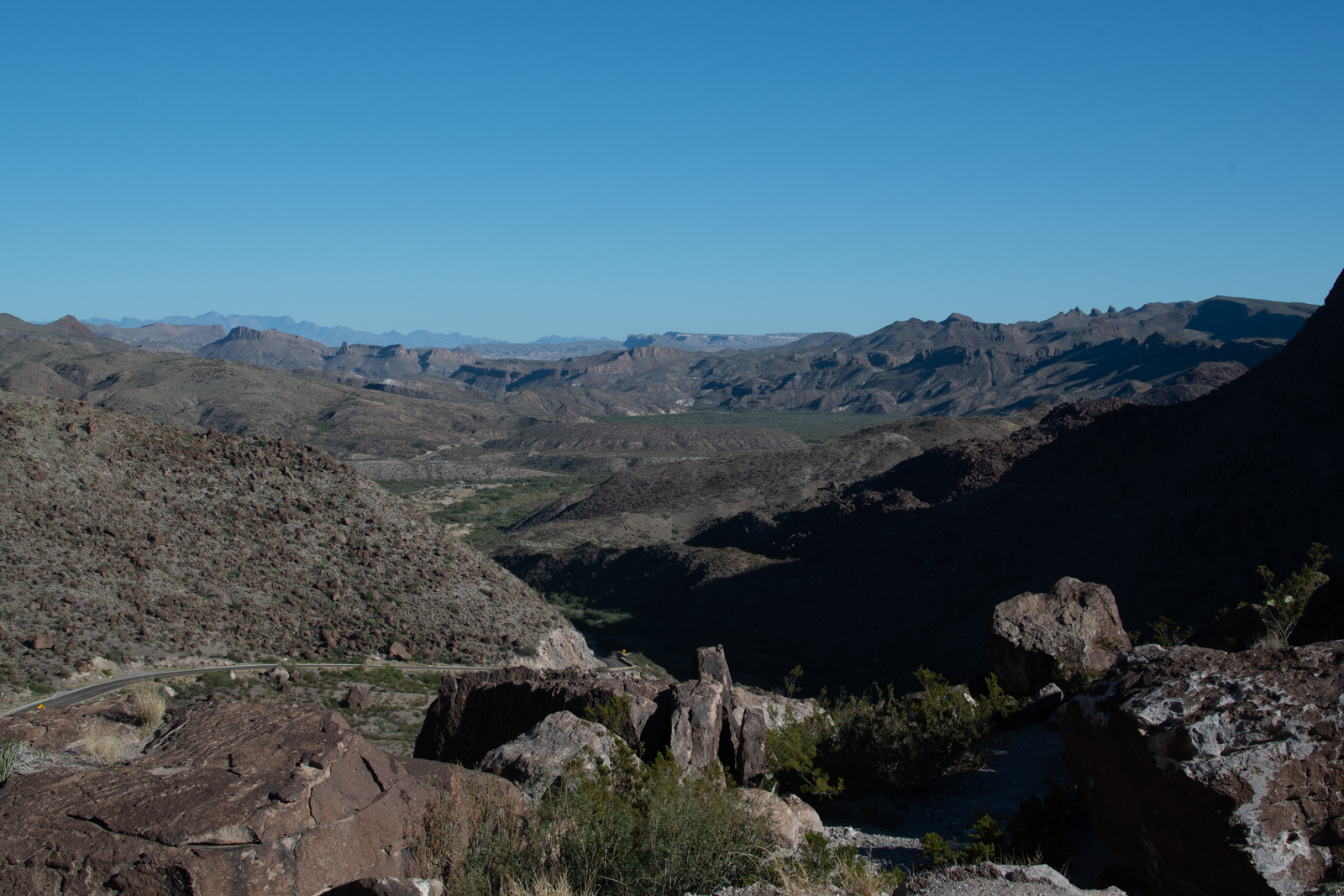
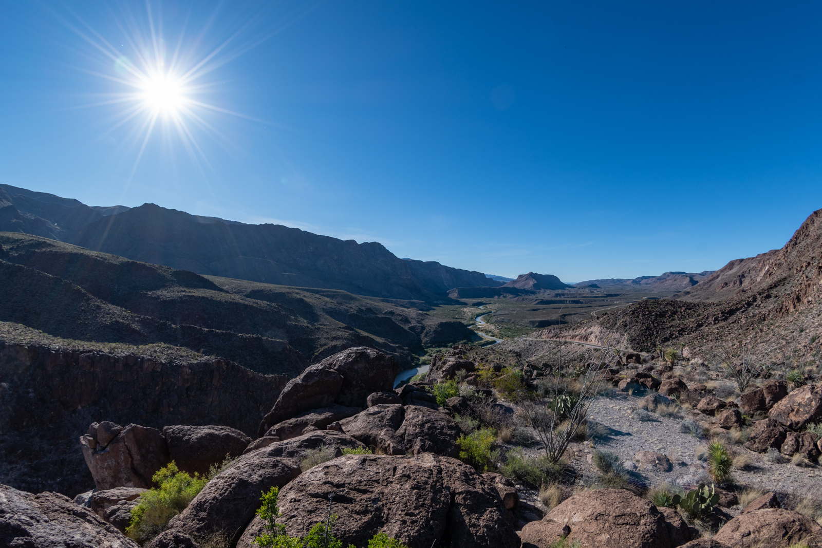
The article mentions continuing upriver to Candelaria, which I want to do next time I’m out that way, but after the canyon, I stopped in the mostly-ghost town of Ruidosa before picking up FM 170 through Presidio along the Rio Grande to the parks.
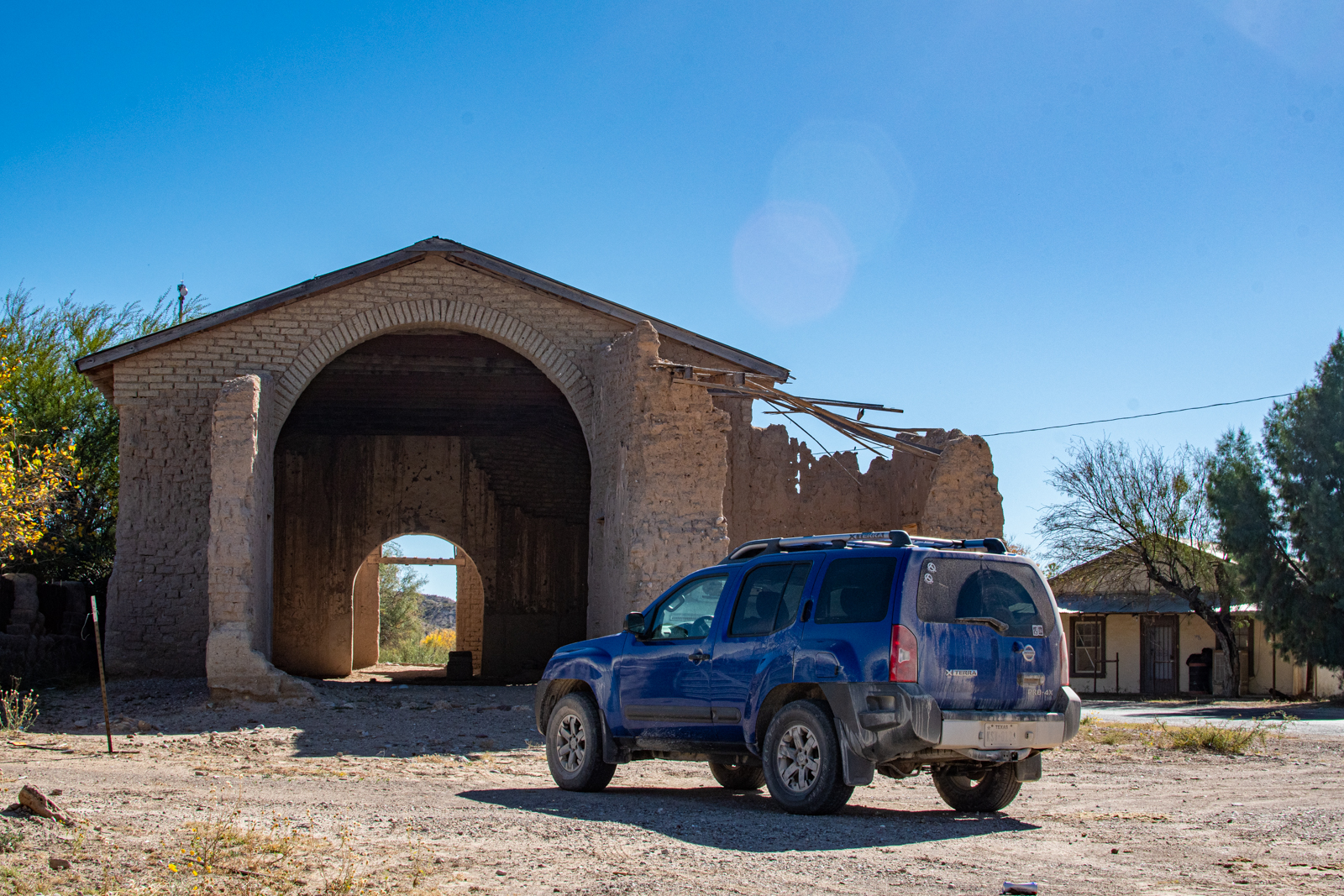
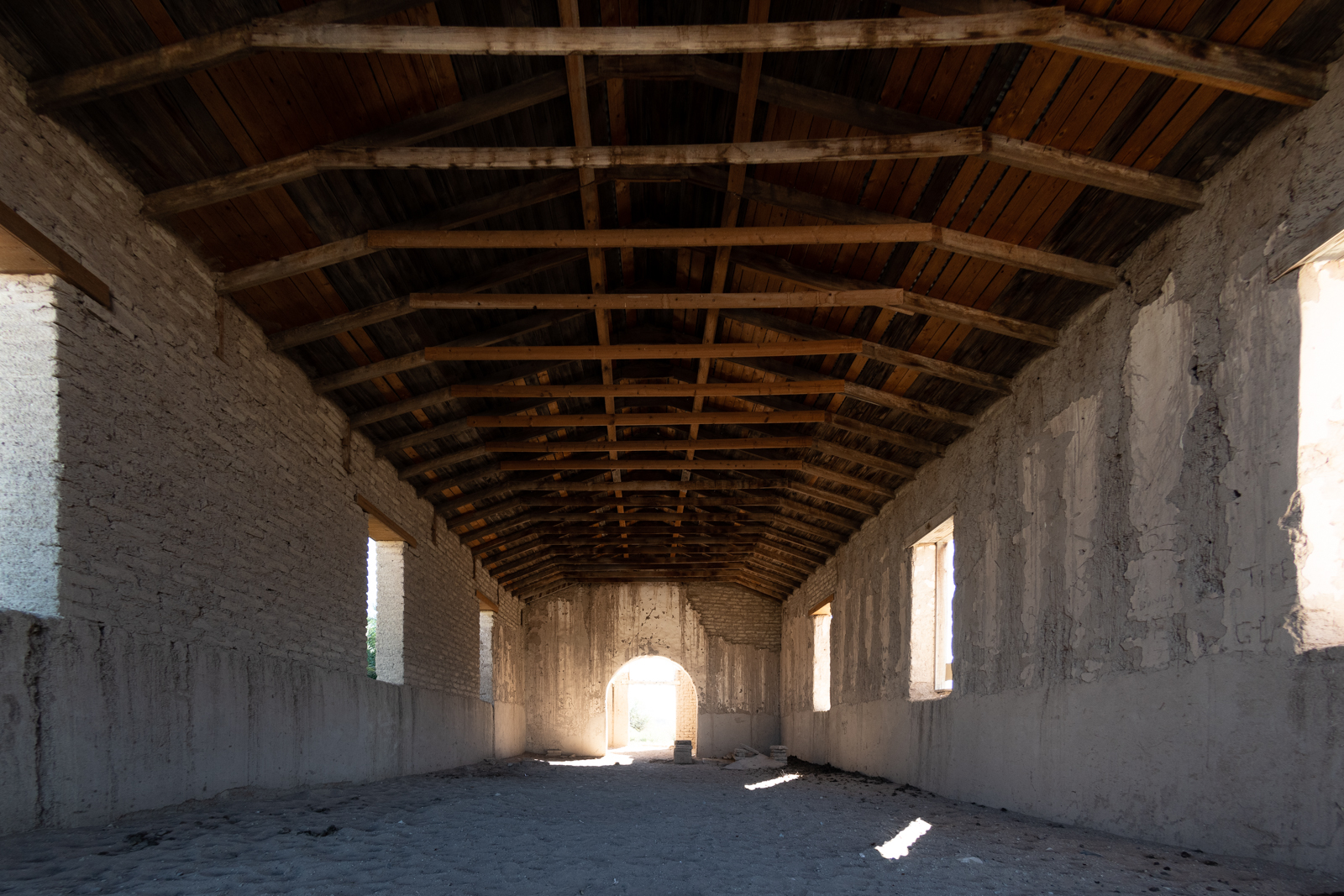
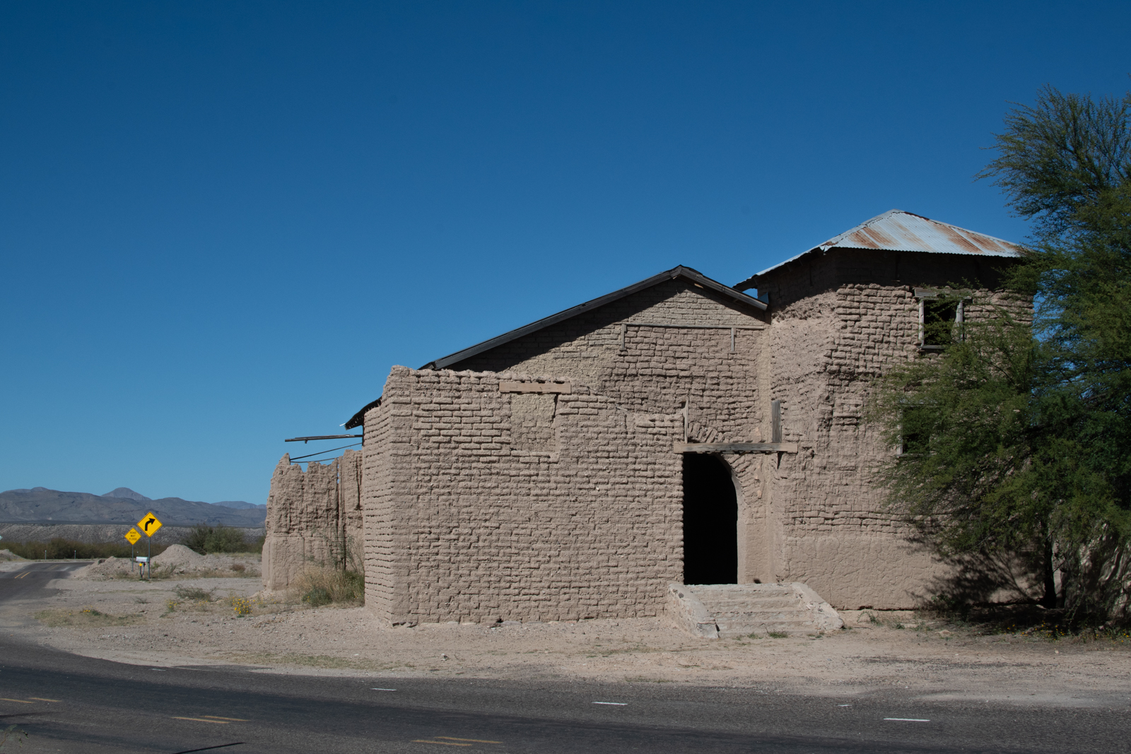
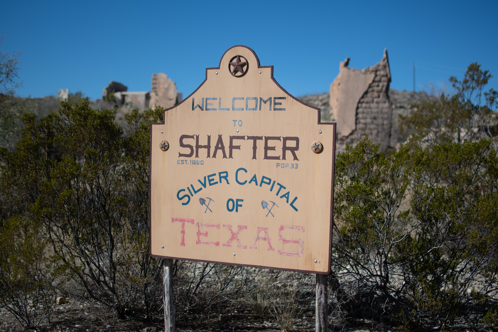
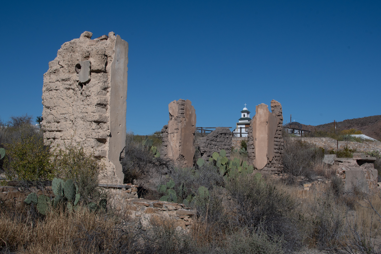
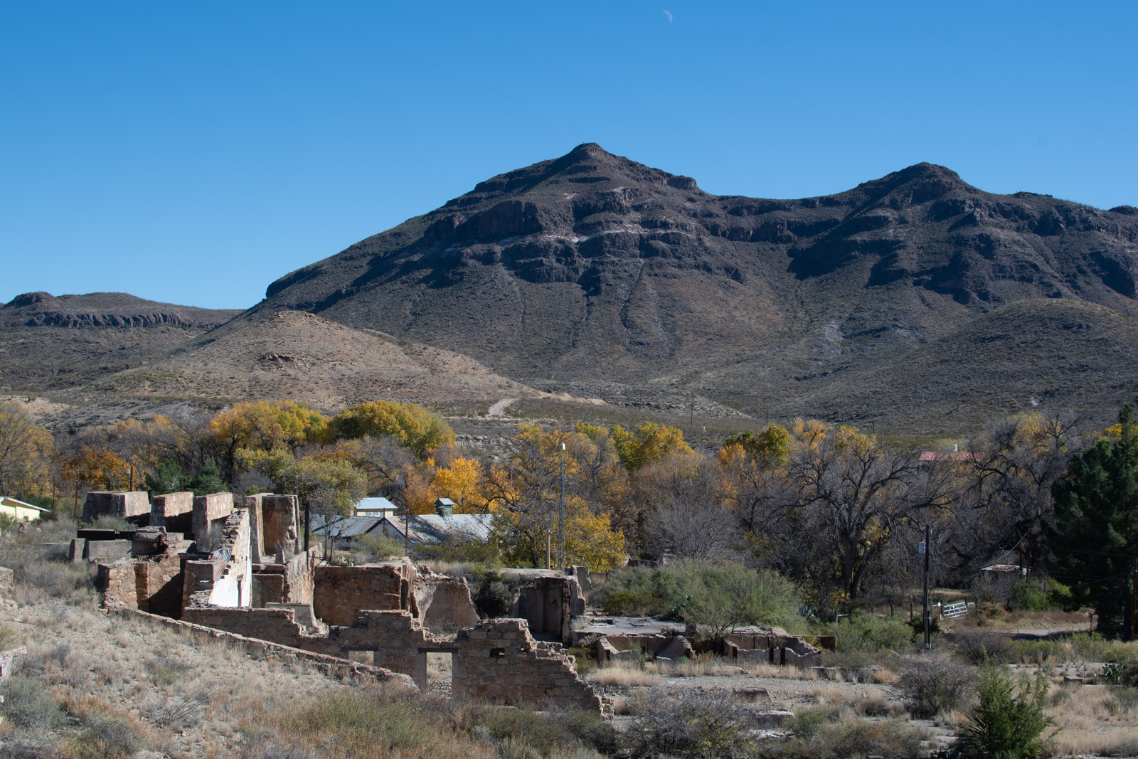
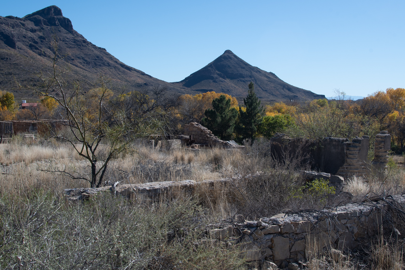
I also poked in on the Shafter Ghost Town that we drove by on New Year’s Day last year but didn’t have time for. Though you can see it from the road, there are a lot of fences and “No Trespassing” signs around the ruins themselves, but there’s a lot of local lore about the place, “the richest acre in Texas.”
We did FM 170 from Terlingua/Lajitas to Predisio last year and I still regard it as West Texas’s answer to Big Sur. Weaving my way back the other way was great. I also got to stop more.
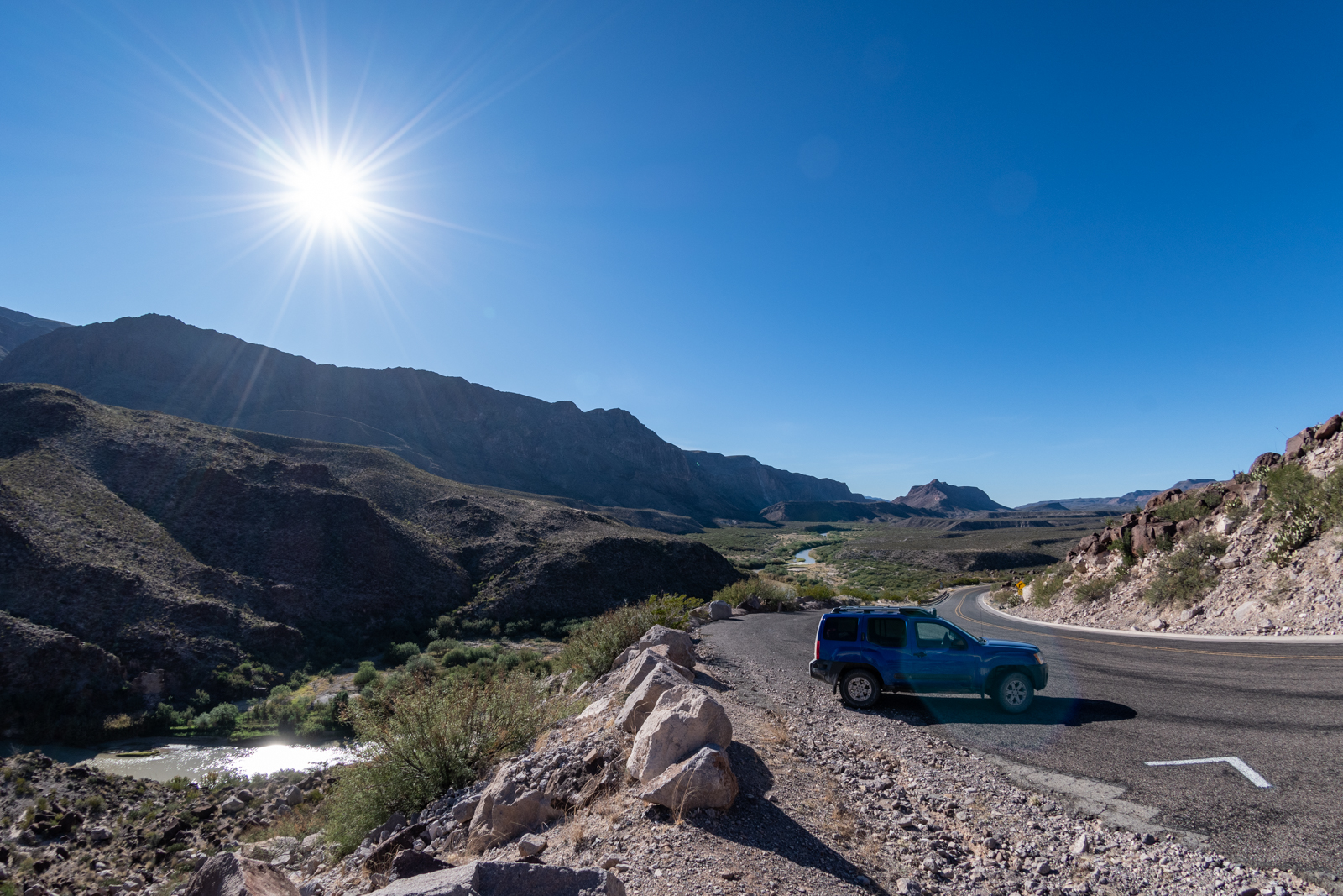
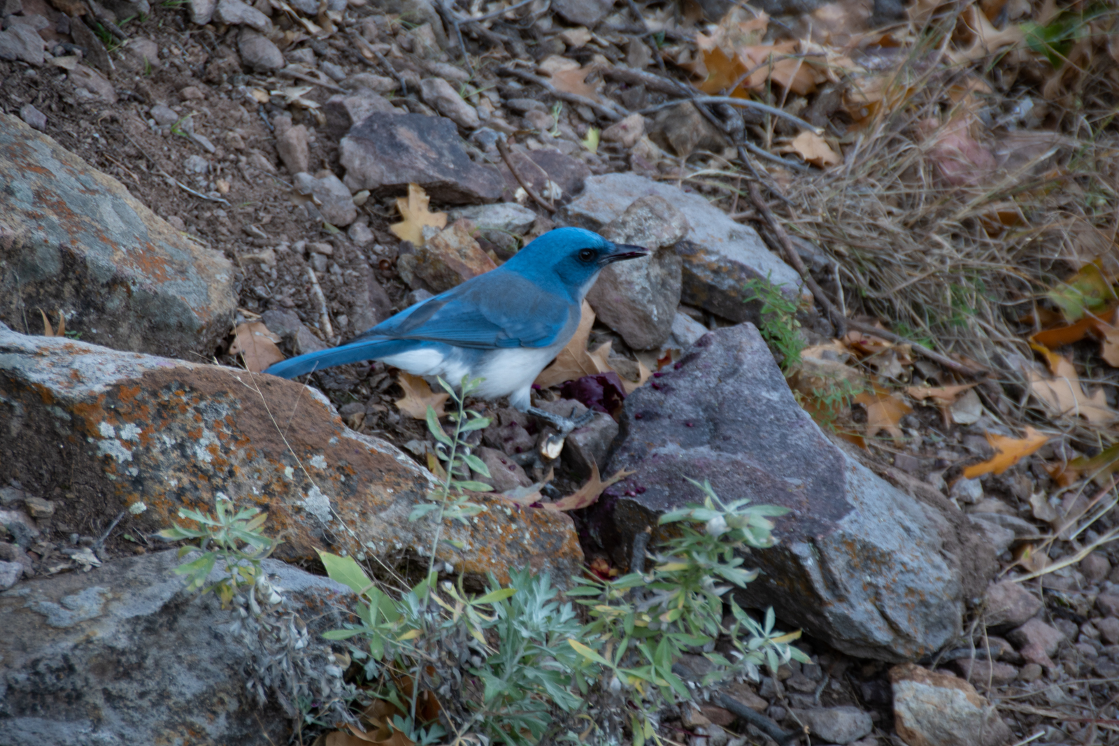
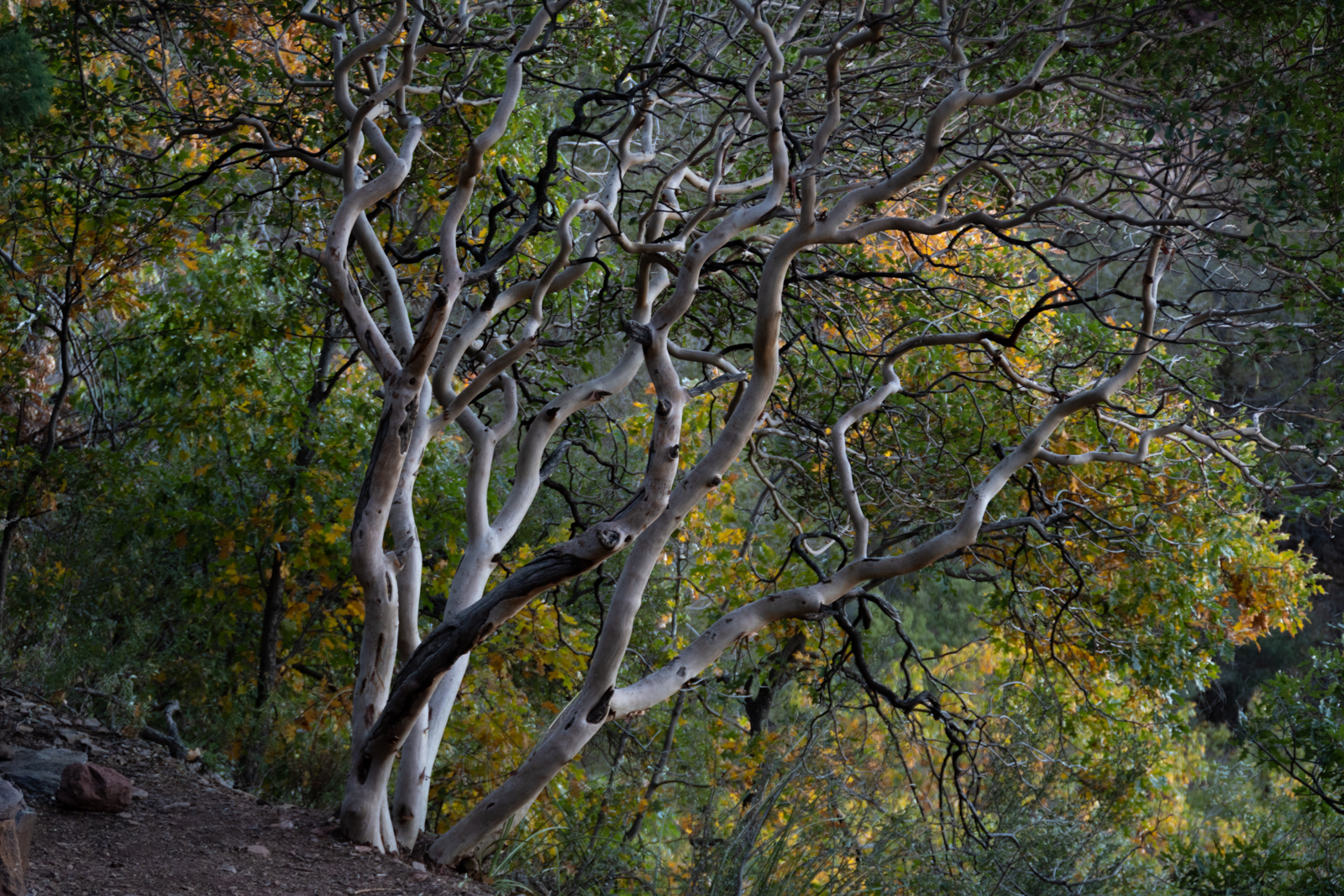
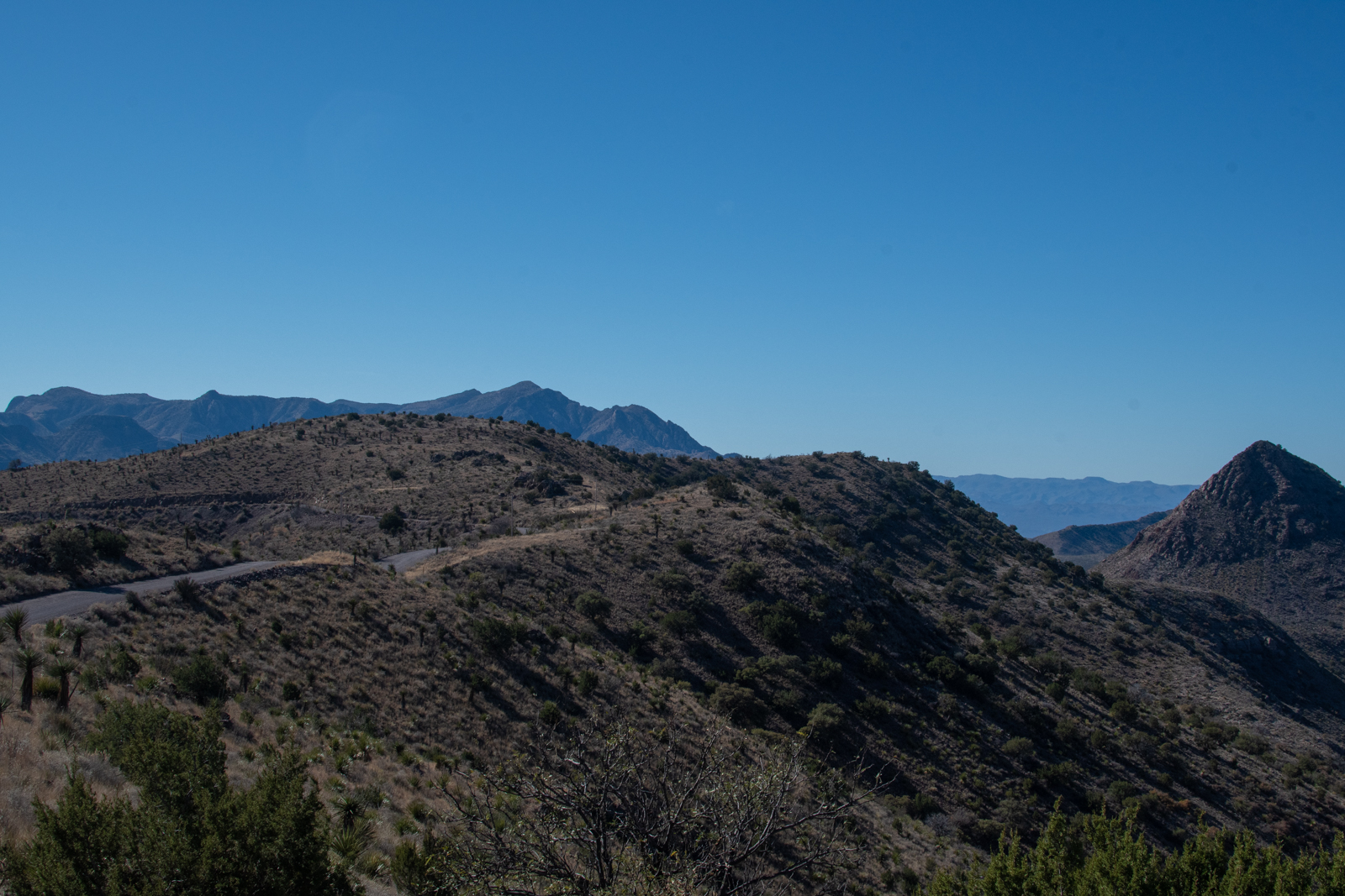
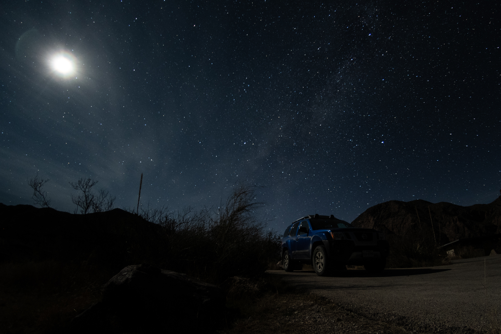
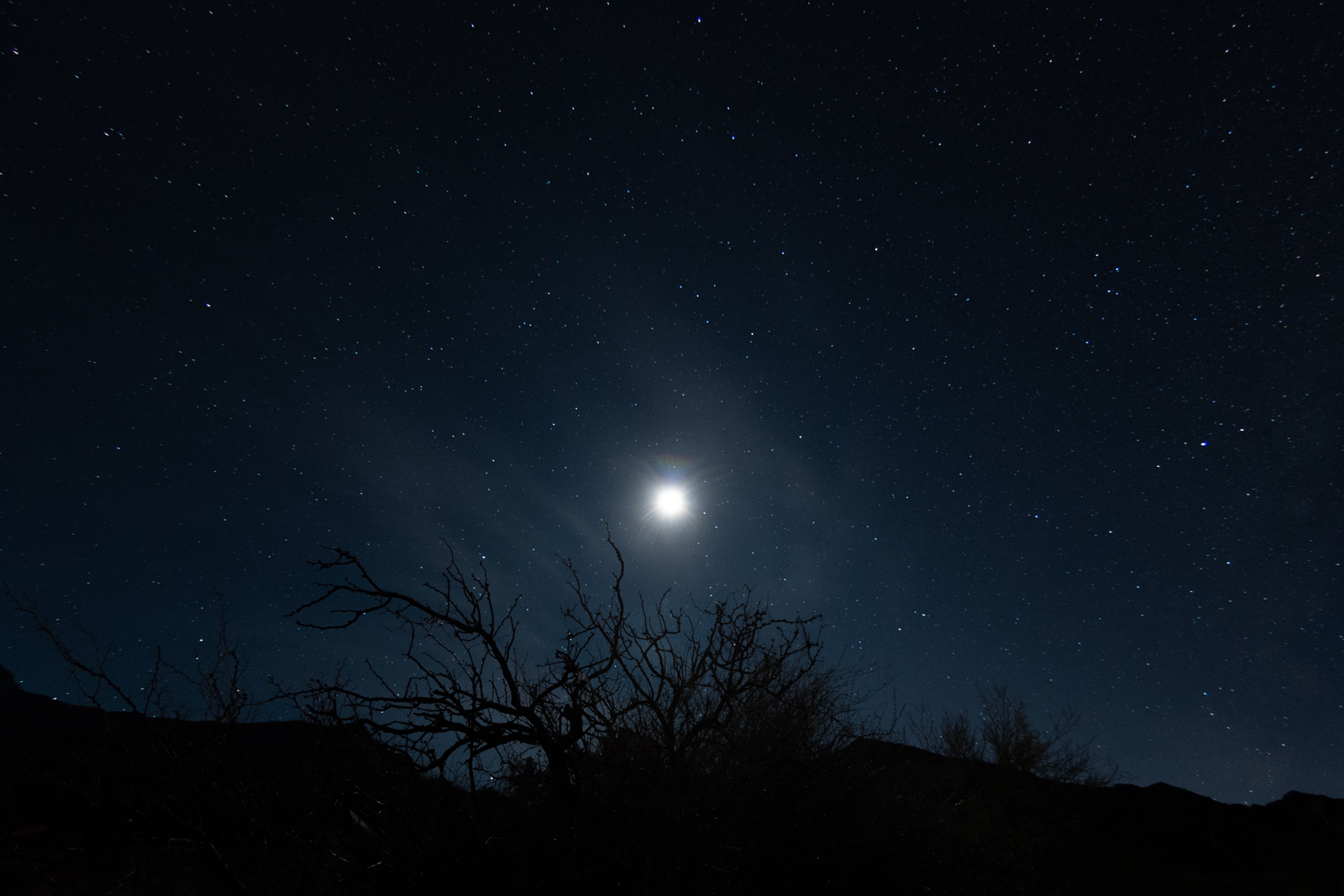
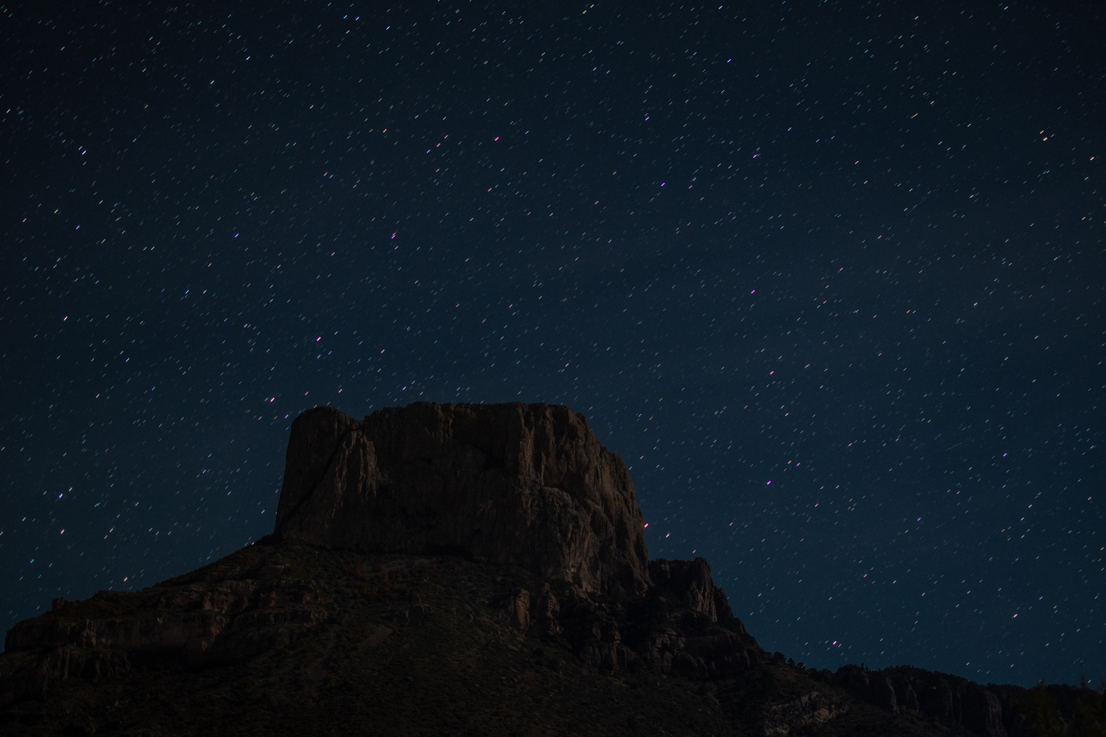
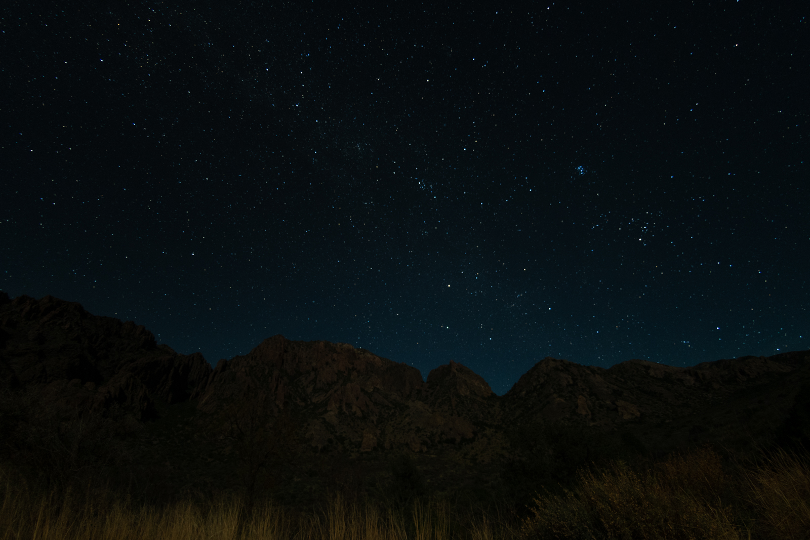
Then into Big Bend National Park after a fuel stop in Terlingua. I decided to car camp at the Chisos Basin Campground, having finally figured out how to make enough sleeping space work in the back of the Xterra.
I also started Inspired, a book on product management recommended by a colleague Principal Product Manager at a company I really want to work for. It was really interesting stuff, despite being an odd read for the surroundings.
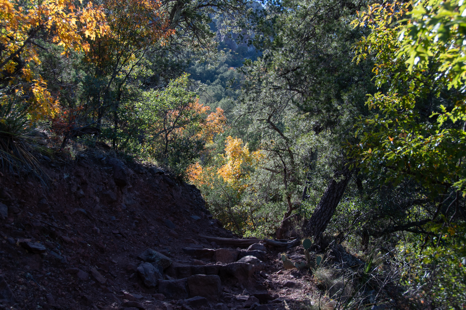
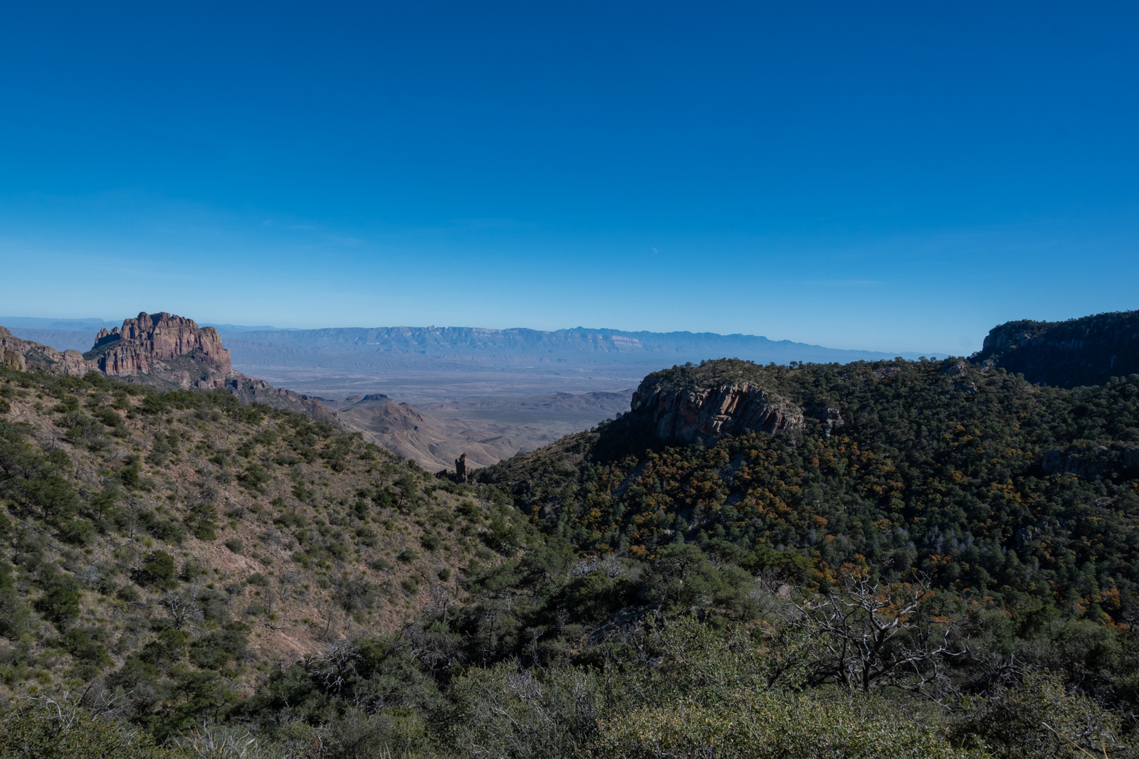
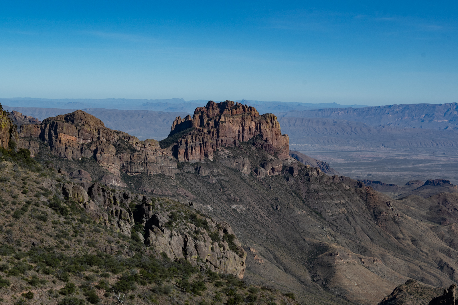
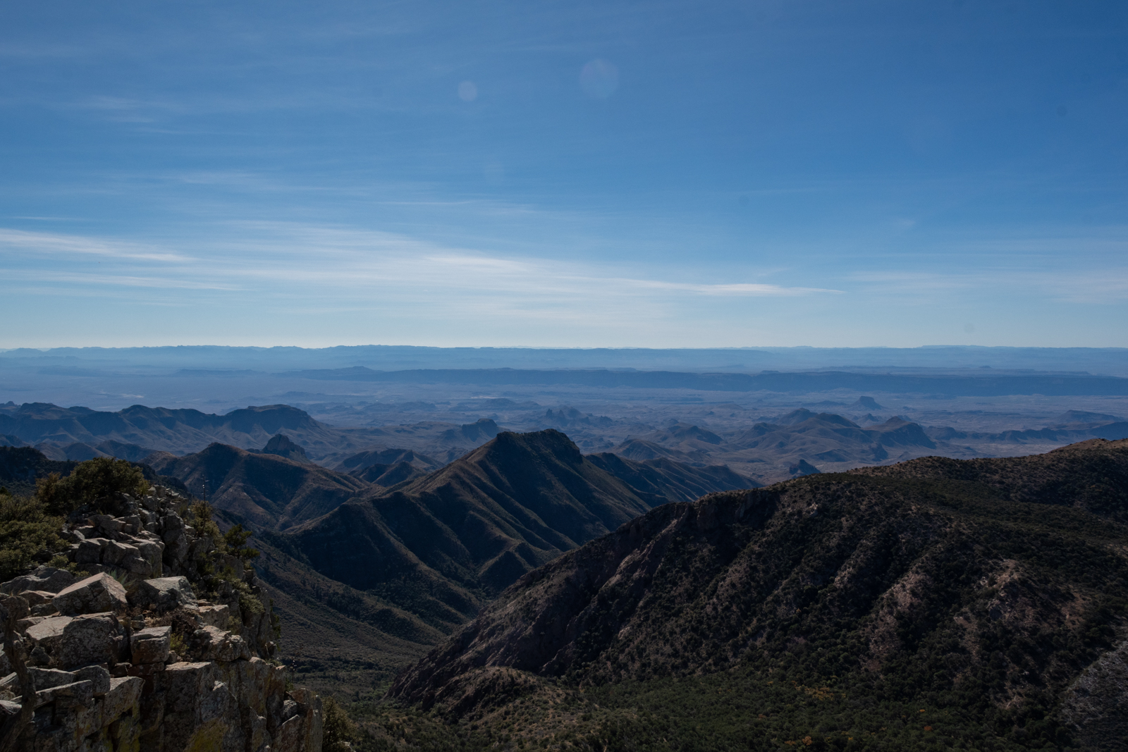
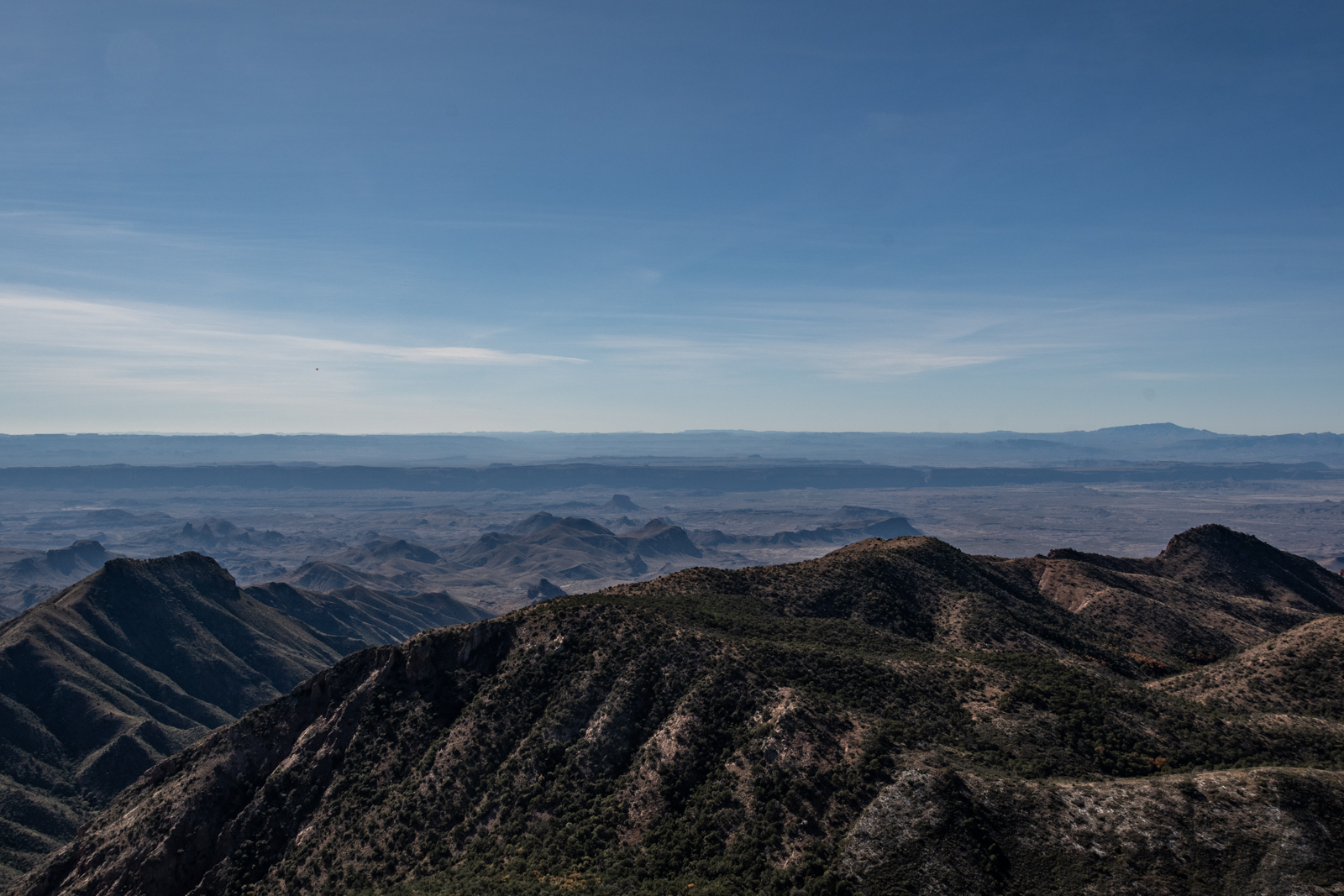
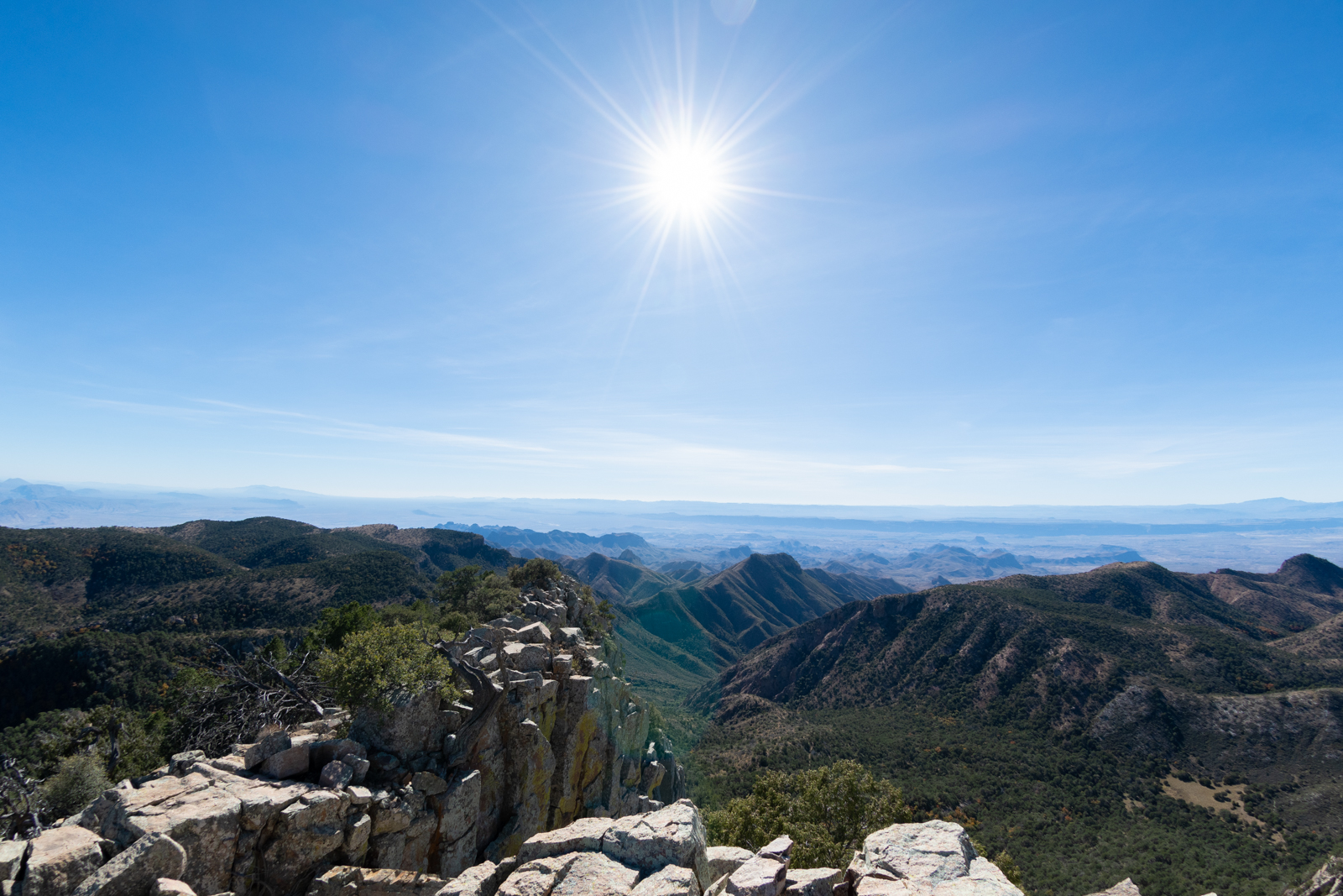
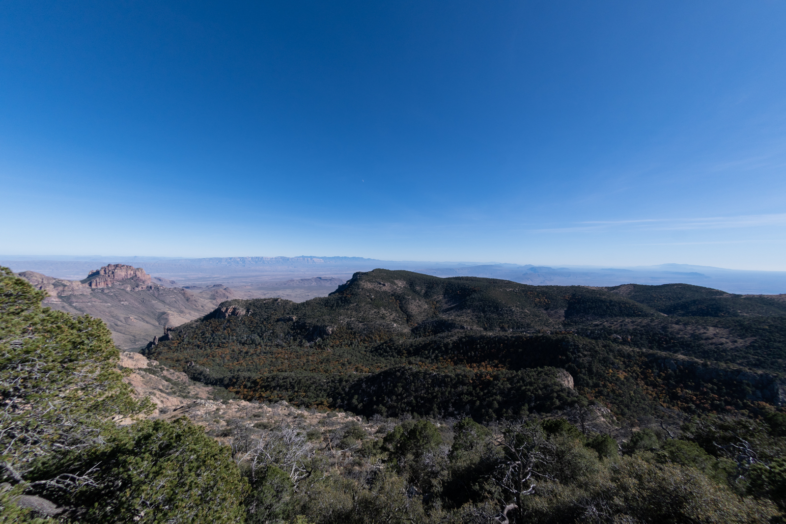
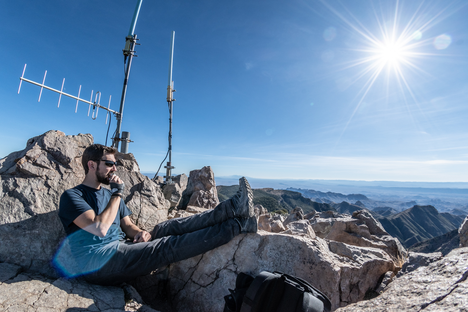
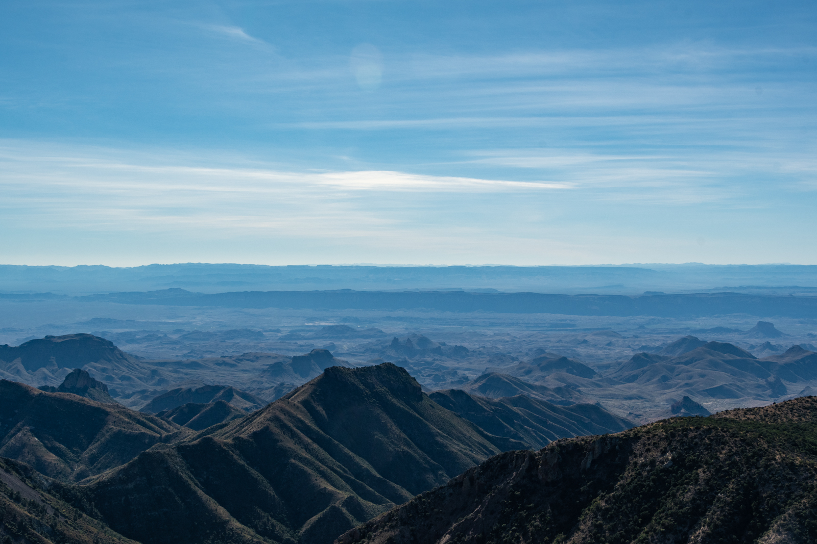
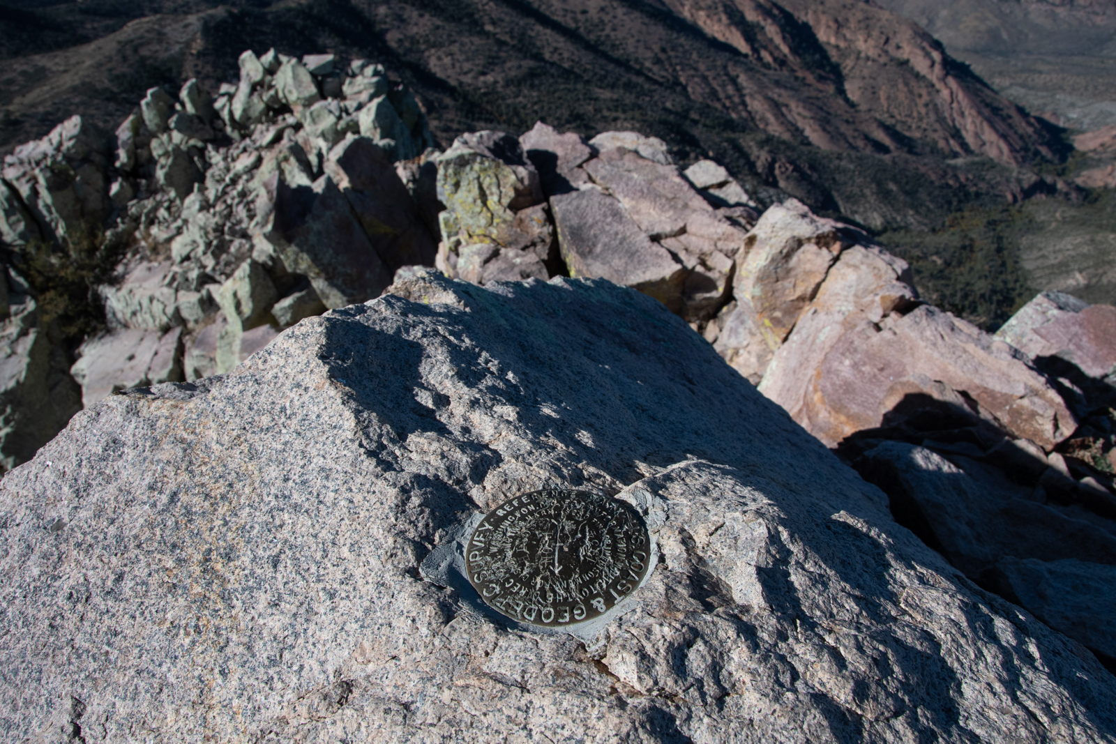
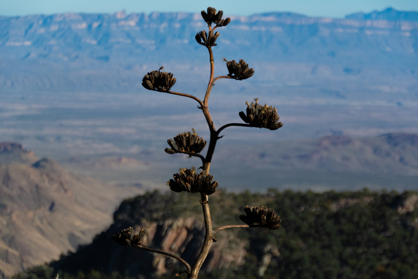
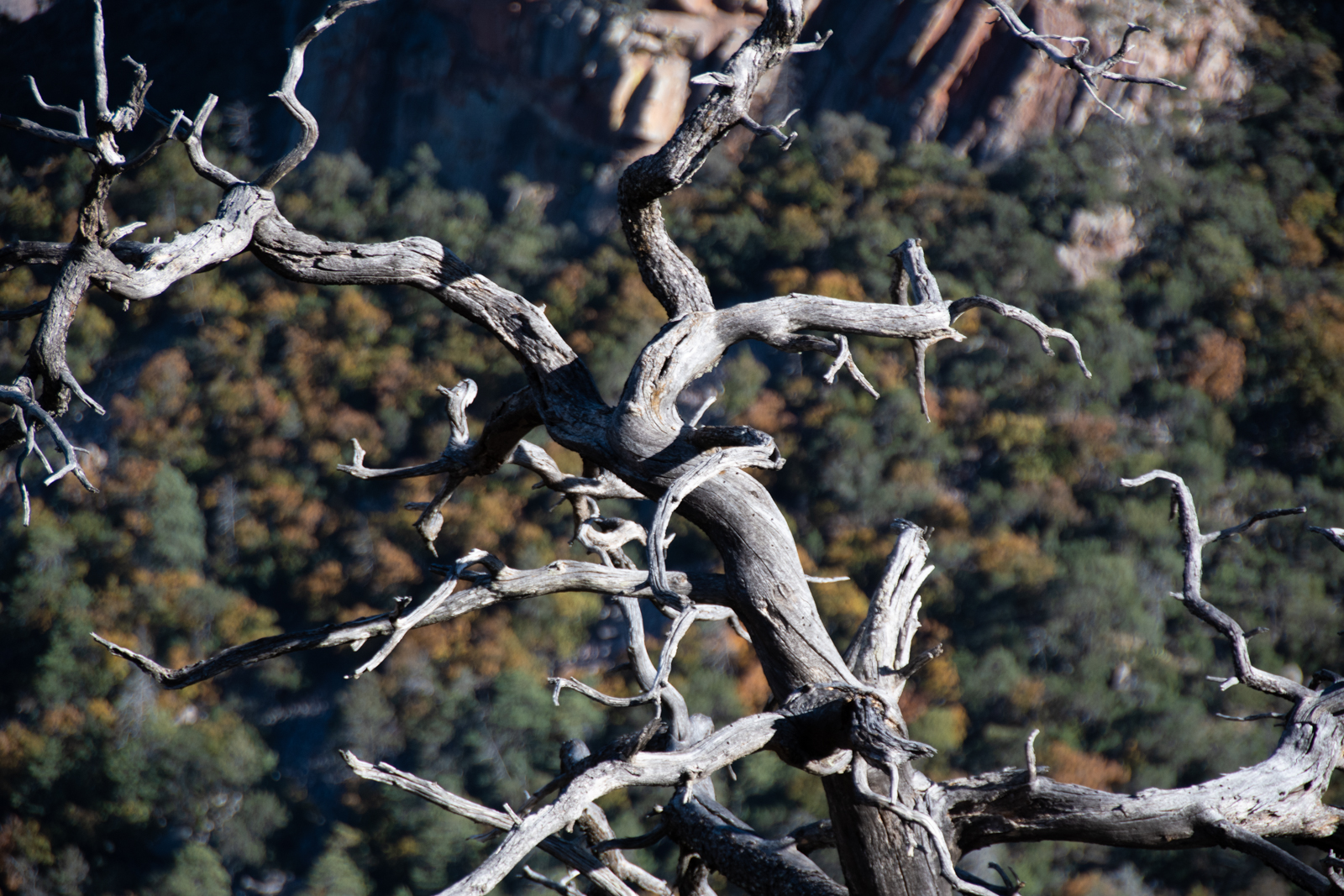
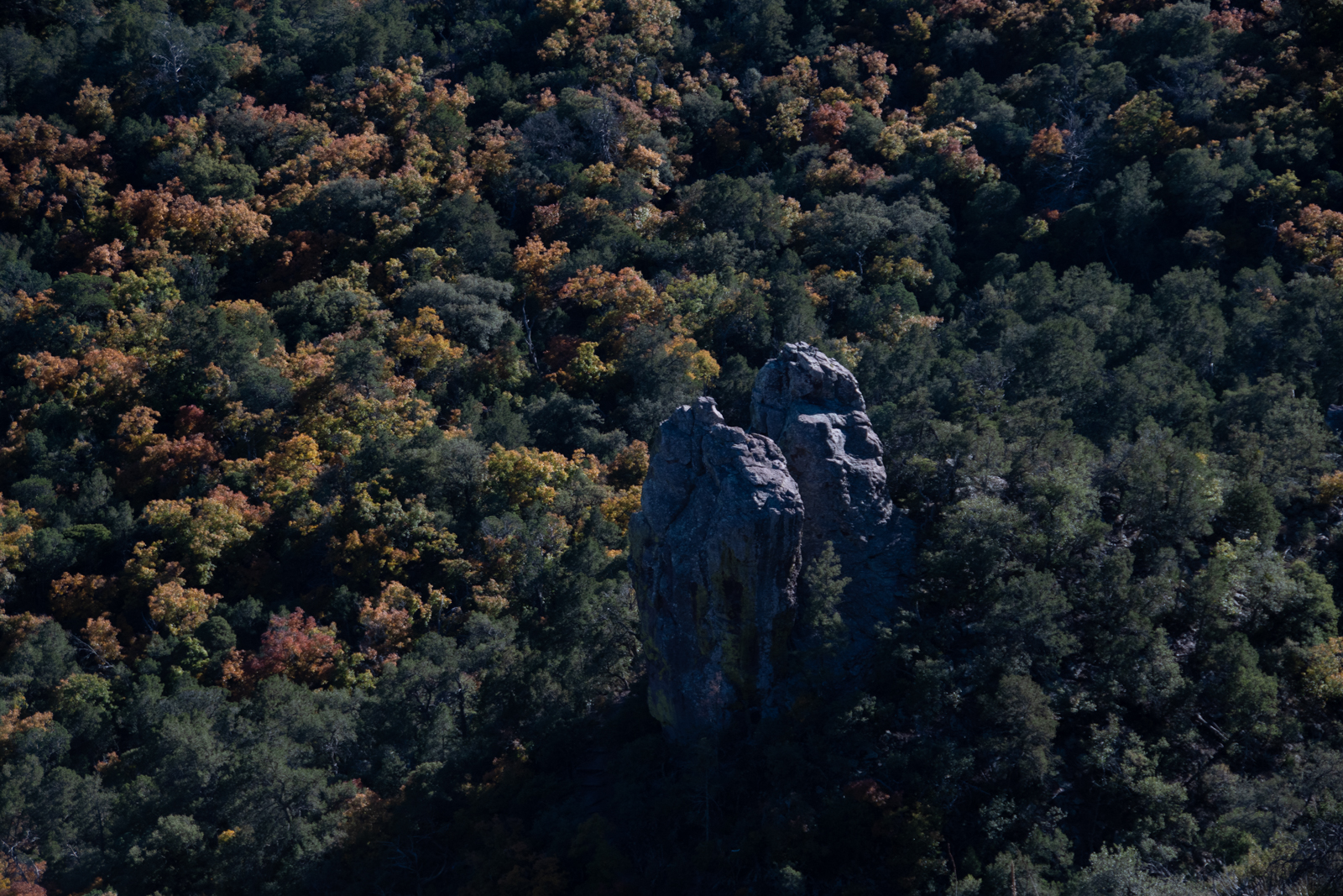
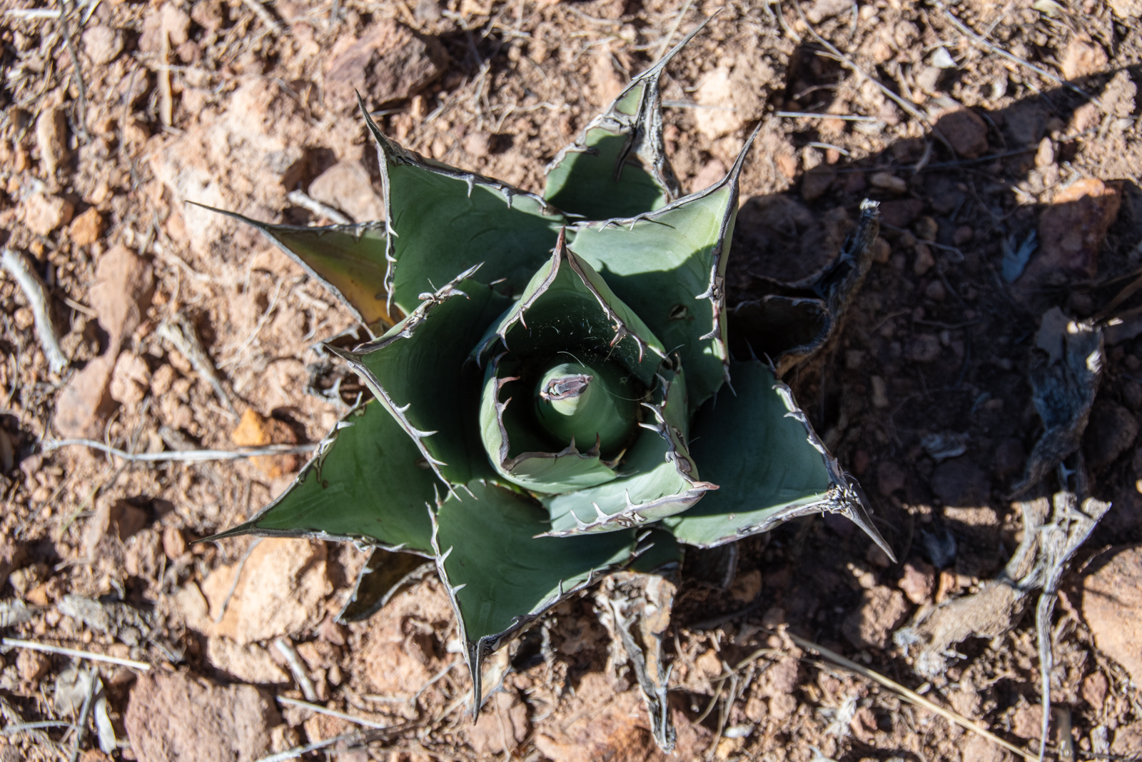
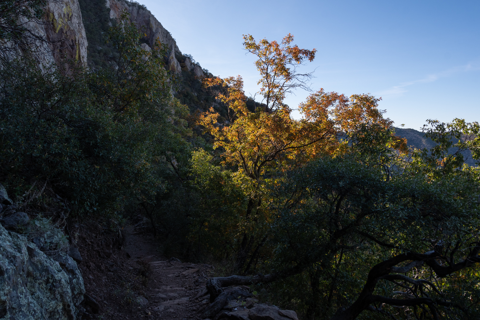
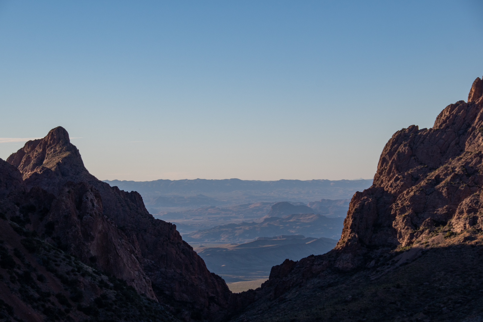
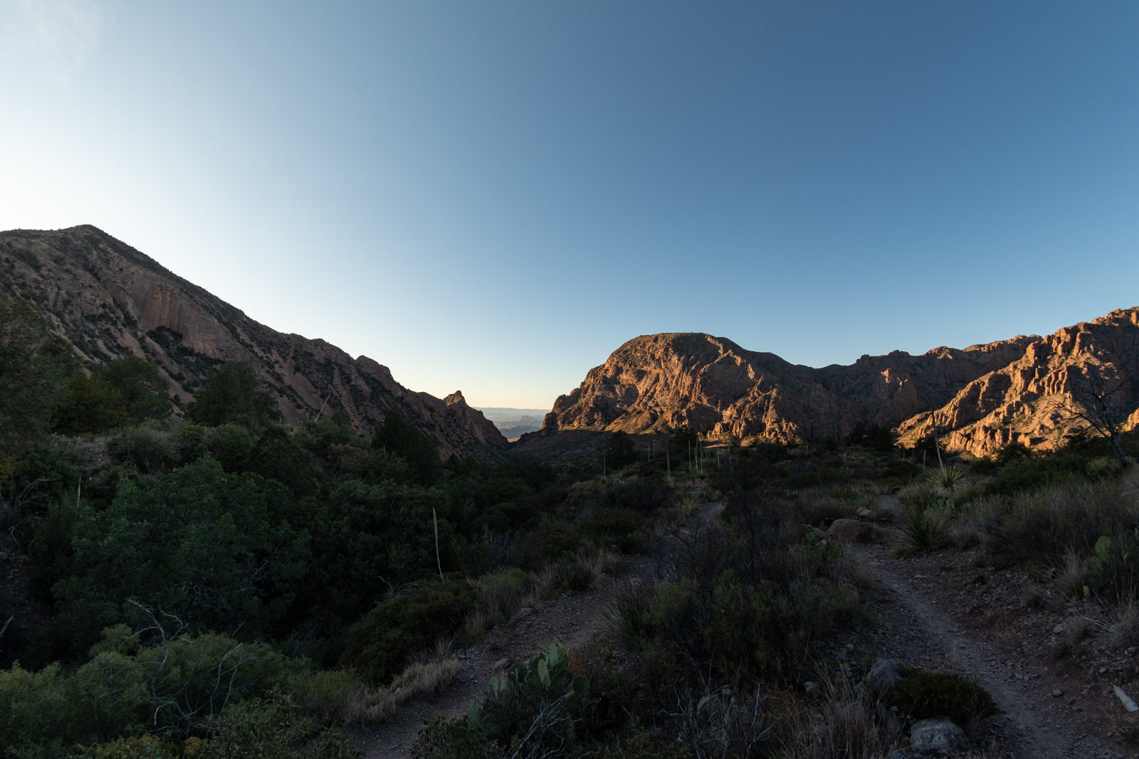
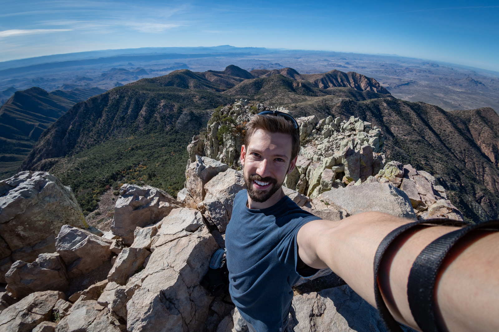
All day Tuesday was dedicated to a hike. I went looking for some trouble and found it. Emory Peak is the tallest point in the park at 7,800 feet. Also 10.5 miles is likely my longest single hike — I’ve walked more in a day but not on one trail. And a stout elevation gain, too.
It was stunning. And exactly what I wanted. Some sports have phrases like “leave it all on the field” (or, as a former rower — “leave it all on the water”). Not counting the drive in, this was my first unemployed weekday. On the way up, I gave a couple imagined colleagues my two cents, and by the time I got to the top of the mountain, I just stood there in the quiet of a thousand mile view. The last few weeks forgotten, left on the trail.