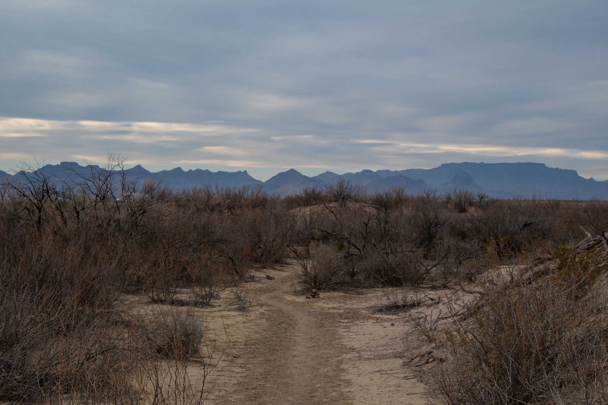
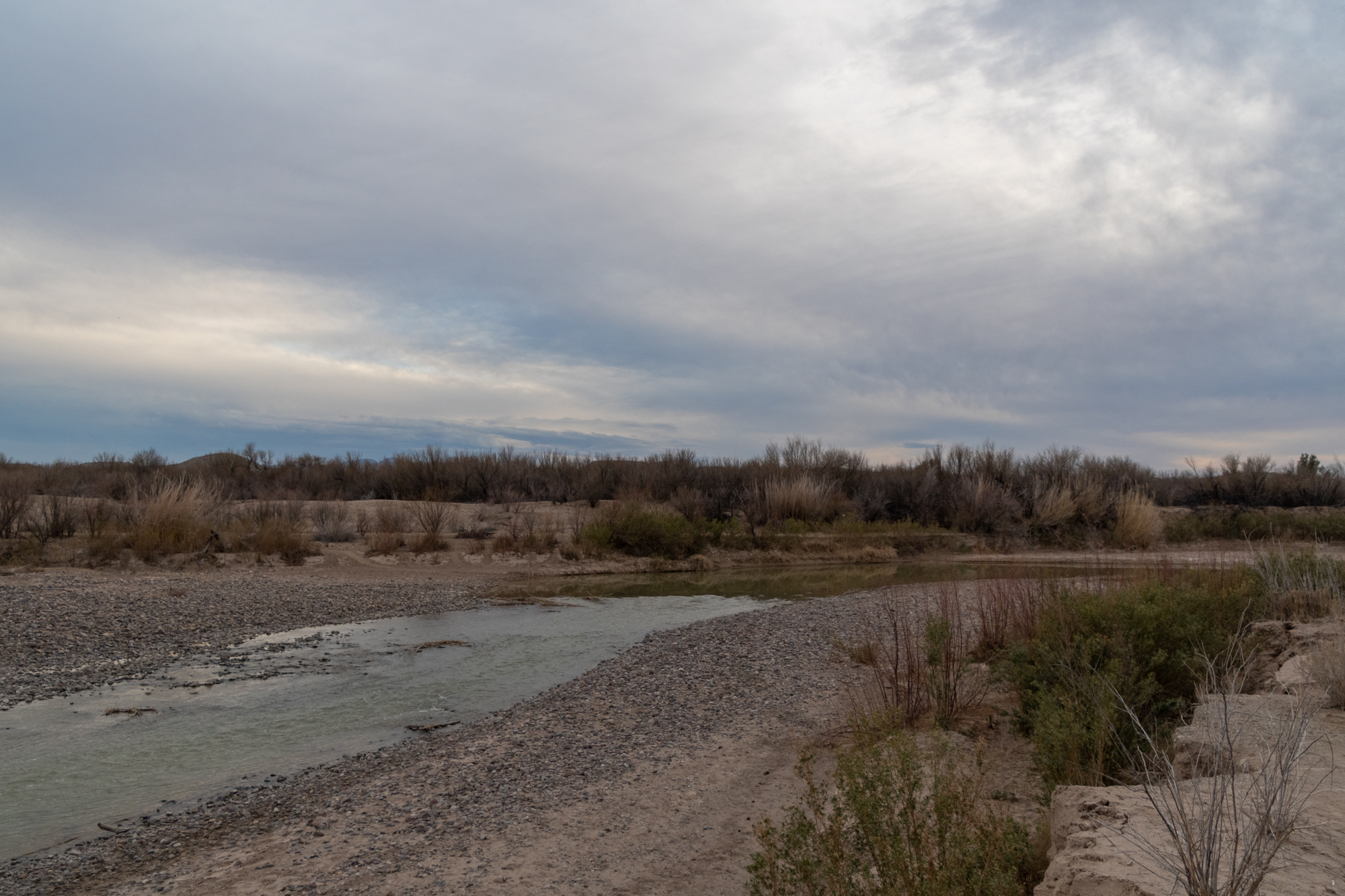
My last hike of the trip was an AllTrails find in the most remote part of the park I’ve ever been to. I picked up Glen Springs Road, which we took to Black Gap, as a shortcut down to River Road from Panther Junction. From there, it was another half hour down a rocky spur to the banks of the Rio Grande — near the Talley backcountry campsites and the trailhead for the Mariscal Canyon Rim. At three hours from the nearest paved road, with no one else in sight, right on the border and feeling like the edge of the world… this was definitely the most remote place I’ve ever been. And I’d like to think I’ve been in an admirable number of out of the way places.
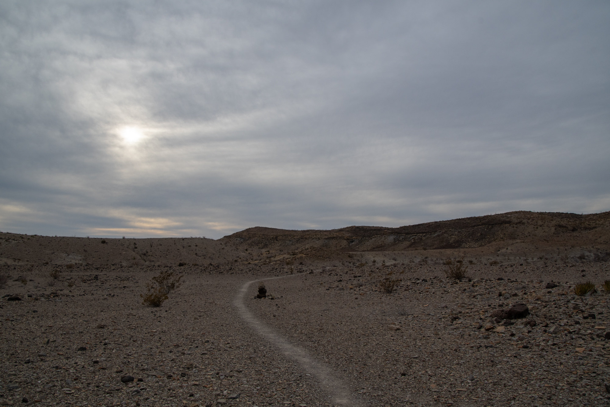
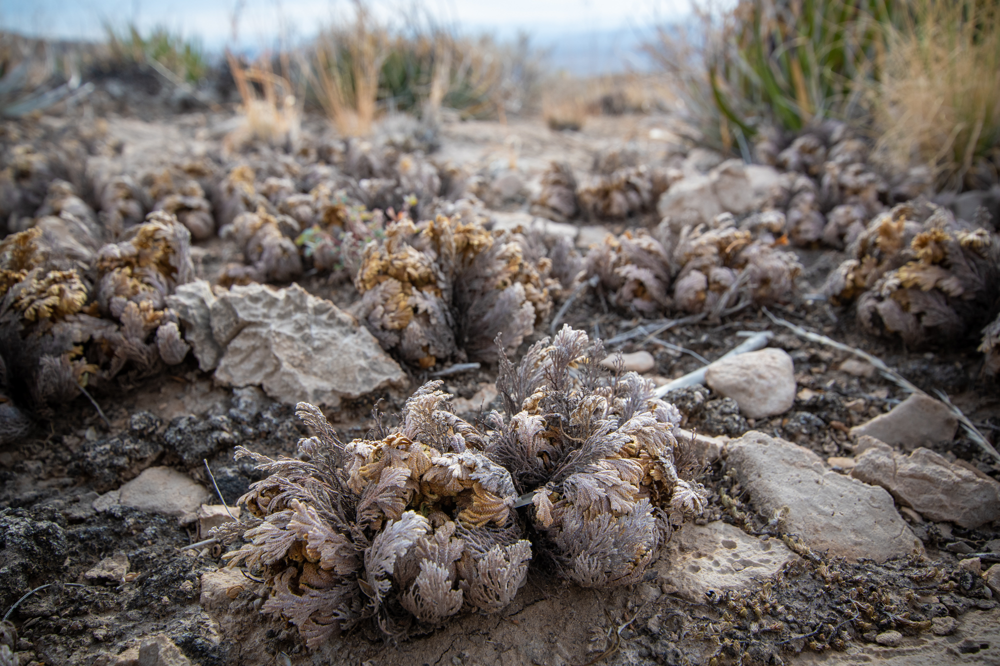
The hike started through a dried up wash snaking between cairns that marked the way. I’ve come to think of stacked rocks more often as vandalism than trail marking because it has become quite the trend to make temples of rock stacks along popular trails of big parks. But the cairns here felt necessary to avoid wandering off into the rocky wastes, never to be seen again.
Notice: Hikers must be duly prepared for the challenges of this trail. Temperatures may well exceed 110°F during spring and summer. You will find NO shade and NO water along this trail. This combination of factors make this trail potentially deadly during the late spring and summer. Tell someone your plans before heading out. Always wear a hat, and clothing to protect against the sun’s radiant heat, take along plenty of water (1 gallon per person/day) and salty snacks, and start early when temperatures are cooler.
National Parks Service
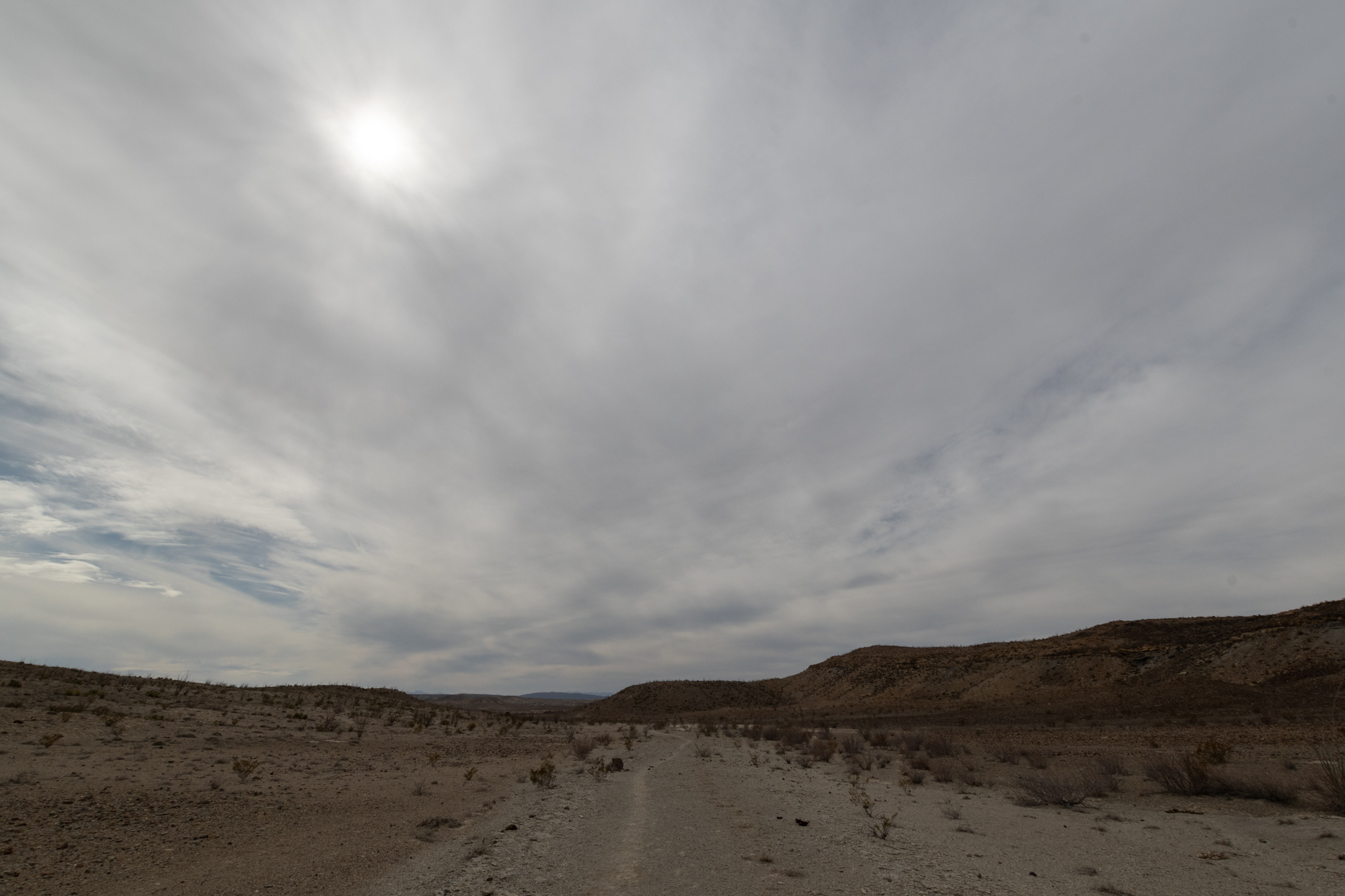
Luckily today was very temperate with an unusually thick cloud cover.

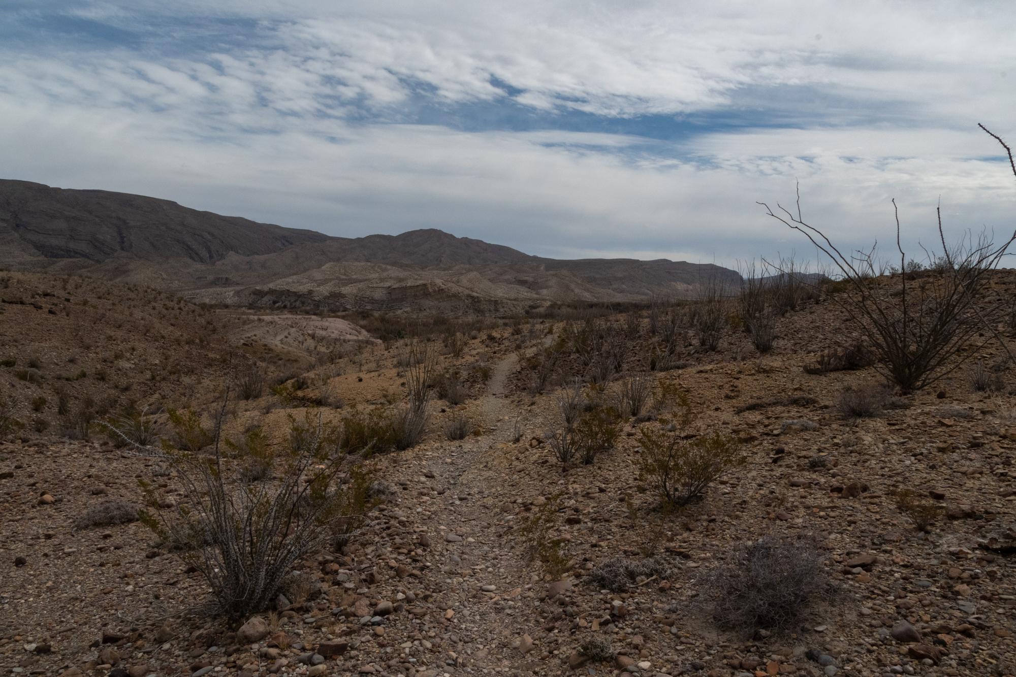
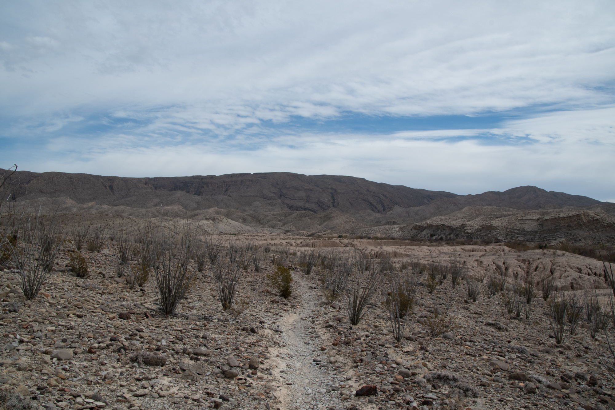
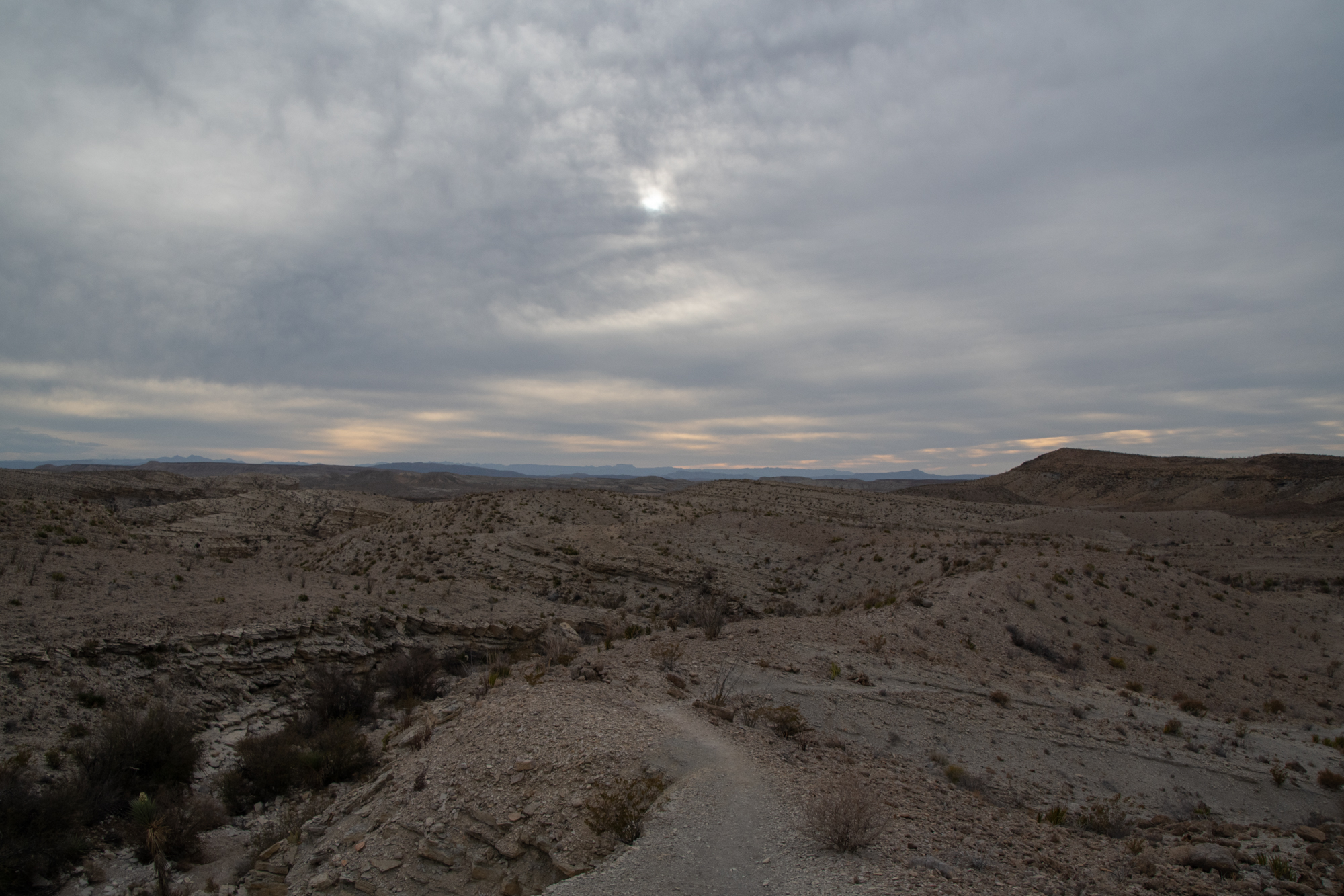
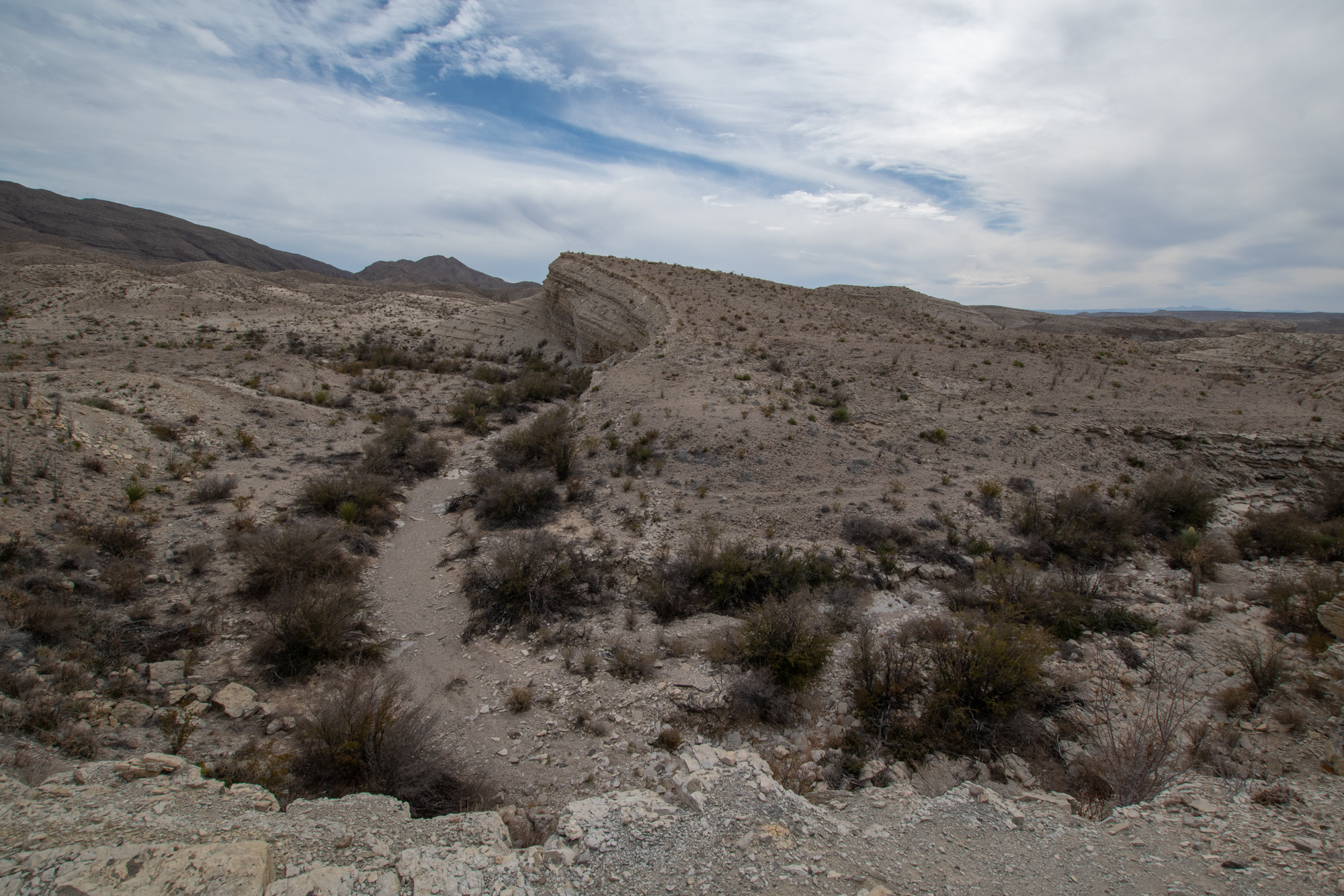
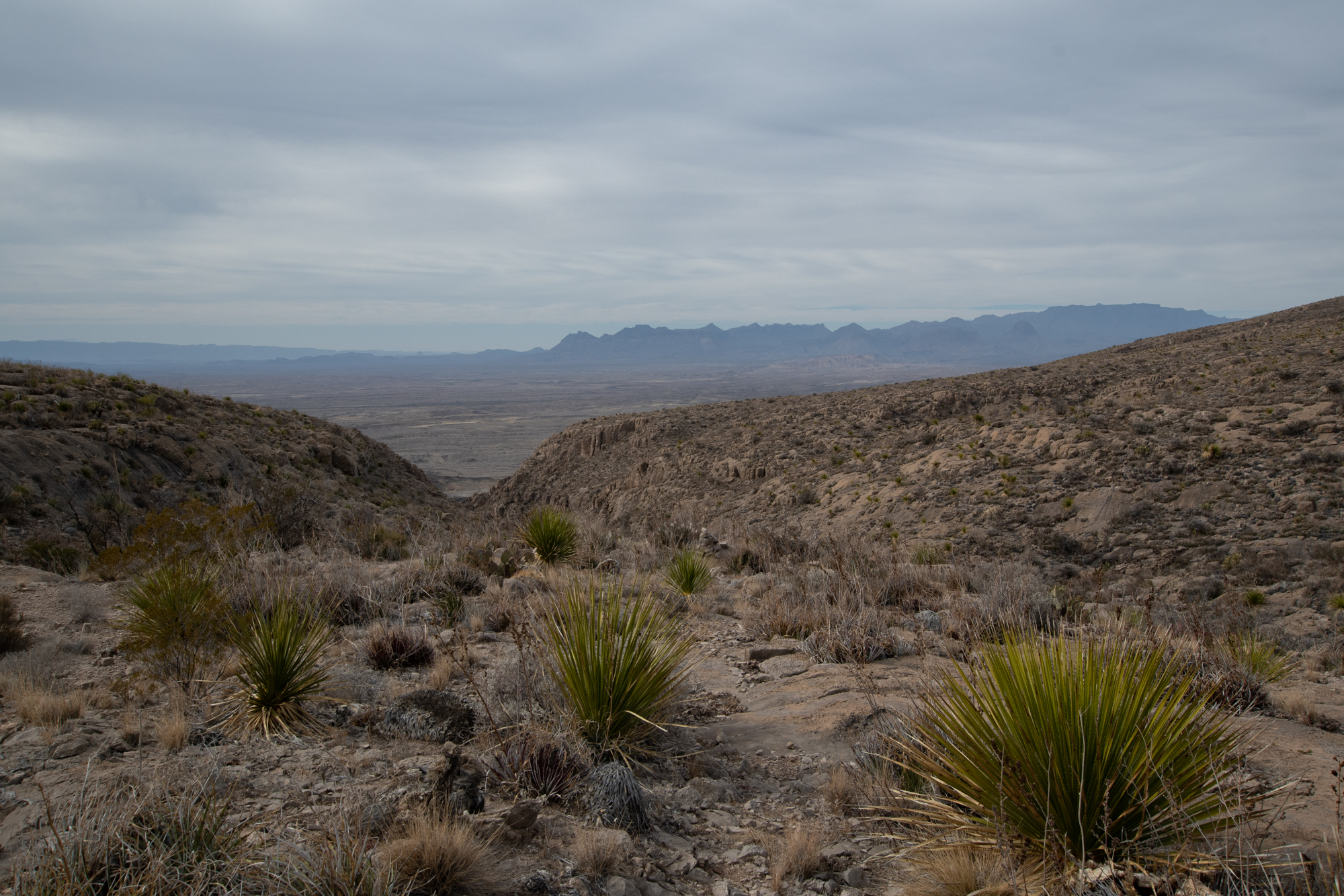
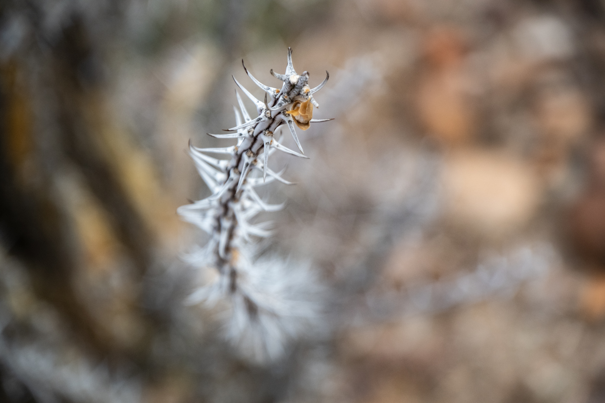
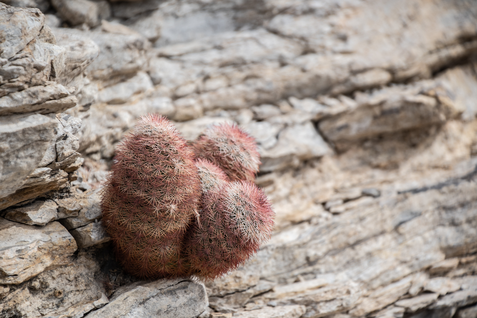
Suddenly the trail turned into a steep hill climb, rising about fifteen hundred feet in less than a mile onto Mariscal Mountain, for which the mine on the other side is named. The route is flanked by more rocks and a forest of thorny plants to deter photographers from straying too far off the path, but at the top, a few viewpoints look into the canyon below.

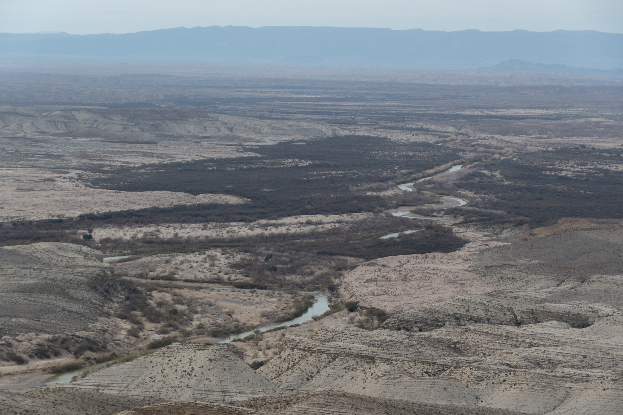
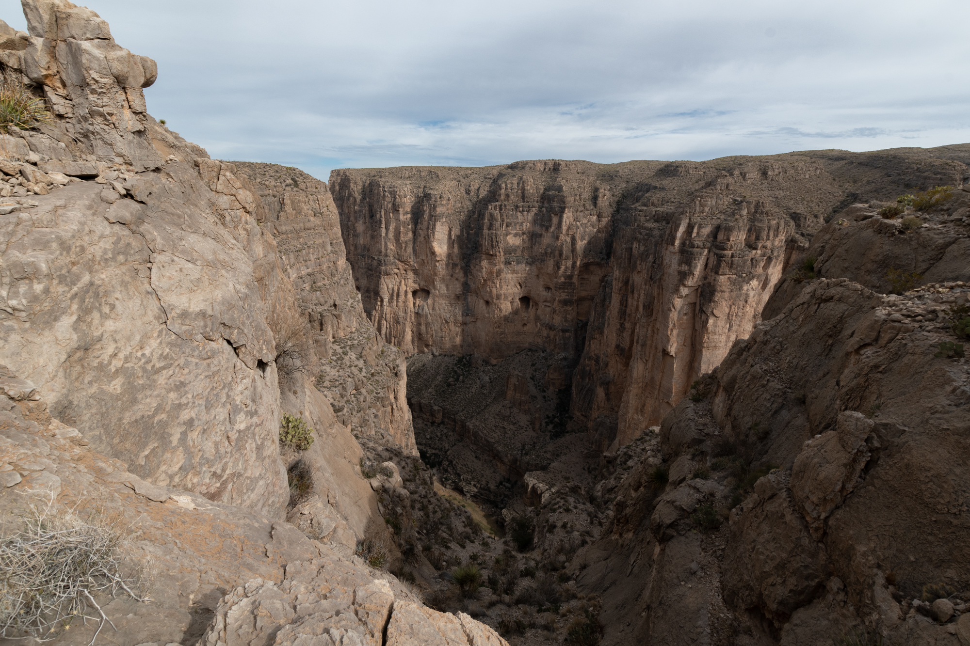
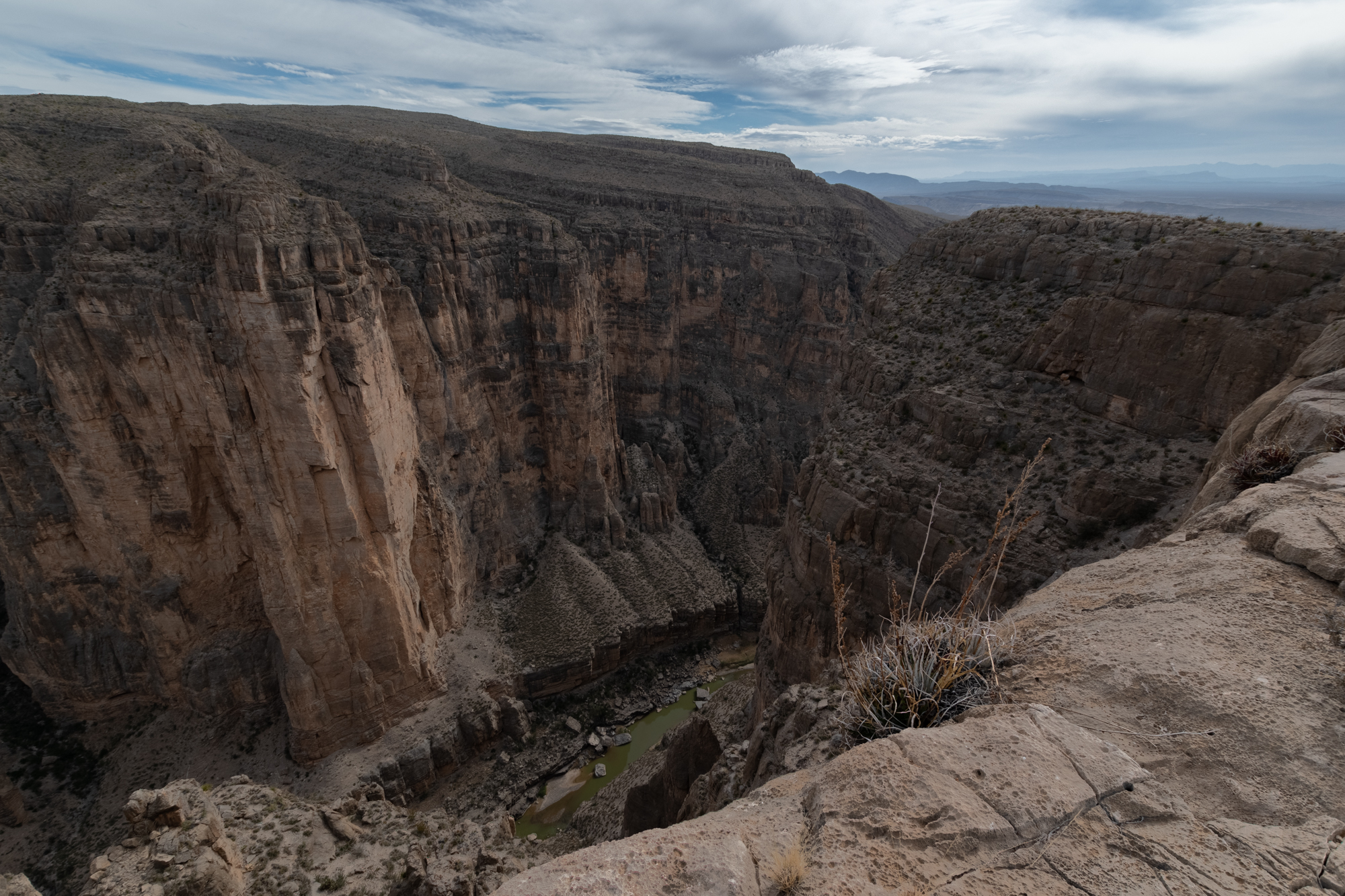


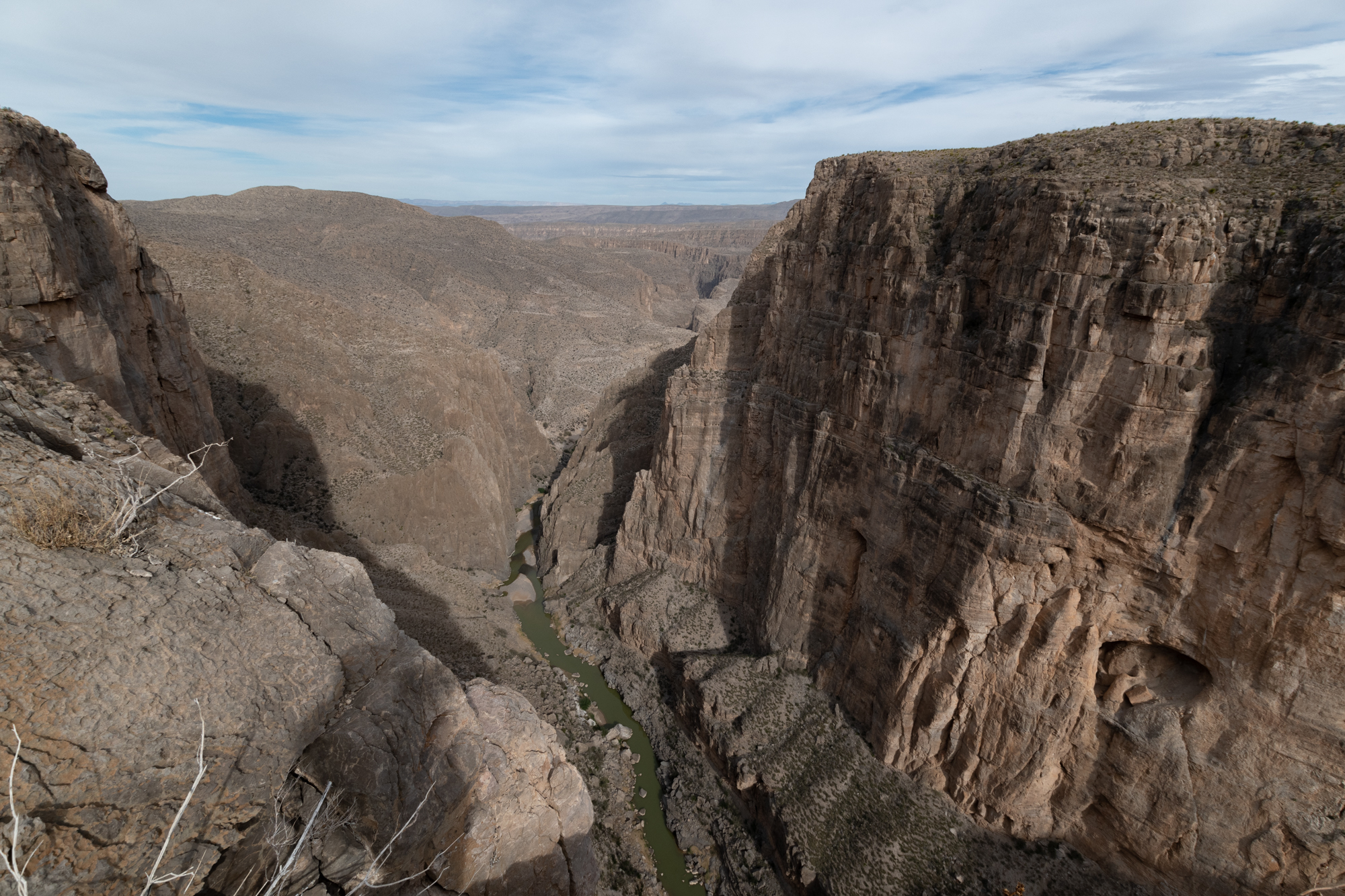
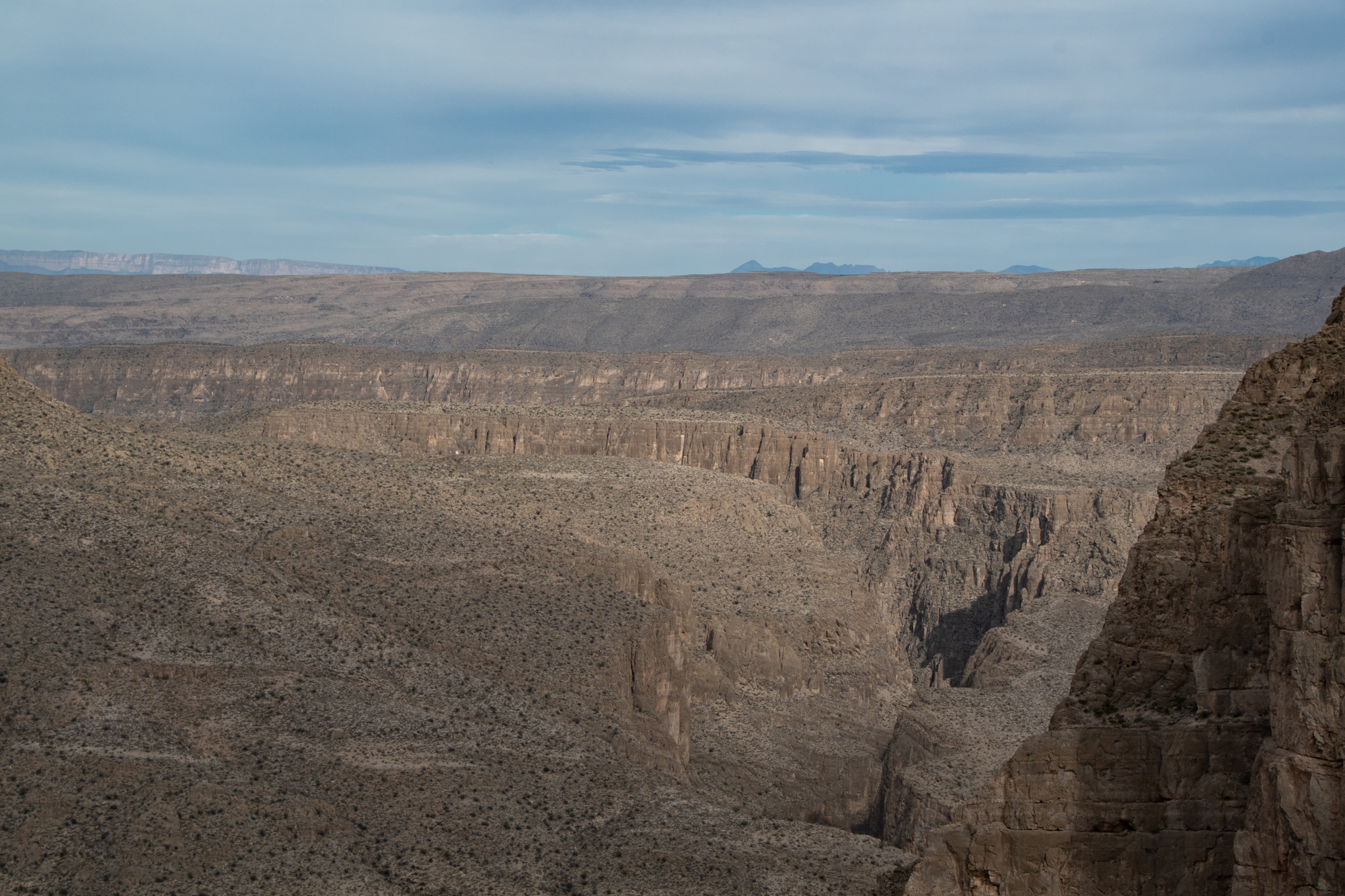
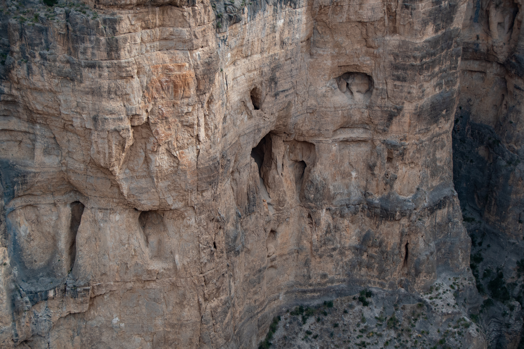
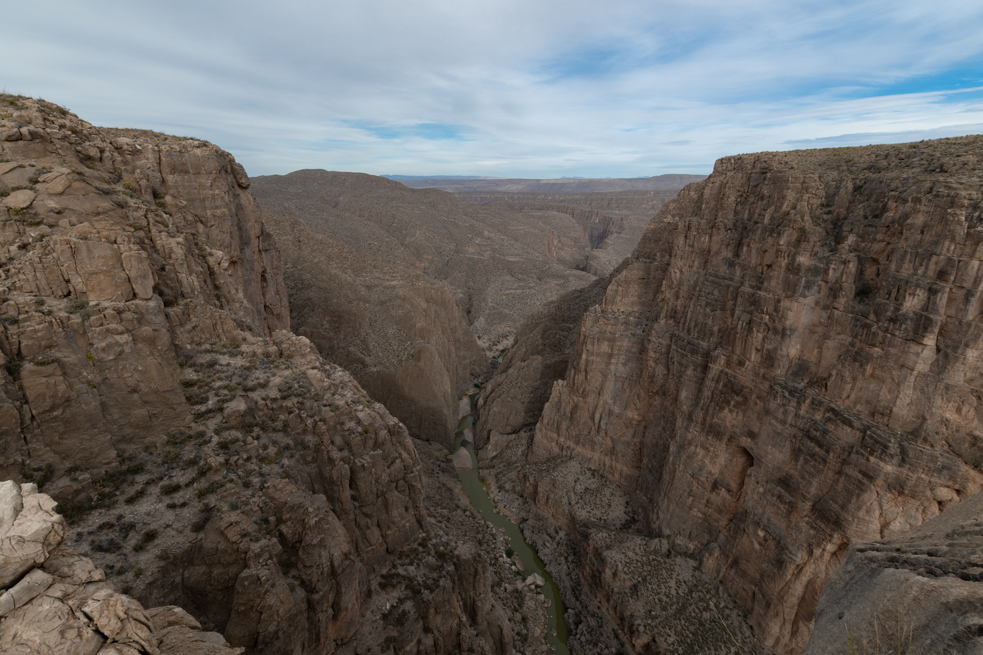
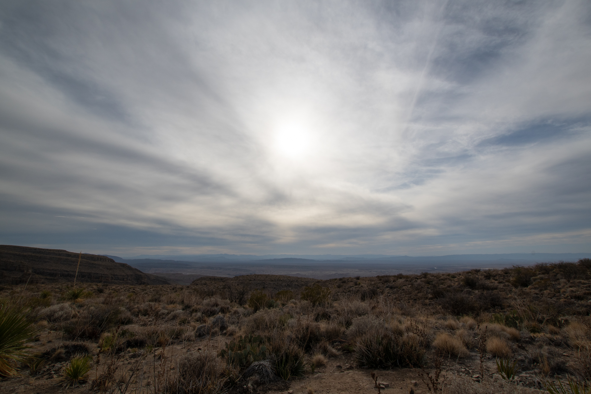
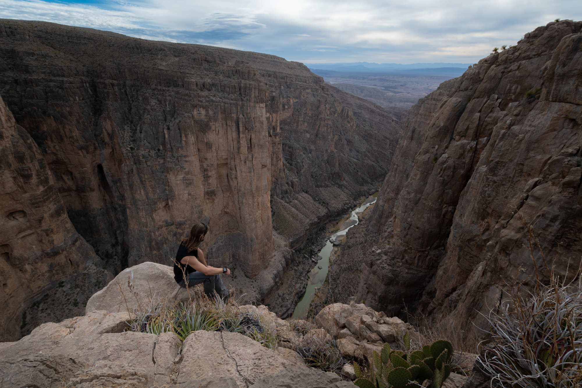
Views are magnificent as you ascend the western slopes of Mariscal Mountain. You will be able to see the expanse of the park’s low desert, and mountains stretching far off into Mexico. Mariscal Canyon itself is difficult to see until you arrive at the rim, and suddenly encounter the 1,400 foot deep precipice.
You will find yourself at the sheer edge of Big Bend’s narrowest and steepest of the three major canyons. In this canyon, the river makes its northward turn that give the “Big Bend” region of Texas its name. Enjoy the sights and silence, then return the way you came.
National Parks Service
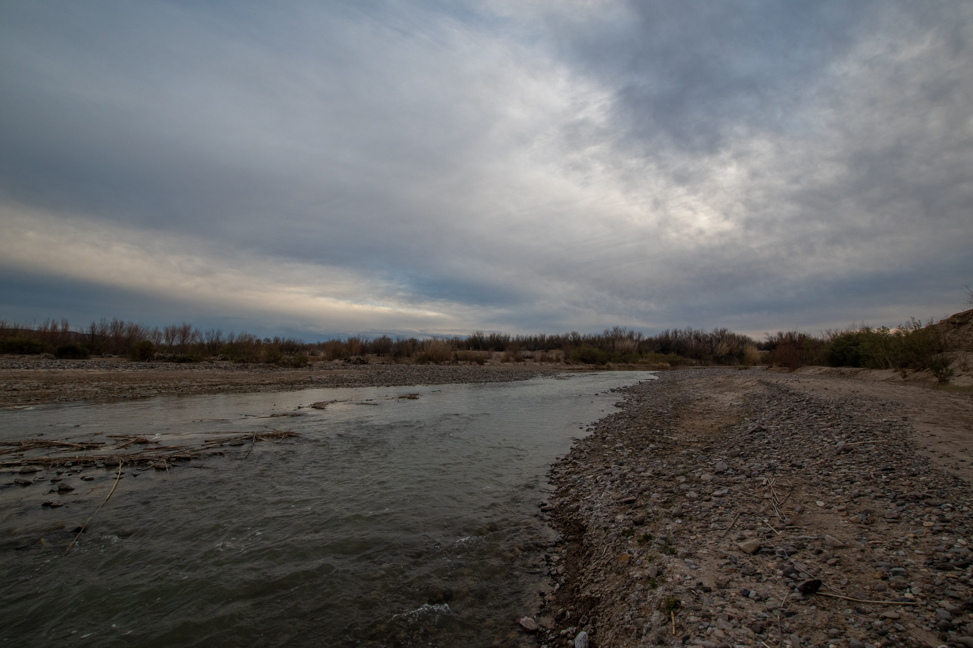
I could have stayed there for hours, but I did want to be off the trail before nightfall, lest I be haunted by the ghosts of Mariscal miners. Back at the trailhead, I followed the rest of the Talley road to the banks of the river. I wouldn’t exactly call the Rio Grande a source of fresh water, but it was flowing fast enough and not too cold, so I waded in to wash off the sunscreen/sweat grime while being stared down by a rag of loose farm horses downriver.


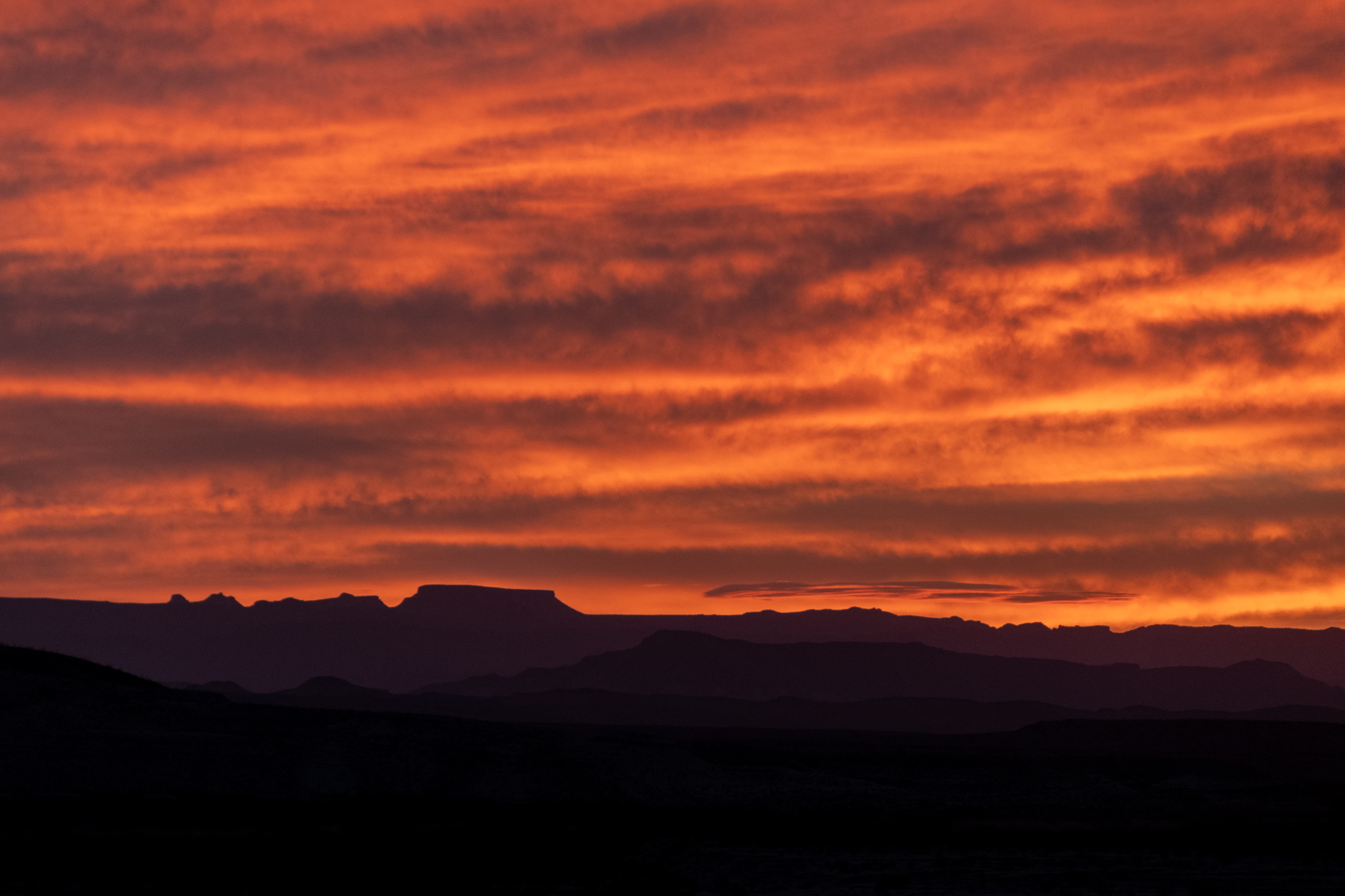
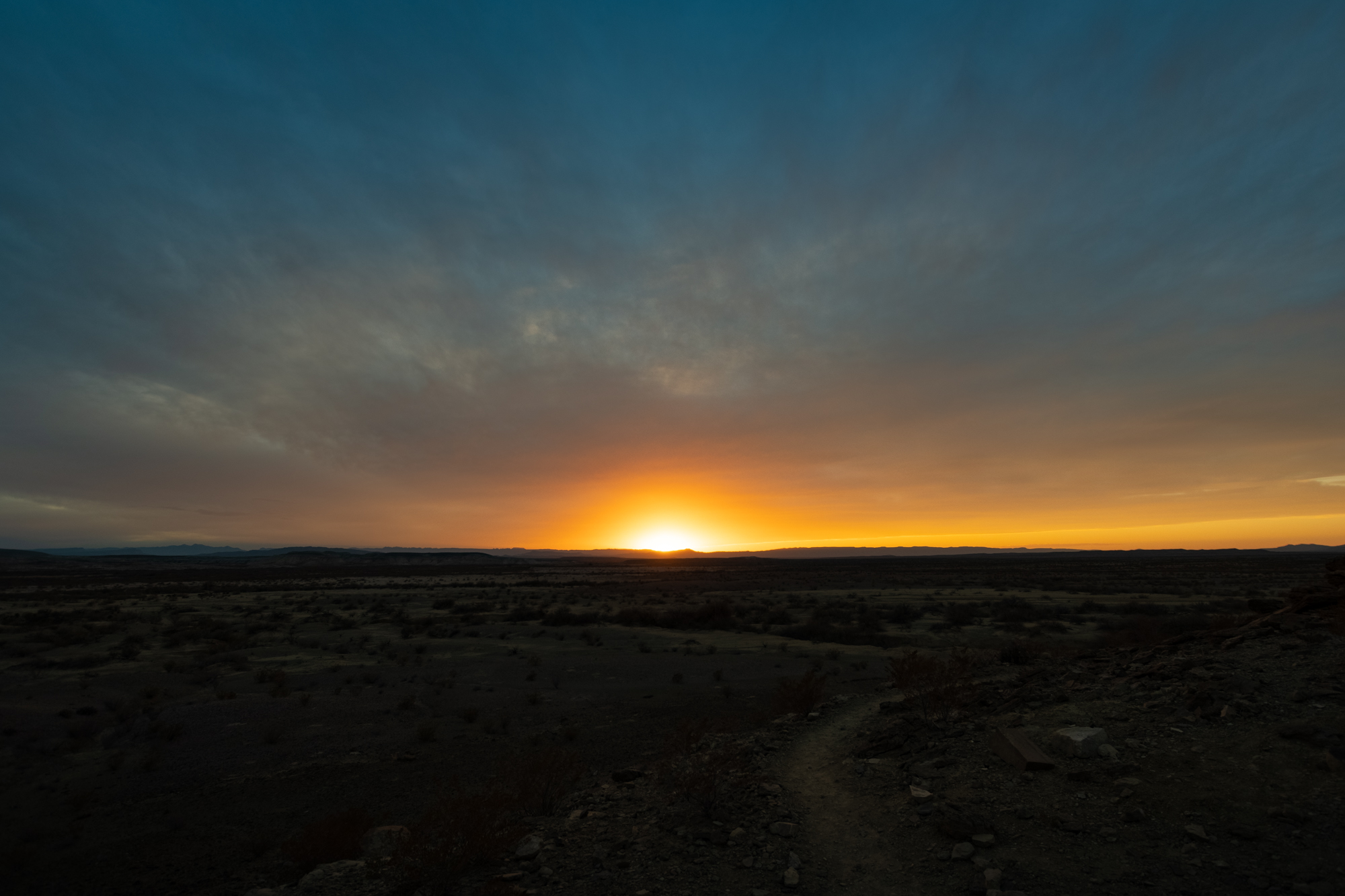
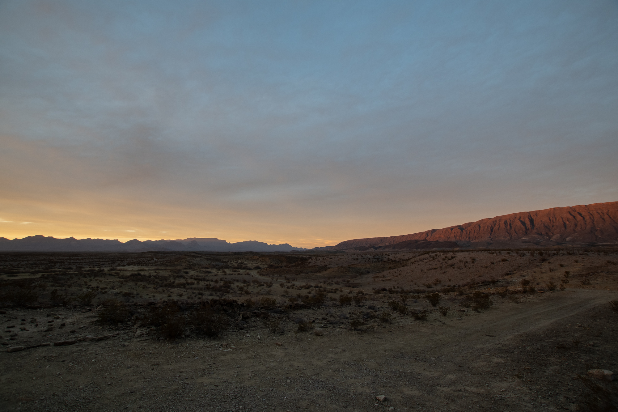
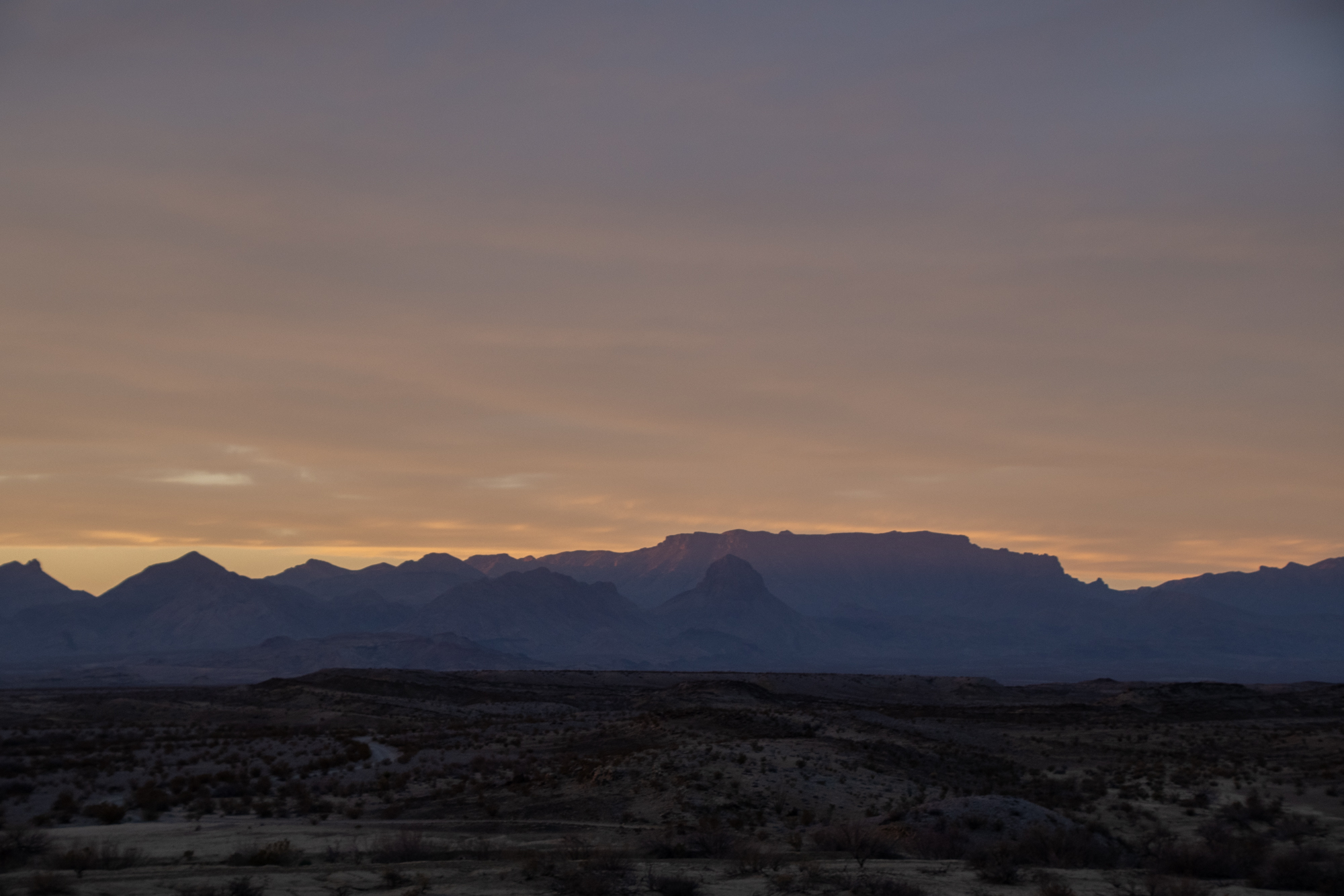
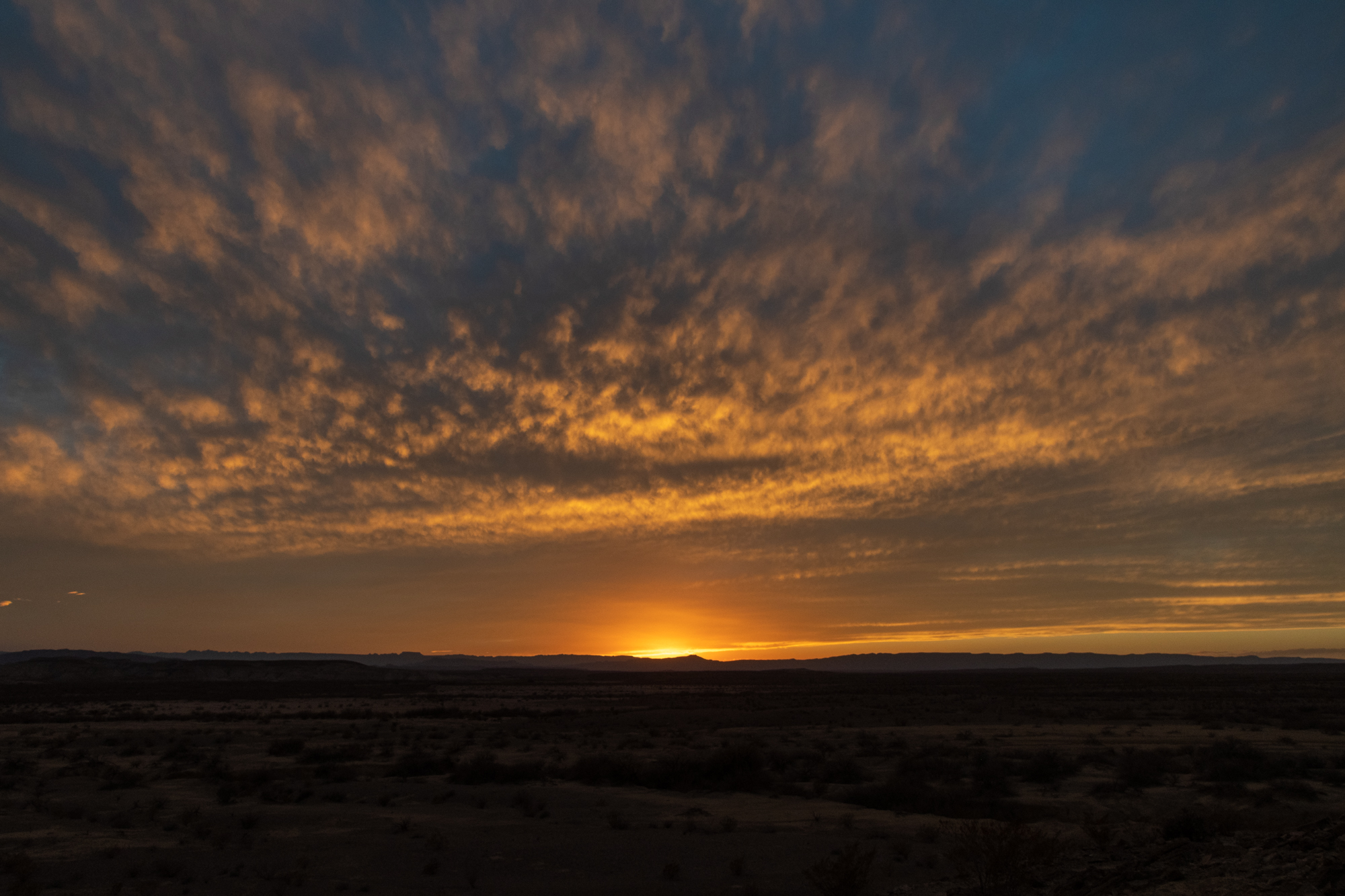
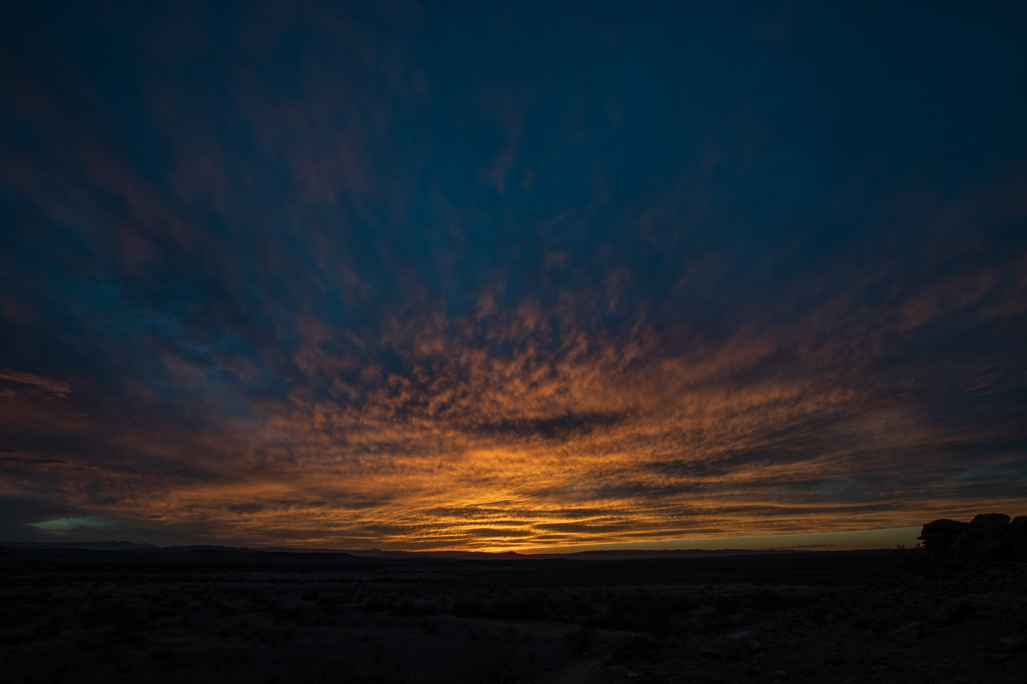
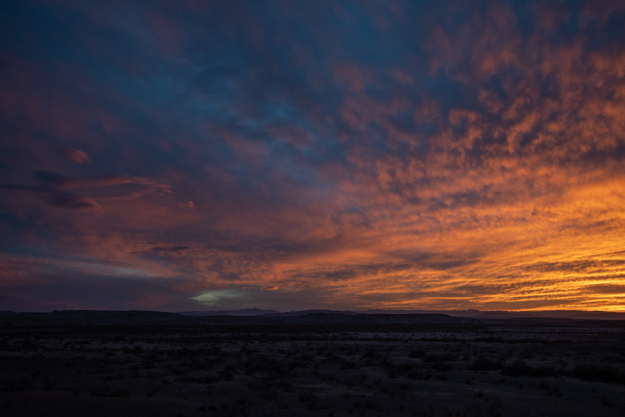
My backcountry campsite was Talley 2, just a few minutes up the road from the trailhead on a bluff overlooking the river basin. I arrived just minutes before the most brilliant sunset.