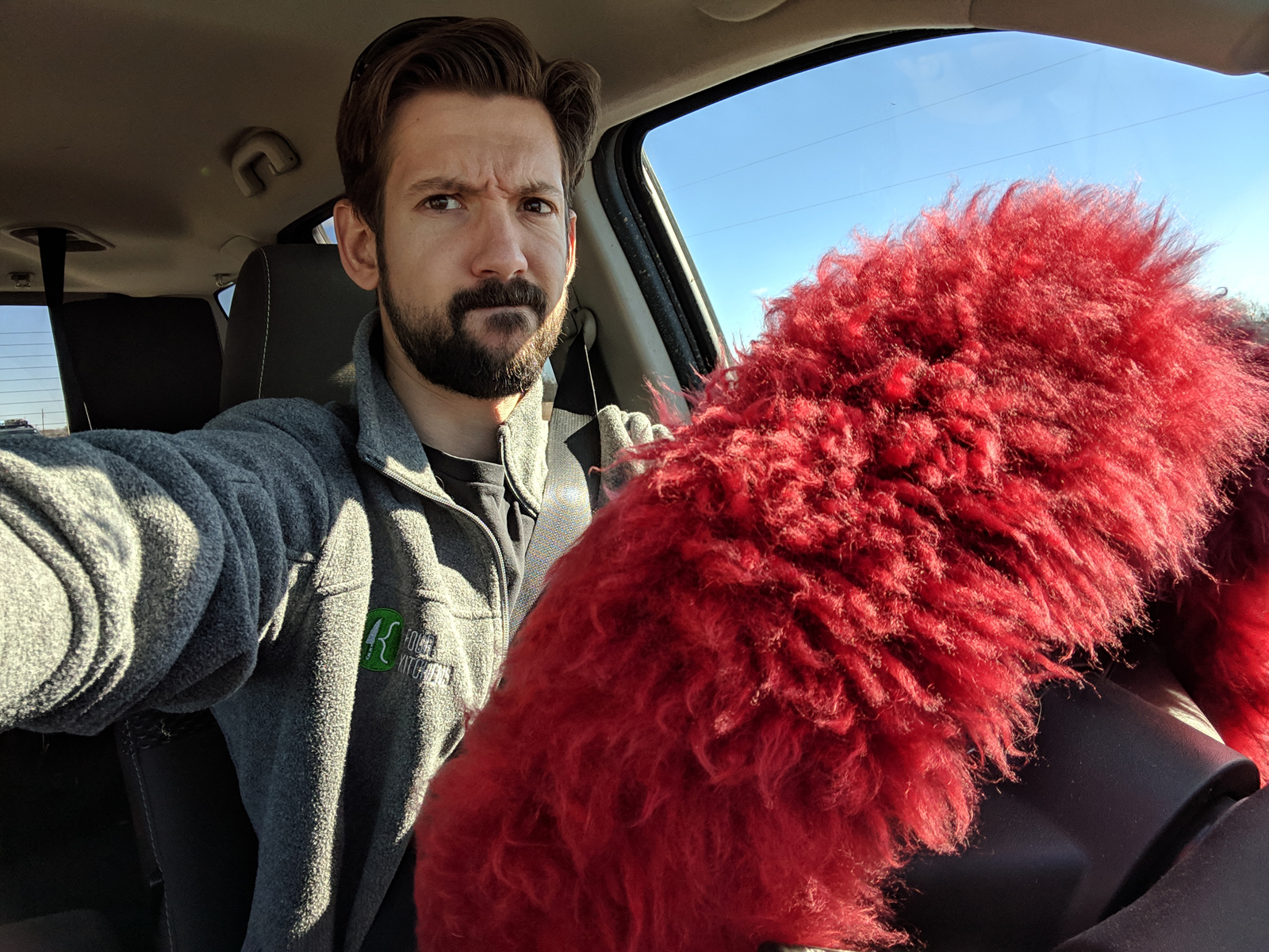
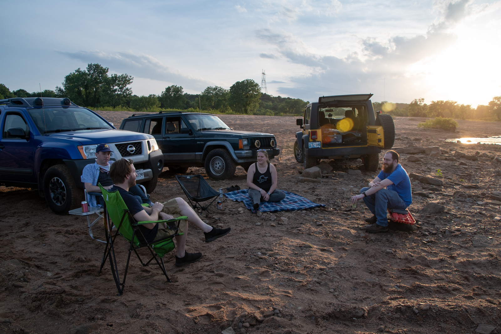
After a long week that managed to condense five days worth of crazy into four, I took advantage of a day off I’d managed to book and disappeared. One thing I’d wanted to do this season was hit Big Bend National Park again, and a ton of my friends have been in the last month or so — so really it’s their fault.
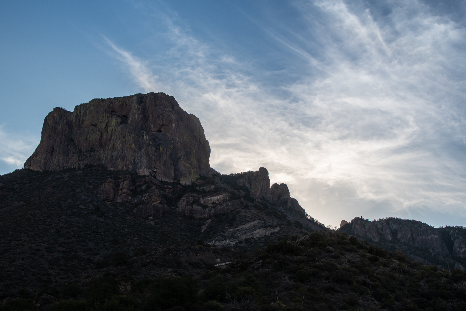
But what I really wanted to do was come back — a year after the Emory Peak Hike on the Laidoffroad Trip, which itself was a bookend to an eventful year — and add the South Rim hike. Whether to put 2020 in the books, make way for the promise of 2021, or just because I managed to finagle a 3-day weekend and didn’t want to waste it, I’m not sure.
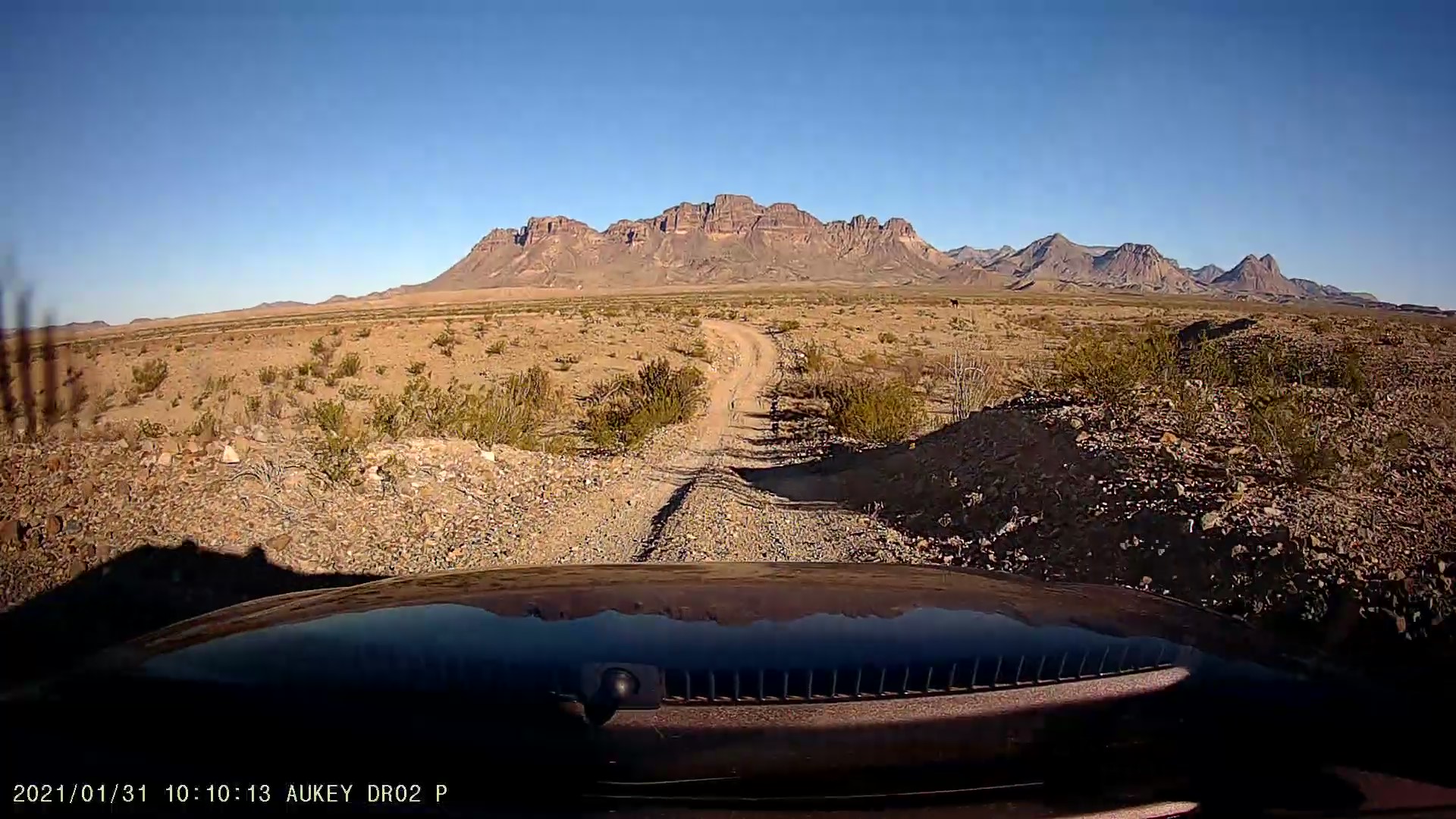
The parks service is resurfacing the road up into the mountains, so they’re closing it for a few hours each morning and afternoon. I didn’t get to Terlingua until almost 2am and had to be up again at 7 to drive up into the Chisos Basin before the closure. But I’d brought cans of cold brew and had two on the long winding road up. There’s something energizing about that drive, windows down, rising up into mountain air. The base elevation is 5,400 feet, which isn’t Rocky Mountain National Park altitude, but definitely knocks a few degrees off of the Texas heat.
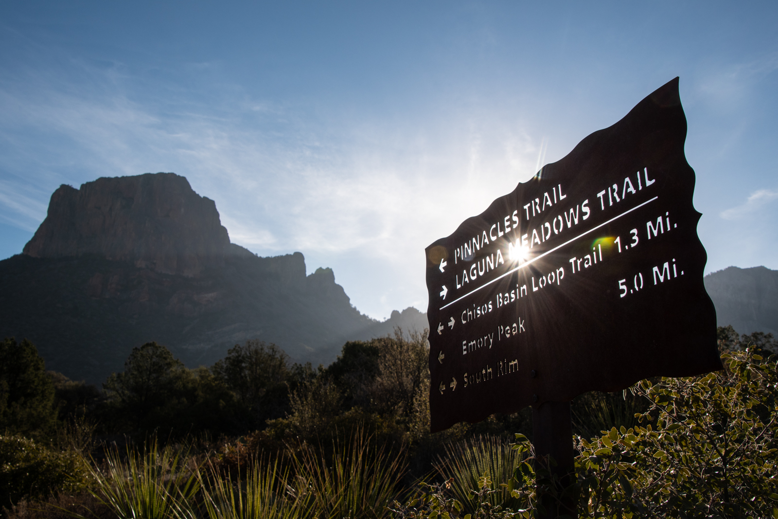
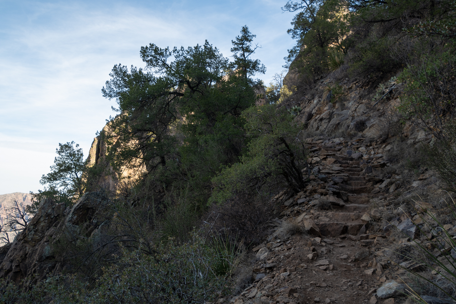
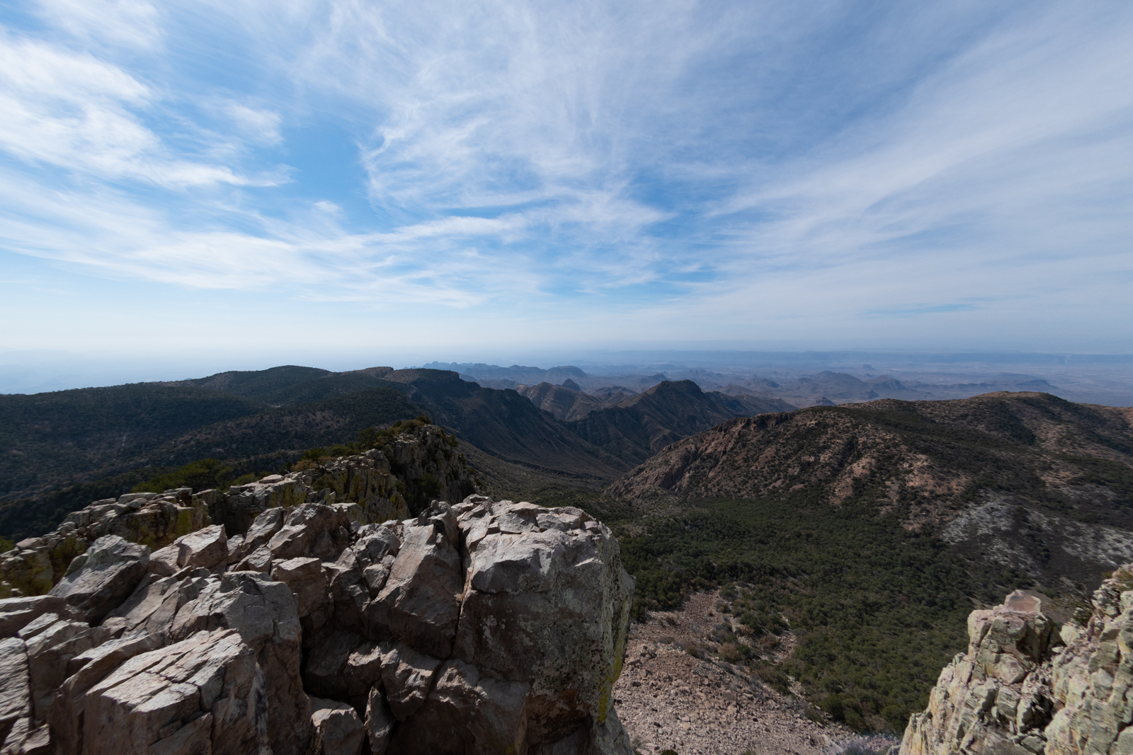
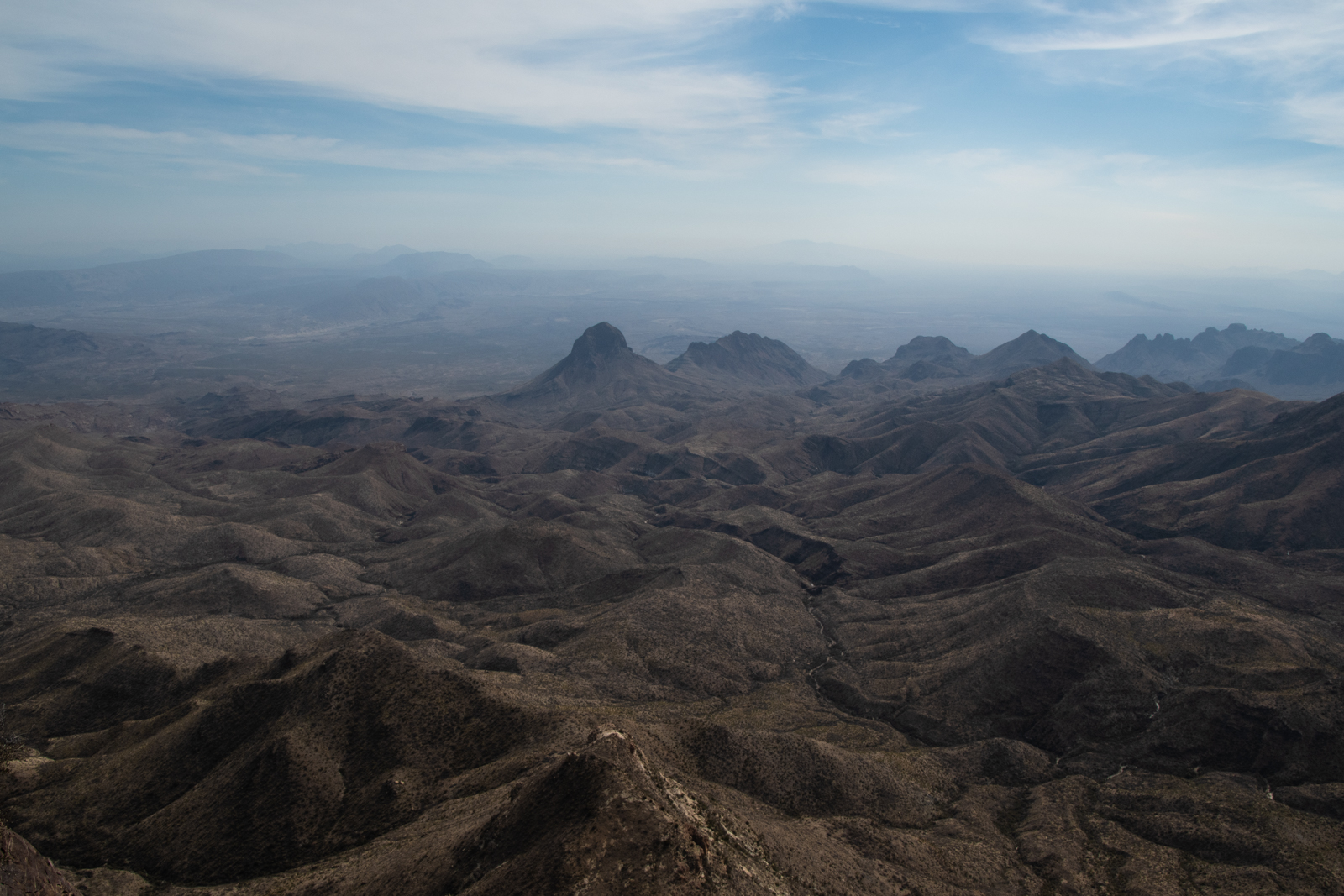
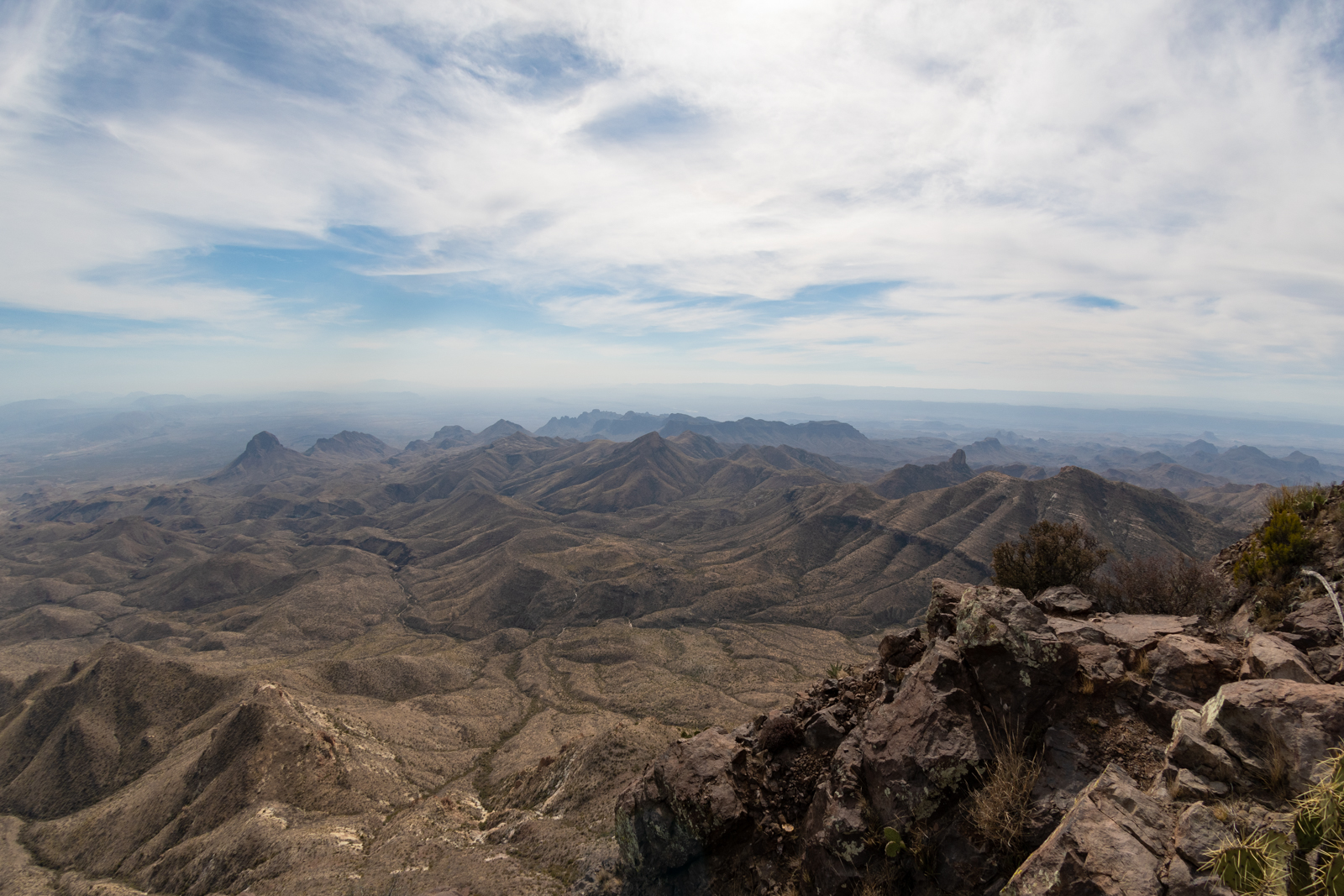
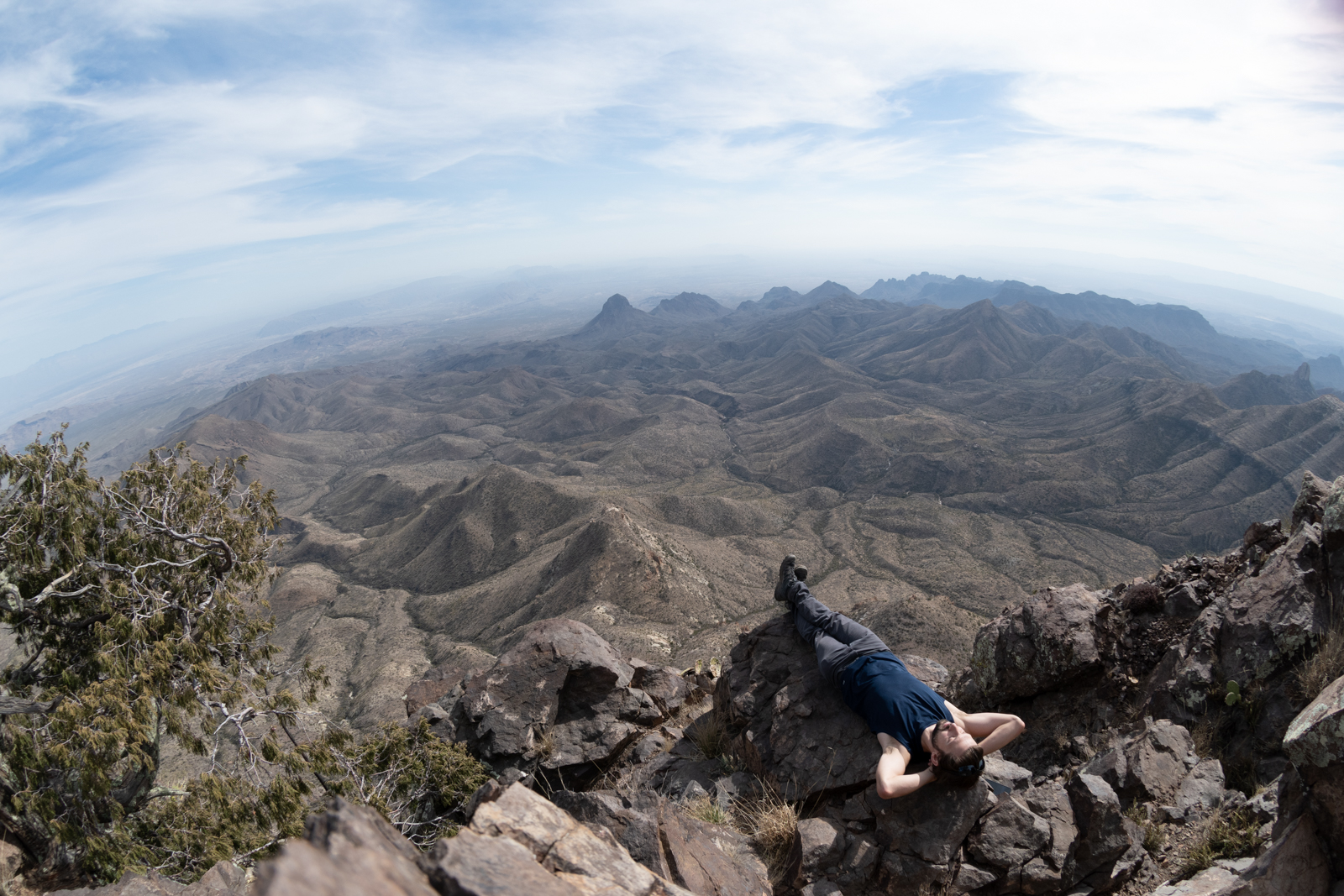
I decided to revisit Emory Peak on the way out to the rim because it only added about 4 miles and I still think it’s the most spectacular viewpoint in the park.
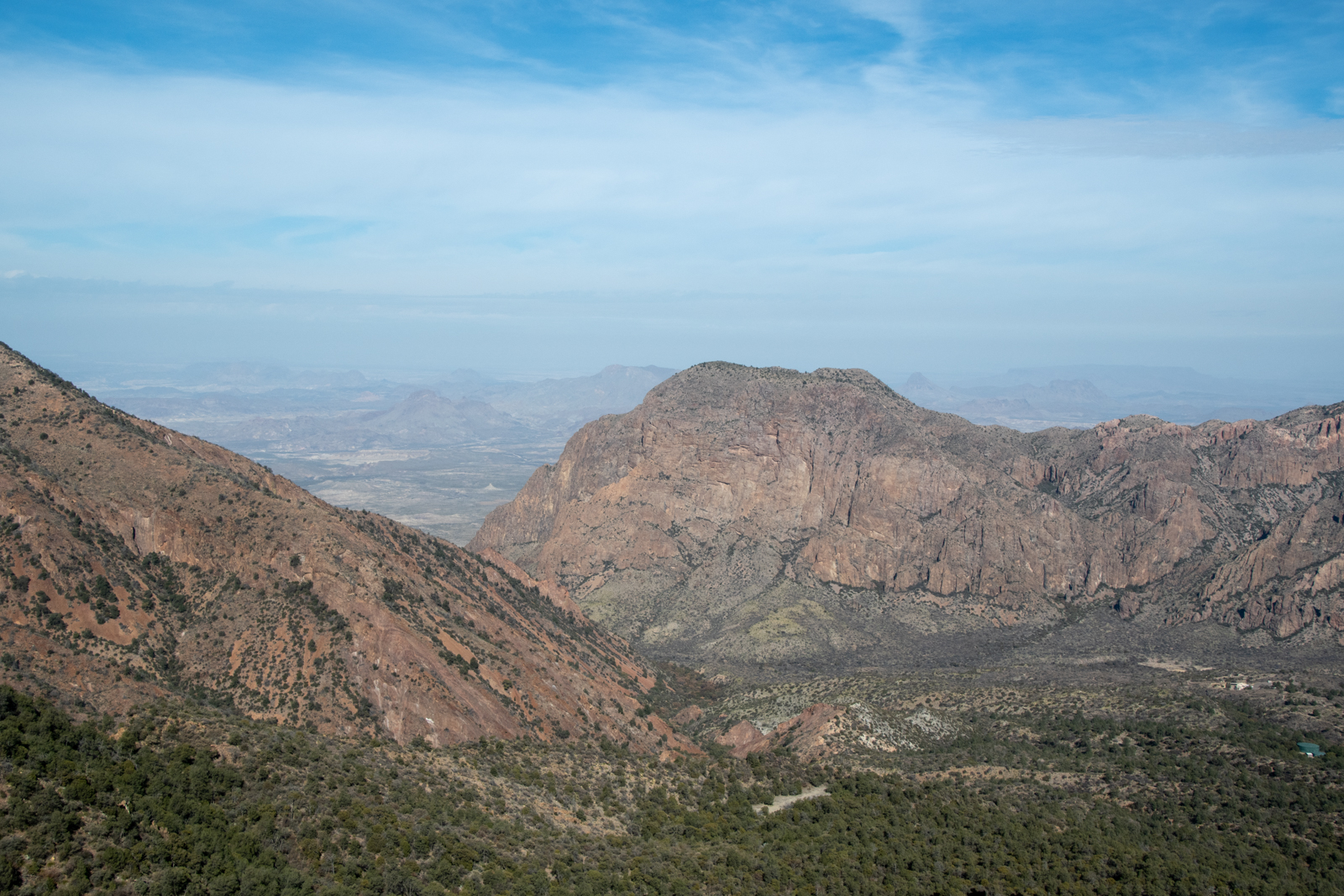
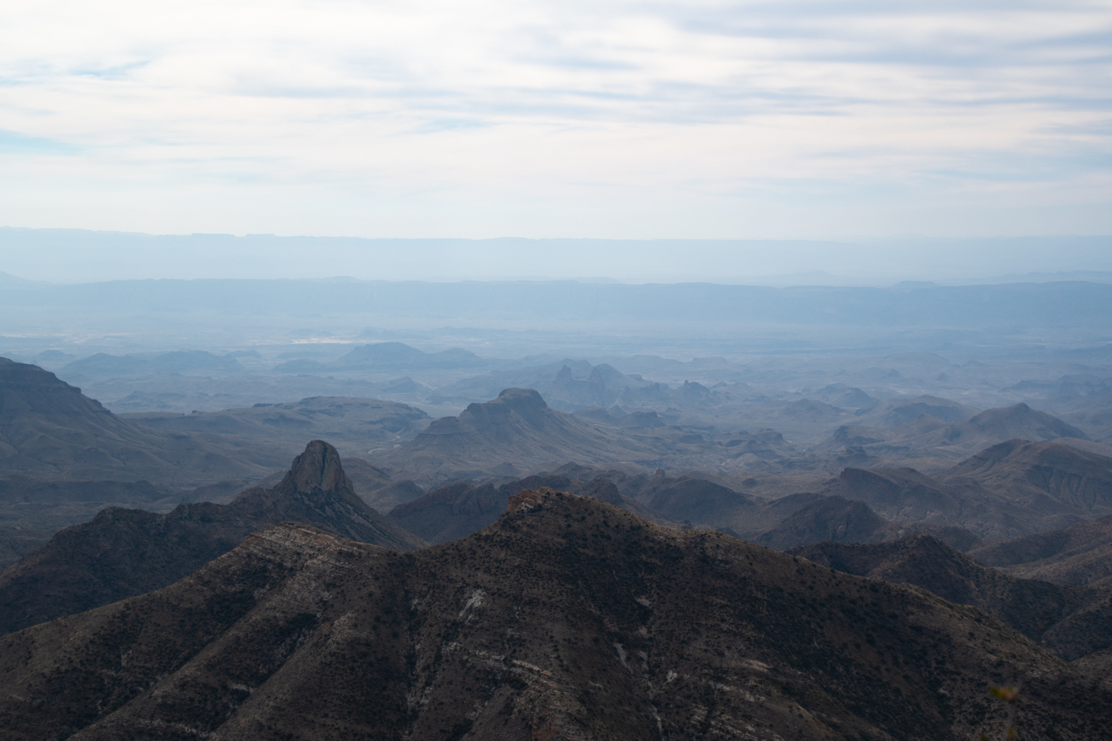
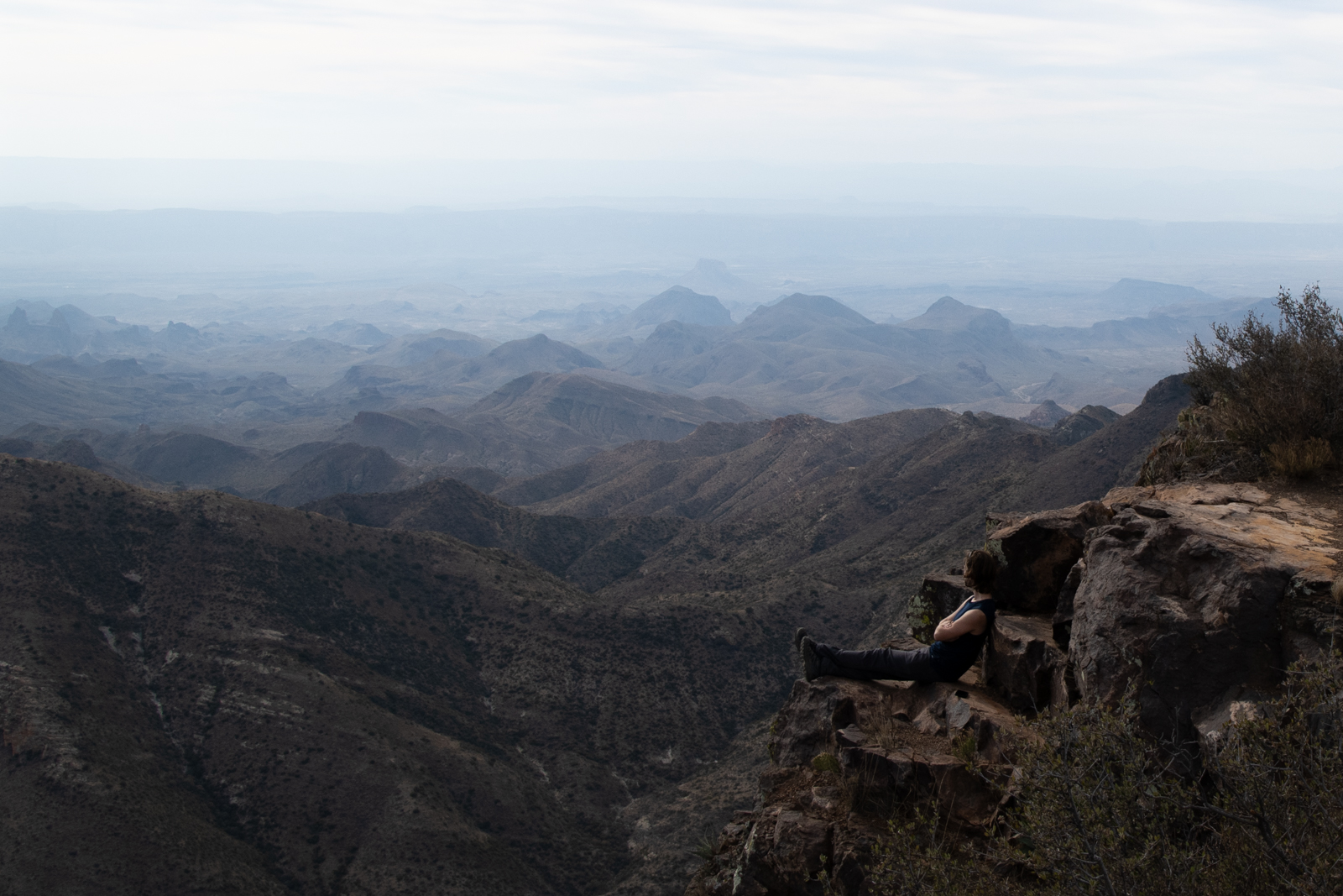
After the scramble back down and the 2 miles or so back to the junction, it was a long walk through Boot Canyon out to the rim, but so entirely worth it. On a clear day, I bet you could see Argentina.
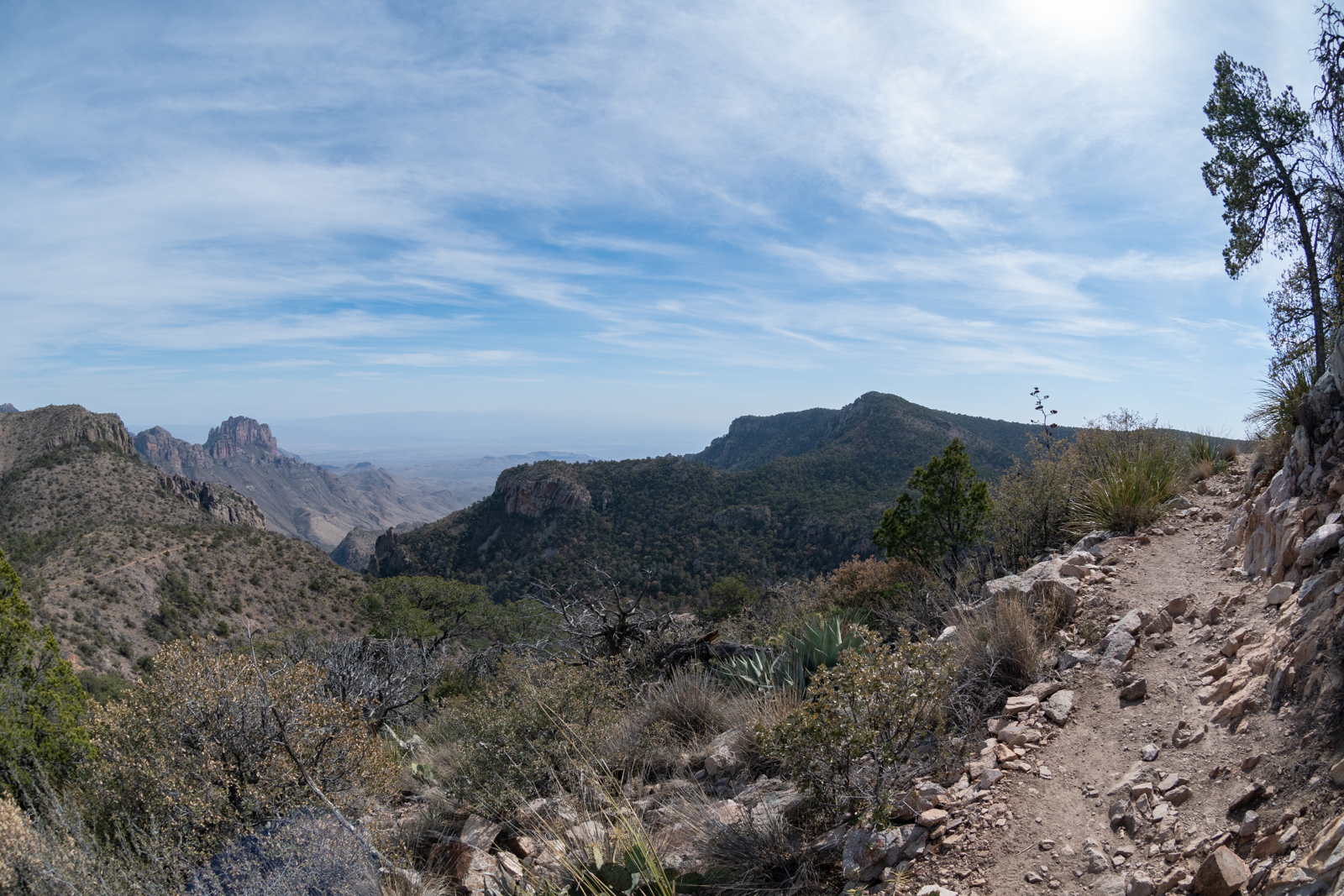
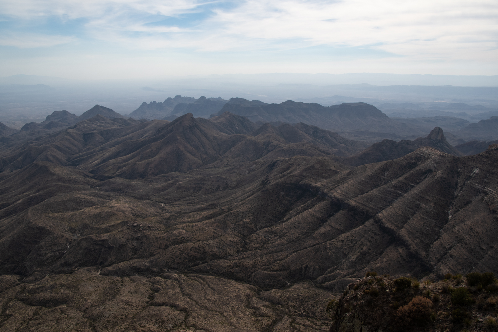
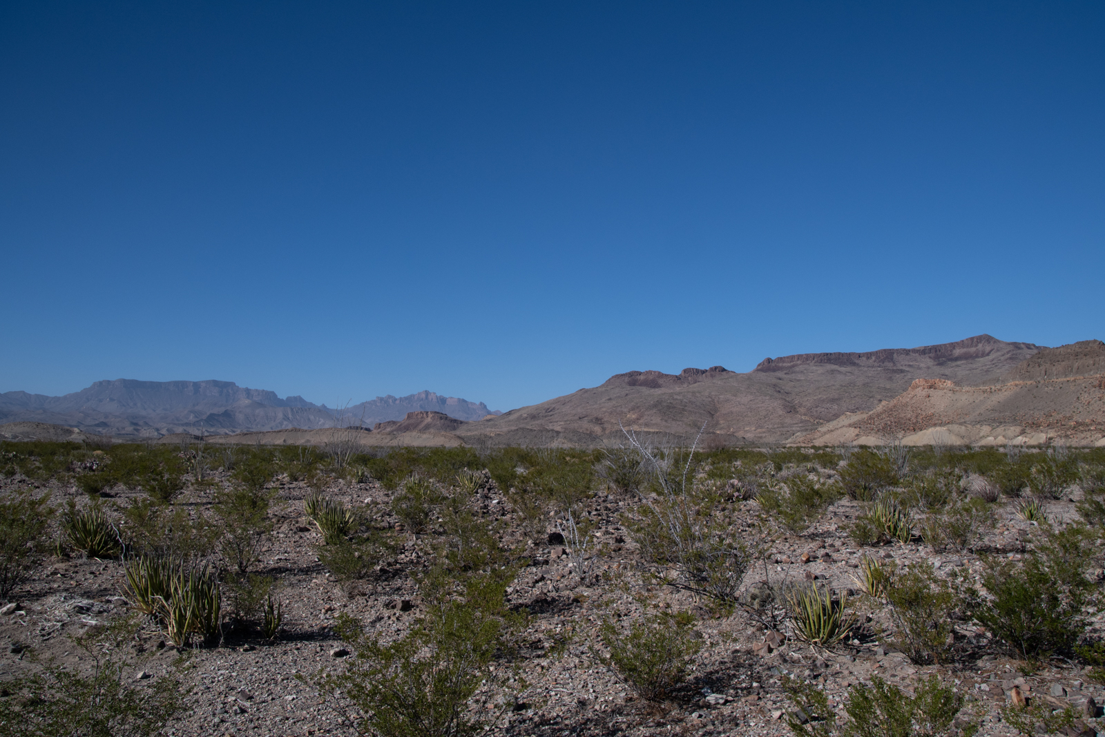
The trail returns to the basin through the Laguna Meadows, which traverses another pass and didn’t feel at all meadow-ey but a nice reminder that Big Bend has just about every type of forest in just this one area.
When I got back to the car, I collapsed onto the bedroll in the back, barely able to move, but victorious. I decided I would do slightly better than prepackaged dinner and trunkbed for the evening, so I booked a room back in Alpine on points and got back on the road.
I shuffled across the room like I needed a walker and surgery this morning. I rolled into the park later than I’d intended, and headed over to Panther Junction for a shopping trip:
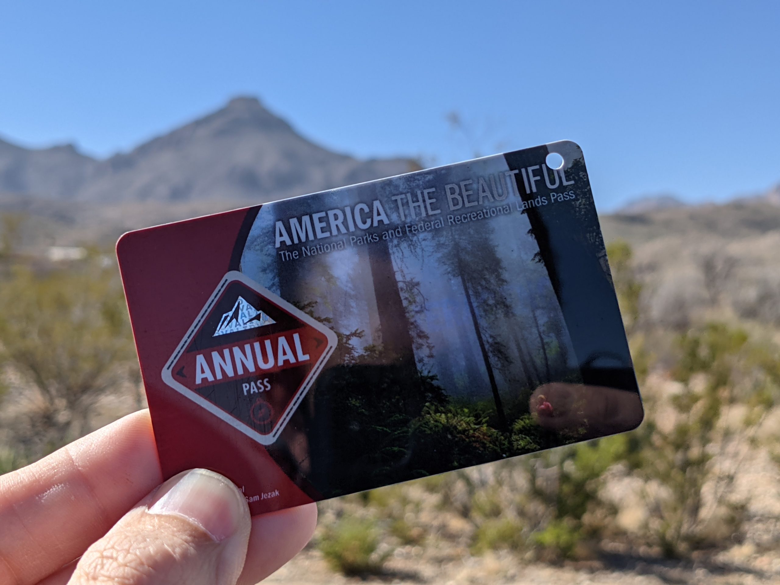
Since the pass I bought on The Laidoffroad Trip has just expired.
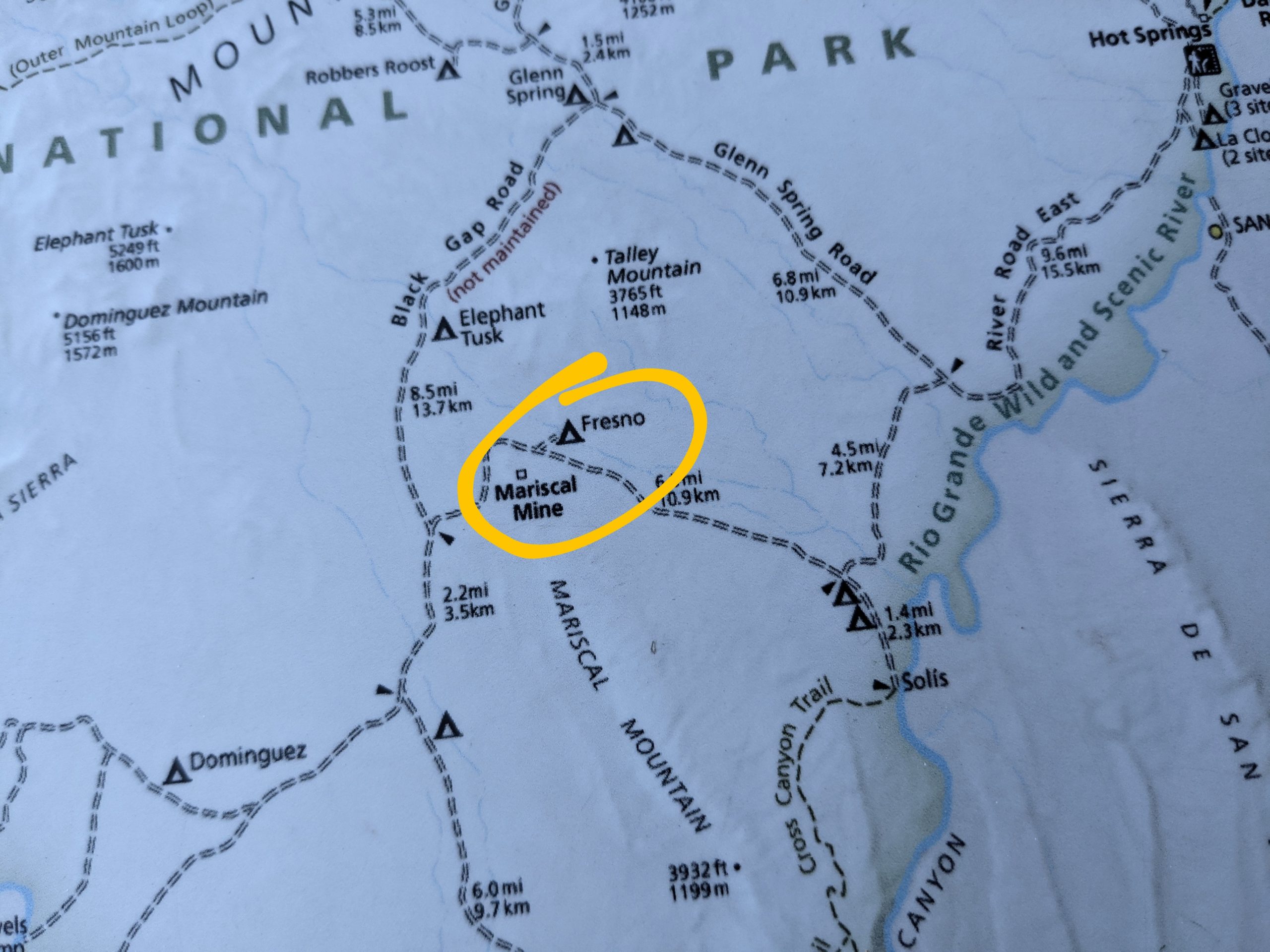
I also picked up a backroads guidebook written by the Big Bend National History Association. I already have topo maps and track routes saved for every backroad in the park, but this $4 pamphlet includes a lot of backstory generally, and especially a lot about the Mariscal Mine that we discovered in 2018. Relatedly, I stopped by the ranger’s desk and asked if there had been any cancellations for backroads campsites. As luck would have it, the Ranger offered me Fresno:
A campsite near an abandoned mine? Hell yes. Also I need a security blanket.
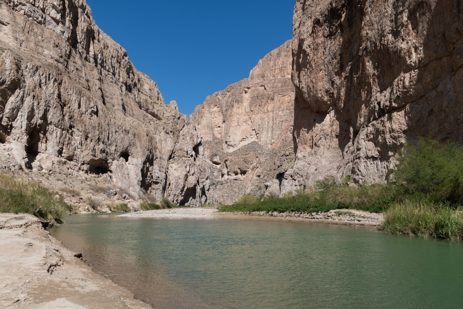
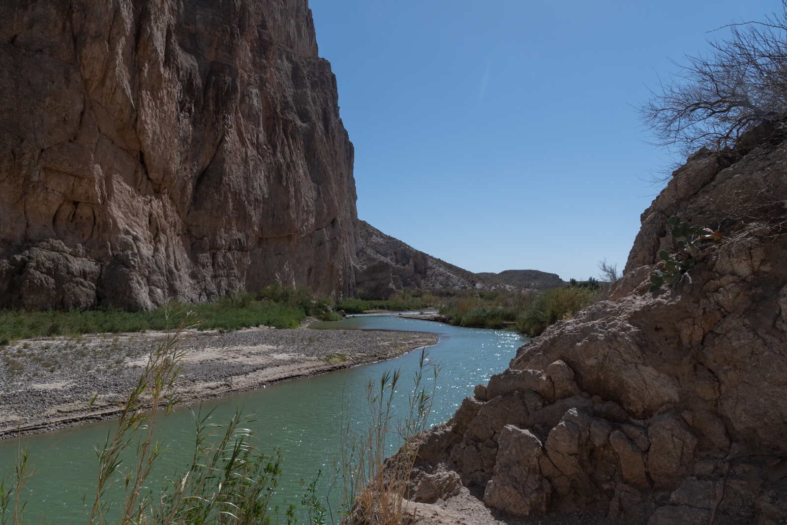
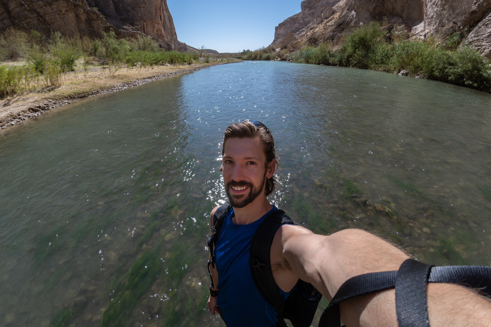
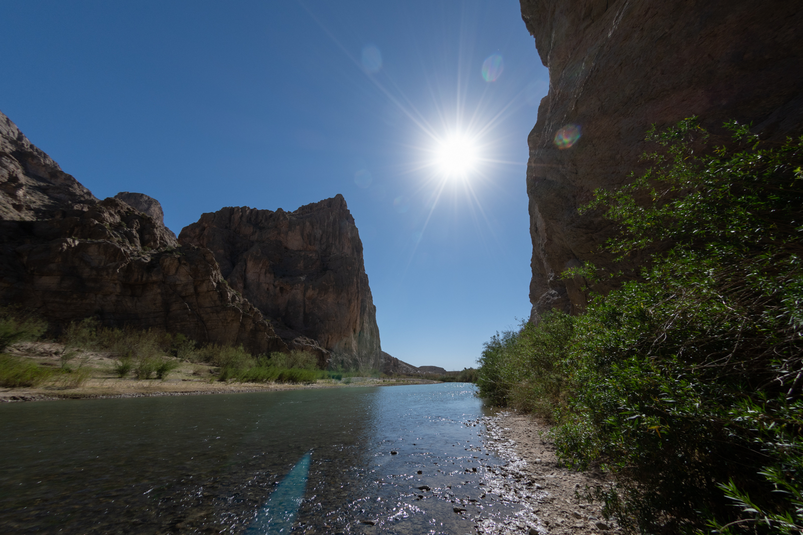
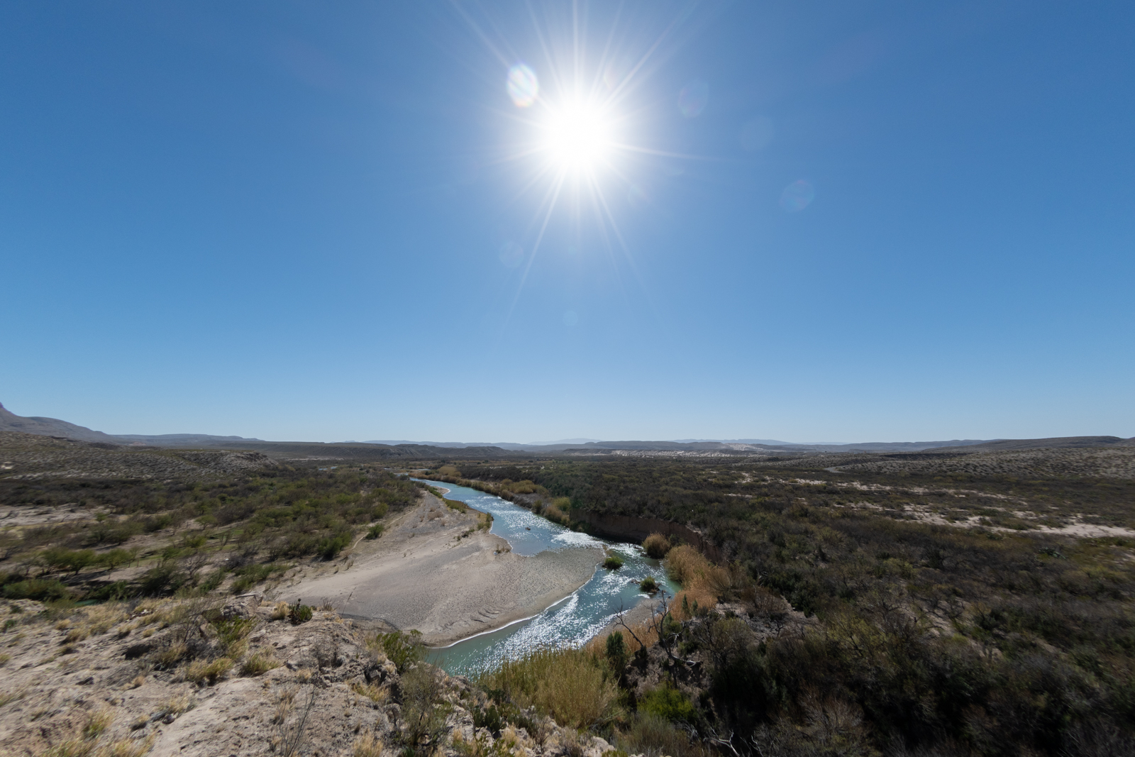
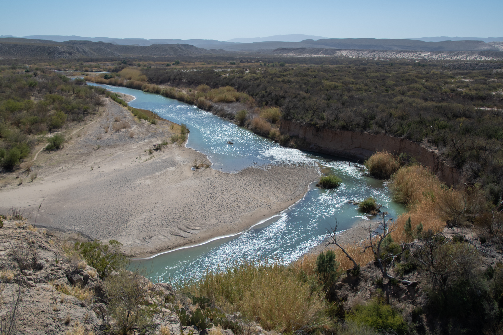
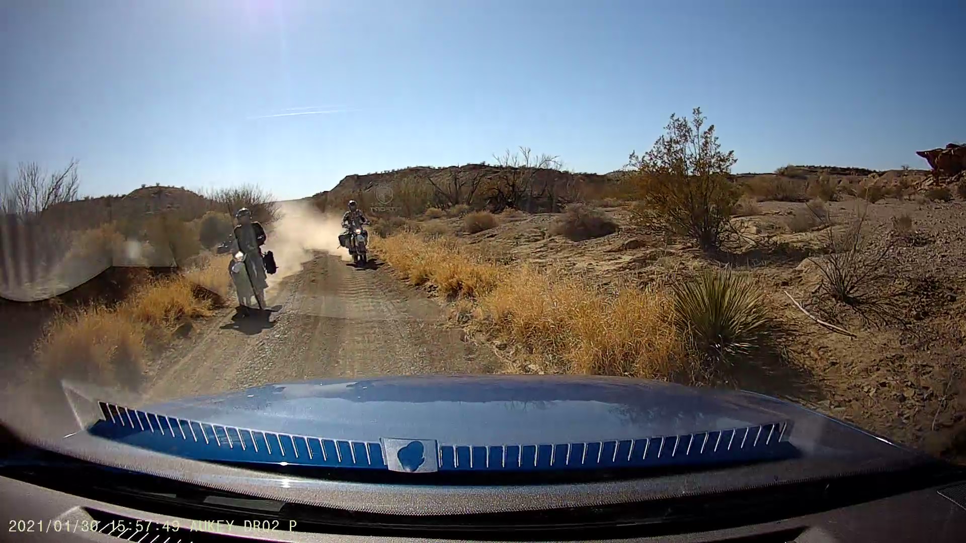
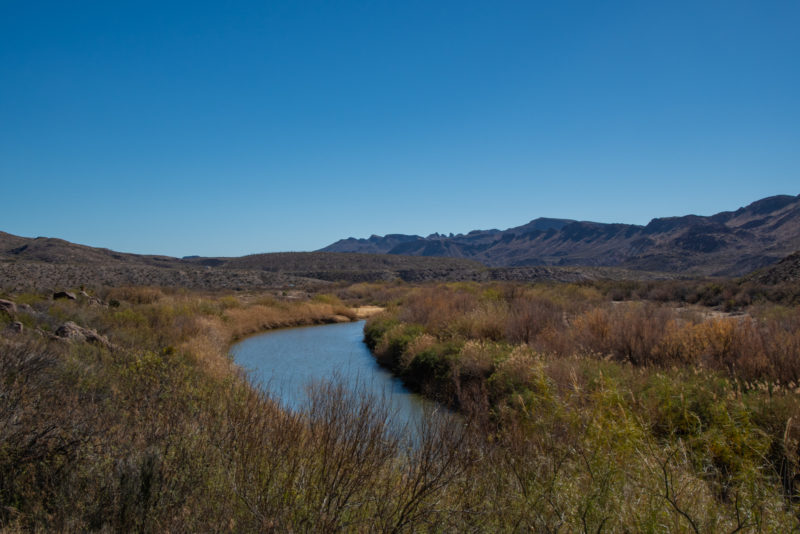
It meant that my campsite was only a third of the way across River Road, leaving two thirds of that plus the drive to Austin for Sunday, but that’s Sunday’s problem. I’d be camping at an abandoned mine tonight! And I suddenly had an entire afternoon to pass slowly. But that felt like my speed for today. I started with a short hike at Boquillas Canyon, downriver at the east end of the park.
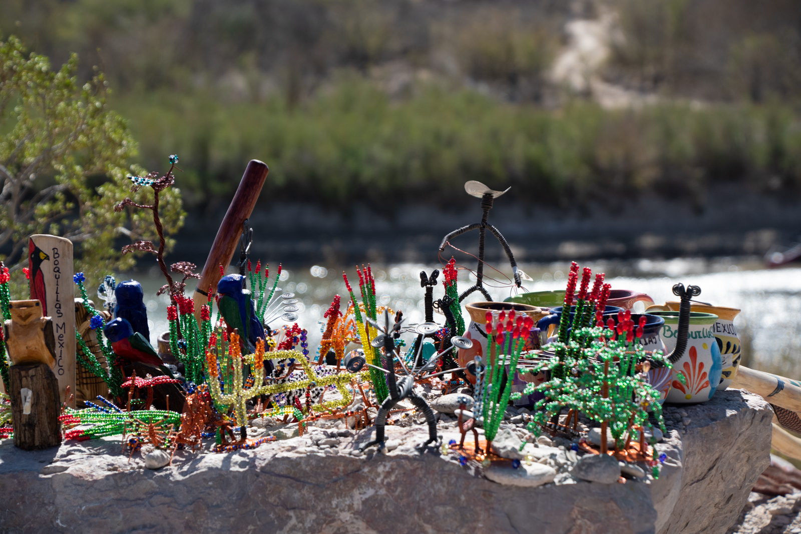
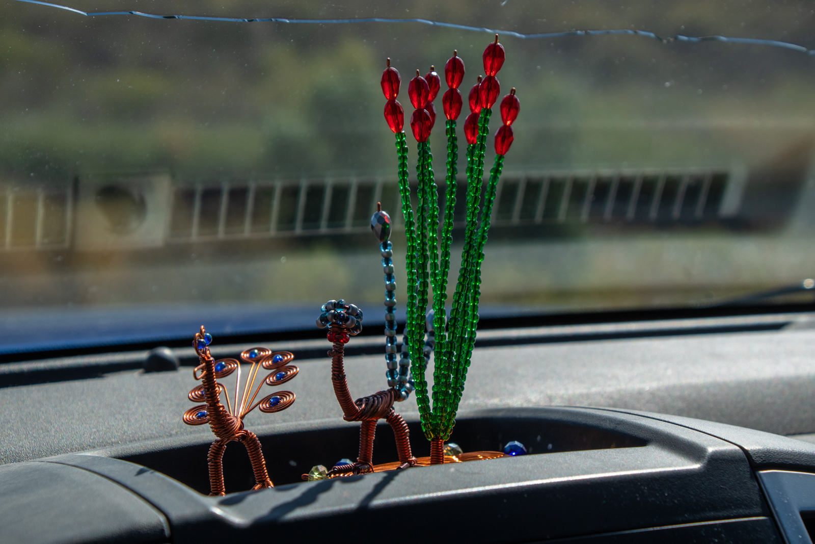
Boquillas del Carmen is a small village on the Mexico side of a foot-traffic-only border crossing inside the park. Unfortunately, the crossing has been closed for COVID-19, shutting down the incredibly remote town’s primary revenue source. I saw more souvenir “stores” than usual along the trails and overlooks around the canyon — a small collection of handmade crafts perched on a boulder with a pricelist and cash jar. For my part, I did a little more shopping.
Don’t tell Mom, one of them is for her.
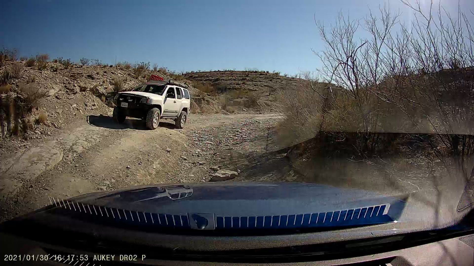
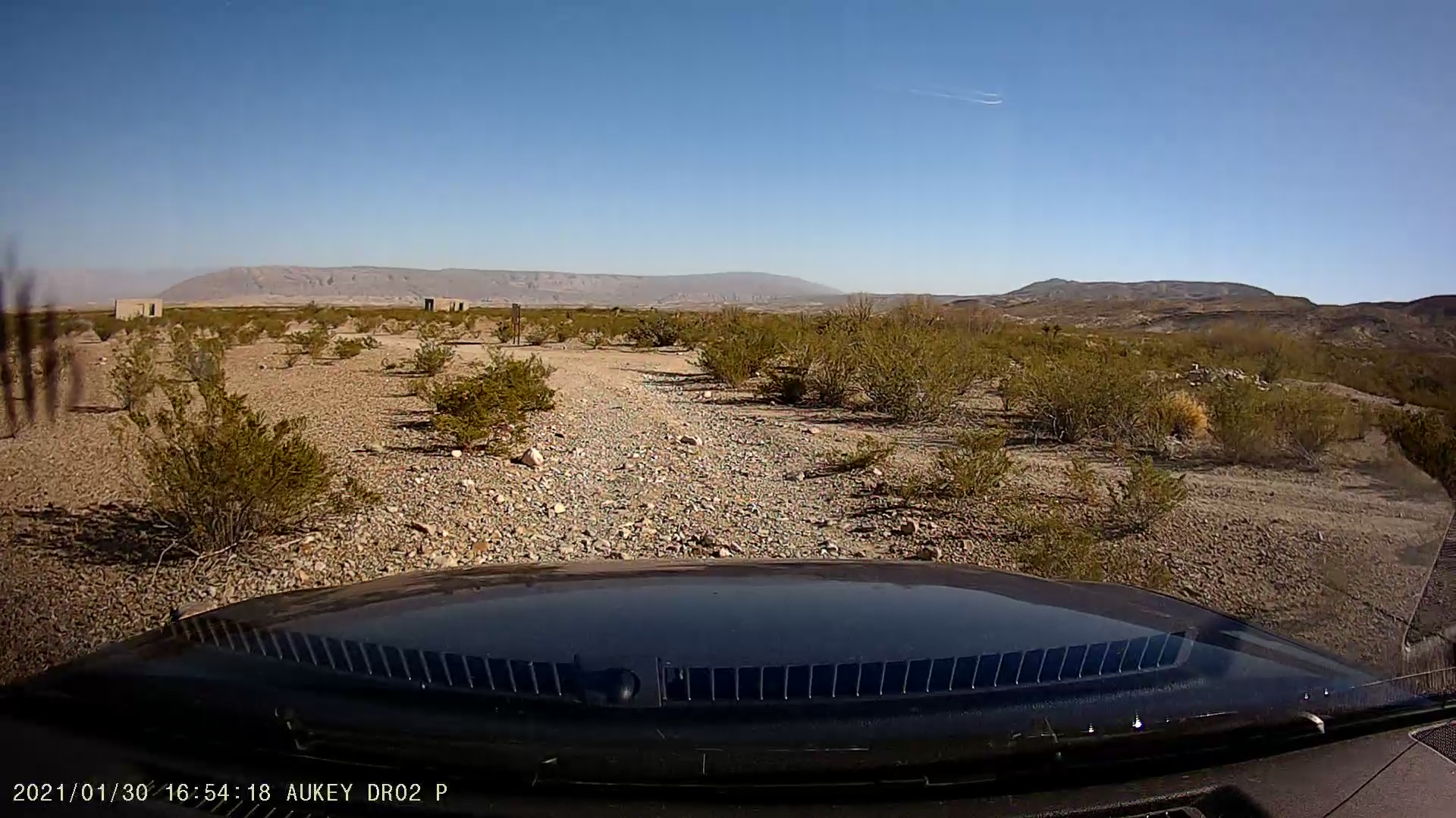
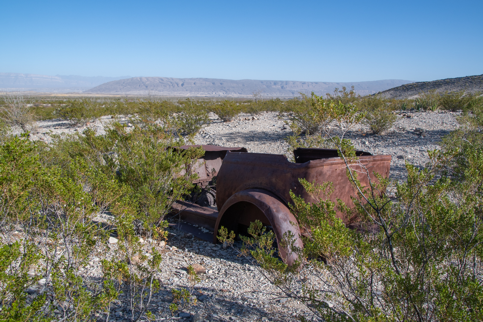
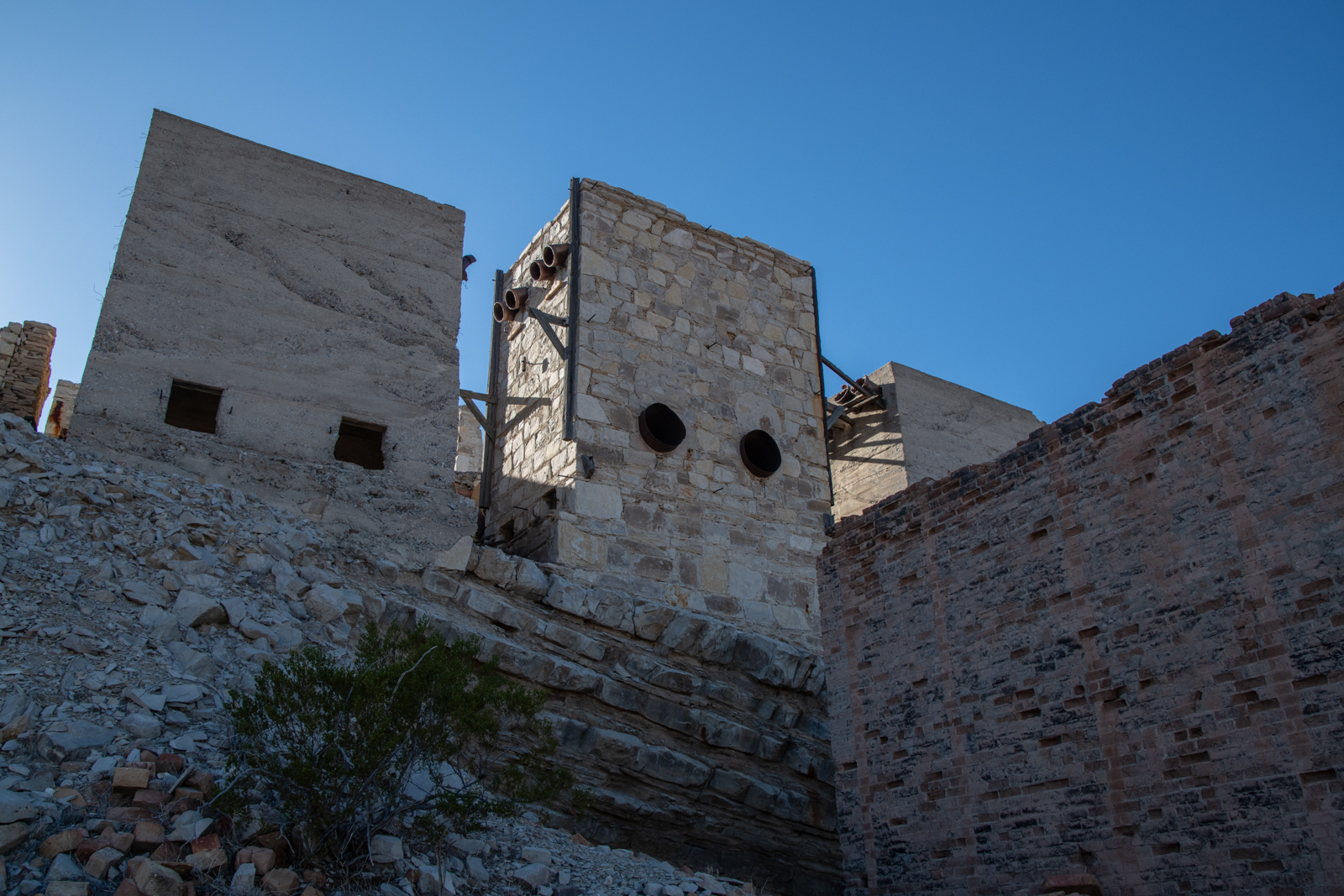
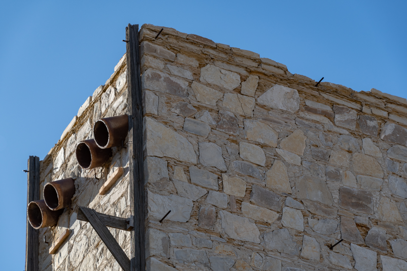
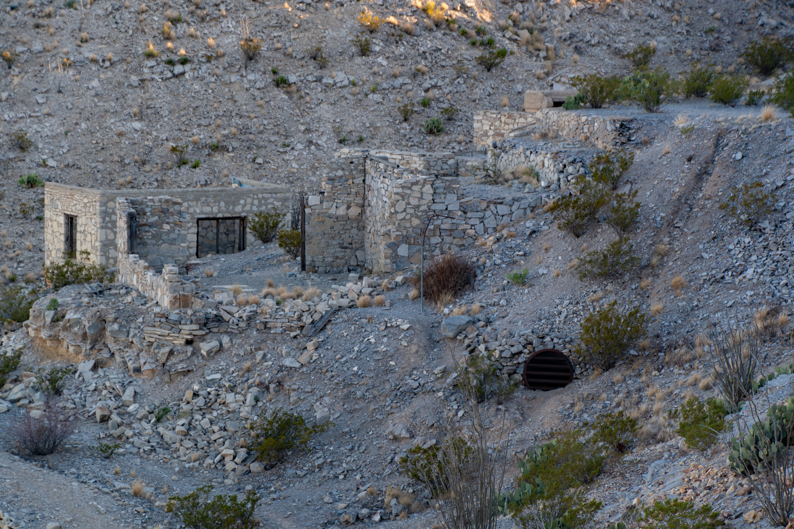
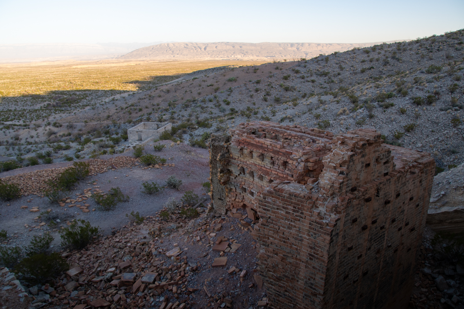
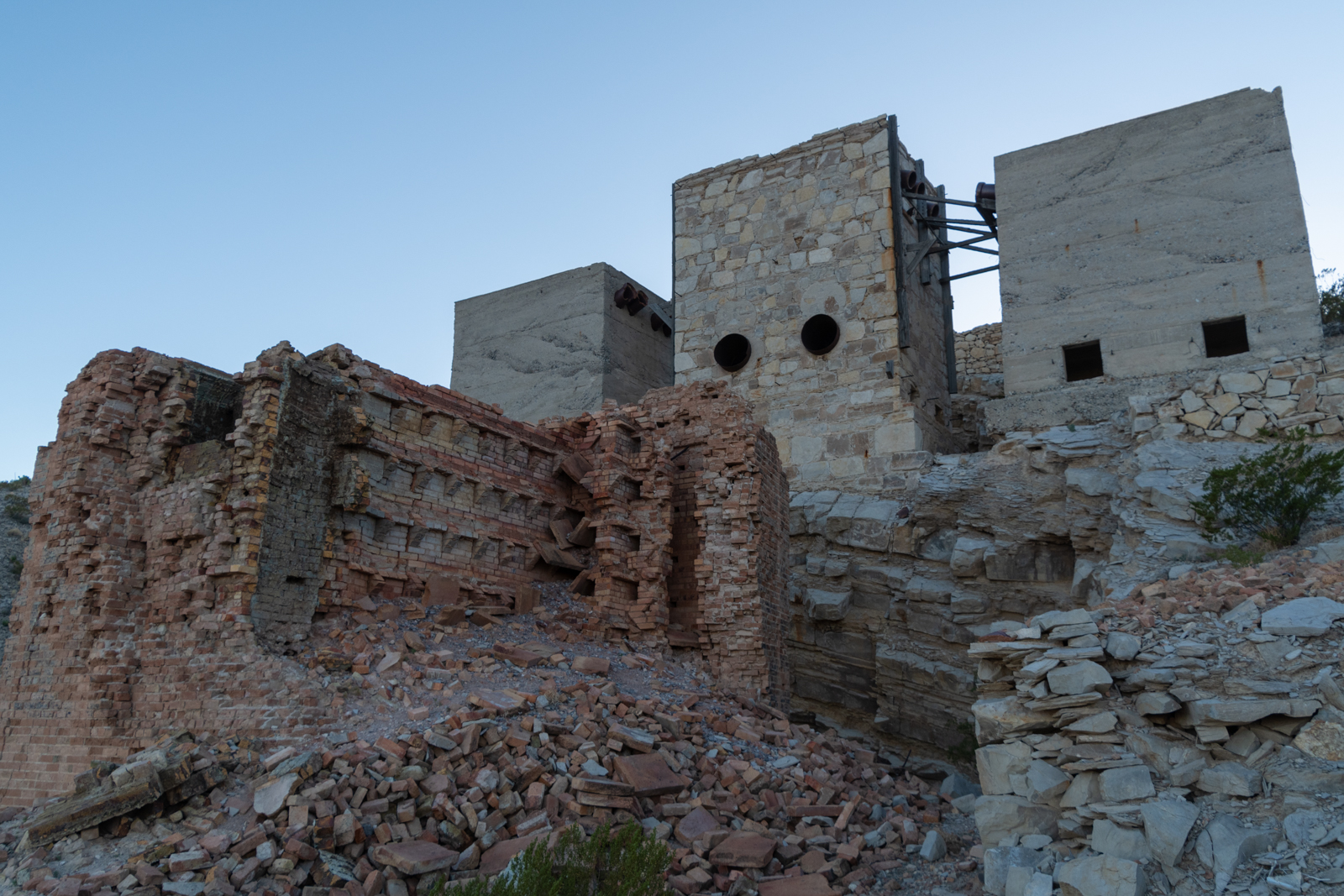
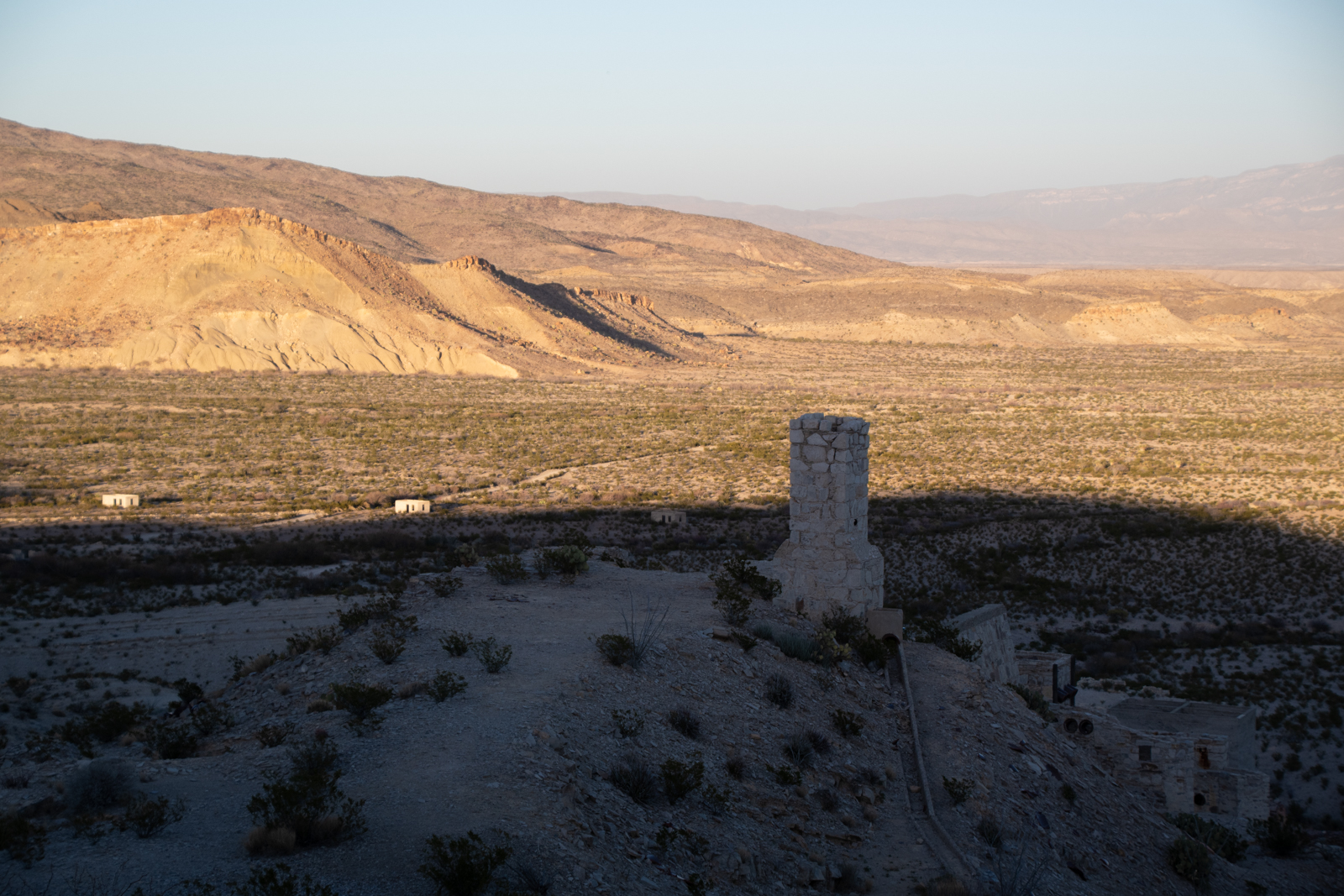
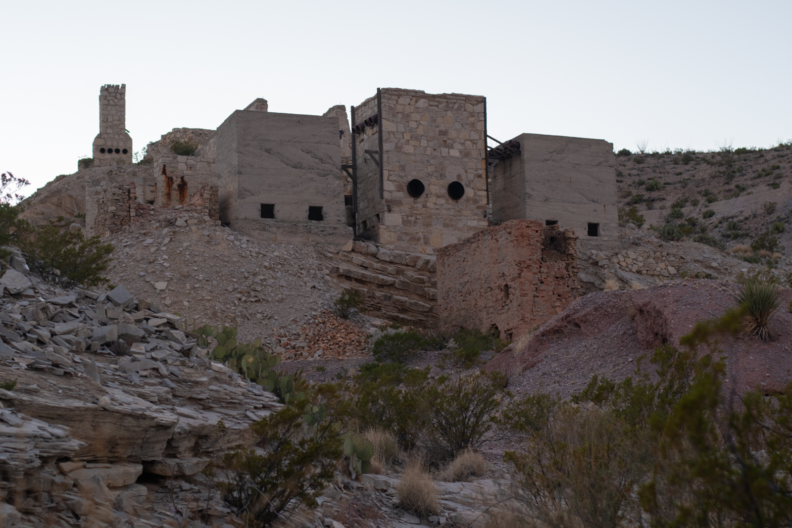
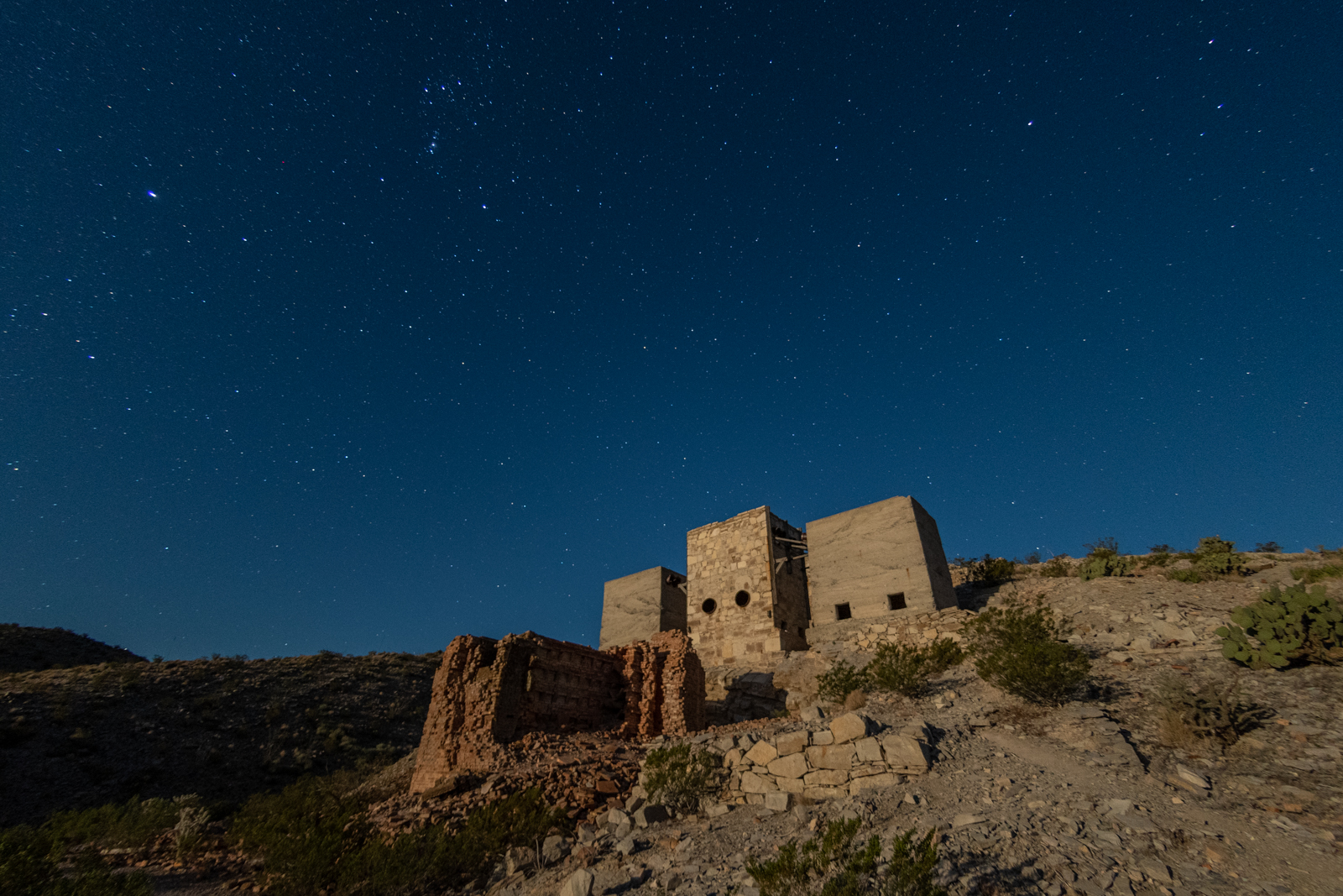
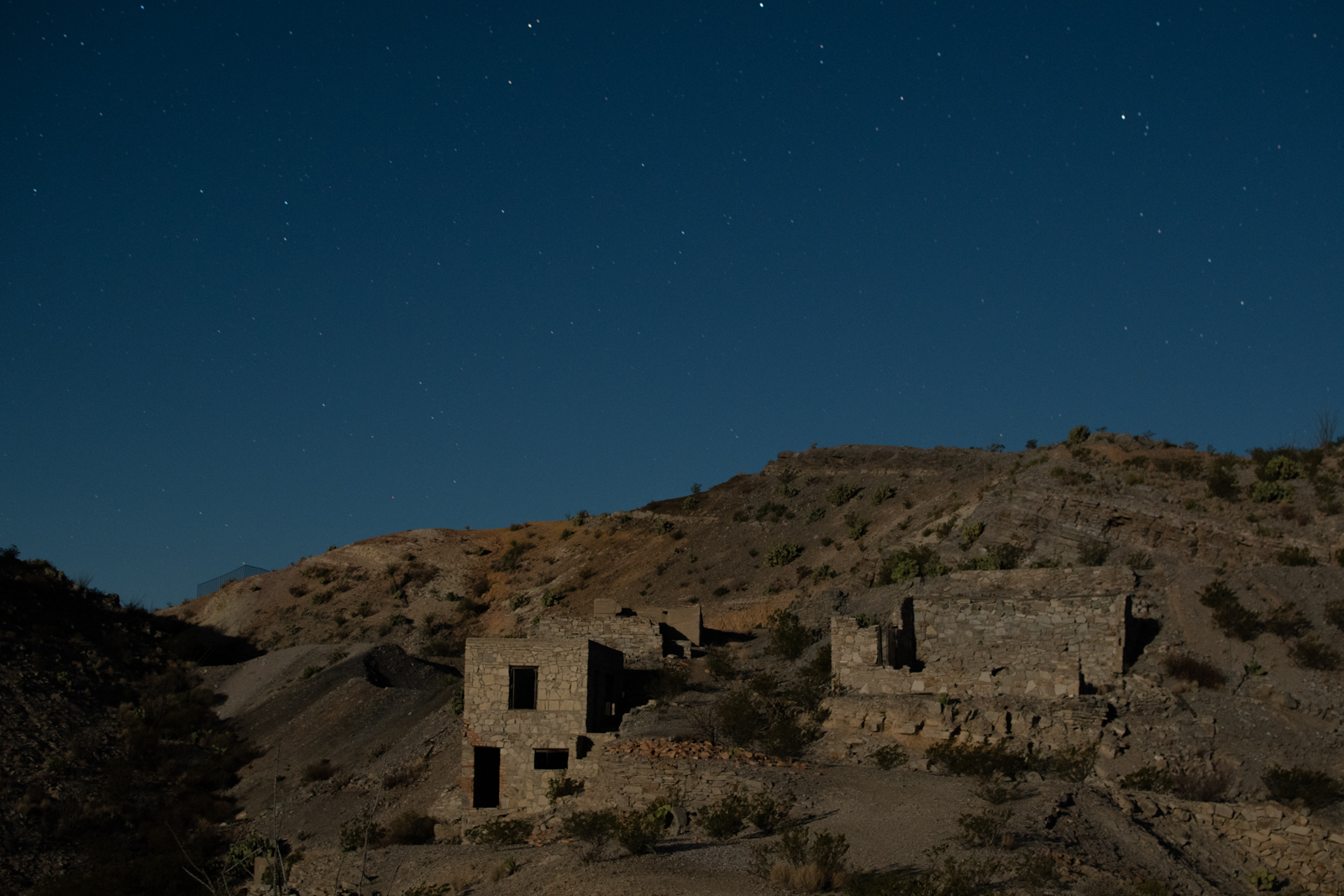
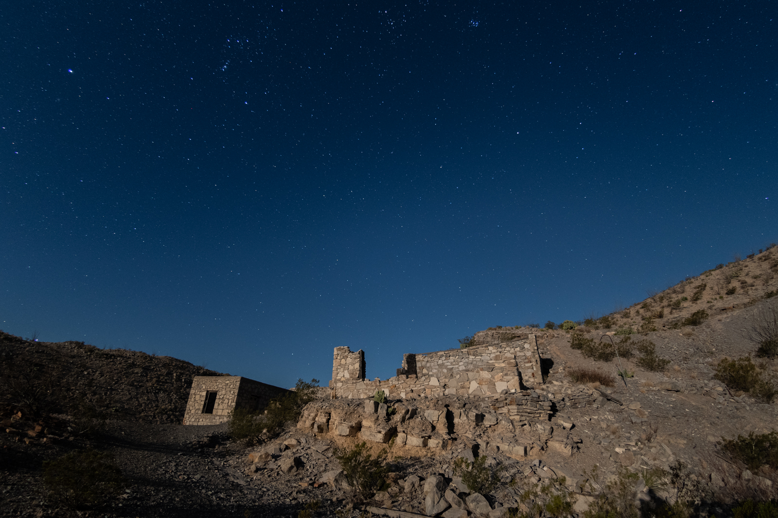
After my river stroll, I started the River Road drive and arrived at the Mariscal Mine much sooner than I expected.
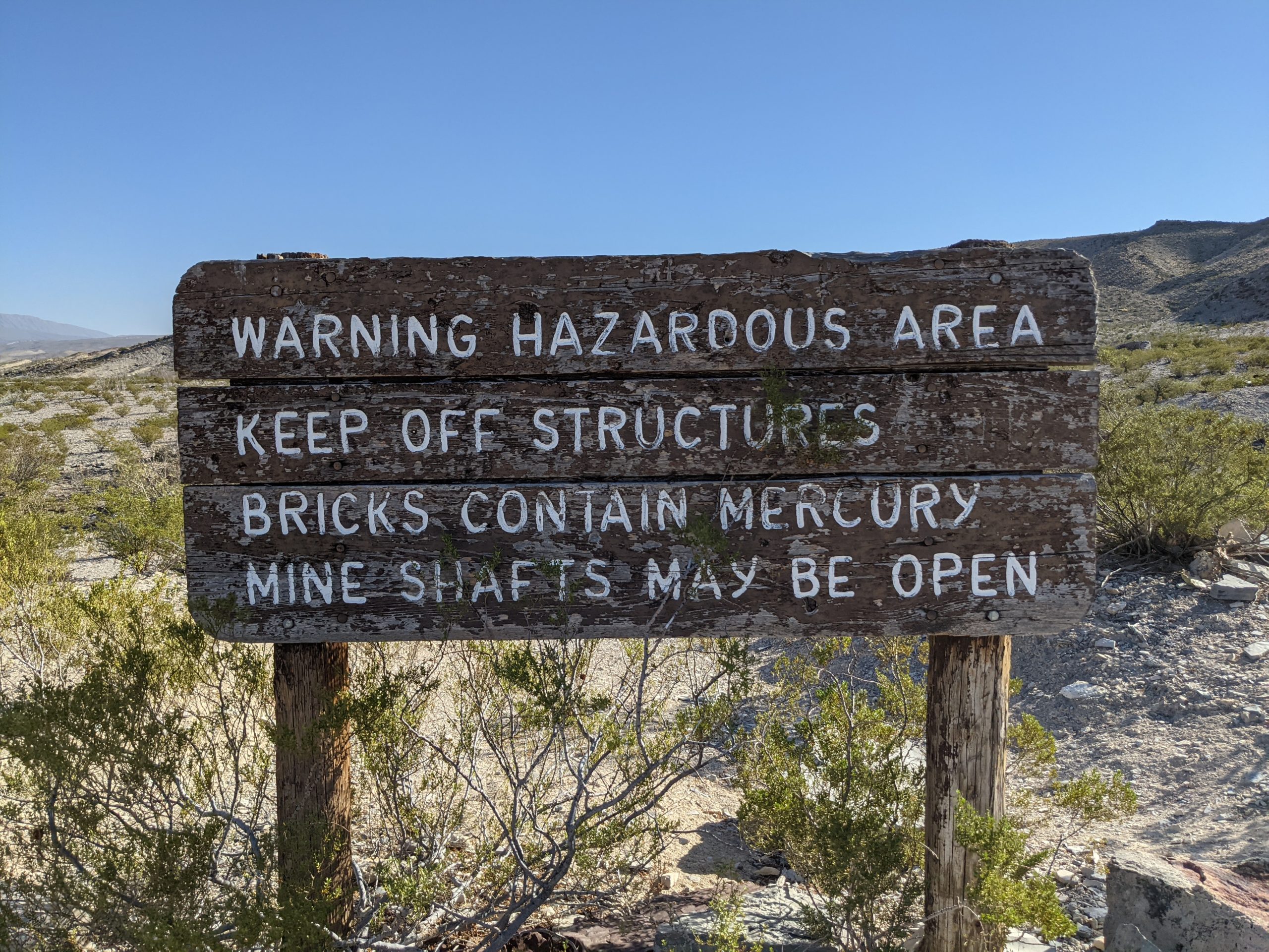
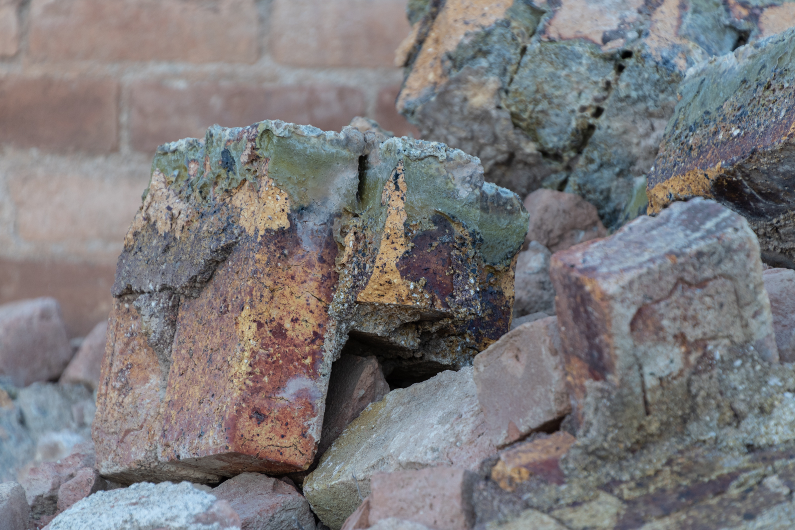
Cinnabar, the ore extracted here, is the brick-red form of mercury(II) sulfide (HgS). It is the most common source ore for refining elemental mercury and the historic source for the brilliant red or scarlet pigment called vermilion. The mercury produced here was used in various drugs, chemicals, and explosives detonators. Ore was discovered here in 1900 but mining didn’t start until a few years later. Refining buildings weren’t added until 1916. Early owners packed out their ore on mules to the furnaces in Terlingua.
According to my new book, the mine shipped out 894 flasks of quicksilver, each weighing 76 pounds. After World War I and a price drop in quicksilver, then-owner W. K. Ellis sold his holdings to the Mariscal Mining Company which continued operations until 1923 when the mine closed functionally but was still held on paper. A few transfers later, an additional 97 flasks of quicksilver were extracted in 1942 and 1943 by new owners, but then the mine went inactive for good.
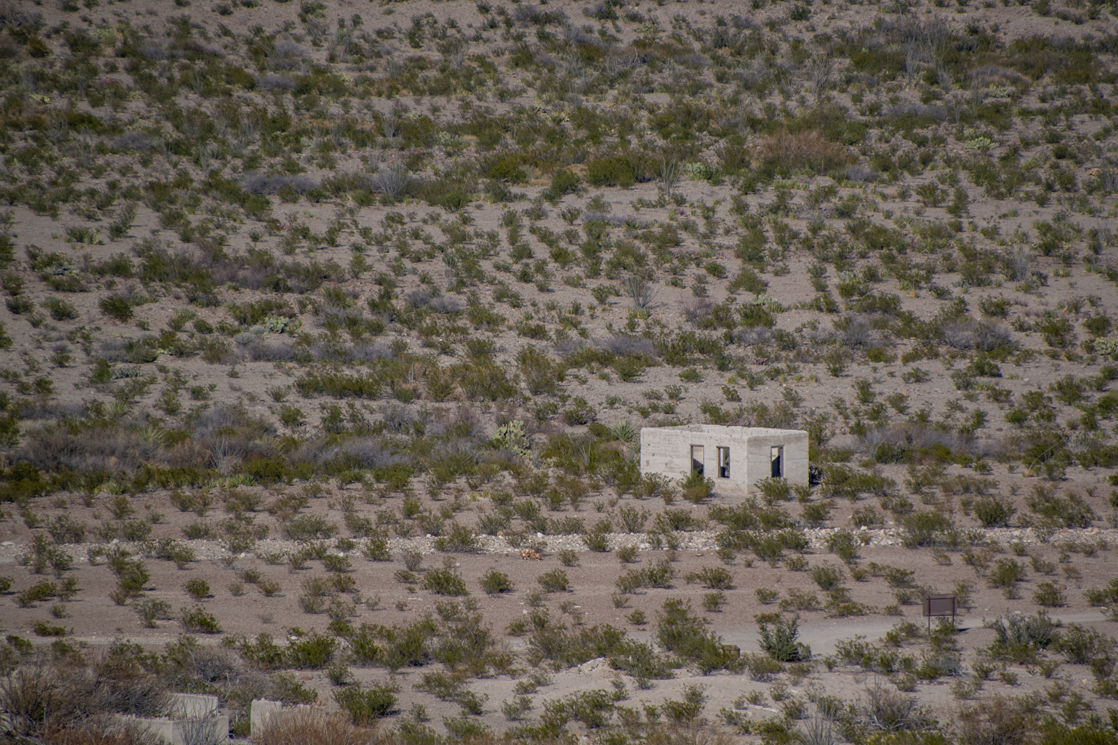
1940s era houses
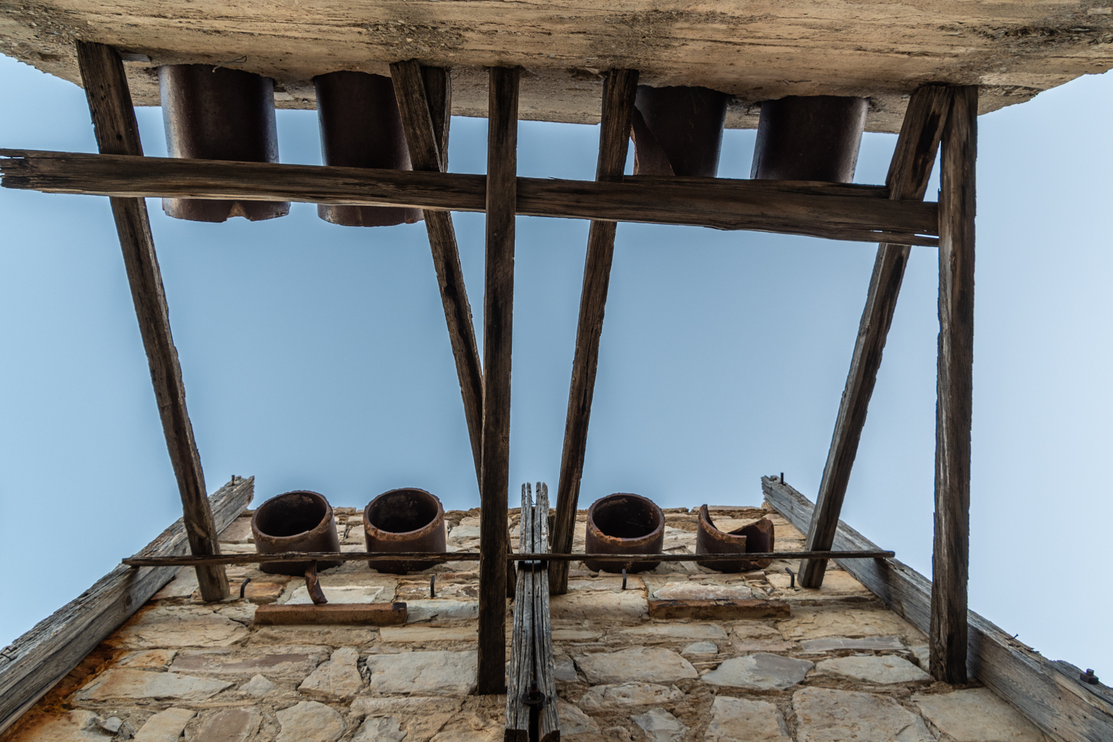
Condensers
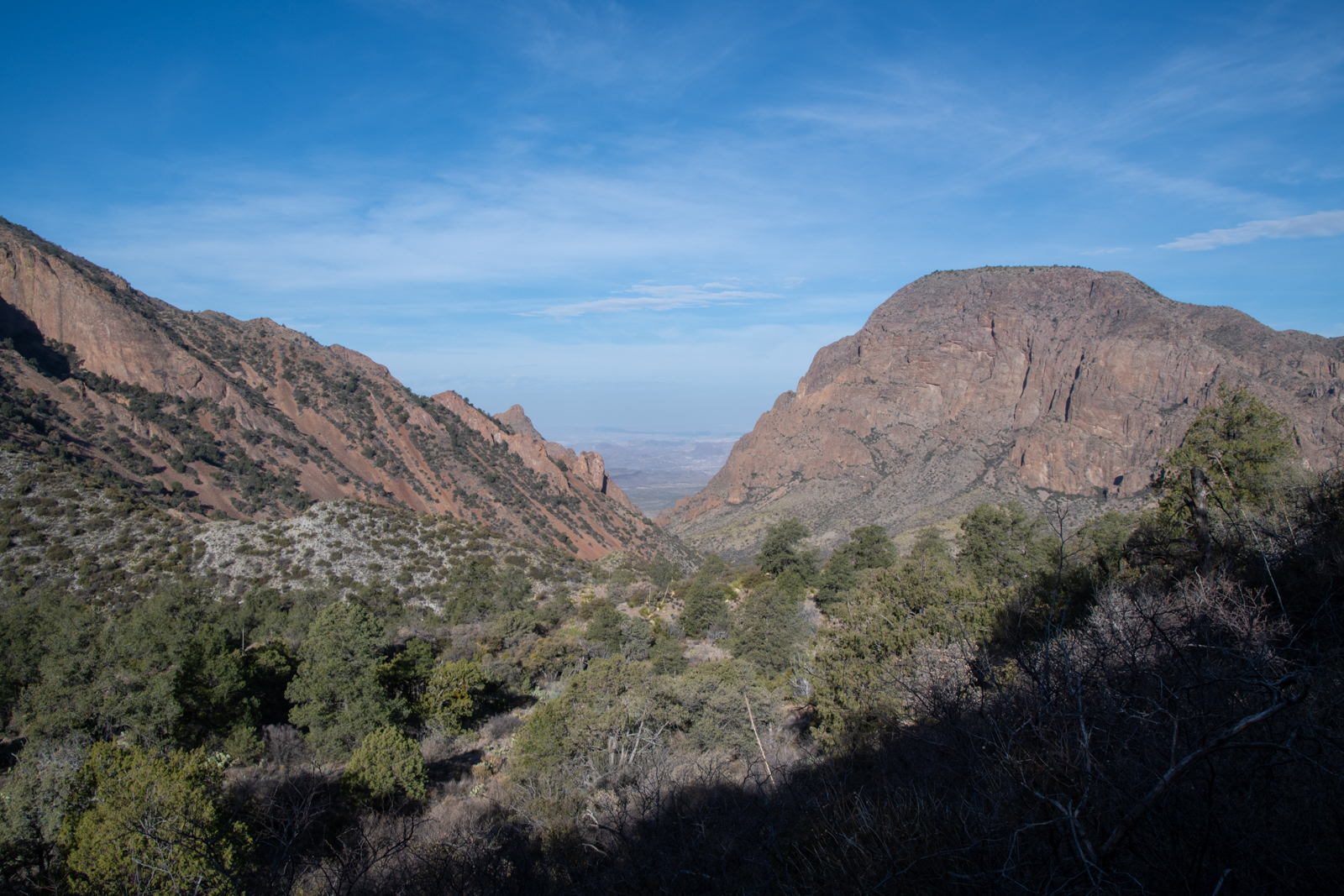
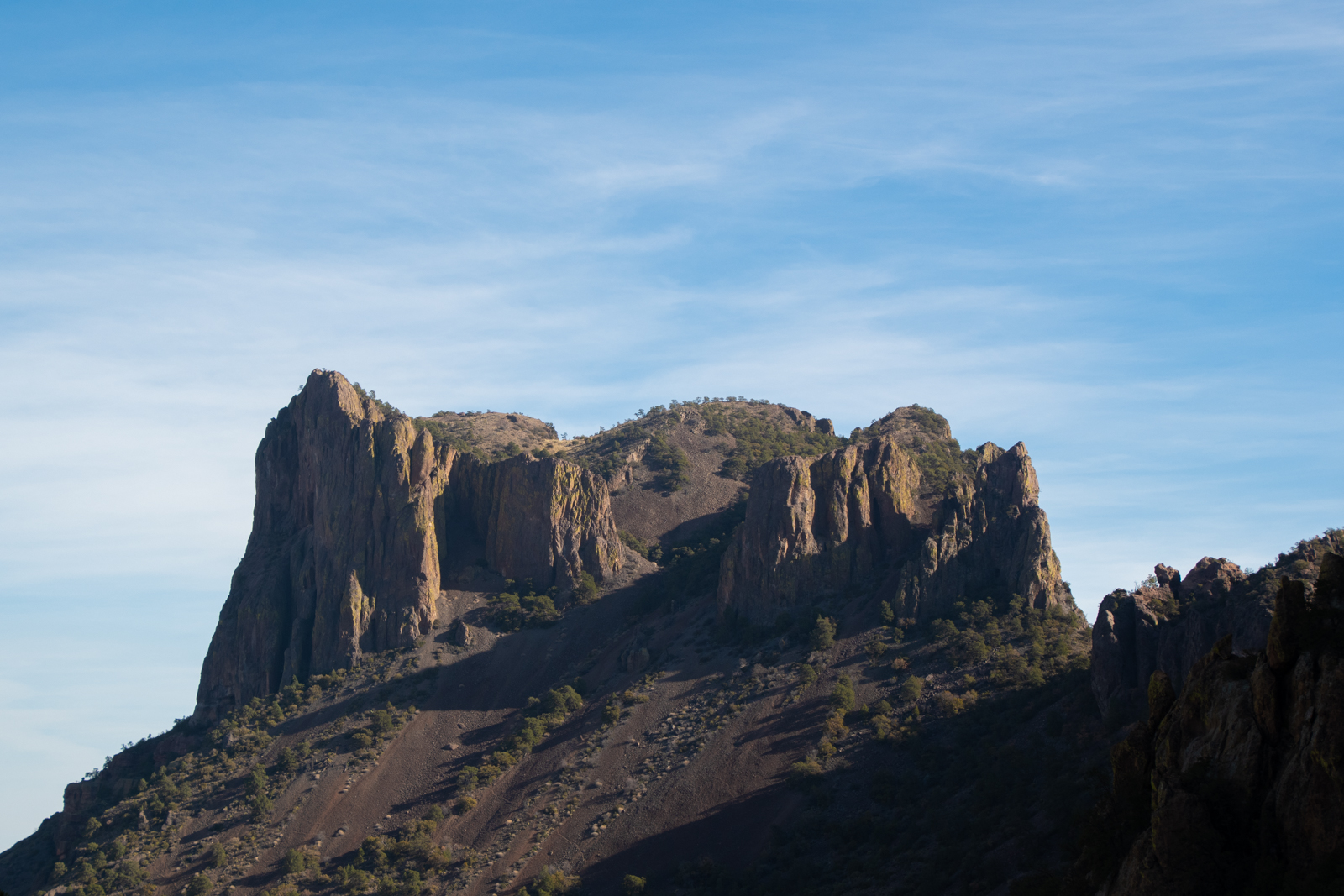
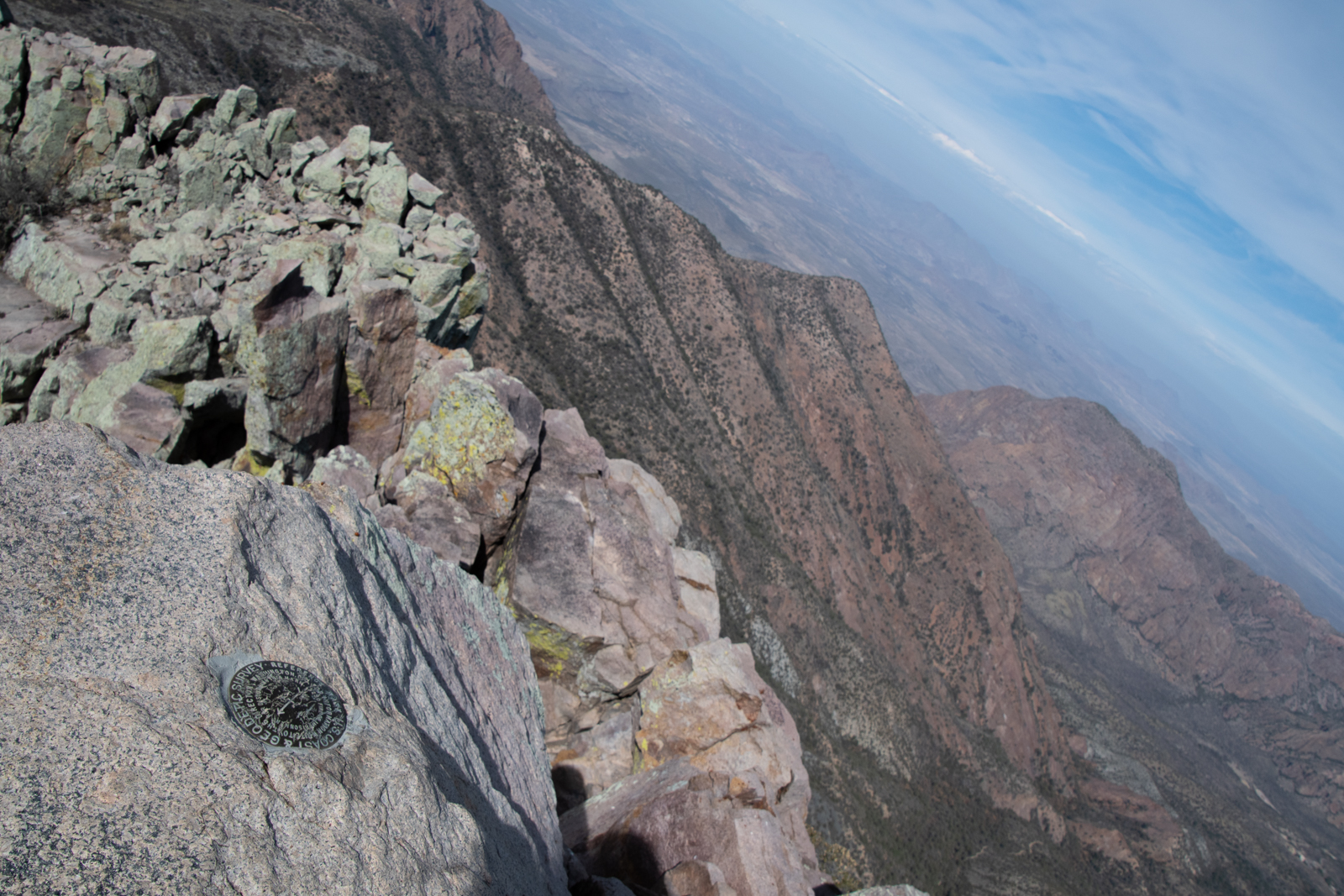
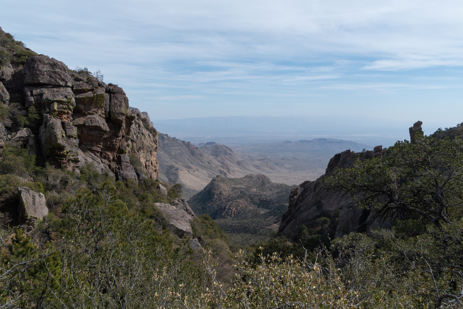
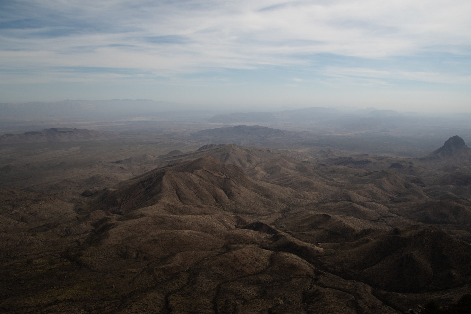
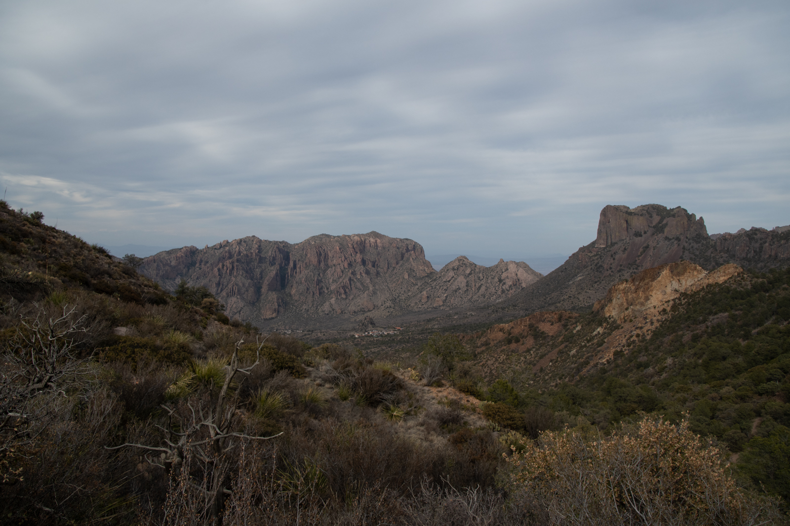
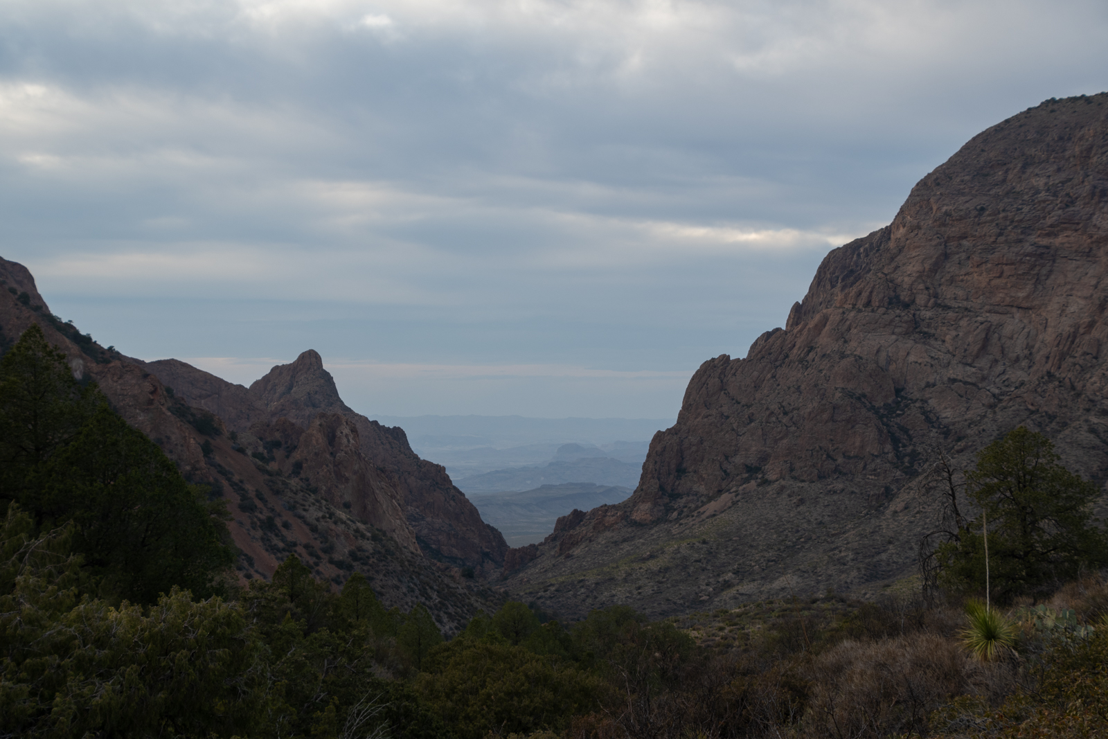
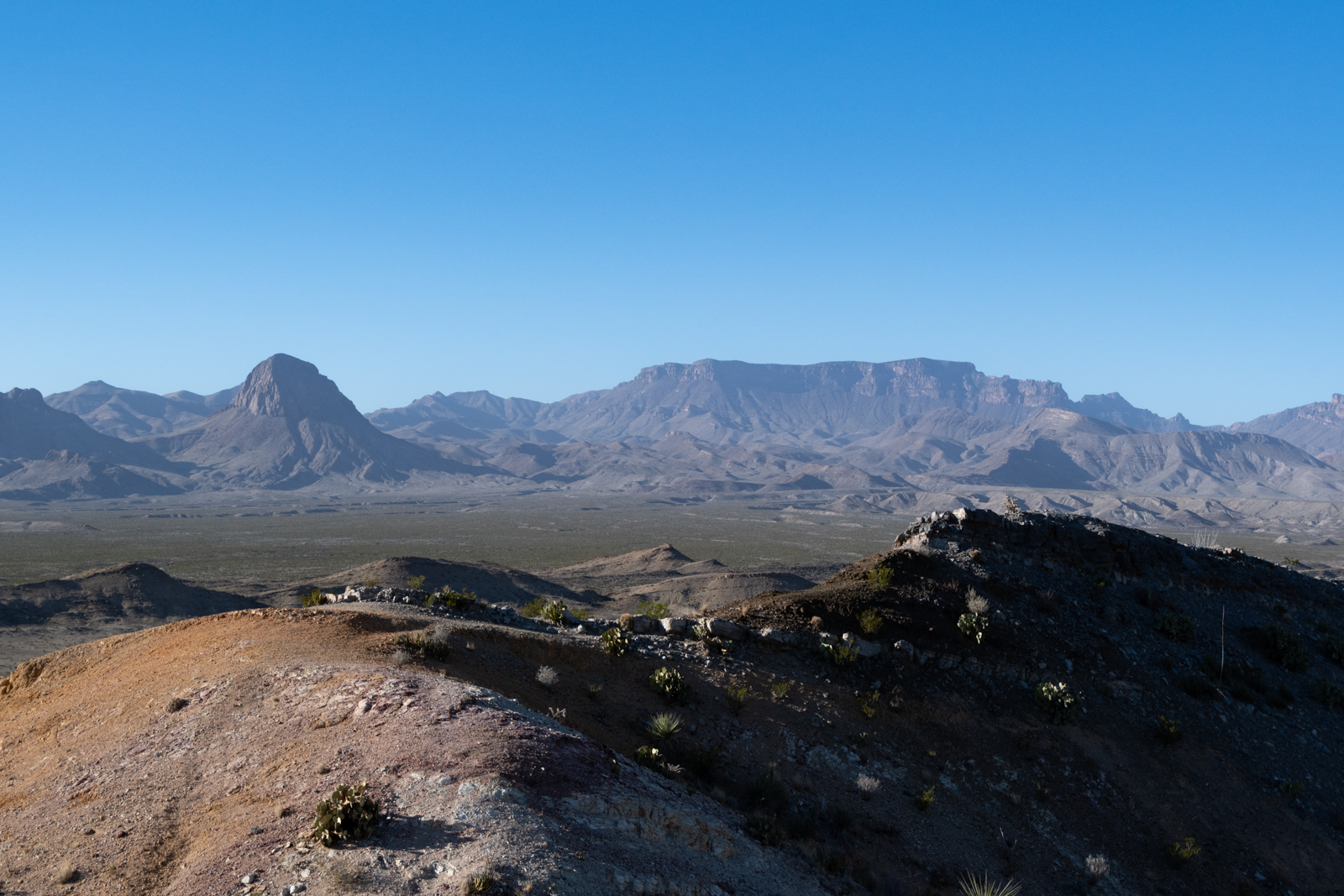
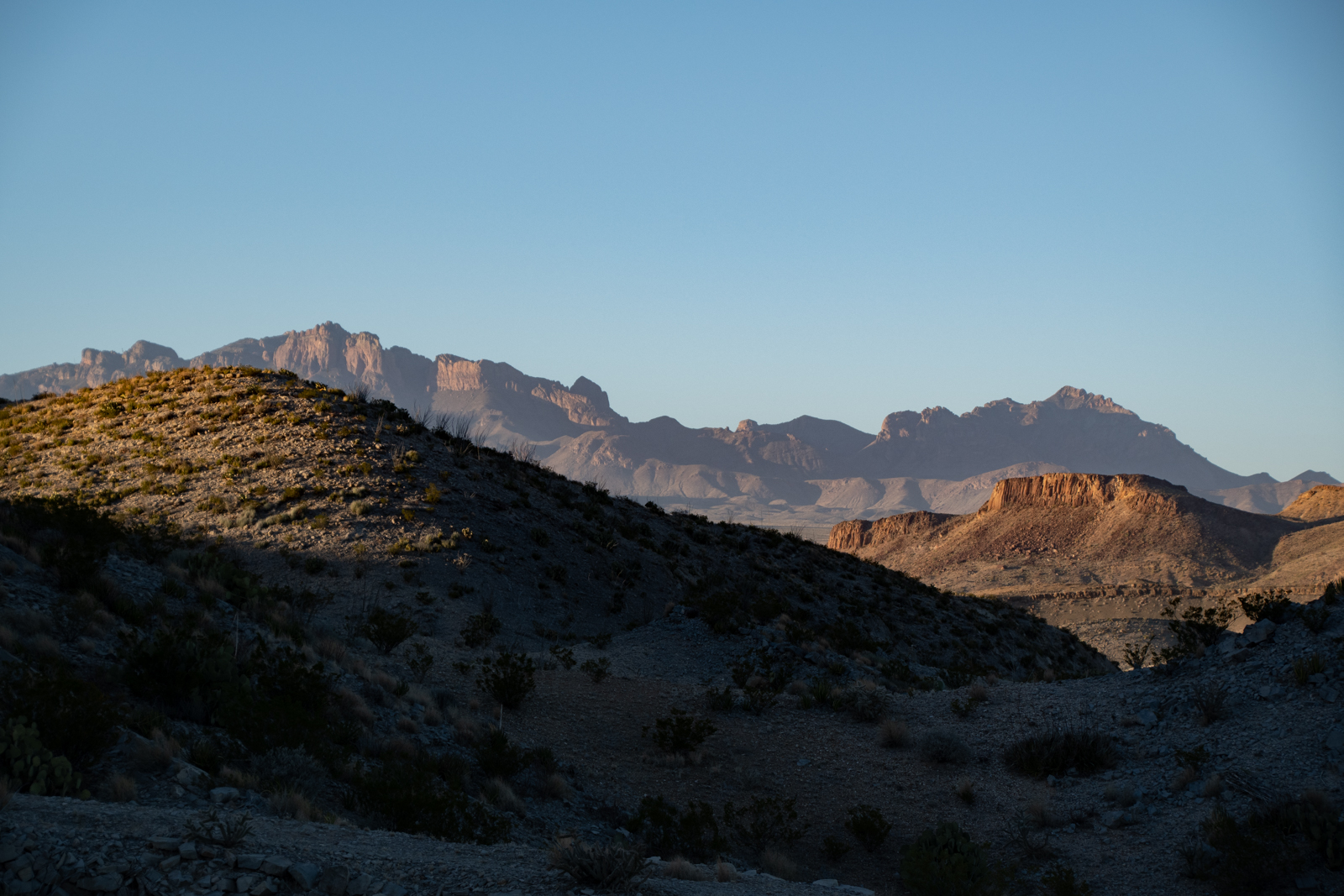
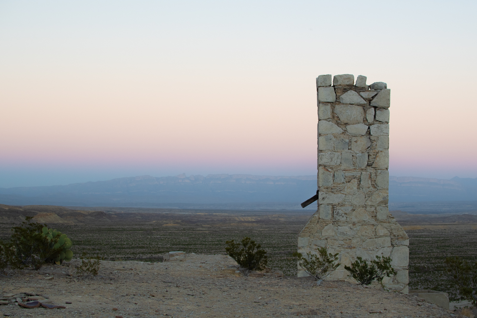
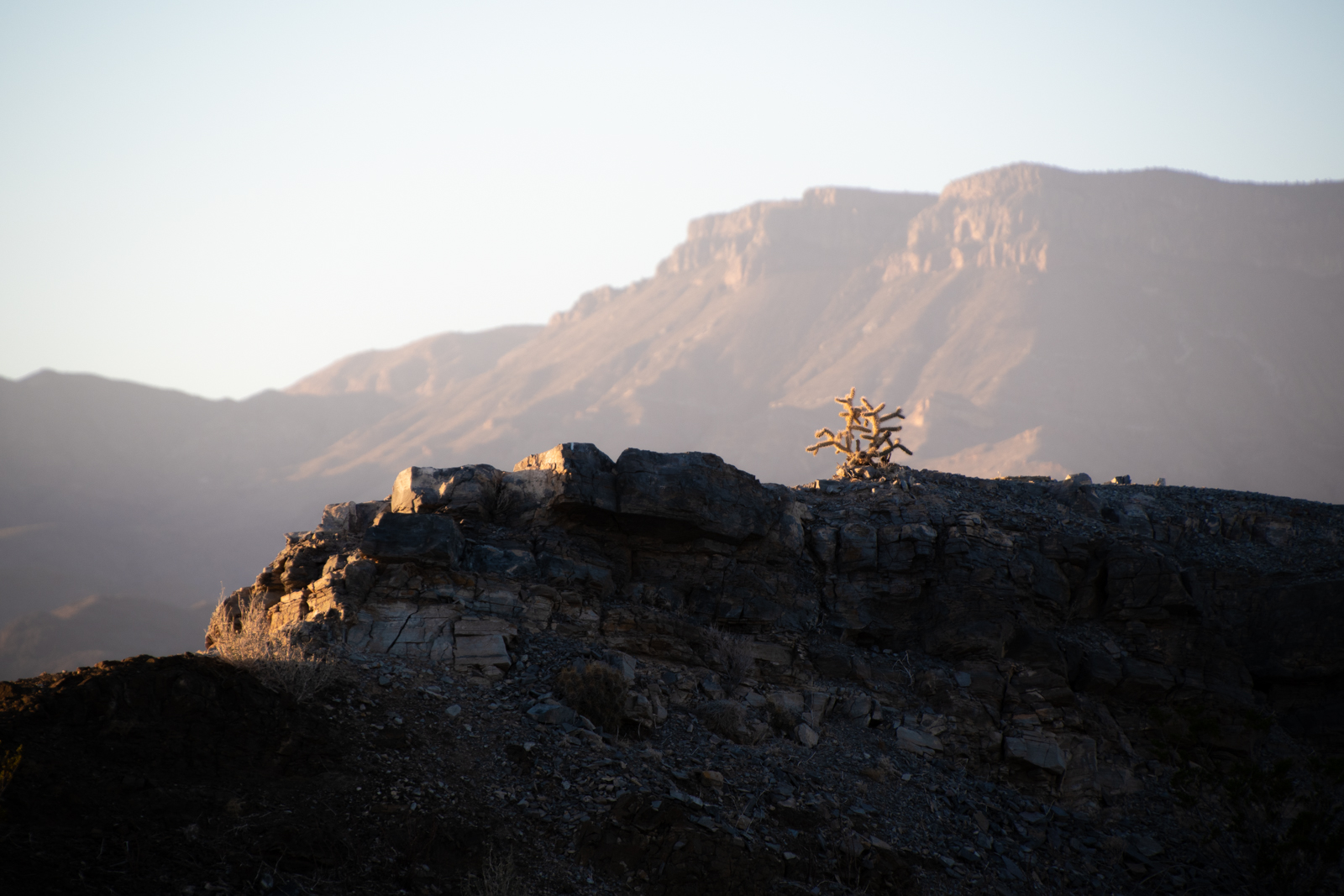
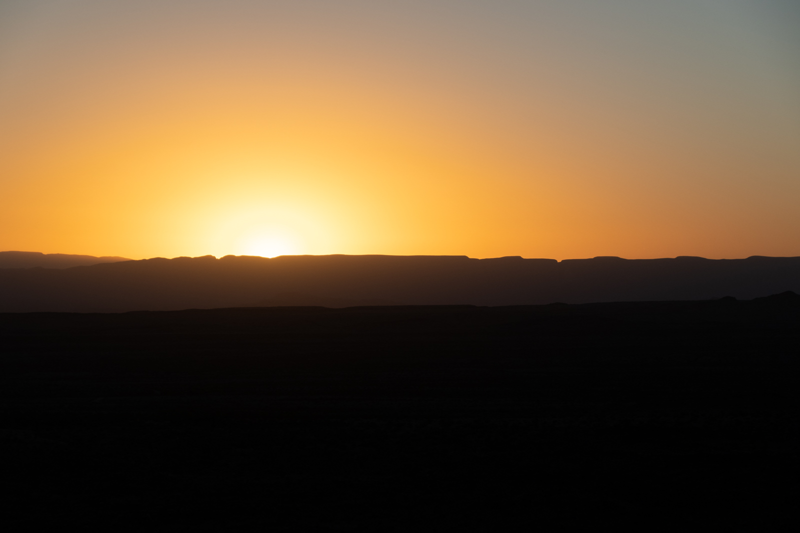
Chisos Mountains South Rim
Blacksmith shop; offices behind
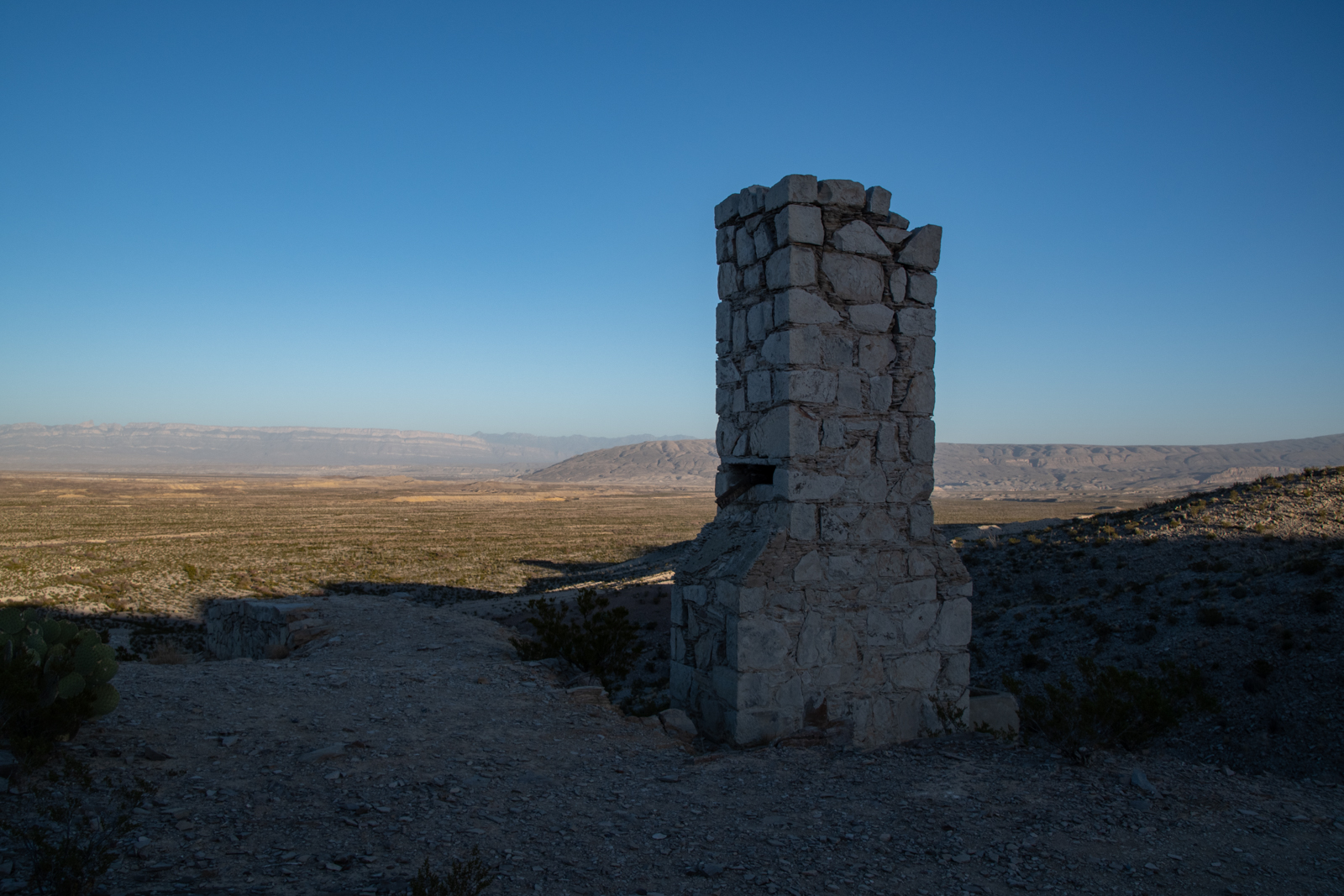
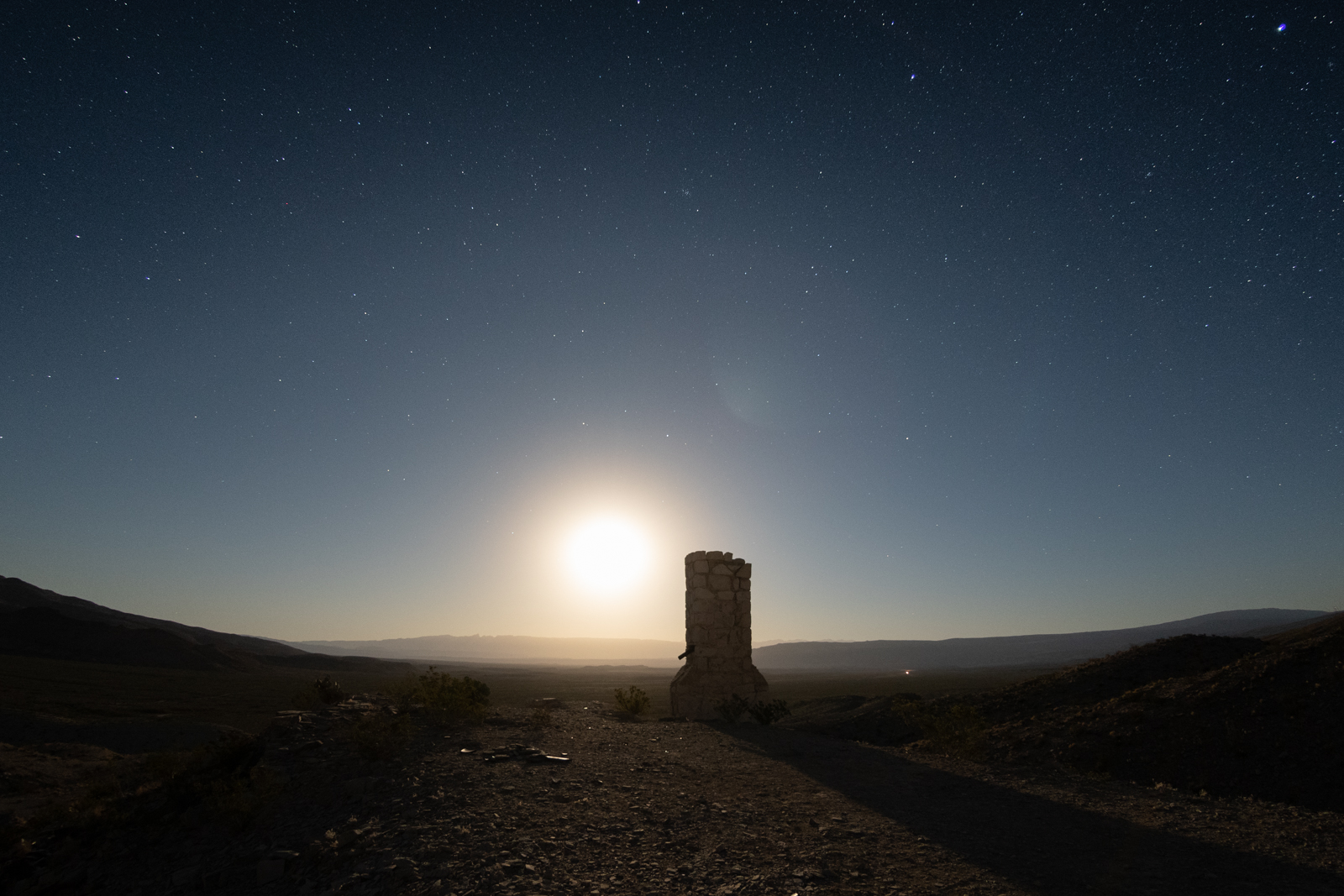
Exhaust stack
Scott furnace, 1919
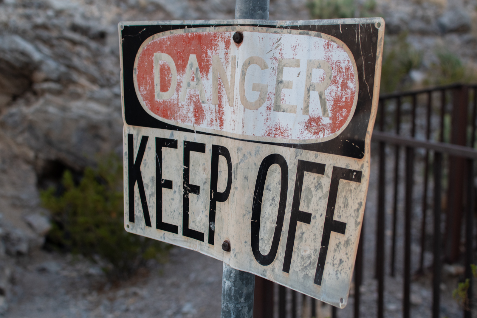
Poison, probably?
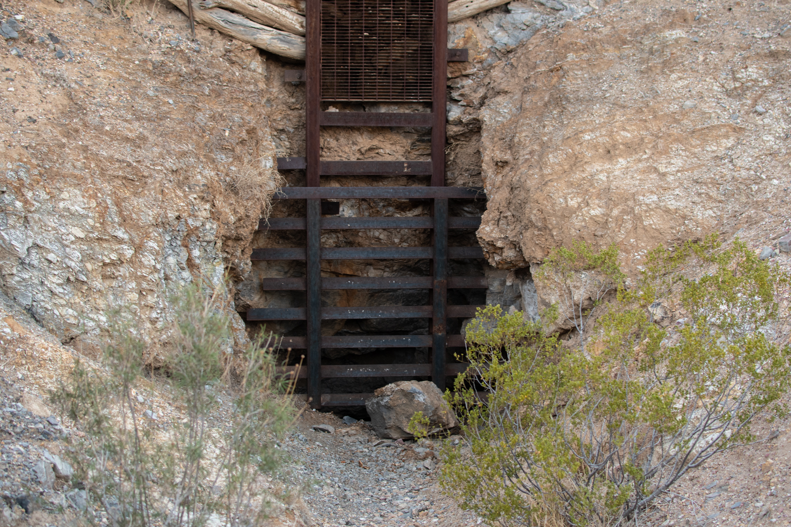
Secondary entrance
Pack mule and guard dog
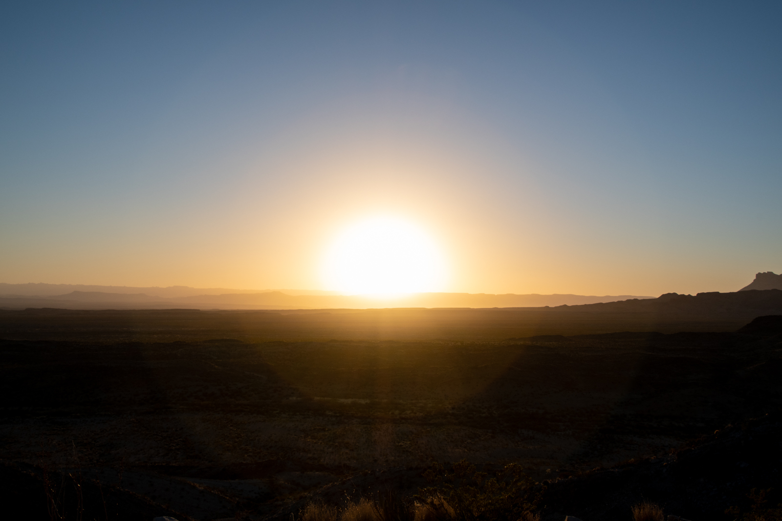
“Sit and don’t do much” isn’t usually part of my daily life or travel itineraries. But after a few minutes of feeling like I should be on the move, I sat on the edge of the old blacksmith shop and quietly watched the daylight fade over a beer.
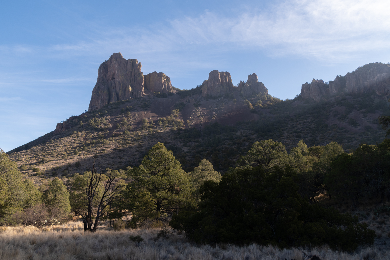
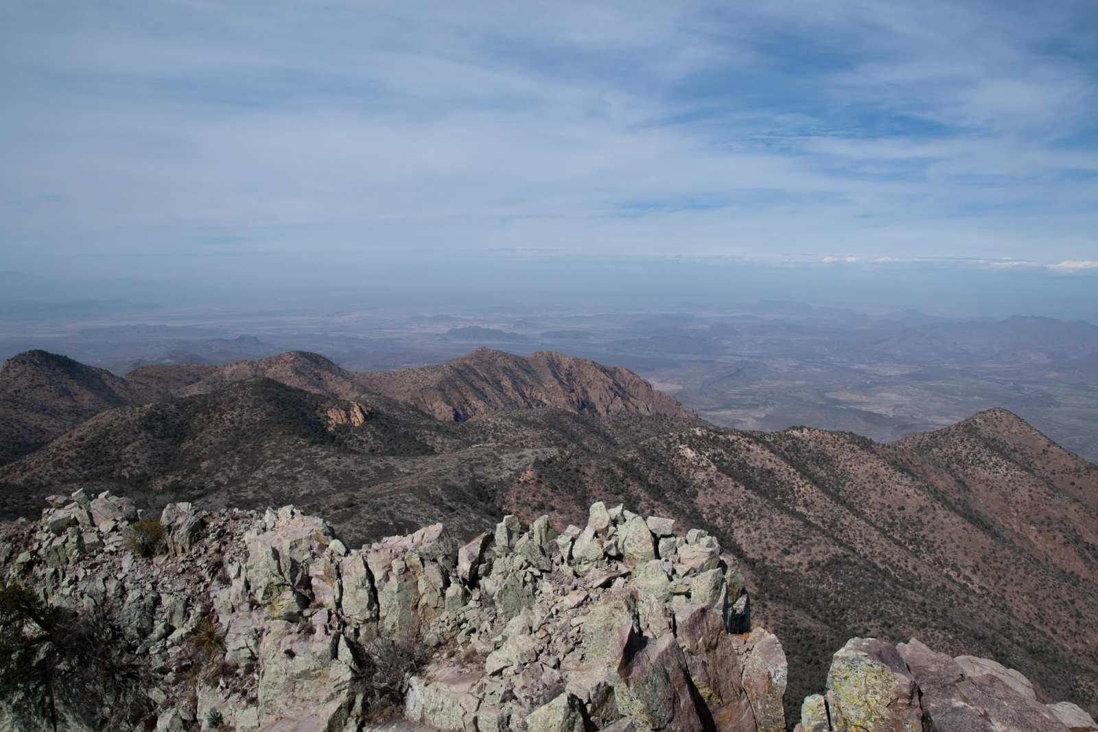
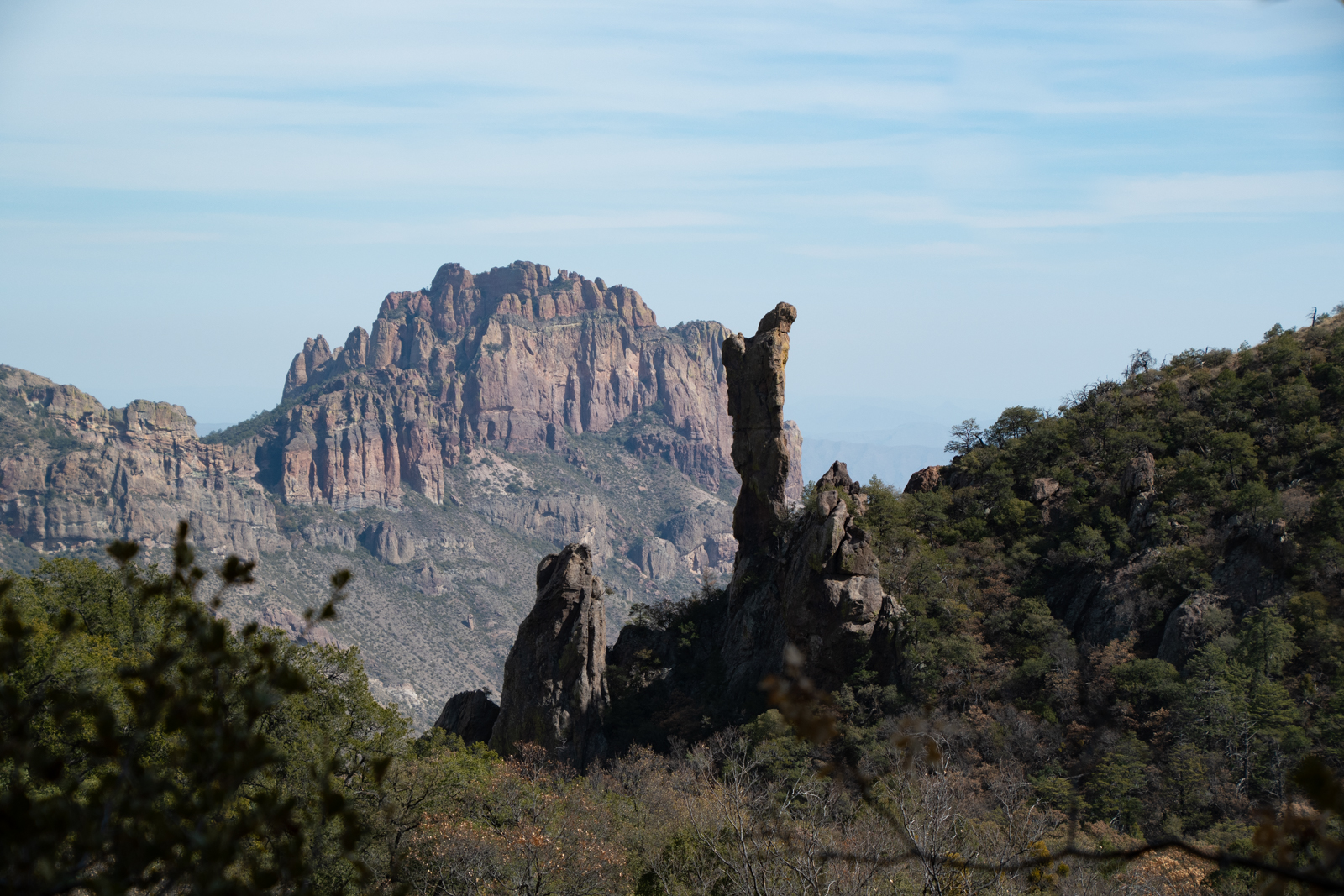
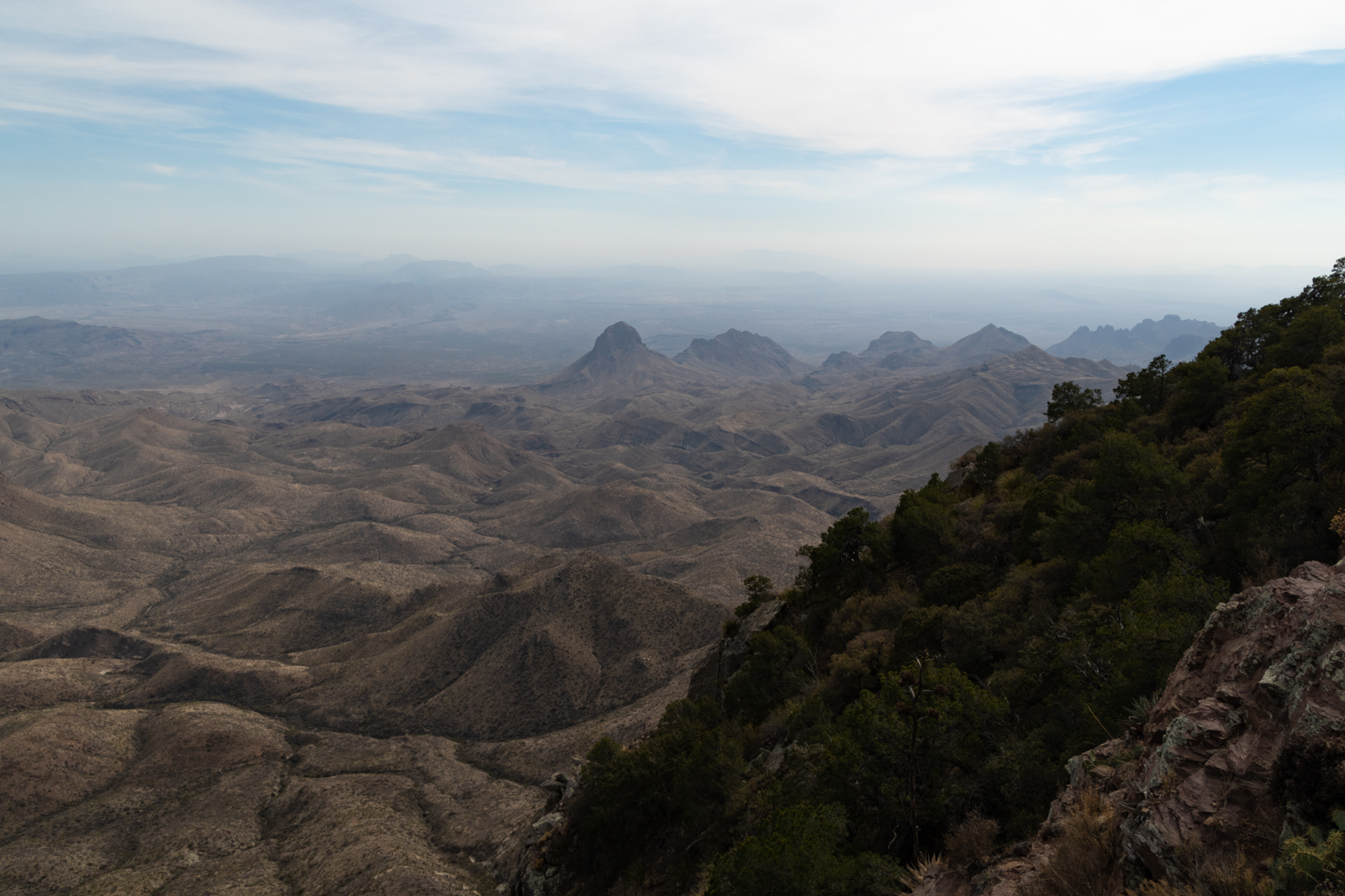
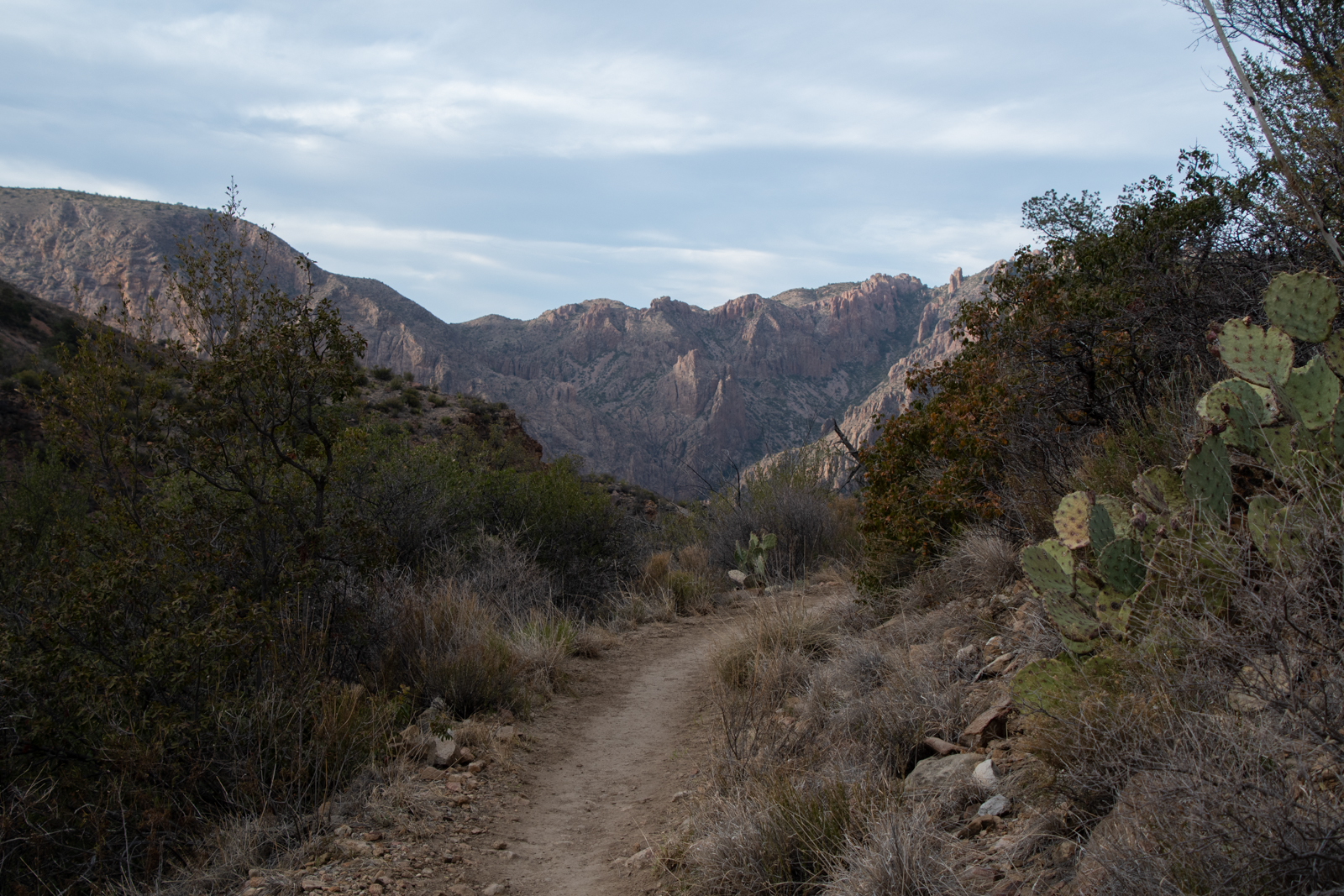
Chisos Rim
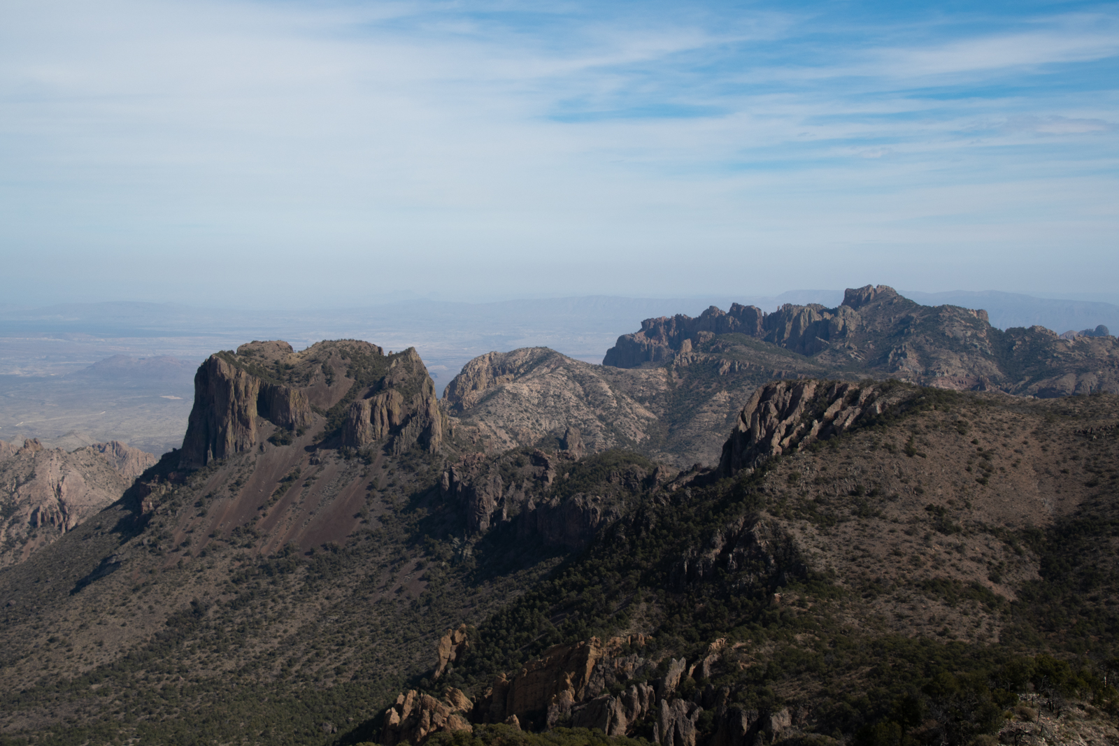
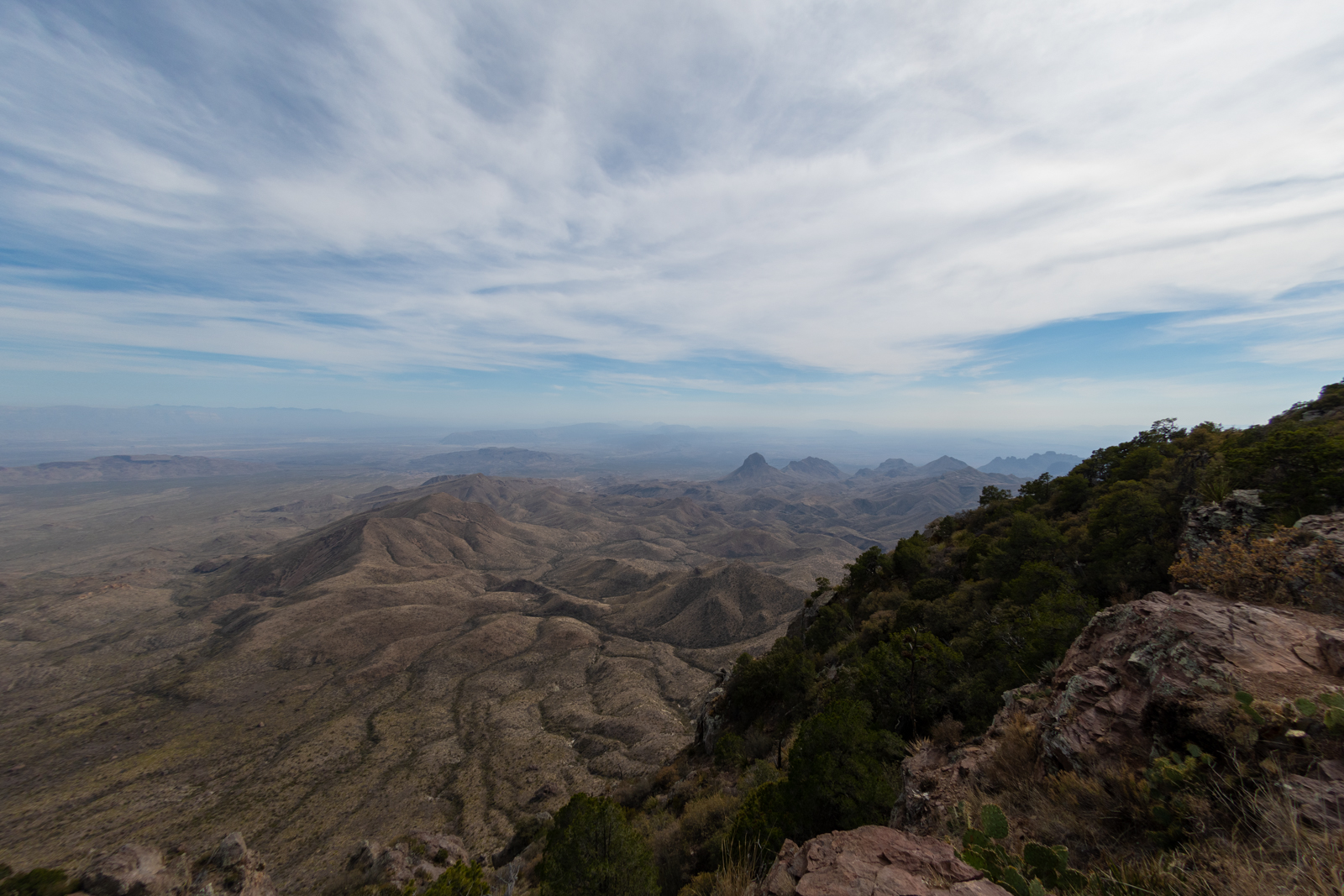
Elephant Tusk
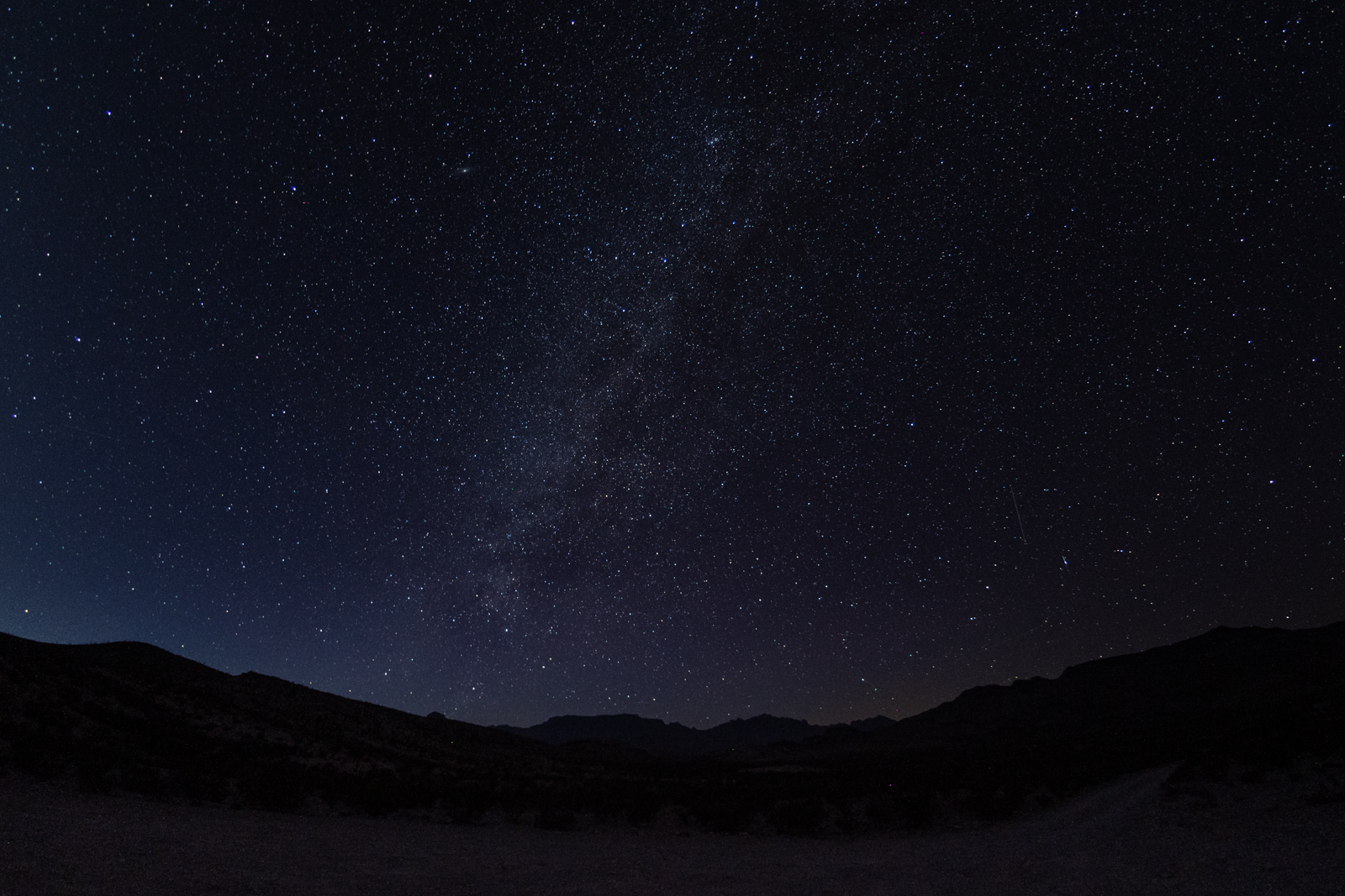
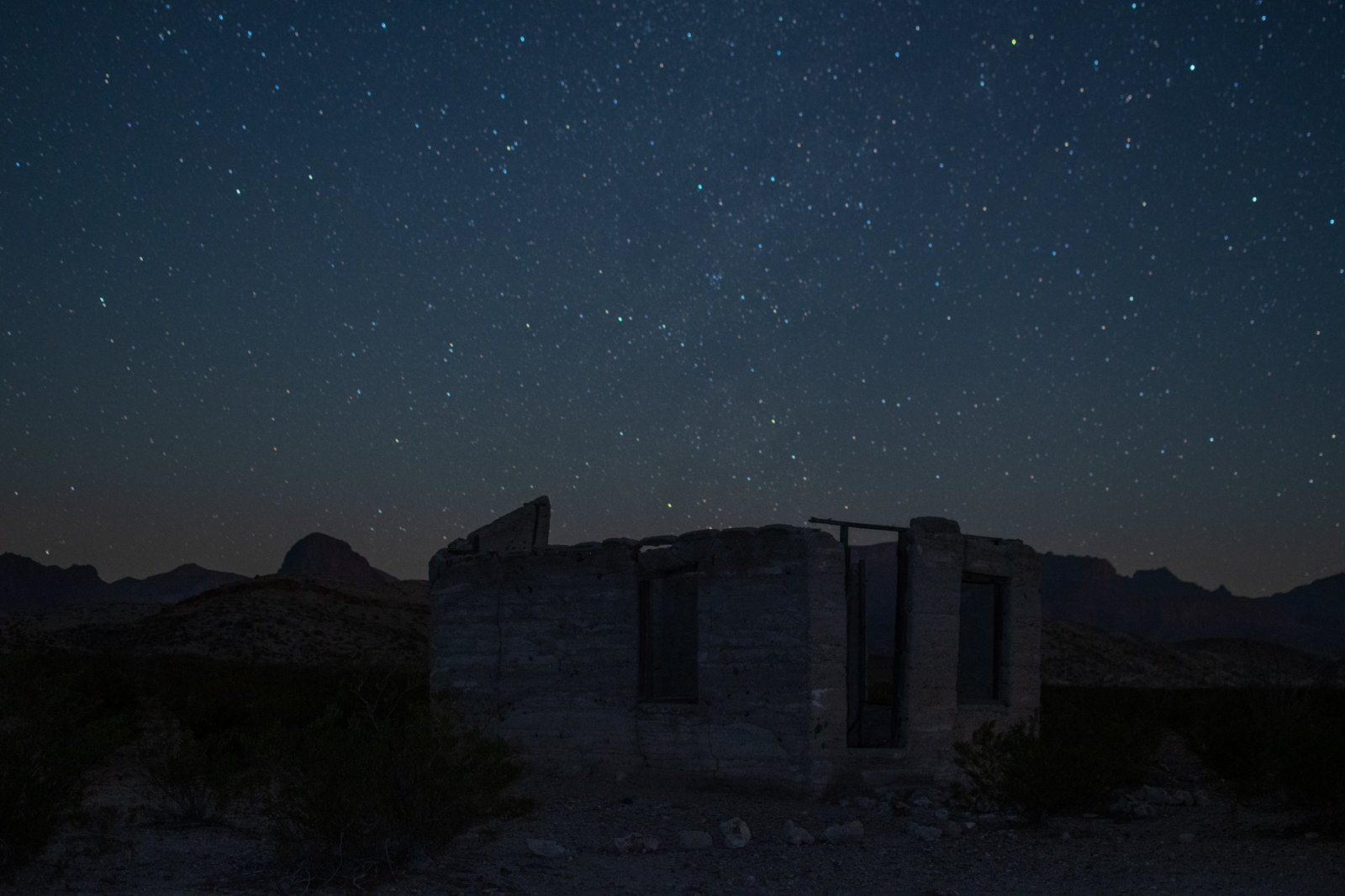
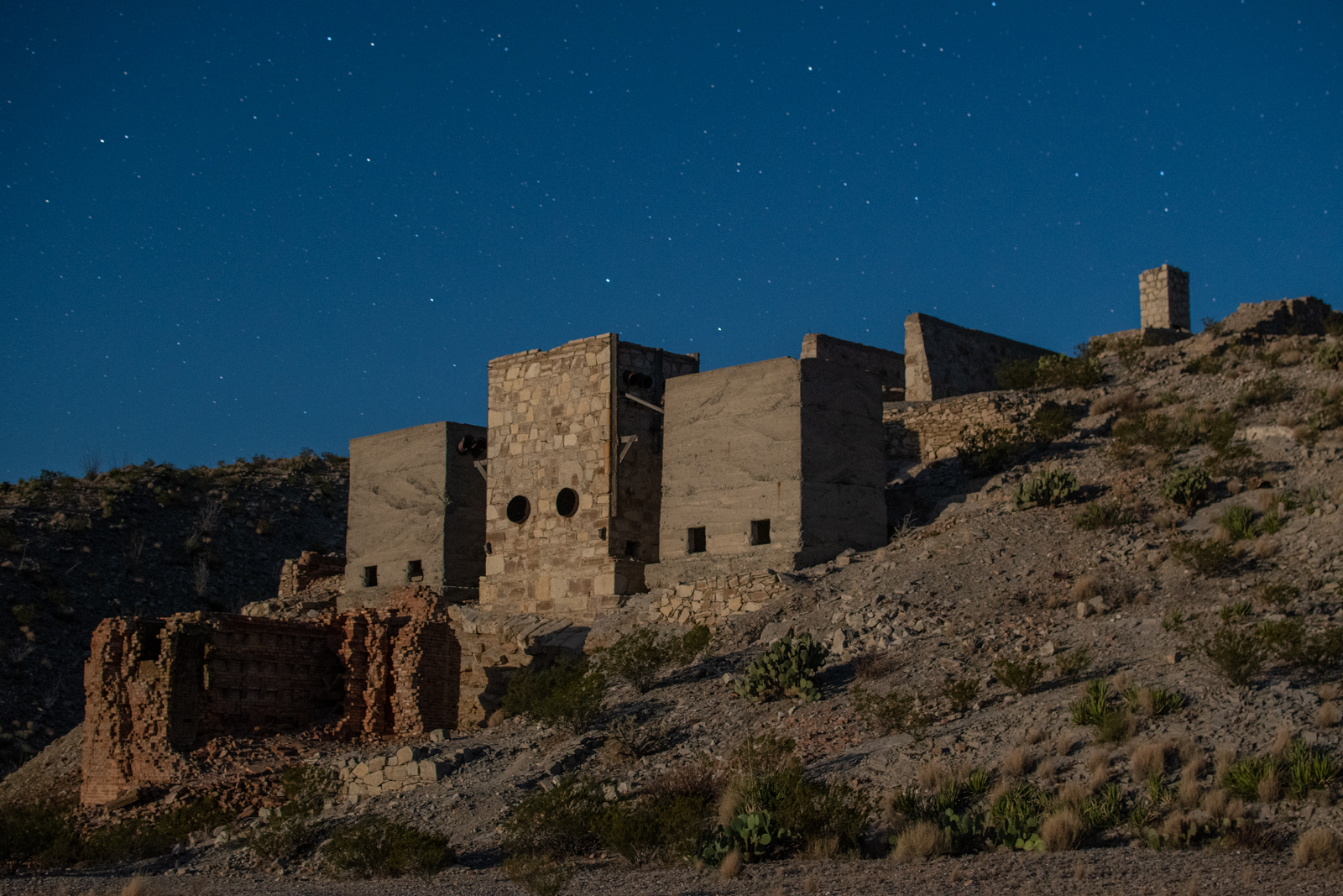
I wandered back to the car for dinner and photo editing while I waited for nightfall. I wanted to head back to the mine and photograph it at night. But as it got darker, I could feel the ghosts watching. And I’ll reluctantly admit — I was intimidated. I didn’t want to be eaten by monsters or fall into a haunted mineshaft.
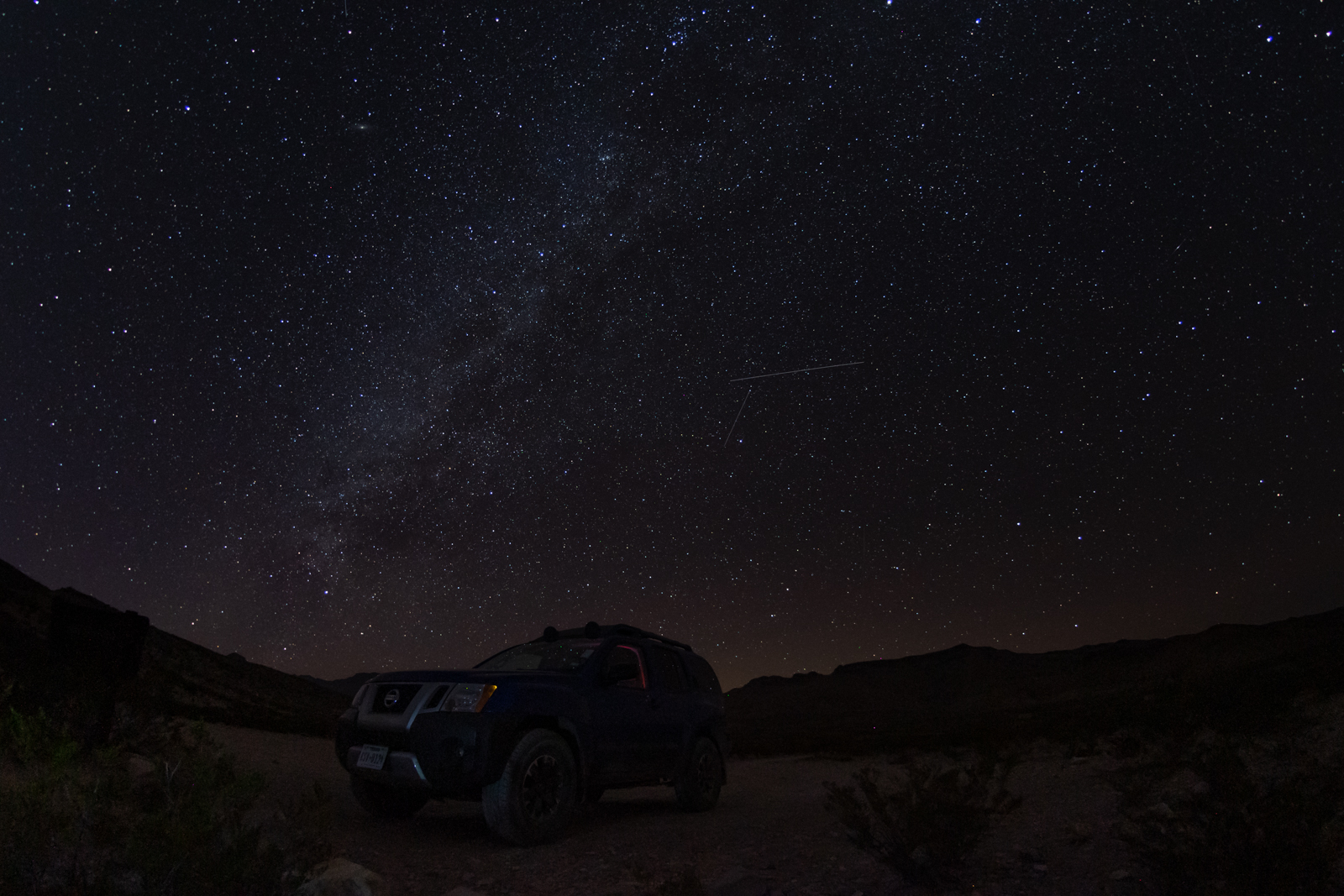
I decided I should practice my night photography on the housing and company store ruins along the main road because something about being near the Xterra made me feel safer. Likely the combination of lockable steel doors and a sleeping bag to hide under.
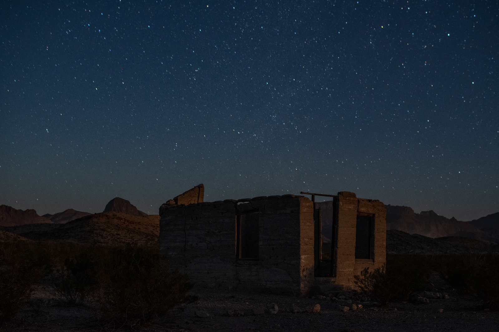
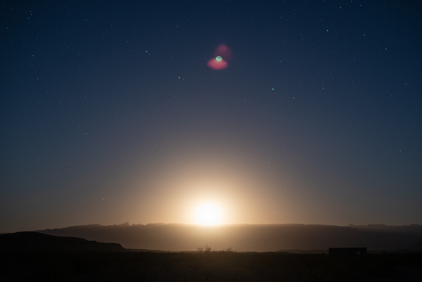
But while I “practiced,” the last hints of sunlight faded to the west and a searing moonlight burst through the horizon. As it lit up the front of the house, I knew I had to go back to the mine. So I finished my bravery beer, grabbed a flashlight, put some music on my phone, and walked the half mile back up to the ruins.
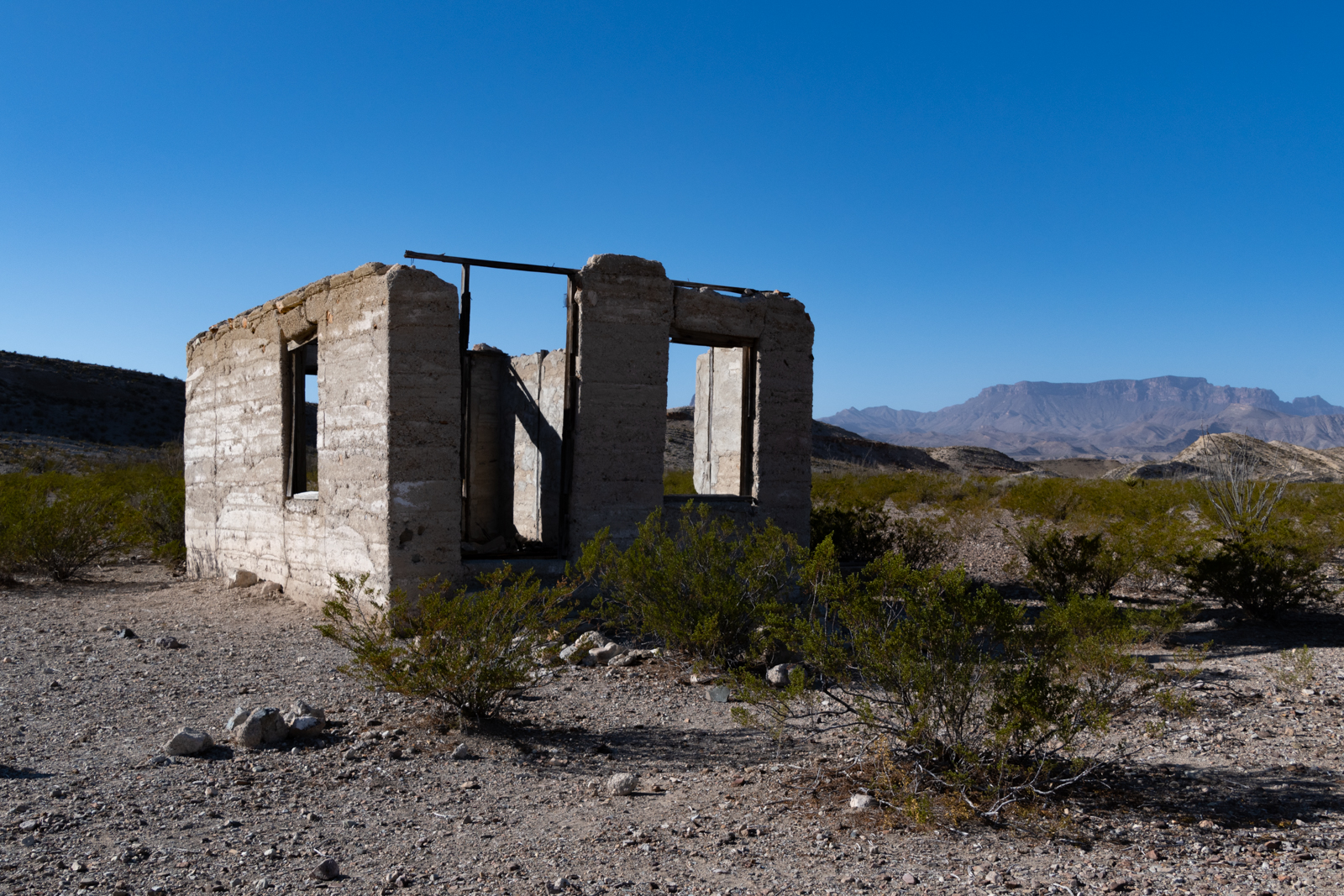
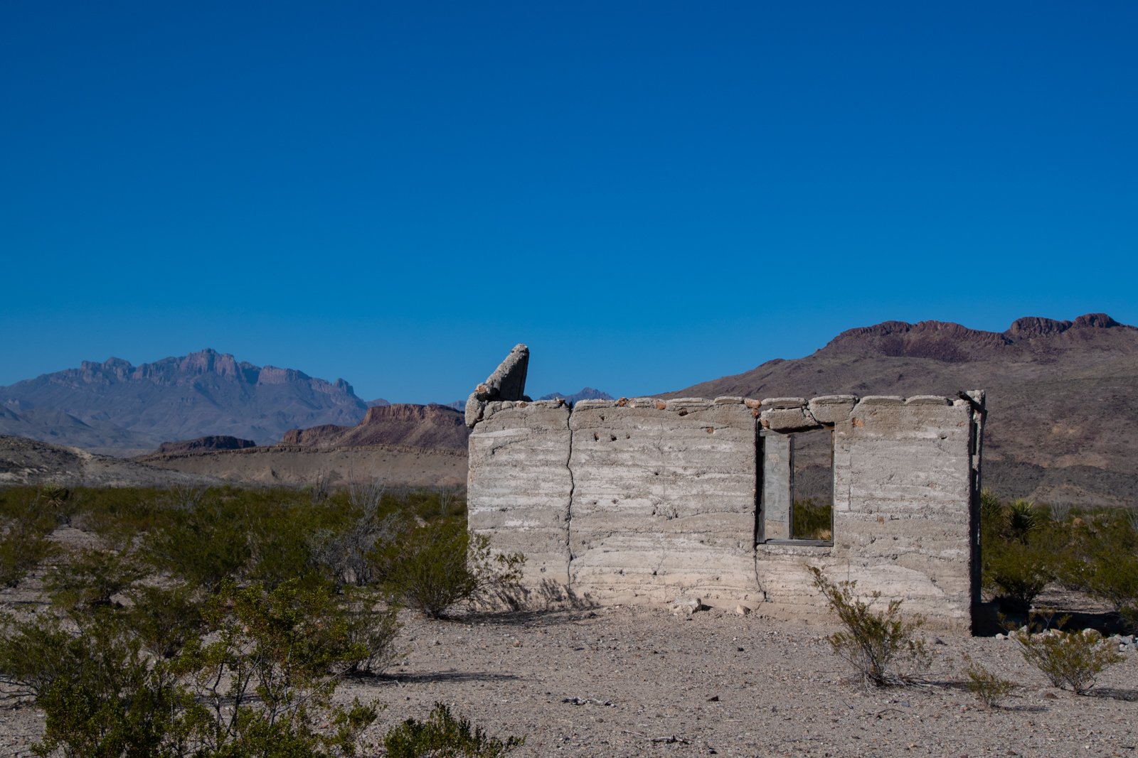
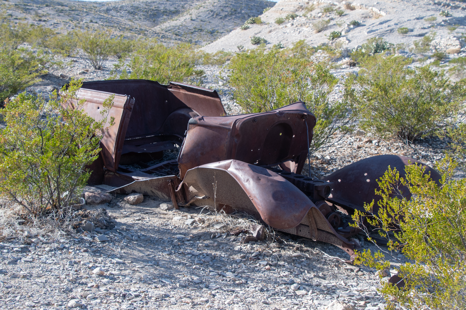
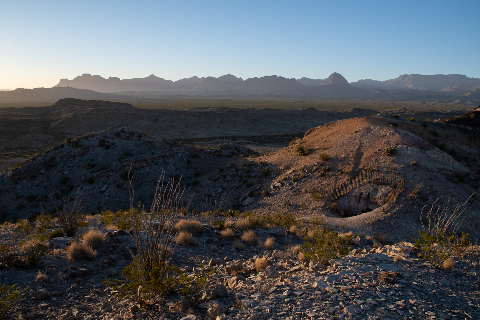
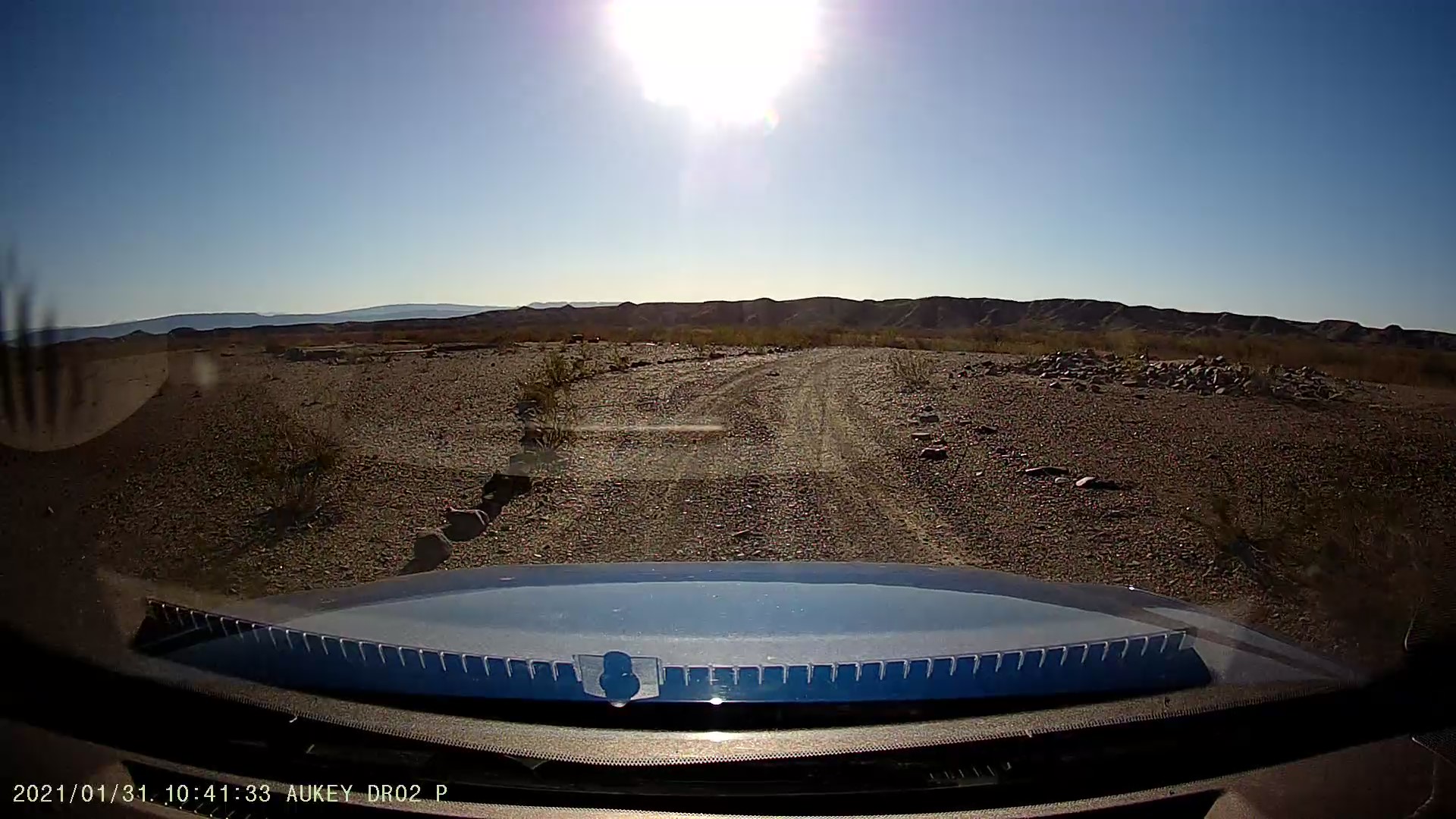
I woke up this morning with a long route ahead, but feeling no particular hurry. I finished River Road through the park, making a few detours marked in my book. I stopped at the remains of Johnson’s Ranch, now a pair of backcountry campsites, in the ruins of an old ranch complex along the river.
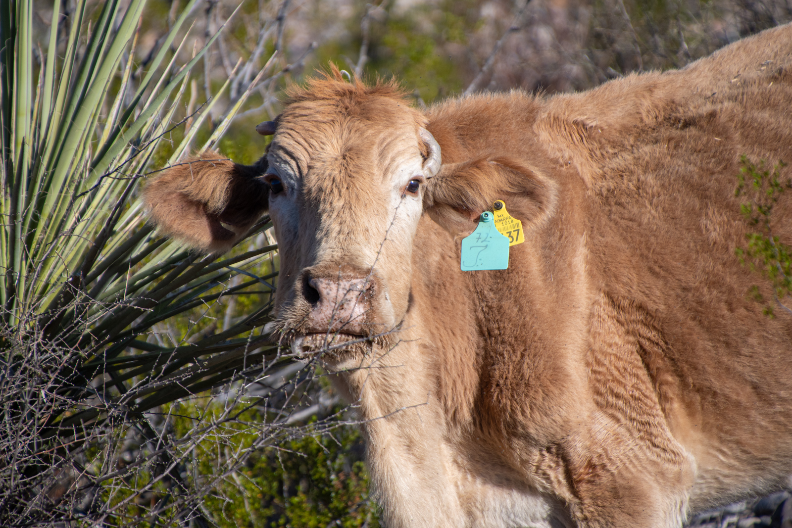
The foundations are all that remain of several outbuildings and the old house, with a small gravesite beyond. A tiny airstrip was cleared in 1929 and the Johnsons operated a trading post, cotton farm, and goat ranch until the 1940s. It was apparently quite the weekend getaway for locals. A few “trespass livestock” animals were grazing around, too — they cross the Rio Grande from ranches across at a shallow point and eventually wander back.
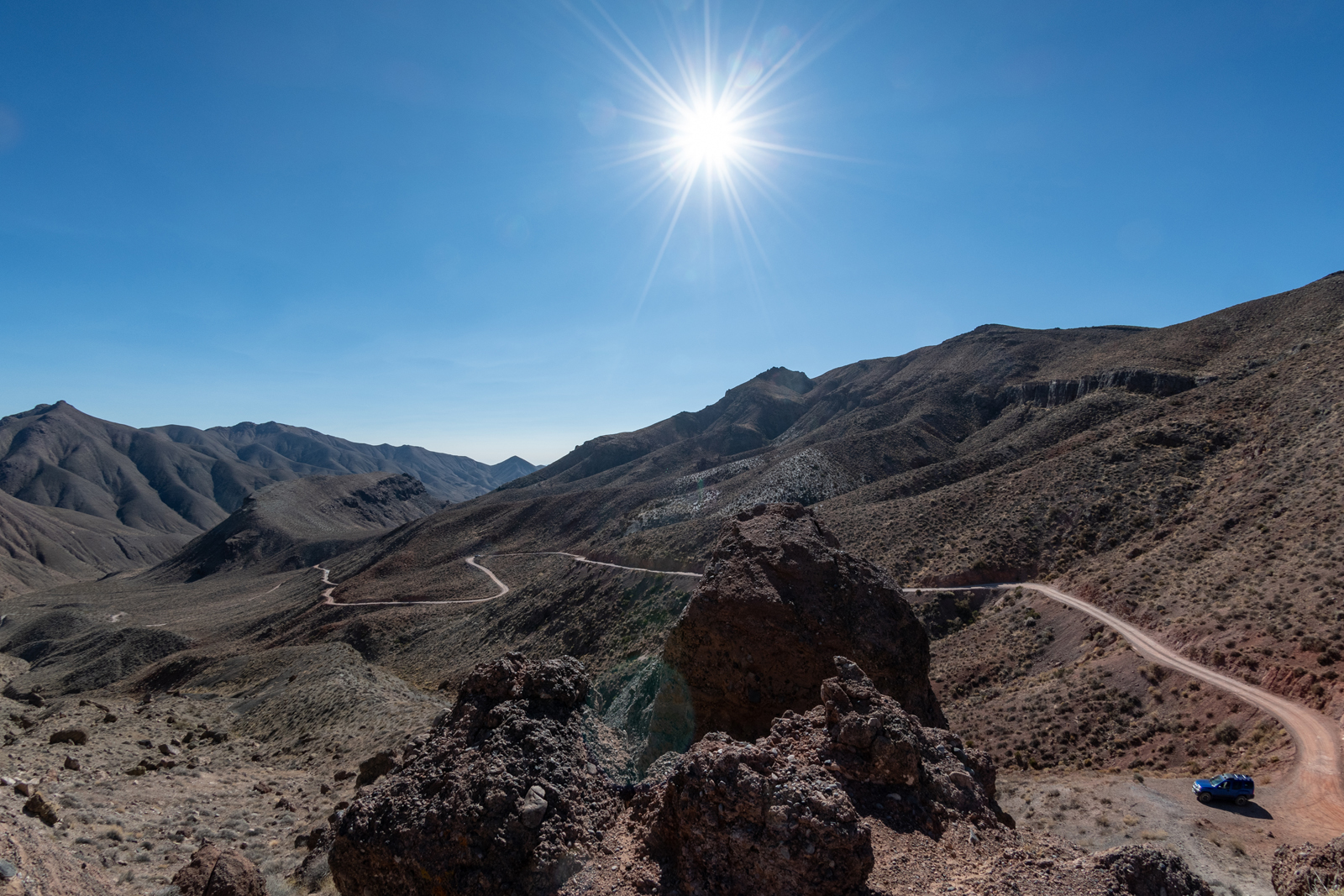
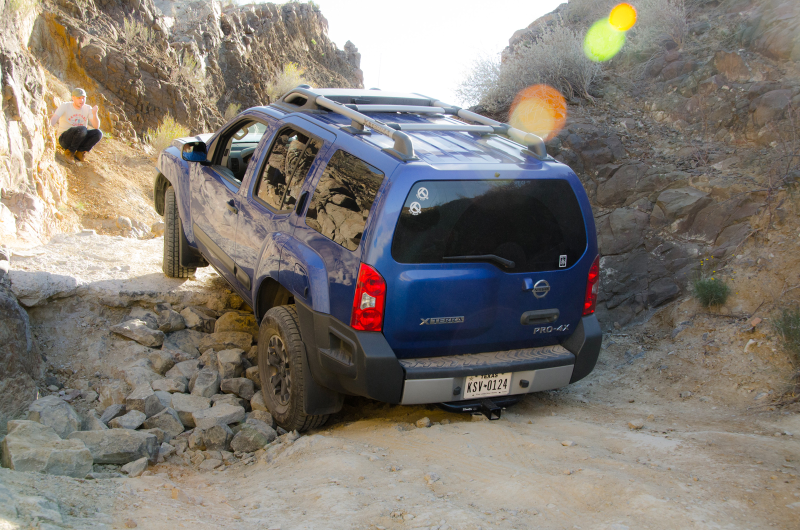
The rest of the road, even toward the comparatively more rugged western half, is still pretty manageable. We did all this after nightfall back in 2018 and it felt somewhat more intense in the dark.
Daylight revealed sweeping views of the flat desert wash headed toward the river with a giant wall in the distance that is Santa Elena Canyon. The rest of the drive in the morning sun and cool air was beautiful. A short hour or so later, I rolled out onto Ross Maxwell Scenic Drive, named for the park’s first superintendent. It links up some of the most stunning overlooks and trails outside of the Chisos on its way back to the main park highway.
At Terlingua, I decided I could spare an extra hour to take FM 170 from Terlingua through Lajitas into Presidio before heading home. It’s a beautiful canyon drive along the river, and this was my third time to do it, but it never gets old. There are a few hikes along the route I’d like to do one day, too.
I picked up a new book recently, Yonderings: Trails and Memories of the Big Bend, wherein author Ben English recounts his life growing up in this area. As a boy, he was a frequent passenger on a new bus service that ran this highway, originally known as “the River Road” long before the National Park was established. It carried him between Presidio where his family lived and Lajitas, where his grandparents lived in and operated the general store and trading post in the early 60s. At the time, I gather 118 from Lajitas up into Terlingua wasn’t paved, and Terlingua was little more than a mine and a cinnabar furnace.
From Presidio, it’s a straight shot through Marfa and Fort Davis to pick up I-10 in Balmorhea. Not the shortest route home, but I did make a discovery when I did a map-check. Marfa is closer to Austin than Tulsa.
Suddenly this remote West Texas paradise doesn’t seem nearly as far away.
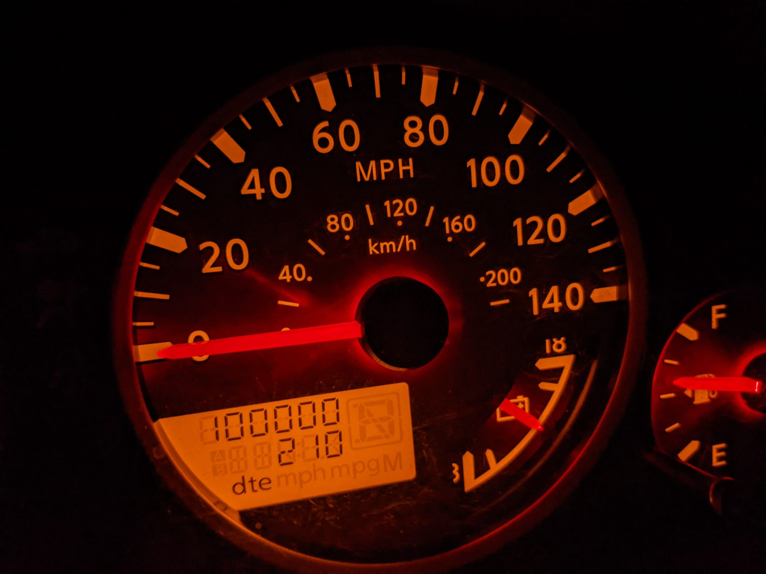
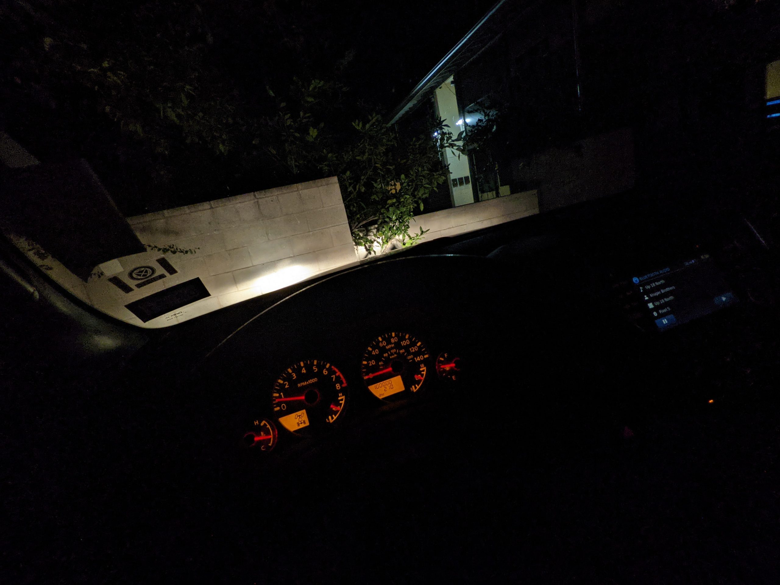
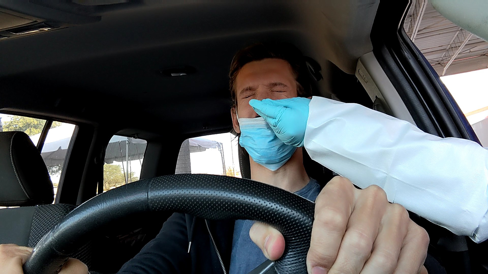
I didn’t stop again on the way back, passing the time with more podcasts and bluegrass music. And then — without exaggeration — as I rolled into my apartment’s parking lot, a major mile marker:
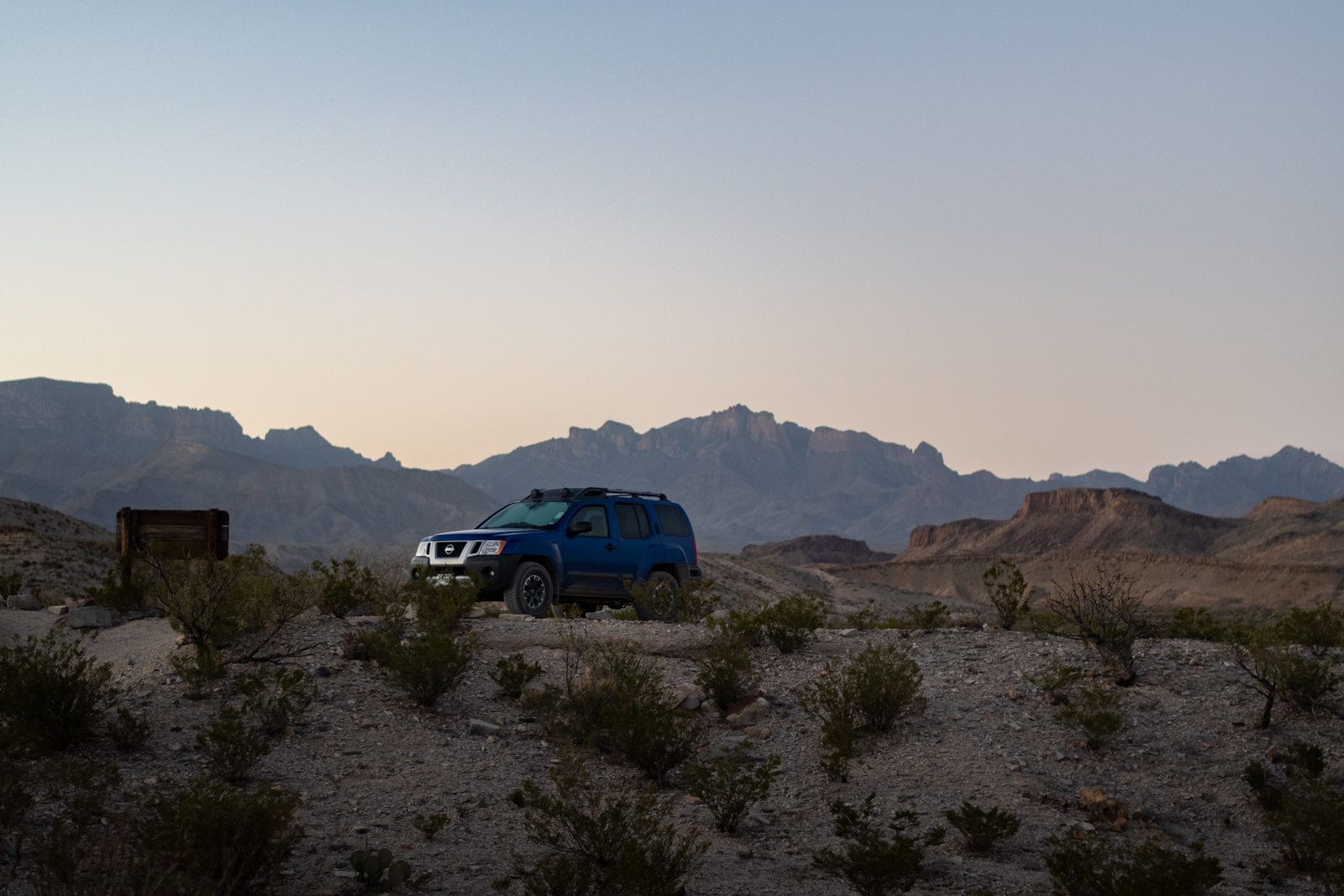
Proof of location
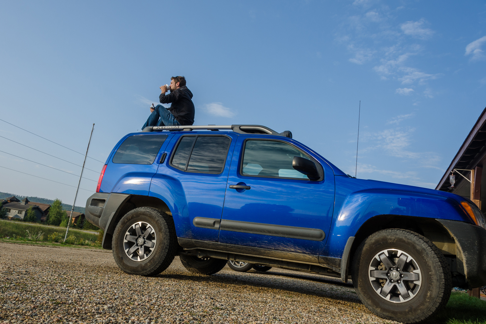
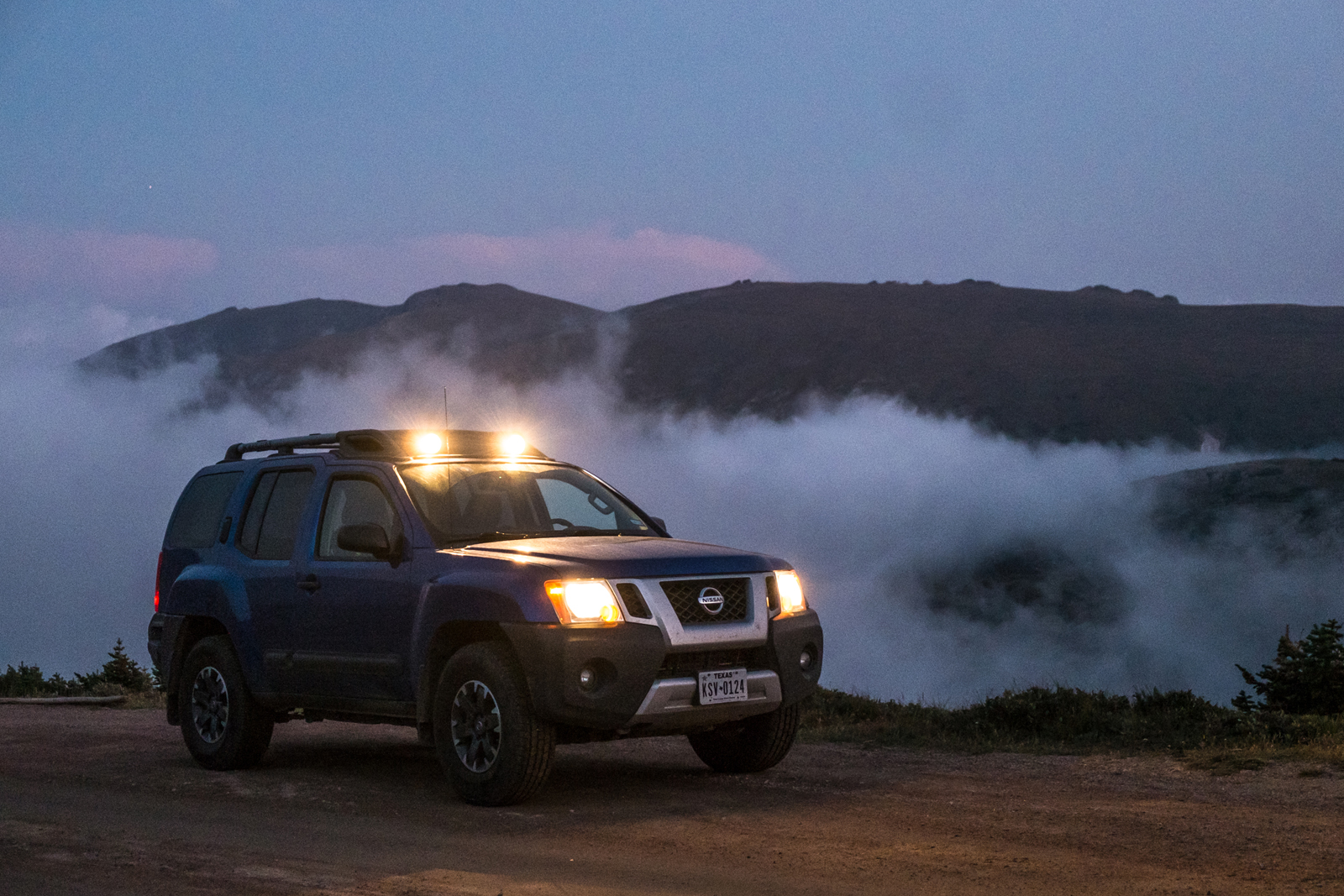
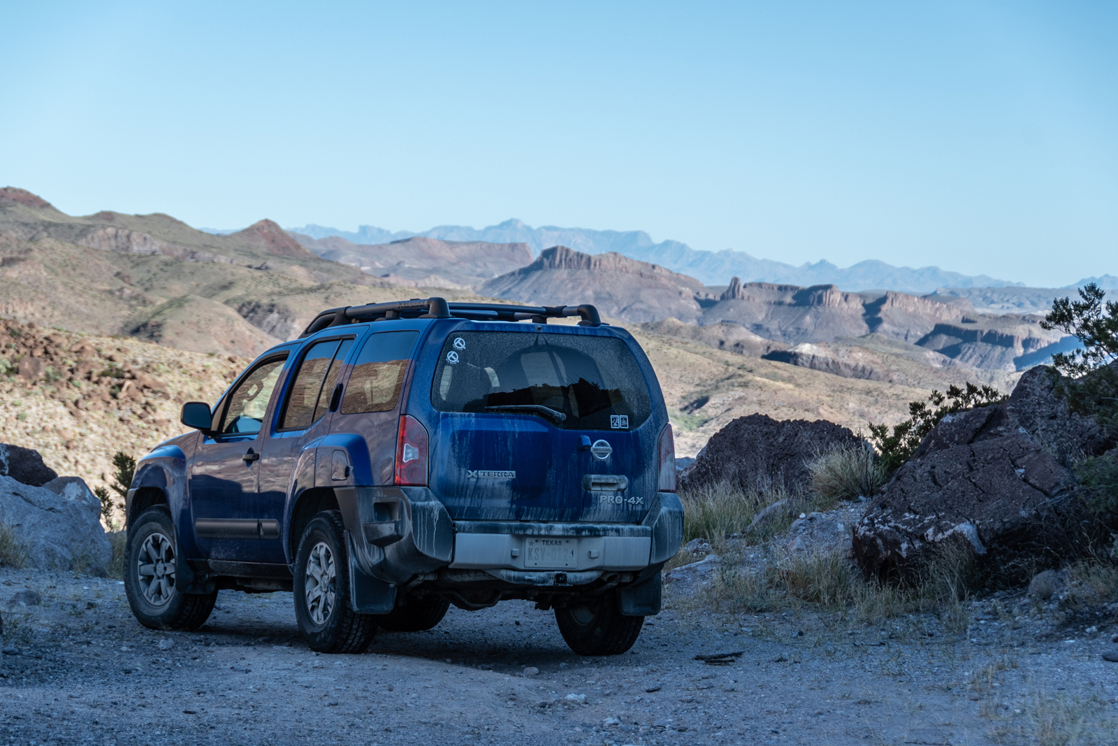
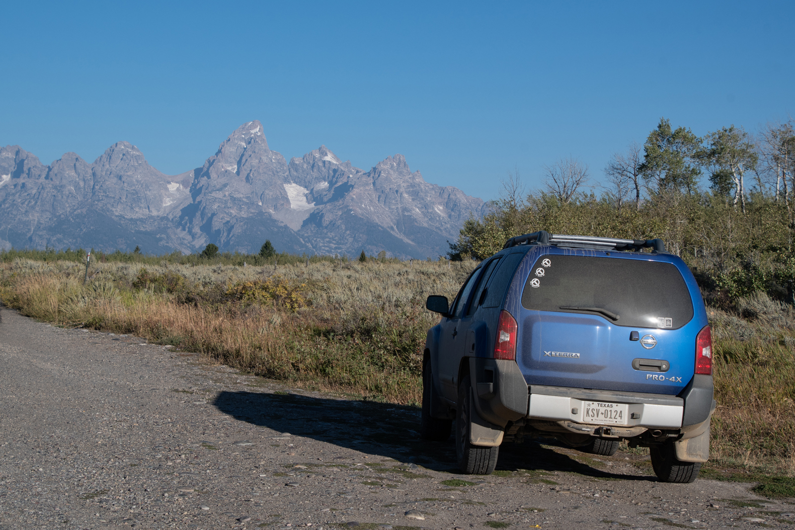
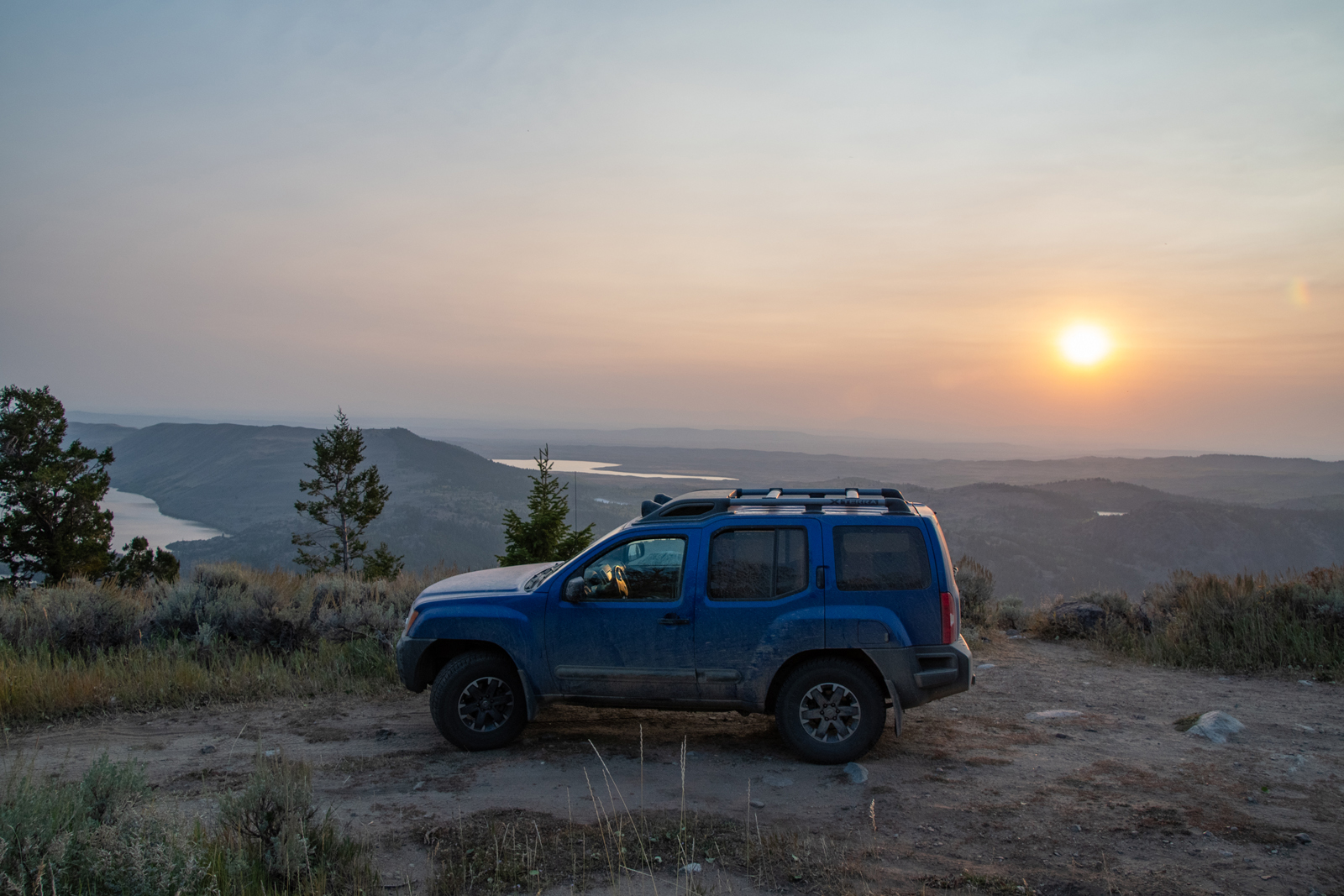
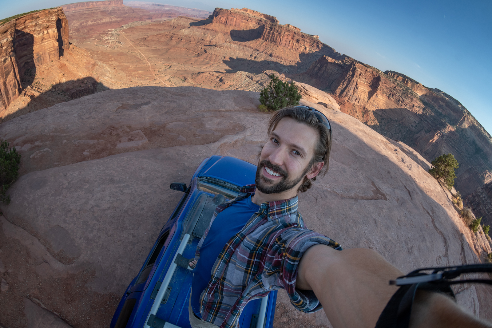
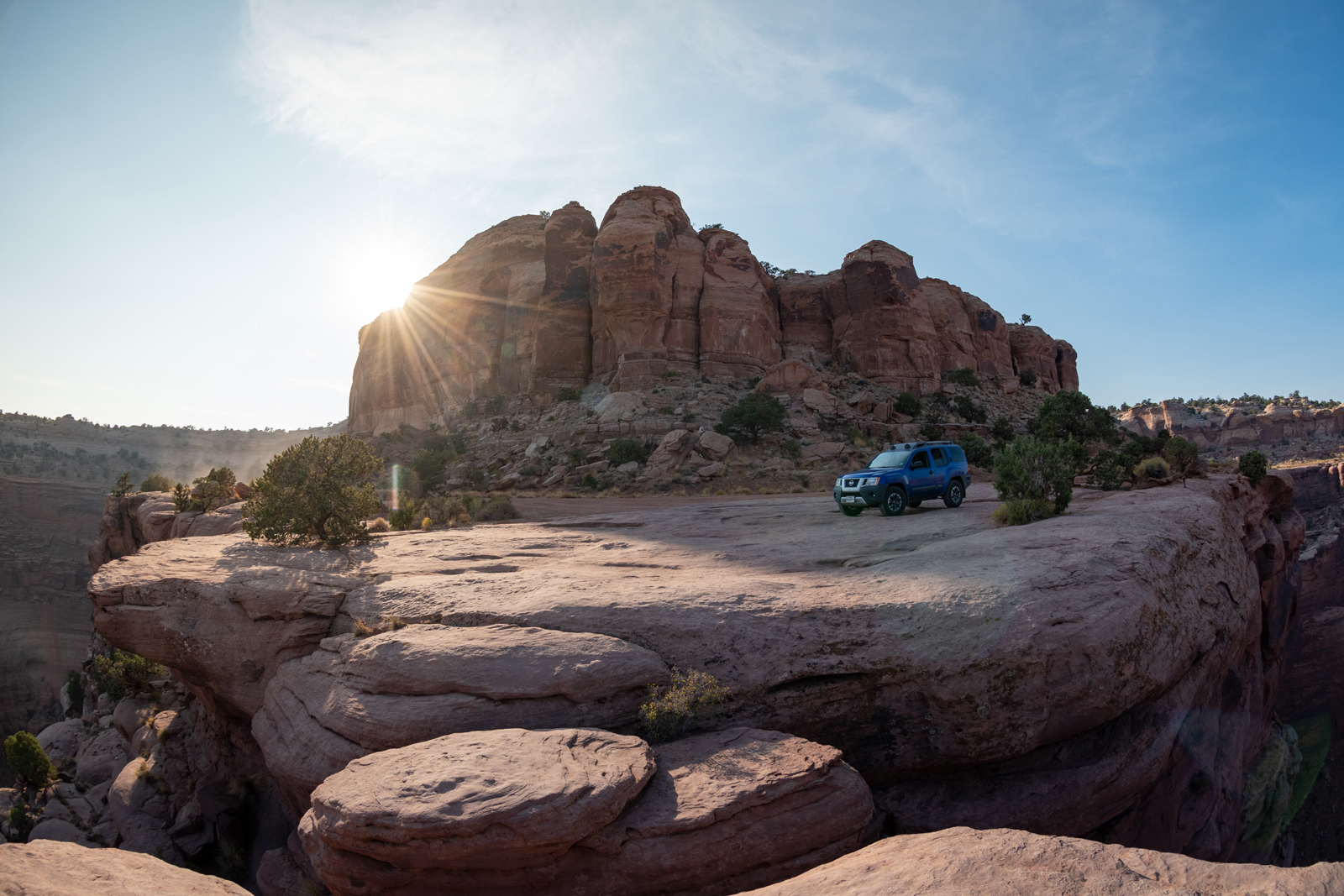
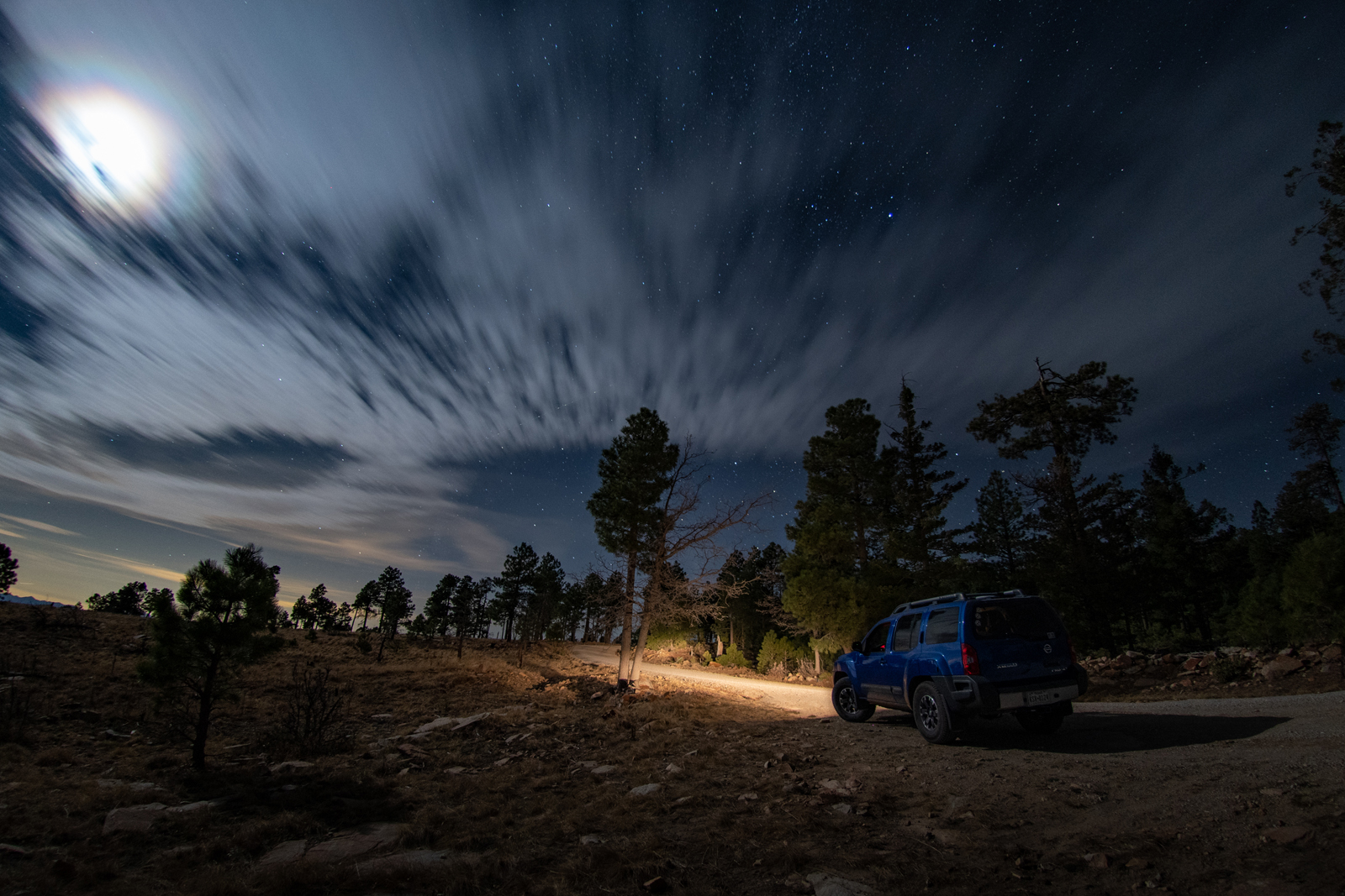
It’s been a good run, through a lot of unexpected everything. Though I try to keep this blog from being exclusively “here’s a bunch of photos of my car,” here’s a celebratory photo-dump of the sixty-two thousand miles since we joined forces.
Roadtrip doggo in Terlingua, Texas as reward for scrolling through all that.