Trails and Missing Roads of the Ouachitas

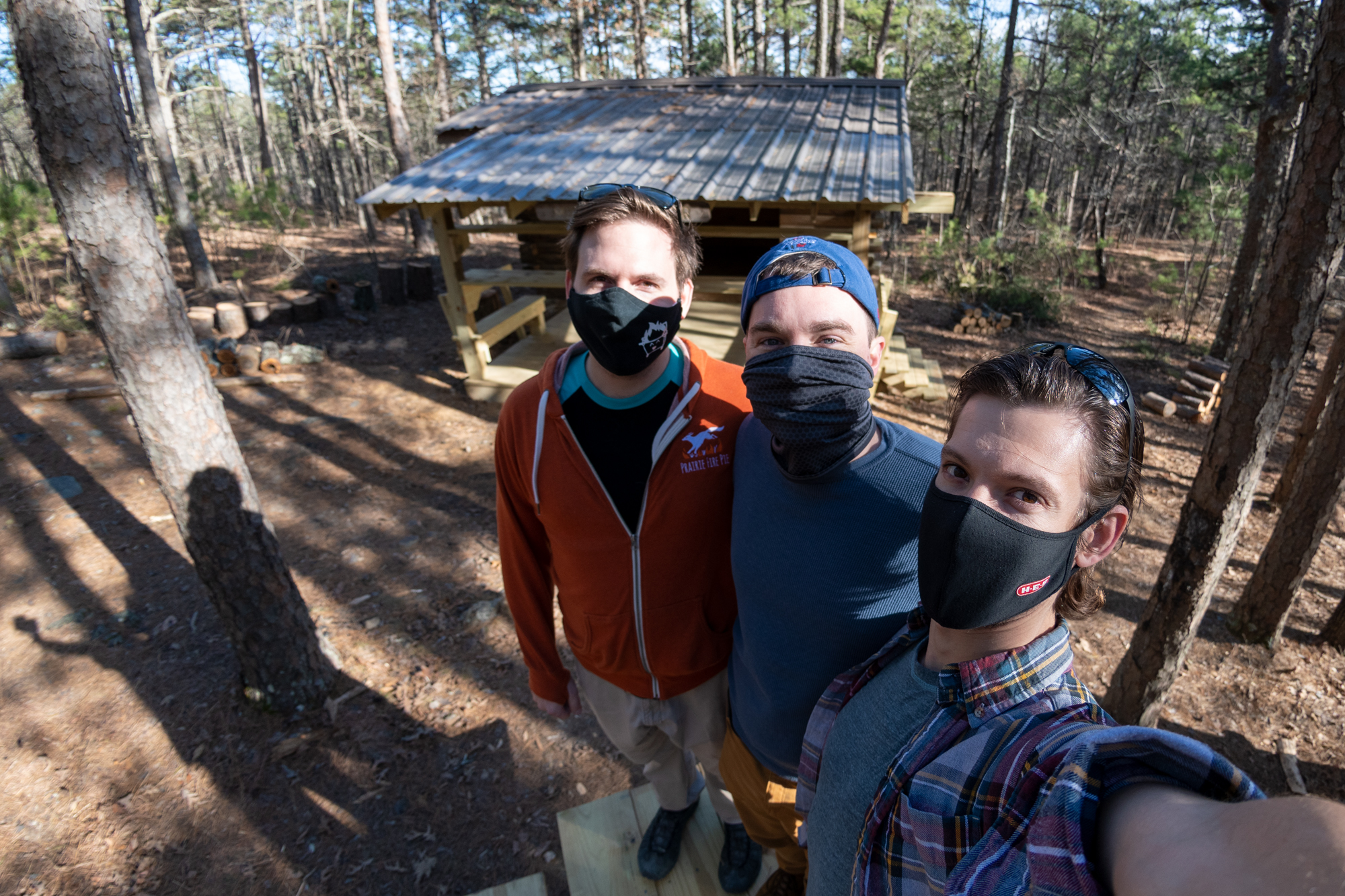
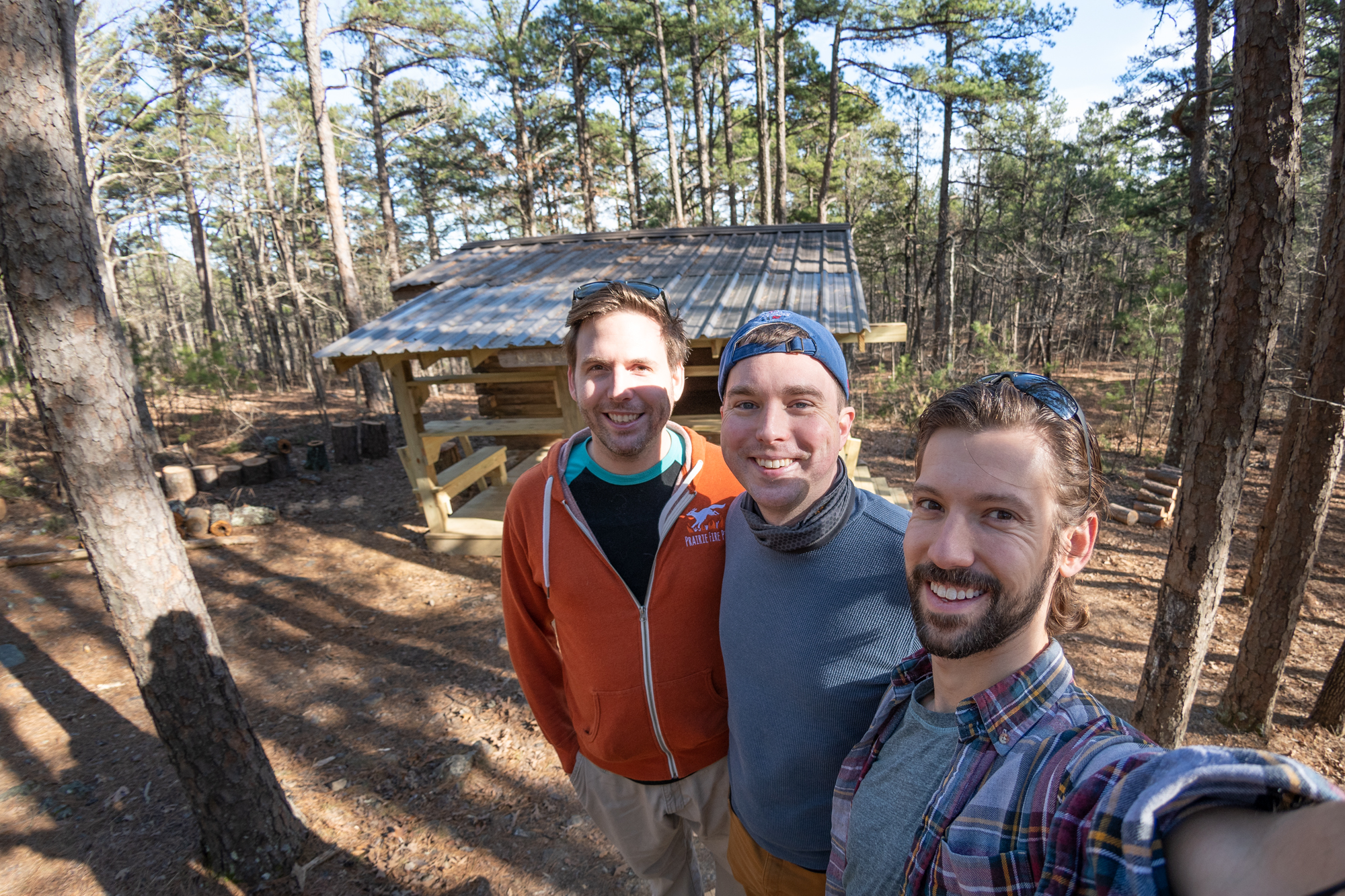
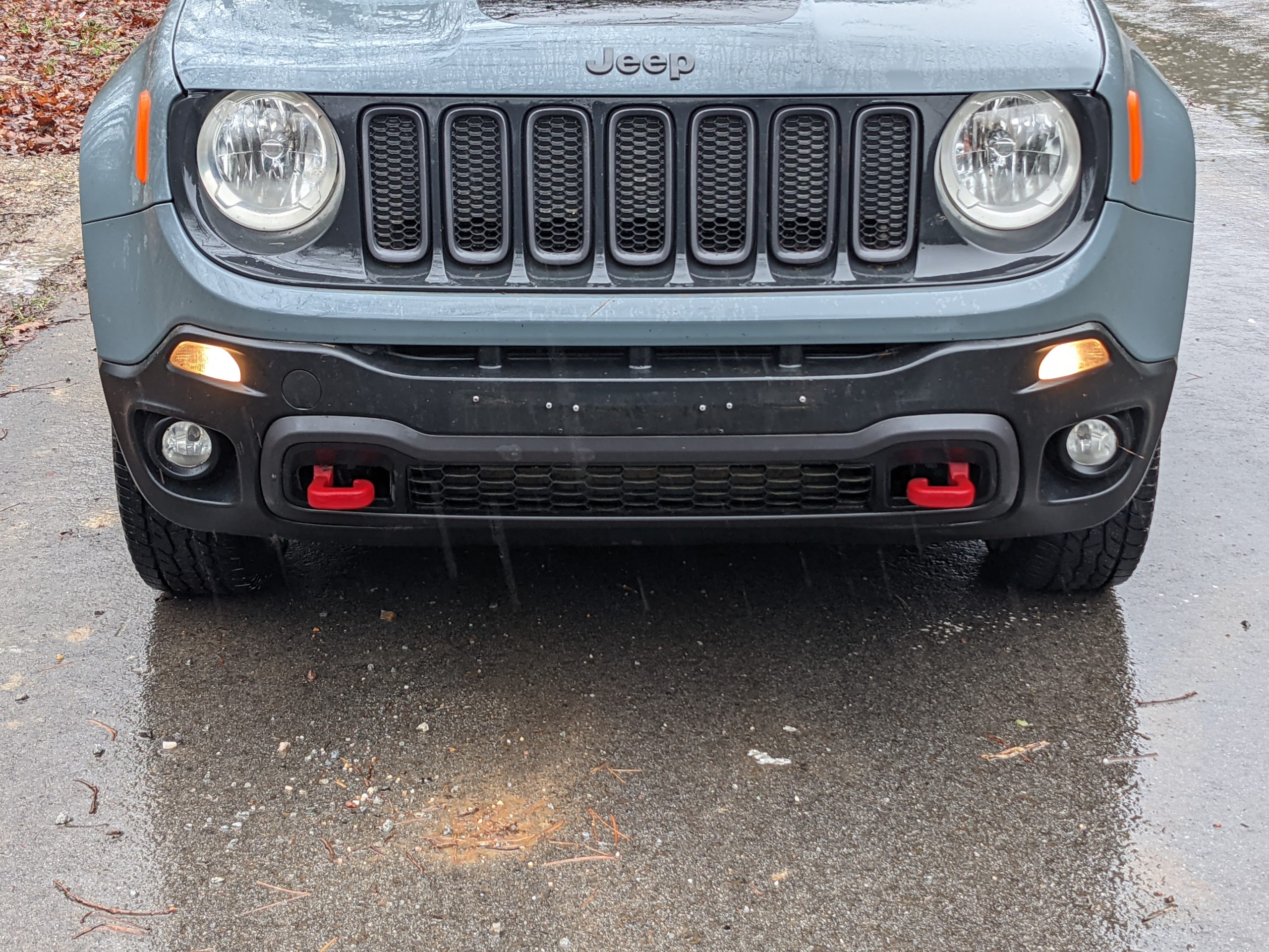
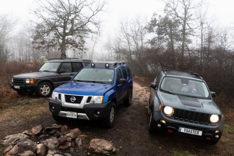
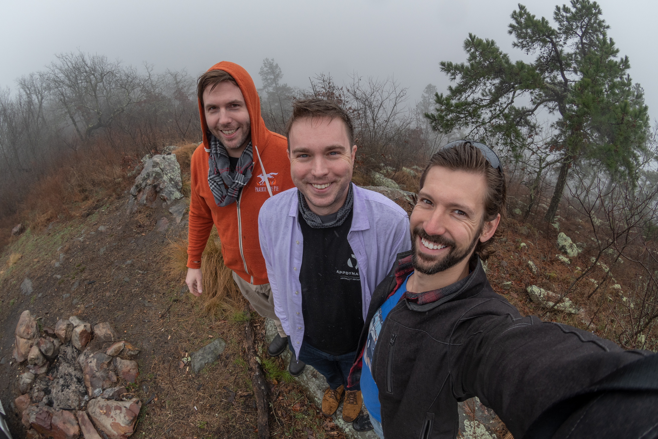
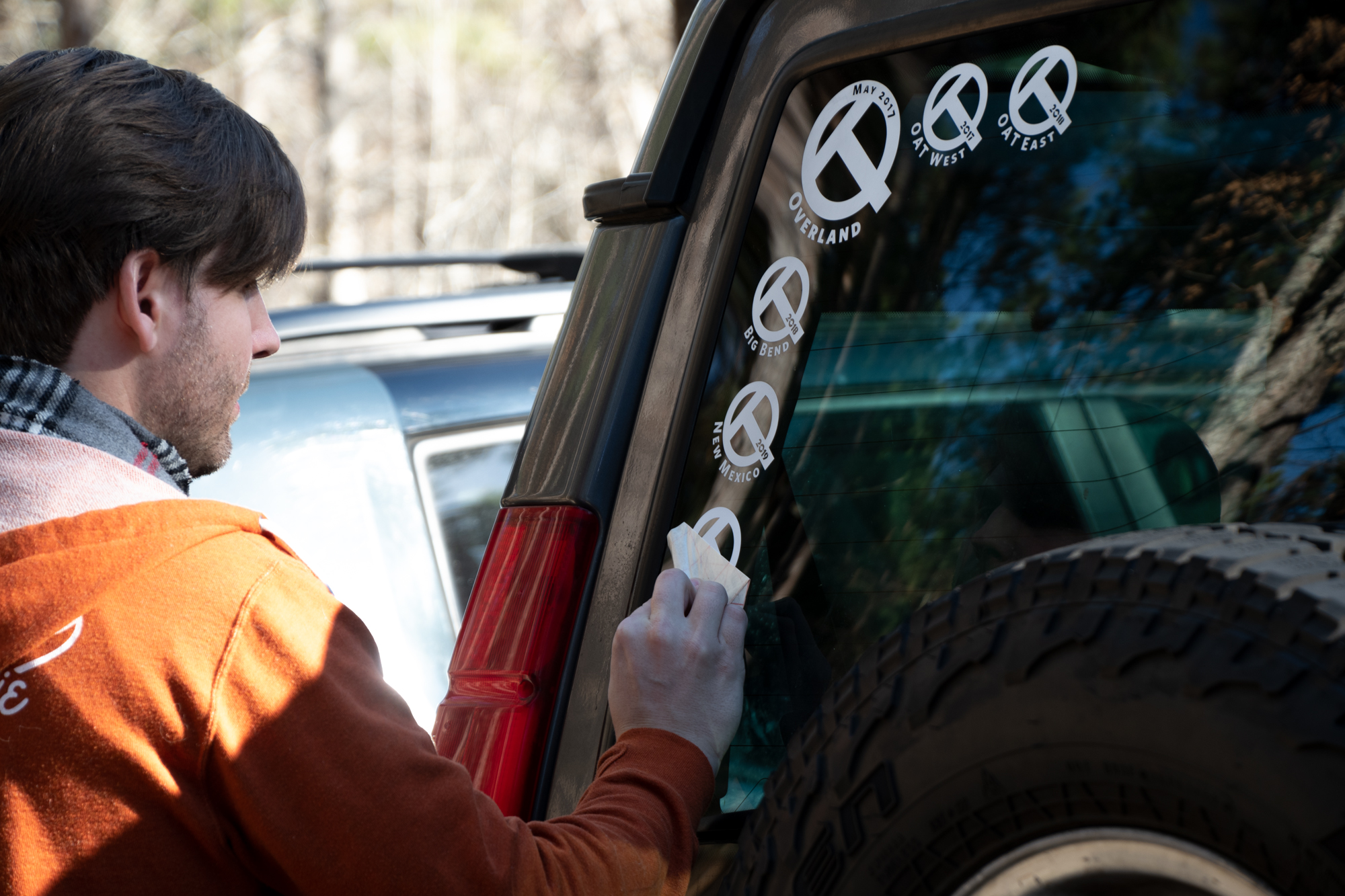
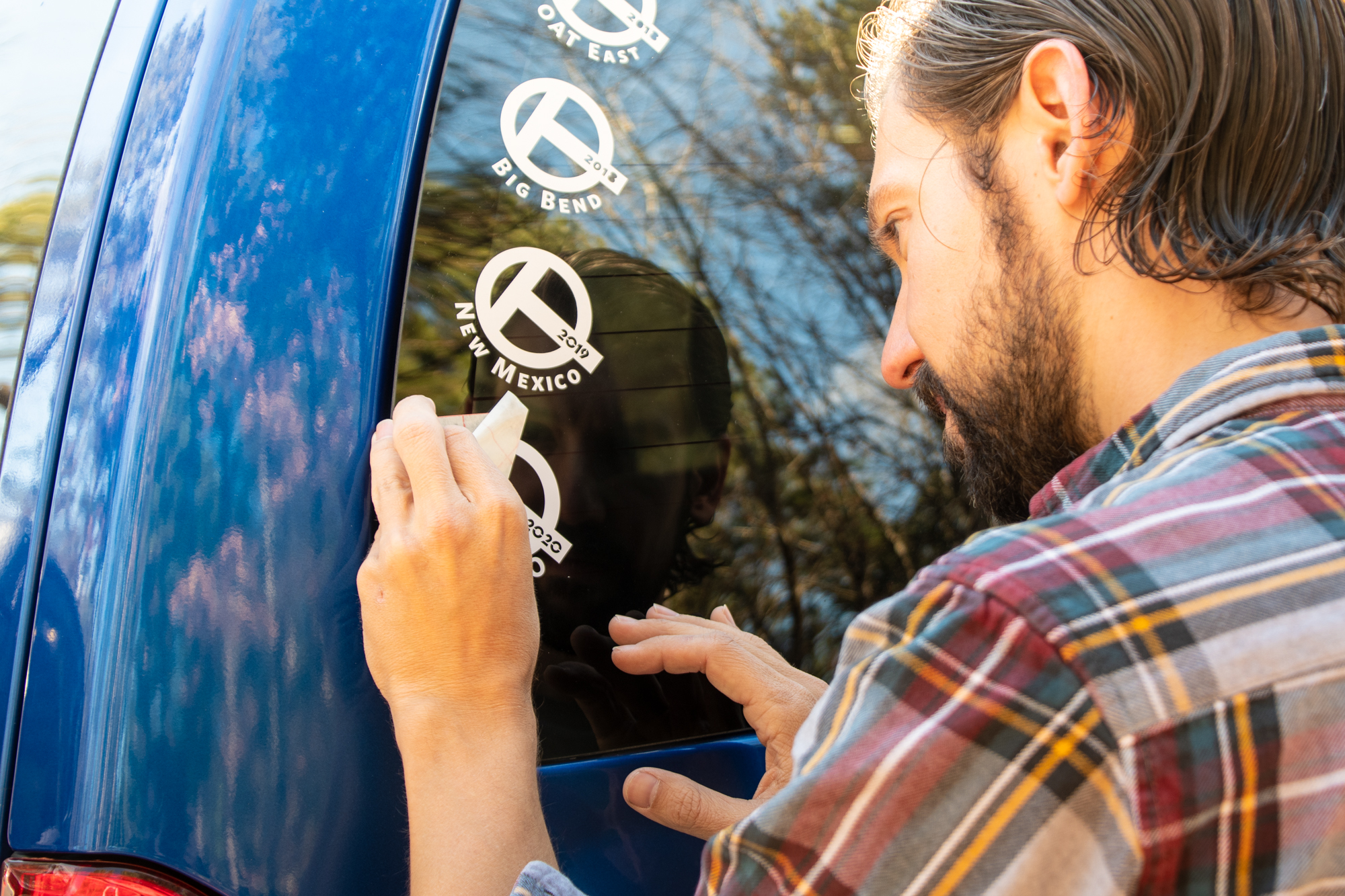
As dictated by tradition, we began our first morning with more stickers from Evan.

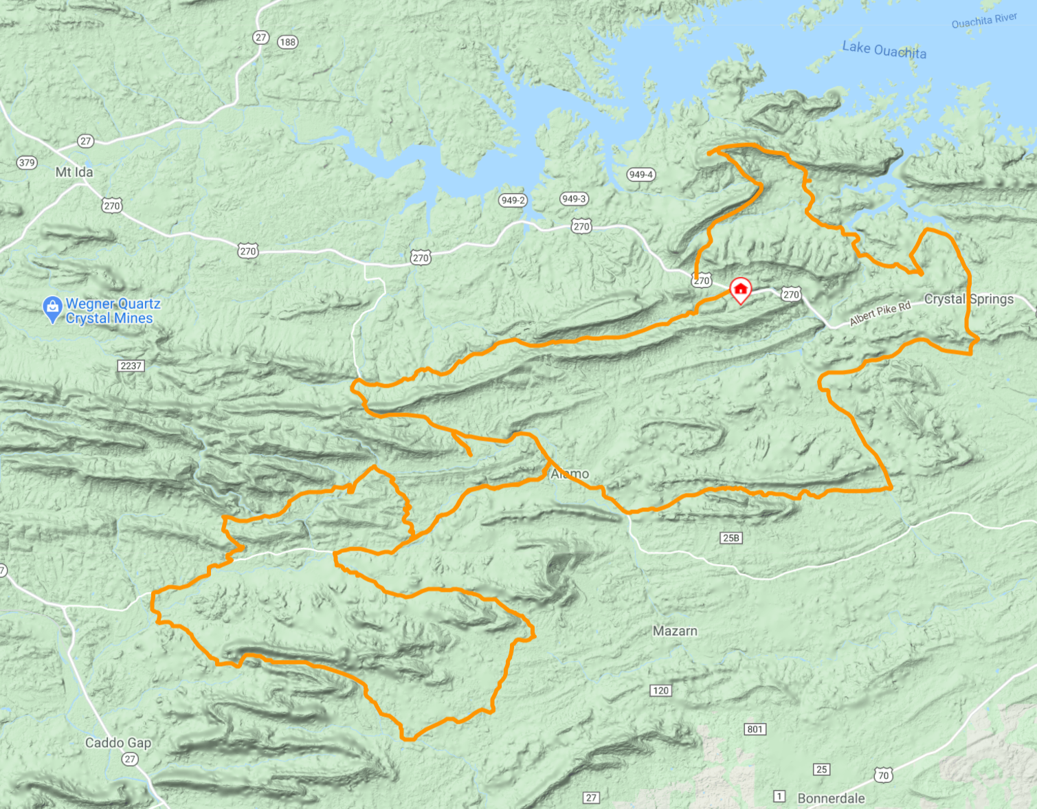
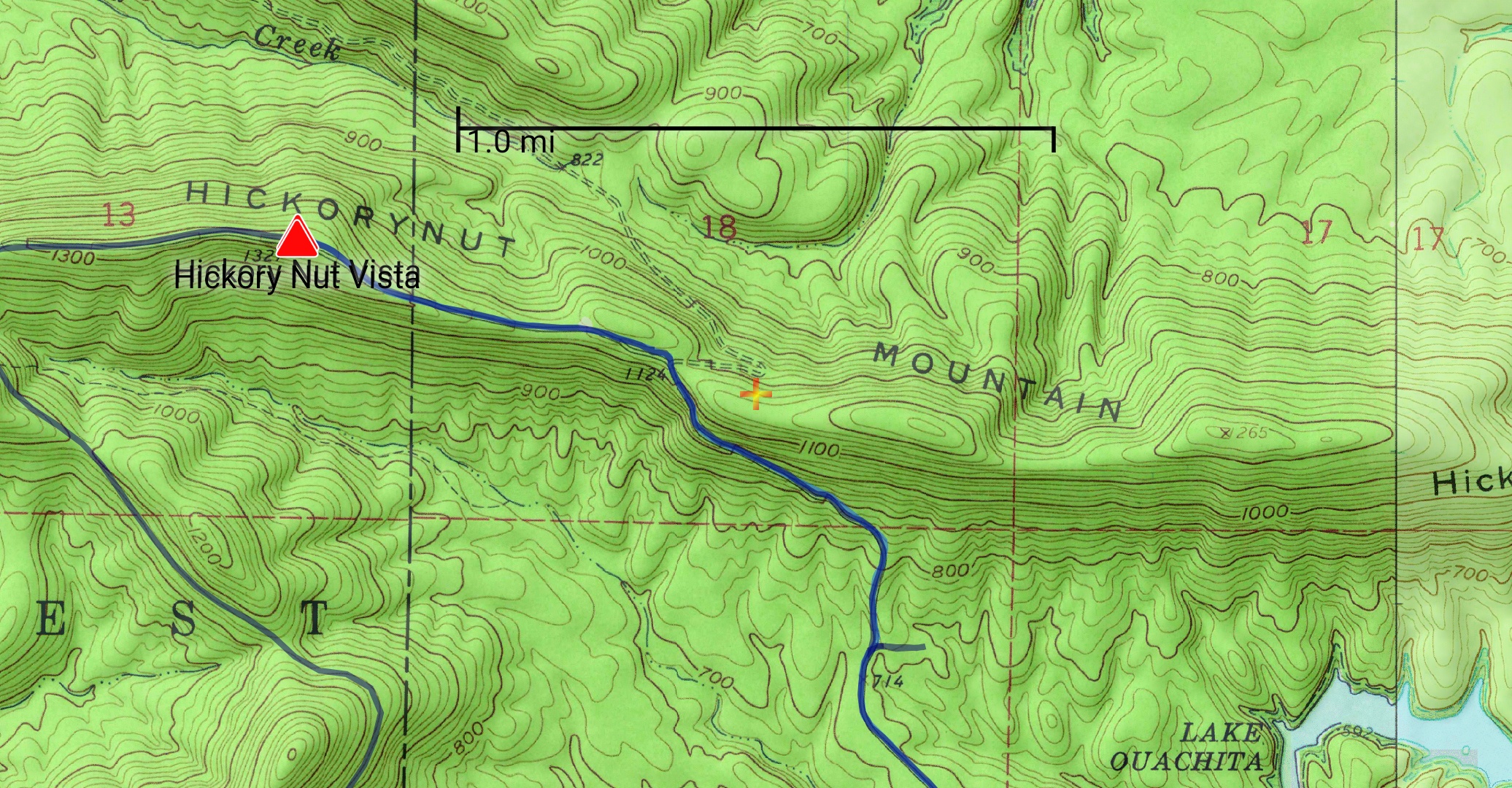
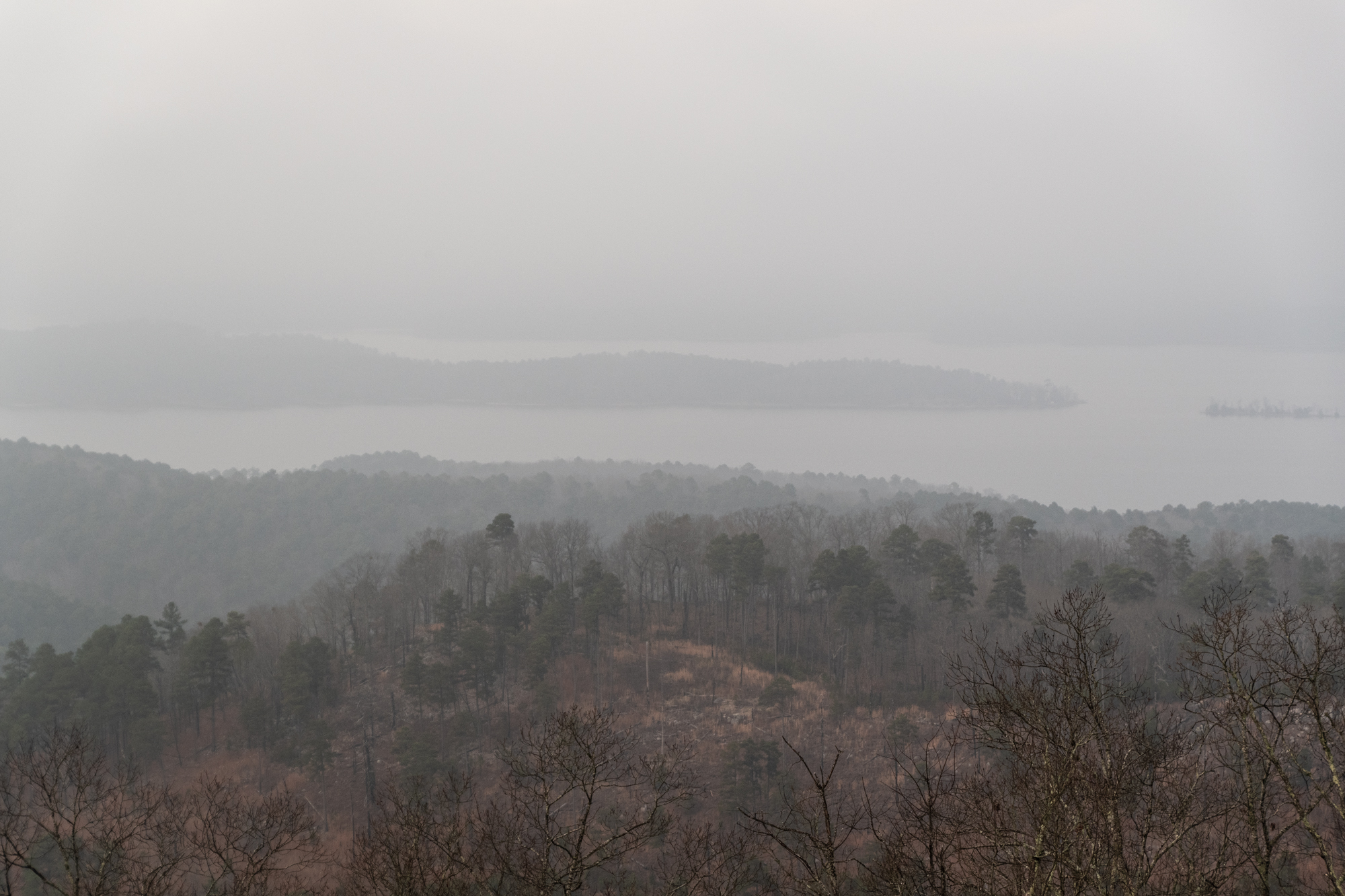
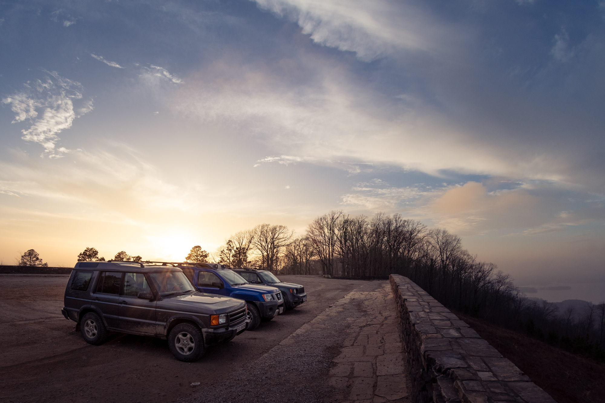
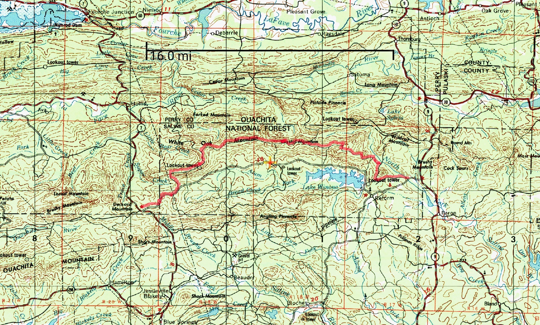
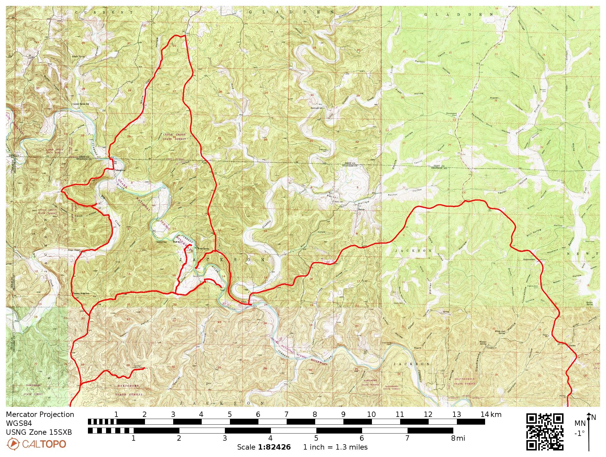
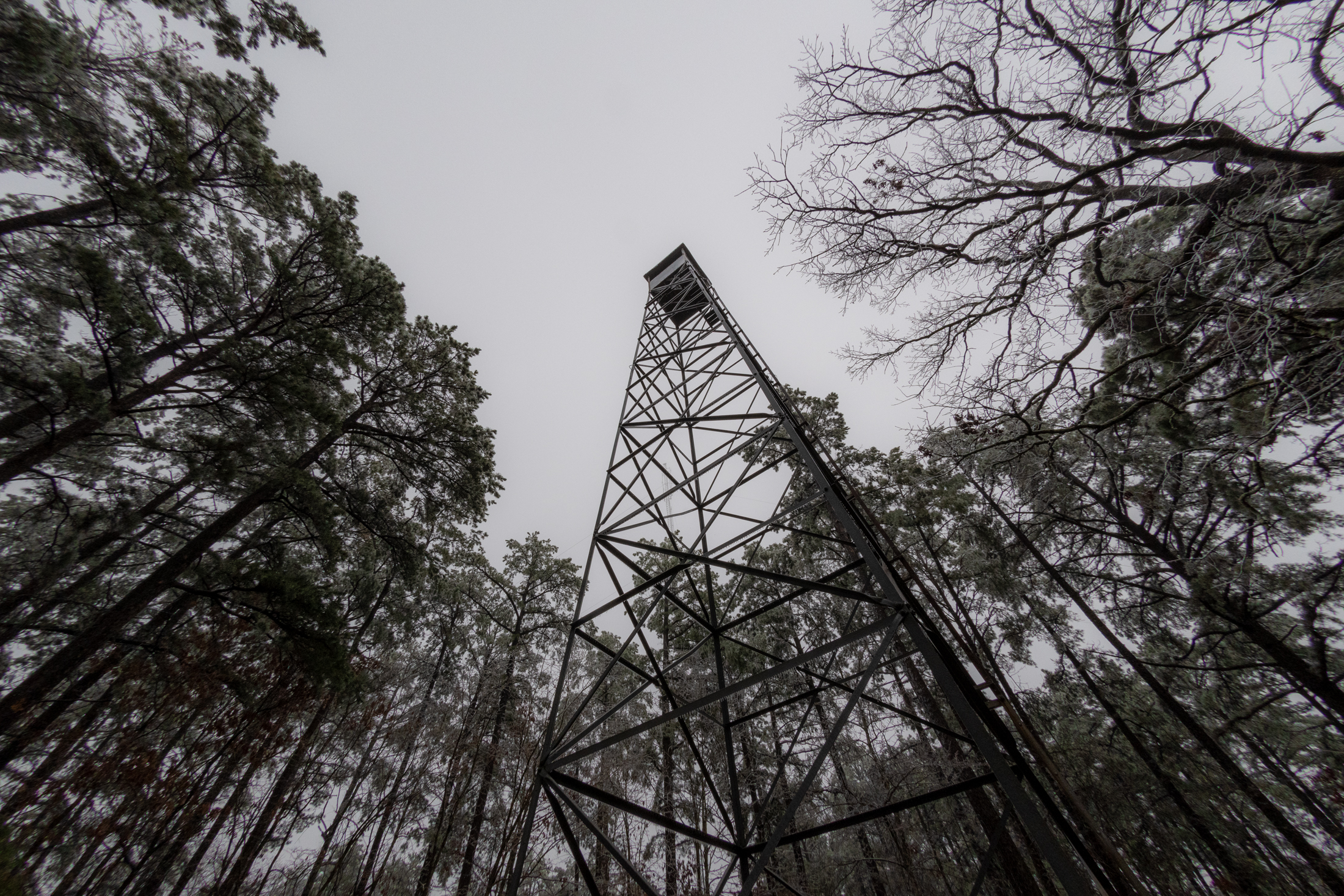
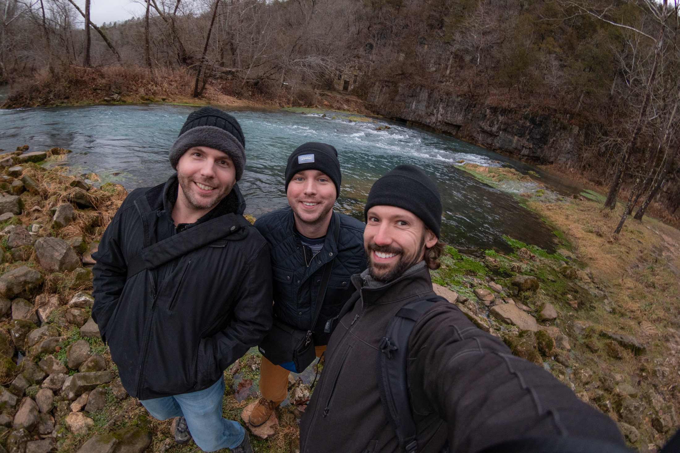
Then we took a scenic drive around the east end of Lake Ouachita to a hike that George found — but the trailhead wasn’t clearly marked on the forestry service flyer nor could we find it on any of our other maps. So we bailed and picked up the famous Ouachita National Recreation Trail at a section trailhead just down the road.

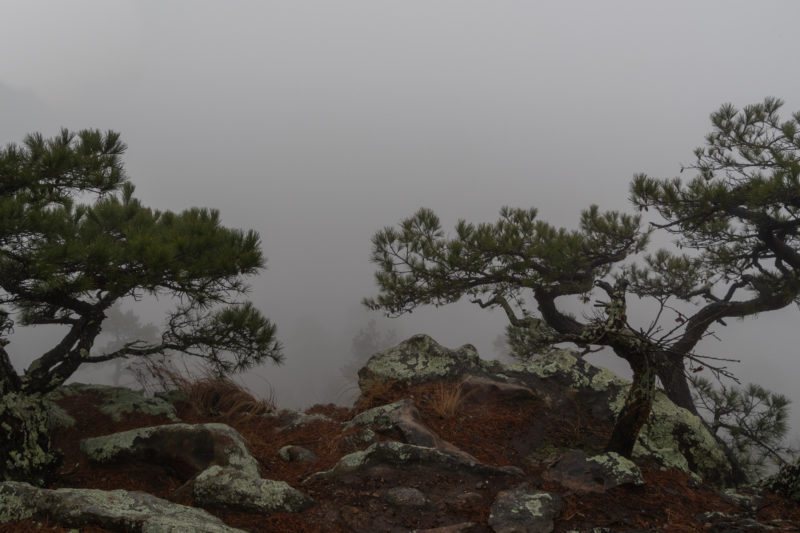
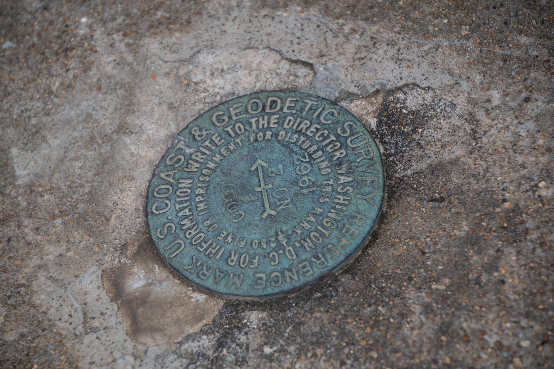
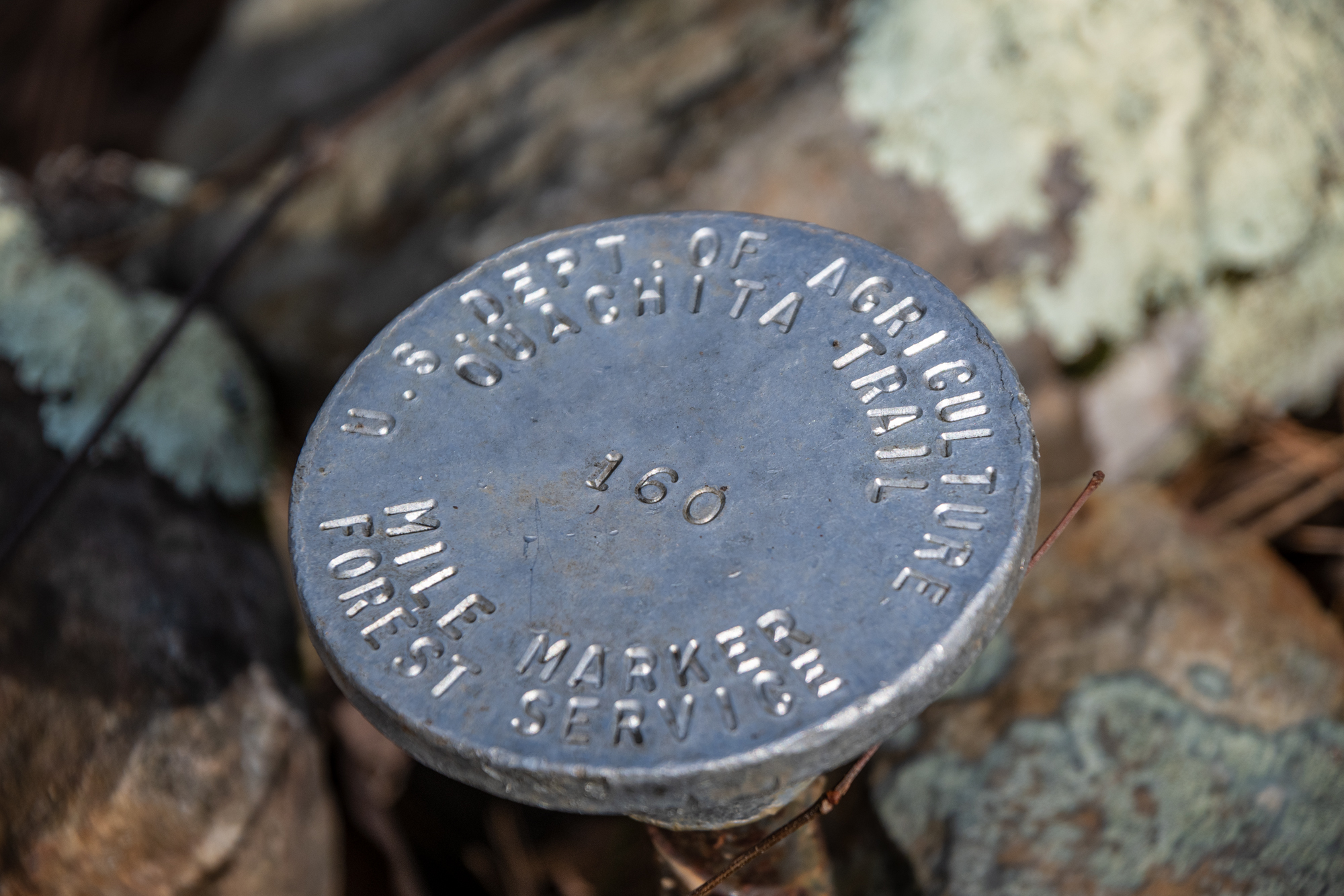
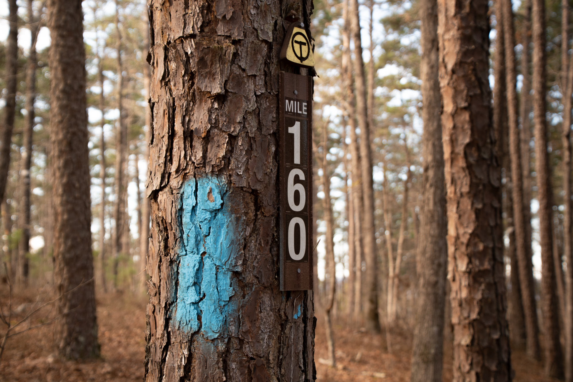
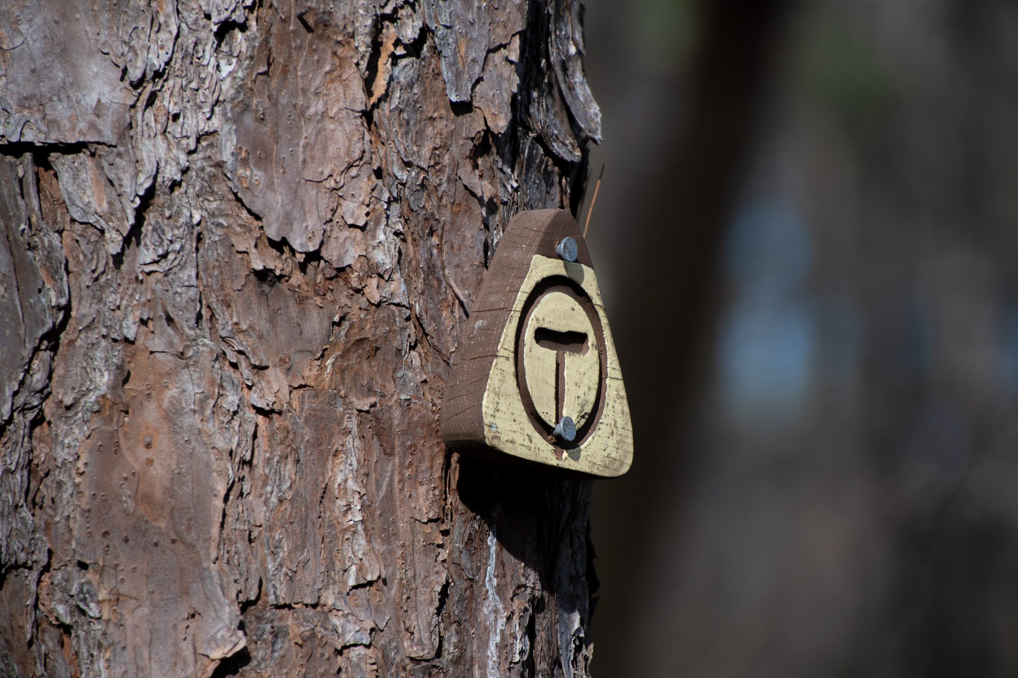
Ouachita National Recreation Trail is a 223-mile long, continuous hiking trail through the Ouachita Mountains of Oklahoma and Arkansas. It is the longest backpacking trail in the Ouachita National Forest, spanning 192 miles across its length. […] While well-maintained, the trail is lightly used. In a ranking of U.S. long-distance trails on a number of criteria by Backpacker Magazine, the trail ranked third for solitude and fourth for signage.

Ouachita National Recreation Trail, Wikipedia.

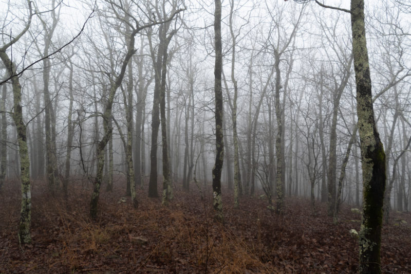
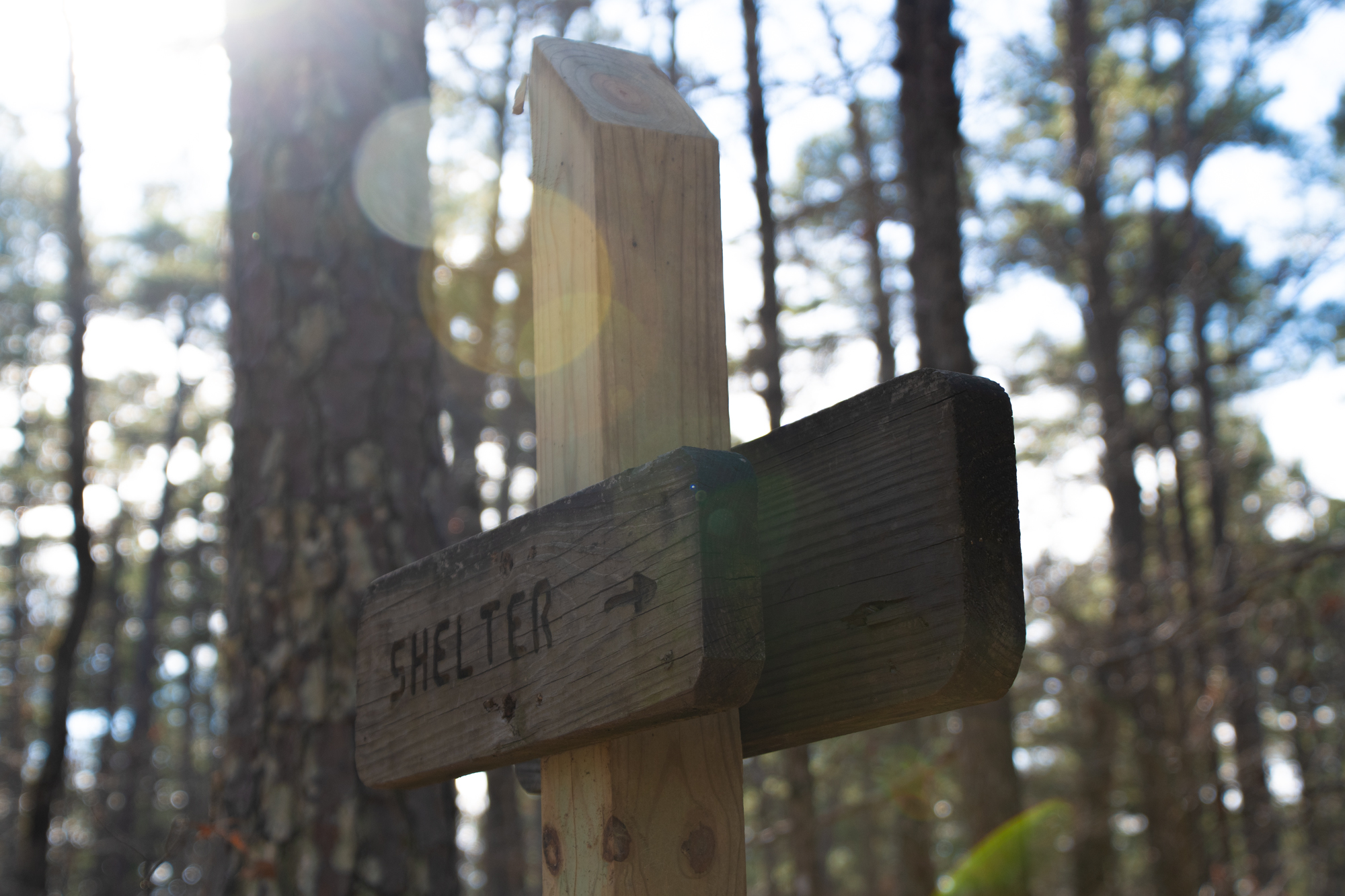
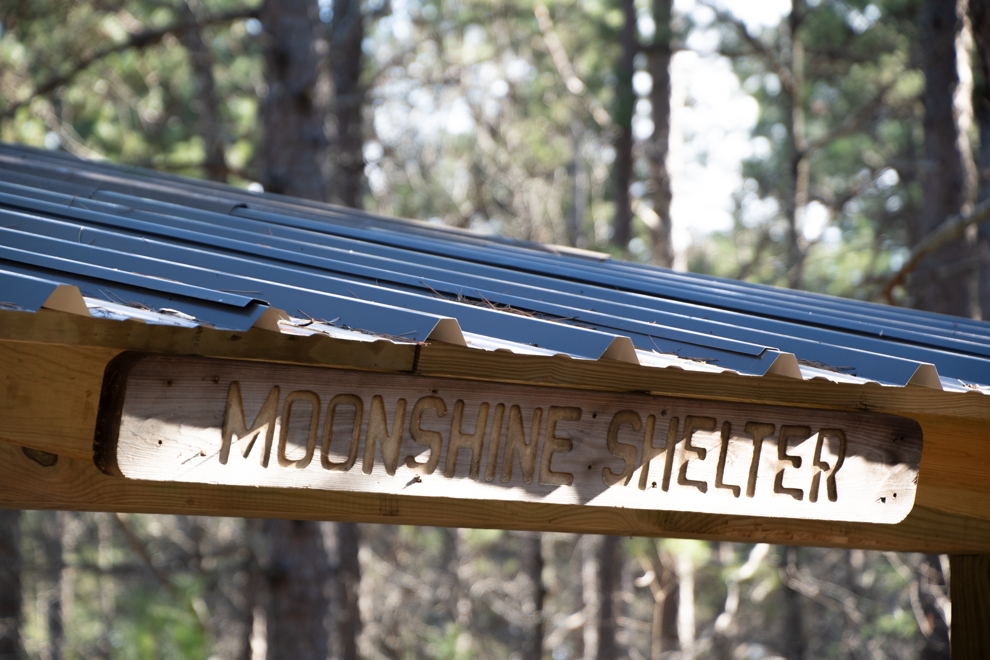
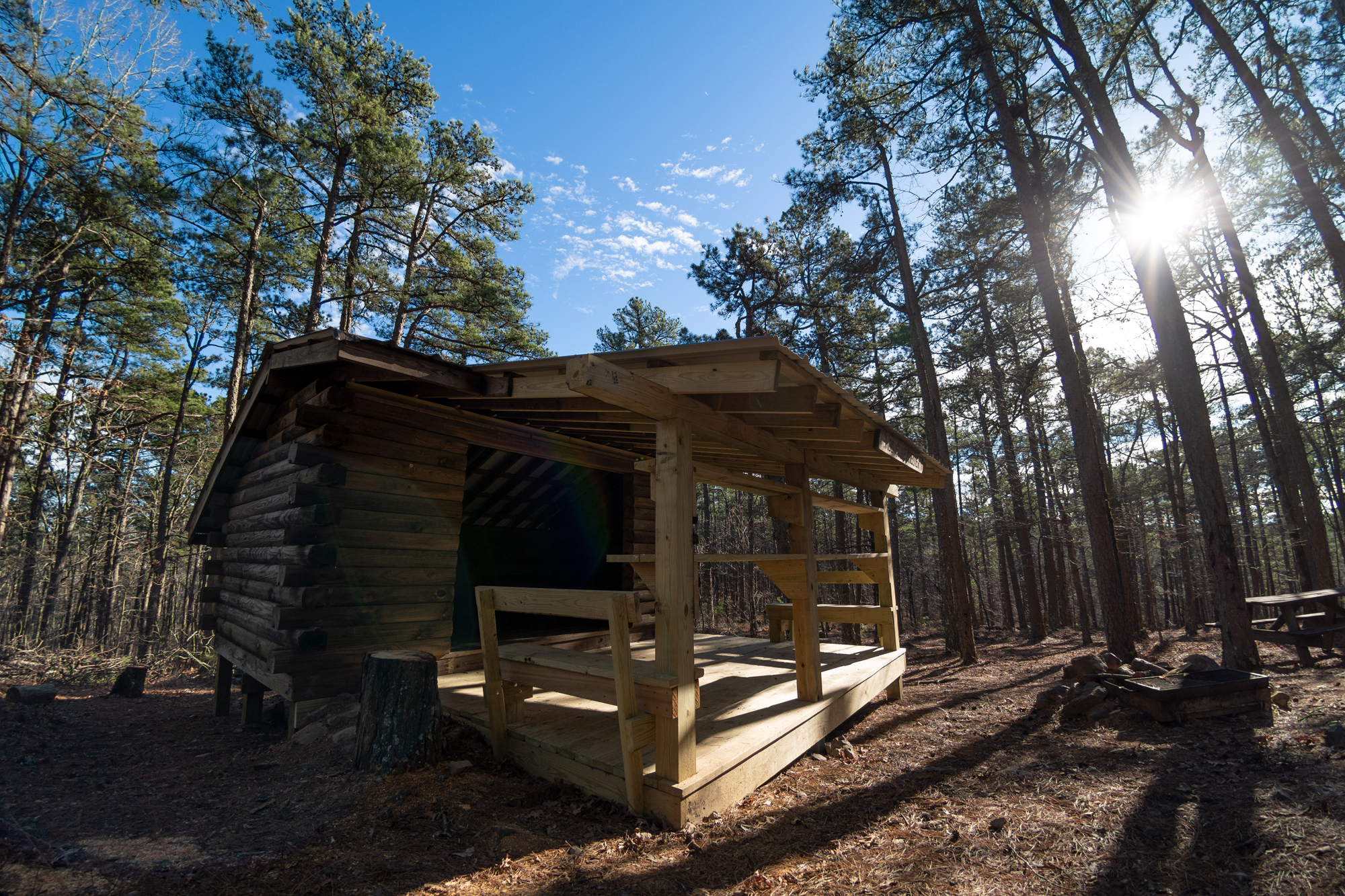
So we did a couple miles of that, to say we did, from the Highway 7 Trailhead to Moonshine Shelter

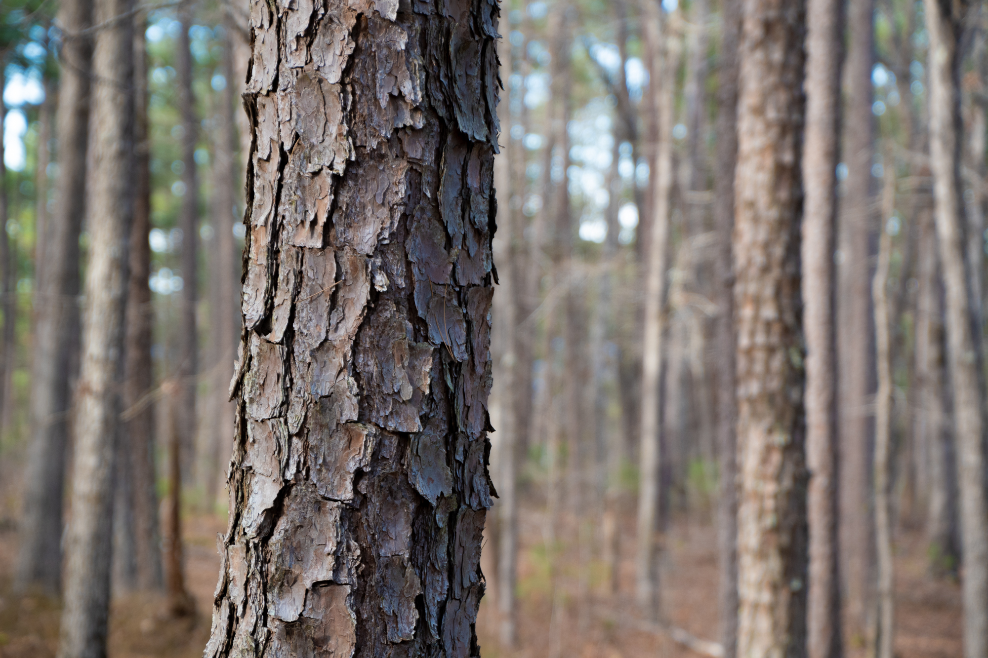
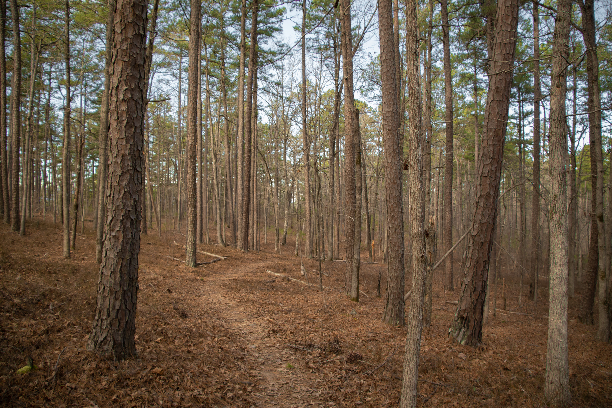
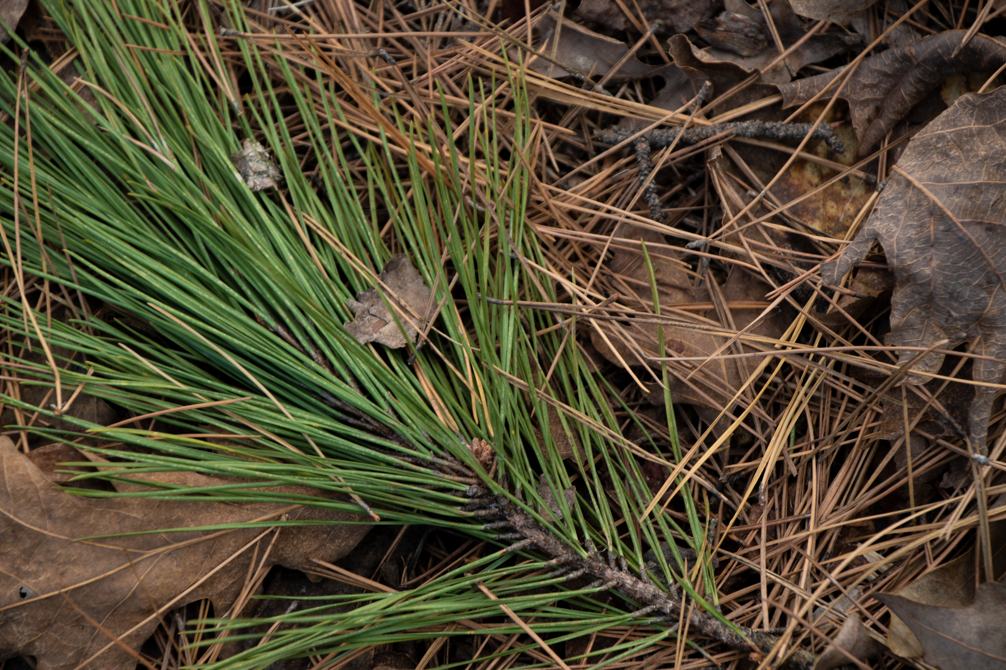
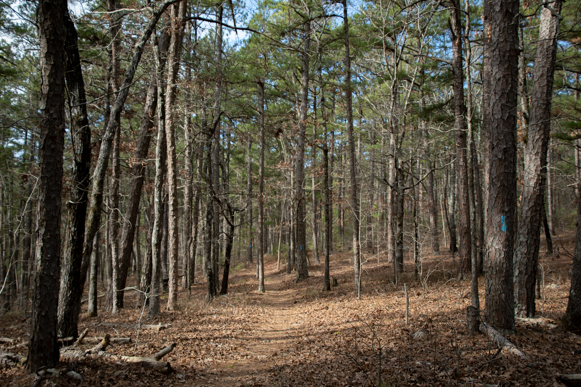
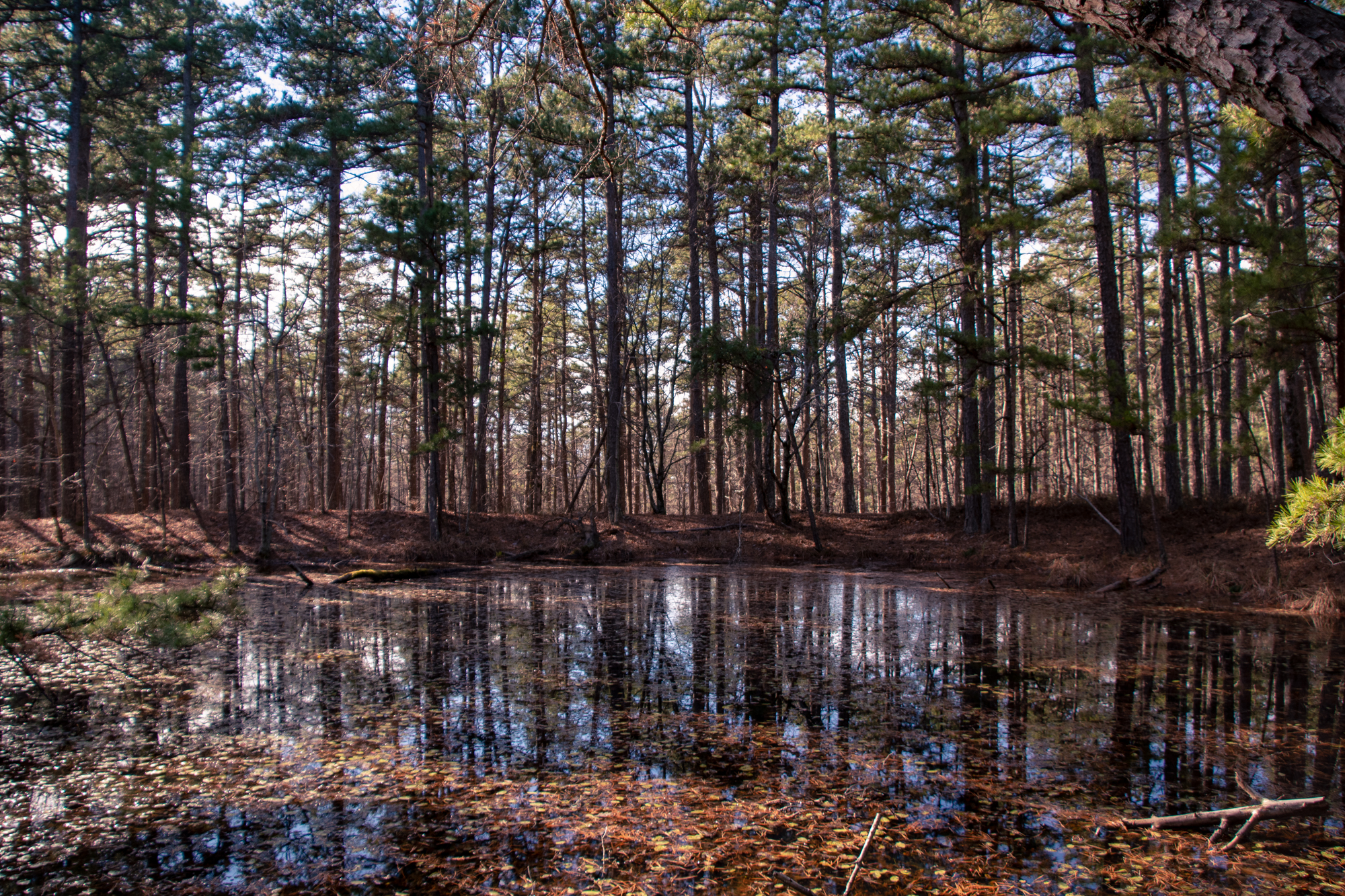
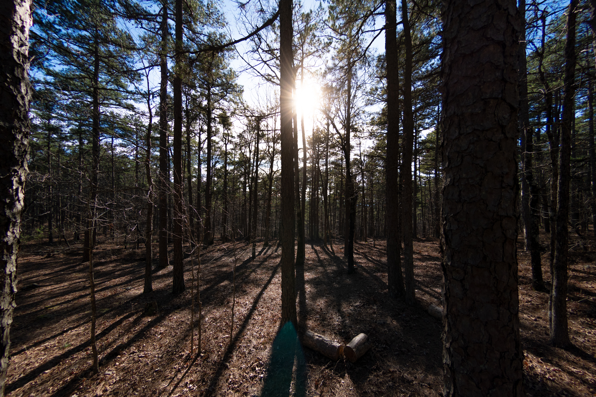
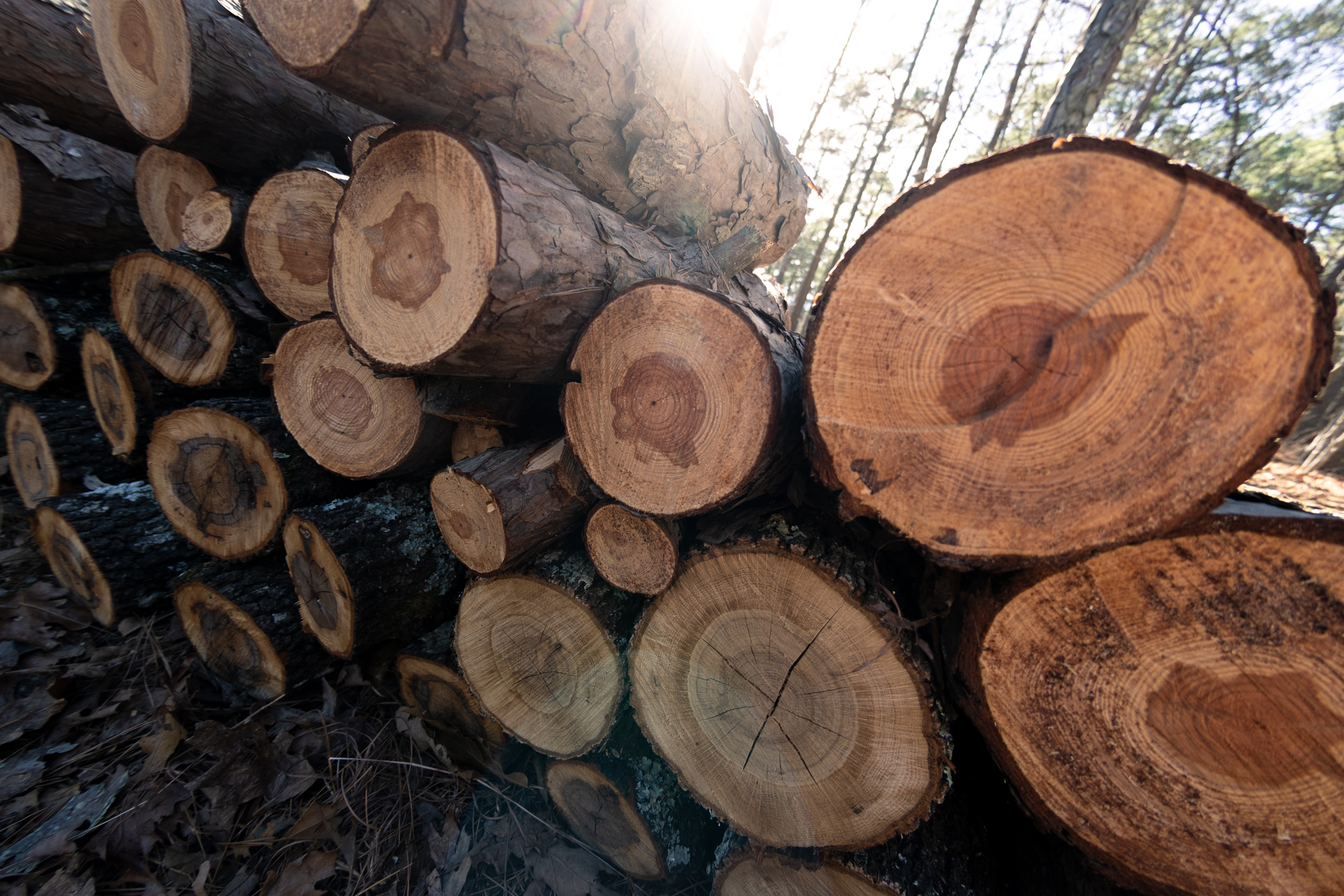
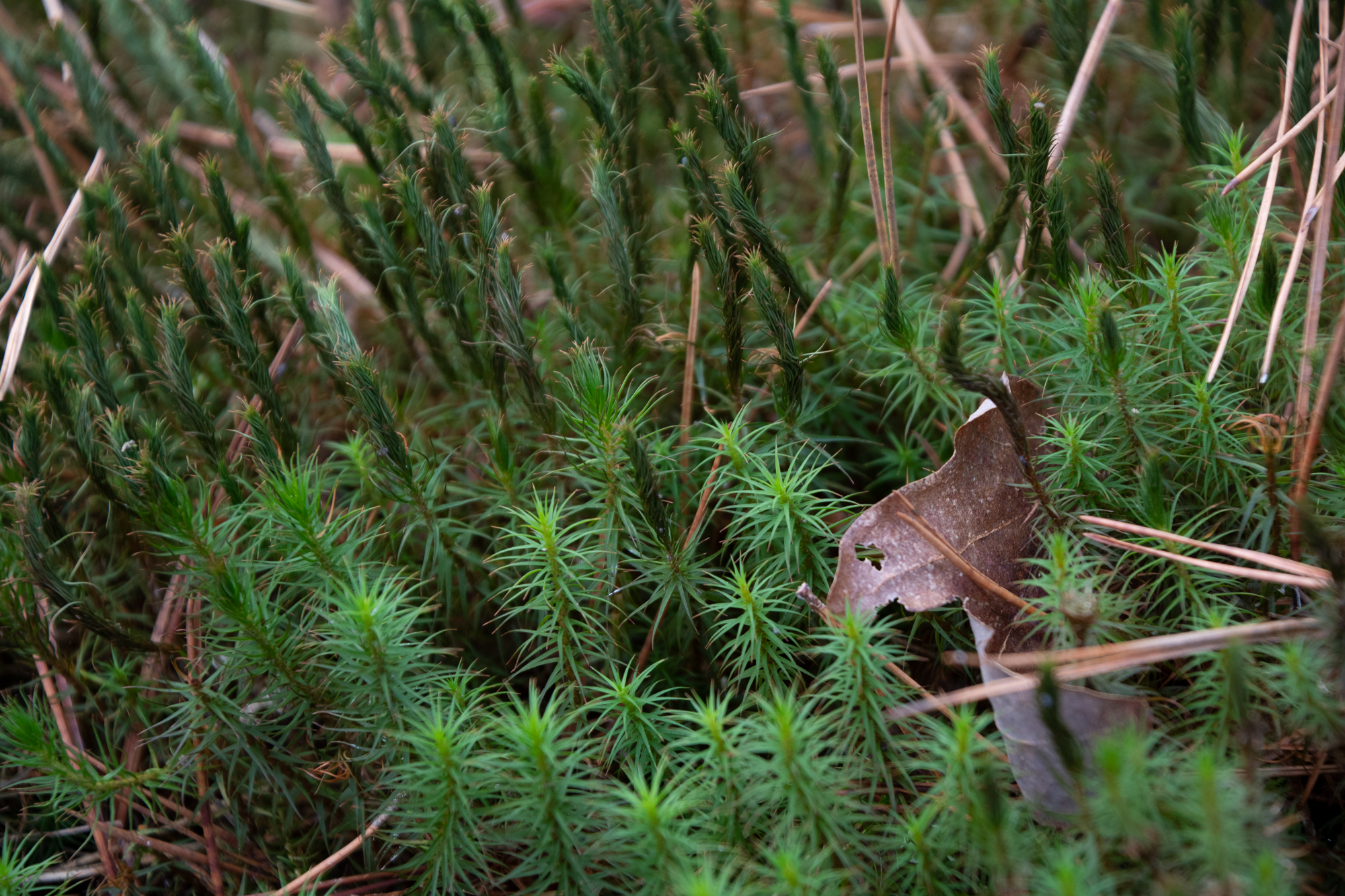
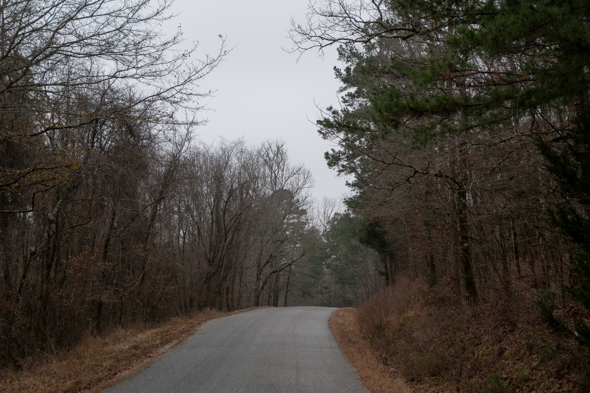
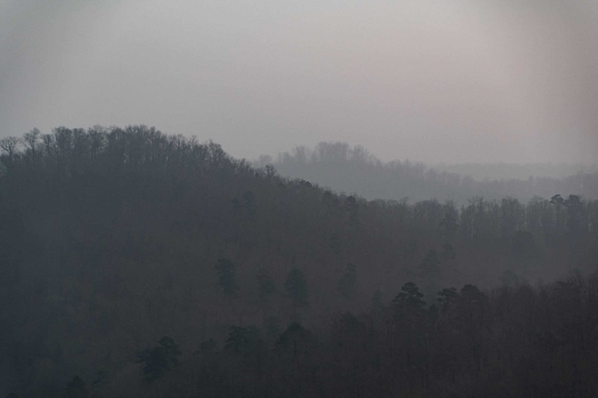
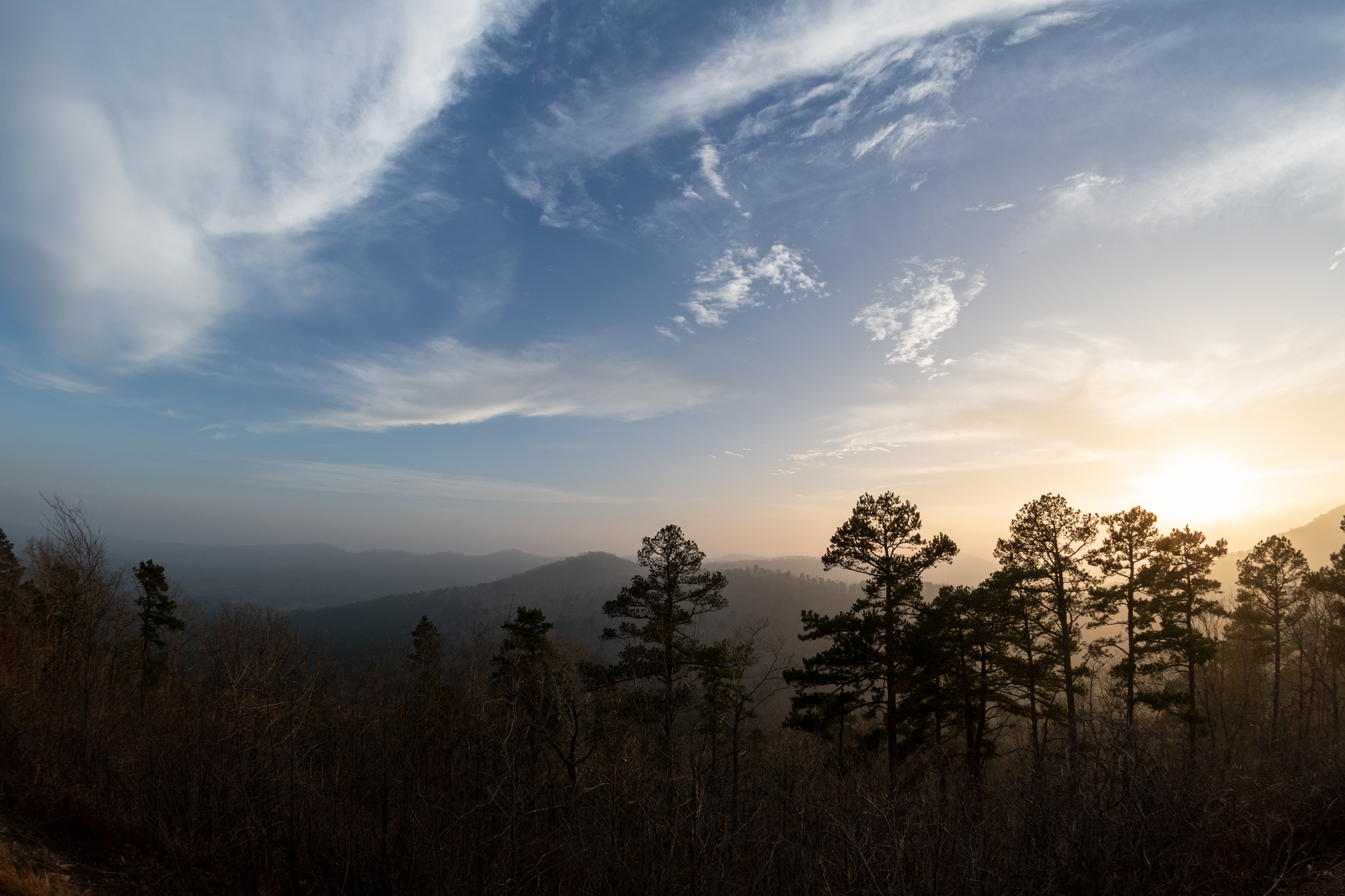
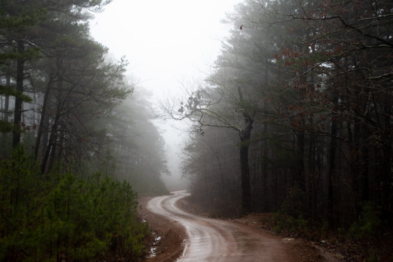
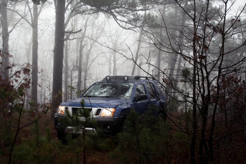
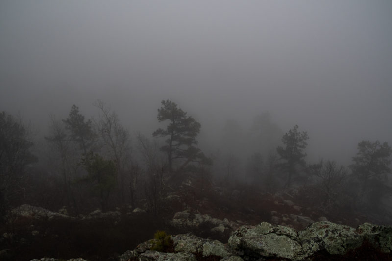
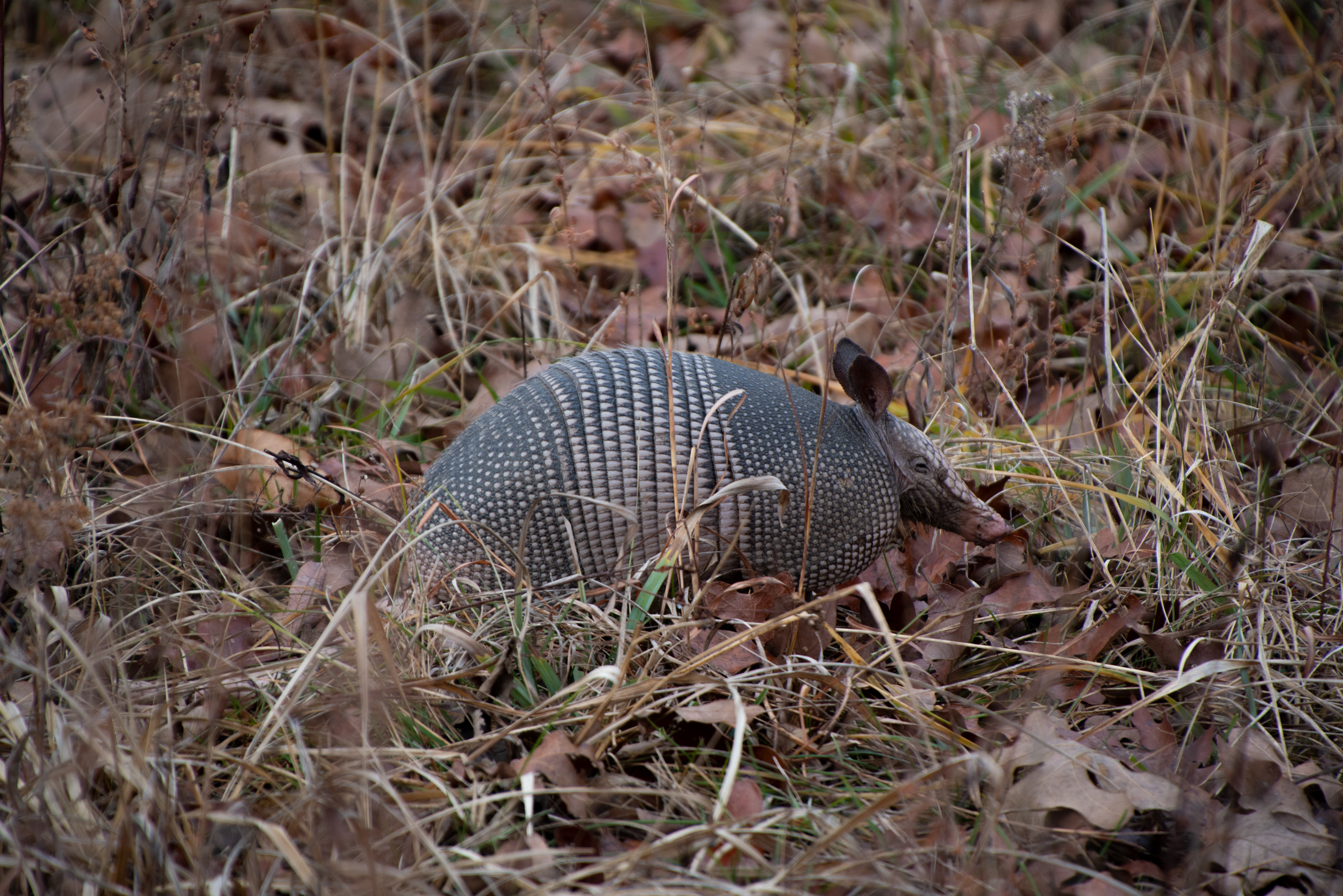
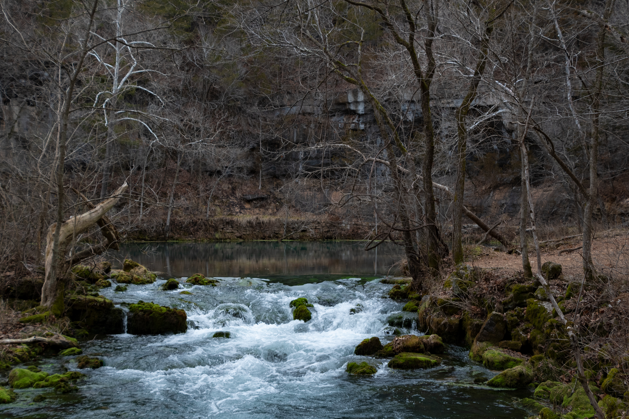
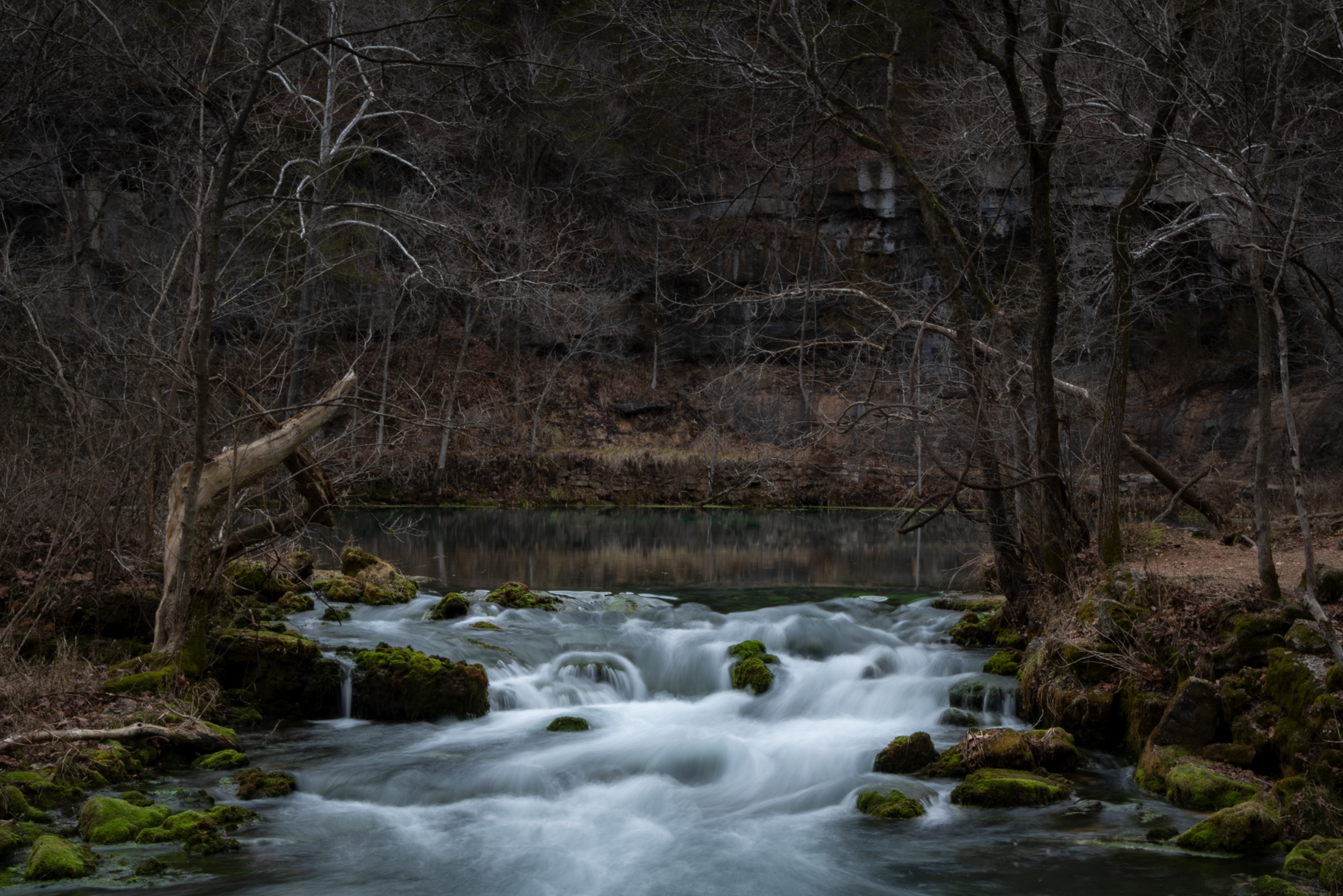
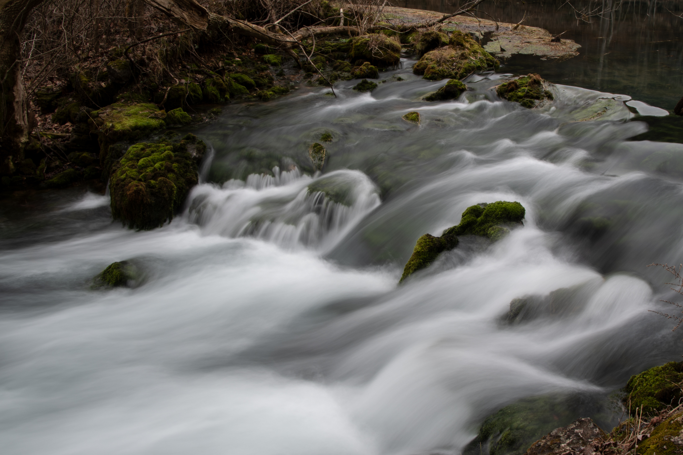
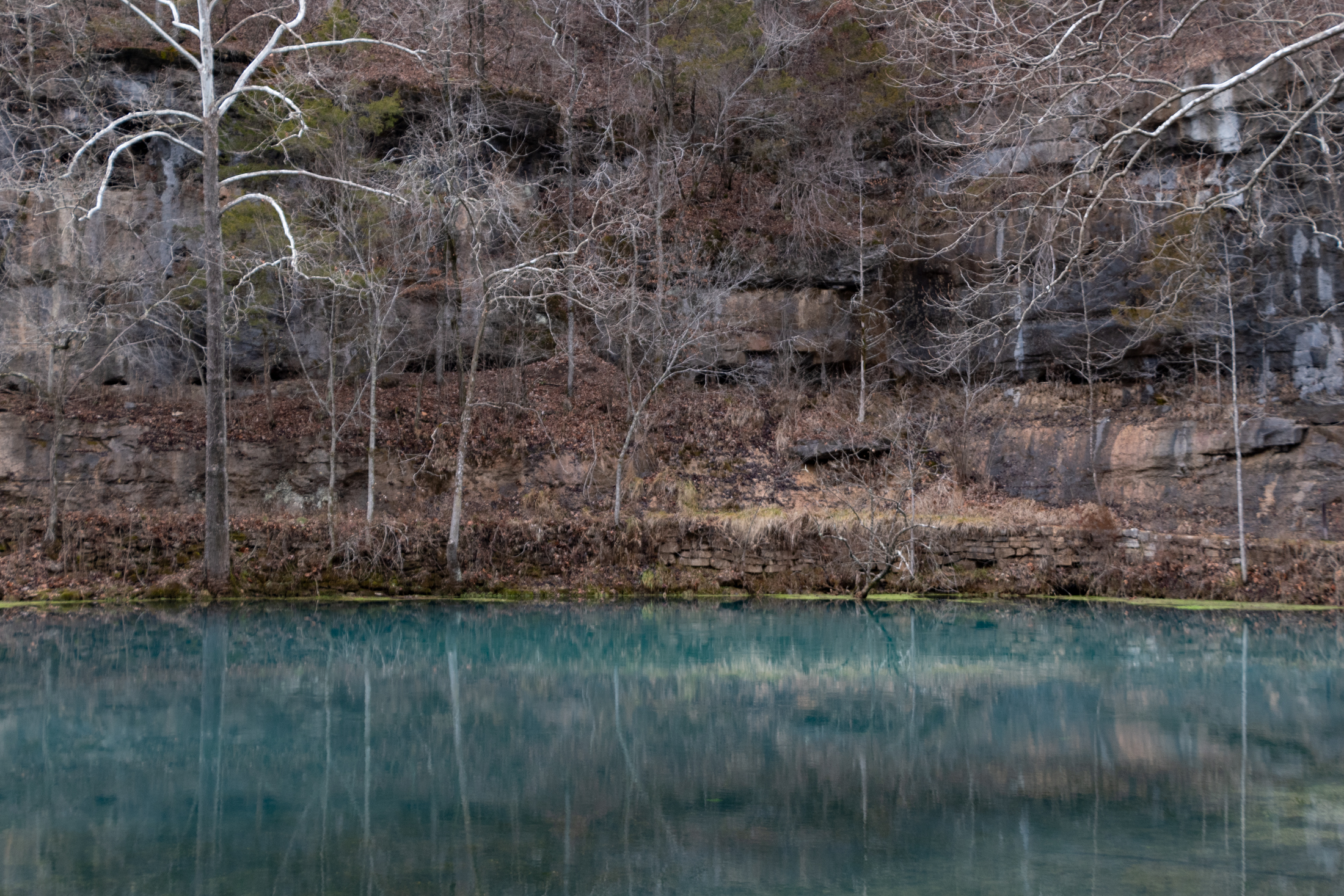
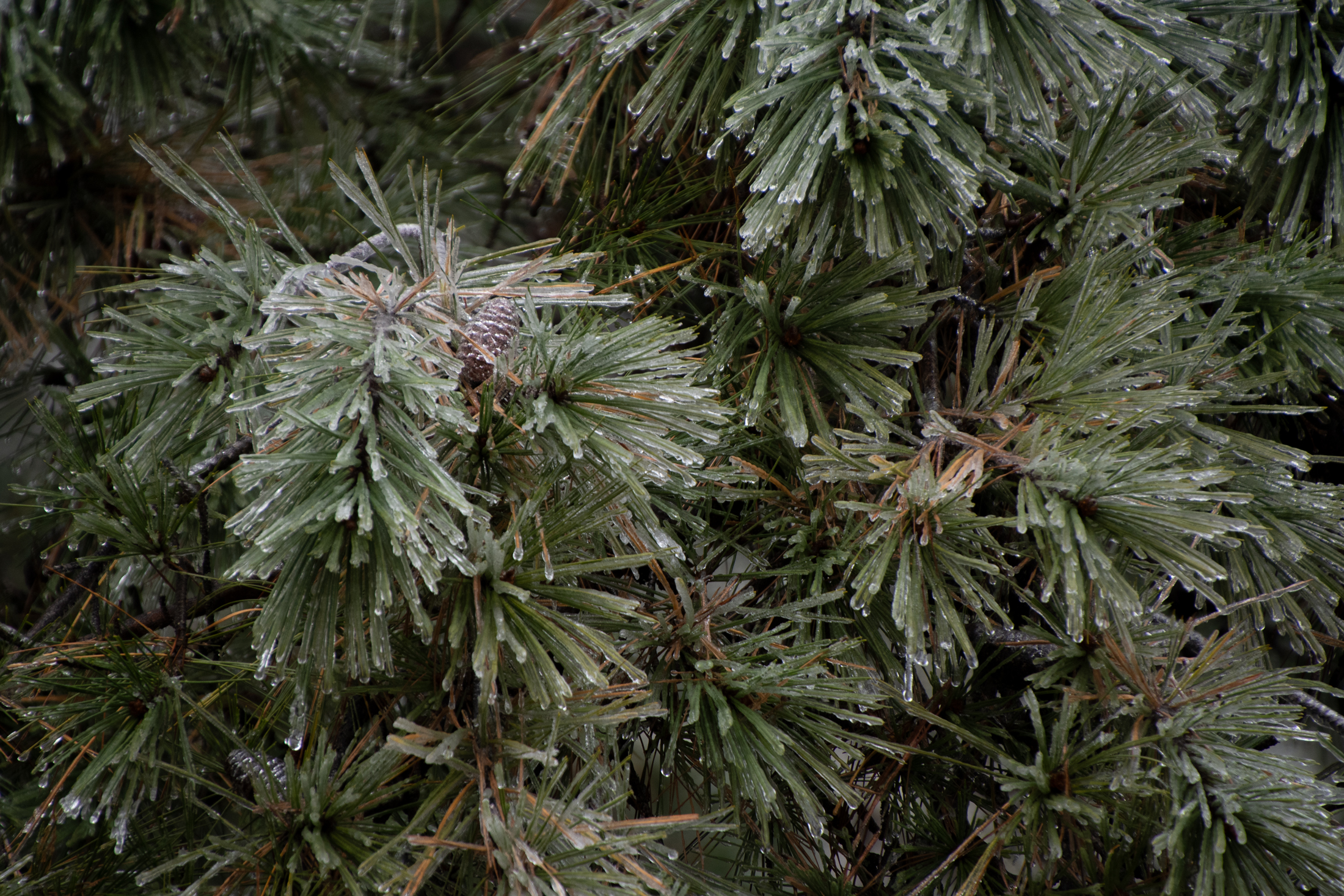
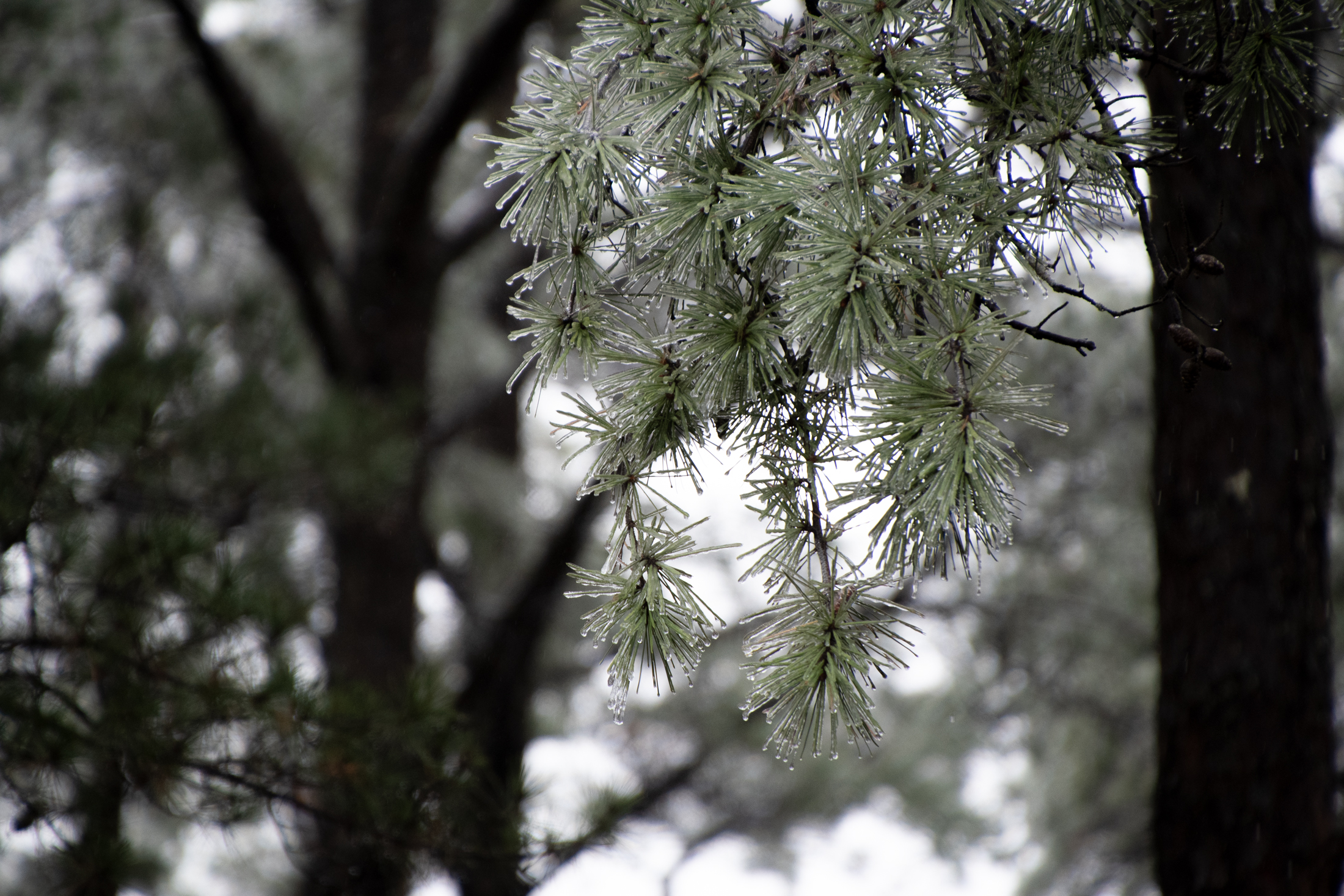
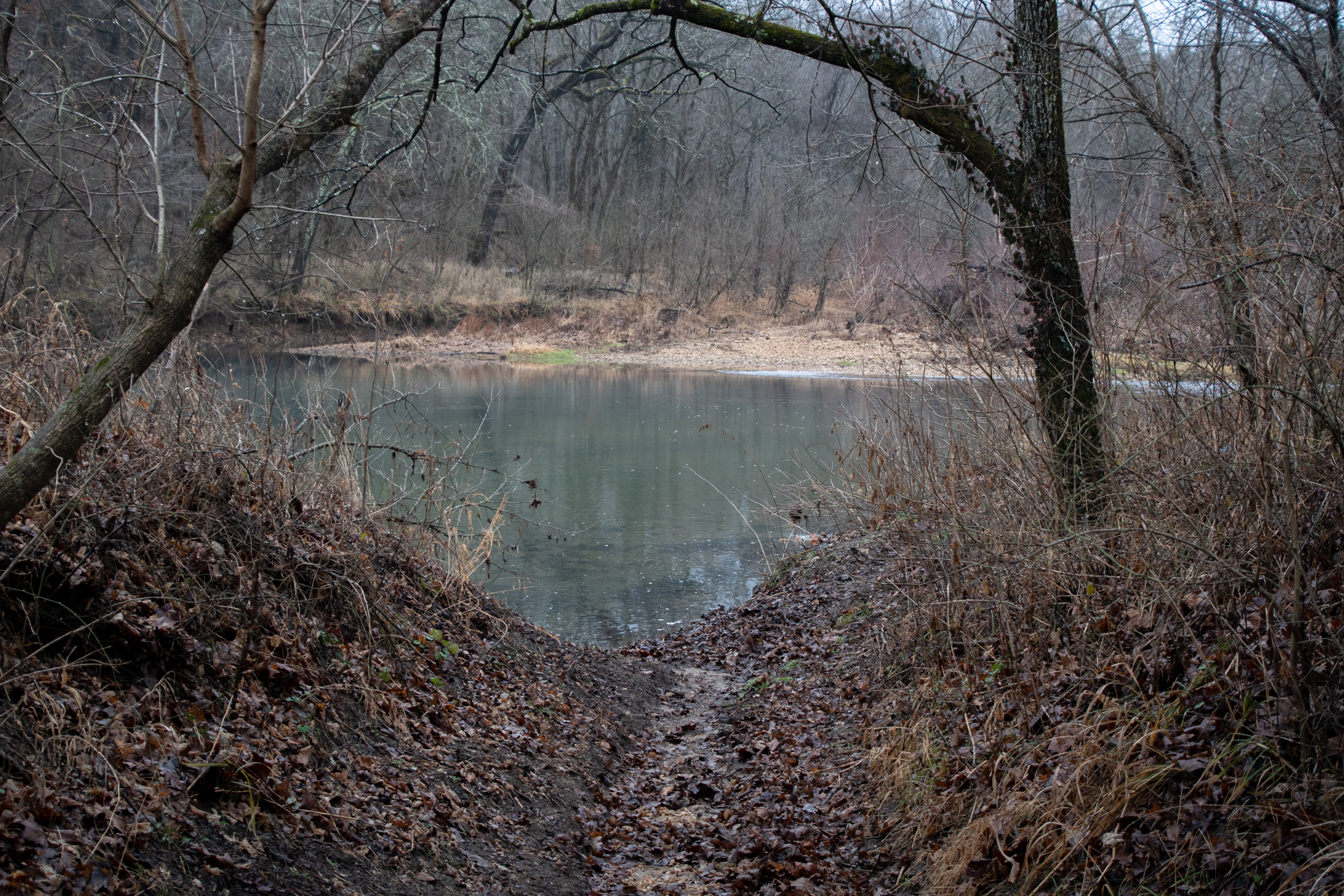
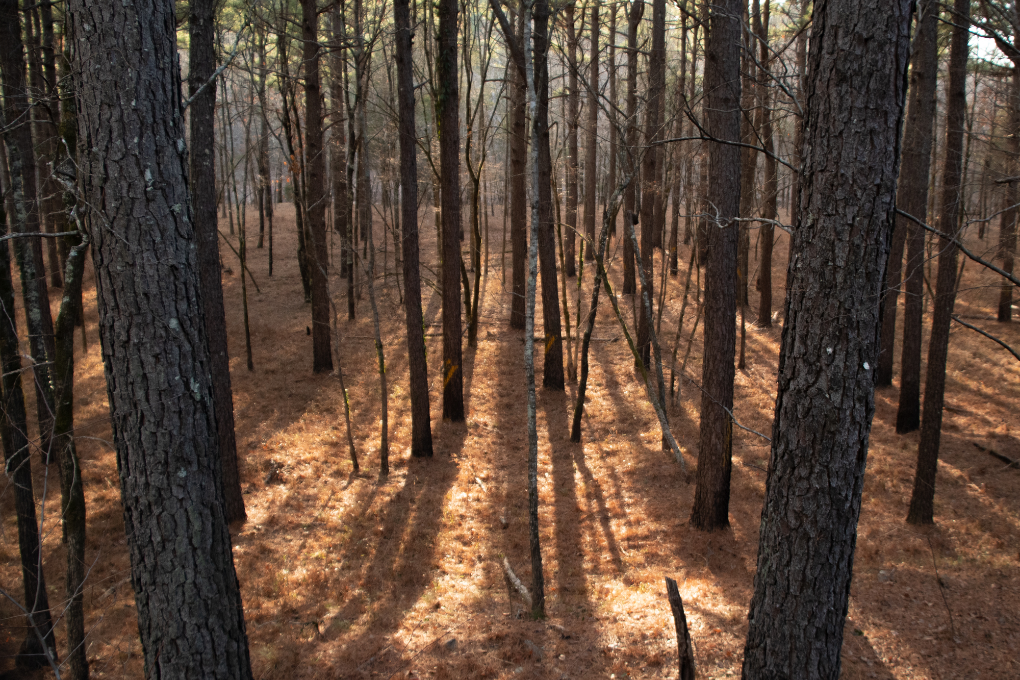
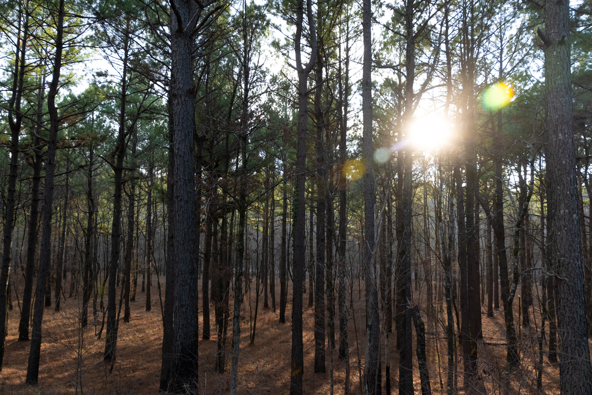
It was a lovely trail through the stillness of the forest, with just enough evergreen to balance out the fallen leaves. And as long as we kept moving, it wasn’t cold.

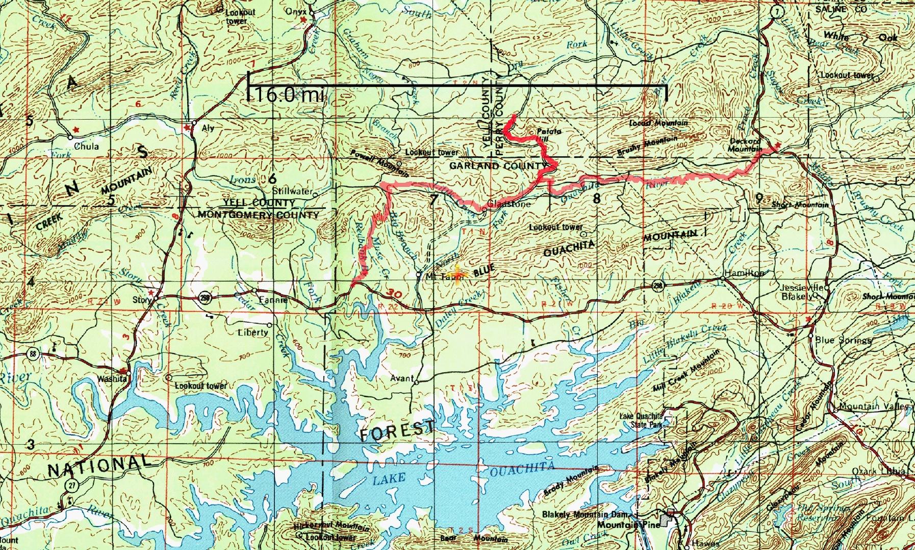
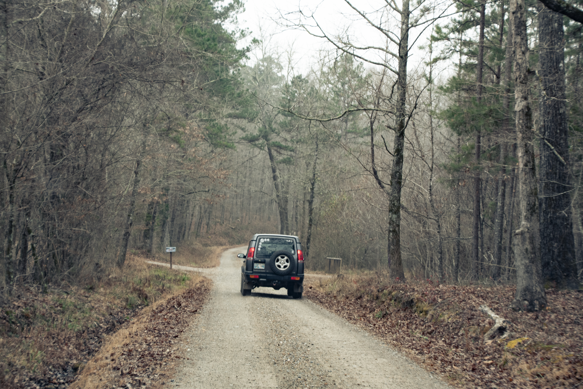
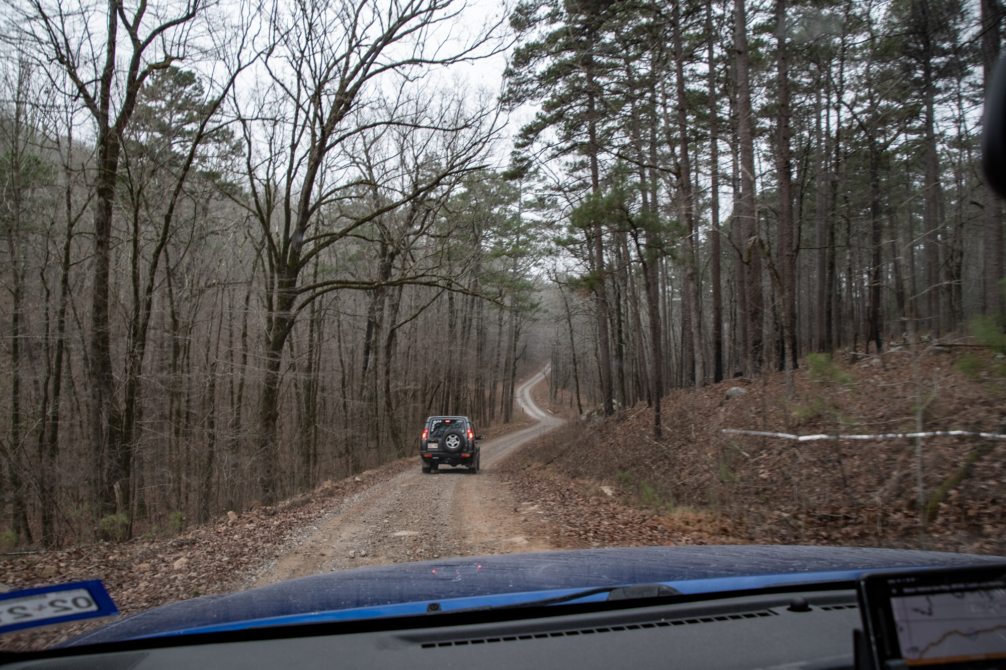
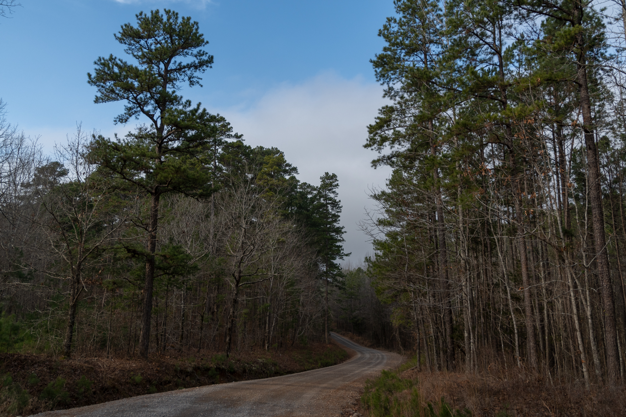
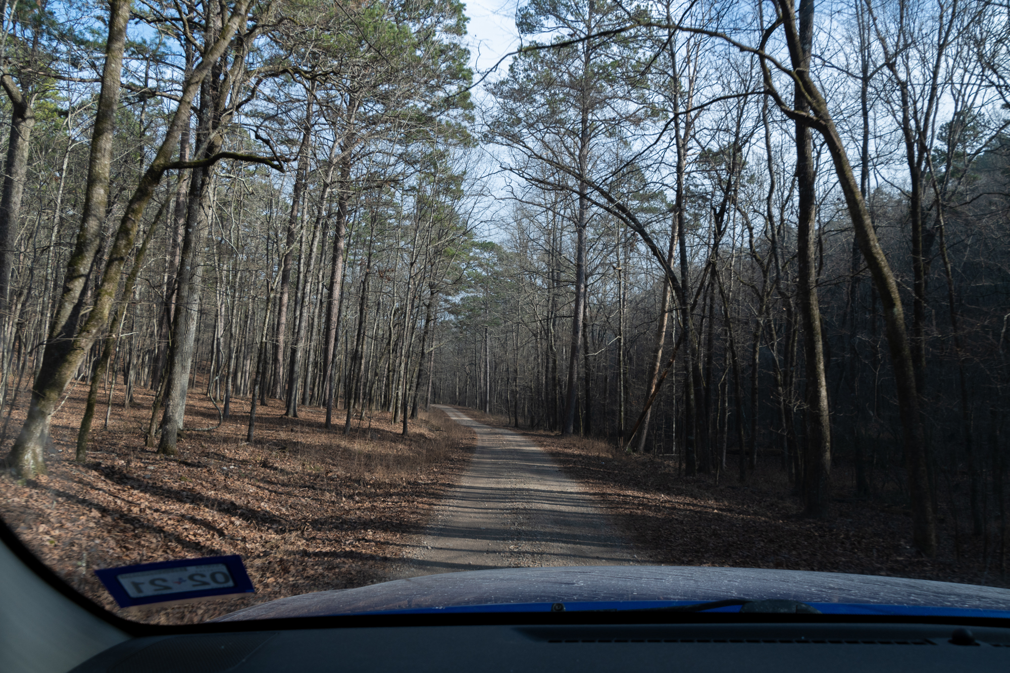
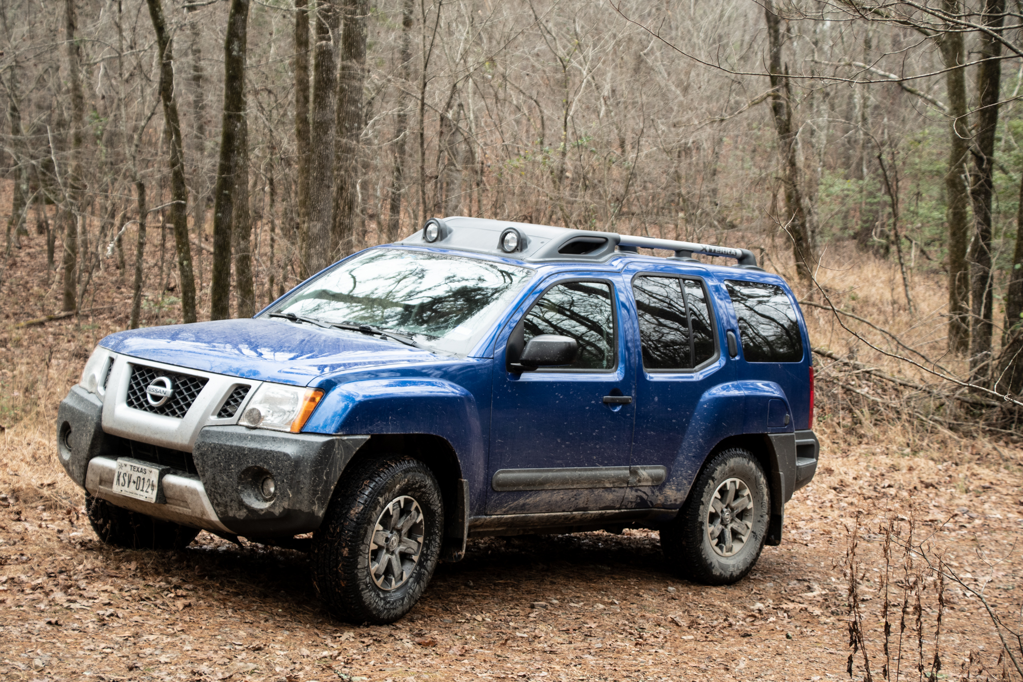
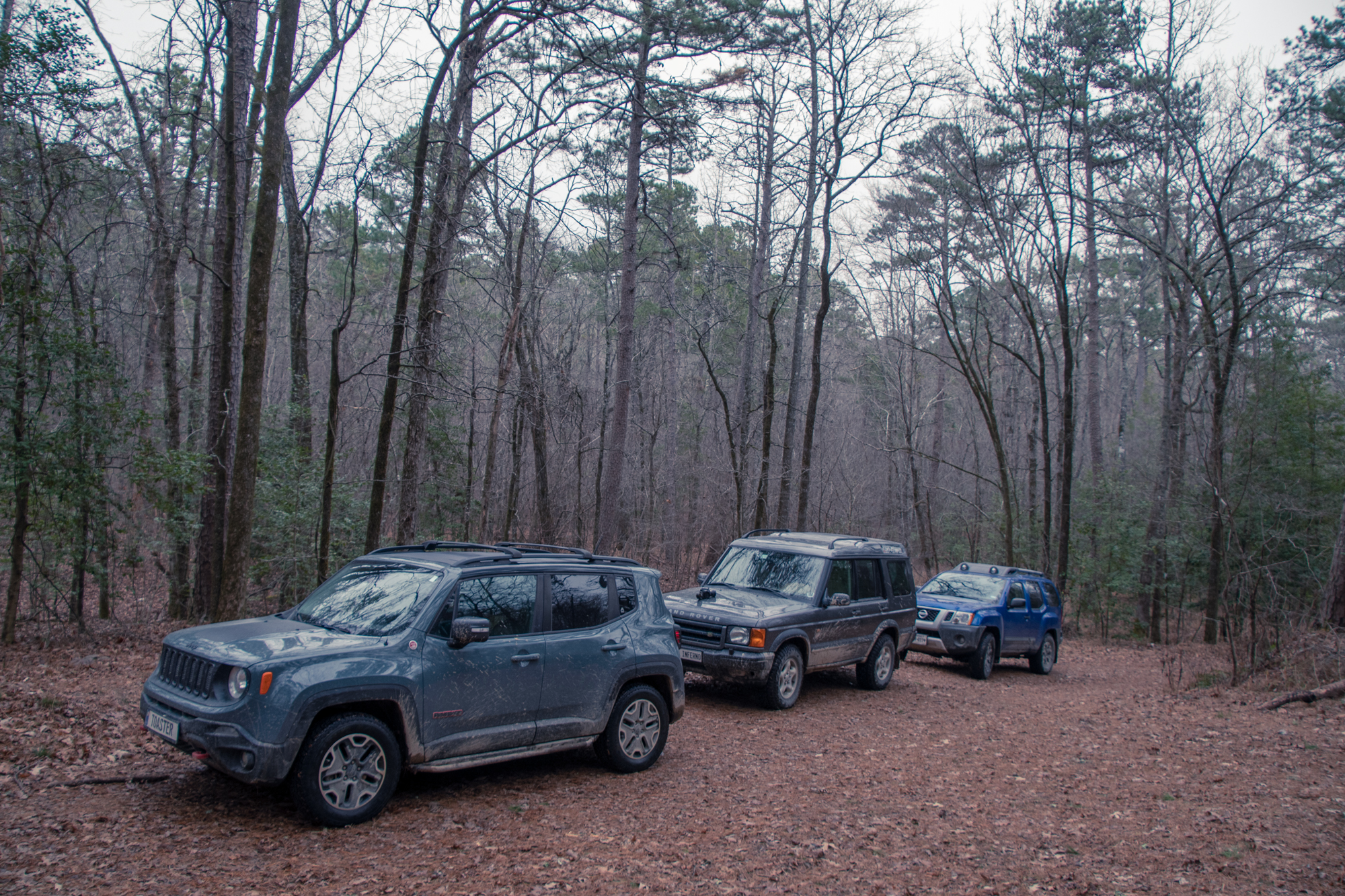
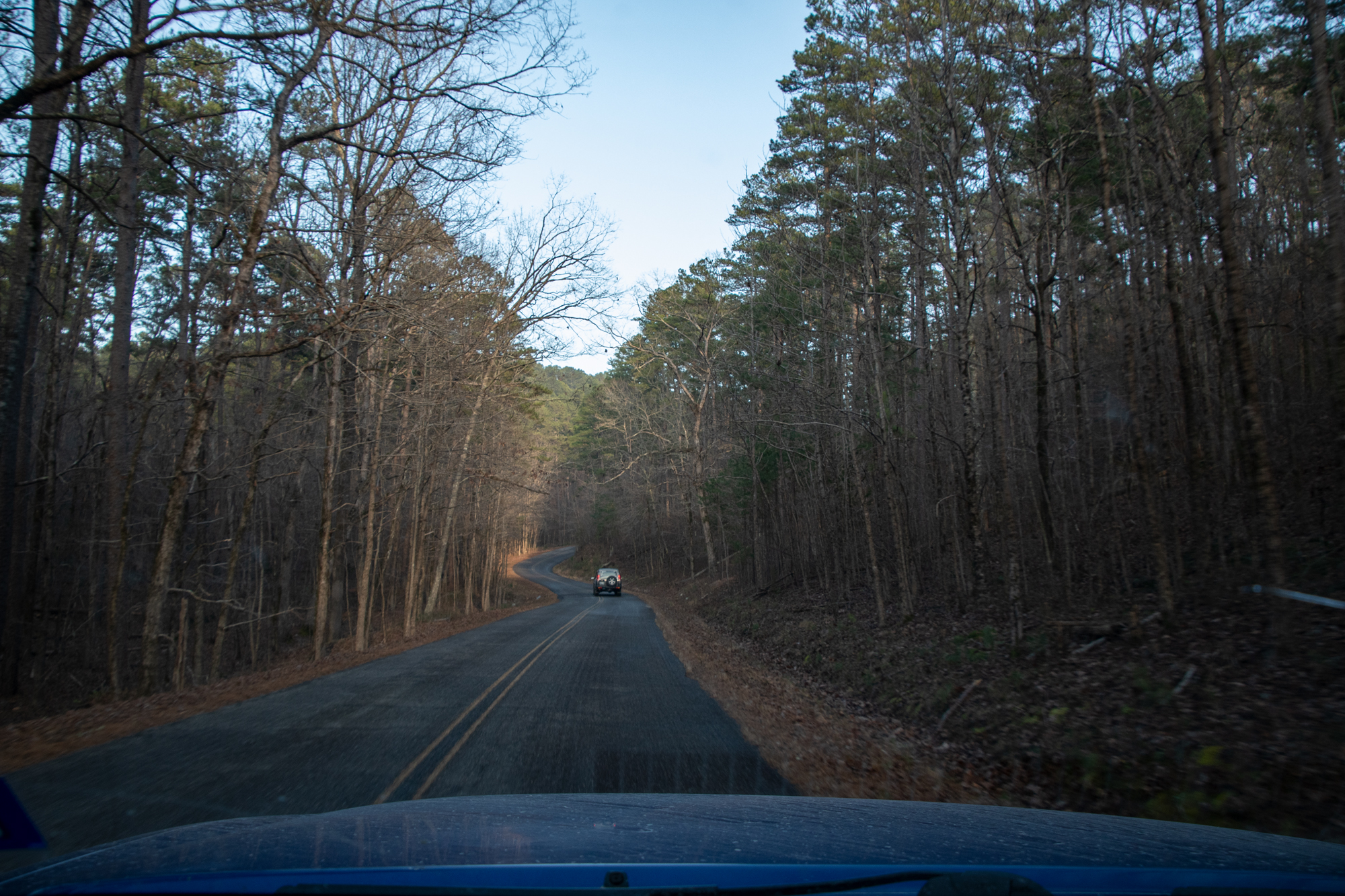
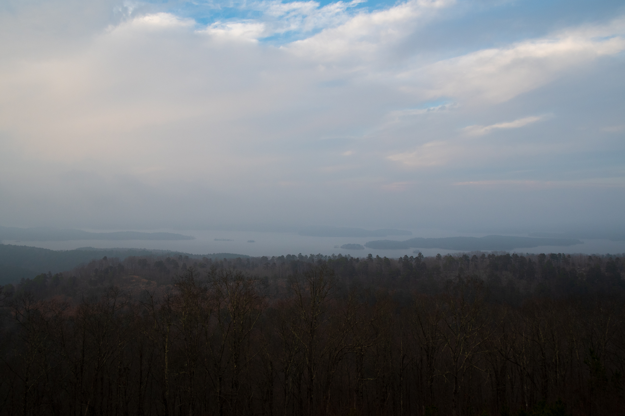
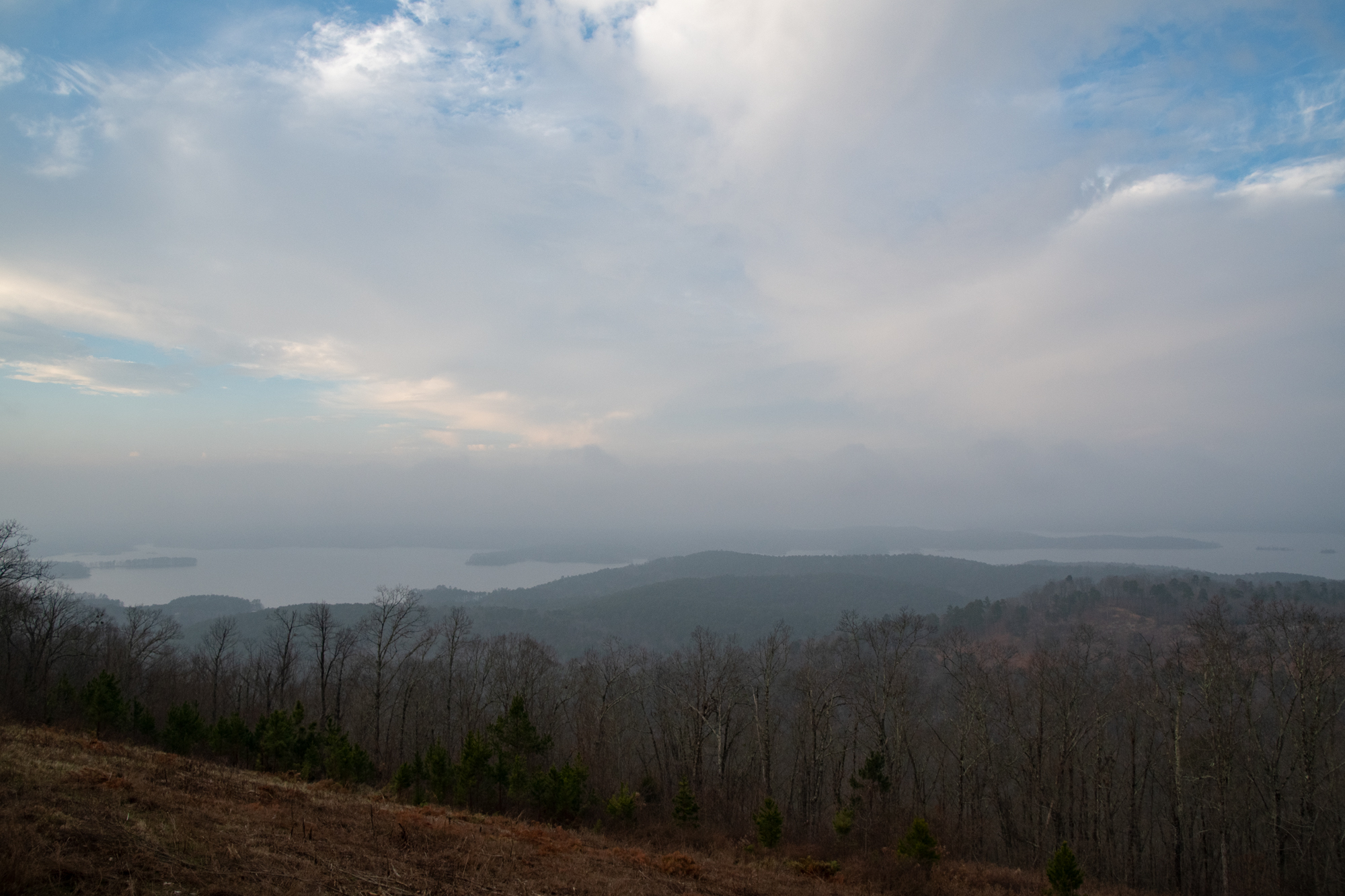
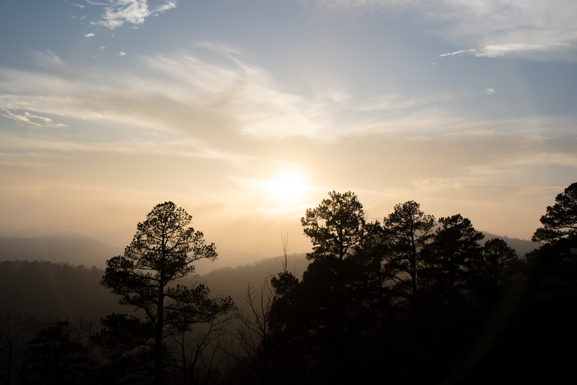
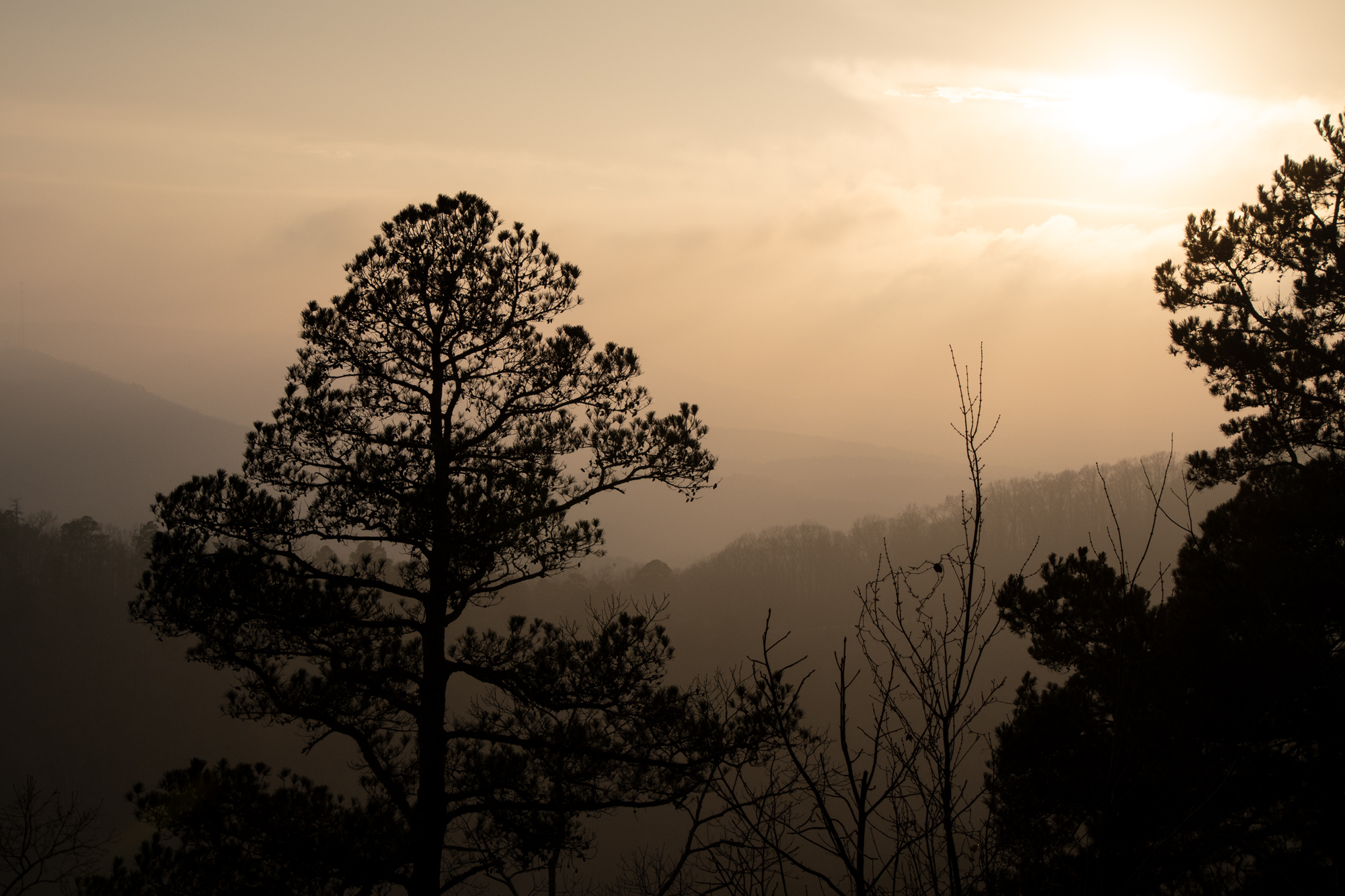
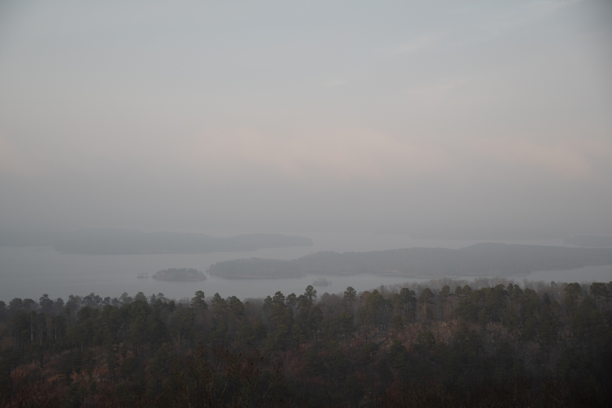
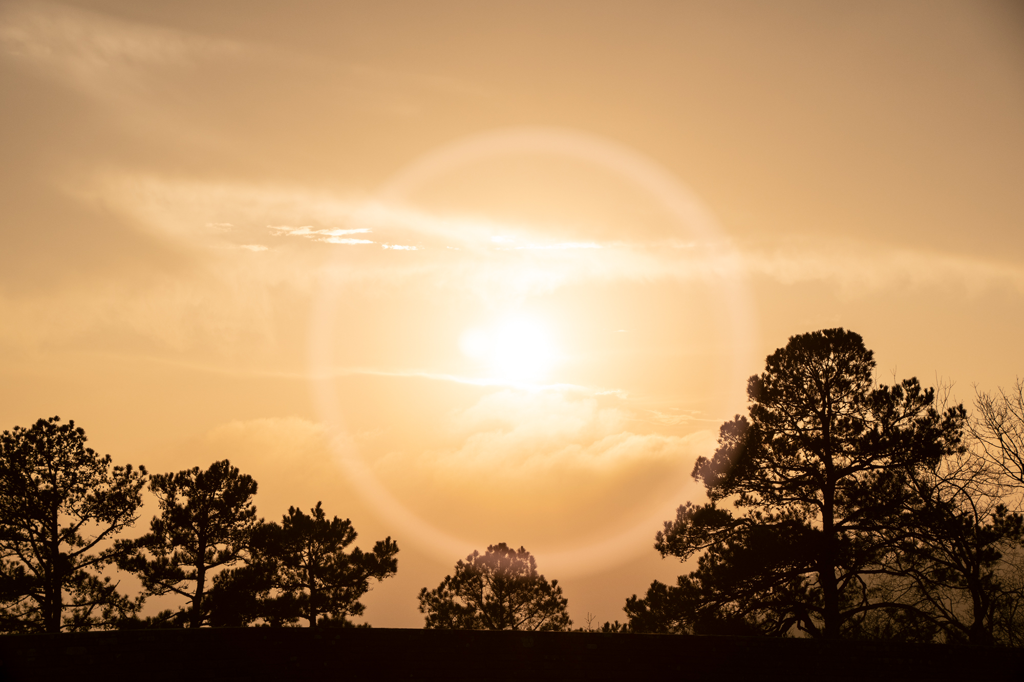
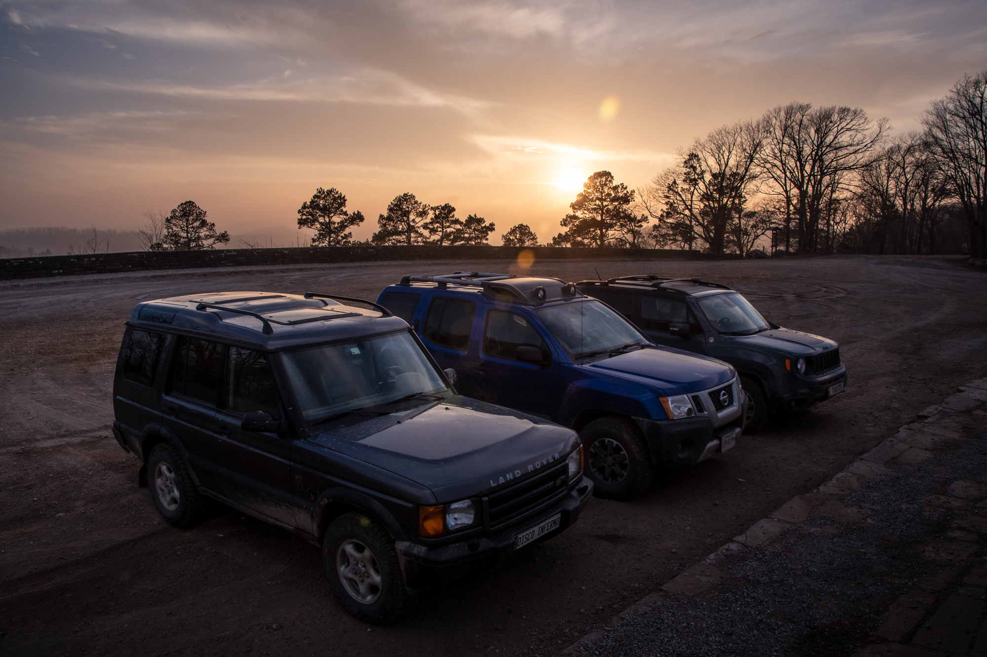
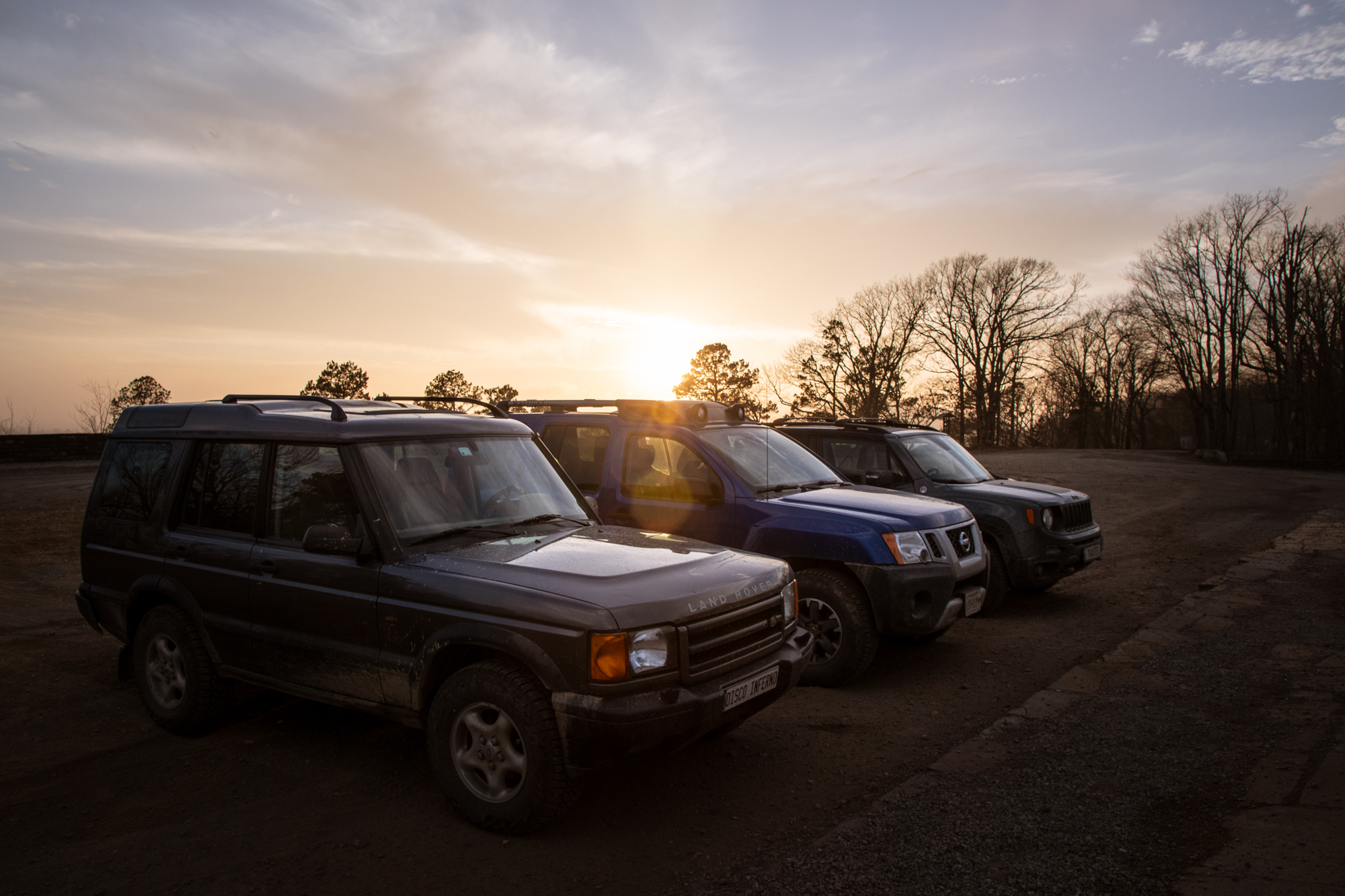
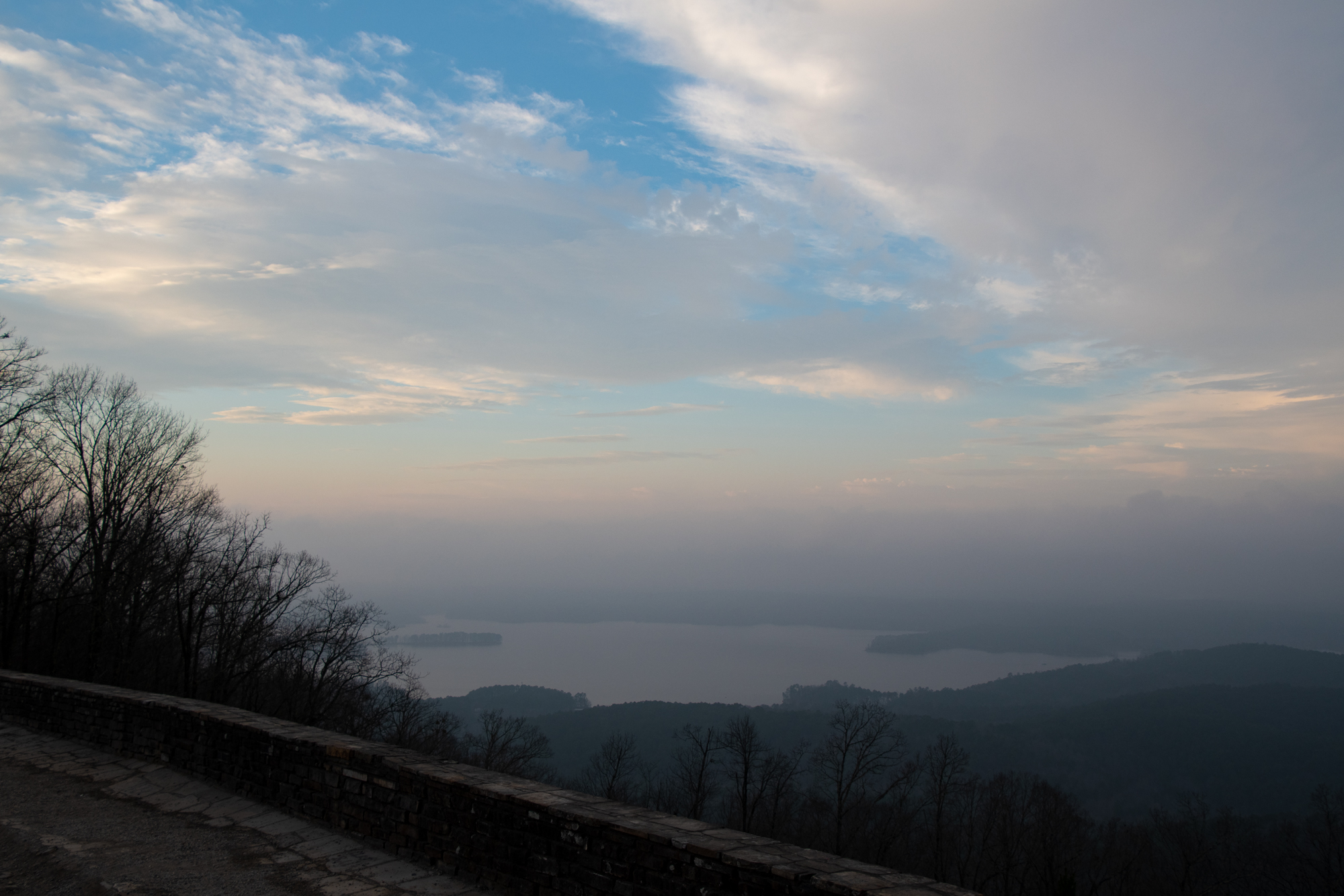
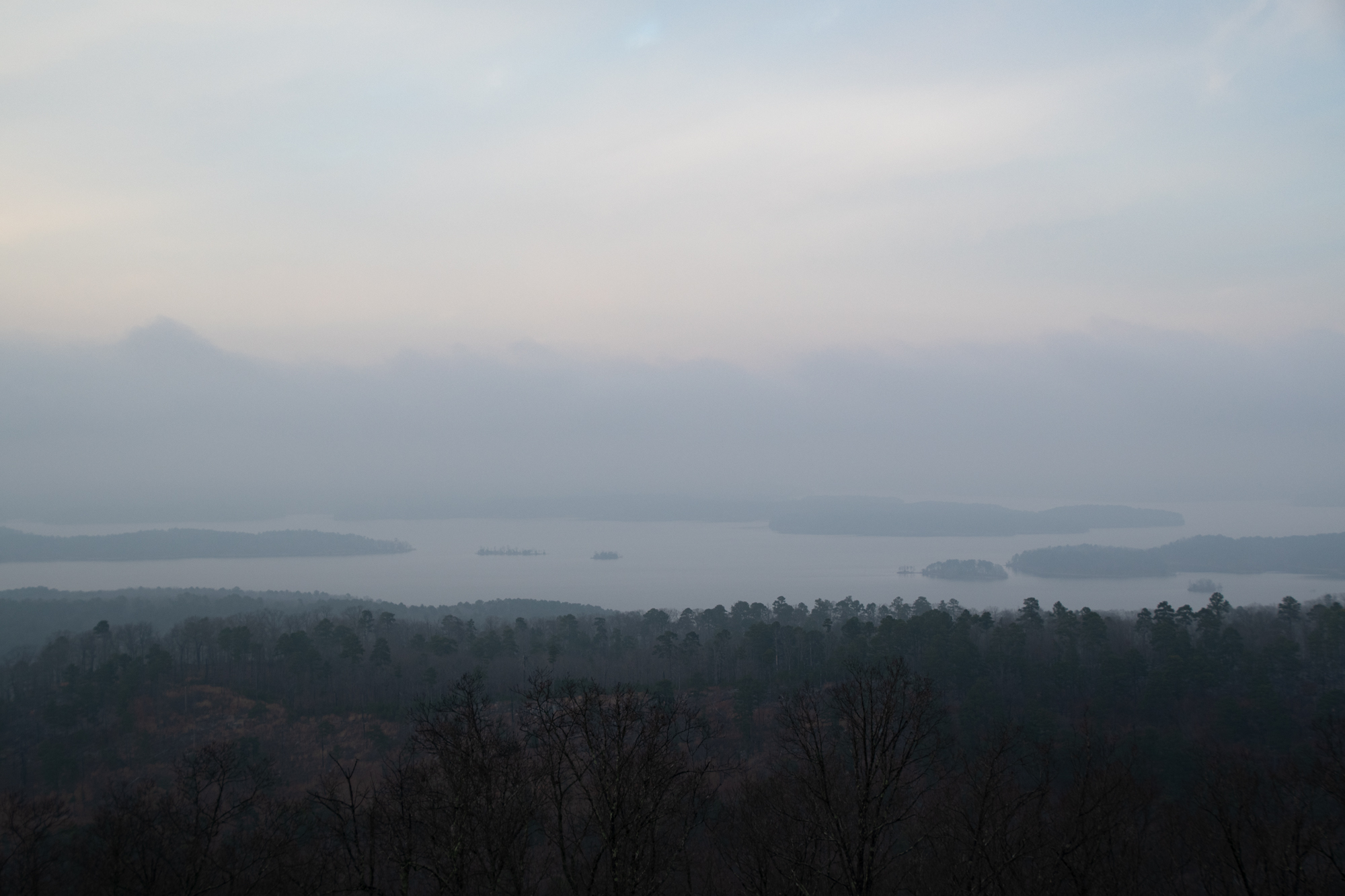
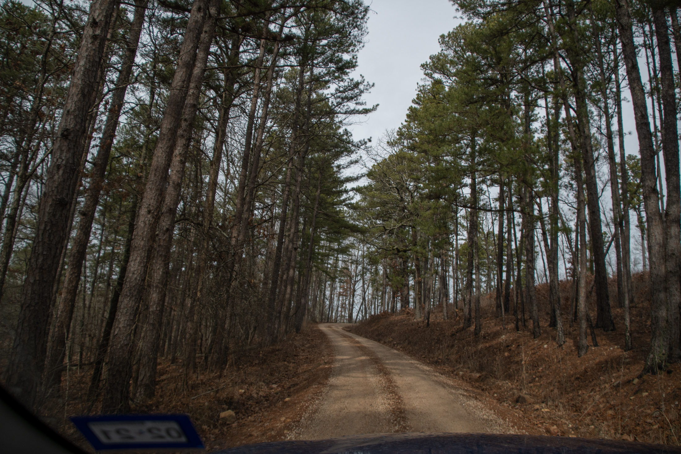
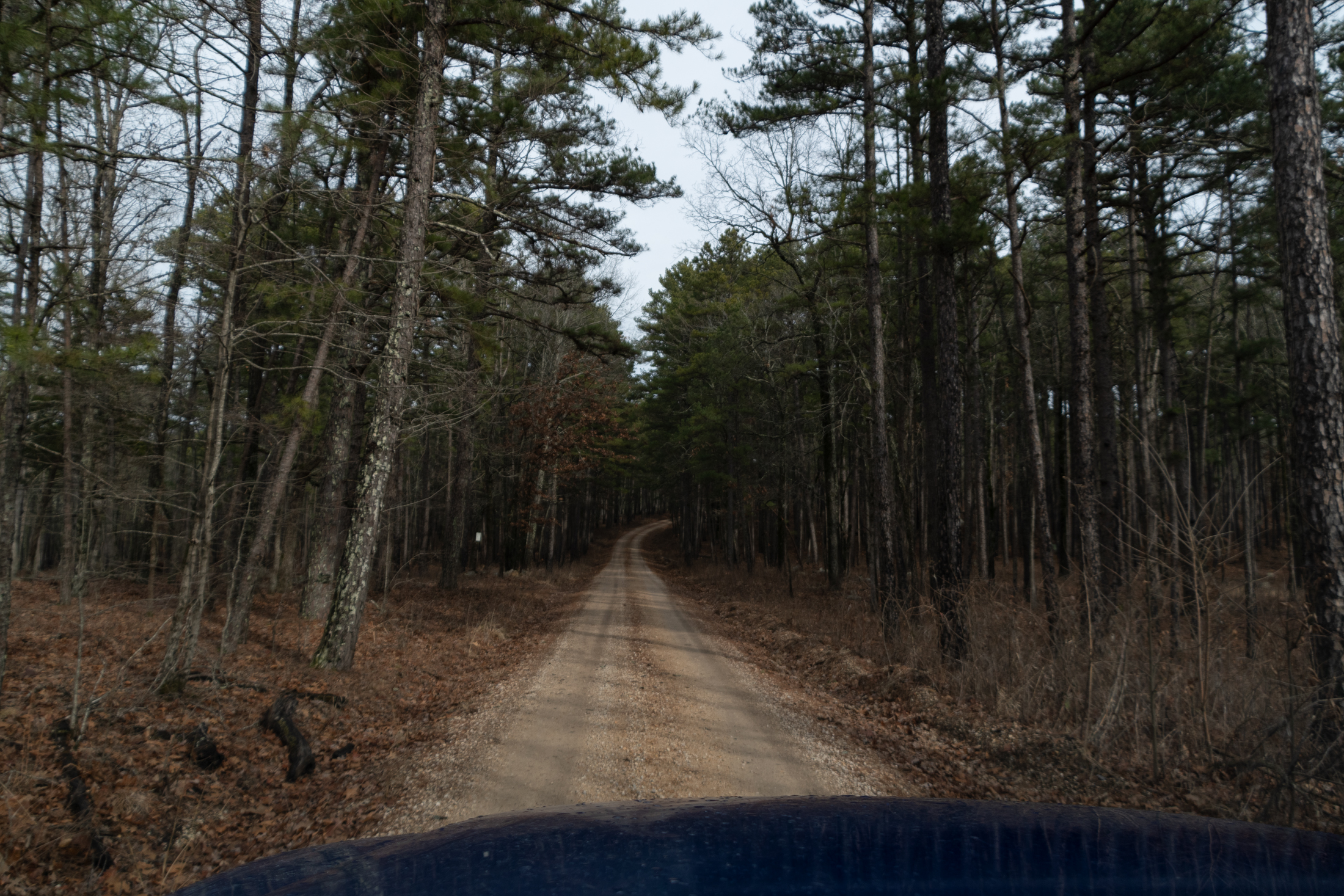
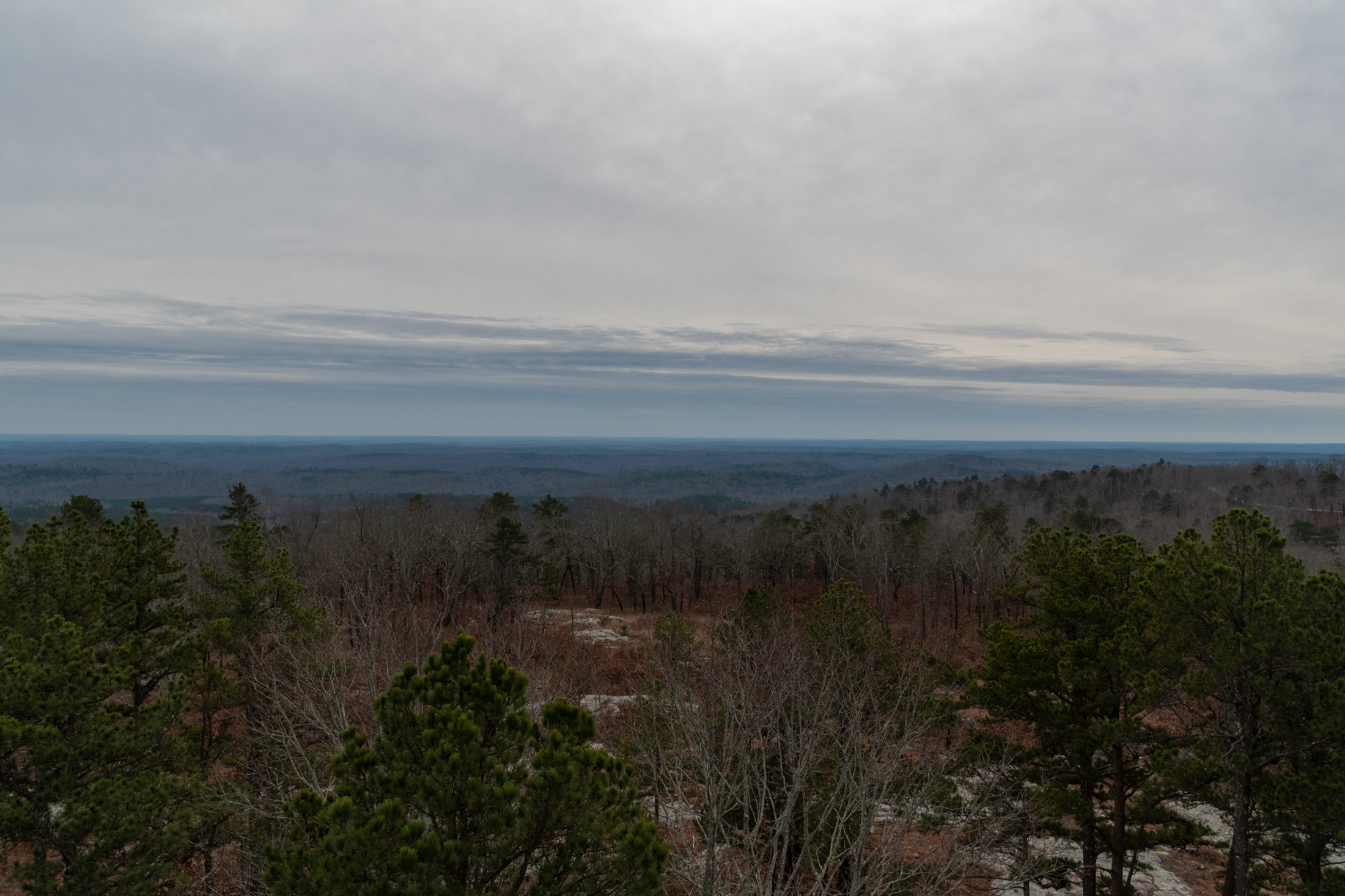
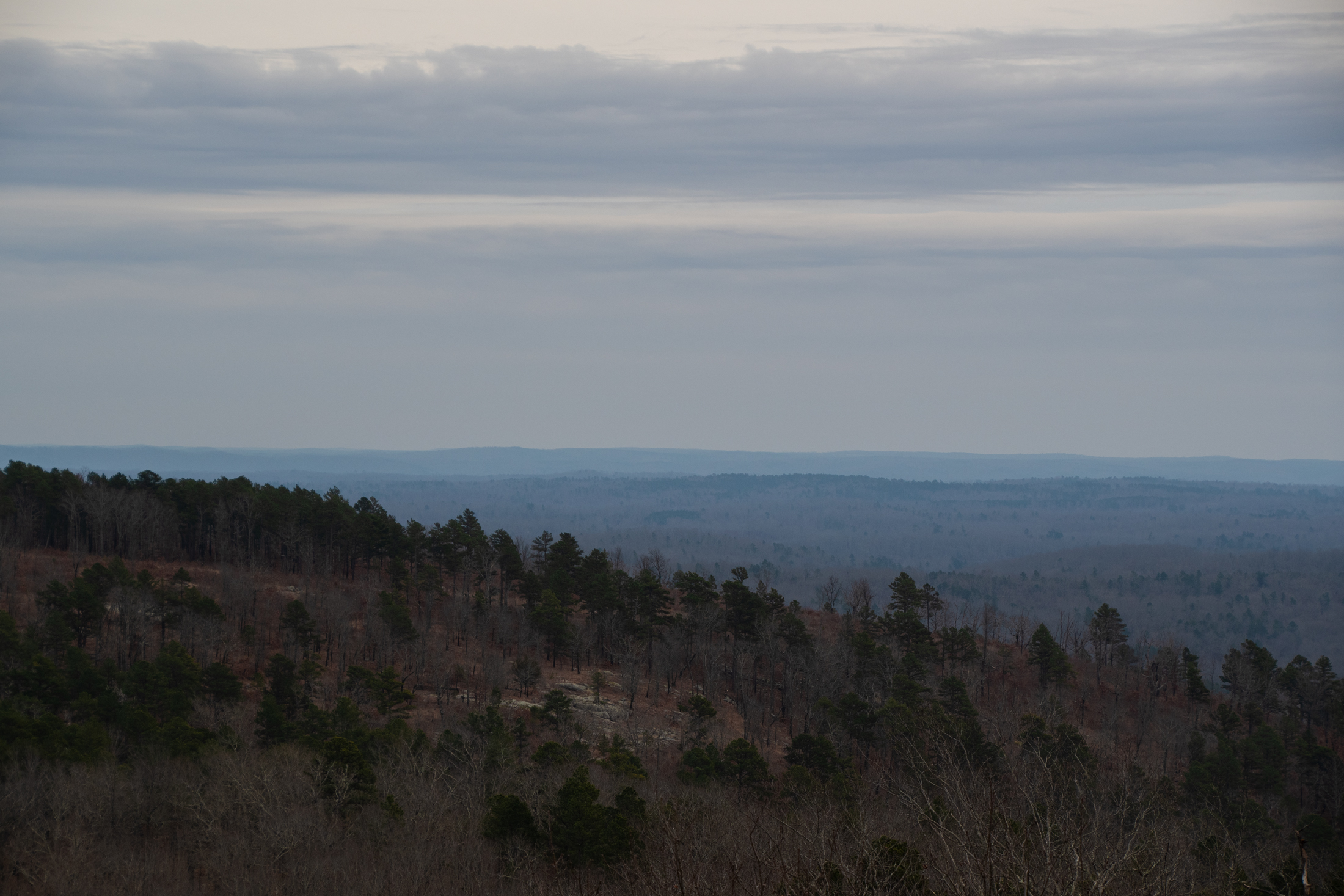
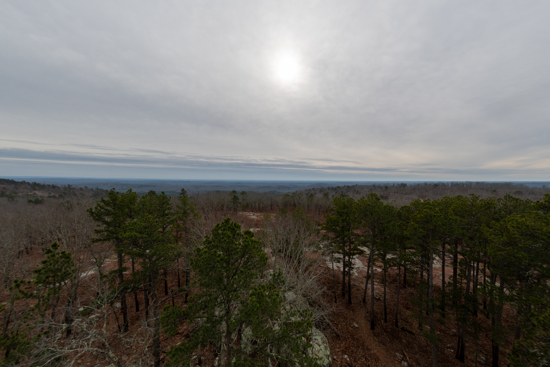
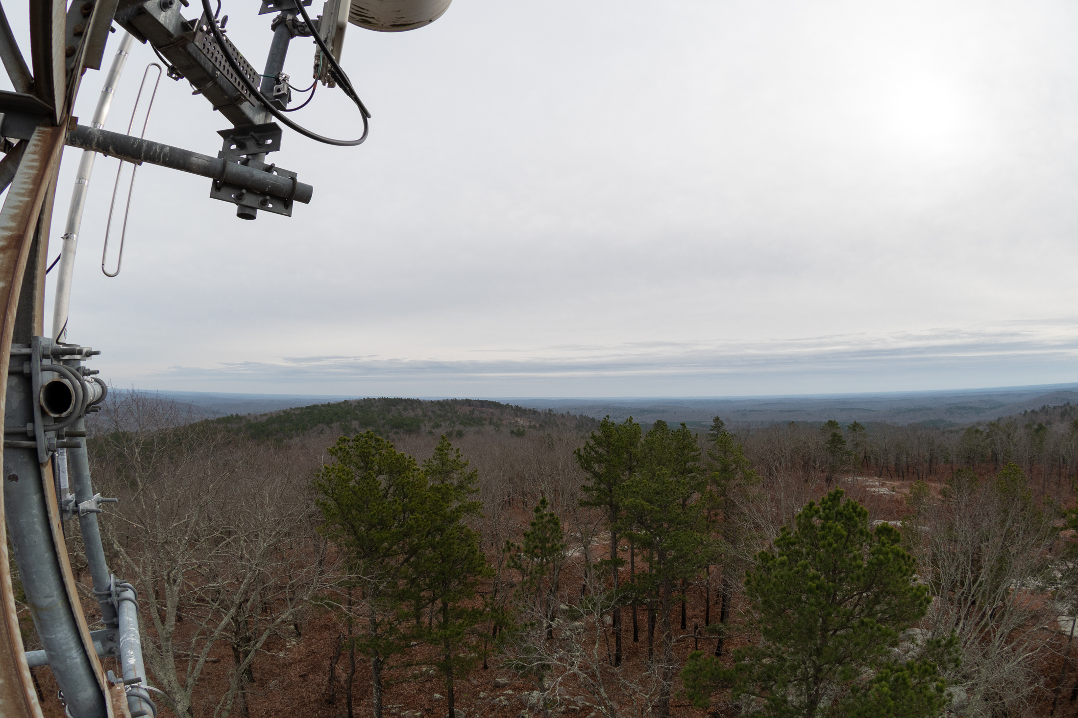
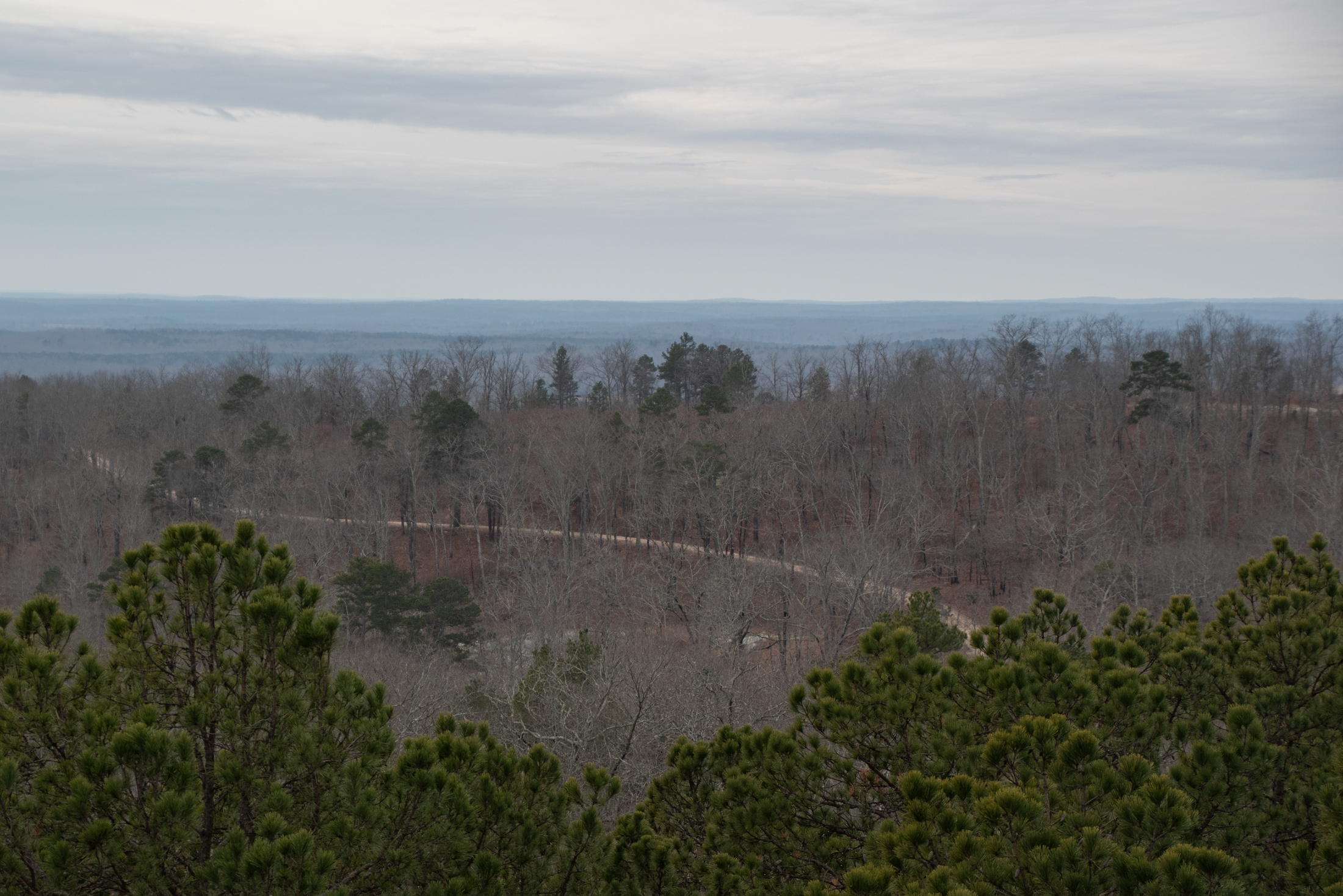
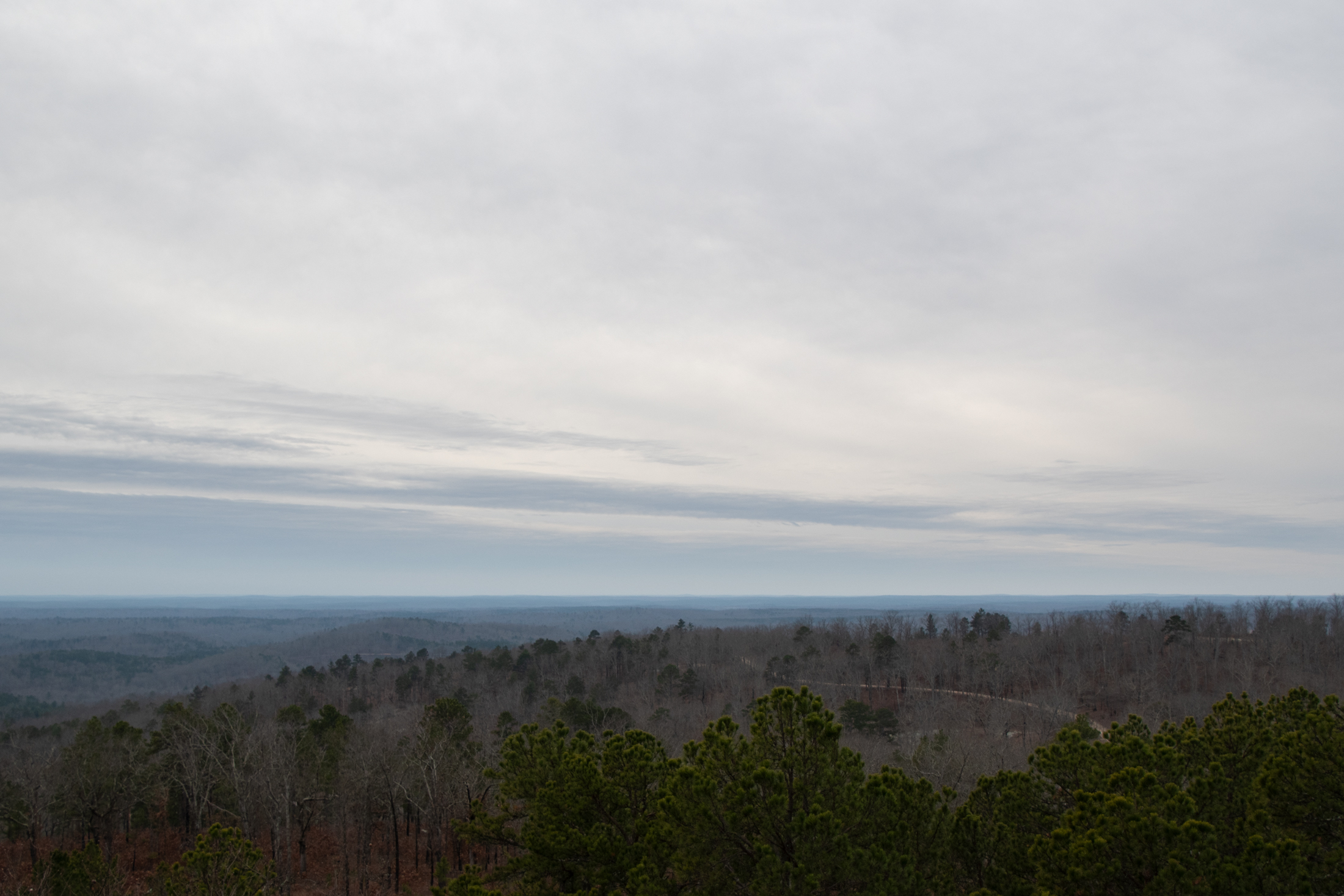
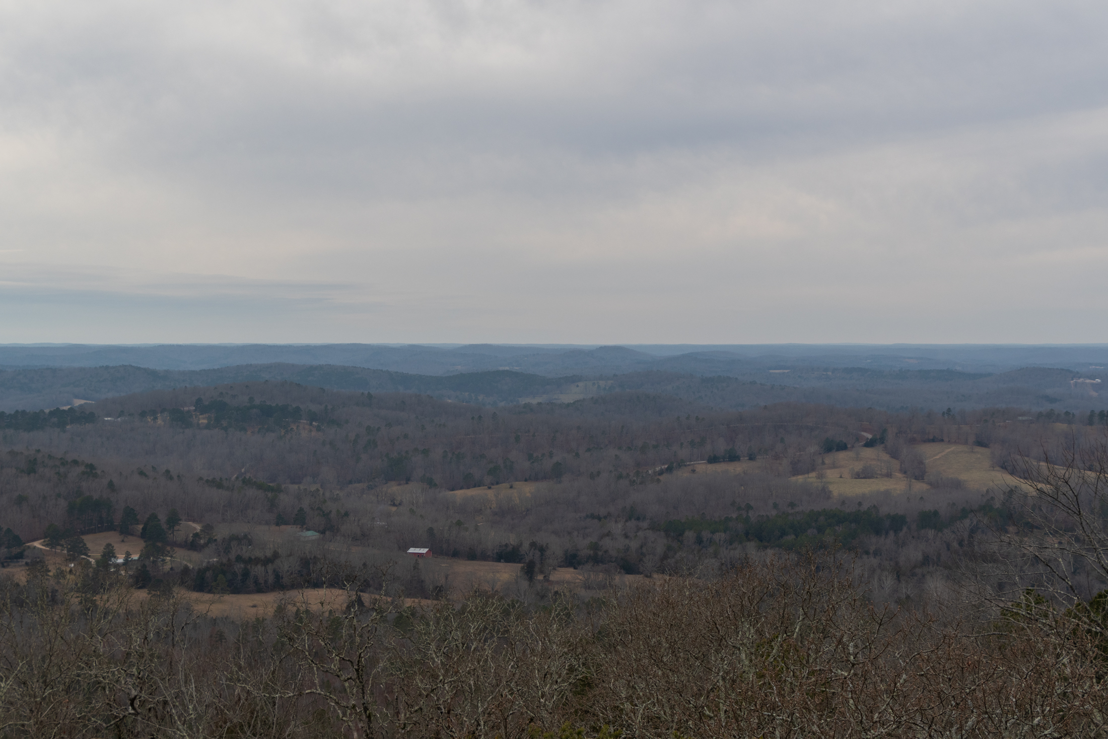
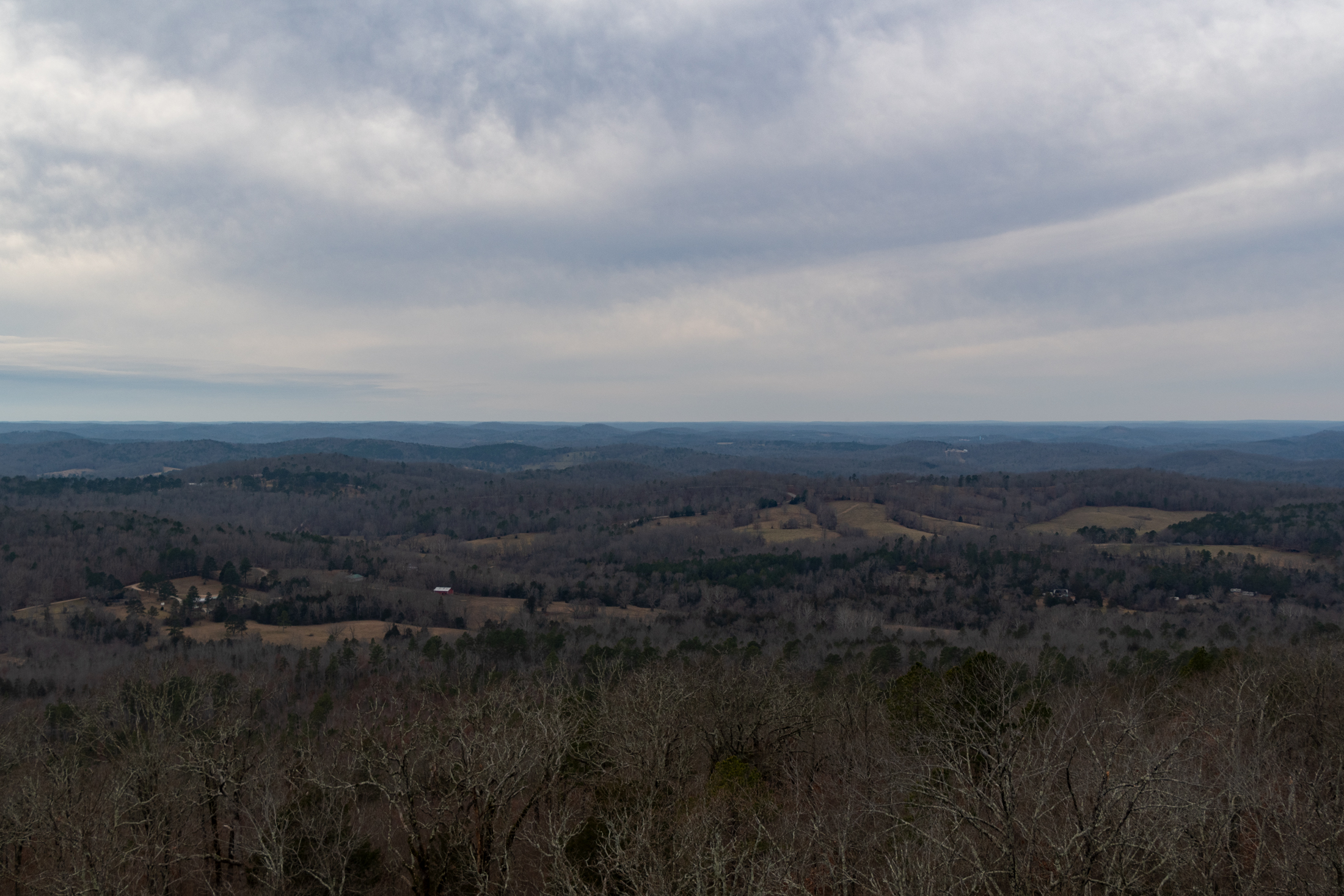
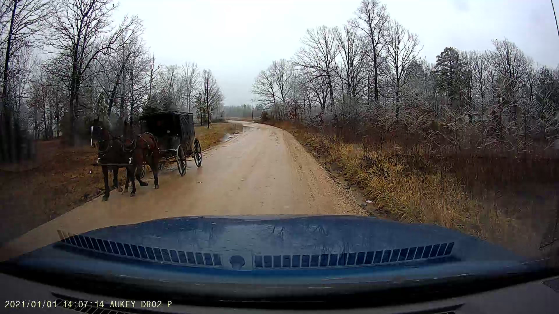
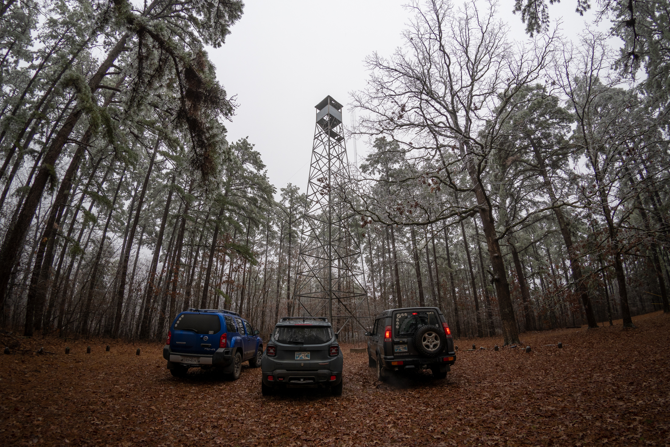
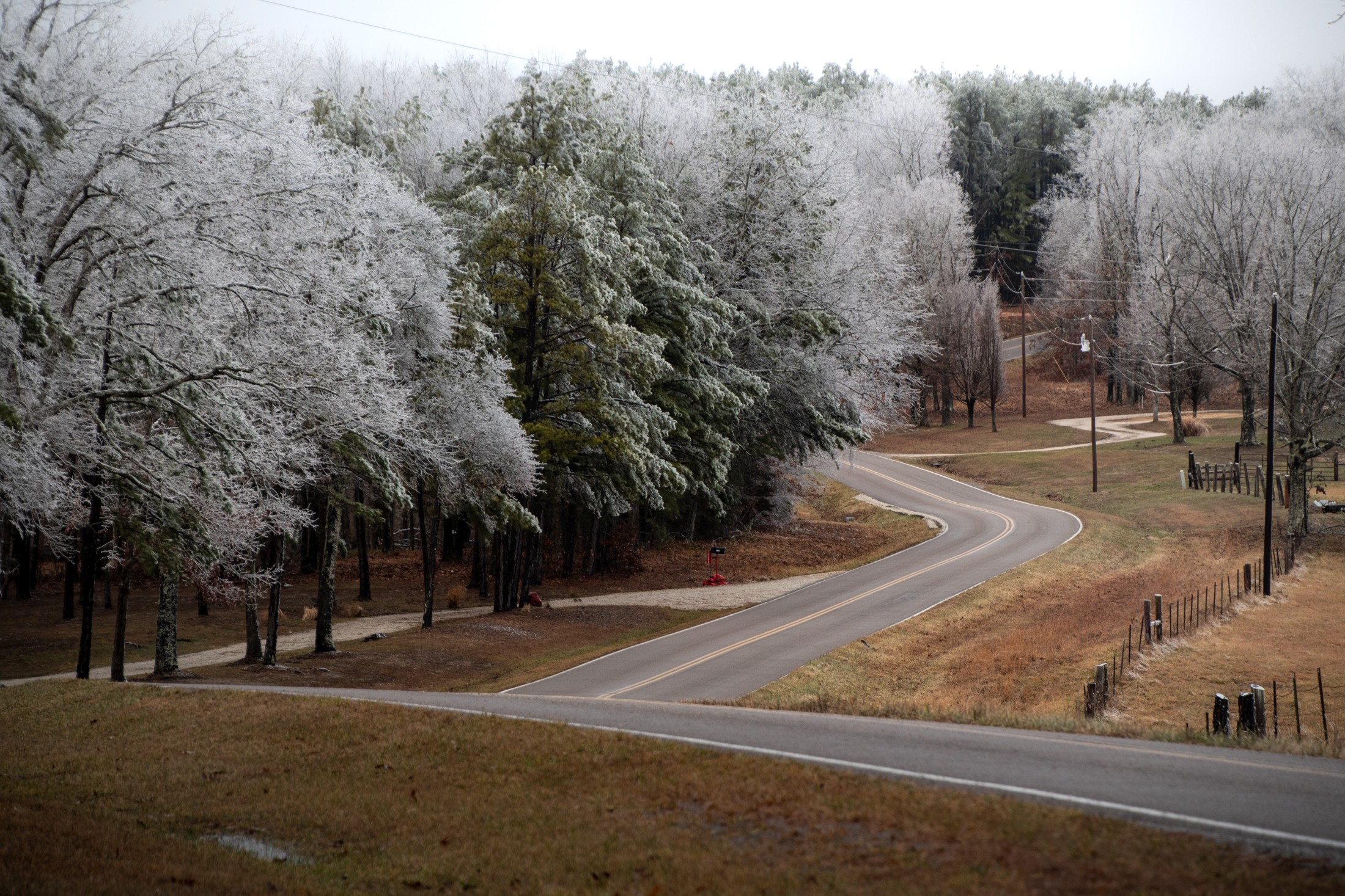
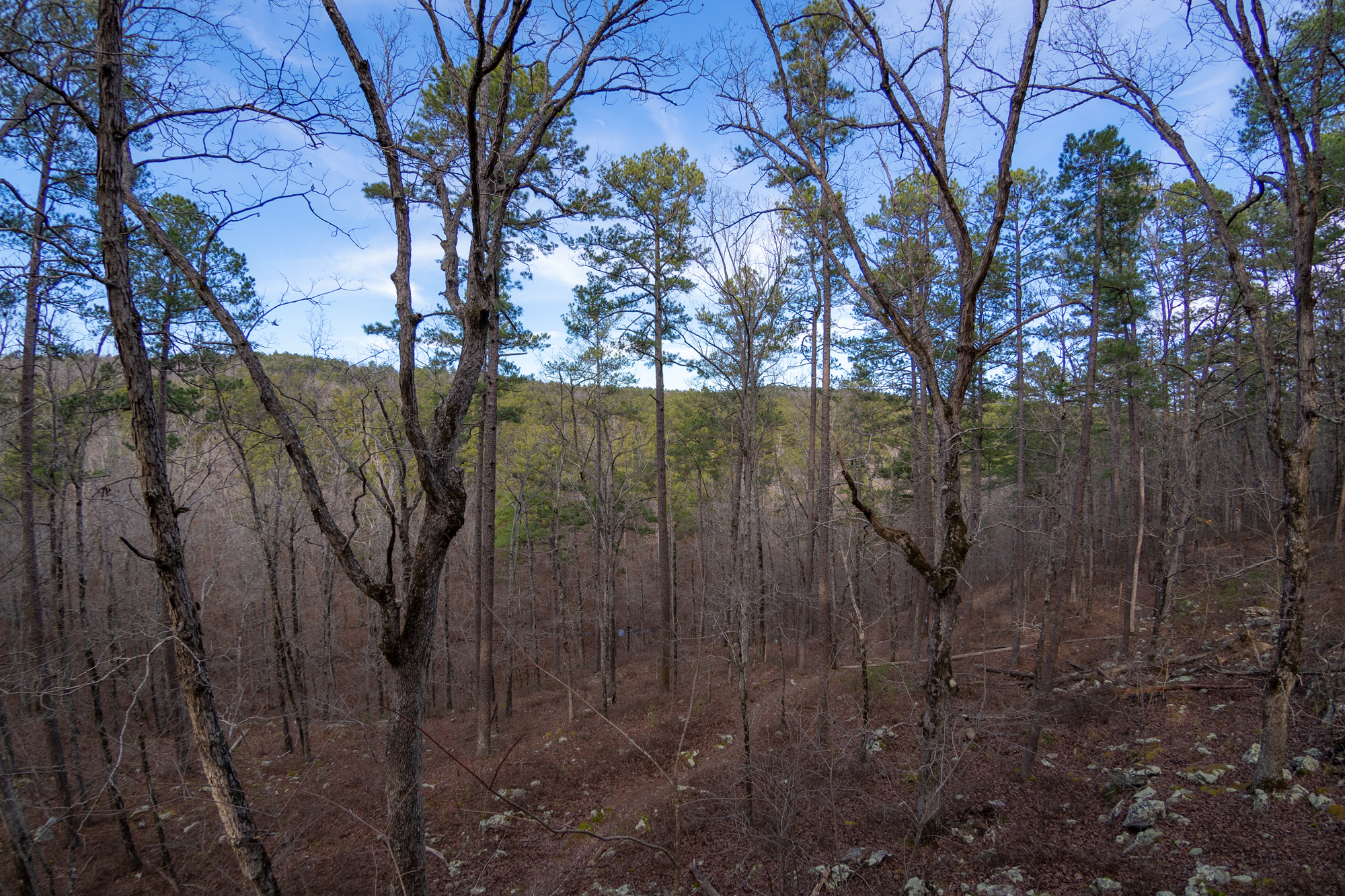
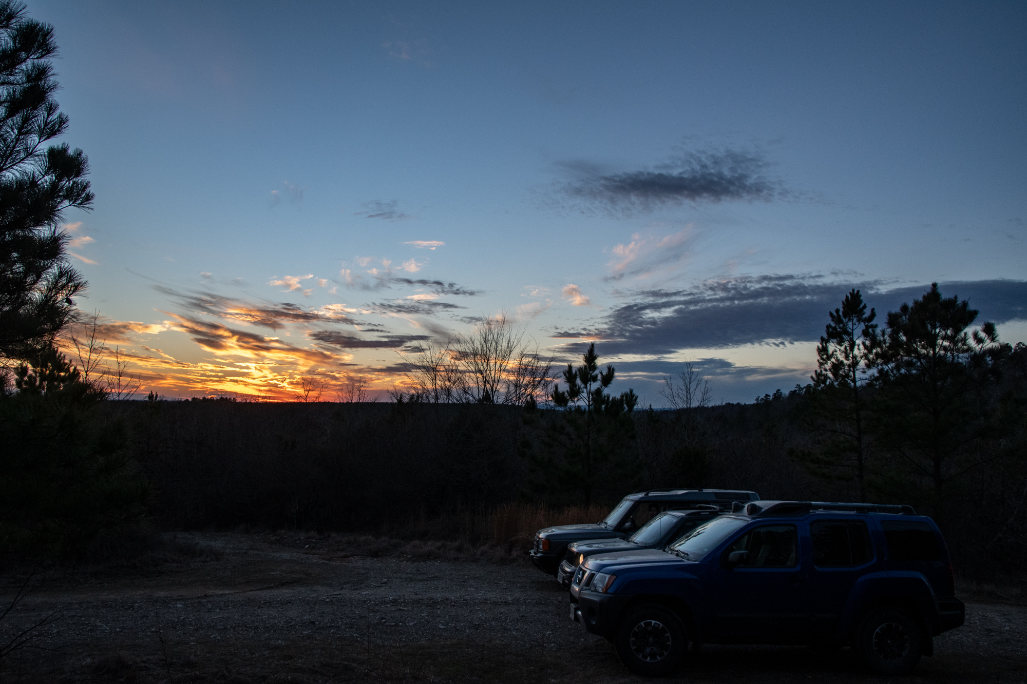
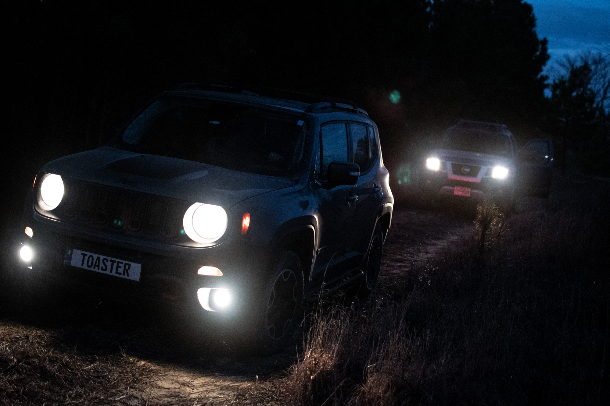
We took logging service roads through the forest across the north side of the lake to have a little fun getting back to the cabin. Most of it was very pleasant — meandering, easy unpaved roads through thick pine forest, dotted with occasional views of the setting sun over tree-lined hilltops in the distance.

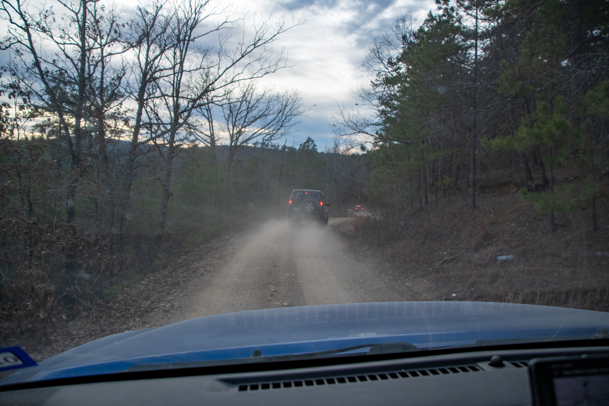
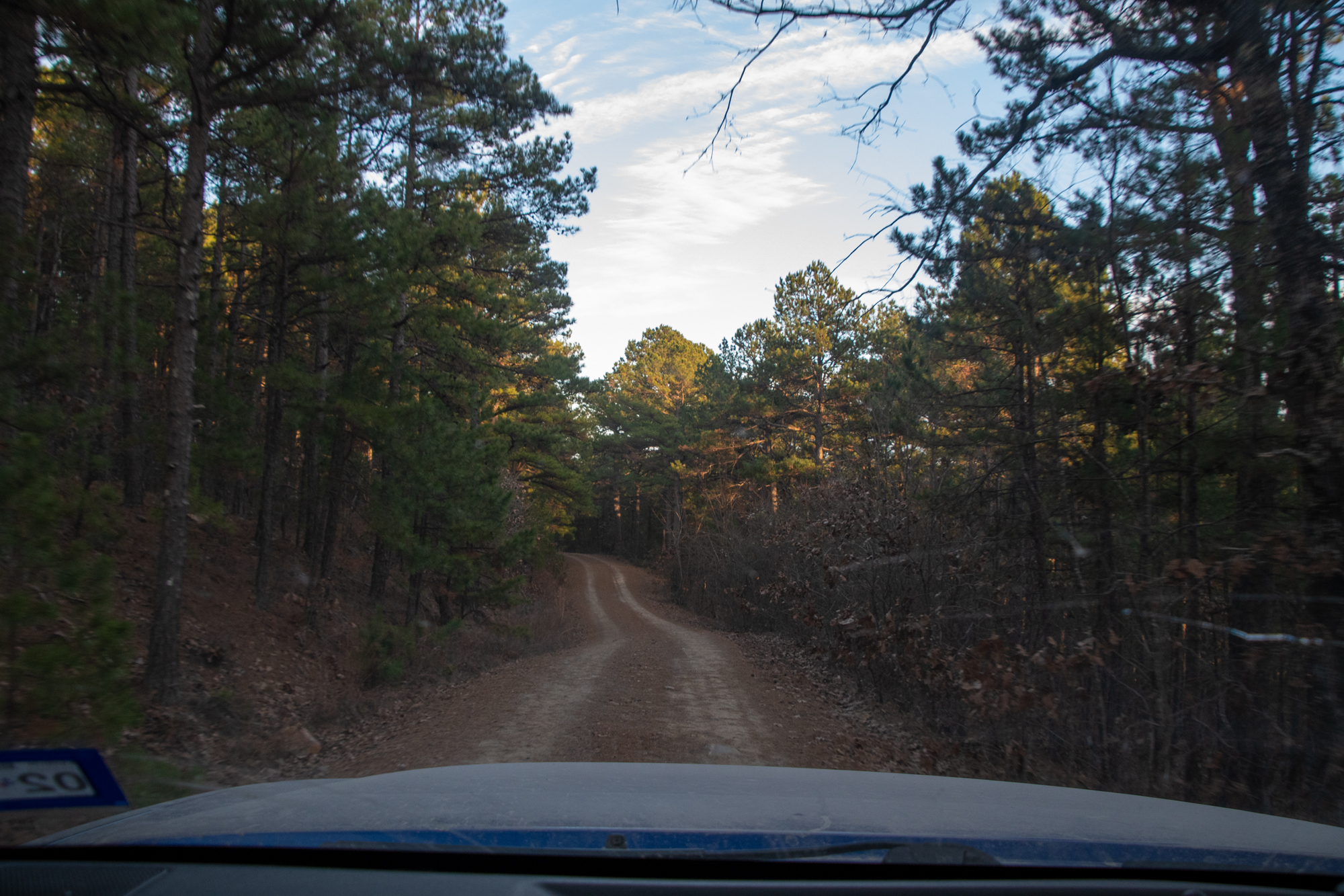
We didn’t have a specific route in mind, just headed vaguely southwest on the intriguingly interconnected map-squiggles. Unfortunately, we ended up having to do a massive backtrack around a barricaded road. But I’m not mad about it, this was thoroughly lovely:

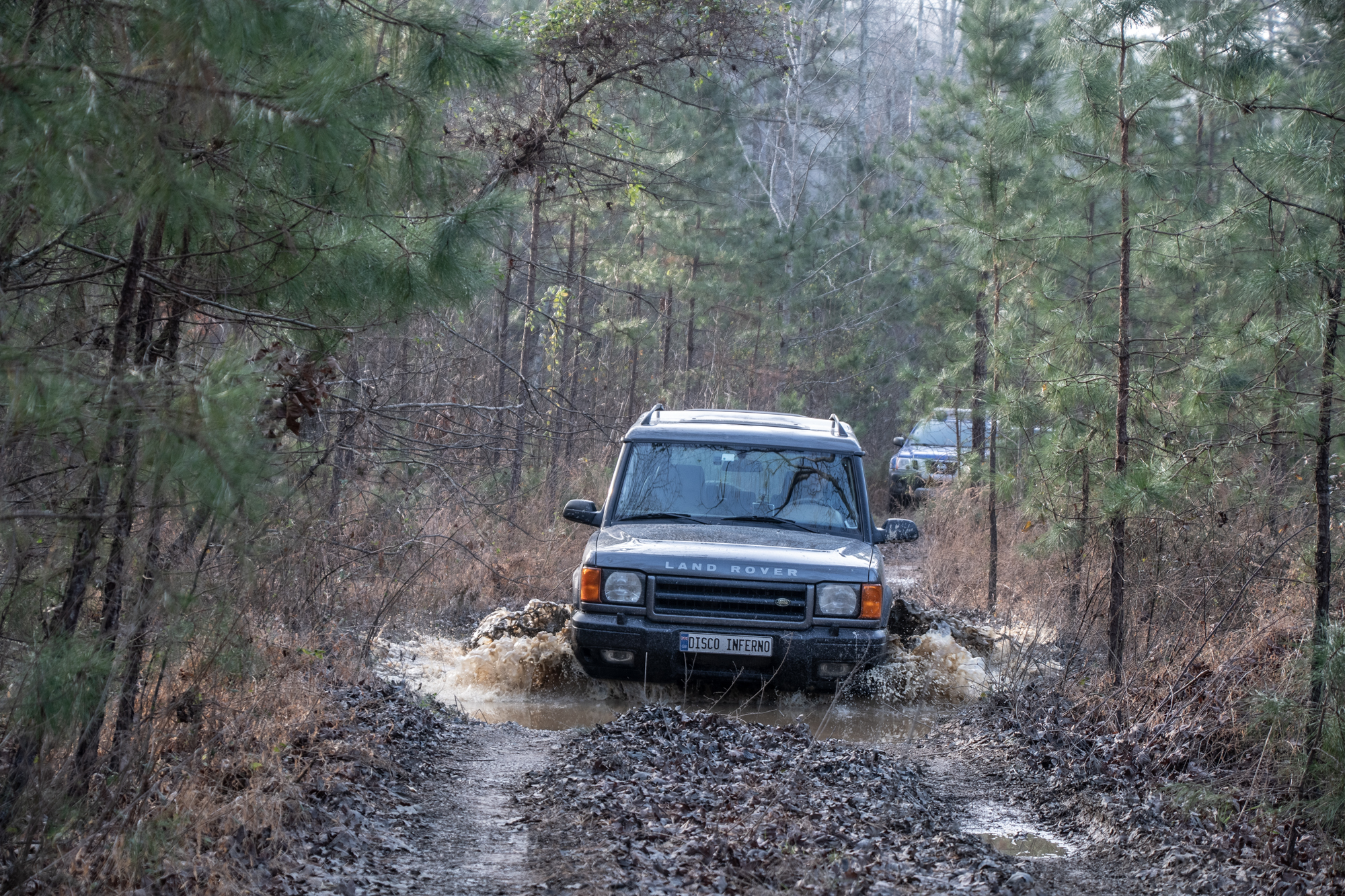
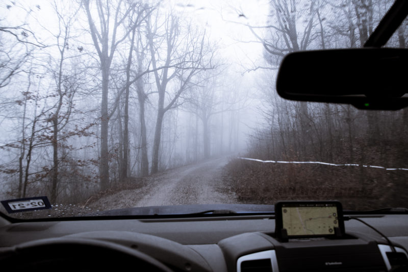
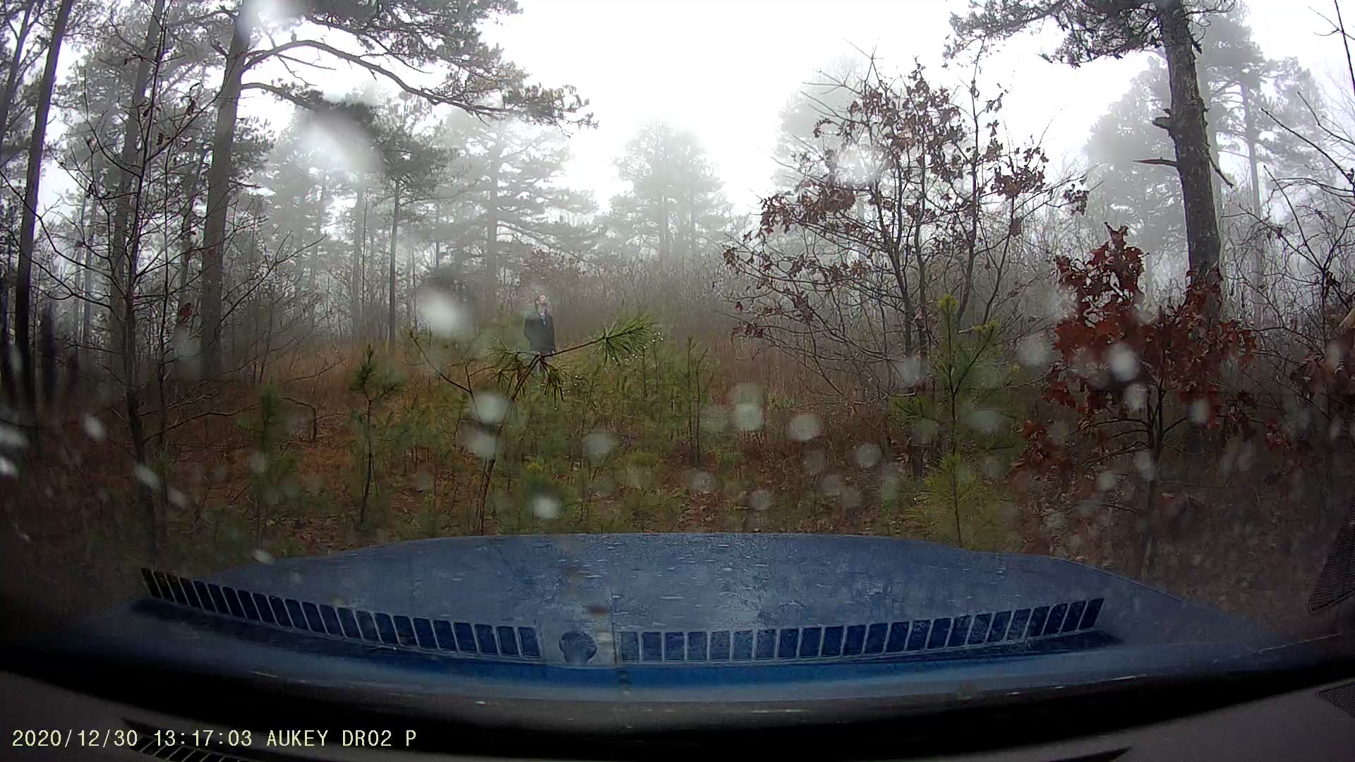
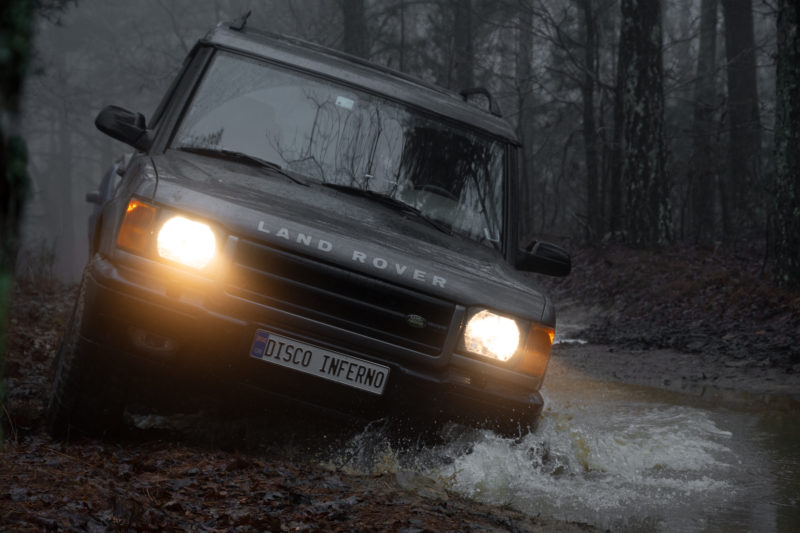
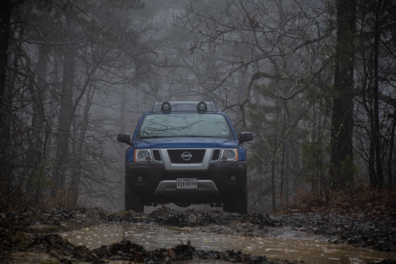
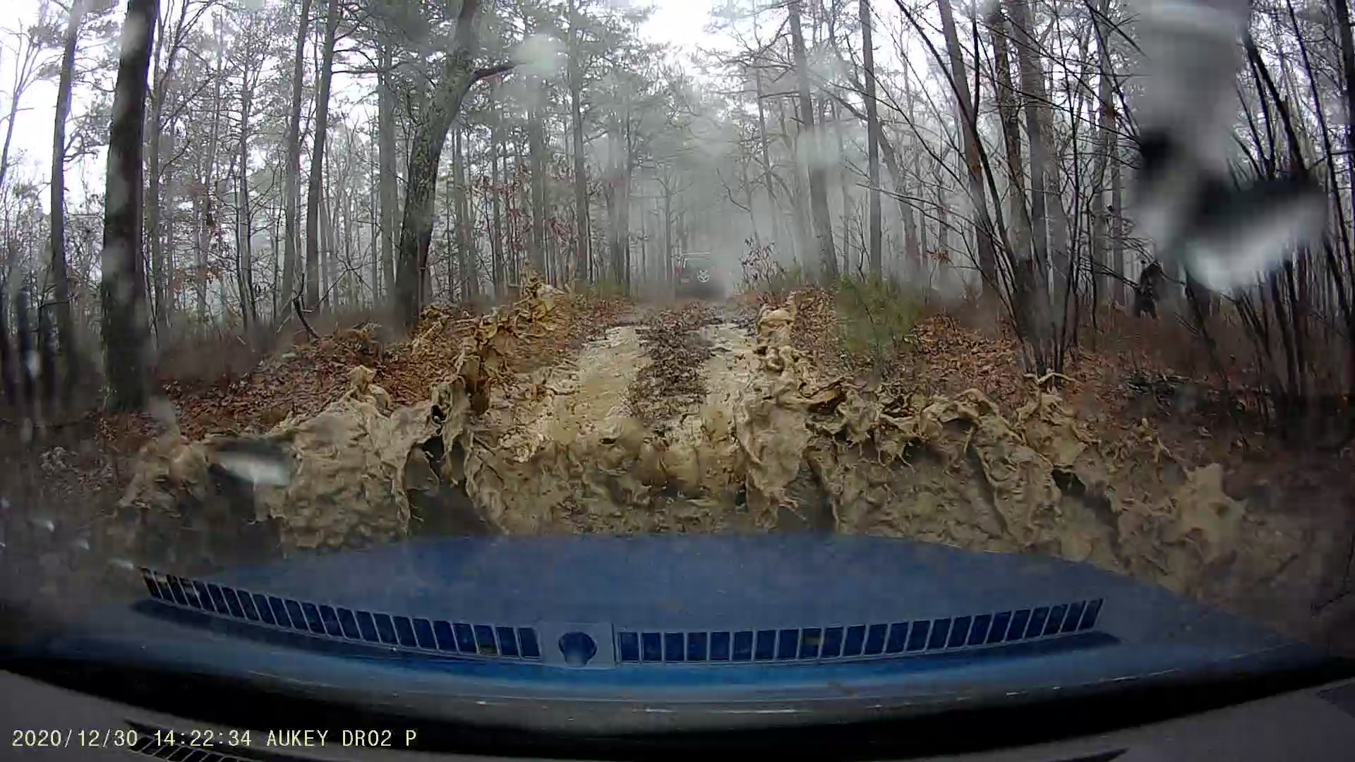
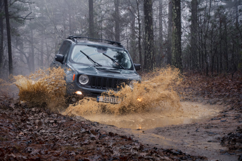
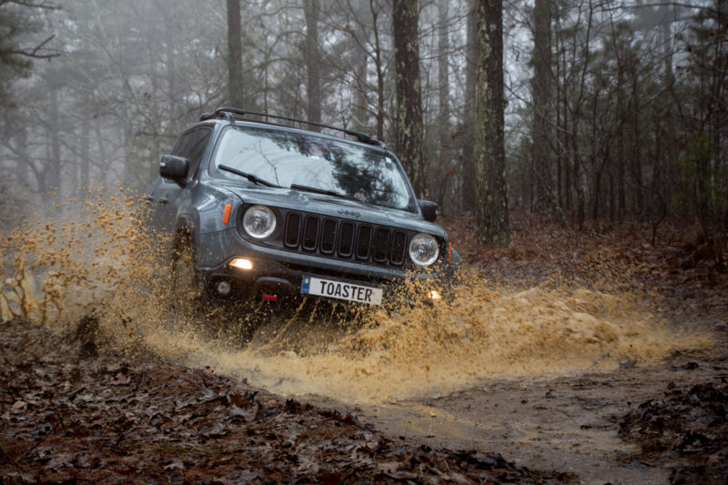
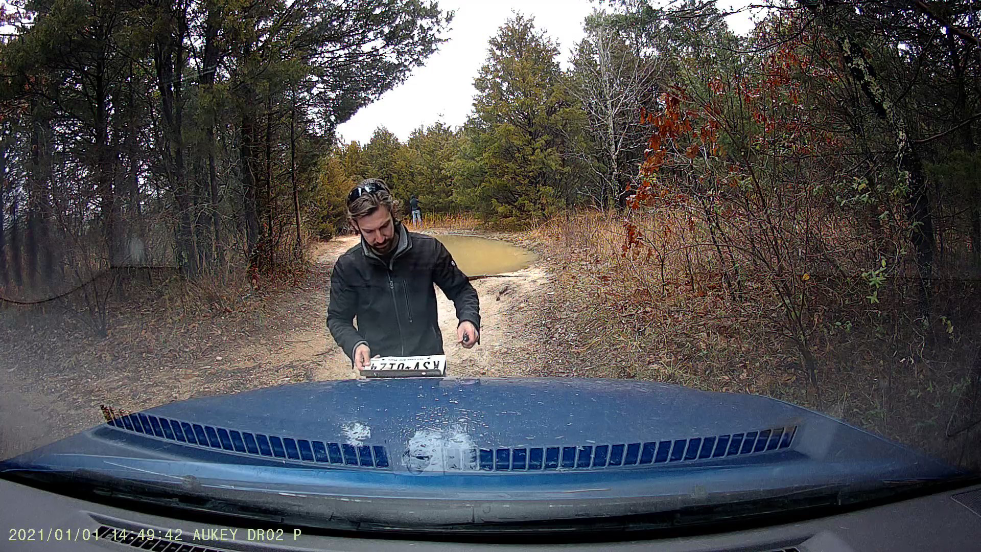
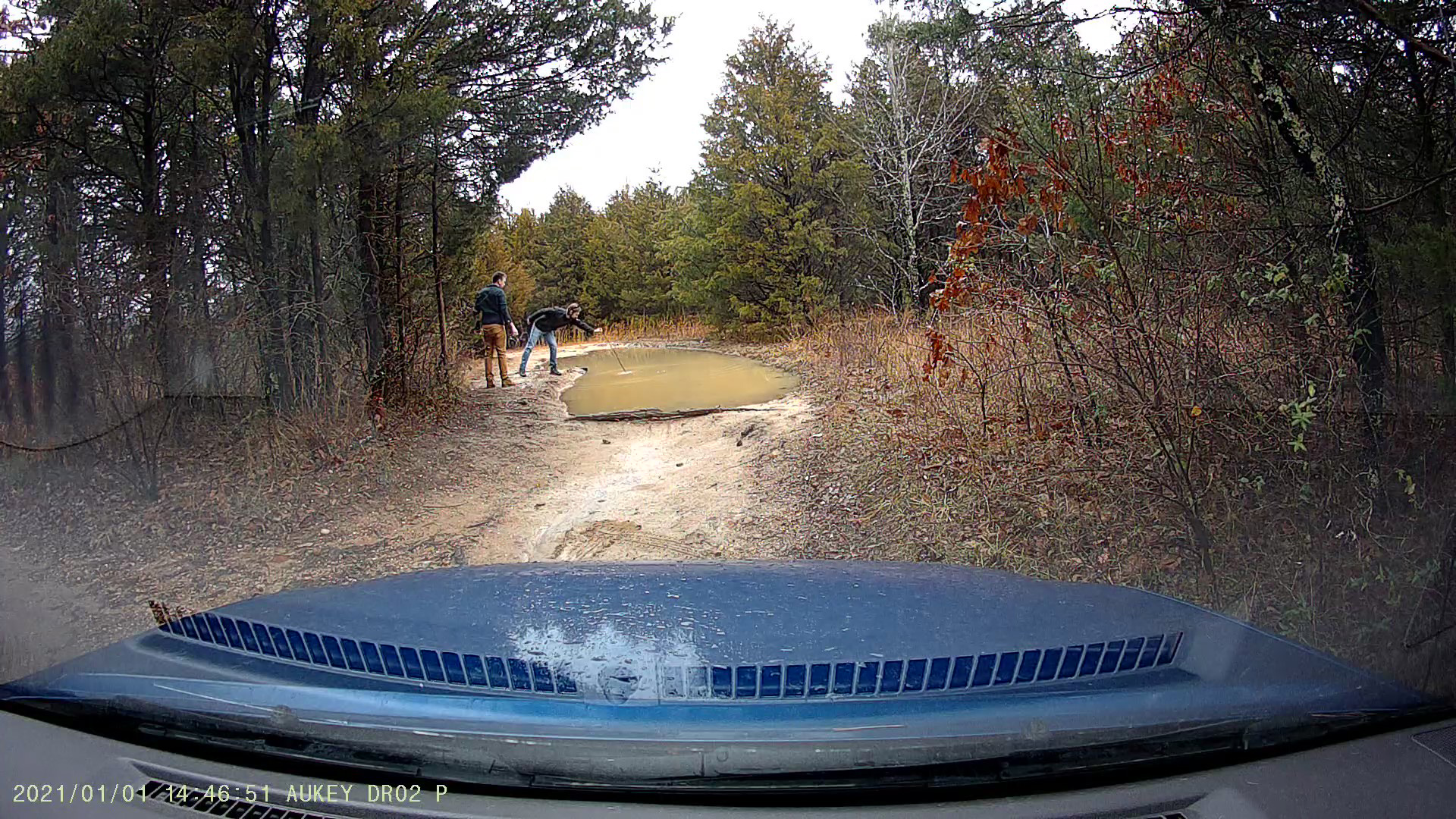
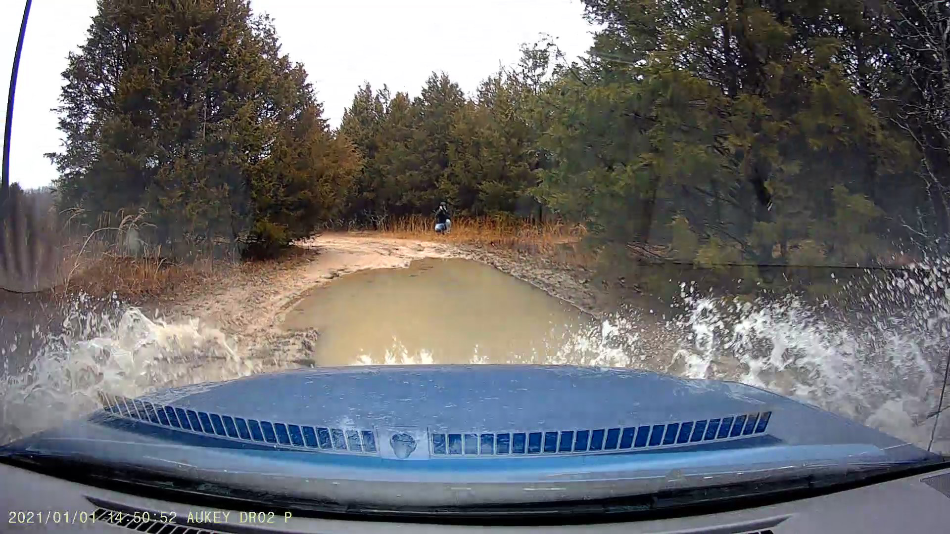
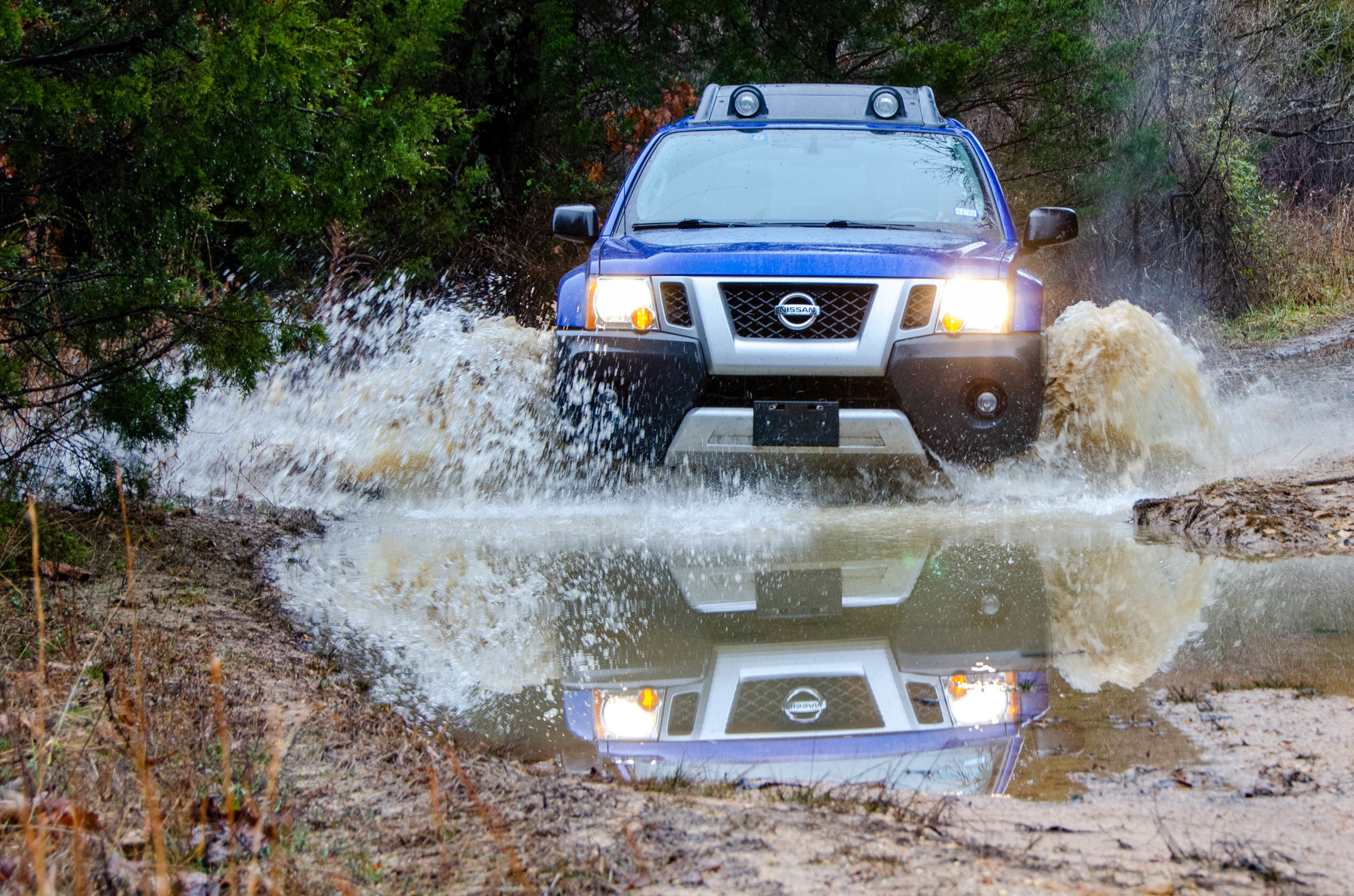
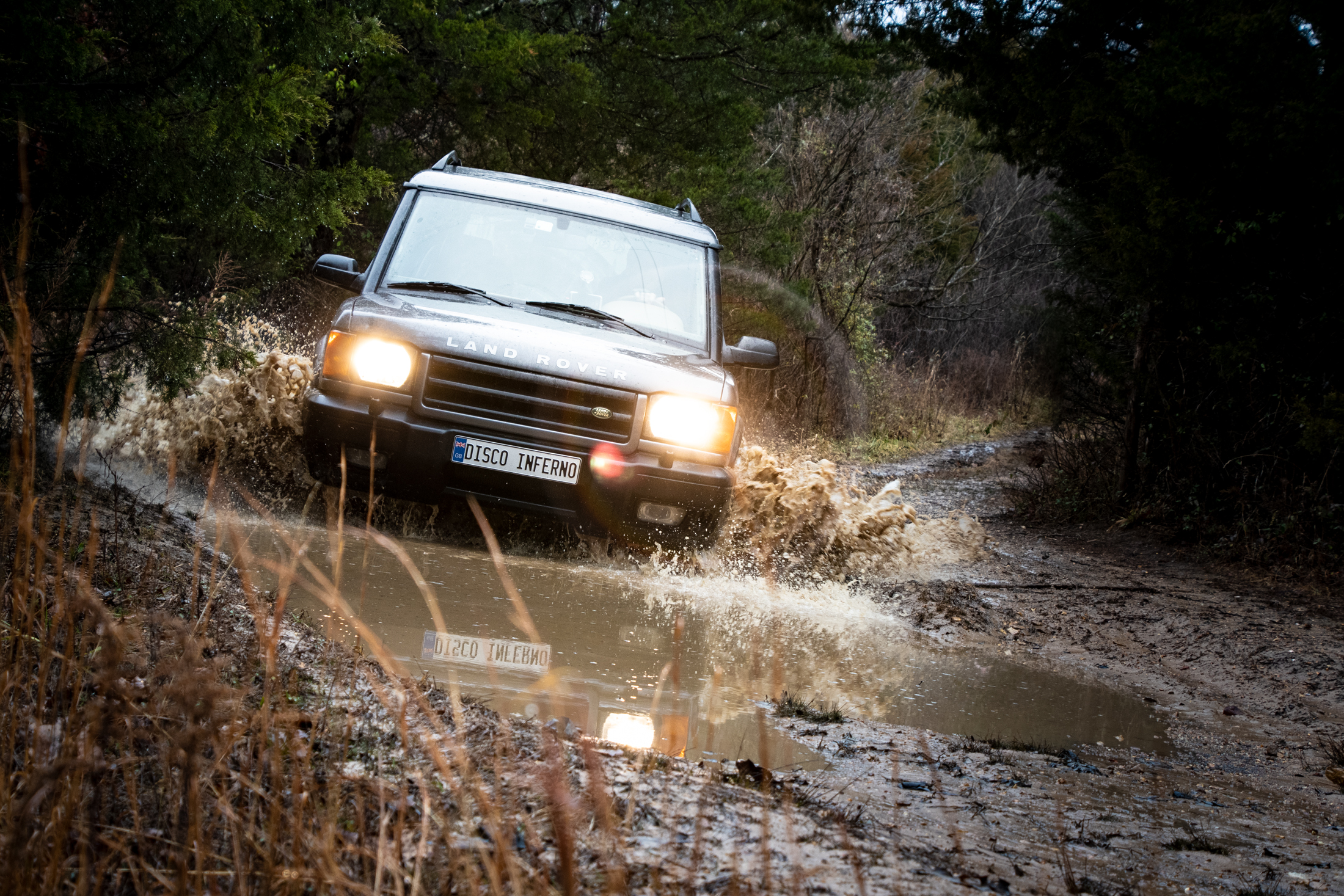
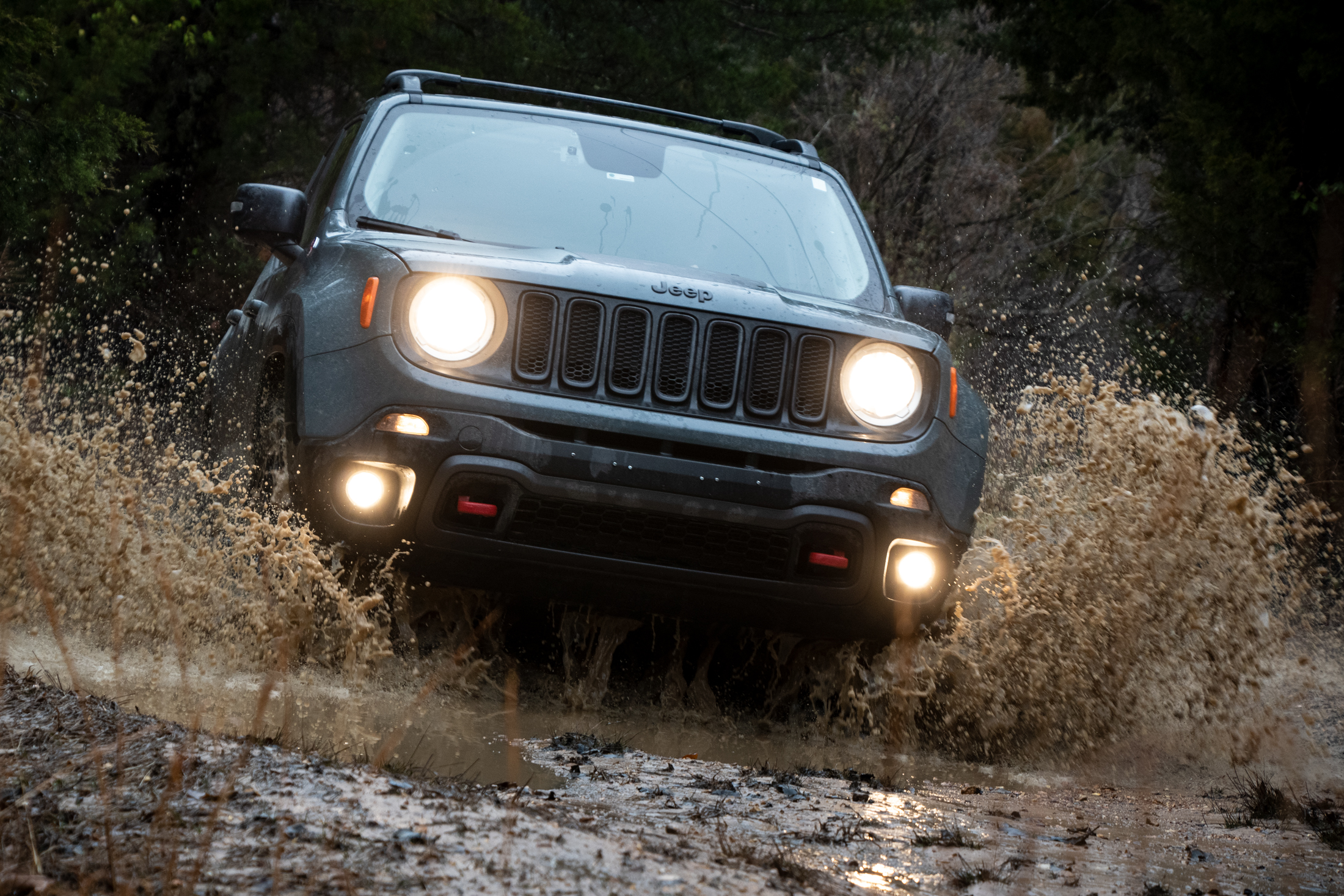
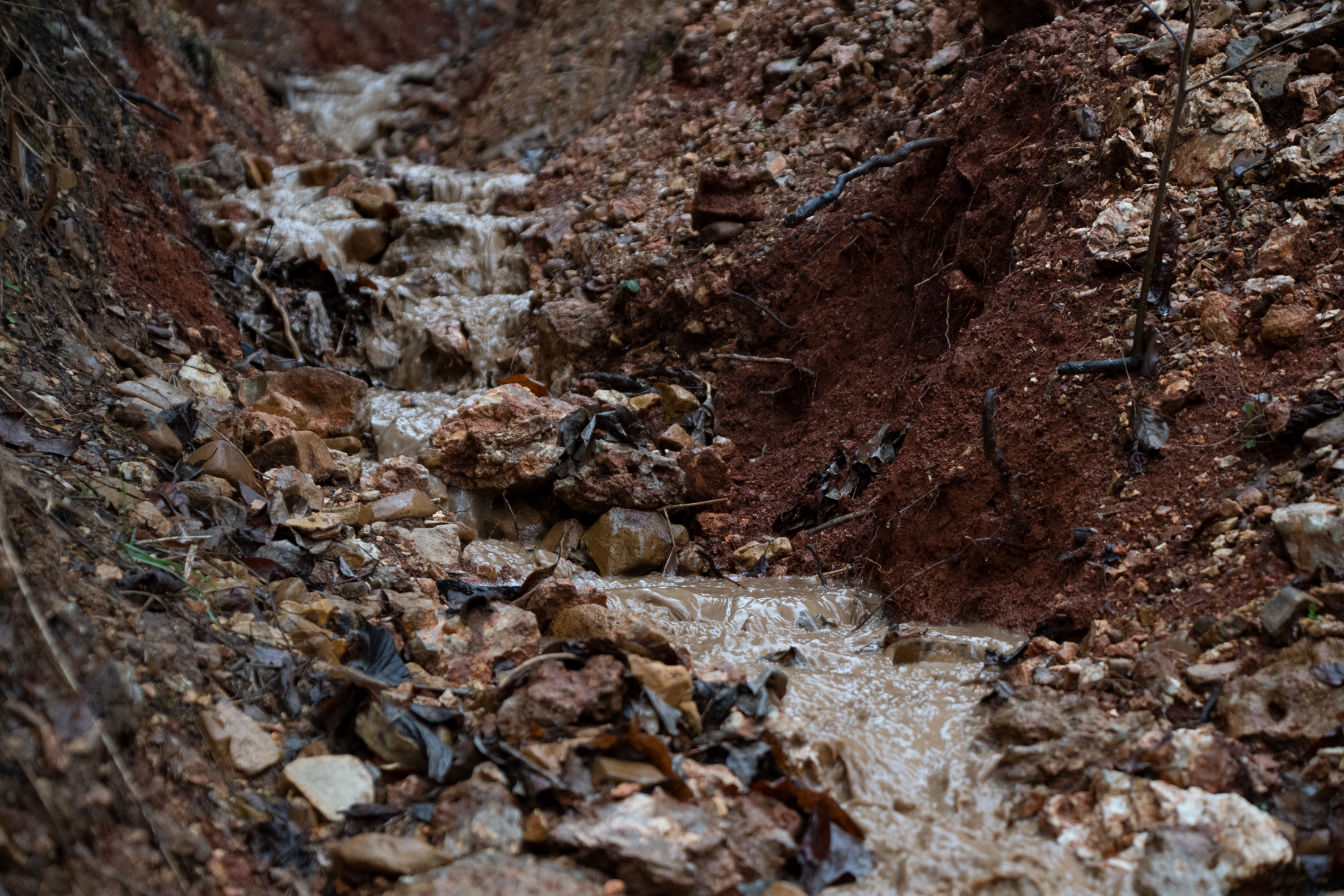
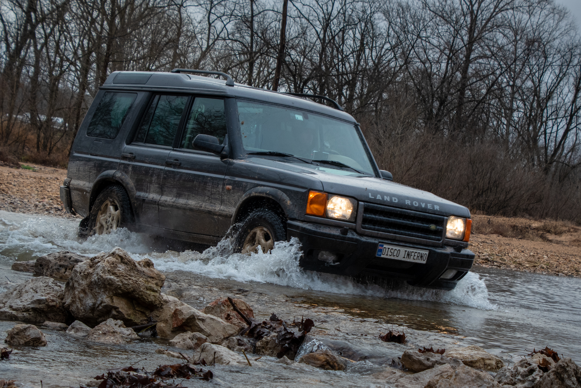
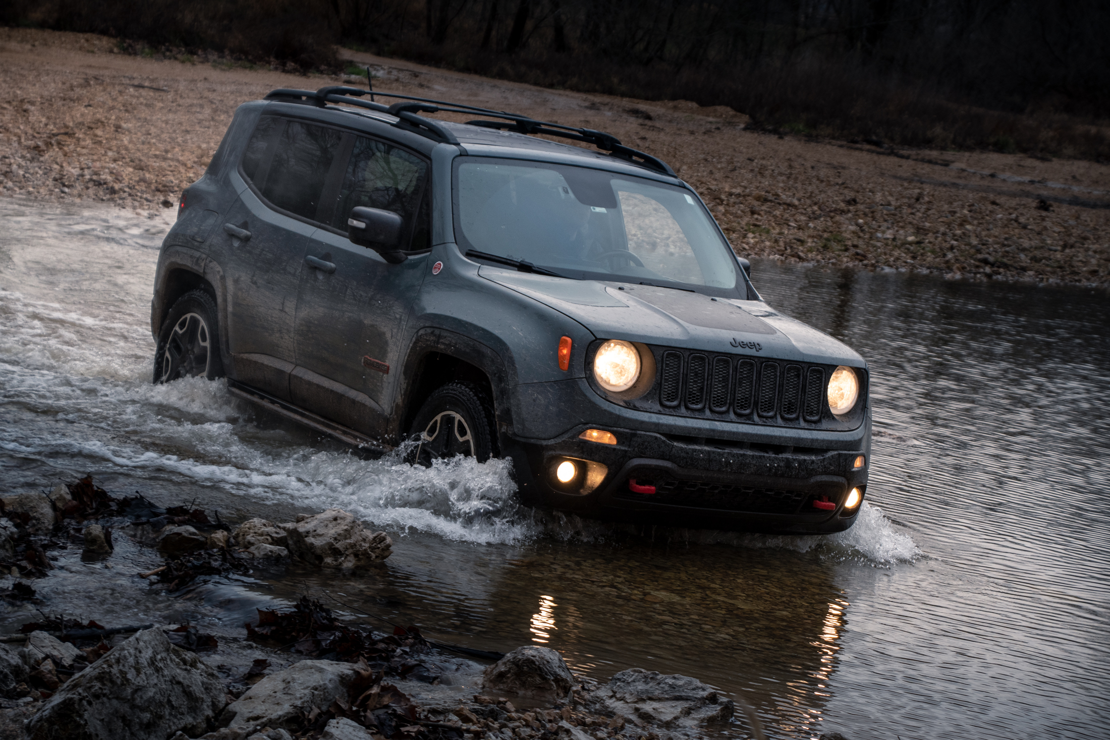
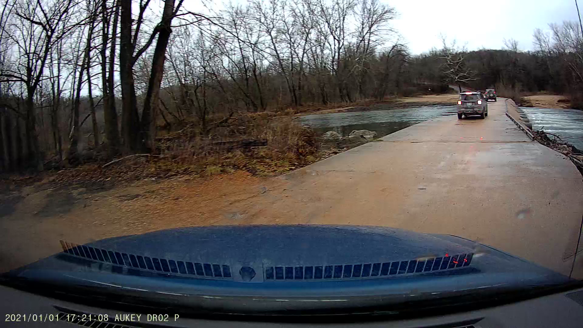
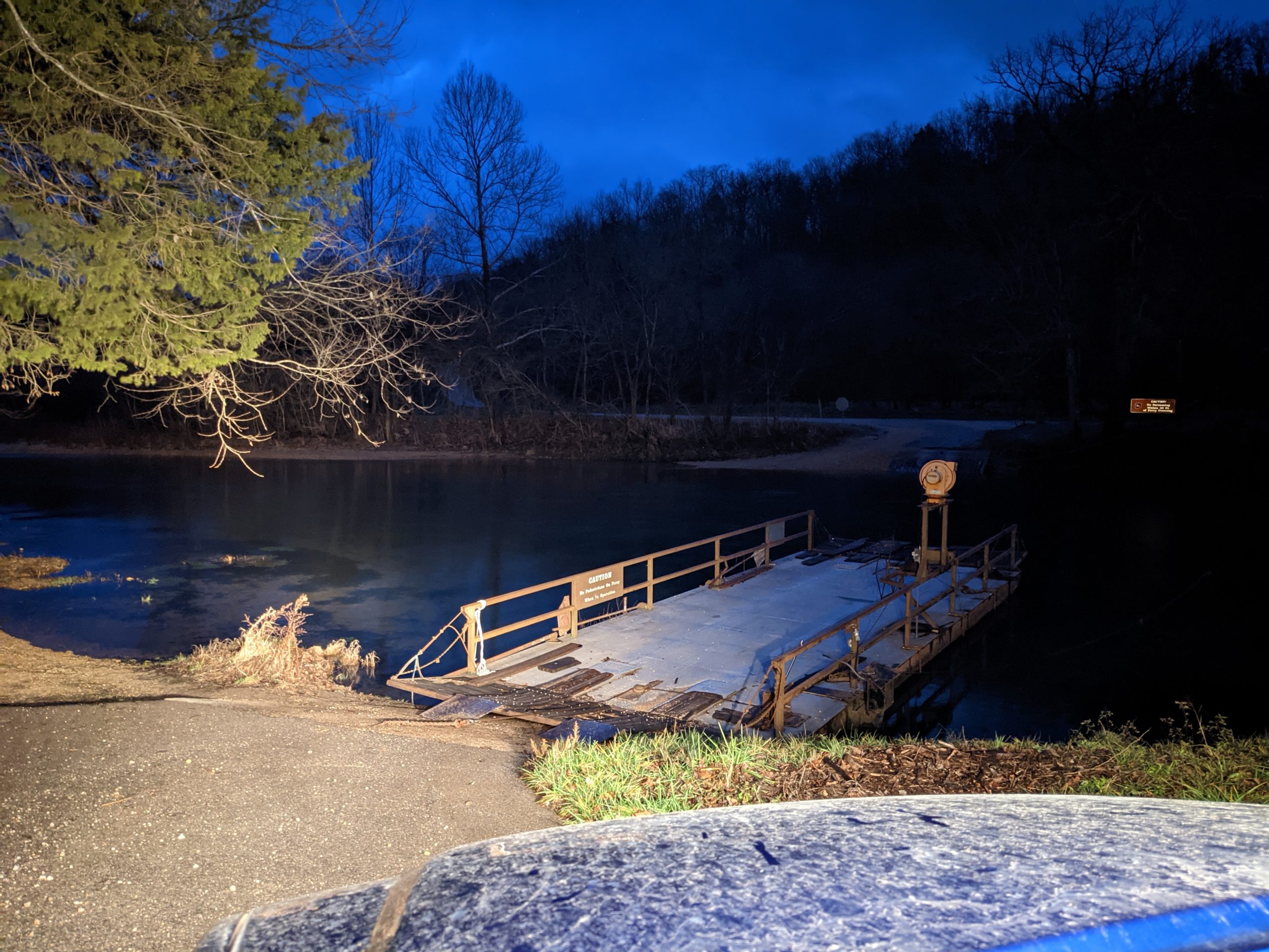
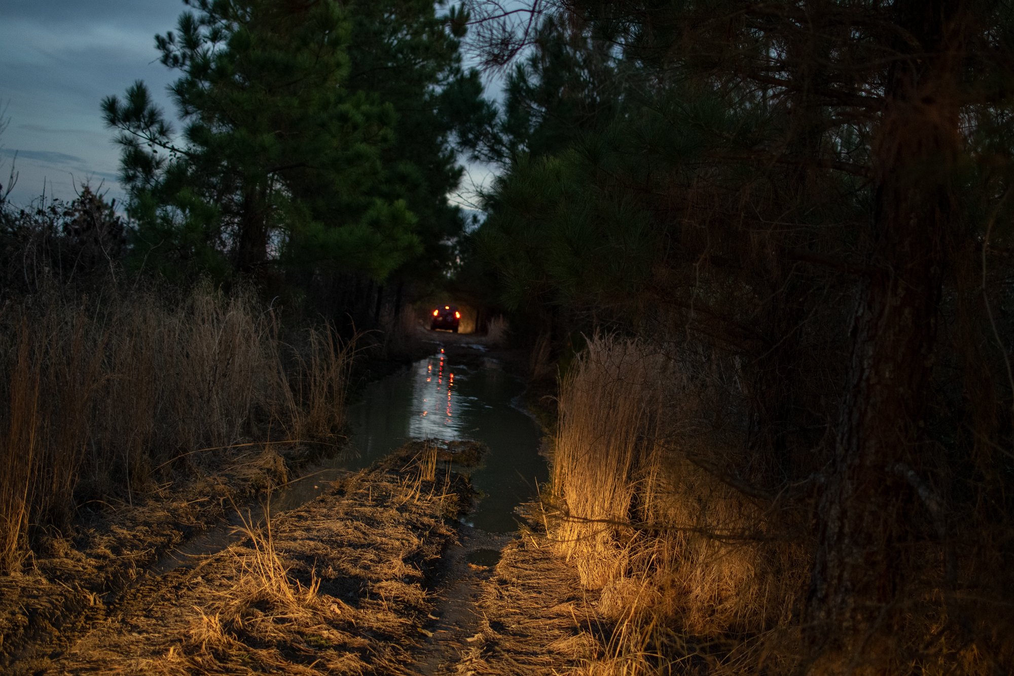
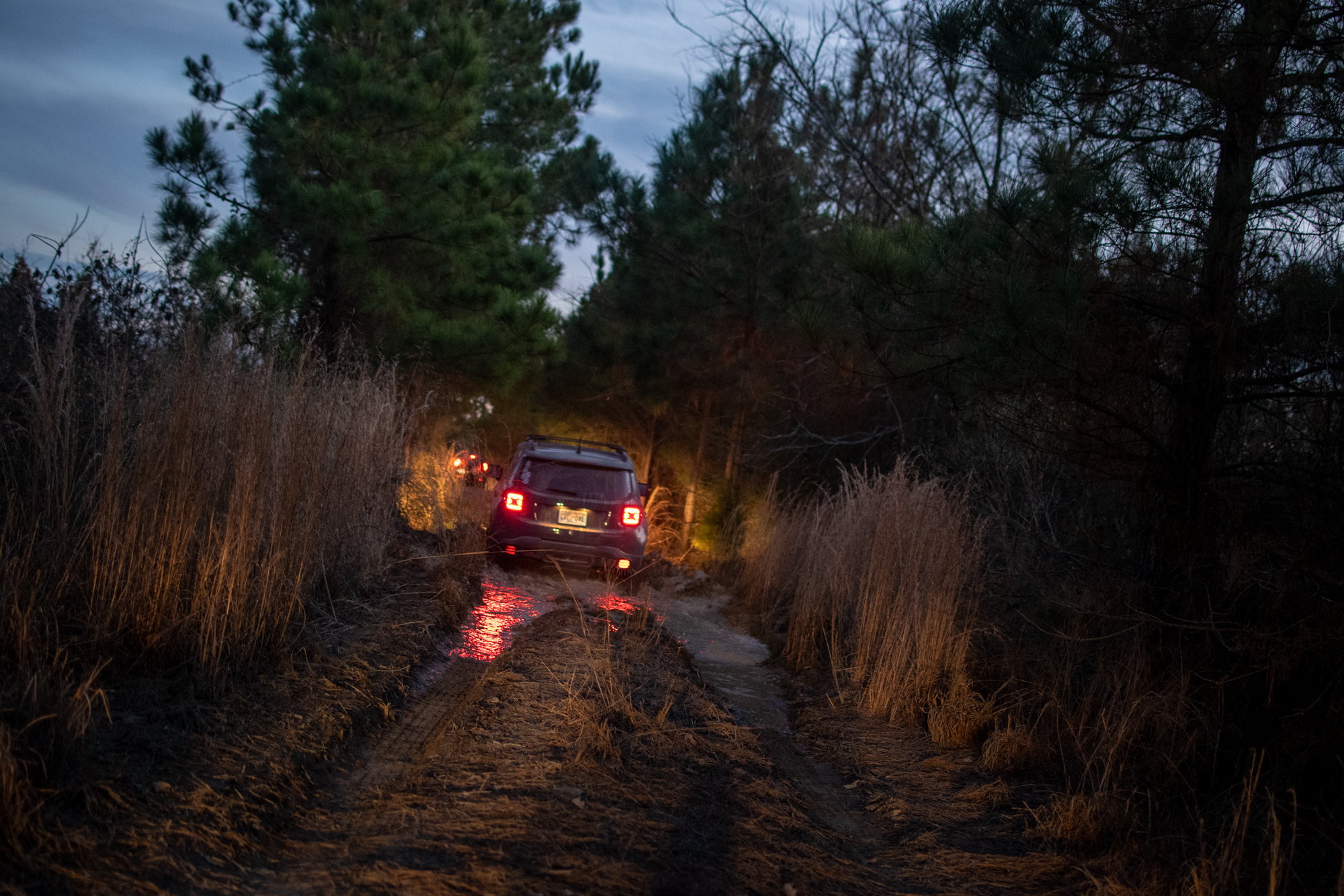
I am sad we didn’t get a proper water crossing in, though. But the last two miles before meeting back up with the highway ended up being a bit of a comedy of errors. The drive became somewhat more aggressive…

Meh, it’s fine. That’s what skid plates are for… Shouldn’t be hangin’ down like that though.
I hadn’t really realized I did that at the time, but affection was deserved.

Then there was the standing mud water of indeterminate depth…

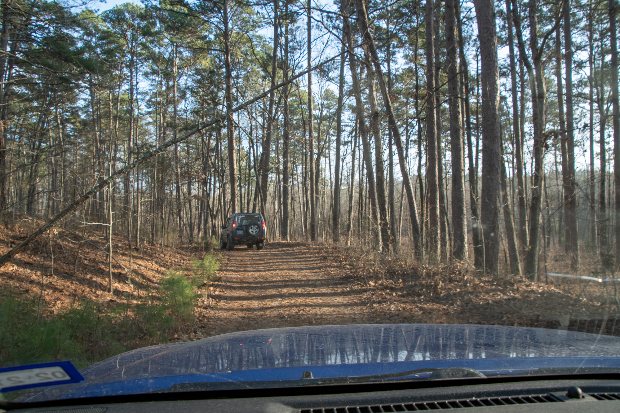
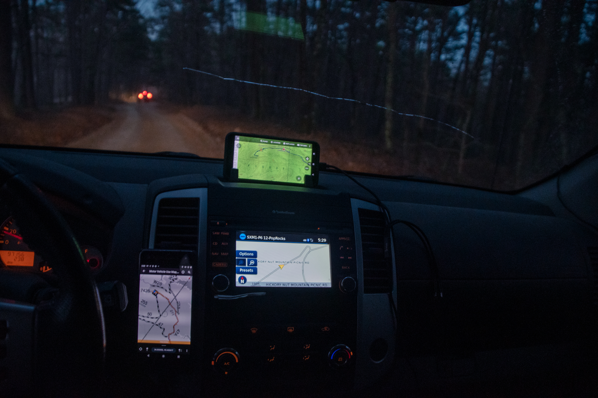
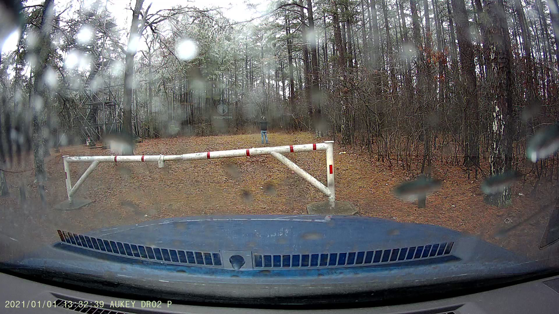
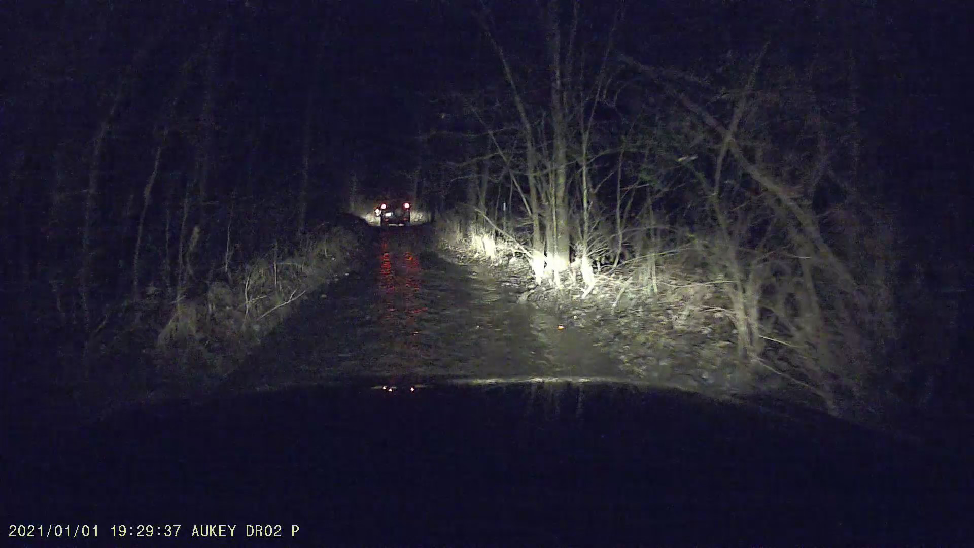
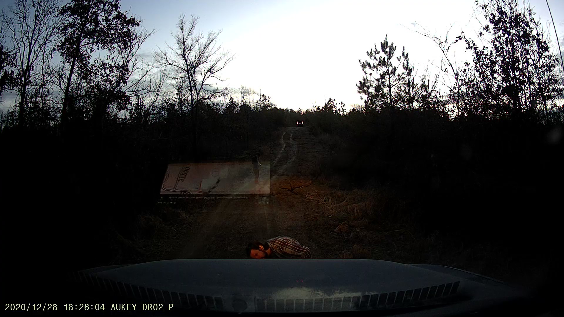
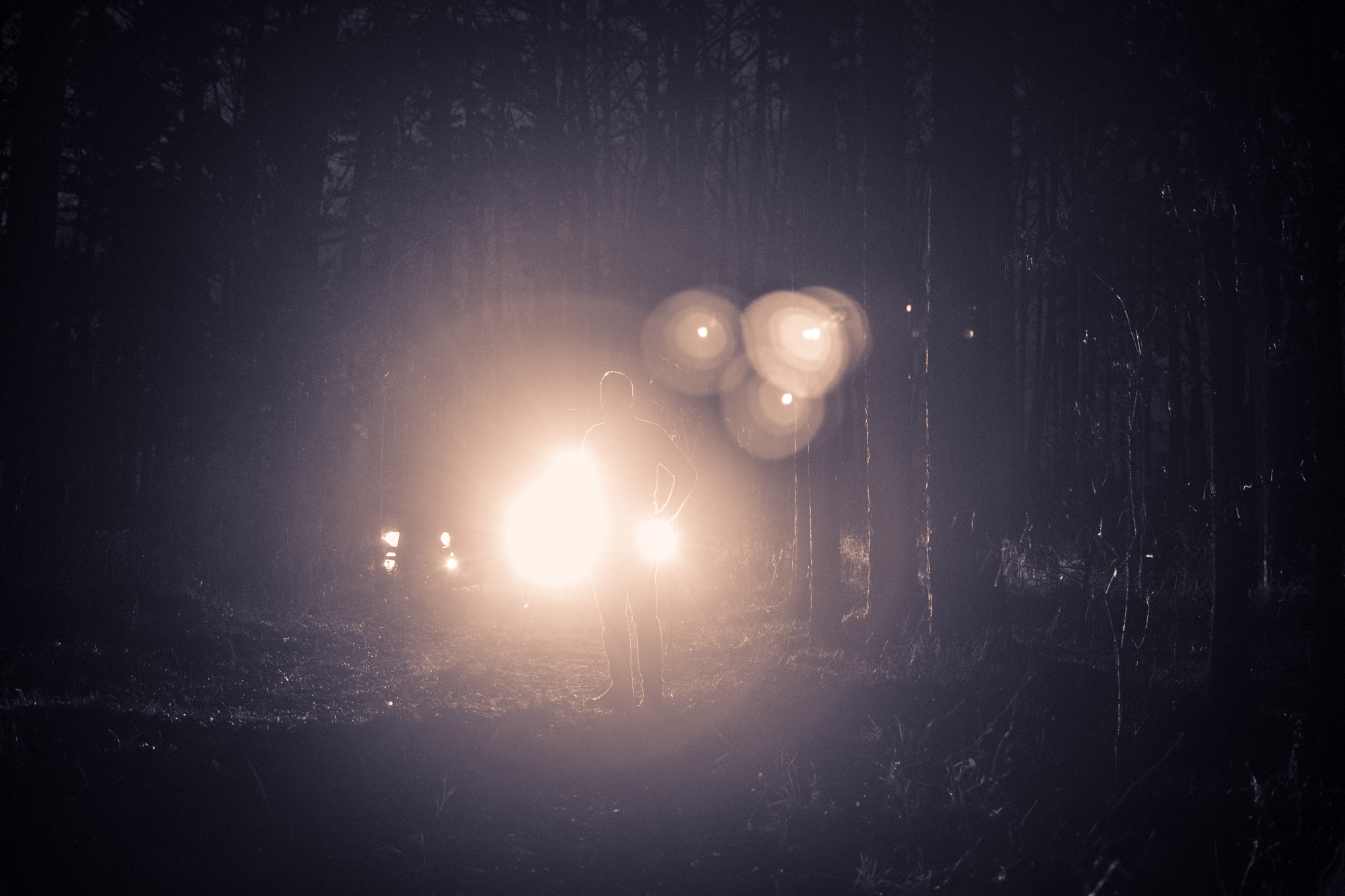
Then there was the last segment. It was not pictured consistently between Forestry Service MVUMs, the CalTopo atlas imagery, and our various collection of sat navs. And as we traveled down what looked like “the road,” we ended up veering off of any mapped route a couple times. After starting down an aggressive hill, we all suddenly noted that we’d veered off the road again. George suggested I reverse back up and check. That was fun…

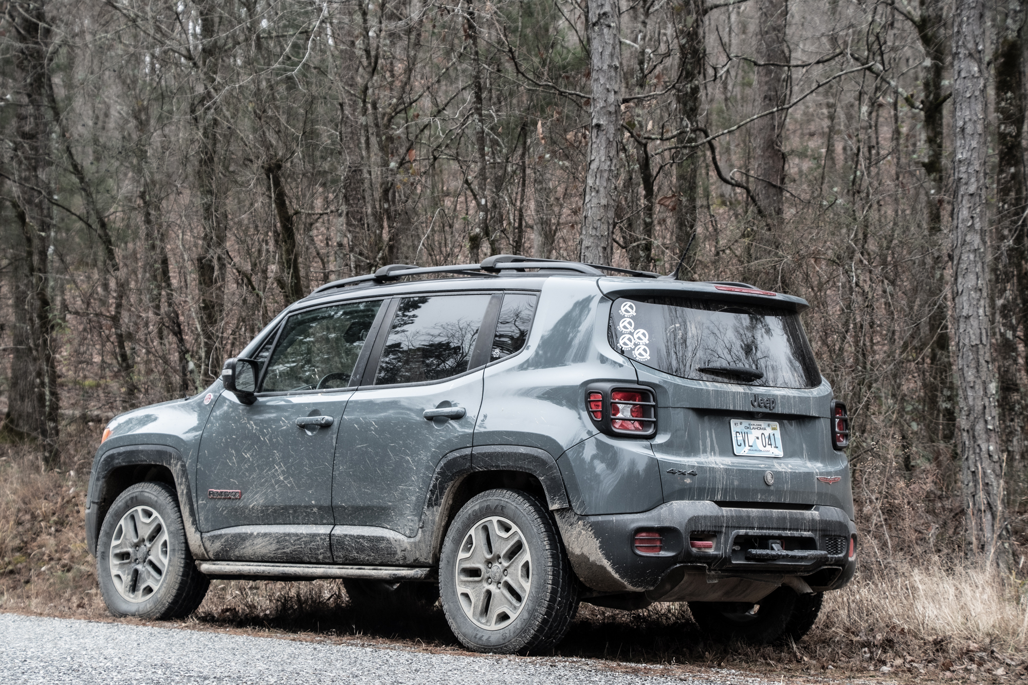
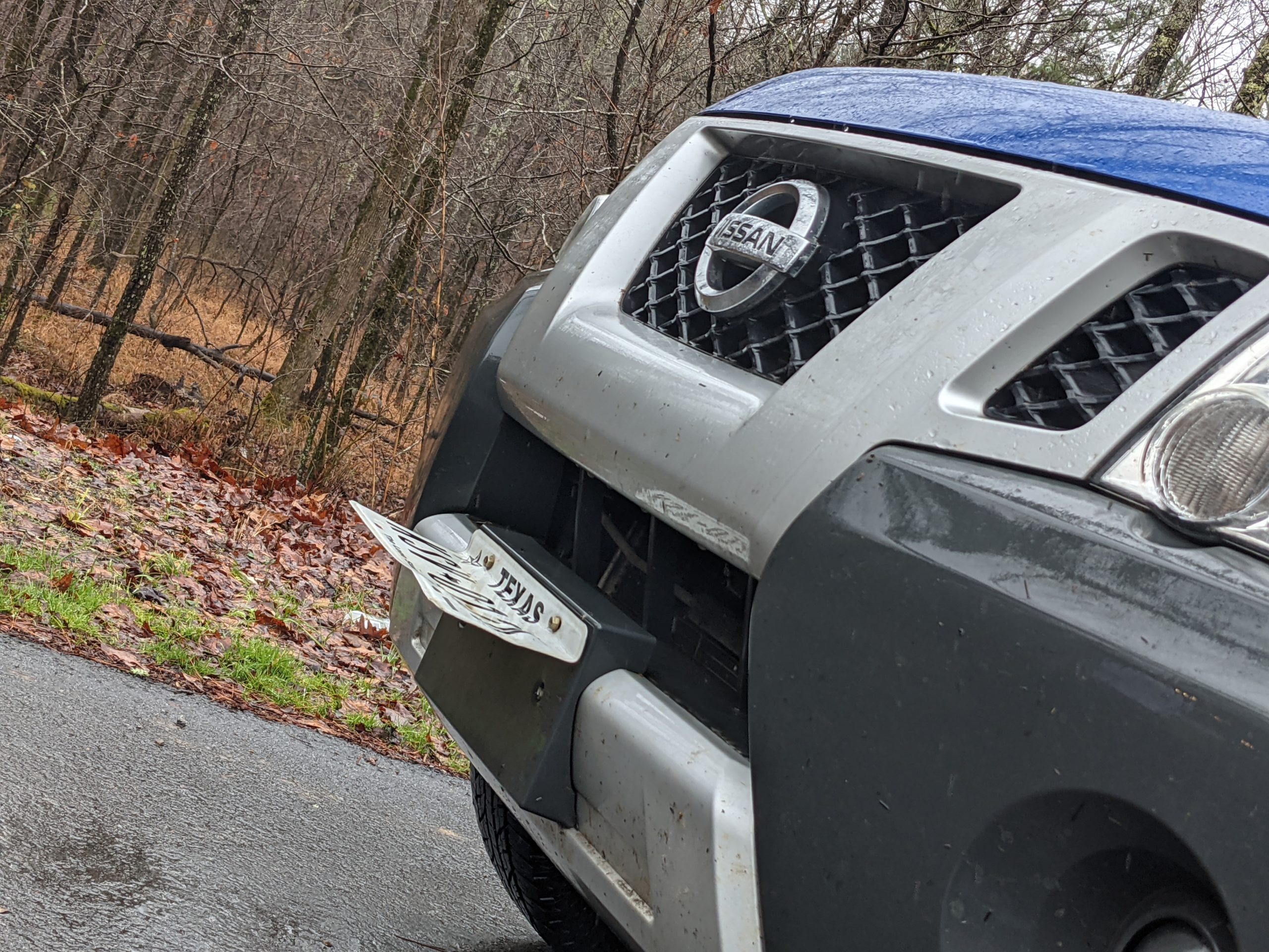
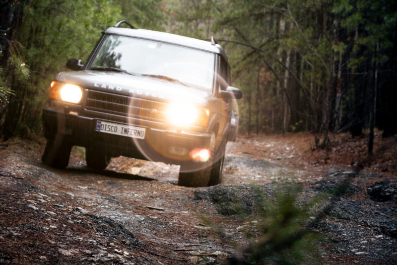
Also no. This was Blair Witch Project Road. Full moon, too. Yeah this probably wouldn’t have been a difficult drive, but there were ghosts for damn sure. Also it was very pinstripey…

Thankfully it, too, seemed to veer off its representation on our maps, again veering away from the highway. So we decided to Make It So with the big downhill and the ruts beyond, upon which George momentarily beached himself.

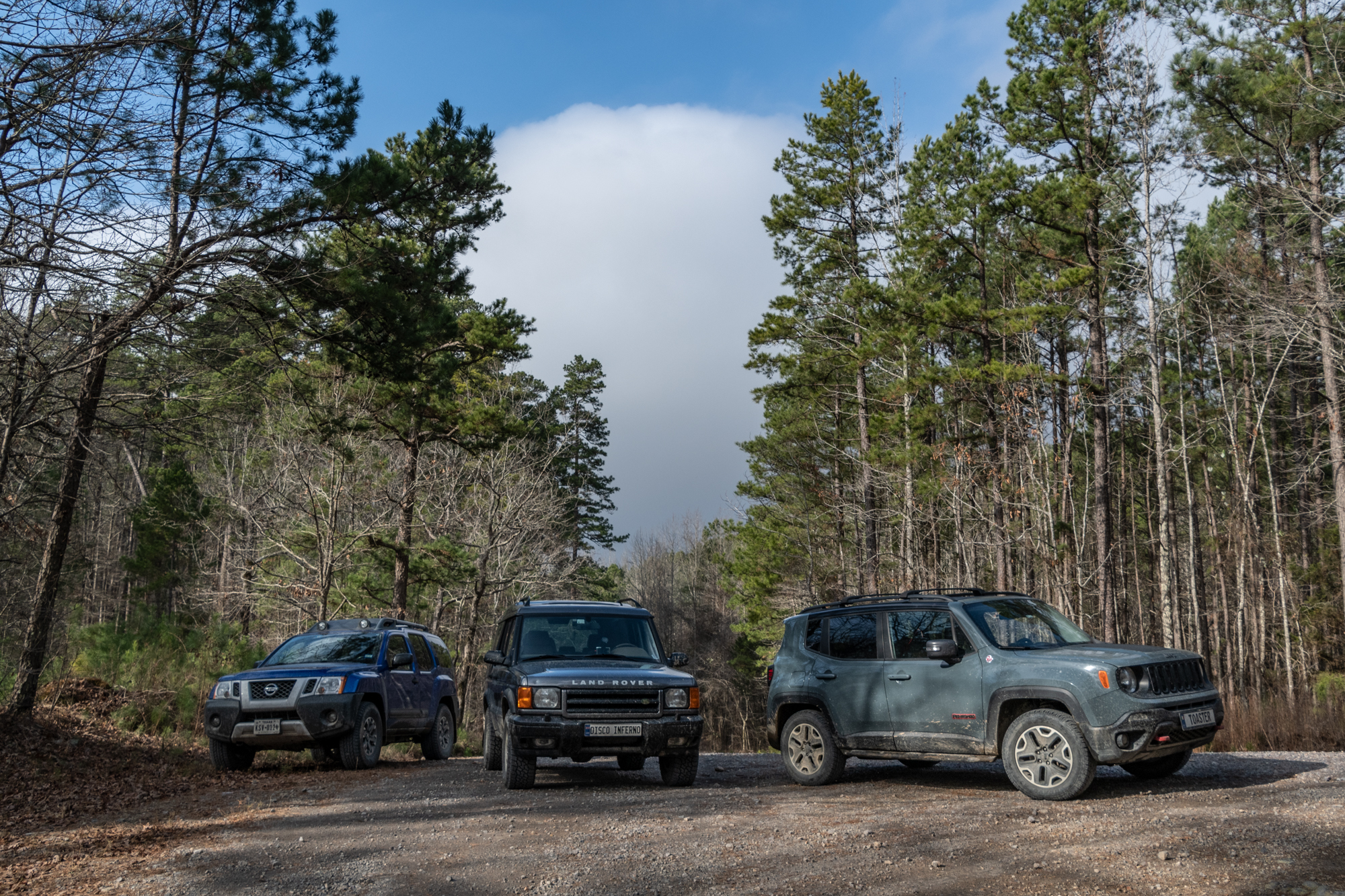
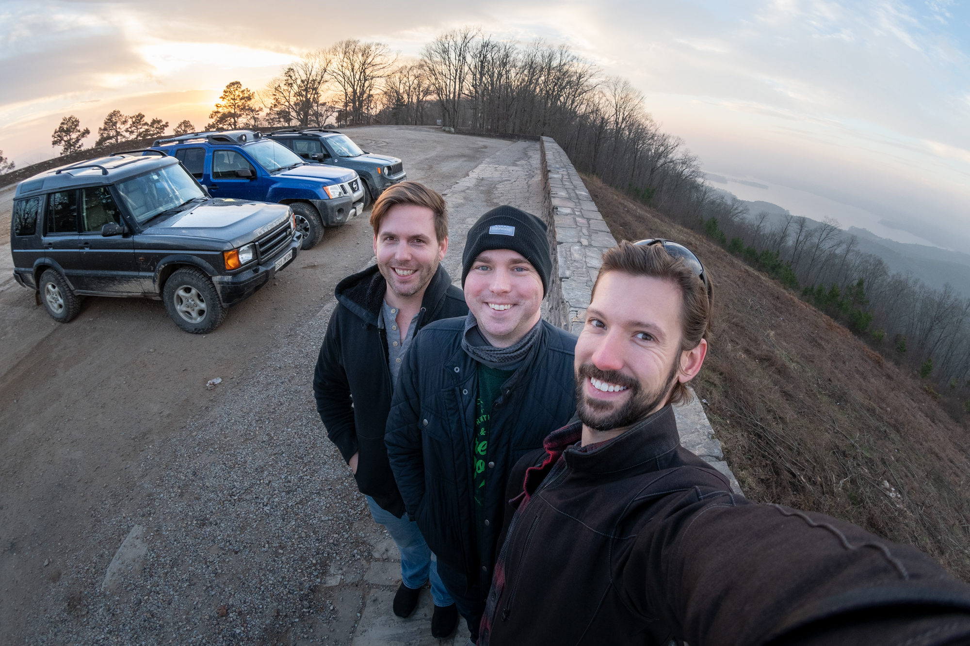
Ultimately, it was the perfect first day drive. Started out easy, got moderately dramatic late in the game, and we survived unscathed.

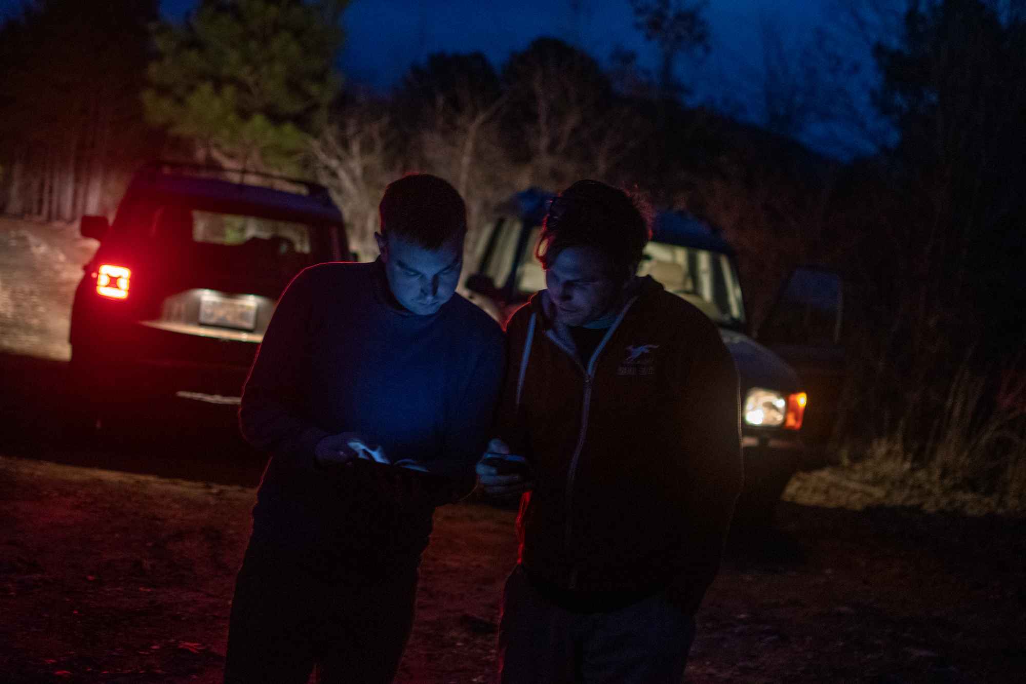
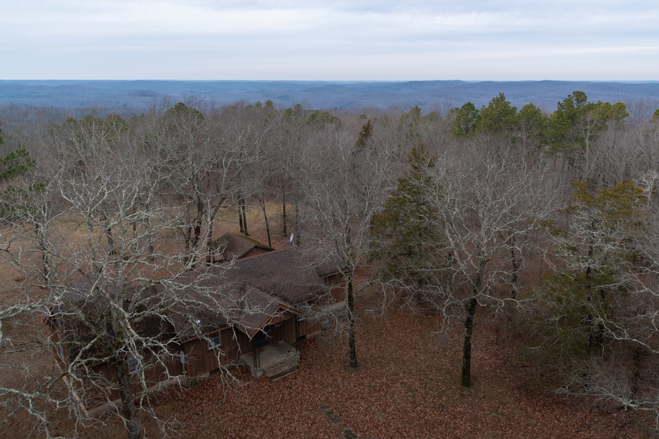
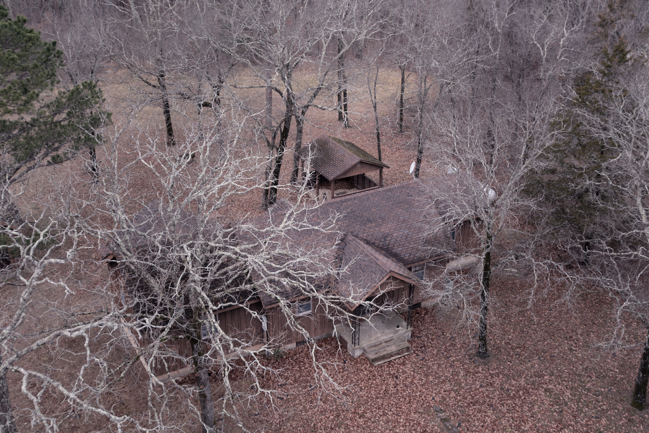
After a short highway drive back to the cabin, we made chili and had a beer about it all.

Hickory Nut Mountain and Other Scenic Loops

George spent last night building a scenic loop south of our cabin with an un-routed intent to finish at the Lake Ouachita Vista, so I penned a quick completion of the loop from Crystal Springs back to Joplin through the more-mountainous-than-expected lakefront. In all, about 70 miles which we stretched through the entire afternoon.

Mostly unpaved and entirely remote. Lots of narrow tracks through forest areas, including a pass through the Sharp Top Mountain Walk-In Turkey Hunting Area, which is closed to vehicles for most of the year so armed hikers can go chasing after turkeys. Most of the day passed with heavy clouds and a chill that sapped yesterday’s bright colors out of the air, but it was pretty in its own way — and the clouds did part on occasion.

That’s a lot of topo lines we’re about to drive right over…

Much like yesterday, most of the drama came in the last mile or so. The backroad I’d found up to the Lake Ouachita Vista (or Hickory Nut Mountain Overlook, depending on which map you read) ended up being a sharply uphill rocky trail that, when we first found it, looked like a hiking trail.

In my haste to clean the inside of my windshield this morning, I apparently knocked my dashcam to point straight up. So, today’s frustratingly under-stated “I swear it was cooler than the video makes it seem” footage comes from Evan. You can see me in the distance standing in front of the Xterra looking befuddled about a boulder.

Once upon a time, we would have found it all very intimidating. But armed with low-range and soda, we proceeded. The prize was incredible.

As it got darker (and colder), I couldn’t talk the others into going back down the way we came. Which was probably smart, but going back down all that mess would have been fun. Also probably scary.

It was just a couple calm miles down the “overlook road for normal people” to reach Highway 270, and less than half a mile from there to where we’d started at our cabin.

Winona Scenic Drive

We checked out of the Ouachita cabin this morning and decided to front-load some advenuring on our way up to the other cabin in the Mark Twain National Forest in south-central Missouri. We picked up Winona Scenic Drive, an unpaved but family-crossover capable ridge-drive through the rain and dense fog above Lake Winona by White Oak Mountain.

But about half-way through it, we bailed to a more primitive track that had many steep rocky hills, deep mud puddles, and several epic vista points — each of which were shrouded in the mist. Along our hastily planned route, we saw markers for several old lookout towers, too. None of them were still standing, but we investigated each, just to be sure.

It’s difficult to pick through such a long day looking for greatest hits on video, but I did appreciate this little moment:

Wishing us good luck…

After emerging back onto Highway 9, barely sixteen miles as-the-crow-flies from where we started three hours prior, we headed on to Eminence, Missouri via six hours of two-lane rural highways swerving through the Ozarks.

Milling About

We opted for a shorter day today given the need for prep time for our New Year’s feast. Having struck out in Arkansas, we set out to find two lookout towers on a map George found on the internet. That went well.

Stegall Mountain is the highest point in the Peck Ranch Conservation Area, a Missouri Department of Conservation park and wildlife refuge. The only critter we encountered was an armadillo that snuck up on me, but there were signs of deer, too. MDC also notes that wild elk roam the region. At the center of Stegall Mountain is an old lookout tower in good condition that has been fitted with some telecom equipment that we debated the possible purpose of while I was definitely not climbing the tower. I’m sure there might be a lovely view at the top. For legal purposes: I borrowed these pictures from someone else.

It was thirty-six degrees and windy, so we didn’t hang around too long.

Photo of some anonymous idiot taken by George.

The next mountaintop on our tour was Coot Mountain. We knew less about this one, and there was a barrier across the road as we approached the map marker. Foolishly undeterred, we walked the rest of the way to see. There’s a residence on the property but it looked unoccupied — or at least, that’s what I’d hoped because I didn’t want to get shot at (the surrounding neighborhood looked somewhat unaccustomed to guests).

I have since found Coot Mountain and its lookout listed on a website with some construction history of the tower, indicating that the tower was built in the 1930s. The residence was added in the 40s, with renovations in the 60s and 70s. The whole 20-acre site is now owned by Missouri Conservation Commission. The website does not explain whether the residence is unoccupied or if I just got lucky, but the tower appears like it, too, is now primarily used as a lift for telecom equipment. (I should point out that my phone basically doesn’t work anywhere near here, so Verizon has no part in any of it, clearly.)

Our last stop was Alley Mill and Springs, a National Parks Service site in the Ozark National Scenic Riverways region.

Alley was home, farm, and school for people who lived here a century ago. Dances, baseball games, and roller skating were all part of Alley’s busier days. John Knotts purchased the 80 acre site in 1902 and diversified the enterprises to include a well-stocked store and blacksmith shop.

A mill was vital to community life, where grain was ground to provide the daily bread. The present building was constructed during 1893-1894 by George Washington McCaskill as a merchant mill. It was larger than most mills in the Jacks Fork area and replaced an earlier mill on this same site that was built by 1868. Originally unpainted, it was first painted white with green trim, then later the famous red color associated with Alley Mill today.

Alley Mill, National Parks Service

The mill was powered by a spring that pushes about 81 million gallons a day up through a brilliant blue pool that was absolutely mesmerizing. It reminded me a bit of Hamilton Pool back home, but even more vibrant and surrounded by lush dark moss that contrasted both the water and brilliantly painted building. Other buildings on the property included the old schoolhouse and blacksmith shop, both of seem to be currently closed.

The process of converting wheat into flour was lengthy and time-consuming. The farmer brought his grain, either wheat or corn, to the miller who made an agreement to either buy the grain or make a trade. Often he would take a “toll” or percentage of the grain in exchange for grinding. Since the water supply of Alley Spring was constant, it seemed to be an ideal place for a mill. Free water power provided energy for the machines; however, recurring floods made the operation only marginally successful. The Alley roller mill was designed to process wheat flour in an area where corn was the main crop. This marketing error presented another setback for mill owners.

(NPS continued)

We took a hike up to the overlook and poked around a while before heading back to Eminence for a New Year’s Eve booze run more groceries.

Headed back at the cabin, G&E worked ton preparing a steak and potatoes feast while those of us me whose primary specialty in the kitchen is staying out of it are am going through the day’s photos and feeling unusually contemplative.

On December 31st, 2019, we were huddled around a fire deep inside San Lorenzo Canyon under a crystal clear sky — two of us unemployed but rehired and looking forward to new jobs, with the excitement of a new year and new decade approaching, sure to bring many adventures, all while camped in the most epic place we could think of. Then a lot more than we could ever imagine happened. So in contrast, tonight, we welcome 2021 cautiously, sitting inside the most remote cabin we could find under a cloudy mountain mist — with the hope that 2021 will bring the light at the end of several tunnels, but grateful for our bounties of 2020 nonetheless, and with the knowledge that family and friends both near and far will be with us through whatever’s next.

Our best wishes to each of you in 2021.

Lookouts and Ruins Along the Current River

34° and lightly raining today, but it was also our last day to explore more of the Ozark National Scenic Riverways. So we made another scenic drive of it, looking for a few fire towers, then looking for a place to ford the Current River to check out an old abandoned hospital.

First up, Flat Rock fire tower, built in the 40s and rebuild in the 60s. Proof that there are no rules in Missouri, this one even had a sign that climbing was allowed! Well. It said “climb at your own risk,” and “no more than 5 people on the tower at a time,” but that’s pretty close to permission. So despite the falling ice chunks, I had to give it a go.

Chris Mahan, a forestry and wildlife crew leader in Eminence, has watched the use of fire towers decline since he joined MDC in 1994. The seasoned tower operator has logged many hours at Coot Mountain, Deer Run, Flat Rock, Panther Hill, Shannondale, and Summers-ville fire towers. Yet this spring, he notes, he spent just three hours in the Flat Rock tower, an area where towers might have been manned 40 to 50 days a year in the past.

People today use cell phones to report wildfires. […] Firefighters respond if they have an exact location. If not, two crew members head to two different towers—such as Flat Rock and Coot Mountain—to […] pinpoint the location of the fire.

The Missouri Lookout Towers That Helped Fight Forest Fires, Missouri Life Magazine.
Instead of bicycles, the “Share the Road” signs here feature illustrations of carriages.

Next, Hartshorn tower, which was smaller with just a single ladder all the way up. I went up just enough to take a couple photos and then bailed because the ladder rungs were covered in slippery, melting ice.

Match 17th, 1949: Two Conservation agents are investigating the origin of a forest fire which blackened a thousand acres of the upper Current River country north of here last week, said Lee Fine, district forester for this area.

Fine said his Hartshorn towerman sighted a small blaze at 9 P.M., Monday.  Before crews organized an attack, the fire was apparently ‘strung’ for more than two miles by horse mounted arsonists.  Suppression was greatly impeded by high winds plus the persistence of the ‘fire bugs’, who continued to string flames throughout the night.  Forestry crews were assisted by Pioneer Cooperage employees but despite their combined efforts the fire raged nearly 24 hours before being brought under control.

Hartshorn, Forest Lookouts (website).

After Hartshorn, our adventure along the Current River began. While planning the day, we’d noted multiple paces marked on the old CalTopo atlases as fords, and even a pontoon ferry in Akers.

Unfortunately, the river seems to be higher than its usual level and the ferry is not running today. So after bombing around a few trails and backroads looking for a crossing, we bailed to a spillway bridge outside Cedargrove. But the trails were a great time.

Vanity. I removed my front tray-table for better pictures, and to protect my shins.

That may be the most dramatic photo of the Xterra ever taken — it usually doesn’t look particularly dramatic, even if I feel like I’m about to be in big trouble. But that’s two wheels off the ground with some incredible flex. Don’t tell Mom.

On the far side of the river, we walked up to the Welch Spring Hospital Ruins, which we had spotted from the opposite bank twice already. We’d designated it the finish line, should we find a way to reach it, since we spent most of the afternoon on the trails.

Sitting along Missouri’s Current River, the gorgeously abandoned Welch Spring Hospital Ruins once offered healing waters but now simply provides scenic ruin.

Back in 1913, an Illinois doctor named C.H. Diehl bought Missouri’s Welch Spring for just $800. Dr. Diehl believed that the spring water had healing properties and that the cool, pollen free air coming from the adjacent cave would be beneficial for people with asthma, emphysema, and tuberculosis, which were collectively known at the time as “consumption.” […] To tap this clean air resource, Dr. Diehl built a hospital over the mouth of the cave. Welch Spring, which flowed from the cave, was dammed up so that water would close off the entrance. This was to force more air out through the cave opening into the hospital. In today’s terms, Diehl’s “hospital” would be better called a “health spa” since there wasn’t much in the way of formal medical treatment. […] Access to the area surrounding the Current River was limited to just a few rough dirt roads, and the flood of patients and other guests that were to flock to the site’s healing surroundings never materialized.

Welch Spring Hospital Ruins, Atlas Obscura.

By the time we got back to the cars, it had gotten dark. We took highways most of the way back, but made a quick stop in Akers to see the platform ferry, then took one last forest detour on a trail through a ravine that crisscrossed a number of small creeks headed into the river.

In all, a fitting final drive of the trip. Tomorrow we’ll begin the trek home and into 2021 officially. At least the first bit of that will still be in the lonely mountain roads before linking back up with interstates and the busy roads of the real world.