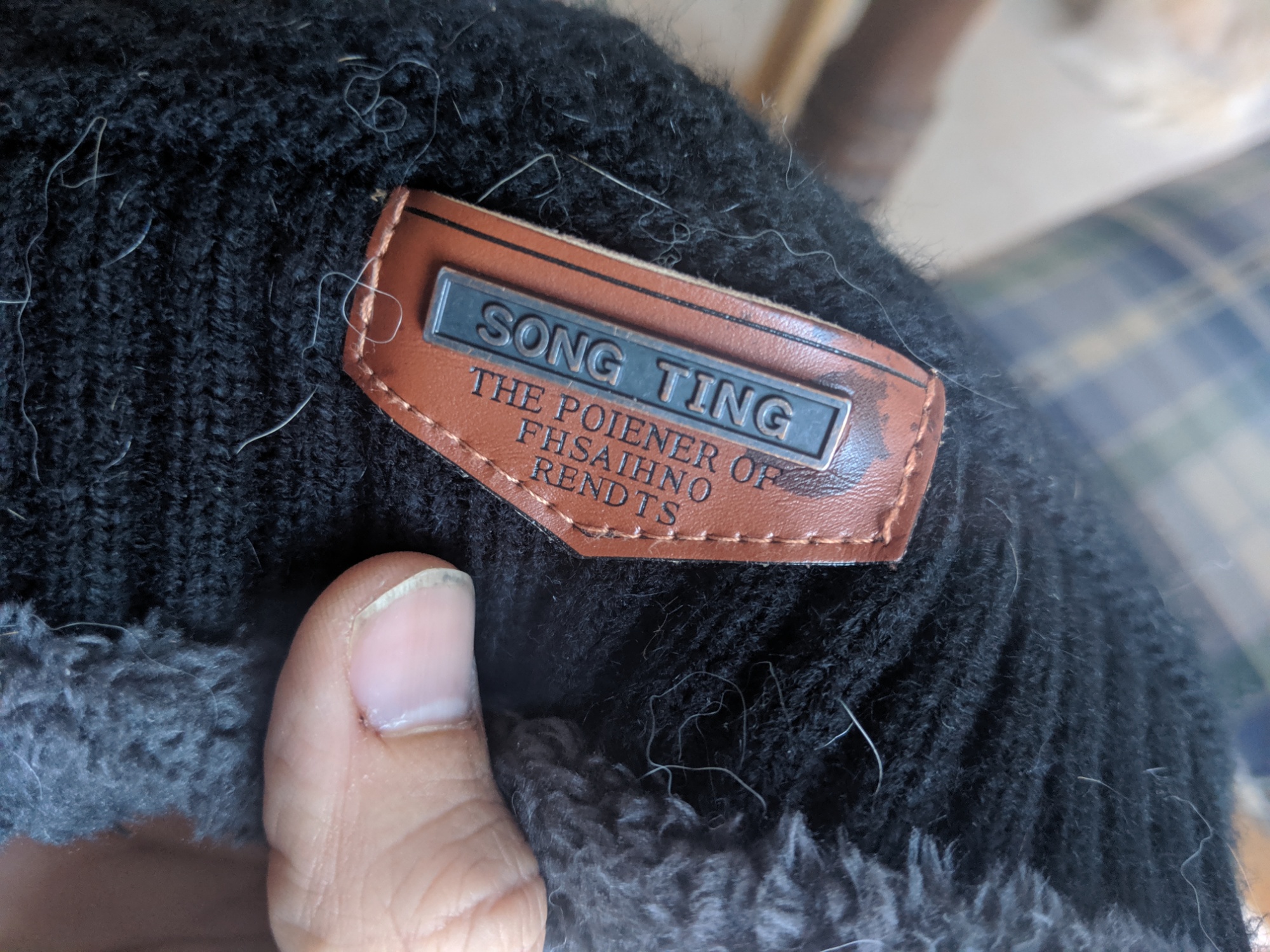
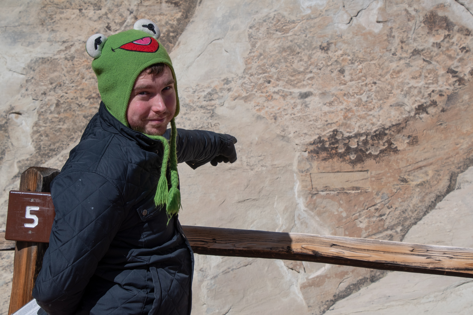
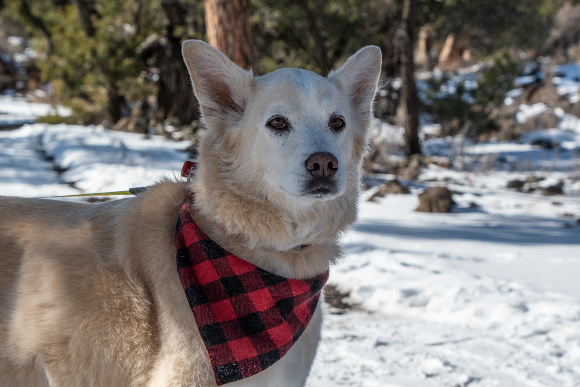
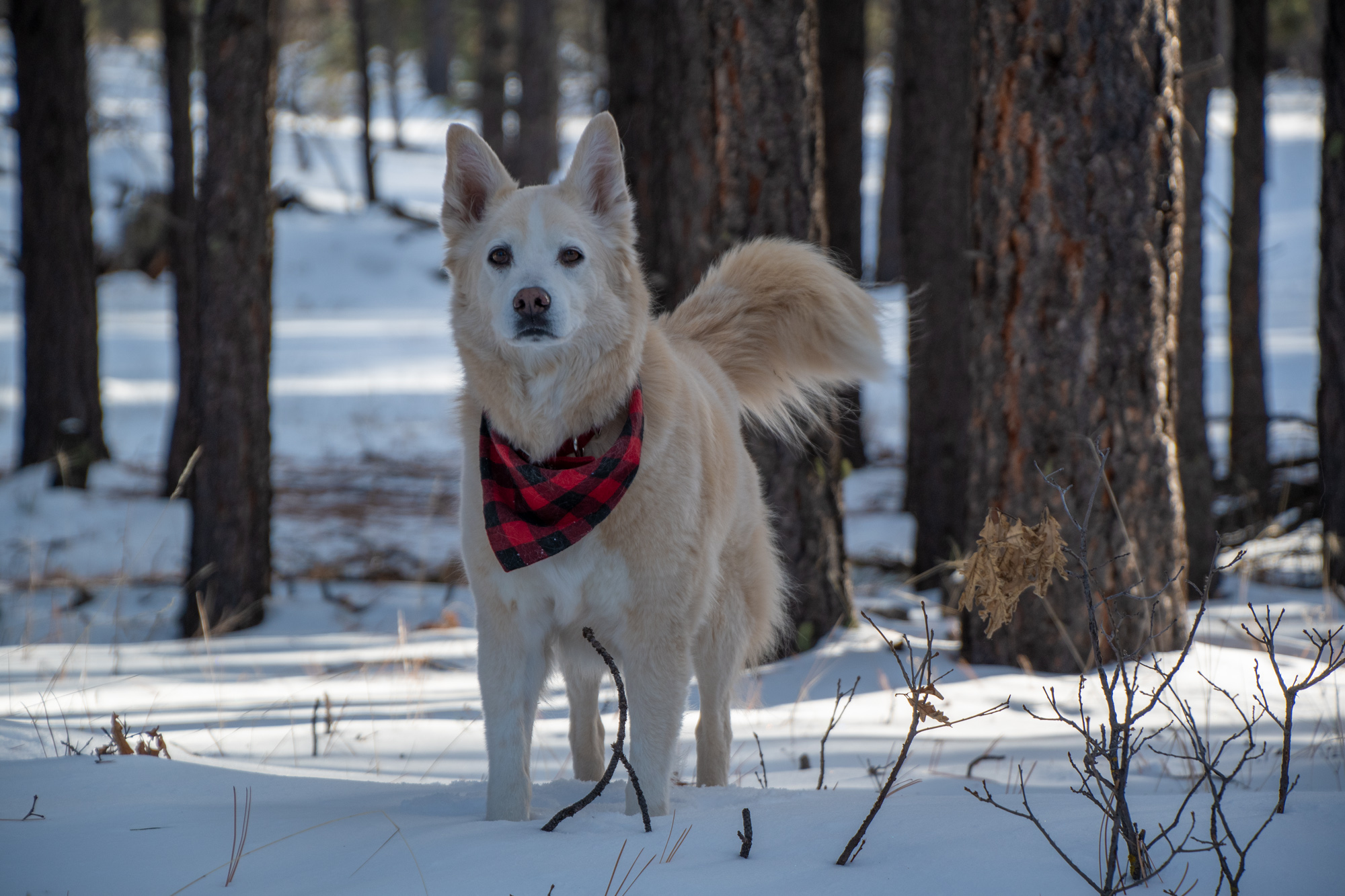
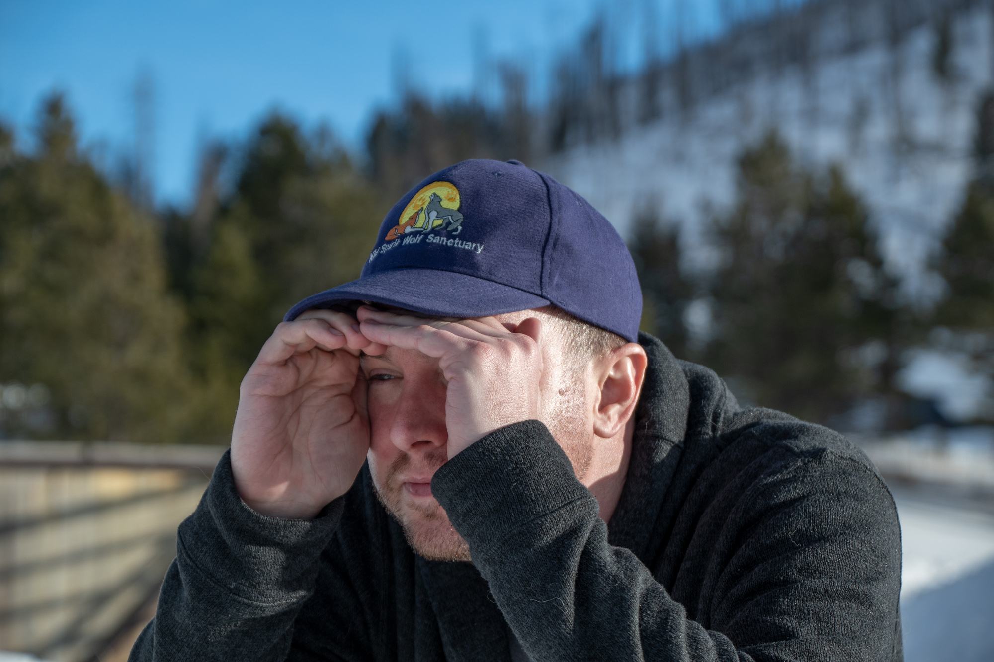
Wait… Evan… Where did you get this hat.
Wait… Evan… Where did you get this hat.
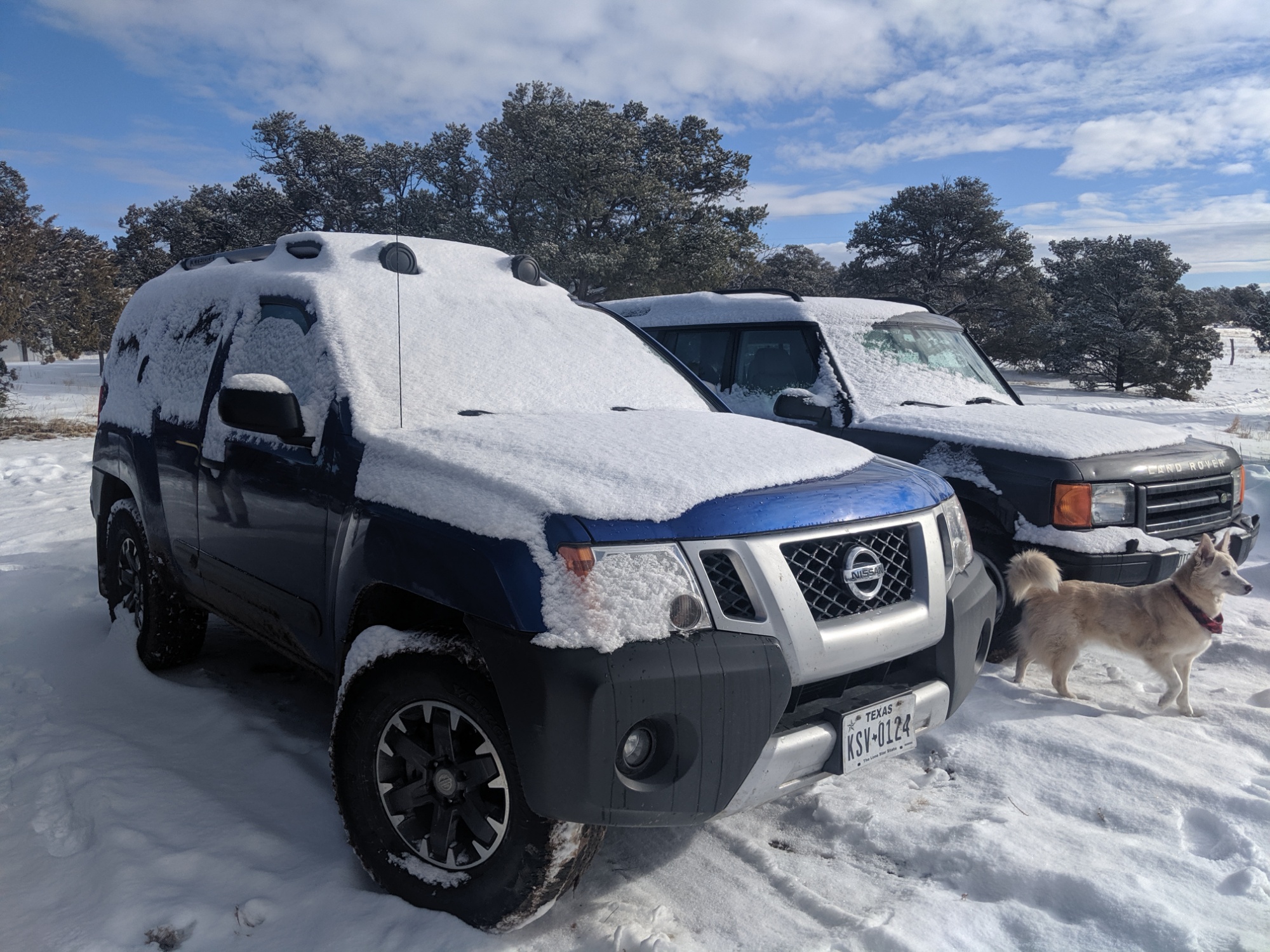
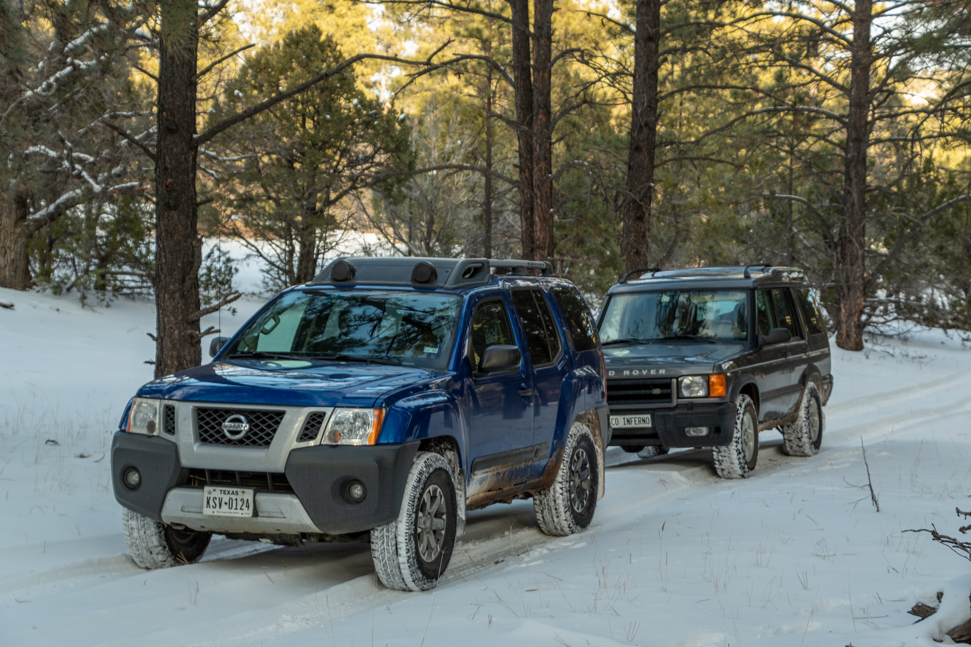
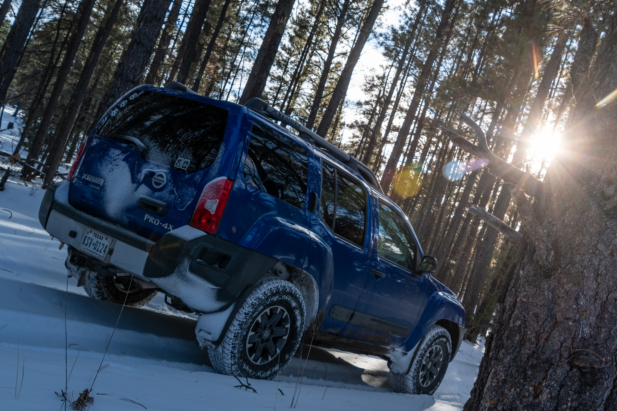
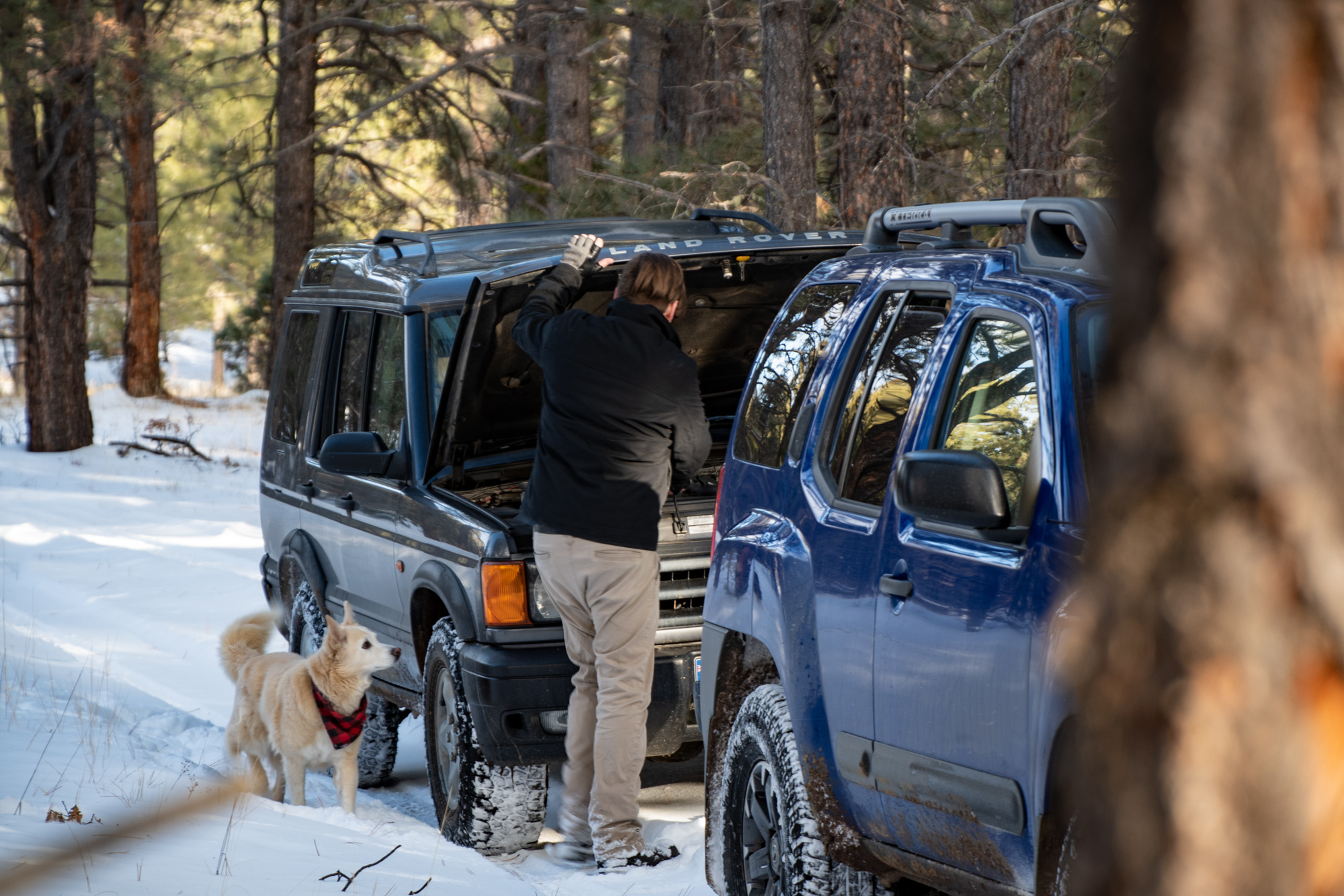
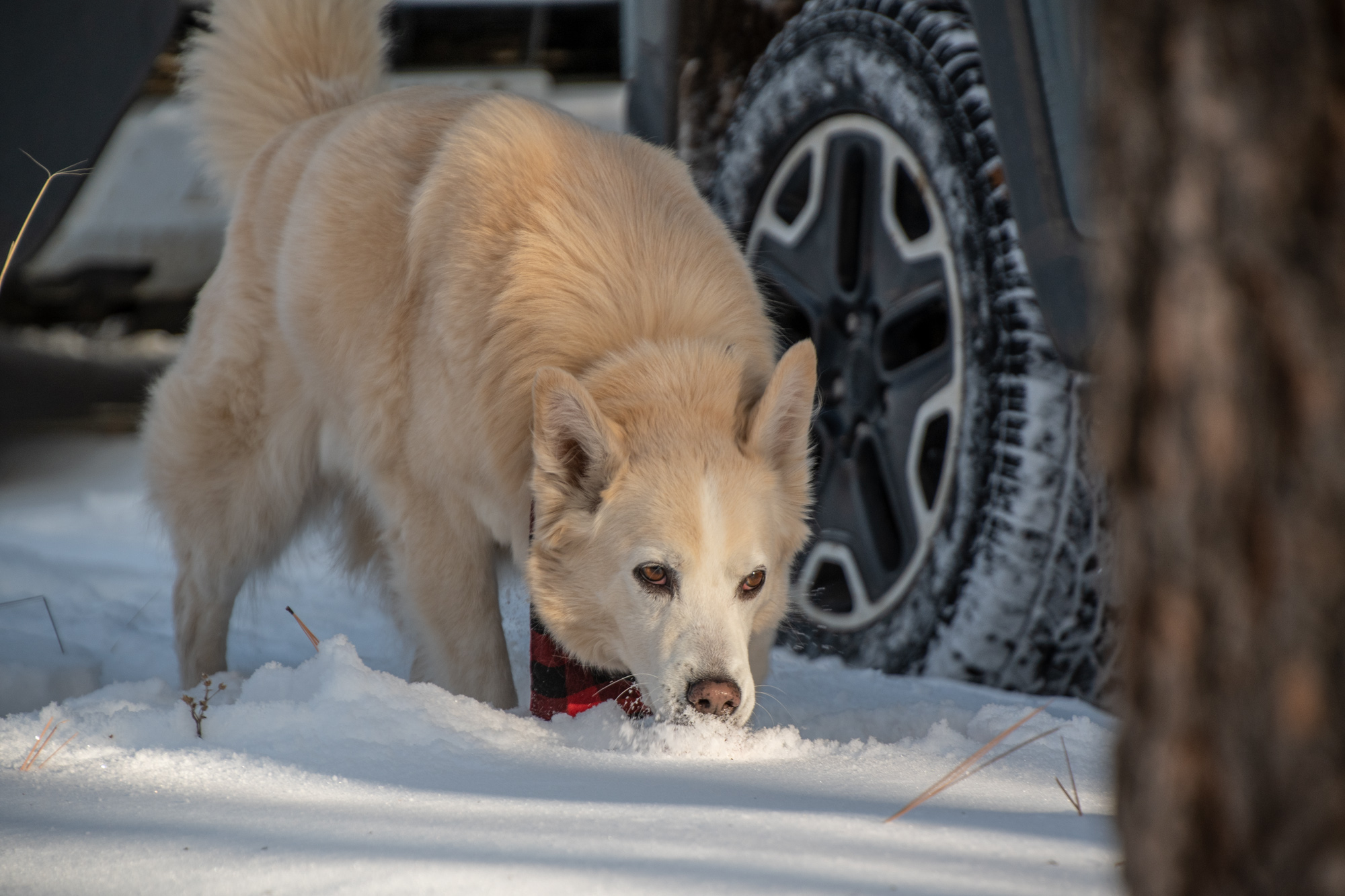
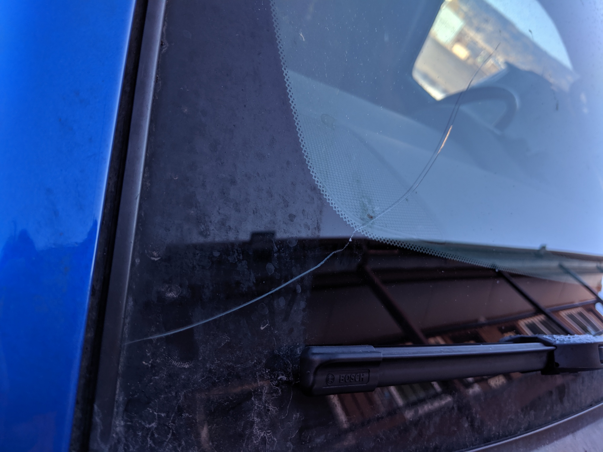
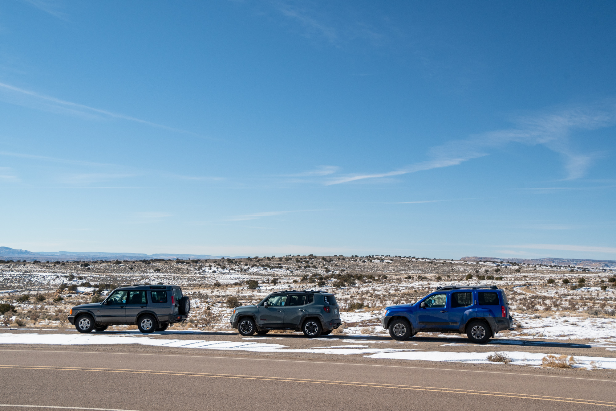
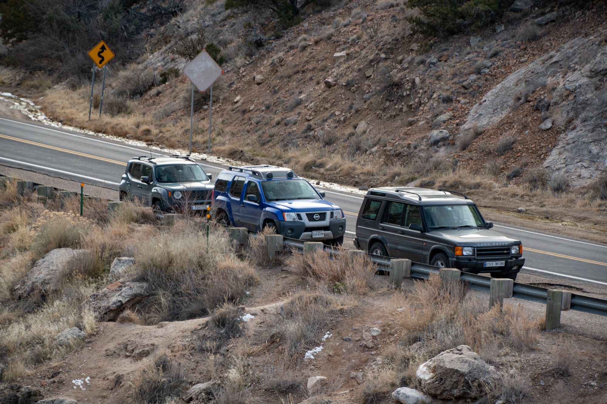
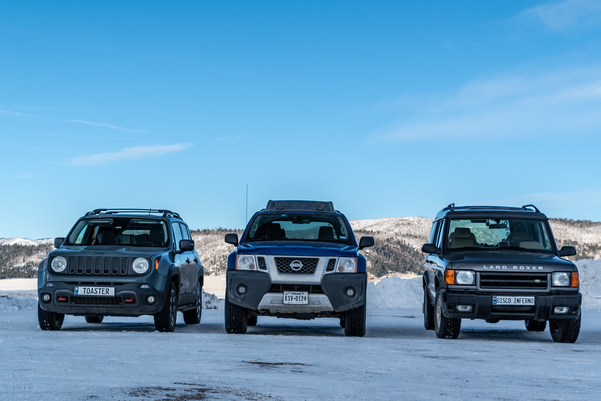
This morning felt a little bit like that day we hit up all the touristy stuff in California. And a quick pack up of the cars revealed what we’d spend the rest of the day dealing with:
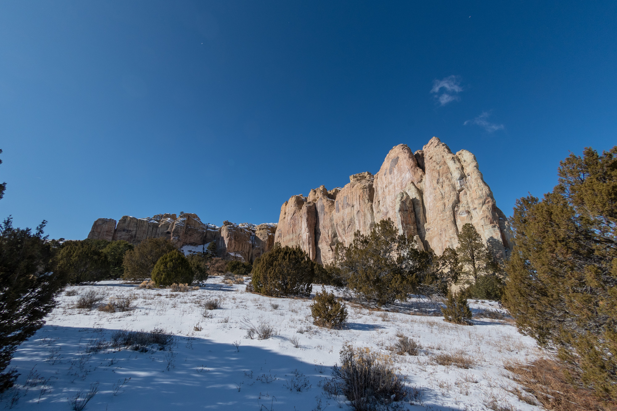
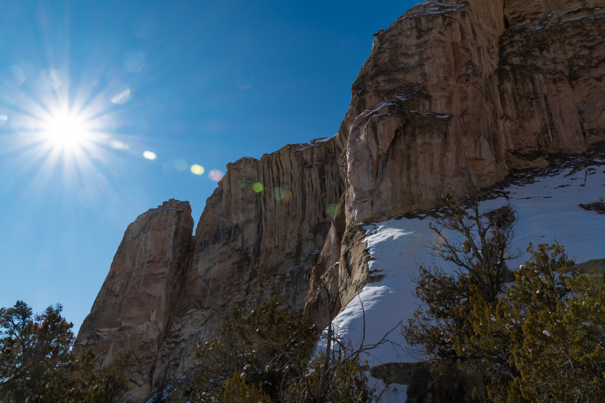
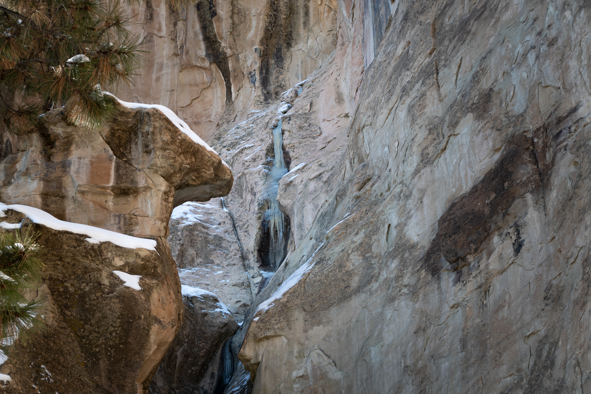
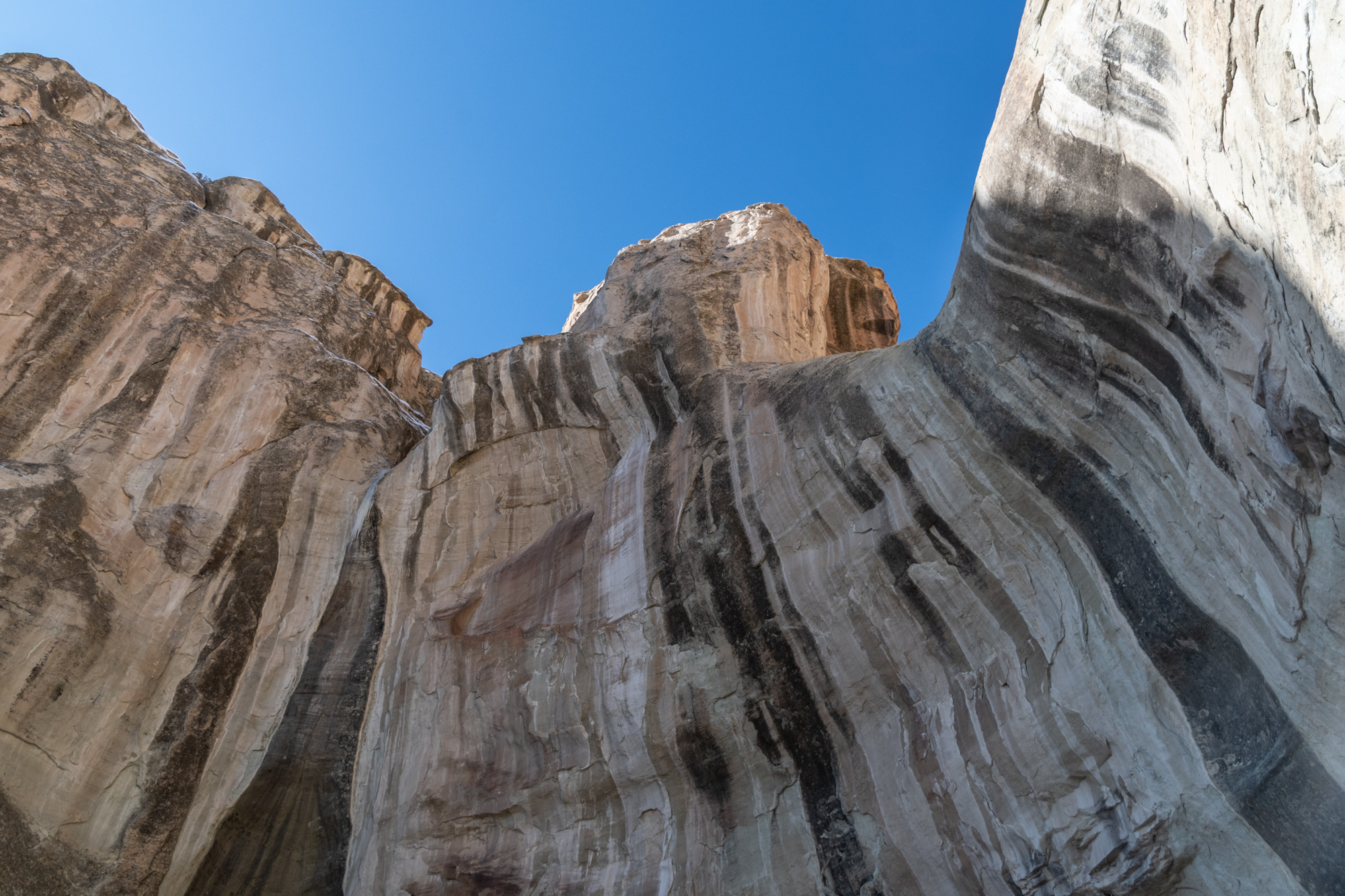
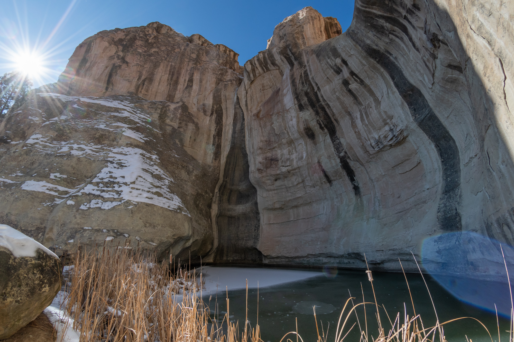
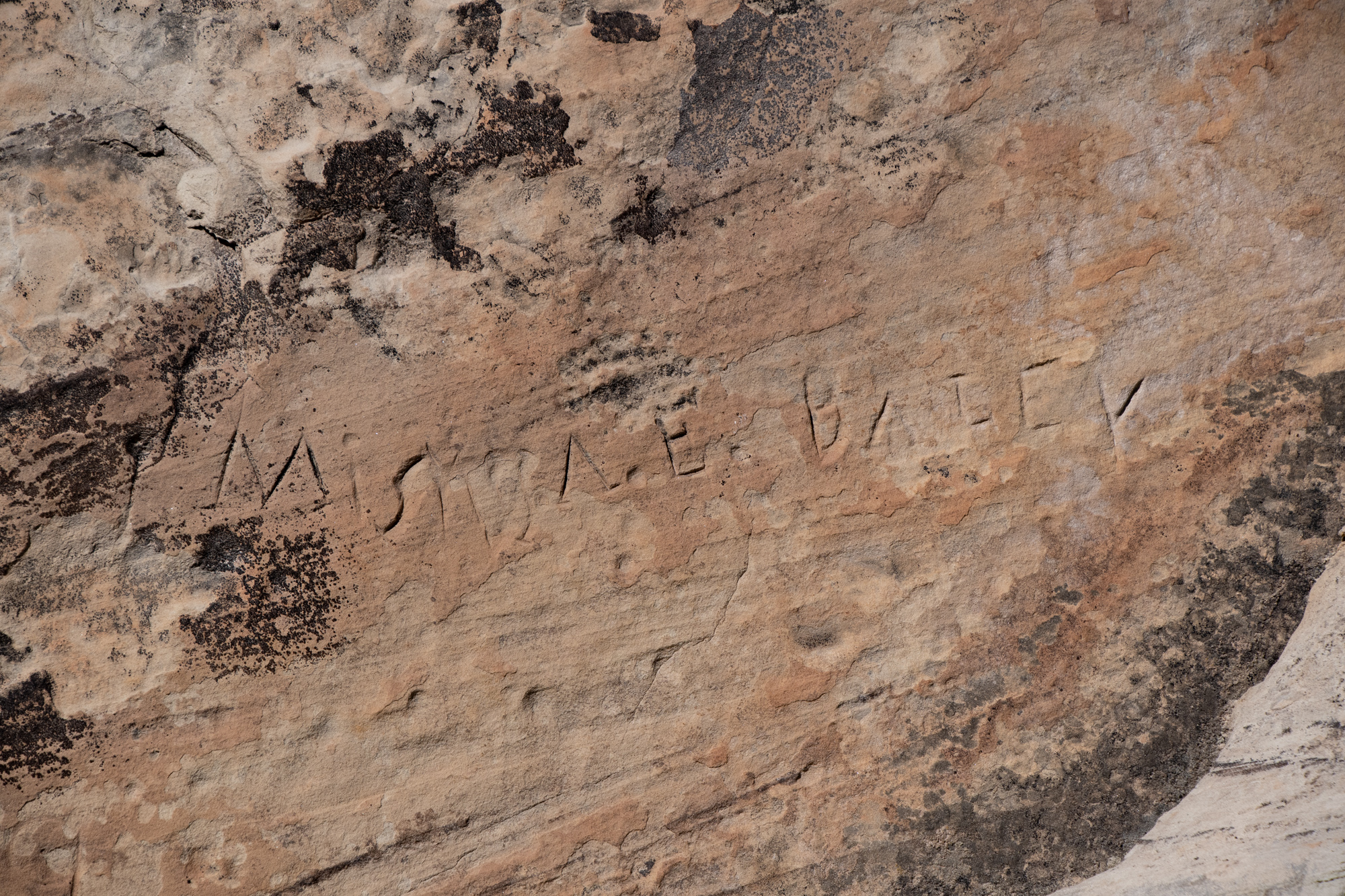
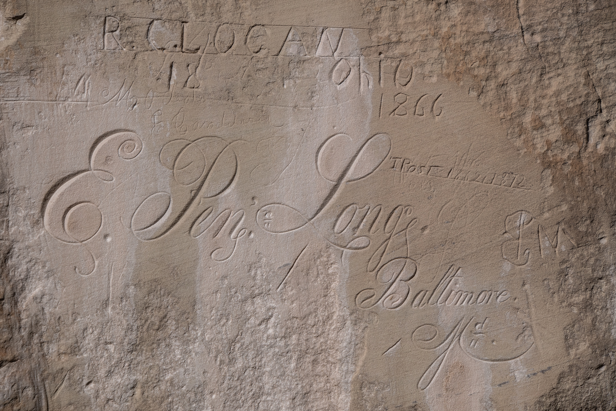
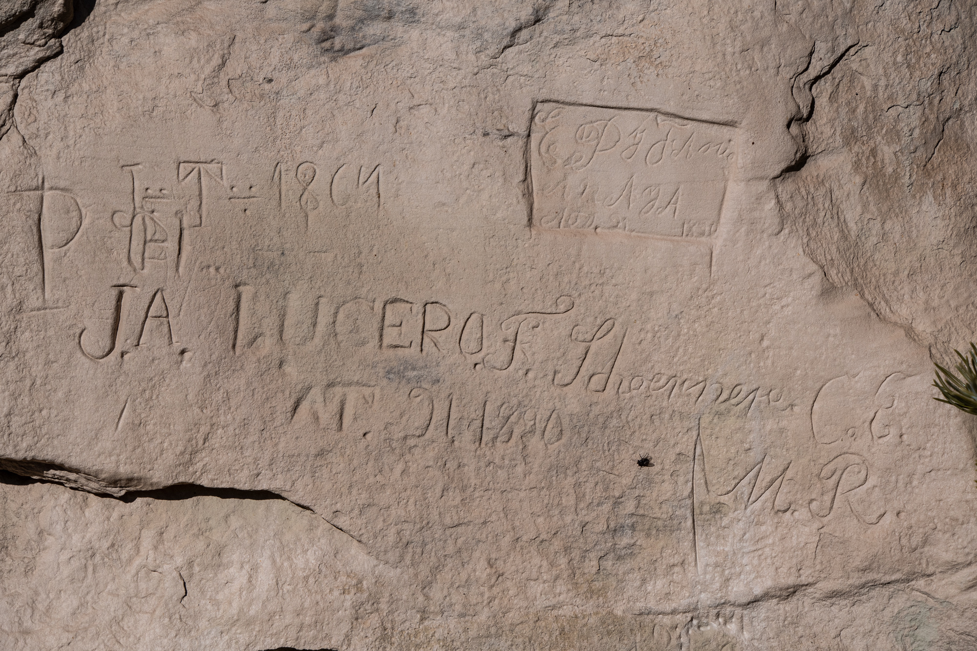
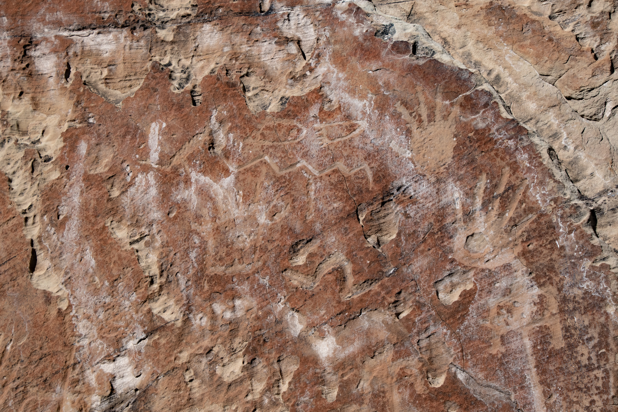
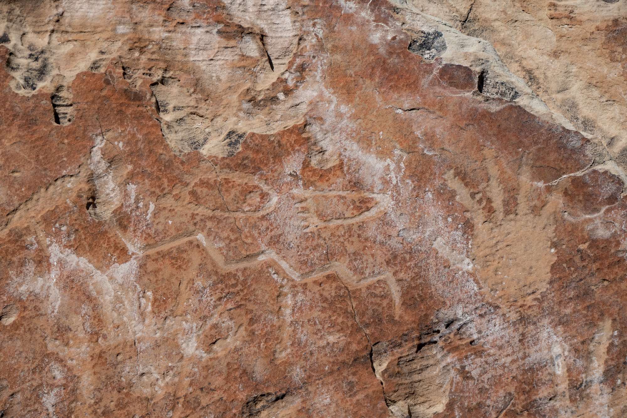
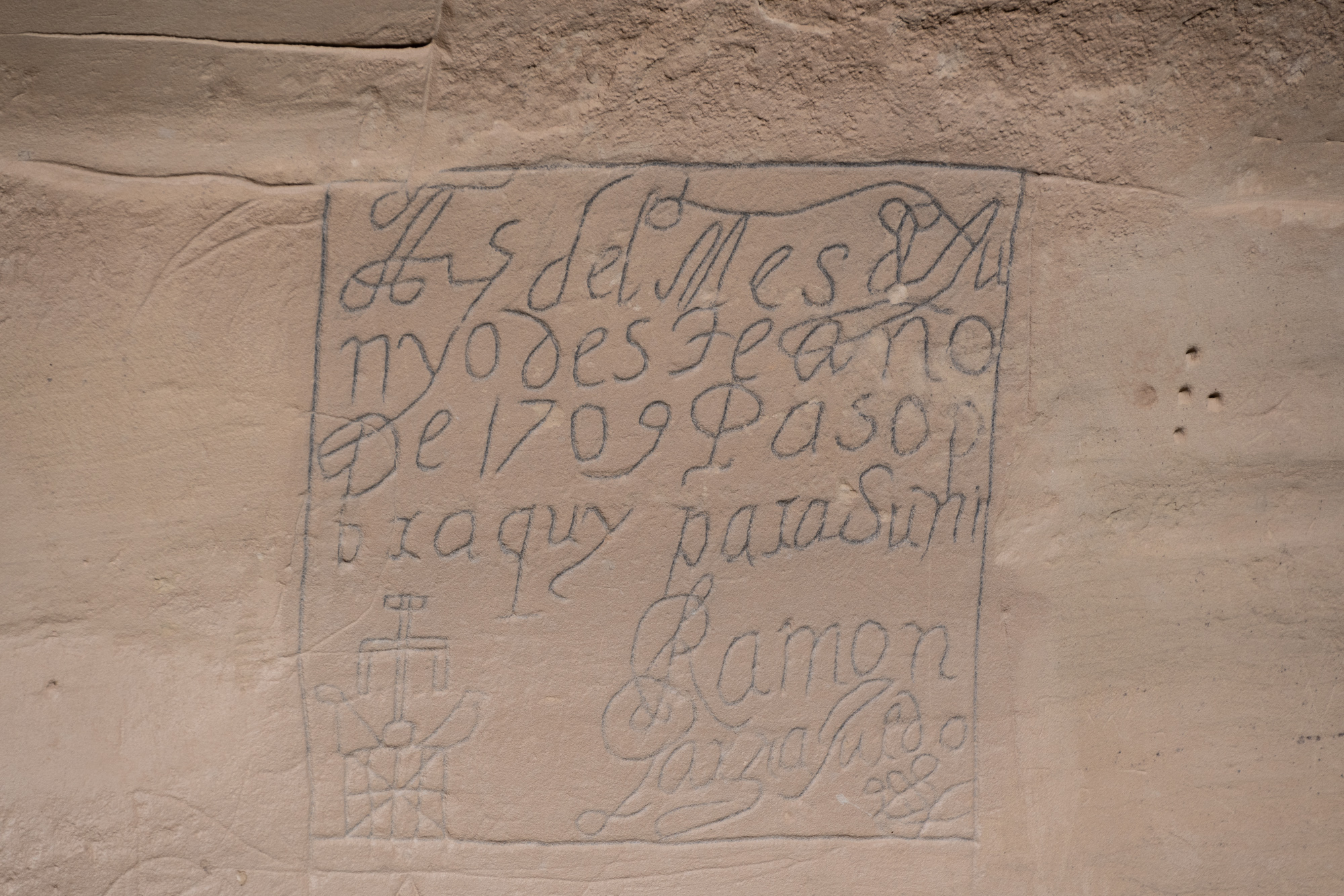
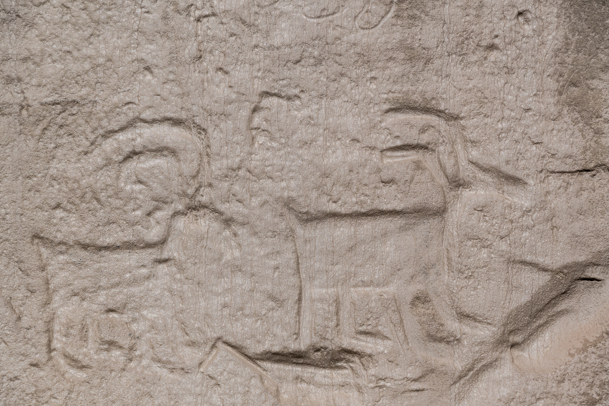
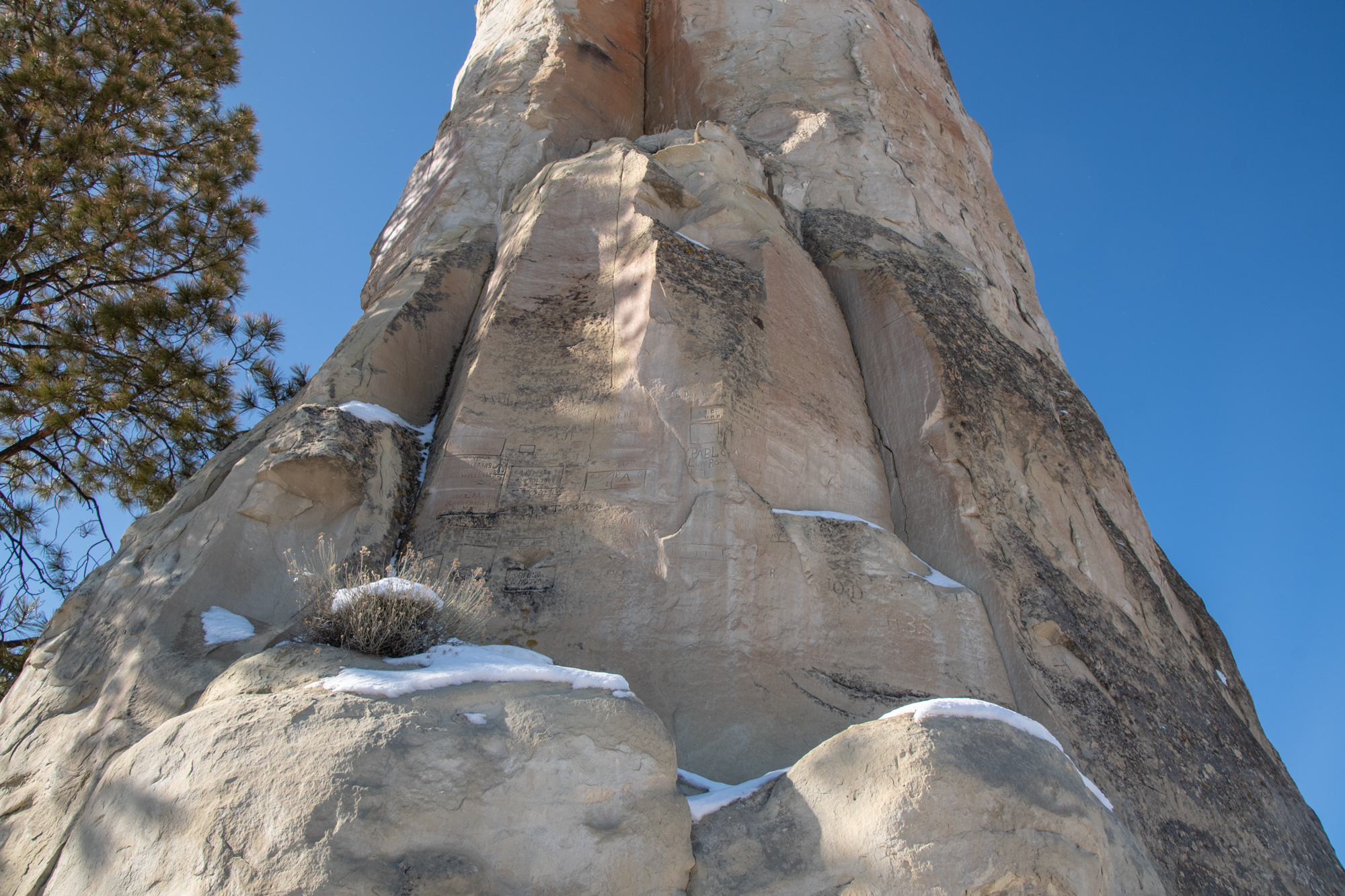
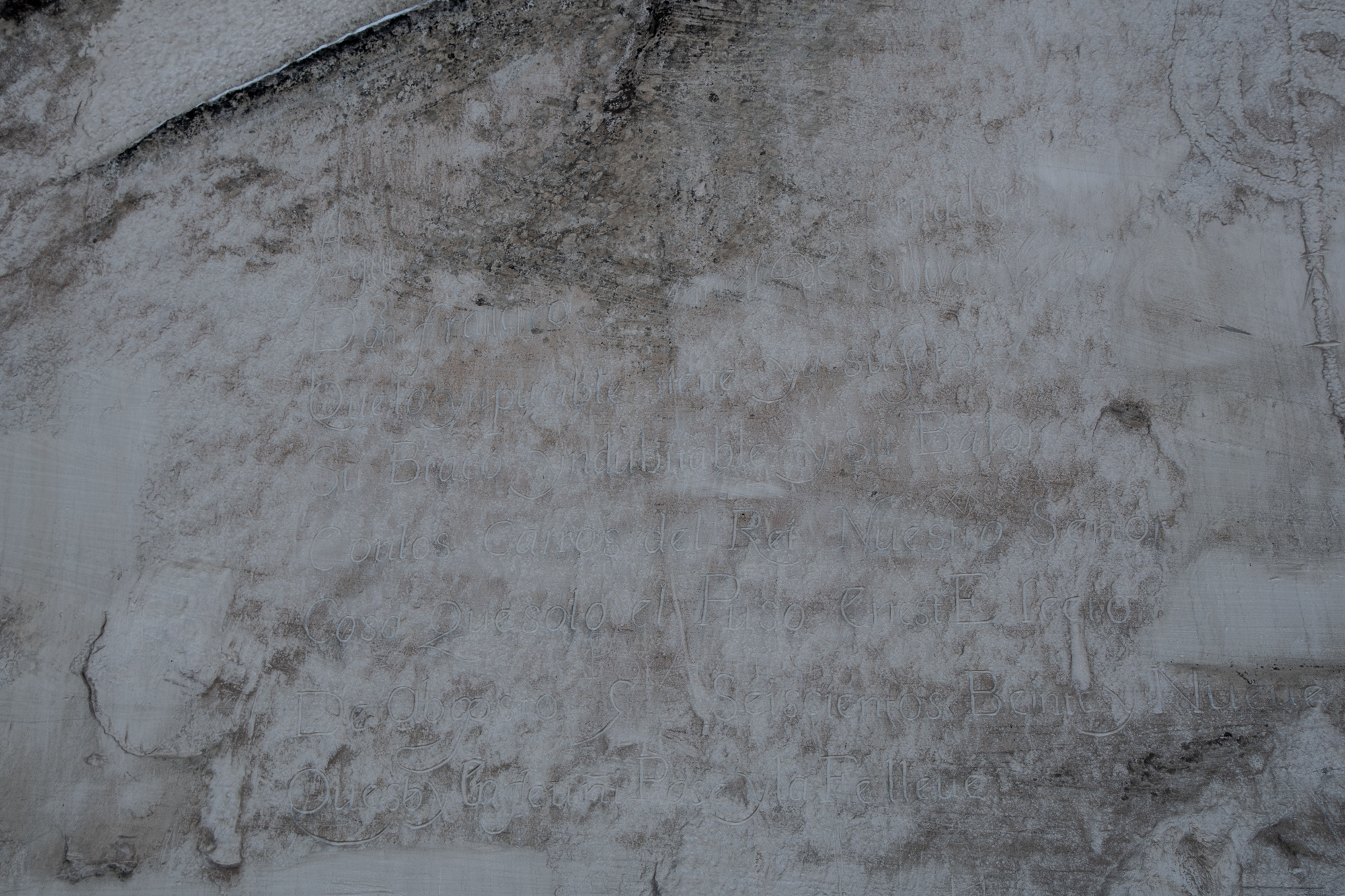
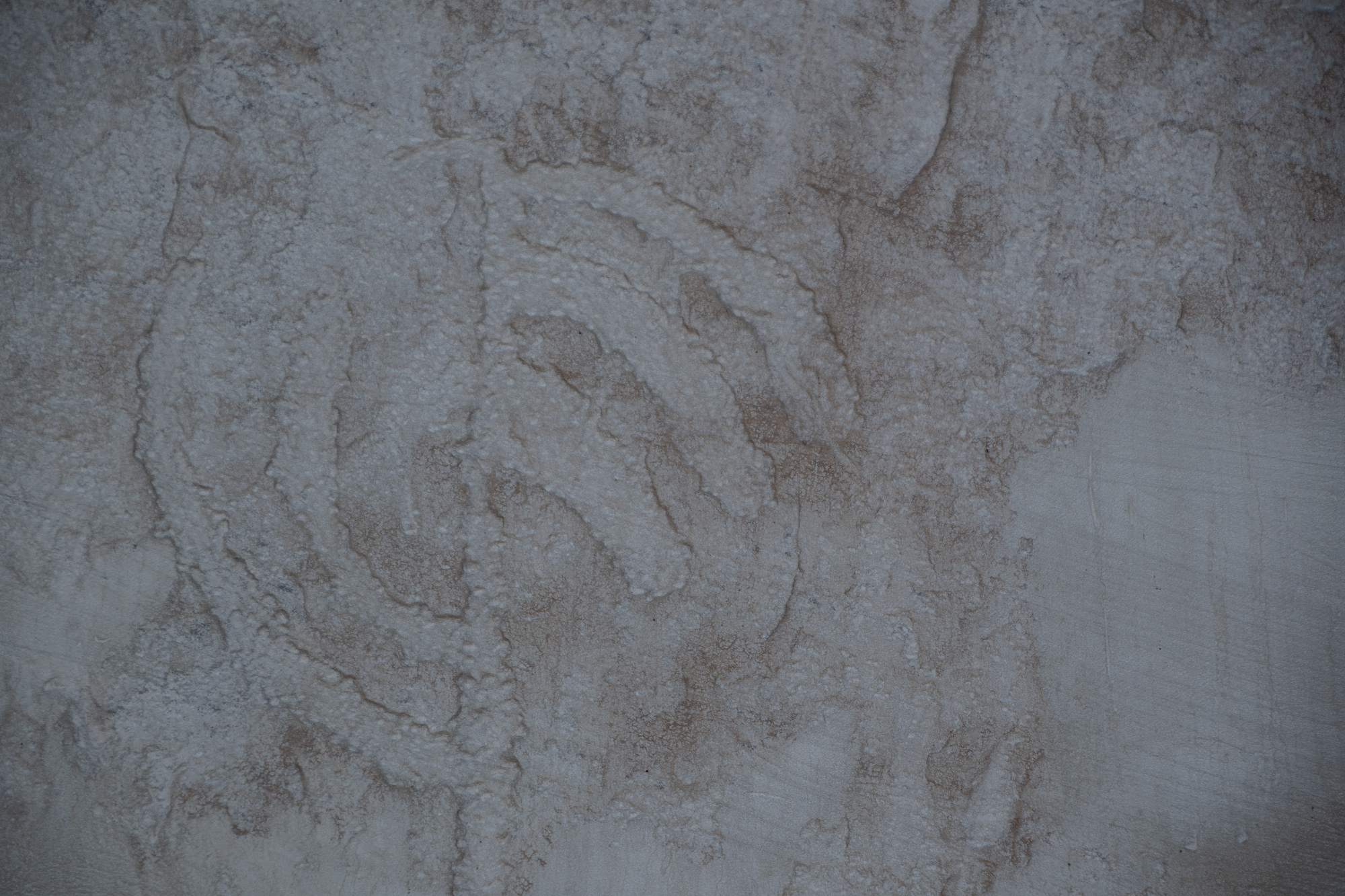
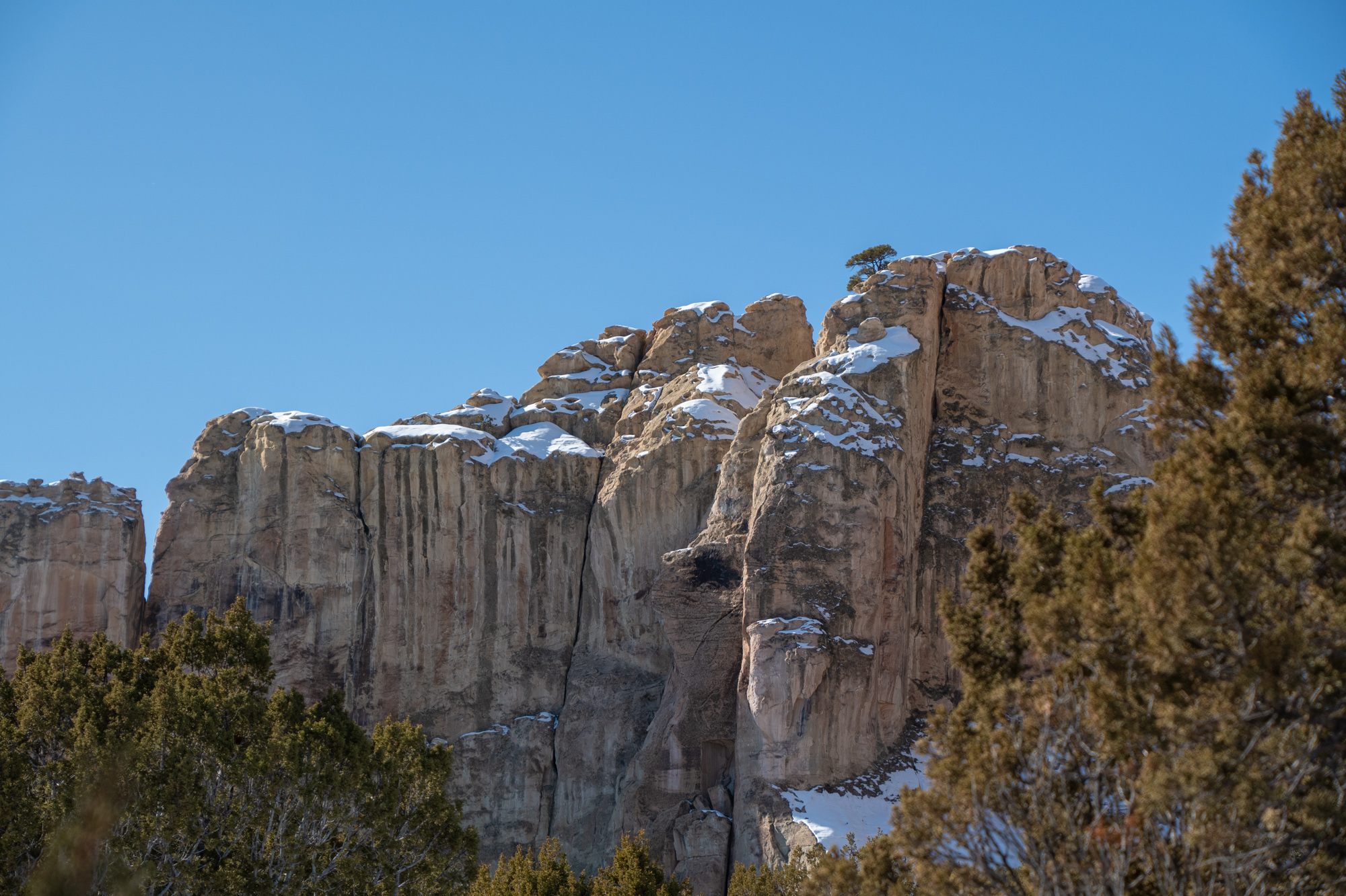
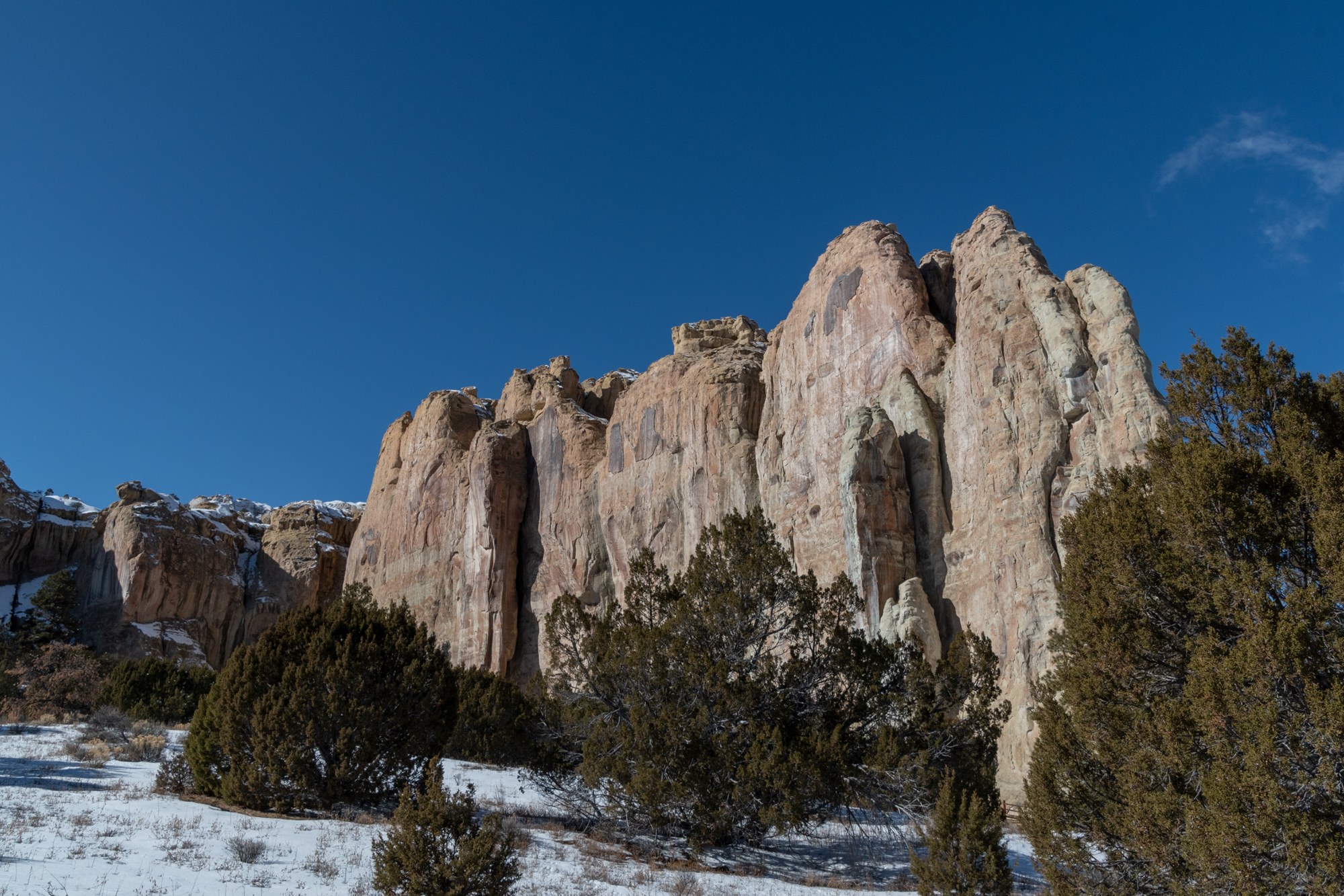
The snowy drive out from Wild Spirit was much shorter on this end. We started at El Morro National Monument to check out Inscription Rock, a cliffside near an oasis pool that features petroglyphs dating back hundreds of years. Native Americans, many Spanish Explorers, and some early American settlers and railroad survey crews all passed by El Morro for its water — and left inscriptions of their names and dates as they passed by. The longest inscriptions were left by Spanish Conquistadors, formally offering dates and names ending with “pasó por aquí,” meaning “passed by this way.”
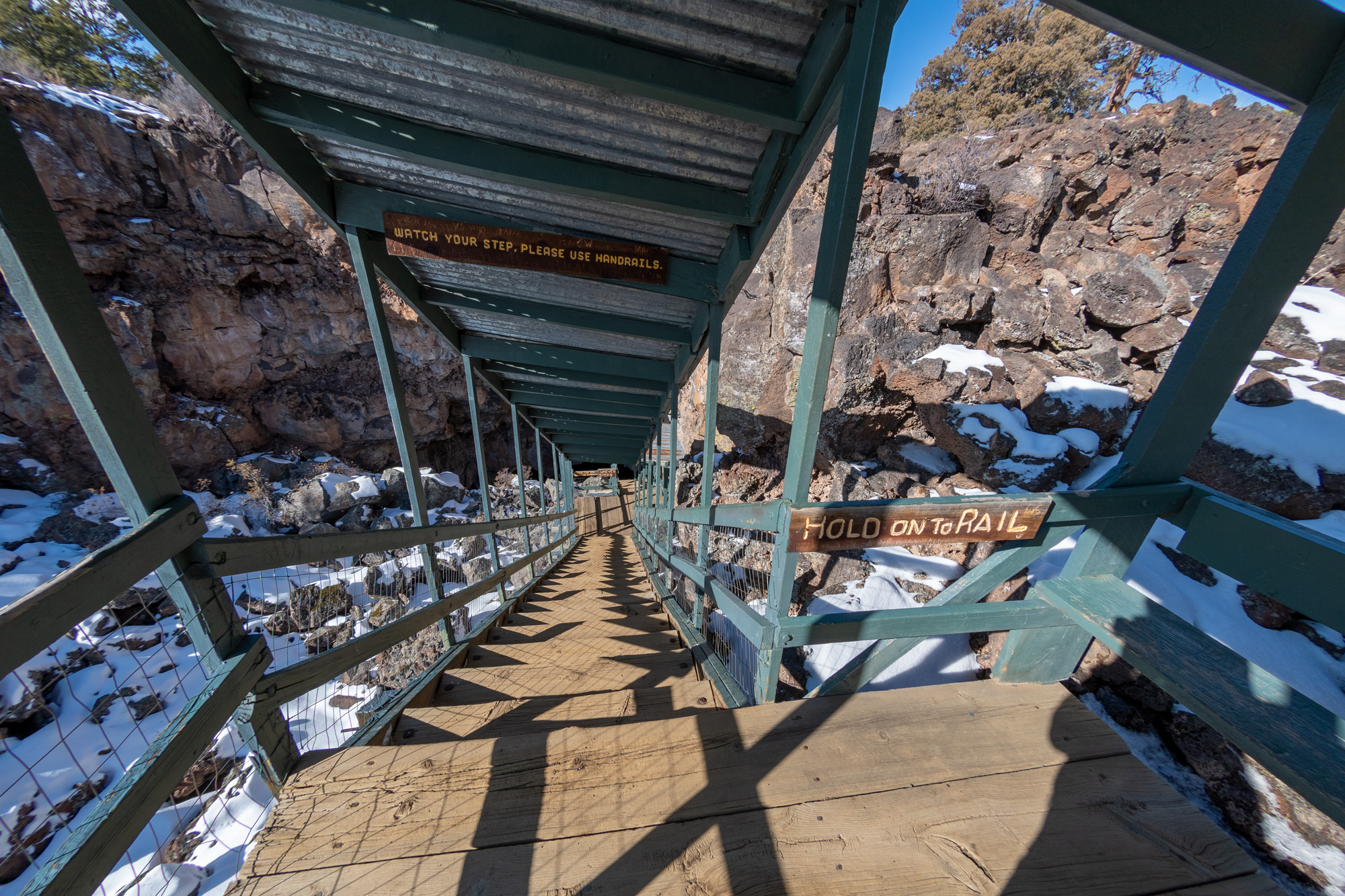
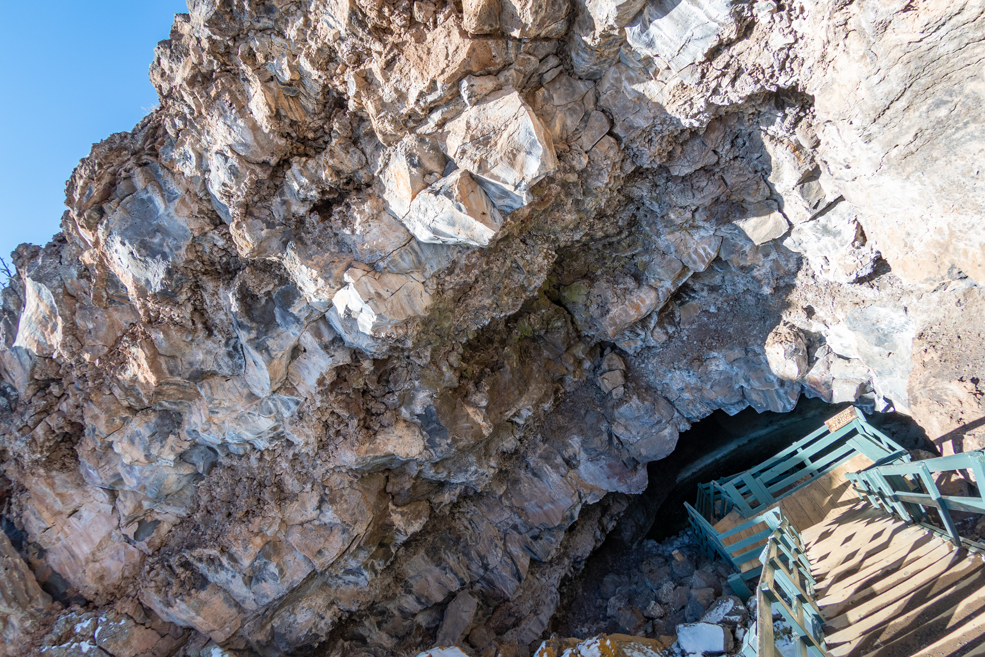
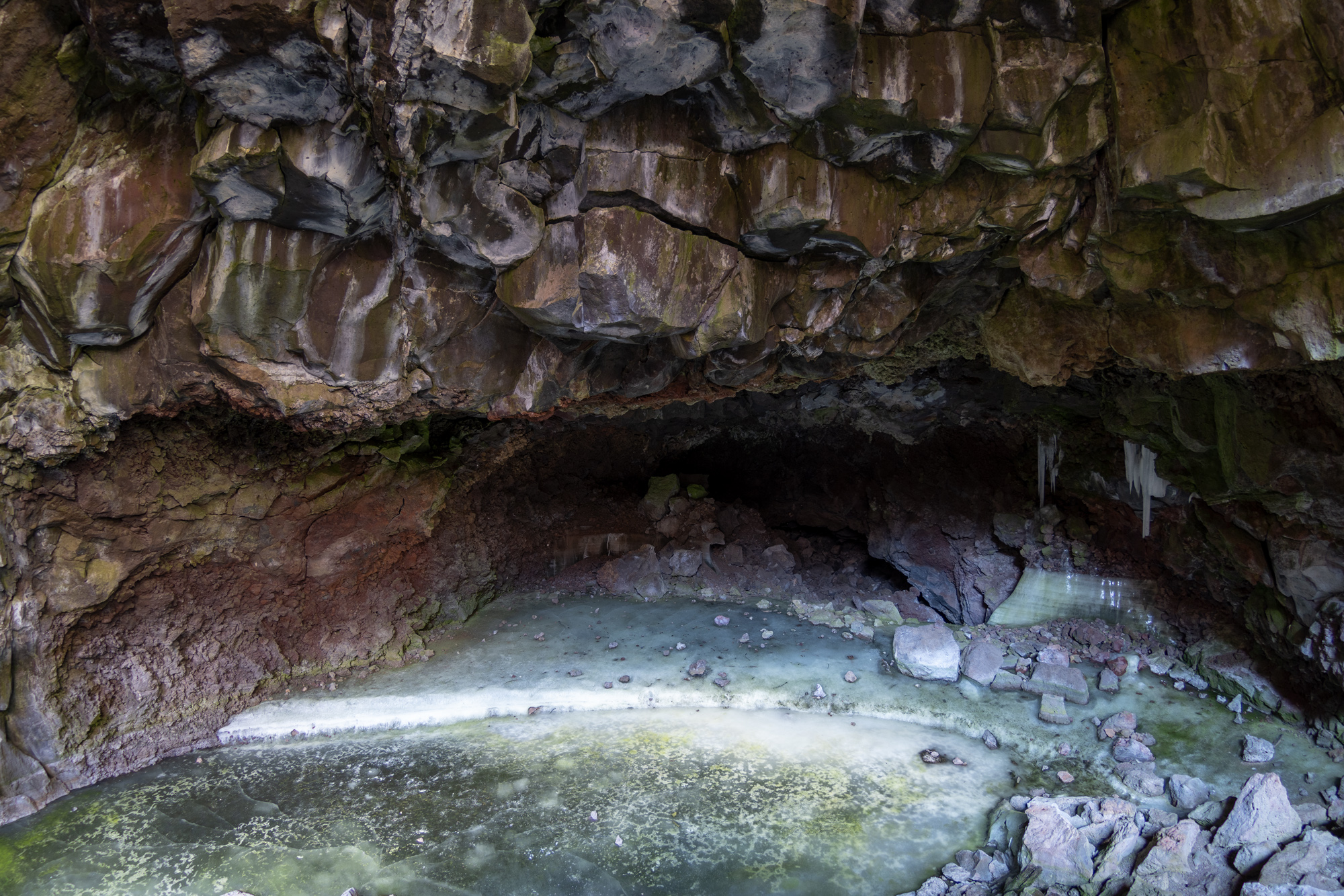
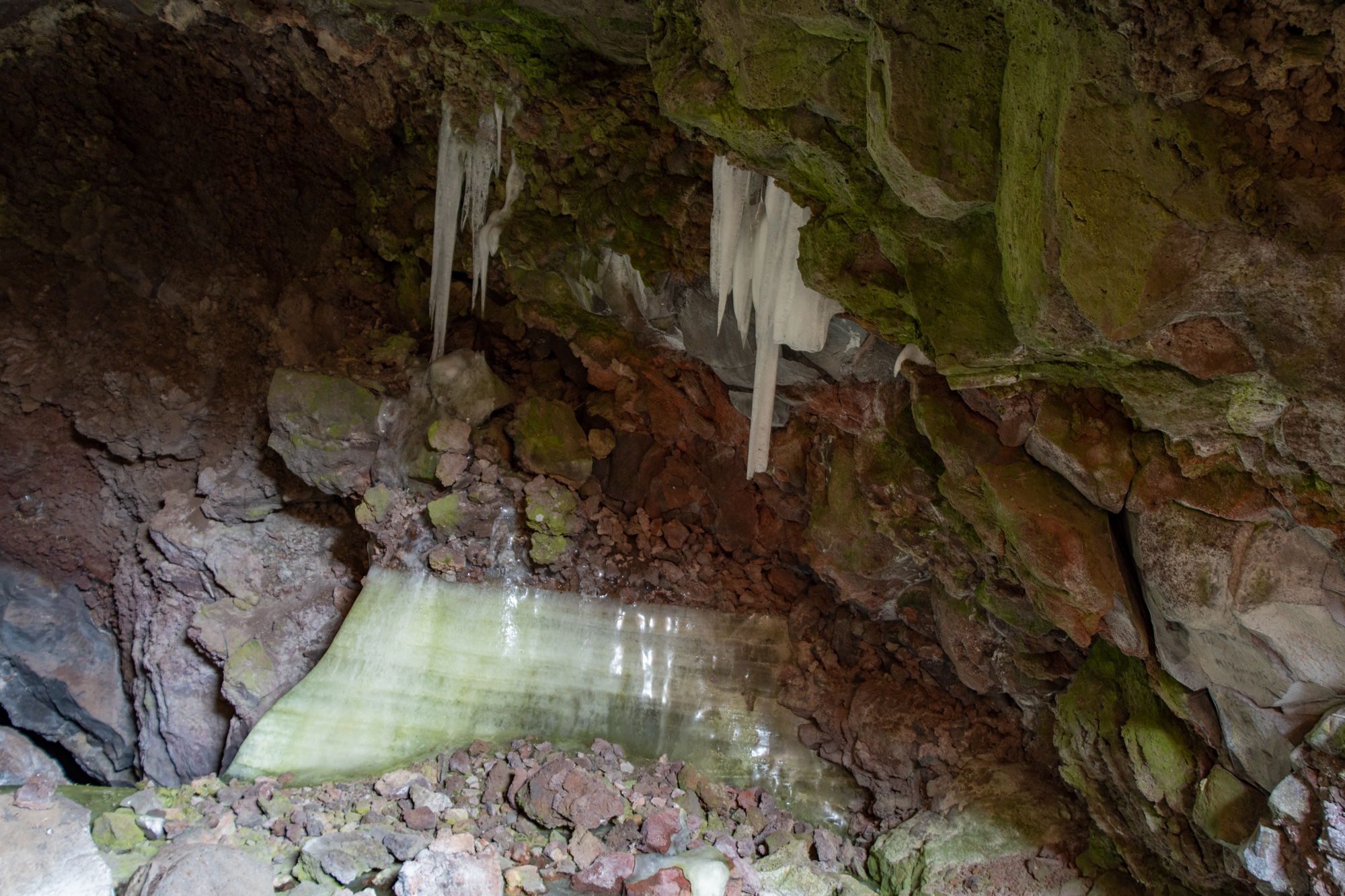
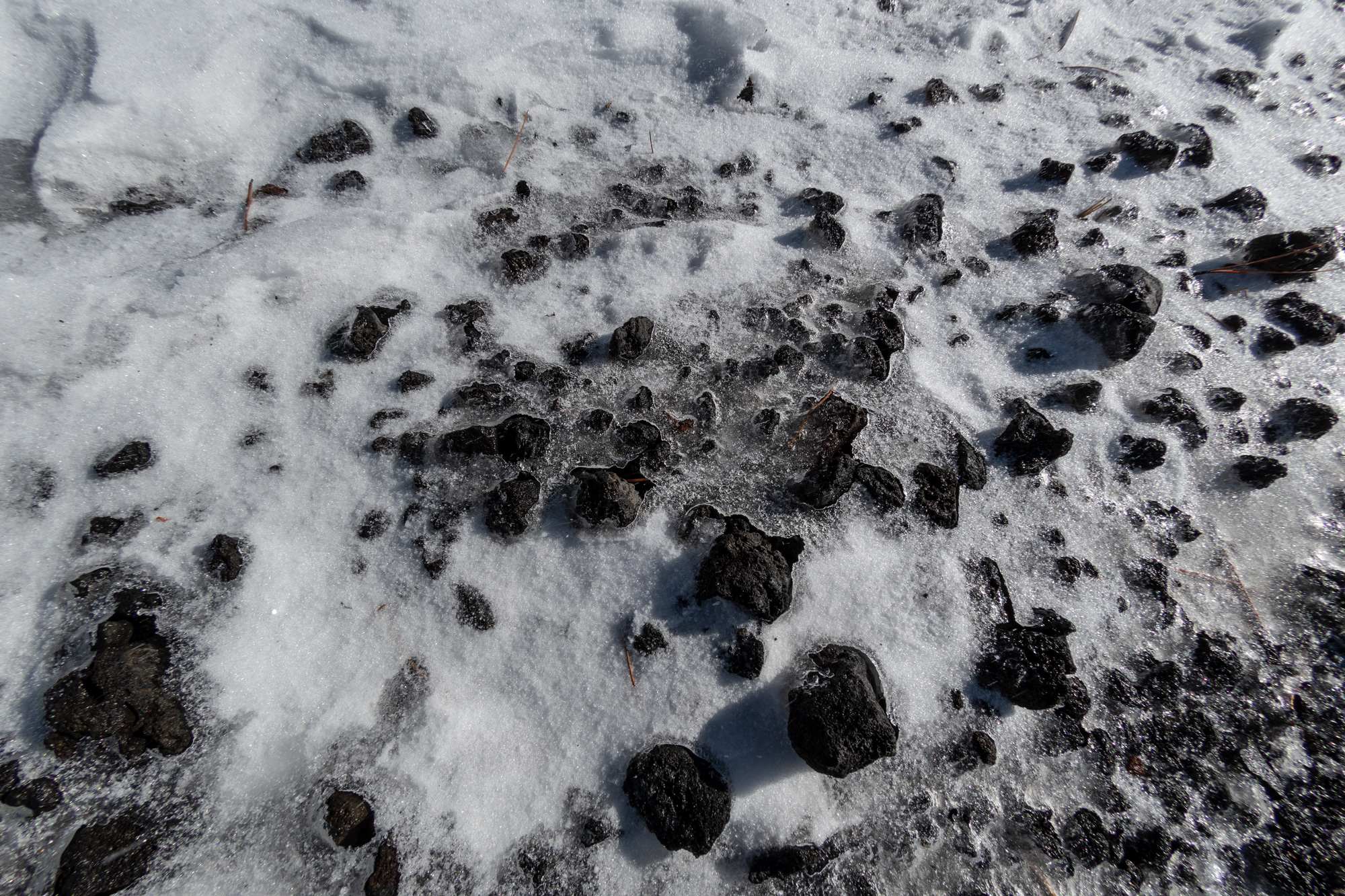
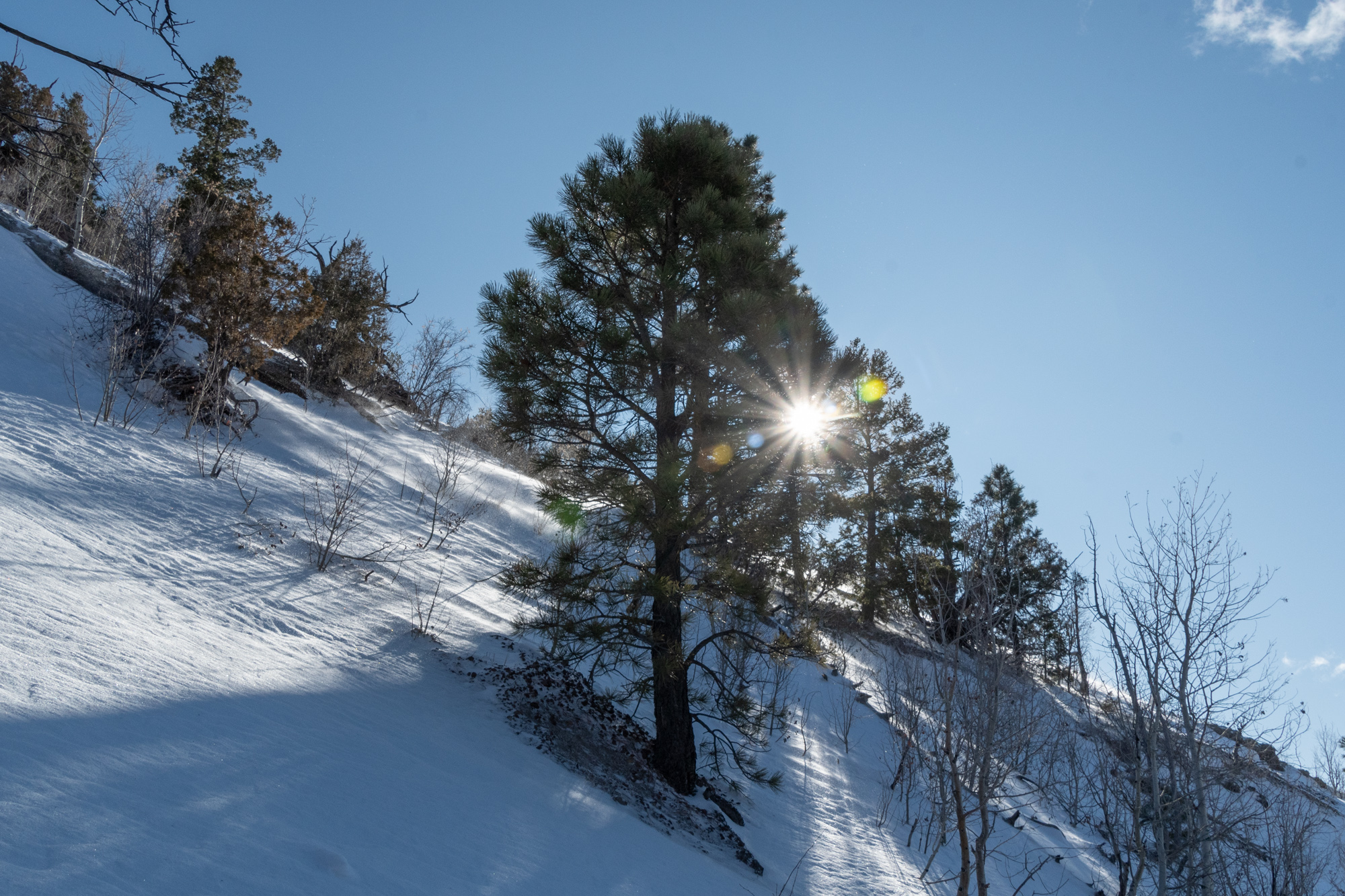
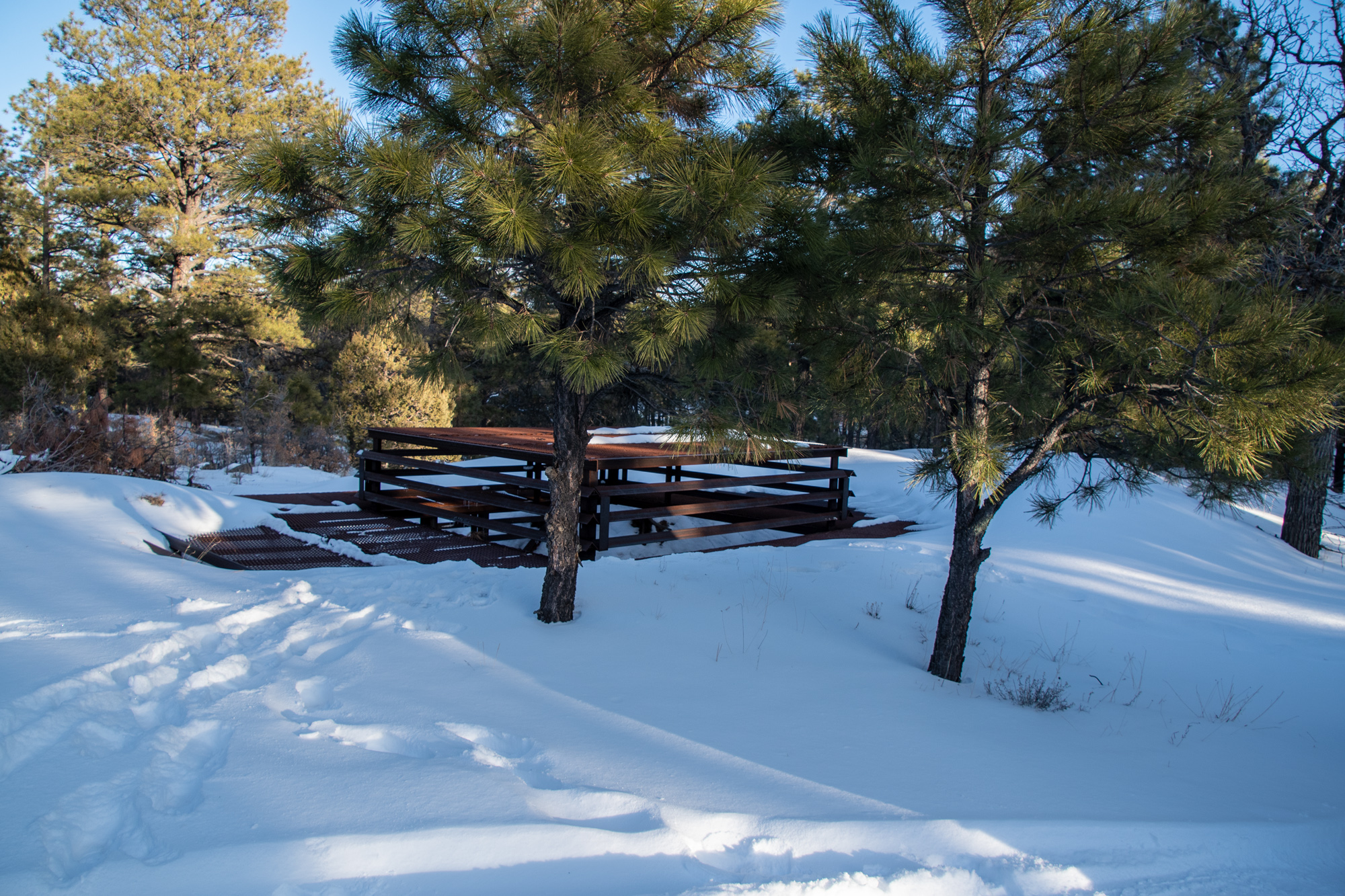
Then just down the road, we hit up the Bandera Volcano and Lava Tubes and Ice Cave. Having visited a glacial cave this summer which was made of ice with a river running through it, this little ice cave felt a little oversold. It was a cave of volcanic rock that acted as a water filter. The cold of the cave kept the water frozen year-round, so this this wasn’t an “ice cave” as in “cave made of ice,” it was an ice cave as in “a source of ice.” The nearby settlements in the late 1800s and early 1900s “mined” the ice for their own uses before the trading post closed down and was later resurrected into this tourist attraction and museum.
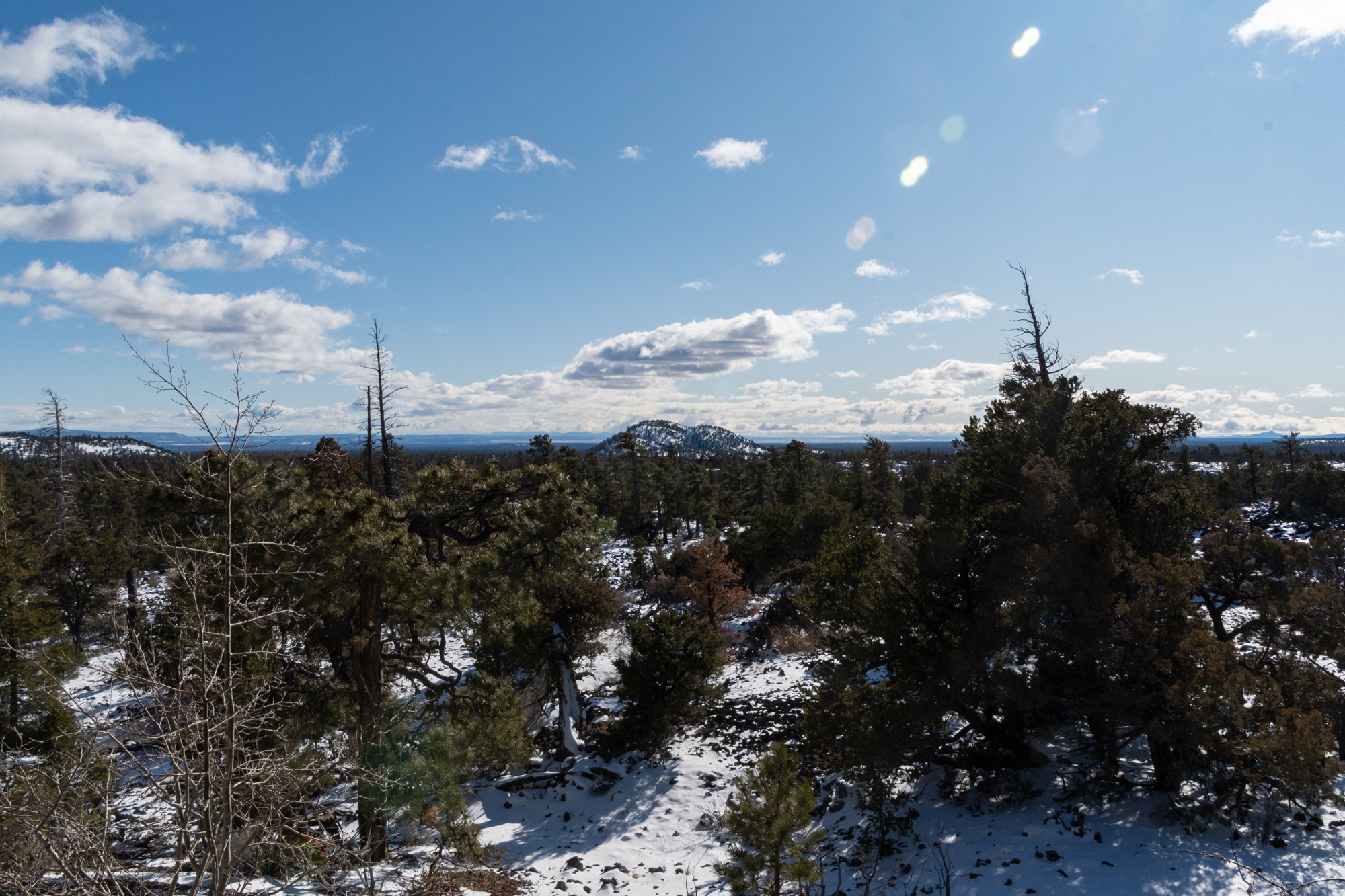
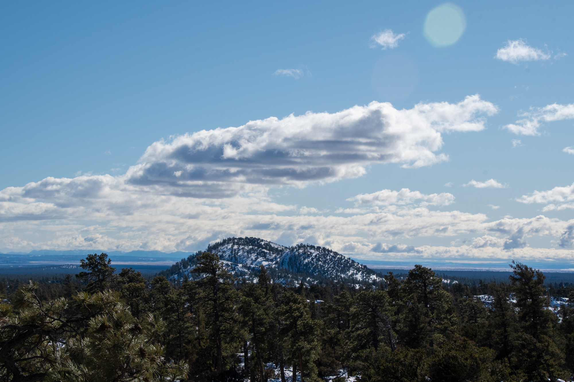
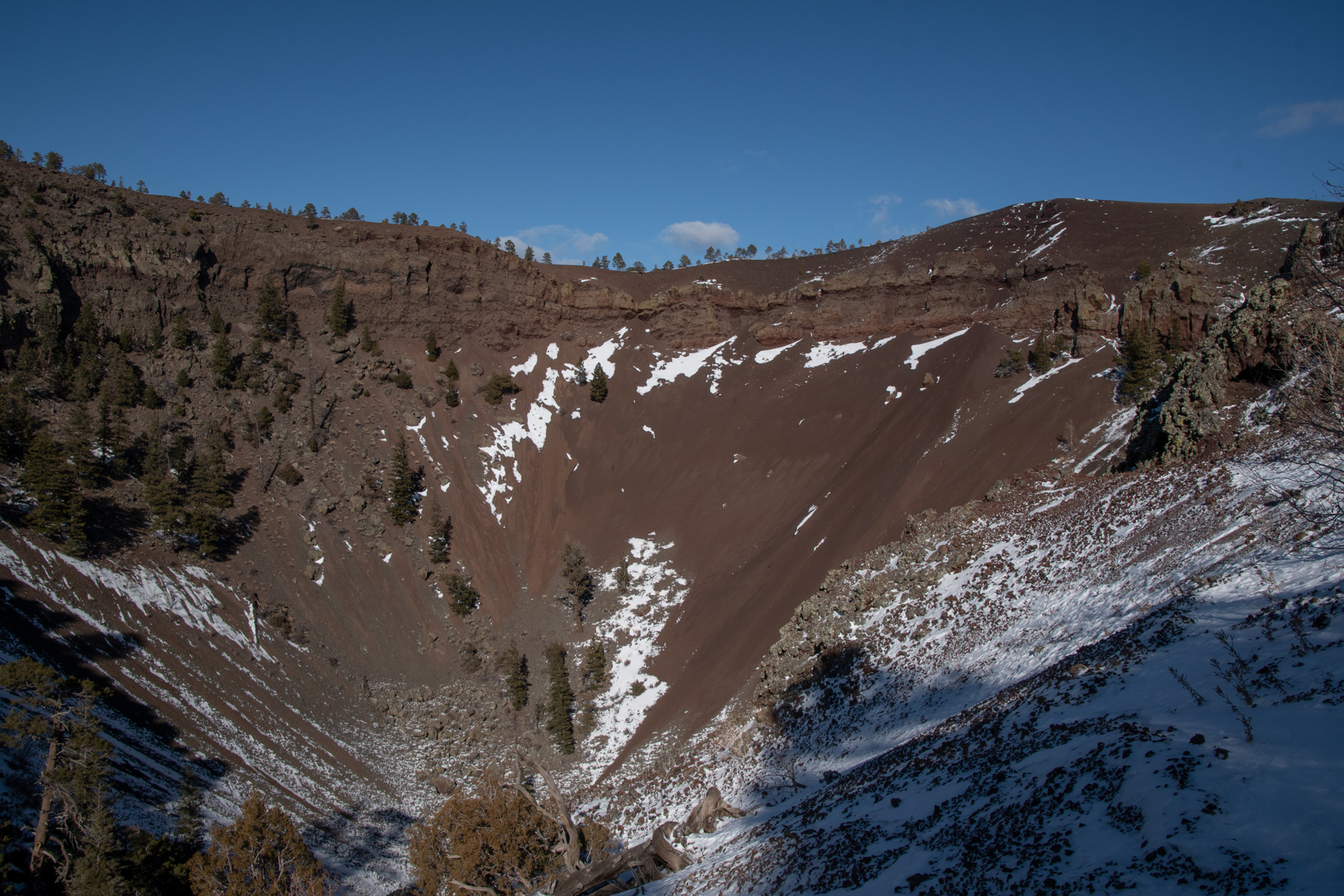
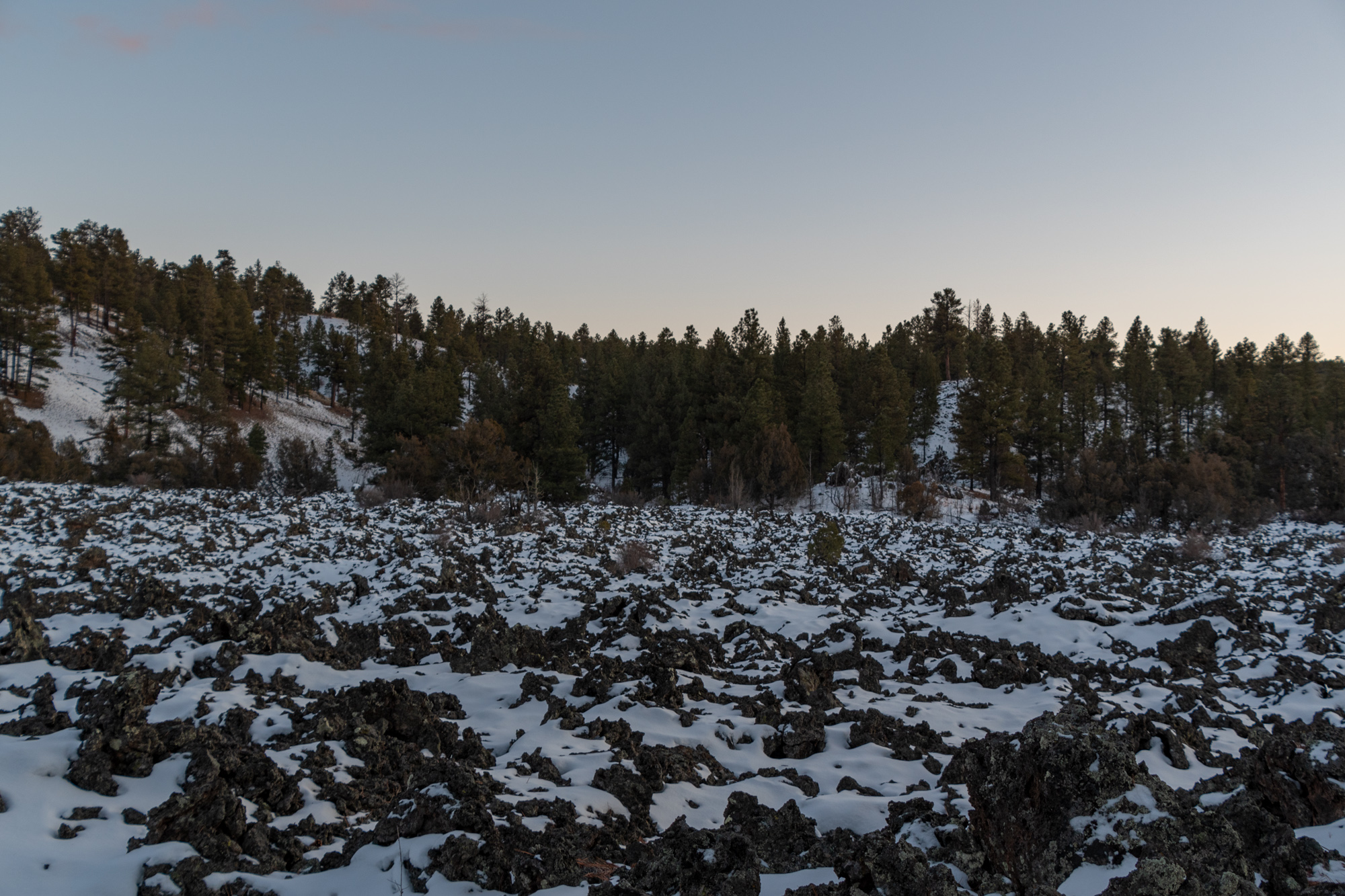
Up the other end of the trail, we saw the Bandera volcano overlook. The volcano erupted in such a way that near-ground tubes of lava allowed a flow of lava rock throughout this area. In the primary crater and from breaches of these lava tubes, lava spewed into the air, hardening as it fell, into the surrounding landscape in lava stone.
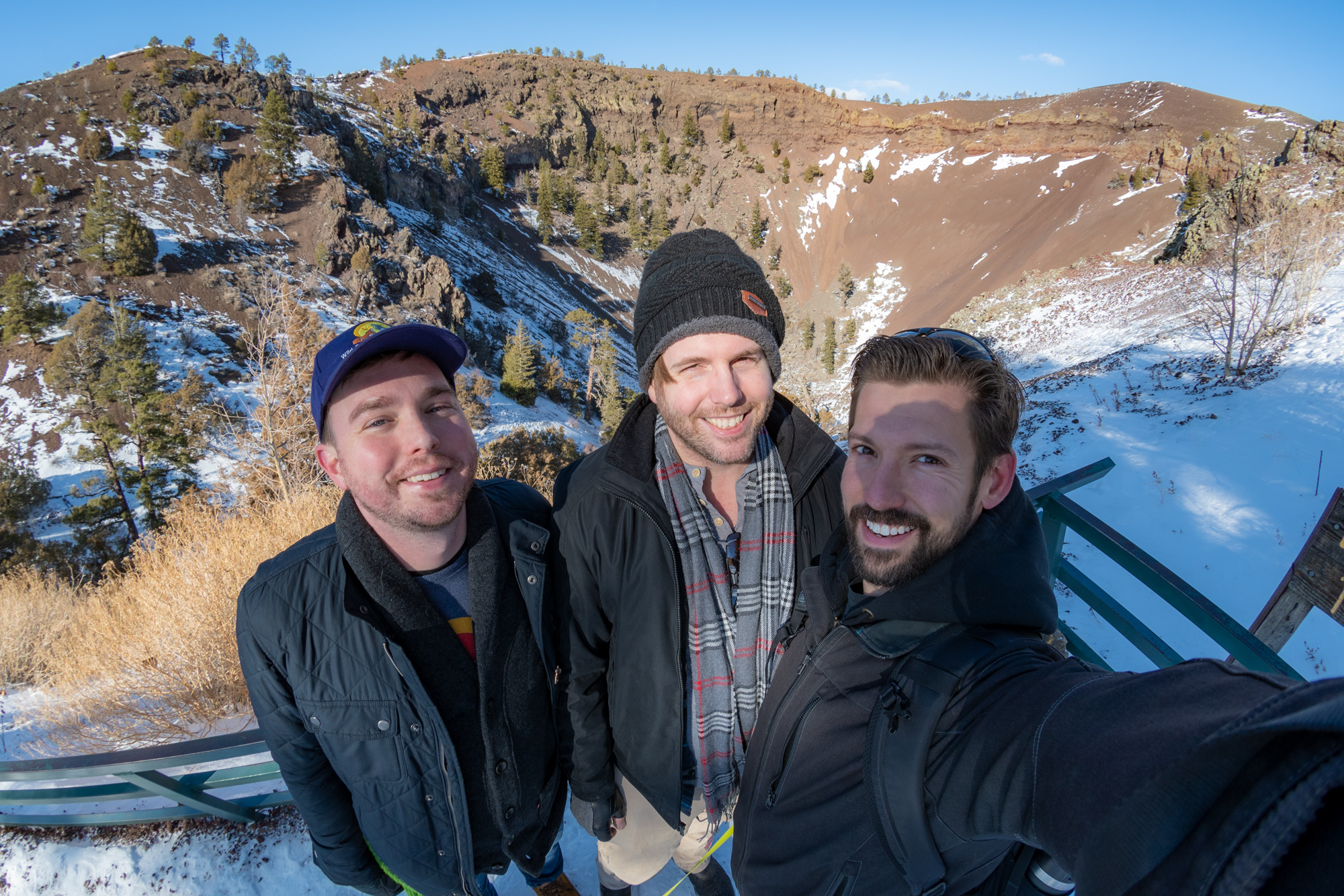
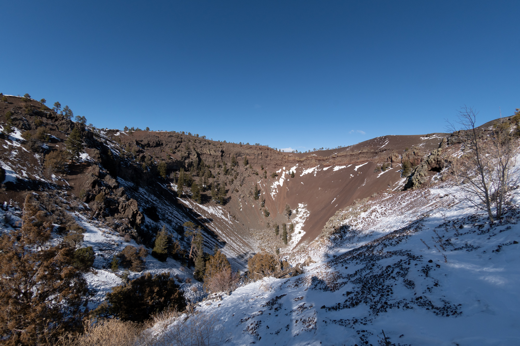
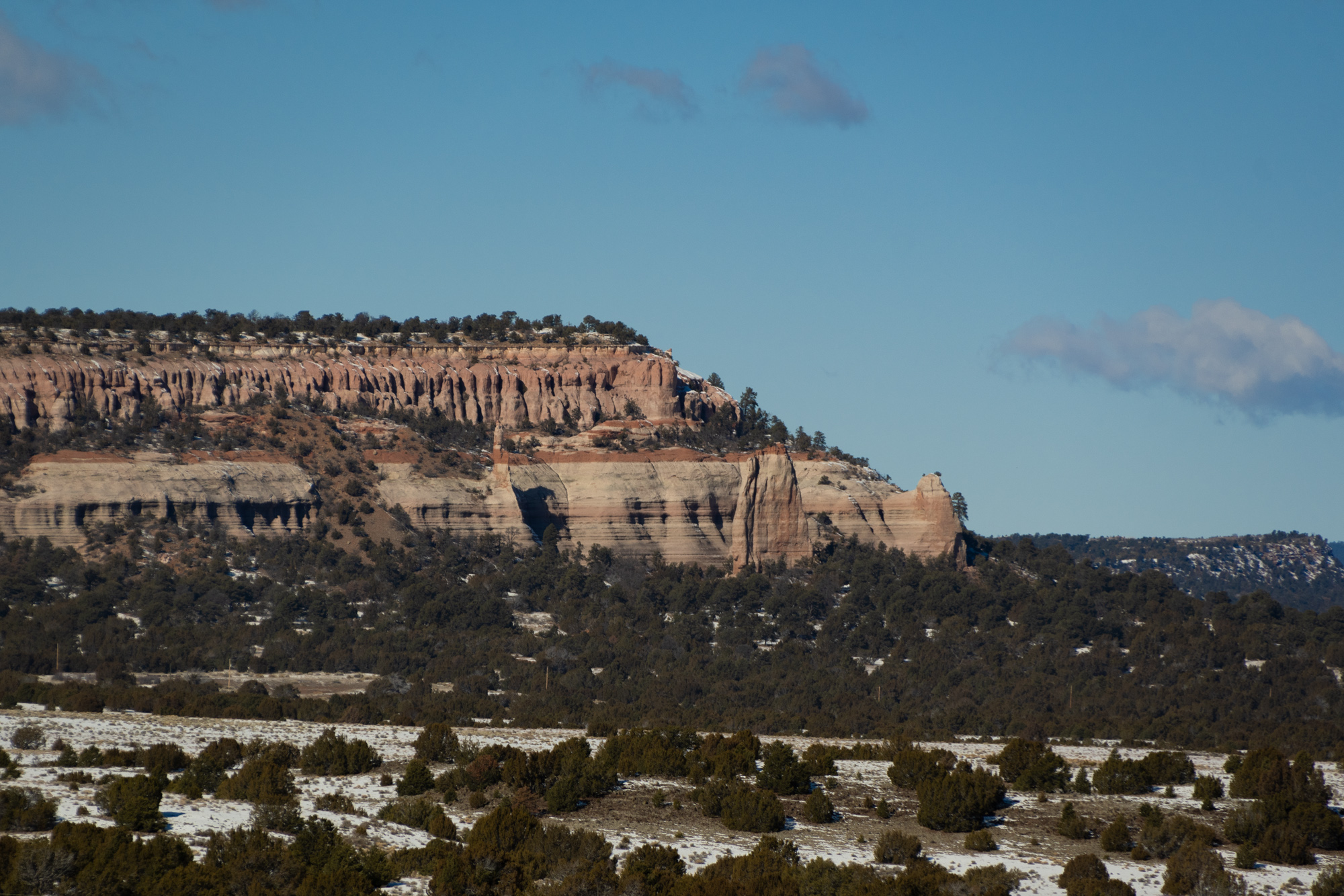
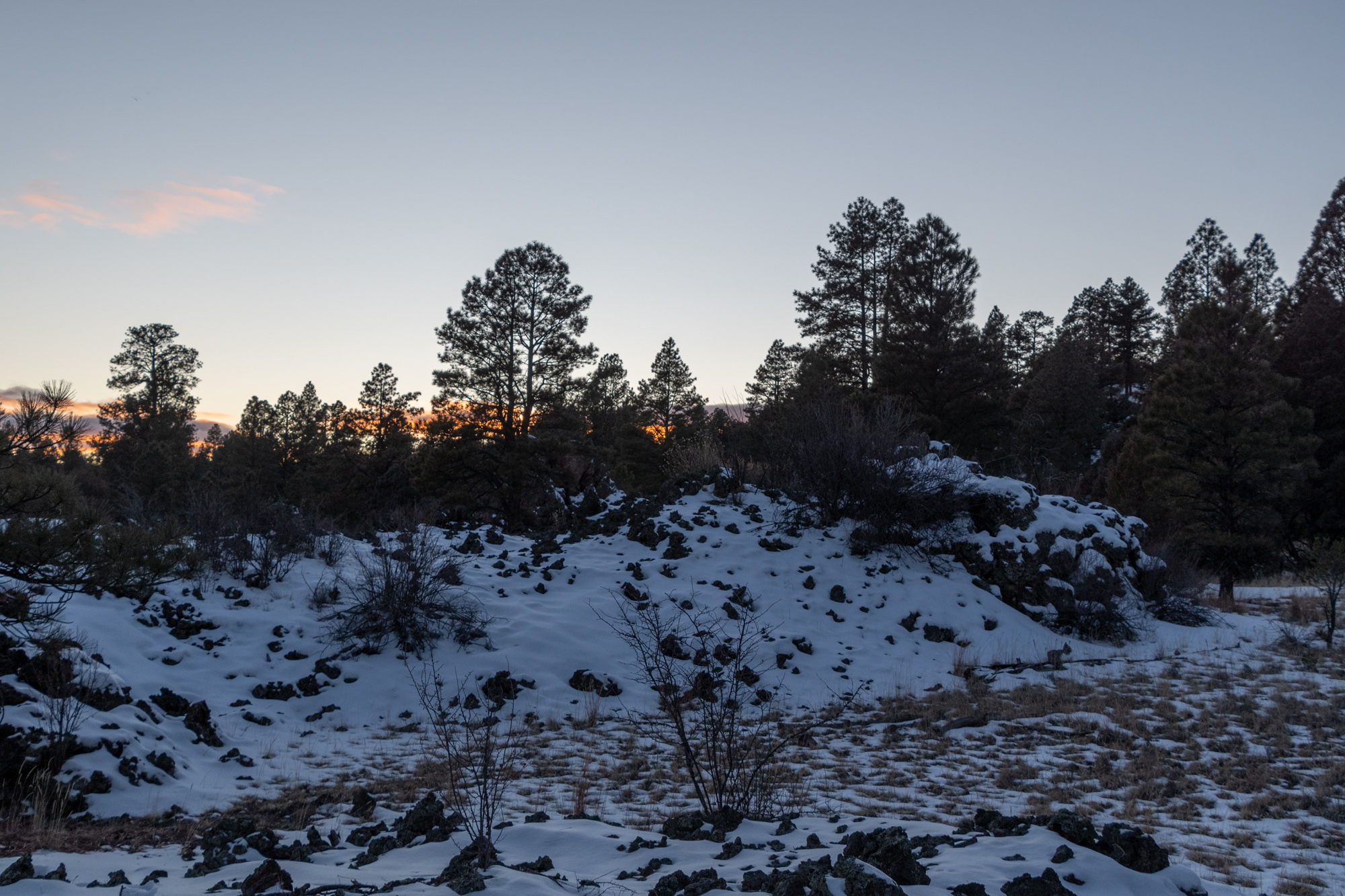
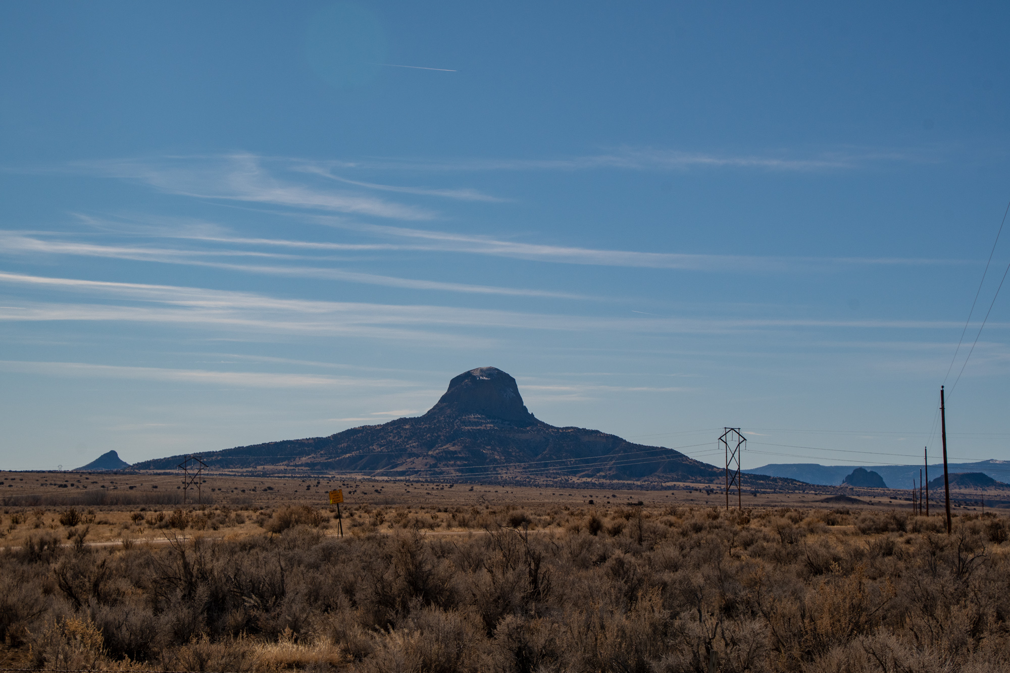
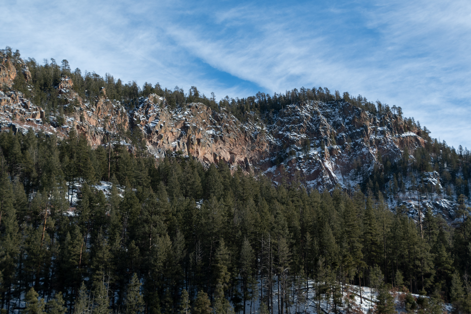
After that, we tried to go down the Chain of Craters Backcountry Byway along the El Malpais National Monument. “El Malpais” is Spanish for “The Badlands,” named for these lava-rich landscapes. The rock is treacherous, brittle to walk on, is a great home for snakes, and causes injuries to animals and livestock. And El Malpais National Monument, El Malpias National Conservation Area, and surrounding National Forest land are full of these deposits.
But the start of the byway was marked with this.
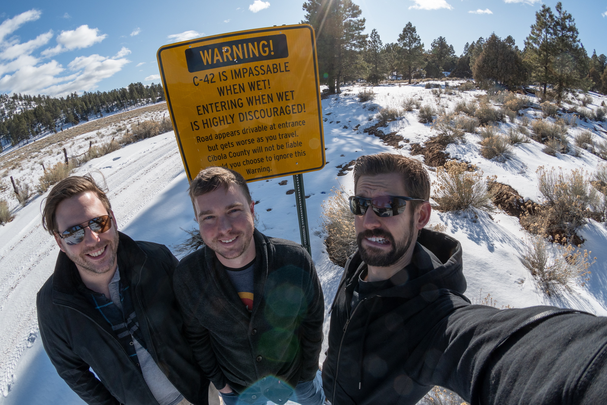
To what extent does snowfall count as “wet?” … The boys recalled seeing a more thorough warning from the NPS about what can happen if you don’t heed this warning:
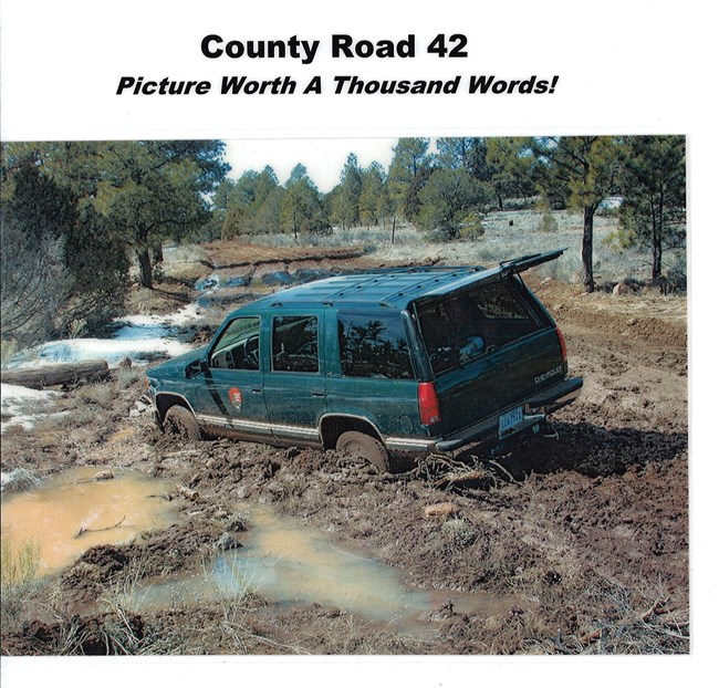
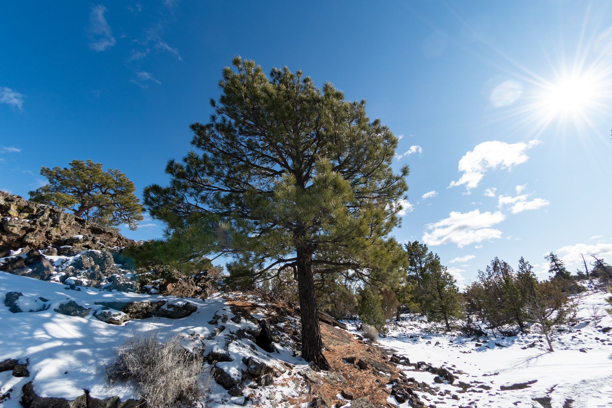
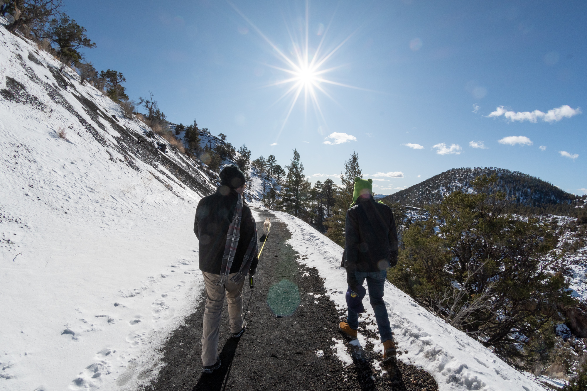
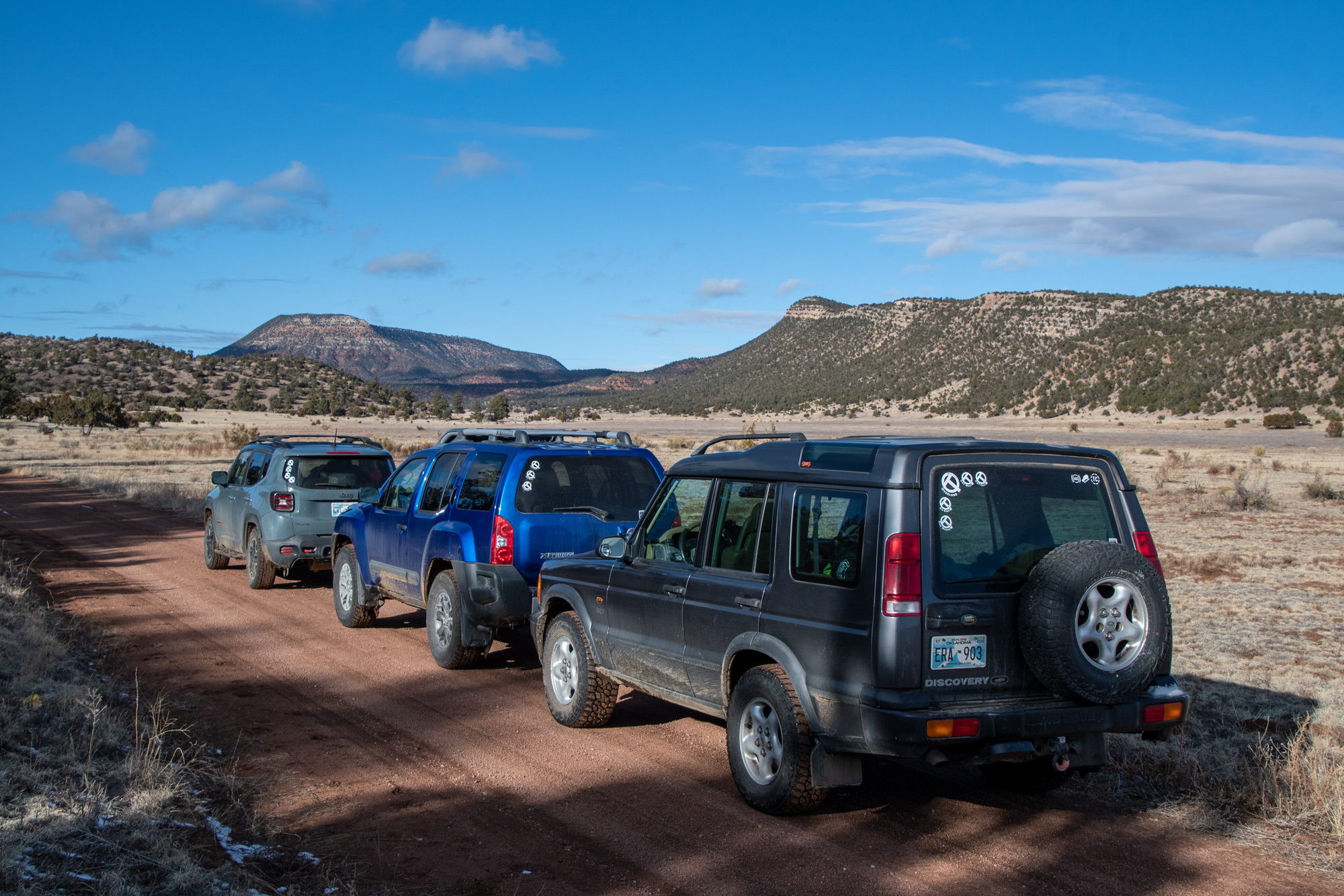
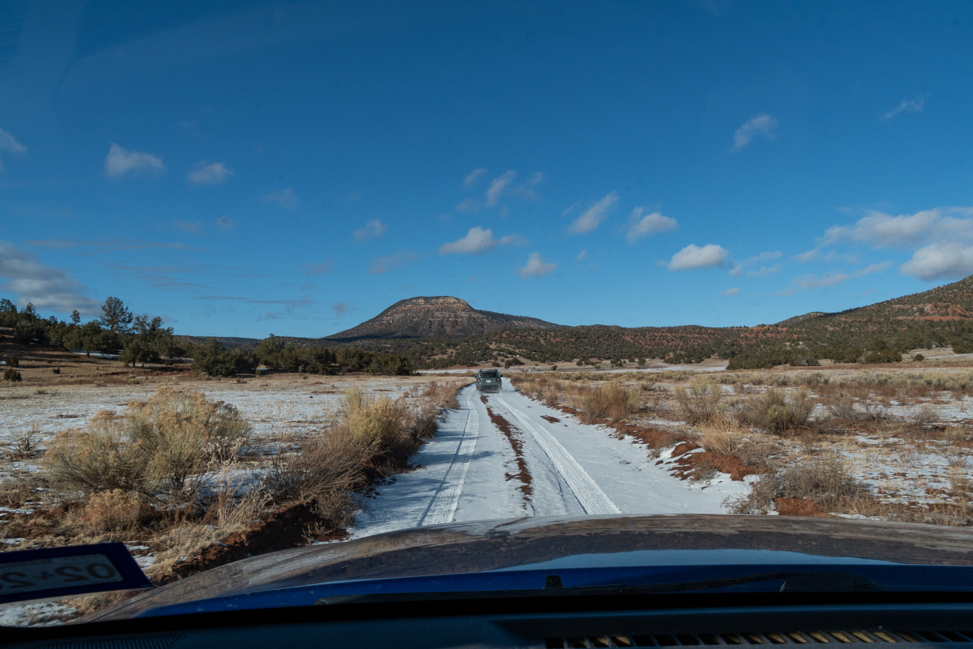
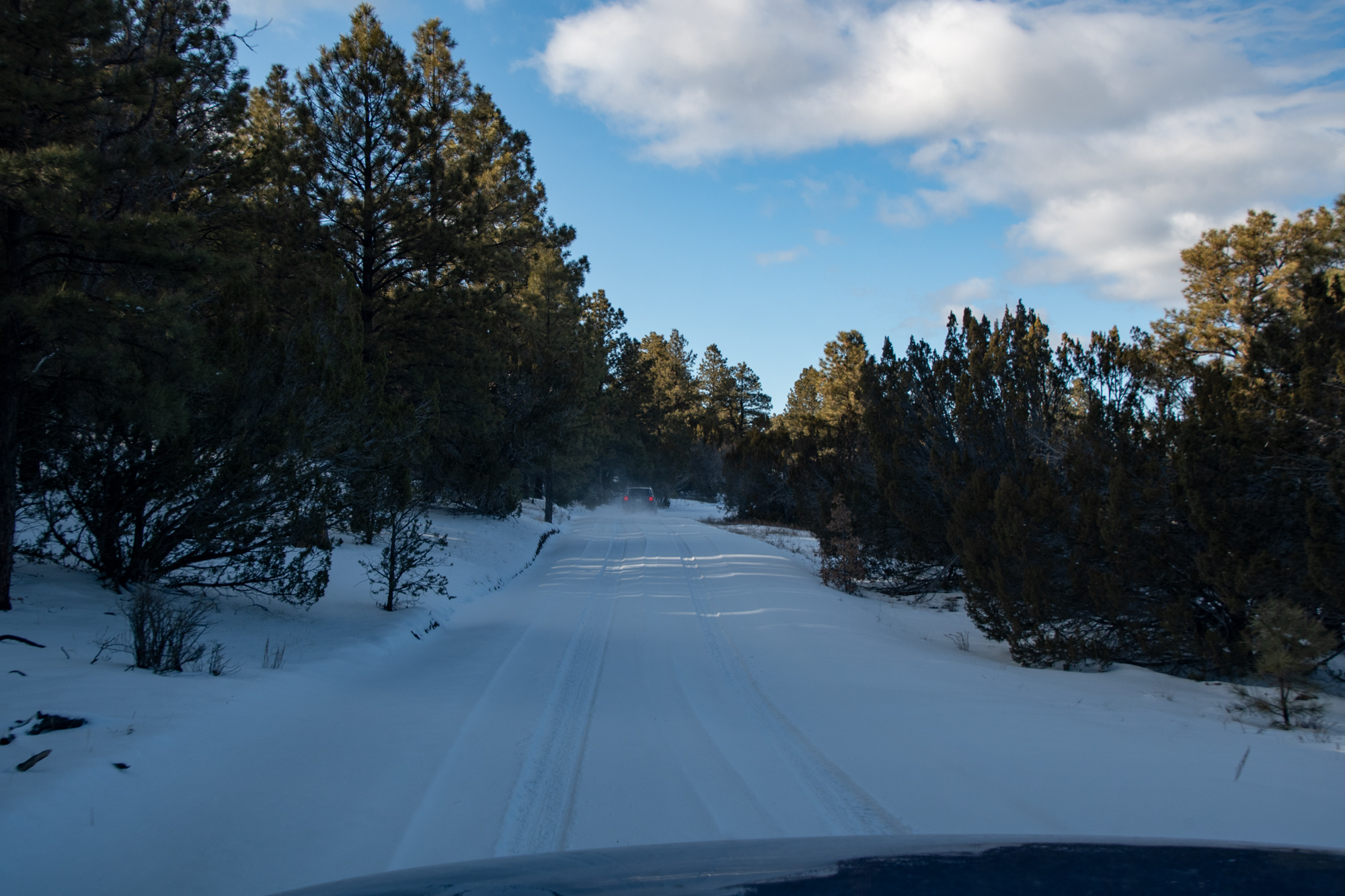
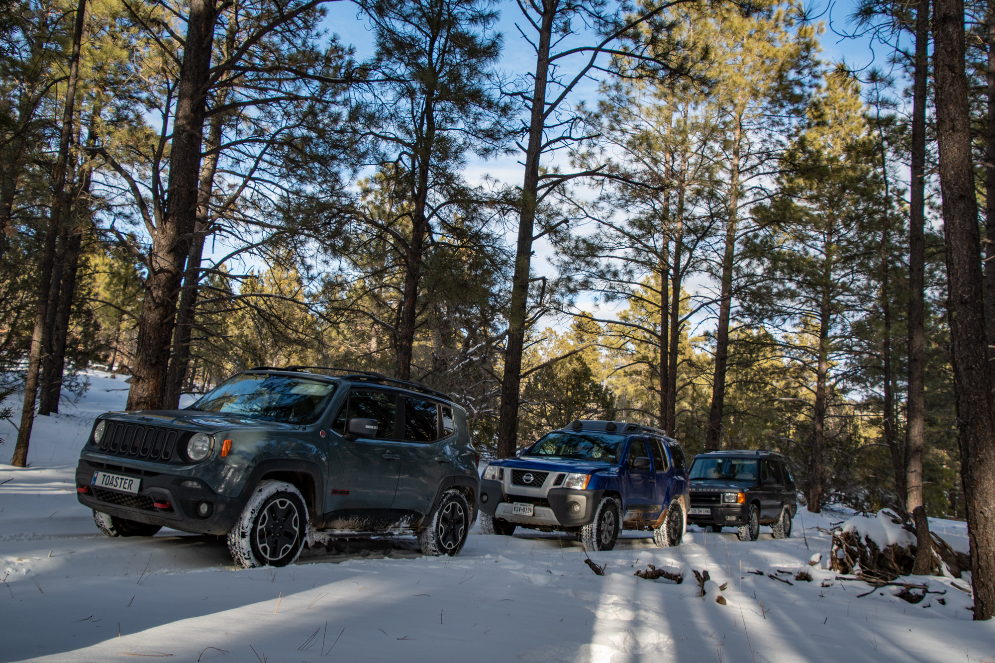
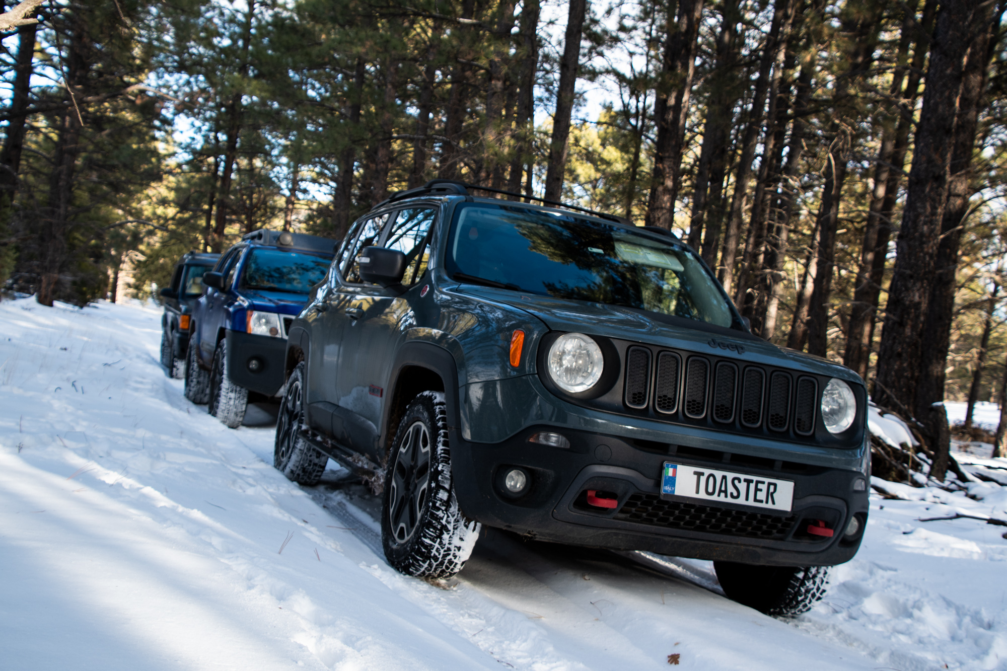
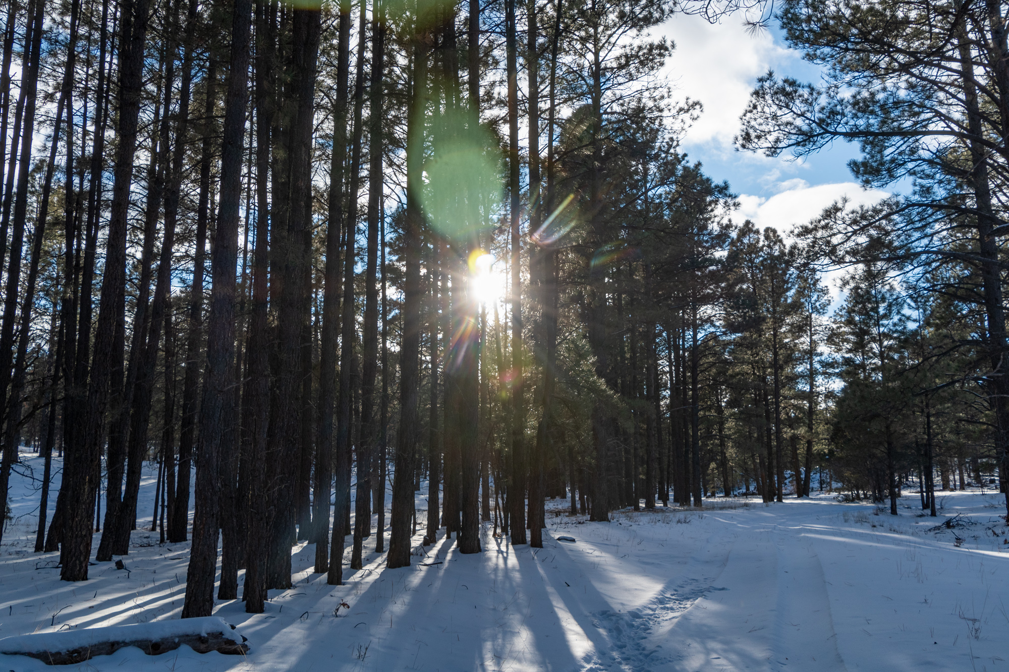
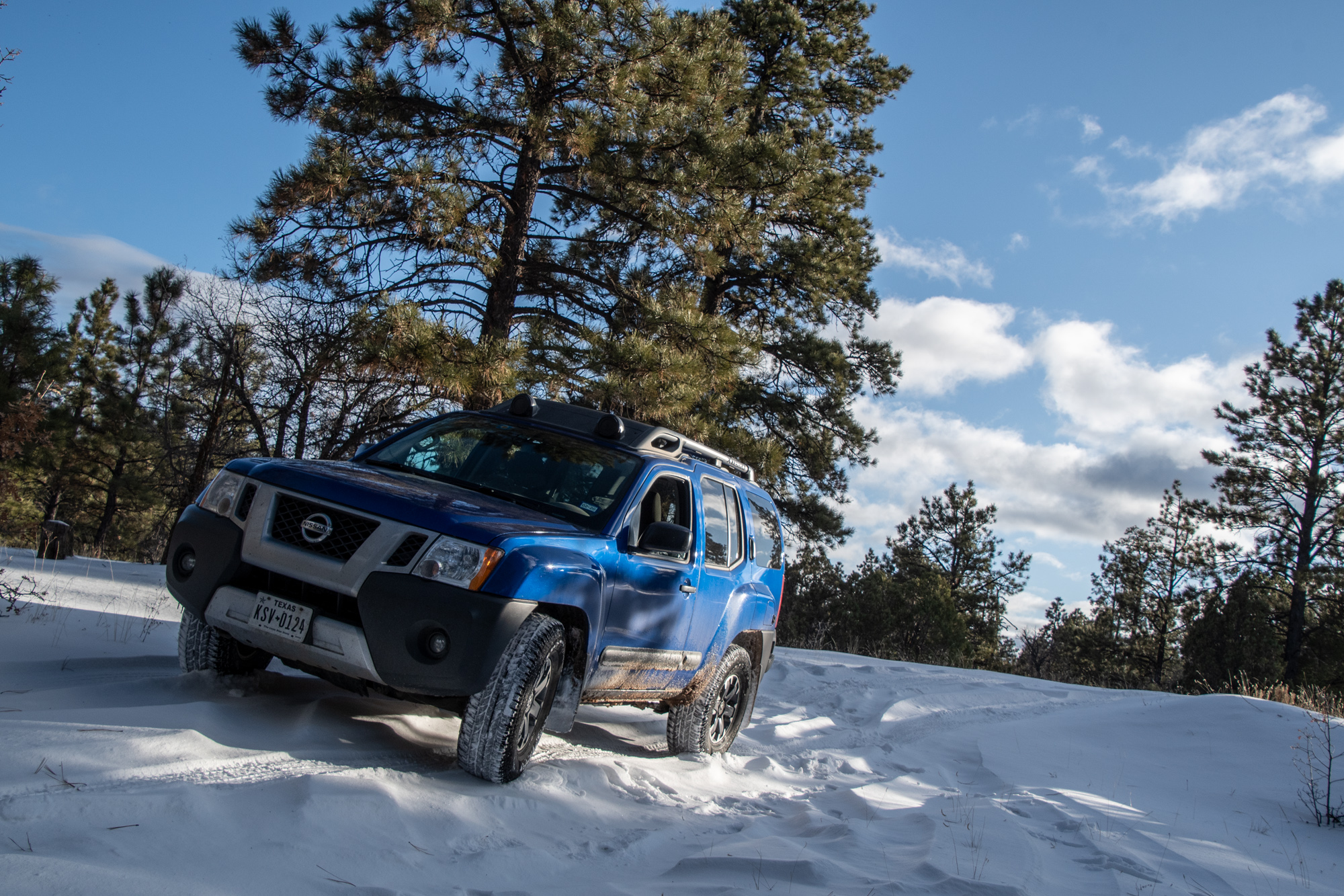
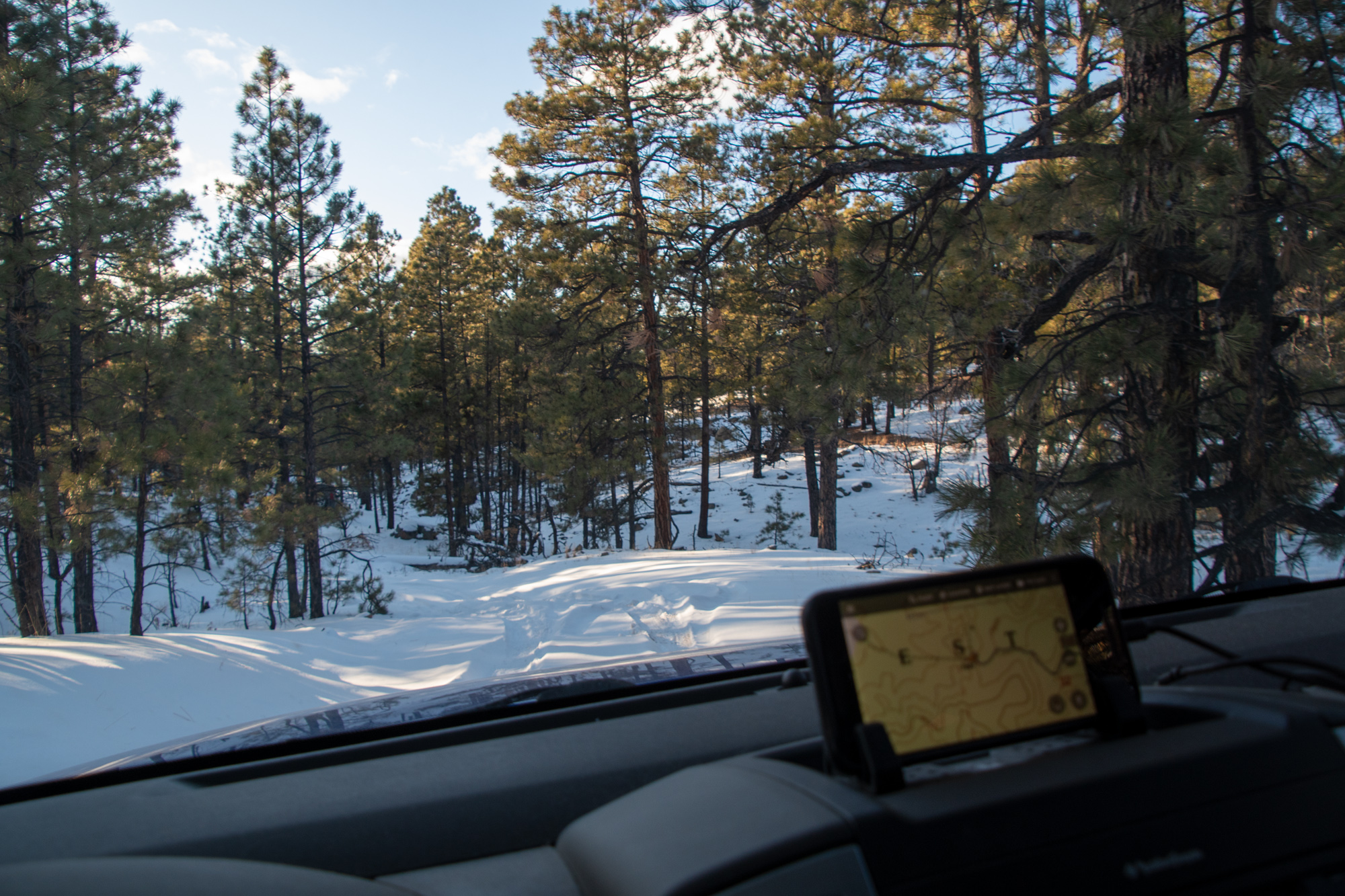
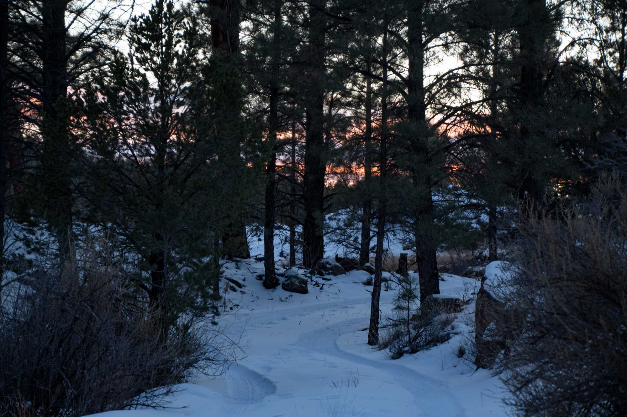
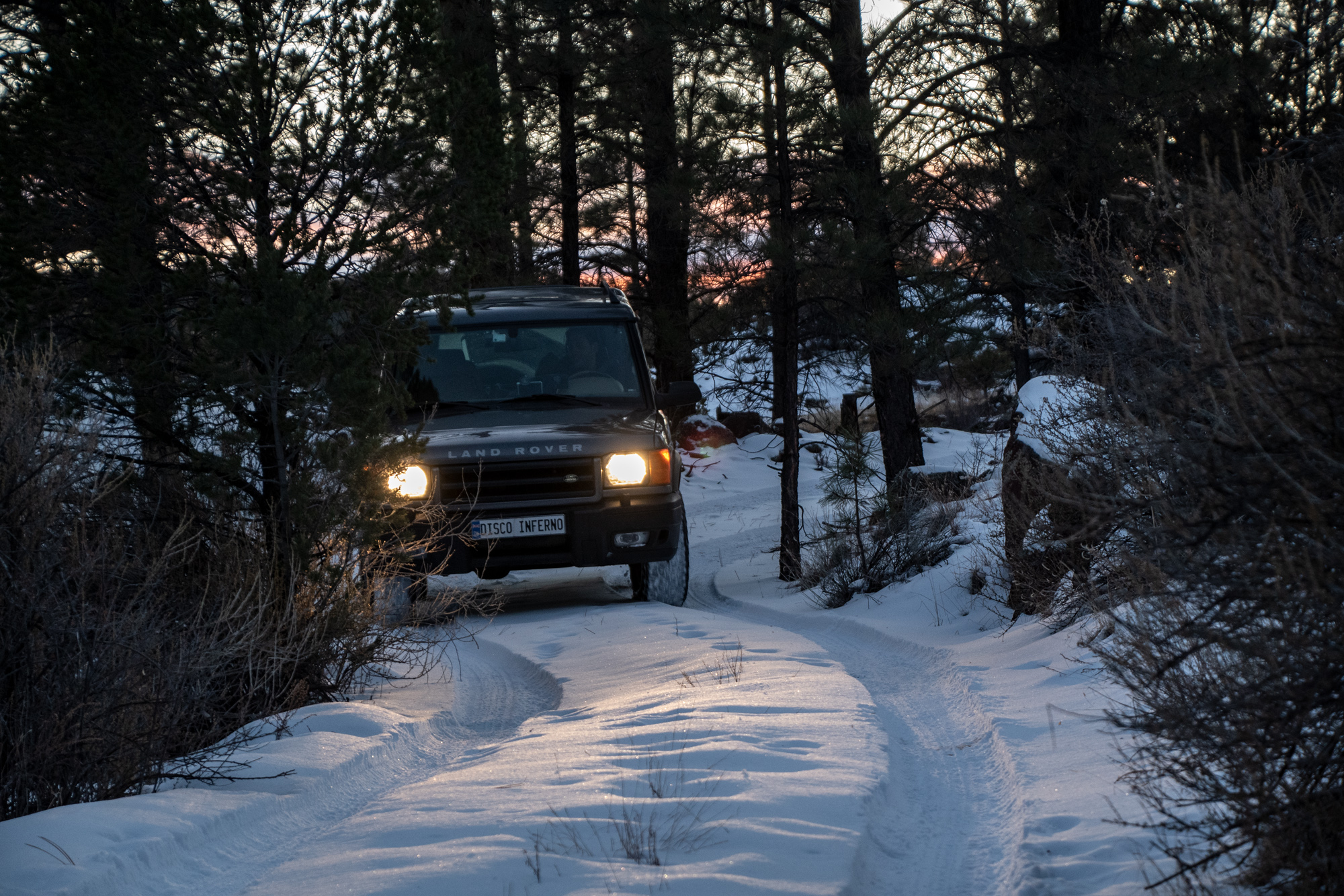
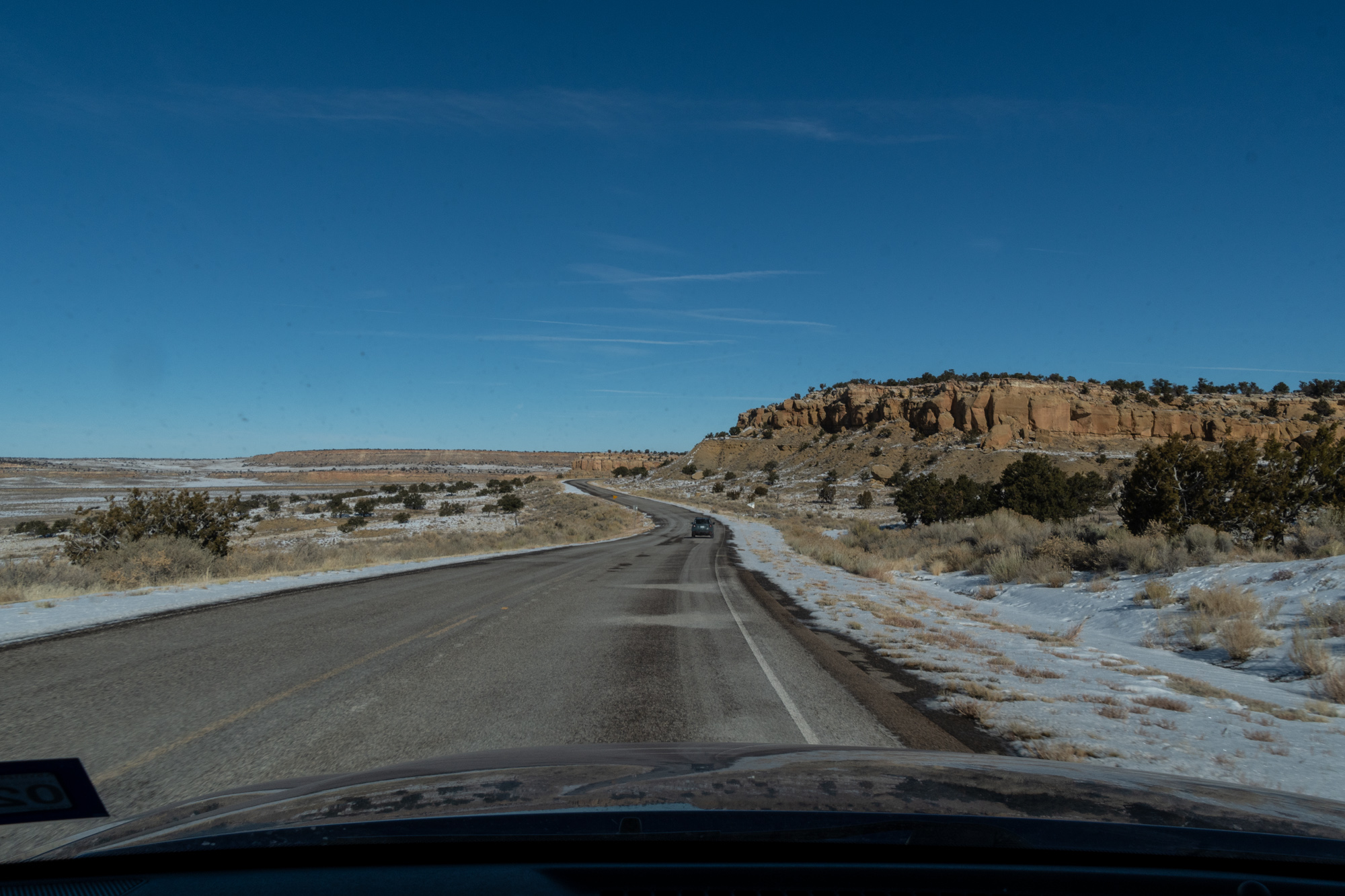
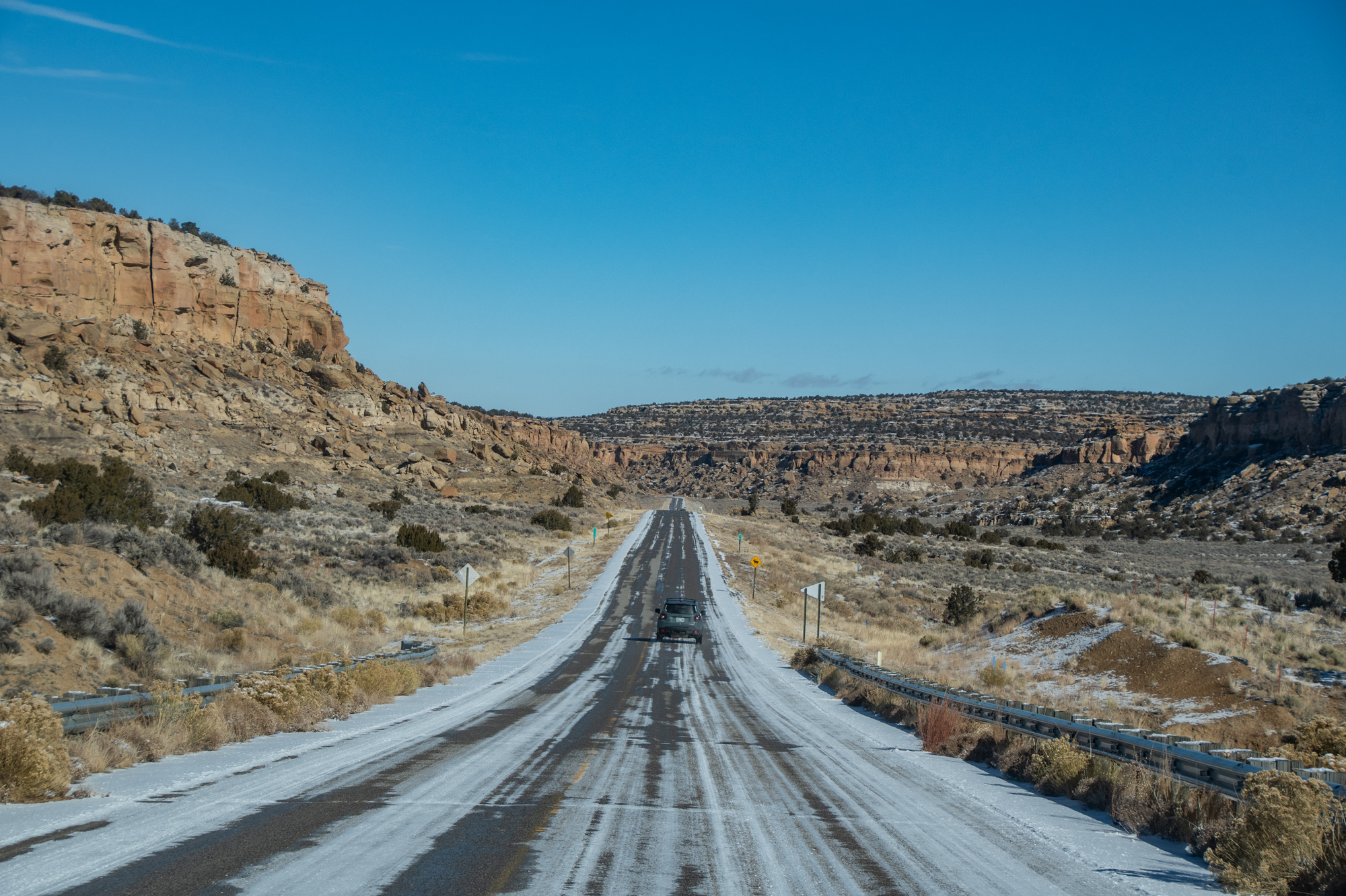
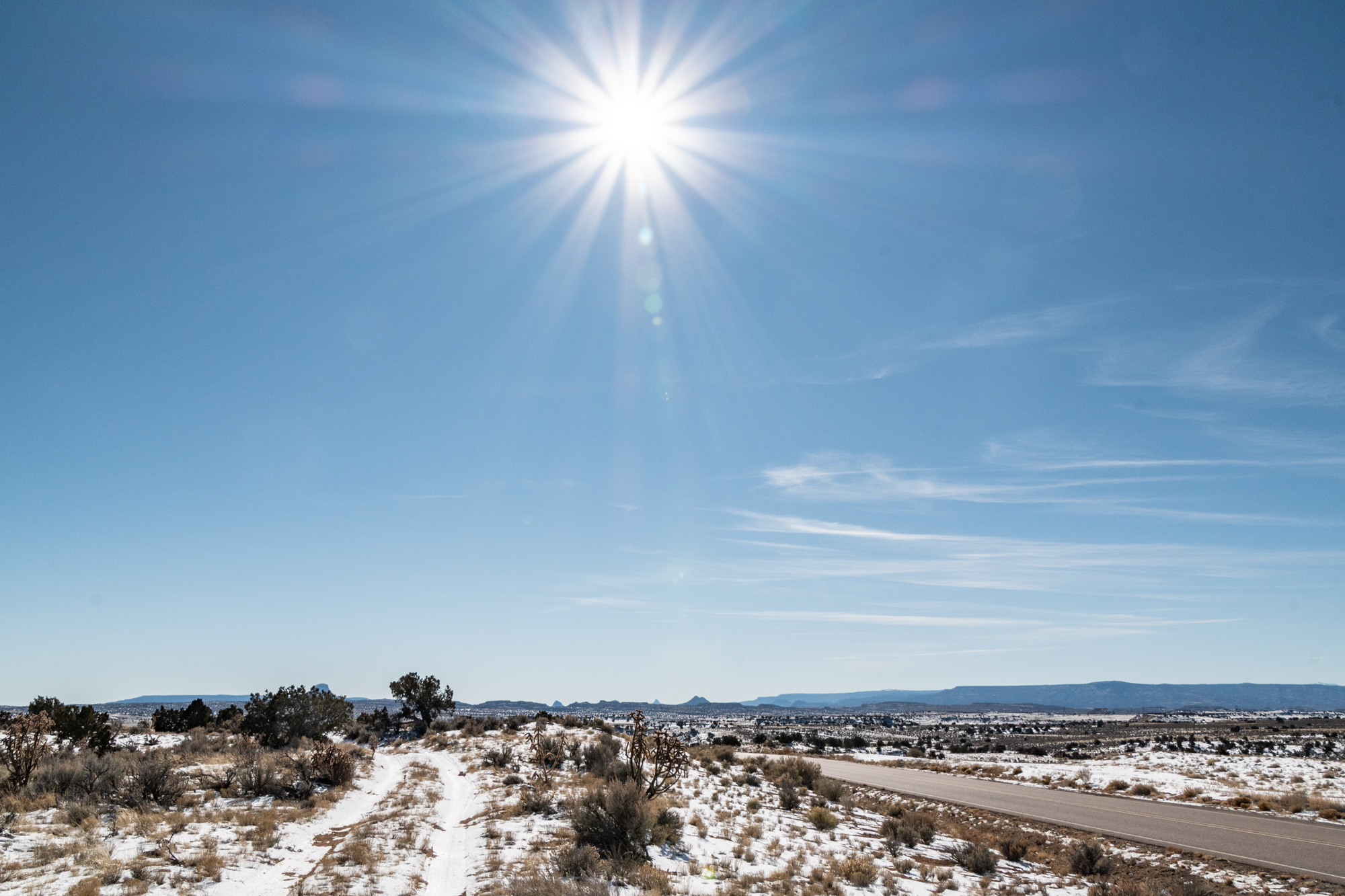
So we decided to go elsewhere. We took a collection of forest roads through the Cibola National Forest from the Ice Cave area into Grants, NM.
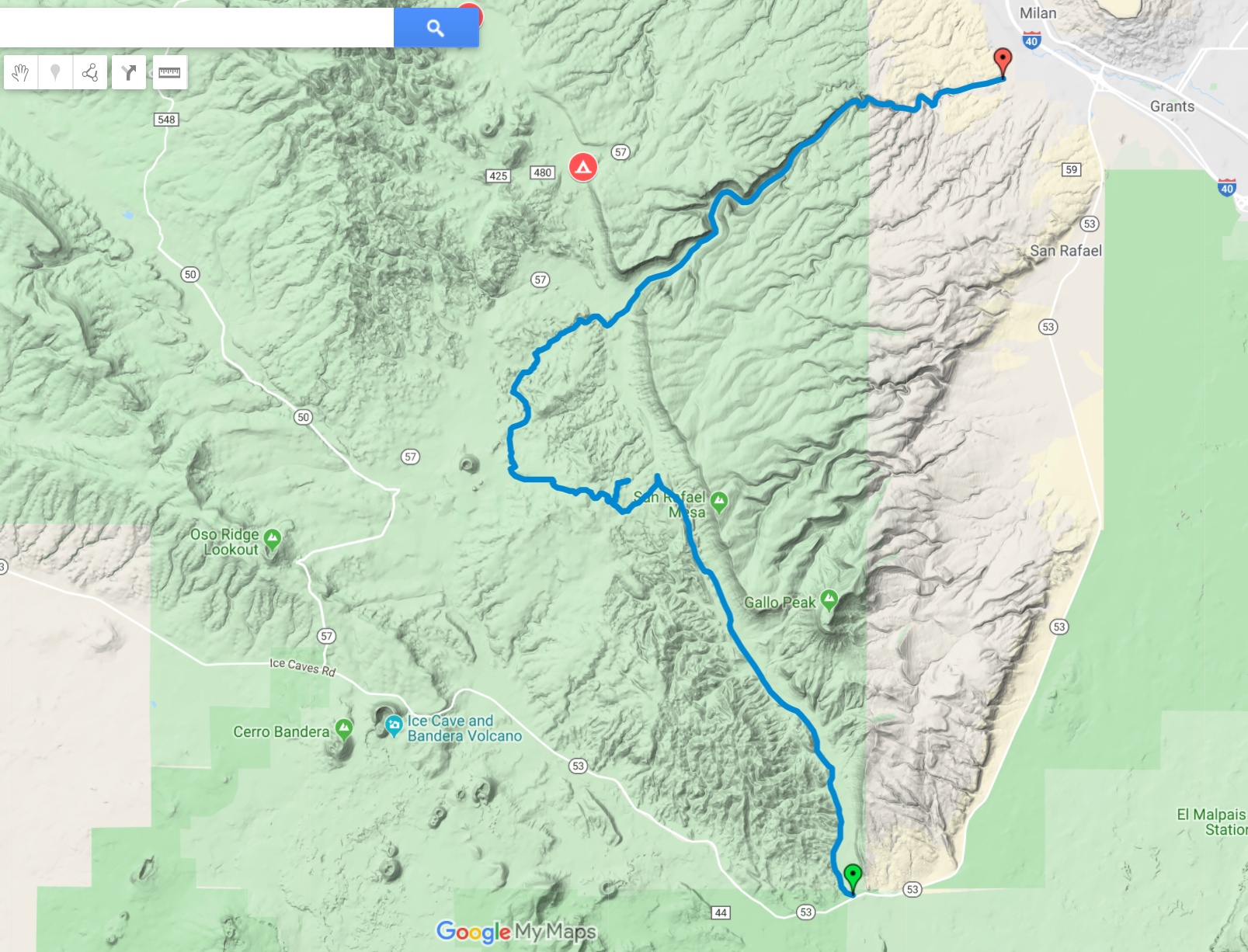
Our impromptu and entirely snow-covered route ran through Bonita Canyon, Zuni Canyon, and a little detour we invented in the Cibola National Forest. It was a lot of fun. We played around among the snow and the lava fields — since some of this drive also ran through some parts of El Malpais.
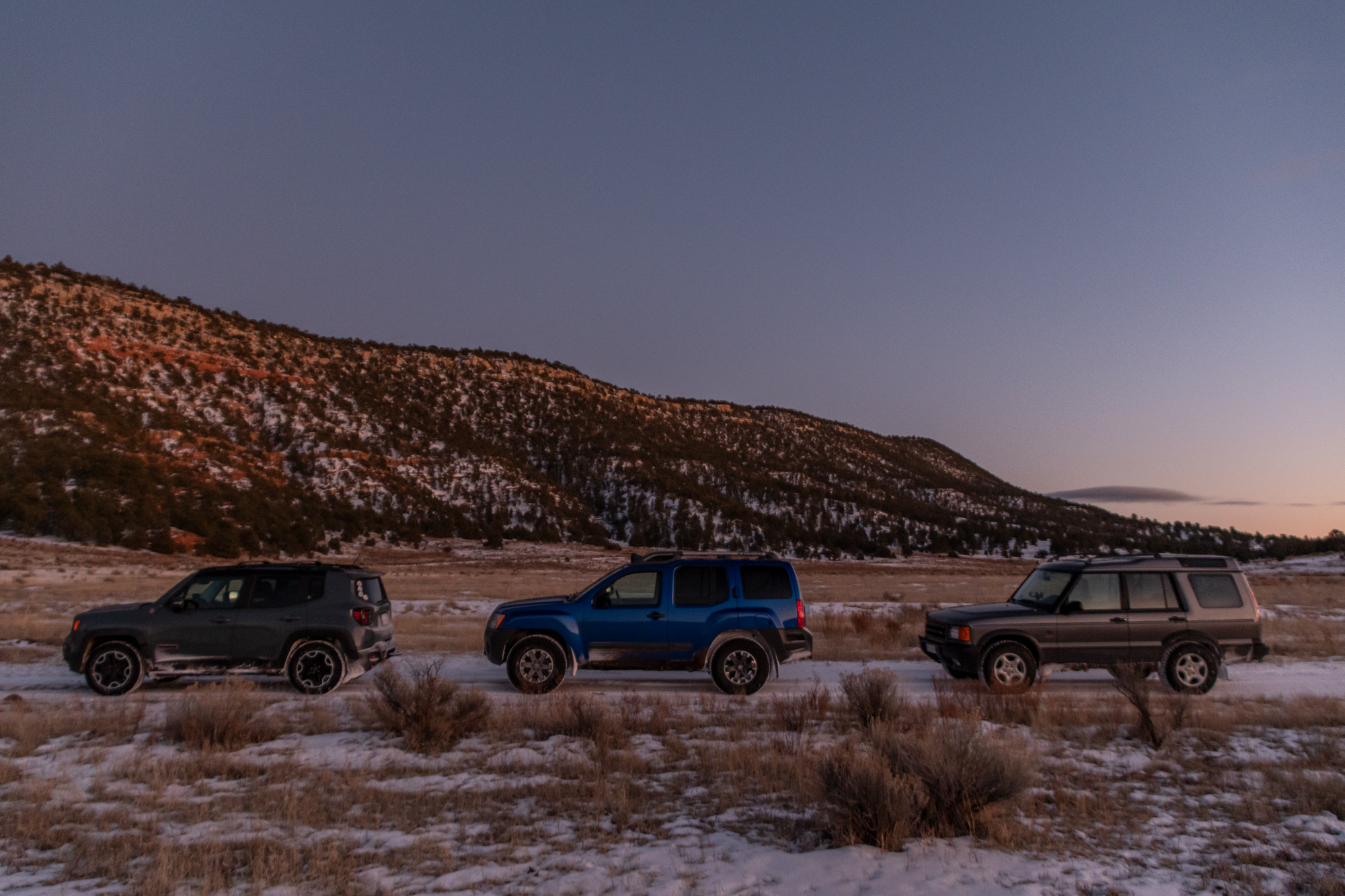
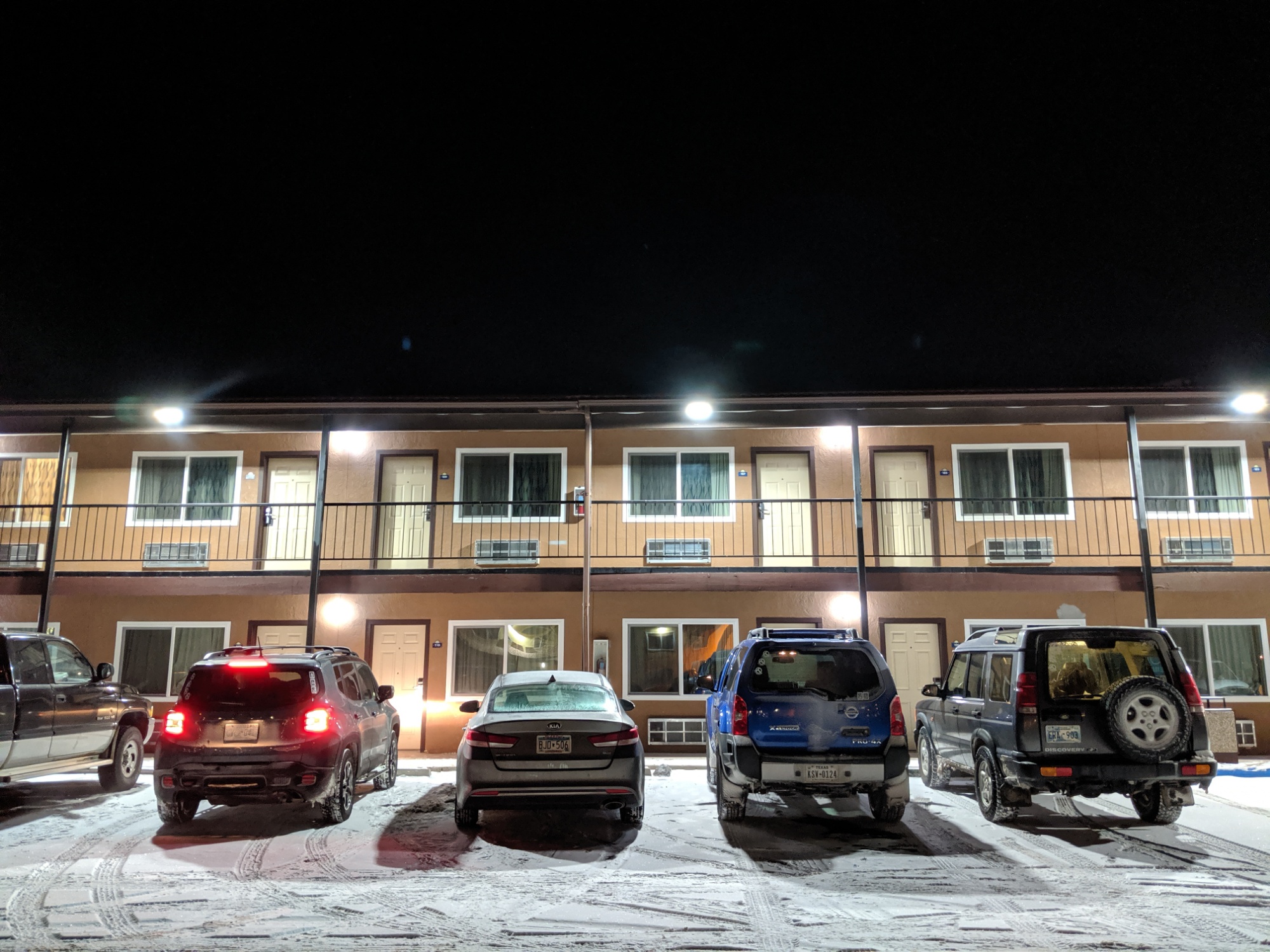
As we started to consider what our plans should be for the evening, we made a few observations. Tonight’s low would be 15. The secret to success at San Lorenzo appeared to be tied to a lack of wind, which would be hard to replicate. Something about a recent meal left more than one of us hoping for access to a bathroom…. And also Miles yak’d on Evan’s pillow during our snow-drive. So our campsite tonight is less adventurous than originally anticipated, but the heaters are awesome. And a civilized dinner was quite pleasant.

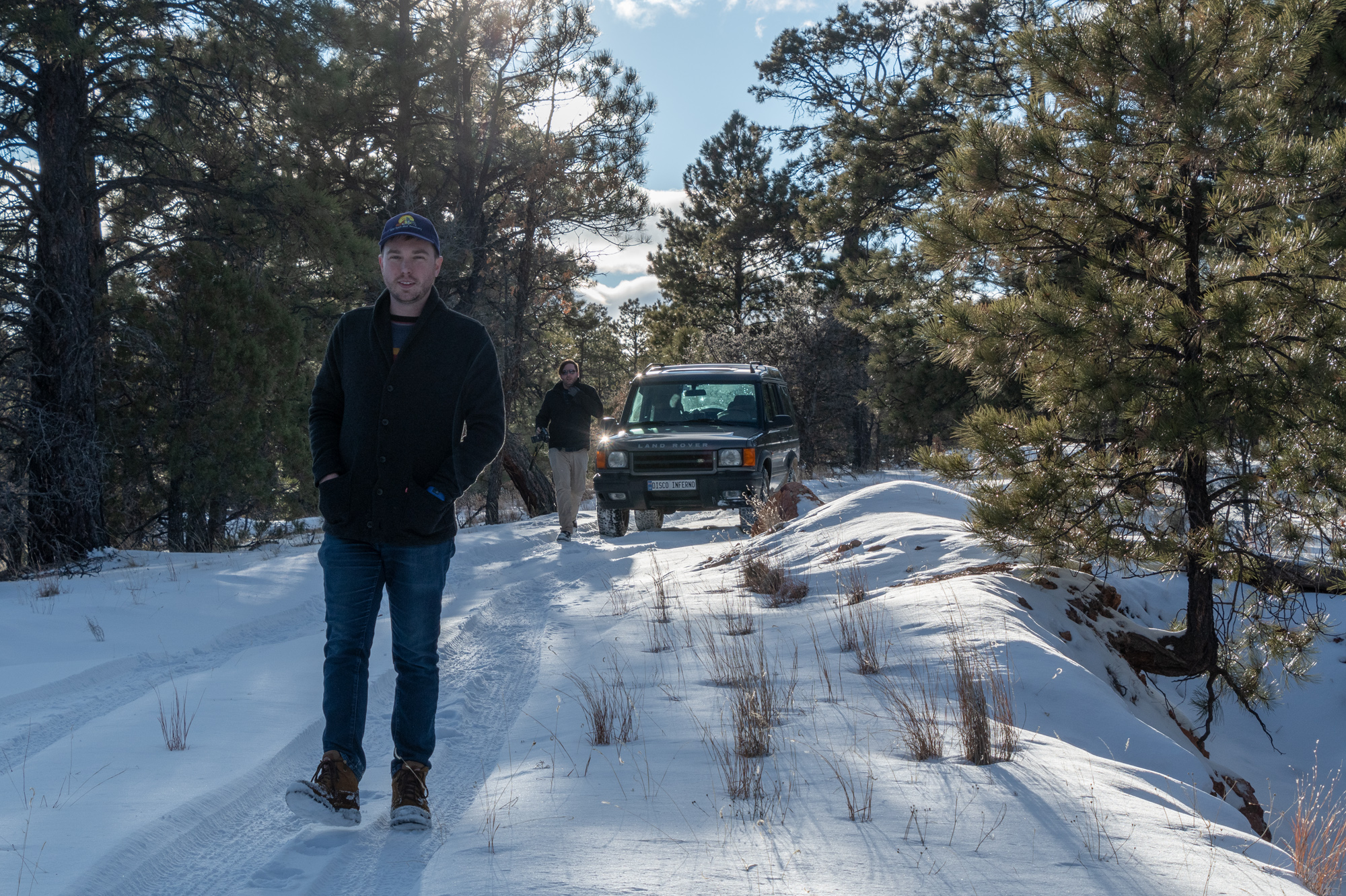
Wardrobe in solidarity because it is still quite cold. And no, we did not plan this.
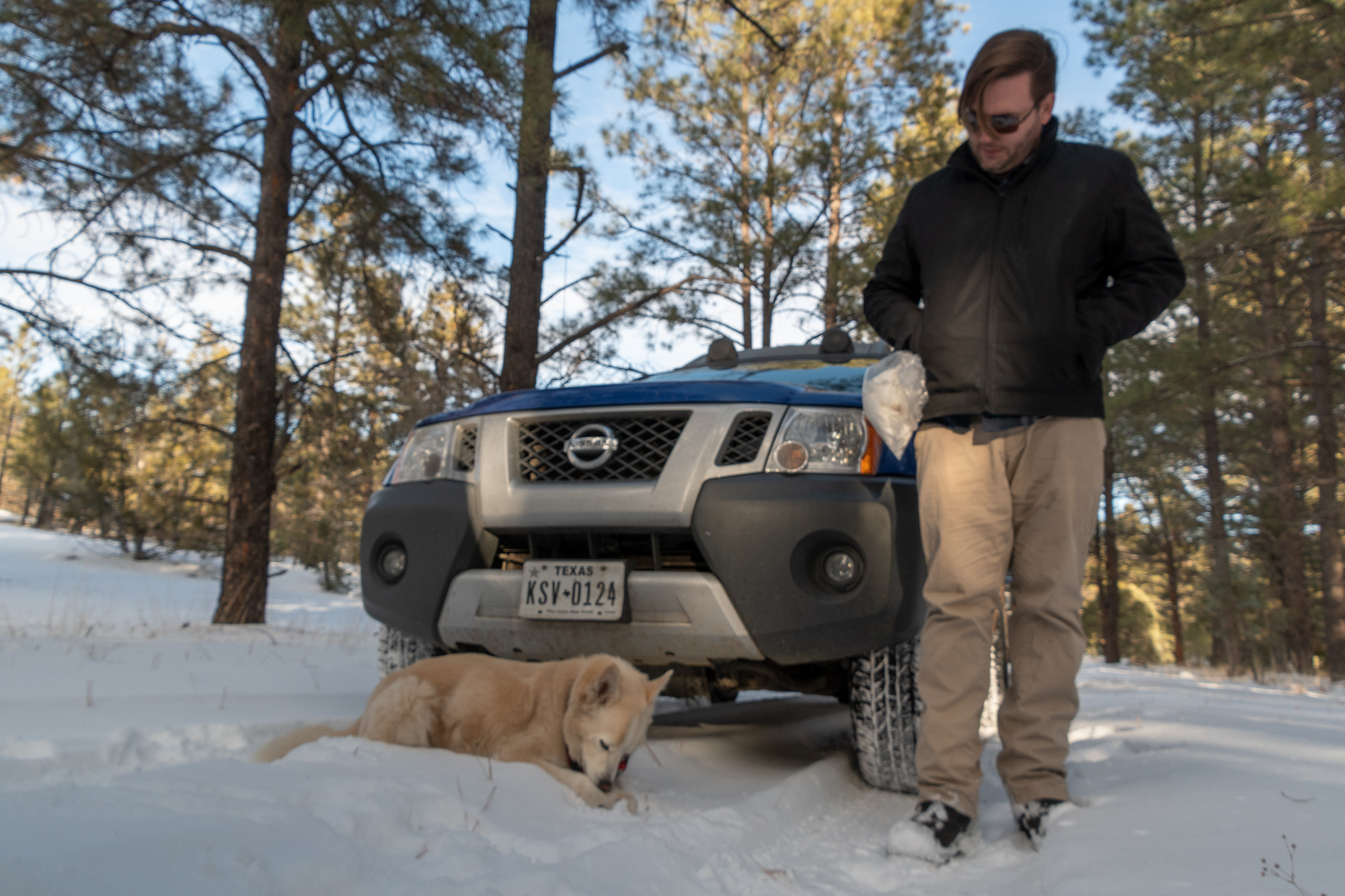
Oh farts. How’d that get there? I’m funemployed and just bought you new boots, so you’re gonna have to deal with Harry Potter glasses for a while, my friend.
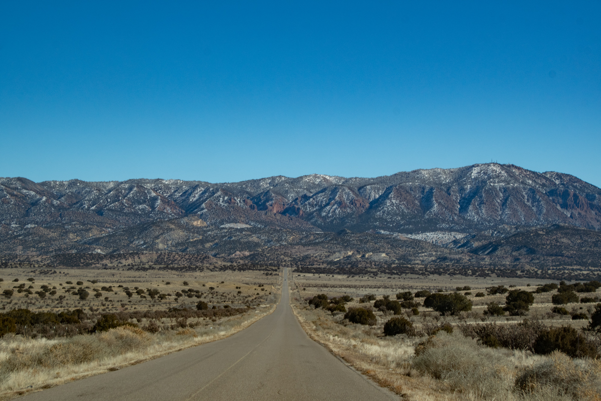
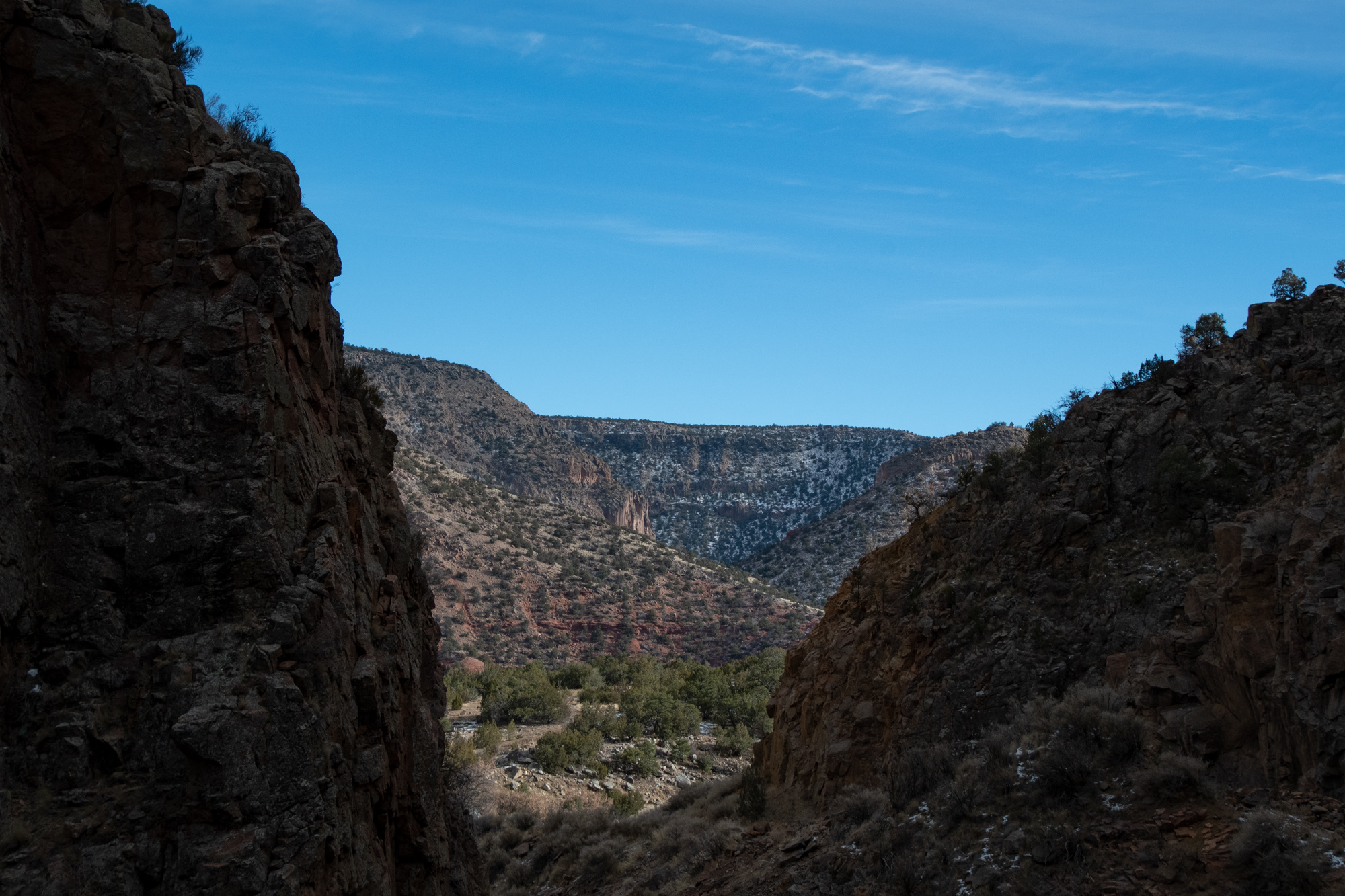
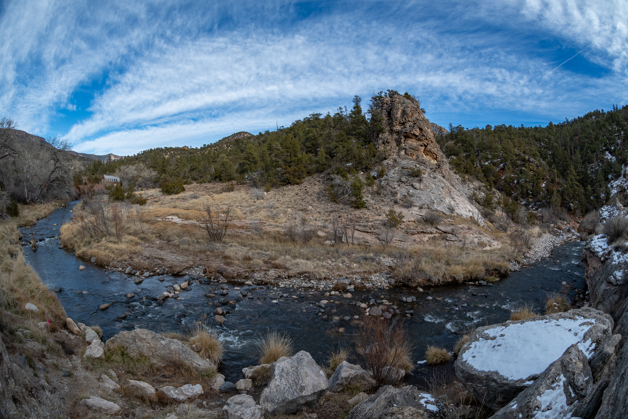
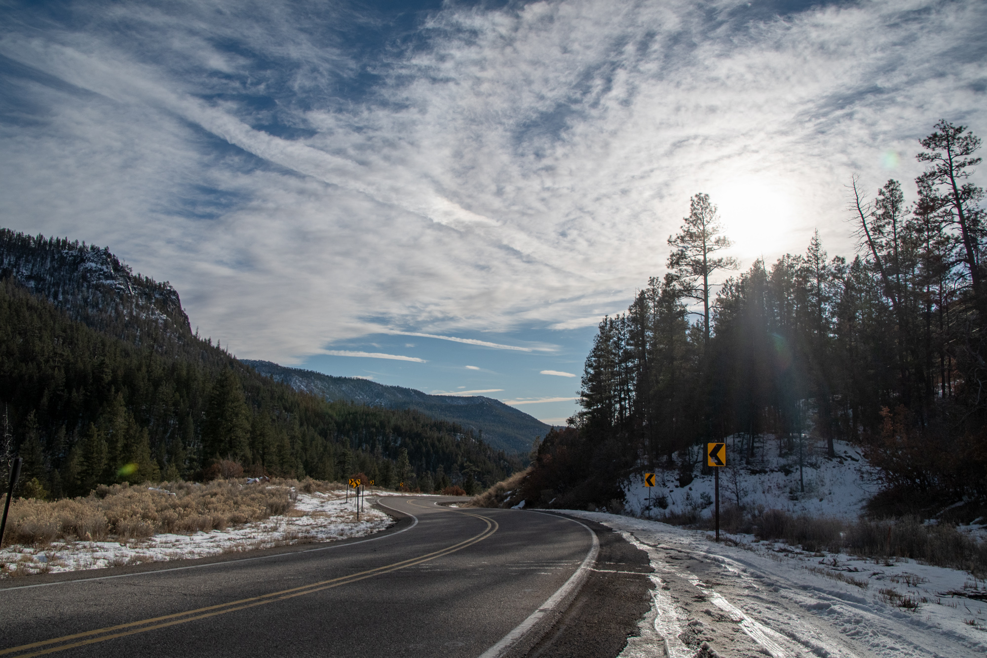
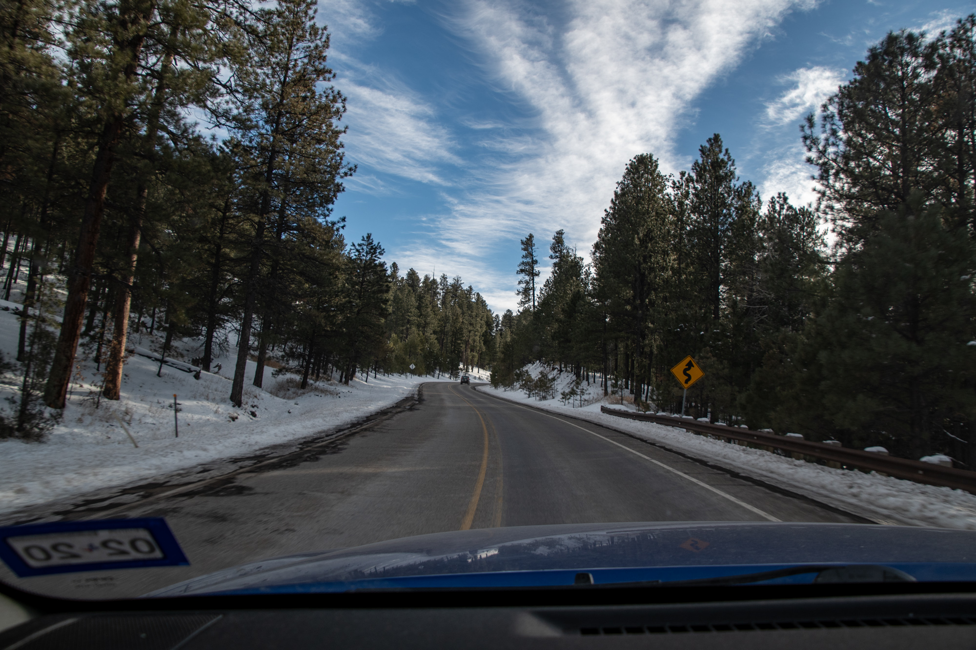
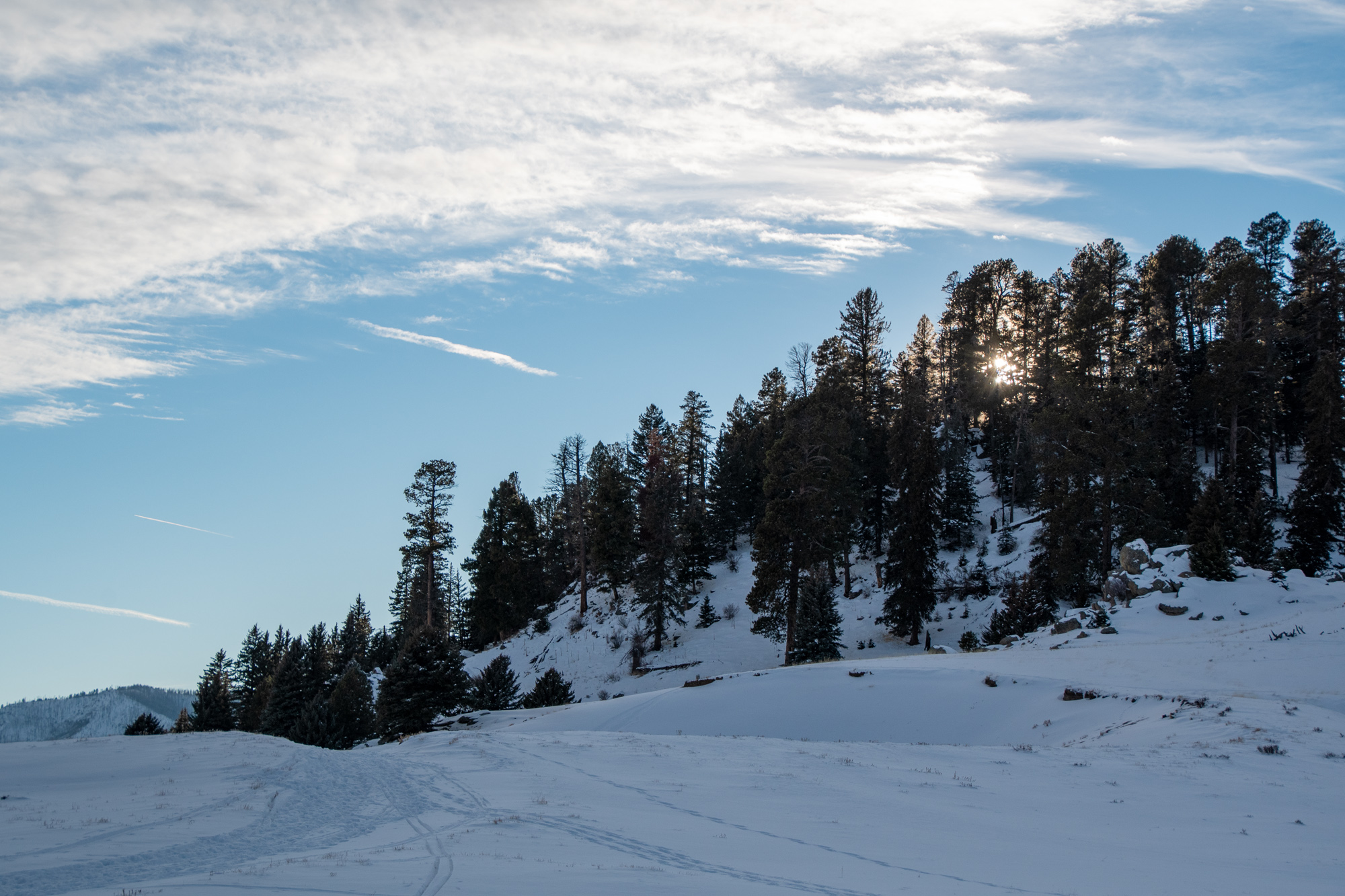
Today, we took the longest possible route from Grants to Santa Fe. We didn’t really have a “main event” planned but we weaved through the plateaus and mountains of the Navajo Nation, Zia Reservation, and up into the mountain town of Jemez Springs before weaving back down into Santa Fe, always preferring the scenic to the direct.
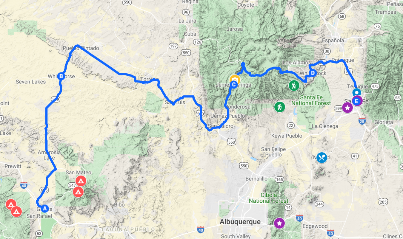
What we really wanted to do was check out some overland routes and play around on the caldera that forms Valles Caldera National Preserve and the surrounding mountain landscape just west of Santa Fe. Unfortunately, most of that was closed to snow. But we did make some cool roadside stops along the way.
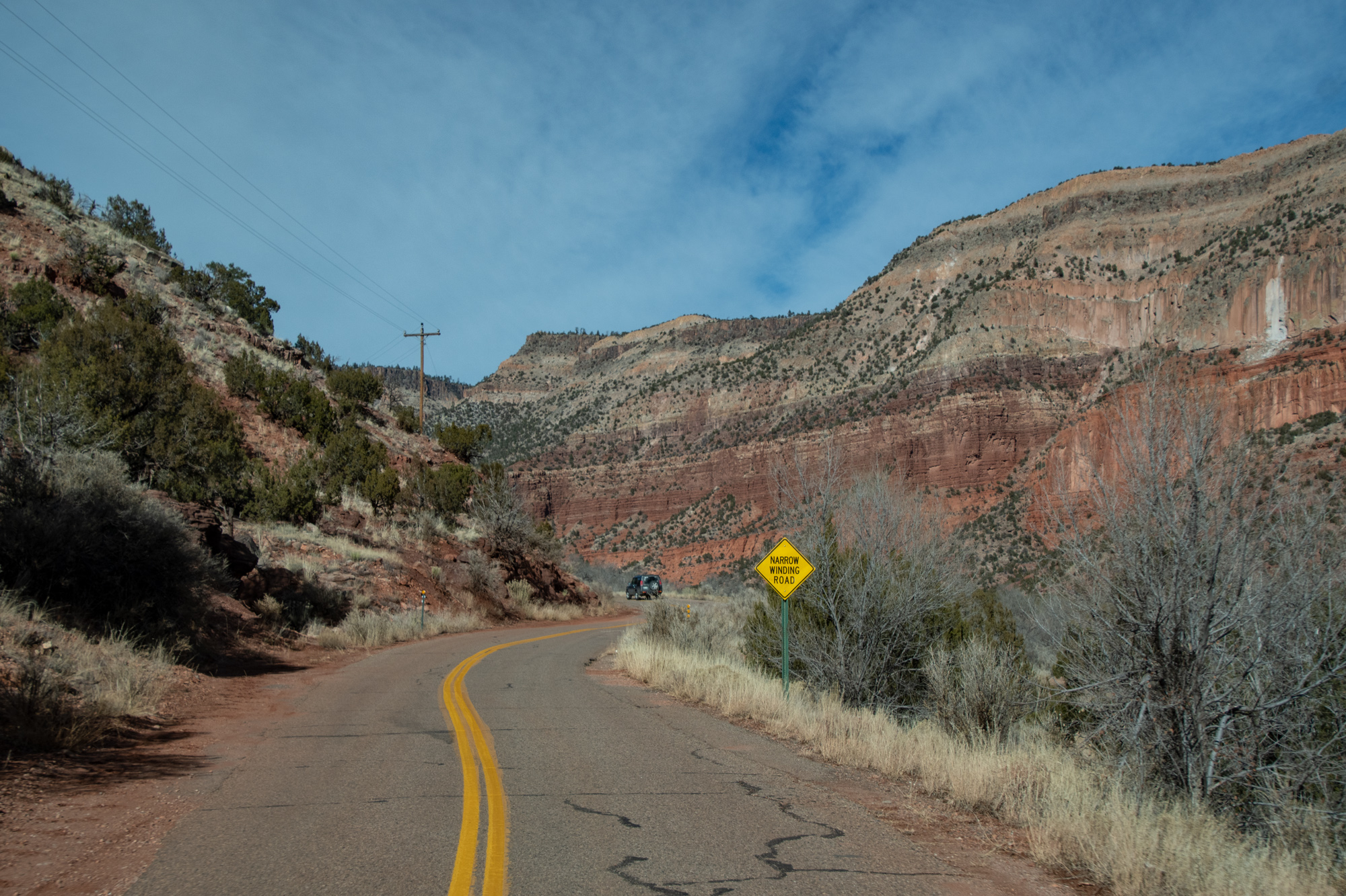
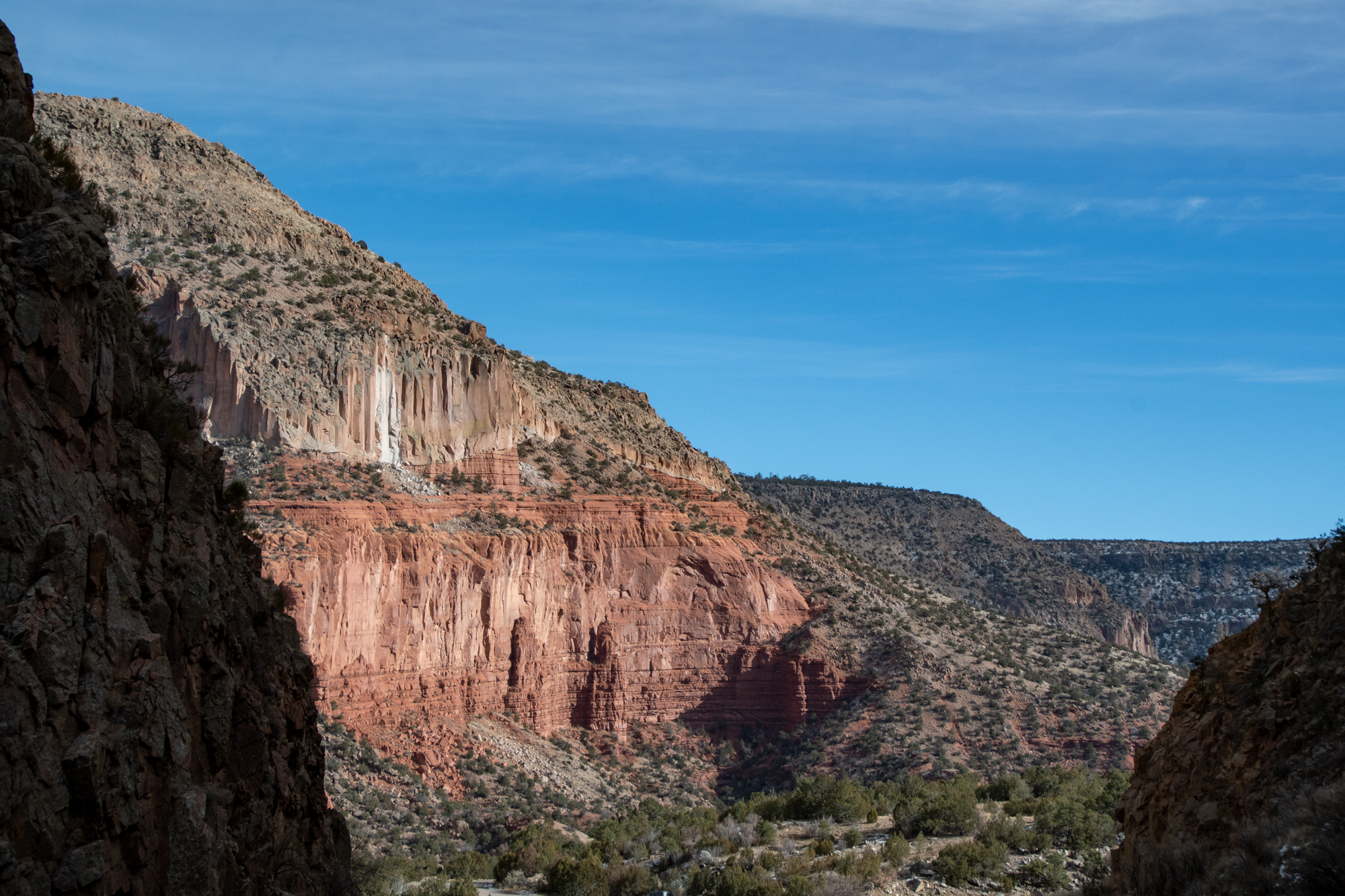
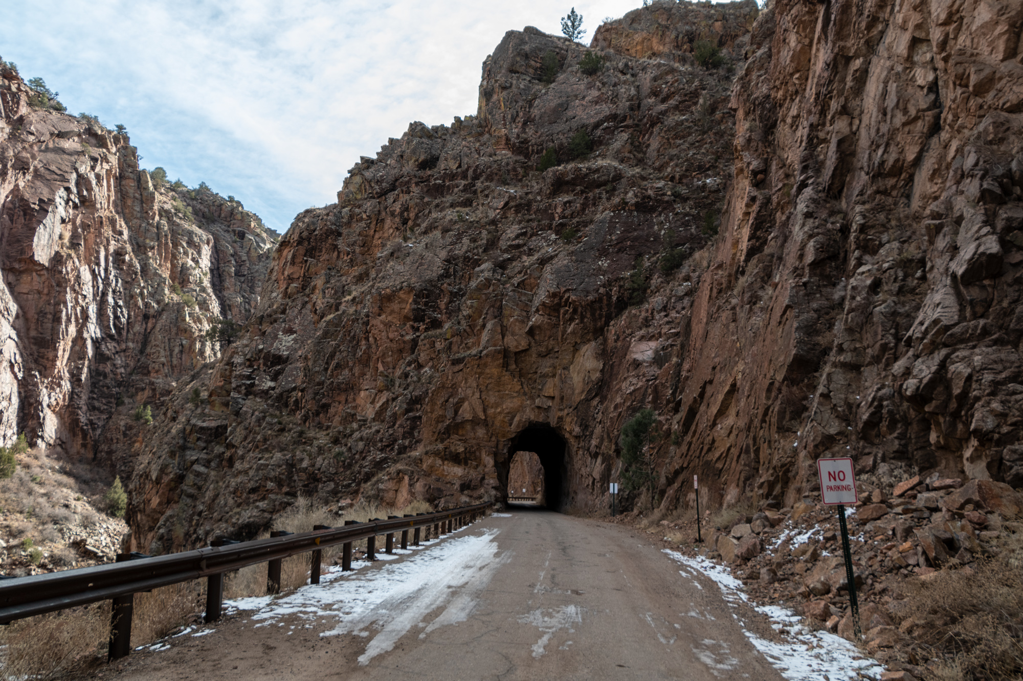
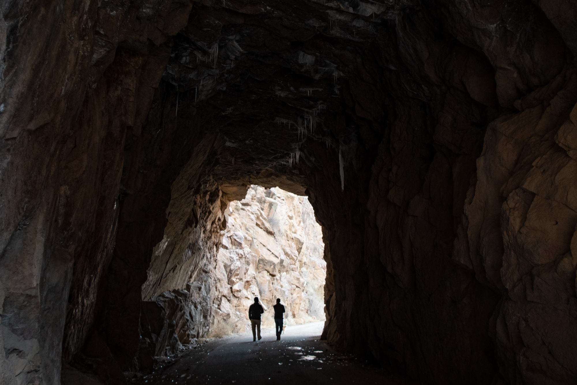
We tried going through the Gilman Tunnels near Jemez Pueblo, but they’re closed seasonally apparently. This isn’t documented anywhere, least of all the sign that said “road closed north of the tunnels” when we started up the mountain, but at least we got to walk along the path. The Gilman Tunnels were blasted around of rock in the 20s for a logging railroad.
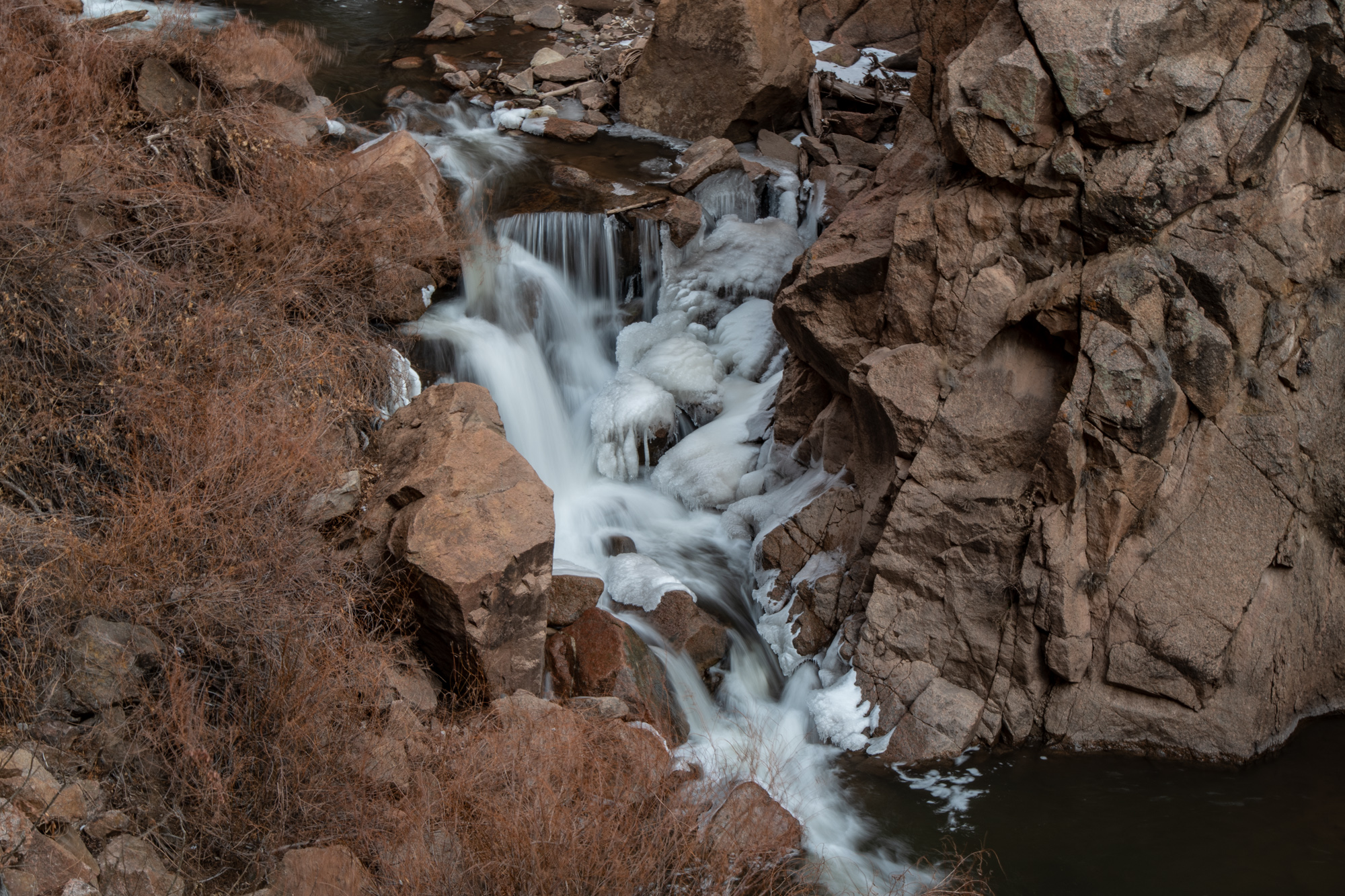
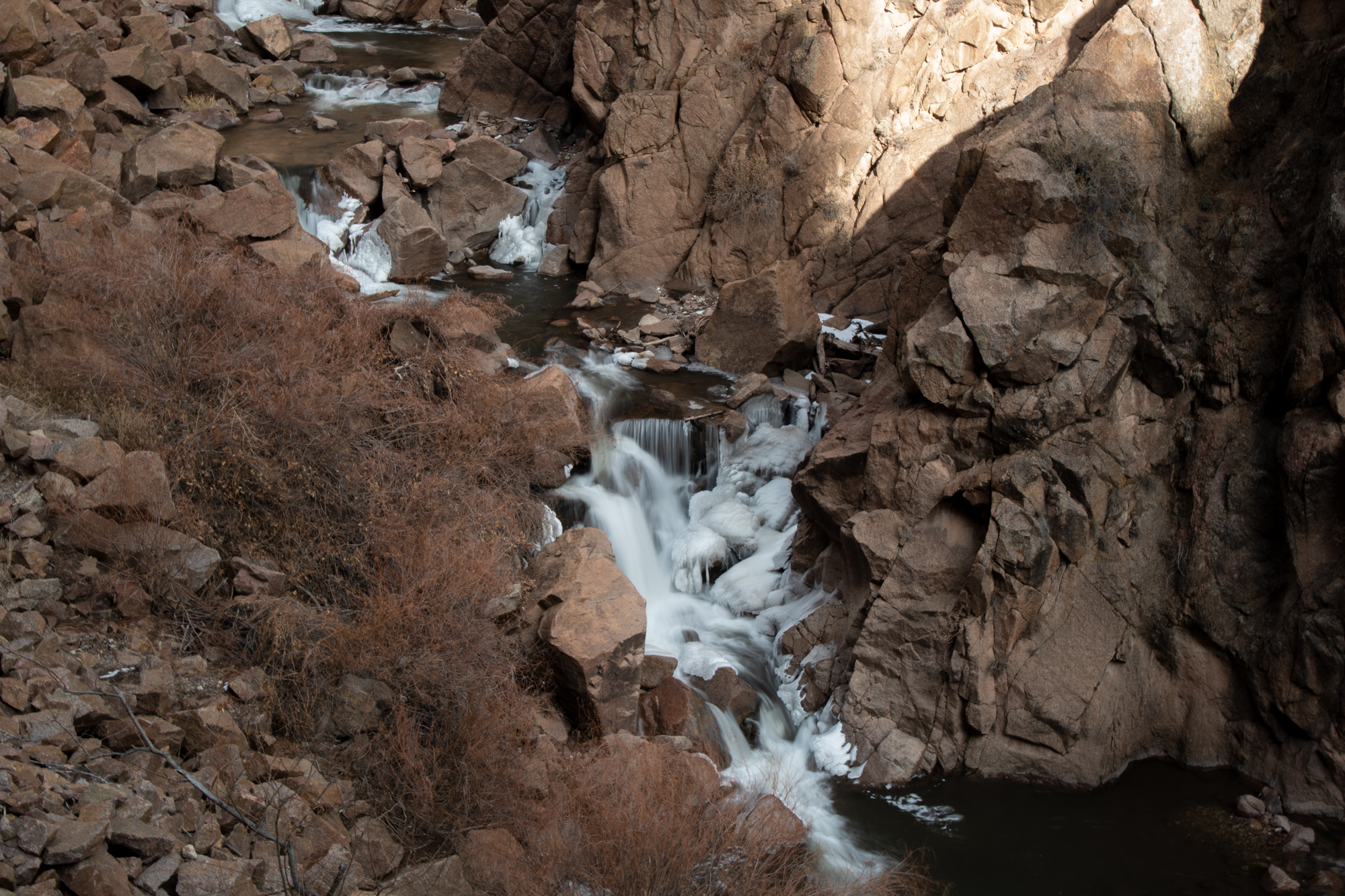
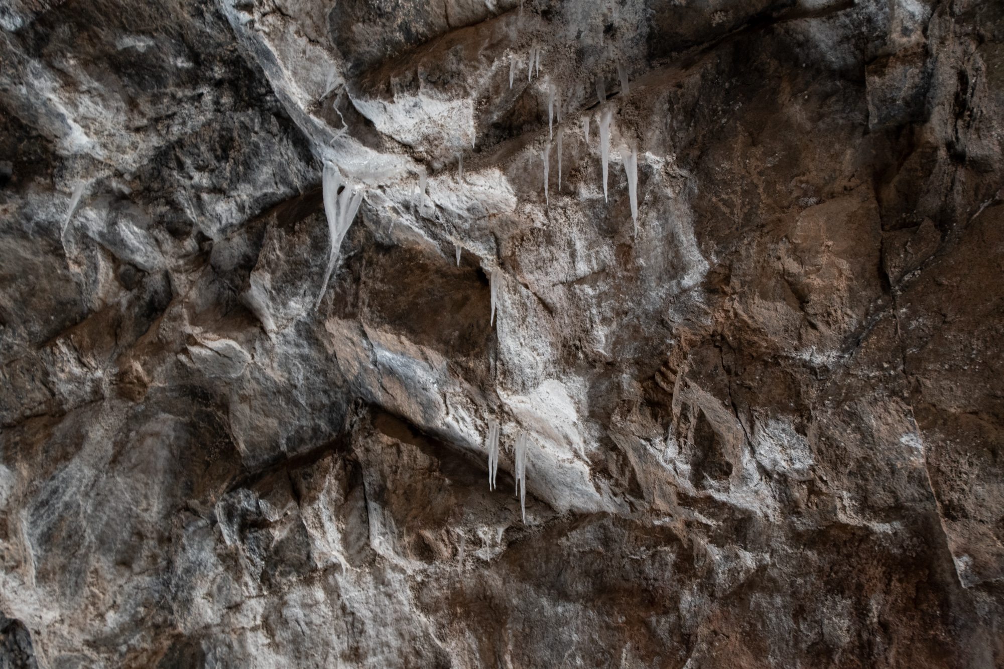
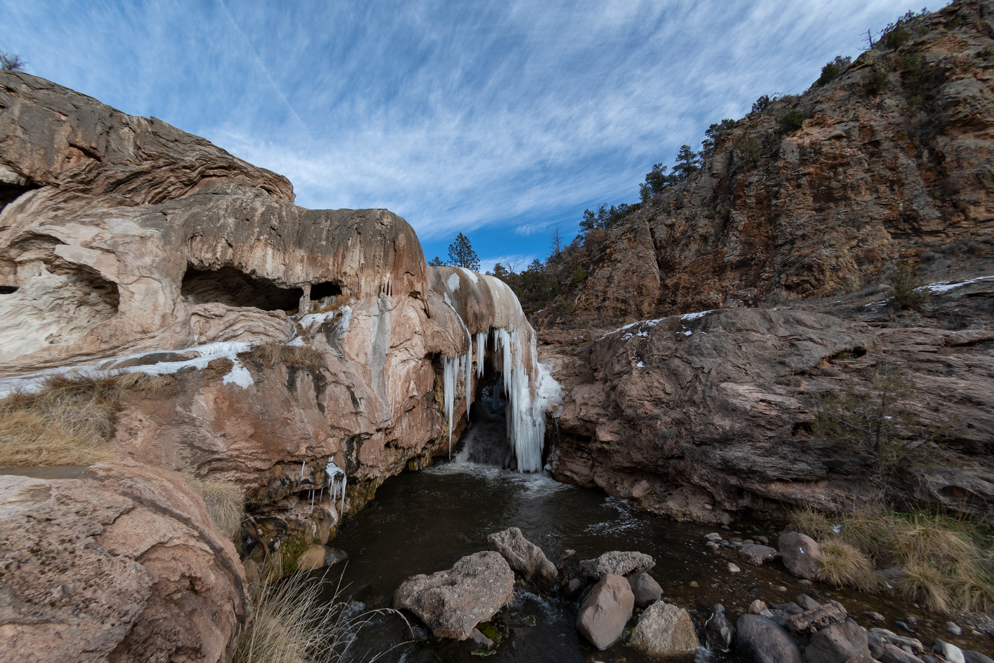
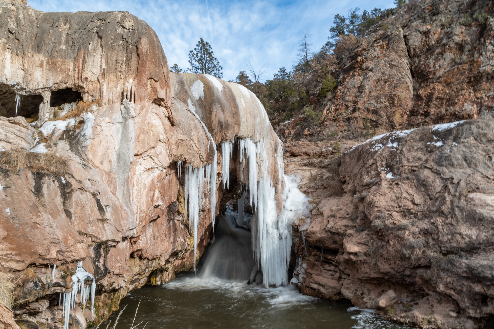
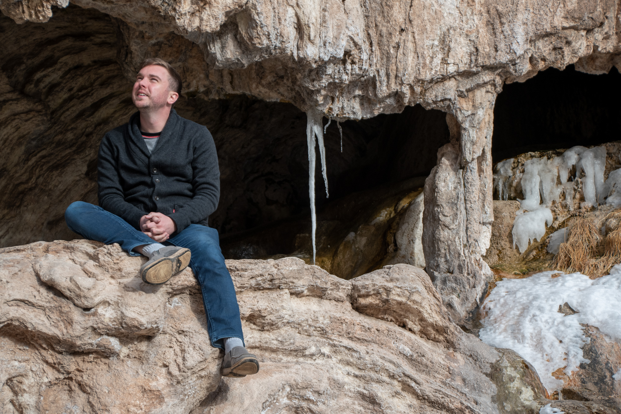
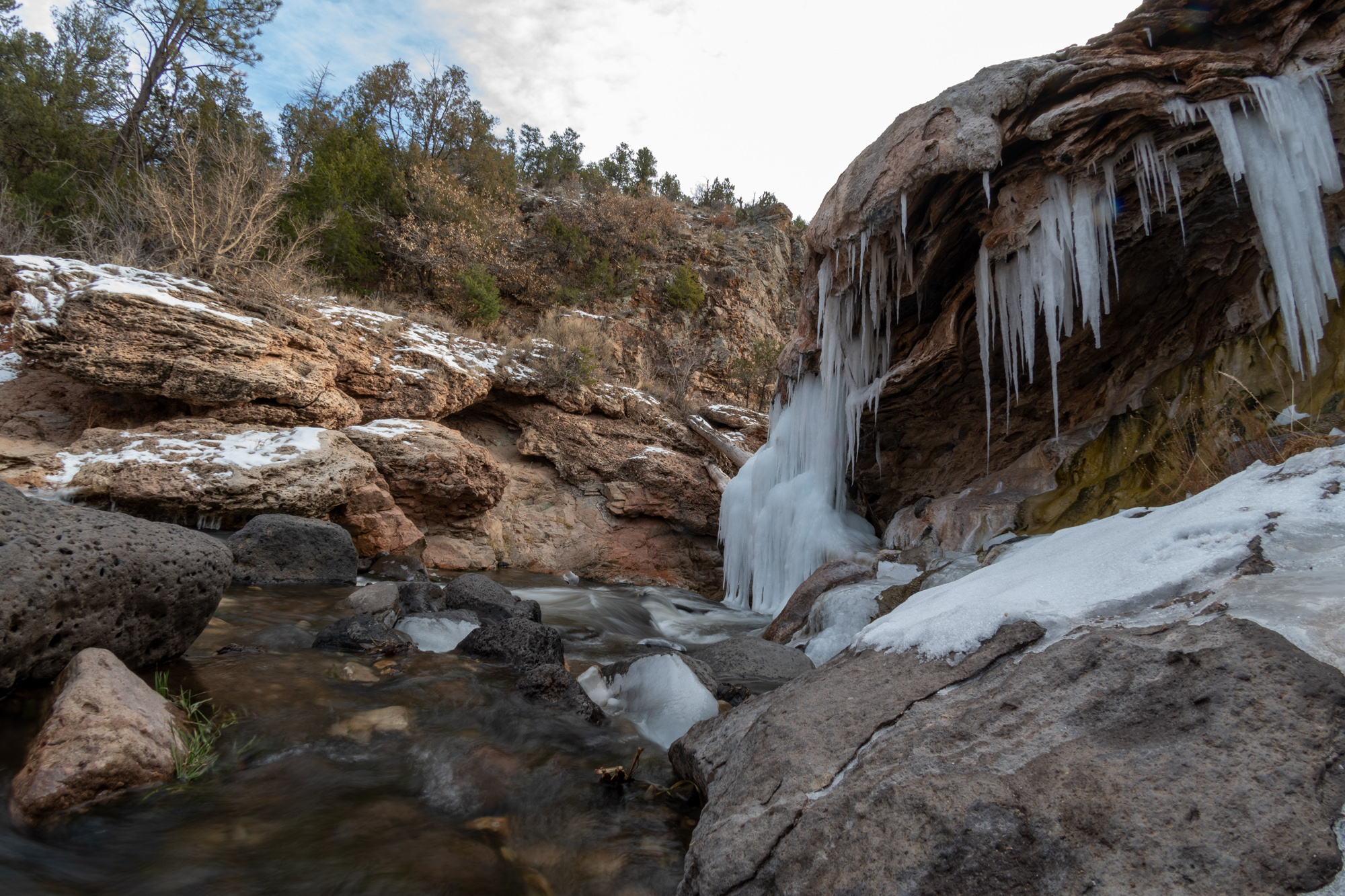
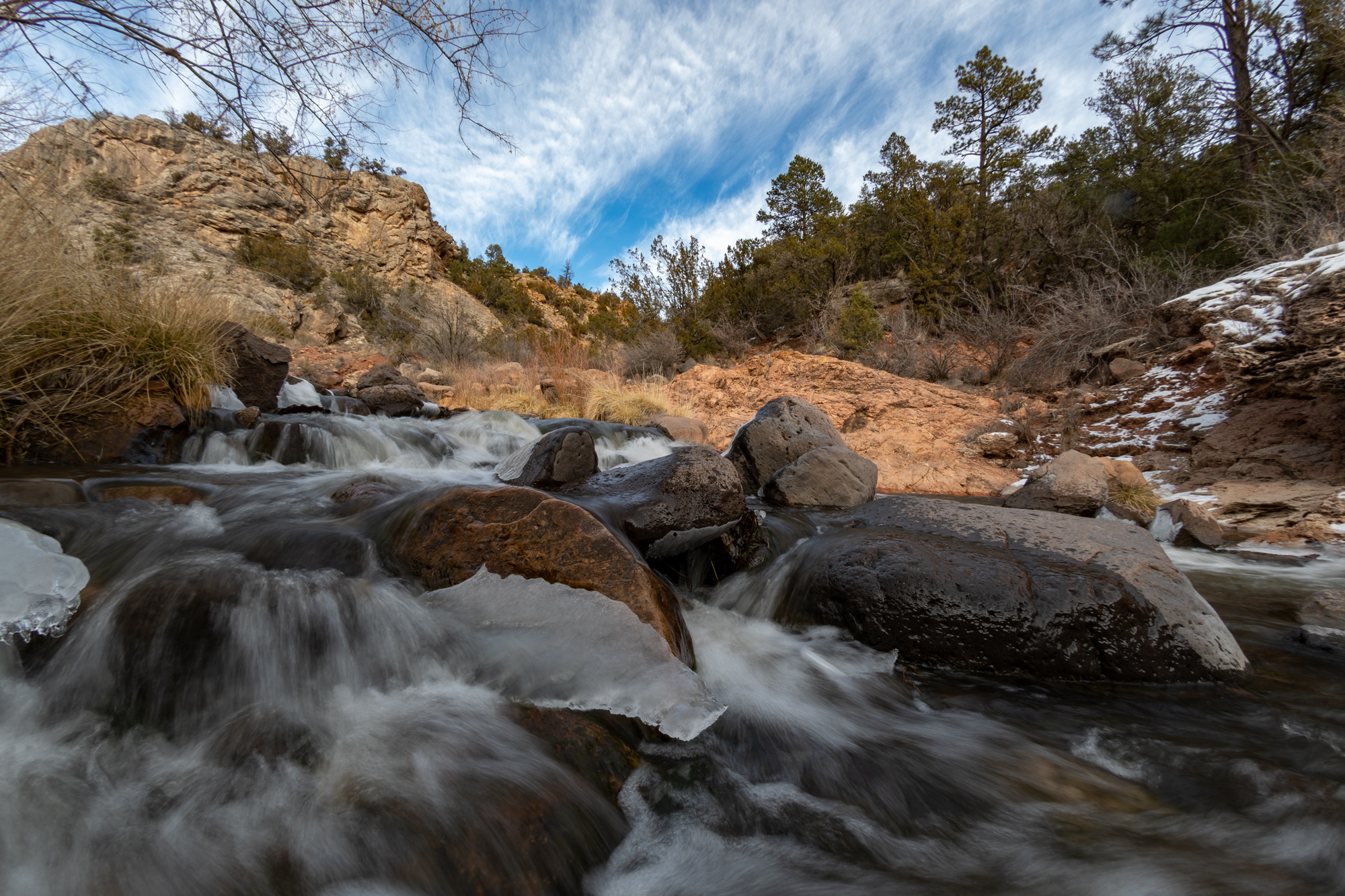
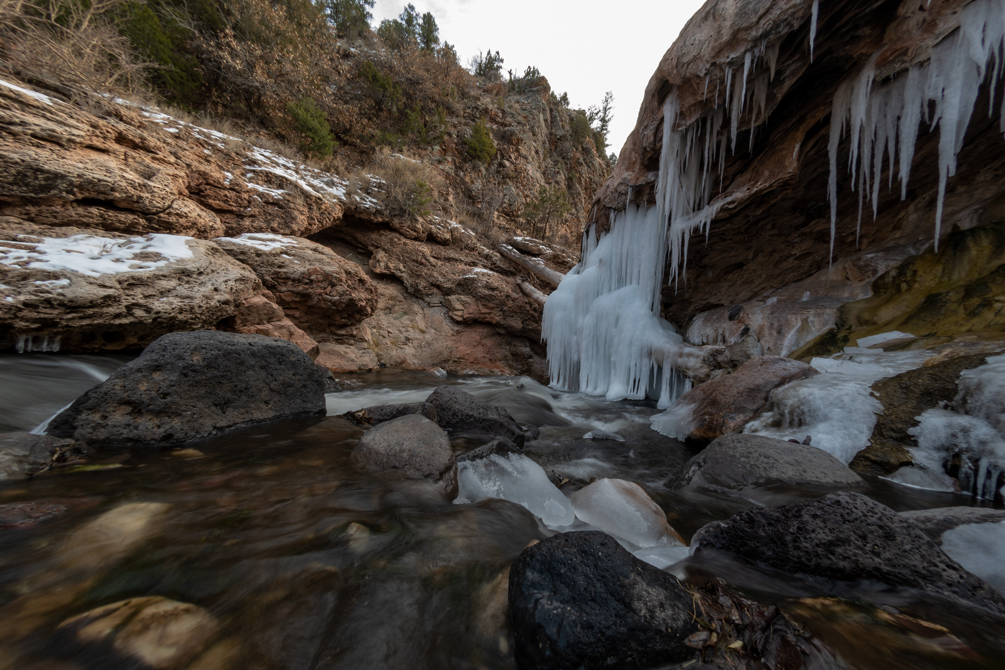
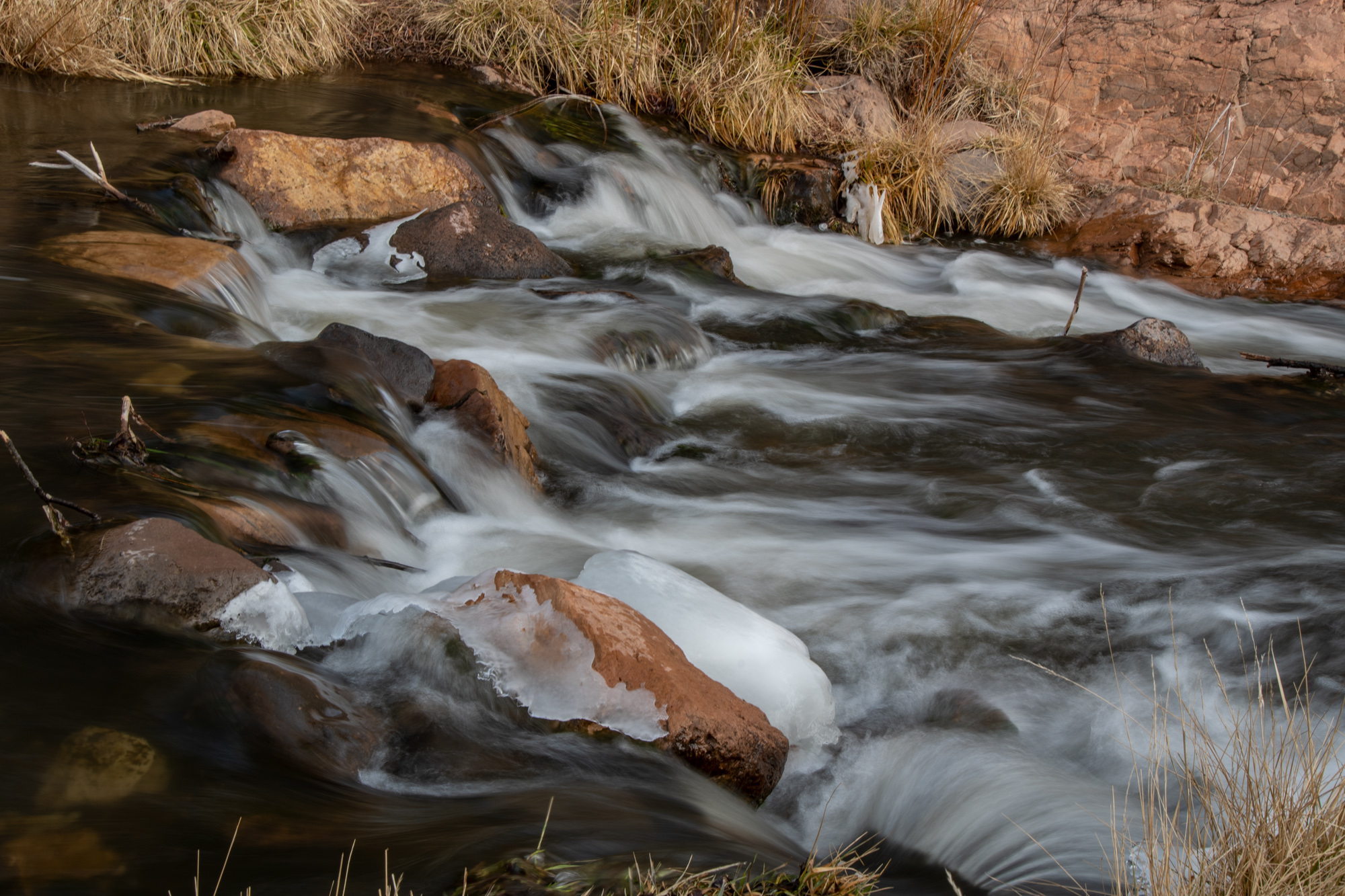
Back on Highway 4, we flew through a bunch of little towns until our next roadside curiosity, the Jemez Springs Soda Dam. It is a 7,000 year old deposit of mostly hot springs calcium carbonate and travertine that forms an artificial dam of the river. The resulting waterfall was beautiful and also partially frozen, which was awesome.
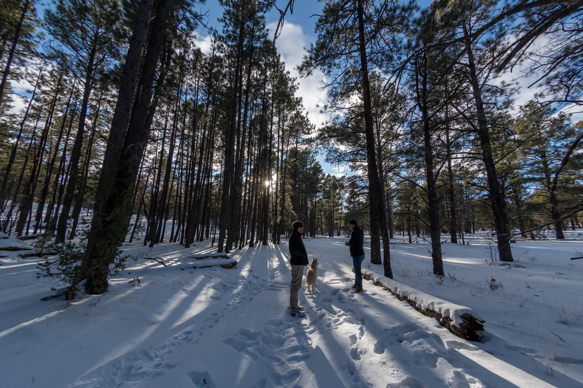
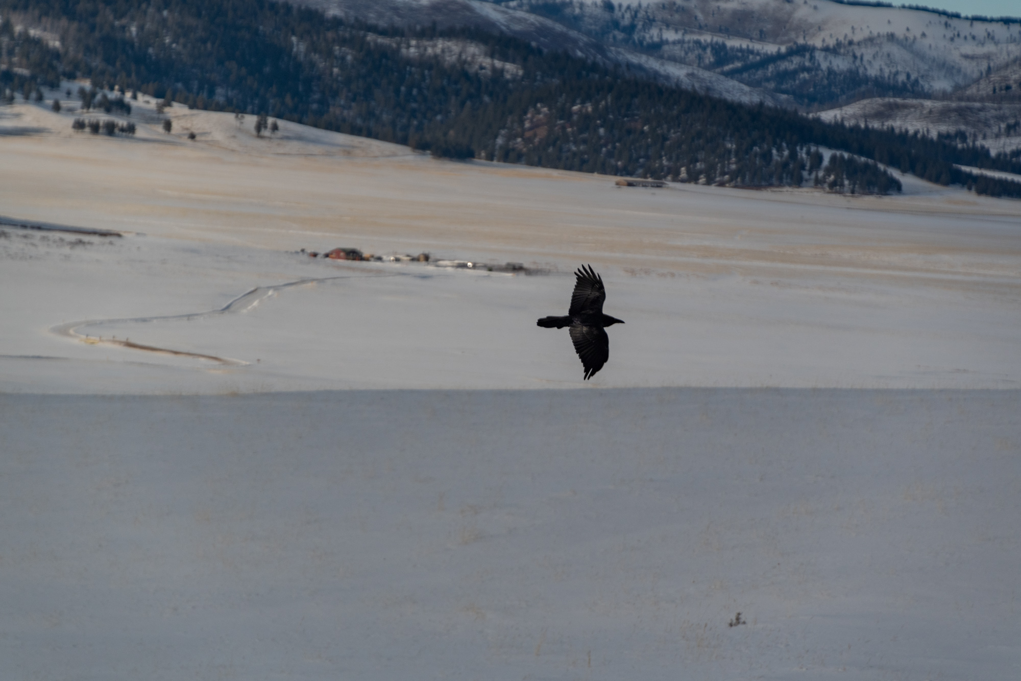
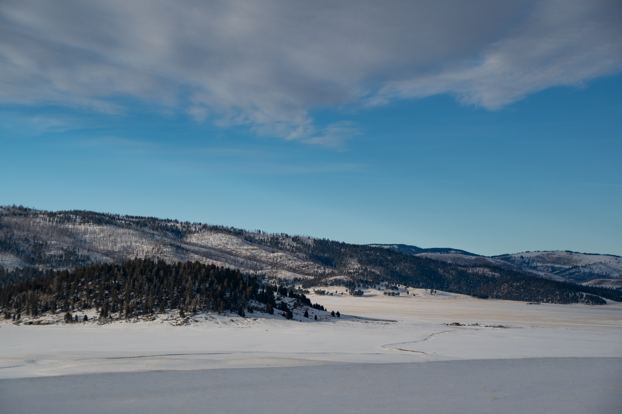
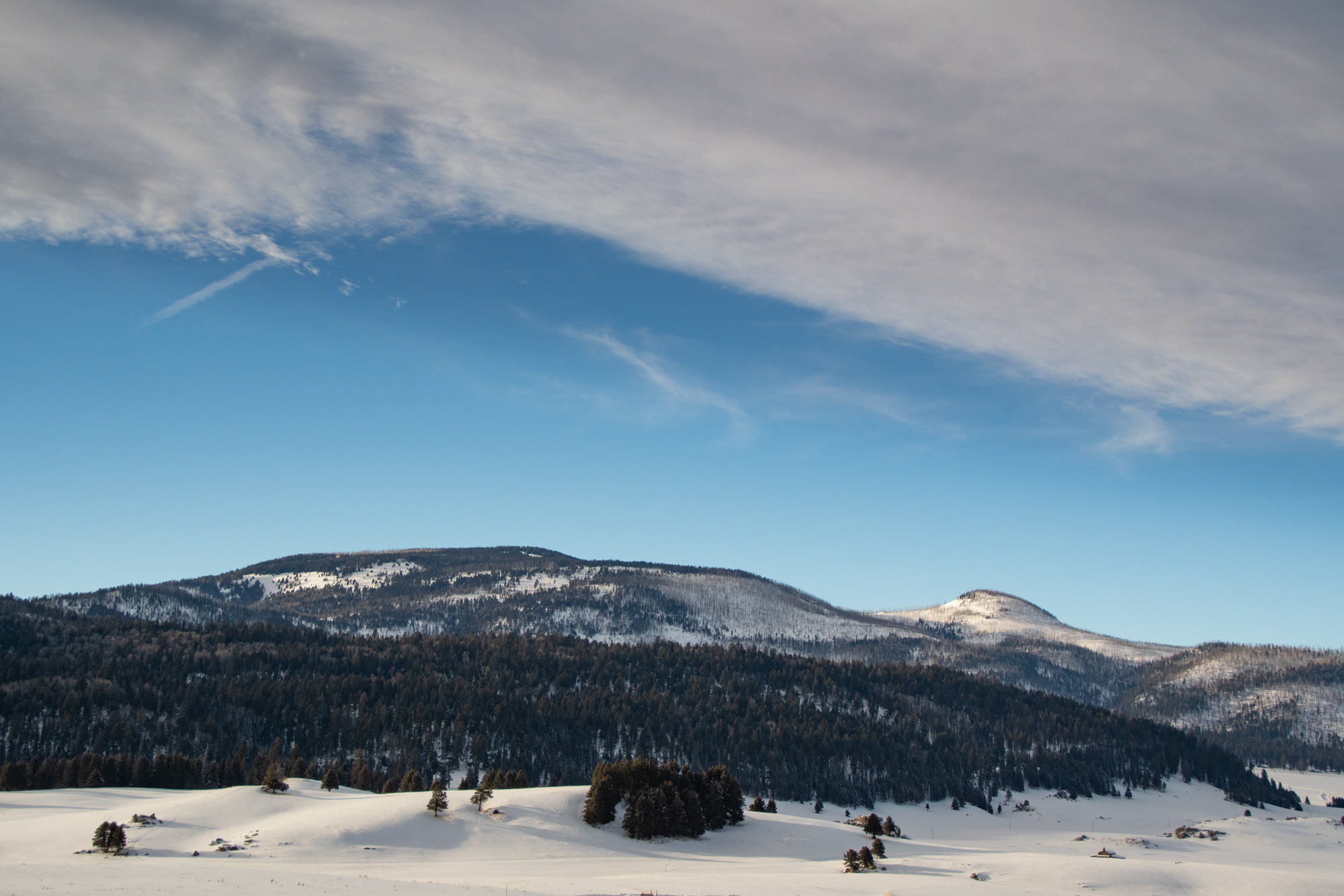
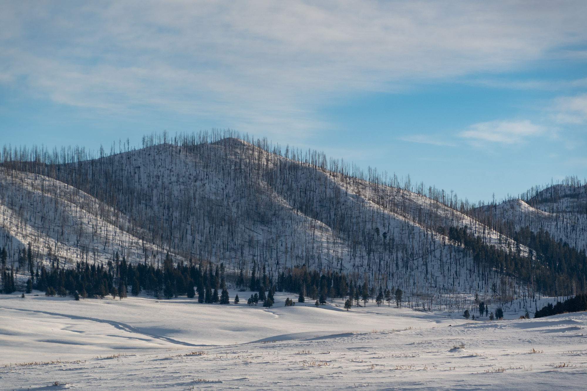
Our last stop on the way over the mountain was the Valles Caldera National Preserve. We drove in as far as the visitor center, but most of the roads in the park are snowed over. I do want to come back and hike here one day, though.
About 1.25 million years ago, a spectacular volcanic eruption created the 13-mile wide circular depression now known as the Valles Caldera. The preserve is known for its huge mountain meadows, abundant wildlife, and meandering streams. The area also preserves the homeland of ancestral native peoples and embraces a rich ranching history.
Valles Caldera National Preserve, US National Park Service
It is apparently one of the largest calderas in the world. The highest elevation on our route was just over 9,000 feet, but the highest peak in the park is over 11,000.
Once into town, we had a fantastic finish line dinner at a local place called Joseph’s. We’re likely to pack up and head home tomorrow rather than make a stopover in Amarillo as we’d originally considered. Santa Fe isn’t as far away as I’d originally thought.
It’s been a great start to 2020. Here’s to more adventures.
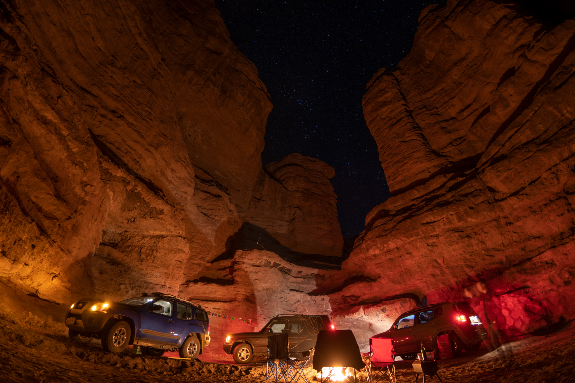
Happy New Year!
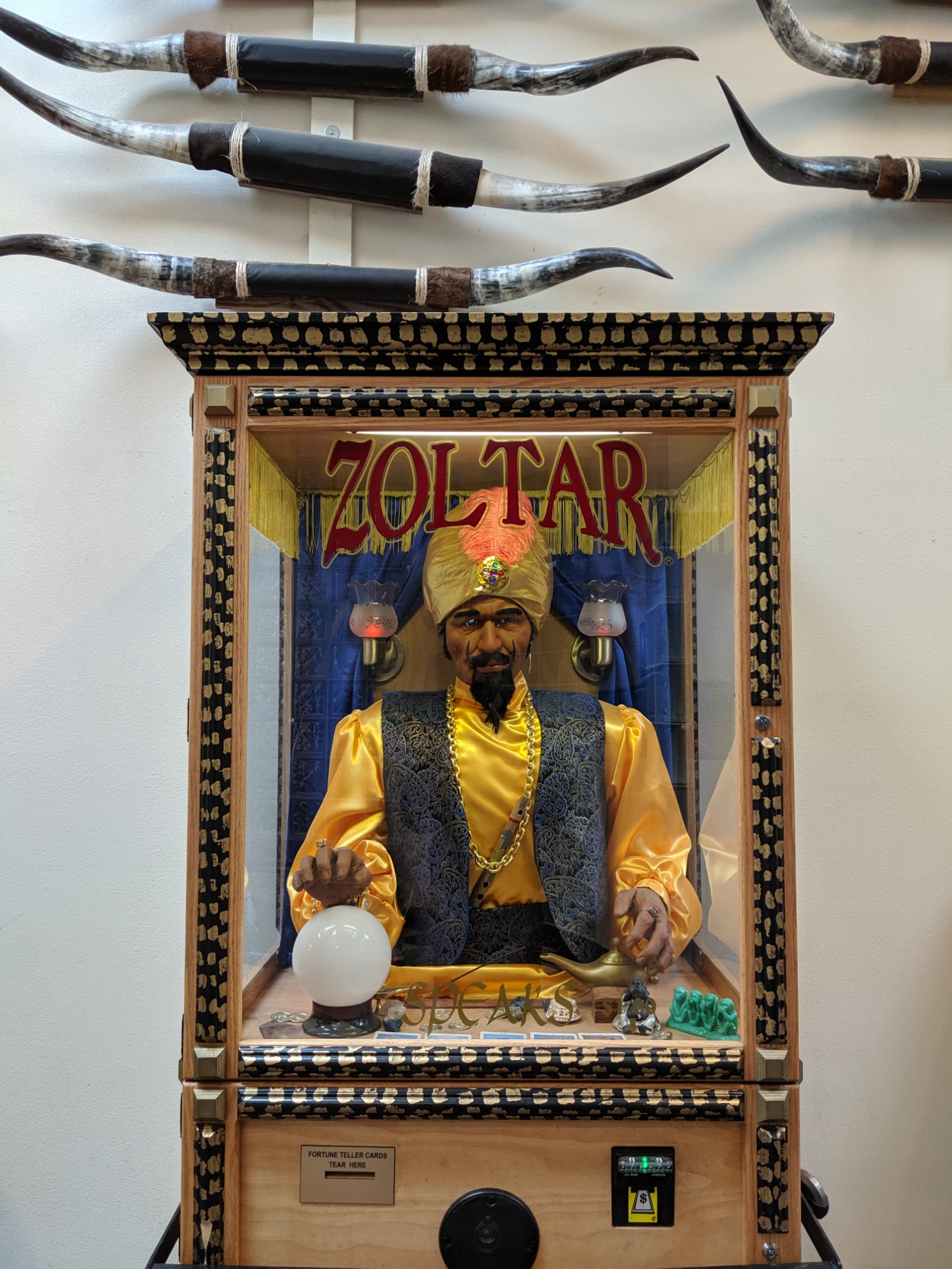
Another roadtrip, another pass by the Clines Corners Zoltar. Creepy.