We’ve each wanted to return to the Grand Canyon since that first trip. A lot of this “backtrack” trip was shaped around spending a couple days there and going back to defeat one obstacle in particular. And this post should definitely have been split into three pieces, but here it is in its long-form.
Day 1: Mesquite to Bar10 Ranch
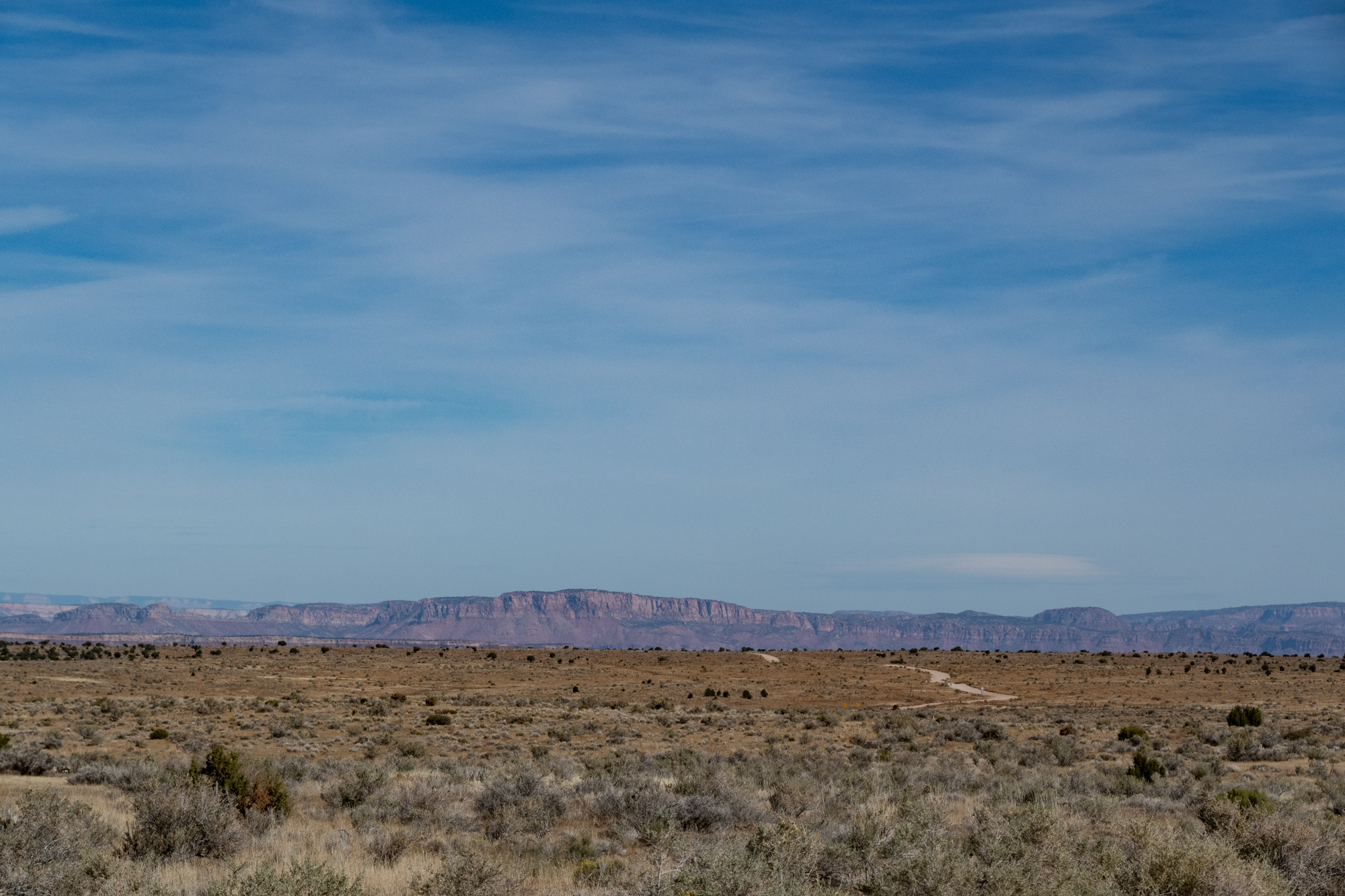
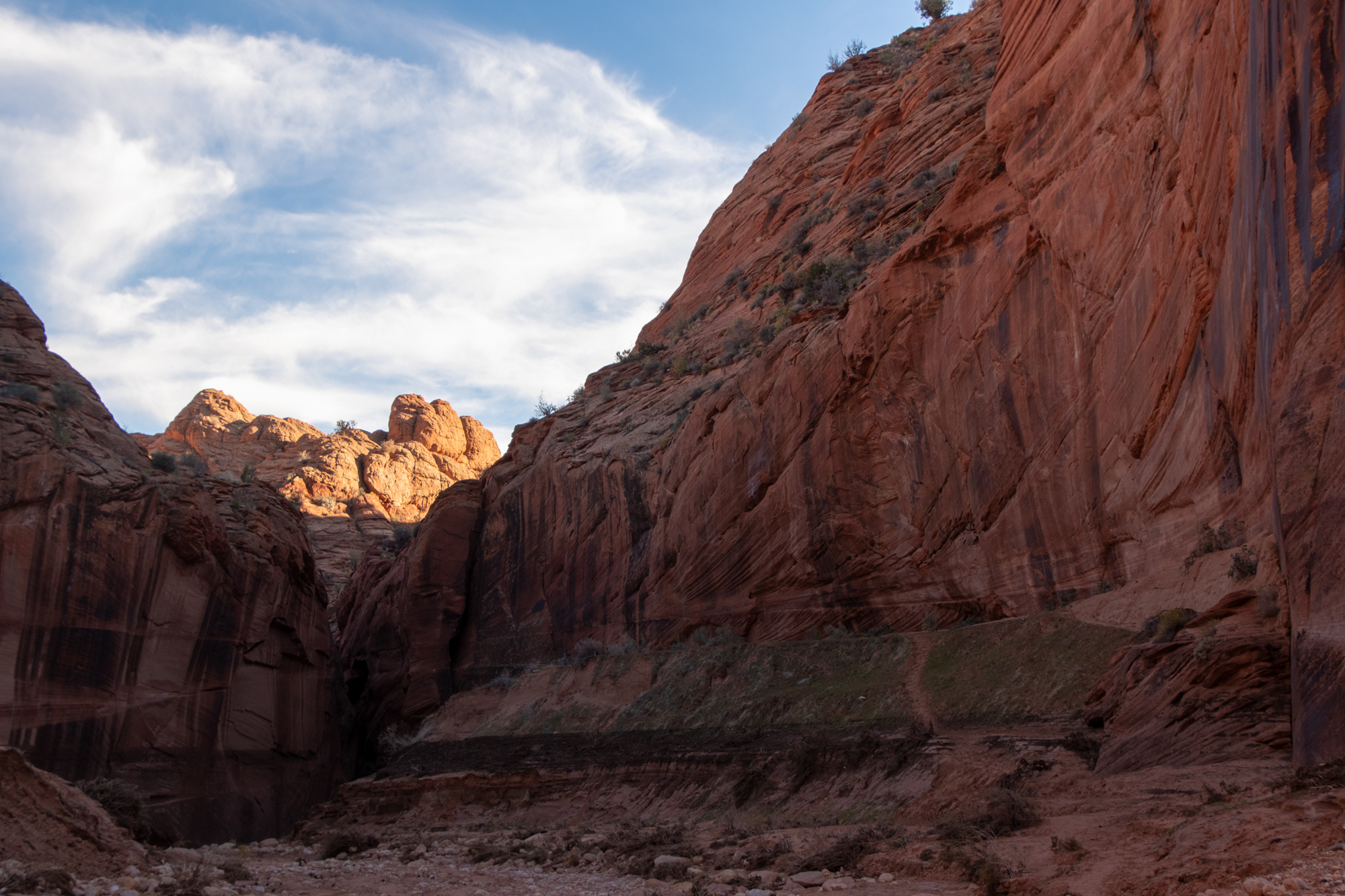
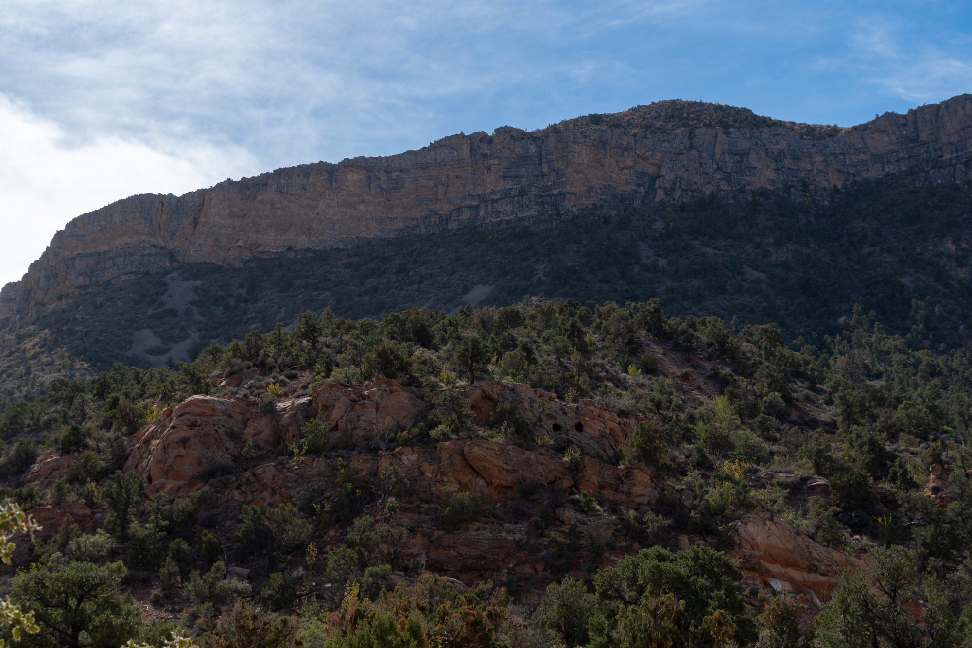
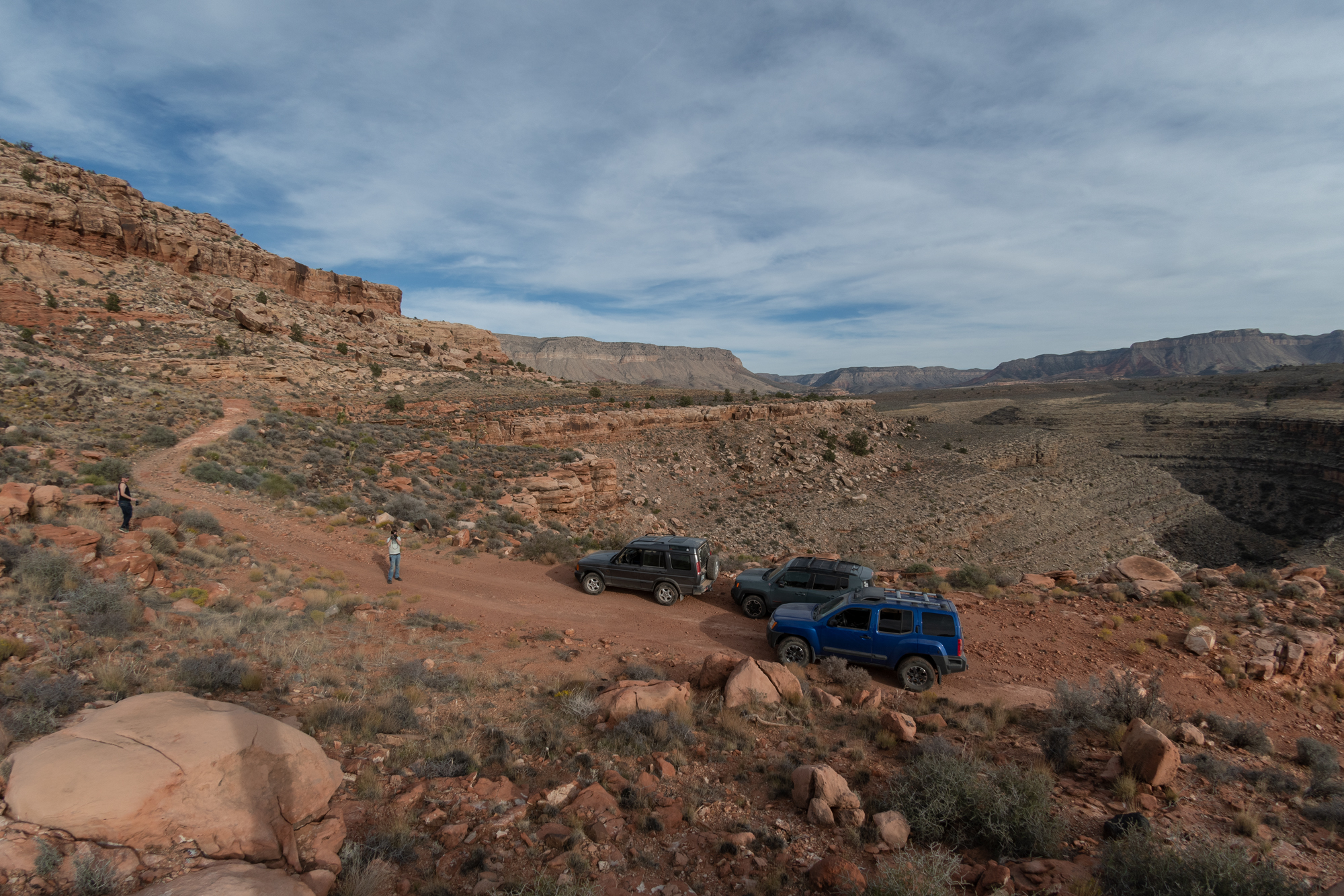
Andrew and I missed each other in the parking lot this morning. As he heads back to Palo Alto by way of the fast chargers, we set off southeast through Lime Kiln Canyon Road into the Grand Canyon Parashant National Monument. Lime Kiln is apparently a limestone sport climbing area, so I’ve marked that for investigation later because that would be awesome.

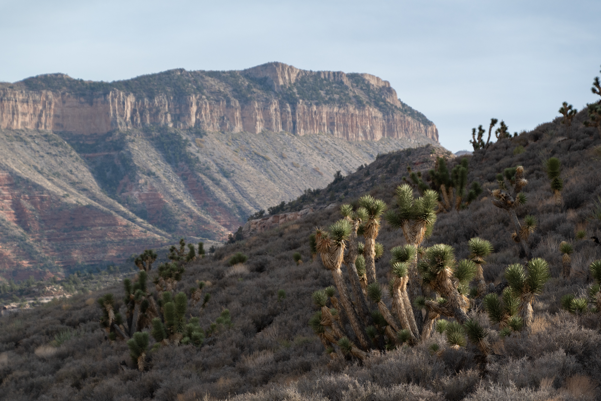
The Parashant National Monument sits northeast of the Grand Canyon National Park and is larger than the state of Rhode Island. The name comes from the Paiute phrase Pawteh ‘ee oasoasant, meaning “tanned elk hide,” or “softening of the elk hide.” It was established by Presidential Proclamation in January, 2000.
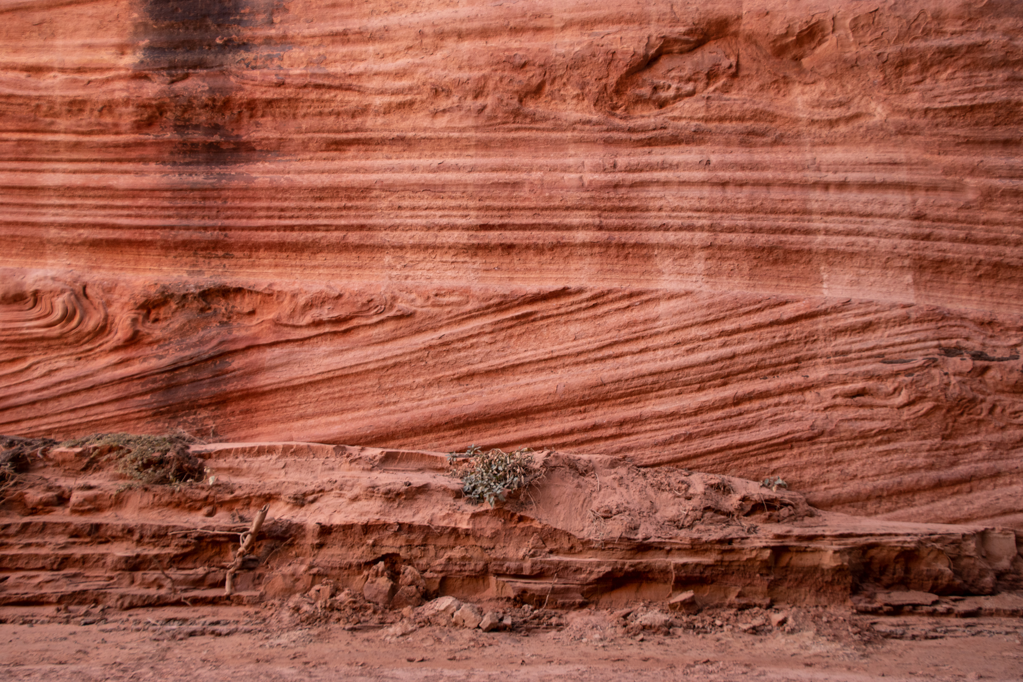
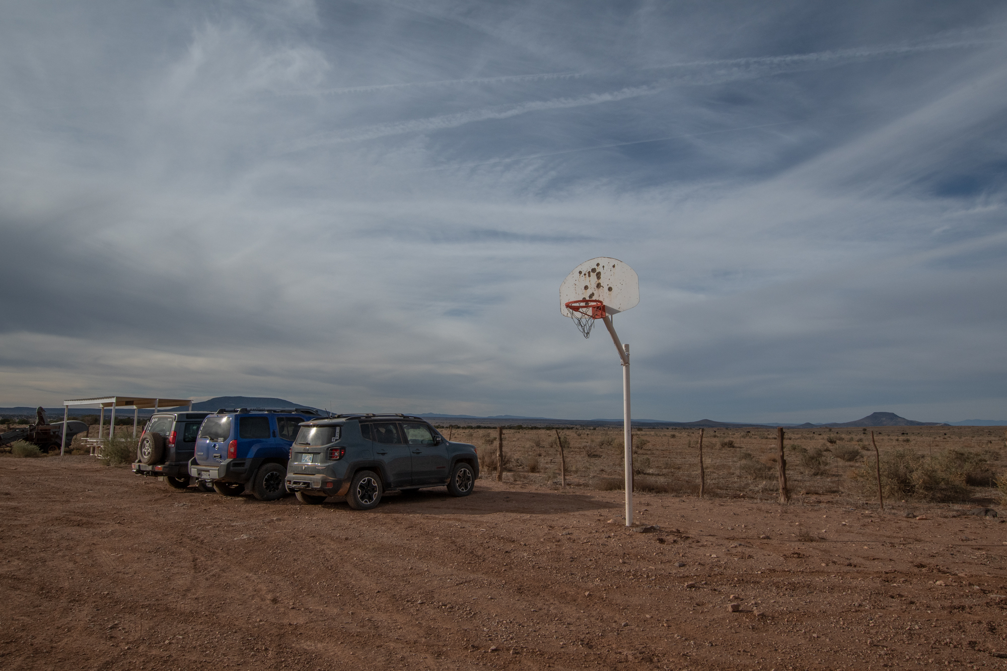
There are no paved roads or services in the Monument, save ranches around its fringes — like Bar10 Ranch which we returned to this evening. Getting there proved as difficult in 2021 as it was in 2017 because of what video games would refer to as “progressive difficulty.” But the view was entirely worth the trek. And unlike last time, we’d checked a multitude of different maps to avoid entanglements with disputed ranch borders and the Bundys.

No shooting climbers? 
From Evan


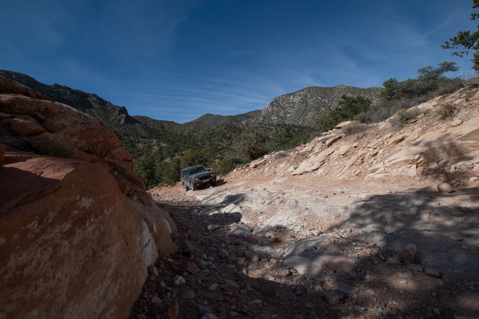
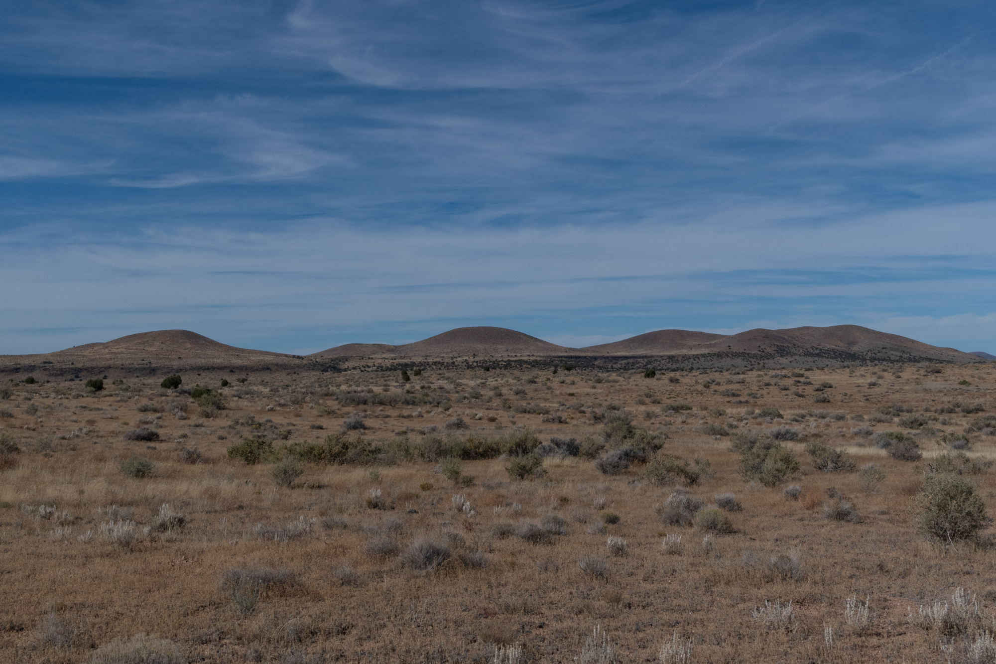
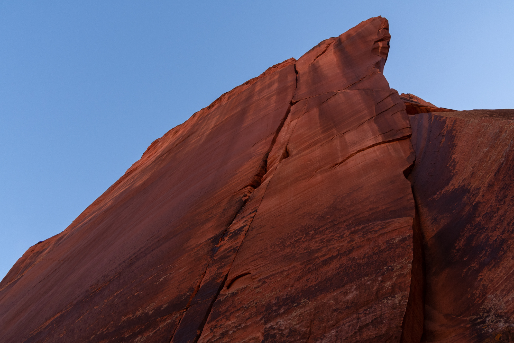
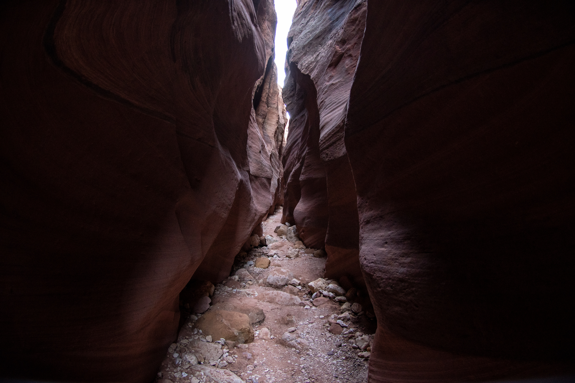
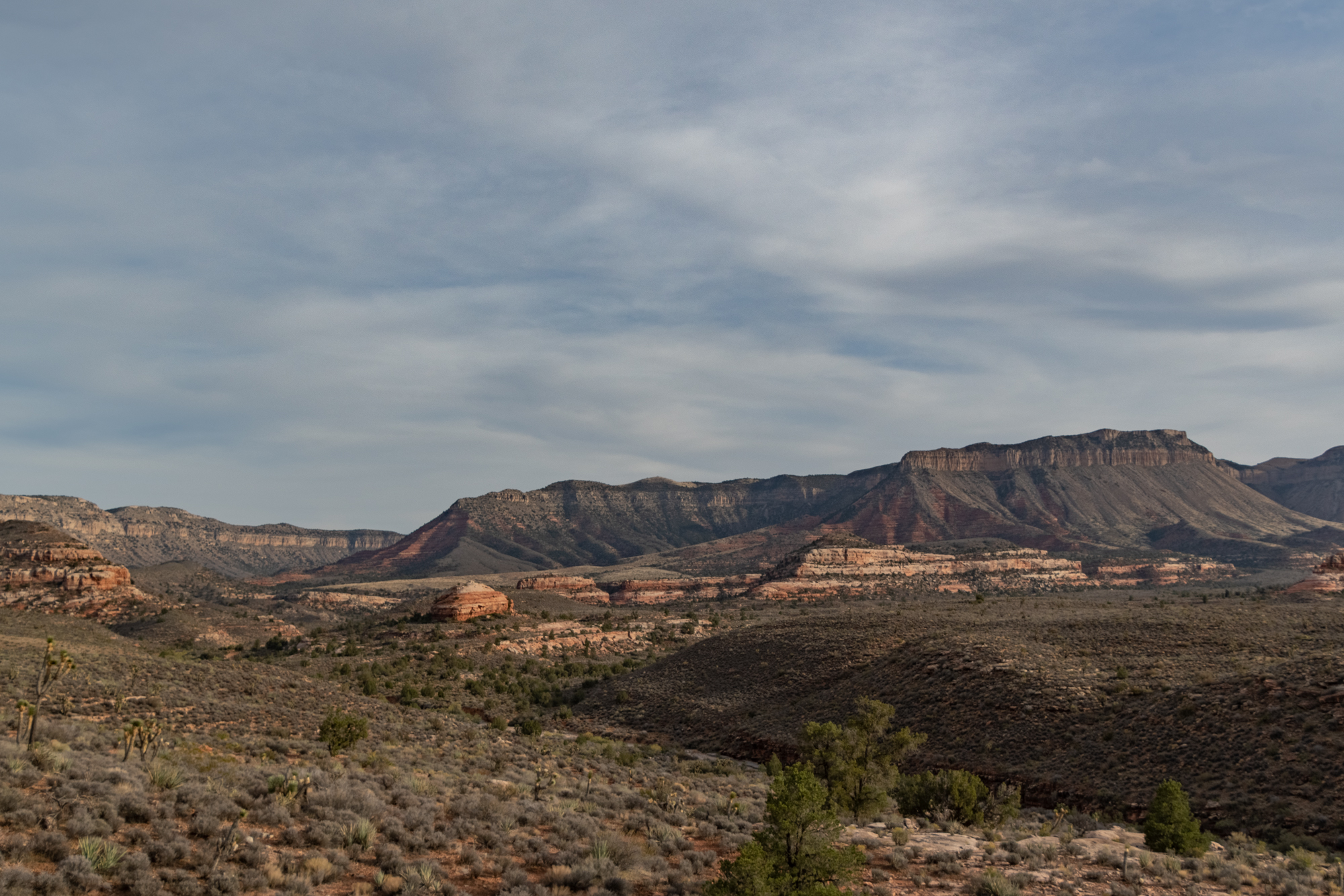
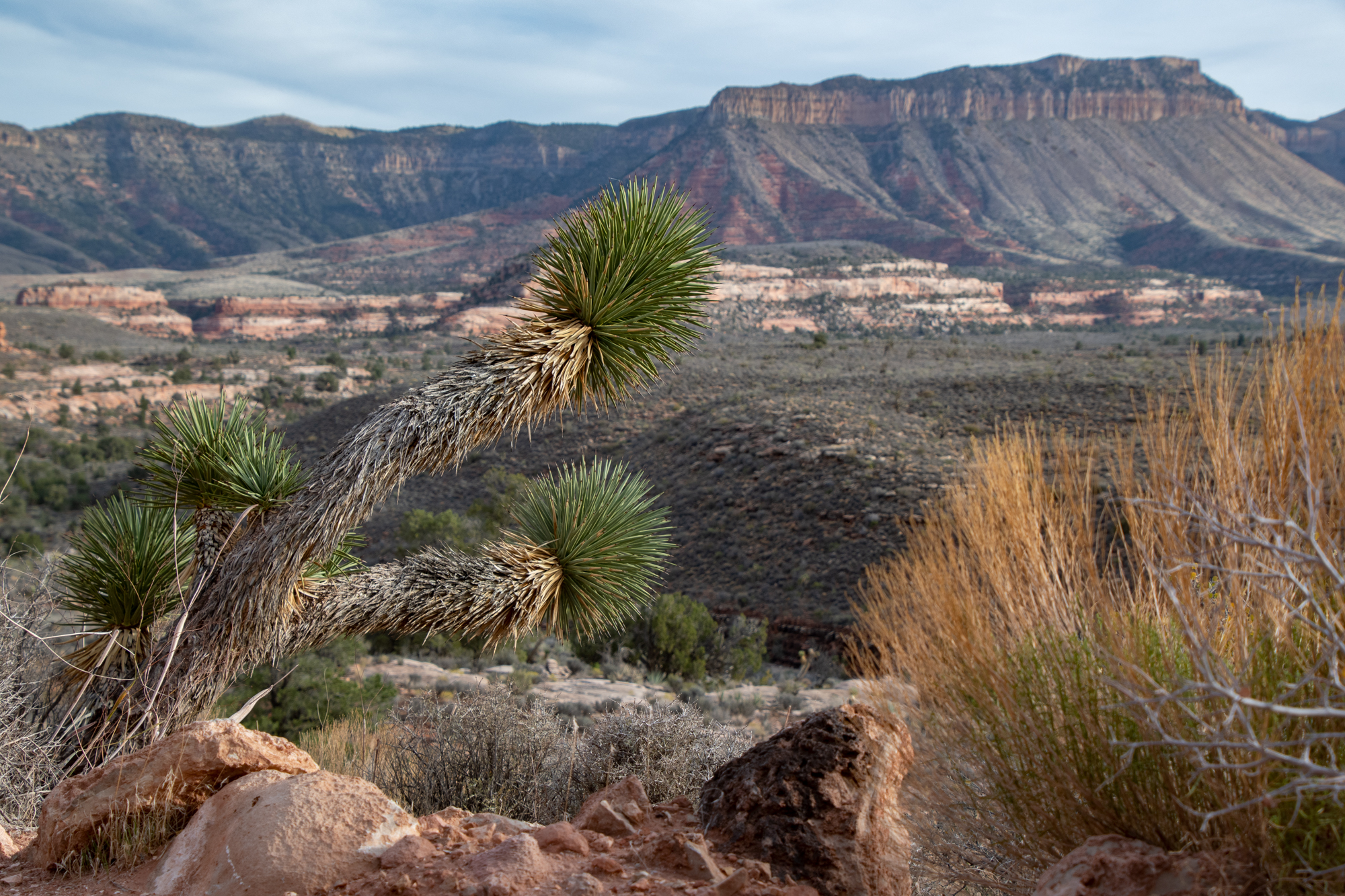
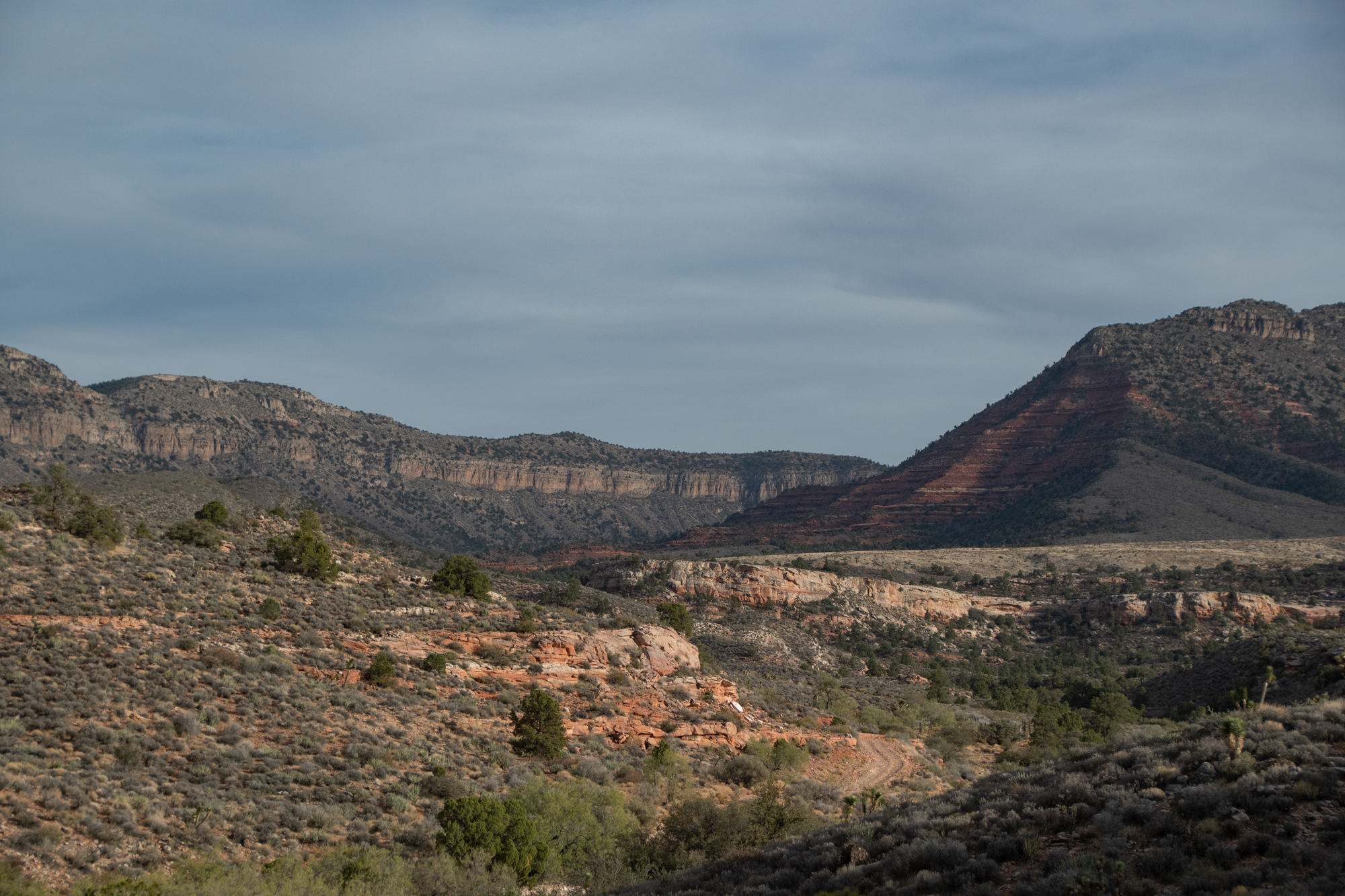
So we meandered our way through the Parashant and lined up with our route from four years ago. Views, not obstacles, provided the drama. Early on at least.
Three-wheel drive! From Evan

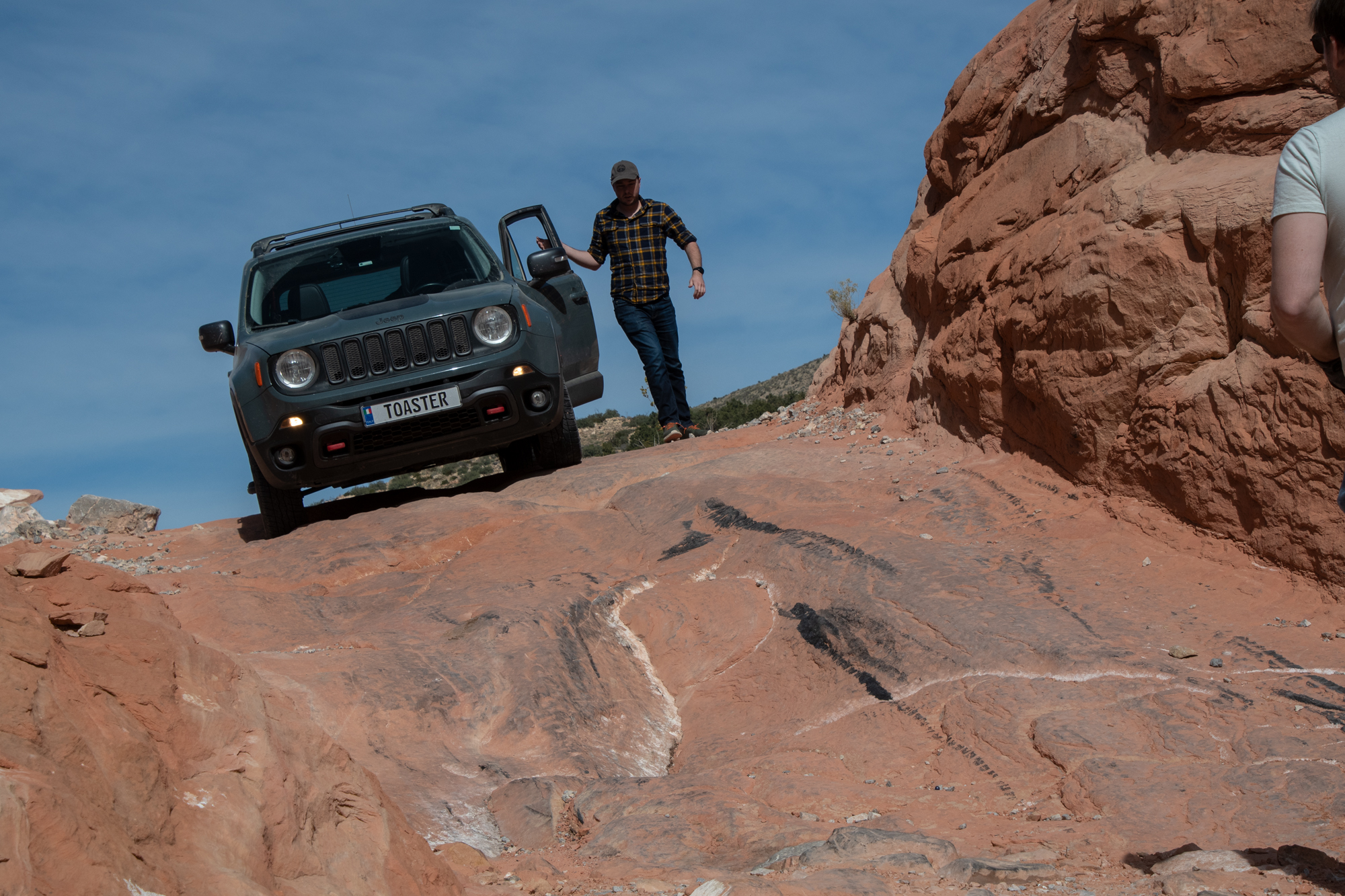
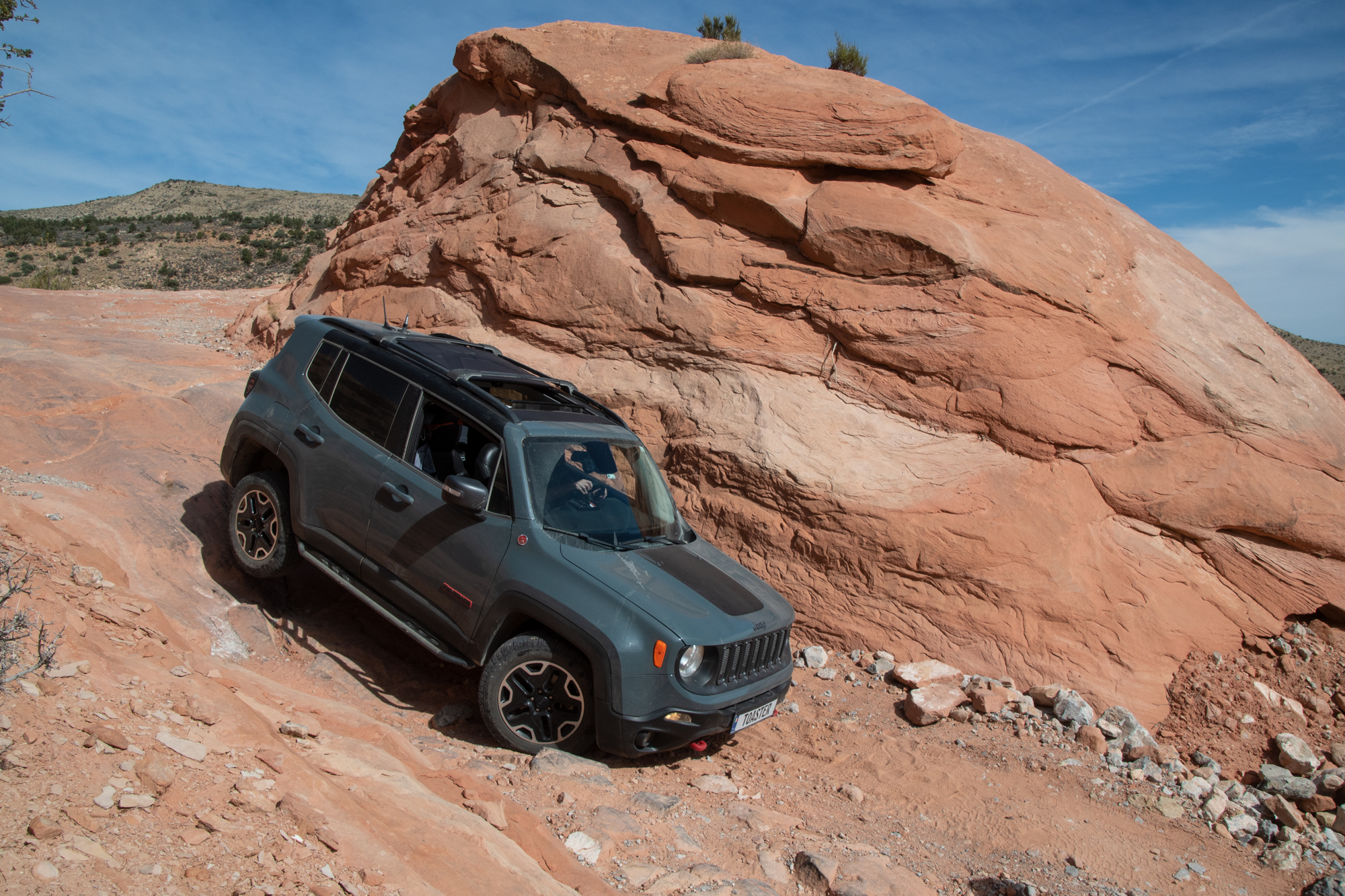
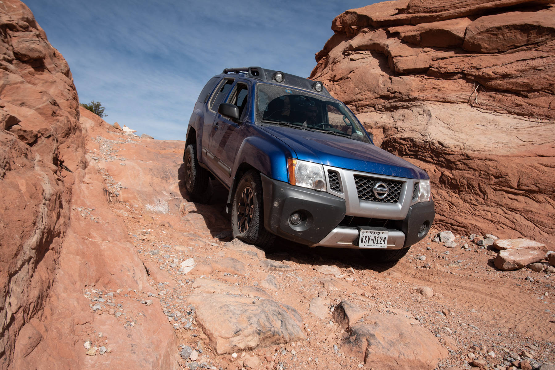

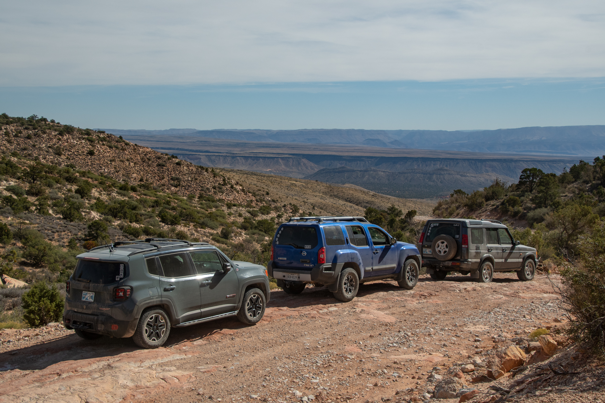
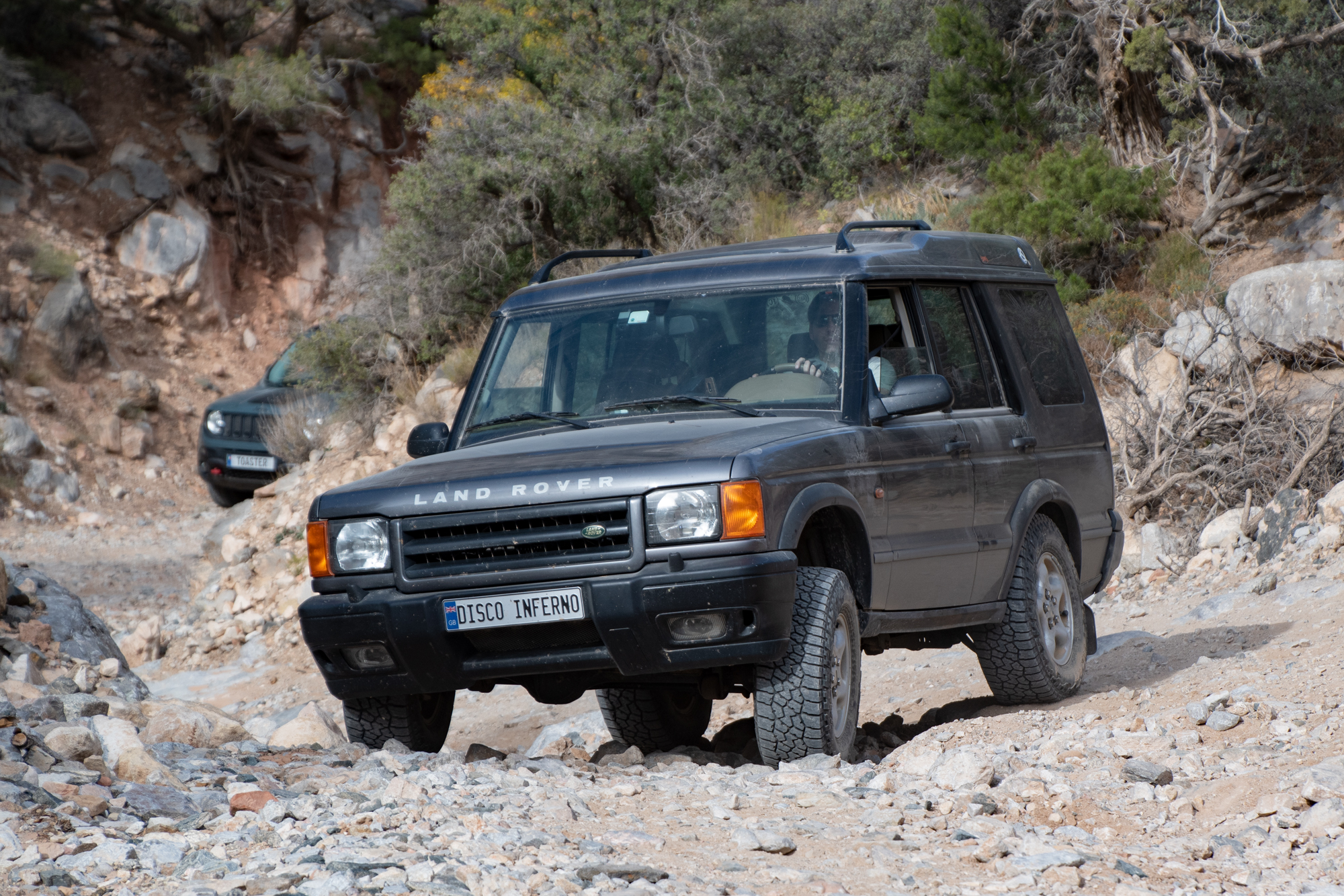
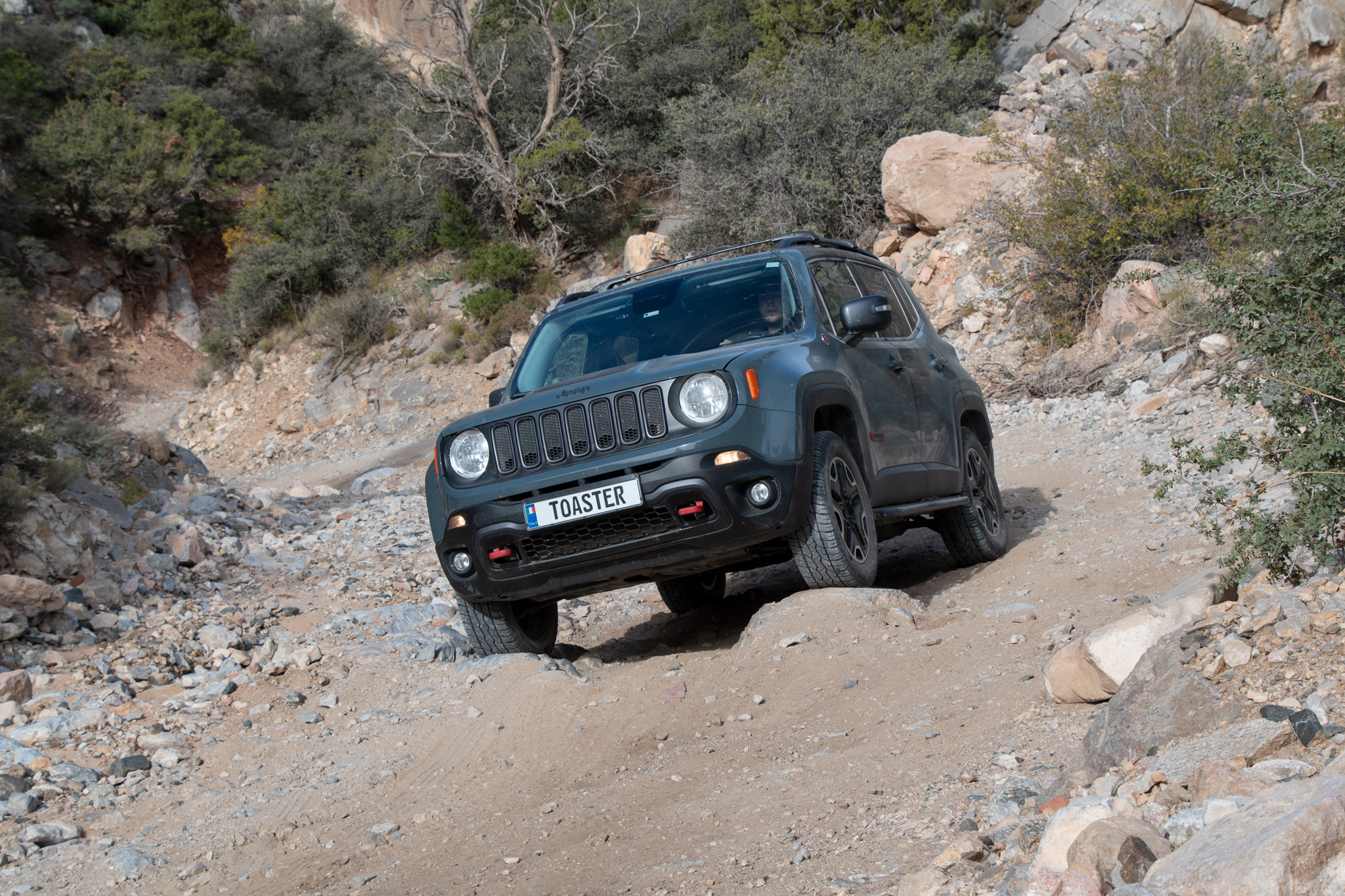
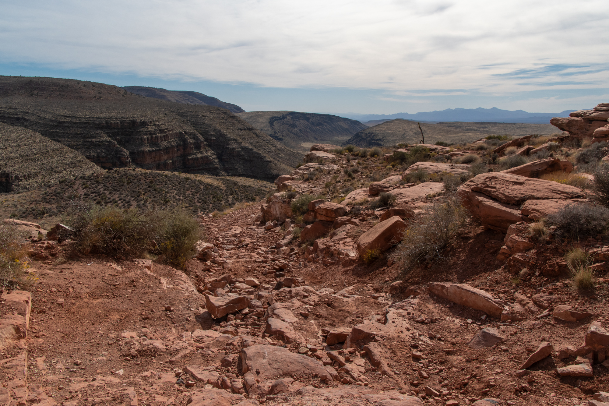
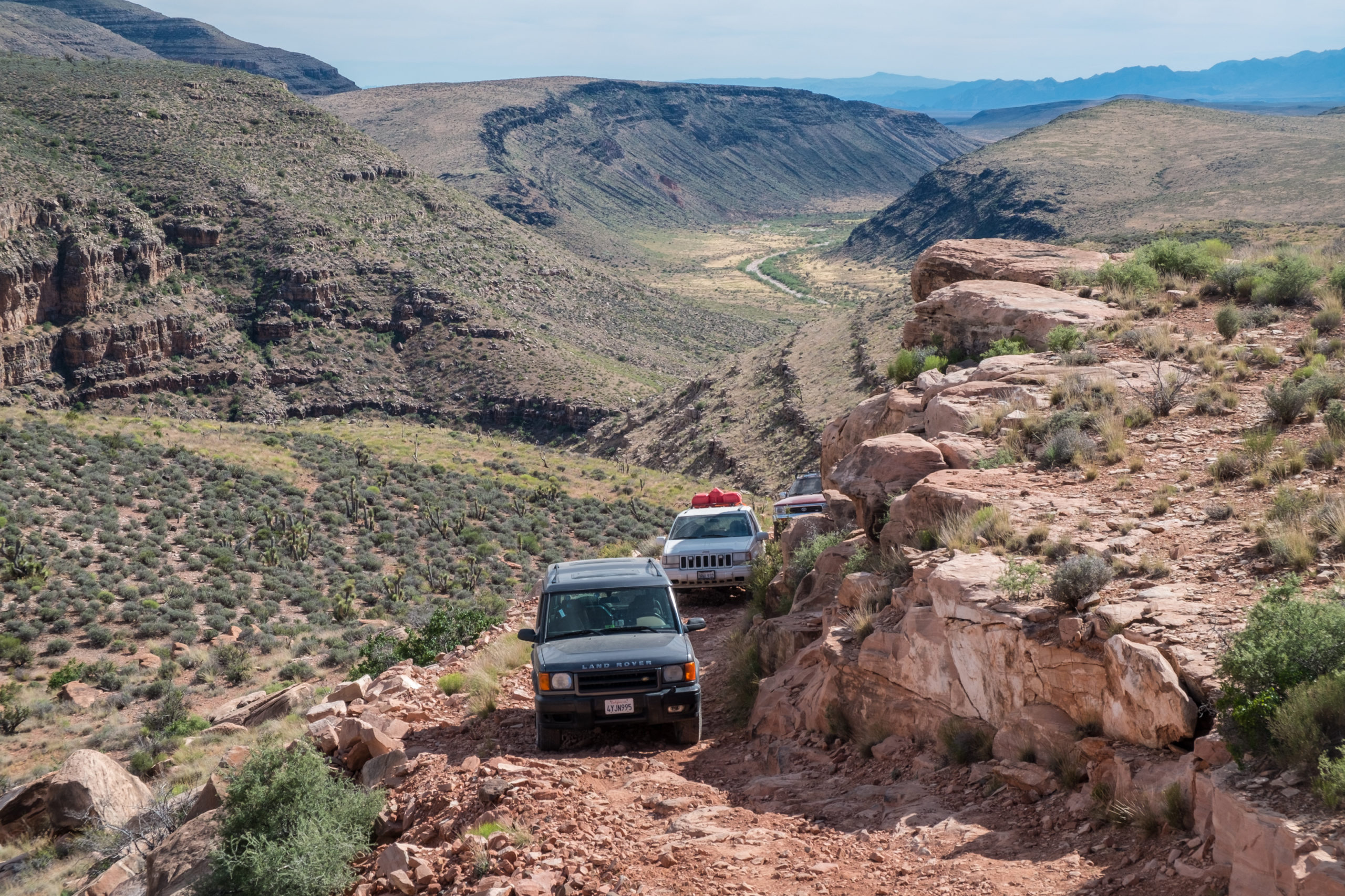
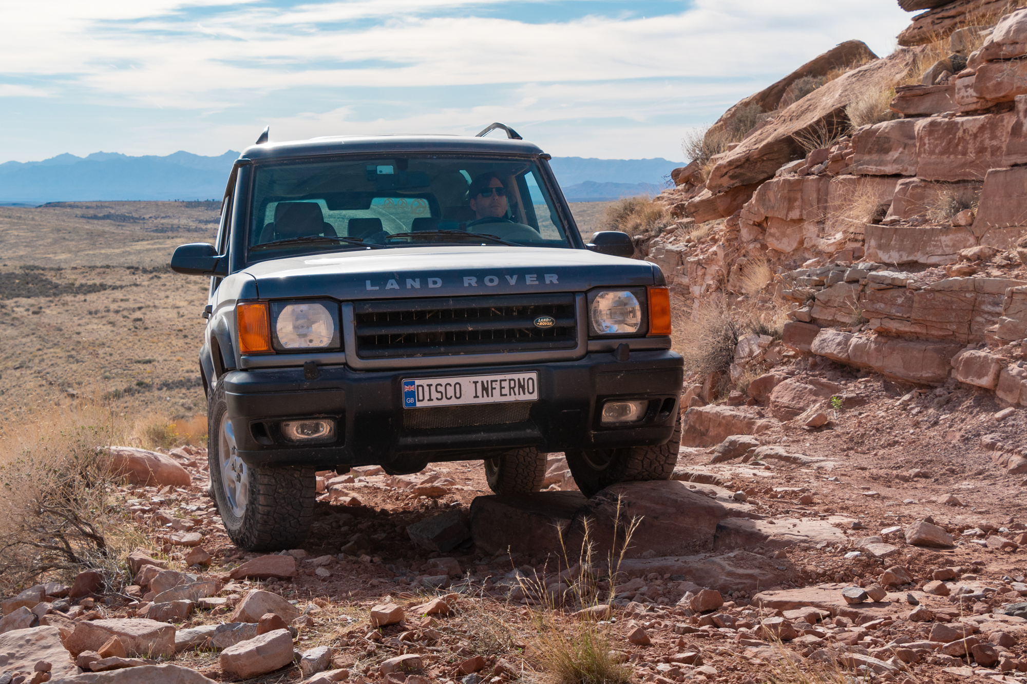
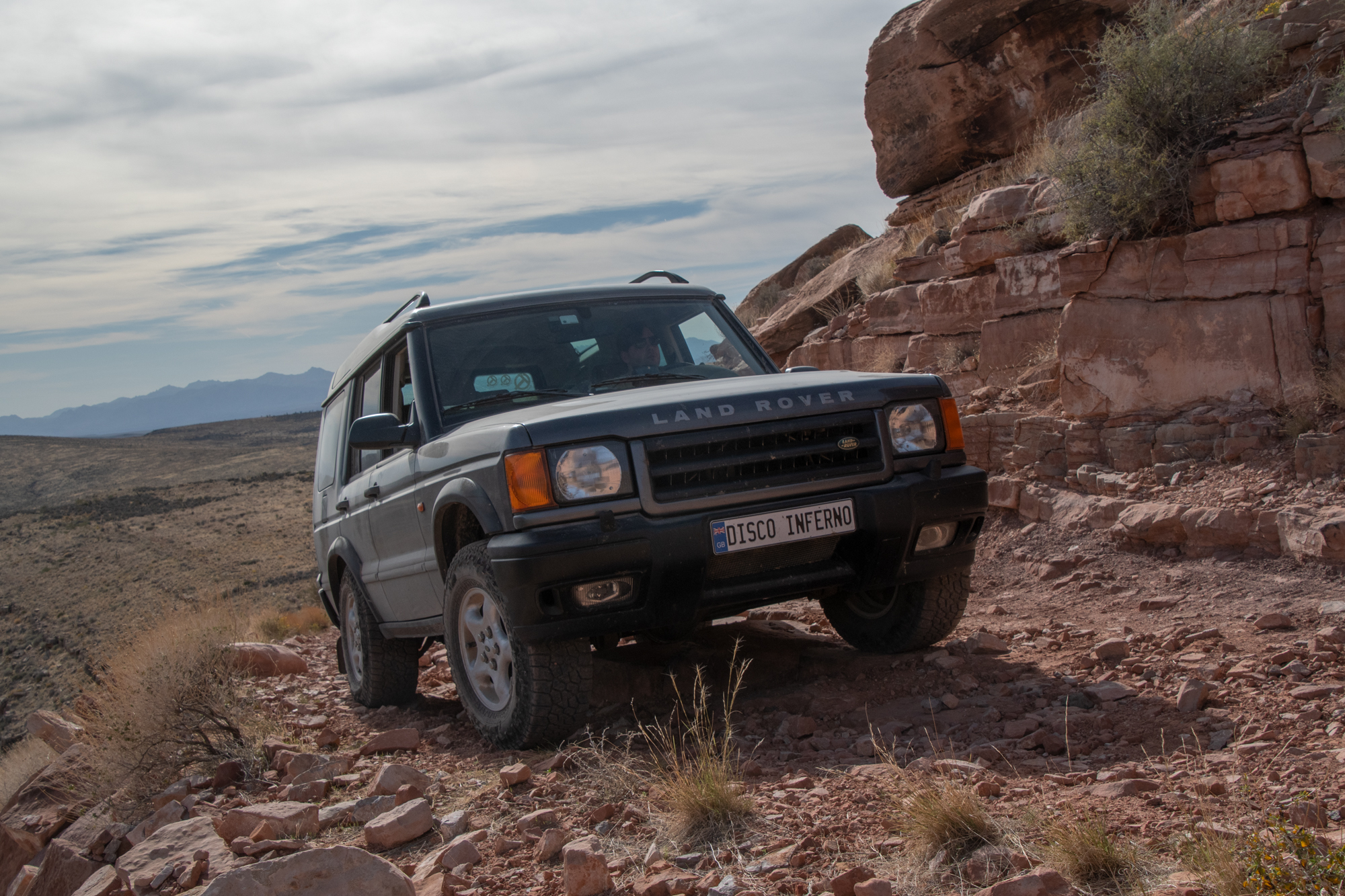
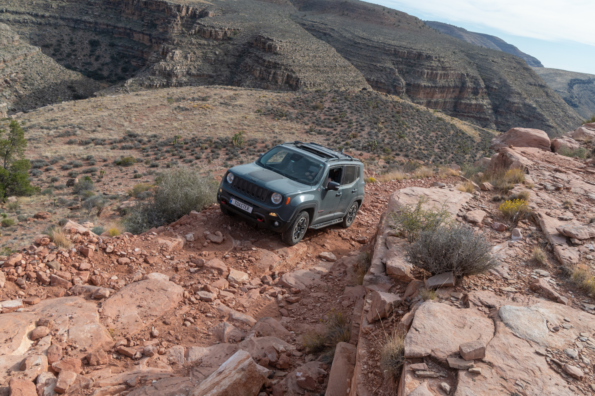
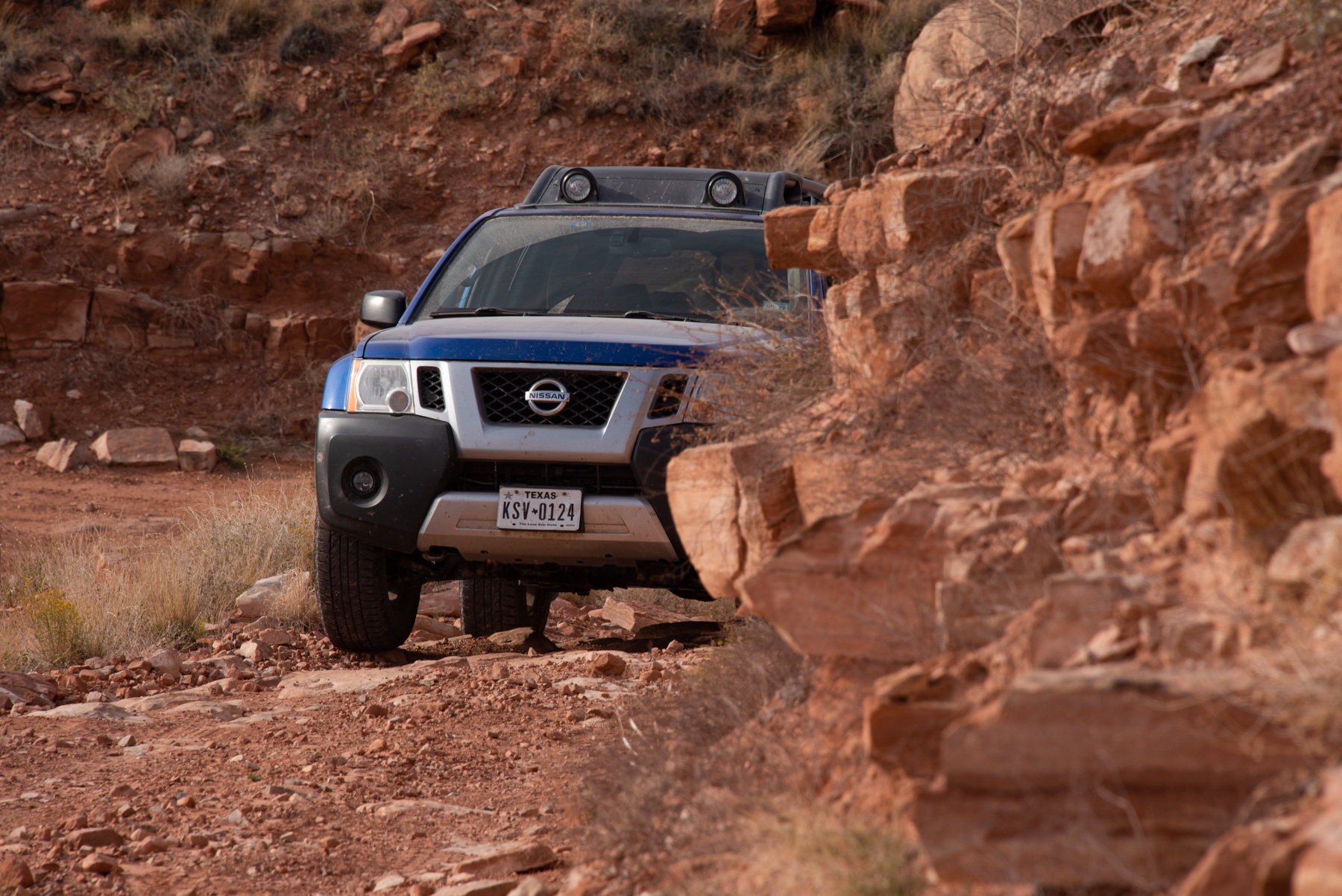
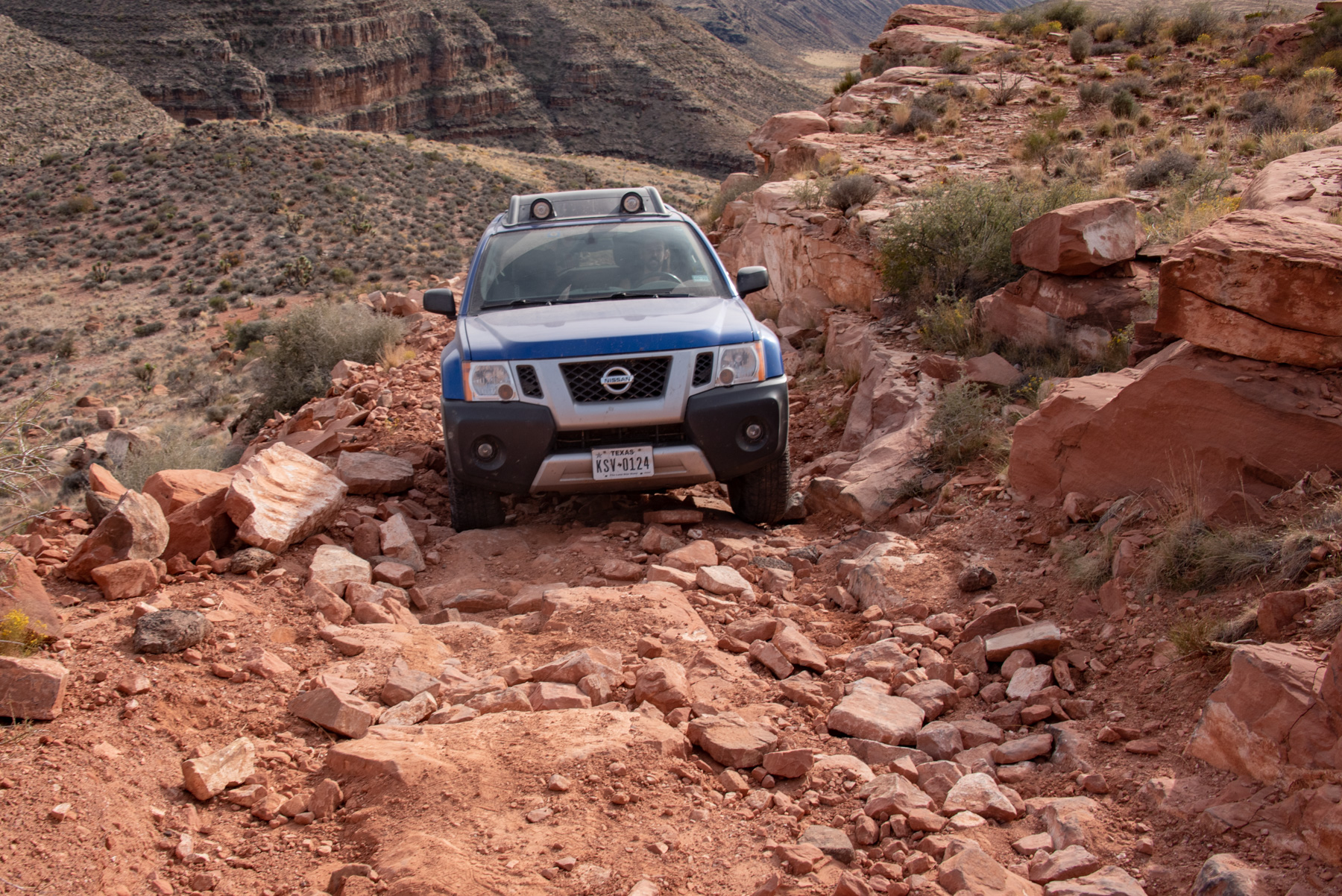
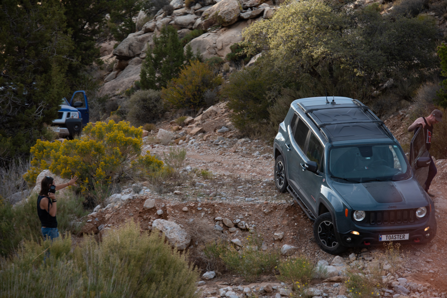
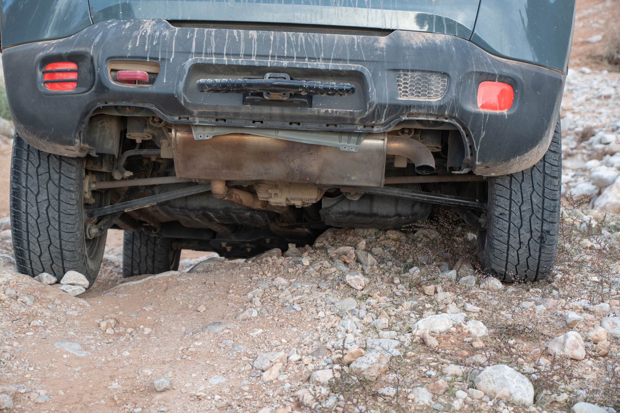
And then we got to “The Spot” on Nutter Twists Road — yes, that is its actual name. We wanted to hit that section again because it was a challenge last time, but we’re more experienced now. At the time, it had a few big rocks and a small step in it, and scared the hell outta me. But with what we’ve done since? Come’on.
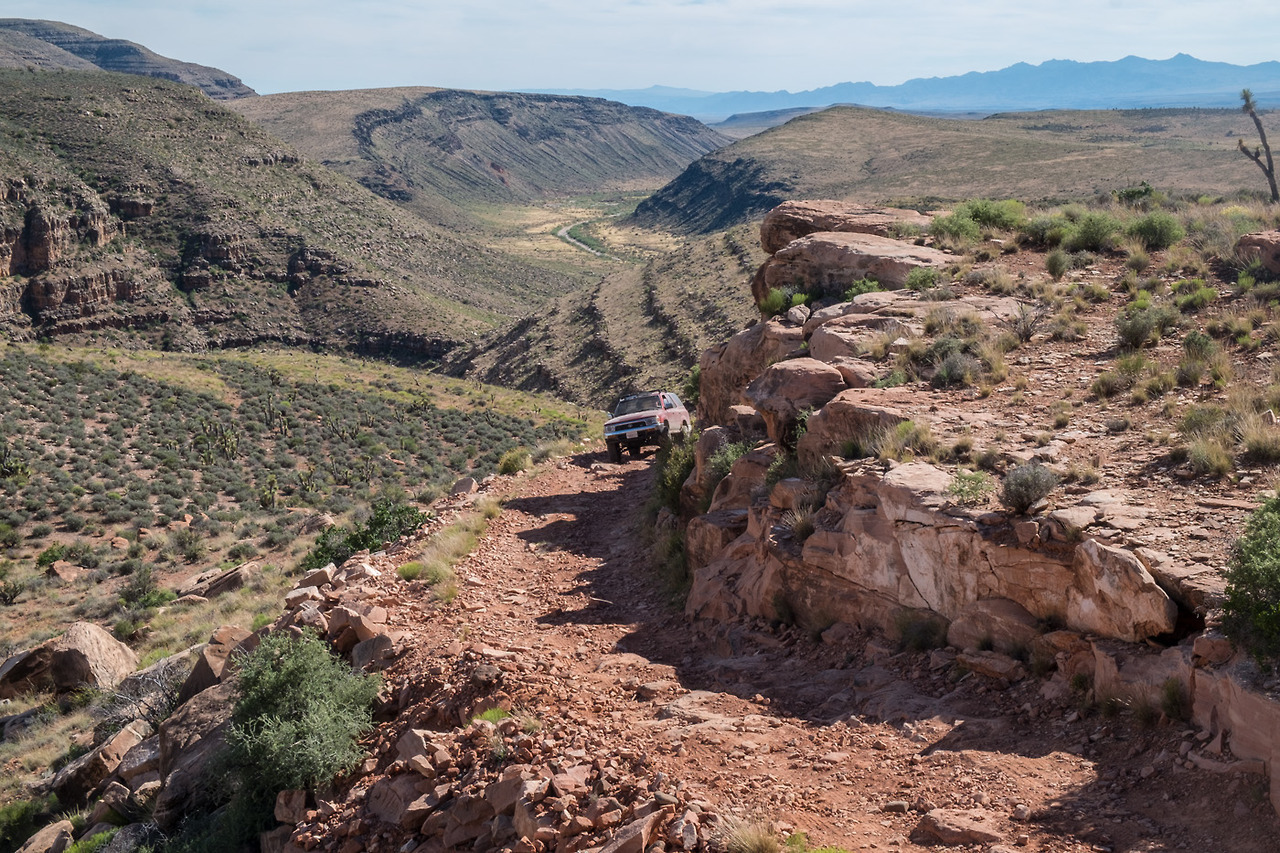
As punishment for our hubris, recent flash flooding has relieved this ledge of all the dirt covering those rocks and gluing them together.
Usually when we take pictures or video of overlanding shenanigans, they’re disappointingly danger-free. But we have evidence in hand showing that this may be one of the trickier things we’ve attempted. There were four separate obstacles with very little runway between them to stop and re-plan. Lots of steps, specific placements, and shifting surface.
Well, if we’re fung shui-ing this shit, I don’t really like where this rock is either.
From Evan
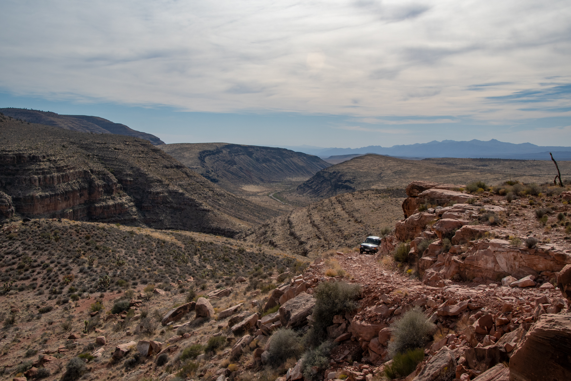
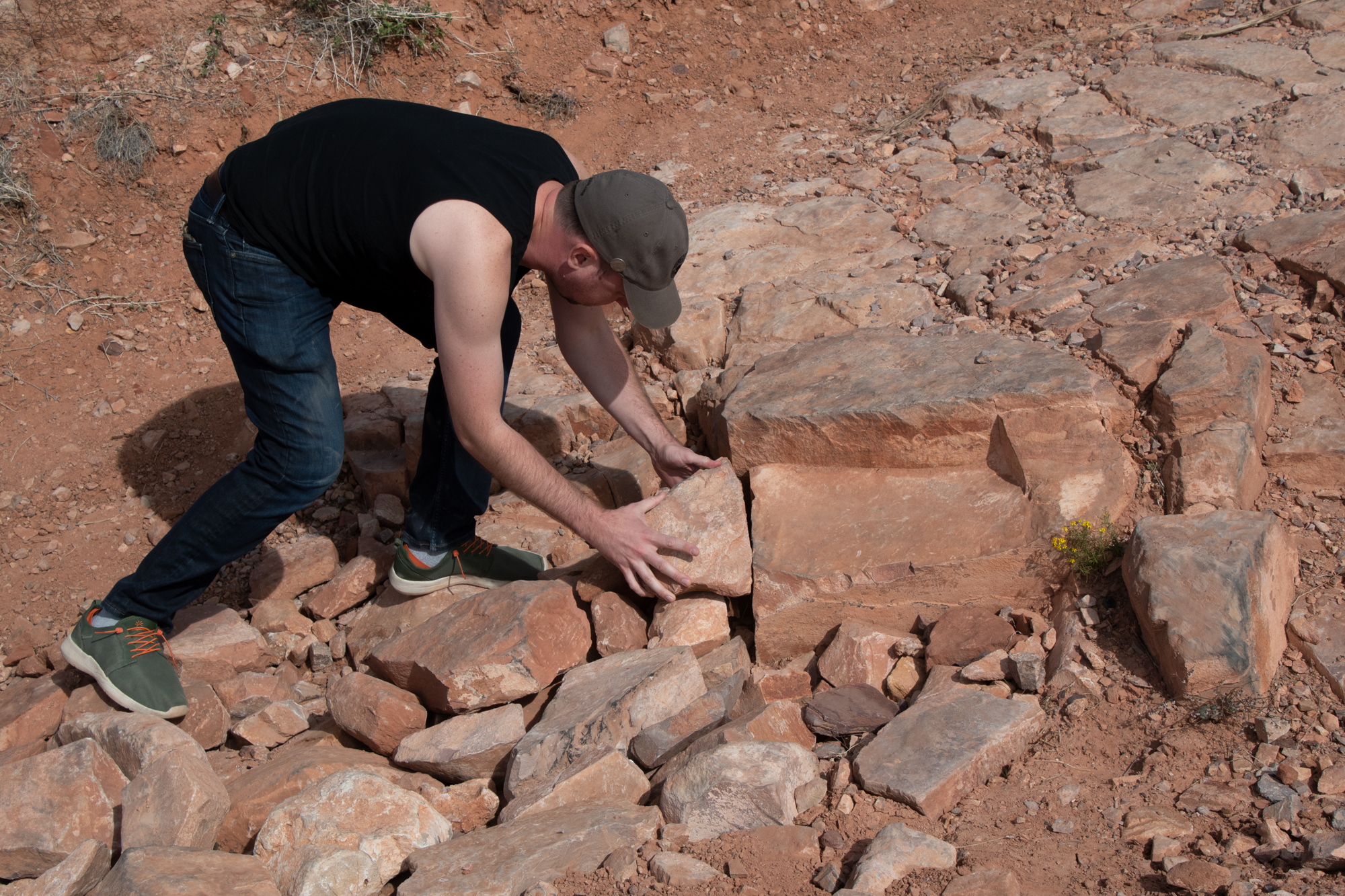

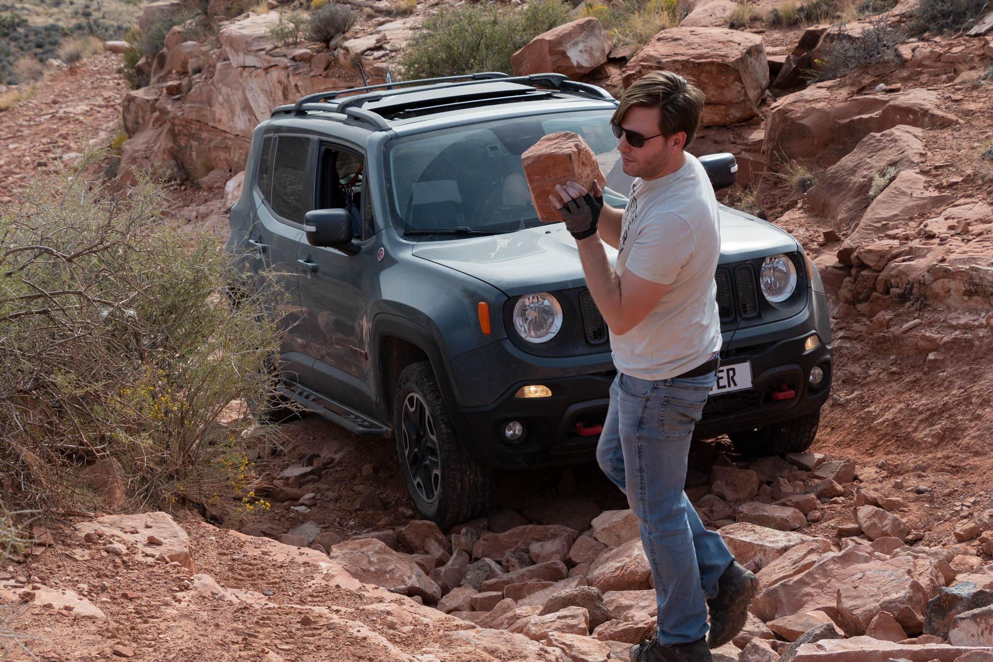
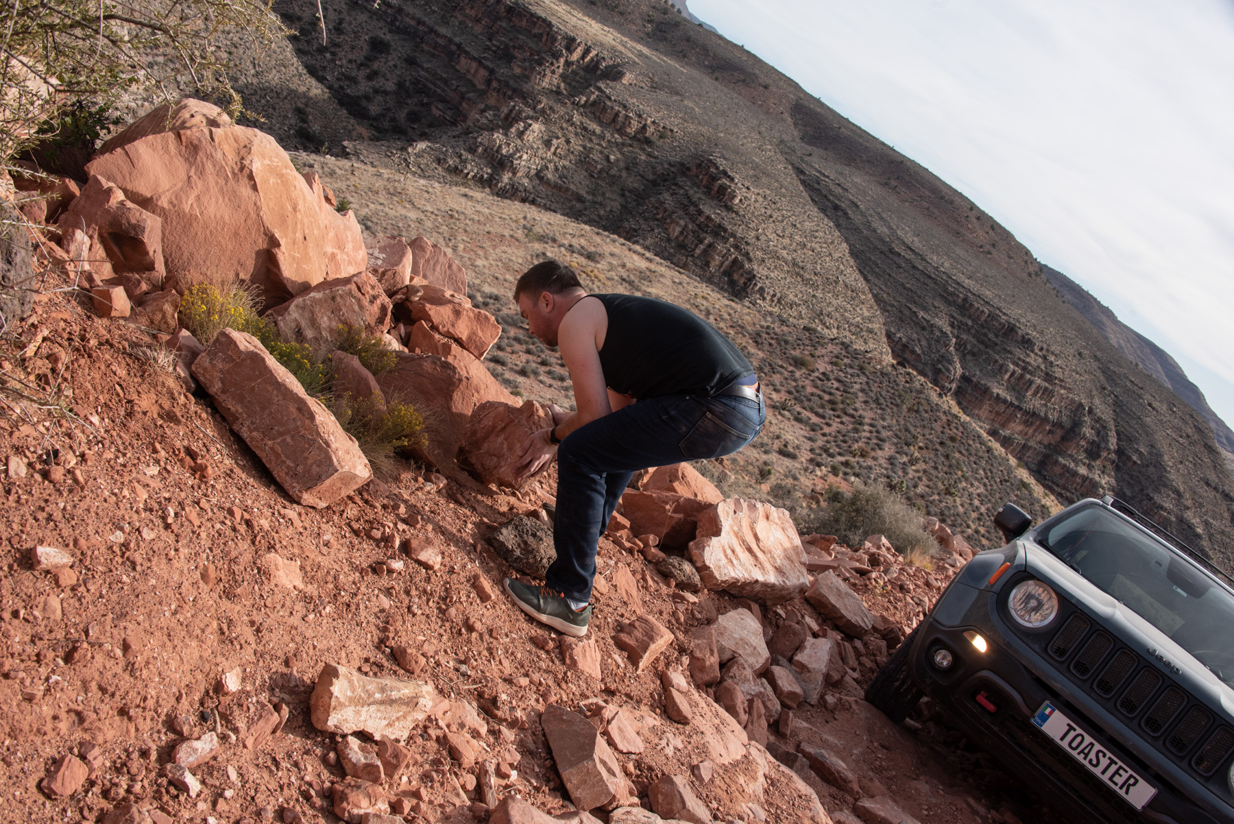
We did some rearranging of rocks to mitigate some of the gaps, then walked it a few times to be sure. We also opted to forego recreating that photo of all three 2017 cars on the ledge and focus on just making it happen. So just picture the Disco leading the Renegade and Xterra the Younger up a rock soup with this view:
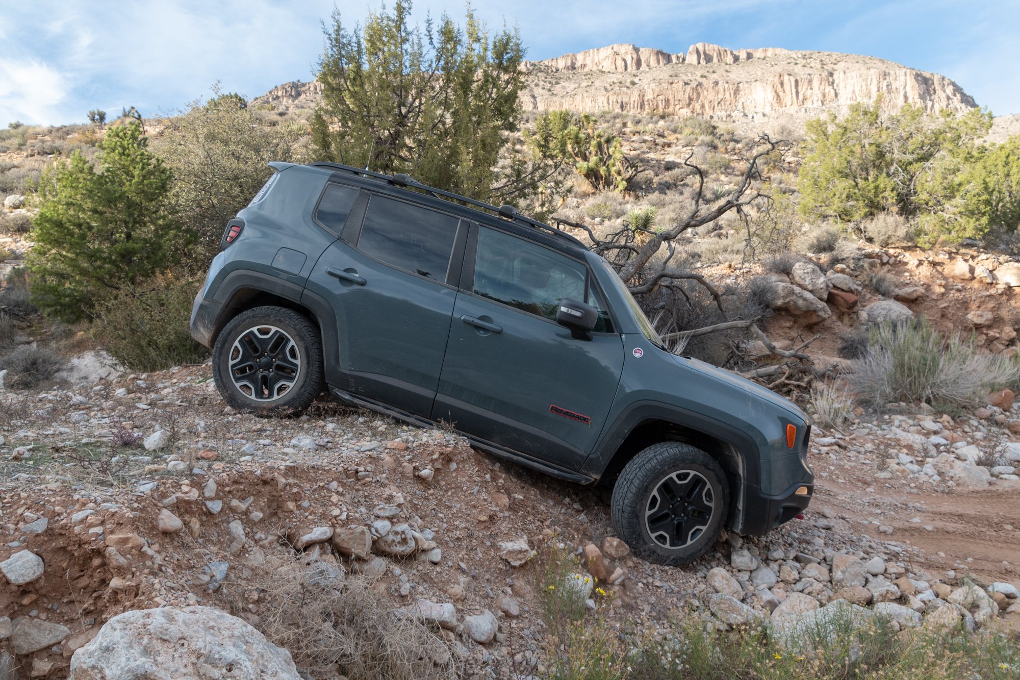
And then Evan went for it. All in one go.
Evan, over the radio: I’m gonna marry this car!
Me, aside to George: I hate him so hard right now.
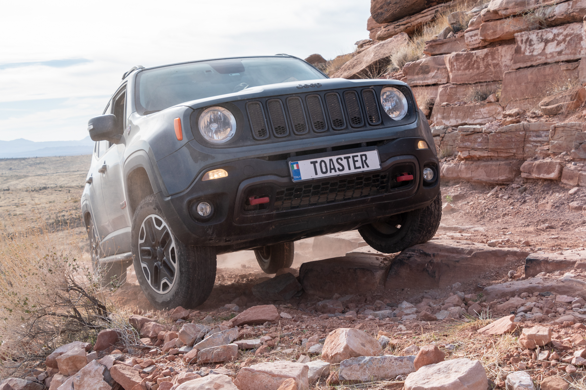
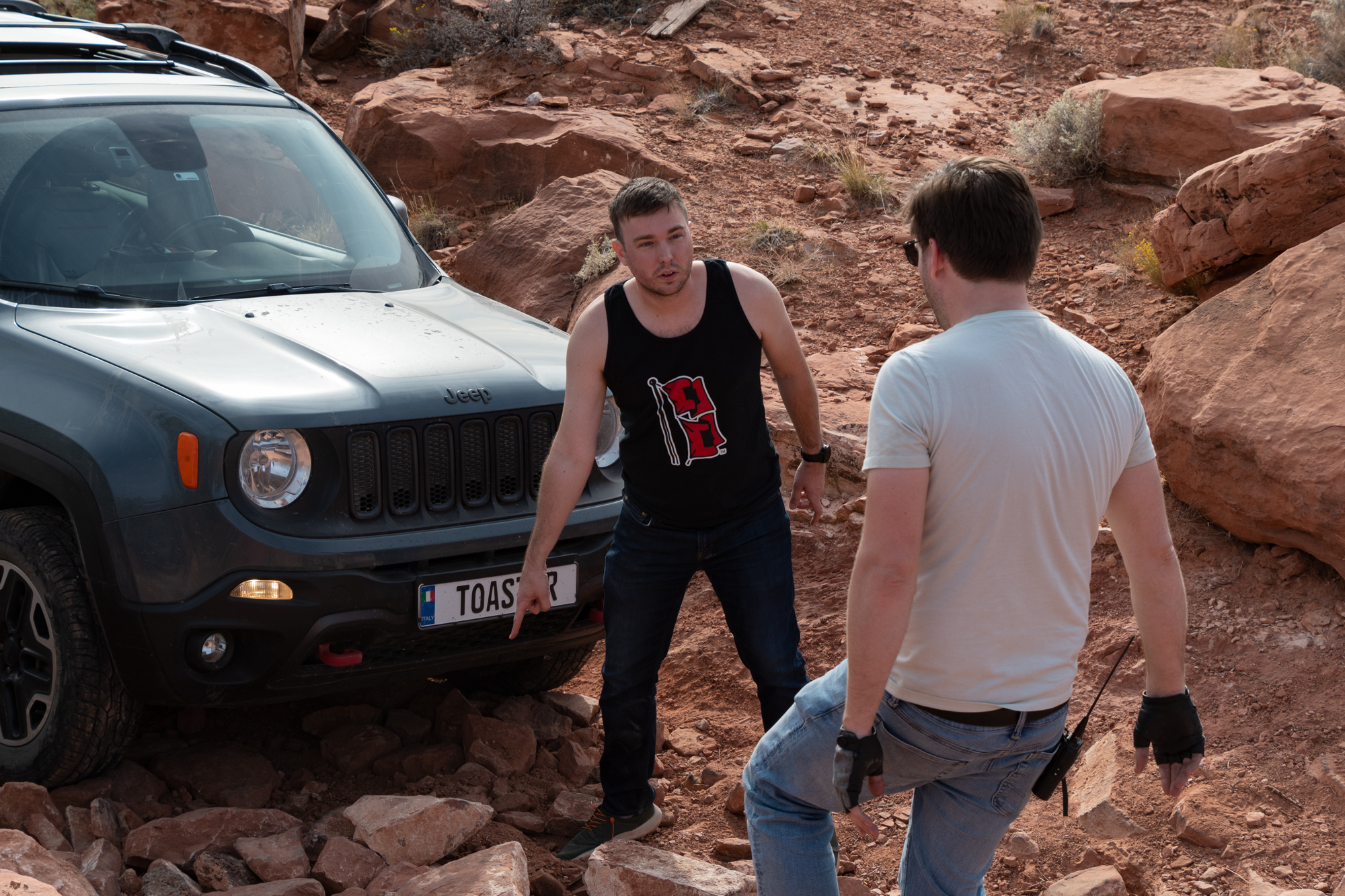
Then George went for it and made it, making a few adjustments along the way. Feeling a little better — and having had the opportunity to cheat off their papers — I gave it a go.
We defeated Nutter Twists! And felt good about it even! That horrible scraping sound, turns out, was just a mudflap which bent itself back into place after having been almost snapped in half.
From Evan From Evan From Evan From Evan
I don’t like driving on things that I can’t walk on without falling over.
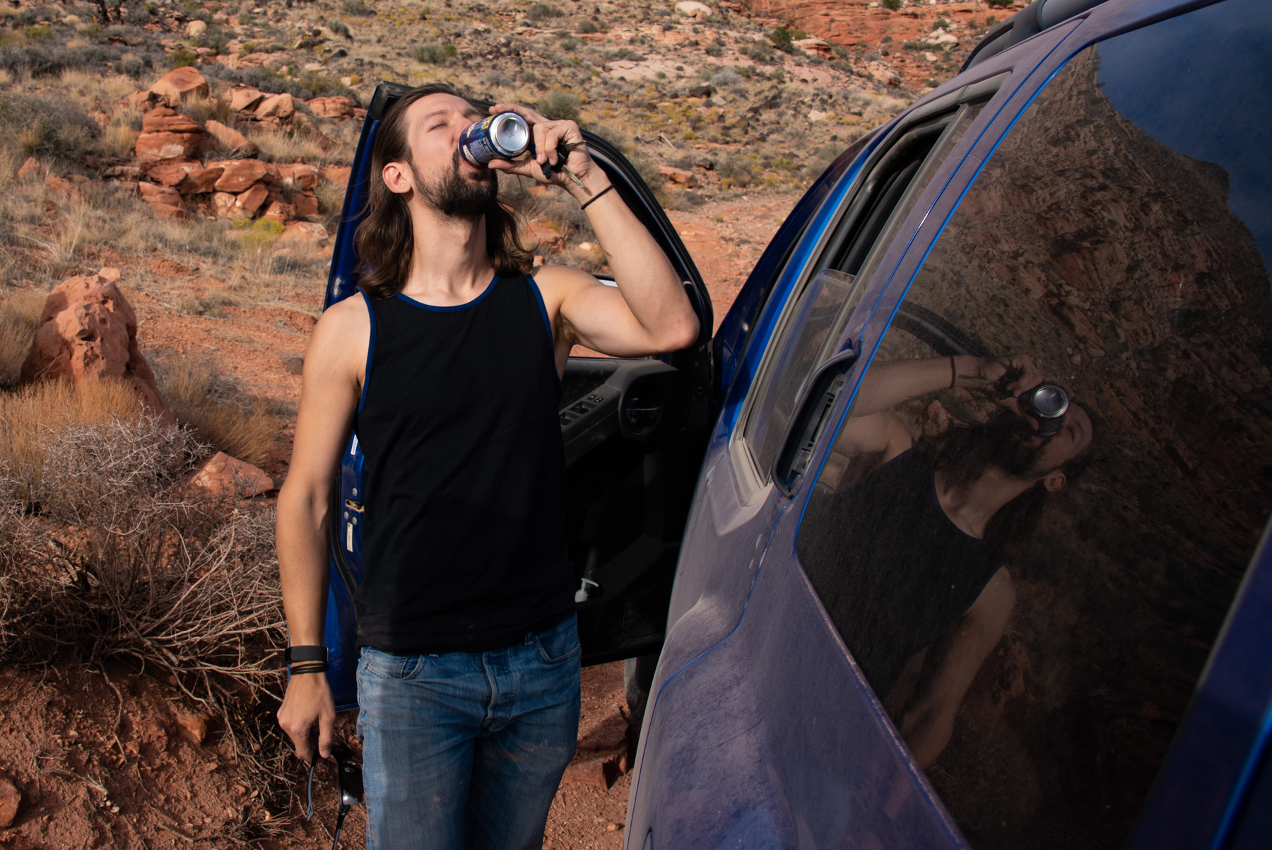
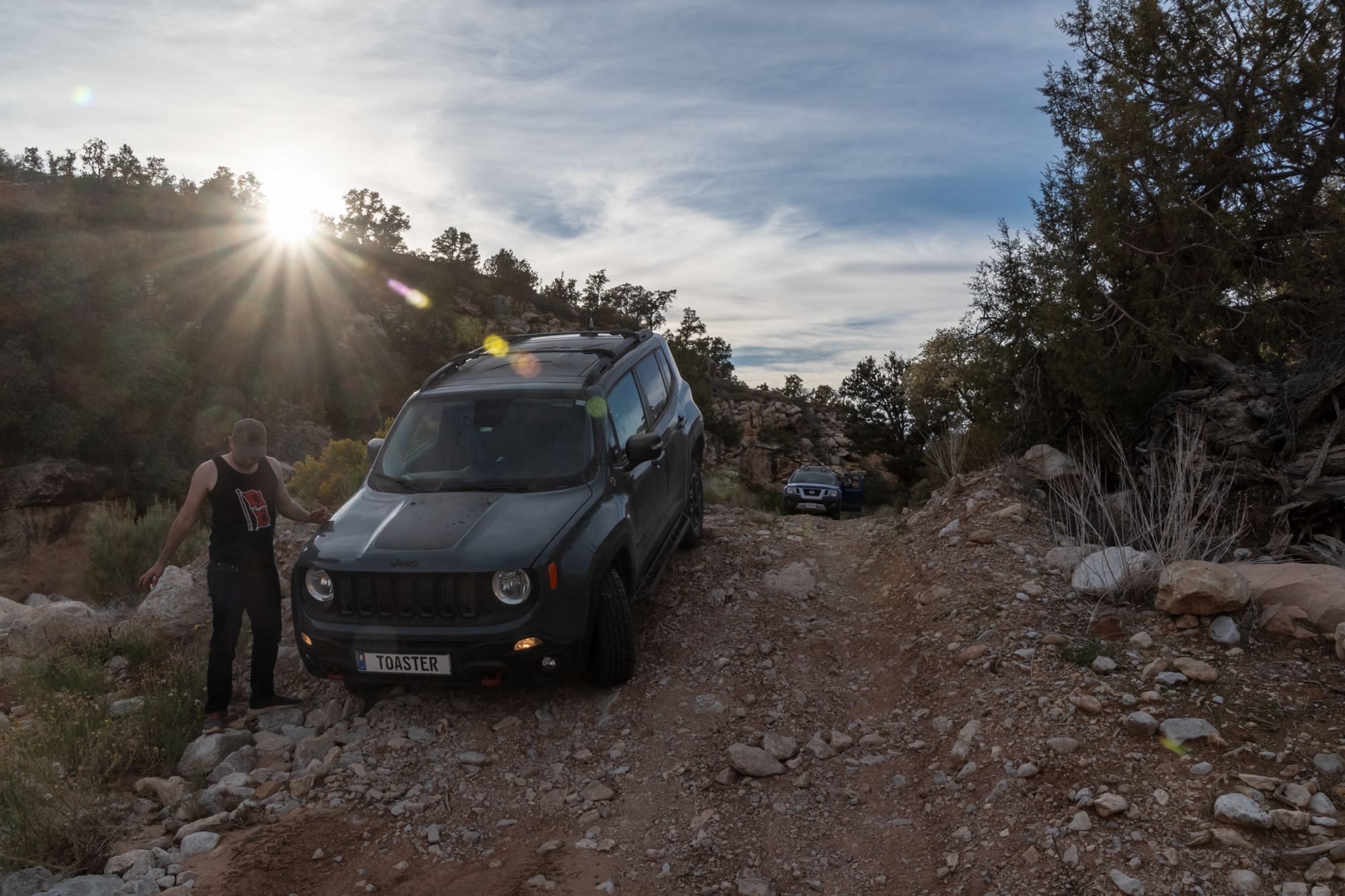
After we split a “closer beer,” we moved on because we were tracking toward being late for ranch dinner, which we wanted to avoid, if possible.

Then George drove off a small cliff into a wash. To his credit, it wouldn’t have been so bad had the riverbank not given out under him. He was held up not only by his rock rails but his subframe and gas tank which meant we couldn’t pull him forward without risking serious damage.
From Evan

A combination of multiple strategies ended with me turning some clutch plate into a foul smell to pull him out of his ditch.
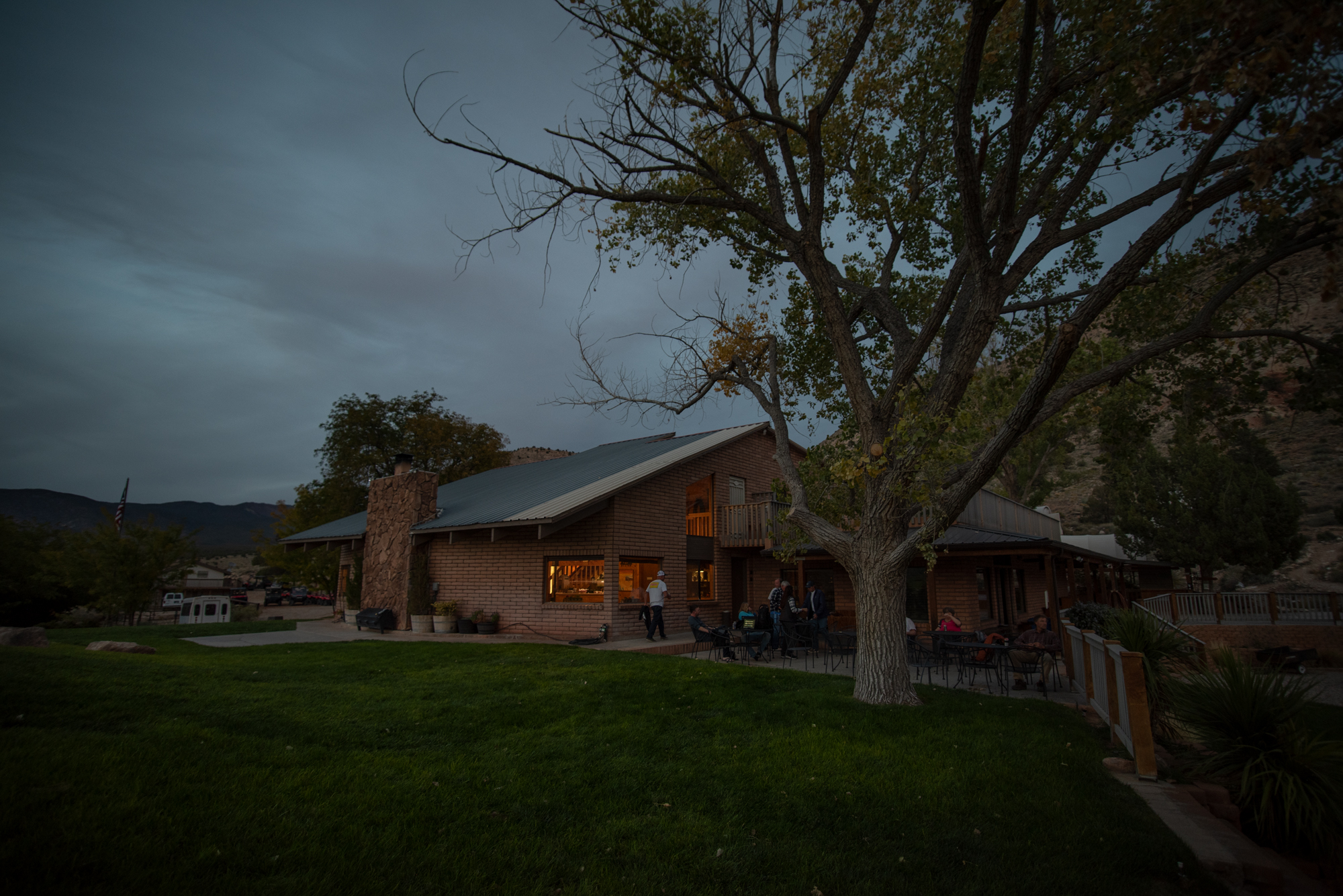
With the added time for Nutter Twists: Next Level, George’s Wash, and the 90+ offroad miles we had to cover — we were quite late into the ranch. But two gracious team members emerged from the staff quarters and heated some fantastic chili for us. Instead of covered wagons, we were put in a room in the bunkhouse — not sure why, but it was a good setup. And we passed out.
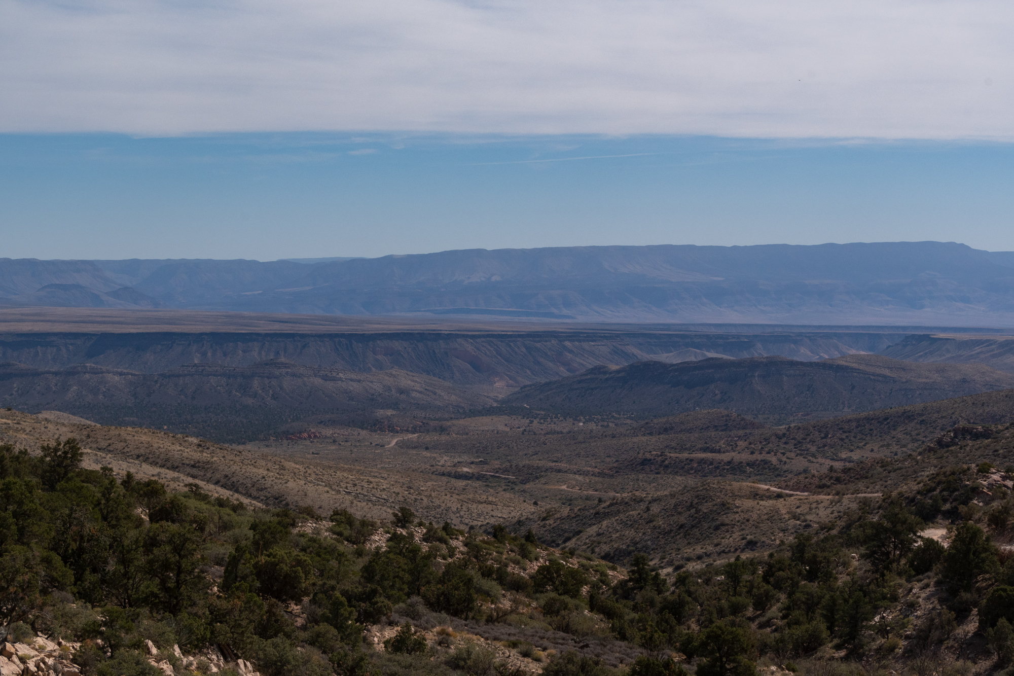
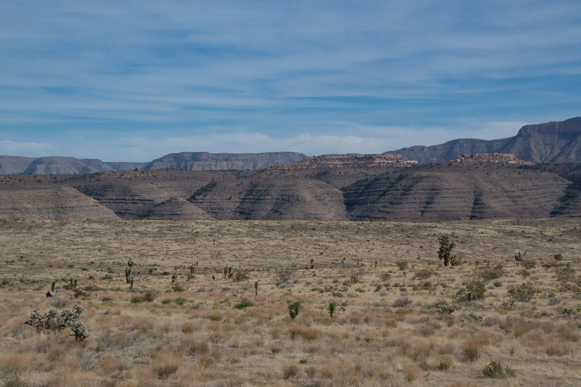
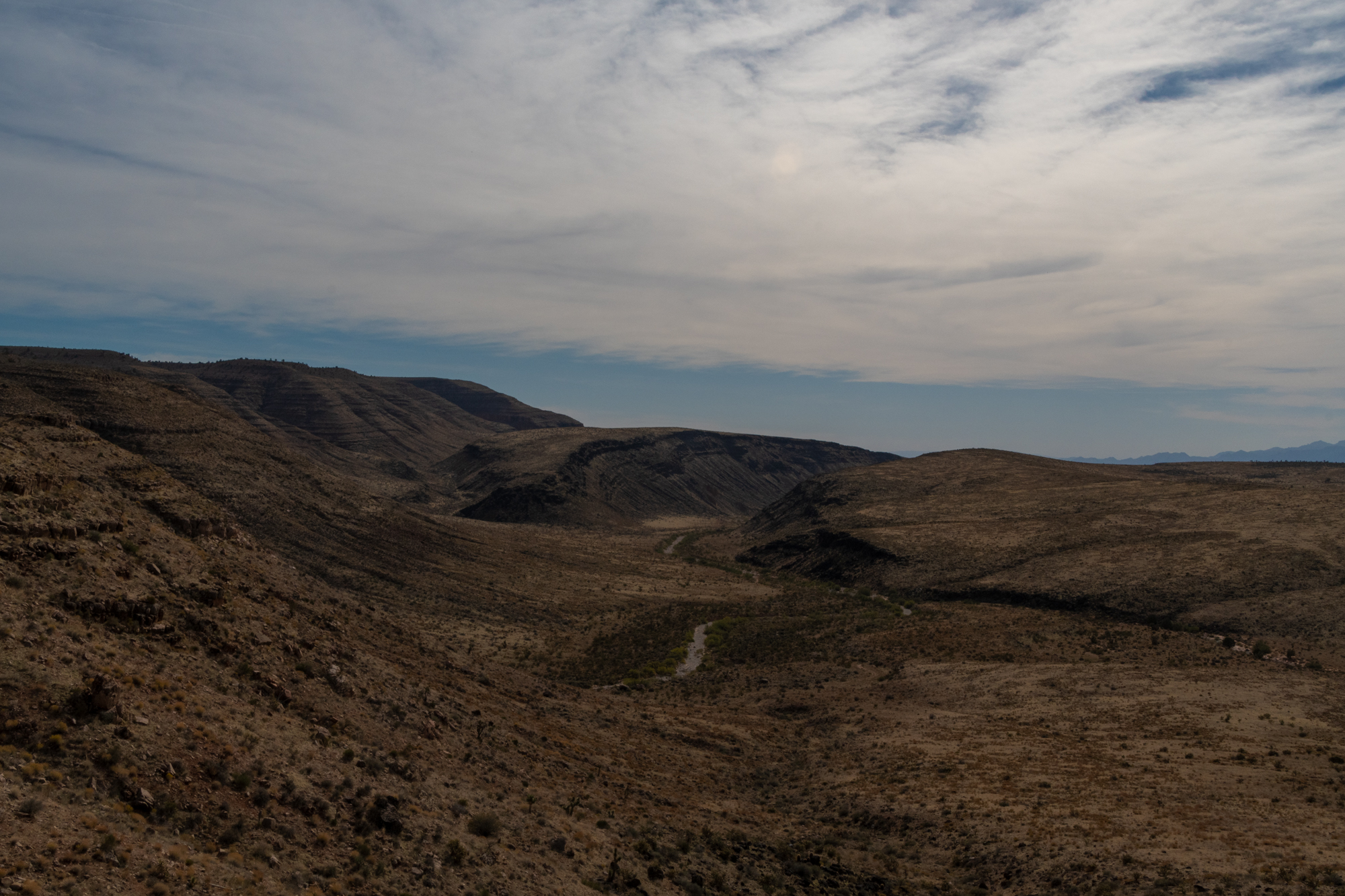
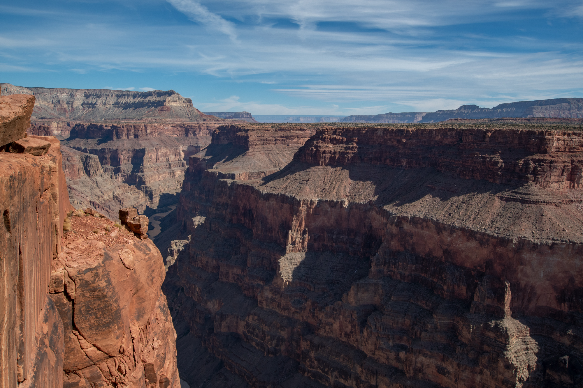
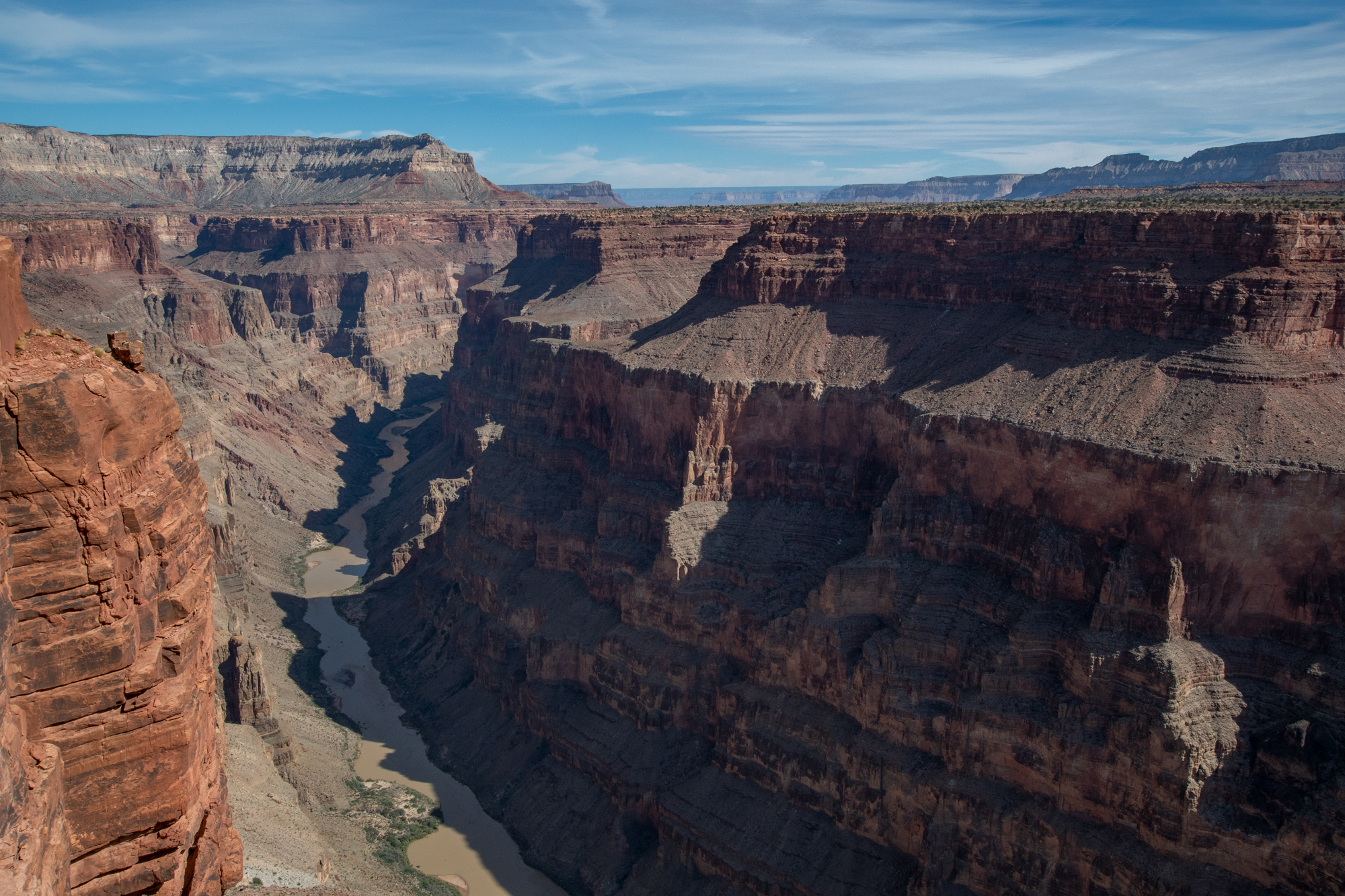
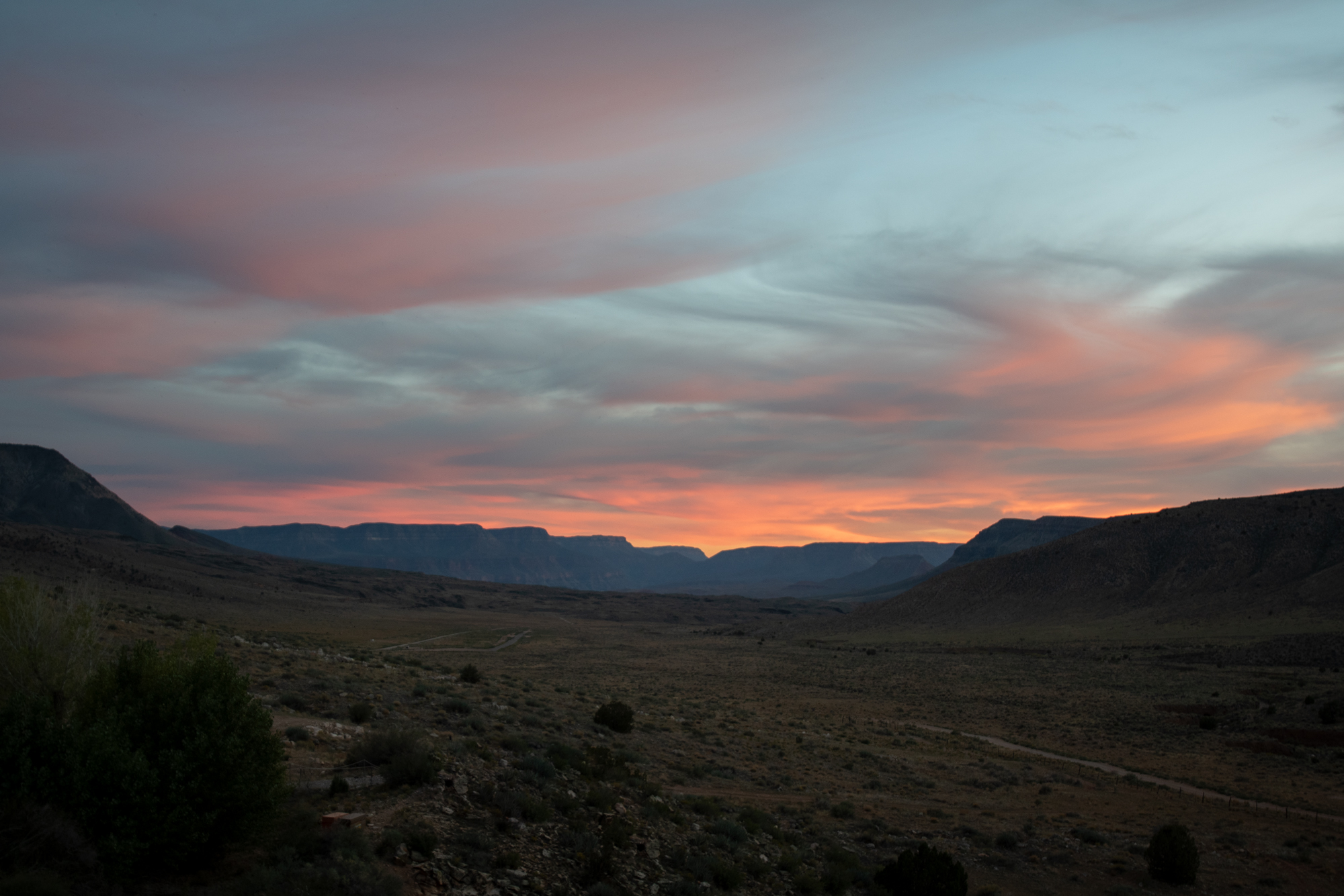
Day 2: Toroweap, Nampaweap, and the Sundial
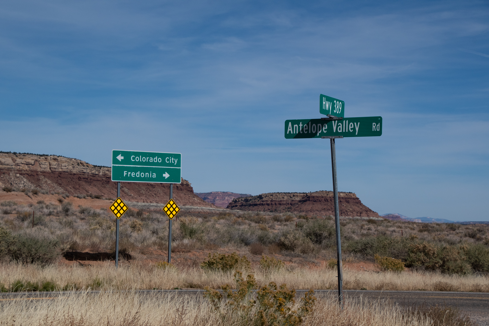
In 2017, we settled on Bar10 as a compromise because of the warnings that the NPS slaps on the webpage that describes the road to the Tuweep Campground and Toroweap Overlook. For this trip, I couldn’t imagine staying anywhere else. So we considered a day-trip over to Toroweap today, but weren’t ready for another 100+ mile off-road day with the shame of being late for dinner again. Scott, the ranch hand who helped us refuel, said that yesterday’s conquests far exceeded Toroweap. He urged us to head that way and hit up the petroglyphs of Nampaweap on the way back.
Tuweep? That’s 30 miles of county road, you can go 40 on it. Then there’s just that last 3 to 4 miles in the National Park because the Parks Service likes you think you’ve had a little adventure. You’ll be fine, and you could even be back by lunchtime! Go for it.
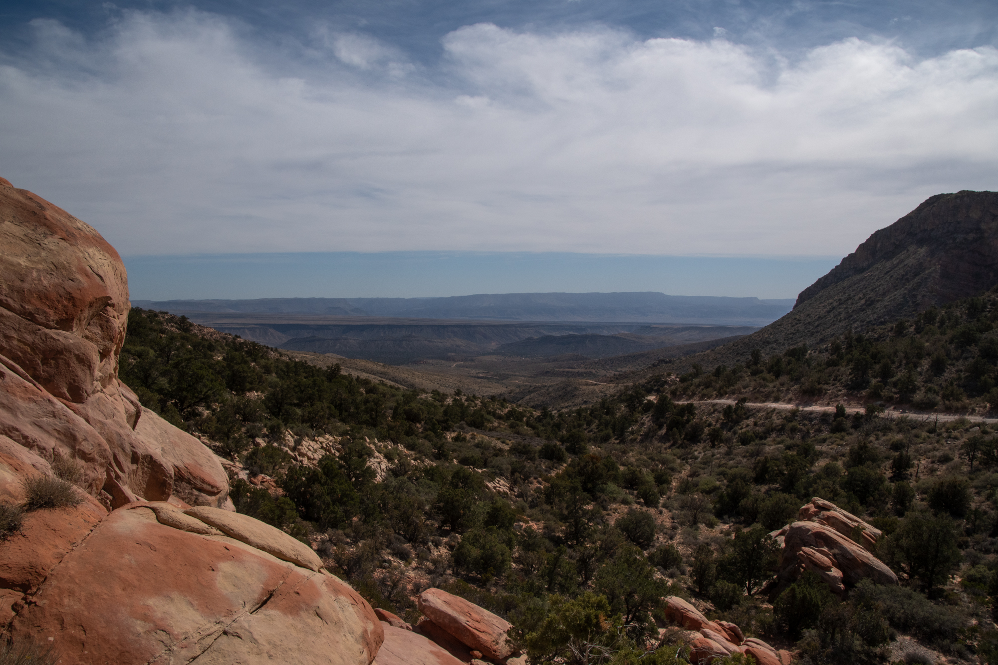
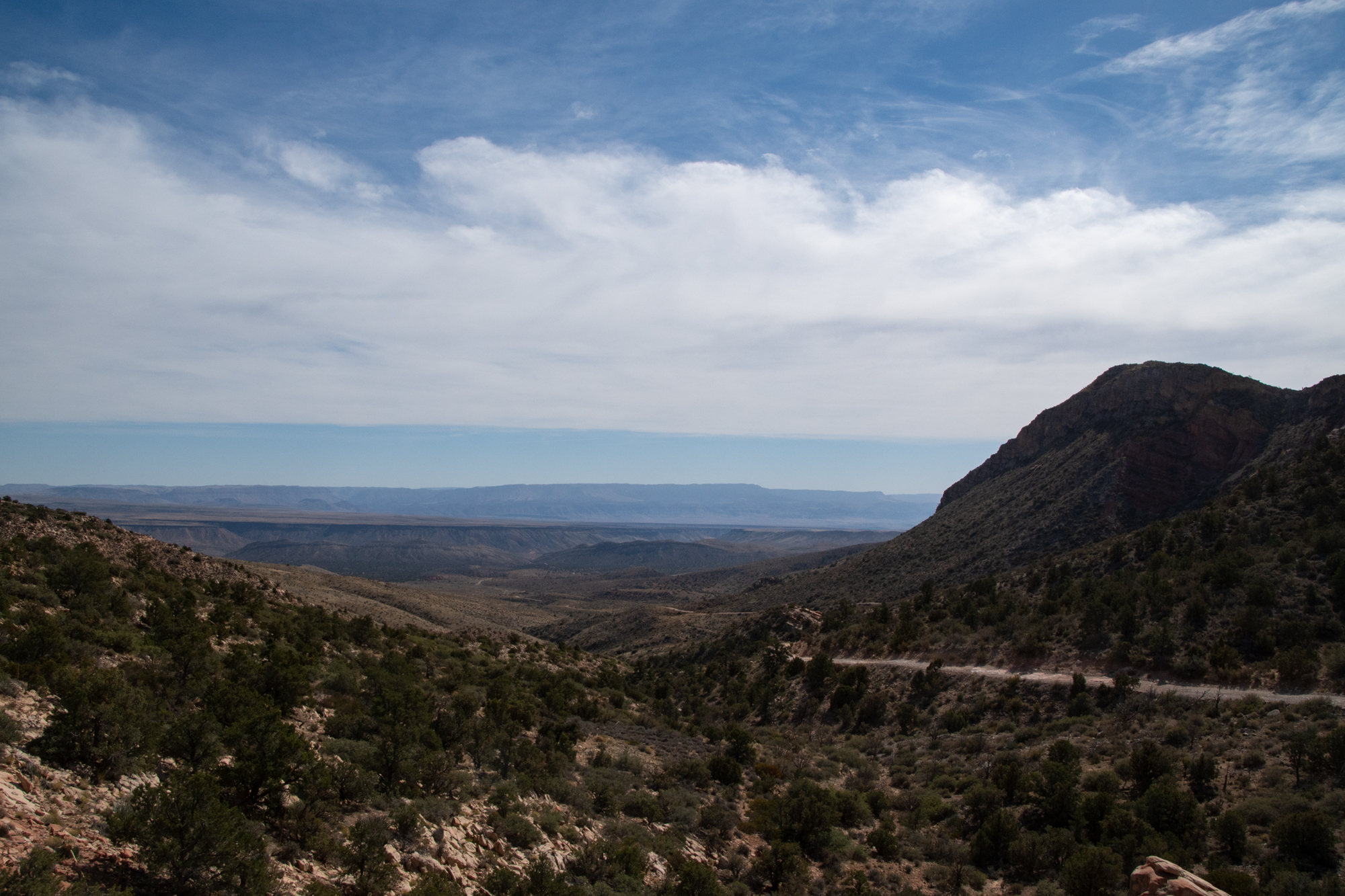
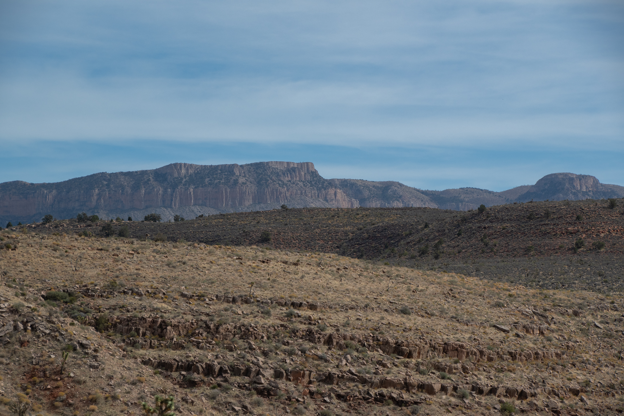
The drive over Mt. Trumbull was beautiful. It weaved between several ranches and cut through a pine forest before reaching the Toroweap Valley on the far side. A volunteer park ranger talked to us about the area and what to expect and sent us on our way. He also stamped George’s National Parks Passport book. I’m so glad Scott offered this tip.
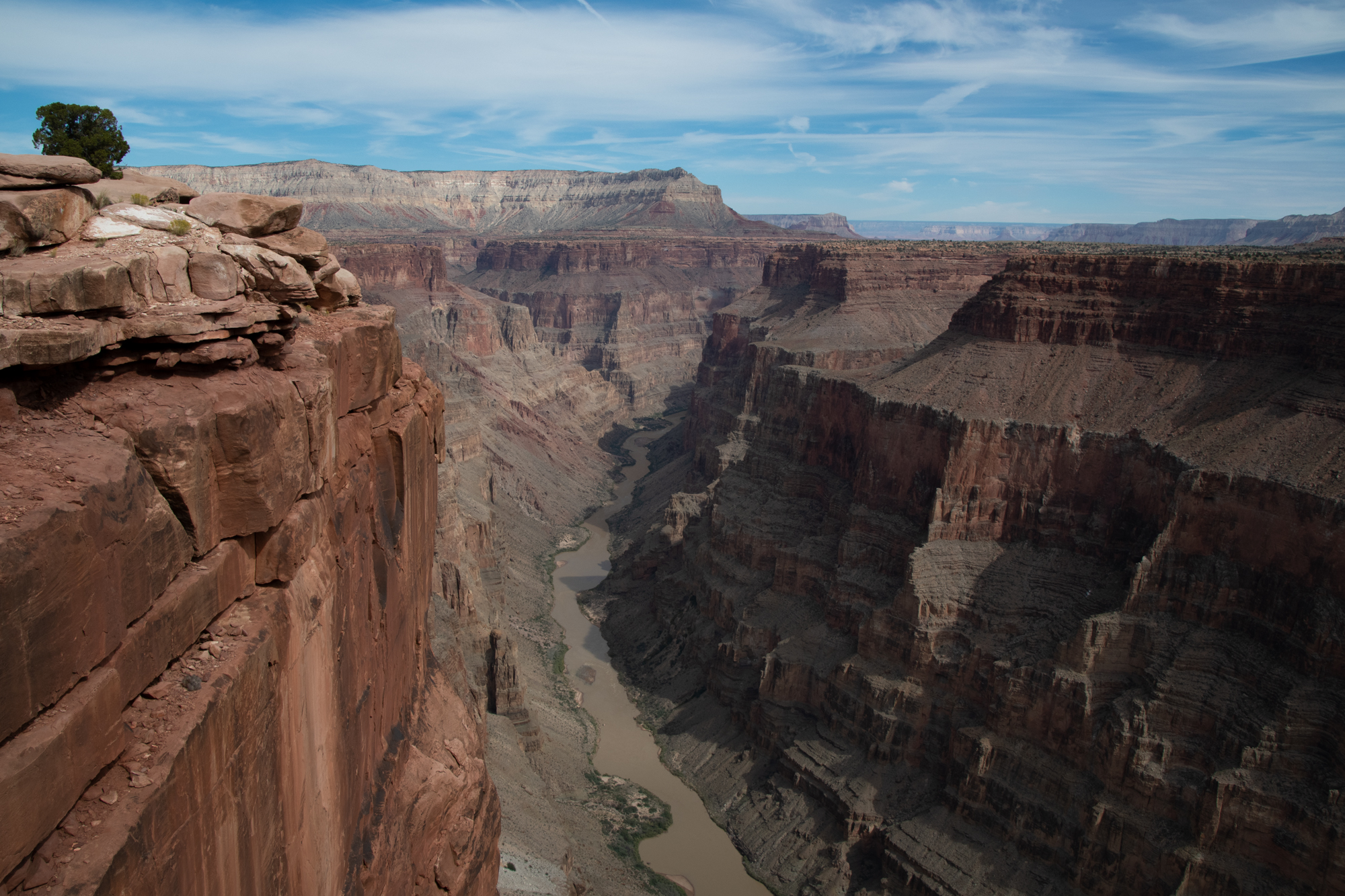
“Toroweap, a Paiute word for ‘dry or barren valley,’ refers to local features, including the valley and the overlook. Tuweep came into use to describe the local settlement and later the park area. Tuweep in Paiute (pronounced Tu-VEEP) refers to ‘the earth.'” Which, from this vantage point, you can see all of.
For all the build-up, the drive to the overlook was gorgeous but not hard. Maybe the warnings keep the crowds down a bit. There were a lot of Jeeps around, but nothing like what I’ve heard the main South Rim overlooks look like. It was stunning.
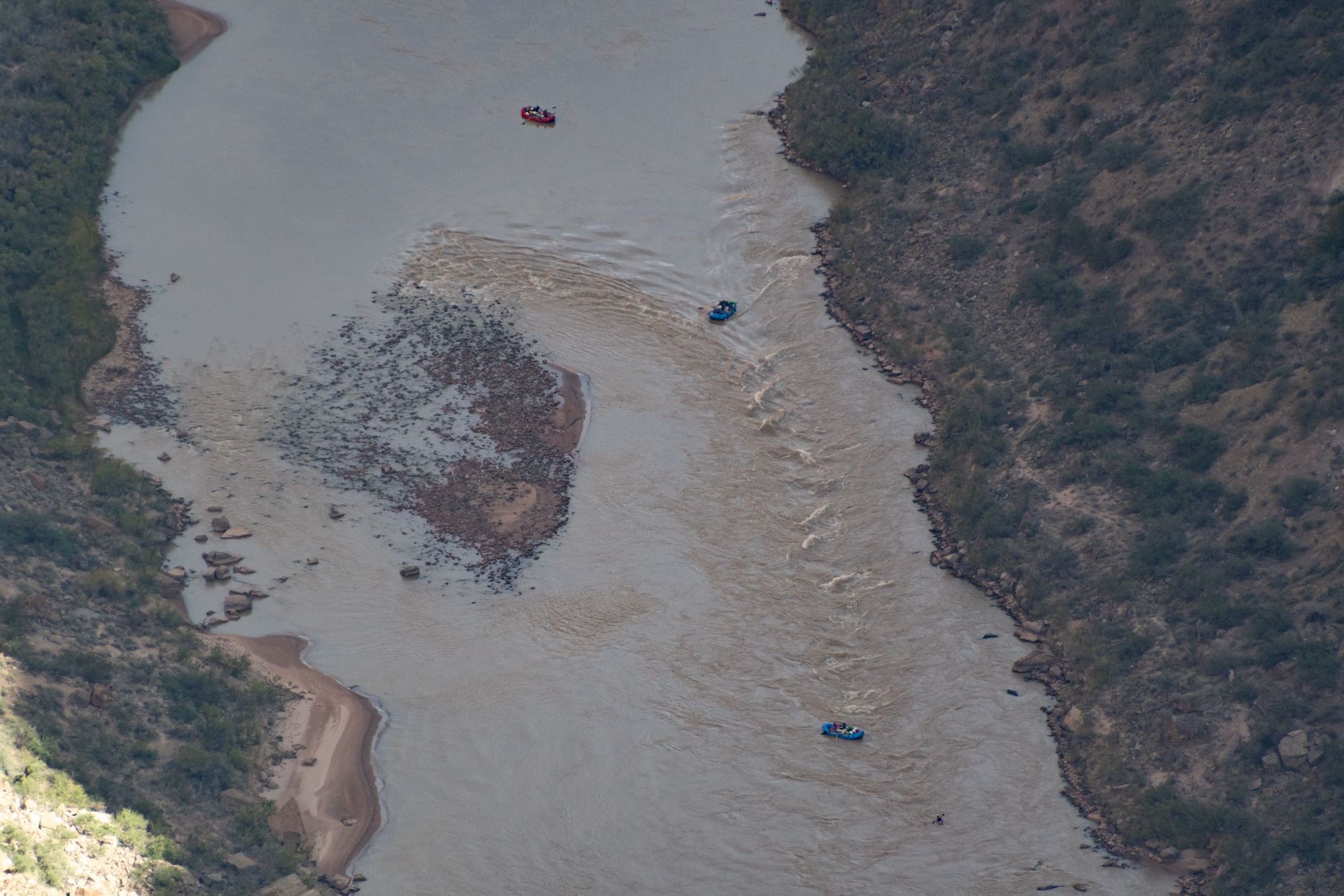
Huge rafts by an island Same island for scale From Evan Jeep factory…

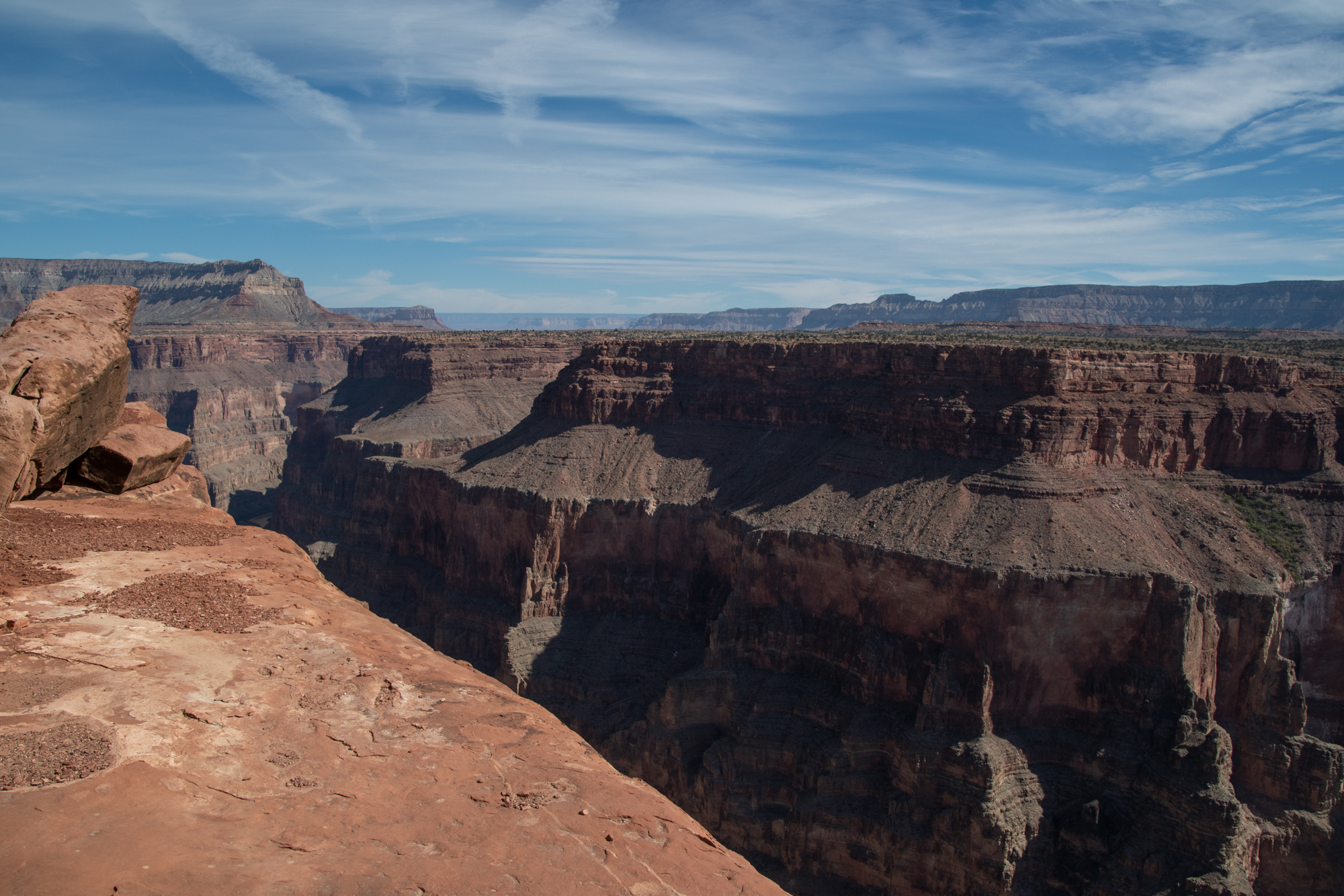
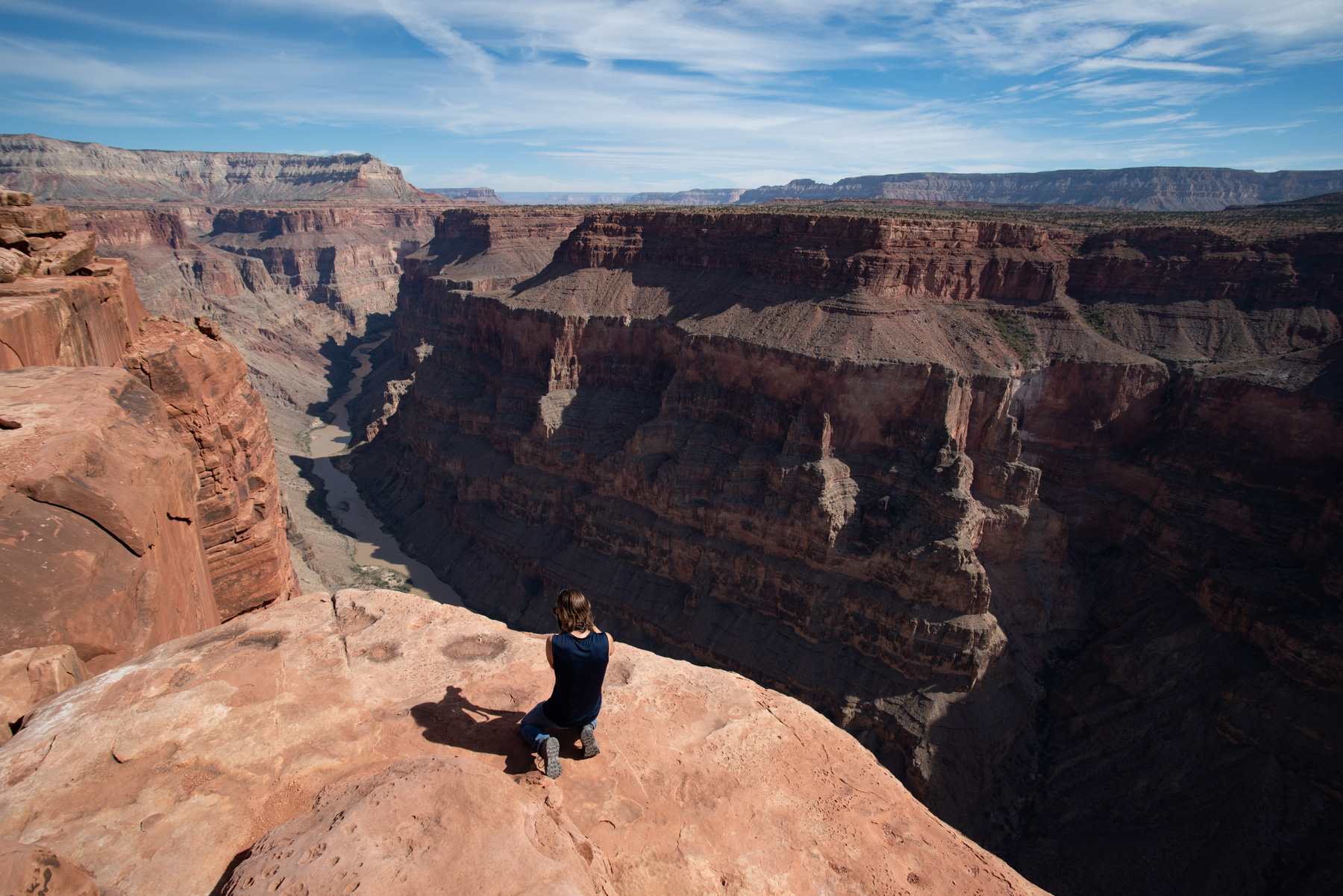


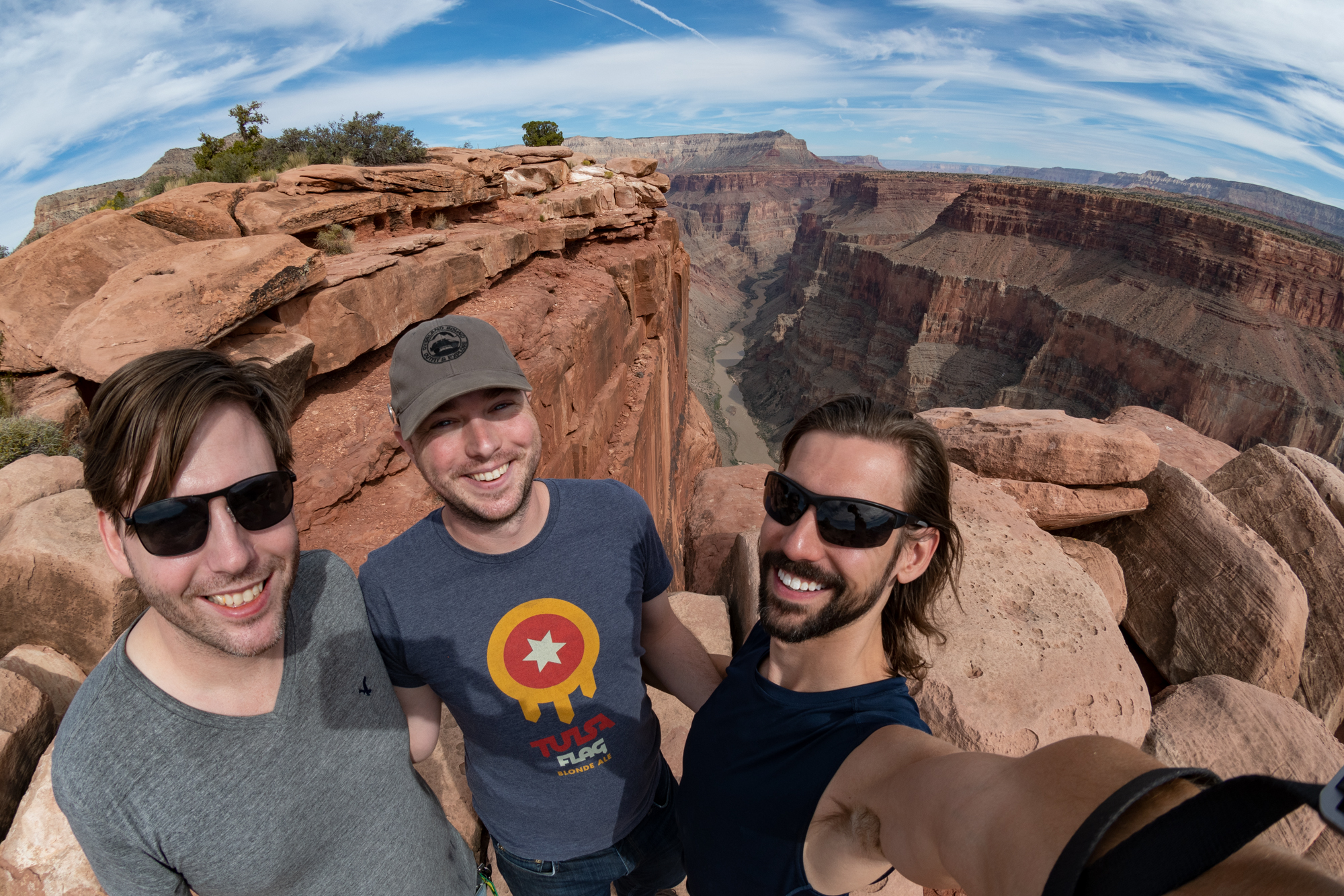
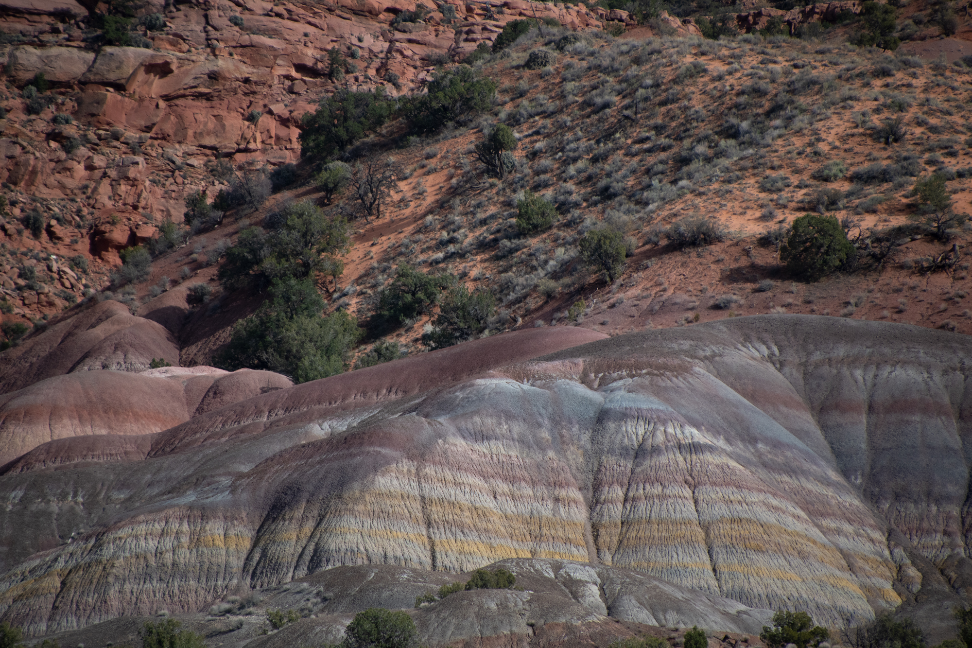
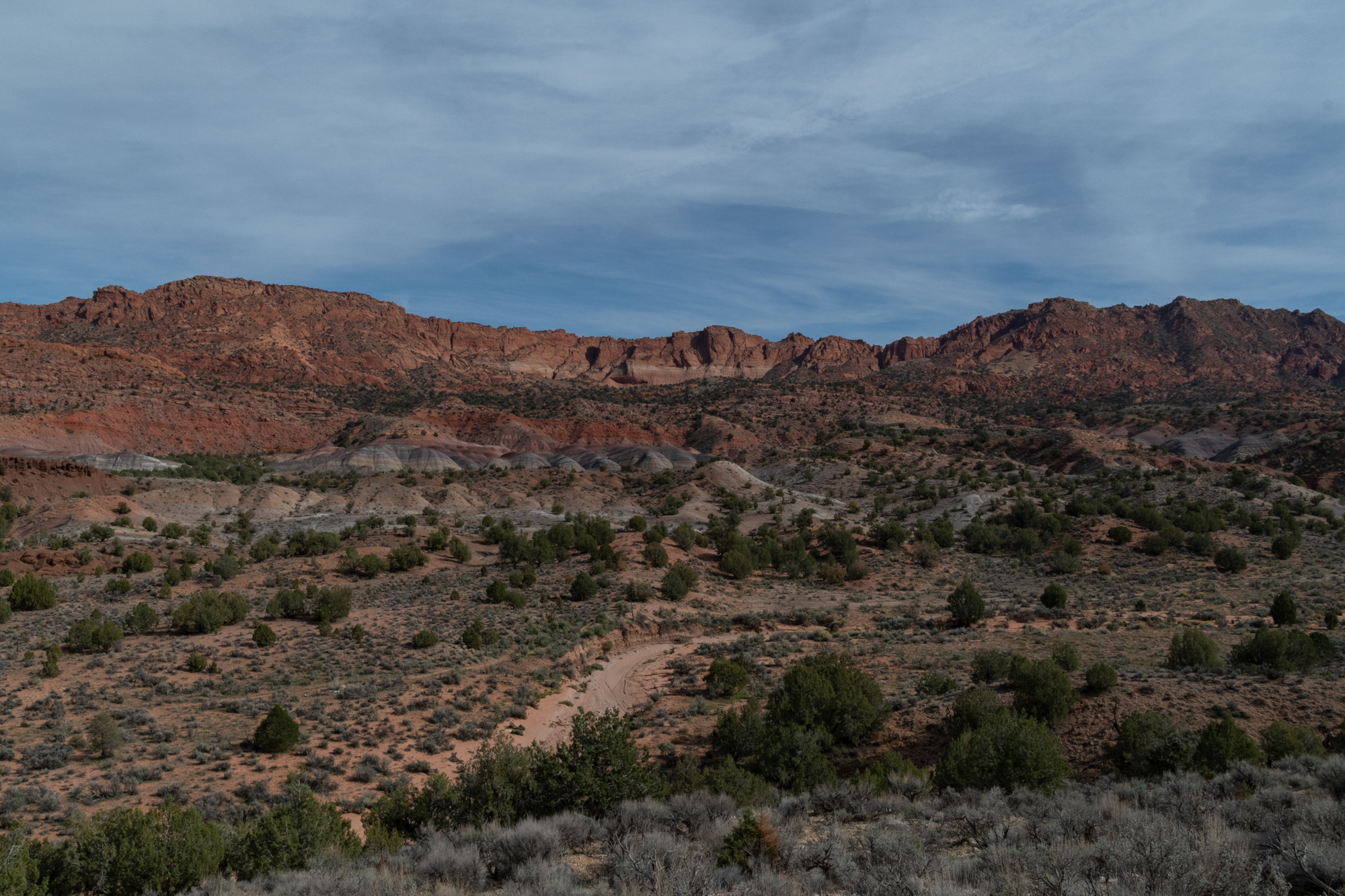
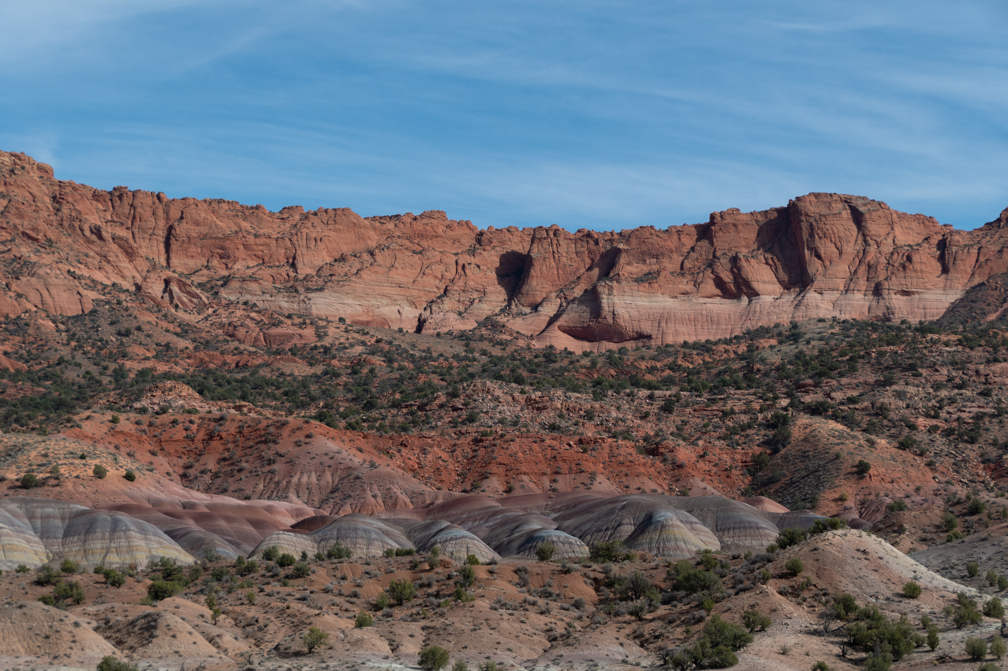
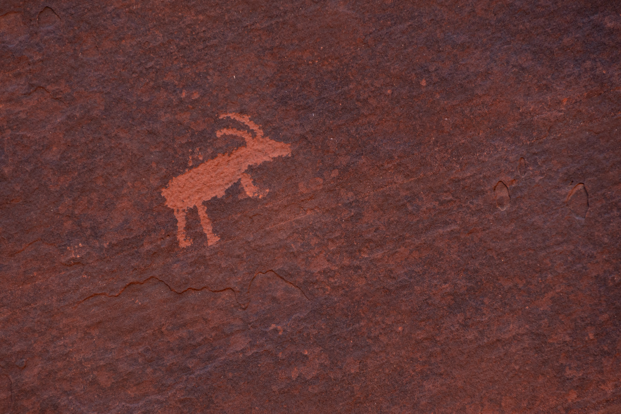
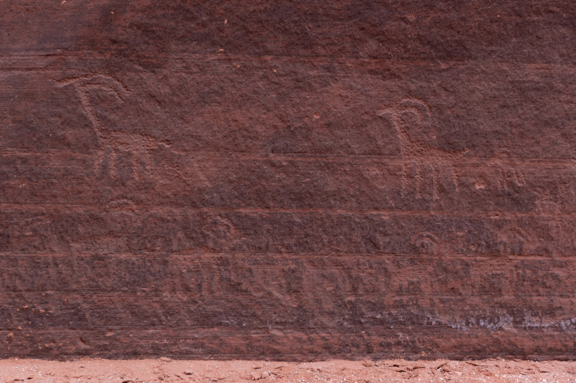
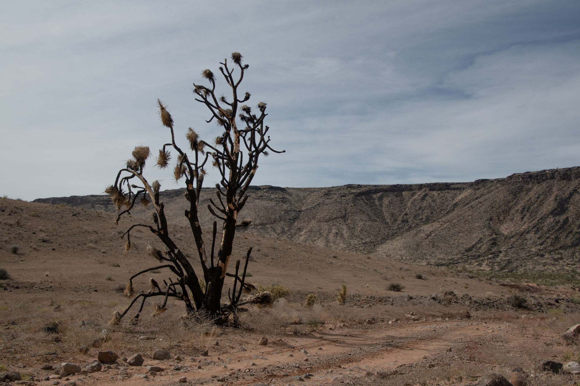
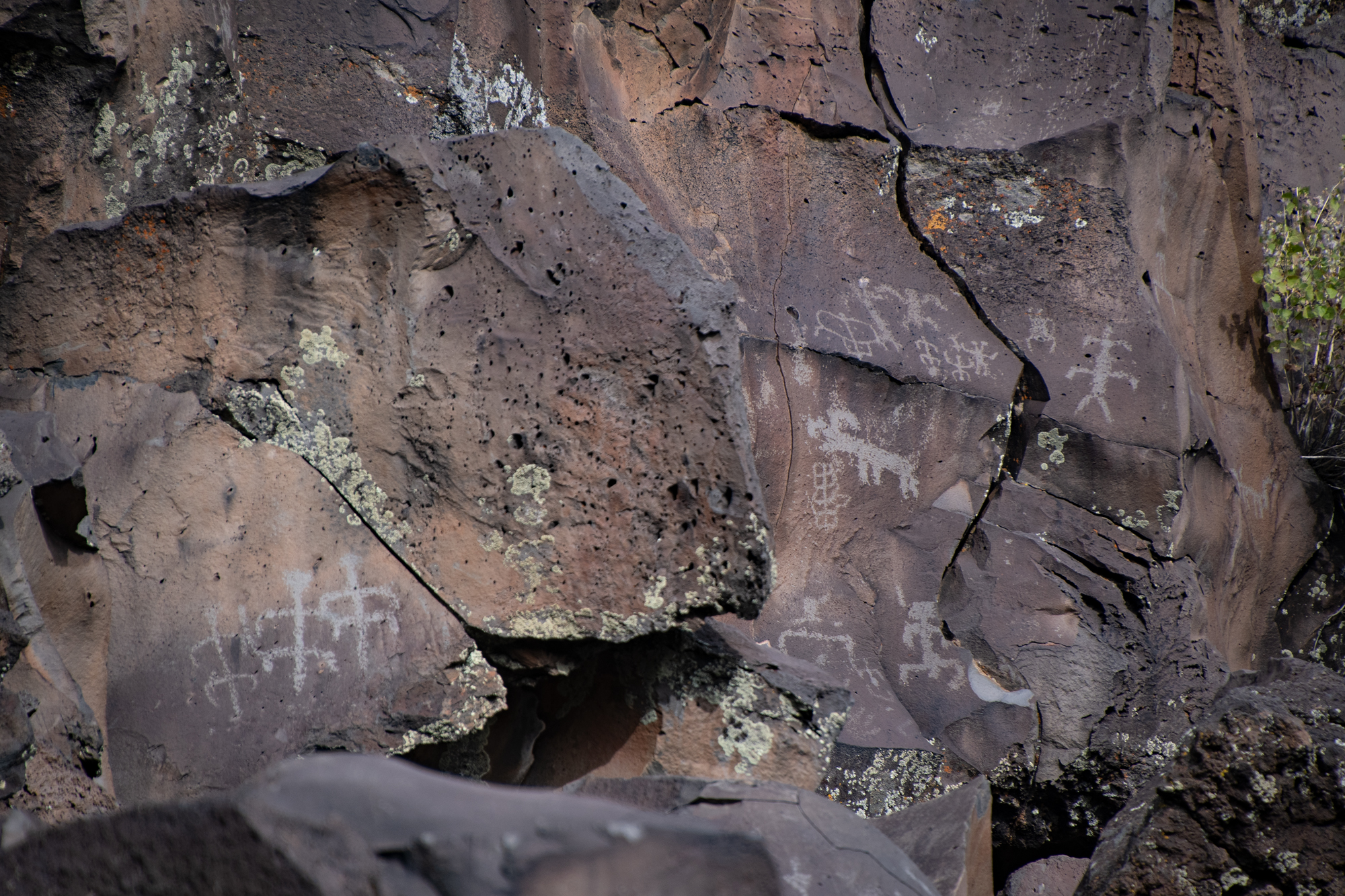
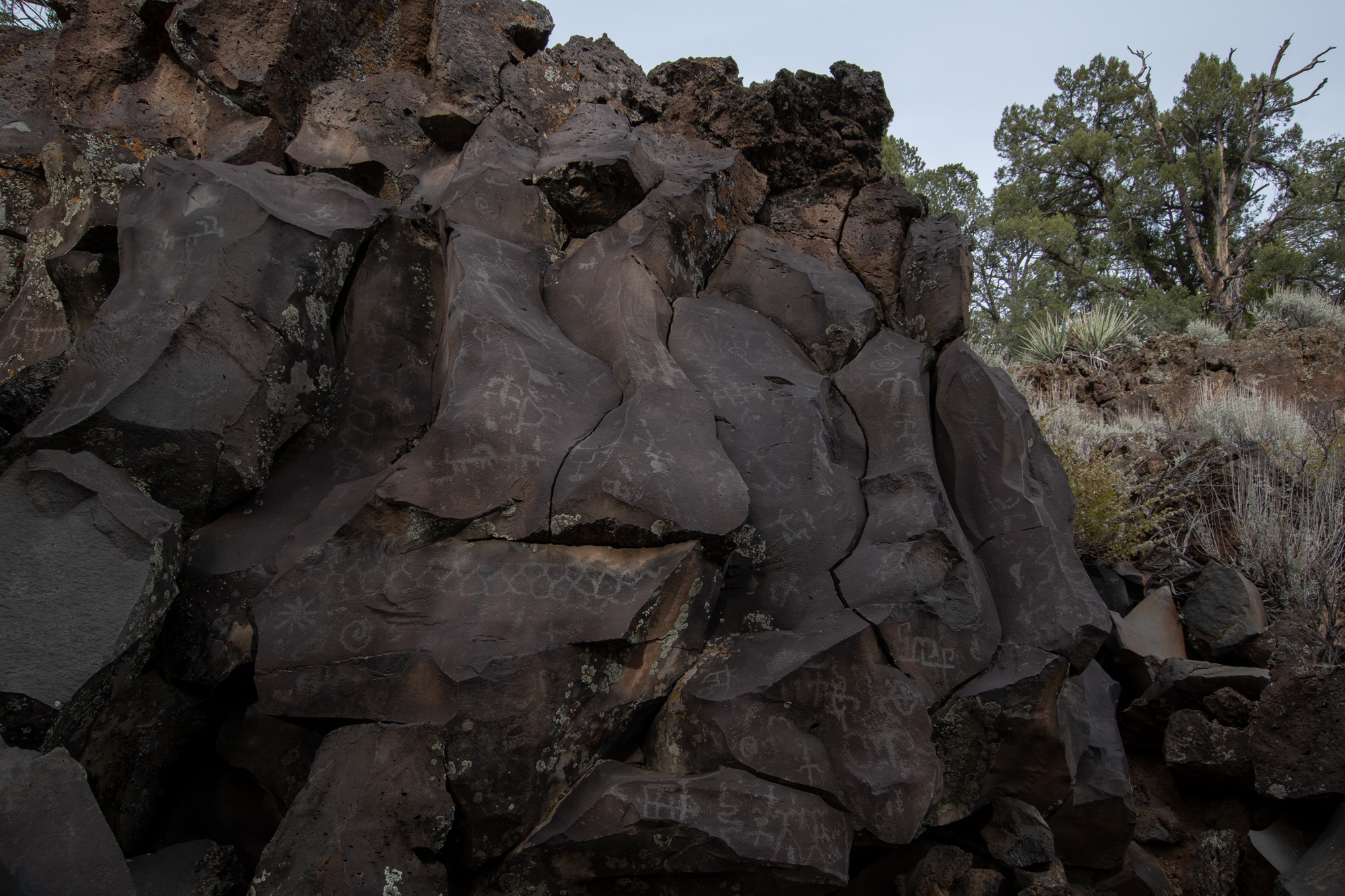
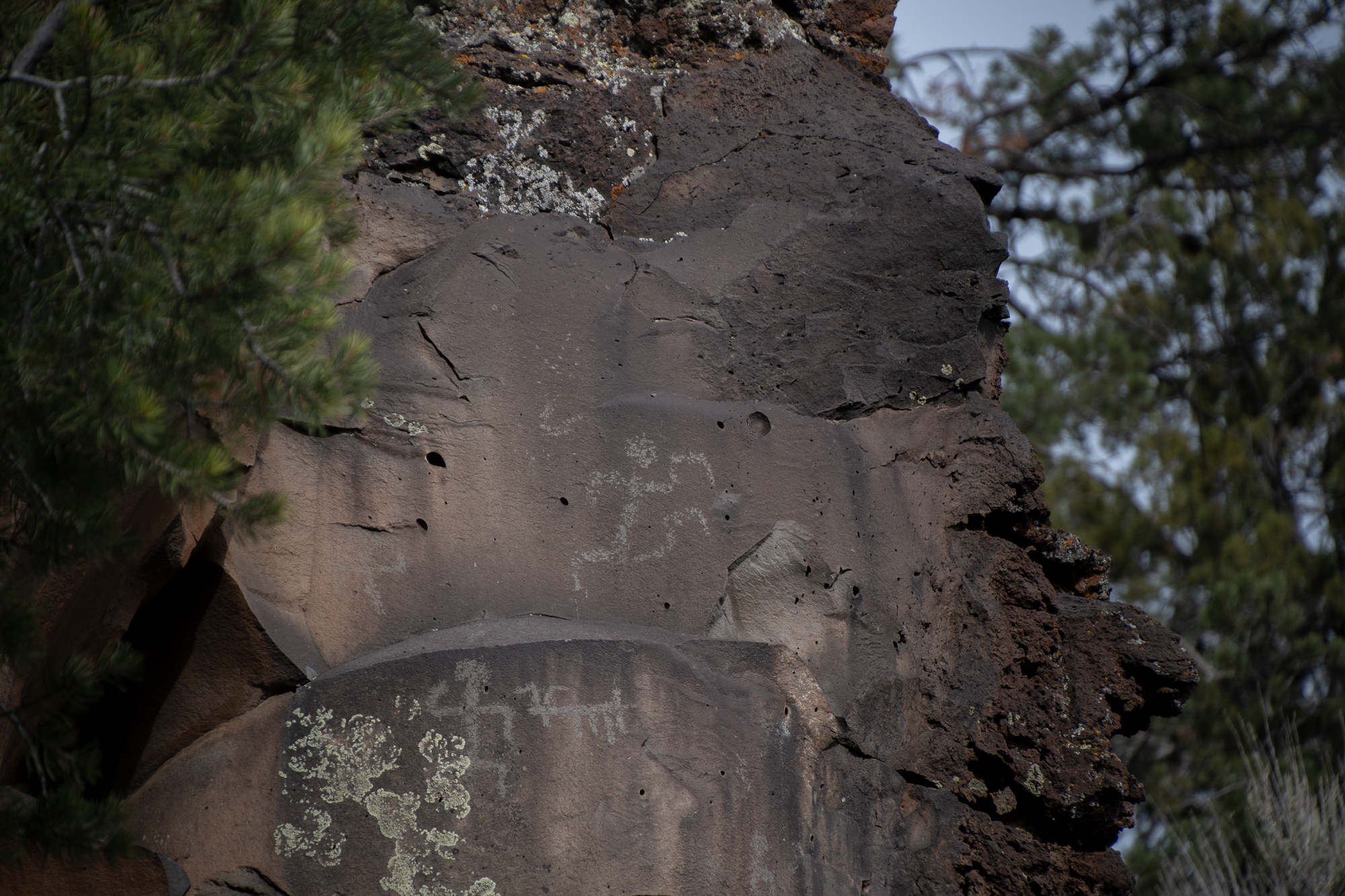
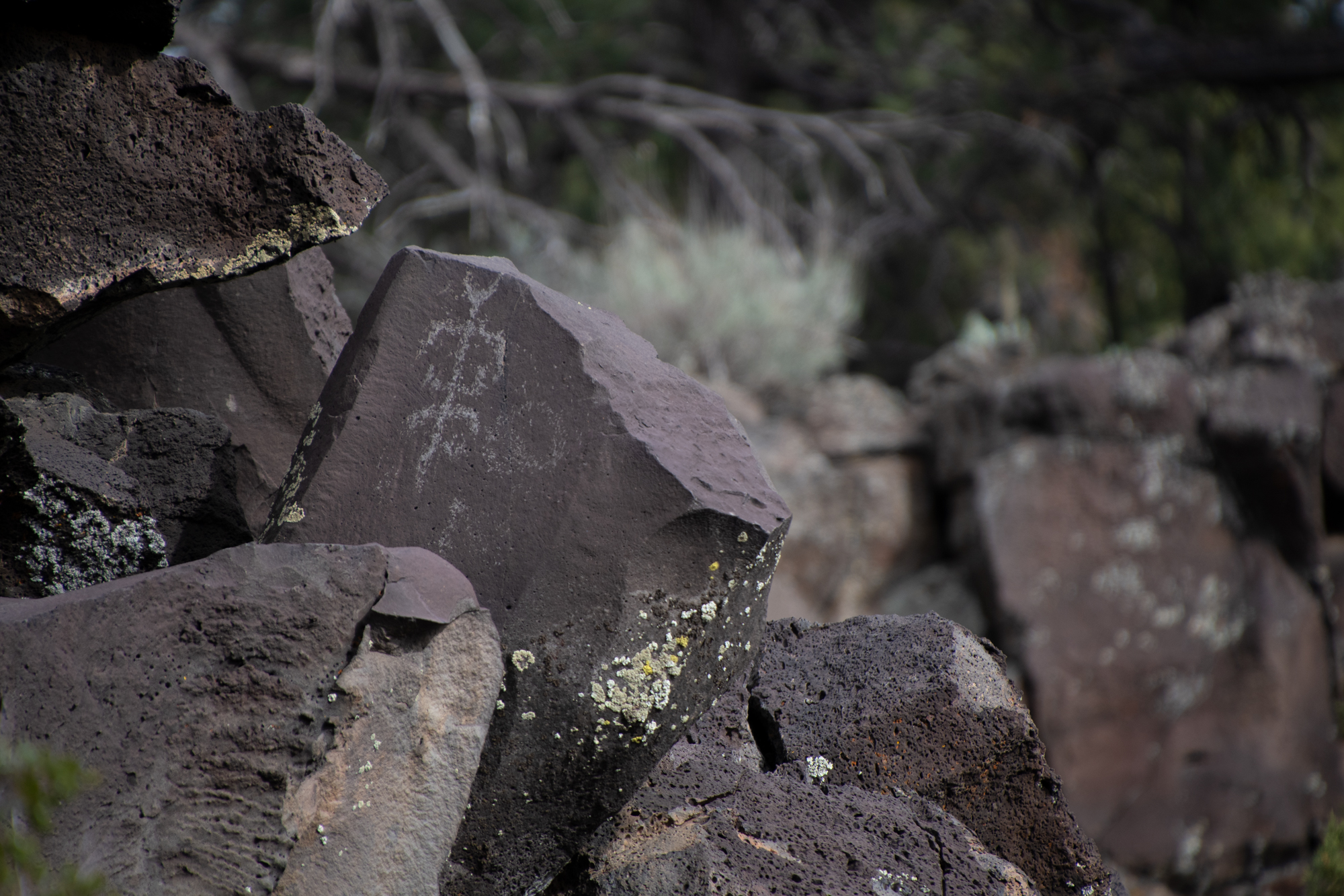
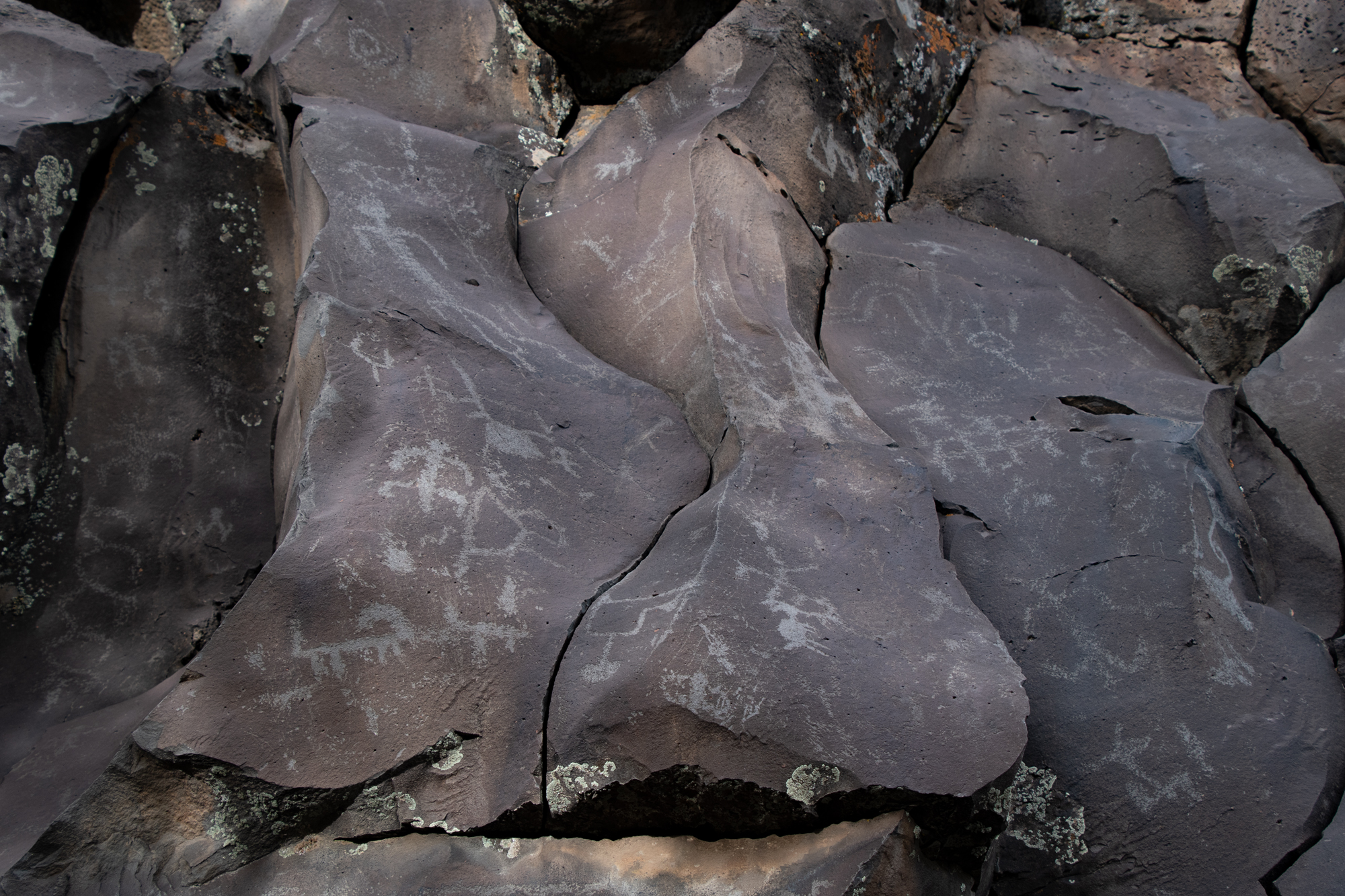
We had a picnic as far out on the ledge as I could convince them to join me. Then we headed over to Nampaweap, which Scott described as the largest collection of petroglyphs in the Parashant. Unlike some of the big walls where I’ve seen petroglyphs before, Nampaweap is a shallow ravine lined with volcanic boulders covered with petroglyphs from the Southern Paiute. It’s a surprisingly subtle scene which left an air of mystery.


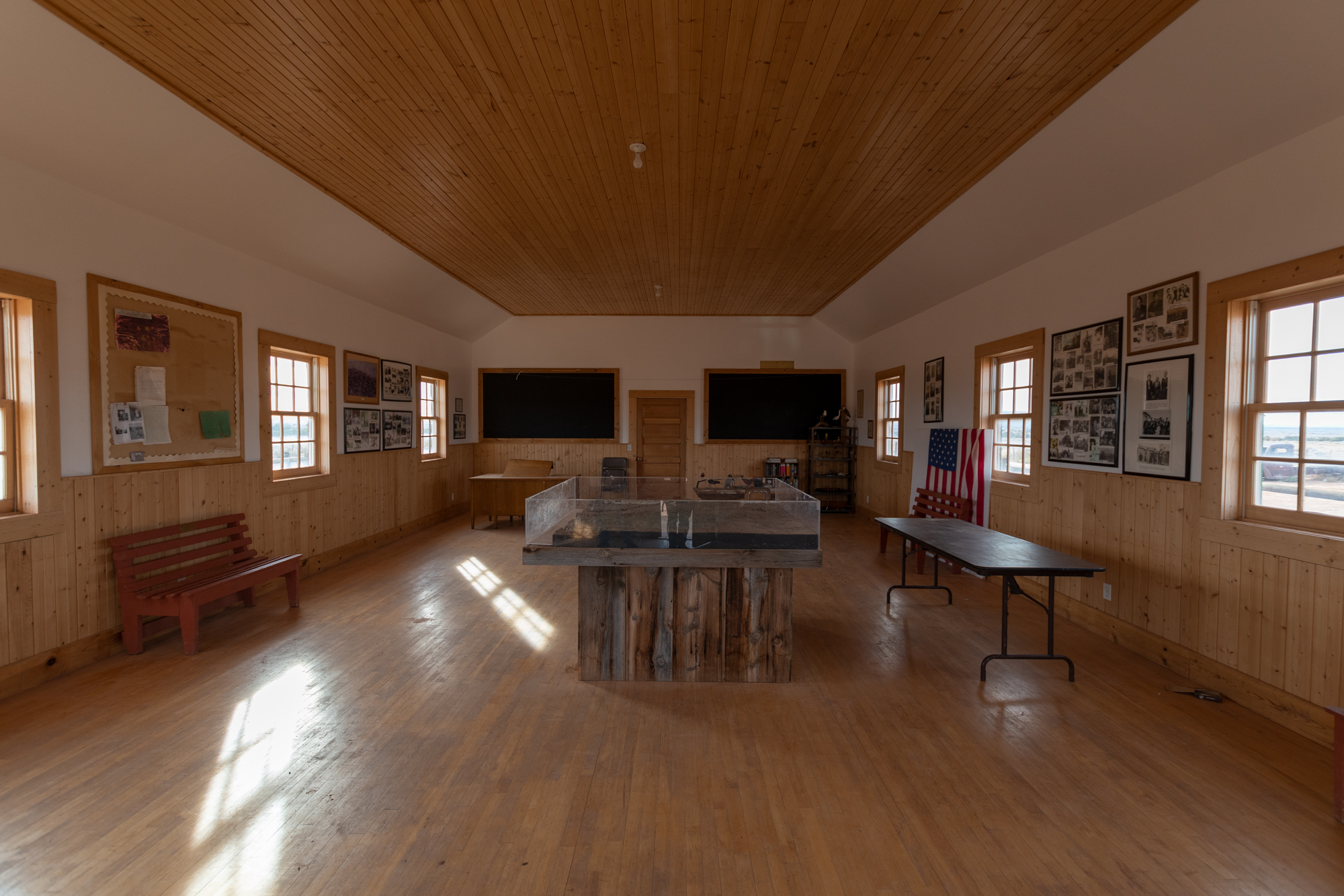
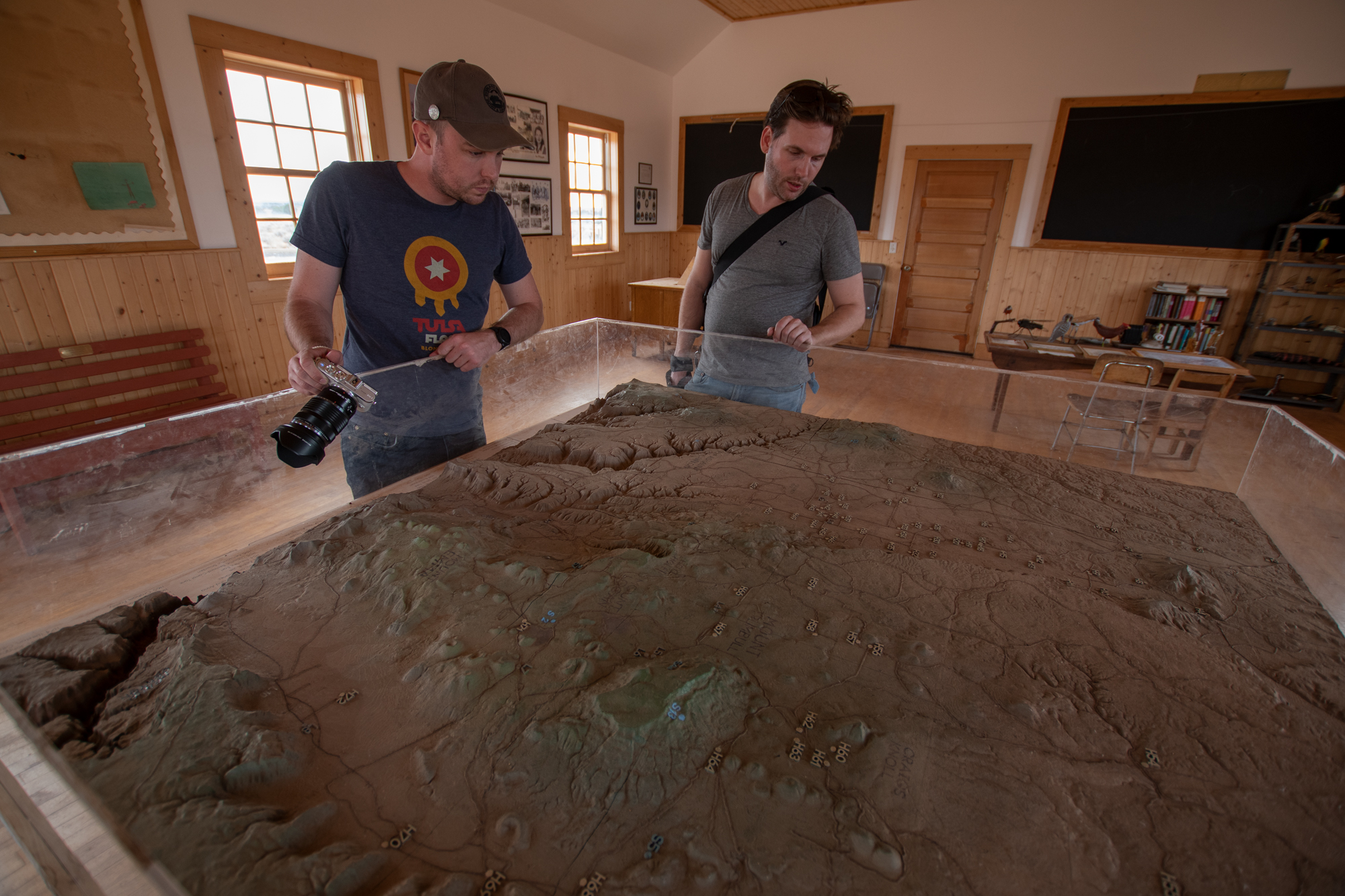
The last stop for the day was the Mt. Trumbull Schoolhouse. We stopped there before, but last time I hadn’t realized that the Bundy family — of Bunkerville and Malheur National Wildlife Refuge stand-off fame — made up several generations of students and later played a leading role in renovation and reconstruction of the building.
And yet again, we failed to recreate what would have been a great photo with a rusted out truck melting into the dusty parking area.
The schoolhouse opened in 1922 as a replacement for a the school that the town outgrew. It served not only as the school, but a townhall, church, and occasional dance hall. Ultimately the school closed in 1968. It was renovated in 1994, torched by arson in 2000, and then rebuilt in 2001. Many displays inside credit the descendants of the original town and the Bundy family in particular with these efforts. The playground and picnic area were added as a Bundy-descendant Eagle Scout projects years later.
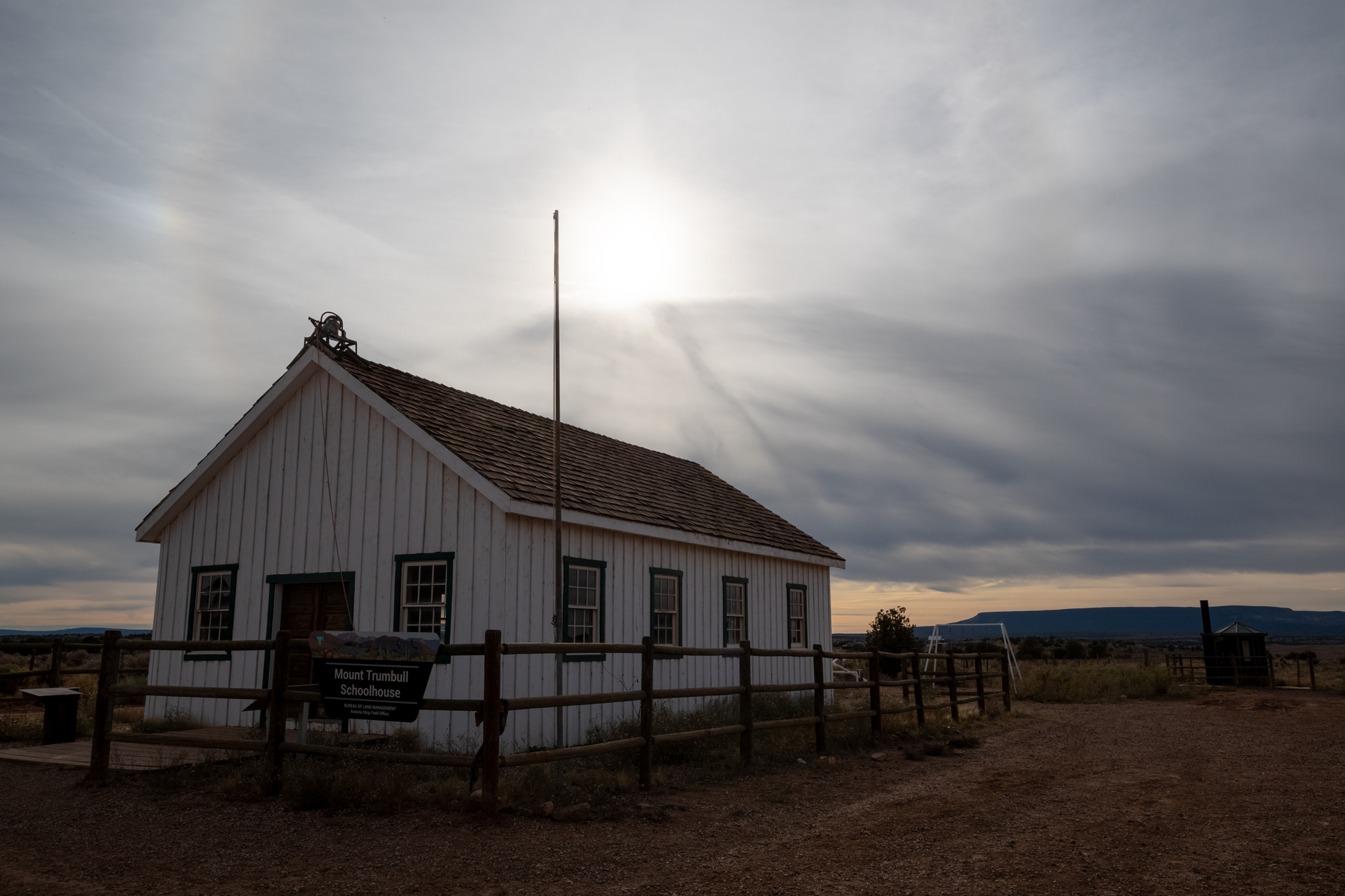
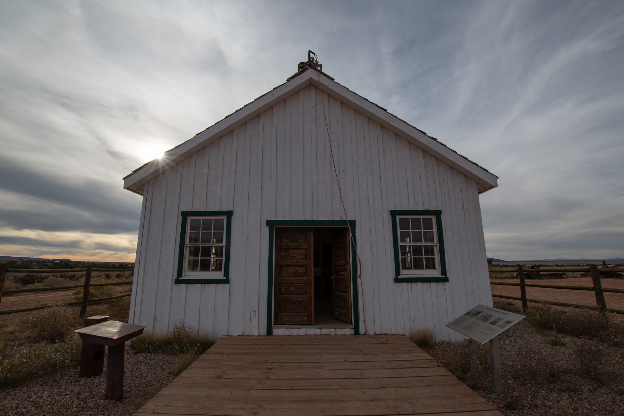
The town Mt. Trumbull itself was founded in 1916 and even had its own post office from 1919 to 1950. The population reached 300 at its height, but the last full-time resident left in the mid-80s. Several legacy family ranches remain in the area.
After recess, we headed back to the ranch, not just victoriously early for dinner but with the chance to chat with a few of the other guests.
The Sundial Builders
While we were out exploring, a grand reunion was unfolding a few miles away. A group of ten were getting their roadtrip crew back together. They made many “Desert Expeditions,” as they called them, back in the day. On Desert Expedition #11 (I think) in 1981, they sought to build a giant sundial on the north rim of the Grand Canyon — somewhere in what is now the Parashant.
They went as far as they could in an old truck deep into the wilderness, set up camp outside of an old unoccupied cabin and built the sundial nearby. The installation was huge, with a gnoman about ten feet long and a noon stone with markings to determine the date. Inside the cabin, they left a bottle of Jack Daniels with a letter explaining how to read the sundial.
40 years later, in planning their reunion, two of them were out trying to find the sundial. They met a local rancher and showed him some pictures of the sundial. To their surprise, the rancher was able to identify the location of the sundial. It turns out that the land had later been gifted to the National Parks Service and a survey from a few years later described a sundial although it had since been overgrown.
So while we were rocking down the road to Toroweap, this group was closing in on the Sundial. They found it! They cleaned it up. We’re not sure if we’ll ever know who got that bottle of Jack. But I love knowing that the League of Extraordinary Sundial Builders reunited after all these years and found their creation, then shared their story with us over a campfire.
In the coffee line the next morning, one of them recommended that I keep a record of our adventures to keep the memories alive. They had a Scribe, and so should we. We even got to see one of the giant binders of notes he had compiled about #11 and the reunion. Given what they did over the years and how long the reunion was in the making, I enjoyed hearing that bit of wisdom. Their story is one of my favorite parts of this adventure, so I scribbled the URL for this site on a dusty scrap of paper, with an open invitation to correct the record. Then we all wished each other the best and departed in different directions.