Like last time, we’re buying local. And also like last time — we’ve been complaining about how little we see that we like, how expensive those options are, and often how far away some of them happen to be.
And boy were we spoiled before, because all of those things are much worse now.
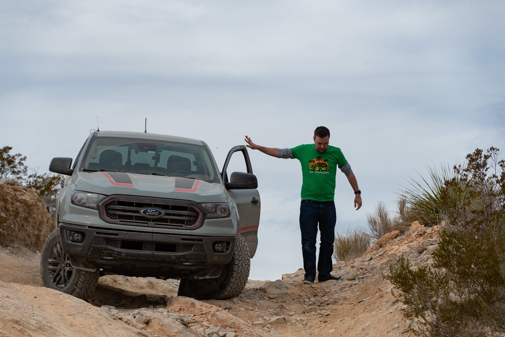
The caliber of hooptie we usually shoot for seems to cost about a grand more than before Covid. And while there are deals to be had at or below the usual budget, most are inoperable disasters.
Despair has been setting in as a sense of urgency increases: we’re less than a month out, we’ve booked all our accommodations, we’ve finally all put our vacation requests into Workday…
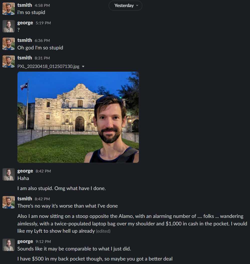
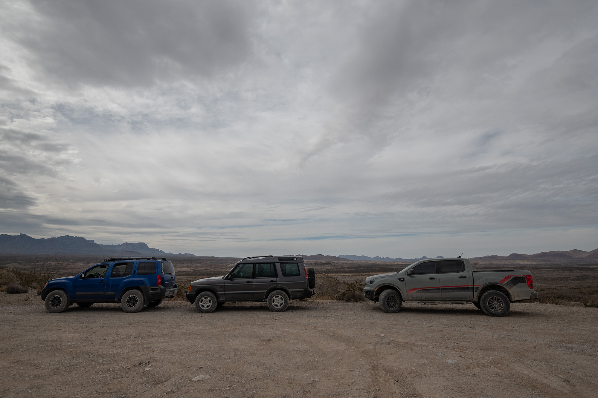
So imagine the collective surprise when, within a mere two hours of each other, George and I secured our transportation:
And this morning, I woke up to the notifications of much wailing and gnashing of digital teeth.
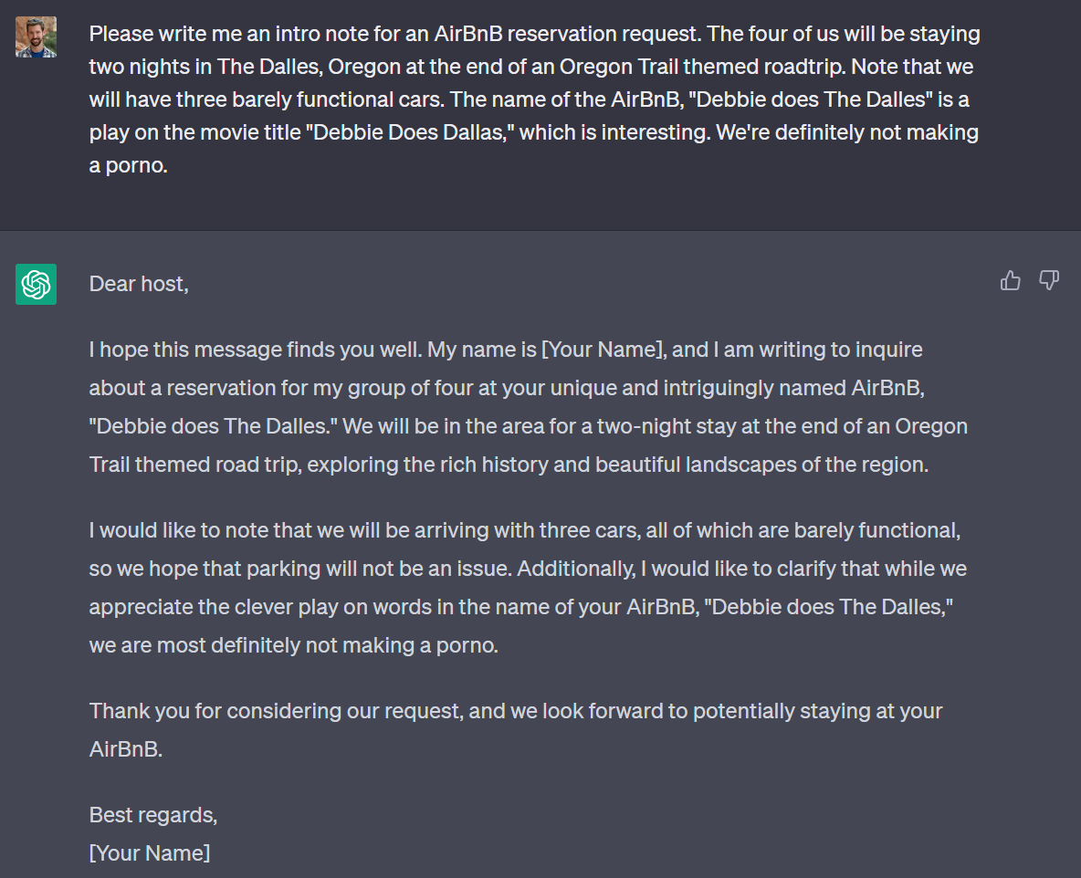
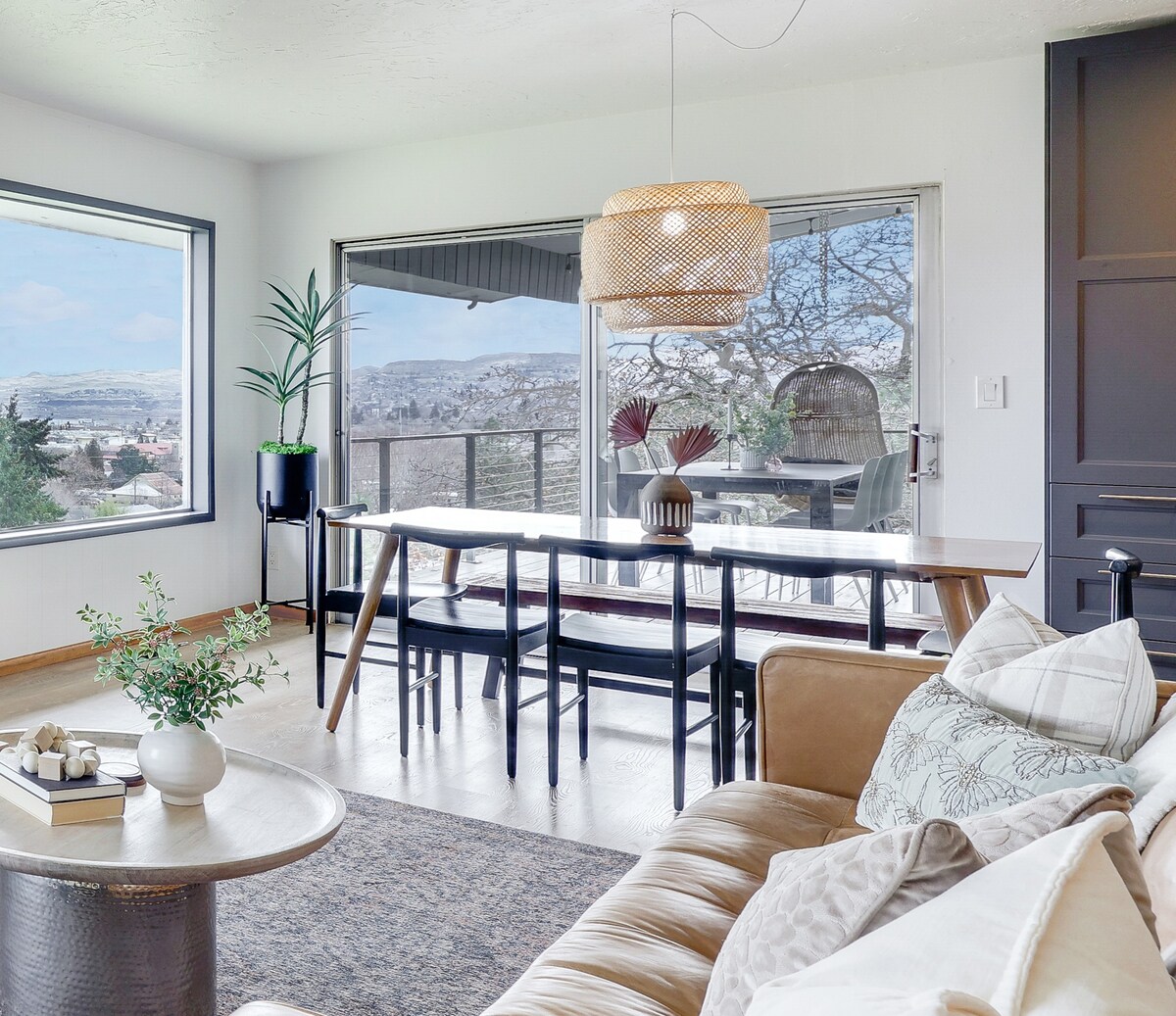
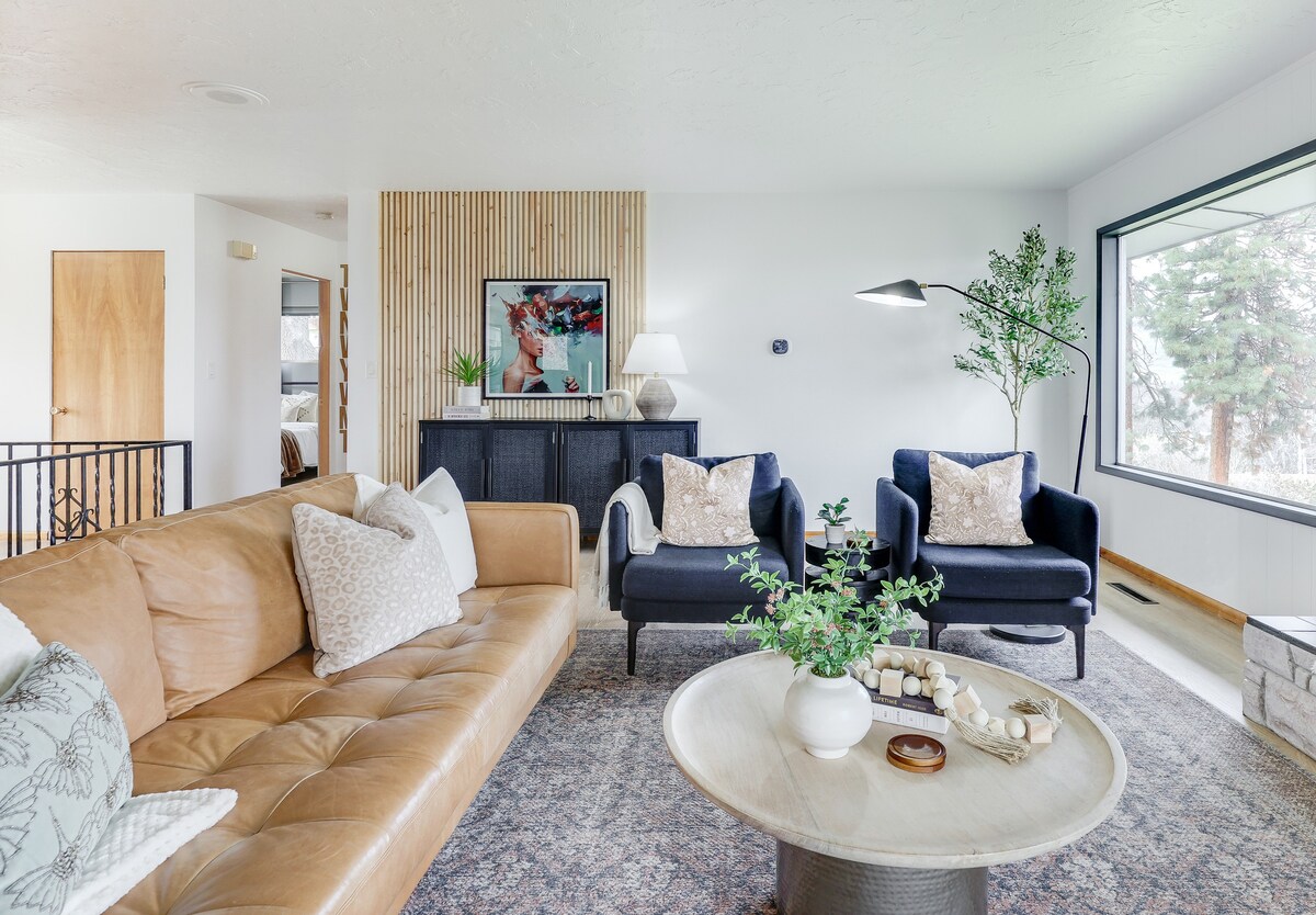
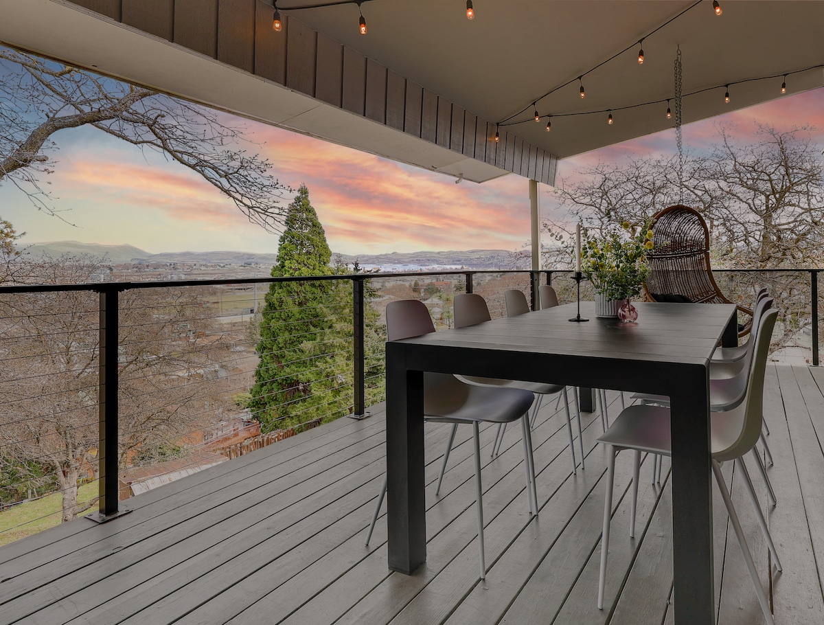
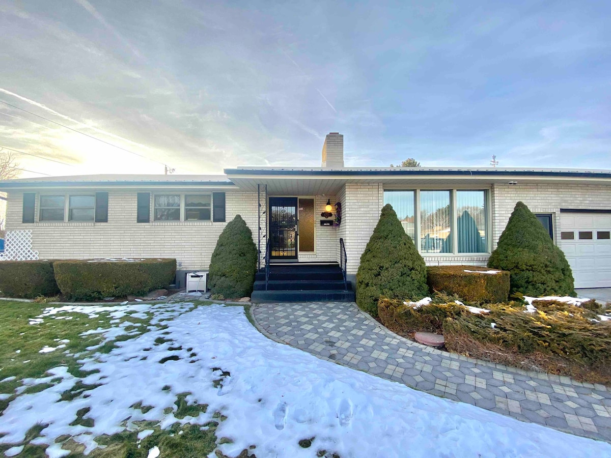
Booking the last two stays — The Dalles and Oregon CityPortland — was trickier than usual. We were spoiled for choice, which led to great indecision. Then we ran into a few bumps. We found a house on a hill in The Dalles that fit the budget and caught our attention because of the name, so we asked ChatCPT to make us an intro:
Another introduction letter I did not send.
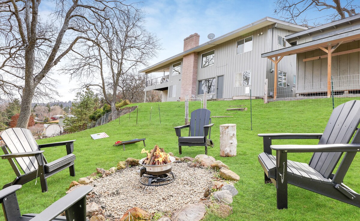
But ultimately that reservation didn’t work out, but Plan B ain’t too shabby! And we’ll have two nights in the area to explore as we prepare ourselves to float the Columbia or decide to take The Barlow Road.
In Portland, we had far too many options. Ultimately, while staying somewhere historic in Oregon City would have been great, we needed to be central enough to be able to host a car sale and then get around town with a dwindling number of vehicles.
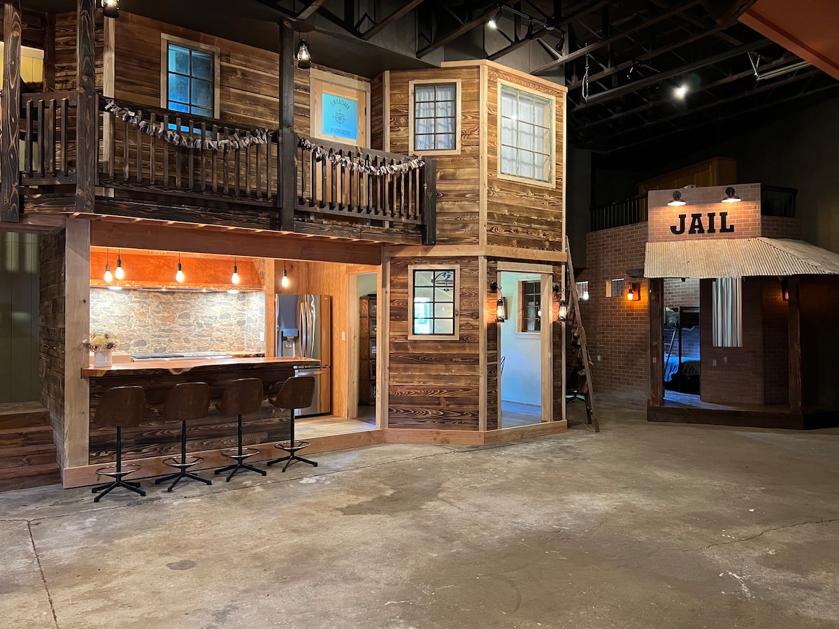
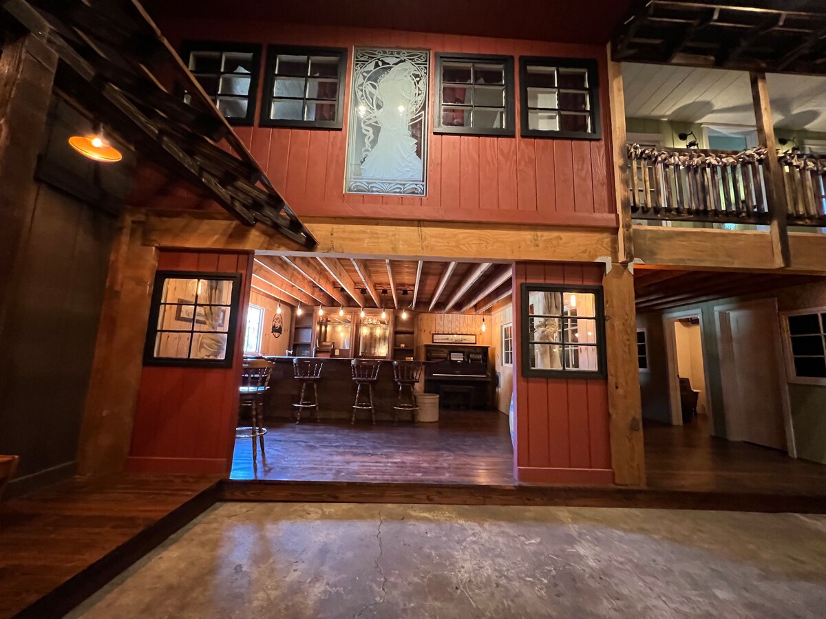
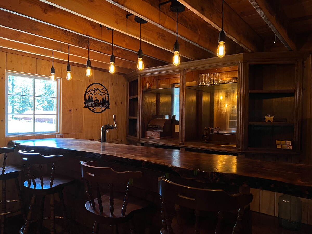
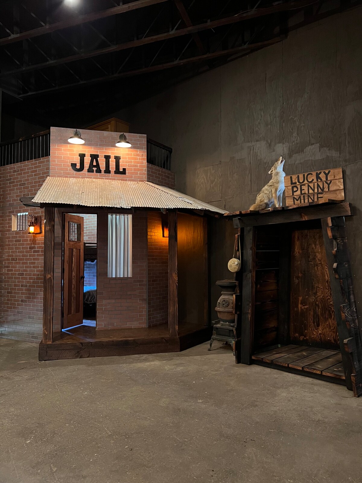
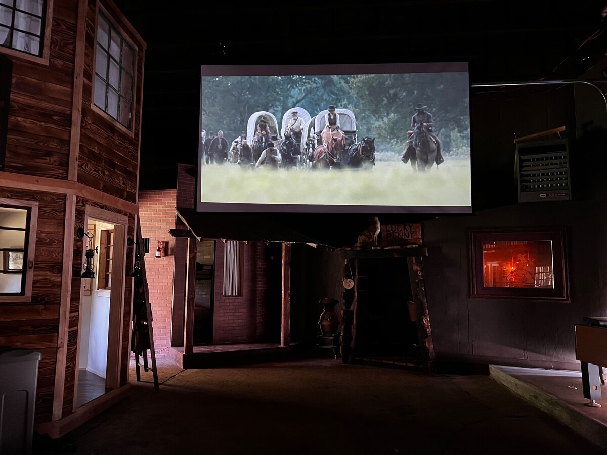
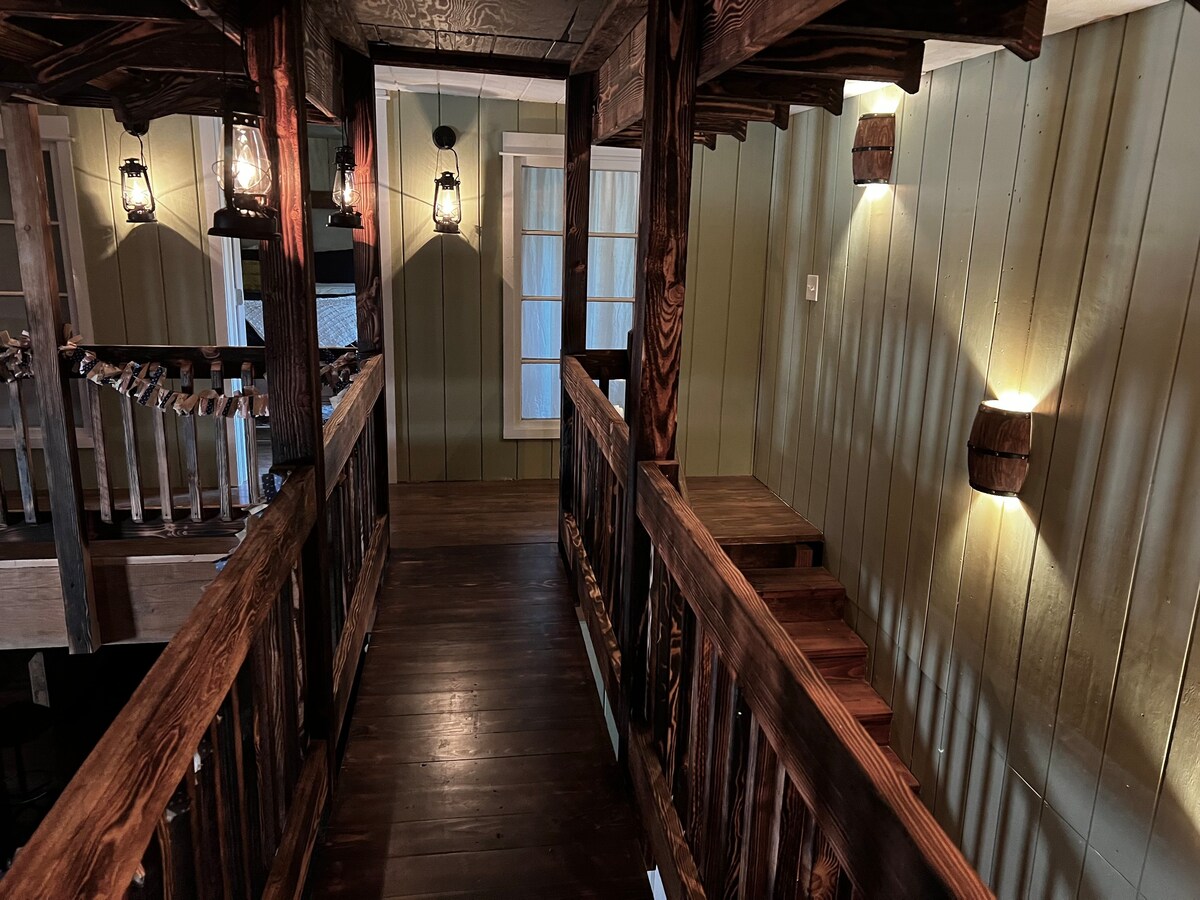
But if the reader will allow one more trip down “what could have been” lane: we did find a massive themed listing on a ranch southeast of Oregon City called “End of The Oregon Trail Experience.” Had money (and logistical considerations) been no object…
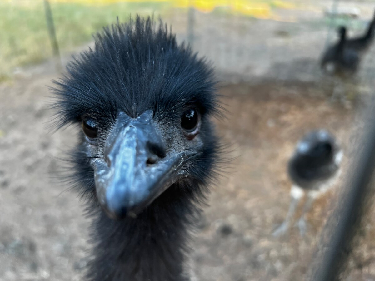
At first we couldn’t tell what we were looking at. Was it a game room? Was this something on the property? A nearby attraction? No, the indoor space is an entirely themed “old west” town. The four bedrooms are The Jail, The Brothel, The Lewis & Clark Headquarters, and The Cowboy Room. Other amenities include a bar and big gaming table in The Saloon and a 12 foot projector screen that comes down in the middle of town square (the open space between each of these rooms). All of this sits on a 15 acre farm that also has some wildlife. Guests receive a carton of farm fresh eggs from hens on the property as well as an opportunity to meet an Emu! Alas, just out of reach.
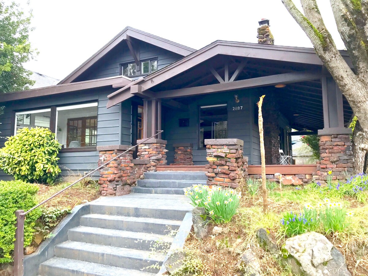
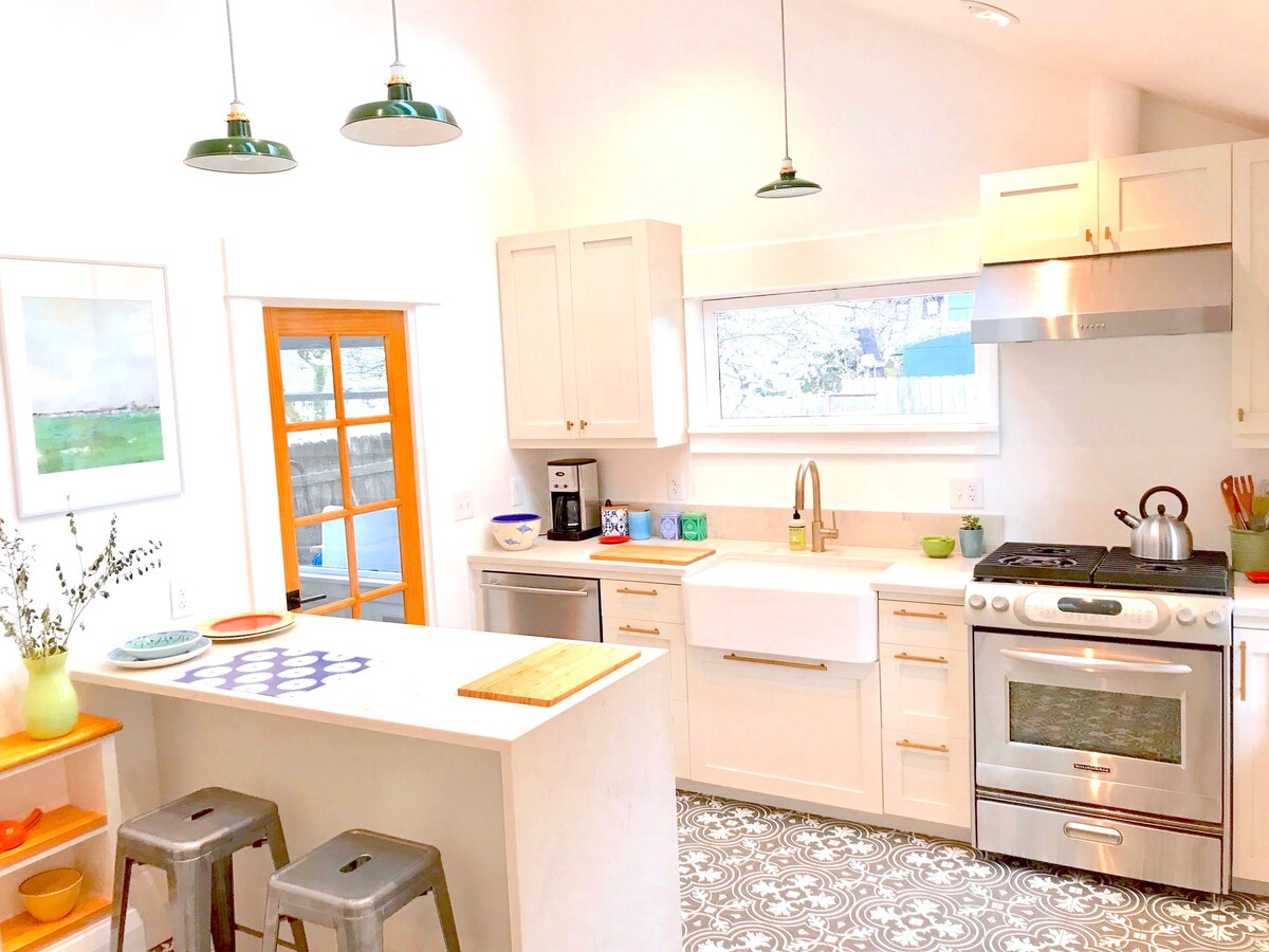
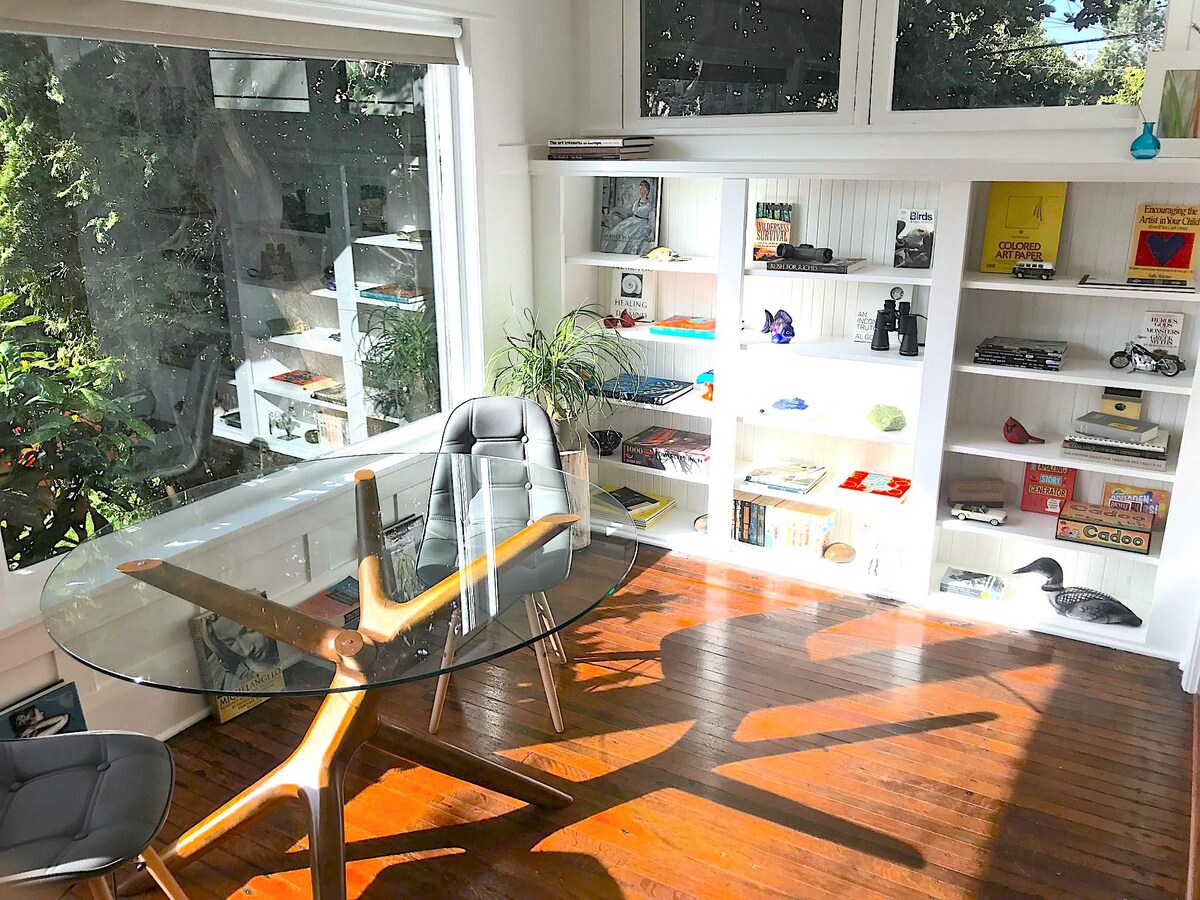
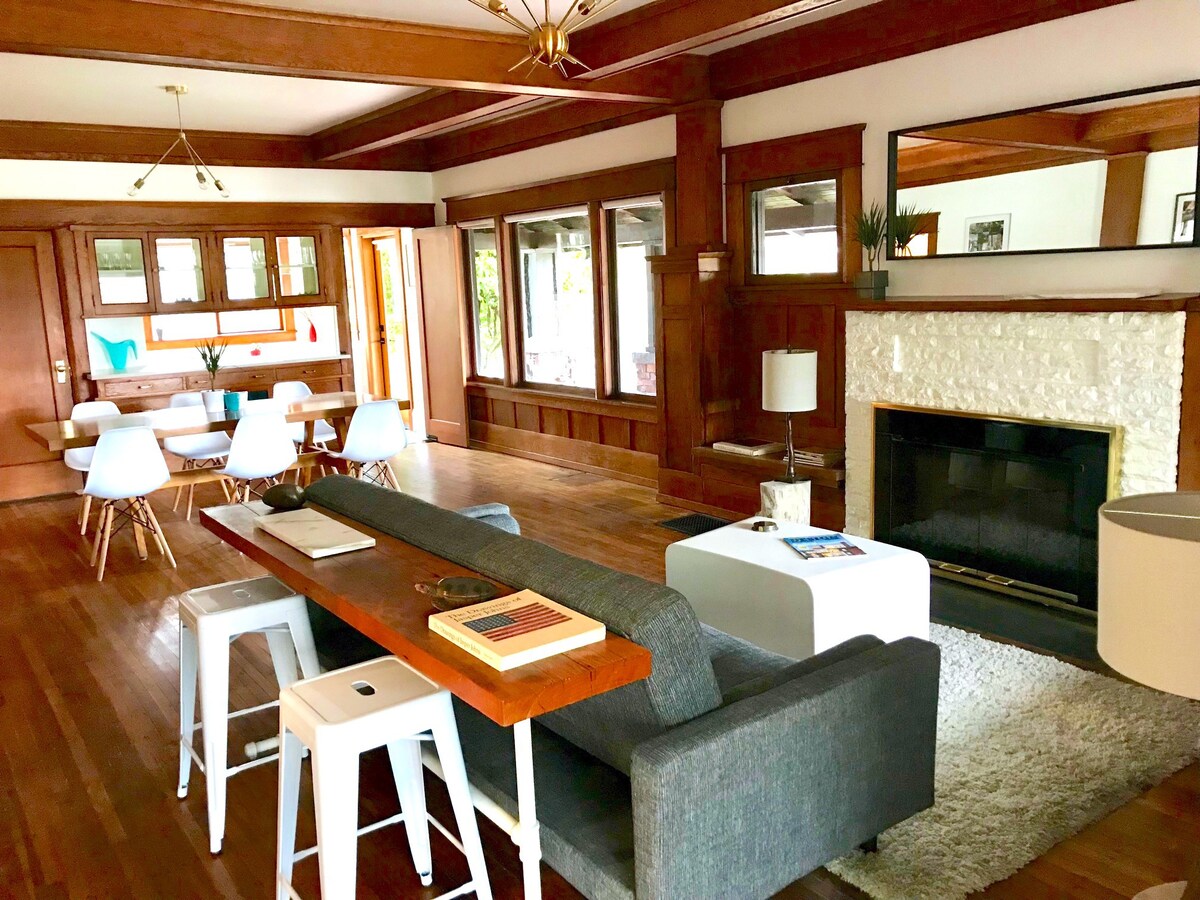
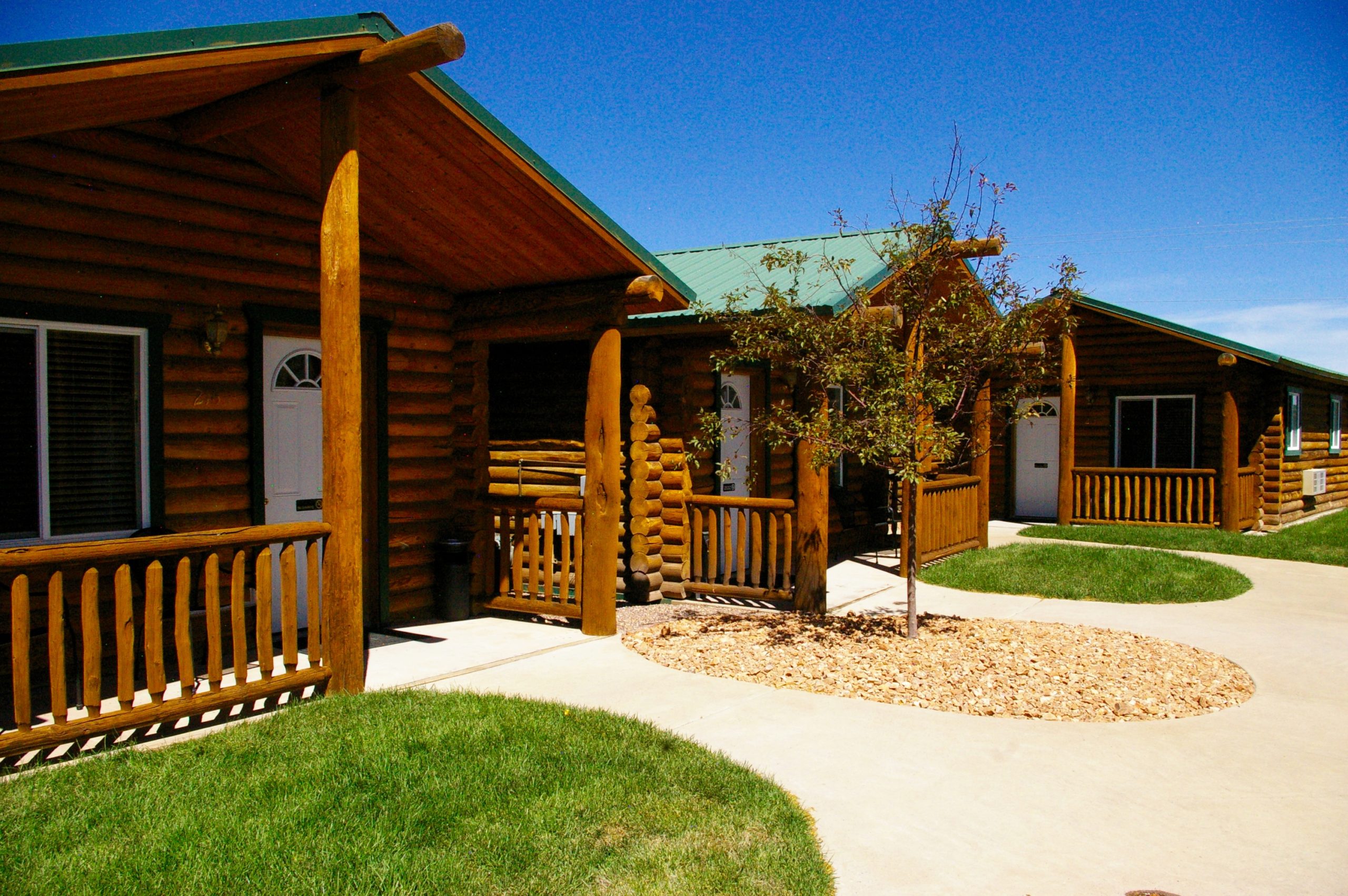
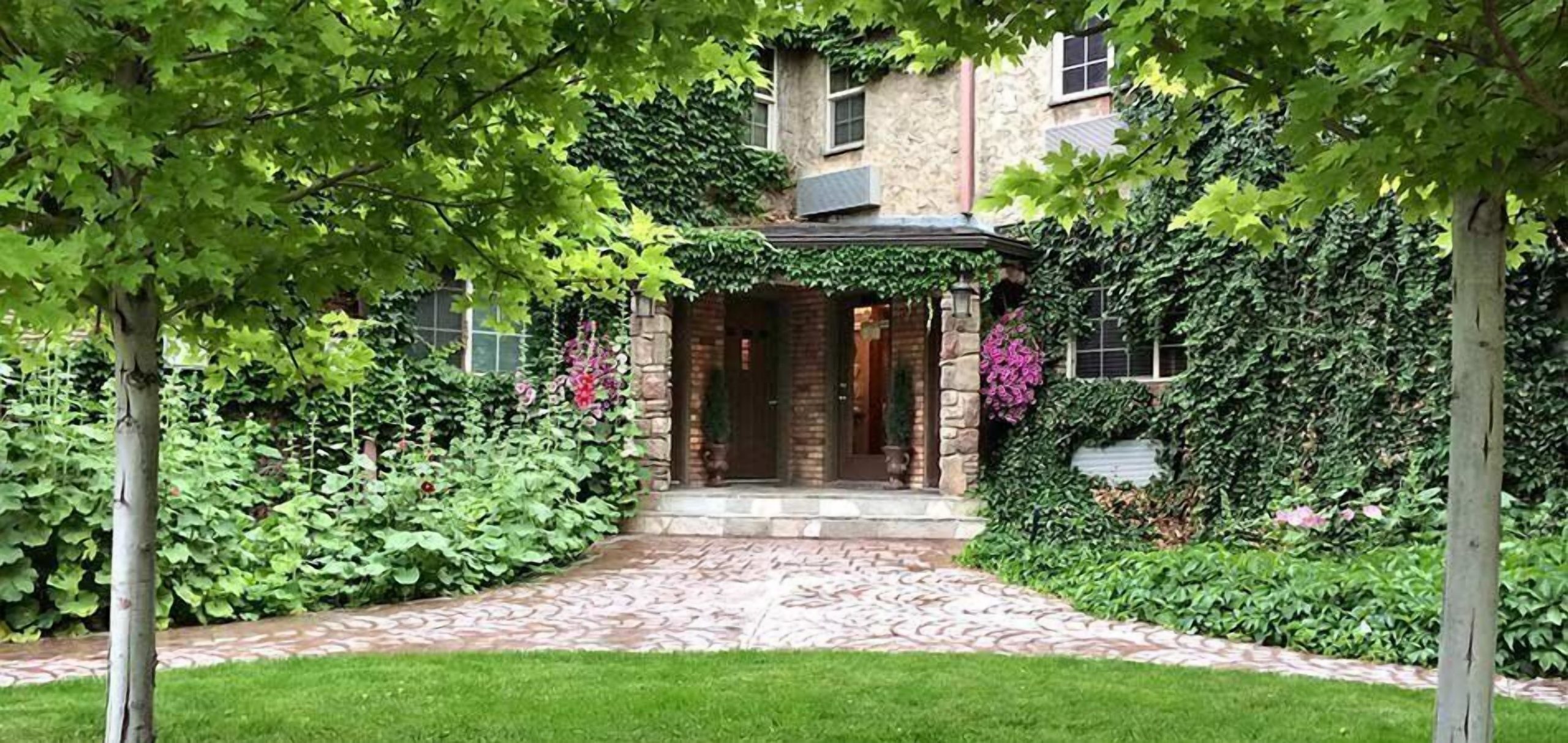
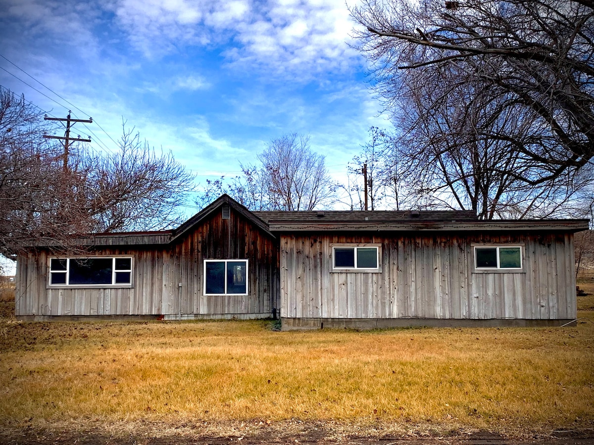
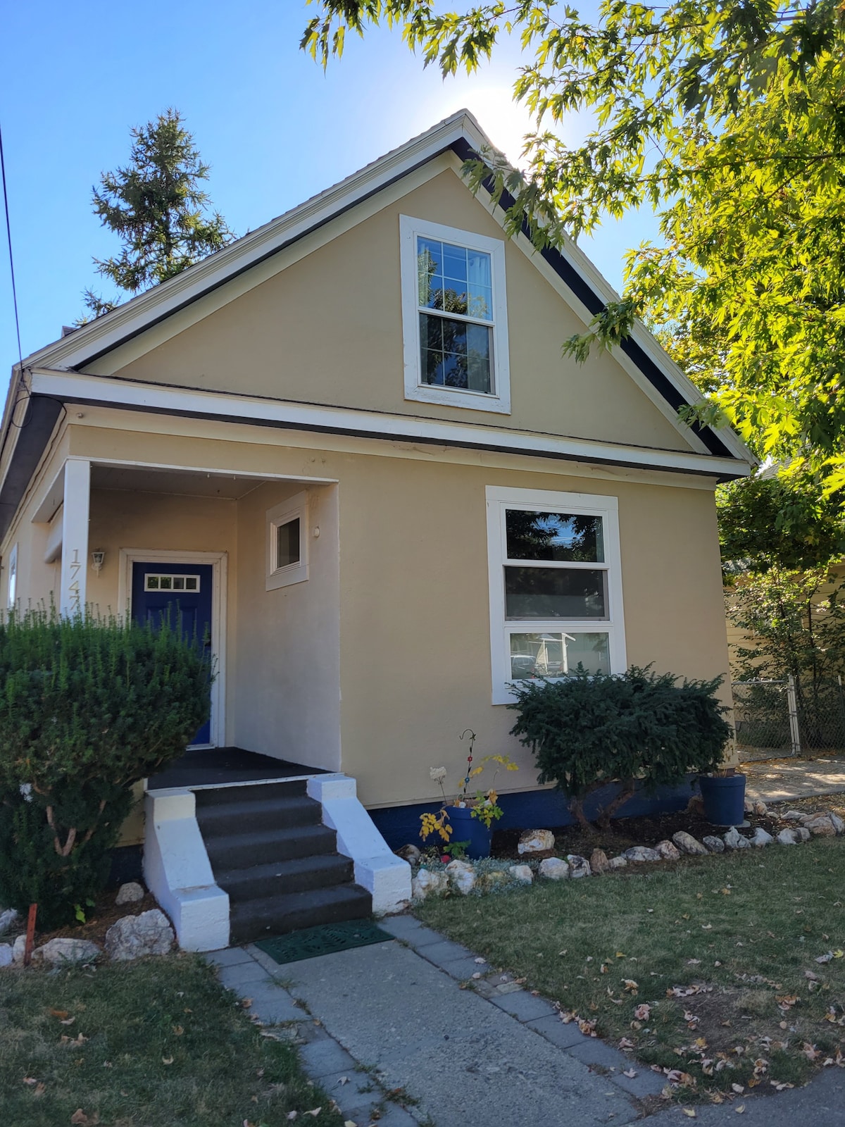
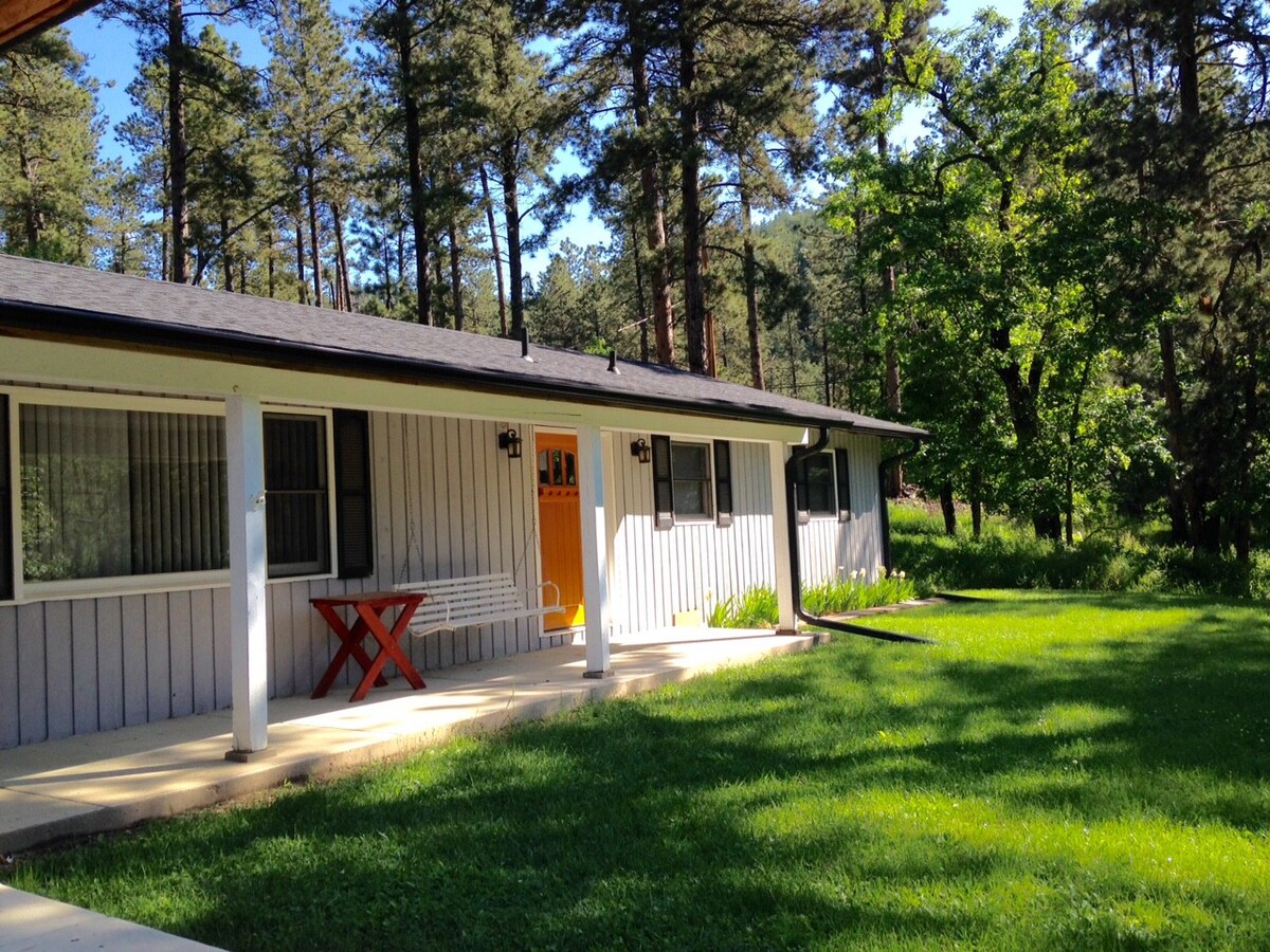
Instead, we’ve found a restored Craftsman house just off Division Street, near many of Portland’s popular restaurants and bars. Sears catalog homes may be about 100 years out of date for our 1800s adventure, but we’re already bending the timeline, what with the horseless carriages and all. And reading between the lines of the listing, we’ve discovered that this home is owned by a local author, so that’s nifty!
I haven’t been back to Portland since 2019 while still working with Four Kitchens and our client-at-the-time, Oregon Public Broadcasting. (Which, given our history with car sales… I might have to look up the contact I had in vehicle donations to be on standby…) So I am very excited to visit again.
Independence. Again.
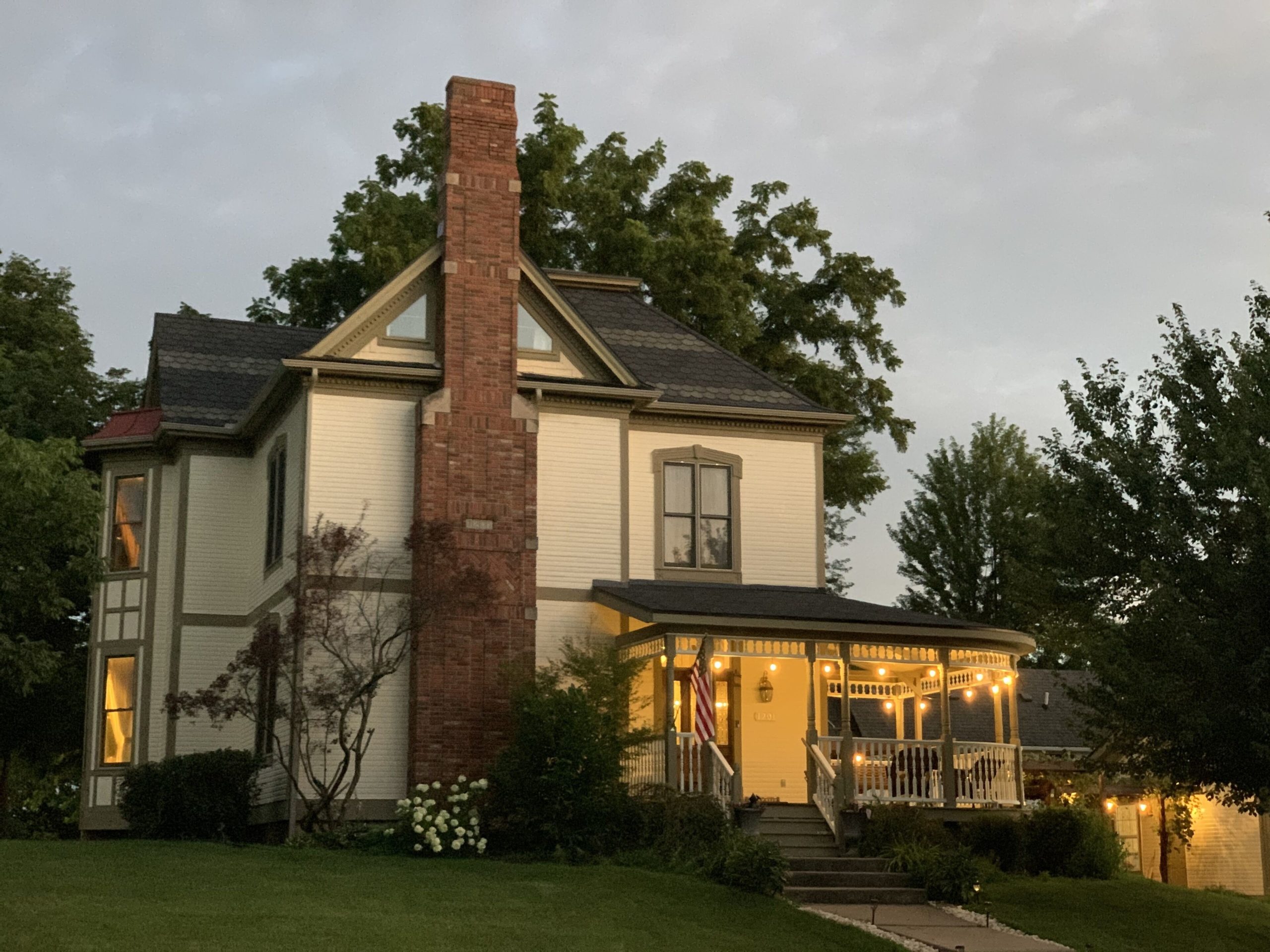
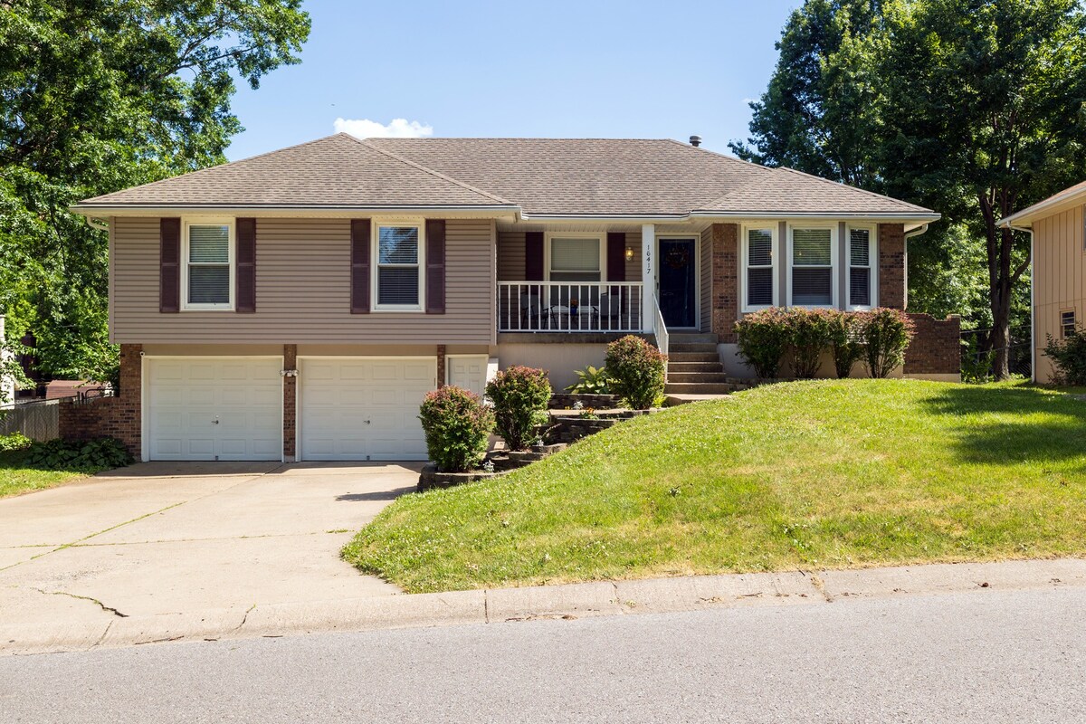
And in the middle of all of this, I got a notice that our starting line house in Independence, Missouri had to cancel on us. And on everyone else. Apparently there was a neighborhood dispute about short-term rentals… which… well… I have conflicted feelings, despite being a rather frequent tenant. So we went back to the catalog and found this delightfully historic mansion at the intersection of “Interesting” and “Affordable-ish,” I present the “Fully Restored 1885 Queen Ann:”
It far out-specs our true needs, but there weren’t a ton of options in Independence with less than a month to go. And it was less expensive than some of those. We will have one office day and some initial car tinkering to do here, and there’s plenty of space and a garage. So I’m pleased with out choices.
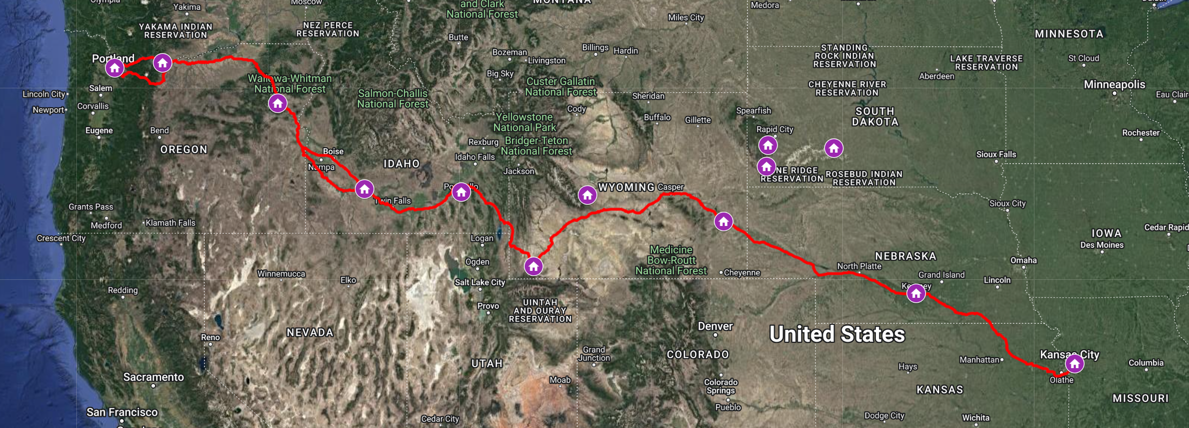
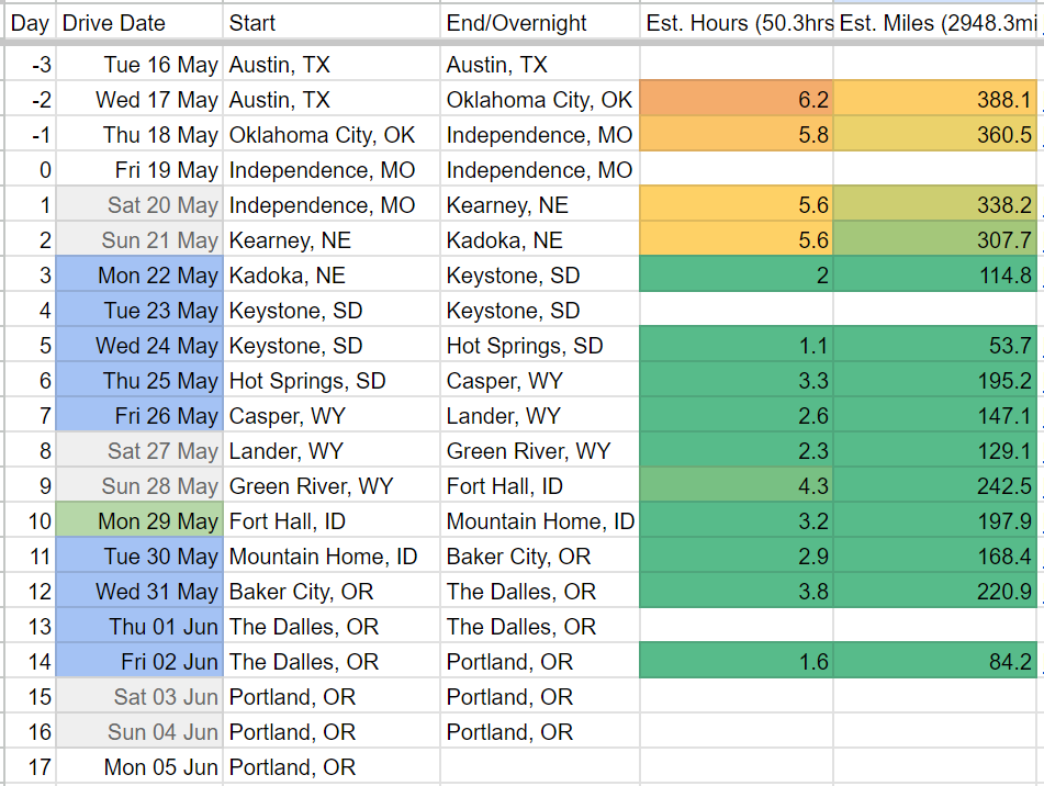
And with that, we’ve mapped out all the forts and settlements across the great frontier to Oregon Country. This might be our bet set of accommodations yet.
We met last night for a big book-a-thon, successfully plotting our overnights from South Dakota to central Oregon, and picking up some POIs along the way.
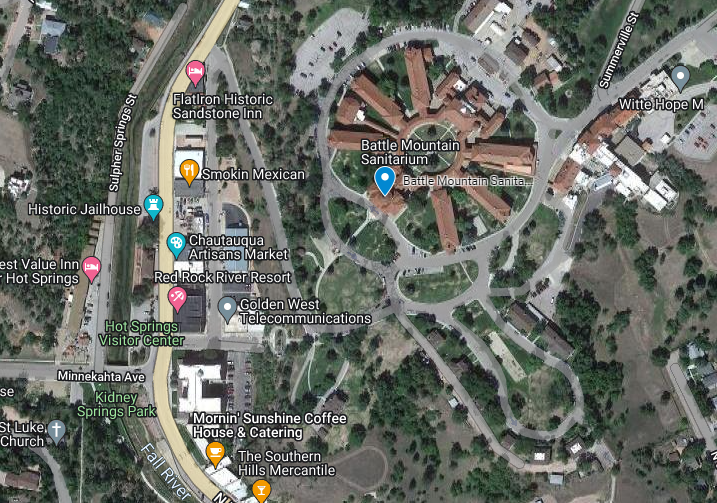
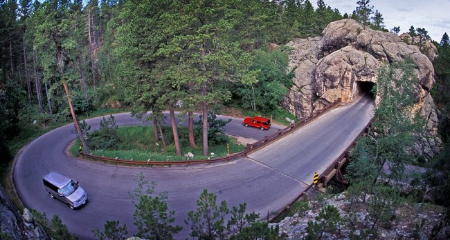
Leaving Black Hills NF, we’ll stay the night at a historic inn in central Hot Springs, South Dakota, mostly for “wait what is that?!” reasons.
Battle Mountain Sanitarium (now part of the Veterans Affairs Black Hills Health Care System) was part of the National Home for Disabled Volunteer Soldiers, which provided care for Union veterans after the Civil War.
“Founded in the 1880s as a warm water mineral springs health resort, the town of Hot Springs became a popular destination for regional health seekers by 1900,” so… another town which rose to fame in the era of “believing hot water was medicine.”
Ah, yes:
Sanitarium treatment options included bathing in or drinking the mineral waters. This treatment particularly helped veterans with musculoskeletal, gastrointestinal, and respiratory conditions and skin diseases. Once cured, or no longer improving, the patients went back to their residential branch. Between 1908 and 1909, 865 Civil War and Spanish American War veterans received treatment at the facility.
Spring water can help with GI issues? … Good to know; I’ve tried everything else…
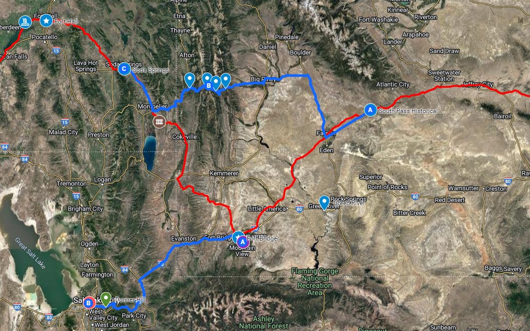
Wyoming and Utah
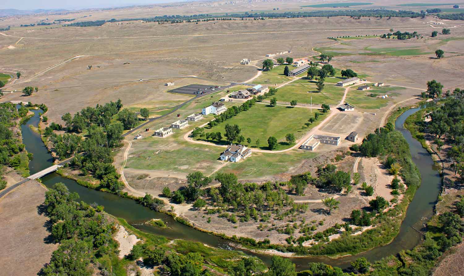
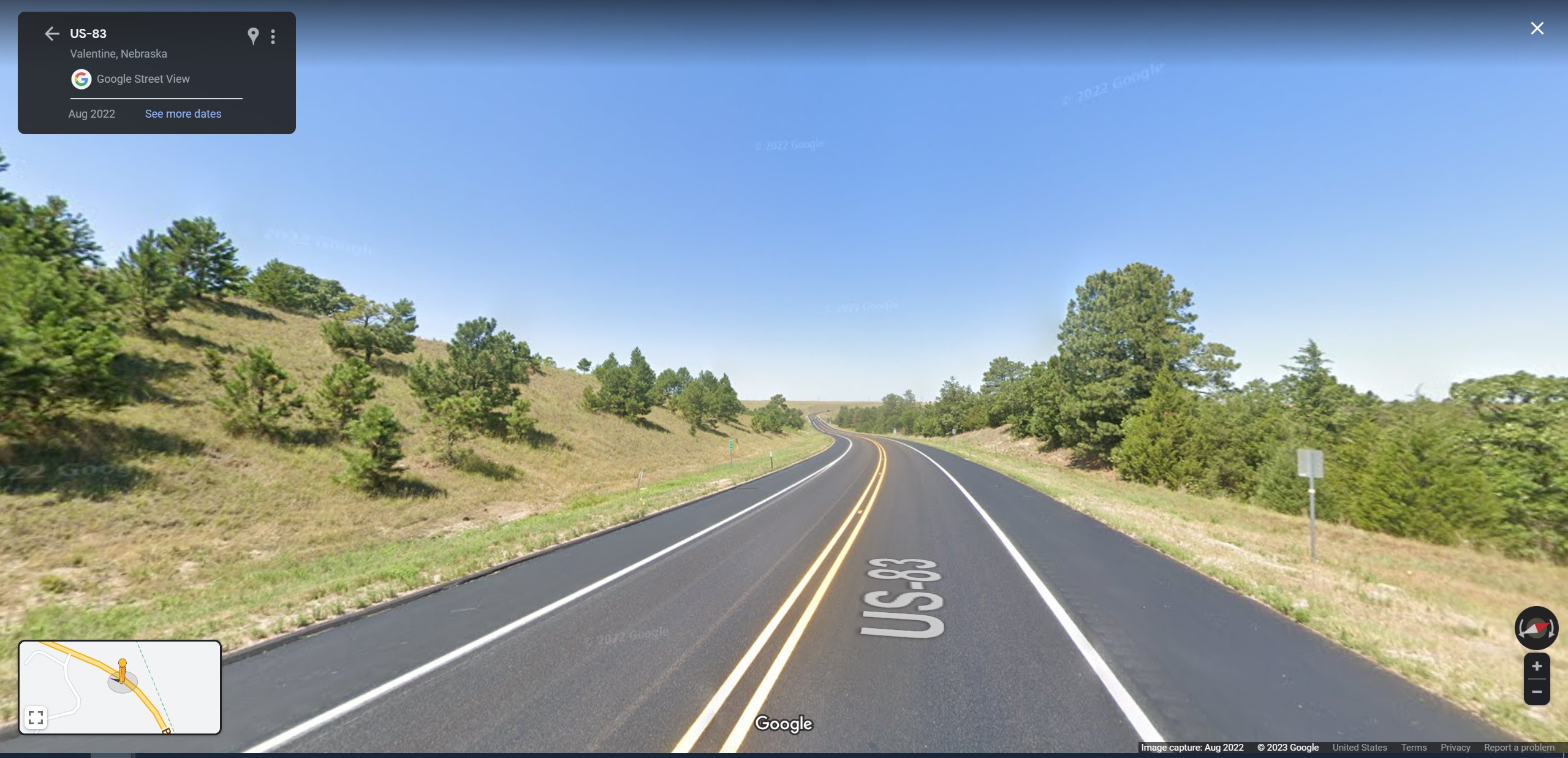
From there, we cross into Wyoming and rejoin The Oregon Trail proper, trudging across the state, starting in Gurnesey. That is near Fort Laramie, which we learned 1) is so tiny it has nowhere to say, and 2) is (confusingly) hours away from Laramie, the city everyone has actually heard of.
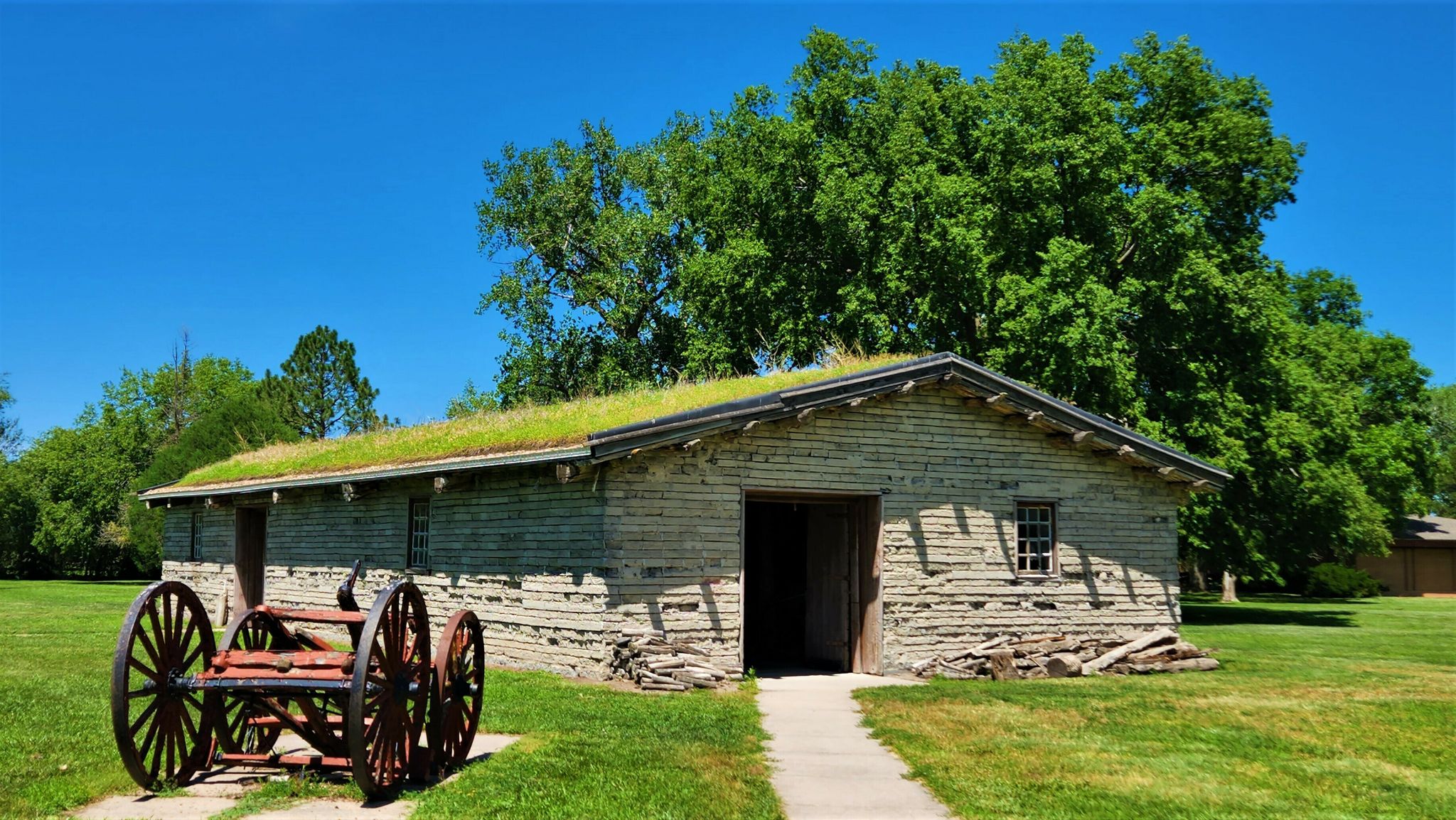
Fort Laramie Nat’l. Hist. Site in Fort Laramie, WY (not Laramie, WY). John Gilpin, NPS.
Then on through Lander, in the foothills of the Shoshone National Forest. And finally down into Mountain View, WY, in the vicinity of Fort Bridger.
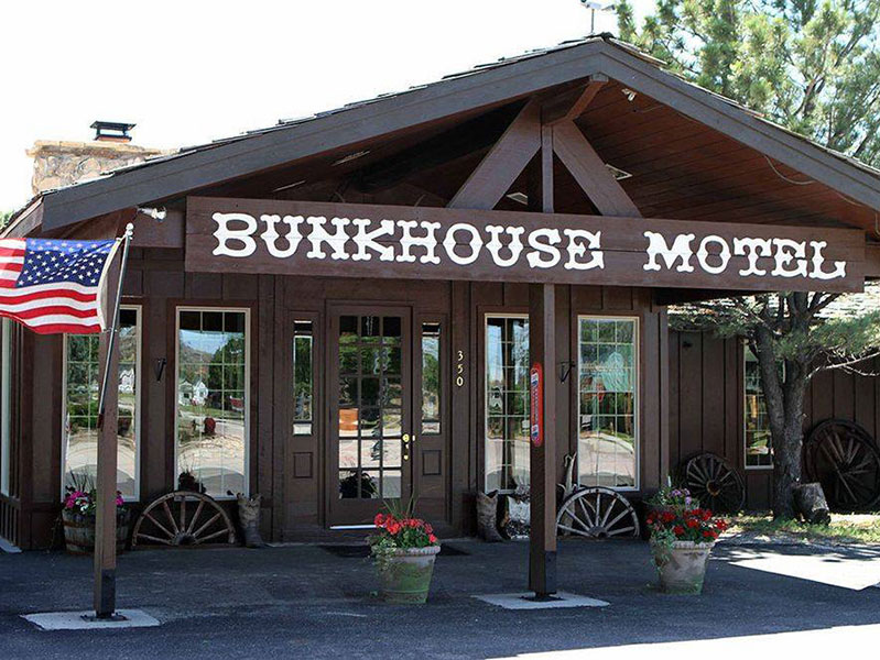
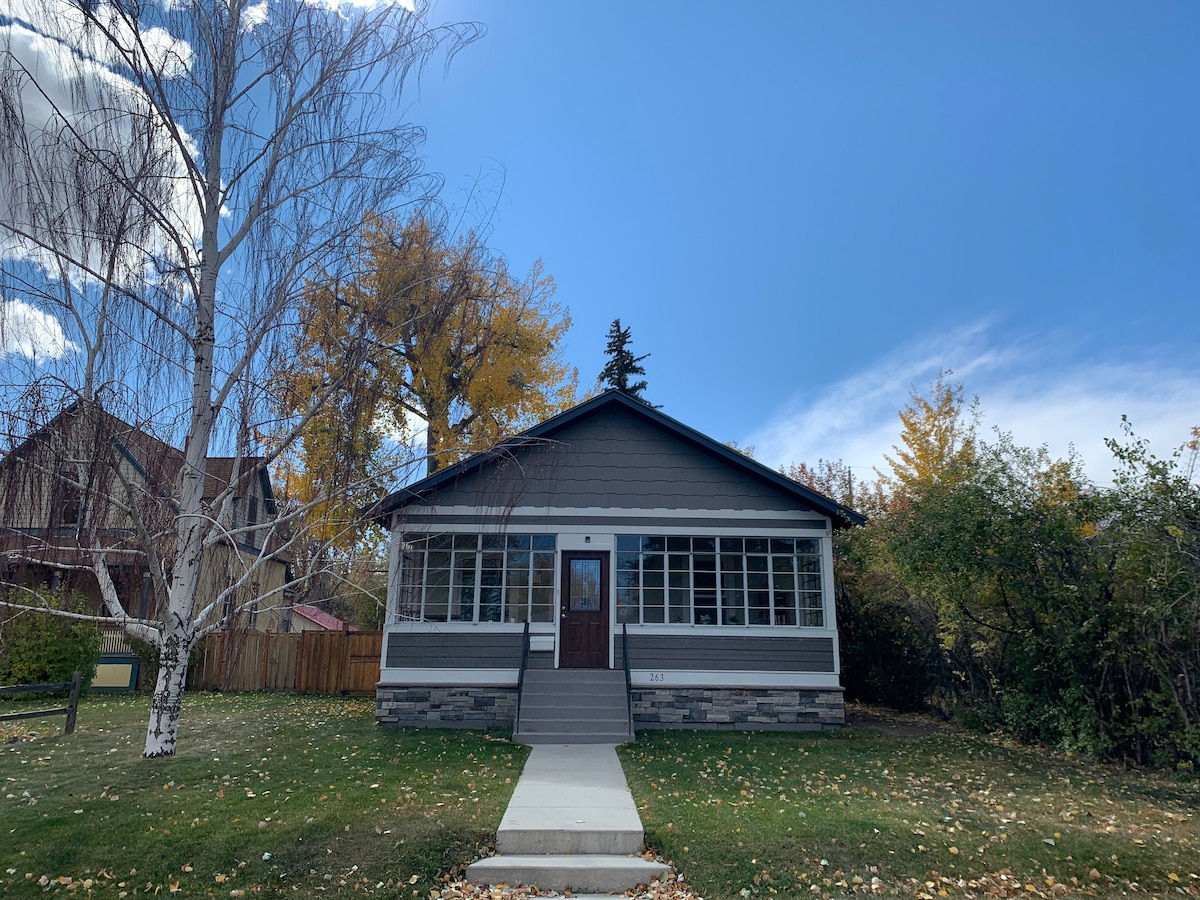
Red Rock River Resort, Hot Springs, SDBunkhouse Motel, Gurnsey, WYCliff Street Cottage, Lander, WYCountry Cabins Inn, Mountain View, WY
Fort Bridger is after South Pass City and “The Parting of the Ways” where the old migration trail split into the Oregon Trail, the California Trail, and (later) the Mormon Pioneer Trail. Not all Oregon Trail travelers even went as far south as Fort Bridger, crossing more directly toward Soda Springs.
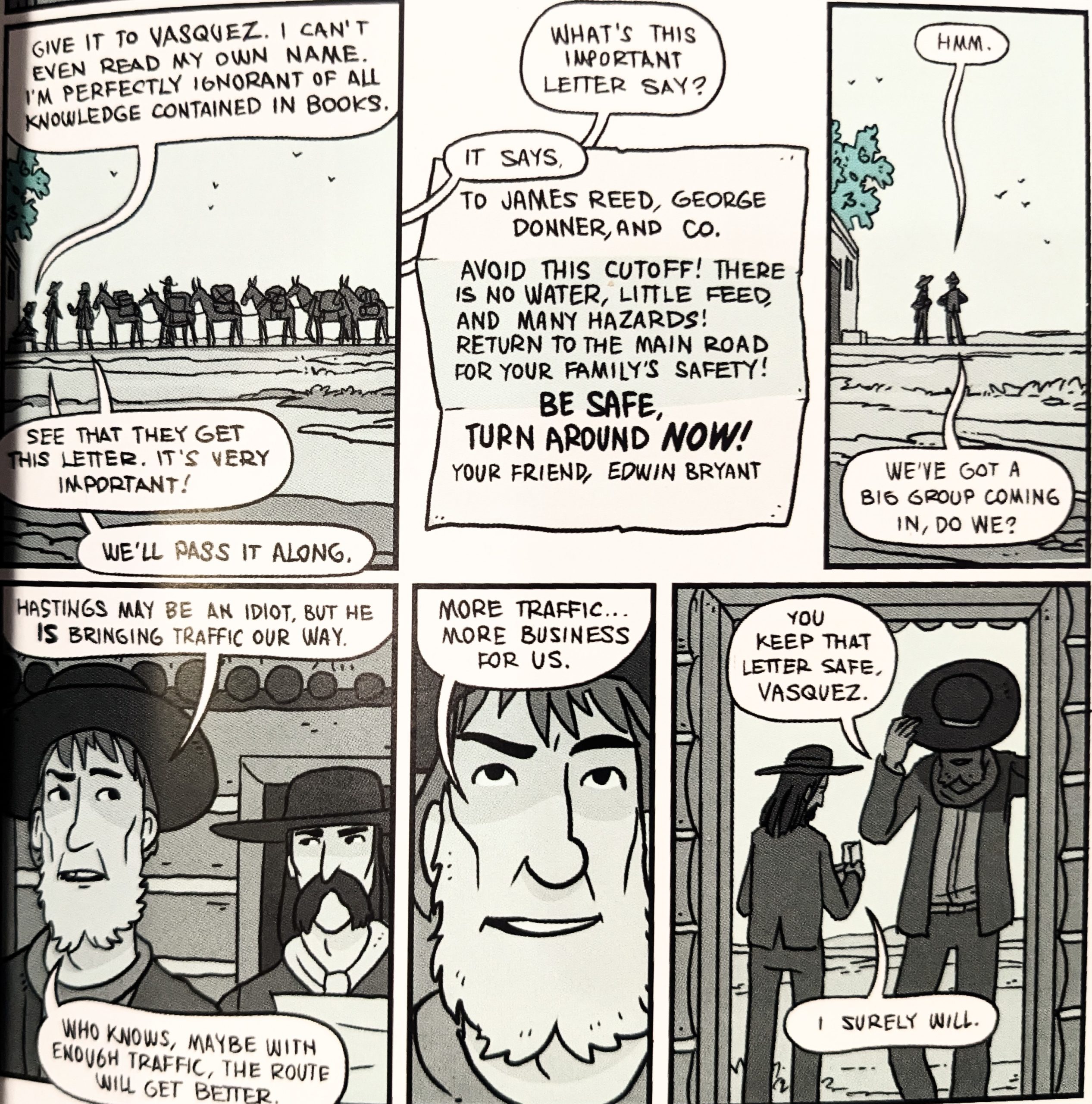
Nathan Hale’s Hazardous Tales: Donner Dinner Party
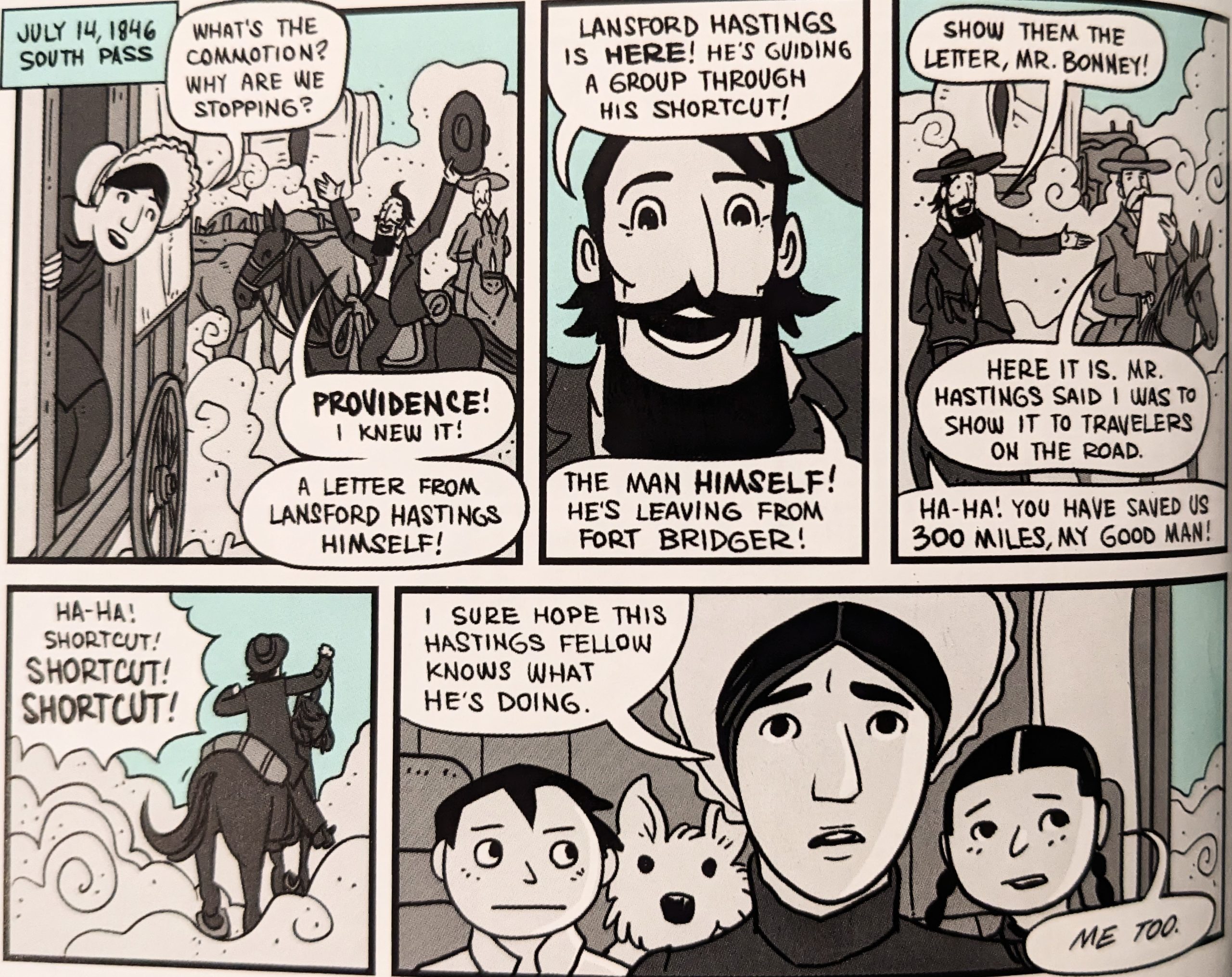
When a man named Lansford Hastings started publicizing a shortcut (a treacherous one, which he’d never successfully traveled himself), Bridger and Vasquez conveniently did not warn people away, as it passed right by their fort…
Nathan Hale’s Hazardous Tales: Donner Dinner Party
Famously, the Donner-Reed Party Disaster was caused by this shortcut that added hundreds of miles of rough terrain and more than a month in a salty desert basin. This put them catastrophically behind schedule, leaving them unprepared and trapped (and hungry…) at Truckee Lake in the Sierra Nevada in eastern California in bitter winter.
In the years following, the Mormons developed Hastings Cuttoff into a viable route as far as Salt Lake City — which I’ll be using to make a quick detour down to Salt Lake City International Airport to fetch Evan G to copilot my wagon. There is a small memorial on “Donner Hill” at the opening of Emigrant Canyon in East Salt Lake City that I’ll try to visit.
Idaho
After Fort Bridger, we head northwest through Soda Springs, Idaho and on to Fort Hall / Pocatello, our first “big” city in a while. We’ve arranged to stay at Grandma’s House… which is to say, it is the most mid-century-modern-but-dressed-from-the-70s house we’ve ever seen.
No, those aren’t just drapes. Those are honest-to-God “window treatments.”
George
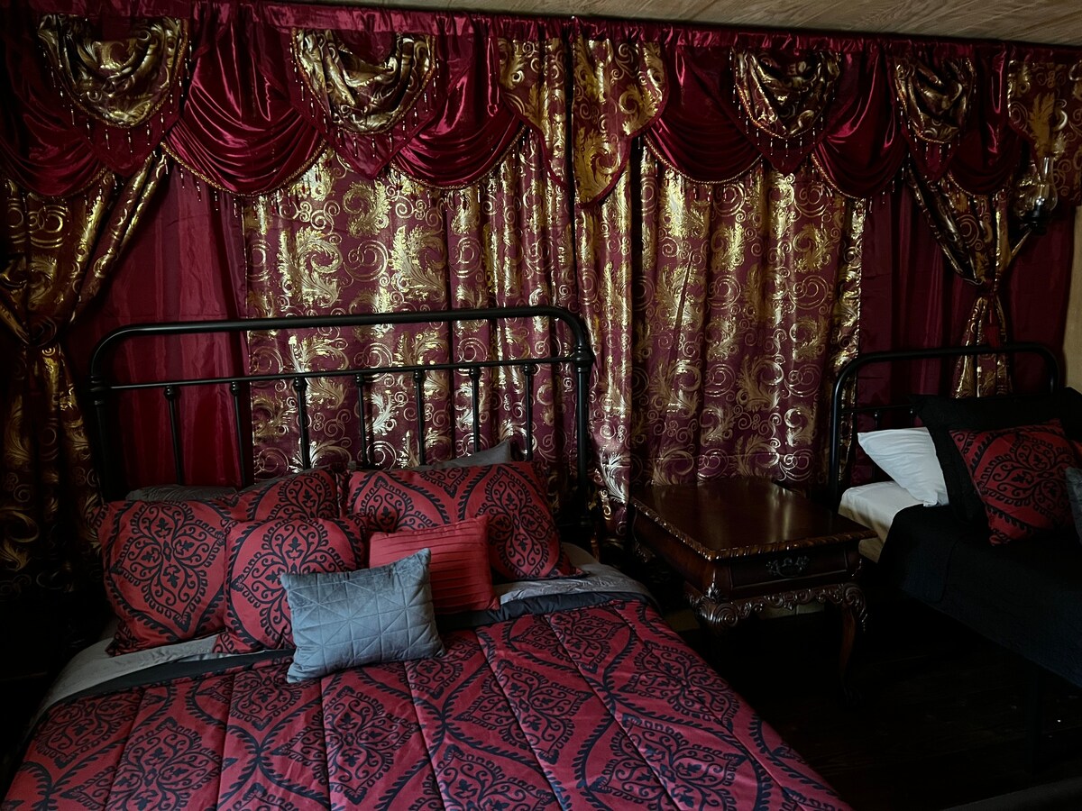
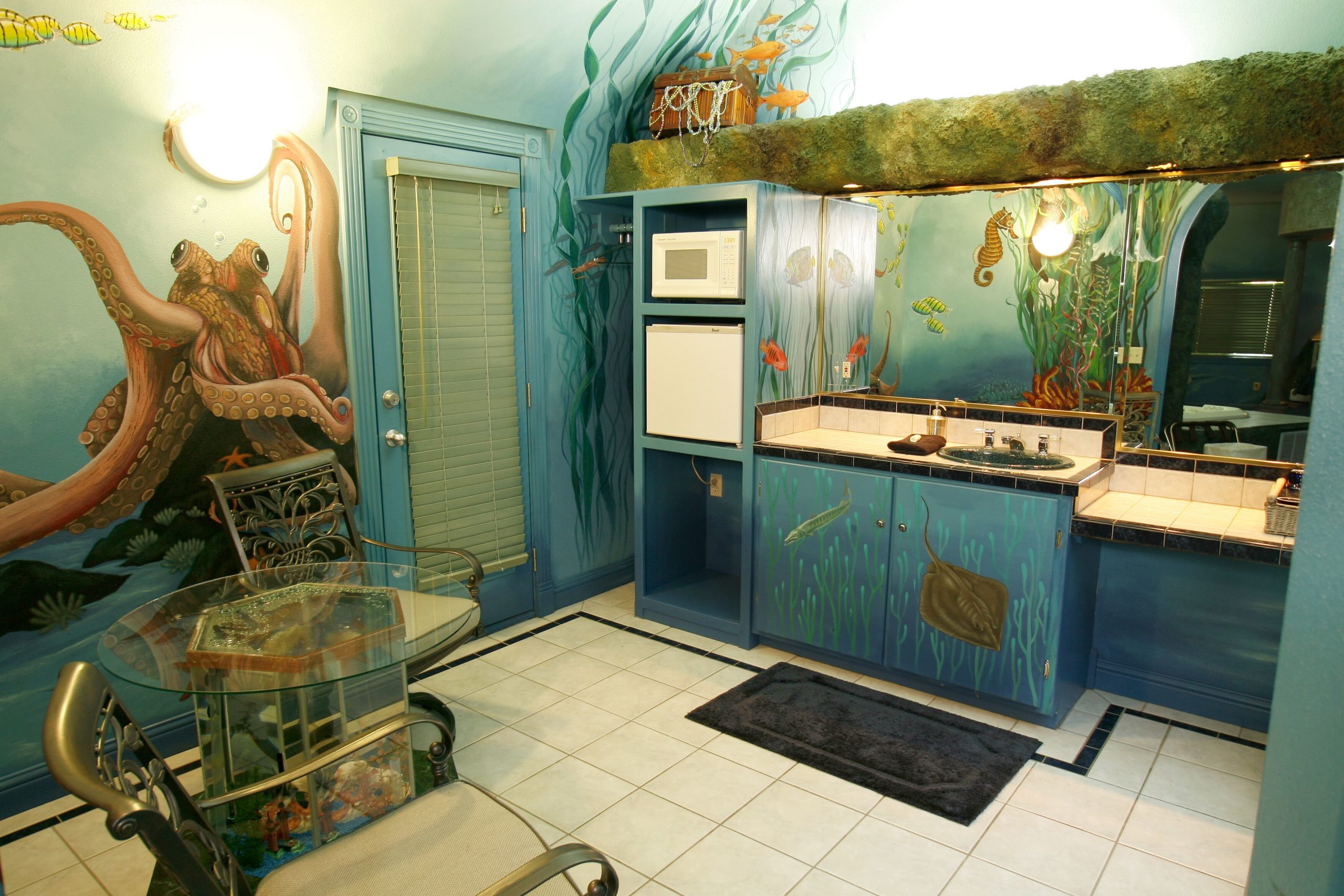
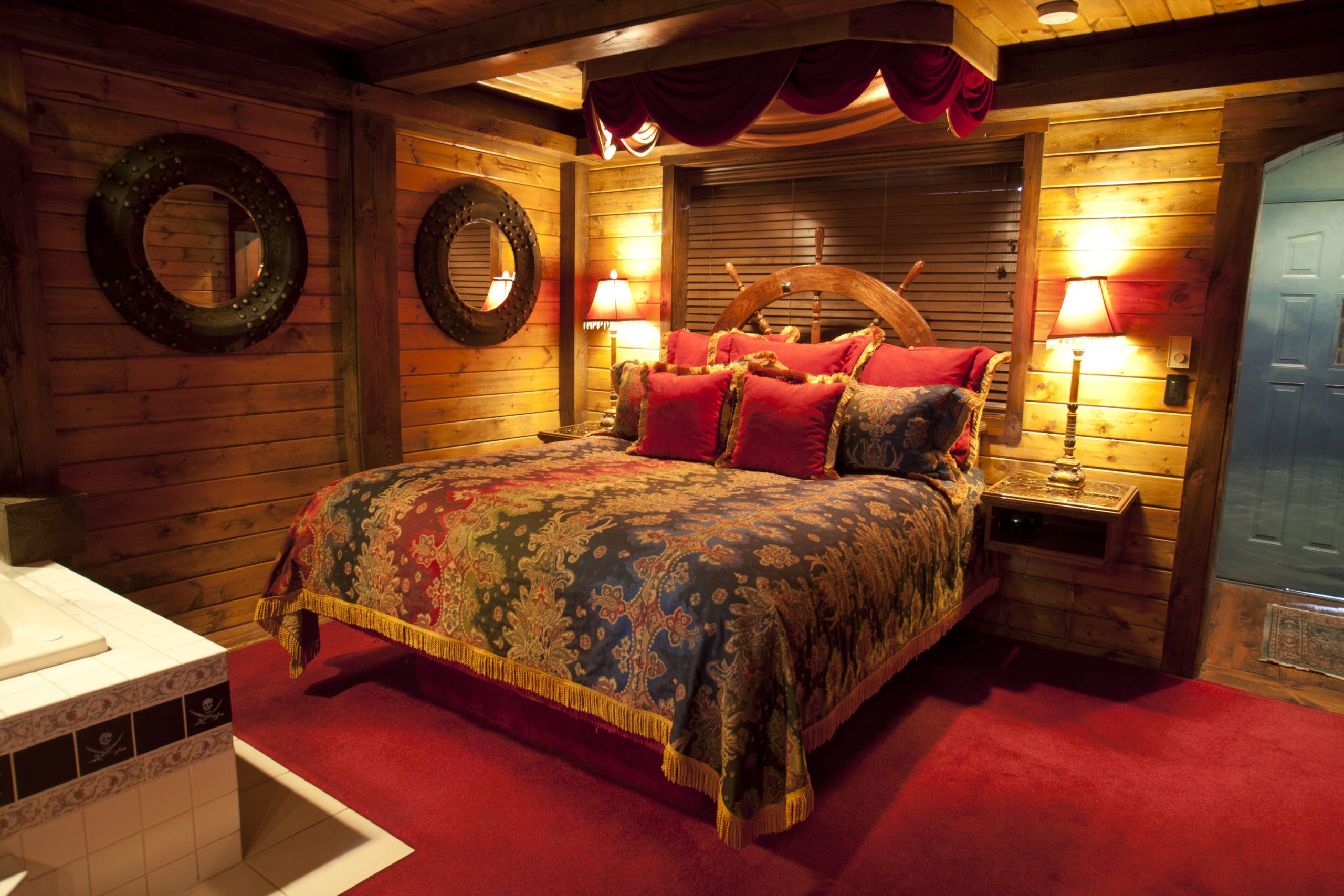
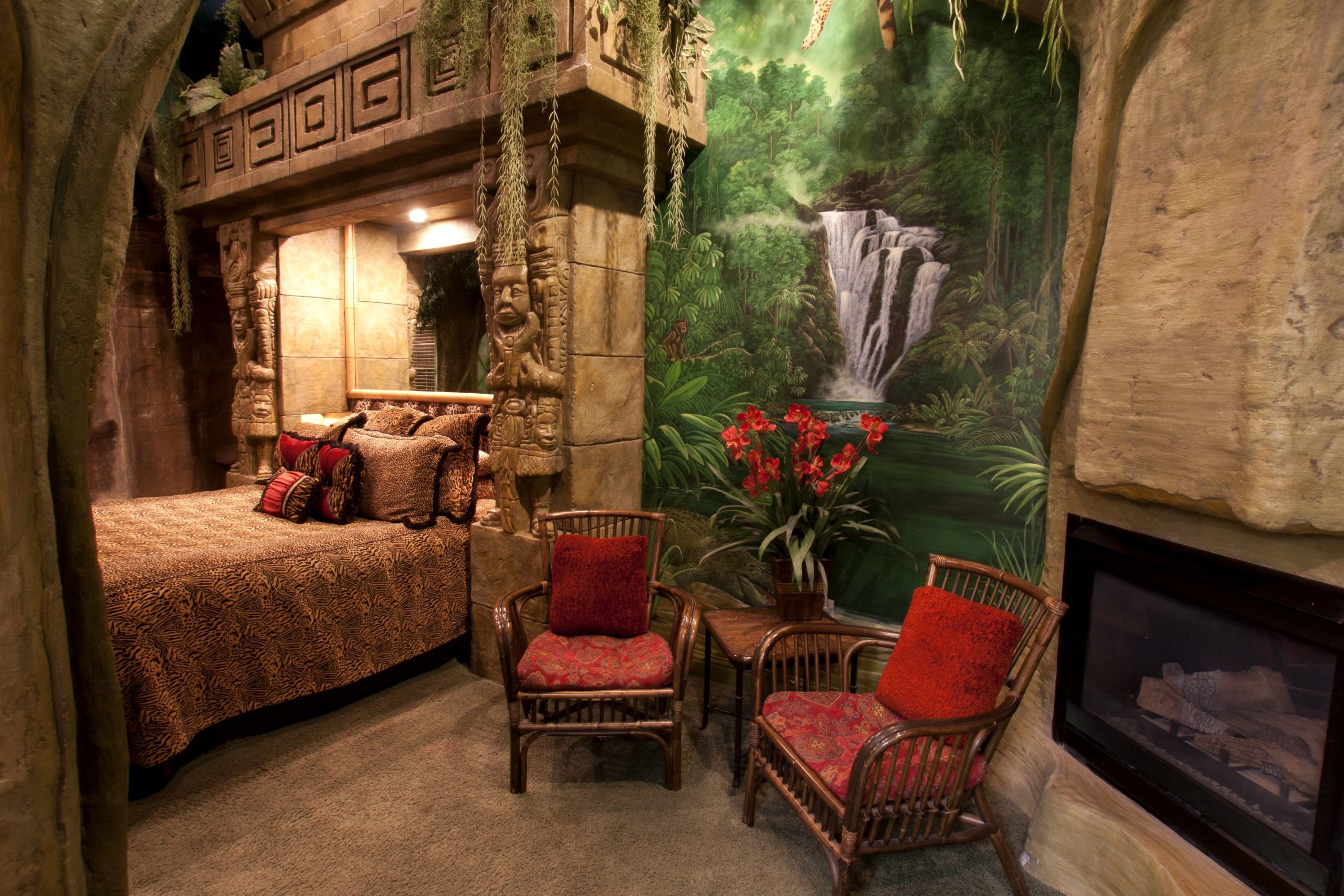
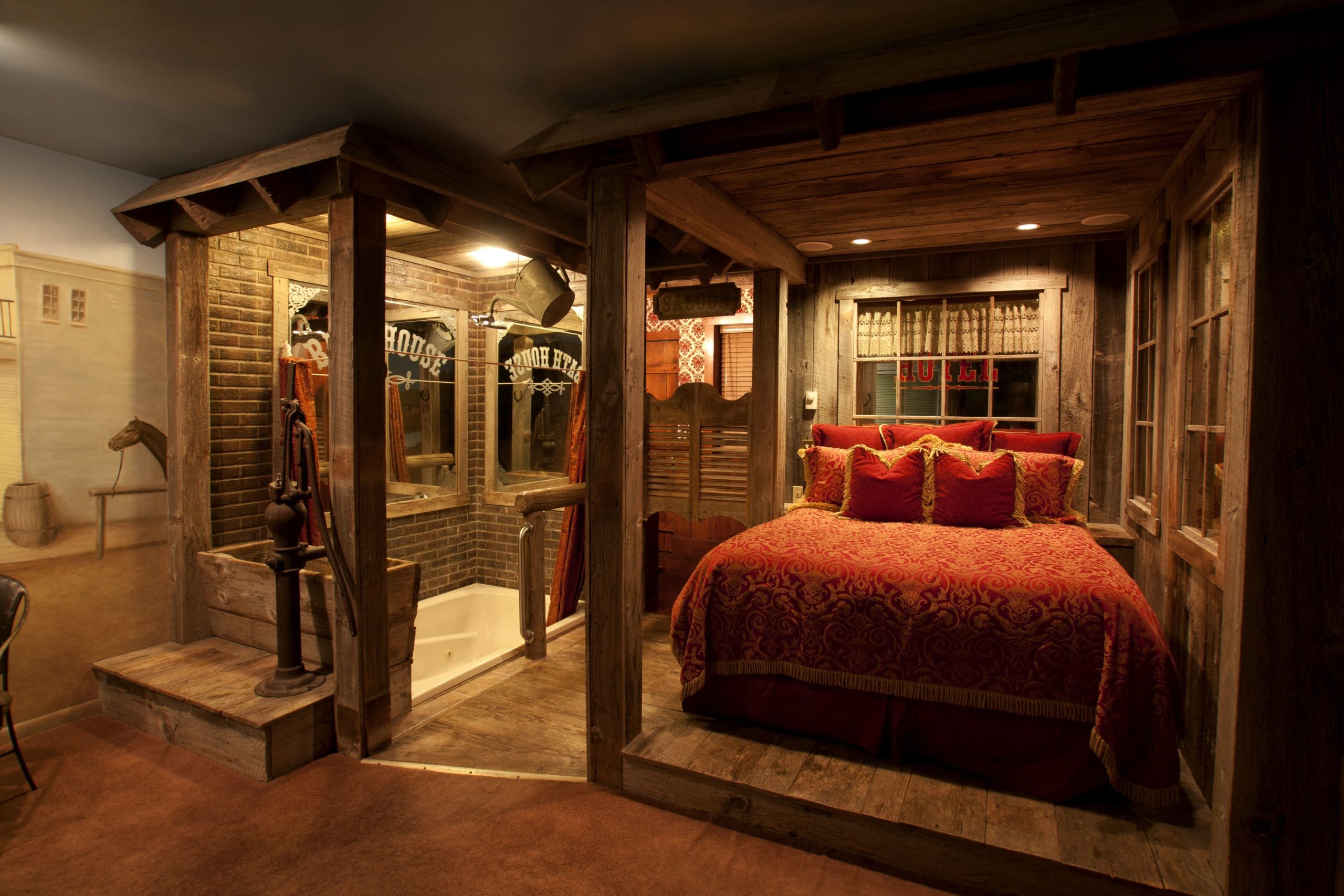
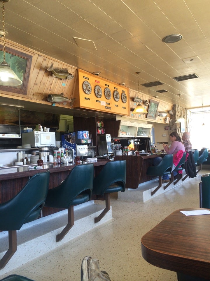
Sadly, Memorial Day Weekend crowds had already filled The Black Swan Inn downtown before we discovered it — “one of the best themed hotel/bed and breakfasts in the country.” Not our usual fare, but just look at this madness:
The unique English Tudor building was built in 1933 and originally featured ten two-story apartments. New owners purchased the building in 1996, with the intention of turning it into themed suites. Extensive renovations began in 2001, bringing the property up to modern codes. By 2005, renovations completed and a final, fifteenth suite was opened.
Themes include Atlantis Under the Sea, Cave, Jungle, Egyptian, Pirates, Rainforest, and Wild West, among others. I suppose the property being full saves us from competing over who gets which room.
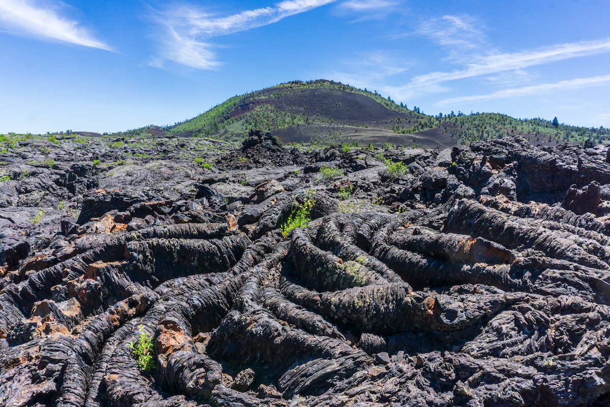
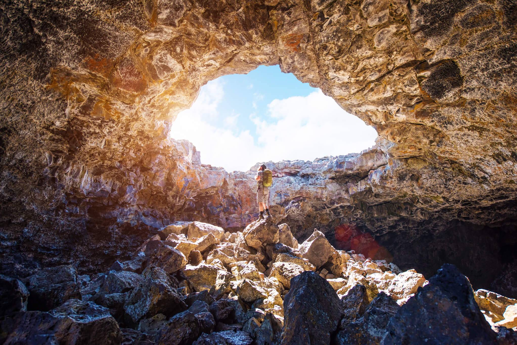
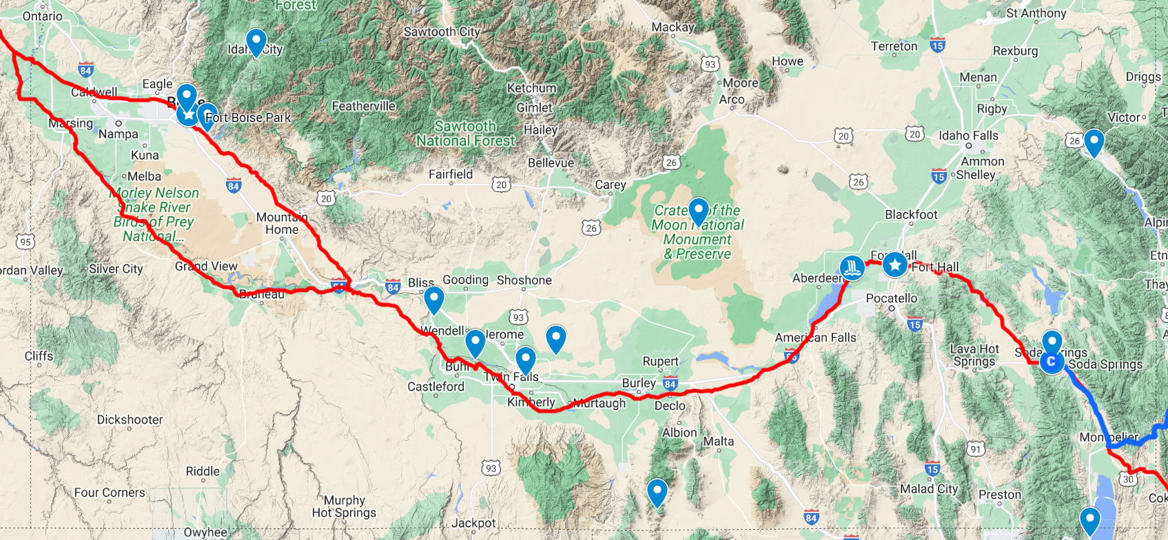
Between Pocatello and Boise, we’ve decided to make another detour from the route to visit Craters of the Moon National Monument and Preserve.
From “It Started Outdoors”From “Visit Idaho”
It seems to be equal parts small mountains, lava field, and prairie with bats, pronghorns, marmots, and a multitude of wildflowers. I’m not entirely sure what to expect here, but it looks otherworldly and well-worth the detour.
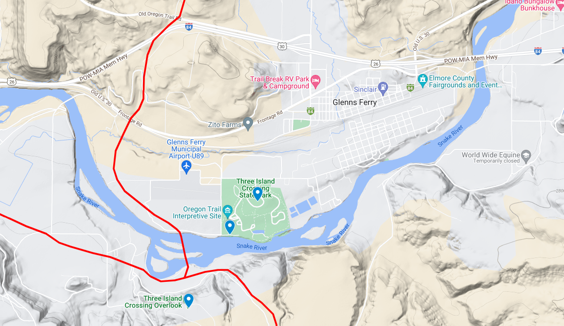
That night, we rejoin the route at Glenns Ferry, which escaped mention in the game, but has built up quite an identity around Oregon Trail crossings.
“Little Bunkhouse on the Farm”
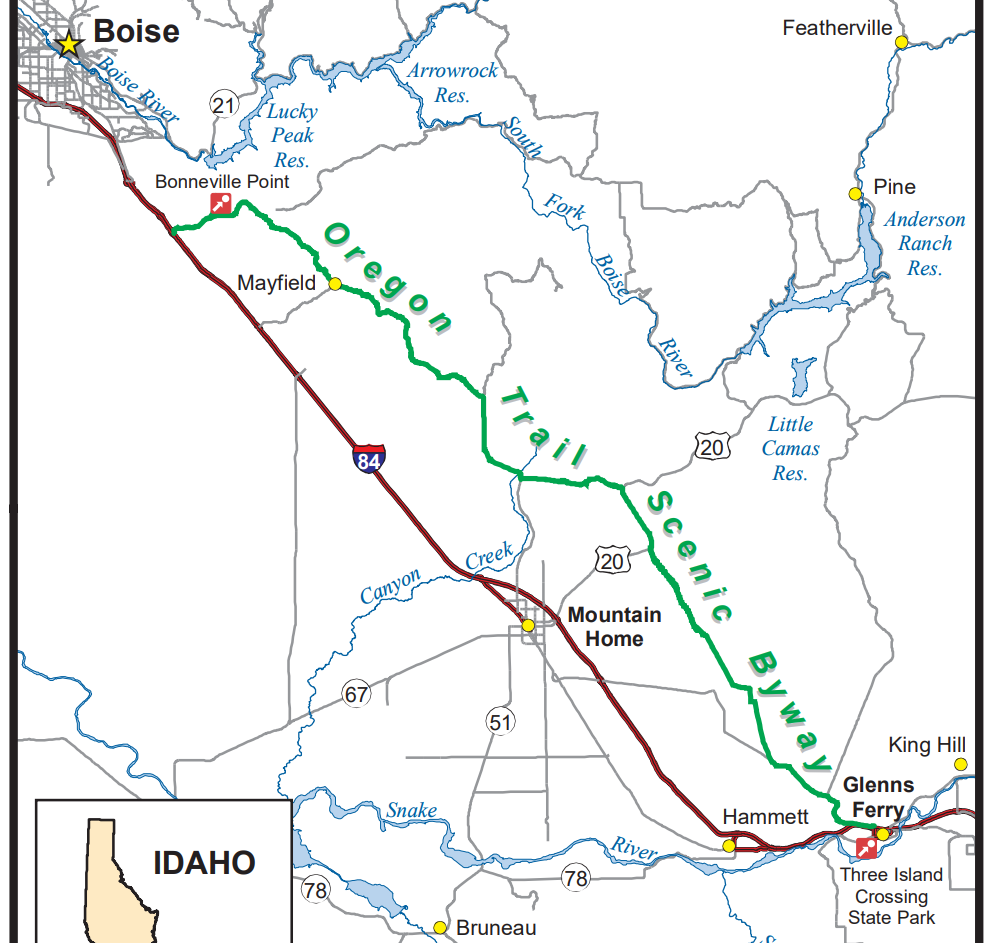
Travelers could ford the Snake River here at Three Island Crossing — where a ferry was later constructed 2 miles upstream. Unfortunately, because of a bend downstream, they would have to cross it again after Fort Boise. Or, according to the NPS trail map, they could follow the south/west banks of the Snake River instead to avoid major fords, but miss Boise entirely.
Oregon
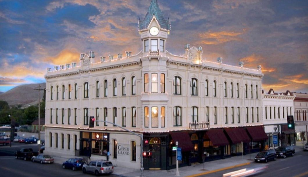
After Boise, we stop between the Umatilla and Wallowa-Whitman National Forests in Baker City, just south of “The Blue Mountains.” On the road into town are two visible sets of wagon tracks, a centennial memorial obelisk, and an interpretive center. In the center of town is the peak of opulence, the Geiser Grand Hotel, which opened in 1889 and became known as “The Queen of the Mines” during the gold rush. It was said to be the finest hotel between Portland and Salt Lake City, and houses the third elevator to be constructed west of the Mississippi River!
We’re not staying there. But I do hope we drink there.
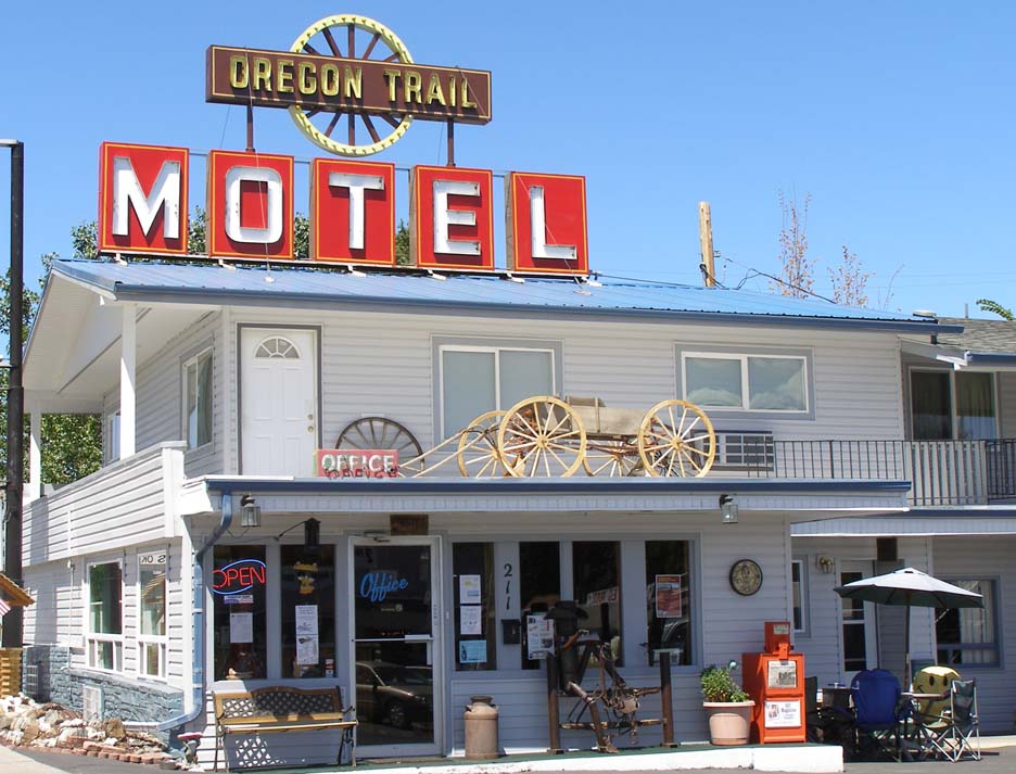
We aren’t staying at The Oregon Trail Motel & Restaurant either, but it definitely captured our attention briefly… until we realized there’s a reason it’s so cheap. Instead, we’ll be staying at the “Pinecone Cottage” a few blocks off Main Street.
From there, it’s a short drive to The Dalles and on to Oregon CityPortland, which are our final two stays to book. We’ll let those sit a while while we turn our attention to other matters…
We continue to knead the route but have gathered sufficient confidence in at least the first stretch. So it’s time to make it all official and book something! One of AirBnB’s charming — or annoying, depending on your point of view — steps to making a reservation is to write a short note to your hosts.
Stable Diffusion Image Generator. I requested “Oregon Trail Roadtrip.”
ChatCPT, the machine learning language model that’s set to put all of us out of work, has been making waves lately, so we decided to put it to the test for this task. I asked for something simple. George did not.
I am most definitely not a murderer. Please write an introduction from me to an AirBnB host for a house in Missouri that will leave them with the impression that I am not a murderer.
George.
100% this reservation request screams “the call will be coming from inside the house.” My request included the trip theme, but left out the part about how non-murder-y we are.
I wonder if our host in Anchorage would take issue with the pledge that we will treat the place with respect, but I maintain we’ve yet to irreparably trash a place. But before I tell frontier AirBnB-ers that I’m a history buff, I should probably do reading. Or just write my own request; it only needs to be two sentences and it took longer to come up with the prompt. Maybe AI won’t replace me today.
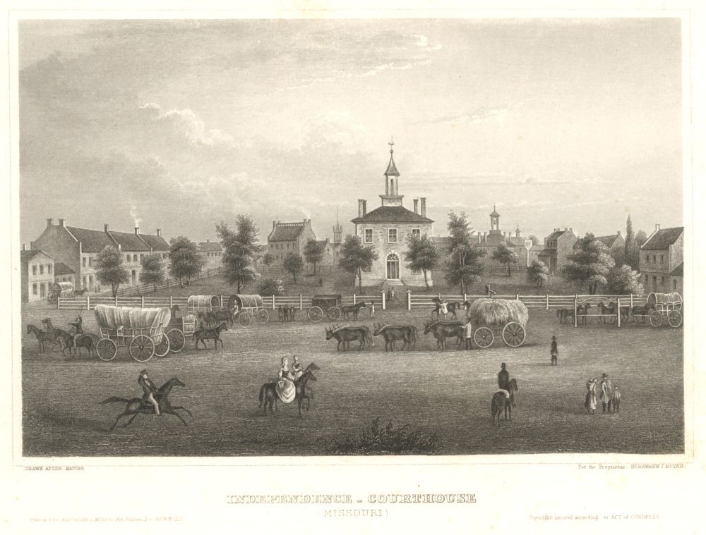
Independence, MOIndep, MO Courthouse. 1854. Kansas Historical Soc.Visit Independence
We decided to arrive into Independence a night early — on Thursday — and “work” on Friday, giving us a little more time for automotive getting-to-know-each-other festivities and gathering provisions. (I assume this will turn into that day only I worked from Tacoma.)
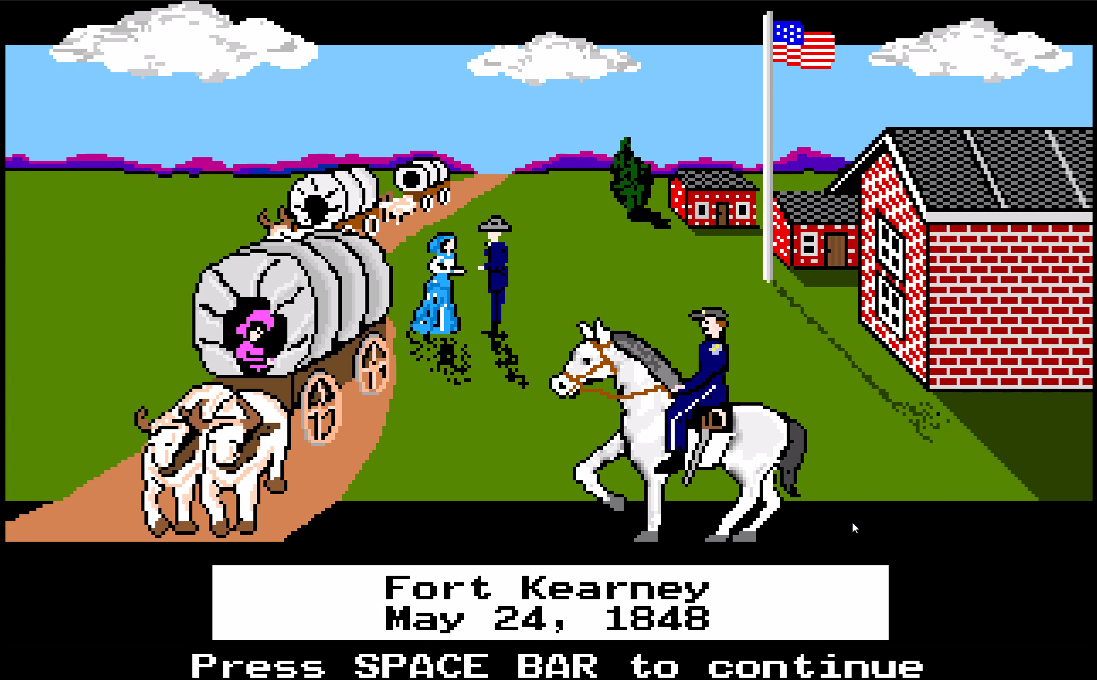
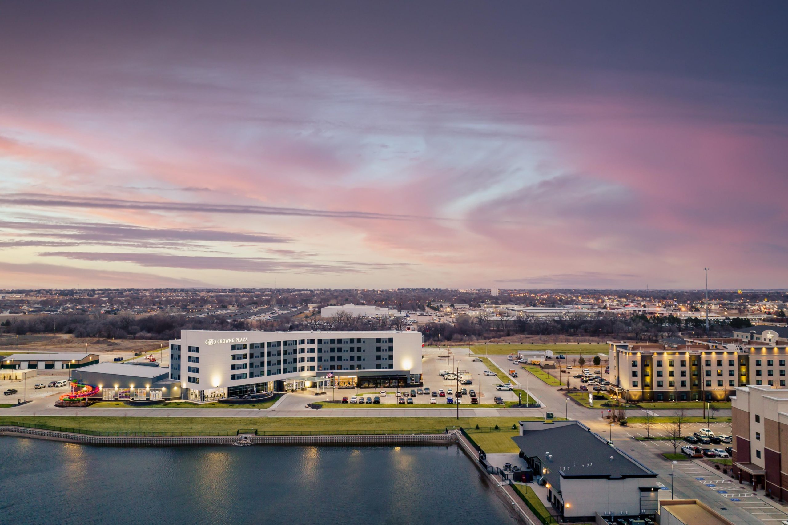
Crowne Plaza, Kearney, NEFort Kearney Nat’l Hist. Site
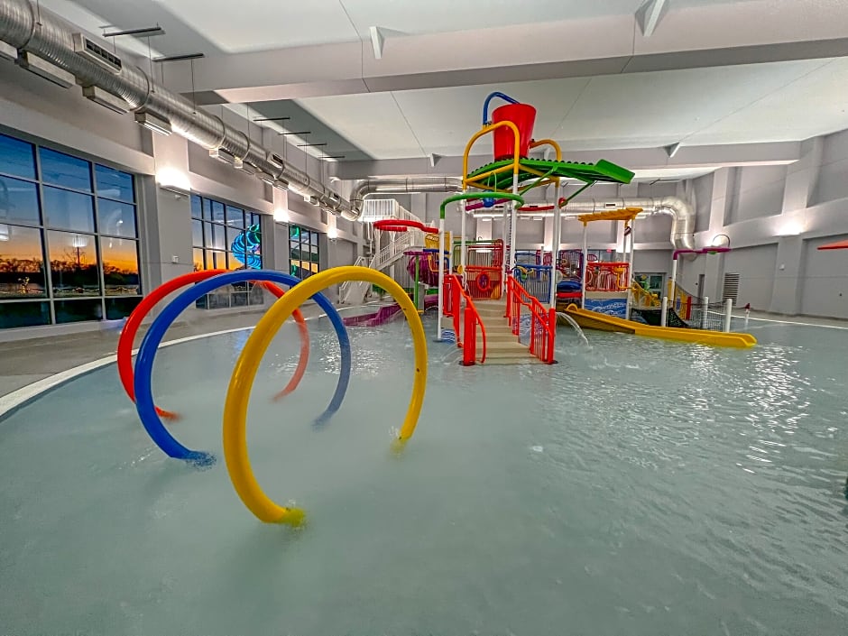
Kearney had even fewer interesting rental properties than I was expecting. There was one house for rent that was downtown-adjacent, but the host didn’t respond. So to preserve momentum, we decided to reach into our collective pool of rewards points to stay for cheap at a water park that George found. I made the boys promise that if we stayed at the Water Park Conference Center Crowne Plaza, that we would have to use the water park.
Northern Nebraska
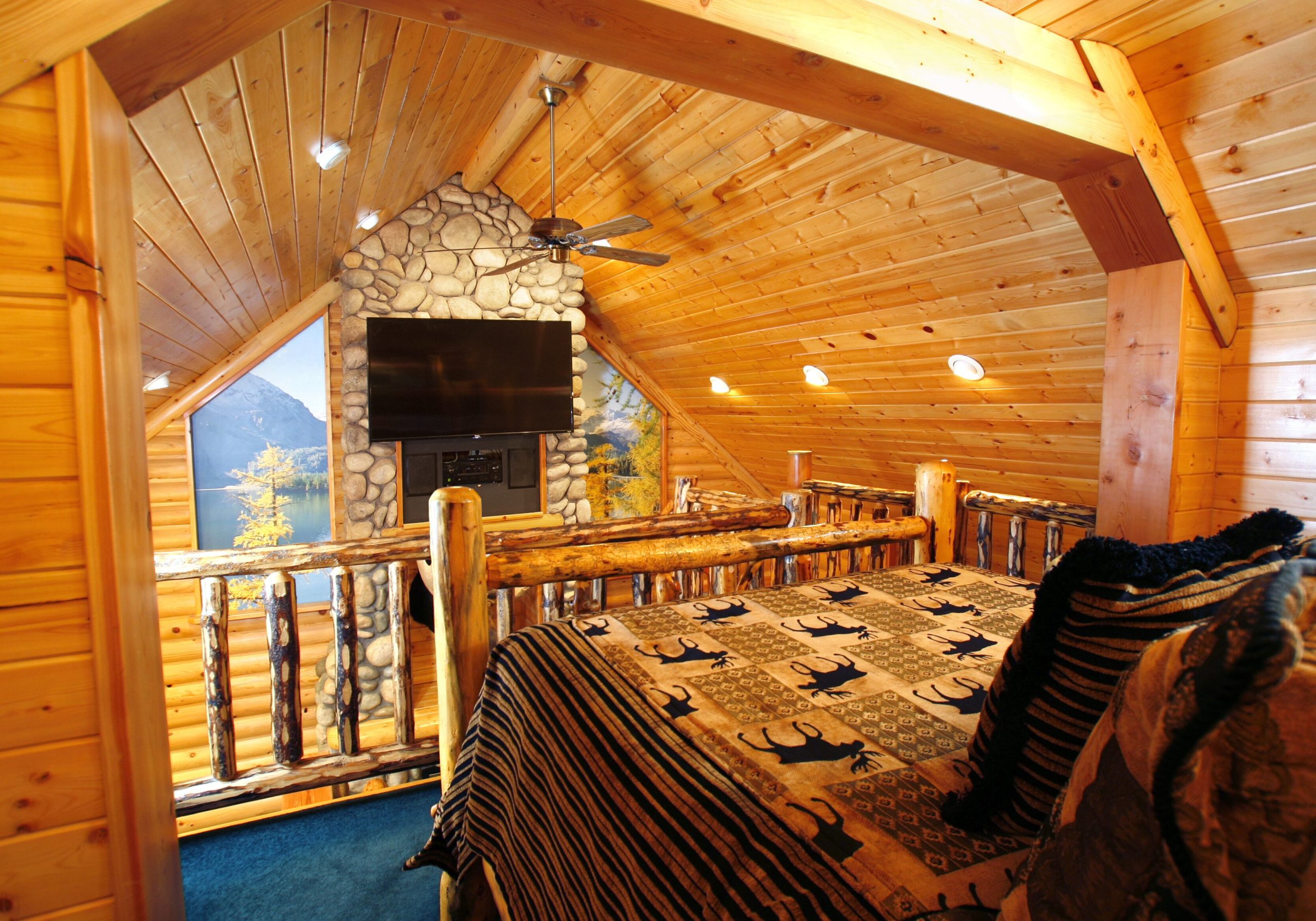
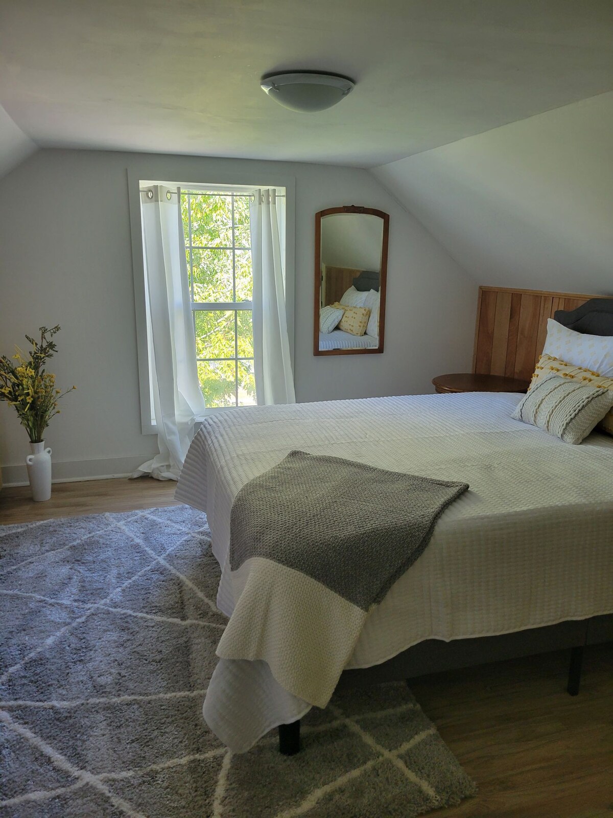
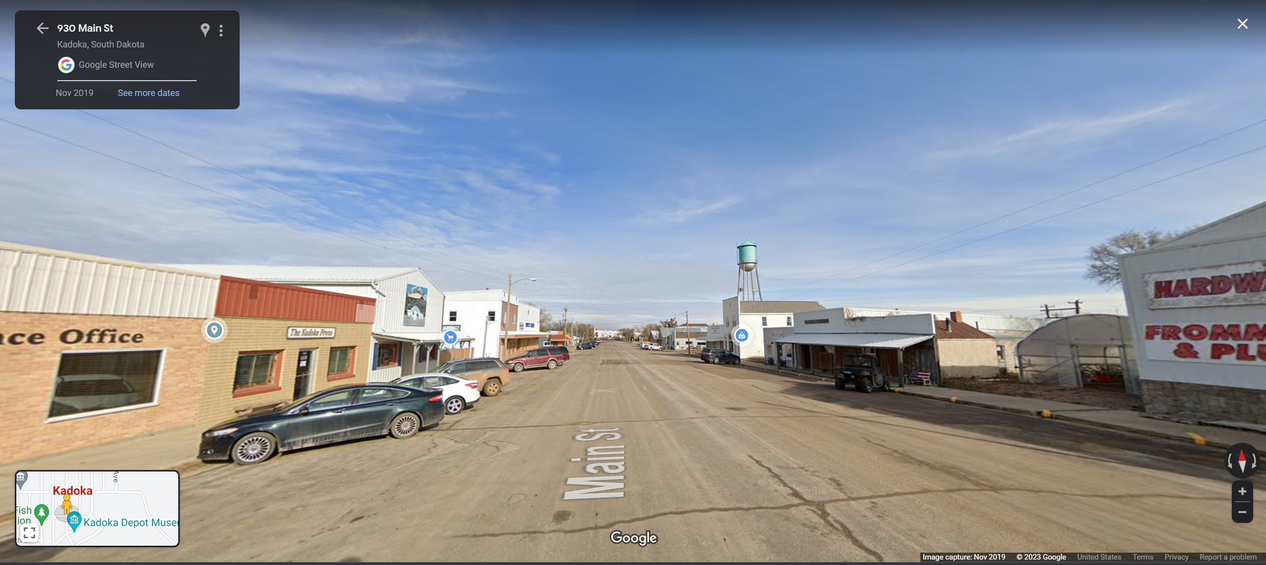
Kearney, NE to Kadoka, SD is on the longer end for one of our drives, but we’ll be able to take shelter for the night in The Charming Farmhouse and celebrate George’s birthday!
“Charming Farmhouse”
And that’s when things go from good to great. Our last booking for this shopping spree is the two-night cabin in the woods of Black Hills, SD.
Badlands NP. Beth Mancuso, Midwest Living.“Keystone Crossing” CabinBlack Hills NF. Runner1828, Wikipedia.Wind Cave NP. Black Hills Parks & Forests Assoc.
Although it seems odd to have a beach day so early in the journey, the first to drive days are fairly long, and look at this place. Just means we’ll have lots of time for me to drag the others on more hikes, which I suppose I should start researching now.
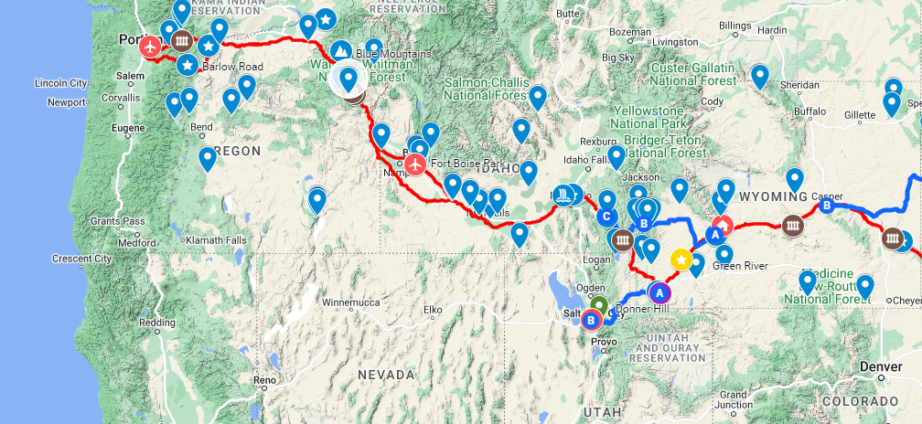
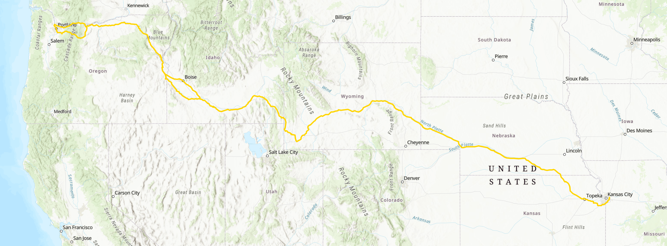
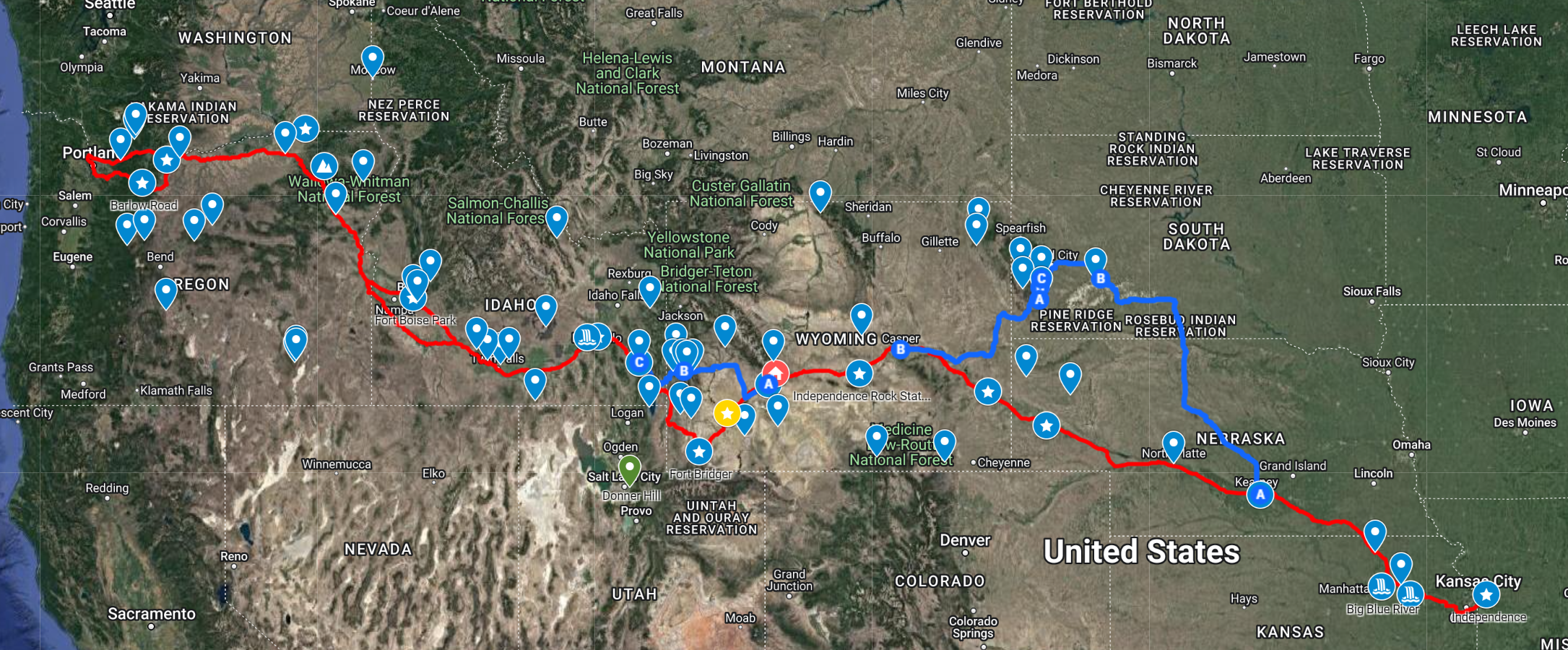
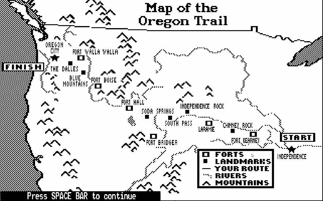
Having successfully (more or less) crossed The Oregon Trail by videogame thrice, we felt sufficiently well-schooled to start planning a great crossing of our own. The National Parks Service maintains a website and interactive ArcGIS map on The Oregon National Historic Trail, which we’re using as our primary route reference:
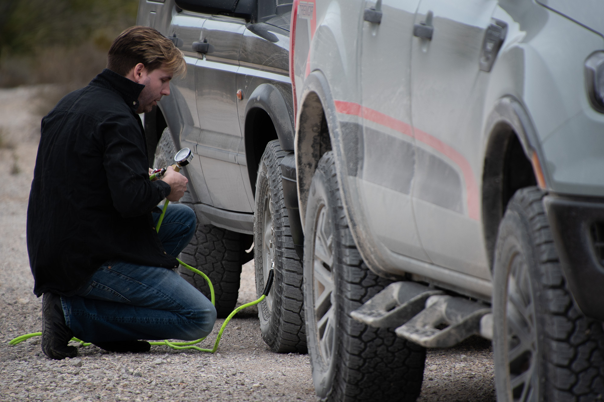
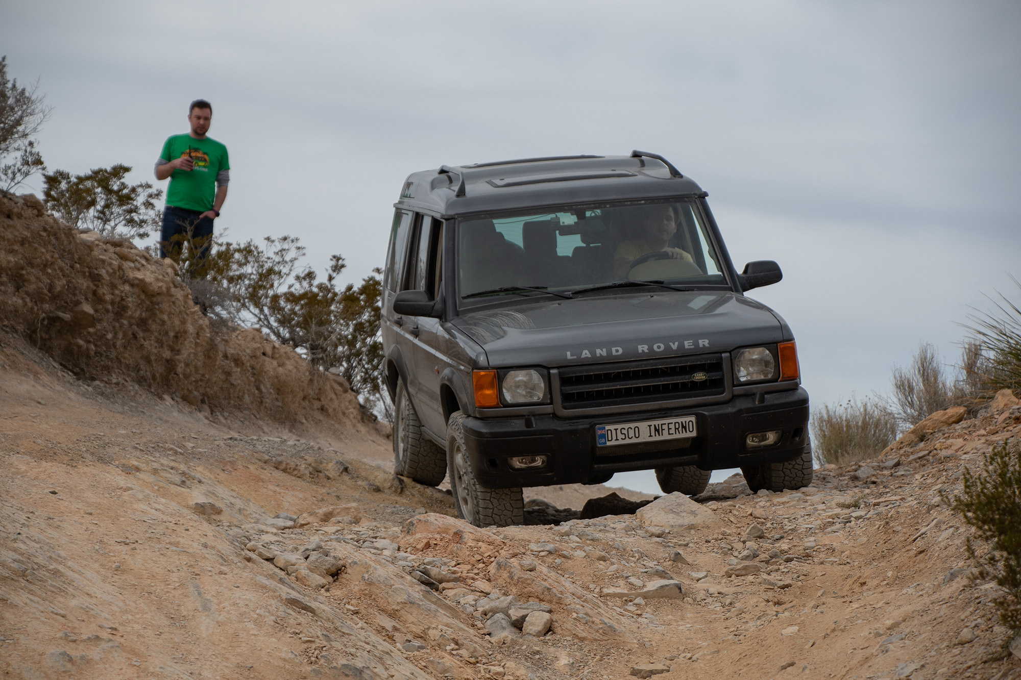
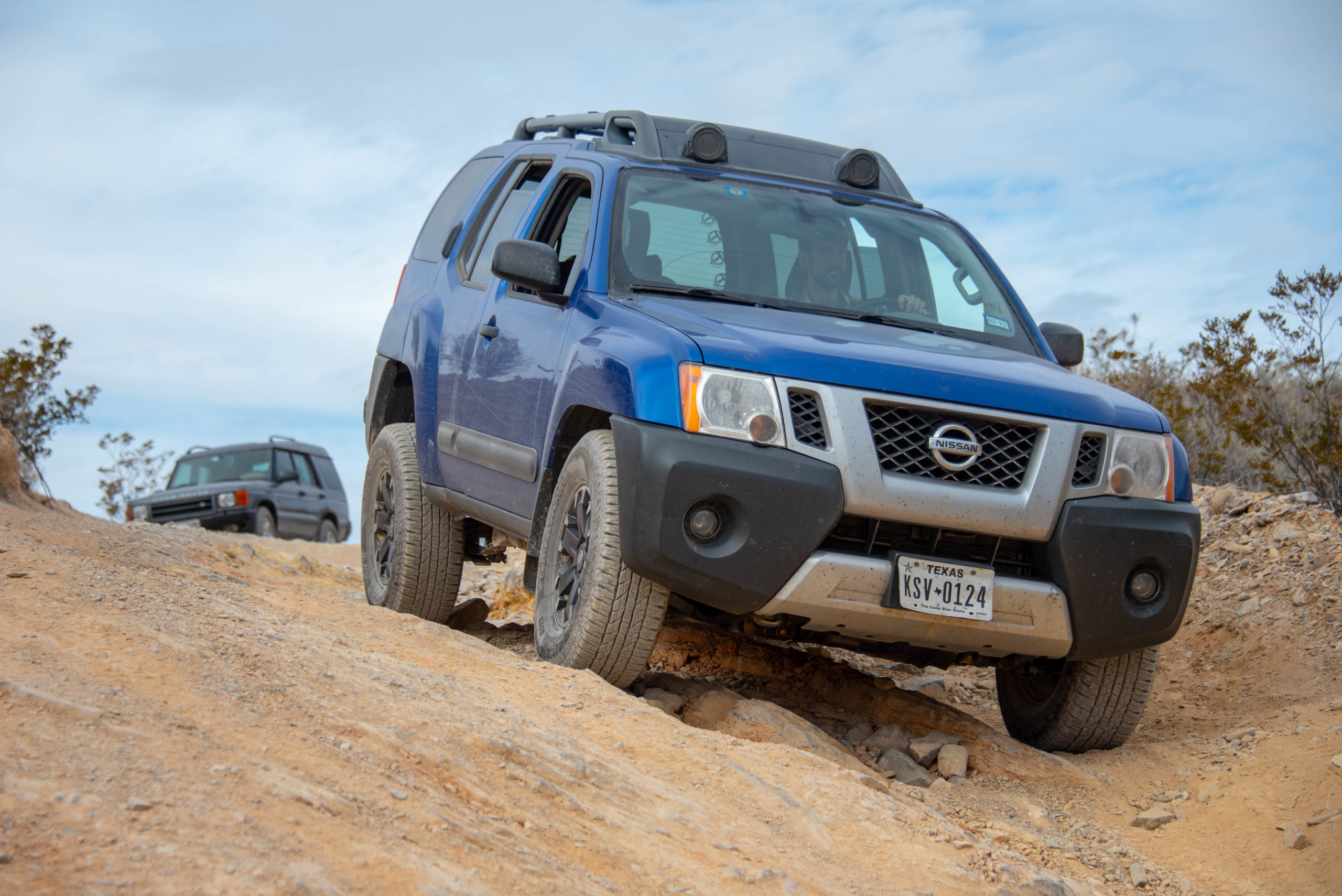
We’ll also be grabbing alternates and detours as we figure out the rest of the route. The trail as prescribed was a wagon migration, which means three things: they weren’t necessarily in it for the sightseeing along the way; they might have preferred easier roads and less dramatic landscapes than we’ve come to be spoiled by; and although we’ve had our share of lemons and breakdowns, our cars should be ever-so-slightly more capable. (Well… perhaps…).
Mosier, Oregon on the Columbia River, 2018.
As we zoomed out a little from the route map, we saw a lot of beautiful experiences to be had between Independence (Kansas City metro) and Oregon City (Portland metro):
The red line is the NPS Oregon NHT route
We’ve marked every fort and settlement from the game and are defaulting to those for stopover nights. Most of my covid-time in Wyoming was further northwest in the state, but I’ve added what I know. And I’ve wanted to give Idaho another go since that one night and work day in Boise. We’ve also all got plenty of things we’d like to do in Oregon along along the Colombia River Gorge — although we may need to face the bandits and toll collectors on The Barlow Road around Mt. Hood.
All of which is to say, I’m very excited by everything that happens after crossing into Wyoming. But getting there from Independence (Kansas City Metro) is a lot of interstate-woven cornfields in Kansas and Nebraska…
The First Half
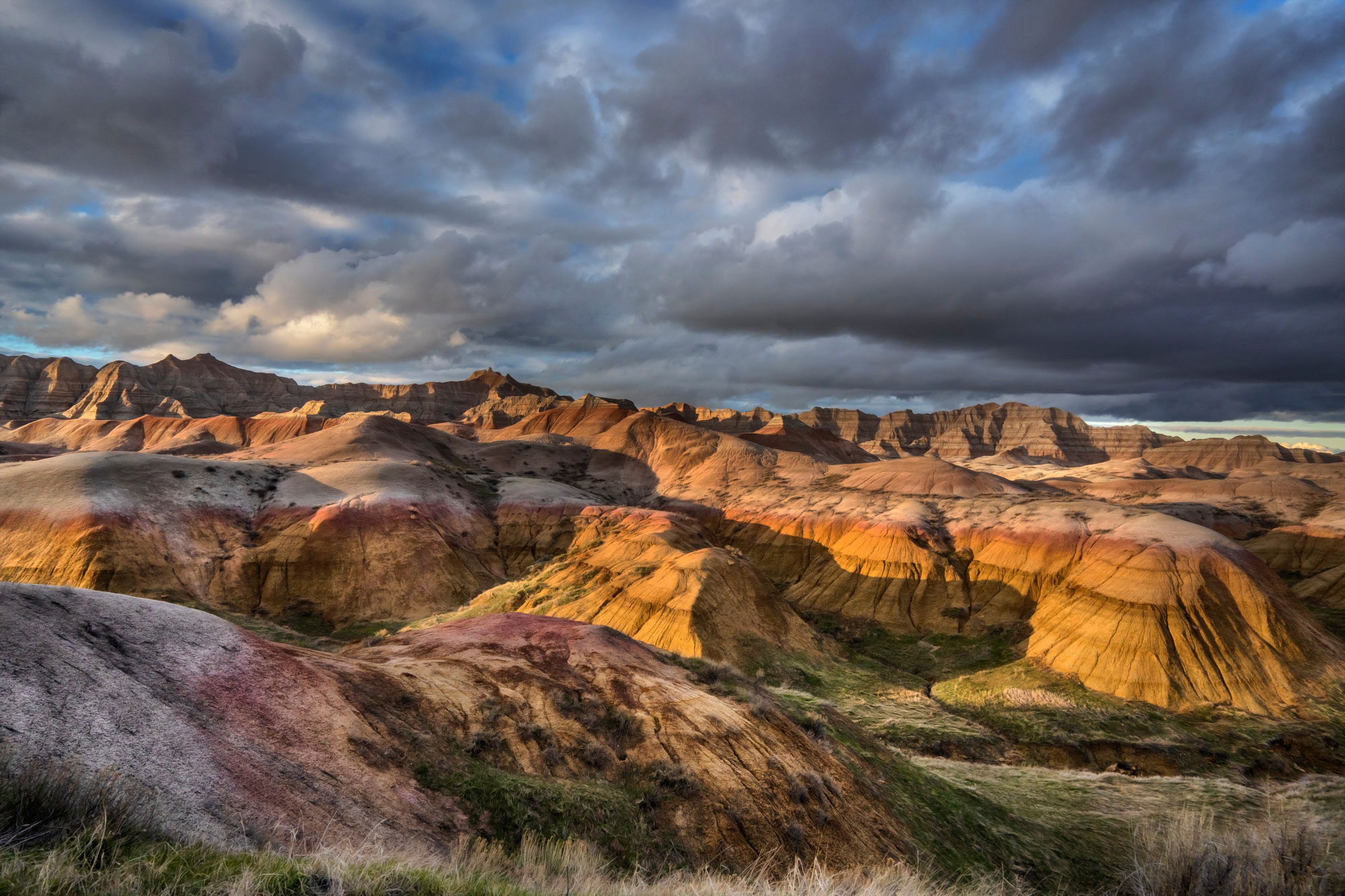
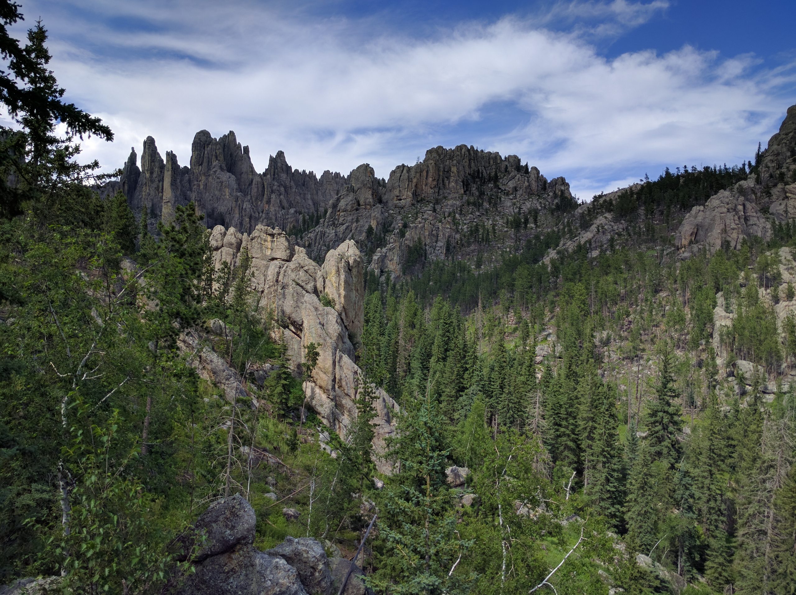
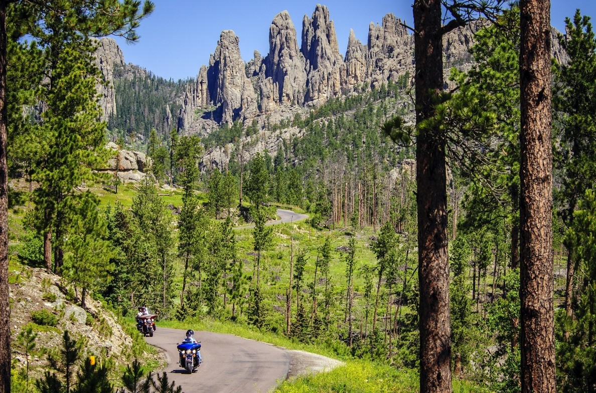
When originally considering options for a fourth trip, George mentioned an interest in Black Hills National Forest generally and the Needles Highway and Iron Mountain Road specifically.
Source: Custer State Park ResortSource: South Dakota Magazine
Now that is a road. Sign us up. And it lets me shoehorn Badlands National Park into this trip, as is my specialty as Chief National Park Officer of our little posse. So we’ve decided to follow the historic route to the first in-game respite at Fort Kerney, then hellride it up from there to Kadoka, South Daktoa for these.
Since we’ll be in the area, we may also add a stop at what remains of the Lakota site Tunkasila Sakpe Paha (“Six Grandfathers Mountain”), too.
Source: National Parks Service, circa 1905.
So that’s a big departure from The Oregon Trail official route, but we’ll rejoin the route somewhere between Fort Laramie and Casper and will following the rest of the trail a little more faithfully.
Independence Rock, Wyoming; near present-day Casper.
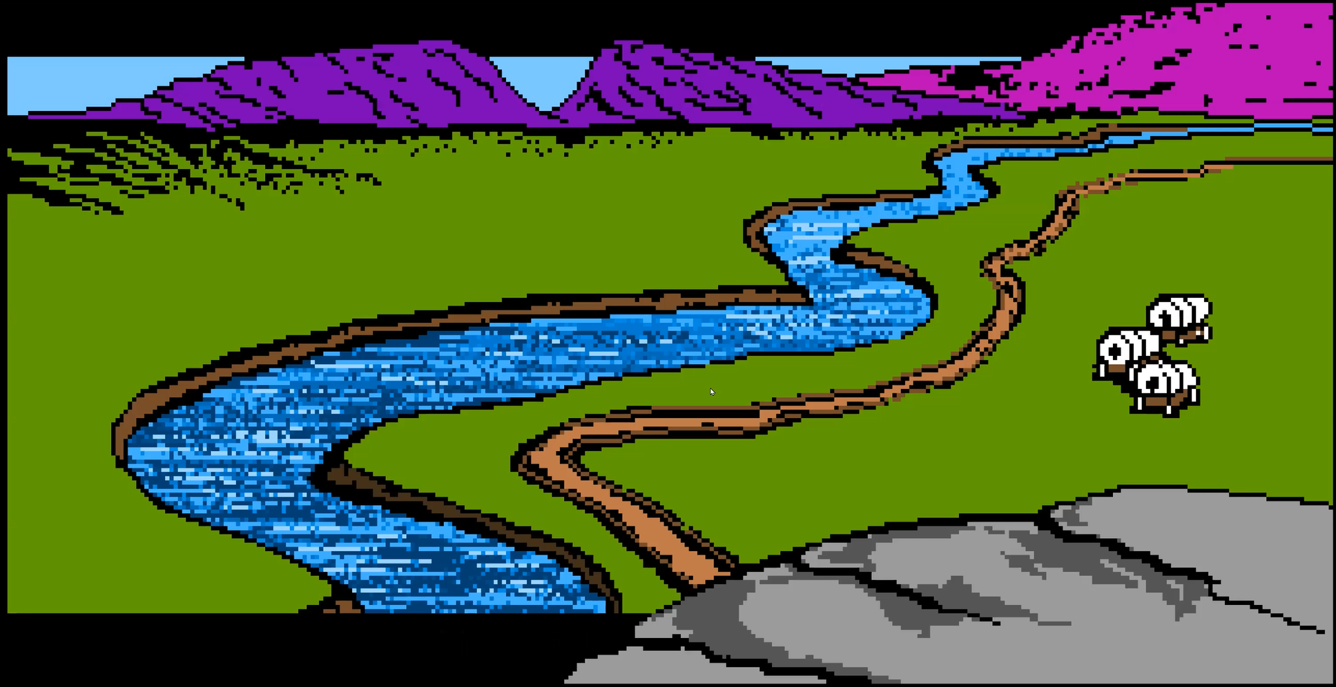
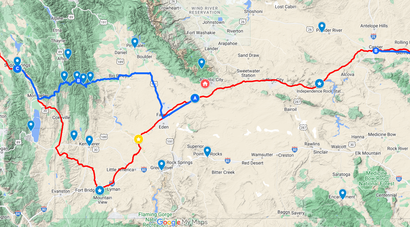
The game offers a fork here: take the trail down to Fort Bridger as a detour (red line) or cross the Green River between South Pass straight to Soda Springs.
In truth, either route would cross the Green River, but in the game, the Fort Bridger route doesn’t have to suffer that. Modern travelers would likely route across on US-30, which isn’t so far out of the way, but we decided to see if we could take a direct route across the mountain range in the middle — because of who we are as people (blue line).
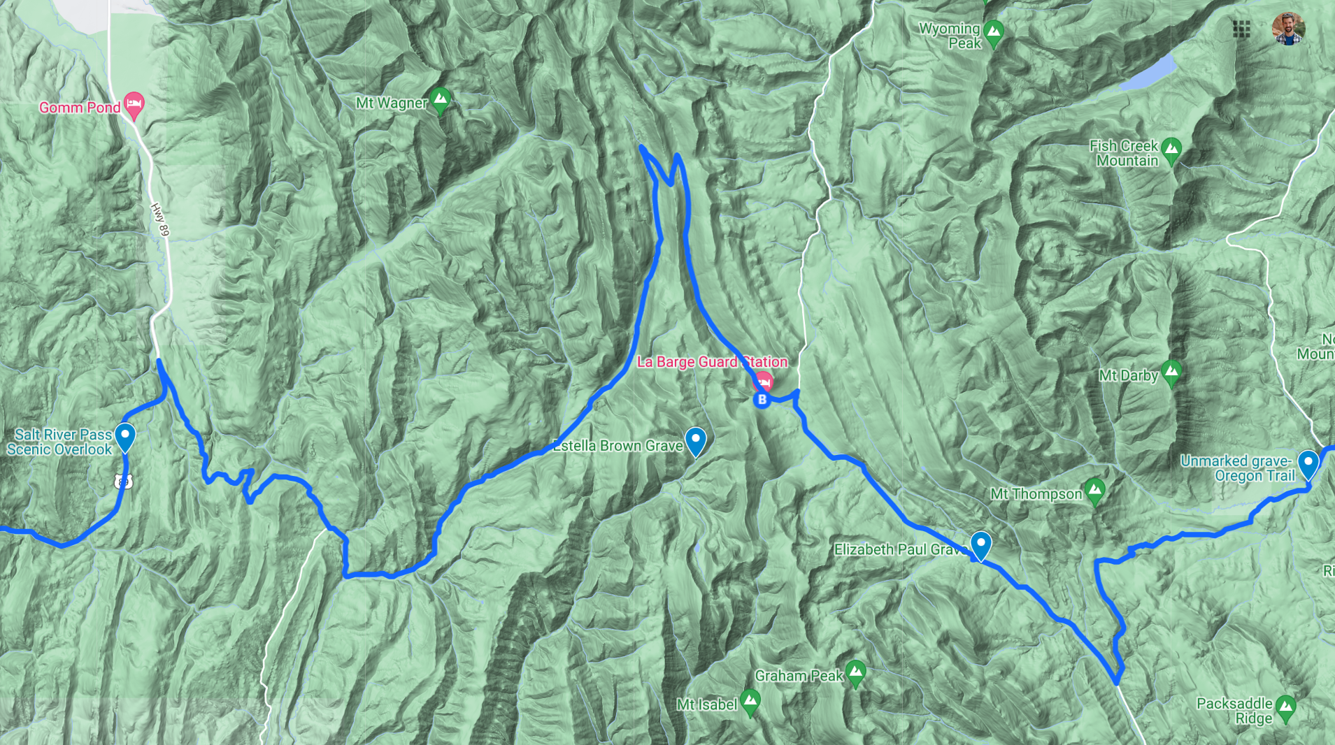
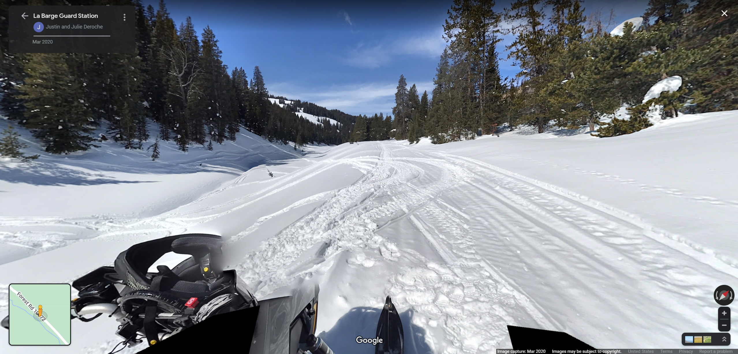
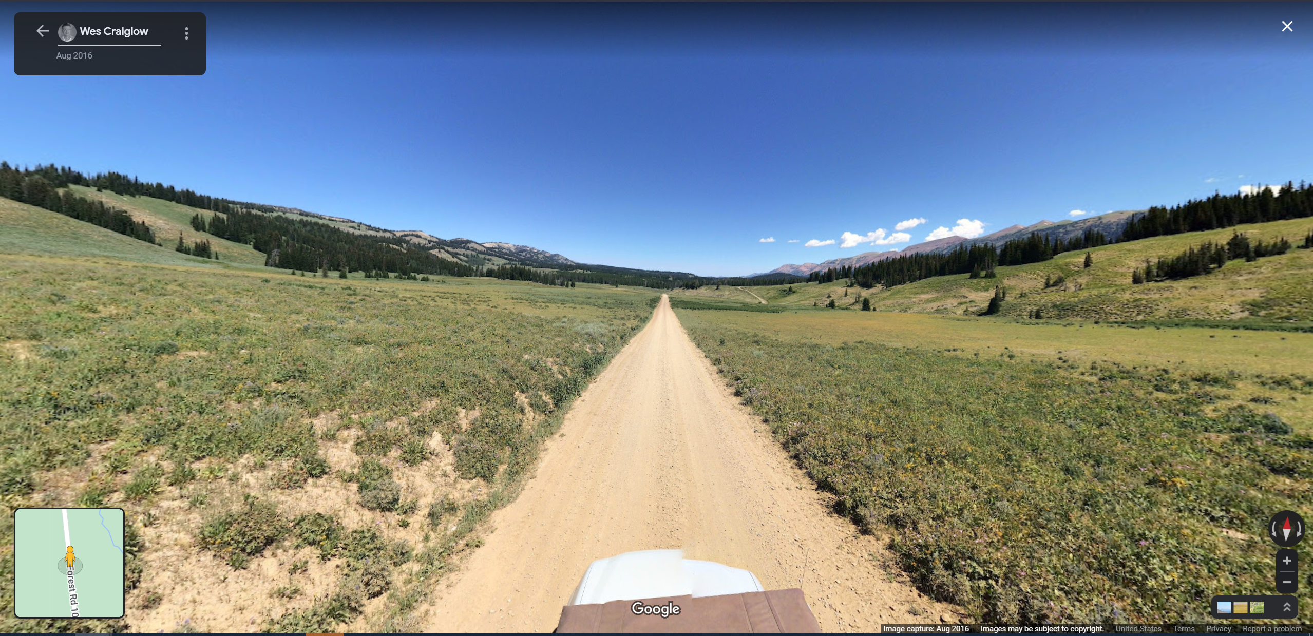
There is a pass on an unpaved forest service road between Wyoming Peak and Graham Peak which passes by three old gravesites, a historic guard station cabin, and a Salt River overlook.
There are only two Google Street View captures on this route; they are these. I suppose we should confer with an old-timey almanac to see which most closely resembles “Late May.”
Beyond Soda Springs, we have fewer specifics planned. We may add Craters of the Moon National Monument. Idaho also has a scenic byway that parallels I-80 to the northeast called “The Oregon Trail Scenic Byway” that runs along the edge of the mountains.
Source: Bureau of Land ManagementSource: It Started Outdoors
From there, we make our way through Boisie and into Oregon to cross the Blue Mountains into present-day Pendleton. Even the pass on I-84 is beautiful.
As seen from a Celica.
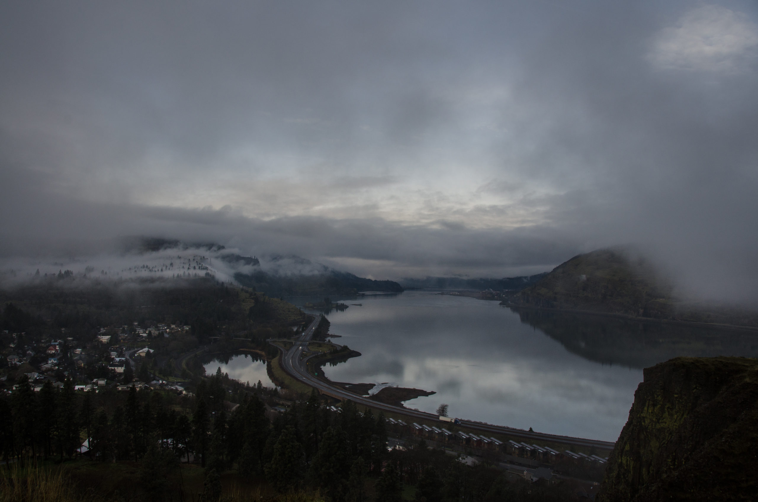
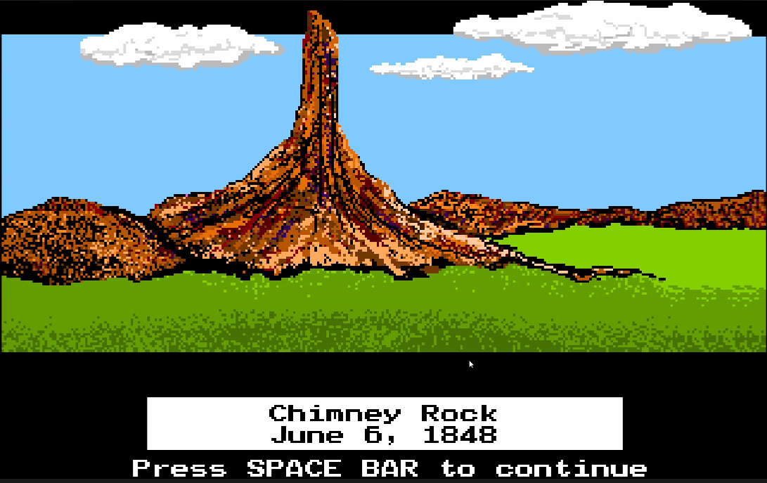
After Pendleton, it’s a short drive to The Dalles along the Columbia River, where we’ve decided to have a “beach day” to explore.
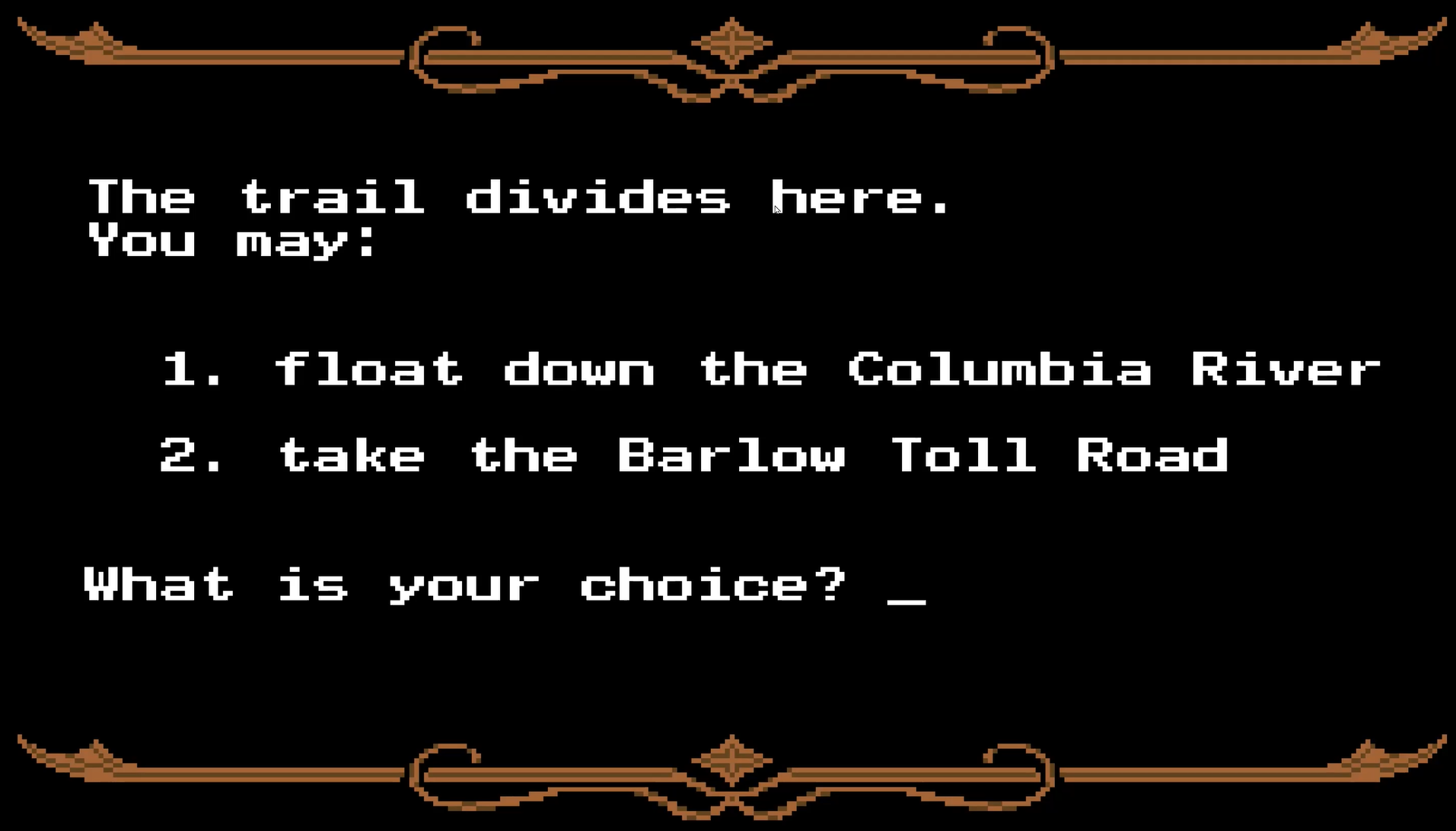
Finally, the game offers its final fork: pay $10 (if you still have it) for the Barlow Toll Road or float your wagon down the Columbia River. Both are downright treacherous, so we have yet to decide how we’d like to arrive into the Willamette Valley ourselves, but have lots of options. After that, as tradition dictates, we host a car sale in Portland.
How hard could it be?
So that gives us a schedule, which is daunting for two reasons: it’s real now, and it’s very soon.
Historical research continued in the form of two rematches, necessary after Evan killed me in a careless raft crash. George and I each took a turn as wagon captain; hijinks ensued.
And now we have our own Oregon Top Three:
Taylor, Carpenter, 3270 points, 2 casualties (including Evan), good health (but only at the end…)
George, Banker, 2199 points, 0 casualties (showoff), fair health
Evan, Banker, 1007 points, 3 casualties (including Taylor), fair health
We even had our first case(s) of dysentery! And a question came up along the way. Clearly, one of the best gameplay features of our edition of Oregon Trail is the voiceover performance delivered by George — who at one point wondered,
I wonder if these were real people?
Yes, it turns out. Which isn’t much of a surprise considering the game’s educational aims. But while we may not meet these people on our travels west, we may just see some of the places they stopped to rest.
Marnie Stewart
Helen Marnie Stewart is quoted a few times in the game. She and her carpenter husband(See Evan, some people played as the carpenter for realsies!) traveled west after meeting in Pennsylvania. He had previously sailed through New Orleans around Cape Horn to California to mine gold, and then to Australia for a gold rush there before returning to Pennsylvania where he met Miss Stewart. Later, in 1853 when Marnie was 18, they crossed the plains in a wagon train led by Marnie’s father. Her daughterwrote:
My mother’s father, John Stewart, started across the plains with his wife and four daughters, two of whom [including Helen Marnie, of video game fame] were married. There were over 100 wagons in their train. Some distance [east of] Salt Lake, when the wagon train was pretty well strung out, some of the wagons took the fork in the road that led to Salt Lake. […] The rest of the wagons did not notice that some had turned off, so continued the trip until it came time to camp that night. My mother’s half-sister, Mrs. James Stewart, with her family, was with the part of the train that had turned off toward Salt Lake. Her little girl, Jessie, who was seven years old, was riding with [Marnie’s mother]. This little girl didn’t see her folks again for two years, for the wagons that had headed for Salt Lake wintered there and went on the next spring to California.
After the train divided, Marnie’s parents encountered someone who claimed to have a shortcut to the Willamette Valley, which would later be known as Greenhorn Cutoff, which went toward present-day Eugene, crossing the Cascades at Summit Lake. There was a trail, but no wagon road, which slowed them down considerably.
They were almost out of provisions, their cattle were worn out, and the wagons were almost racked to pieces. Martin Blanding [went ahead] to the settlements on the other side of the Cascades and secure help. He was found at the foot of Butte Disappointment, near the present town of Lowell, almost starved to death. He told them of the emigrant train he had left and also that they had been out of flour three weeks and were very short of provisions. A settler rode all night, visiting the farmers around there, securing provisions and help to go to the aid of the stranded wagon train. [Ultimately, the emigrants were taken to Eugene.]
Interview with Jeanette Love Esterbrook, granddaughter of John Stewart done by “the Journal Man”, Fred Lockley, Oregon Journal, September 14 and 15, 1927. Collected online by Stephenie Flora.
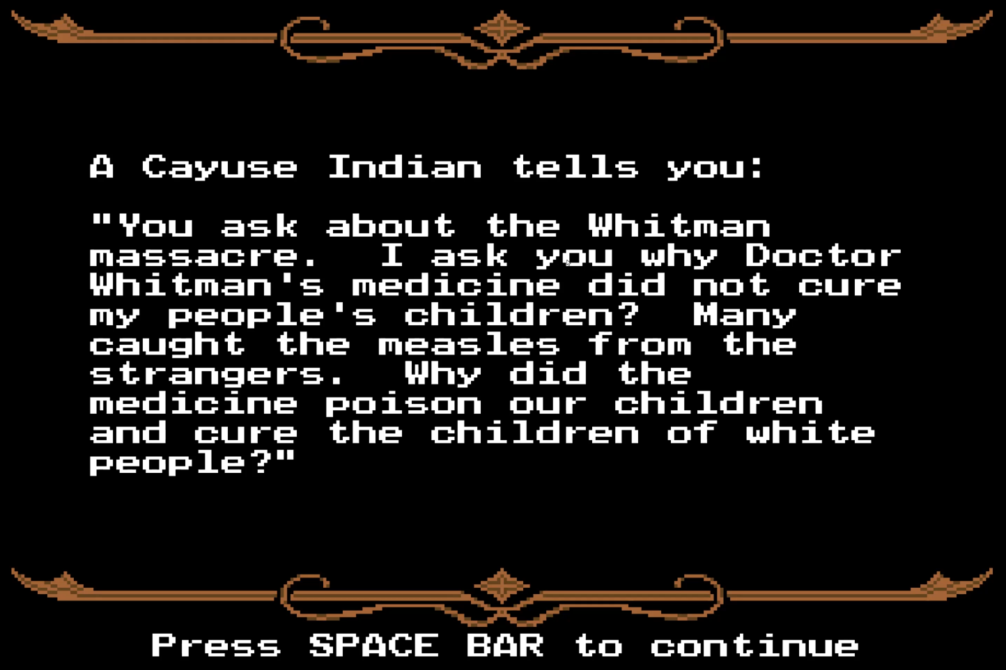
Whitman Massacre
One of the darker pieces of dialog, which we opted not to read aloud:
With various encounters with Native tribes, Oregon Trail at least attempted to reveal some truth to the relationship between settlers and these peoples, beyond the “history as written by the victor” presented in schools at the time the game was published (and even still) — mentions of overhunting, wasteful land use, senseless violence, and disease. But the game also showed moments of cooperation, too, and how Native guides were instrumental in passing certain obstacles. But this one stuck out from the tone of most other in-game quotes.
The Whitman massacre (now referred to as the Tragedy at Waiilatpu by the National Parks Service) was the killing of the American missionaries Marcus Whitman and his wife Narcissa and eleven others near Walla Walla, Washington, on November 29, 1847 by members of the Cayuse tribe who accused Whitman of having poisoned 200 Cayuse in his medical care. Surging numbers of Oregon-bound emigrants had sought refuge at the mission — sprawling through and overhunting Cayuse-inhabited land — and brought a measles outbreak, which wiped out half the tribe by some estimates.
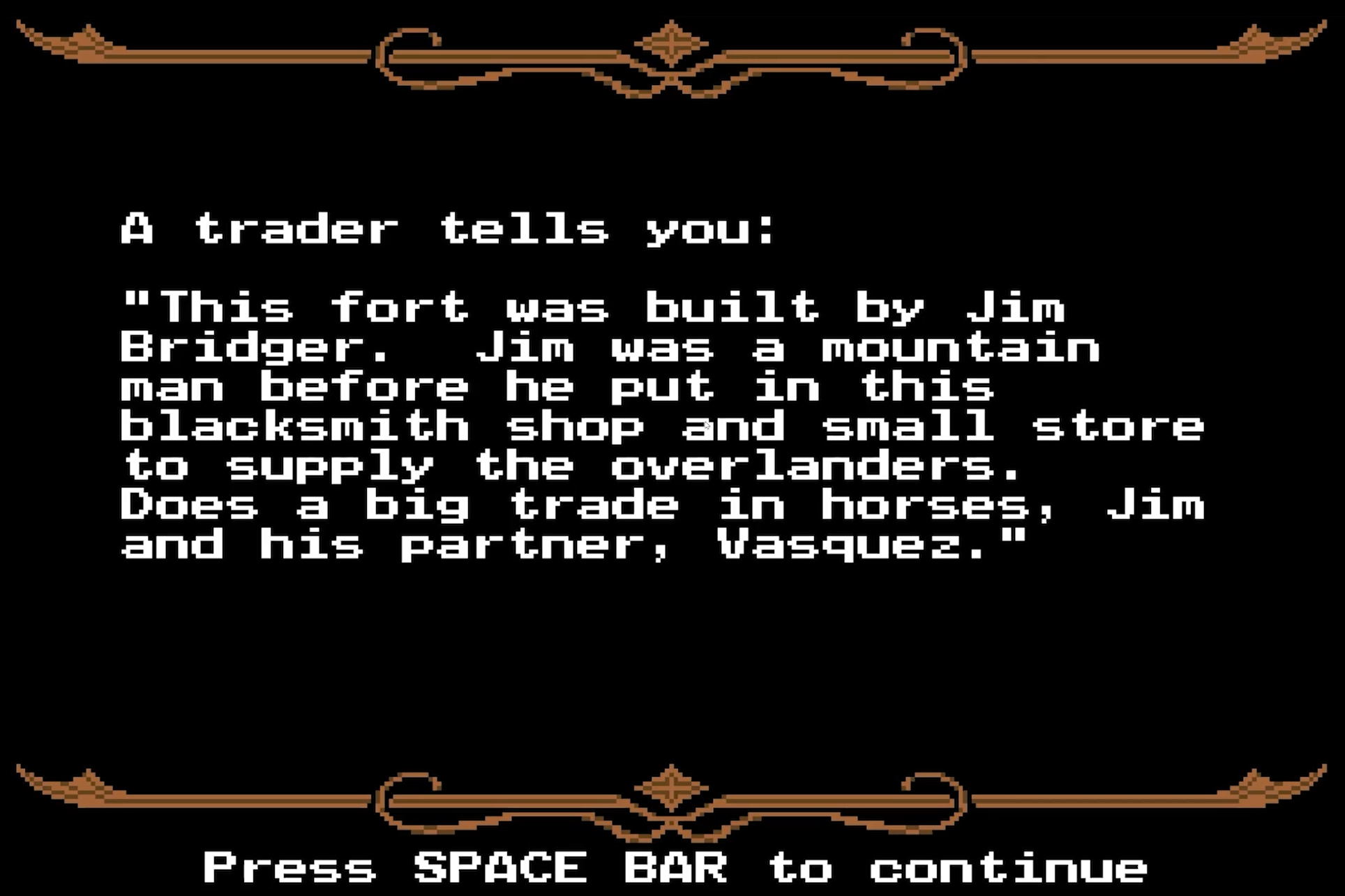
One of the eyewitness accounts comes from Mary Ann Bridger, the youngest daughter of “Mountain Man” Jim Bridger, who the game quotes as having established Fort Bridger in present-day southwest Wyoming — though a remote corner of Mexico at the time.
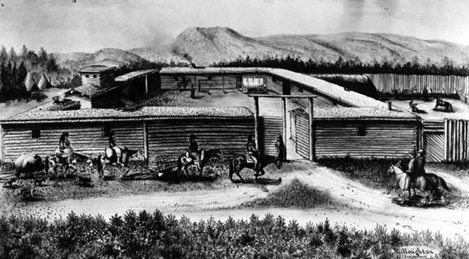
James Felix “Jim” Bridger & Pierre Louis Vasquez
Jim Bridger already had more than 30 years experience in the West as a trapper, mountain man and Indian fighter before he became the premier guide for the U.S. Army in the mid-1850s. In 1822, at 17, Bridger enlisted in the Ashley-Henry expedition sent from St. Louis to trap beaver in the Rocky Mountains. […] He mastered wilderness lore and accumulated an astounding mental map of western North America when nearly all of it was still unsettled by [European-American emigrants].
Bridger also built relationships with multiple Native tribes, including the Shoshone, and was even married three times to Native women. After he quit the dying fur trade, he and Louis Vasquez established a trading post in 1833 along the Green River and for the next fifteen years, ran this important post for provisions and wagon repairs for the increasing traffic of Oregon, Mormon, and California Trail settlers. His knowledge of the area and its people turned him into a lasting legend of the early American west.
[Vasquez] and Bridger sold their fort in 1858, but Vasquez already had retired to Missouri. In 1868 he died at his Westport home, and was buried at St. Mary’s Church cemetery. Years before, in 1853, Louis Vasquez gave to his good friend Jim Bridger his own rifle as a gift. From 1998 the rifle is shown at the Museum of the Mountain Man at Pinedale, Wyoming.
Perhaps I can use this as a reason to add Pinedale — my Wyoming retreat — to the map.
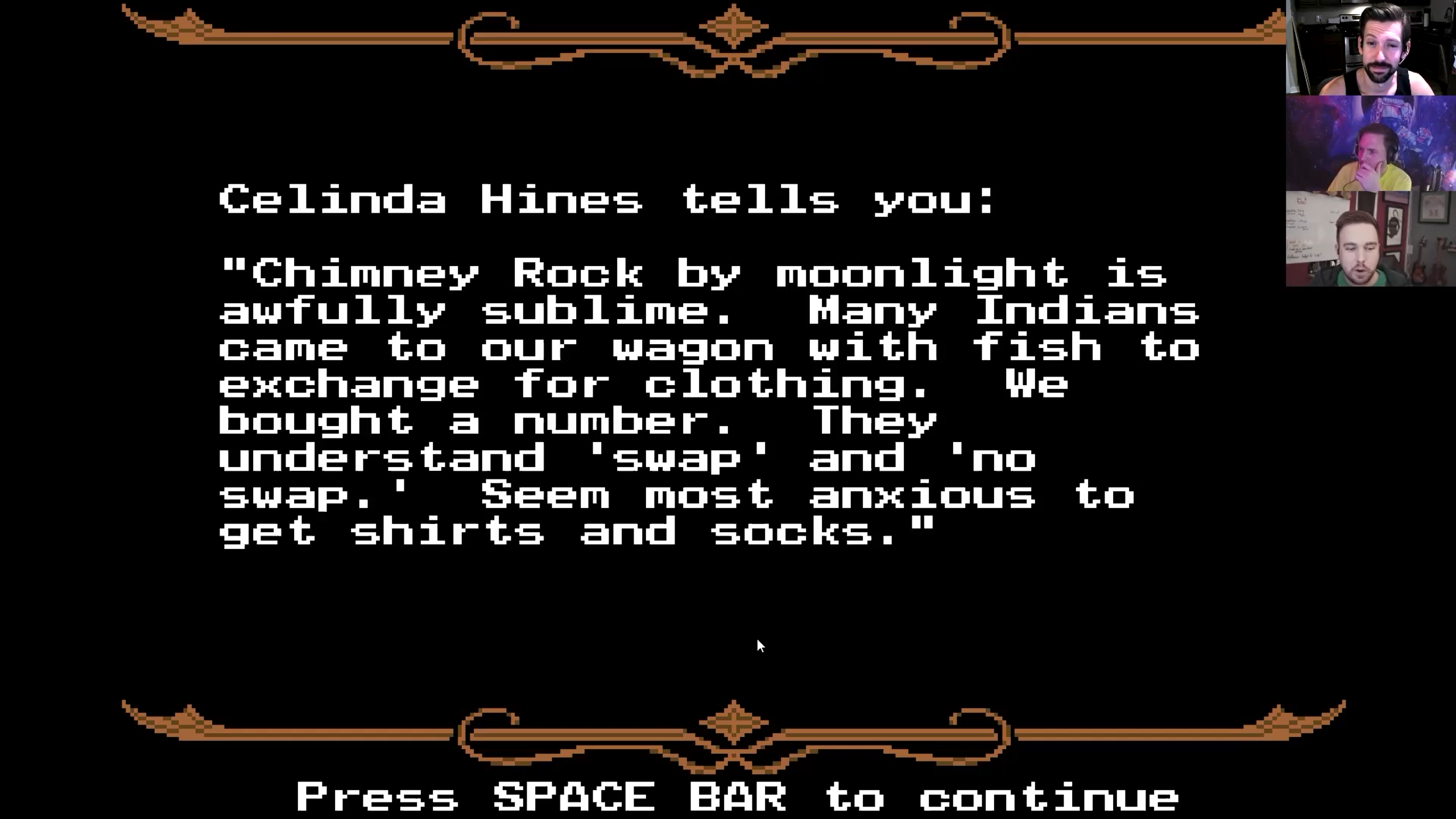
Celinda Hines
Celinda Hines and her whole family wrote extensive diaries. Celinda’s father died during the Snake River crossing, but according to her own diary, there was no time to mourn:
August 26: The men came & informed us of the distressing calamity of which we had heard nothing. I will not attempt to describe our distress and sorrow for our great Bereavement. But I know that our loss is his great gain… With hearts overflowing with sorrow we were under the necessity of pursuing our journey immediately as there was no grass for the cattle where we were.
August 27: Took water with us & went about 15 miles to Malheur river & camped. Road pretty good mostly through sage. Our camp was in a very pretty place but all was sadness to me.
An unnamed woman [at Fort Laramie] mentions the Platte River by name, and says it’s better to drink salty-tasting water than to get cholera. That’s true, but drinking water from the Platte River was almost guaranteed to give you cholera.
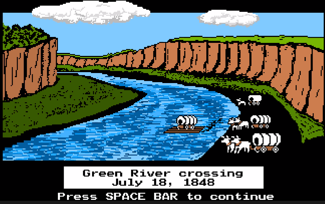
From what’s now central Nebraska to South Pass in west-central Wyoming, travelers to California, Oregon and Utah all took more or less one route, including a treacherous crossing of the South Platte River where it forks in western Nebraska. So it became a crowded bottleneck.
In mid June 1847, the first Mormon pioneer party, bound for the Salt Lake Valley, built a stout ferry. As they were finishing up, they found 108 wagons from other parties, stretched over four miles and “all wanting to cross the river,” Mormon diarist Norton Jacob wrote. Ten Mormon men stayed behind to run the ferry for the rest of the emigration season. They were directed to charge non-Mormons $3 cash or $1.50 worth of provisions. This Mormon Ferry, as it came to be known, was the first commercial ferry at the upper crossing of the Platte, operating about where the bridge on Wyoming Boulevard crosses now between Casper and its suburb of Mills, Wyo.
However, the relatively salty waters of the Platte River make a very good breeding ground for cholera — which of course passes in human waste… cycling through the people waiting up and down the banks of and creeks feeding into the river.
Having left the idea to marinate, we each gravitated toward Oregon Trail as a trip theme after we tossed the idea around. And May seems as good a time as any to make the crossing. So we decided to make it happen. But that means we have a lot to do, with surprisingly little time until our little wagon train sets off. Thus begins the route planning.
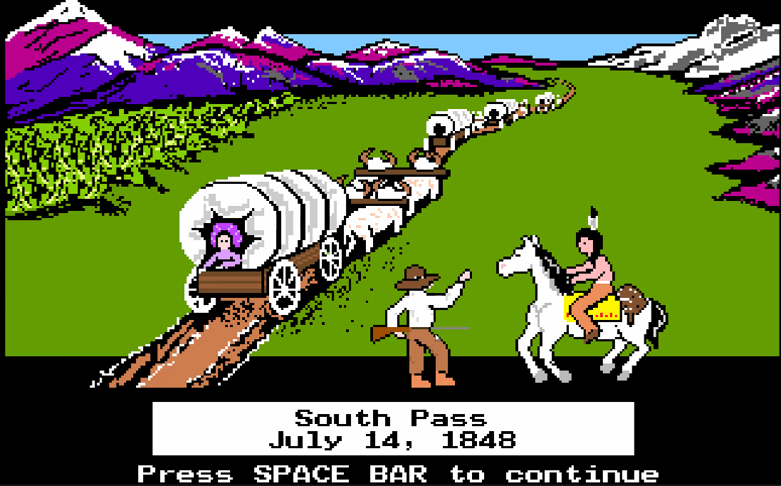
A route vaguely following any of the historic Oregon Trail or Lewis and Clark expedition lines will be a stunningly scenic adventure. But this also gives us unique blend of not only American history but also computer history. Because — while we’ll source our routes, stops, and stories from many places — first thing’s first:
The Oregon Trail, Word Munchers, Storybook Weaver. All games you played in school, all made by the same state-funded company—the Minnesota Educational Computing Consortium. From 1978 to 1999, MECC, together with Apple, competed against private software companies to turn American children into a nation of computer-savvy early adopters and make computer class as much a part of American schooling as math and English. […] MECC’s goal was on putting a computer in the hands of every K-12 student in Minnesota. Once MECC had [its UNIVAC maintframe], it needed a game.
(This image would come from a later version)
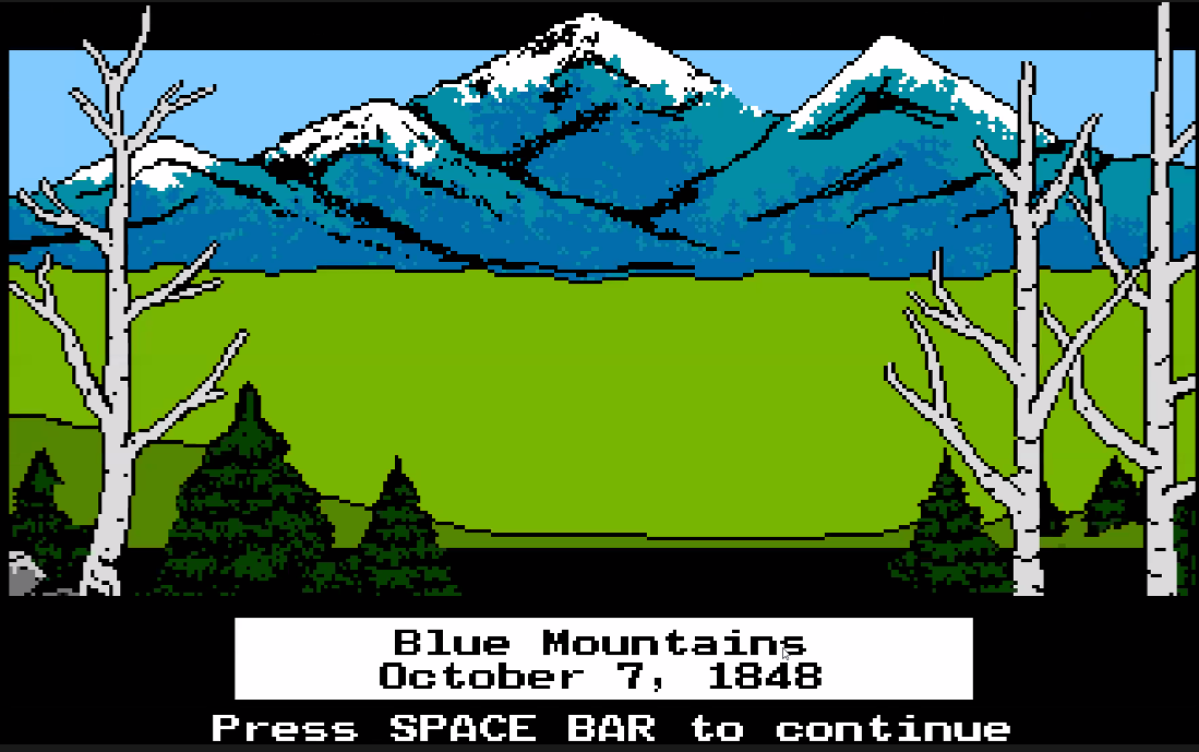
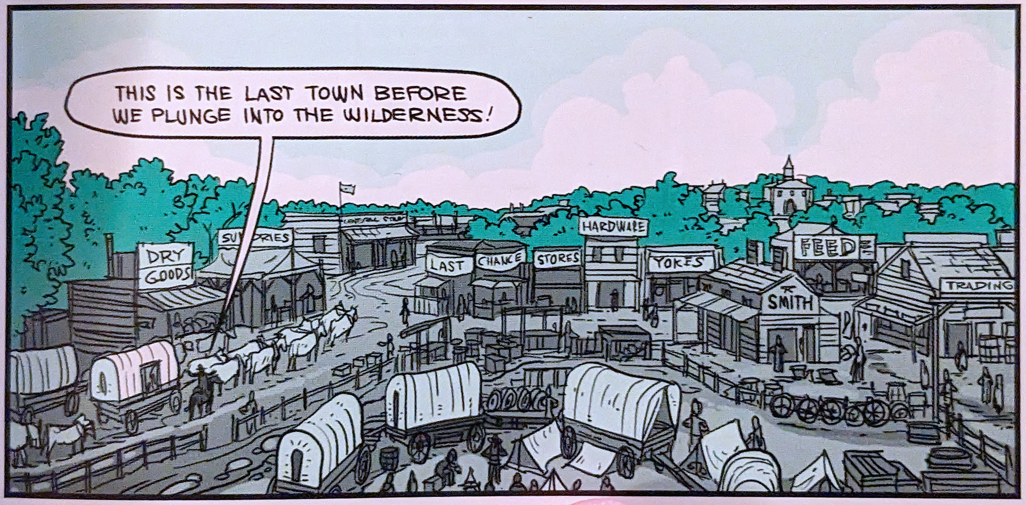
Don Rawitsch, Bill Heinemann and Paul Dillenberger, three student teachers enrolled at nearby Carleton College, created The Oregon Trail in November 1971 for an eighth-grade history class Rawitsch was teaching. The game starts in Missouri, 1848, where the player equips a party of pioneers for the 2,000-mile journey to Willamette Valley, Oregon. Along the way, the player manages his or her wagon train through river crossings, food shortages, injuries, illnesses, breakdowns and theft.”
Well if that doesn’t sound like the ideal place to get route planning inspiration, I don’t know what does.
When Rawitsch’s class ended, he removed the game from the mainframe — but printed out the source code (yes, on paper) before he did. MECC later hired him to resurrect the pile of papers, adding new features and plot points. He researched Oregon Trail pioneer diaries to help tie events and locations together. Some stories even mentioned help from Native tribes, which inspired him to add those encounters as well. The game was retooled and re-released multiple times as new generations of personal computers were created.
All MECC games had to do four things: First, the information based on real events had to be historically accurate. Second, learning couldn’t be spread out in patches; it had to be woven throughout the game start to finish. Third, it had to include thorough documentation for the teachers to use it as a teaching aid. And fourth, the games had to be fun.
Between 1975 and 1995, The Oregon Trail series was MECC’s most prolific title. Although MECC shut down after it was acquired, that game remains a cornerstone of “early experiences with computers” for many Gen X’ers and Millennials. The Internet is awash in reboots, parodies, and re-imaginings. And while we three weren’t as avid players as some of our peers, we remember this game and the ancient, table-sized computers that ran it in our early schools.
Spoiler alert: one of us was killed at the hands of another.
Cutting this down from a slow-paced, alcohol-soaked 90 minute screenshare to a 22 minute super-rough-cut of highlights took far longer than I expected. I have gained new respect for the video game streamers and reviewers who make this look a lot more streamlined. But I suppose I’ll get better with practice; I intend a rematch!
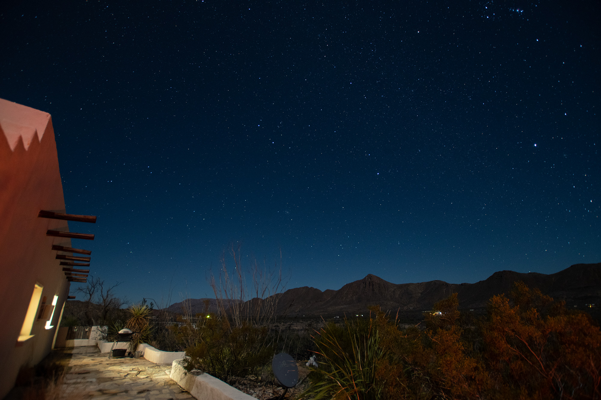
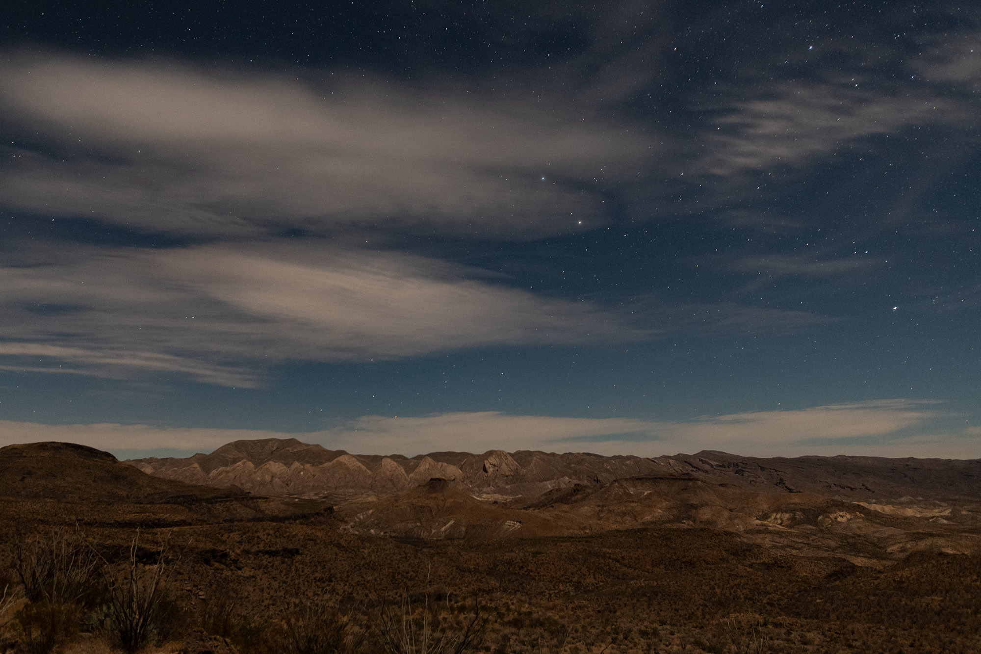
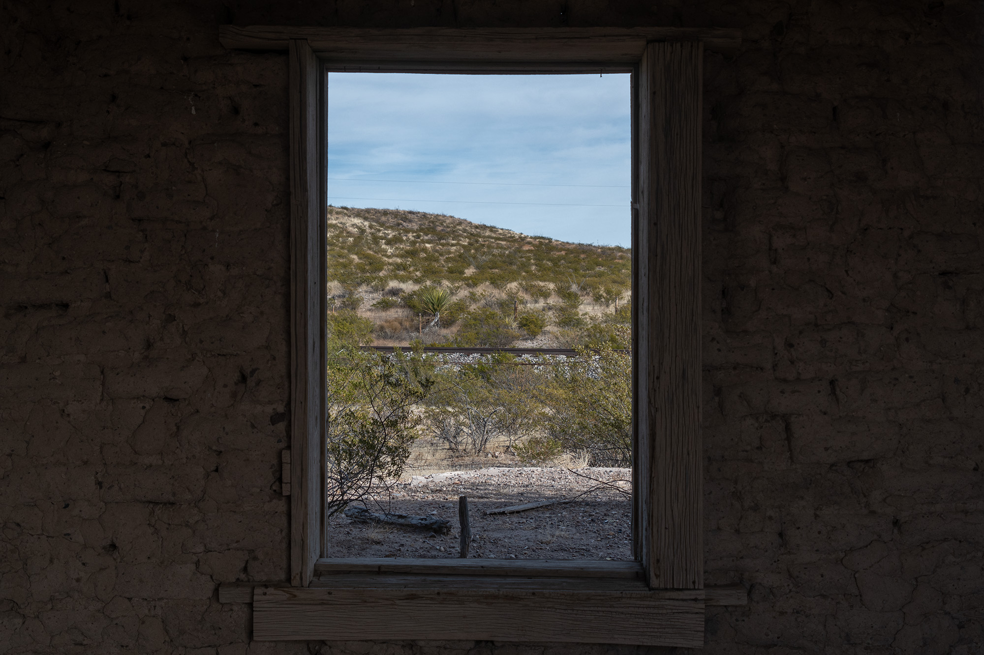
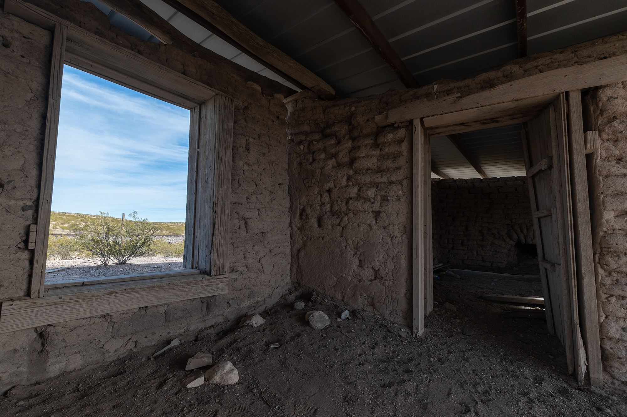
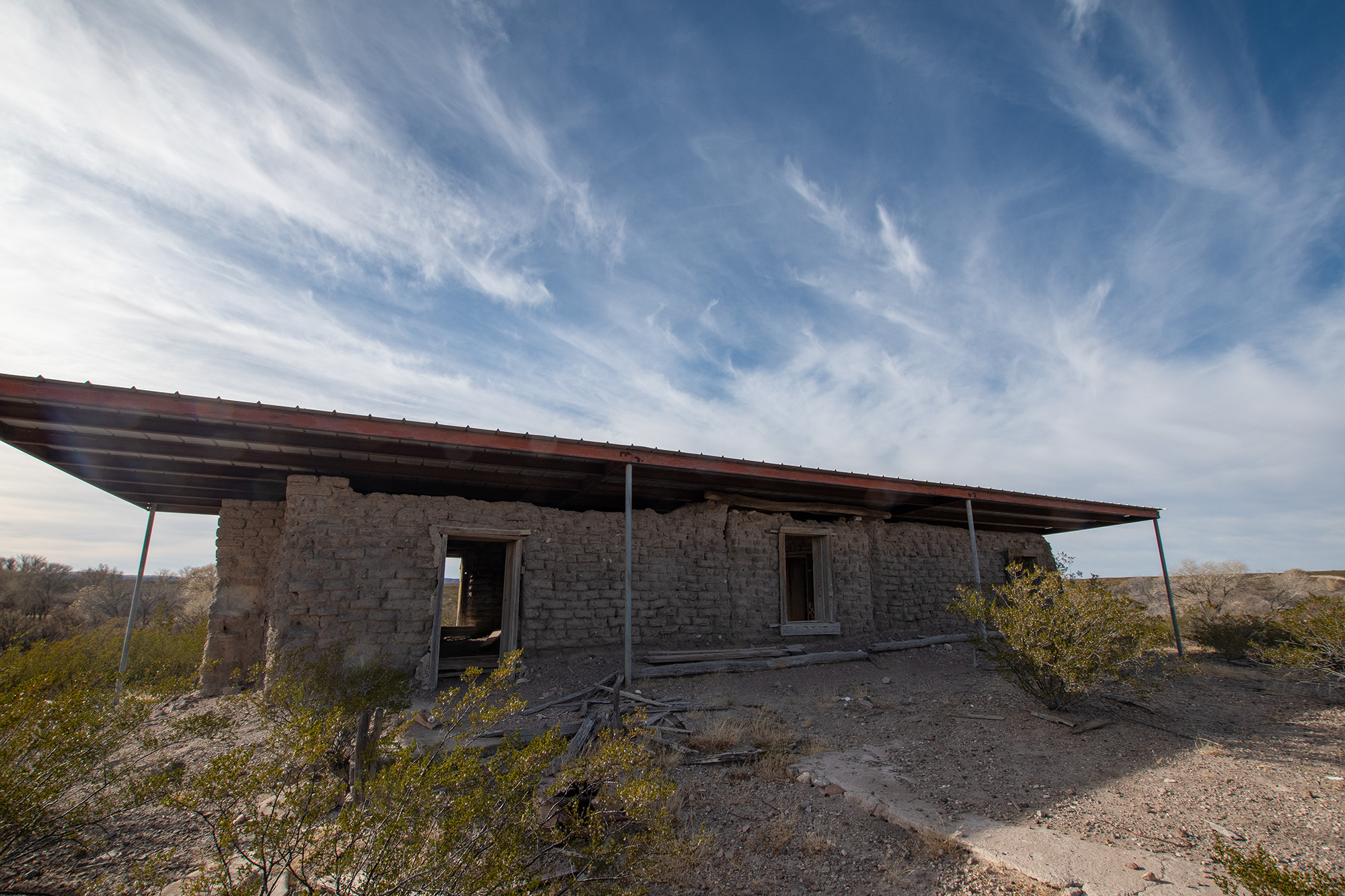
We rang in 2019 in Big Bend and it was pretty spectacular. But it was also very crowded. So last summer, when George found an AirBnB option about fifteen miles outside Terlingua in the middle of nowhere with its own kitchen, we booked it without much additional consideration. And in uncharacteristic fashion, we didn’t go back in and fill in the blanks — instead opting for a “huh, so what do we want to do today?” approach.
And after being tossed overboard by the great log flume of decembermania, I didn’t put up anything on the blog. But I was delighted to later learn that there were those wishing that I had — so I’d like to offer a little recap of yet another adventure in this magical place.
Day 0: Austin to Terlingua
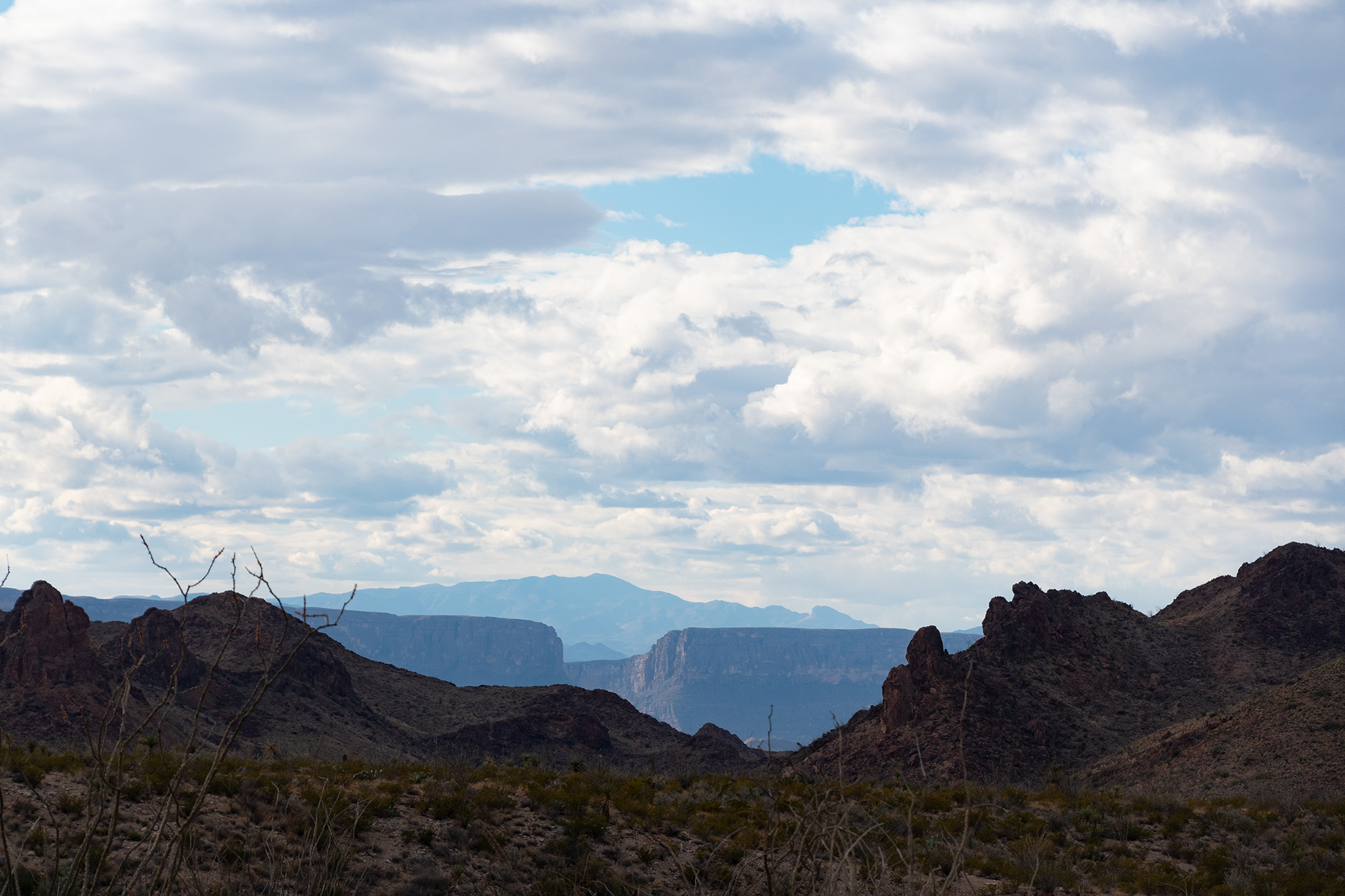
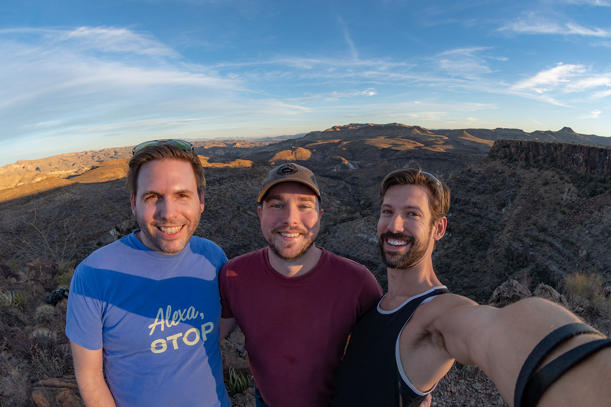
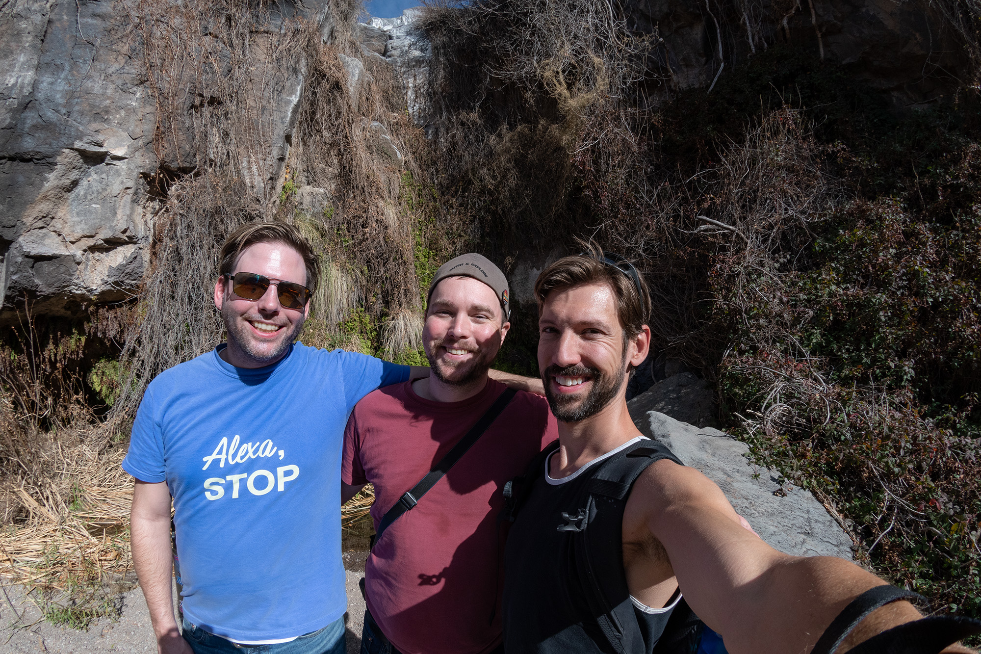
I woke up at the crack of dawn to drive to Terlingua in one sitting. Aside from a startling impact to my windshield near Iraan, it was a lovely drive. I met up with the boys on US-67 just south of I-10 and we rolled through Alpine and into Terlingua Ranch together.
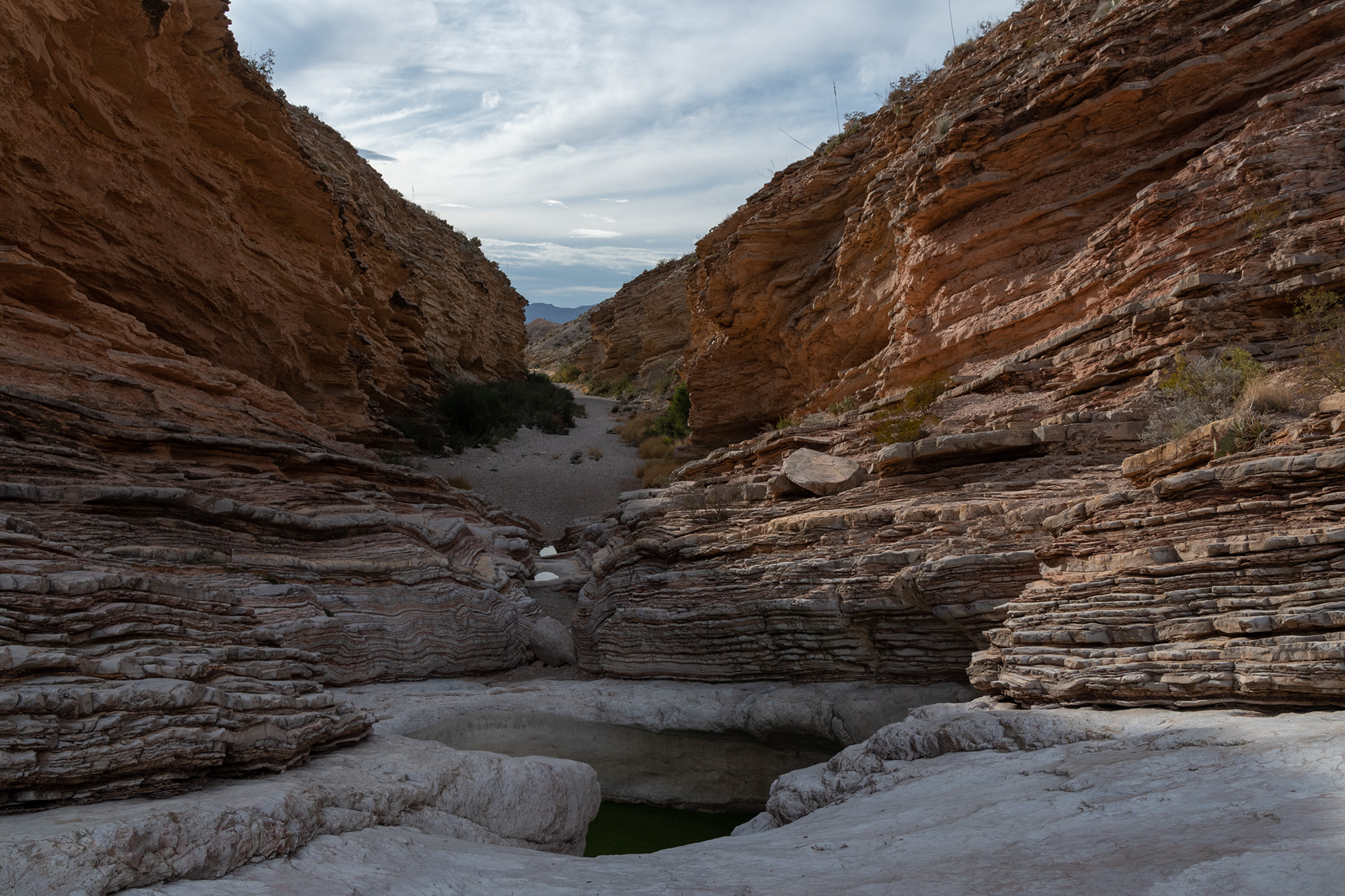
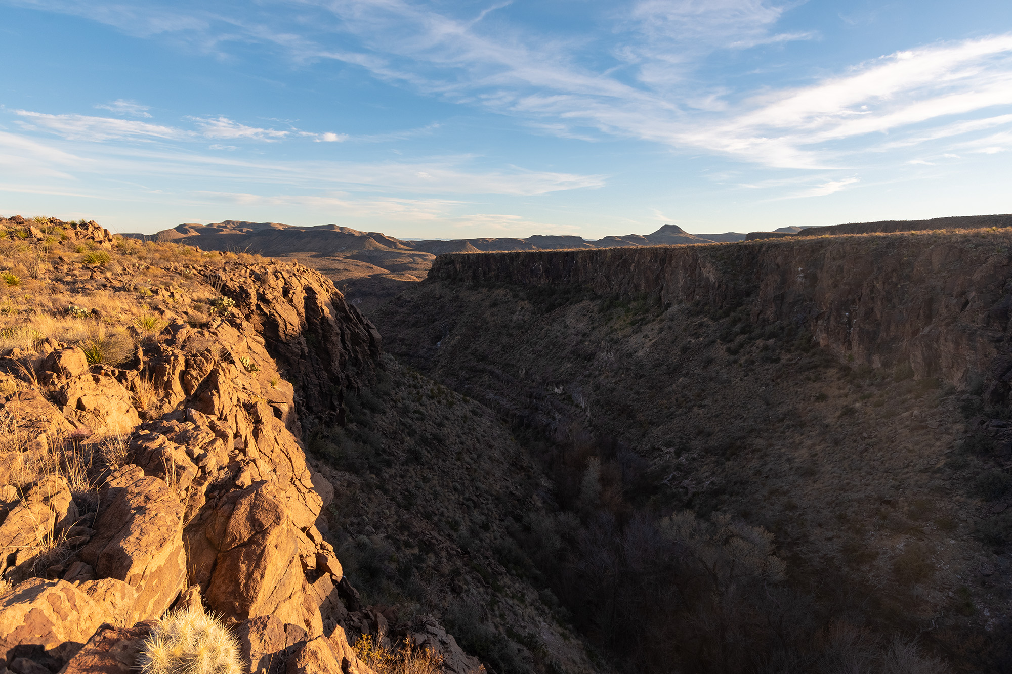
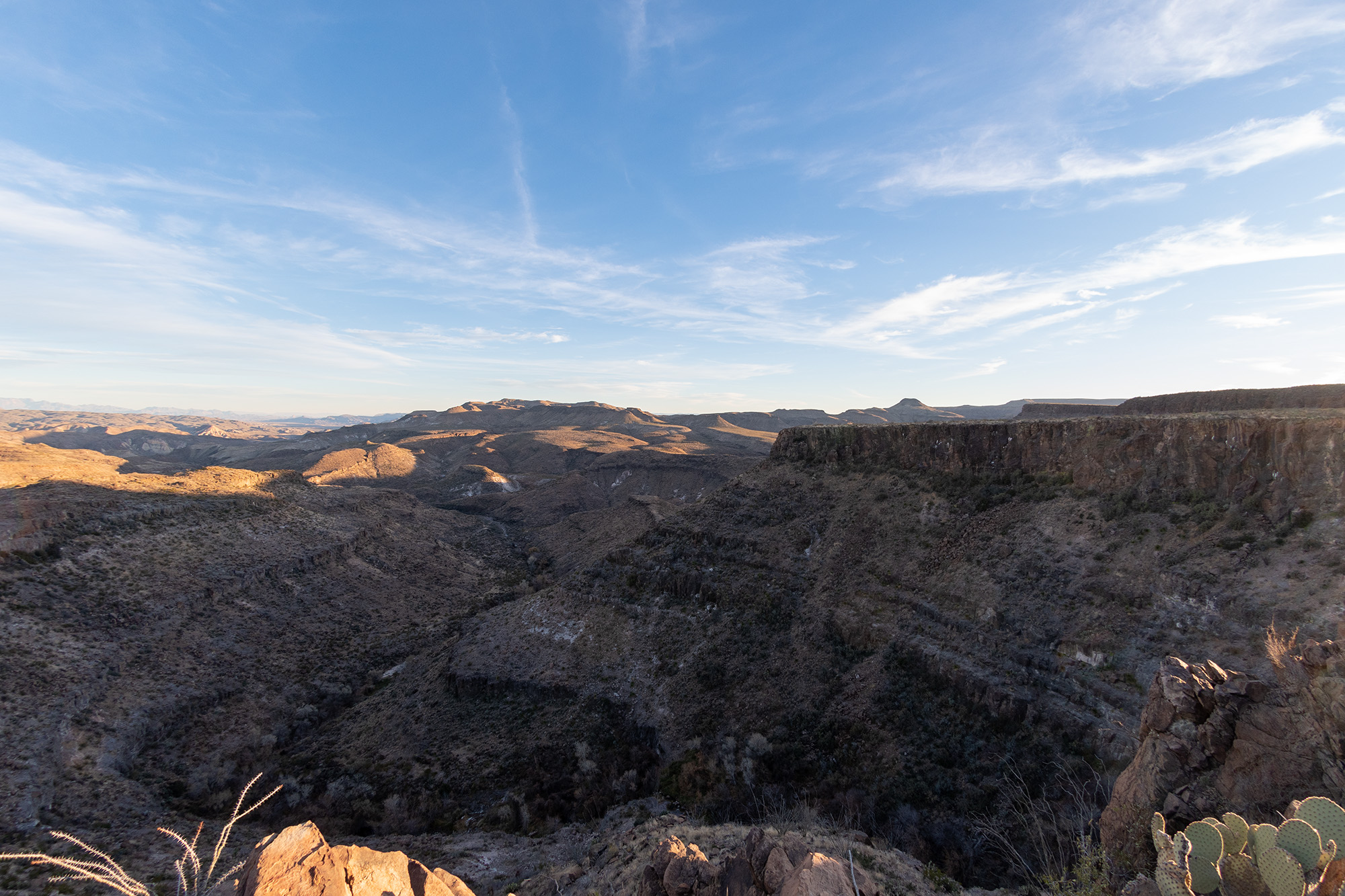
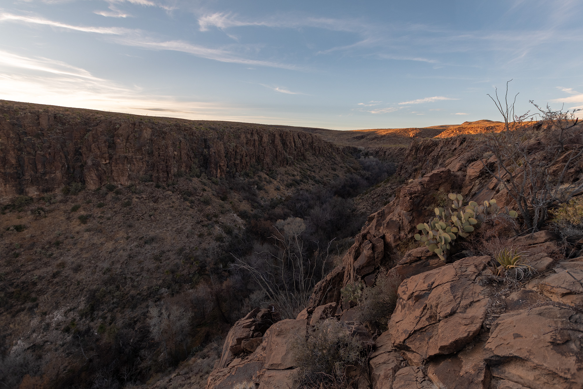
Day 1: Old Ore Road and Ernst Tinaja
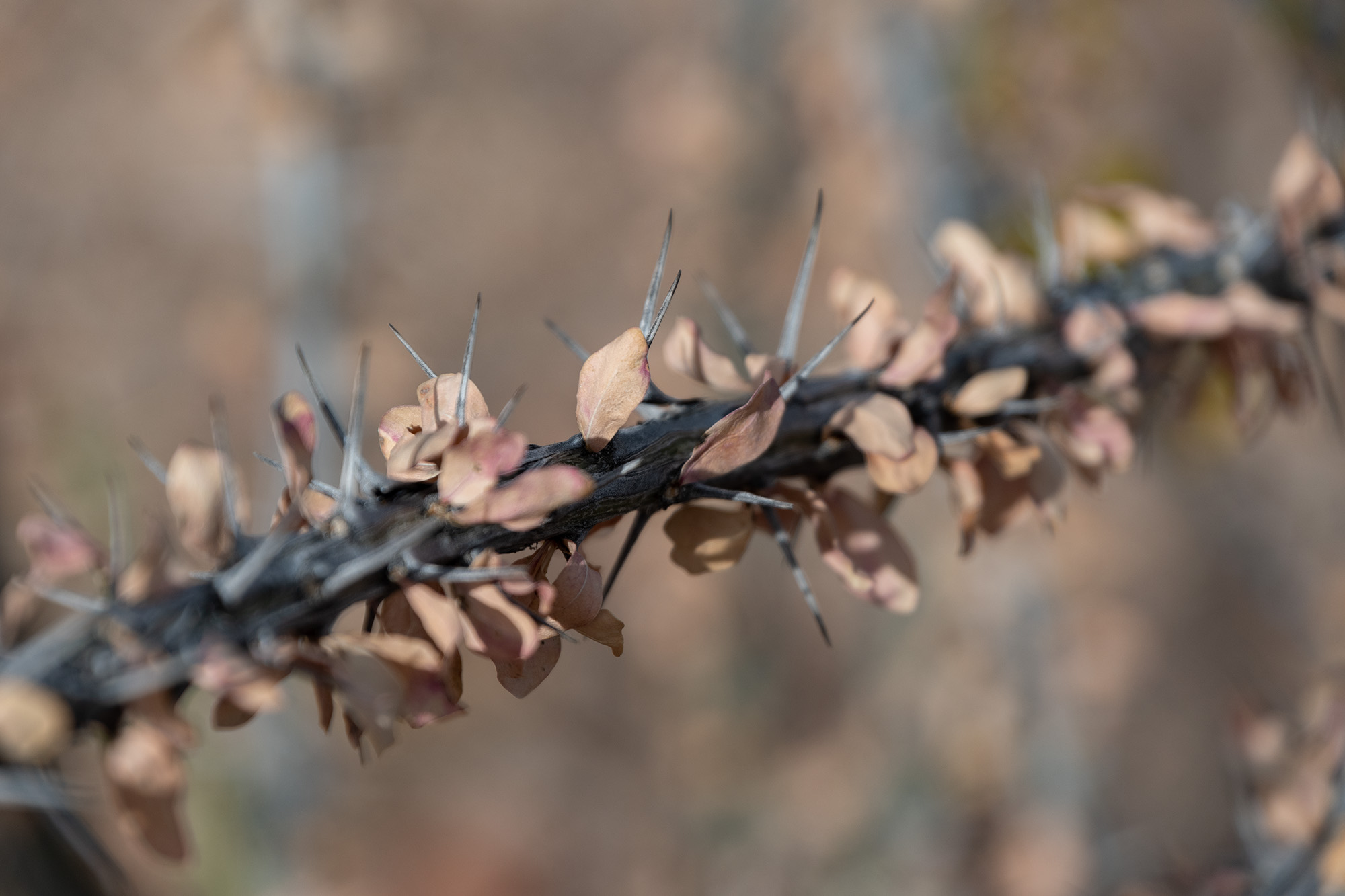
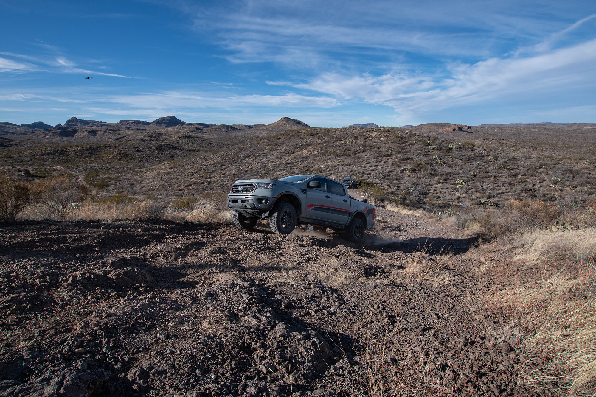
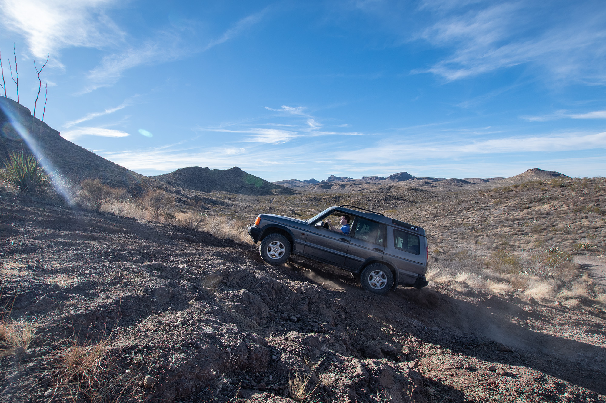
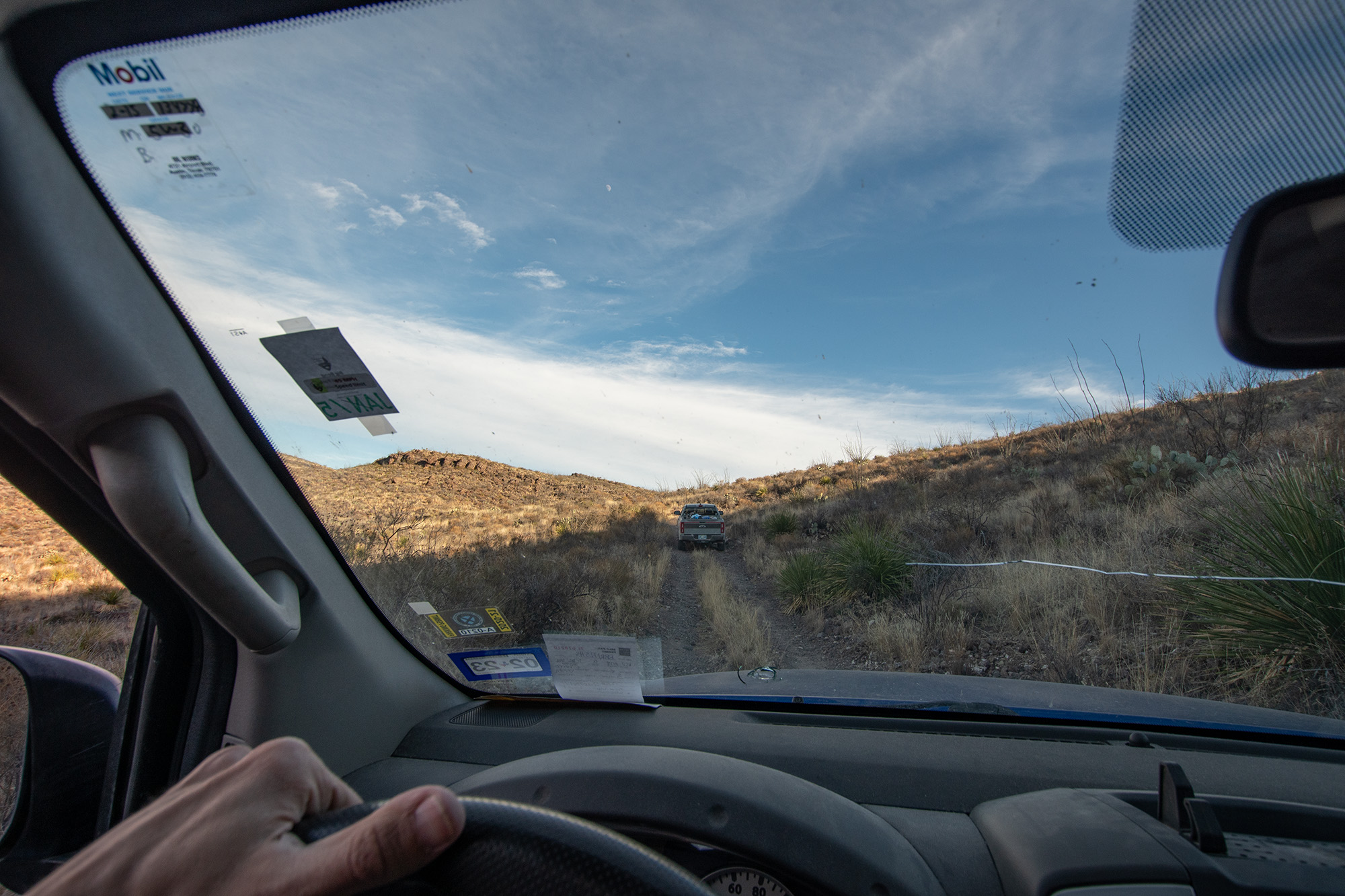
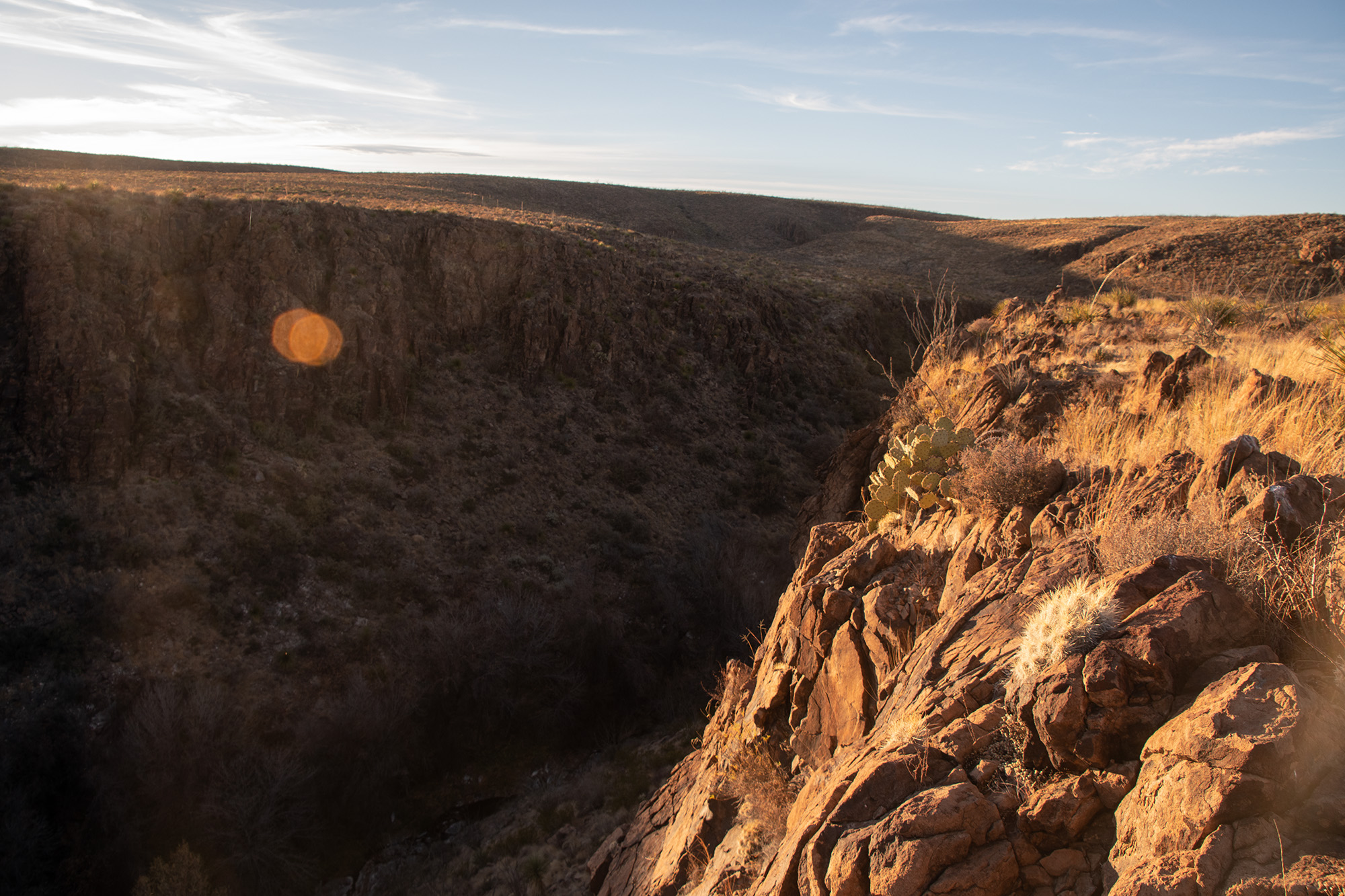
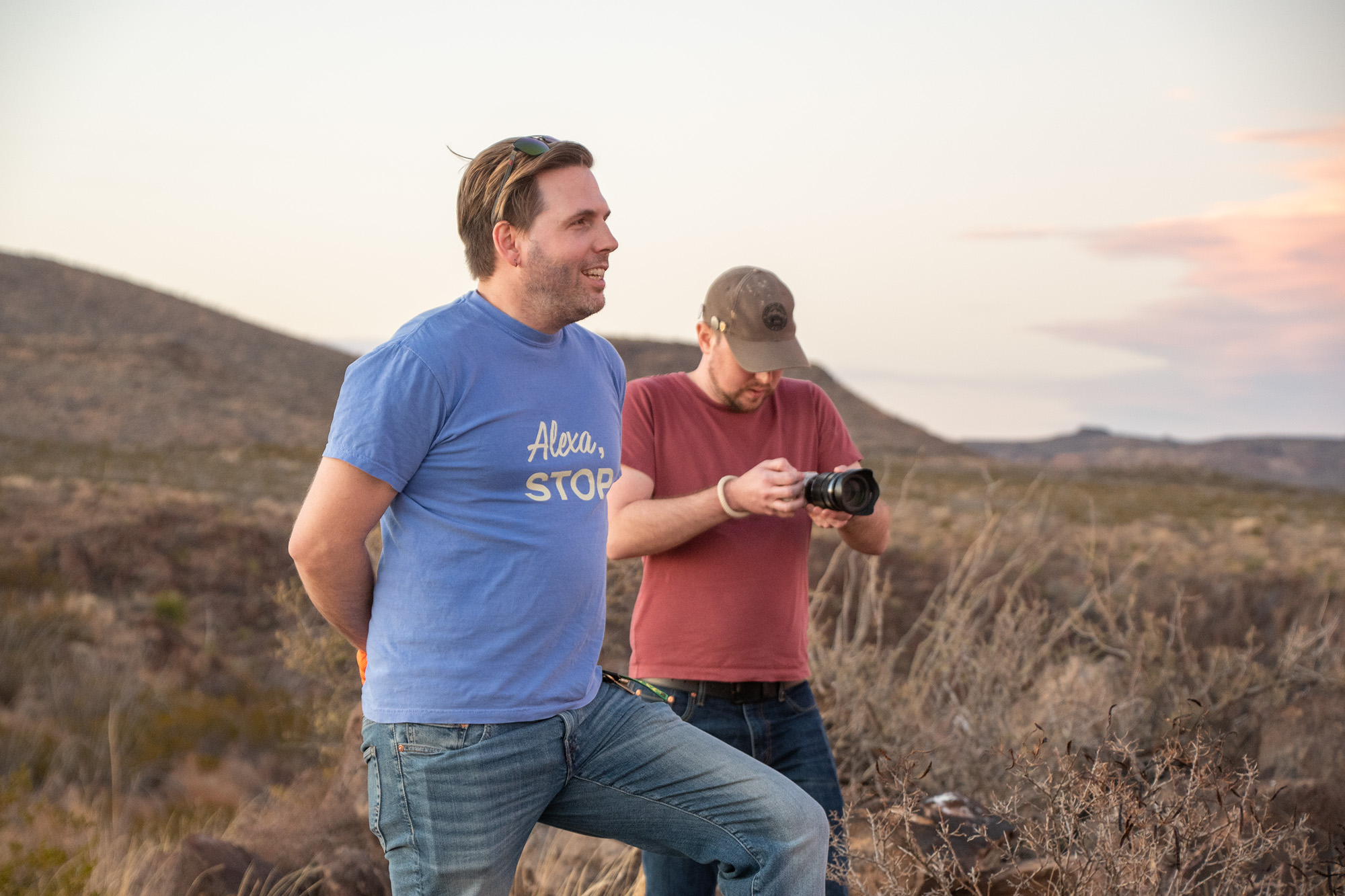
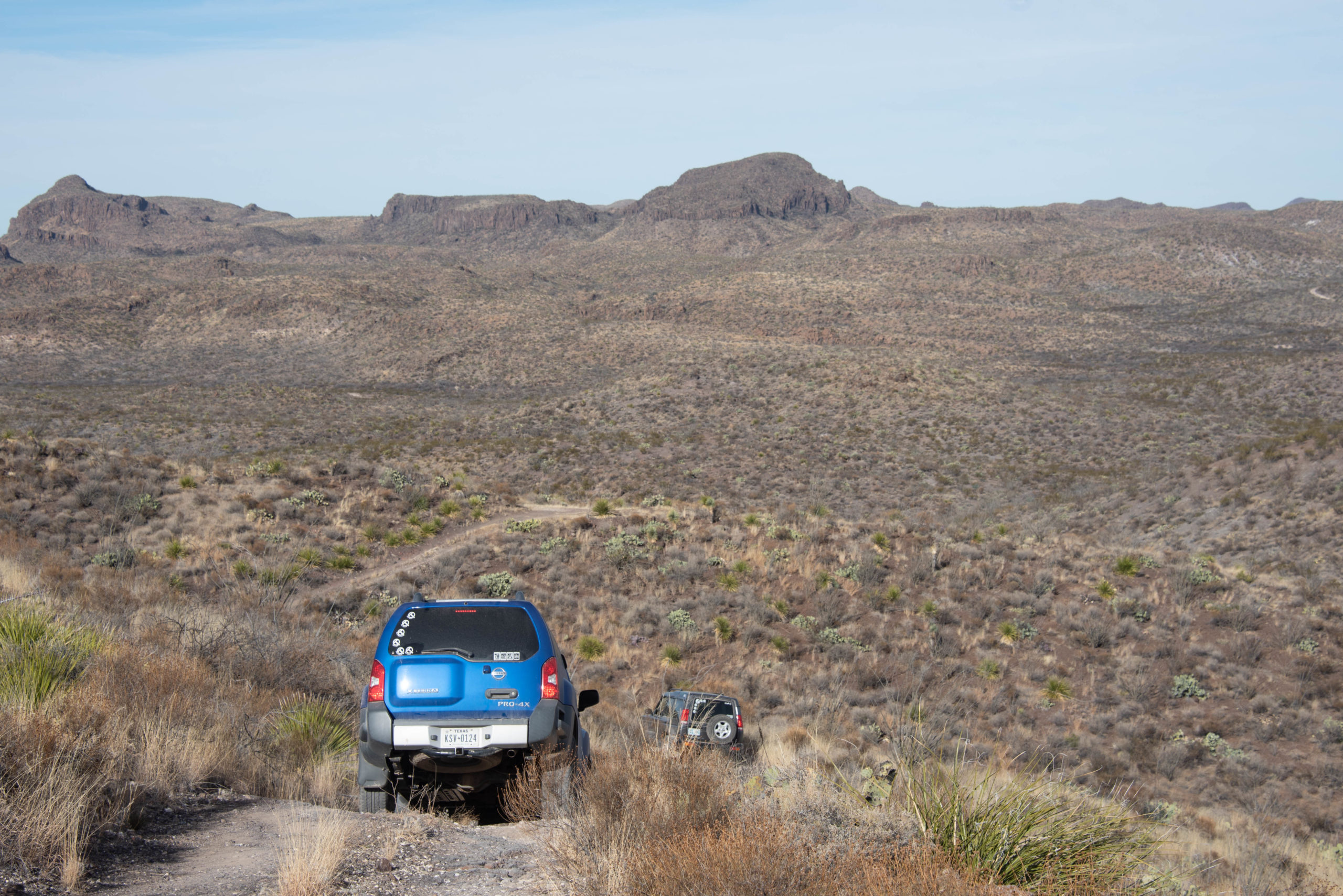
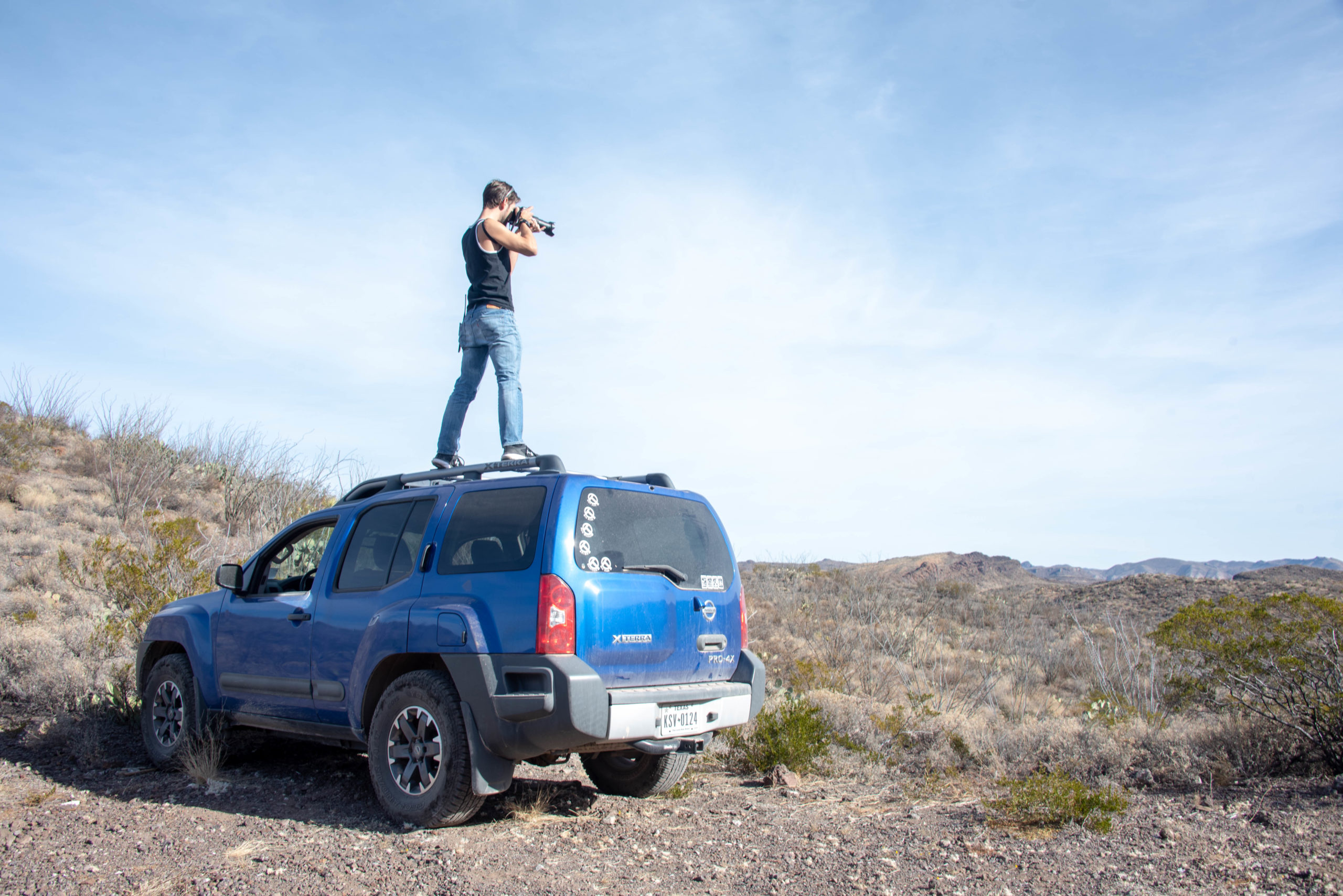
We spent the first day on Old Ore Road, revisiting Ernst Tinaja on the way, and finished up at the Rio Grande Overlook. The drive was easier than when we had to do it in the dark back in 2018, although there’s been some washout since I did it in February. And at one point, we ended up passing a posse of three cars, one of which had a transfer case stuck in neutral and the other was missing two wheels — its owner got two flats and had to get new tires back in town.
While we executed this delicate pass, Evan noticed that the Rover seemed to be leaking diff fluid from the front transaxle and I set off the Xterra’s car alarm… in such a way that the easiest method to silence it was to yank my horn relay. So it was a rough day for automobiles everywhere.
From Evan
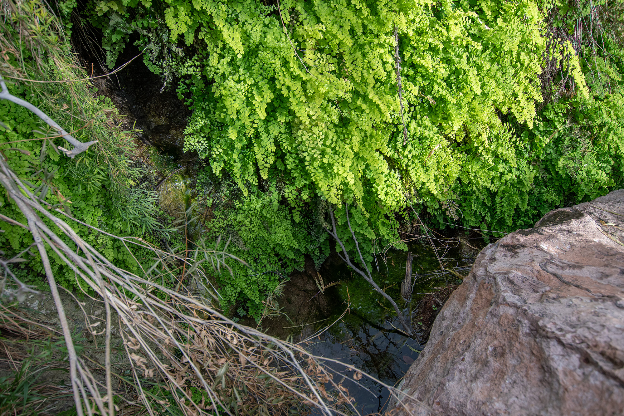
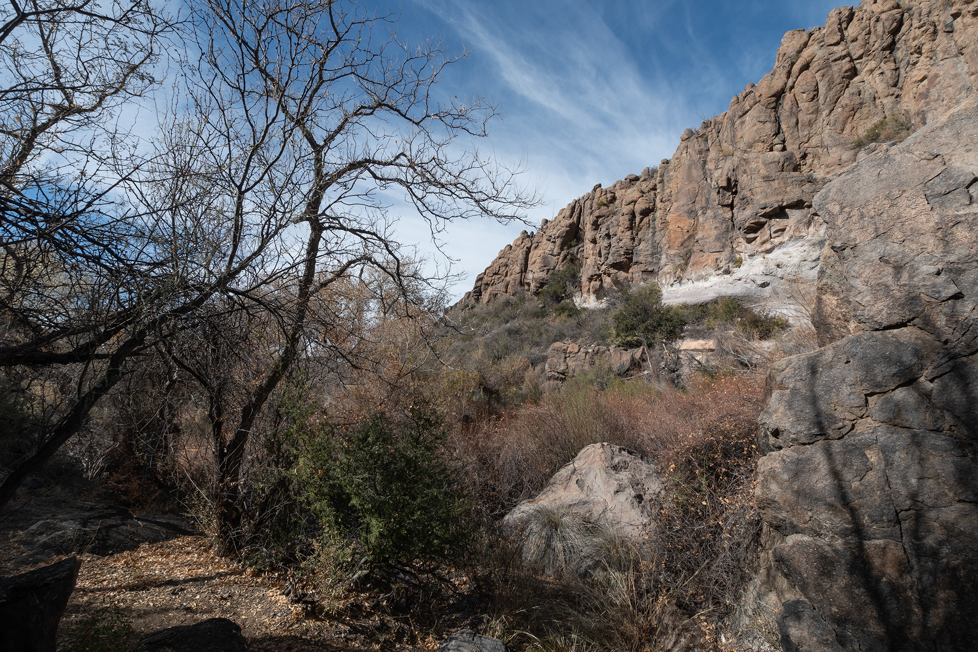
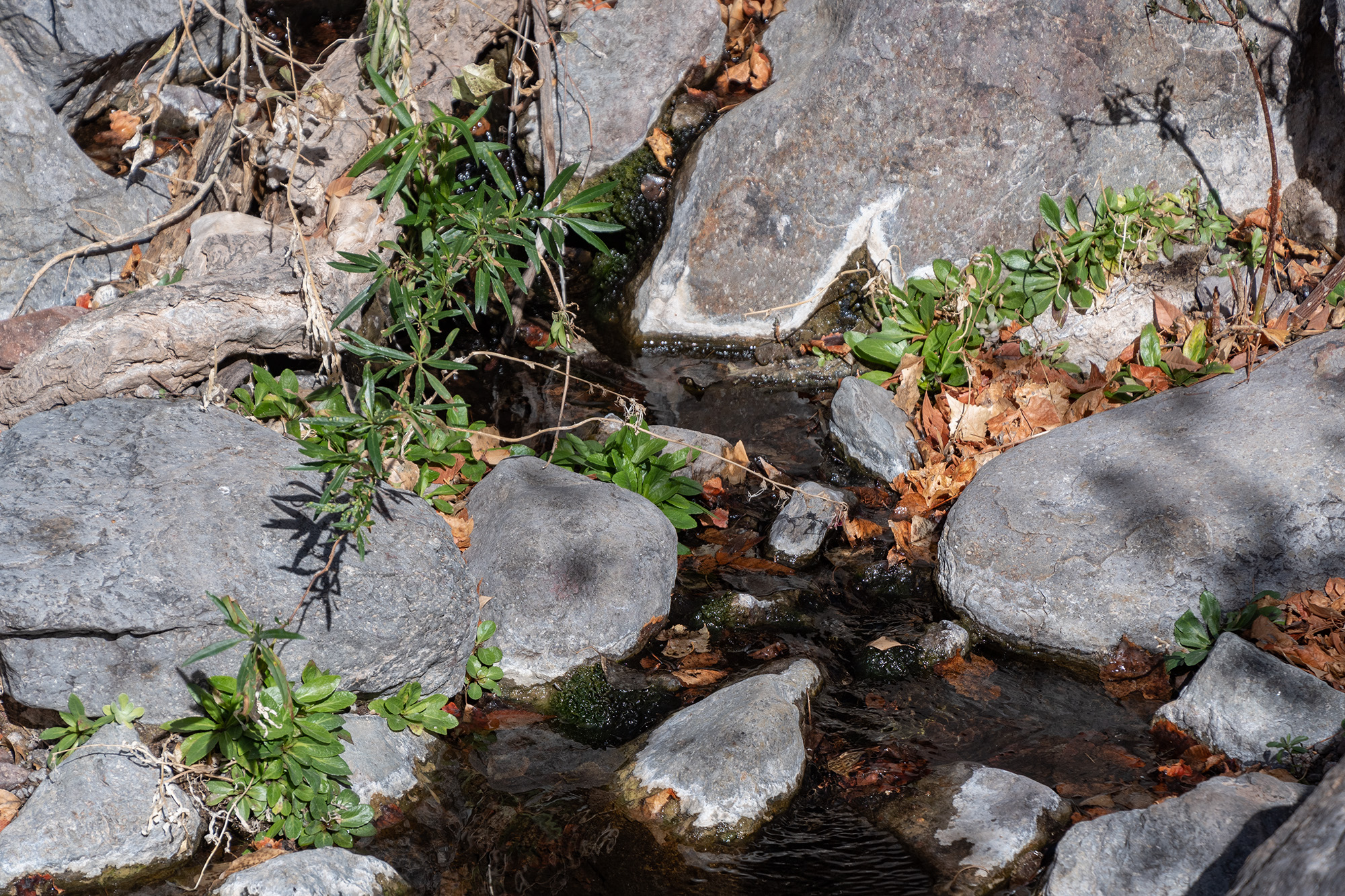
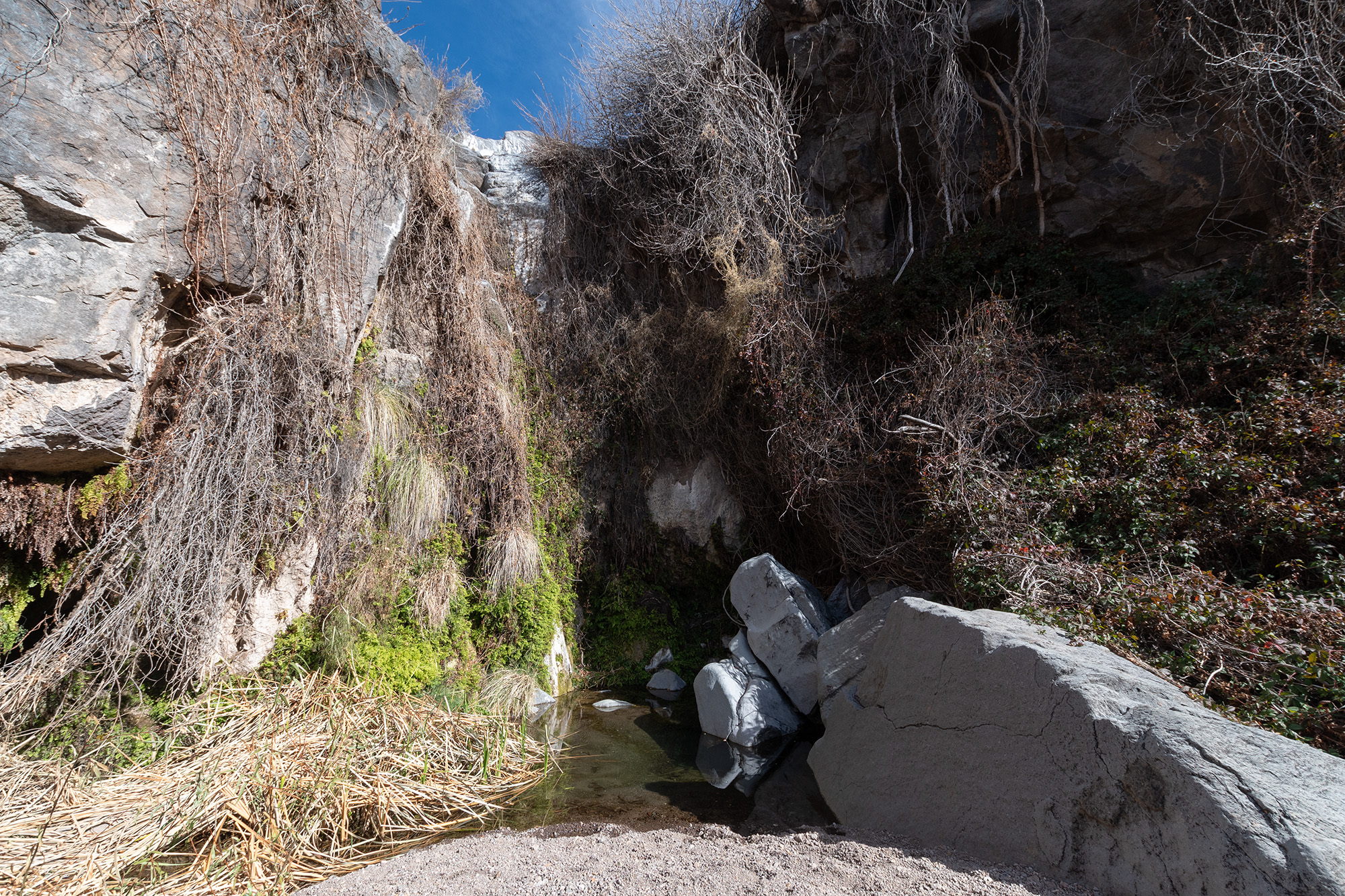
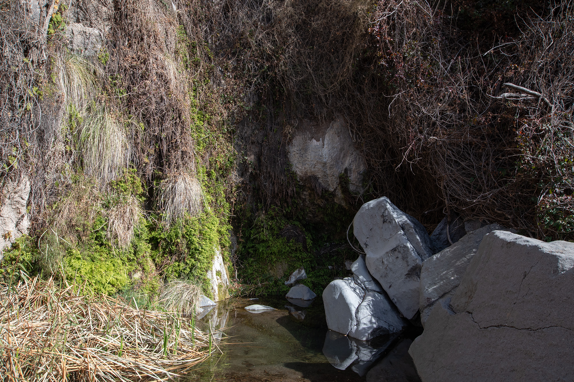
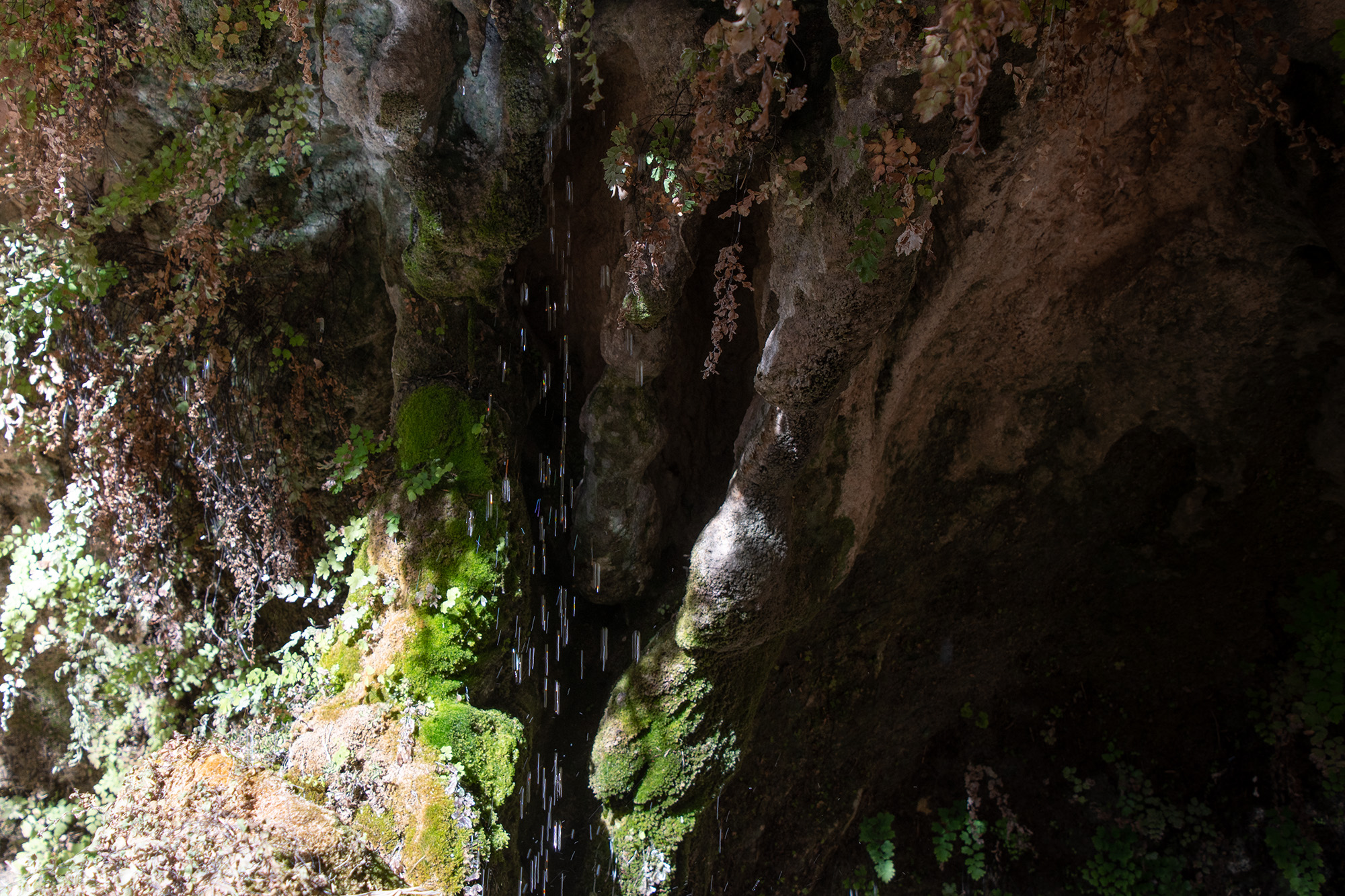
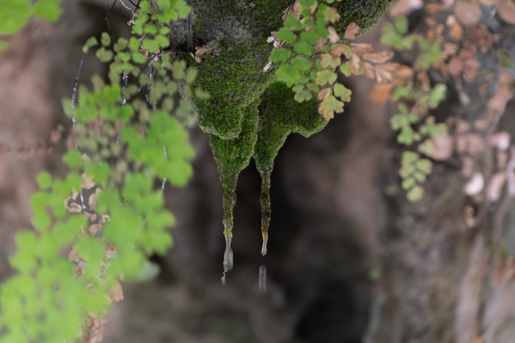
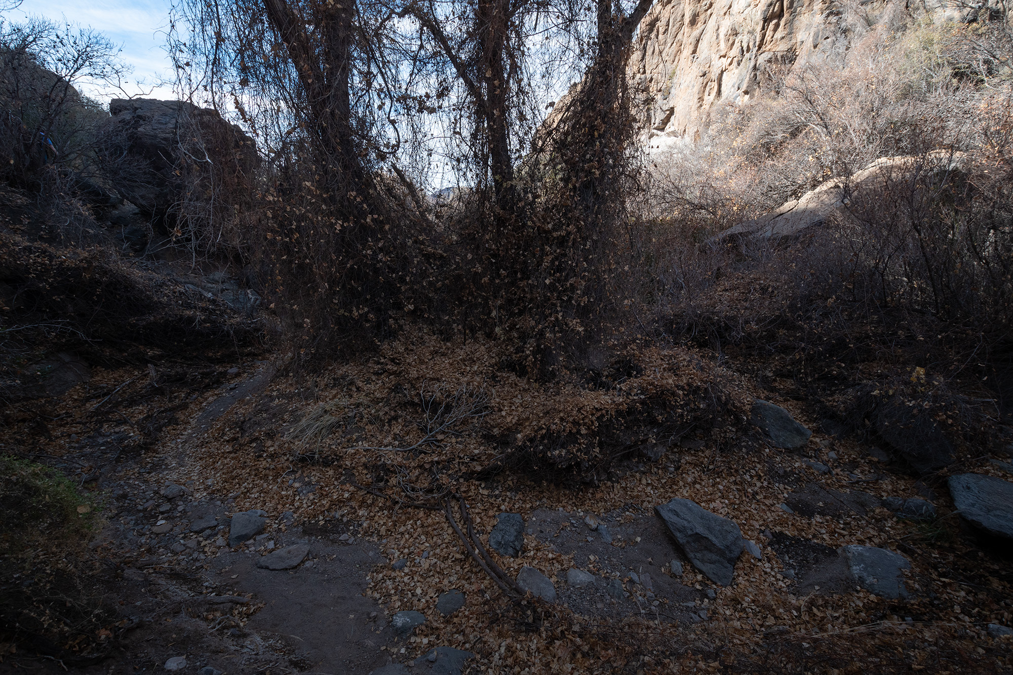
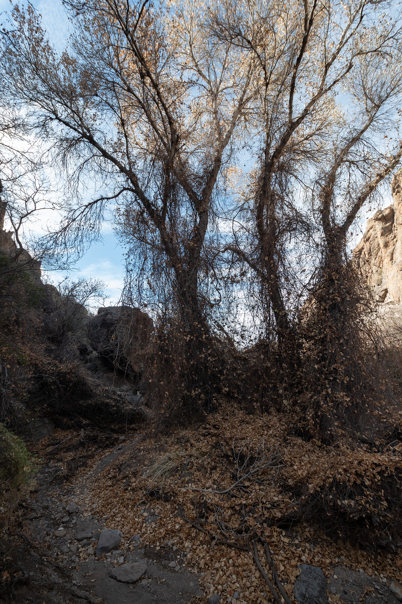
But we survived our trials and arrived back to Ernst Tinaja, which remains my favorite little hidden gem of the park. But that pool about half-way through the canyon is still full, which I yet again attempted to find a way over.
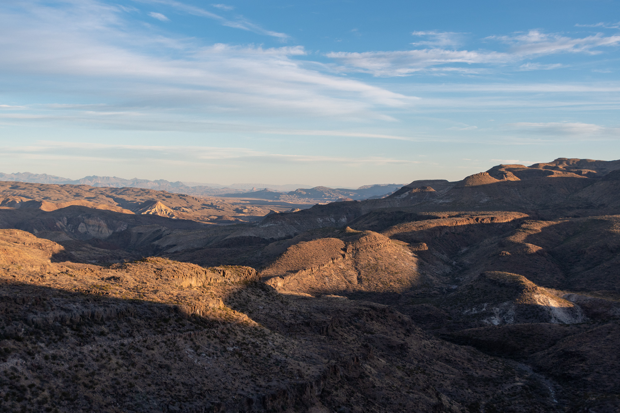
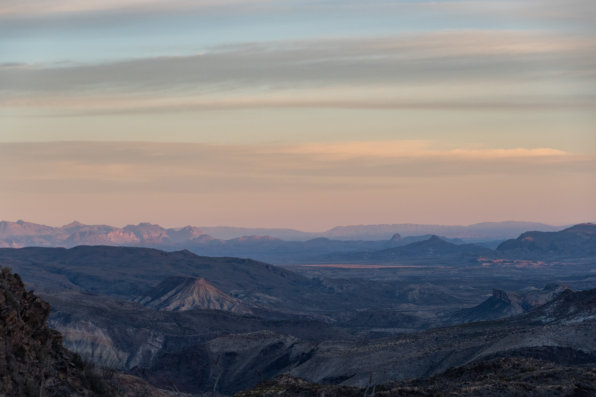
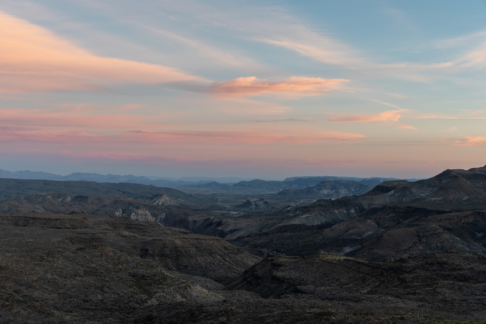
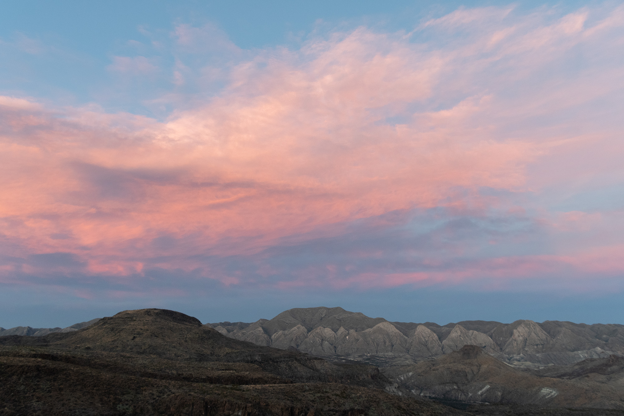
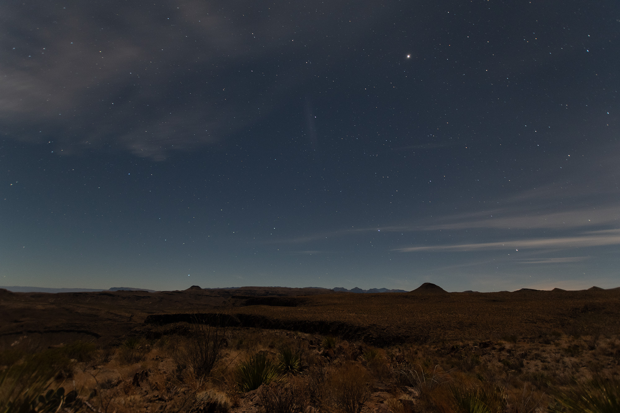
And as we rolled out the end of Old Ore Road back to the park highway, the sun was starting to set in the distance.
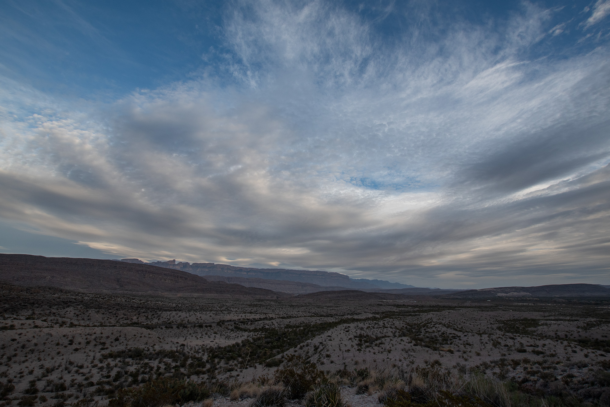
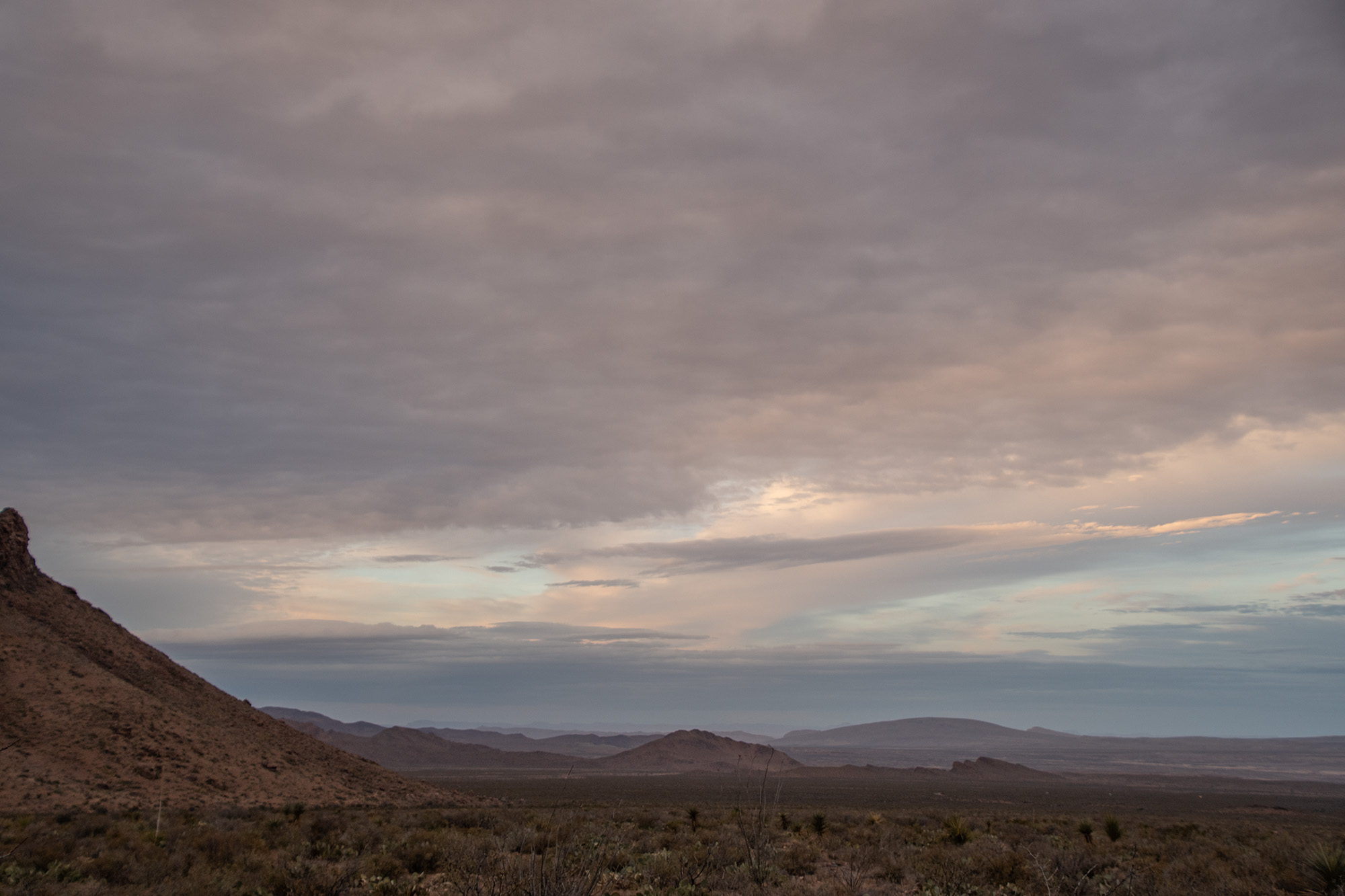
Day 2: Santa Elena Canyon and Mule Ears Springs, and a Missing Comrade
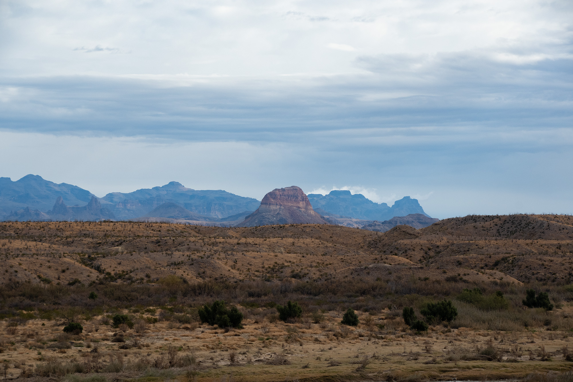
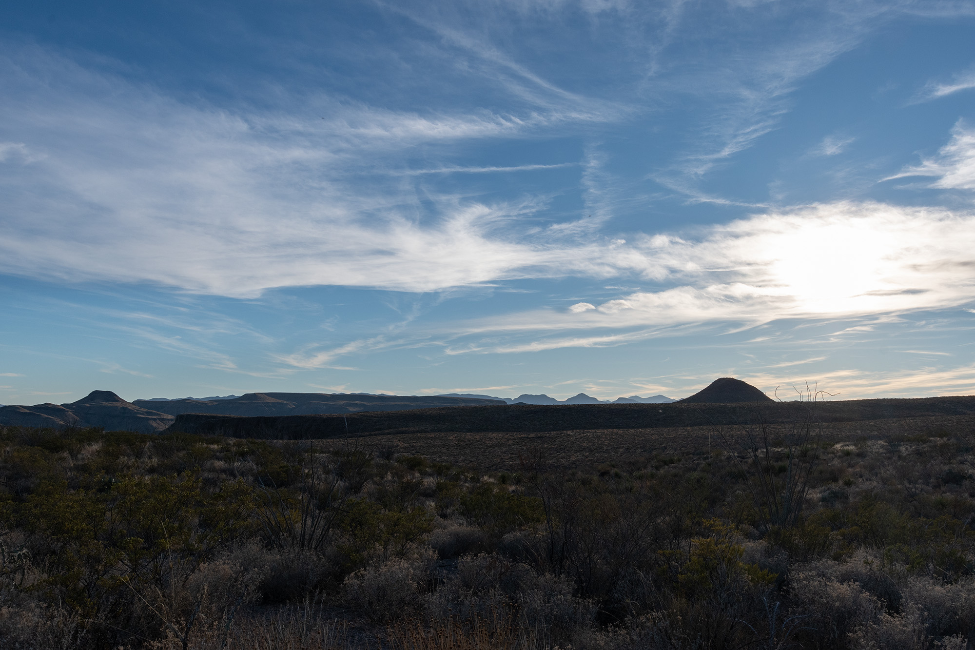
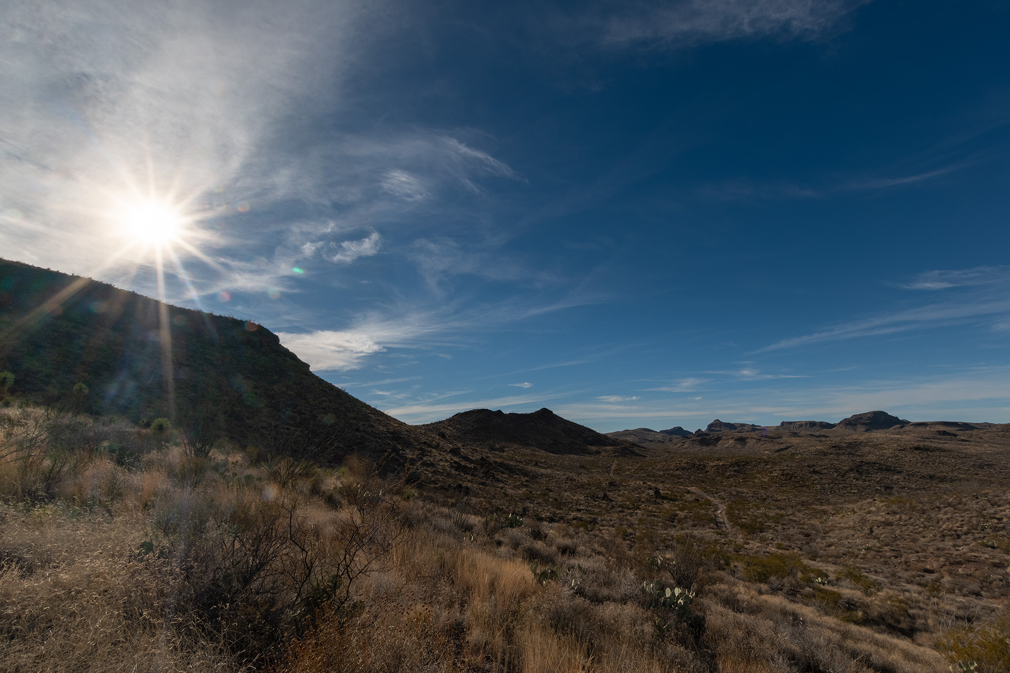
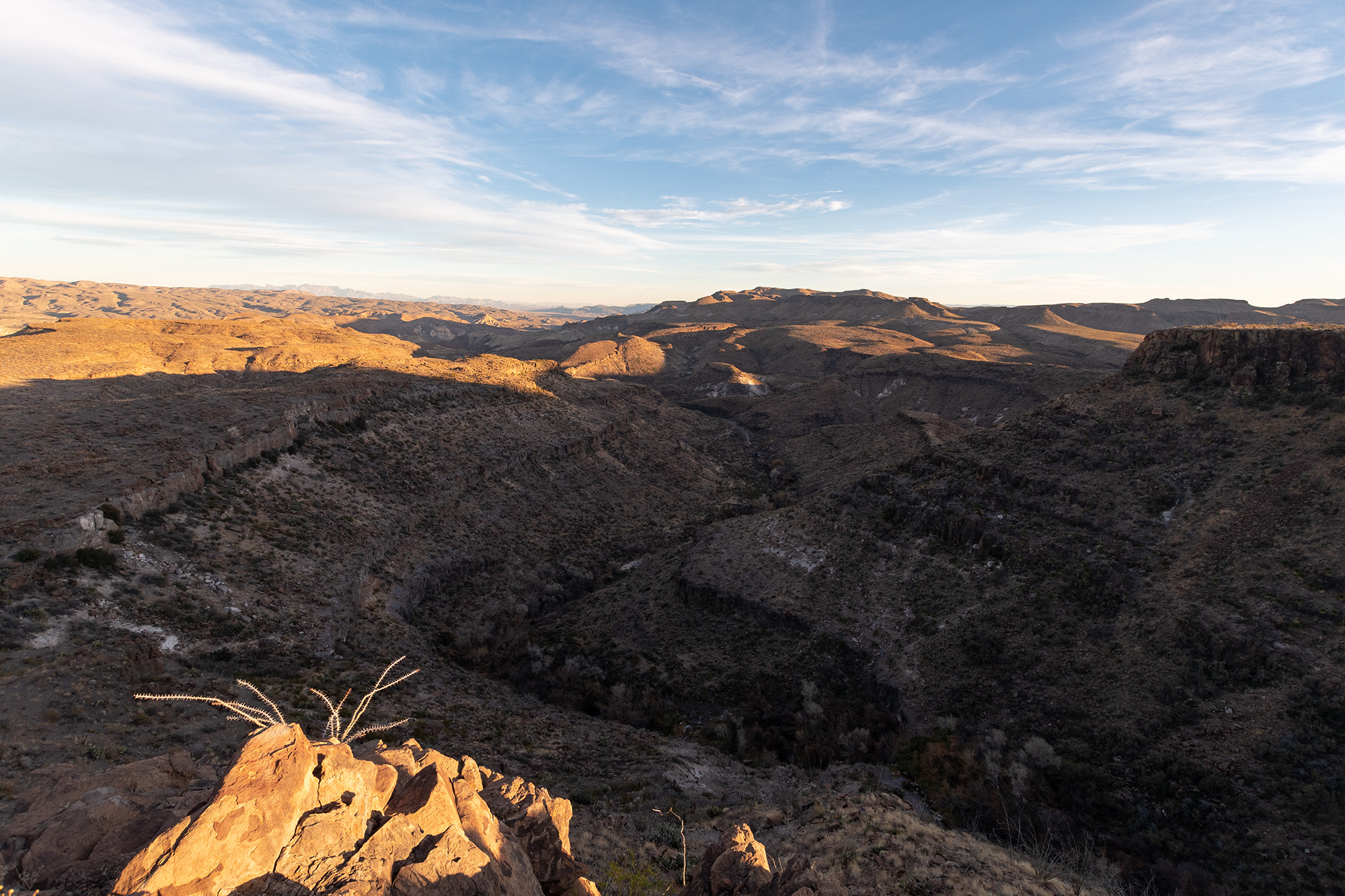
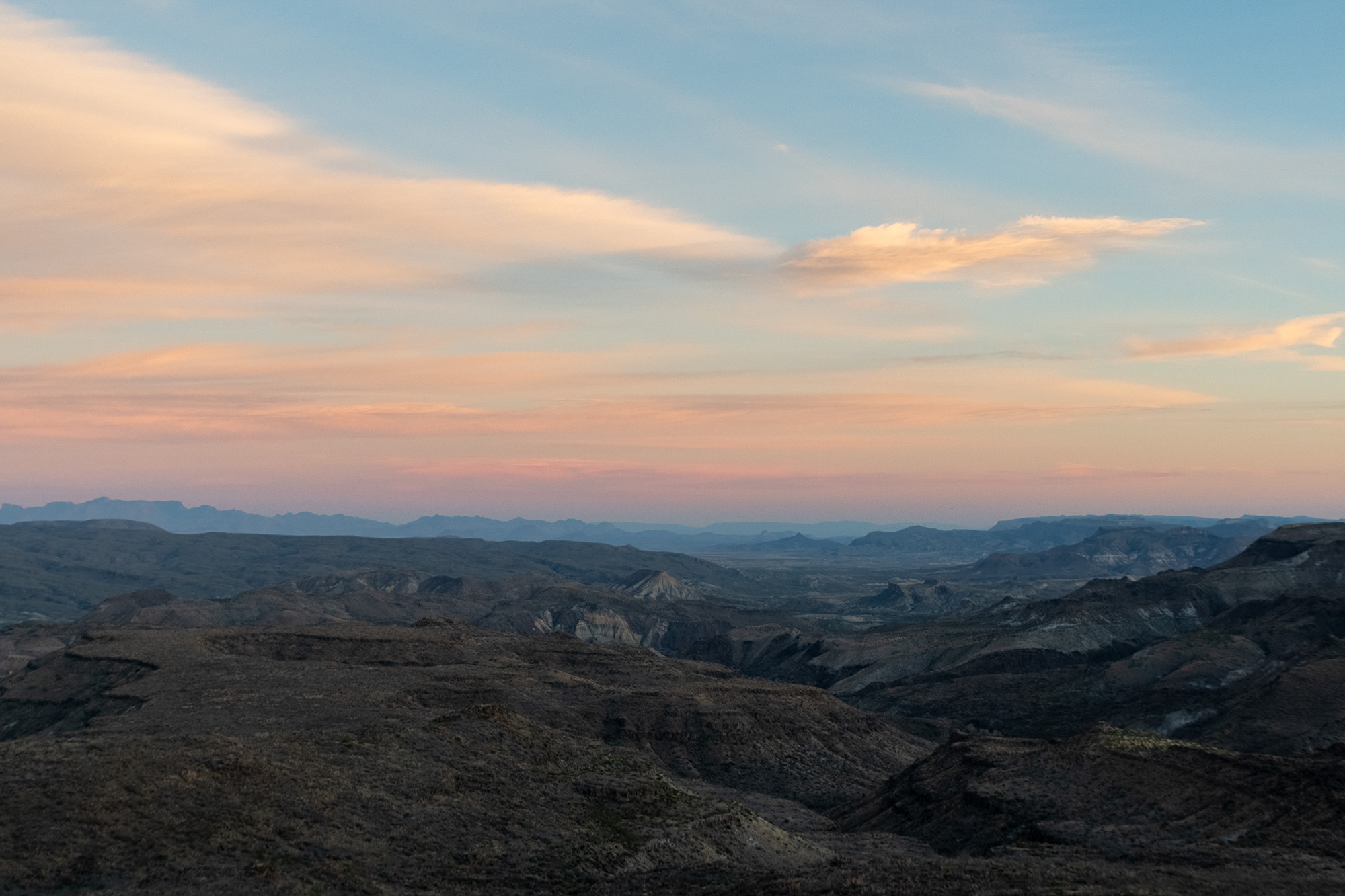
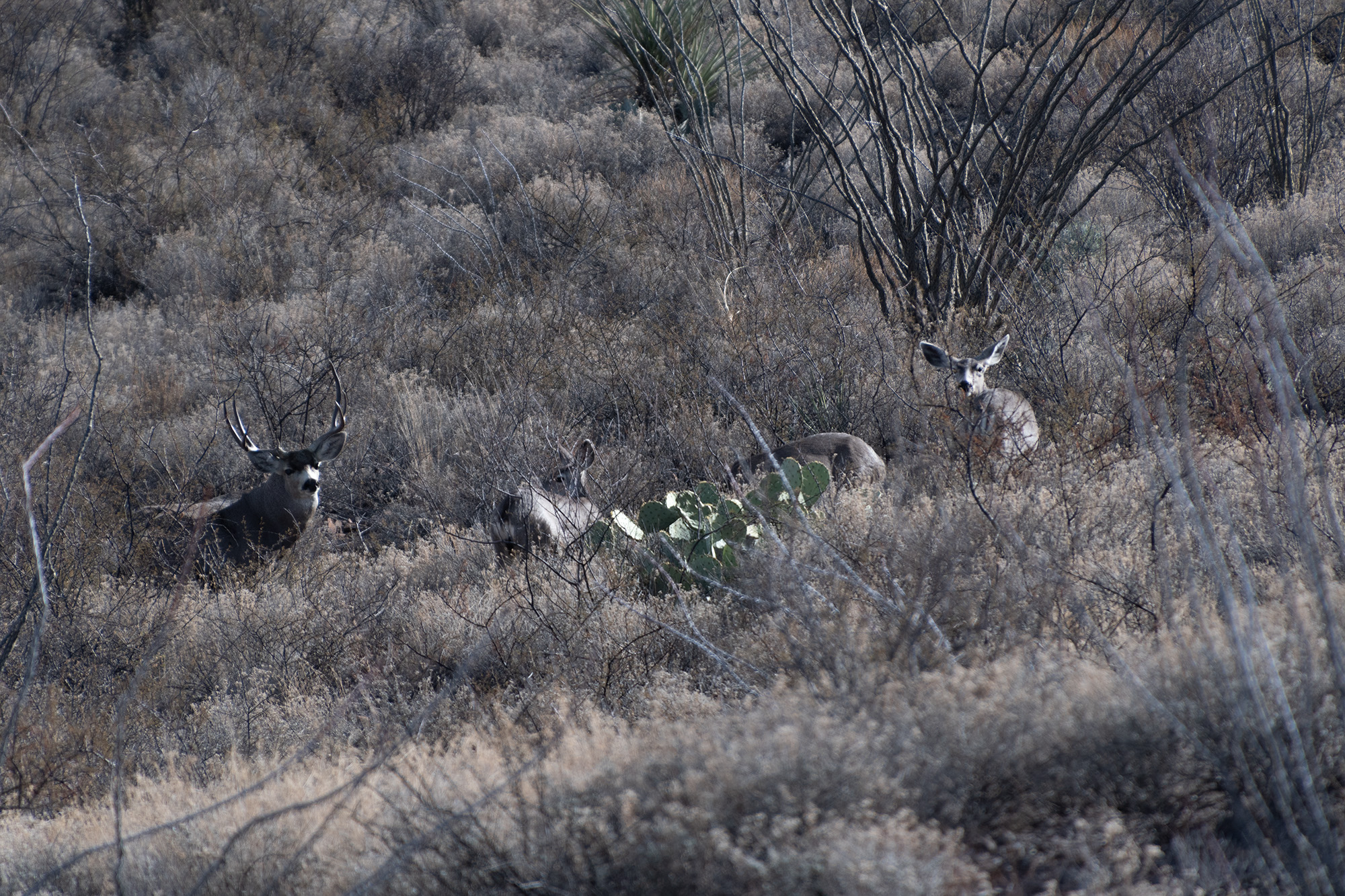
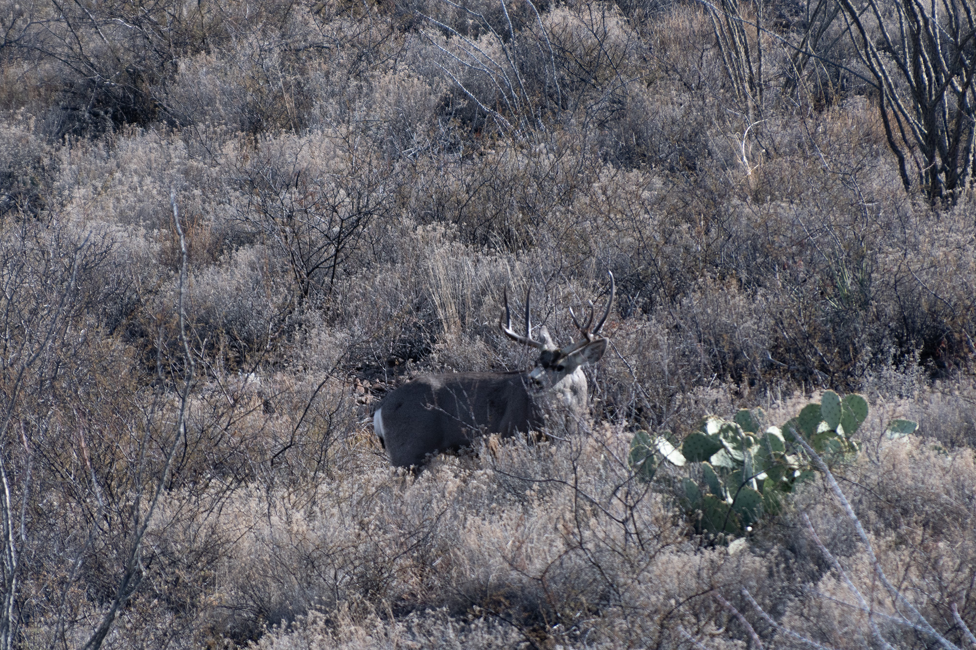
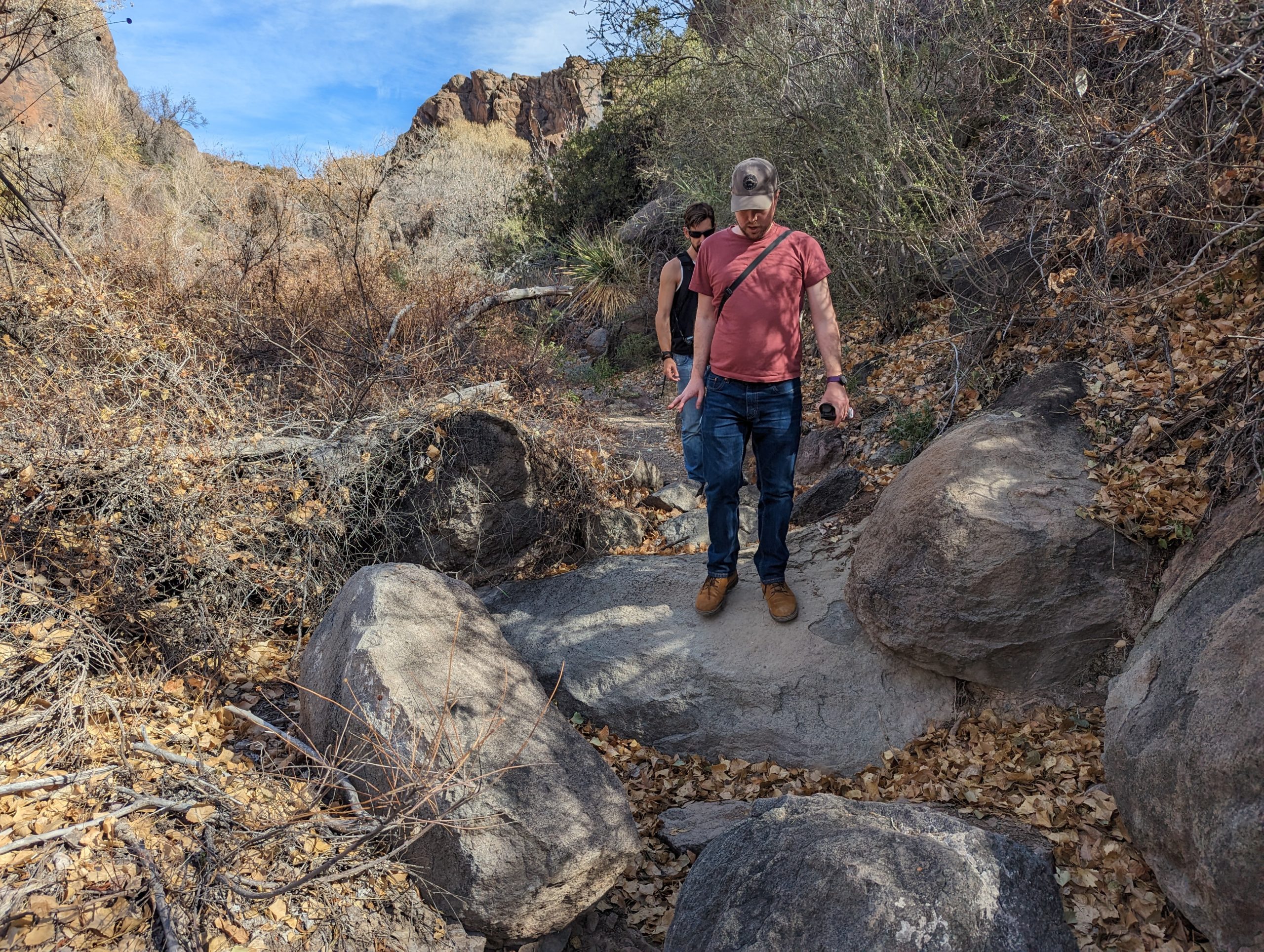
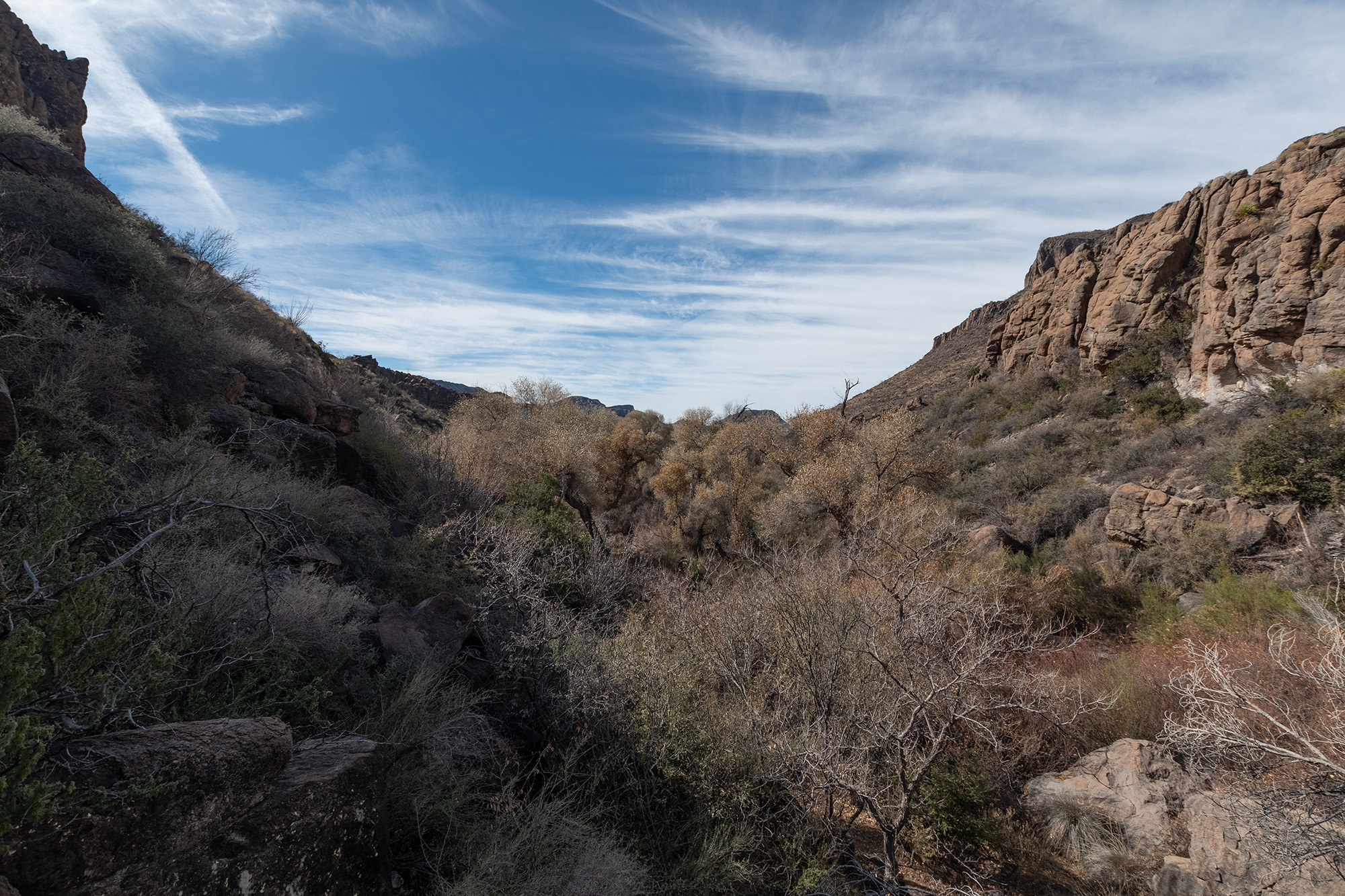
I woke up to a light rain, which in all the times I’ve been in this region, I’ve only seen one other time. During breakfast and the drive into the park, the rain stopped and clouds parted. What remained was a glorious technicolor desert.
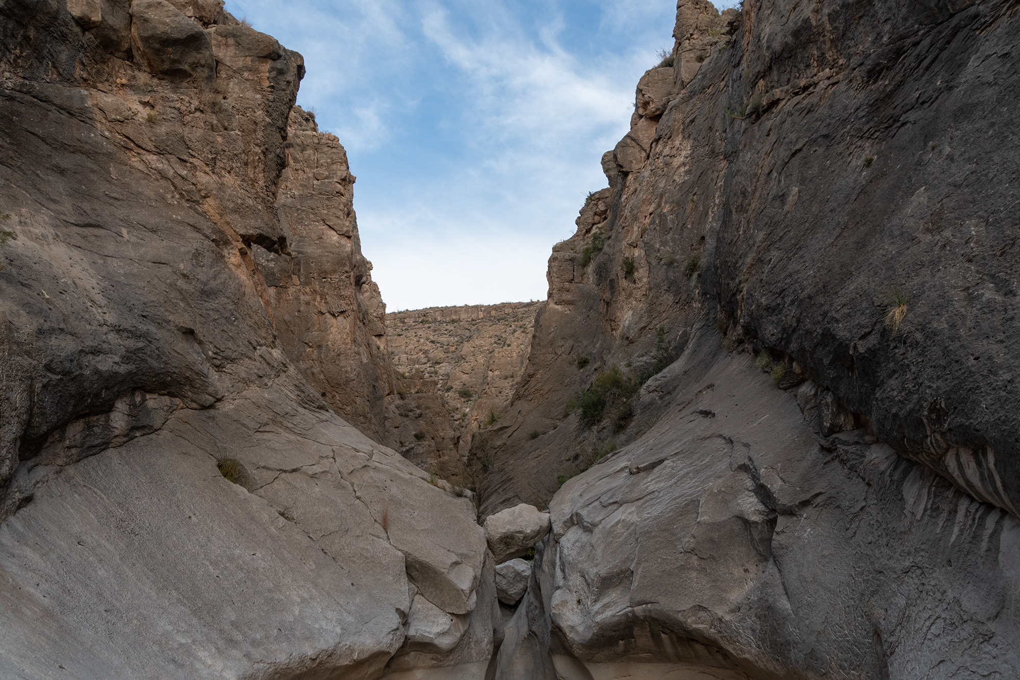
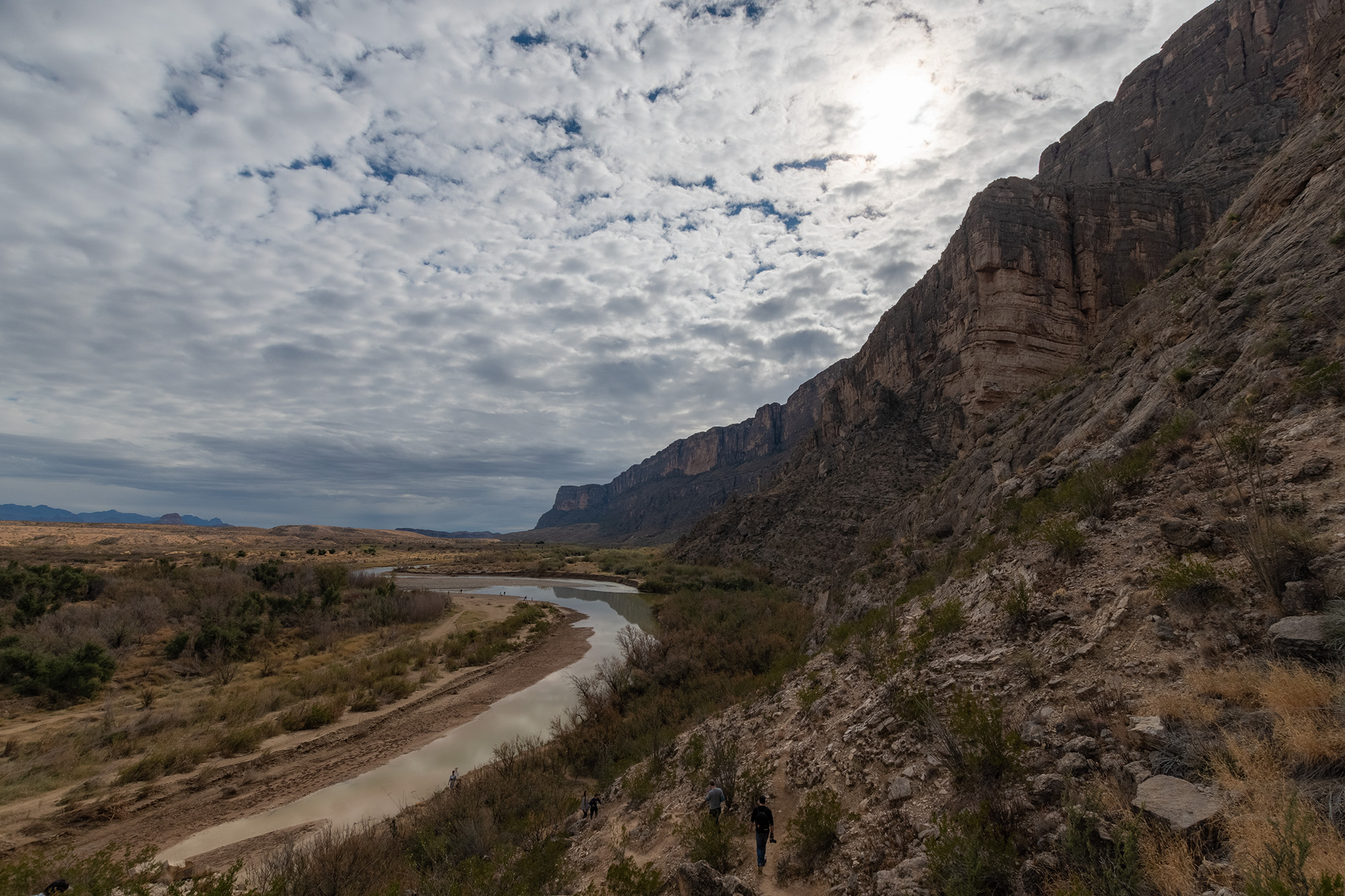
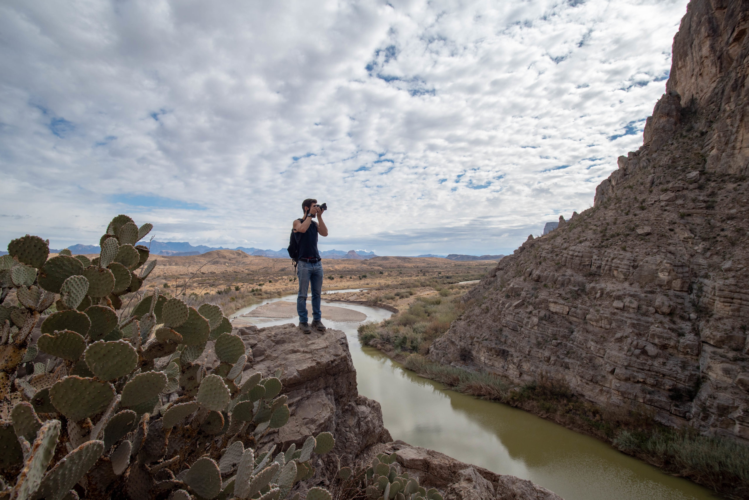
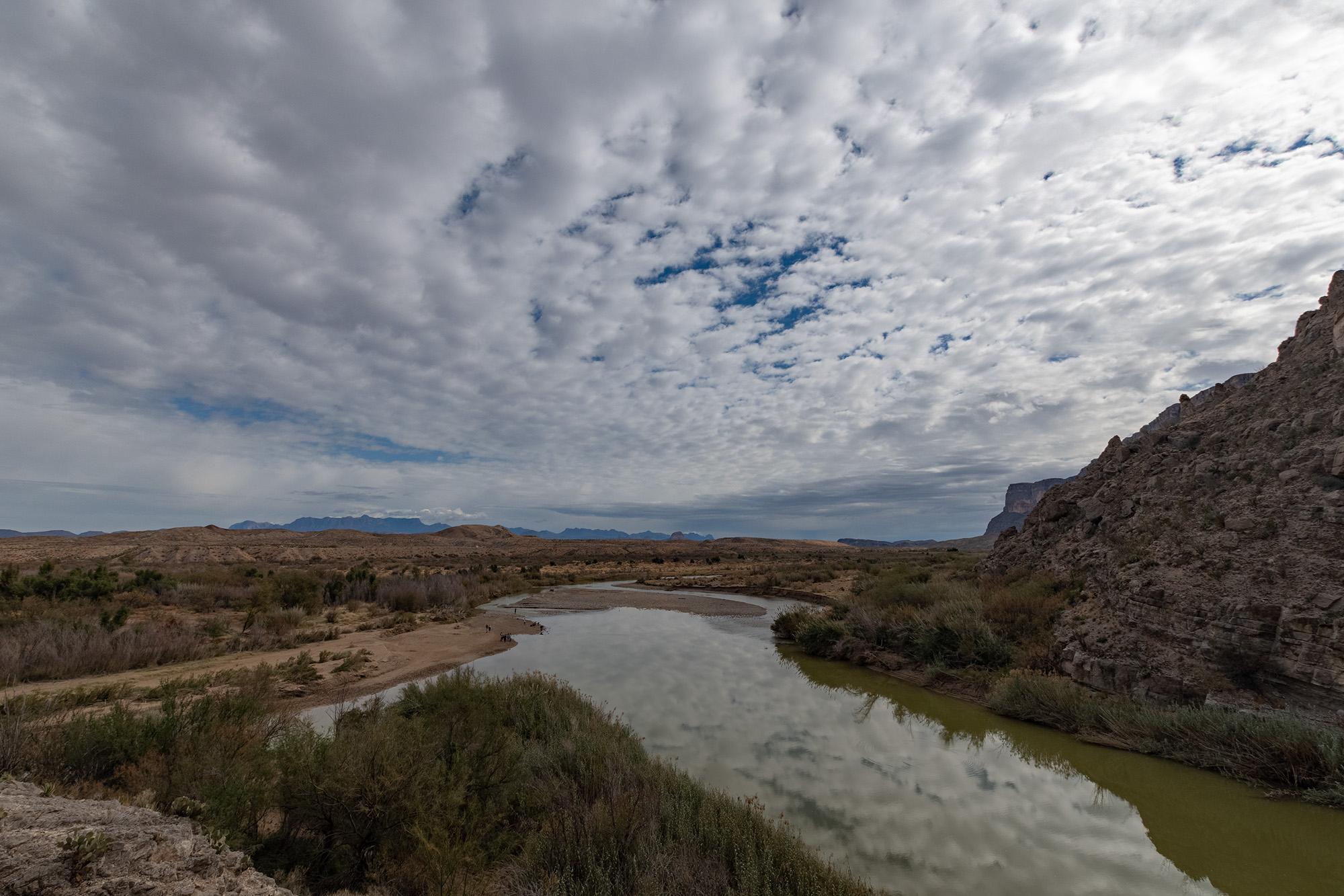
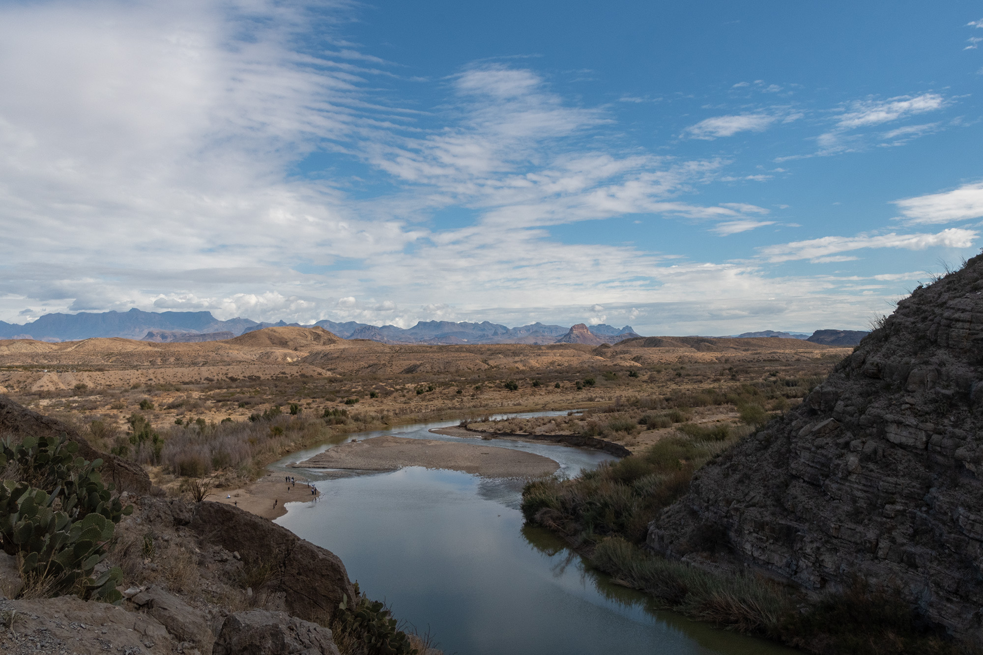
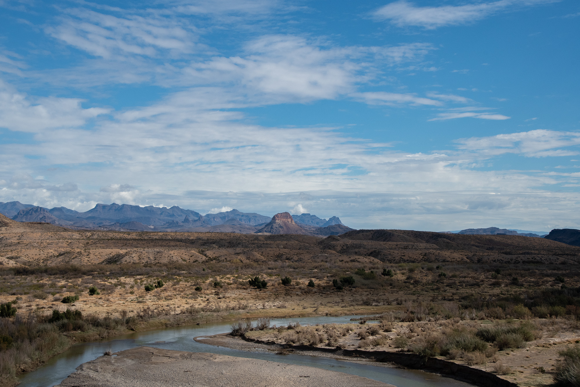
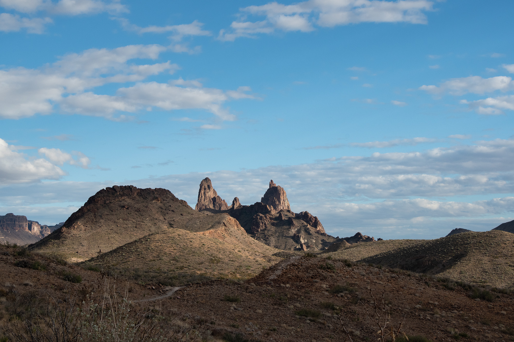
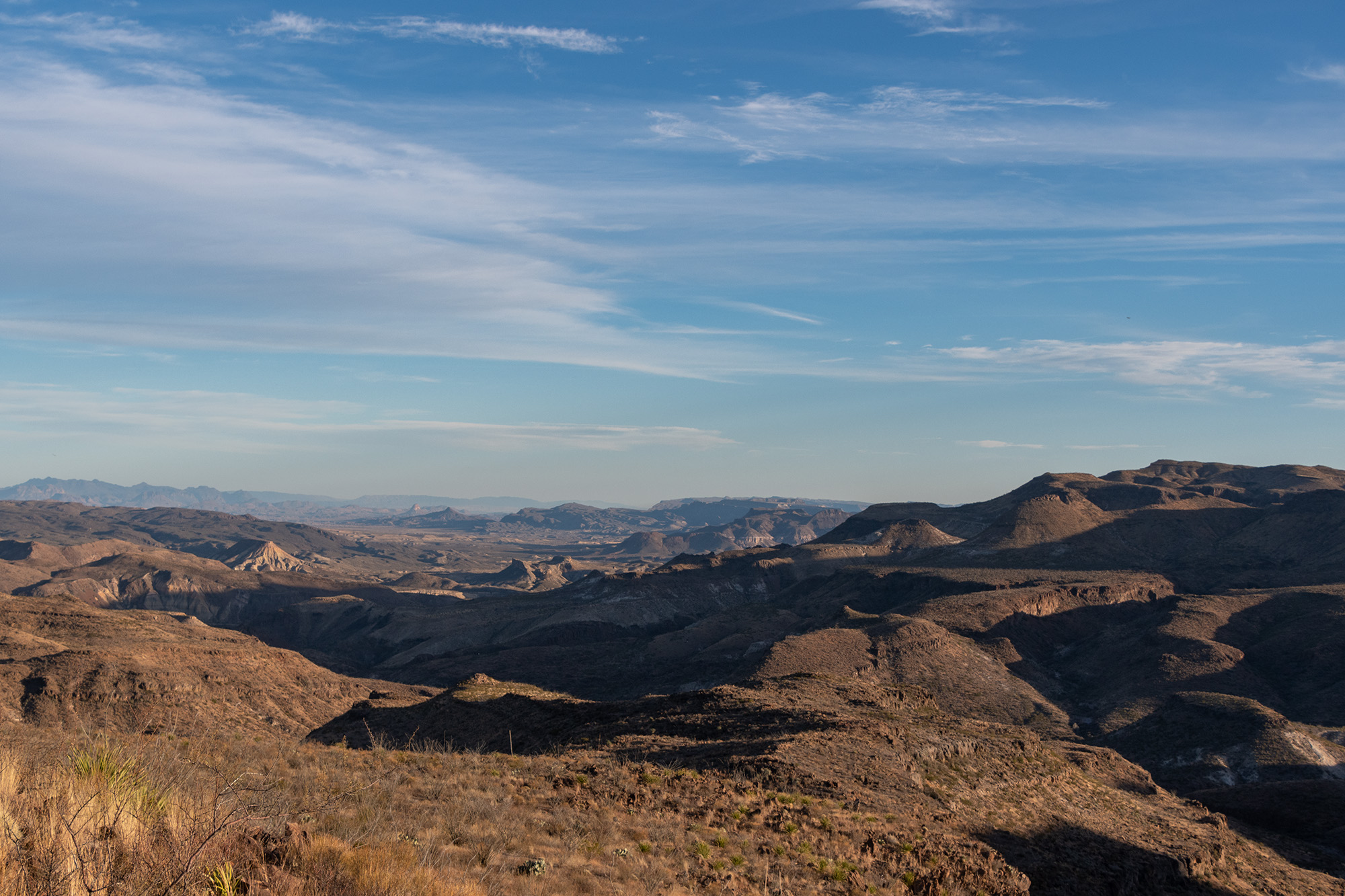
Today was reserved for hiking instead of offroad escapades, so given yesterday’s worrying fluid leak in the Rover, Evan left it behind and braved the passenger seat of the pickup. We started with Old Maverick Road from the park entrance at Terlingua straight down to Santa Elena Canyon where the river enters the park from Lajitas. This was the best view of the canyon I’ve ever seen.
From EvanFrom EvanFrom Evan
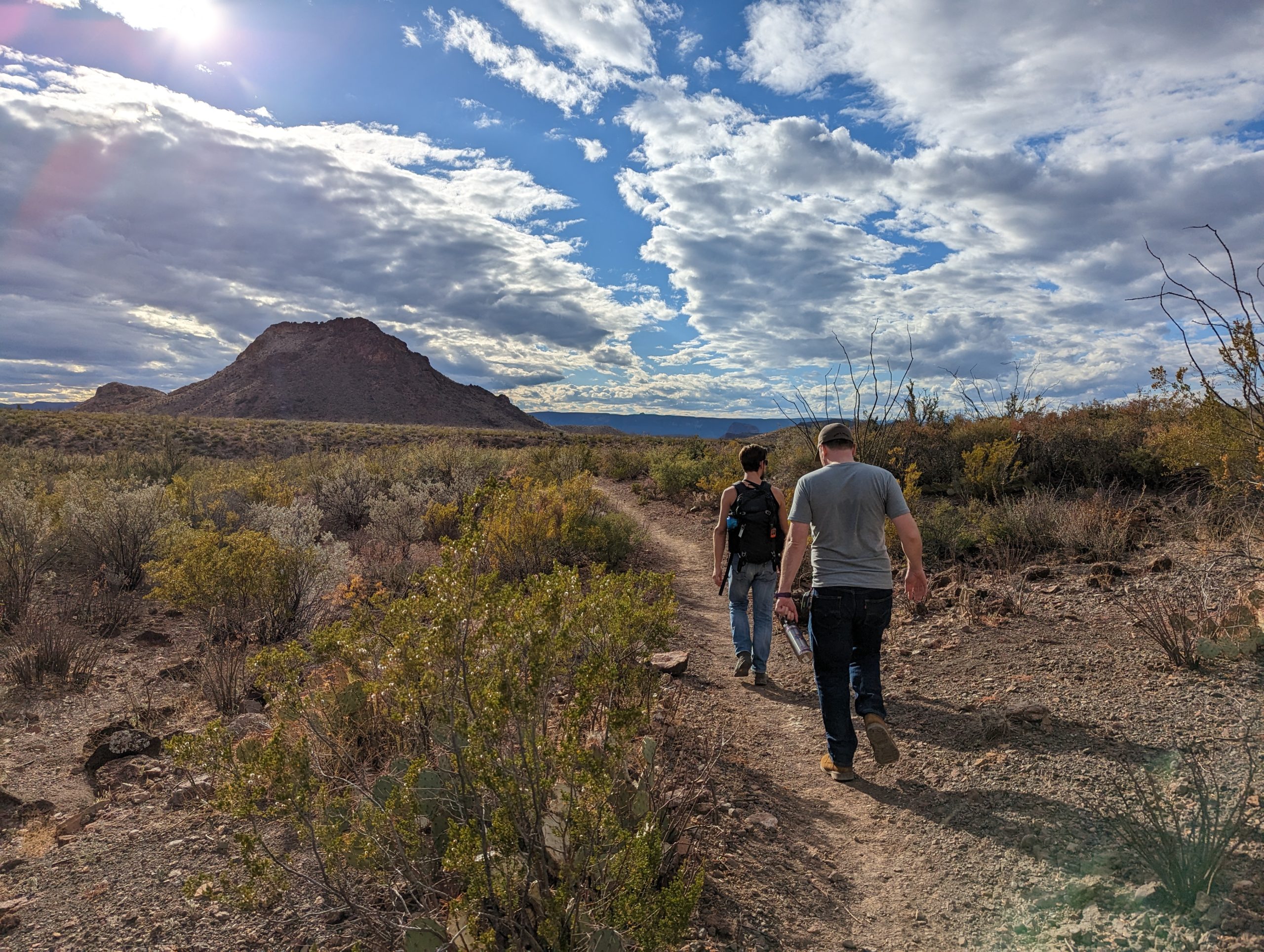
We made a stop briefly at the Castolon Ranger’s Station and Visitor Center so that George could stamp his parks passport. We asked if they had any recommendations for a hike nearby, and they suggested Mule Ears Trail, which I’ve never done before. It’s another iconic hike, with a view of the Mule Ears through the desert floor all the way to a tiny spring next to the ruins of a sheep corral built with stone.
From EvanThat’s Santa Elena Canyon
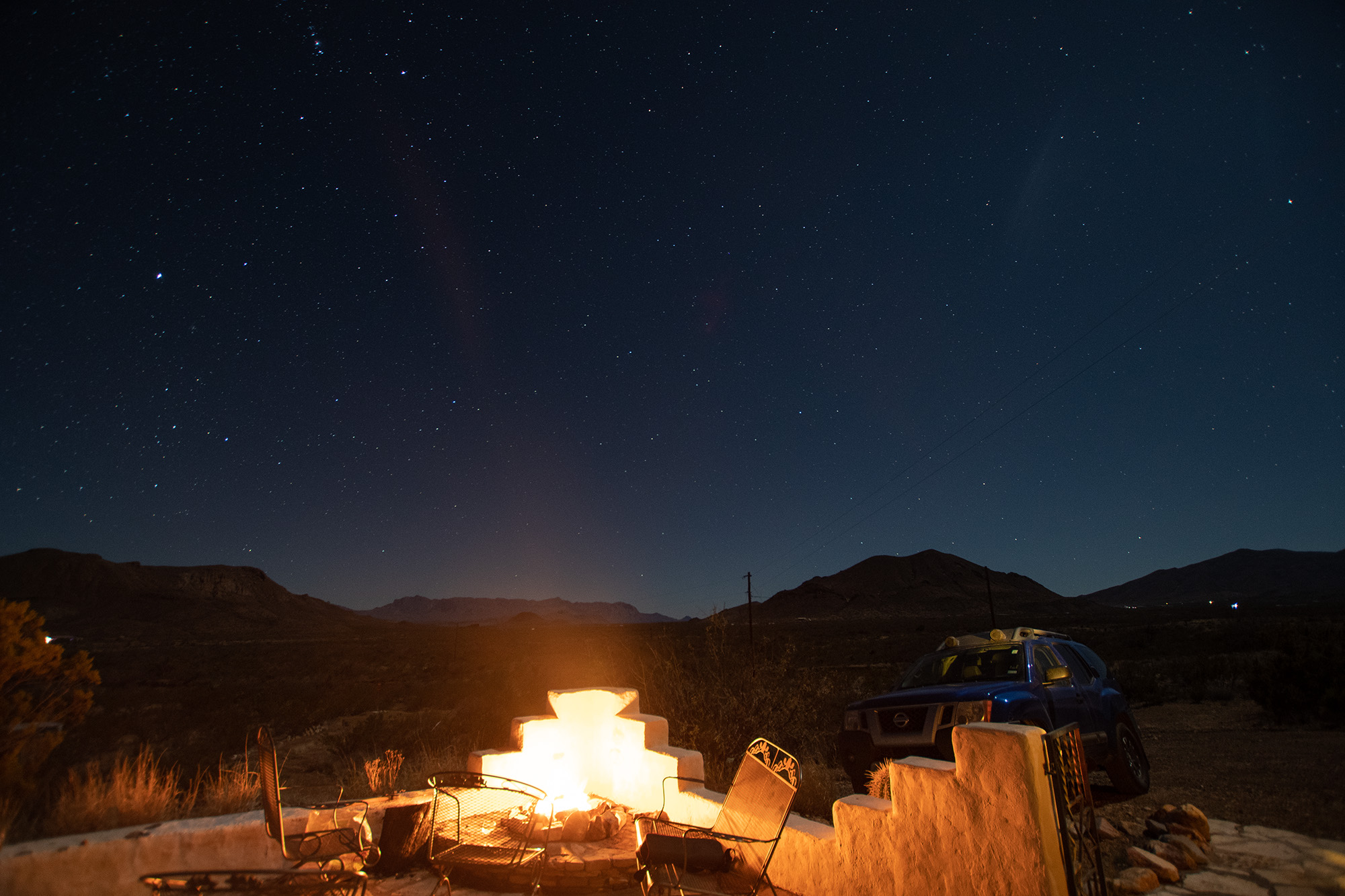
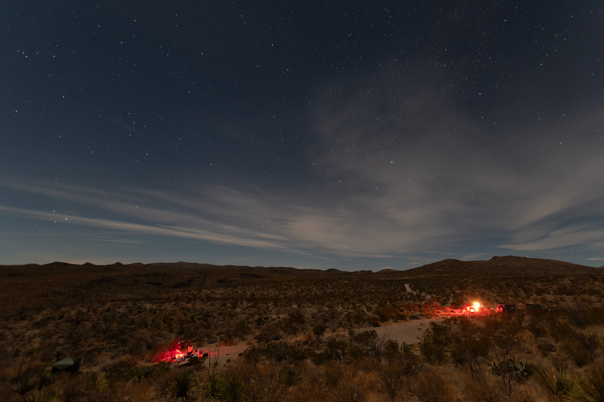
Back at the house, we made dinner, set a fire, and watched the stars a while.
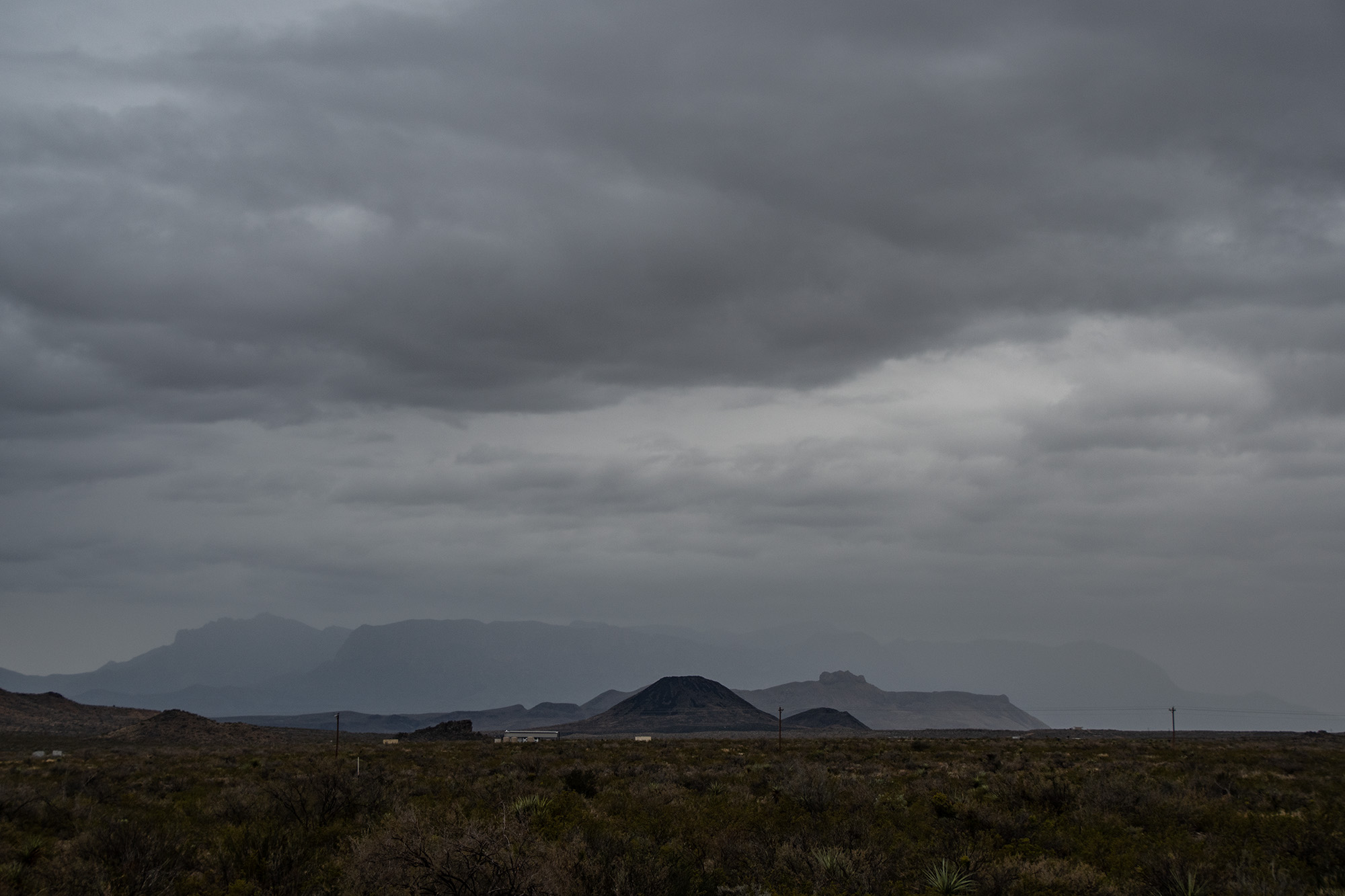
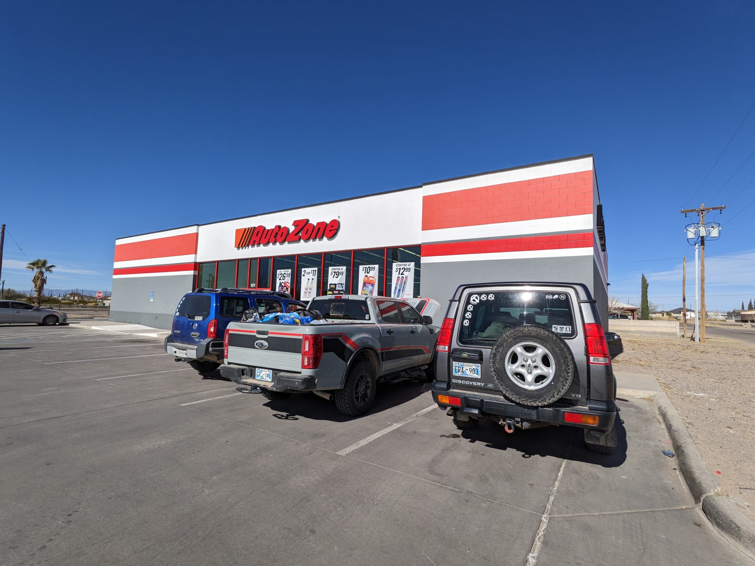
Day 3, New Year’s Eve: AutoZone, Madrid Falls, and Camping at Choro Vista
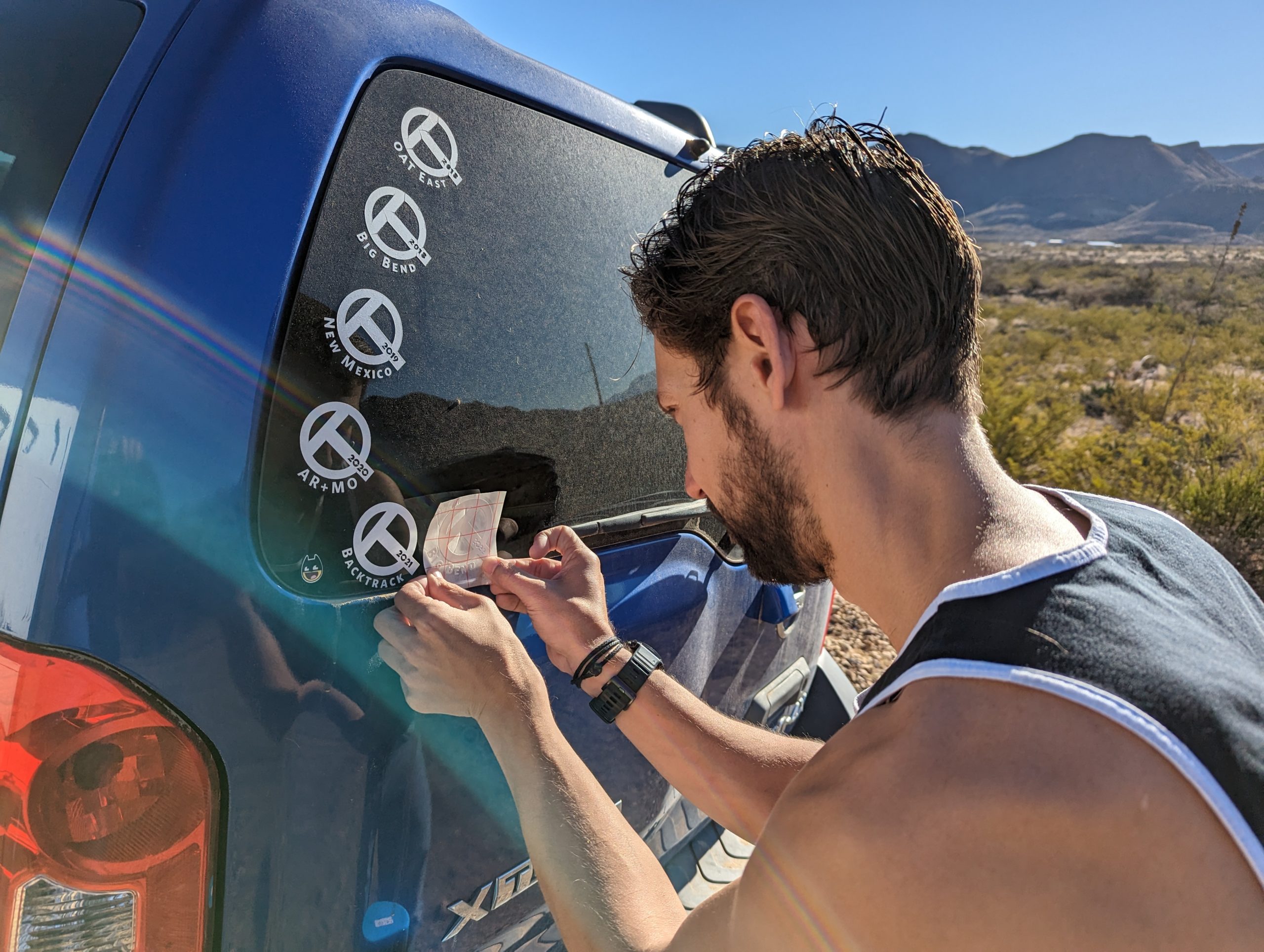
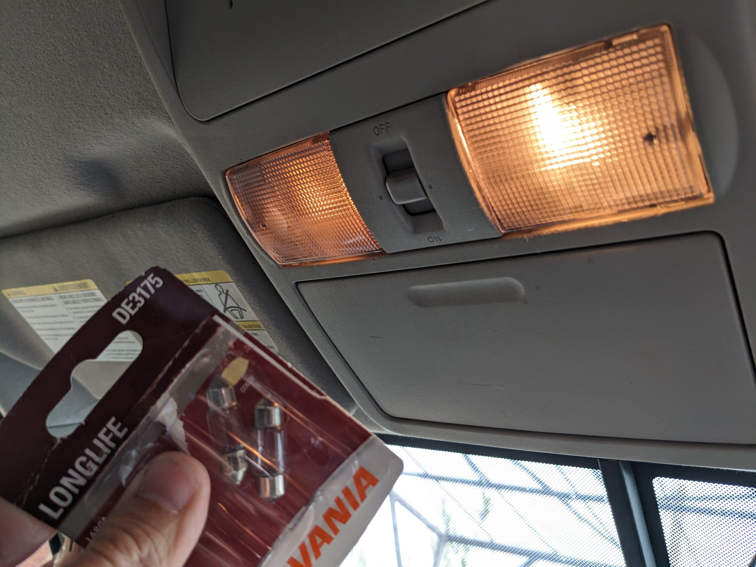
We applied our Evan Trip Stickers, then packed out of the AirBnB to head up the stunning FM170 along the river to Presidio. We made one last top there before diving back into Big Bend Ranch State Park. As ordered by tradition, we visited an AutoZone — Evan wanted extra diff fluid, just in case, and in exchange for letting me use their restroom (the last for a while…), I finally bought replacement for the dome light that’s been out for ages.
From Evan
Reasonably prepared and lightly fed, we left Presidio and entered the park. Our campsite, Choro Vista, wasn’t too much further down Madrid Falls Road from where Vista del Chisos was. The drive in was lovely, if a little washboarded, to the Sauceda Ranger’s Station. From there, Madris Falls Road was perhaps a little more washed out than last time, but also we were better at it. And Evan broke out the drone again and experimented with chase patterns on “The Big Hill.”
I gotta admit, it’s pretty epic looking footage. I originally had dreams of mixing in video and audio segments pulled in from our dashcams, too, but mercifully, my dashcam overwrote all of that before I got back to it, so I was spared what would have turned into many additional hours of editing.
Even video doesn’t show how steep this hill really is.
We finally arrived into Choro Vista an hour before sunset and made our way down to the Madrid Falls Overlook.
The sun set as we hiked back to the dramatic ridge over our campsite where we caught the beginnings of twilight. Then it was a rush to make camp before it got too dark.
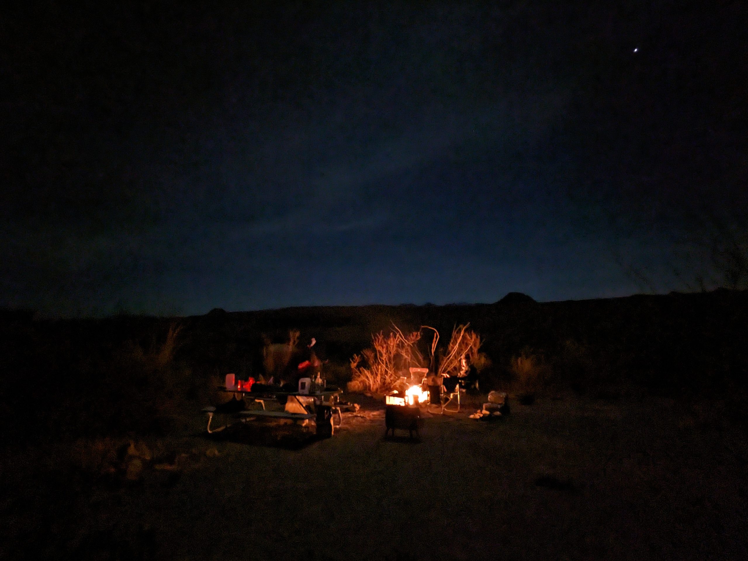
We spent the evening by the campfire, ready to welcome 2023.
Day 4, New Year’s Day: Ojito Adentro and Alpine’s Oldest Hotel
If I keep doing this, I need to start thinking about where sunrise is gonna hit me.
Happy New Year! We woke up and wandered about a bit before cleaning up and heading back the way we came to Sauceda.
From EvanFrom Evan
There were a few hikes along the main park road I’d wanted to check out. The Ranger who was wandering around the Ranger’s Station sent us on a quest to another little spring, Ojito Adentro.
From Evan
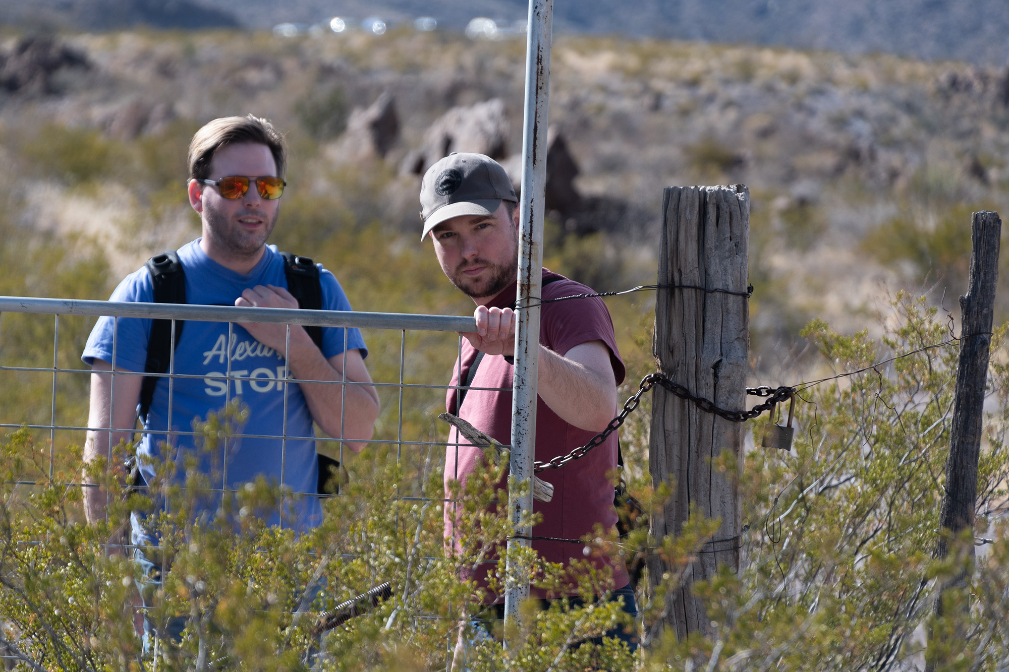
We took an unpaved road, Casa Piedra or County Road 169, depending on which map you’re reading, out the north end of the park toward Marfa. Being much less traveled than the two park highways on either side, the drive was beautiful yet sparsely sprinkled with homesteads that look a little … uninviting and prepper-y, replete with No Tresspassing signs and intimidating yard art along fencelines. When we hit pavement again, we stopped at the Site of Alamito to reinflate tires and poke around what little remains of this ghost town.
Alamito Creek has been a passageway and the scene of human activity sine prehistoric times. […] Beginning in the 1850s, the infamous Chihuahua Trail, a route for heavy freight wagons from San Antonio to Chihuahua, Mexico, passed near Alamito. By 1870, Alamito was a community with several families farming and working on nearby ranches. John Davis, a pioneer from North Carolina, was a strong community leader. He married Francisca Herrera, the daughter of Carlos Herrera, one of the first Spanish settlers of Alamito, in 1875. They build a home with a chapel, one-room school, and a canal for crop irrigation. Davis was known for serving peach brandy to weary travelers who came through on the Chihuahua Trail. Francisca died in 1892 and was buried near the chapel in Alamito. The grief-stricken Davis went back to North Carolina and never returned to this area. [… These days, only ruins of the Davis-Herrera homestead remain, but ruts of the Chihuahua Trail can still be seen in the bedrock to the north.]
“Site of Alamito,” Texas Historical Commission placard on Highway 169
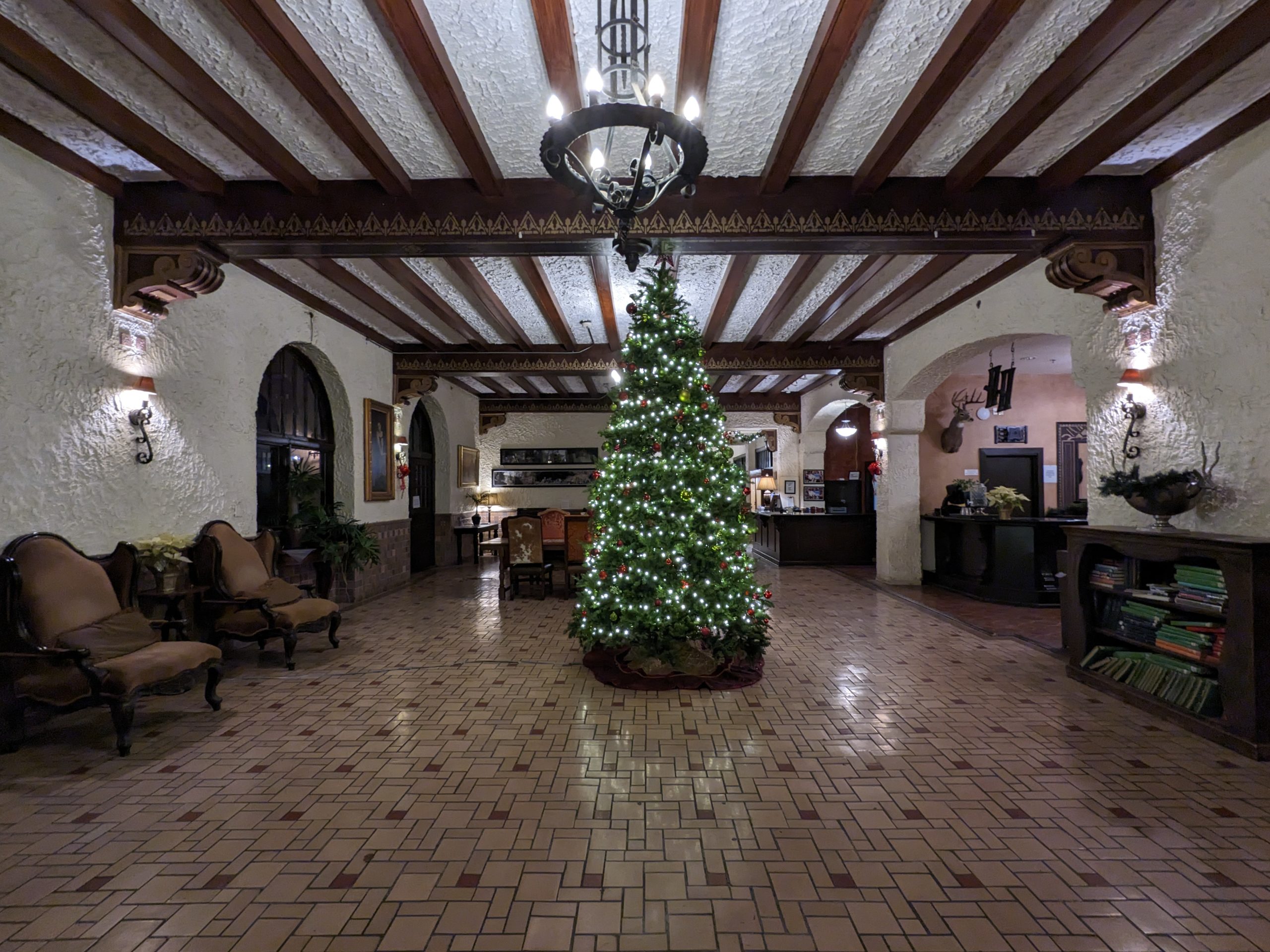
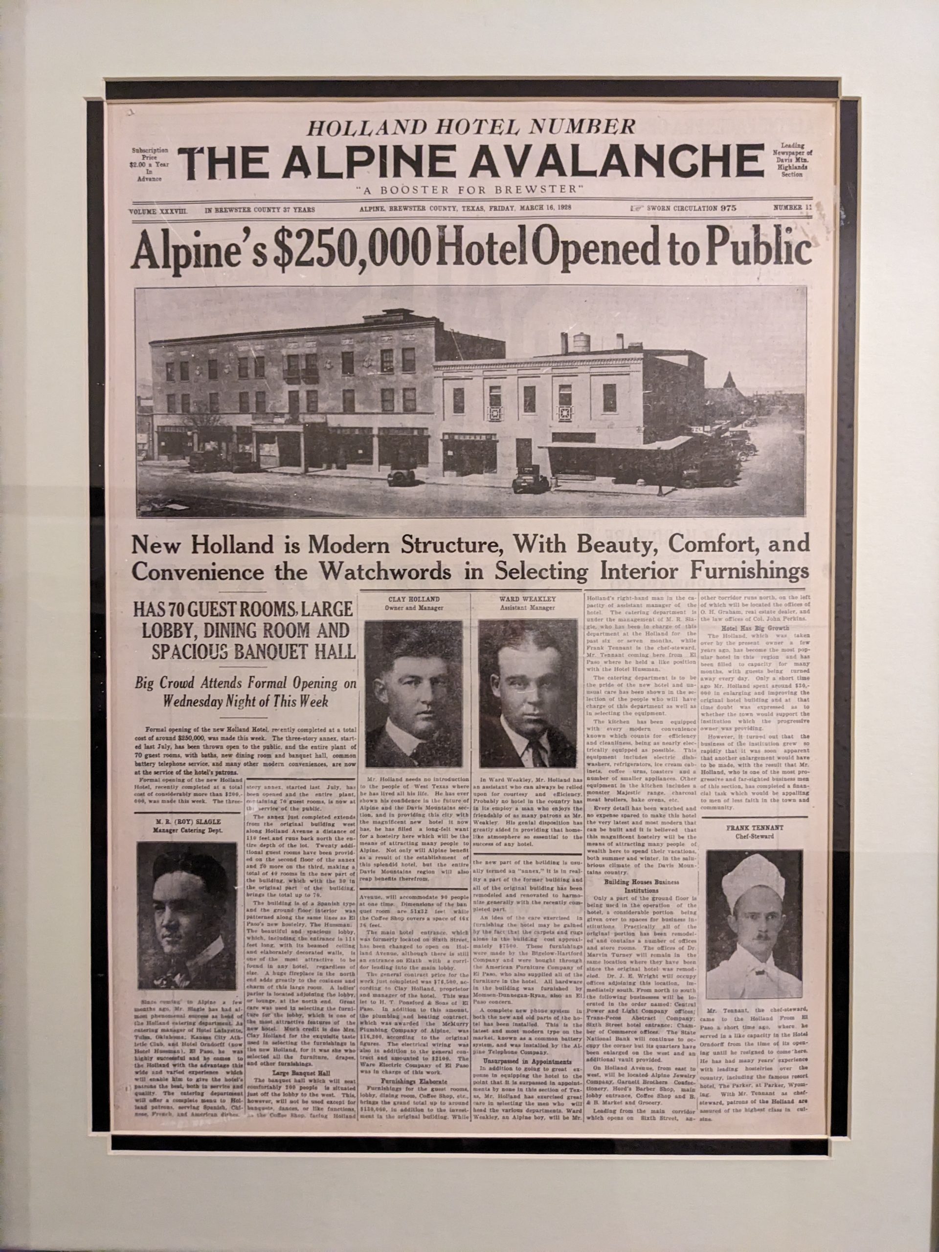
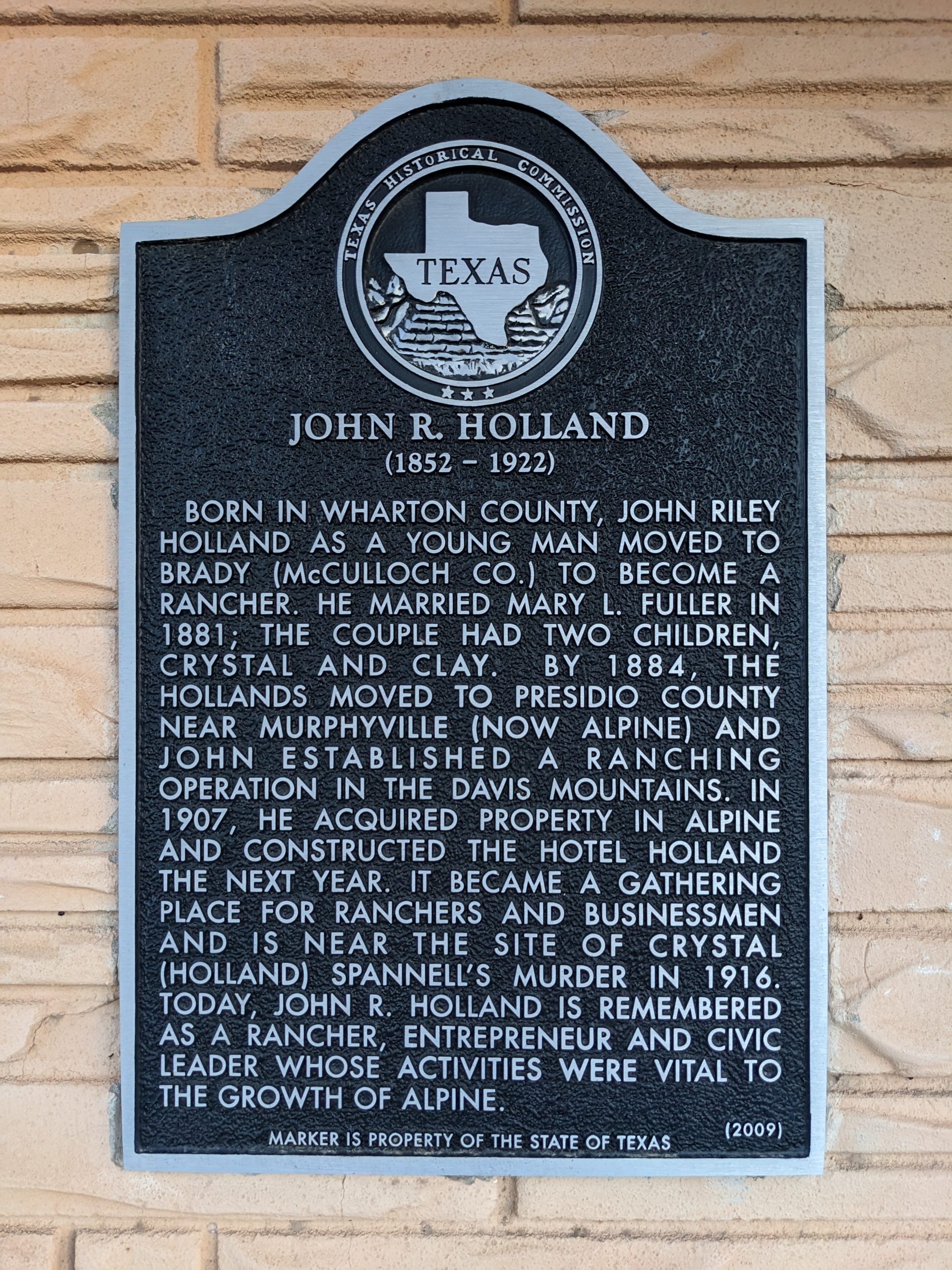
Aired up, we headed back into Alpine, where George had booked us rooms at the oldest place in town, The Holland Hotel. It (re-?)opened to the public in 1928 to great fanfare at a total construction cost of $250,000 and bosting 70 guest rooms, baths, telephone service, and its own banquet hall. (Each floor had a had a framed copy of every regional paper that ran this press release.)
Day 5: Alpine to Tulsa
700 miles, more or less. I followed the boys back to Tulsa to see a couple folks. Audiobooks, radio chatter, highway hypnosis.
Day 6: A return to the real world
Wherein I set up shop in the corner of the living room and tried to remember how work works while dogs tried to distract (rescue?) me.
Day 7: Climb Tulsa
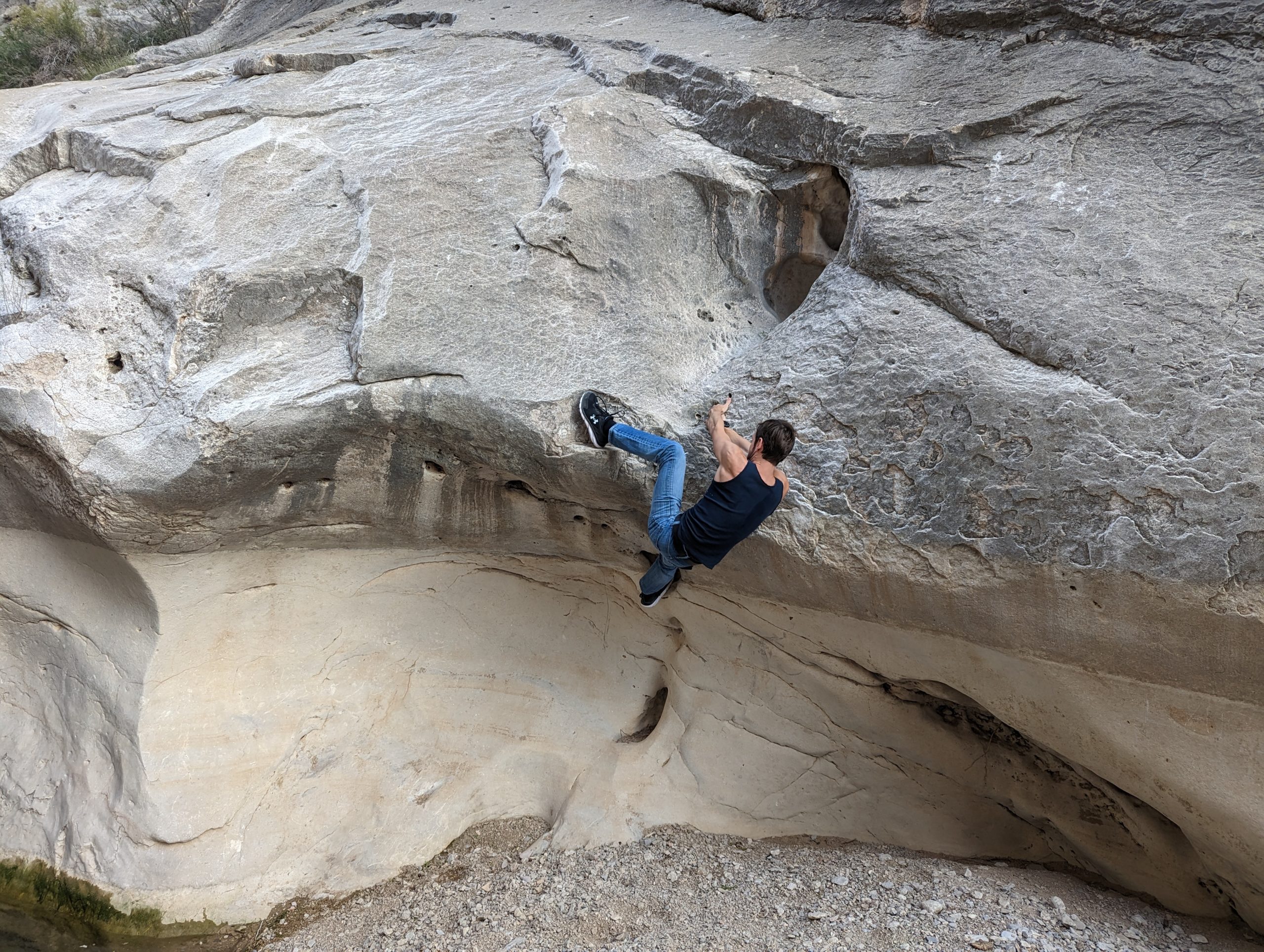
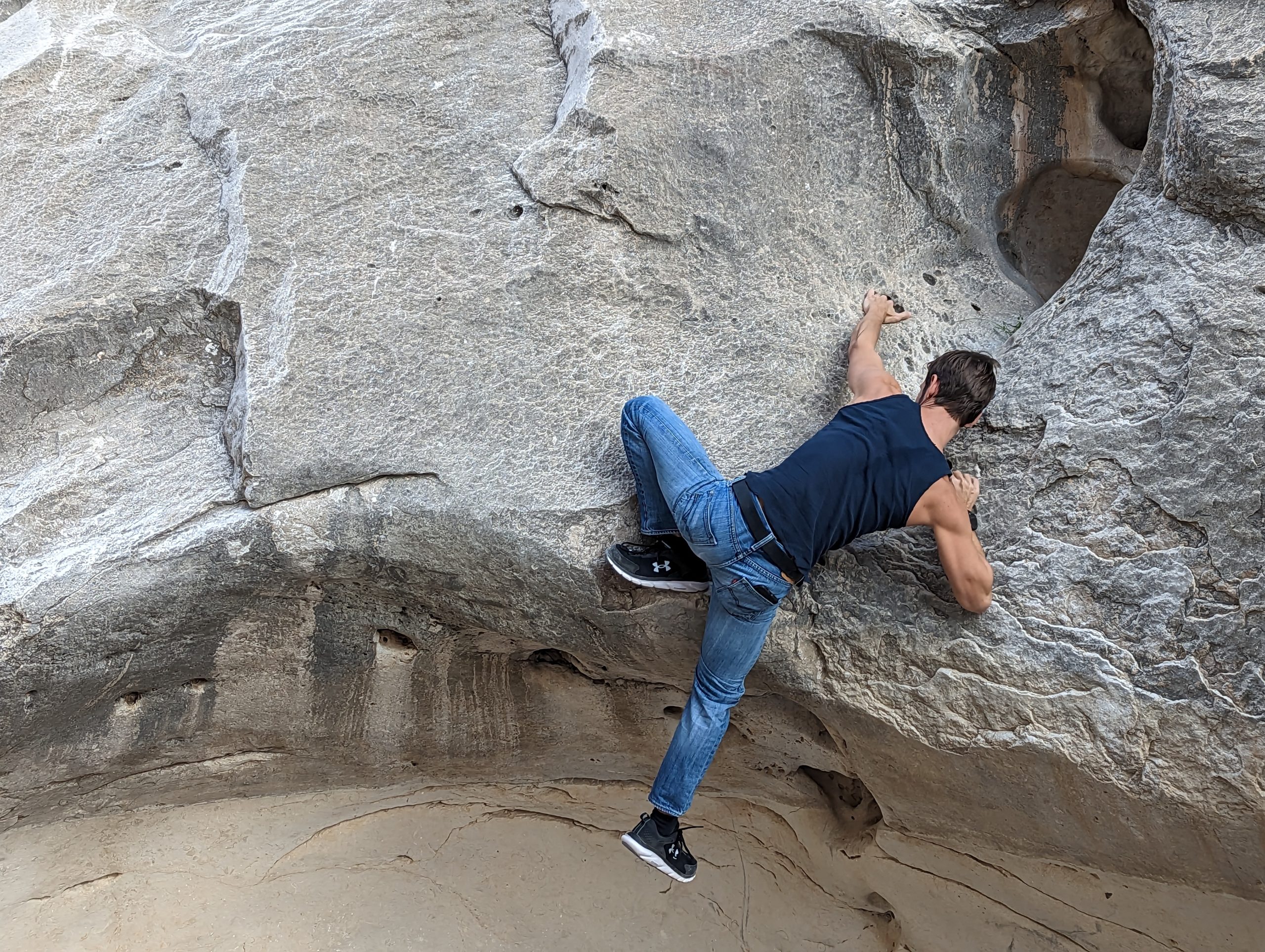
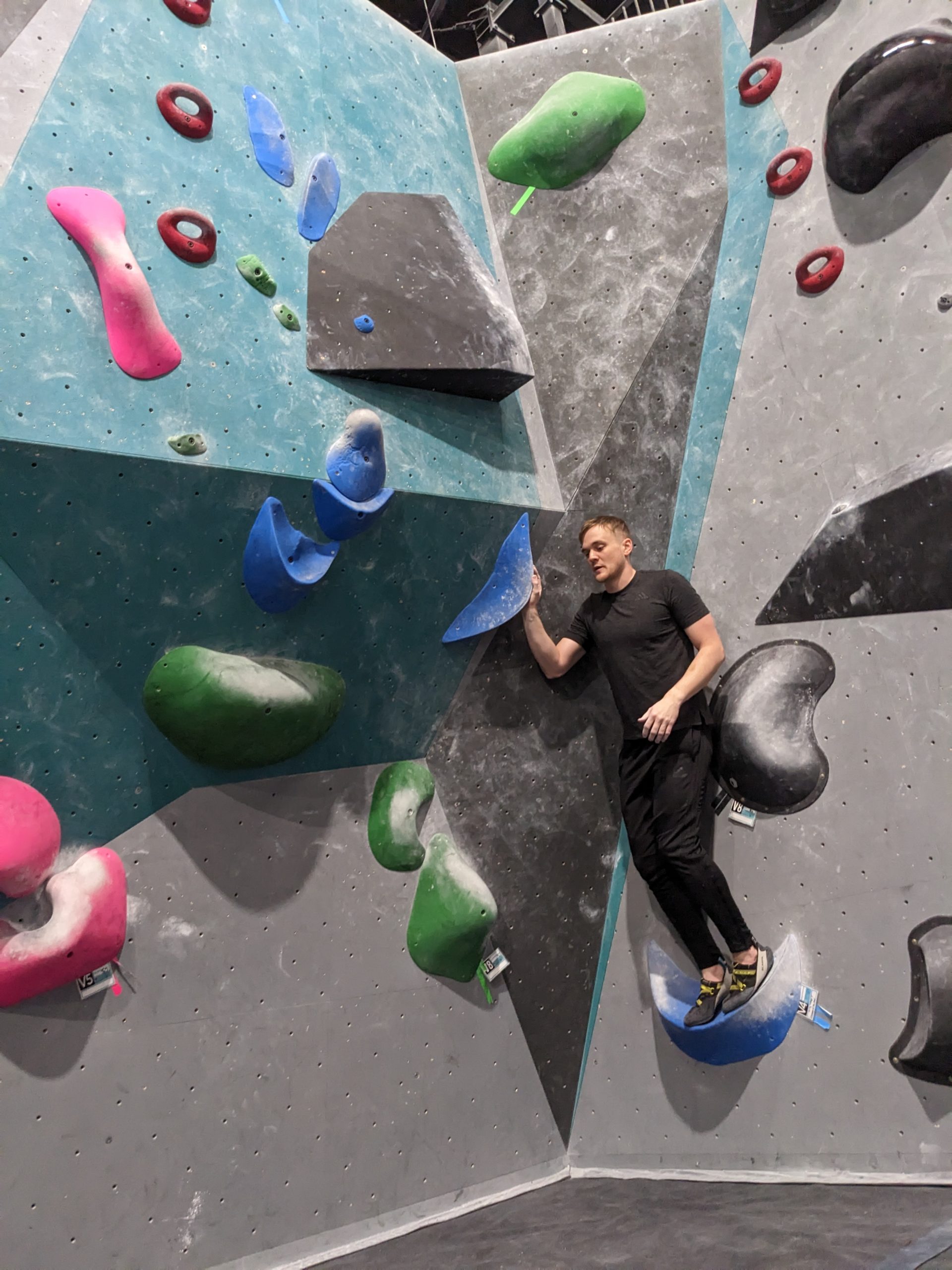
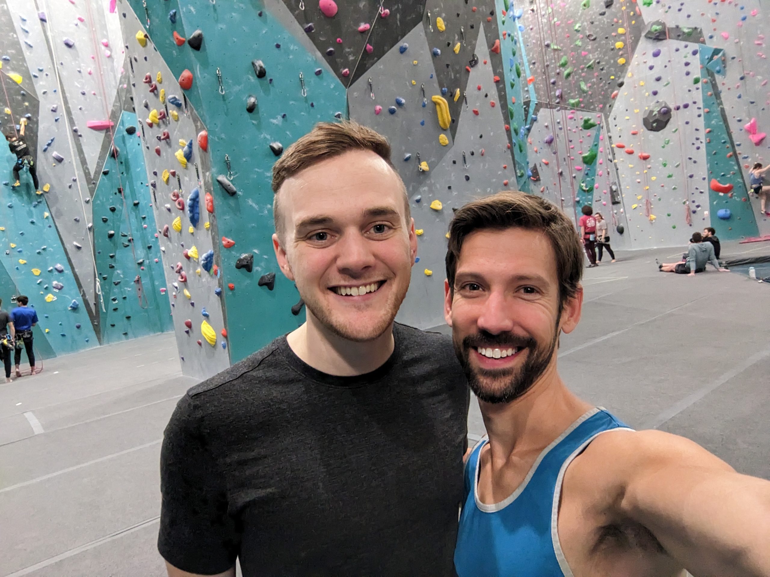
Our friend Thomas, who now lives in Japan, was back home visiting family, and has taken up bouldering lately. So he asked if we could hit up Climb Tulsa one night, which has become one of my favorite gyms. He did well!
Day 8: Tulsa to Austin
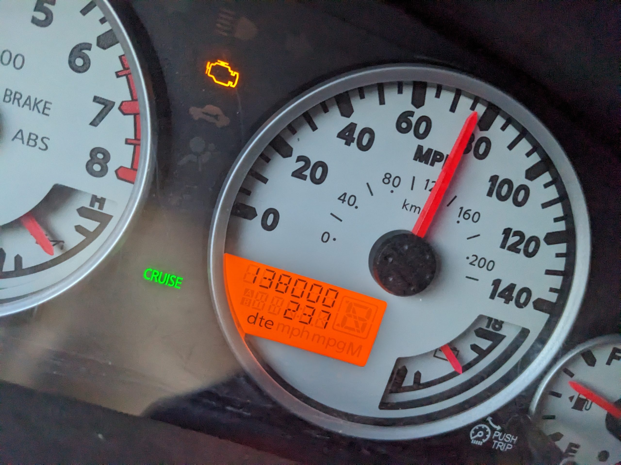
I’m closing in on 100,000 miles with Xterra the Younger. I can’t tell if doing that in less than 5 years is fast or slow. But I have now solidly overtaken the Rover’s odometer. And no, that SES light is nothing serious — just that clogged EVAP valve code that pops up every time he gets dusty.
It would be hard to summarize 2022, except to say it was full of surprises and grand adventures — literal and metaphorical. 2023 has a lot to live up to. Happy New Year!
I spent my entire day between the Unarmed Hampton Inn and the swanky food hall in its parking lot where Dad and I had lunch just over a week ago — the latter was actually a good way to spend a day. Hot pho, good coffee, and no one else was there when I had to present a team status meeting to two C-Suite folks on my first day back after a ten day hiatus…
Mike owns a space ship now? I gotta get back to Meow Wolf.
That view of the mountains outside the door though, that’s just cruel. And Evan W and Mike, meanwhile, took the car and made a run up to Meow Wolf in Santa Fe, which would have been a lot more fun. I went there with a corporate retreat back in 2018 and have wanted to go back ever since.
After work, we headed out for an Irish Pub (in Albuquerque??) for dinner before making our way over to Lubbock. Usually, I don’t retrace my steps on a trip, but this is just how it worked out this time. Mike picked tonight’s Overton Hotel and I think it might be the tallest building in the whole town.