Driving, Aliens, Lava, and a Hilltop B&B

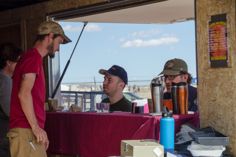
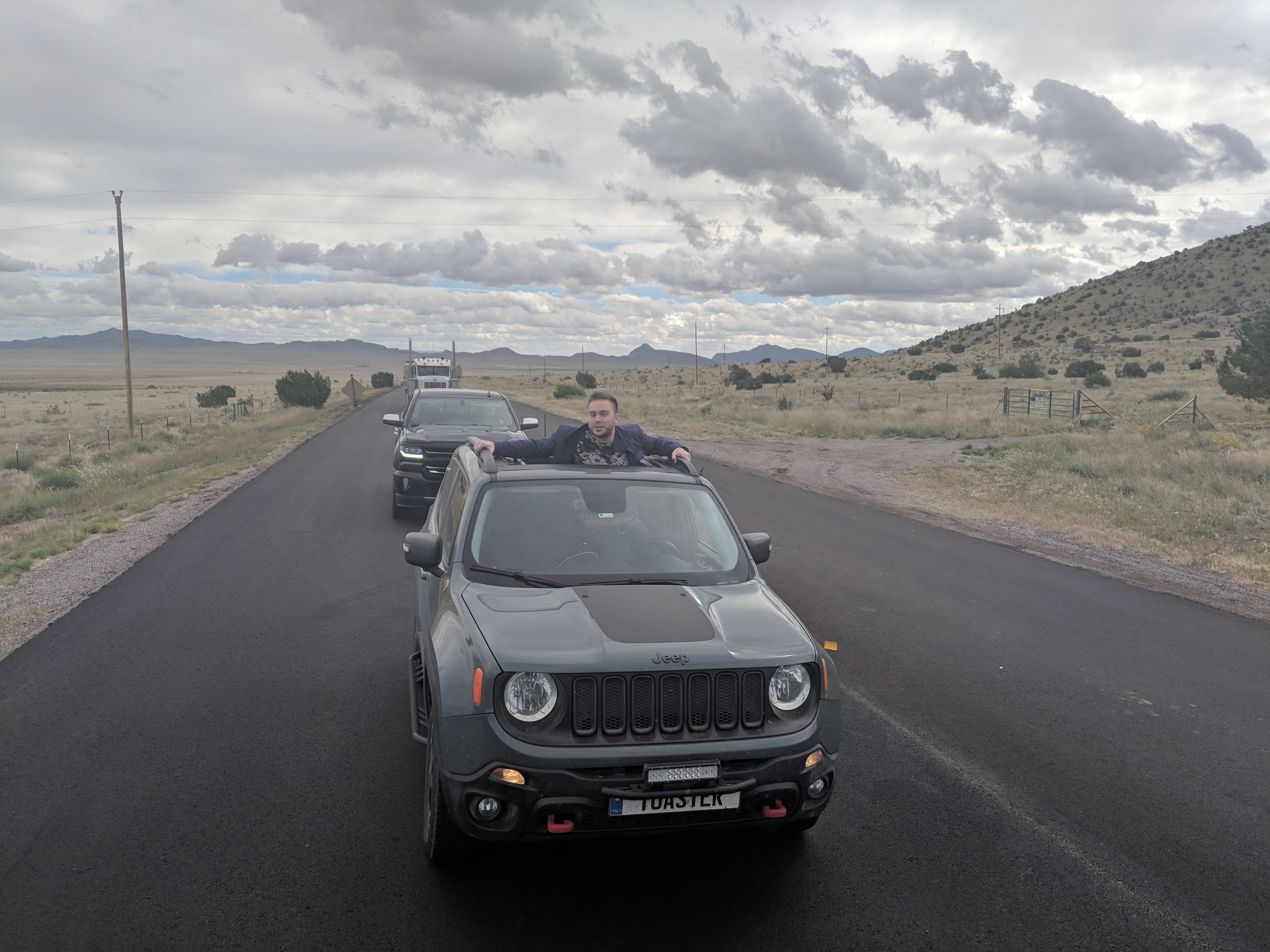
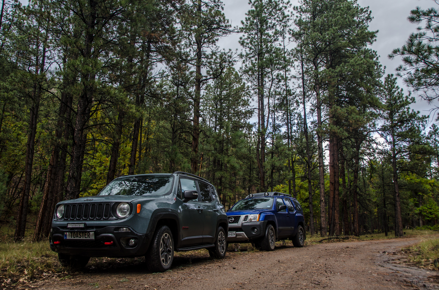
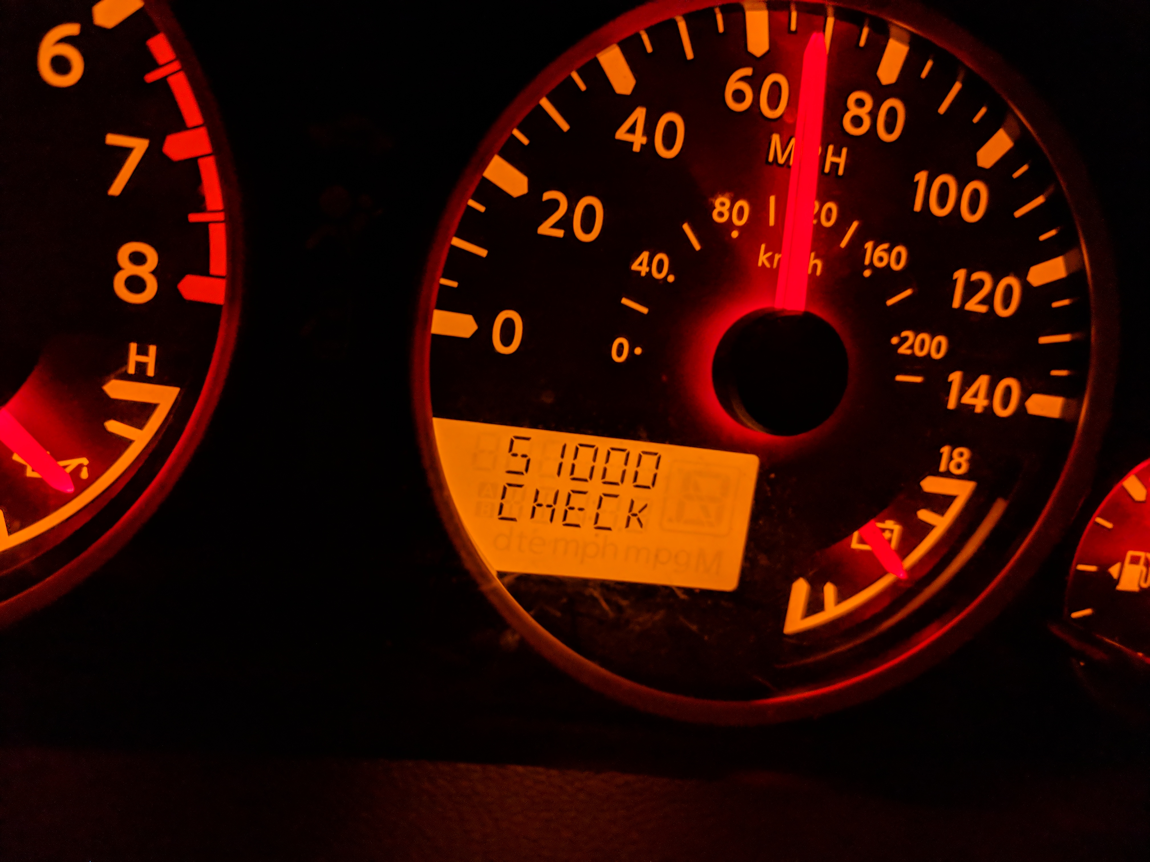
A great first drive day. We got up this morning in Brownfield, TX and hit the road! … For the O’Reilly Auto Parts across the street… George picked up some automotive tape and I got bunch of glass cleaner and shop towels because “low washer fluid” was not, in fact, the problem I have… so I’ll be removing bug guts from my windshield with elbow grease because the fluid lines are underneath a fascia that is tricky to remove.

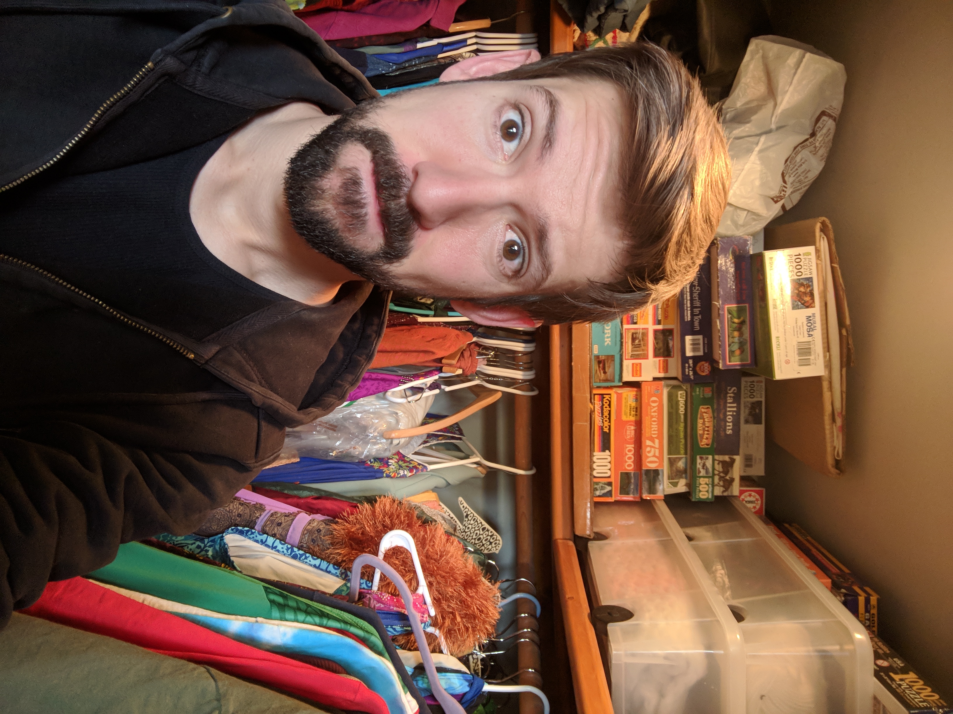
Wait. Guys. So the bug guts on the front of my car smell so bad that they have attracted their own swarm of flies, which has somehow started to attract bees.

Taylor. Mortified.

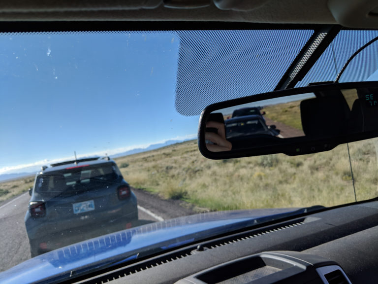
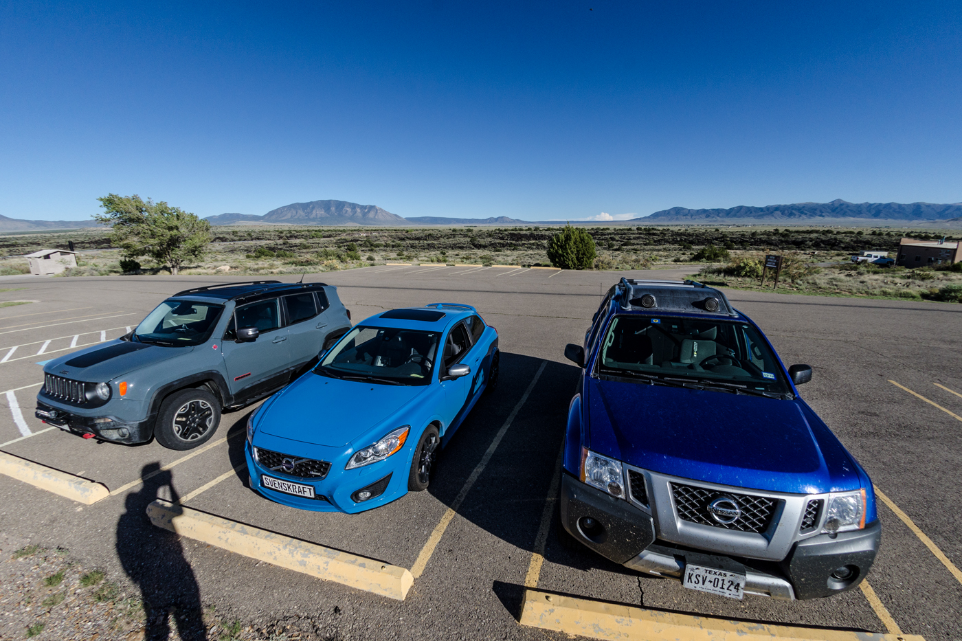
After that, we departed for Roswell. Once we hit the state line, we learned that New Mexico loves its speed limits. And there was an epic speed trap outside Roswell, so we had to behave ourselves. If I’m honest, that was a pleasant change from trying to keep up with Evan in the speedy Volvo, but 65mph does get tedious on straight, flat roads through nowhere…

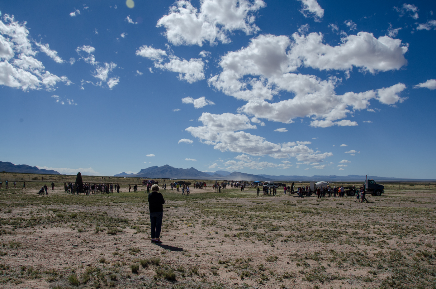
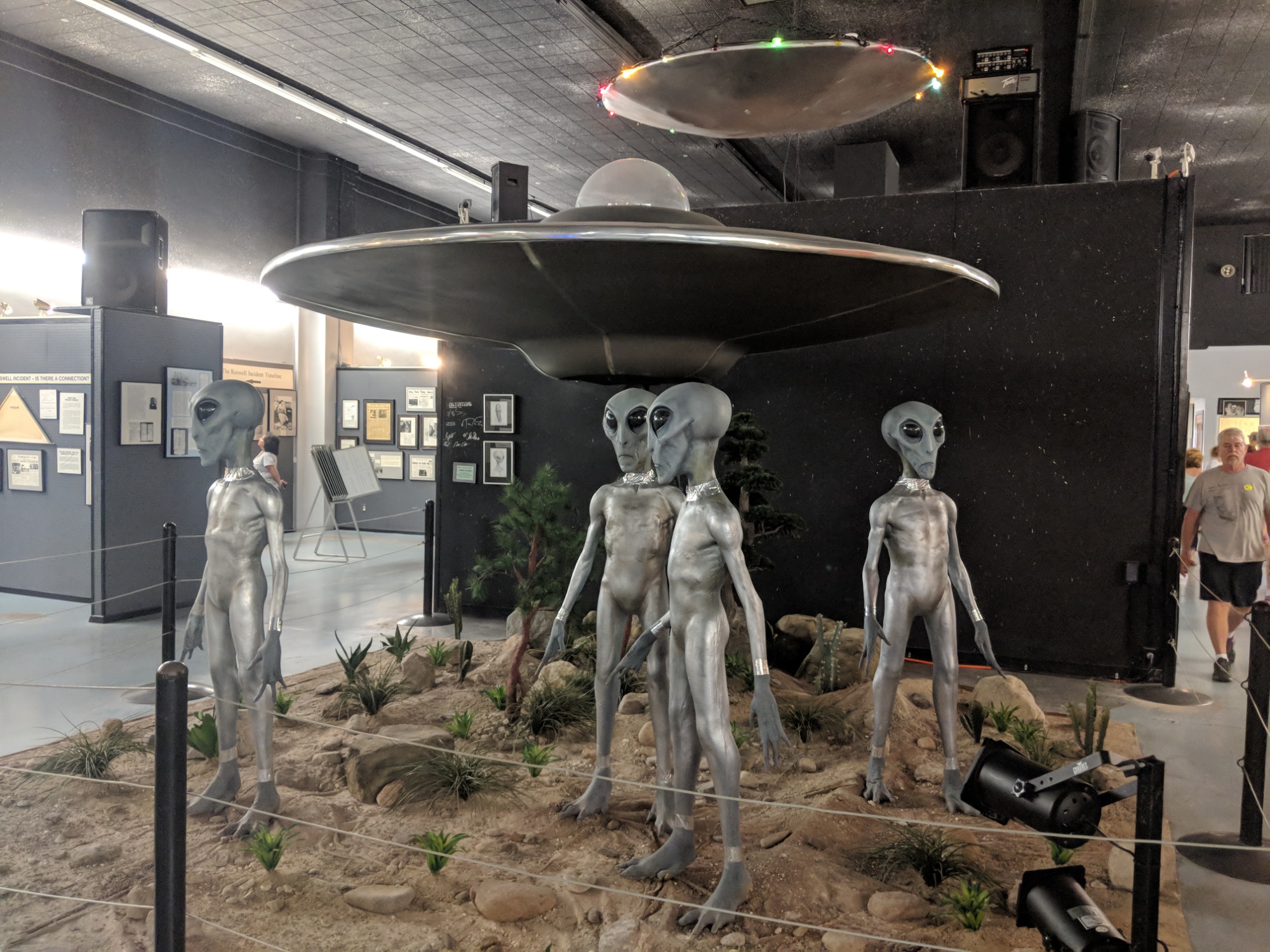
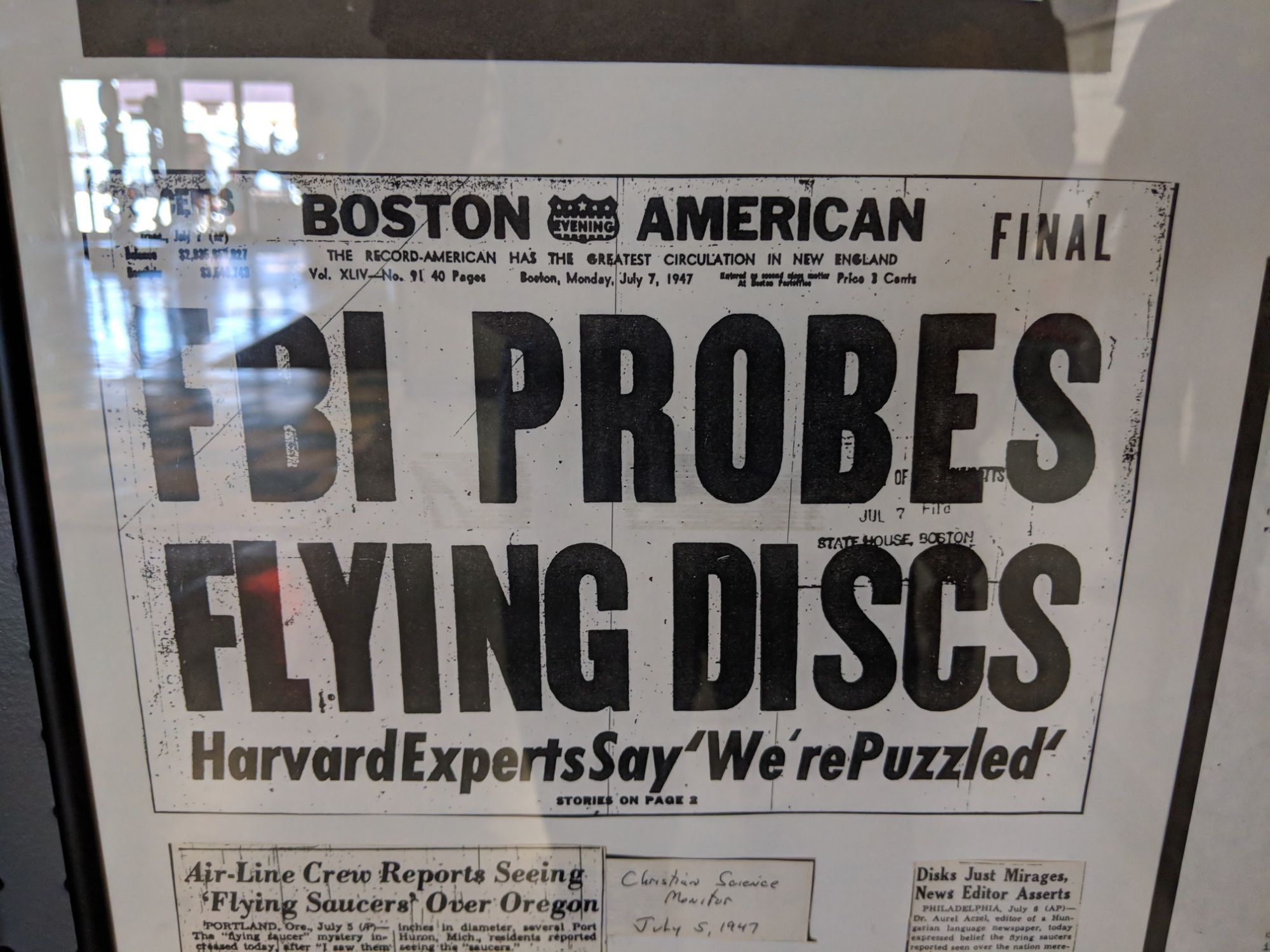
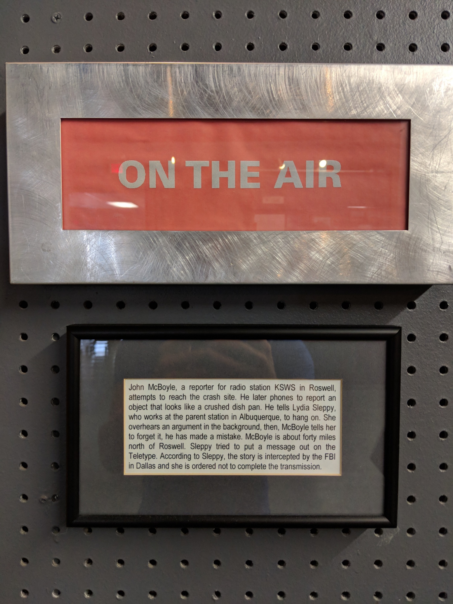
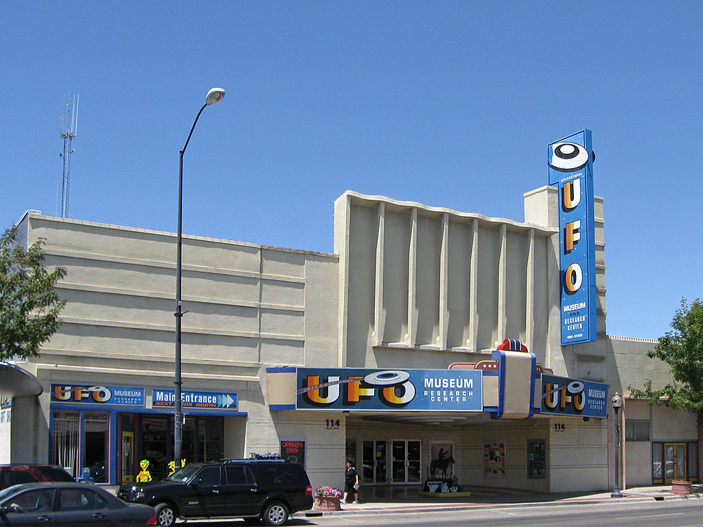
Obviously, the first stop of the trip was the International UFO Museum in Roswell. We learned all about the “Roswell Incident” in 1947 and the elaborate cover-up that followed that reached involved multiple military and law enforcement branches, the FCC, and elected officials from Senators to President Truman.

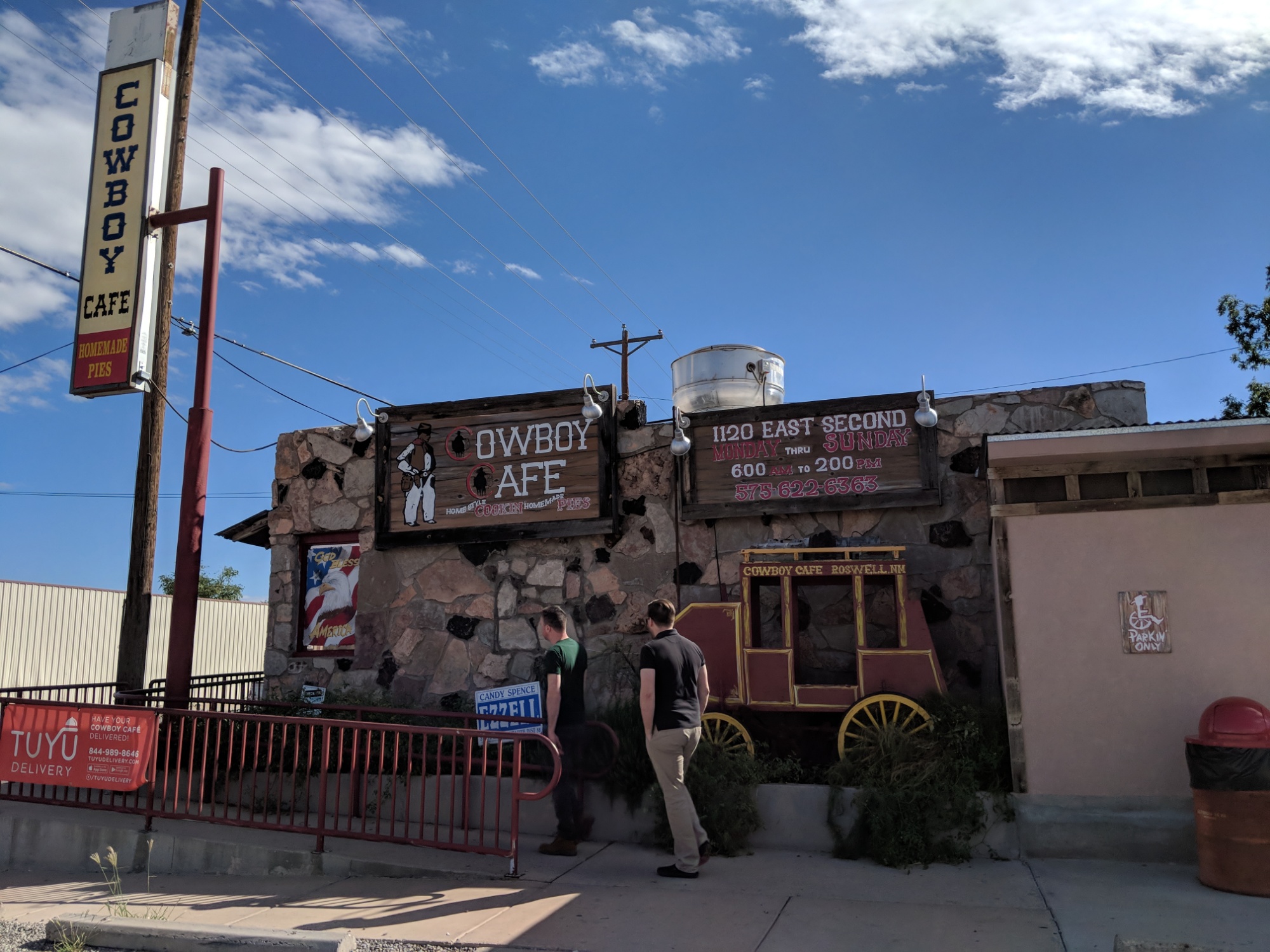
Such elaborate academics brought on a great hunger, so we found some “New Mexican food” down the street. Hint: it’s just Mexican food with more chilis.

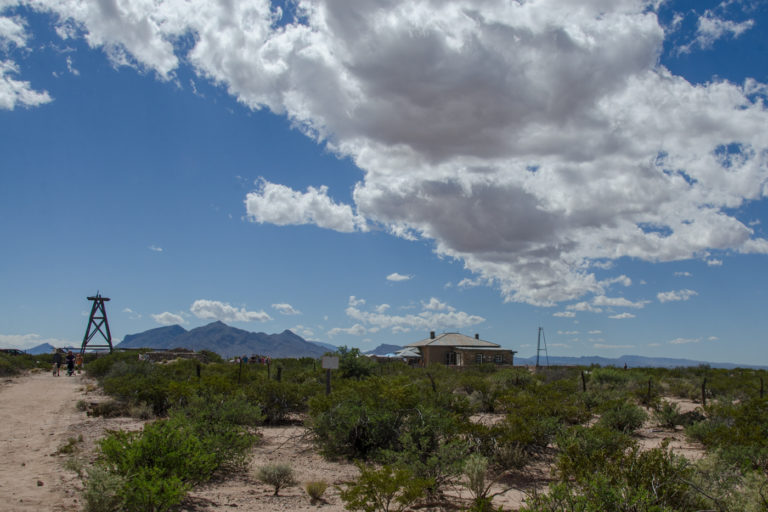
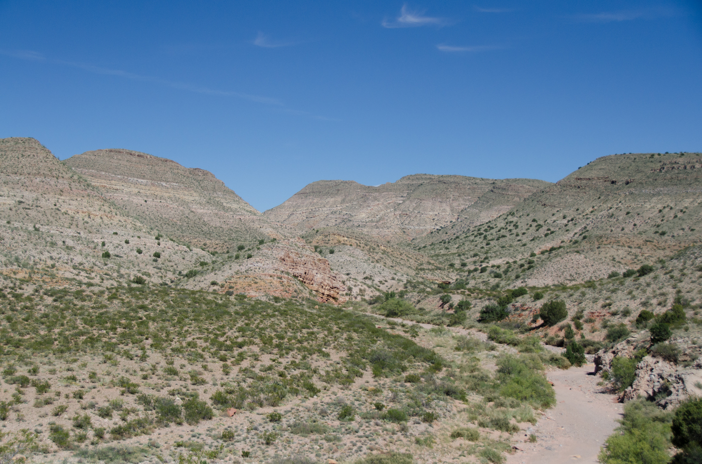
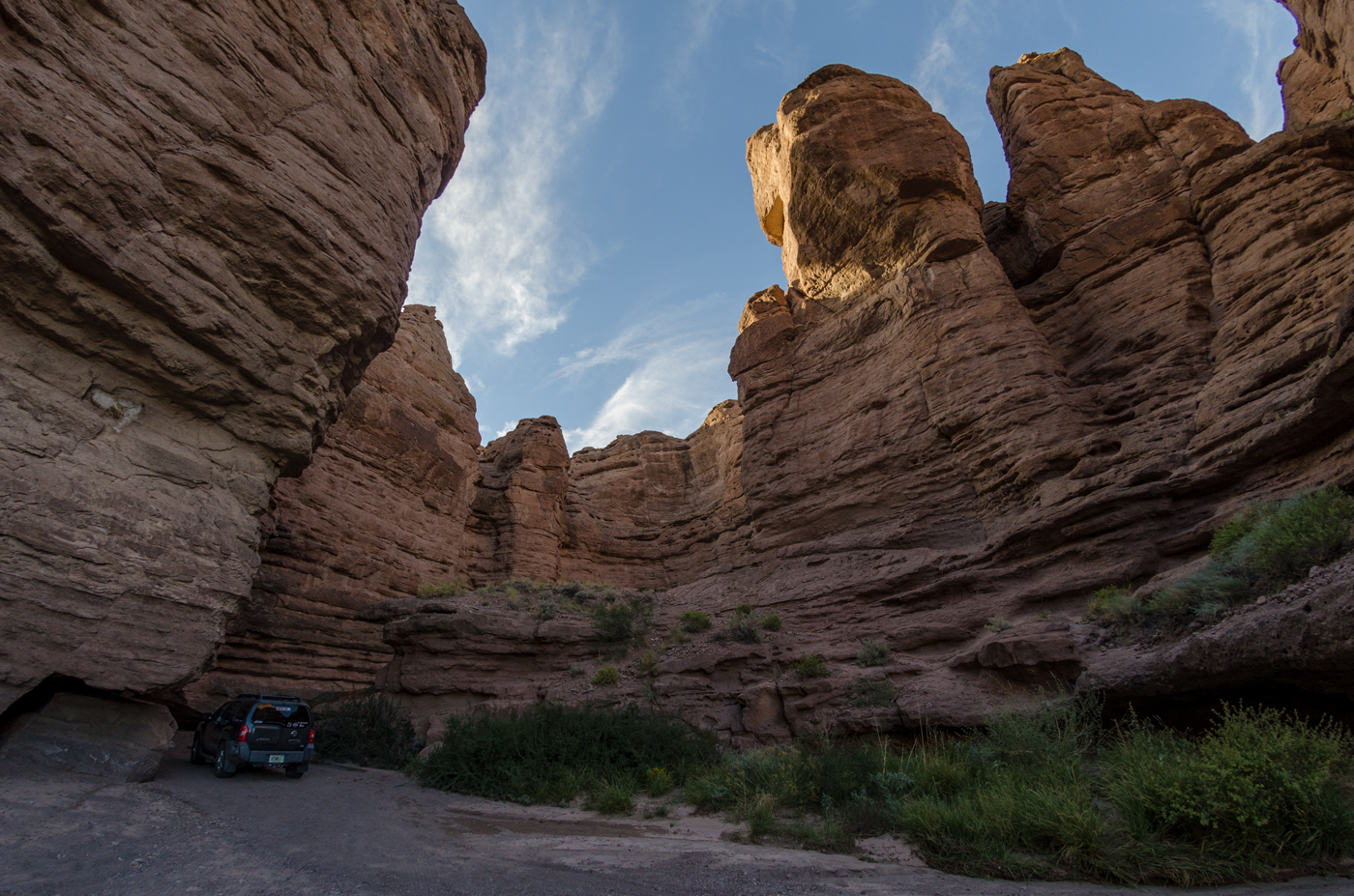
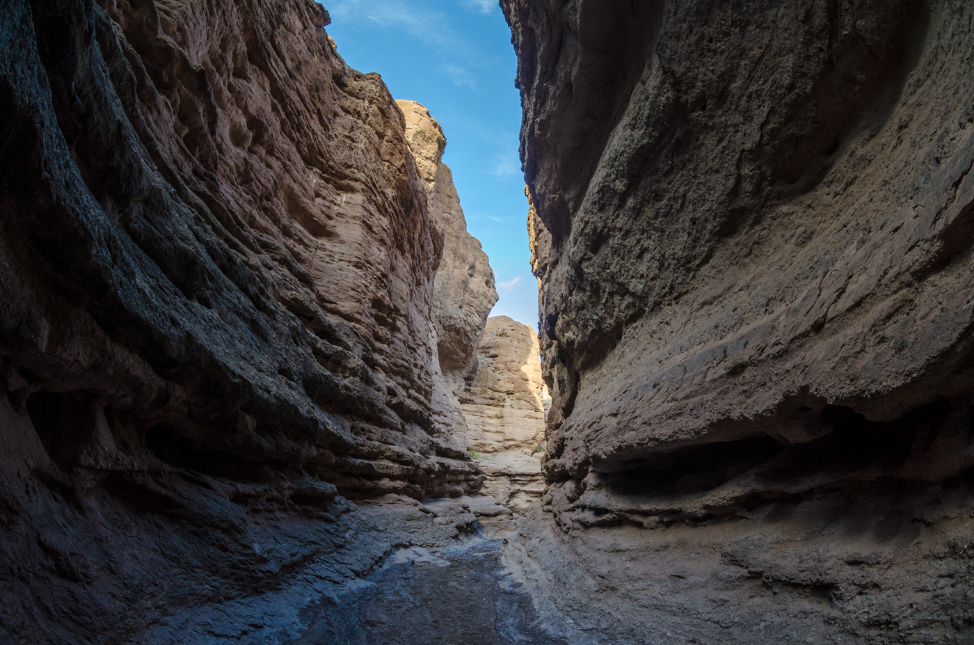
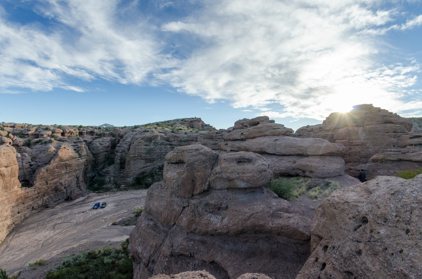
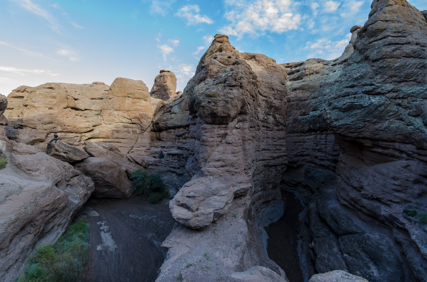
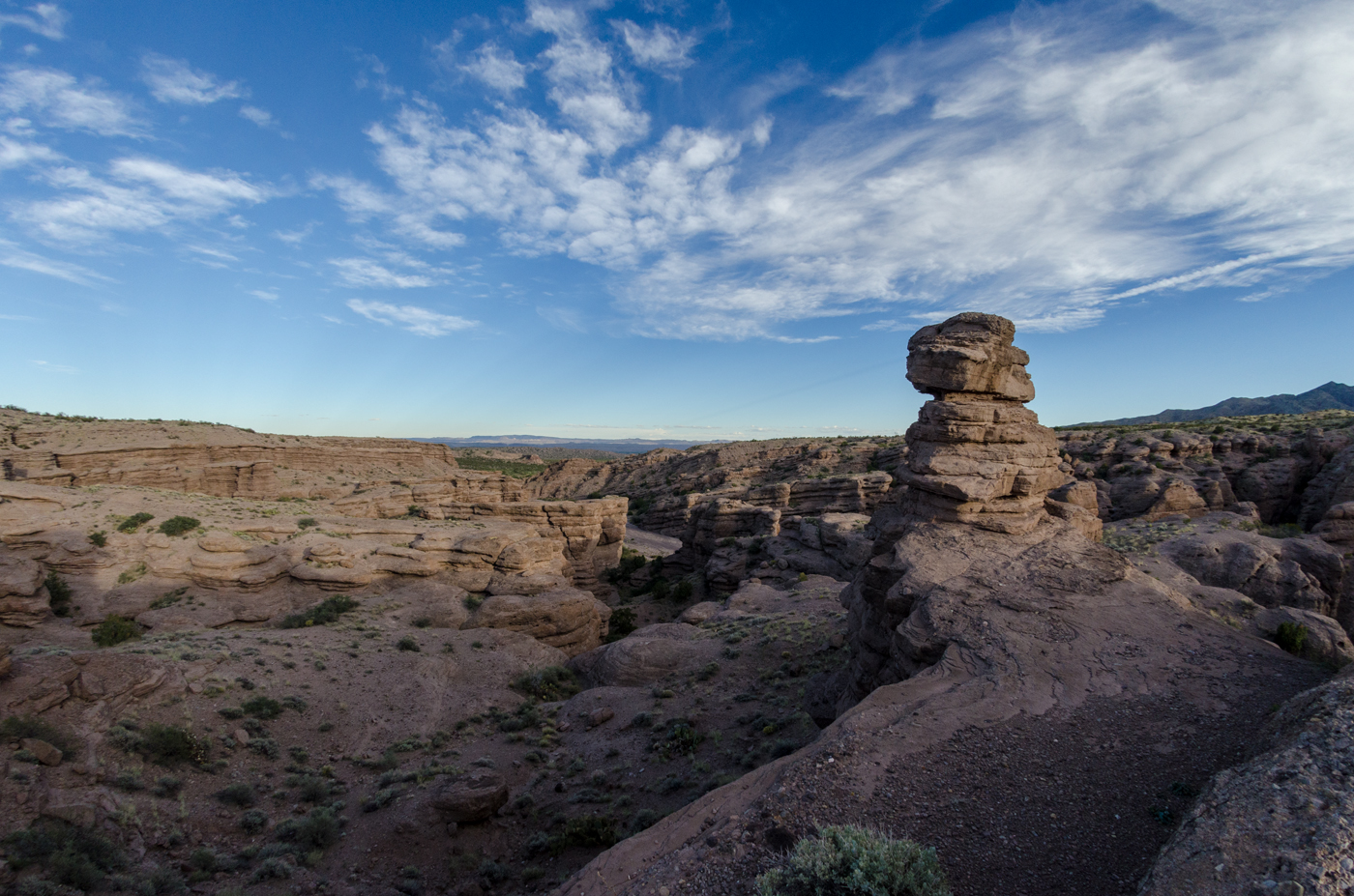
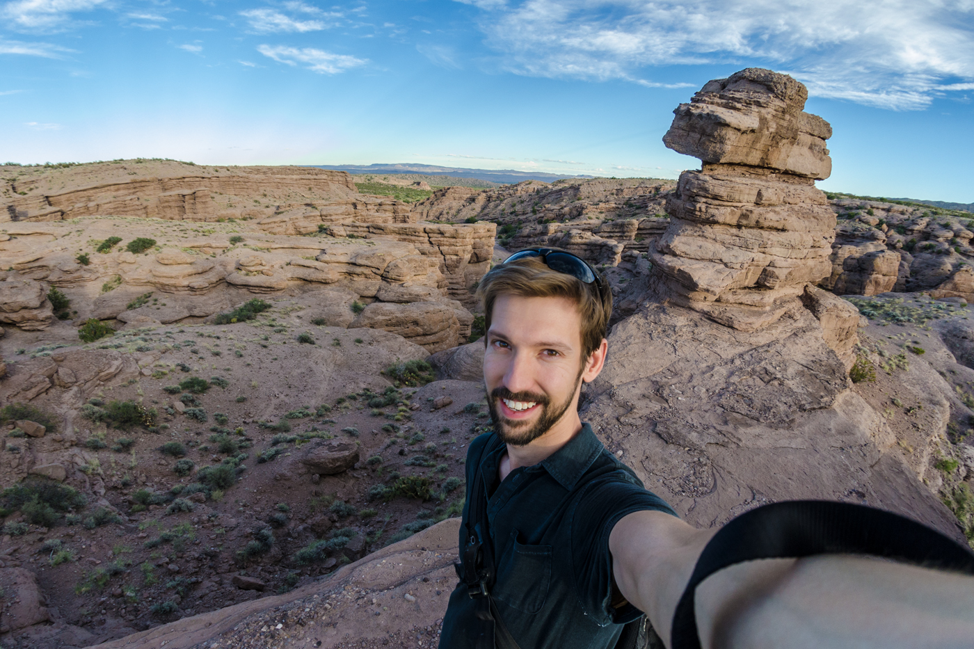
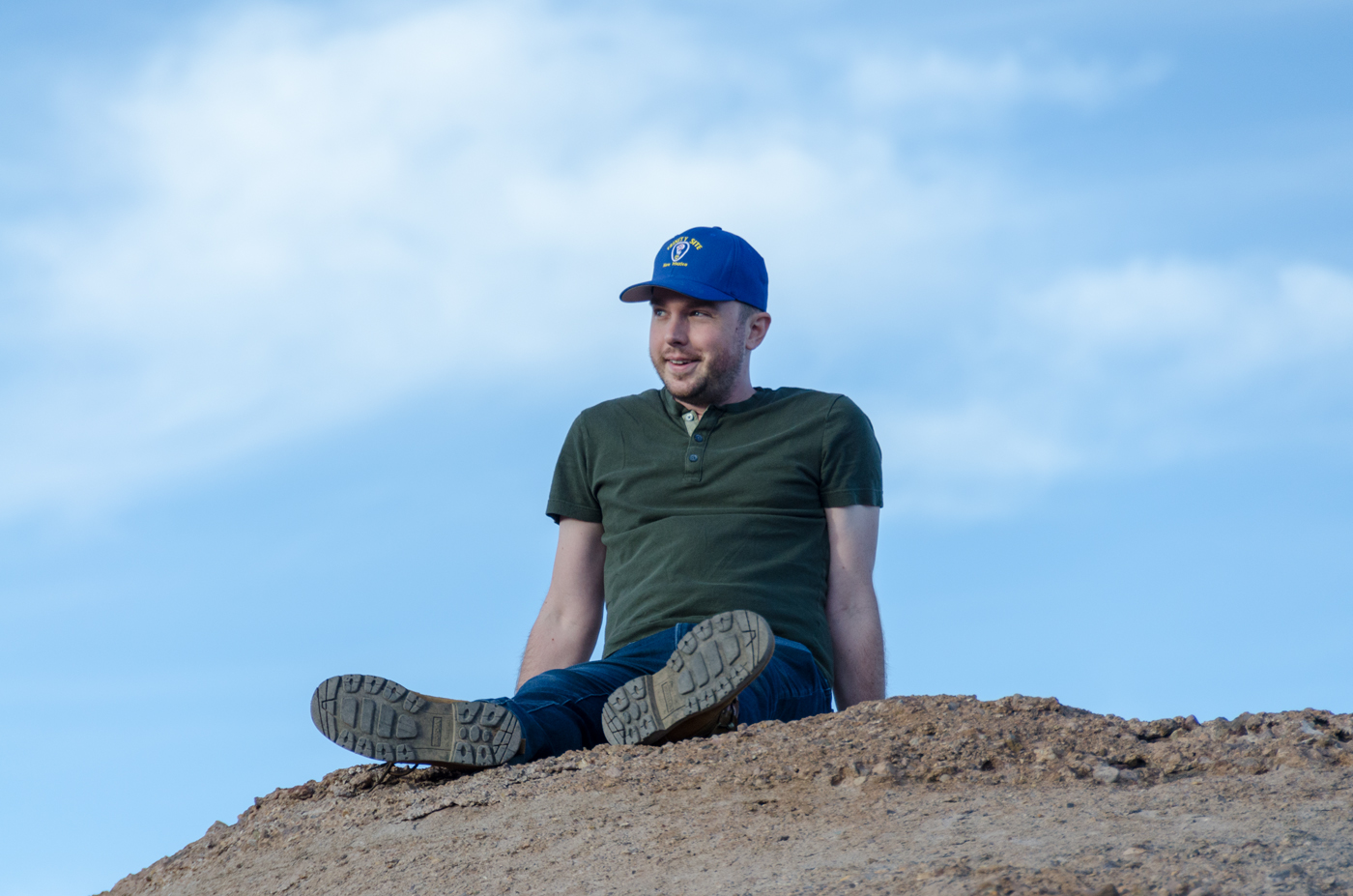
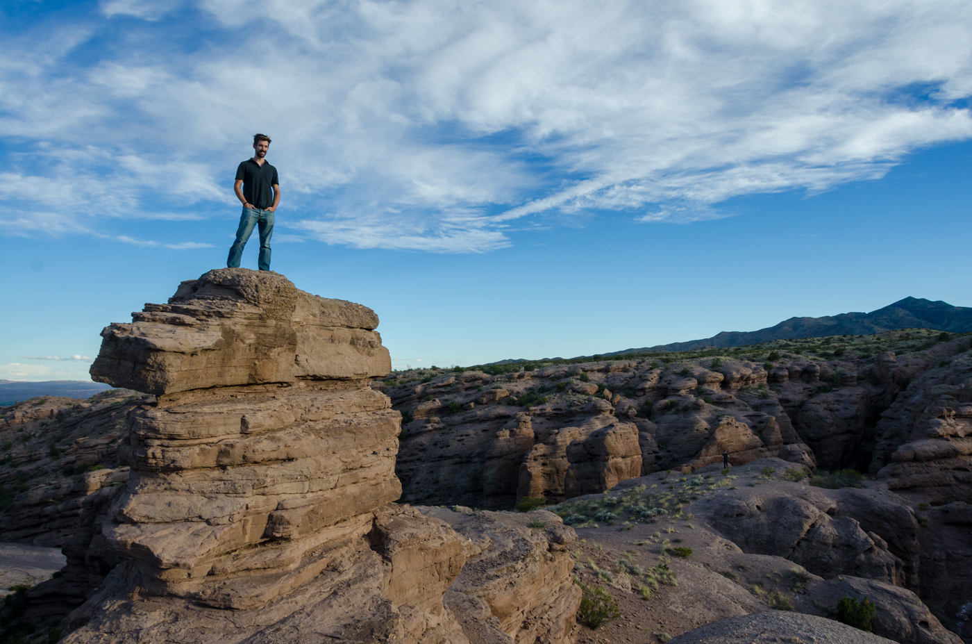
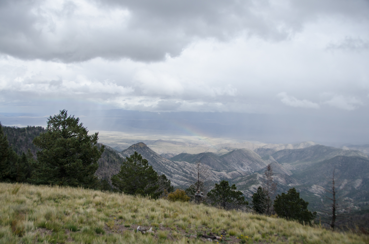
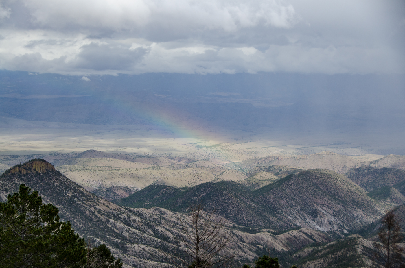
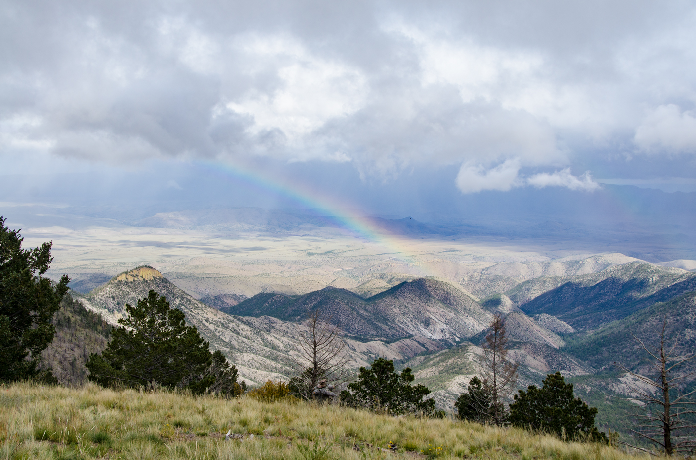
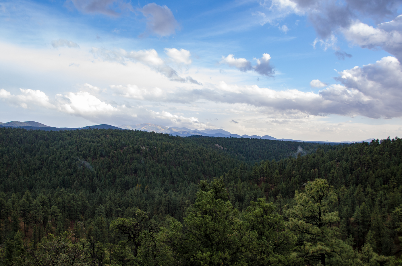
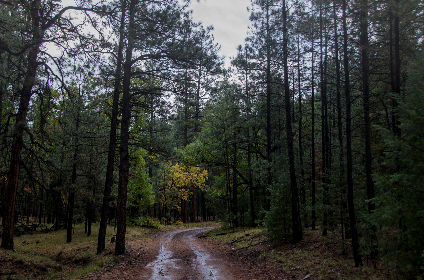
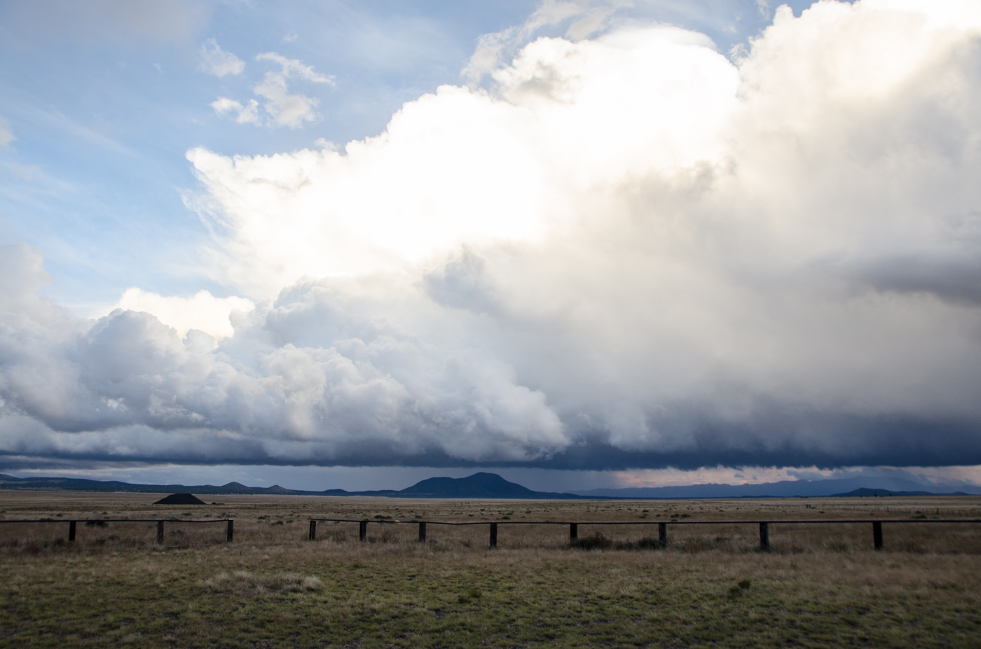
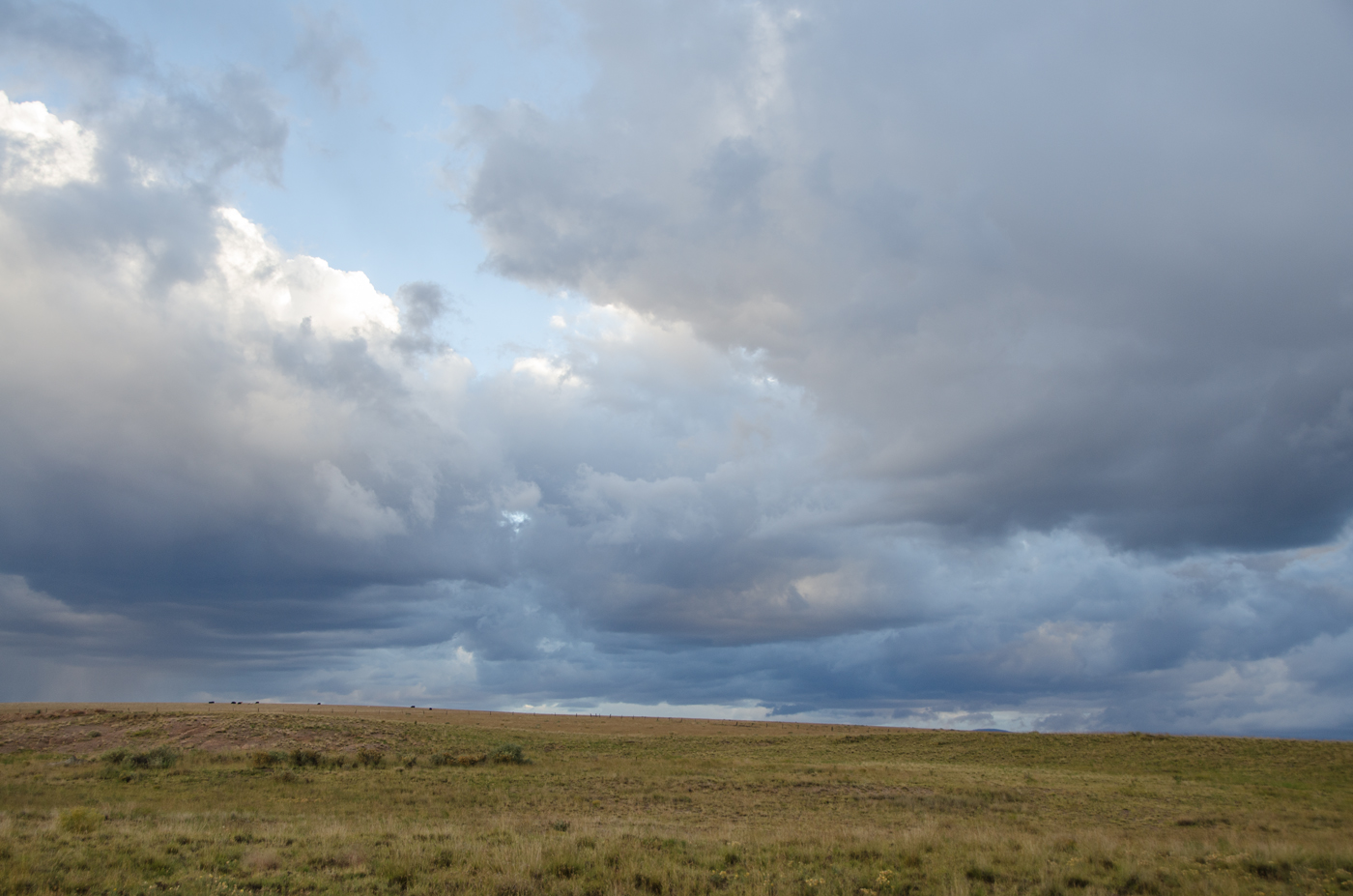
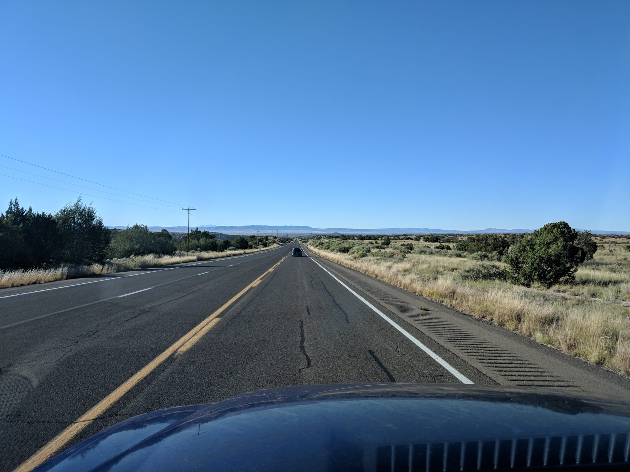
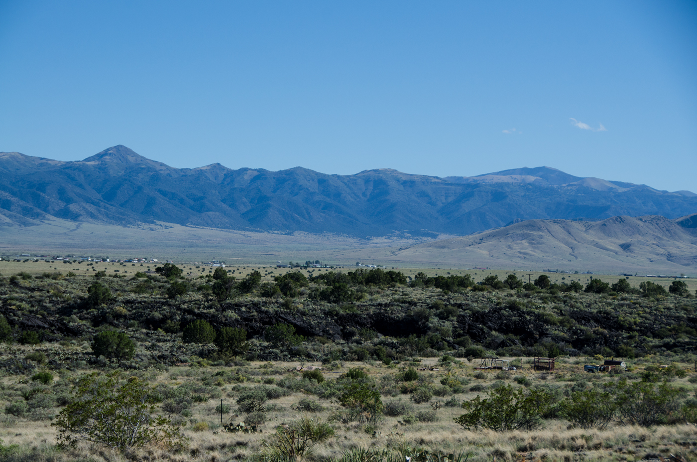
After that, we continued our drive west through a the Capitan Mountains Wilderness and slow-rolled trough the town of Lincoln, the historical home of Billy the Kid. Our next stop was outside Carrizozo at the Valley of Fires Recreation Area:

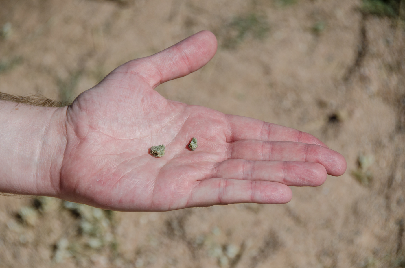
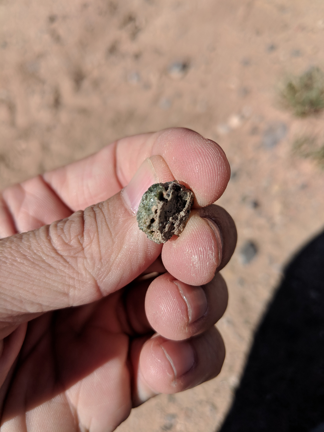
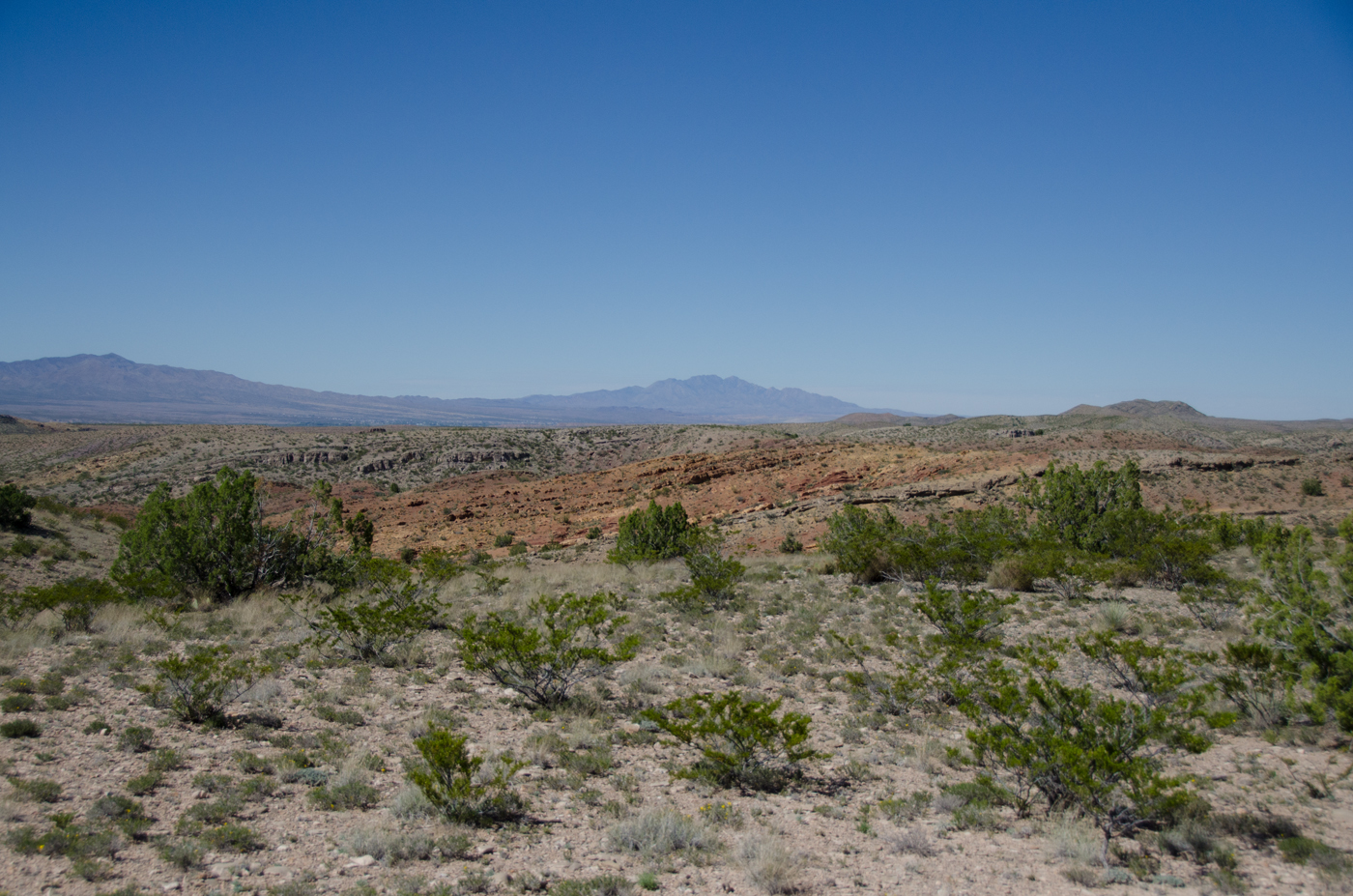
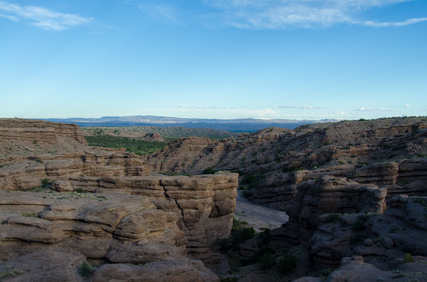
Approximately 5,000 years ago, Little Black Peak erupted and flowed 44 miles into the Tularosa Basin, filling the basin with molten rock. The resulting lava flow is four to six miles wide, 160 feet thick and covers 125 square miles. The lava flow is considered to be one of the youngest lava flows in the continental United States.

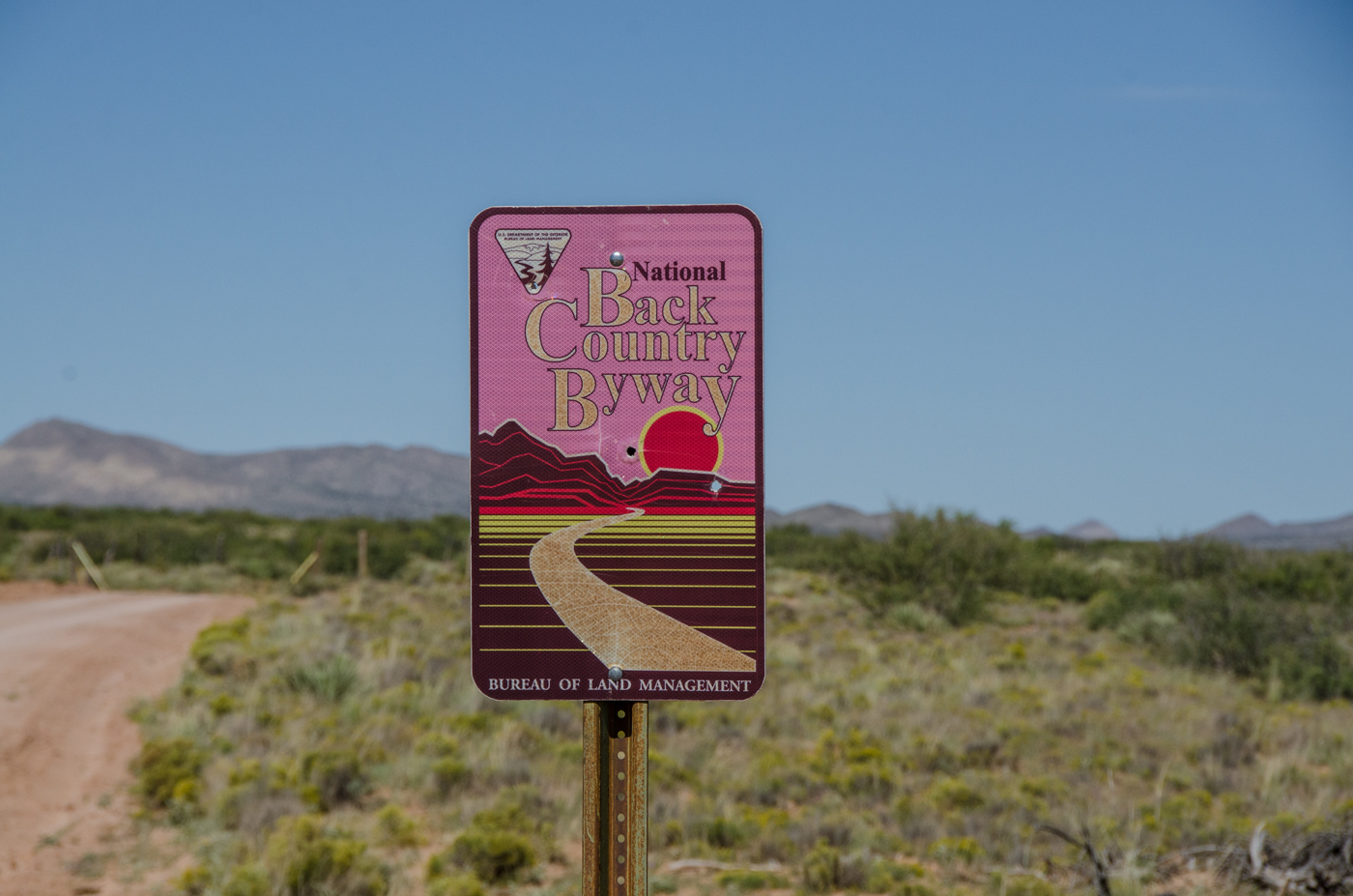
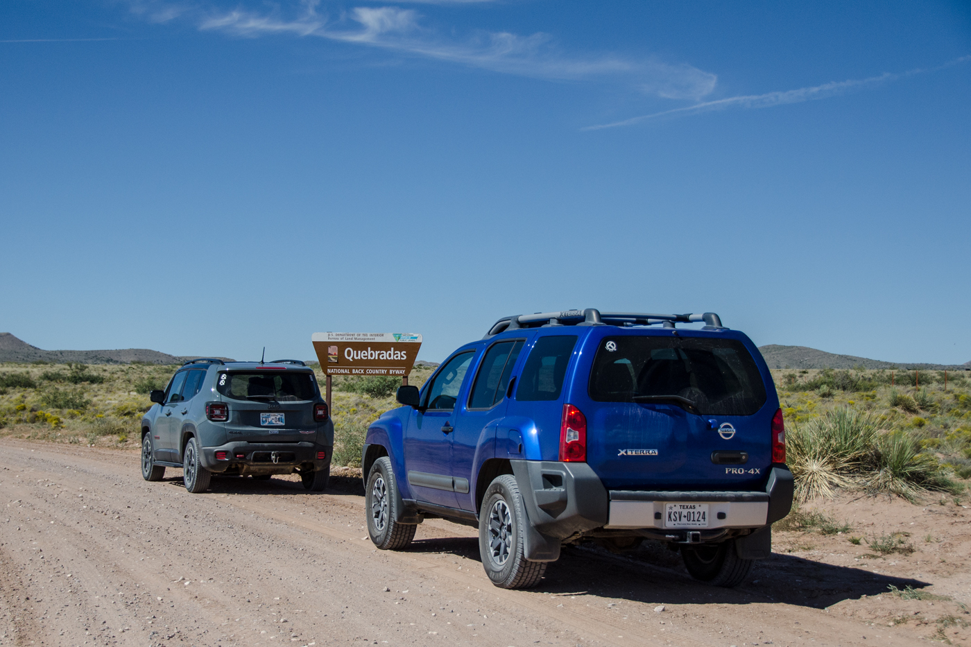
Bureau of Land Management

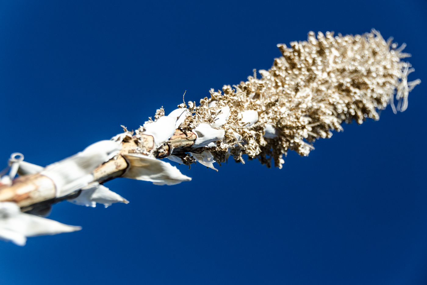
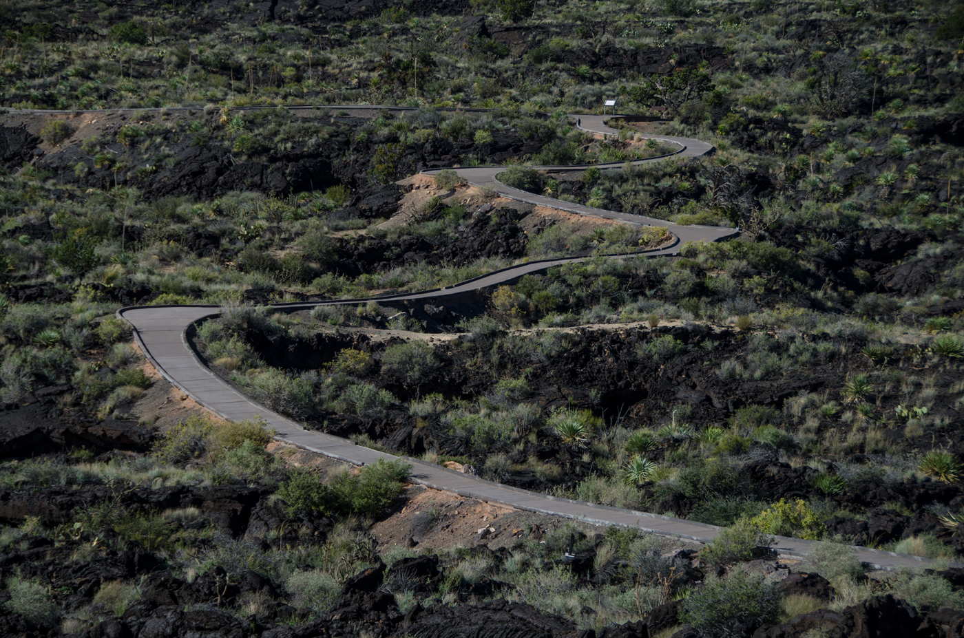
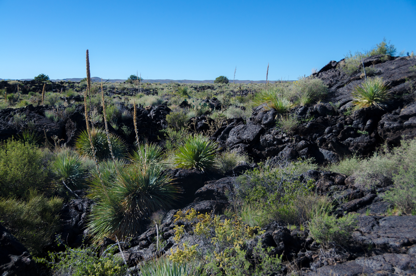
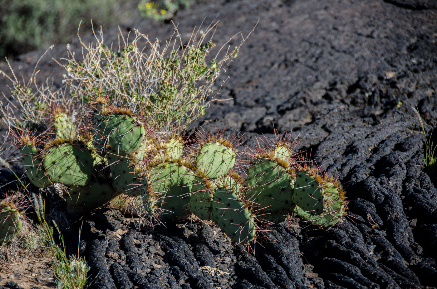
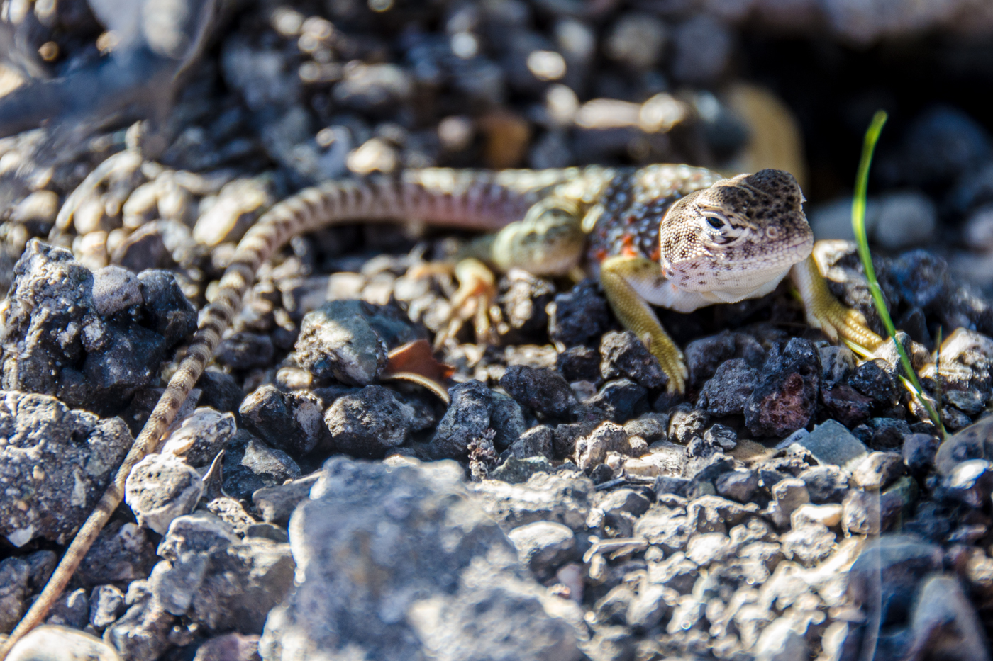
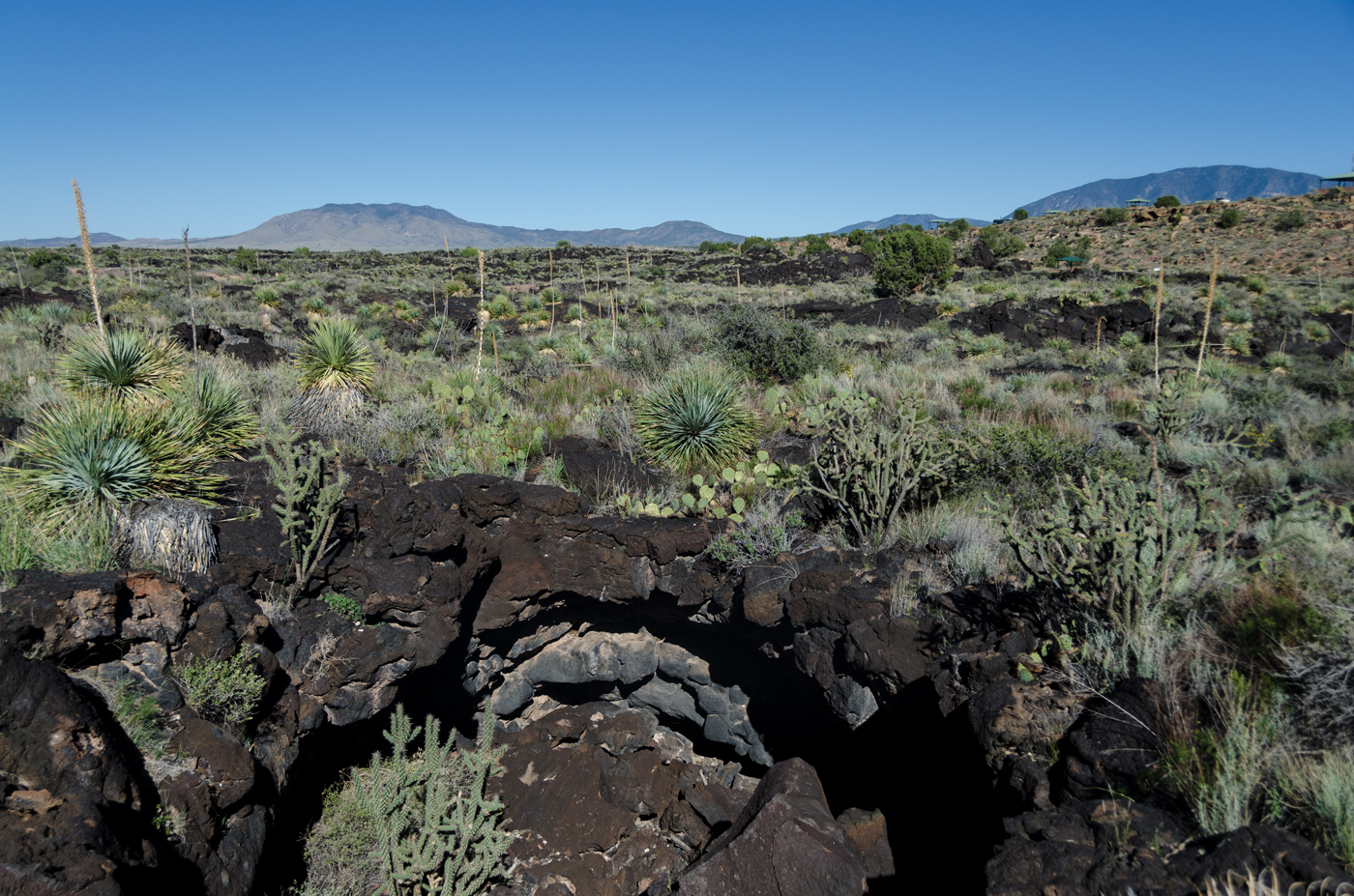
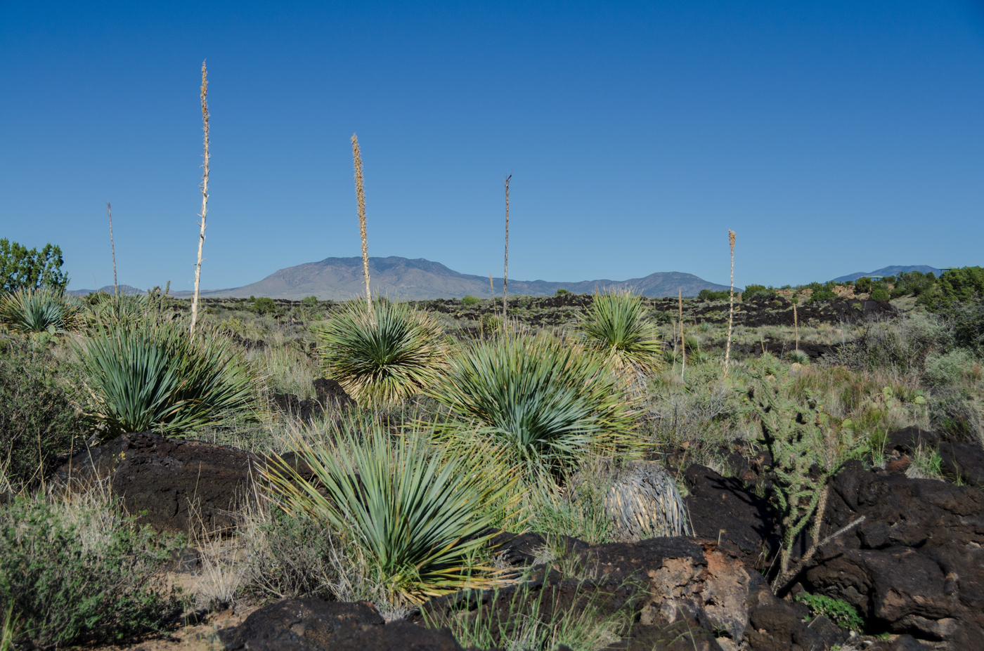
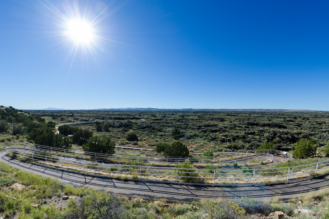
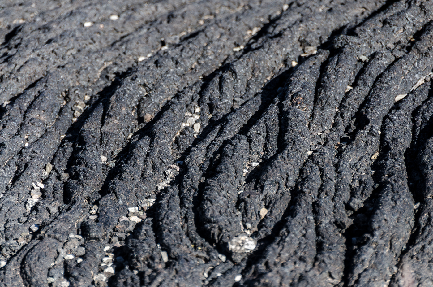
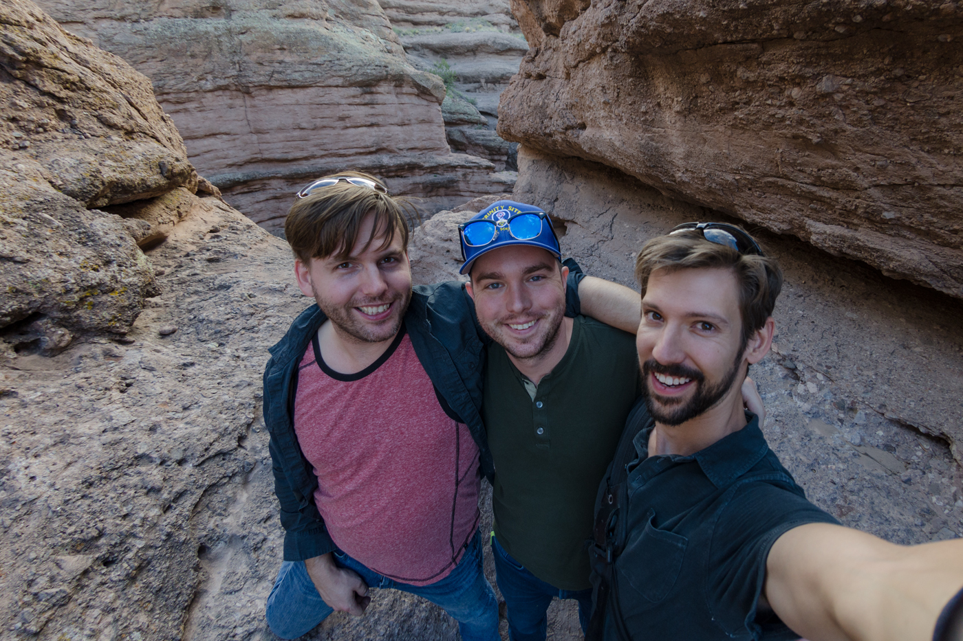
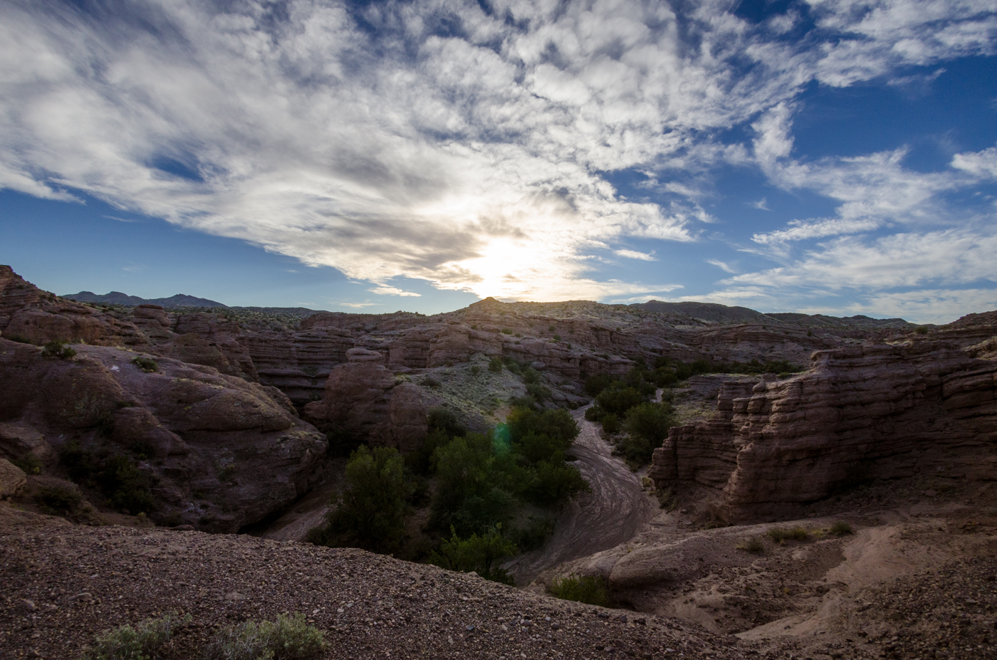
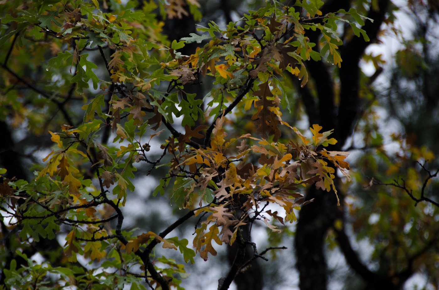
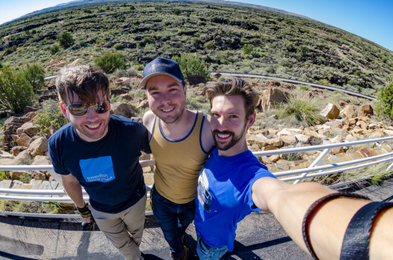
Less a hiking destination than a place to take a leisurely stroll on a paved walkway with handrails, but it was really really cool. The satellite view makes it look like thoroughly scorched ground, but it was covered in colorful desert plants poking out of the ground.

Selfie Saturday the Fisheye Tradition returns! Including the “Swedish Racing Green” blue shirt for Evan’s Volvo C30 Polestar and the return of my deeply silly Xterra shirt. 

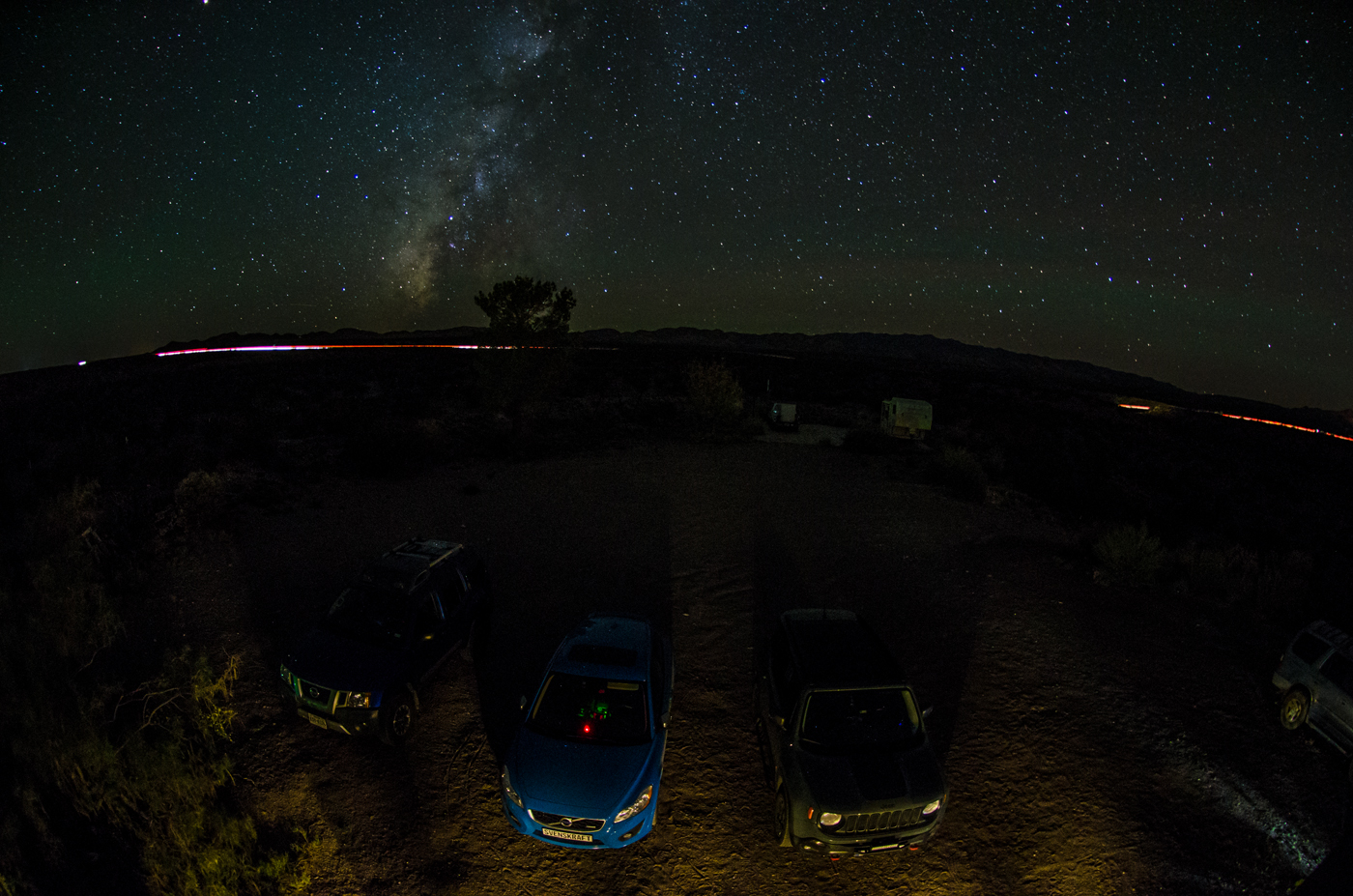
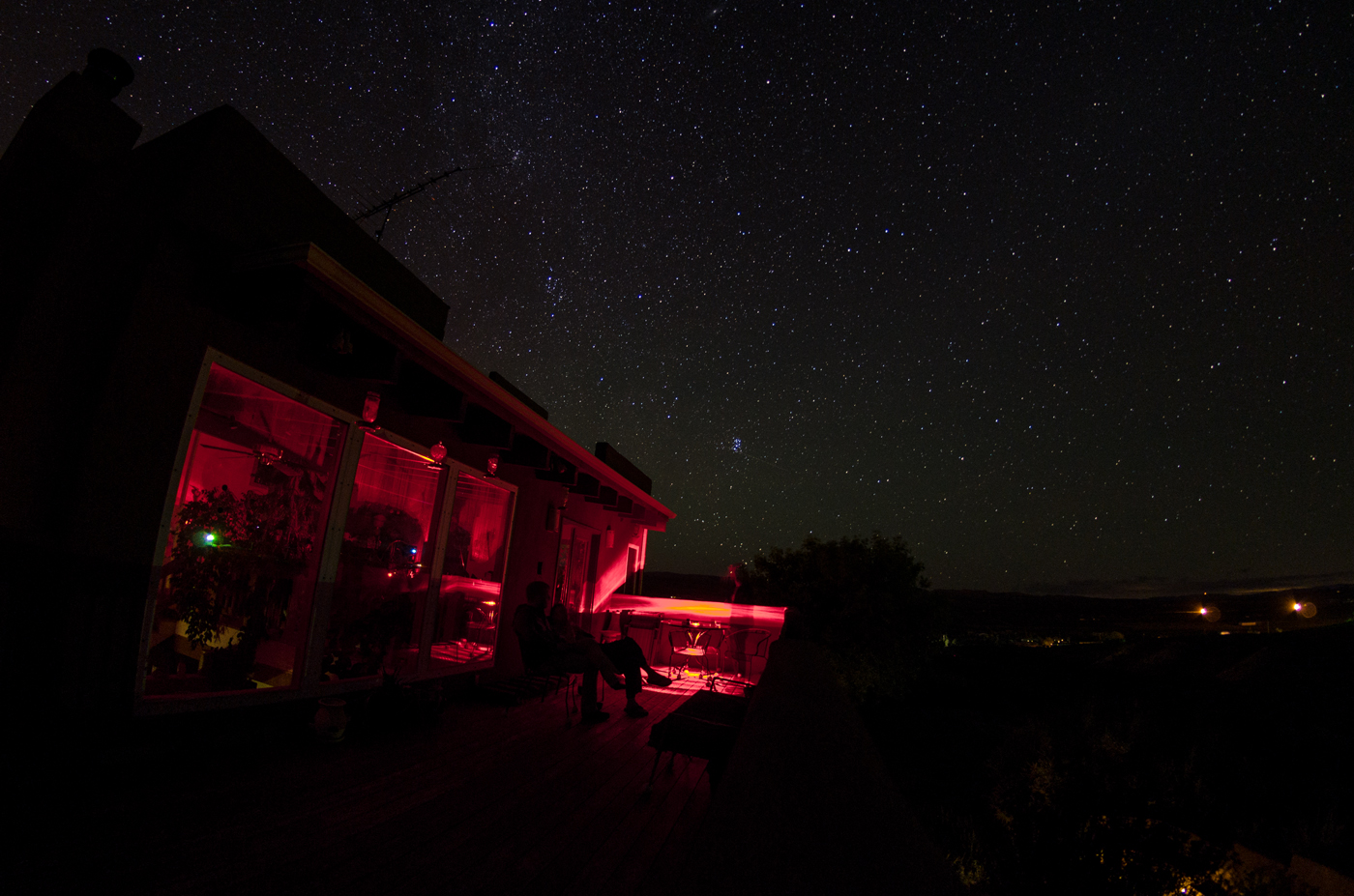
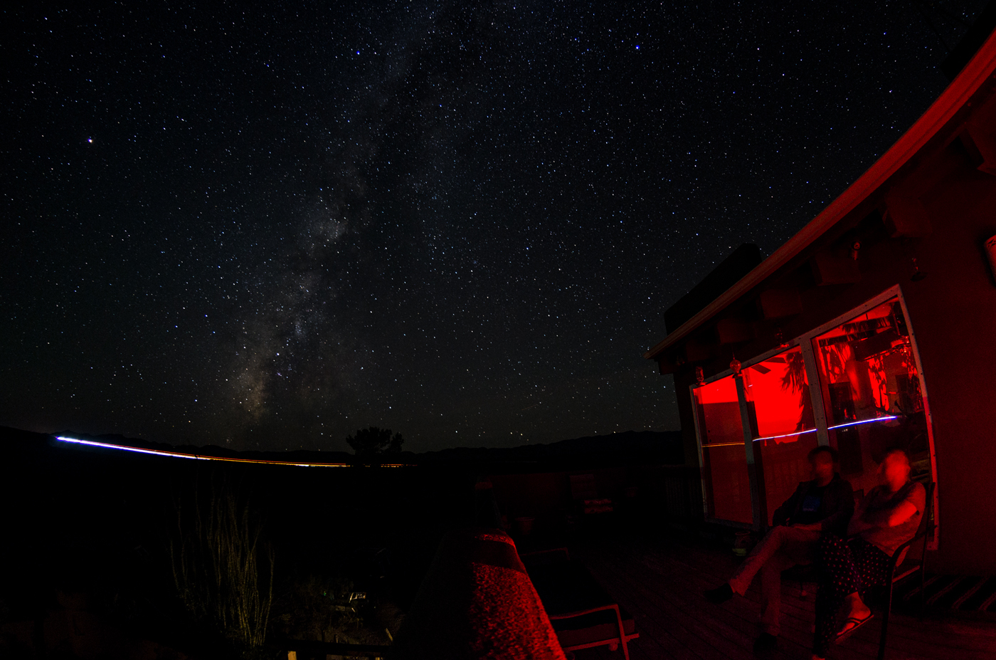
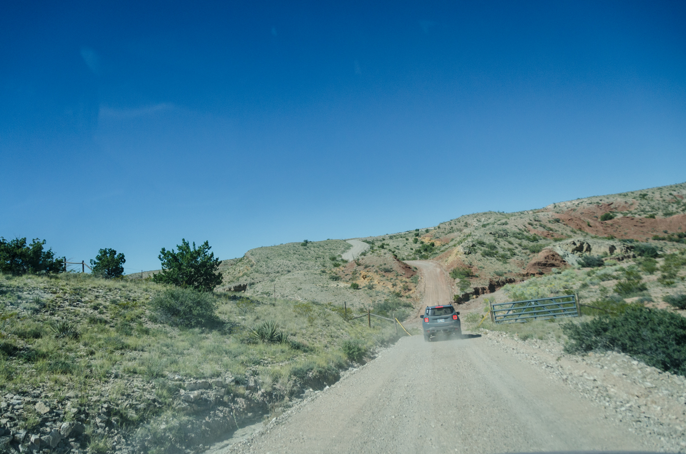
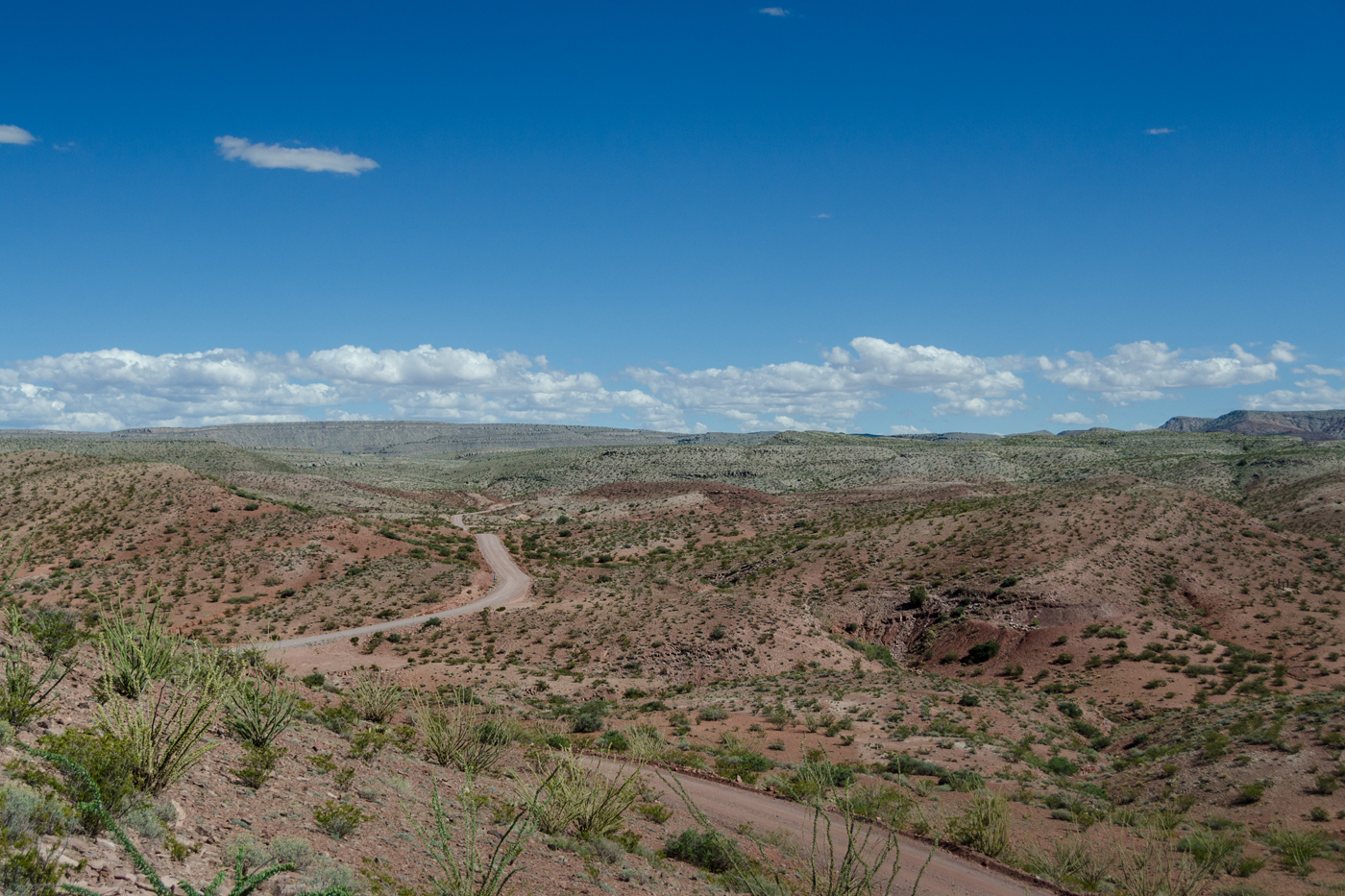
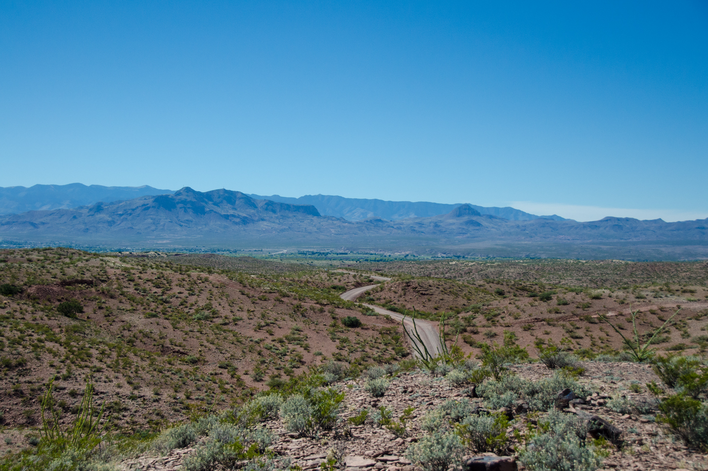
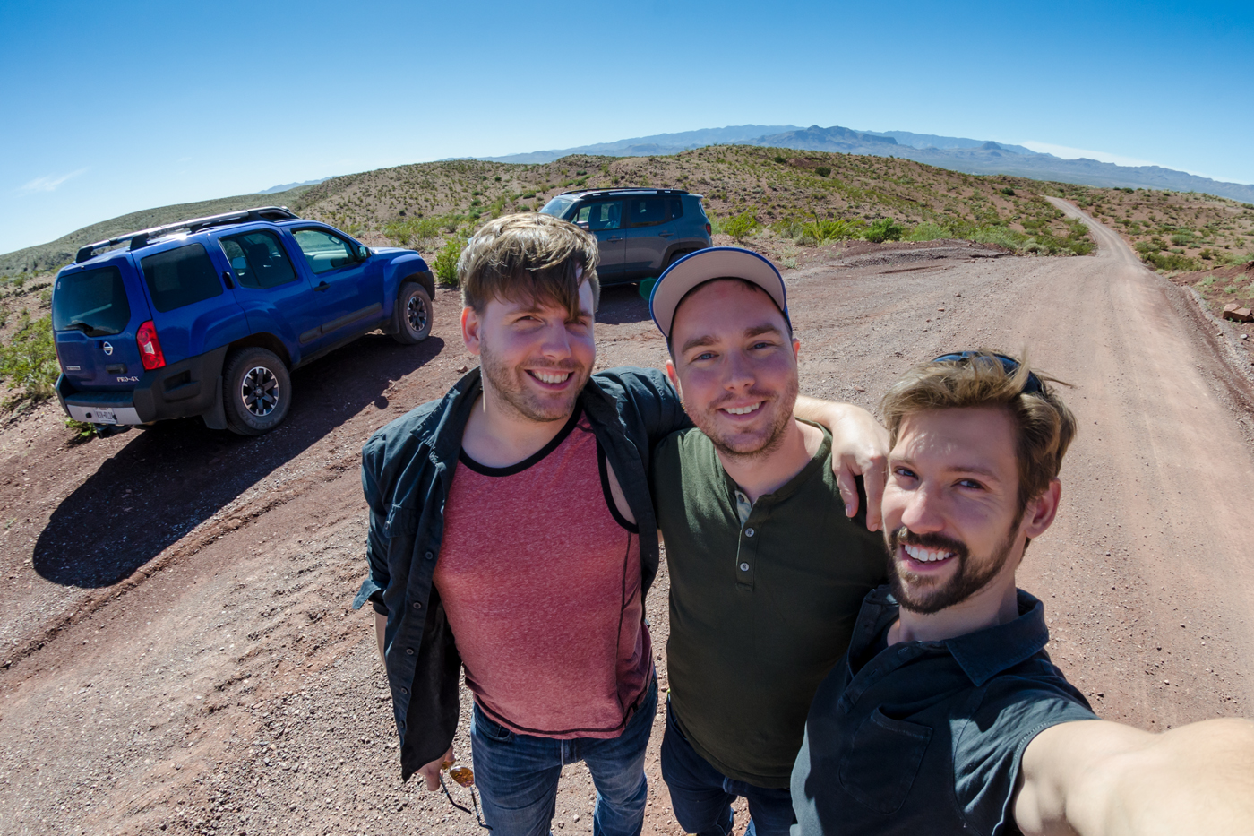
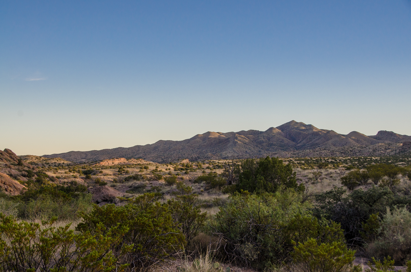
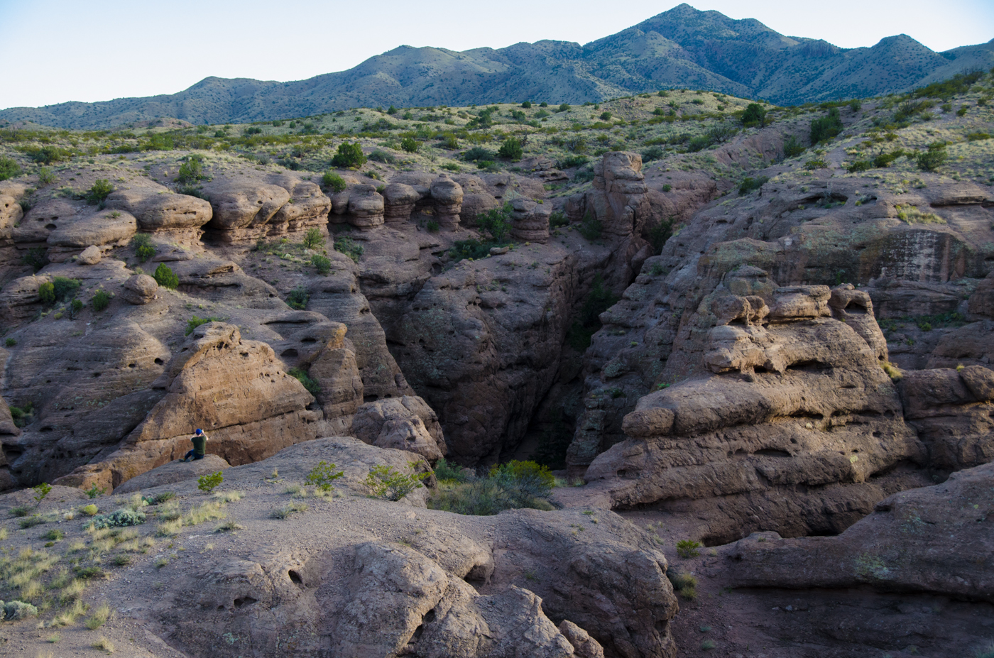
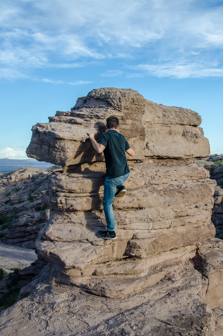
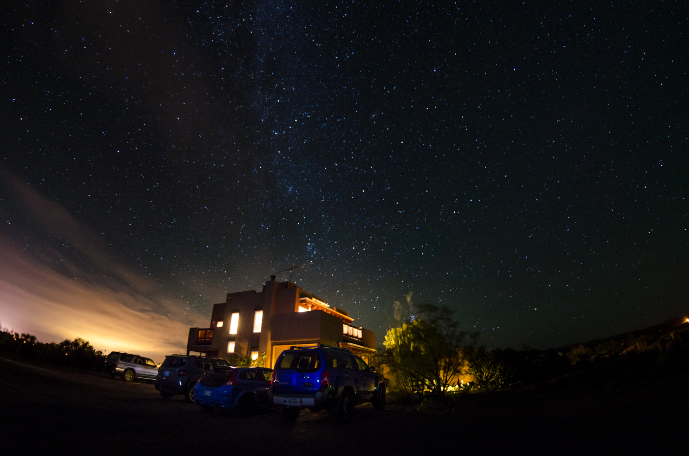
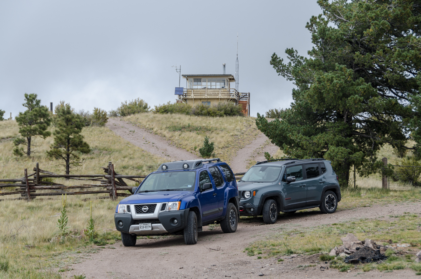
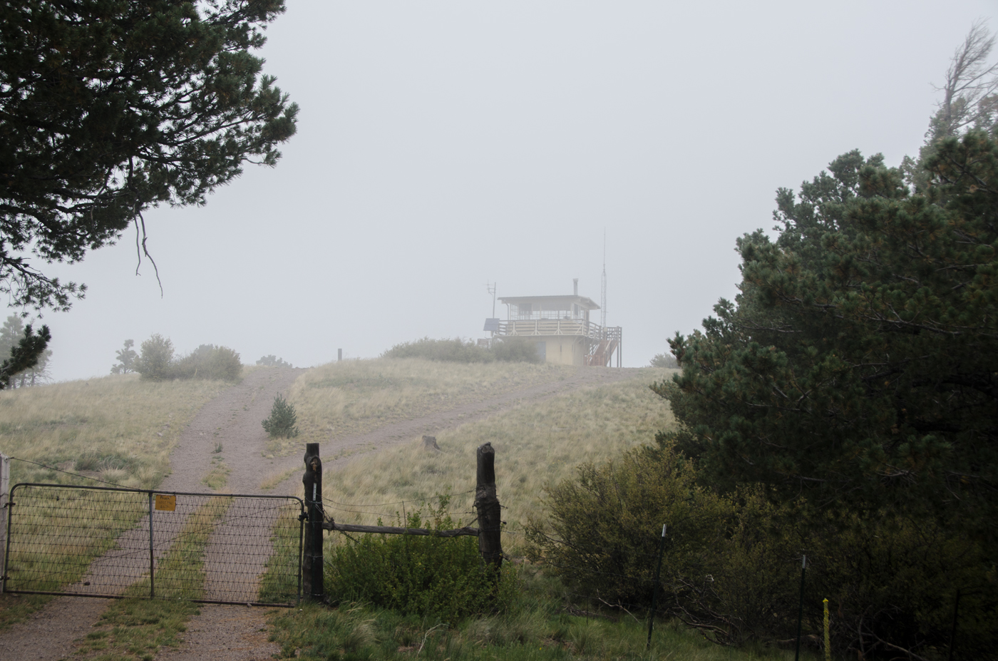
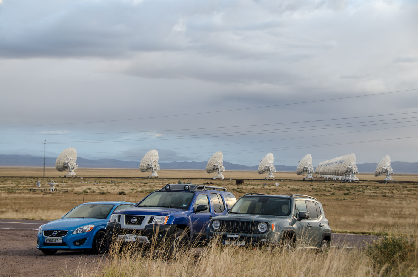
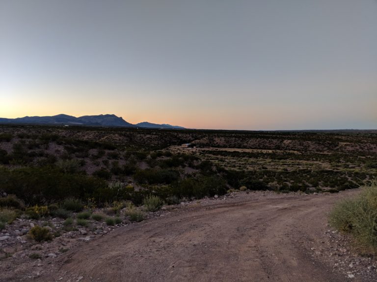
After we’d wandered around a while, we got back in the cars and headed on to San Antonio, near Socorro, for our AirBnB for the weekend. It is incredible. It’s off a dirt path past a few mobile homes, up on a mountain of its very own. I think we can see Florida and Oregon from up here.

Top of the hill. Hard to tell we’re up on a hill overlooking the entire town.

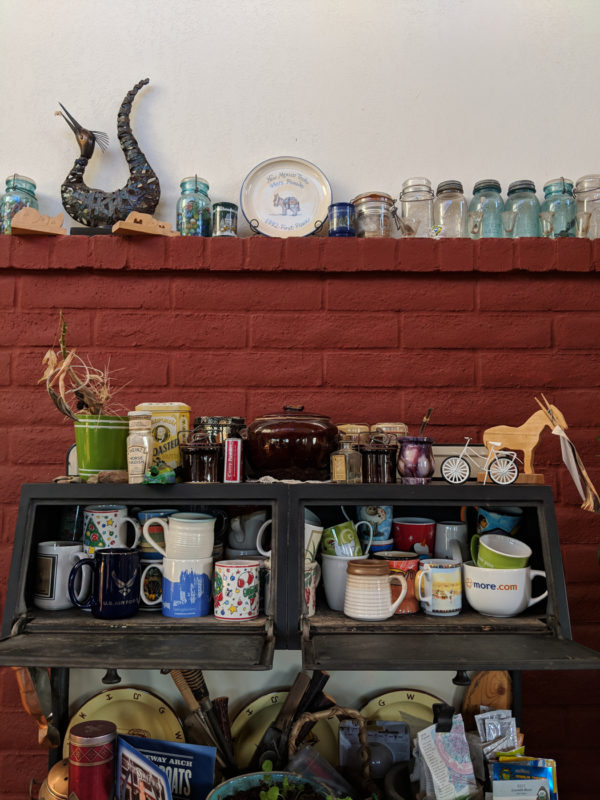
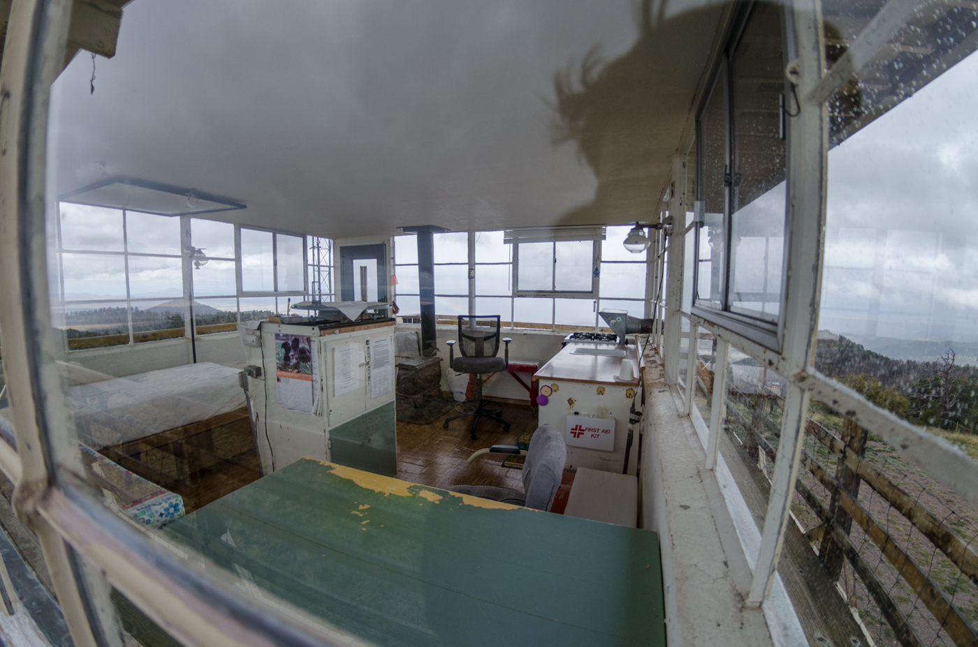
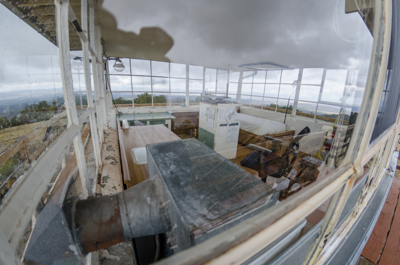
And it is sparsely yet tastefully decorated…

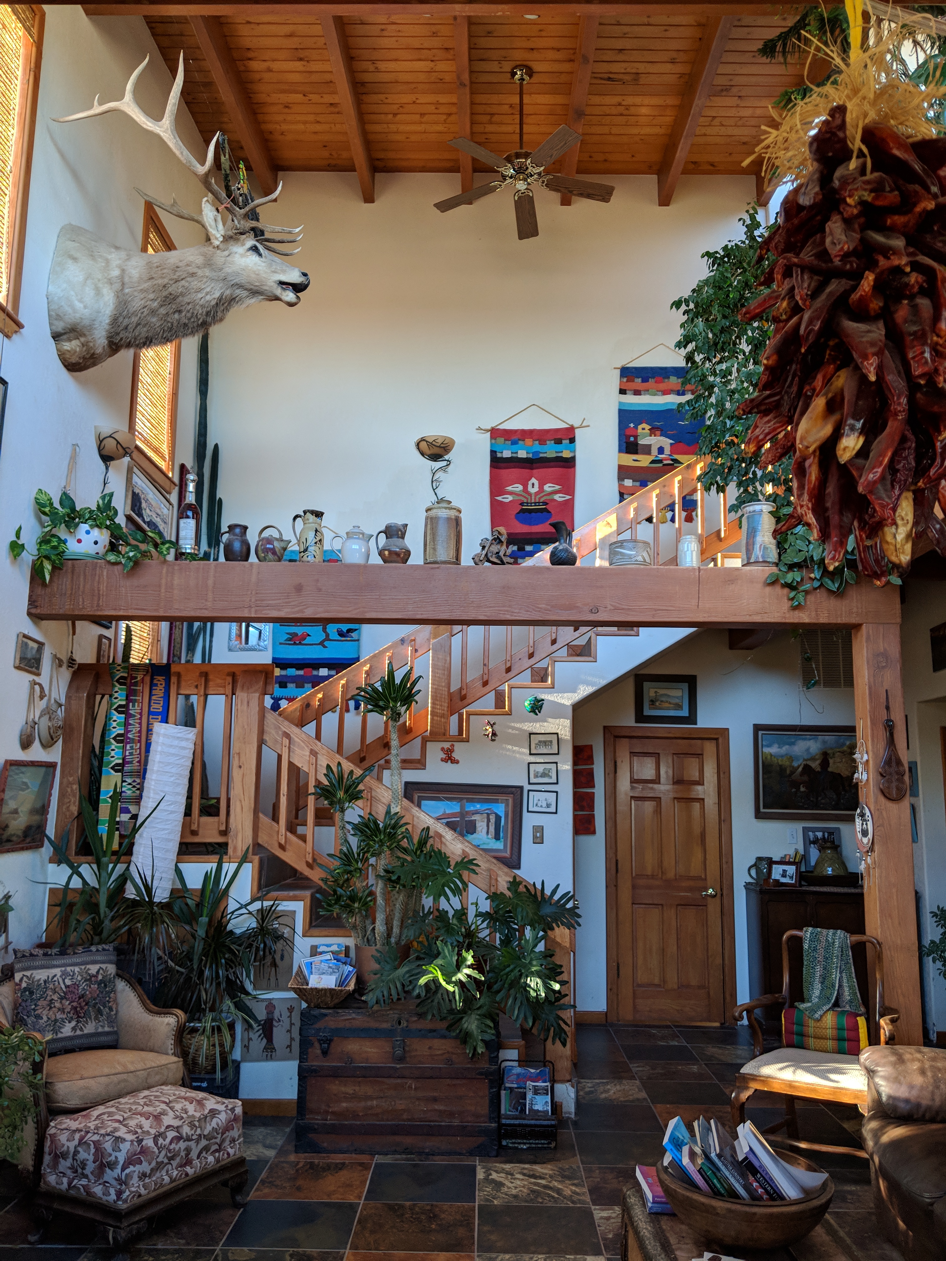
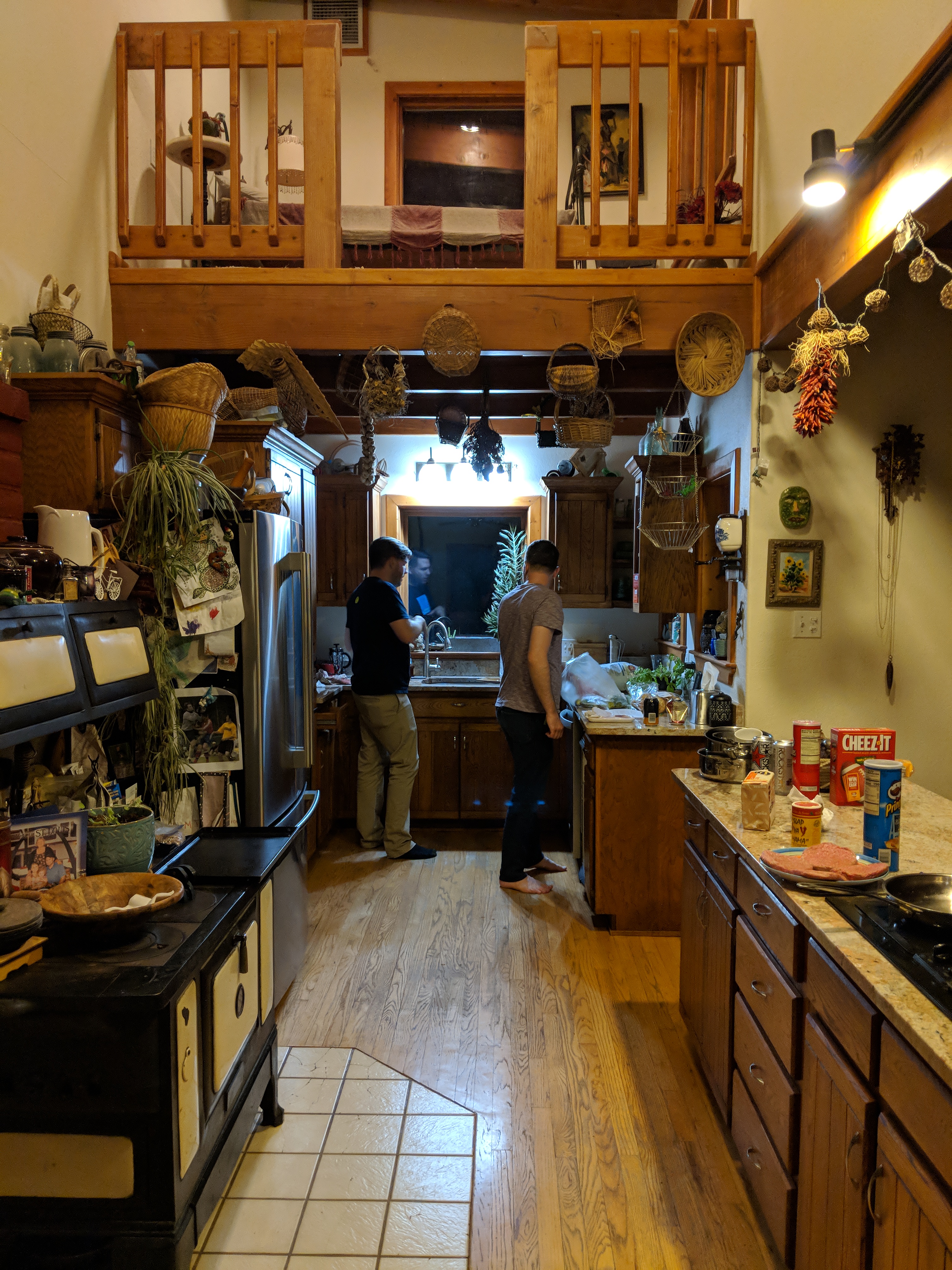
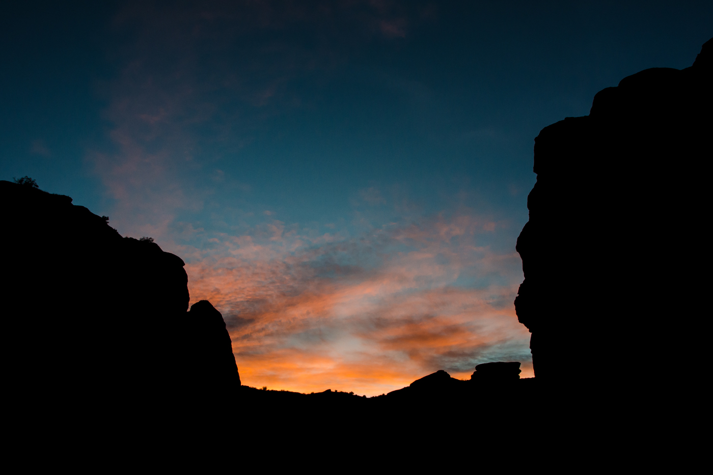
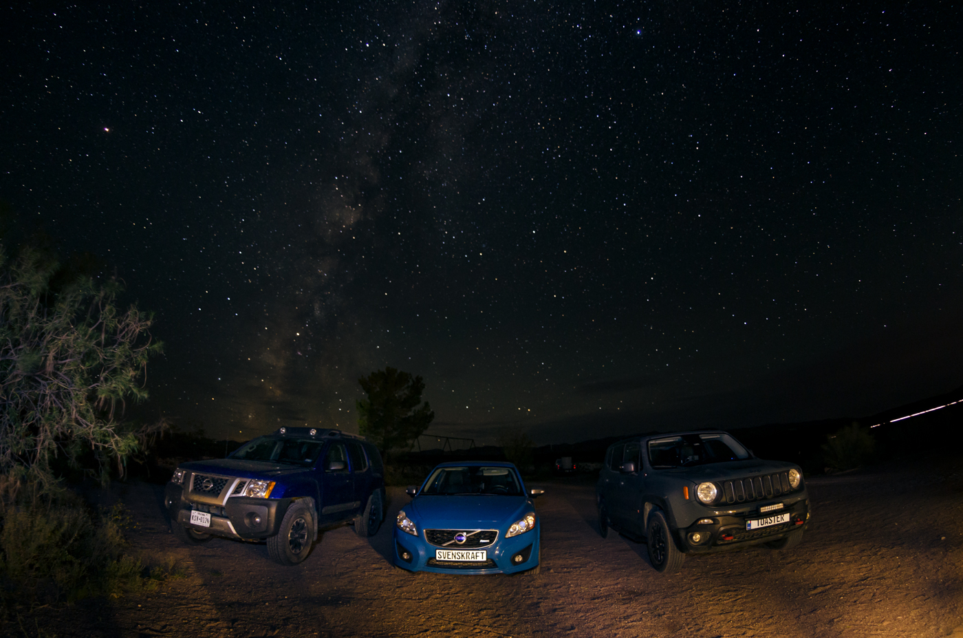
And by “sparse” I mean “packed to the gills with trinkets.” They are everywhere. Open any drawer or cupboard and trinkets just fall out. There’s hardly enough room to even put anything down. But the patio makes up for it with one of the most beautiful night skies I have ever seen. We made dinner here and had a nightcap on the porch to watch the show.

In New Mexico, sleeping in is a crime punishable by blindness. In a house that has literally everything, how are there no curtains?

Trinity Site and other Adventures

For lack of a better post title, today was epic. And so unexpected. We got up this morning fairly early because the blinding sun here and our east facing bedrooms can defeat even the strongest resolve to stay in bed. Then I couldn’t figure out how to work the Star Trek shower.

Then there was figuring out how to find a coffee mug in the fully-packed kitchen. Hint: They’re in the antique range at the buffet.

Given our general inability to be humans in the mornings, I’m impressed with how quickly we made it out the door. We were in line to enter the White Sands Missile Range Stallion Gate by about 9:30. It felt odd to be stuck in bumper-to-bumper stop-and-go traffic on a two-lane road in what is quite literally the middle of nowhere in the desert, but we sure did sit there for nearly 45 minutes to get in. But I will absolutely give the Army credit for running a remarkably efficient operation given the number of visitors they were admitting.

Once inside the gates, with dashcams and cellphones unmounted (per orders), radios off (to be safe), and cell service about out of reach (because where the hell are we?), we drove another fifteen miles into the installation to the Trinity Site historic landmark.

The parking area was next to Ground Zero, where the “Gadget” (the codename for the test device), a plutonium implosion device, was detonated from atop a small tower. The world’s first ever nuclear explosion. That style of explosive was later dropped on Nagasaki. The structure that suspended the bomb was vaporized and only a tiny piece of one support leg remains. In its place, an obelisk of lava rocks stands.

The ground is covered with “Trinitite,” a unique glass rock formed by the desert sands melting to form a sandy glass because of the heat of the explosion.

George read from the booklet.

Then he found the gift shop. It was a trailer. I asked him to pick me up a radioactive coffee mug and he got another roadtrip hat.

After exploring Ground Zero, we took a base bus over to the McDonald Ranch nearby. The main ranch house still stands, as well as ruins of a bunk house and reservoir. The main house had several uses, but the master bedroom served as an improvised clean room where the plutonium core of The Gadget was assembled. As three people who work in tech and electronics, we were a little amused that Manhattan Project scientists used tarp to cover the windows and “made sure to dust off their boots” before entering; clean room tech sure has come a long way. Though that, too, may have gotten a start here.

I’m convinced history classes are wasted on children, as I have started to find such material more interesting in the past few years. But I don’t generally need to “stand in the place” where an event happened. This was decidedly different, probably because of the unique landscape and remoteness of the site. What happened here changed the world in the short and long term in incalculable ways. This was a special thing to see, and I’m so glad George convinced us to go.

And with that, what we really came here to do was done. The enormity of what we saw weighed heavily, but in practical terms, there’s not a lot to it. So by about 12:30, we’d seen what remains of the Site and started to think about what to do next. We started the back to the AirBnB via the Quebradas Back Country Byway.

It was a gorgeous road. Easily passable in the Xterra and the Renegade, but in truth, I bet Evan’s Volvo would have been just fine. 4WD useful, but not required. Lots of loose rocky gravel, but the only thing dramatic about it was the view.

After a short break in the house, we headed up to San Lorenzo Canyon. I came across the trail recording on AllTrails and it seemed interesting. And since it was my idea, I got to lead the way! Unfortunately, Google Maps’s suggestion to get to the trailhead ended up being a closed road. How embarrassing… Between the Xterra’s nav and the Caltopo maps in my phone, I thought I had an alternate, but the road I was looking at appeared to no longer exist when we approached the turn-off. Then George came to the rescue with his pile of printed atlases.

And boy did he find a helluva road! It ended up being a dried up, sandy, dusty riverbed for a few miles. It was a lot of fun to play around in. I’m kinda surprised that it was encouraged to drive on it, but it was clearly signed as “the road,” even if it is in no way an actual road. Just the flatest part of the sandy wilderness. Then the rocks on either side grew taller as we entered the edge of the canyon.

As it turns out, the trail recording leaves out a few key details: a lot of this is just bouldering and walking along what look like clearings in a dried up creek. Also, the person who posted the recording originally had no interest in staying on an actual trail. So we spent a while longer than we’d intended to because we got a little lost and then found again, but what we saw along the way was absolutely incredible.

As we packed up to leave, another adventurer, Donna, an older woman traveling solo in a new-to-her early-2000s Subaru Forester pulled up where we’d parked. She spoke with us a while, and it was fun to encounter someone else just wandering around admiring the desert like we were. She began a week-long roadtrip for her birthday, and after facing delays for some personal reasons, she was finally on the road. She actually did Quebradas a little earlier in the day, too.

After speaking with her a little while, the sun had set and it was starting to get dark. So we packed up, turned on our silly offroad lights, and headed back to Socorro for a traditional New Mexican dinner of green chili burgers. Then on to the AirBnB for a nightcap and photo editing under the stars.

The VLA and Mount Withington Lookout

Our little mountain mansion almost blew over this morning as we tried to sleep in a bit. Morning coffee under strange clouds… I was worried about weather all morning, and as it turns out, despite winning in every possible way, I had every reason to be.

This morning yet again featured a fight with the space shower. For reasons unknown to science this morning the water came out of the shower head instead of the rain ceiling I was stuck with yesterday.

It’s actually a little difficult to pack out of an AirBnB that is so packed with stuff. The “yep, this room is empty” double-check method doesn’t work.

We packed up and checked-out of the BnB and headed further west to the Very Large Array at the National Radio Astronomy Observatory. The wind was intense and as we climbed, it got much colder, down into the low sixties in the highway.

George decided to take off his roof while we were stuck in construction traffic.

And about a quarter mile later, the combination of drizzle and cold prompted him to put it back together again.

The Very Large Array (VLA) was really awesome. The clouds parted as we arrived so we got a good view into the distance. Each of the satellite dishes in the array can be moved around on train tracks in a “Y” shape out from the center. We saw the array in its narrowest configuration, about 1 or 2 miles across. The widest configuration puts the farthest dishes at the full extent of the 11 mile tracks, making the equivalent of a 22 mile radius satellite for highest resolution imagery. We walked around, read signs, took a million pictures (with our real cameras because cell phones aren’t allowed), and looked at some of the documentation of what the array has studied.

Then we took off for the Mount Withington Lookout and peak in the Cibola National Forest, leaving the Volvo behind at the VLA Visitor Center parking. As we approached the turn off for the dirt road, the fog rolled in heavily and it started to rain again. I think all three of us were mildly nervous about it, but no one wanted to say anything about it, so we kept going. How bad could it be?

As we crossed the plains and started to climb up into the mountains, the fog started to lift slightly, giving us hope. About two miles intro the drive, the rain stopped and the fog blew off and left us with a pretty stunning picnic spot.

The road today was only slightly more challenging than yesterday’s drive, and totally beautiful in a completely different way. The VLA was in an area almost reminiscent of a grassy Death Valley with vast open plains. On the way up to the lookout, we passed what looked like parts of western Colorado with pine and aspen trees and stunning mountain views; then we drove through rocky hills with juniper trees and shrubs that kinda reminded me of central Texas. The we made it up to the lookout tower! And if you’ve ever played Firewatch, this was Delilah’s lookout, to a tee, complete with that circular map table in the center.

And I definitely didn’t crawl through the gate at the bottom of the stairs to get a look inside…

While we were there, the fog rolled back in swallowed up the lookout in the clouds as the temperature dropped into the 40s.

But not before we took another of these. Because obviously.

After hanging out there for a shivering snack stop and poking around the place, we drove on a little ways to Towers Peak, which, as it turns out, was not a peak? The road just kept going, there were no trailheads going up, not really sure what that atlas marker meant other than “it’s time to call it a day, attempt a 3-point-turn on this mountain track, and head back.”

But we took a different road back down through Bear Trap Canyon, this drive ended up looking very Pacific Northwest with tall, dense redwood-esque trees. The road alternated between silky smooth sandy dirt road and mildly rocky bits that would pop up by surprise, but it was an amazing tour in light rain. And the canyon was wide enough that flash flooding was probably not a serious risk… probably.

By this point, it was quite late in the afternoon. The VLA Gift Shop, where the Volvo spent the day bored and being rained on, was due to close shortly. We hadn’t exactly warned the facility why a vehicle would be left in their parking lot either. Also we still had to drive to Roswell tonight, about 4 hours from there. So we made quick time, as best we could, and rescued the Volvo right as: a) the VLA visitor center manager was getting in her car to leave and b) extremely heavy rainfall I wouldn’t have wanted to offroad through started over Mount Withington and the canyon we just came from.

We took a few more photos before pulling out and then headed straight for Roswell with minimal stopping. The first half of the drive featured heavy rainfall, but as we drove over the Capitan Pass, the rain subsided leaving only the intense disco strobe lights amount of lightning in all directions around us. The lightning never let up the whole way into Roswell, probably to provide visual cover for the UFOs canvassing the area.

Happy 51k Day. Hope you enjoyed it. (And the “Check” refers to “the temperature dropped 40 degrees and we climbed 4,000 feet since I last inflated that one tire that leaks a little.”)