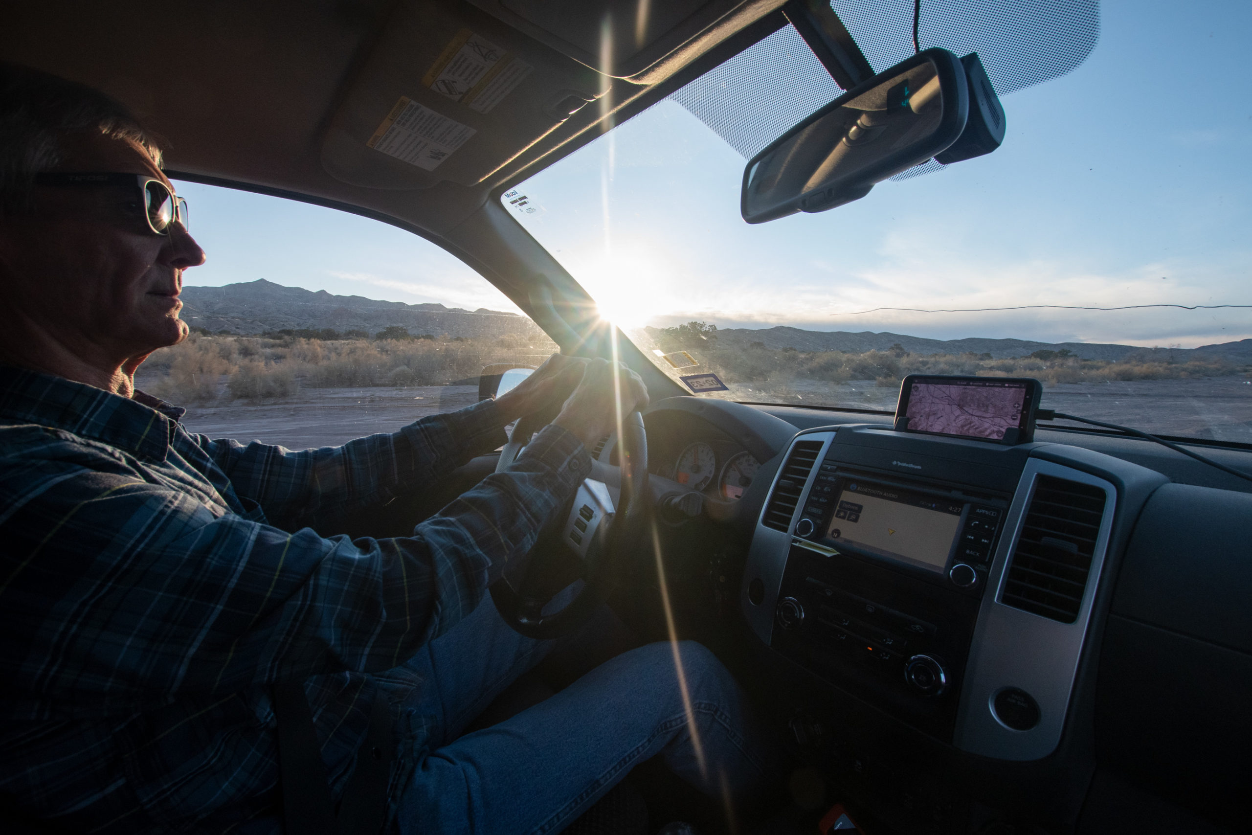
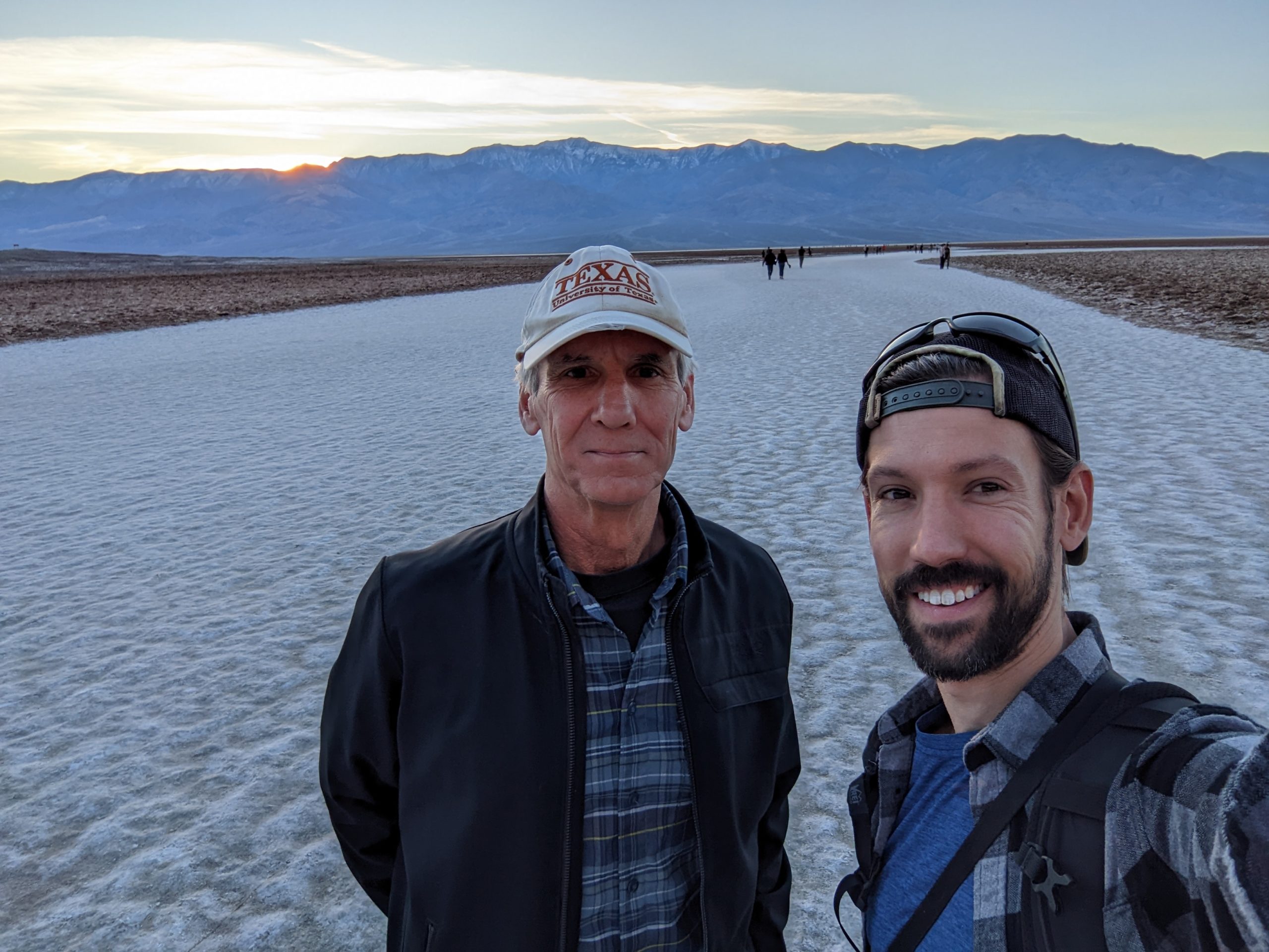
Through these years of roadtrip antics, Dad has occasionally mentioned, “One of these days when you’re headed off on some cross-country adventure, I would really love to book a one-way ride.” We never made it work because his work schedule and mine didn’t line up well — usually that “cross-country” part of my drive is “driving all night and working during the day.” And while we both work in what look like pajamas, apparently surgery is one of those things you still have to do in person. How antique.
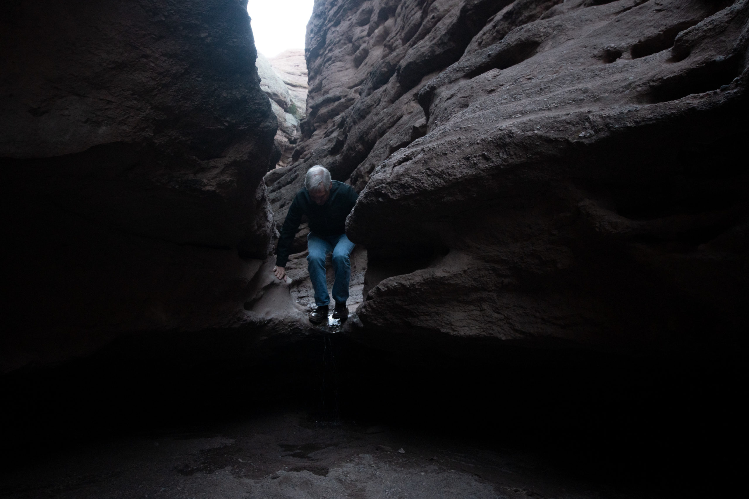
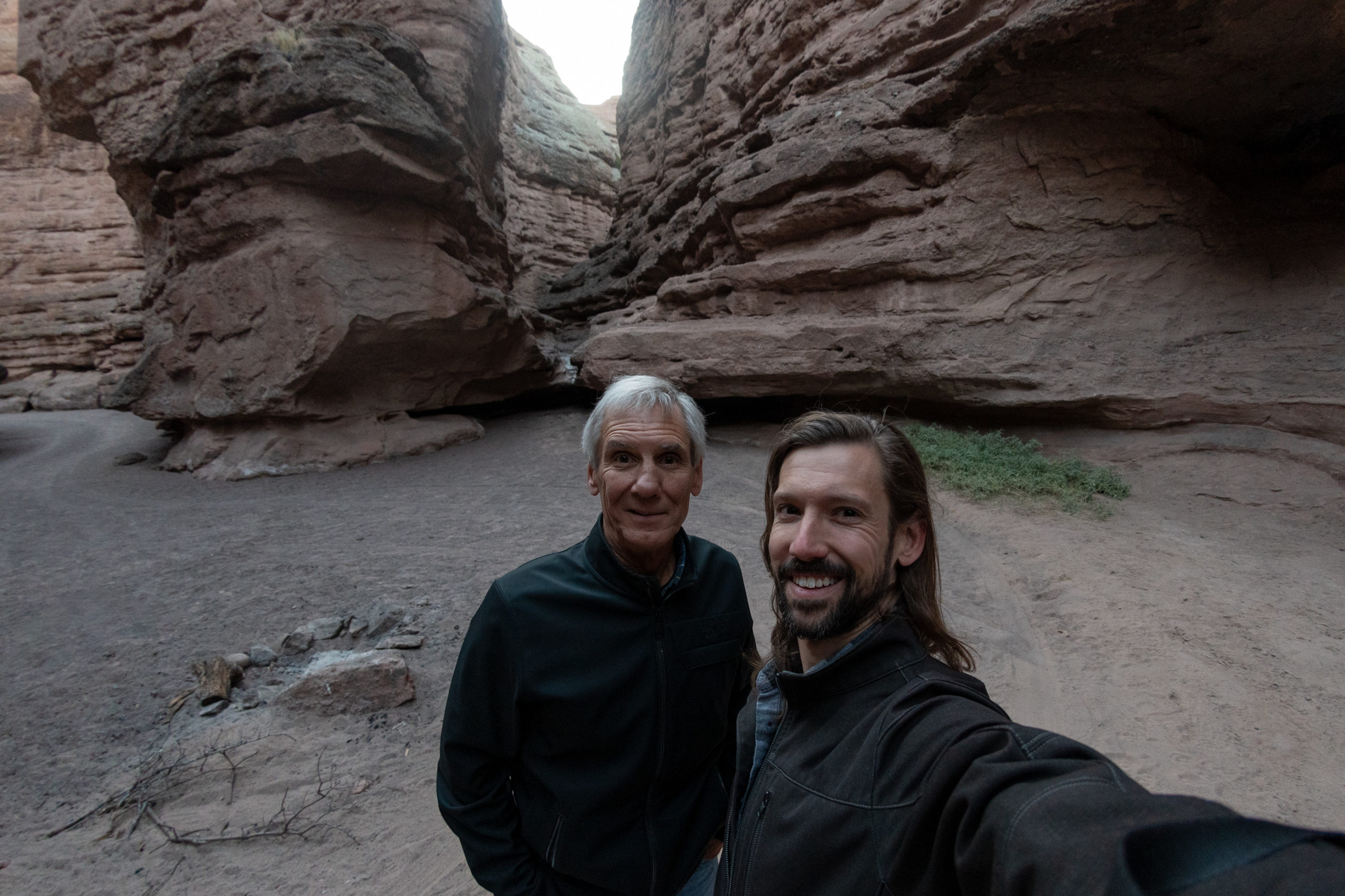
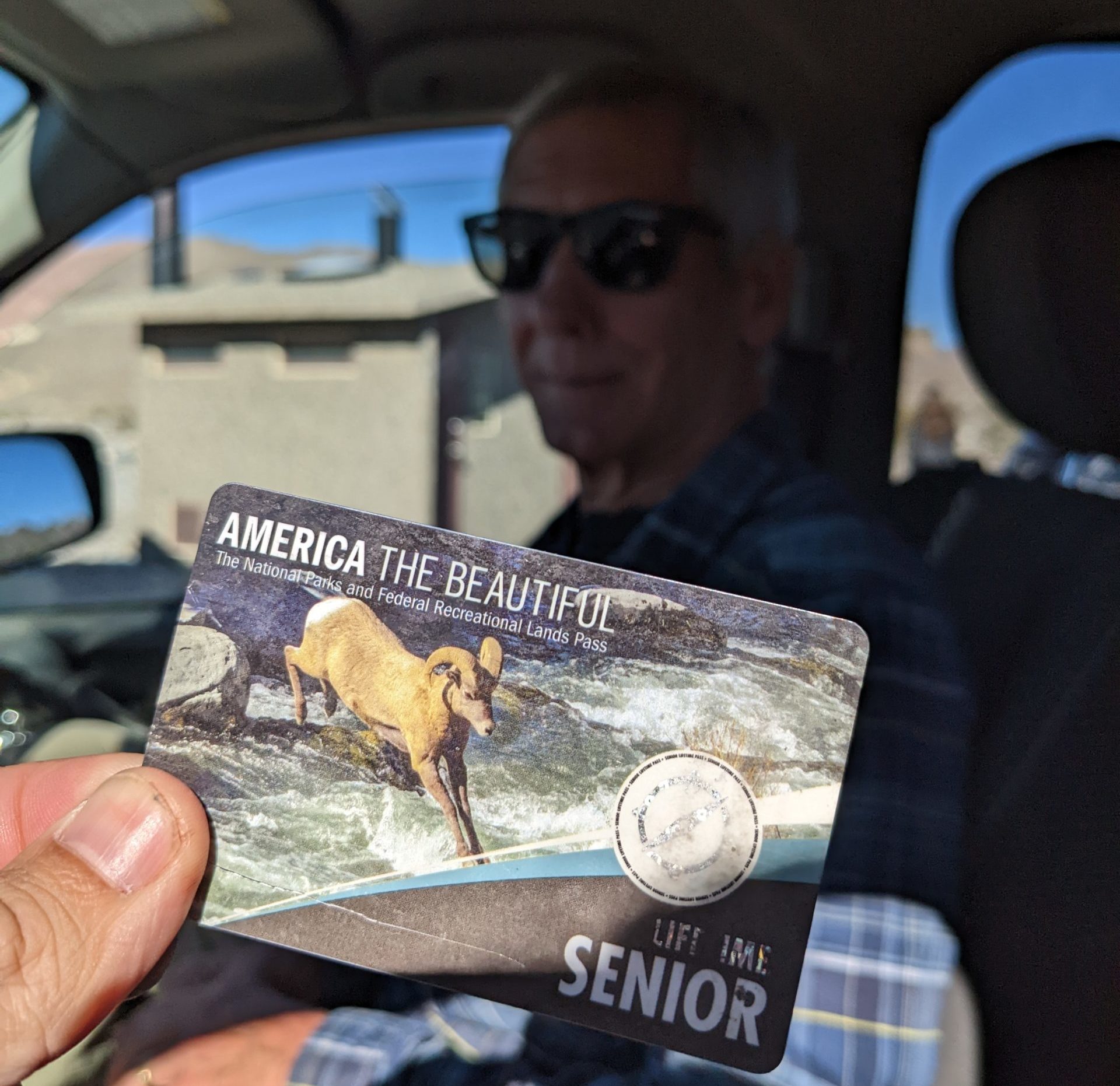
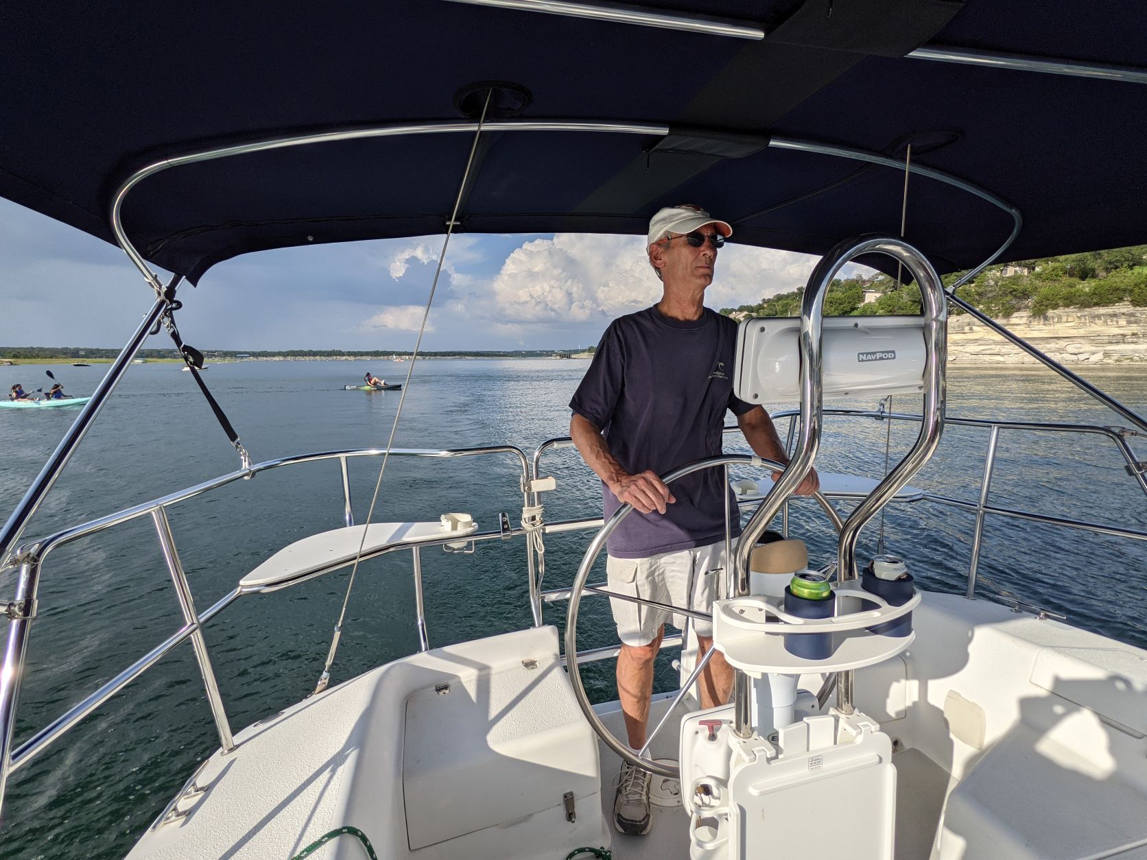
But around the start of the year, he put down his scalpel one last time. I have since joked that I am surely not old enough for my father to have retired. But there is some truth to the notion that — though he is many other things in addition — he has also always (in my lifetime) been a doctor, a well-known one at that, and it does feel weird to me that he has retired from practice. This, of course, does not free him from the obligation to take weekend pager duty from me. But it’s real. He has a sailboat and everything.
So as I start organizing the next Climbsigiving to Red Rock Canyon, I have booked a passenger in celebration. The “Full Roadtrip Experience” usually starts with the great choice-paralysis of route-planning, dramatically recalled here. Thus, let’s begin:

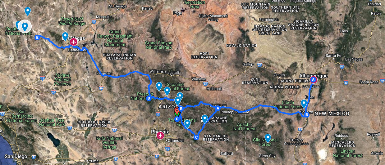
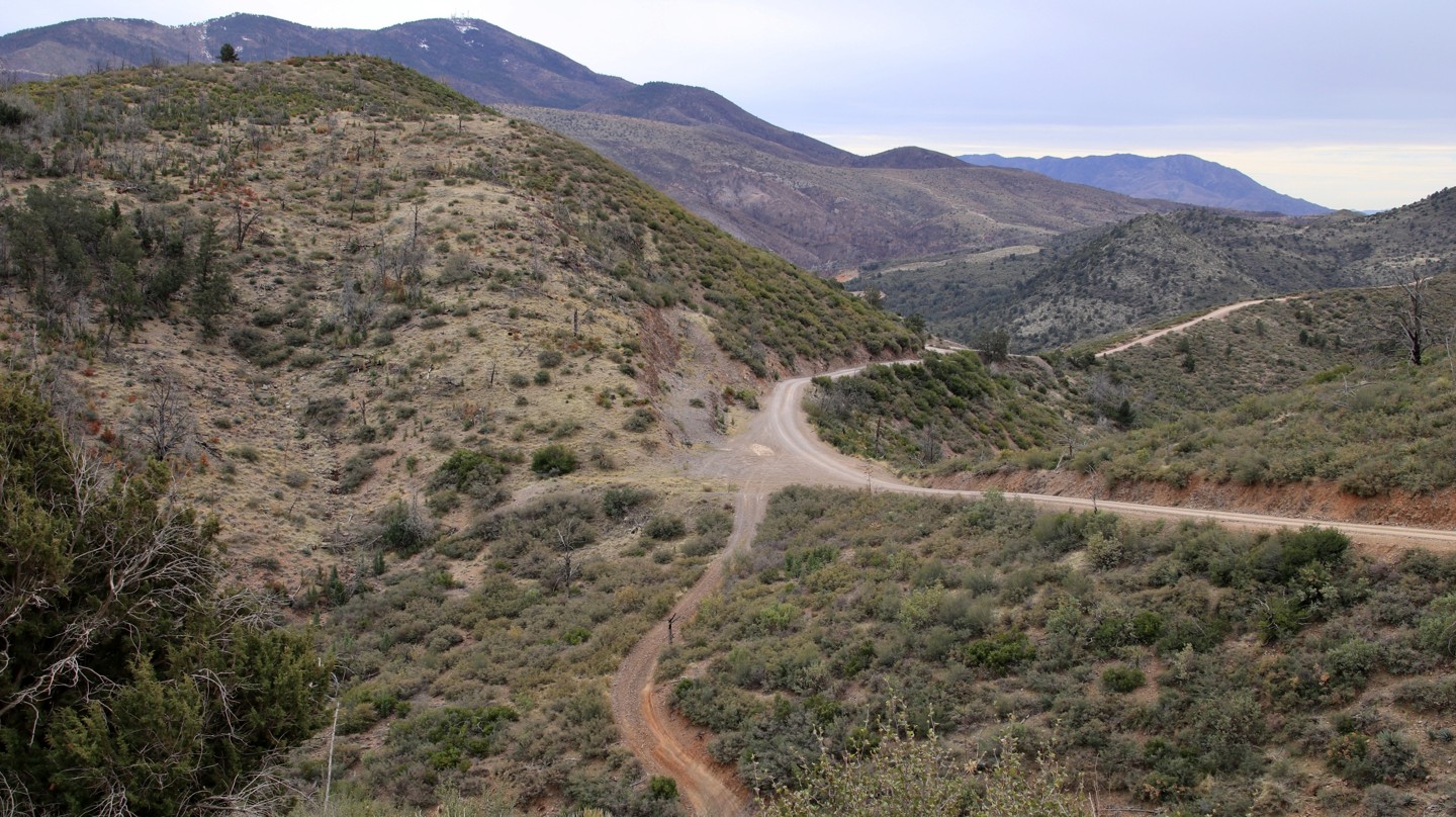
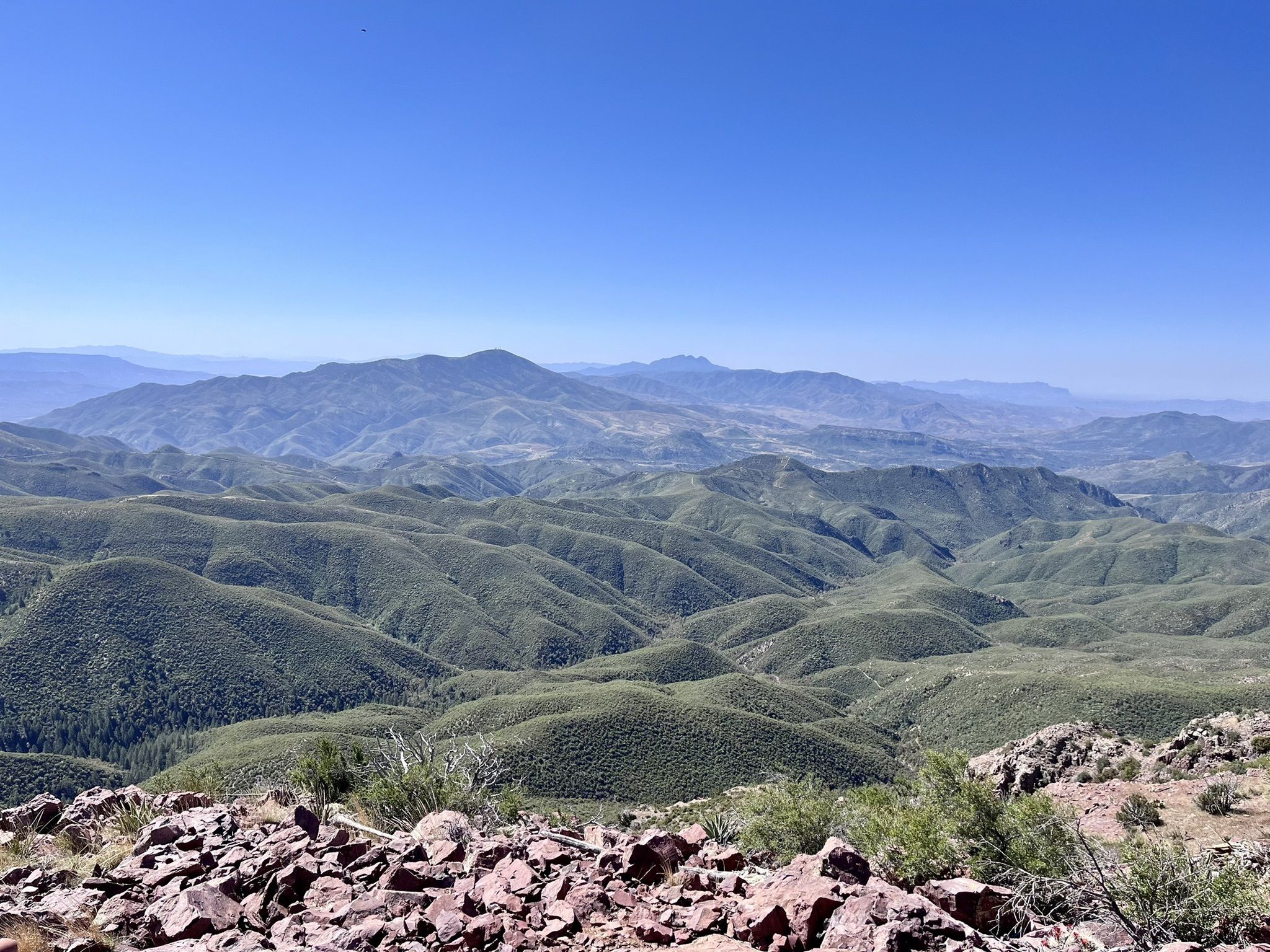
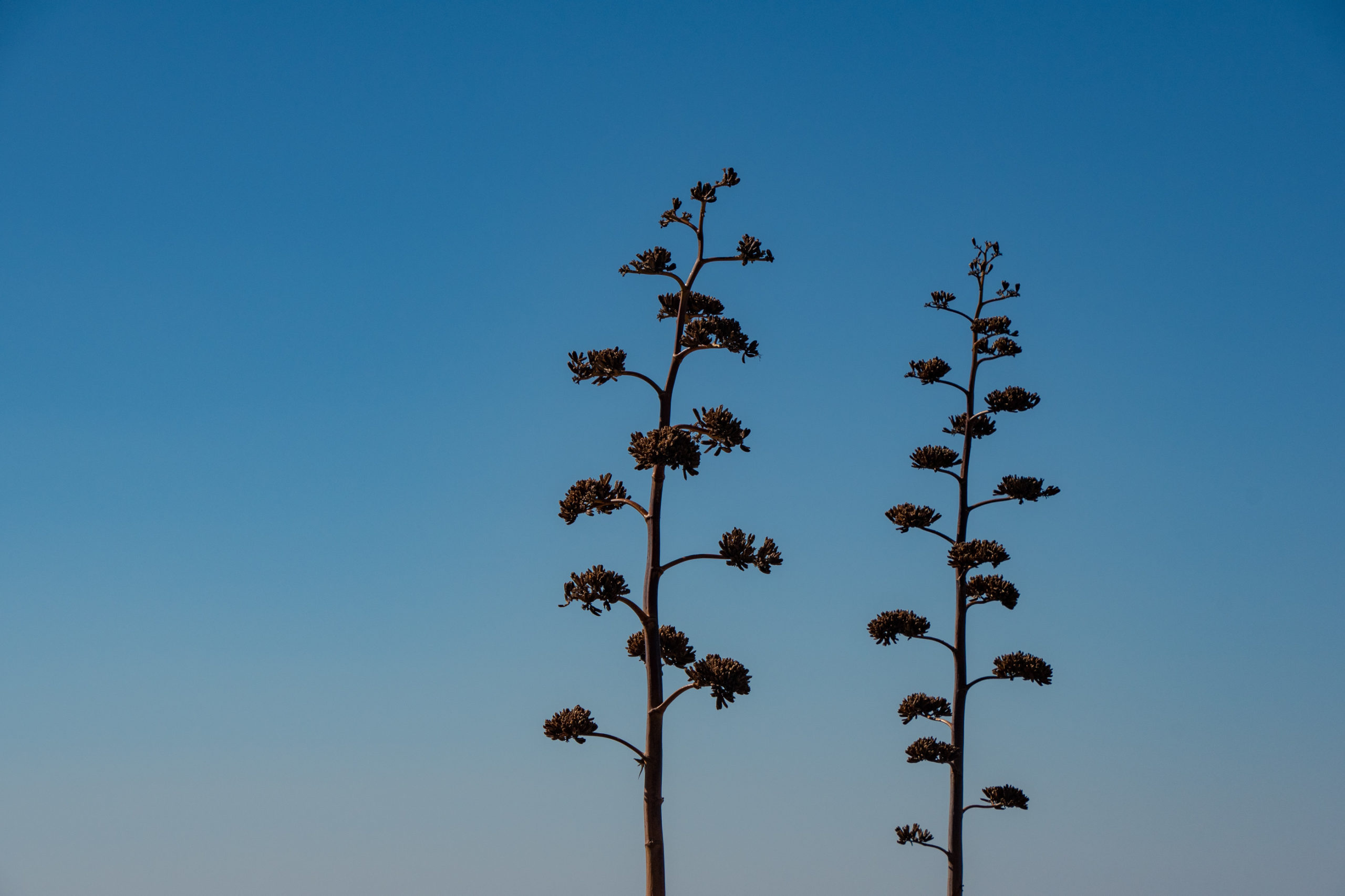
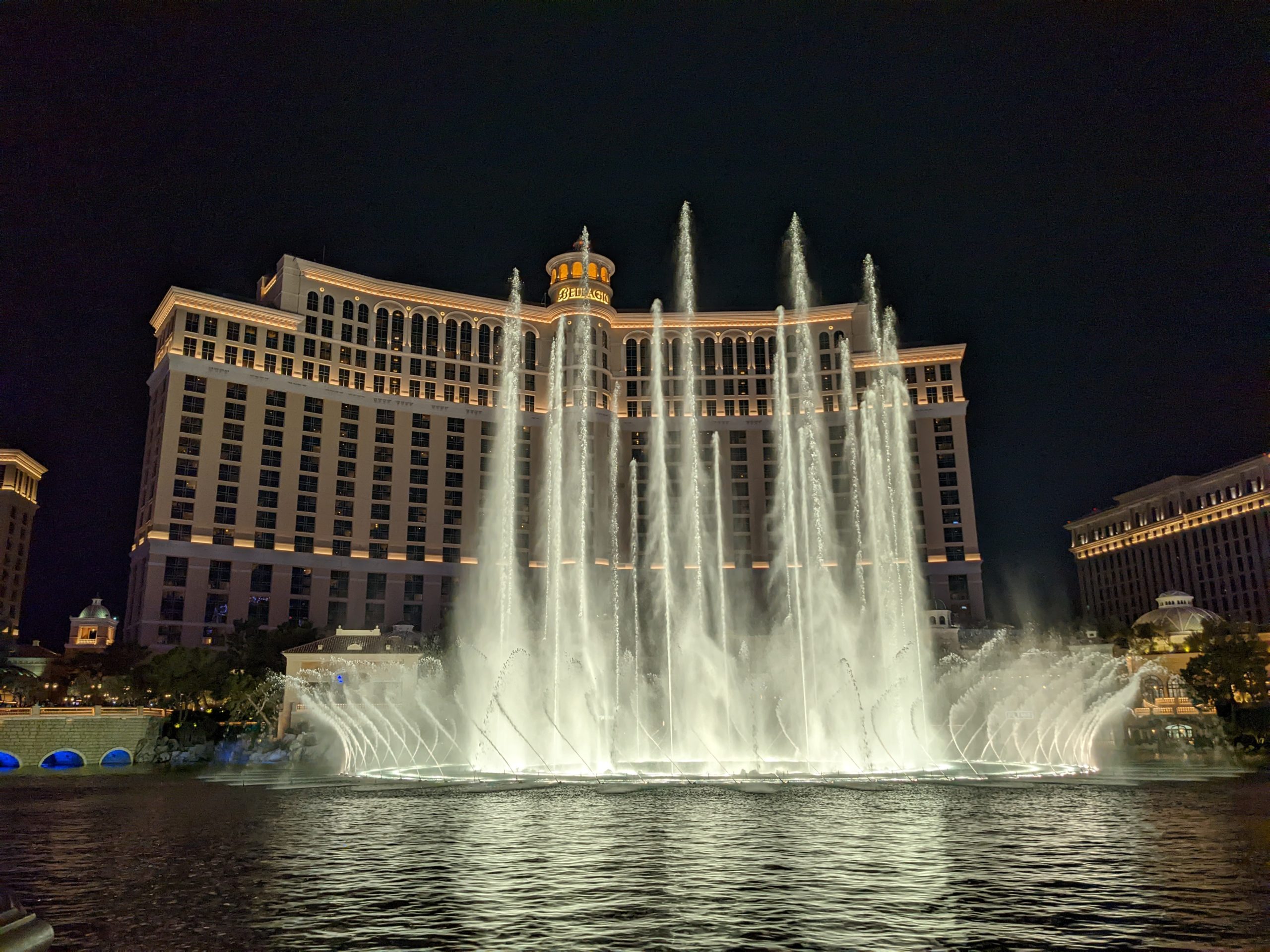
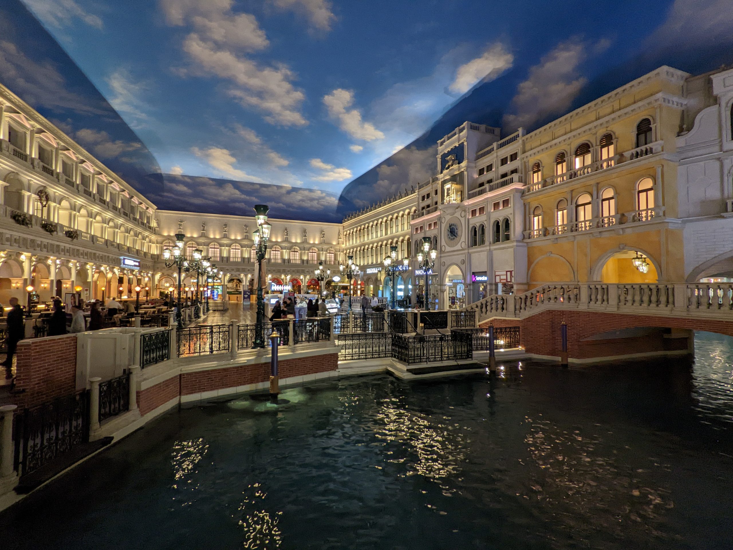
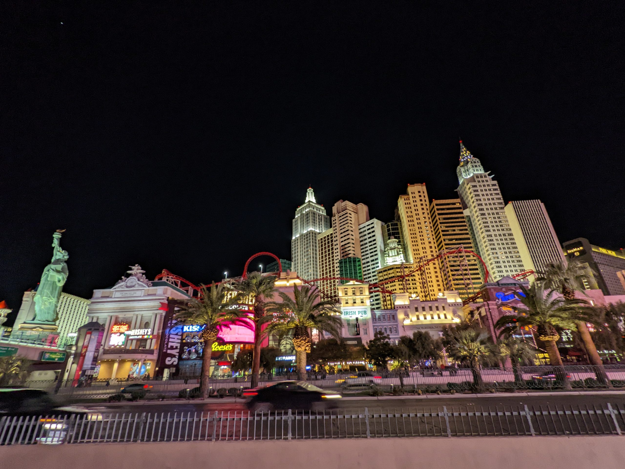
I know a lot of ways to get to Vegas. As tradition dictates, Interstates 10 and 40 are largely off-limits. I’m hoping to make a blend of greatest hits with a new spot or two. We need big hiking, light off-roading, cliff dwelling, quirky artsy weirdness, and epic views of southwestern desert majesty. With perhaps one silly adventure on Las Vegas Boulevard for good measure?
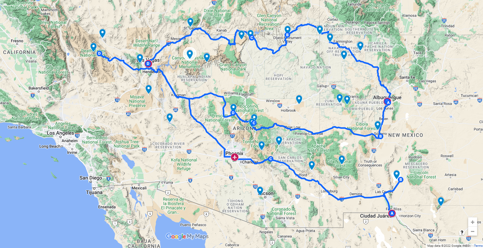
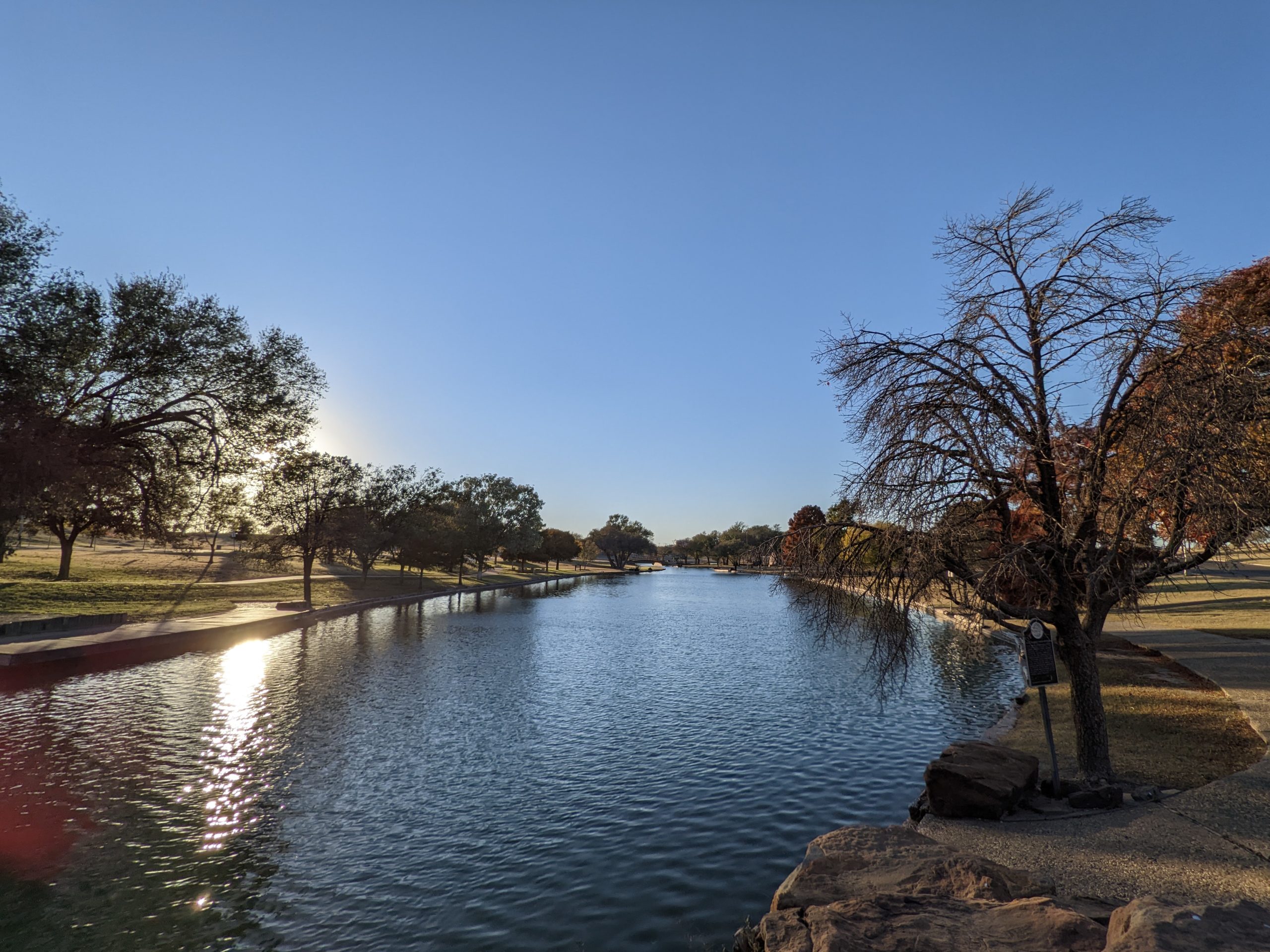
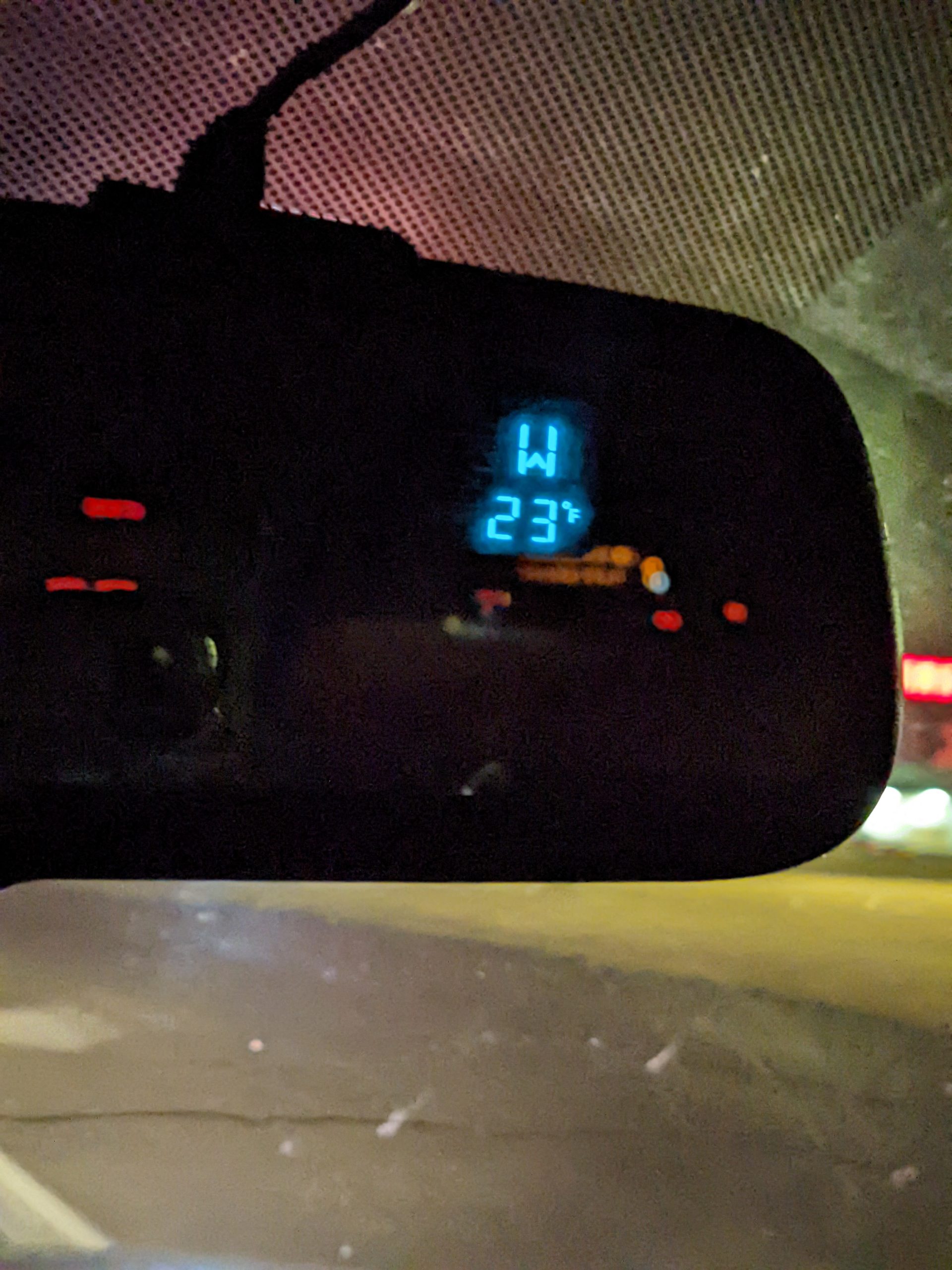
The first night or two will be a boring late-night mid-week slog from Austin to either El Paso or Albuquerque. I’m going to take that section solo so we can spend more time on the fun part. That gives us Friday evening through Monday before the climbers arrive to Summerlin.
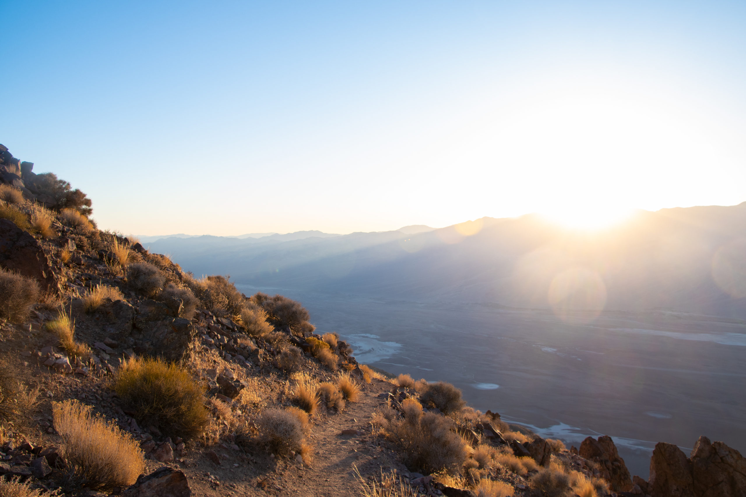
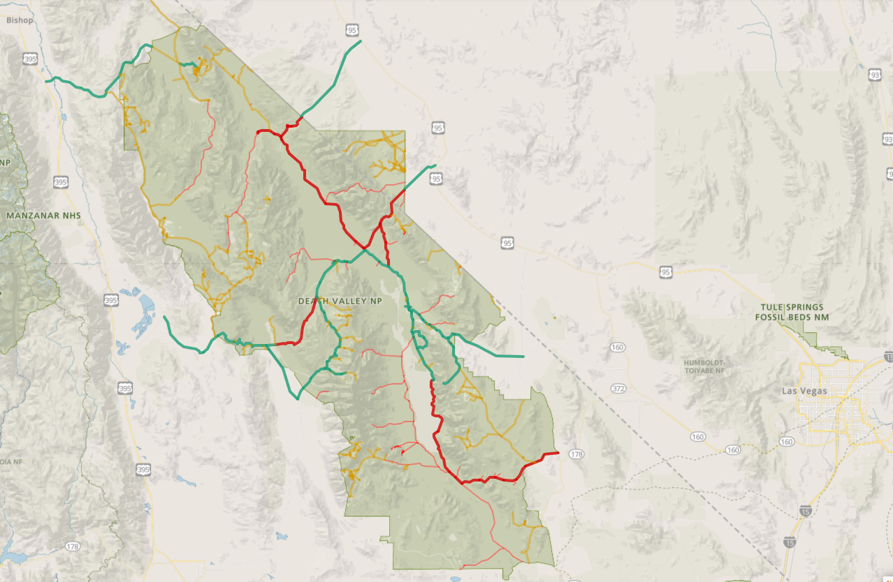
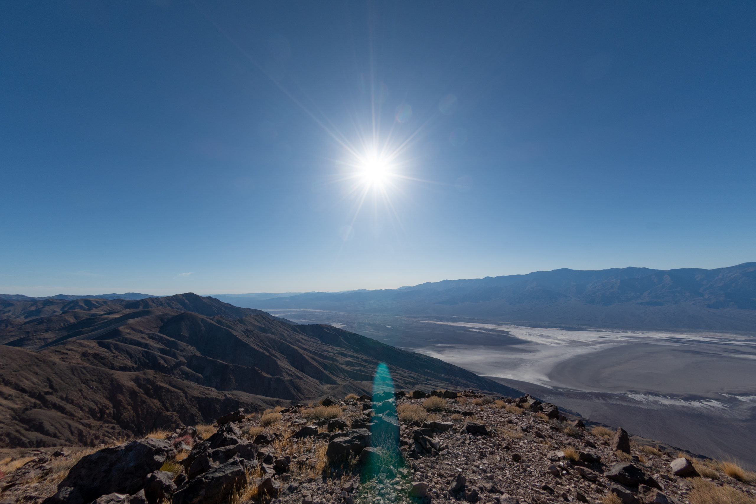
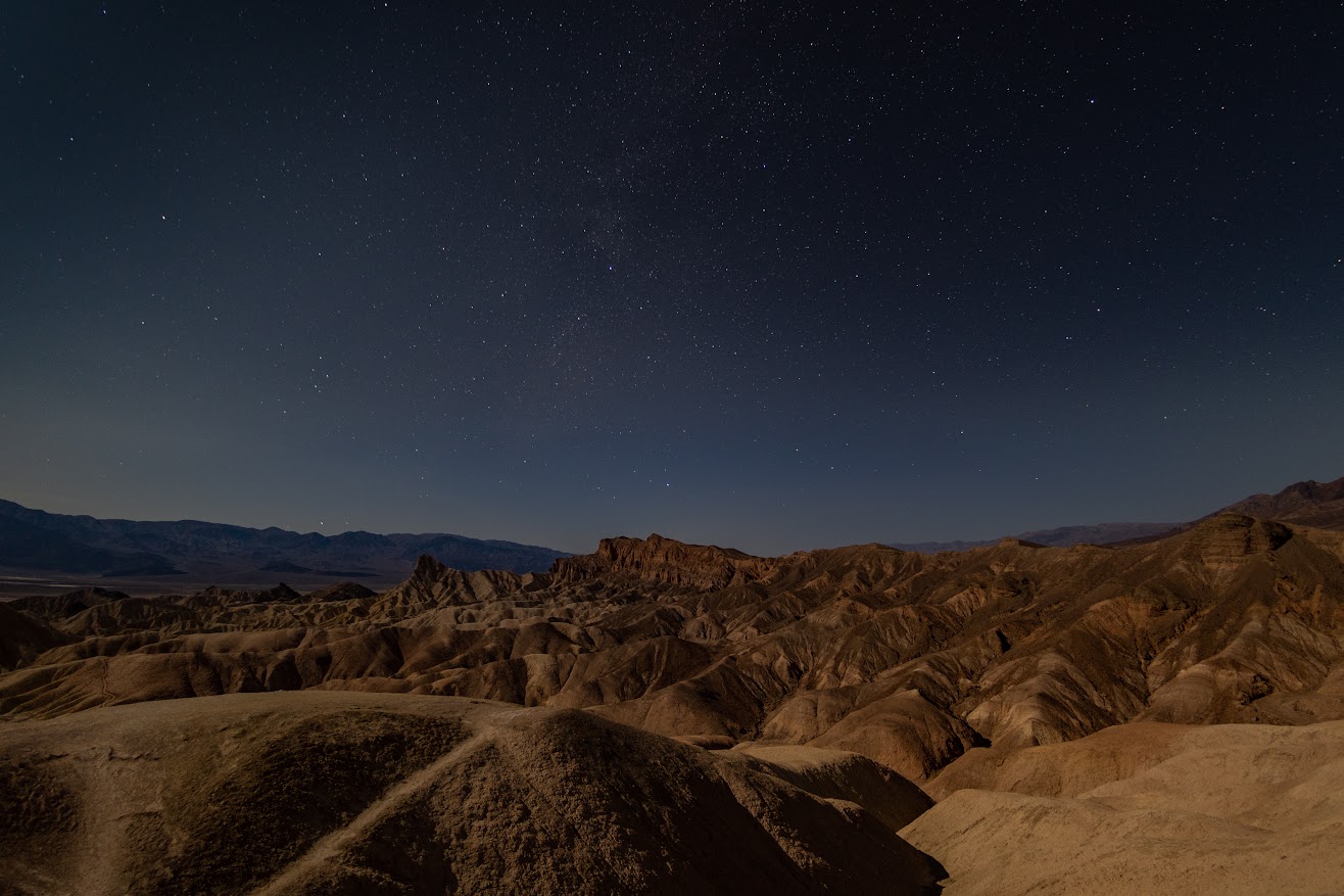
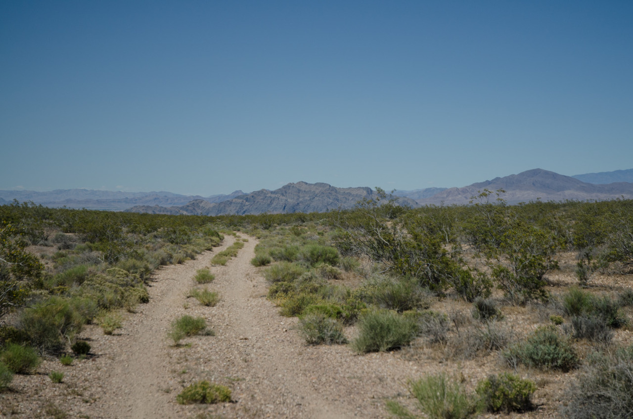
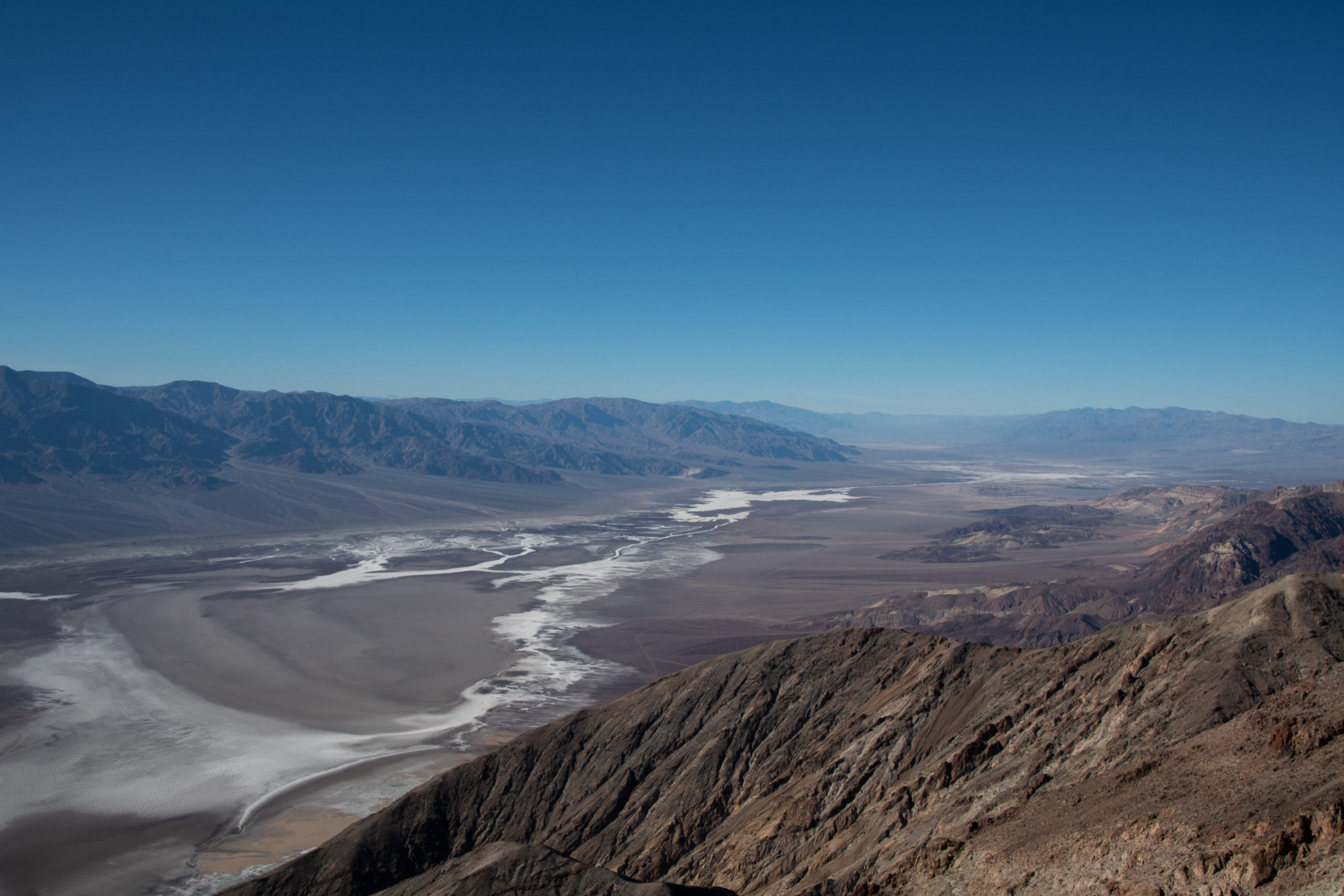
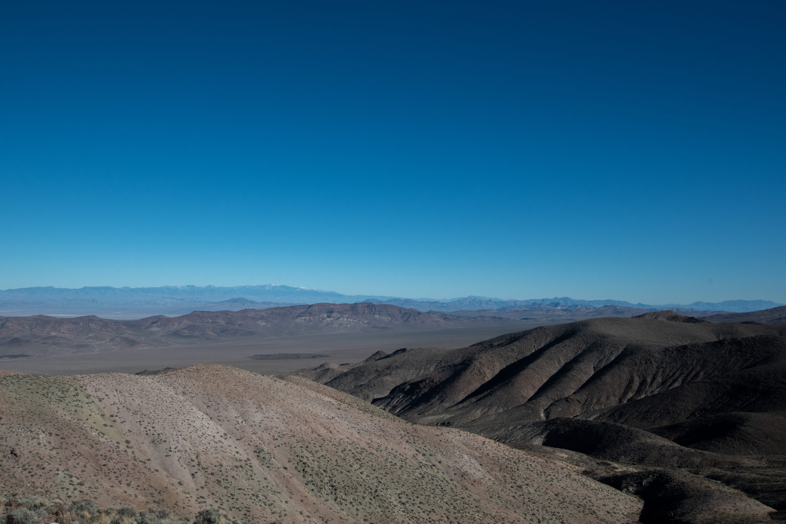
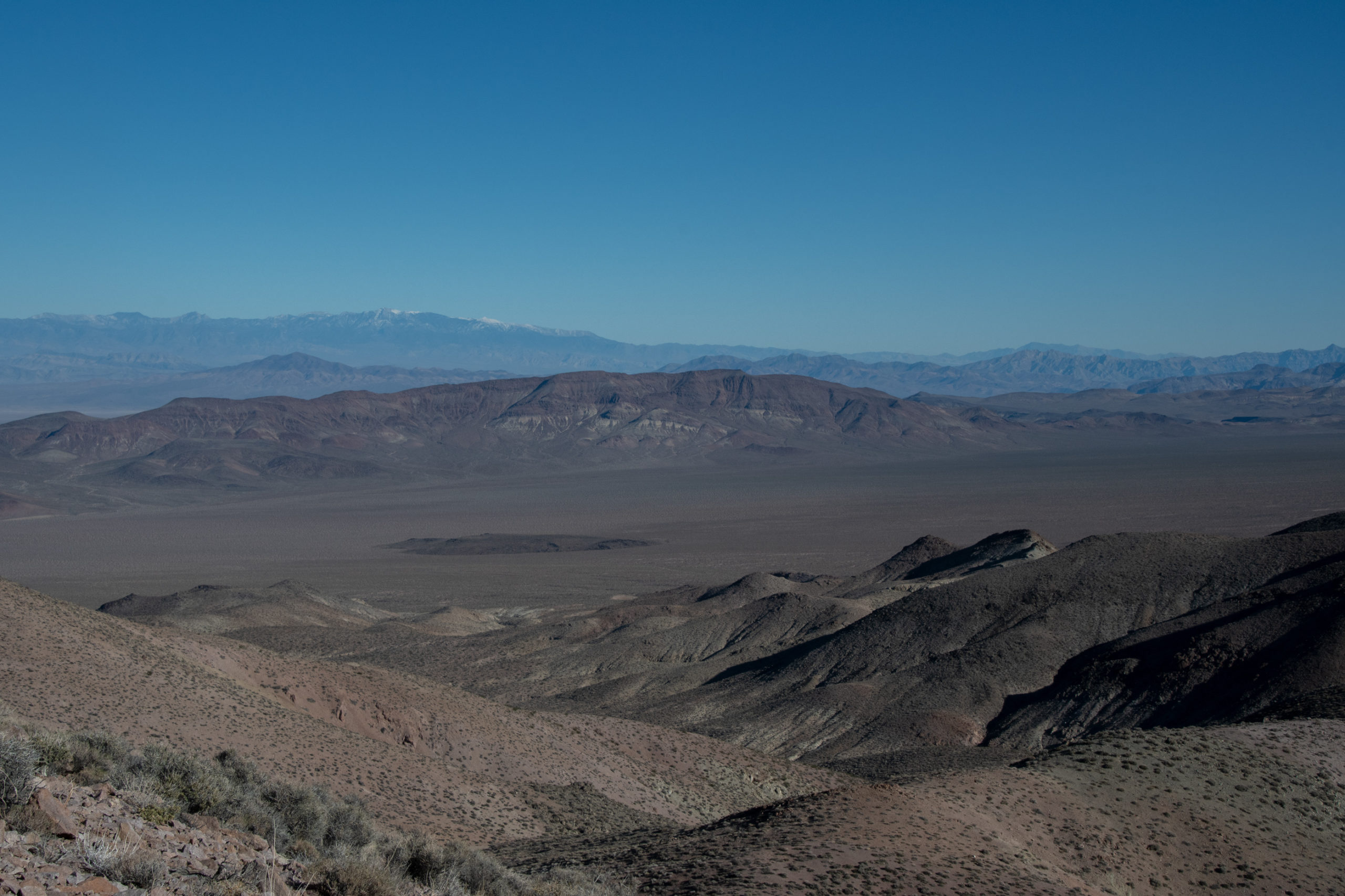
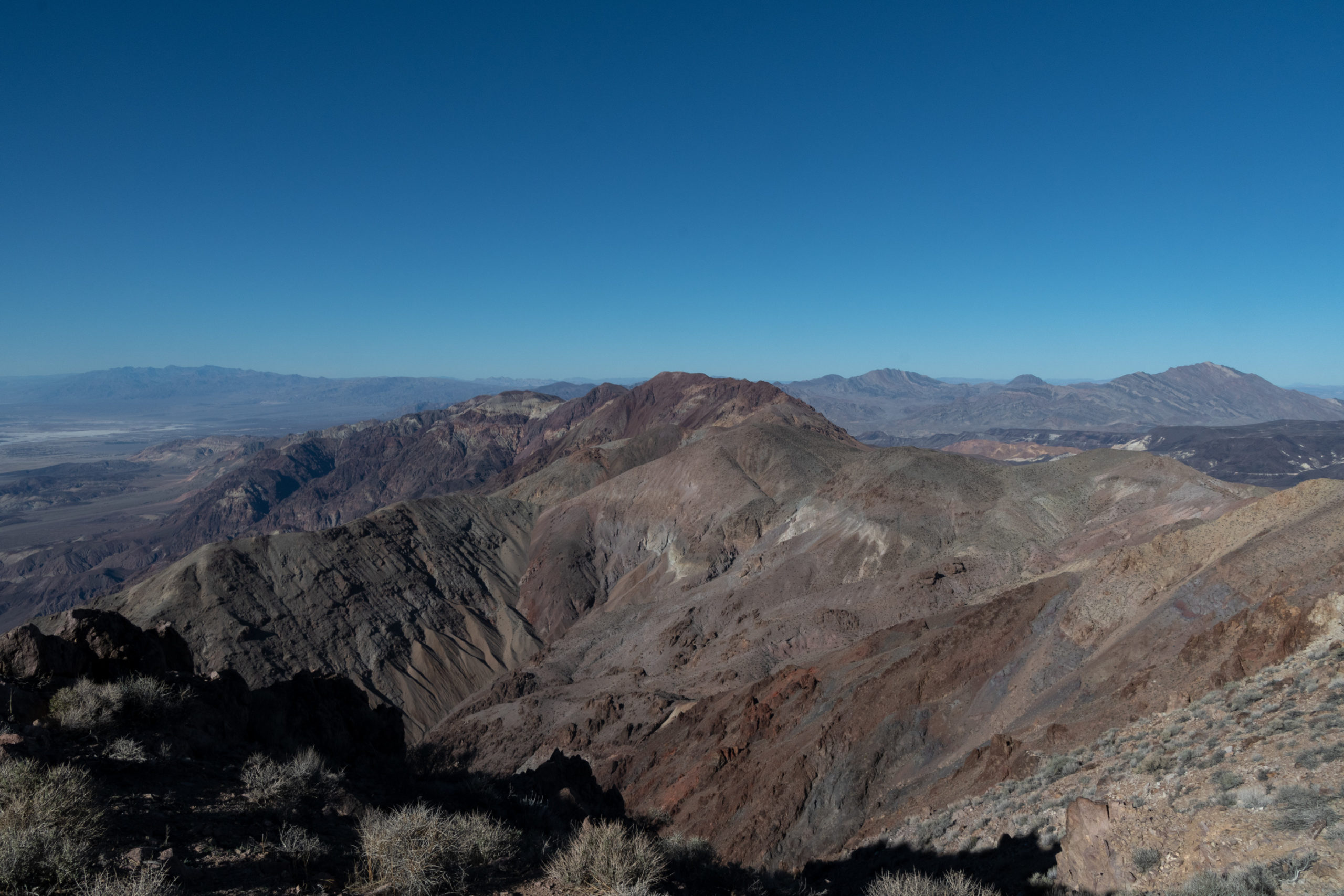
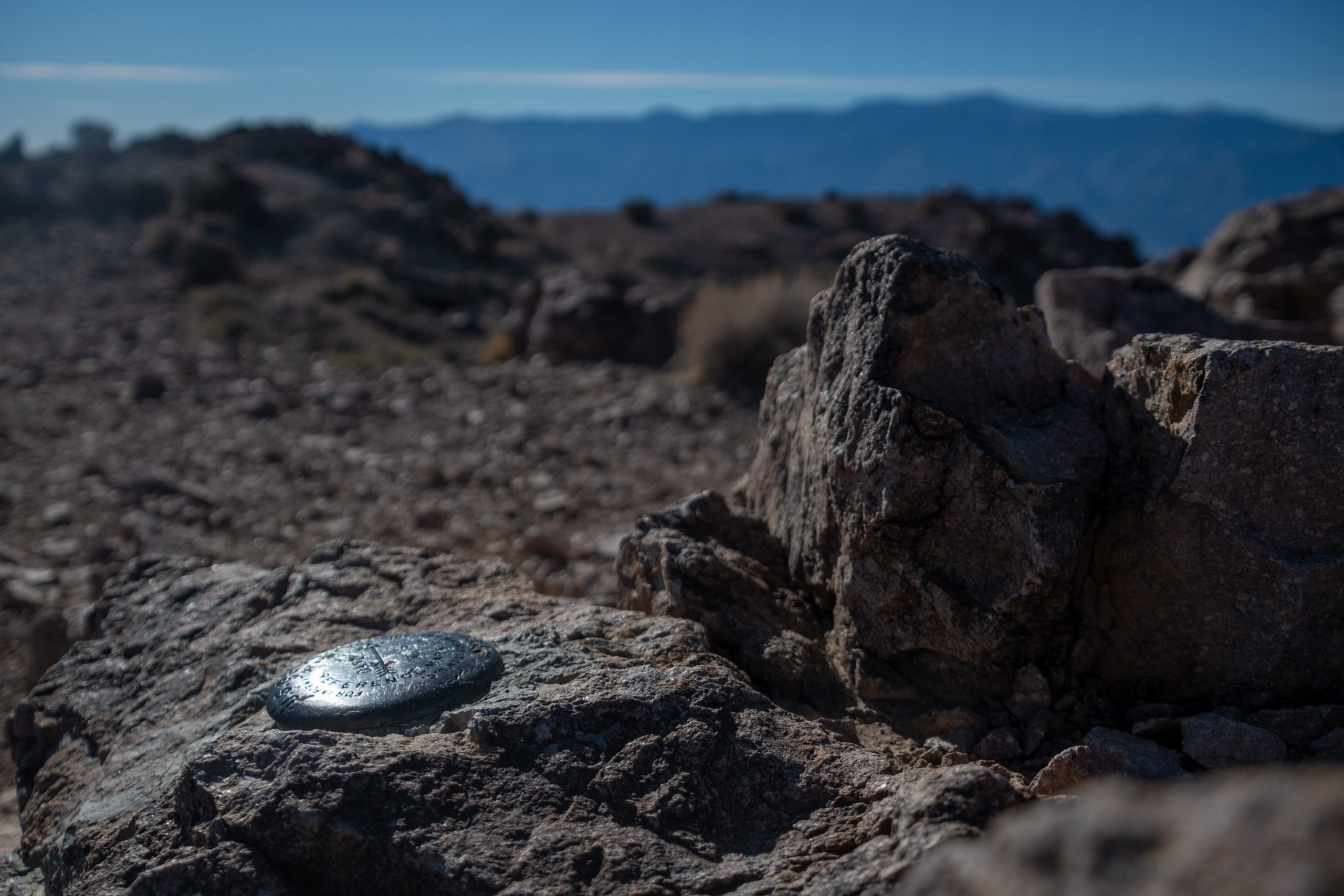
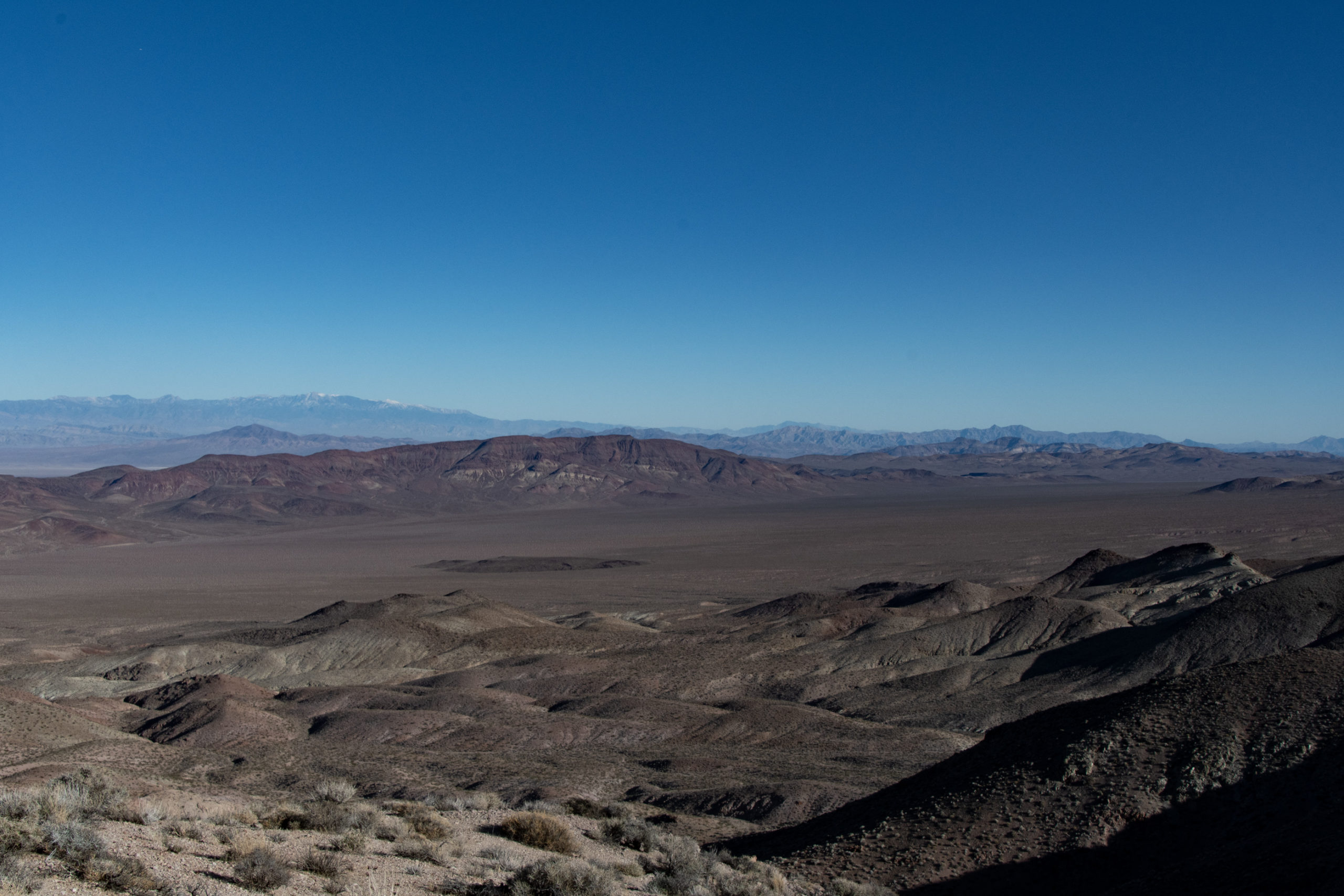
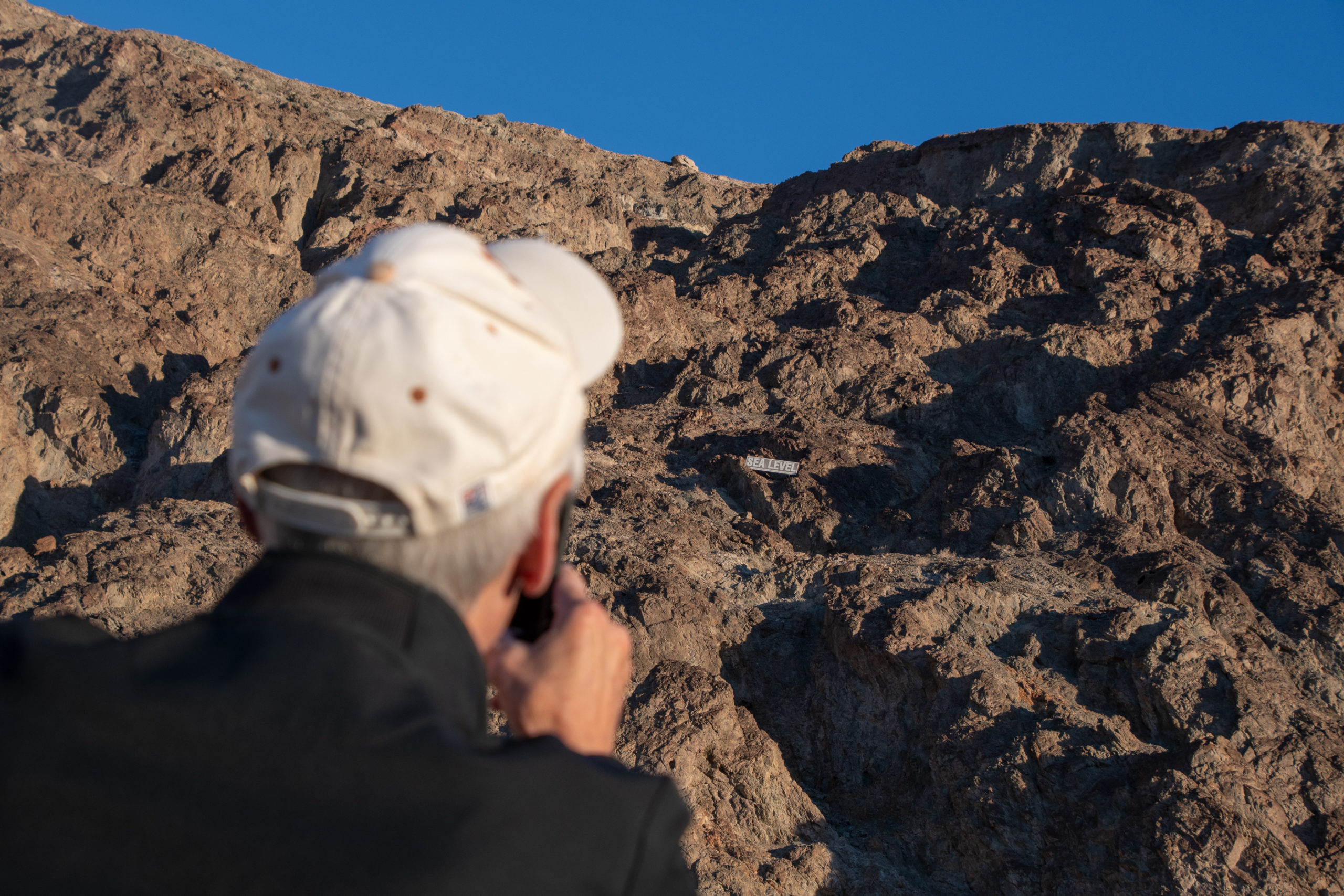
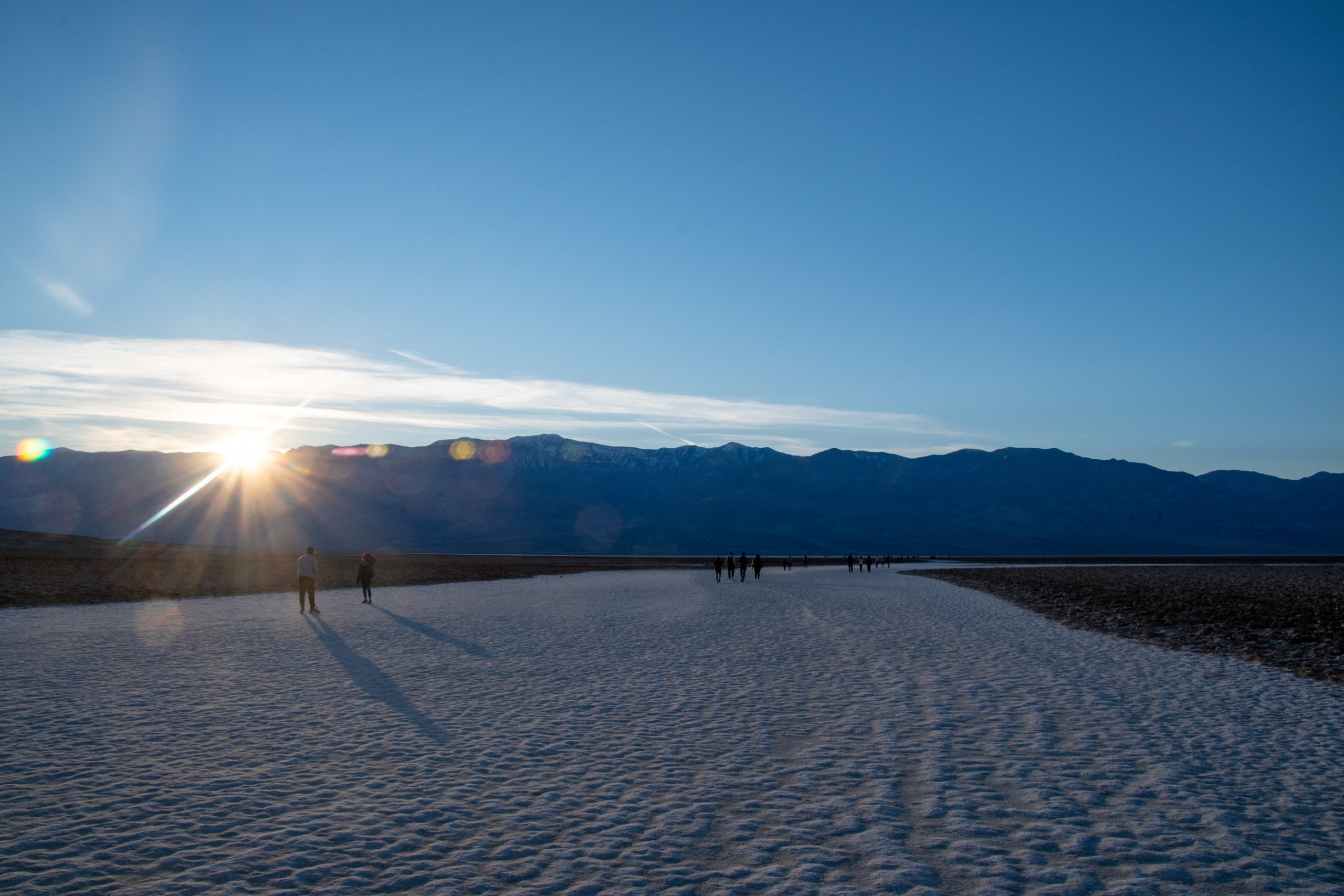
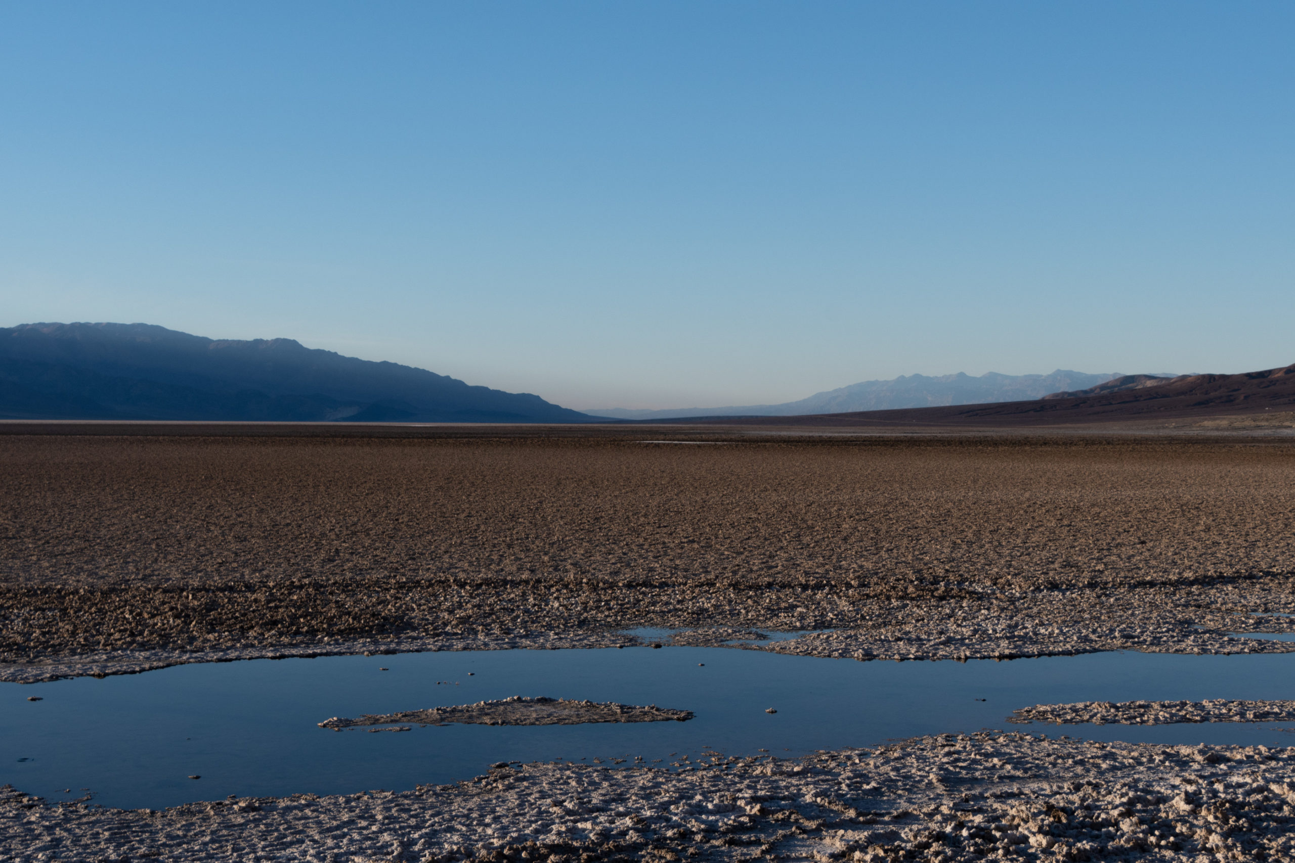
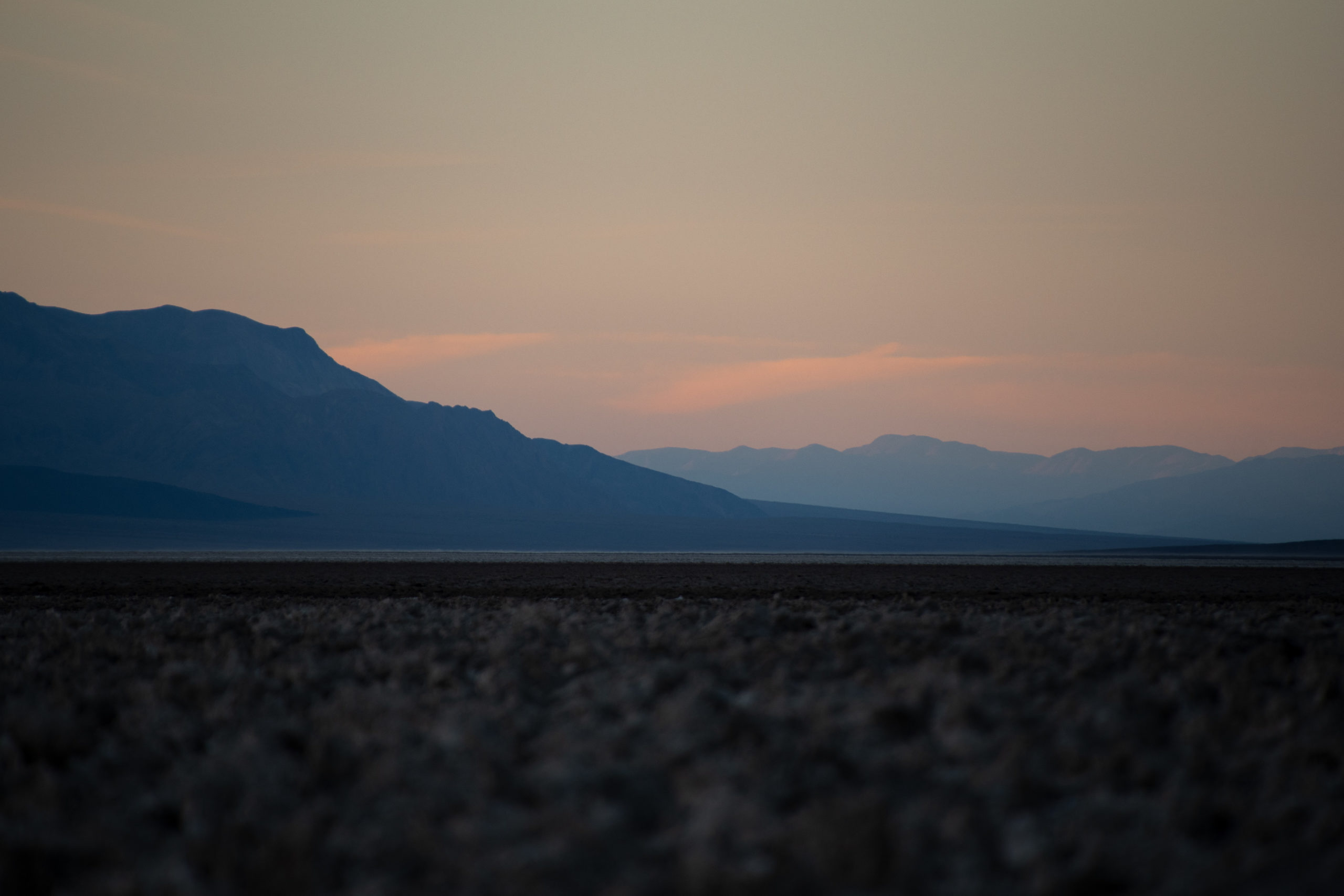
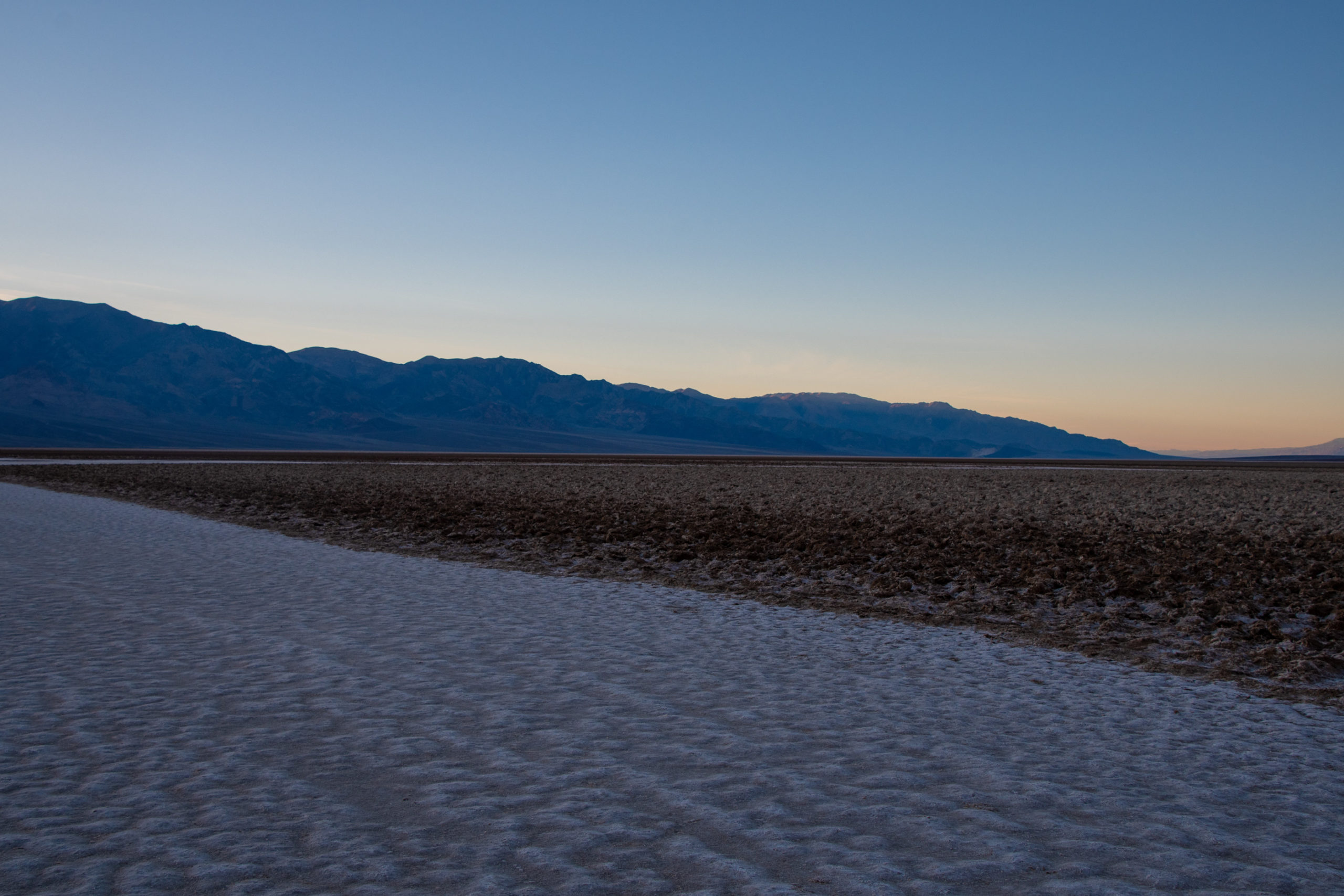
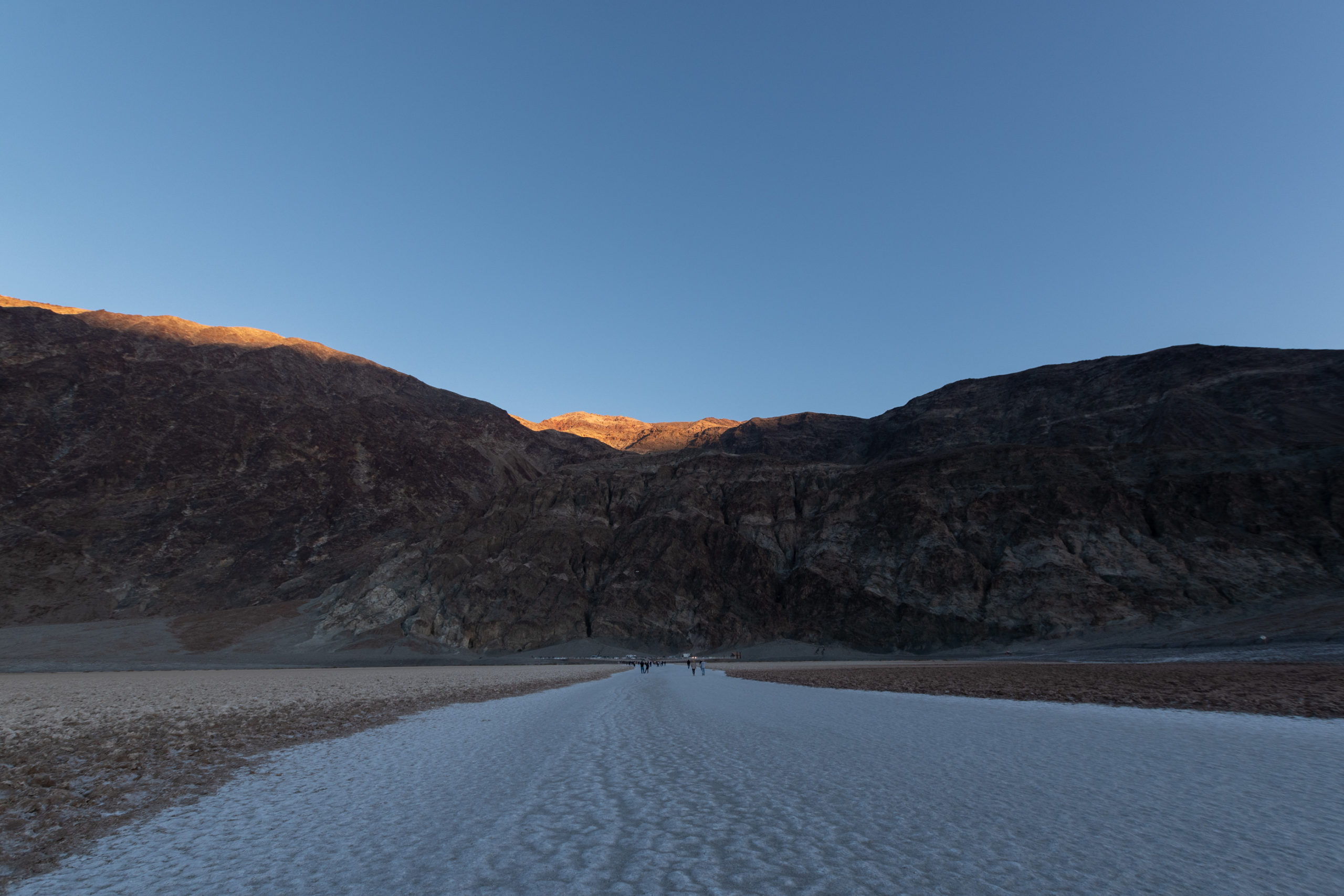
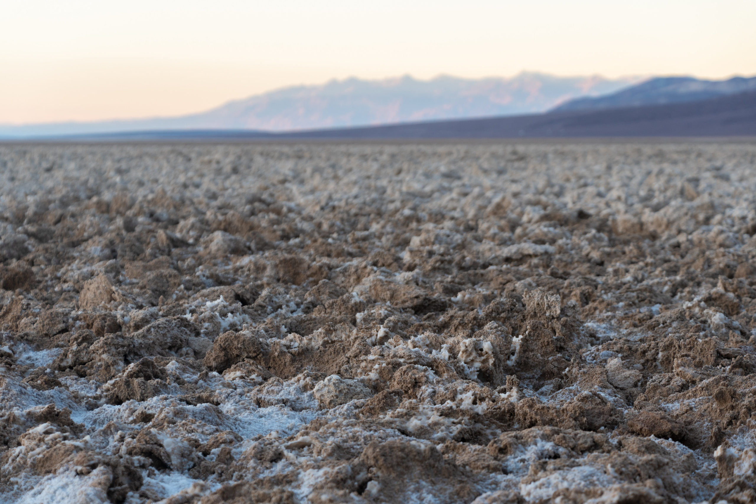
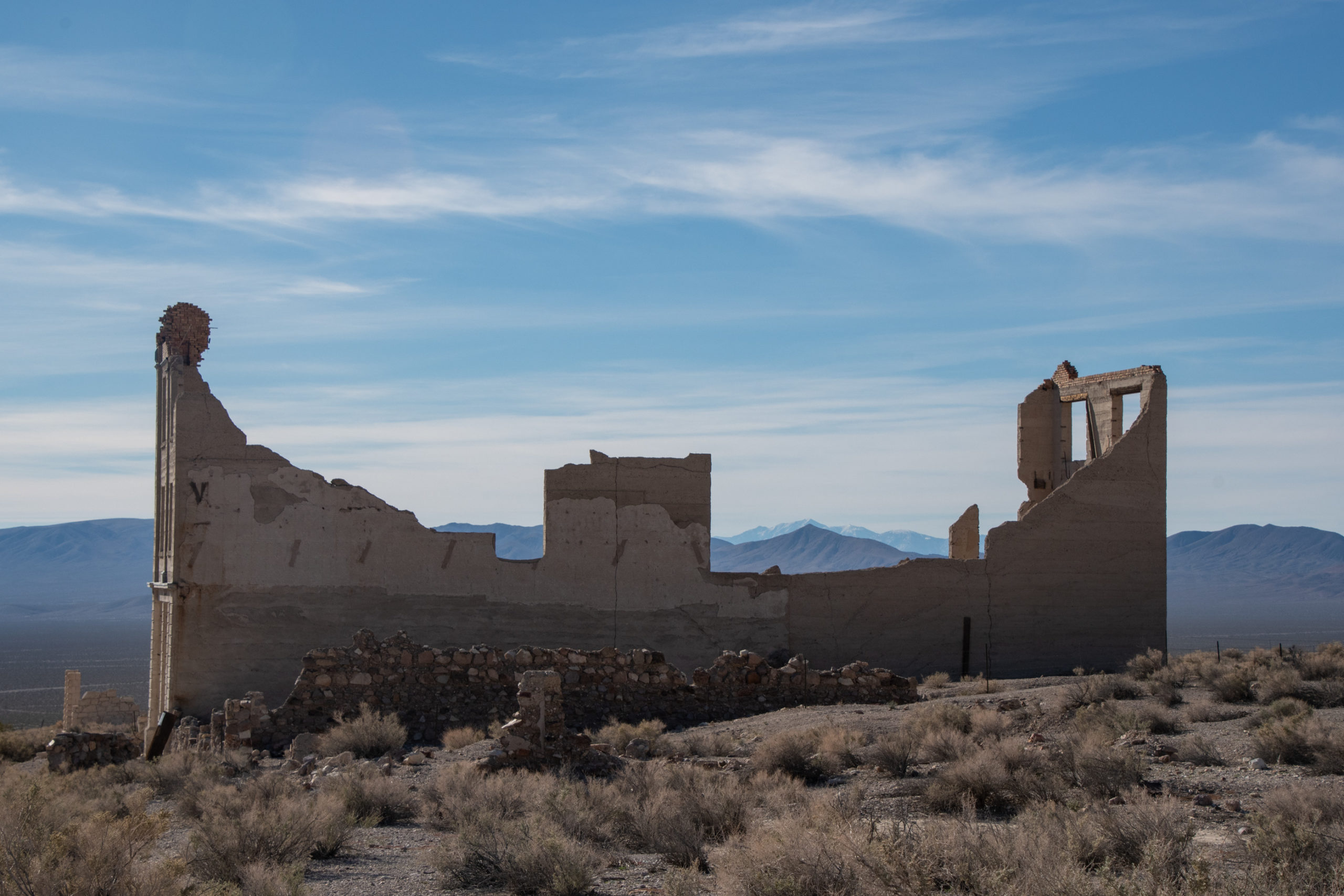
I had assumed Death Valley National Park would be our finish line. That it’s been my personal tradition of each previous trip to Red Rock — starting with a big hike in the park. Tragically, the park was recently hit with severe flooding damage after getting almost a year’s worth of rain in about two hours, with another round of heavy rains as Hurricane Kay dissipated inland a few weeks later. Some of my favorite parts of the park are accessible, but much isn’t yet. I’m also trying to avoid retracing Mom and Dad’s recent Grand Canyon South Rim roadtrip or their upcoming run to Zion NP. (I admire how much fun they’re having now that the calendar is more open.)
All that is to say… there are still too many options.

El Paso to Death Valley
- White Sands National Park
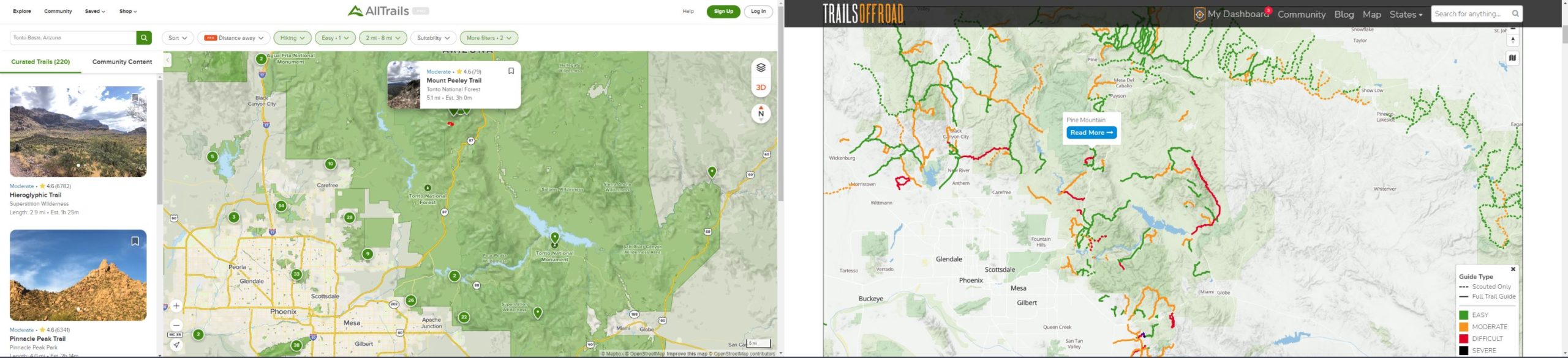
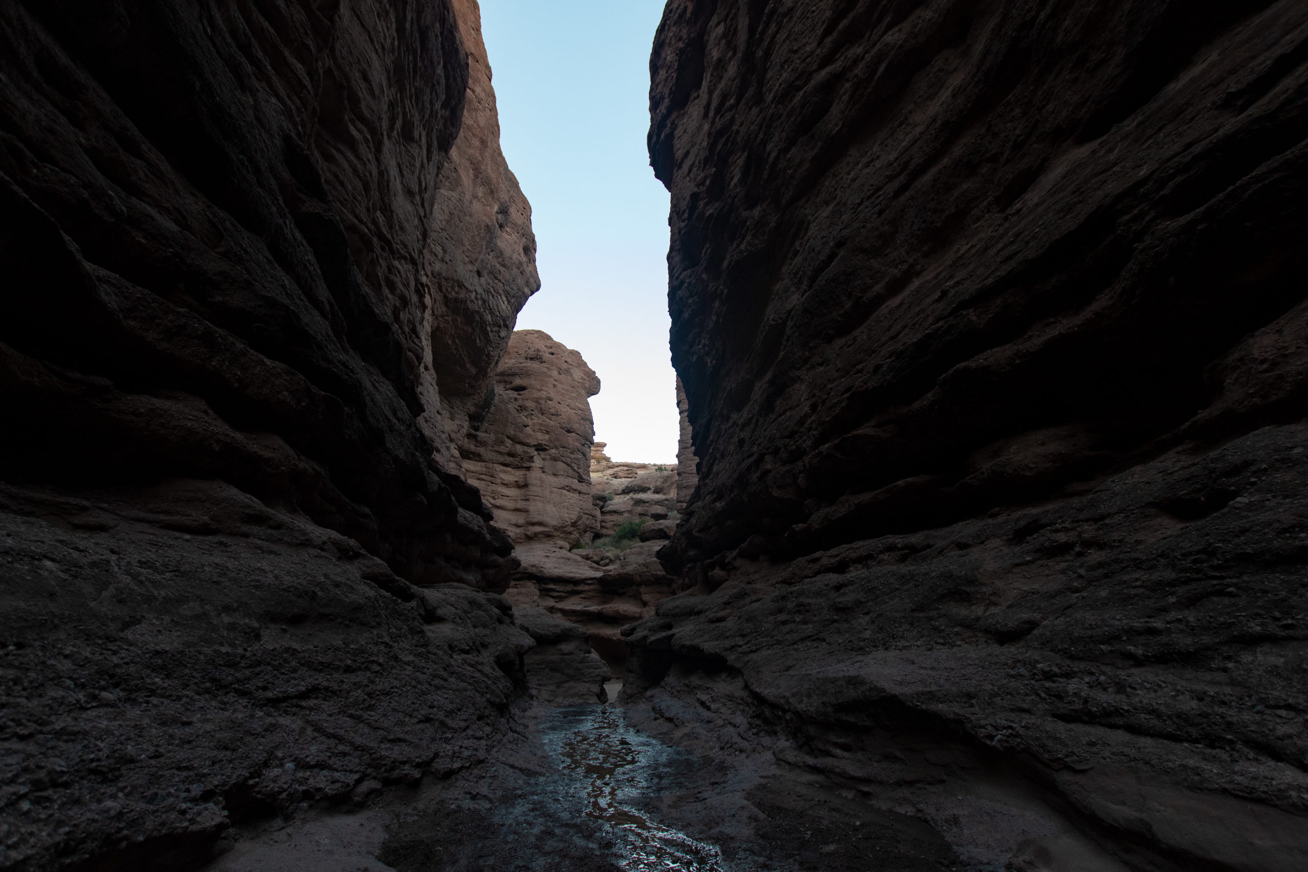
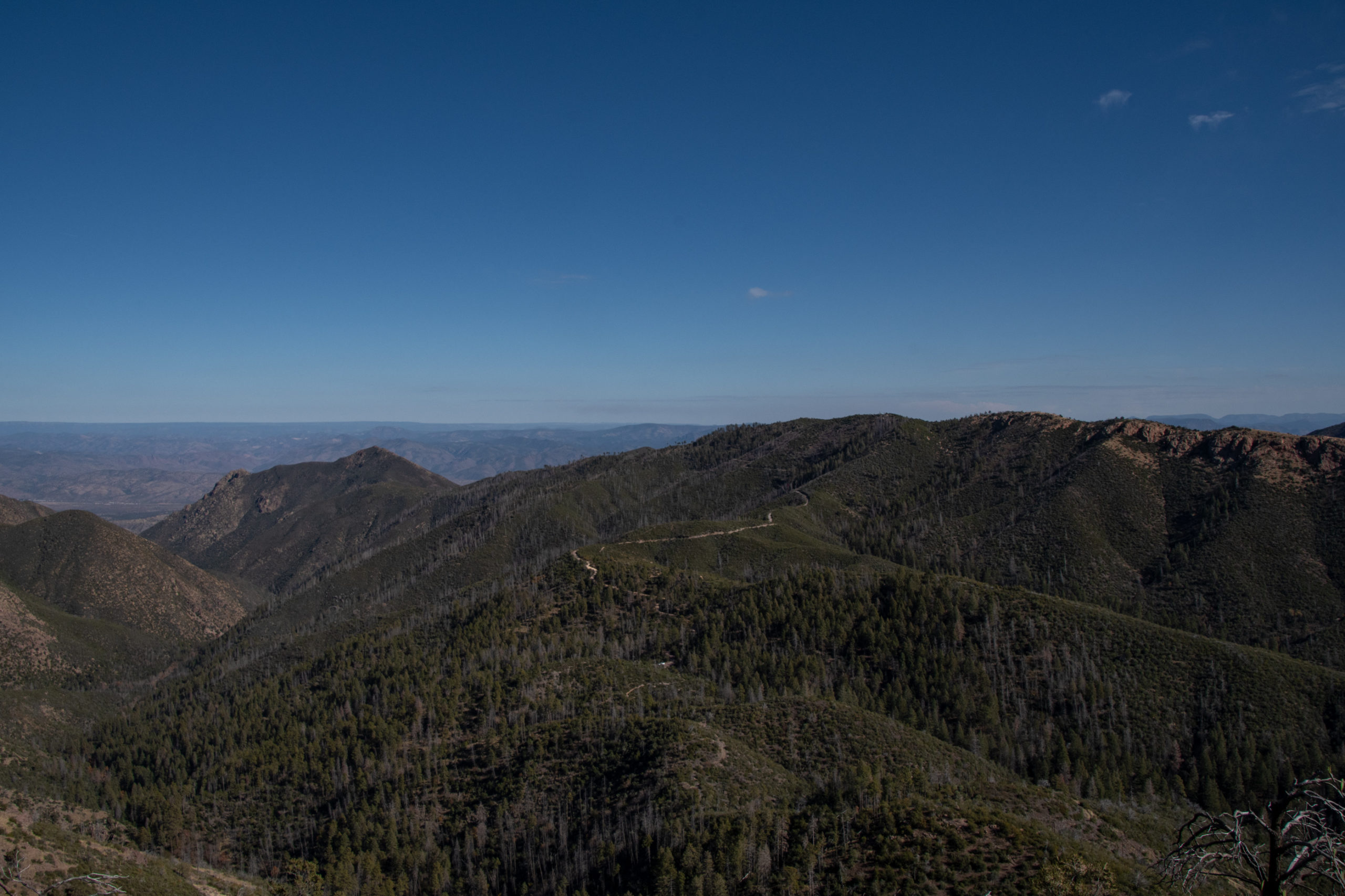
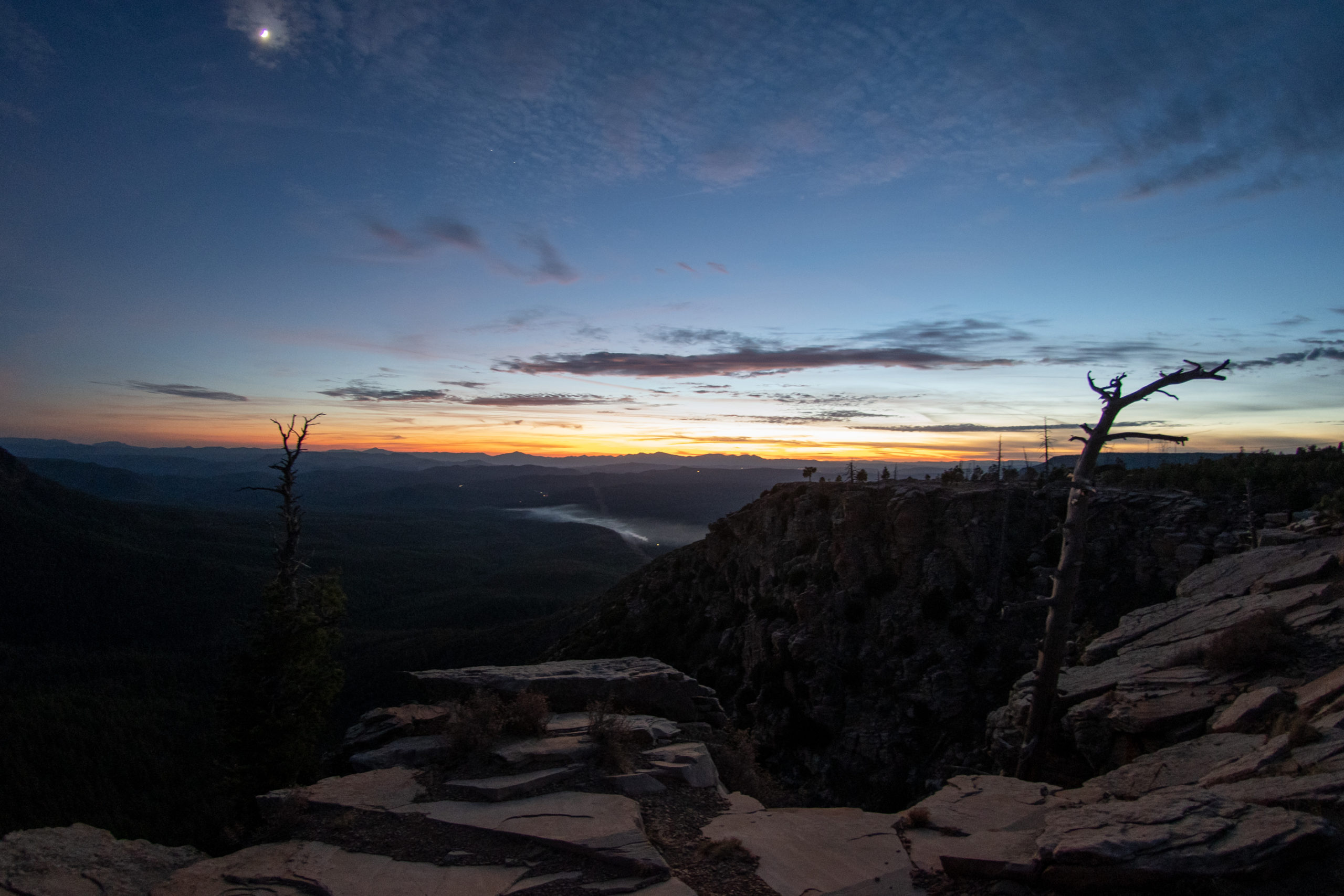
- Cliff Dwellings at Tonto National Monument
- Tonto National Forest and Lake Roosevelt
- Lake Mead National Recreation Area
- Death Valley National Park
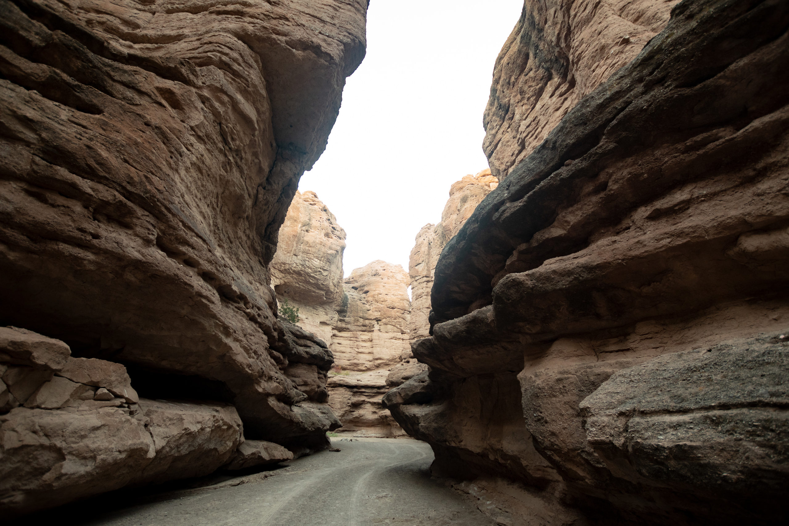
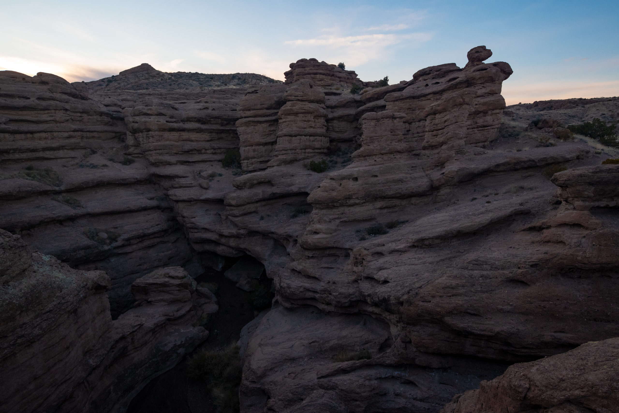
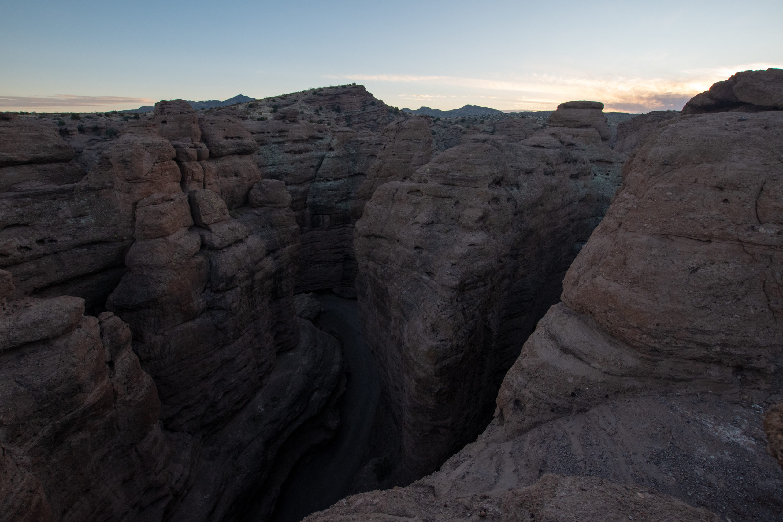
Albuquerque to Death Valley, the Southern Route
- San Lorenzo Canyon
- The VLA Overlook
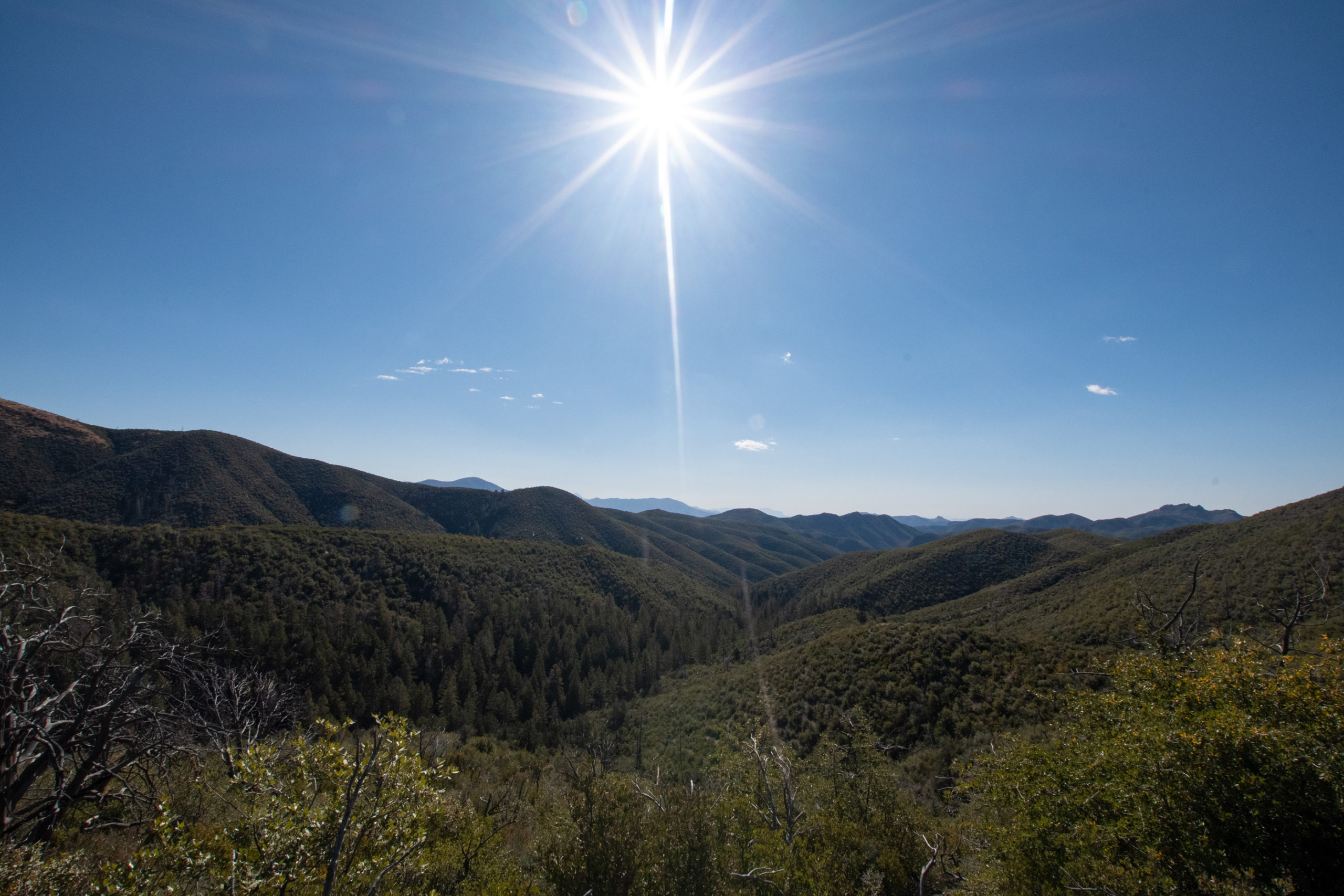
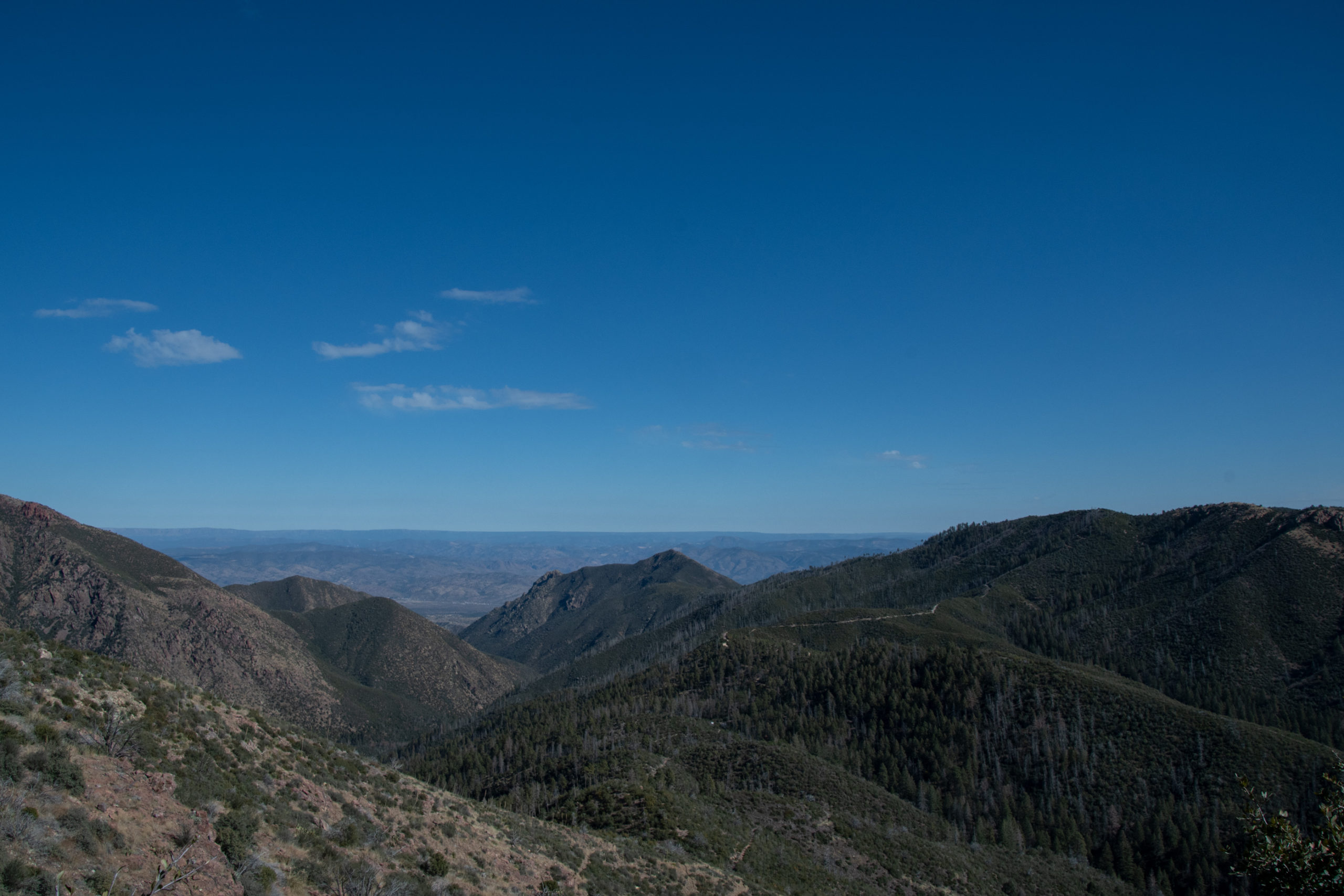
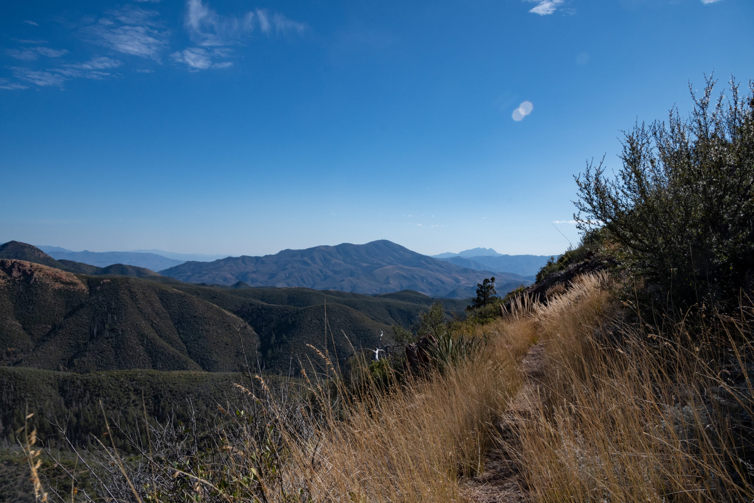
- Coconino and Sitgreaves National Forests
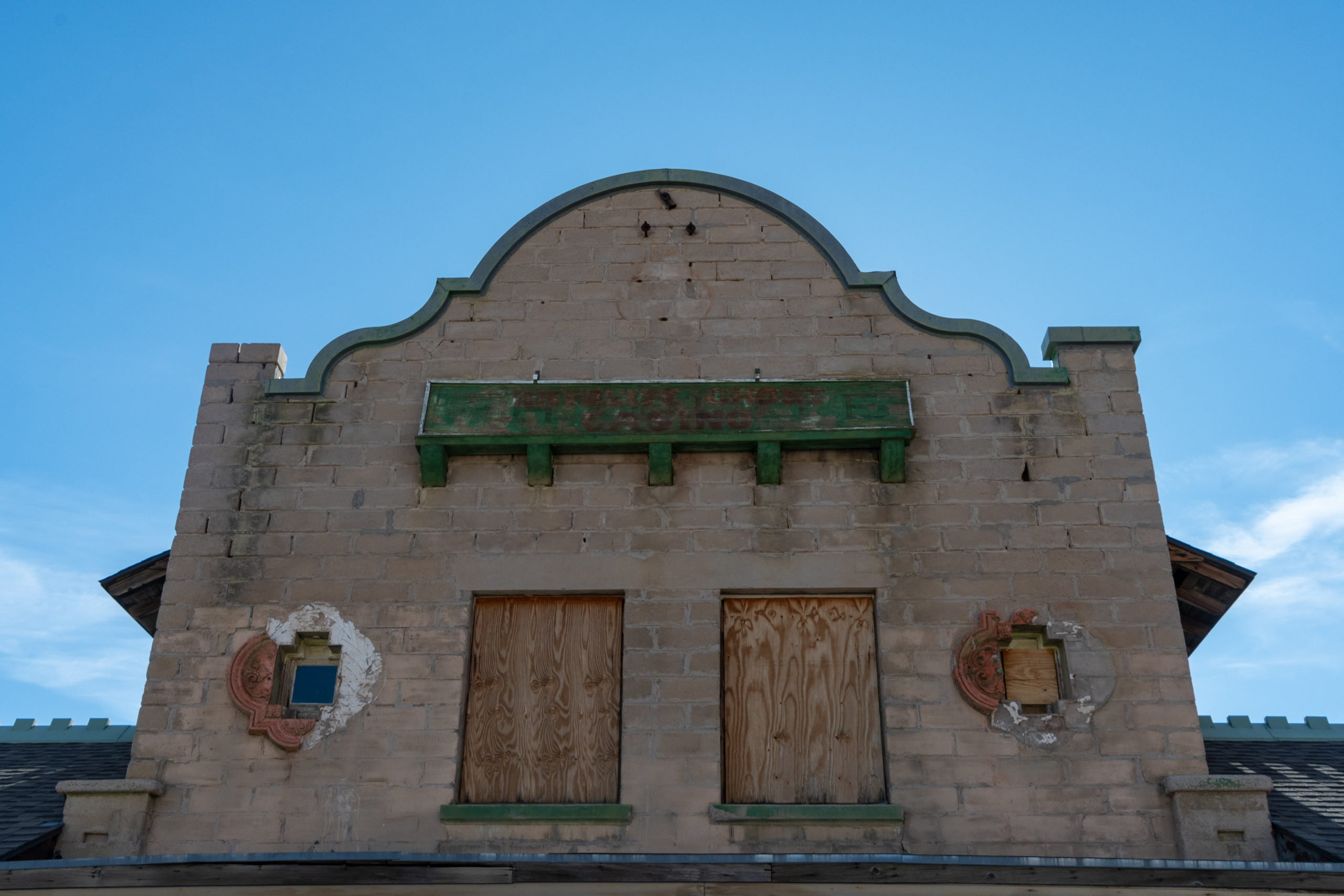
- That weird little cliffside historic not-actually-a-ghost-town of Jerome?
- Death Valley National Park
Albuquerque to Las Vegas, the Northern Route
- Four Corners National Monument
- Monument Valley
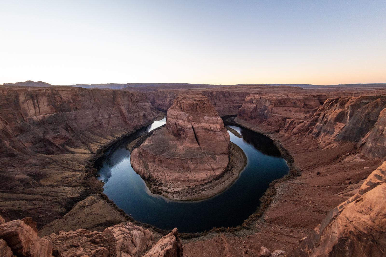
- Horseshoe Bend
- Vermillion Cliffs National Monument
- Grand Canyon North Rim or Parashant… if it isn’t snowpacked? (Or what the hell; I got snow tires.)
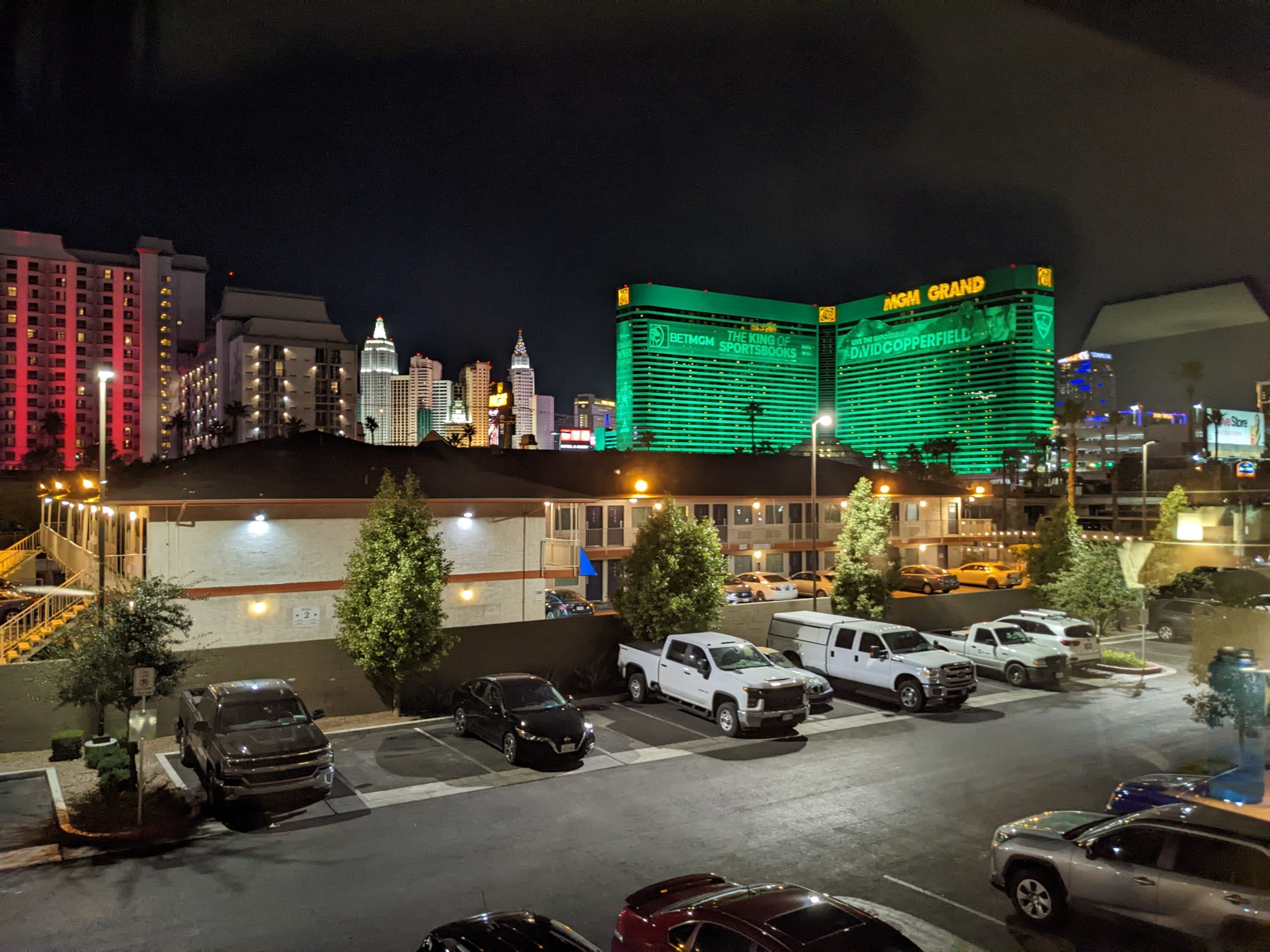
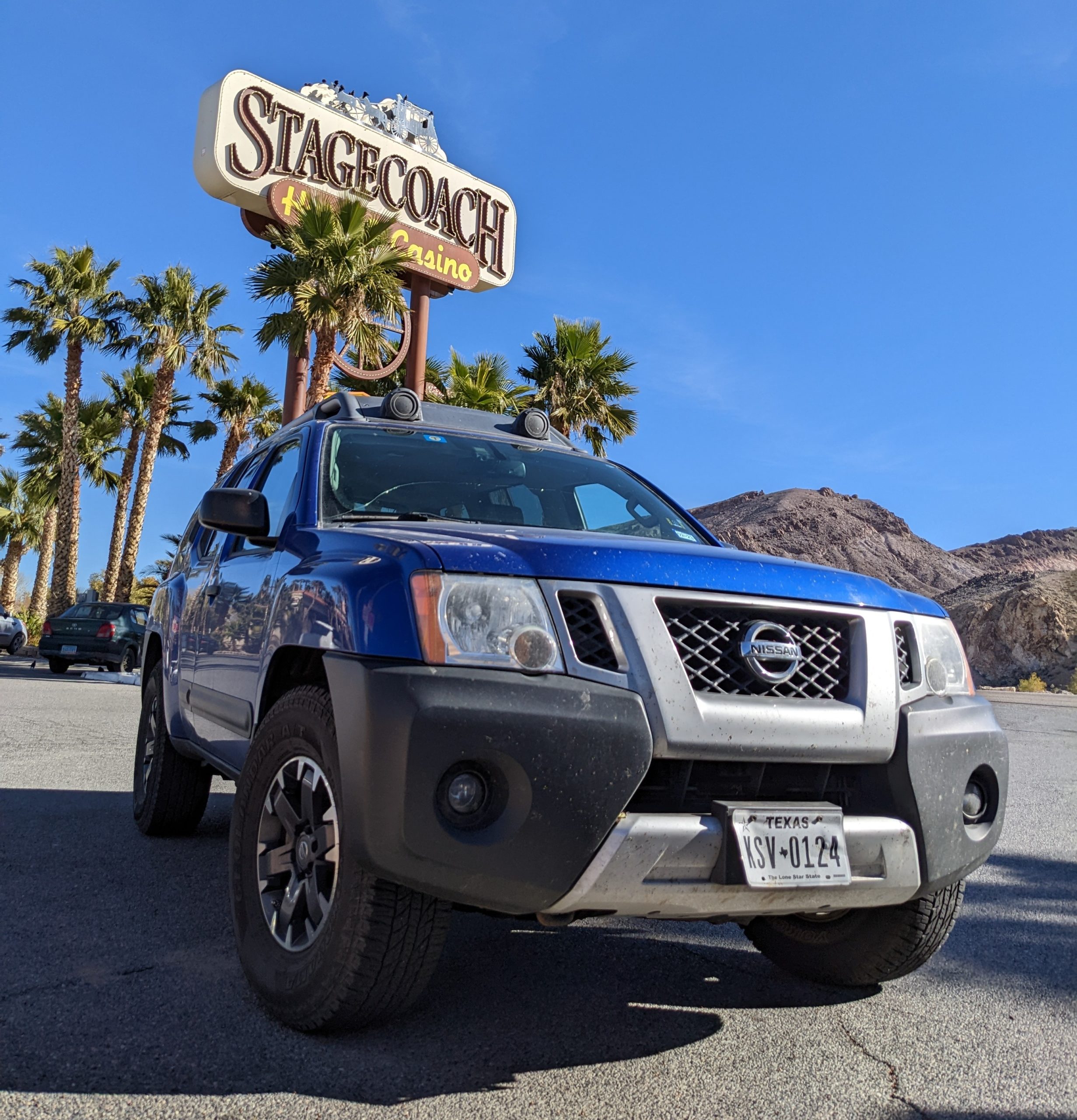
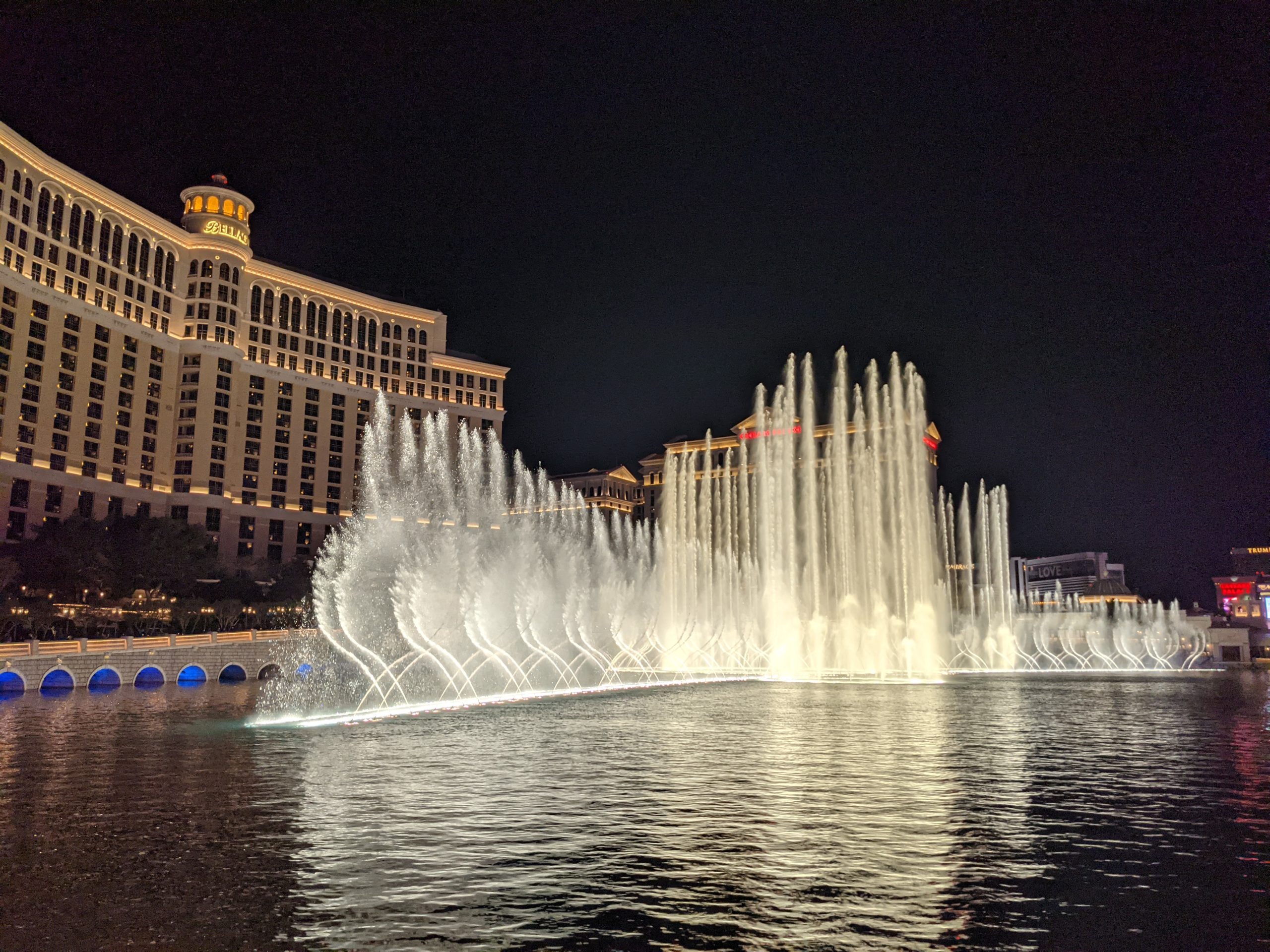
- Las Vegas Boulevard
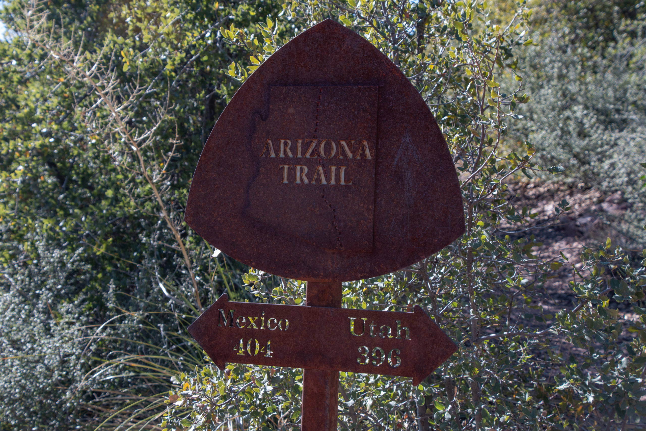
I also don’t know a whole lot of Southern Arizona. There’s that whole unavoidable stretch of I-40 and US-93 from Kingman, AZ to Las Vegas, NV that I would love to find an alternate for. Perhaps my co-pilot sees a favorite emerging among these?
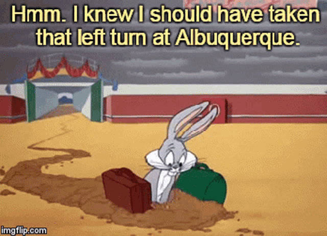
UPDATE: Copilot has spoken: we start in Albuquerque and end in Death Valley.