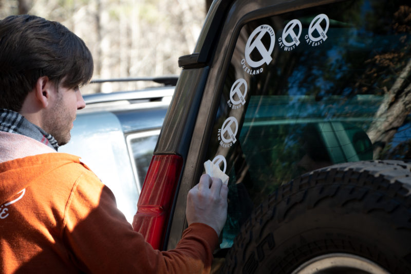
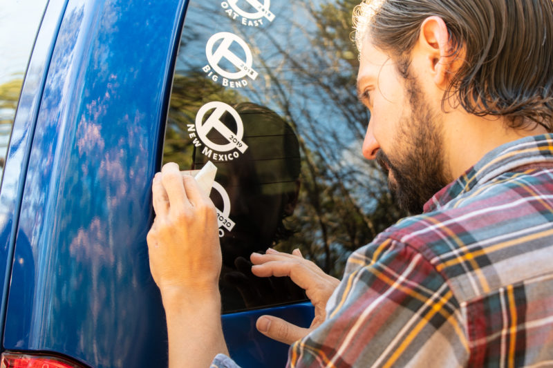
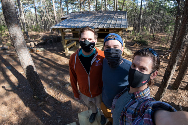
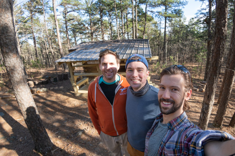
As dictated by tradition, we began our first morning with more stickers from Evan.
Then we took a scenic drive around the east end of Lake Ouachita to a hike that George found — but the trailhead wasn’t clearly marked on the forestry service flyer nor could we find it on any of our other maps. So we bailed and picked up the famous Ouachita National Recreation Trail at a section trailhead just down the road.
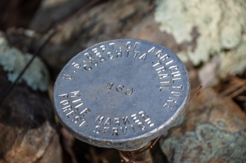
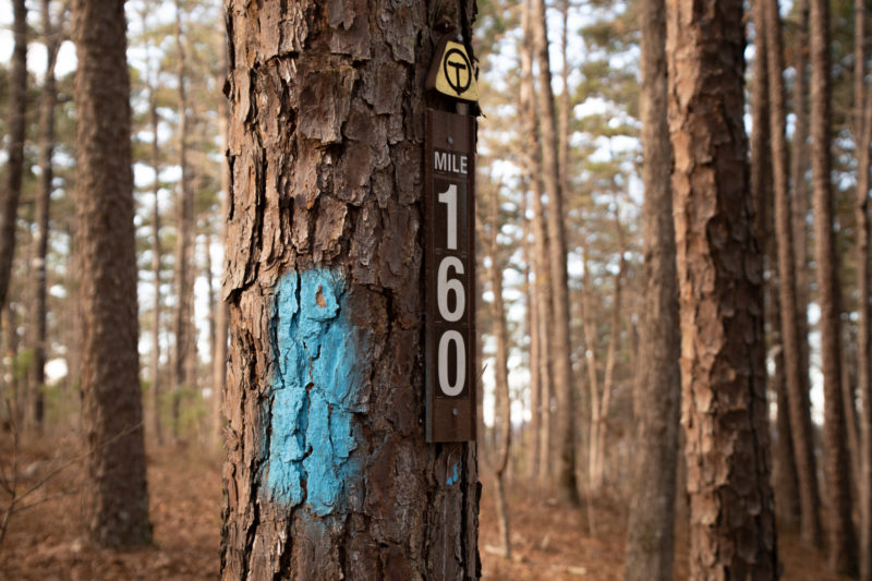
Ouachita National Recreation Trail is a 223-mile long, continuous hiking trail through the Ouachita Mountains of Oklahoma and Arkansas. It is the longest backpacking trail in the Ouachita National Forest, spanning 192 miles across its length. […] While well-maintained, the trail is lightly used. In a ranking of U.S. long-distance trails on a number of criteria by Backpacker Magazine, the trail ranked third for solitude and fourth for signage.
Ouachita National Recreation Trail, Wikipedia.
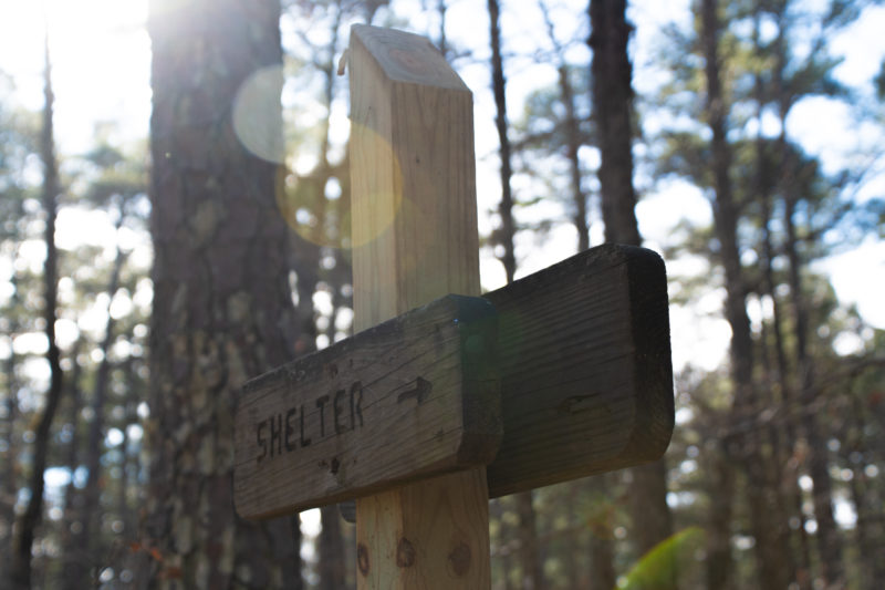
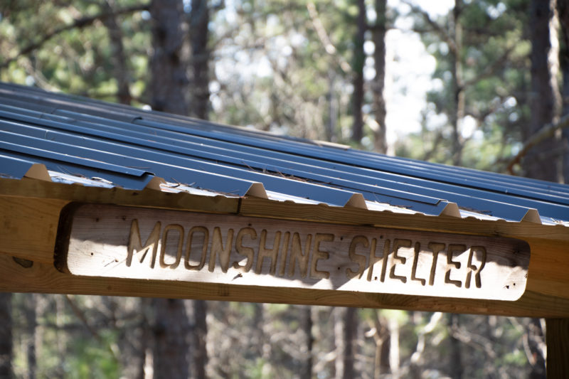
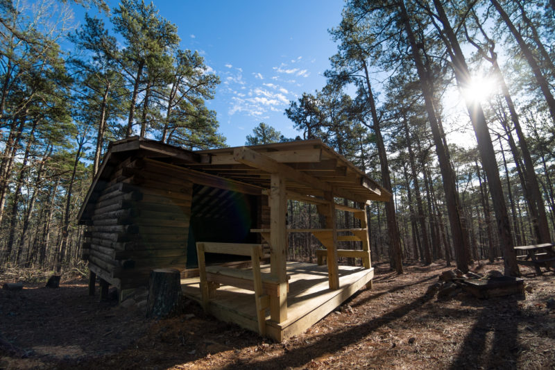
So we did a couple miles of that, to say we did, from the Highway 7 Trailhead to Moonshine Shelter
https://www.alltrails.com/explore/recording/highway-7-trailhead-to-moonshine-shelter-via-ouachita-trail-8303a79 Could not Embed
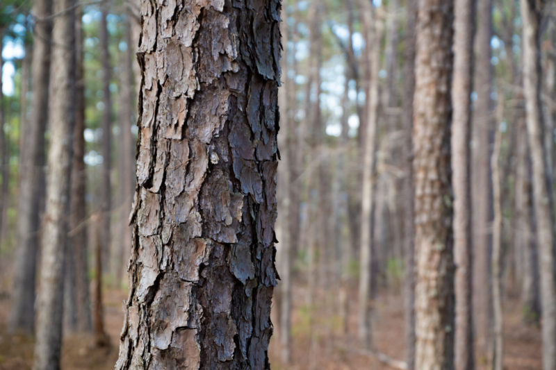
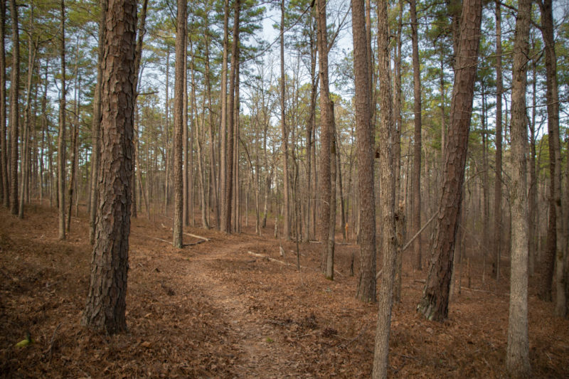
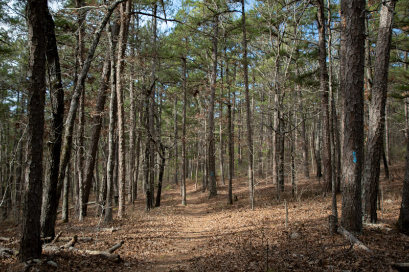
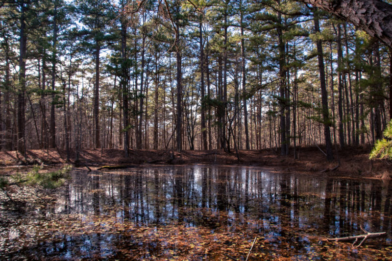
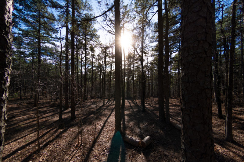
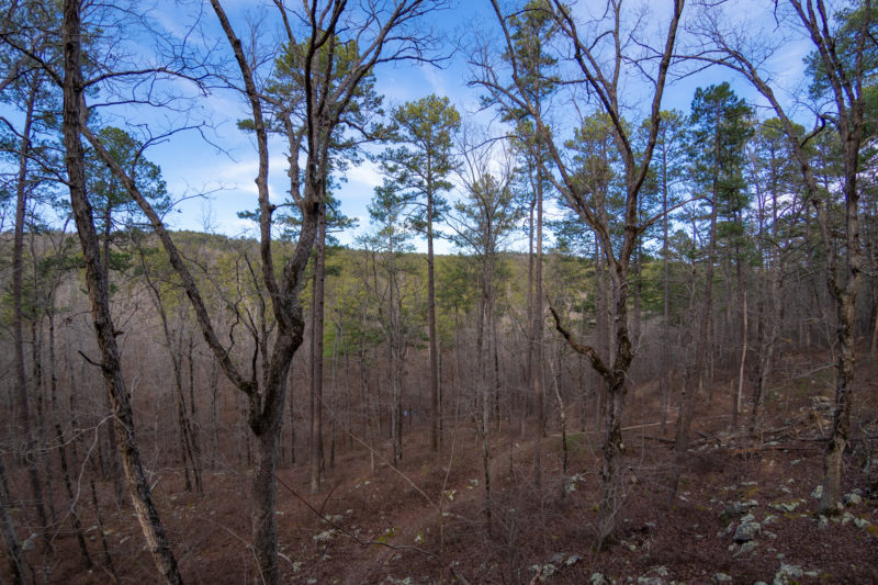
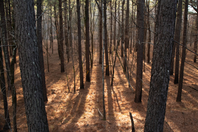
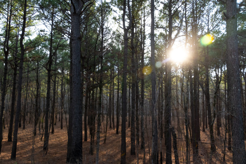
It was a lovely trail through the stillness of the forest, with just enough evergreen to balance out the fallen leaves. And as long as we kept moving, it wasn’t cold.
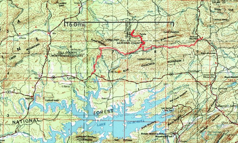
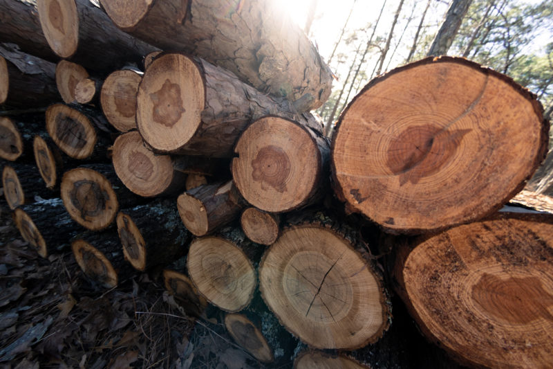
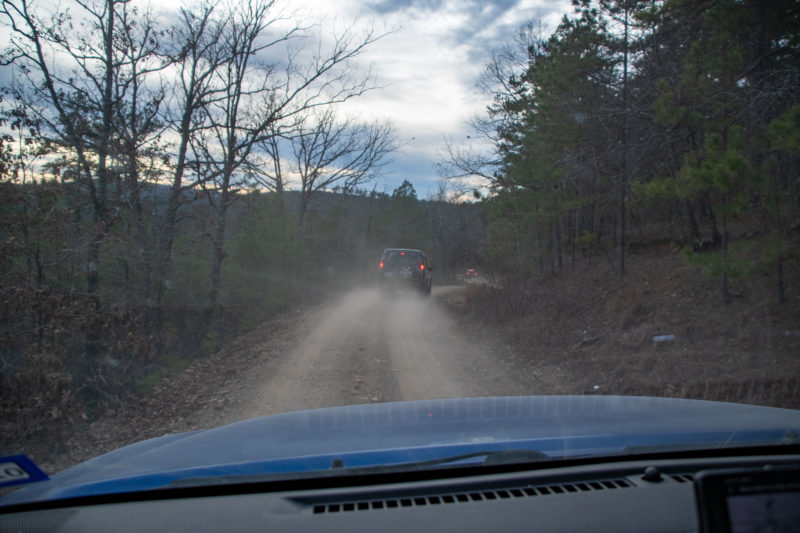
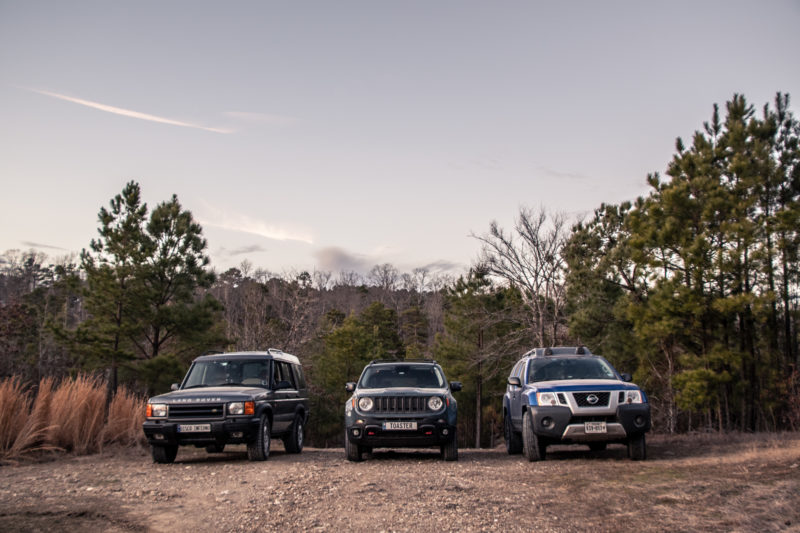
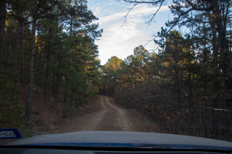
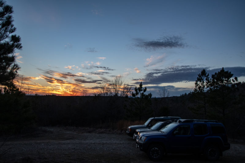
We took logging service roads through the forest across the north side of the lake to have a little fun getting back to the cabin. Most of it was very pleasant — meandering, easy unpaved roads through thick pine forest, dotted with occasional views of the setting sun over tree-lined hilltops in the distance.
We didn’t have a specific route in mind, just headed vaguely southwest on the intriguingly interconnected map-squiggles. Unfortunately, we ended up having to do a massive backtrack around a barricaded road. But I’m not mad about it, this was thoroughly lovely:
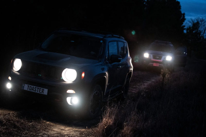
I am sad we didn’t get a proper water crossing in, though. But the last two miles before meeting back up with the highway ended up being a bit of a comedy of errors. The drive became somewhat more aggressive…
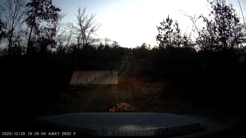
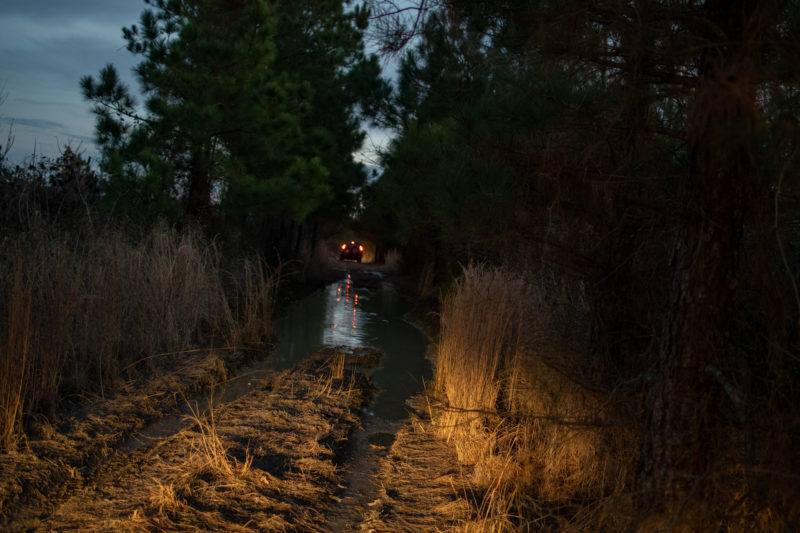
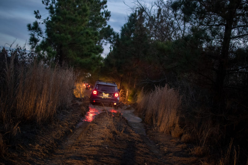
Then there was the standing mud water of indeterminate depth…
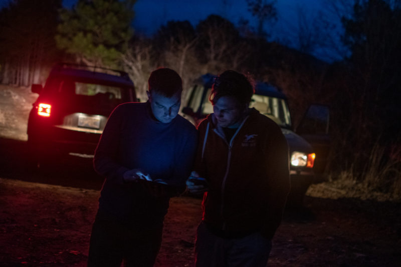
Then there was the last segment. It was not pictured consistently between Forestry Service MVUMs, the CalTopo atlas imagery, and our various collection of sat navs. And as we traveled down what looked like “the road,” we ended up veering off of any mapped route a couple times. After starting down an aggressive hill, we all suddenly noted that we’d veered off the road again. George suggested I reverse back up and check. That was fun…
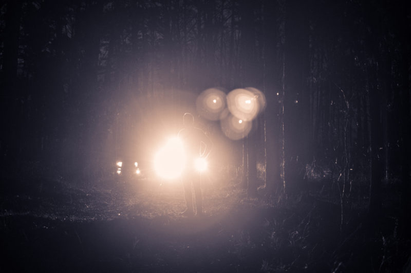
Also no. This was Blair Witch Project Road. Full moon, too. Yeah this probably wouldn’t have been a difficult drive, but there were ghosts for damn sure. Also it was very pinstripey…
Thankfully it, too, seemed to veer off its representation on our maps, again veering away from the highway. So we decided to Make It So with the big downhill and the ruts beyond, upon which George momentarily beached himself.
Ultimately, it was the perfect first day drive. Started out easy, got moderately dramatic late in the game, and we survived unscathed.
After a short highway drive back to the cabin, we made chili and had a beer about it all.
