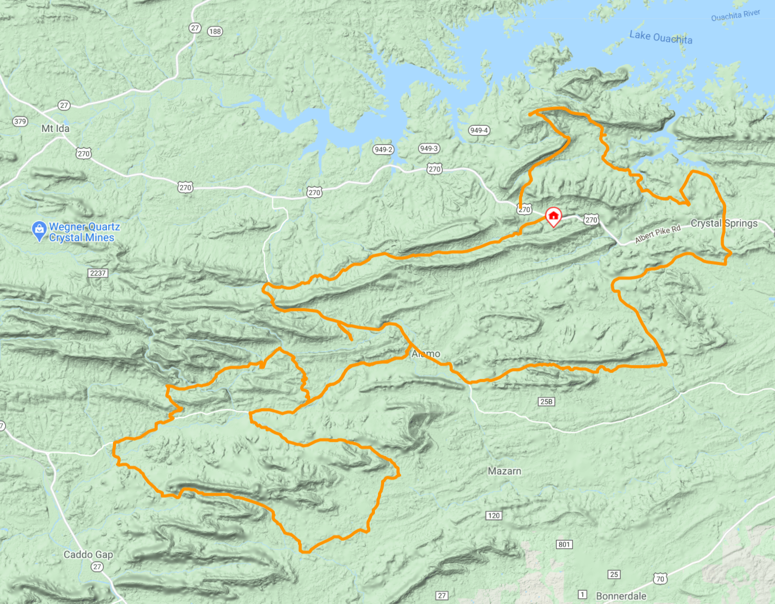
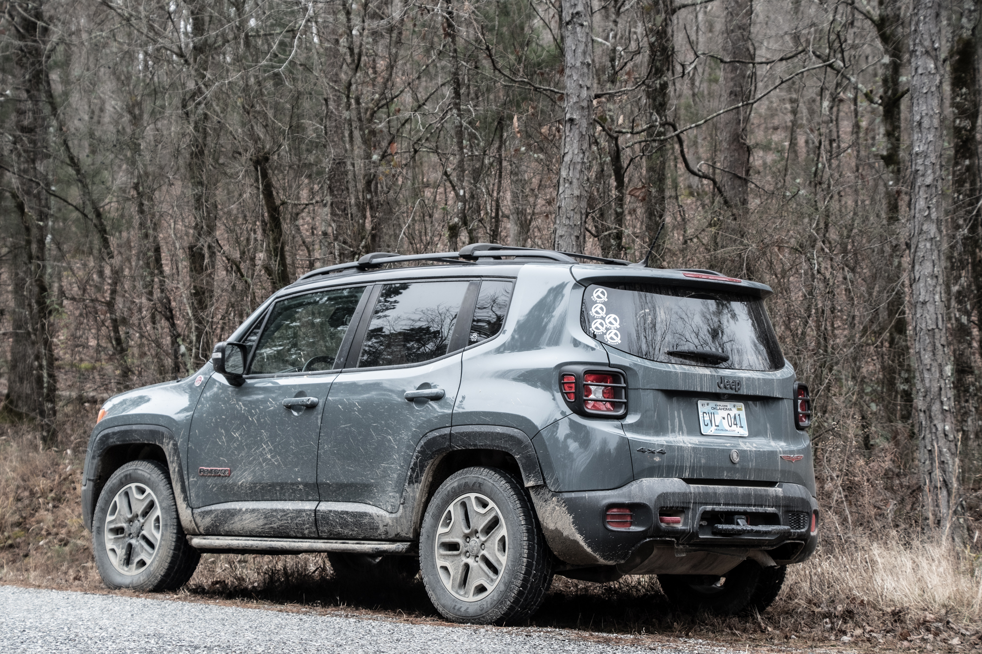
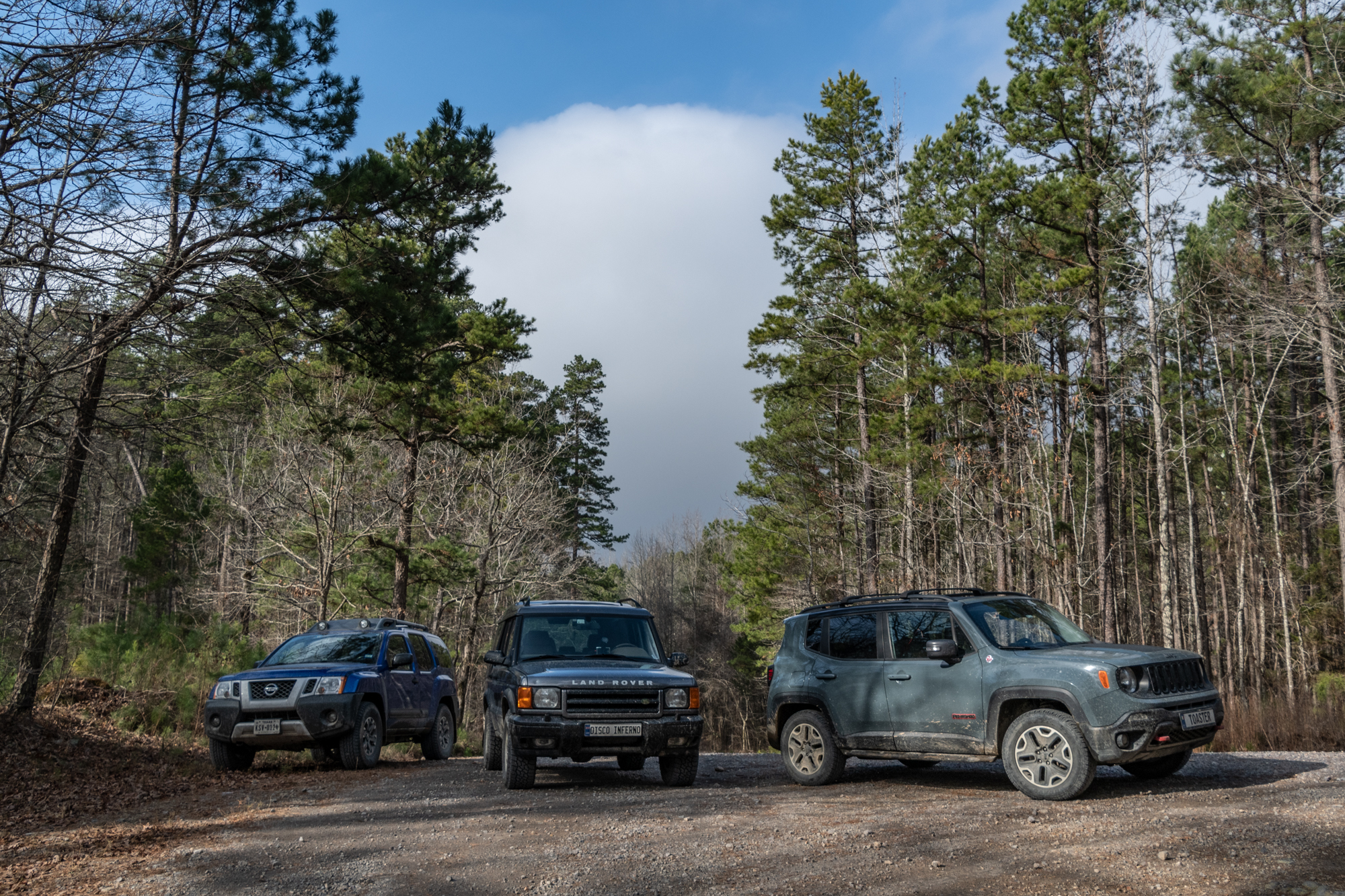
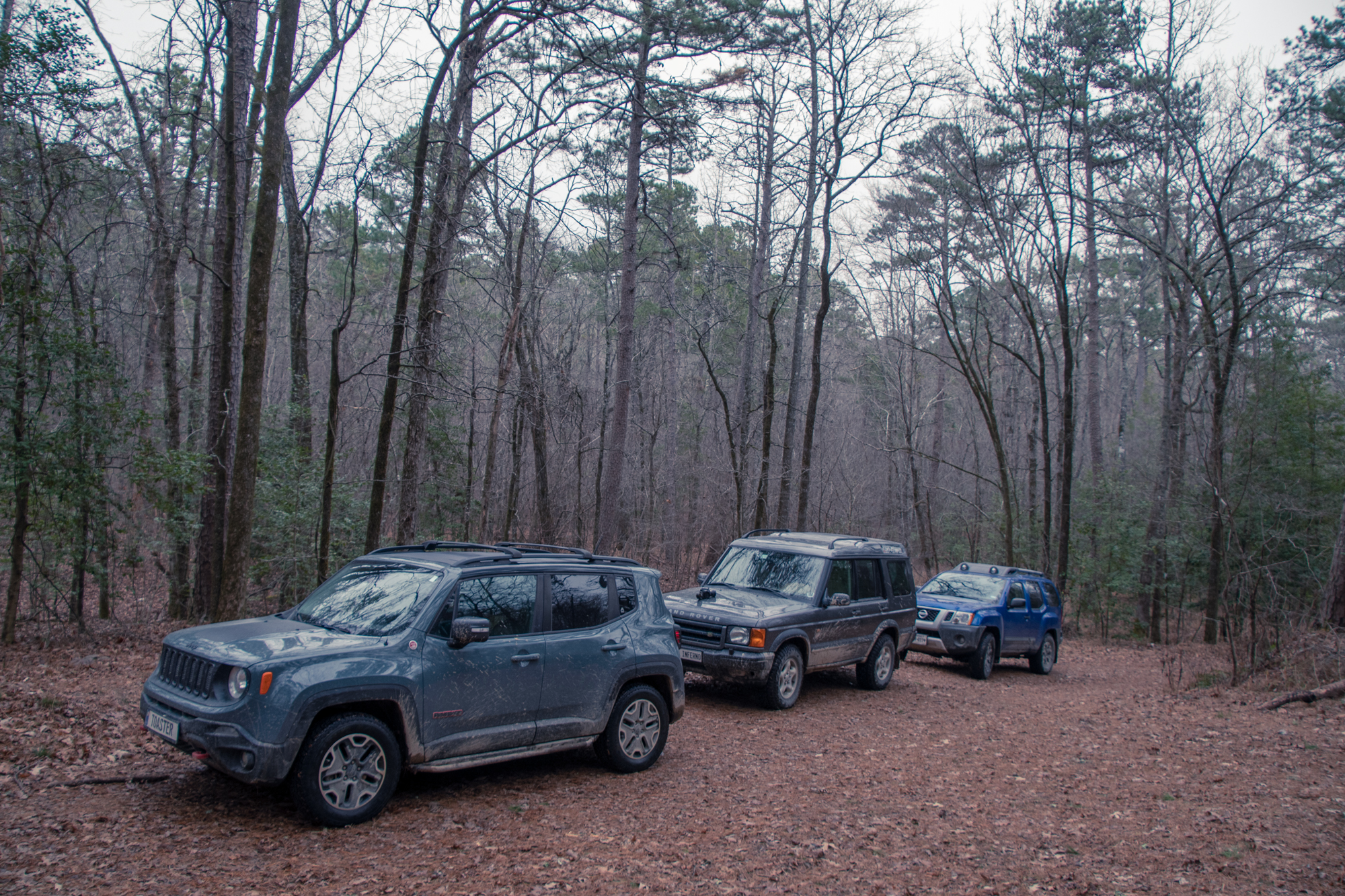
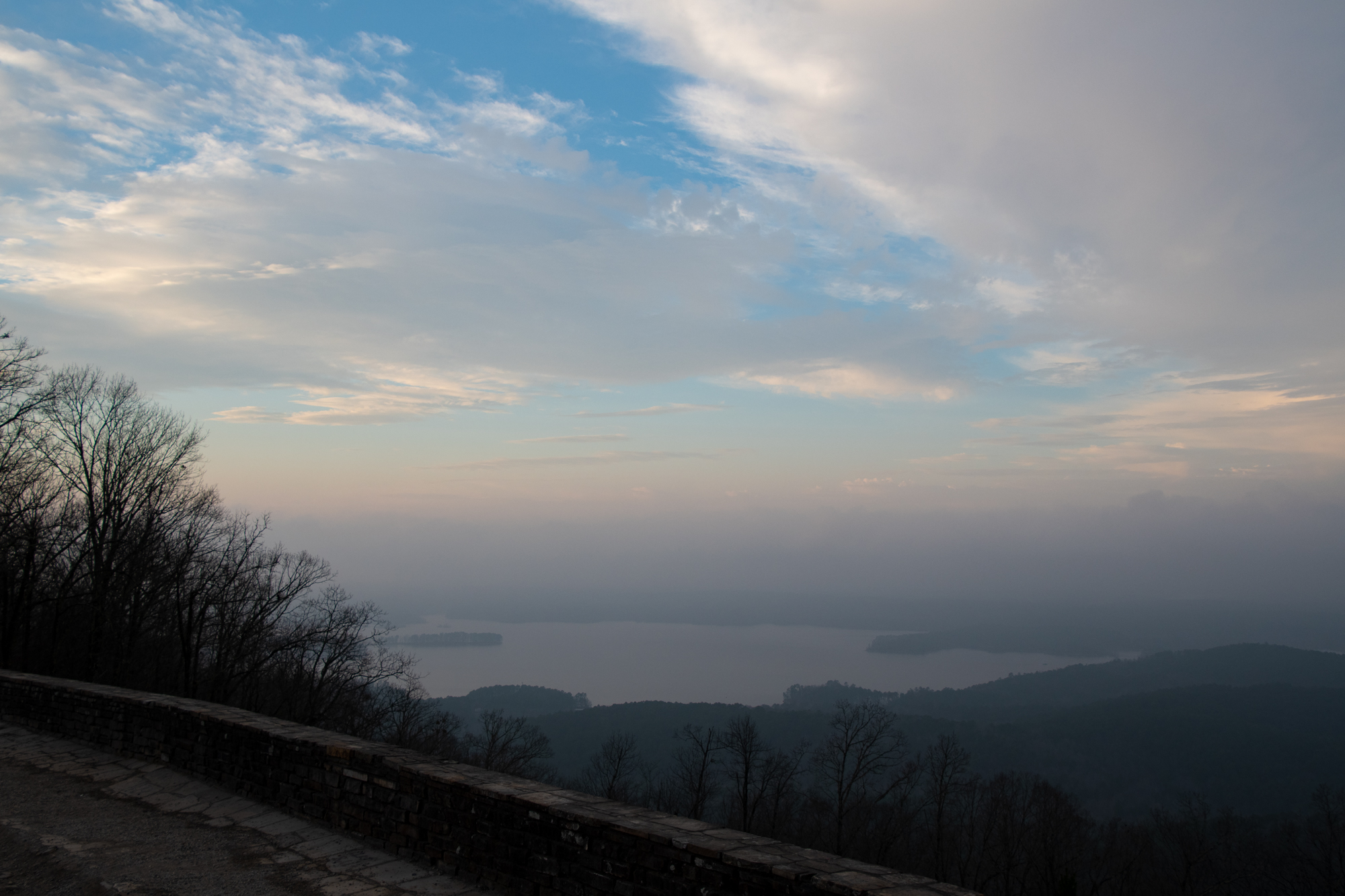
George spent last night building a scenic loop south of our cabin with an un-routed intent to finish at the Lake Ouachita Vista, so I penned a quick completion of the loop from Crystal Springs back to Joplin through the more-mountainous-than-expected lakefront. In all, about 70 miles which we stretched through the entire afternoon.
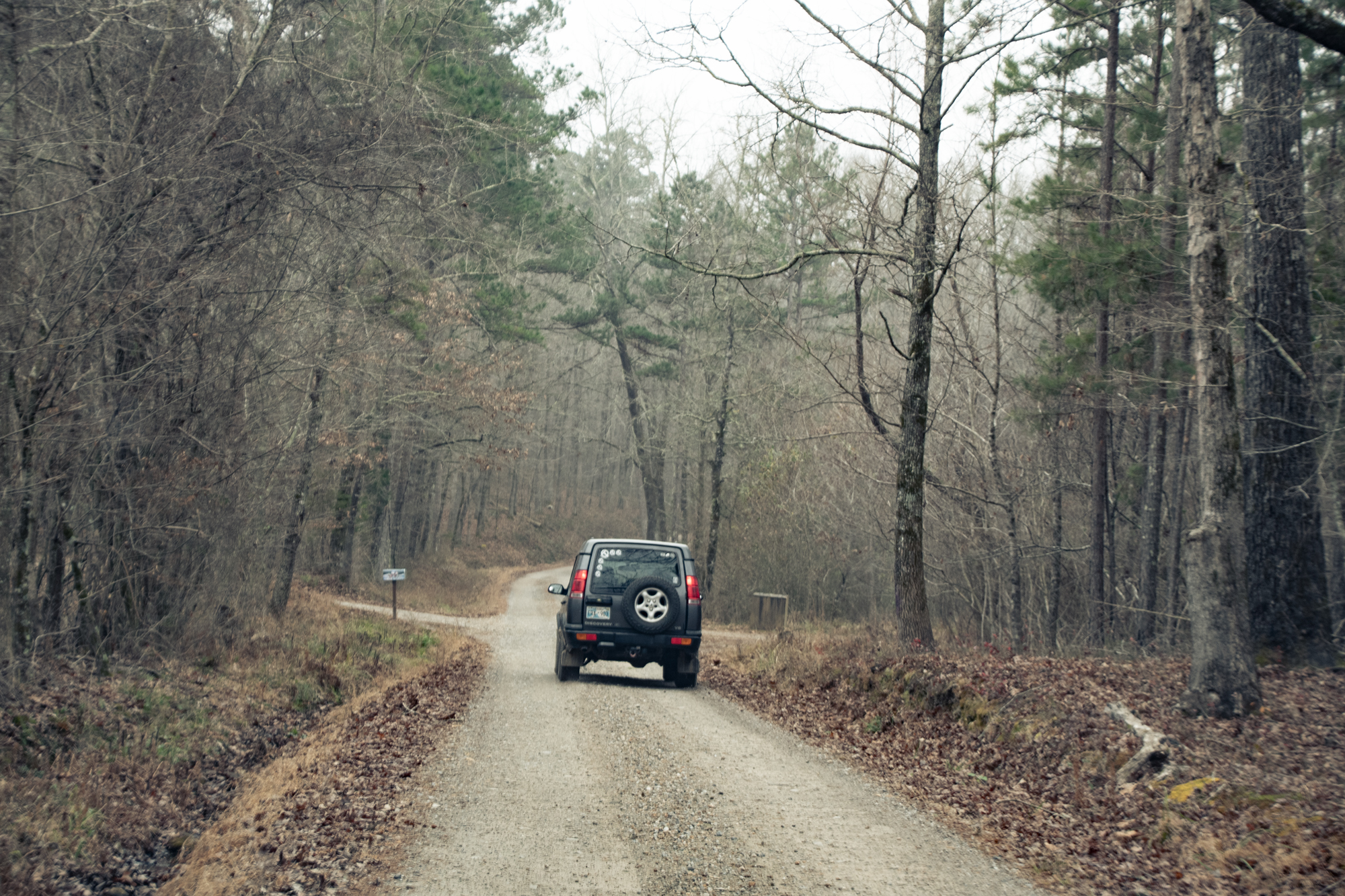
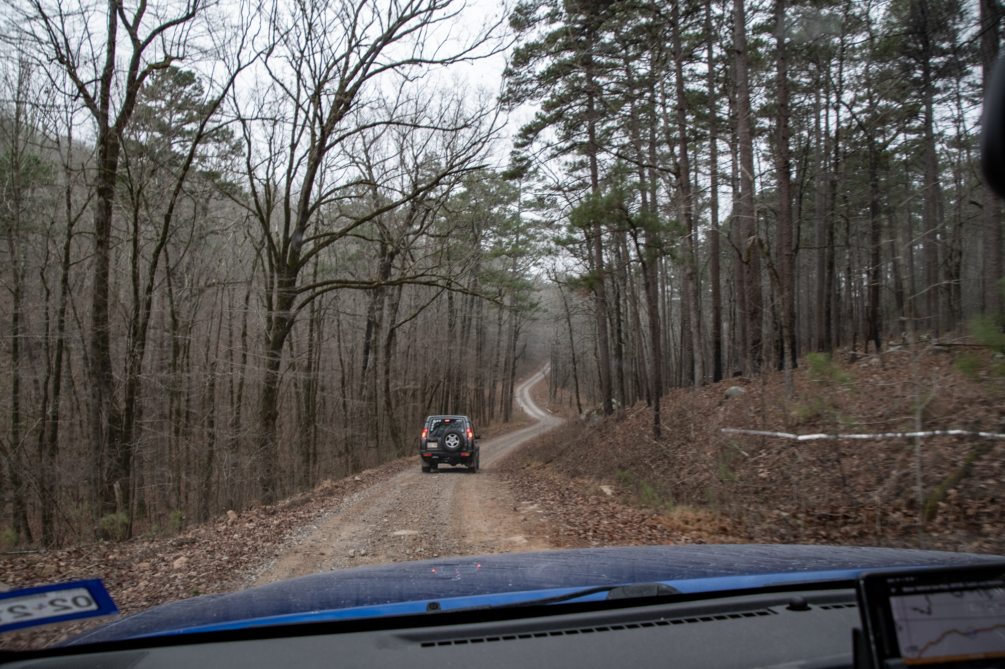
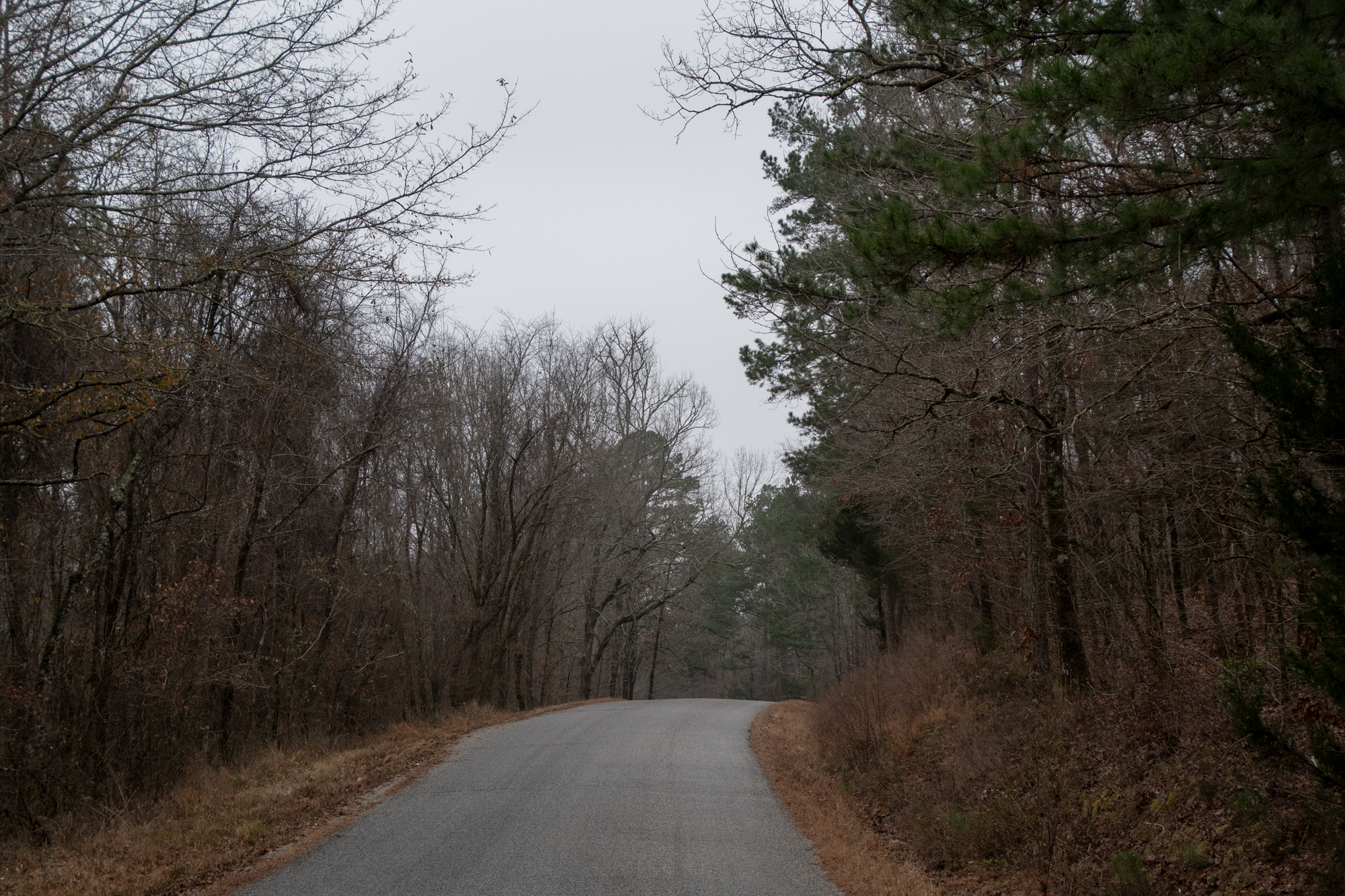
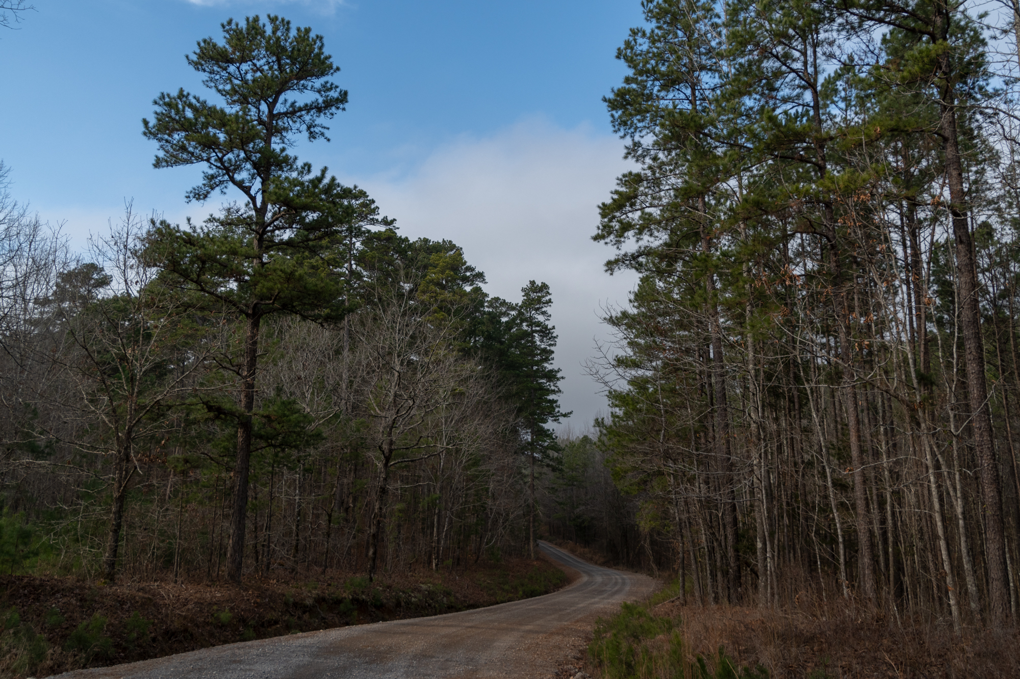
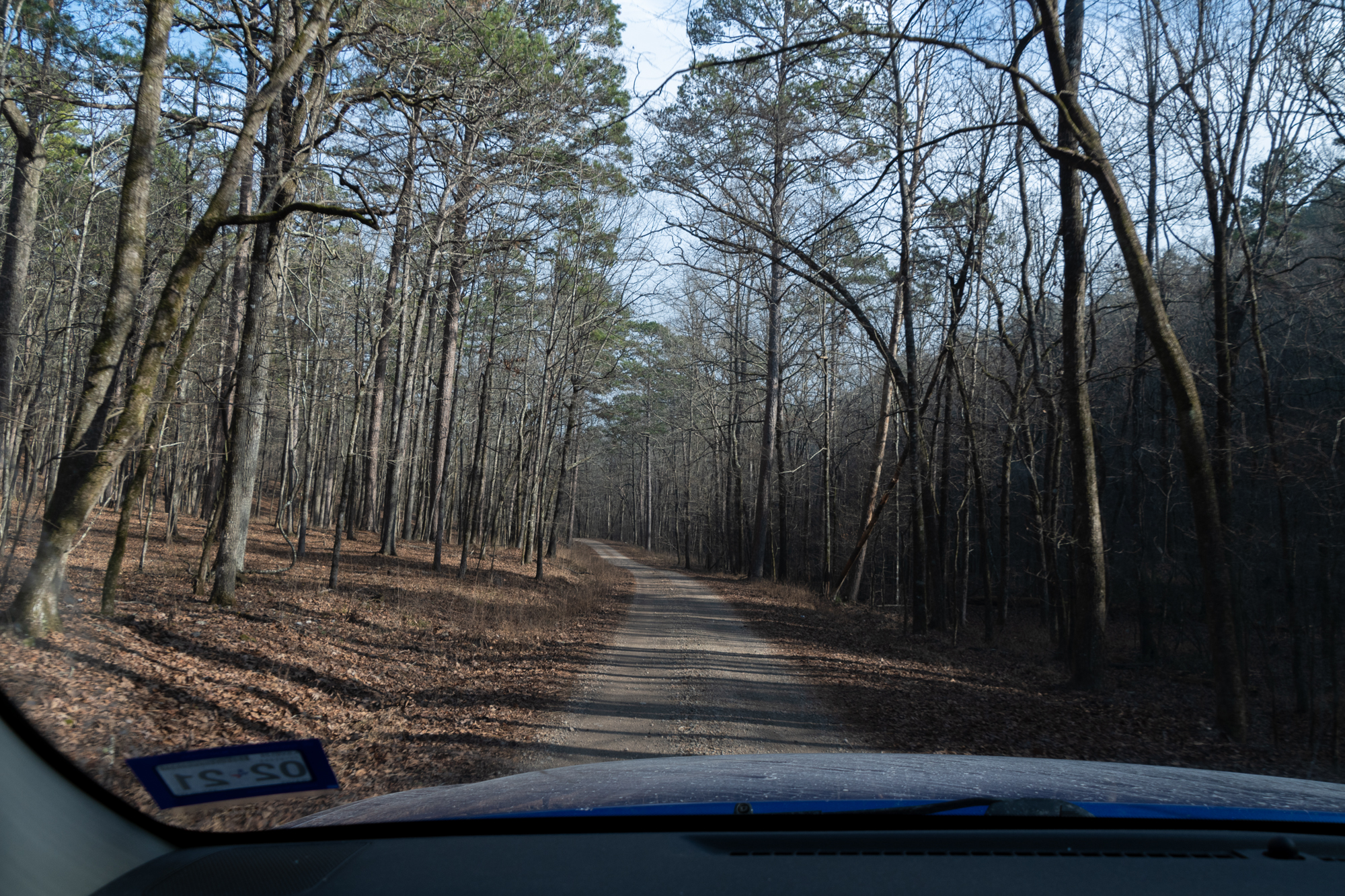
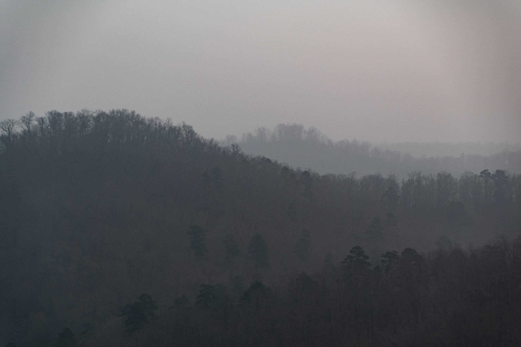
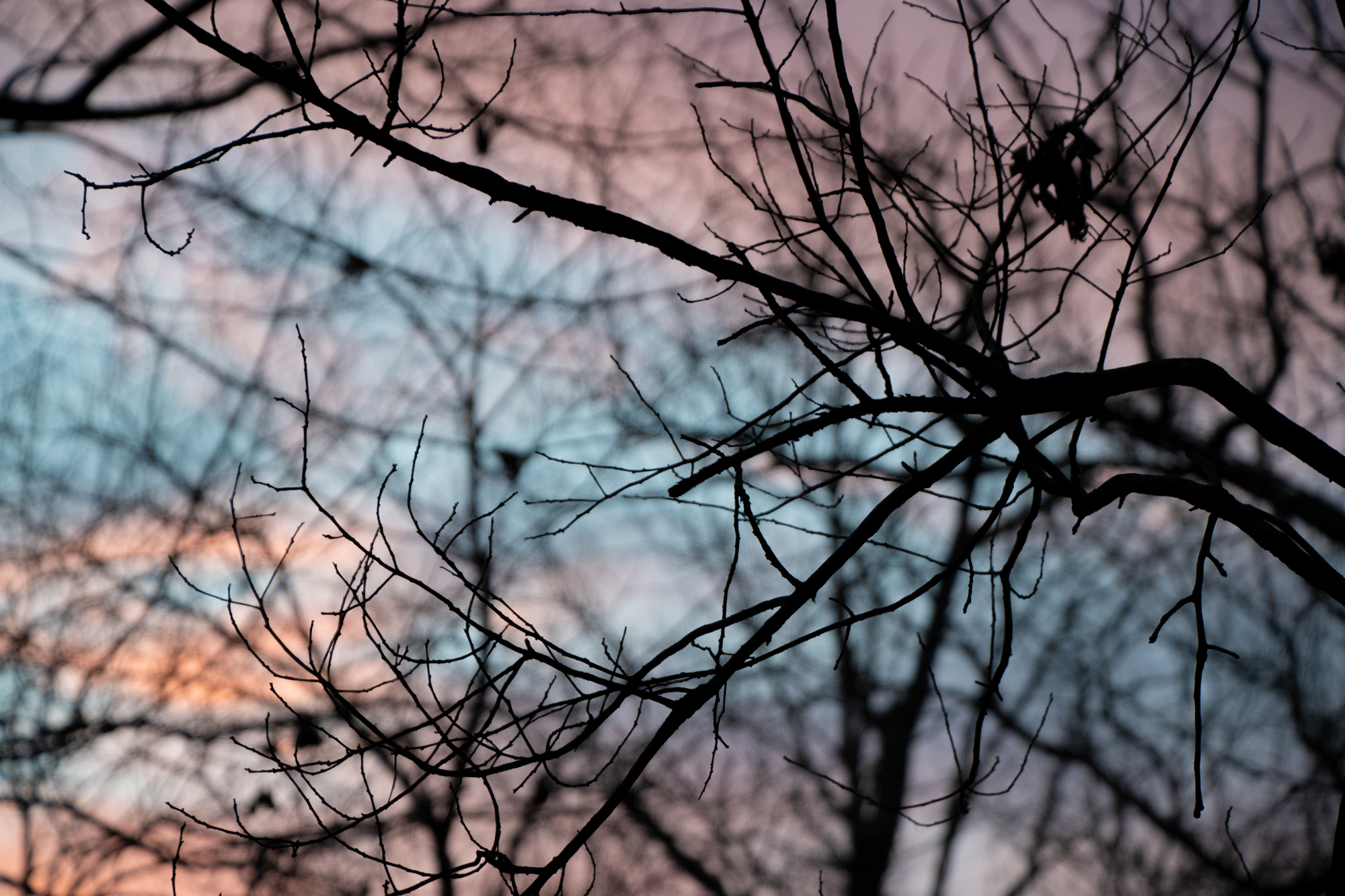
Mostly unpaved and entirely remote. Lots of narrow tracks through forest areas, including a pass through the Sharp Top Mountain Walk-In Turkey Hunting Area, which is closed to vehicles for most of the year so armed hikers can go chasing after turkeys. Most of the day passed with heavy clouds and a chill that sapped yesterday’s bright colors out of the air, but it was pretty in its own way — and the clouds did part on occasion.
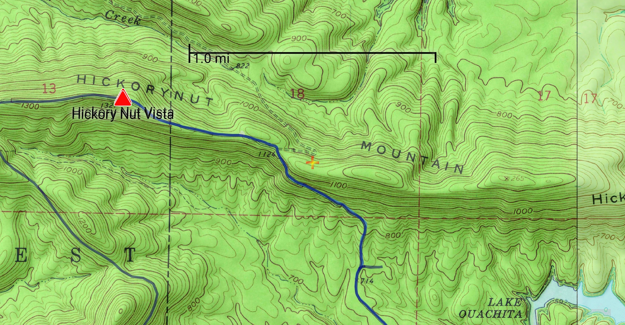
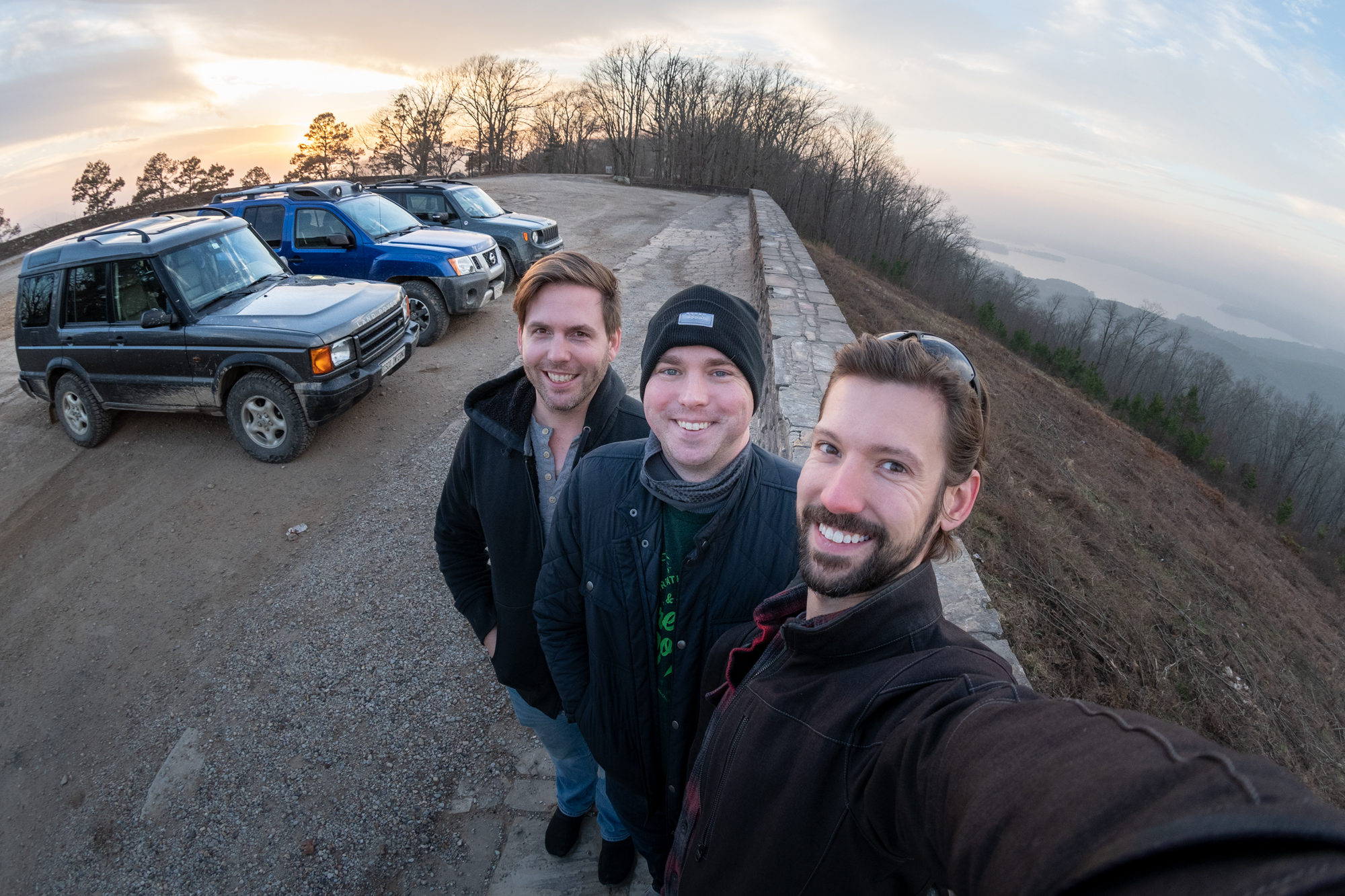
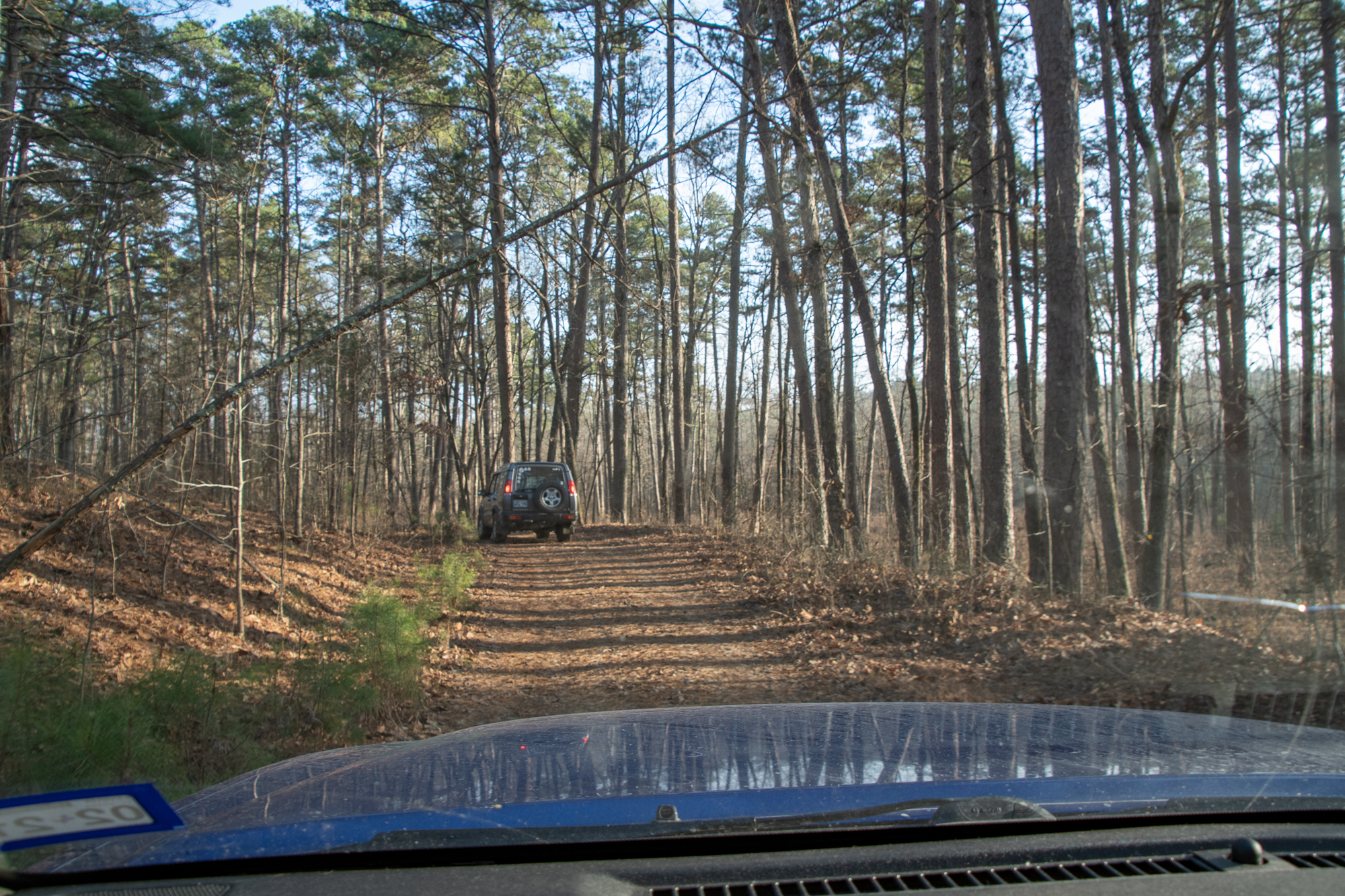
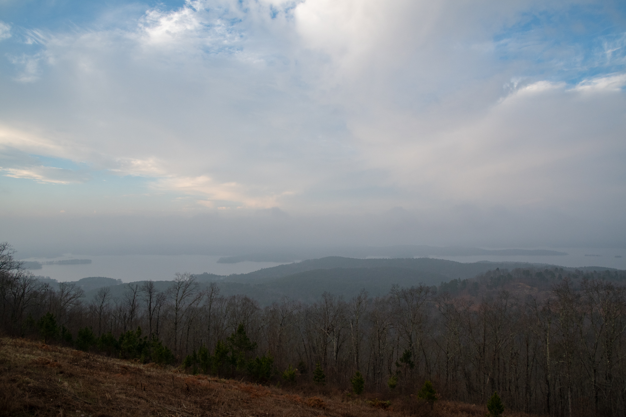
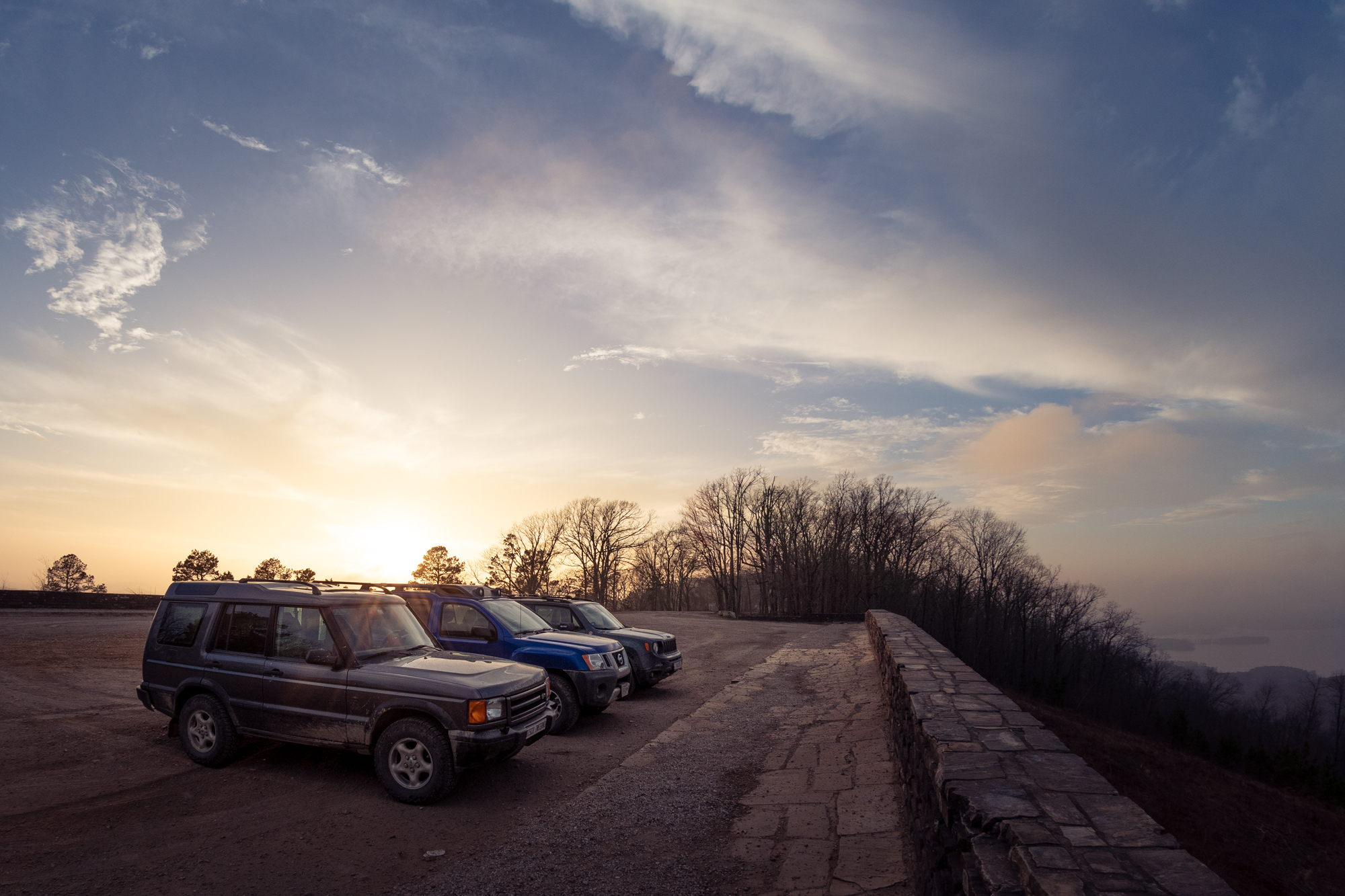
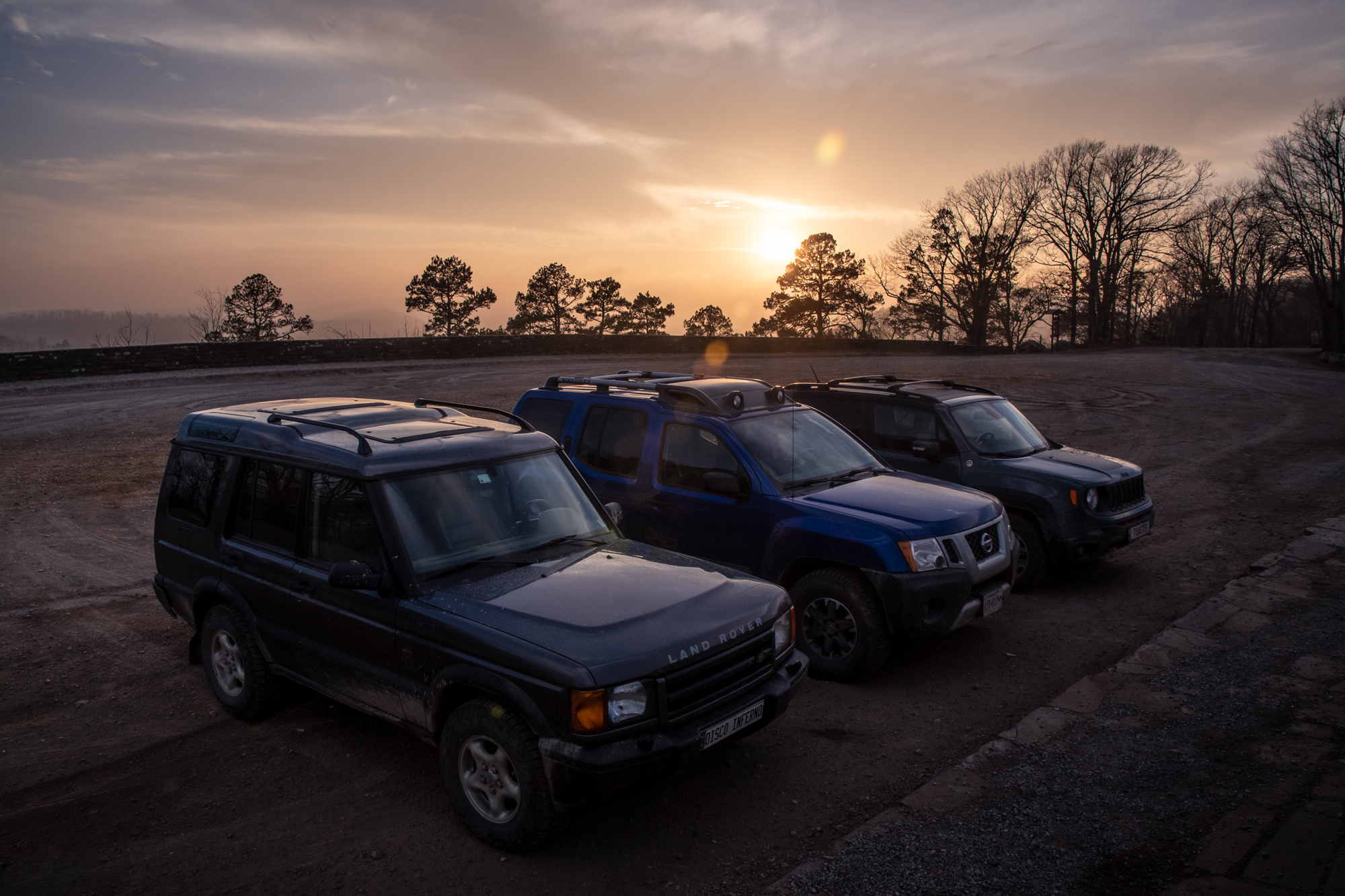
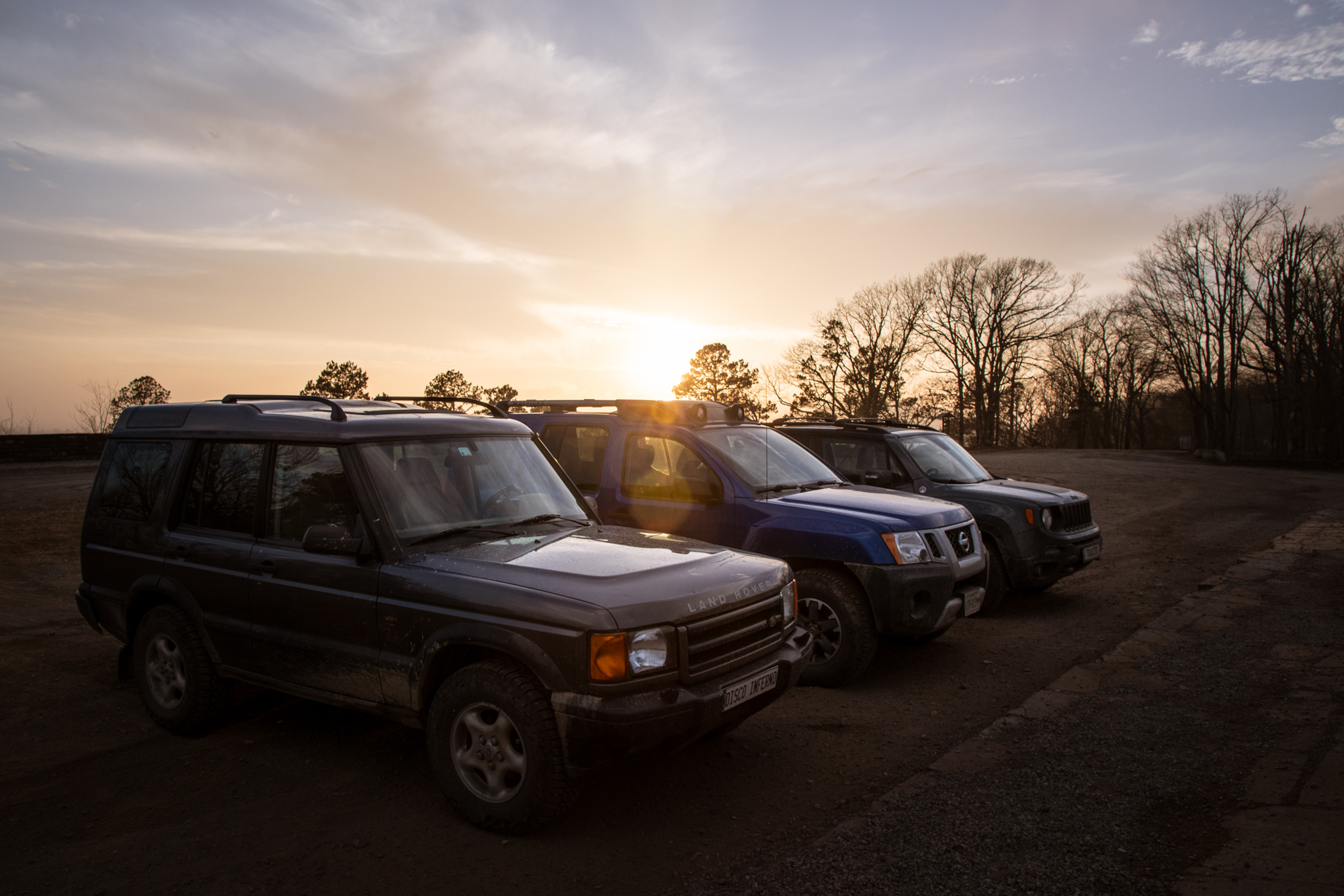
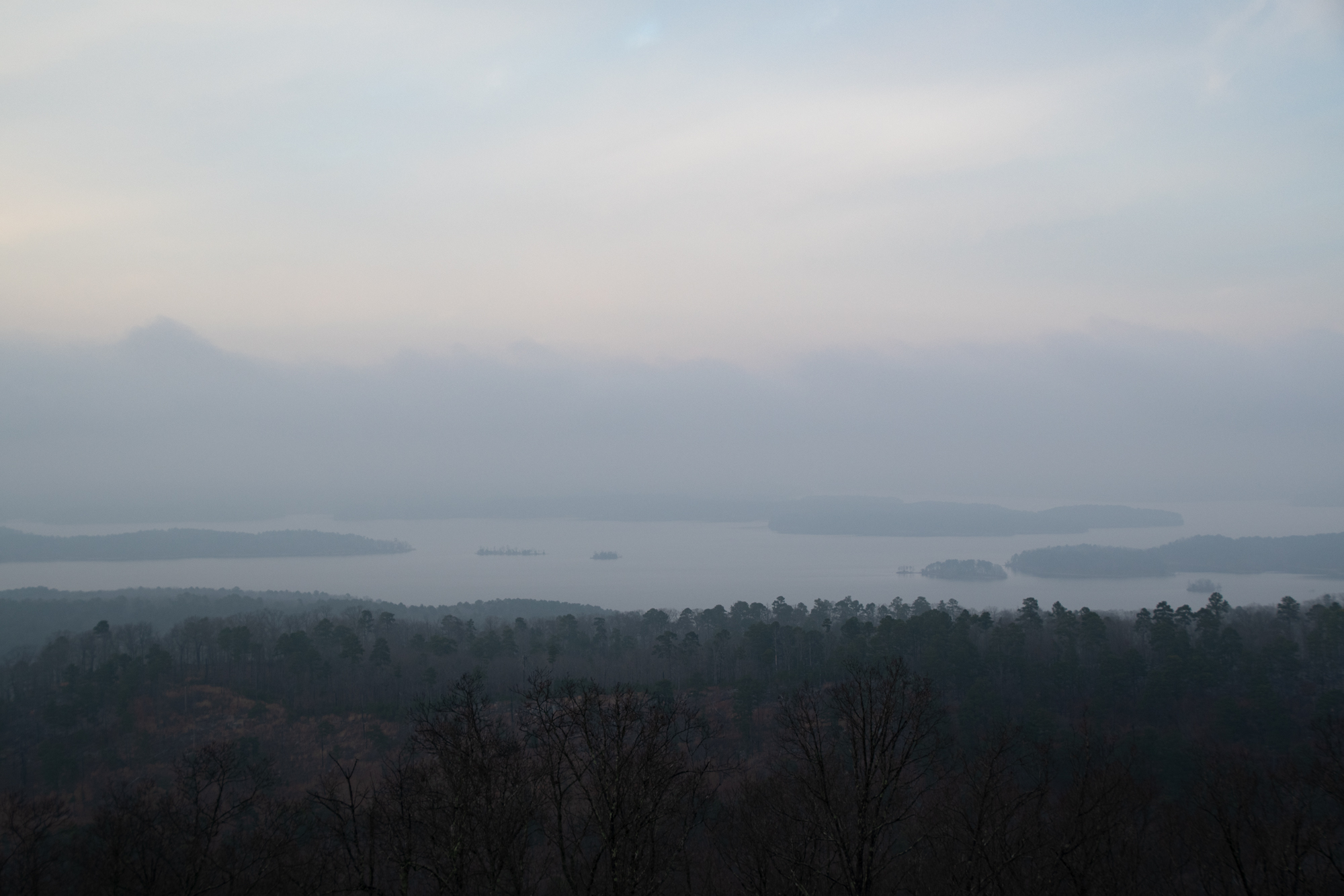
Much like yesterday, most of the drama came in the last mile or so. The backroad I’d found up to the Lake Ouachita Vista (or Hickory Nut Mountain Overlook, depending on which map you read) ended up being a sharply uphill rocky trail that, when we first found it, looked like a hiking trail.
In my haste to clean the inside of my windshield this morning, I apparently knocked my dashcam to point straight up. So, today’s frustratingly under-stated “I swear it was cooler than the video makes it seem” footage comes from Evan. You can see me in the distance standing in front of the Xterra looking befuddled about a boulder.
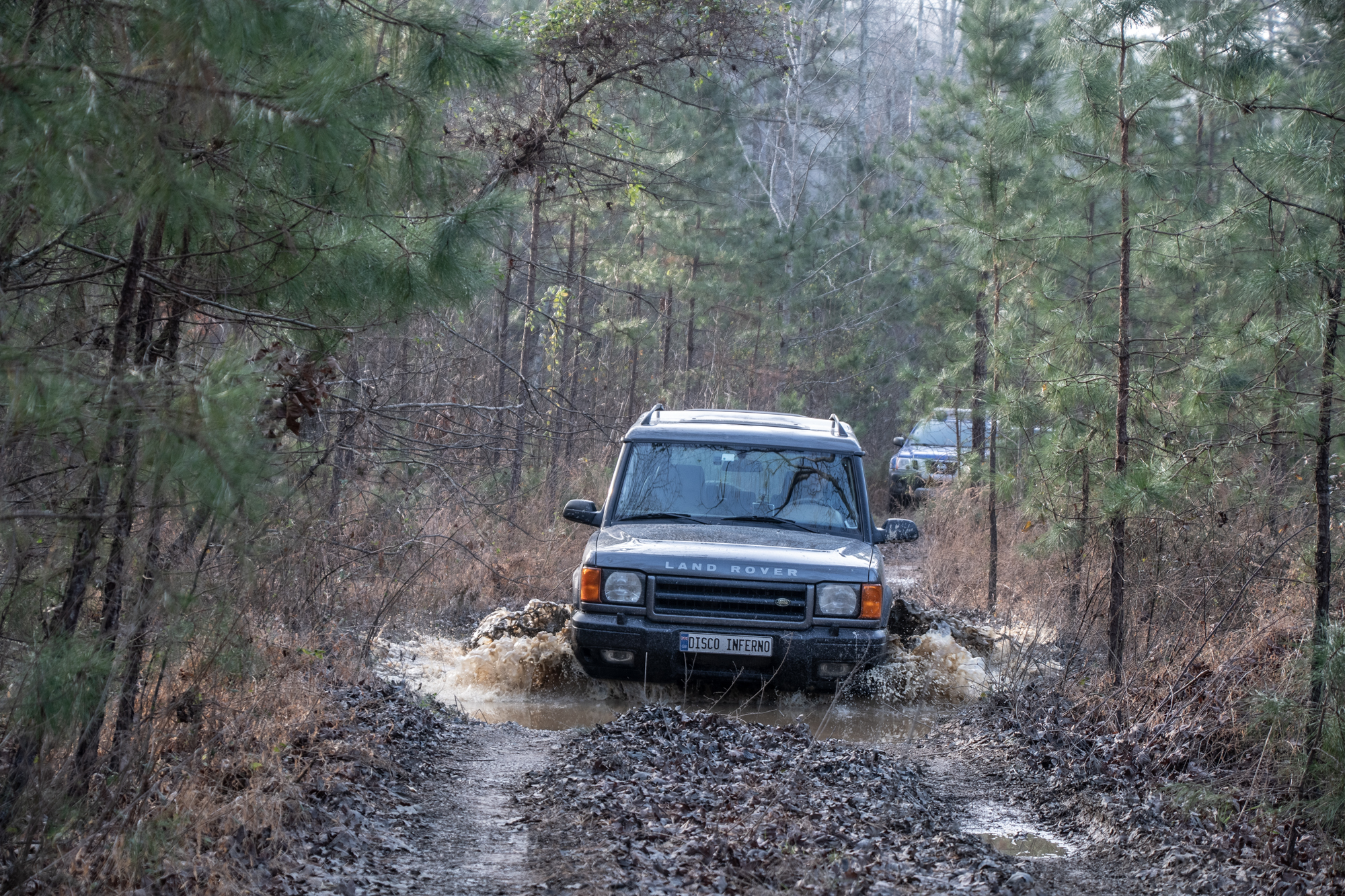
Once upon a time, we would have found it all very intimidating. But armed with low-range and soda, we proceeded. The prize was incredible.
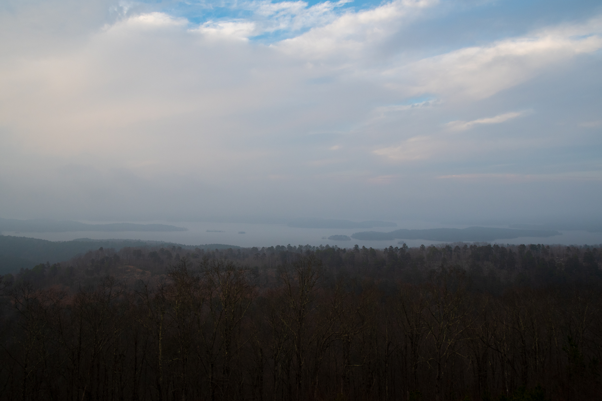
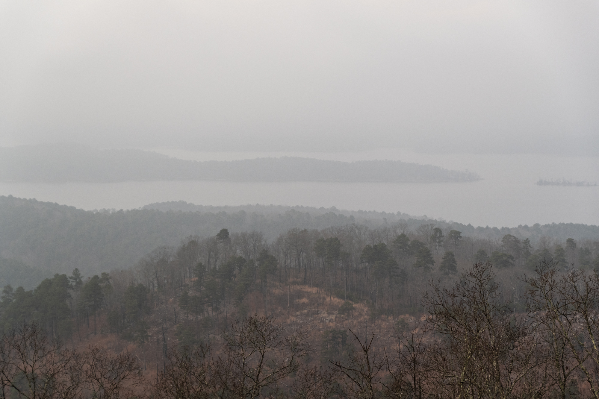
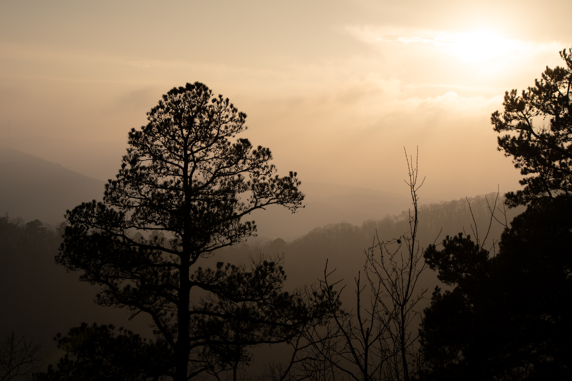

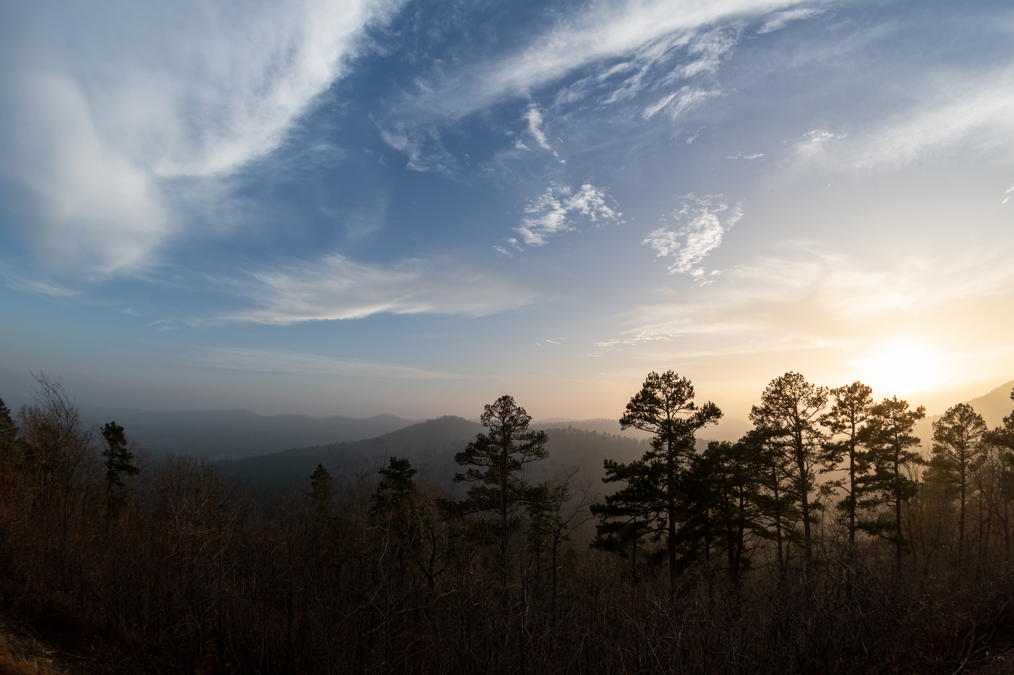
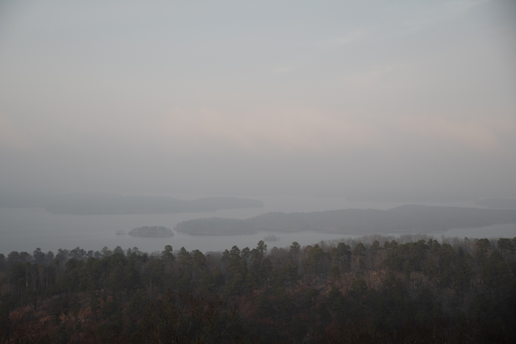
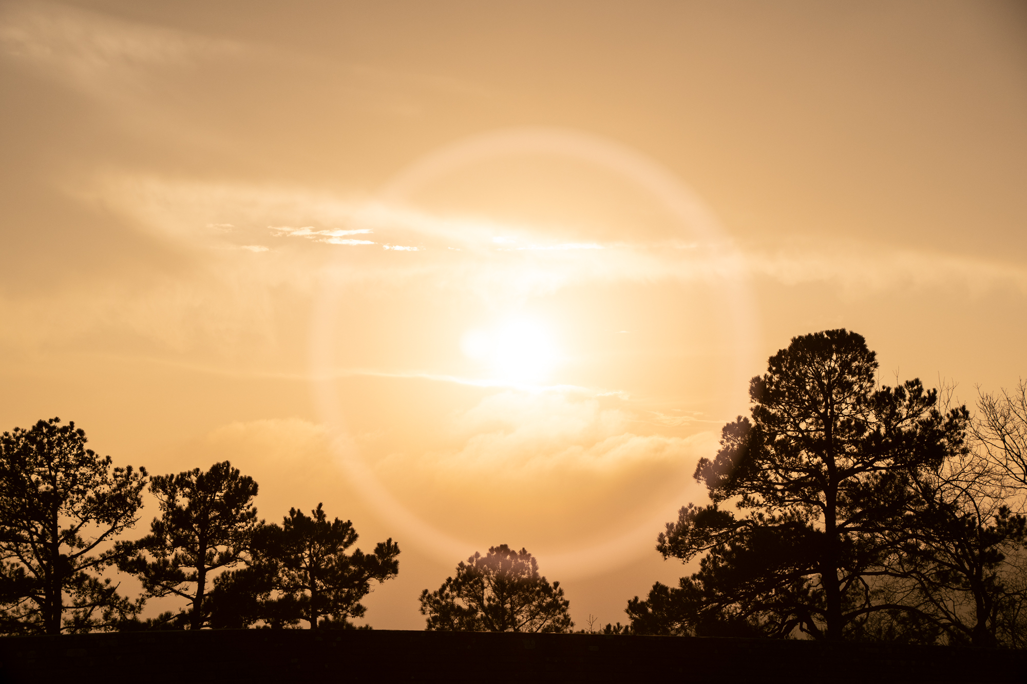
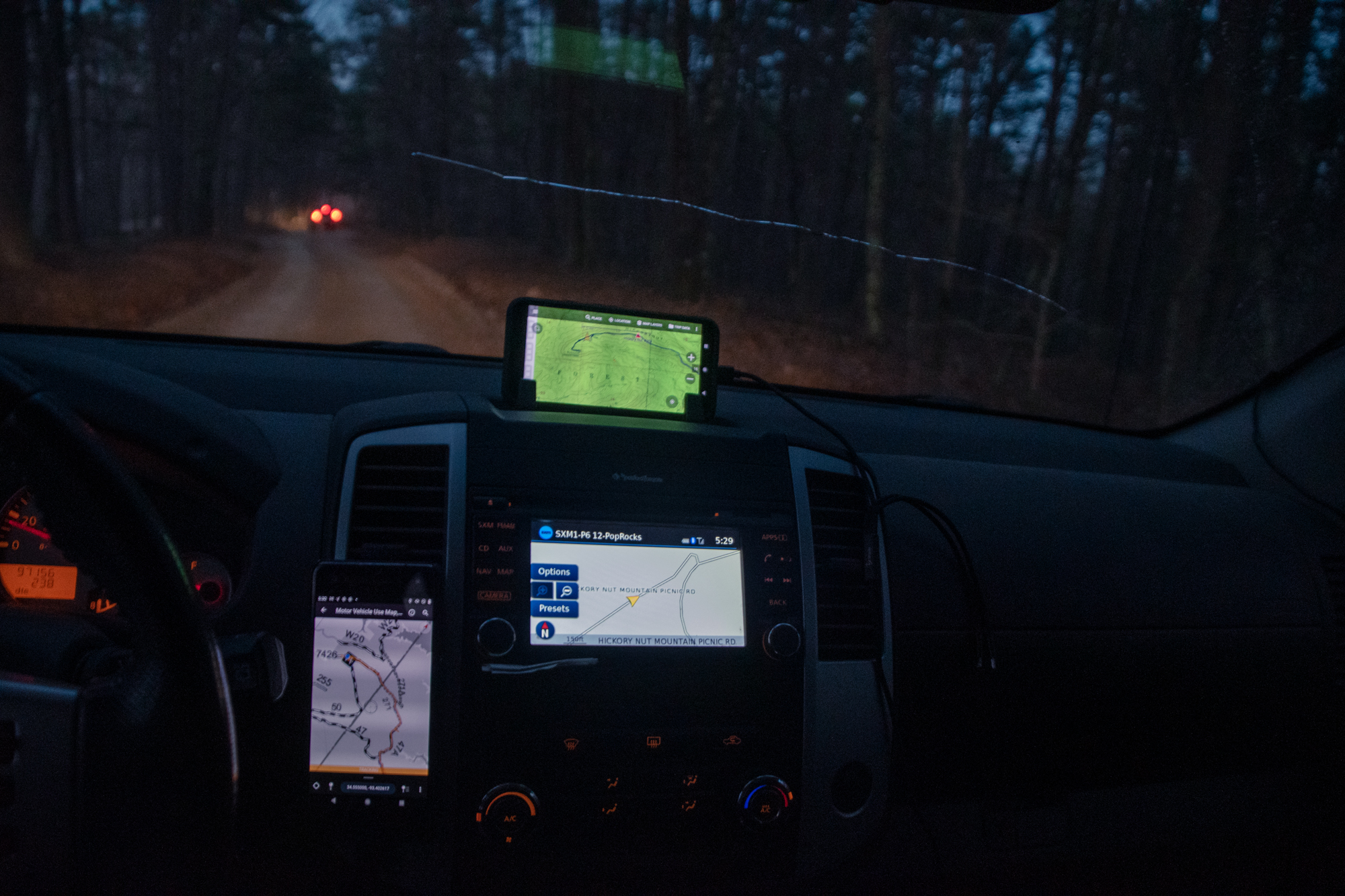
As it got darker (and colder), I couldn’t talk the others into going back down the way we came. Which was probably smart, but going back down all that mess would have been fun. Also probably scary.
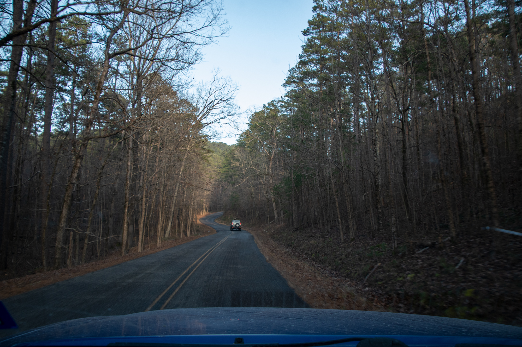
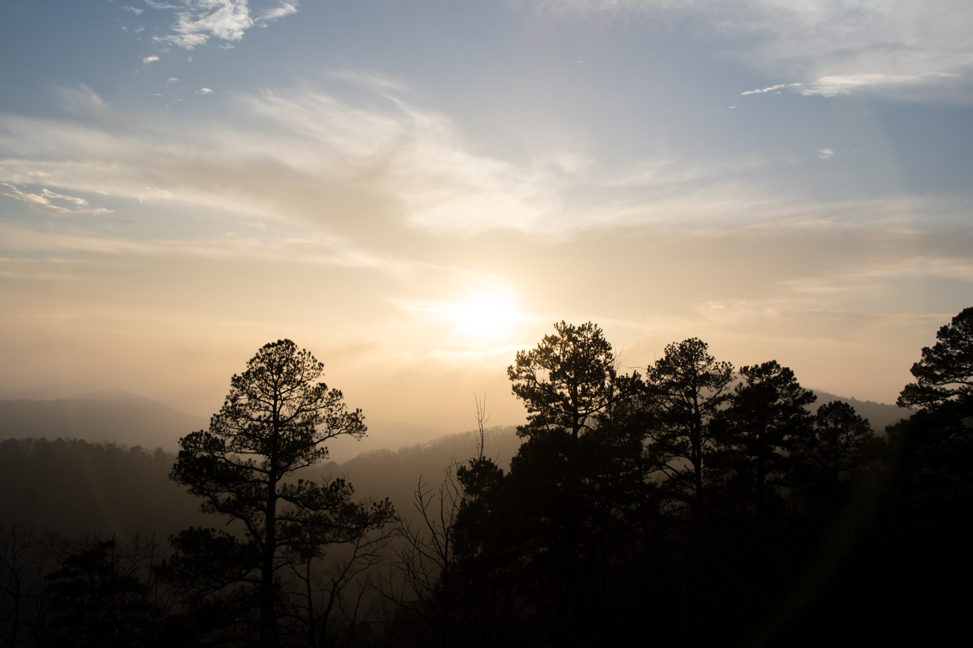
It was just a couple calm miles down the “overlook road for normal people” to reach Highway 270, and less than half a mile from there to where we’d started at our cabin.