Shakedown to Kearney

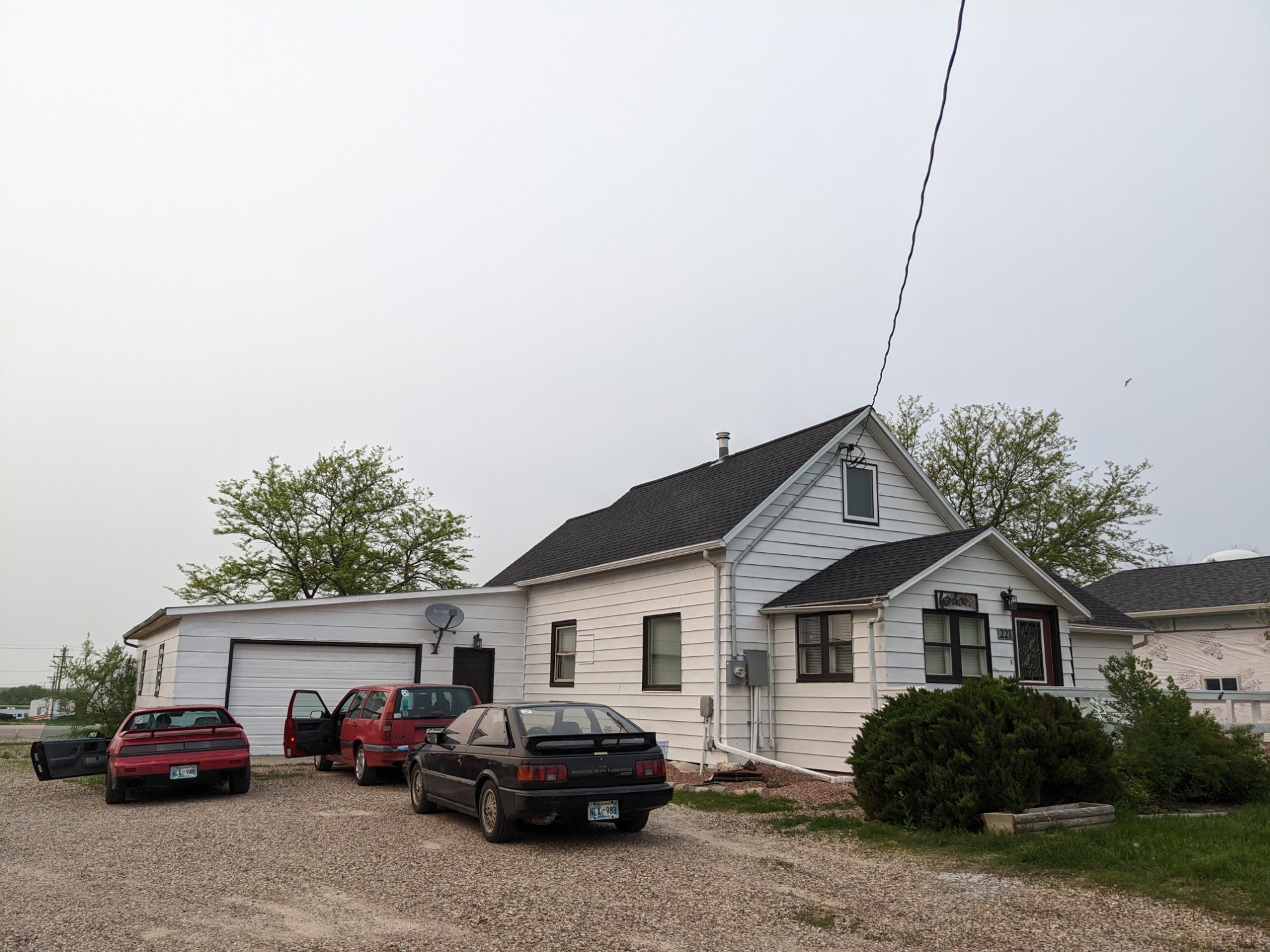
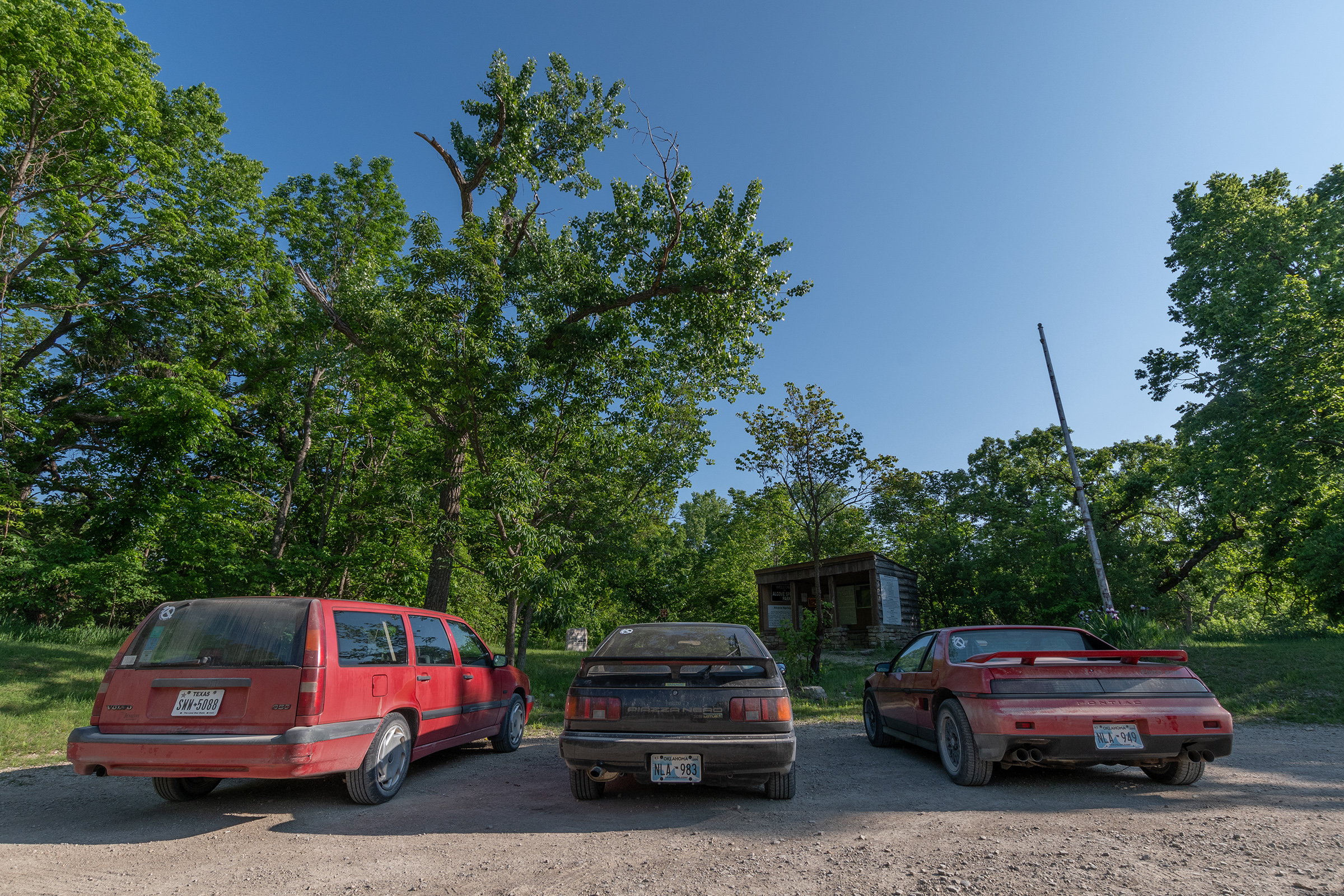
Today started with our general flurry of trying to get out of the house on time after having stayed up too late. After the stickers, Evan and I both added a little oil, which turns out to be considered a consumable by both vehicles.

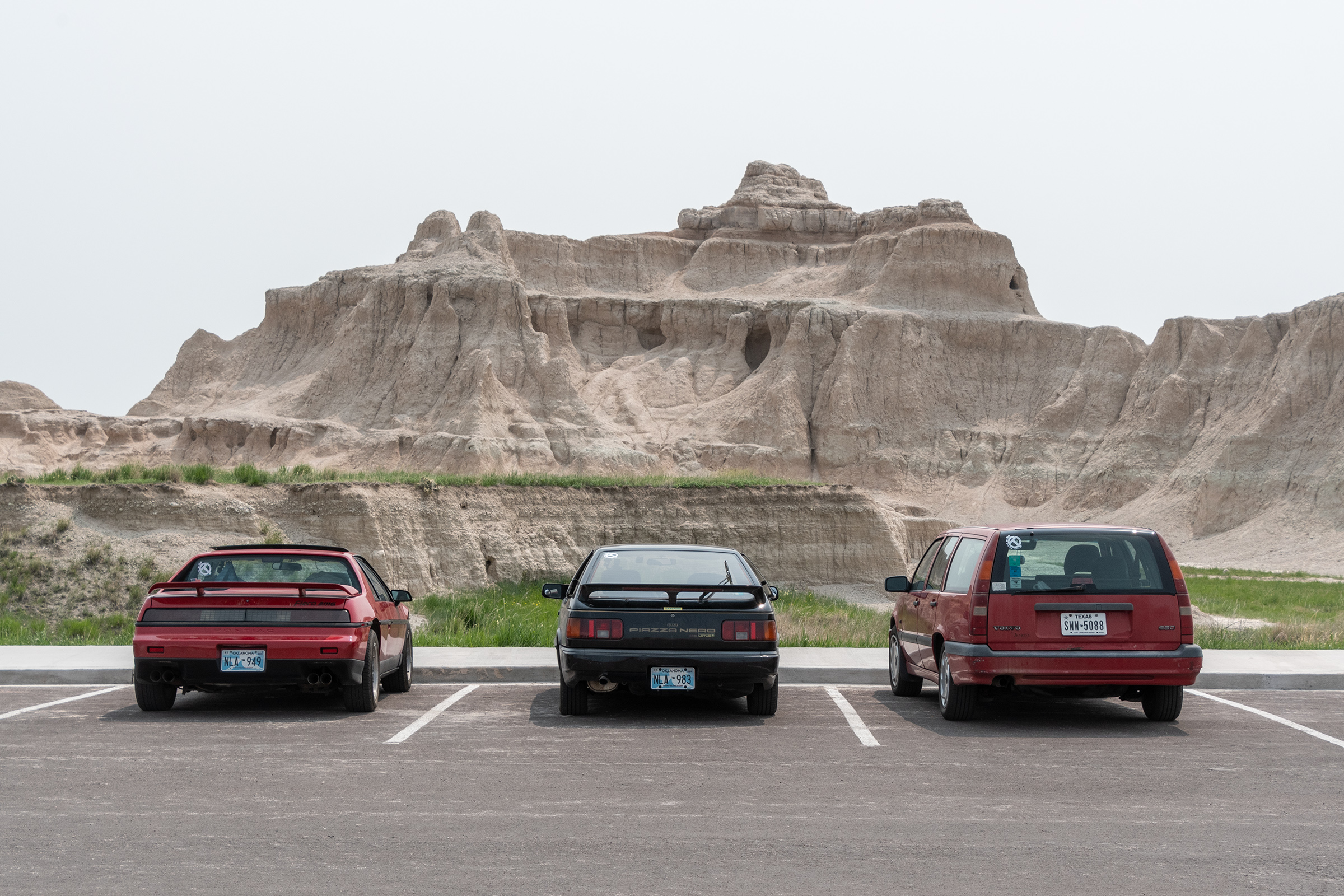
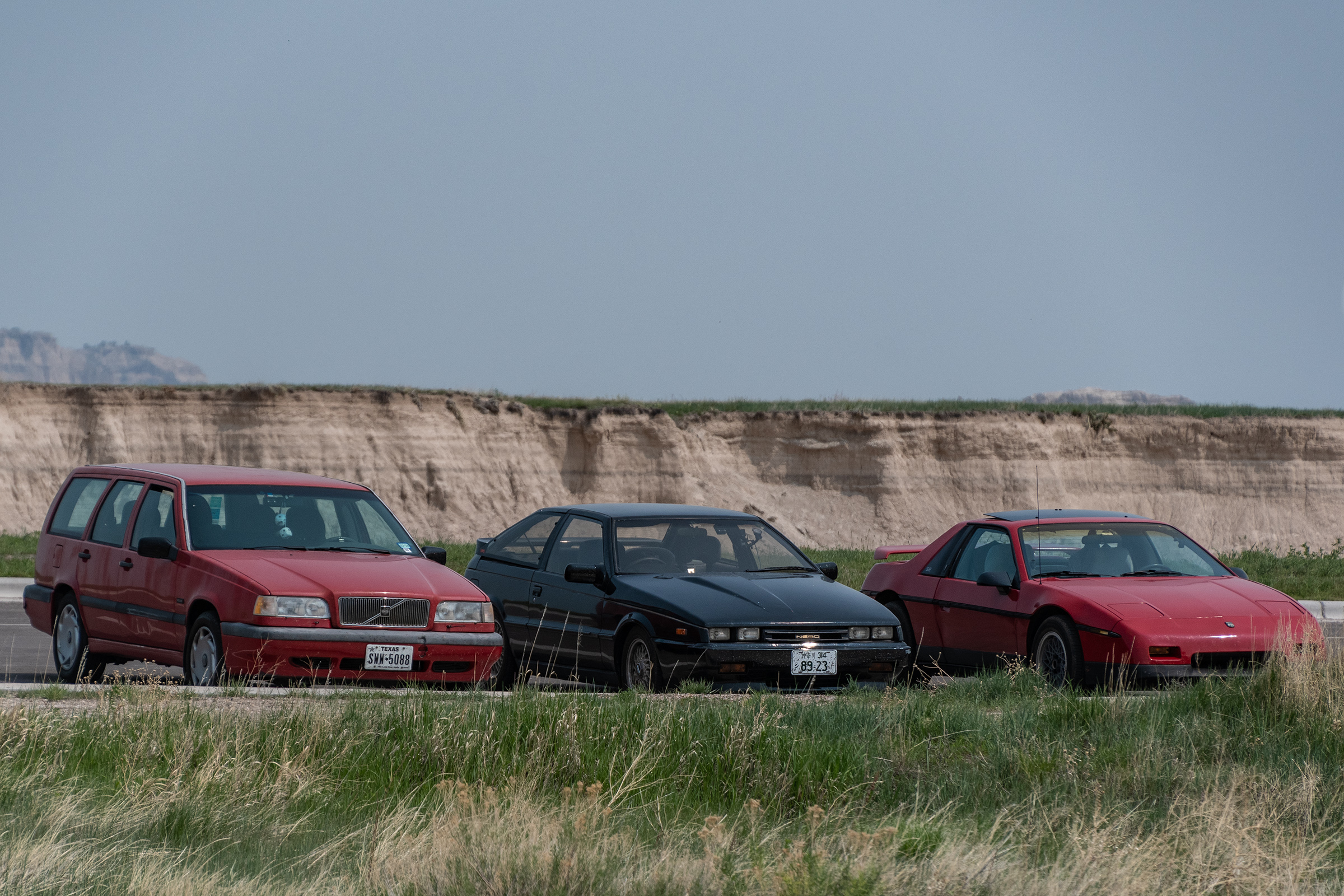
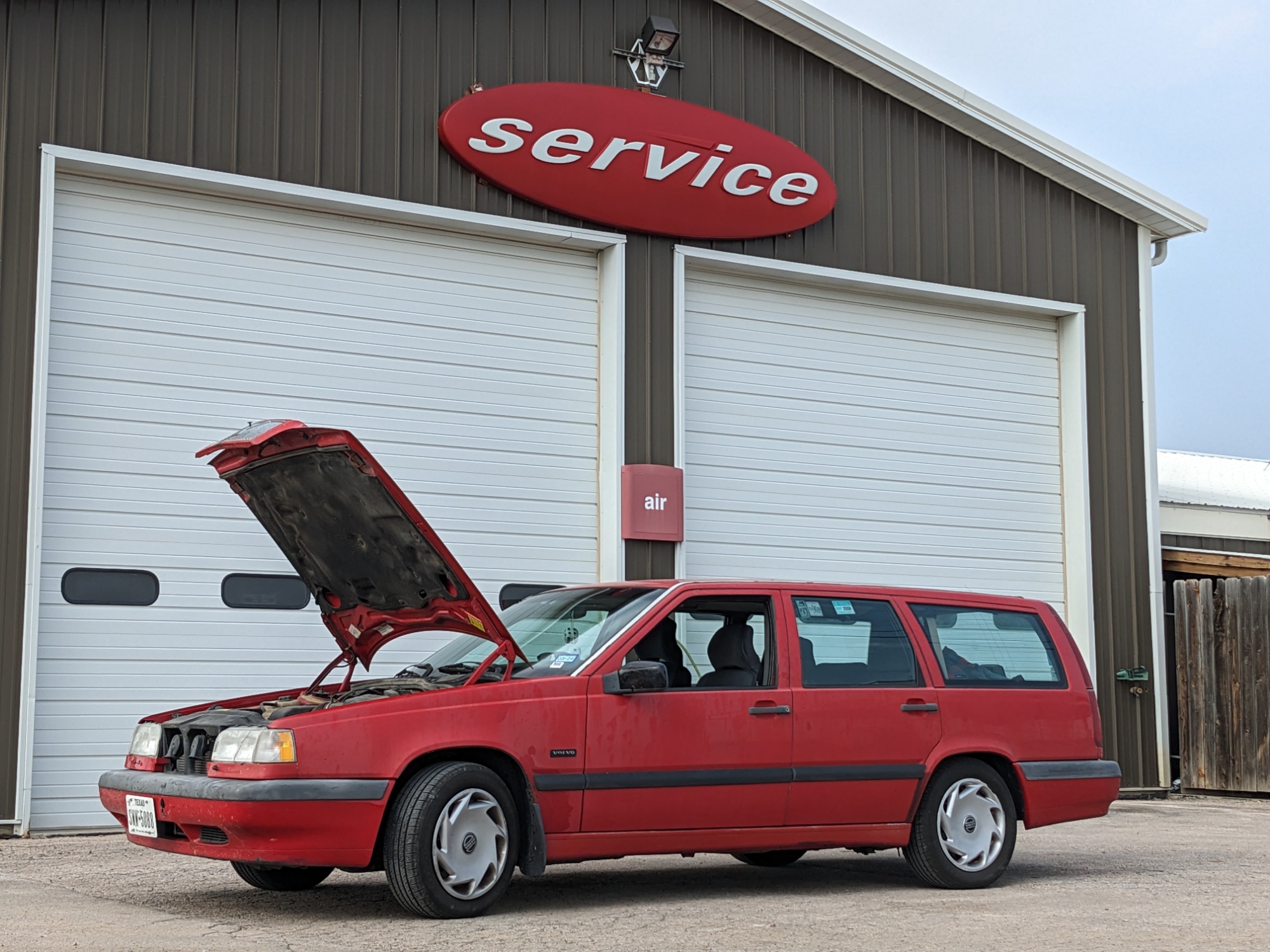
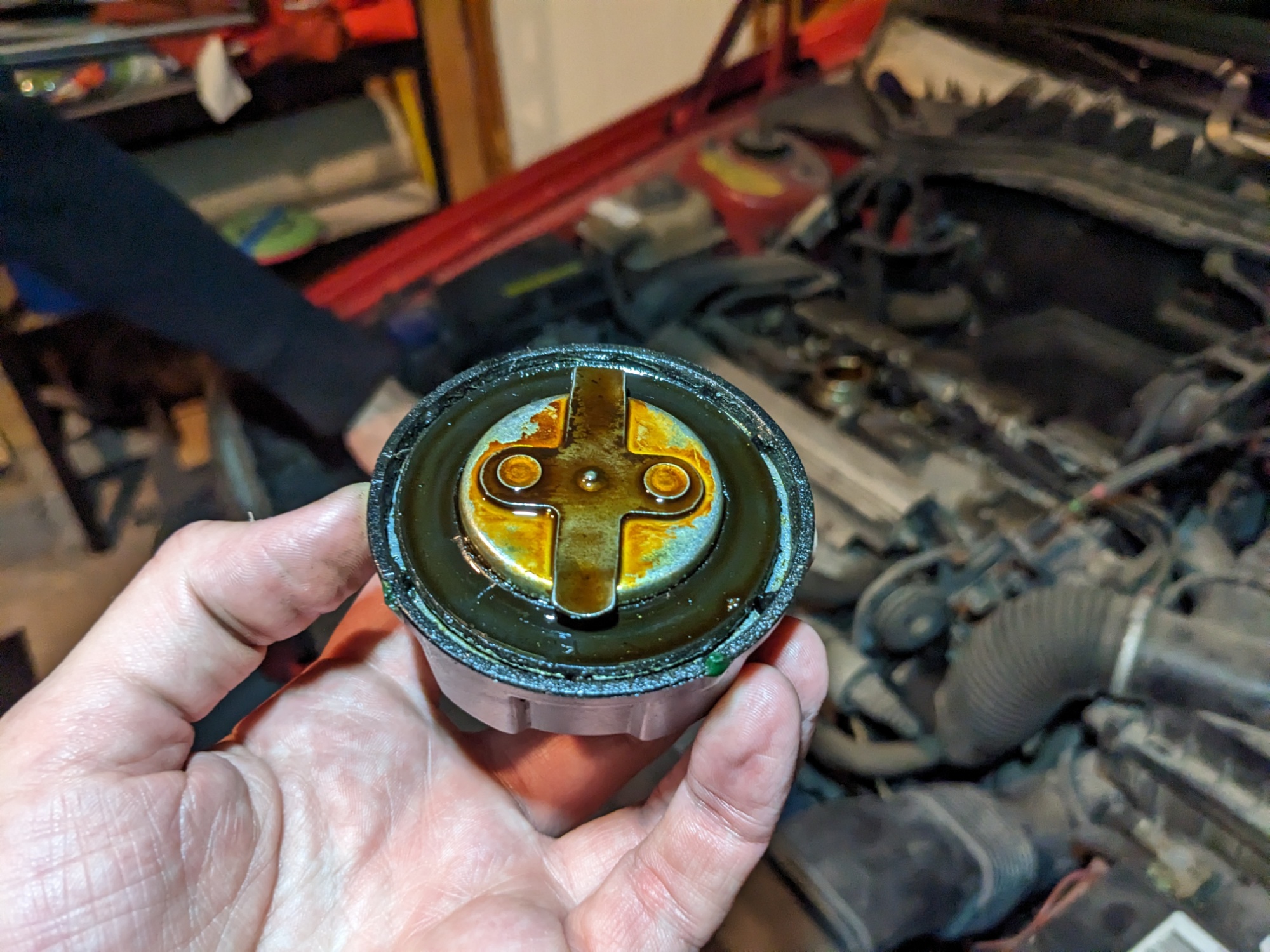
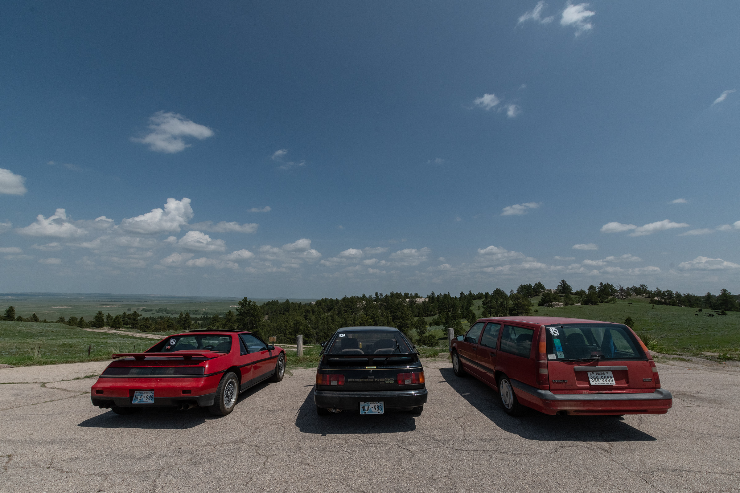
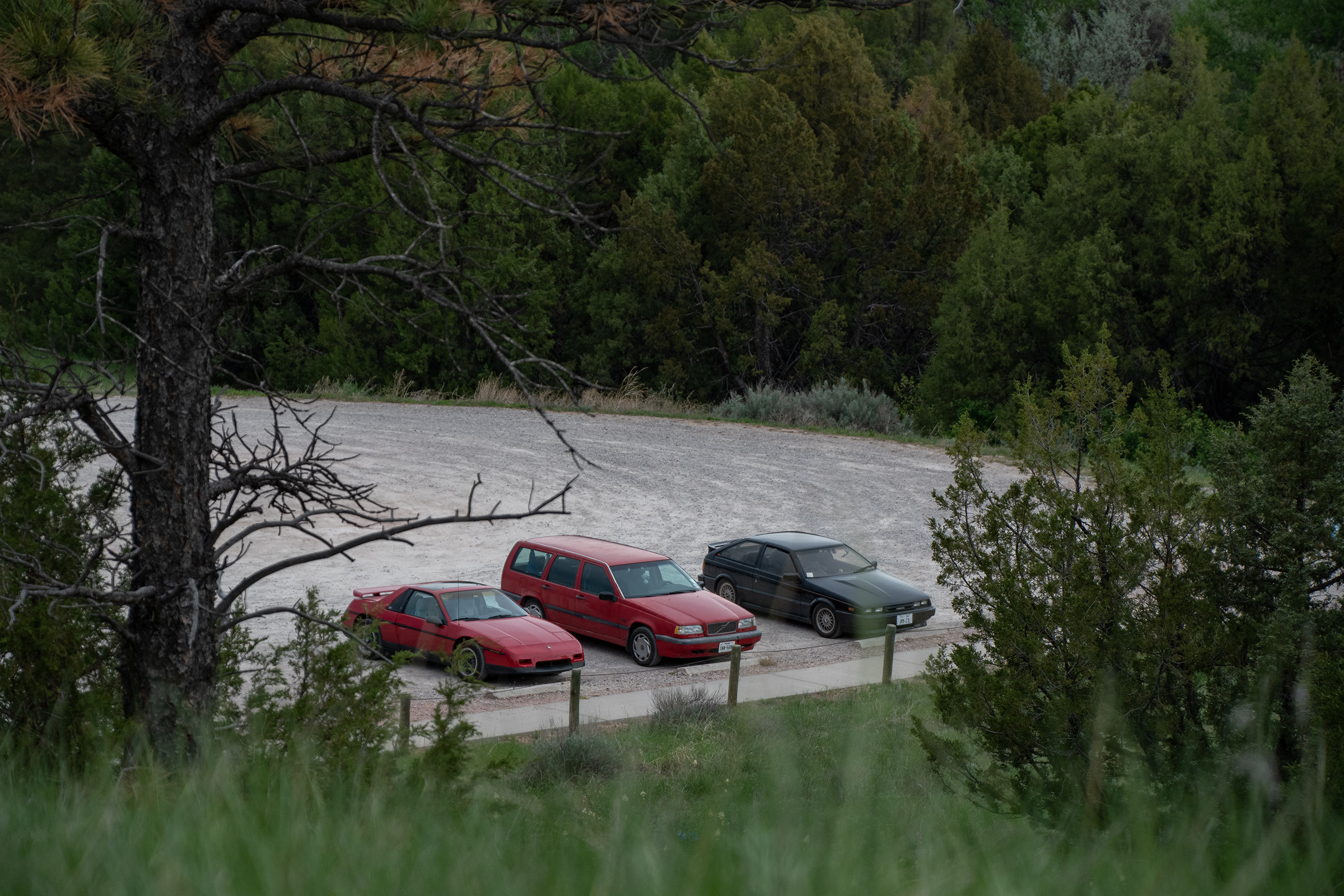
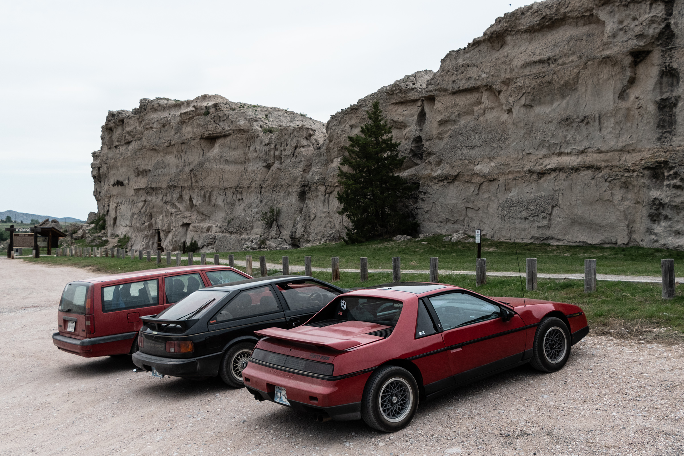
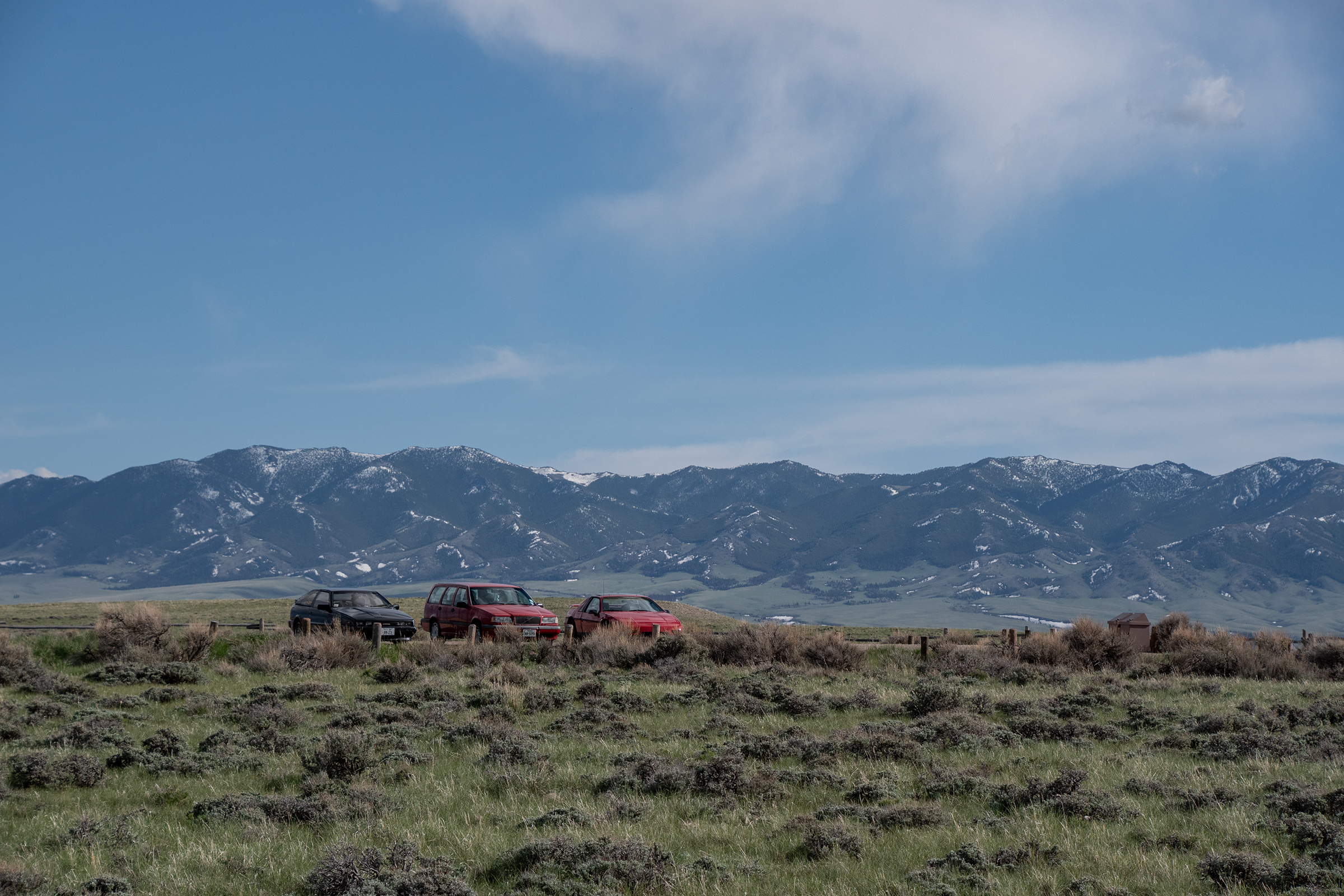
Otherwise, the plan was simple: two park stops for historical exploration and a lot of mileage crunching. However, recent untested repairs needed a road test. Evan’s new fuel pump. My adjusted accelerator. And George’s replacement throttle position sensor.

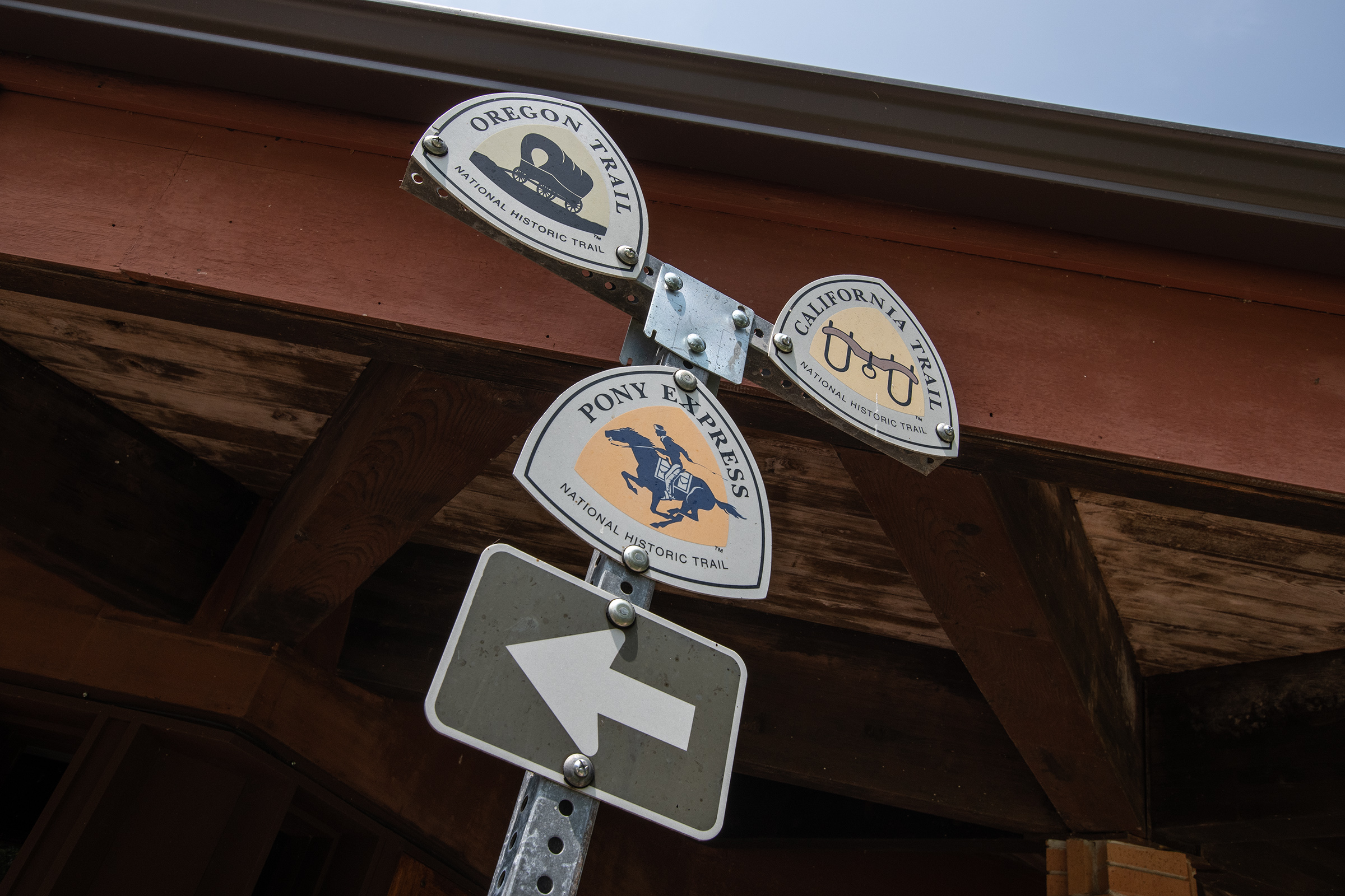
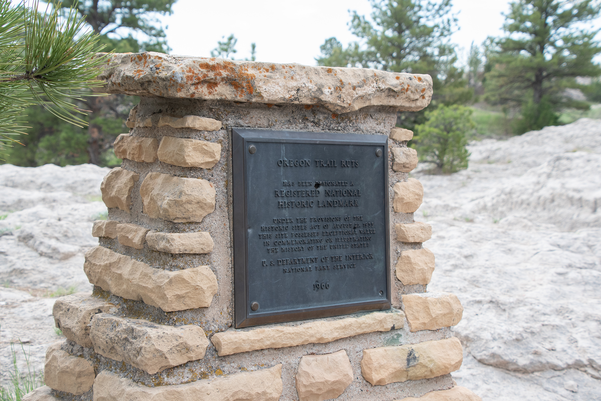
We started at the Santa Fe Park as our final stop in Independence, which marks (near-ish) the start of the Oregon and California Trails, as well as the Santa Fe Trail.

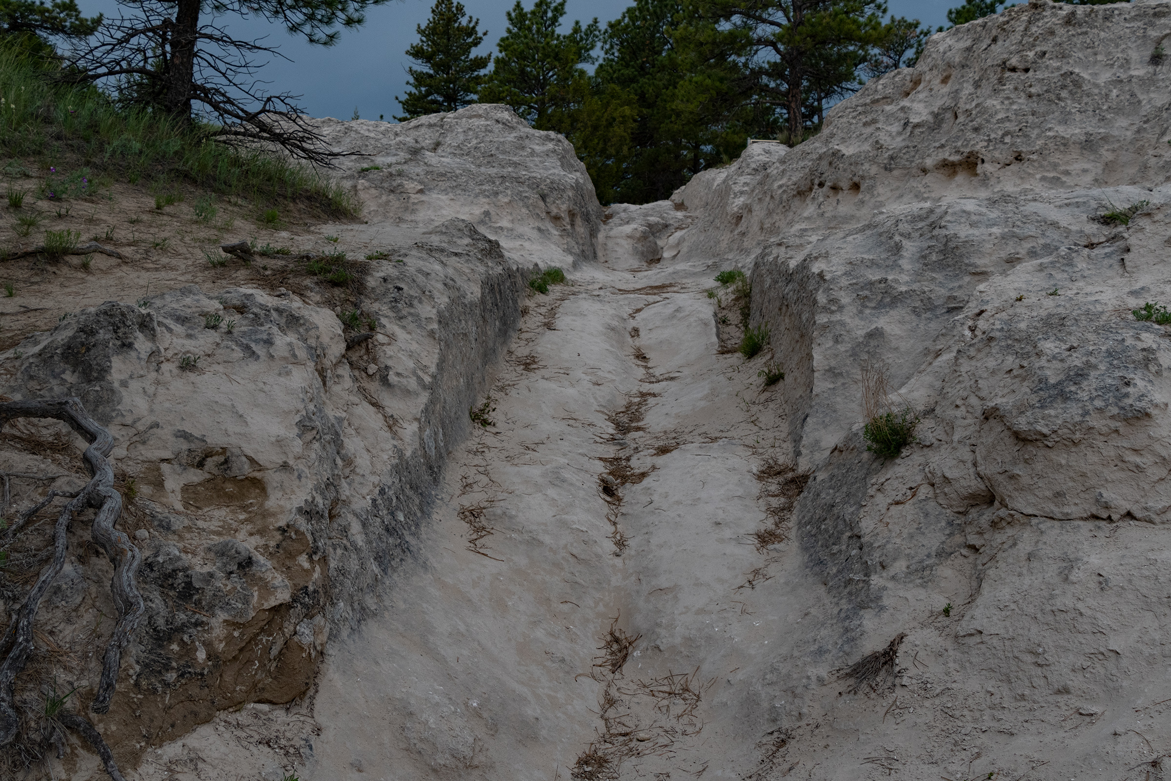
Santa Fe Park preserves approximately one-quarter mile of Oregon, California, and Santa Fe trail ruts in the heart of the city of Independence, Missouri. These ruts align with trail ruts found a half mile north on the Bingham-Waggoner estate, a 19.5 acre museum and park, that is open to the public.

National Parks Service
Santa Fe Trail, National Parks Service

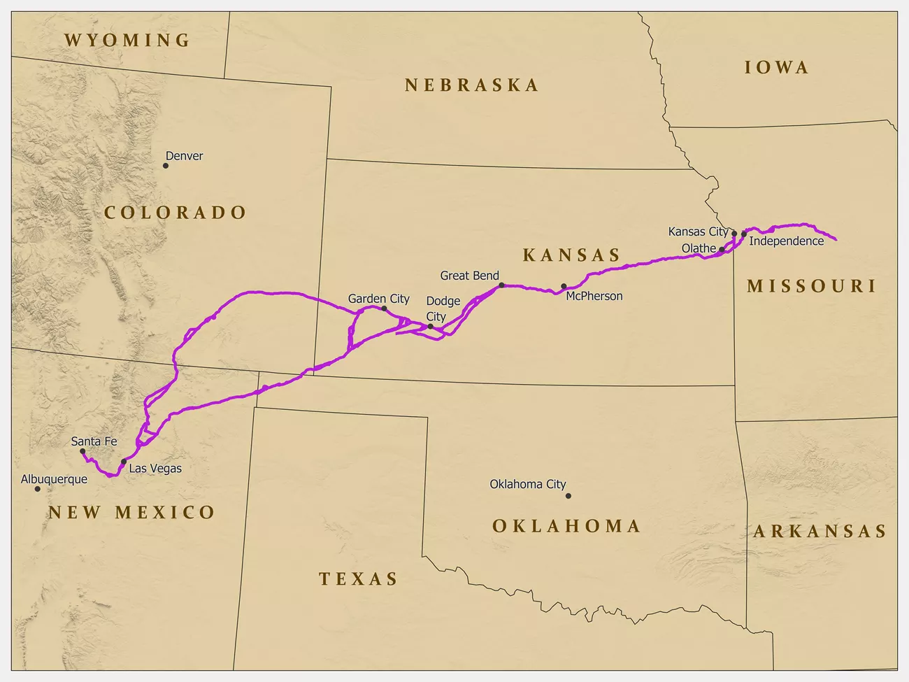
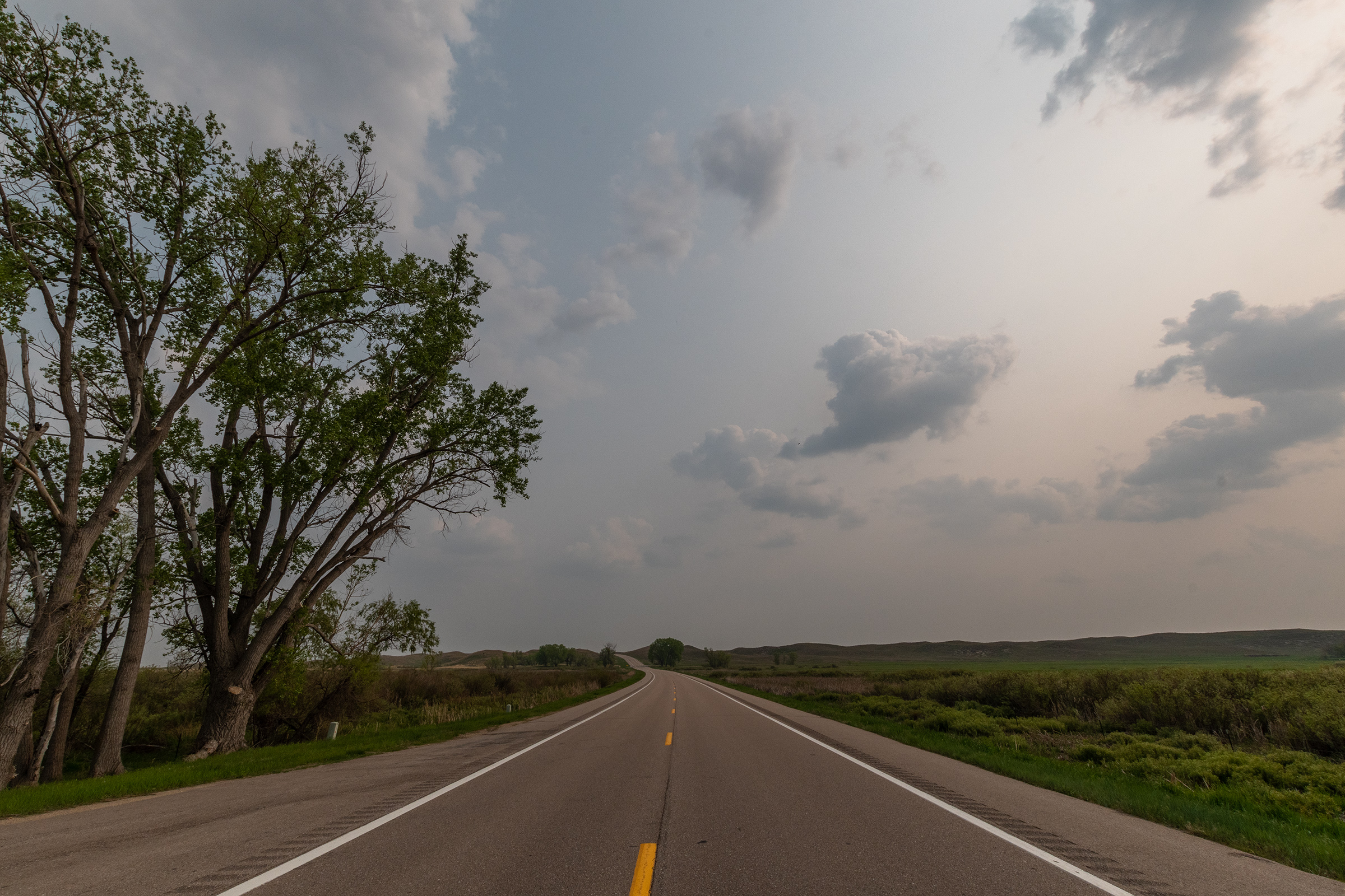
I knew about the Santa Fe trail, but I didn’t realize that it, too, originates in this region of Missouri. It forks south at Olathe, where our route continued on toward Topeka. State Highway 4 and US Highway 40 together form this section of the Oregon Trail Auto Tour, and relatively closely follow the National Historic Trail.

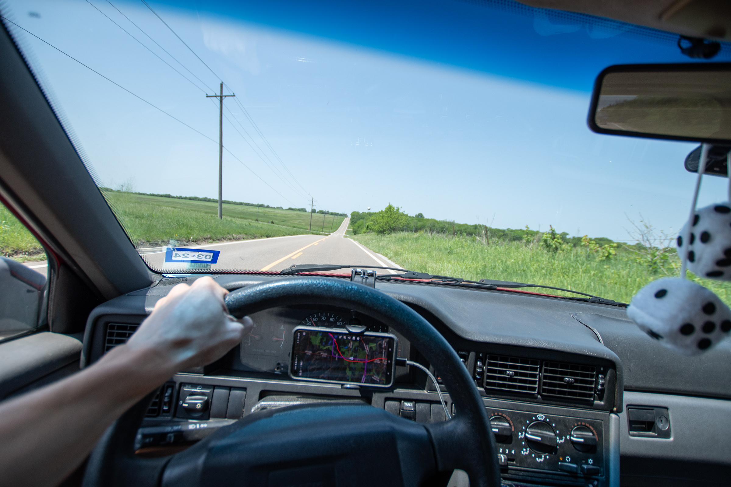
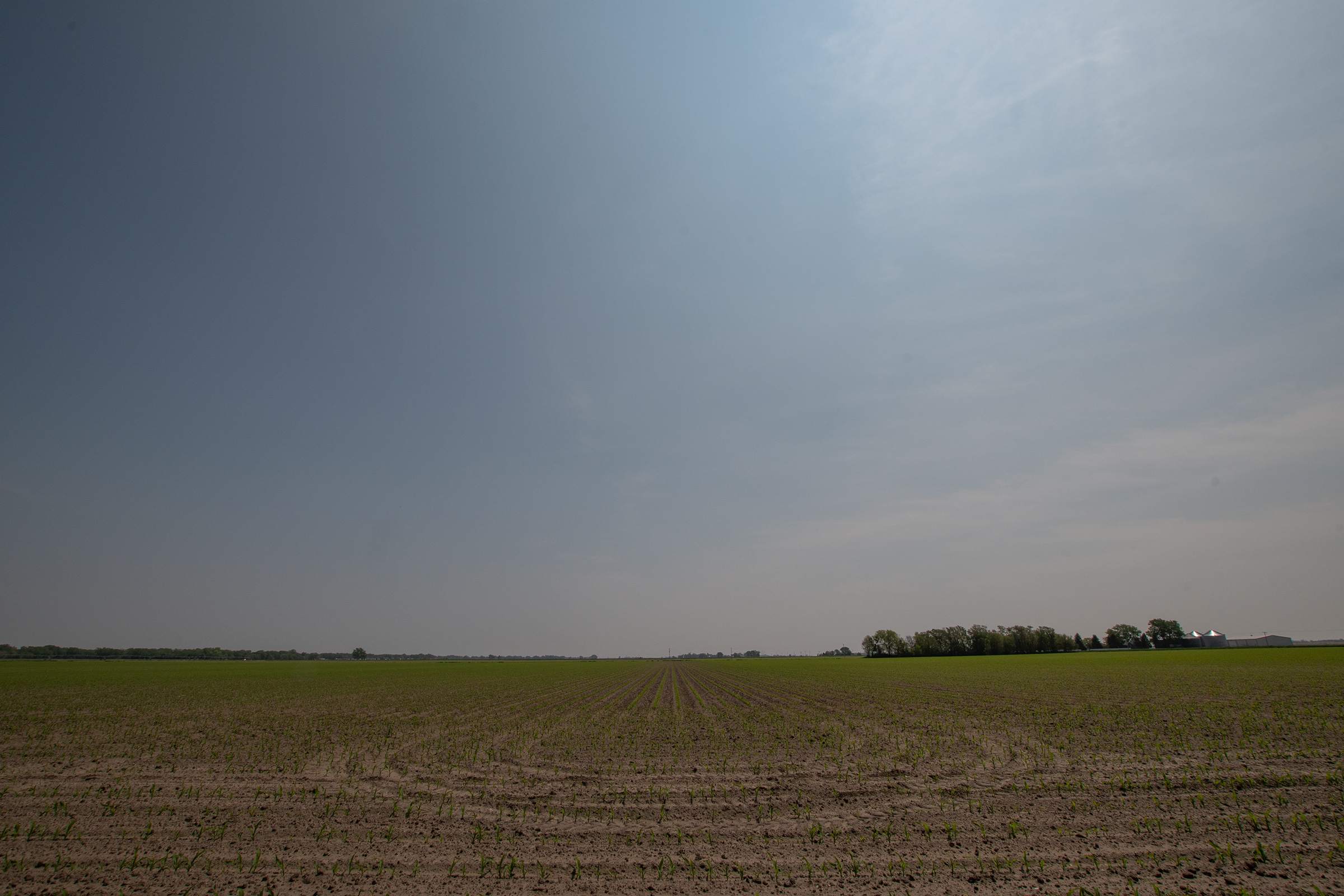
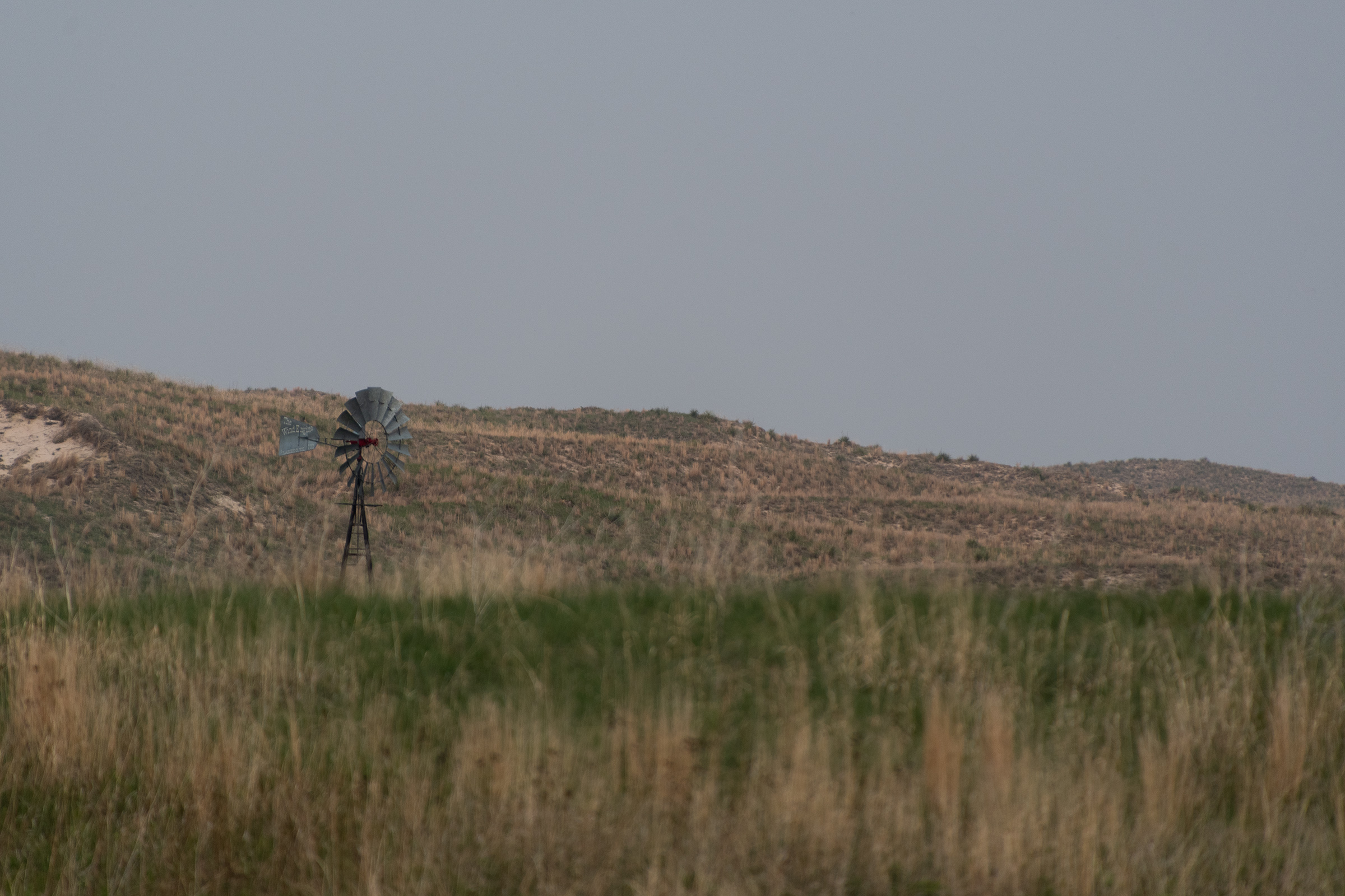
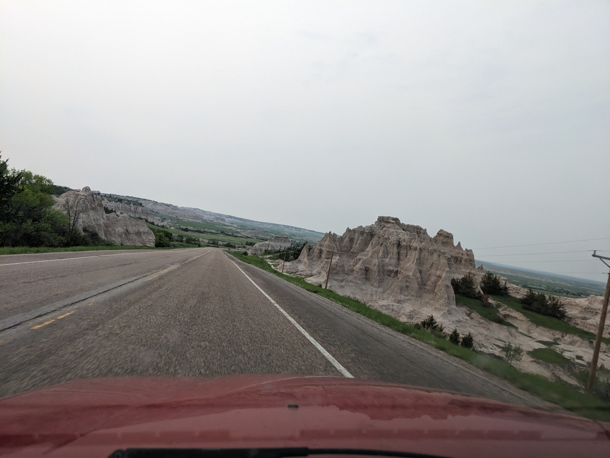
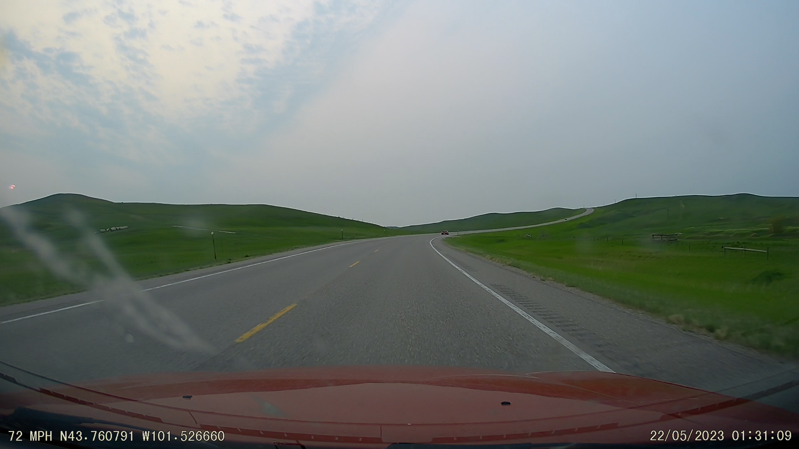
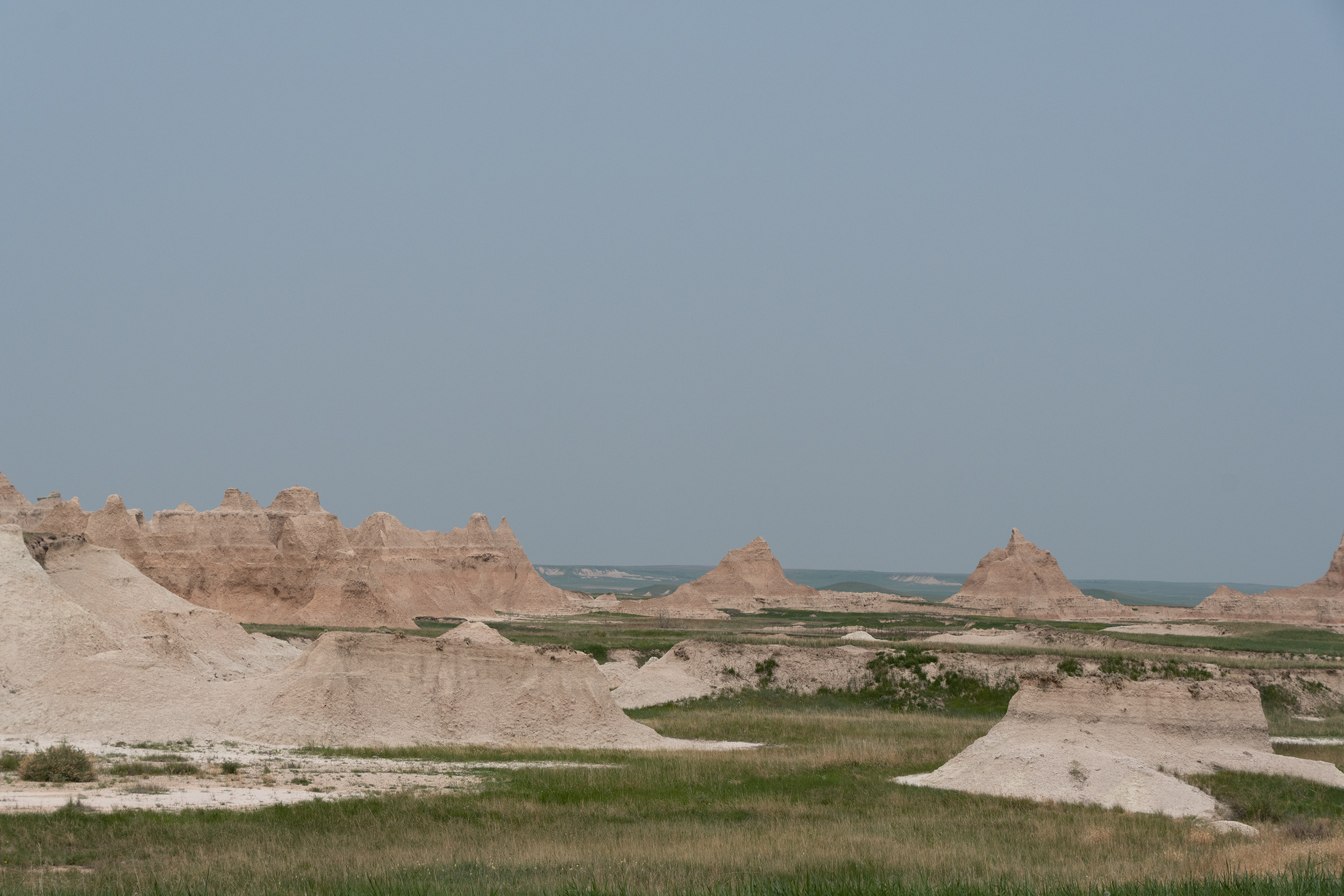
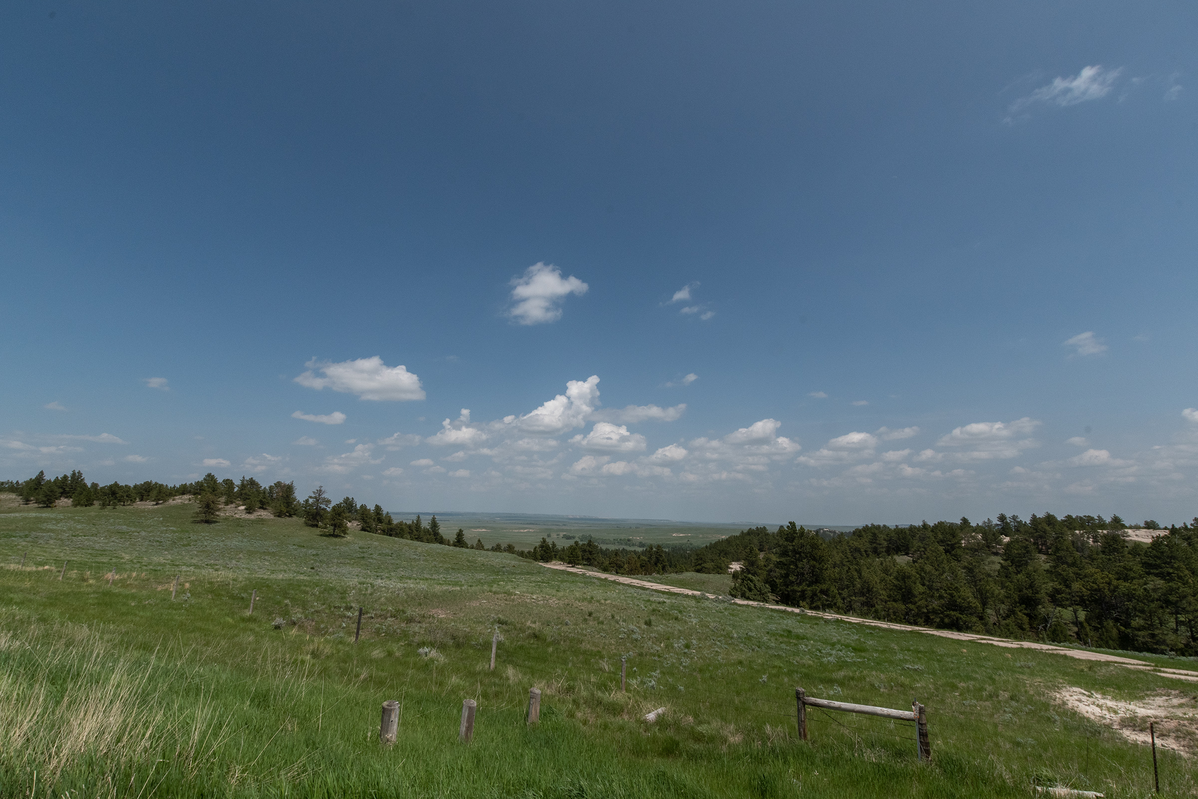
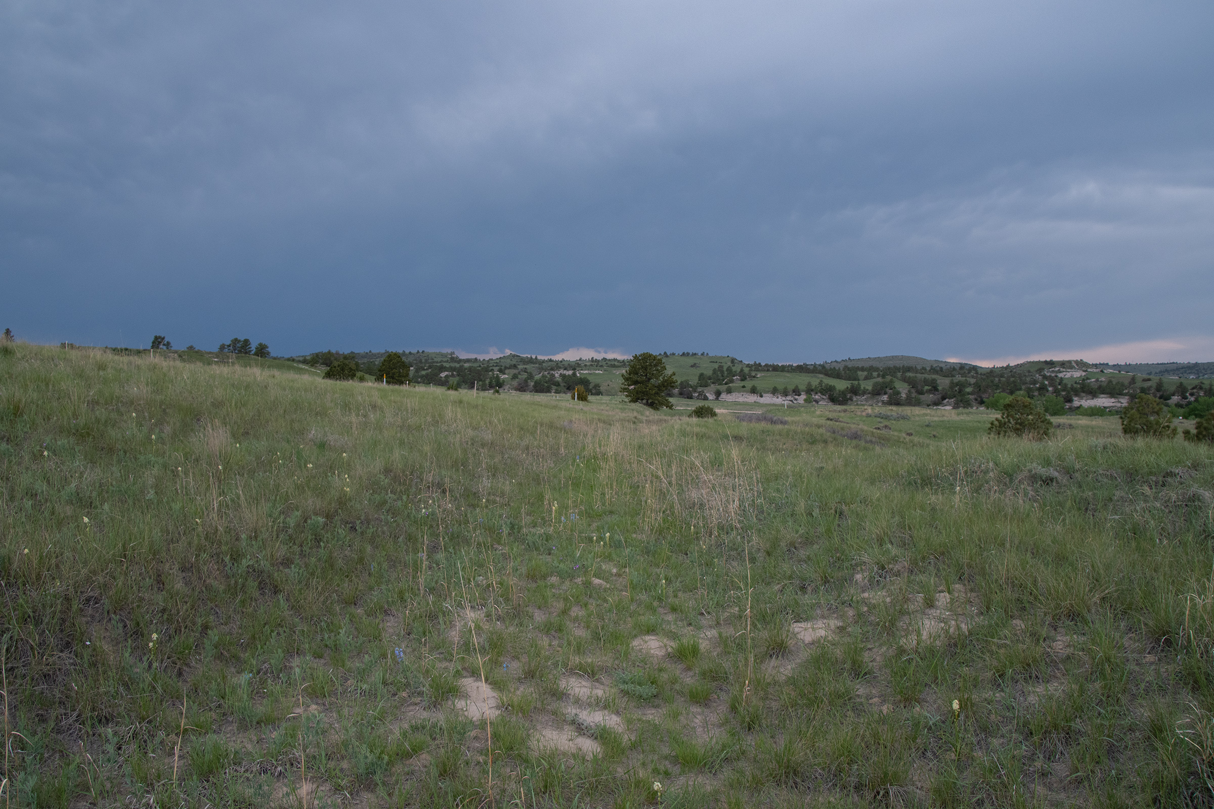
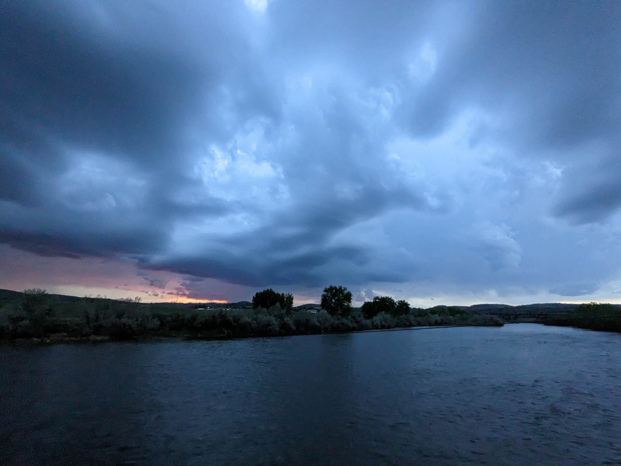
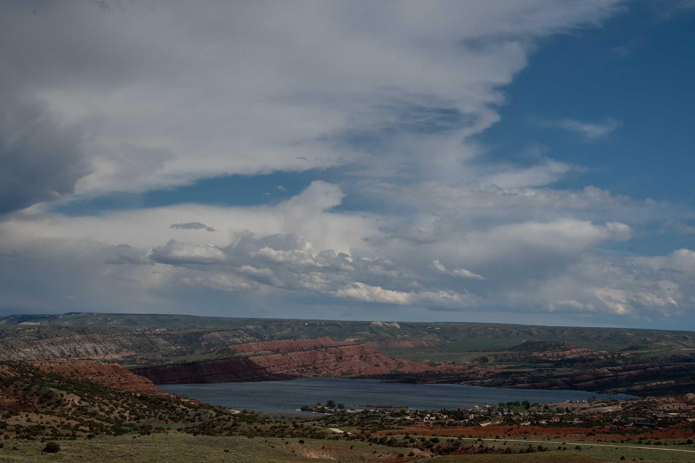
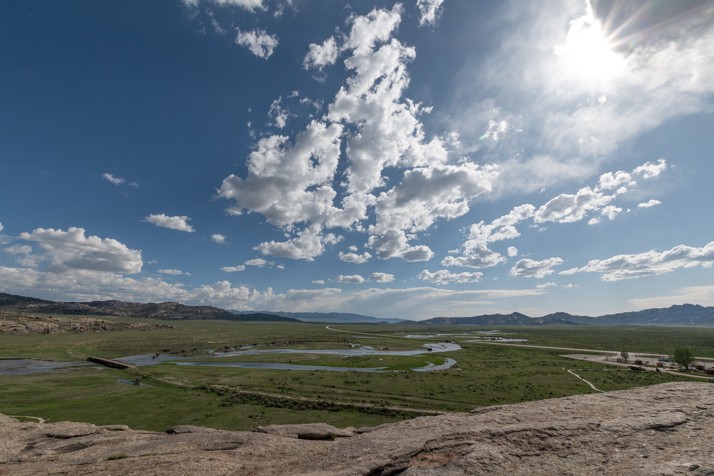
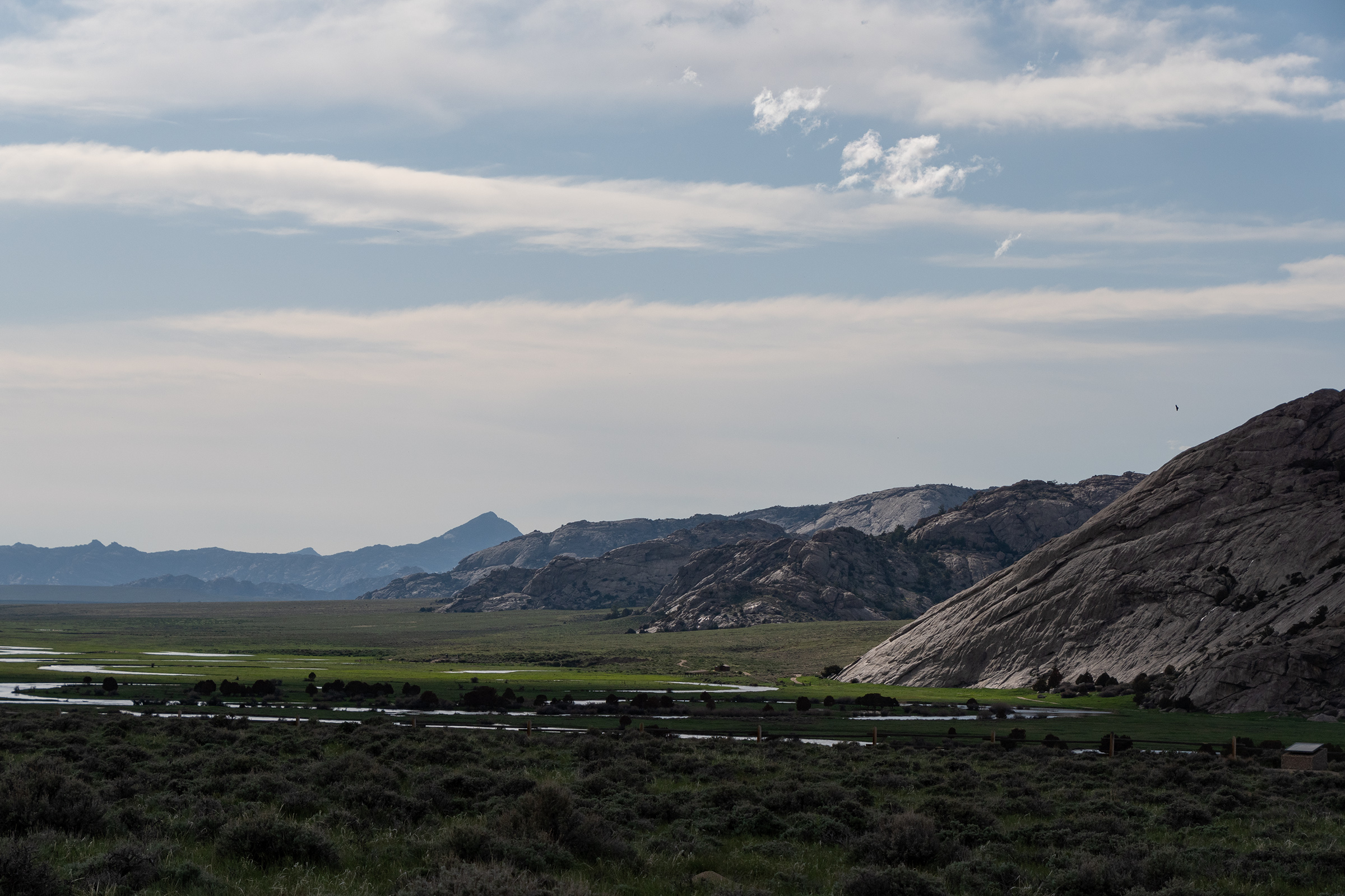
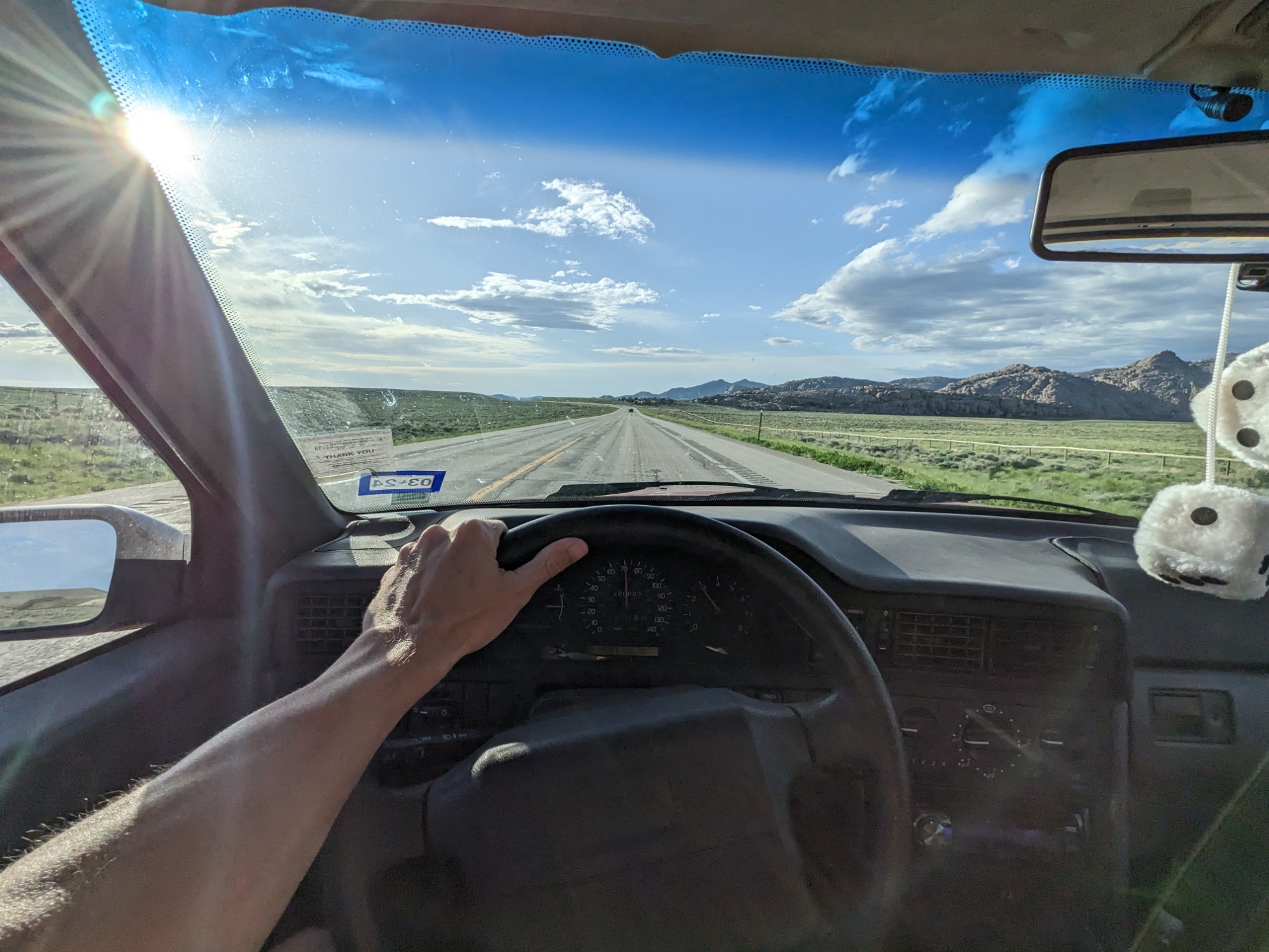
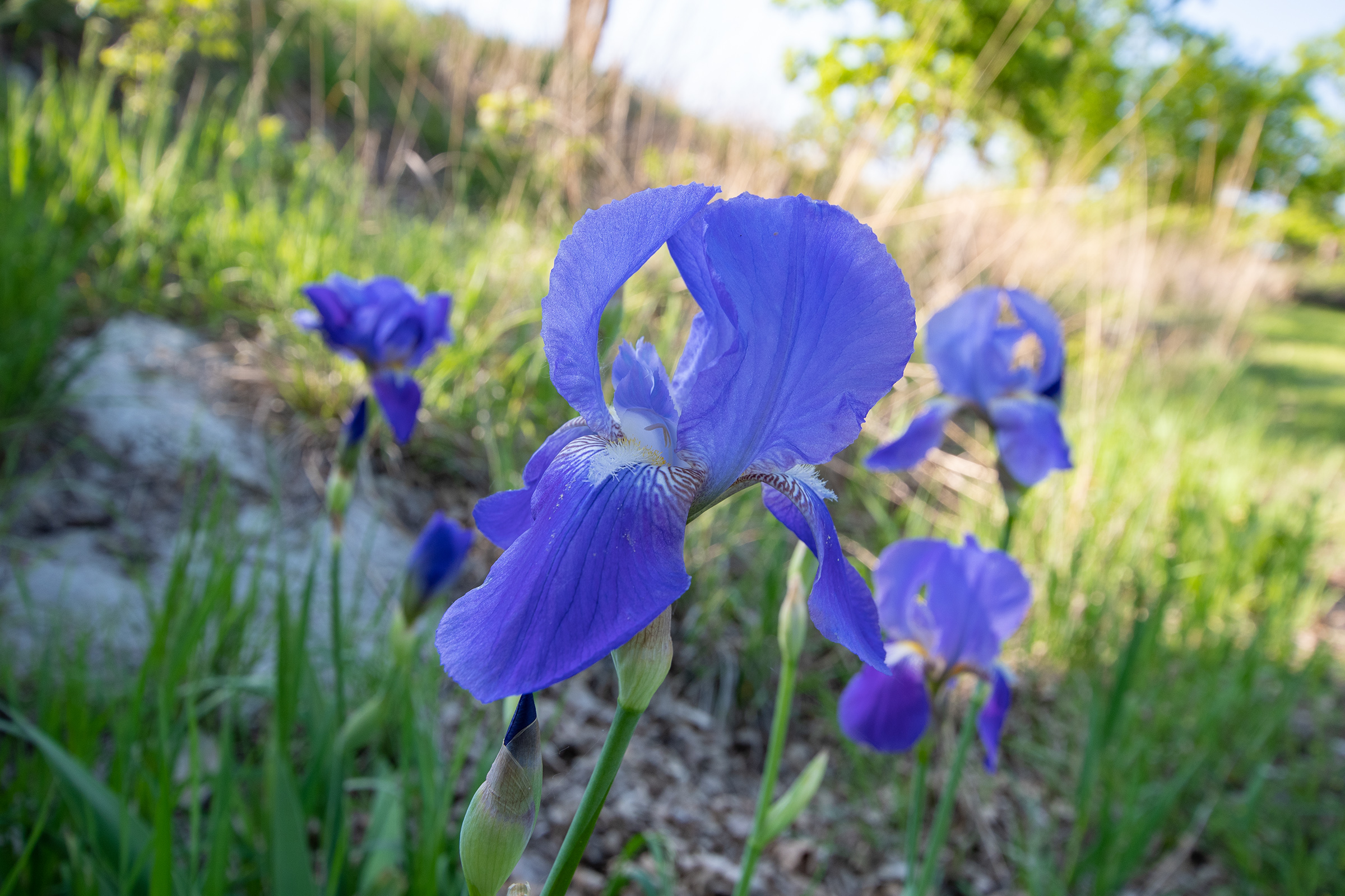
Perhaps I’m getting old, but I will admit… as much as I am one for dramatic mountainous landscapes, spending the day rolling over prairie hills was surprisingly lovely. And after several days of rain and clouds, it was sunny and mid-70s and stunning outside.

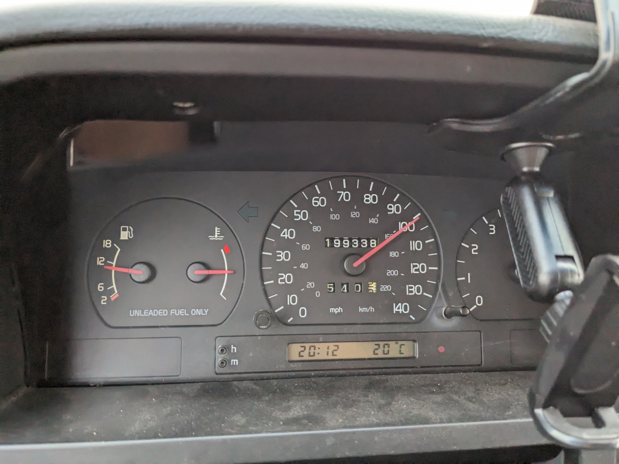
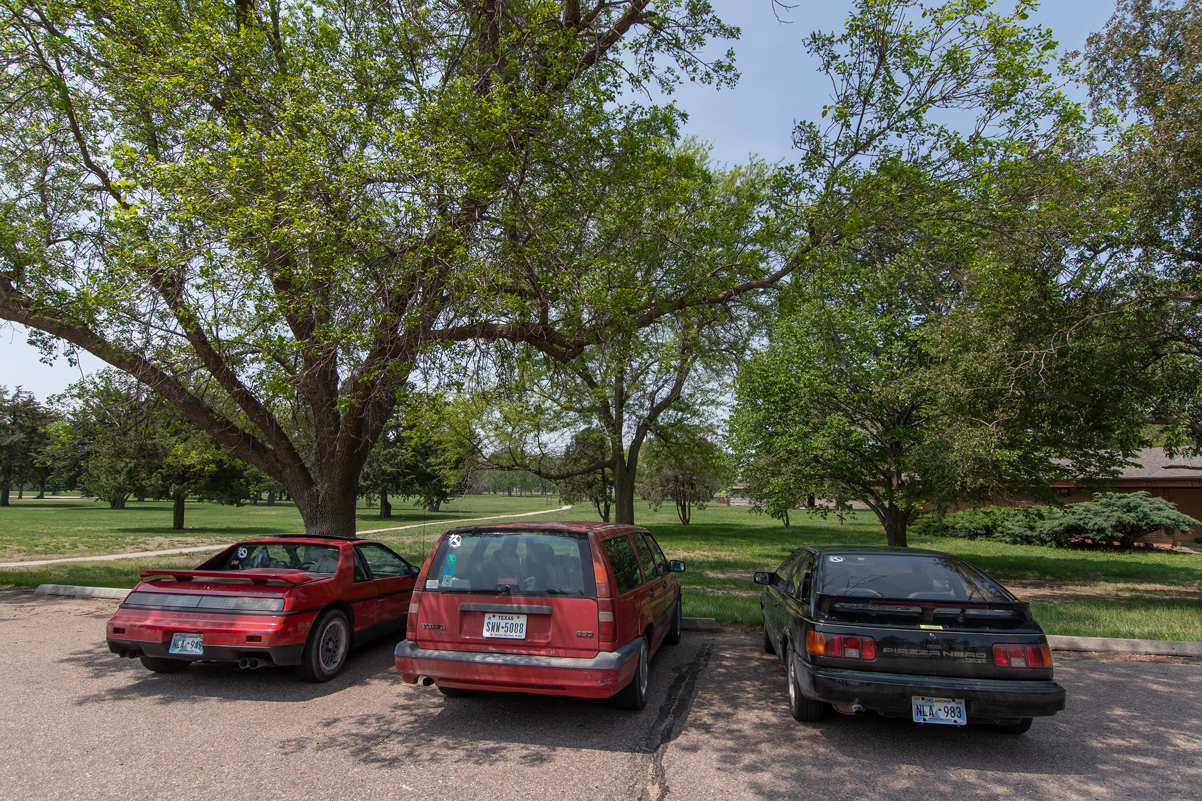
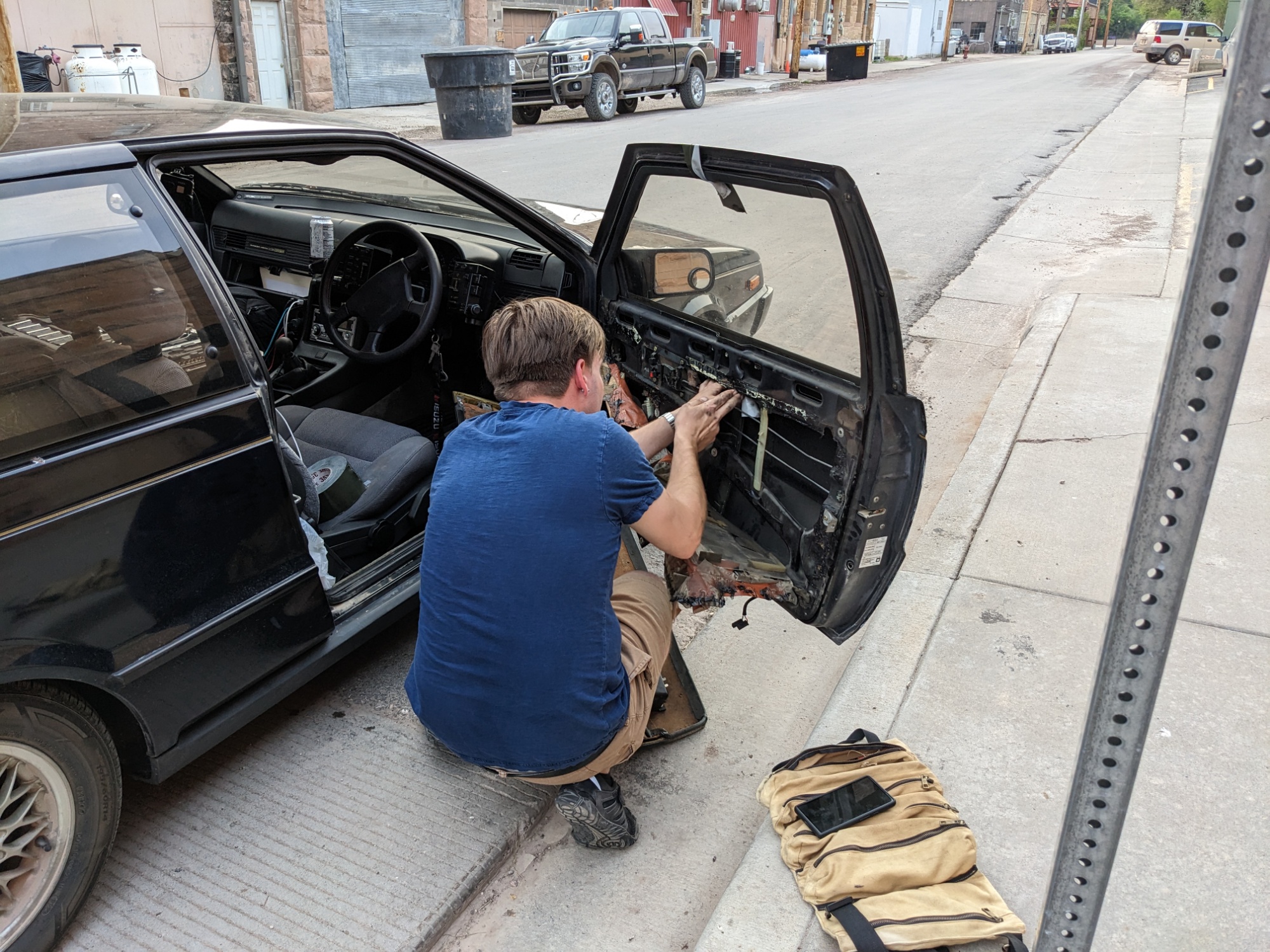
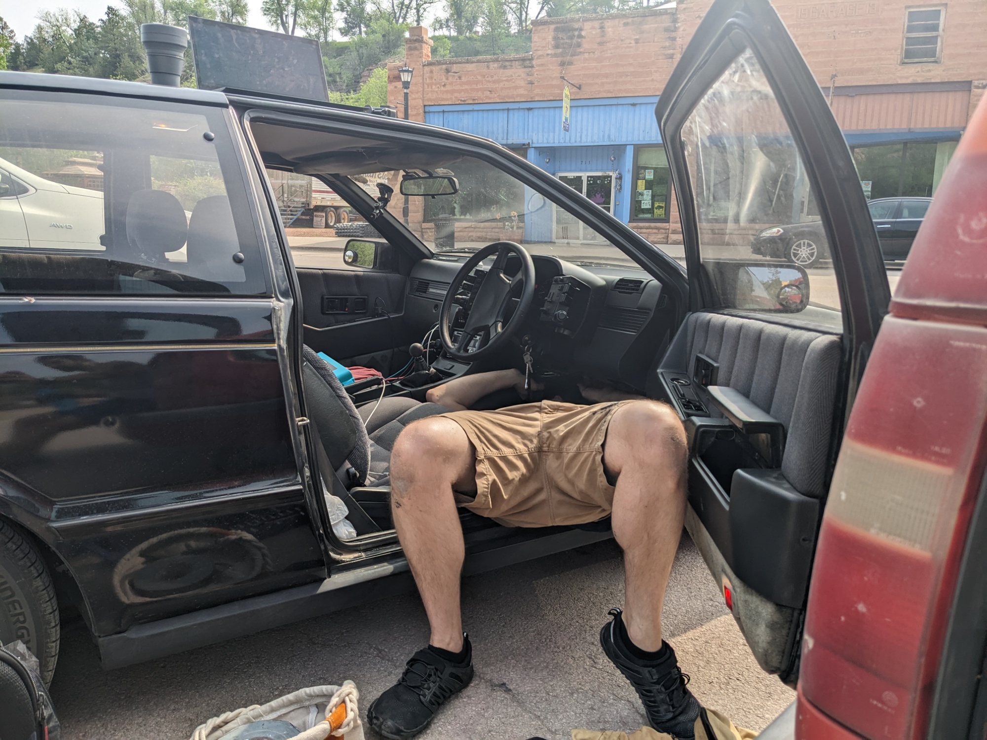
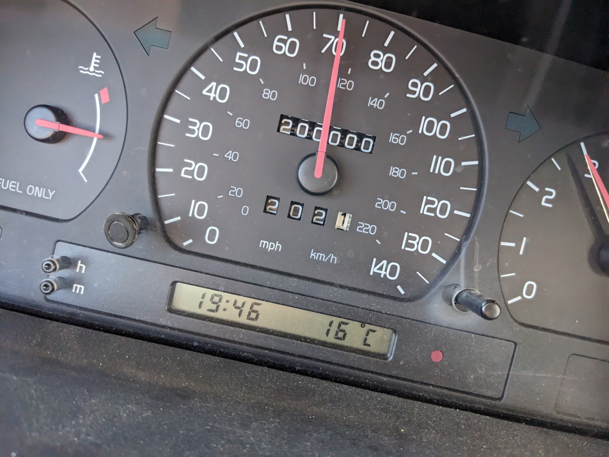
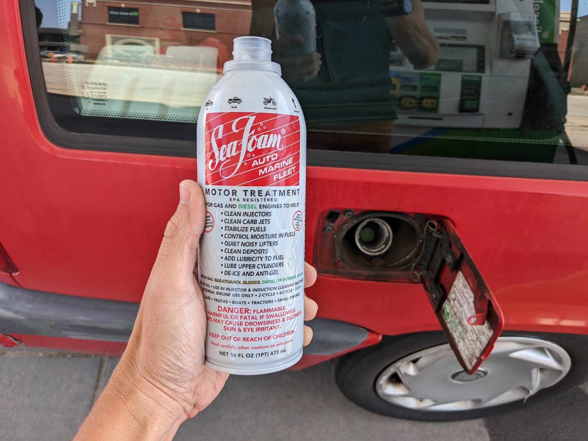
Topeka turned into our automotive stop for the day. Evan was in luck — this was the longest continuous drive the Piazza has done so far, and it seemed to go well. The adjustment to the accelerator tension in the Volvo was surprisingly helpful. But I was unable to open my fuel filler door — it doesn’t lock, so why didn’t it open? Turns out… it does lock. The power locks for the car doors also lock and unlock the fuel filler door, except that, like the rear driver-side door, the lock is unreliable, so it was stuck. The answer turned out to be locking and unlocking all the doors again. It’s fine, it’s fine, it’ll be fine.

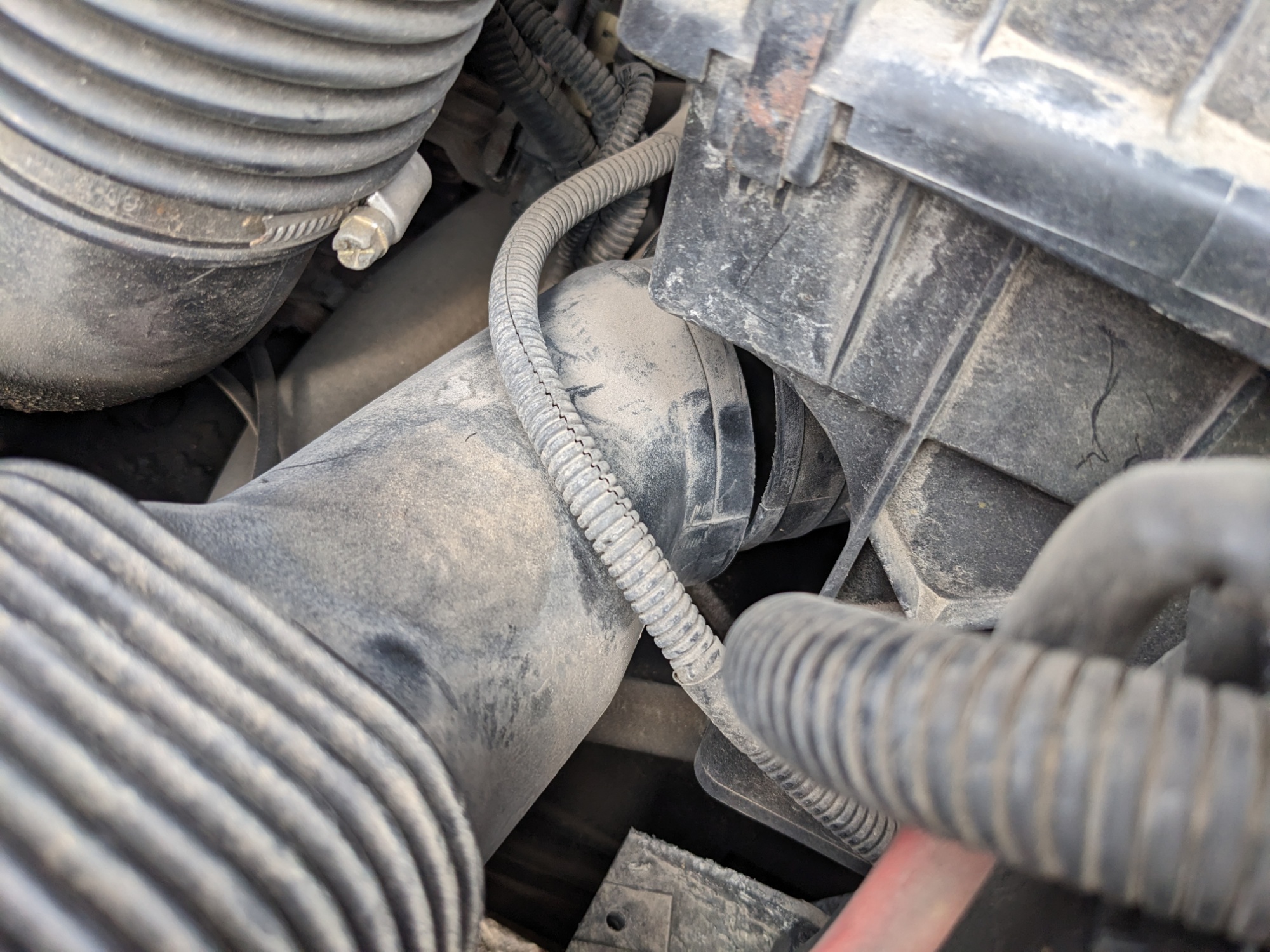
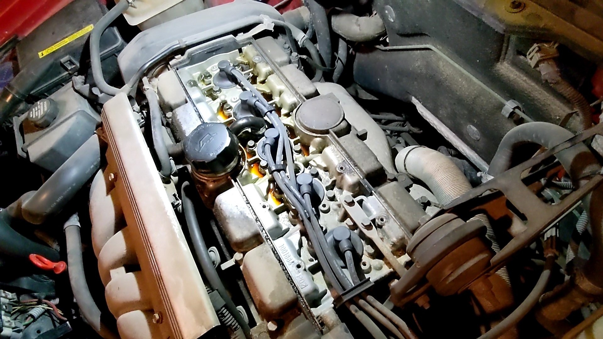
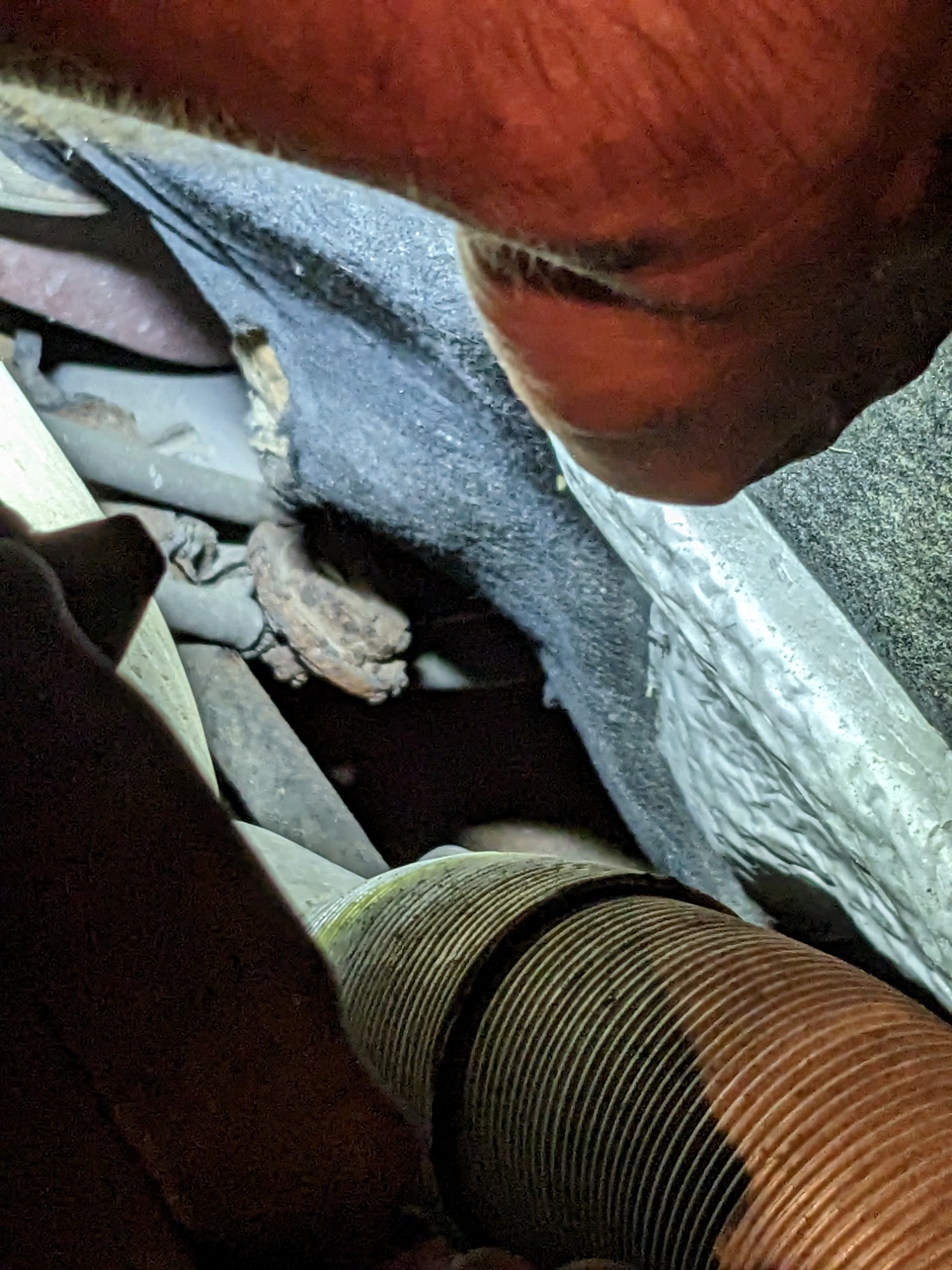
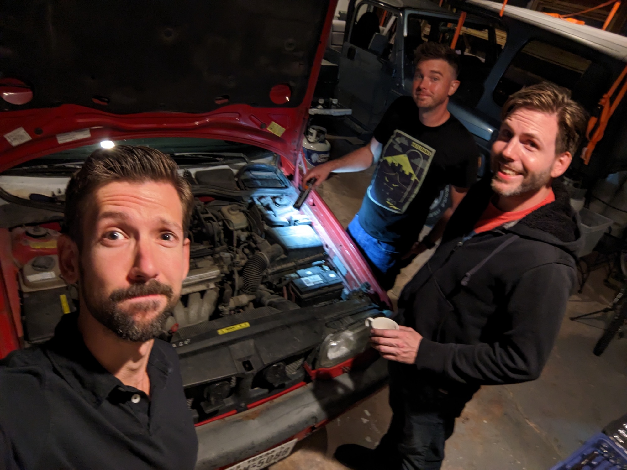
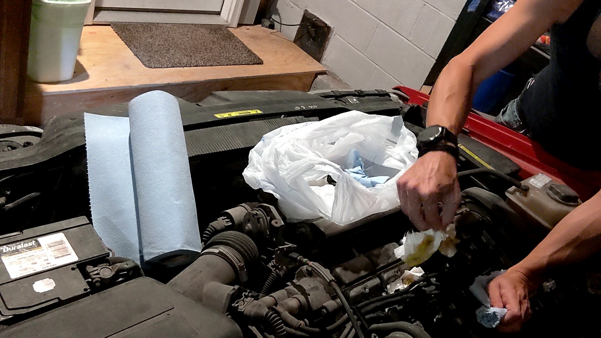
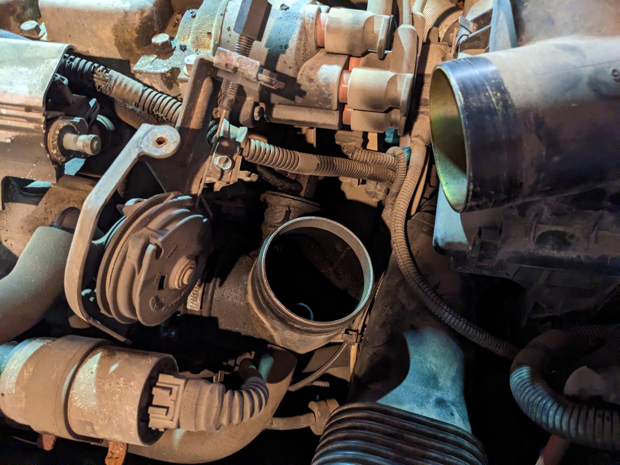
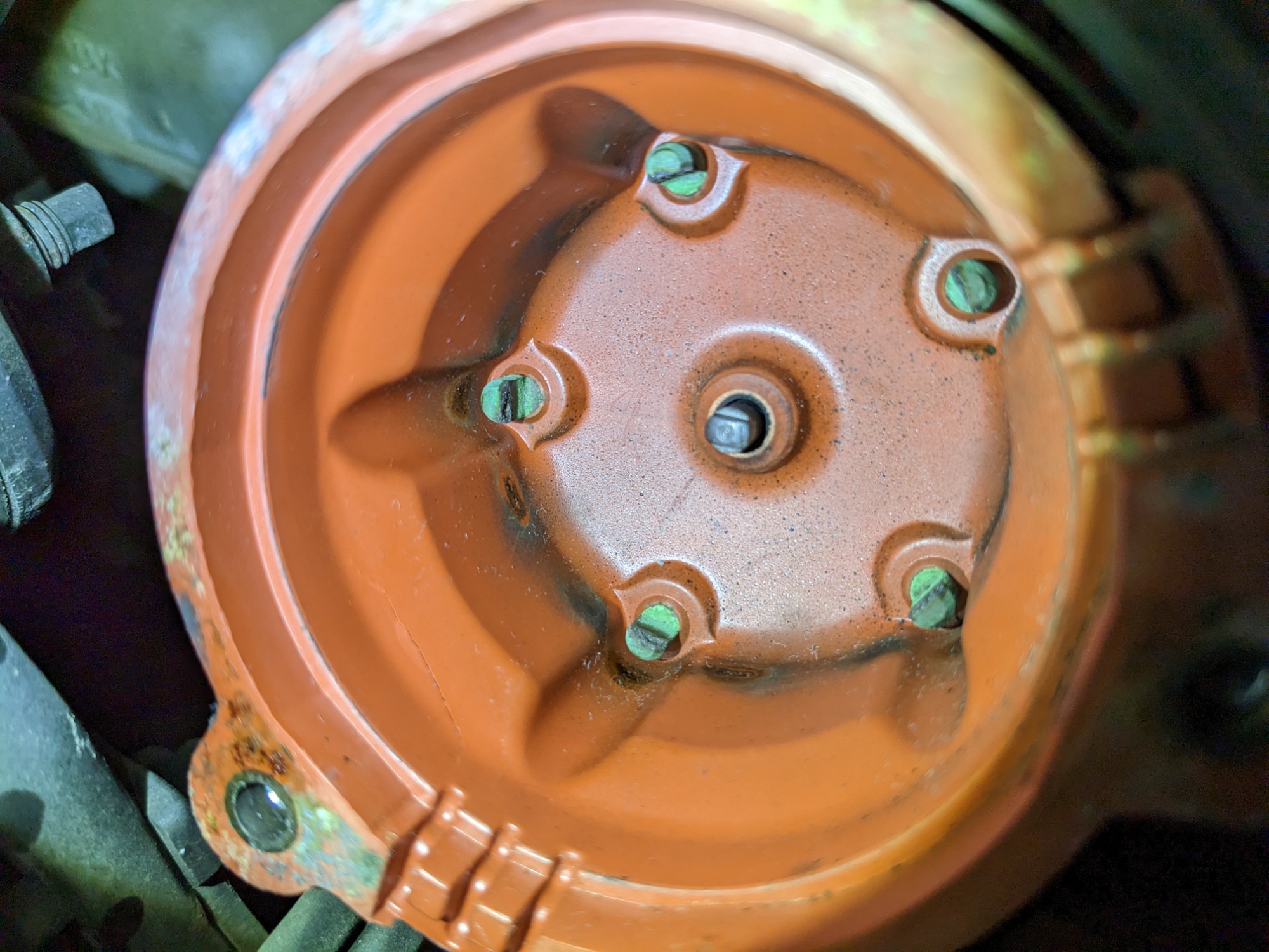
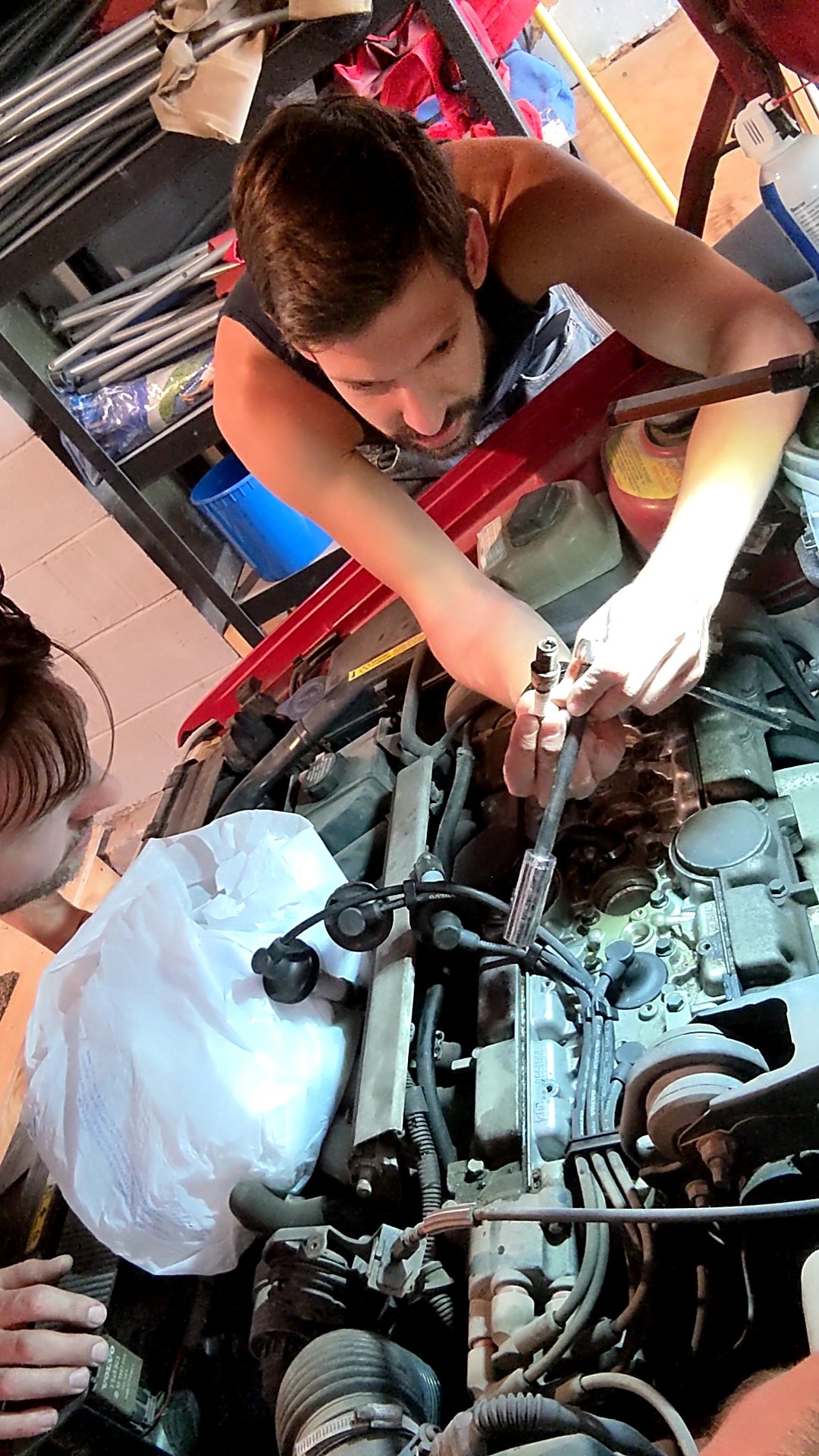
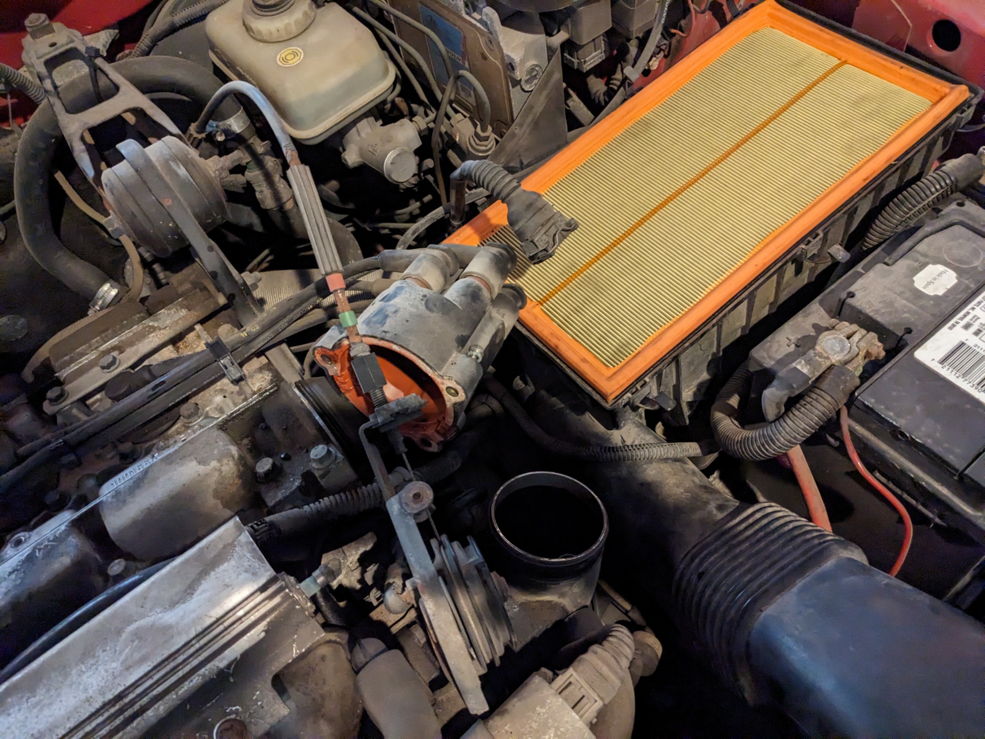
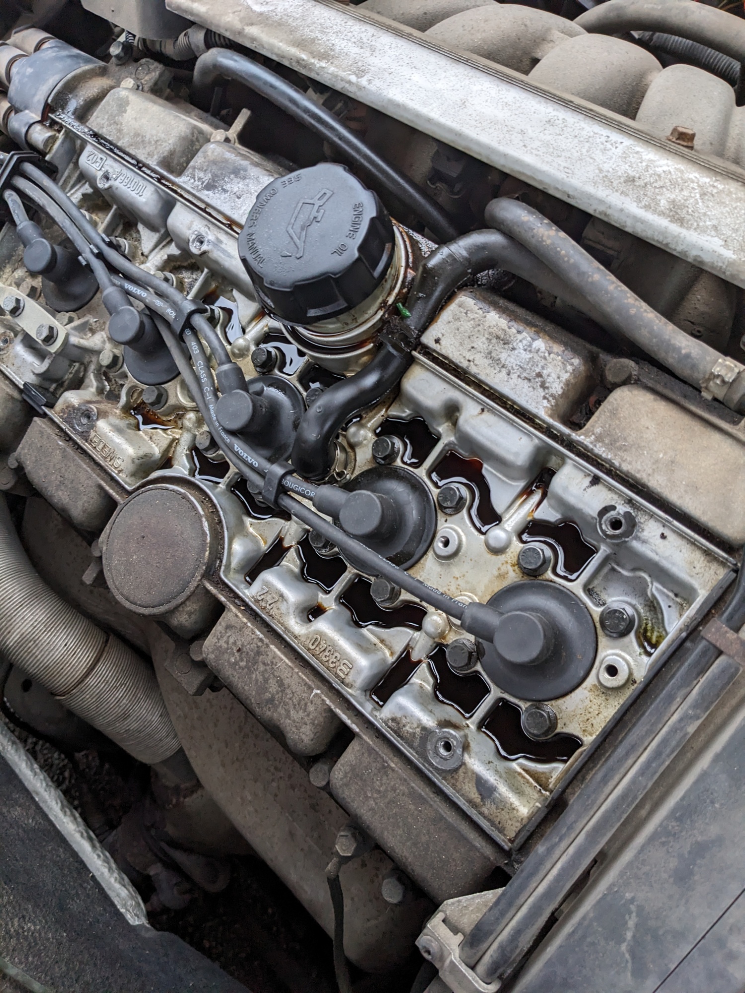
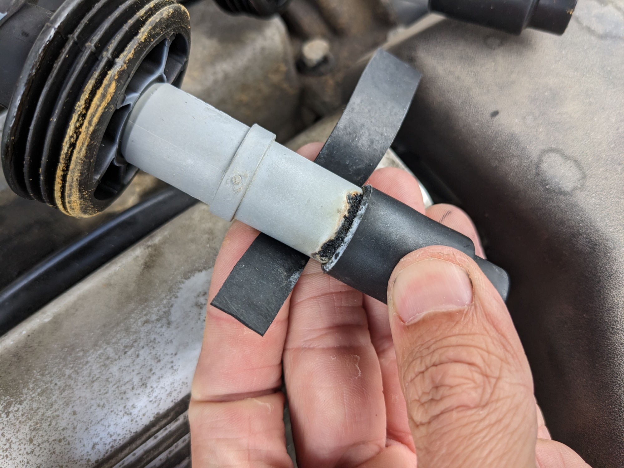
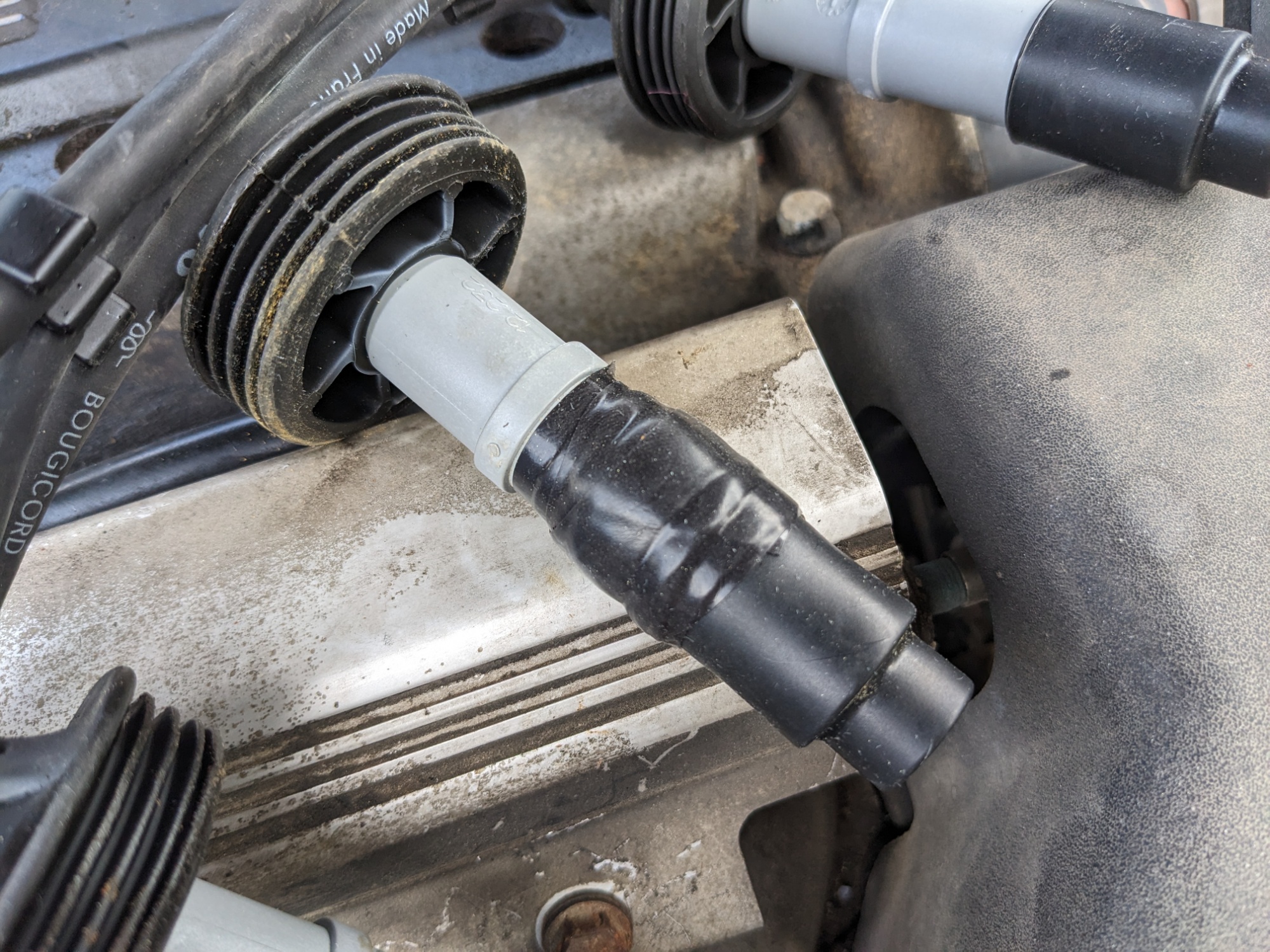
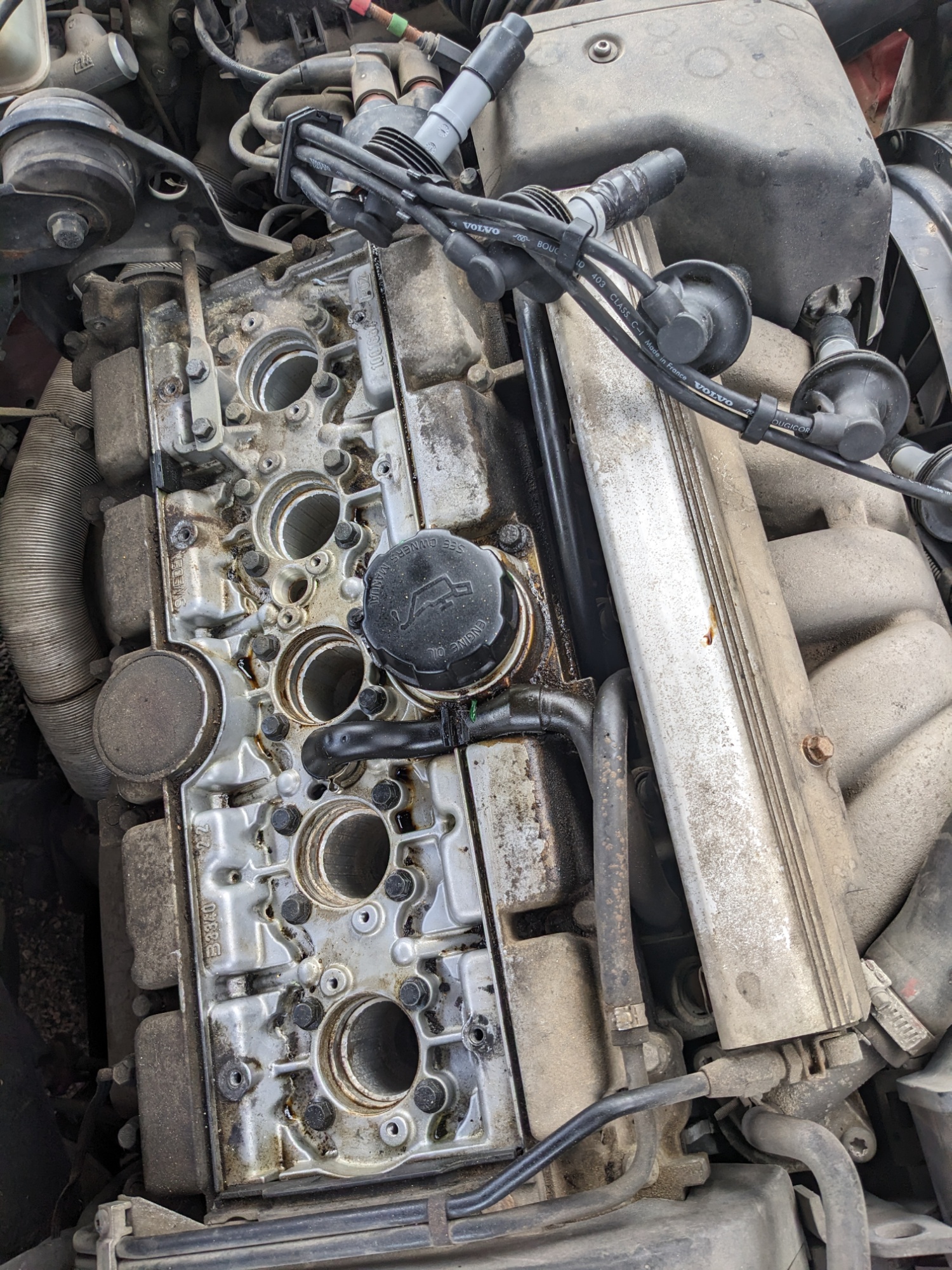
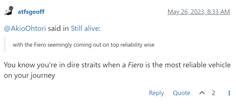
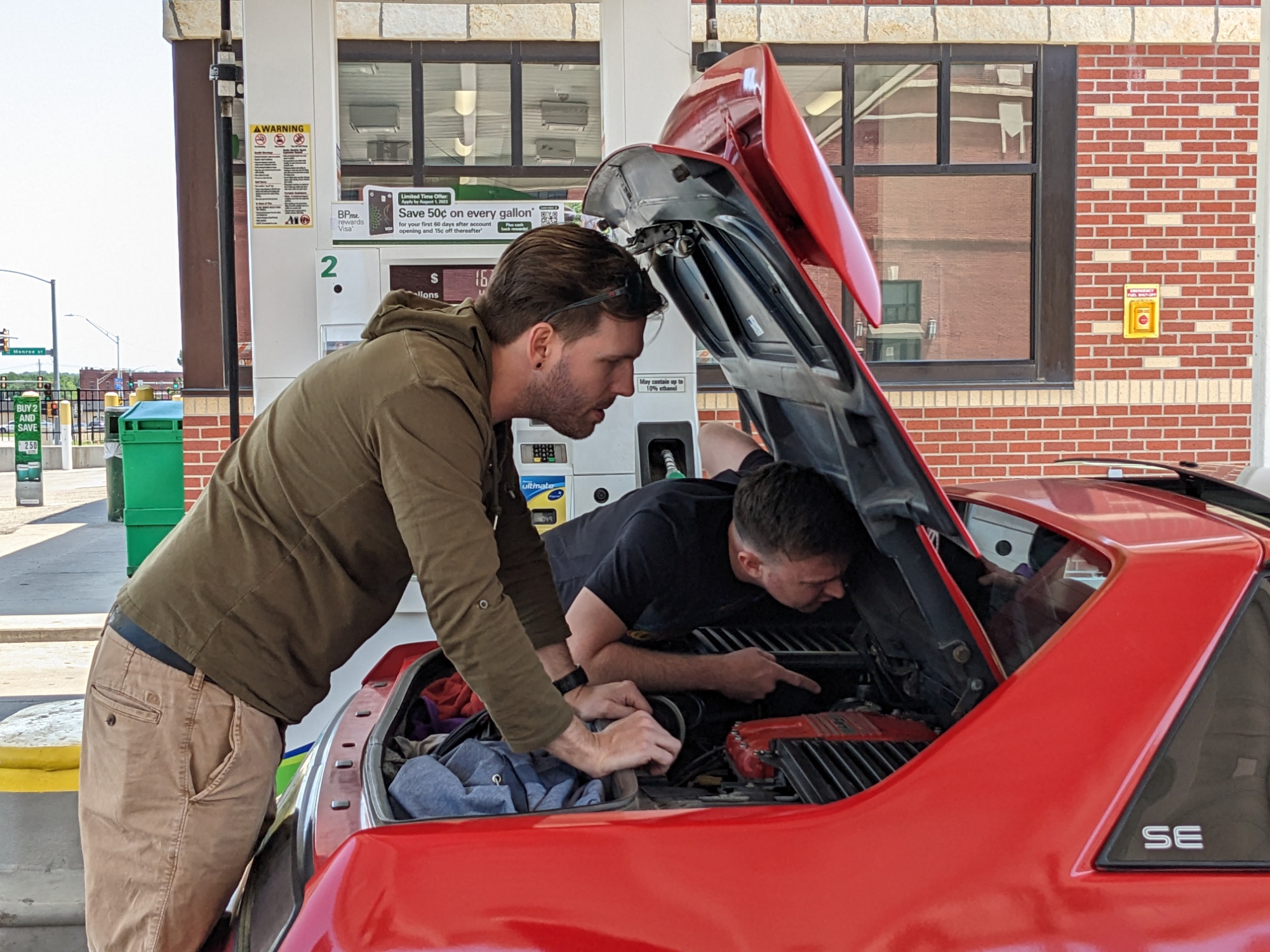
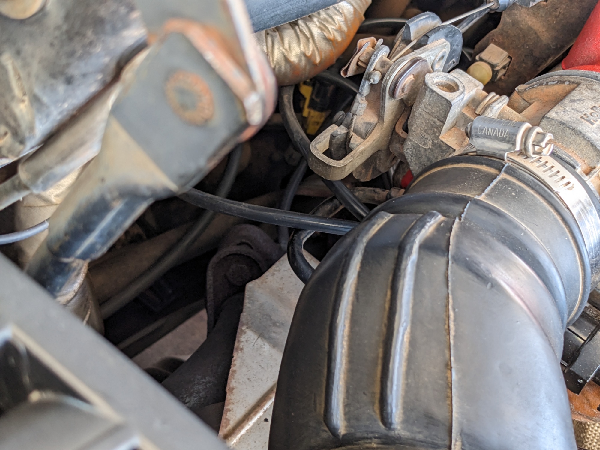
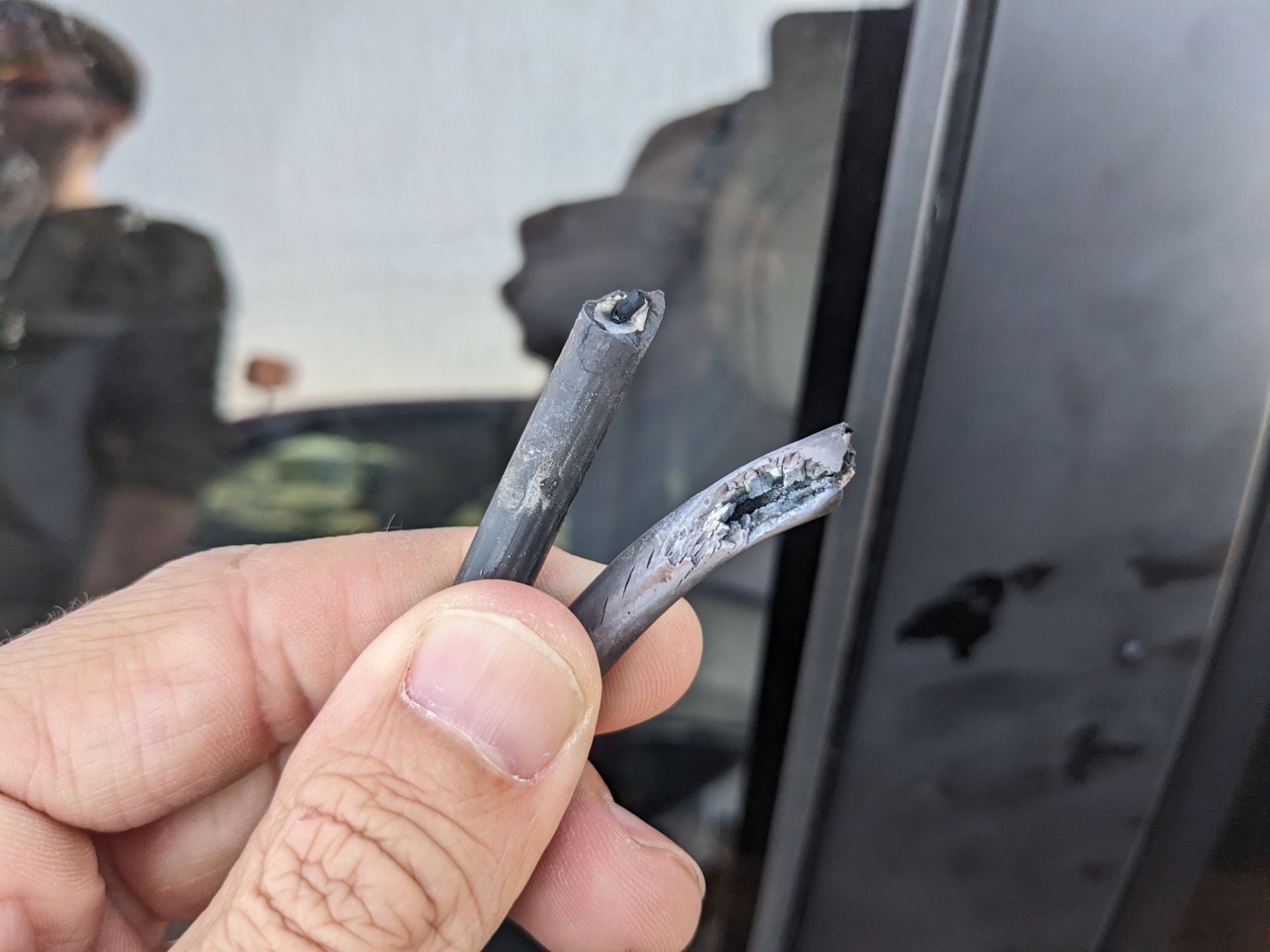
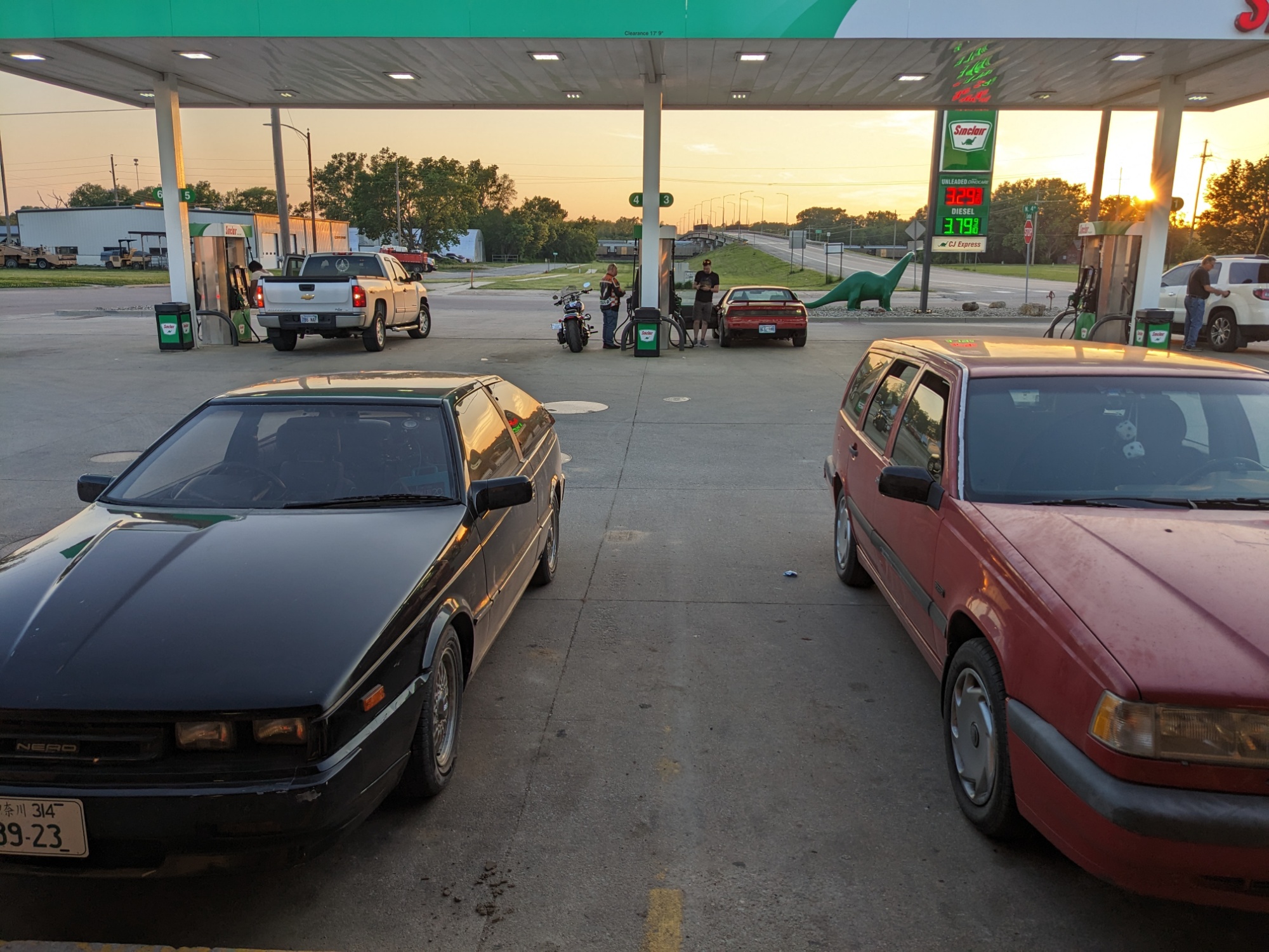
George’s matter turned out to be somewhat more complicated. He damn-near declared the Fiero dead. After some diagnosis at the sketchy gas station in Downtown Topeka, we discovered that there was a spark arcing between one of his spark plug wires and … something that wasn’t the spark plug.

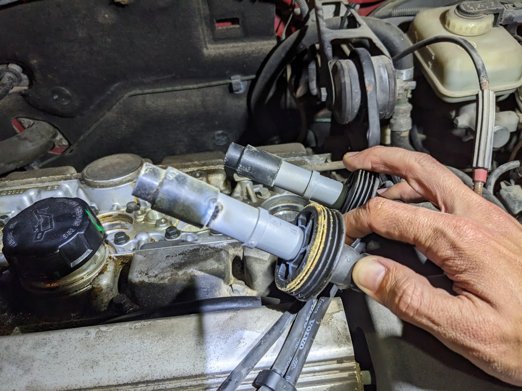
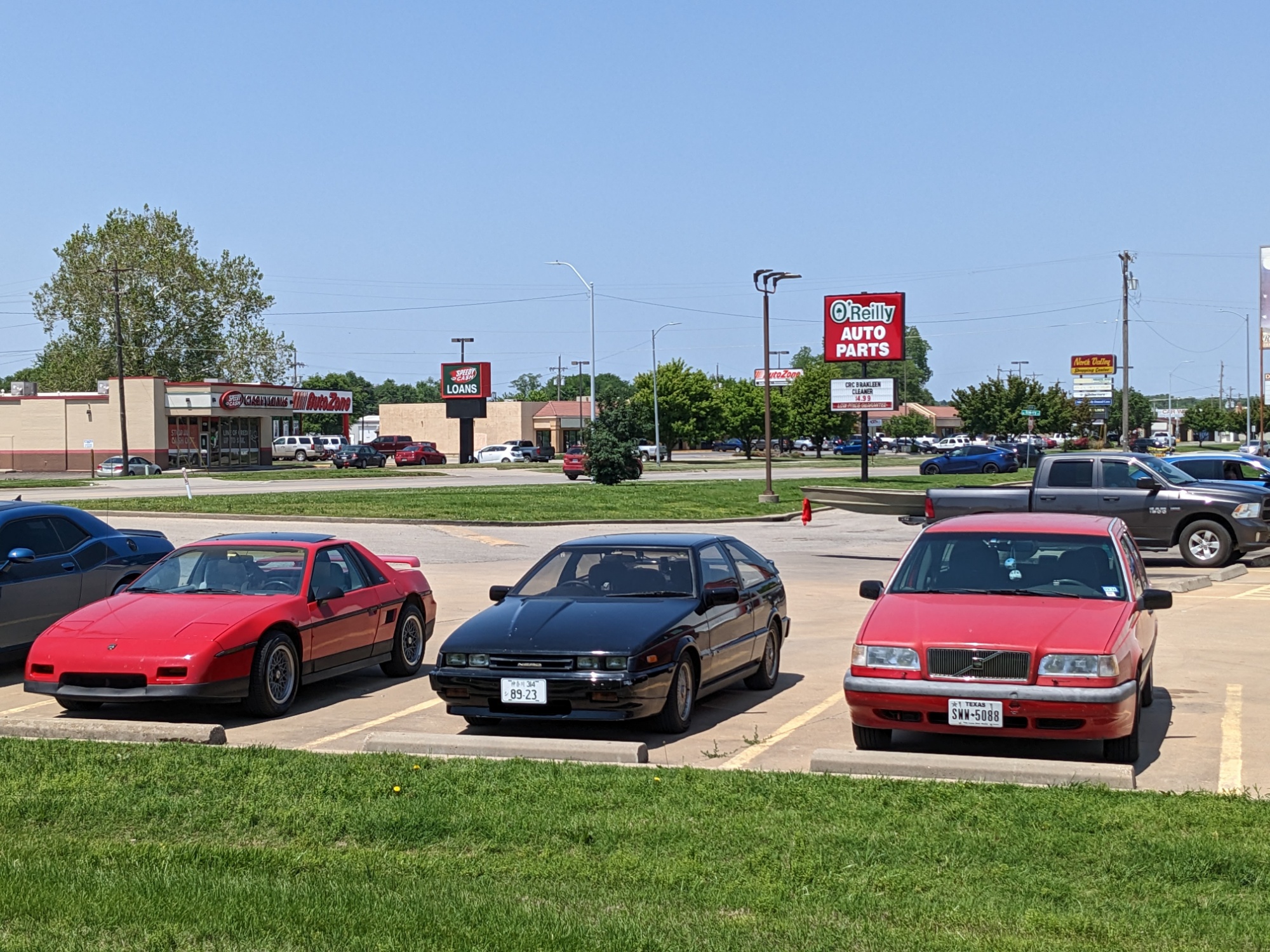
Turns out, two of his spark plug wires were resting on the exhaust manifold, which melted one of them. Of all the show-stopper problems to have, this both supported a dramatic narrative and was easily fixed. We stopped by an O’Reilly for a new set of plug wires, let his engine cool over lunch and errands, and he swapped them out pretty quickly under the passing shade of a Best Buy sign.

Sometimes I realize how far we’ve come in this, George. Like, when we did the first trip back in 2015, did you even know any of the words you just used?

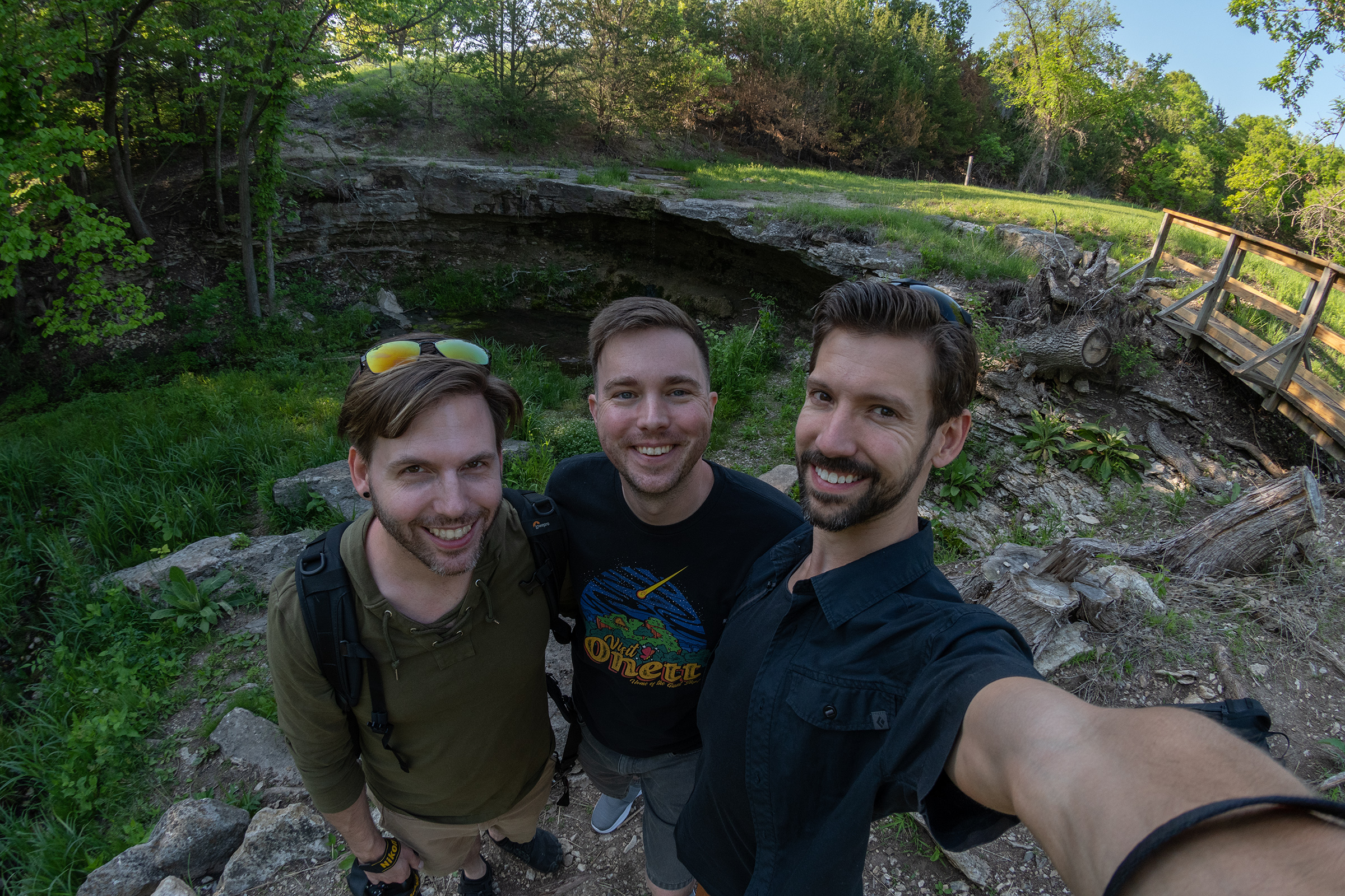
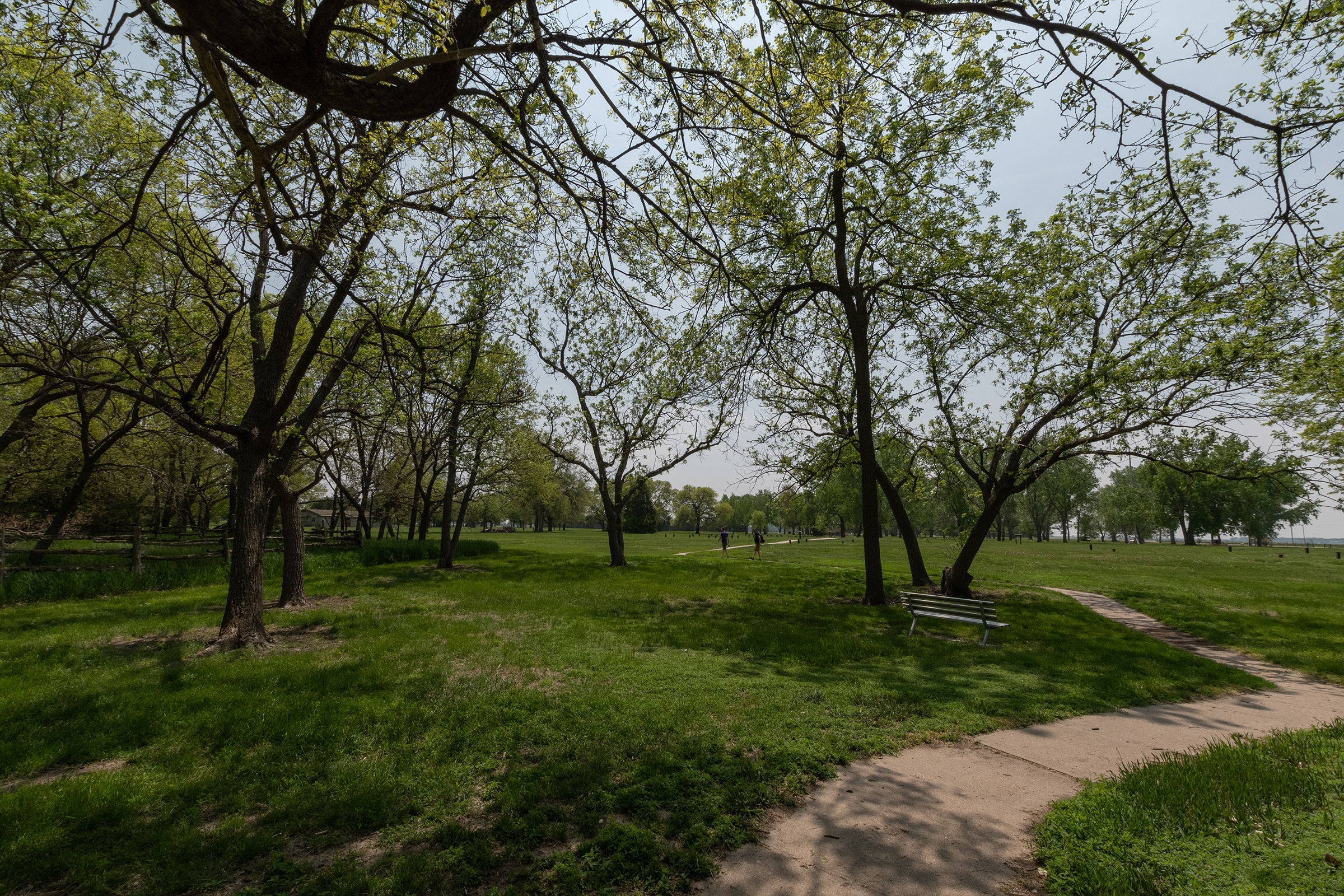
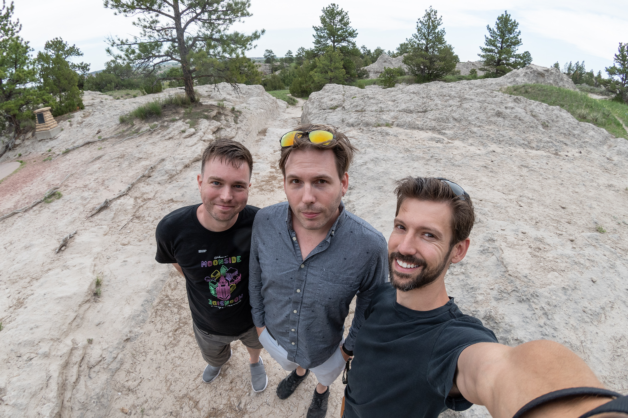
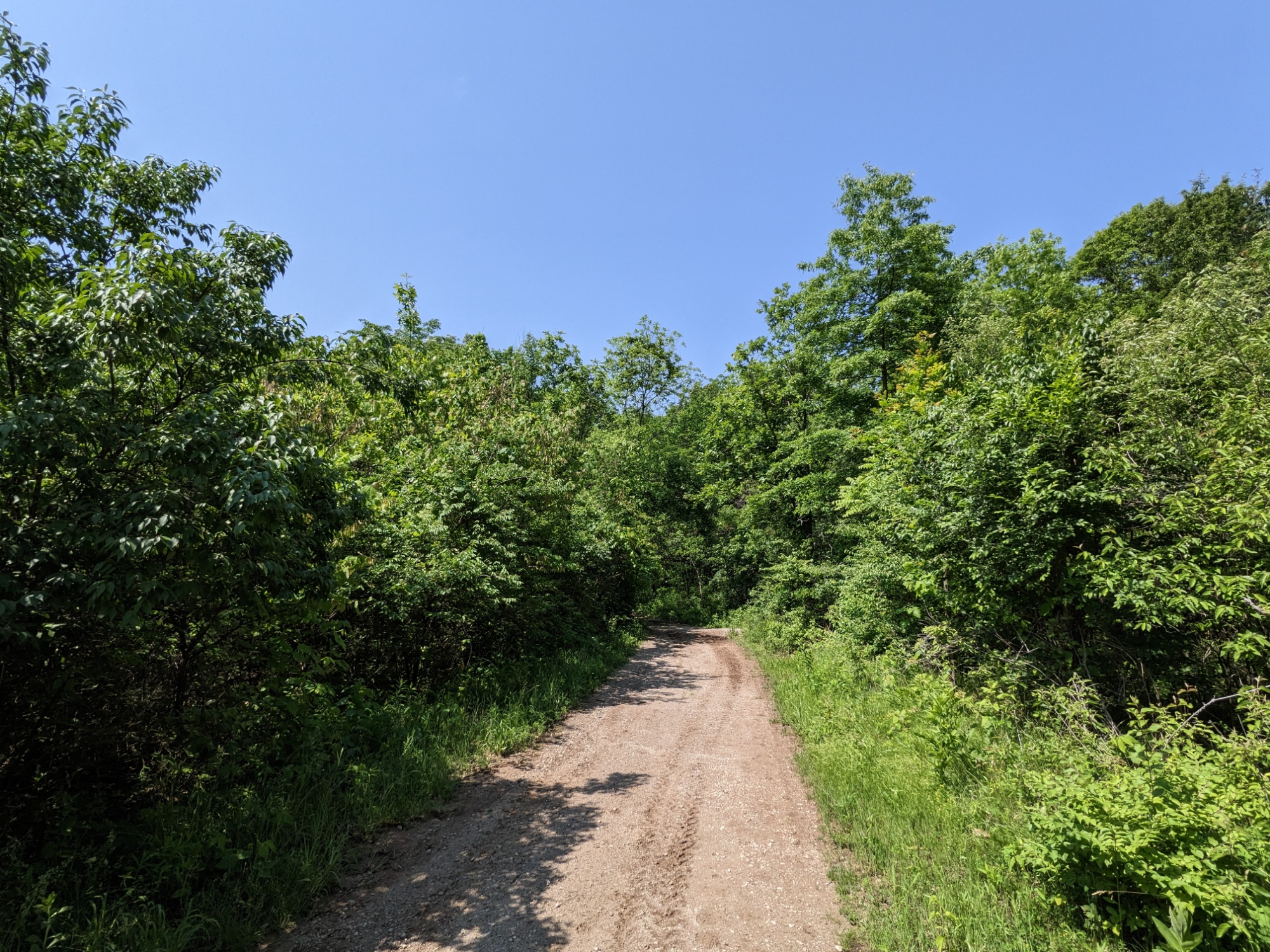
After the repair, we continued another hour or so to Alcove Springs. George reported substantial improvements in the Fiero, which was great news. I decided not to raise any concern about what felt like some fuel delivery misses or clutch slippage in the Volvo, because admitting it aloud might make it real. Instead, we pressed on for the park.

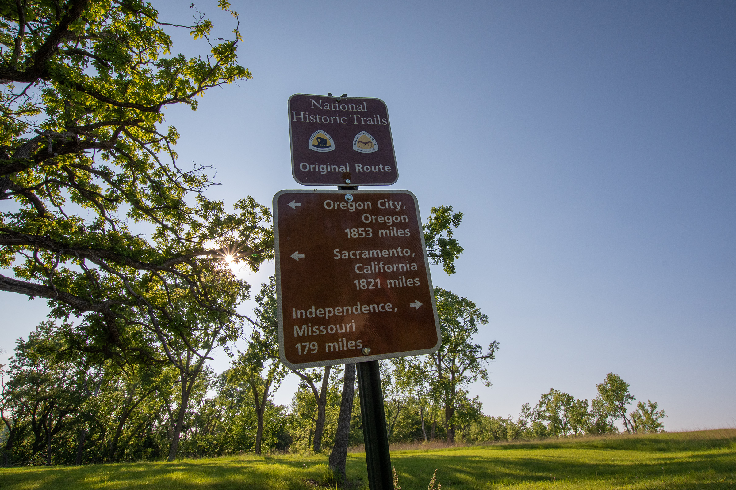
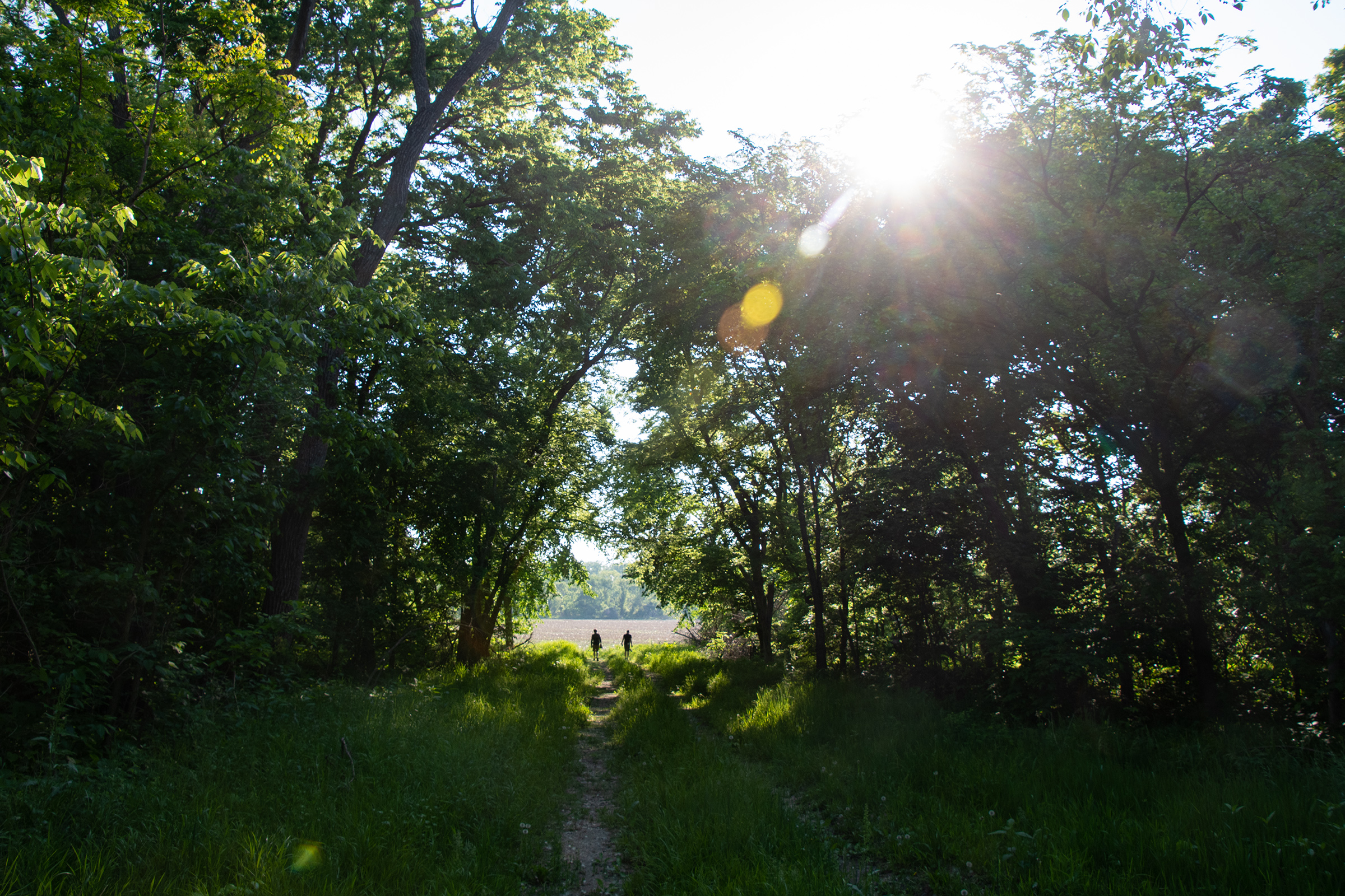
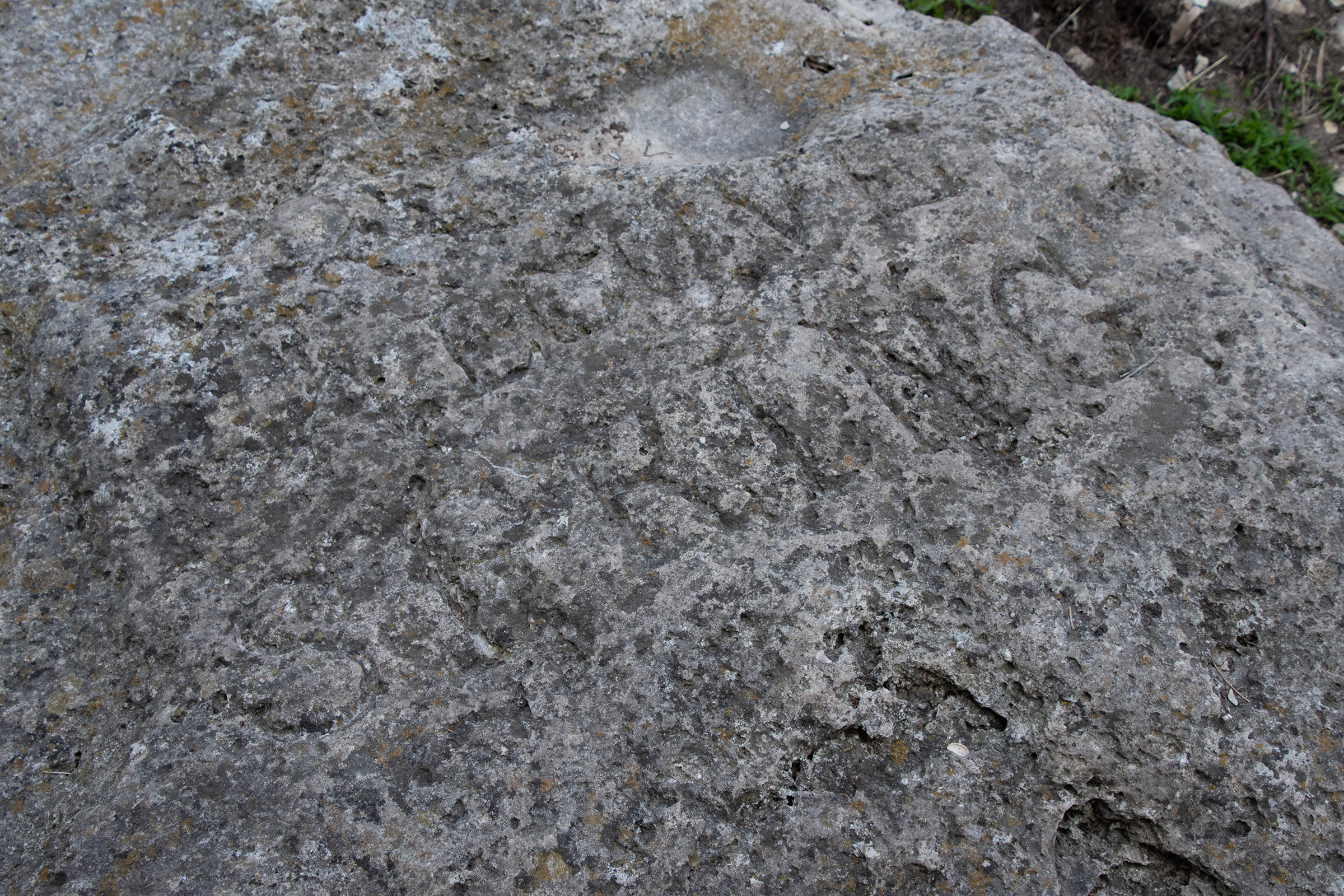
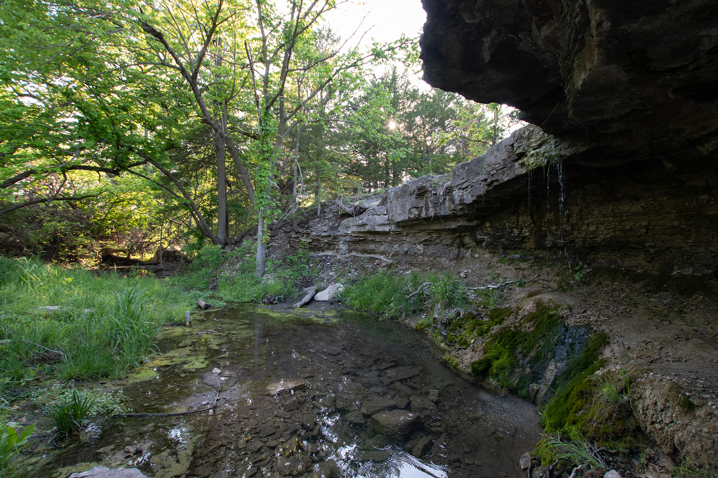
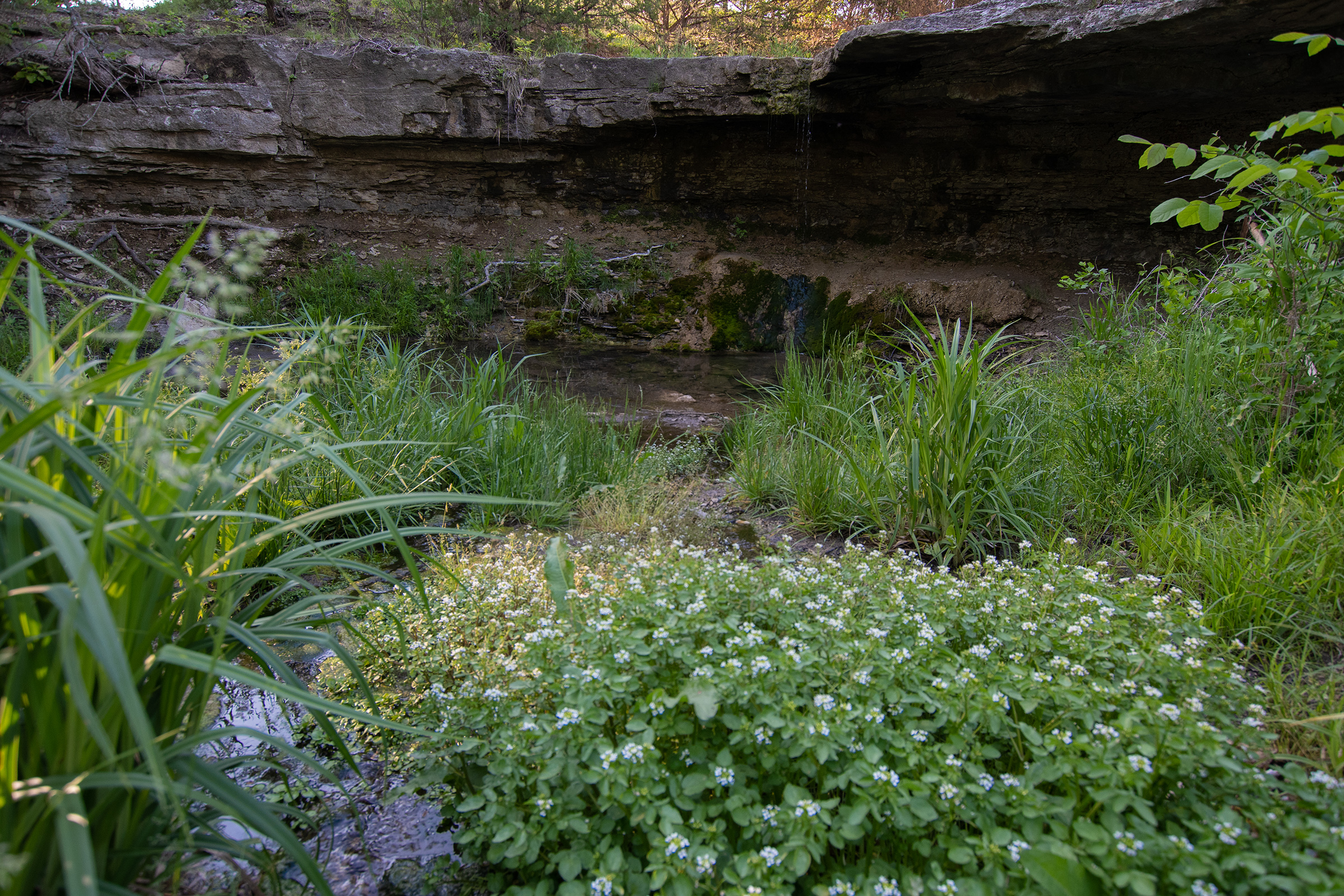
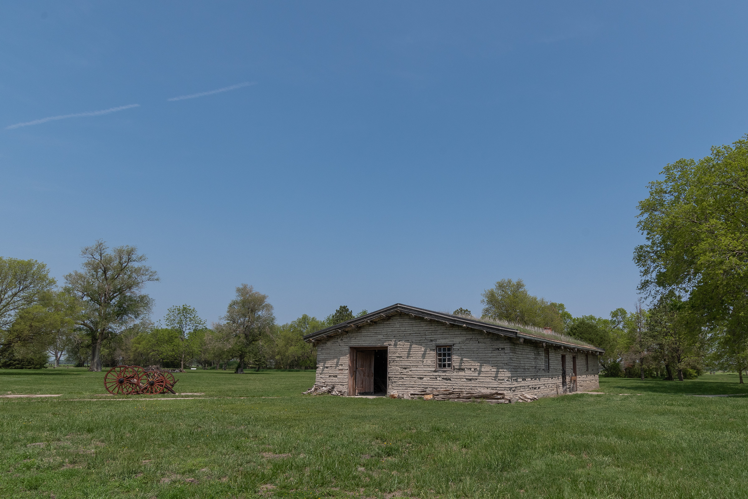
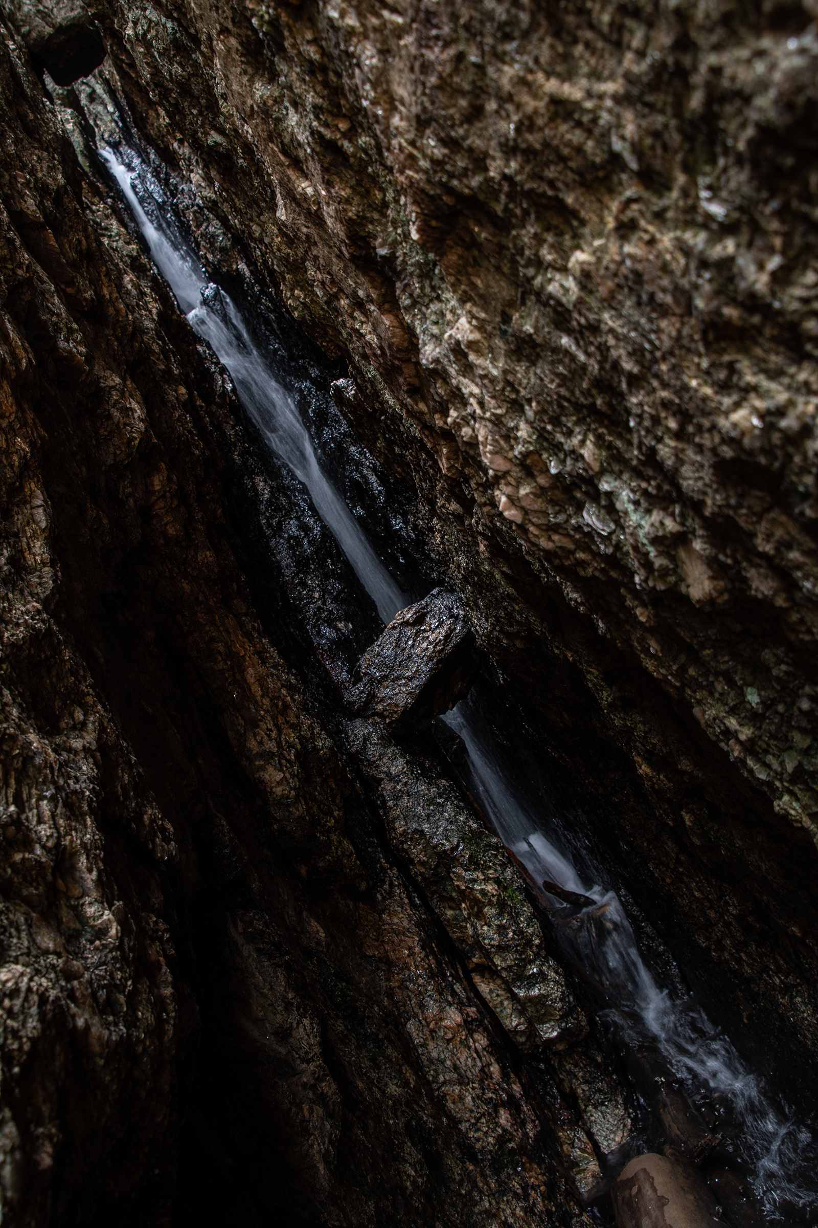
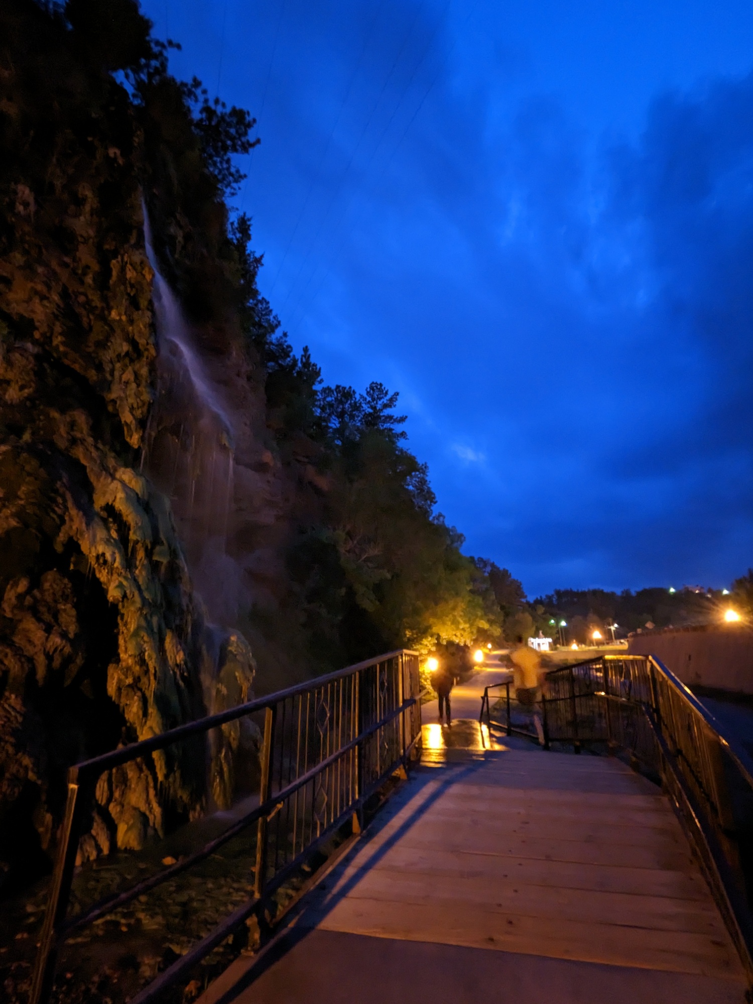
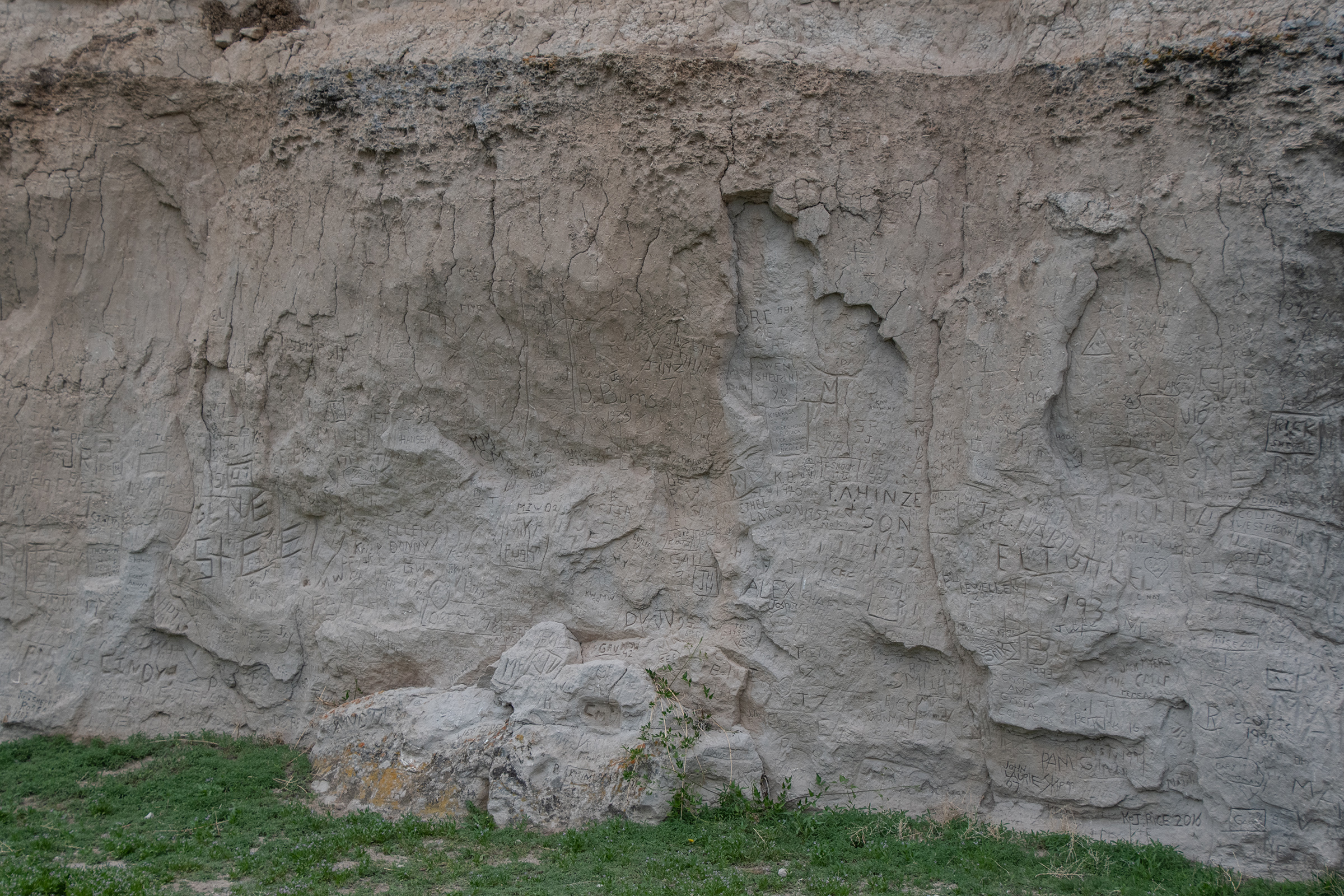
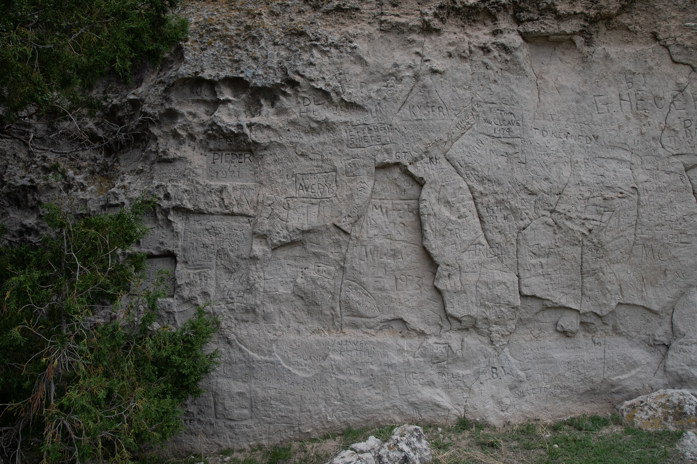
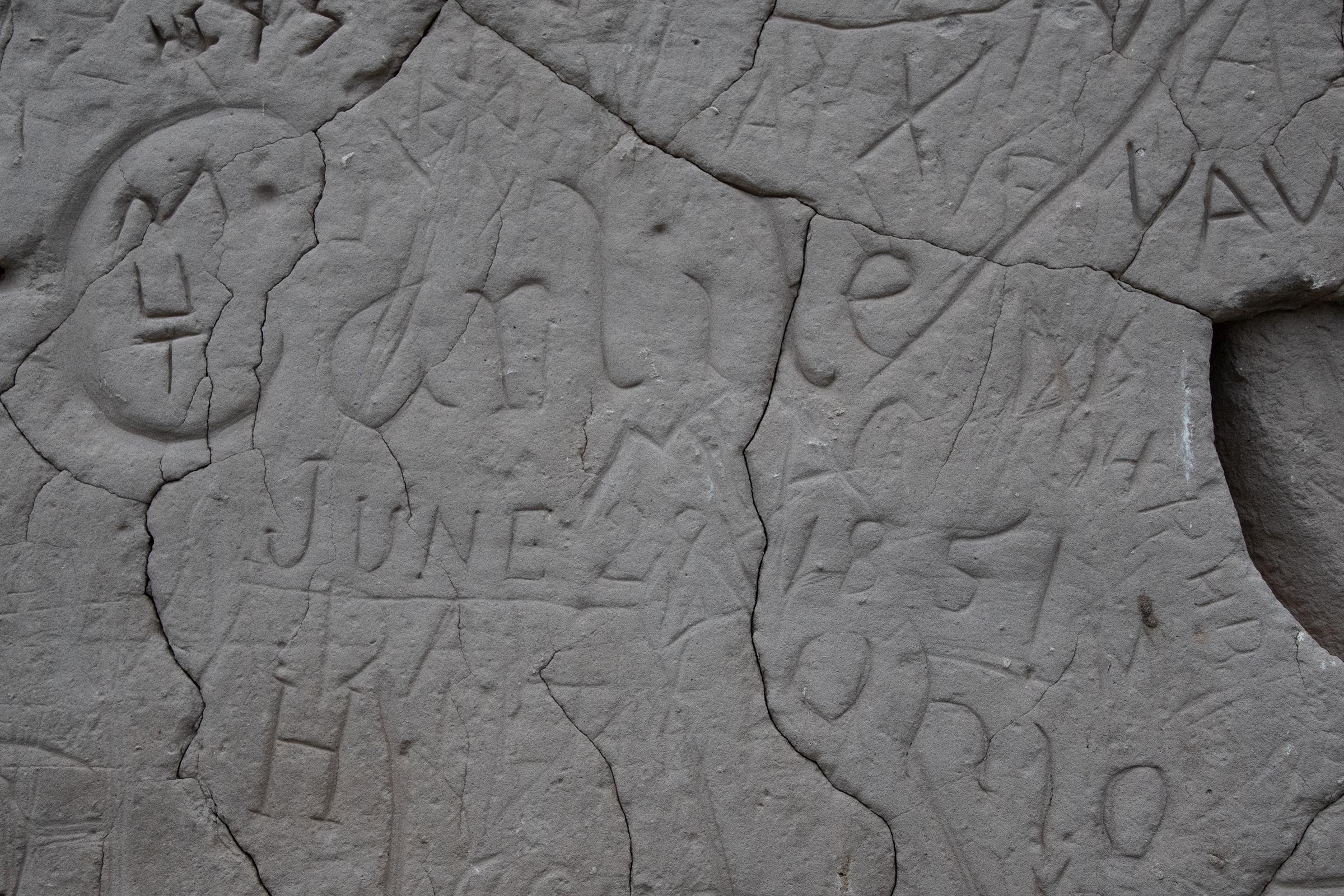
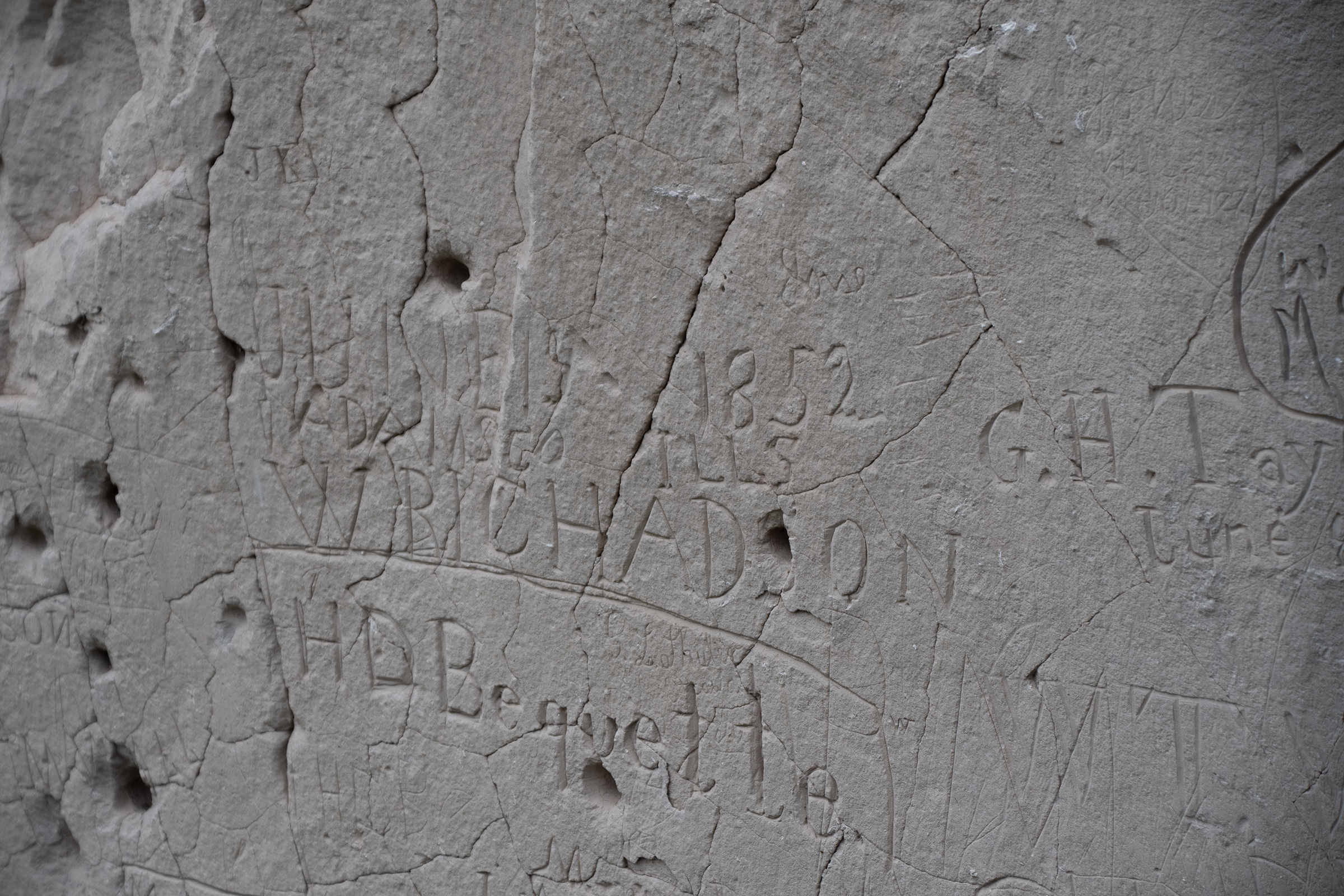
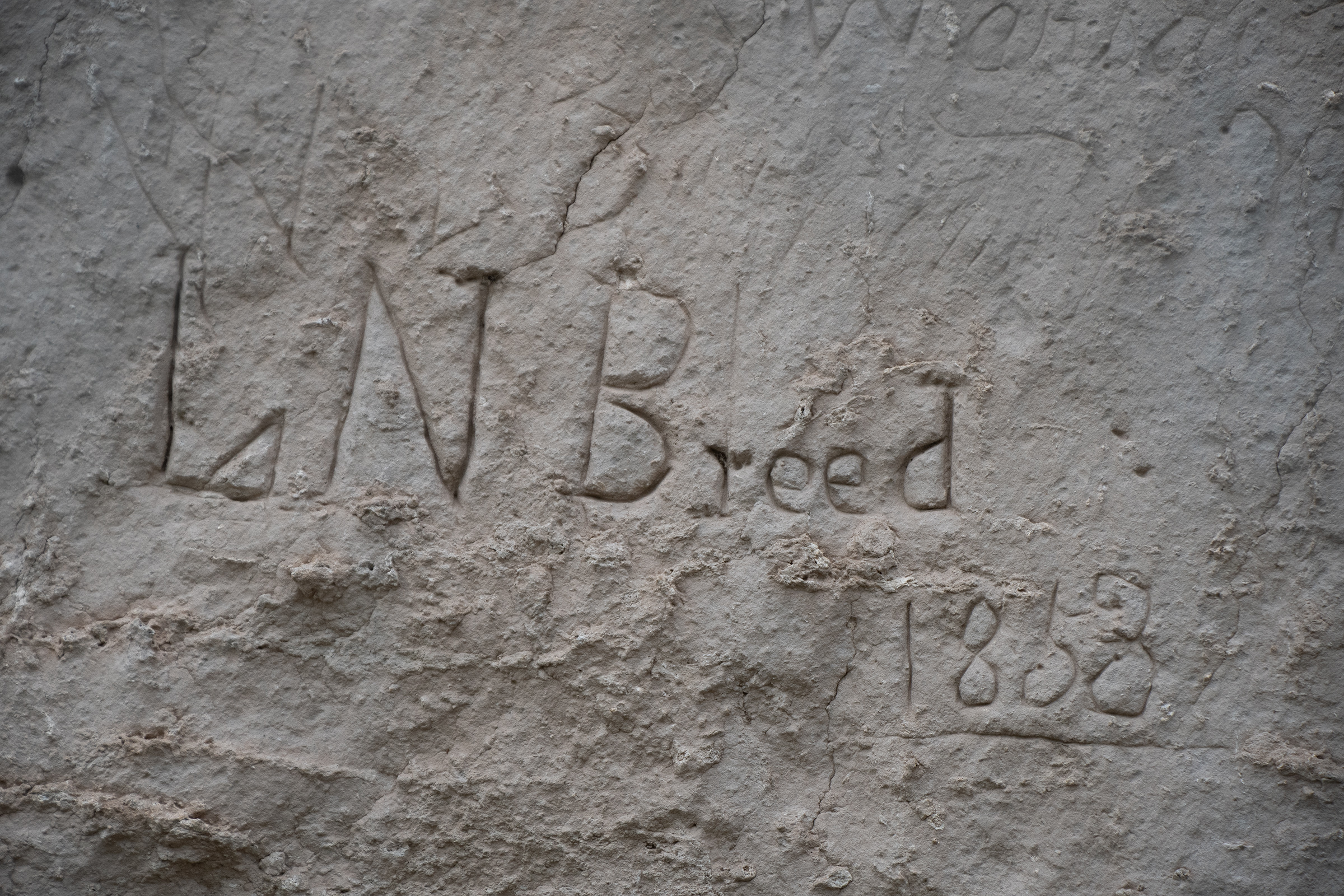
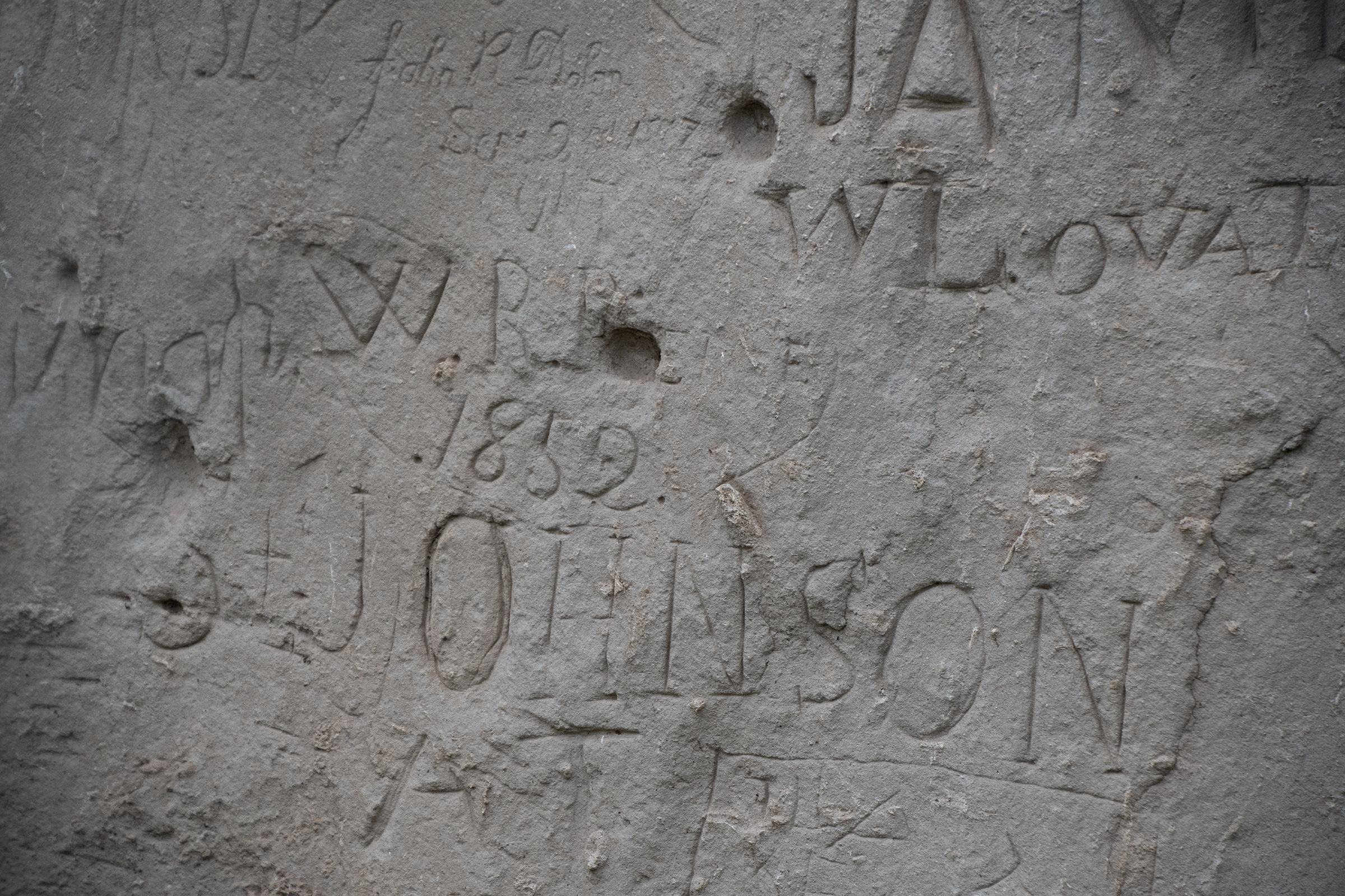
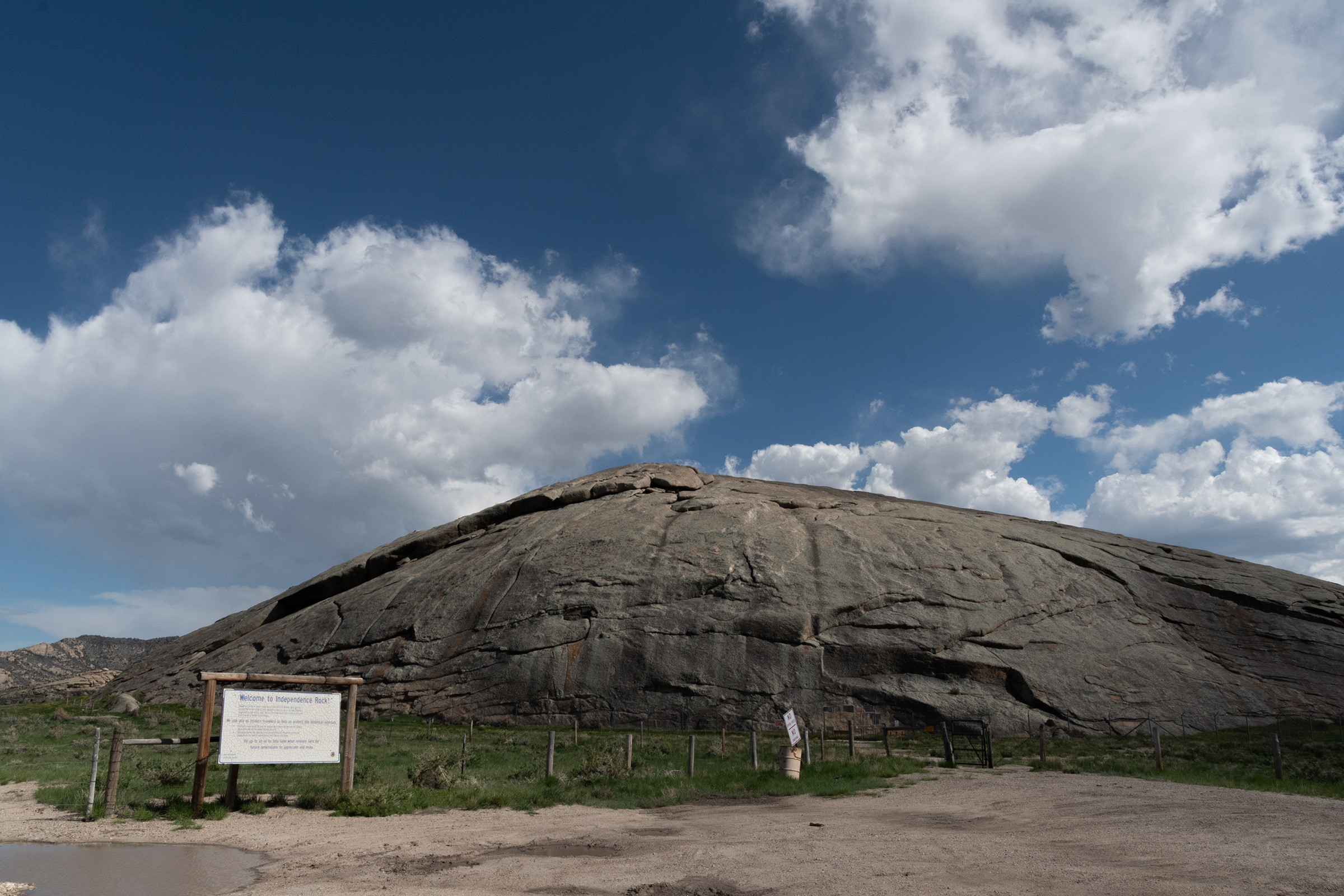
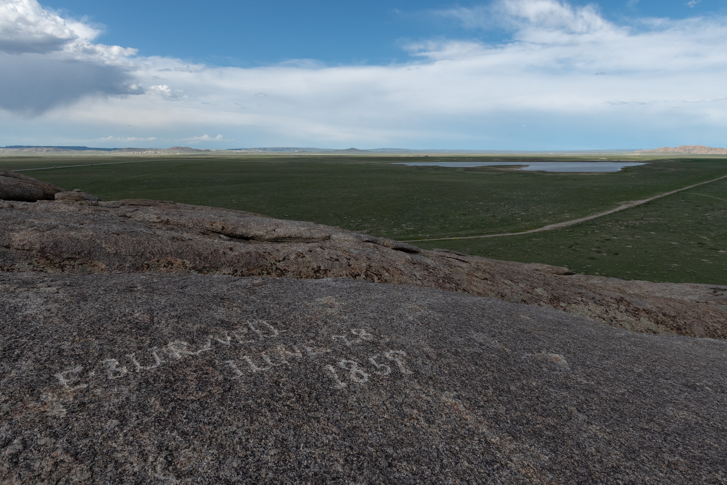
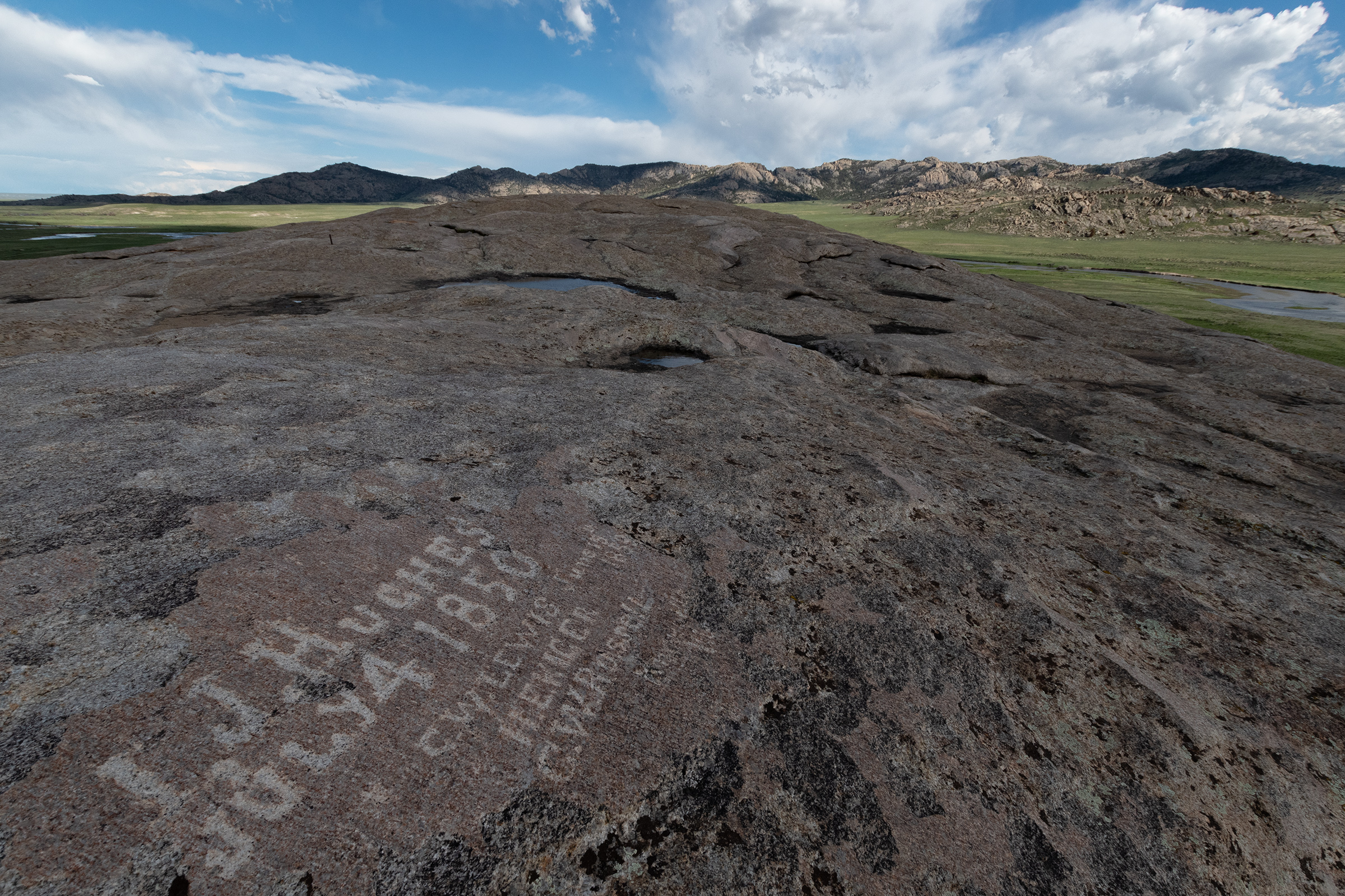
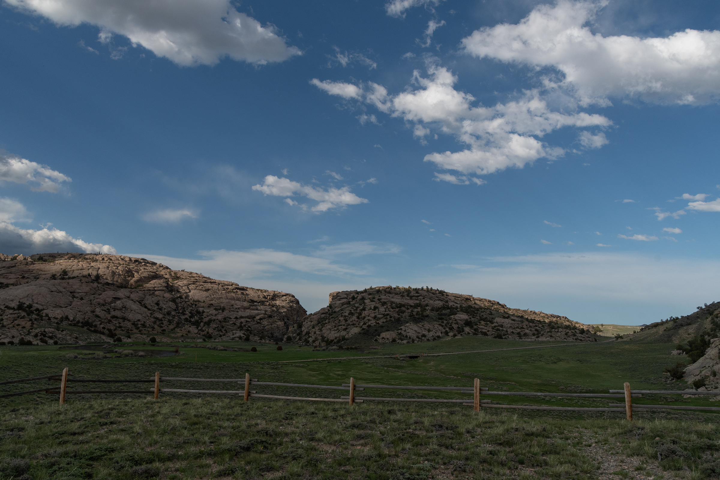
Near the Independence Crossing on the Oregon Trail, a spring-fed waterfall spitting off the “alcove” of a jutting rock formation was the last stop with shade and water before the long trail to California. A member of the Donner[-Reed Party — George McKinstry, according to the placcard] party even gave the spring its name, carving it into the top of the alcove in 1846, the very year of [their] infamous incident that occurred in the snowy Sierra Nevada Mountains. Flooding on the Blue River left the party stuck near Maryville, Kansas for five days. They explored the area, discovering the falls.

Atlas Obscura

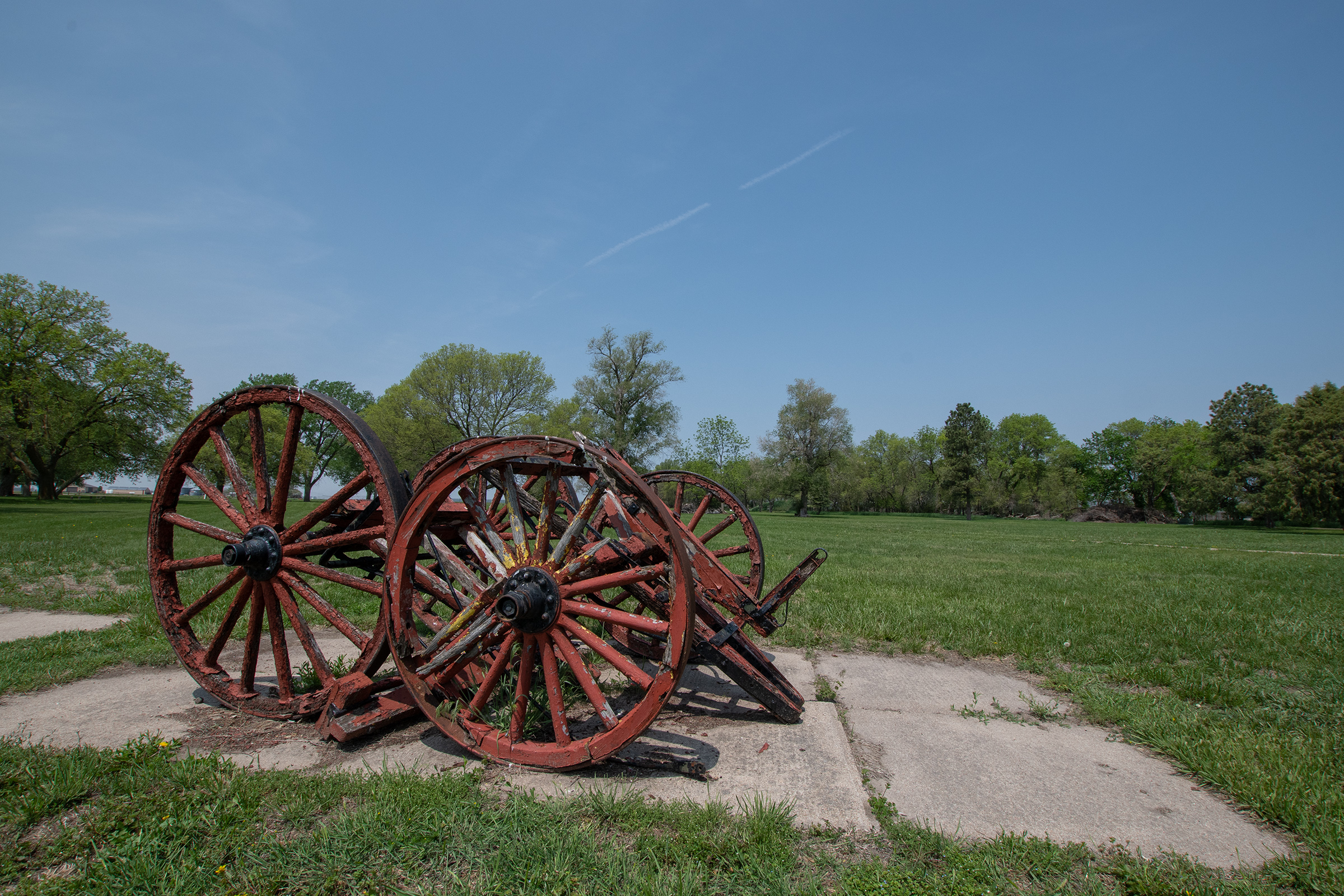
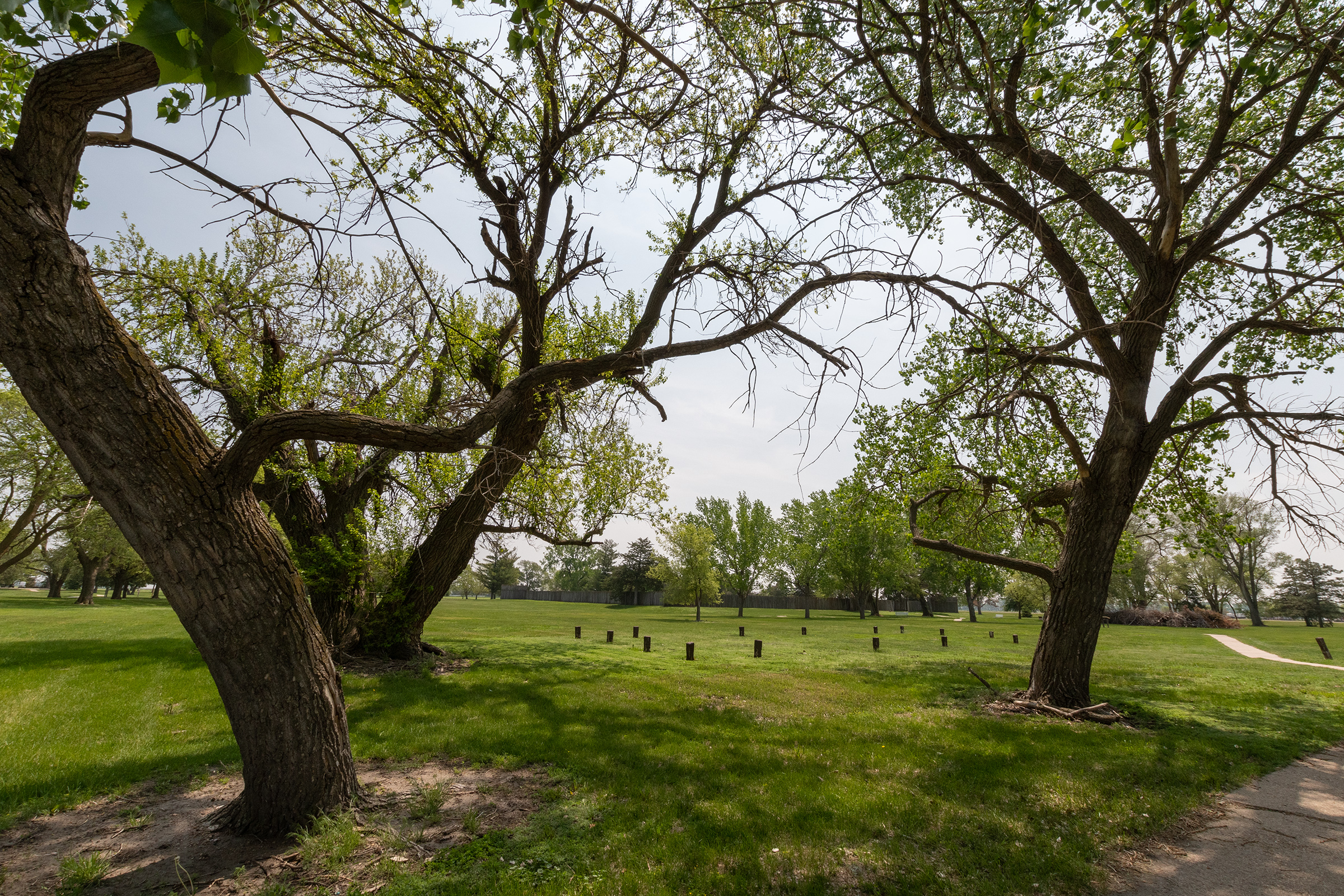
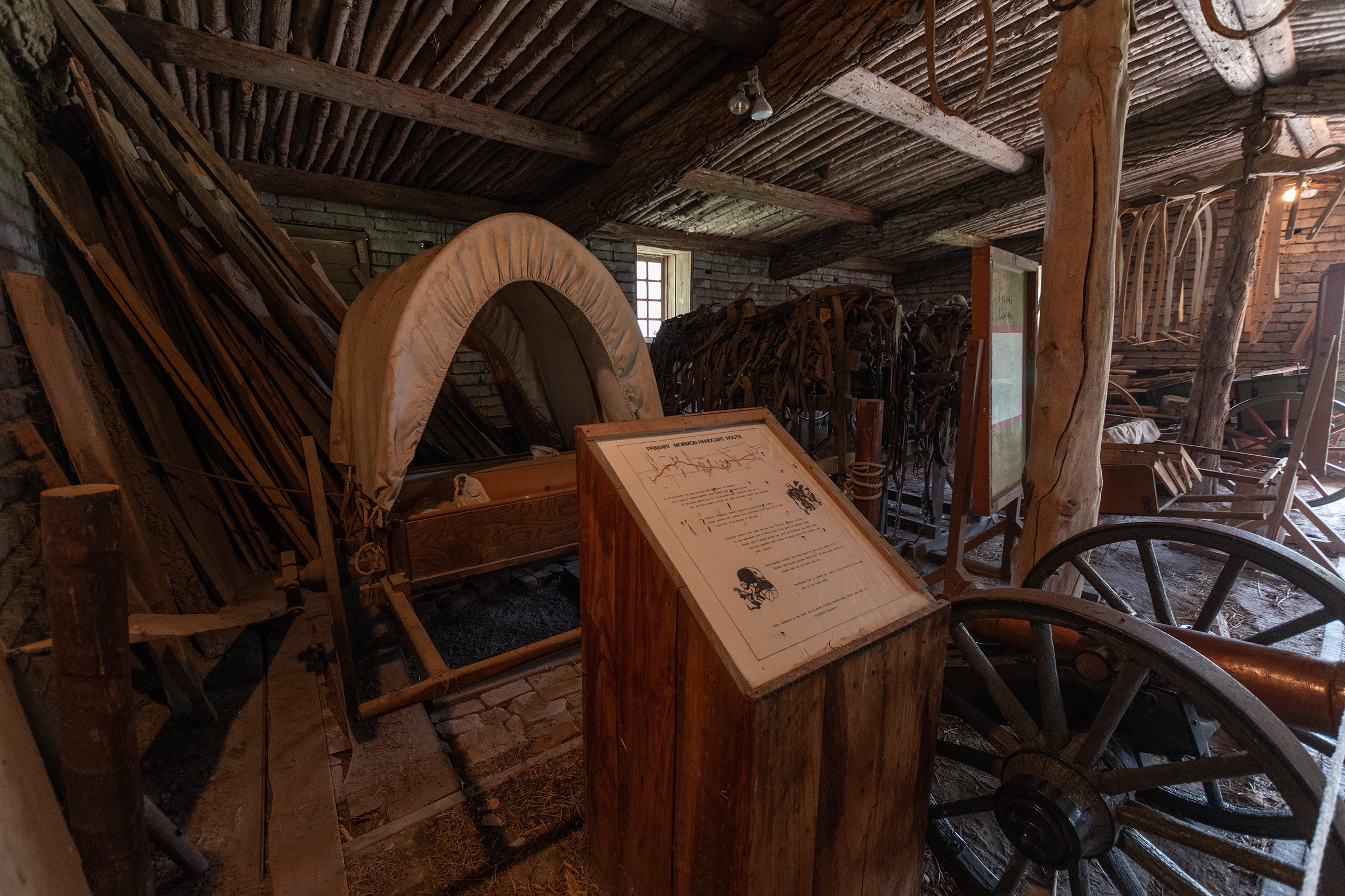
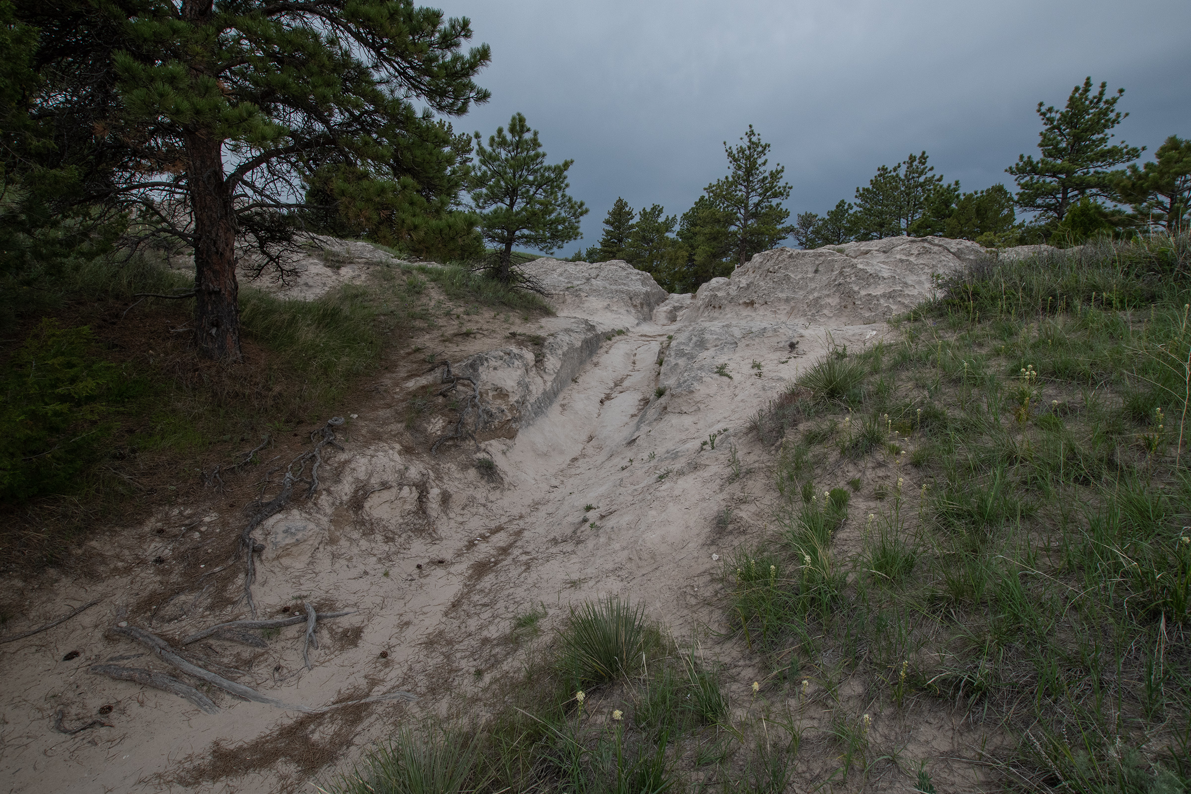
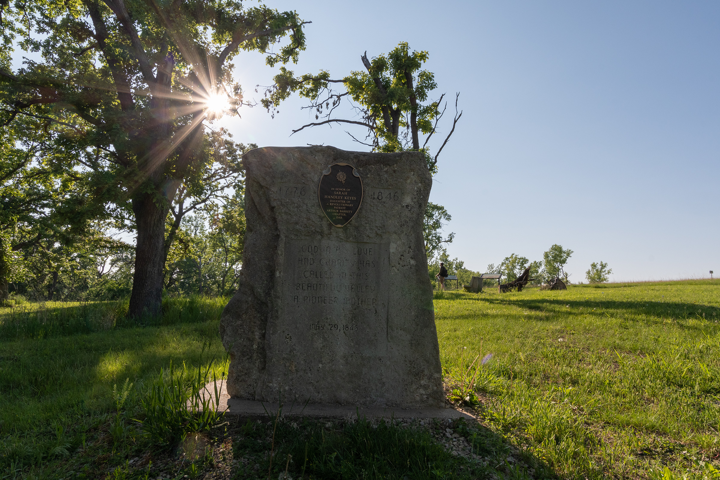
The park also has several areas where indentations from wagon ruts are still visible and overlooks used as camping spots by the pioneers. There is also a memorial to Sarah Keyes, the first member of the Donner-Reed Party to die on the trail — at 70 years old she died of “old age and consumption,” but she was spared the starvation that followed.

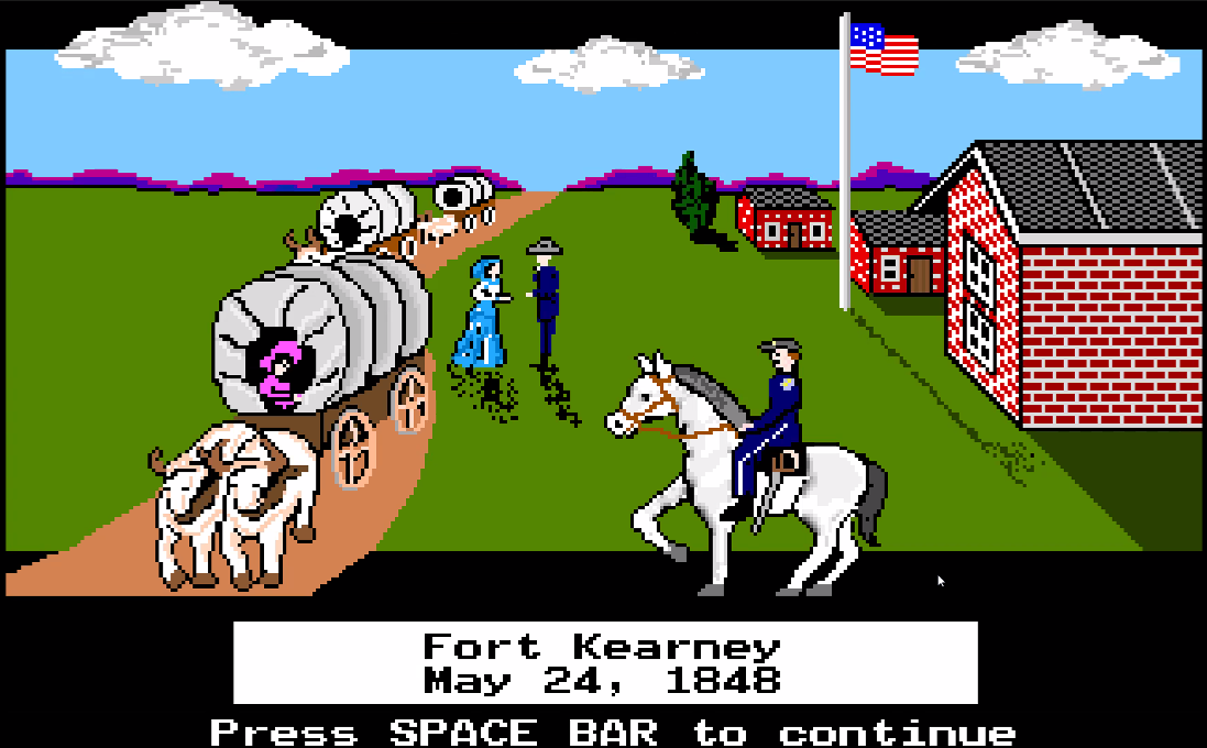
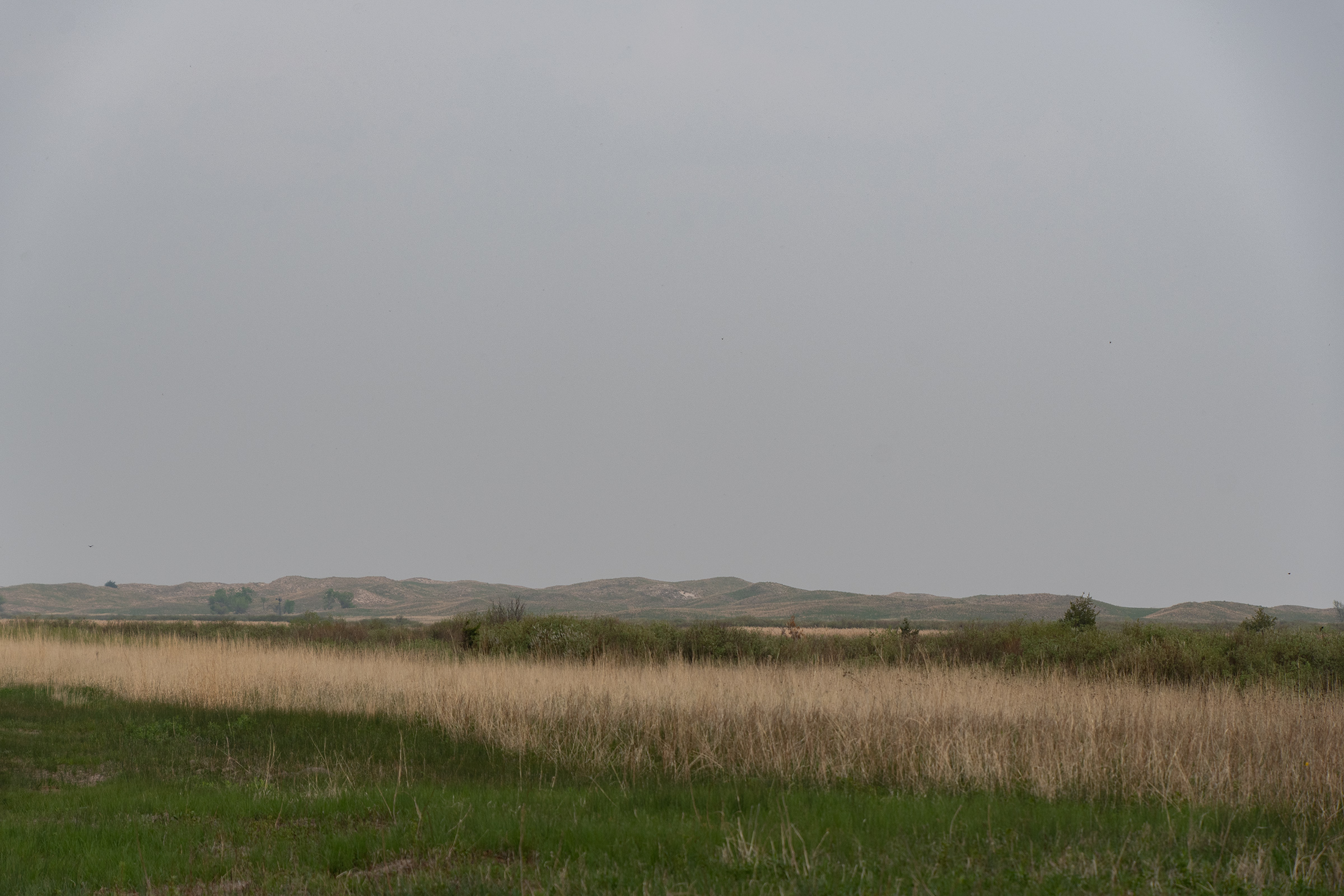
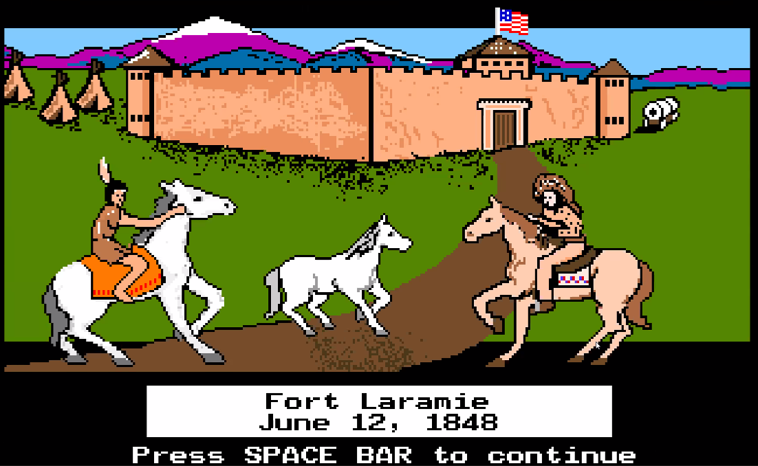
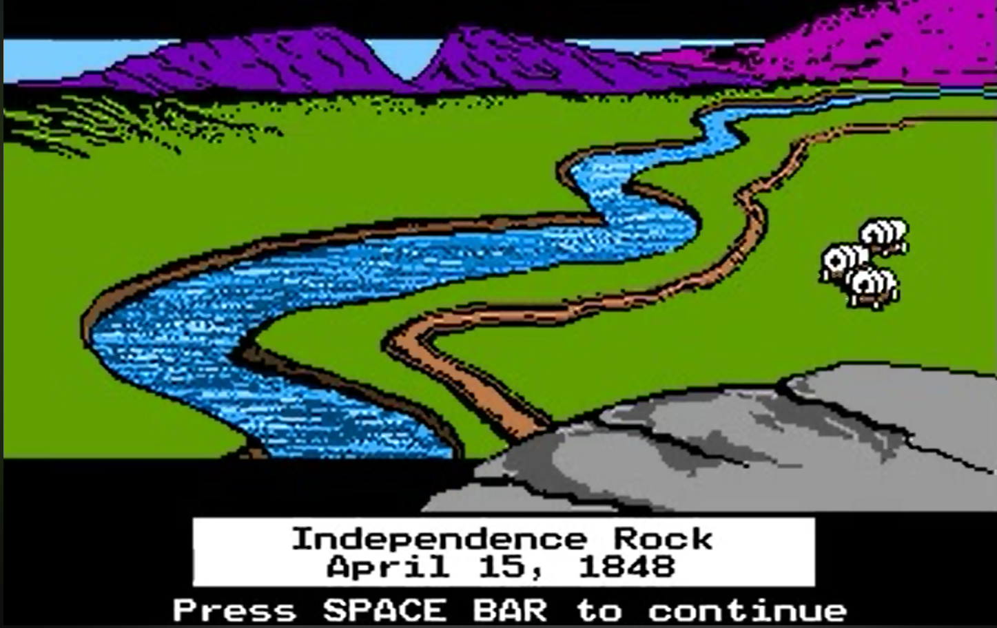
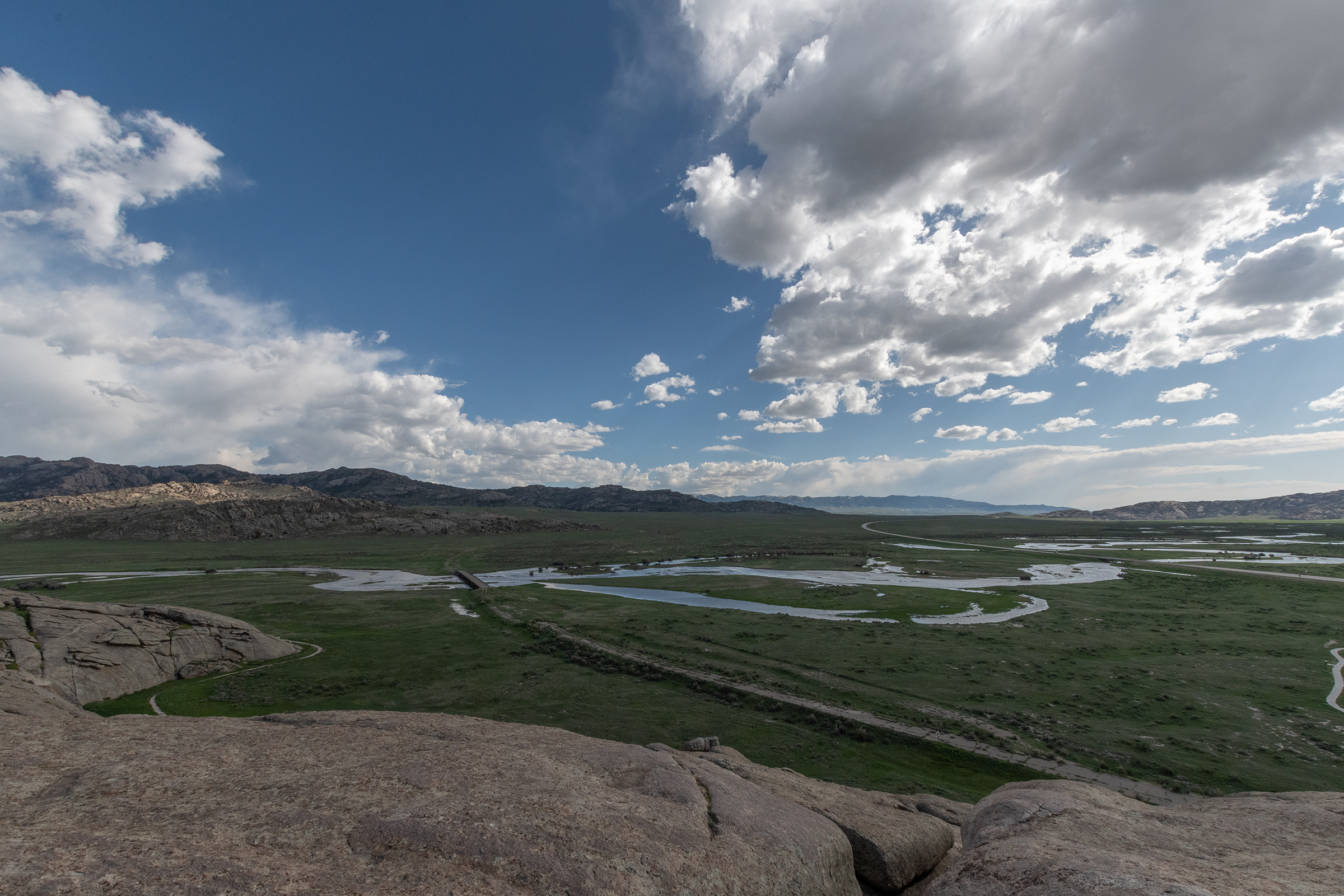
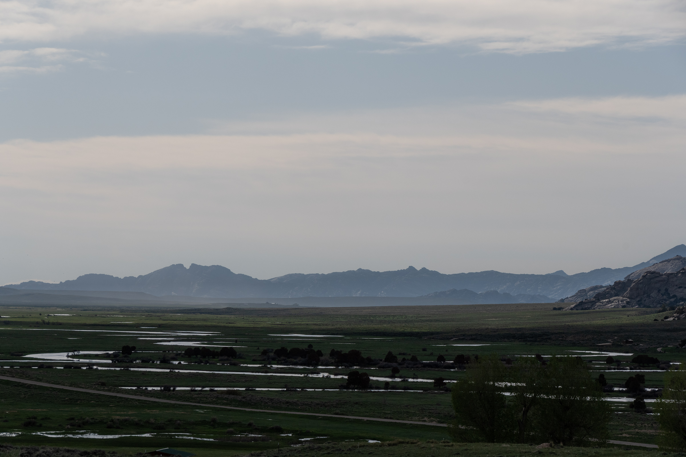
The site of this park was also where pioneers (and video game players!) would have crossed the Big Blue River, a large tributary of the Kansas River. The “historic riverbed” here is now just fields and a creek as the course of it has changes over the years. Oddly, there are a couple highway bridges signed as Big Blue River crossings, too, which seem not to be over water anymore.

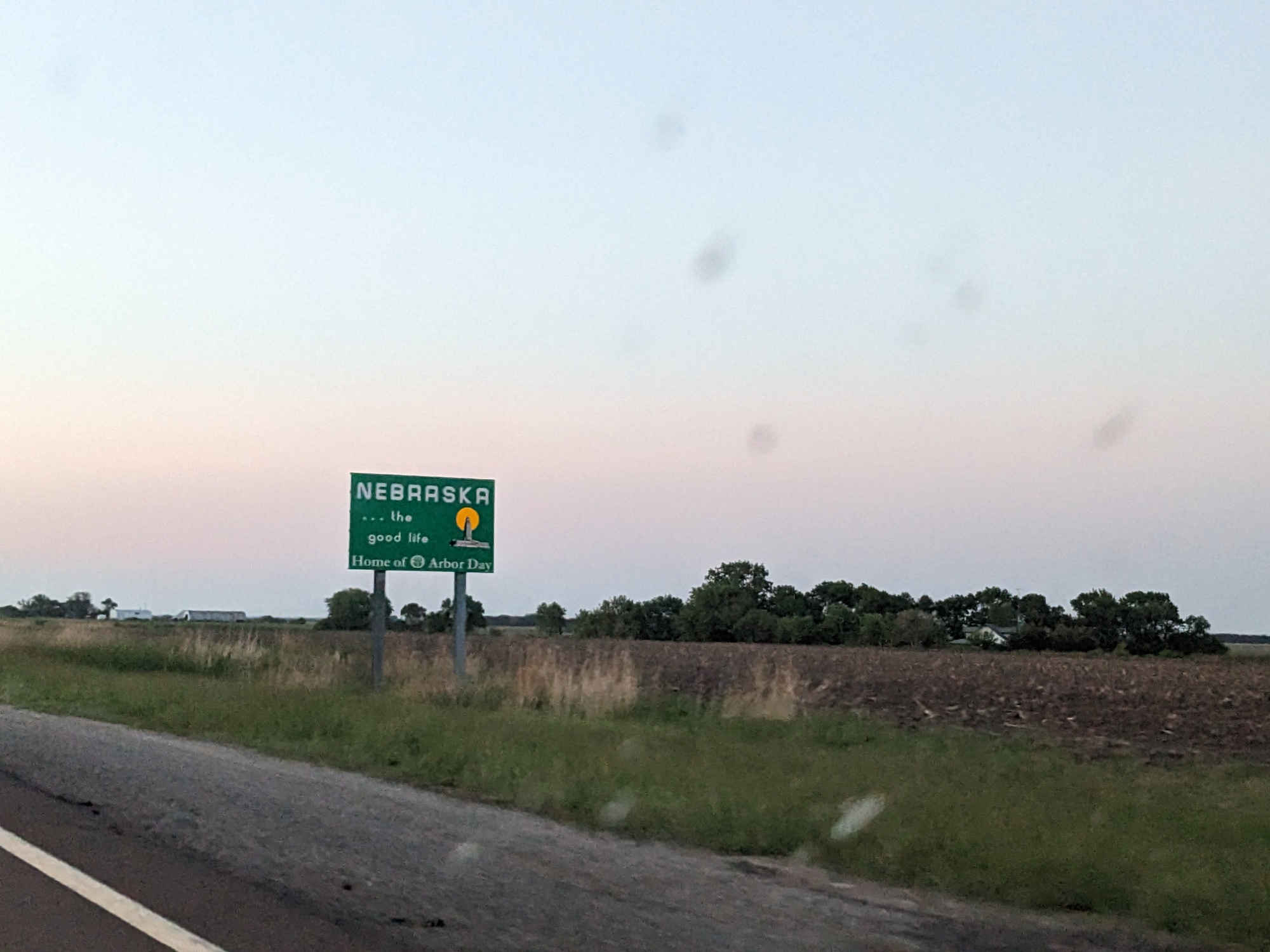
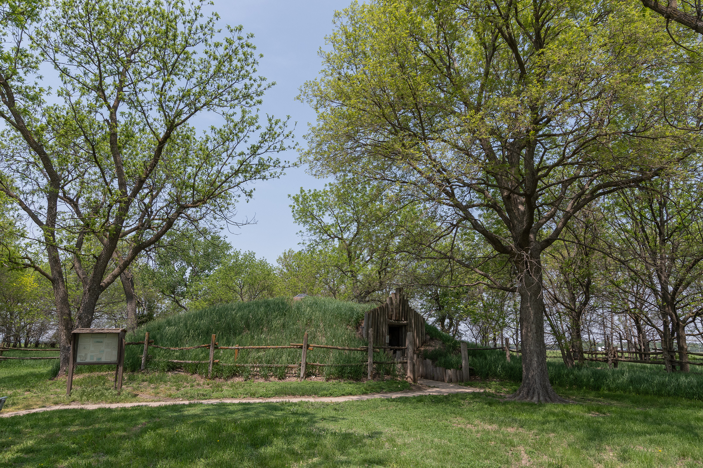
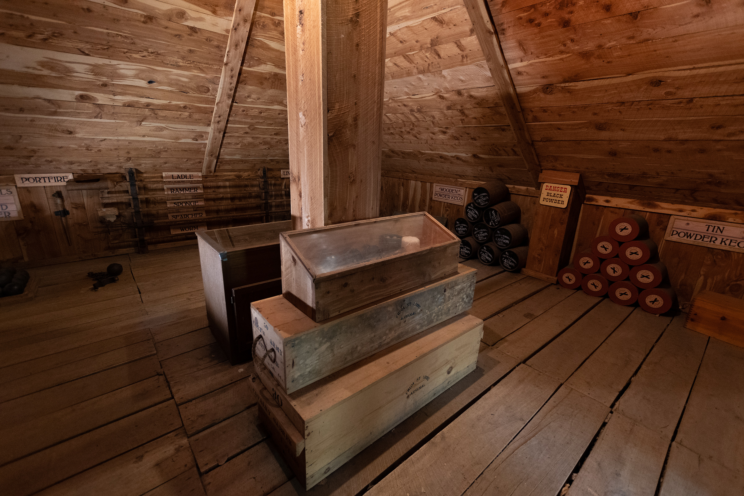
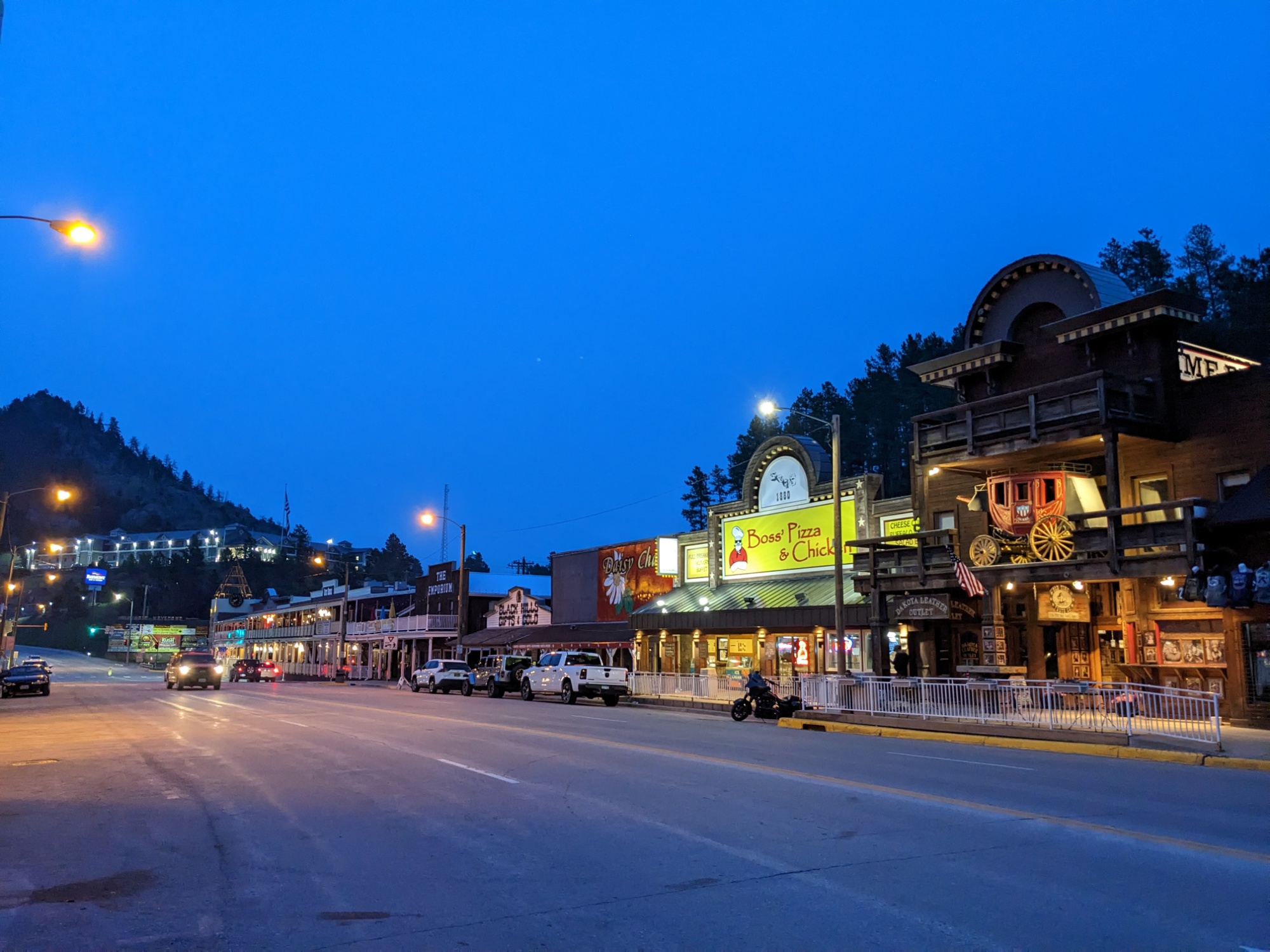
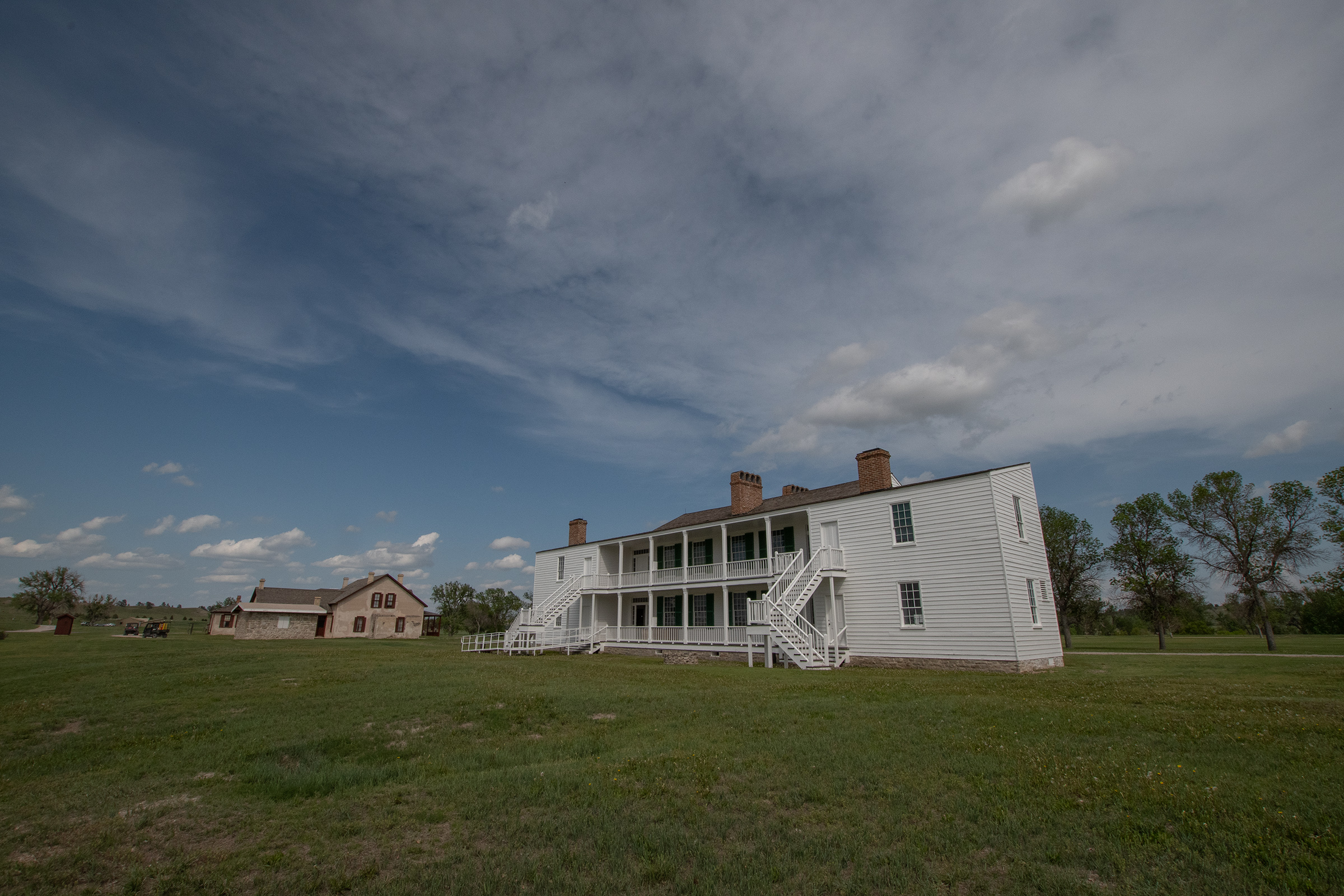
After exploring a while longer, we made our way up to dinner at The Wagon Wheel Restaurant in Marysville, Kansas before a long-haul into Kearney, Nebraska for the night at our Crown Plaza Waterpark. We arrived after both the water park and the historic fort closed, but I’m hoping we hit one or both tomorrow.

The 7-11 of The Oregon Trail

Happy Birthday, George! Fort Kearney, NE.

The Mountain of Kearney, Nebraska

I got up this morning and went for a run up Betty’s Trail that starts behind the hotel:

Betty’s Trail is named after Betty Connell for providing trail access through her land. This section runs from 11th Street, at the north end of Yanney Park, to the 2nd Avenue undercrossing and Talmadge Street. This flat, peaceful section runs along the tree-lined canal and finishes near the “hotel row” on south 2nd Avenue.

It also goes up this tower to an observation point with a lovely view of the city. I don’t think it’s the tallest thing in all city, but it sure looks like it. And it definitely reminded me to never run stairs. I suppose it was un-pioneer-like to exhaust myself before setting off, but it felt good to move after such a long drive day and in anticipation of another.

Fort Kearney State Historic Site

Our main stop today was Fort Kearney, the first major stop in the game — and an early resupply opportunity for pioneers.

As he’s known to do, George struck up conversation with a local in the gift shop. The fort office is holding two care packages mailed to upcoming travelers — one man biking the Pony Express route, and a woman biking the California Trail. So even now in 2023, Ft. Kearney is still a supply station.

A buddy of mine with the National Park Service, when he’s giving me a hard time, likes to tell me that Kearney is just the 7-11 of the Oregon Trail.

And that may explain how this “fort” seemed like less a military installation than a logistics hub for westward expansion. We wandered the grounds a while and packed up for our second long drive day.

The growth of overland emigration to Oregon after 1842 resulted in the establishment of posts across the West to protect travelers. The first post, Fort Kearney, was established in the spring of 1848 […]. It was first called Fort Childs , but in 1848 was renamed in honor of Stephen Watts Kearney. Despite its lack of fortifications, [the fort served as a waypoint, sentinel post, supply depot, and message center for the 49ers, Oregon and California settlers, and Pony Express riders.] One of the fort’s final duties was the protection of workers building the Union Pacific. In 1871, two years after the transcontinental railroad, the fort was discontinued as a military post.

Nebraska State Parks

One thing I did not expect to see here is a Mormon handcart, which is bigger than I thought it’d be.

Brigham Young’s vaunted empire-building ability suffered an unusual setback in 1855, when a crop failure in Utah suddenly diminished LDS contributions, reducing the church’s ability to continue importing European converts, which he knew was key to Mormon expansion in the region. Instead of telling Europeans to wait a year until sufficient funds were available, he devised a strategy of shipping them over from England and having converts continue their journey from Iowa City with inexpensive handcards that immigrants would construct themselves and then push 1,300 miles to Salt Lake. Just about everything went wrong with Young’s handcart scheme.

Rinker Bunk, The Oregon Trail: A New American Journey

Among other things, green lumber led to brittle wood in construction, herds of buffalo stampeded the oxen, and two of the handcards companies left catastrophically late in the season. This led to emigrants walking through the mountains in Wyoming in winter, and many died. The LDS church quickly managed to brand this as a parable of sacrifice rather than a critique of poor planning — and excommunicated anyone who questioned this position.

To Kadoka, South Dakota

We branched off the Oregon Trail to head north for Badlands and Black Hills. It was about a five hour drive and we didn’t have much else planned to see.

Central Nebraska was full of freshly plowed fields which slowly turned into rich green prairie grassland and grazing fields. Not sure I’ve seen grass this green before. The staff at Kearney explained that we were passing through at the “right” time — grazing was plentiful in Nebraska at this point in the season. Pioneers would try to hit Independence Rock in Wyoming by early July which would be ready for grazing by then. I had thought that the schedule was mostly pinned to crossing the mountains before snowfall, but pioneers also had to leave late enough and follow the growth of grazing flora, which set their departure date and pace as well.

As we entered South Dakota (a new state for me!), the soil turned sandy and badlands formations fractured into mesas and gullies.

fire.airnow.gov by US EPA and USFS

The sky has been grey all day and the sun turned red early. It reminded me of the pacific wildfire smoke that covered Wyoming in 2020. Apparently it is smoke blowing down from pretty intense fires in Alberta.

Along the way, a few automotive antics: we definitely didn’t have a little speed test on a desolate stretch of highway. And we definitely didn’t have Evan fire up an FM transmitter so we could all listen to that playlist I made of music from the game. And Evan and I both didn’t end up having to add more oil today. Truly, all three cars ran well today!

The Volvo even smells less today. I kinda think it was begging to be driven.

George.

And once we got in, Evan let me drive the Isuzu to run a quick errand so we could cook birthday dinner for George! Even more entertaining than driving it may have been watching him sit in the left-hand passenger seat, which is a weird sensation.

The Fiero is running better, but still not perfect. George tried putting the new throttle position sensor back in the Fiero and discovered that the new sensor itself is bad, so he’ll be using the old one which appears to read correctly. Next theory is that a hunting idle could be caused by a bad coolant (engine) temperature sensor, so he may swap that out in the morning. Provided he wakes up early enough…

Misfires in the Badlands

(A word I will never not associate first with Star Trek: Deep Space Nine.)

We woke up this morning in Kadoka and headed over to Badlands National Park for a couple hikes. The wildfire smoke seems to be a little worse today, really desaturating the sky, but that only added to the strange effect of the environment in the park. I’ve seen badlands formations in other parks like Petrified Forest and Death Valley, but here, those formations split mesas of grassy plains. It’s like Death Valley had a weird baby with a yard.

We stopped by the visitor center briefly, but fled when we realized two charter busses of tourists had crowded into the tiny space. Instead, we pressed on to a fossil exhibit and nature walk down the road. Because of the soft sediment at Badlands, there are more fossils discovered here than in most other parks. And, quite wholesomely, most are discovered by children — you know, people who are curious, close to the ground, and have a tendency to wander off.

On our way out of the park, we got stopped by a buffalo herd grazing along the highway.

From there, the drive to Keystone wasn’t too long. The Volvo and I both had a hard time. I developed a headache, shortness of breath, and fatigue — which prompted George to put a carbon monoxide monitor in my car, knowing that I may have an exhaust leak and I also can’t turn off my cabin air recirc. (No alarms detected! I’m inclined to blame the fire smoke, though this isn’t my first time traveling in a wildfire.)

But I wasn’t the only one who couldn’t breathe. The Volvo really struggled up the mountain to Keystone. The general lack of power isn’t unexpected — this is a geriatric wagon — but the engine also kept lugging and shaking like it had a misfire or intake problem. Flooring it in third, I should be climbing faster than cyclists…

Ultimately, we made it to our cabin for the next two nights. After dinner in town, we poked around my engine looking for obvious faults. Evan also graciously looped in his friends at a Saab/Volvo specialist shop in Tulsa. He asked a few leading questions, and we found a couple possibilities on our own.

Gabe also suggested pulling the cap off the distributor and cleaning any corrosion off the contacts in it. Tomorrow is a “beach” day after a string of heavy mileage days, so we’ll be tackling some of these things tomorrow. We’ll also try to make it over to Mount Rushmore and play some Zelda.

Keystone, South Dakota

We had a slow morning of attempting to diagnose my wagon. I cleaned up the oil spill on top of the valve cover and Evan cut a butyl shim to make a better seal with the oil cap to prevent more of the spillage. With that done, we pulled the plug wires and spark plug #3; everything was dry, which is good, except that it left us without a culprit. We also pulled off the distributor cap to clean its contacts as well as the inputs to the primary ignition coil. Checked the airbox and MAF and reseated the intake… and it’s not running any worse.

But we managed get it all put back together. Low end and idle is still rough, but it wasn’t lugging anymore. And it got a little better after it warmed up a bit on our way to Mount Rushmore.

I had mixed feelings about the monument given how spectacular the surrounding nature is. It left me feeling like the “before” photo in the gallery was underappreciated. But it is also a technical marvel for its day. And it definitely brought out every kind of tourist imaginable, our weird selves included. I think my favorite part of it might have been the Hall of Flags, with the each state and territory flag lining the wooded promenade. There is a nature walk around the grounds offering more historical placards, biographies of the predsidents featured, and views of the statue.

We puttered around, made a quick pass through the bookstore, sat on the observation deck for a bit, and then headed back into Keystone — with a quick stop at the parking area for the “Profile Viewpoint” for a wagon portrait.

Back at the house, we walked next door to the Black Hills Glass Blowing studio and watched him work for a minute. Then we went back downtown for dinner.

Tomorrow we head for Hot Springs, South Dakota, at the southern end of the Black Hills, via the Needles Highway, a pretty spectacular scenic pass. I’m hoping this day of rest and dental work will put my oxen in better health.

Custer State Park

Today’s adventures were largely centered around Custer State Park, with a trio of stunning scenic drives and a little hiking on the way from Keystone to Hot Springs, South Dakota. I gotta say, this state park had some serious National Park energy. Dramatic landscapes, wildlife, fun drives, dense trail network. I would love to come back here for longer.

Iron Mountain Road and Needles Highway

When we started planning, George pointed out Needles Highway as a must-do eventually, which is what got us thinking about detouring from The Oregon Trail up to the Black Hills. Our route took us through three scenic drives of Custer State Park, Needles being the final zig-zag back through the park. Custer is South Dakota’s first and largest state park, established in 1912 and currently encompassing 71,000 acres.

This drive was absolutely epic and I am so glad we came up here. The roads took us over high grasslands and around dramatic mountain passes, in some places lined with wildlife.

Toward the end of Needles, Sylvan Lake has been dammed up among the boulders to make a stunning recreational area with a few trails, kayaking, more wildlife, and small waterfalls as this snowmelt-fed lake overflows the boulders (and one man-made dam) that contain it.

I had hoped this drive would inspire greatness of my Wagon, and at higher revs on the dramatic scenic bits, it did! But there is no amount of hollering at this mule team that can muster a getup-n-go energy. Starting from a stop, sometimes it feels like a fuel delivery issue. At low speeds, it feels like it might be an ignition or timing issue. Meanwhile, Evan’s heater is stuck on after having used it in the morning chill, rendering useless his otherwise functional air conditioning.

Guys, I have an announcement: I brought the right car!!

George. Gloating jerk.

Crazy Horse Memorial

Heading south toward Hot Springs, the Crazy Horse Memorial is right on US-385, so we stopped there. In addition to the massive in-progress mountain carving, there is a massive visitor center full of Native history and extensive art collections from all over North America.

The mountain carving itself is much larger and much older than I had realized, making this a generational work-in-progress.

At the time construction started in 1948, the artist estimated the work would be complete in 30 years. As of 2022, there was no timeline for when the monument would be completed; however, the hand, arm, shoulder, hairline, and top of the horse’s head were anticipated to be finished by 2037.

In some ways, it is a response to Americans dynamiting a sacred ground to create Mount Rushmore in the middle of what had been a reservation given to the Lakota by treaty.

Carve us a mountain so that the white man will know that the Red man had great heroes also.

Chief Henry Standing Bear, 1939.

It is also not free of controversy among the many Native tribes it involves, but that is well outside my area to opine. I do think that having a space to highlight the true history of this area is important though — and I found myself wandering the art gallery longer than I expected. I graduated from a university in Oklahoma with a minor in Art History and saw none of these beautiful things nor learned any of their symbolism.

And I would wholeheartedly recommend anyone in this area visit this place.

Hot Springs, South Dakota

By the end of our time at Crazy Horse, having eaten nothing but trunk snacks all day, dinnertime was becoming increasingly urgent. It was a short drive down to our next overnight in Hot Springs. Unfortunately, one more inconvenient disaster — when Evan went to roll up his window, there was a loud bang and the window fell off its track deep into the driver door.

Which, of course, had to be fixed before we could go anywhere. Luckily, this happened in front of the hotel, so at least we could get checked in while he toiled. Duct tape appears to be the temporary mitigation.

After dinner, we took a quick walk around town, starting with the Battle Creek Sanitarium, which is high on a bluff right behind this little downtown riverside drag.

The Battle Mountain Sanitarium was a division of the National Home for Disabled Volunteer Soldiers (NHDVS). […] It opened in 1907 and was unique among the facilities of the NHDVS, a precursor of today’s United States Department of Veterans Affairs (VA), in that it was strictly a medical facility with no residential components beyond its treatment facilities. It was founded to treat former soldiers suffering from musculo-skeletal problems that were believed to be treatable by the region’s mineral springs, and for conditions such as tuberculosis whose treatment was improved by the thin dry air. The facilities built for the sanitarium are in an architecturally distinctive Romanesque and Mission Revival style, and now form the centerpiece of the Black Hills Health Care facility, operated by the VA. Most of the complex site was designated a National Historic Landmark in 2011 for its architecture and history.

Wikipedia.

Beverages in Hot Springs

Two drinks of note to round out our South Dakota experience:

Well, here’s your “Old Fashioned.” I sure hope it tastes good; I Googled it!

Bartender at the otherwise fancy restaurant where we had dinner.

The spring water pouring out of this little fountain in the riverside trail. George and I, braving the risk of dysentery, tasted it (but spit it out). Tastes like water. But apparently this is healing water — maybe I should see if I can run it through my wagon.

Returning to the Trail

I woke up this morning surprisingly well rested and without any immediate automotive chores, so I went on a run down the river trail in Hot Springs and up into the neighborhood for a look around town while Evan tried to work some magic on his door or heater.

Four miles later, I packed up and we headed down the block for breakfast before heading out of town. Not far into today’s drive, we crossed into Wyoming and headed south. The Volvo was feeling rather sluggish, but when we stopped at an overlook, I realized we were driving into an absolutely fierce headwind and that made me feel a little better.

Along the way, we stopped at a NAPA in Lusk, WY for a few supplies. I’m gonna see what new spark plugs do for my situation. George needed a battery (ouch). Evan needed a tubing and hose clamp to bypass his (still stuck on) heater.

Fort Laramie

We rejoined The Oregon Trail proper not far from Fort Laramie, Wyoming — another famous waypoint for both westward emigrants and early video gamers.

Fort Laramie once stood sentinel over the Oregon, California, and Mormon emigration trails; was a stop on the Pony Express route; and served as a staging ground for both peaceful and hostile dealings with Plains Indians. Its association with important figures, including Sitting Bull and Crazy Horse, and historic events makes Fort Laramie an icon of the American West. The one-time Army post, now managed by the National Park Service as a national historic site, looks much as it did 150 years ago.

National Park Service

The fort was originally built in the 1830s to support the fur trade. Sitting along the North Platte River before the foothills of the Rocky Mountains, it was a useful stop for emigrant trains headed west. The Army took over the fort and used it as a supply and protection outpost for travelers.

After the completion of the transcontinental railroad, the fort’s importance gradually decreased. Fewer wagon trains journeyed west, and regional Native Americans had been largely subdued. The fort was decommissioned in 1890. The original abandonment order was issued in 1889, and four of the infantry companies stationed there at that time went to Fort Logan, near Denver, Colorado that fall.

Wikipedia

The Park Service has not rebuilt any buildings that have fallen or were dismantled entirely, but they do maintain what’s there. They also outfit suitable buildings with displays of period equipment, houseware, and dress. Compared to Fort Kearney, Fort Laramie was much larger and with far nicer buildings (in fairness, it operated longer and later).

Guernsey Ruts and Register Cliff

Our last stop for the day was another visible set of wagon ruts — in stone! Wear over the high-traffic years through this particular path actually wore ruts into rock, preserving them much more dramatically than the curious grass depressions that other ruts seem to have re-wilded into.

I suppose when I heard “you can still see some wagon ruts from the original trail!” what I envisioned was “two track Jeep trail in mud.” But those fade if not in active use. So of course that’s not what it would look like now. But these do, so these were pretty cool to see next to each other.

Register Cliff is located 2 miles to the East. The camp site was located on the flats below a mile long cliff of soft sandstone used as a name register by thousands of emigrants from 1847 on. It’s interesting that no emigrant ever mentions inscribing names or initials on the cliff in their diaries.

Wyoming Army National Guard

We saw some dated as early as the 1850s, although plenty have also been carved within my lifetime, too. Cue the complaint, “this is why we can’t have nice things,” although both George and I talked about having a hard time deciding what year marks the threshold between “historic markings” and “asshole vandalism.” Wagon trains of the 1860s earned it. But in the 1890s… 1920s…? This wasn’t exactly an easy trek until the US Highway and US Interstate systems and reliable vehicle transport were commonplace. I drove here in a car with air conditioning. (Although I suppose if that’s my measure, George and Evan can both leave their initials.)

Bunkhouse Motel

After dinner at (checks watch) the only restaurant still open at 7pm in this town, we headed to our motel for the night. With lightning moving in from the distance, each of us set about a small car project. George developed a rattle in his sunroof glass today that is has apparently become dramatically loud. Evan tried to see if he could make headway on his heater. And I replaced my spark plugs to see if a little old-fashioned tune-up would help matters at all. In the process, I made two discoveries:

First, that butyl gasket shim we added to my oil cap to seal it apparently doesn’t. The spills on top of my valve cover are worse now than they were before. The gasket seems like it was was pushed out by pressure, which implies that perhaps my PCV valve is fouled? (Talking out of my ass here: that’s not a thing I knew about until tonight.)

The question is: do I put on a new oil cap to seal the leak — which, if the valve is actually fouled — might cause a new leak to form elsewhere? Or do I think the oil took the path of least resistance and a new cap would send it through the PCV properly instead…

Back: what it should look like. Front: what trouble looks like.

Second, look at that spark plug wire. That looks like arcing through the sheath, which would bypass (or cut voltage to) the spark plug and send current through the engine ground instead, causing a partial or total misfire. That right there might be my biggest problem. Unfortunately, these plug wires would require a few days lead-time at just about any store I might get them from.

But as the sunset behind an approaching storm, I closed the hood over my partially reassembled motor, poured a little whiskey, and went to stand in the lightning and thunder and breathe the mountain air until it started to rain. Tomorrow’s problems can wait.

It is now some time since I wrote home, or at least since I wrote at any length, having written to you a line by a returning emigrant whom I met on the road and had just time to say that we were all well. Bu there is no certainty in sending letters by such conveyance. […] We shall pass Fort Laramie tomorrow, where I shall leave this to be take to the States. It will probably be the last time I can write until I get to my journey’s end, which may take till the middle of October.

We have had uncommon good health and luck on our route, not having had a case of sickness in the company for the last four weeks. Not a creature has died, not a wagon tire loosened, and no bad luck has attended us.

The country is becoming very hilly; the streams rapid, more clear, and assuming the character of mountain streams. The air is very dry and clear, and our path is lined with wild sage and artemisia.

We had a fine [Fourth of July] celebration today, with an address by Mr. Sexton, which was very good; an excellent dinner, good enough for any hotel; and the boys drank toasts and cheered till they are now going in all sorts around the camp.

[…] I am hearty and well, far more so than when I left home. That failing of short breath which troubled me at home has entirely left me. Notwithstanding these facts, I would advise no man to come this way to California.

William Swain, writing to his wife Sabrina on July 4th, 1849. Collected in “Oregon Trail Stories” (David Klausmeyer).

Independence Rock

This morning, George and I both had to reassemble our cars again. When last night’s storm came through, I had new spark plugs put in and tightened, but the wires were still out and the wells needed to be cleaned out. And one of the plug wires needed … a miracle.

I used two layers of butyl and multiple layers of a super-high-temp flex-tape. We’re hoping that is sufficient insulation that, when combined with new spark plugs that would offer less resistance, keeps the lightning inside the cylinder.

After I sewed my wagon back up, I started it briefly — with great anxiety. But dammit if that motor didn’t fire right up and sound shockingly healthy. At least, compared to the last several days.

Casper

Evan needed a couple pairs of shorts so we stopped at Target needed to stop at the market for more sets of clothes on the way through Casper. I also picked up an O’Reilly order for a replacement distributor cap. Then we stopped off for lunch and watched a huge and rather sudden thunderstorm roll through.

Alcova Reservoir

Independence Rock

After Casper, Independence Rock is only about an hour’s drive. I’m unclear which came first, the date or the name, but conventional wisdom of the trail seems to be that if you left Missouri in early-to-mid-May and made it to Independence Rock, Wyoming by the Fourth of July, you were making a good pace.

From several miles away, it was easy to see why the immense natural wonder ahead, bounded by the Sweetwater River on its southeast side, had sheltered one of the largest campgrounds along the trail. The huge mound of naturally polished granite rises almost 140 feet above the desert floor, covers twenty-eight acres, and is more than a mile in circumference. Pioneers from the East and Midwest had never seen a freestanding rock of such huge proportions, and they knew that this gigantic signpost in the sky marked their transition from the muddy and diseased drainage of the Platte to the cleaner flow of the Sweetwater. The two-day run down from Fort Casper was desperately dry, and by early summer, places like Avenue of the Rocks and Prospect Hill had become animal boneyards. [… The morning and afternoon shade created a comfortable layover for pioneers to trade, rest, refill water, and wash.

Rinker Buck, The Oregon Trail: A New American Journey

It reminded me a lot of Enchanted Rock back home near Fredericksburg, but bigger, so obviously we had to get on top of it, despite a tremendous wind.

Devil’s Gate (or Martin’s Cove, if you’re a Mormon)

Another popular camping spot along what is now WY-220, about fives miles southwest, was Devil’s Gate, a grassland at the bottom of semicircular granite ridge.

American Indian legend says a powerful evil spirit in the form of a tremendous beast with enormous tusks ravaged the Sweetwater Valley, preventing the Indians from hunting and camping. A holy man told the tribes that the Great Spirit wanted them to destroy the beast. The Indians launched an attack from the mountain passes and ravines, shooting countless arrows into the evil monster. Enraged, the beast with a mighty upward thrust of its tusks, ripped a gap in the mountain and disappeared, never to be seen again.

Robert L. M[??], “Independence Rock and Devil’s Gate” [??], collected by Bureau of Land Management on a barely legible roadside placard.

Two miles to the northeast, nestled at the foot of the Sweetwater Rocks, lies Martin’s Cove. Here Captain Edward Martin’s exhausted company of Mormon handcart emigrants sought shelter from a severe early winder storm in 1856. The Martin Company, low on provisions and traveling late in the fall, first encountered winter weather in late October near present-day Casper. Of 576 men, women, and children, approximately 145 died along the trail before finally reaching Salt Lake City the last day of November.

For more information on Mormon emigrants or the handcard companies, visit the Mormon Handcart Visitor Center located at the old Sun Ranch [an LDS property one mile down the road].

Another BLM placard, with a different author…

Also at the Sun Ranch is a Mormon Youth Camp which, among other activities, does handcart-hauling pilgrimages in the area in the summer, as Rinker Buck (author of one of the books I keep quoting) and his brother learned when they stopped in. What surprises me is that here, at 7,000 feet, a winter storm was unexpected in late October — they left too late, and they knew it, but perhaps had nowhere else to stop? Needless to say, none of this made it into the videogame.

We walked around a trail and admired the incredible view, as we are now surrounded by mountains on all sides and have finally made it to the next river we’ll parallel for a bit.

Back at the car, Evan joined me in a little art direction exercise I’ve been sheepishly wanting us to do — circling the wagons. We’re a decidedly on-pavement-only clearance group, but no one else was here. So we circled up and he broke out his drone for a little fun:

(This is not a quiet video.)

Turns out that the drone and its accompanying app can just do this and put it all together for you, complete with sweeping shots, dramatic swings, and “mood” music.

Lander, Wyoming

Last time I drove through Lander, I guess I didn’t make it to the nice part of town, which is where we discovered quite a swanky little place for dinner. Open late, even, until 9! I decided we were celebrating.

My Wagon, which rolled 1,200 miles from my apartment and 200,000 miles total at Devil’s Gate, seems largely cured and is running better than it has since I bought it. Clearly my Pioneer-aged spark plugs and self-punctured plug wire were the core of my problem — and I have to admit, I’m grateful to have found that part myself, and to have been able to fix it. Or at least thoroughly bodge it.

Bodge (verb; Britain, Ireland): to do a clumsy or inelegant job, usually as a temporary repair; mend, patch up, repair.

Wiktionary. But we learned it from Top Gear.

George, on the other hand, was drinking to forget his troubles — which are deafeningly rattle-y. Something in his sunroof glass repair seems to have unrepaired itself. But as one commenter noted on Evan’s post noted:

And even George was forced to admit, as much work as he’s done on this car to get it here, he’s worried about the rattles now, rather than whether or not it is drivable. So it may be intensely annoying, but it is still a victory in its own way.