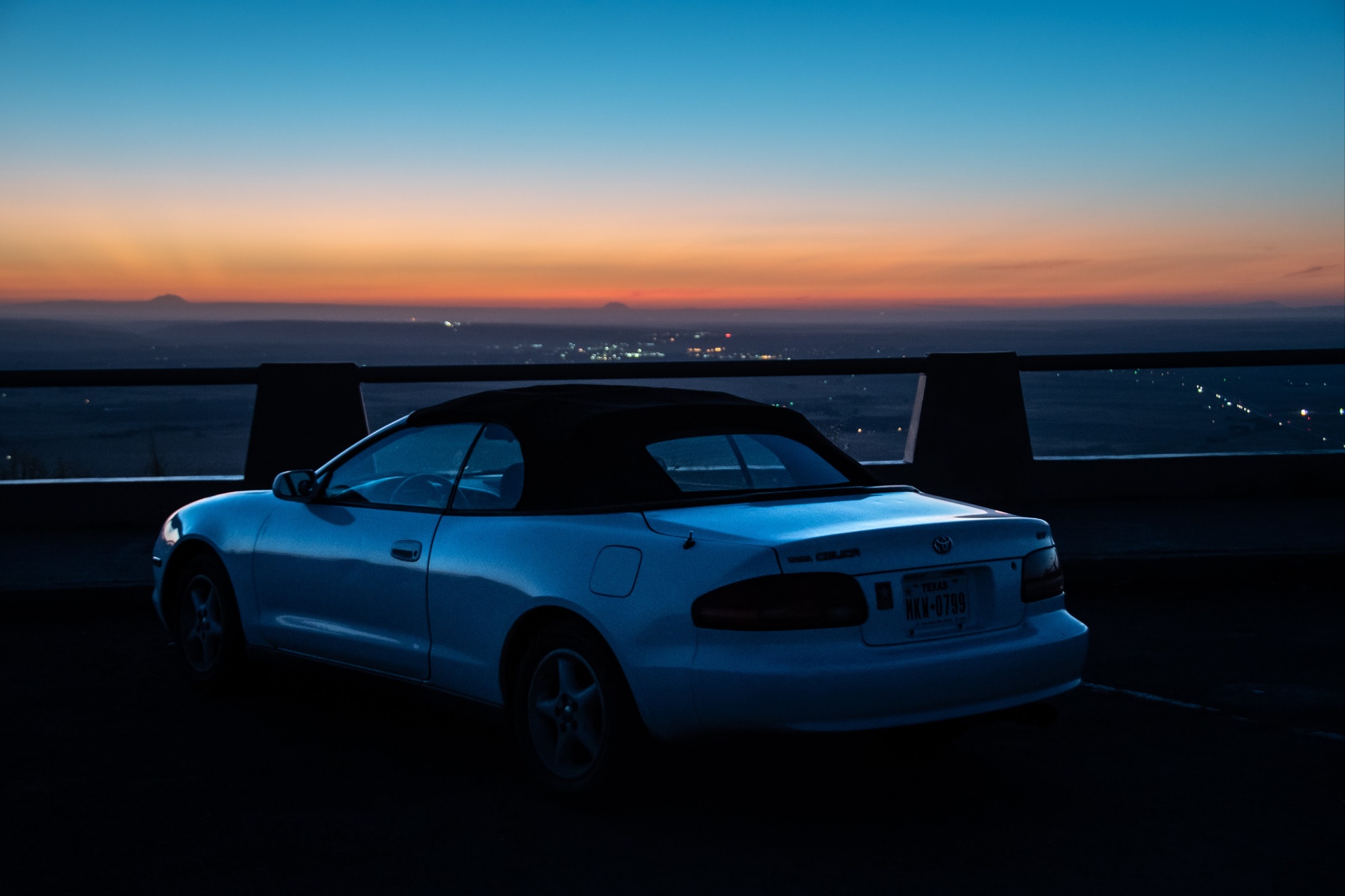
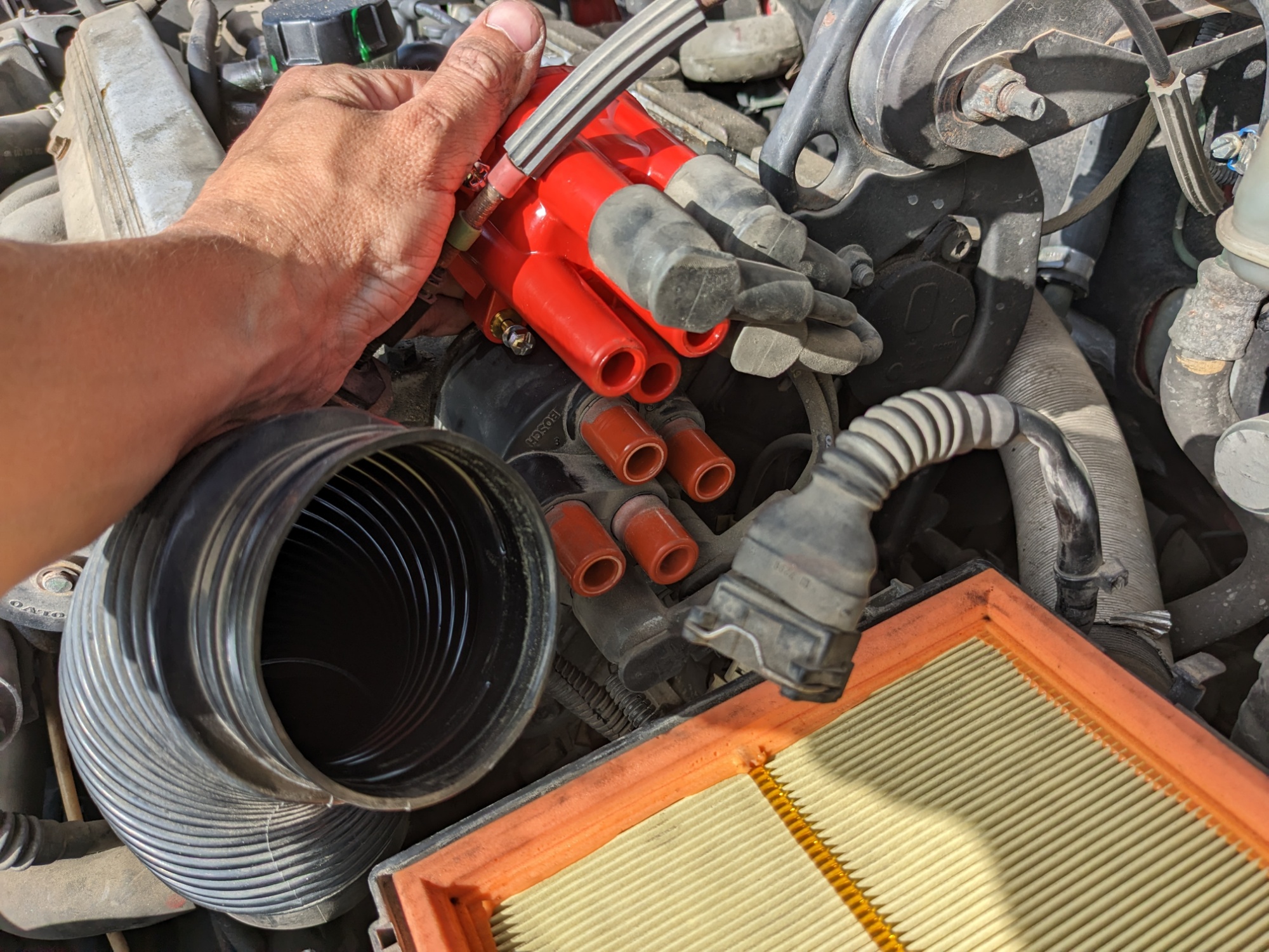
I replaced my distributor cap this morning to see if that would continue my improved running. I got it done faster than I expected to and the wagon started well. The old one had some residual scorch marks inside, likely from arcing and misfires because of the fouled spark plugs.
South Pass City
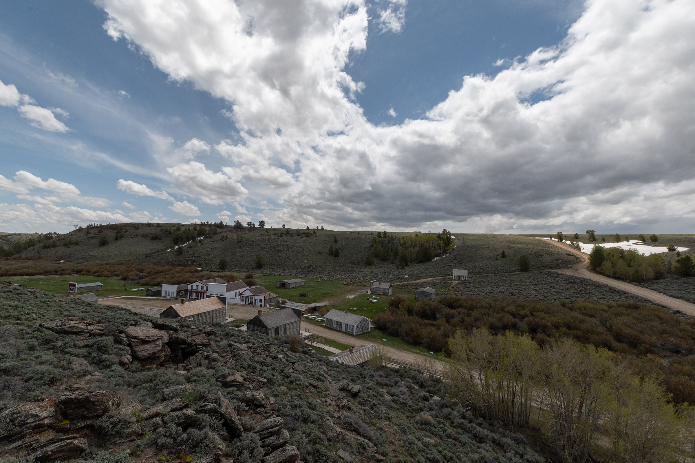
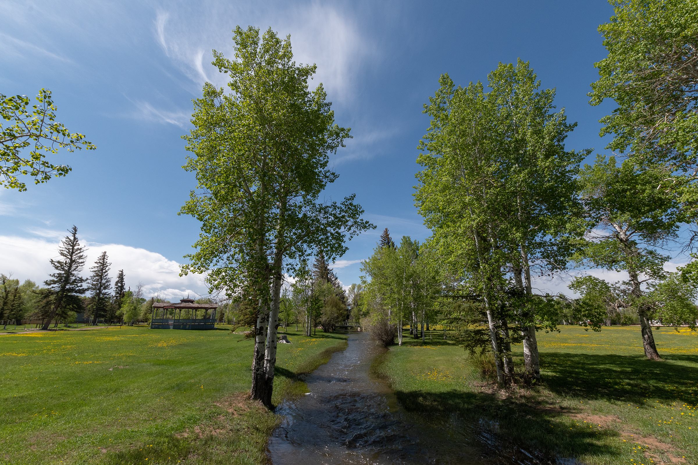
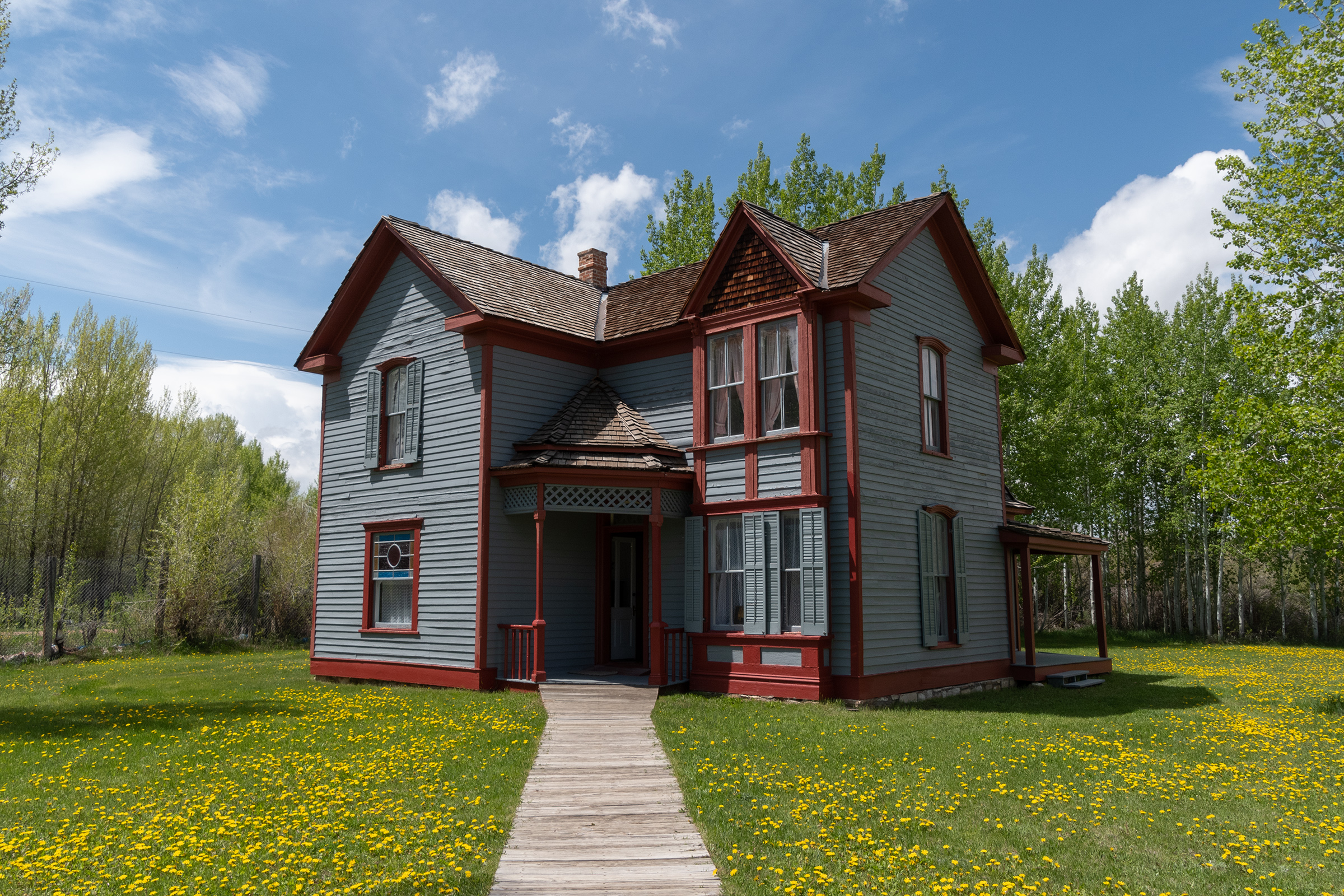
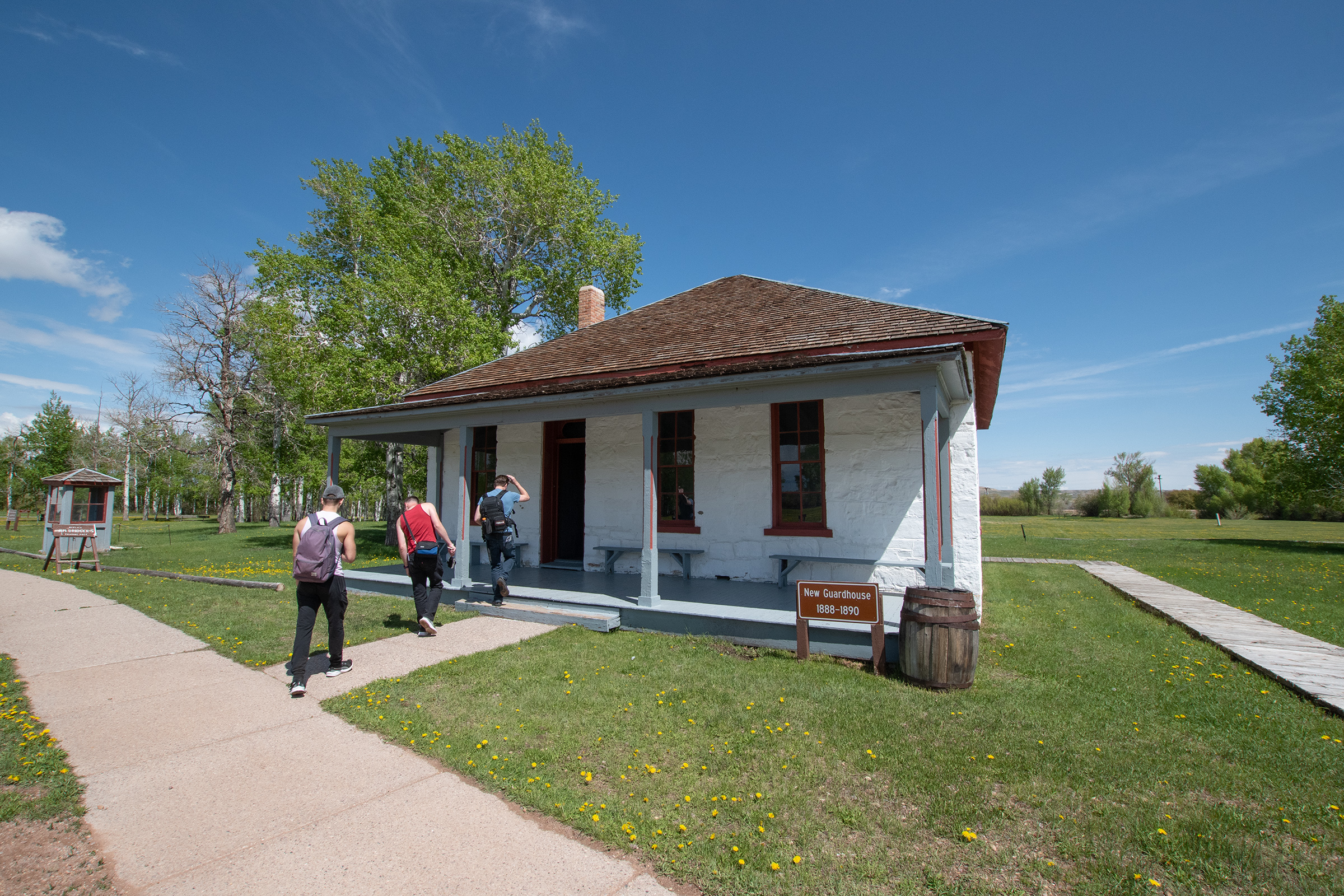
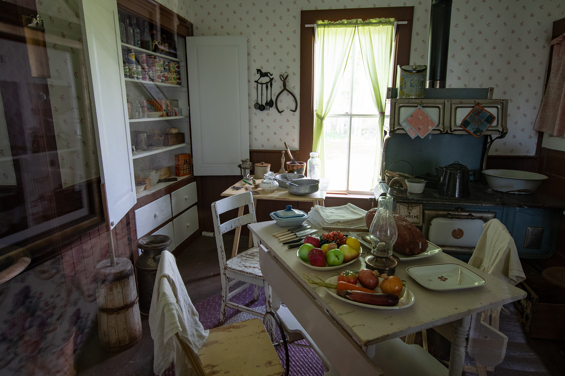
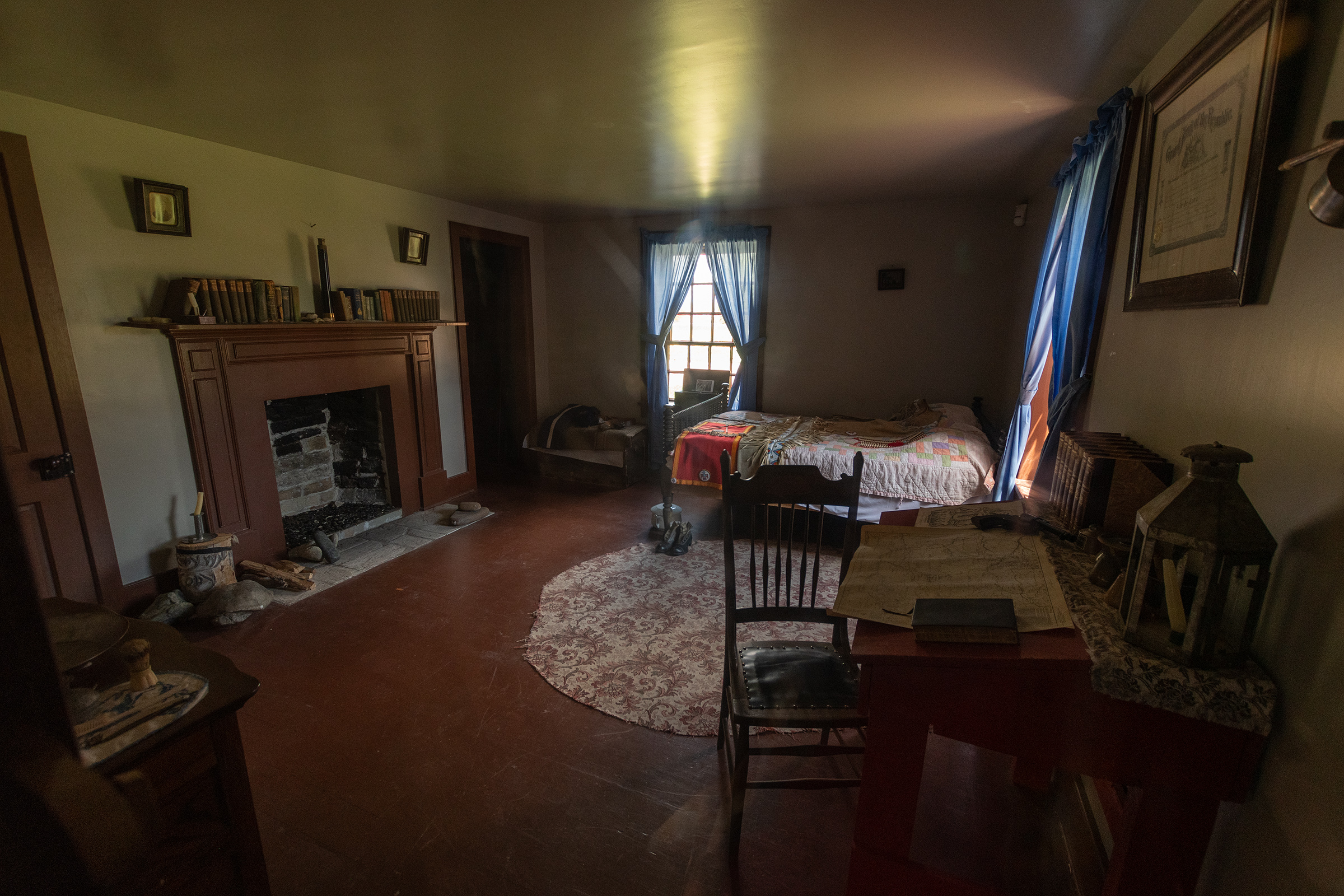
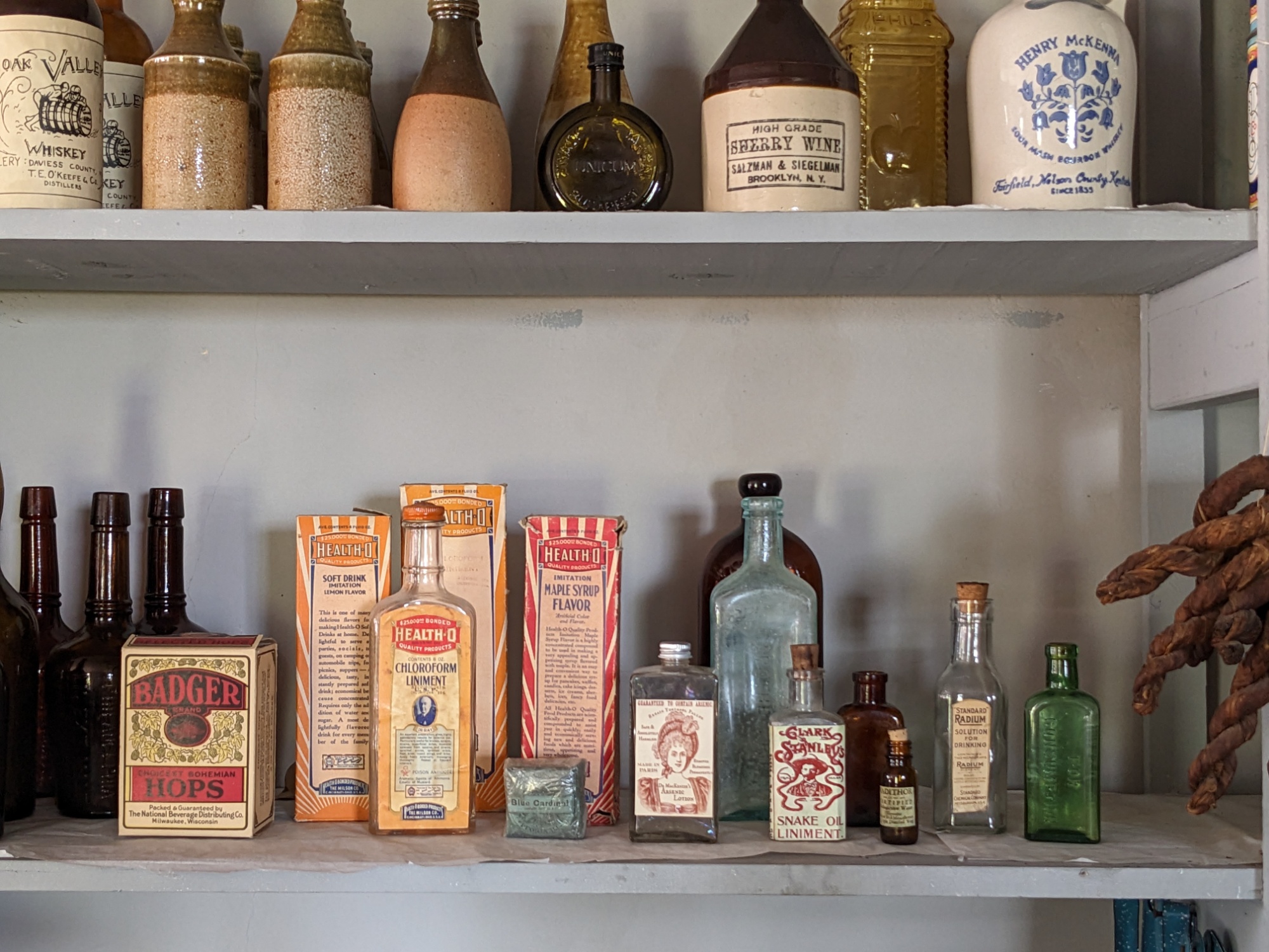
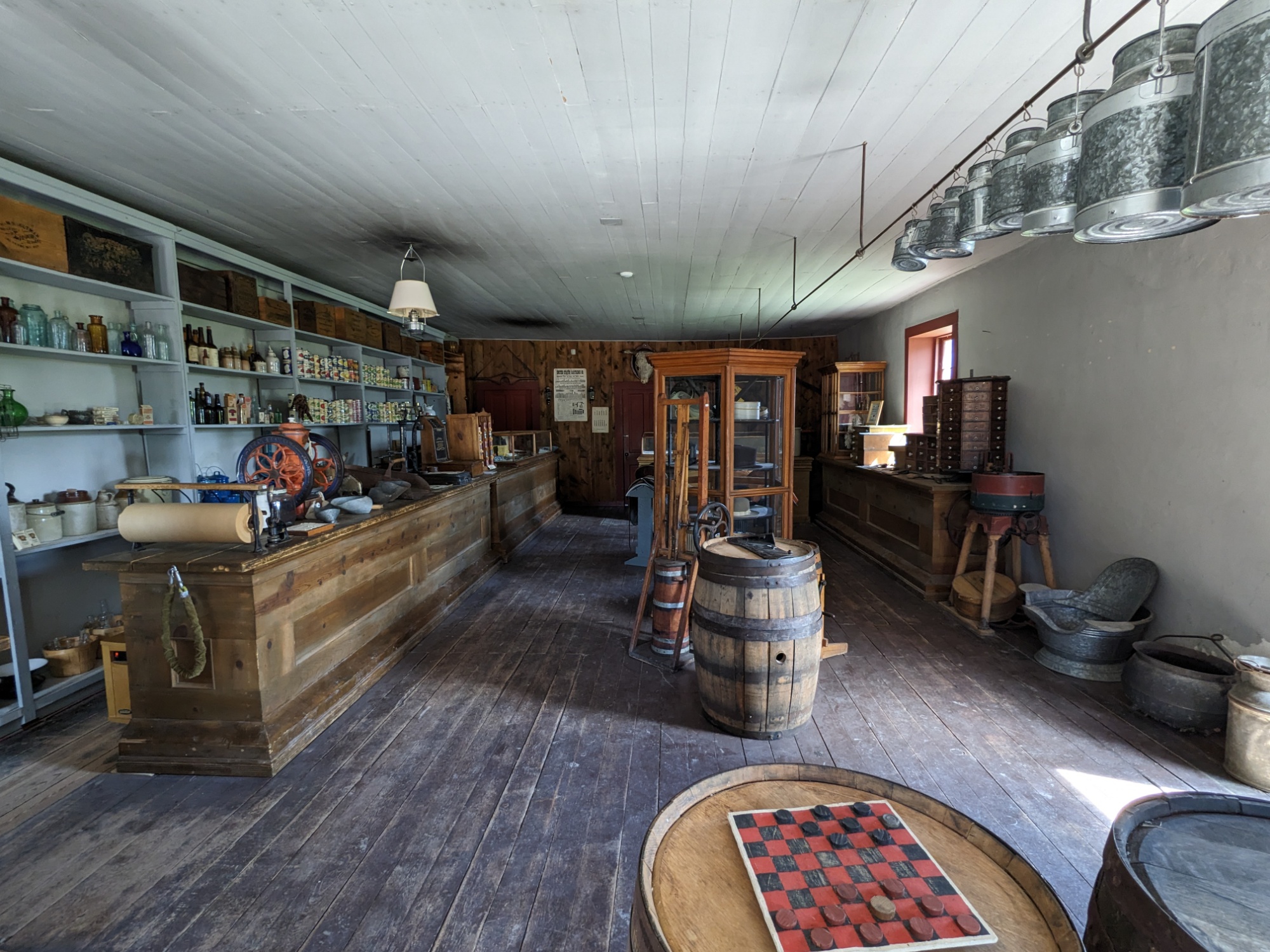
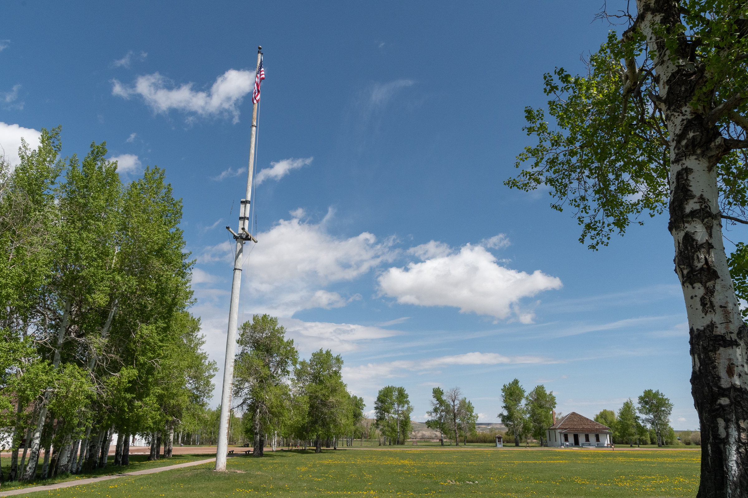
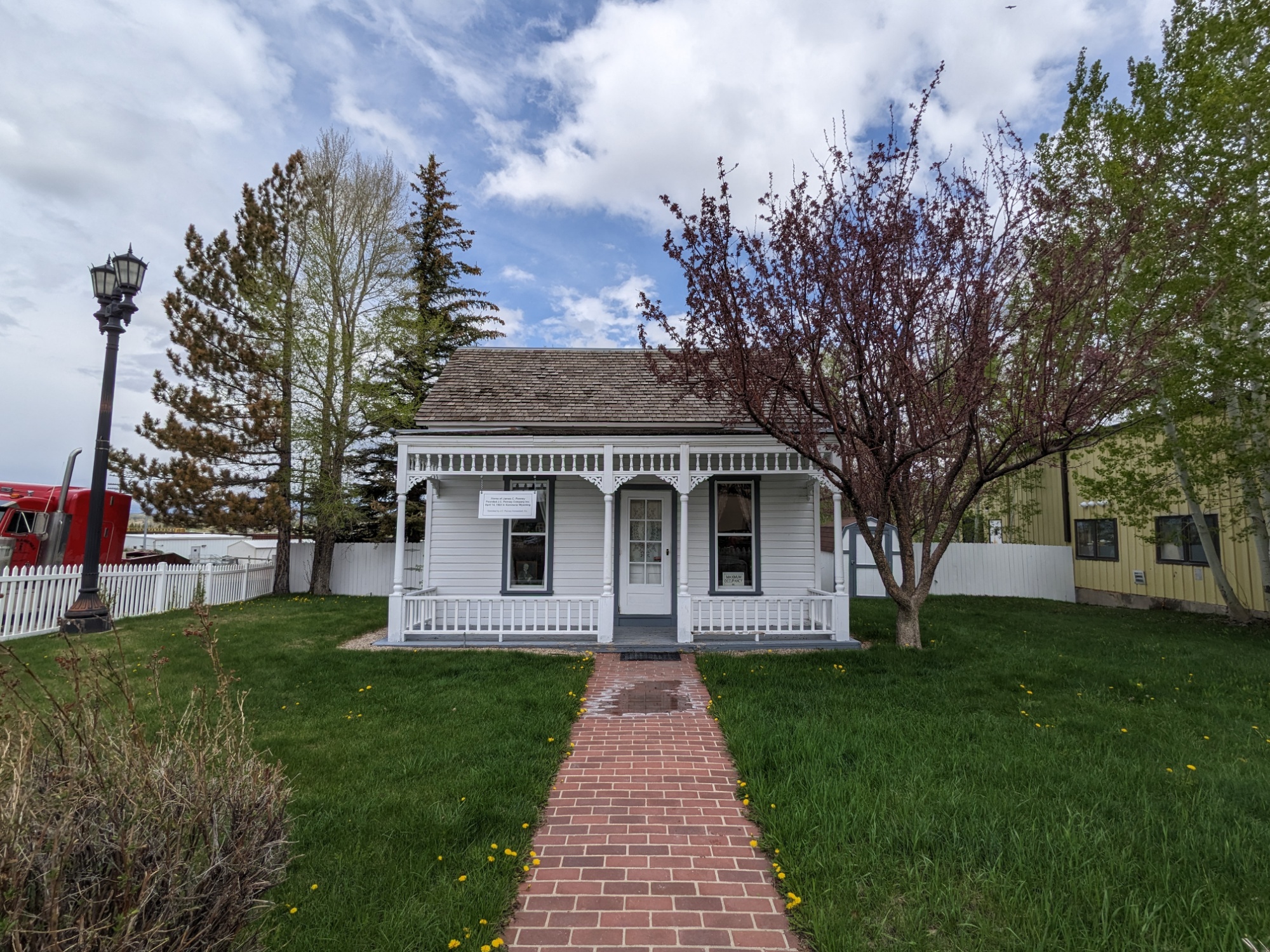
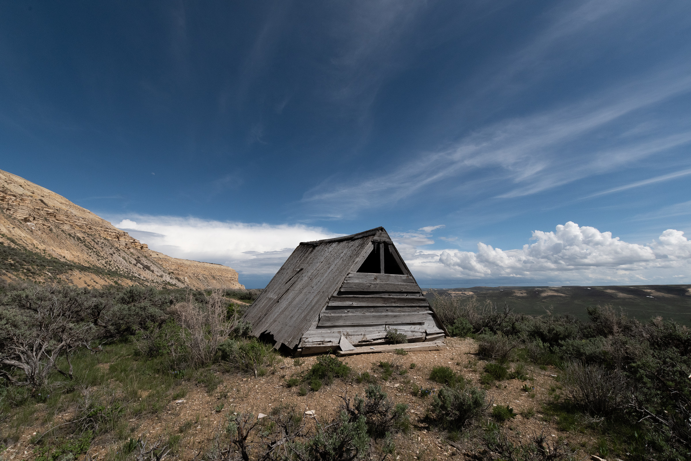
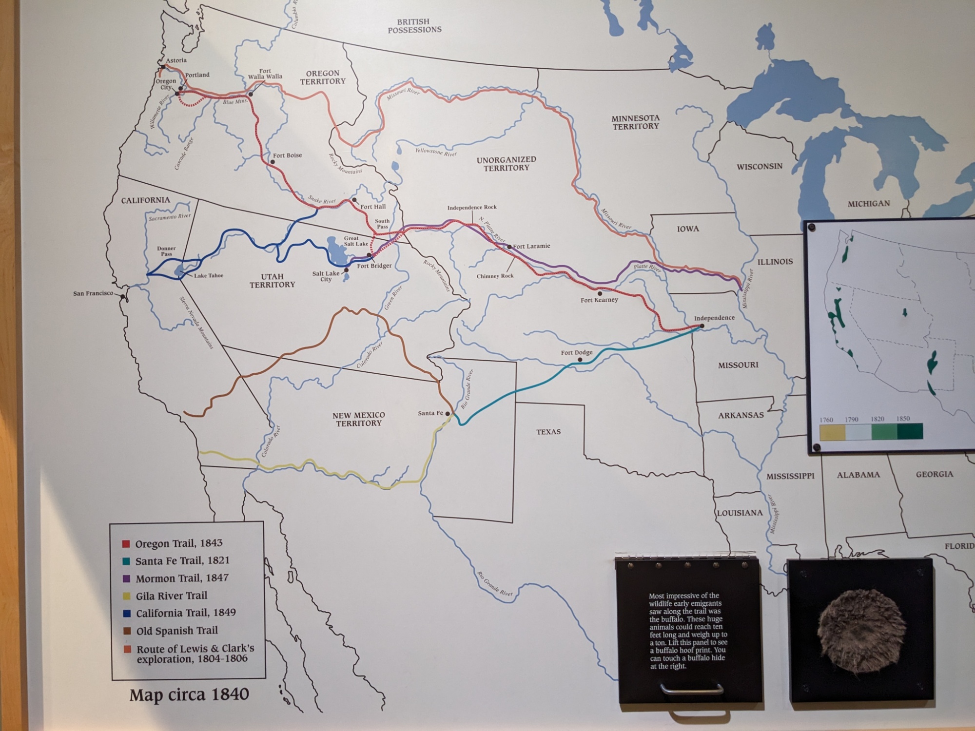
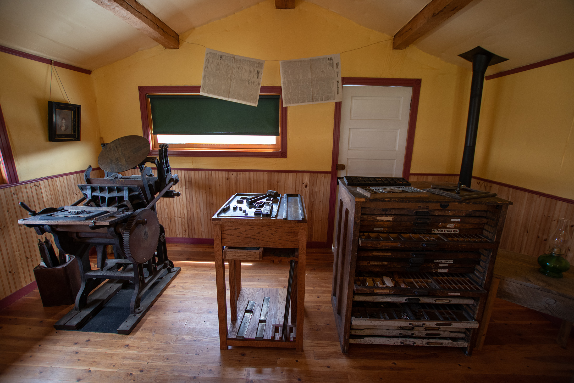
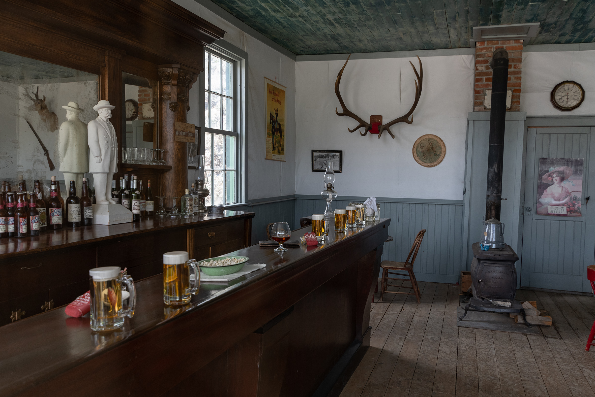
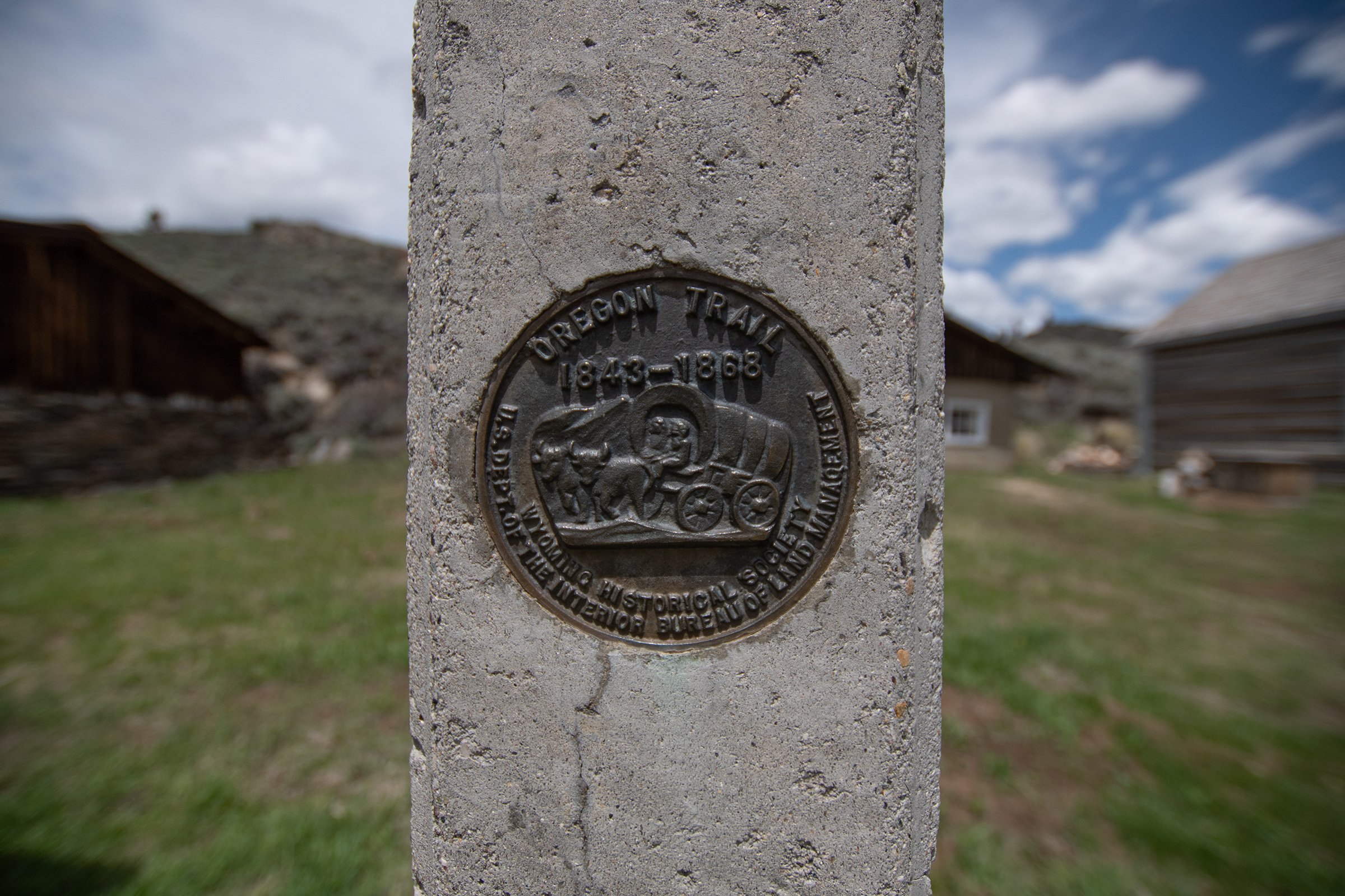
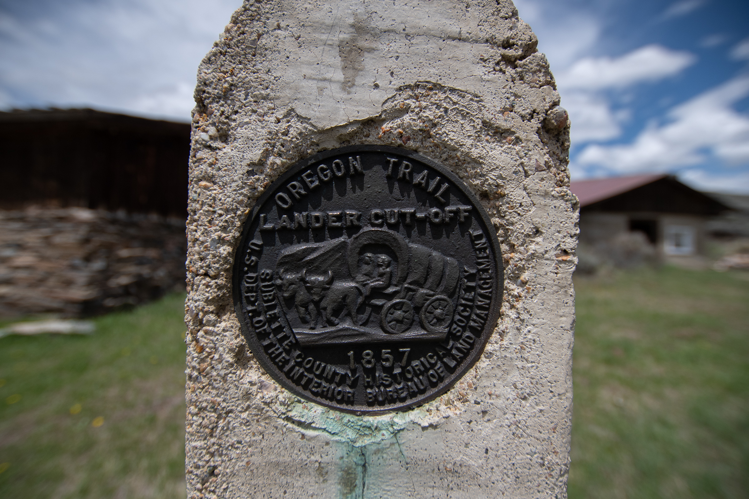
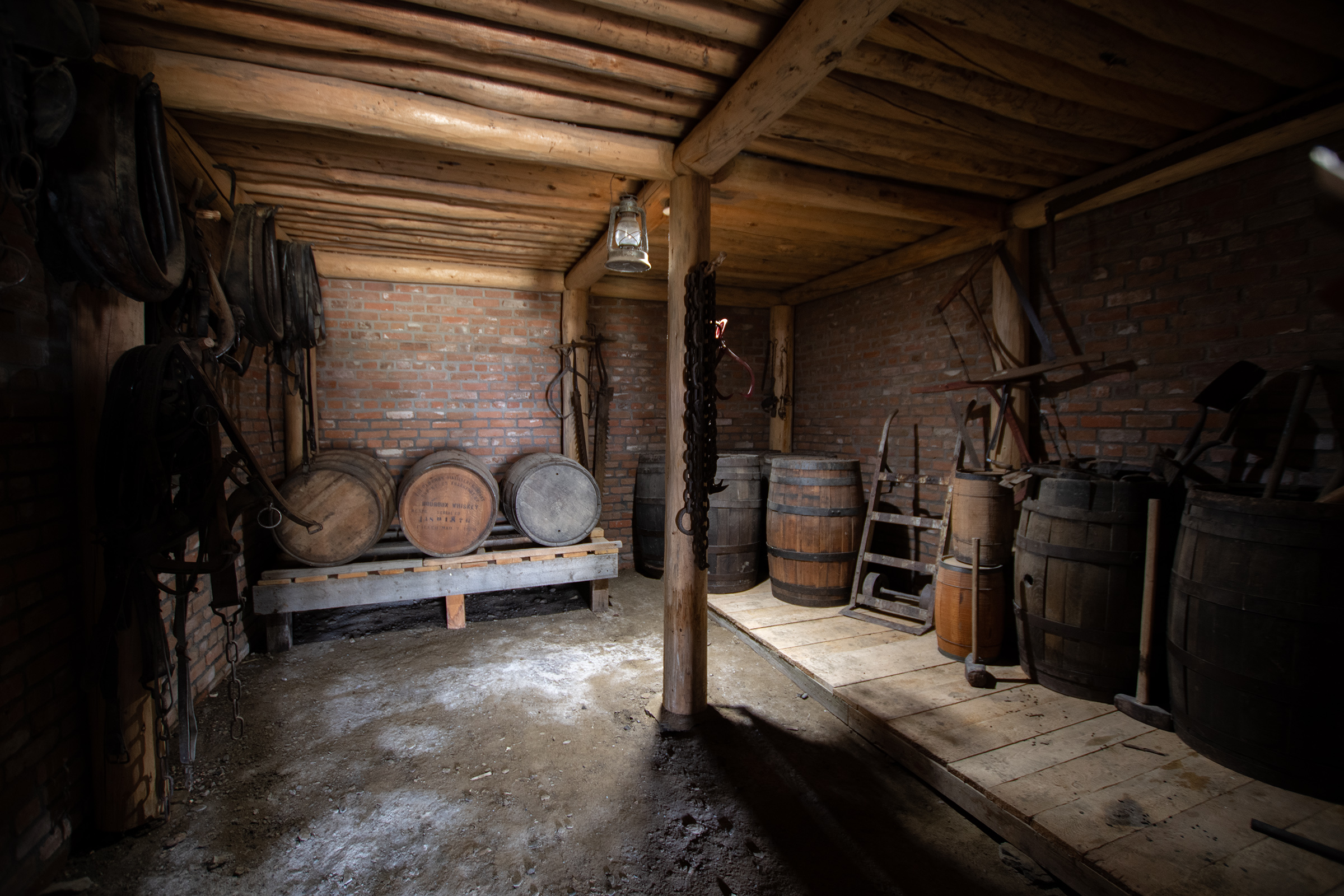
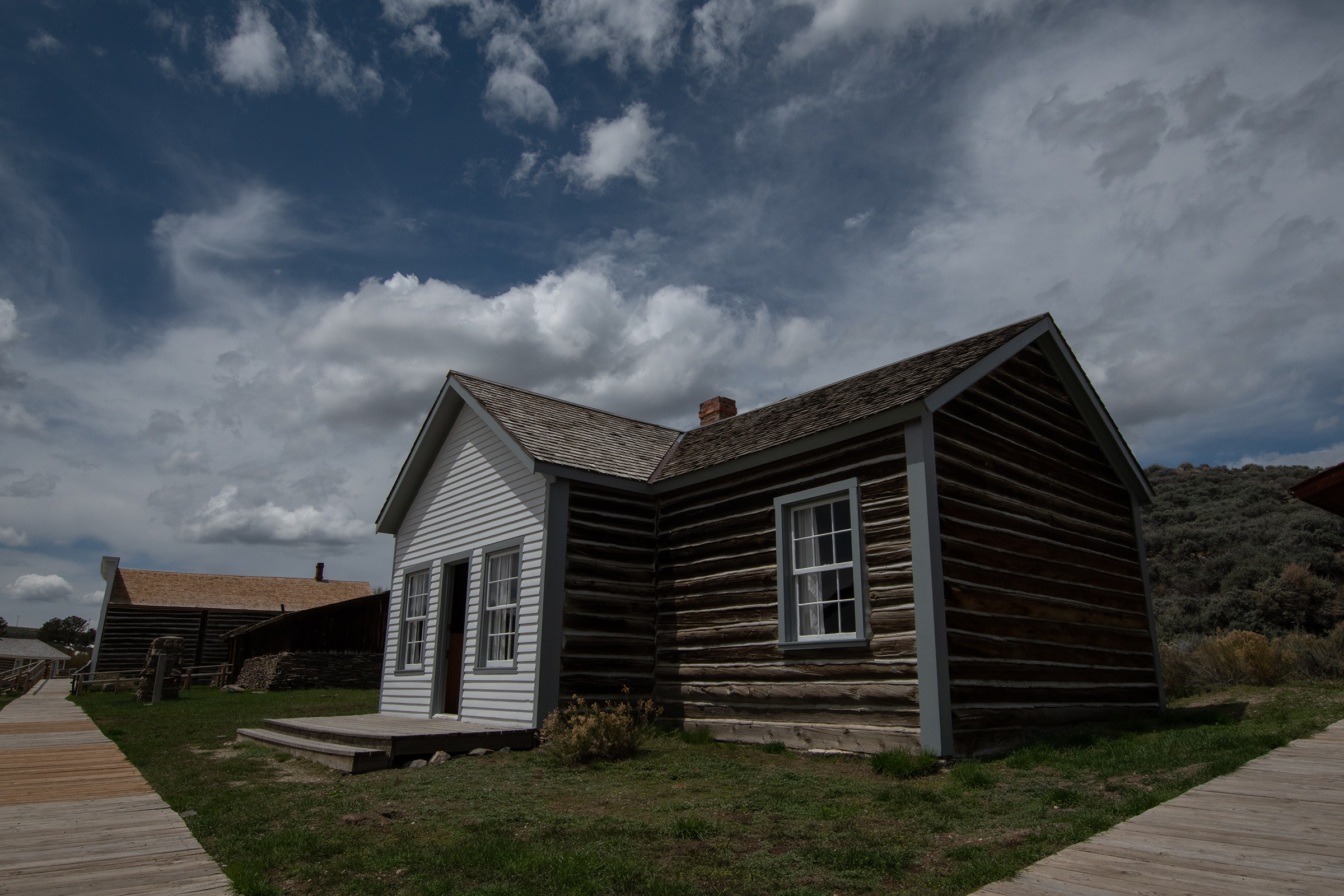
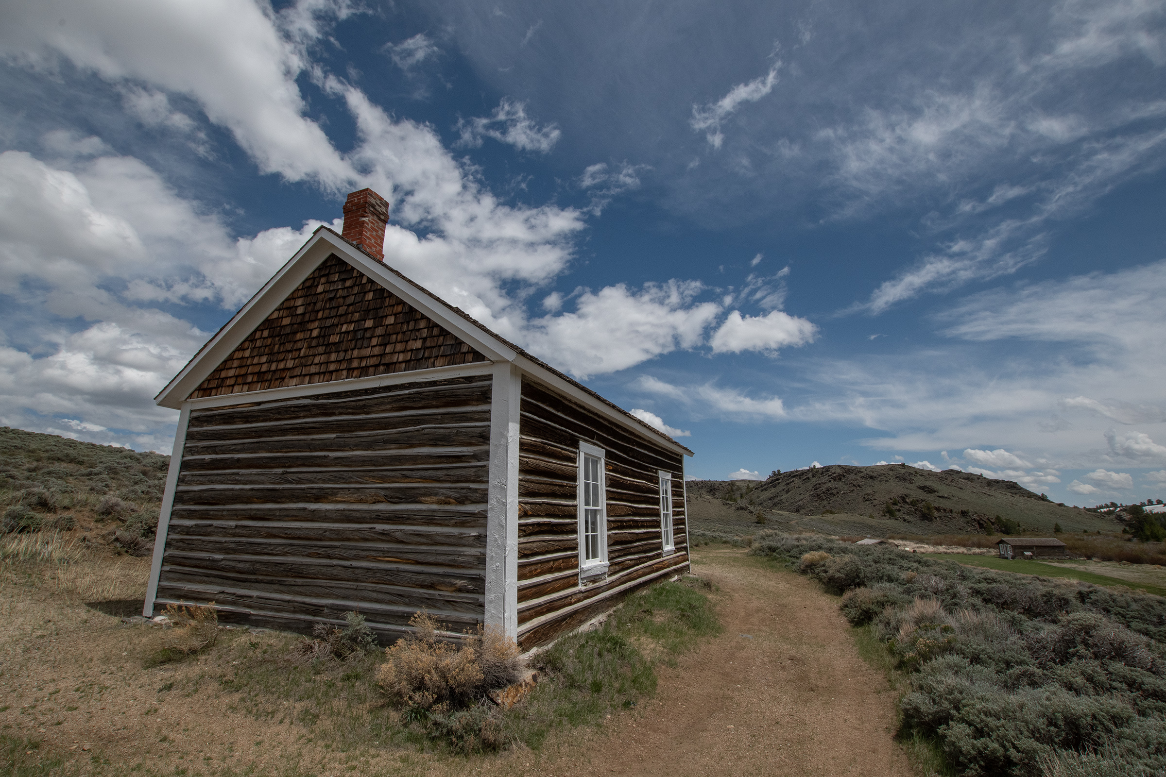
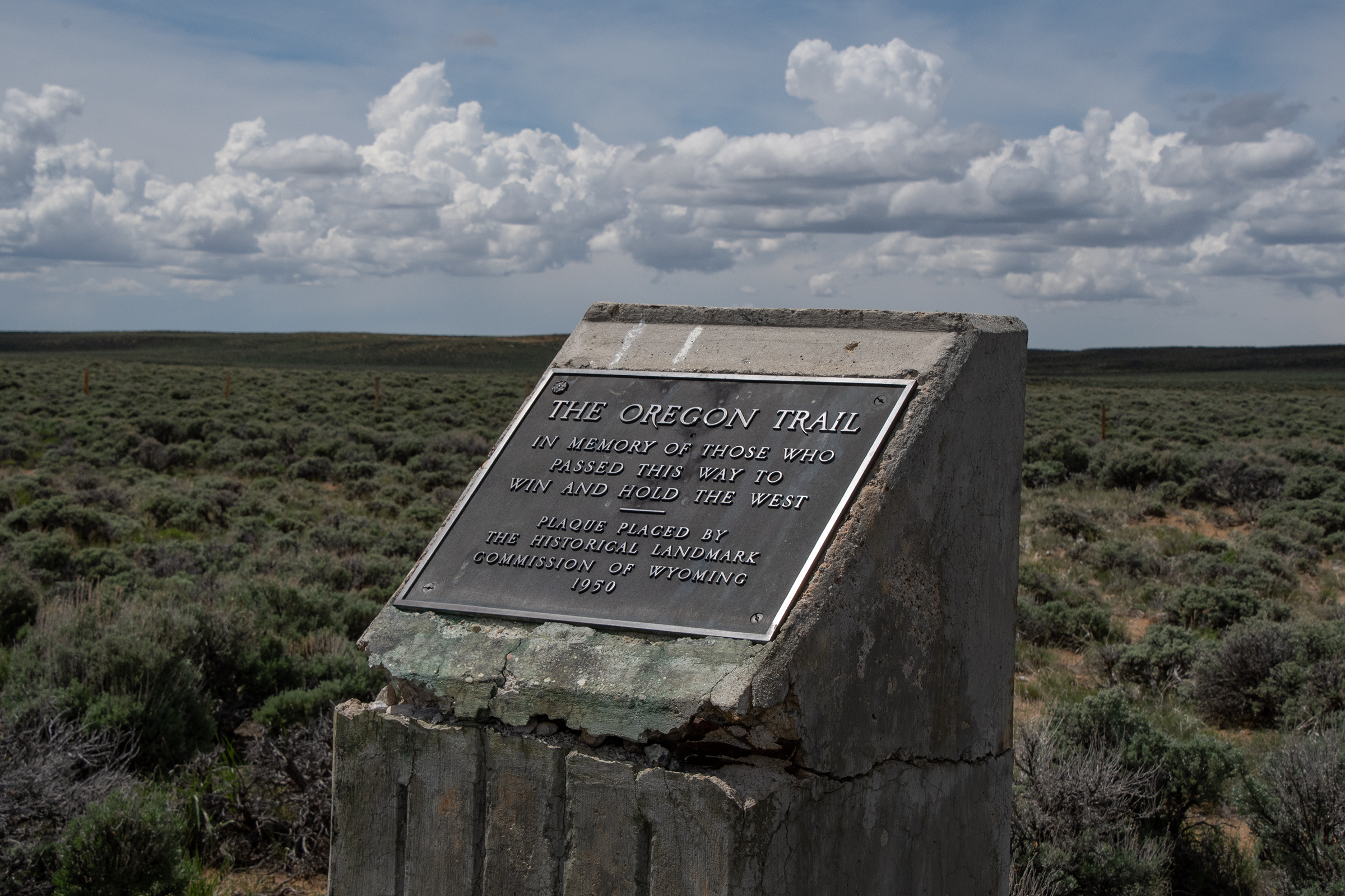
After breakfast in Lander, we headed up to South Pass City, a ghost town which was a camp and stopping point for Oregon Trail traffic — and marks the start of the Lander Cutoff — but boomed and busted in the 1860s-1890s gold rush era. The 1870 census recorded the population of 1,166 and two years later, there were less than 100 inhabitants.
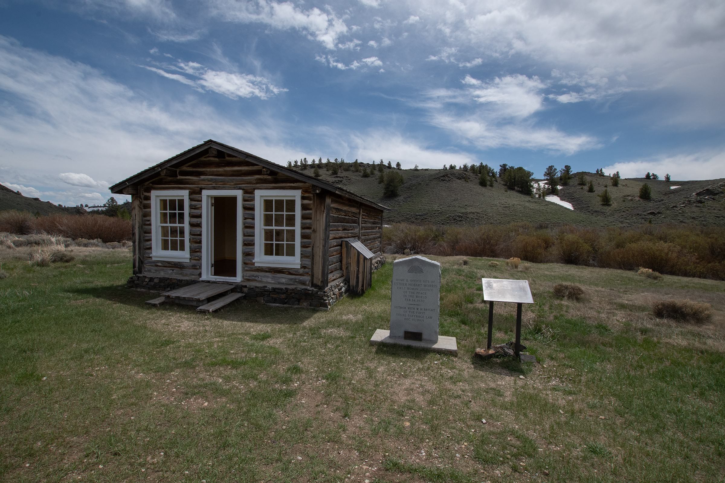
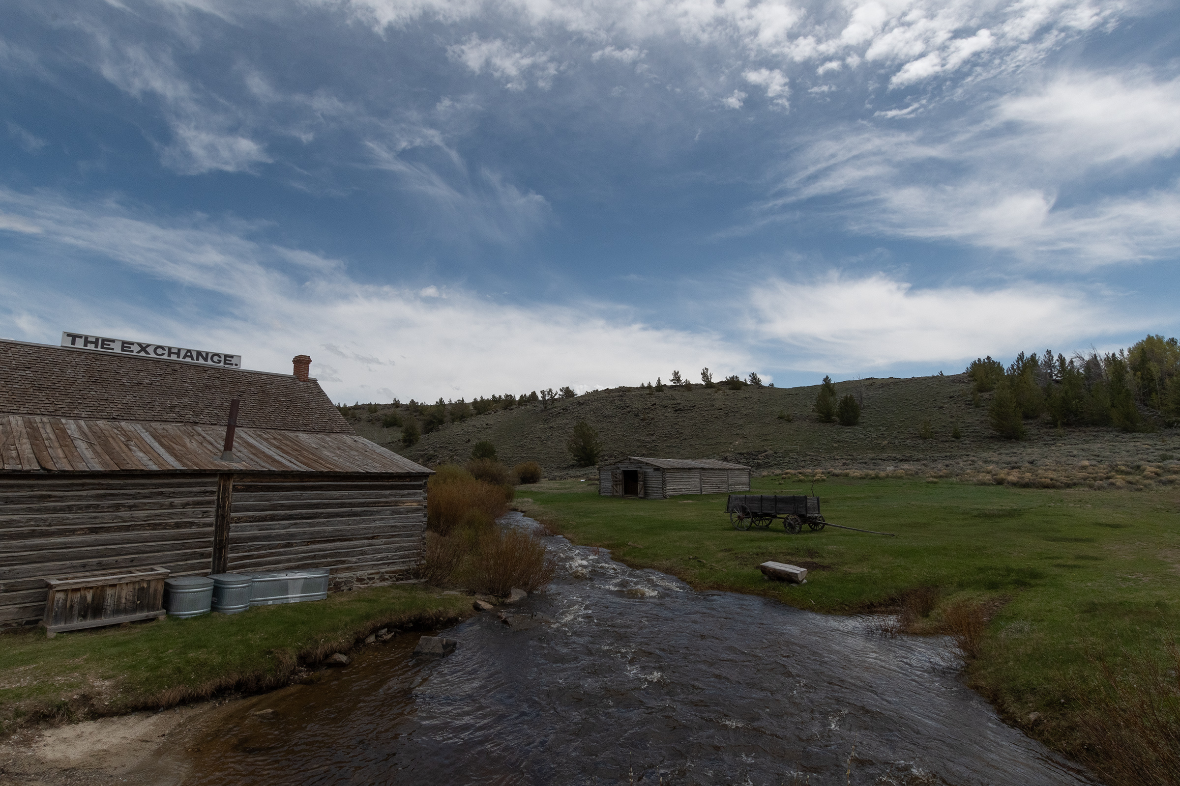
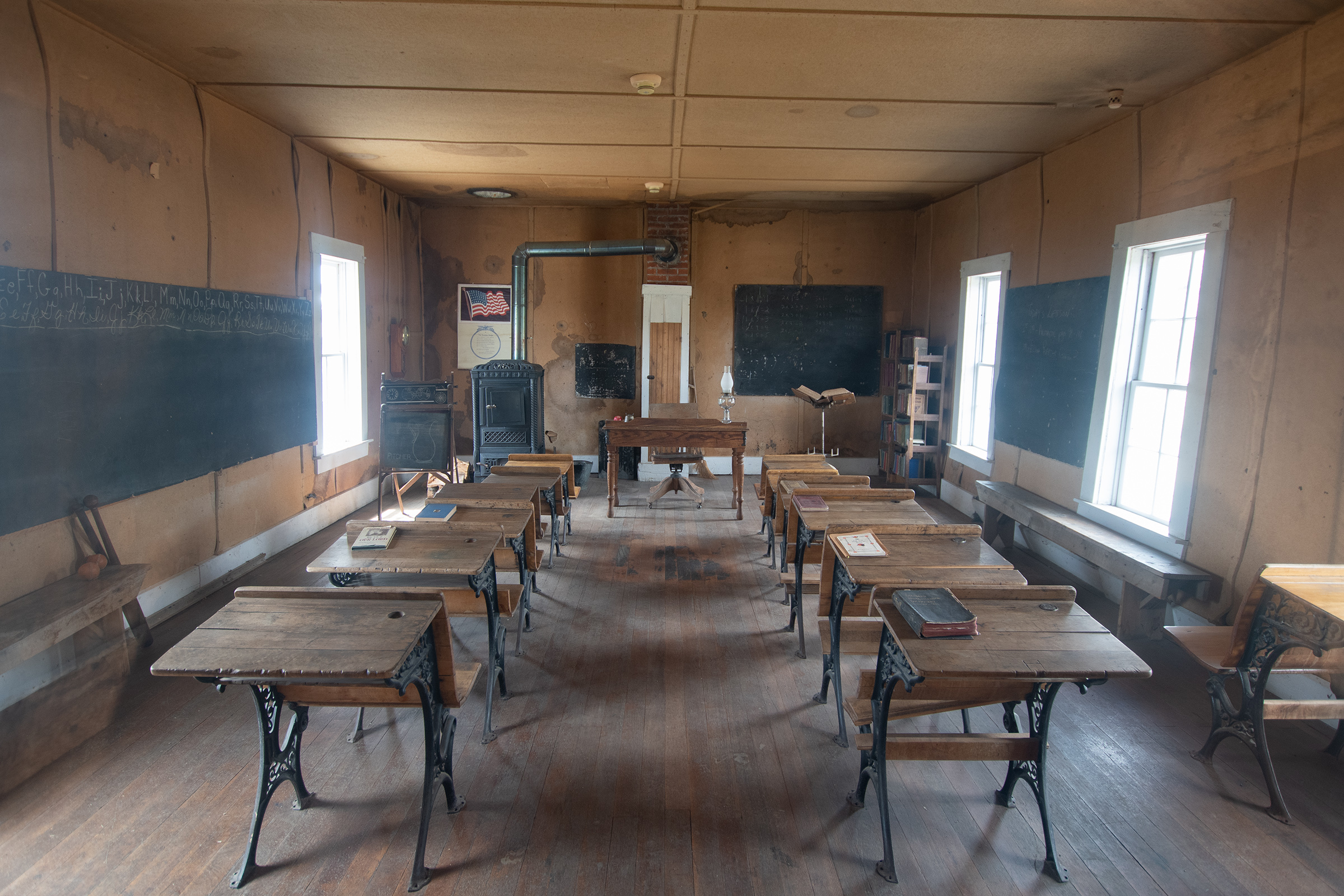
The town also marks the start of Women’s Suffrage. A state bill granting women the vote was written by a South Pass City resident, and ultimately passed. Shortly thereafter, Esther Morris, another South Pass resident, became the city’s Justice of the Peace, making her the nation’s first judge.
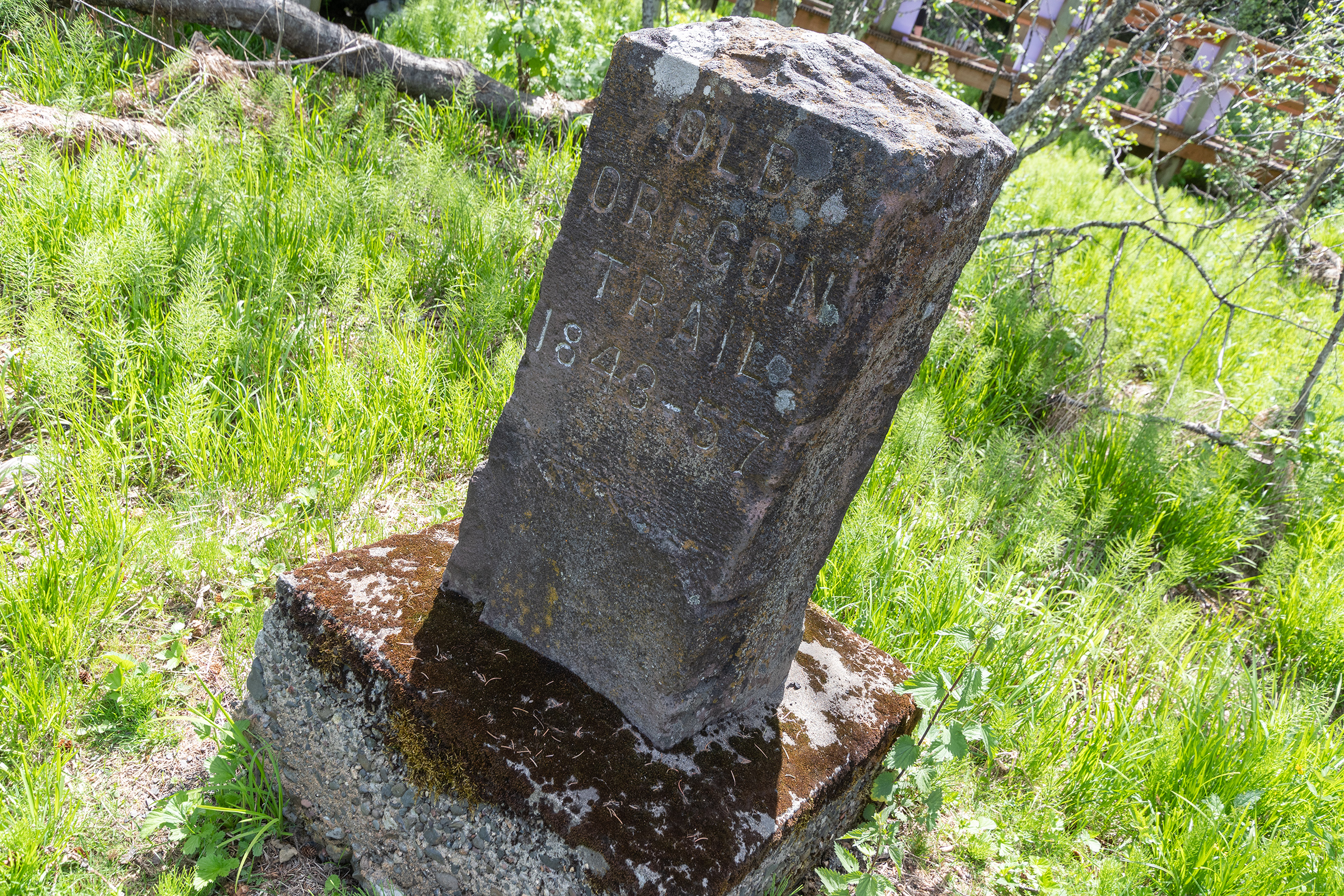
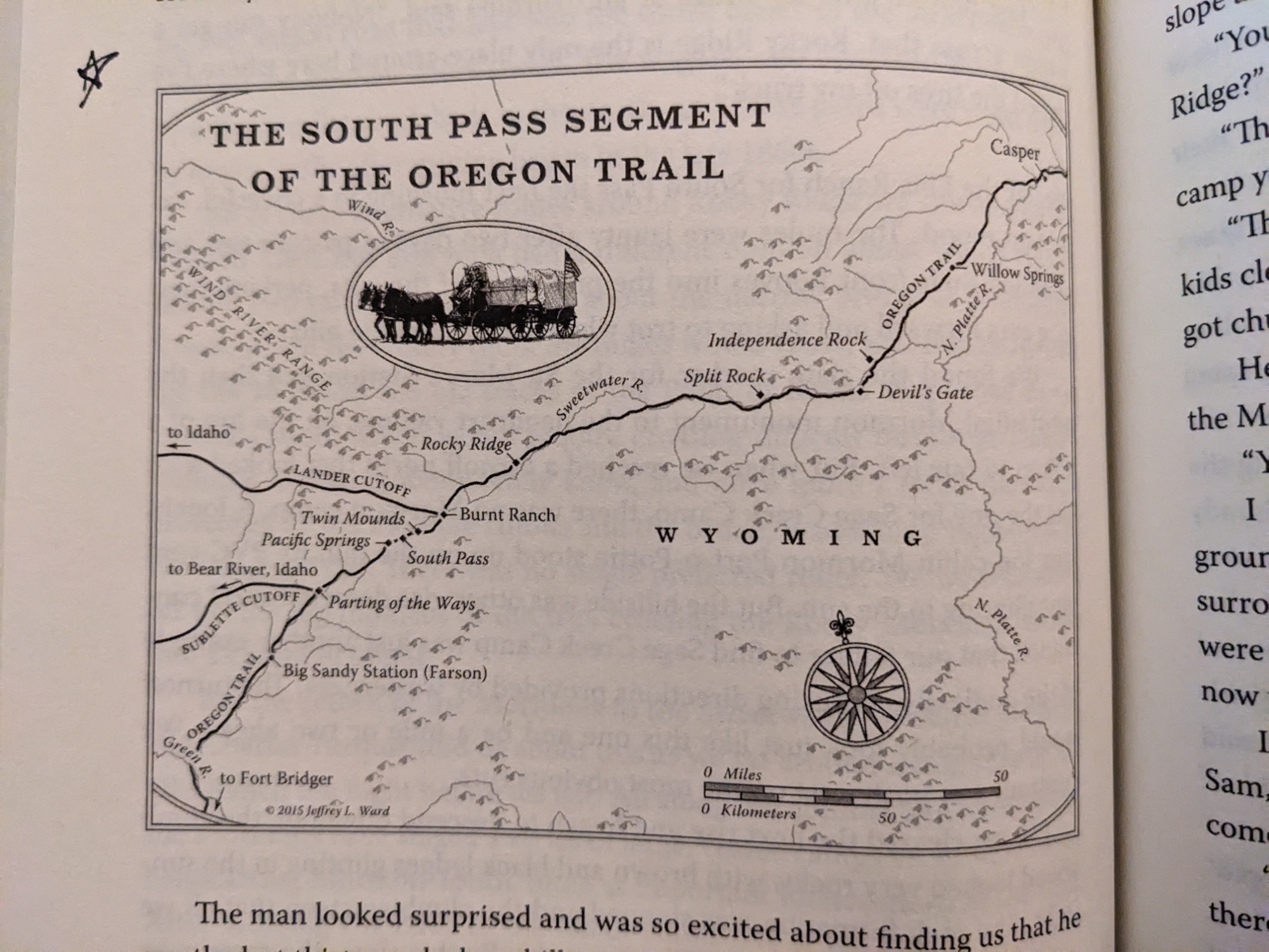
The Parting of the Ways
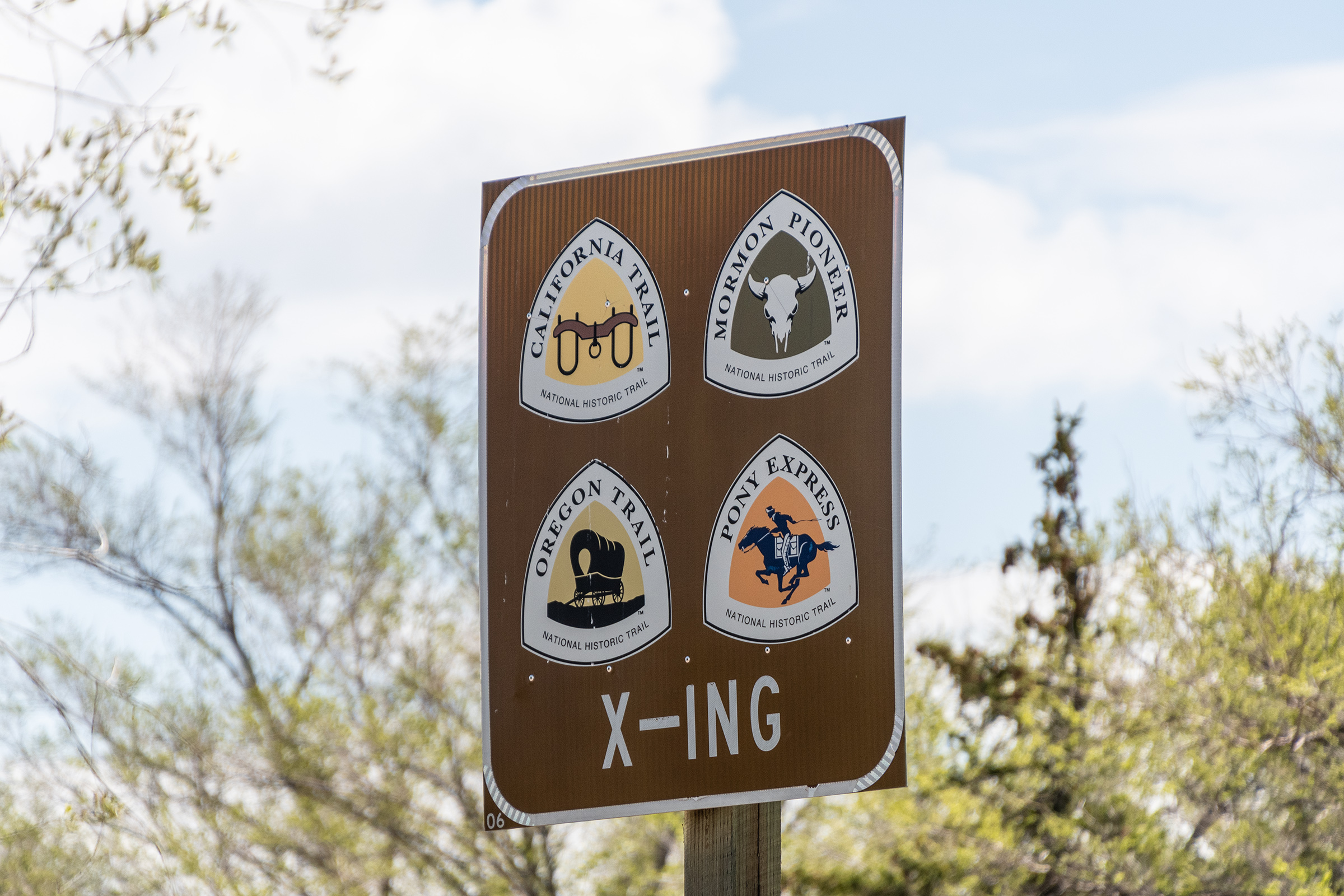
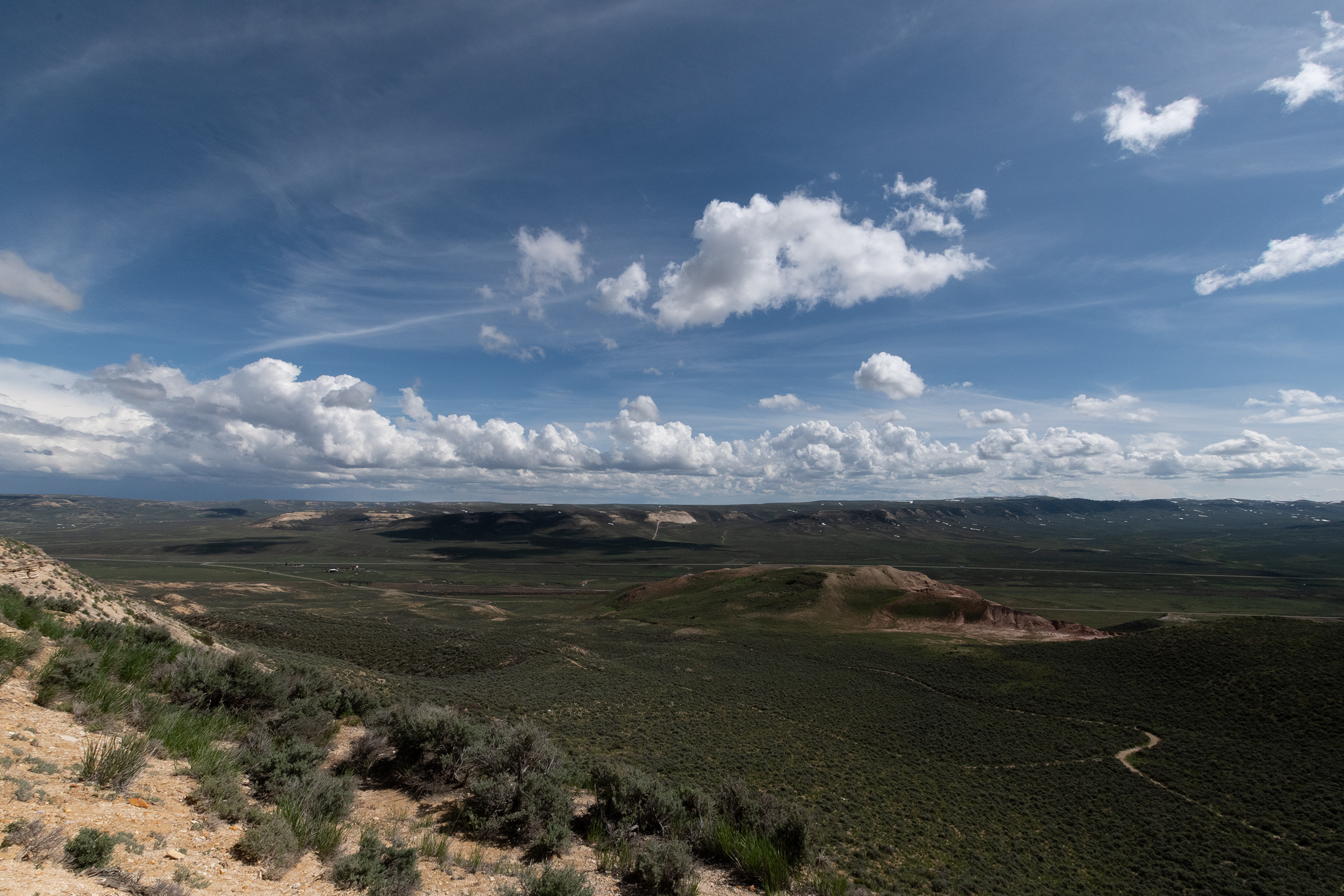
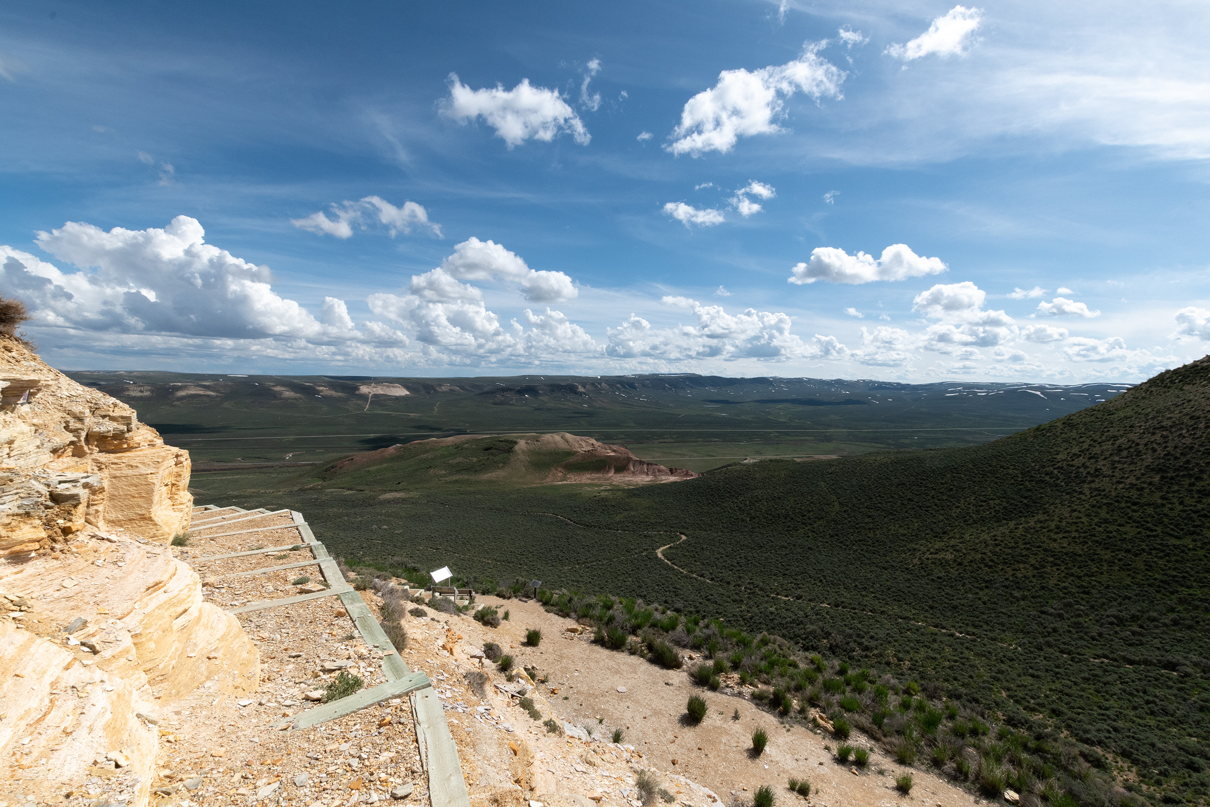
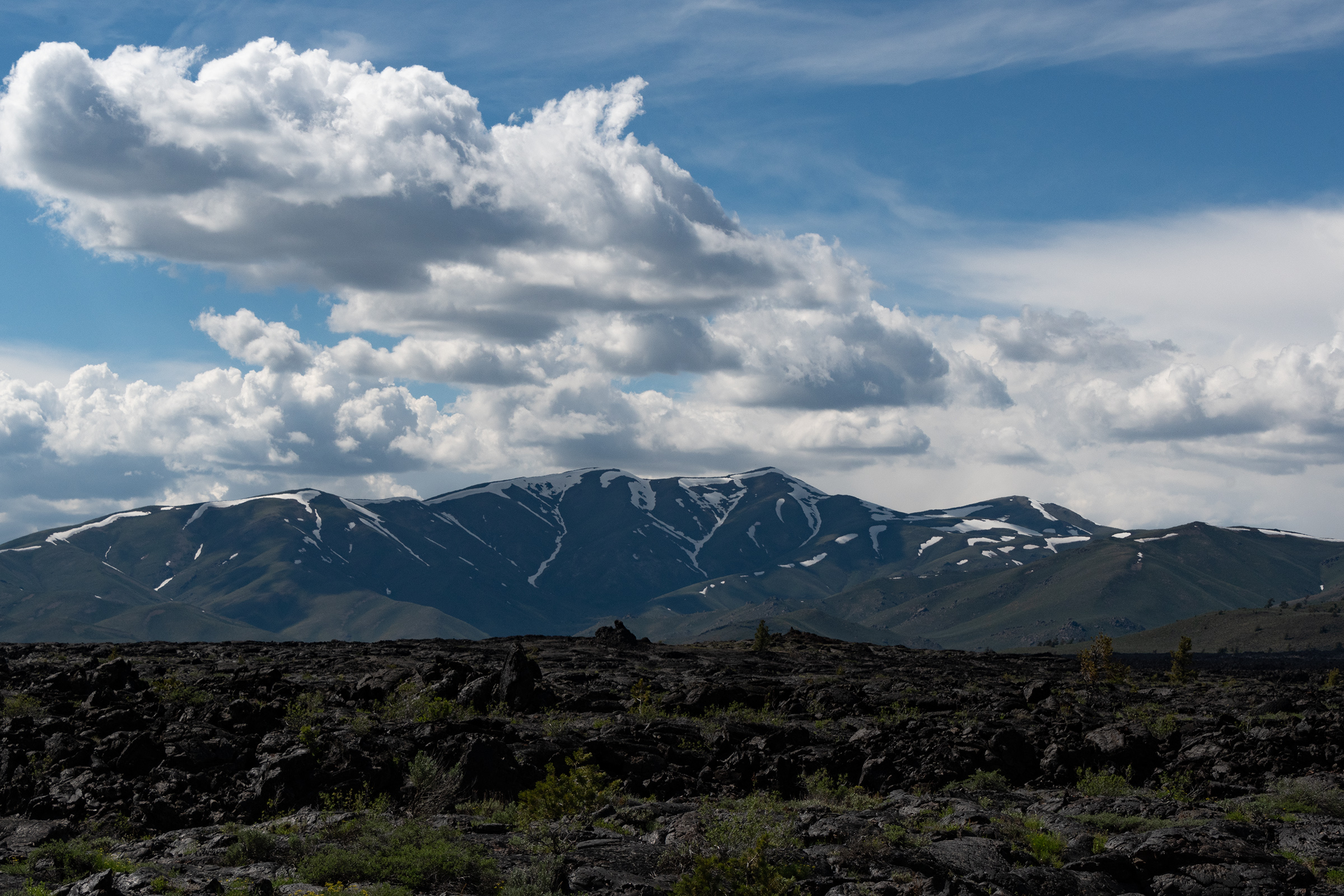
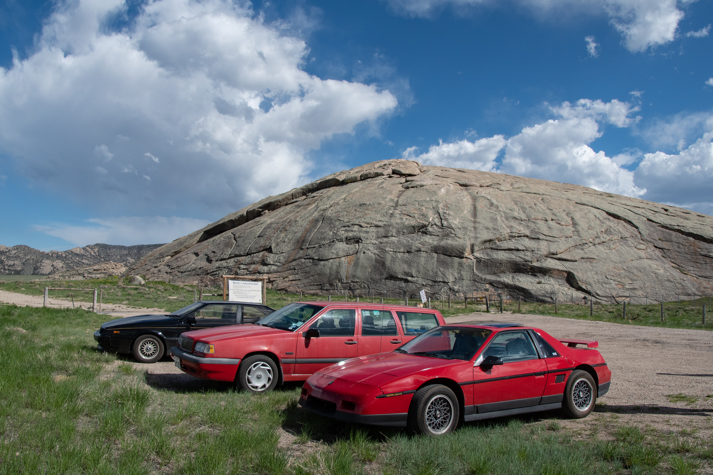
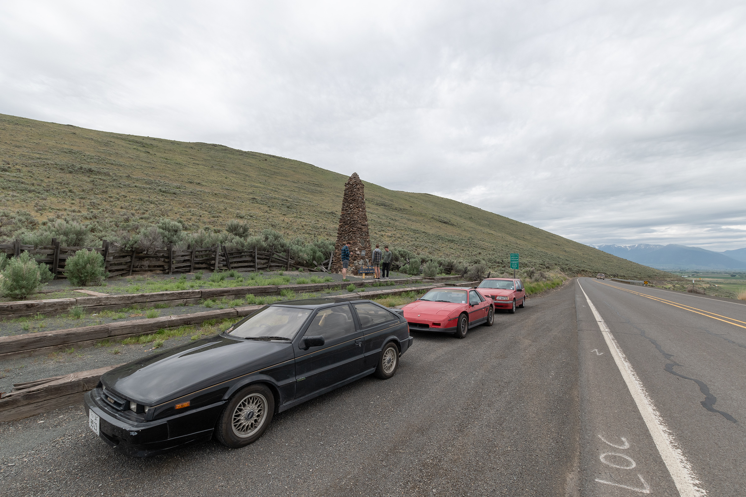
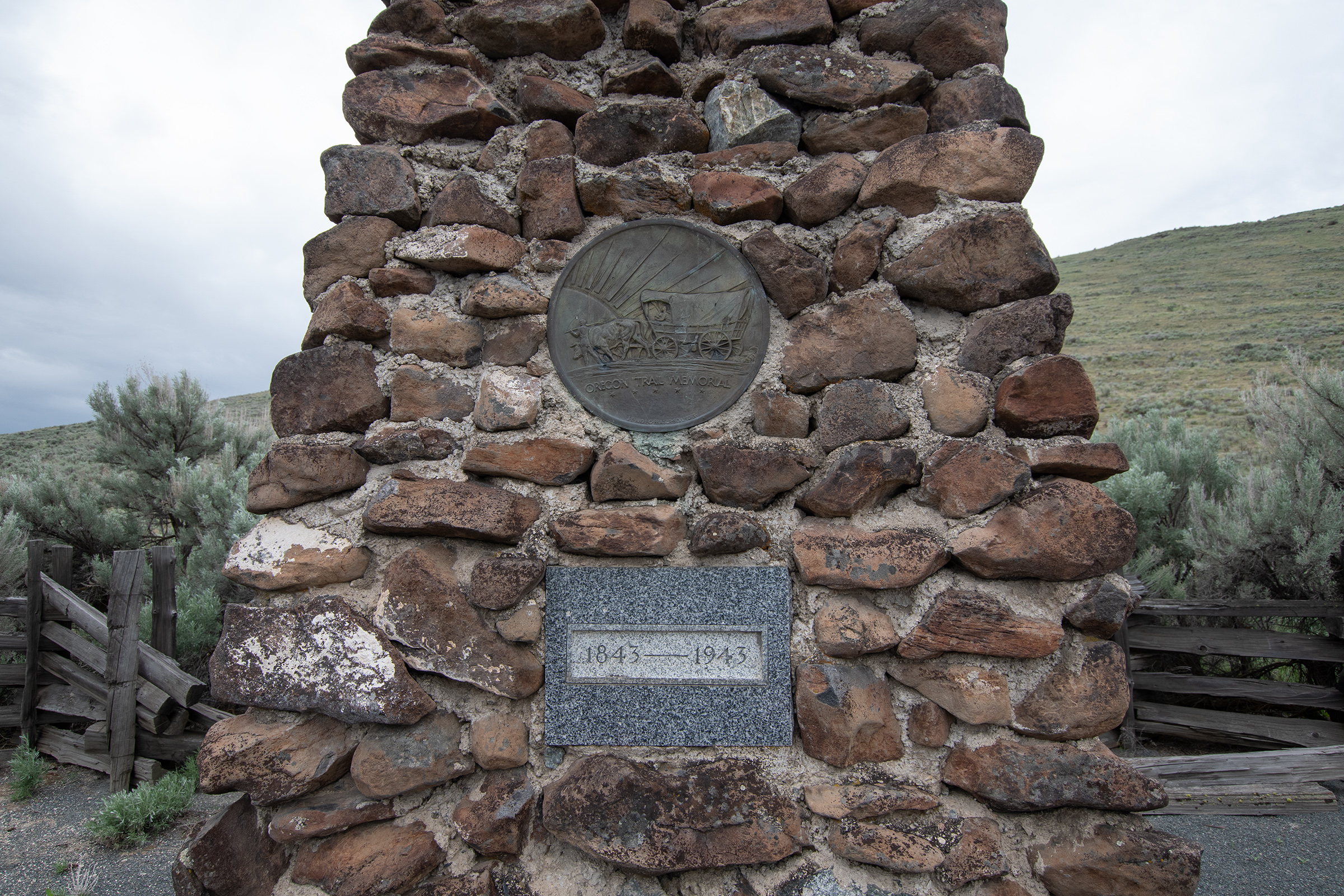
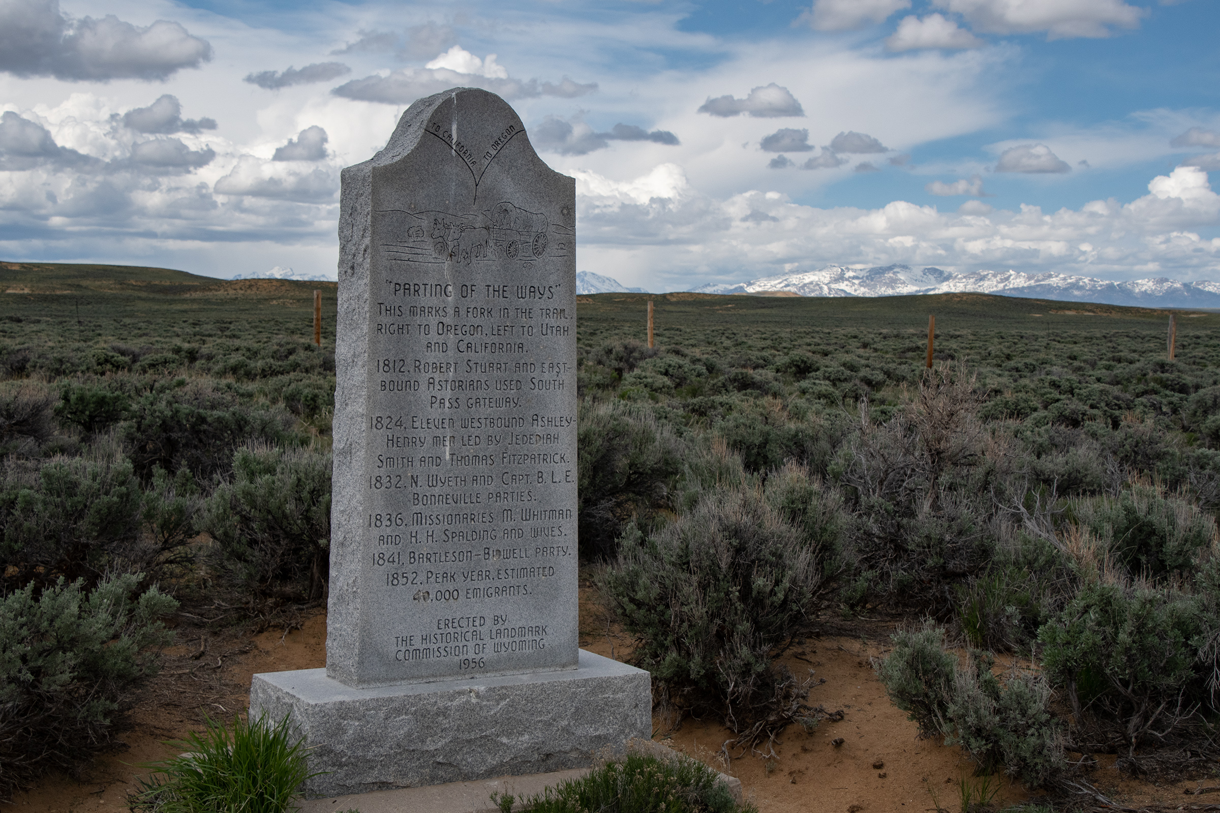
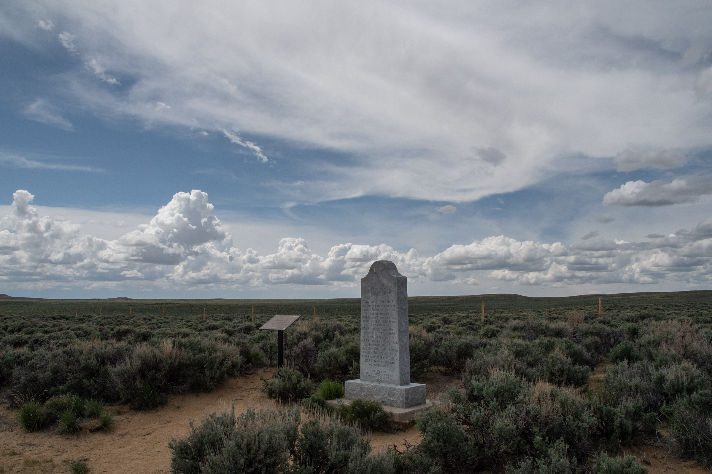
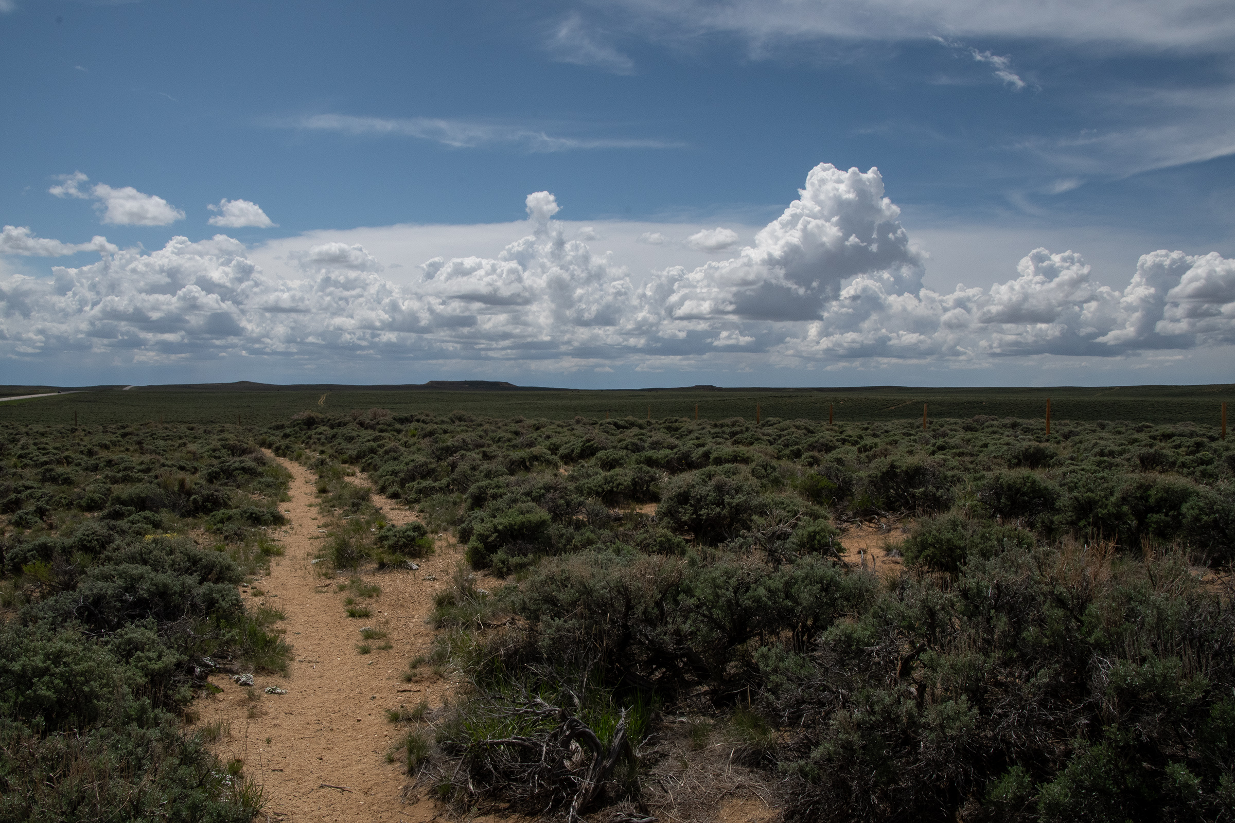
Our next stop of the day was a roadside monument a few miles down the highway at The Parting of the Ways, where a few forks of the trail divide. The Oregon, California, and Mormon Pioneer trails all continue down to Fort Bridger, but the Sublette and Lander Cutoffs fork off around here. This meant that some parties that had been traveling together since their starting point on the Missouri River — a thousand miles, over the course of a couple months — may decide to split here. The Sublette Cutoff really became popular in the gold rush era because it saved about a week’s travel, at the cost of 50 miles through semi-arid desert with no water and a dramatic decent into Idaho nicknamed “The Rockslide.”
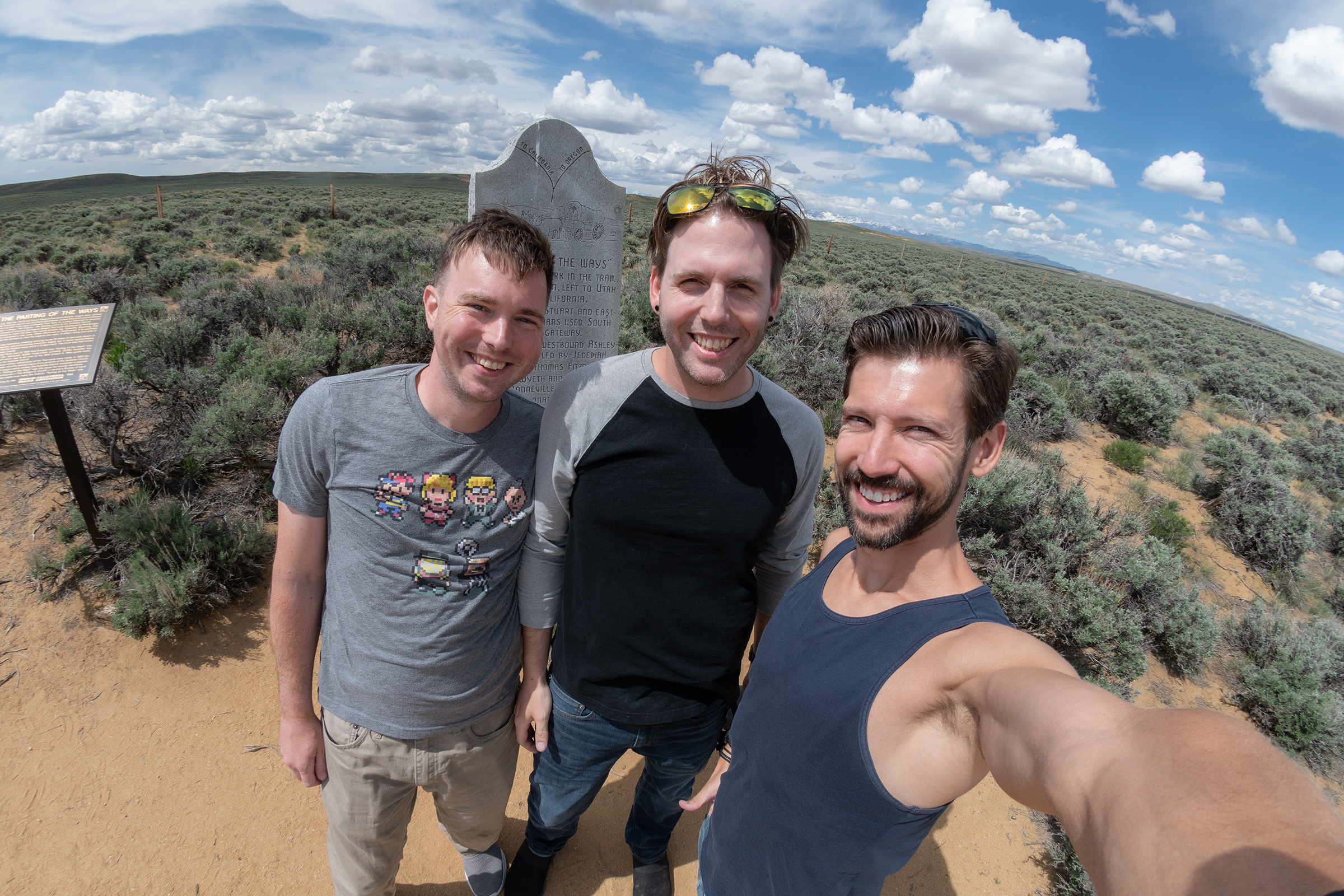
And fittingly, at The Parting of the Ways, we parted ways — but only briefly. At Farson, I took US 191 down to Rock Springs to pick up I-80 (which does follow some of the Mormon Pioneer Trail) for Salt Lake City to pick up Evan G.
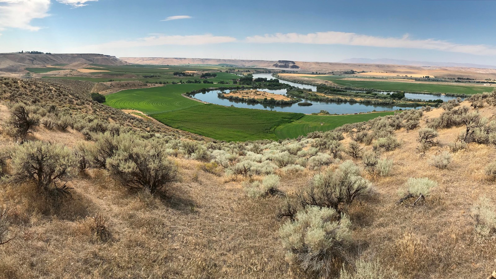
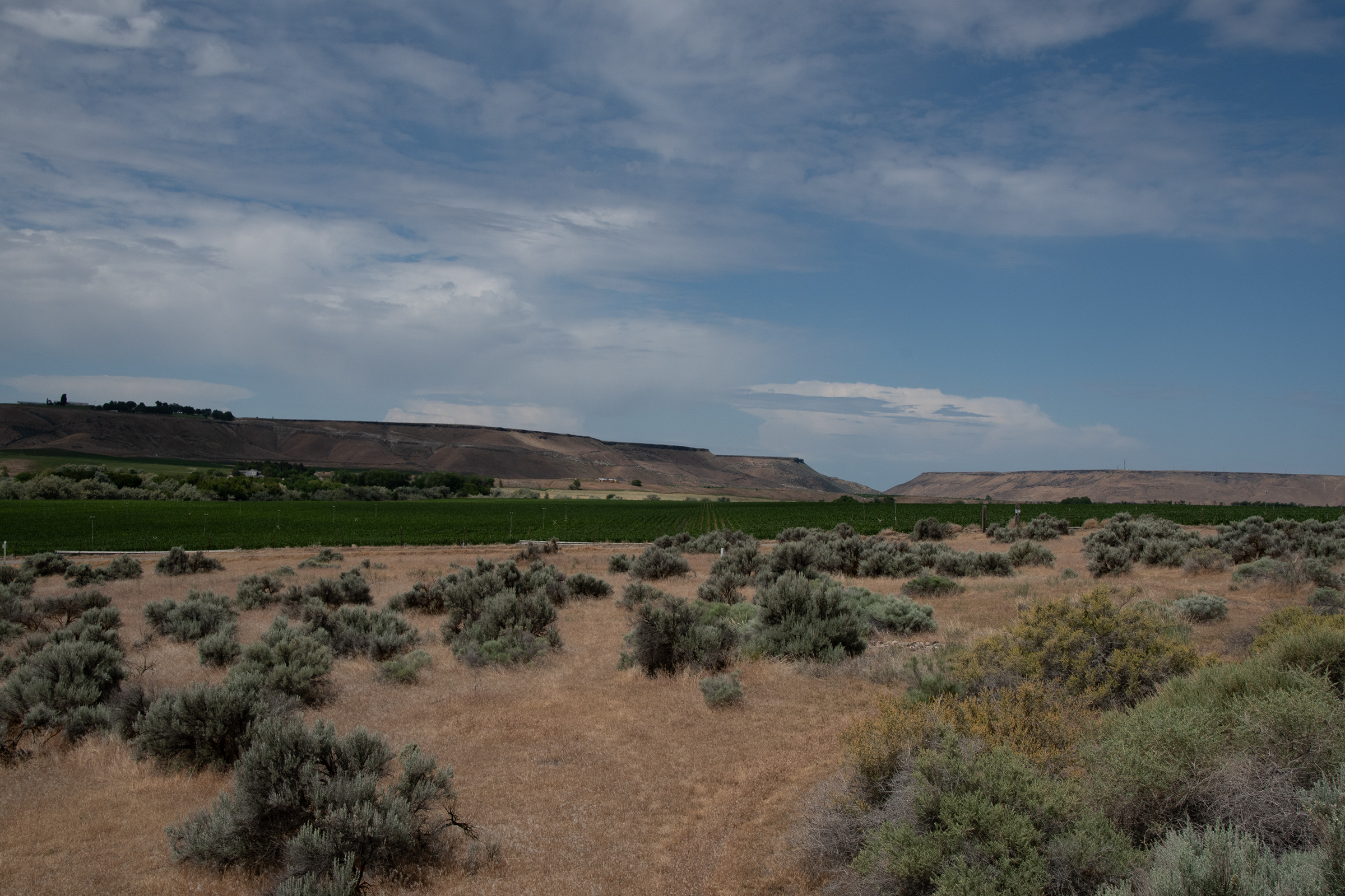
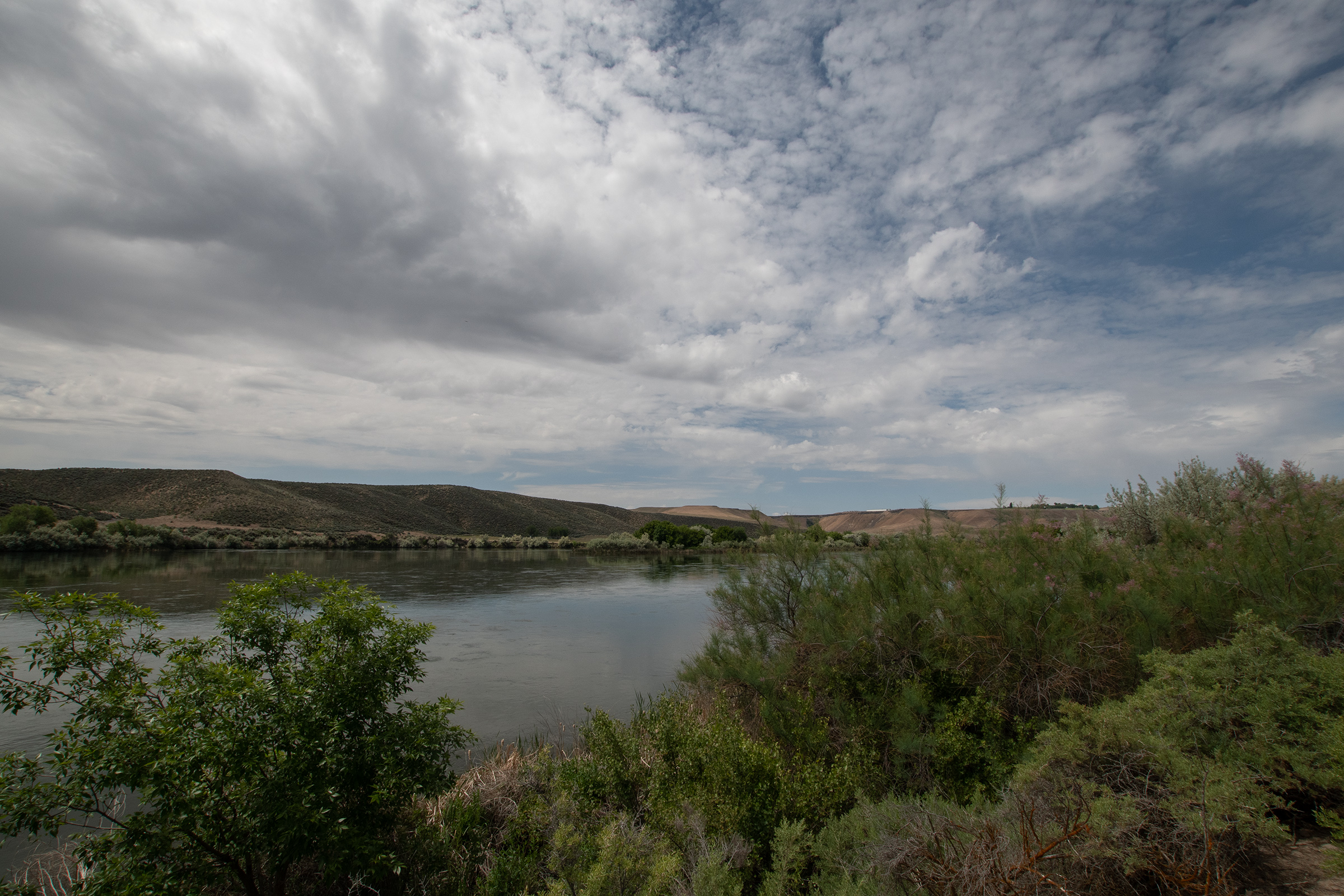
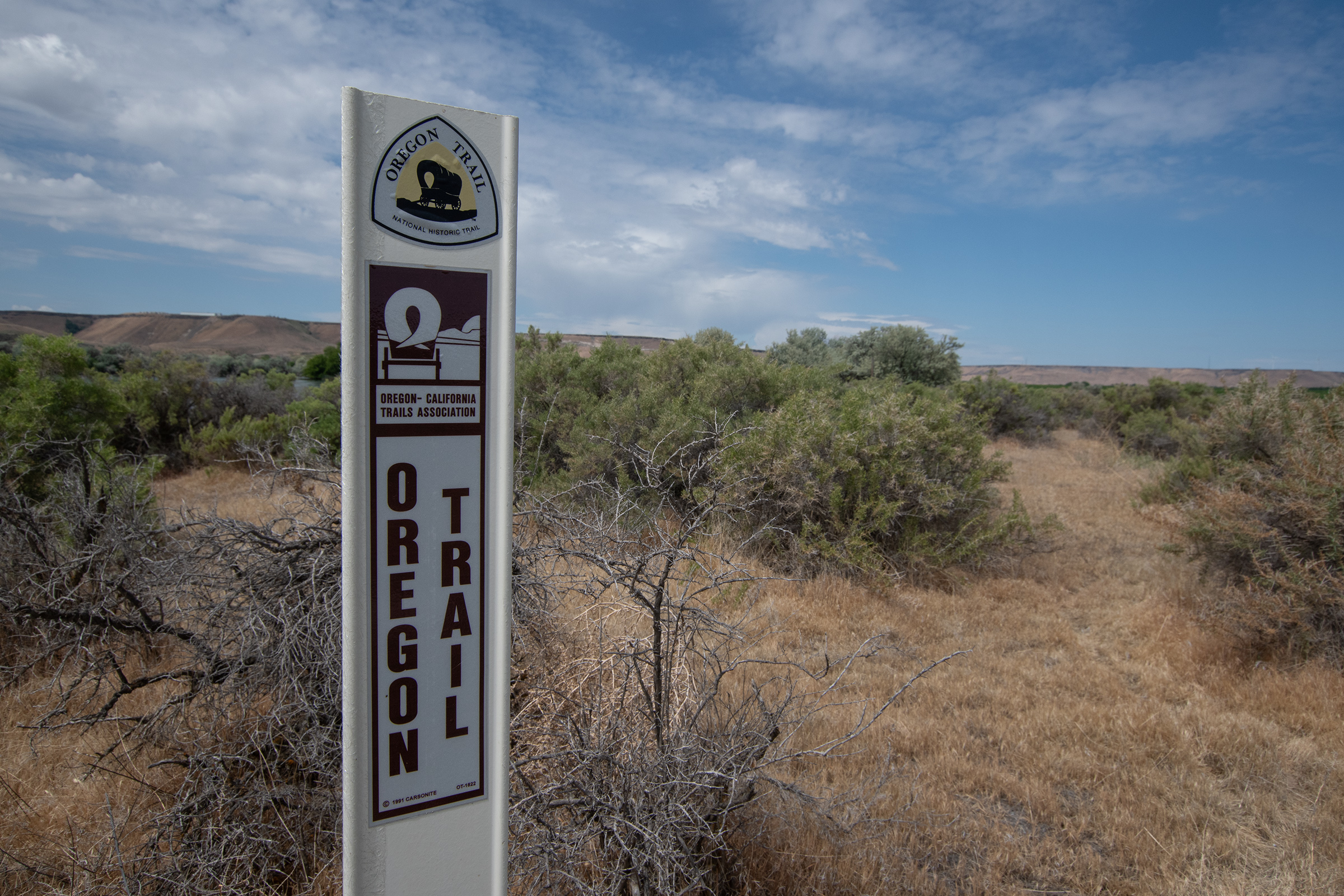
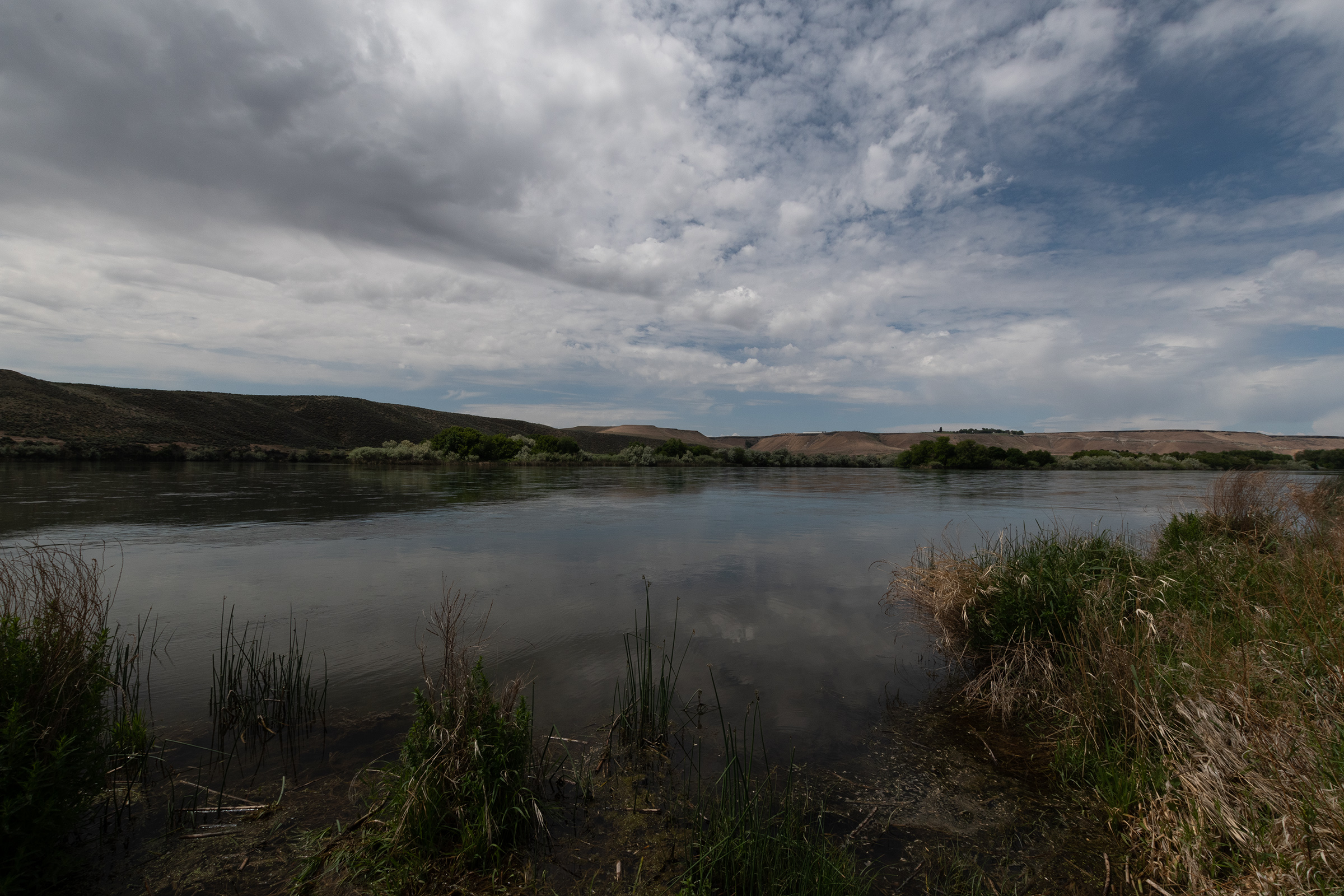
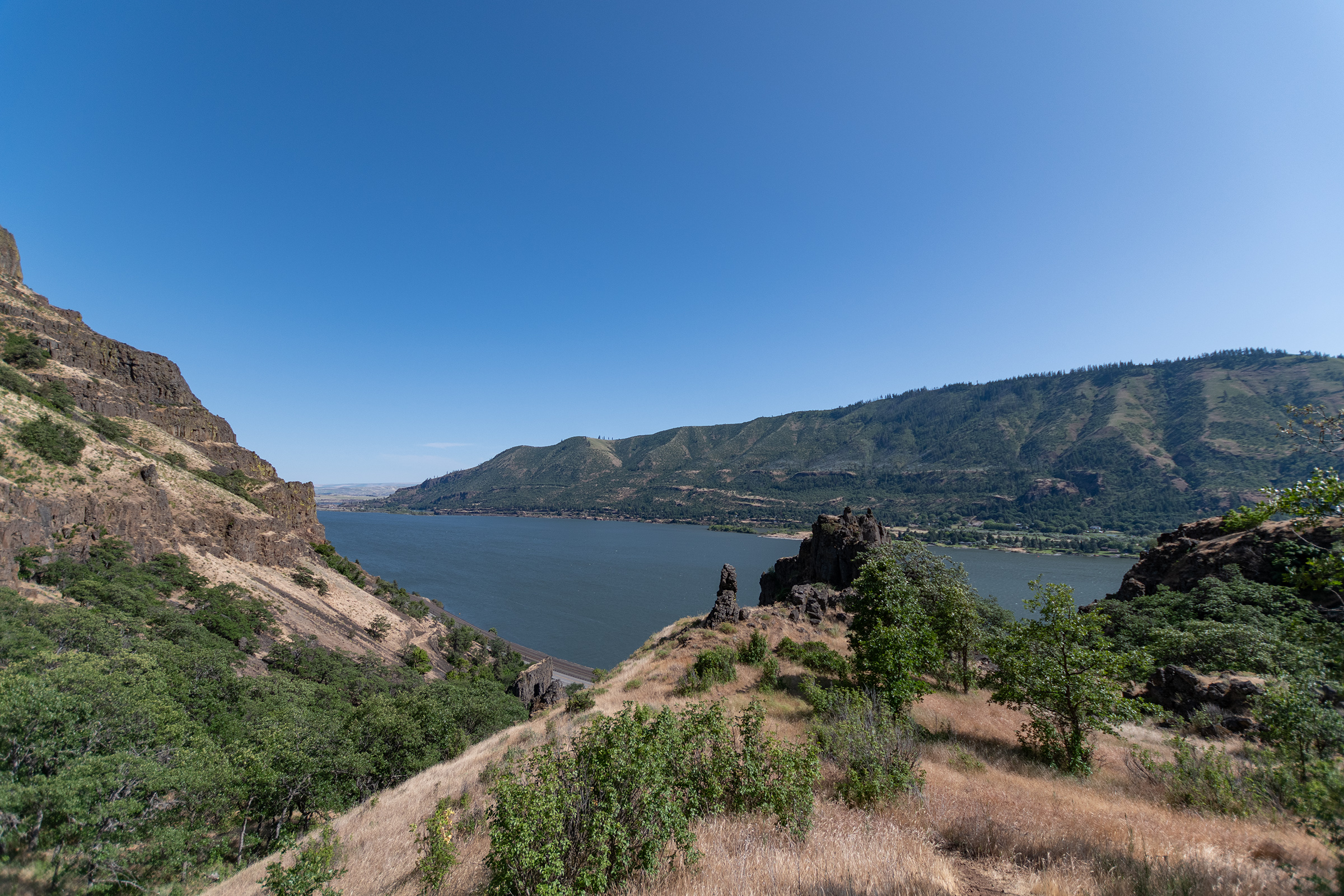
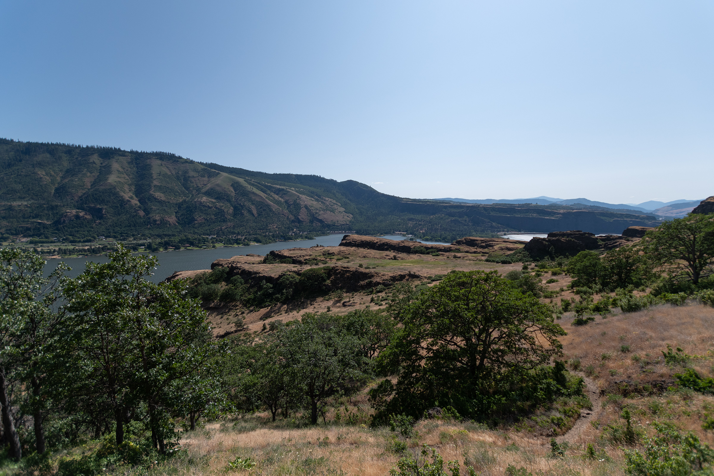
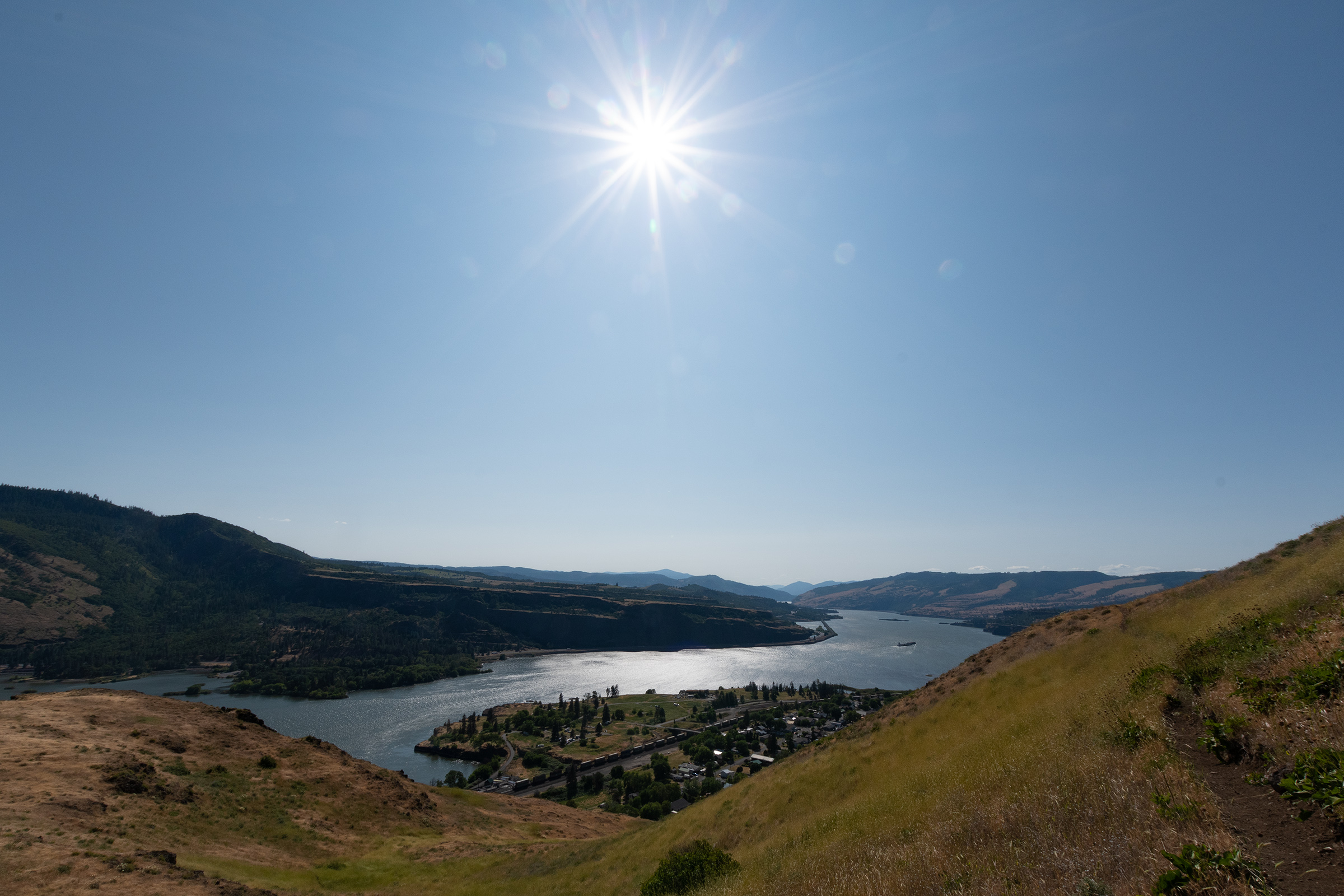
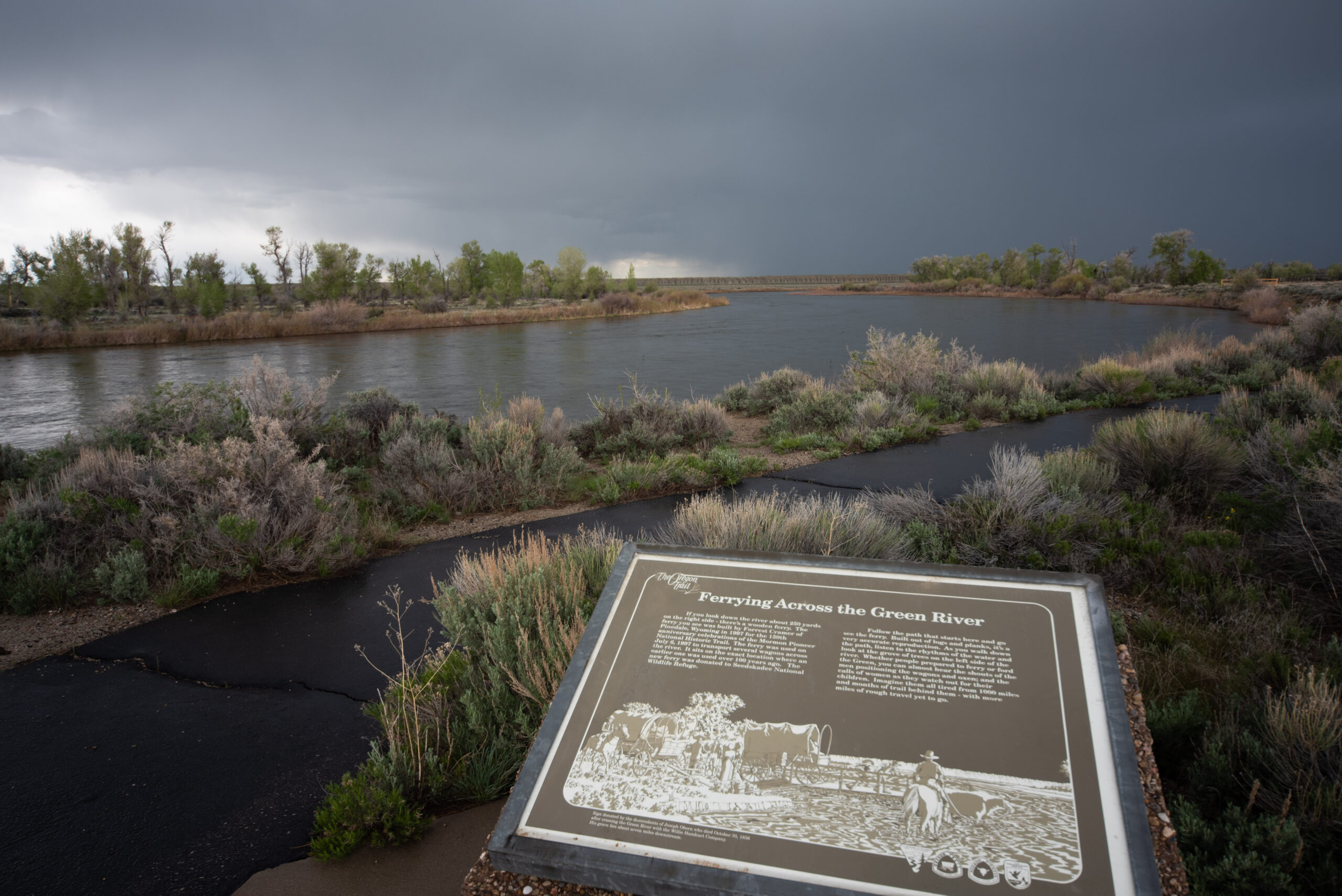
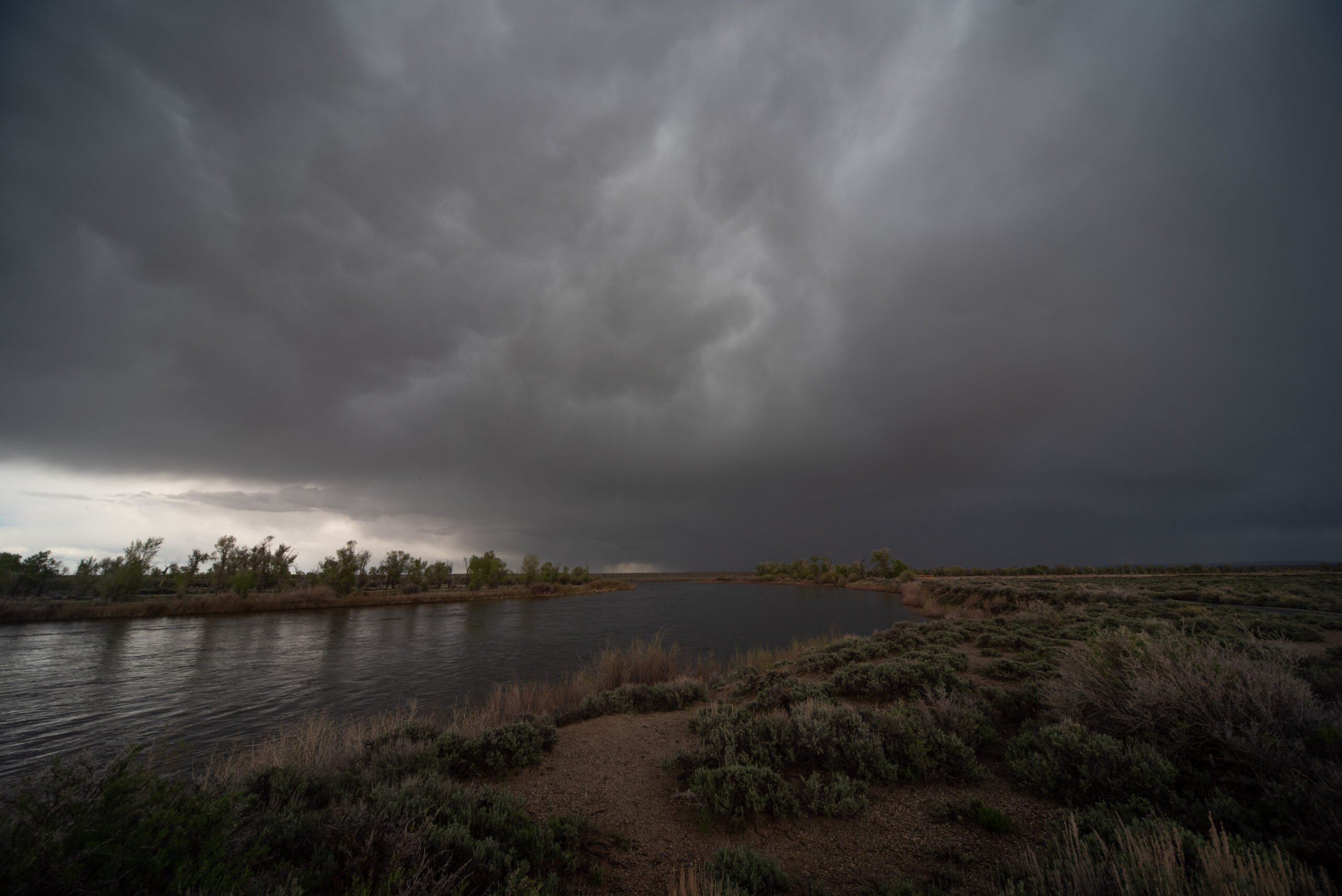
Green River Crossing
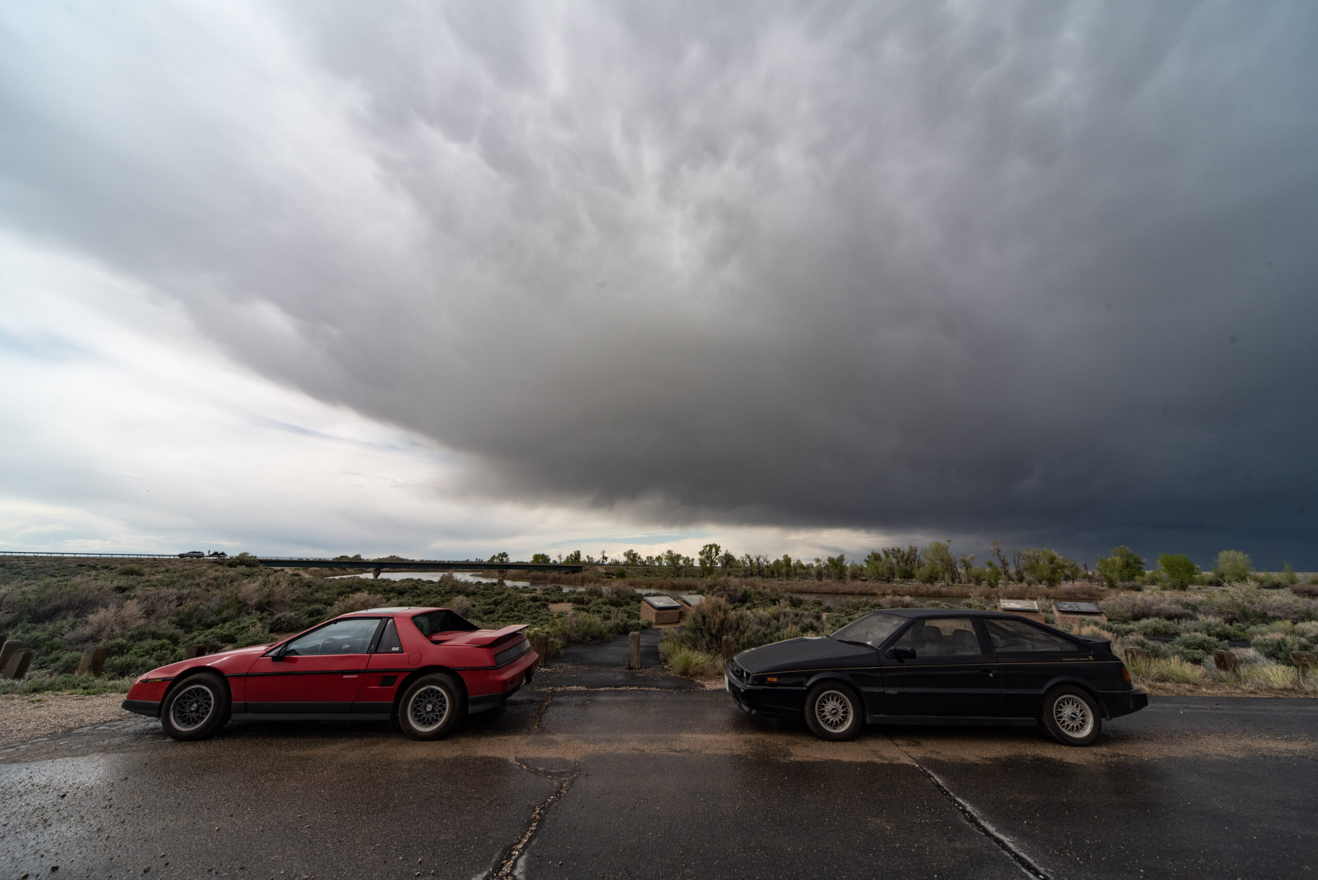
Meanwhile, Evan (M — I’ll figure out how to make this not weird) and George continued along the Oregon Trail route to the Green River Crossing to check out the historical marker to the crossing and the Mormon Ferry that operated there.
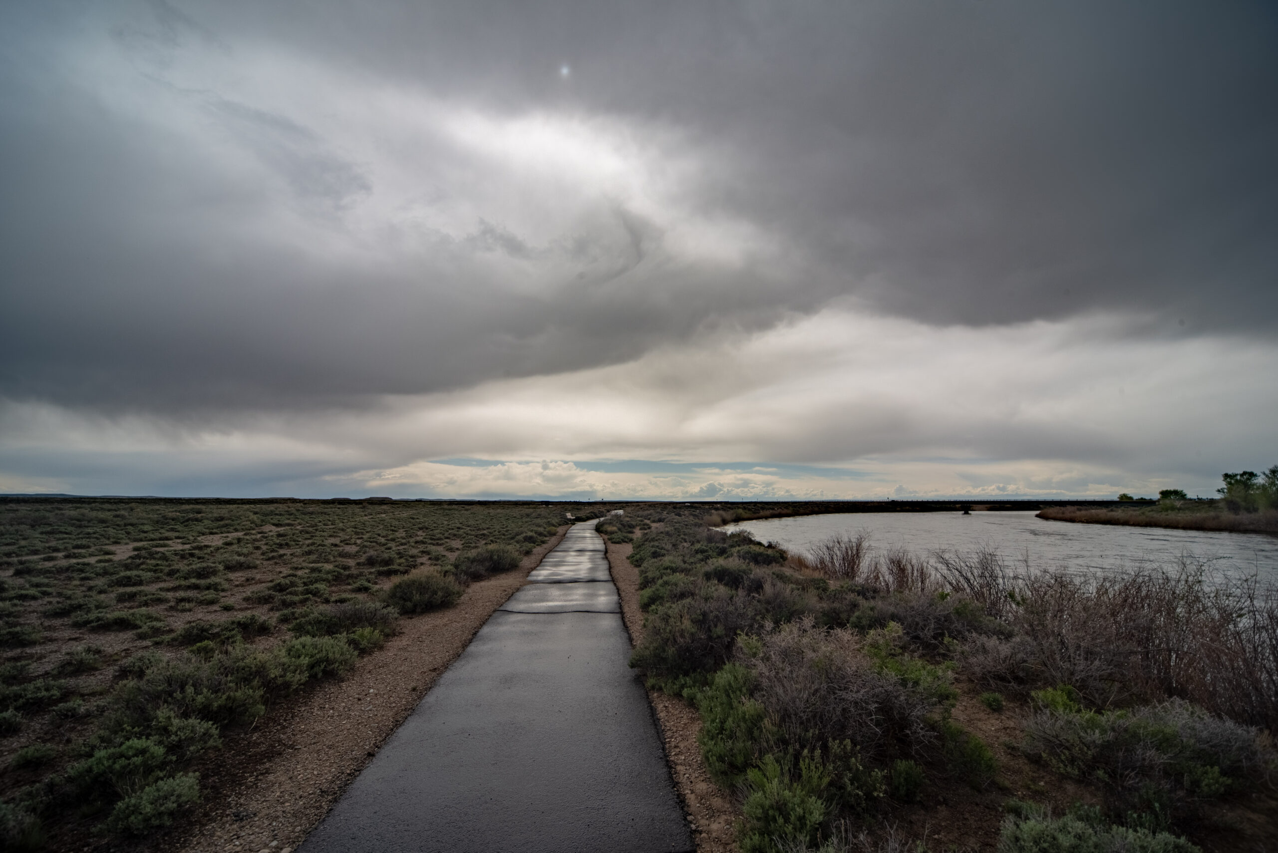
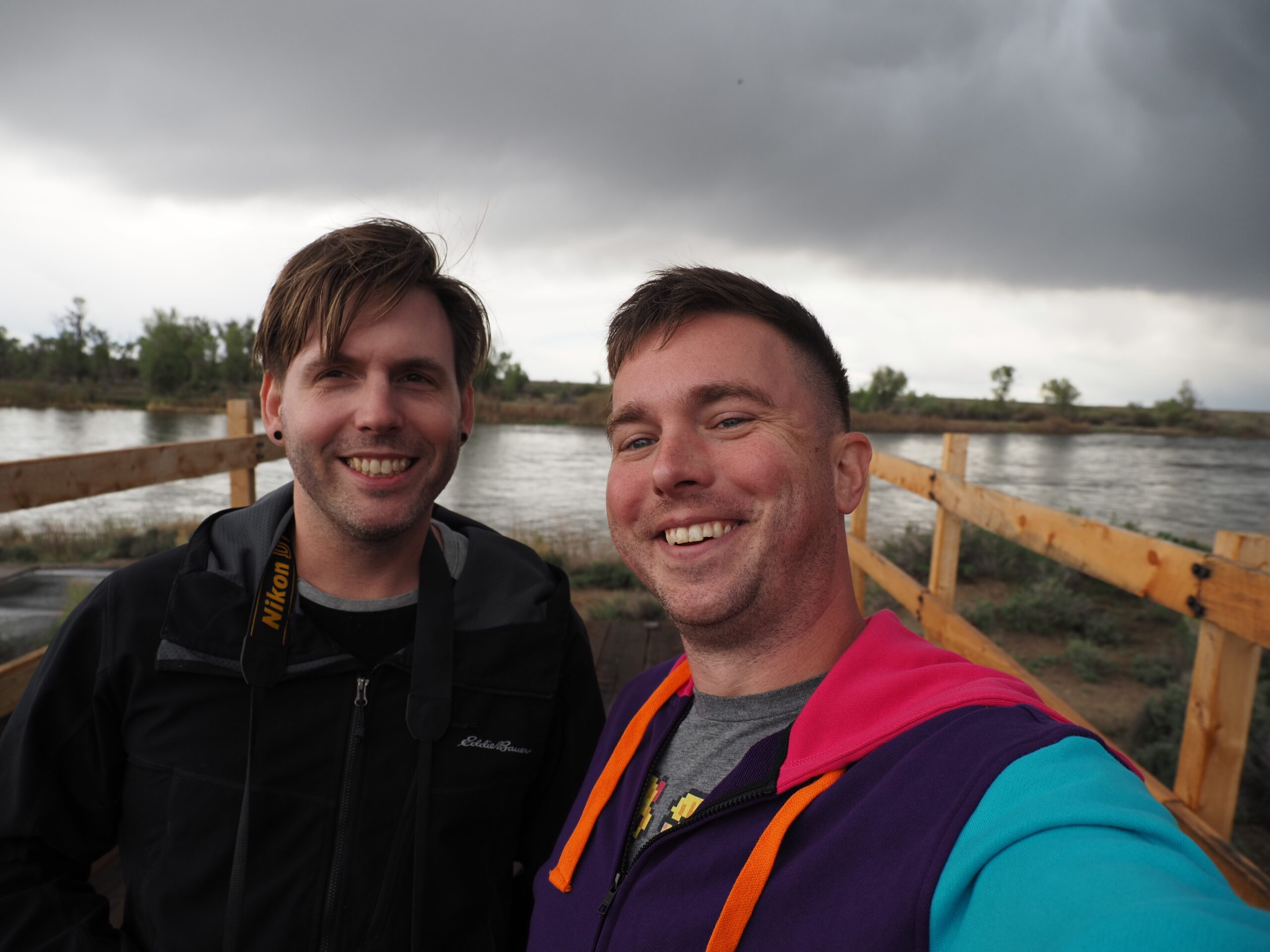
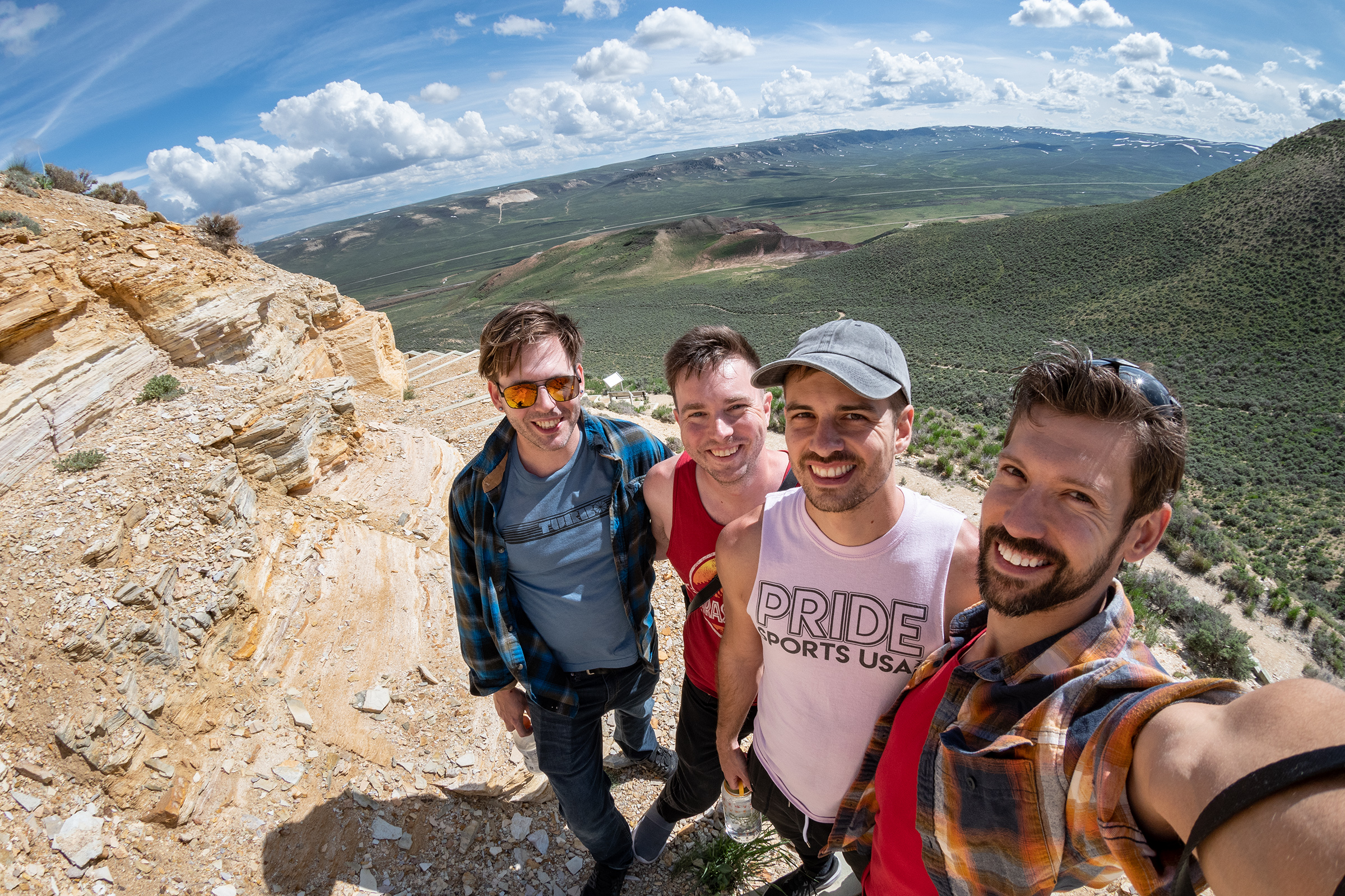
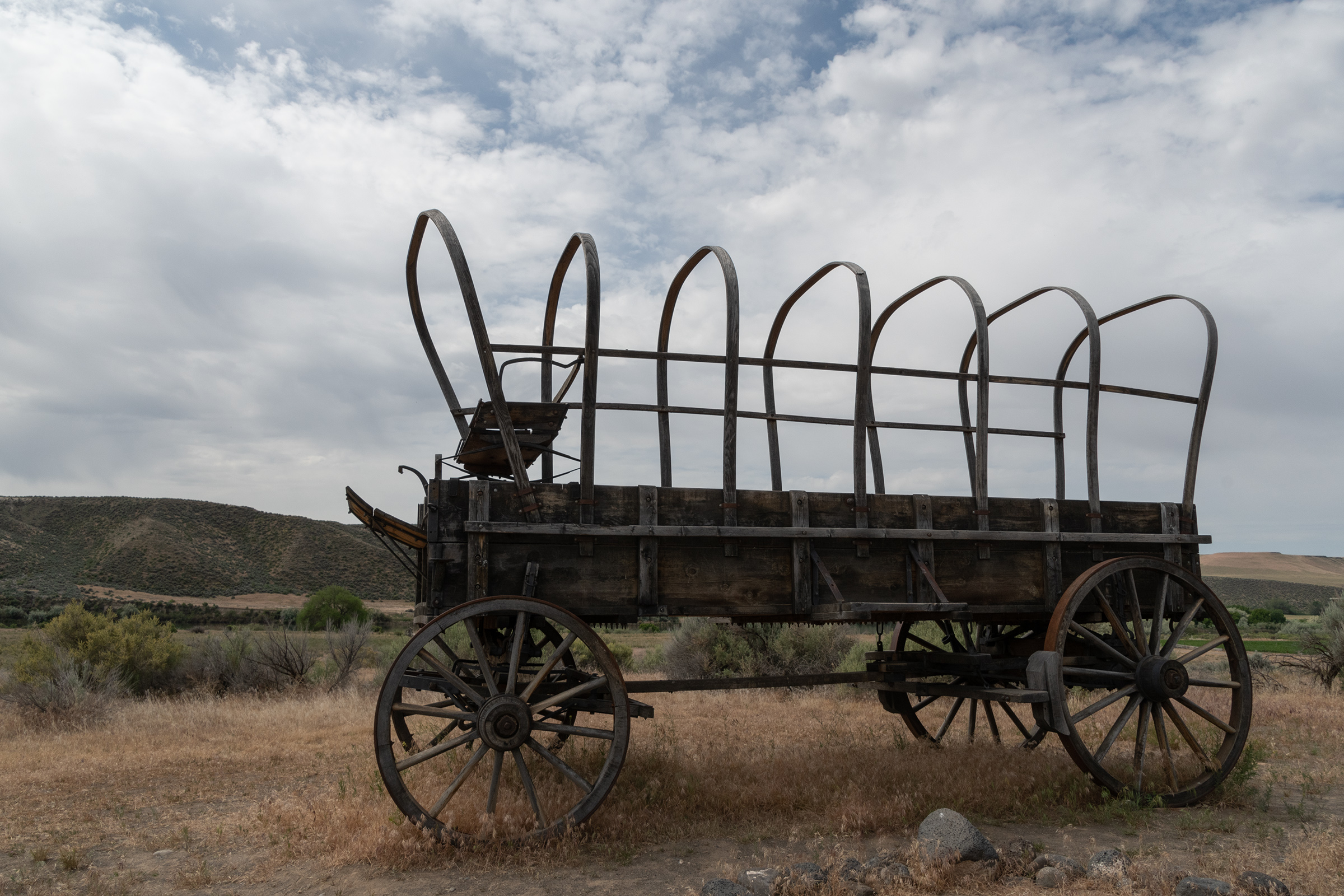
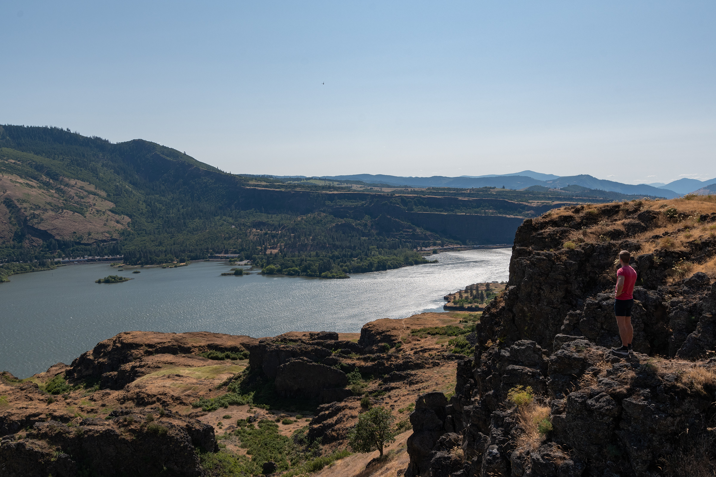
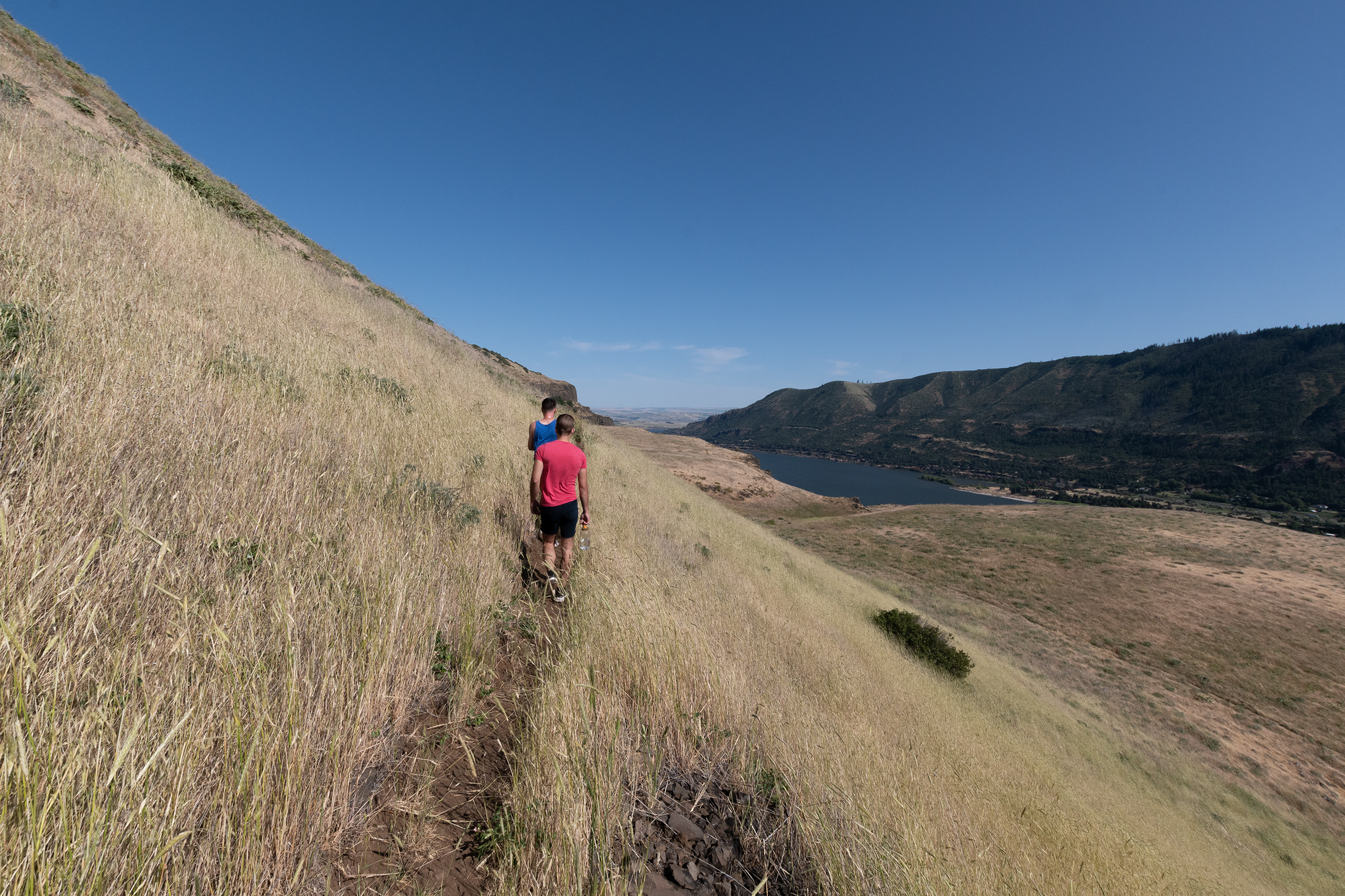
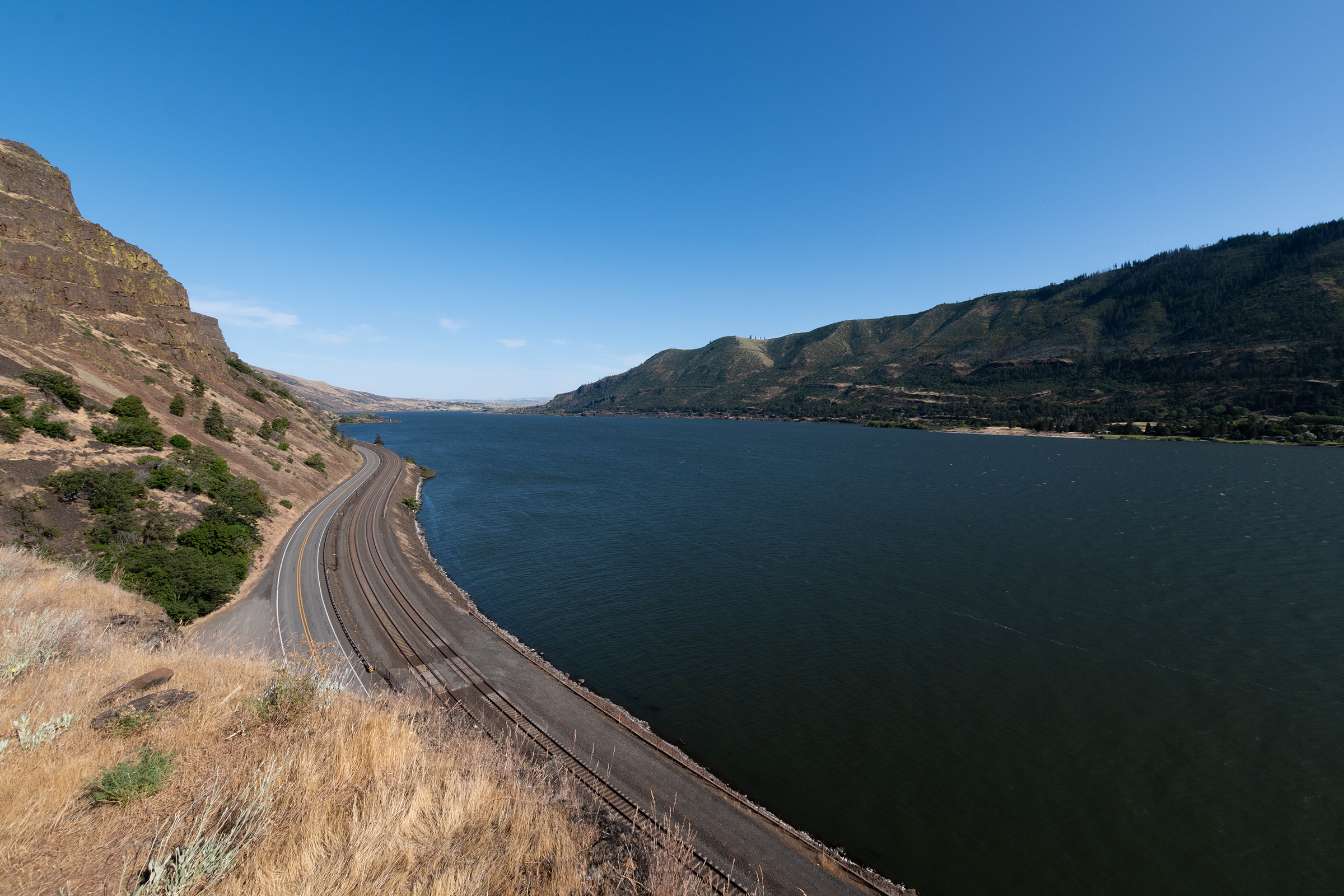
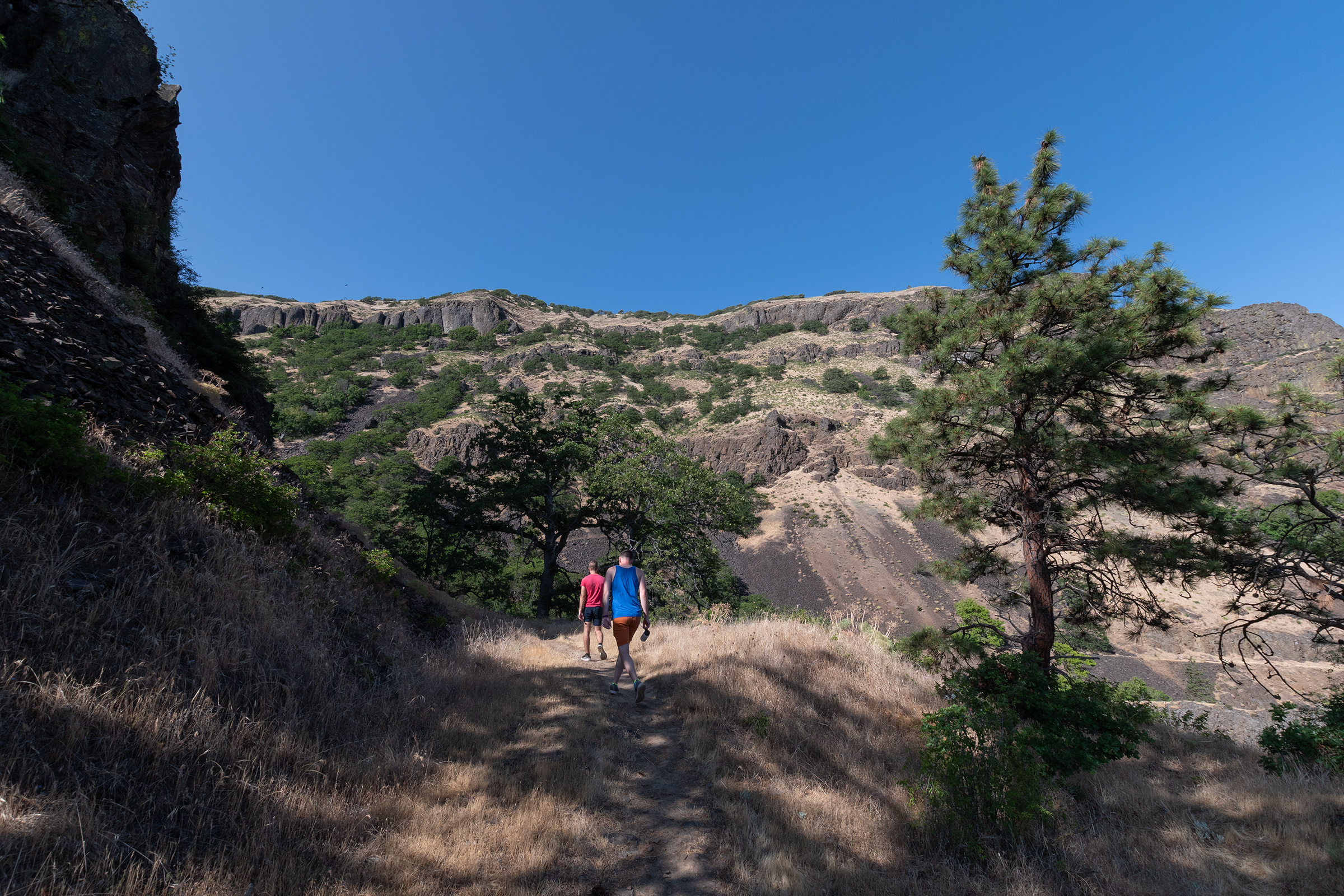
Photos from G&E
Imagine them all tired from a thousand miles and months of trail behind them — with more miles of rough travel yet to go.
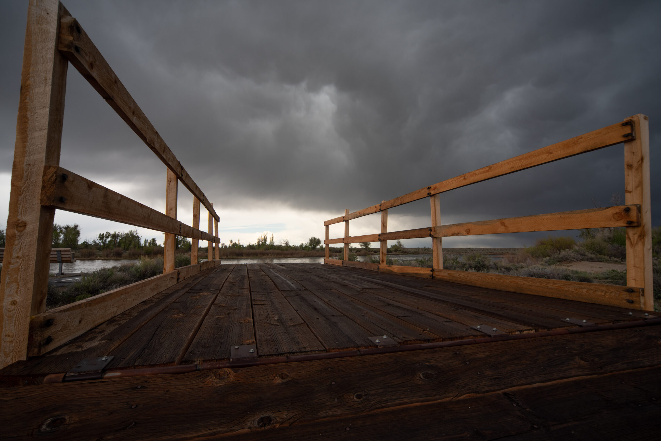
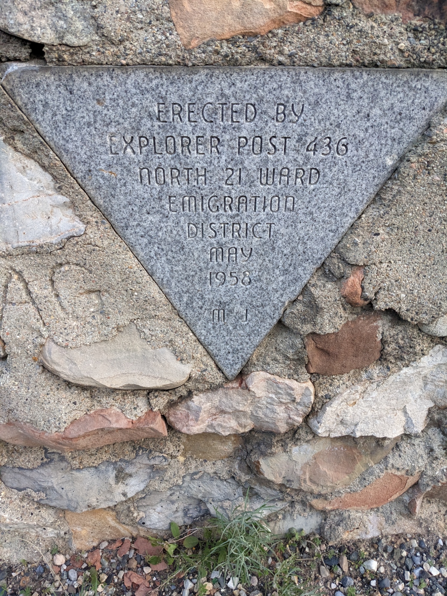
Placard at the Green River Crossing ferry
Donner Hill
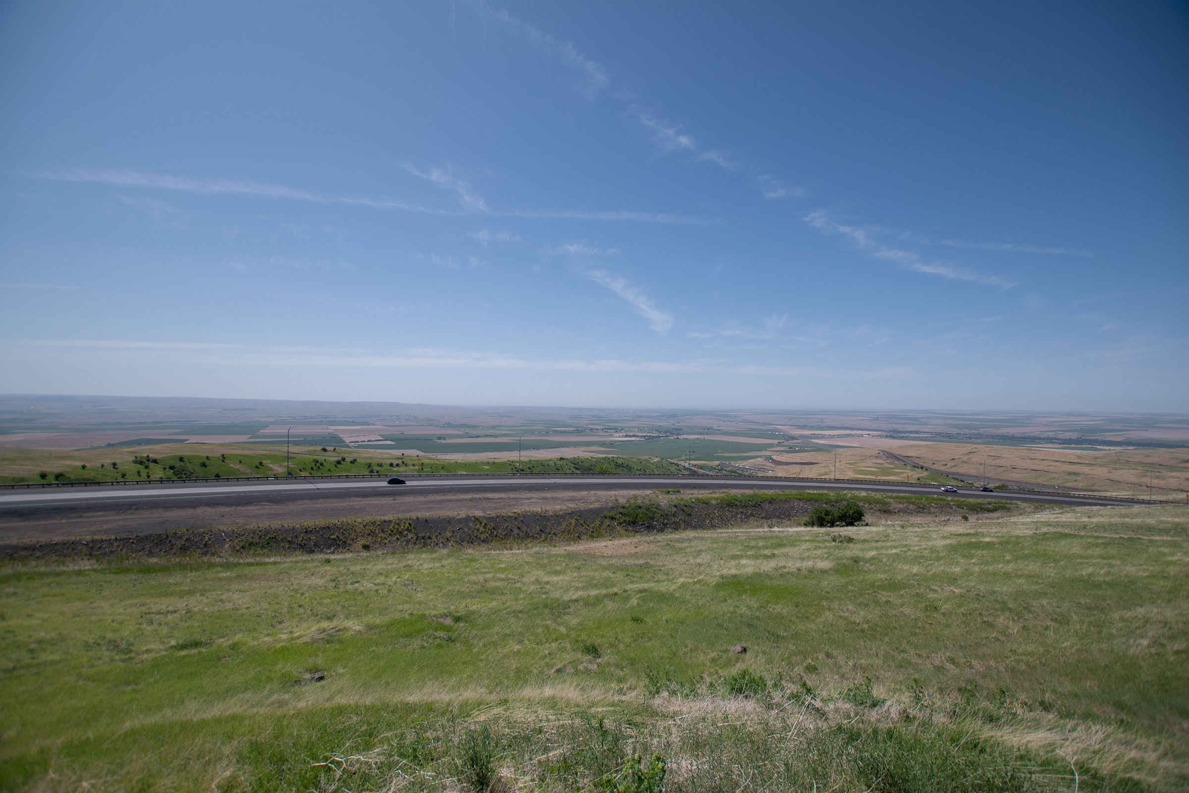
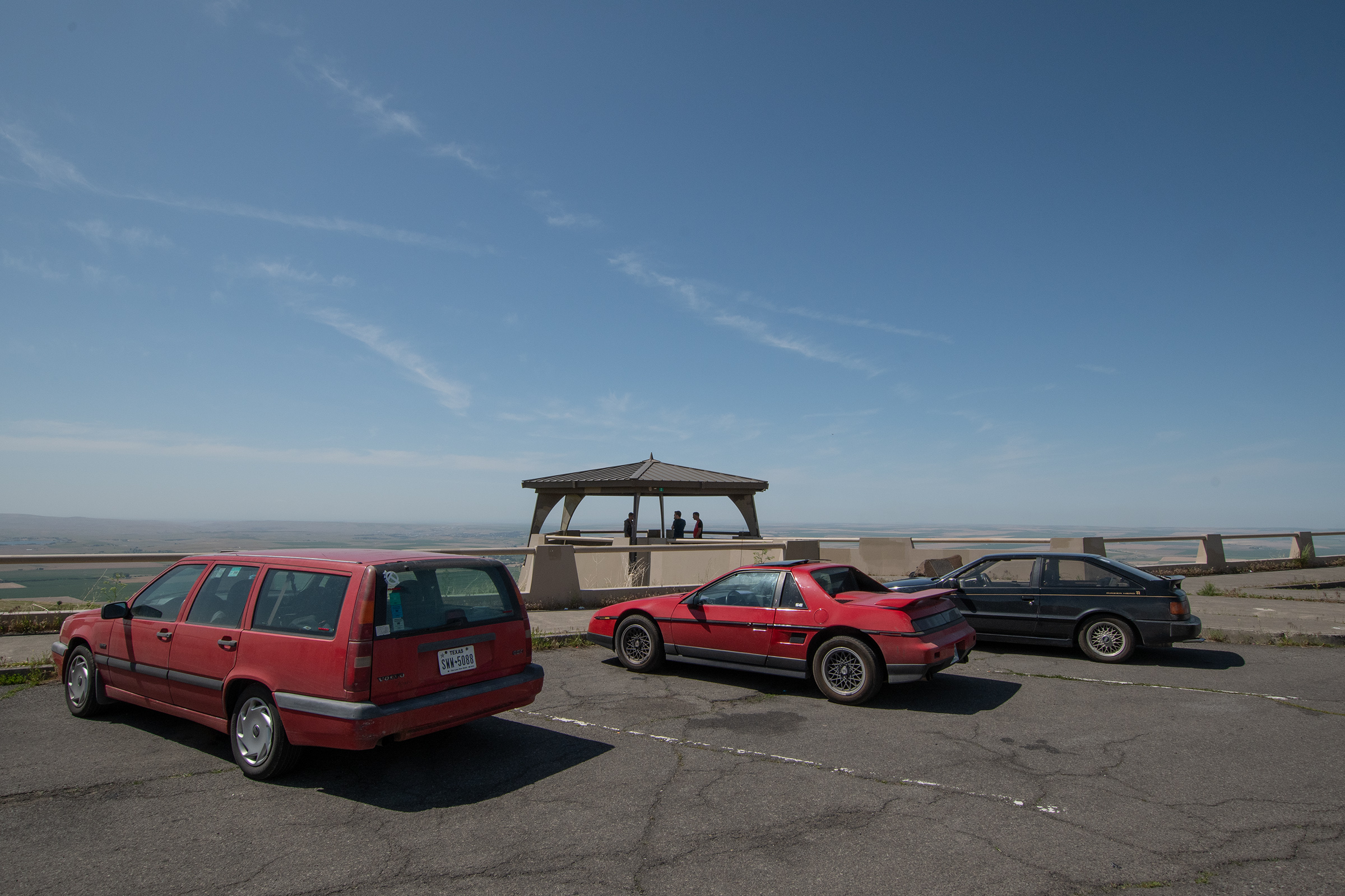
Though I do try to find alternatives to interstates, I-80 into Salt Lake City does make a beautiful mountain pass. After picking up EG from a coffee shop in Salt Lake, we left town through Emigrant Canyon, which was the final segment of the Mormon Pioneer Trail as it entered present-day SLC.
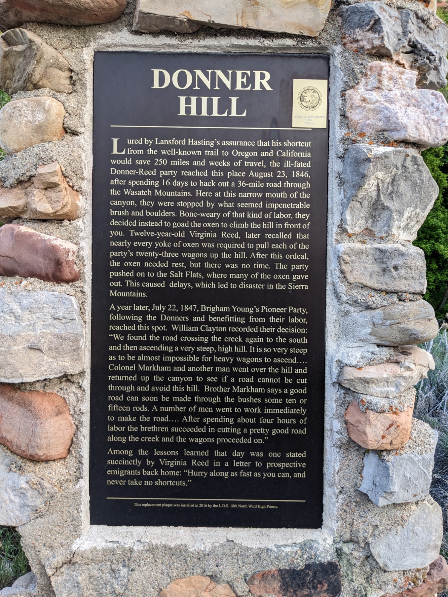
Part of Emigrant Canyon Road marks Donner Hill, the most brutal segment of the descent which had to be essentially cut out of wild growth by the Donner-Reed Party, despite Lansford Hasting’s assurance that the shortcut was ready for use. The delay in doing so, compounded with the harsh salt plain desert that followed, ultimately set the party up for the eventual disaster in the Sierra Nevada. But the road they built was used and further developed by Brigham Young for the Mormon emigration that followed.
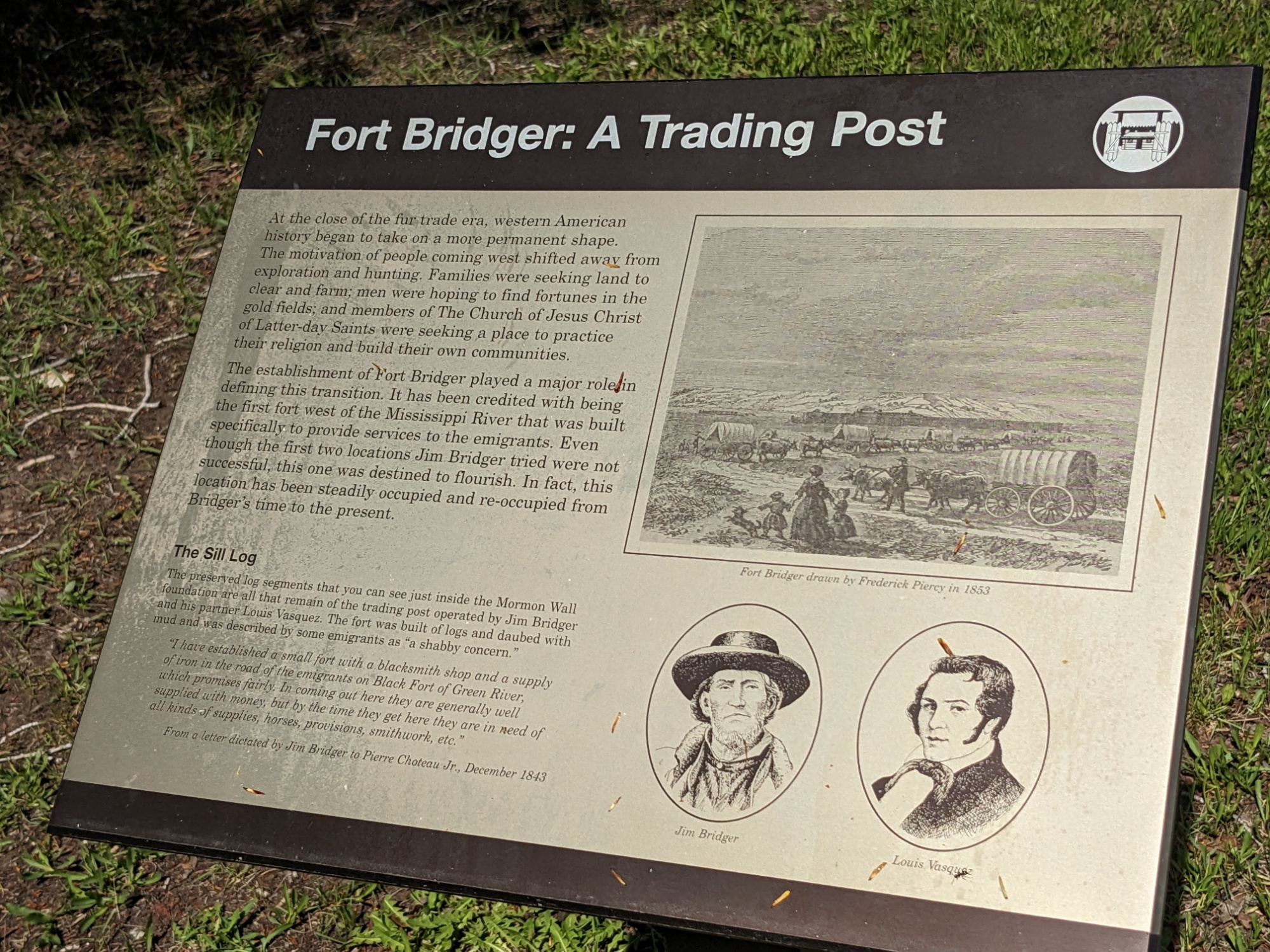
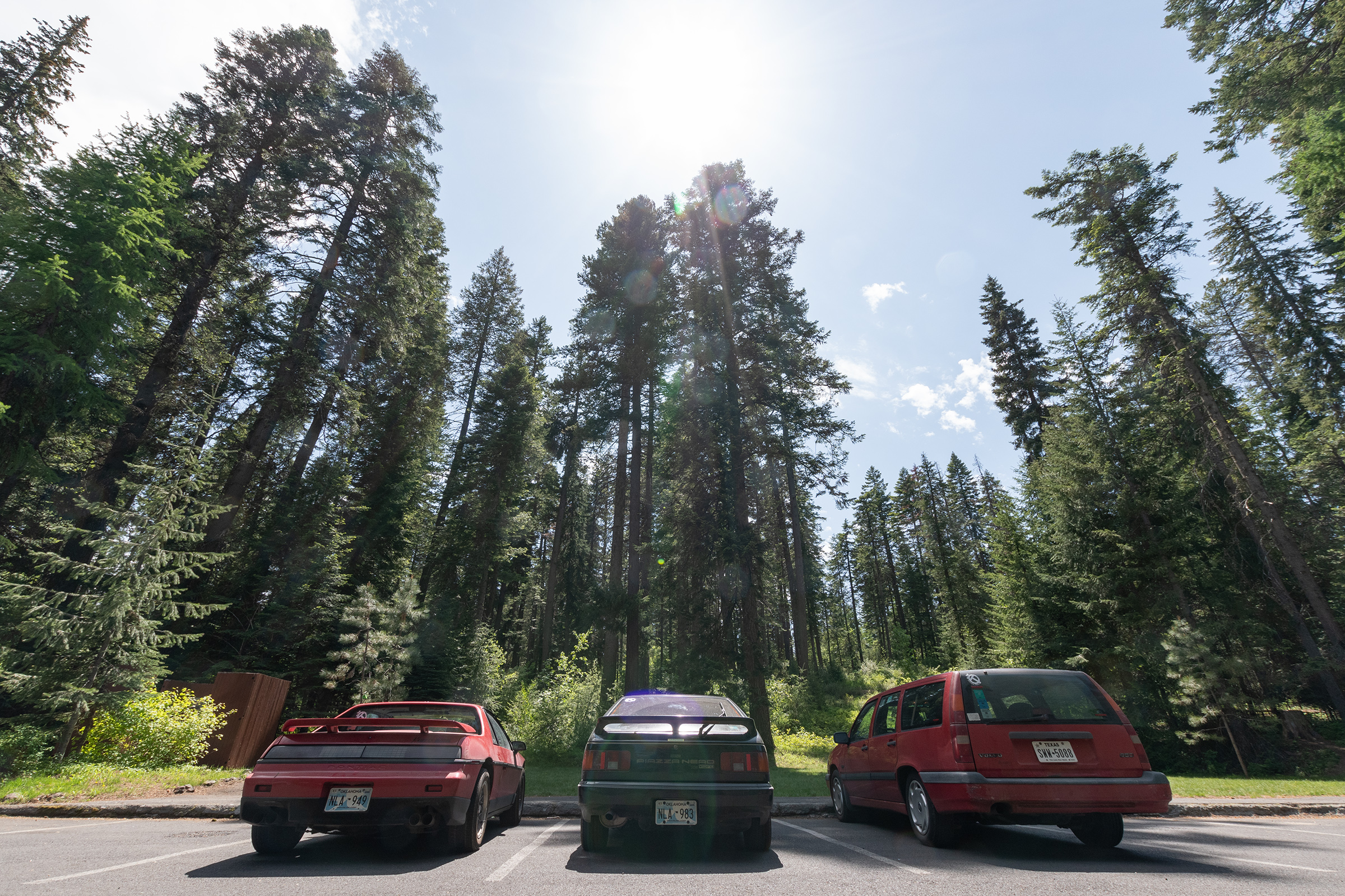
We regrouped at Mountain View, Wyoming — near Fort Bridger — for the night. Tomorrow we see the fort, then head for Idaho!