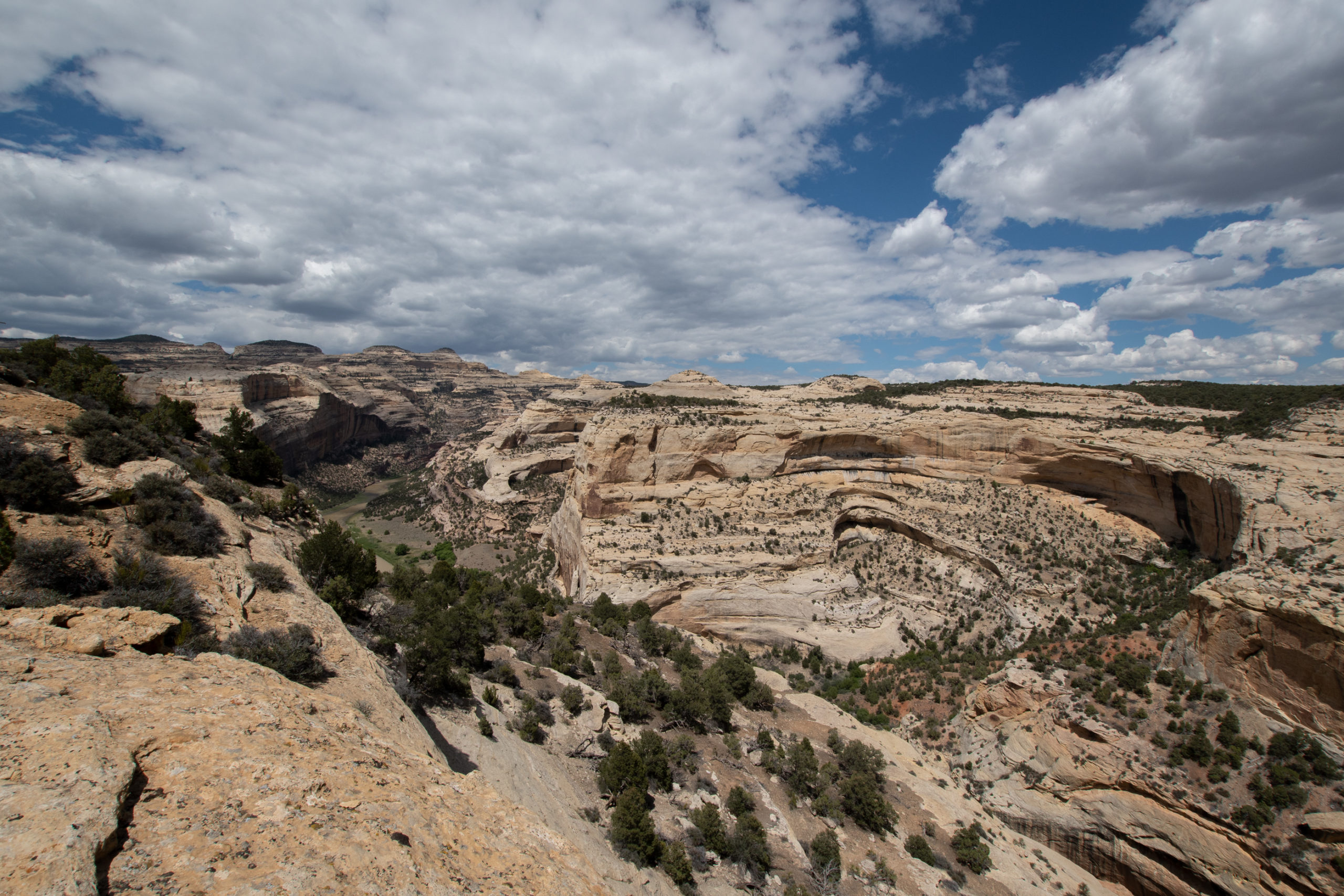
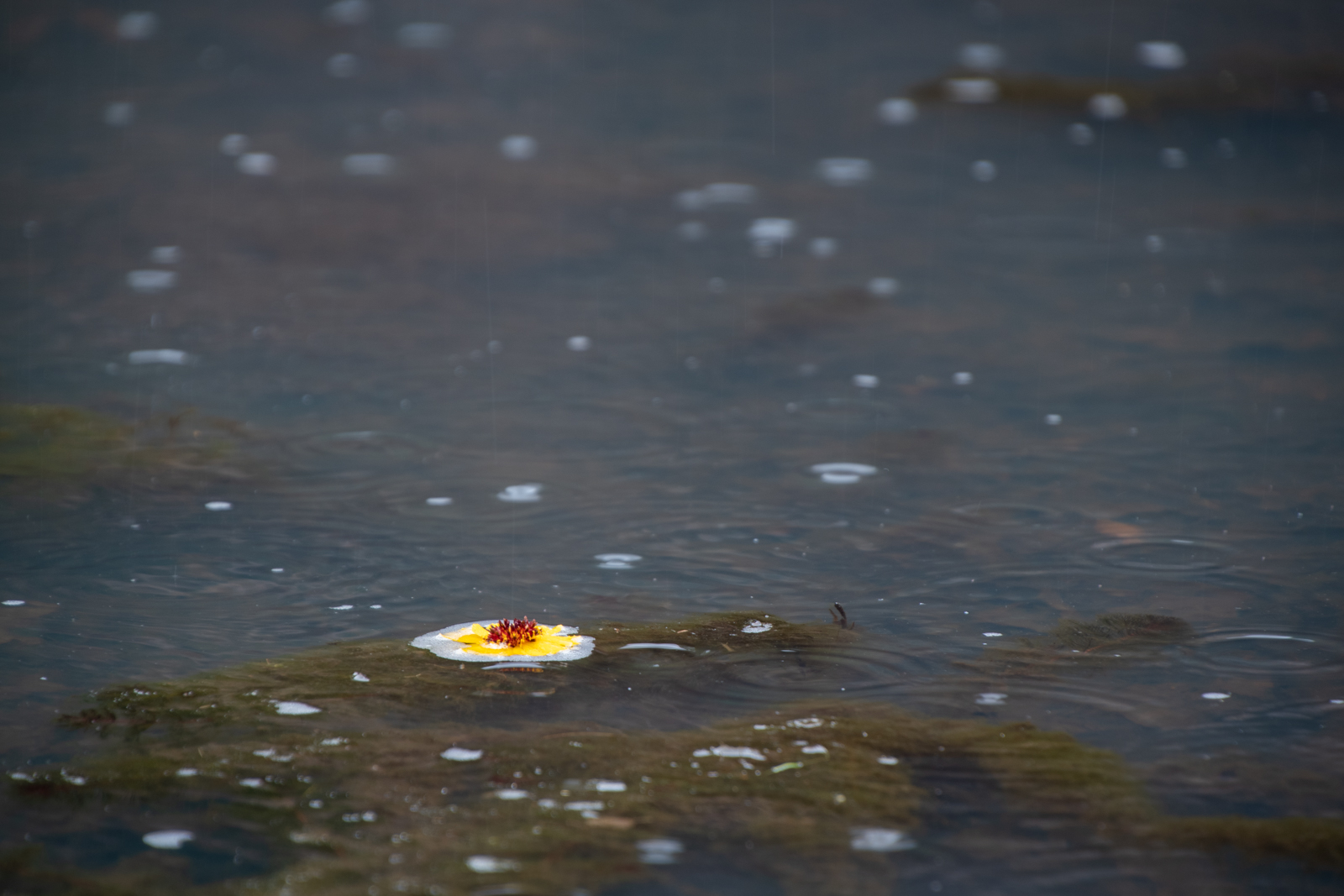
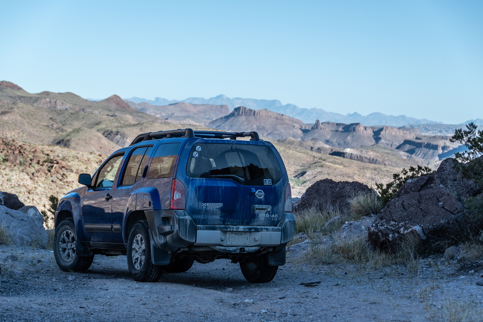
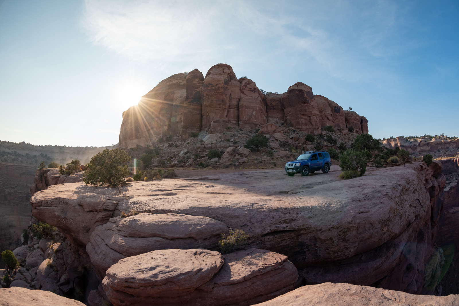
Continuing this trip’s theme of “out of the way places only,” I hit up Dinosaur National Monument on the way out the state. The monument straddles the Colorado and Utah border very close to Wyoming. In other words, a couple hours away from the closest airport in Grand Junction, in the middle of nowhere.
The park’s two claims to fame are the dinosaur fossils, which are housed in a visitor center that is (until later this week) still under reservation-only for capacity limitations and dramatic petroglyphs on the Utah side — a separate entrance. Which I will have to make another trip for. I got to the east entrance much later than originally intended owing to another “oh my atlas and Google Maps both were sure this was a public road, but some well-armed yokel has put up a fence and No Trespassing signs” incident.
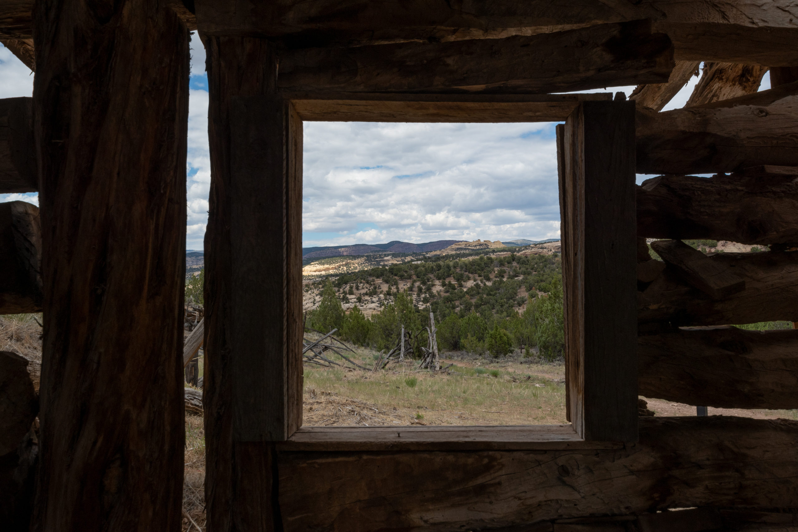
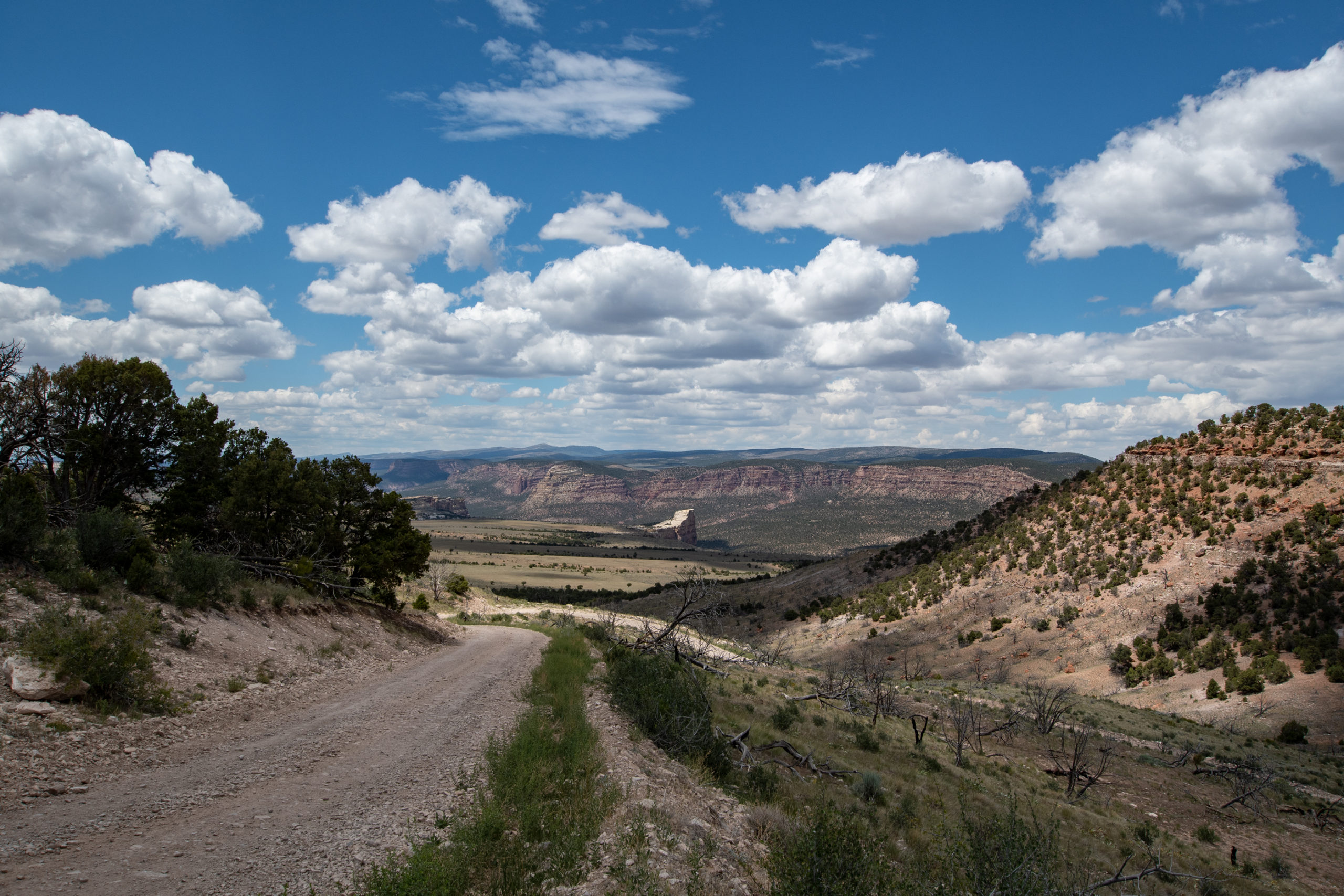
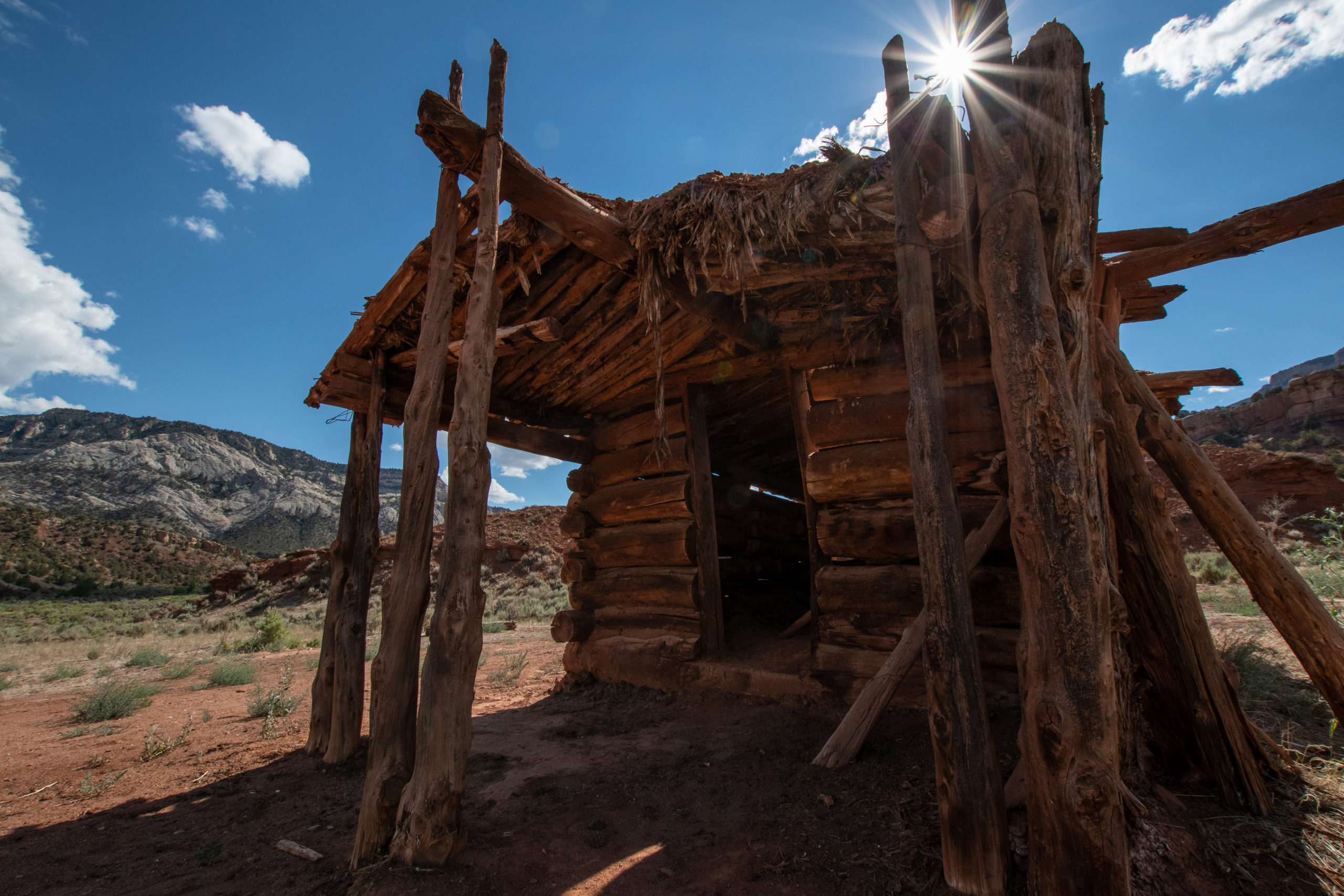
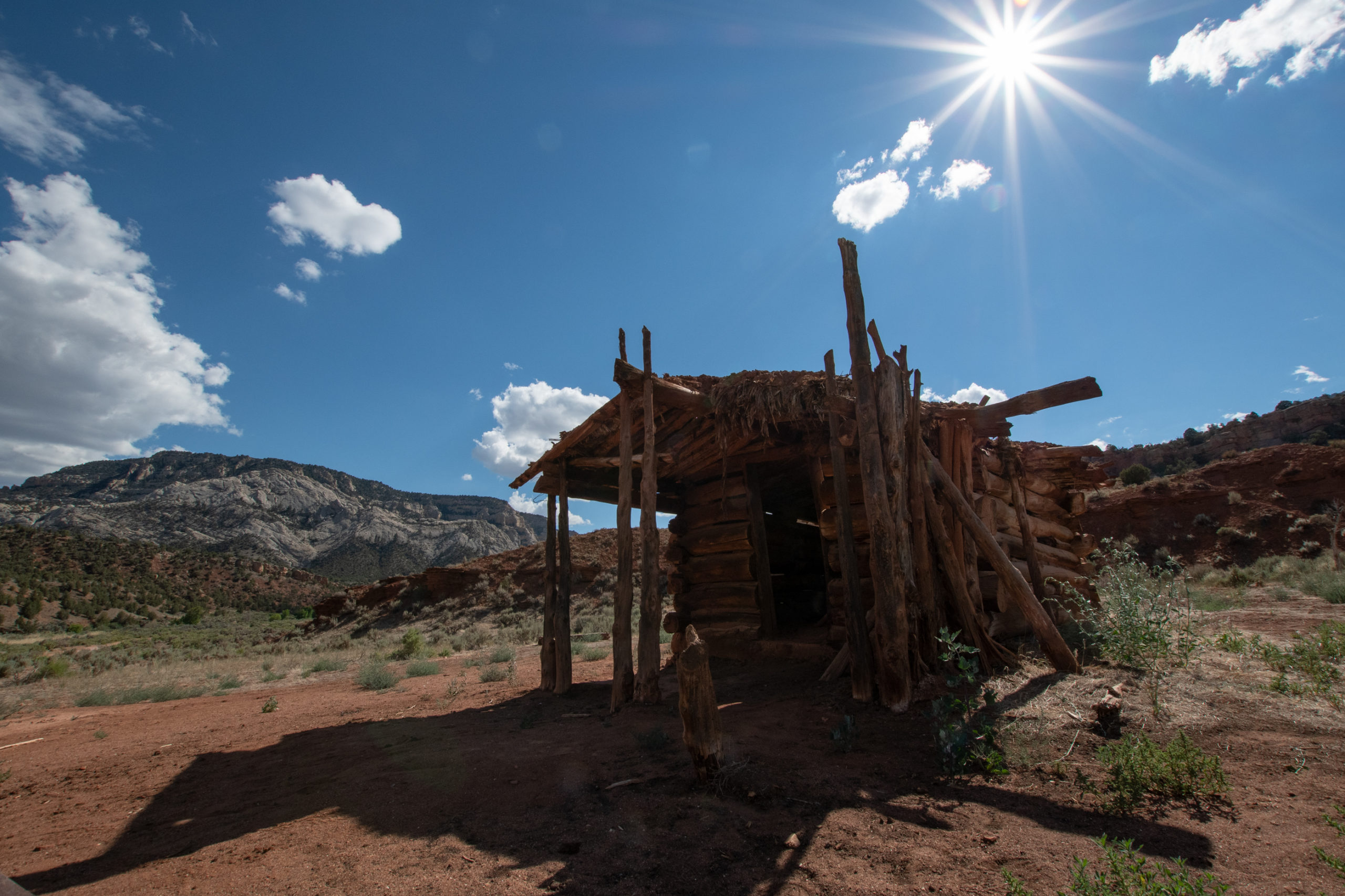
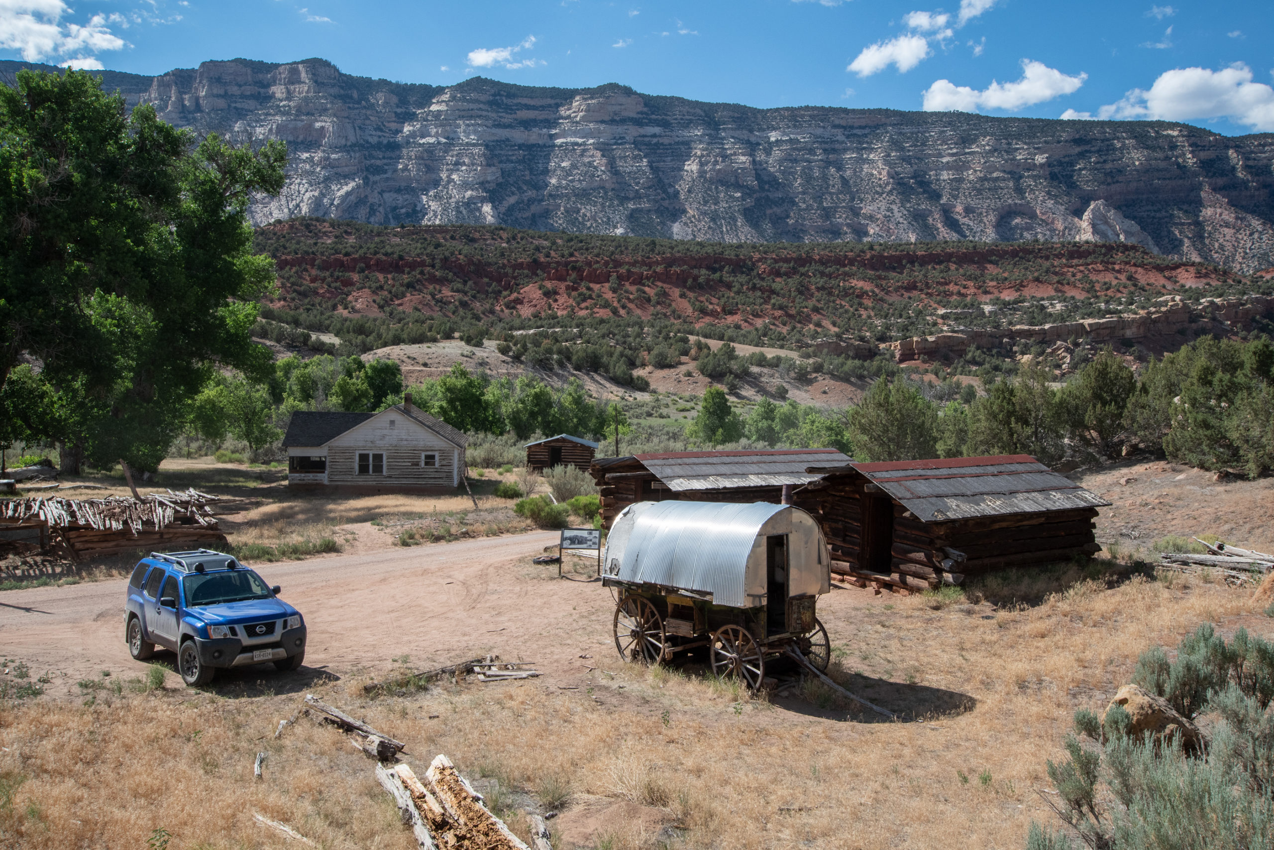
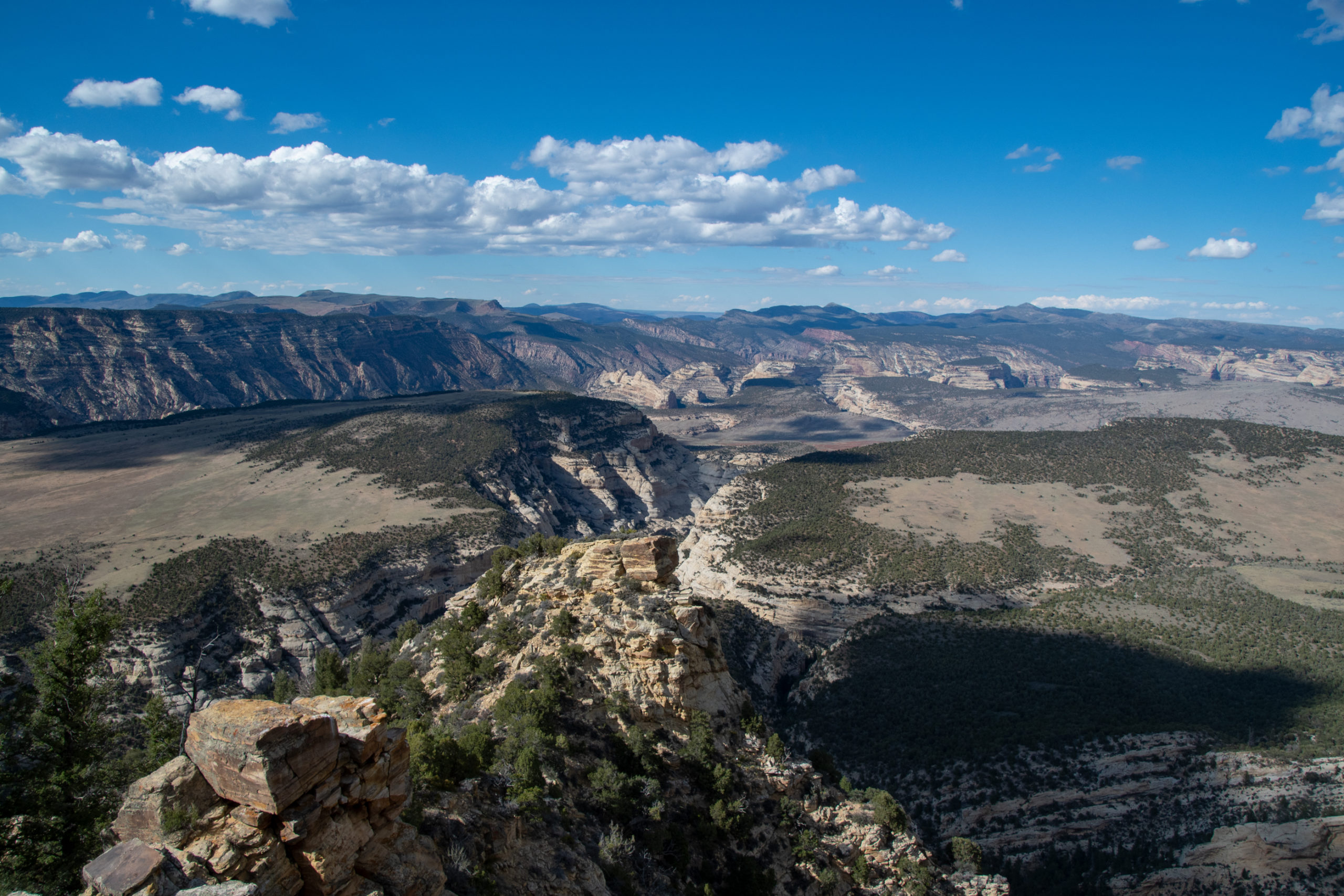
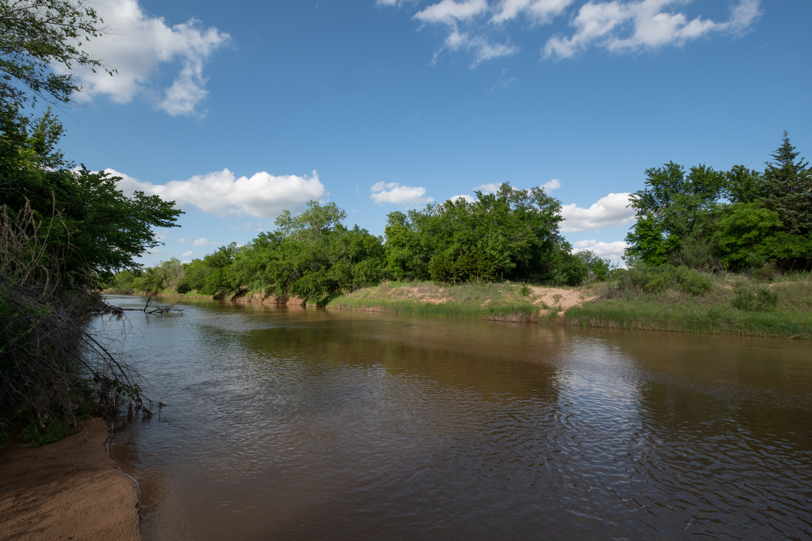
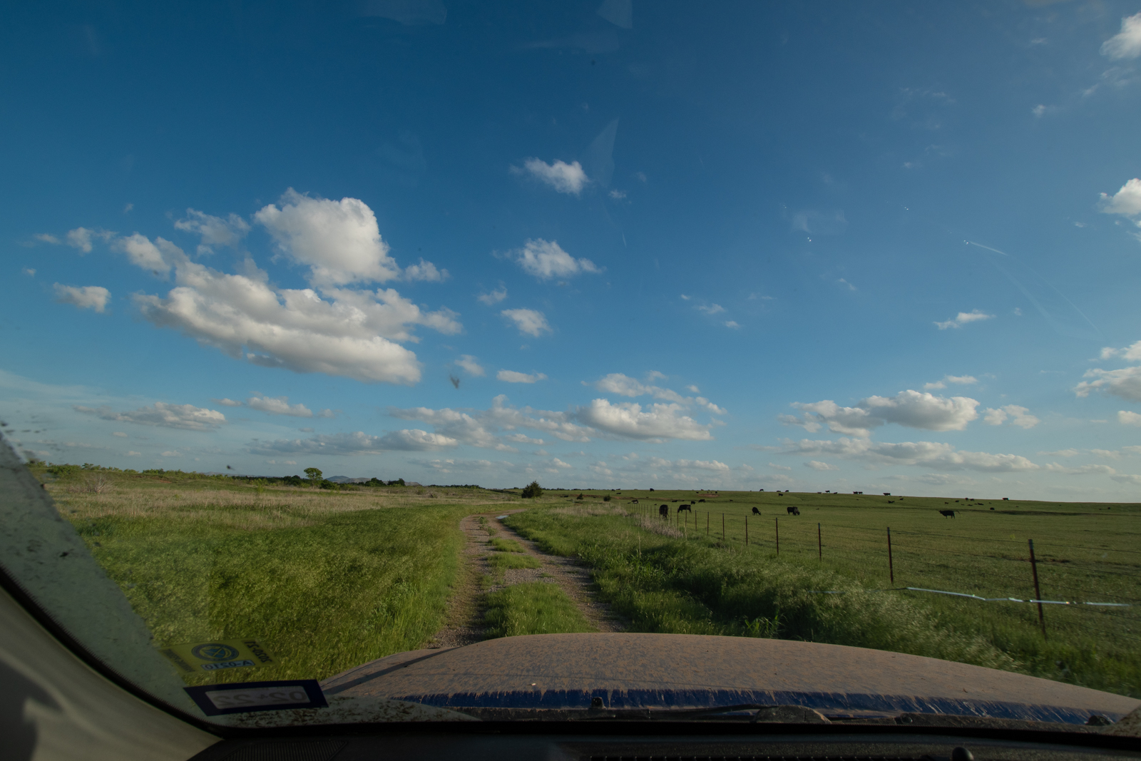
On the Colorado side, I had a long overland drive on Yampa Bench Road along the dramatic canyon rim that ended at a 1800s homestead.
Nothing about who lived here, but whoever they were, they had a killer view along the start of the bench.
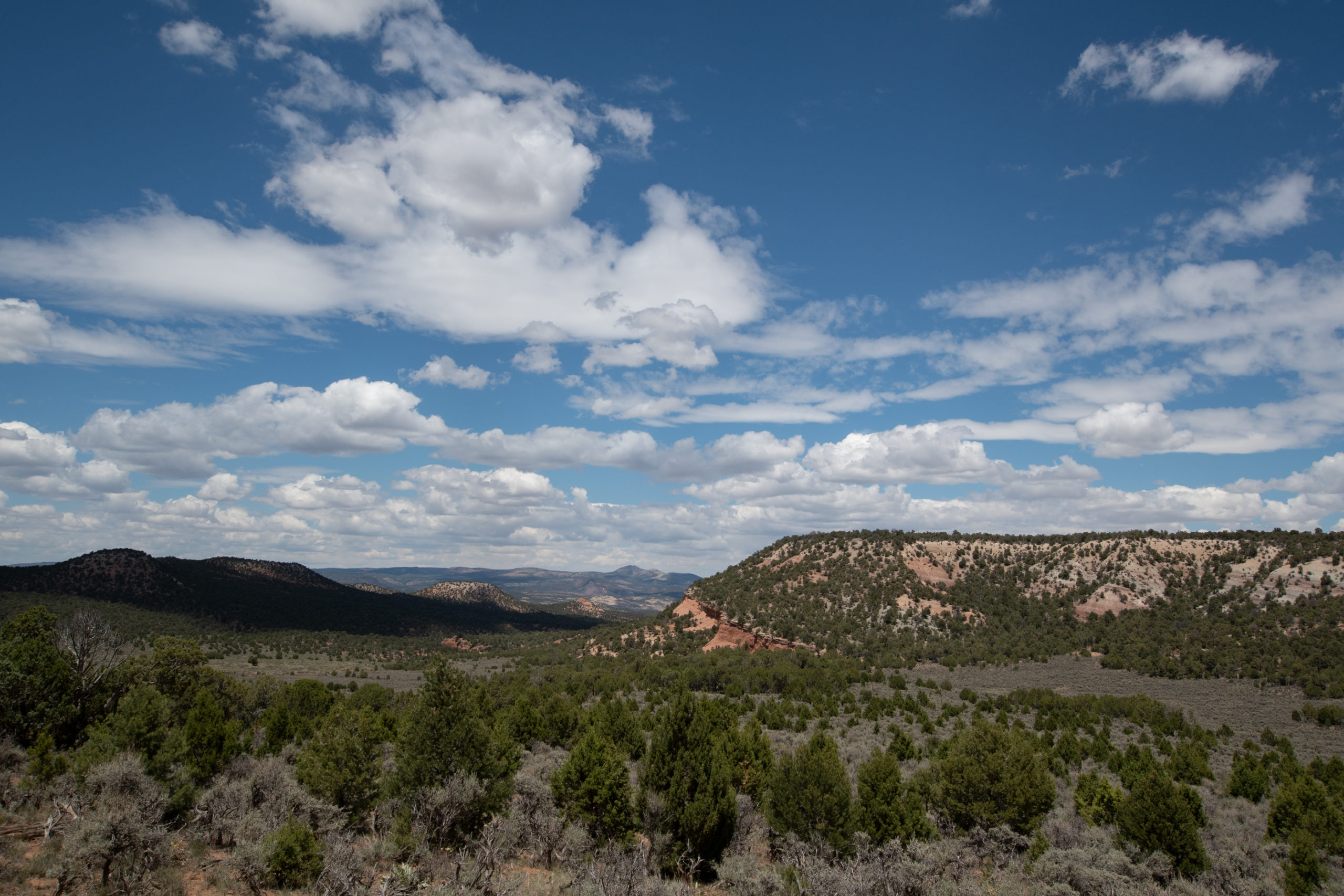
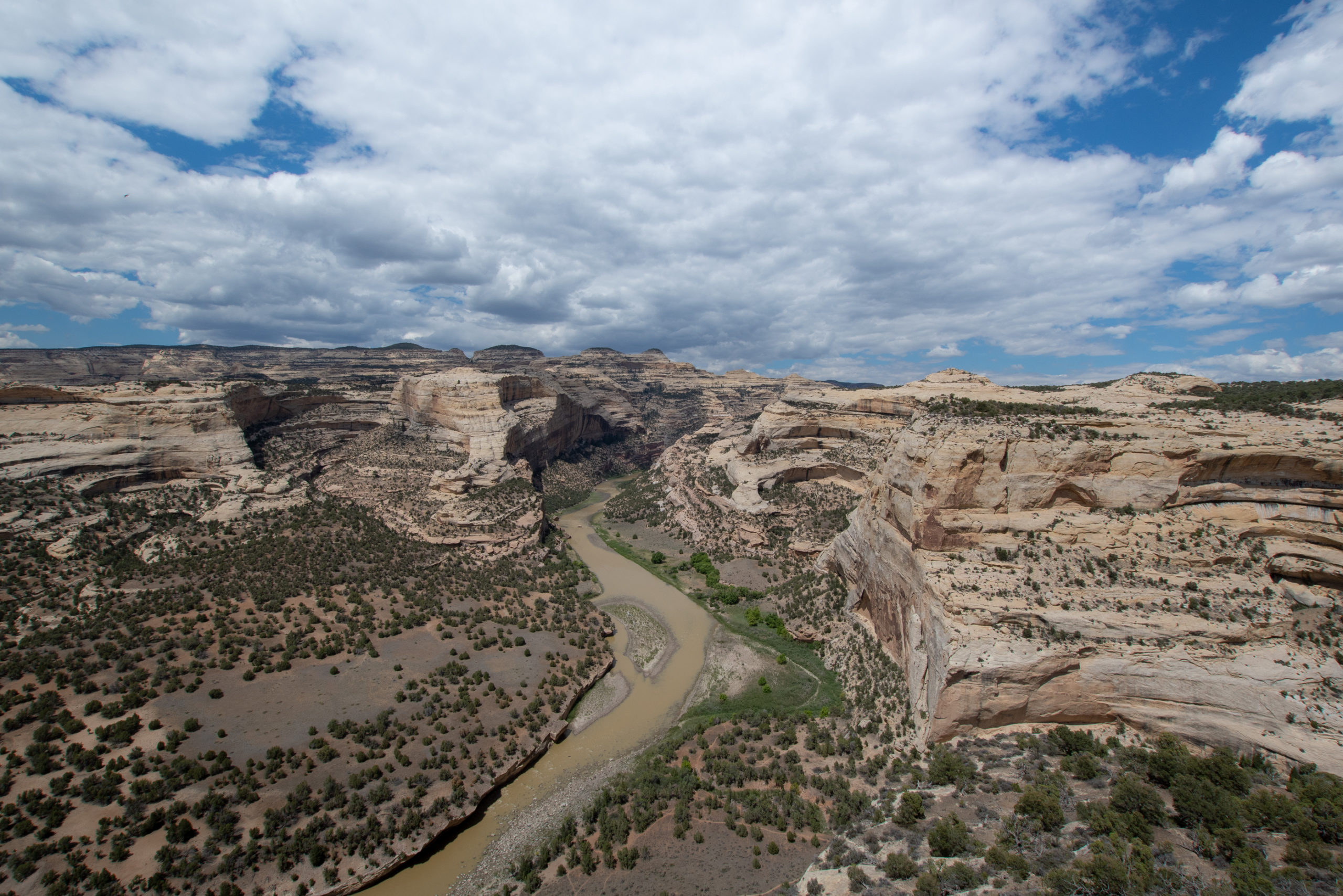
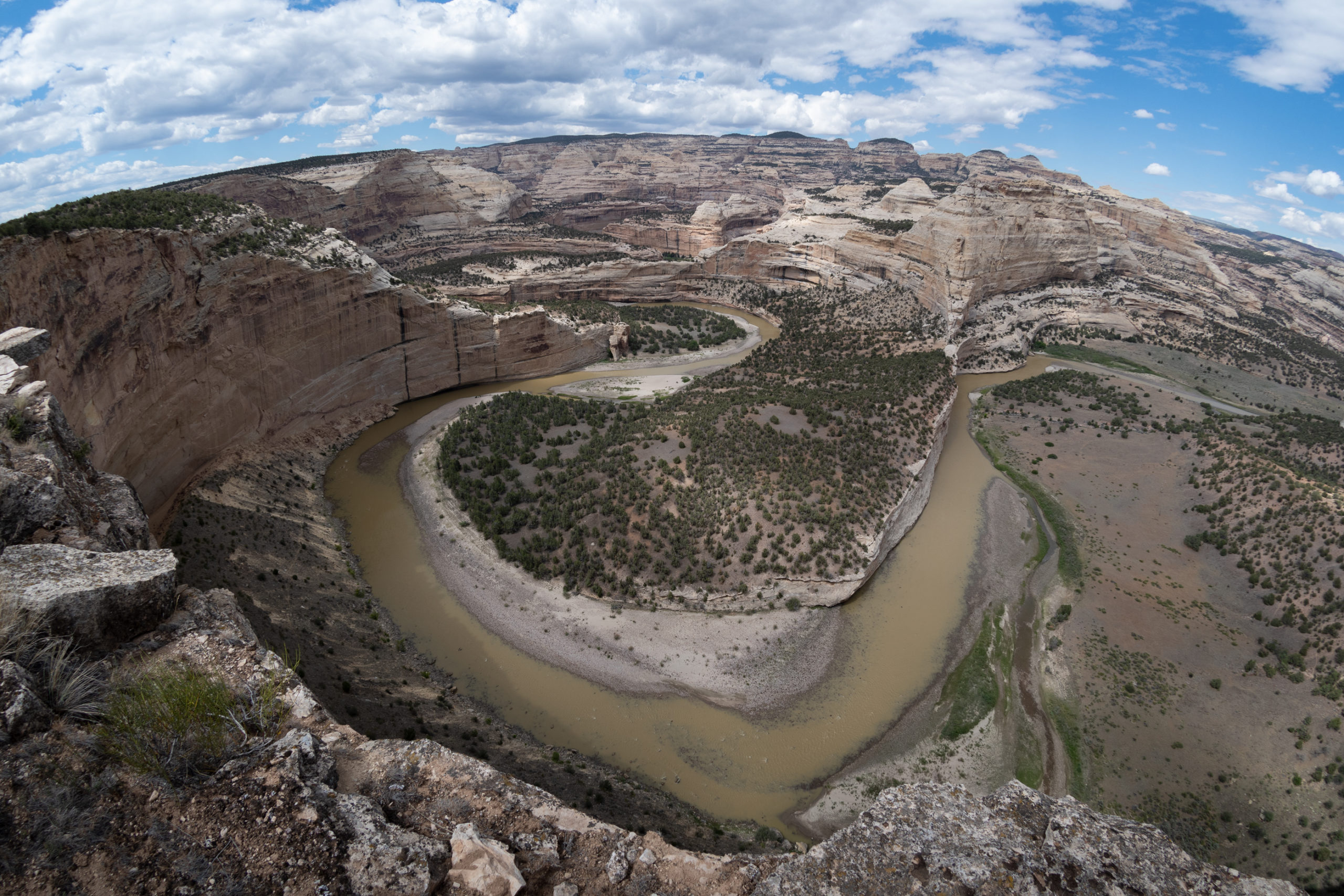
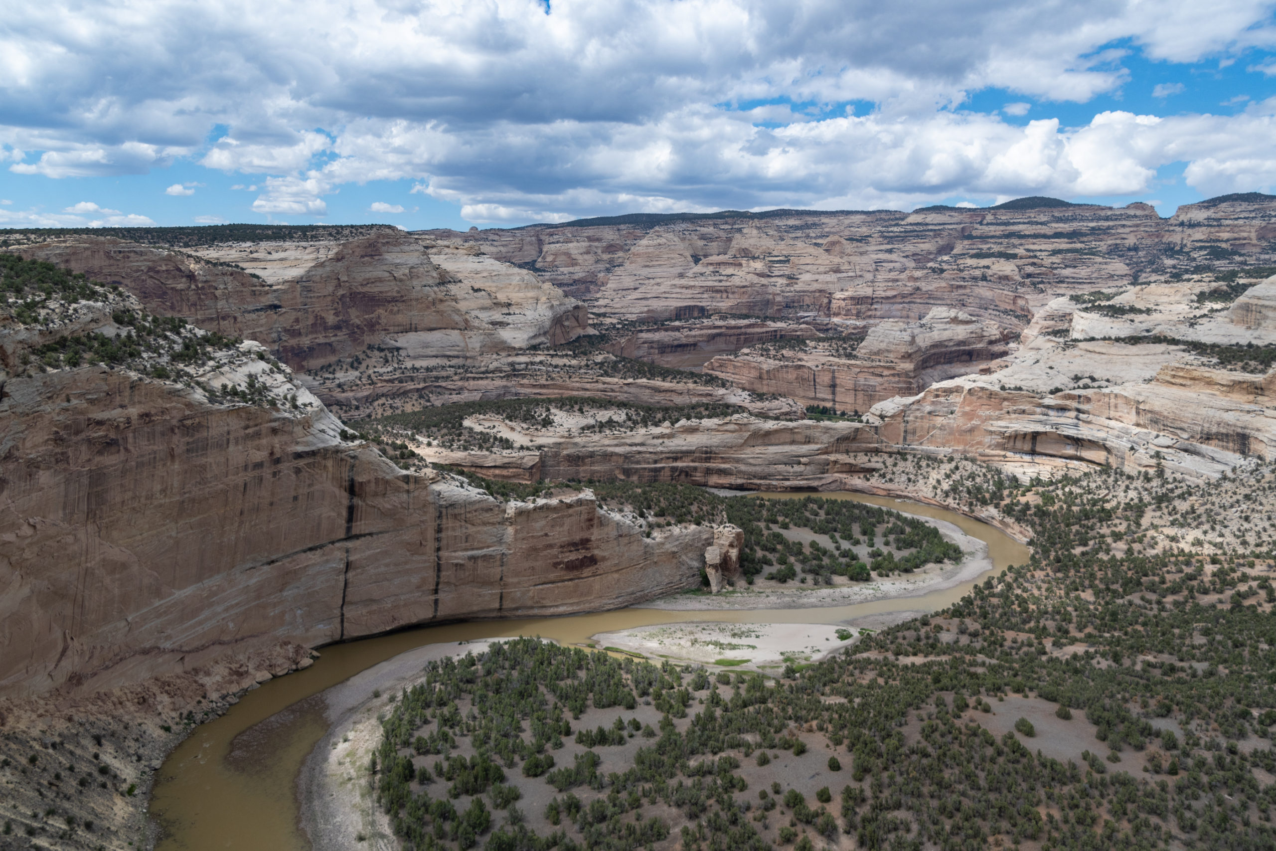
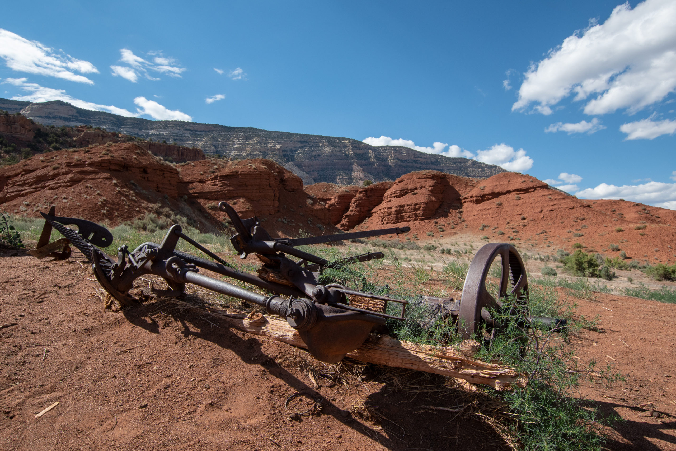
Yampa Bench ends into the main road from the Colorado entrance, which I had expected to be paved and wasn’t. And the section headed up toward the highway had some stoutly rocky switchbacks, which probably explains why I had this end of the park mostly to myself. But before heading back, a few stops along the way down to Echo Park.
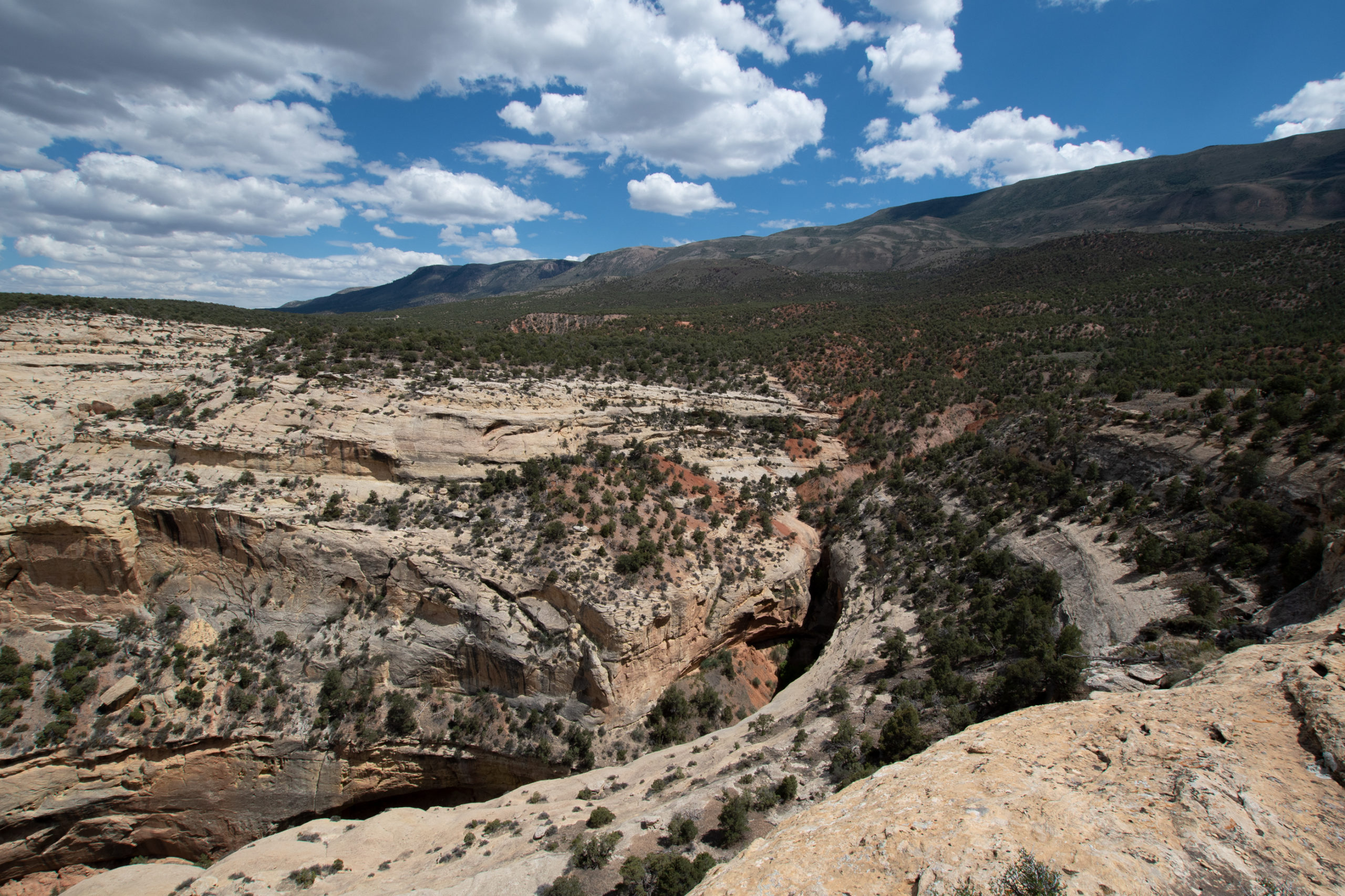
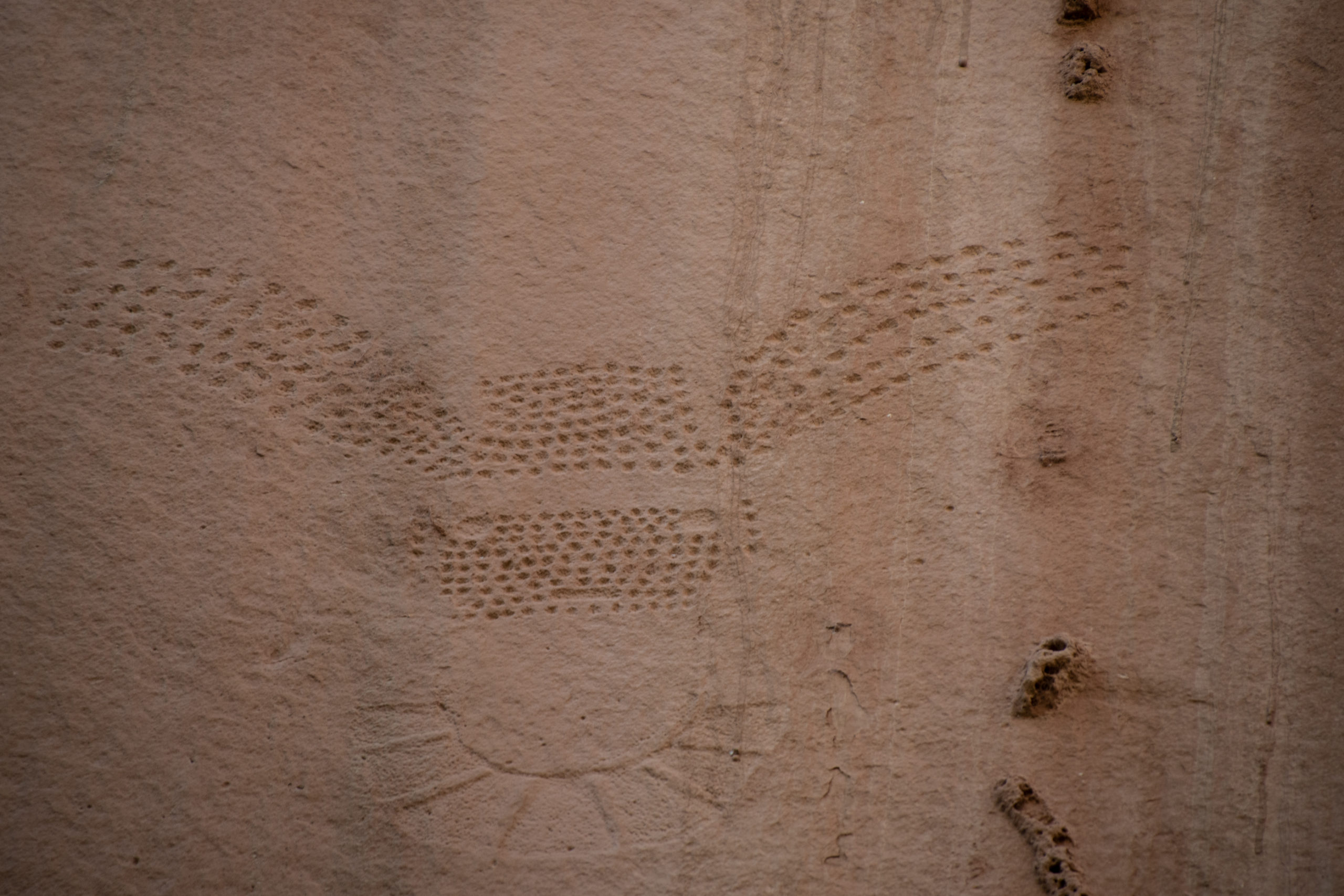
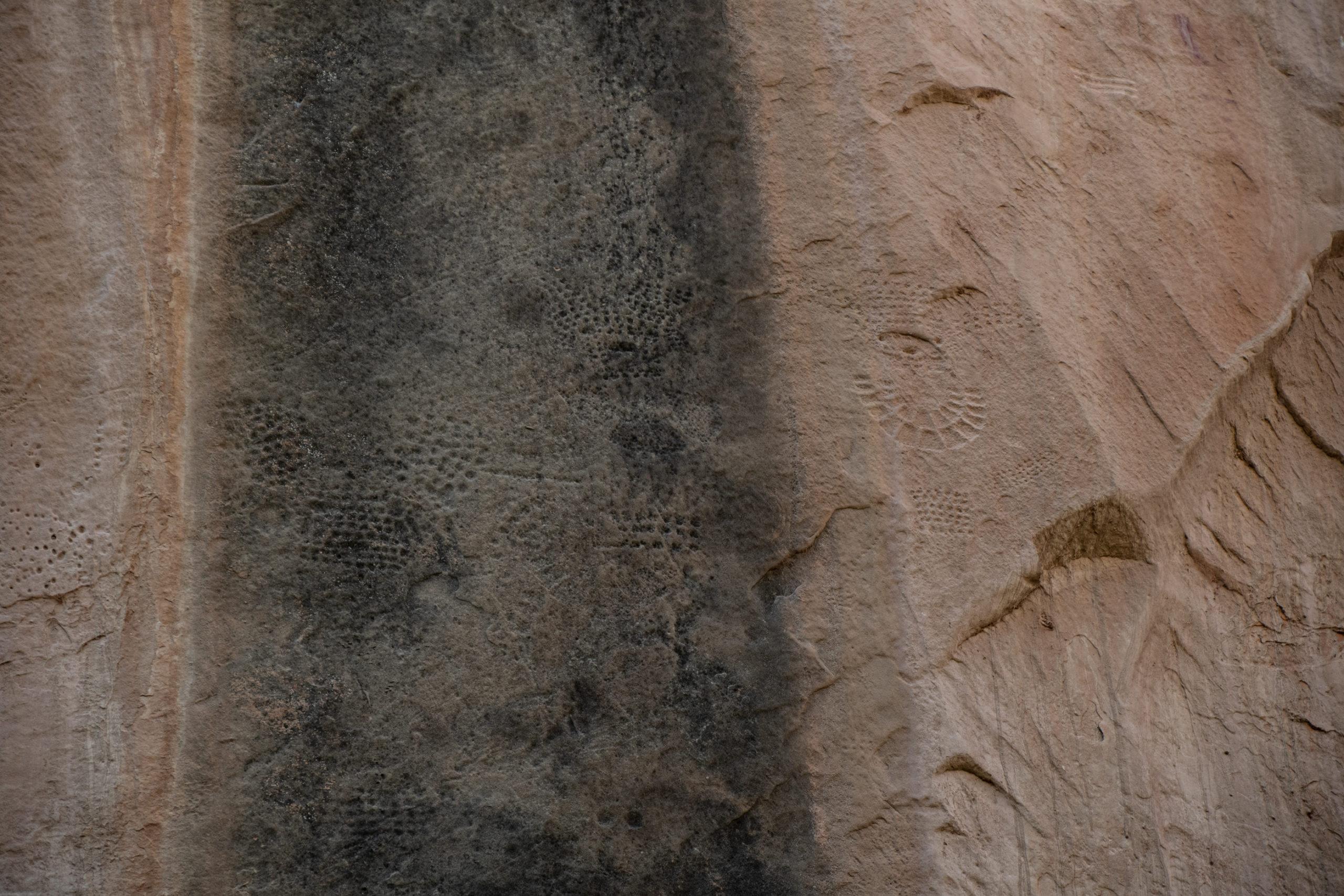
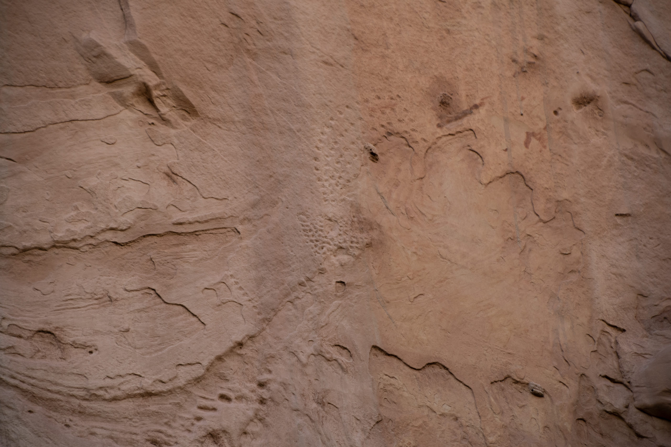
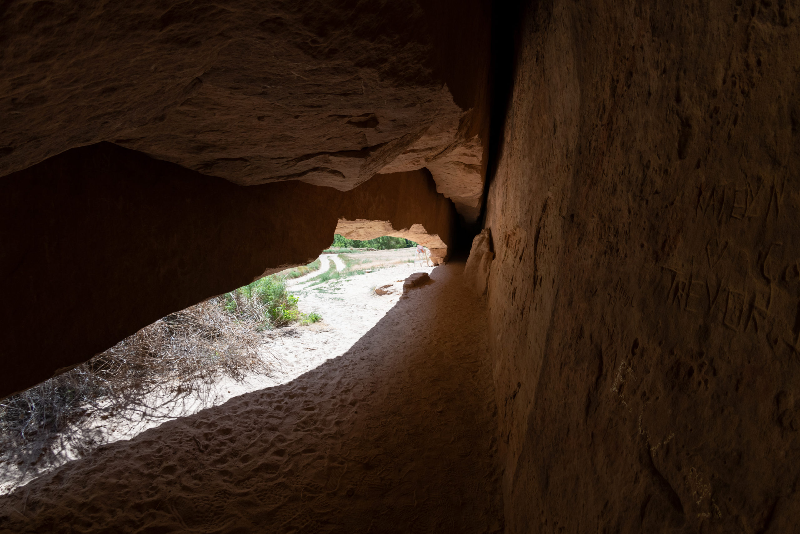
Faintly visible in a cliff face are petroglyphs created by the Freemont people about a thousand years ago. They’re about 30 feet off the canyon floor now because the creek has worn away the sandstone below.
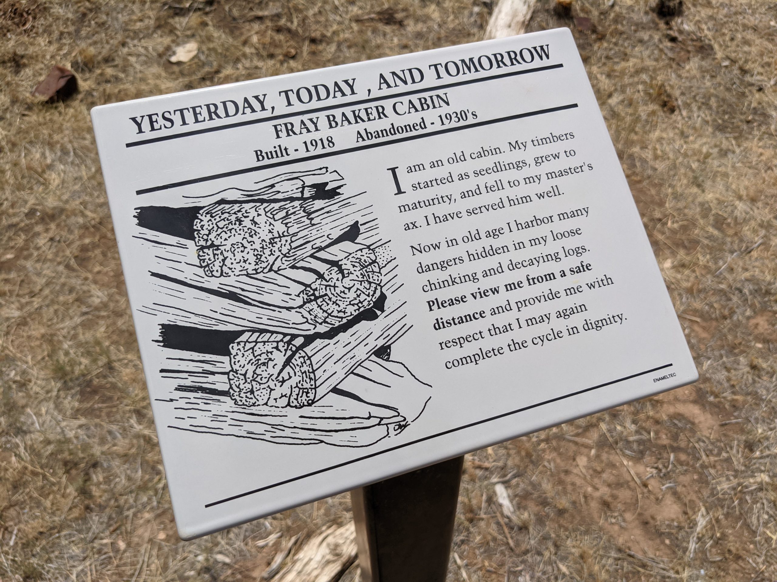
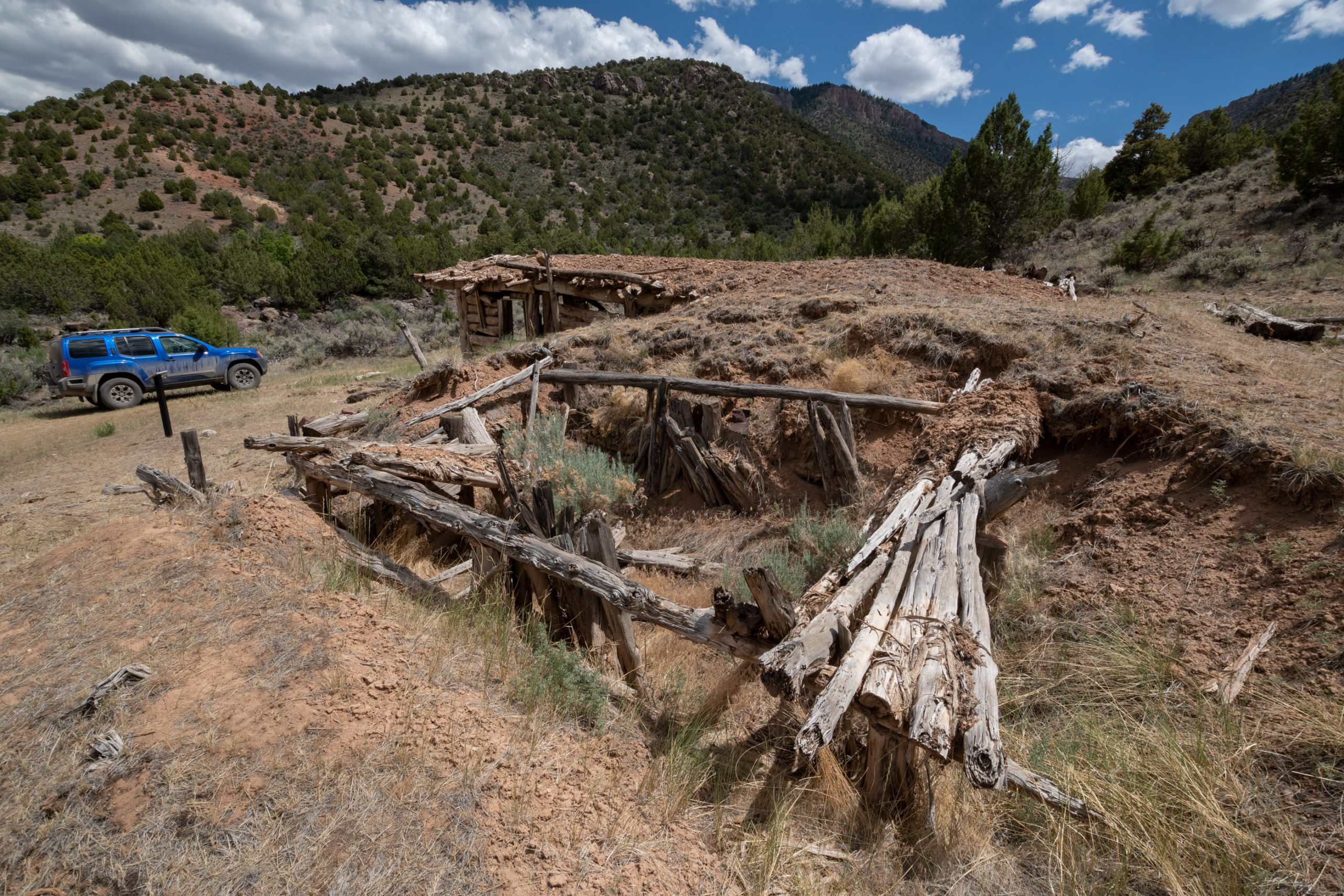
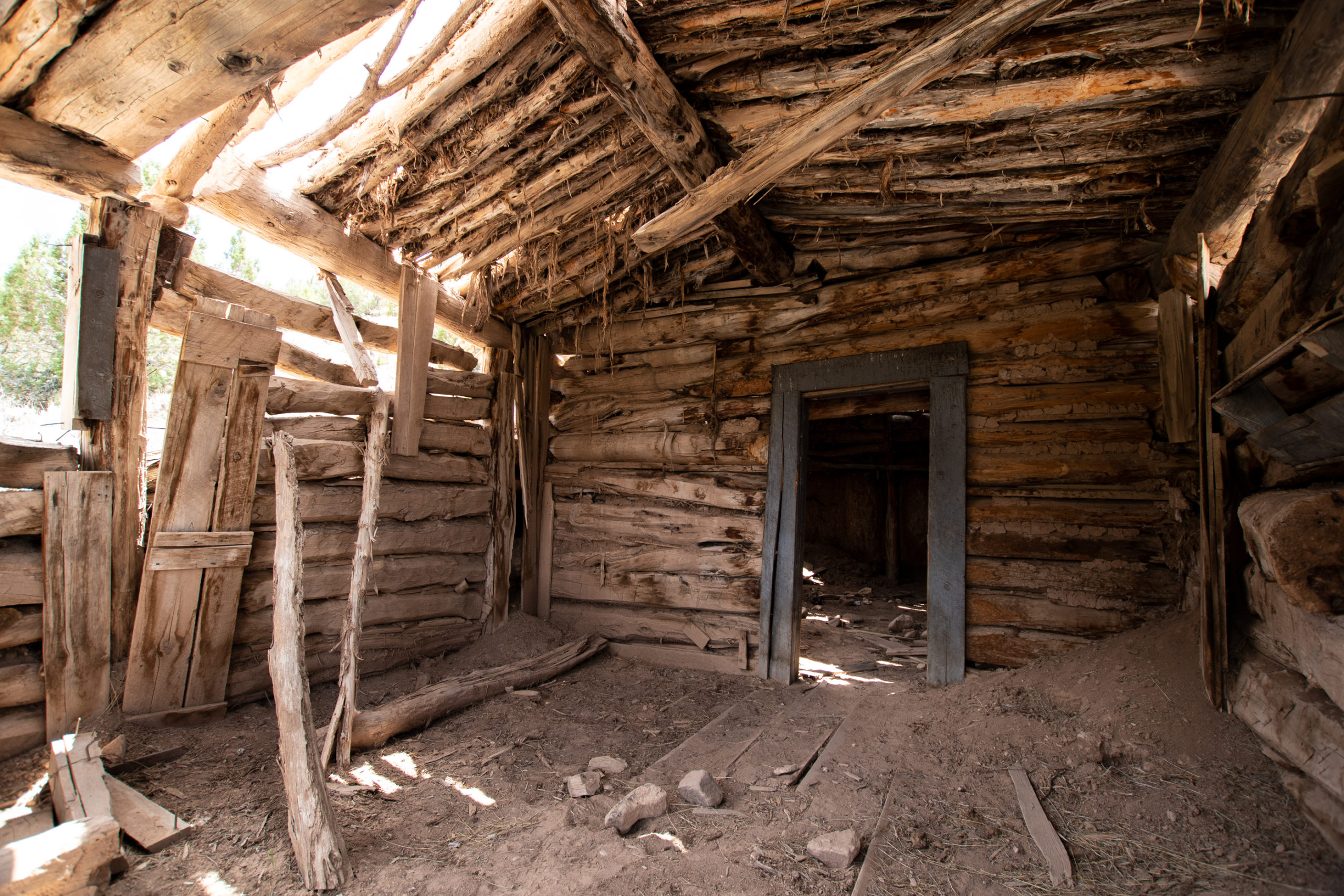
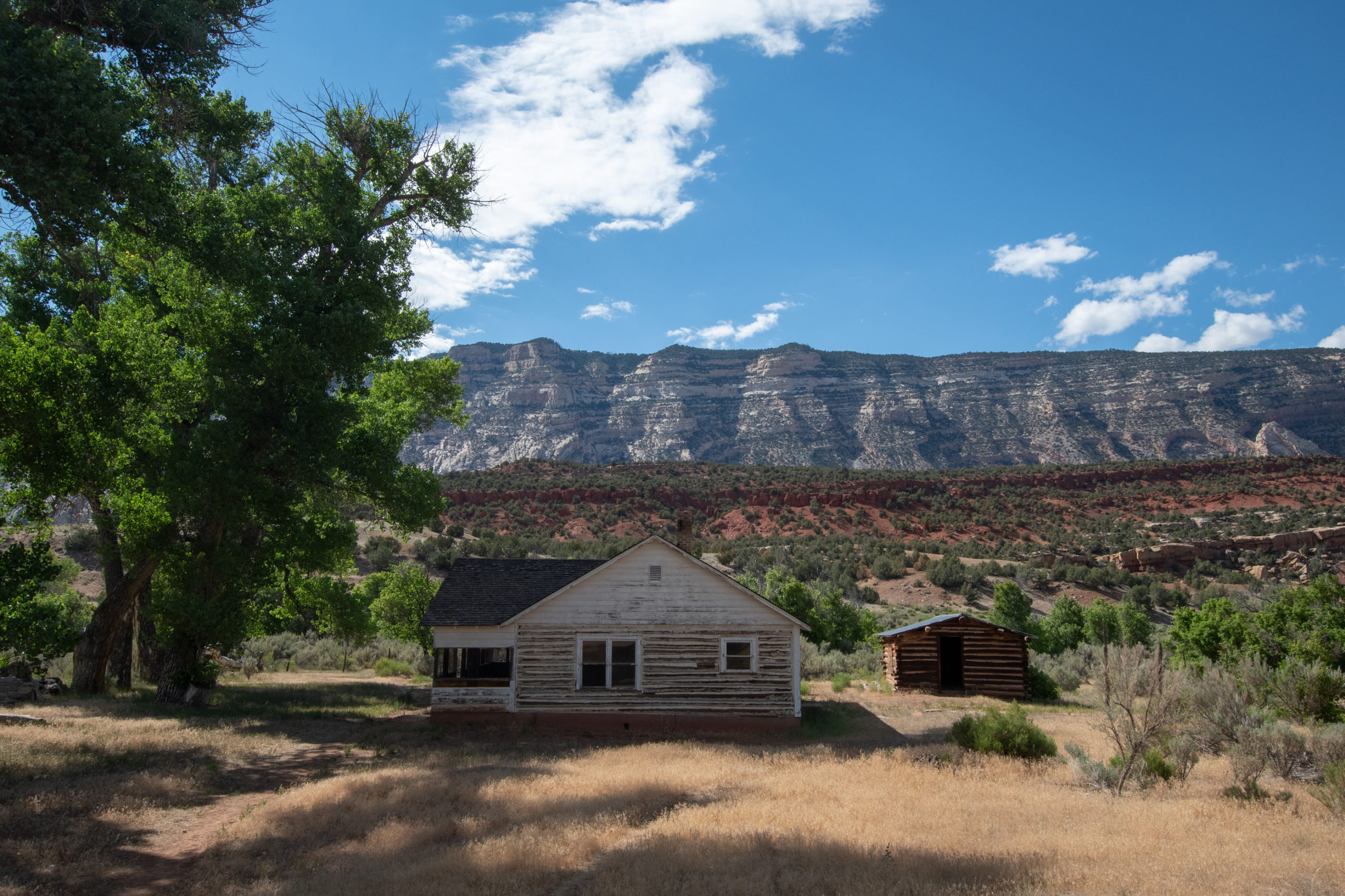
In 1910, Jack and Mary Chew moved here to Pool Creek and established a homestead, initially a one-room cabin but the eventually built out more buildings as they established the ranch. By the 20s, two of the sons maintained the ranch with their mother and increased the holding to 2,250 acres. They held the ranch until 1966, when Rial Chew sold the 1,900 acres within Dinosaur National Monument to the National Parks Service.
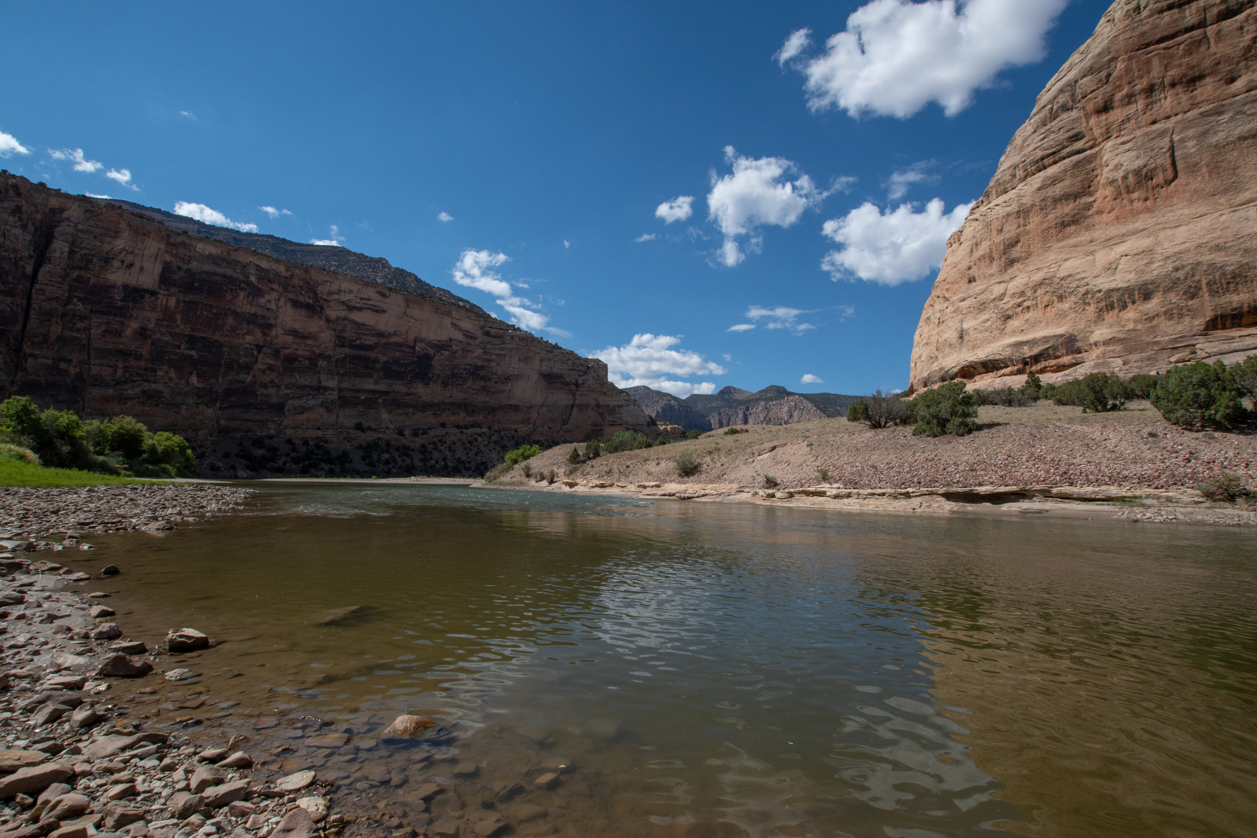
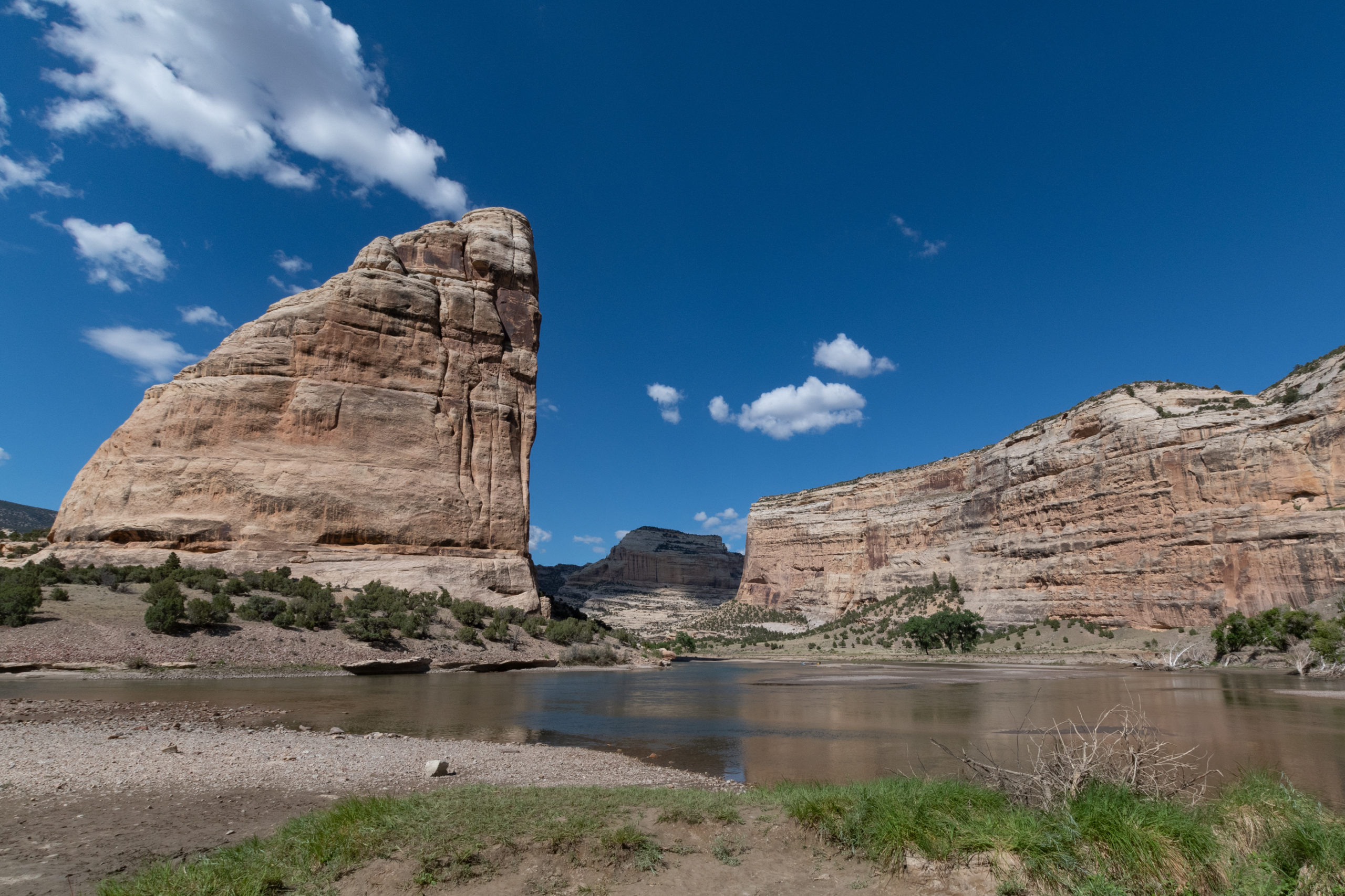
At the end of Harper’s Corner Road was another dramatic bend in the river, with a boat launch, trailhead, and beach.
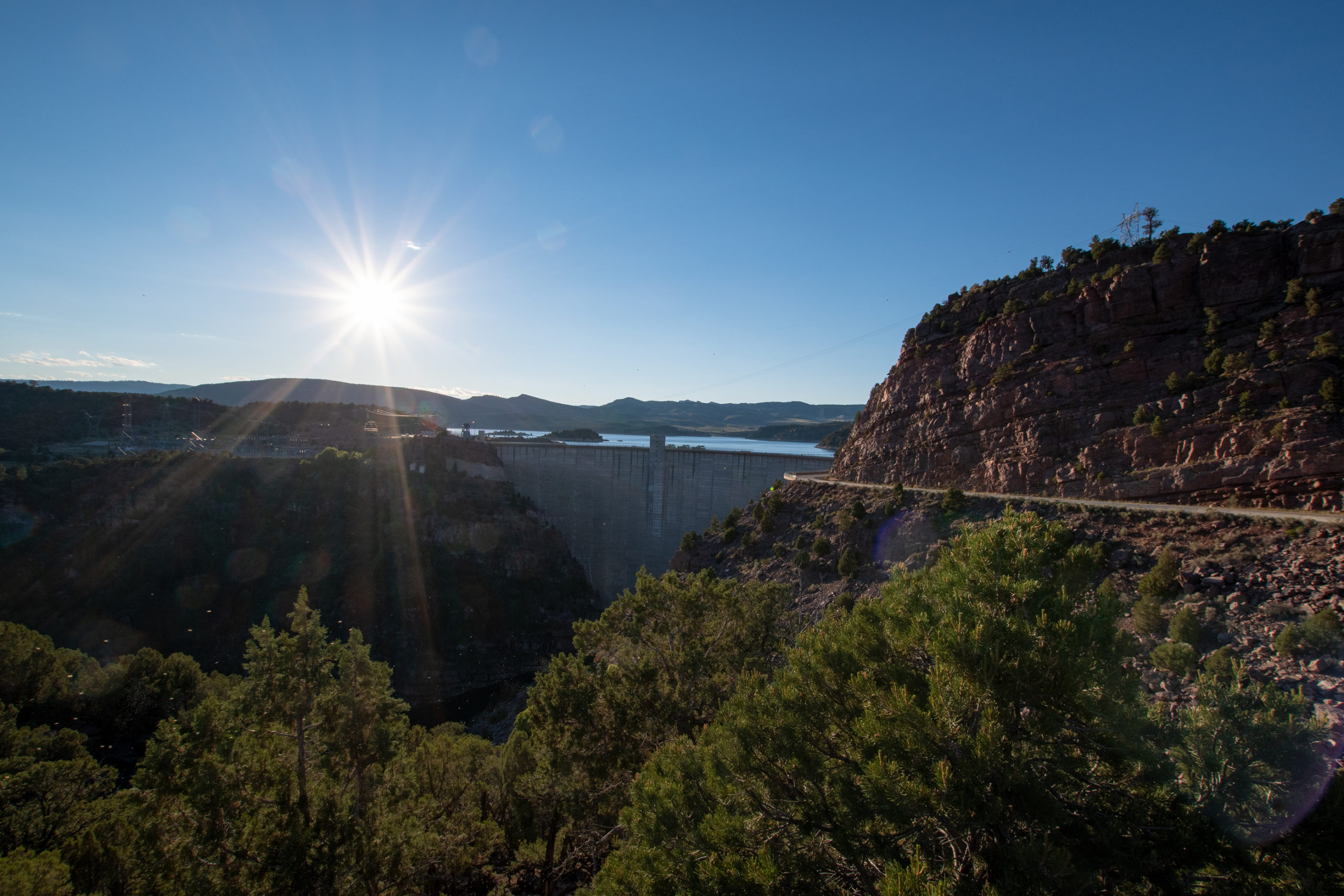
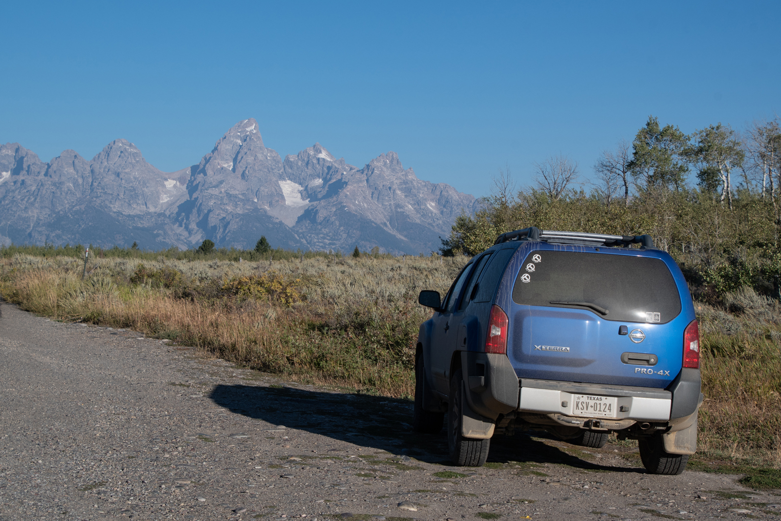
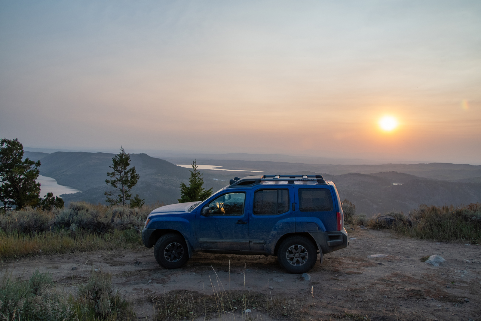
After making my way out of the park, I headed out toward a brief overnight in Pinedale. The route went through the Flaming Gorge National Rec Area over the dam and up US-191 into Wyoming.
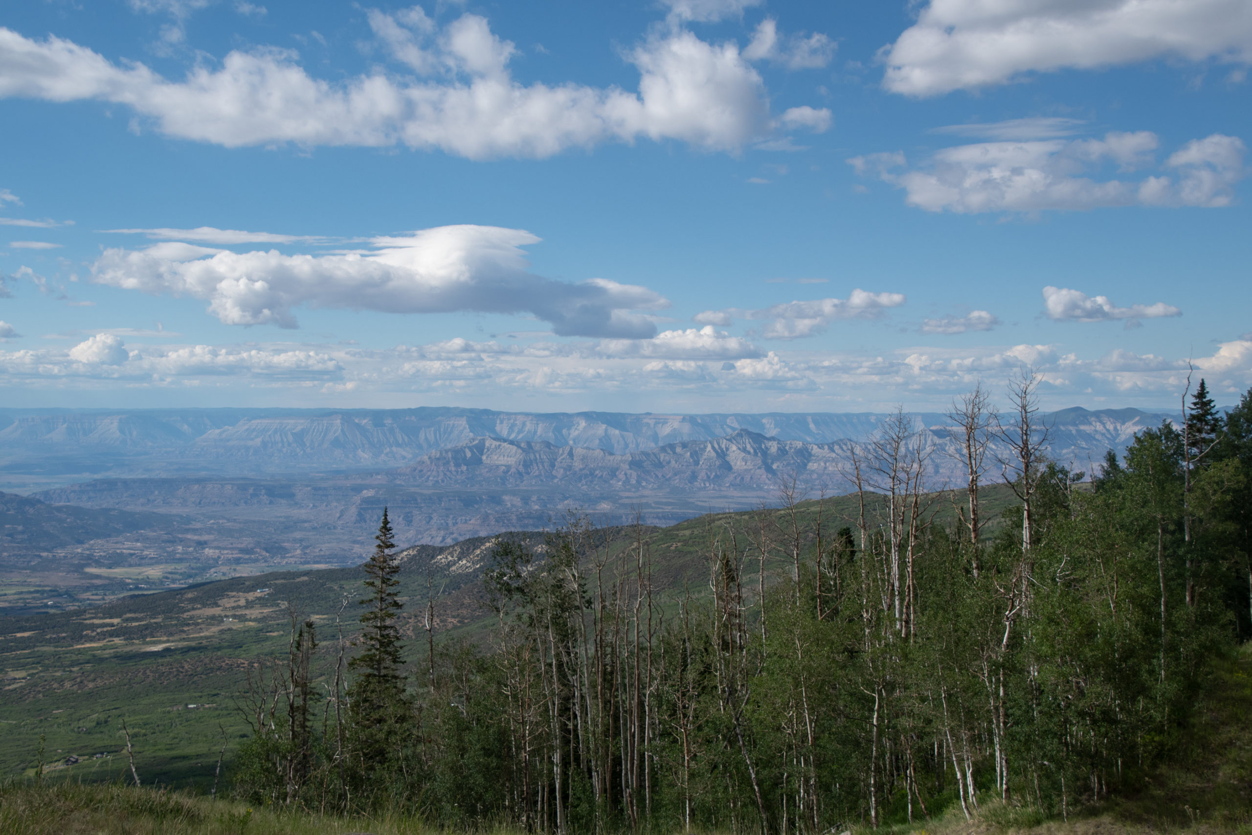
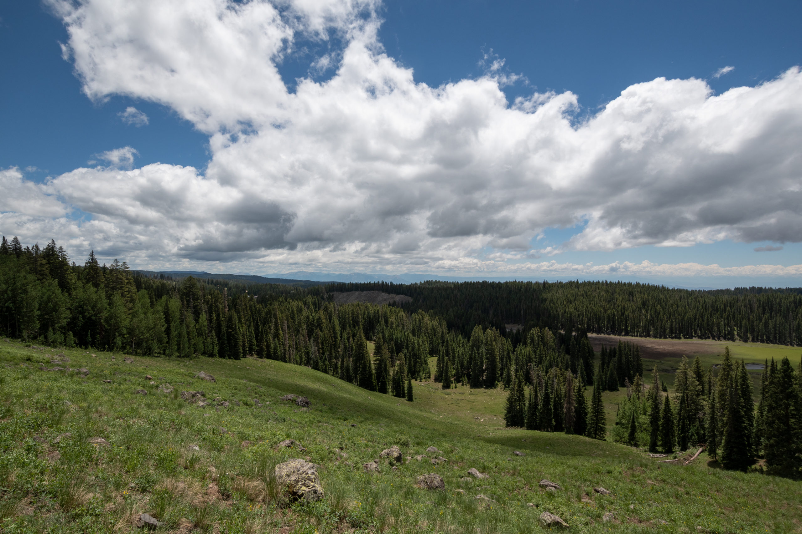
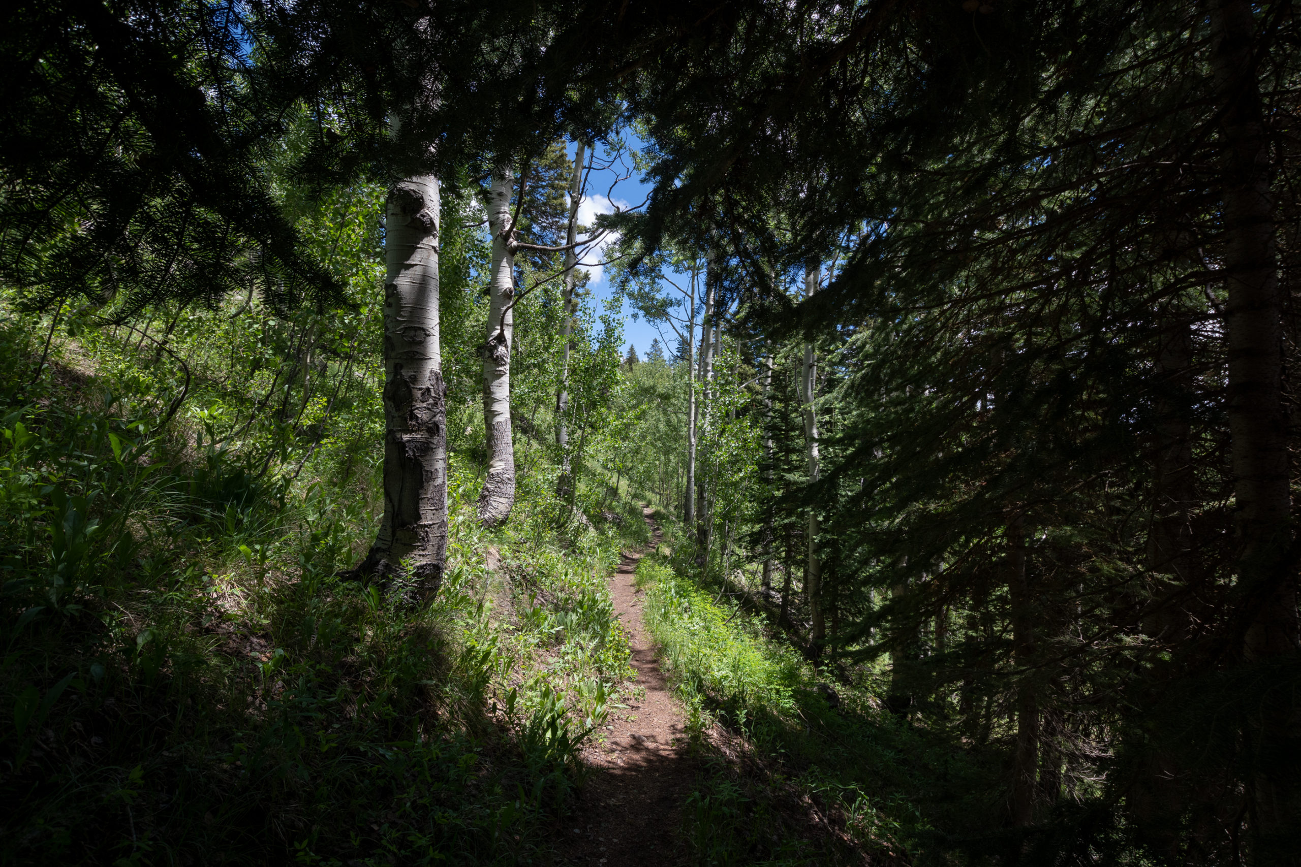
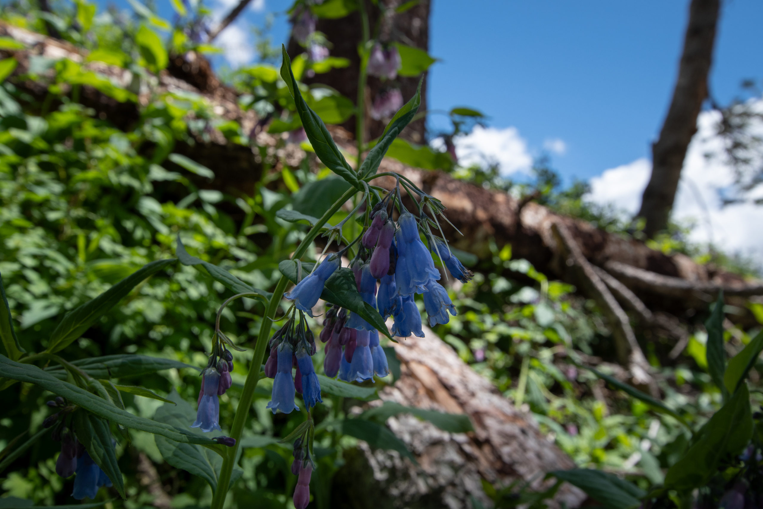
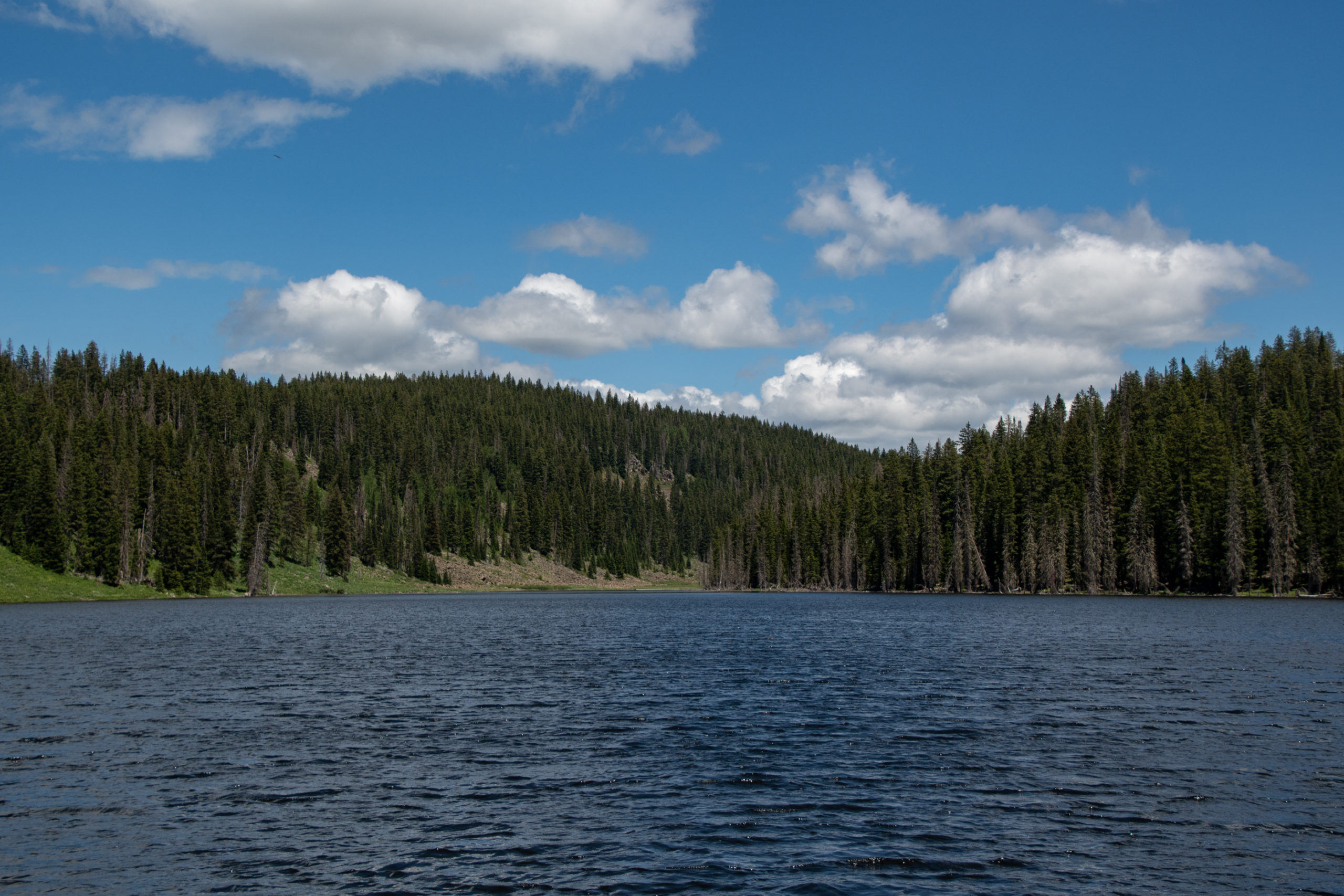
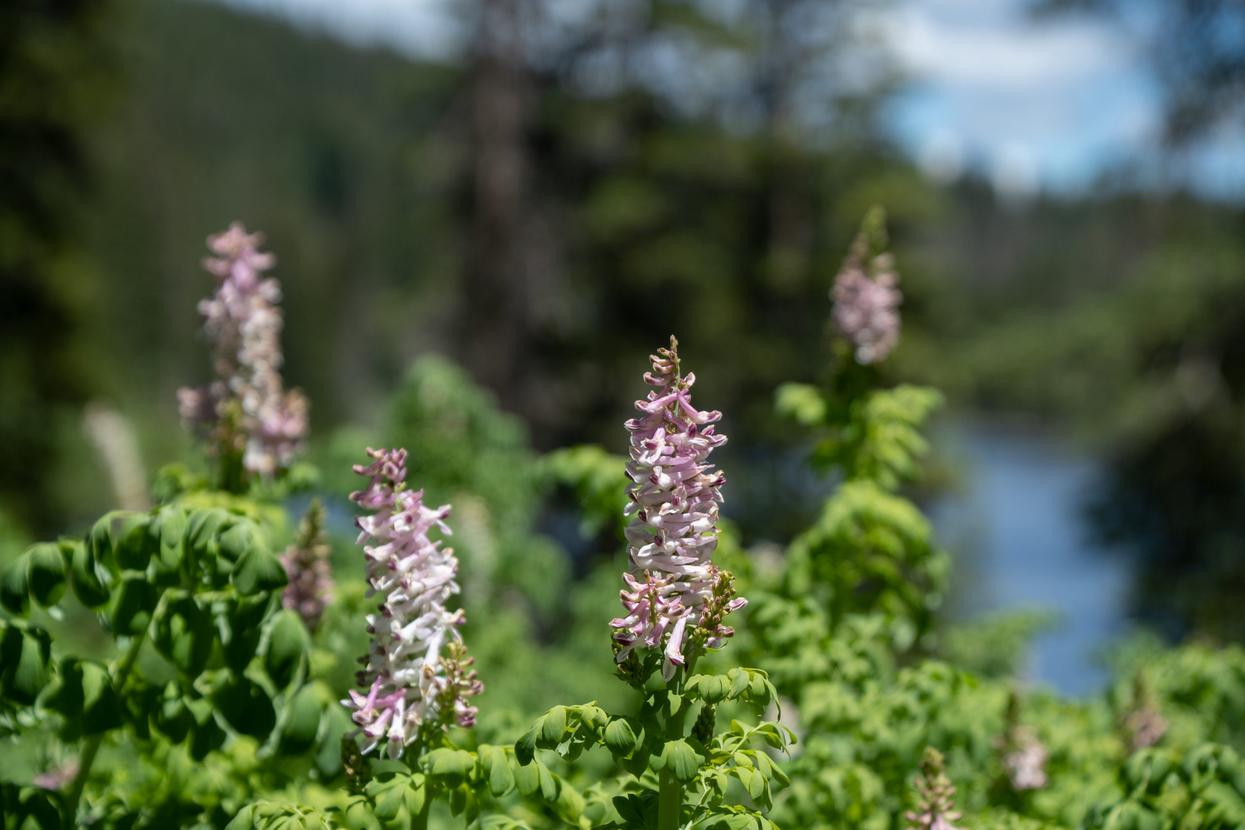
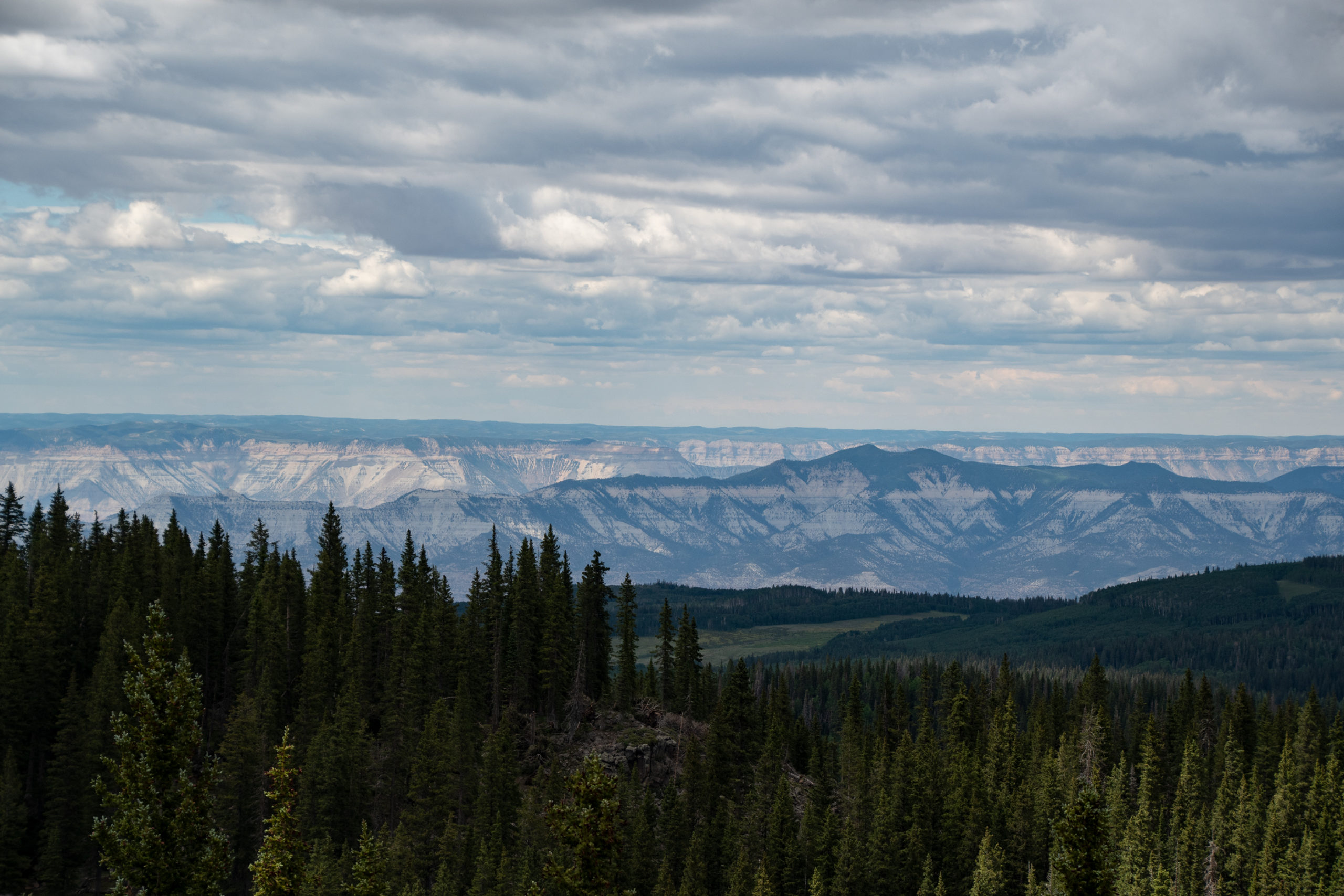
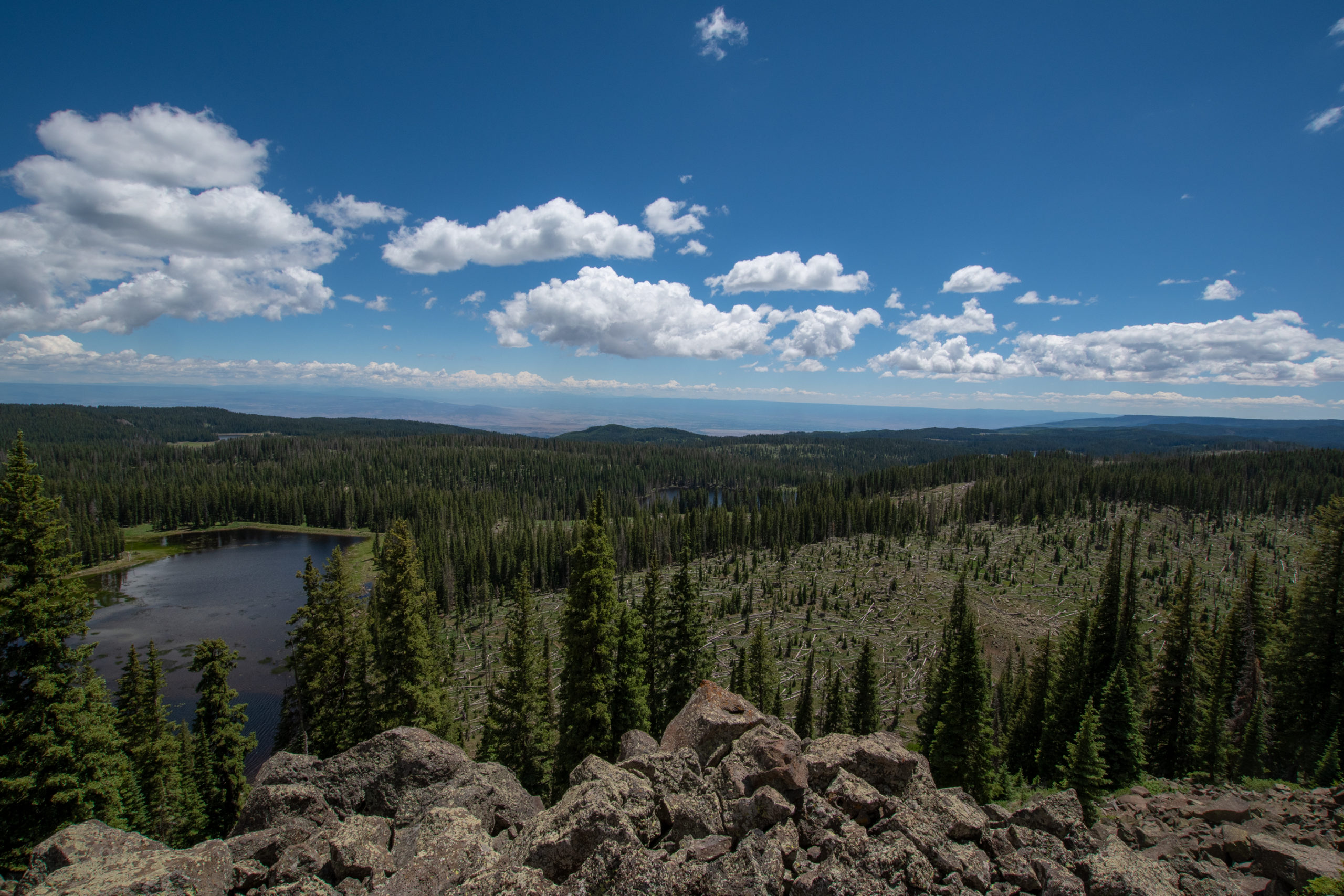
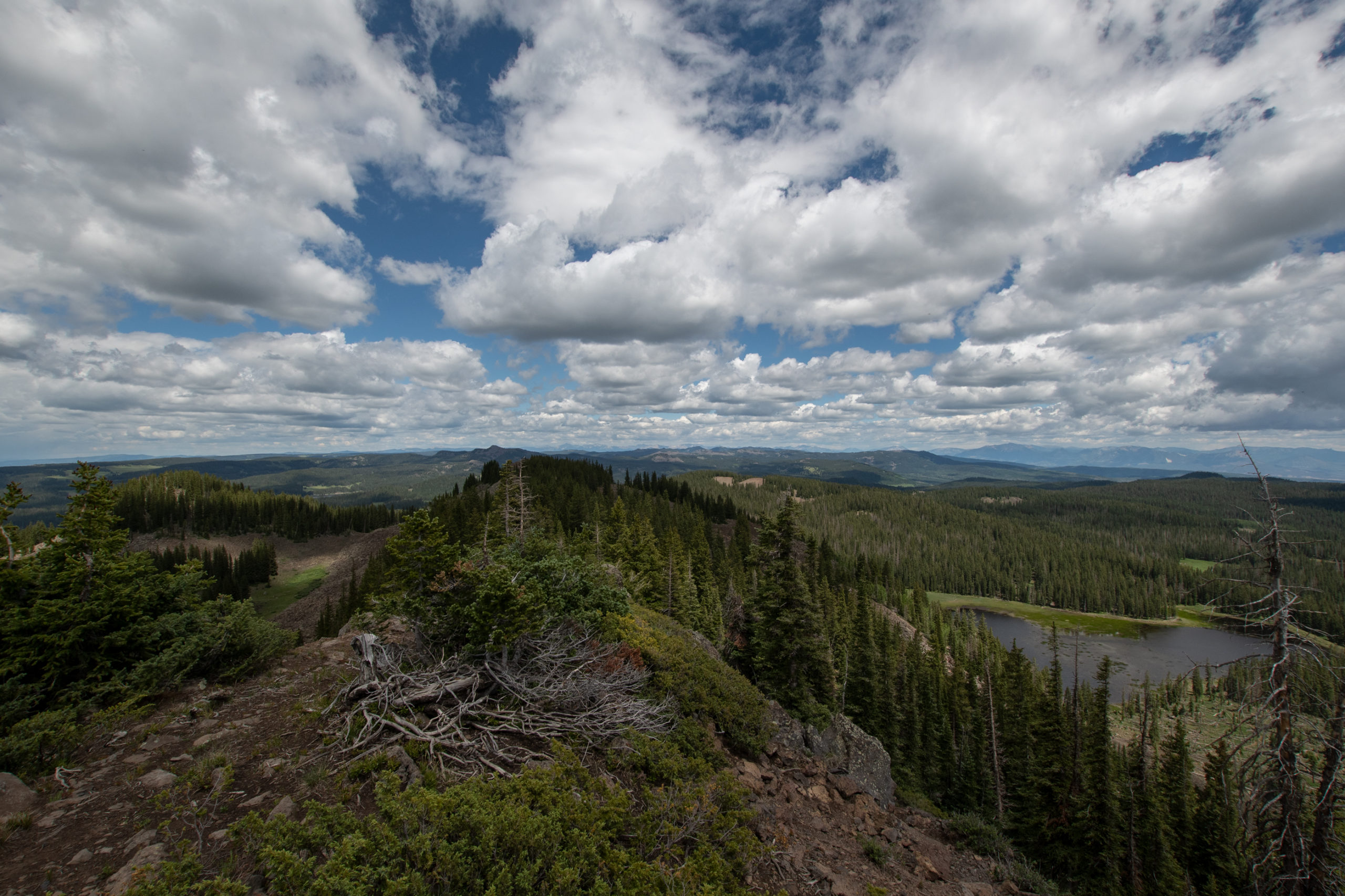
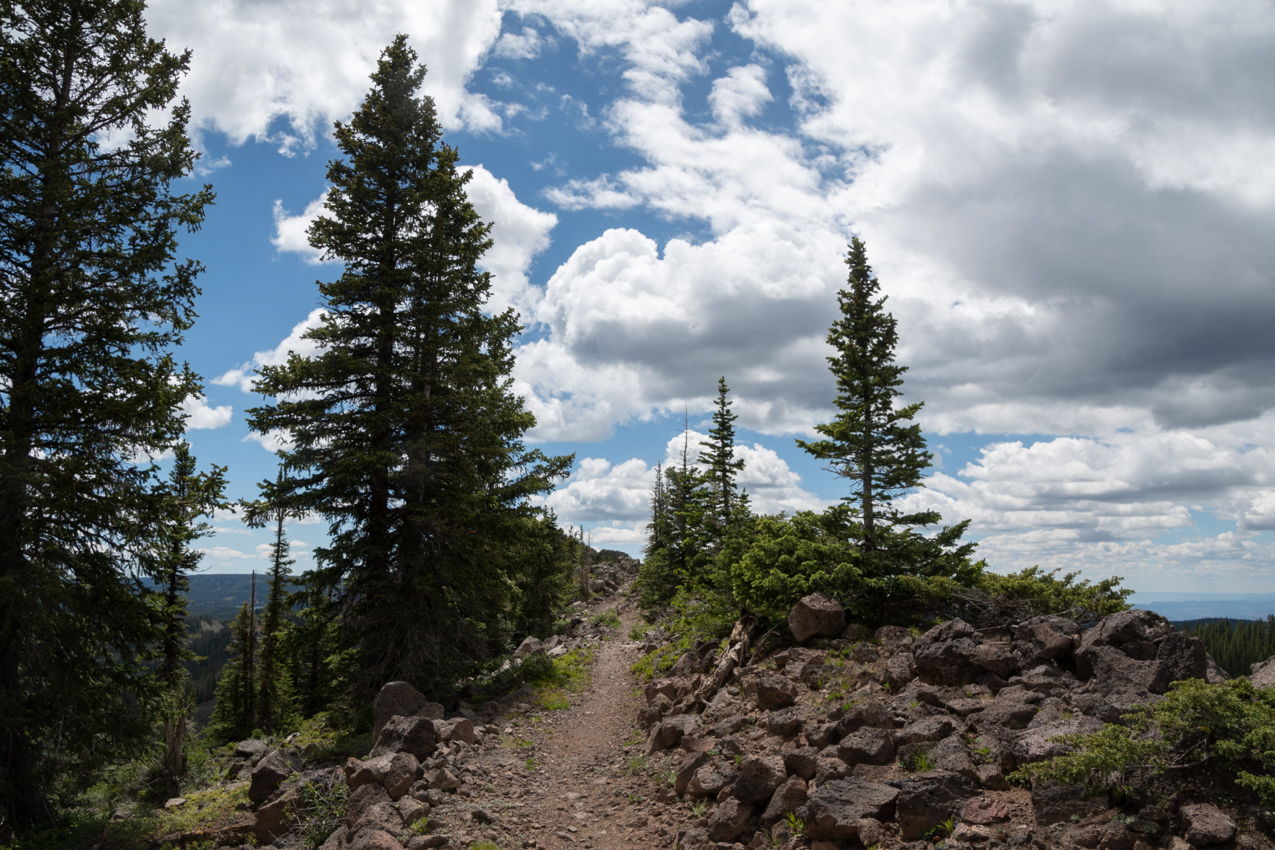
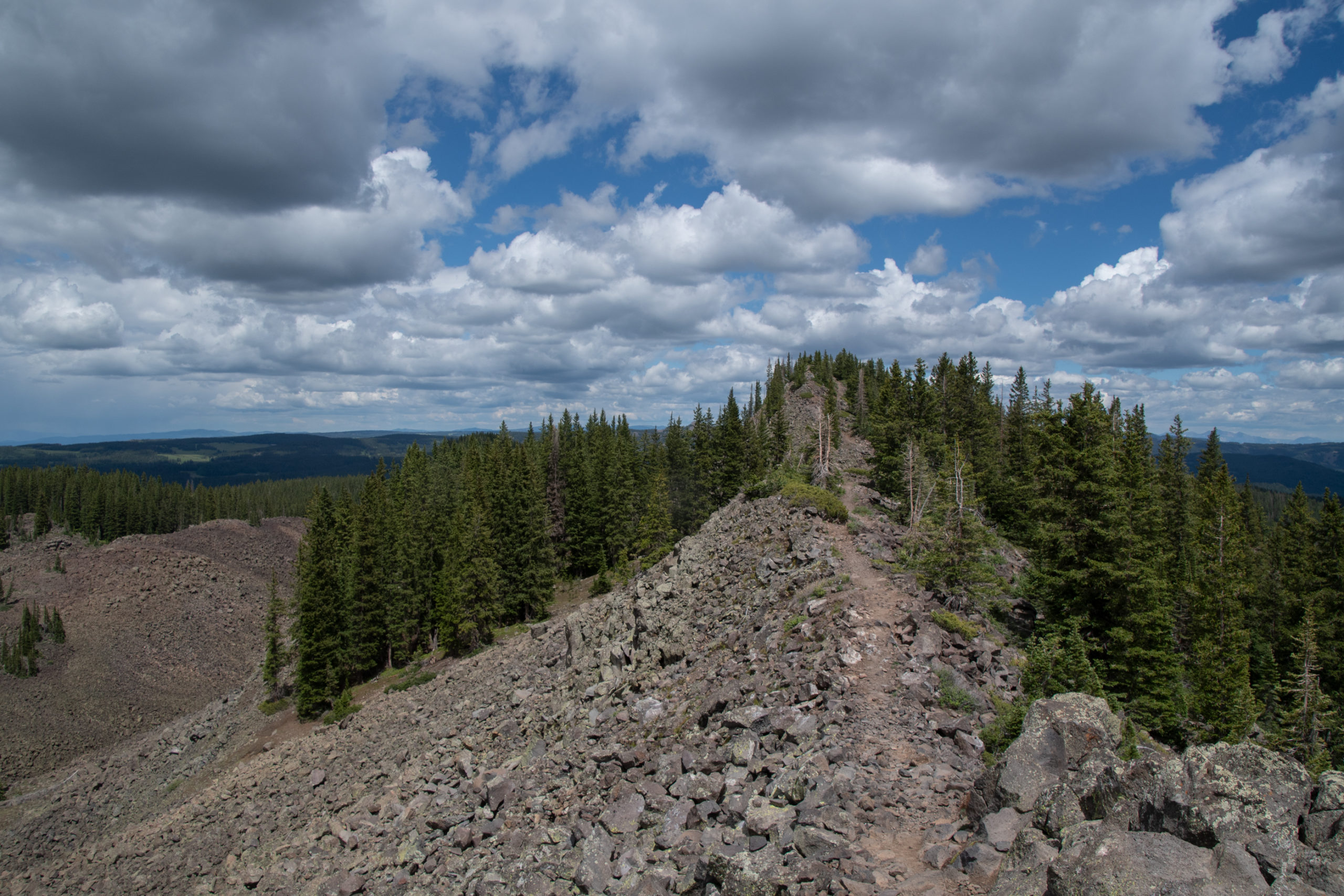
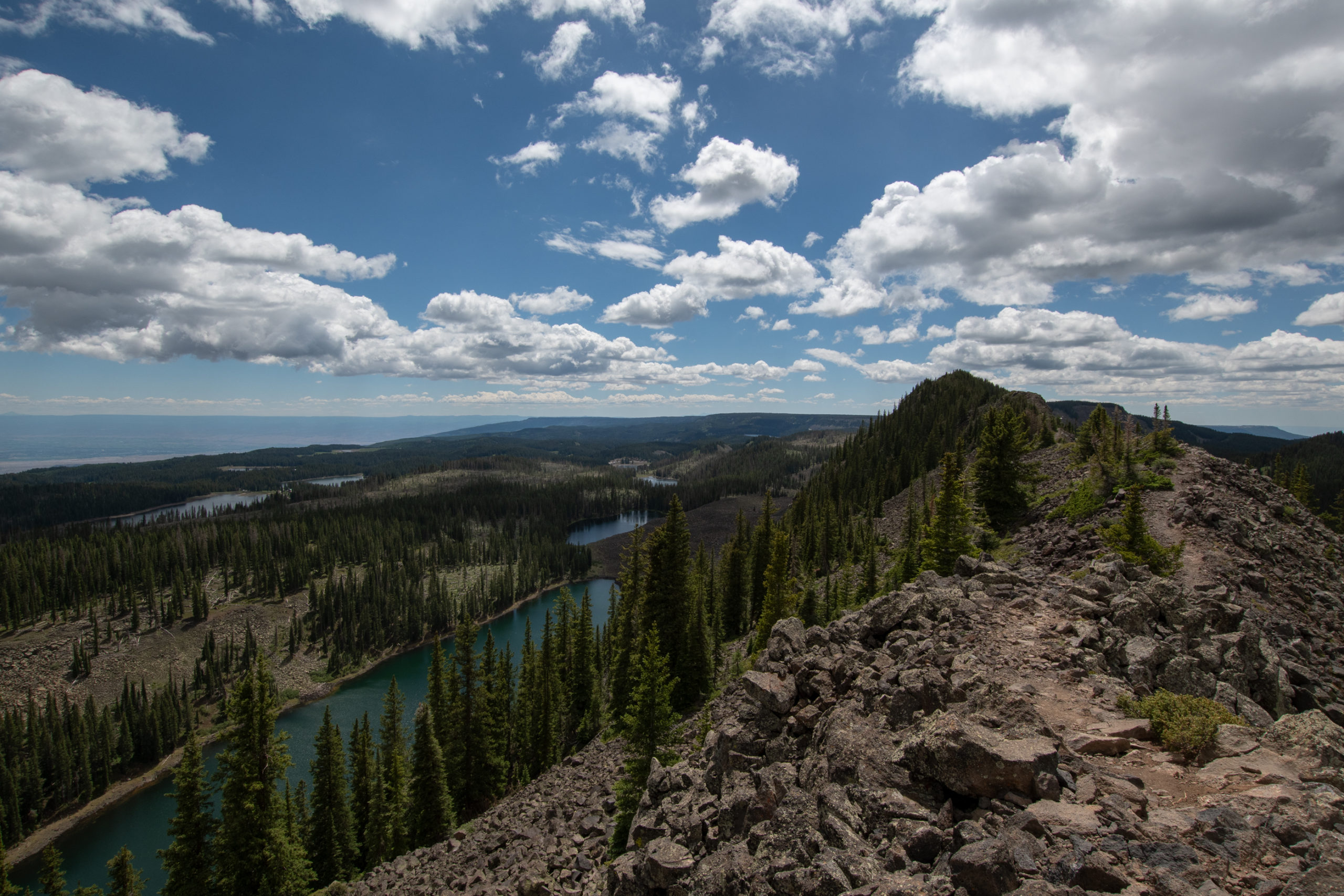
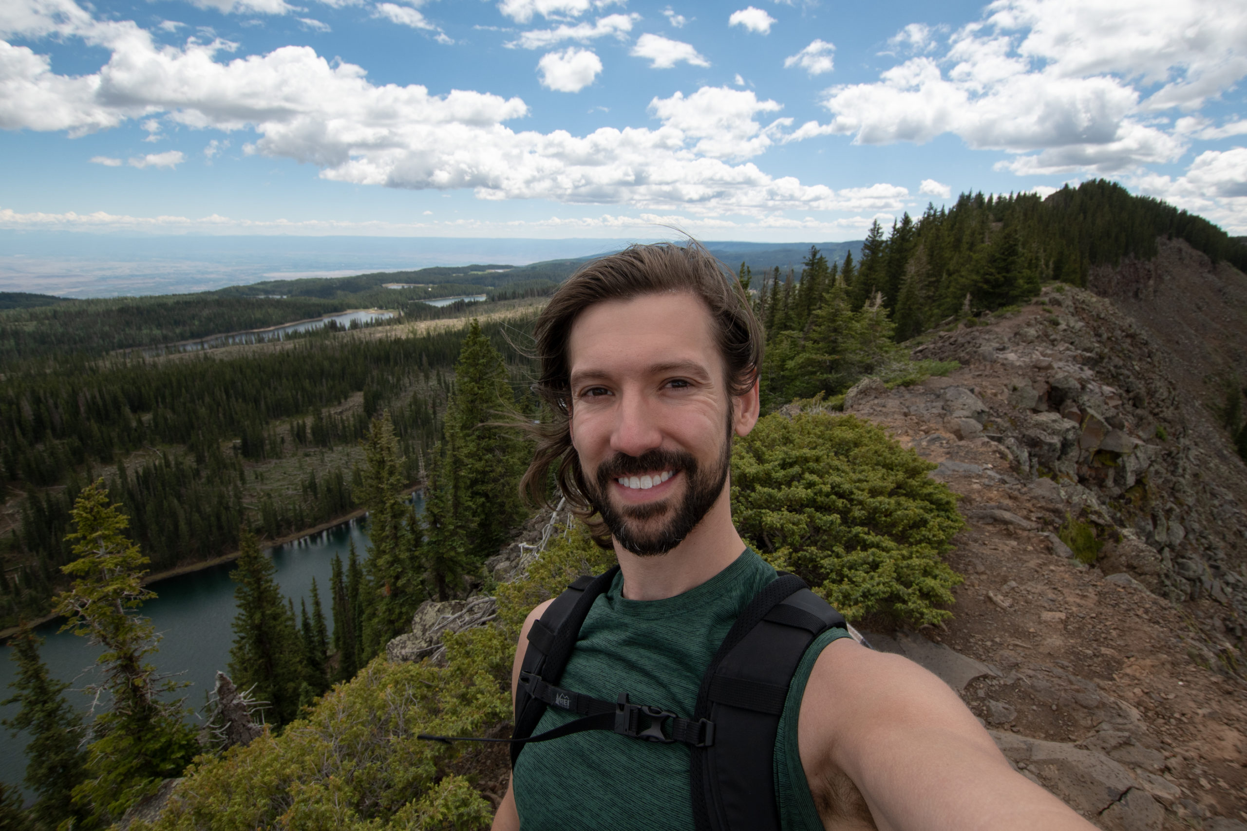
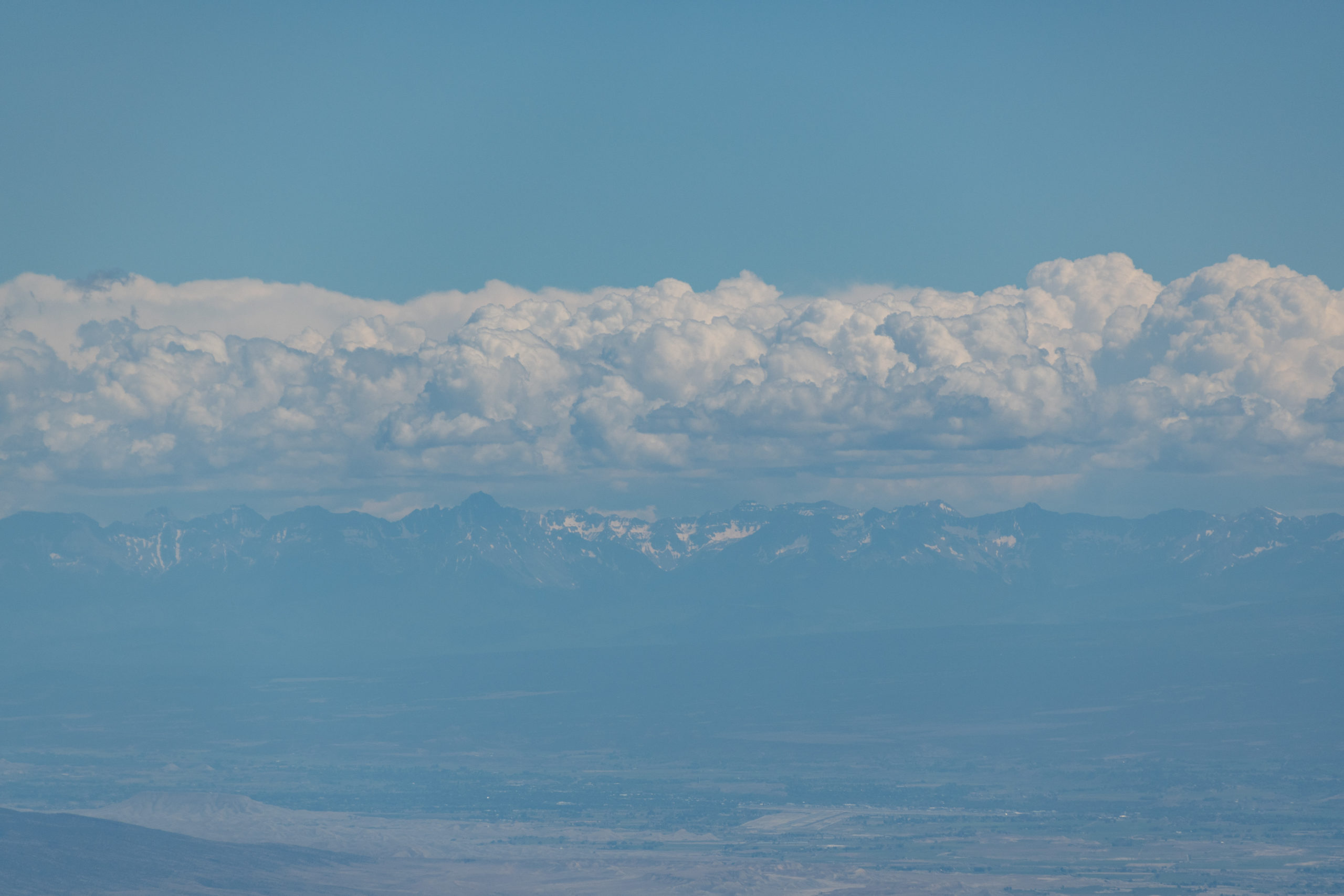
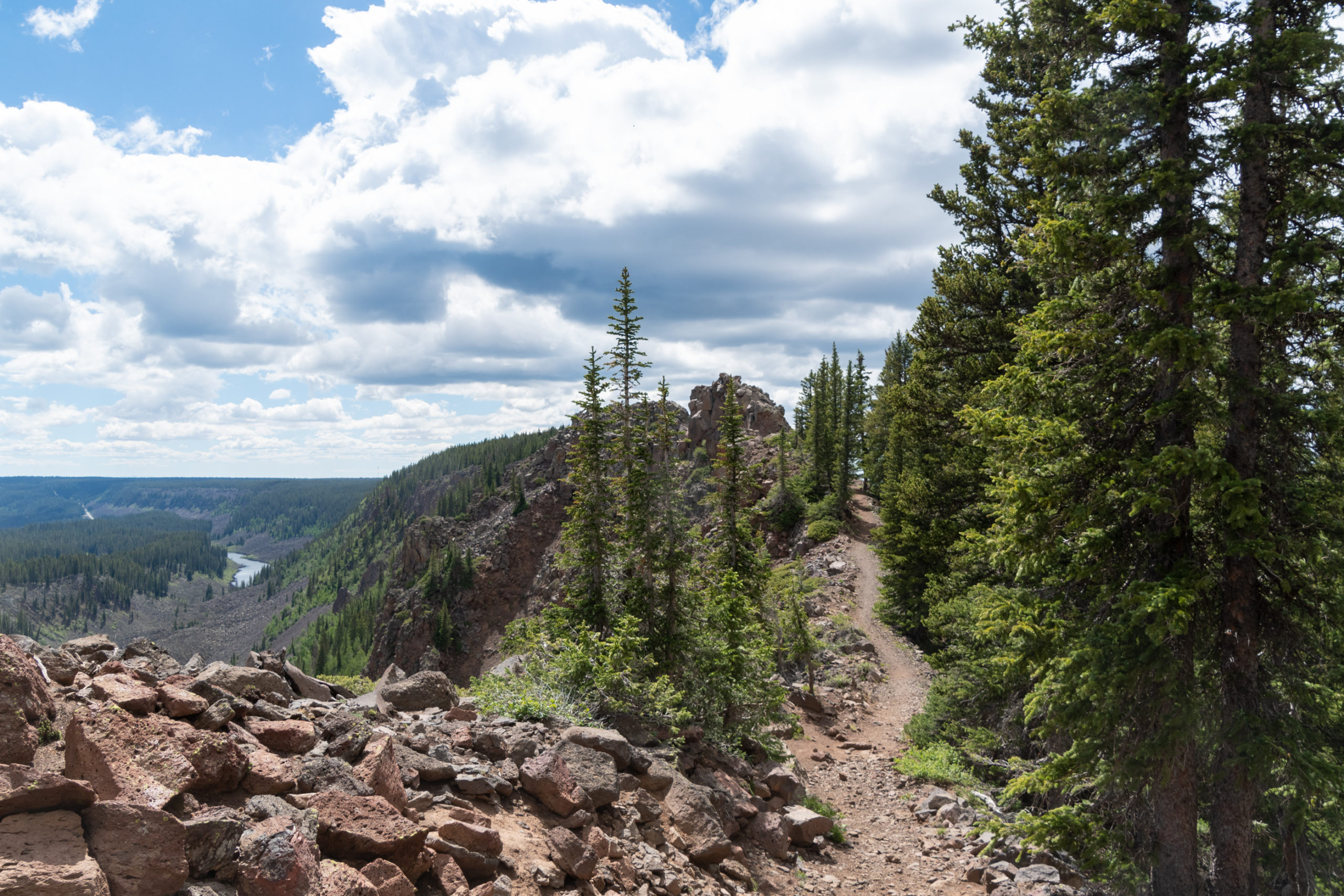
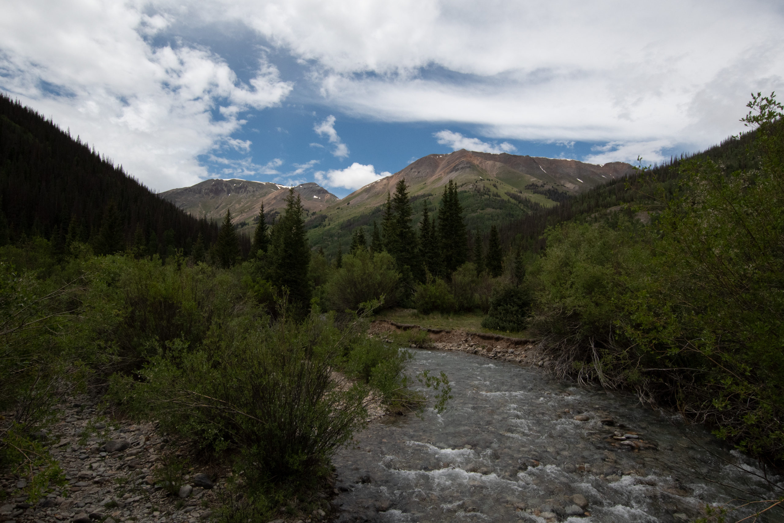
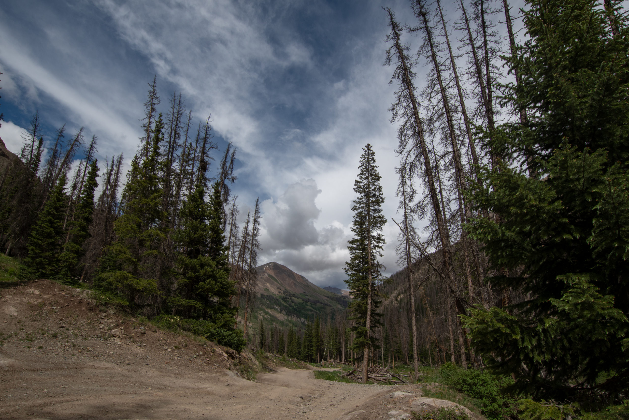
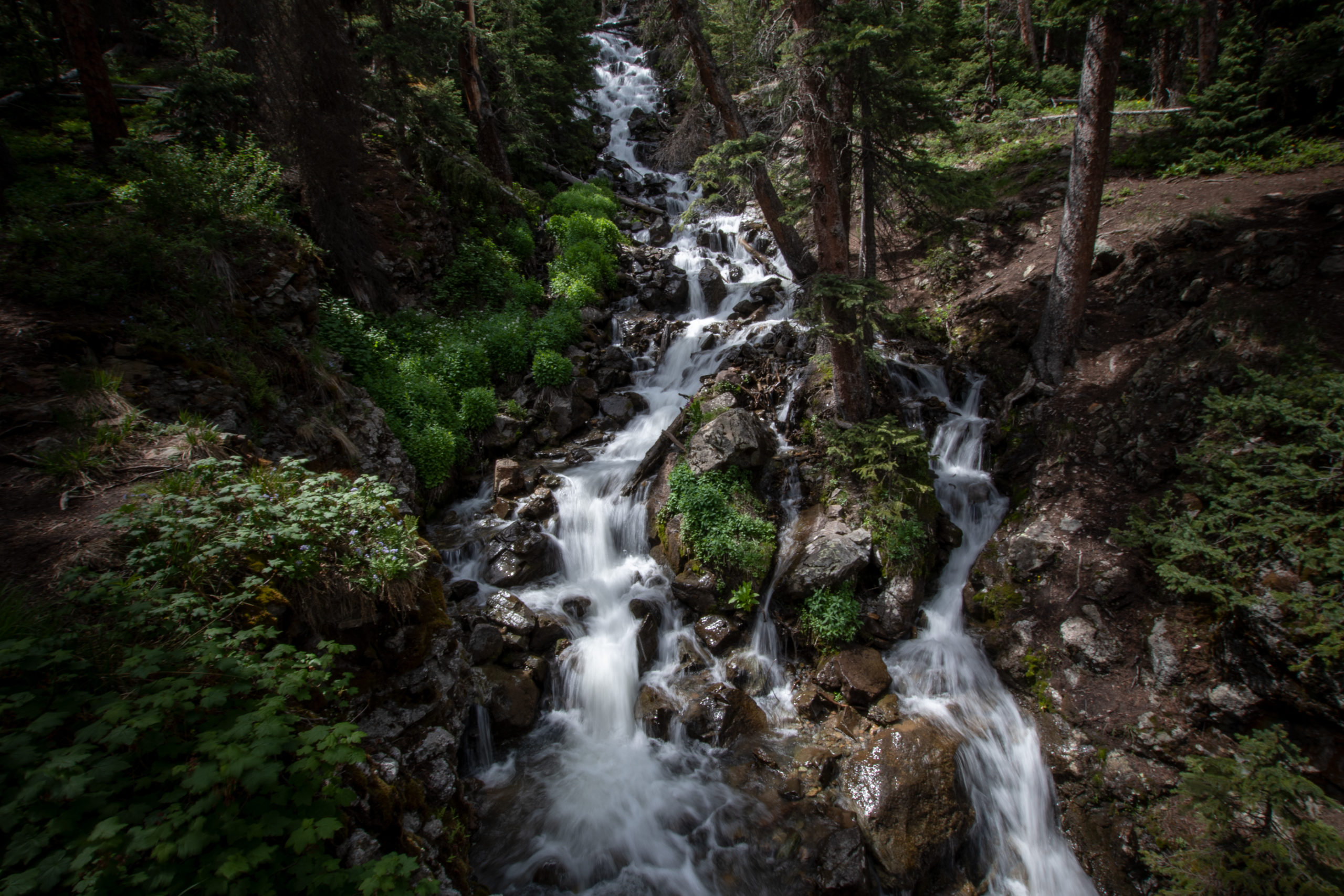
After a big day of driving, I decided I should wear out my feet a bit. Continuing my diagonal trek across Colorado, I found a hike along a crest atop Grand Mesa. The mesa is the largest flat-topped mountain in the world with an area of about 500 square miles, with an elevation of about 11,000 feet. The road over it, State Highway 65, is a scenic byway. Crag Crest trail caught my eye.
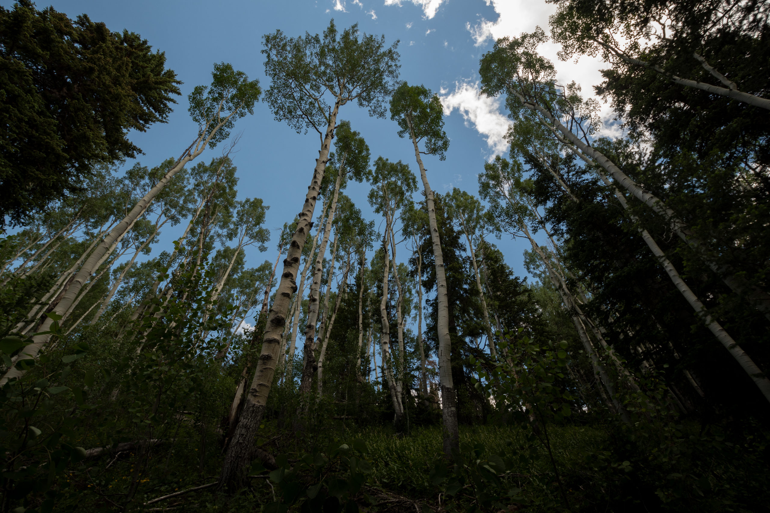
The Crag Crest rises from 10,150 feet at Eggleston Lake to 11,189 feet along the crest. At the lower elevations, the trail passes through stands of Englemann spruce, subalpine fir and open meadows. Quaking aspen, with leaves which are light green in the summer and brilliant yellow in the fall, grows among the dark green conifers. […] To the northwest, the Book and Roan Cliffs appear as multicolored cliffs and slopes. The highest point on the Grand Mesa is Leon Peak, [visible to] the east. This 11,326-foot peak was once used as a fire lookout.
I decided to do the loop “backwards” — if there is such a standard — because I thought saving the ridge for last would be 1) great, and 2) a good motivator to make it up the incline to the ridge which seems to happen all at once. That worked well.
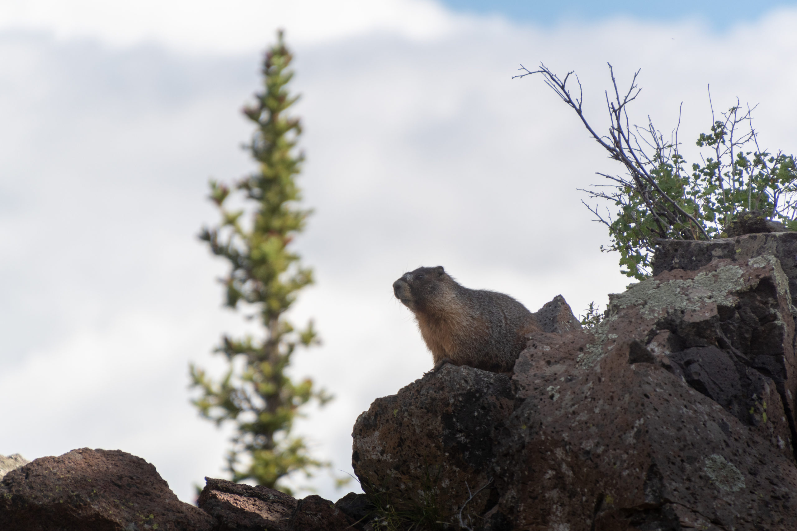
And on the way back down, fellow Zelda Breath of the Wild enthusiasts will recognize an obvious korok seed:
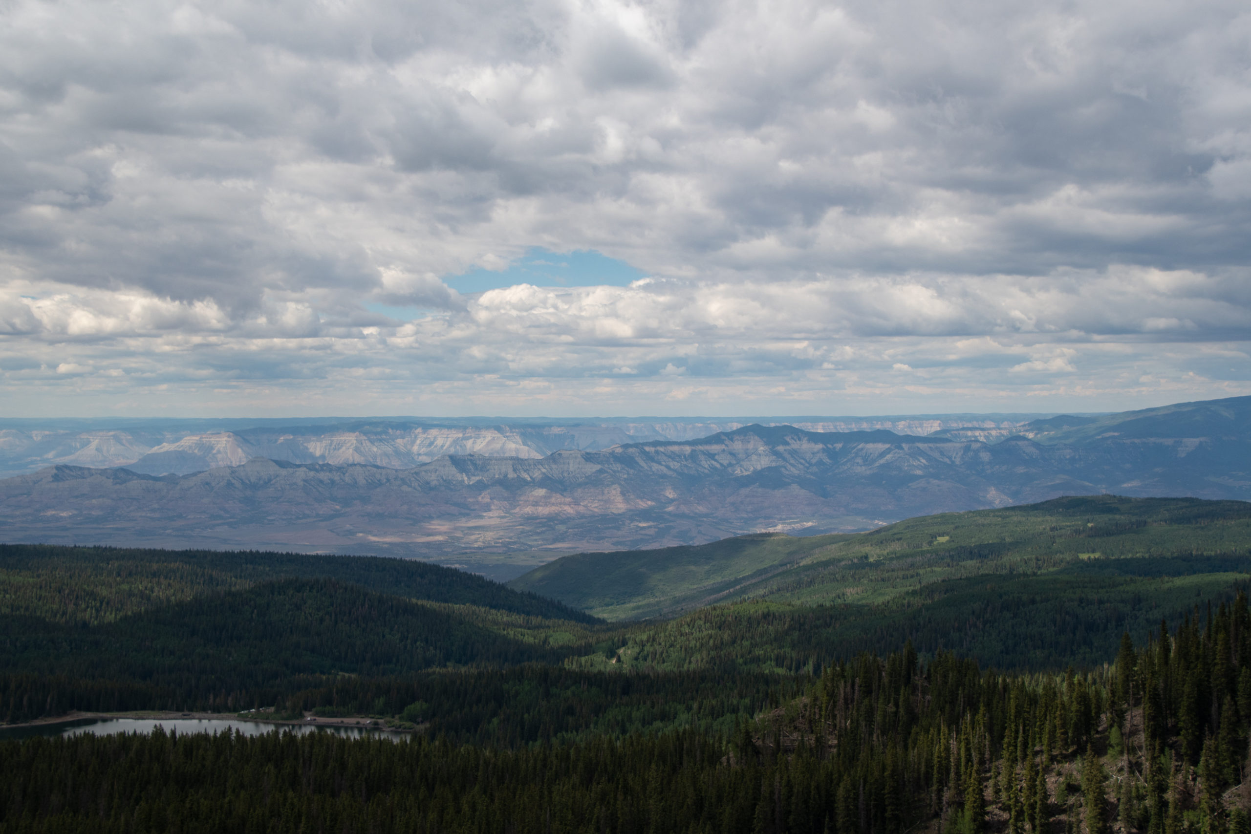
On the way back down into my overnight in Rifle, CO, I there was a fairly abrupt change from what I recognize as Colorado mountains to the plateaus and rocky canyons that I’ve long associated with the deserts of the southwest.
This took me east on I-70 just a bit, to discover that it is closed for the second time this week because of another massive mudslide in Glenwood Springs. The fire last summer — which is why I didn’t venture to Colorado on the Coronaroadtrip — stripped the landscape of all the retaining greenery that keeps the mountains off of the roadway. Thankfully I was able to stop short of that, and had booked my motel room before the slide sent the rest of the world to Rifle, too.
Never seen a deer run up a cliff face like that before.
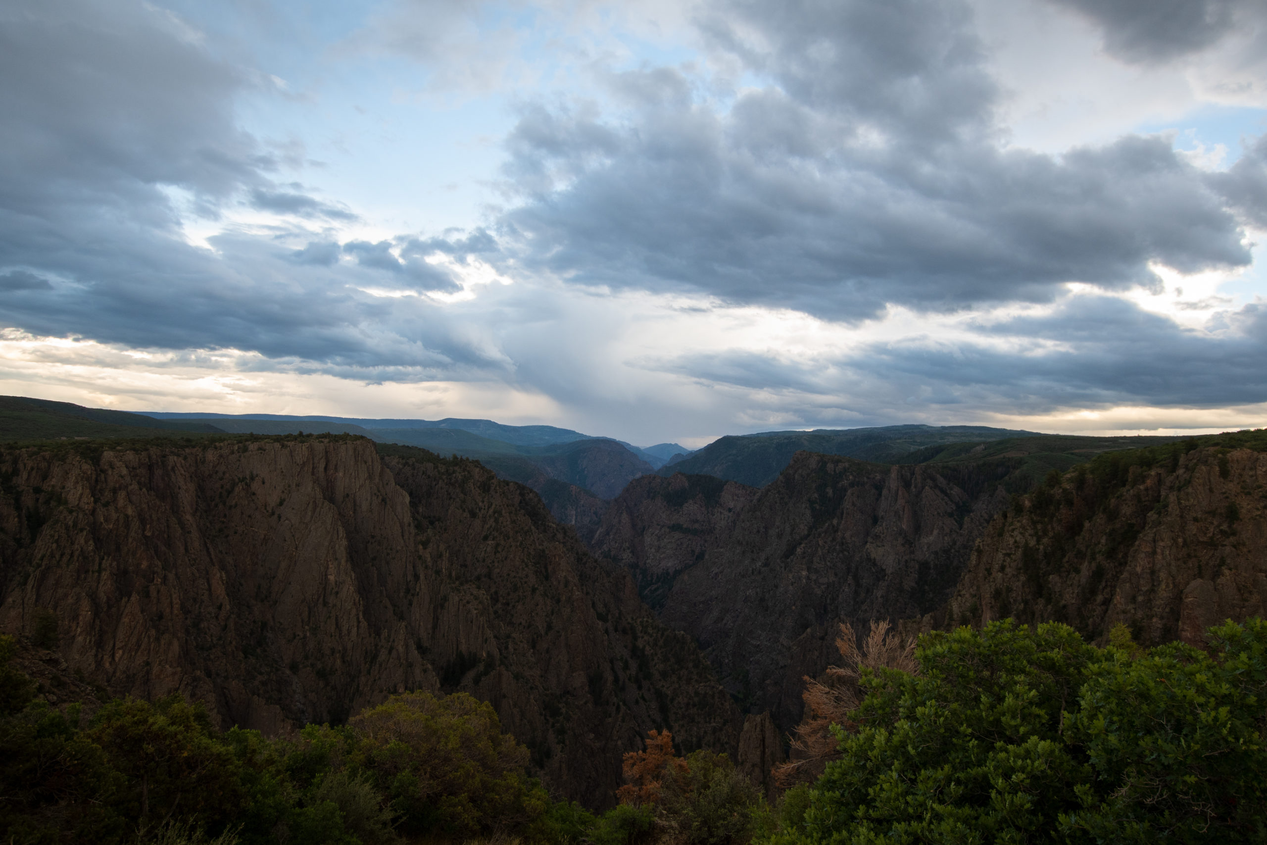
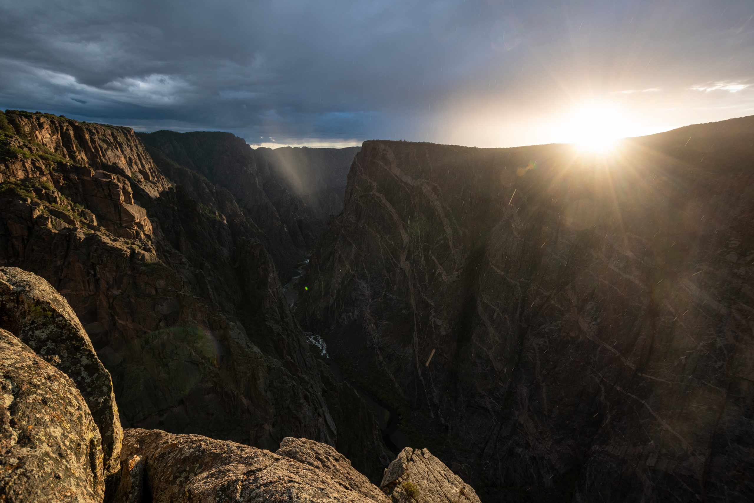
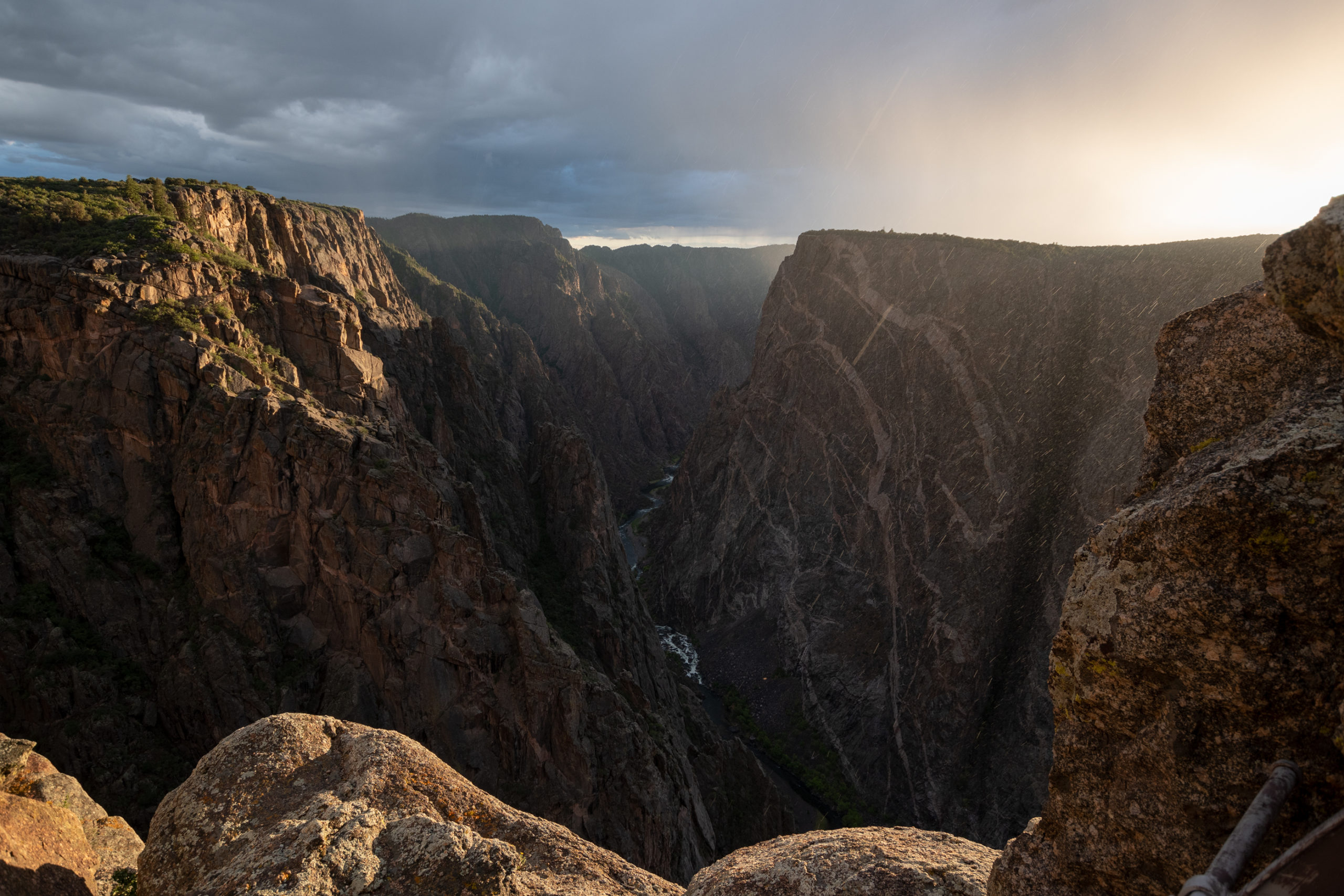
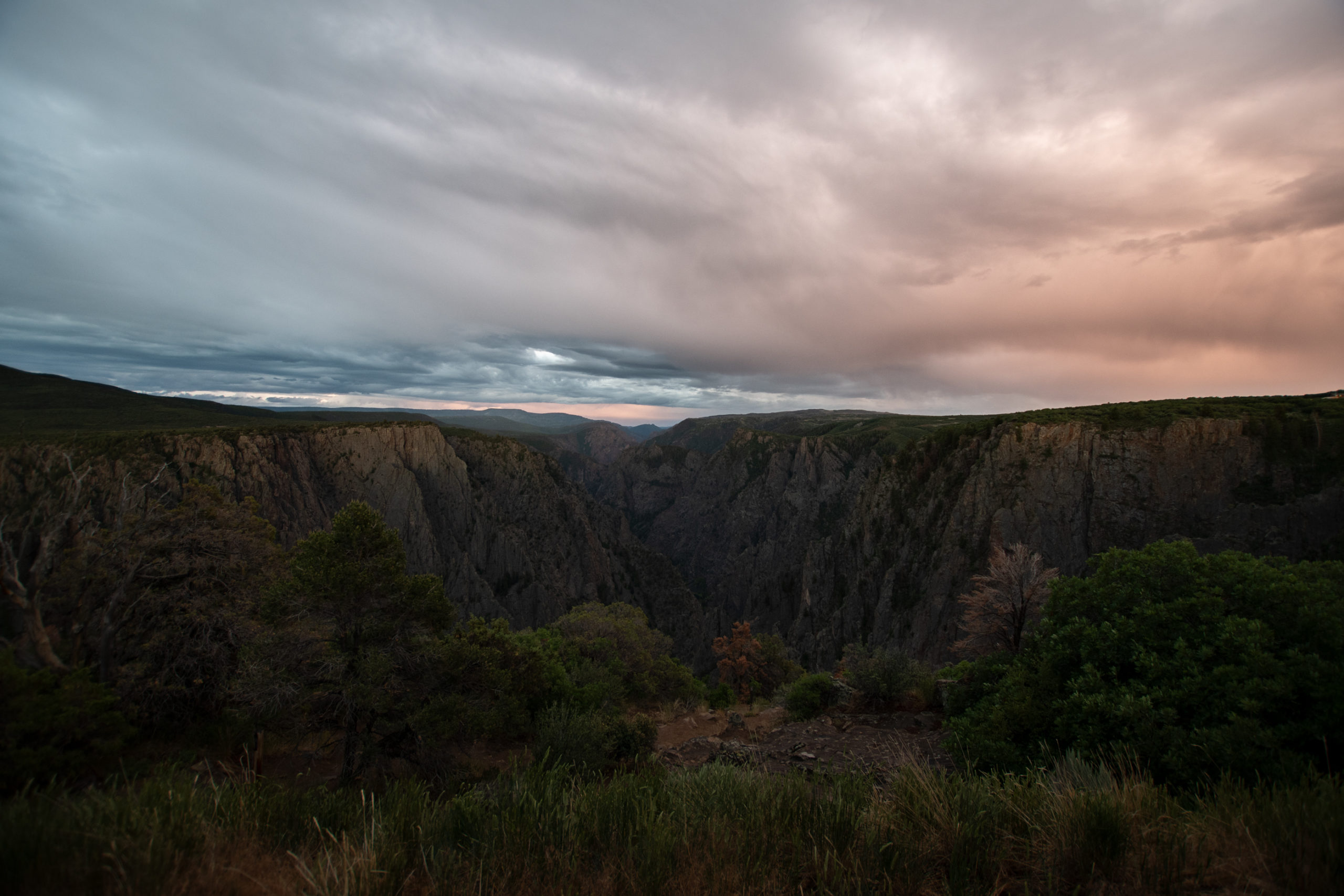
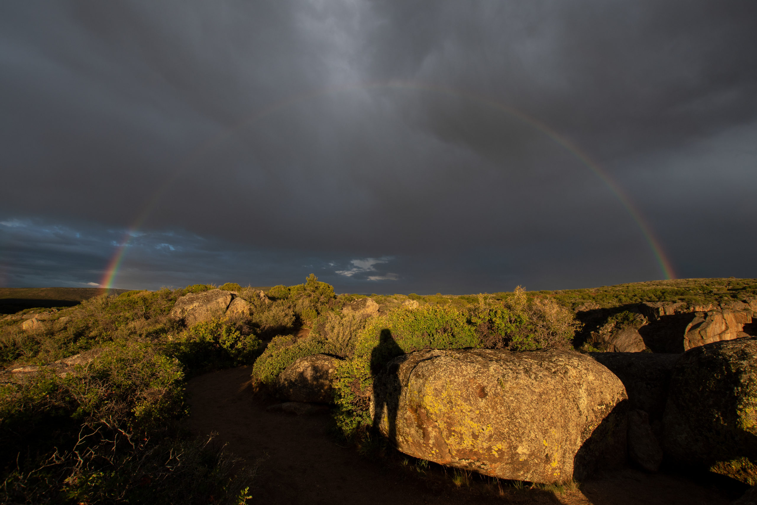
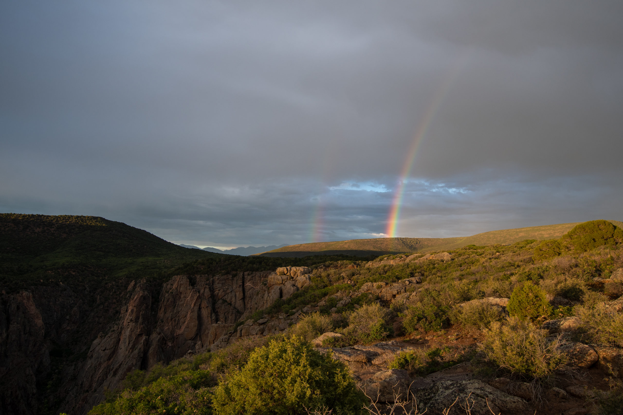
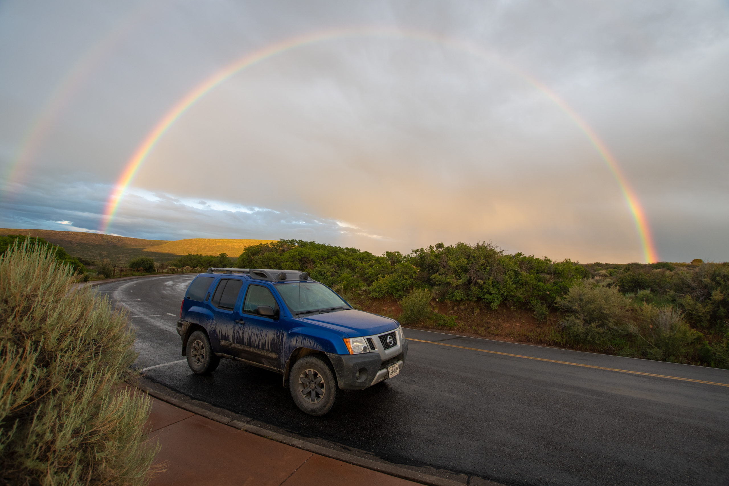
After spending far longer than originally intended getting from Monte Vista to Montrose, I made haste for a quick sunset stop in Black Canyon of the Gunnison National Park. It was still raining, but these mountain showers seemed so intermittent, I just hoped it’d work out.
That was fairly perfect timing. Something that photos of this place don’t seem to capture well is the depth of this canyon — it is not wide but it is 1700 to 2700 feet deep through the park. The river itself drops 95 feet per mile in this canyon.
And as the rains lifted at sunset, I looked behind me and found something stunning.
Lol… sorry I had to.
Hereto was unfolded view after view of the most wonderful, the most thrilling of rock exposures, one vanishing from view only to be replaced by another still more imposing. A view which could easily be made into a Scottish Feudal Castle would be followed by another suggesting the wildest parts of imposing height and majestic propotions.
H.C. Wright, member of the 1882 Byron Bryant railroad survey. (Or so a placard at the overlook explained to me. 🙃)
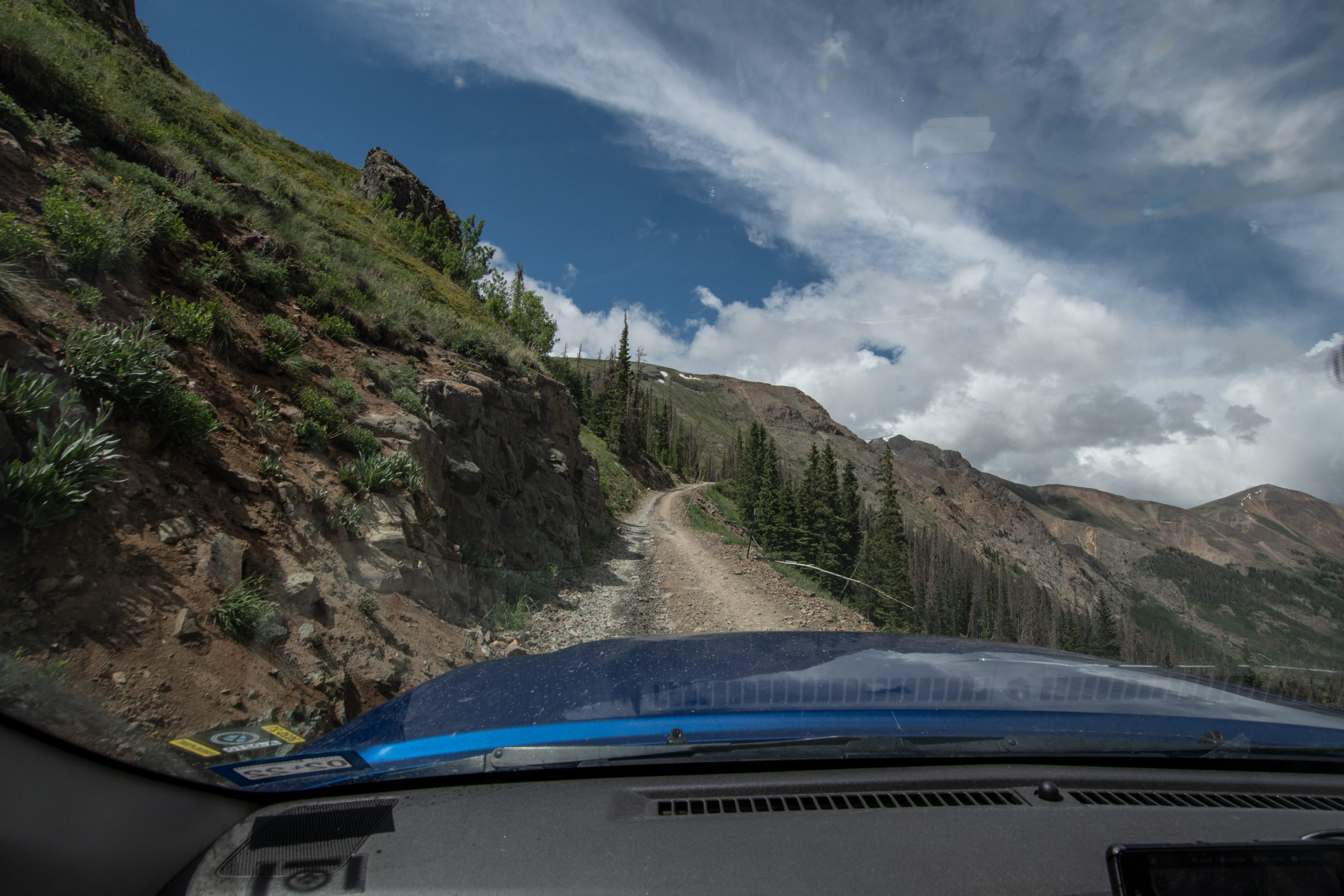
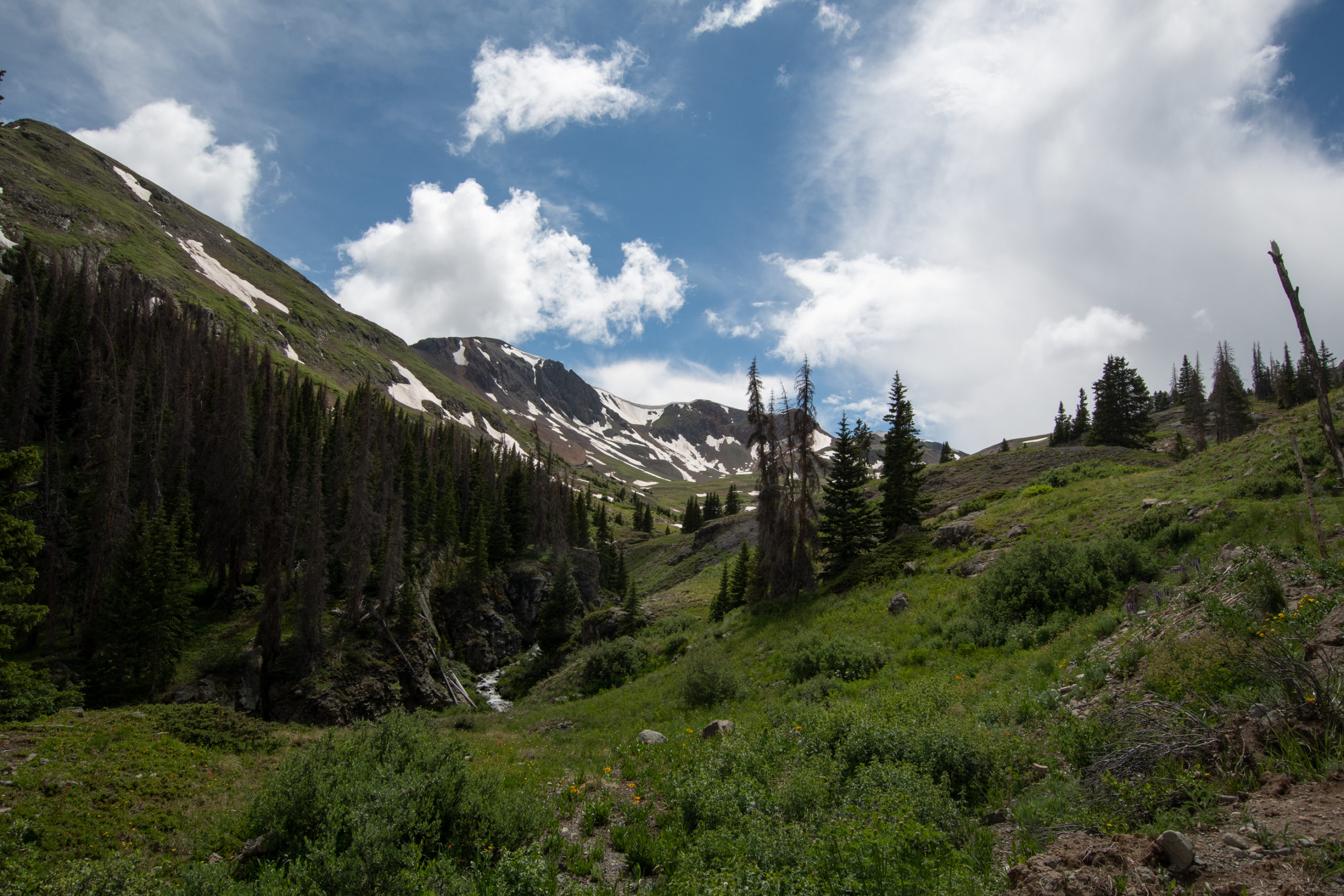
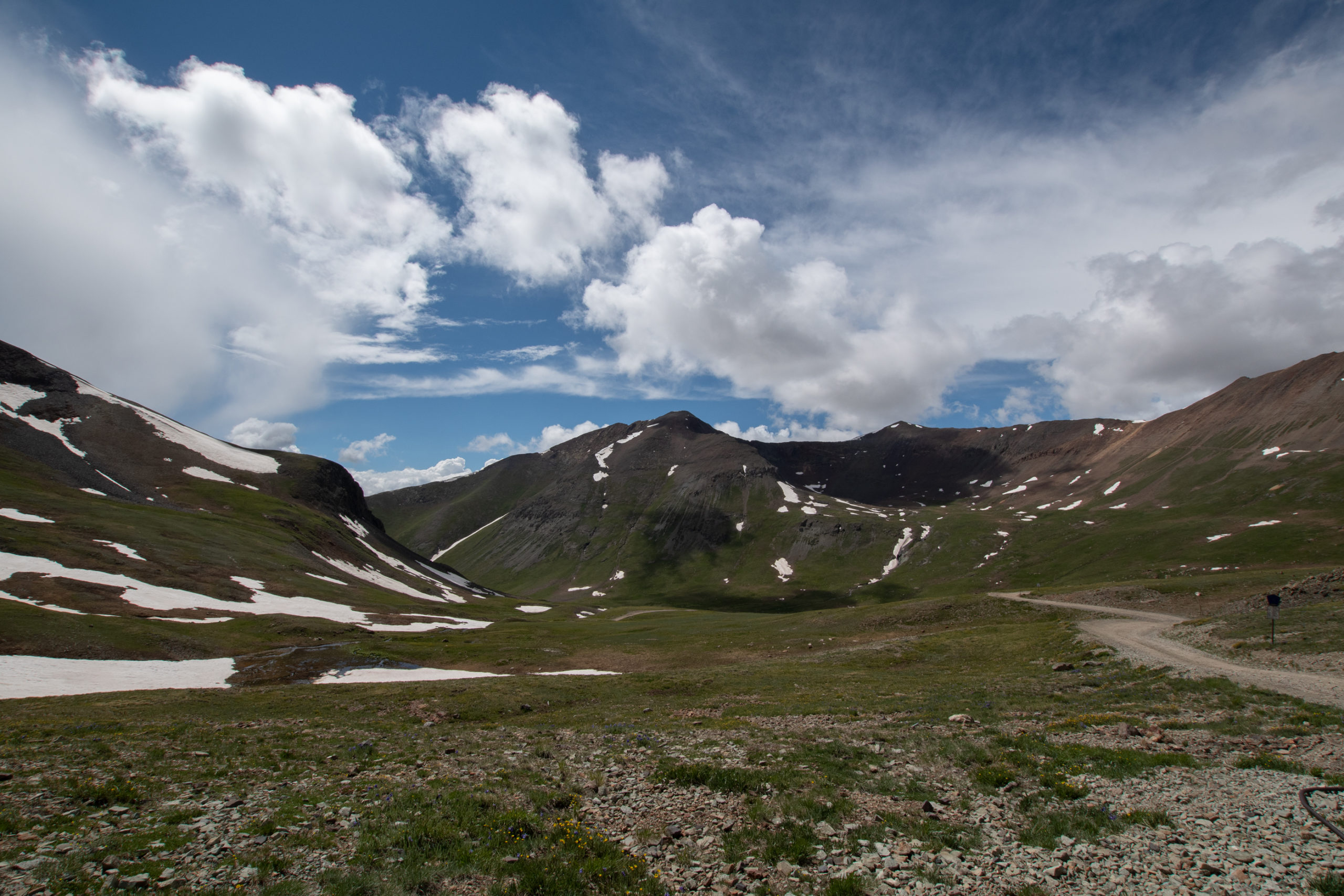
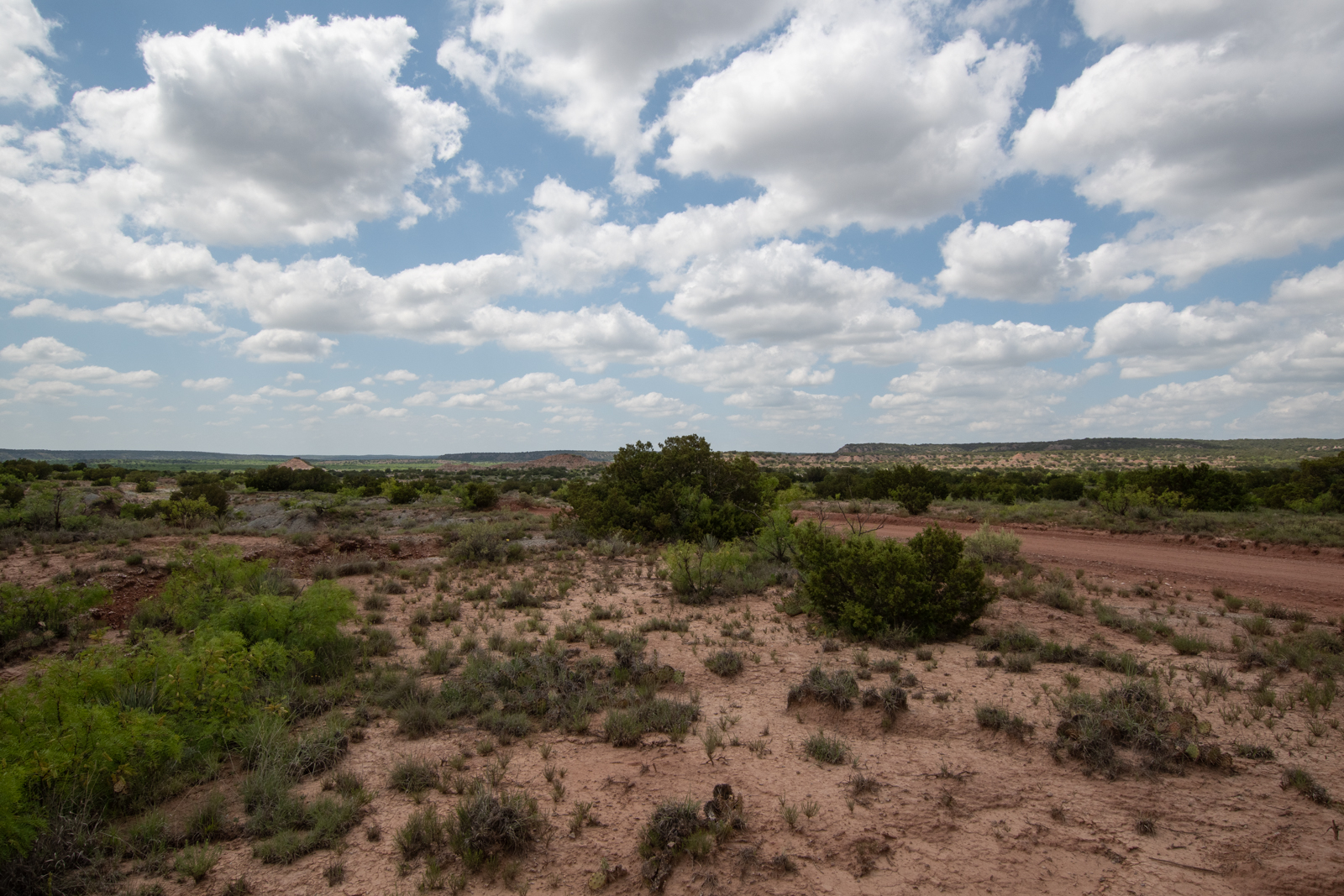
Turns out that Monte Vista is a lot further from the start of my offroading than I’d realized, so I spent several hours snaking my way up, what turns out, are the headwaters of the Rio Grande (like, the Texas Border river) headed to Lake City to pick up part of the infamous Alpine Loop.
Rio Grande in South Fork, CO
But did I mention how far the drive to the start line was? Beautiful though.
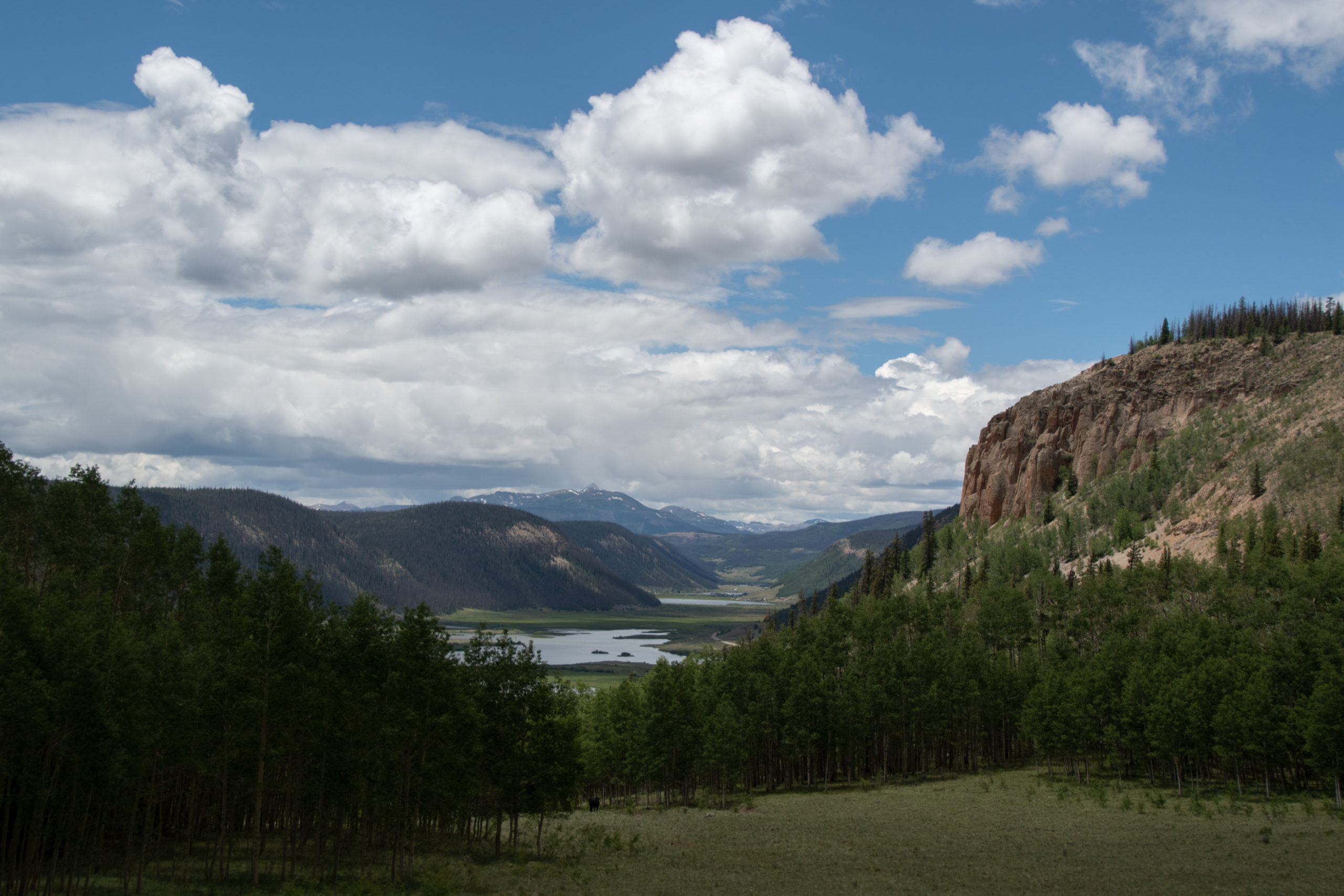
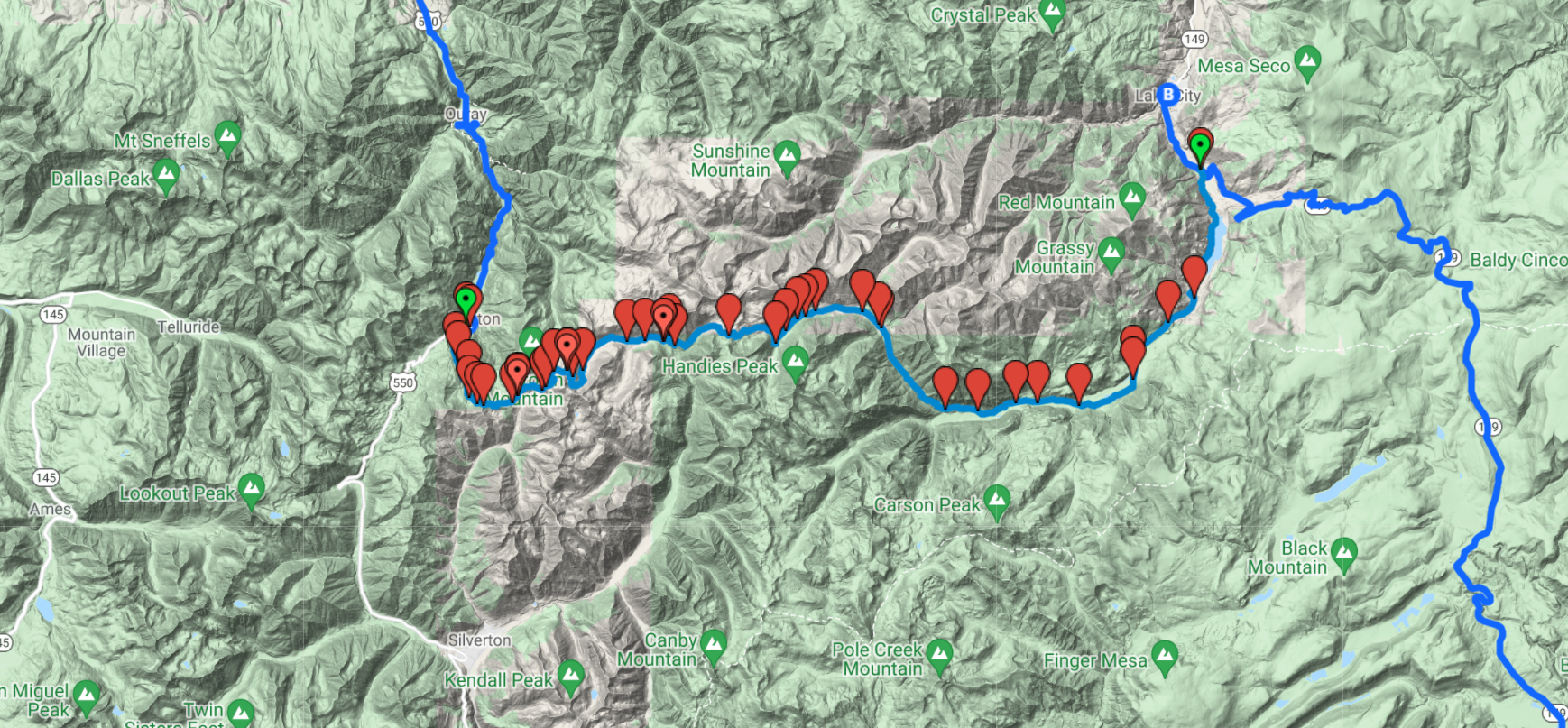
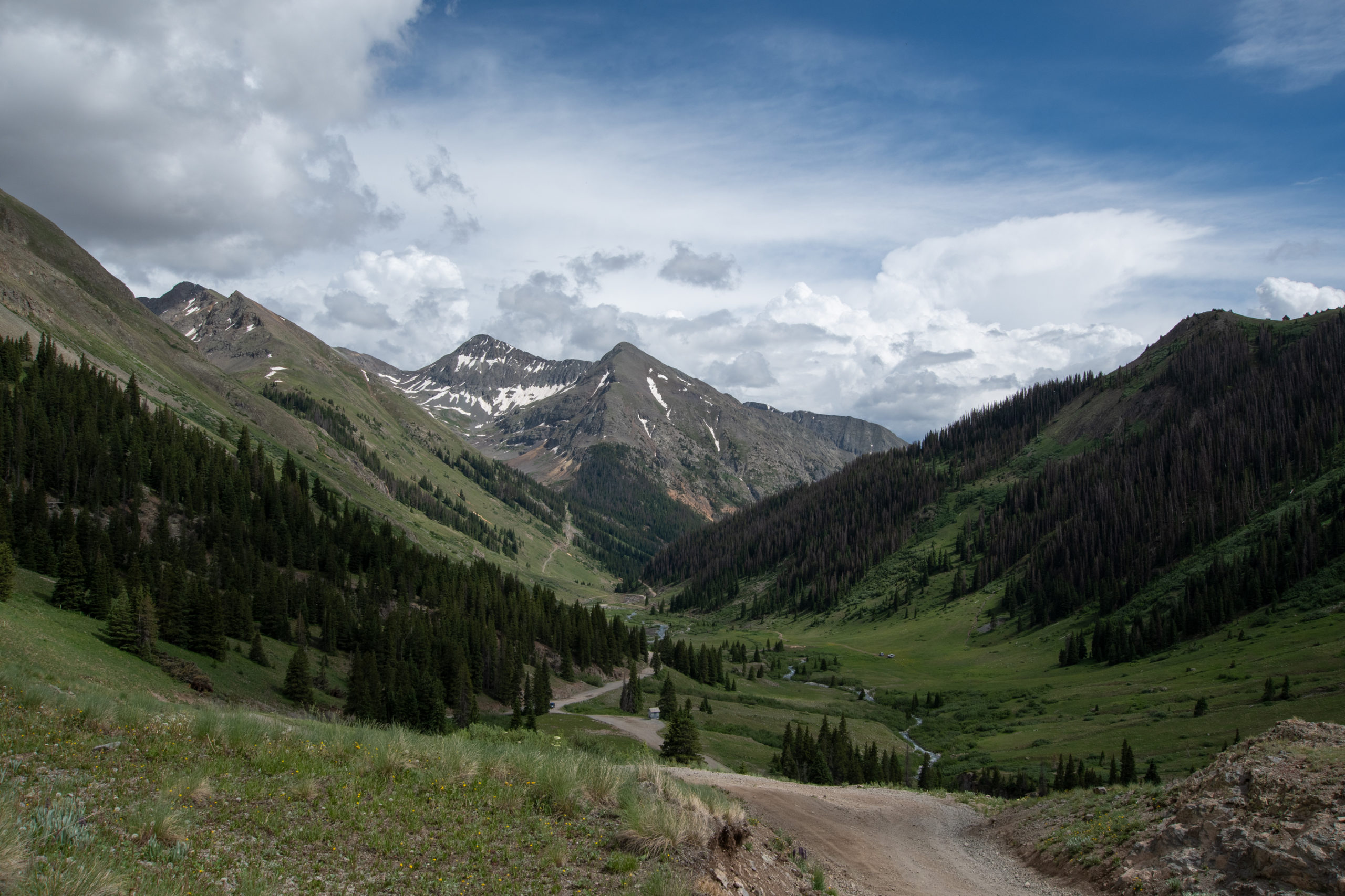
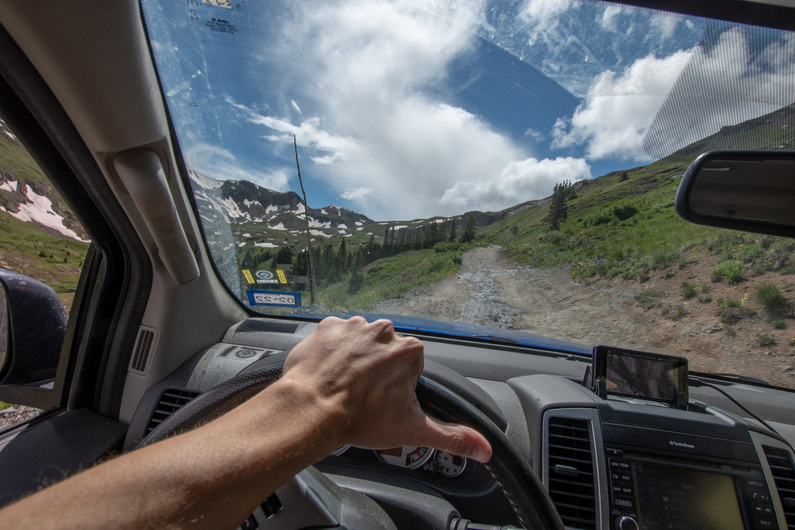
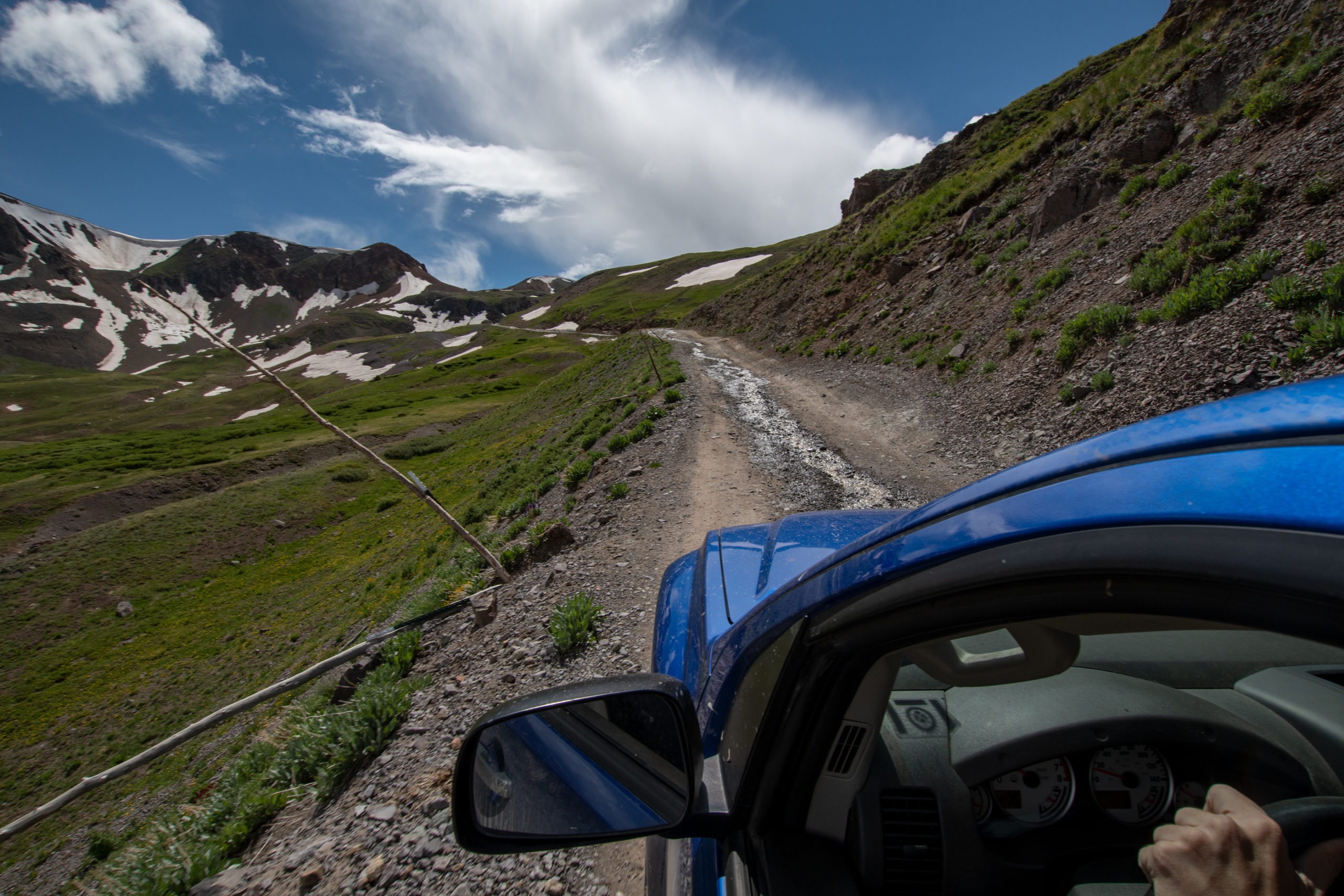
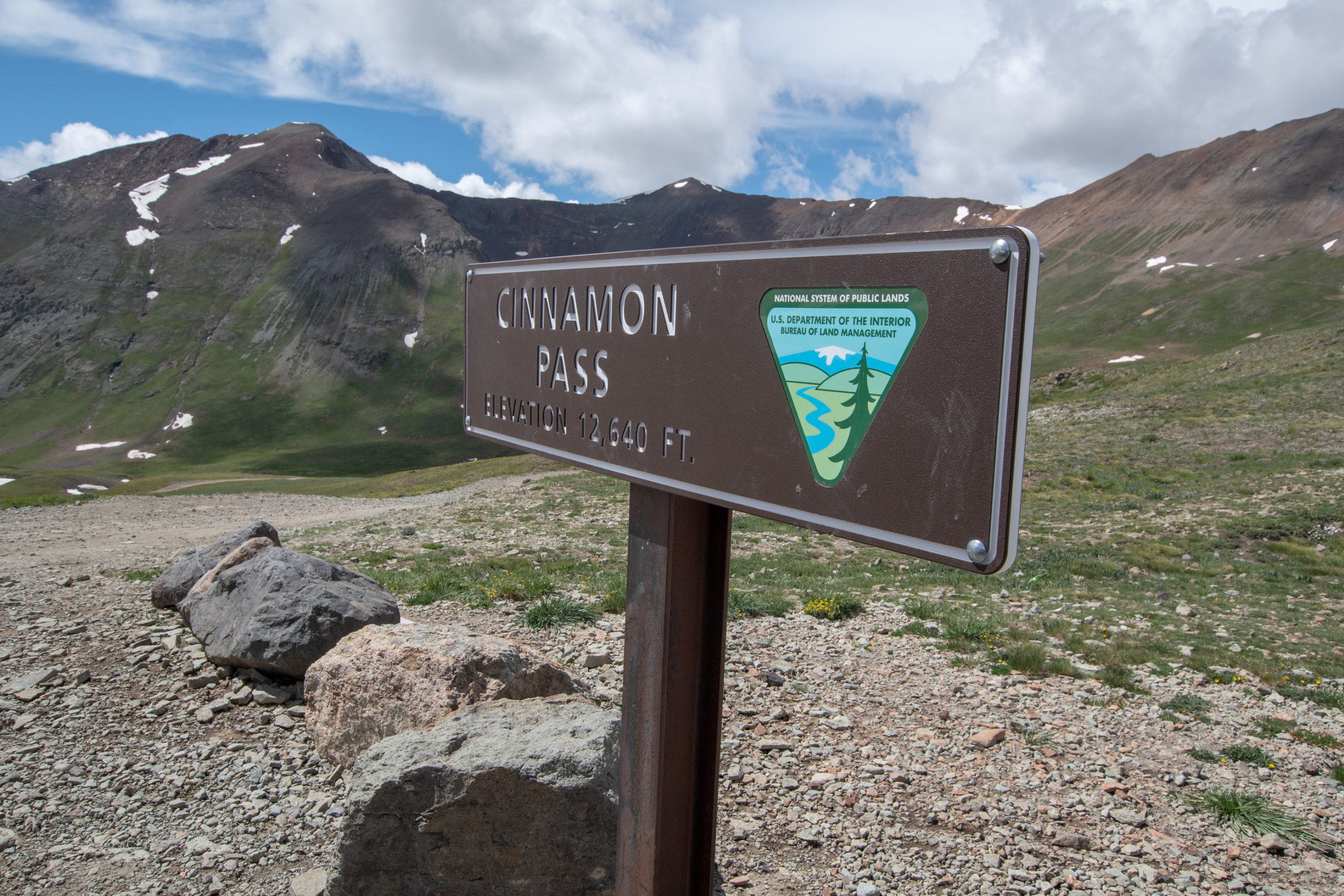
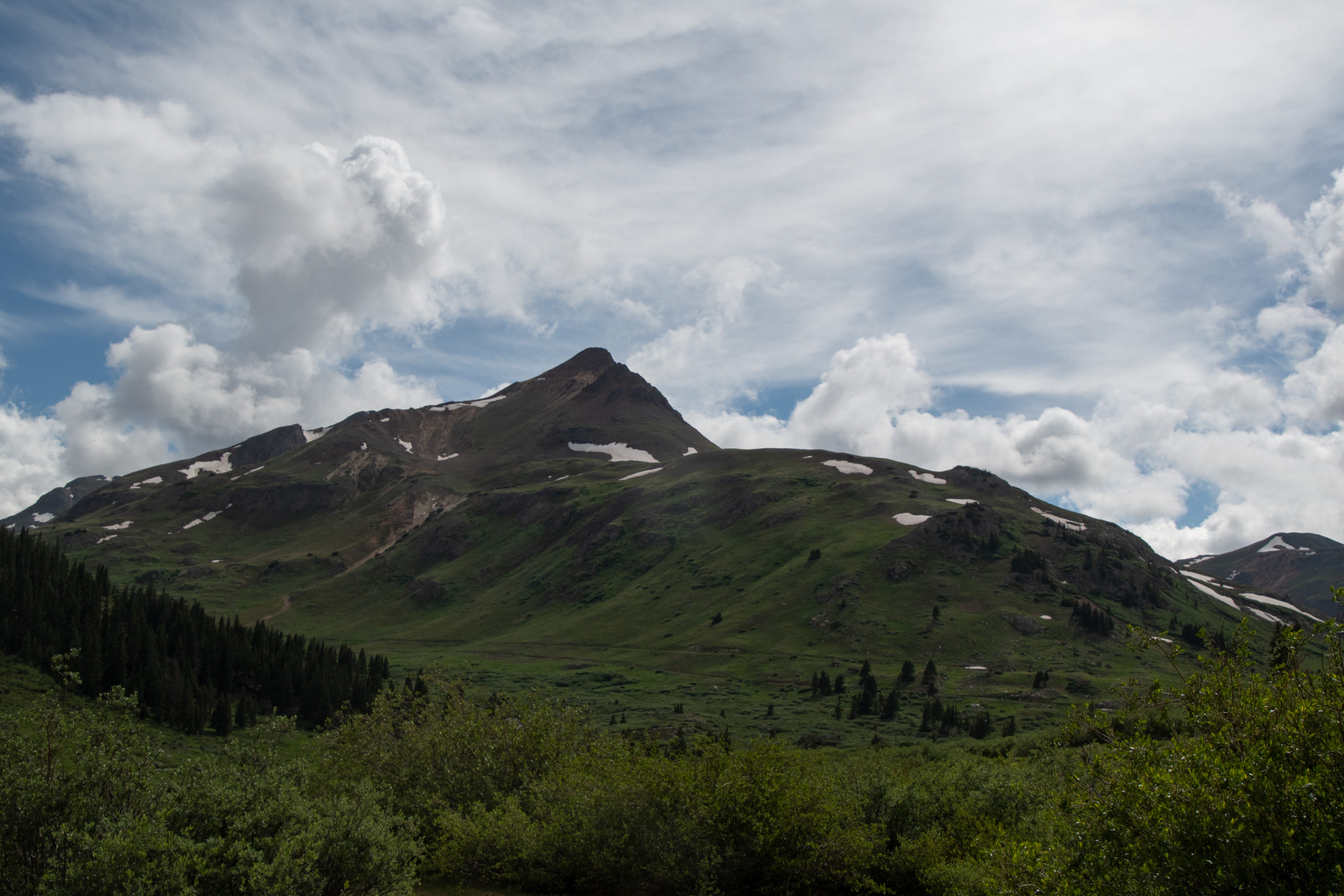
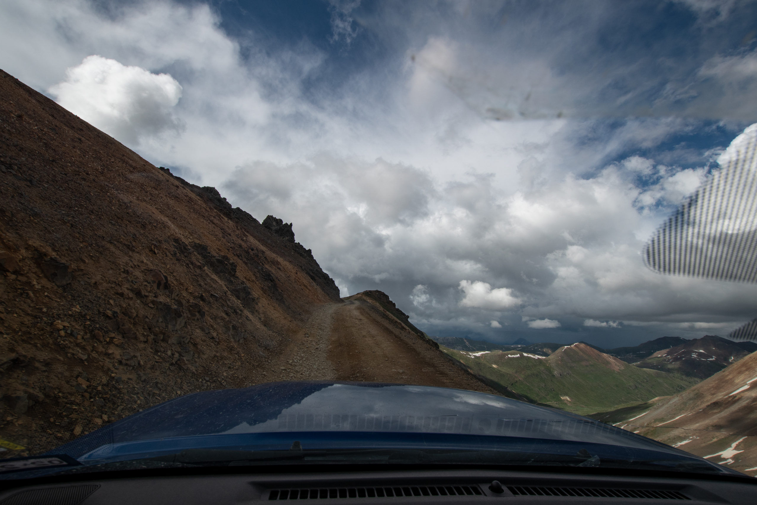
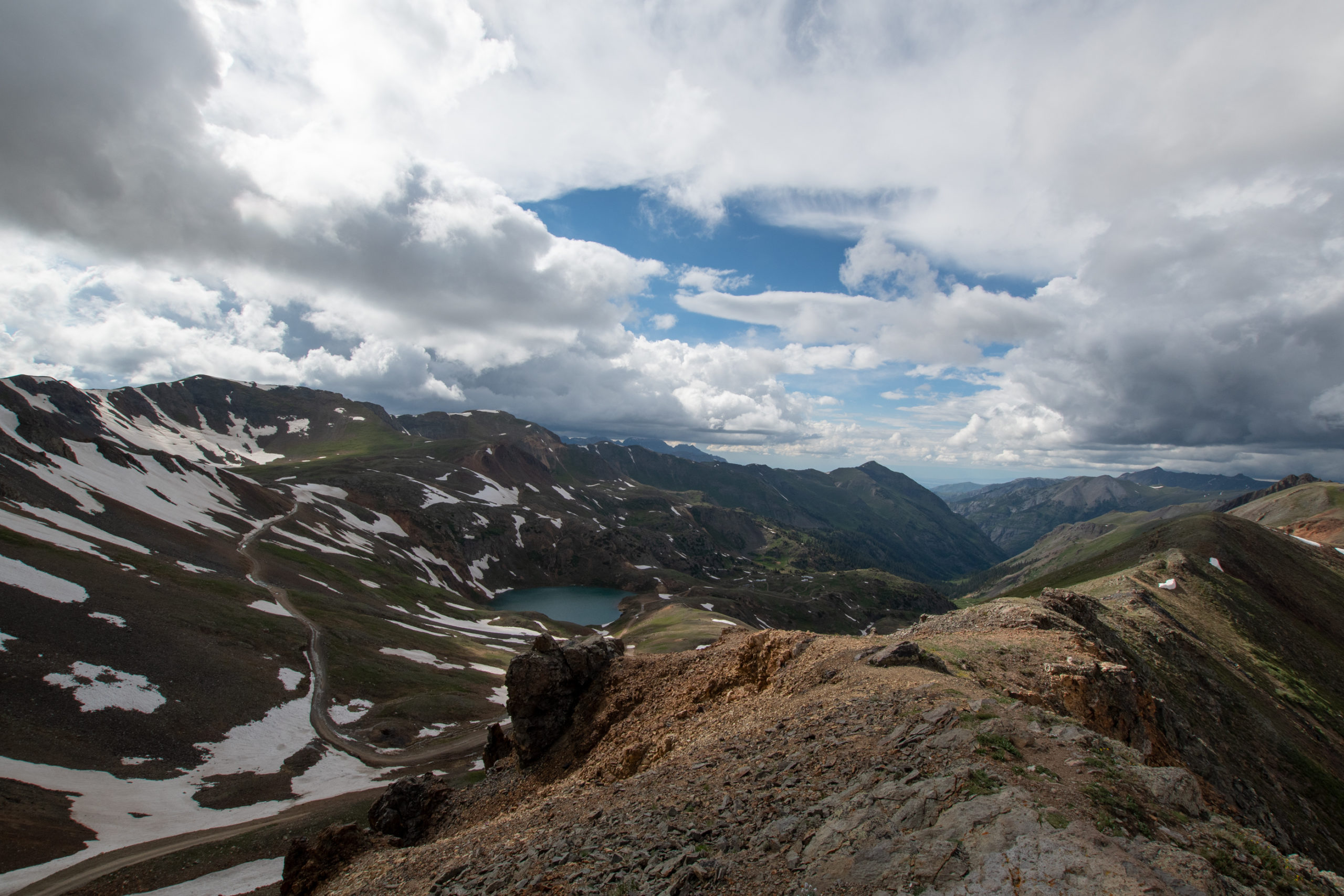
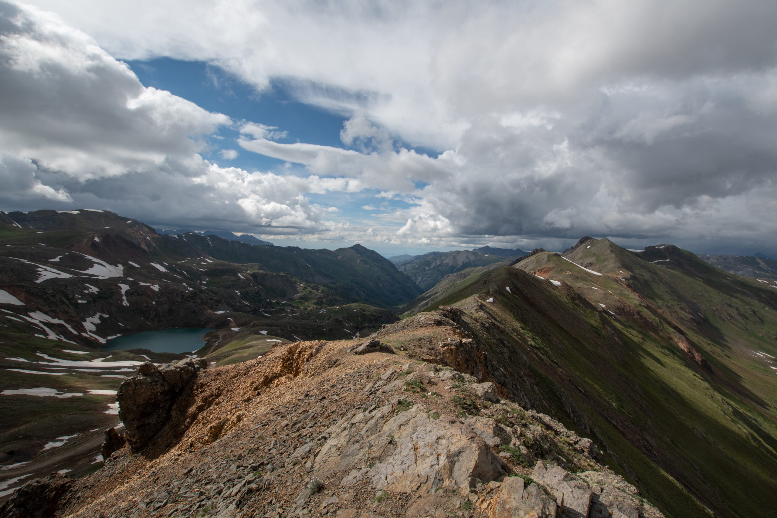
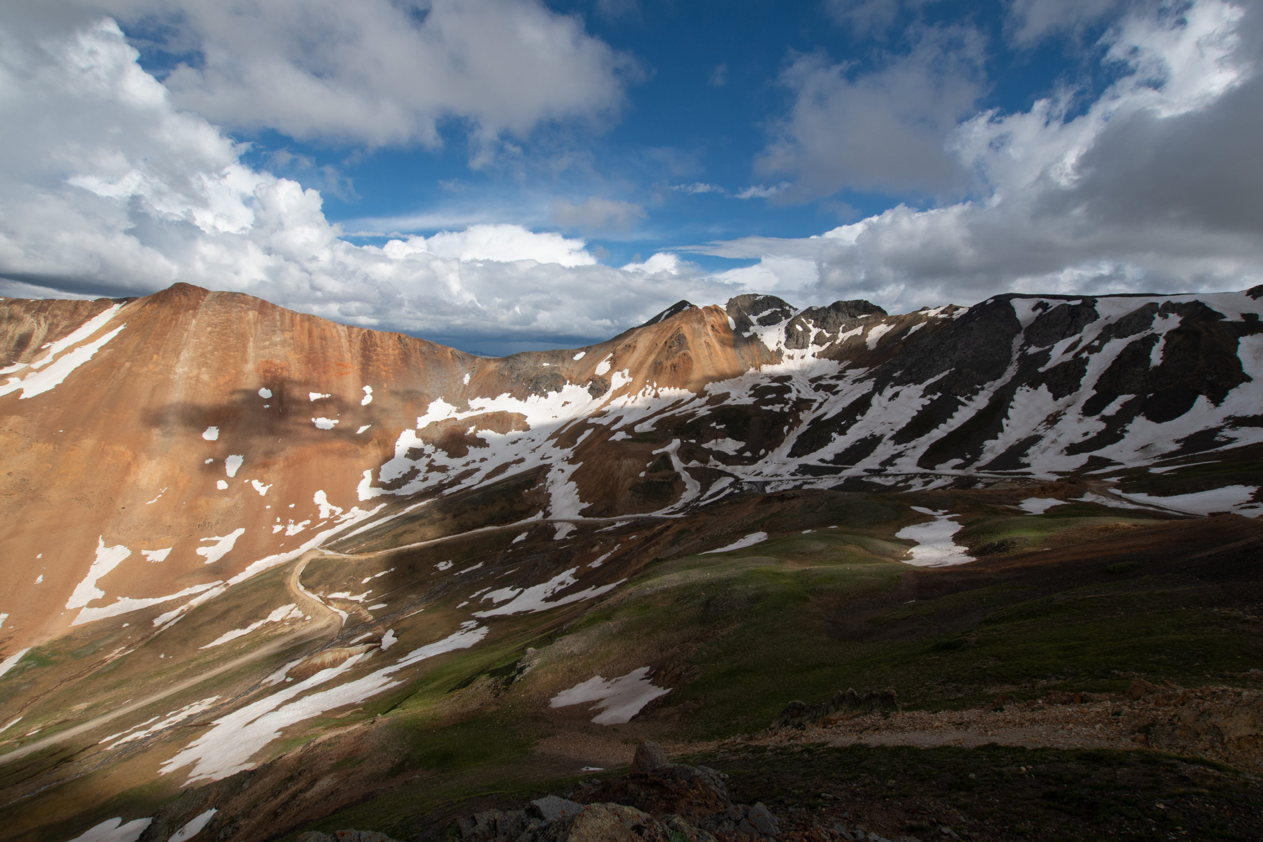
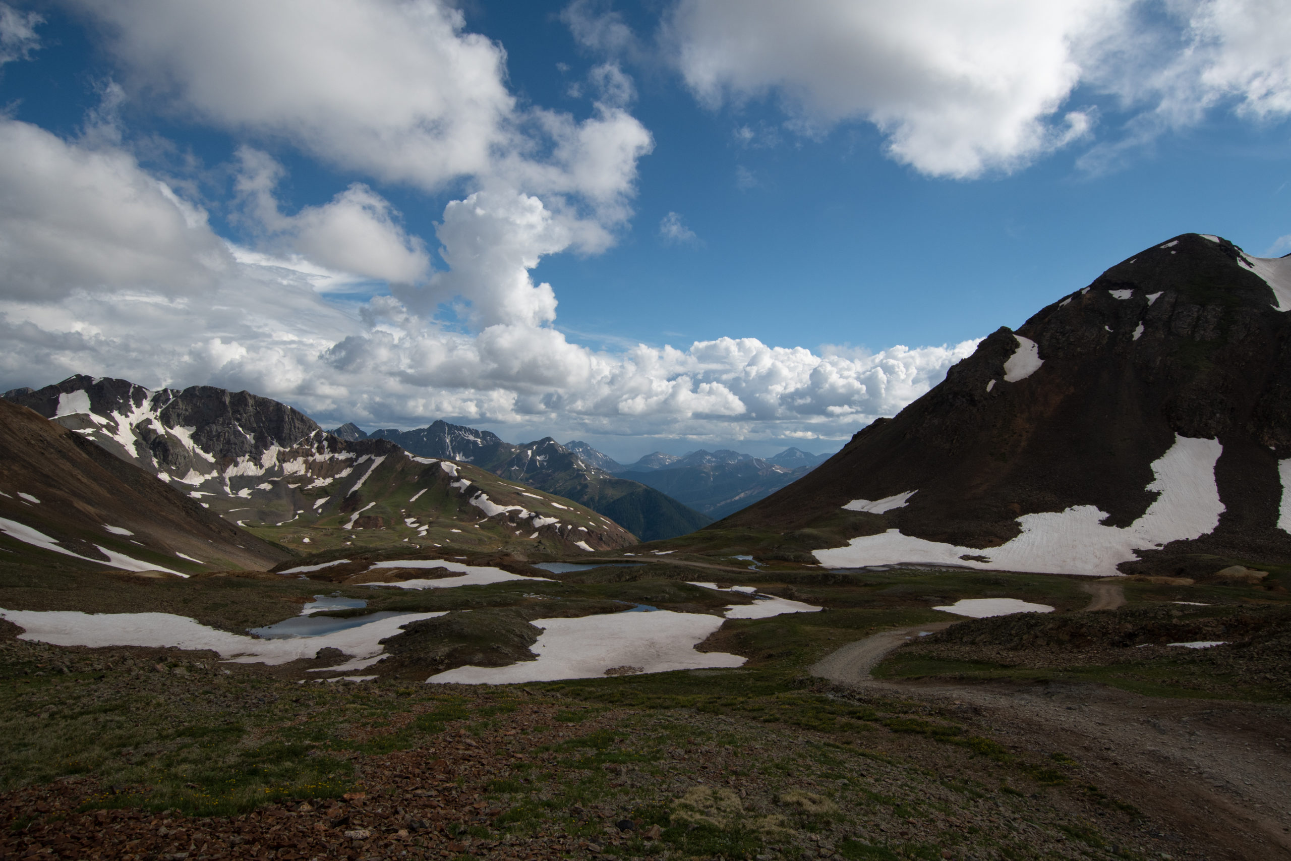
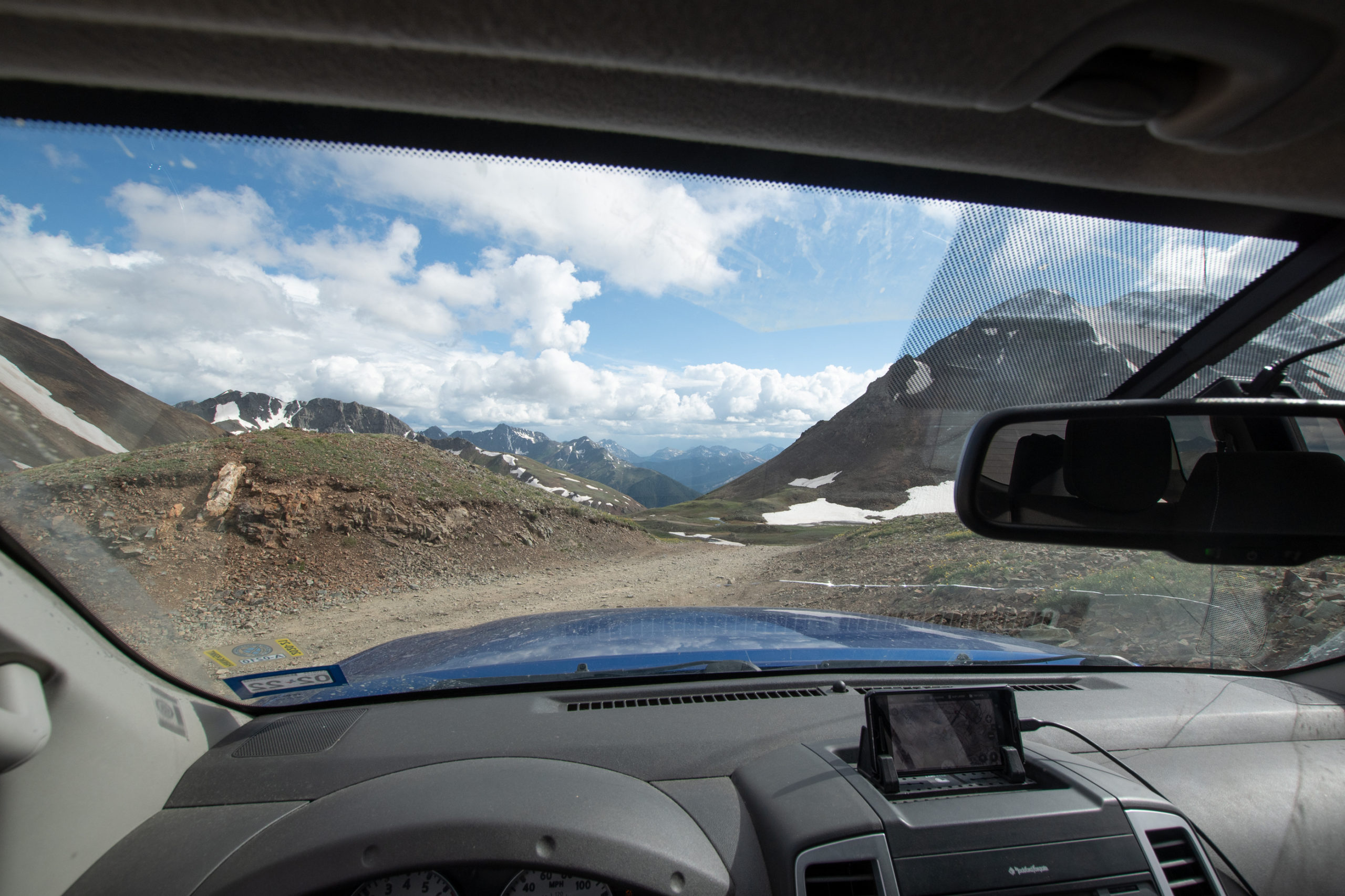
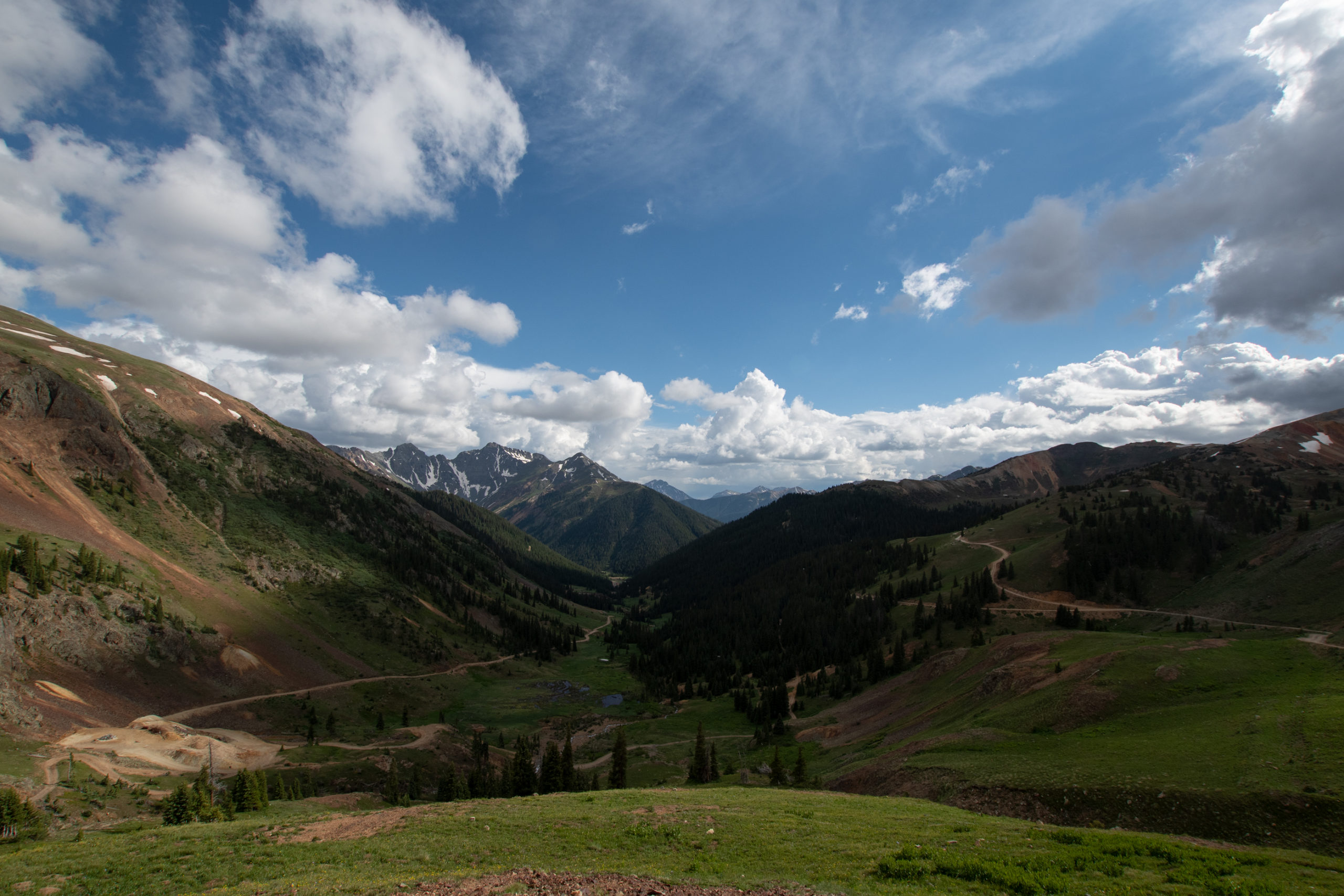
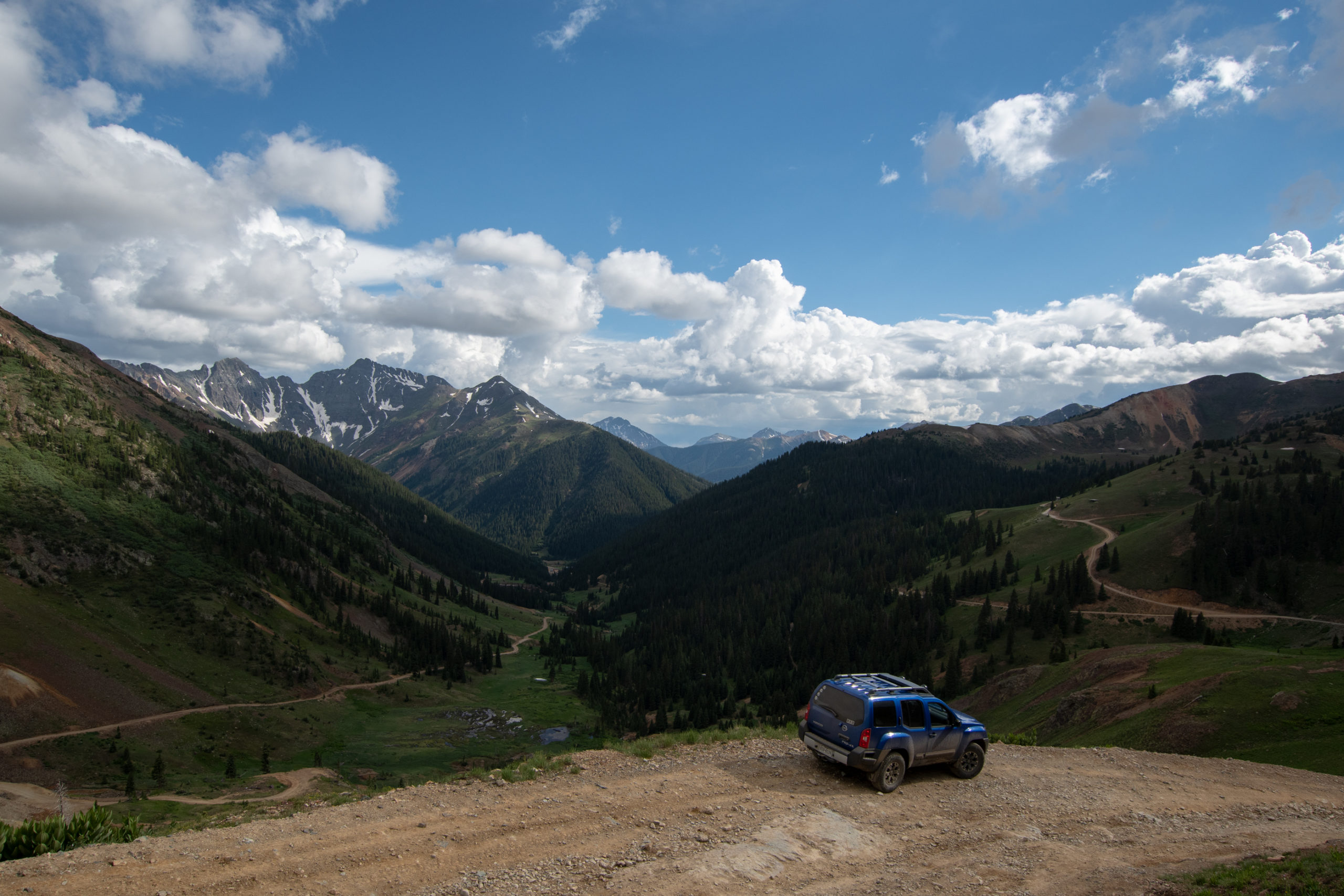
I’d planned to do part of the Alpine Loop and continue on to “The Million Dollar Highway” US-550 out the other side and up to Montrose rather than returning back to Lake City. Cinnamon Pass to California Pass to Hurricane Pass to Corkscrew Pass.
North of Silverton, CO from Lake City to Ouray.
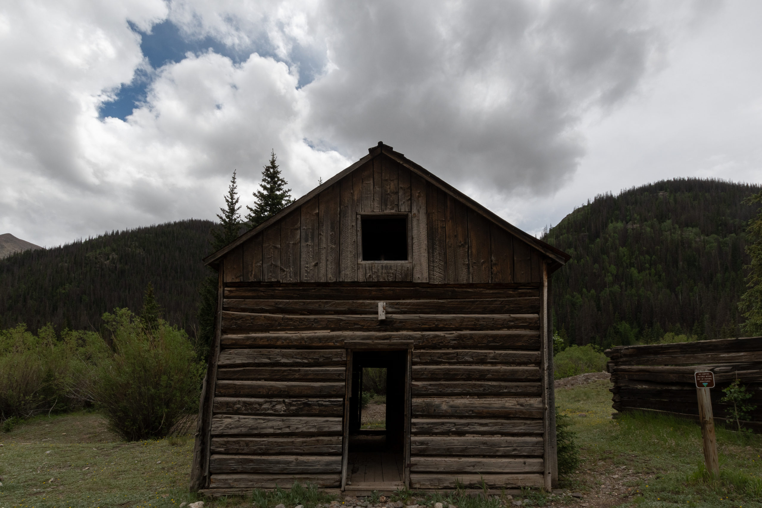
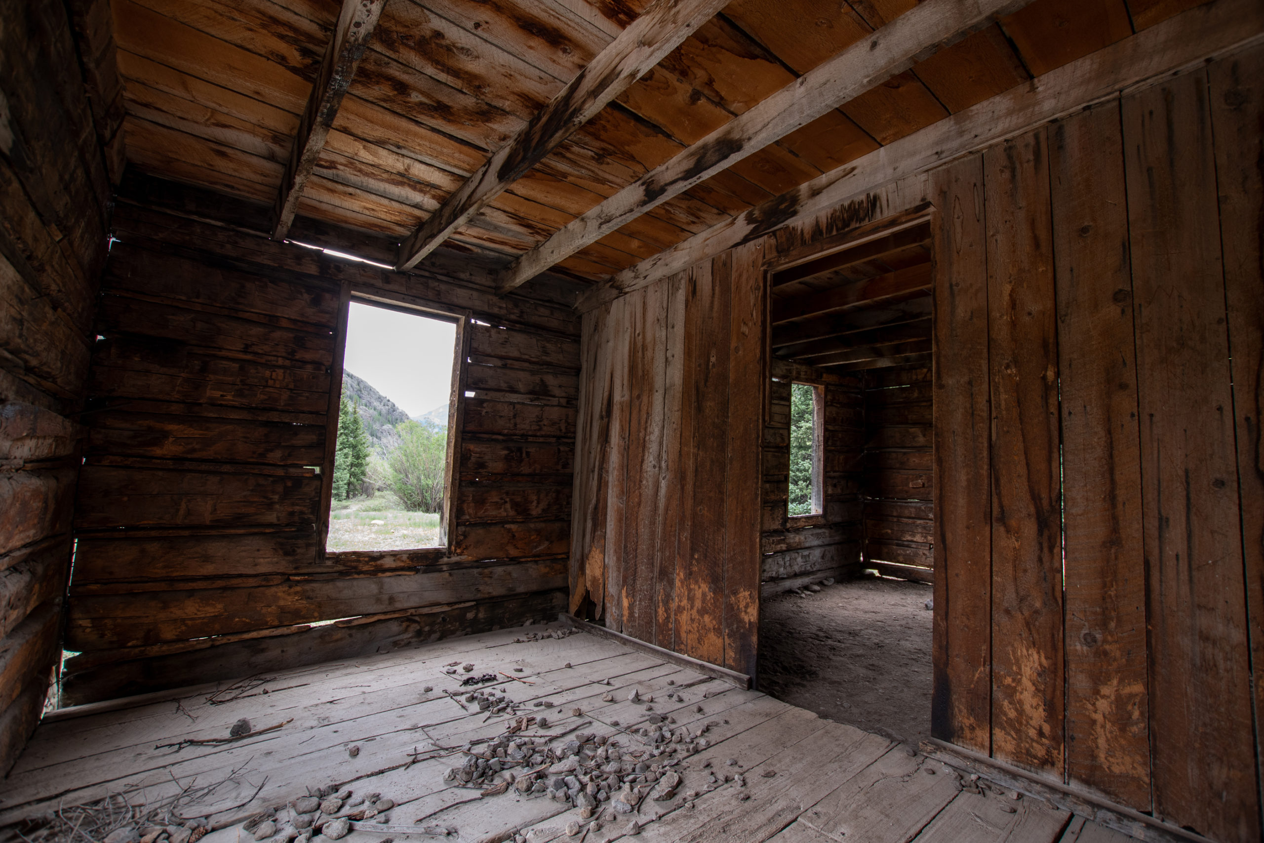
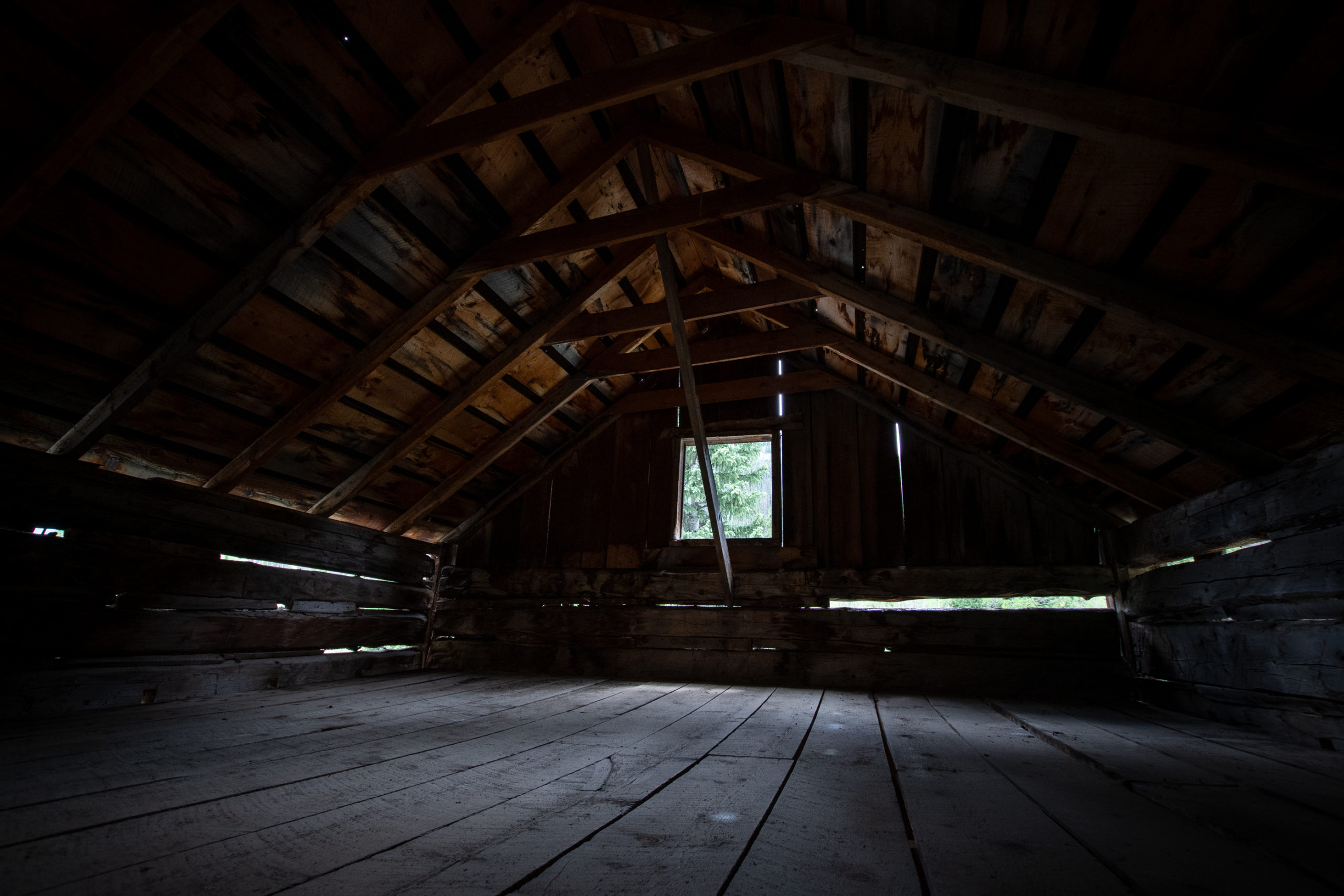
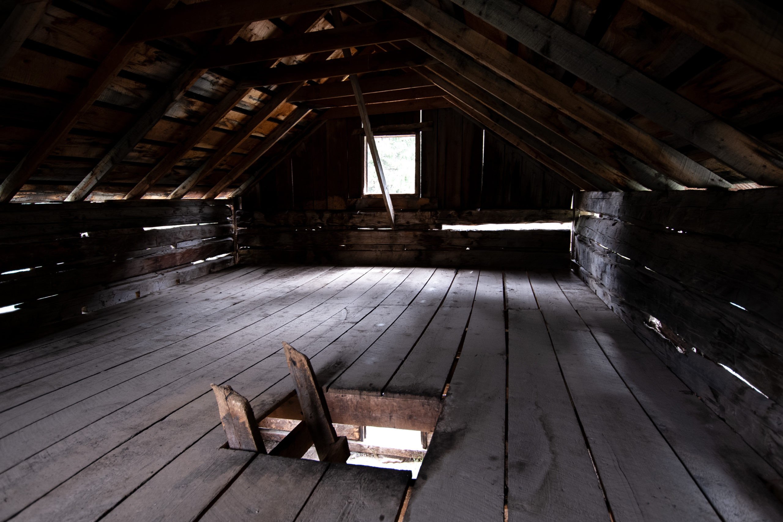
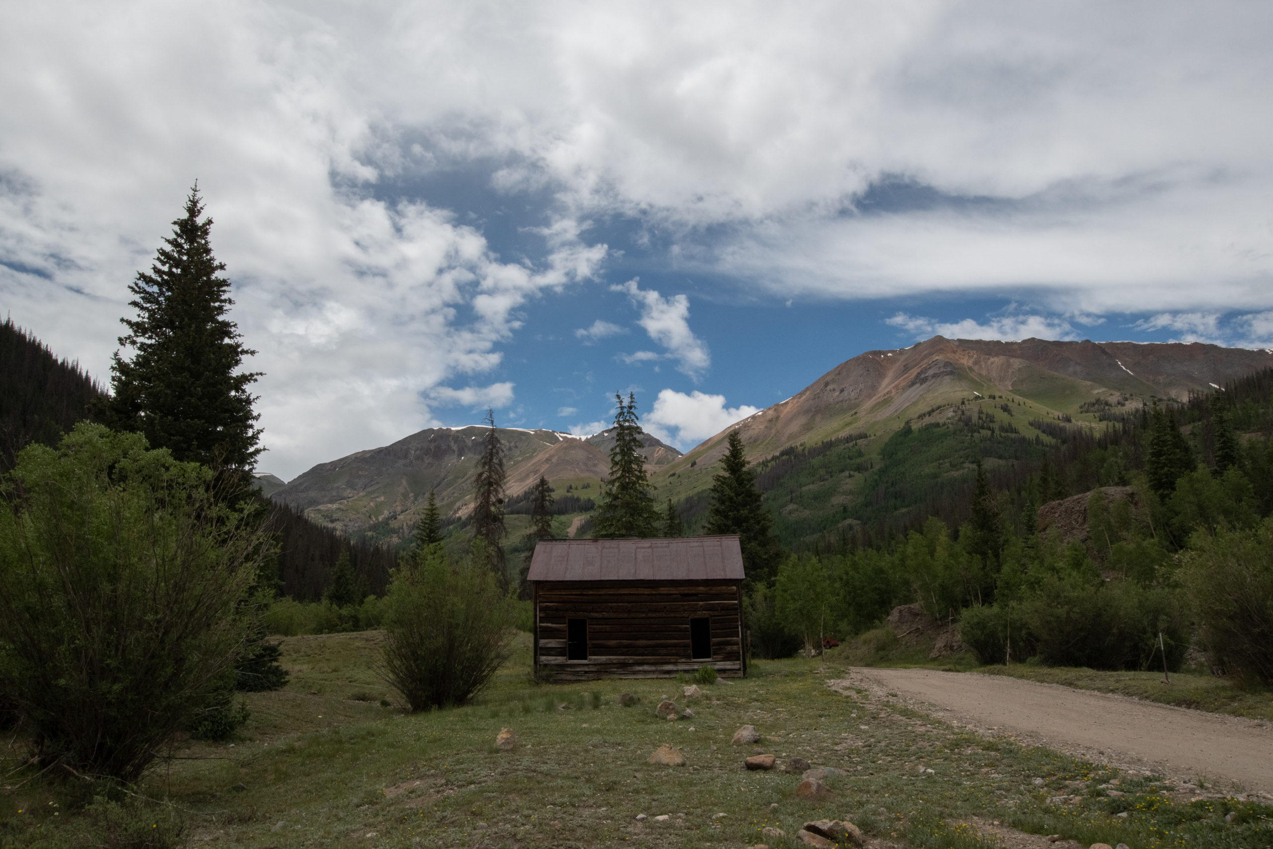
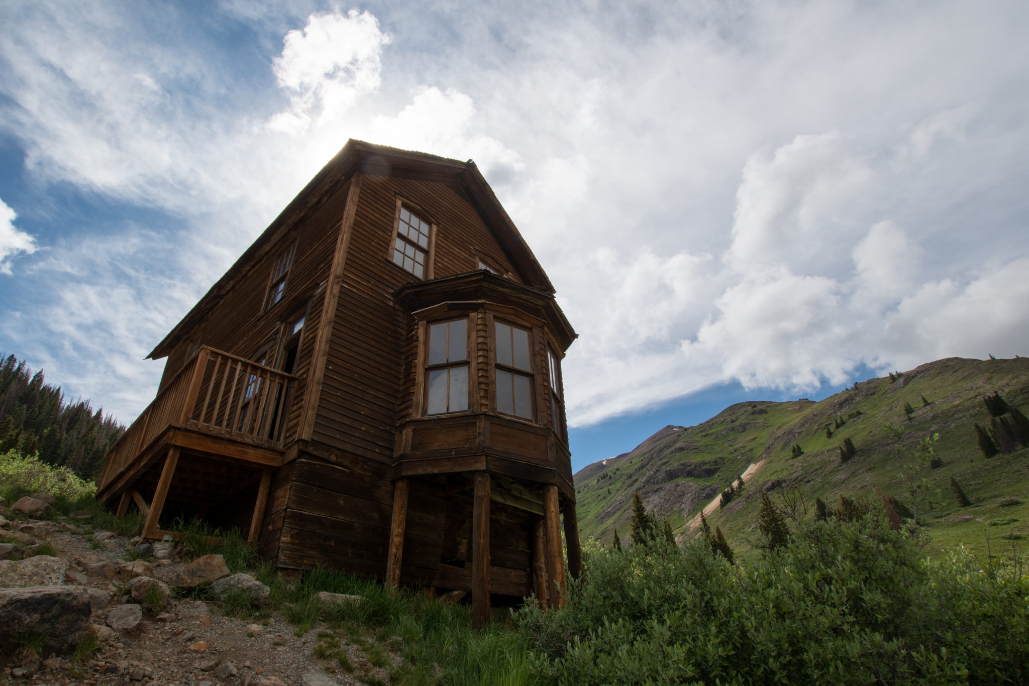
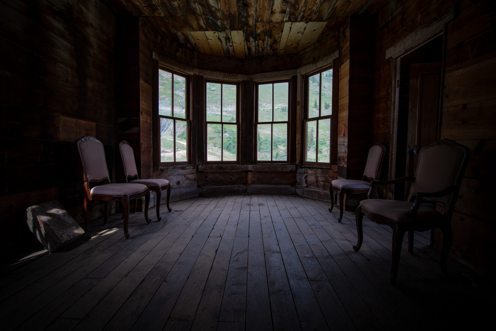
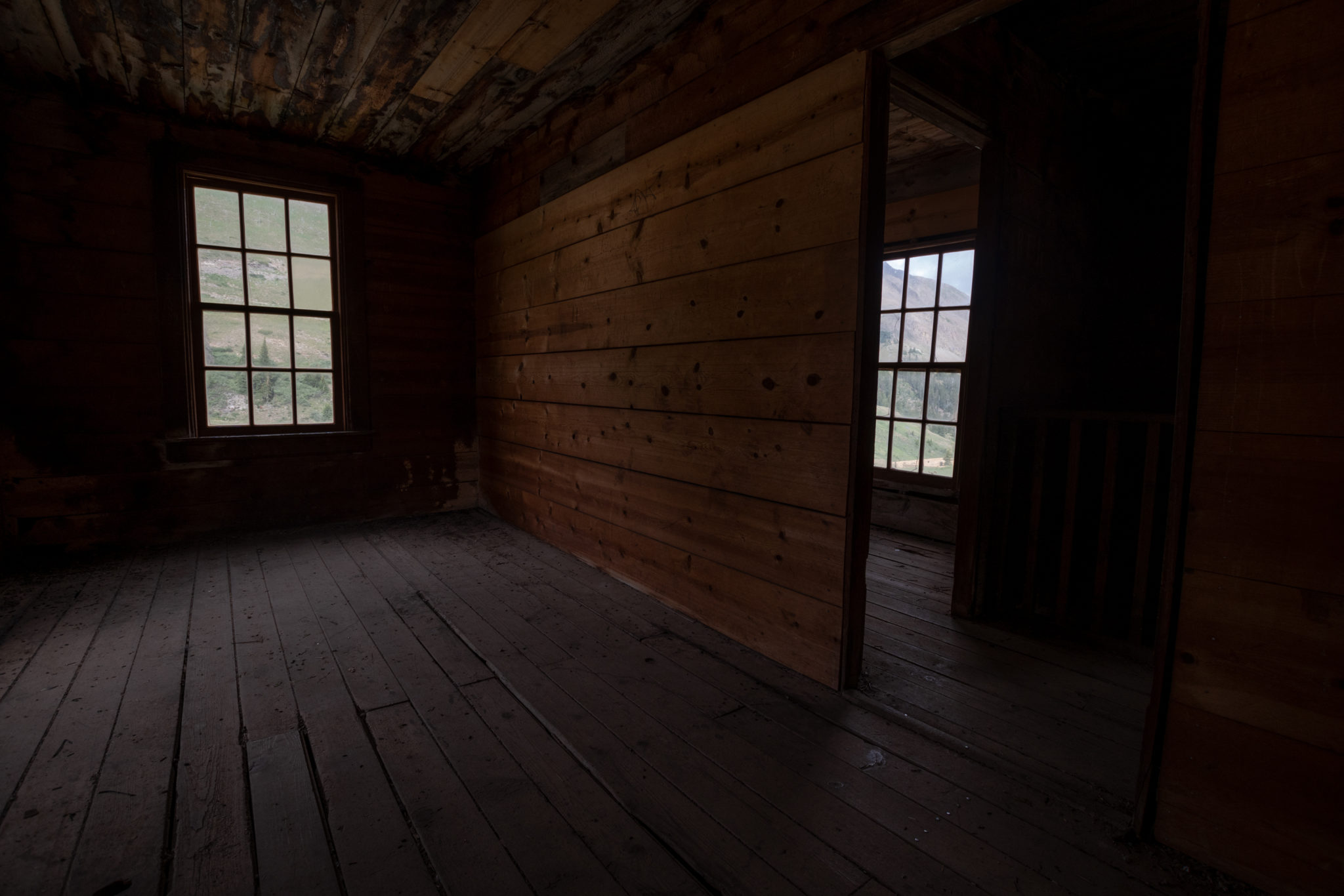
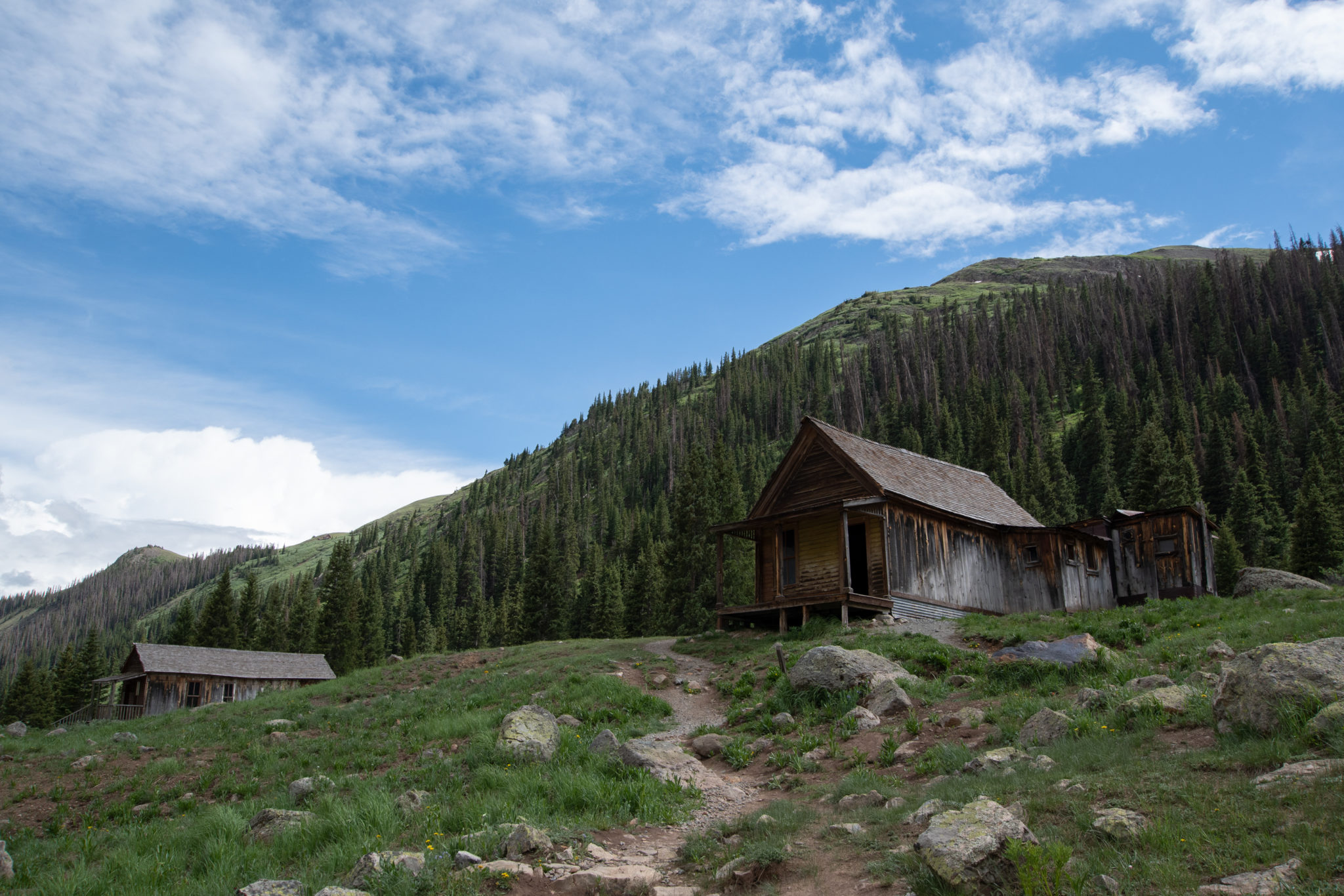
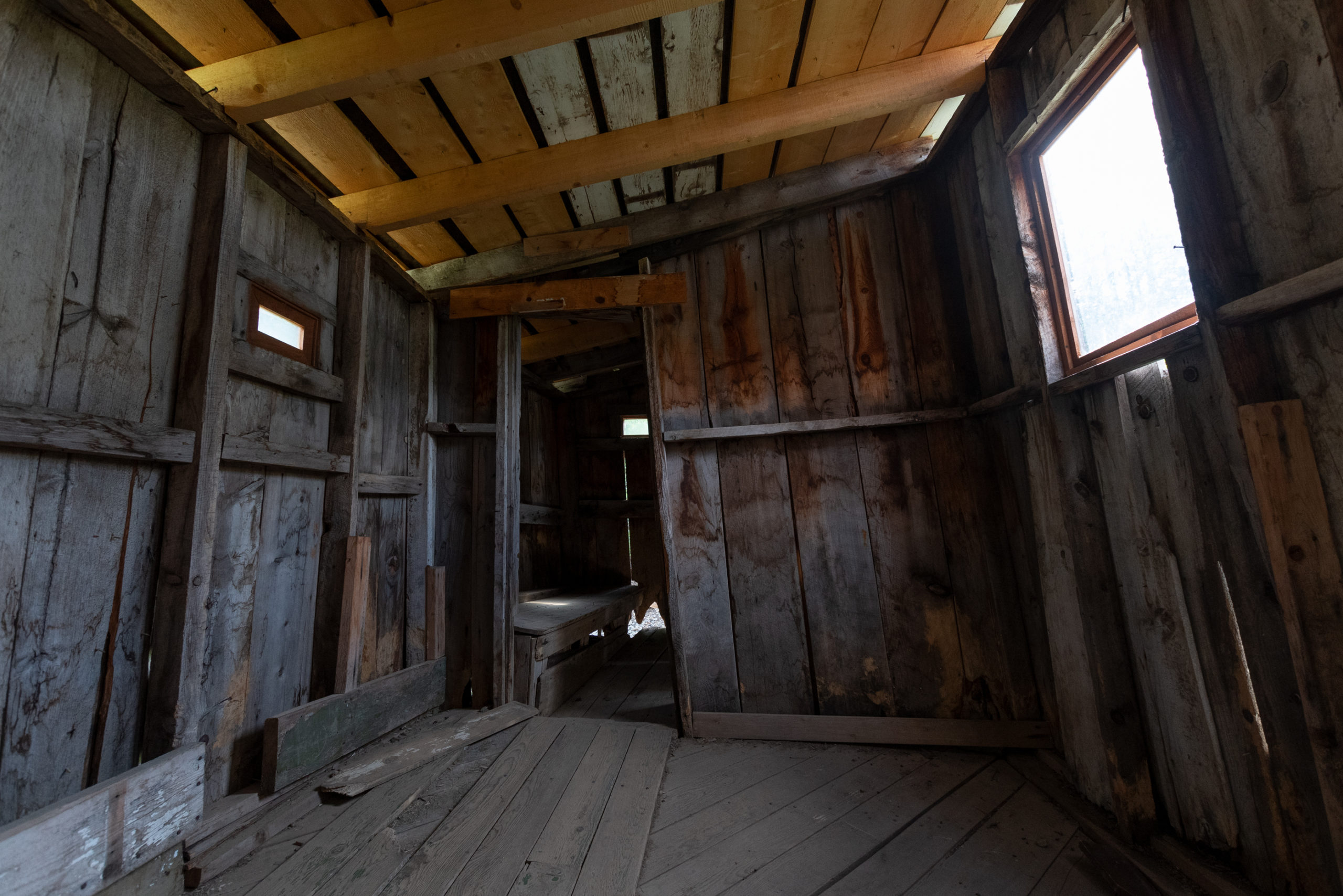
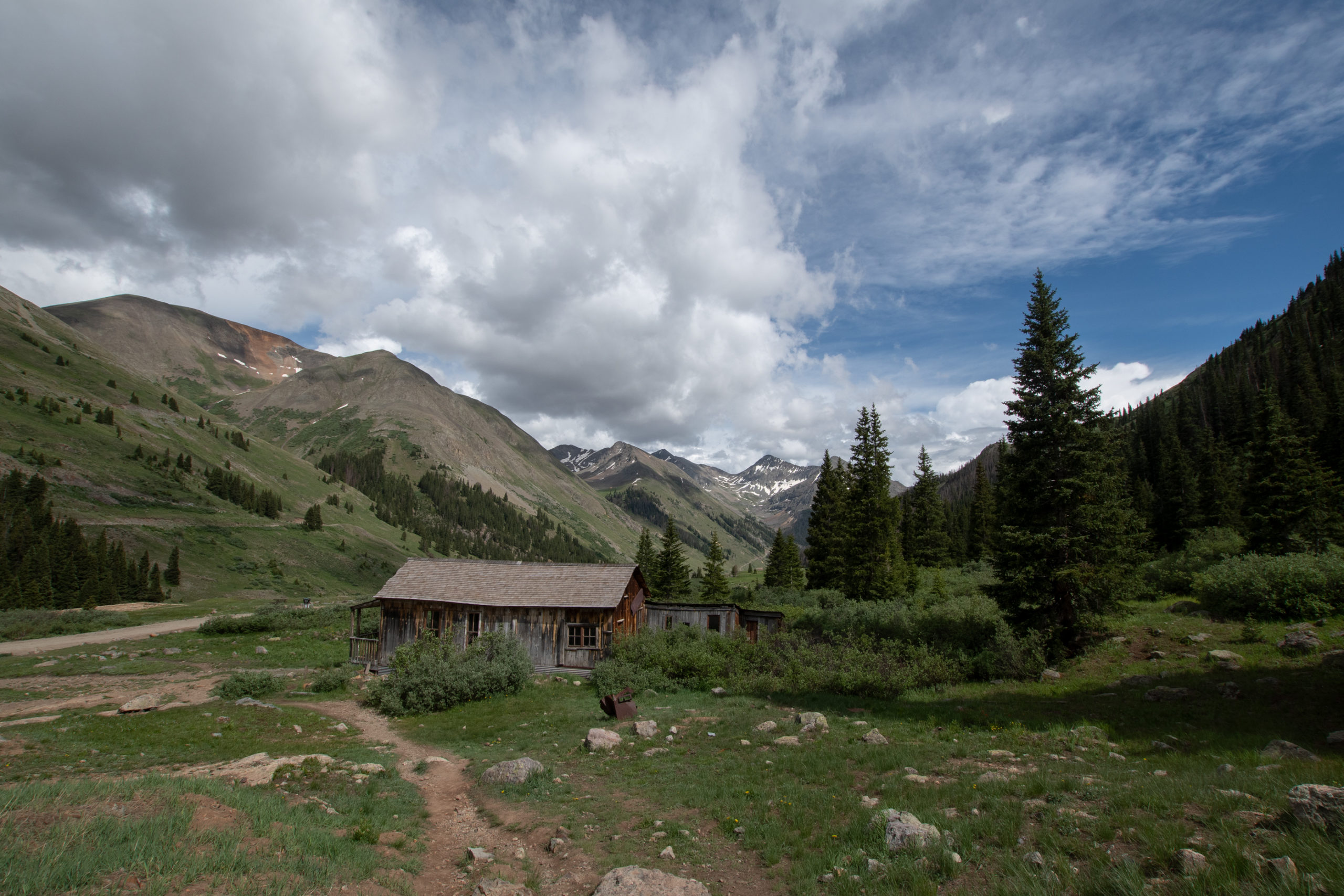
Except for what I thought — at the time lol — was a narrow shelf portion, most of Cinnamon Pass didn’t really start until a staging area by an old ghost-house. I didn’t realize today would be ghost town themed, though.
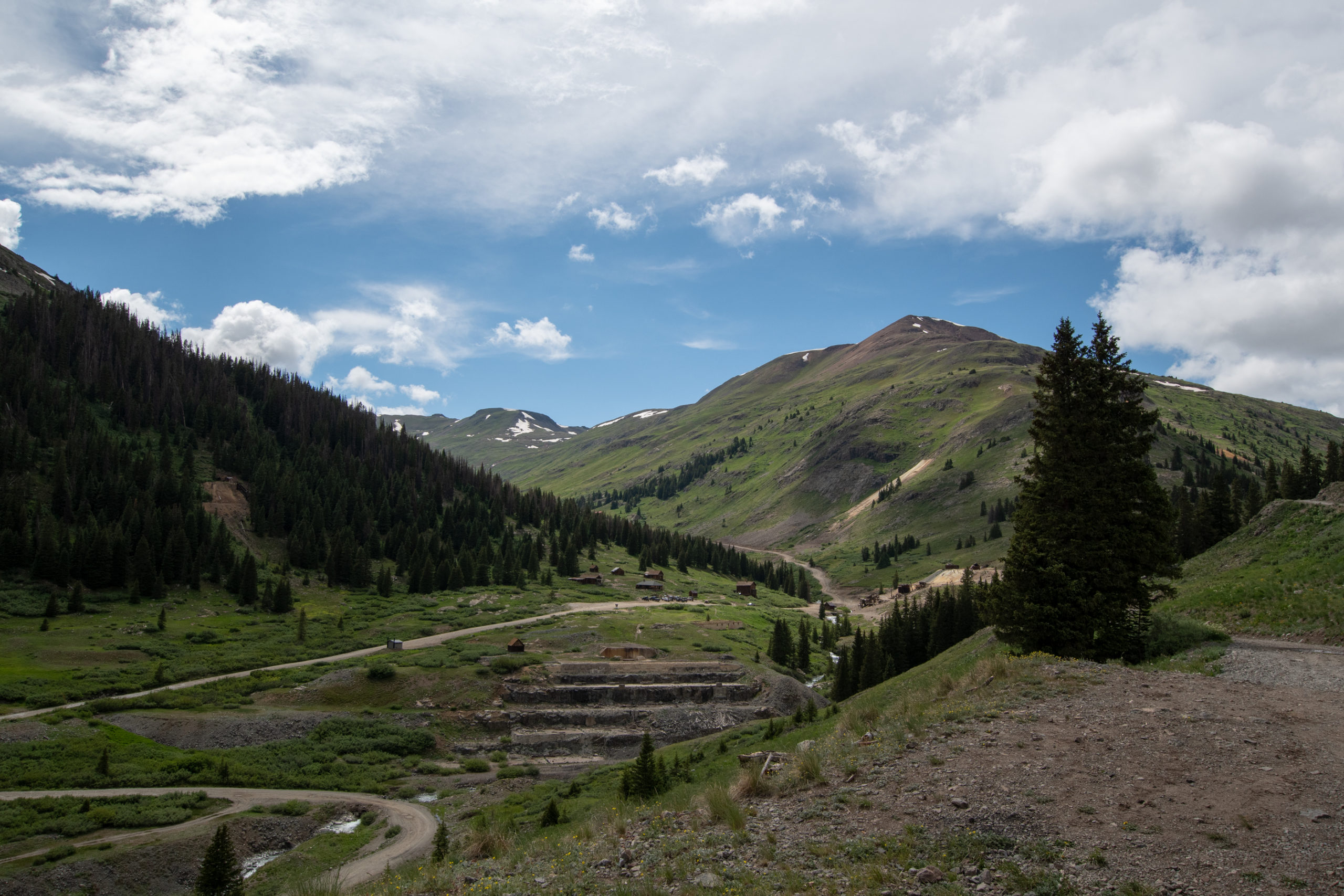
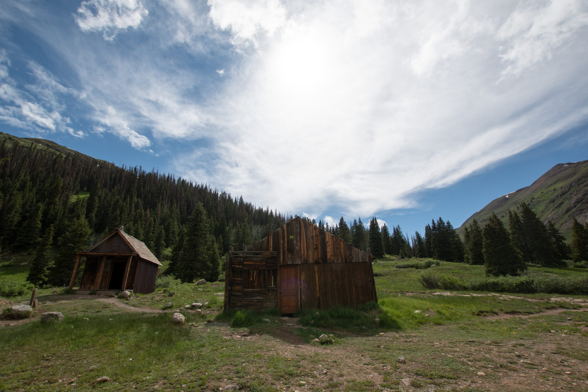
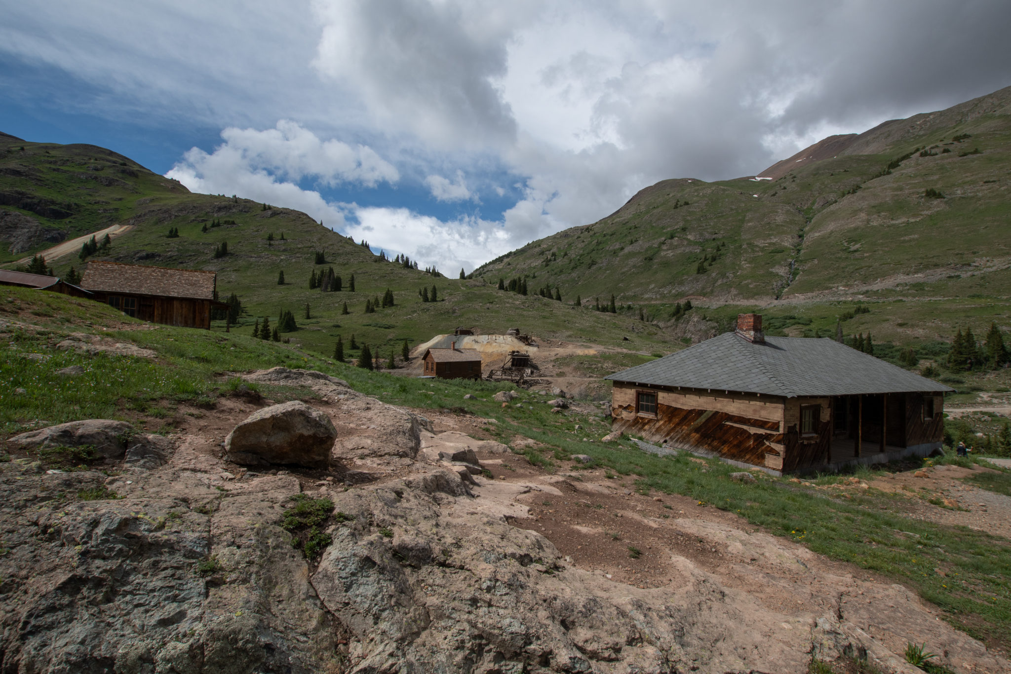
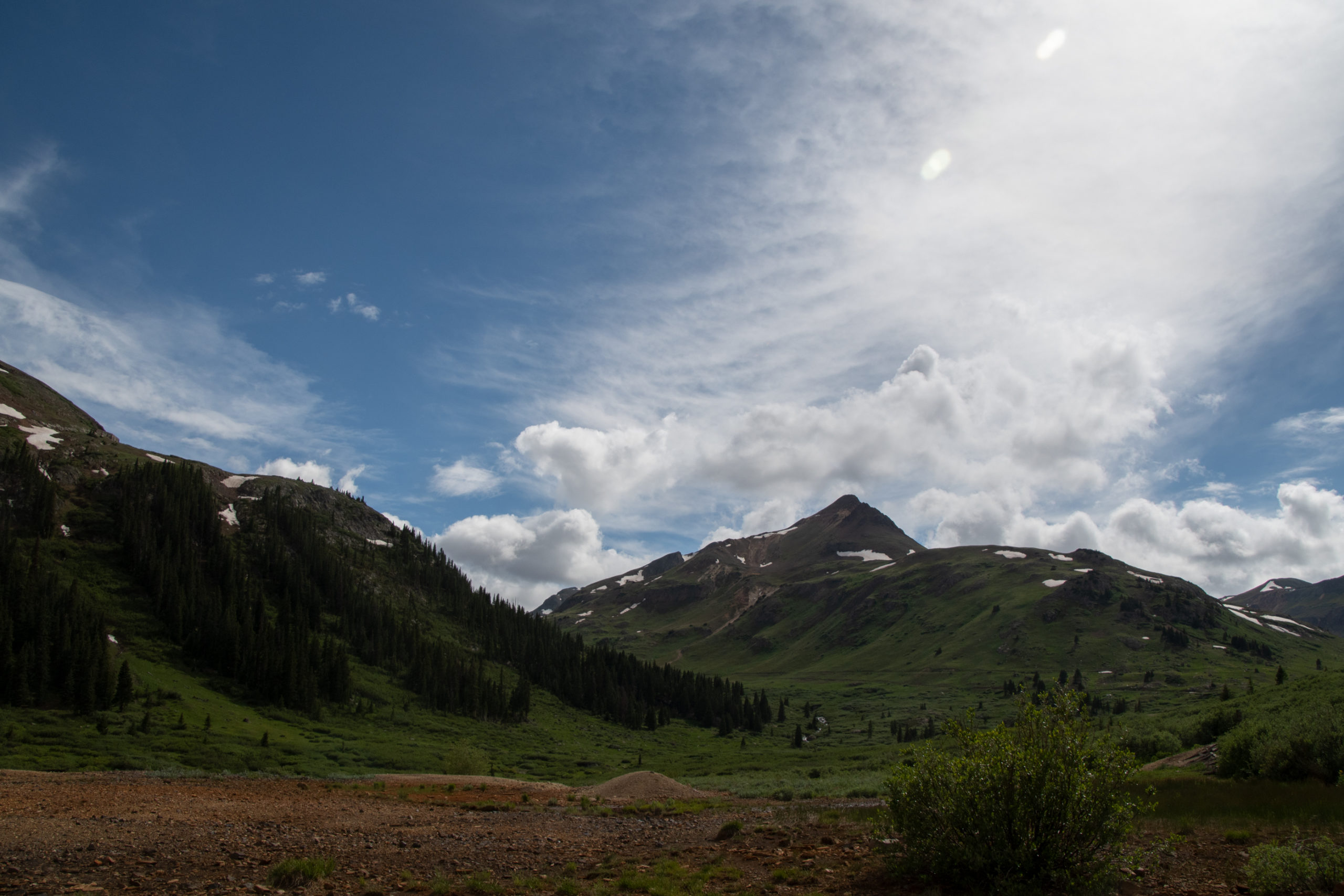
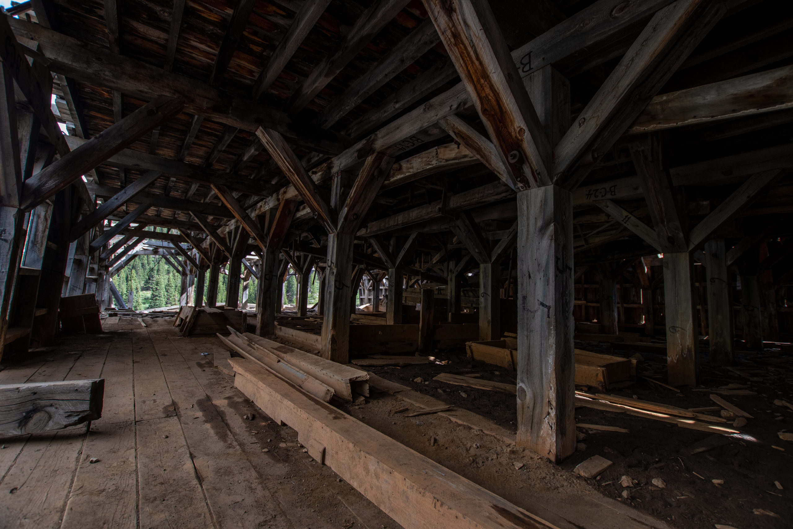
Cinnamon Pass ends along with Engineer Pass, the more technical alternate and Alpine Loop favorite, in what remains of the old mining settlement Animas Forks.
Early prospectors wintered in “Three Forks of the Animas” in 1873 looking for gold and silver. In 1875, the town name was shortened and a road was constructed up from Silverton to link up with the original road from Lake City, now called Cinnamon Pass. By 1885, the summer population was about 450 people, but few remained through the brutal winters of 11,200 feet. The town operated until the 1920s and still holds the record for highest-altitude regular newspaper. But when metal prices fell world-wide, Animas Forks slowly devolved into a ghost town.
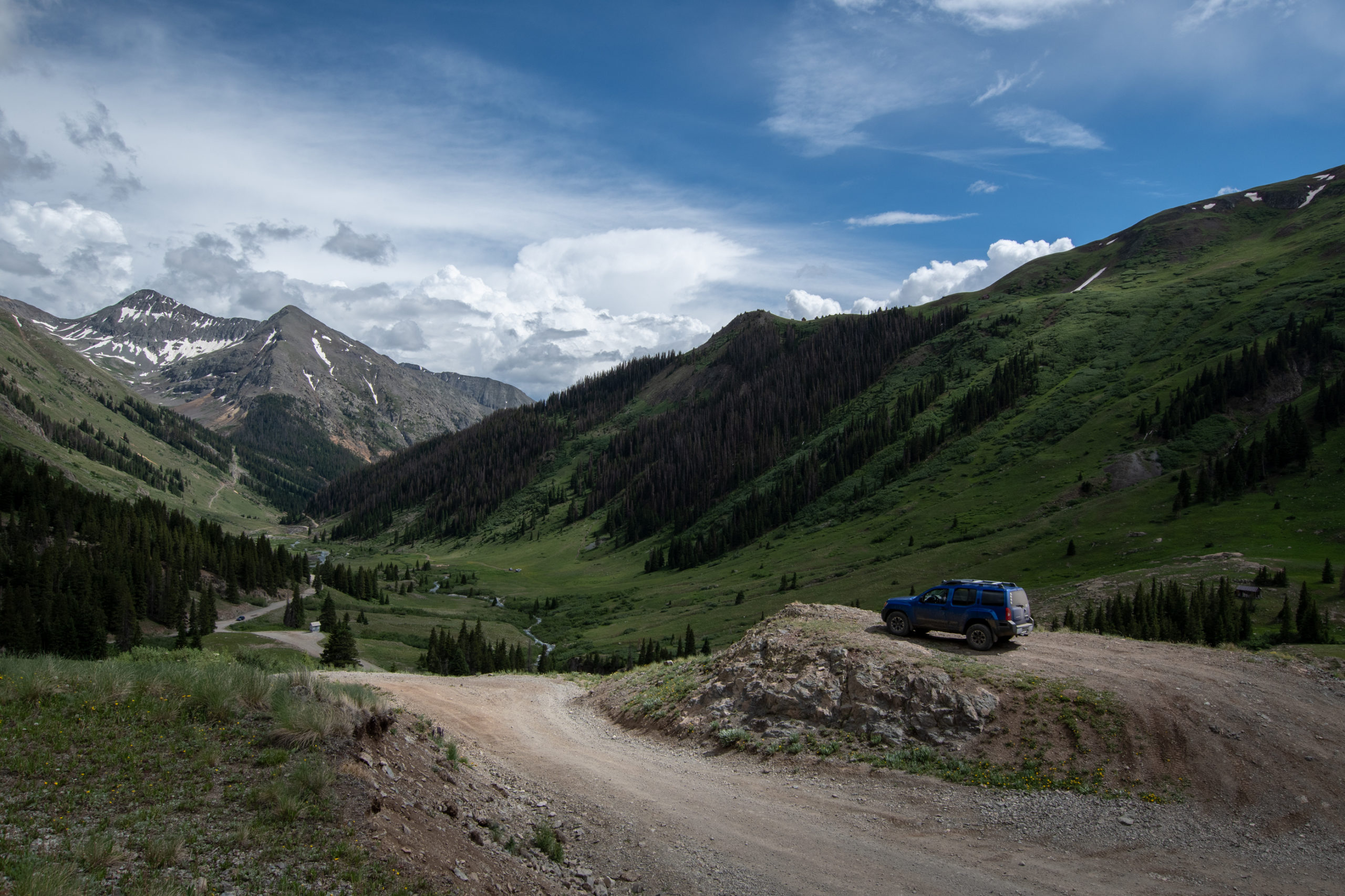
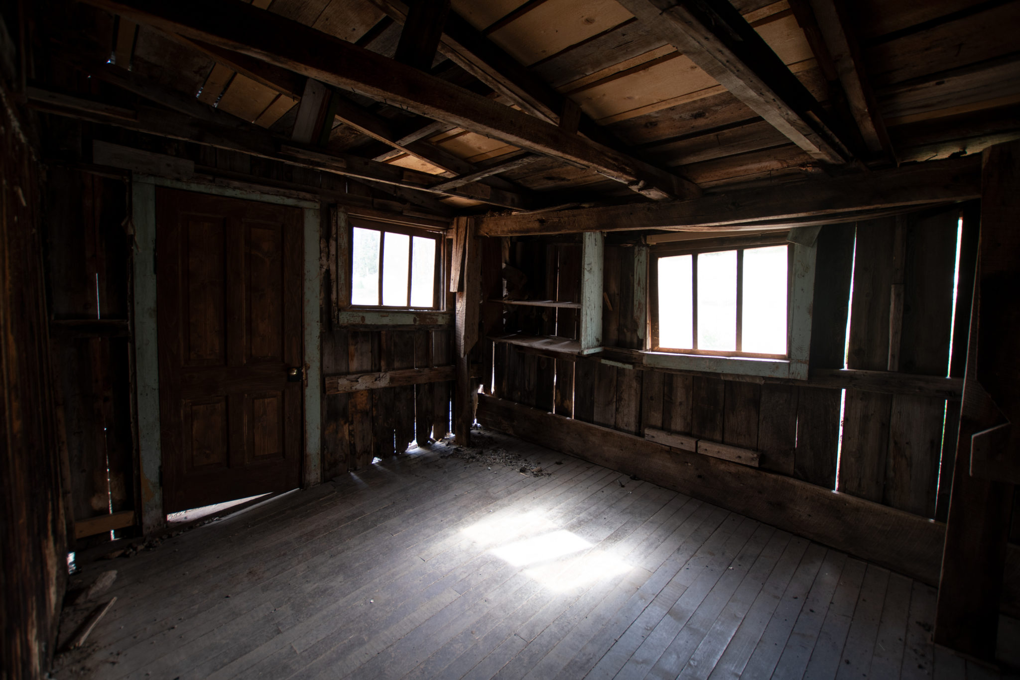
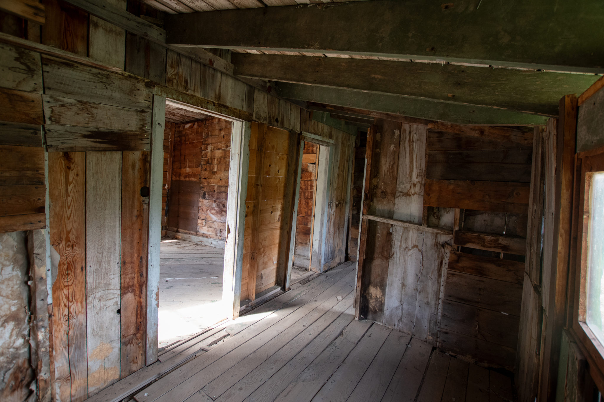
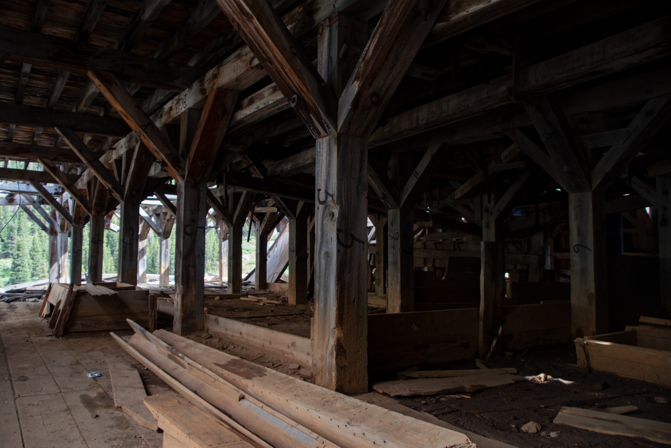
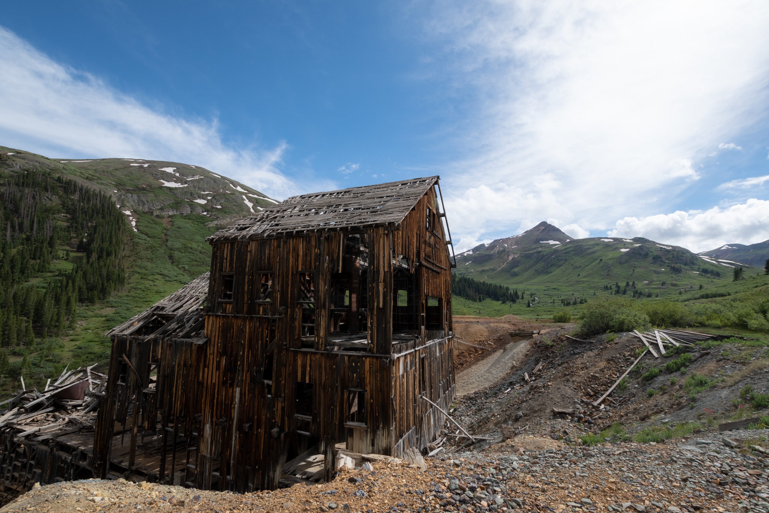
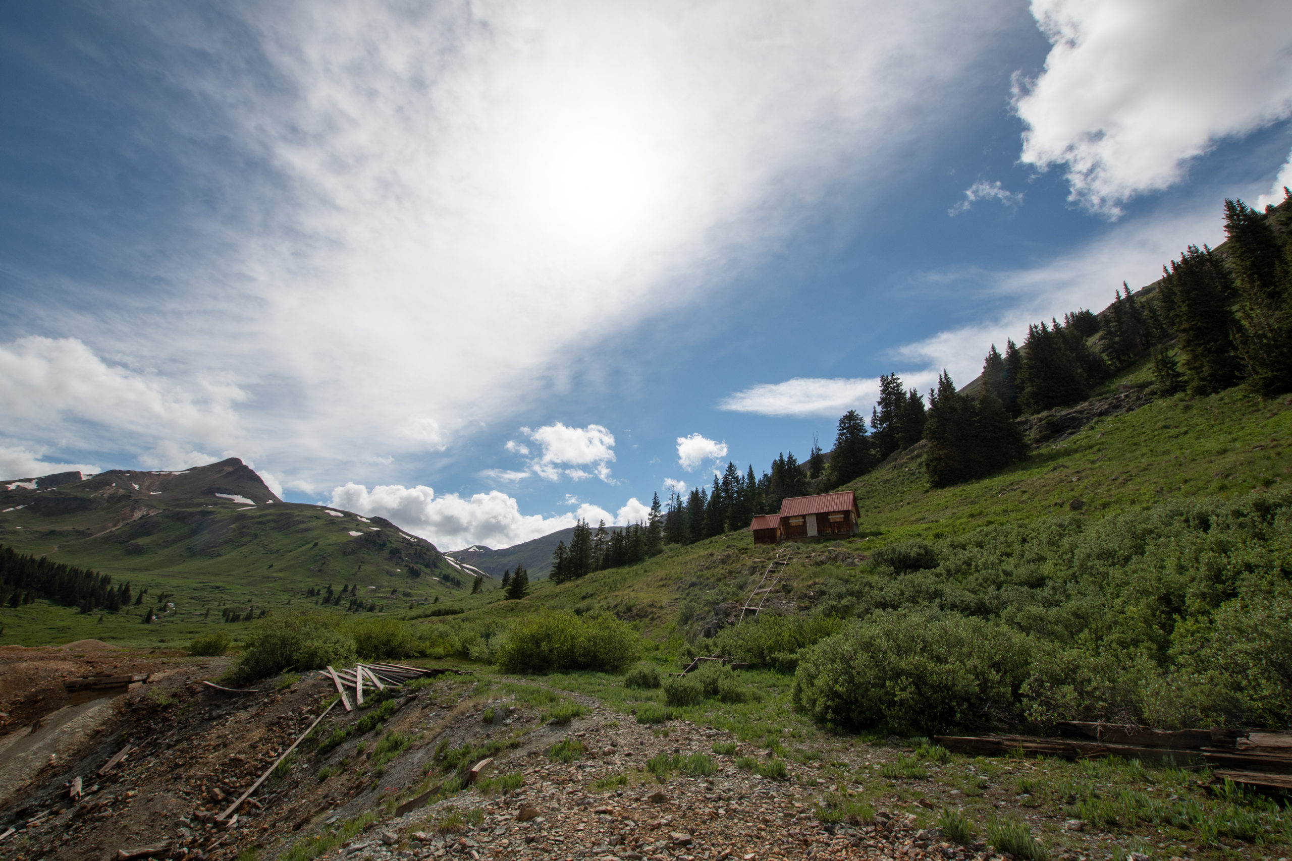
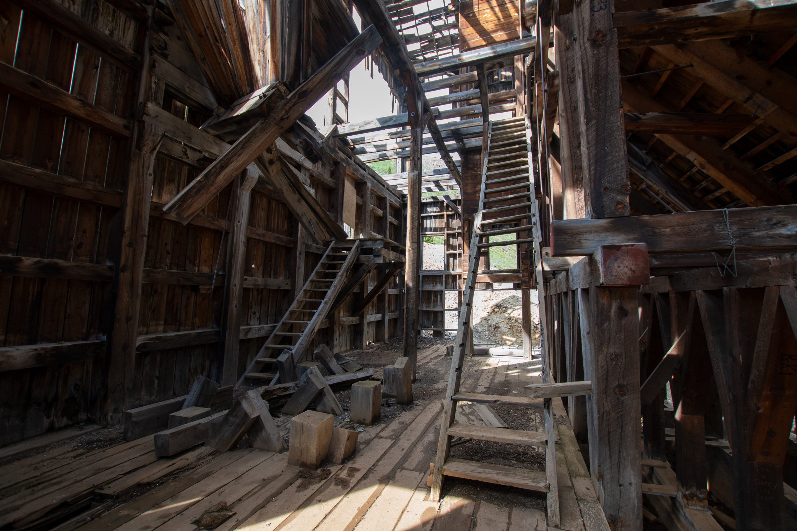
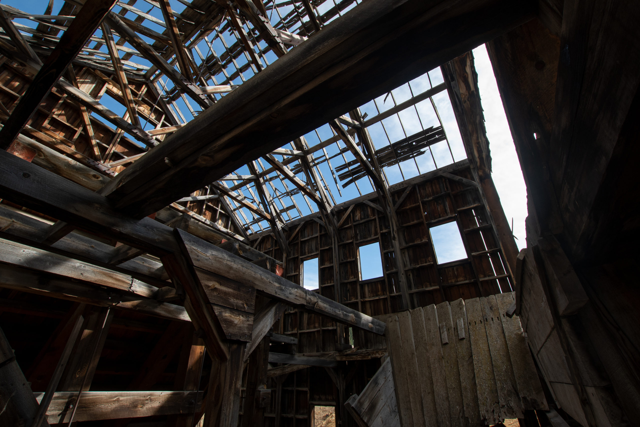
I left Animas headed up California Pass. But not even half a mile later, another abandoned building. This one was particularly large, but I didn’t see any signage. Looks like some kind of processing area, but it doesn’t look like it had a furnace like Mariscal did — it was all wood, no brick to speak of. Just about ten thousand OSHA violations.
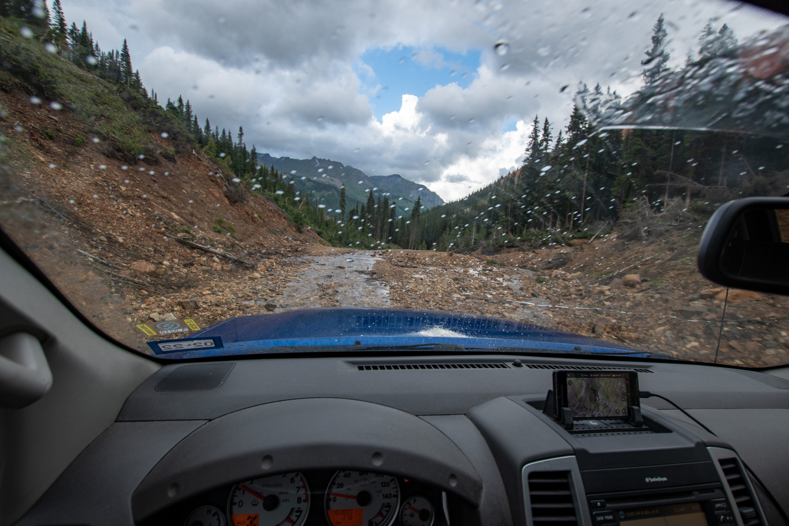
California, Hurricane, and Corkscrew passes made for a dramatic roller coaster. Nothing particularly difficult, but very narrow shelves and extremely steep grades with loose rock. It was awesome.
Mom used to shriek going around the switchbacks of Berthoud Pass when we headed up to the Rockies for family reunions in the summers. Too bad she wasn’t here today.
Usually I win for “most effective engine braking” but there was actual fighting and shouting to try and keep my speed under 15 on the final descent, as it started raining.
And with that — in 5 hours, I covered about 35 miles. All-in-all, I rate this circuit of four trails as 11 out of 10, would do again to avoid having to take a civilized mountain pass.
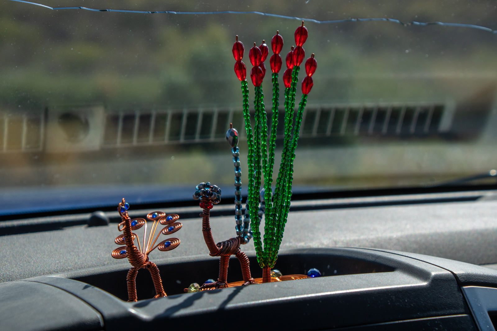
PS: I would like to thank Evan and George for the 10-20mm ultrawide gift they got me for the Jeep Float. I barely used anything else all day. At the time, we joked that 15mm-ish with rectilinear distortion is basically “Real Estate Photography” mode. Pretty sure I sold a ghost town today.
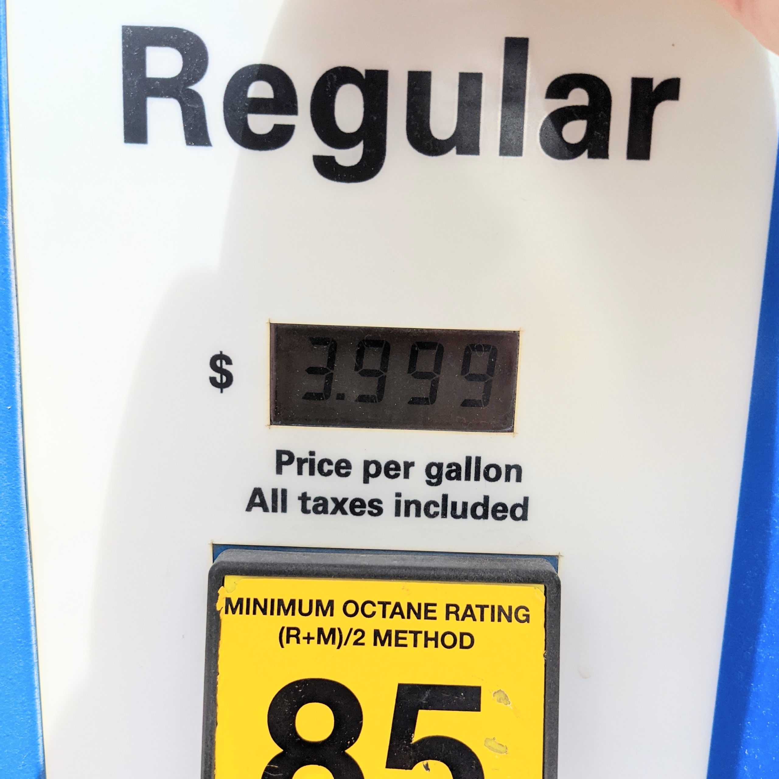
I was on the phone with Dad last night and complained that Raton, NM is rather proud of their unleaded. Today, I got what I deserved in Lake City, CO, at the gas station that’s also a bbq place and a bike shop.
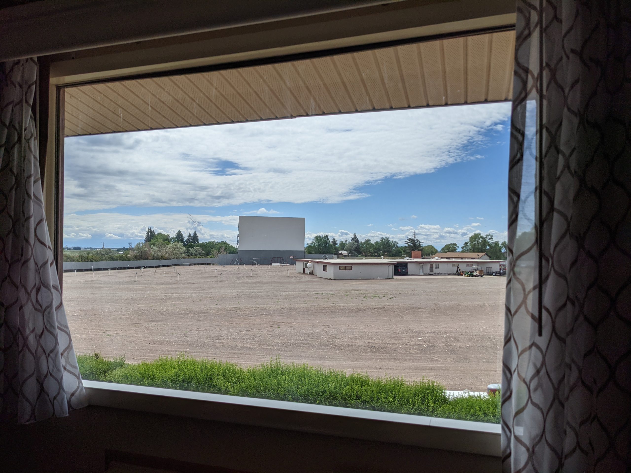
So my hotel last night is a movie theatre? It’s a two-screen drive-in movie with the motel arranged such that each room’s view can see both screens and there’s a switch by the door to activate a PA speaker in the room to listen. Gotta admit, that’s pretty cool. Too bad I didn’t get here until 1am.
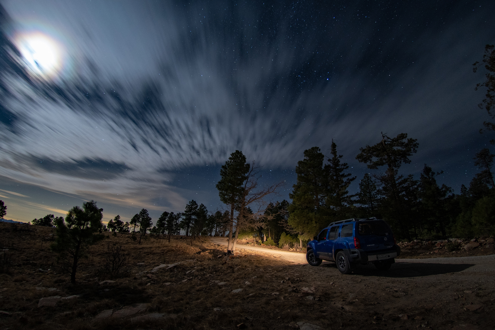
I’ve decided to disappear for a short while to ring in the summer and the successful end of a year-long project, among other celebrations. Normally I have a better itinerary planned, but I’m playing this one pretty lose. I started at the folks’ lakehouse, then did an overnight in Lubbock last night. Tonight, I’m headed up to Monte Vista, Colorado with some offroading and sightseeing to take me into Wyoming at least. Then who knows.
But it seems like the Panhandle wants to scare the shit out of me every time I leave. This rolled up rather quickly, and then escalated even more quickly.
This may be my scariest weather-on-the-road moment. The storm came out of nowhere and suddenly the white-out was so bad that I simply couldn’t see. I tried to get as far off the road as I could, hoping not to be the first — or worse, second — in a pileup, but I just couldn’t see. And as the wind whipped across the car and felt like it would roll it, radar showed the storm system moving in the opposite direction. With hail and a rotation hook.
And not fifteen minutes later, even the road was mostly dry.
So that was odd… hopefully things are calmer tomorrow.
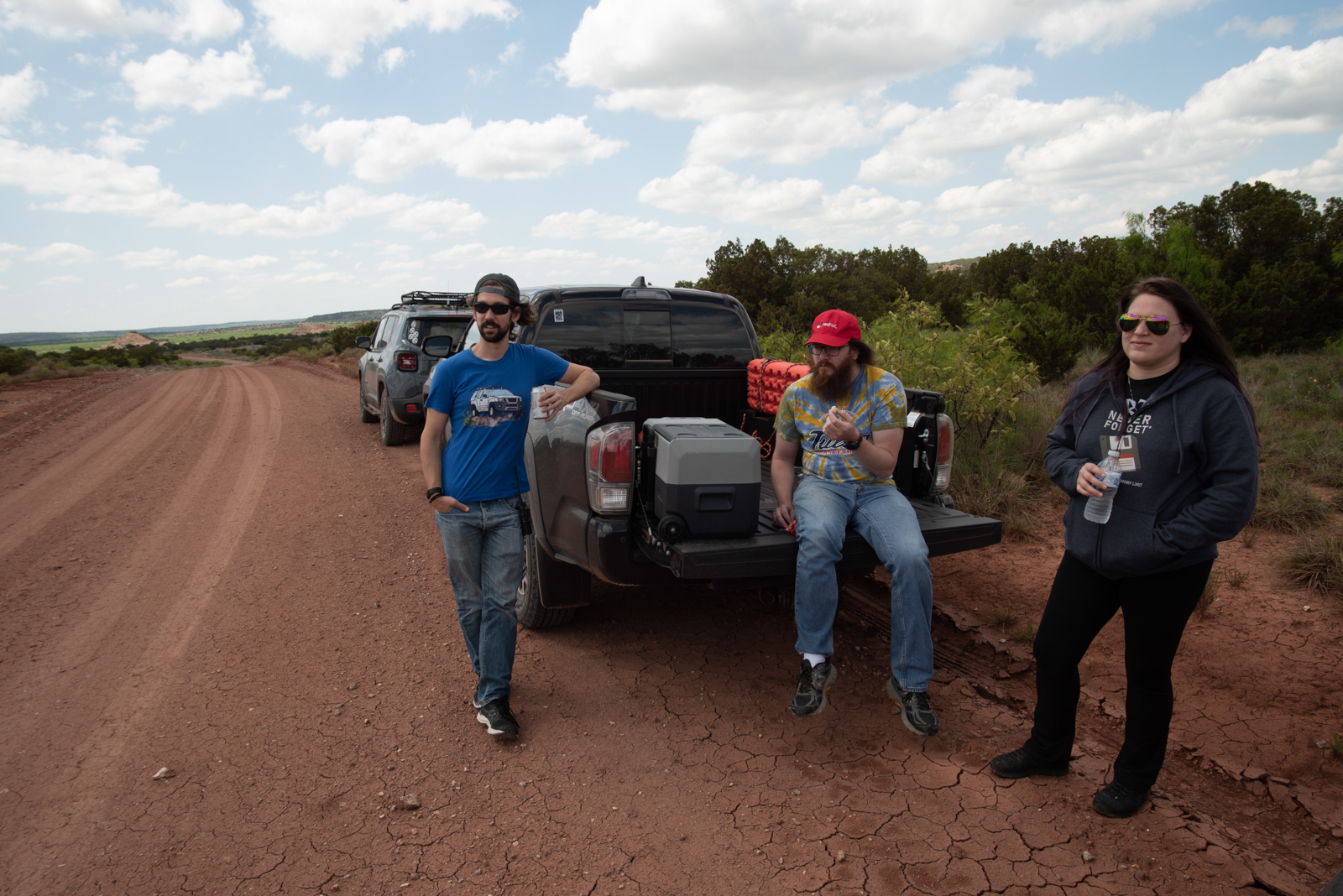
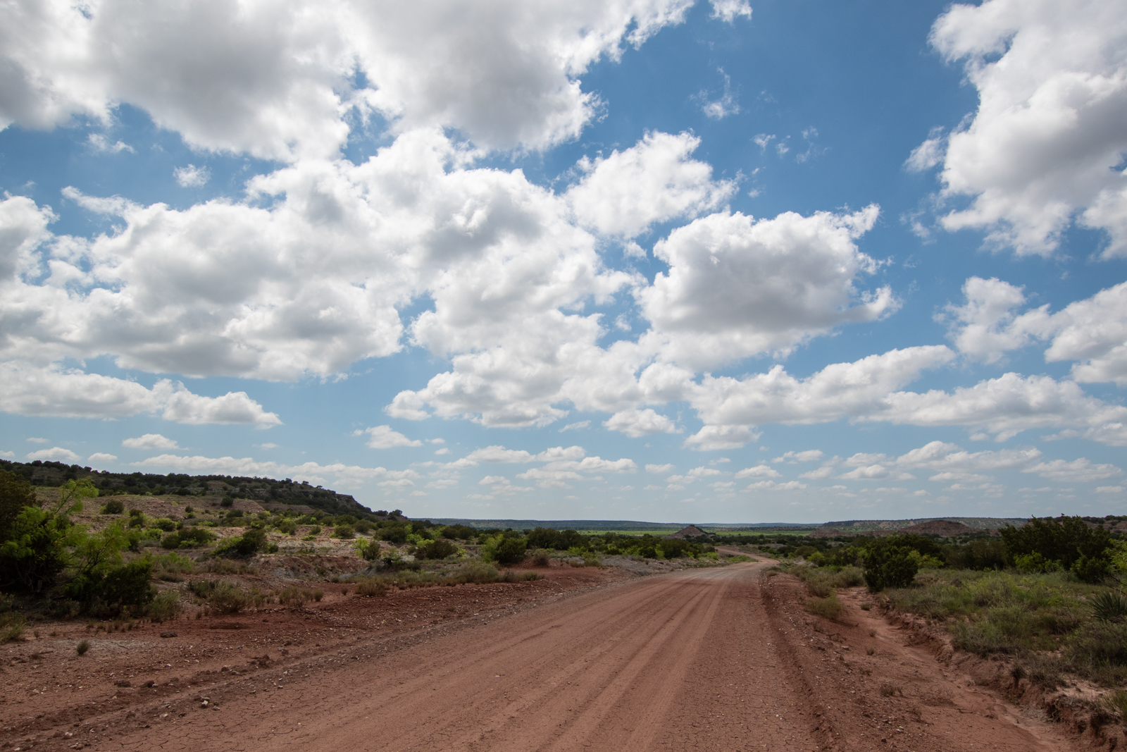
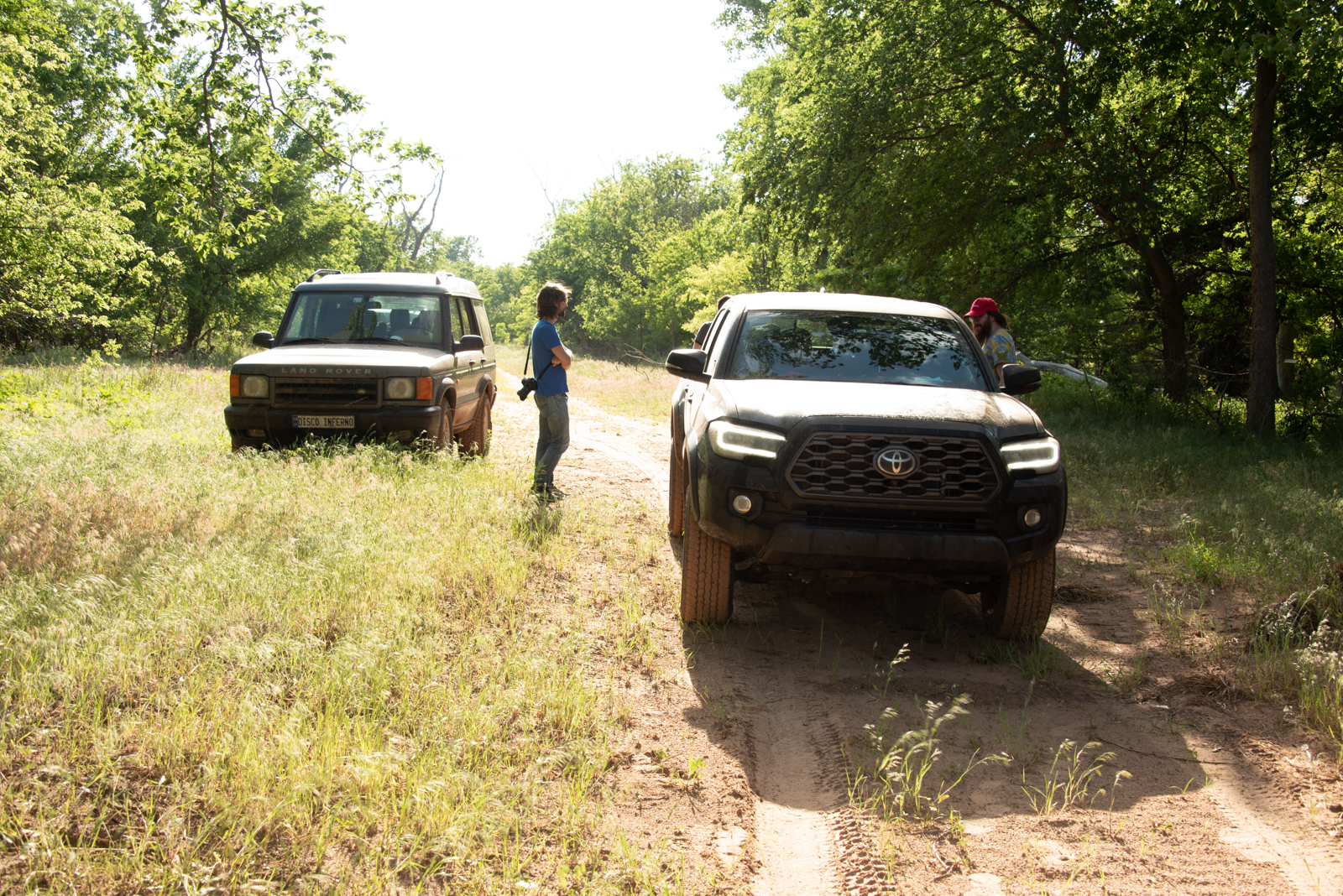
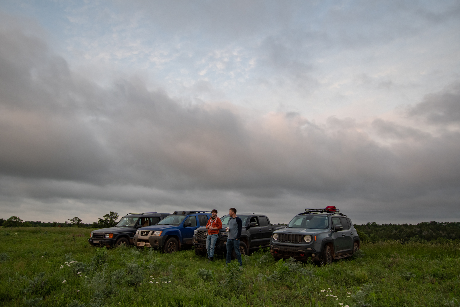
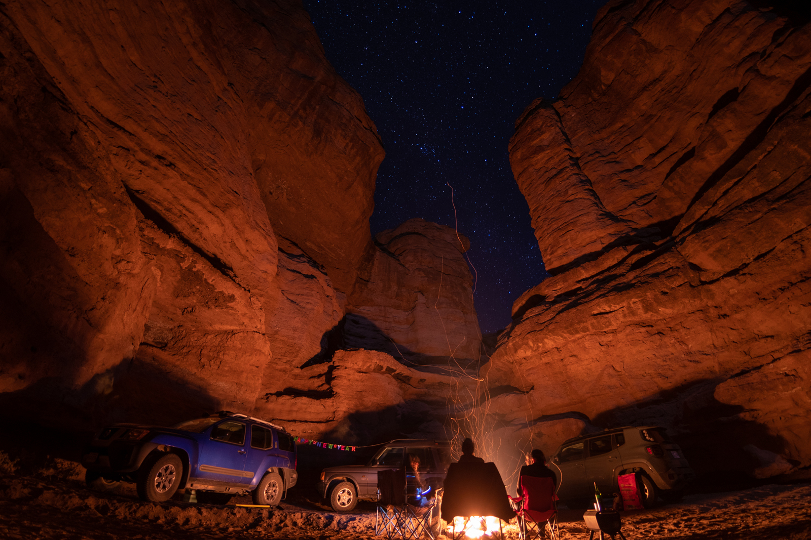
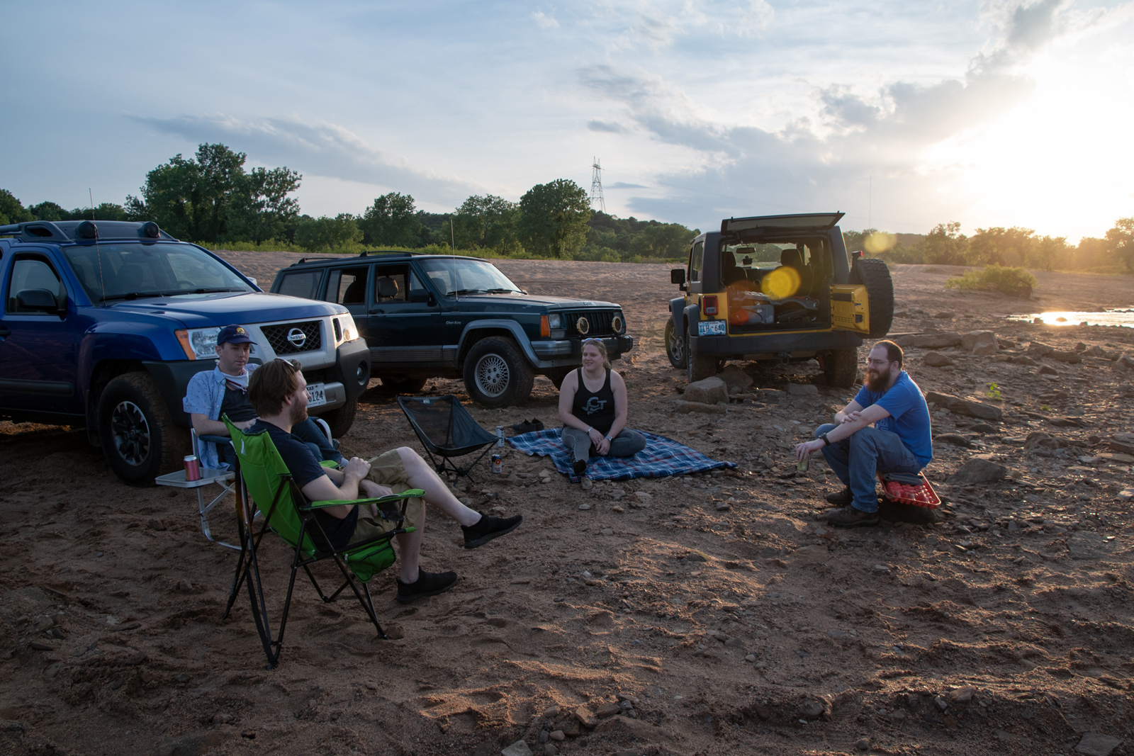
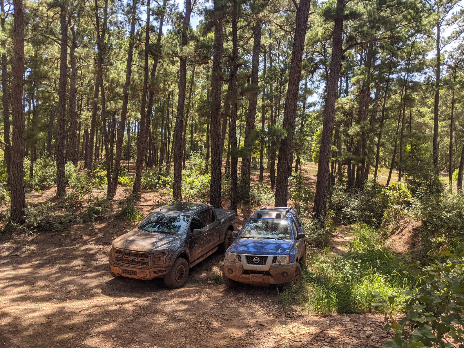
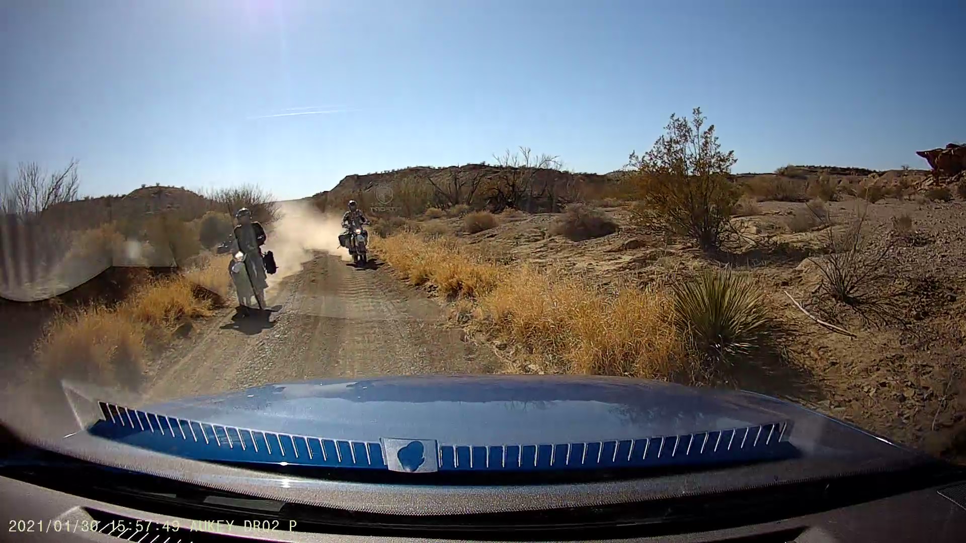
Having been at home a little too much lately, it just felt like the right time for another long weekend. It was George’s birthday and we invited Kate and Brady along, too. We opted for a return to Medicine Park, or at least that general area, since we haven’t been back since New Year’s 2018. The original plan was to find a couple water crossings, get lost on a few segments of the Oklahoma Adventure Trail, and maybe even make it to Mt. Scott this time. But when compared to most of our adventures, this junket was fairly unplanned.
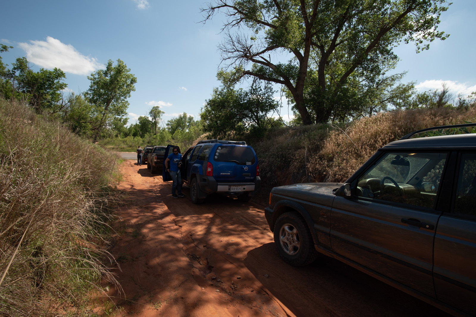
Despite at some point earning the codename (and sticker art) “Jeep Float,” Kate’s Jeep didn’t even make the trip. And as I soon discovered, Brady’s Jeep would not be in attendance either (nor would the FR-S).
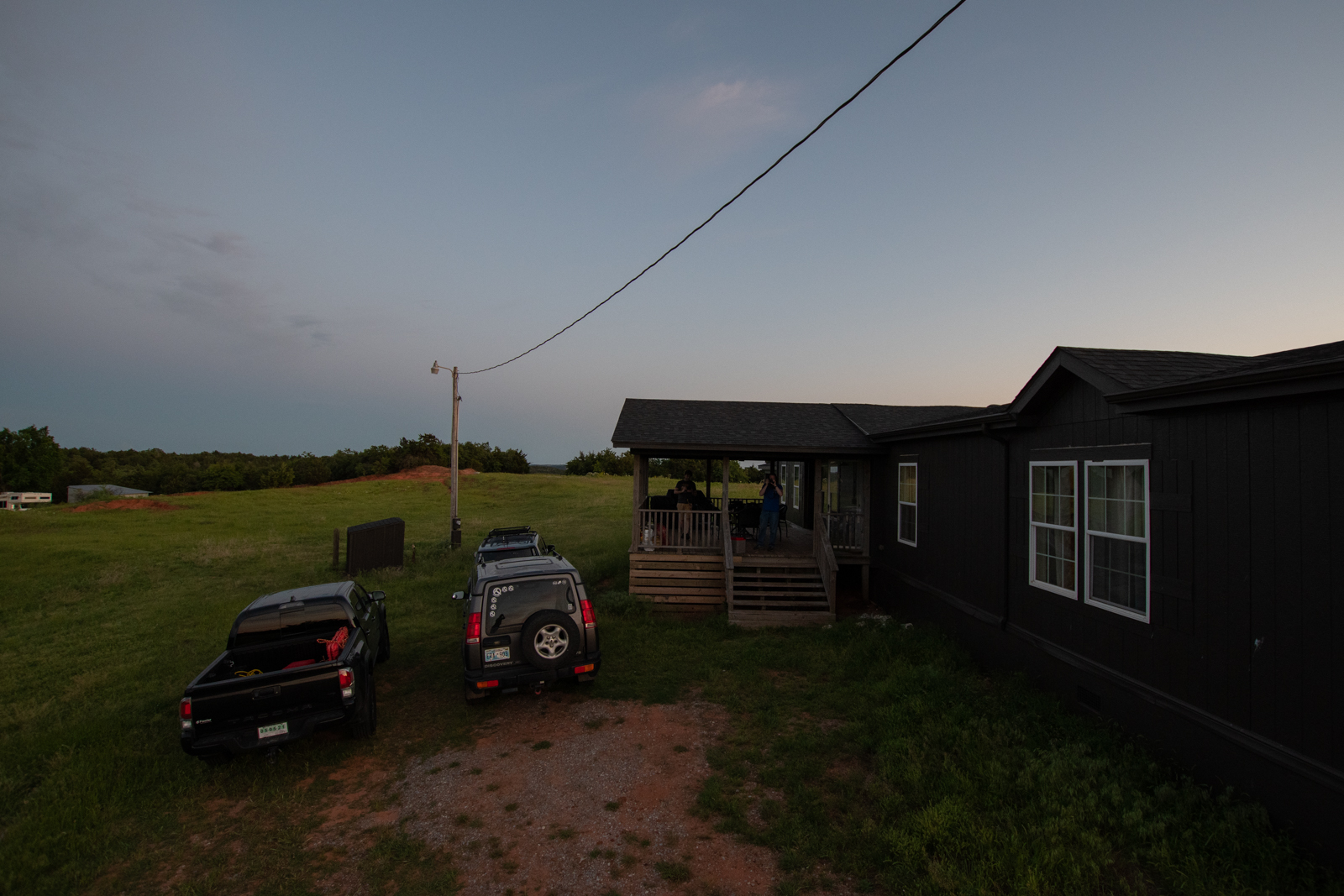
Shortly before the weekend, our AirBnB host cancelled on us, sending us on a mad scramble to find something else. Also, the weather was looking increasingly flood-y. Usually we have fairly good luck with AirBnB’s so that was disappointing. Thankfully, I found a ranch out near Binger, much further north than originally planned, which looked like it could keep us entertained all on its own.
Day 0: I was the last to arrive
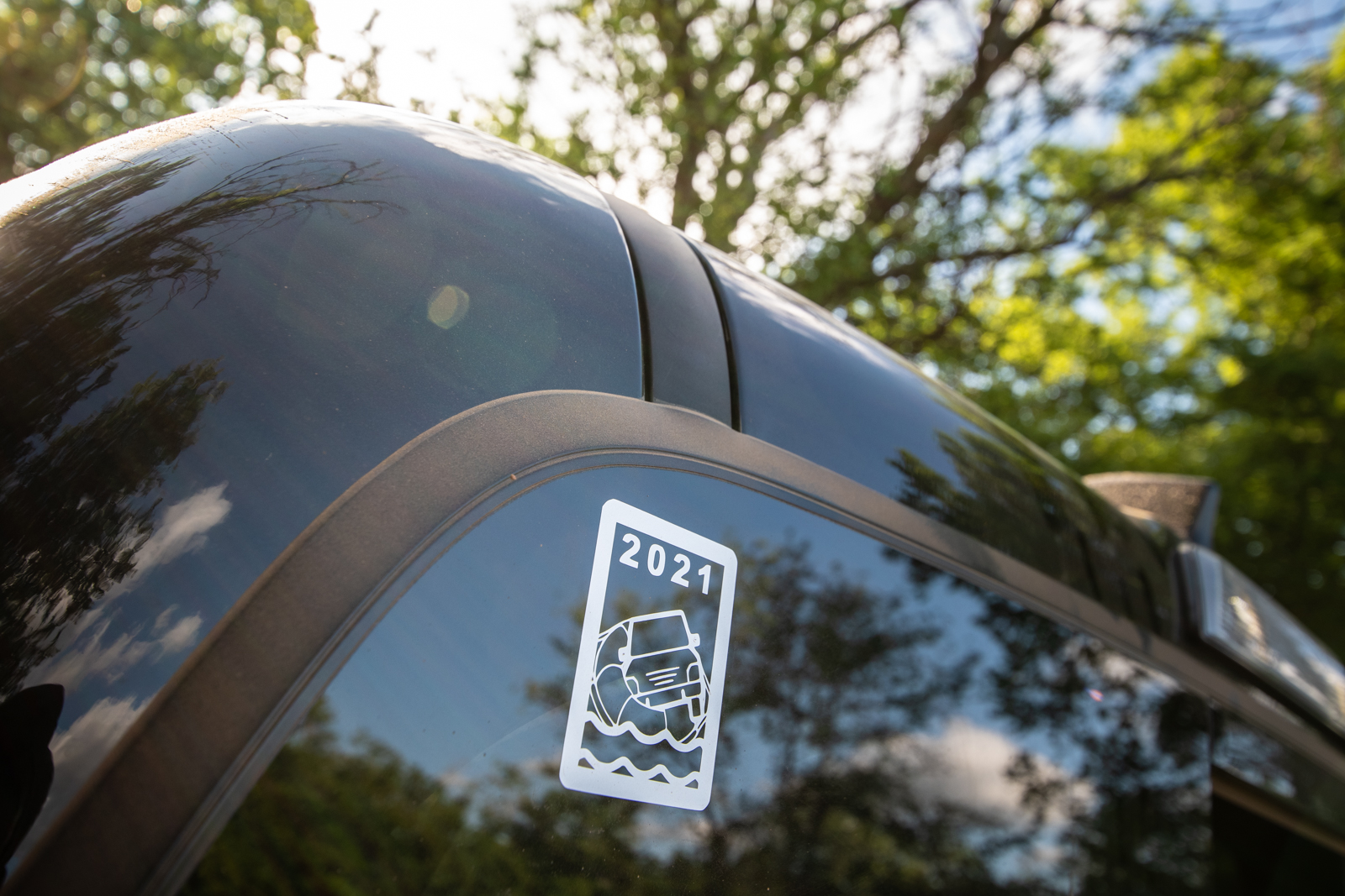
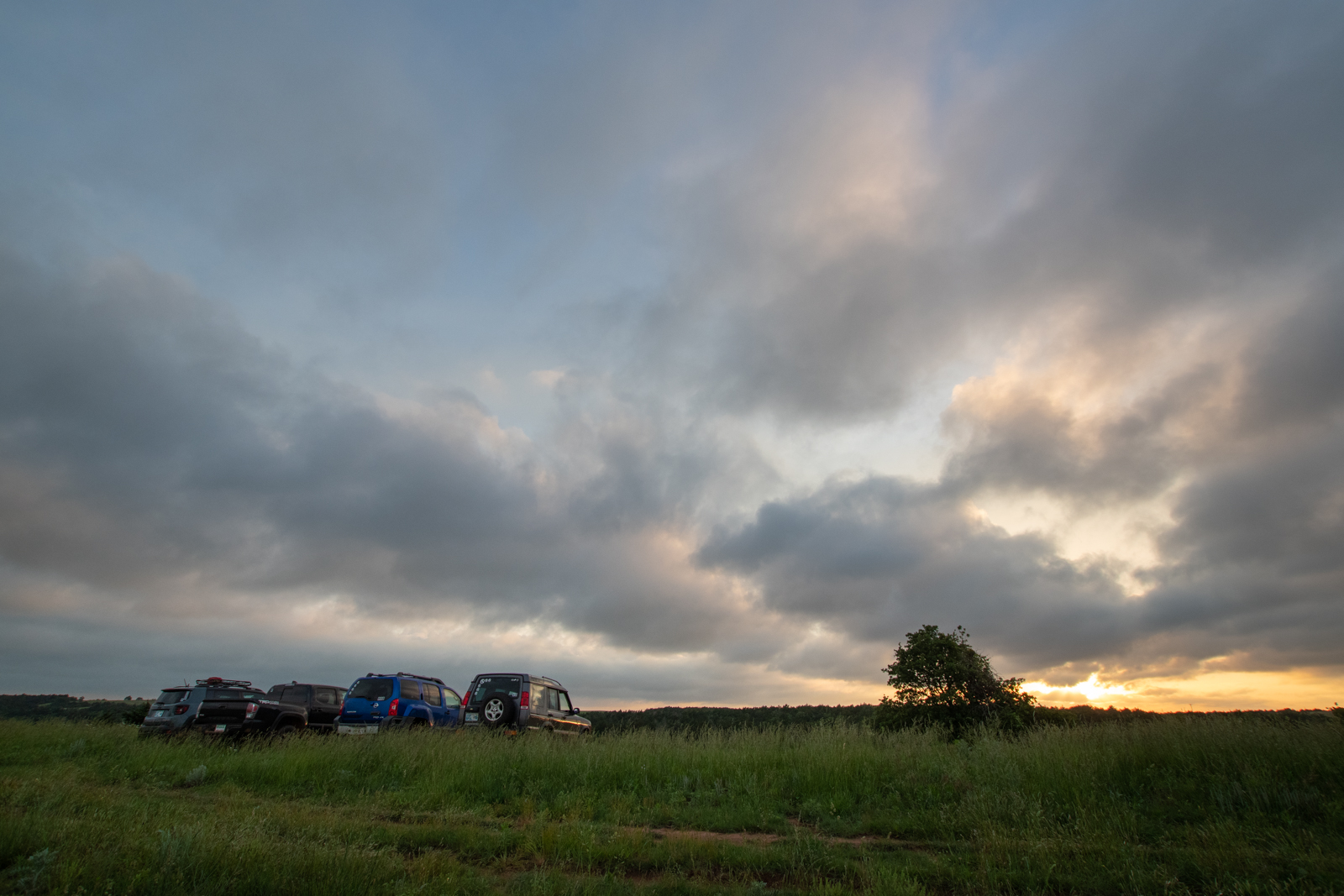
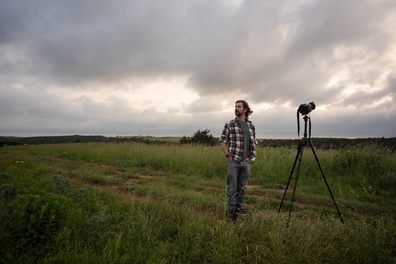
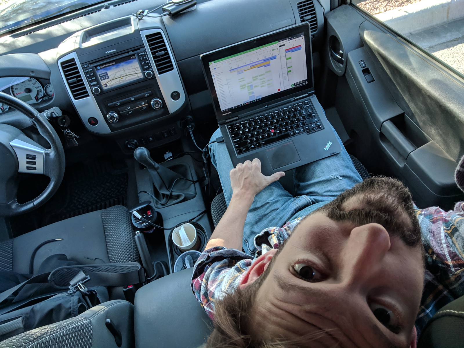
Day 0, for me, was officing out of a hotel lobby in Fort Worth to try and make decent time on the way up. I ended up taking a late call from my passenger seat — the implications of which will be revisited on my next roadtrip — and rolling up to the ranch just before sunset with the chili already simmering and the whiskey already in abundance. And George and Evan had me a present!
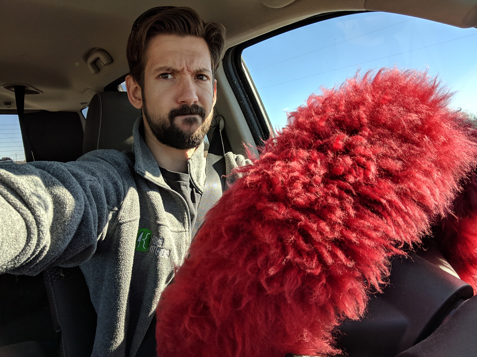
Photo by Evan
A 10-20mm DX f/3.5 lens. In focal length, that starts at the 10.5mm fisheye I have and zooms to just inside the range of my 18-200mm kit lens. But unlike that fisheye, where lines are curved but masses are fairly proportional, this lens is an ultra-wide with rectilinear distortion instead — lines are straight but masses are disproportionate. Think “every real estate photo ever.” So a very different style lens, which I ended up using almost exclusively all weekend.
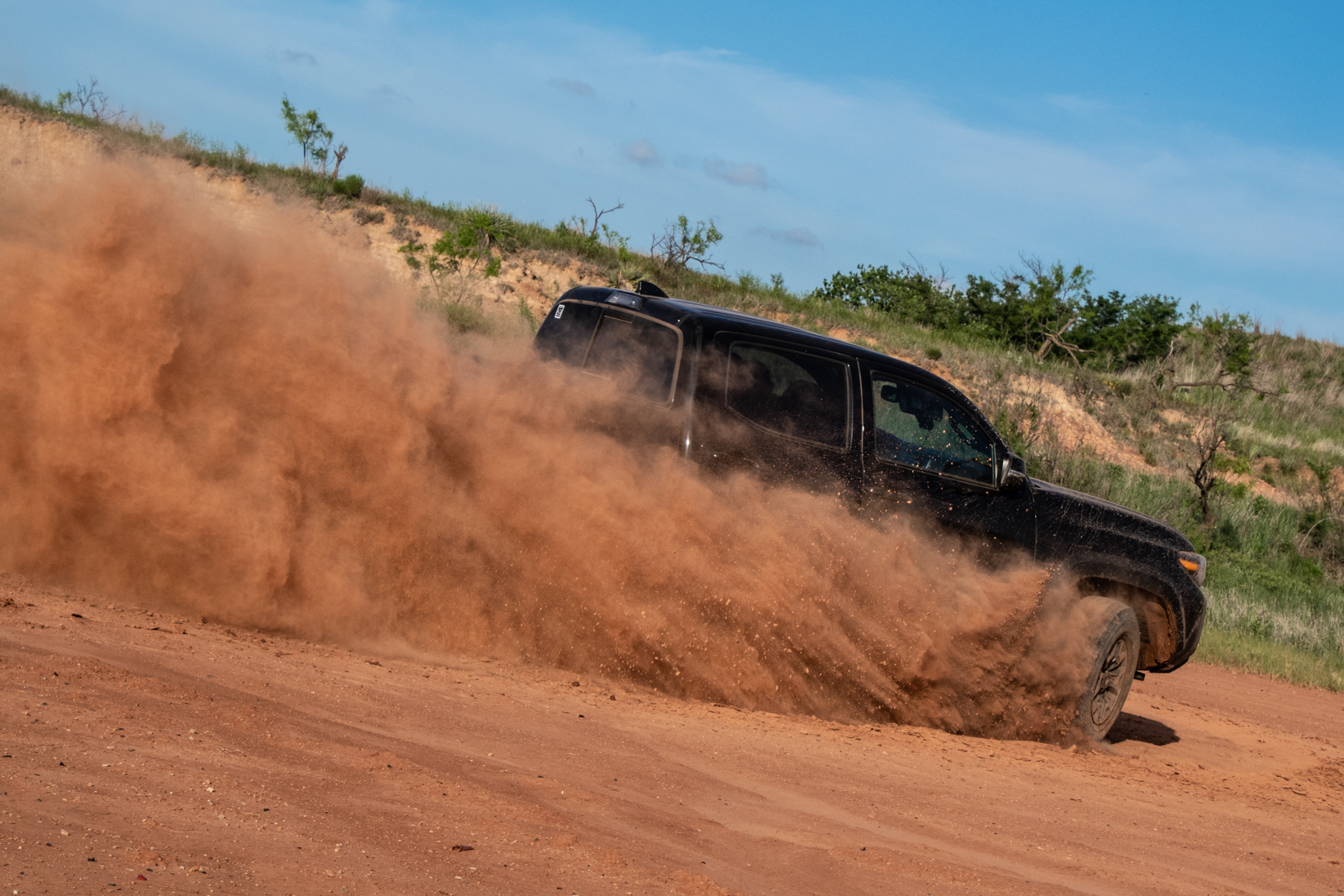
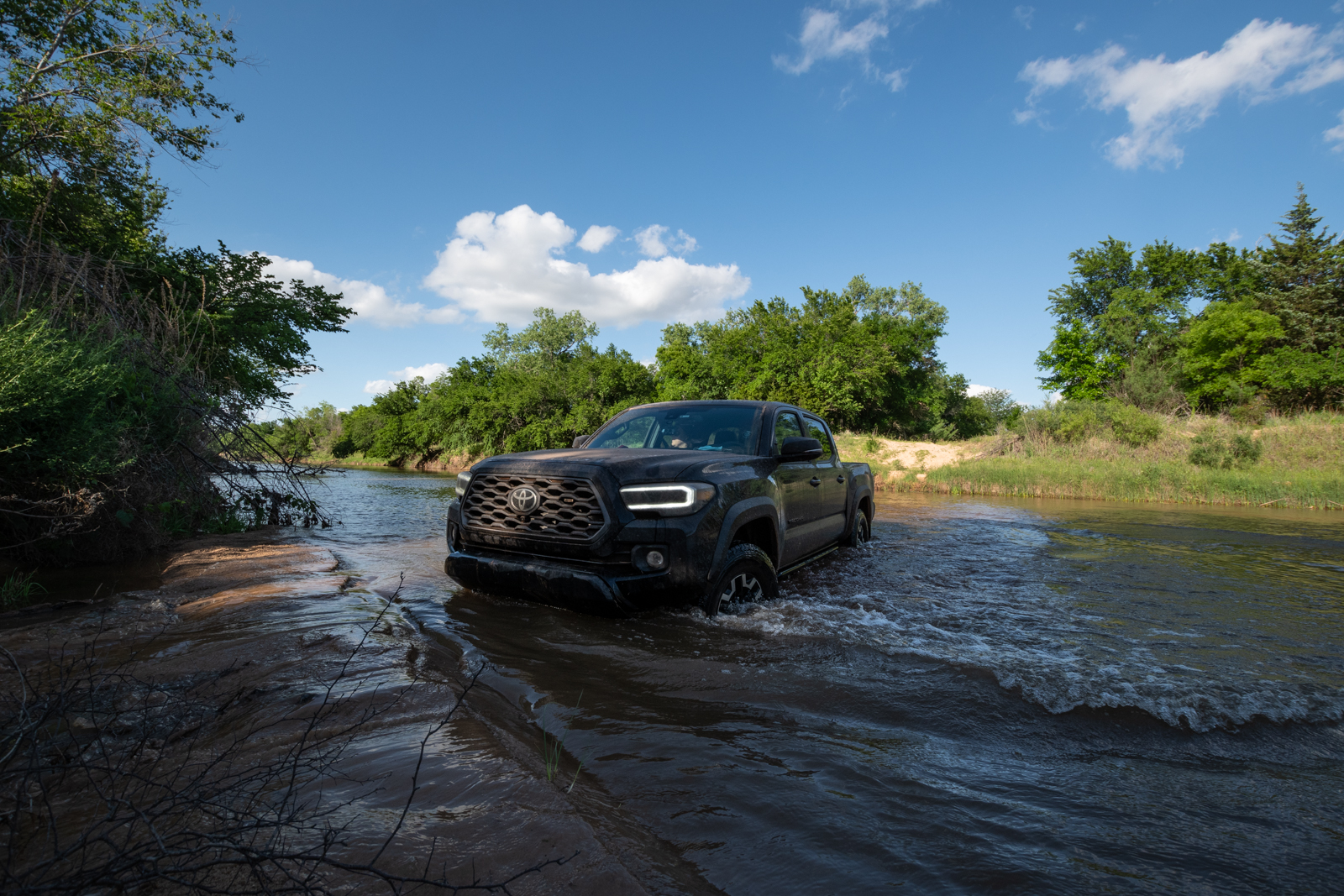
And as we were playing with it at sunset, I noticed Brady had a new toy: a 2021 Toyota Tacoma TRD. New enough to still have its temp tags (I’m a fan).
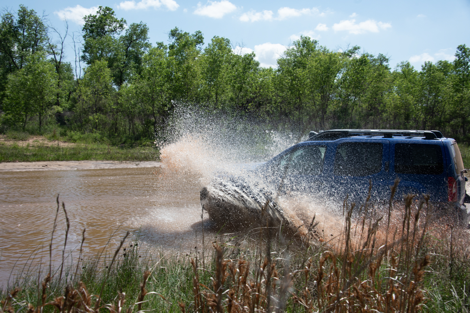
Day 1: Ranch Muddin’ and OAT West
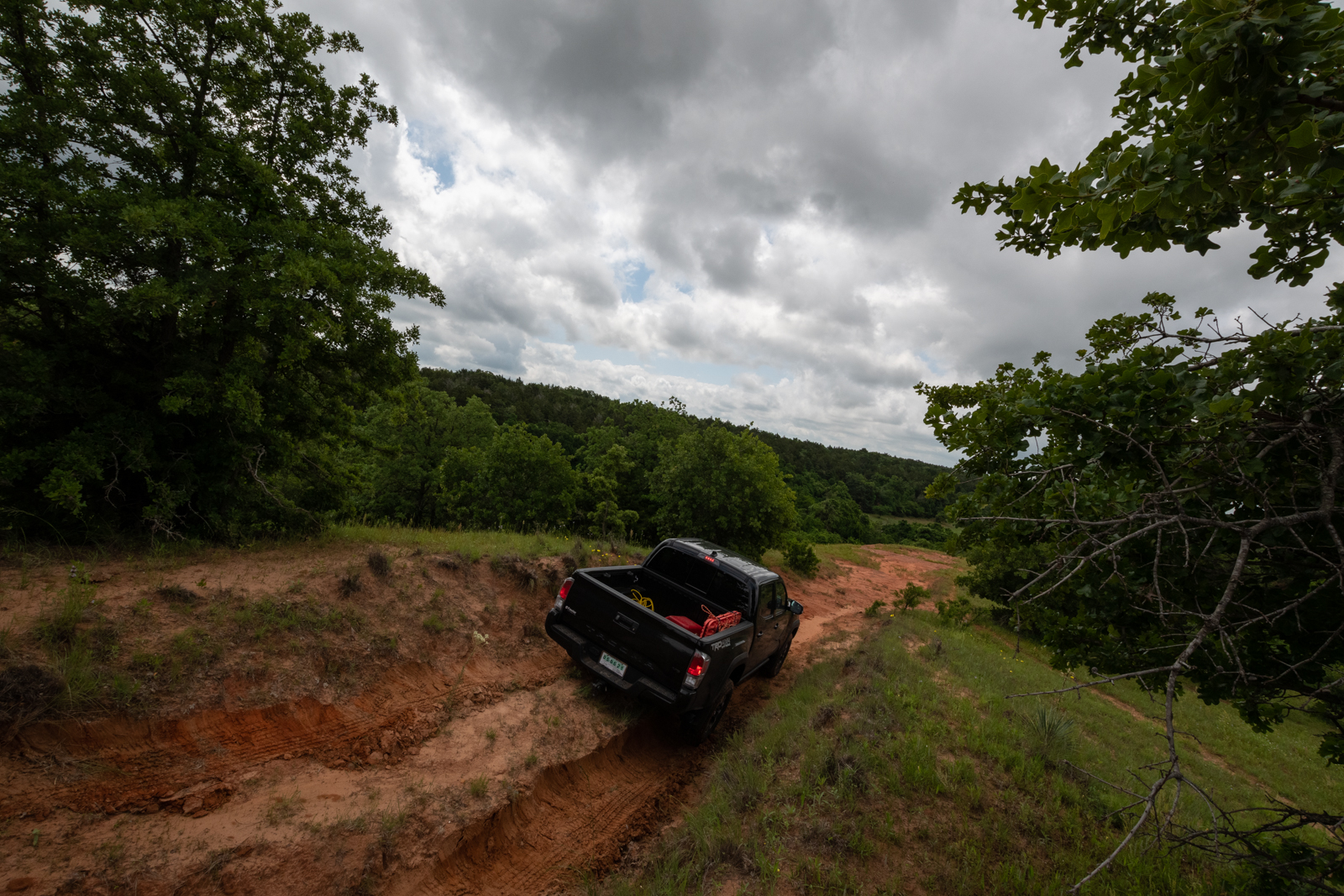
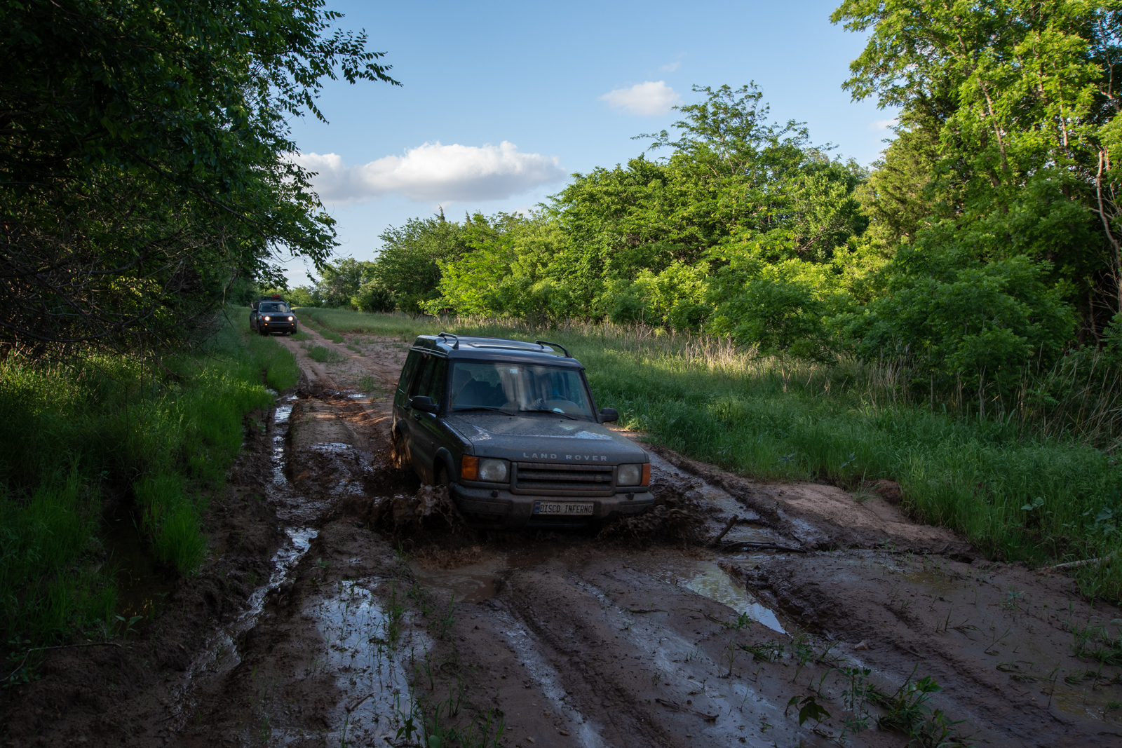
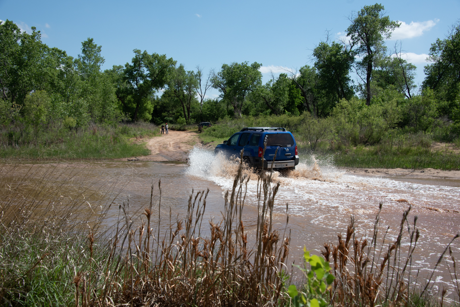
Happy Birthday, George! We explored the property a bit, then headed vaguely toward Quartz Mountain State Park by way of the Oklahoma Adventure Trail.
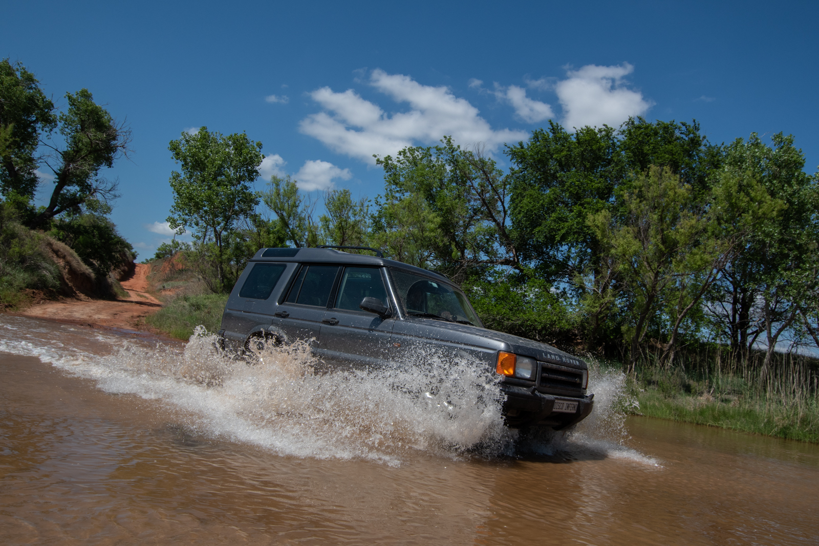
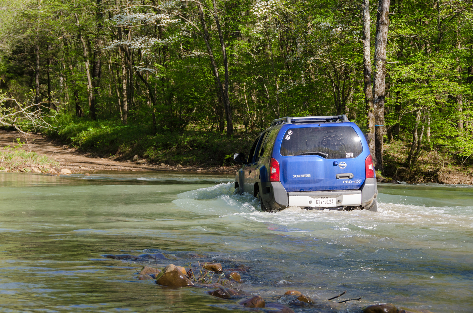
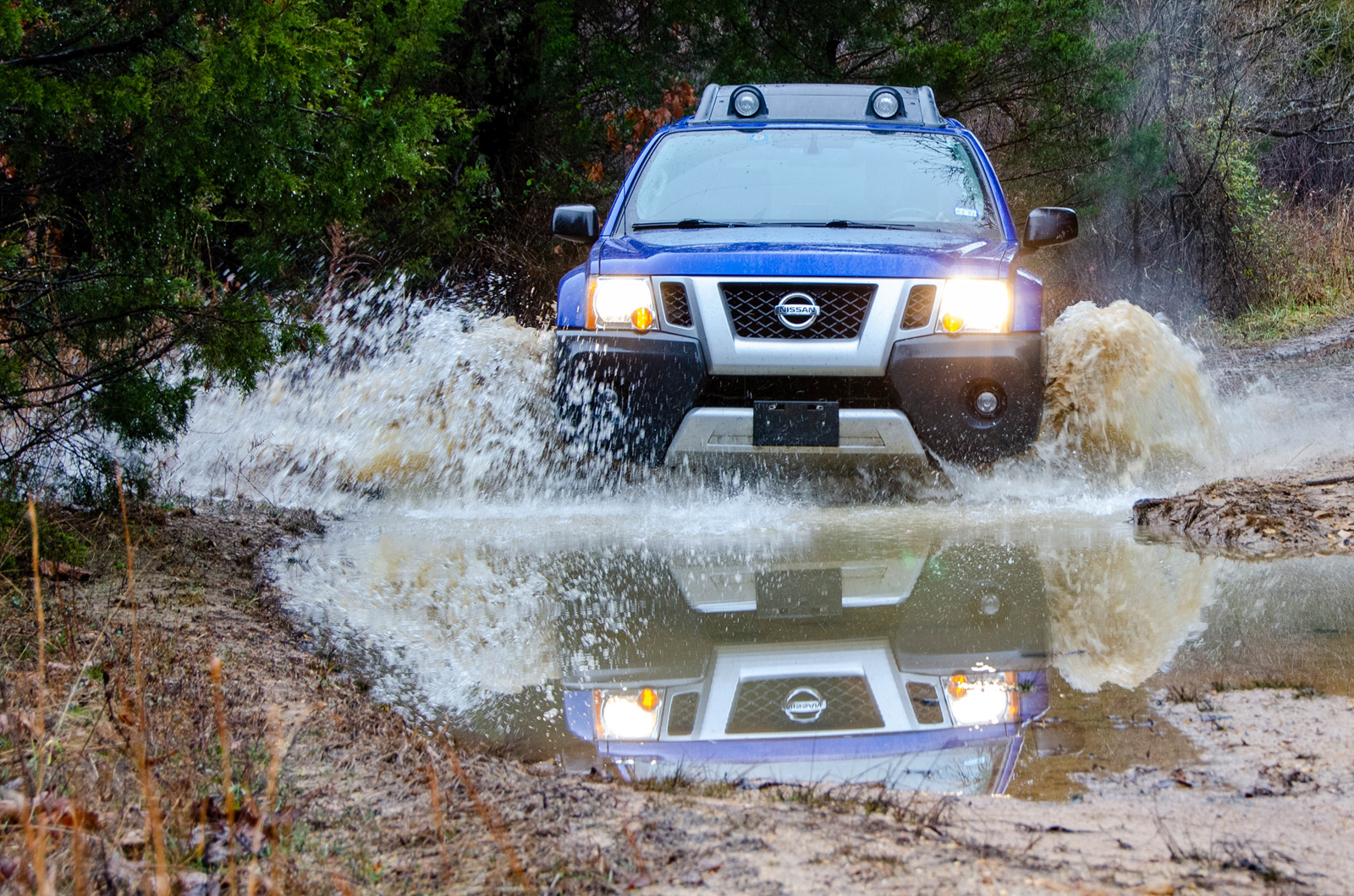
That first river crossing looks familiar, rather doesn’t it? Remember when driving through 6-8″ of not-particularly-wide creek scared the hell out of me, and we stopped to celebrate that we had merely survived on the far side? My how far we’ve come. (Though to our credit, in December 2017, there were ice chunks in that river.)
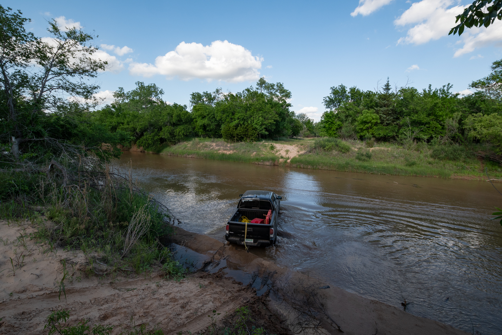
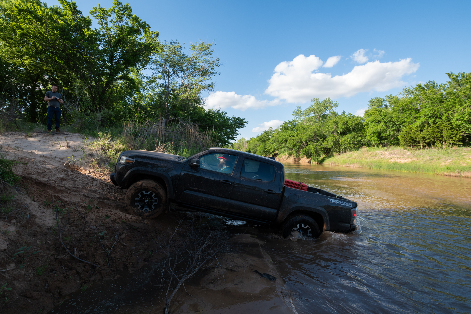
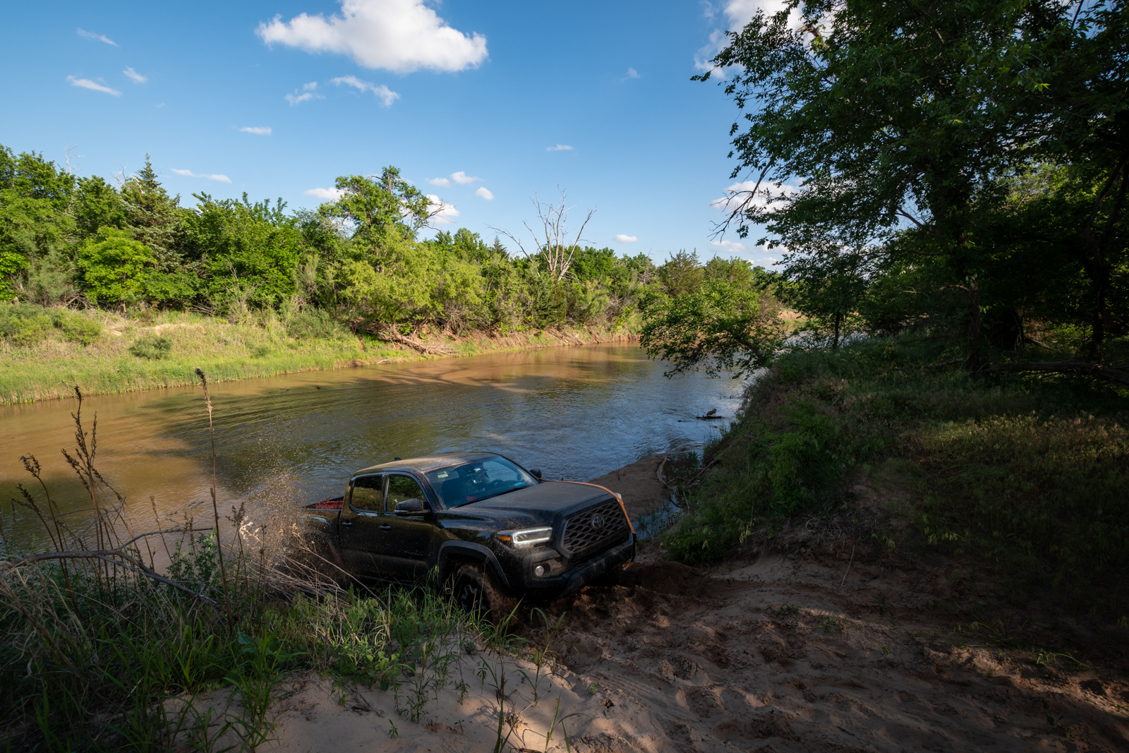
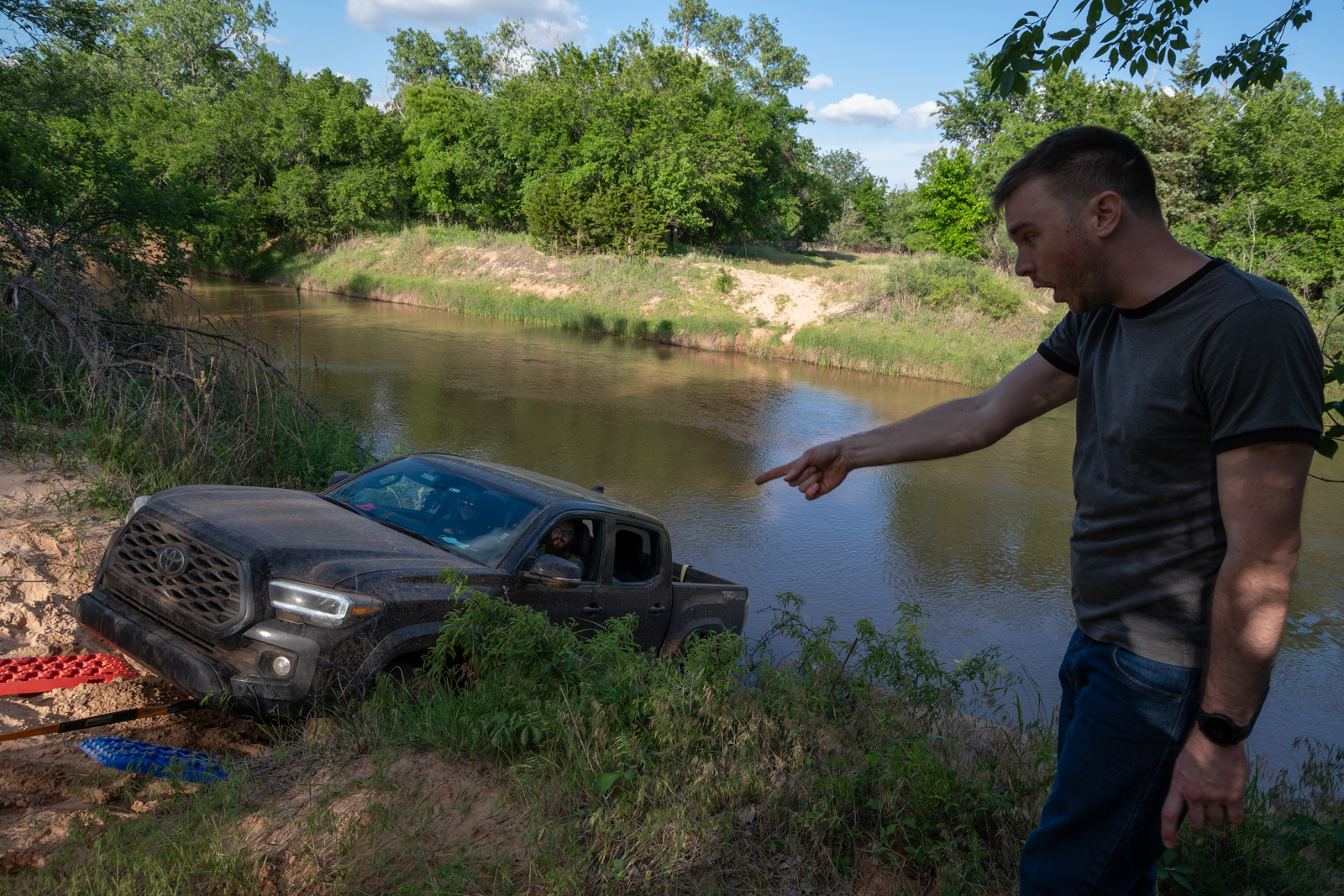
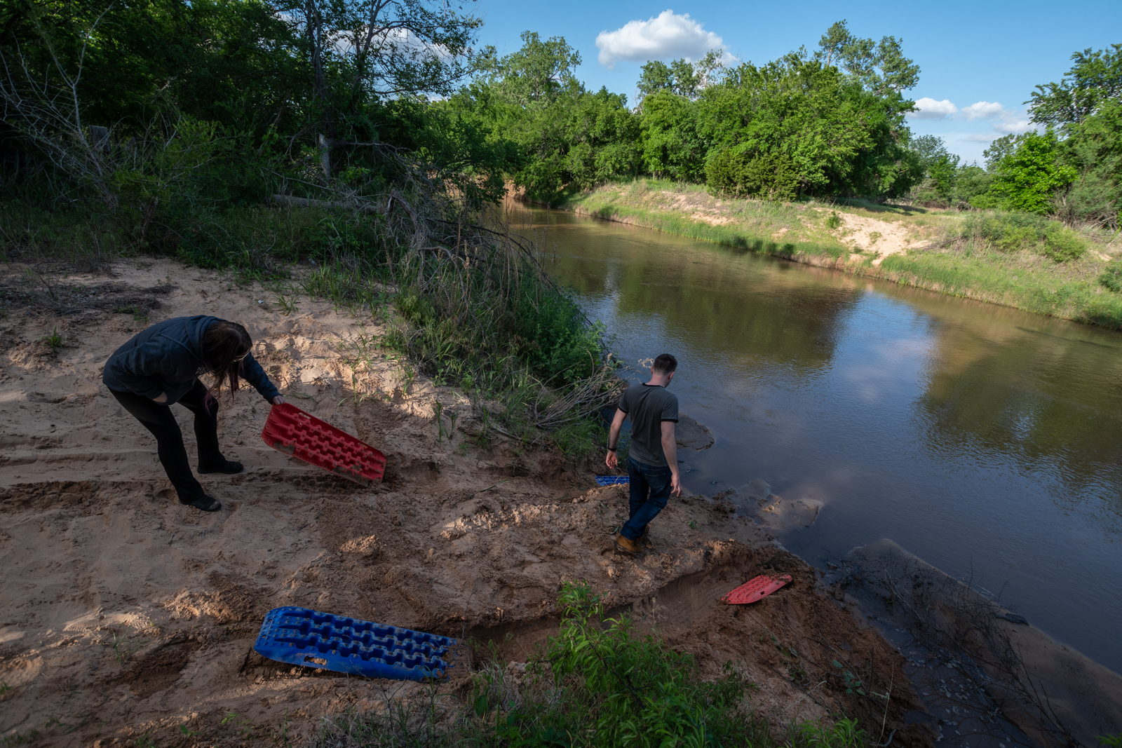
We also revisited the tougher crossing that we bailed on back in 2017. Brady decided to give it a shot, and he did make it in. But the escape on the far side turned out to be quite stout, so after booping the shit out of his new front bumper, he had to three-point turn in the river and come back. At which point he got stuck and we dragged him out, temp tags and all.
Day 2: Feeling Fuzzy
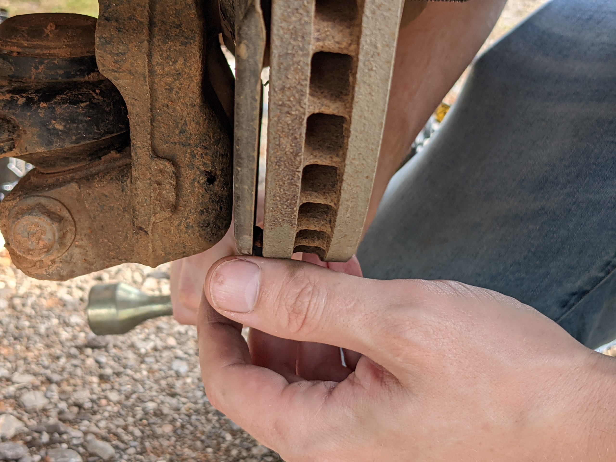
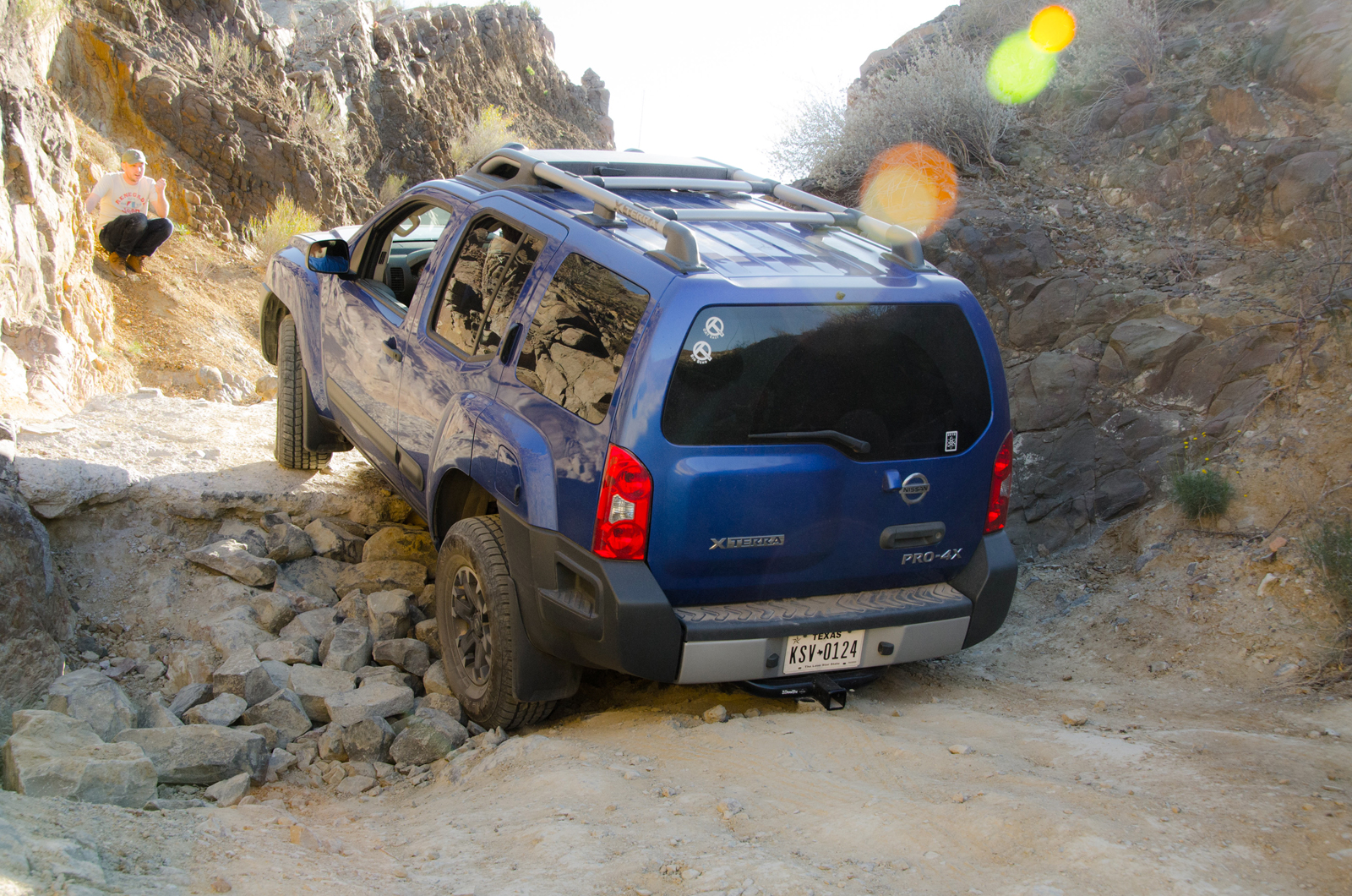
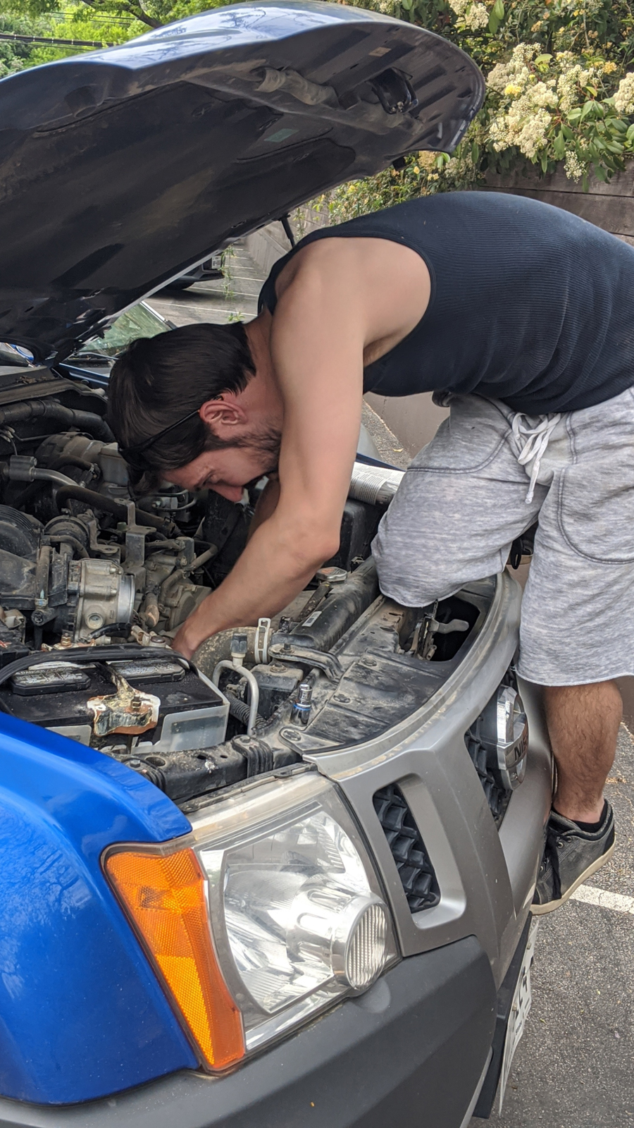
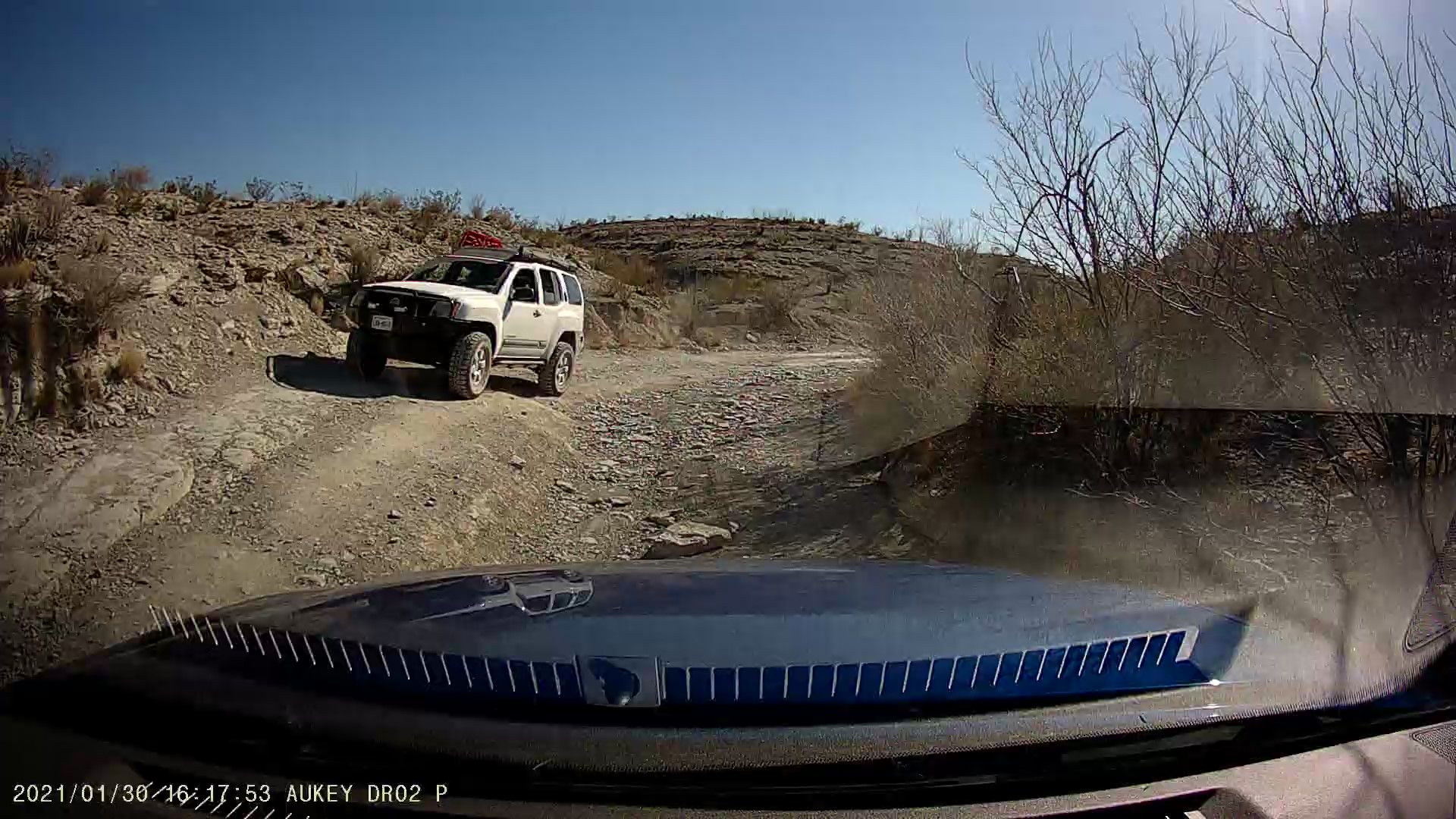
Admitting to no weakness on anyone’s part, we spent Saturday on the ranch. Between the rain, George suddenly thinking he had strep, and a general fatigue, we dedicated the day to video games, movies, walking around the ranch, and some hair of the dog. Approaching dinner time, I offered to run with Kate back into town to pick up groceries. But I quickly discovered that the Xterra had a Jeep problem. That’s right, Xterra the Younger got rocks in his shoes — or more precisely: a rock got inside the dust shield of the brake rotor. Thankfully, previous experience helped us diagnose the noise quickly.
And then there was dinner on the porch. Helluva grill at this place.
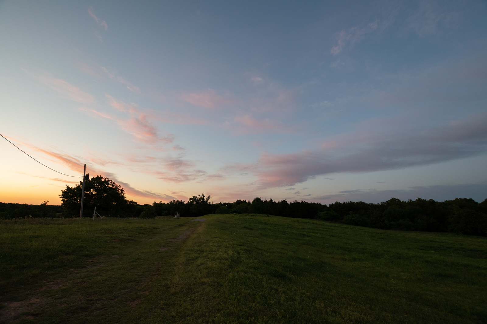
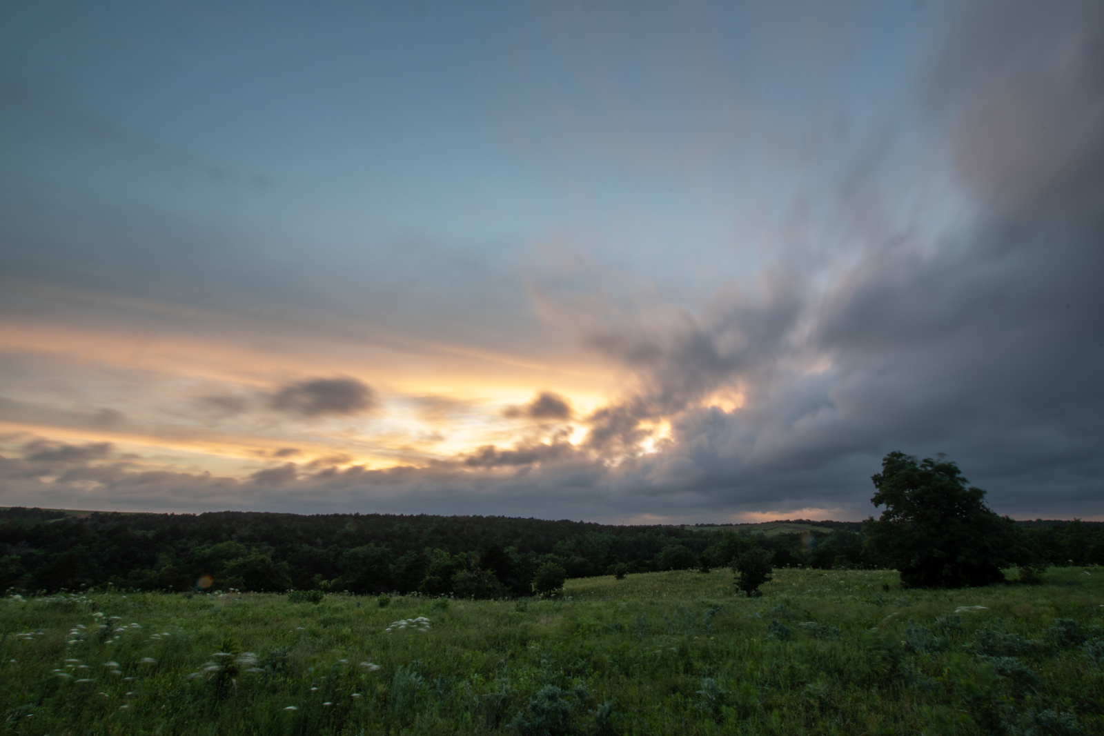
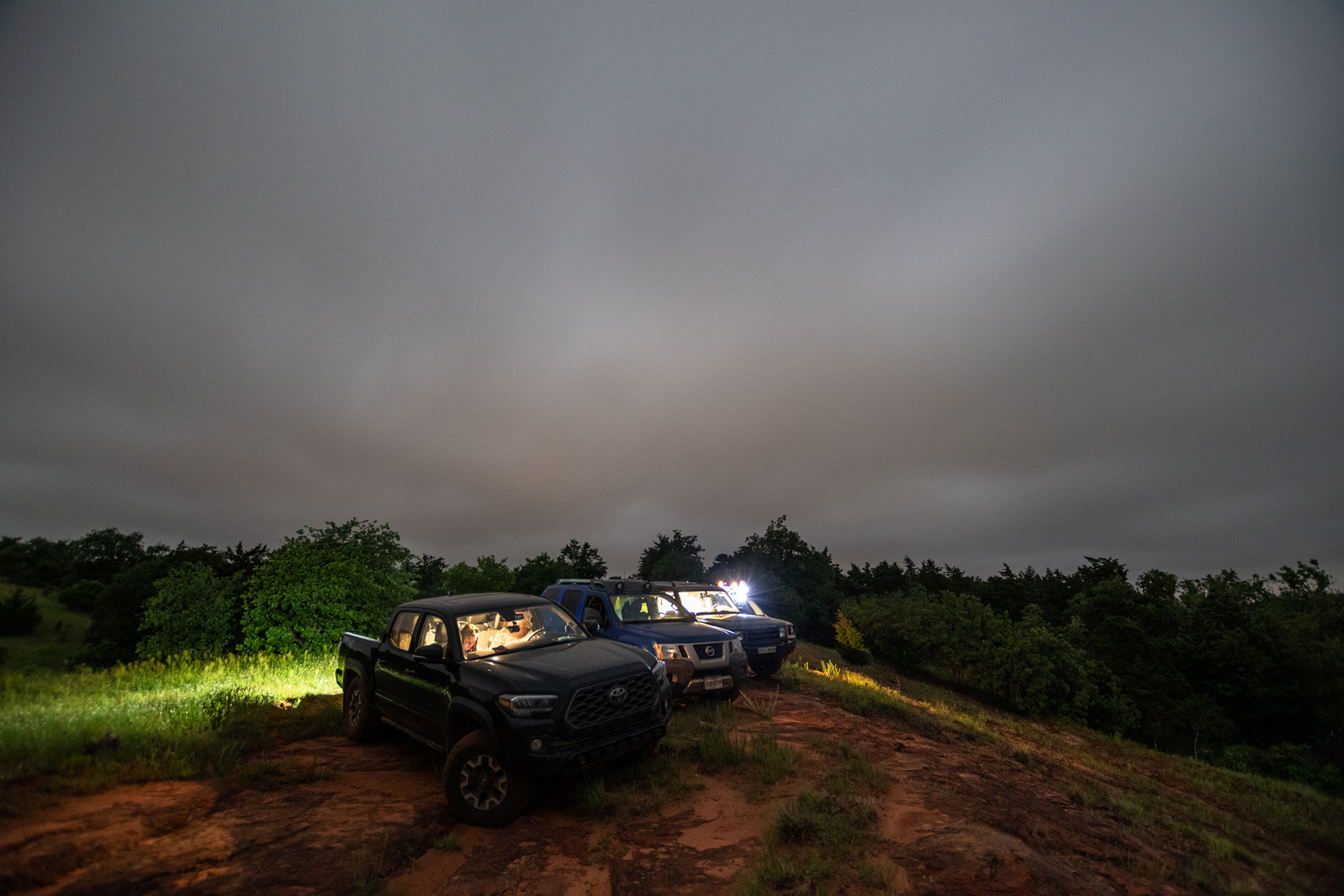
Then we drove out to the ridge for sunset.
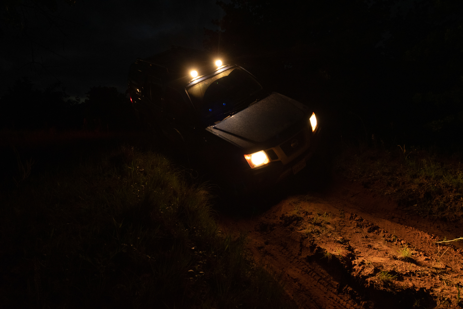
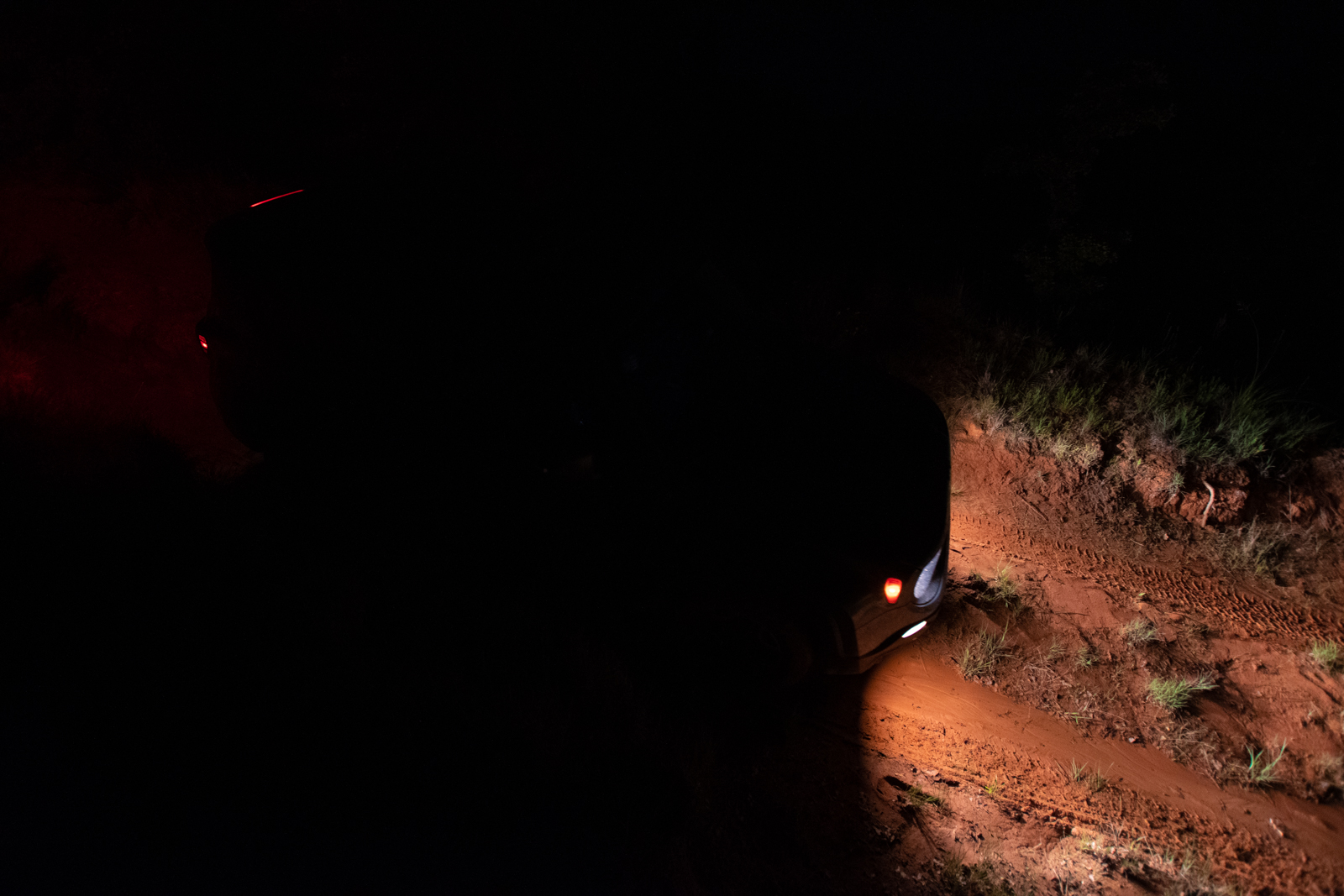
And then we took an after-dark run through the ditch. Which went well until I picked a terrible line, went a bit sideways, and had to be dragged back onto four wheels.
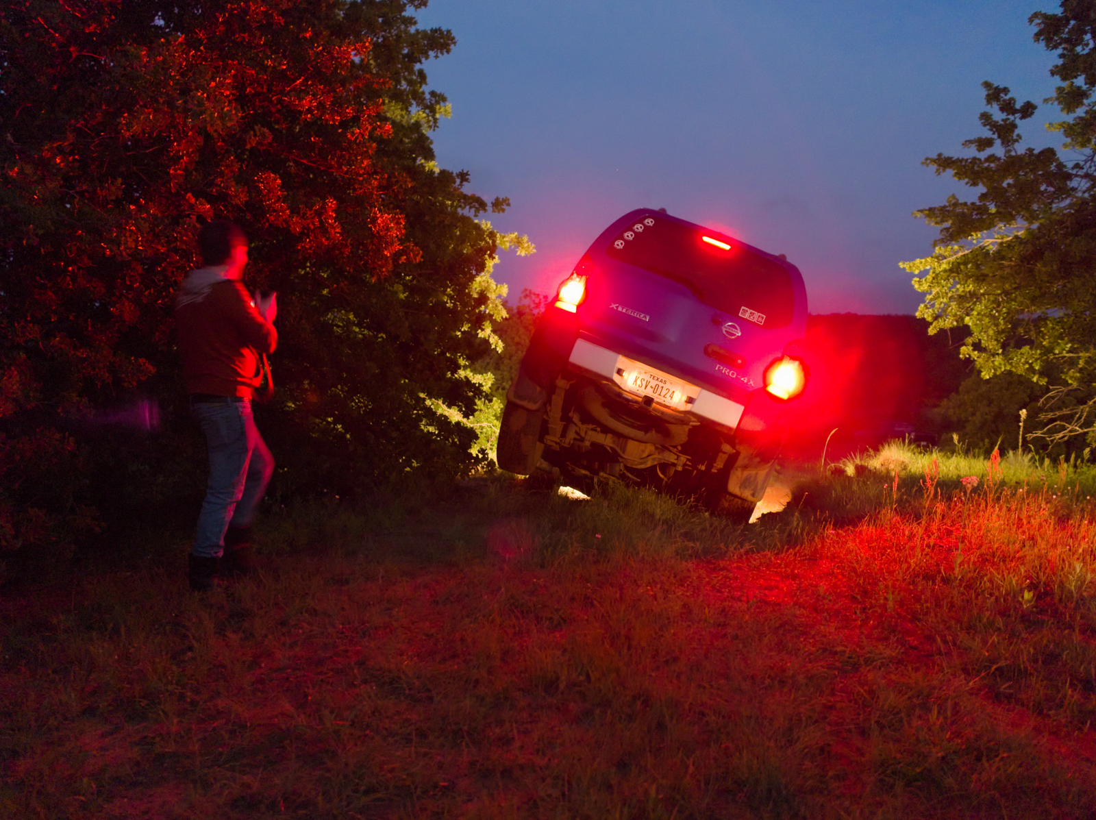
I was taking photos and didn’t immediately notice an issue, but did notice he stopped moving in an odd spot. After looking up from my camera, I saw he was at a very odd angle.
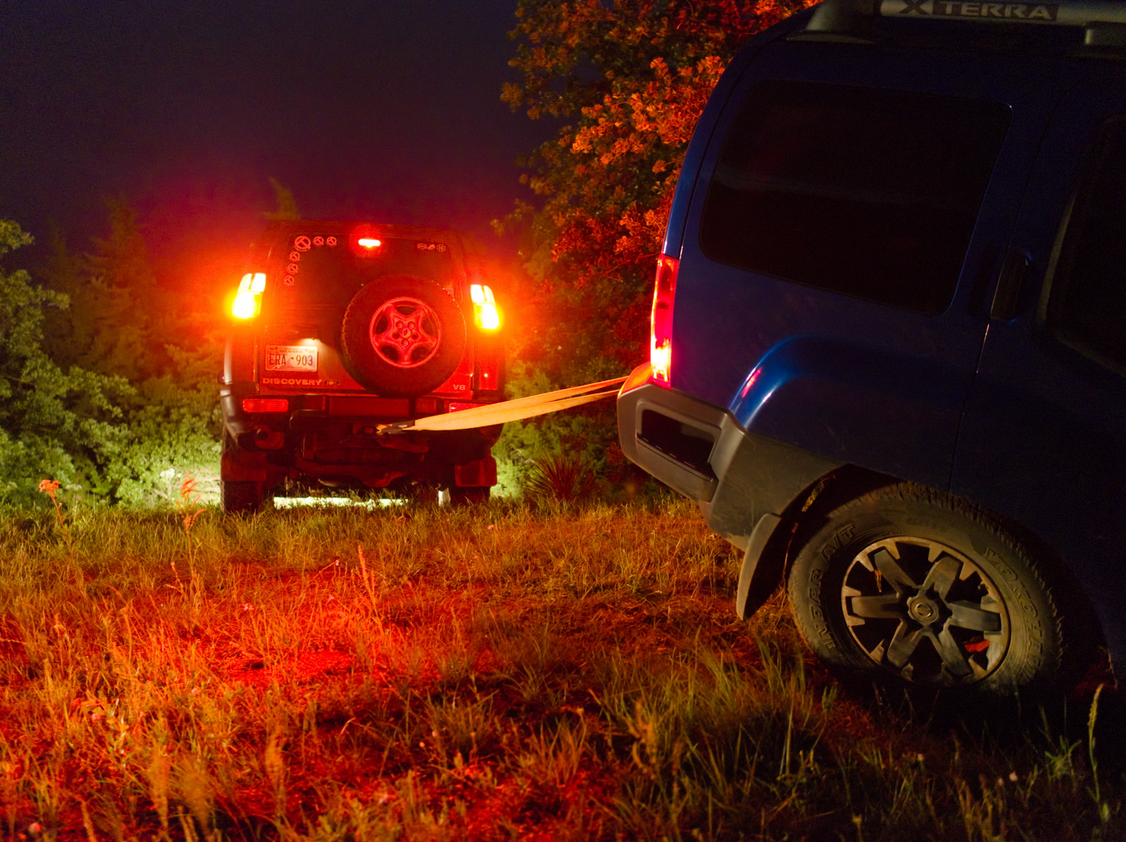
Apparently he took a line too far to the left, hit the high, soft dirt on the side of the washout, and the front slid in, forcing the driver’s side rear to rotate and, hitting the limit of his flex, popped up in the air. The net effect was he was at odd angles in all three dimensions and any attempt to extricate himself solo would likely end in body damage or a roll.
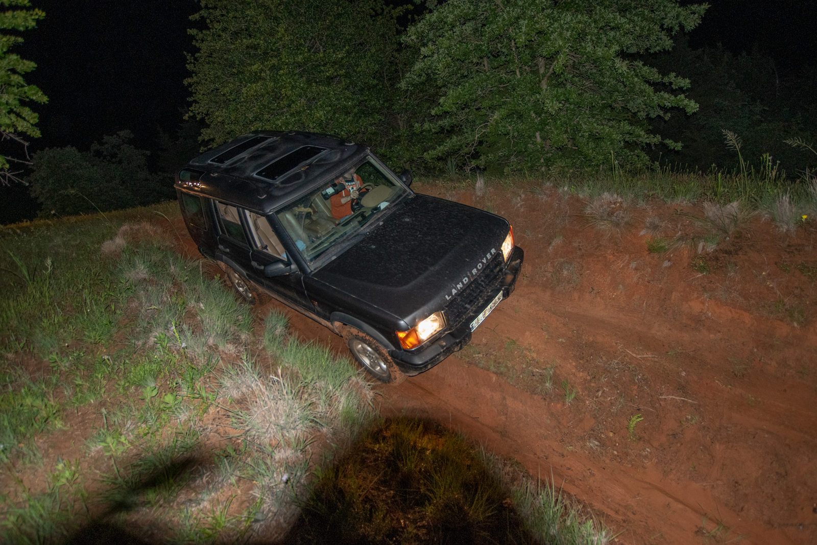
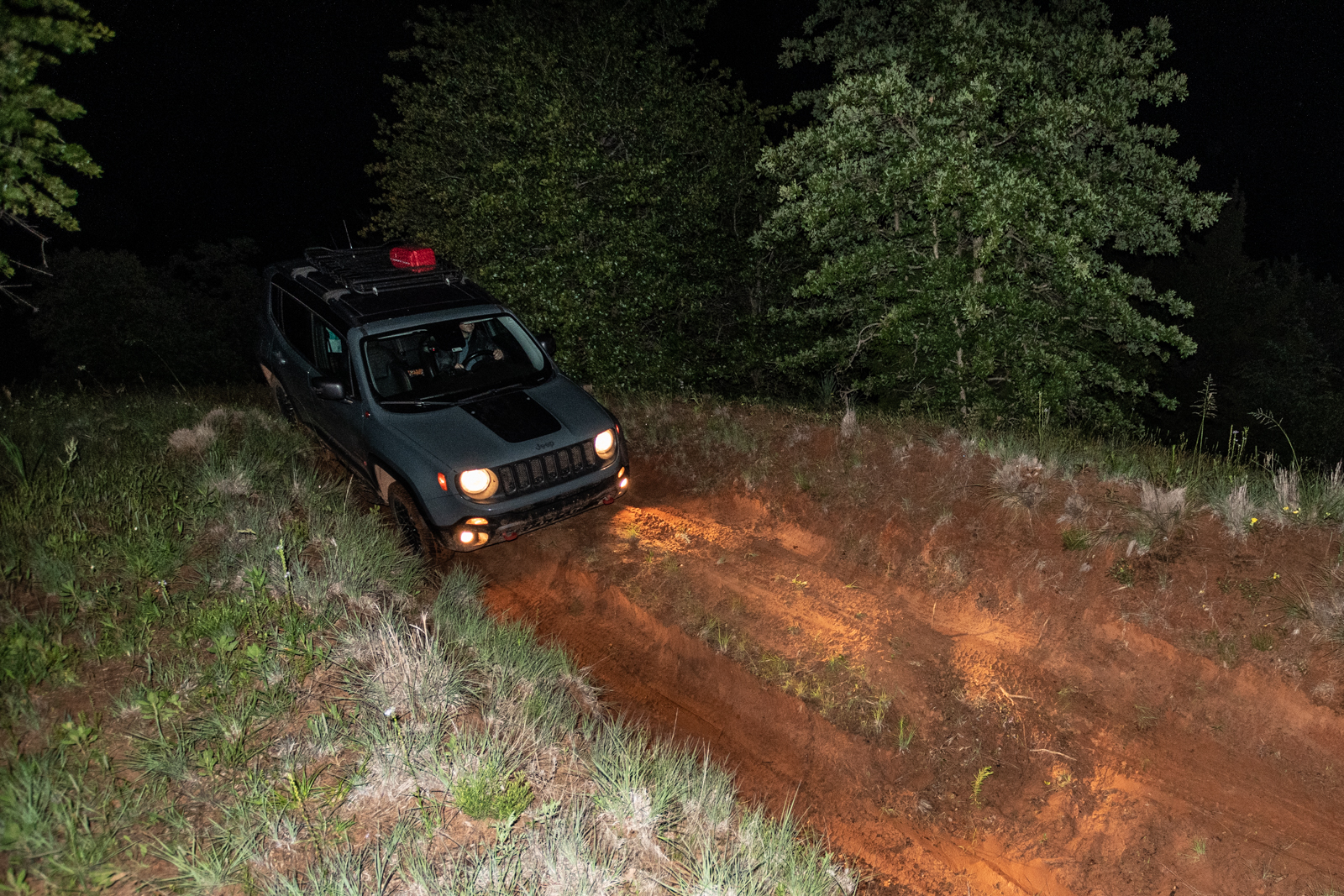
Pulling him out via the road was a bad idea, as it’d likely cause him to slide into the wall. Or roll. While the other side of the ridge was grassy with an eventual drop-off into a creek, we figured there was enough room for a short tow strap to get him on all four wheels again, keep all the paint on the car, and the shiny side up. I lined up the Rover, once again called to duty because it was the heaviest with the most aggressive tires and already more or less in the right spot, and George grabbed his recovery hitch from the Renegade.
We sat on the hill in the humid summer air, the sun having set behind us quite some time ago and listened to the frogs in the ravine.
Day 3: Mount Scott is Still Closed
Despite the intermittent rain, the plan for our final day was to pack out and head down to the Wichita Mountains National Wildlife Refuge and part ways on Mount Scott. The mountain was closed. Again. (By which I mean: they close the gate at the turnoff for the the scenic drive up to the overlook.) Just like in 2017.
That said, it had been a nice enough drive down there, and it got me a bit closer to home with company. I suppose this kills the roadtrip. The Tulsa brigade turned and headed north. But seeing a seven hour drive ahead of me, I decided for a hike first.
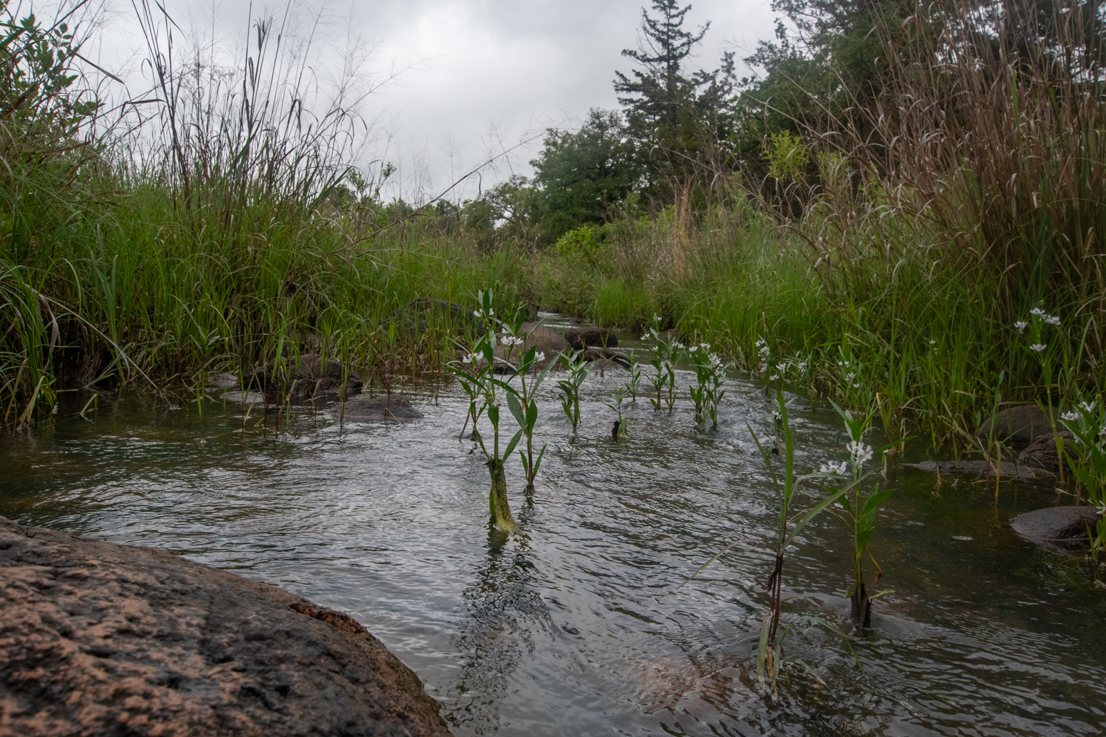
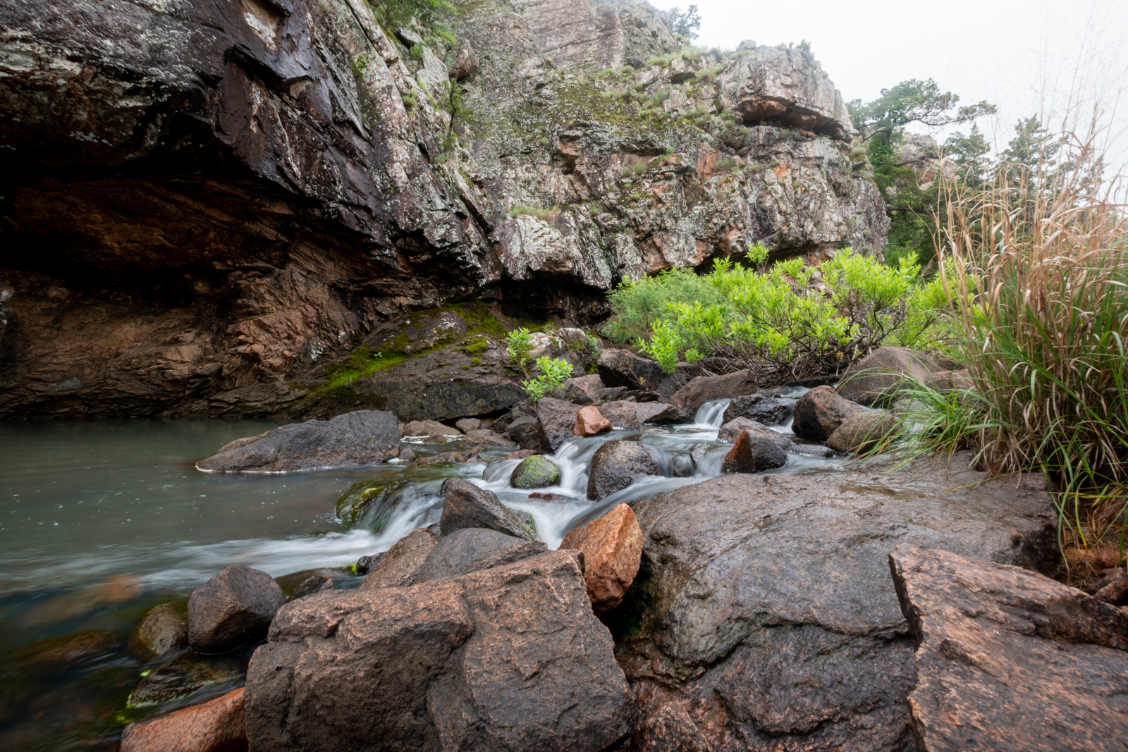
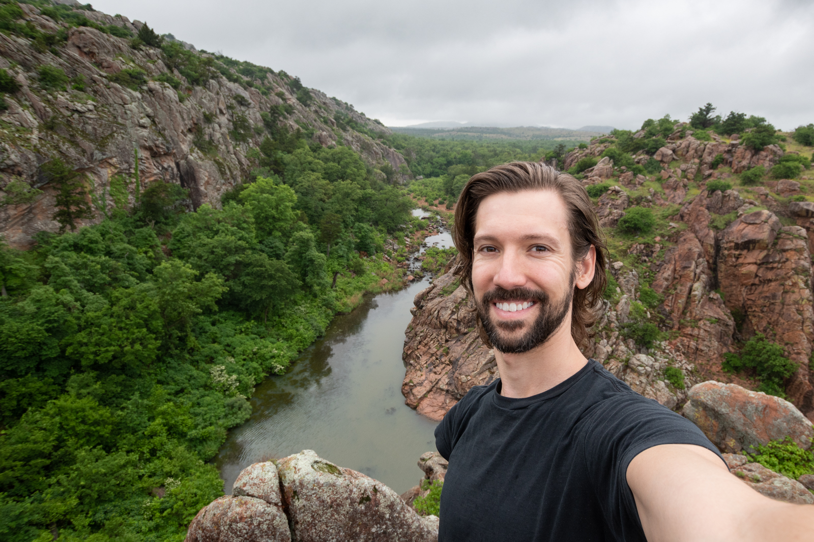
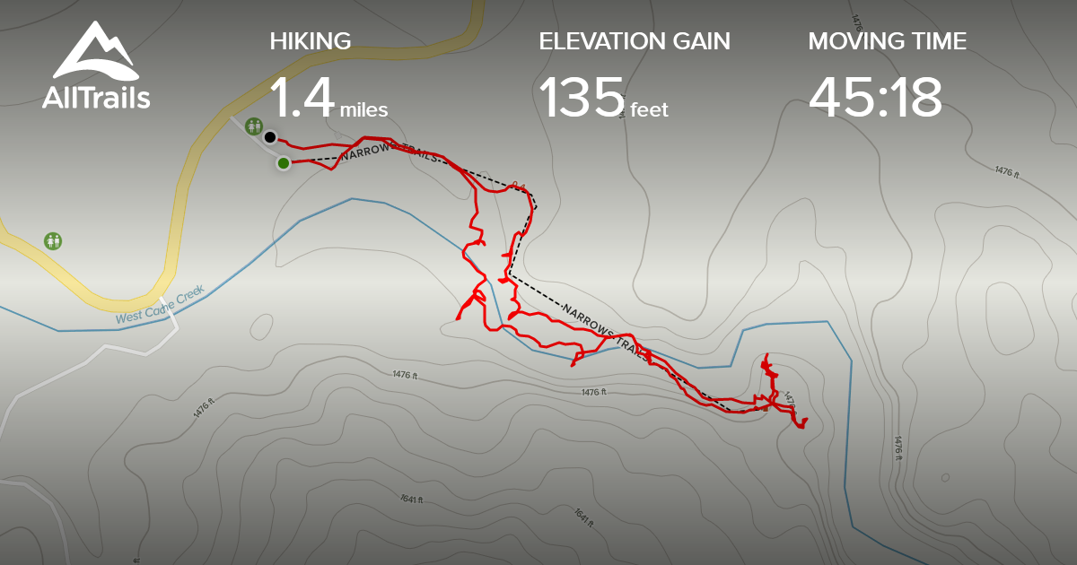
And by “hike,” I mostly mean “a brief stroll along the creek until a rock scramble.” But the view at the end was worth it — a pleasant end to this lovely little weekend. I stood in the rain a while.
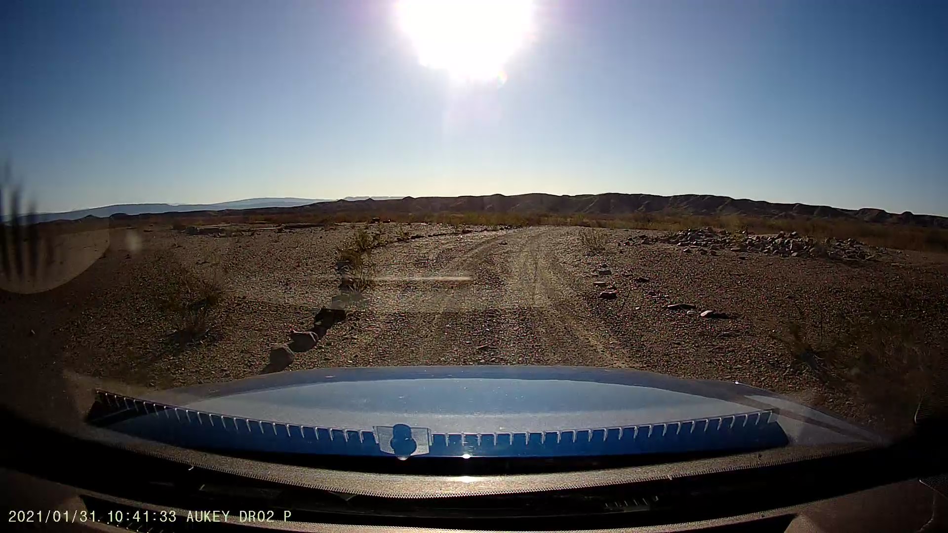
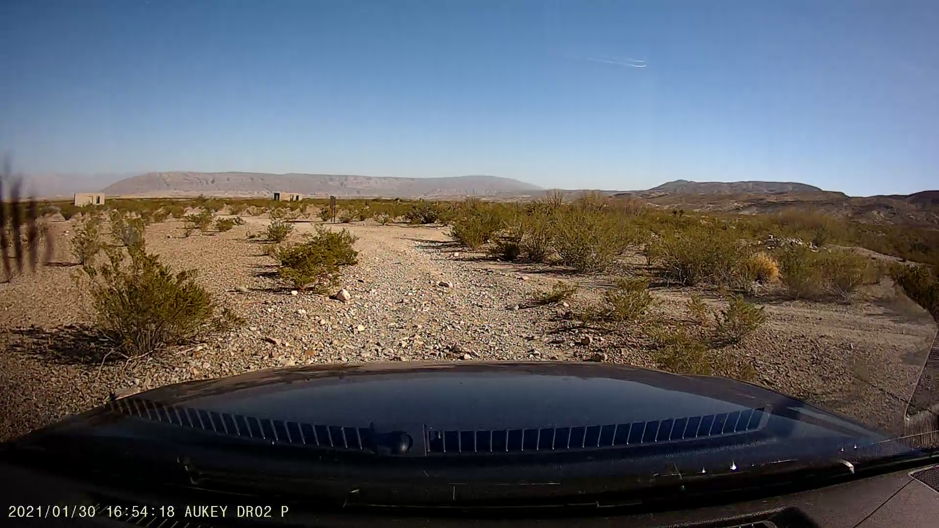
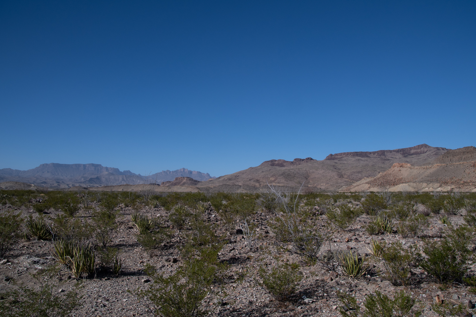
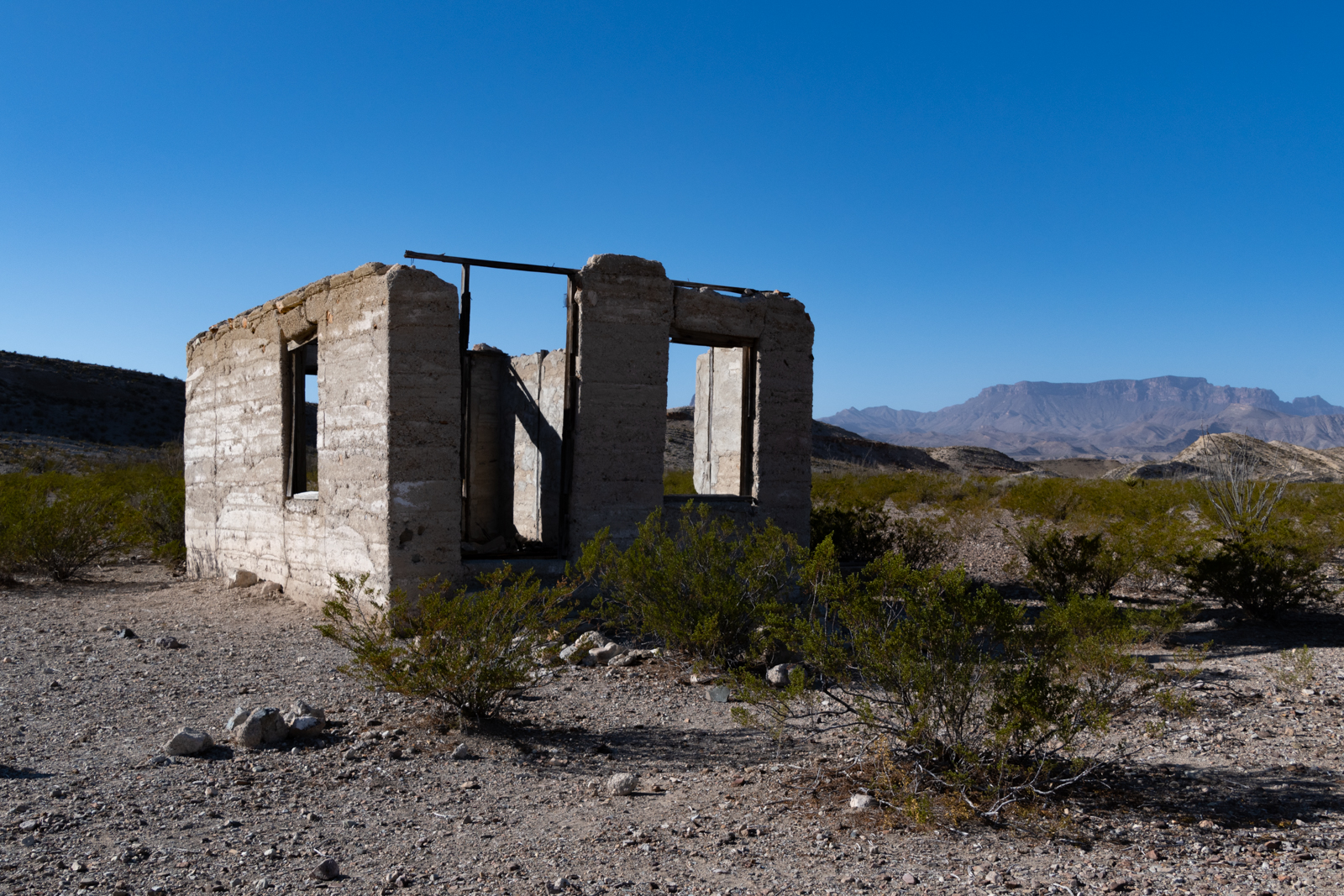
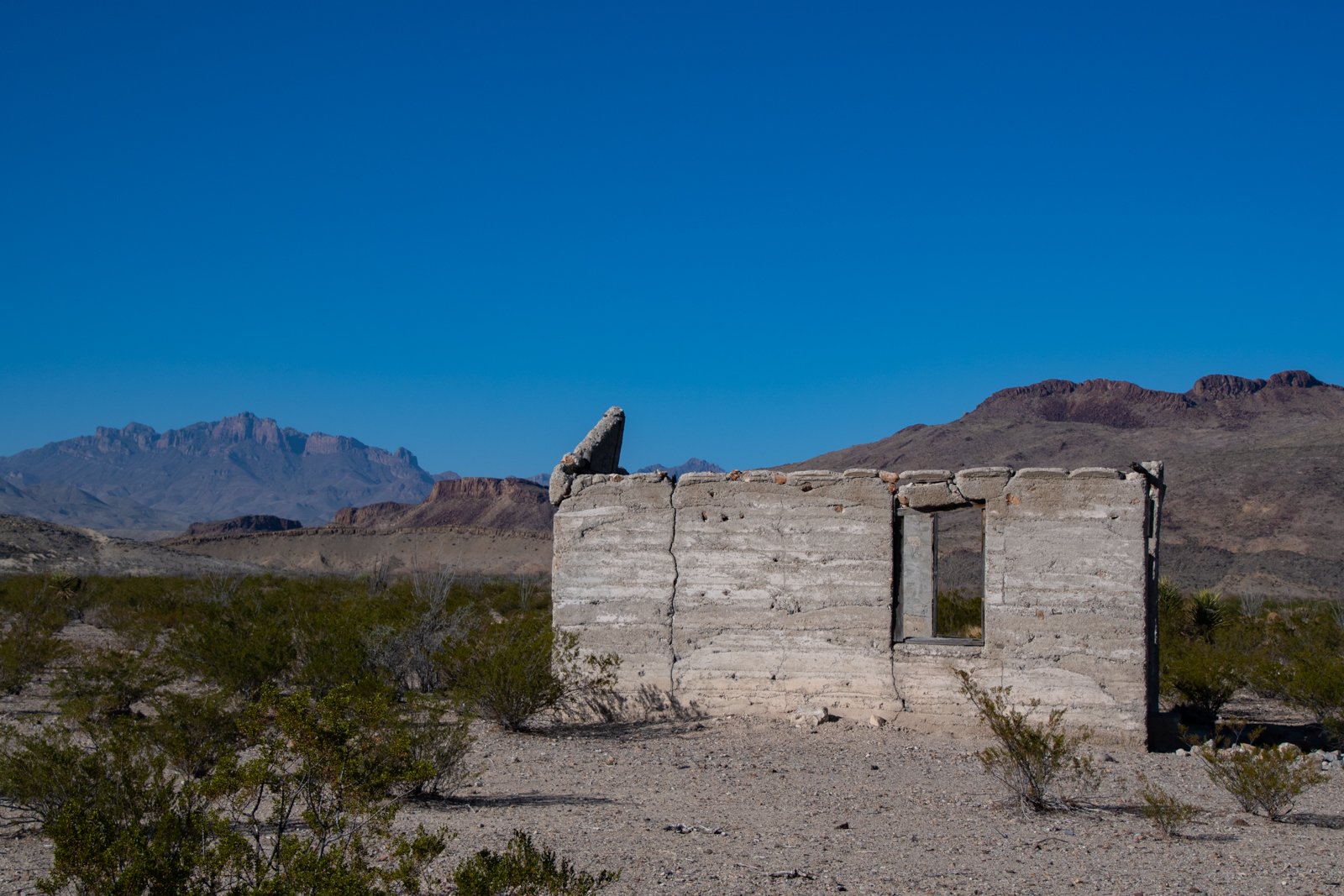
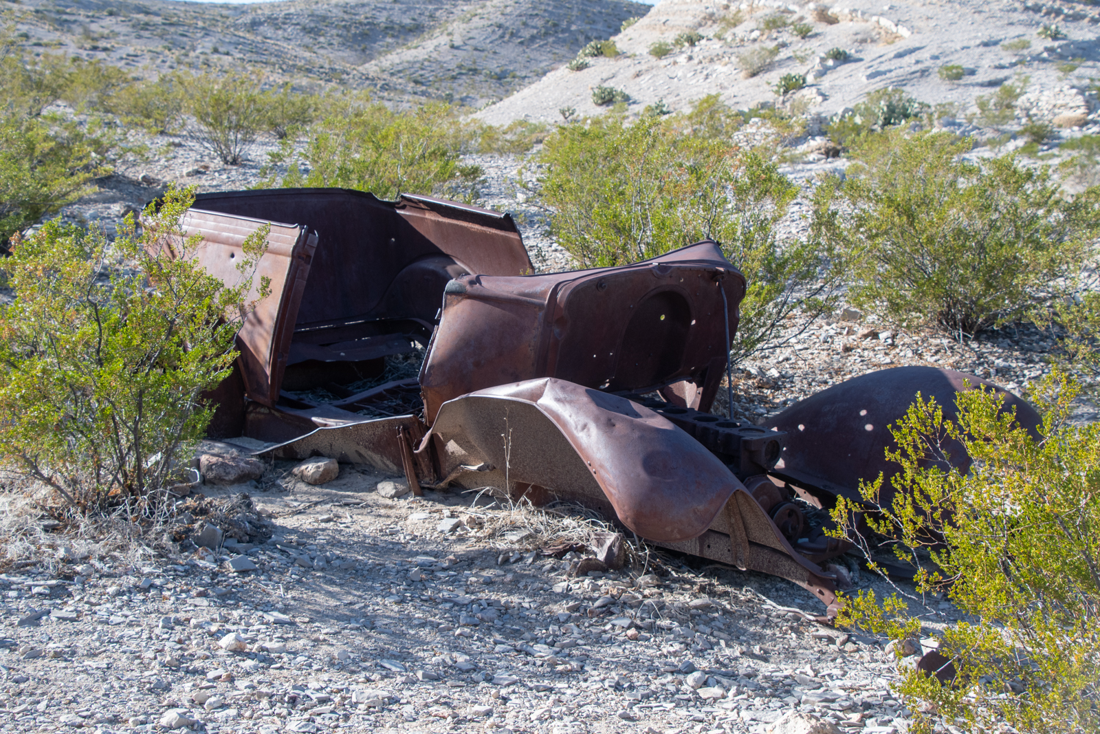
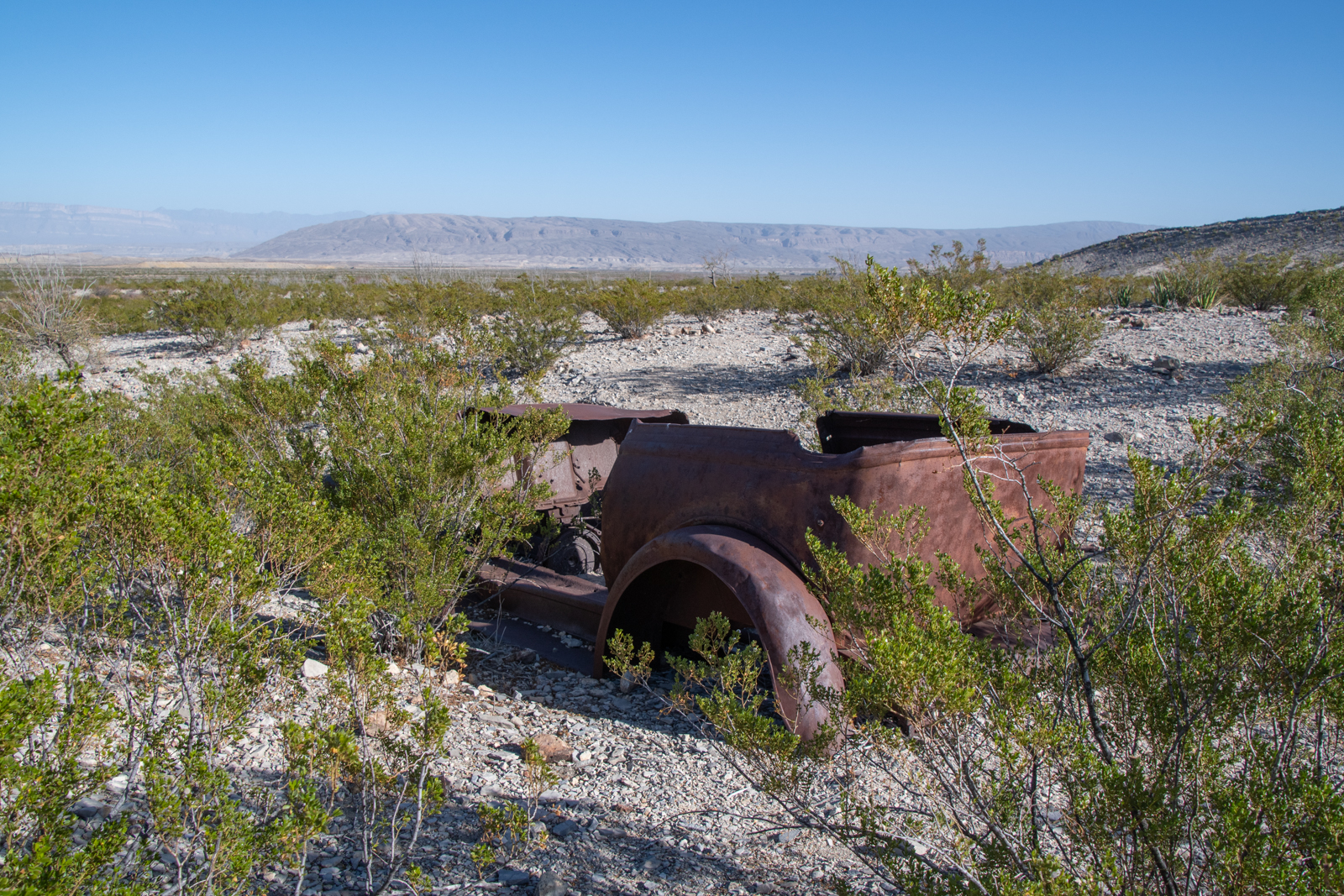
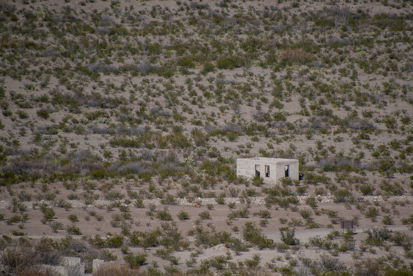
I woke up this morning with a long route ahead, but feeling no particular hurry. I finished River Road through the park, making a few detours marked in my book. I stopped at the remains of Johnson’s Ranch, now a pair of backcountry campsites, in the ruins of an old ranch complex along the river.
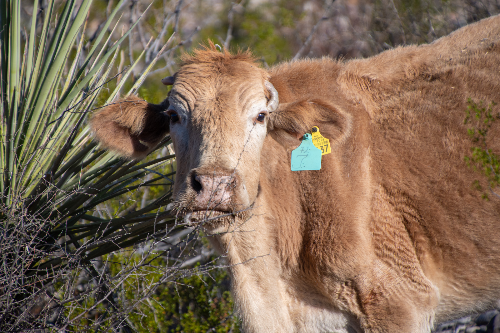
The foundations are all that remain of several outbuildings and the old house, with a small gravesite beyond. A tiny airstrip was cleared in 1929 and the Johnsons operated a trading post, cotton farm, and goat ranch until the 1940s. It was apparently quite the weekend getaway for locals. A few “trespass livestock” animals were grazing around, too — they cross the Rio Grande from ranches across at a shallow point and eventually wander back.
The rest of the road, even toward the comparatively more rugged western half, is still pretty manageable. We did all this after nightfall back in 2018 and it felt somewhat more intense in the dark.
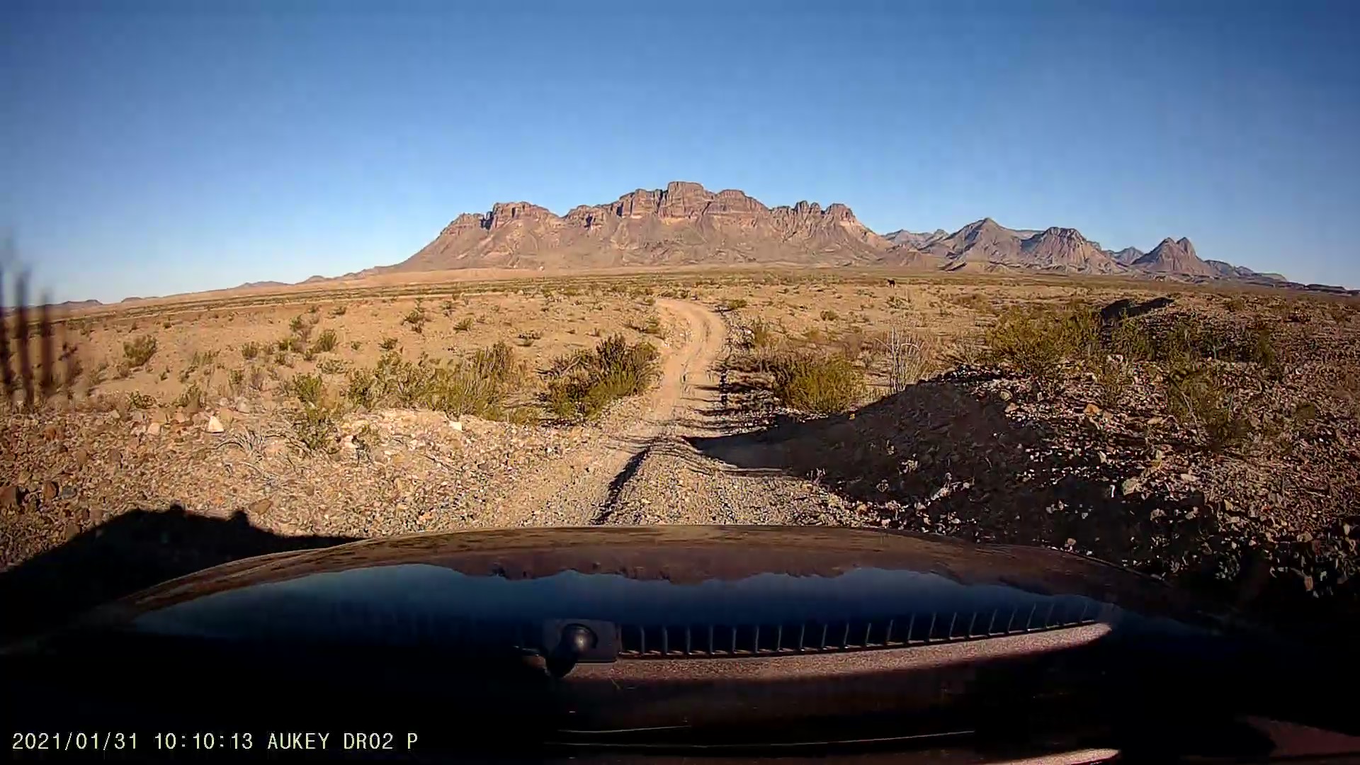
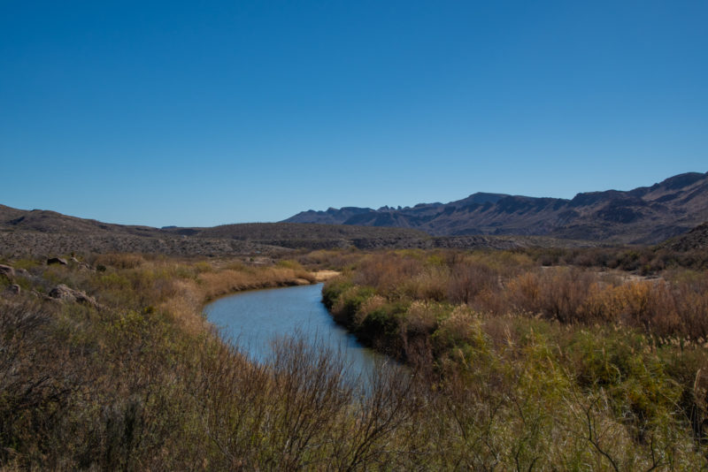
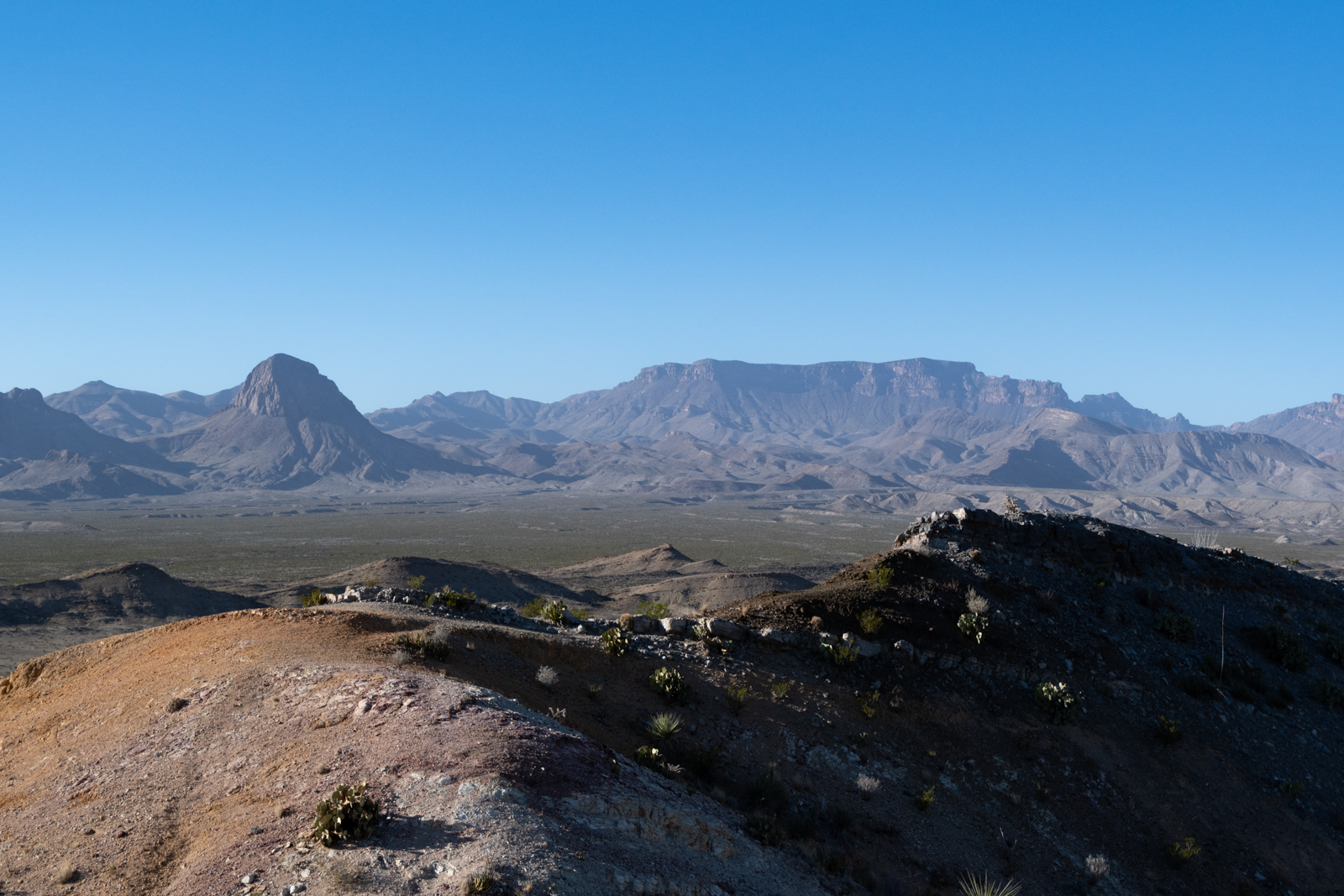
Daylight revealed sweeping views of the flat desert wash headed toward the river with a giant wall in the distance that is Santa Elena Canyon. The rest of the drive in the morning sun and cool air was beautiful. A short hour or so later, I rolled out onto Ross Maxwell Scenic Drive, named for the park’s first superintendent. It links up some of the most stunning overlooks and trails outside of the Chisos on its way back to the main park highway.
At Terlingua, I decided I could spare an extra hour to take FM 170 from Terlingua through Lajitas into Presidio before heading home. It’s a beautiful canyon drive along the river, and this was my third time to do it, but it never gets old. There are a few hikes along the route I’d like to do one day, too.
I picked up a new book recently, Yonderings: Trails and Memories of the Big Bend, wherein author Ben English recounts his life growing up in this area. As a boy, he was a frequent passenger on a new bus service that ran this highway, originally known as “the River Road” long before the National Park was established. It carried him between Presidio where his family lived and Lajitas, where his grandparents lived in and operated the general store and trading post in the early 60s. At the time, I gather 118 from Lajitas up into Terlingua wasn’t paved, and Terlingua was little more than a mine and a cinnabar furnace.
From Presidio, it’s a straight shot through Marfa and Fort Davis to pick up I-10 in Balmorhea. Not the shortest route home, but I did make a discovery when I did a map-check. Marfa is closer to Austin than Tulsa.
Suddenly this remote West Texas paradise doesn’t seem nearly as far away.
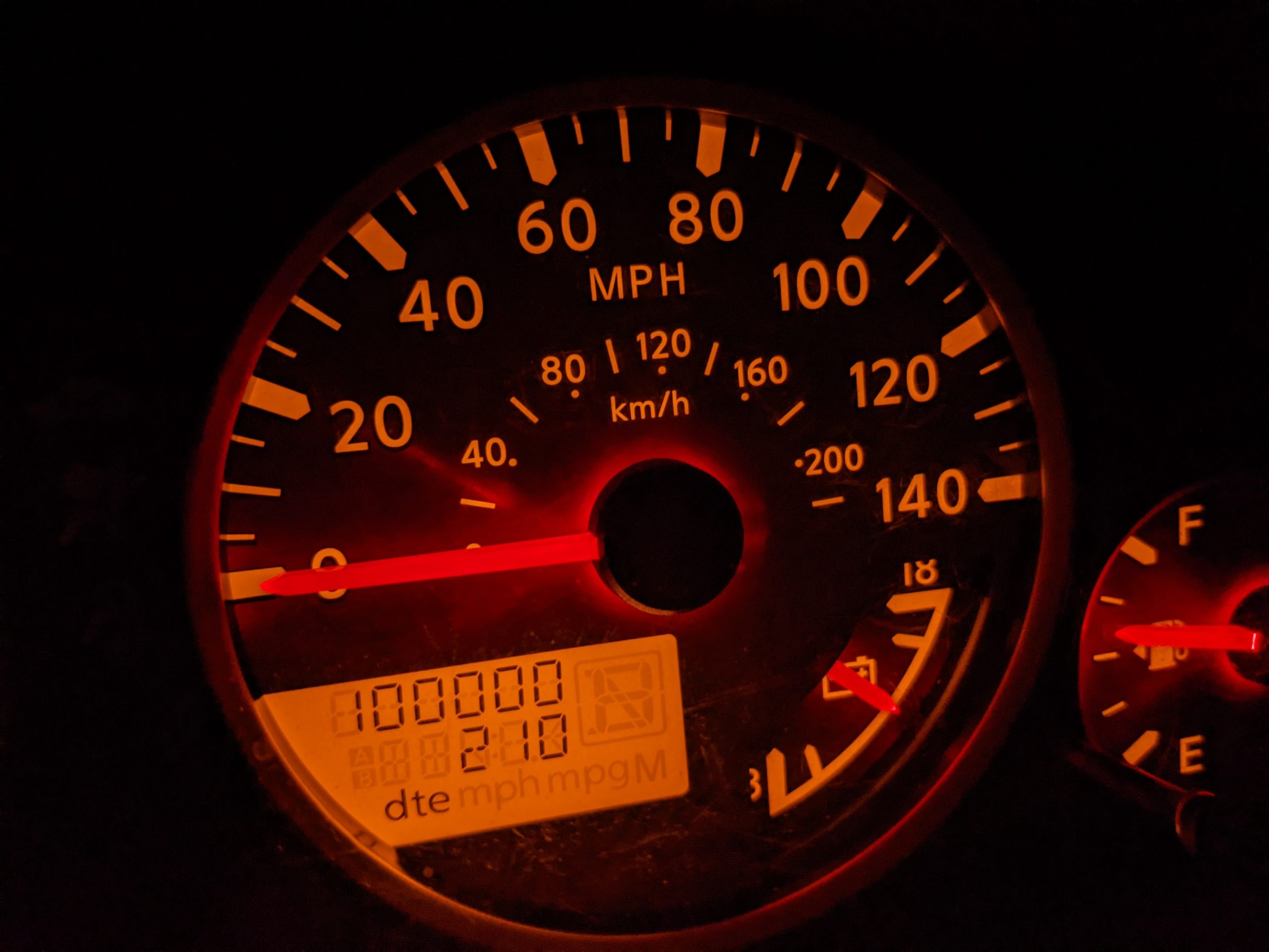
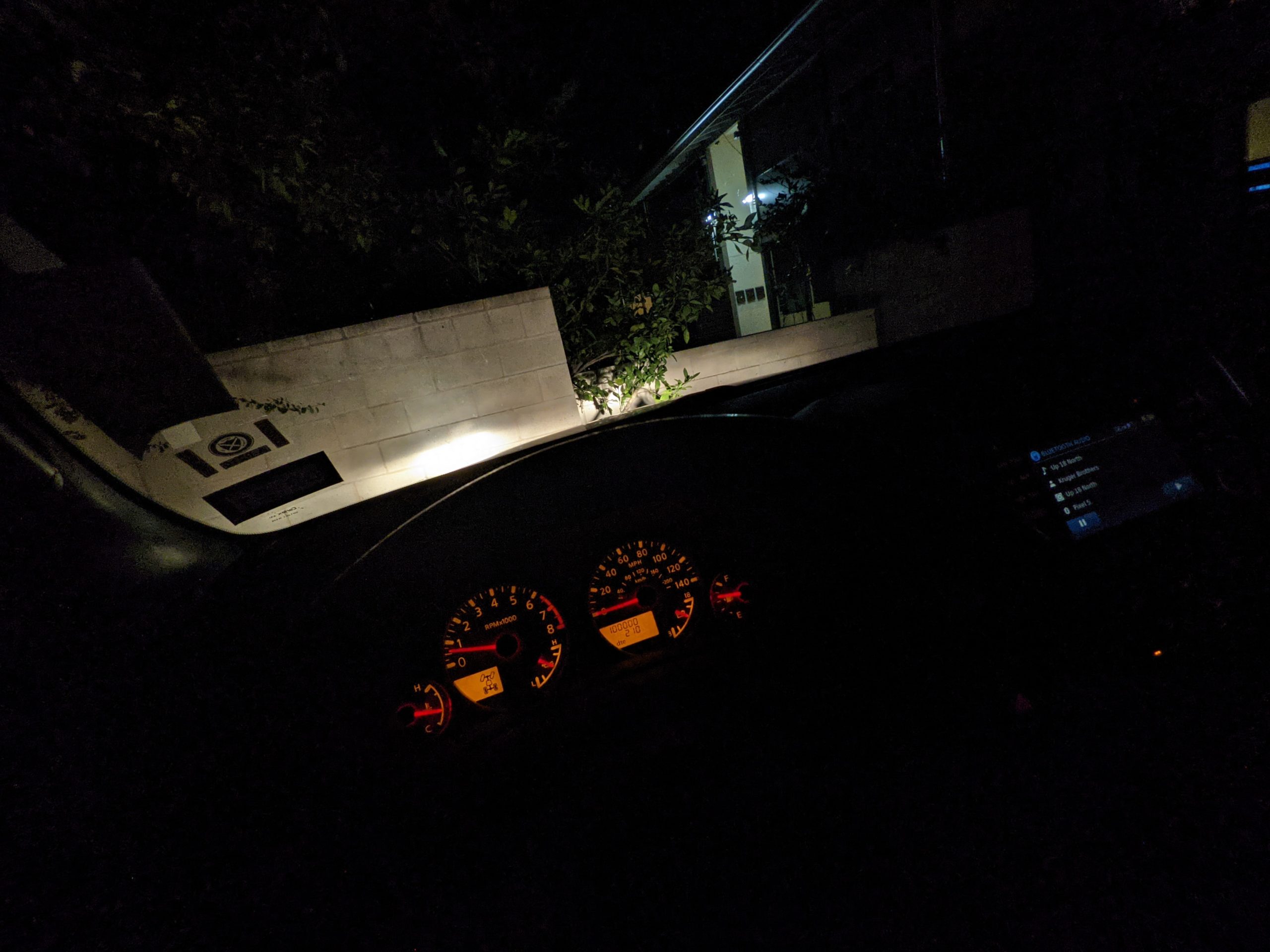
I didn’t stop again on the way back, passing the time with more podcasts and bluegrass music. And then — without exaggeration — as I rolled into my apartment’s parking lot, a major mile marker:
Proof of location
It’s been a good run, through a lot of unexpected everything. Though I try to keep this blog from being exclusively “here’s a bunch of photos of my car,” here’s a celebratory photo-dump of the sixty-two thousand miles since we joined forces.
Roadtrip doggo in Terlingua, Texas as reward for scrolling through all that.
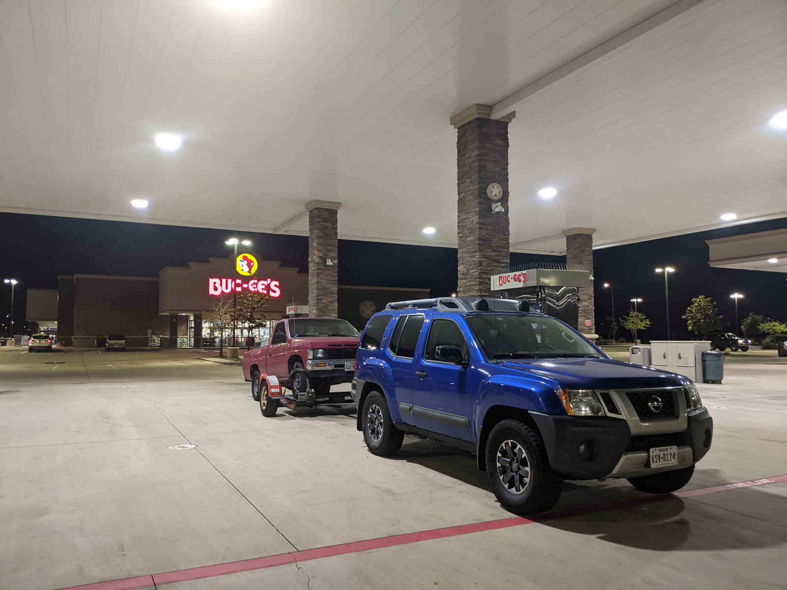
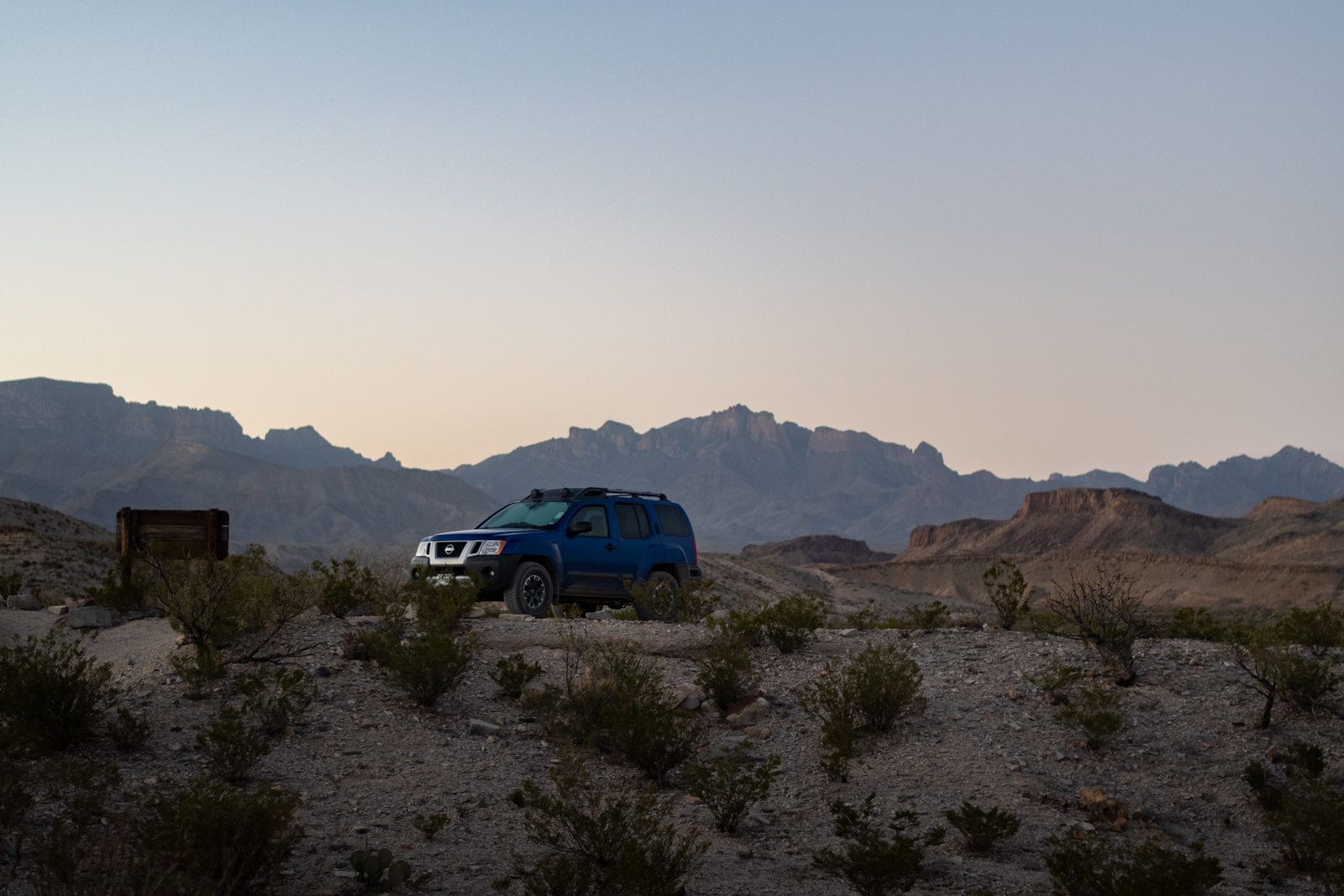
I shuffled across the room like I needed a walker and surgery this morning. I rolled into the park later than I’d intended, and headed over to Panther Junction for a shopping trip:
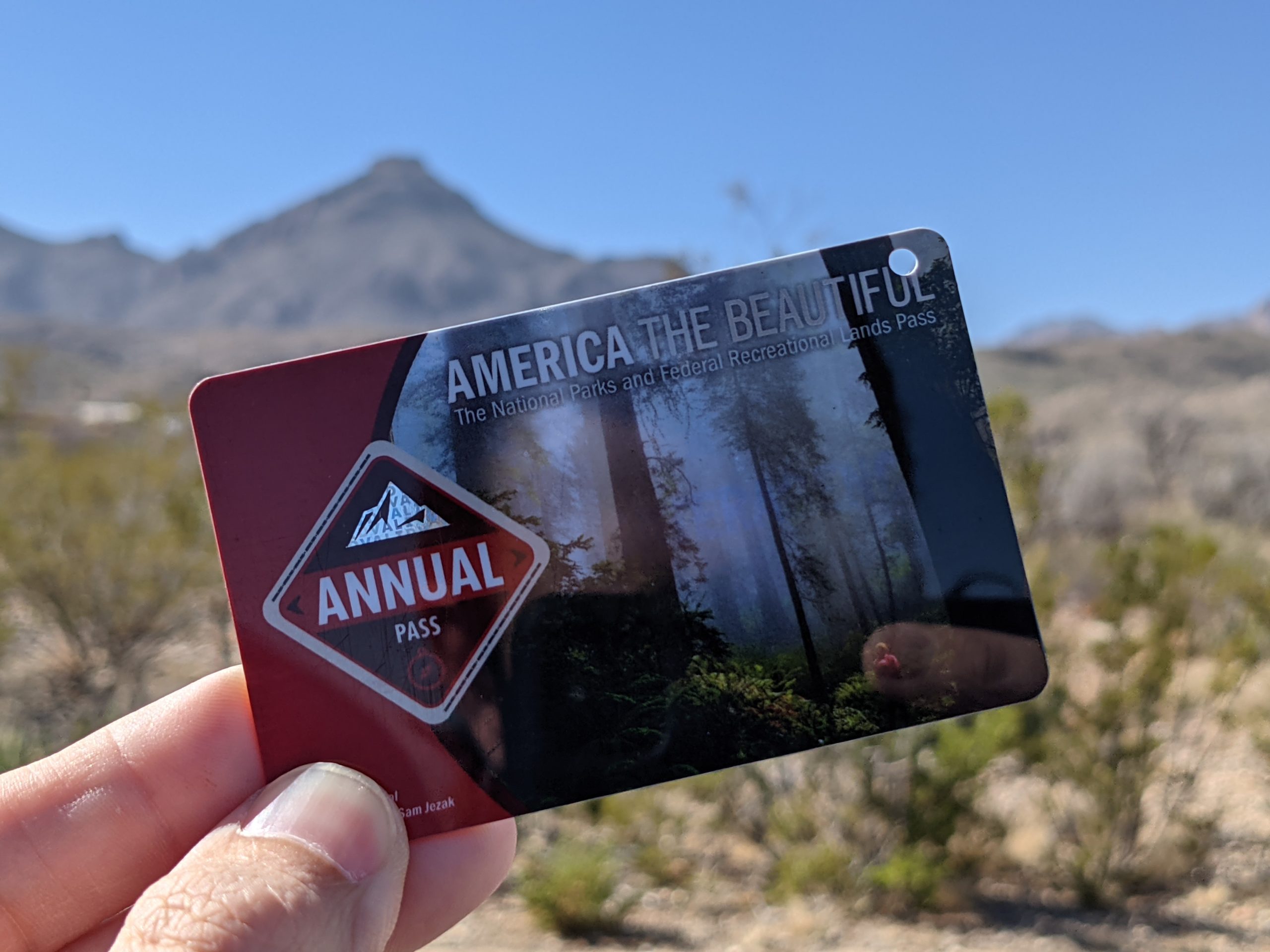
Since the pass I bought on The Laidoffroad Trip has just expired.
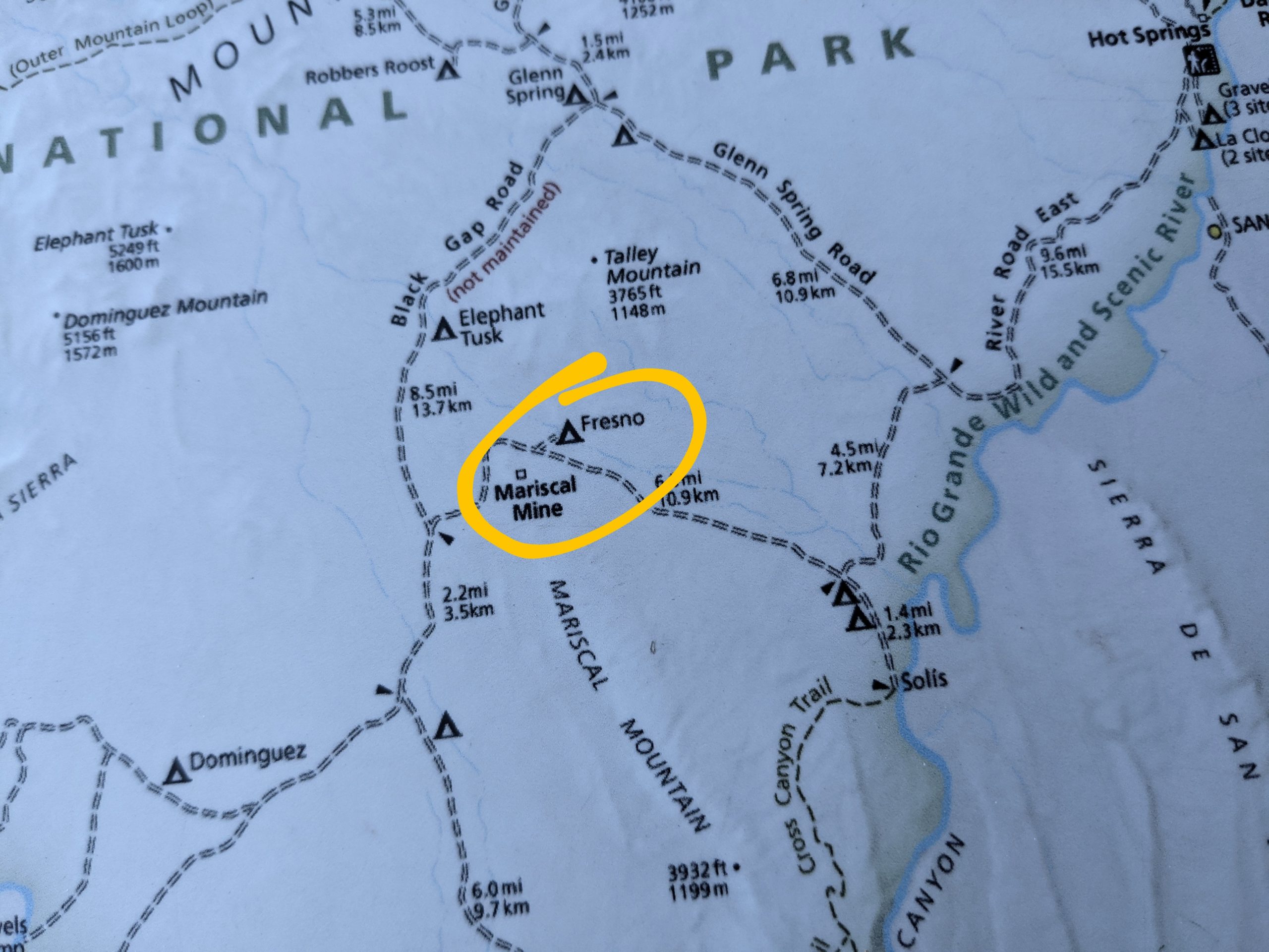
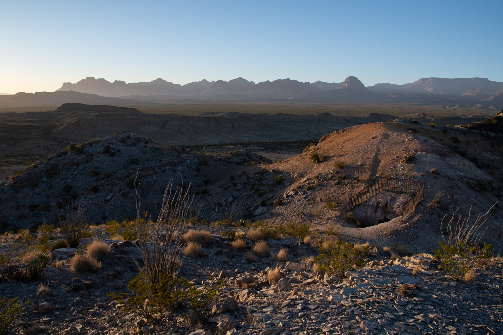
I also picked up a backroads guidebook written by the Big Bend National History Association. I already have topo maps and track routes saved for every backroad in the park, but this $4 pamphlet includes a lot of backstory generally, and especially a lot about the Mariscal Mine that we discovered in 2018. Relatedly, I stopped by the ranger’s desk and asked if there had been any cancellations for backroads campsites. As luck would have it, the Ranger offered me Fresno:
A campsite near an abandoned mine? Hell yes. Also I need a security blanket.
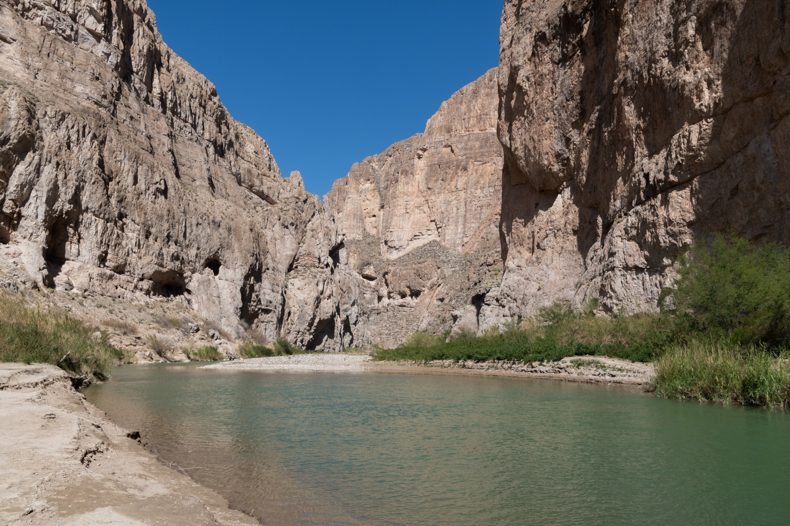
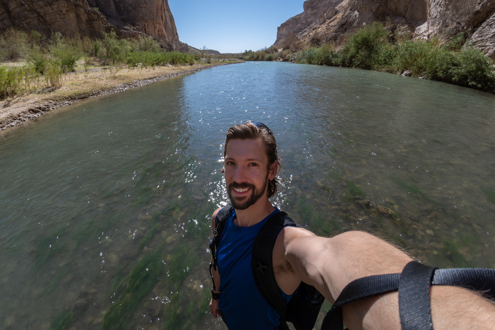
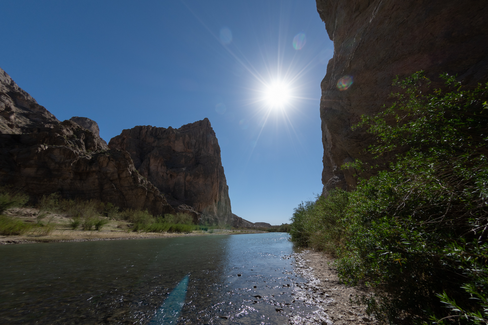
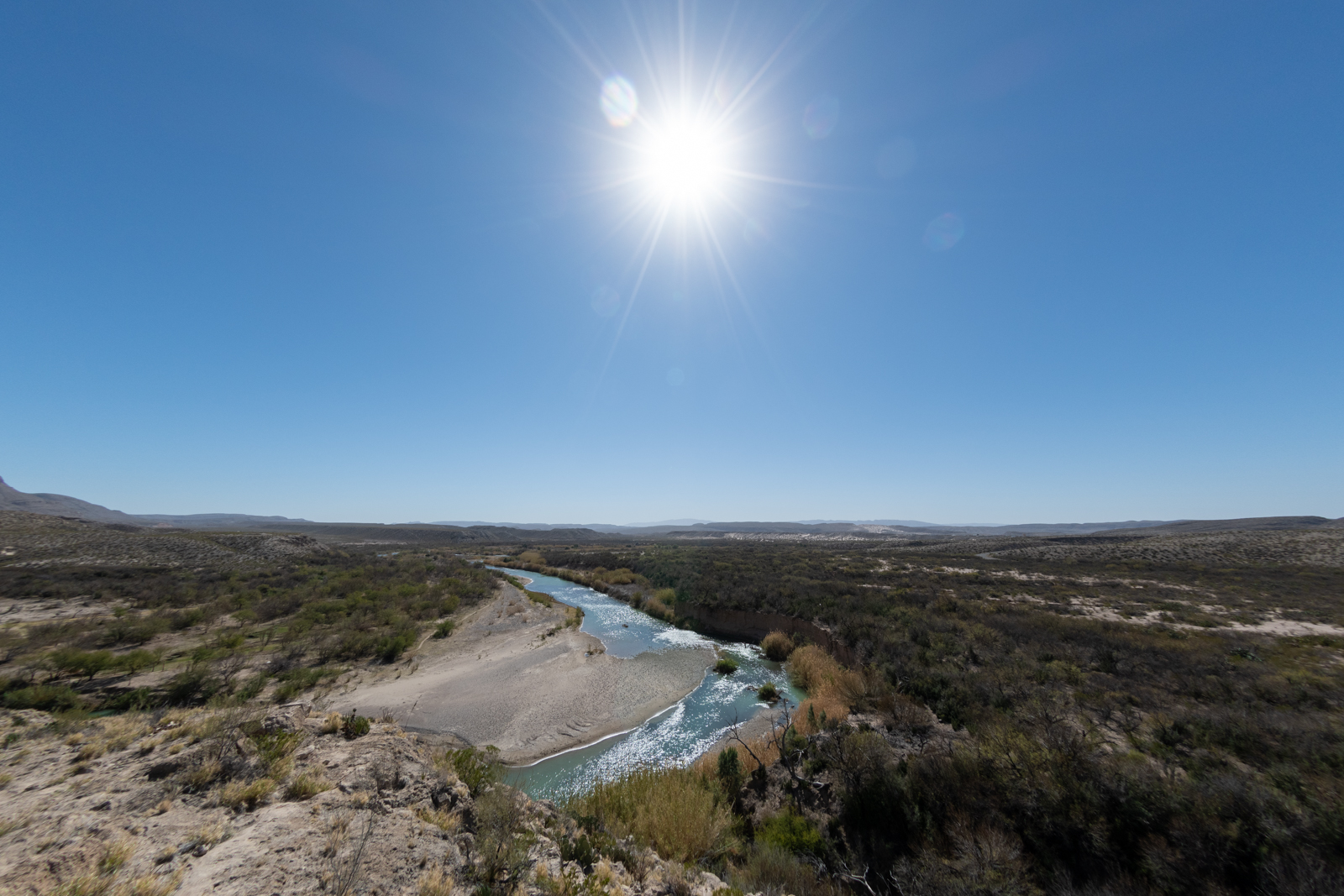
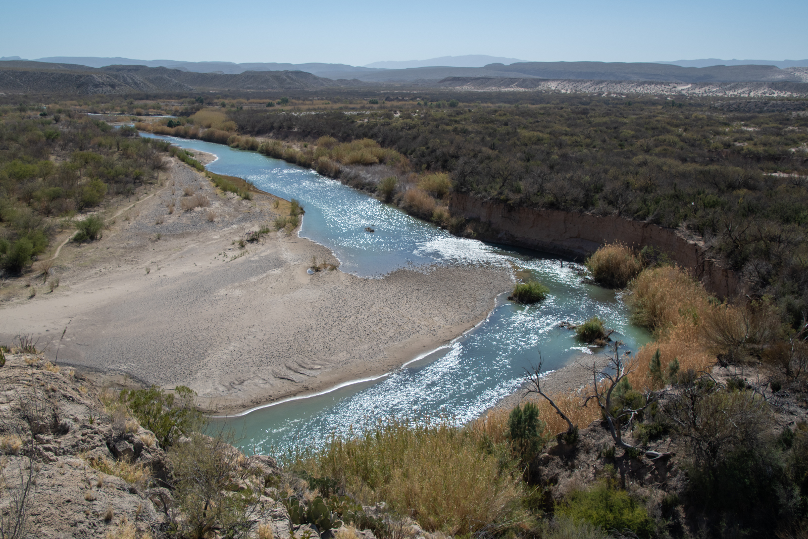
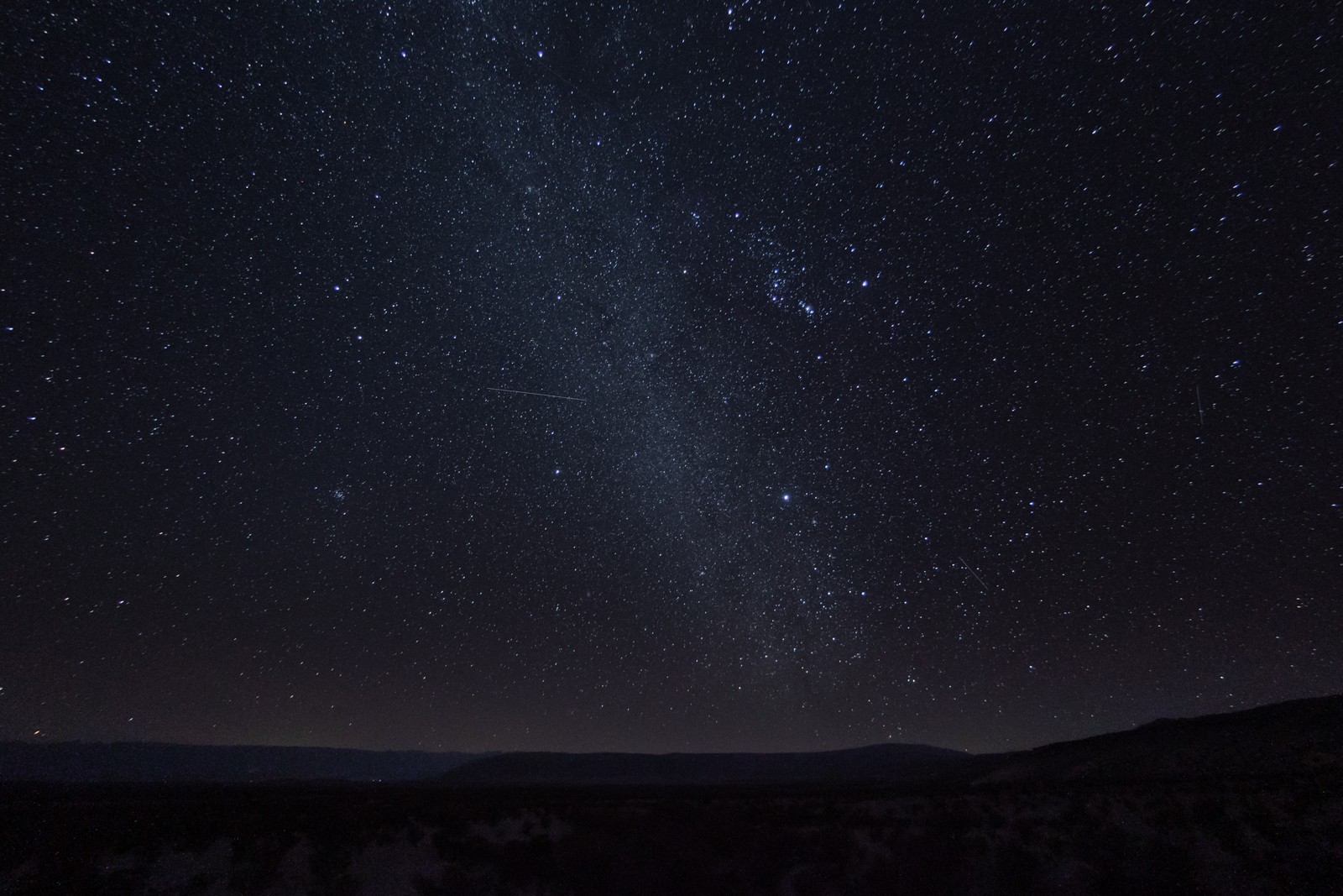
It meant that my campsite was only a third of the way across River Road, leaving two thirds of that plus the drive to Austin for Sunday, but that’s Sunday’s problem. I’d be camping at an abandoned mine tonight! And I suddenly had an entire afternoon to pass slowly. But that felt like my speed for today. I started with a short hike at Boquillas Canyon, downriver at the east end of the park.
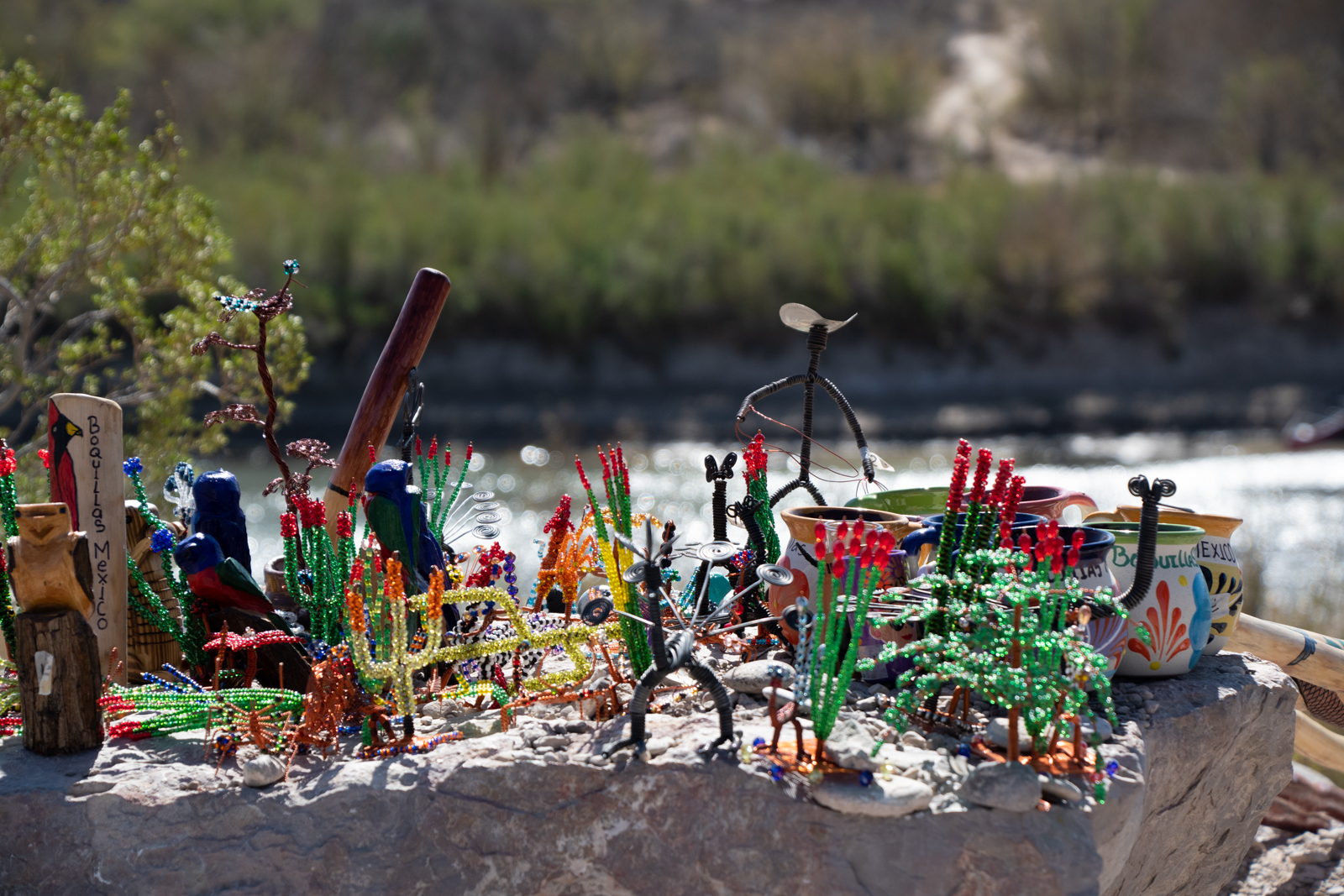
Boquillas del Carmen is a small village on the Mexico side of a foot-traffic-only border crossing inside the park. Unfortunately, the crossing has been closed for COVID-19, shutting down the incredibly remote town’s primary revenue source. I saw more souvenir “stores” than usual along the trails and overlooks around the canyon — a small collection of handmade crafts perched on a boulder with a pricelist and cash jar. For my part, I did a little more shopping.
Don’t tell Mom, one of them is for her.
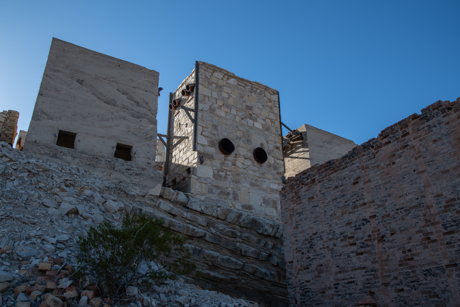
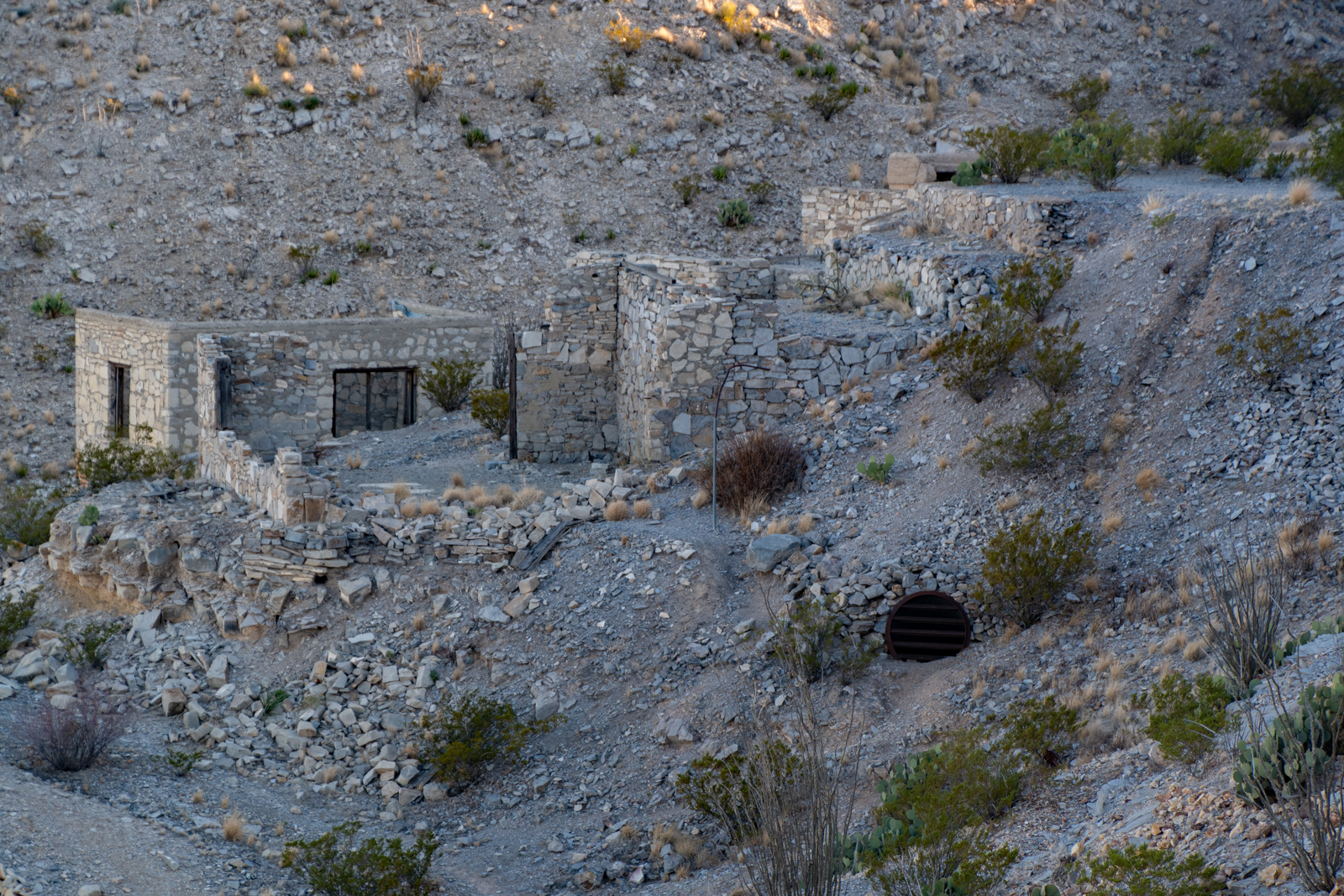
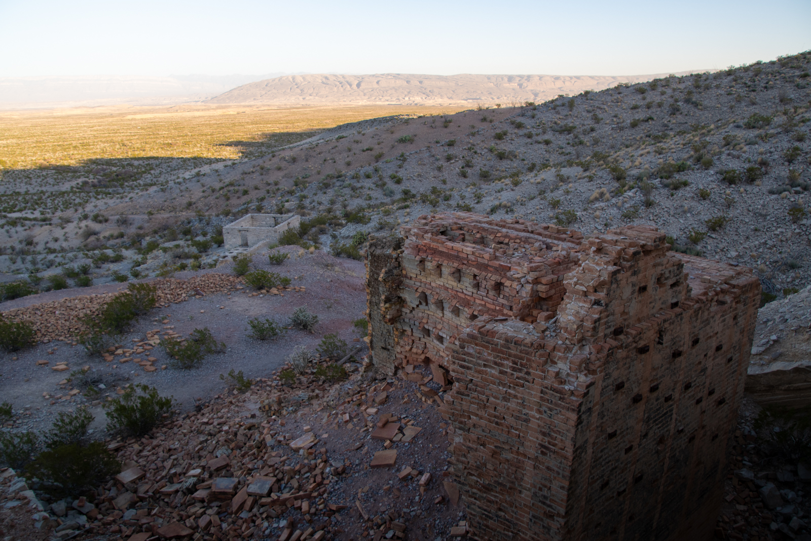
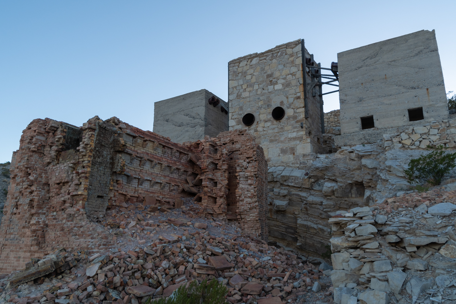
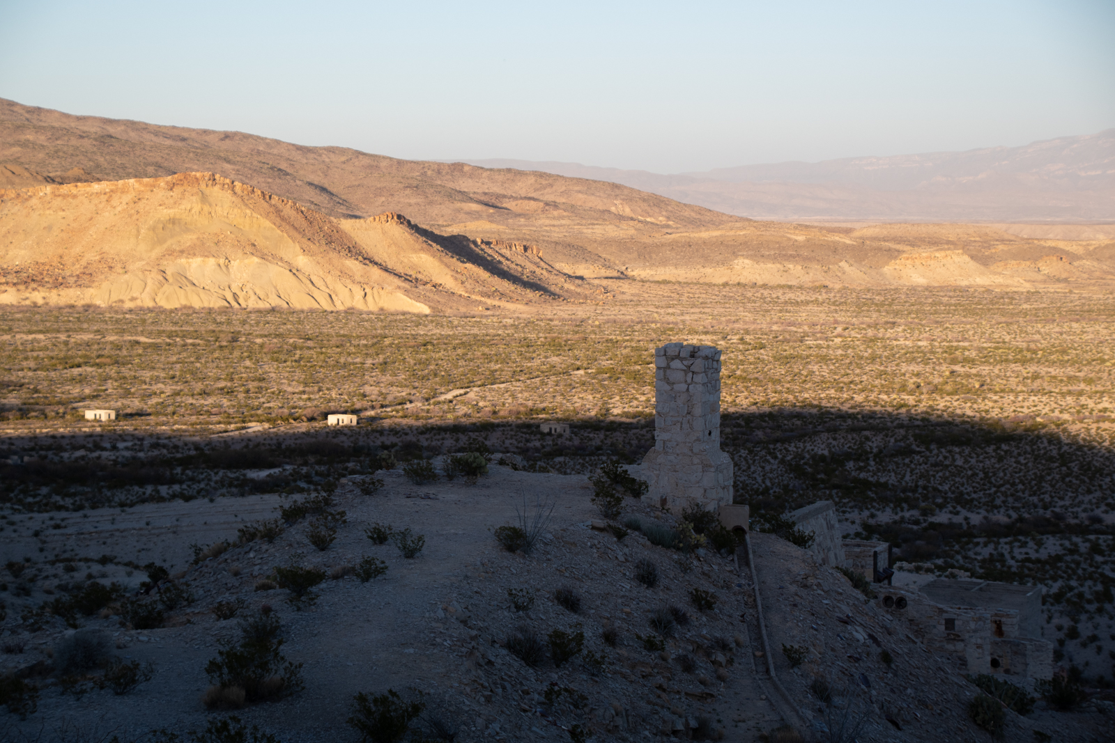
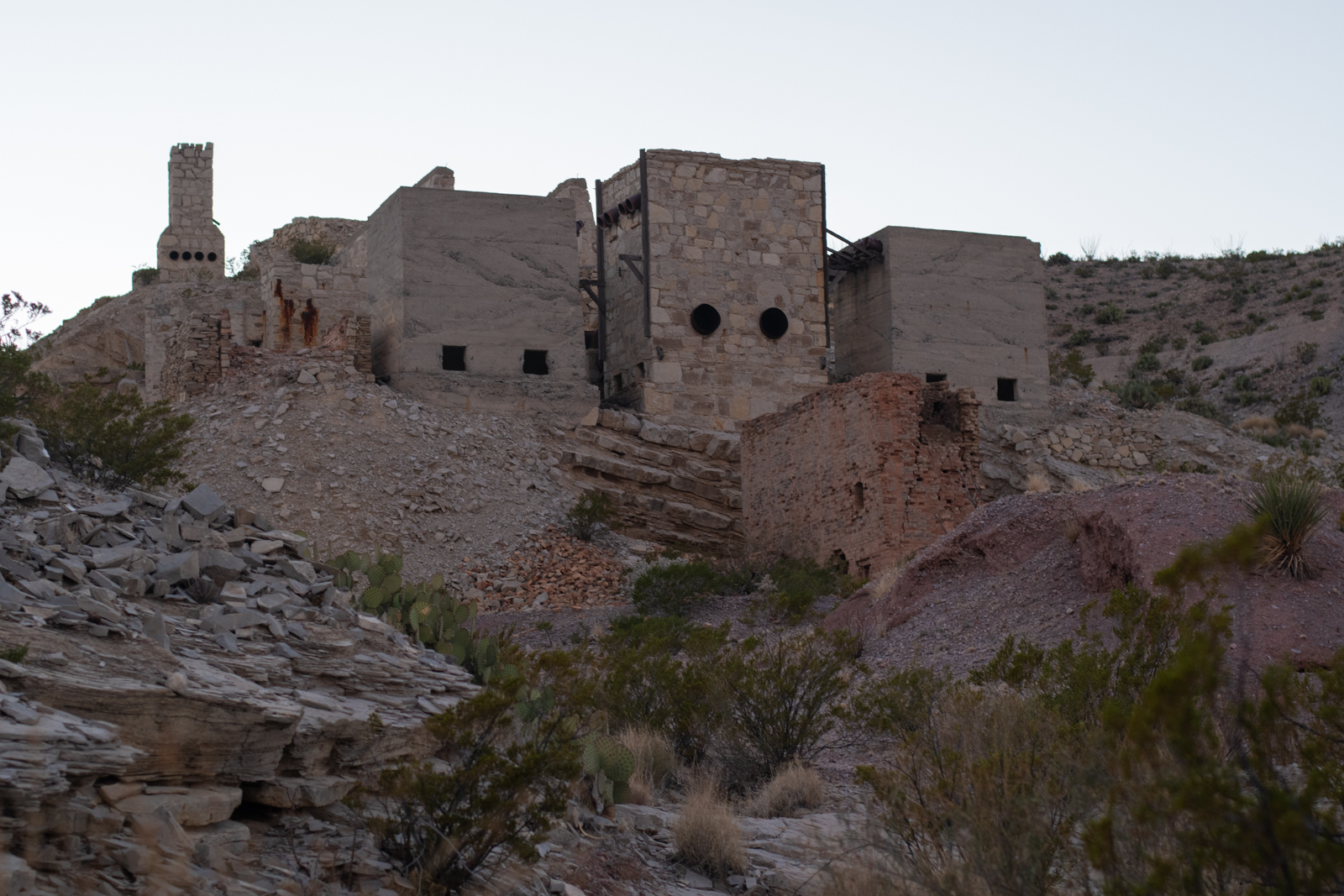
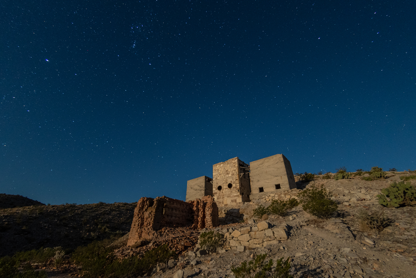
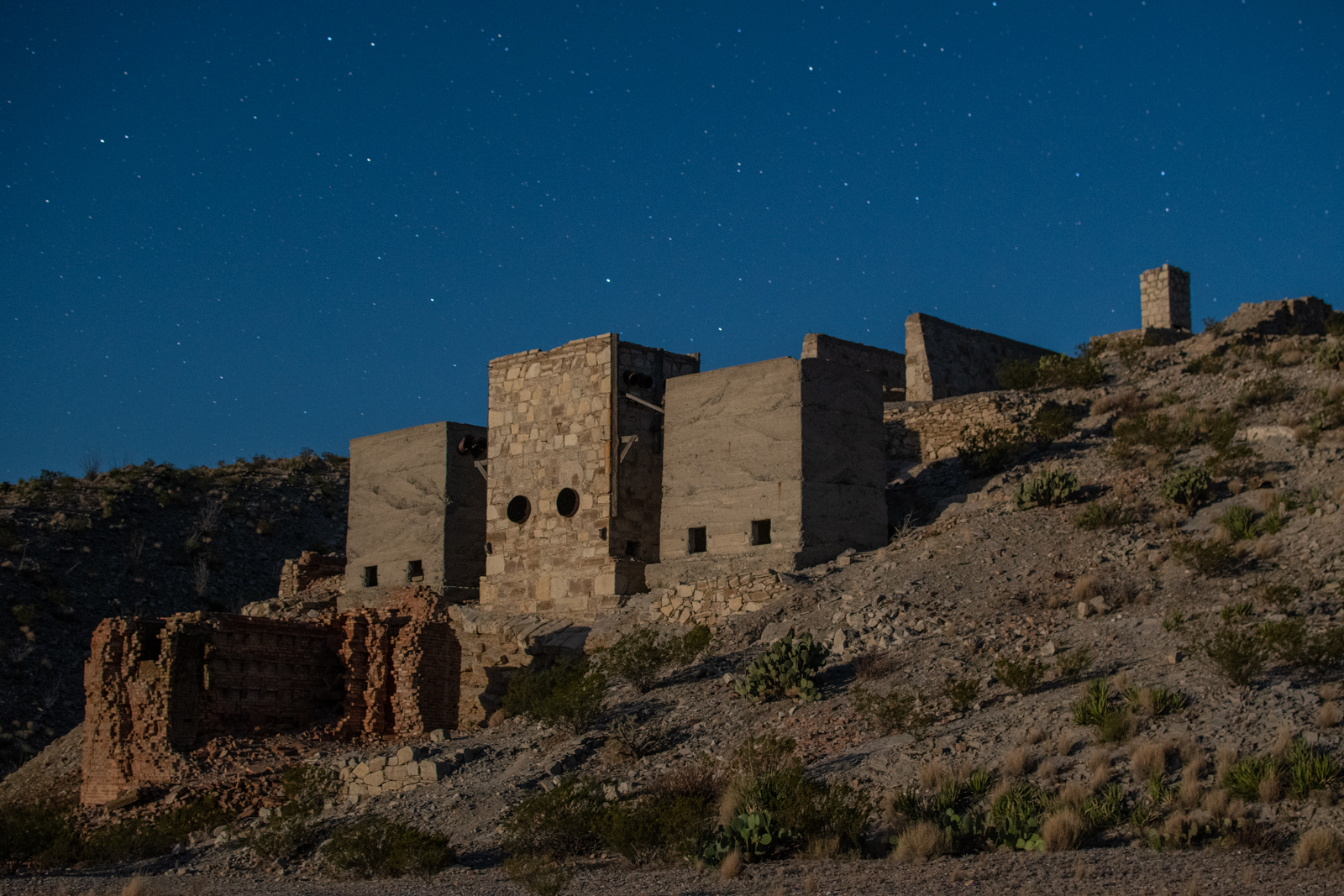
After my river stroll, I started the River Road drive and arrived at the Mariscal Mine much sooner than I expected.
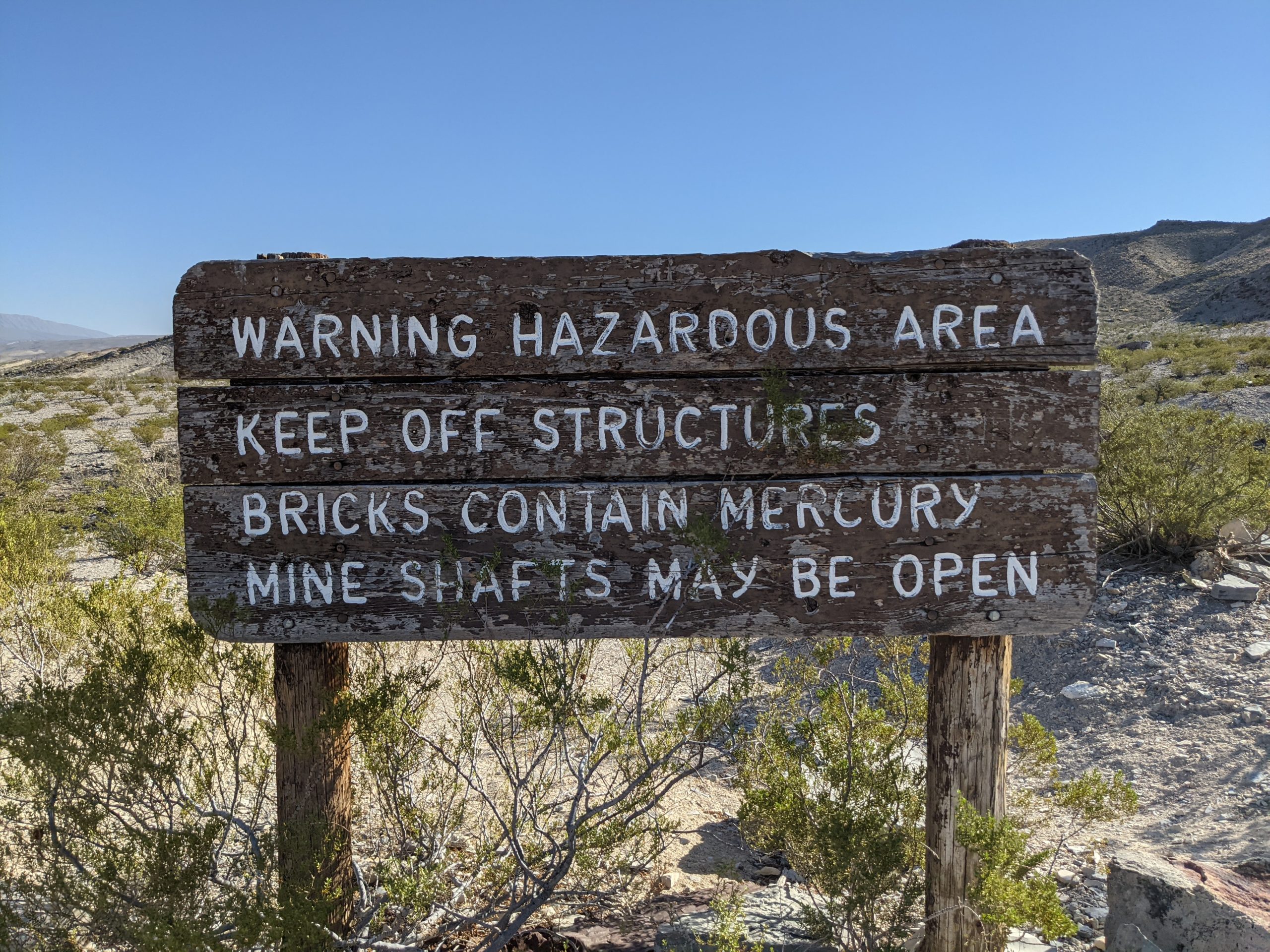
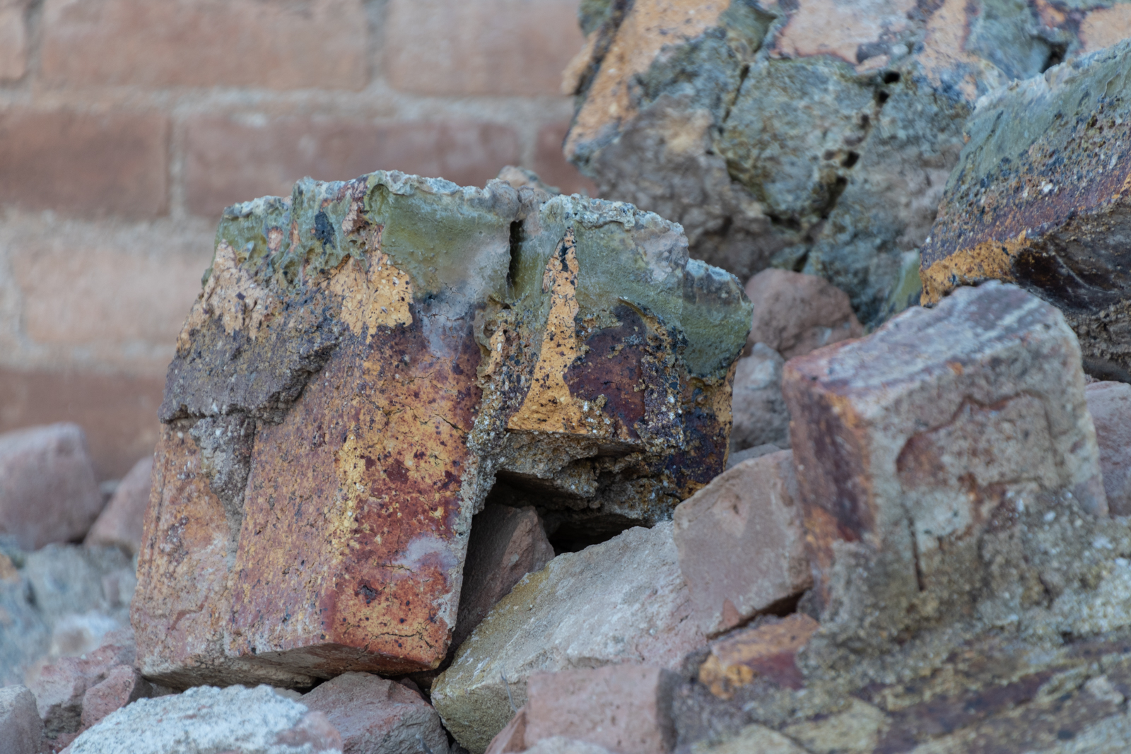
Cinnabar, the ore extracted here, is the brick-red form of mercury(II) sulfide (HgS). It is the most common source ore for refining elemental mercury and the historic source for the brilliant red or scarlet pigment called vermilion. The mercury produced here was used in various drugs, chemicals, and explosives detonators. Ore was discovered here in 1900 but mining didn’t start until a few years later. Refining buildings weren’t added until 1916. Early owners packed out their ore on mules to the furnaces in Terlingua.
According to my new book, the mine shipped out 894 flasks of quicksilver, each weighing 76 pounds. After World War I and a price drop in quicksilver, then-owner W. K. Ellis sold his holdings to the Mariscal Mining Company which continued operations until 1923 when the mine closed functionally but was still held on paper. A few transfers later, an additional 97 flasks of quicksilver were extracted in 1942 and 1943 by new owners, but then the mine went inactive for good.
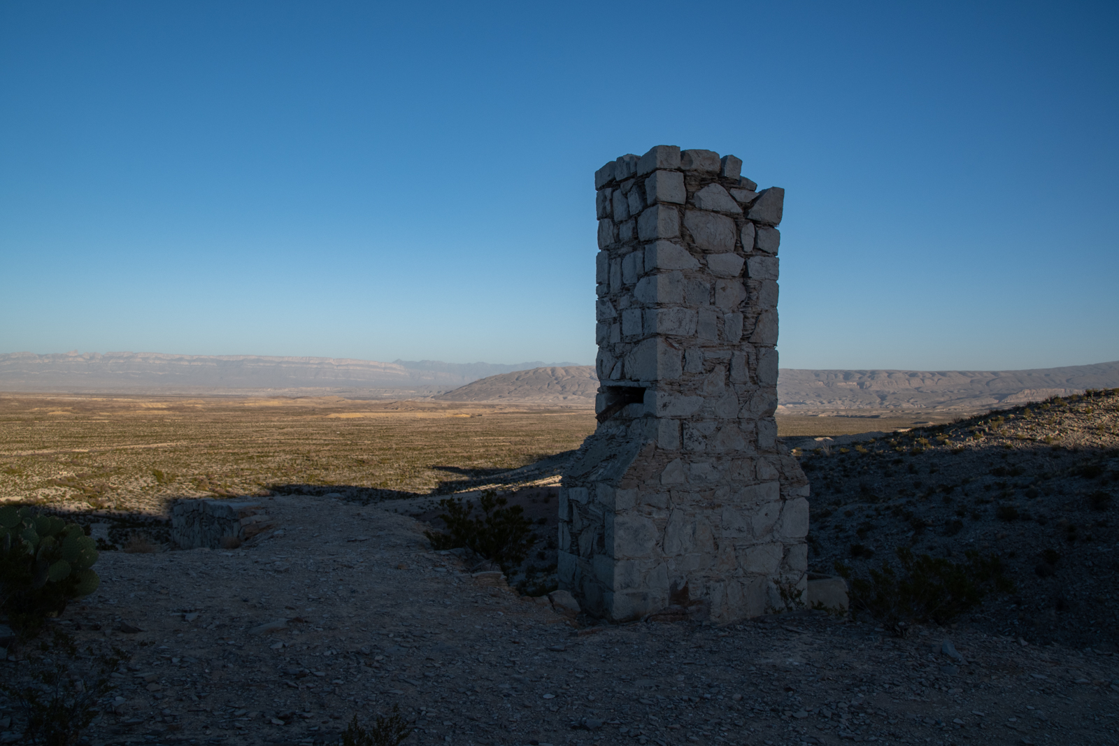
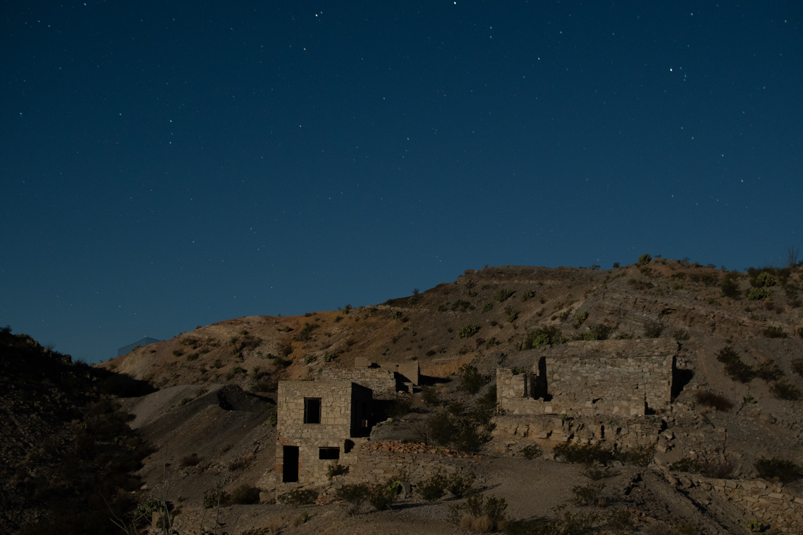
1940s era houses
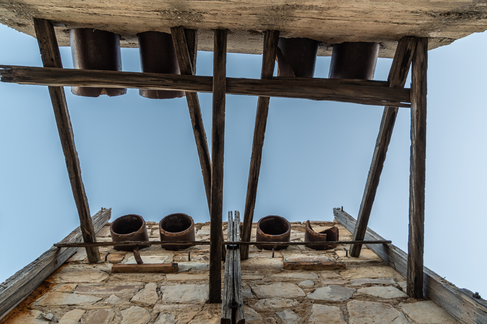
Condensers
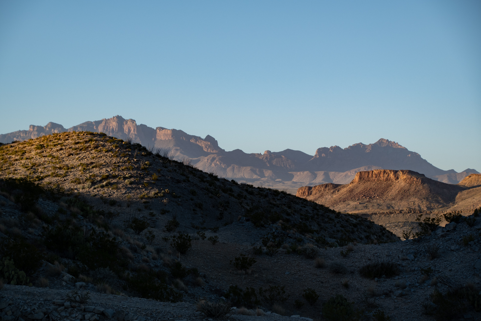
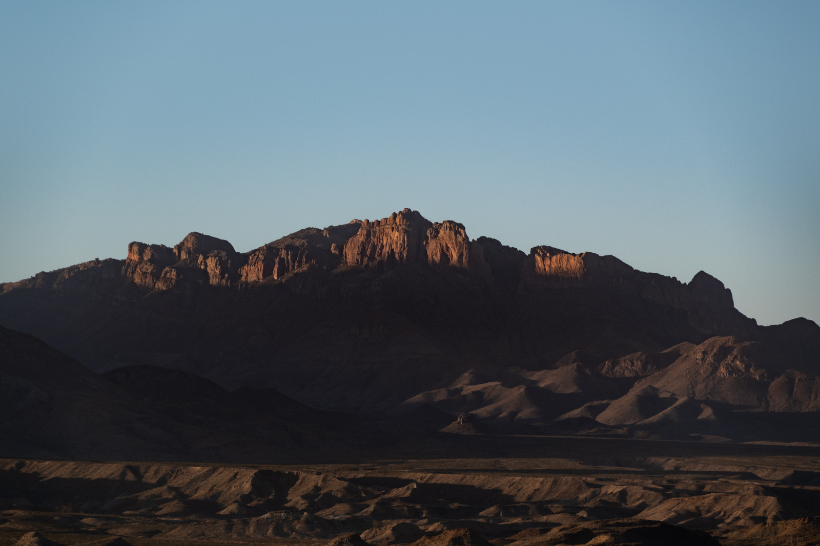
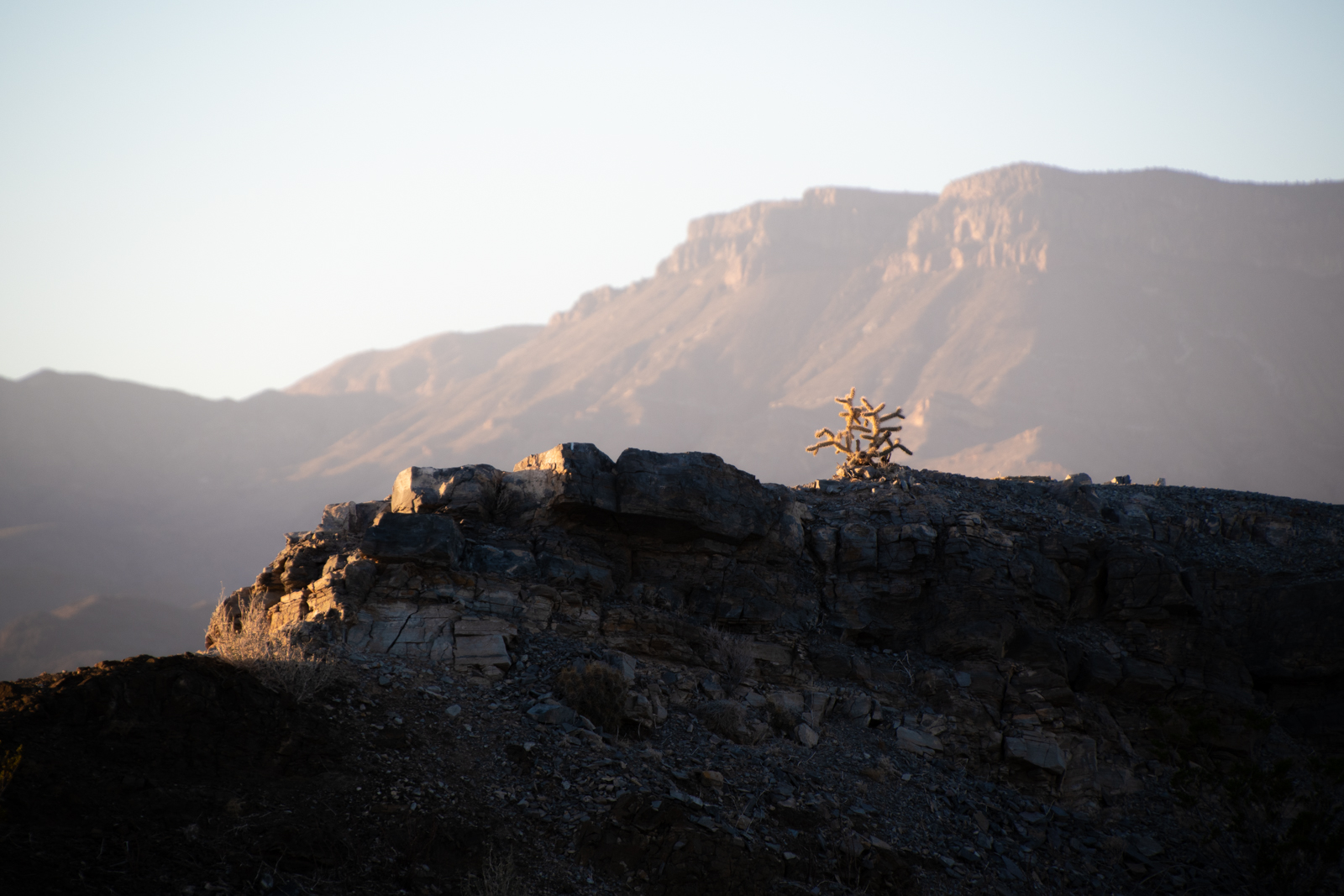
Chisos Mountains South Rim
Blacksmith shop; offices behind
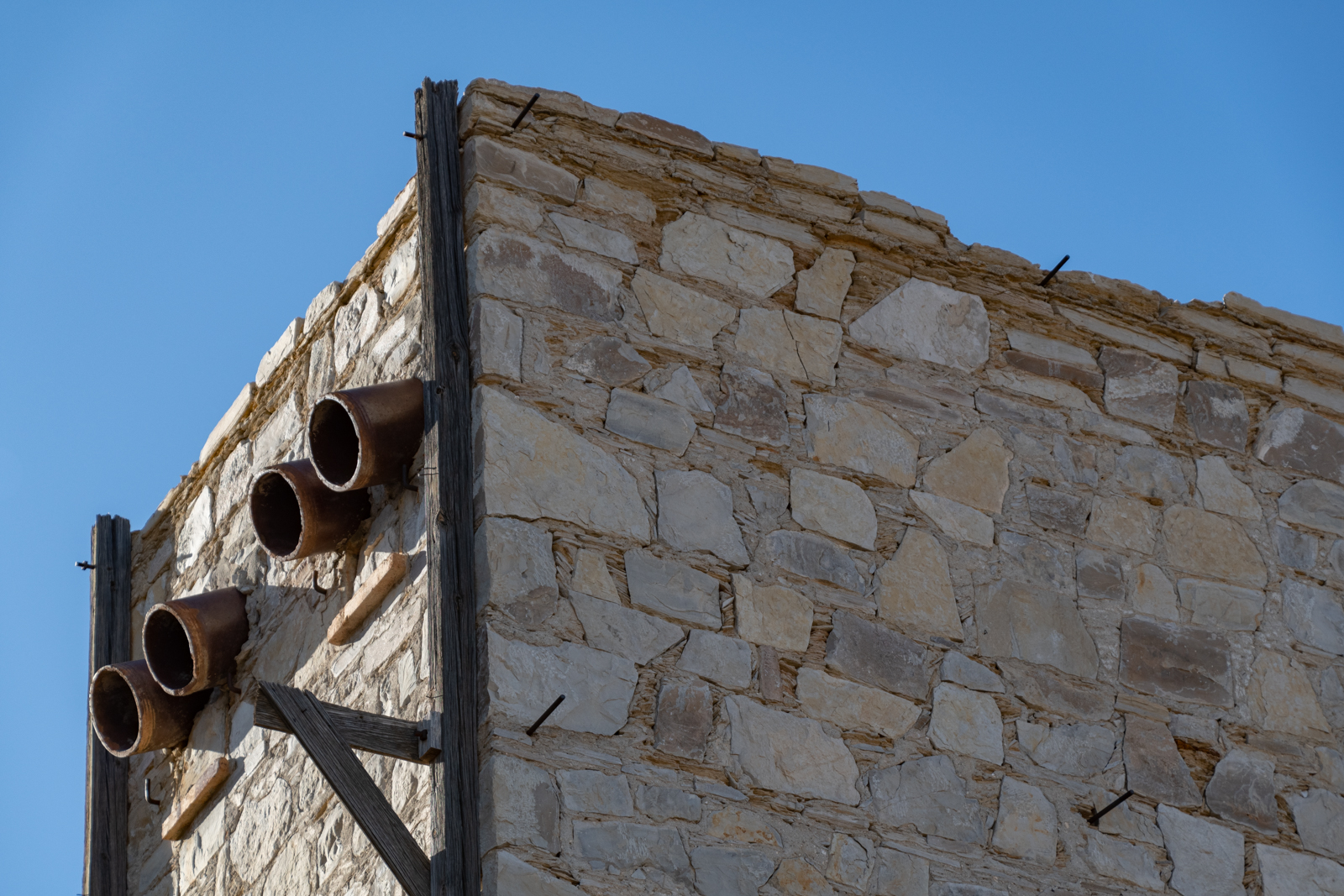
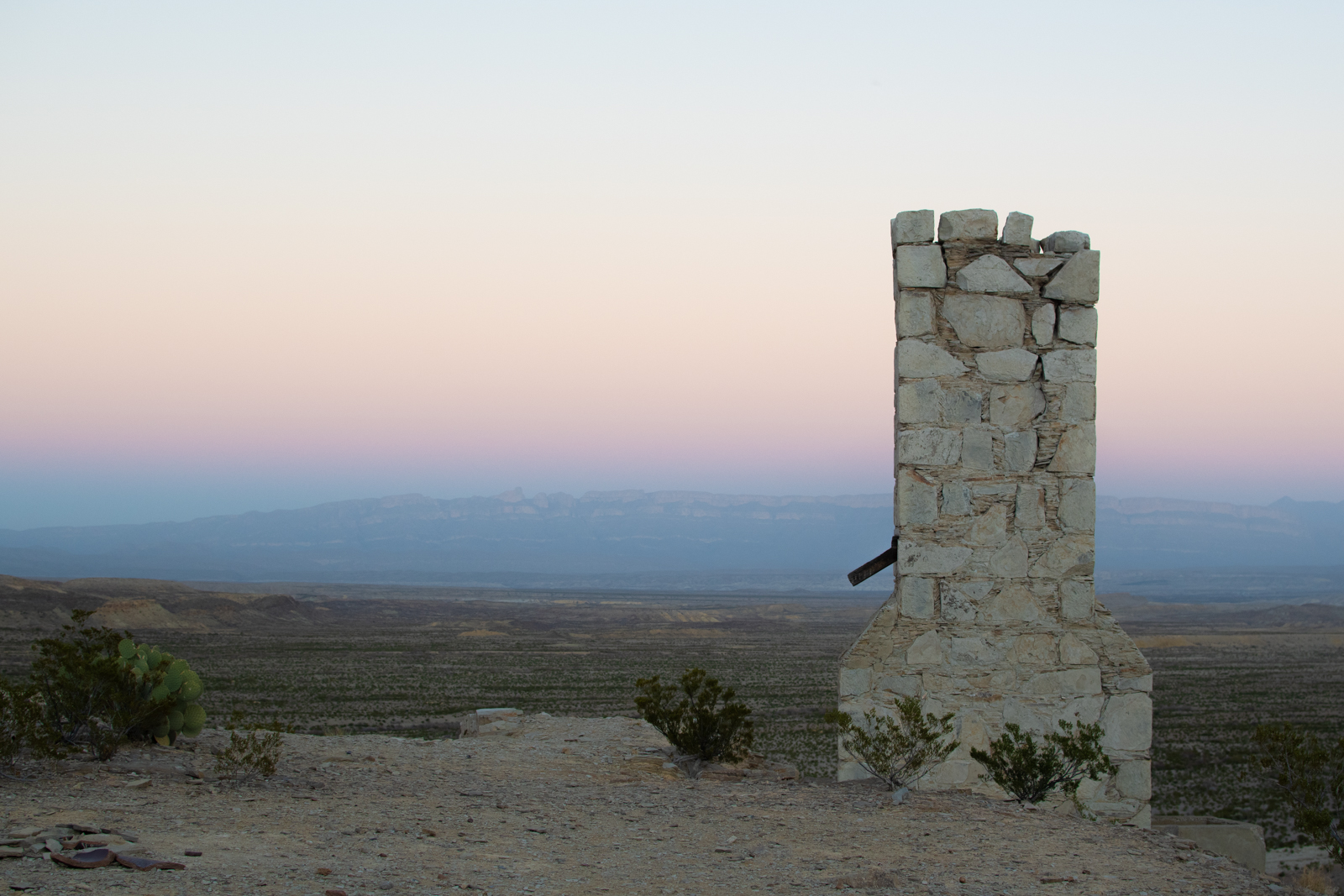
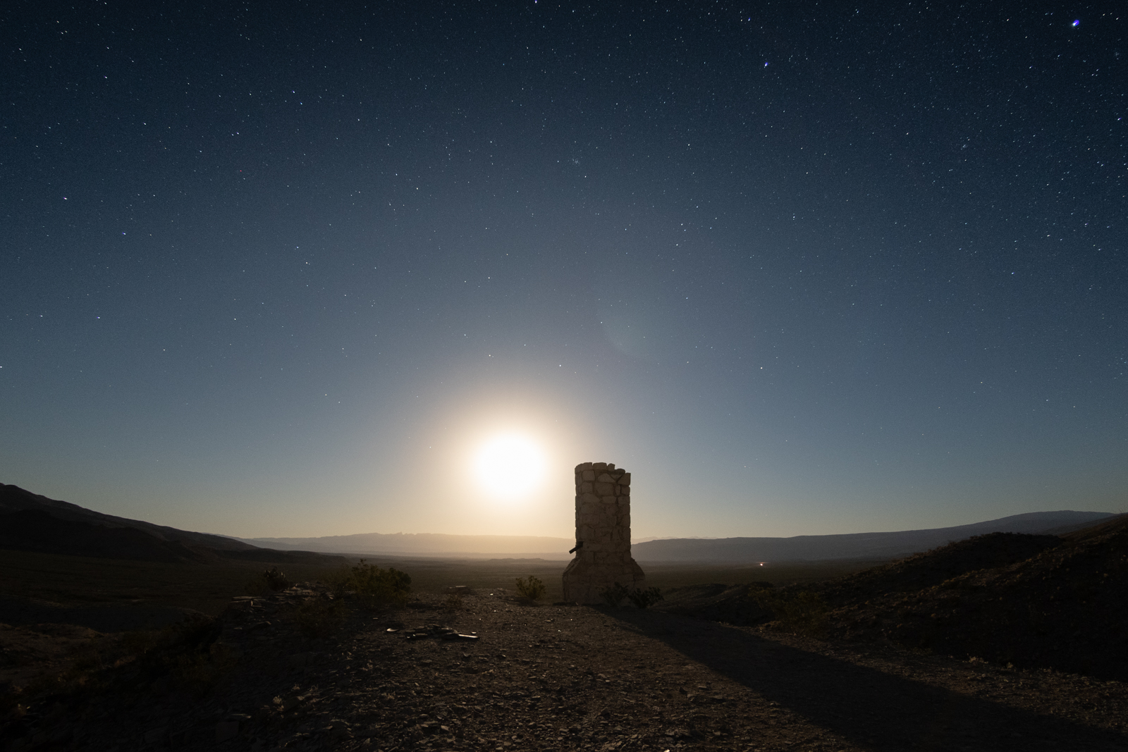
Exhaust stack
Scott furnace, 1919
Poison, probably?
Secondary entrance
Pack mule and guard dog
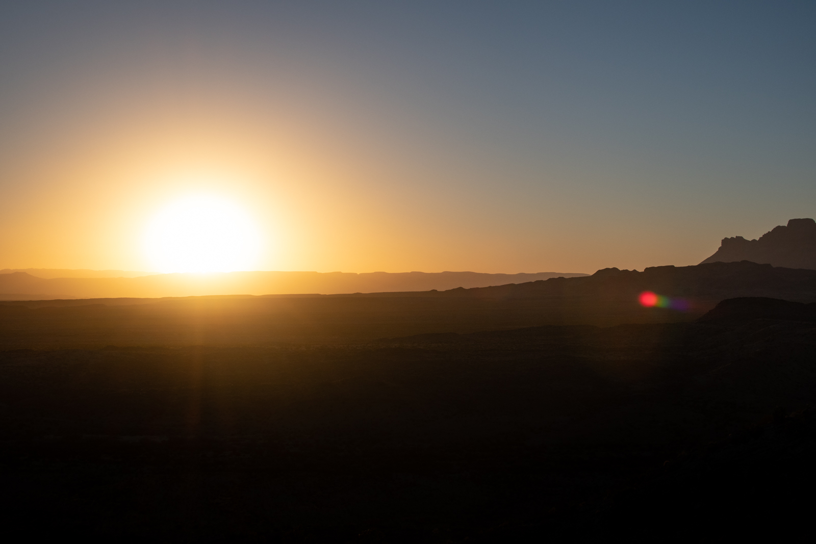
“Sit and don’t do much” isn’t usually part of my daily life or travel itineraries. But after a few minutes of feeling like I should be on the move, I sat on the edge of the old blacksmith shop and quietly watched the daylight fade over a beer.
Chisos Rim
Elephant Tusk
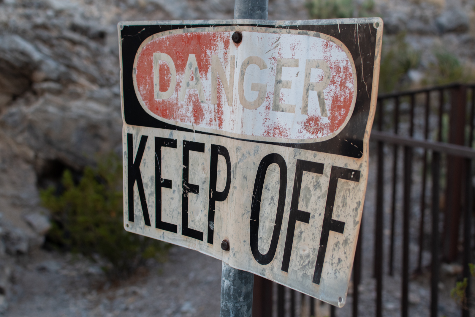
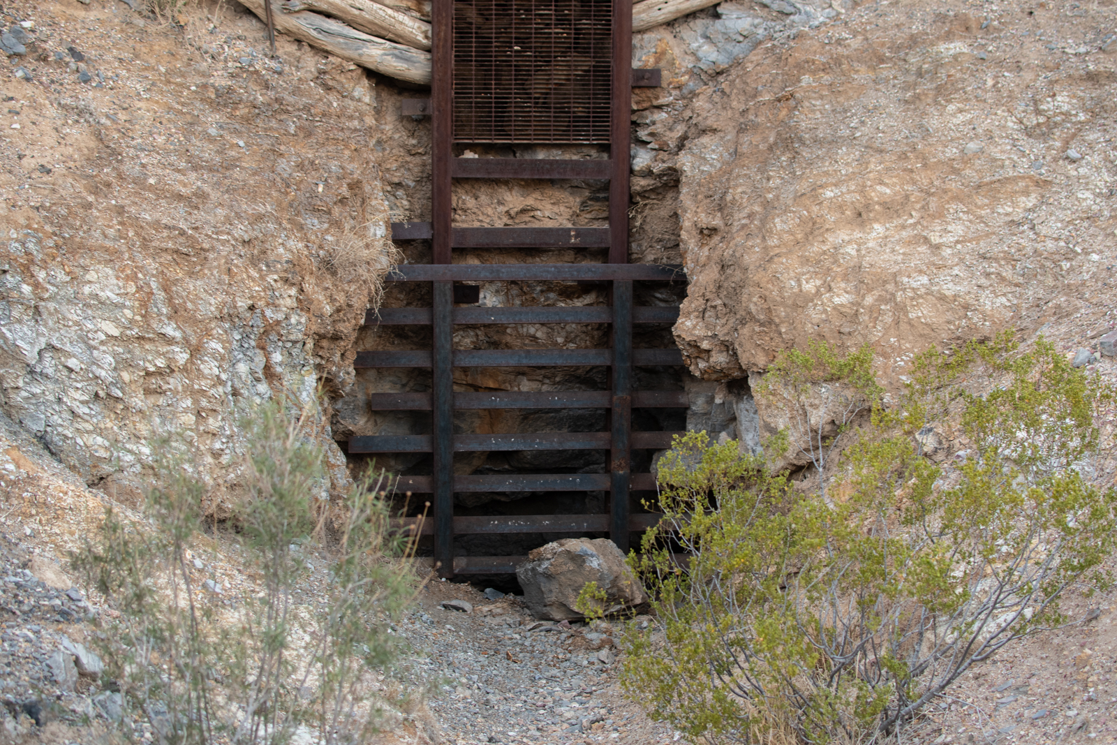
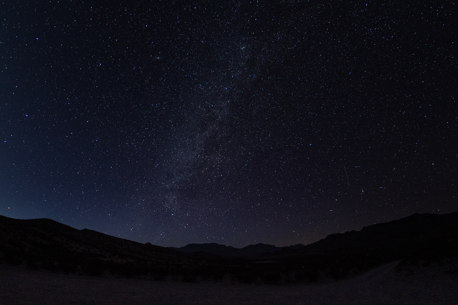
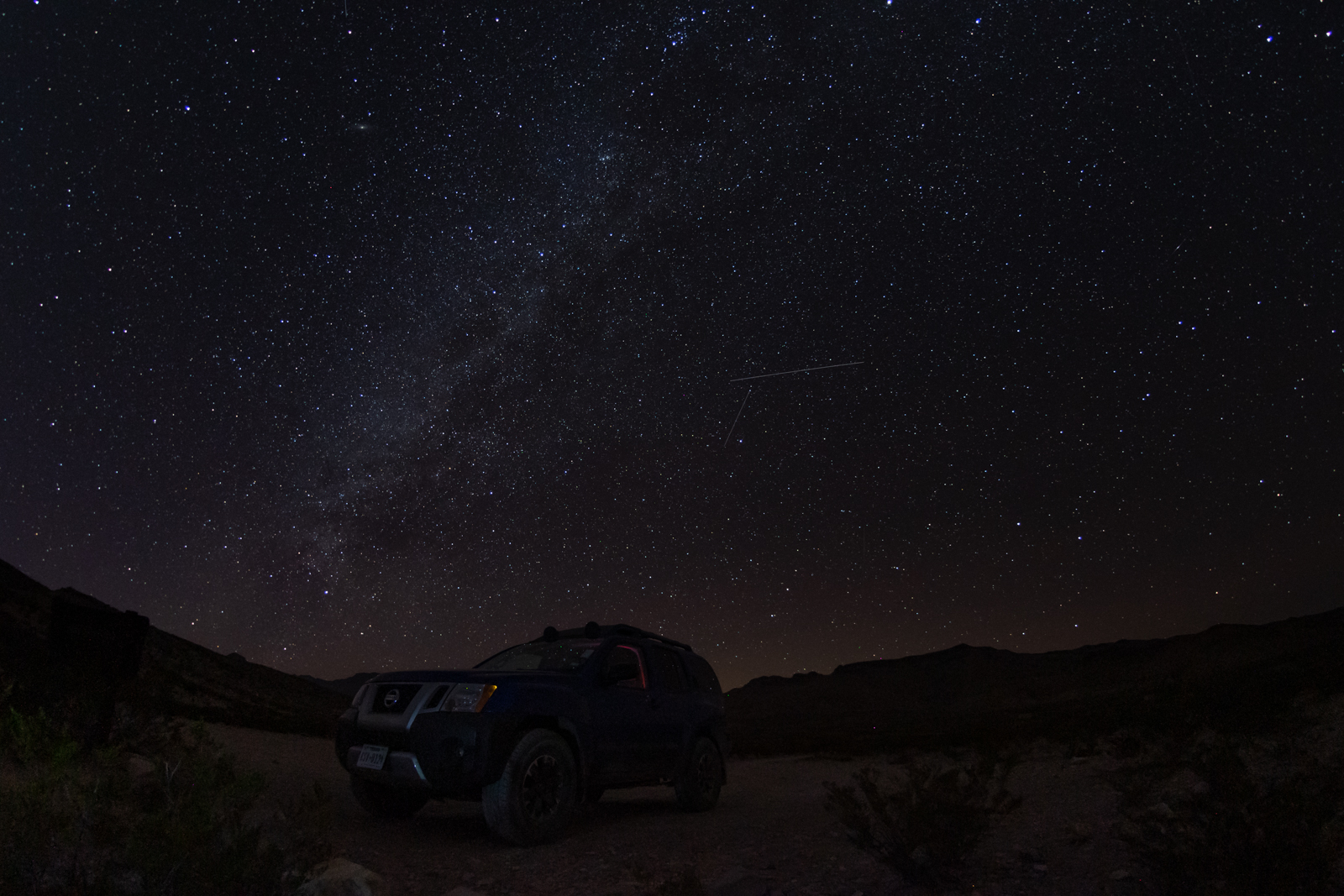
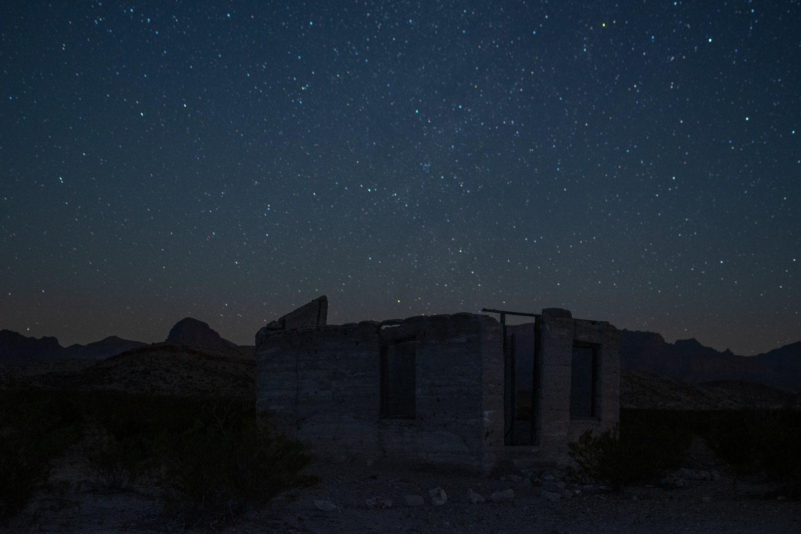
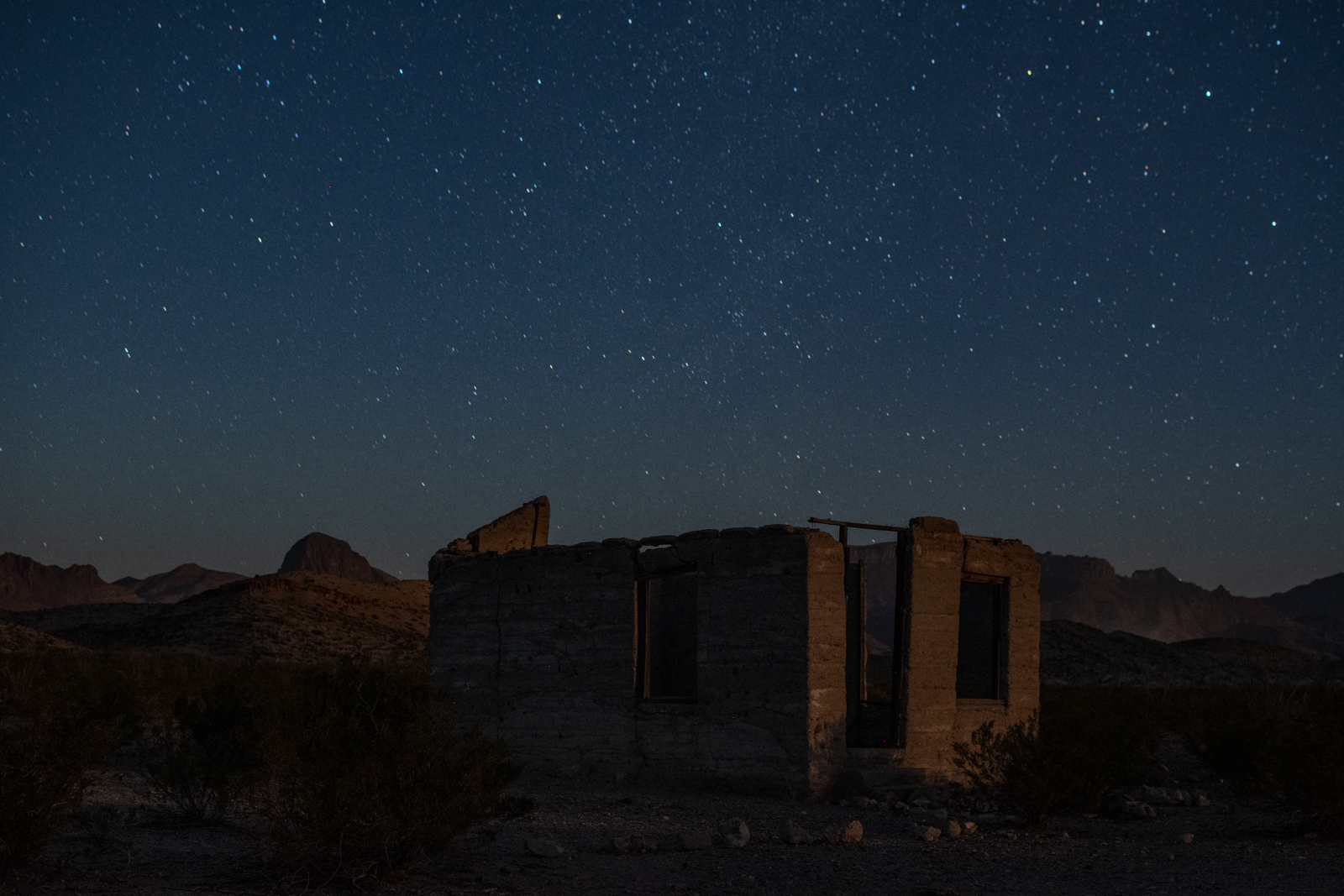
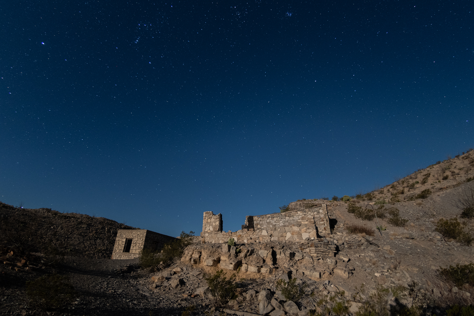
I wandered back to the car for dinner and photo editing while I waited for nightfall. I wanted to head back to the mine and photograph it at night. But as it got darker, I could feel the ghosts watching. And I’ll reluctantly admit — I was intimidated. I didn’t want to be eaten by monsters or fall into a haunted mineshaft.
I decided I should practice my night photography on the housing and company store ruins along the main road because something about being near the Xterra made me feel safer. Likely the combination of lockable steel doors and a sleeping bag to hide under.
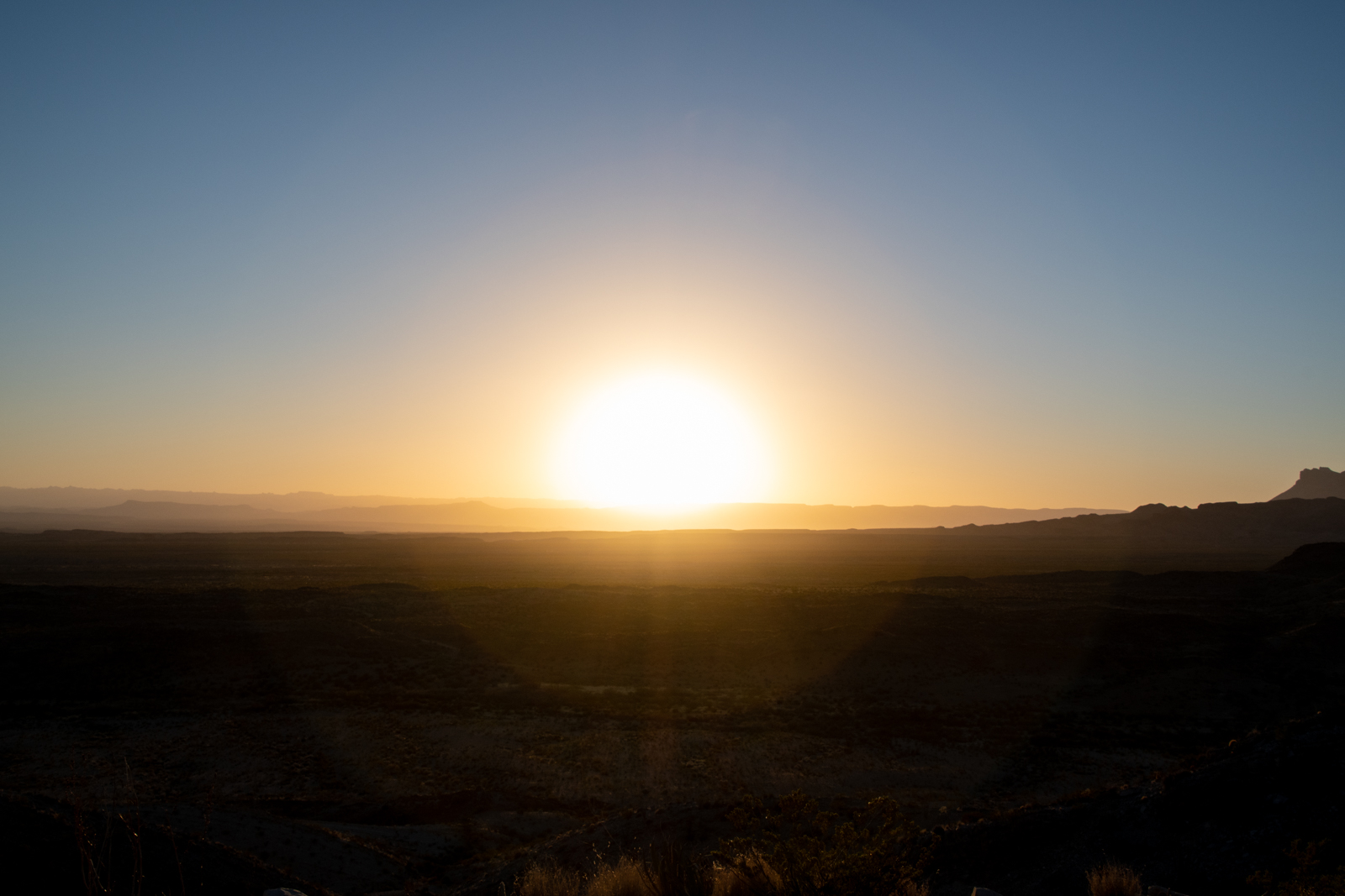
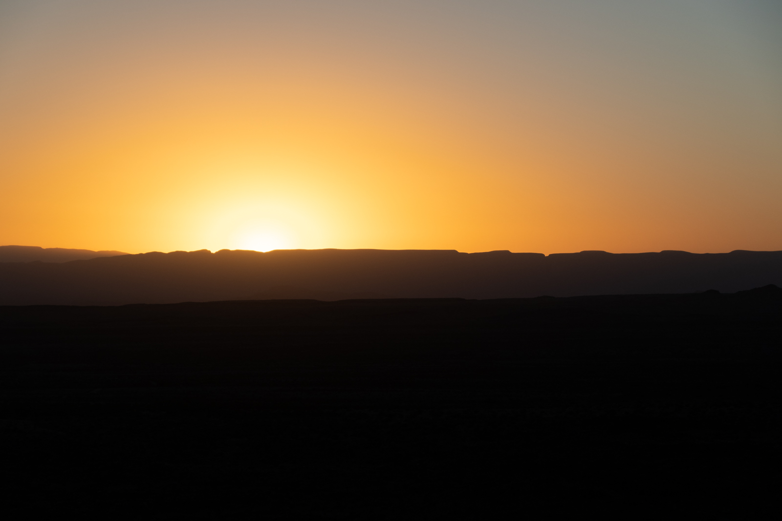
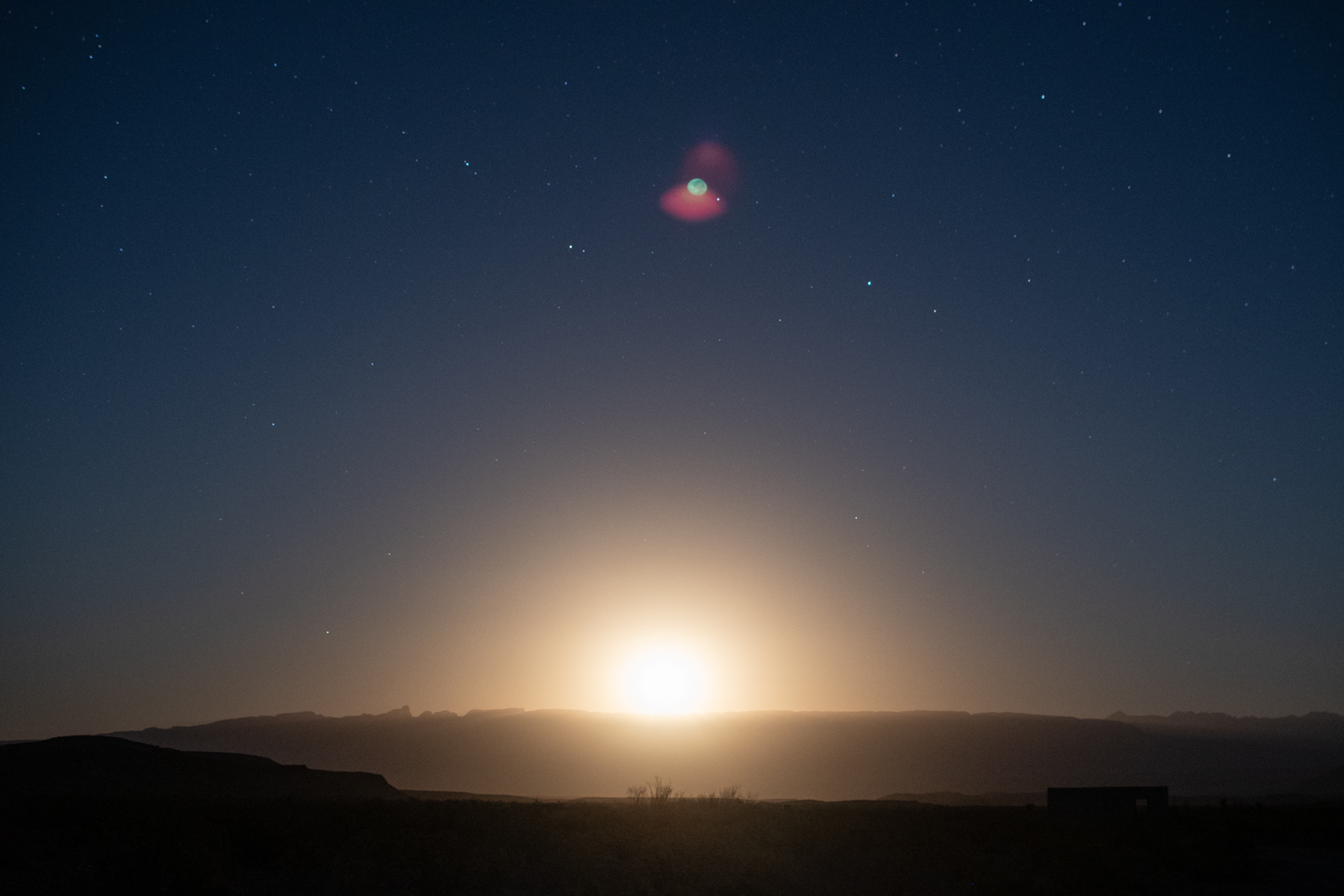
But while I “practiced,” the last hints of sunlight faded to the west and a searing moonlight burst through the horizon. As it lit up the front of the house, I knew I had to go back to the mine. So I finished my bravery beer, grabbed a flashlight, put some music on my phone, and walked the half mile back up to the ruins.