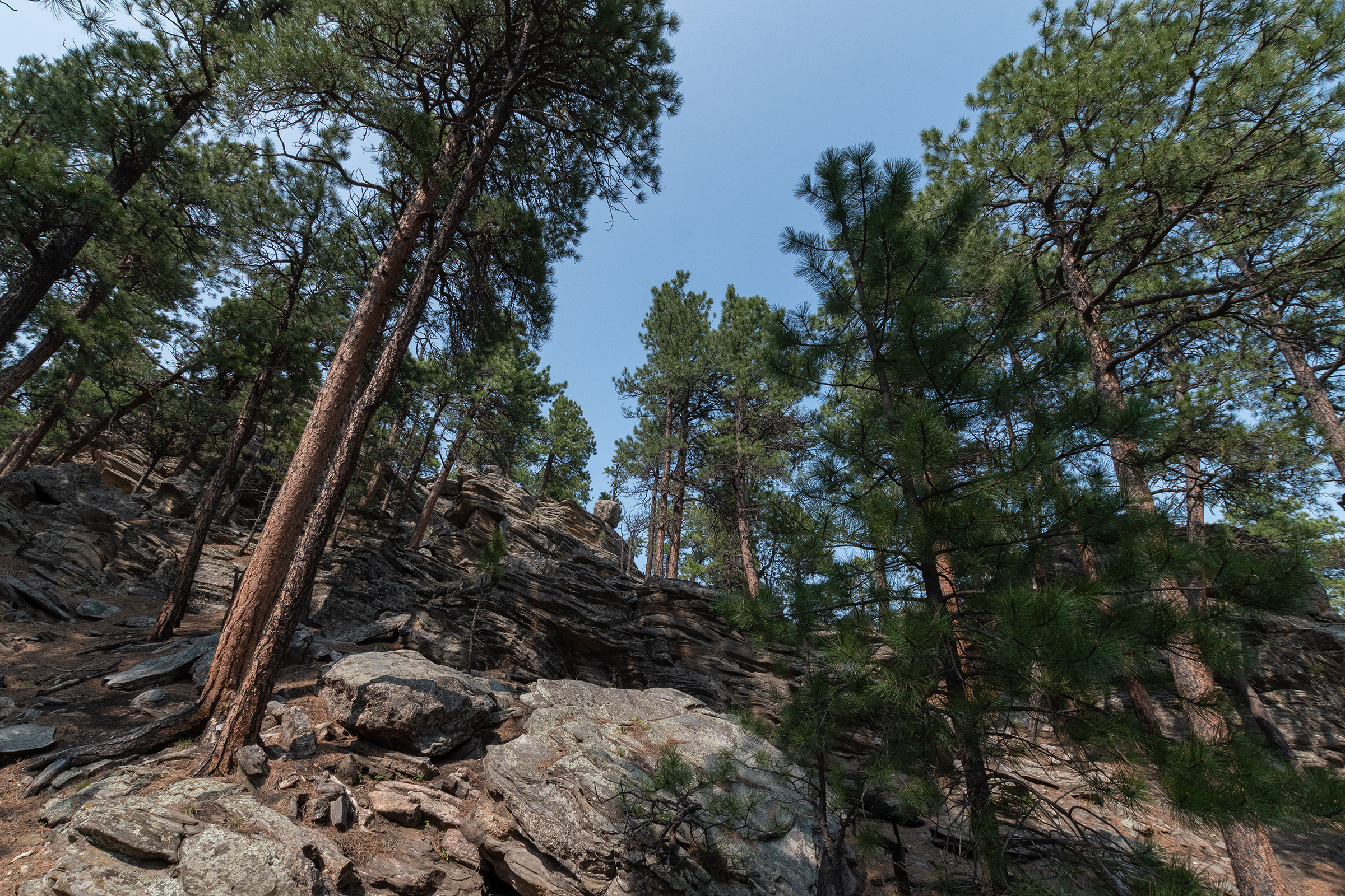
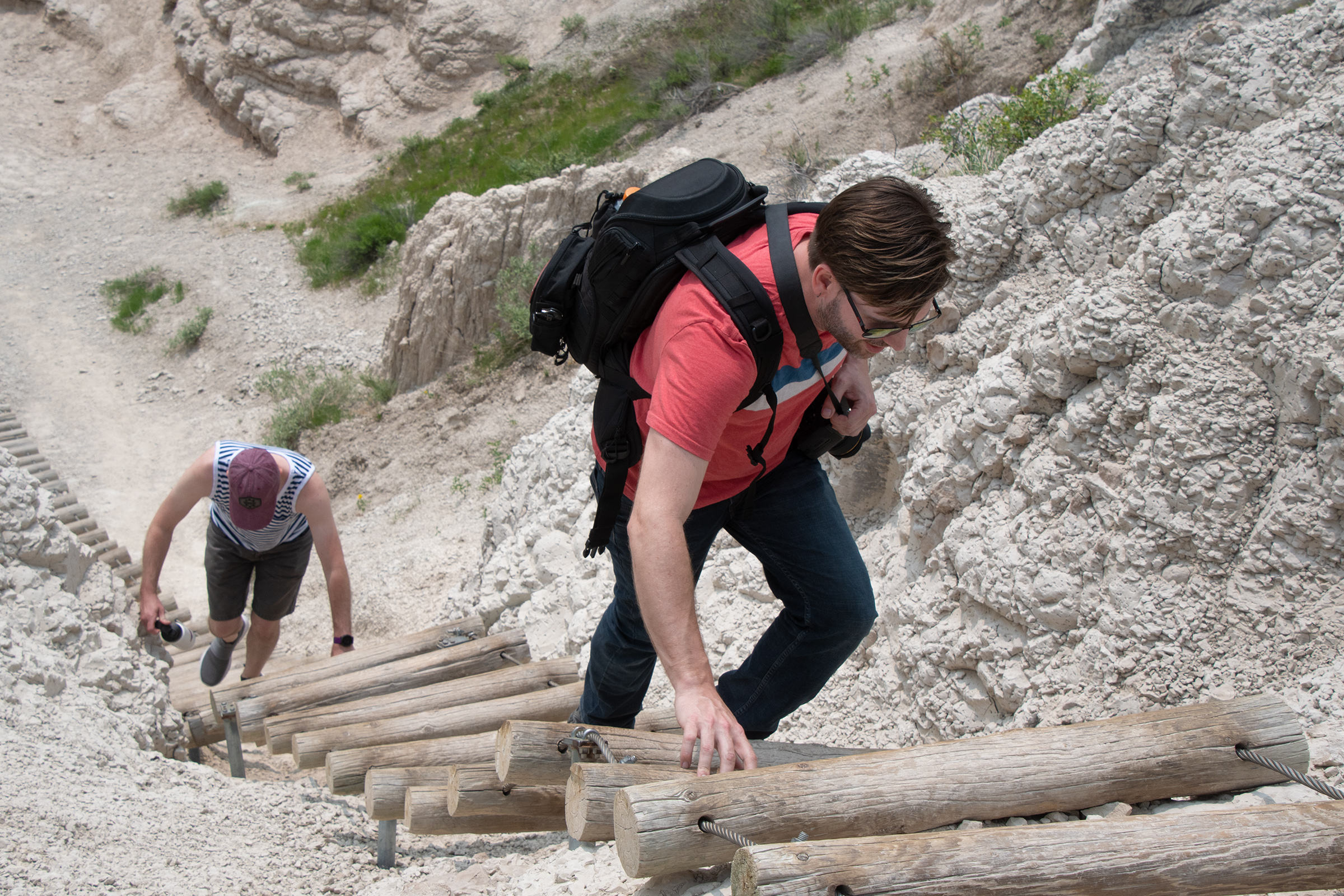
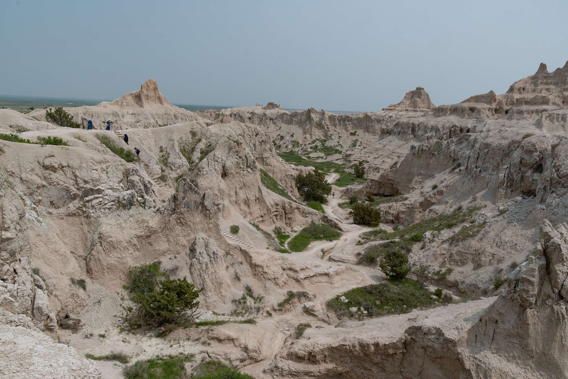
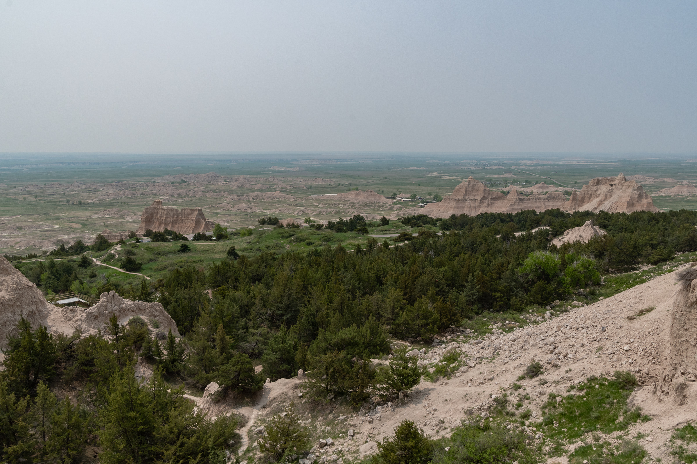
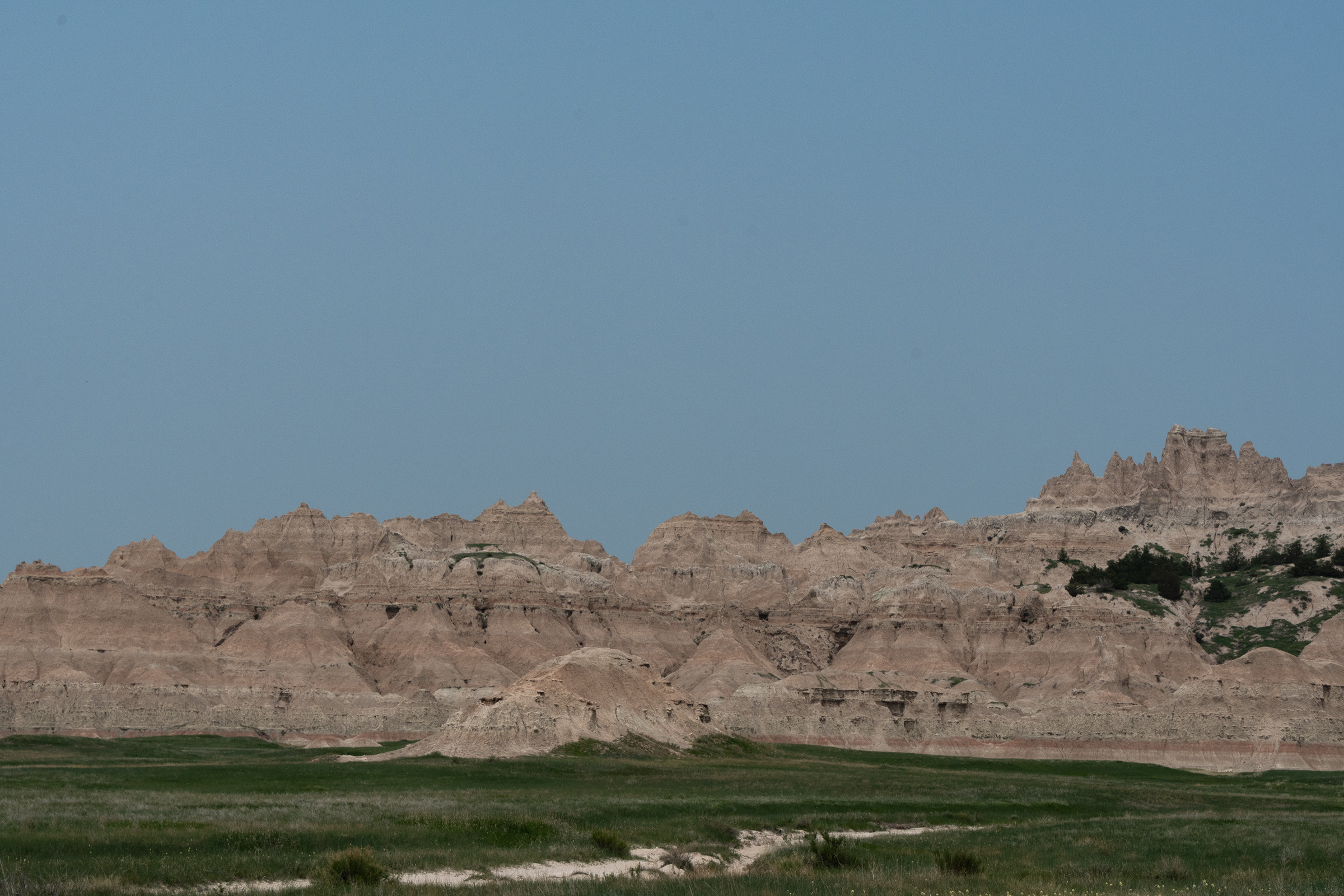
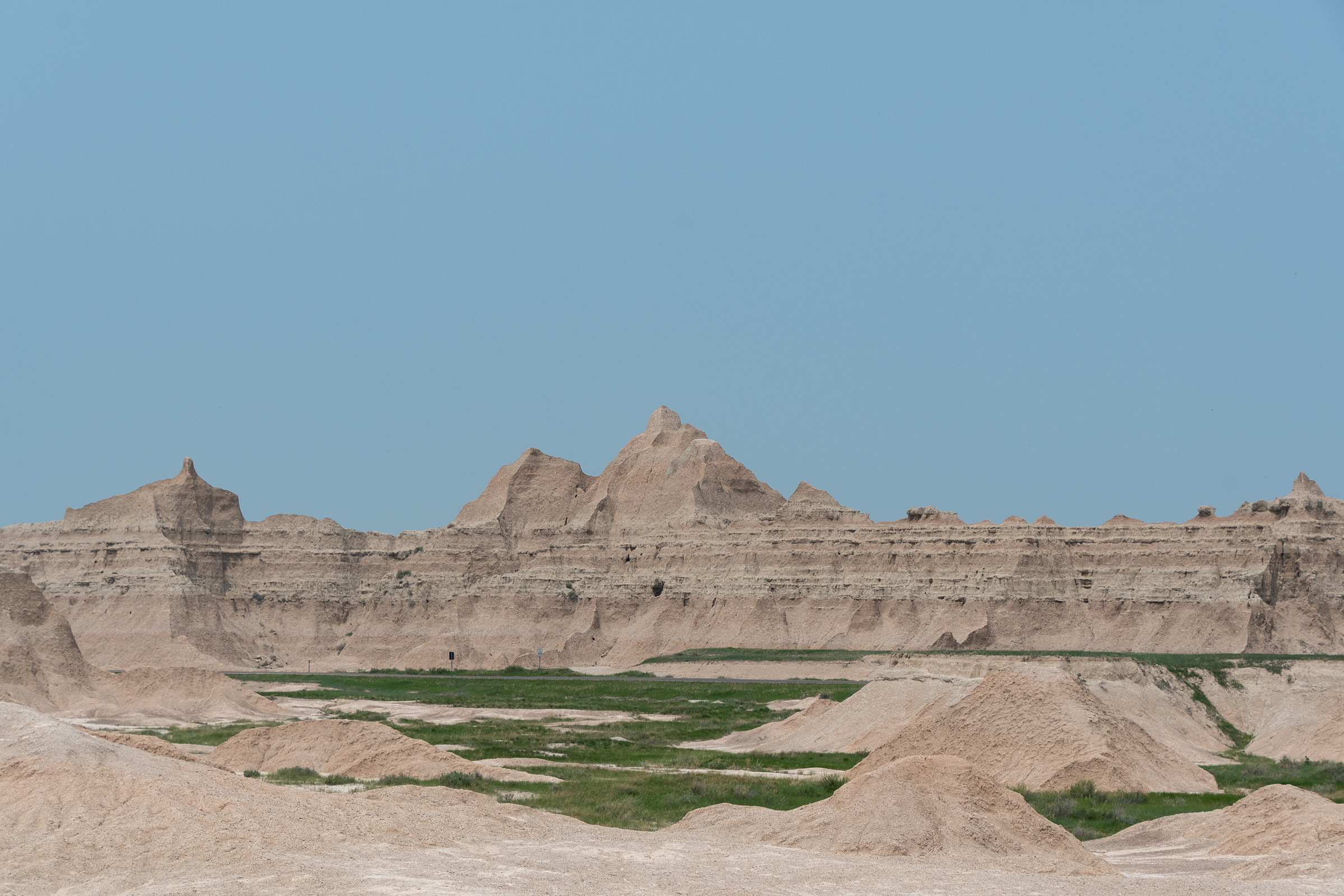
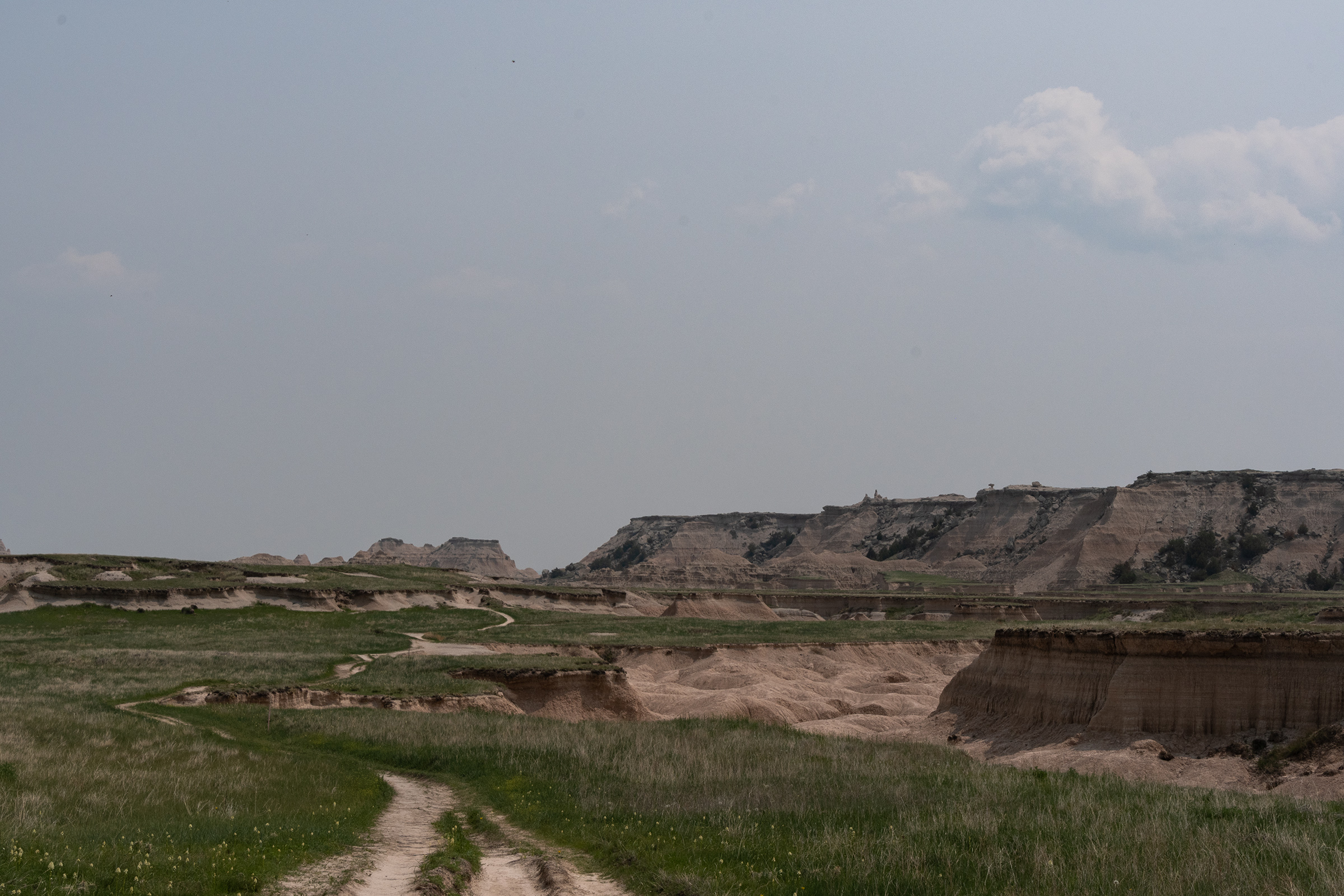
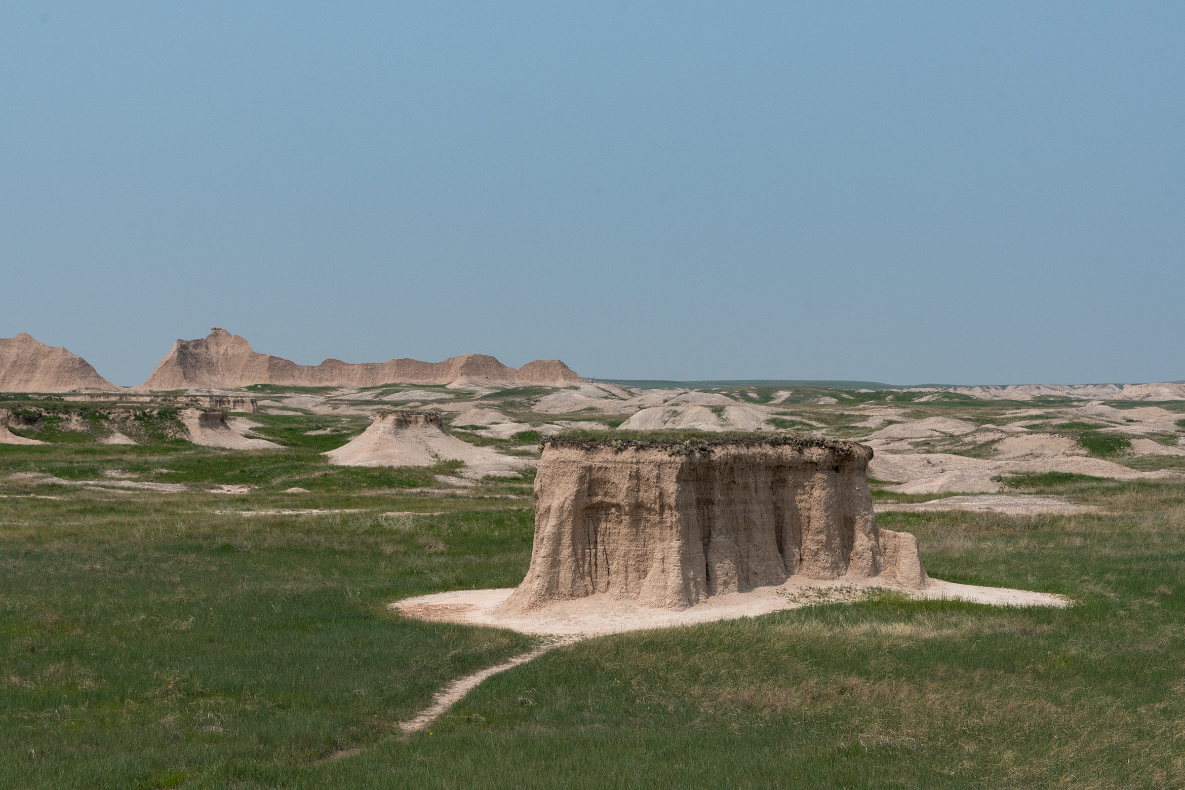
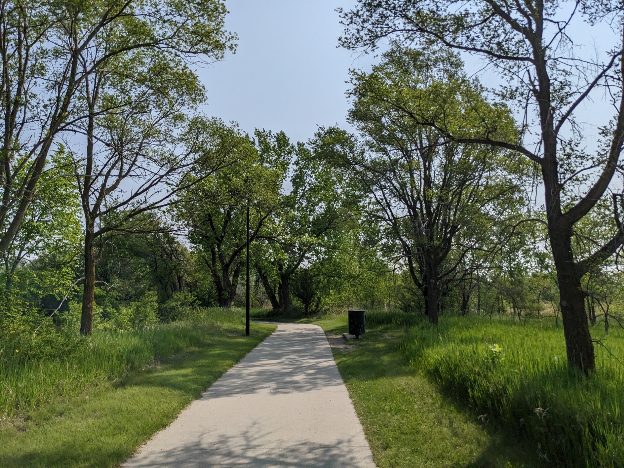
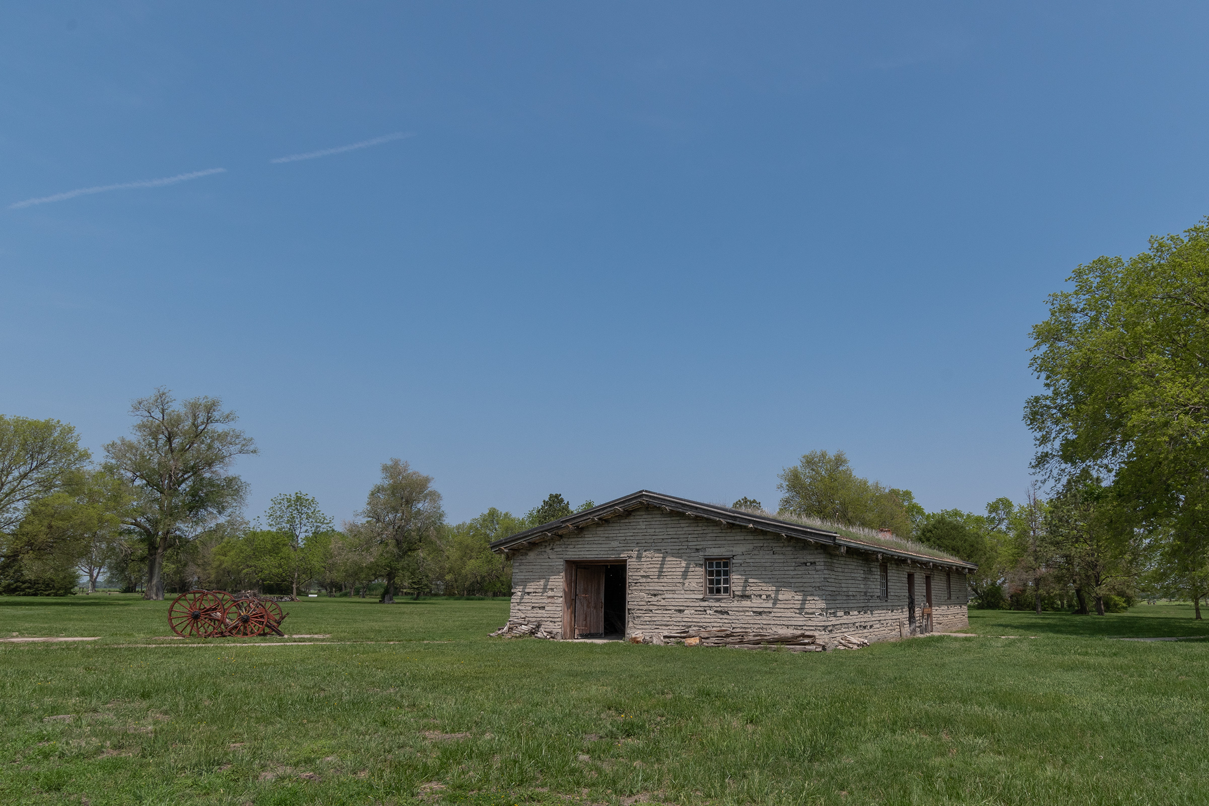
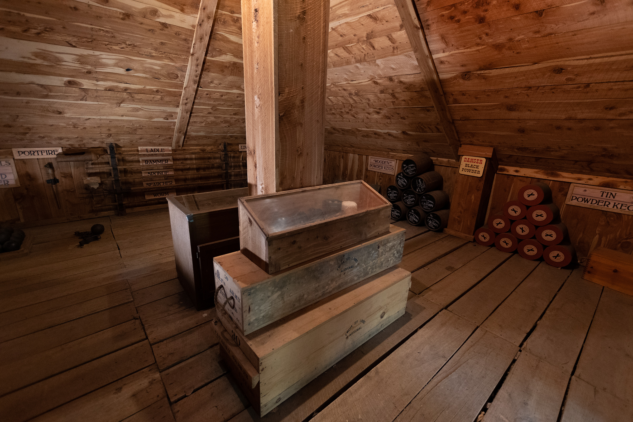
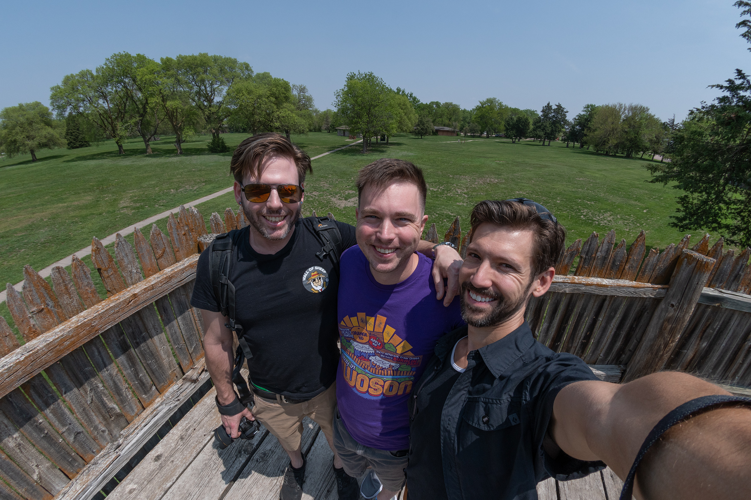
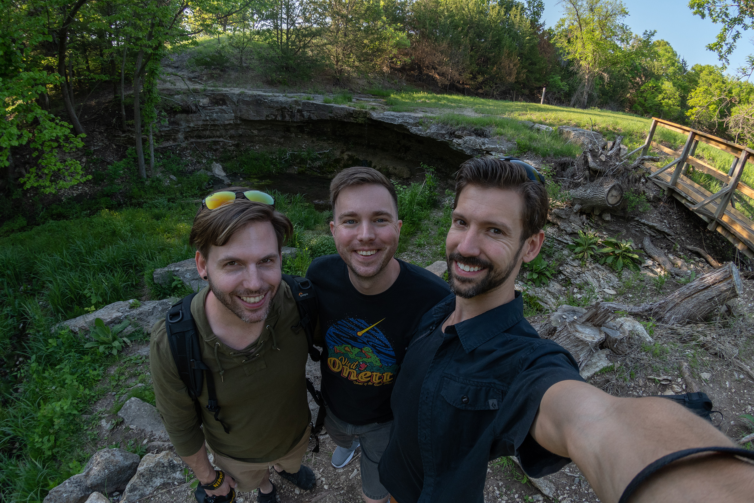
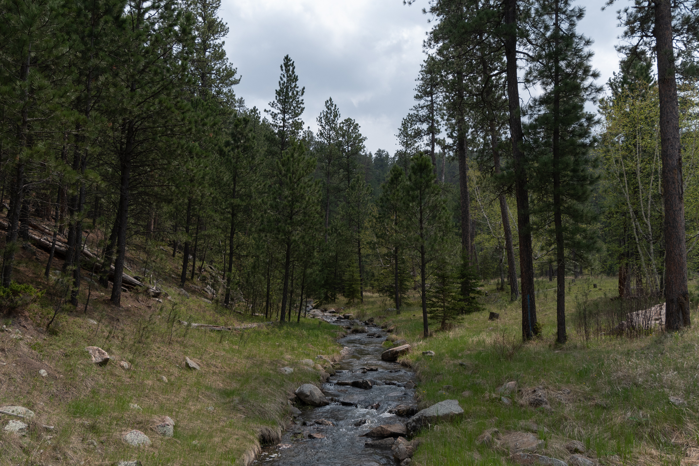
Today’s adventures were largely centered around Custer State Park, with a trio of stunning scenic drives and a little hiking on the way from Keystone to Hot Springs, South Dakota. I gotta say, this state park had some serious National Park energy. Dramatic landscapes, wildlife, fun drives, dense trail network. I would love to come back here for longer.
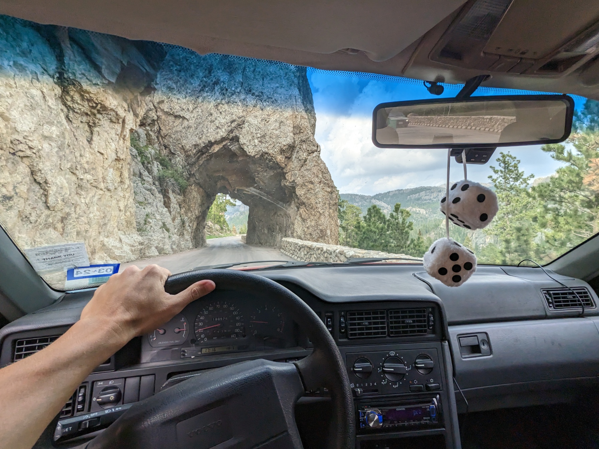
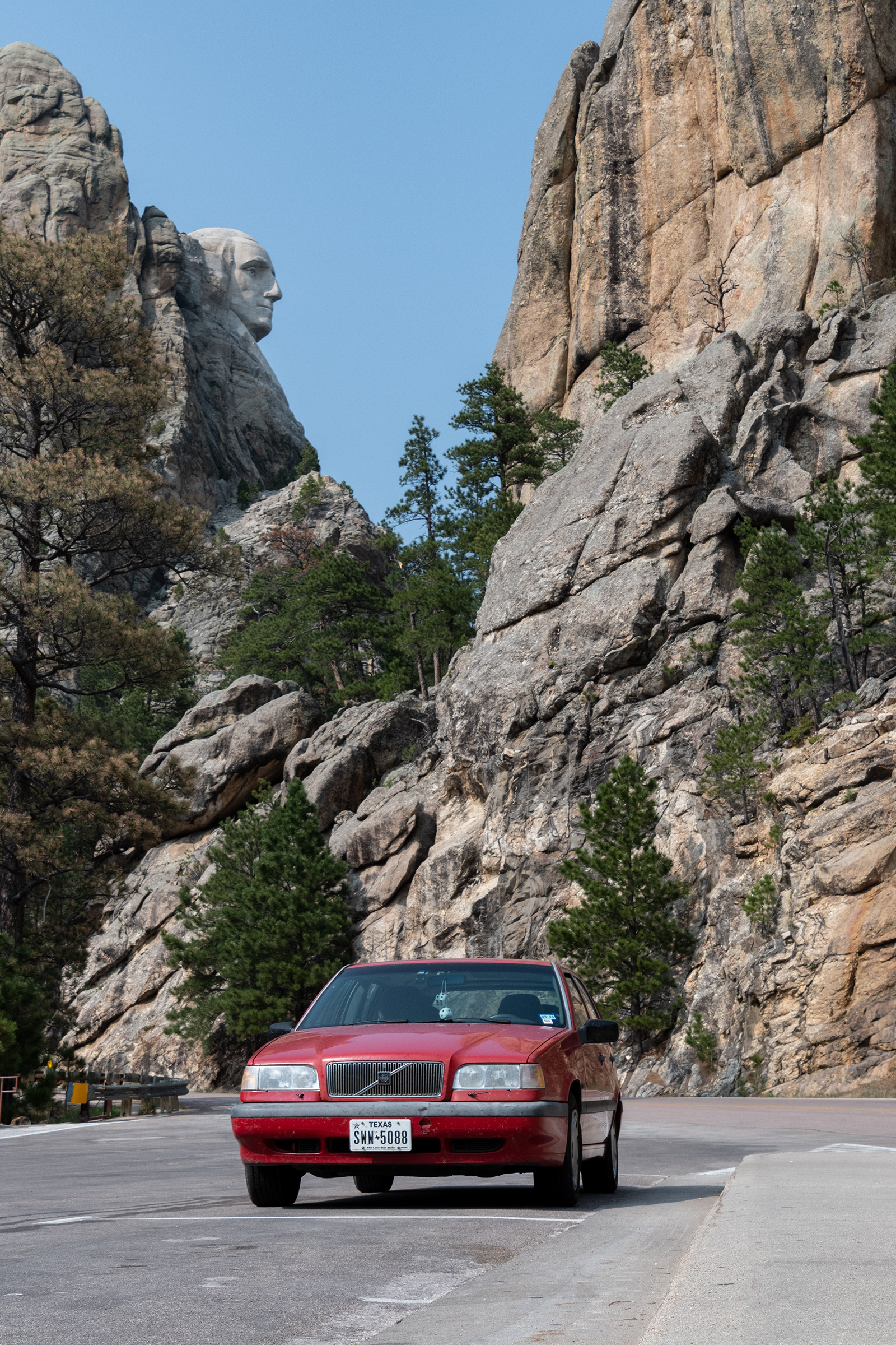
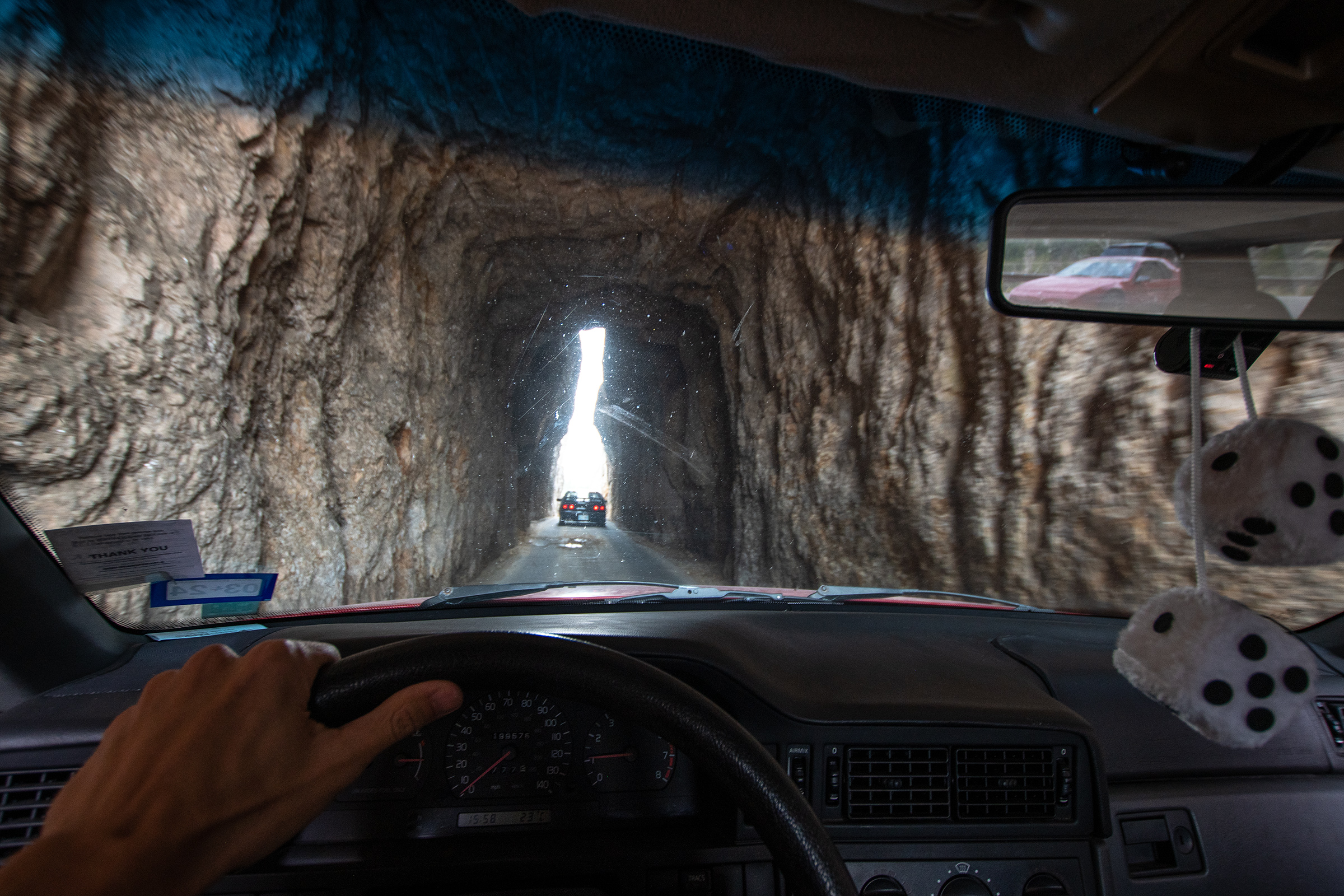
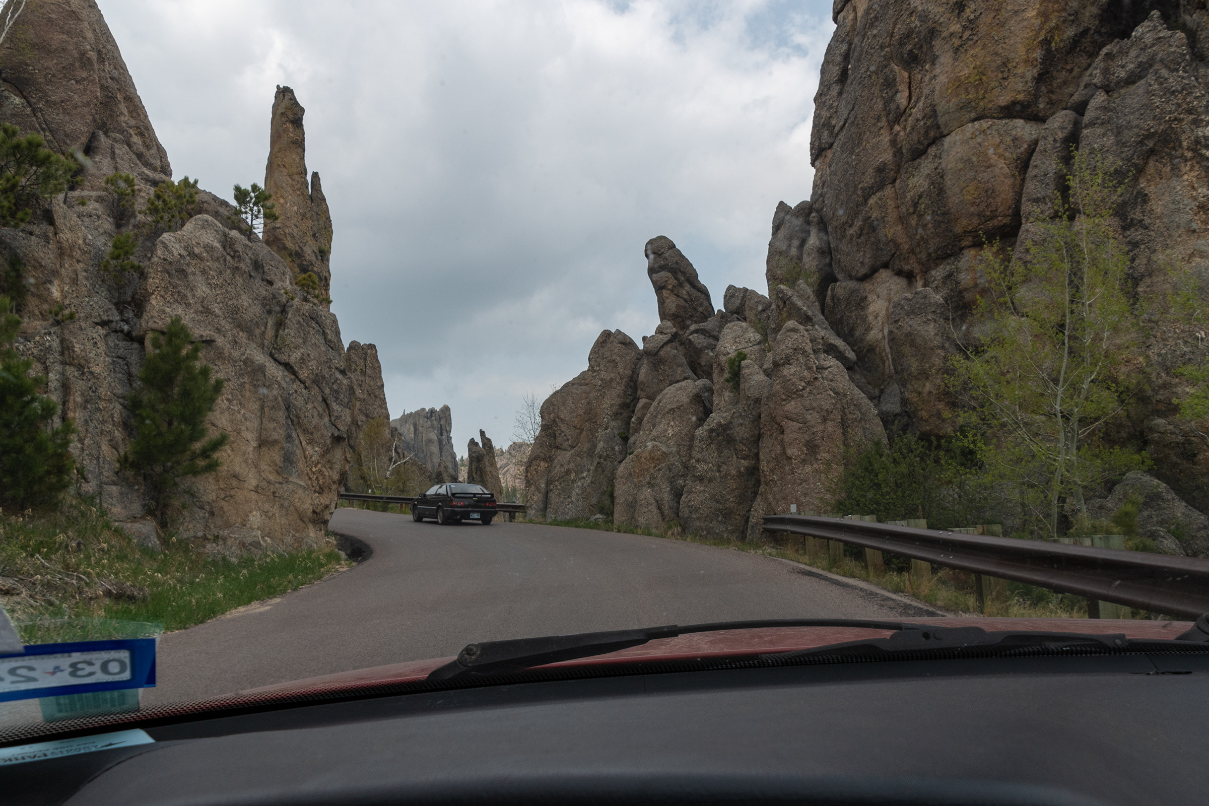
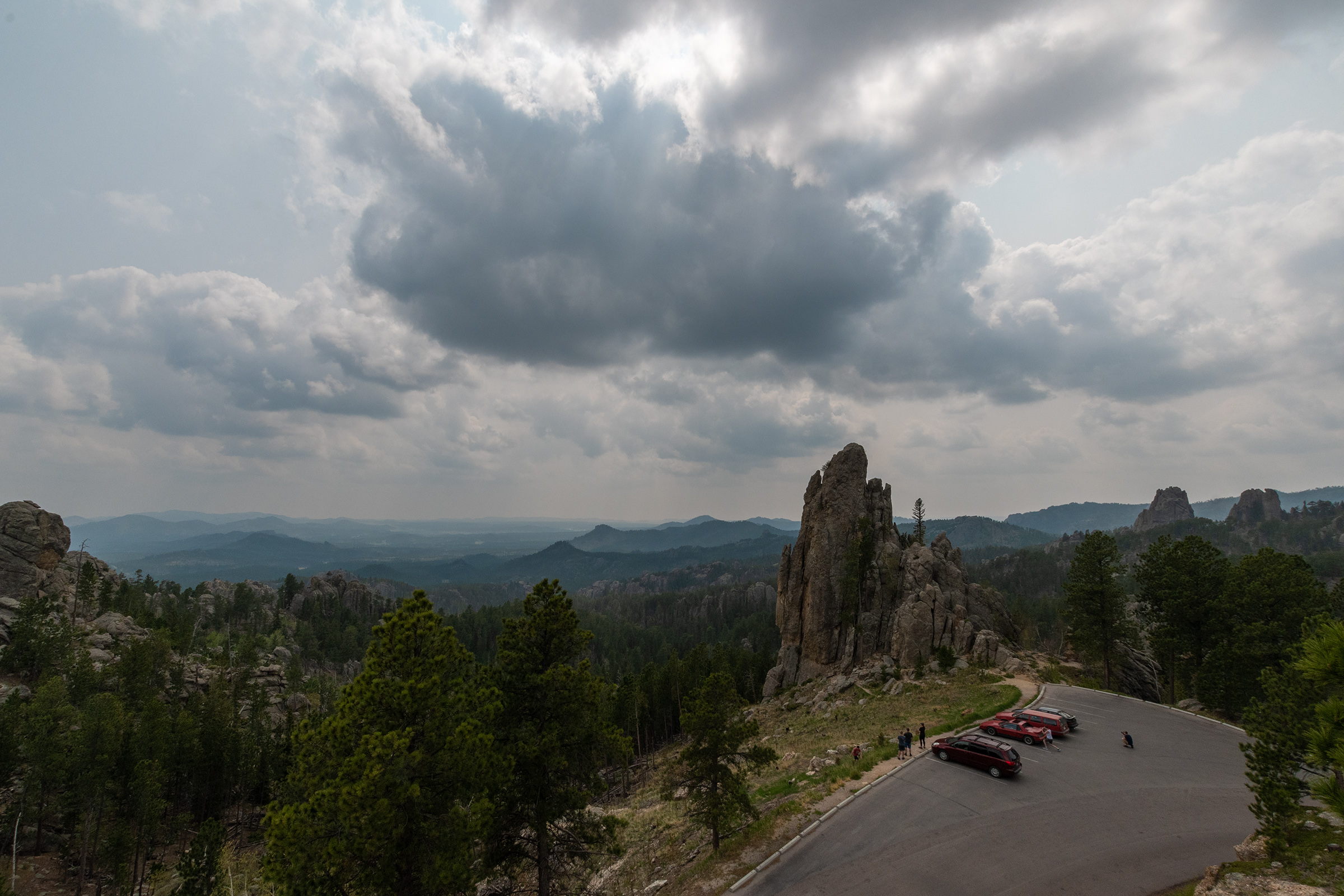
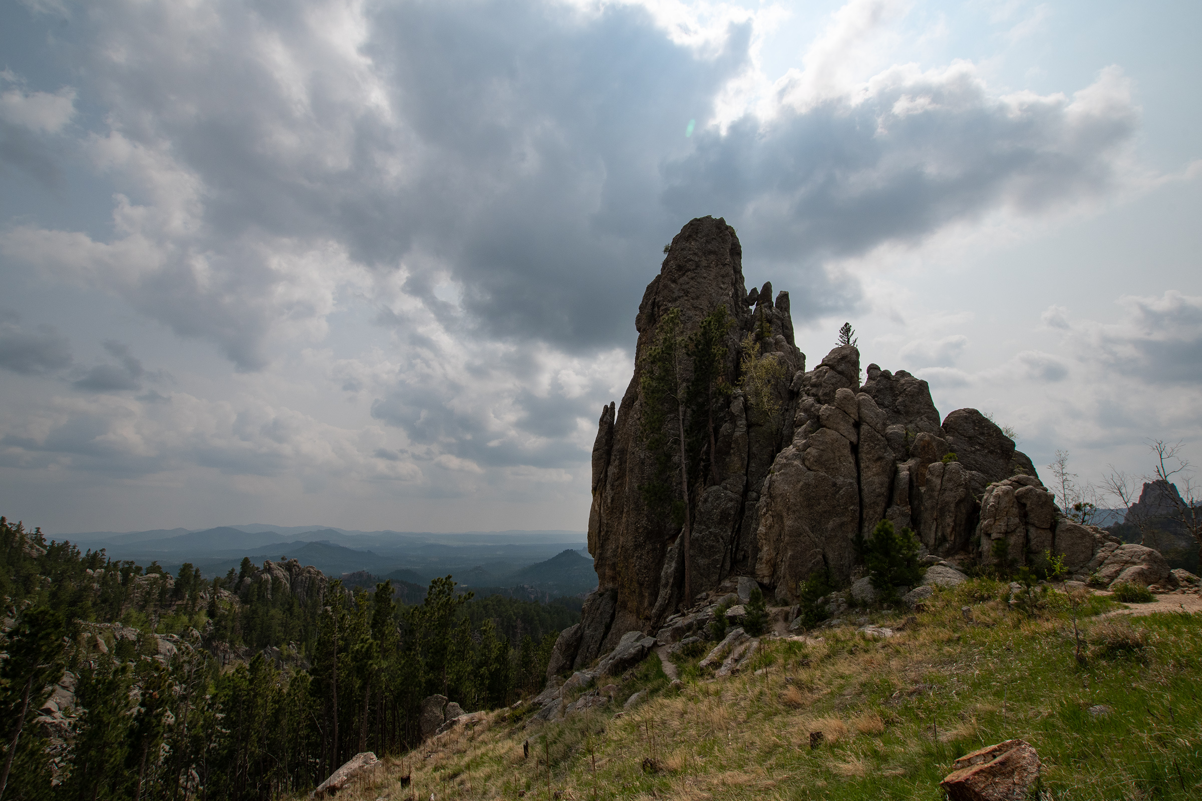
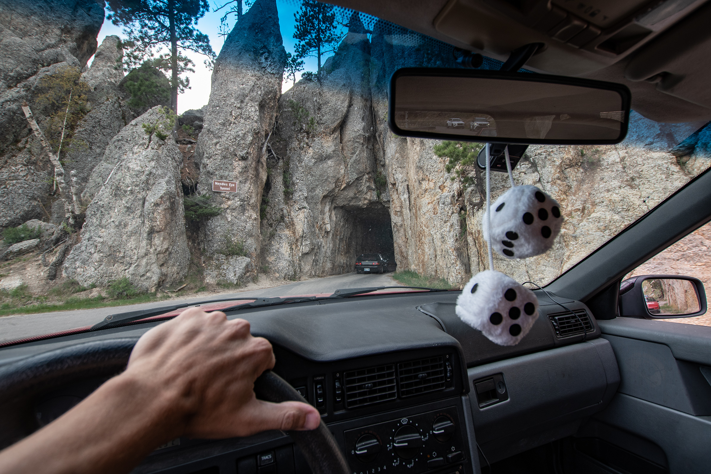
Iron Mountain Road and Needles Highway
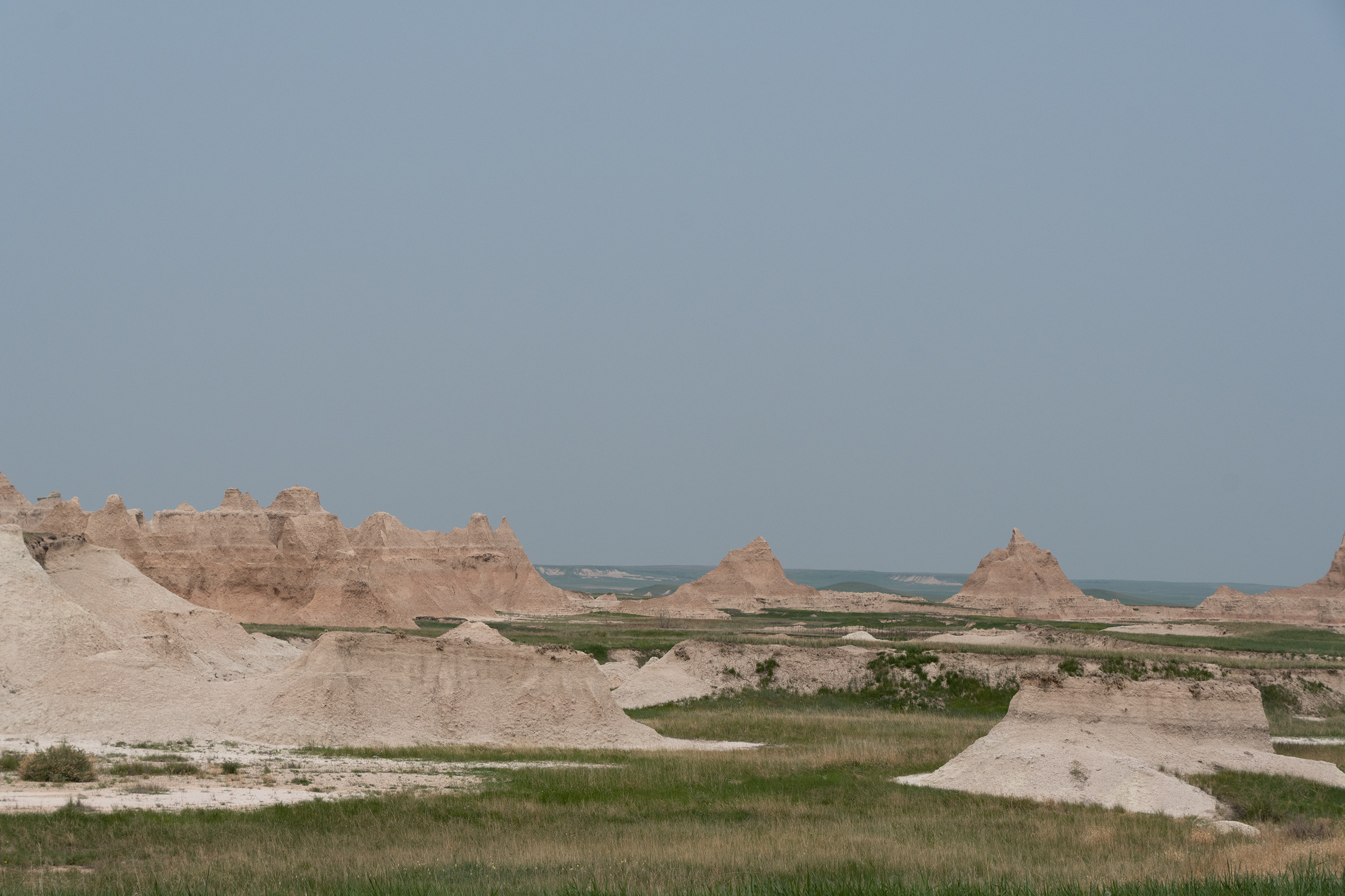
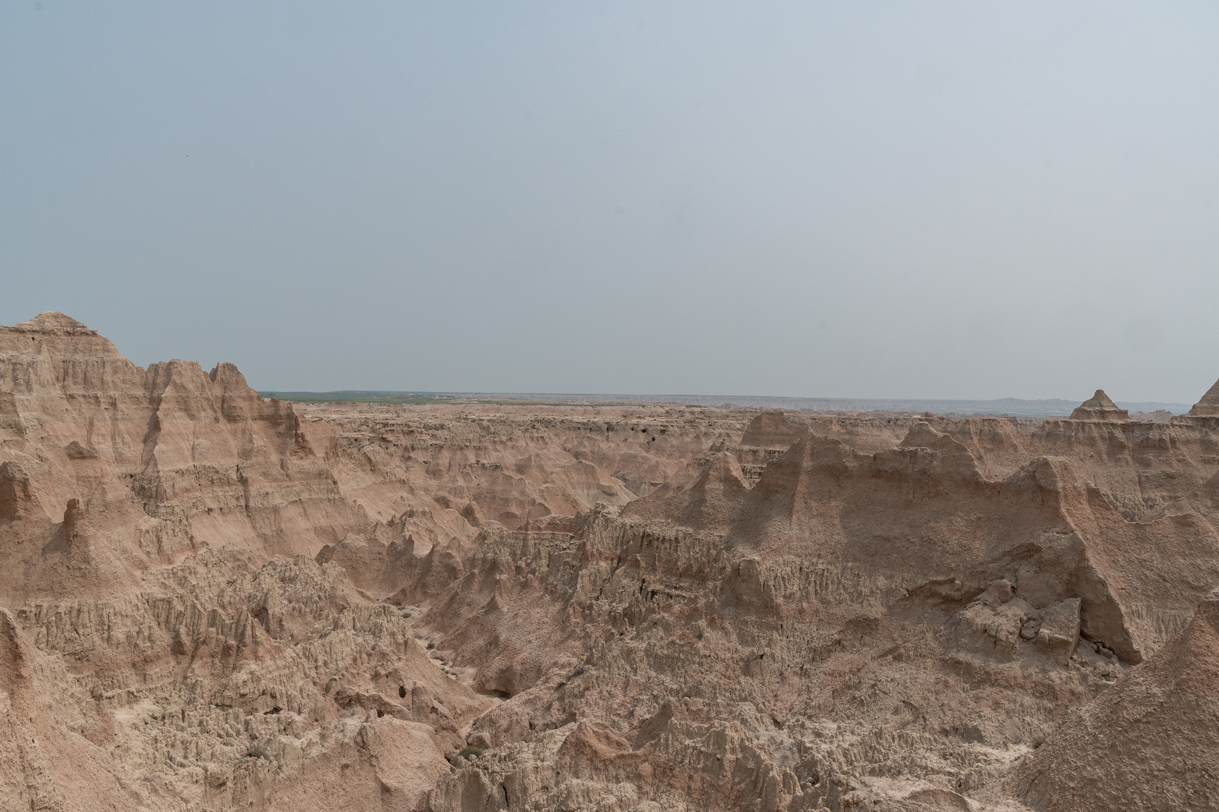
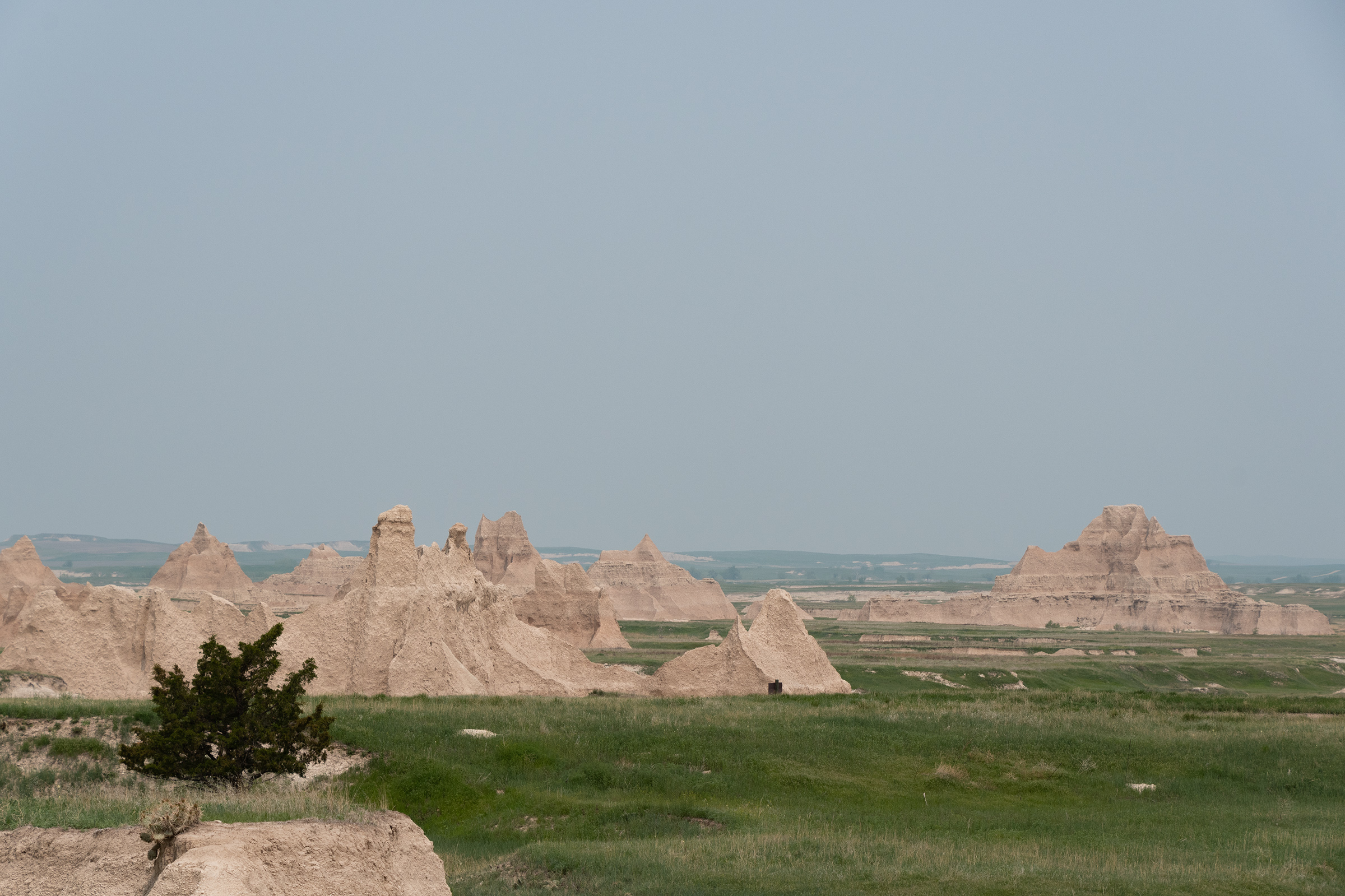
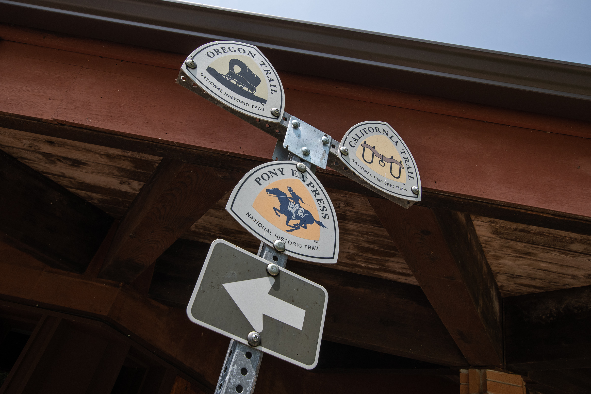
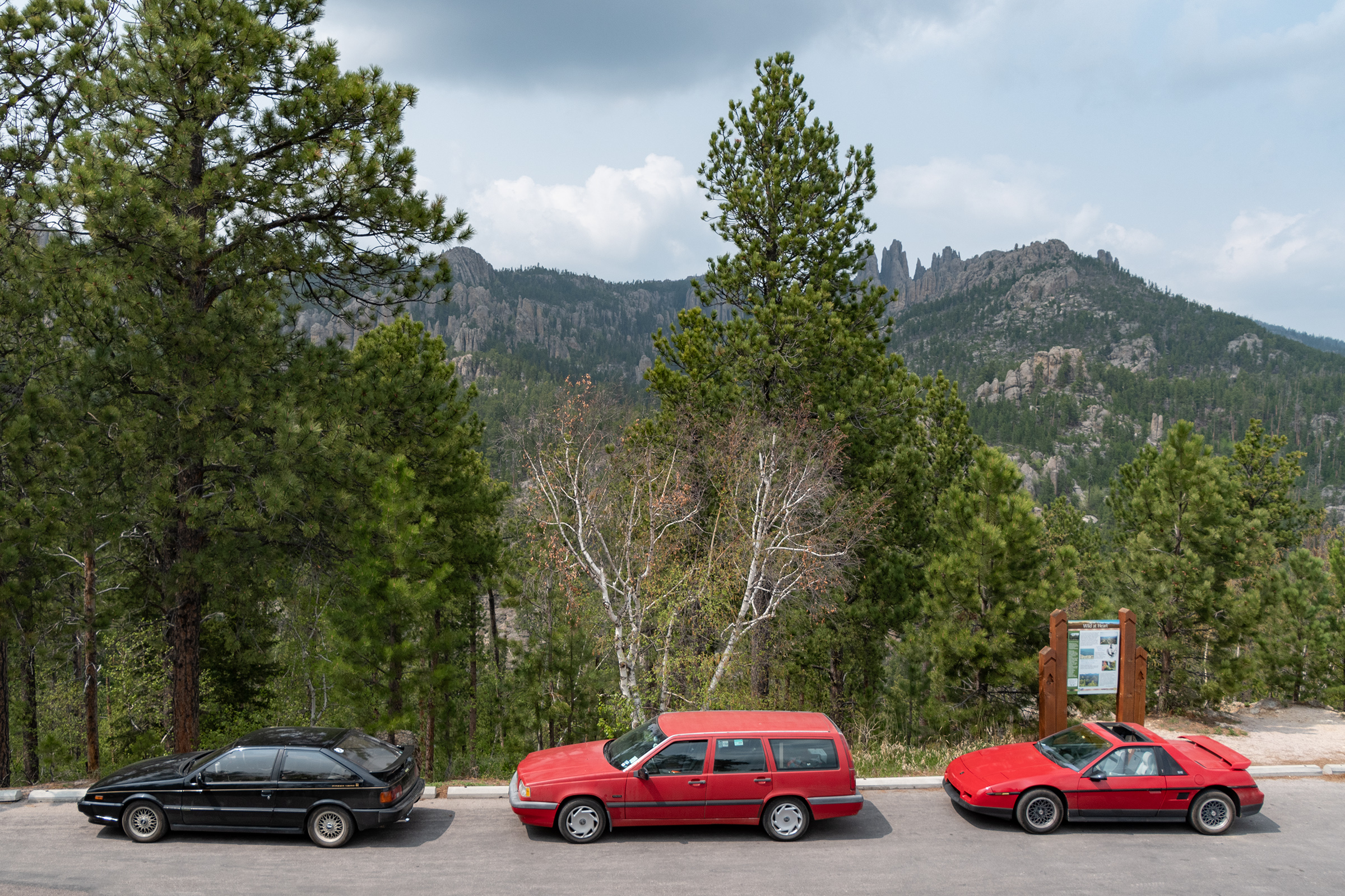
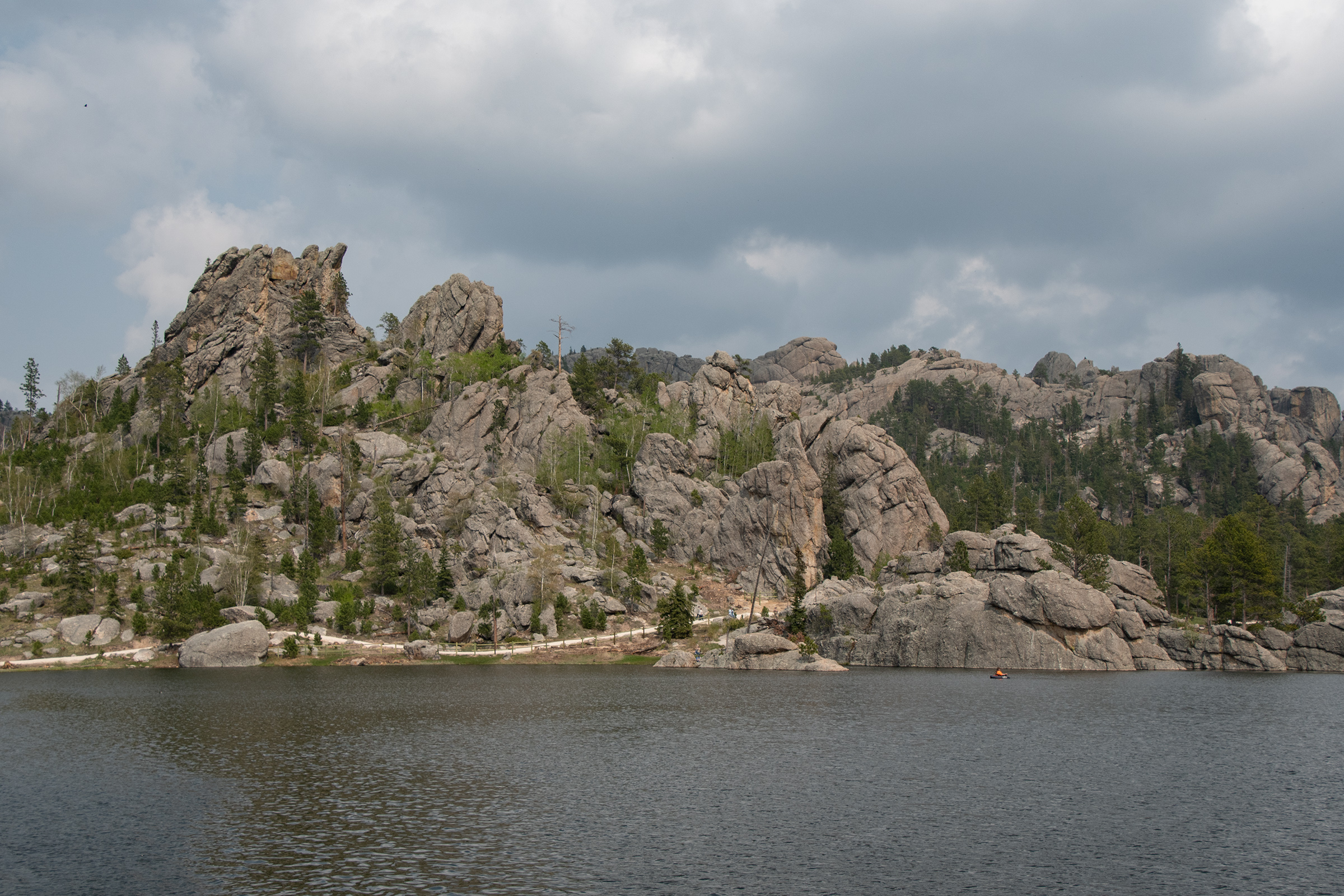
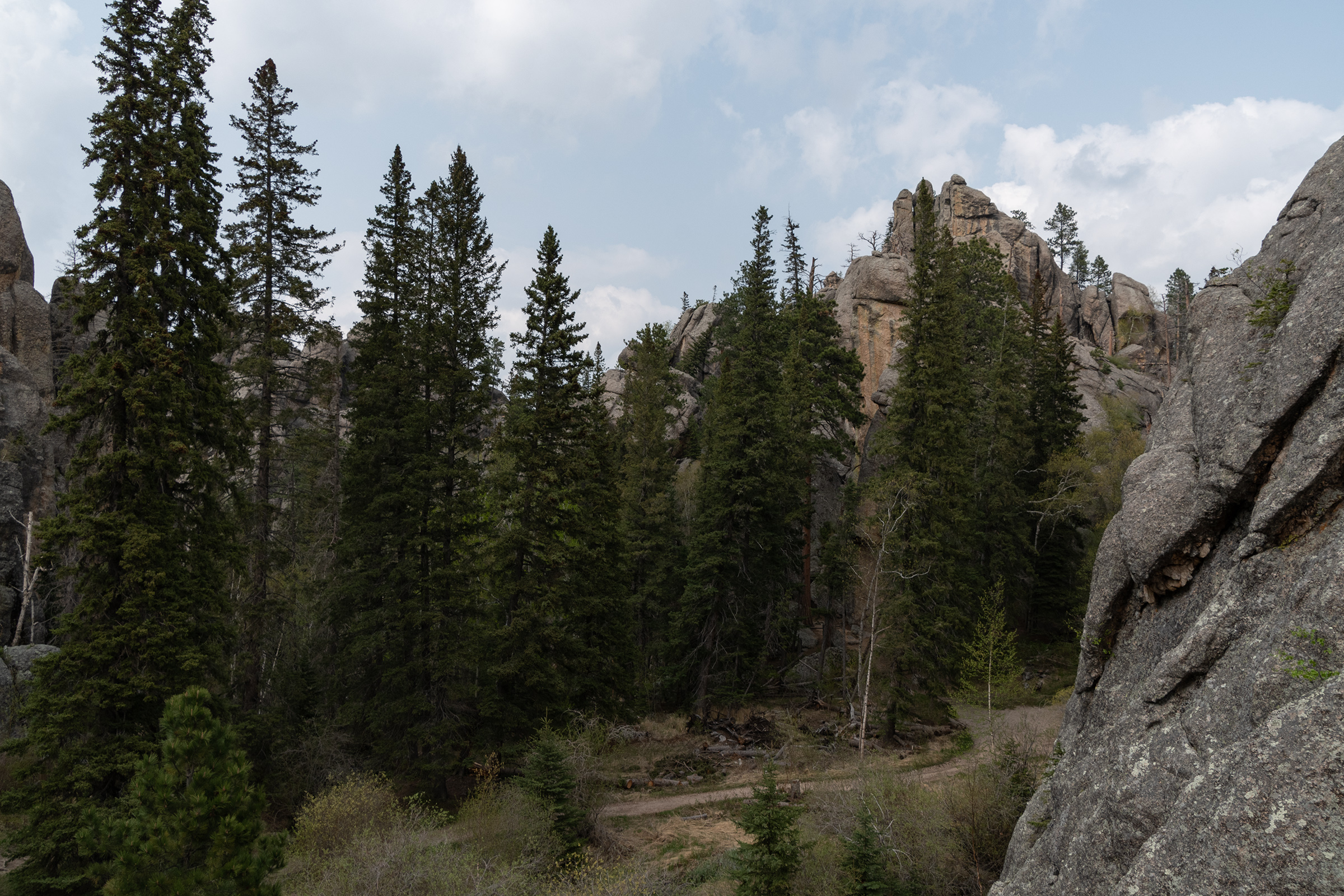
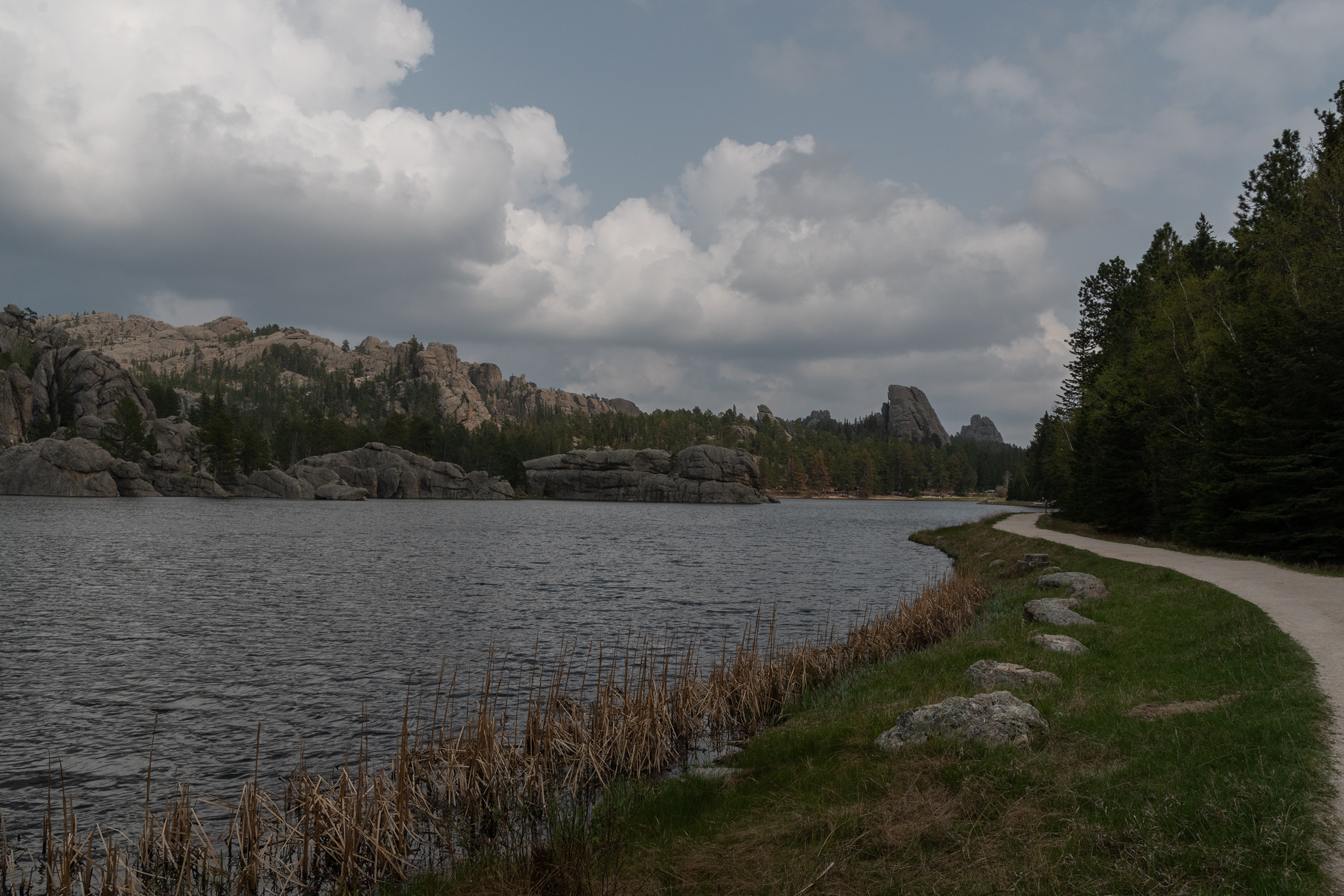
When we started planning, George pointed out Needles Highway as a must-do eventually, which is what got us thinking about detouring from The Oregon Trail up to the Black Hills. Our route took us through three scenic drives of Custer State Park, Needles being the final zig-zag back through the park. Custer is South Dakota’s first and largest state park, established in 1912 and currently encompassing 71,000 acres.
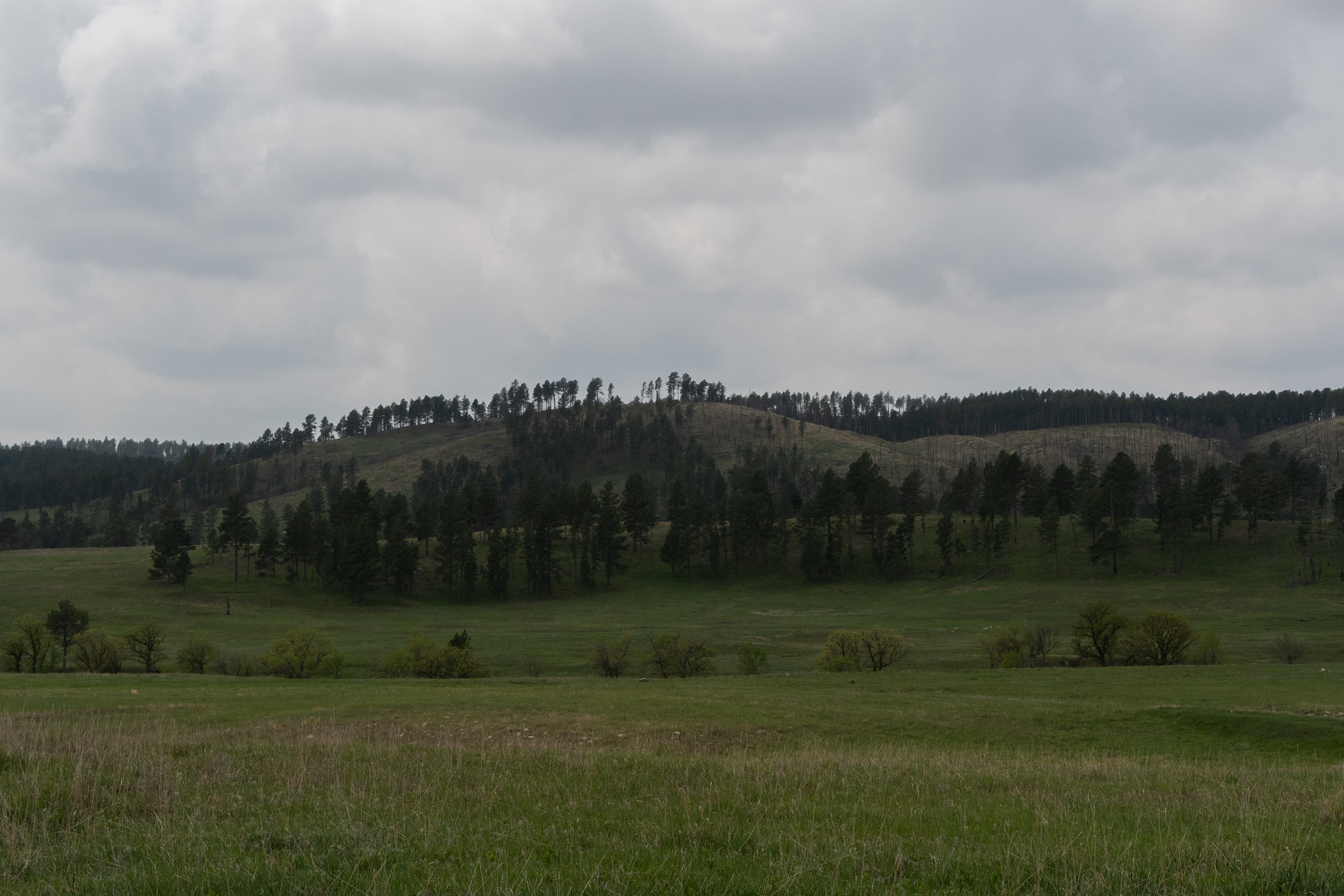
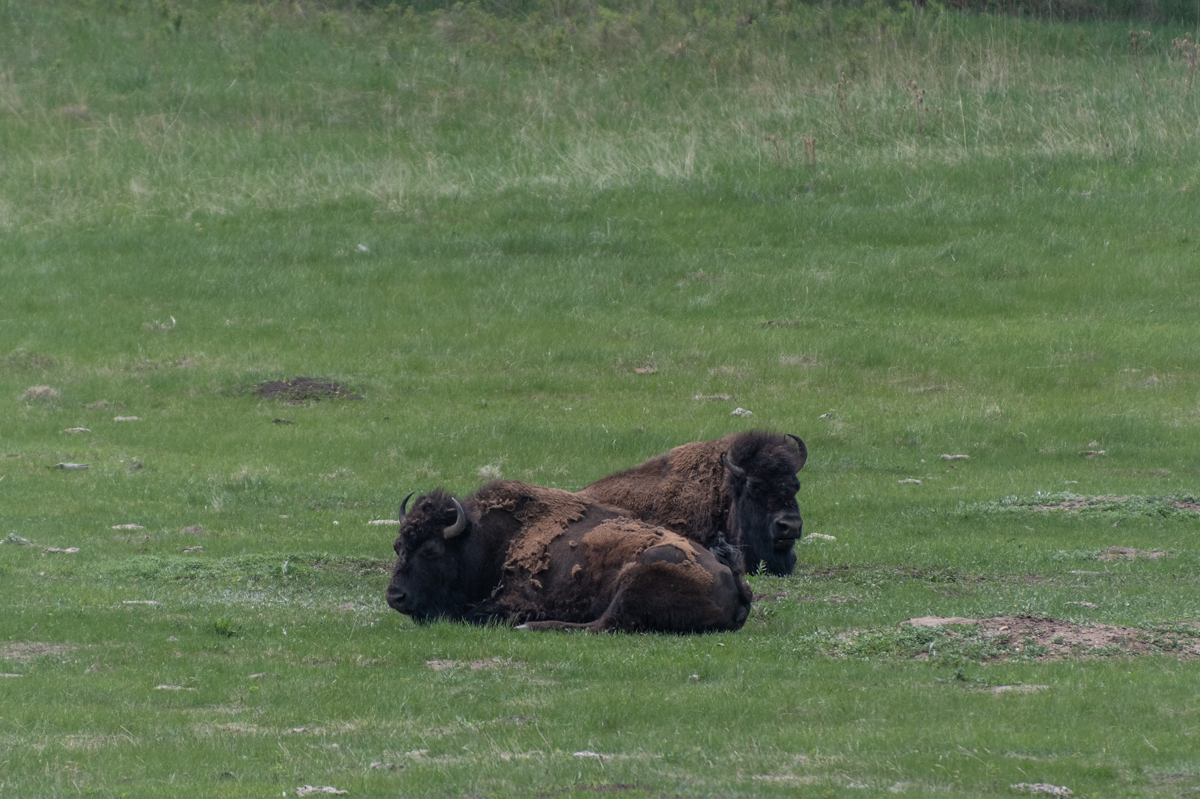
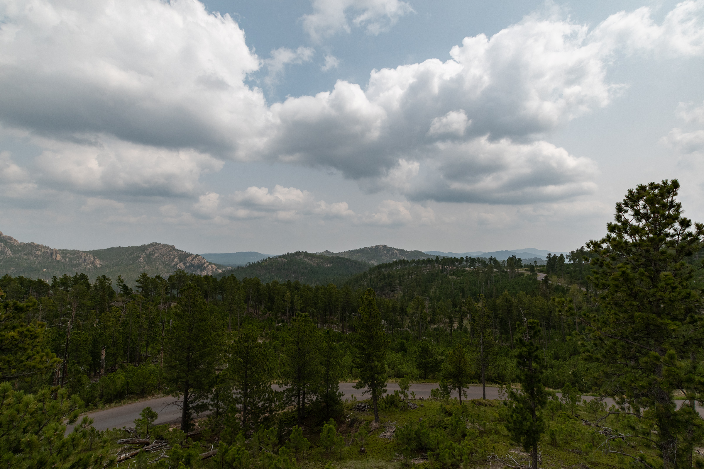
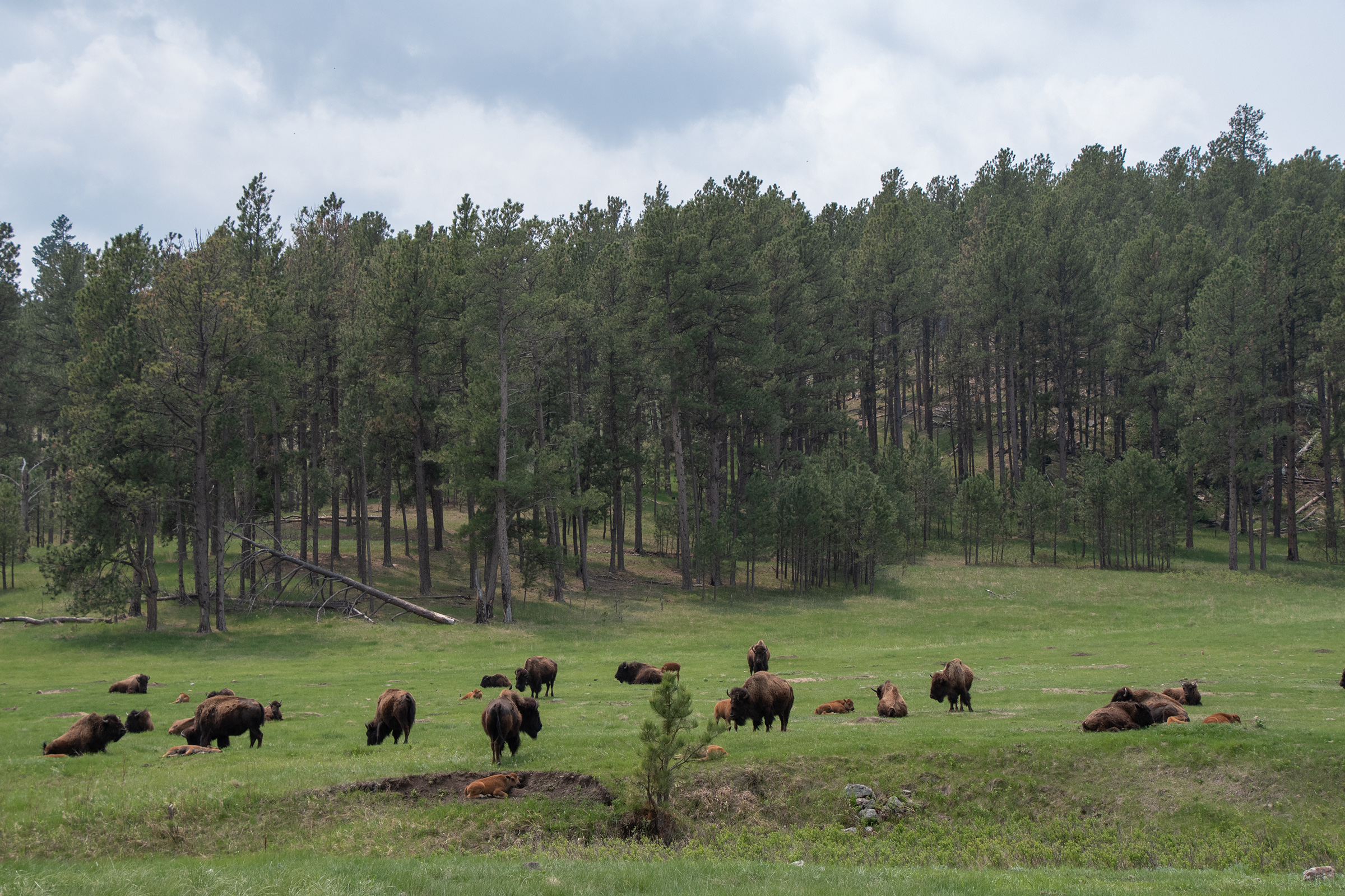
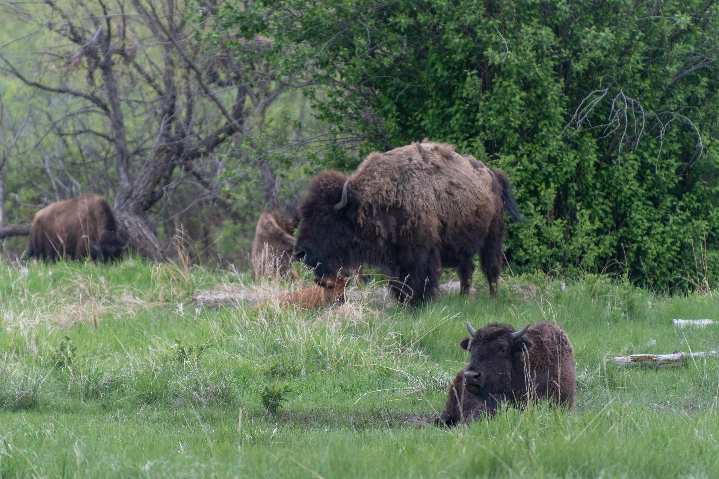
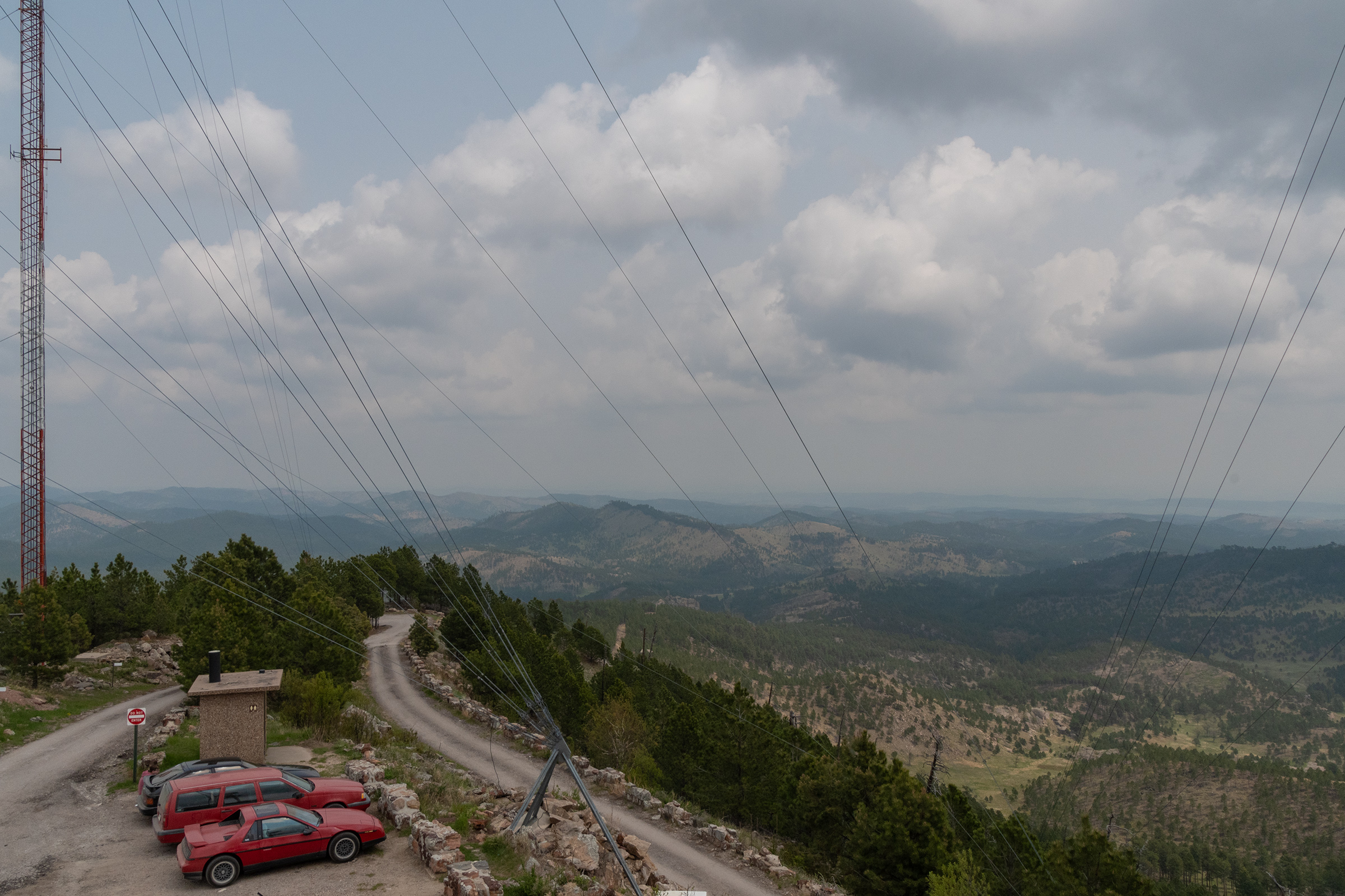
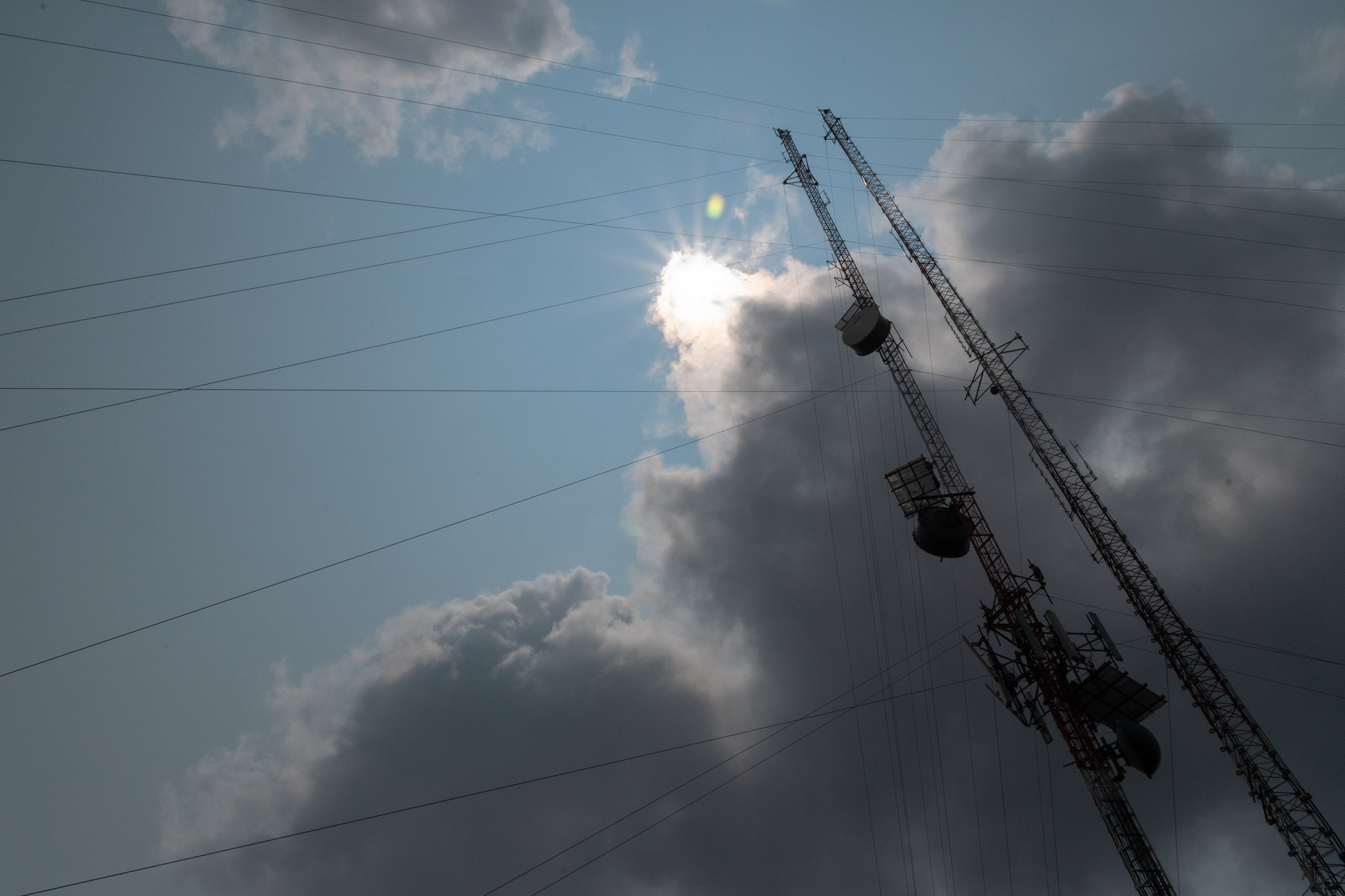
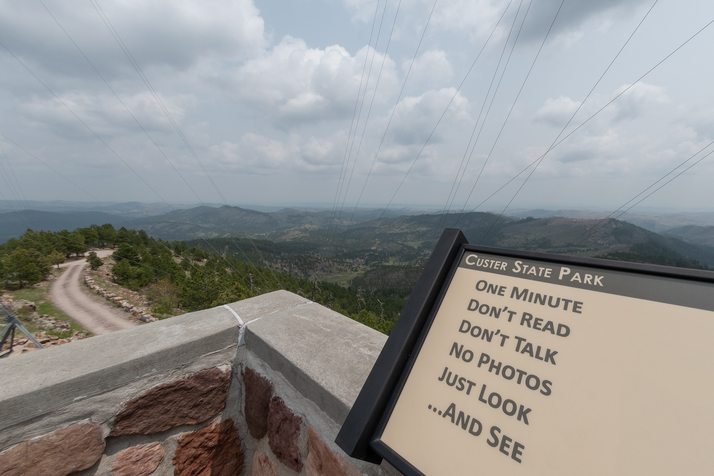
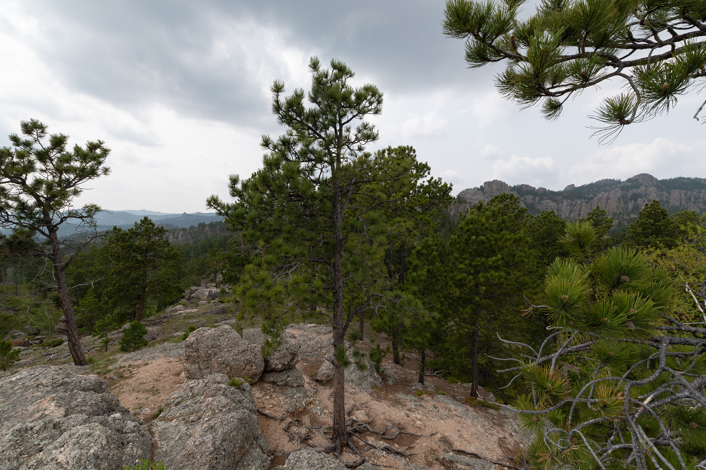
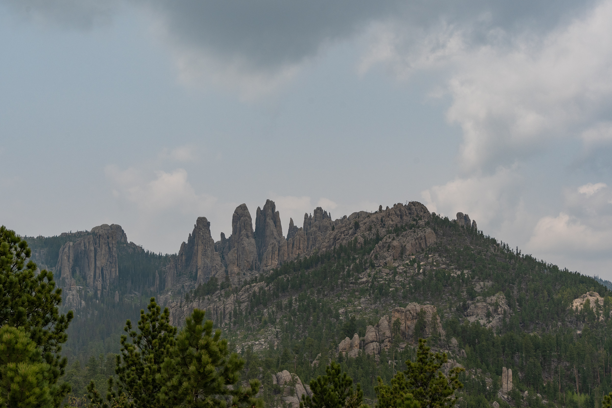
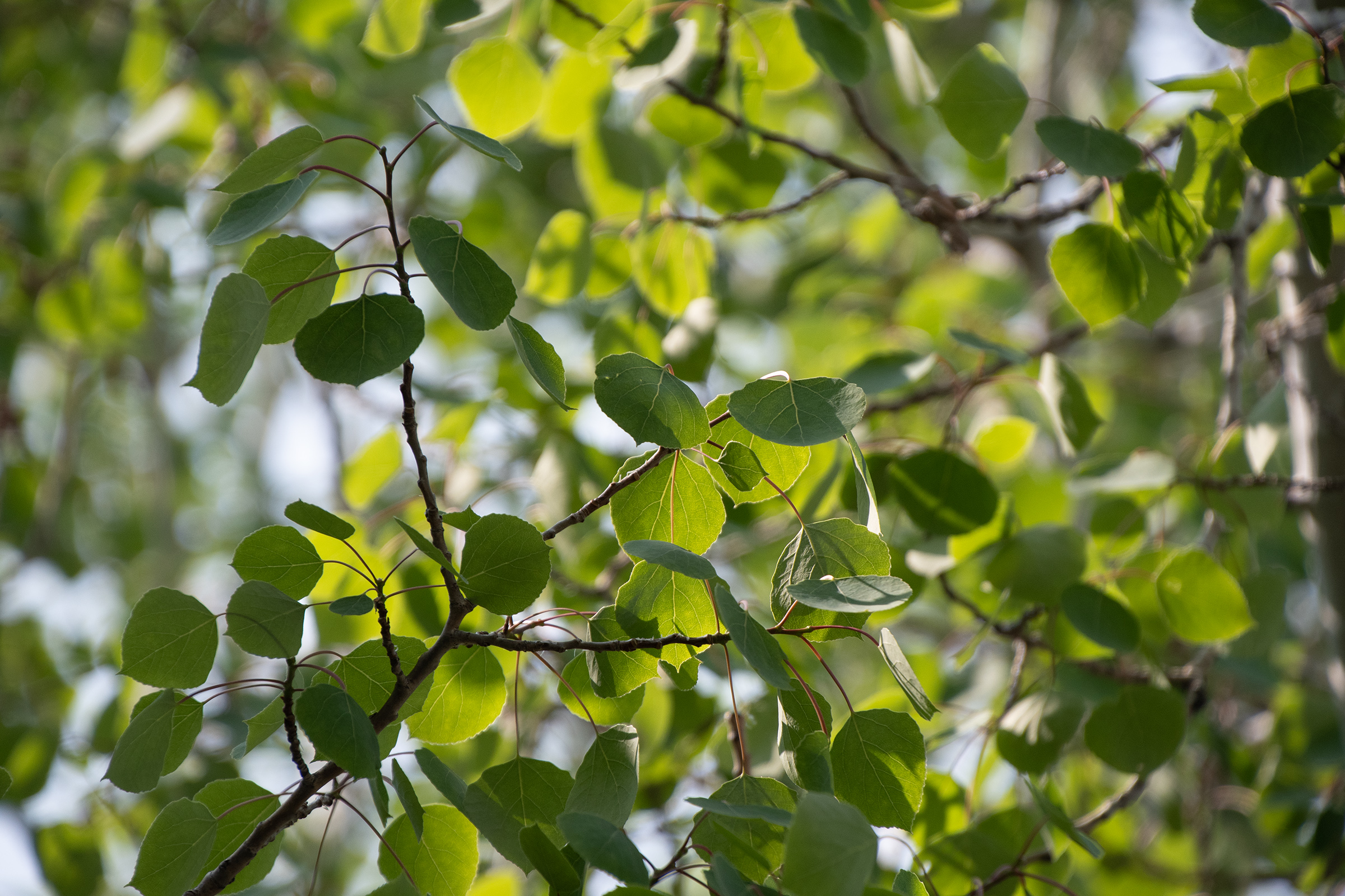
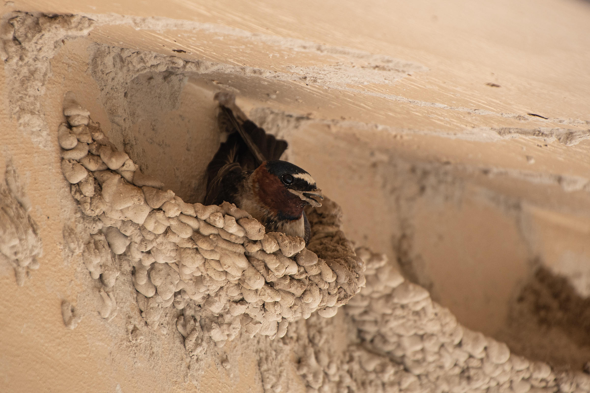
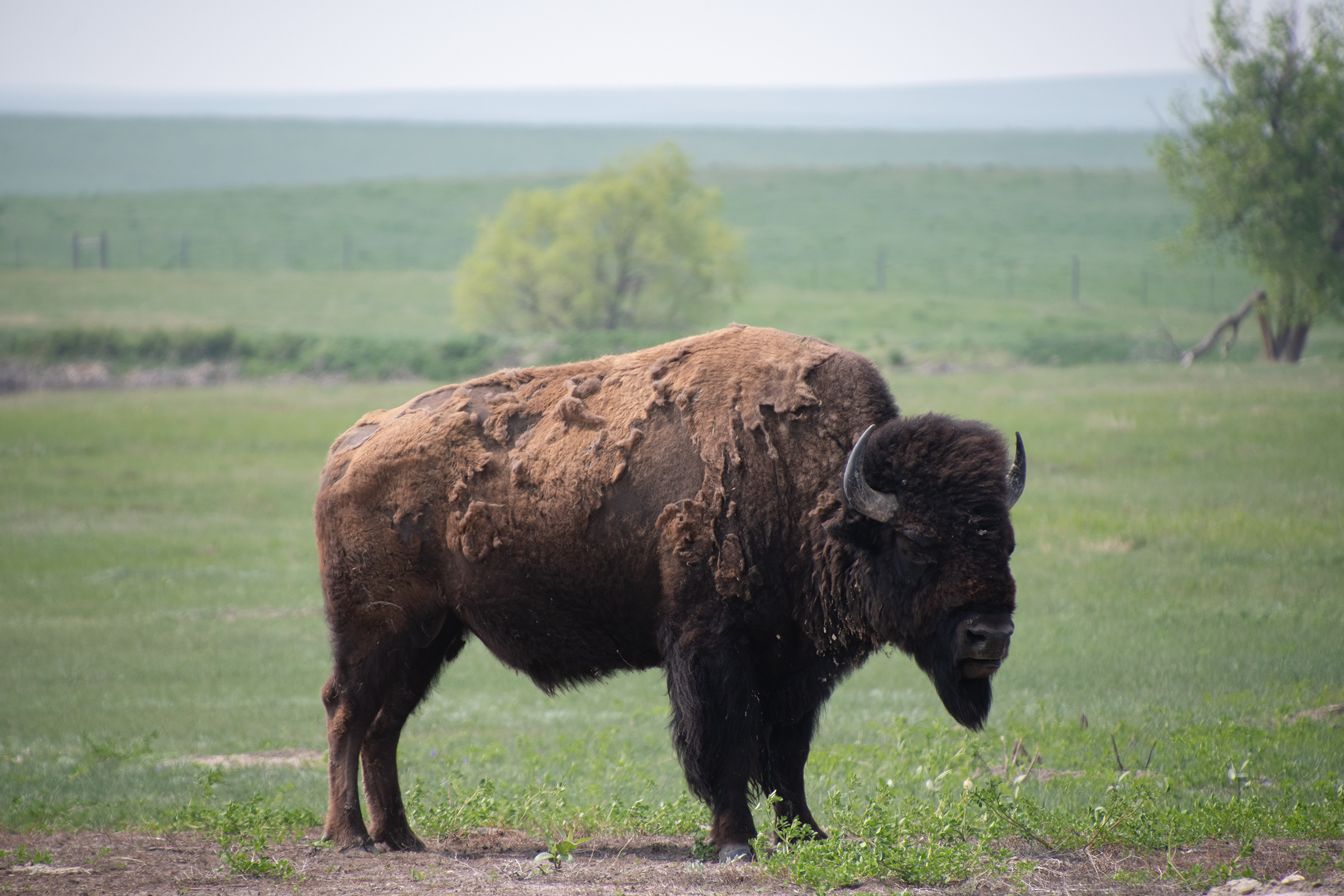
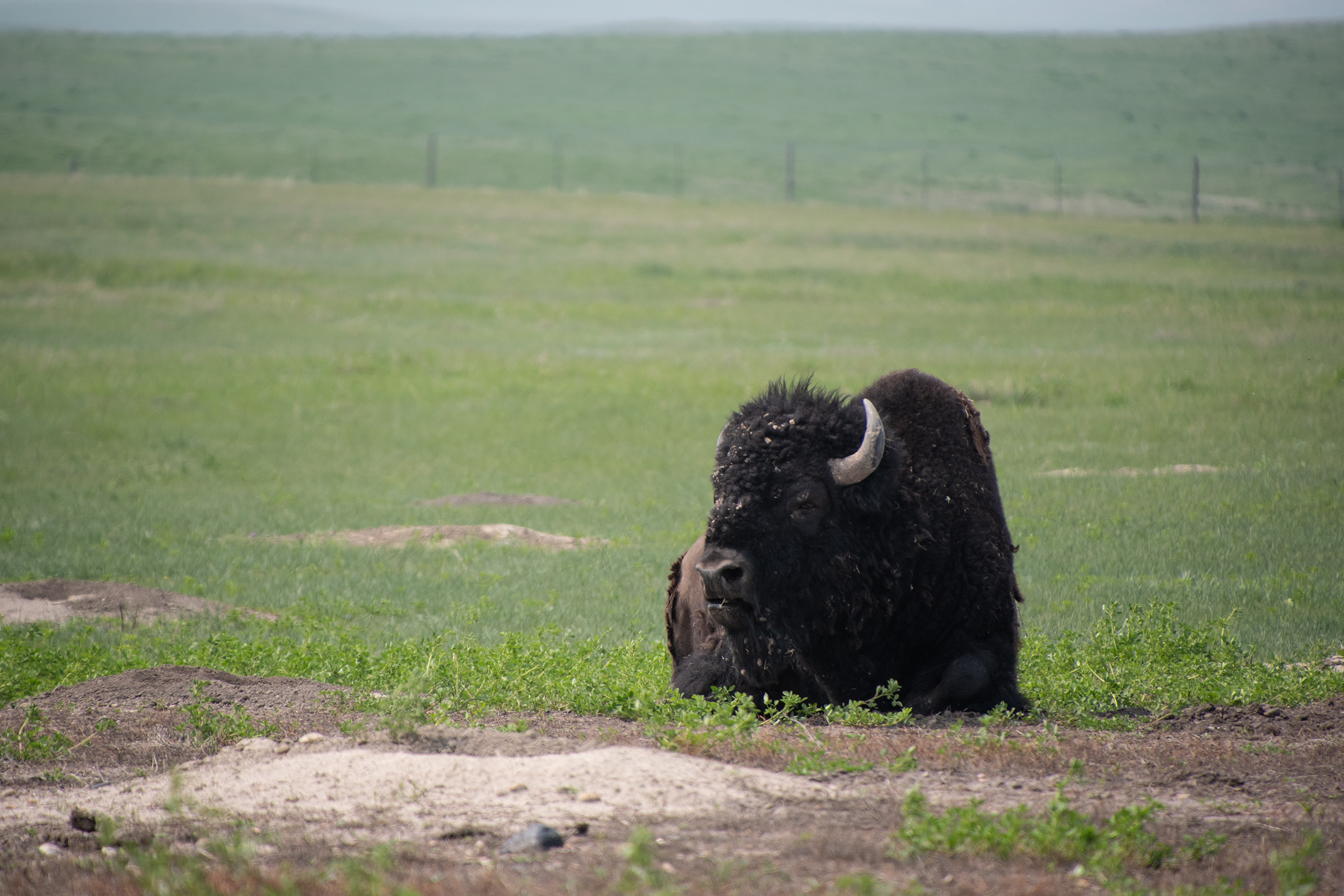
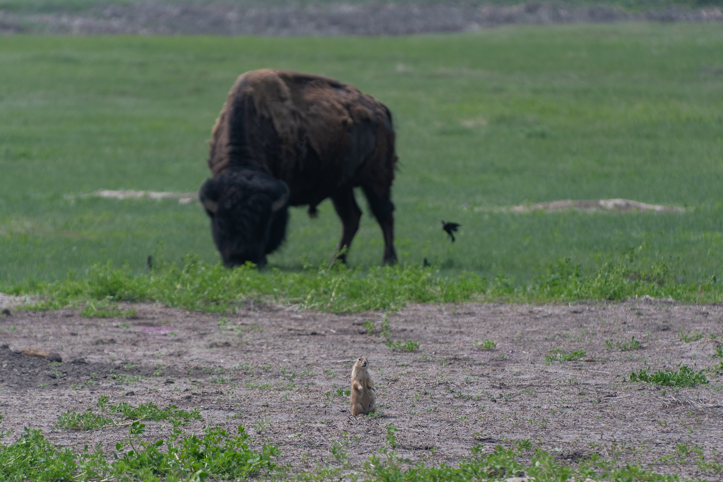
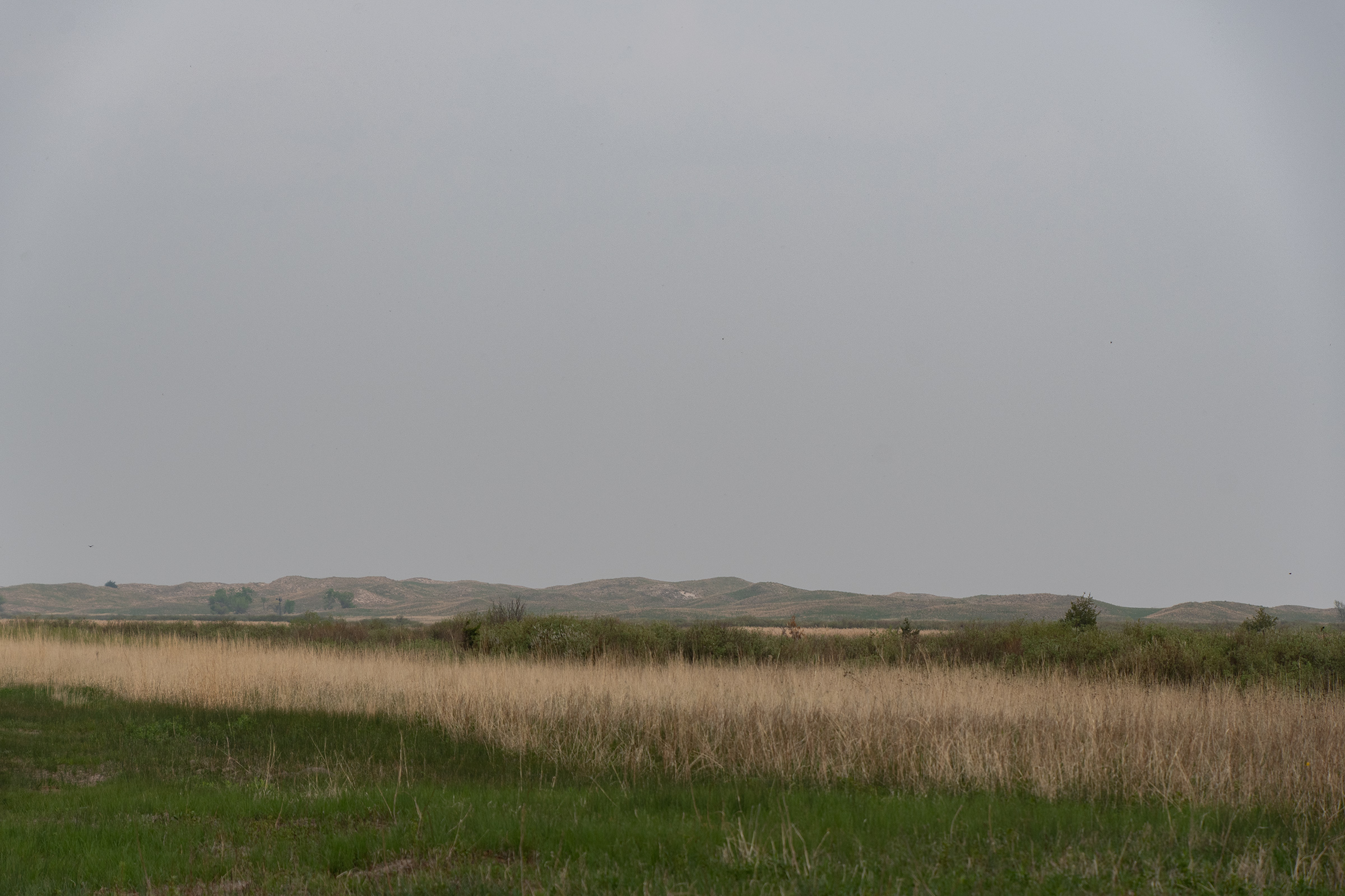
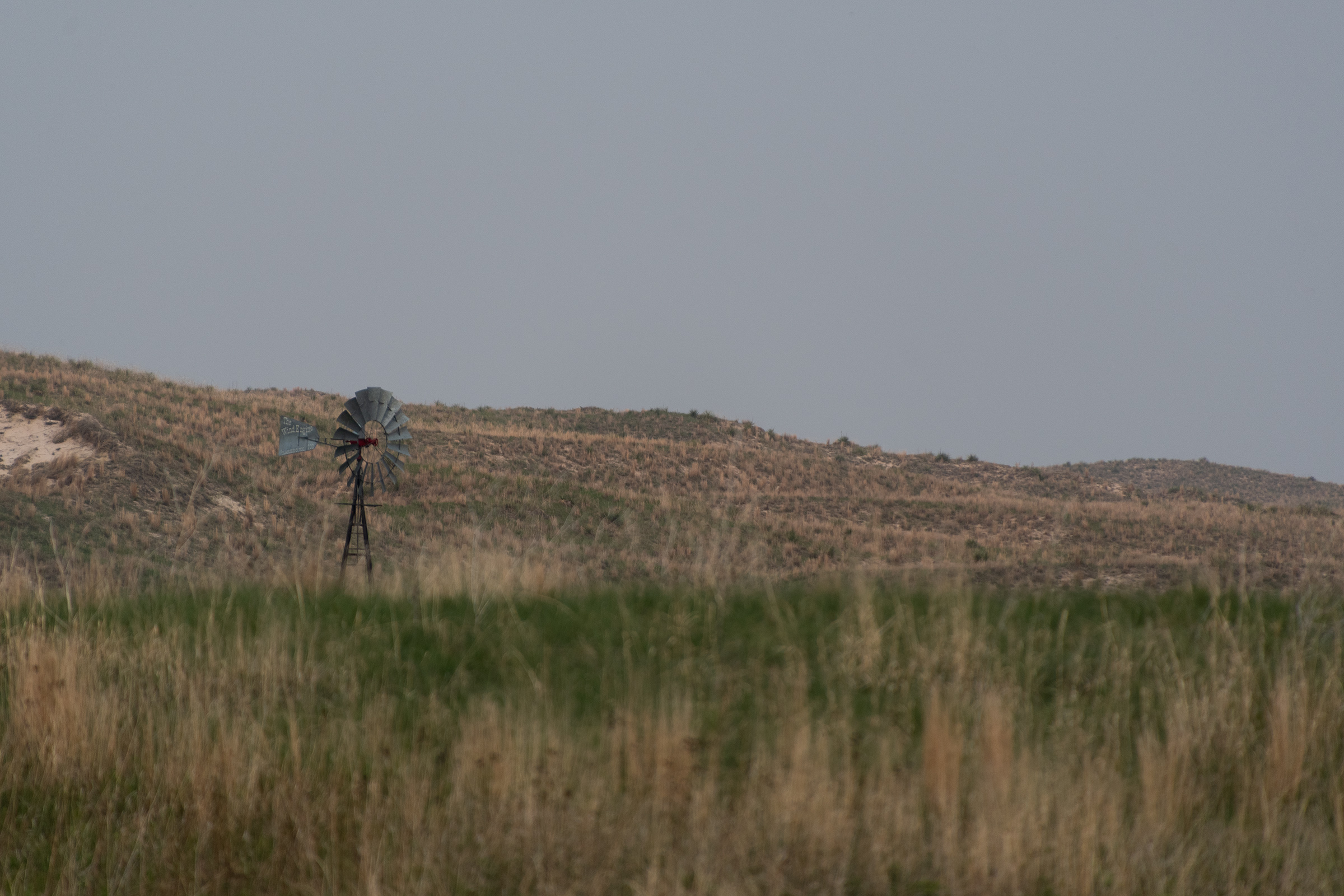
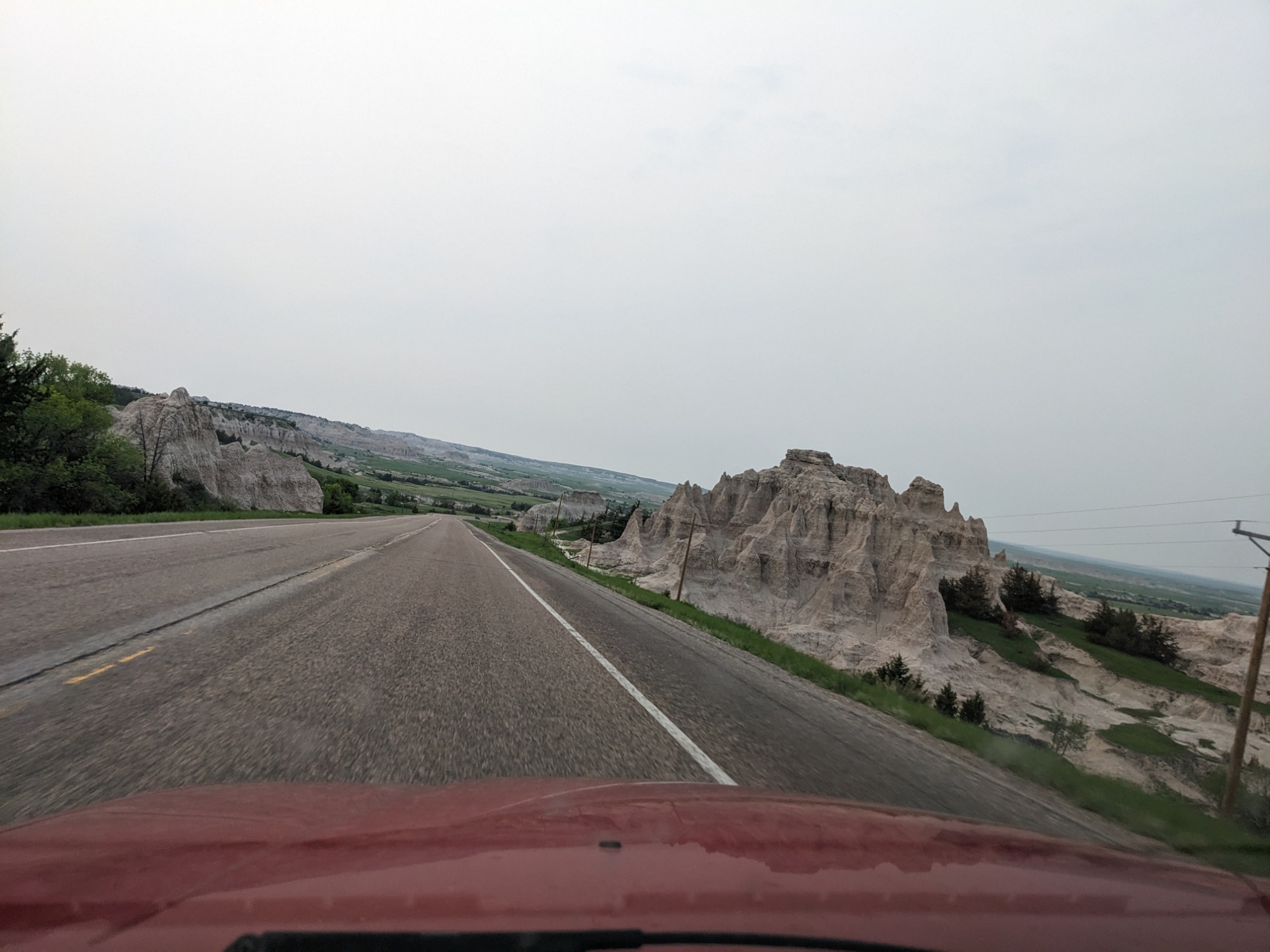
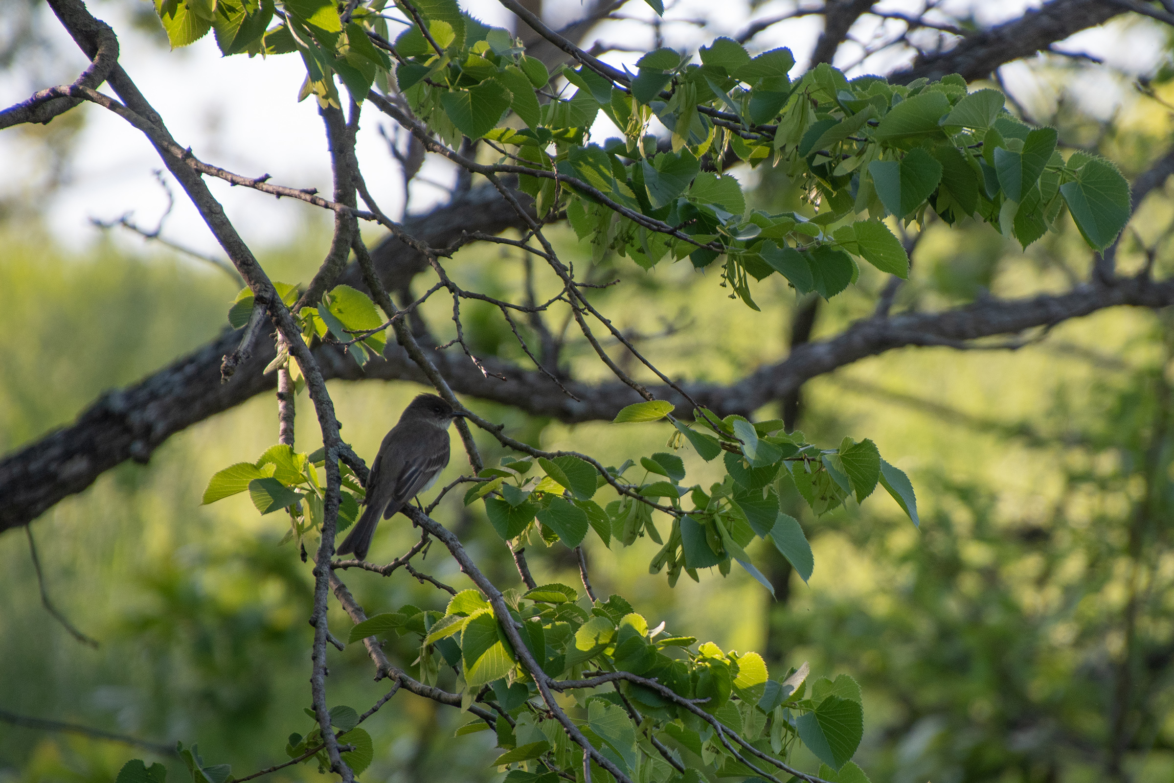
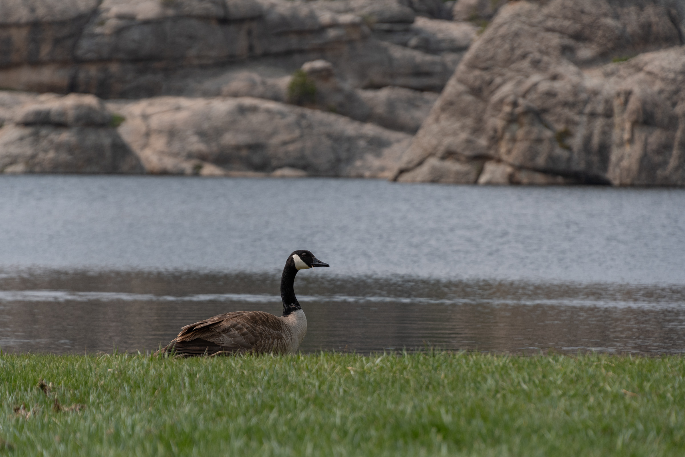
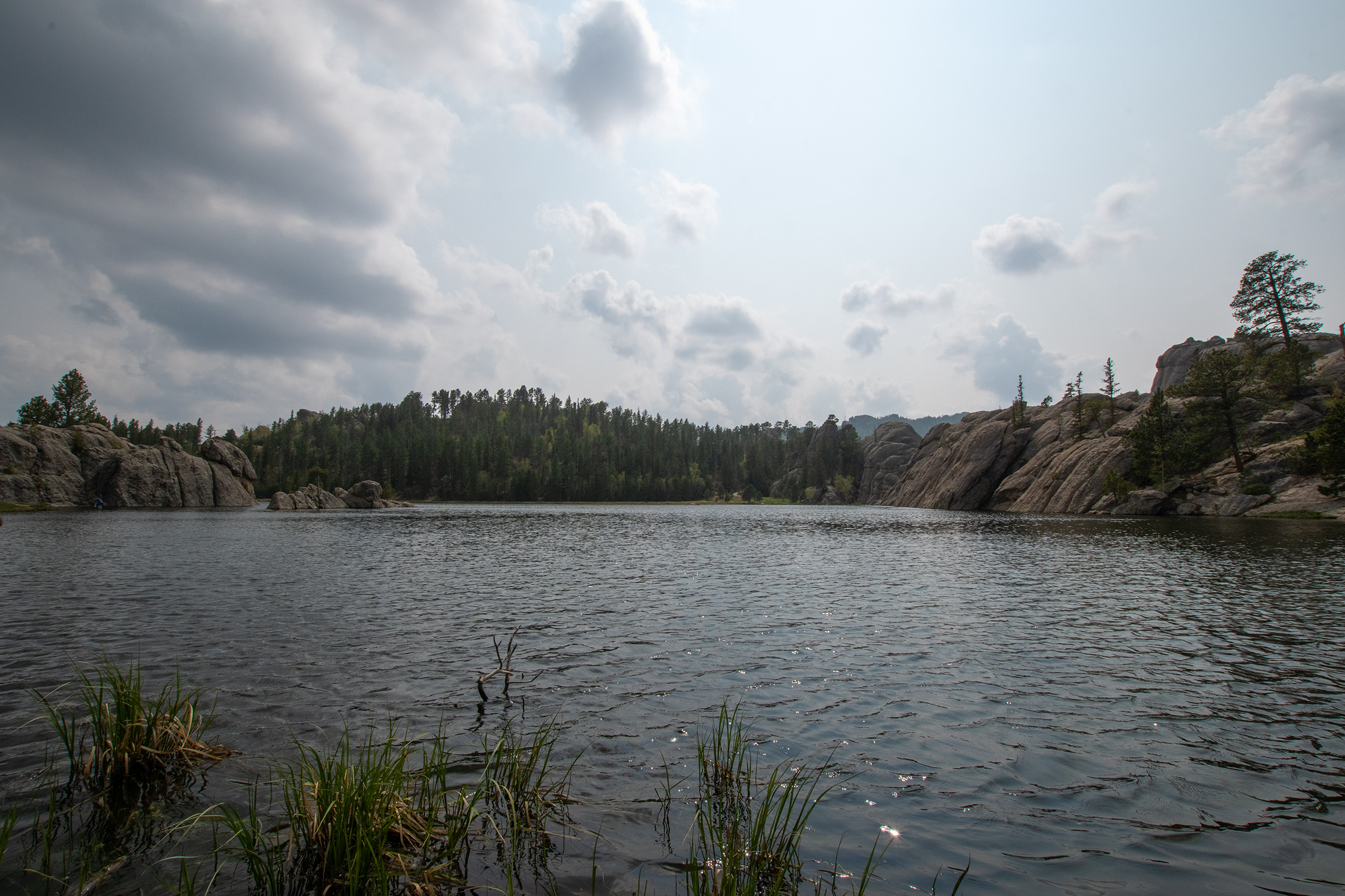
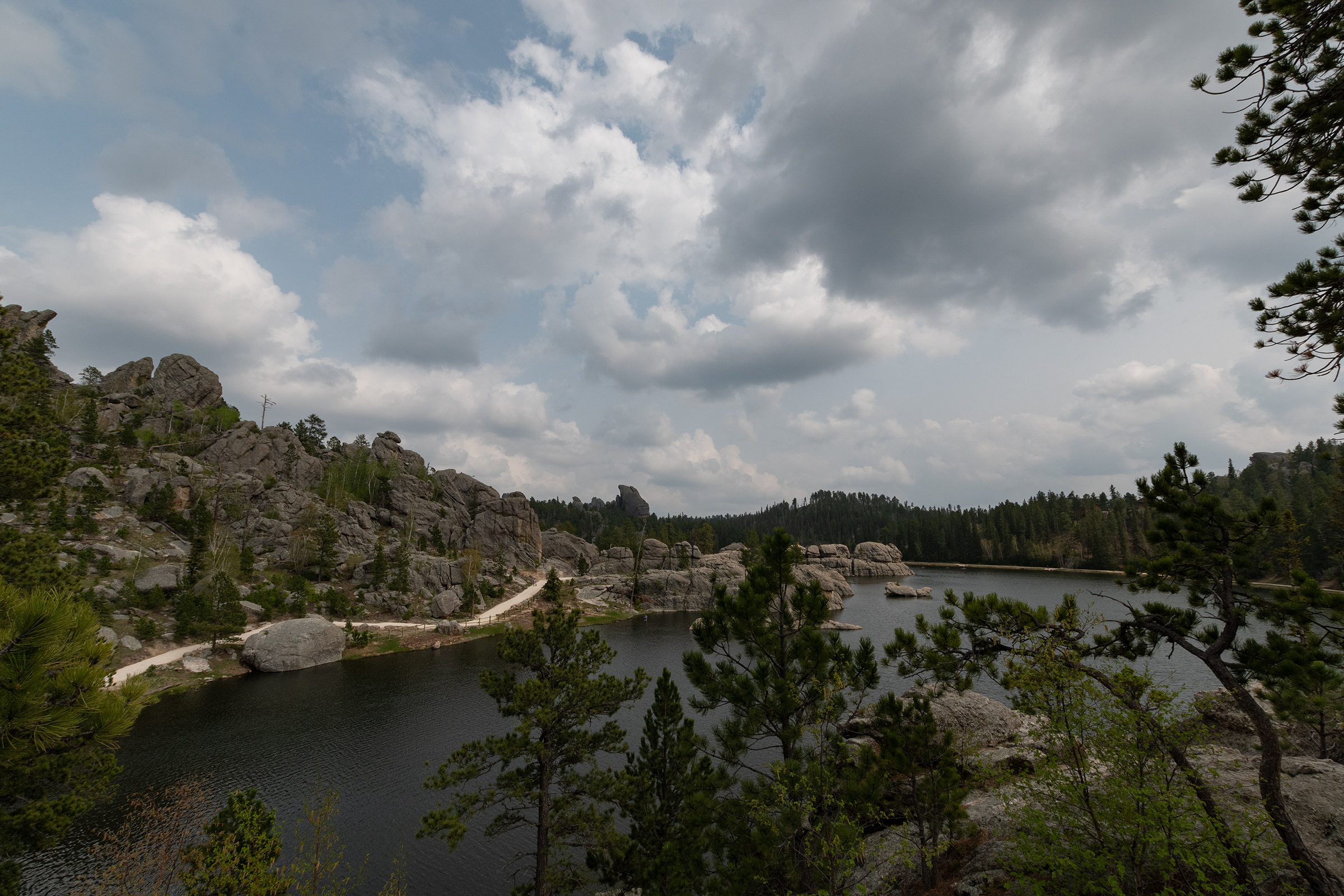
This drive was absolutely epic and I am so glad we came up here. The roads took us over high grasslands and around dramatic mountain passes, in some places lined with wildlife.
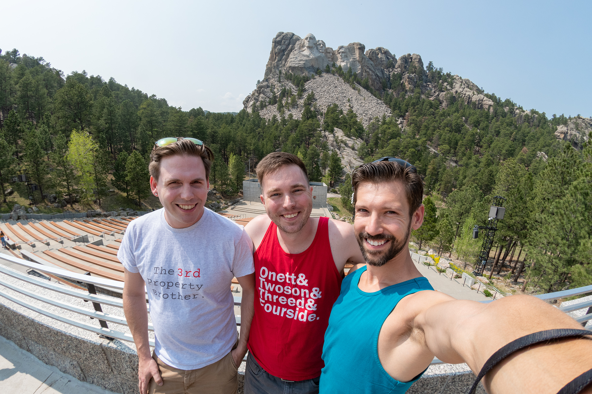
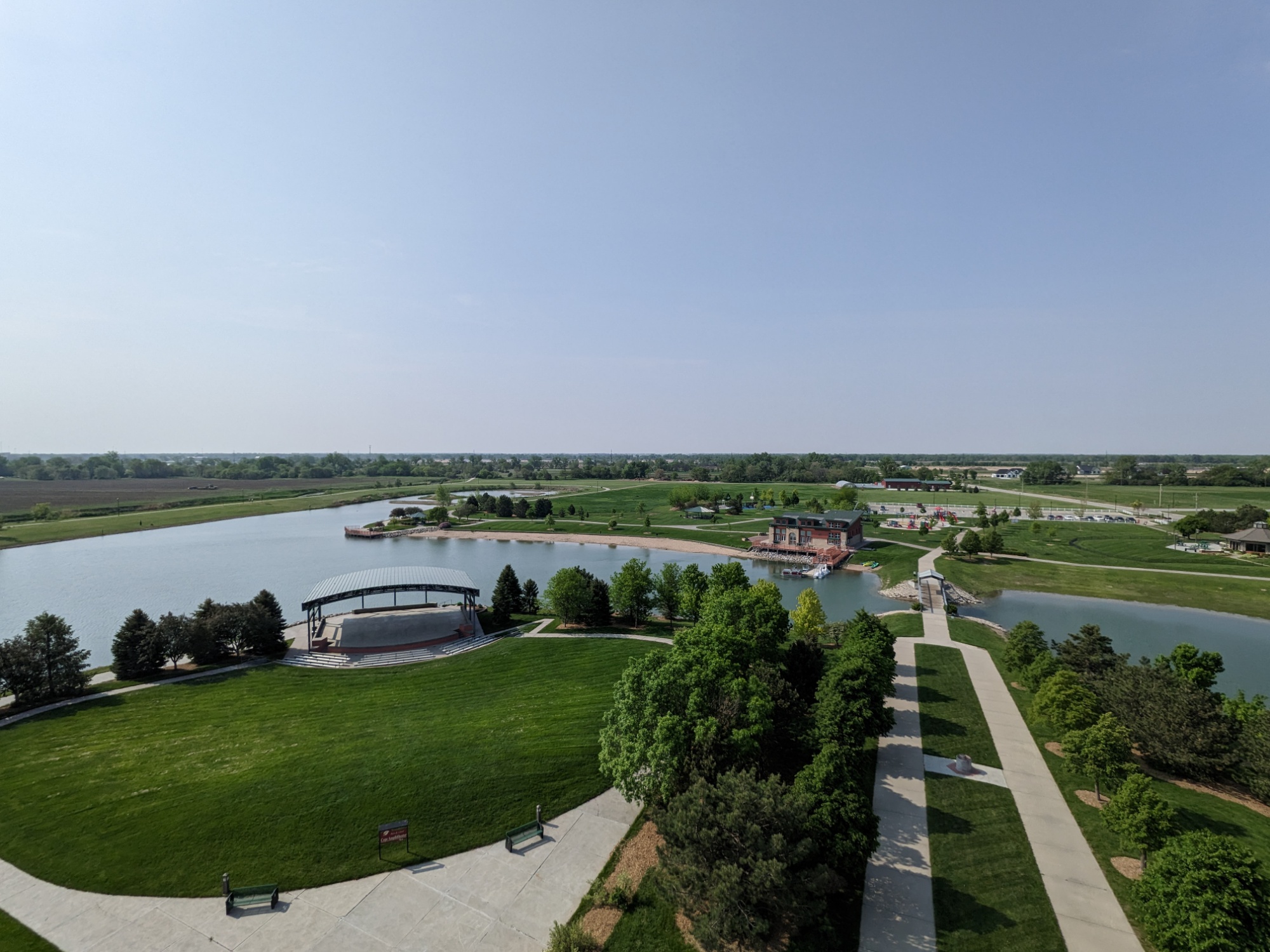
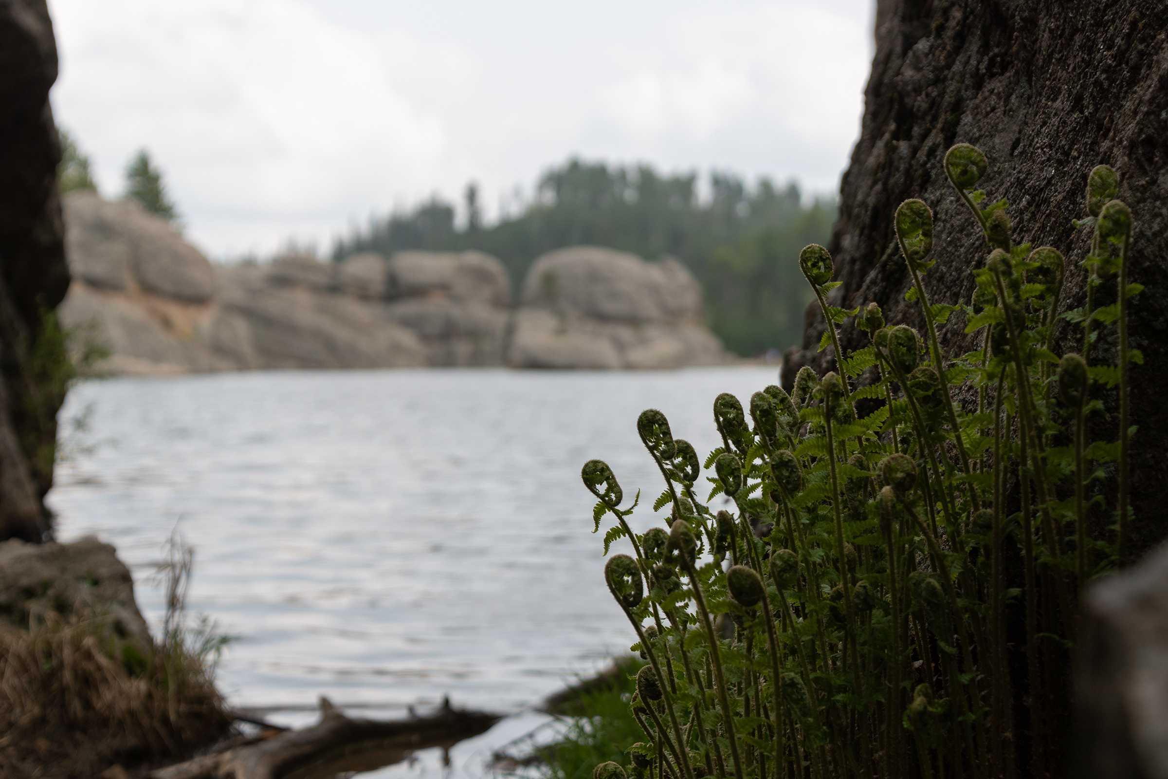
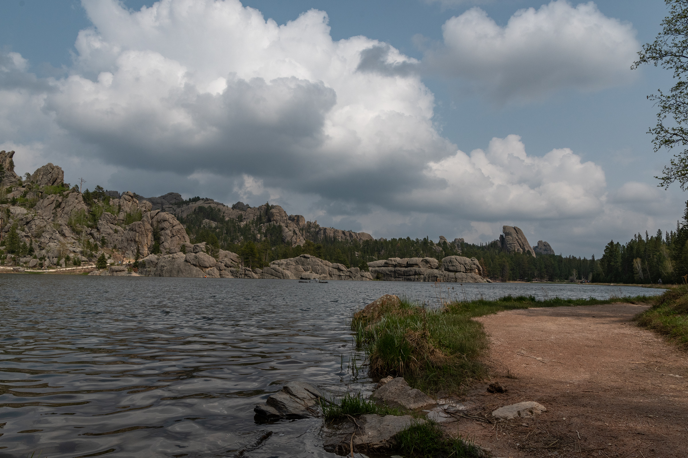
Toward the end of Needles, Sylvan Lake has been dammed up among the boulders to make a stunning recreational area with a few trails, kayaking, more wildlife, and small waterfalls as this snowmelt-fed lake overflows the boulders (and one man-made dam) that contain it.
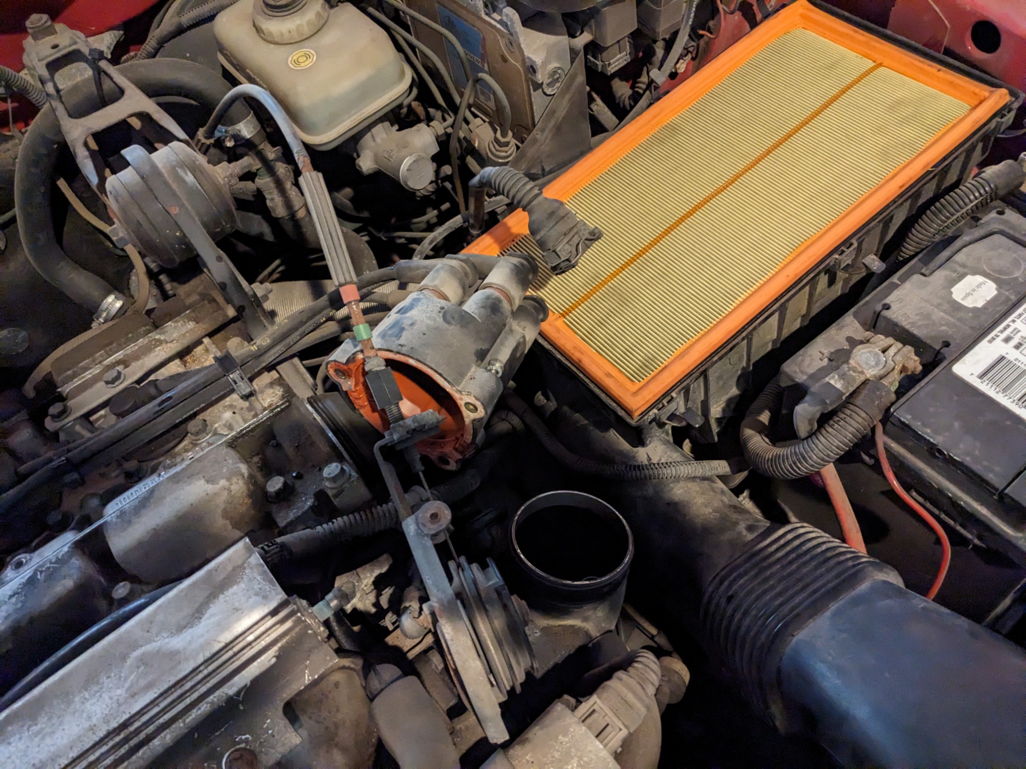
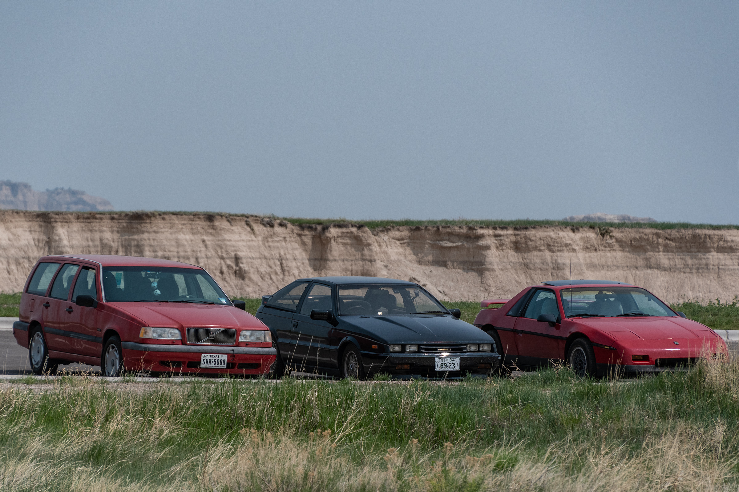
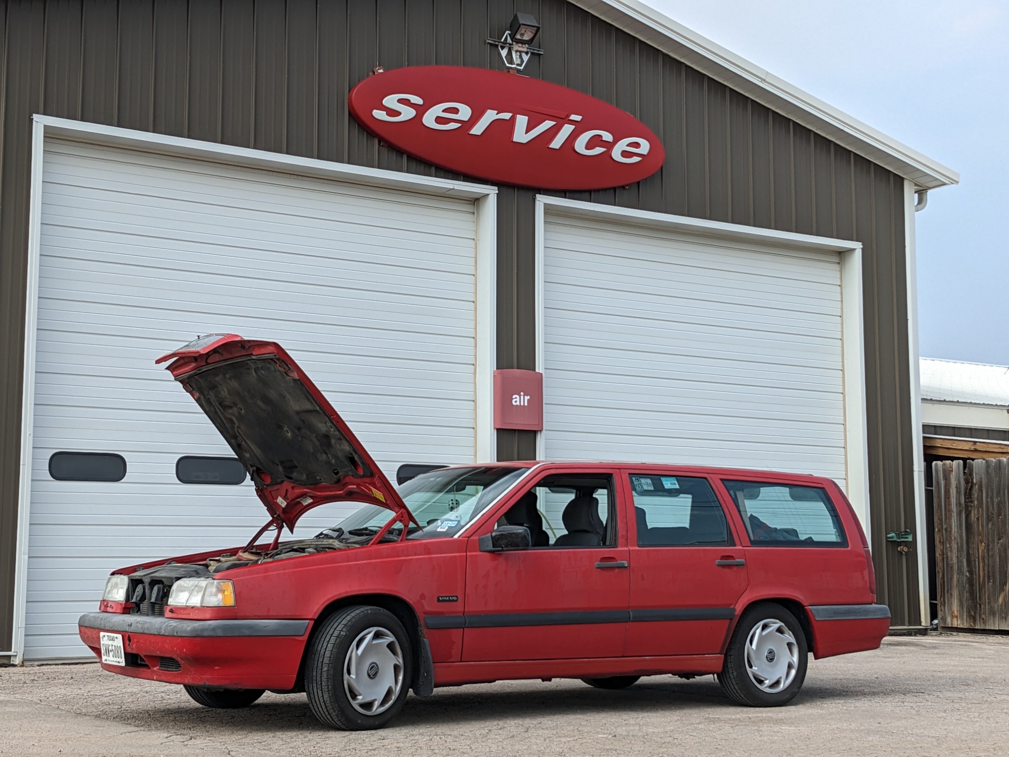
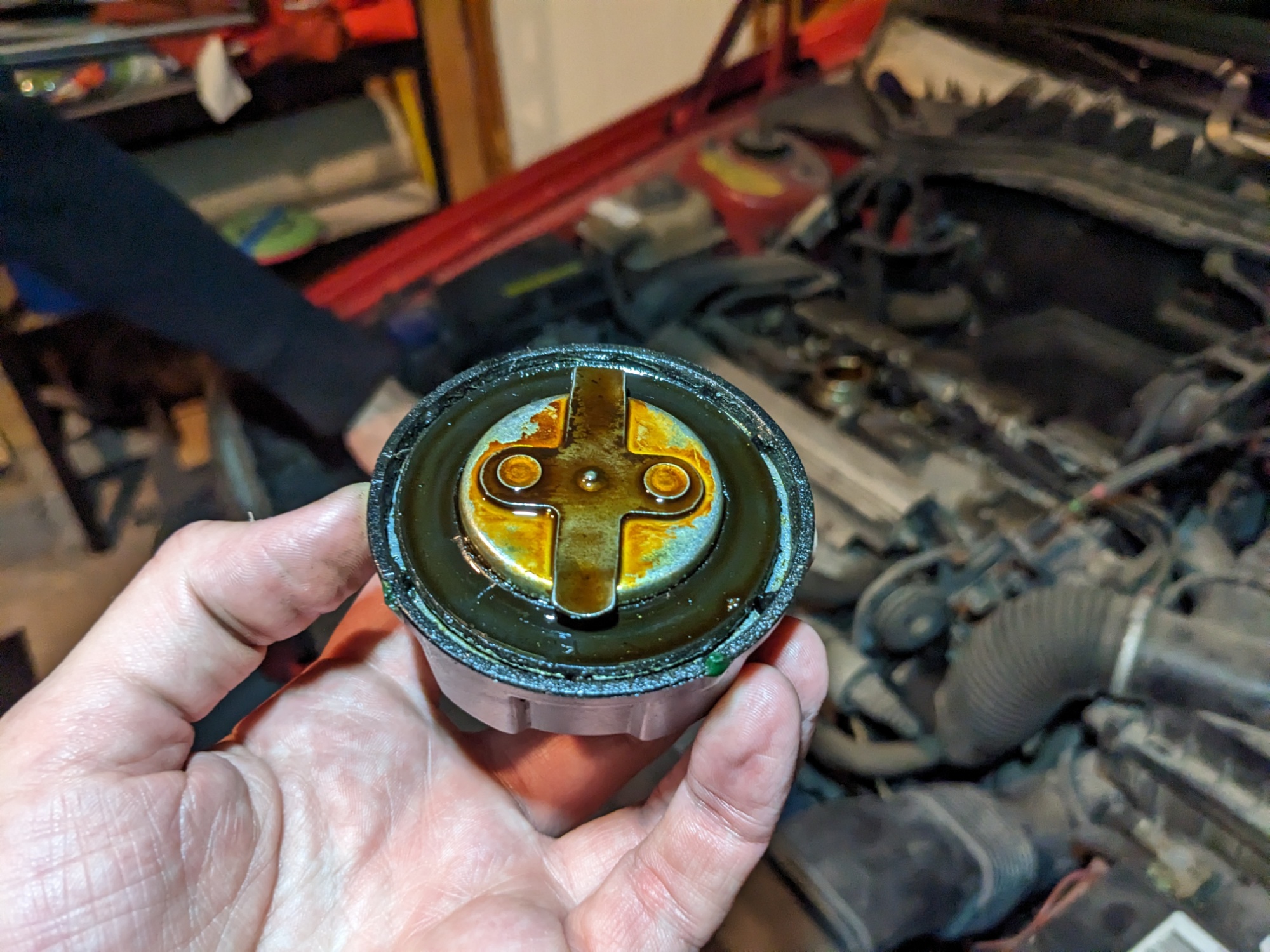
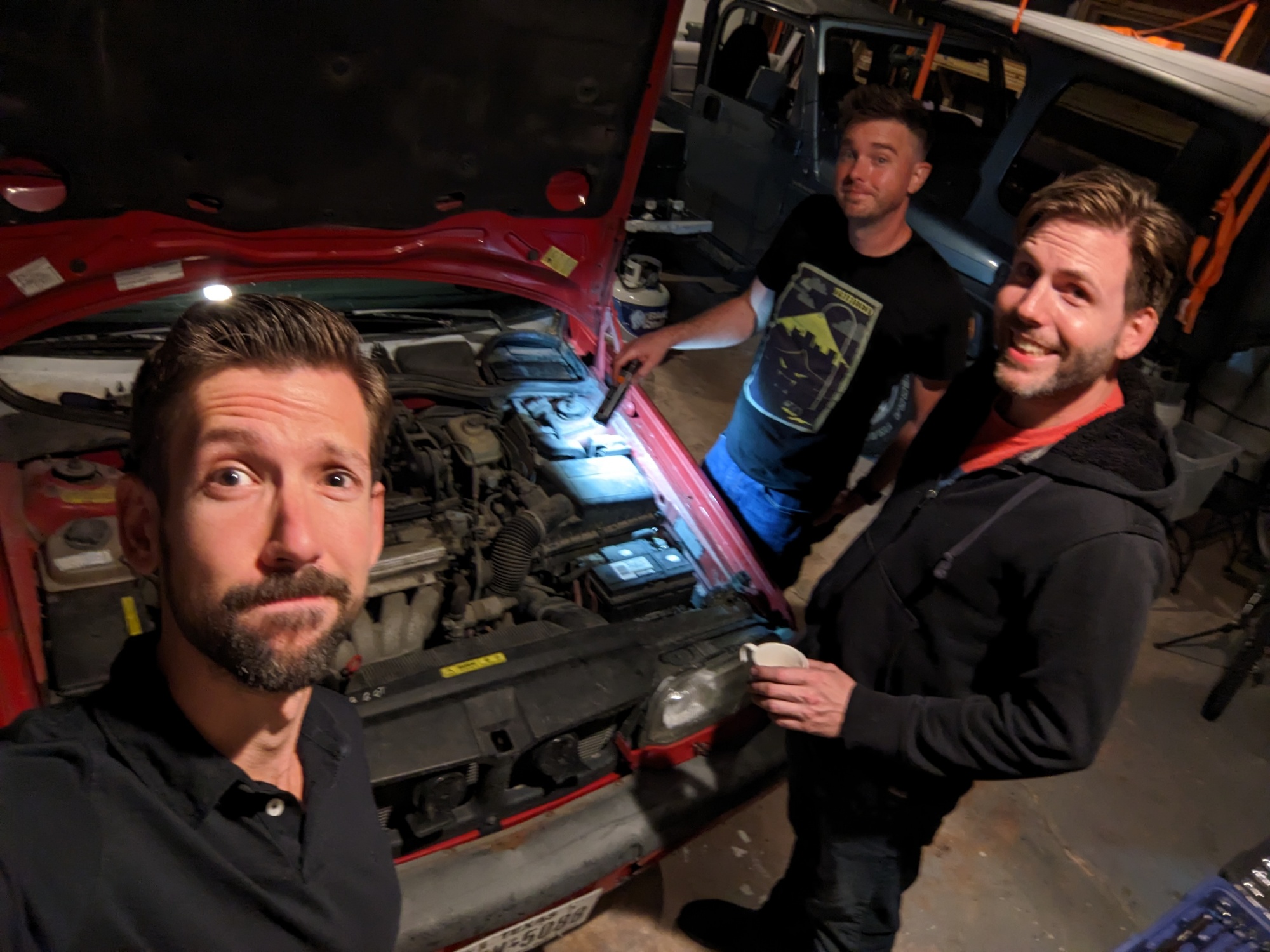
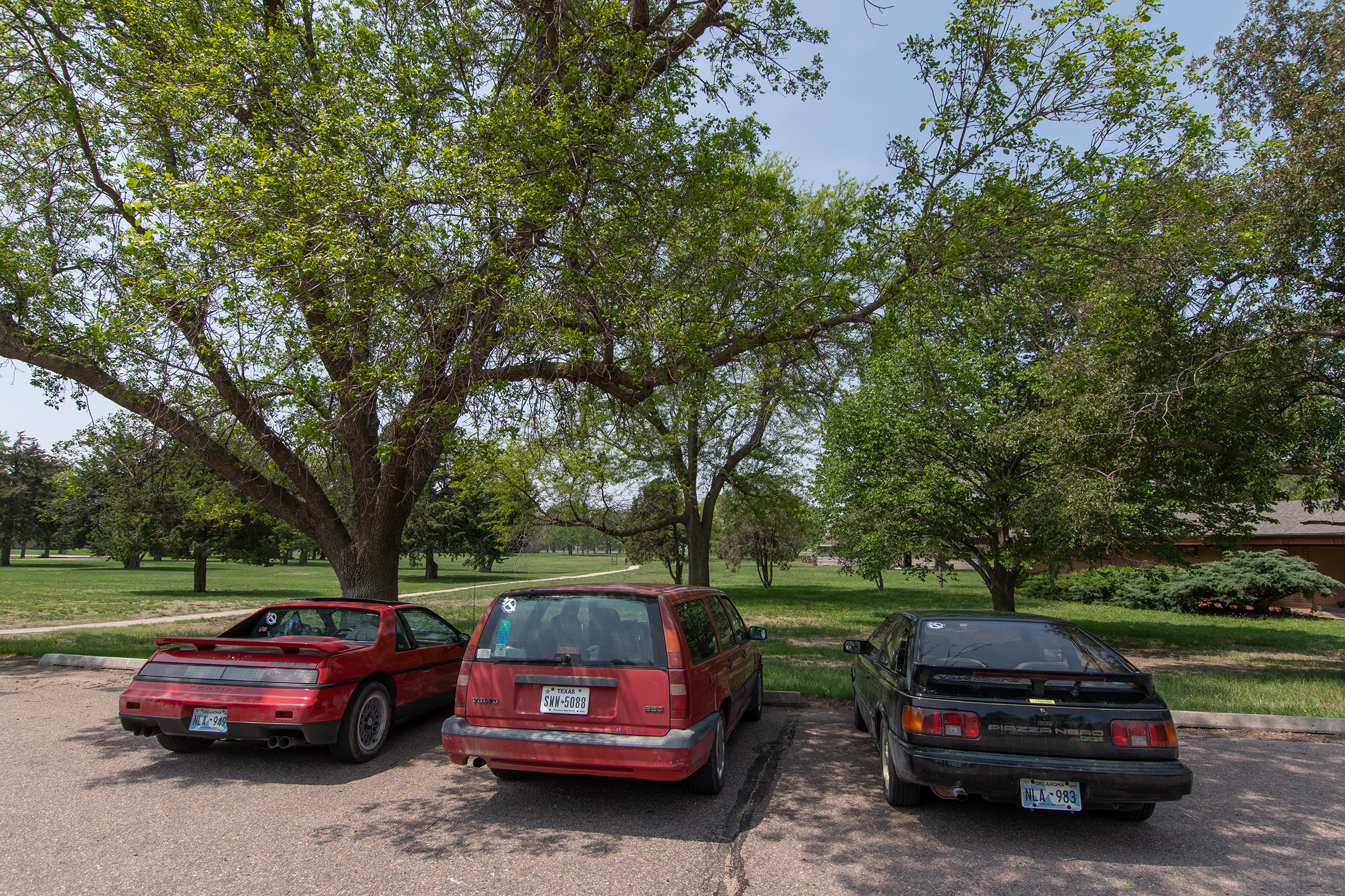
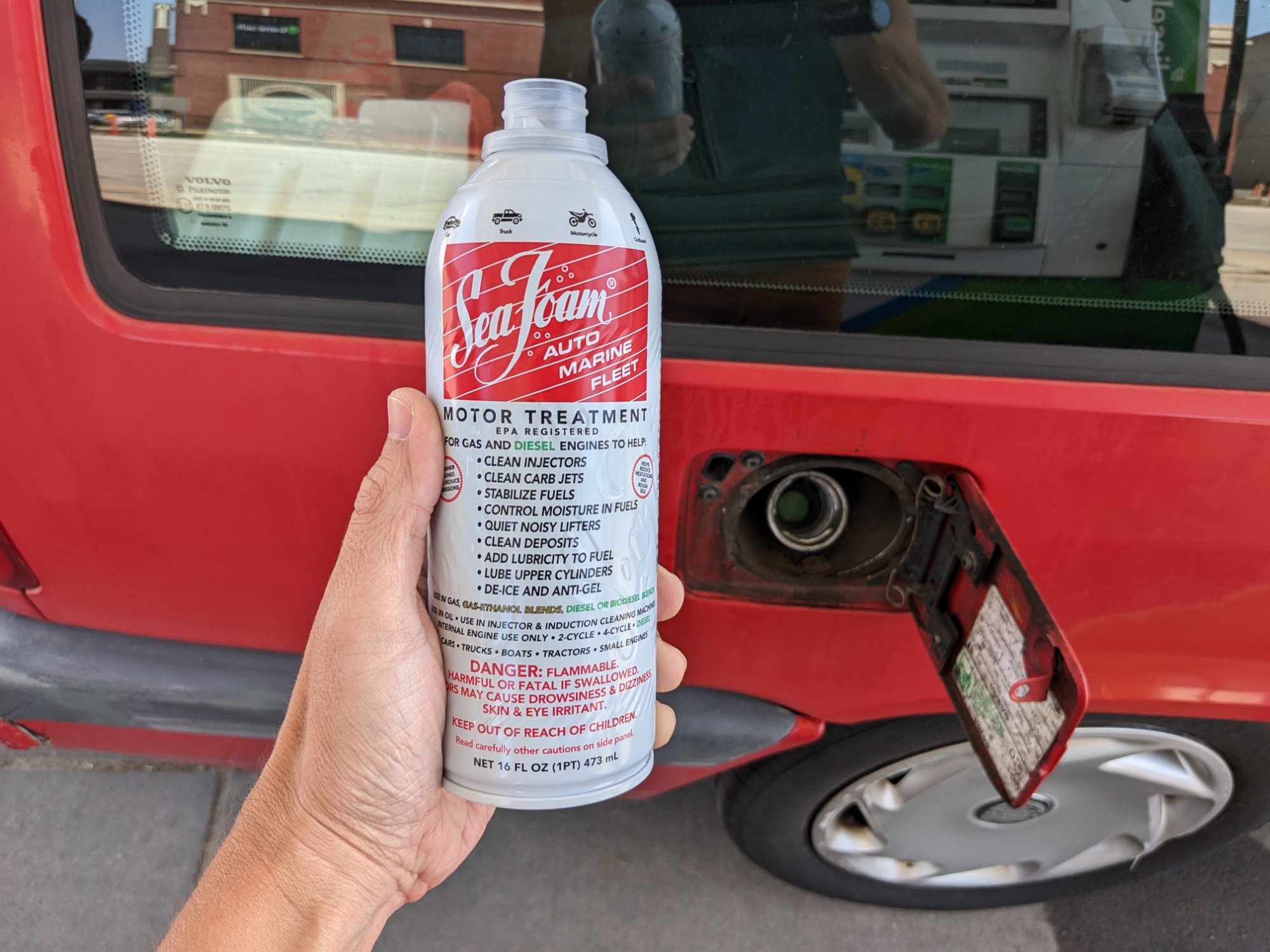
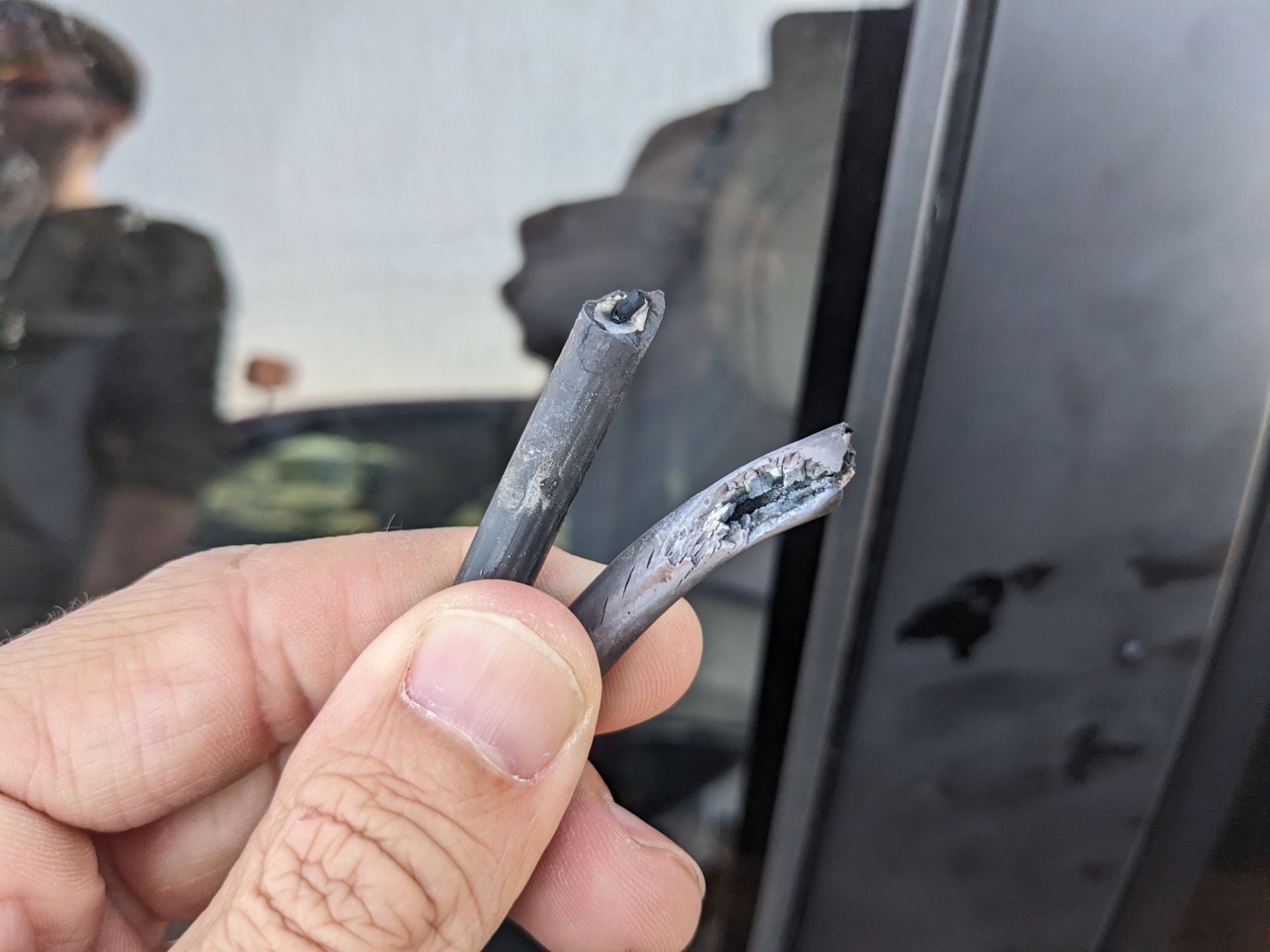
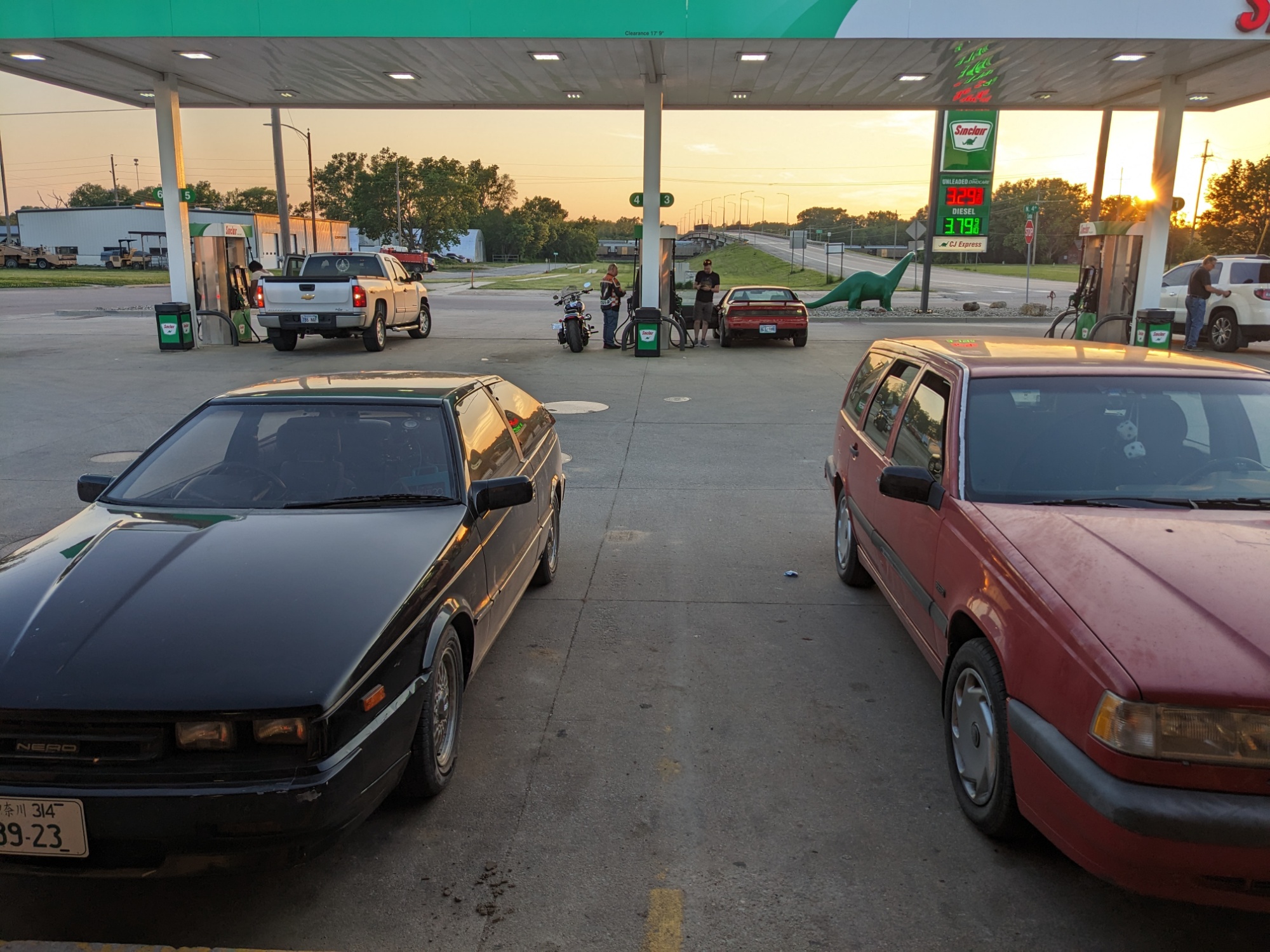
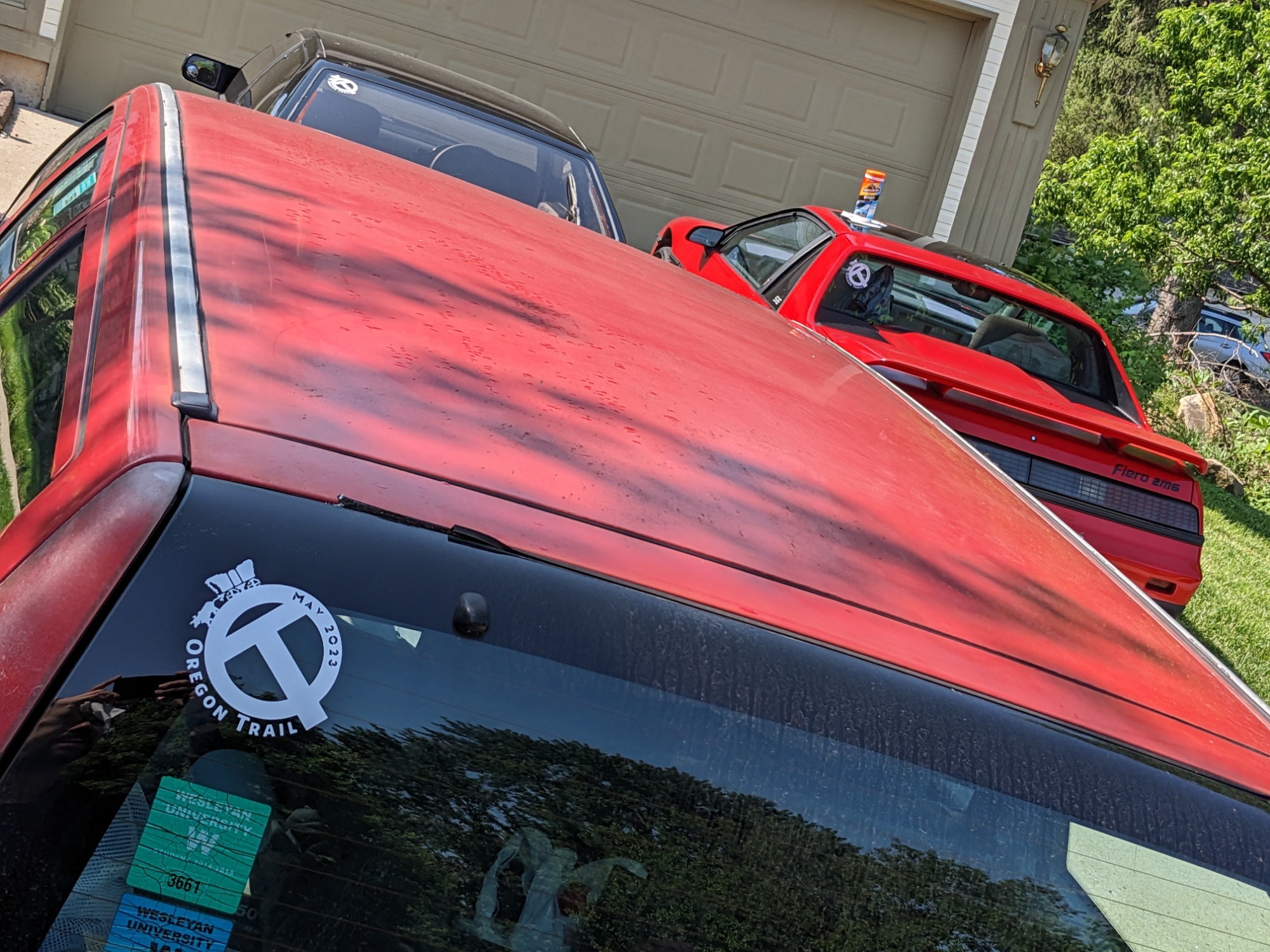
I had hoped this drive would inspire greatness of my Wagon, and at higher revs on the dramatic scenic bits, it did! But there is no amount of hollering at this mule team that can muster a getup-n-go energy. Starting from a stop, sometimes it feels like a fuel delivery issue. At low speeds, it feels like it might be an ignition or timing issue. Meanwhile, Evan’s heater is stuck on after having used it in the morning chill, rendering useless his otherwise functional air conditioning.
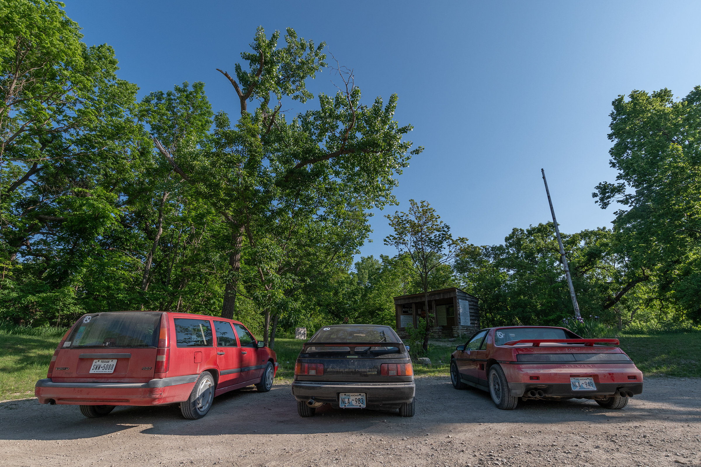
Guys, I have an announcement: I brought the right car!!
George. Gloating jerk.
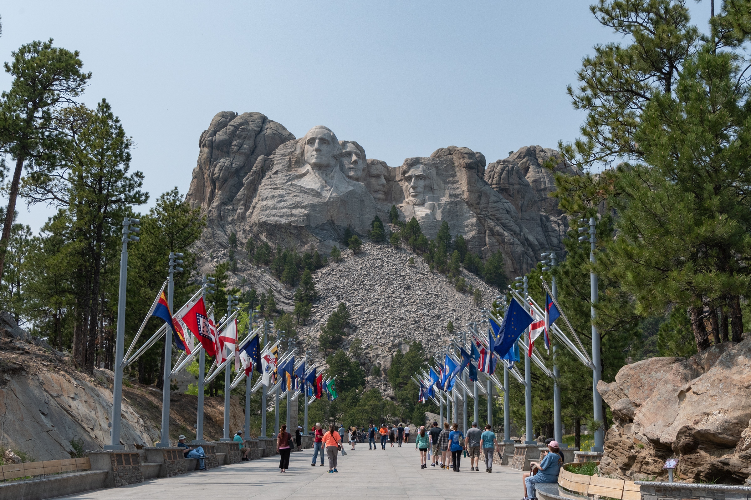
Crazy Horse Memorial
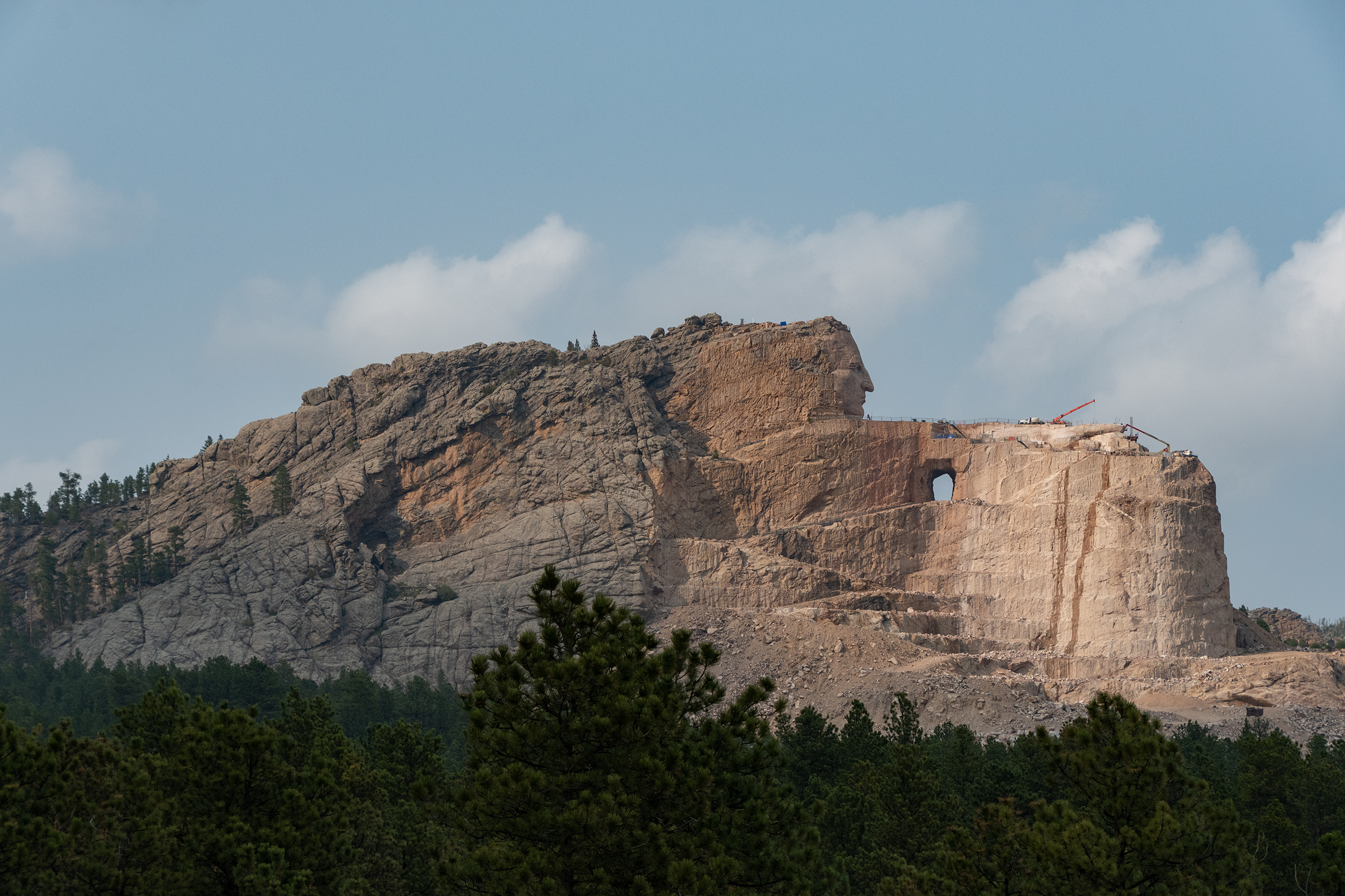
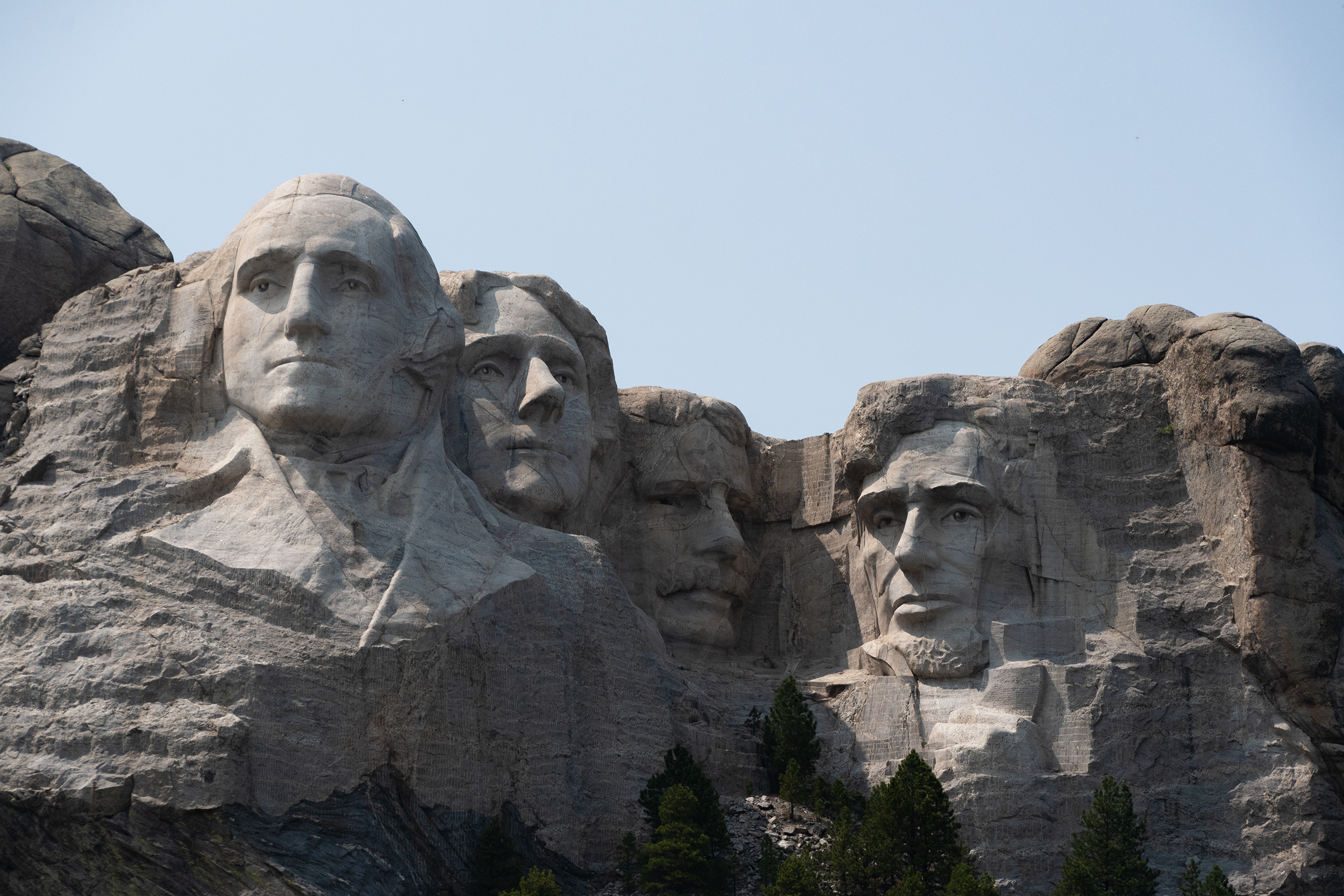
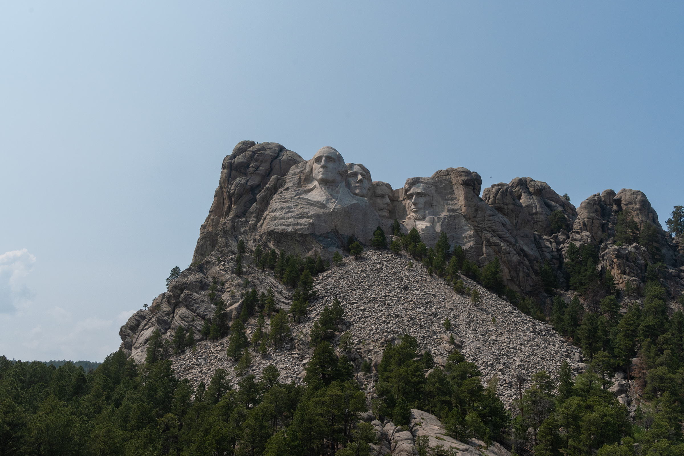
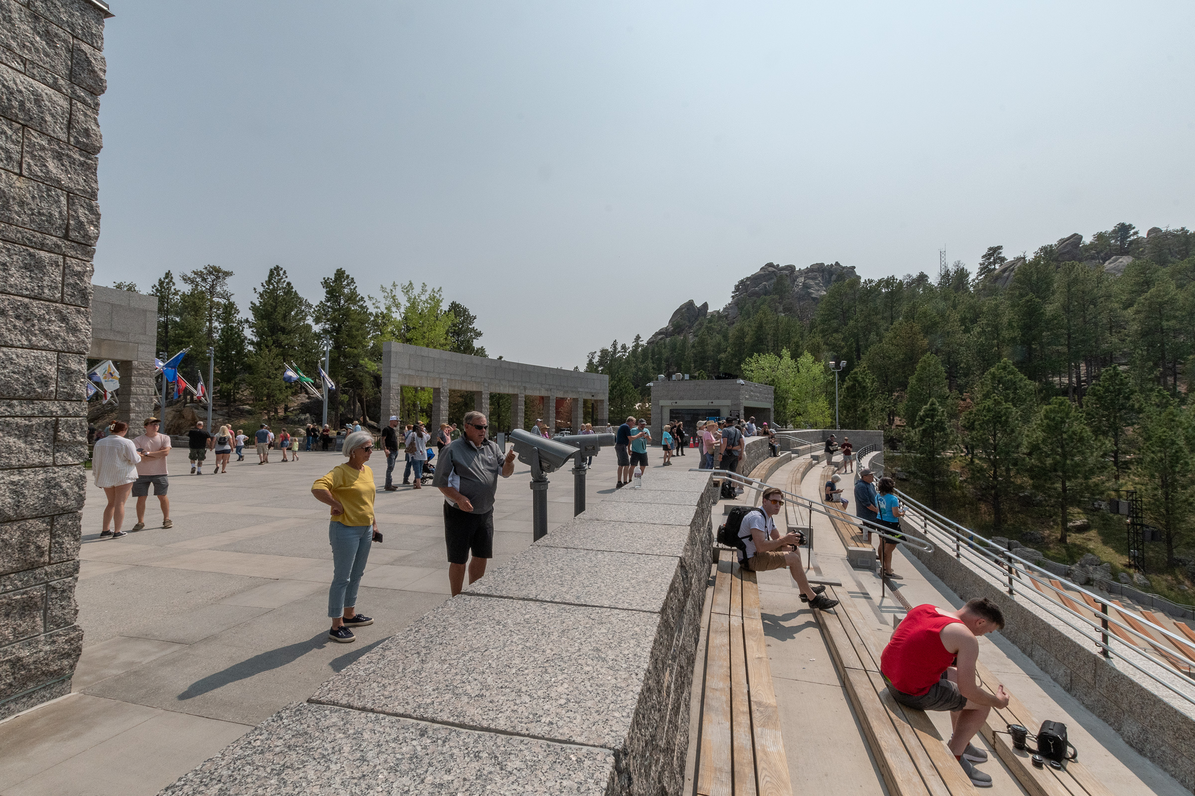
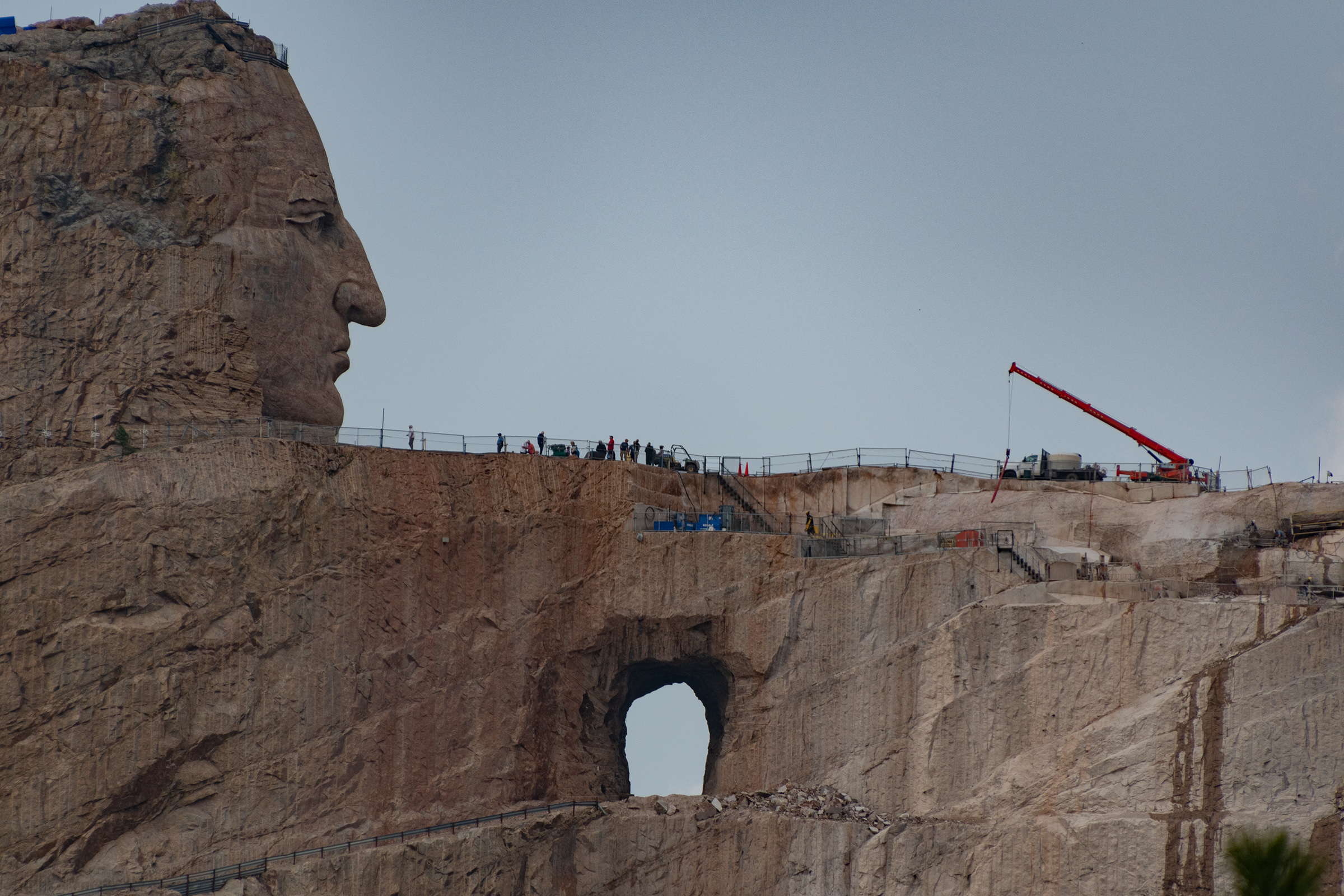
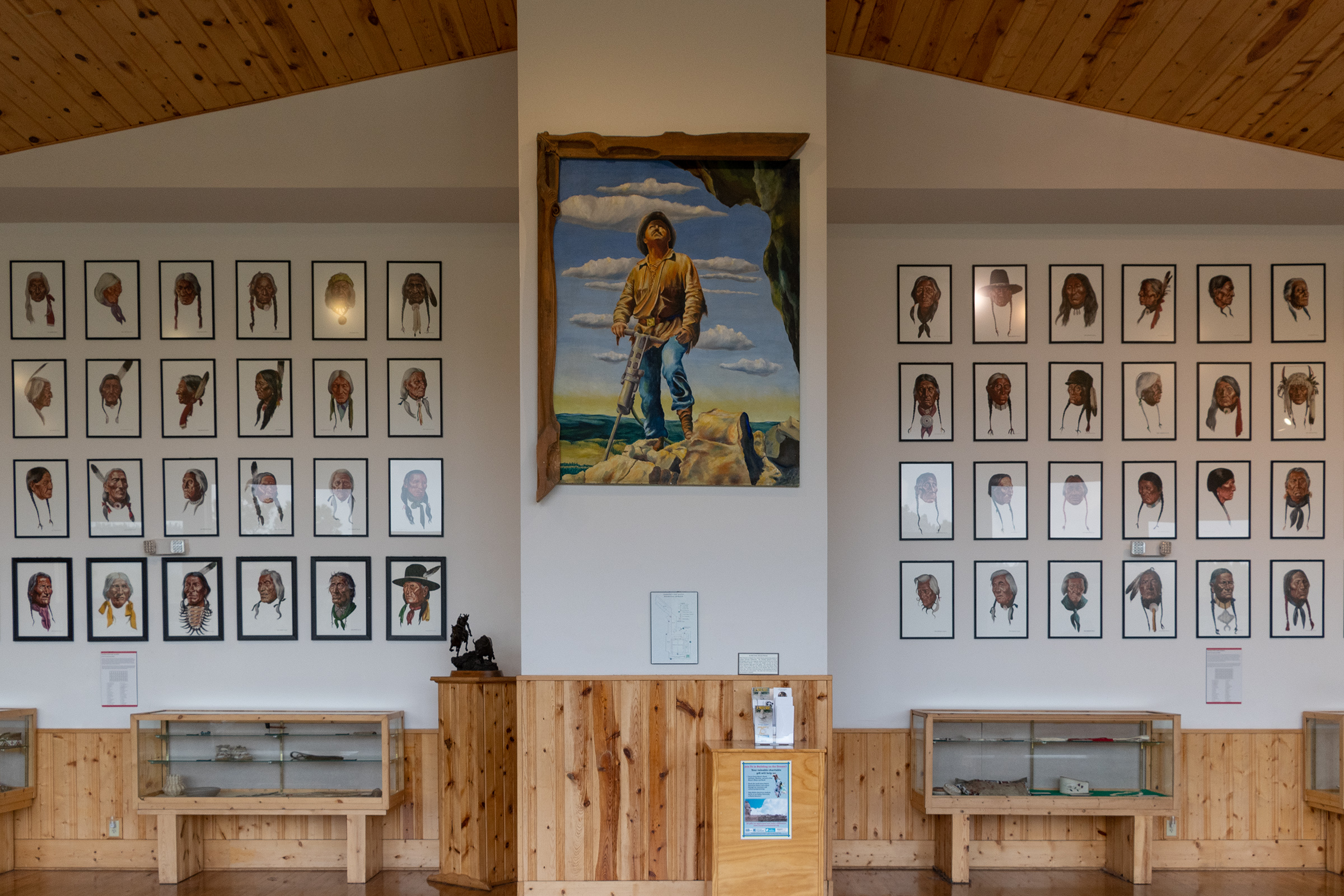
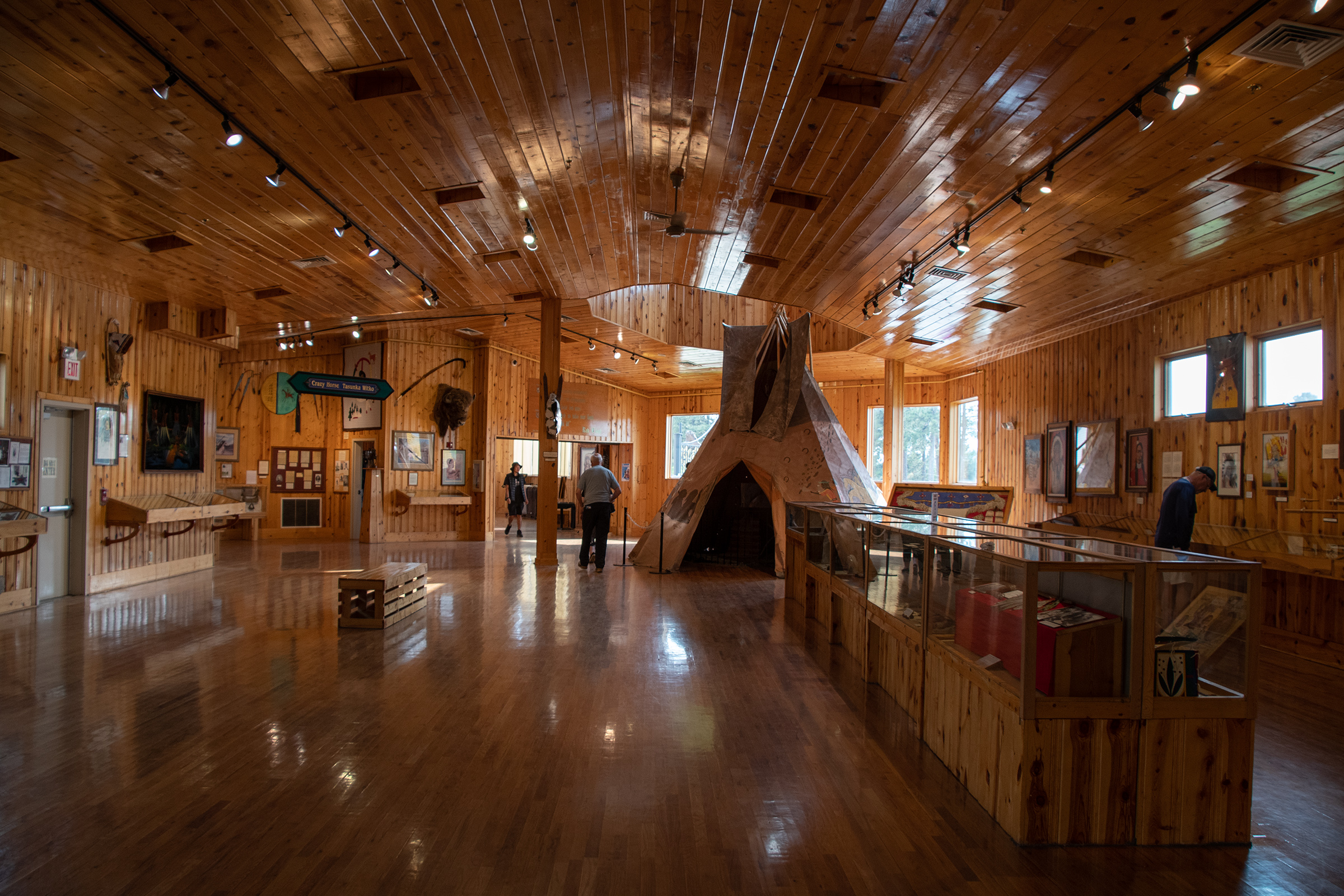
Heading south toward Hot Springs, the Crazy Horse Memorial is right on US-385, so we stopped there. In addition to the massive in-progress mountain carving, there is a massive visitor center full of Native history and extensive art collections from all over North America.

The mountain carving itself is much larger and much older than I had realized, making this a generational work-in-progress.
At the time construction started in 1948, the artist estimated the work would be complete in 30 years. As of 2022, there was no timeline for when the monument would be completed; however, the hand, arm, shoulder, hairline, and top of the horse’s head were anticipated to be finished by 2037.
In some ways, it is a response to Americans dynamiting a sacred ground to create Mount Rushmore in the middle of what had been a reservation given to the Lakota by treaty.
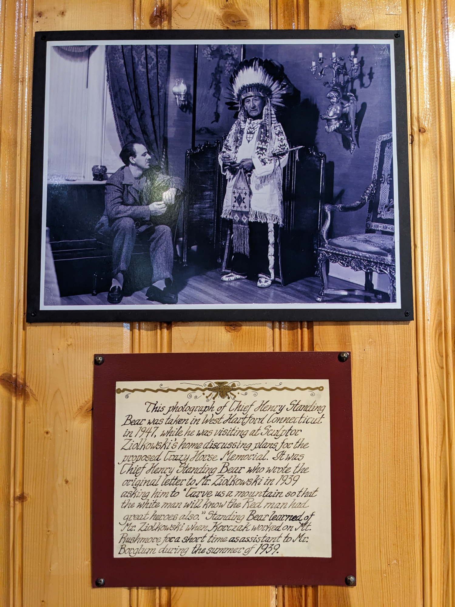
Carve us a mountain so that the white man will know that the Red man had great heroes also.
Chief Henry Standing Bear, 1939.
It is also not free of controversy among the many Native tribes it involves, but that is well outside my area to opine. I do think that having a space to highlight the true history of this area is important though — and I found myself wandering the art gallery longer than I expected. I graduated from a university in Oklahoma with a minor in Art History and saw none of these beautiful things nor learned any of their symbolism.
And I would wholeheartedly recommend anyone in this area visit this place.
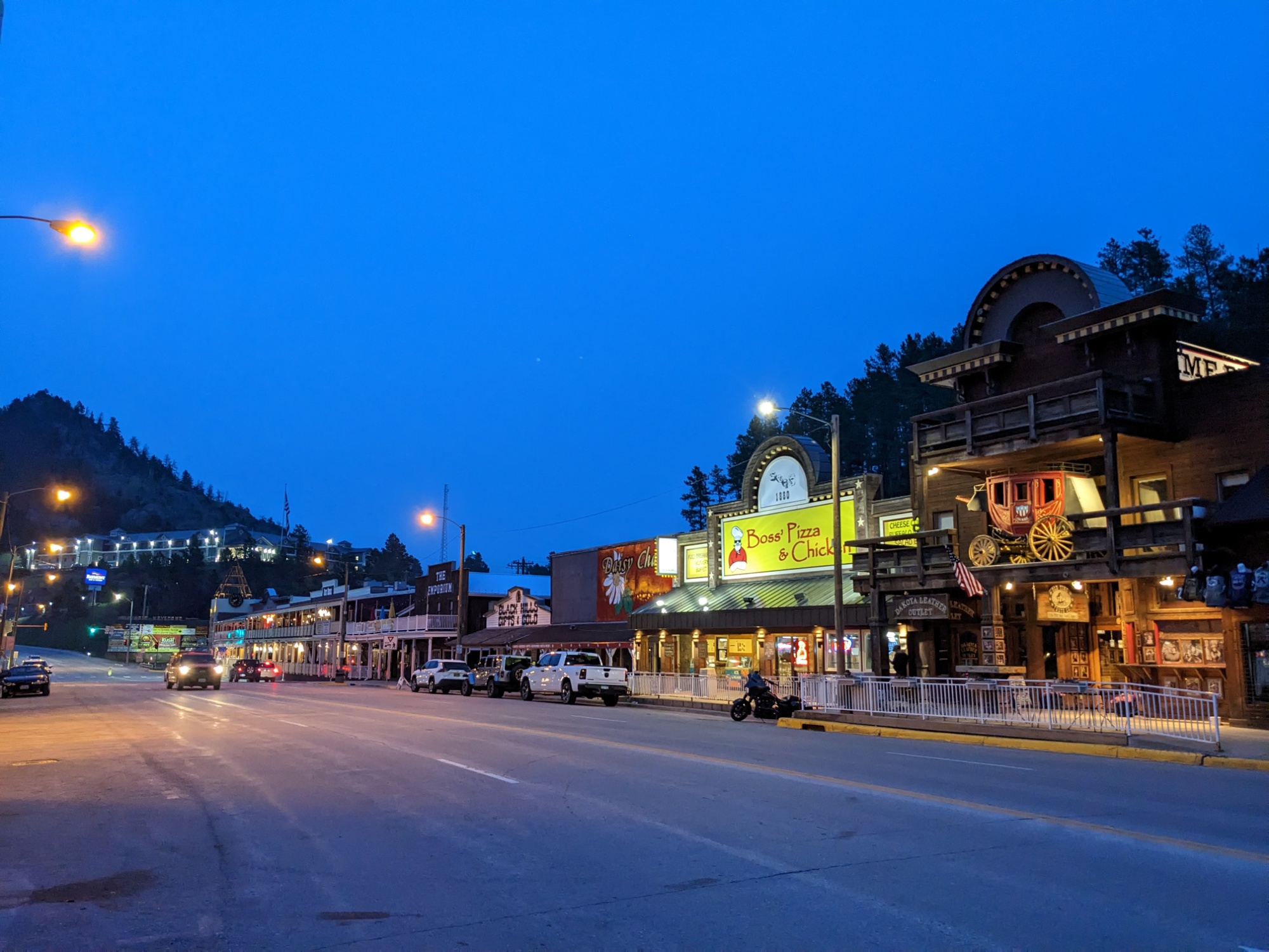
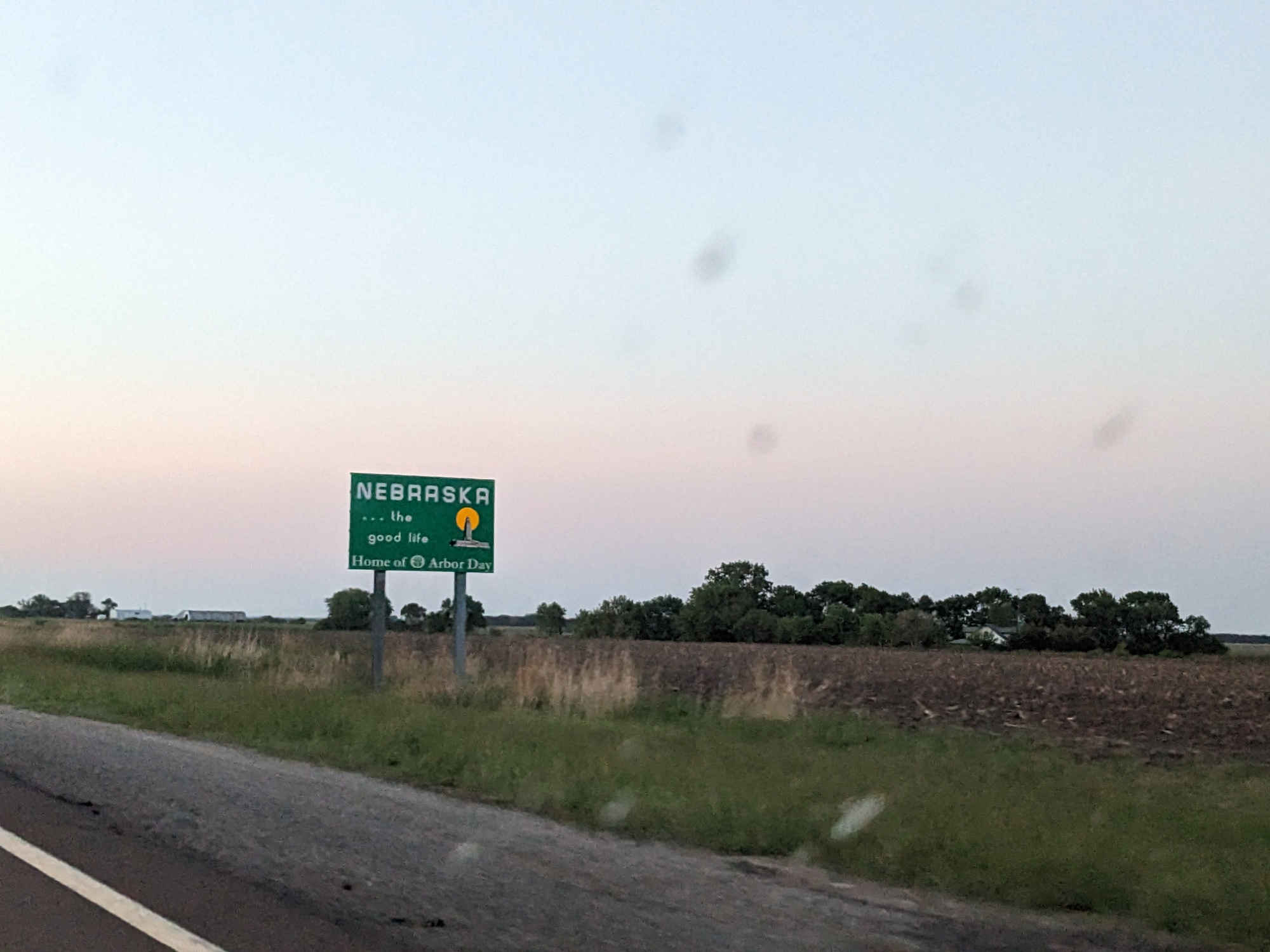
Hot Springs, South Dakota
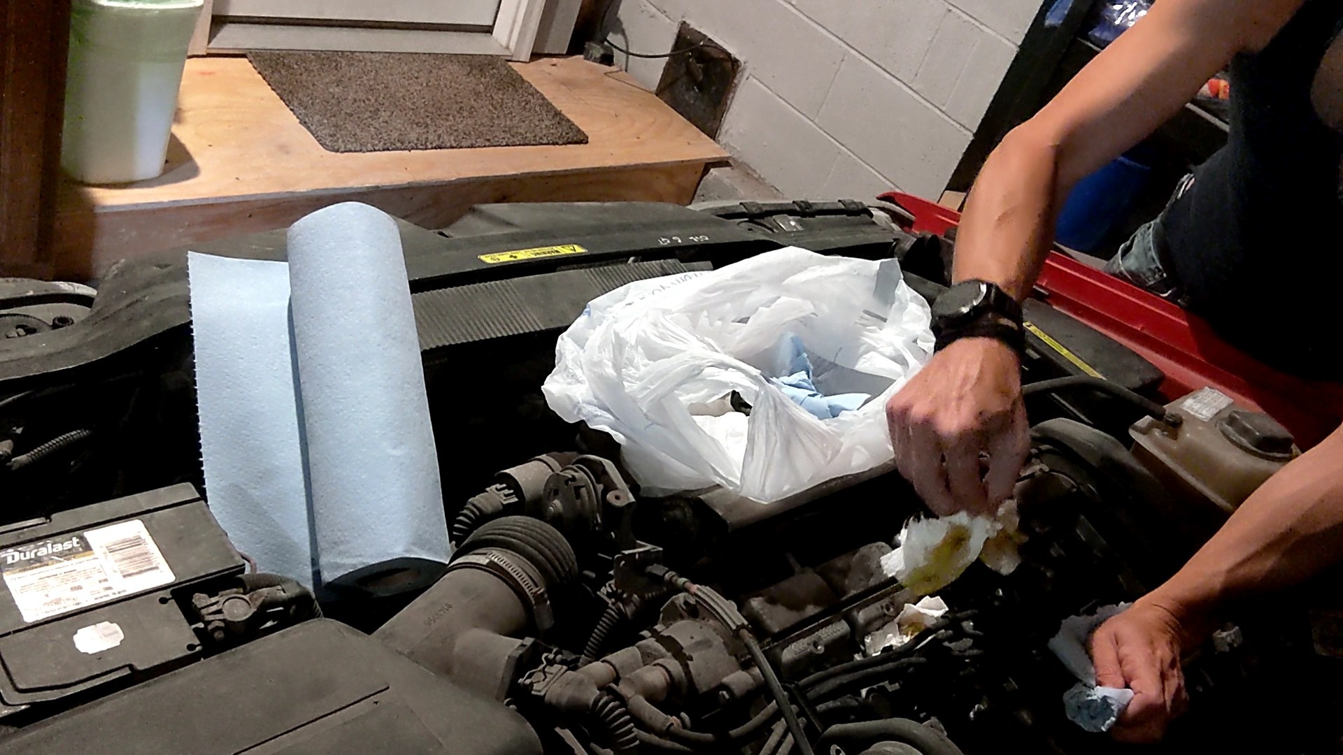
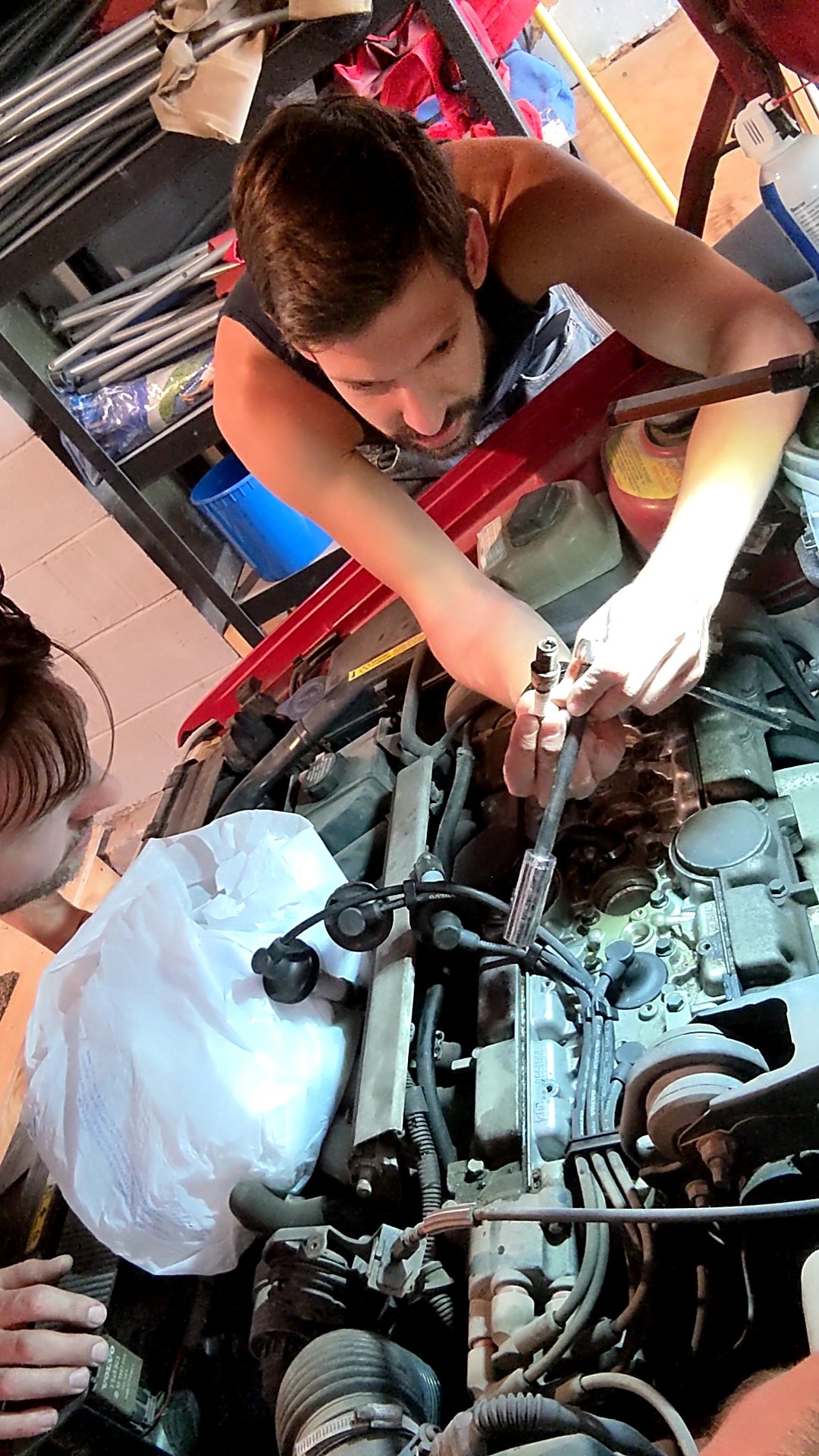
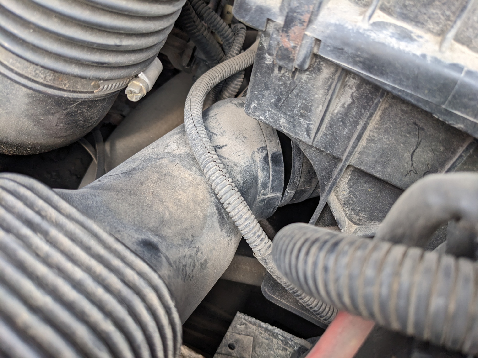
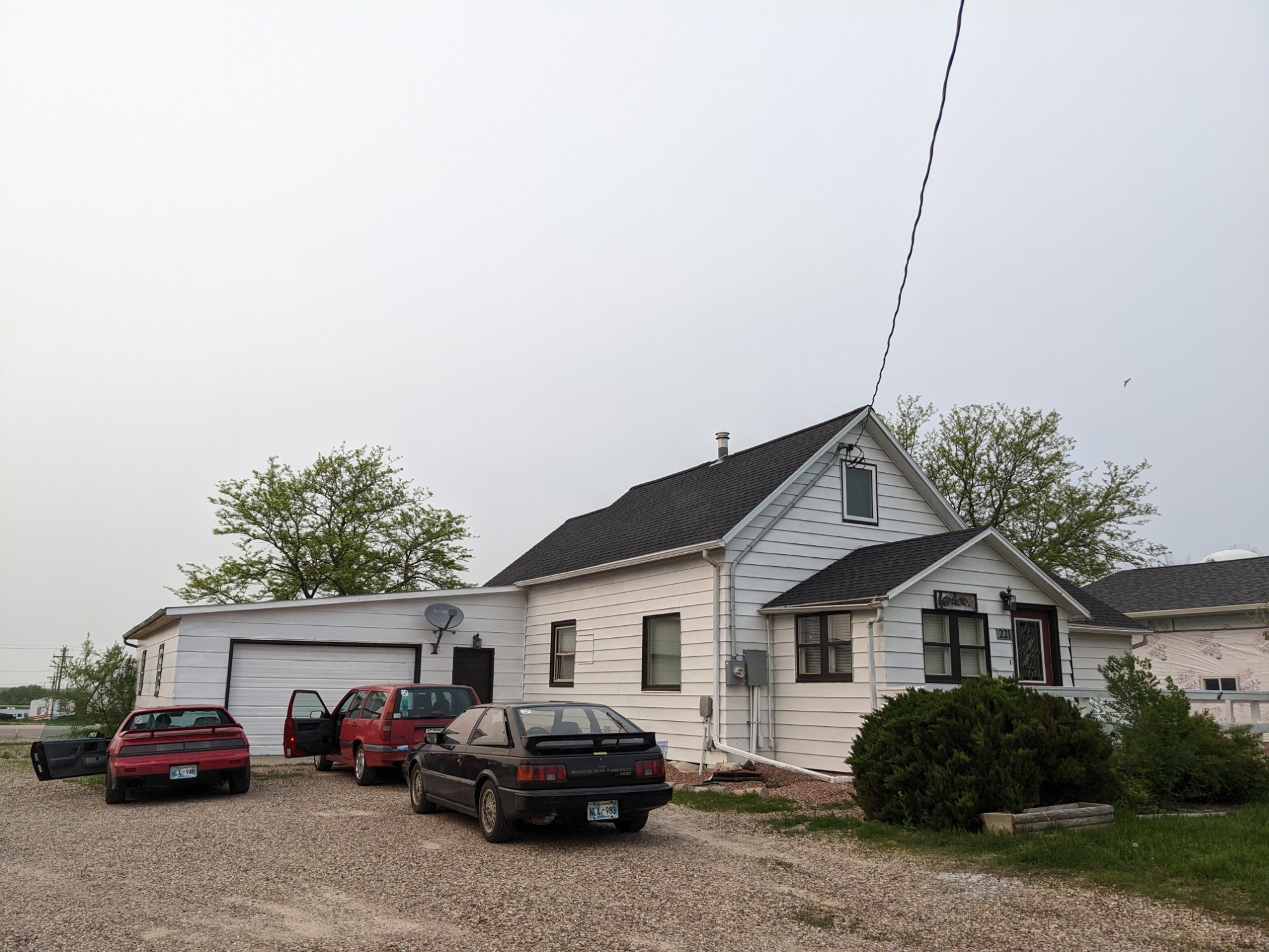
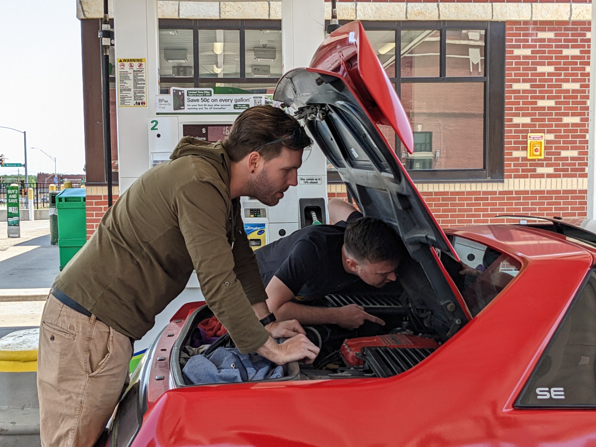
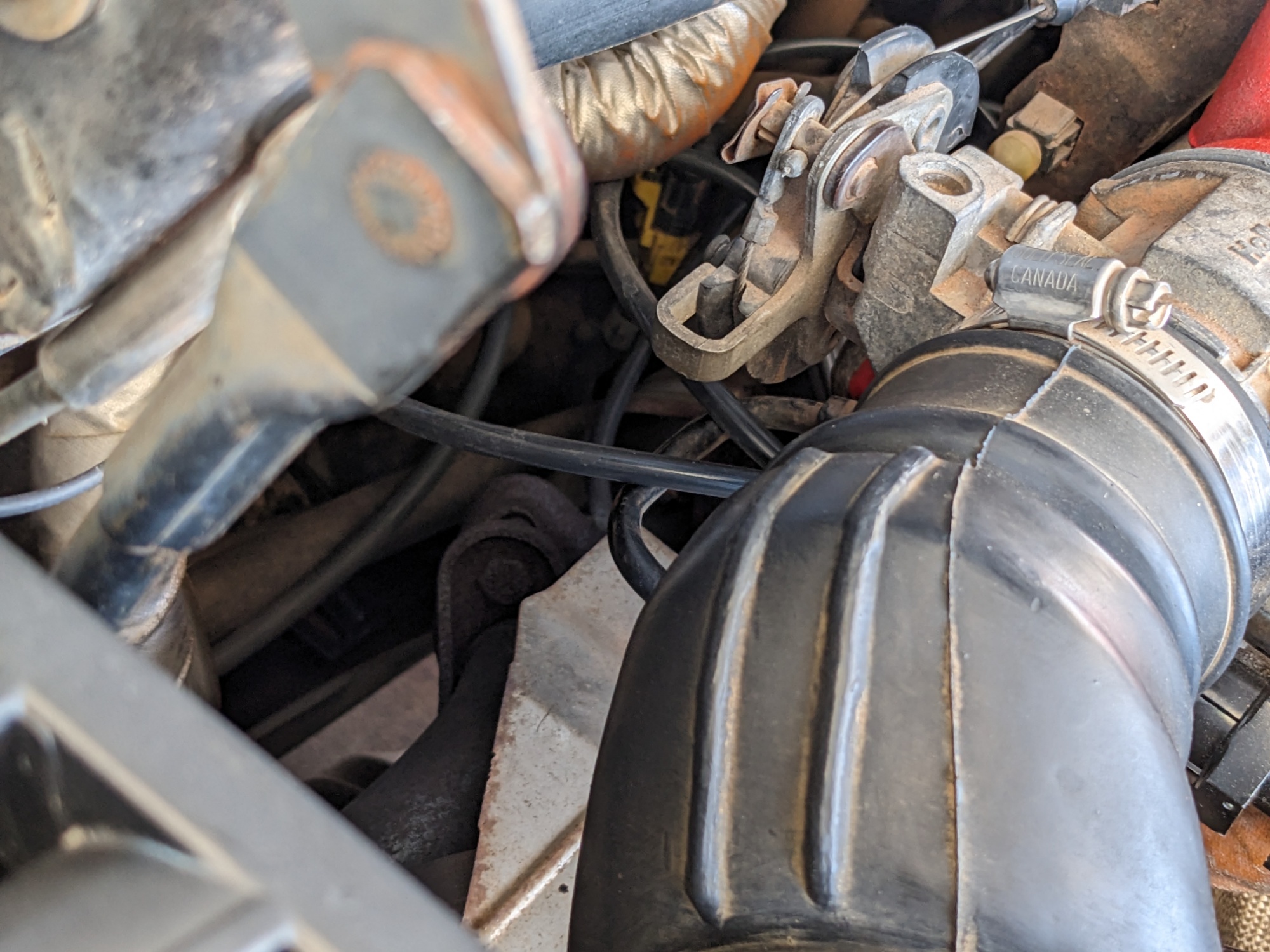
By the end of our time at Crazy Horse, having eaten nothing but trunk snacks all day, dinnertime was becoming increasingly urgent. It was a short drive down to our next overnight in Hot Springs. Unfortunately, one more inconvenient disaster — when Evan went to roll up his window, there was a loud bang and the window fell off its track deep into the driver door.
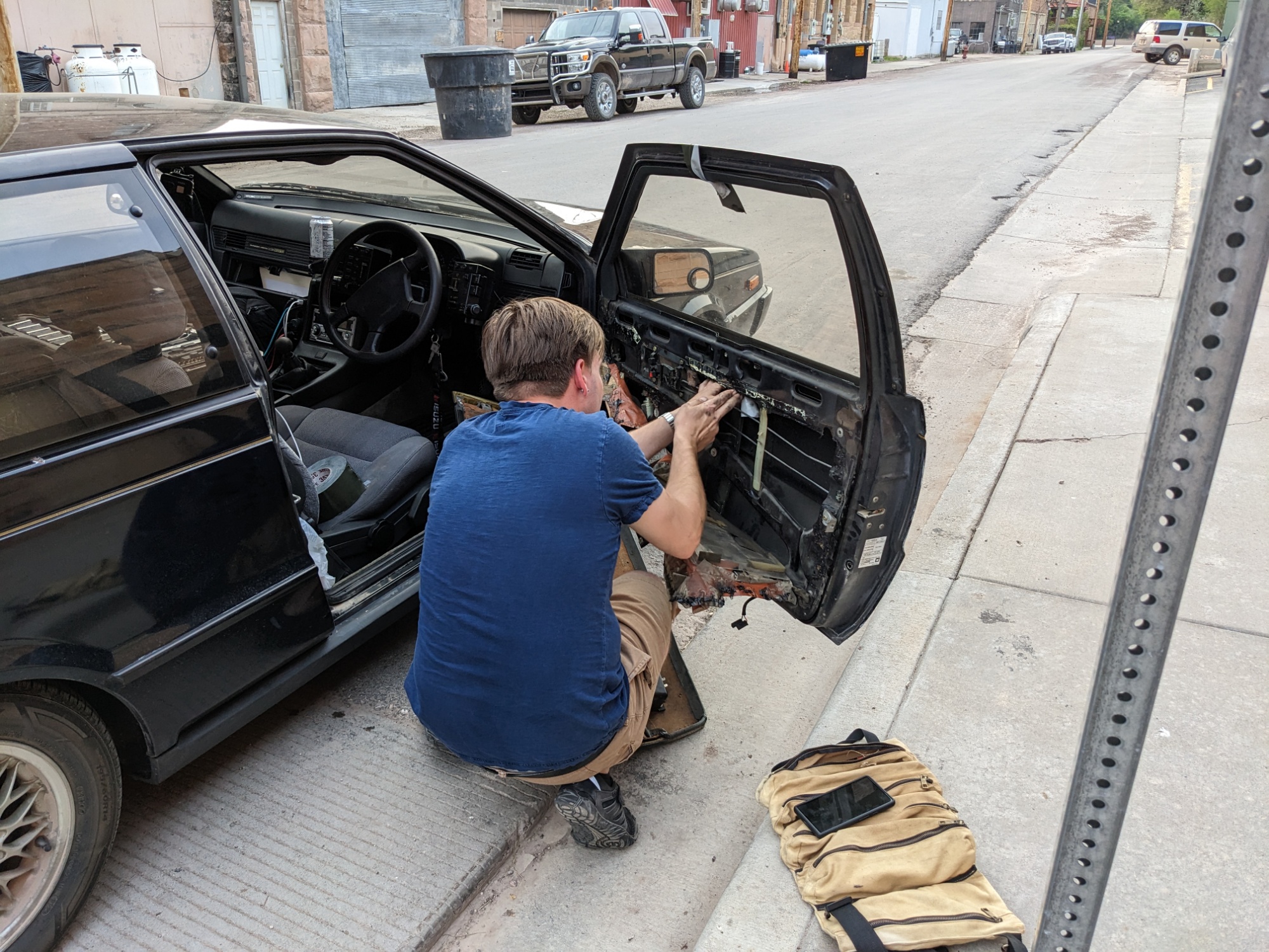
Which, of course, had to be fixed before we could go anywhere. Luckily, this happened in front of the hotel, so at least we could get checked in while he toiled. Duct tape appears to be the temporary mitigation.
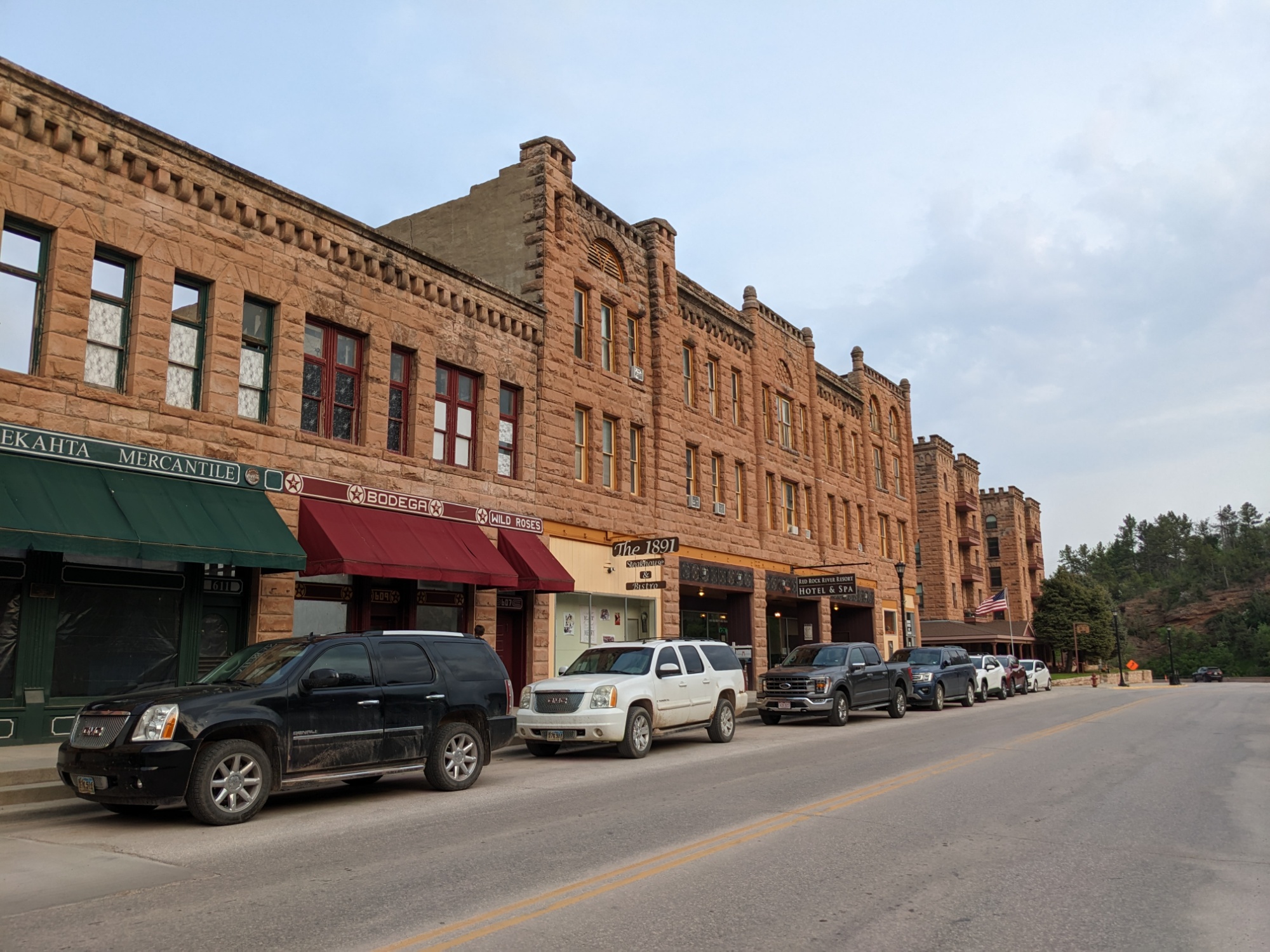
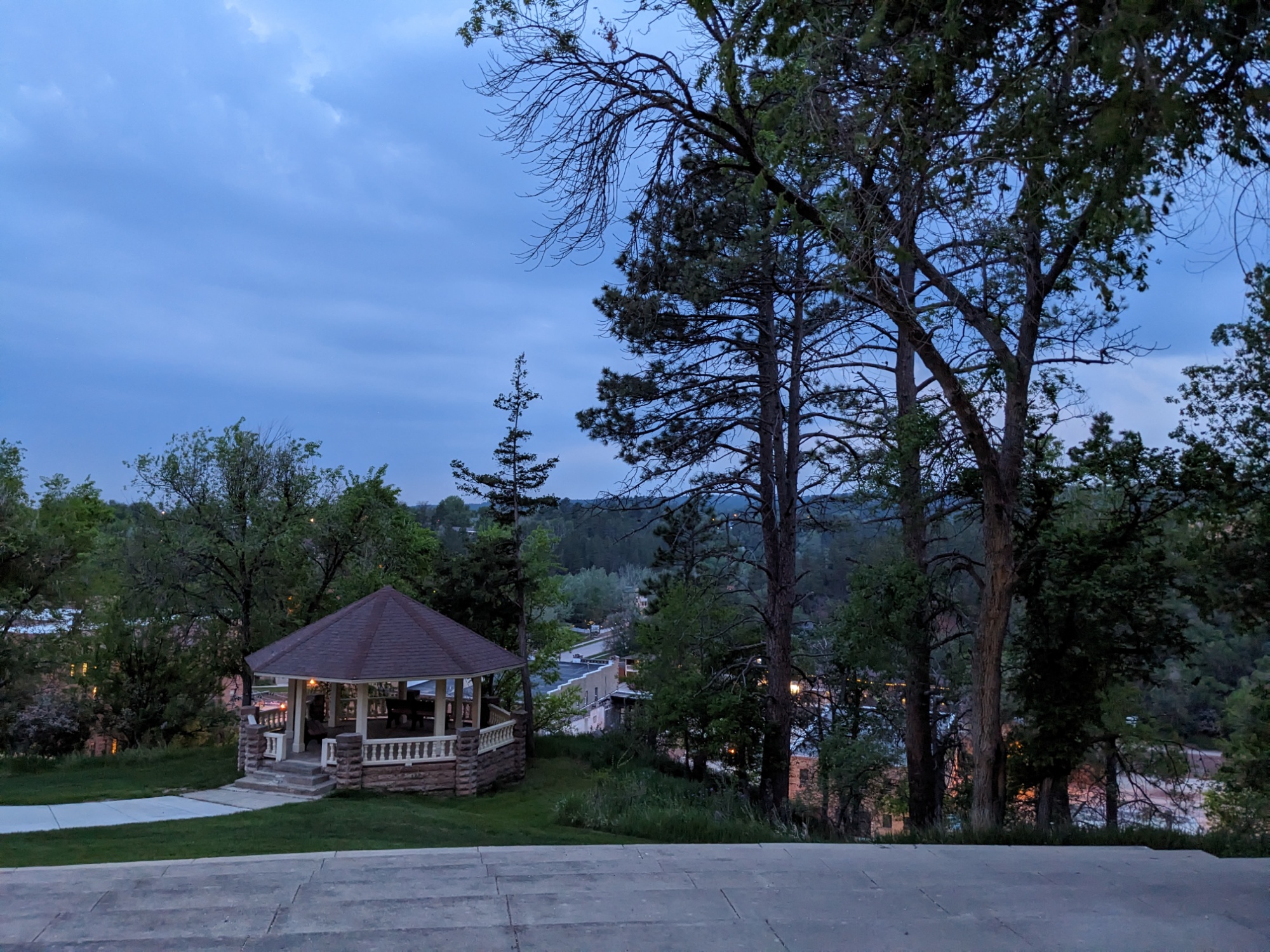
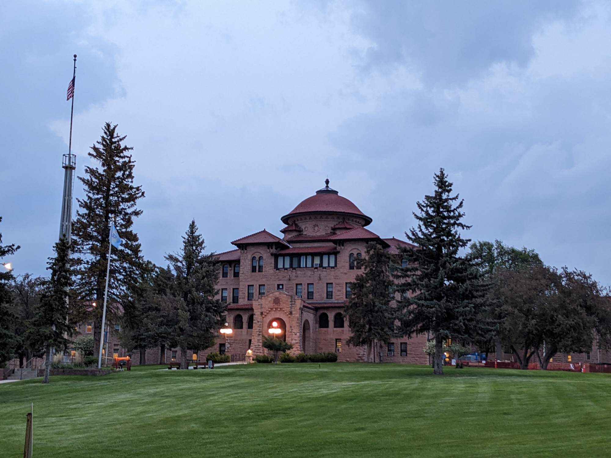
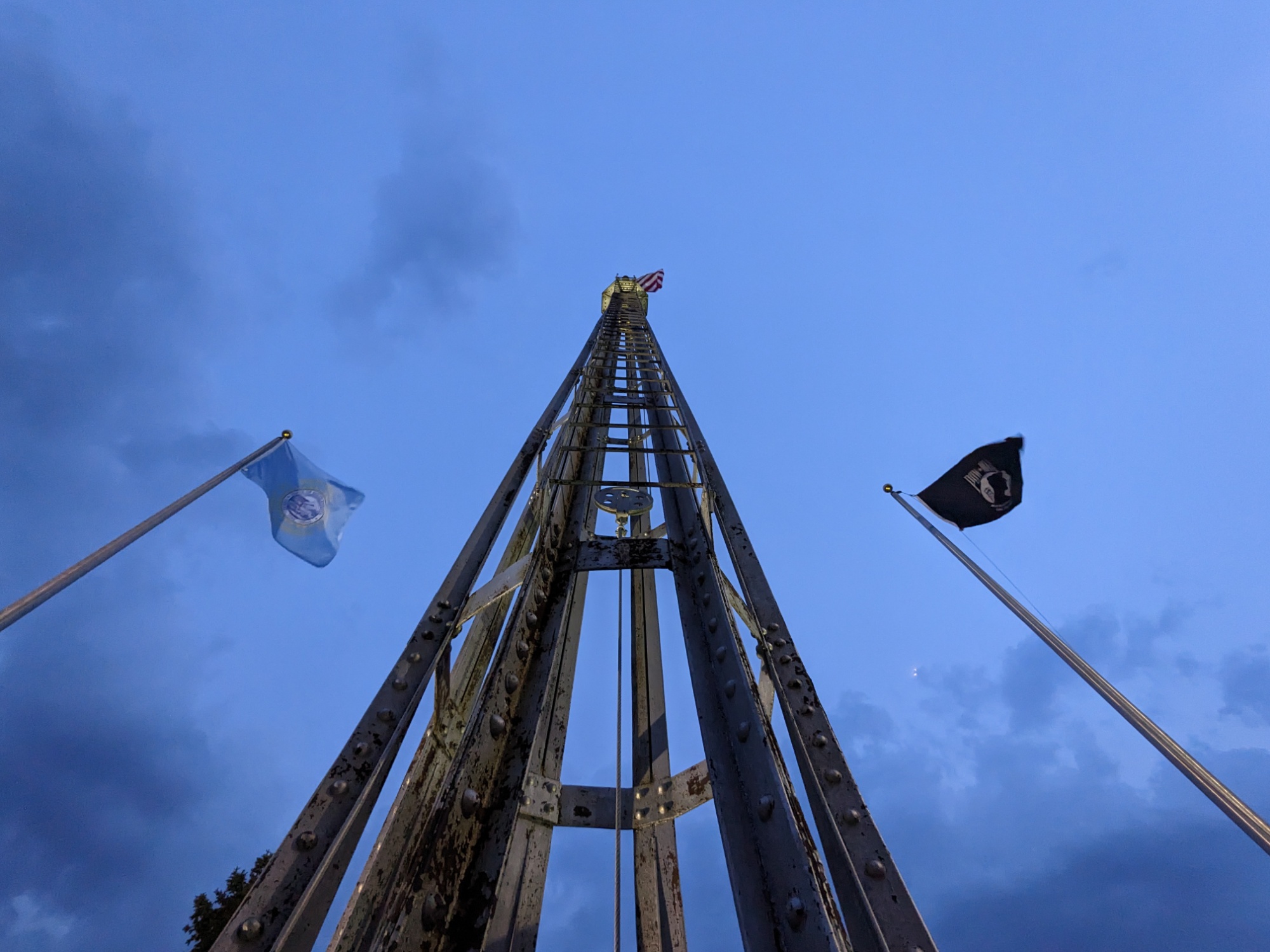
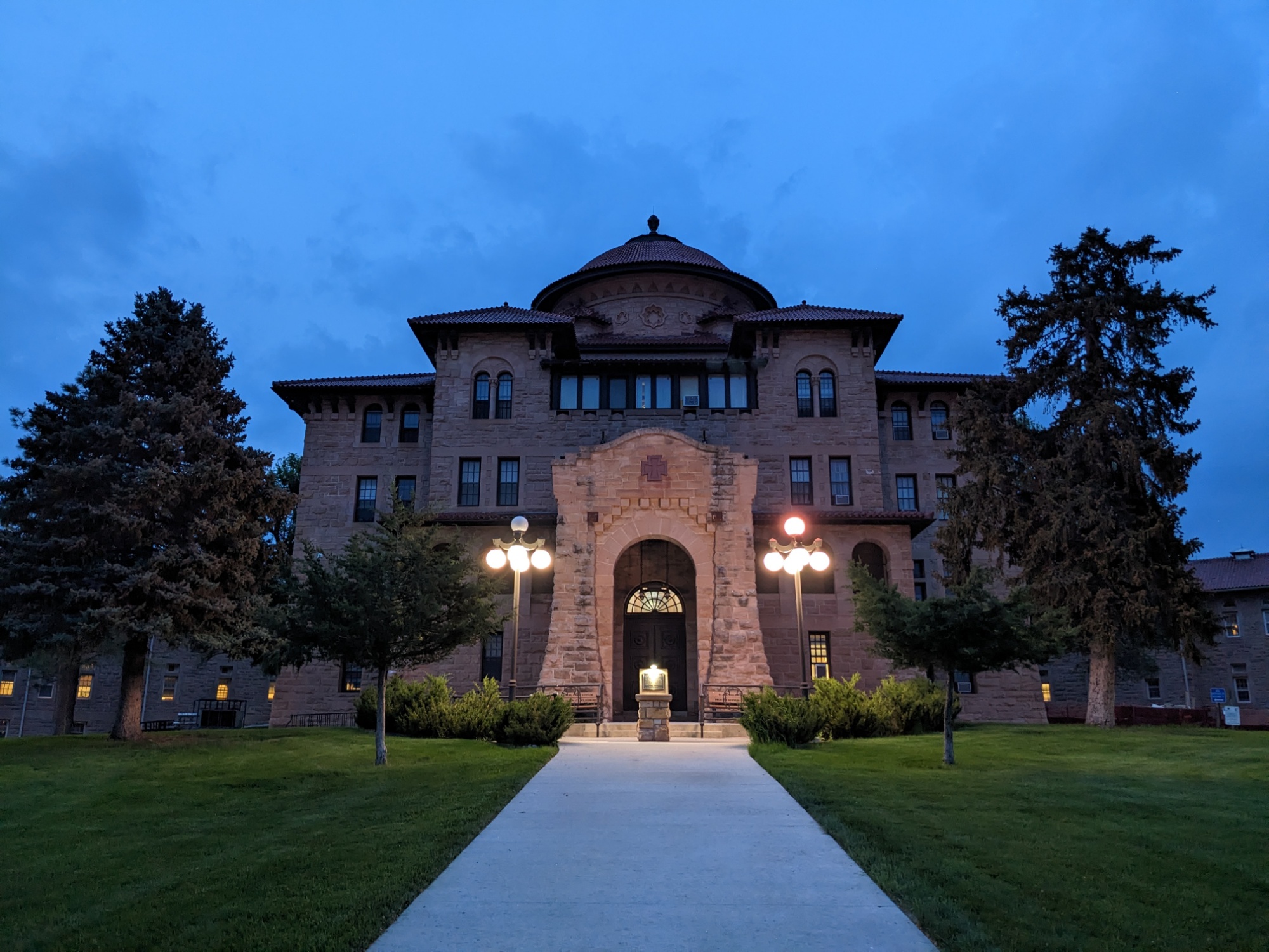
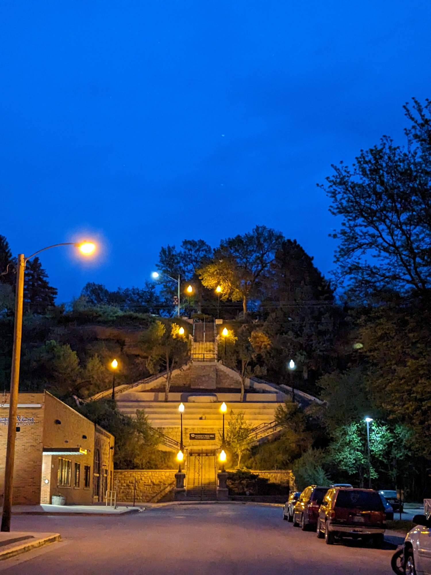
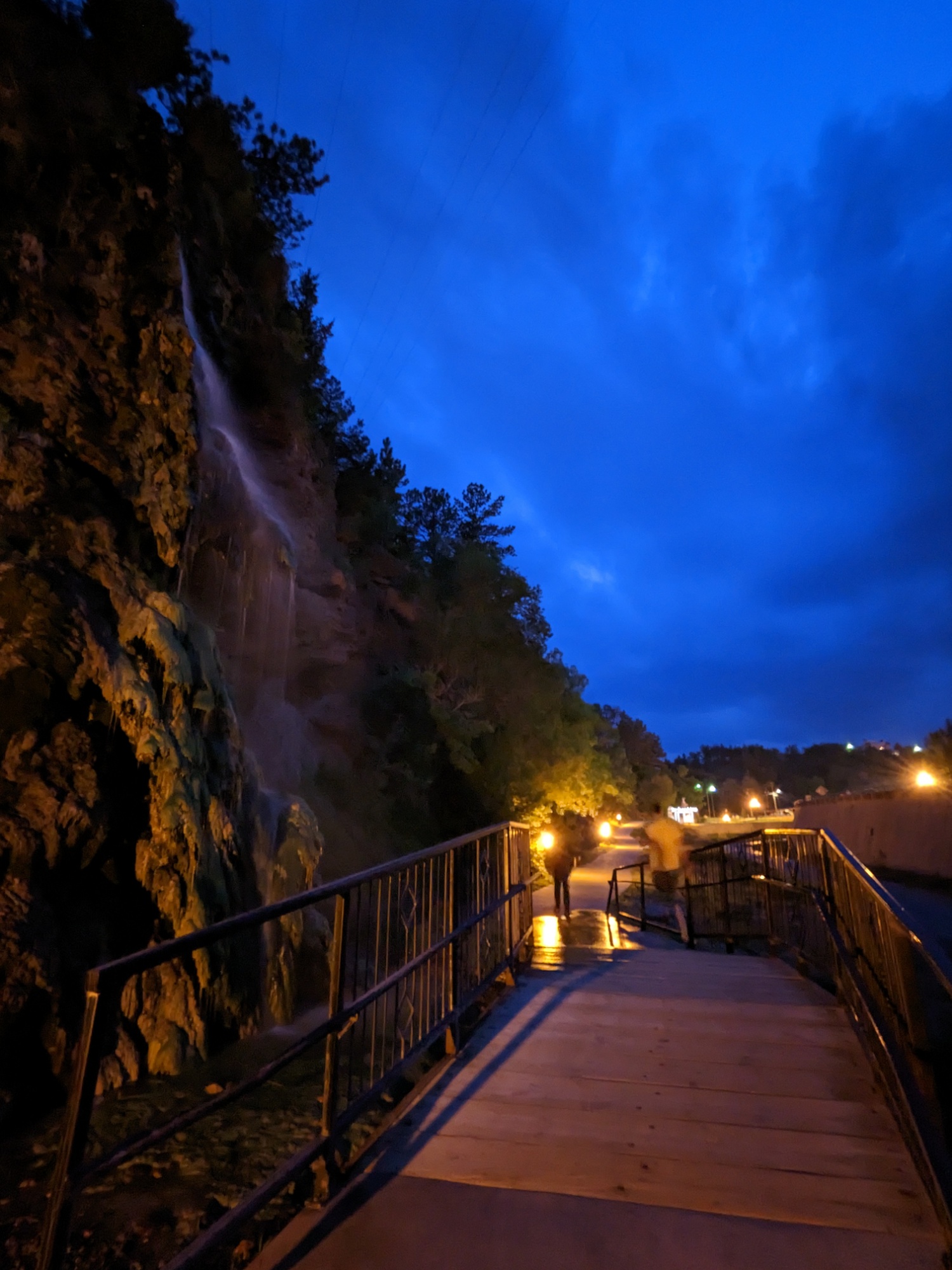
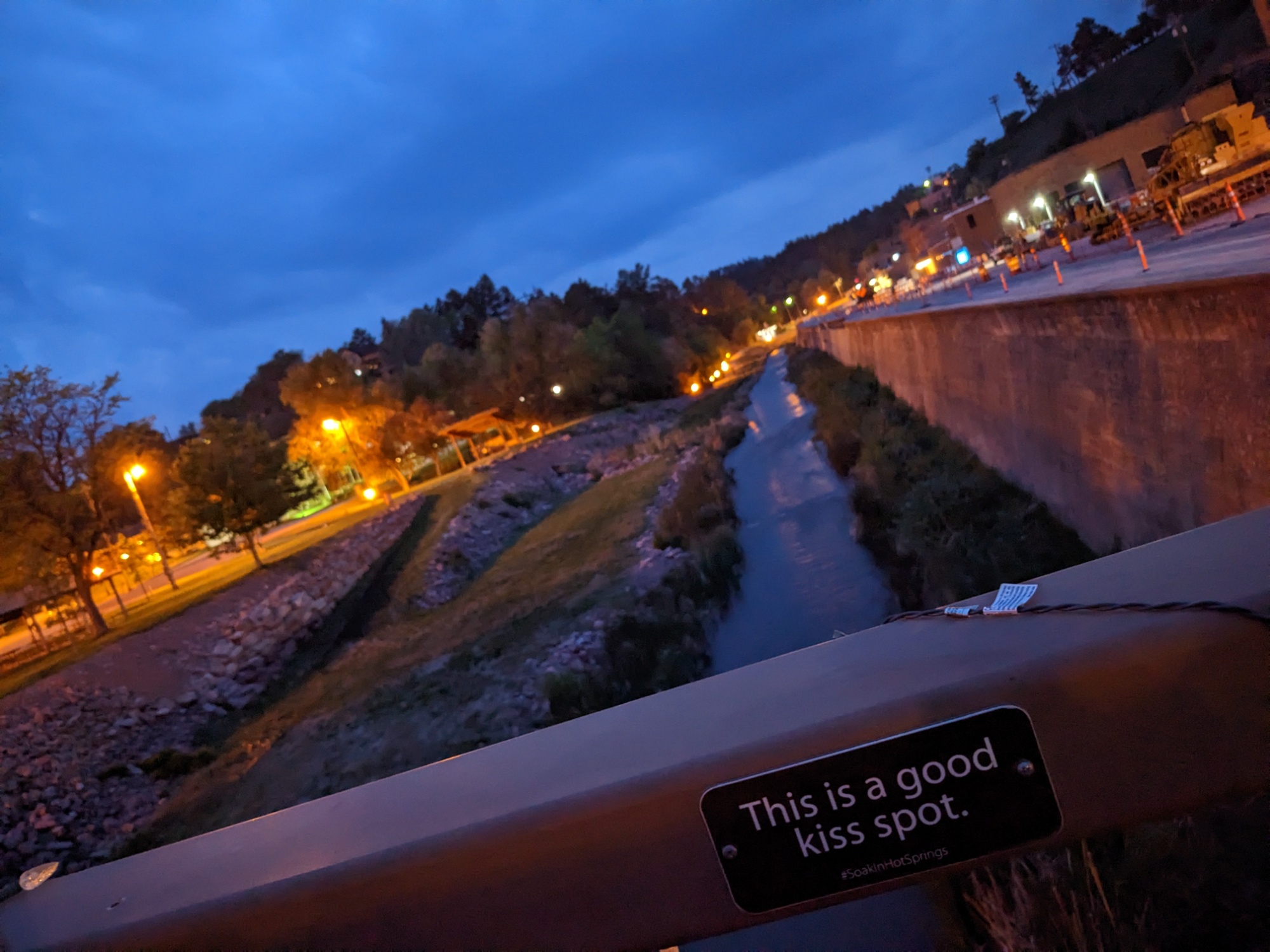
After dinner, we took a quick walk around town, starting with the Battle Creek Sanitarium, which is high on a bluff right behind this little downtown riverside drag.
The Battle Mountain Sanitarium was a division of the National Home for Disabled Volunteer Soldiers (NHDVS). […] It opened in 1907 and was unique among the facilities of the NHDVS, a precursor of today’s United States Department of Veterans Affairs (VA), in that it was strictly a medical facility with no residential components beyond its treatment facilities. It was founded to treat former soldiers suffering from musculo-skeletal problems that were believed to be treatable by the region’s mineral springs, and for conditions such as tuberculosis whose treatment was improved by the thin dry air. The facilities built for the sanitarium are in an architecturally distinctive Romanesque and Mission Revival style, and now form the centerpiece of the Black Hills Health Care facility, operated by the VA. Most of the complex site was designated a National Historic Landmark in 2011 for its architecture and history.
Wikipedia.

Beverages in Hot Springs
Two drinks of note to round out our South Dakota experience:
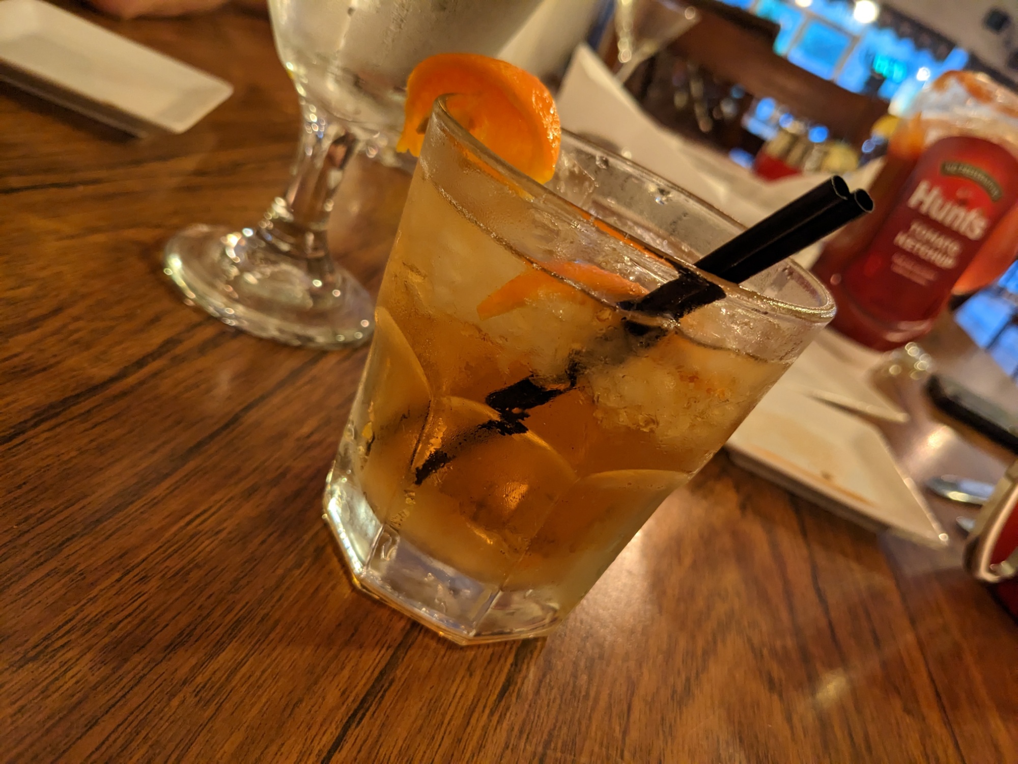
Well, here’s your “Old Fashioned.” I sure hope it tastes good; I Googled it!
Bartender at the otherwise fancy restaurant where we had dinner.
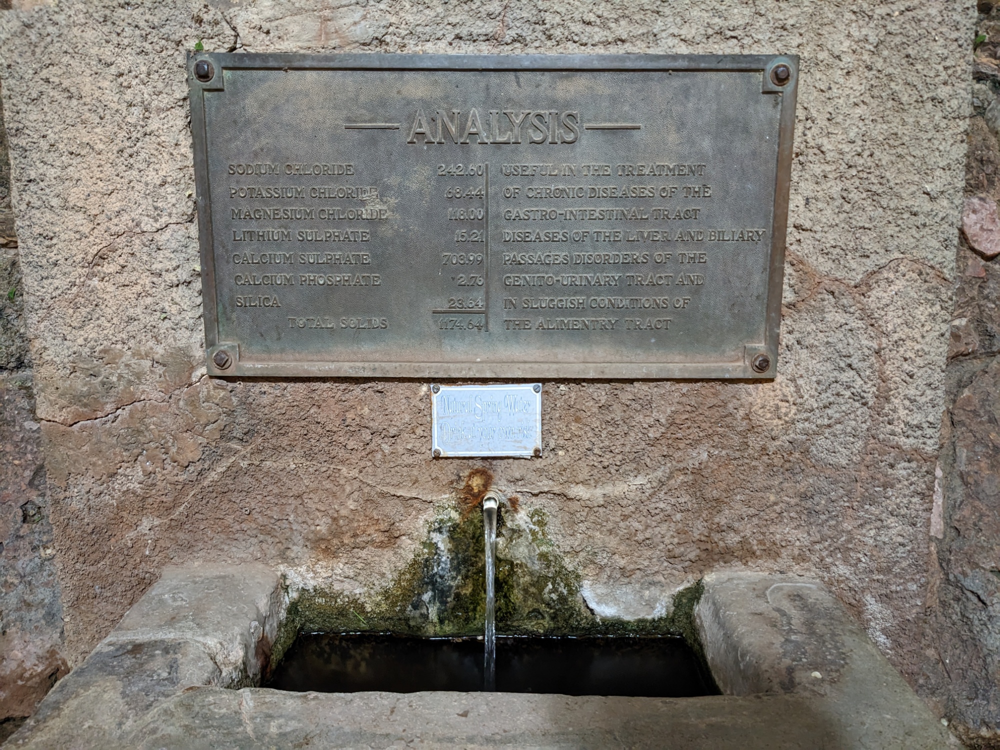
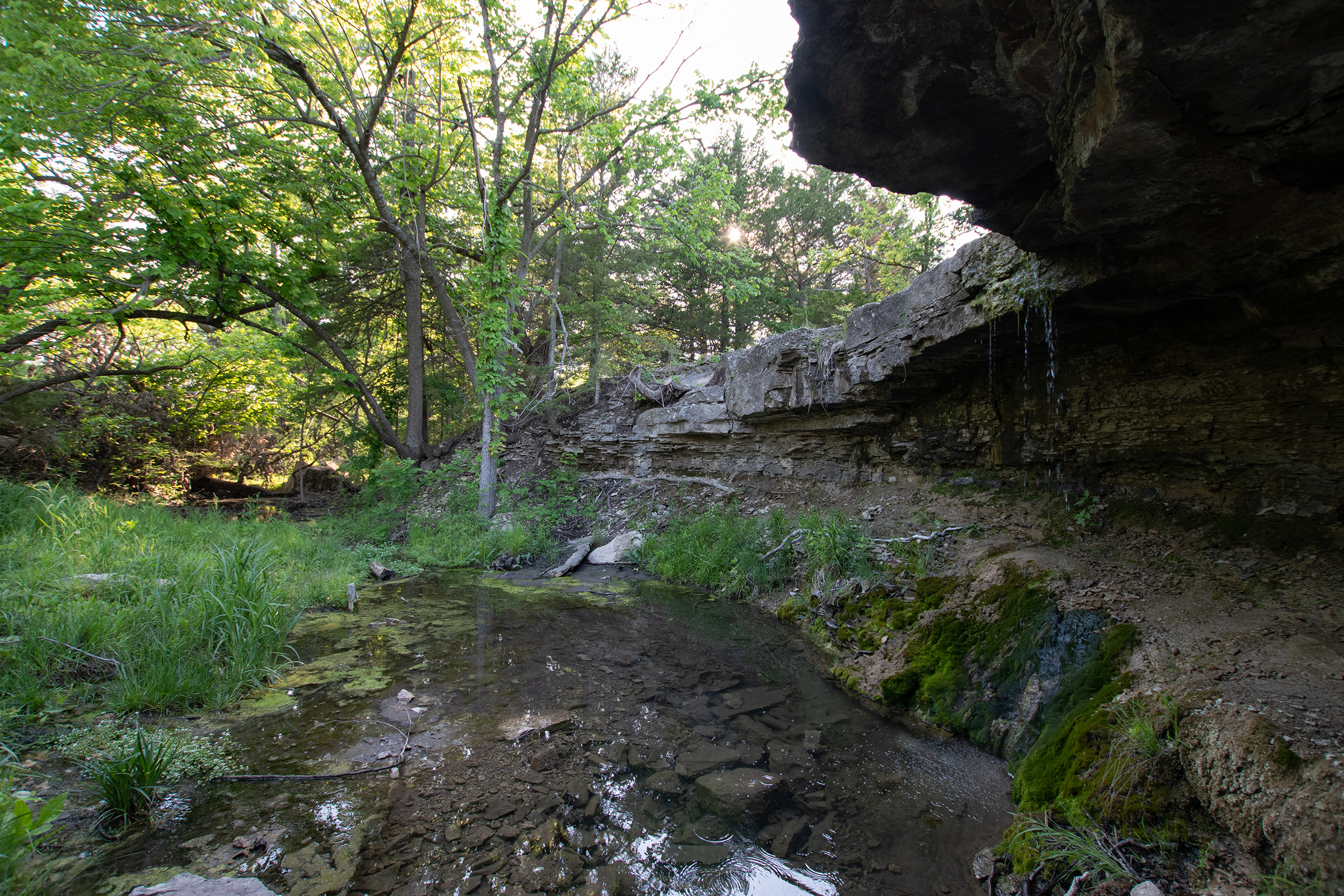
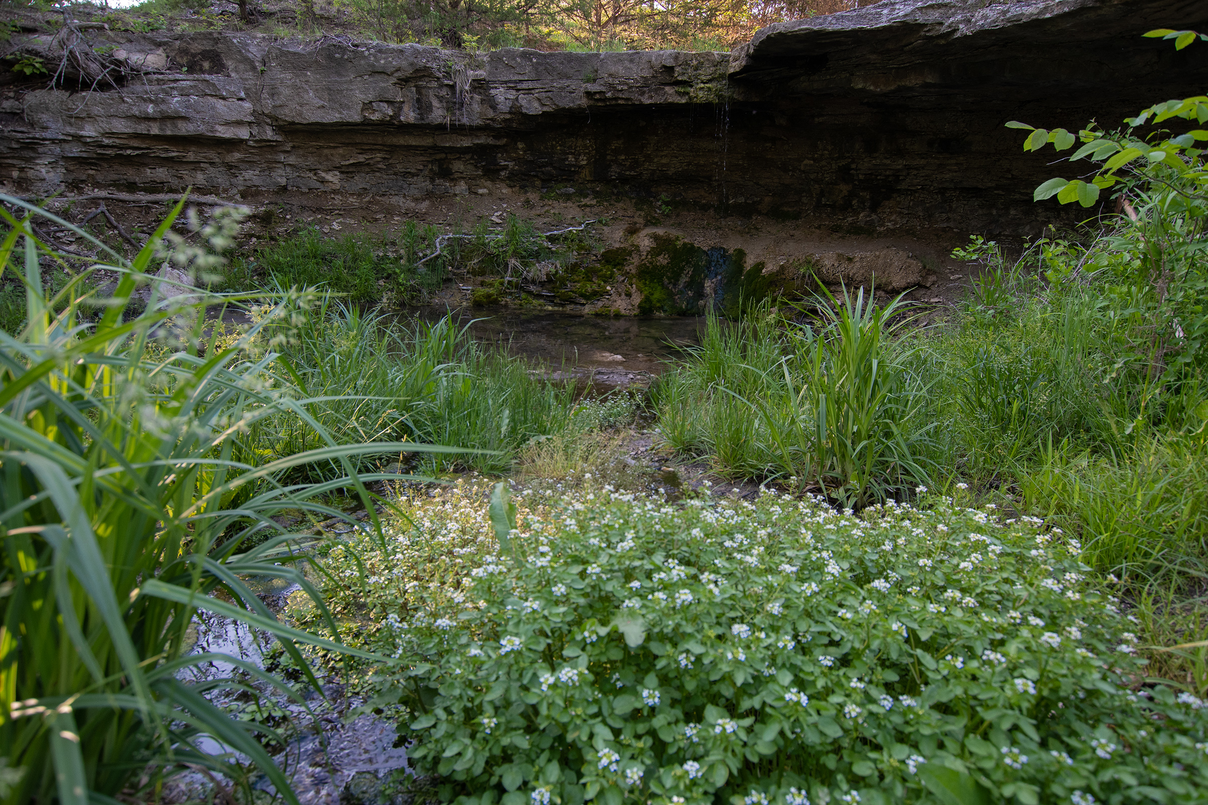
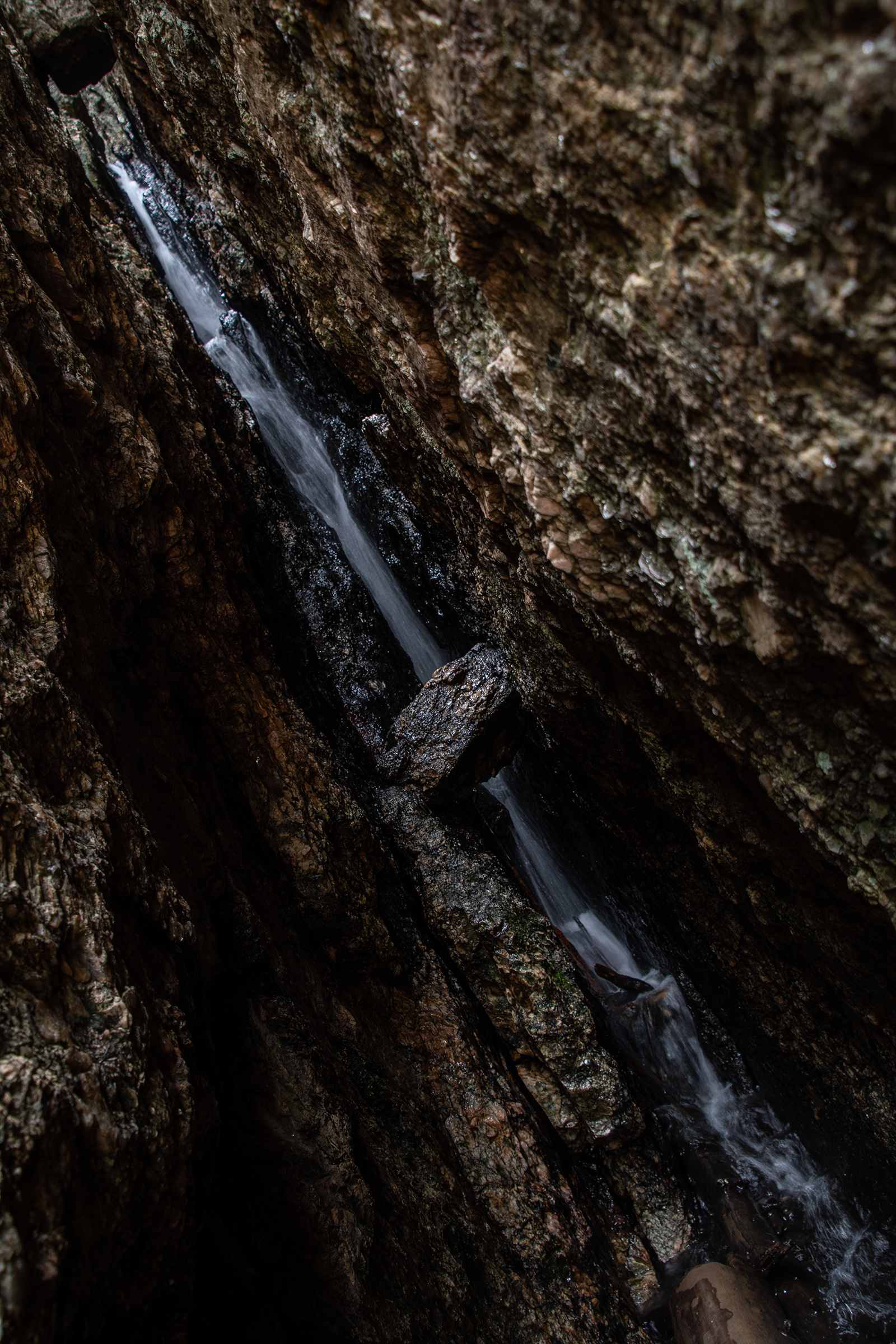
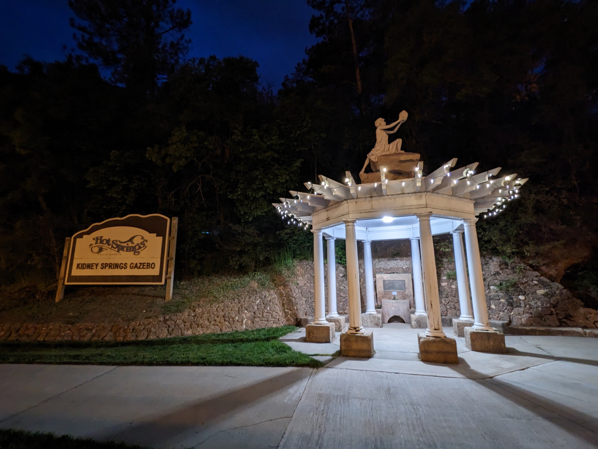
The spring water pouring out of this little fountain in the riverside trail. George and I, braving the risk of dysentery, tasted it (but spit it out). Tastes like water. But apparently this is healing water — maybe I should see if I can run it through my wagon.