Hot Springs National Park

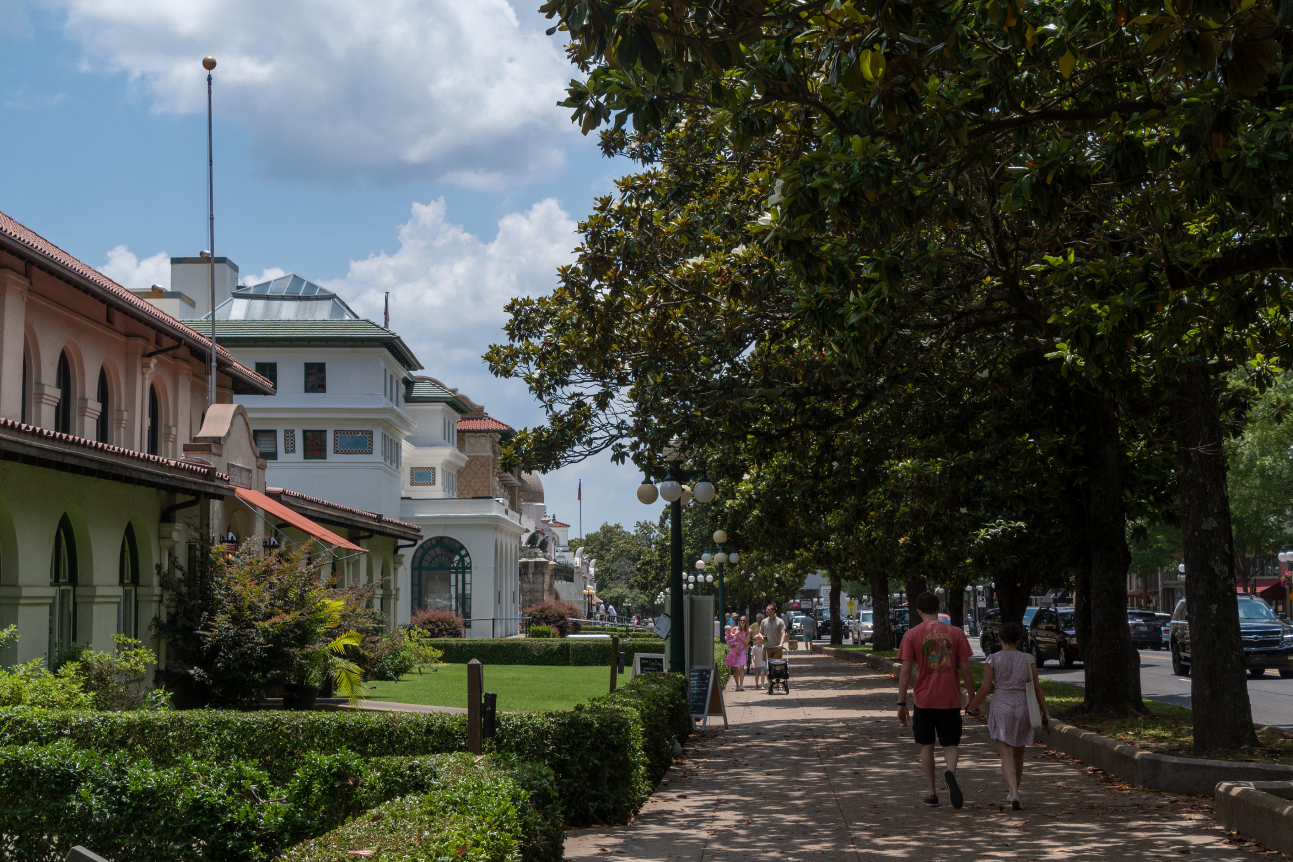
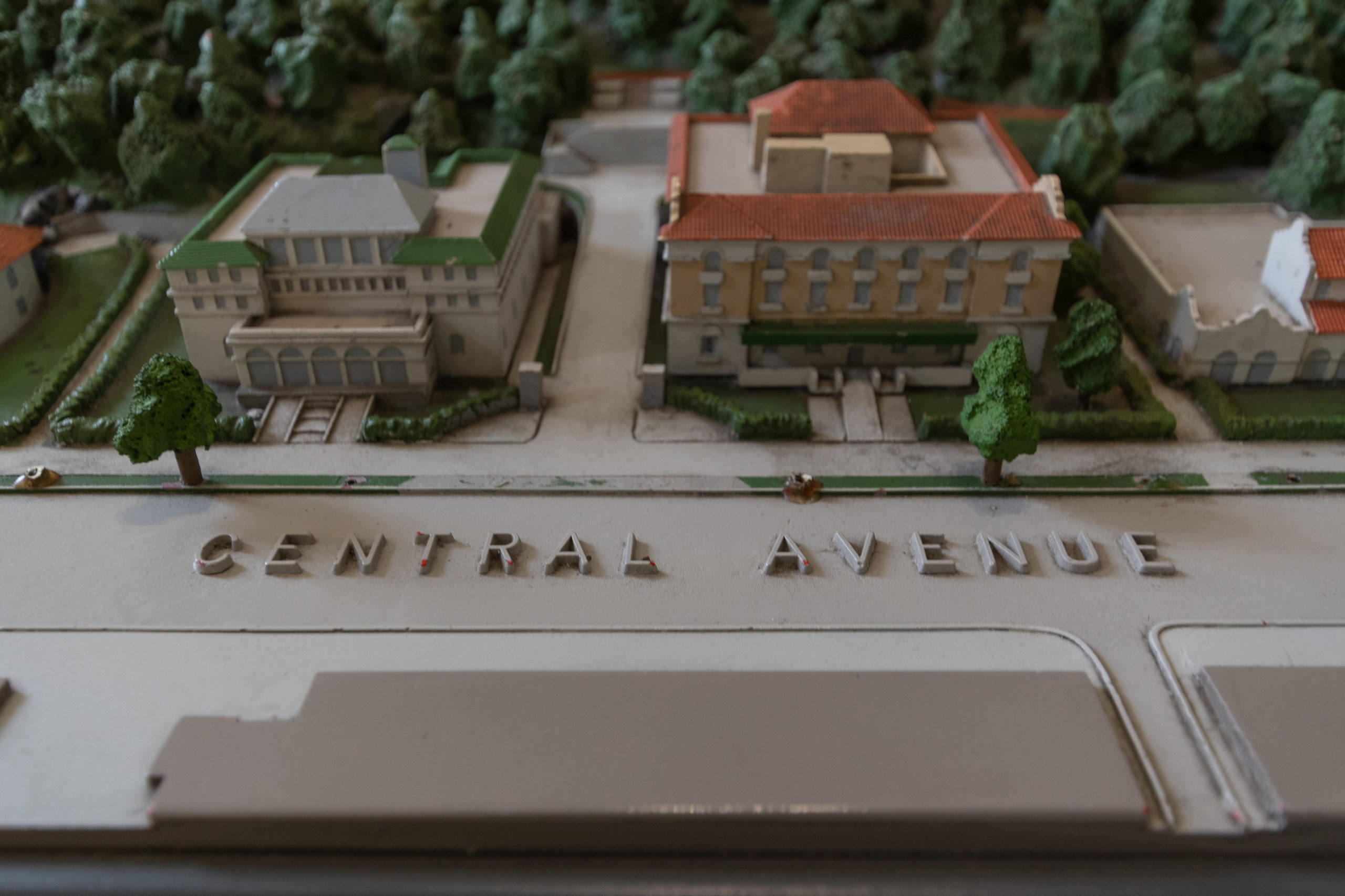
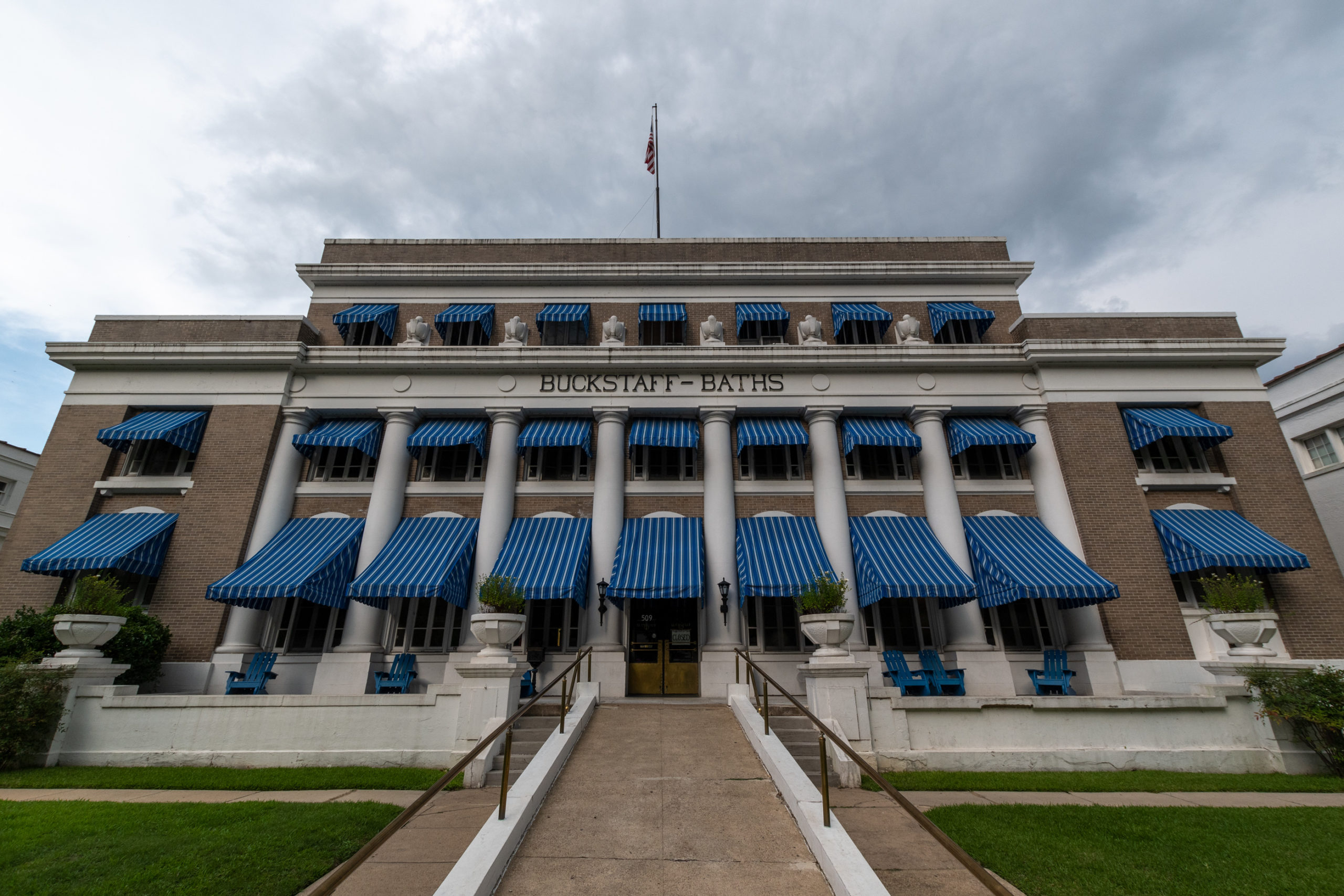
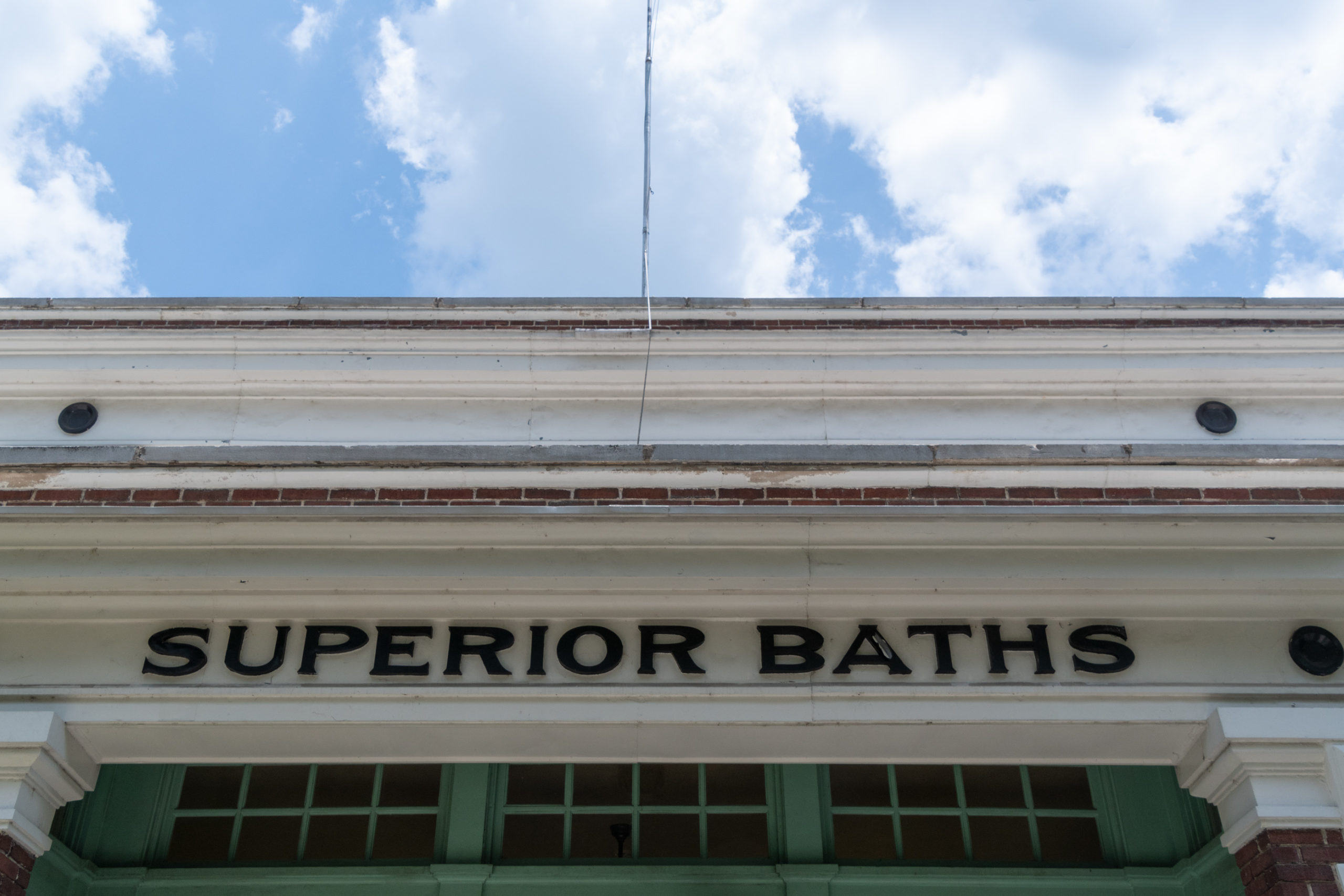
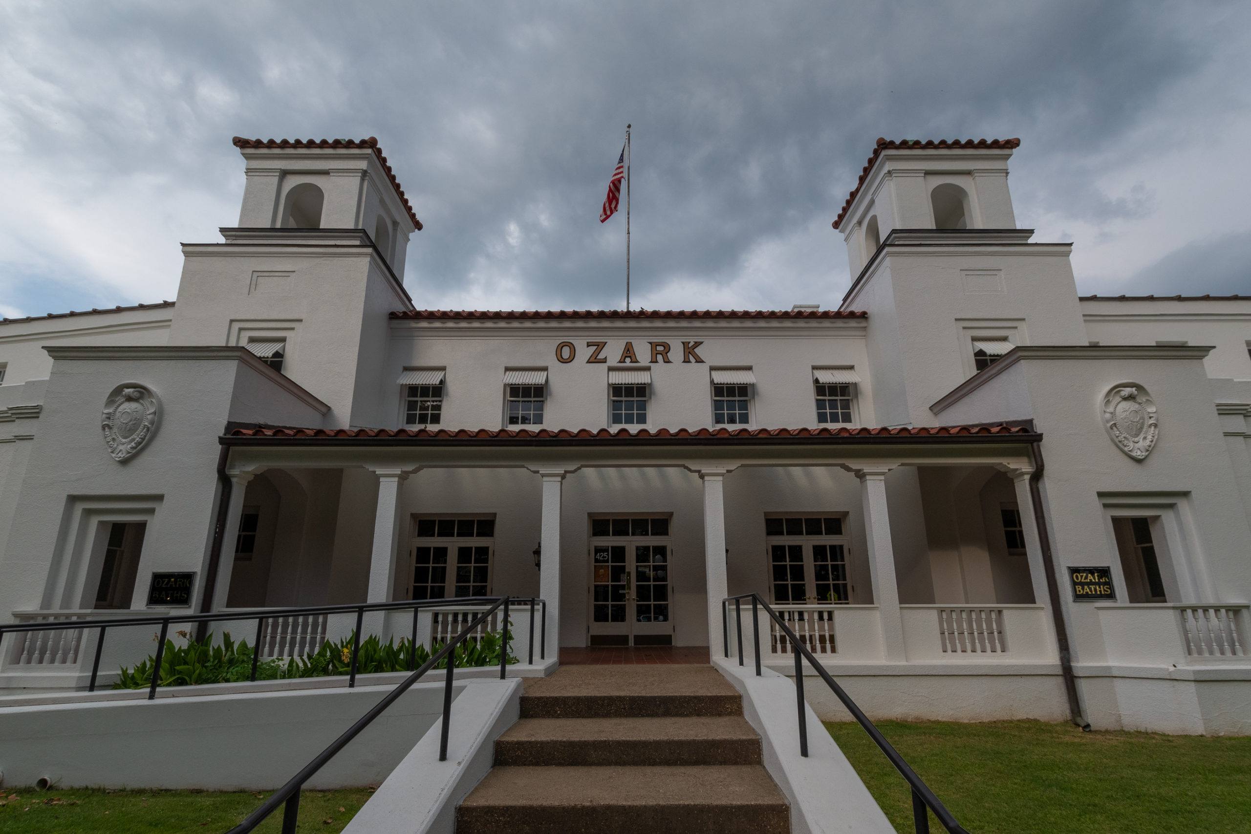
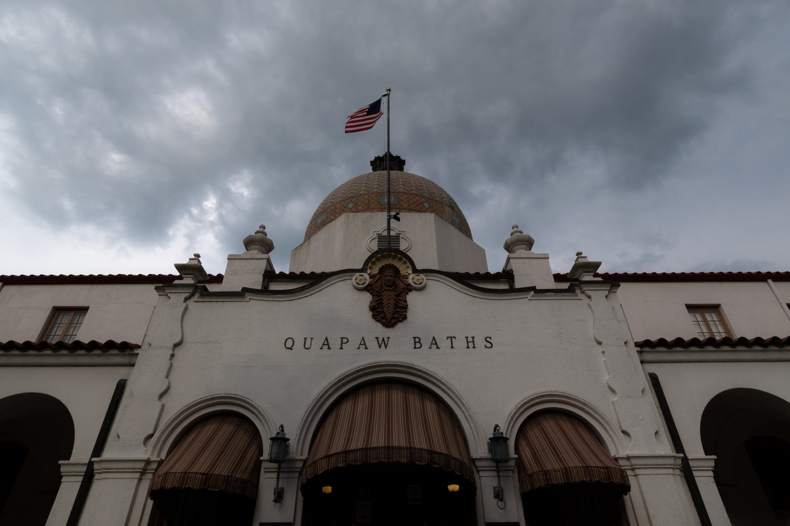
We spent the whole day in the park today, which it turns out, is even more of a town than I’d realized. Bathhouse Row is a tourist district that has grown out of the original strip of bathhouses and spas. Only two remain in operation as publicly accessible spas; the rest are hotels, historic museums, the Park Visitor Center, or abandoned.

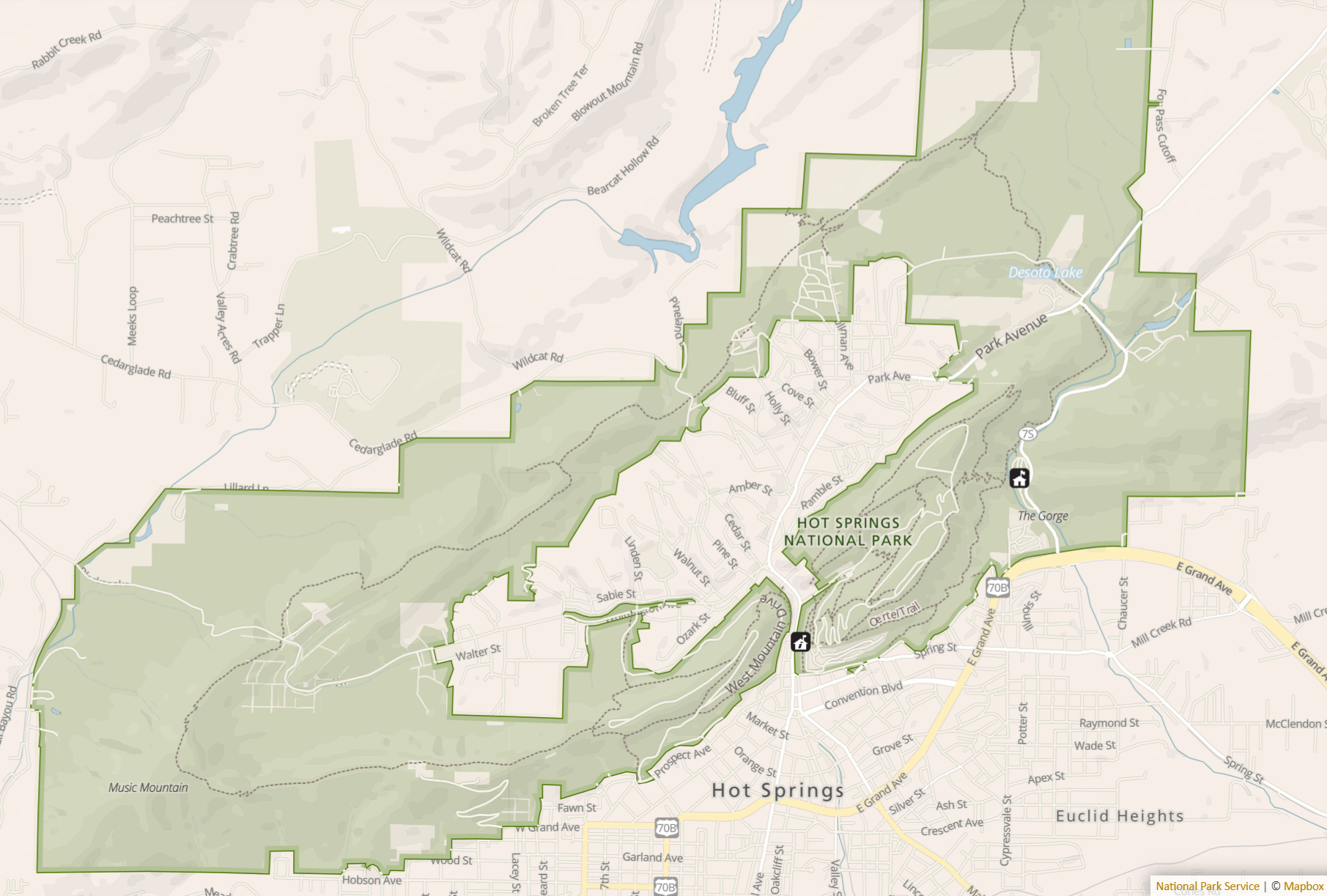
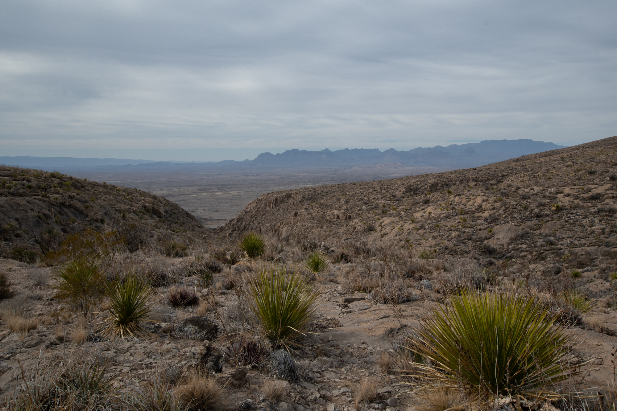
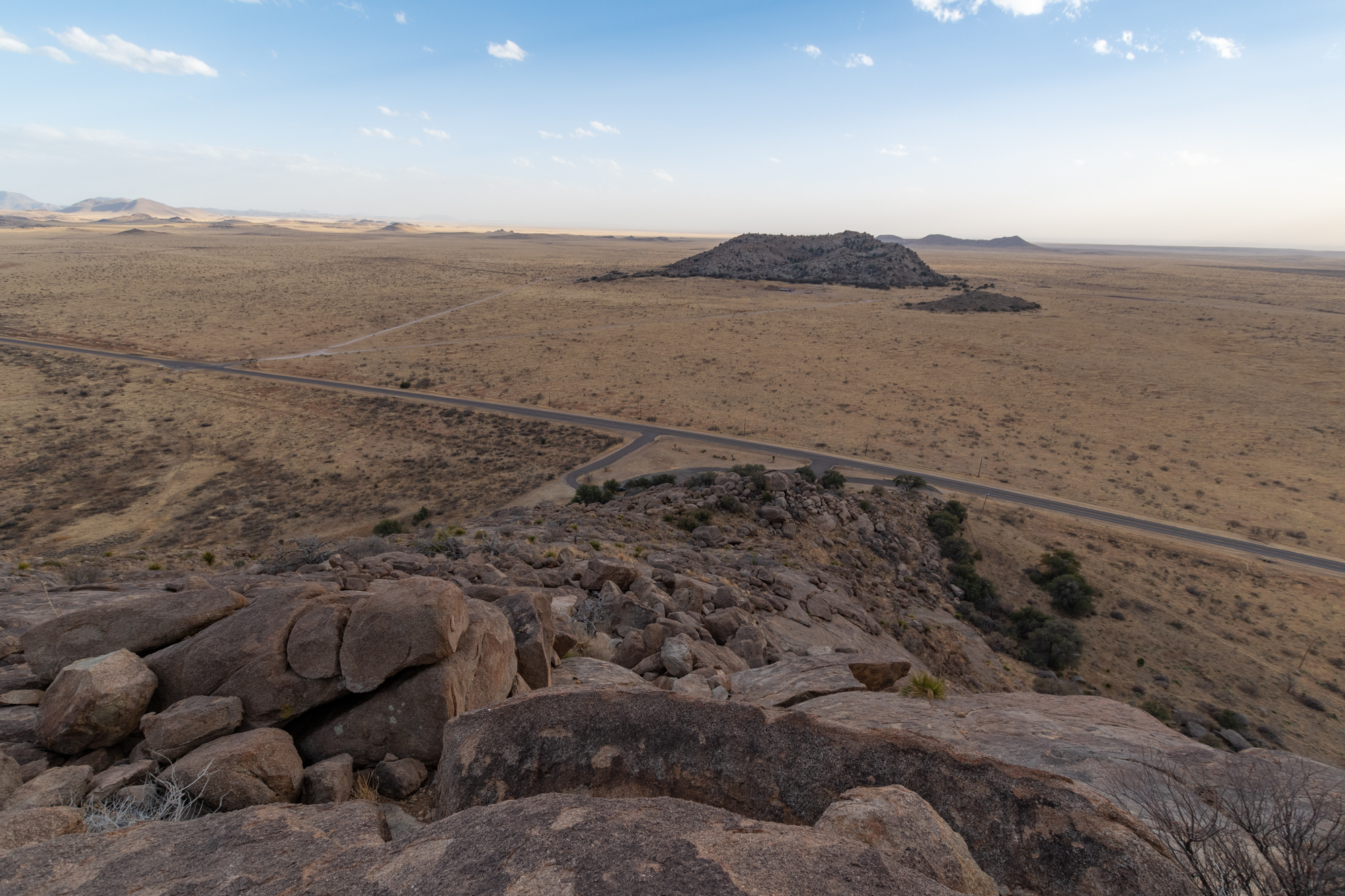
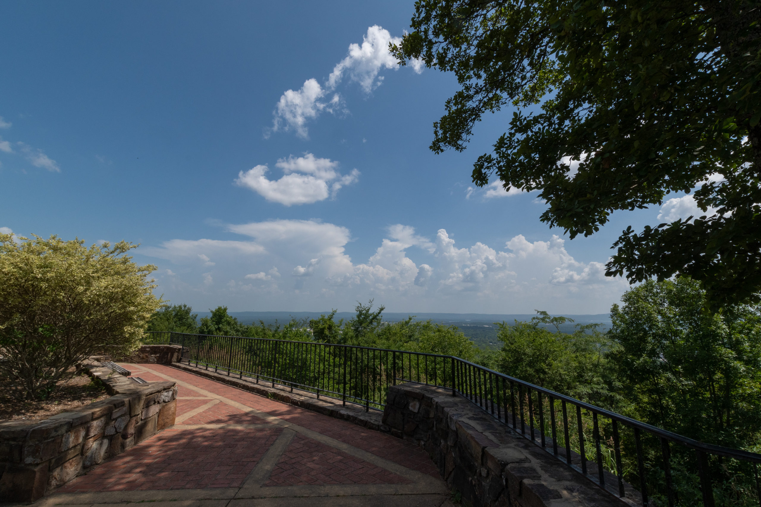
What I would consider to be more standard National Park fare — trails, outdoor spaces, natural vistas — form an atoll of sorts around Bathhouse Row (Park Avenue) and downtown Hot Springs.

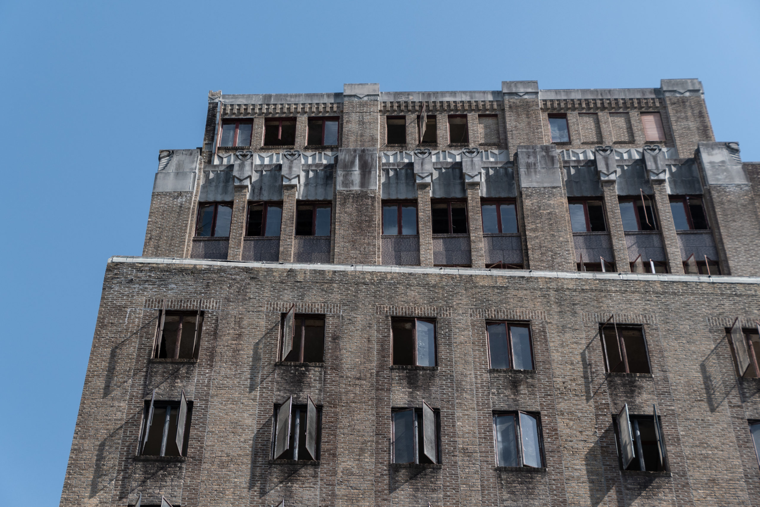
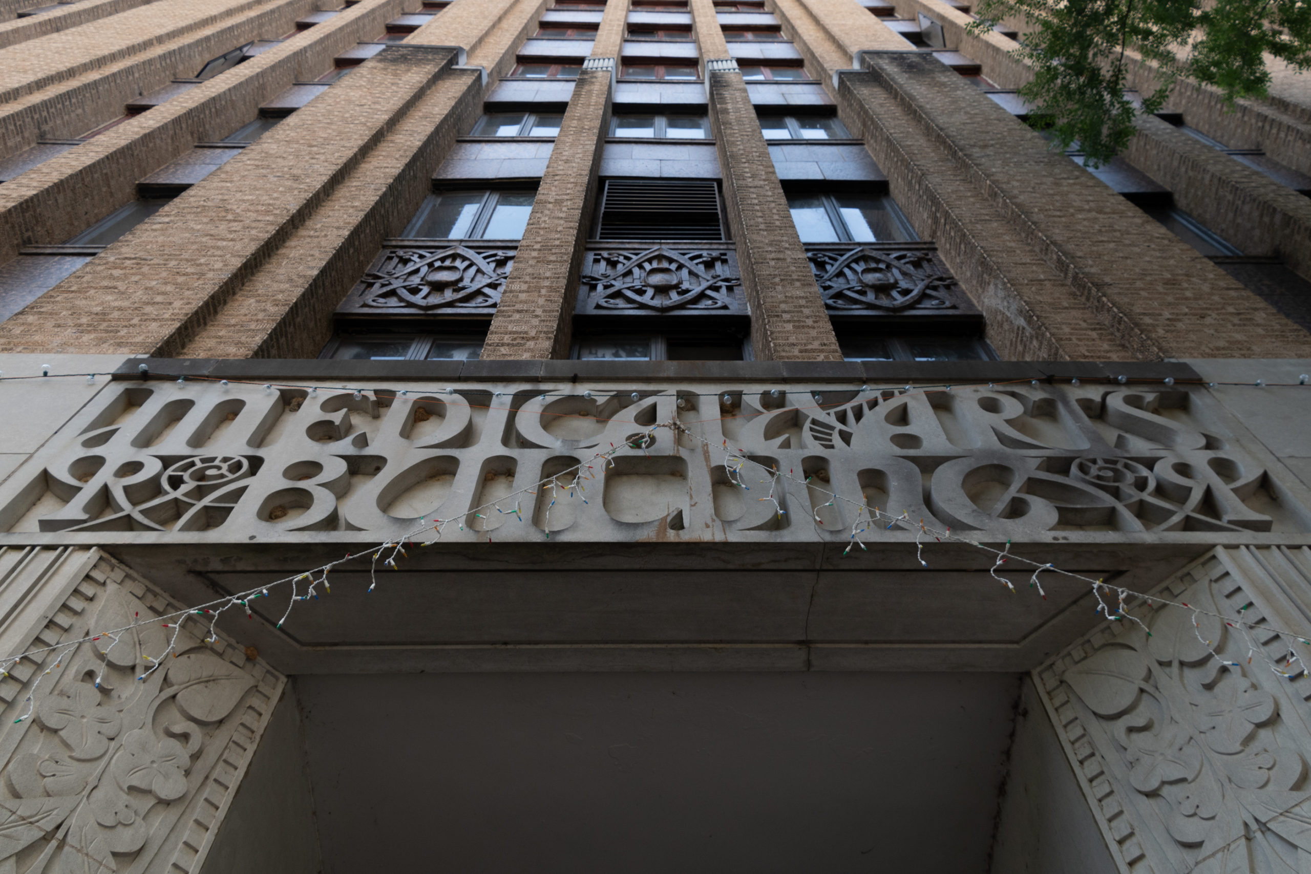
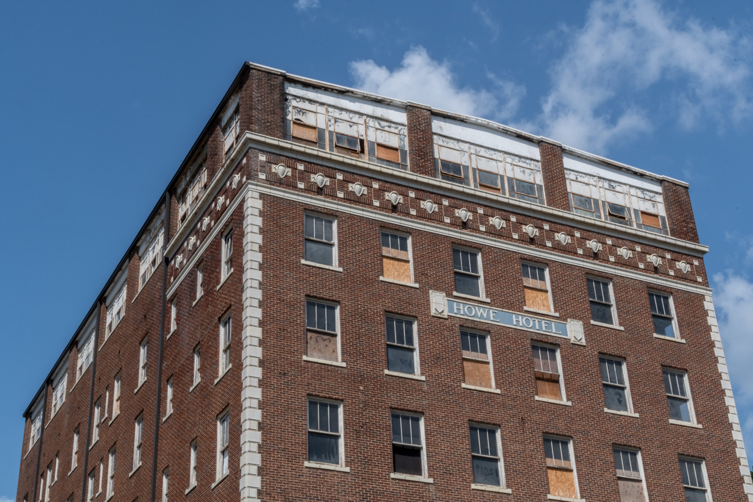
And even on the drive in, there was a theme of large abandoned buildings sprinkled throughout the whole town, even in the busier destinations. As we later learned, there are two reasons for that. First, through the early/mid 1900s, humanity slowly learned that spring water isn’t drugs. Second, prior to the automobile age, vacationers heavily favored destinations on major train “hubs” (which this was) and arrived by the trainful — which also faded as travelers has more destinations to pick from and arrived instead by the carful. Setting aside our draw to abandoned buildings, we fought our way into the crowd.

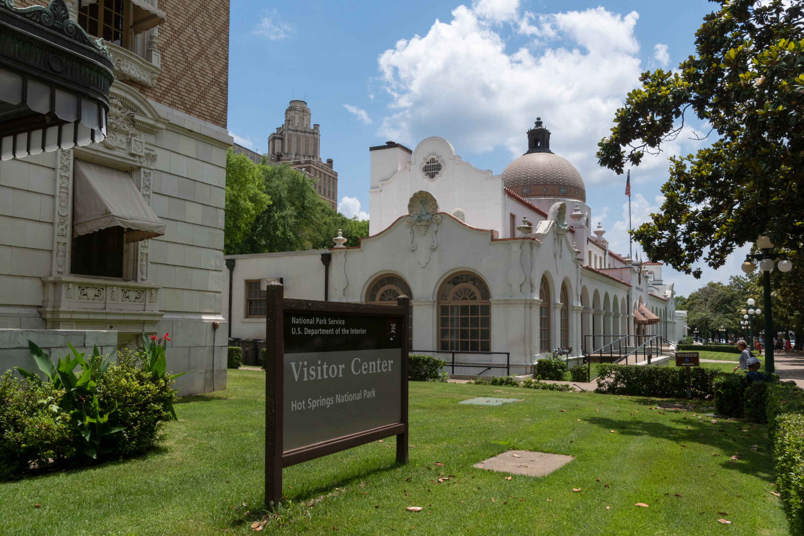
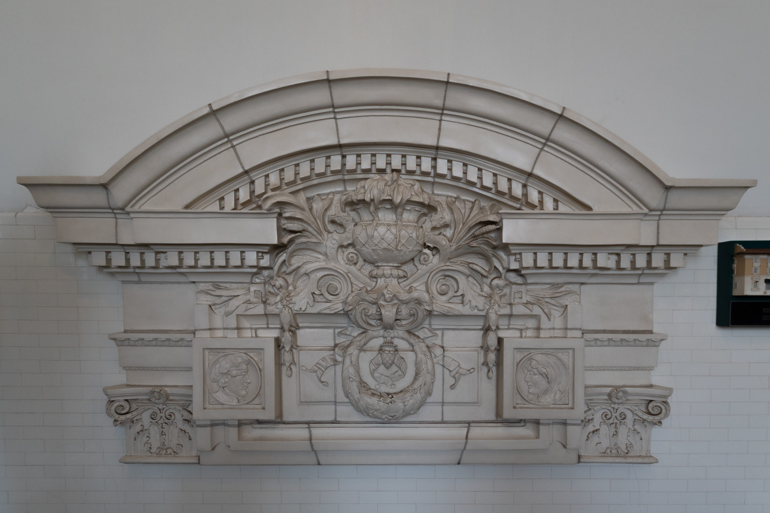
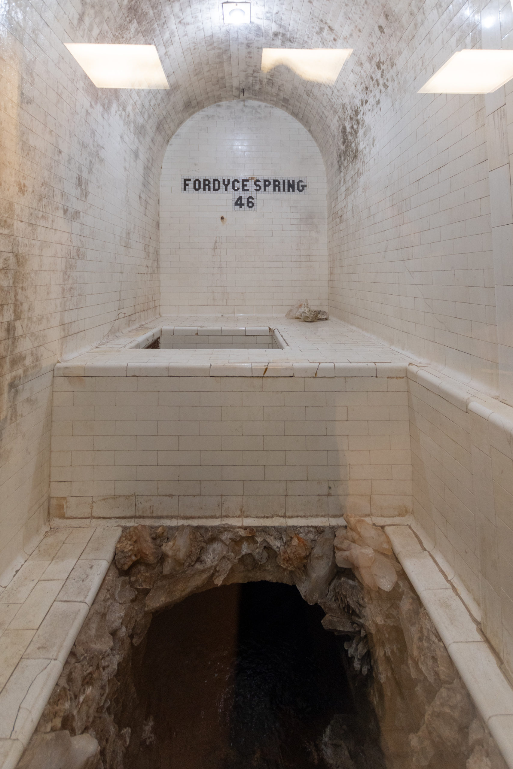
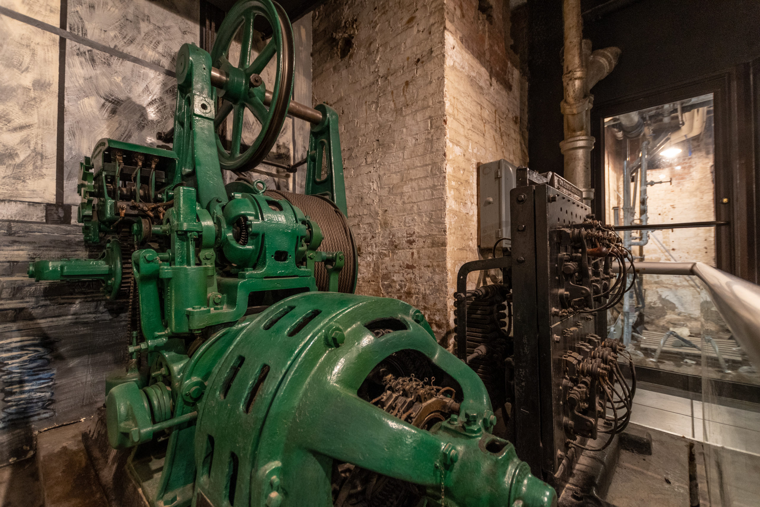
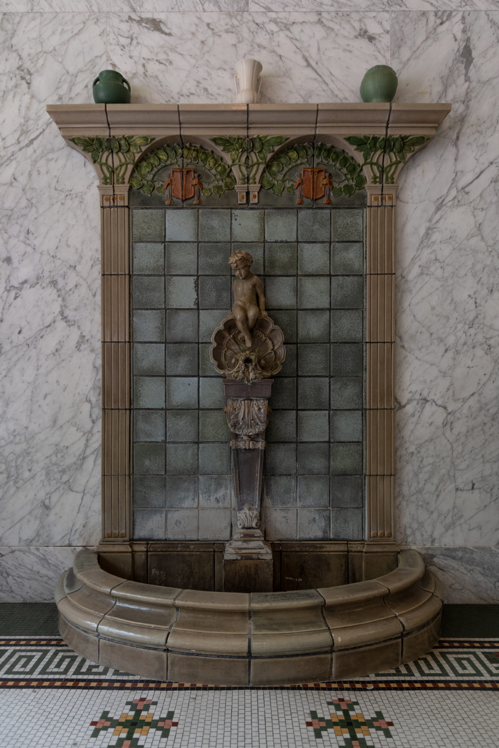
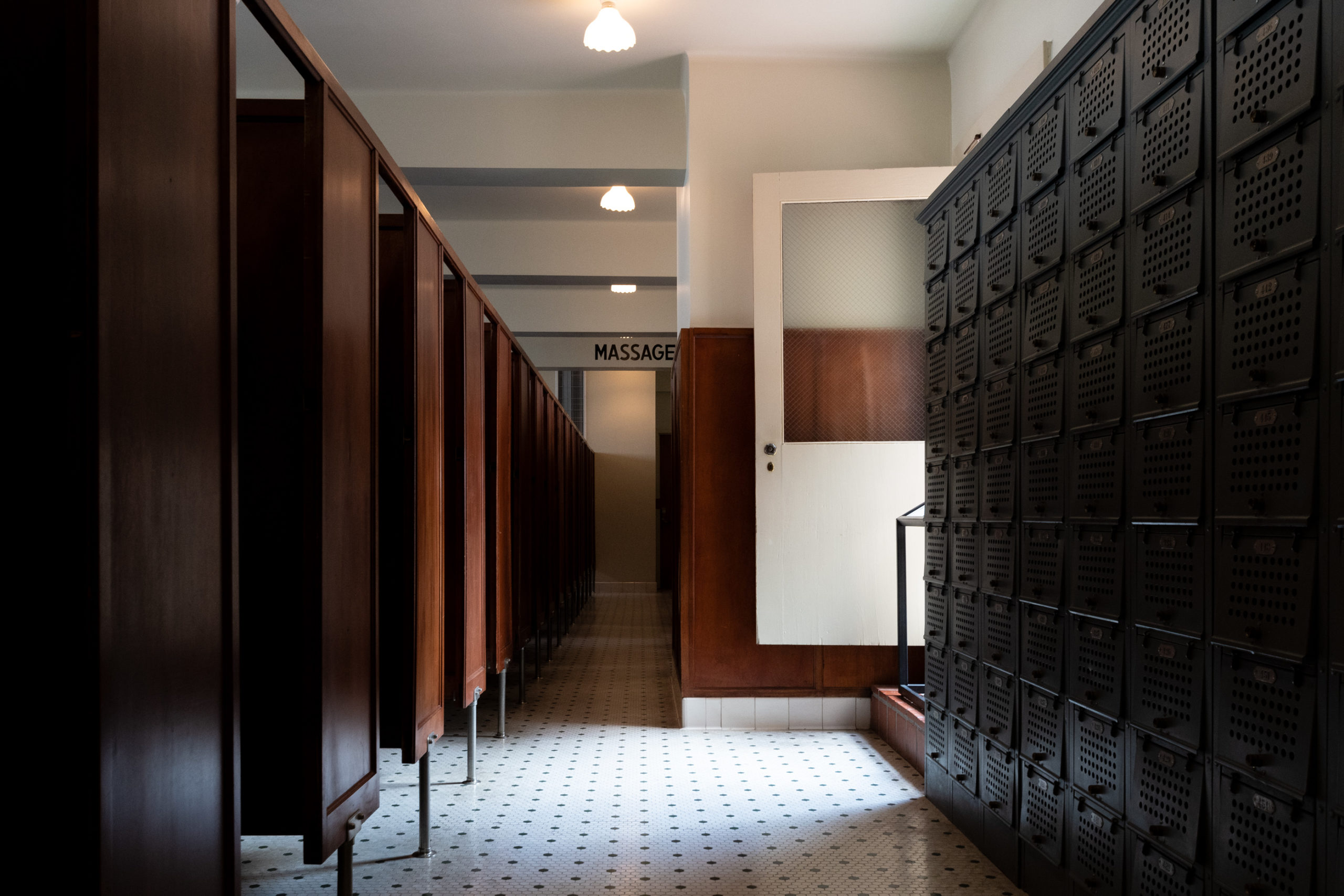
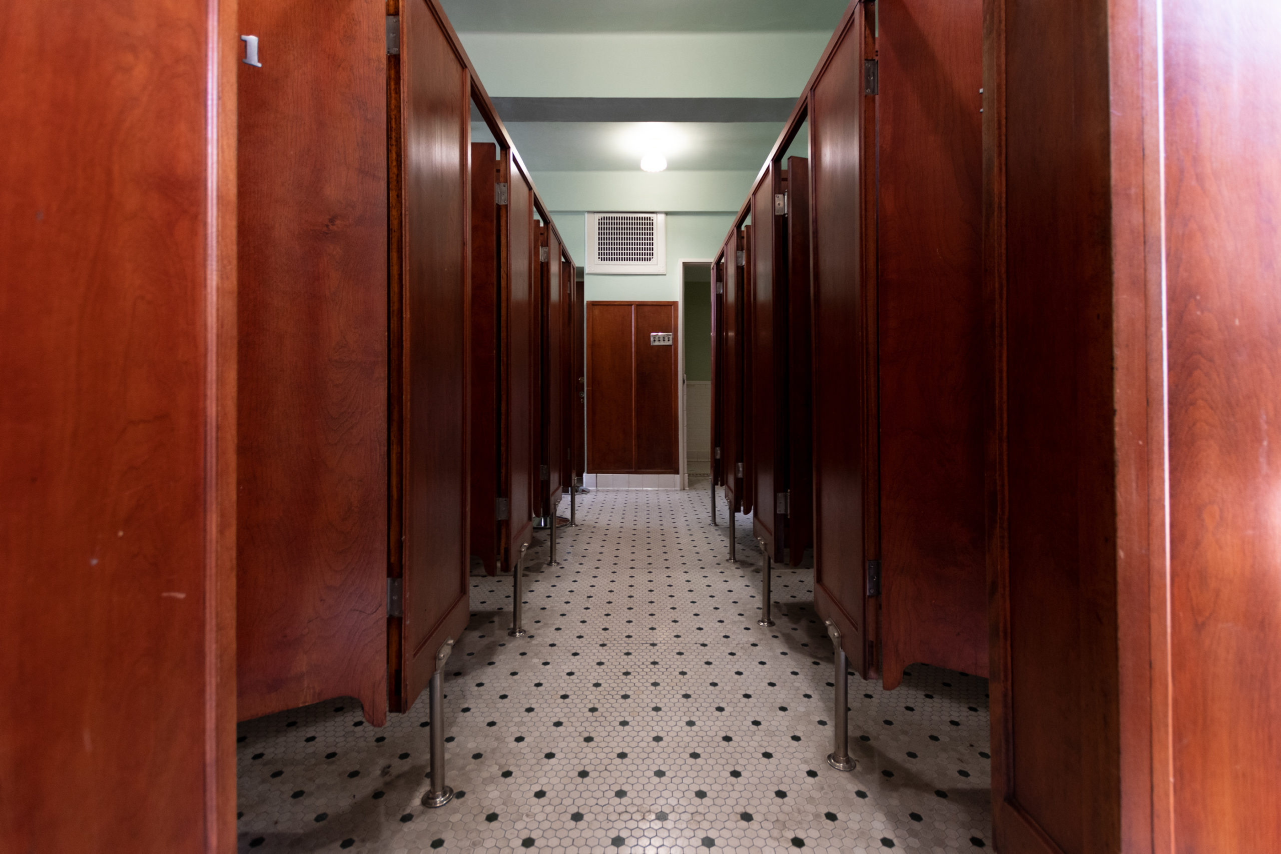
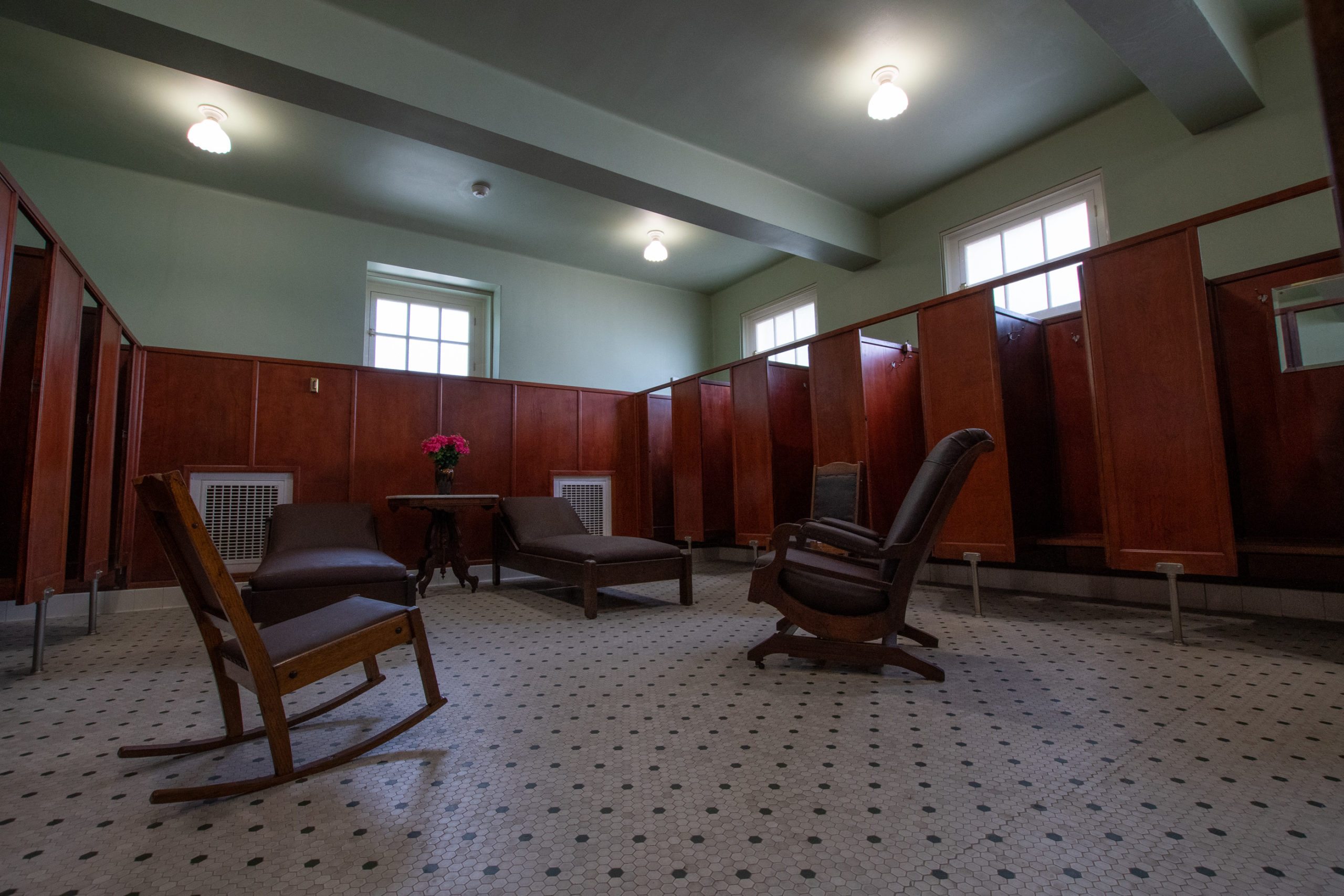
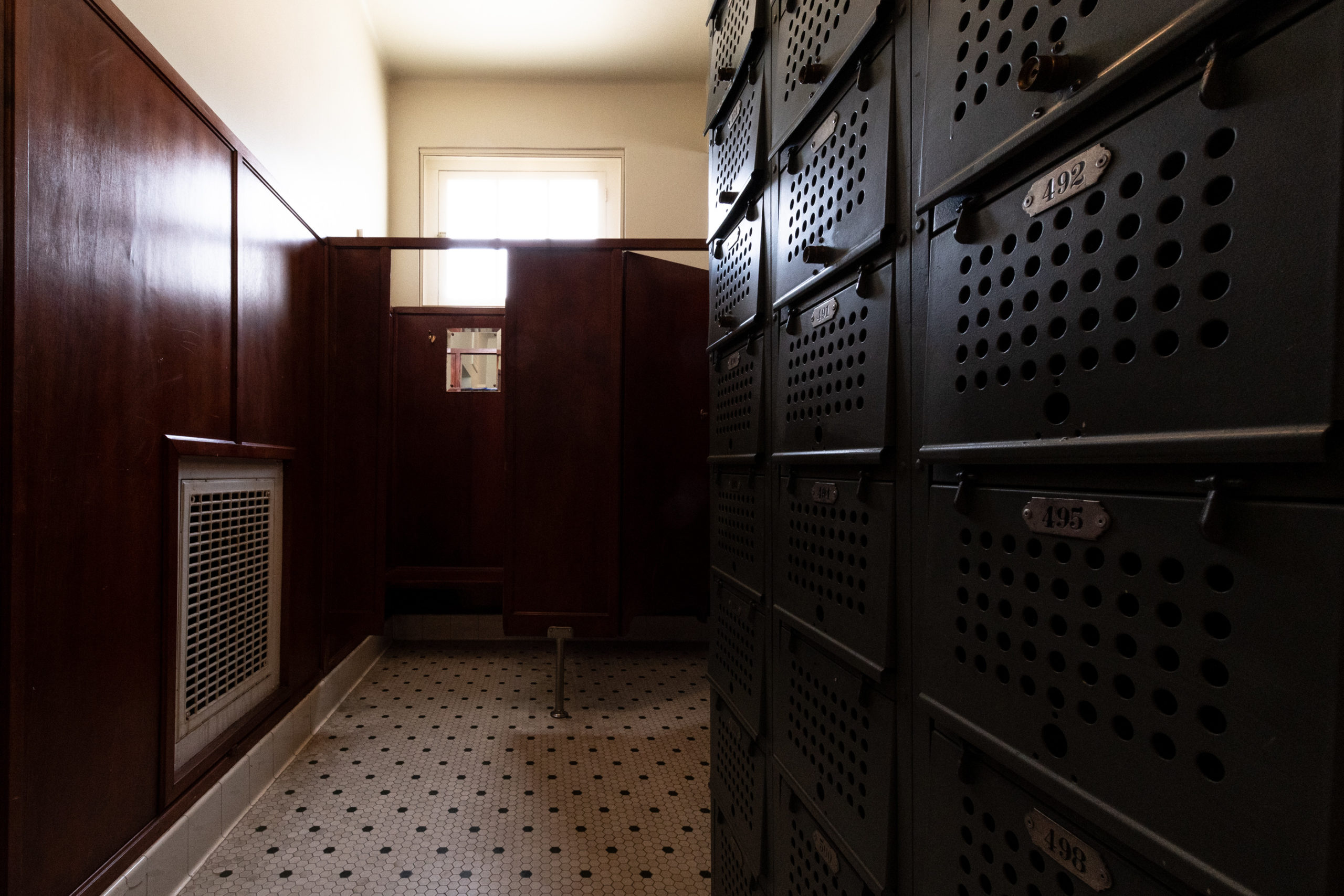
The Visitor Center is housed in the historic Fordyce Bath House, which originally opened in 1915 and operated until 1962, when it was the first bathhouse on the row to cease operations. Since the renovation in 1989, it has served as a museum. Normally, I don’t spend a lot of time in visitor centers museums, but I am glad we gave this one a thorough explore.

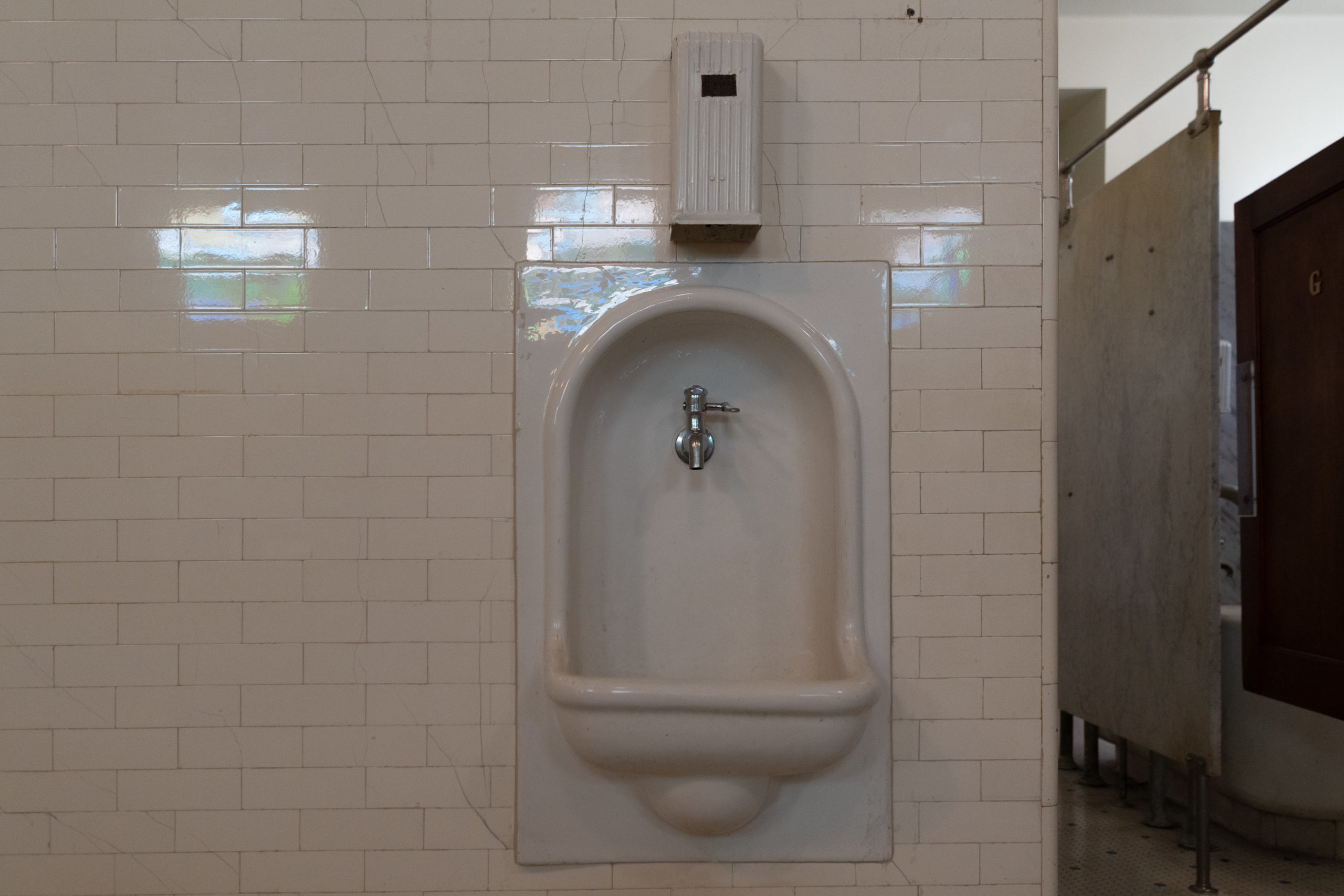
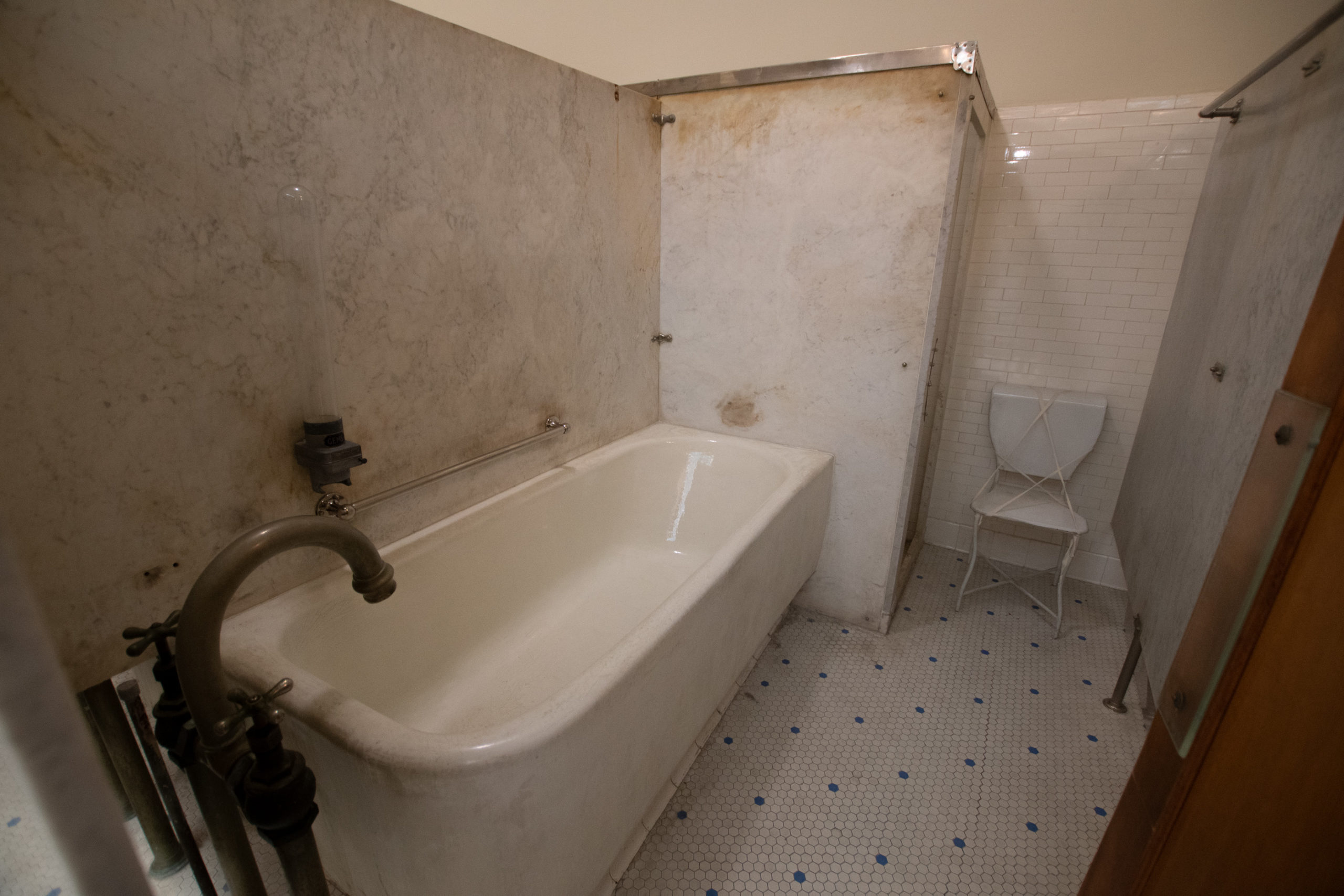
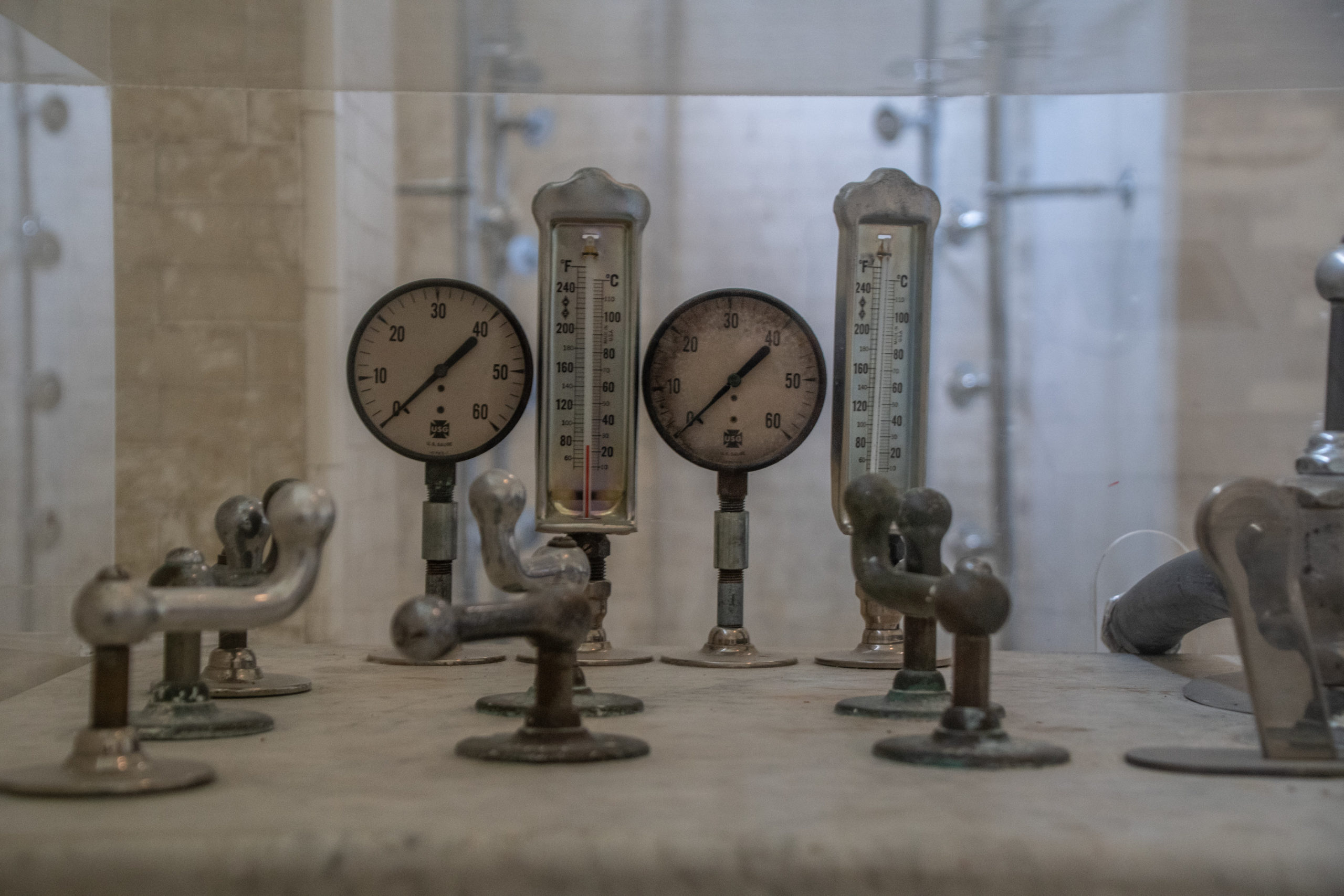
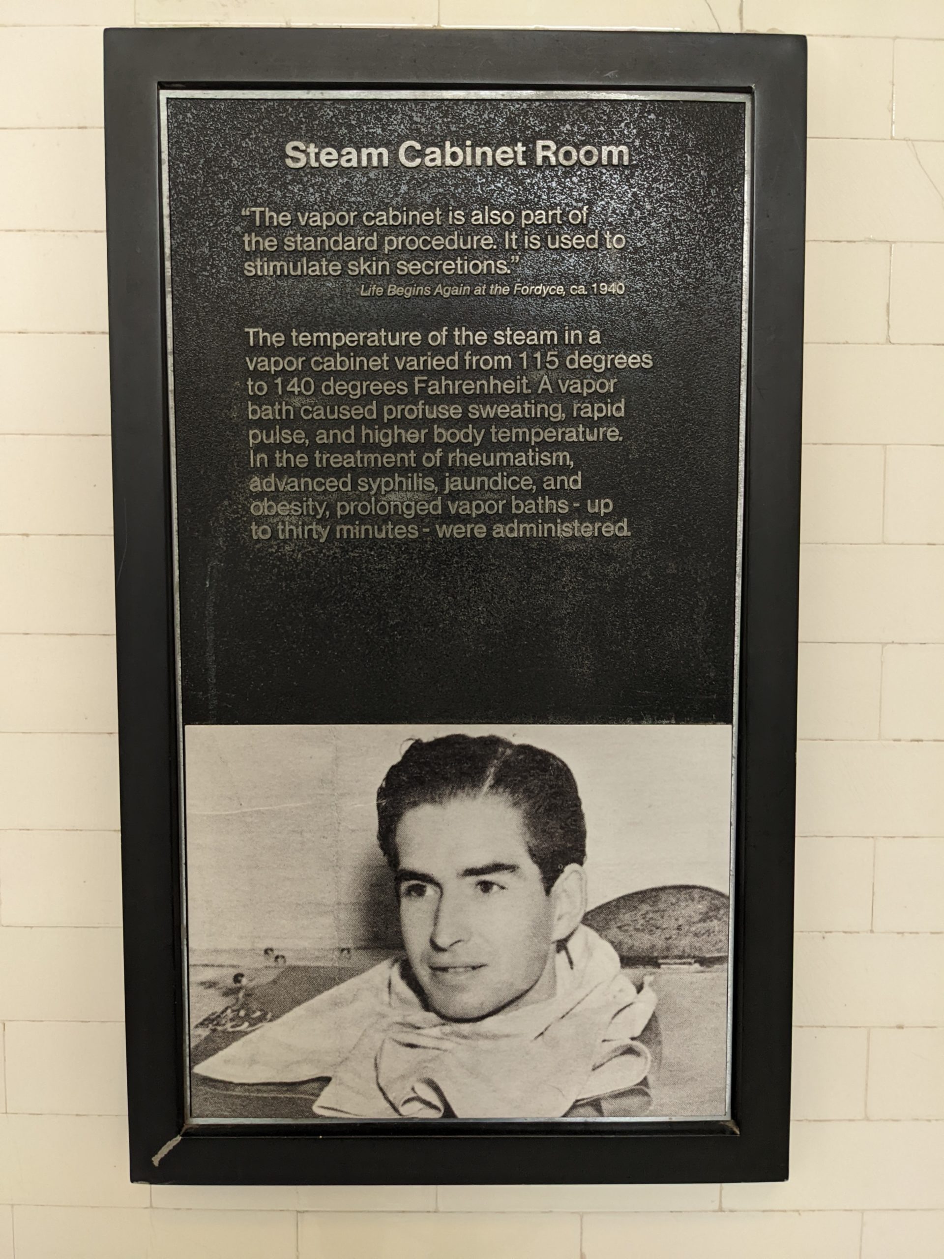
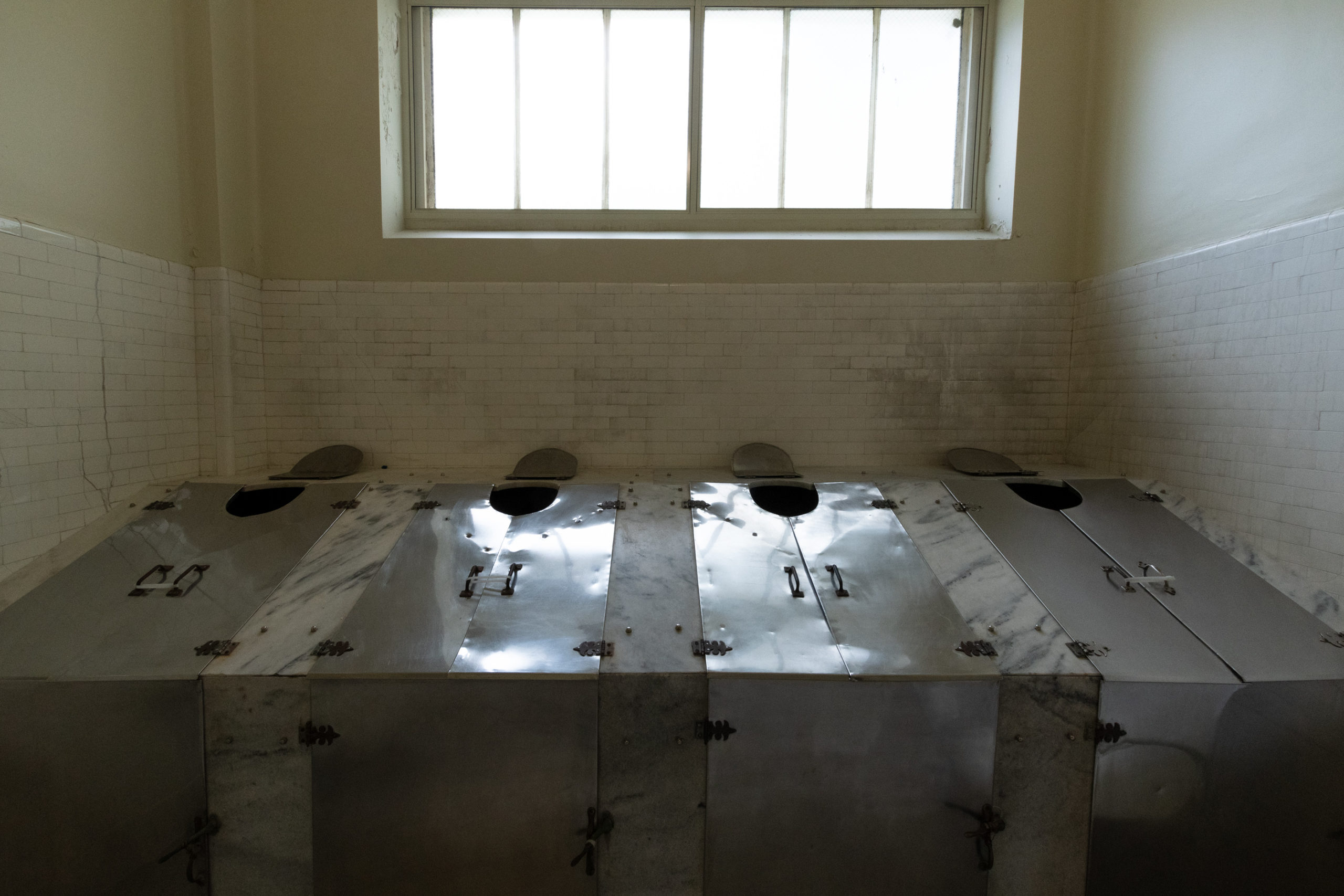
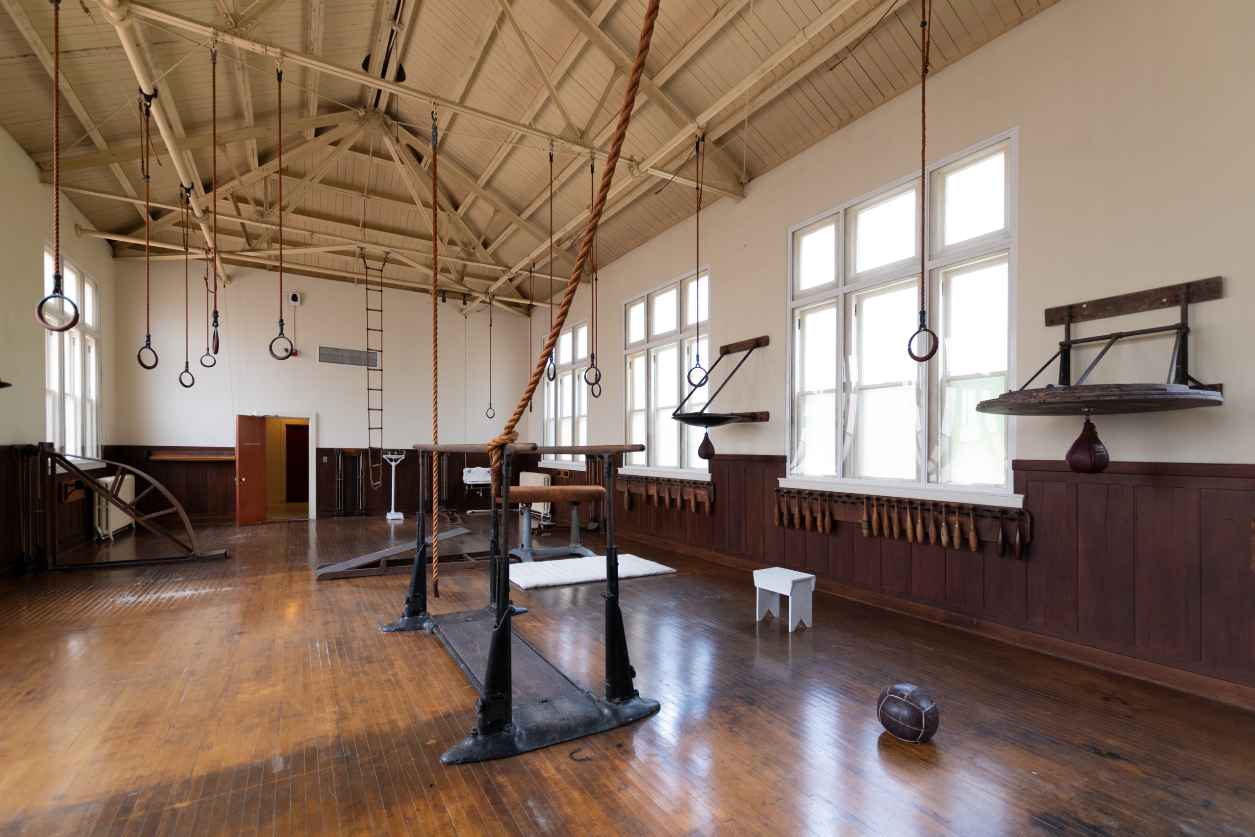
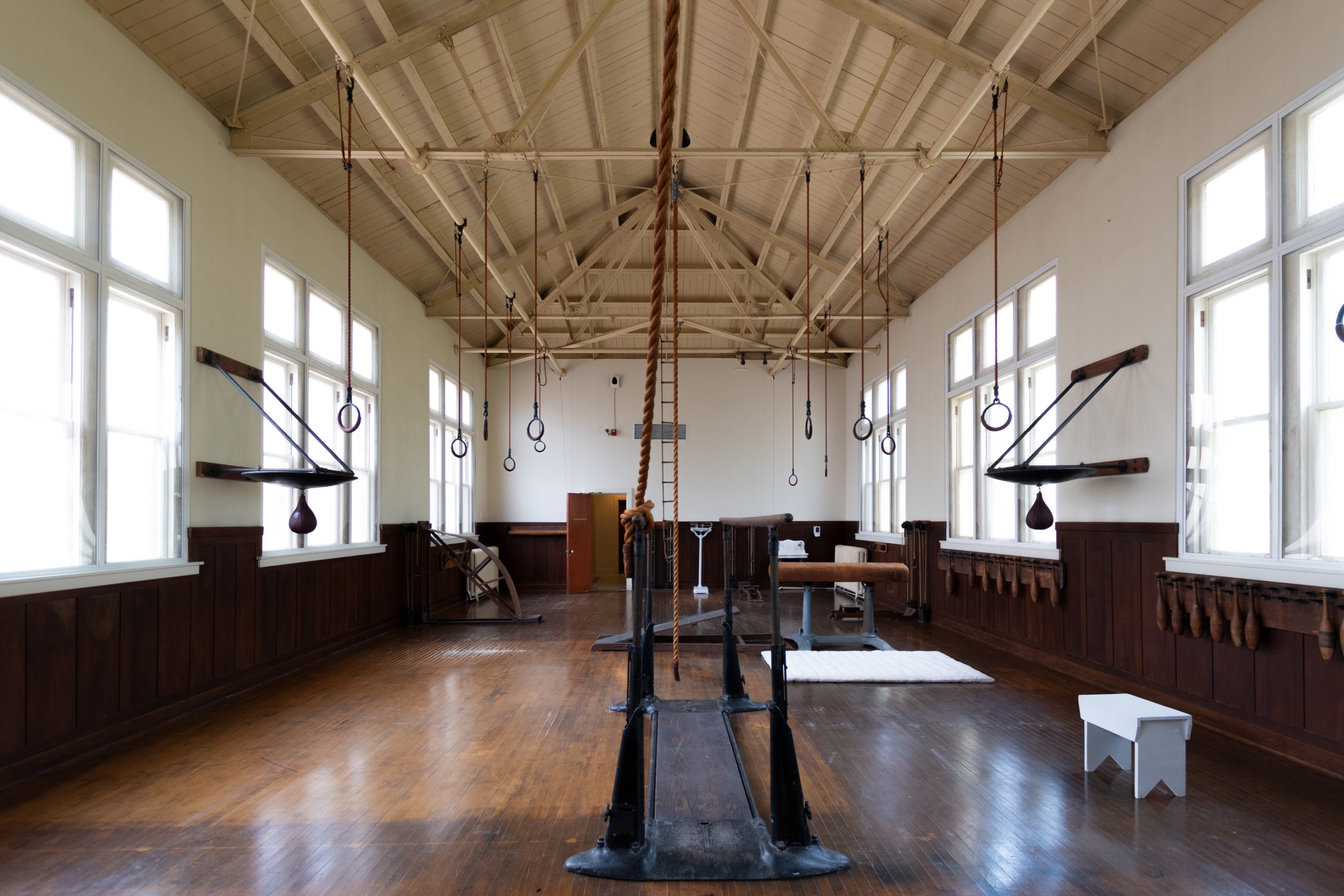
What I hadn’t realized is that “bathing” was not just an assortment of spa services, but also included several offerings that sounded somewhat more “medicinal,” in a suspect kind of way.

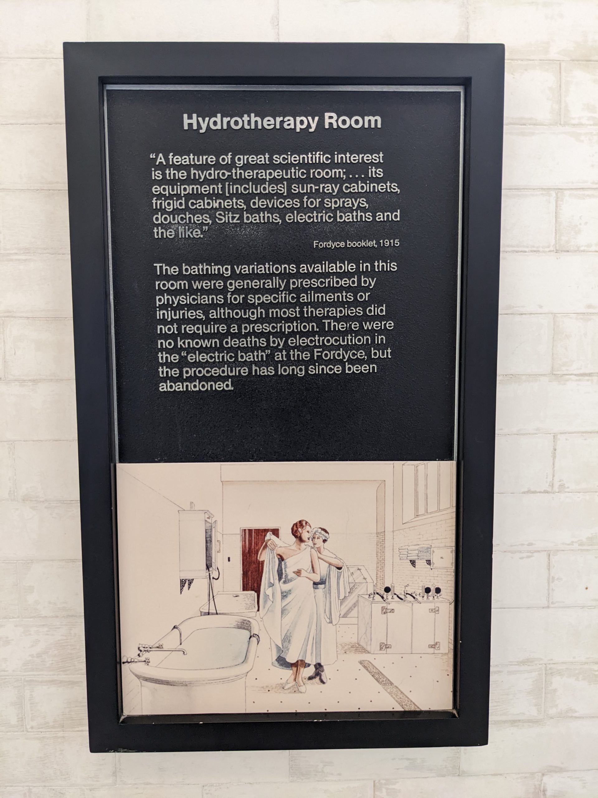
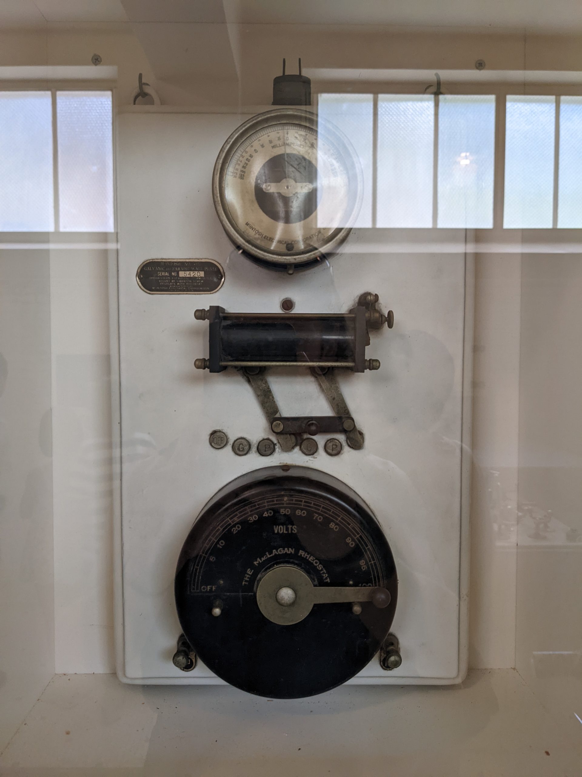
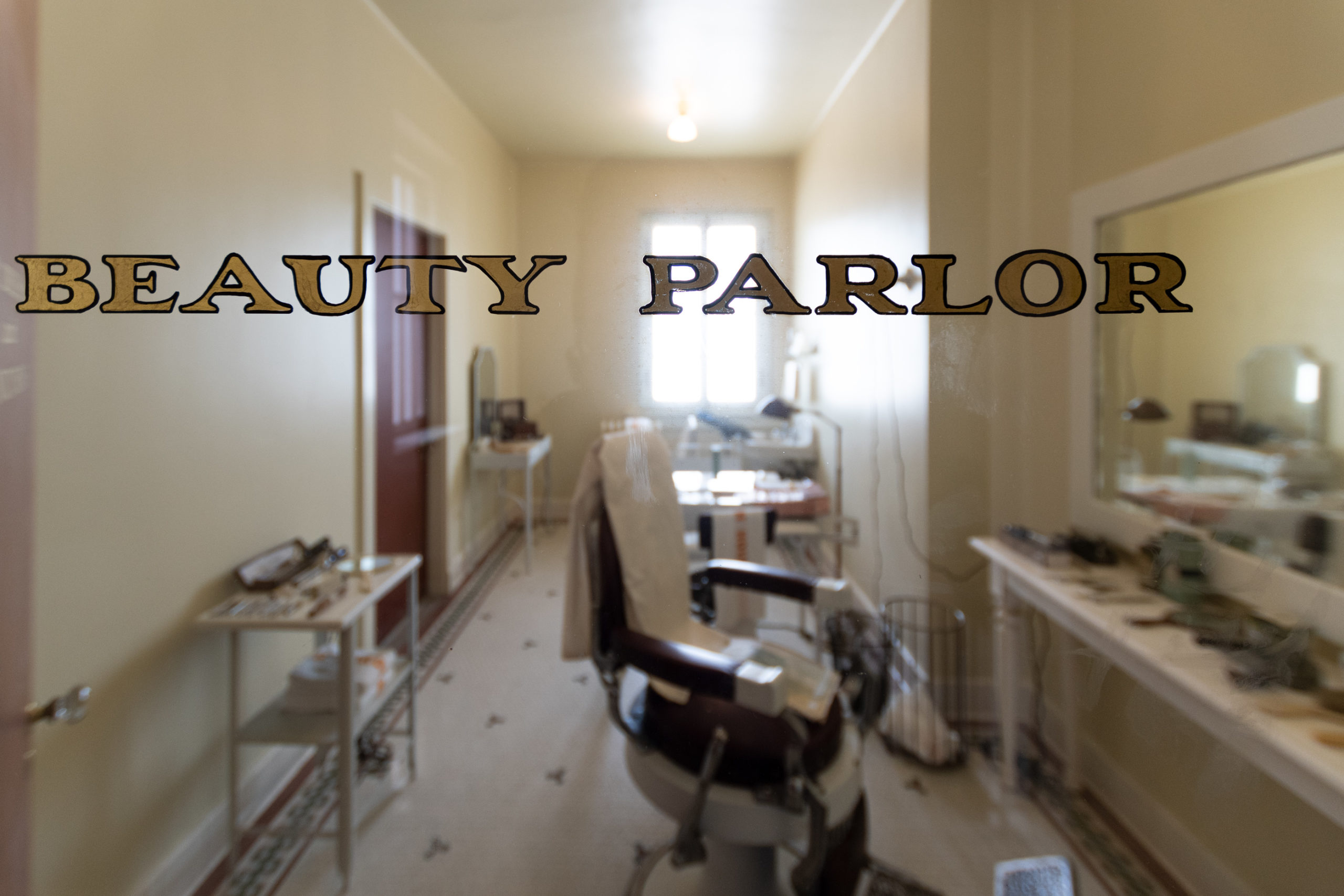
A feature of great scientific interest is the hydro-therapeutic room; … its equipment includes sun-ray cabinets, frigid cabinets, devices for sprays, douches, Sitz baths, electric baths, and the like.

Fordyce Booklet, 1915

I feel “and the like” is insufficiently dramatic to truncate that particular list. Evan had pointed to one of the hose attachments and said, “that one goes inside you.” I brushed it off as a joke, but apparently he was not wrong.

There were no known deaths by electrocution in the “electric bath” at the Fordyce, but the procedure has long since been abandoned.

NPS addendum to the above quote on the “Hydrotherapeutic Room” placcard.

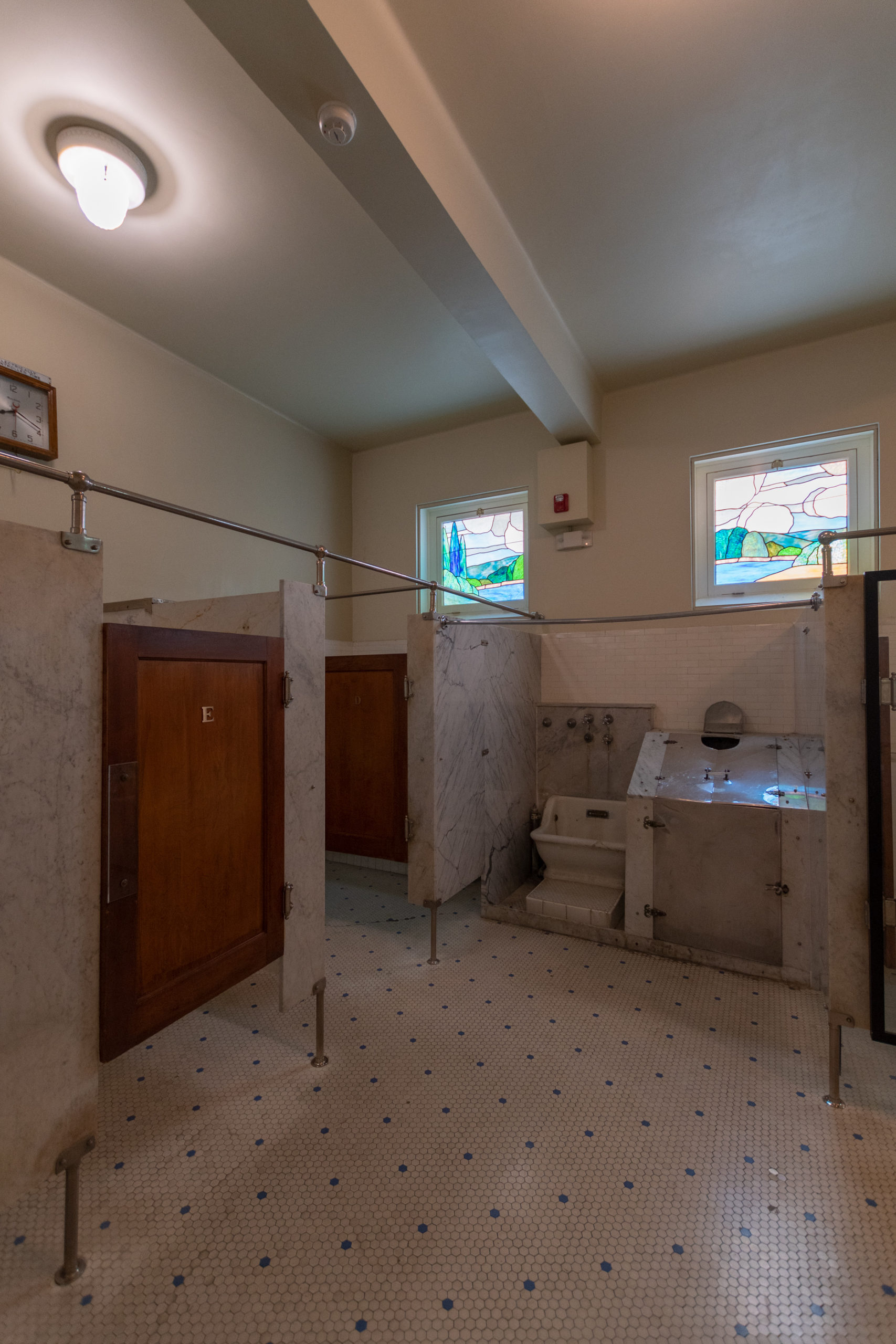
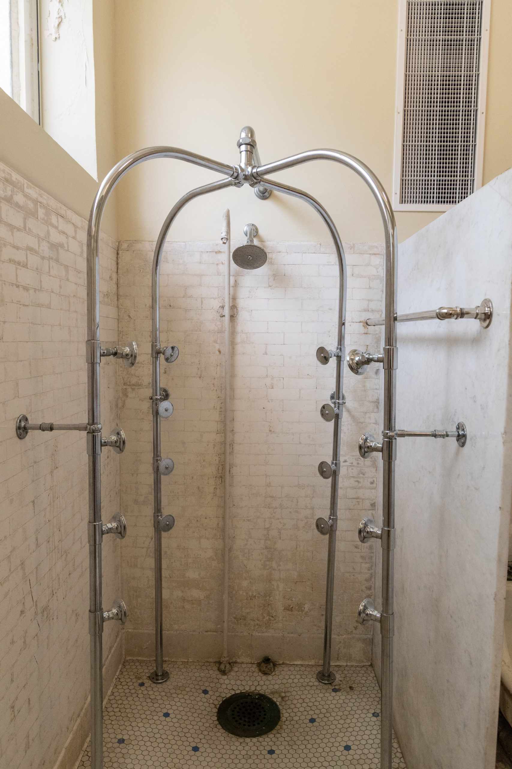
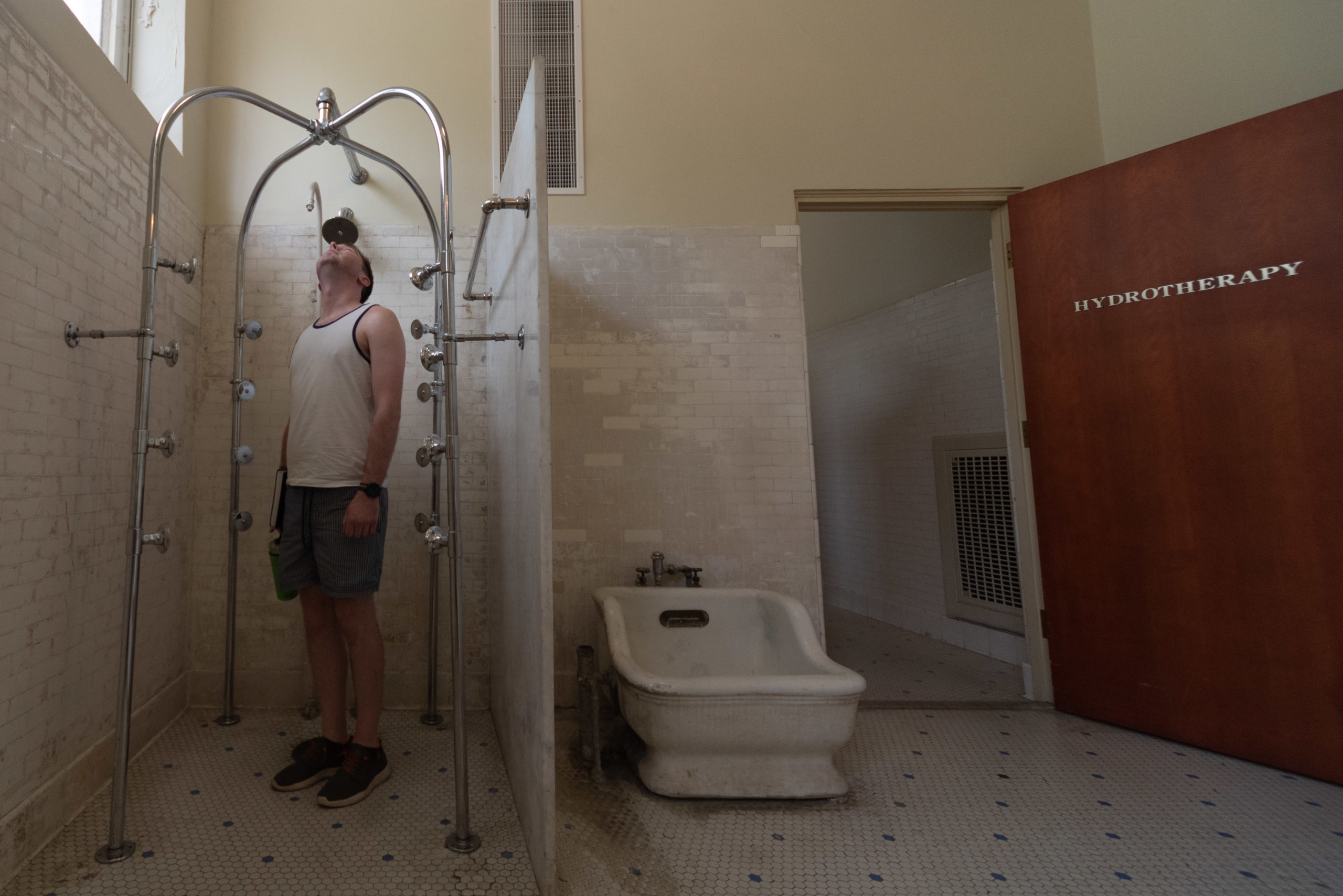
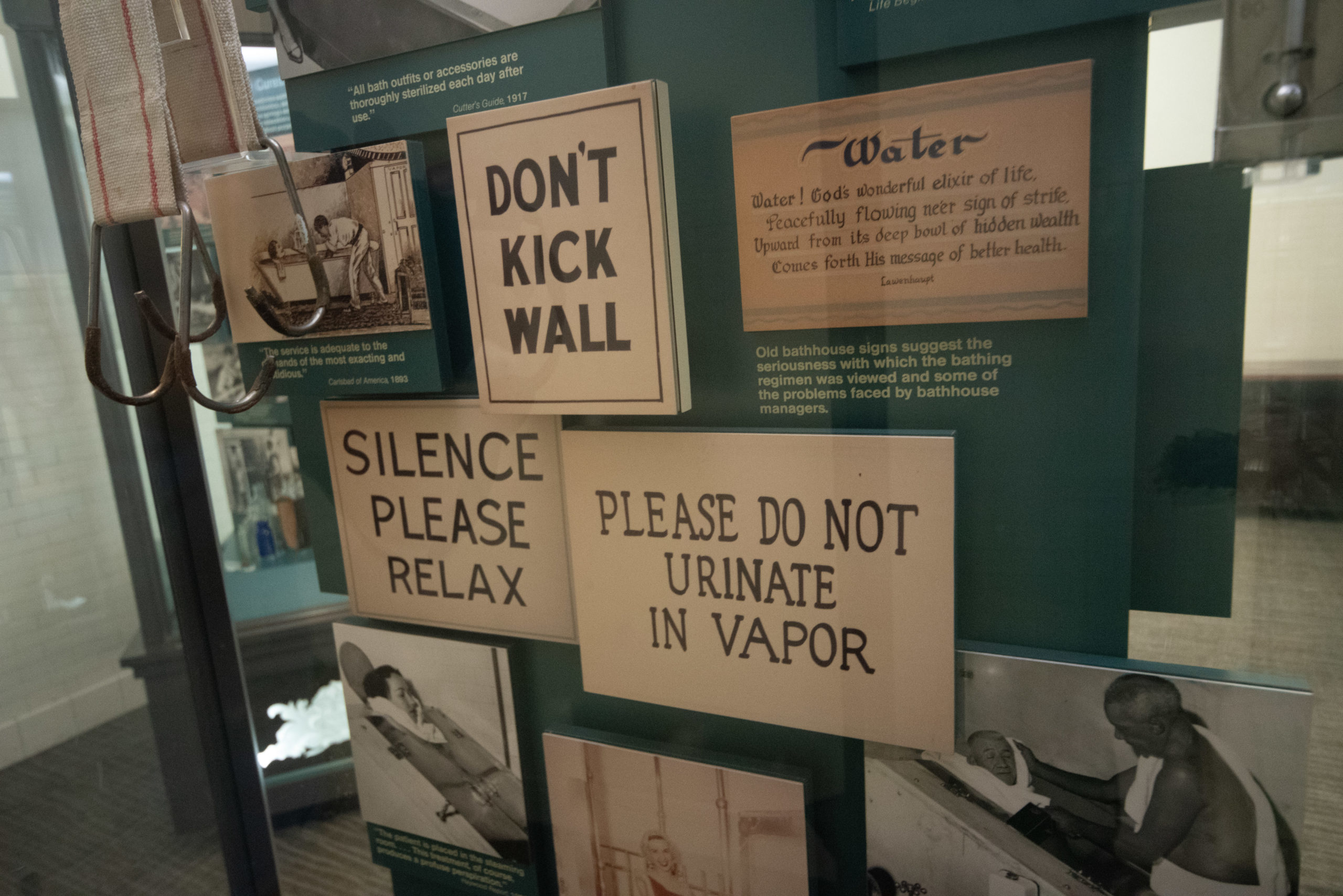
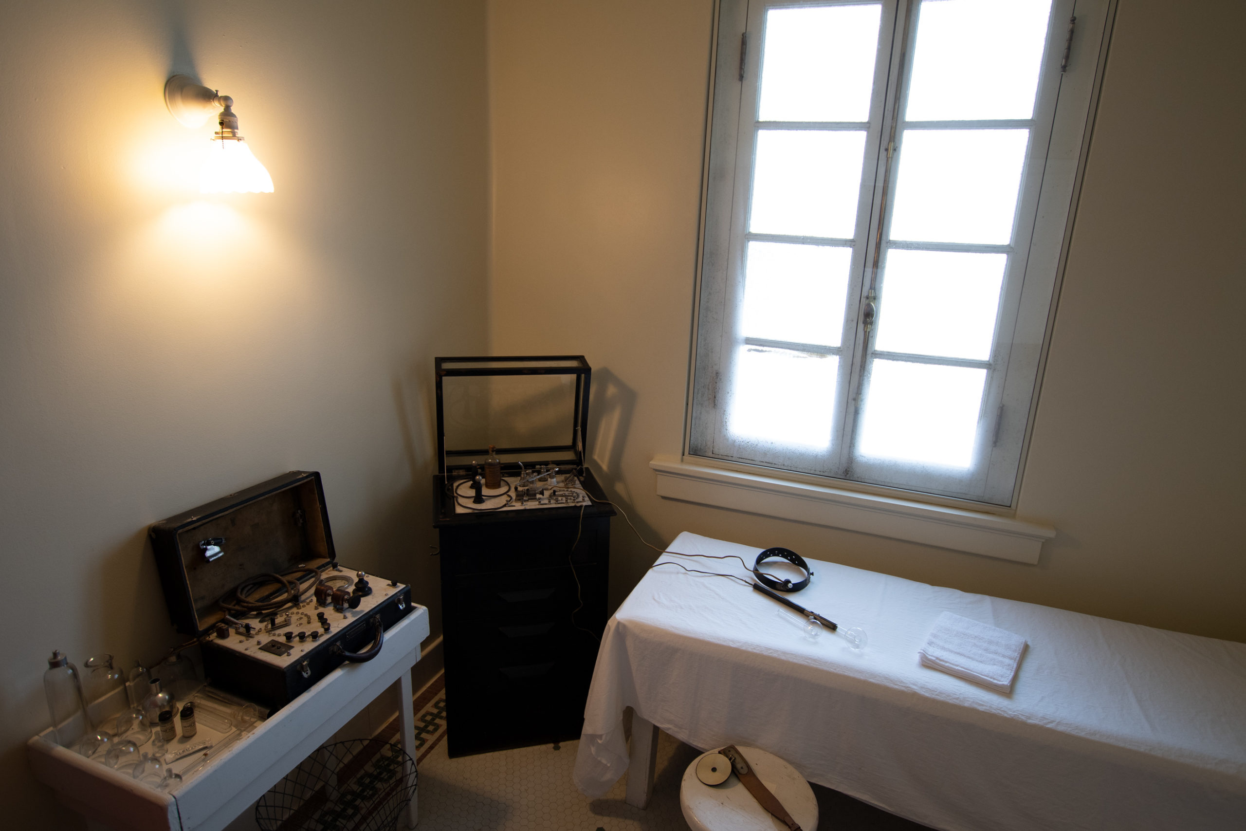
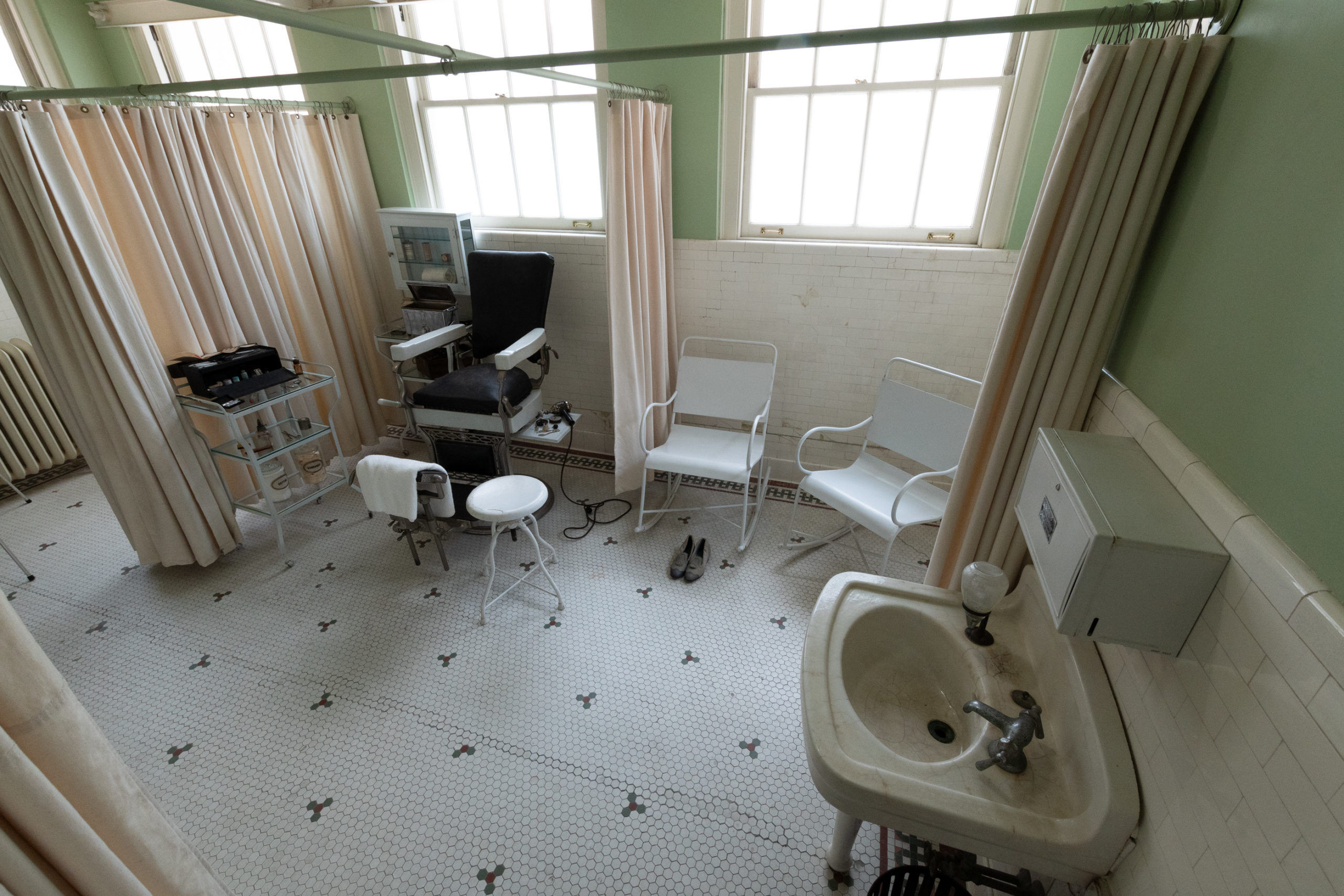
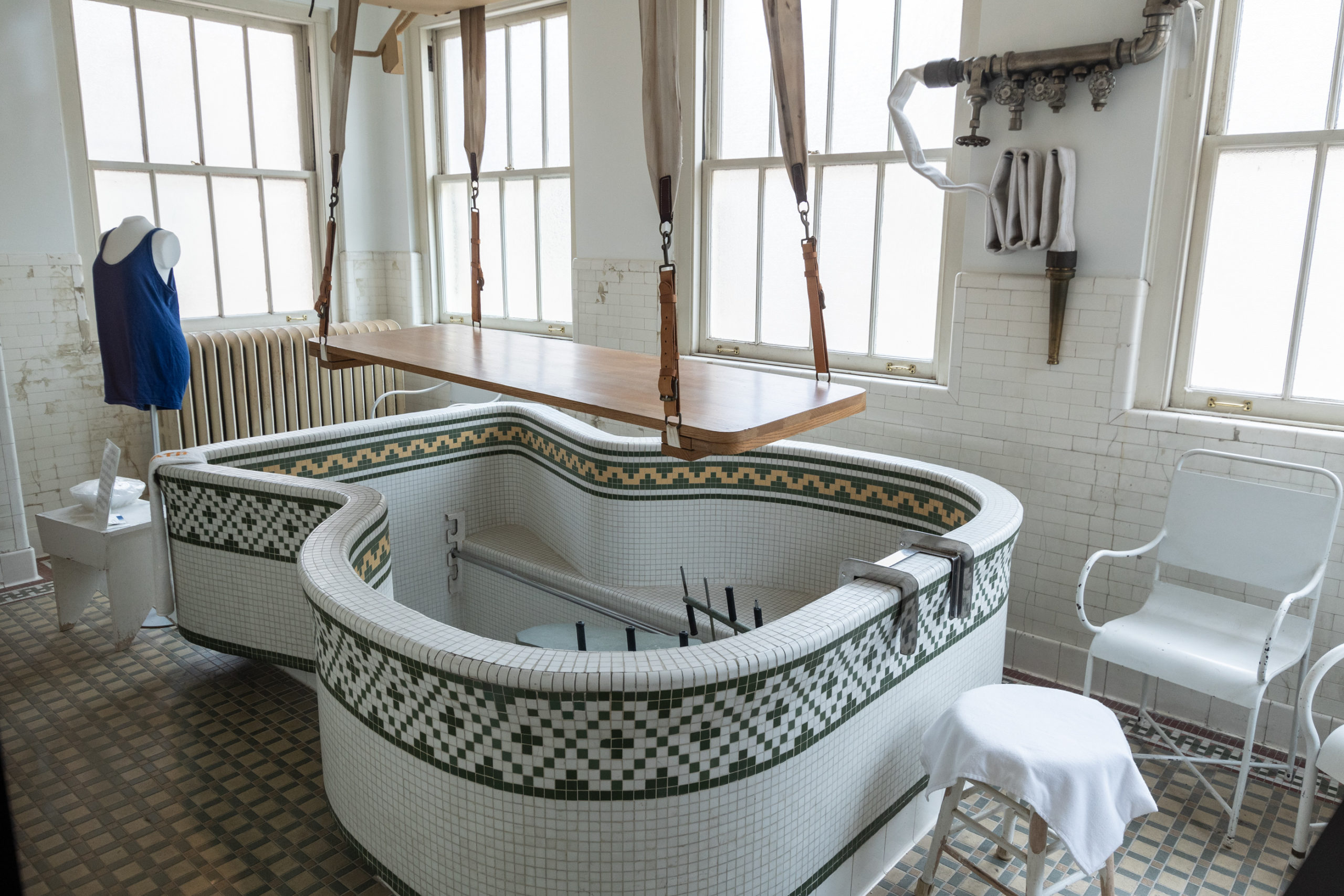
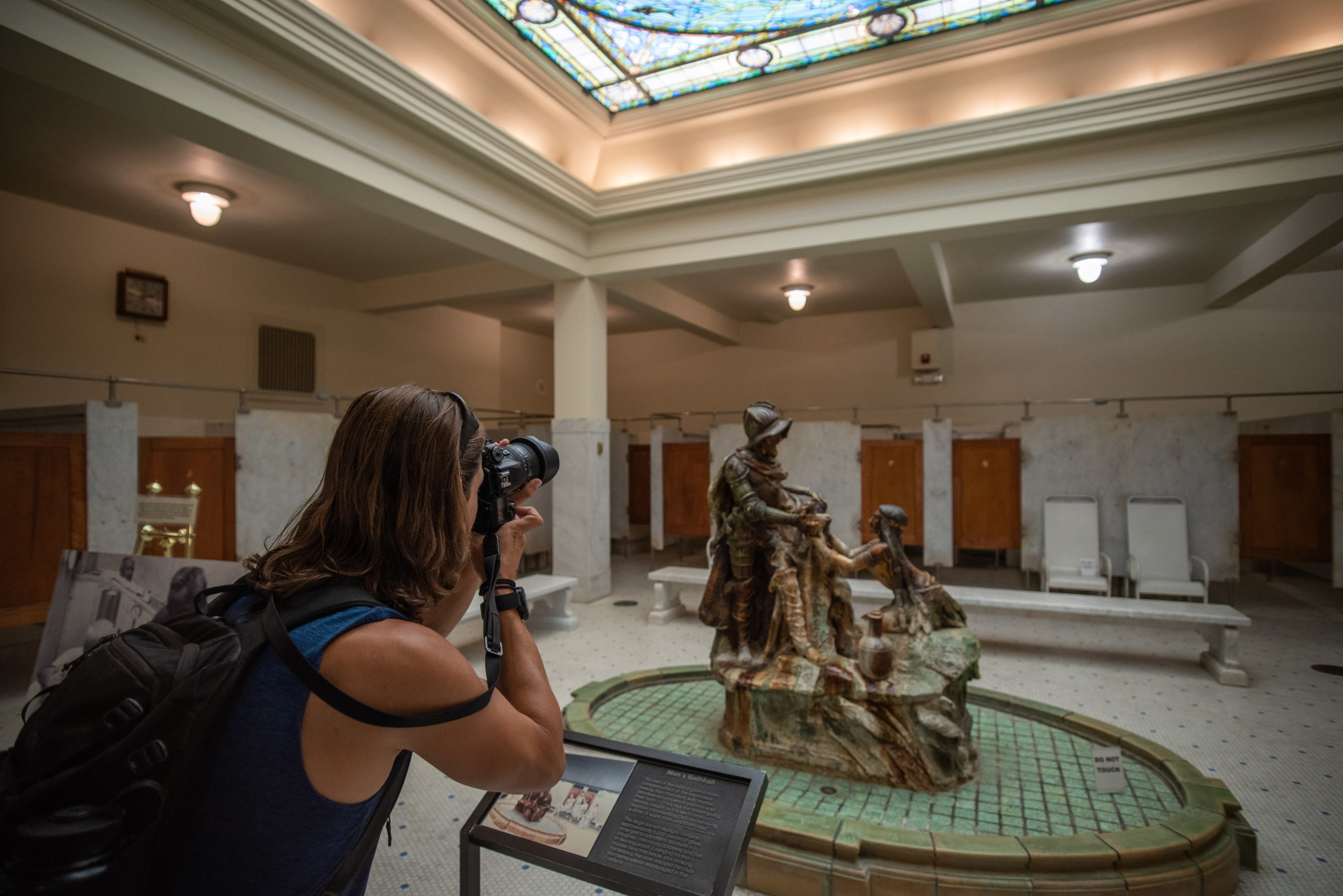
Torture devices have never looked so glamorous. But the whole building was inviting and luminous with gorgeous tilework. I would have loved to see it in operation.

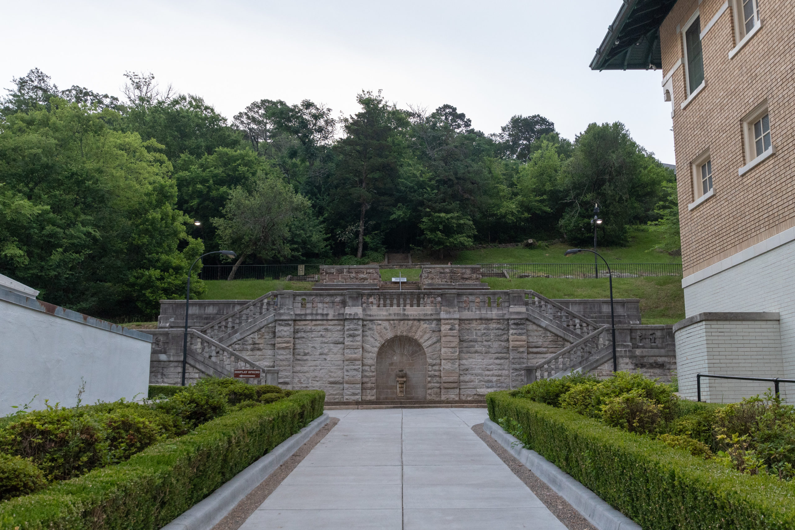
The dioramas in the basement explained that water seeps into the ground in the nearby Indian Mountain recharge zone and takes over four thousand years to complete the journey down into the thermal layers and back up to the surface of Hot Springs Mountain.

After our tour, we made a quick lunch stop at the brewery that operates out of the former Superior Baths, making it the only brewery in a national park. They tout spring water as the foundation of their process.

Hot Springs water, in two styles. Safer than the bathhouse.

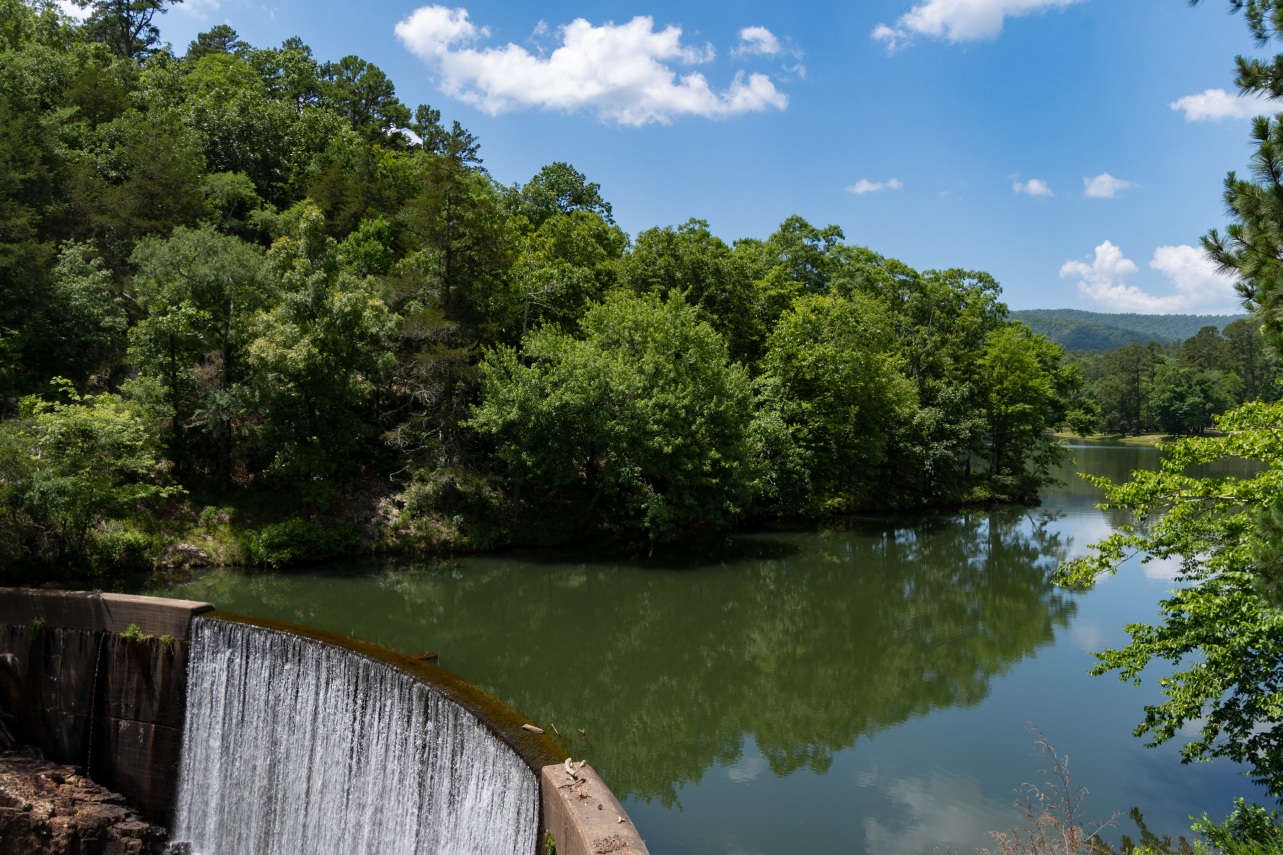
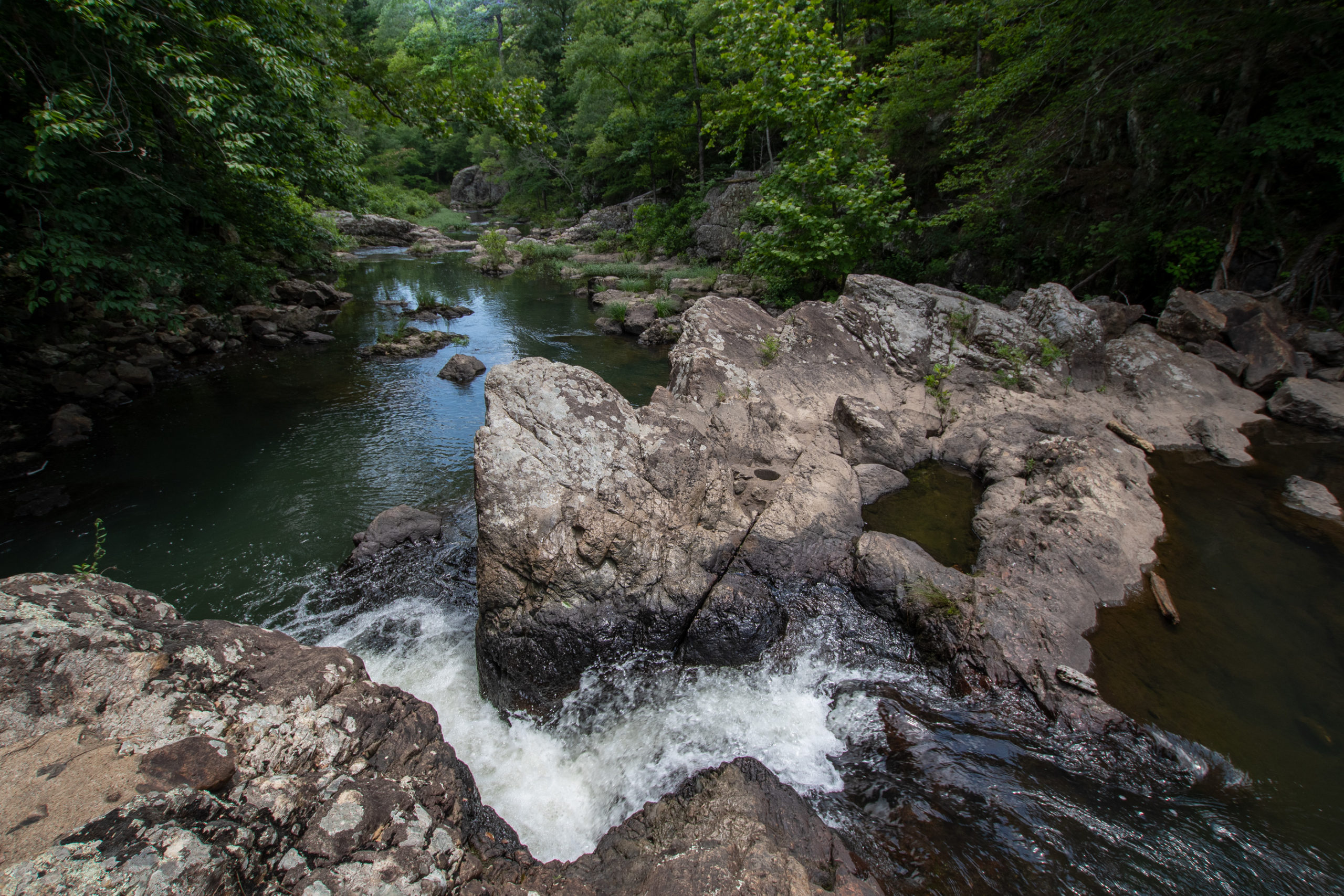
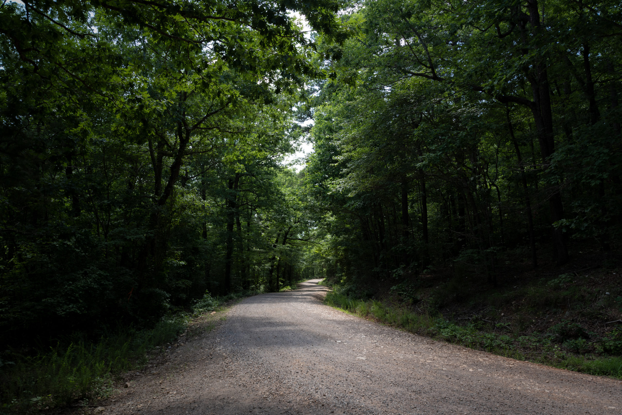
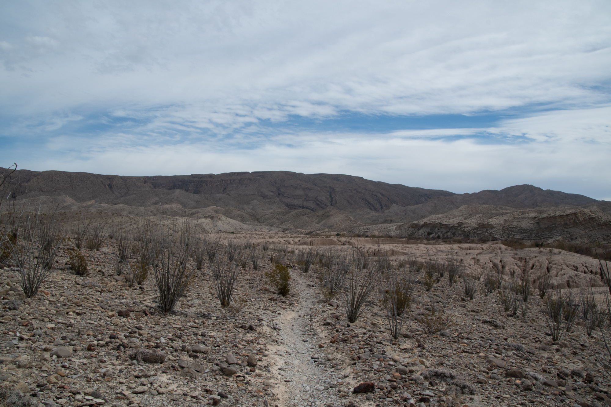
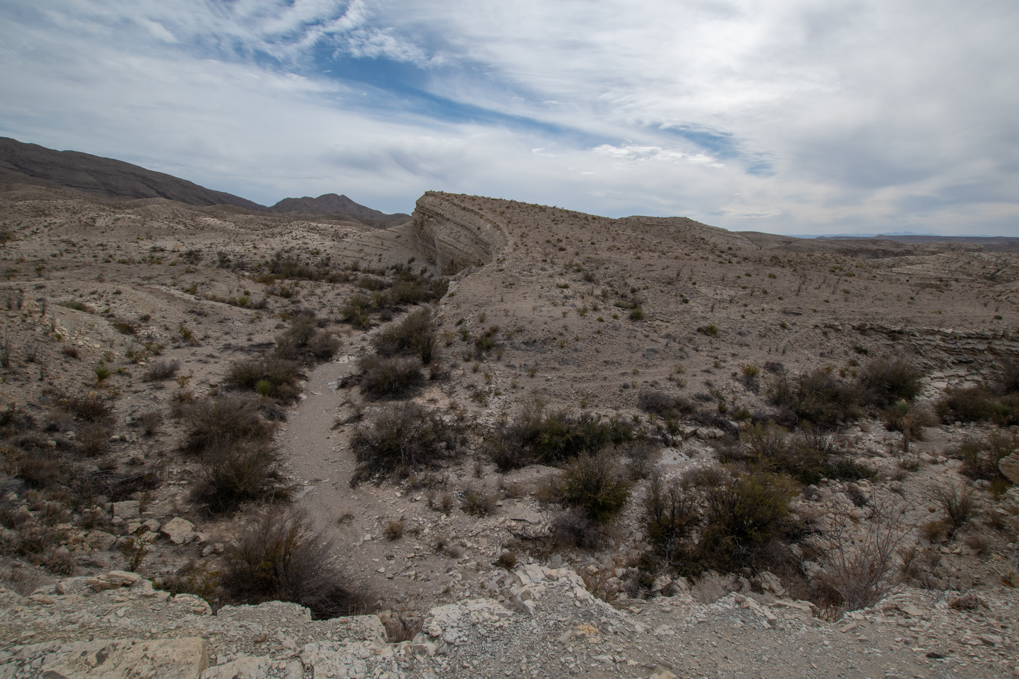
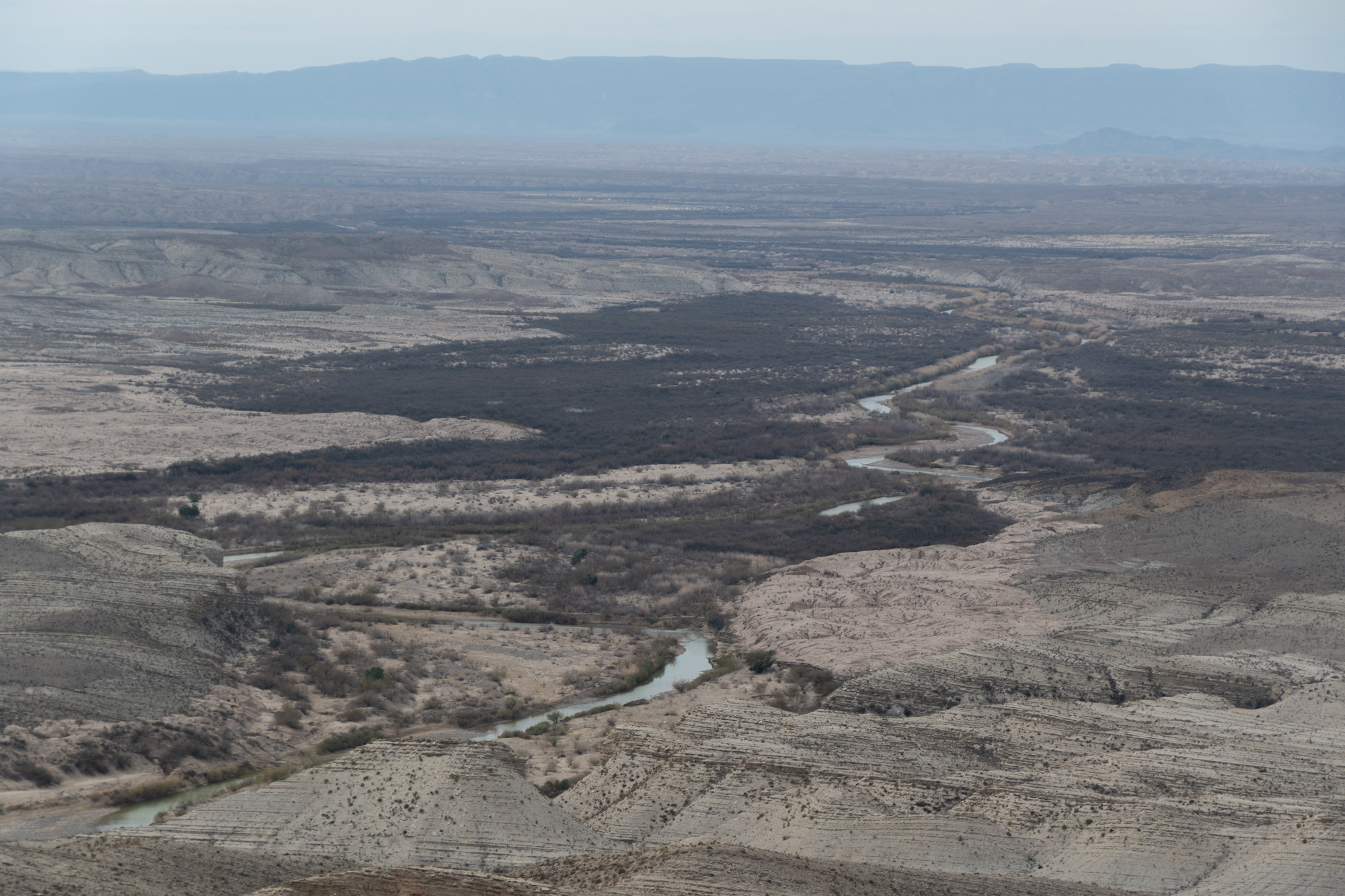
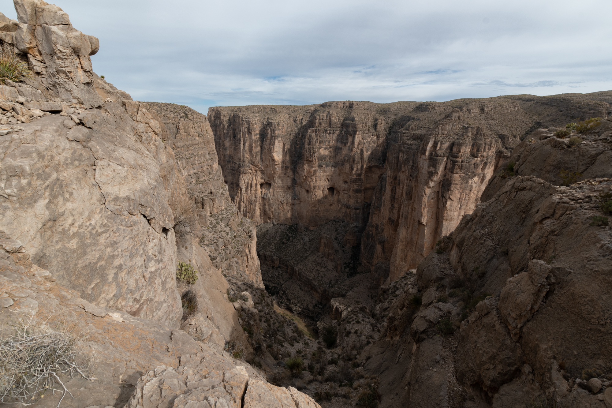
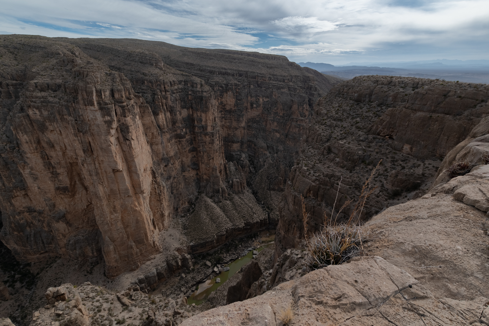
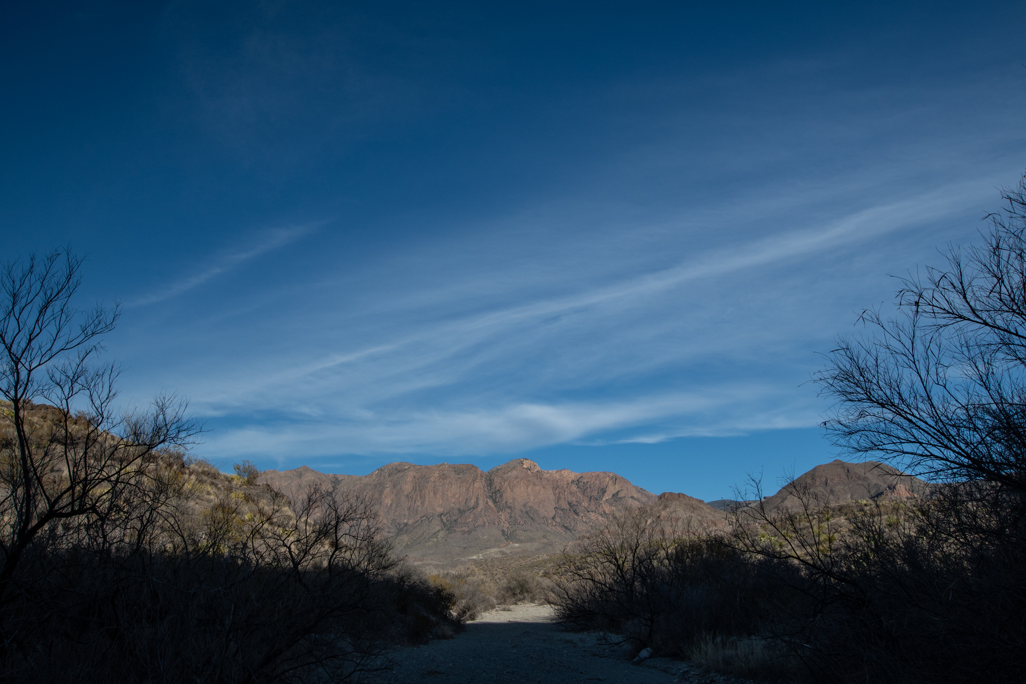
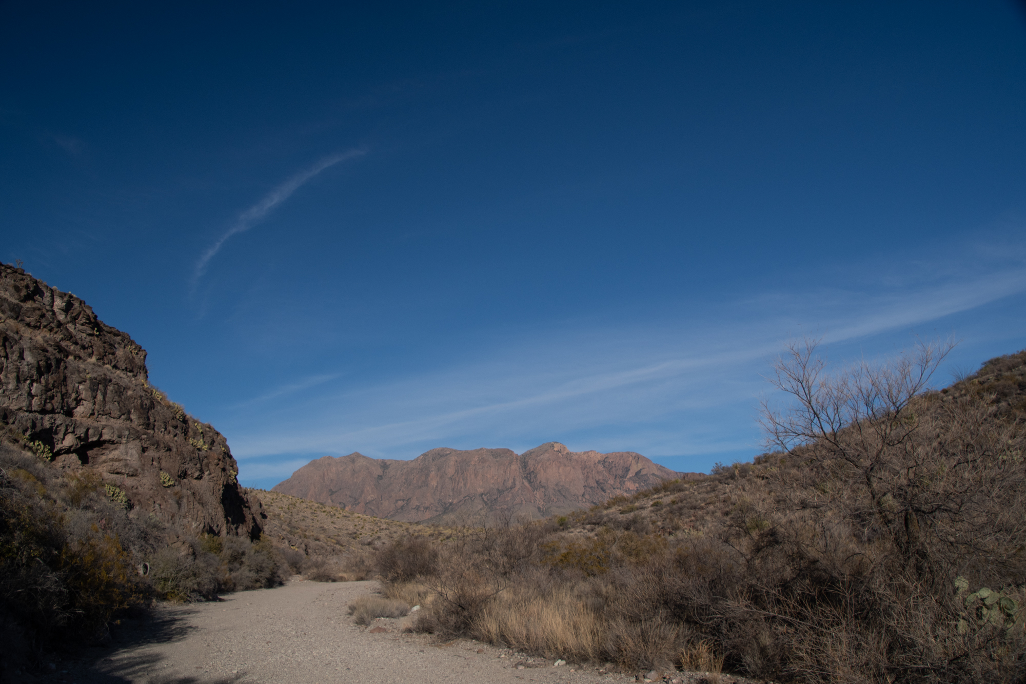
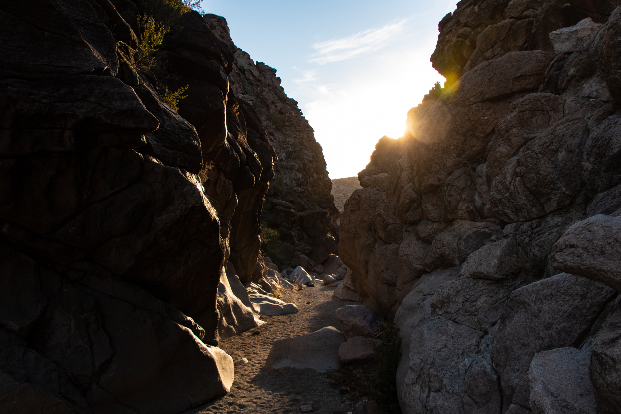
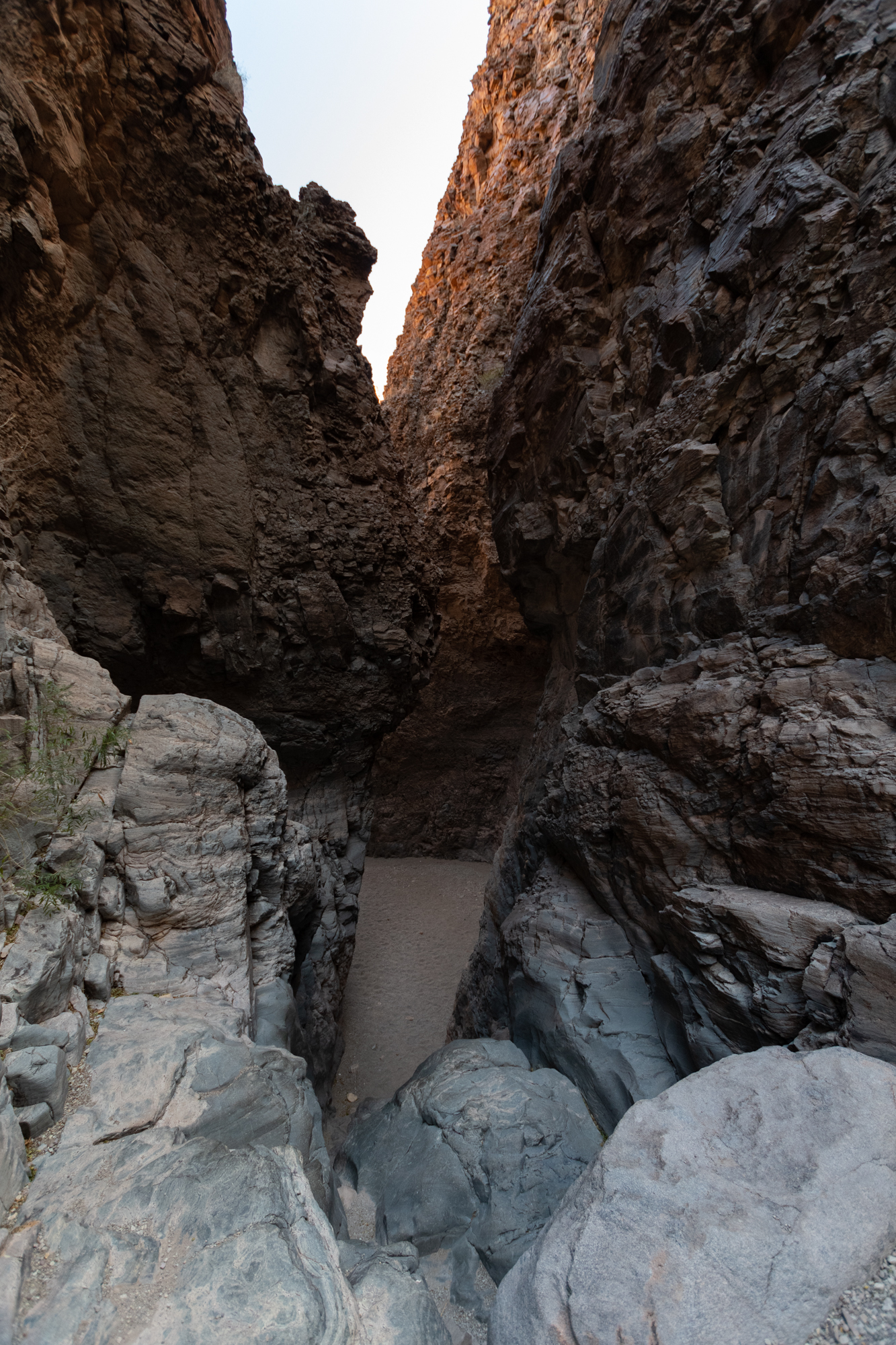
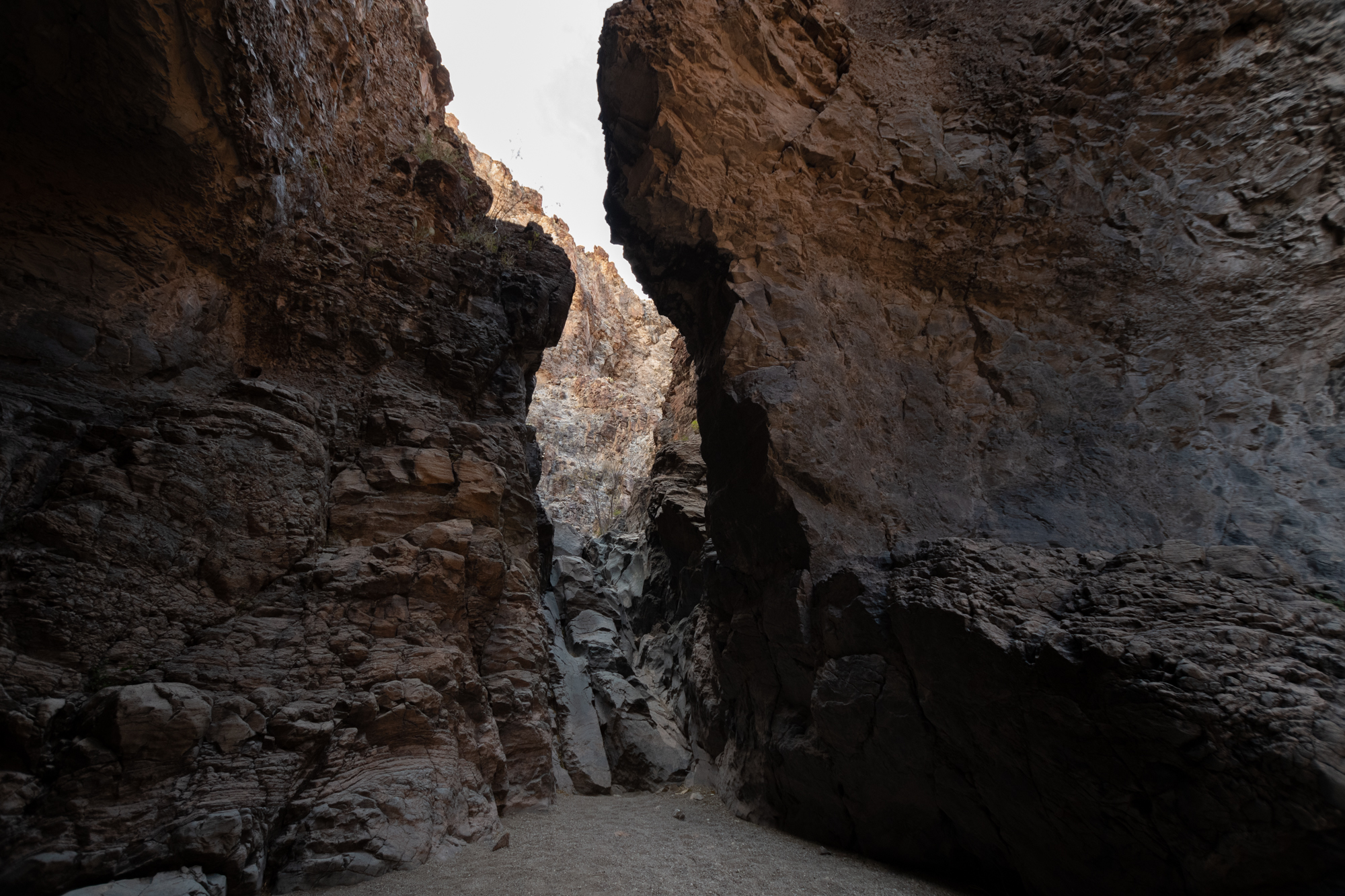
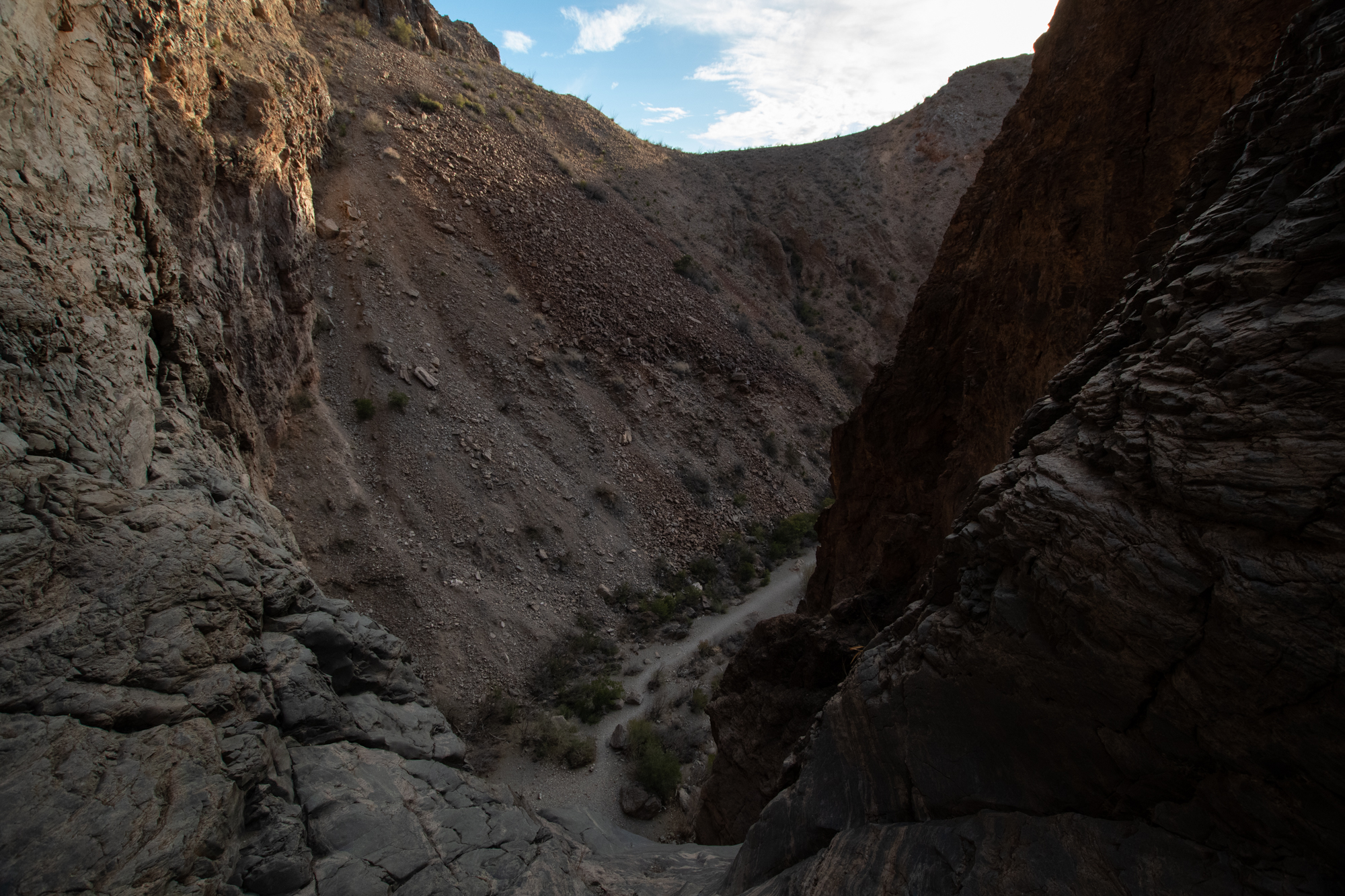
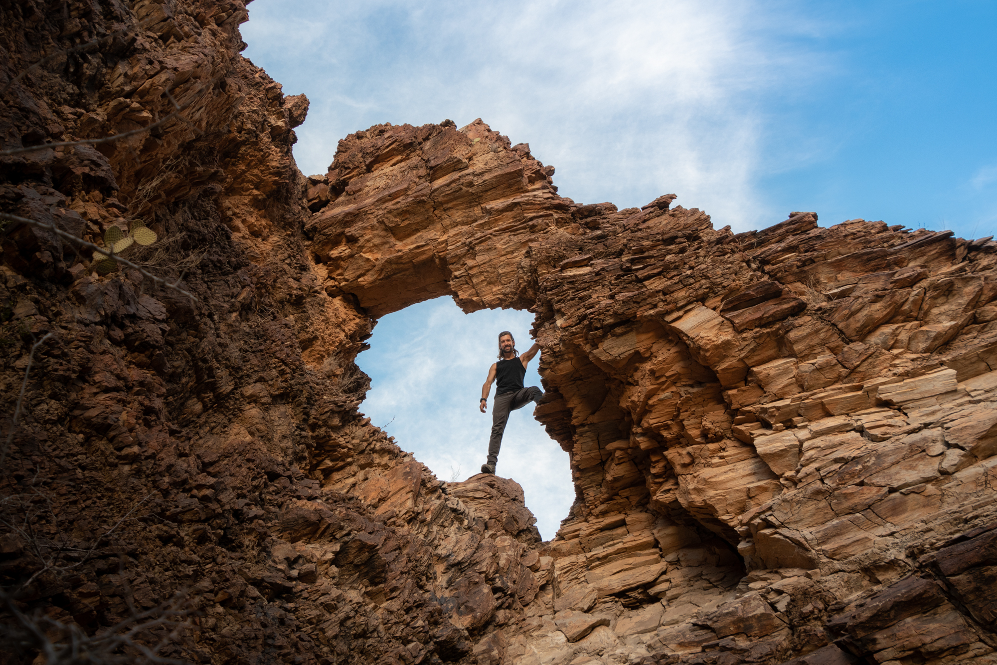
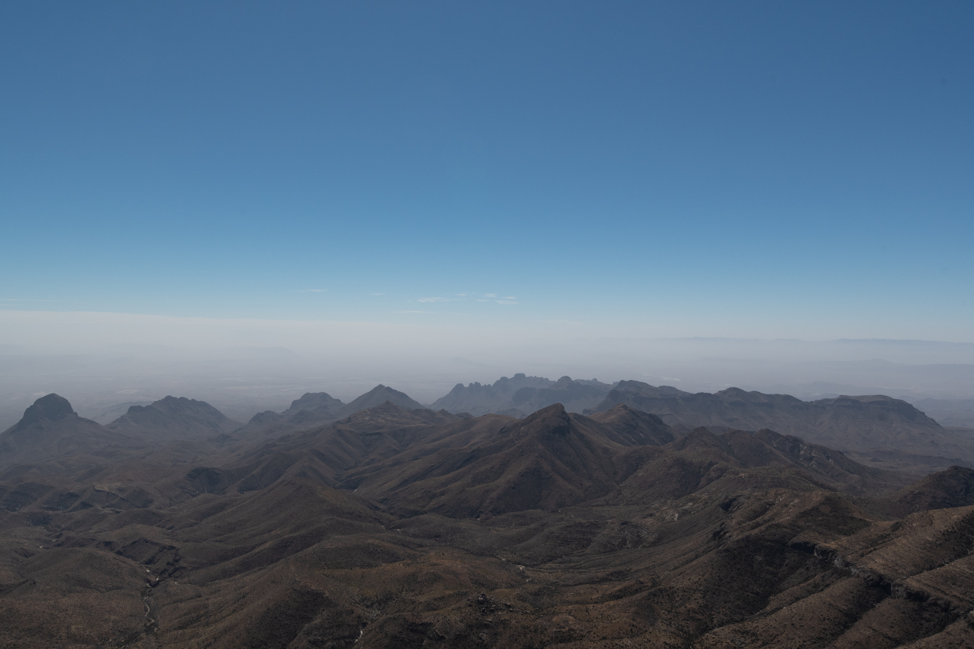
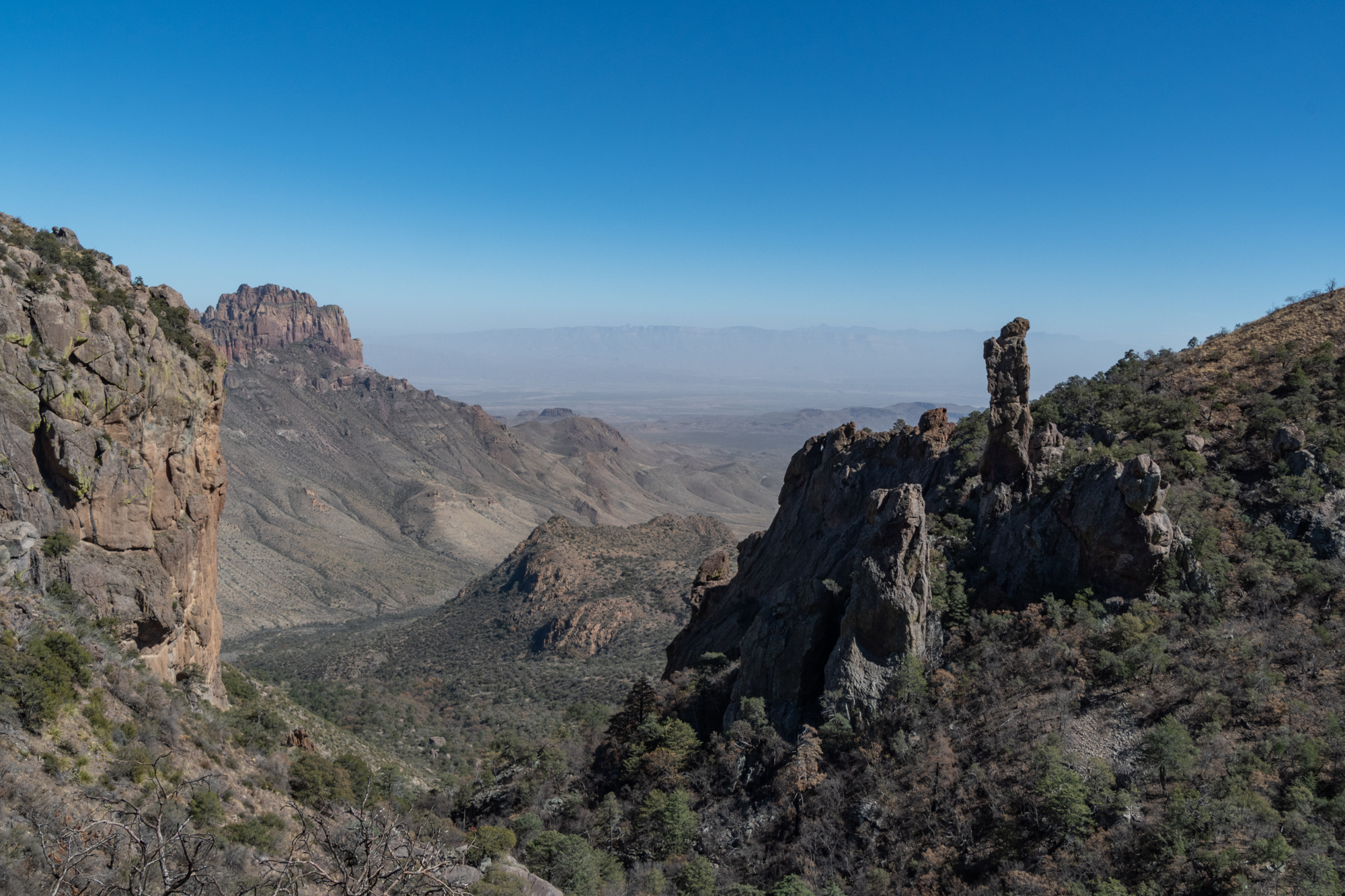
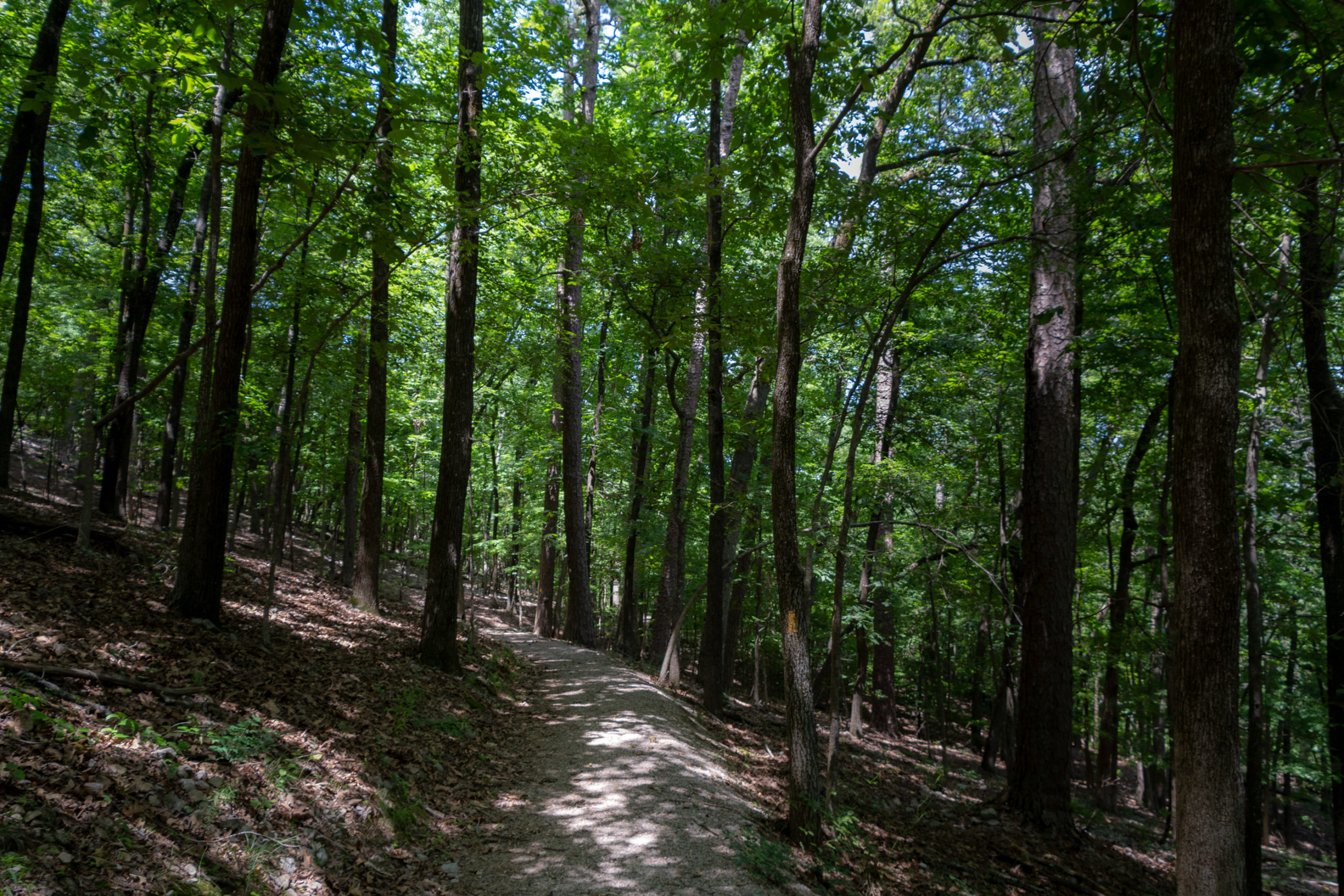
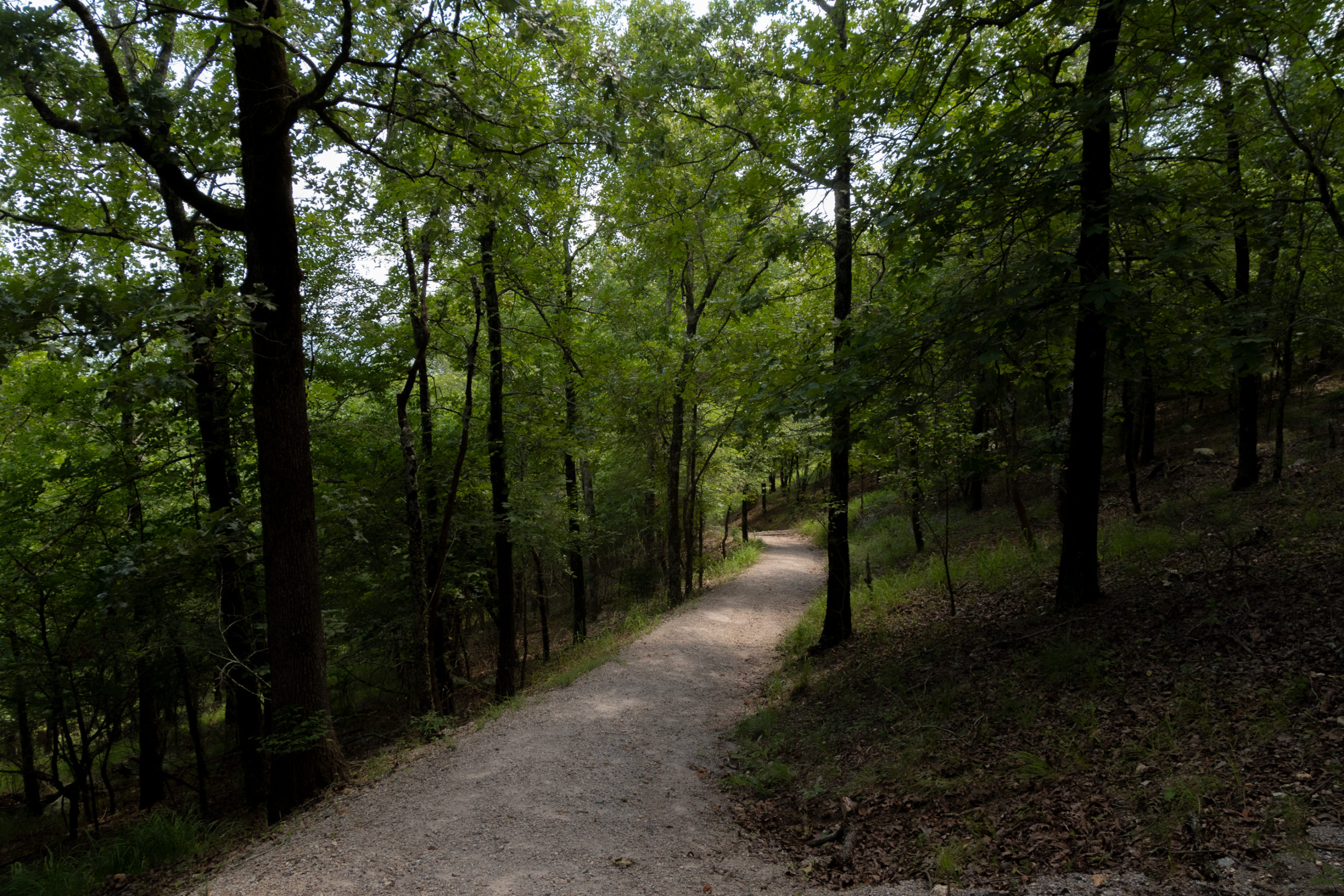
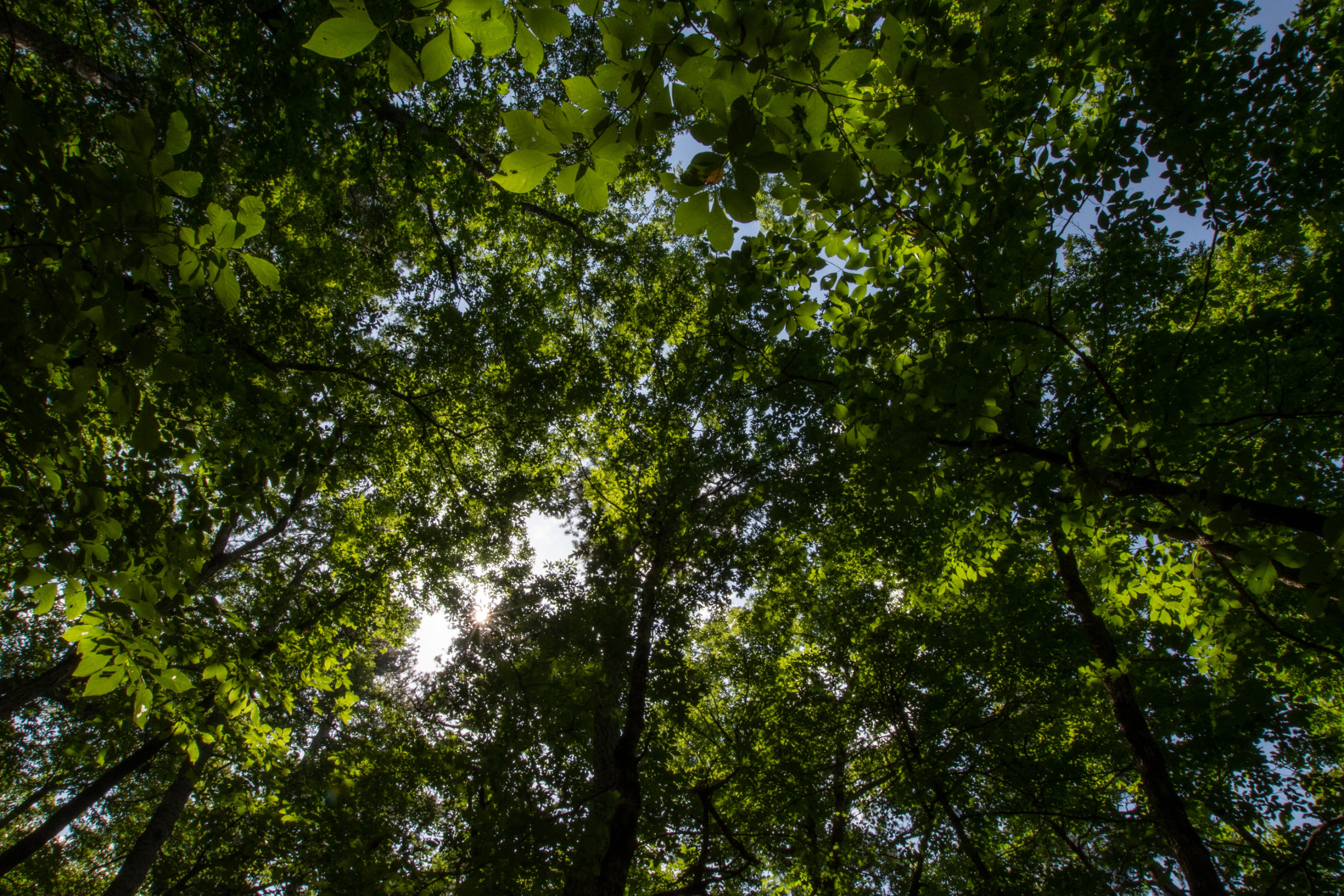
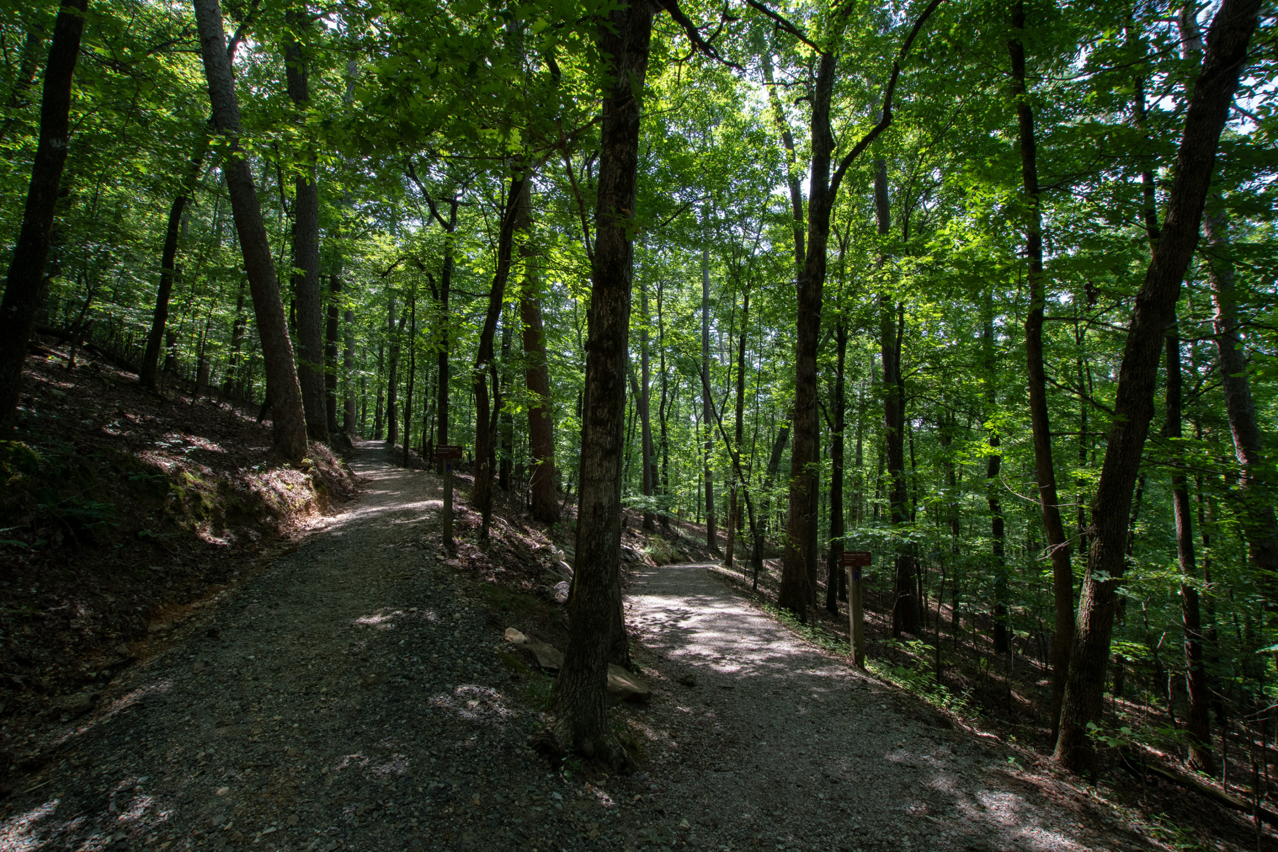
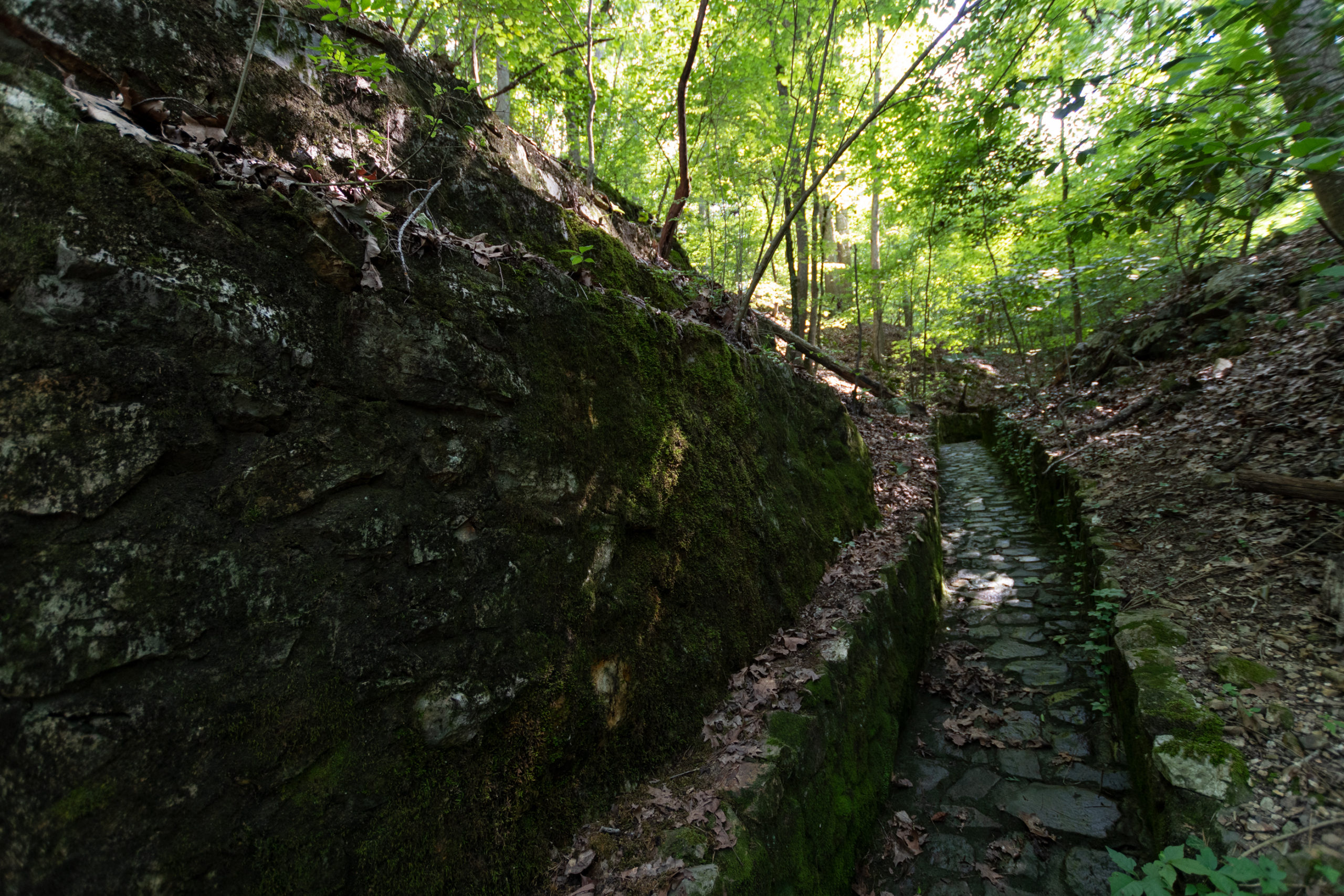
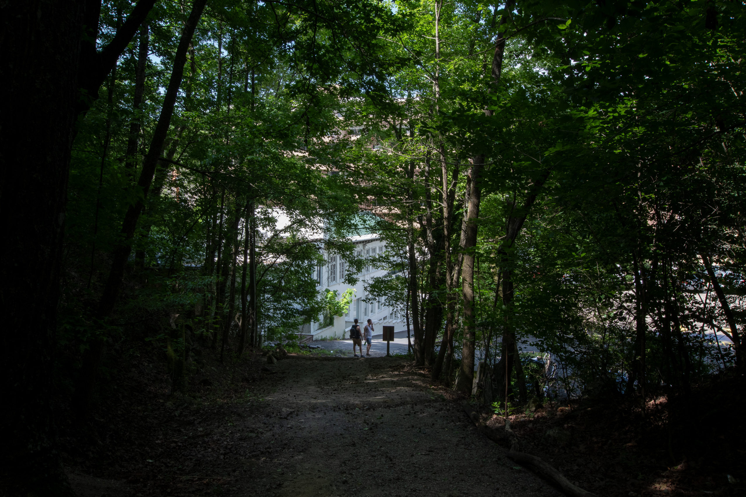
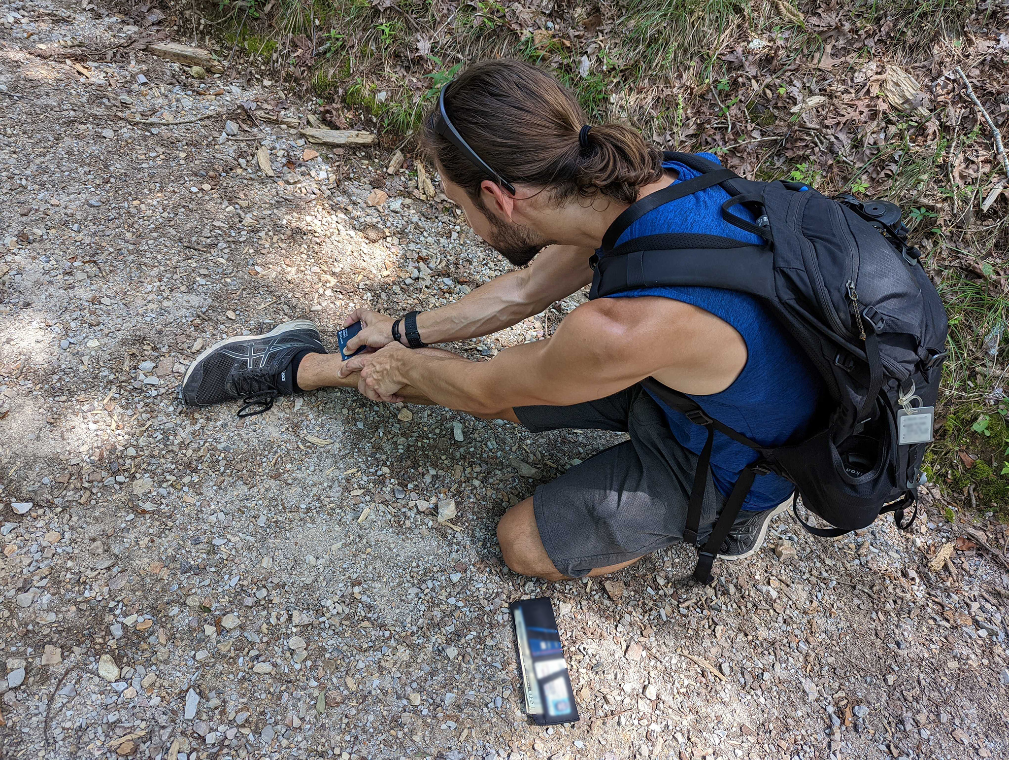
After lunch, despite the oppressive heat and humidity, I made the boys hike with me. Both the trailhead and the end of our hike were alleys behind historic buildings, but the 4 mile loop from Oak Trail to Canyon Trail around West Mountain Loop felt far outside the city.

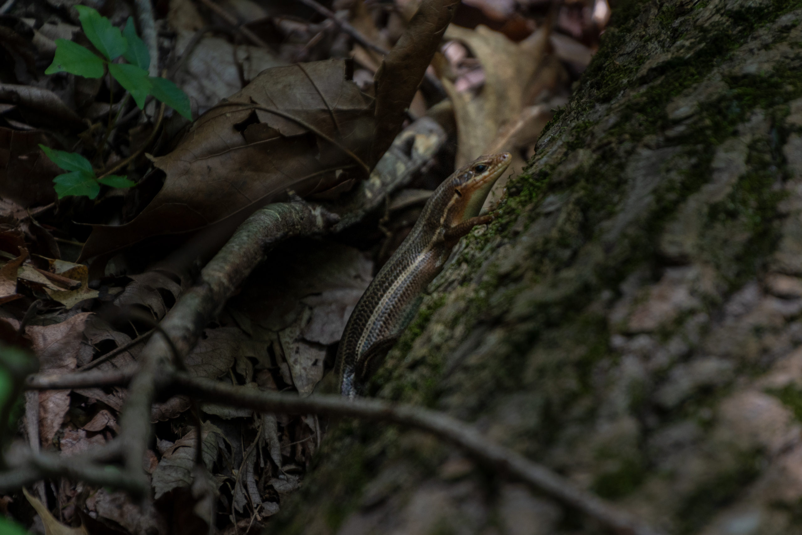
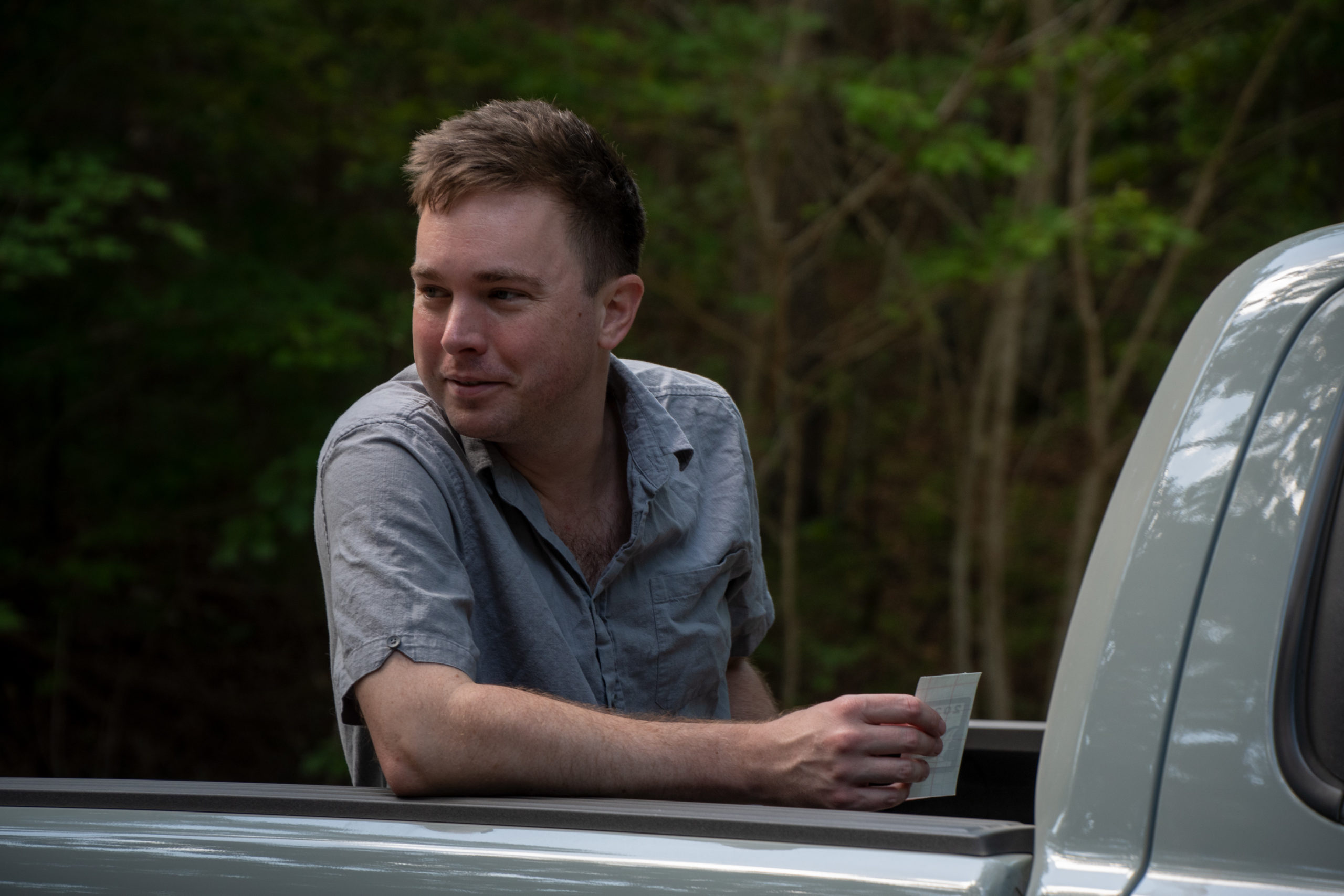
Along the way, I managed to pick up two ticks, which I removed with a credit card, thanks to a “survival guide” comic illustrating the process in the men’s room at a local climbing gym.

I’ll have to send a thank you note to Crux.

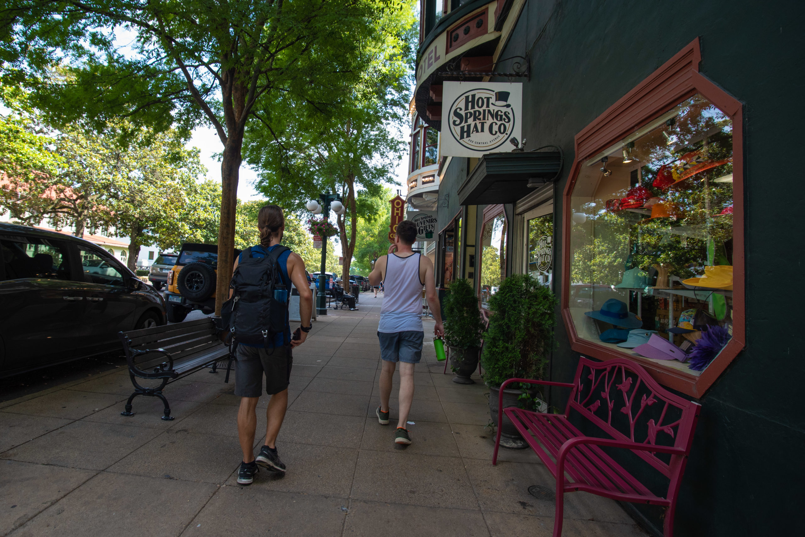
After the hike, we cleaned up then did a little more wandering around with a stop for dinner at one of the old bathhouses that now operates as a hotel, restaurant, and bakery.

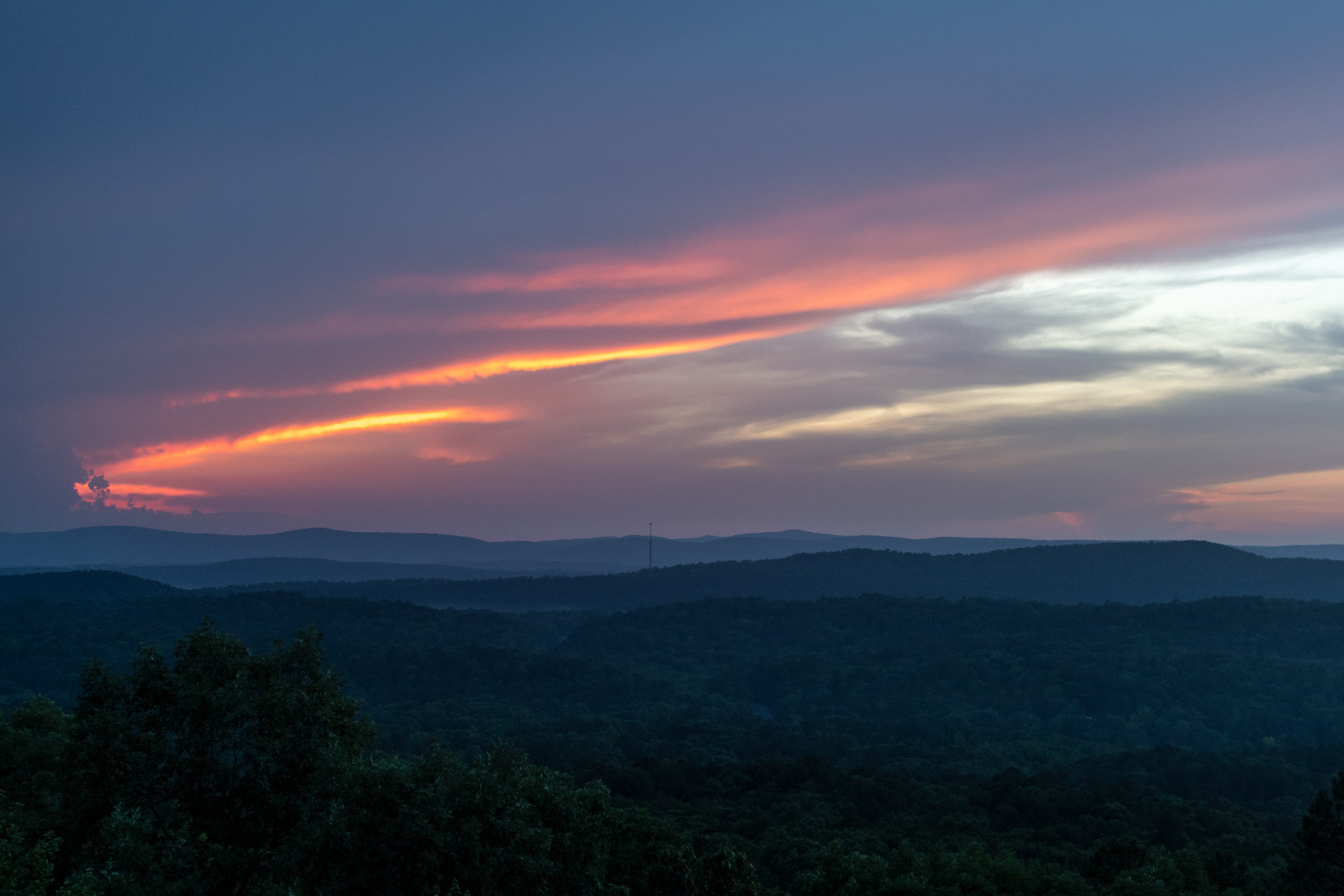
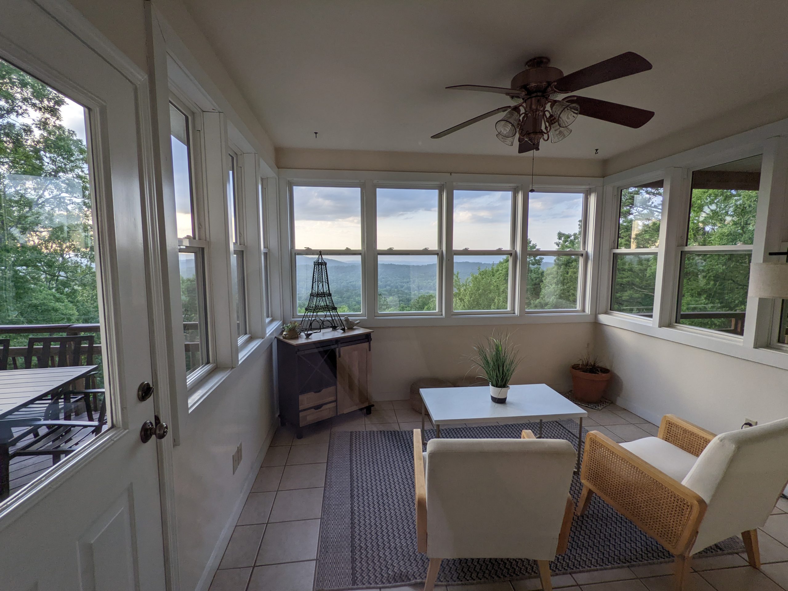
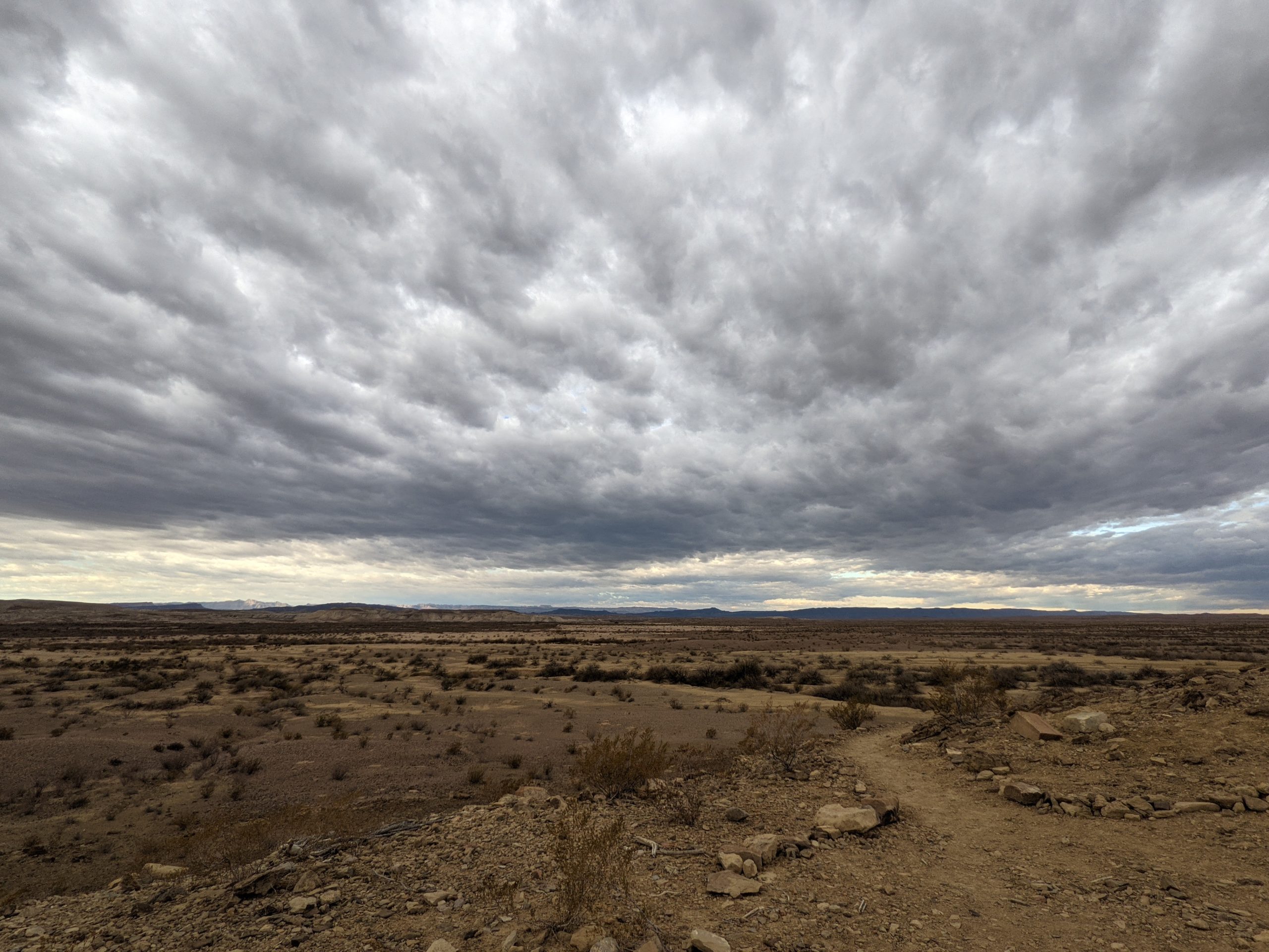
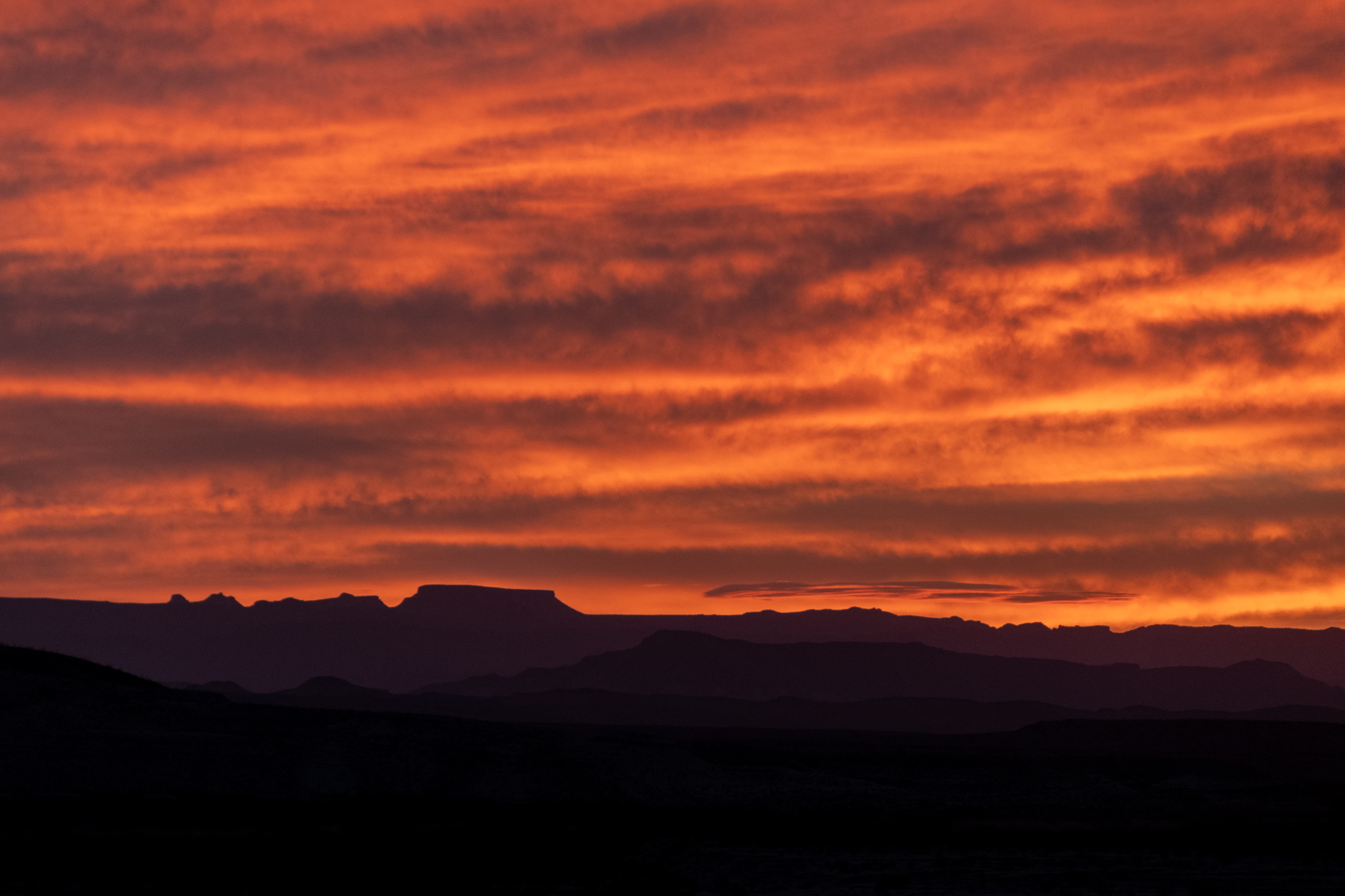
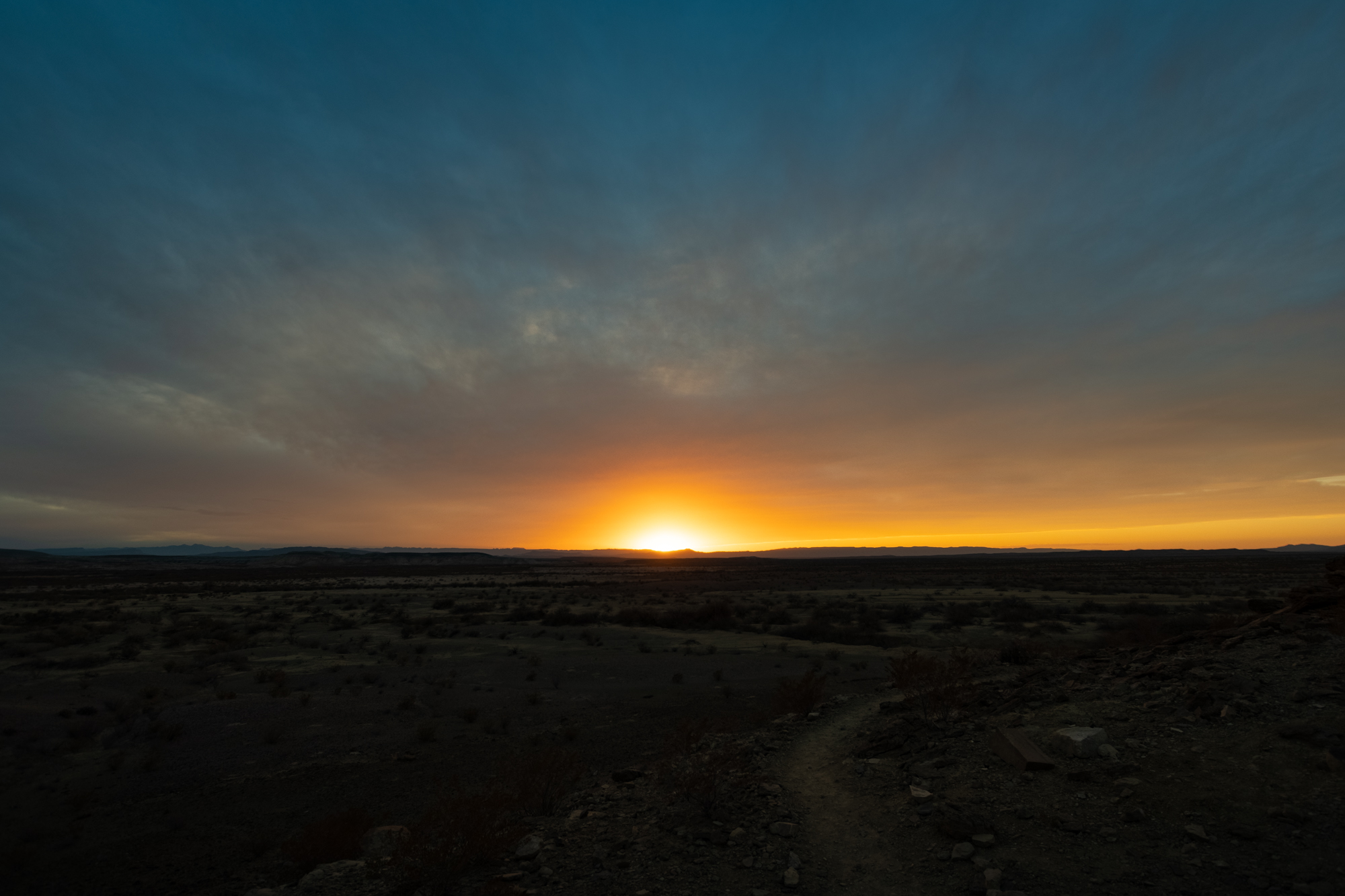
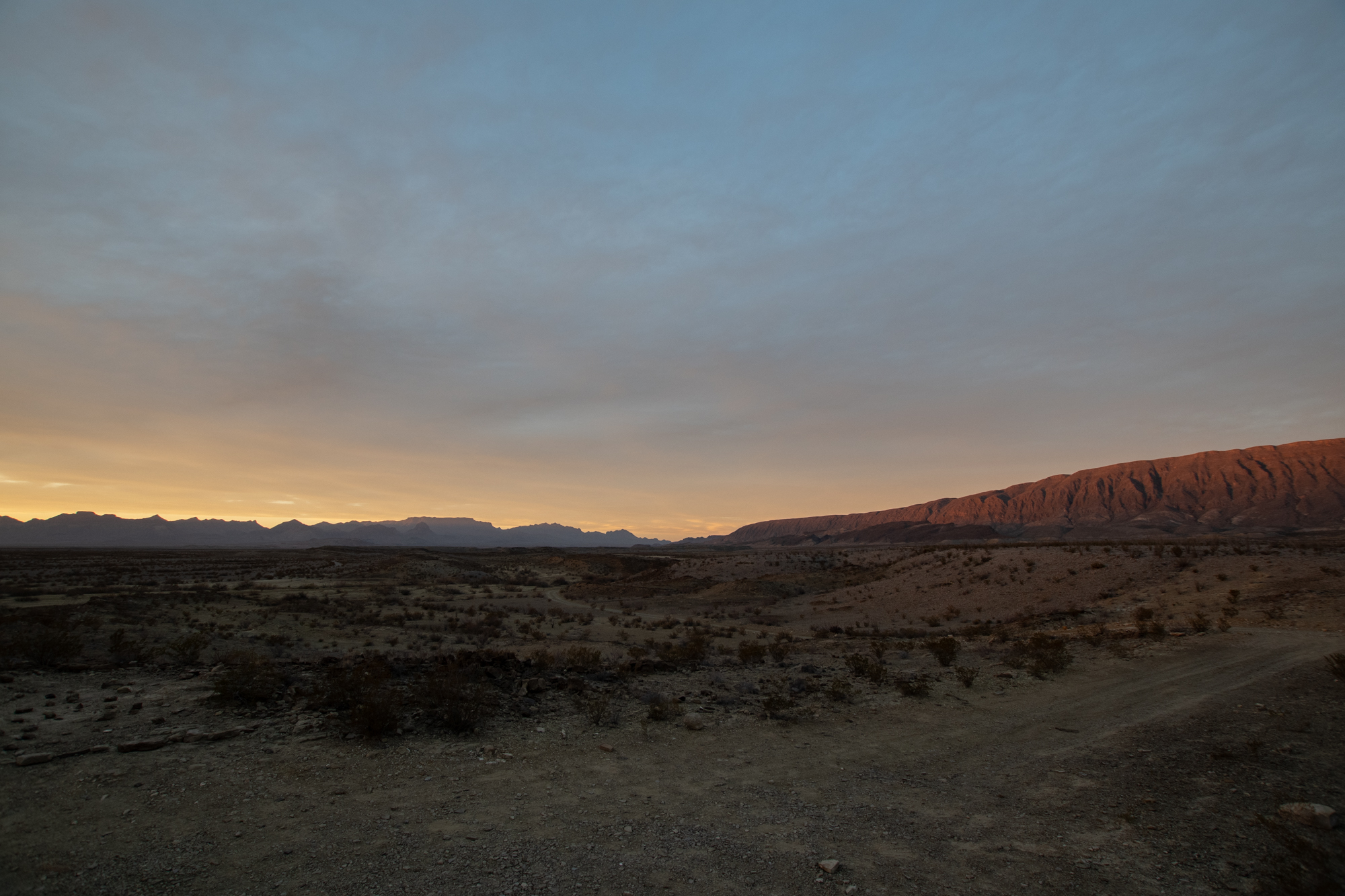
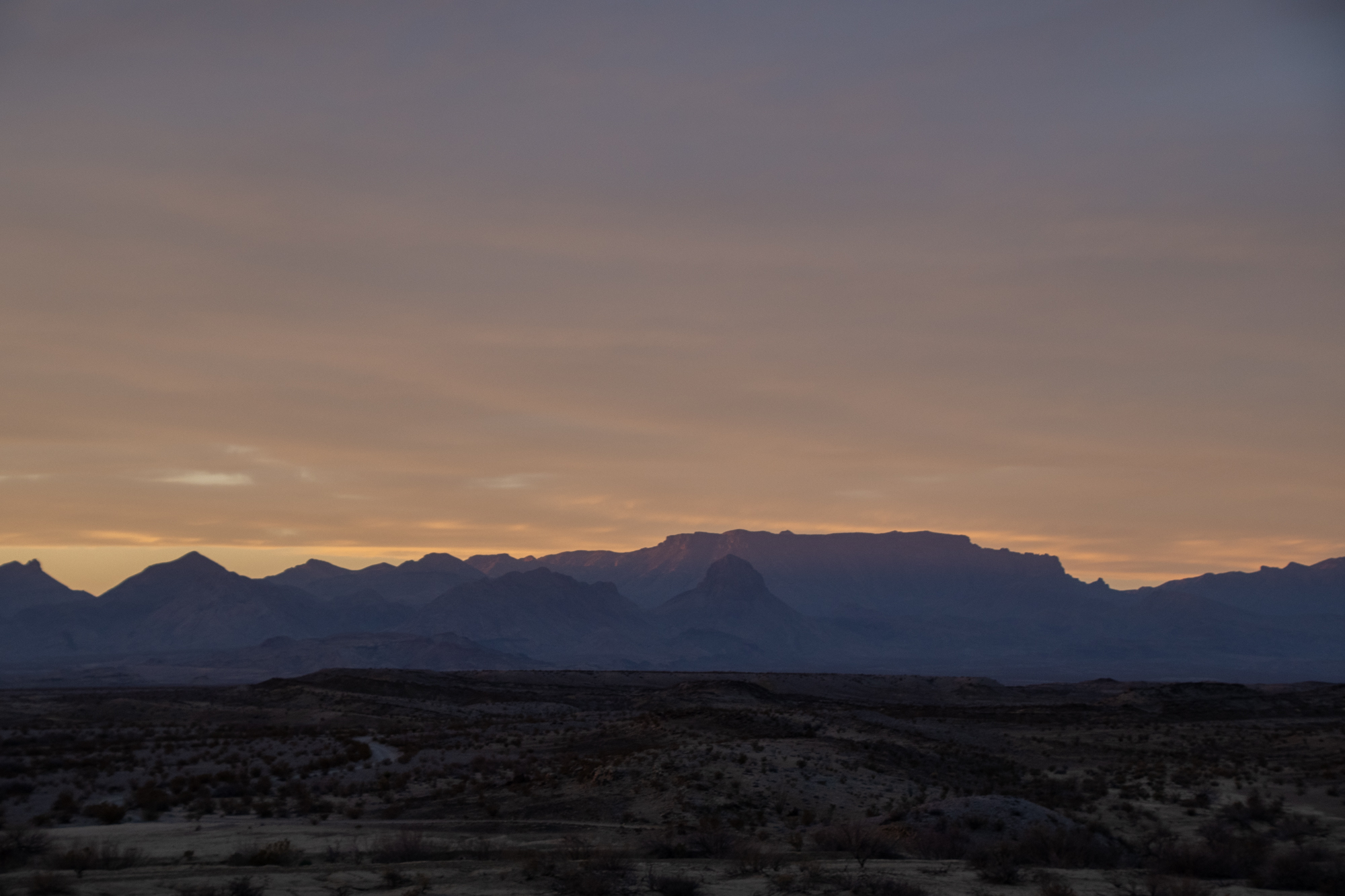
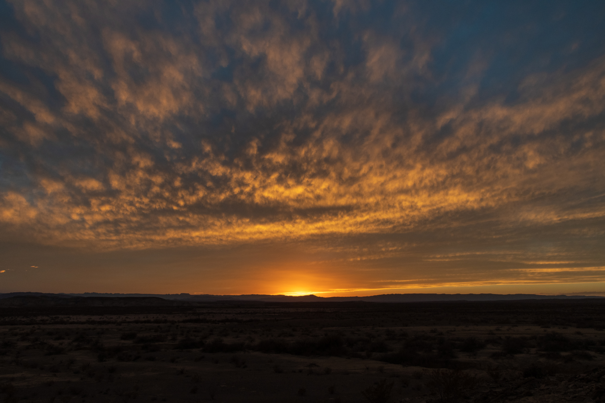
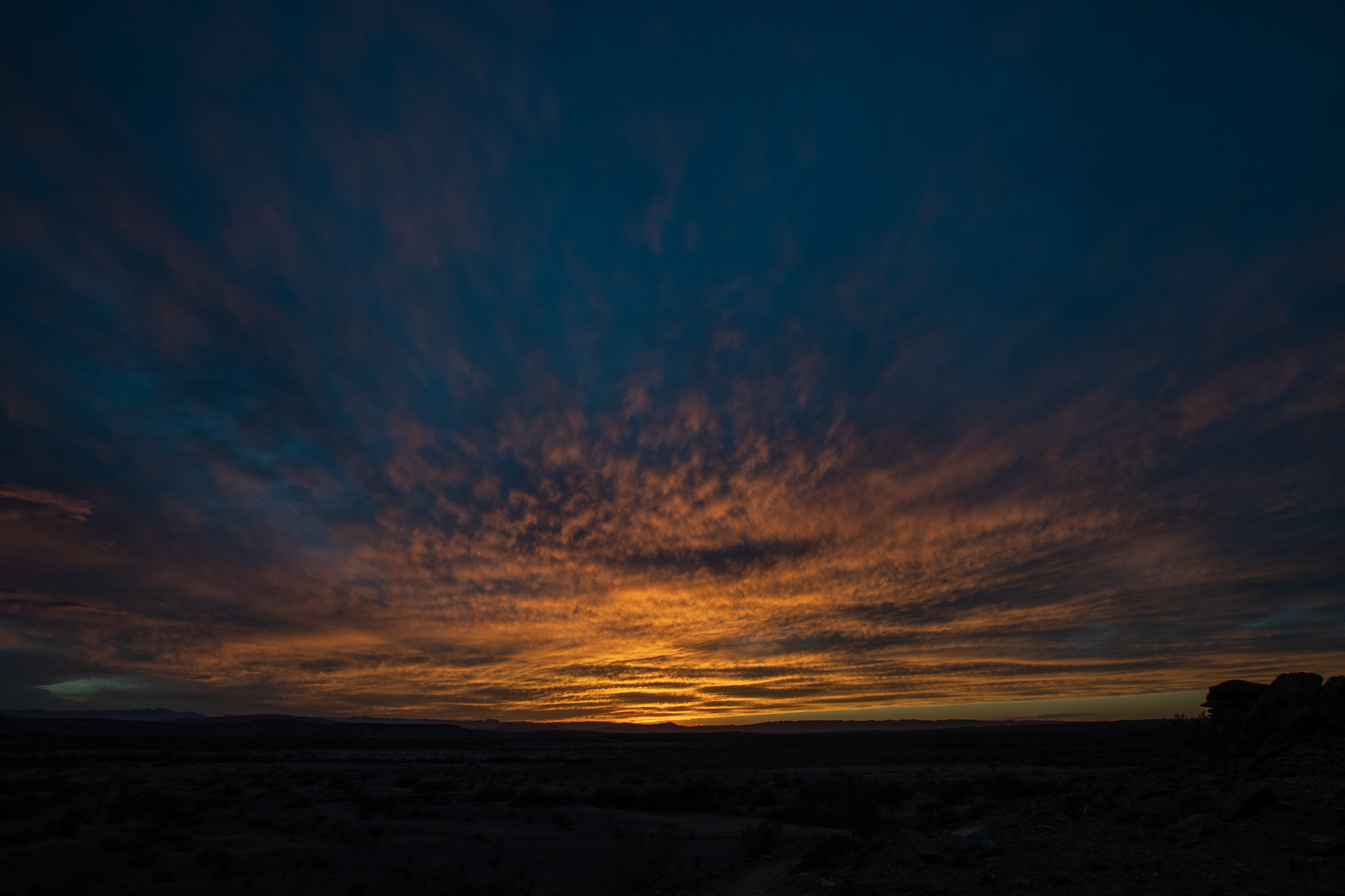
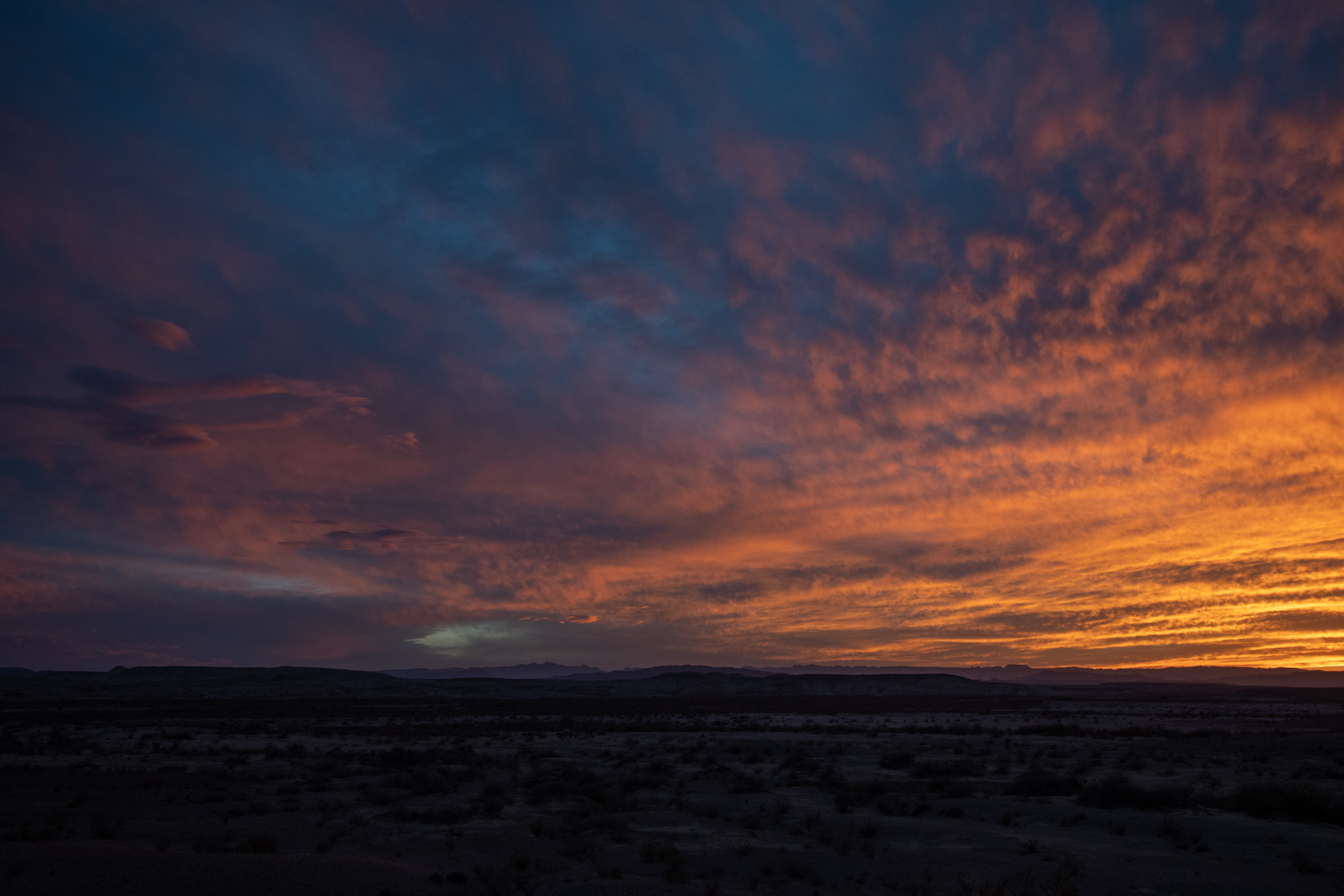
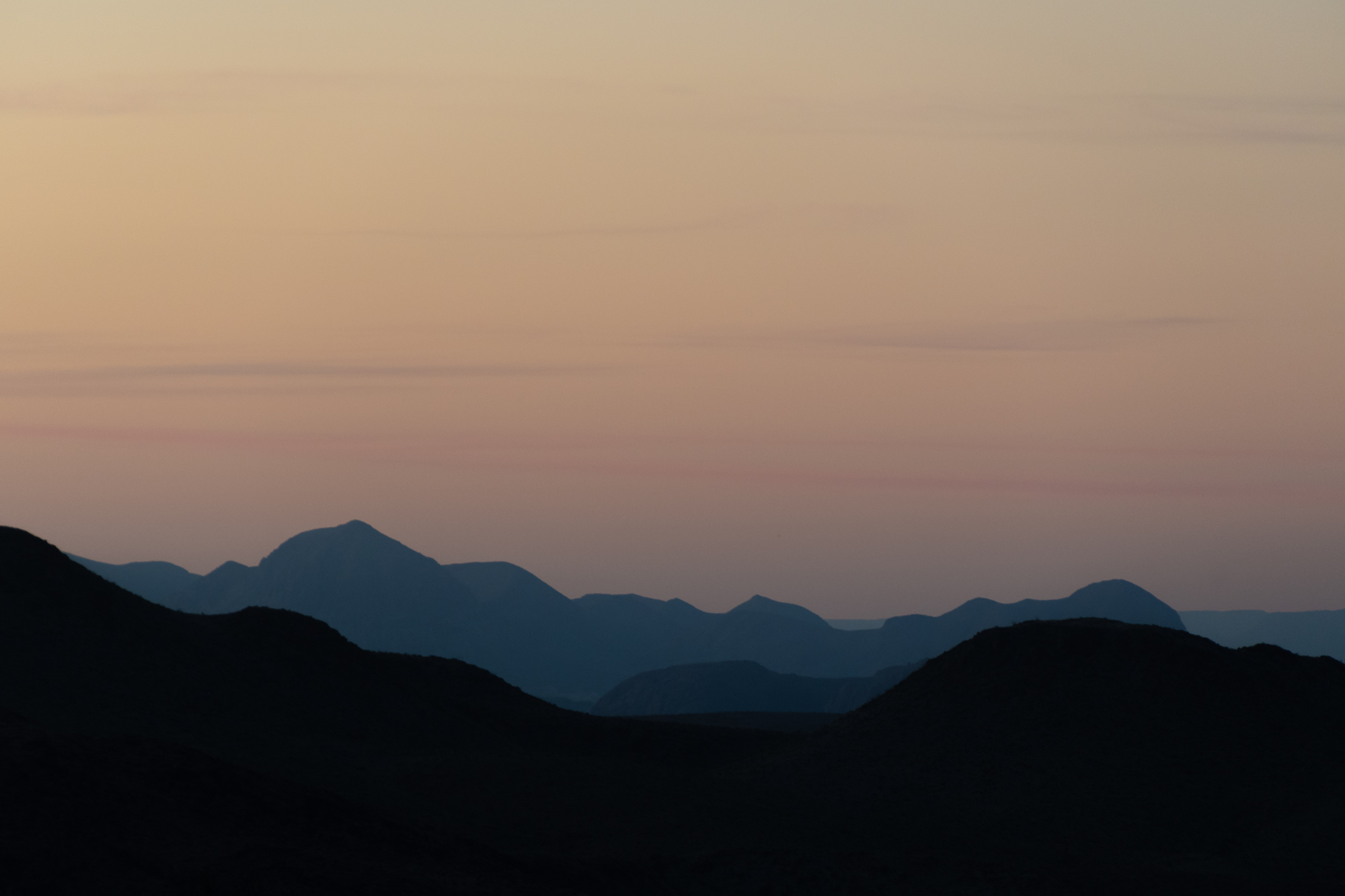
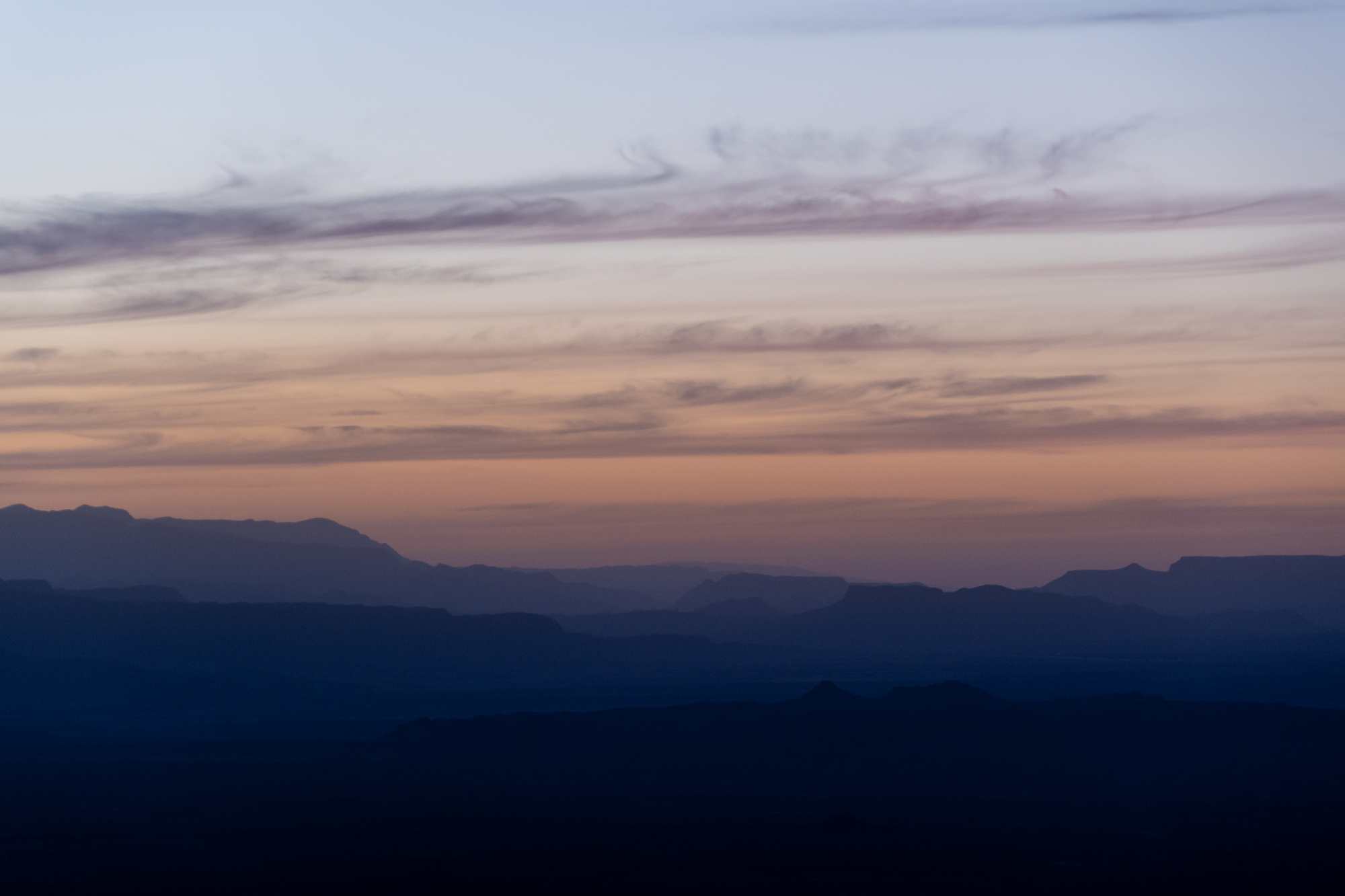
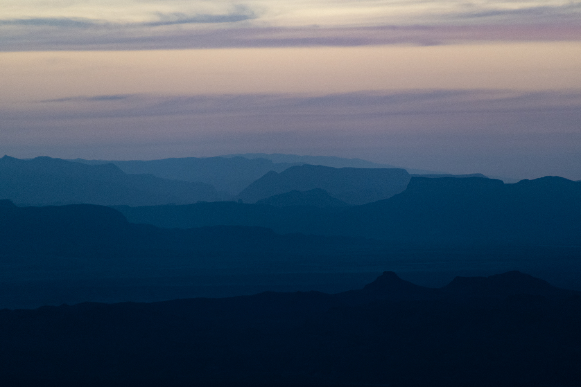
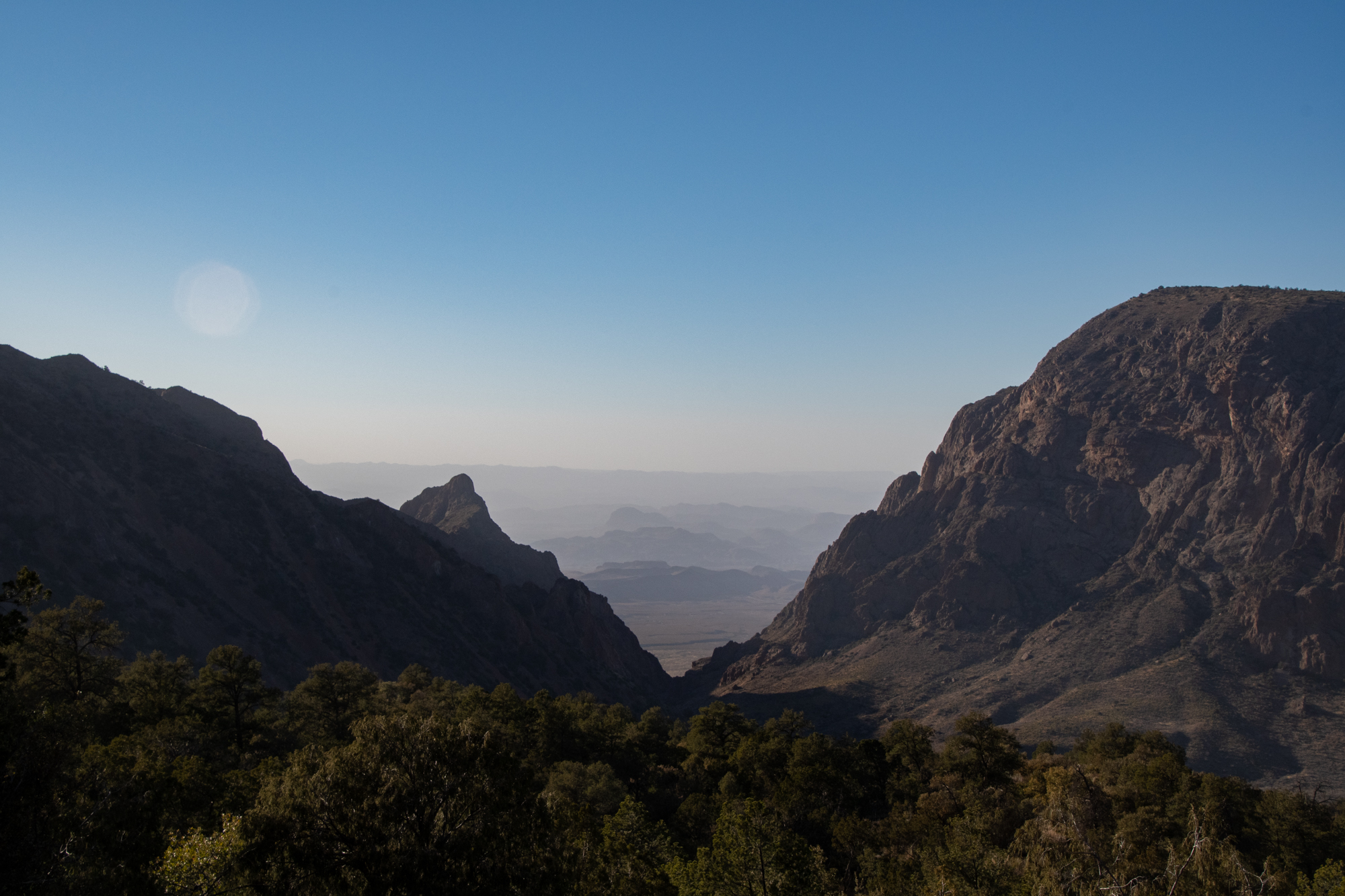
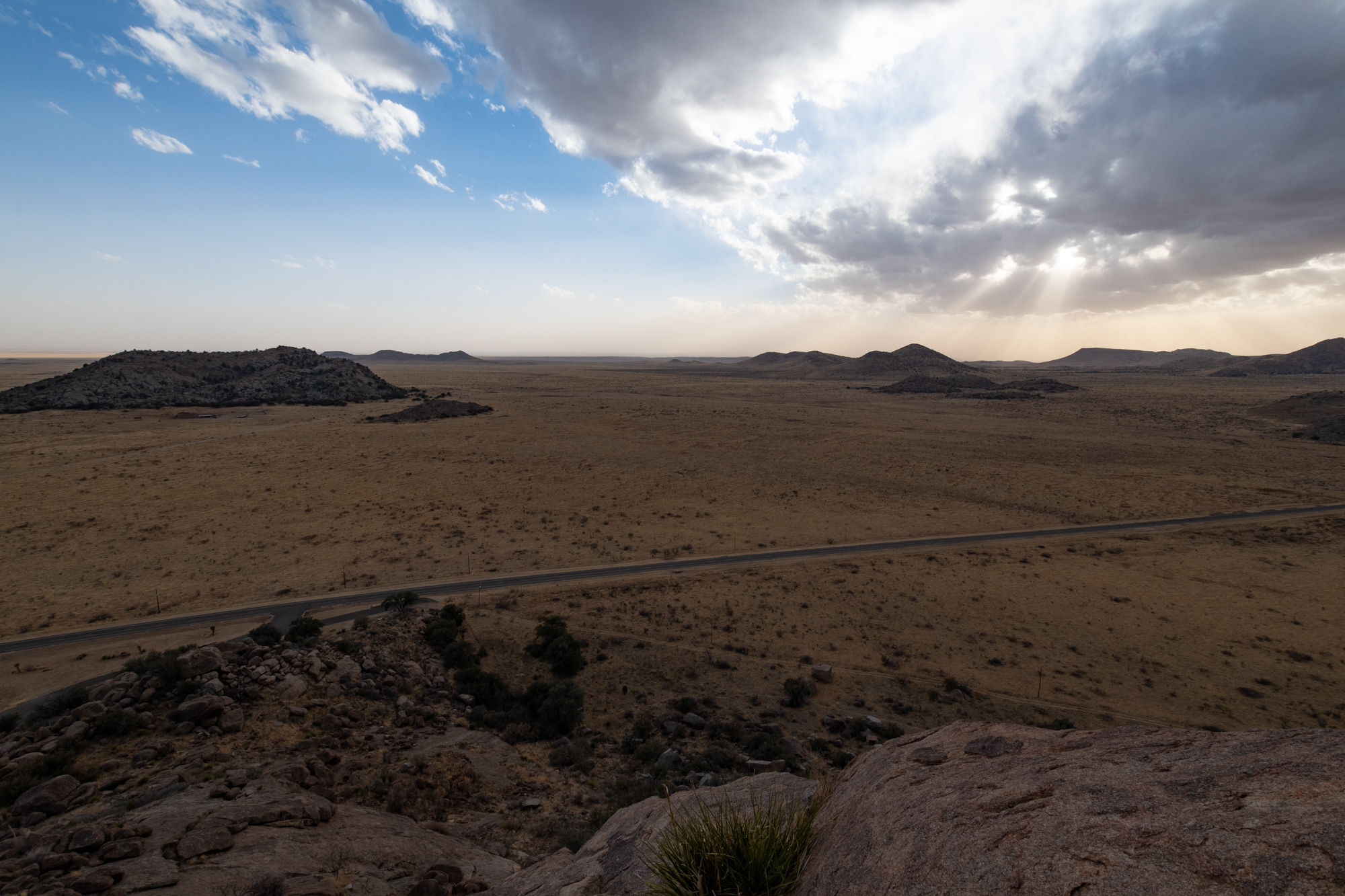
And finally back to the cabin for another dramatic sunset.

More Forest Roads

Why drive from Paris to Hot Springs in four hours when you can make it take the better part of eight? We marked the official start of this roadtrip with a detour to The Eiffel Tower — and even in the city of Paris, Texas, when I asked Google to “Navigate to the Eiffel Tower,” it still tried to find a transatlantic route before deeming my request unnavigable.

On the way out of town, we refueled. Thanks to “these [continued] unprecedented times,” that was especially painful for Evan; princess takes premium. The Ranger suggests Premium, and George is still trying to get on its good graces. Thankfully, the Xterra and I both run on sludge-grade.

He’s gonna hate me for this.

We tooled around on tiny rural highways and winding roads to make our way to Athens, Arkansas for our first stop of the day — Shady Lake.

Shady Lake is a beautiful little reservoir on the Saline River, off a tiny mountain road on the southwest edge of the Ouachita National Forest. The lake itself is only 25 acres and largely surrounded by the Shady Lake Recreation Area, originally established in 1937.

A short while later, we realized we hadn’t had our usual sticker party. The Brave Little Toaster previously held the record, so George’s sticker-o-meter has been reset.

From there, we dirt-roaded our way between passes through the heart of the forest, taking a few opportunities to break out Evan’s new drone. Not gonna lie, this thing is fun, both for a new way to see the landscape, and for the new opportunities for documenting car drama.

Unfortunately, we found a dead end and had to back out to that junction — but that would look weak in retrospect, so I reversed the video! But when George had to back himself out, he made me ride in the bed with a pair of tinsnips to cut away branches with pinstriping potential. Thankfully, I was able to push most of them away instead.

Toward the end of our journey, we linked up with the New Year’s 2020-2021 route through Mount Ida near Lake Oachita. Another half hour down the highway, we pulled into what turns out to be the “gated” community of Hot Springs Village. The entire town is encircled by entrance stations that check residents and guests. The security guy was confused when Evan radio’d George for the check-in information, and even more confused when it dawned on him that George was two cars back.

Once they sorted out an understanding and we were approved for entry, we found our mansion on the edge of the mountain. I think I might take up residence on this porch forever.

Parisian Pregaming

We’ve safely arrived in Paris. Five regulars. And a newcomer! George has made an equipment swap! Introducing his new 2022 Ford Ranger XLT Tremor.

If I’m honest, this worries me eversoslightly. There are four ways that George and the 2016 Jeep Renegade Trailhawk — god rest its impact-mangled lug bolts (because what half-wit of an engineer thought that was a good idea) — kept me at ease these past four years. The Toaster’s ground clearance, water ford depth, gas tank, and driver’s bladder are all smaller than my equivalents. Excusing a modest margin for operator error, if the Toaster survived a challenge (offroad or long-distance), my odds were good. Now, George’s situation is decidedly more formidable. I assume a spreadsheet to compare specifications is forthcoming, but I am suddenly concerned I’m now bringing up the rear, mathematically speaking.

To celebrate his new wheels, I’m introducing the boys to the canned Pinthouse brews that I brought with me, thanks to a recent introduction back home. Also George’s phone just went off that he forgot to finish his employer’s “Unconscious Bias” training that’s due today, so he’s doing that — which seems more tolerable with booze. Meanwhile, Evan is flying his new drone around the hotel room to test out a firmware upgrade… while wearing a back brace, the story of which I have yet to solicit.

So things are going well. I suppose we should also spitball a route for tomorrow’s journey to Hot Springs.

Hot Springs Weekend

Well, spring has officially turned to summer with scorching heat in Austin and Tulsa, so it felt right to escape for a long weekend somewhere to cool off. But thanks to some crossed wires somewhere in the planning, we decided that means going to Hot Springs, Arkansas?

But we’ve always had a great time in Arkansas, whether in the springtime water crossings or new year’s snowfall. So it seems as good a place as any to disappear into the woods for a spell.

I’ve been working from Waco all day, and I am just not sure if I can make it another fifty minutes of workday…

We meet tonight in Paris, which would sound more glamorous were it not the one in Northeast Texas. And tomorrow we’ll stitch together some map-squiggles to take us the rest of the way.

Heading Home

Last night at Talley was beautiful. It was also a lot warmer than I expected, which is a bit of a mixed bag. I slept in, then had a bottled coffee on the edge of the bluff as the cloud-cover lifted. And then began my nearly 3 hour journey back to pavement and 8 hour drive from there back home.

At some point while I was inappropriately rally-driving River Road, the Xterra’s traction control computer decided to just give up for the morning. And then my usual evap clog code was thrown. And the shackle on my shackle-hitch jiggled its way free. At least the former two mended themselves on the long drive out of the park.

Big Bend, as always, thank you for the adventures. Until next season.

Mariscal Canyon Rim

My last hike of the trip was an AllTrails find in the most remote part of the park I’ve ever been to. I picked up Glen Springs Road, which we took to Black Gap, as a shortcut down to River Road from Panther Junction. From there, it was another half hour down a rocky spur to the banks of the Rio Grande — near the Talley backcountry campsites and the trailhead for the Mariscal Canyon Rim. At three hours from the nearest paved road, with no one else in sight, right on the border and feeling like the edge of the world… this was definitely the most remote place I’ve ever been. And I’d like to think I’ve been in an admirable number of out of the way places.

So I hid my pair of expensive laptops in the in-floor storage with the jumper cables, hoping I wouldn’t have to eat crow later in front of Cloudflare’s Security Response Team upon my return.

The hike started through a dried up wash snaking between cairns that marked the way. I’ve come to think of stacked rocks more often as vandalism than trail marking because it has become quite the trend to make temples of rock stacks along popular trails of big parks. But the cairns here felt necessary to avoid wandering off into the rocky wastes, never to be seen again.

Notice: Hikers must be duly prepared for the challenges of this trail. Temperatures may well exceed 110°F during spring and summer. You will find NO shade and NO water along this trail. This combination of factors make this trail potentially deadly during the late spring and summer. Tell someone your plans before heading out. Always wear a hat, and clothing to protect against the sun’s radiant heat, take along plenty of water (1 gallon per person/day) and salty snacks, and start early when temperatures are cooler.

National Parks Service

Luckily today was very temperate with an unusually thick cloud cover.

Suddenly the trail turned into a steep hill climb, rising about fifteen hundred feet in less than a mile onto Mariscal Mountain, for which the mine on the other side is named. The route is flanked by more rocks and a forest of thorny plants to deter photographers from straying too far off the path, but at the top, a few viewpoints look into the canyon below.

Views are magnificent as you ascend the western slopes of Mariscal Mountain. You will be able to see the expanse of the park’s low desert, and mountains stretching far off into Mexico. Mariscal Canyon itself is difficult to see until you arrive at the rim, and suddenly encounter the 1,400 foot deep precipice.

You will find yourself at the sheer edge of Big Bend’s narrowest and steepest of the three major canyons. In this canyon, the river makes its northward turn that give the “Big Bend” region of Texas its name. Enjoy the sights and silence, then return the way you came.

National Parks Service

I could have stayed there for hours, but I did want to be off the trail before nightfall, lest I be haunted by the ghosts of Mariscal miners. Back at the trailhead, I followed the rest of the Talley road to the banks of the river. I wouldn’t exactly call the Rio Grande a source of fresh water, but it was flowing fast enough and not too cold, so I waded in to wash off the sunscreen/sweat grime while being stared down by a rag of loose farm horses downriver.

My backcountry campsite was Talley 2, just a few minutes up the road from the trailhead on a bluff overlooking the river basin. I arrived just minutes before the most brilliant sunset.

Old Ore Road and the Upper Burro Mesa Pouroff

Between the week’s running and yesterday’s hiking, I declared an Xterra hike today. We did the bulk of Old Ore Road after dark on the New Year’s trip in 2018, so I decided to sleep in and then visit that with a picnic at a vista pull-off.

And of course, Ernst Tinaja is at the end of that road, which I always enjoy wandering through. But one of the first pools was full. Despite trying my best to find a way around, my hike was cut short.

I will say I’m proud of that mantle, but I couldn’t repeat it wearing my backpack with water and camera, which I didn’t want to leave behind. So I moved on.

Upper Burro Mesa Pouroff

I’ve realized I have my Big Bend favorites but need to branch out slightly. An easy but dramatic looking hike I found on AllTrails was the Burro Mesa Pouroff, two hikes split at the midpoint by a 500+ foot drop where there is, presumably, a waterfall after rains. I did the upper half this time, which made for a nice canyon hike.

This was a great, and I had it all to myself. It’s a side-stop on Ross Maxwell Scenic Drive that doesn’t call a lot of attention to itself. And it has just a few rock scrambles in it to keep things interesting.

Sotol Vista

The tour of big hazy skies continued just down Ross Maxwell Scenic Drive at a rest stop called the Sotol Vista.

The South Rim and Emory Peak. Again.

Heavy winds in the area kicked up a lot of dust over the past few days which started to settle into the valleys below the basin, adding a bit of desolation to the view but also a feeling of floating above it.

I’ve decided that counter-clockwise is winning, which is backwards from what I did last time. That way it’s a 4 mile straight-shot from the basin out to the rim, then a stroll through the meadows and Boot Canyon, finishing high up on Emory Peak before a dramatic pile of switchbacks down to the trailhead.

And back at the trailhead, I discovered the store was still open. So I grabbed a beverage and went to the paved Window overlook for sunset.

I declare the Second Annual forced march of the South Rim a success.

Working from Wide Open Skies

With time running short in the season before scorching heat takes over Big Bend, I decided to head back that way. After all, hiking the South Rim can only be an annual tradition of mine if I’ve done it at more than once. But why spend just a weekend in Big Bend if I can spend a whole week? So I booked this place:

Cloudflare Marfa was a remarkably productive office. My backlog over the past few weeks has become well more than knee-deep, but I managed to wrap up a lot this week while squeezing in some time for side quests in the evenings and coffee shops during the days.

Point of Rocks

About ten minutes south west of Fort David is an old waystation along what was a military road from San Antonio to El Paso in the mid/late 1800s. Today, it is a picnic area at the base of a massive boulder pile. In 6th grade, my class did a West Texas field trip and came here for an afternoon of running around. The following year, somehow, my mother found the same place based on my extremely rough description, but wouldn’t let us climb too high.

But she wasn’t here to stop me this time. And Wednesdays are for climbing. 600 foot ascent in total. Lots of fun. Sixth grade me would have thought I’m so cool.